Trails in France
15,926 hiking trails, each with its route, climb, walking time and grade.
All trails, page 216 of 332
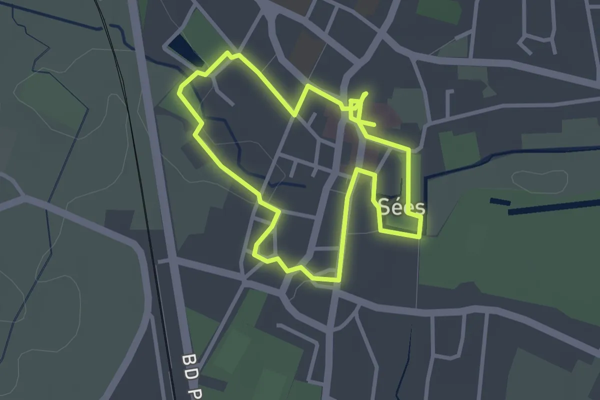
Easy · Trail
Parcours historique de la ville de Sées
2.4 km · ↑ 9 m · 38 min
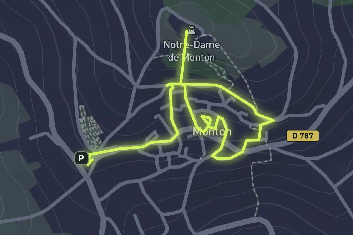
Easy · Summit
Parcours historique de Monton
3.3 km · ↑ 164 m · 1 h 8 min
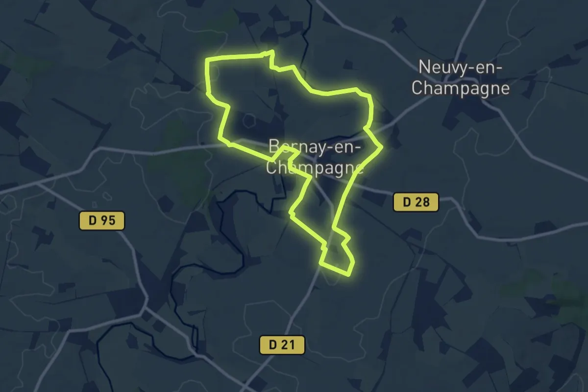
Easy · Trail
Parcours Intermédiaire Bernay-Neuvy-en-Champagne
7.9 km · ↑ 30 m · 2 h 2 min
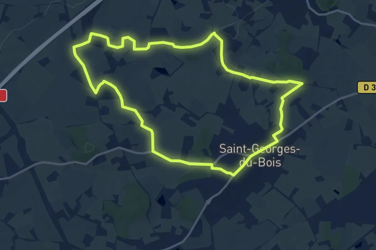
Medium · Trail
Parcours jaune
9.3 km · ↑ 94 m · 2 h 32 min
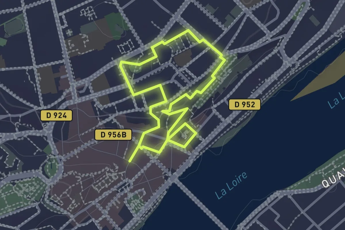
Easy · Trail
Parcours La Fleur de Lys
2.2 km · ↑ 28 m · 36 min
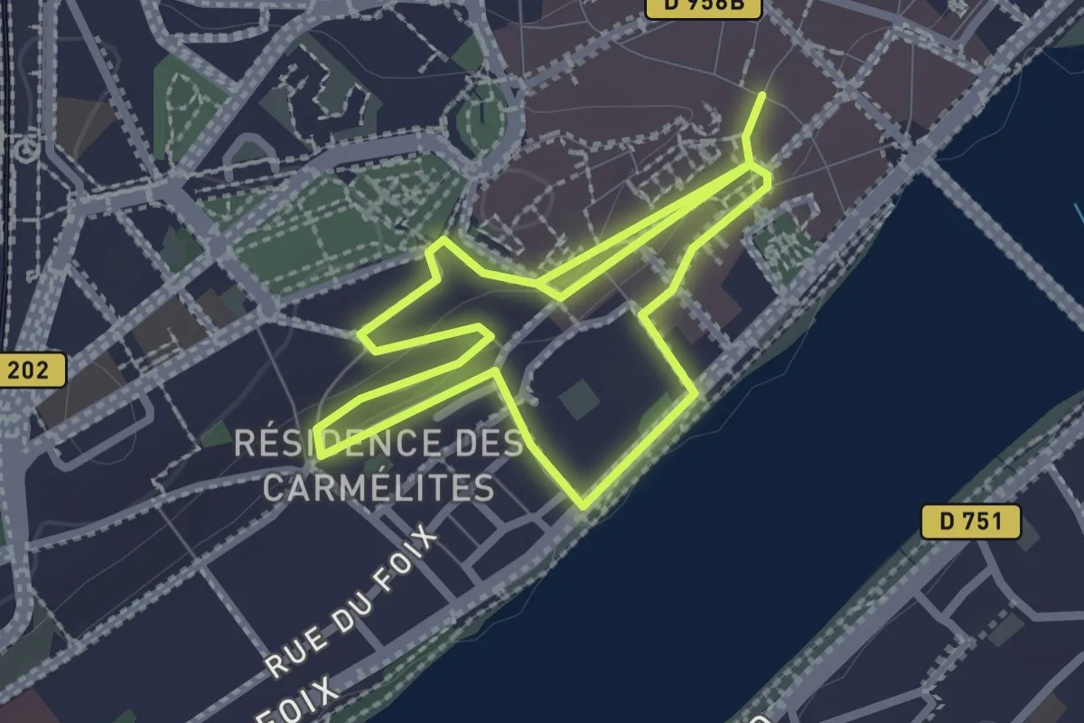
Easy · Trail
Parcours Les Flèches Saint Nicolas
2.1 km · ↑ 32 m · 35 min
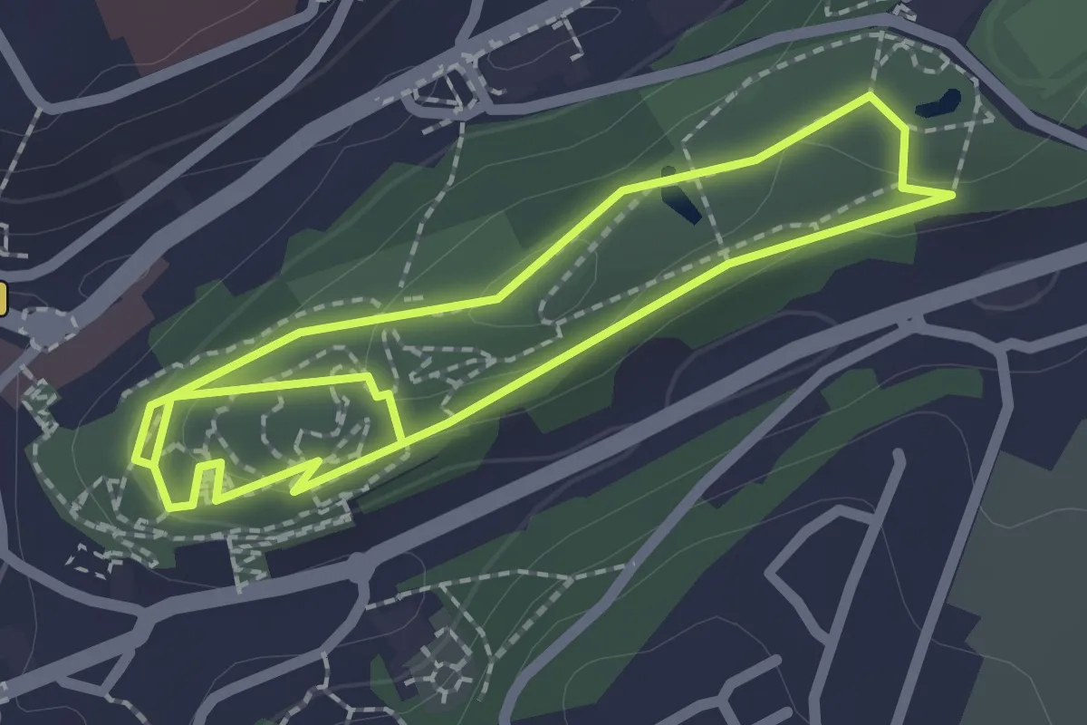
Easy · Trail
Parcours lichens et pollens
1.8 km · ↑ 22 m · 31 min
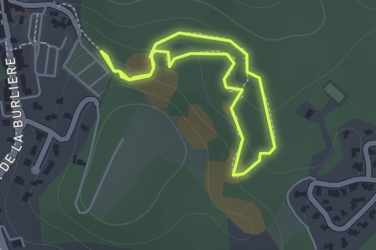
Easy · Trail
Parcours long
1.1 km · ↑ 29 m · 21 min
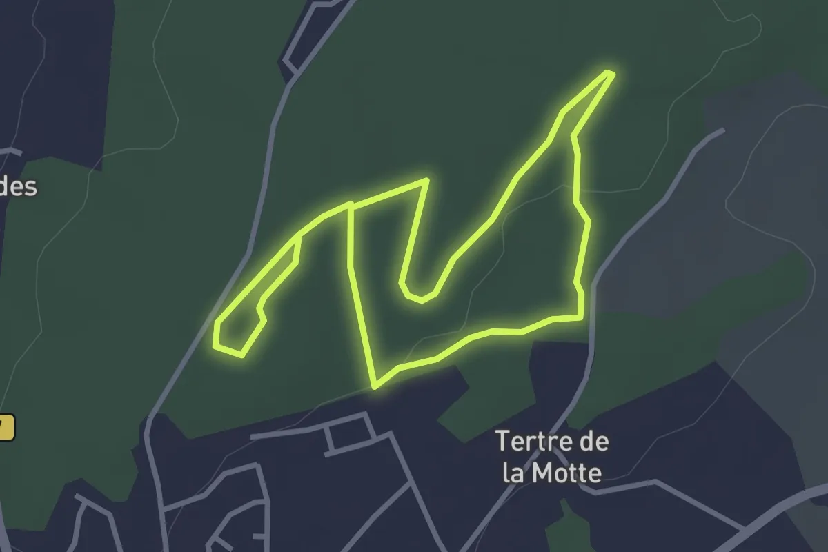
Easy · Trail
Parcours Ludique du bois de Plédran
2.7 km · ↑ 18 m · 43 min
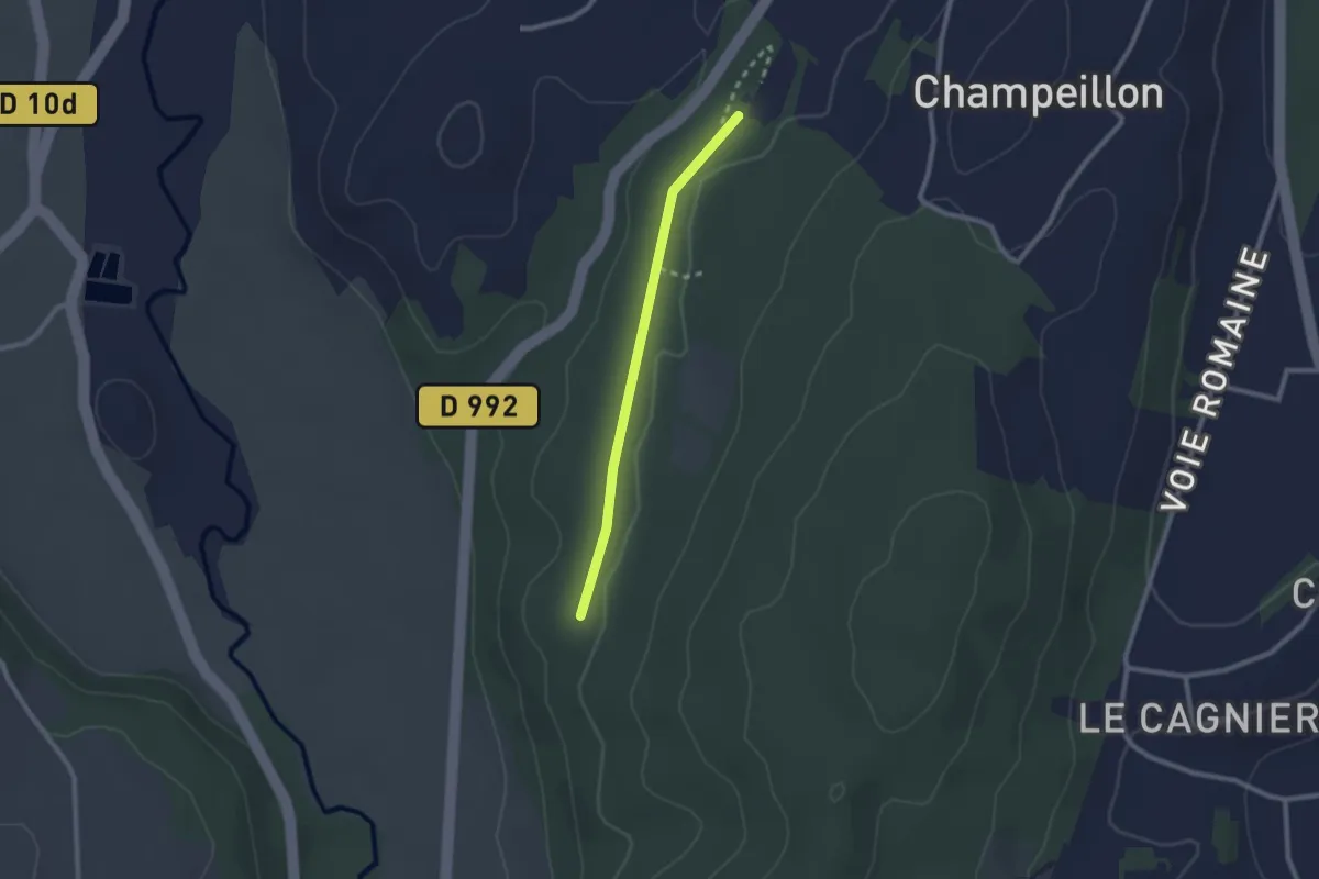
Easy · Trail
Parcours ludo-sportif
1.0 km · ↑ 4 m · 16 min
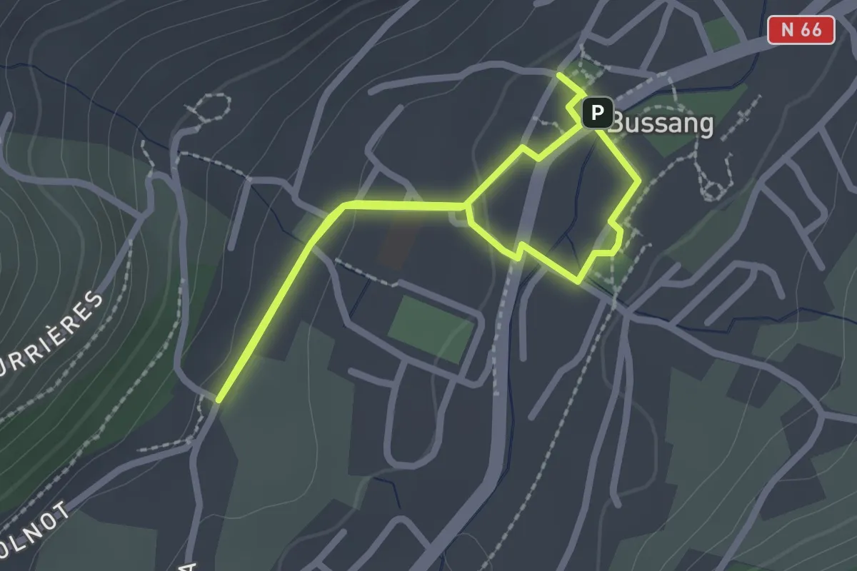
Easy · Trail
Parcours Maurice Pottcher
1.8 km · ↑ 27 m · 30 min
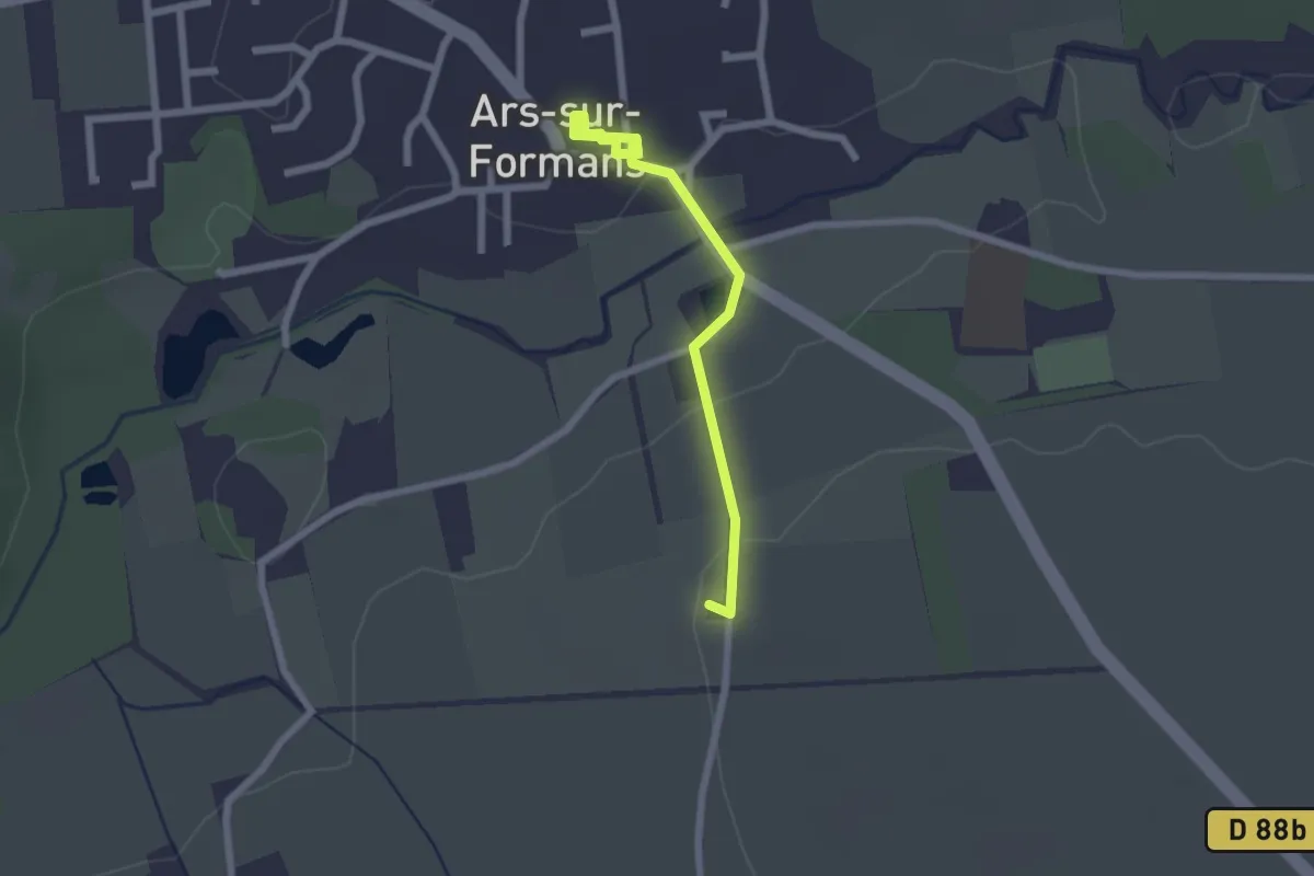
Easy · Pilgrim path
Parcours Miséricorde
1.1 km · ↑ 21 m · 19 min
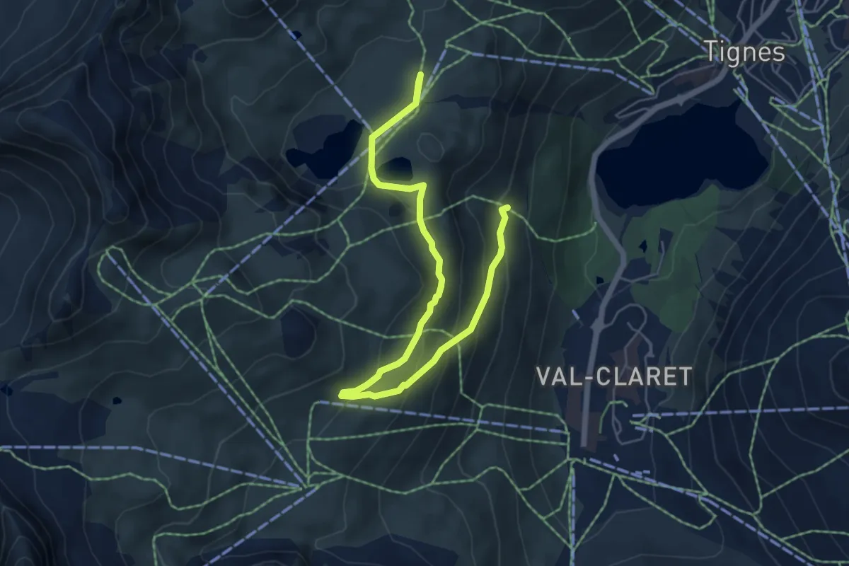
Medium · Trail
PARCOURS N°11 | LACS DU CHARDONNET
3.5 km · ↑ 242 m · 1 h 20 min
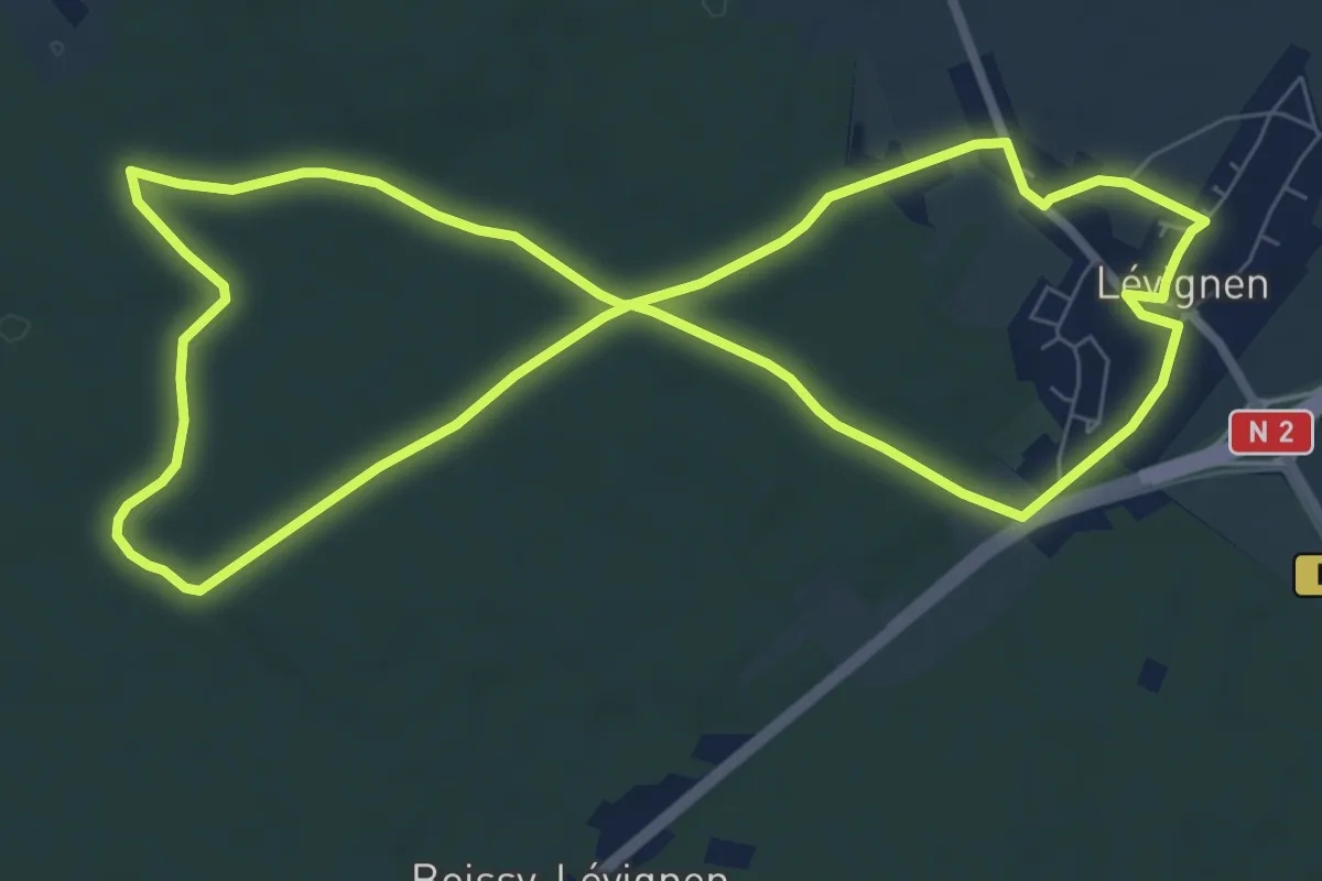
Easy · Trail
Parcours Nature à Lévignen
7.6 km · ↑ 61 m · 2 h 2 min
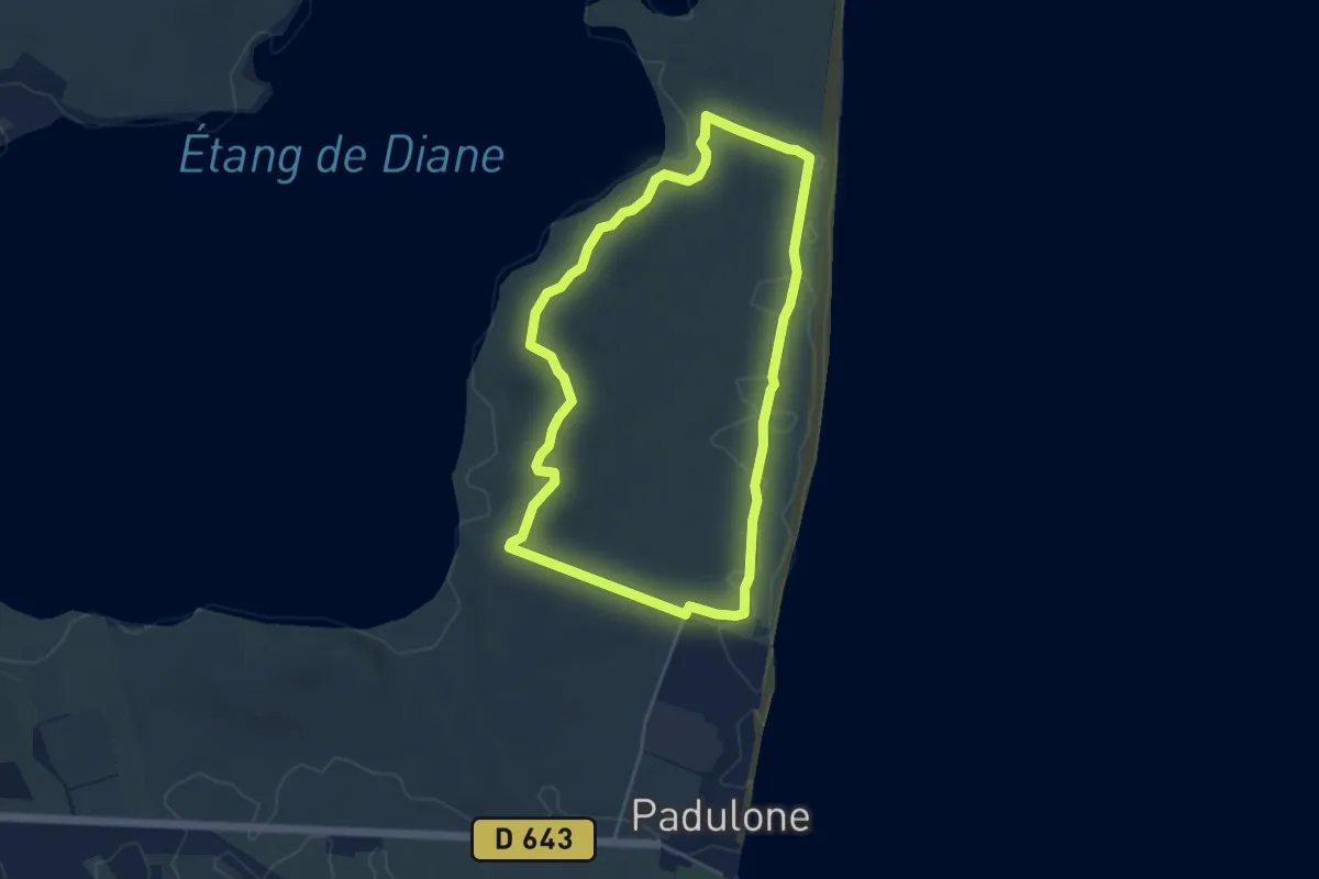
Easy · Trail
Parcours niveau 1 Mare è Stagnu
4.8 km · ↑ 29 m · 1 h 15 min
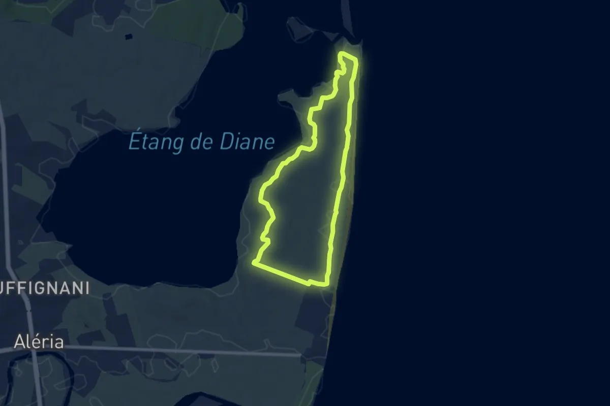
Easy · Trail
Parcours niveau 2 Mare è Stagnu
6.6 km · ↑ 28 m · 1 h 42 min
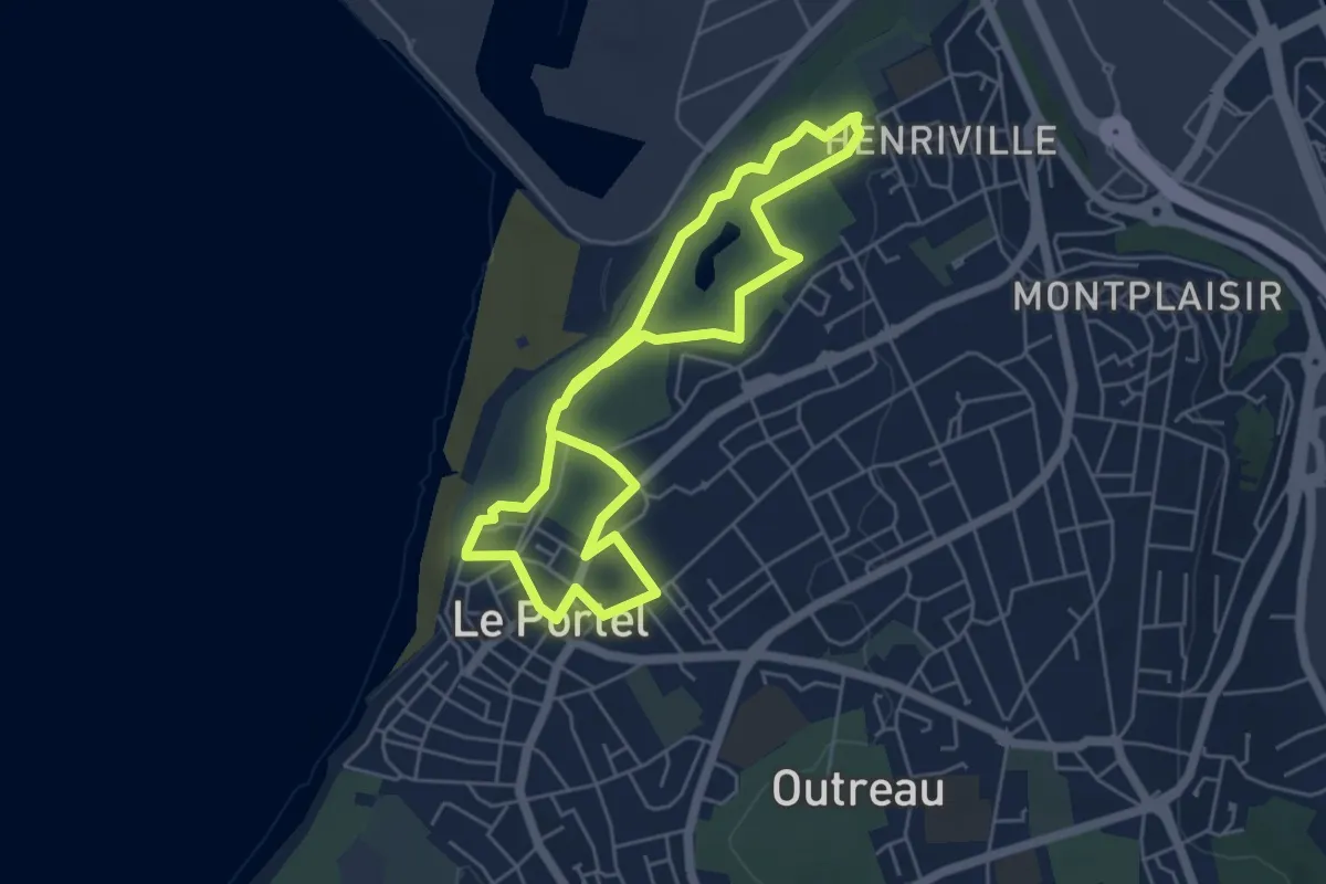
Easy · Trail
Parcours Parc de la Falaise & Fort de Couppes
4.7 km · ↑ 42 m · 1 h 16 min
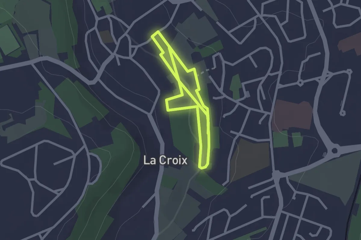
Easy · Trail
Parcours pédagogique des Enrichards - Sentier principal
3.8 km · ↑ 83 m · 1 h 4 min
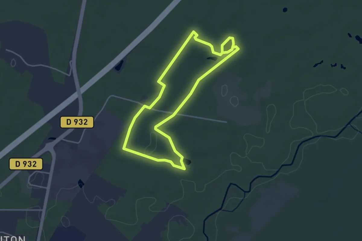
Easy · Trail
Parcours pédestre des lagunes de Nabias
3.6 km · ↑ 19 m · 56 min
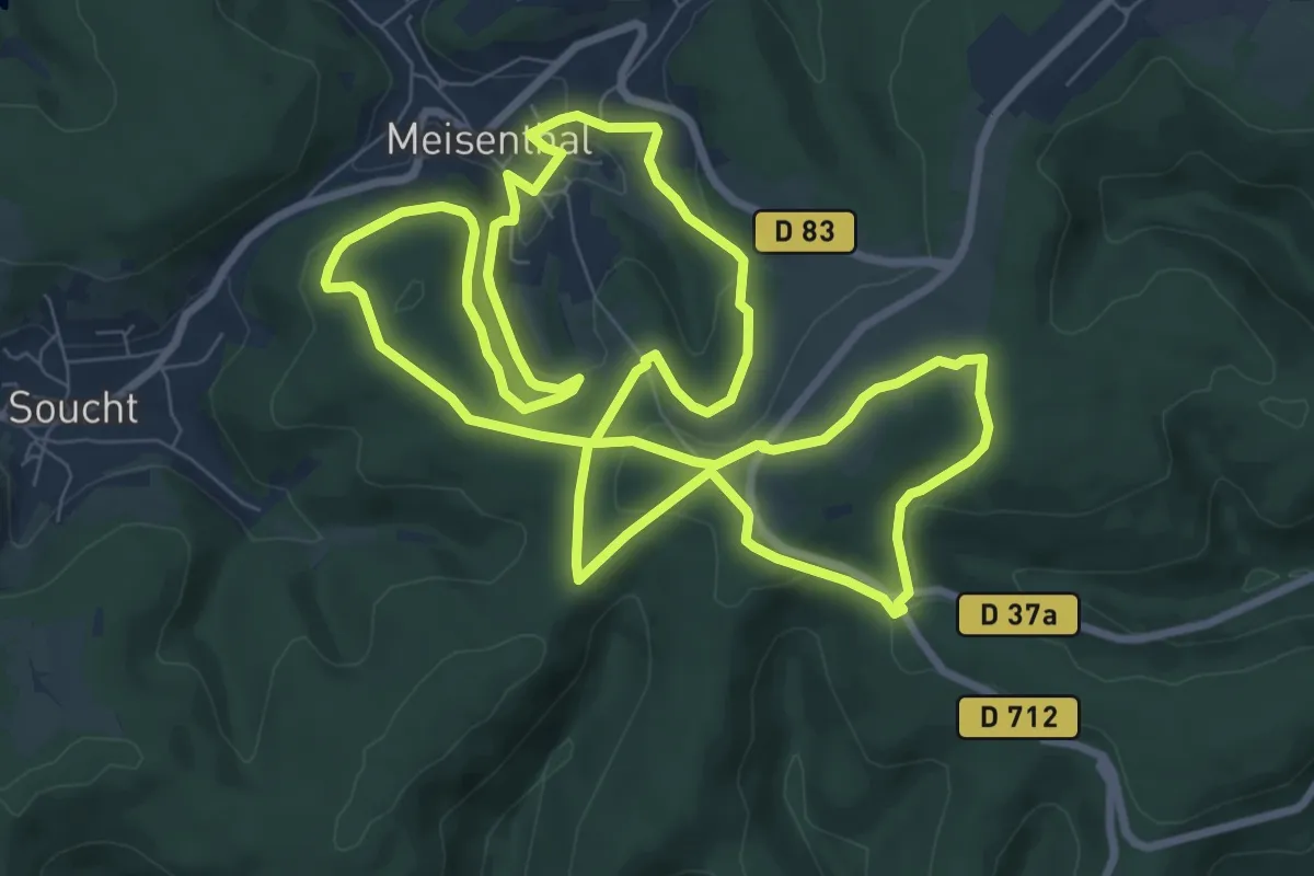
Medium · Summit
Parcours permanent du Mondfänger - 10 km
9.2 km · ↑ 238 m · 2 h 49 min
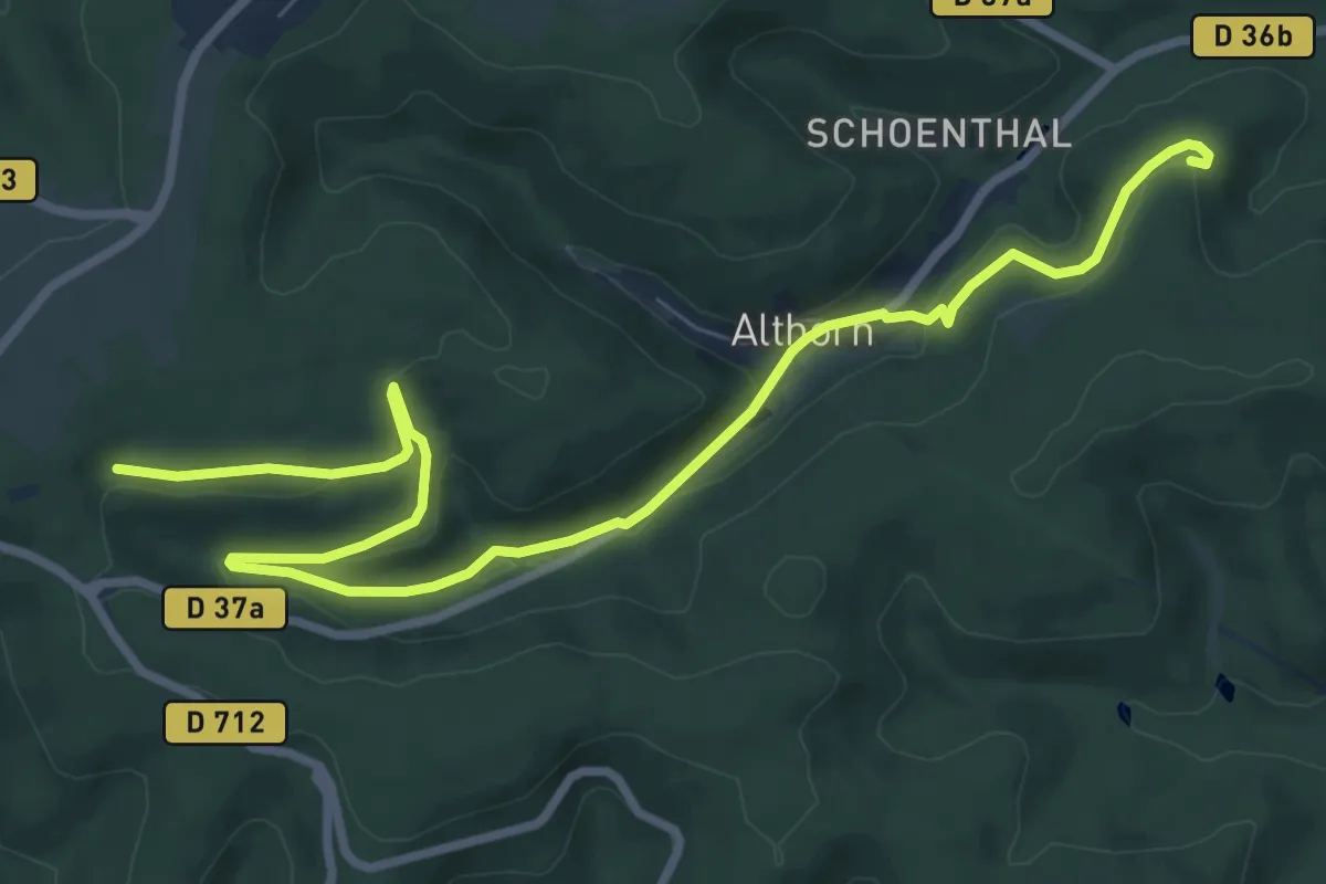
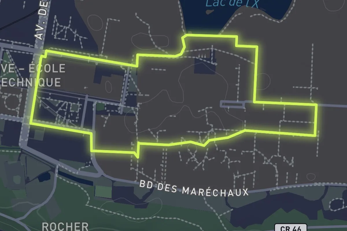
Medium · Summit
Parcours permanent du Mondfänger - 20 km
8.8 km · ↑ 184 m · 2 h 36 min
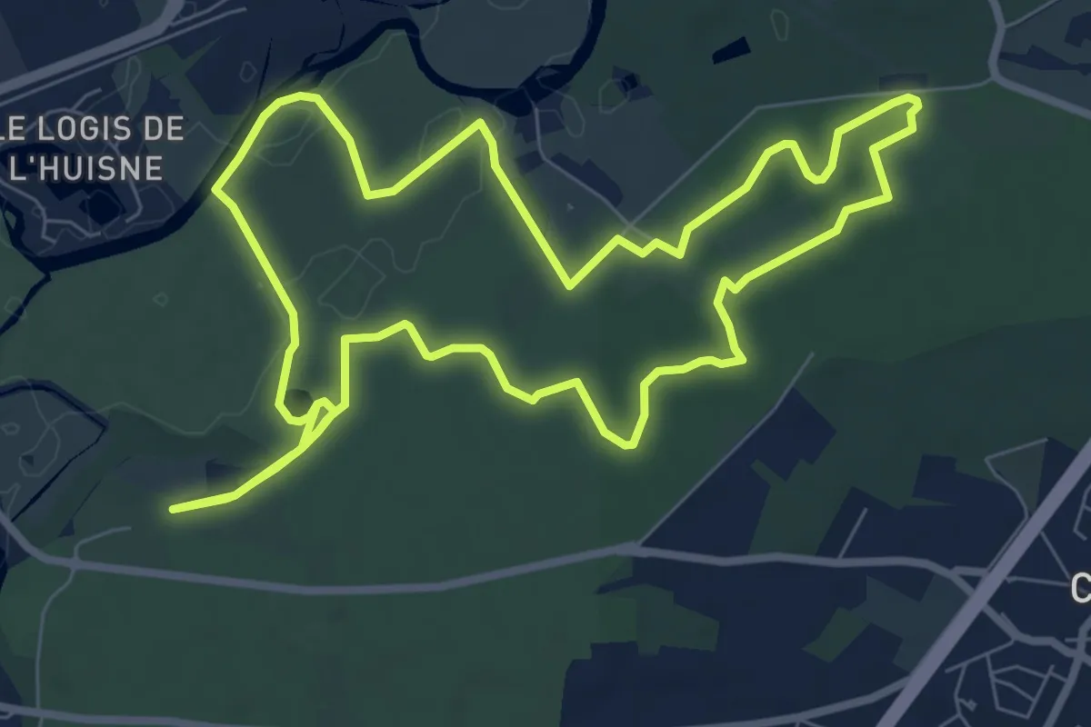
Easy · Trail
Parcours Principal
2.9 km · ↑ 4 m · 44 min
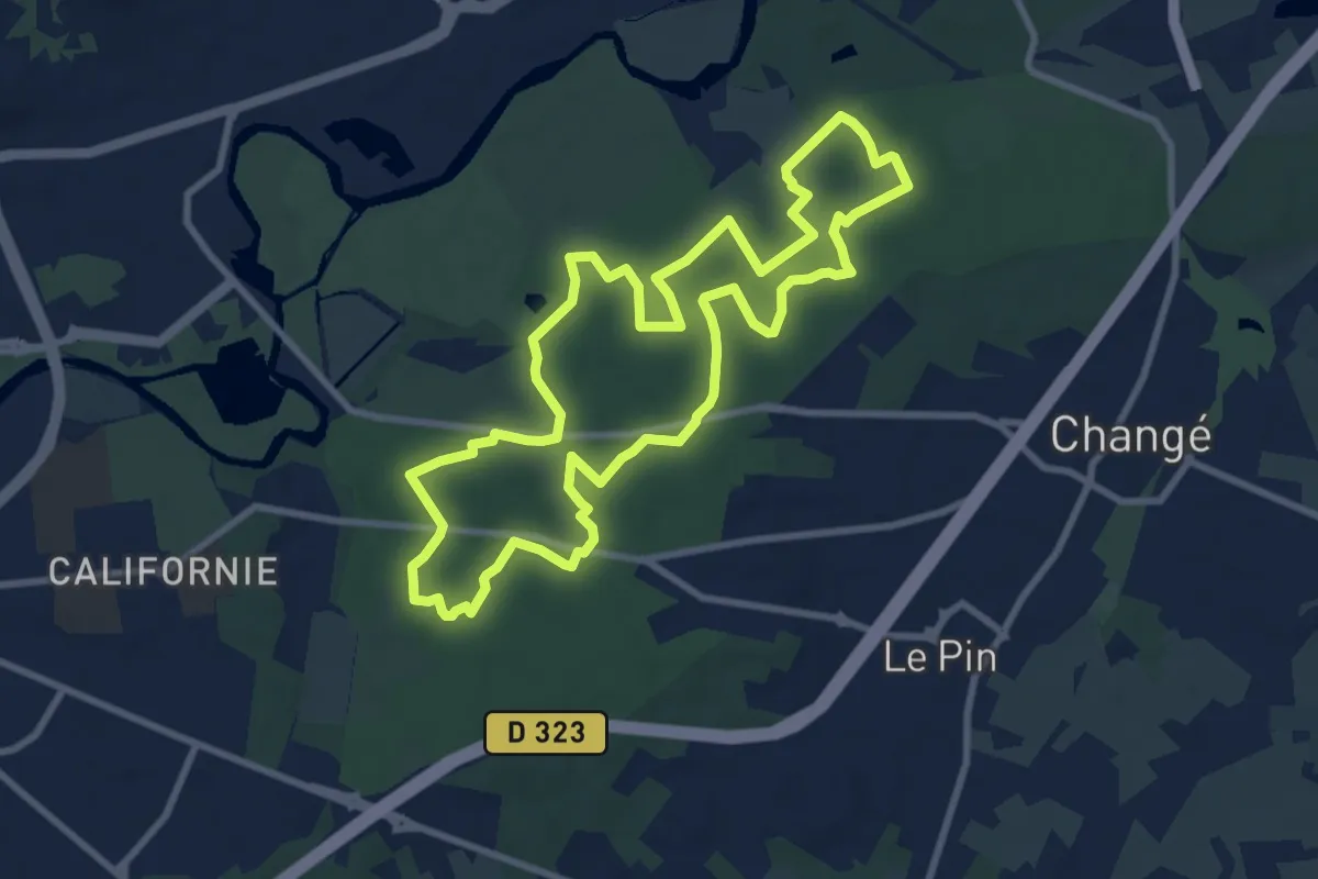
Medium · Trail
Parcours rando bocage
8.0 km · ↑ 64 m · 2 h 8 min
Medium · Trail
Parcours rando forêt
9.0 km · ↑ 112 m · 2 h 29 min
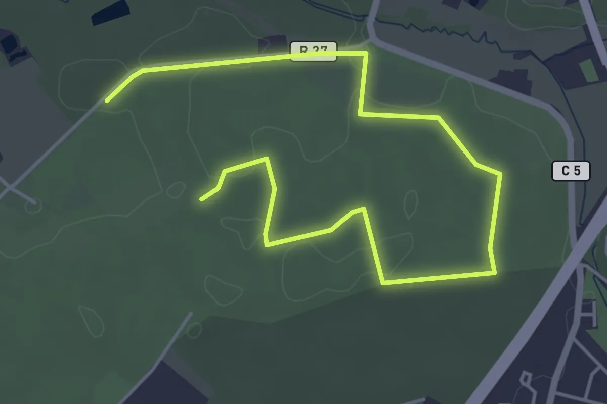
Easy · Trail
Parcours rando forêt (variante)
3.0 km · ↑ 22 m · 48 min
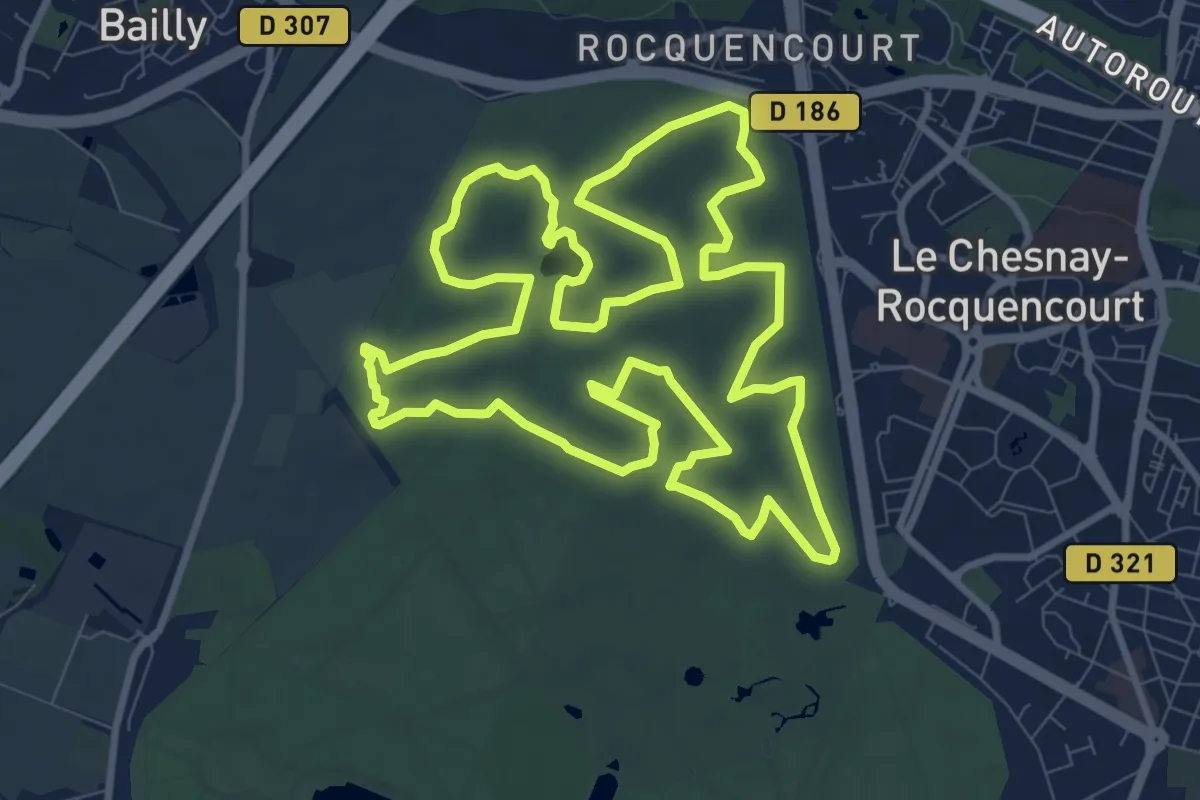
Medium · Trail
Parcours randonnée
10.5 km · ↑ 53 m · 2 h 44 min
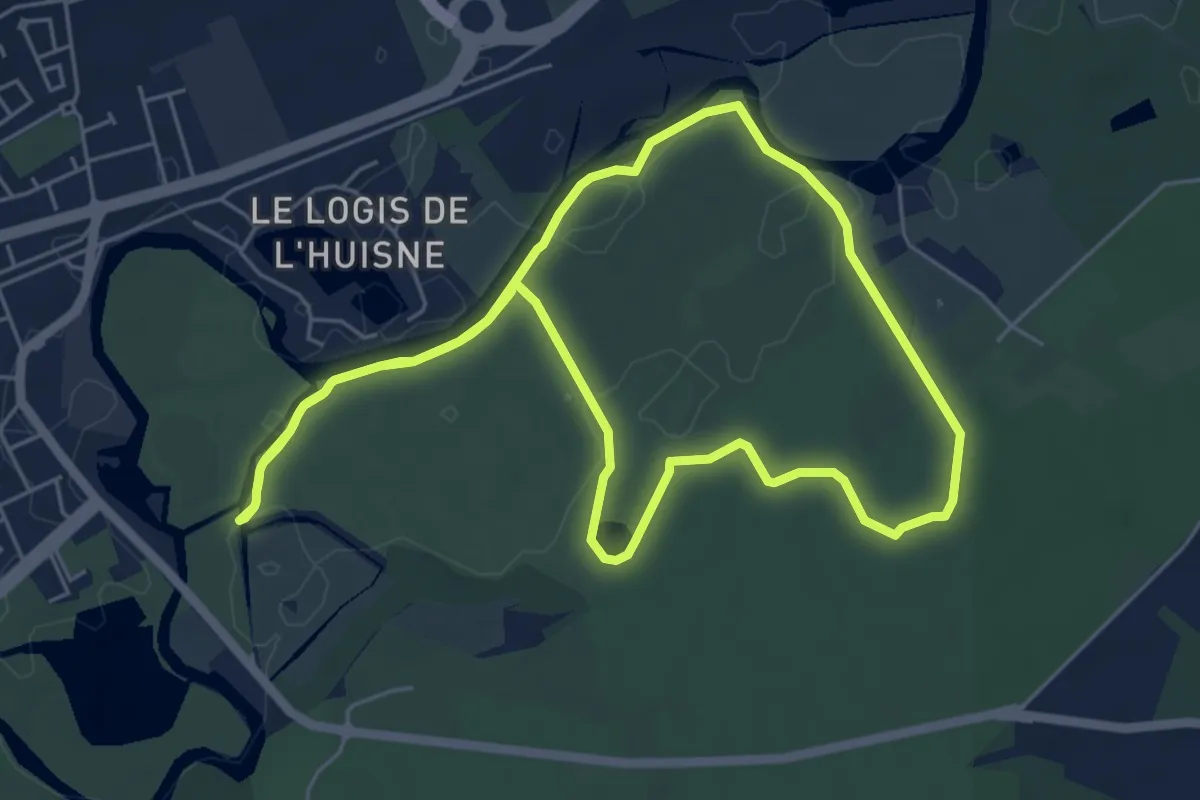
Easy · Trail
Parcours rando rivière
5.5 km · ↑ 28 m · 1 h 26 min
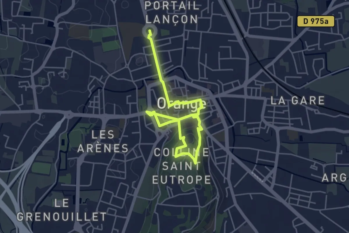
Easy · Trail
Parcours romain
5.7 km · ↑ 104 m · 1 h 34 min
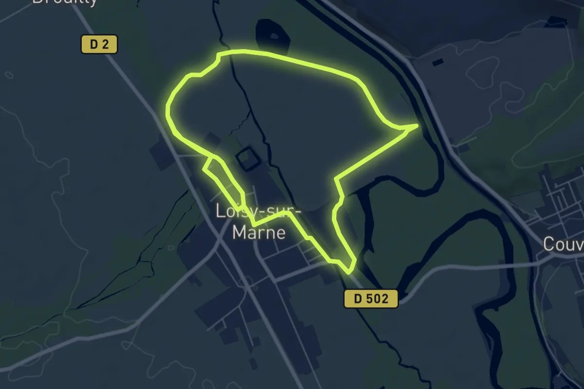
Medium · Trail
Parcours Rose
12.5 km · ↑ 0 m · 2 h 57 min
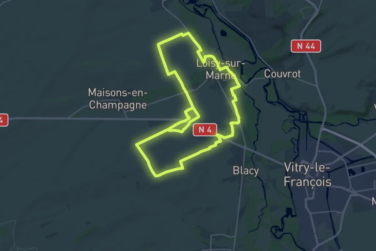
Demanding · Trail
Parcours Rouge
19.0 km · ↑ 104 m · 4 h 59 min
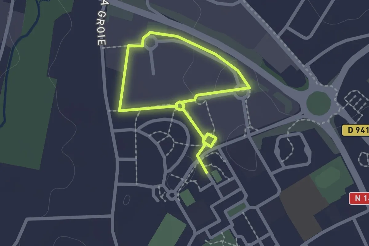
Easy · Trail
Parcours Santé
2.8 km · ↑ 0 m · 40 min
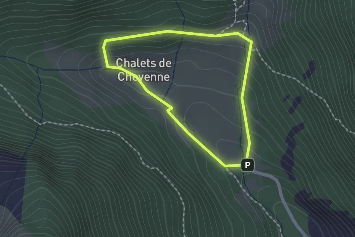
Medium · Trail
Parcours Santé et Découverte Chevenne
1.4 km · ↑ 76 m · 30 min
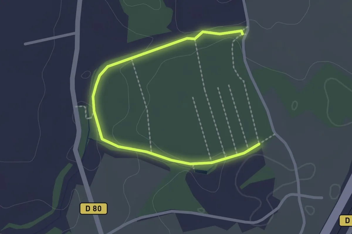
Easy · Trail
Parcours santé Forêt de la Gamasse
2.8 km · ↑ 49 m · 46 min
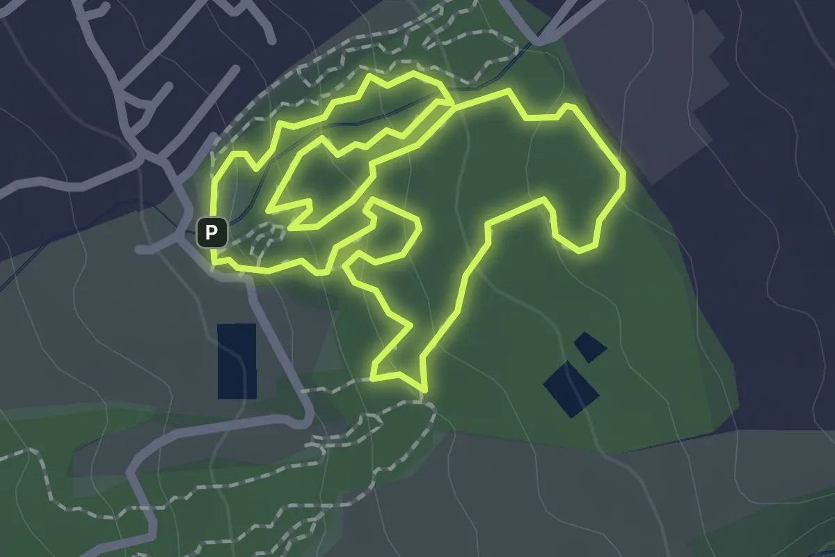
Easy · Trail
Parcours Santé Ravine Blanche
2.8 km · ↑ 116 m · 57 min
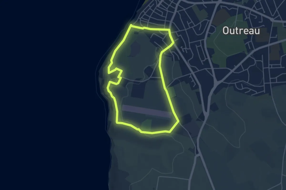
Easy · Trail
Parcours Sentier du Littoral et Musée Radiomaritime
4.1 km · ↑ 72 m · 1 h 10 min
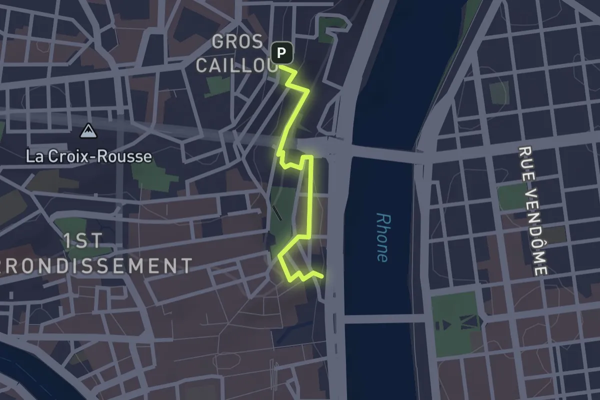
Easy · Trail
Parcours Soufflot
1.9 km · ↑ 89 m · 39 min
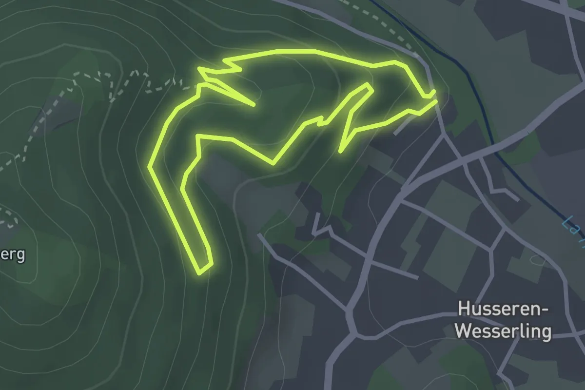
Easy · Trail
Parcours Sportif
2.6 km · ↑ 154 m · 59 min
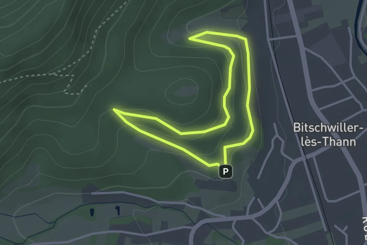
Easy · Trail
Parcours Sportif
2.4 km · ↑ 106 m · 50 min
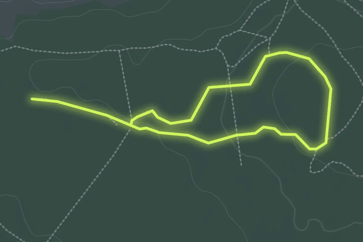
Easy · Trail
Parcours Sportif
4.3 km · ↑ 48 m · 1 h 7 min
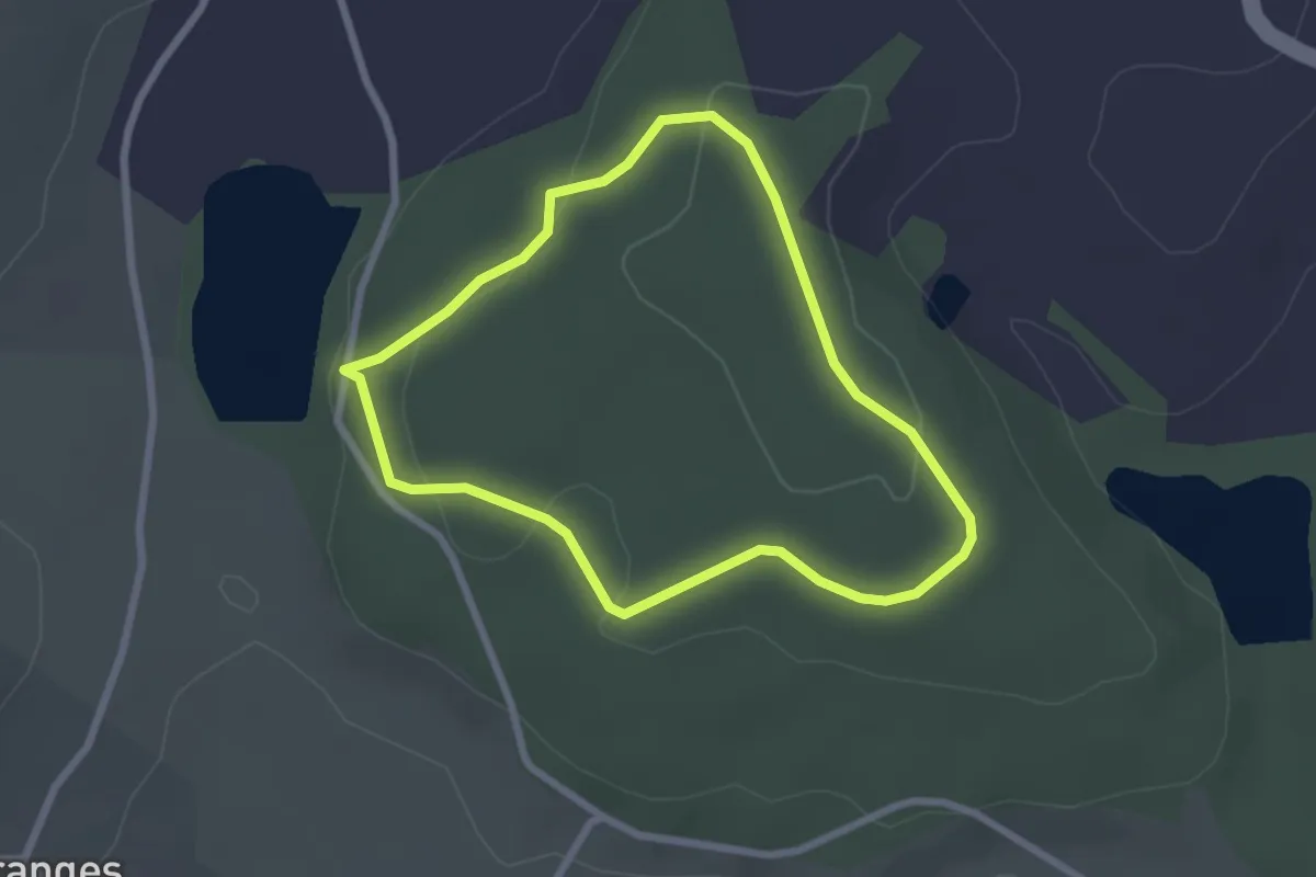
Easy · Trail
Parcours Sportif
2.2 km · ↑ 53 m · 40 min
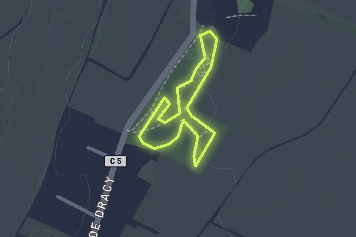
Easy · Trail
Parcours Sportif : 1200 m
1.2 km · ↑ 4 m · 18 min
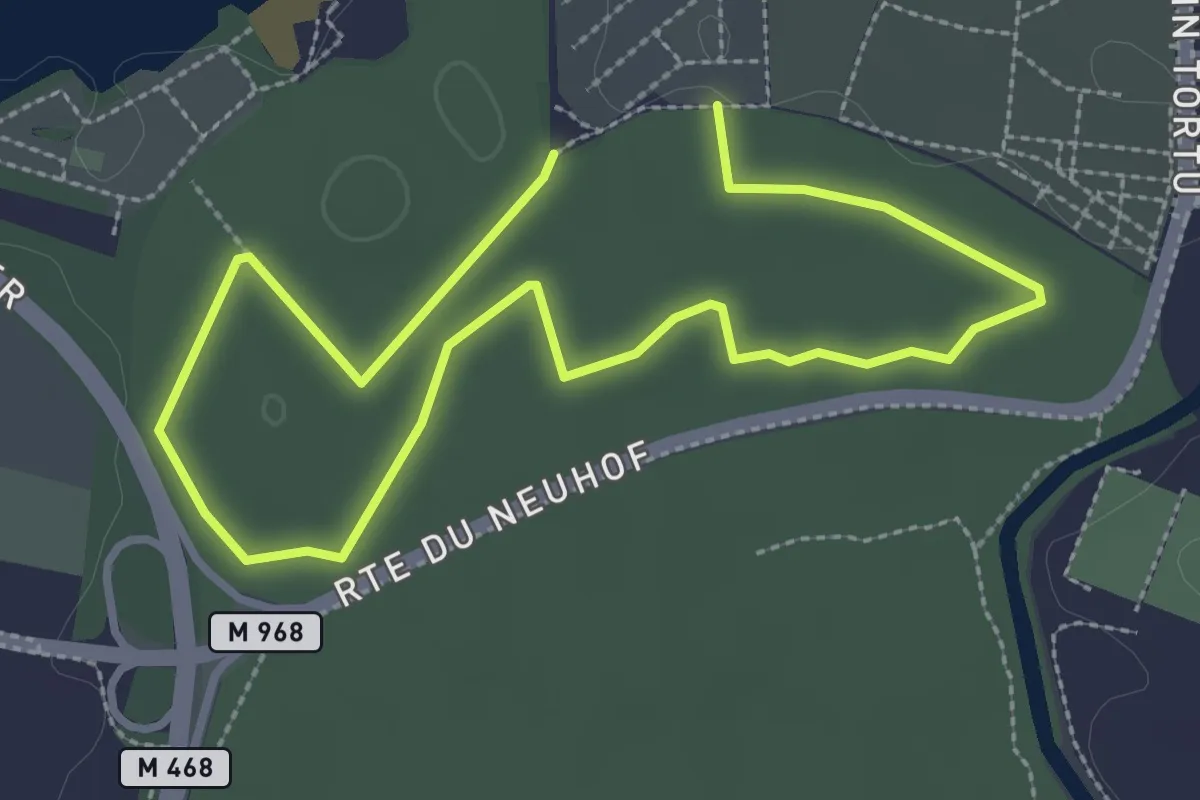
Easy · Trail
Parcours Sportif d’Illkirch
2.2 km · ↑ 0 m · 34 min
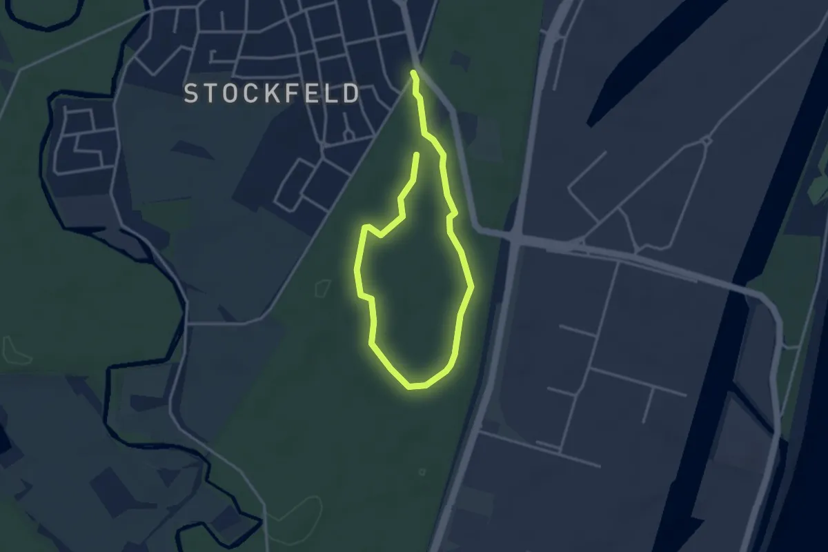
Easy · Trail
Parcours Sportif du Neuhof
4.5 km · ↑ 9 m · 1 h 4 min
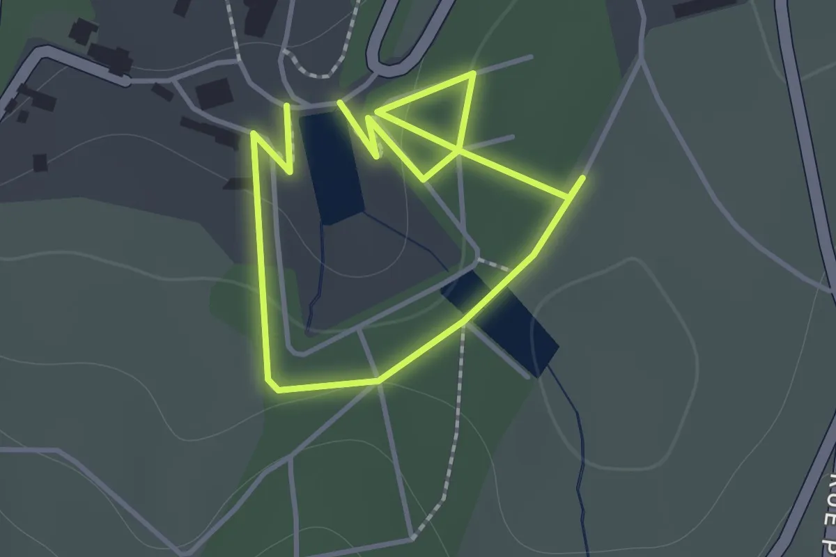
Easy · Trail
Parcours vert
1.0 km · ↑ 28 m · 19 min
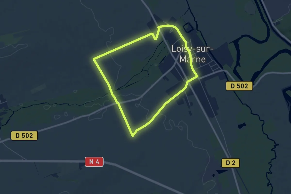
Easy · Trail
Parcours Vert
5.4 km · ↑ 21 m · 1 h 24 min
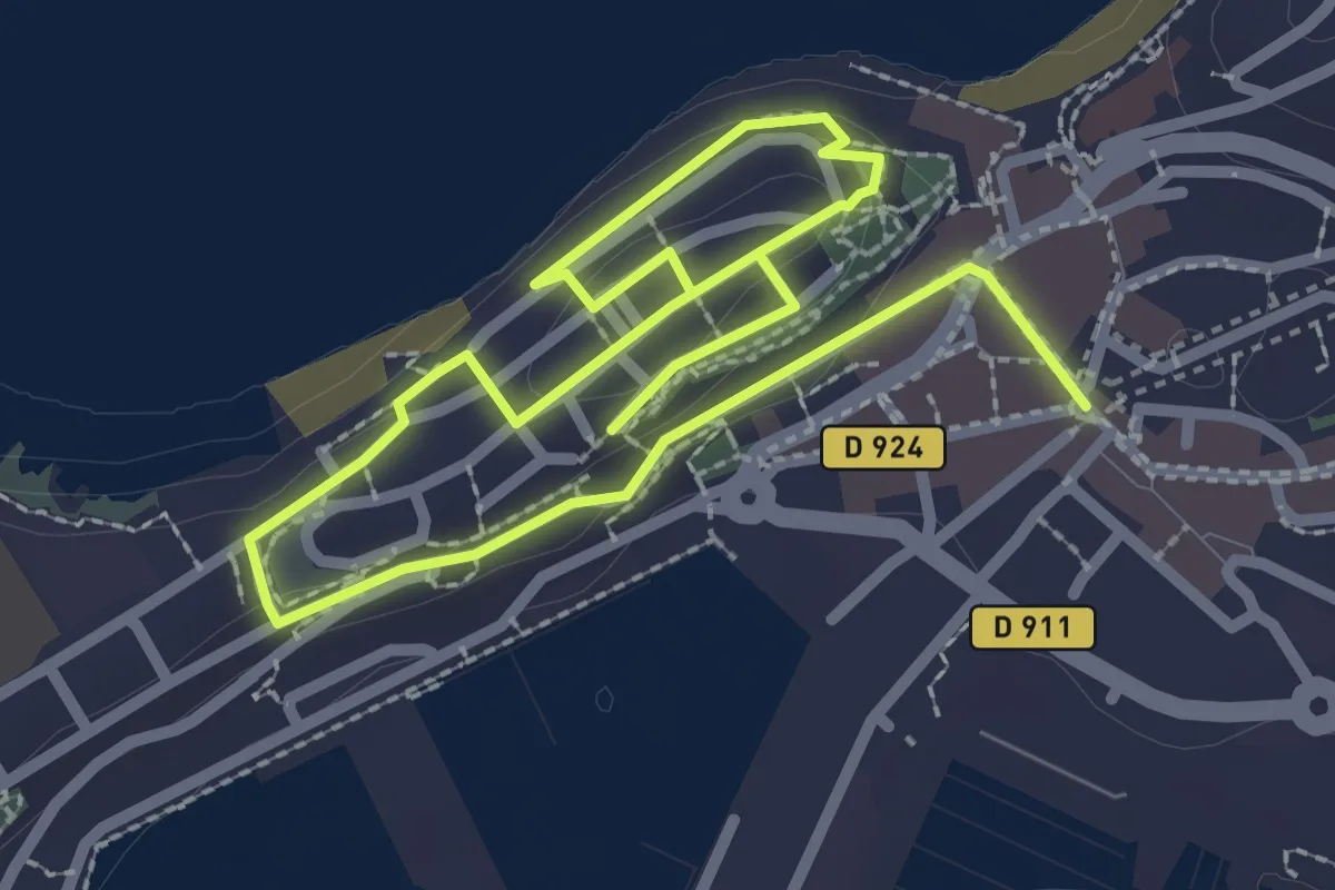
Easy · Trail
Parcours « Vieilles pierres »
4.2 km · ↑ 184 m · 1 h 24 min
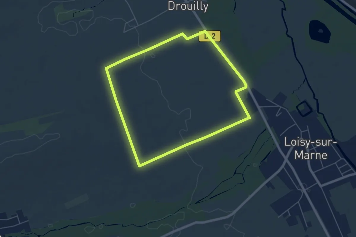
Easy · Trail
Parcours Violet
4.7 km · ↑ 31 m · 1 h 15 min
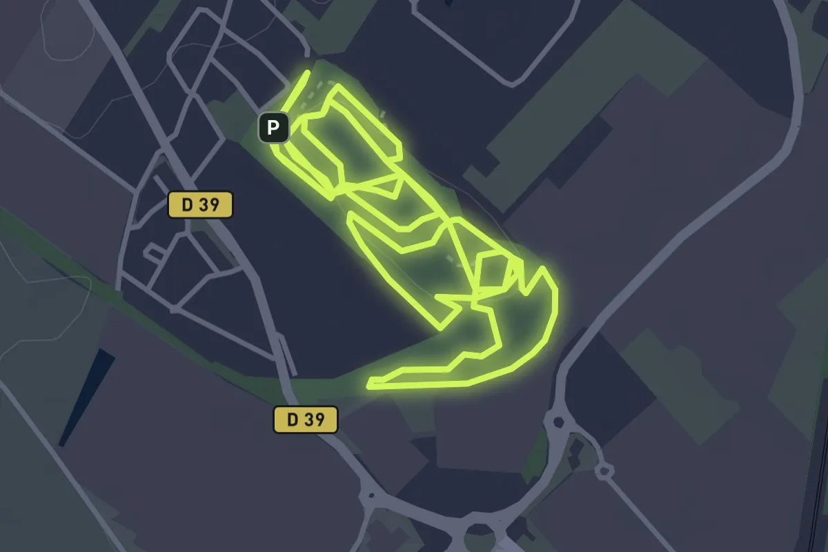
Easy · Summit
Parcous sportif Terril du Pommier
4.5 km · ↑ 31 m · 1 h 12 min