Trails in France
15,926 hiking trails, each with its route, climb, walking time and grade.
All trails, page 217 of 332
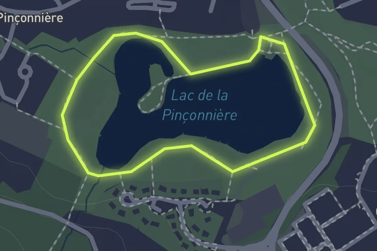
Easy · Trail
Parcout sportif
1.3 km · ↑ 0 m · 20 min
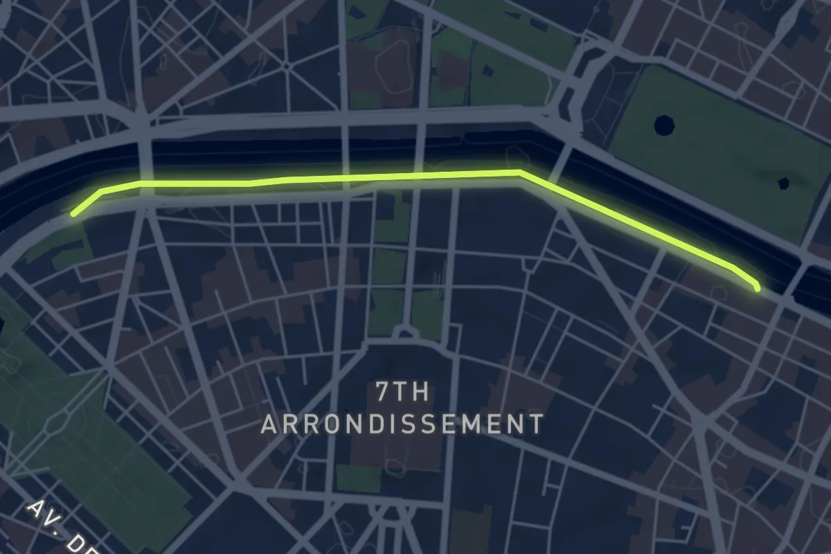
Easy · Trail
Parc Rives-de-Seine
4.6 km · ↑ 4 m · 1 h 5 min
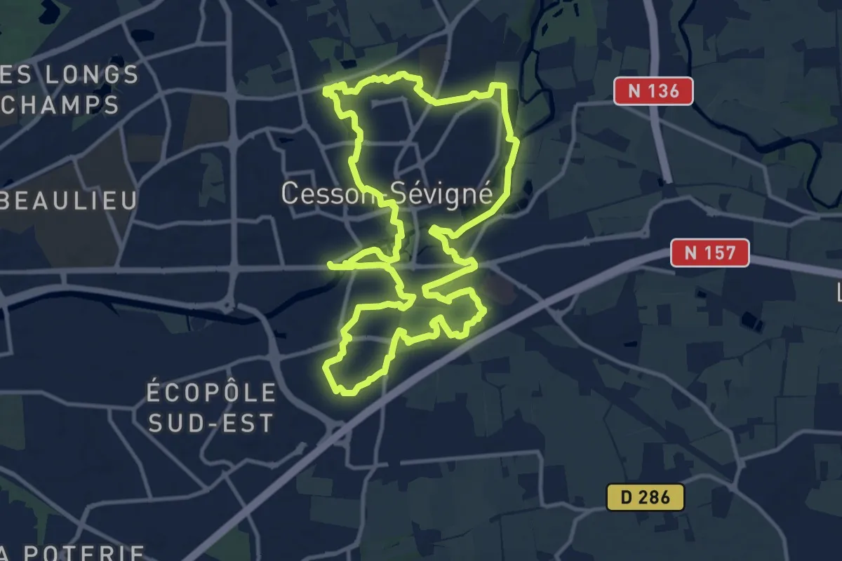
Medium · Trail
Parcs et jardins
12.3 km · ↑ 63 m · 3 h 12 min
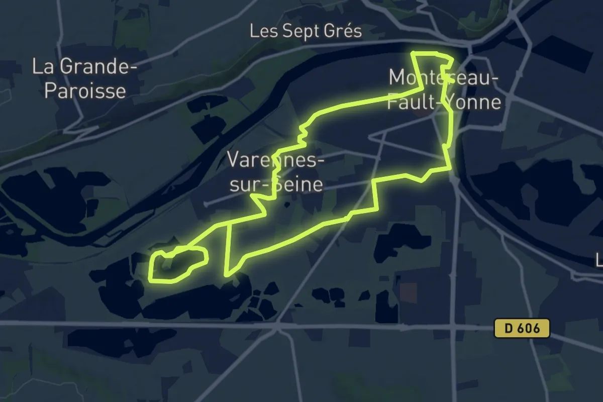
Demanding · Trail
Parcs et plans d'eaux
24.9 km · ↑ 38 m · 5 h 58 min
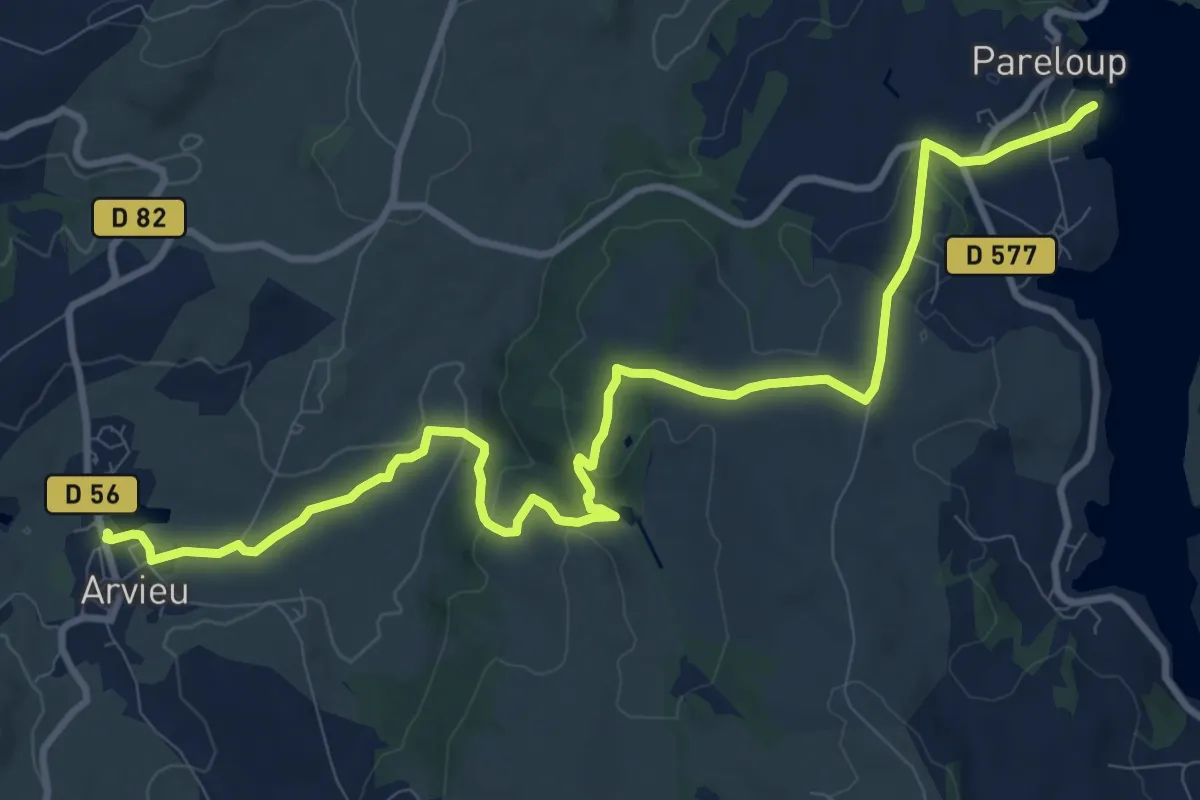
Medium · Trail
Pareloup Arvieu par les Petits Lacs
13.1 km · ↑ 276 m · 3 h 42 min
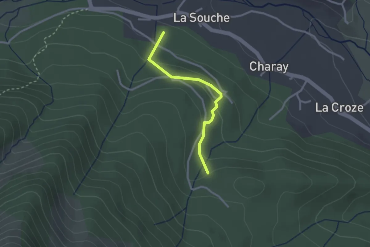
Easy · Trail
Parent - Les 4 Chemins
2.2 km · ↑ 94 m · 43 min
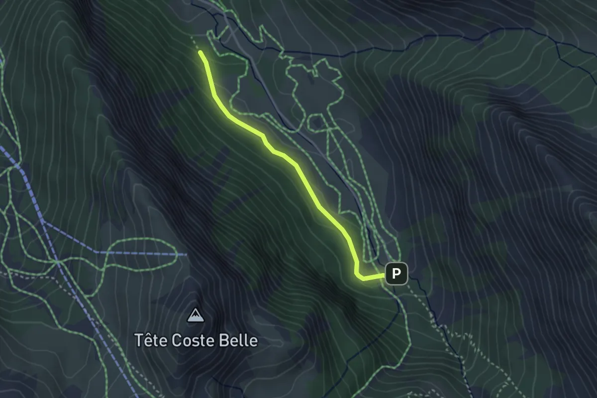
Medium · Trail
Parking de Chaurionde - Prés Ronds
2.9 km · ↑ 79 m · 51 min
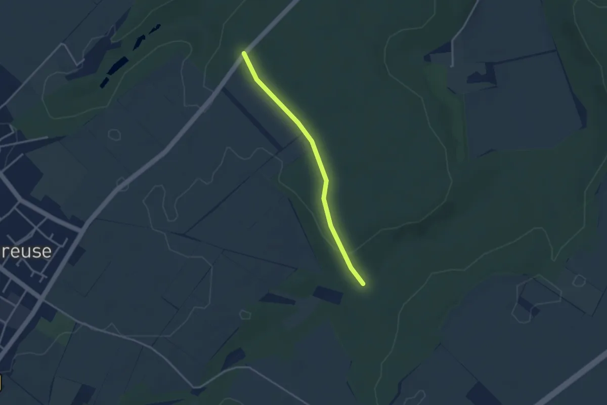
Easy · Trail
Parking du Grillon
2.7 km · ↑ 33 m · 43 min
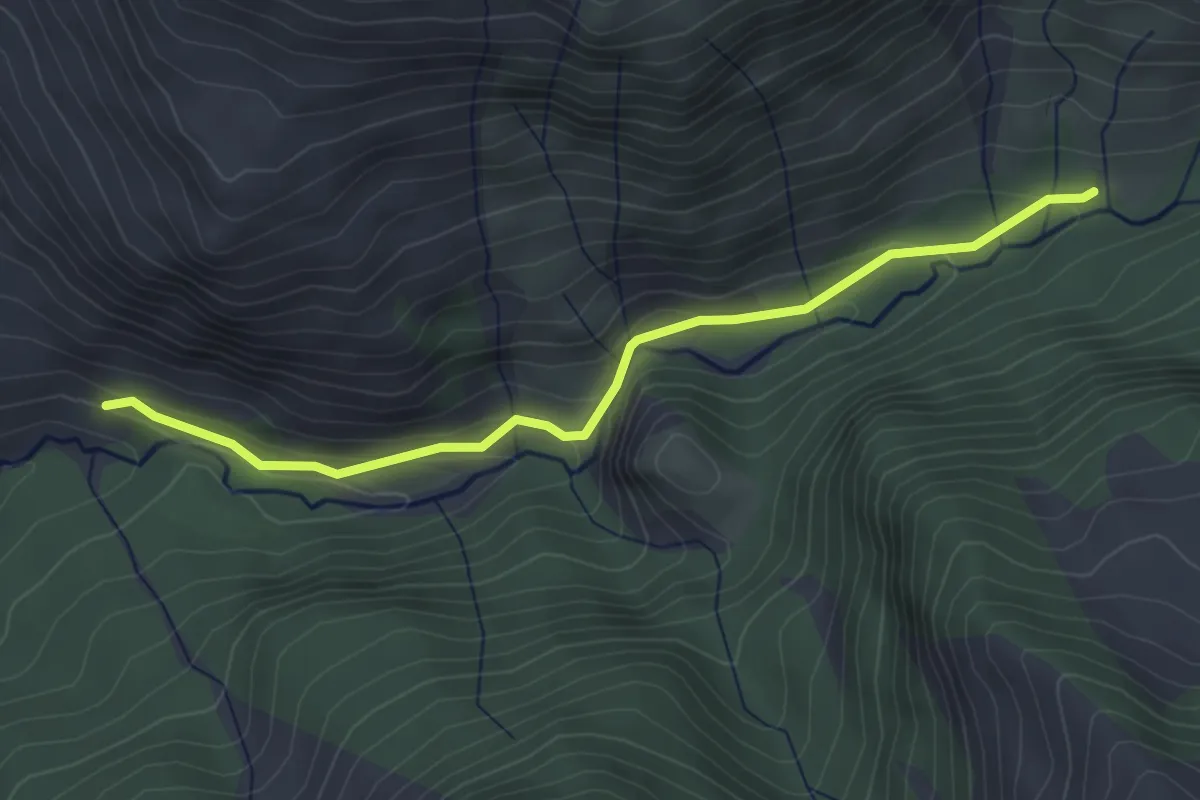
Easy · Trail
Parking Rouanne Haute - Simonde
3.9 km · ↑ 131 m · 1 h 13 min
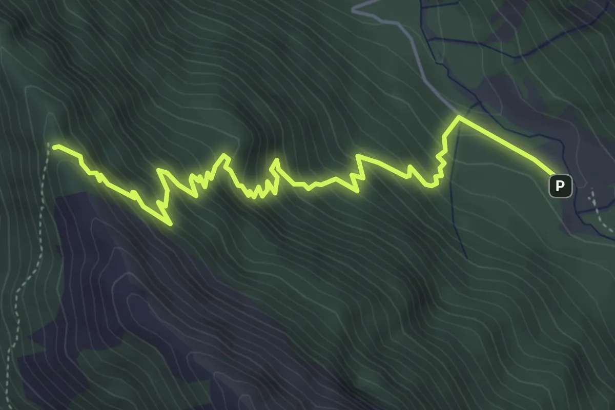
Medium · Trail
Parking Val d'Escreins - Col de la Scie
6.2 km · ↑ 585 m · 2 h 44 min
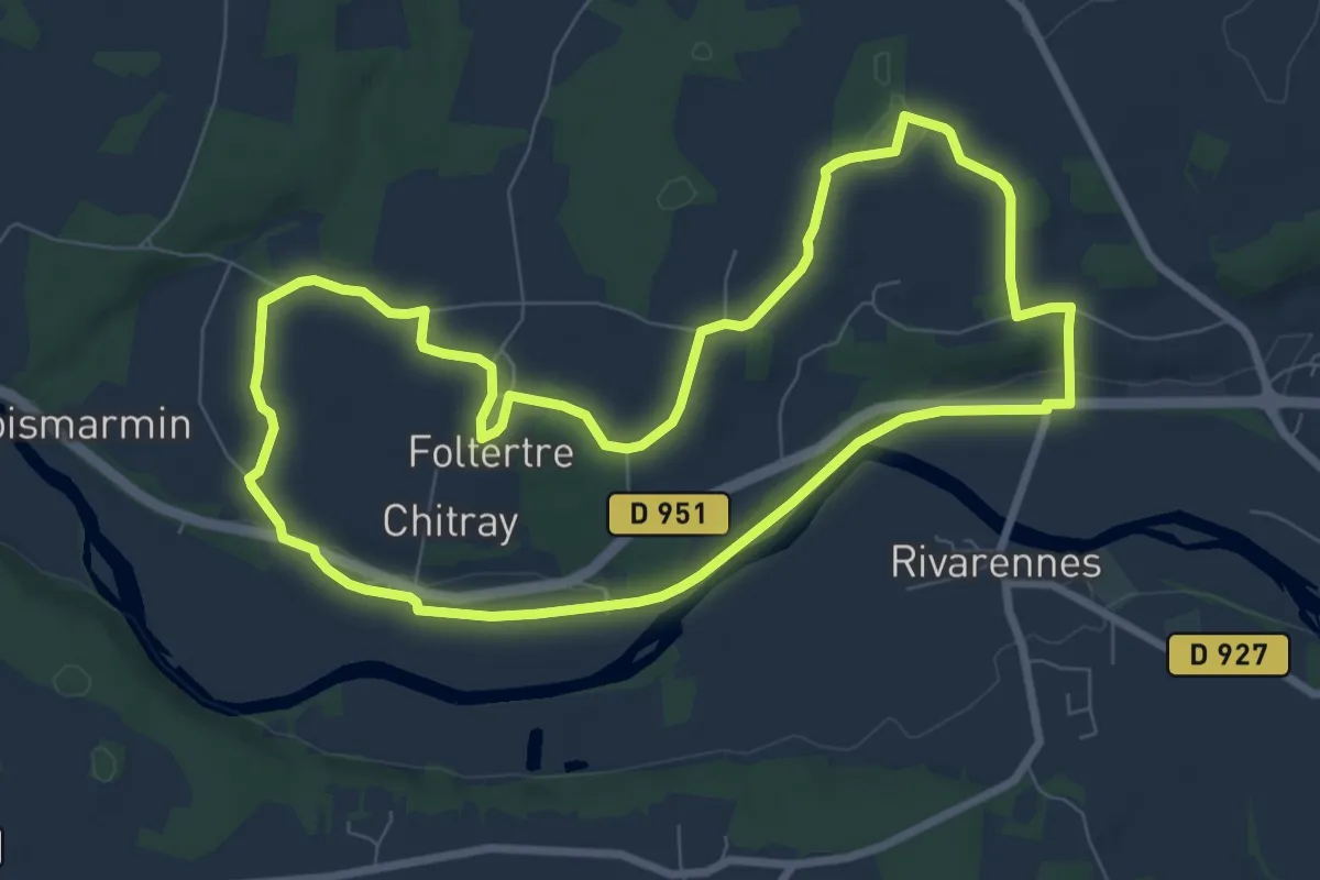
Medium · Trail
Par la voie verte
8.2 km · ↑ 79 m · 2 h 13 min
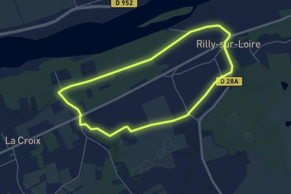
Easy · Trail
Par le Coteau et les Varennes - Rilly-sur-Loire
4.3 km · ↑ 39 m · 1 h 10 min
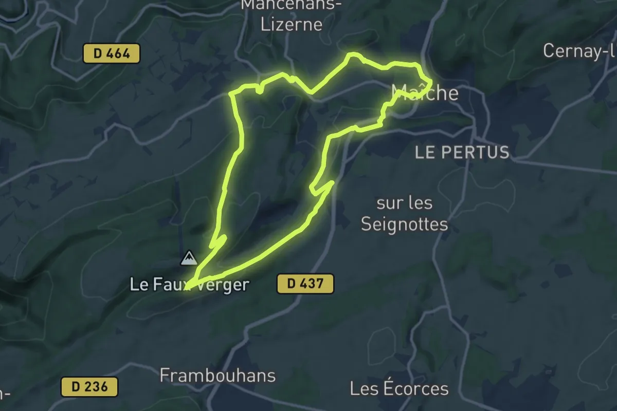
Medium · Trail
Par Le Faux Verger
11.5 km · ↑ 269 m · 3 h 27 min
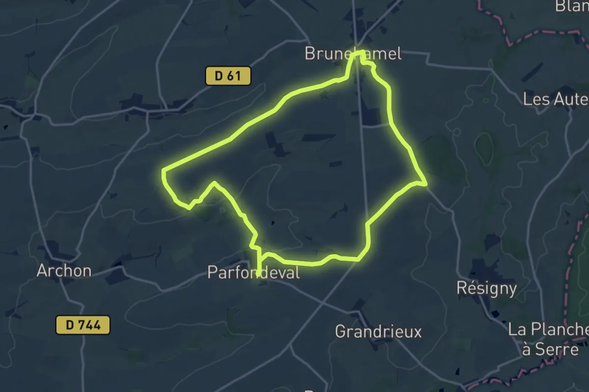
Medium · Trail
Par le Fond du Val
13.0 km · ↑ 118 m · 3 h 30 min
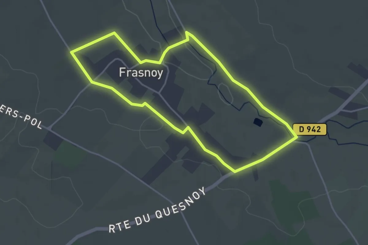
Easy · Trail
Par les Caches à Frasnoy
3.4 km · ↑ 17 m · 53 min
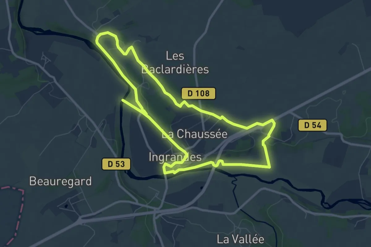
Medium · Trail
Par les sentiers boisés
8.2 km · ↑ 59 m · 2 h 11 min
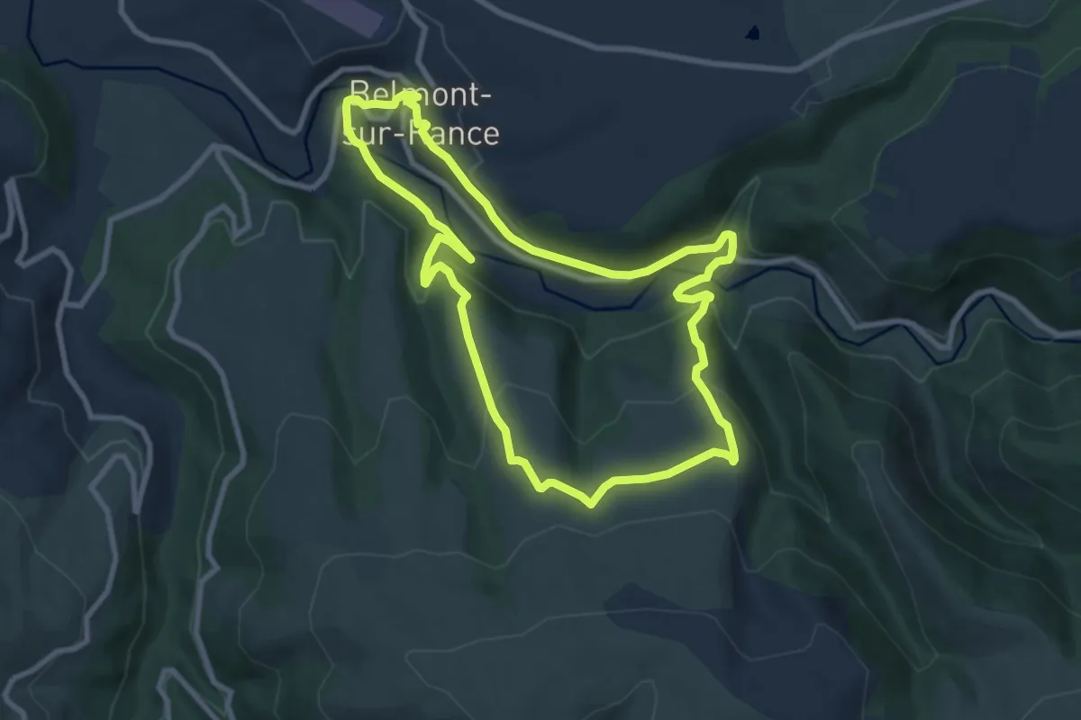
Medium · Trail
Par Monts et par Vaux
8.7 km · ↑ 292 m · 2 h 48 min
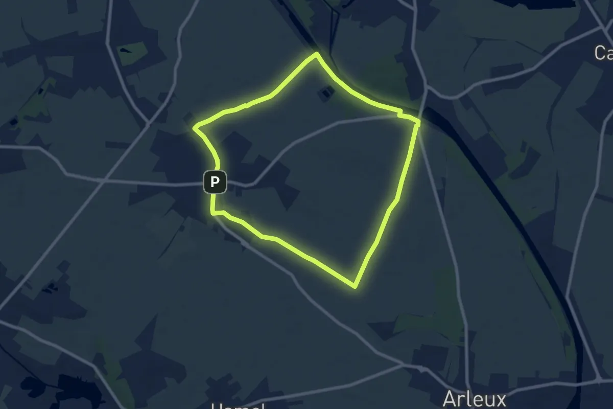
Easy · Trail
Par Monts et Par Vaux
6.7 km · ↑ 26 m · 1 h 45 min
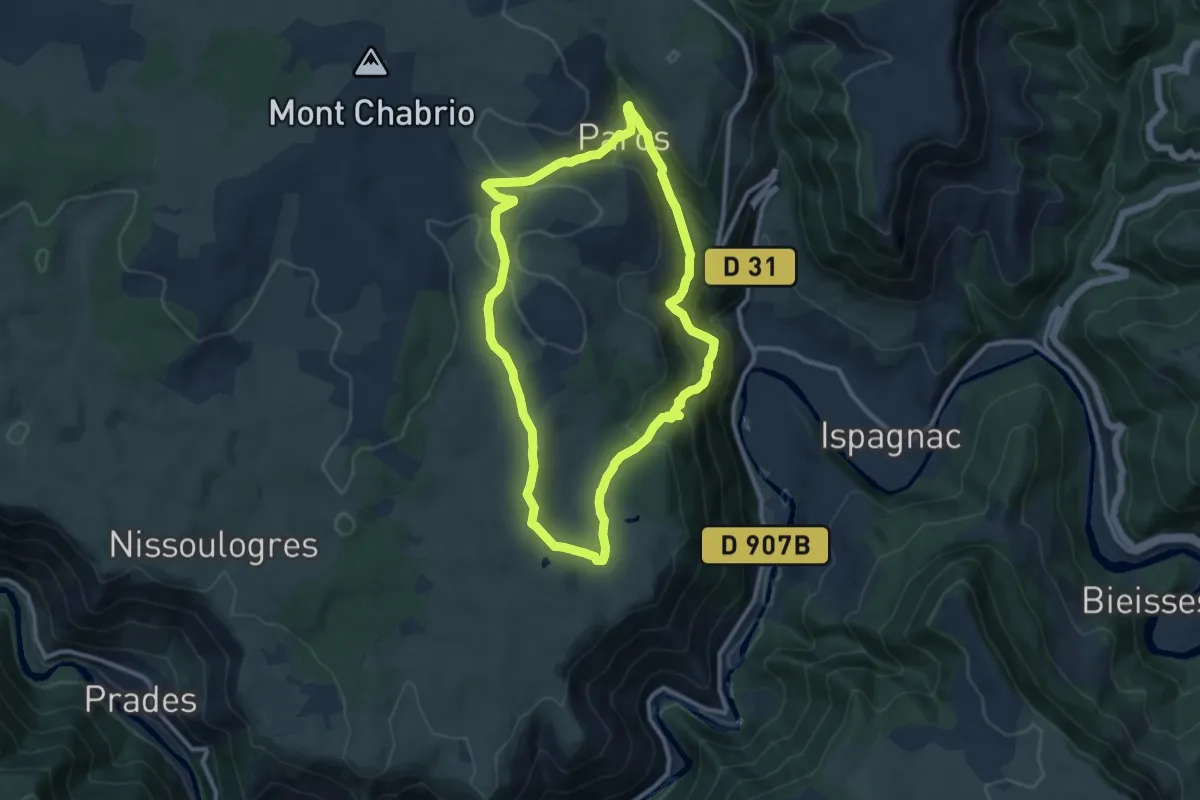
Medium · Trail
Paros
10.1 km · ↑ 391 m · 3 h 22 min
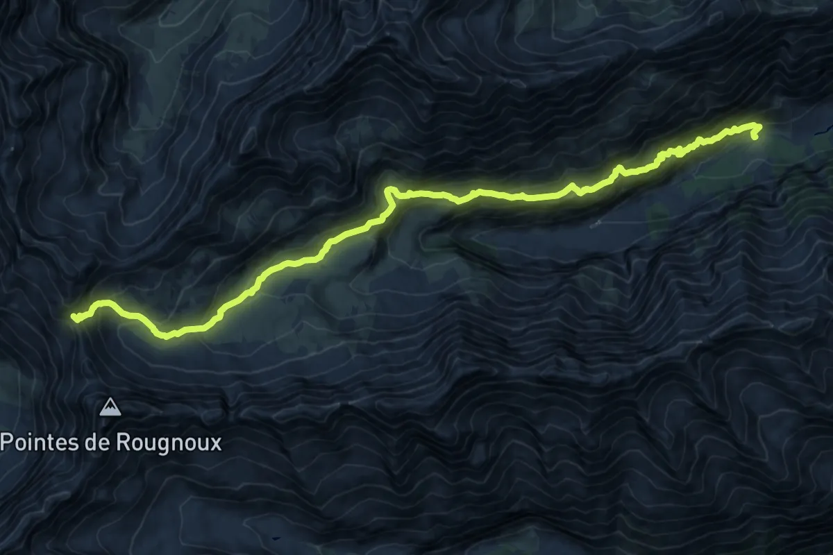
Medium · Trail
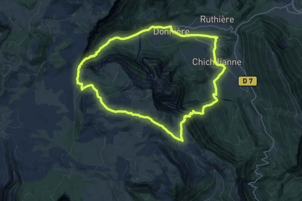
Pas de la Cavale - ?
10.9 km · ↑ 163 m · 3 h 39 min
Demanding · Trail
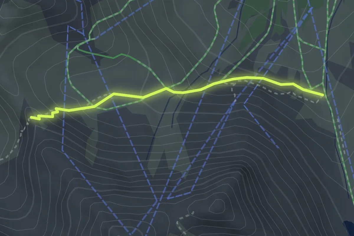
Pas de l'Aiguille
16.8 km · ↑ 908 m · 6 h 11 min
Medium · Trail
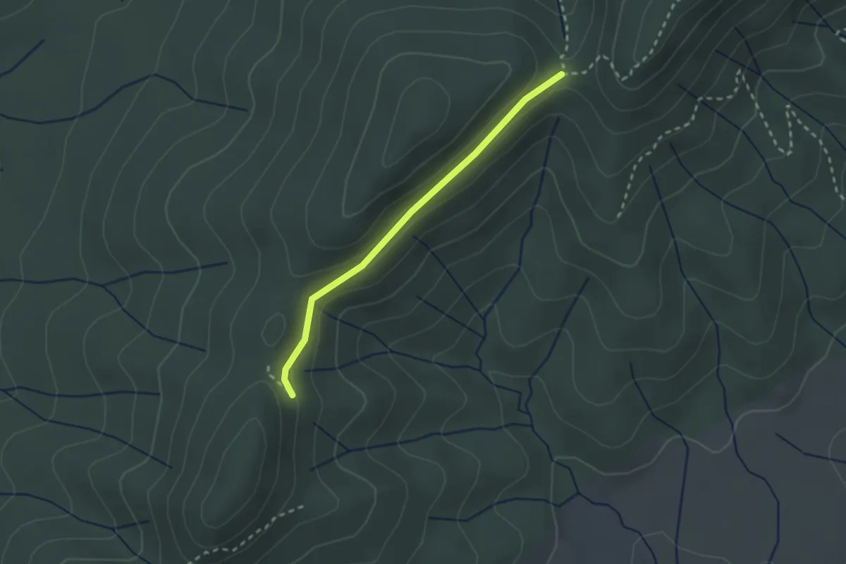
Pas de l'Âne - ?
2.5 km · ↑ 183 m · 59 min
Easy · Trail
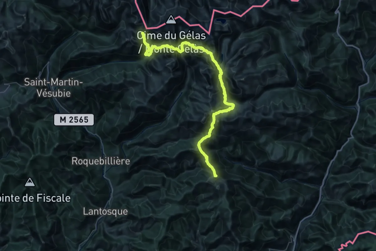
Pas de l'Estret - Col de la Cize
2.3 km · ↑ 70 m · 41 min
Demanding · Summit
Pas des Ladres - Massif de l'Authion
54.3 km · ↑ 4397 m · 22 h 21 min
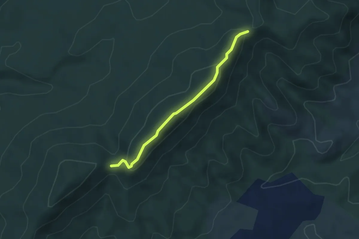
Demanding · Trail
Pas des Pigeons - Col de la Cize
3.7 km · ↑ 170 m · 1 h 15 min
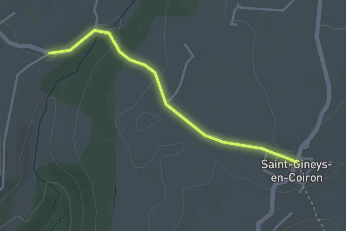
Easy · Trail
Pas de Vendrias - Saint-Gineys-en-Coiron
2.6 km · ↑ 31 m · 41 min
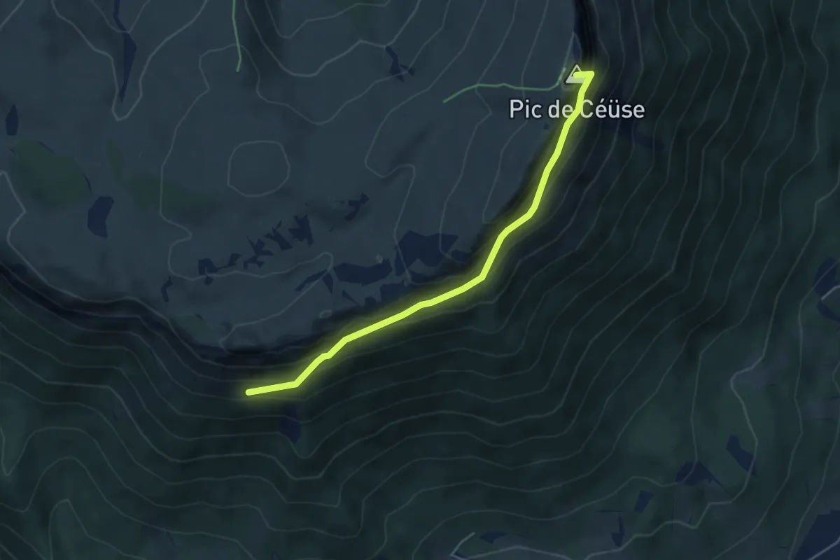
Expert · Summit
Pas du Loup - ?
4.8 km · ↑ 521 m · 2 h 15 min
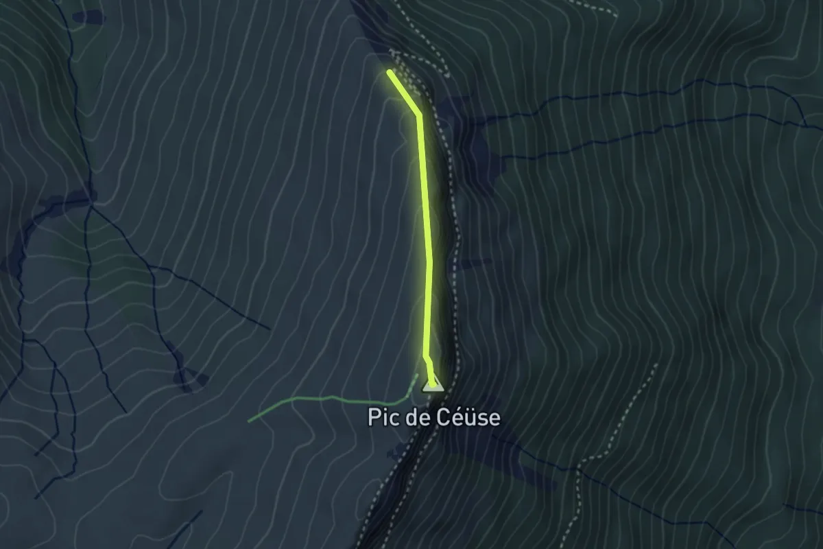
Easy · Summit
Pas du Loup - Pic de Céüse
2.1 km · ↑ 136 m · 48 min
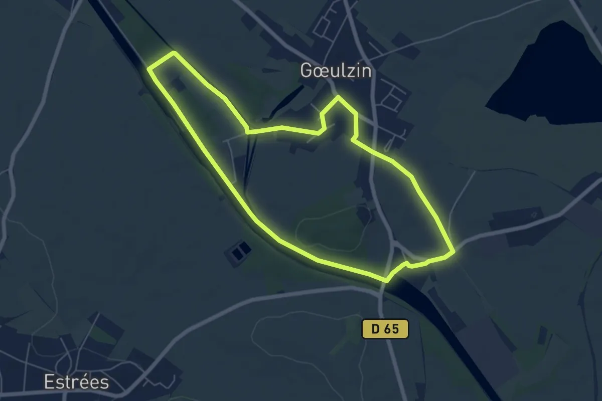
Easy · Trail
Pas La Petite Sensée
5.4 km · ↑ 9 m · 1 h 22 min
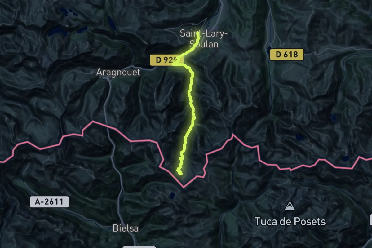
Demanding · Summit
Paso de los Caballos - Vielle-Aure
43.0 km · ↑ 2229 m · 14 h 59 min
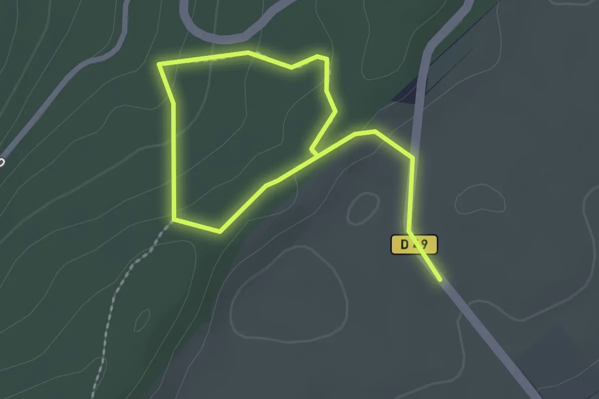
Easy · Trail
Passage Antique de Chalamont
2.9 km · ↑ 88 m · 53 min
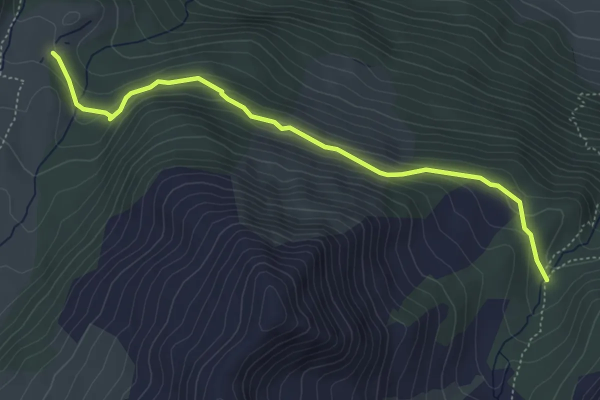
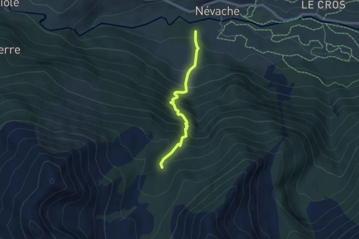
Medium · Cabin
Passerelle de Cristol - Chalets de Buffère
5.2 km · ↑ 247 m · 1 h 46 min
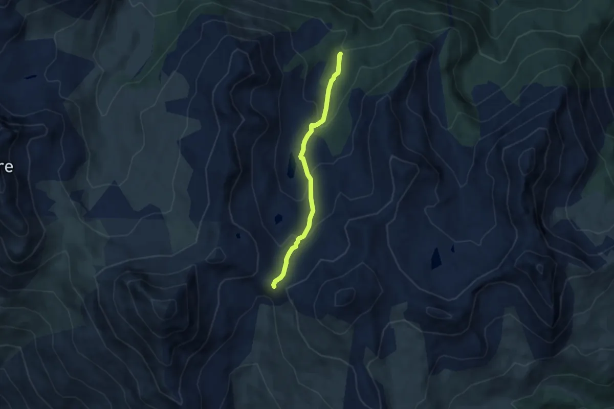
Medium · Trail
Passerelle de Cristol - Chirouzes
3.7 km · ↑ 485 m · 1 h 55 min
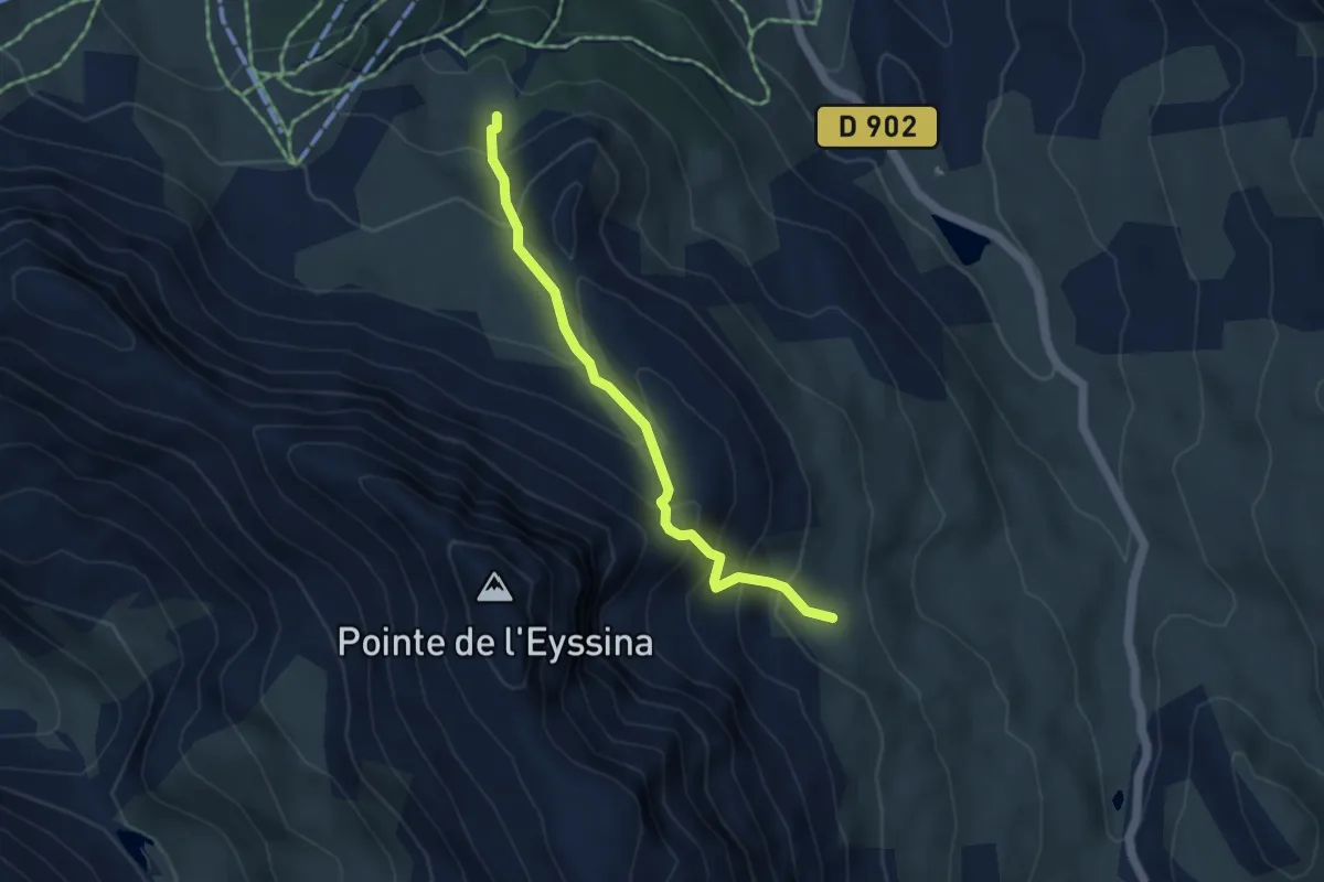
Medium · Trail
Passerelle de Cristol - Porte de Cristol
5.8 km · ↑ 364 m · 2 h 10 min
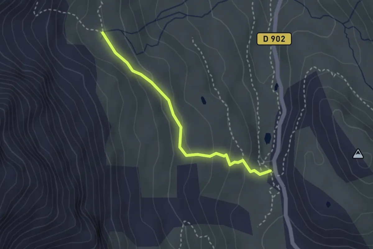
Medium · Trail
Passerelle de l'Écuelle - ?
4.3 km · ↑ 485 m · 2 h 3 min
Easy · Trail
Passerelle de l'Écuelle - Col de Vars
2.7 km · ↑ 112 m · 53 min
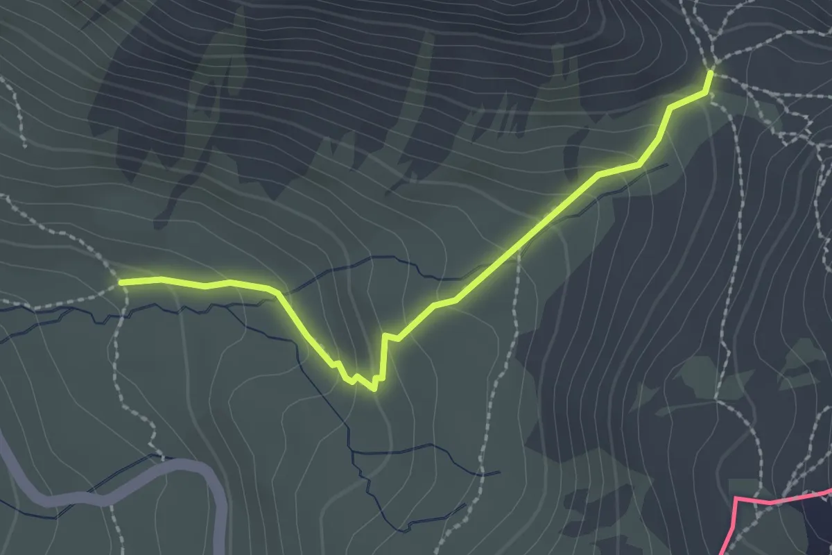
Easy · Trail
Passerelle de l'Eychassier - Col Vieux
2.3 km · ↑ 155 m · 53 min
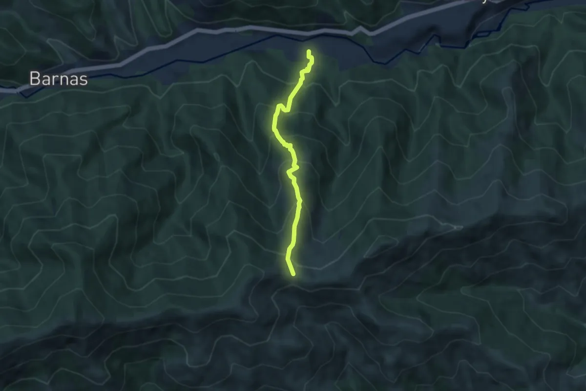
Medium · Trail
Passerelle du Luzet - Fontfreyde
5.9 km · ↑ 610 m · 2 h 44 min
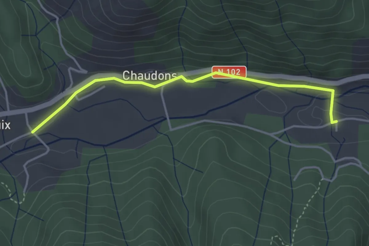
Easy · Trail
Passerelle du Luzet - Pont de Bouix
3.7 km · ↑ 73 m · 1 h 1 min
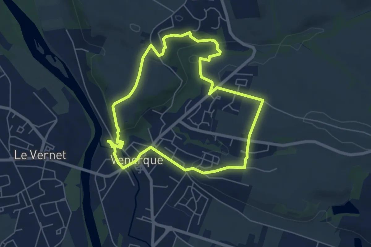
Easy · Trail
Passerelles, entre rives et balcons
5.1 km · ↑ 109 m · 1 h 31 min
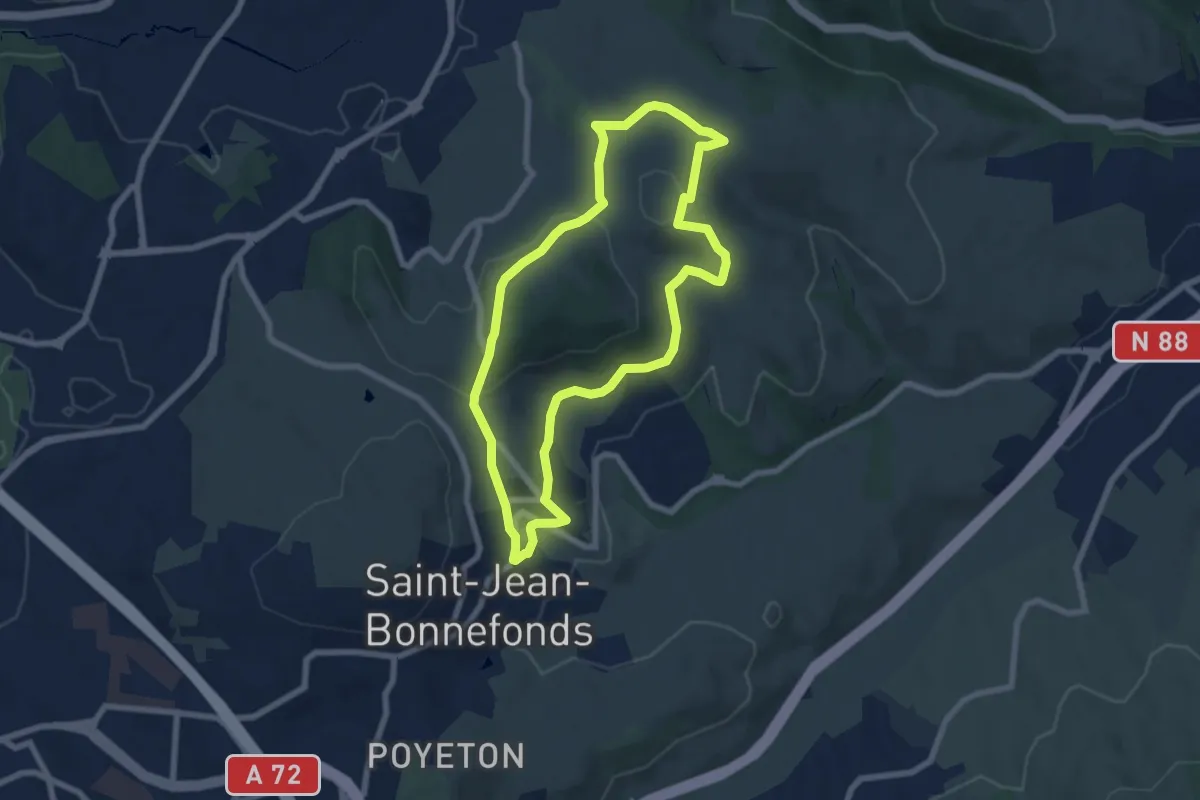
Easy · Trail
Patrimoine
6.9 km · ↑ 151 m · 2 h 3 min
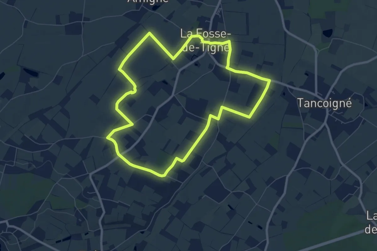
Easy · Trail
Patrimoine et Vignoble
7.4 km · ↑ 22 m · 1 h 54 min
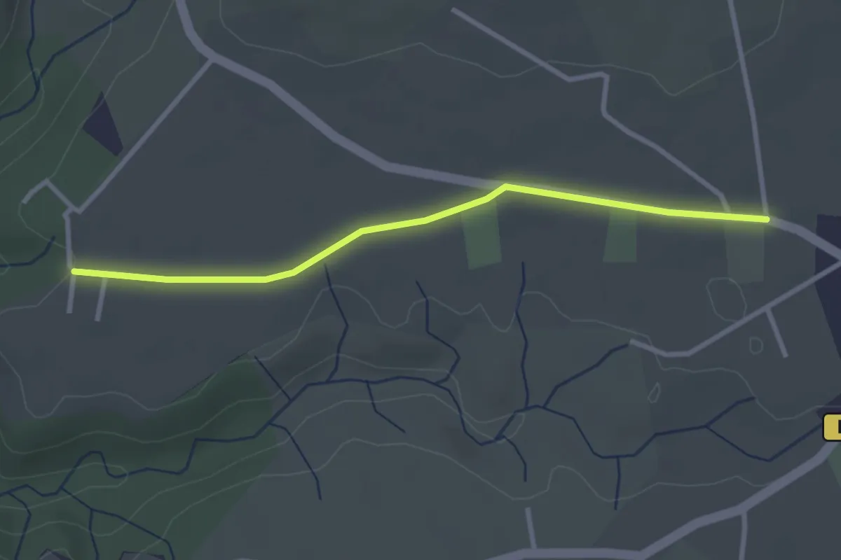
Easy · Trail
Patroux - Combe Grand
3.0 km · ↑ 8 m · 43 min
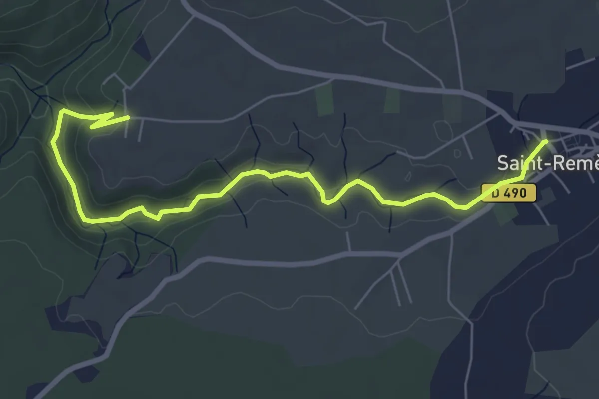
Easy · Trail
Patroux - Place de l'Alambic
6.8 km · ↑ 145 m · 1 h 55 min
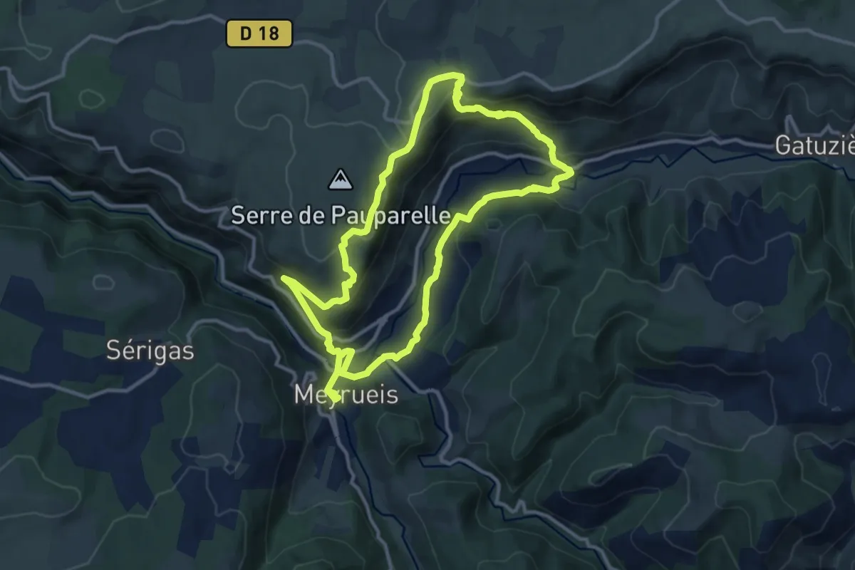
Demanding · Trail
Pauparelle
11.6 km · ↑ 454 m · 3 h 53 min
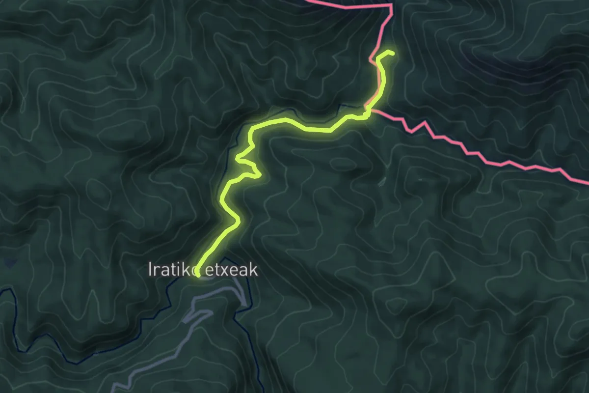
Medium · Trail
Paxula – Iratiko Etxolak
8.1 km · ↑ 312 m · 2 h 35 min
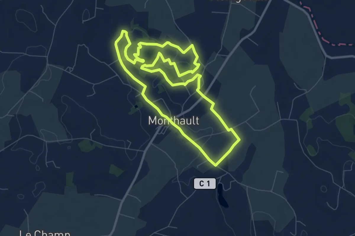
Easy · Trail
Paysages et couleurs
7.6 km · ↑ 141 m · 2 h 12 min
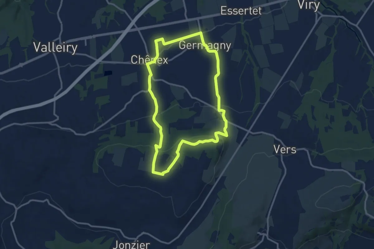
Medium · Trail
Paysages et récoltes
9.2 km · ↑ 238 m · 2 h 49 min