Trails in France
15,926 hiking trails, each with its route, climb, walking time and grade.
All trails, page 218 of 332
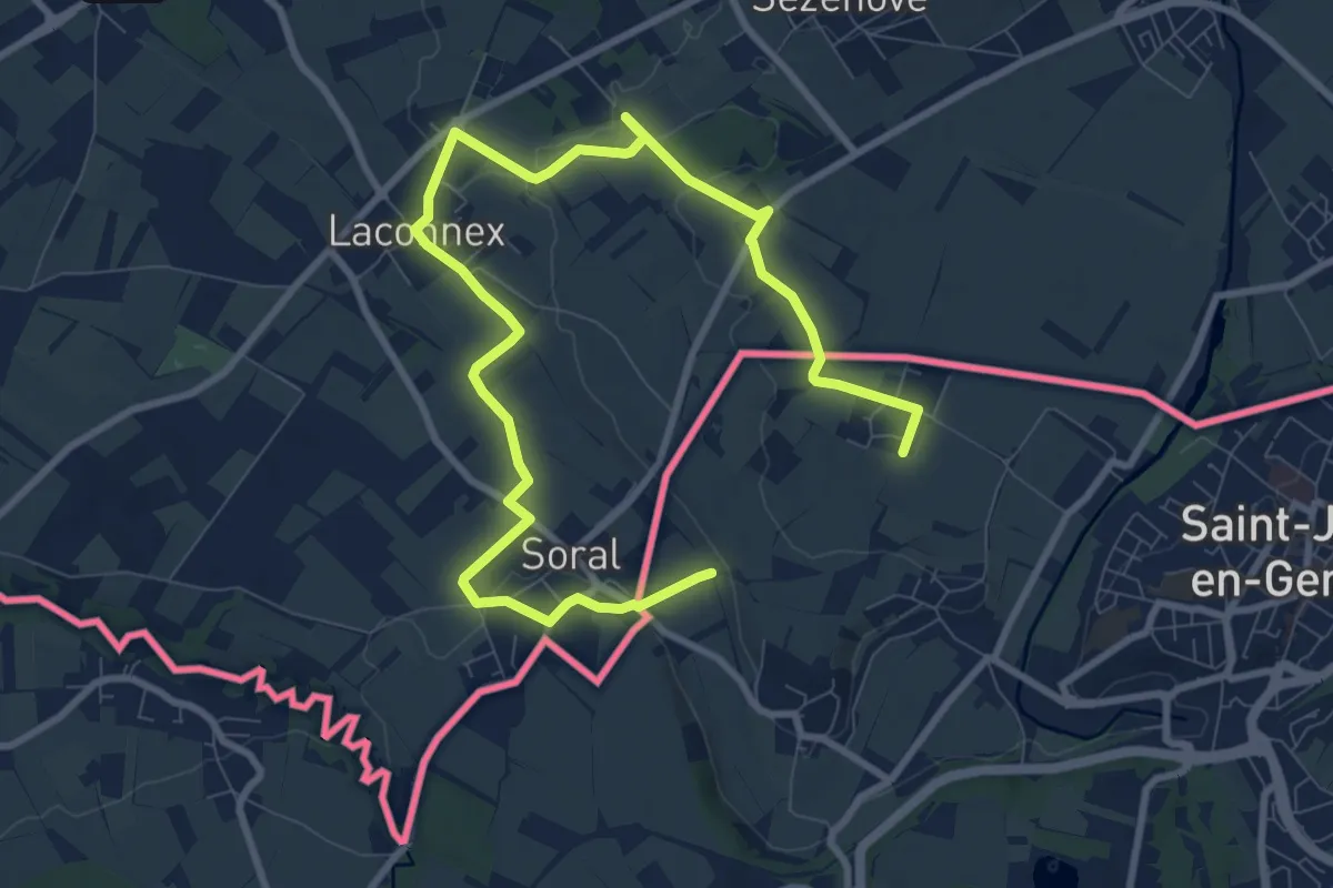
Medium · Trail
Paysages Franco-Suisses
12.7 km · ↑ 83 m · 3 h 11 min
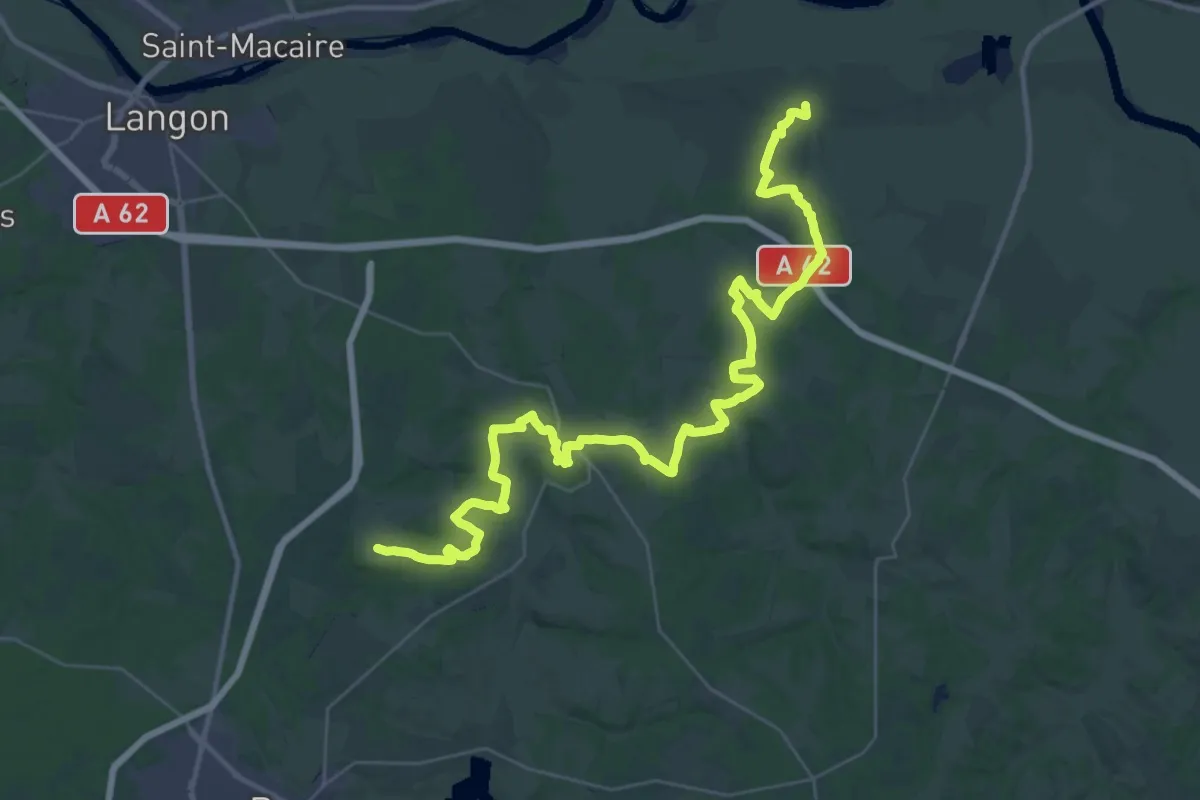
Demanding · Trail
Pays d'Auros : Bassanne - Auros - Cazats : circuit départemental
24.6 km · ↑ 409 m · 6 h 59 min
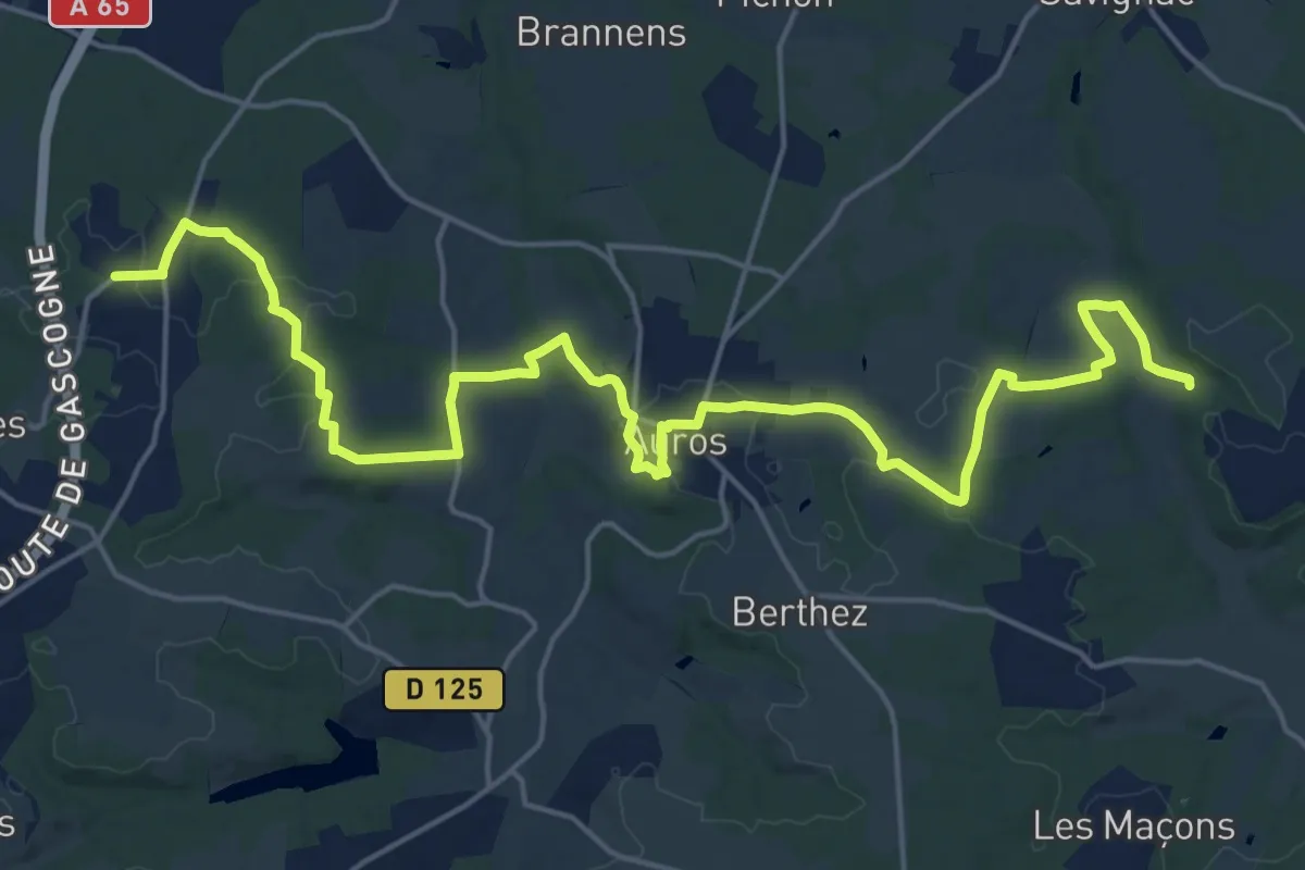
Demanding · Trail
Pays d'Auros : Coimères - Auros - Sigalens : circuit départemental
25.6 km · ↑ 462 m · 7 h 3 min
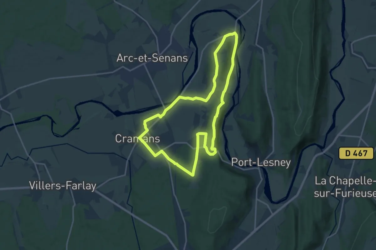
Medium · Summit
Pays, Paysans, Paysages
13.5 km · ↑ 234 m · 3 h 54 min
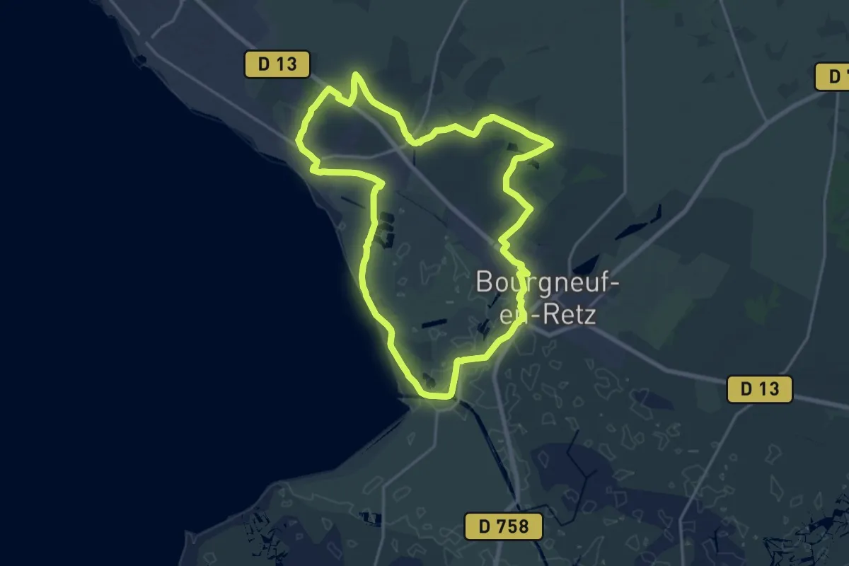
Demanding · Trail
PDIPR:1224
18.1 km · ↑ 52 m · 4 h 38 min
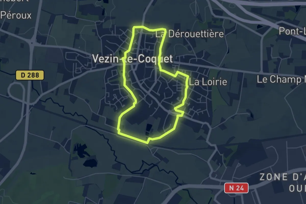
Easy · Trail
PDIPR - Boucle de Vezin
4.6 km · ↑ 36 m · 1 h 13 min
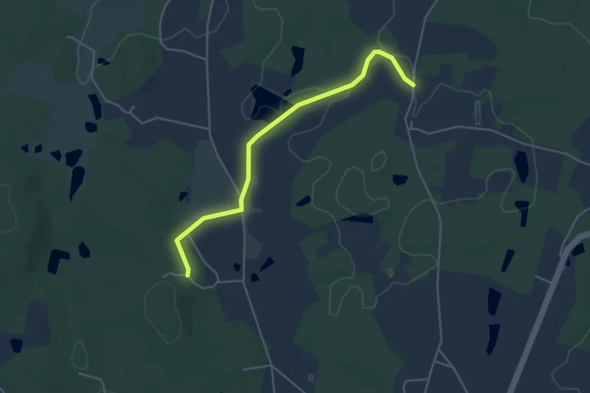
Easy · Trail
PDPIR Itinéraire de liaison / junction path
3.7 km · ↑ 42 m · 58 min
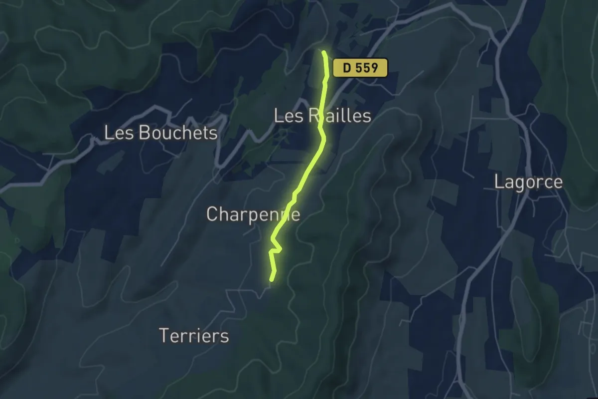
Easy · Trail
Pecoulas - Saint André
3.9 km · ↑ 36 m · 1 h
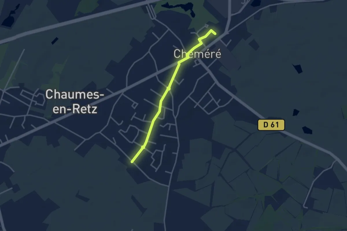
Easy · Trail
Pédibus
2.9 km · ↑ 4 m · 42 min
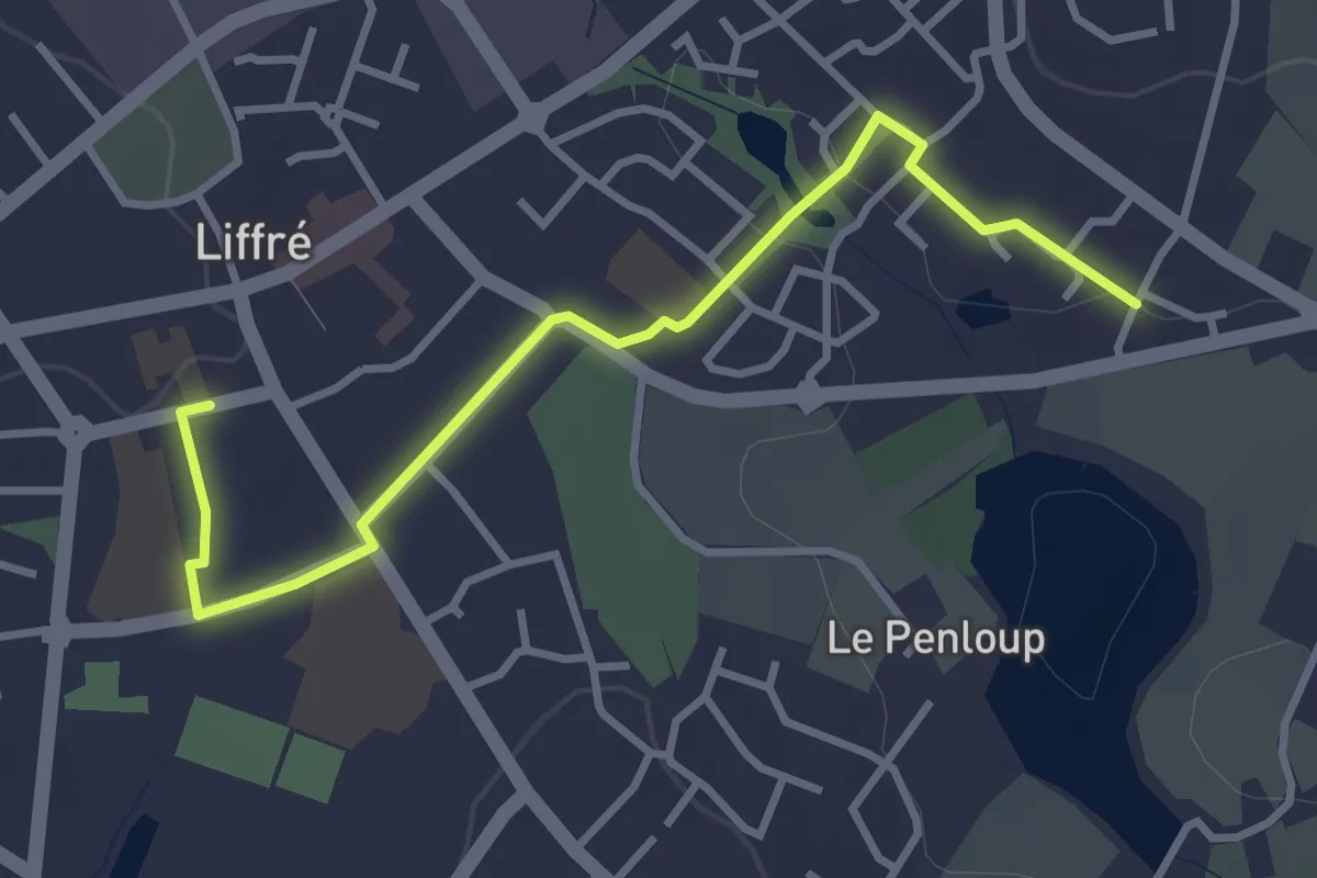
Easy · Trail
Pédibus ligne rose
3.5 km · ↑ 24 m · 53 min
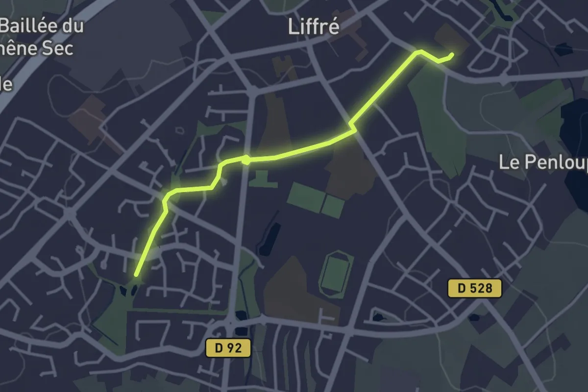
Easy · Trail
Pédibus ligne verte
3.1 km · ↑ 5 m · 44 min
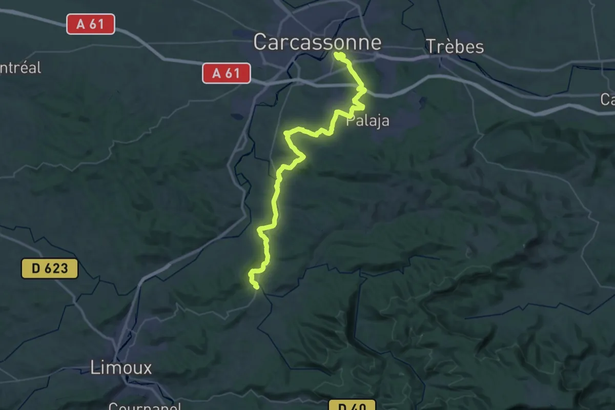
Demanding · Trail
Péiras e Vinhas
23.1 km · ↑ 291 m · 6 h 25 min
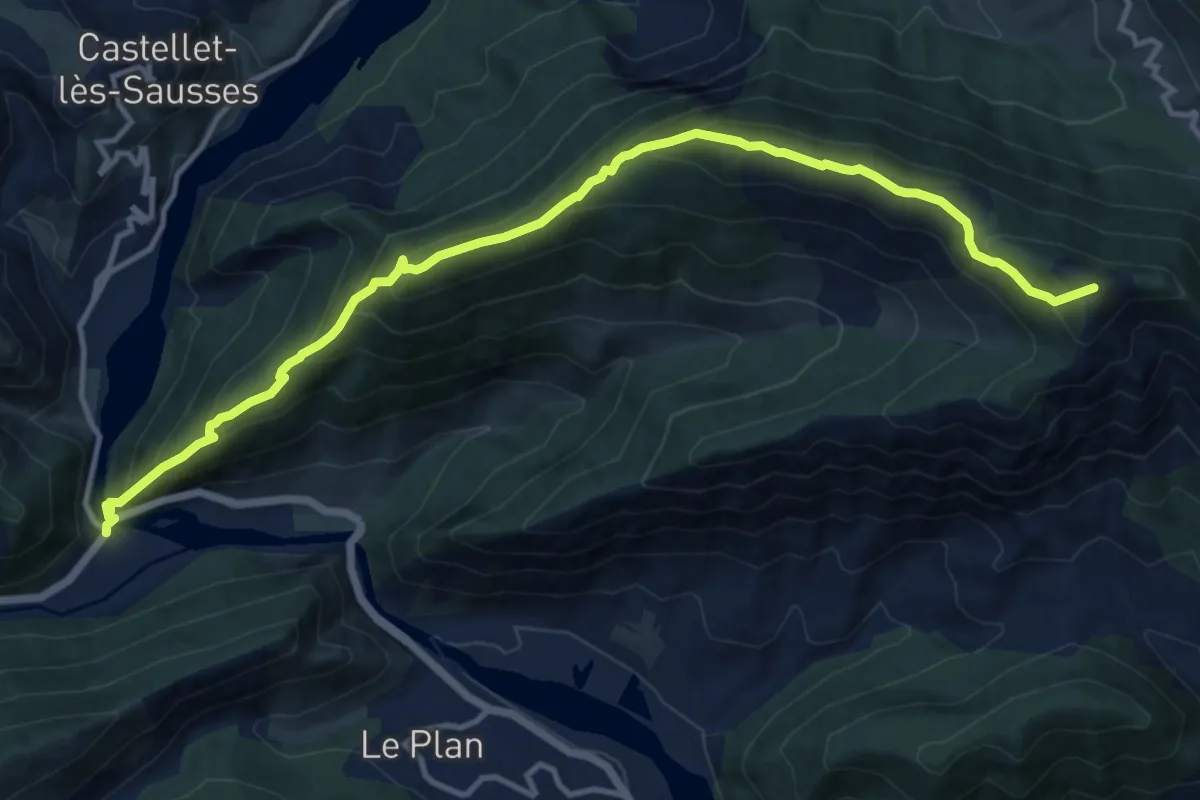
Demanding · Summit
Pelau (1397 m)
14.4 km · ↑ 1001 m · 5 h 34 min
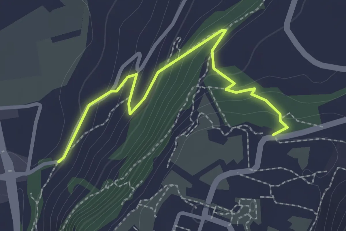
Easy · Trail
Pelouses Sèches Steppiques - Glacis Parking Bus
2.5 km · ↑ 138 m · 53 min
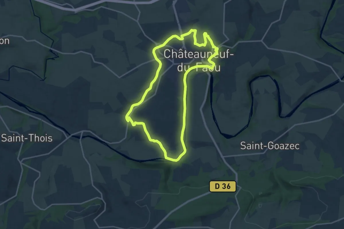
Medium · Trail
Penn ar pont - L'Aulne canalisée
13.0 km · ↑ 142 m · 3 h 34 min
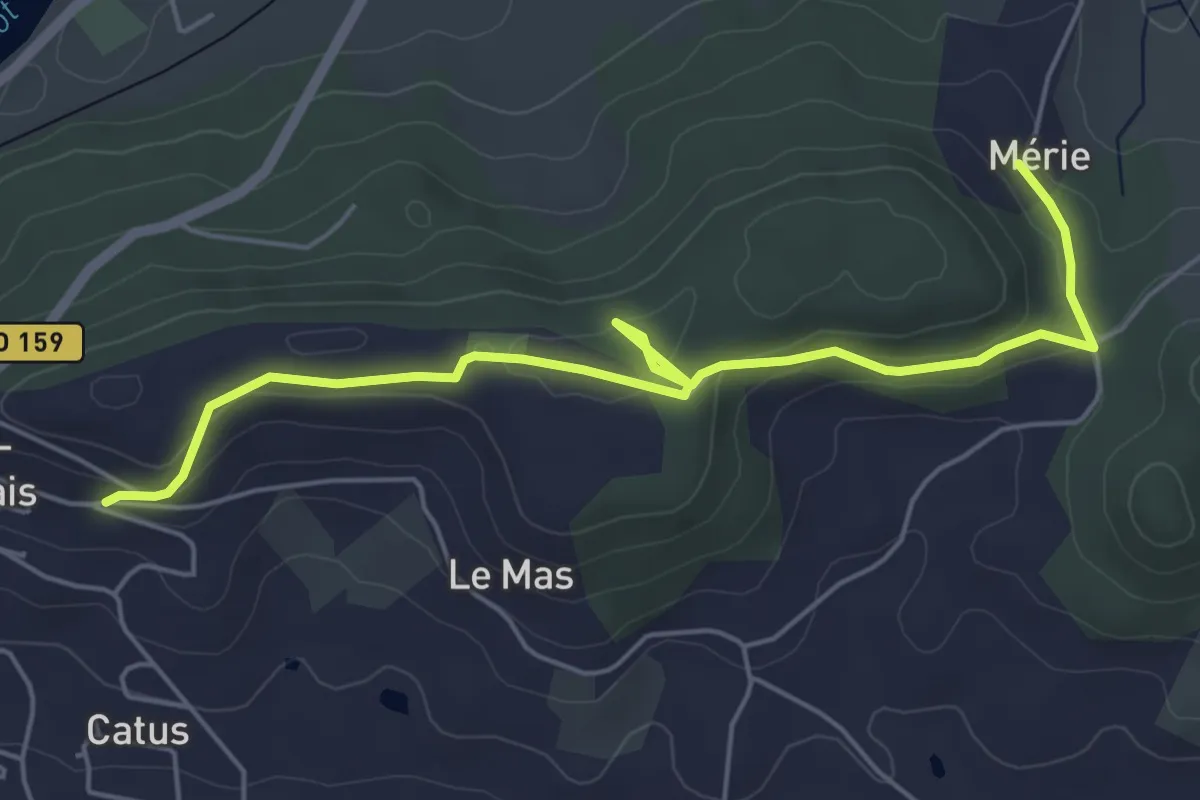
Easy · Trail
Penne-d’Agenais, sur le plateau Saint-Michel -10,7km
6.2 km · ↑ 149 m · 1 h 47 min
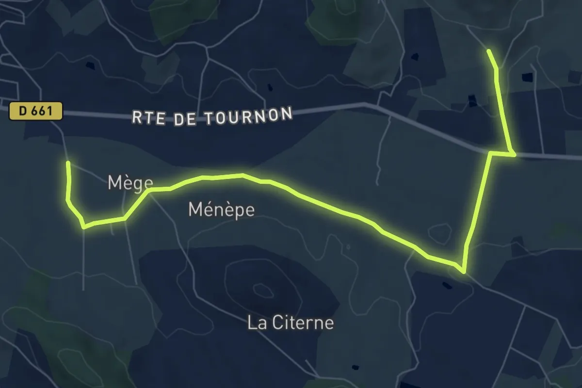
Easy · Trail
Penne-d’Agenais, vers le château de Noaillac - 13,2km
4.6 km · ↑ 102 m · 1 h 21 min
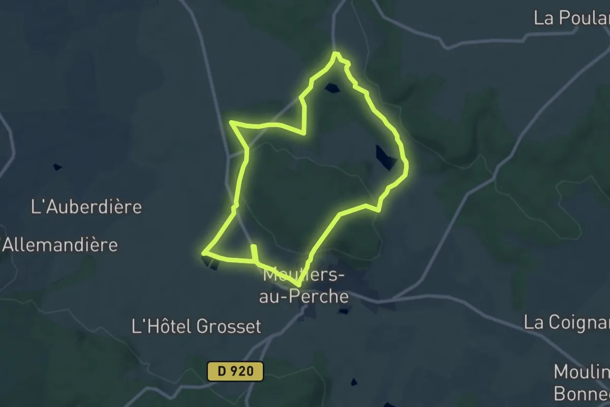
Easy · Trail
Perche authentique
6.9 km · ↑ 161 m · 2 h 4 min
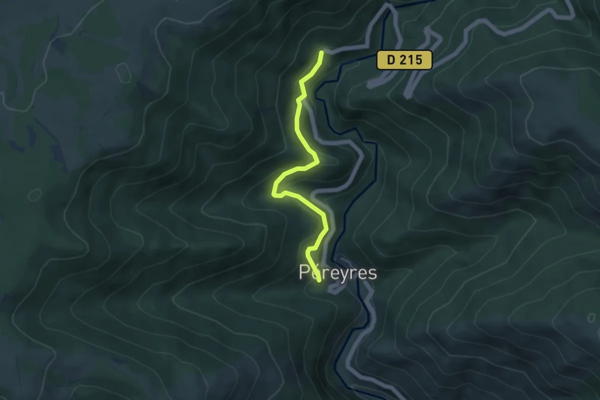
Easy · Trail
Pereyres - Le Chabron
3.9 km · ↑ 231 m · 1 h 25 min
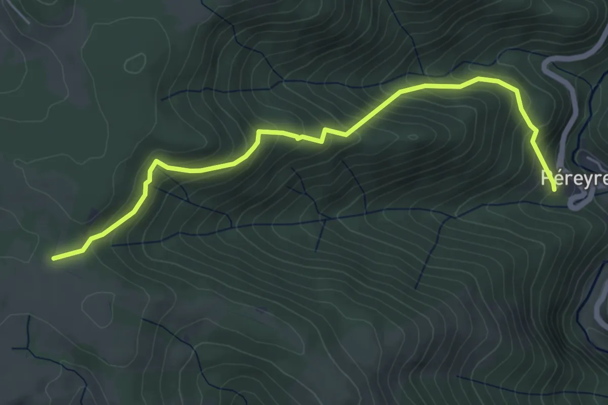
Medium · Trail
Pereyres - Prapouzol Nord
5.5 km · ↑ 429 m · 2 h 14 min
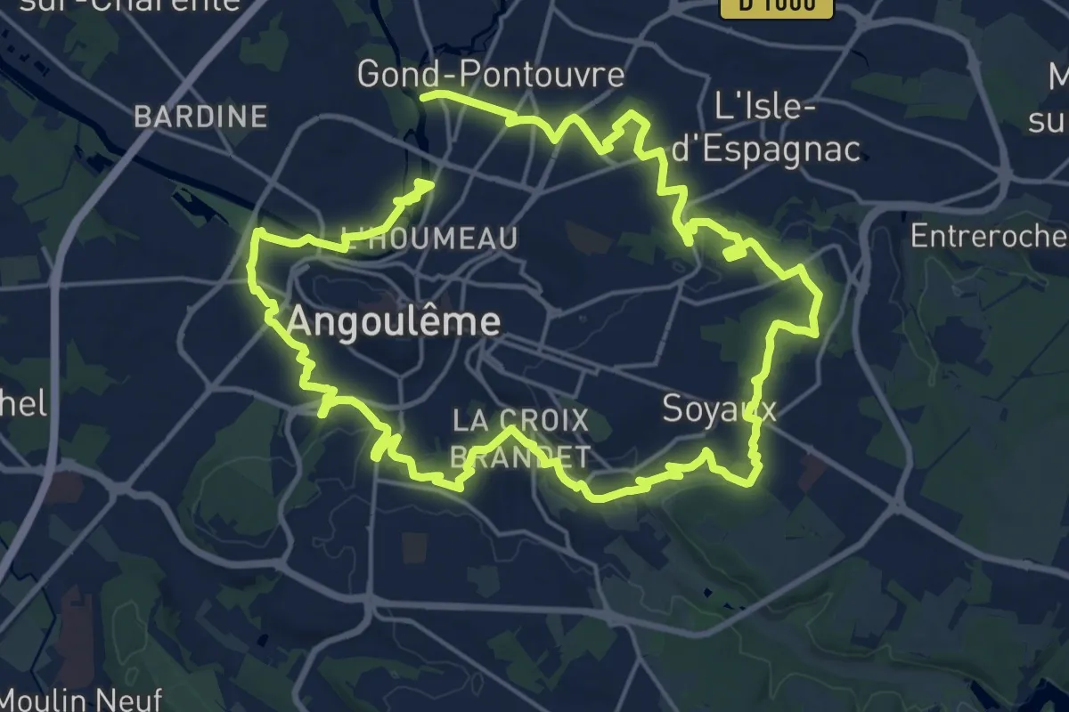
Demanding · Trail
Périph'vert
19.6 km · ↑ 235 m · 5 h 24 min
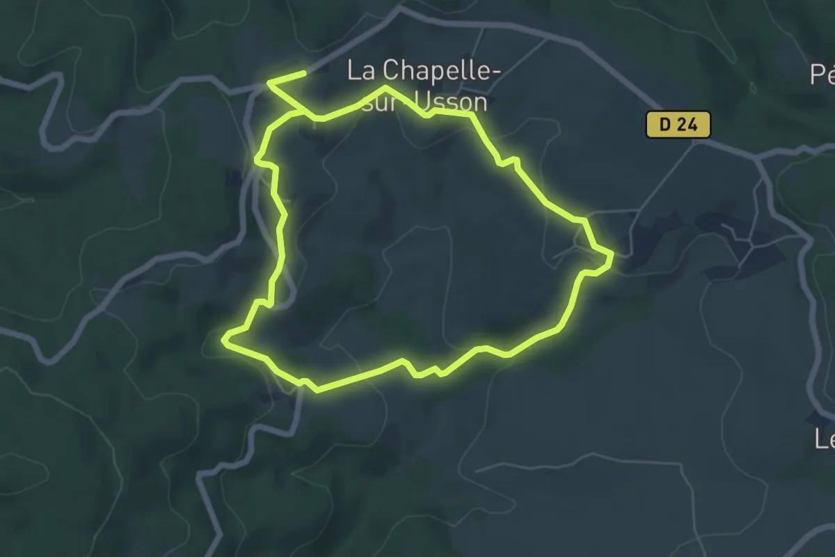
Easy · Trail
Perrier
5.5 km · ↑ 165 m · 1 h 43 min
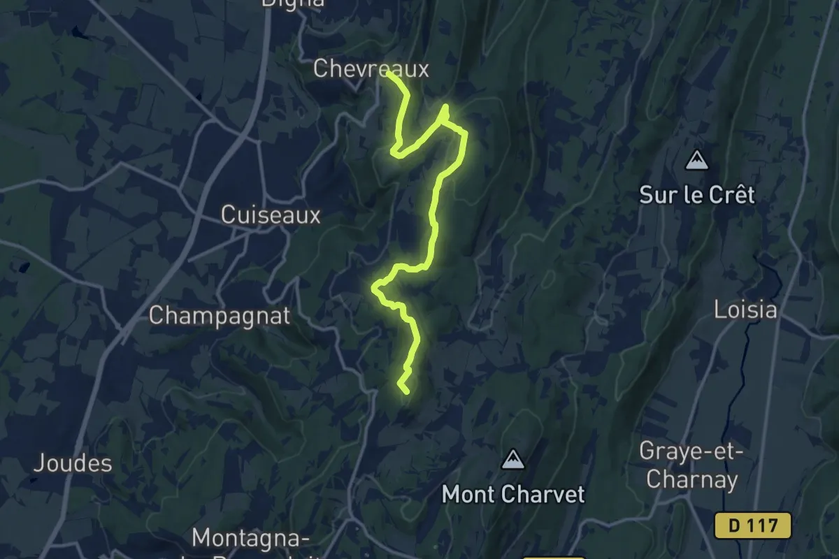
Medium · Summit
Perrigny - Yenne
13.0 km · ↑ 407 m · 3 h 57 min
Easy · Trail
Pertus de Fabria - Le Charnier
3.7 km · ↑ 44 m · 59 min
Easy · Cabin
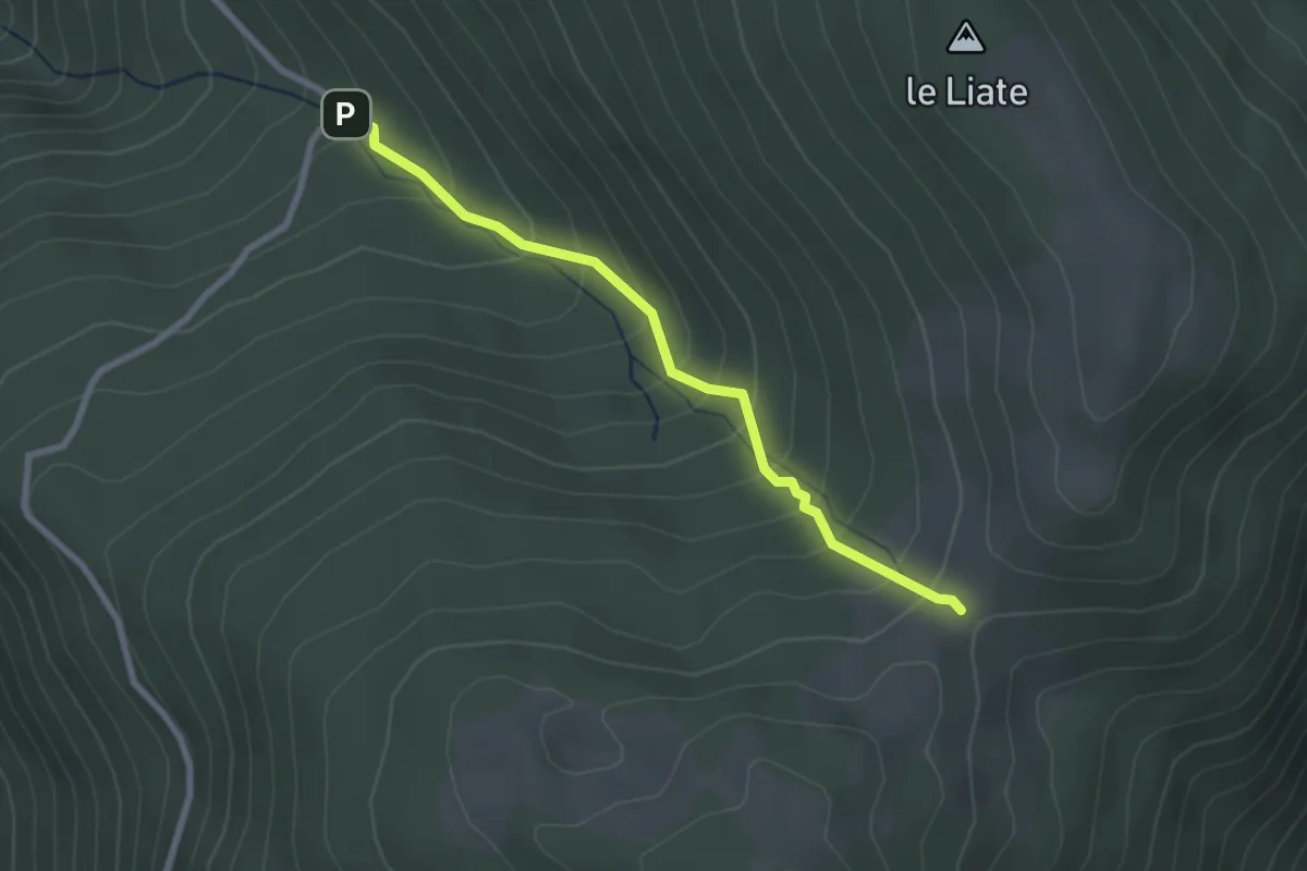
Petches Ax
2.6 km · ↑ 244 m · 1 h 9 min
Demanding · Trail
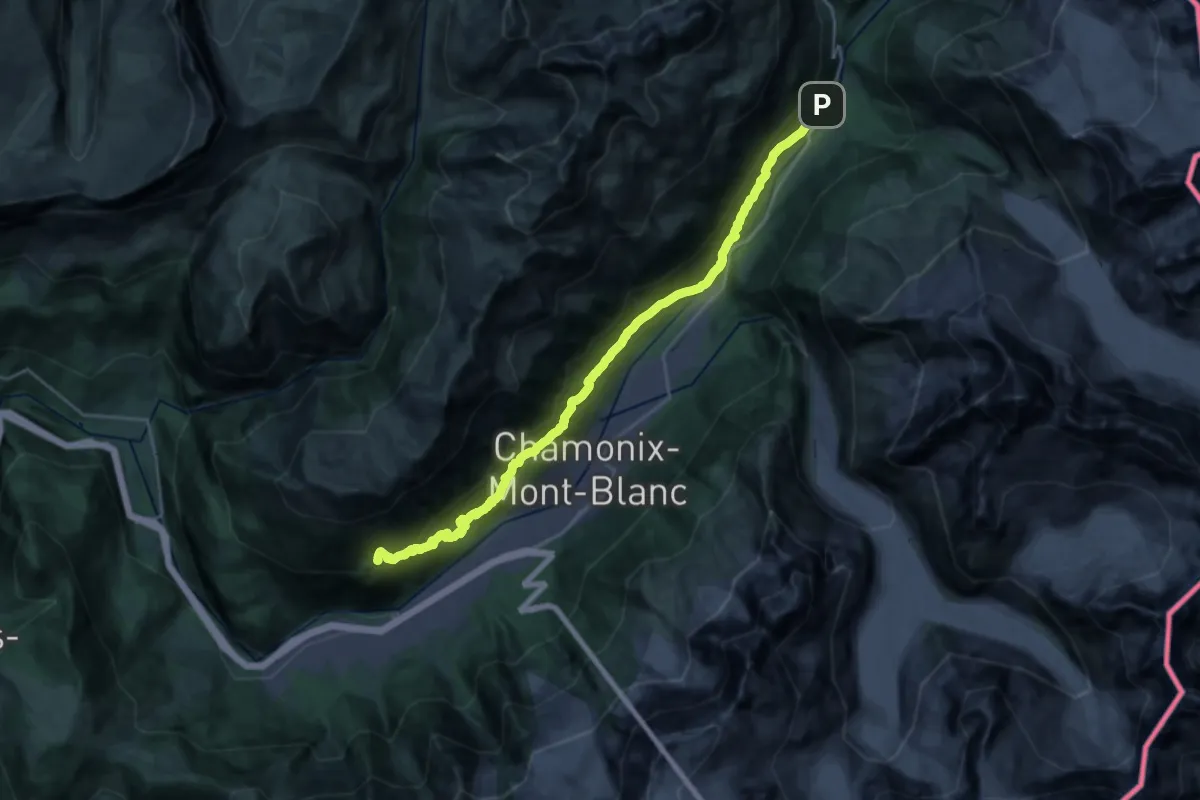
Petit Balcon Sud
13.5 km · ↑ 1028 m · 5 h 28 min
Easy · Trail
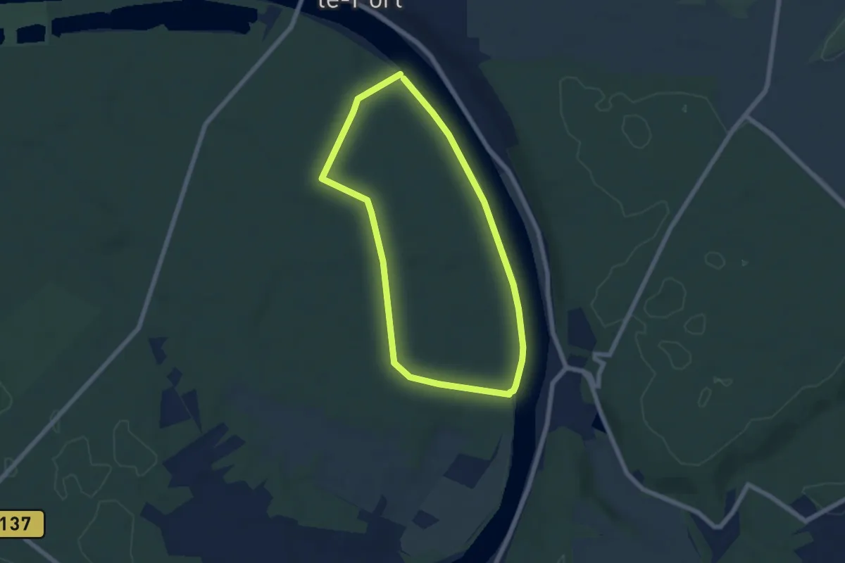
Petit Barbeau
5.1 km · ↑ 34 m · 1 h 21 min
Easy · Trail
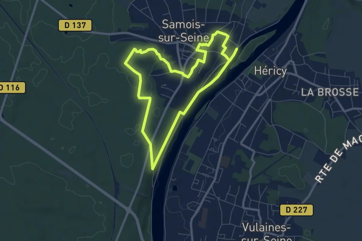
Petit Barbeau
6.2 km · ↑ 75 m · 1 h 42 min
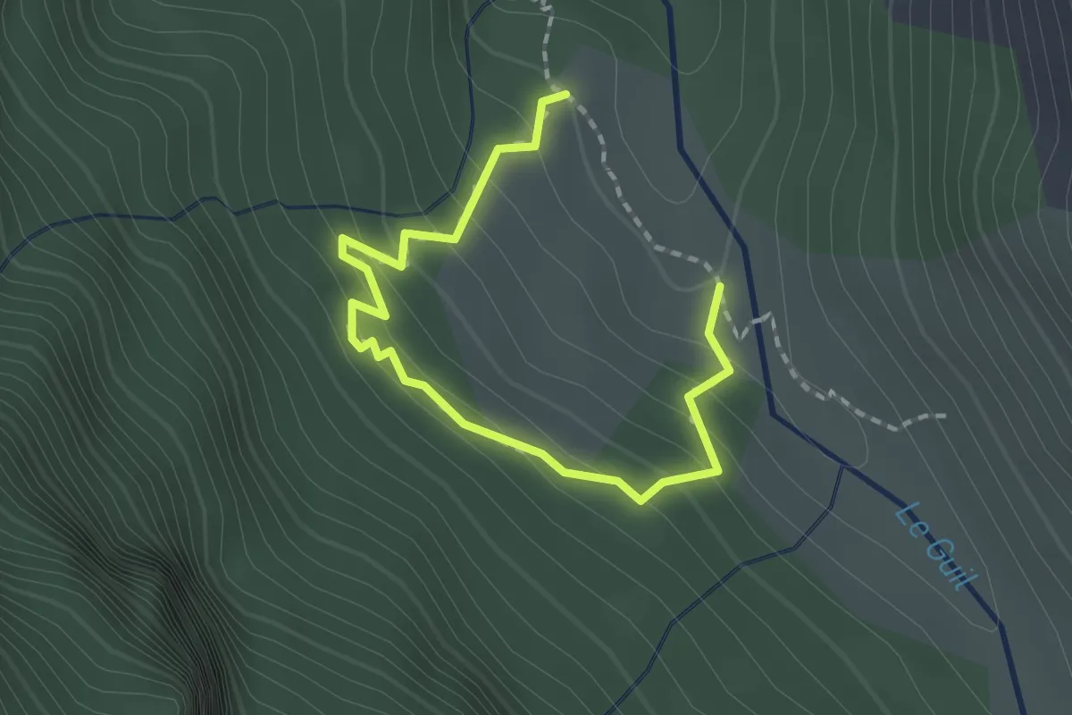
Easy · Trail
Petit Belvédère - Pré Michel
2.1 km · ↑ 178 m · 53 min
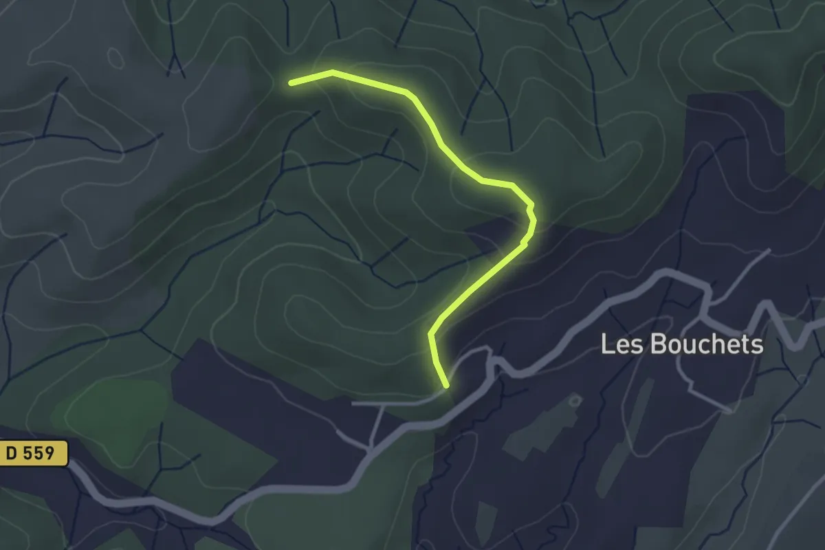
Easy · Trail
Petit Chaussy - Trappe Loup
2.9 km · ↑ 133 m · 58 min
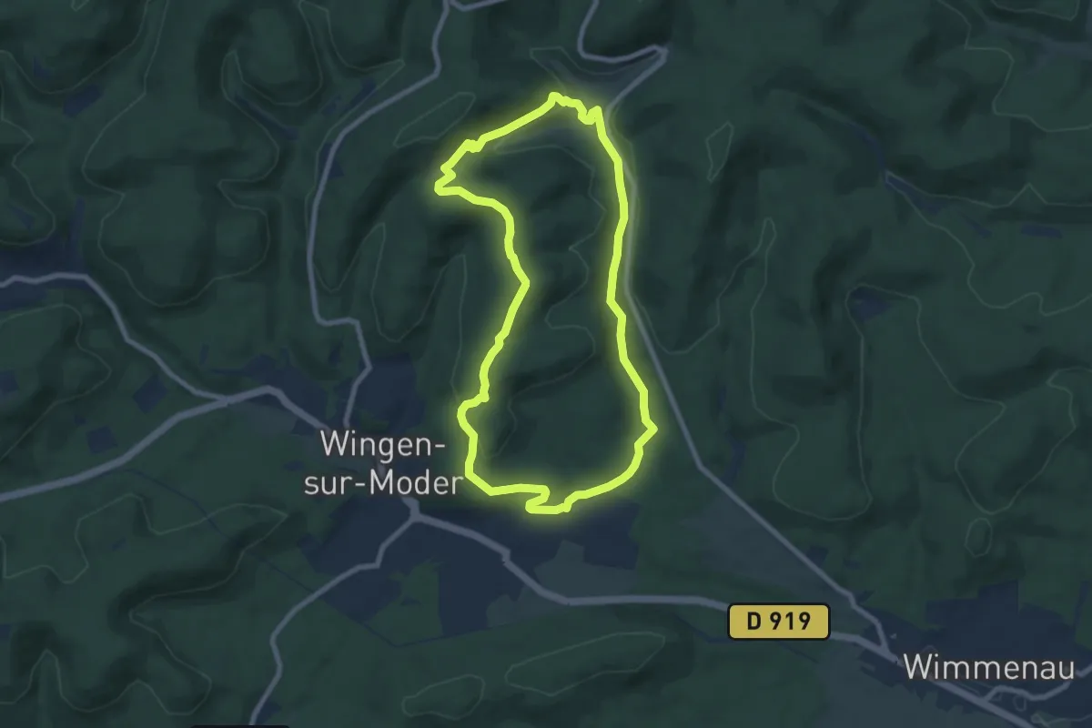
Easy · Summit
Petit Circuit autour de Wingen-sur-Moder
7.5 km · ↑ 182 m · 2 h 15 min
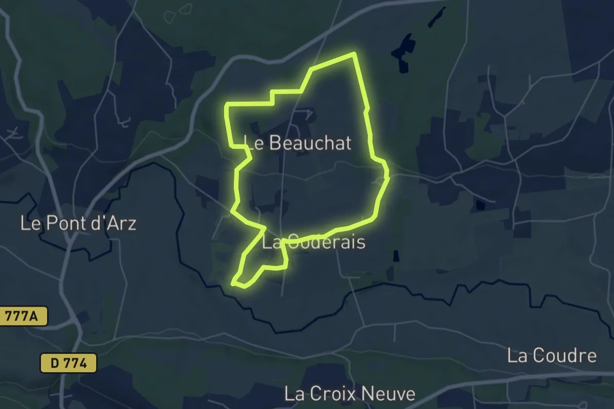
Easy · Trail
Petit Circuit de la Chapelle de la Bogeraie
5.1 km · ↑ 72 m · 1 h 26 min
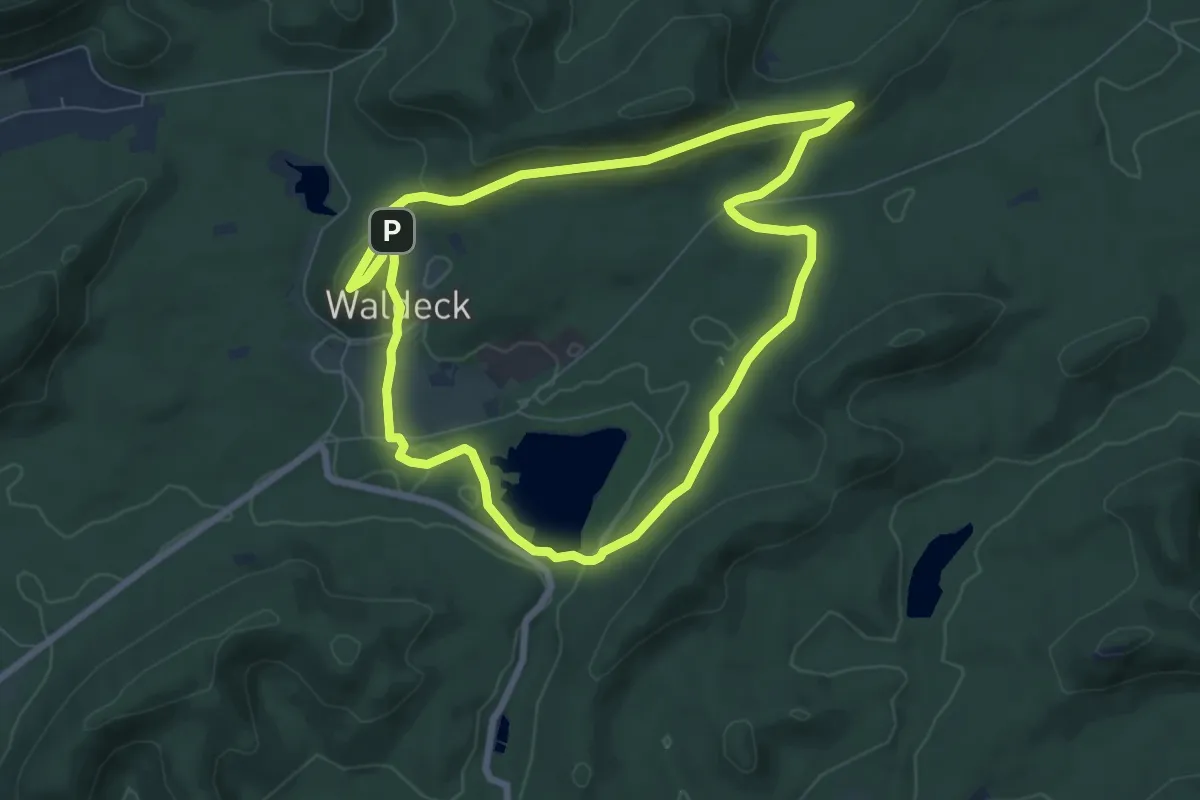
Easy · Summit
Petit circuit de l'étang de Hanau
6.8 km · ↑ 153 m · 2 h 2 min
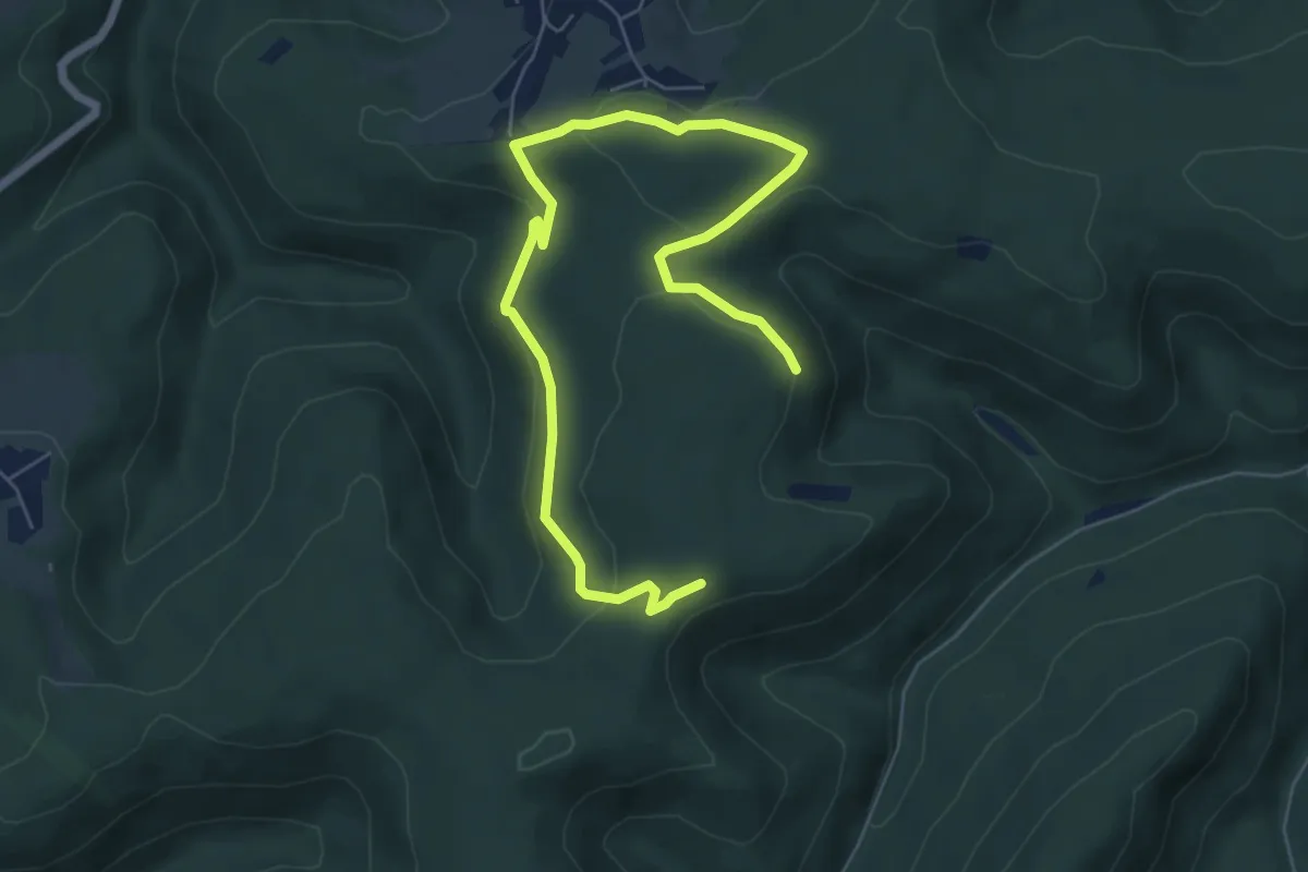
Easy · Trail
Petit Circuit des Bornes
4.1 km · ↑ 100 m · 1 h 13 min
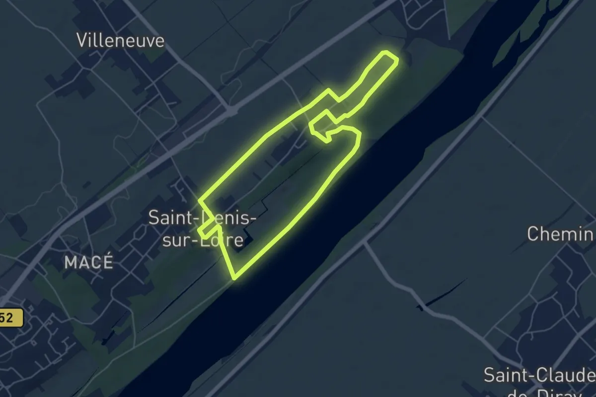
Easy · Trail
Petit circuit des eaux
5.2 km · ↑ 18 m · 1 h 20 min
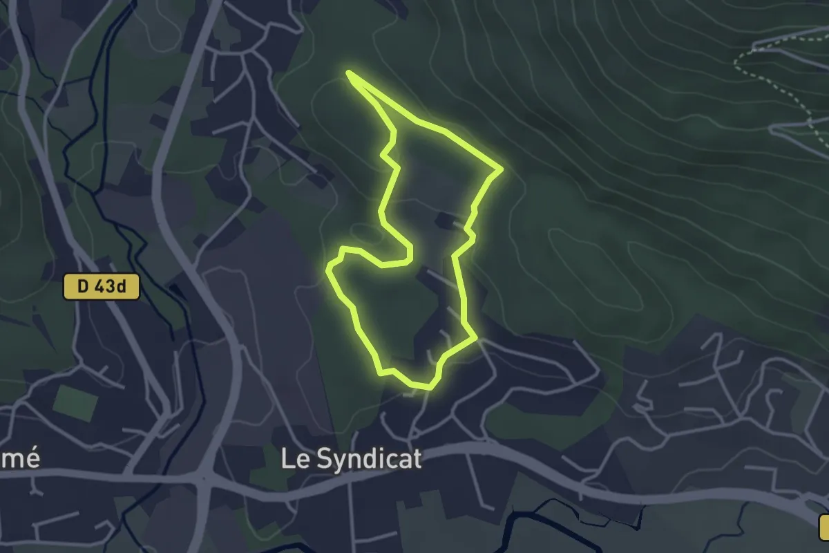
Easy · Trail
Petit circuit des Gemeaux
2.7 km · ↑ 43 m · 45 min
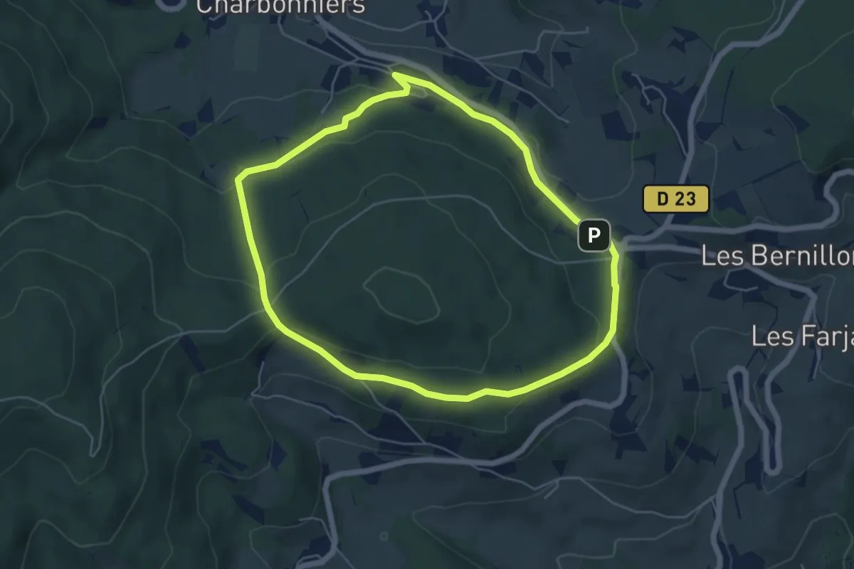
Easy · Trail
Petit circuit du Mont Chonay
5.1 km · ↑ 137 m · 1 h 34 min
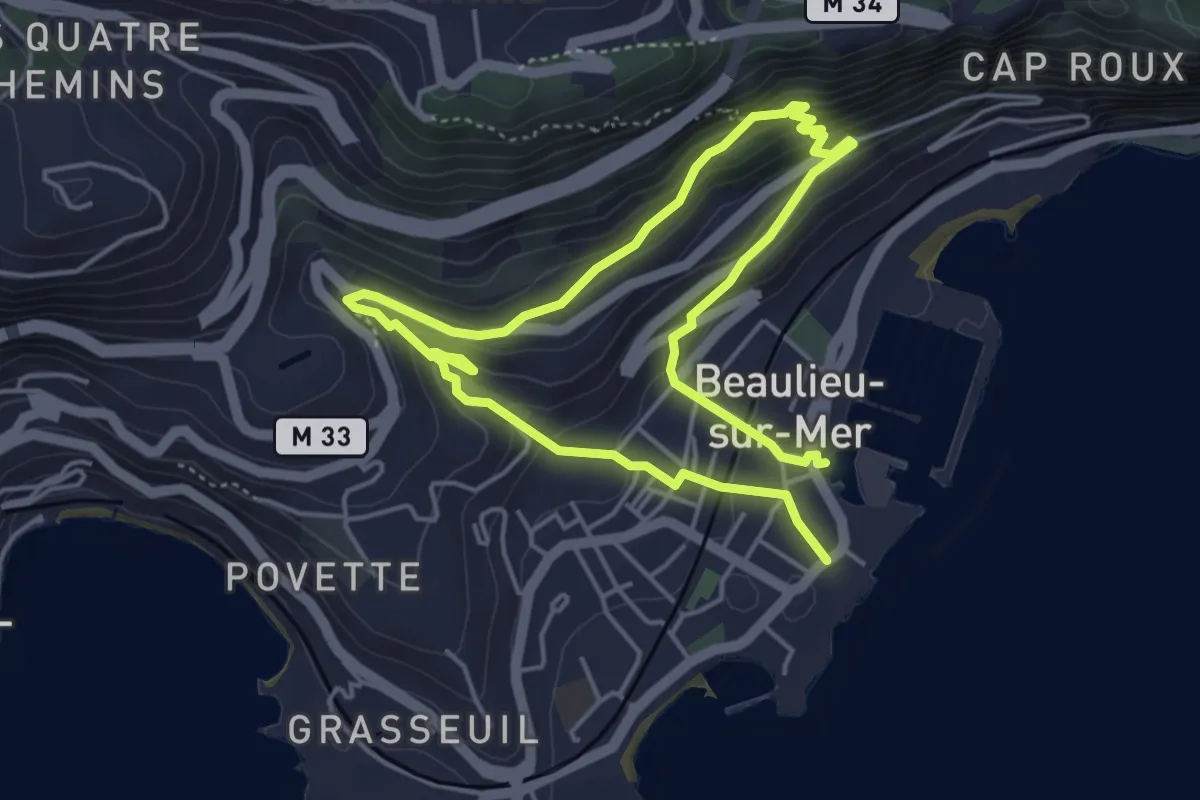
Easy · Trail
Petite Afrique
4.1 km · ↑ 241 m · 1 h 32 min
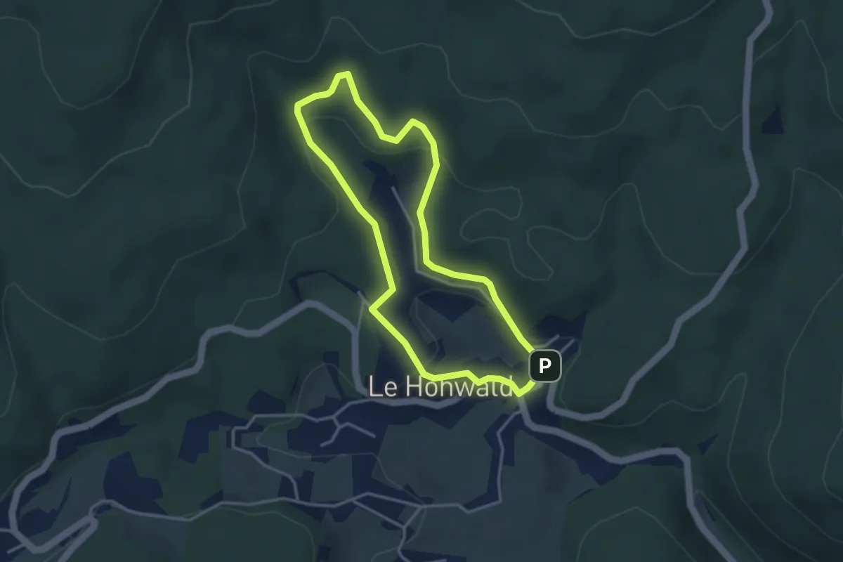
Easy · Cabin
Petite boucle
3.0 km · ↑ 130 m · 1 h 3 min
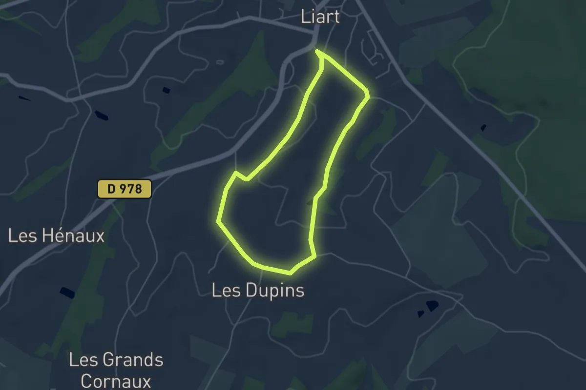
Easy · Trail
Petite boucle
3.9 km · ↑ 50 m · 1 h 5 min
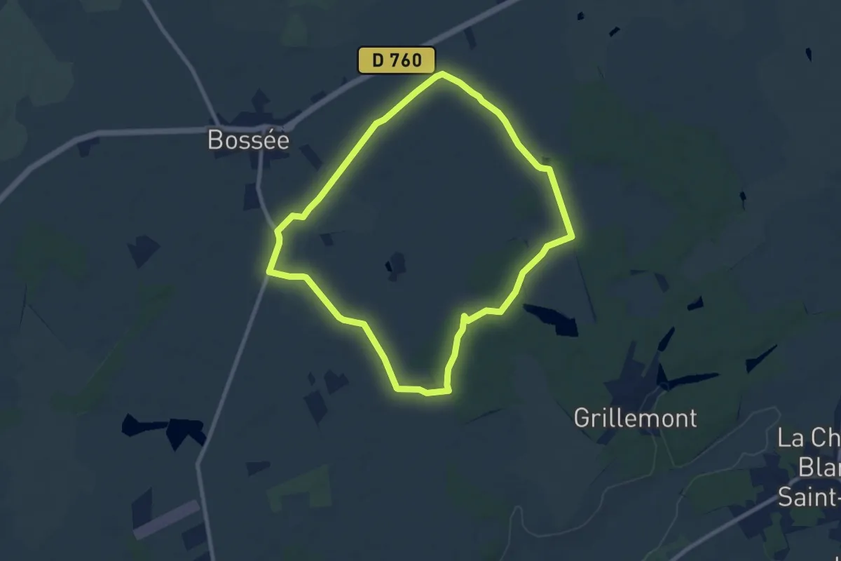
Easy · Trail
Petite Boucle
7.9 km · ↑ 13 m · 2 h 1 min
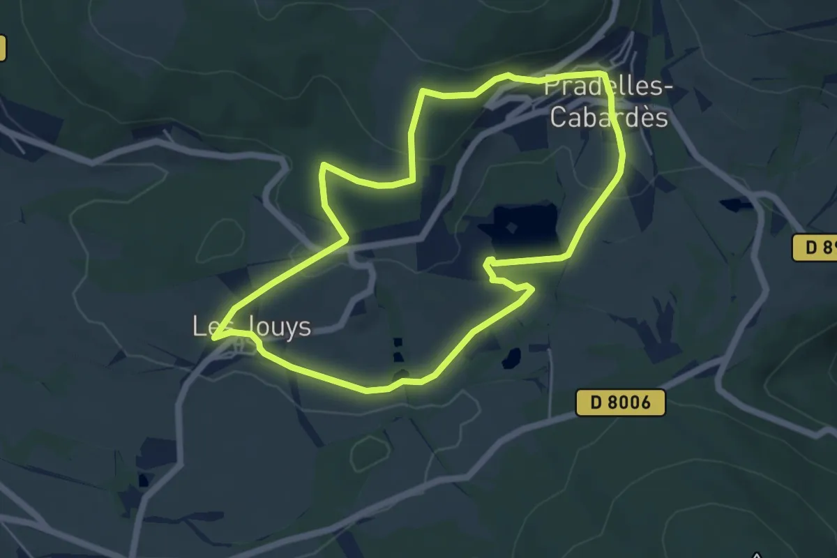
Easy · Trail
Petite Boucle Communauté de commune
5.2 km · ↑ 129 m · 1 h 35 min
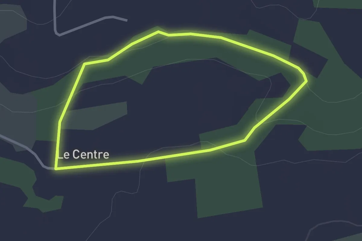
Easy · Trail
Petite Boucle de Ker Avray
2.3 km · ↑ 43 m · 40 min
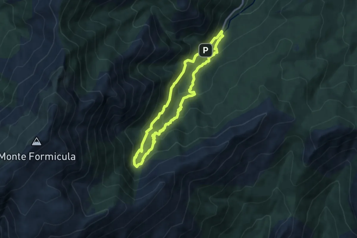
Medium · Trail
Petite boucle de la cascade d'Undella
7.1 km · ↑ 474 m · 2 h 48 min
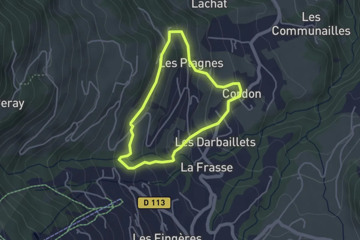
Easy · Trail
Petite Boucle de la Plagne - Été
2.8 km · ↑ 147 m · 1 h 1 min
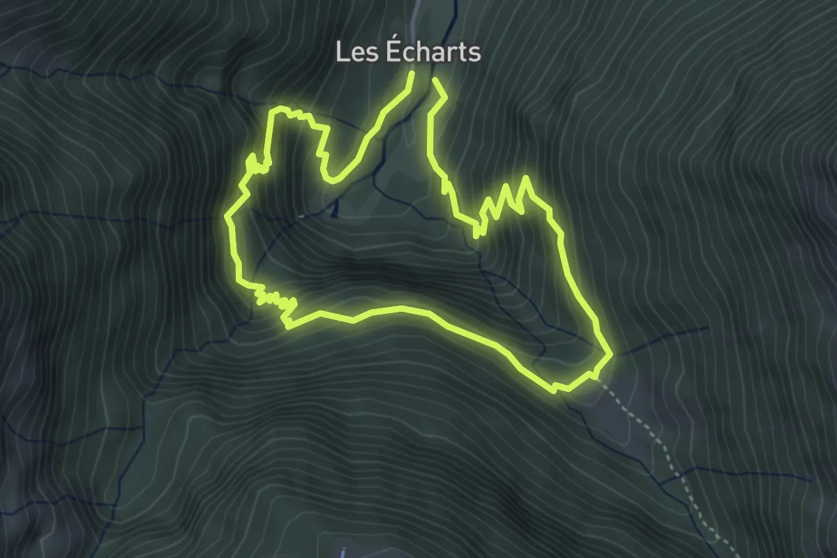
Medium · Trail
Petite boucle de la vallée du Lis
4.4 km · ↑ 403 m · 1 h 58 min
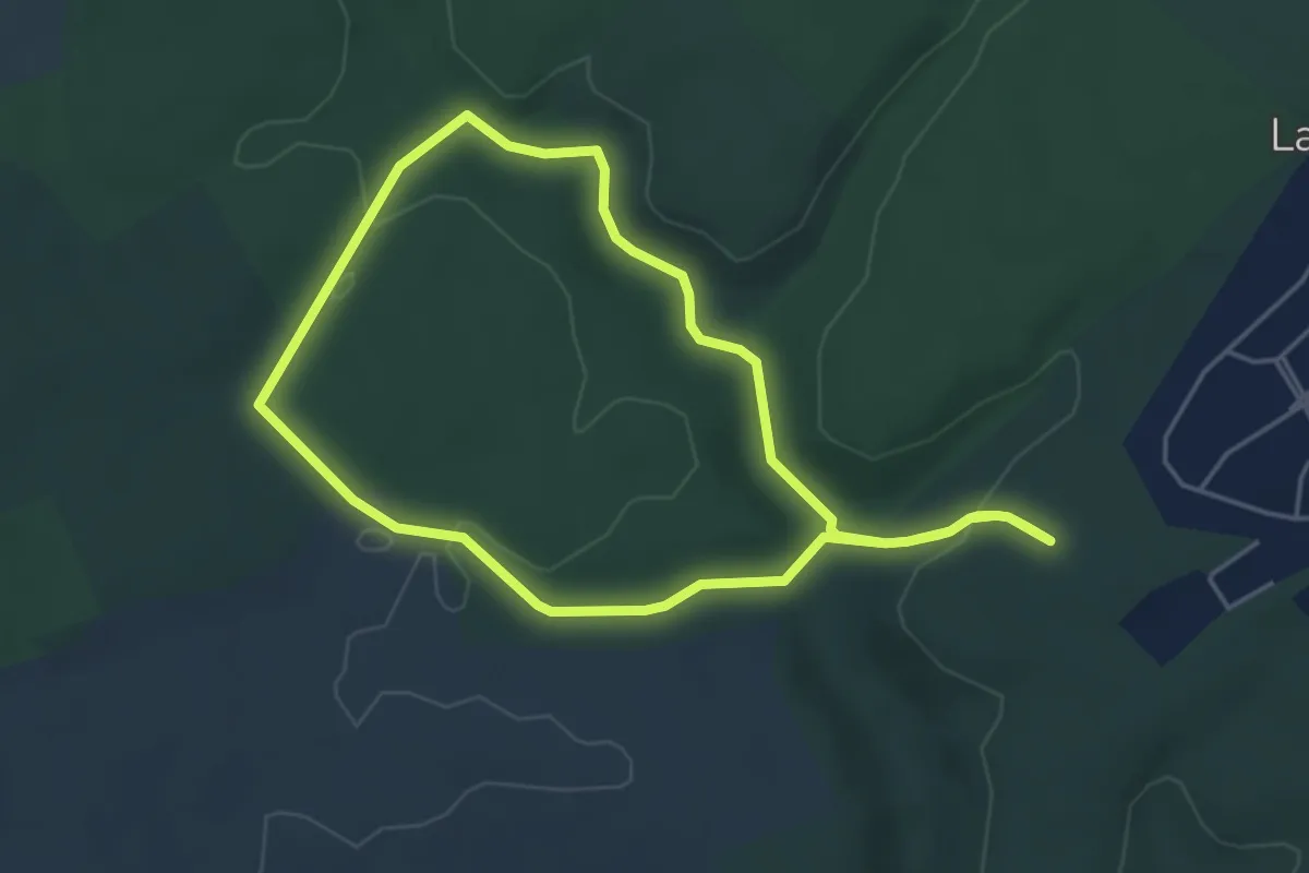
Easy · Trail
Petite boucle de Natrou
4.2 km · ↑ 88 m · 1 h 14 min
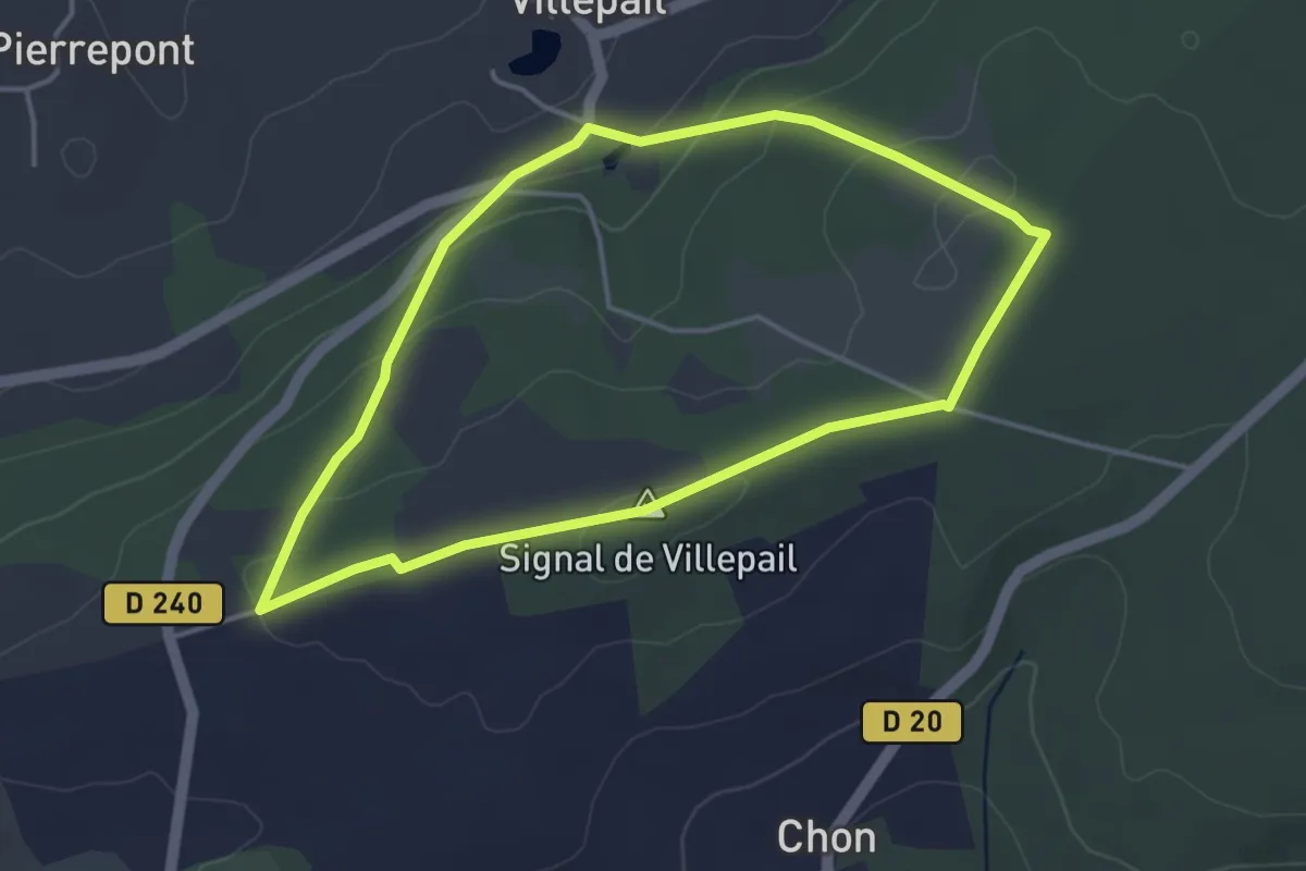
Easy · Summit
Petite Boucle de Villepail
3.7 km · ↑ 96 m · 1 h 8 min