Trails in France
15,926 hiking trails, each with its route, climb, walking time and grade.
All trails, page 219 of 332
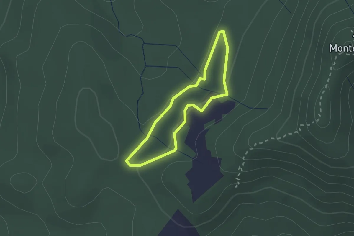
Medium · Trail
Petite boucle du Monastère
1.6 km · ↑ 23 m · 28 min
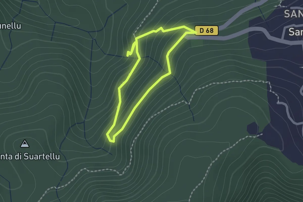
Medium · Trail
Petite boucle Funtana di Vignali
1.6 km · ↑ 86 m · 35 min
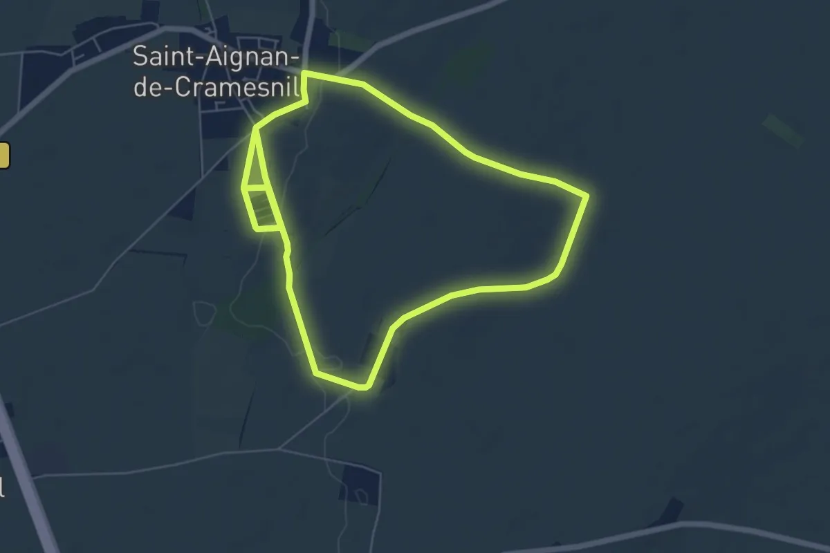
Easy · Trail
Petite boucle - La Lagune
5.4 km · ↑ 49 m · 1 h 28 min
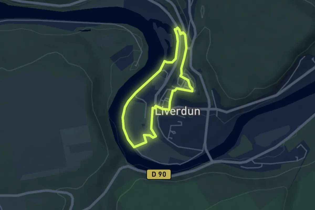
Easy · Trail
Petite boucle villageoise
3.2 km · ↑ 64 m · 56 min
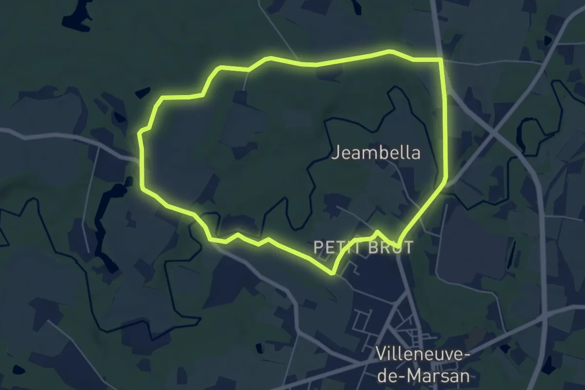
Easy · Trail
Petite Randonnée Villeneuve
6.1 km · ↑ 64 m · 1 h 39 min
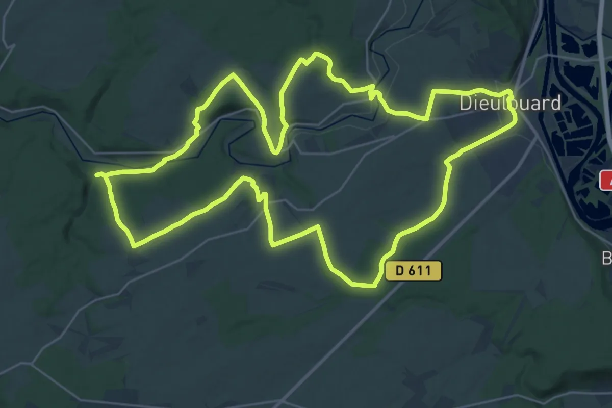
Demanding · Trail
Petite Suisse Lorraine
24.1 km · ↑ 314 m · 6 h 42 min
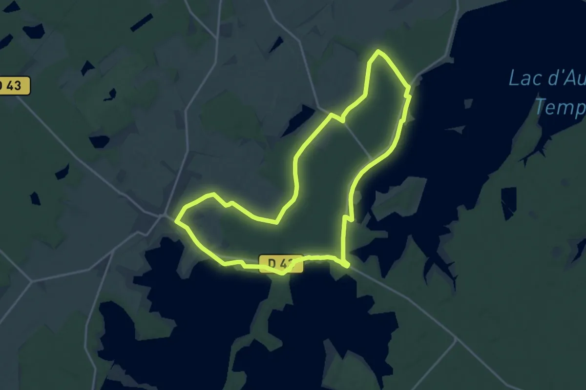
Medium · Trail
Petit Orient
14.2 km · ↑ 68 m · 3 h 41 min
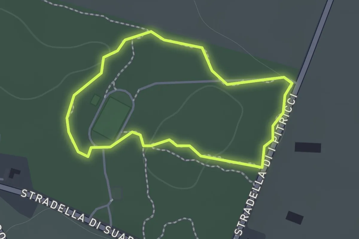
Easy · Trail
Petit Parcours Bleu
1.2 km · ↑ 14 m · 20 min
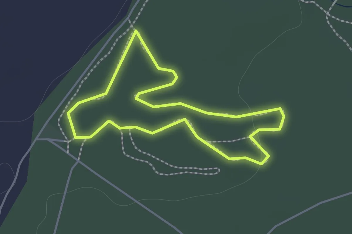
Easy · Trail
Petit Parcours Vert
1.4 km · ↑ 12 m · 23 min
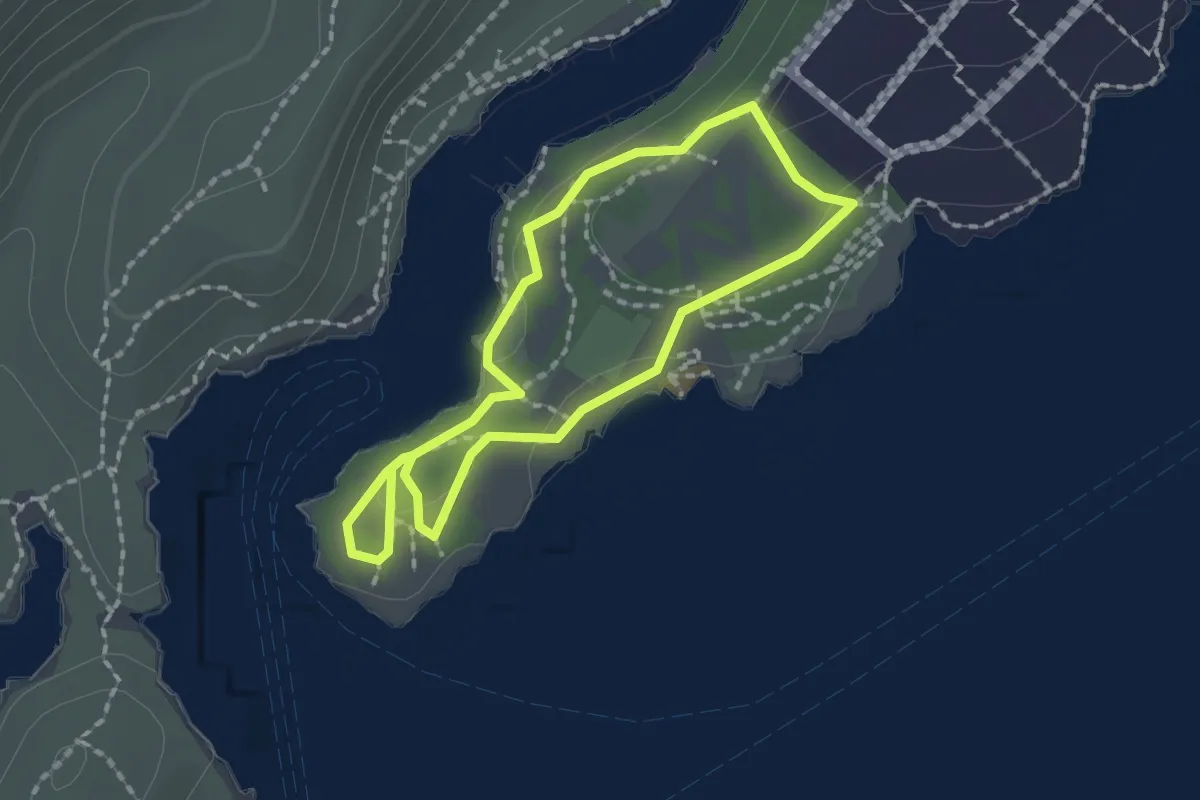
Easy · Trail
Petit Prince
1.6 km · ↑ 33 m · 29 min
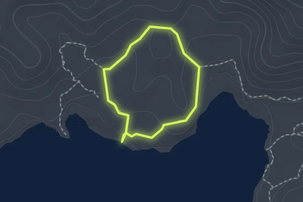
Easy · Trail
Petit sentier Presqu'ile de la Caravelle
1.5 km · ↑ 29 m · 26 min
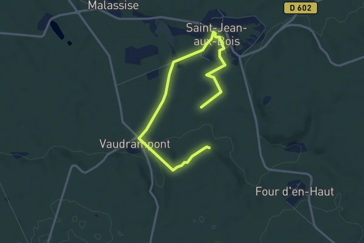
Medium · Trail
Petits Monts et Vaudrampont
8.3 km · ↑ 107 m · 2 h 11 min
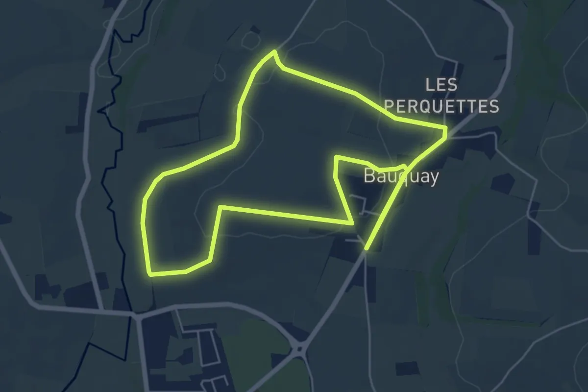
Easy · Trail
Petit Tour à Beauquay
5.1 km · ↑ 65 m · 1 h 25 min
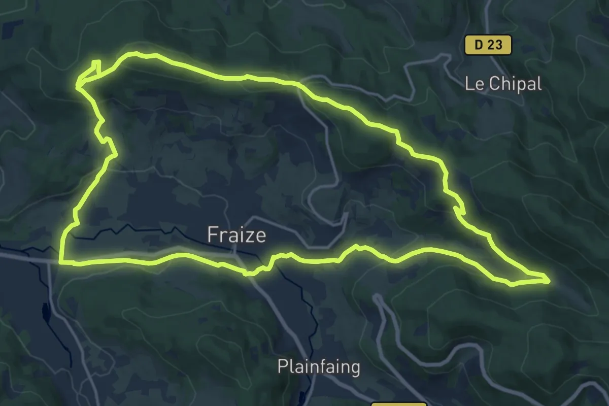
Medium · Summit
Petit tour de Fraize
16.1 km · ↑ 452 m · 4 h 59 min
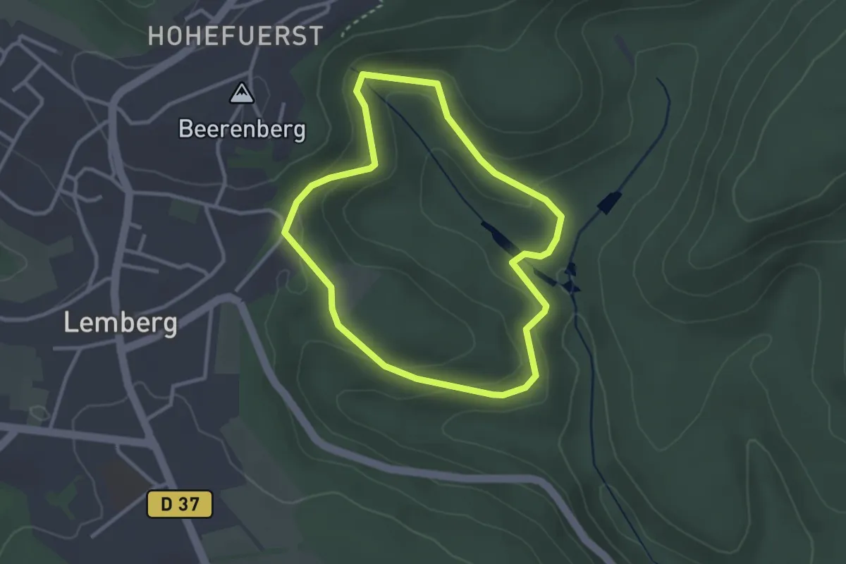
Easy · Trail
Petit Tour de la Bildmuehle
2.6 km · ↑ 96 m · 51 min
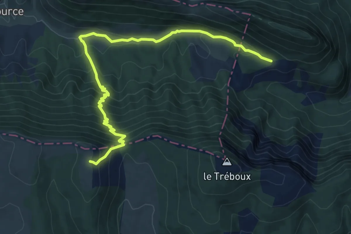
Medium · Trail
Petit Tour de la Montagne de Lure
11.5 km · ↑ 747 m · 4 h 20 min
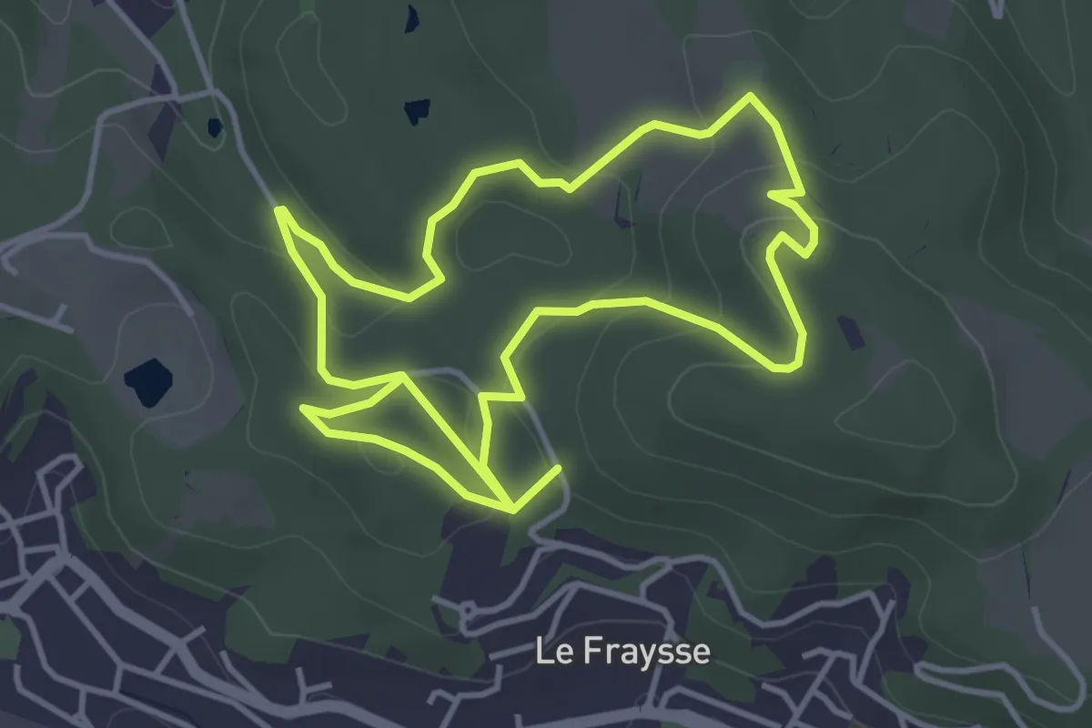
Medium · Trail
Petit tour de la vaysse
8.1 km · ↑ 222 m · 2 h 24 min
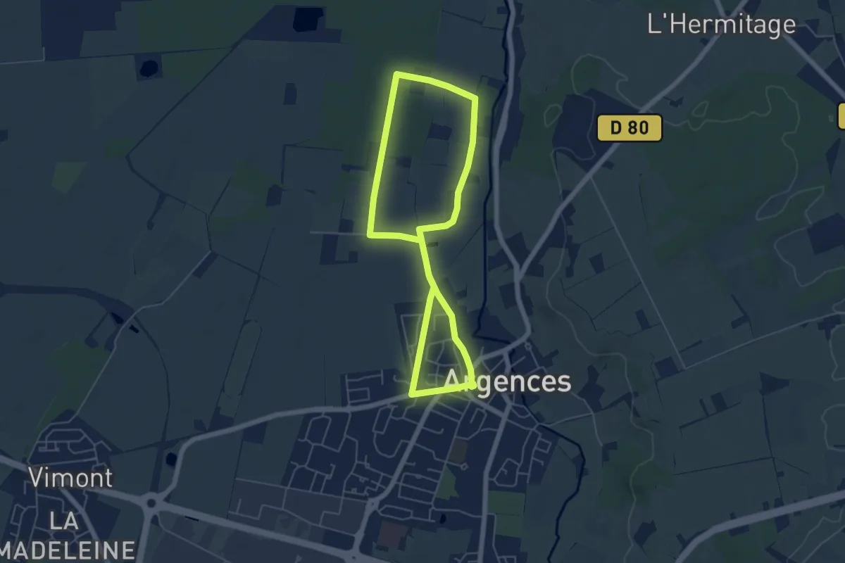
Easy · Trail
Petit Tour des Marais
4.7 km · ↑ 12 m · 1 h 12 min
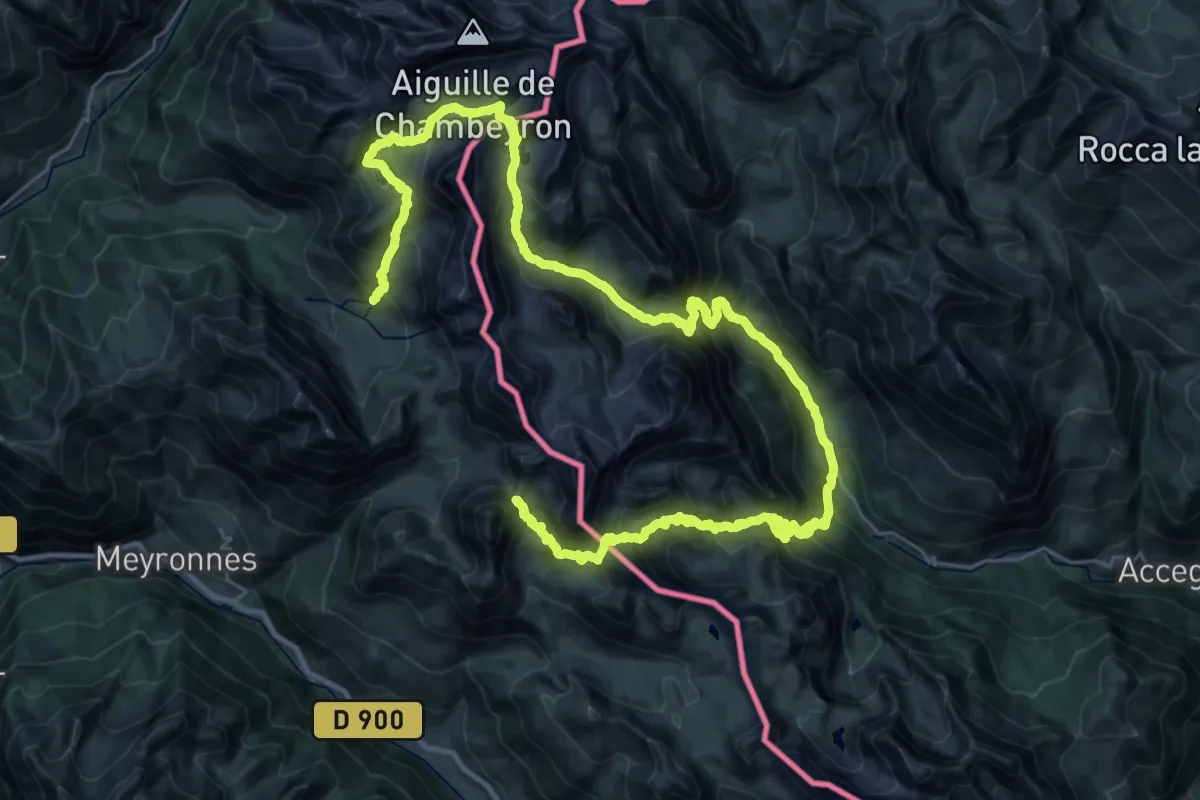
Demanding · Trail
Petit Tour du Chambeyron
25.4 km · ↑ 2090 m · 10 h 43 min
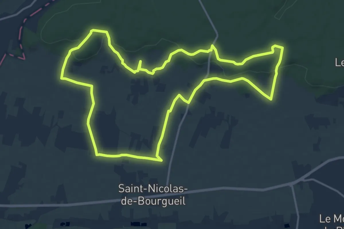
Medium · Trail
Peu Penon - Saint-Nicolas-de-Bourgueil
11.4 km · ↑ 182 m · 3 h 15 min
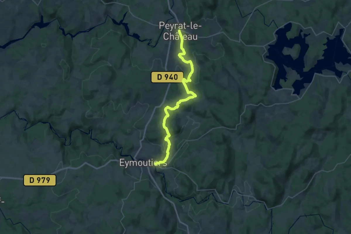
Demanding · Trail
Peyrat - Eymoutiers
26.5 km · ↑ 575 m · 7 h 30 min
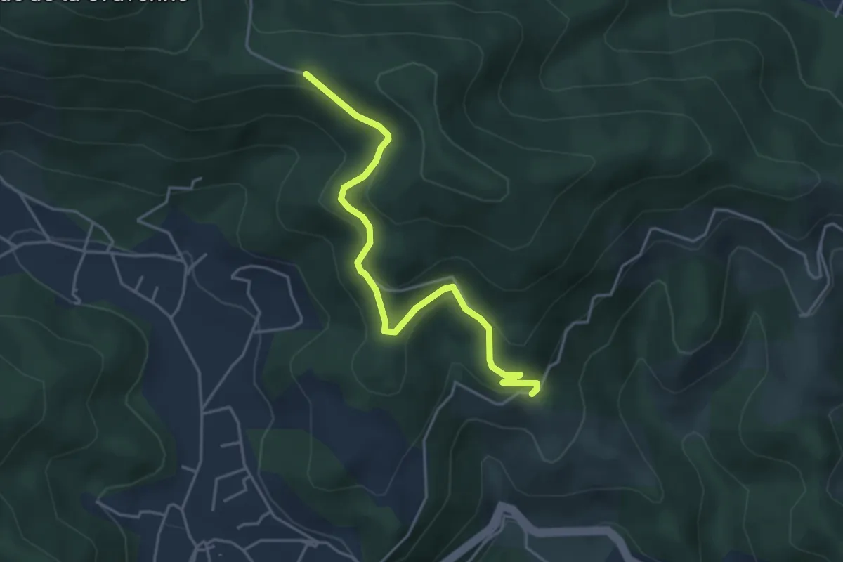
Easy · Trail
Peyraud - La Croix Blanche
4.2 km · ↑ 203 m · 1 h 27 min
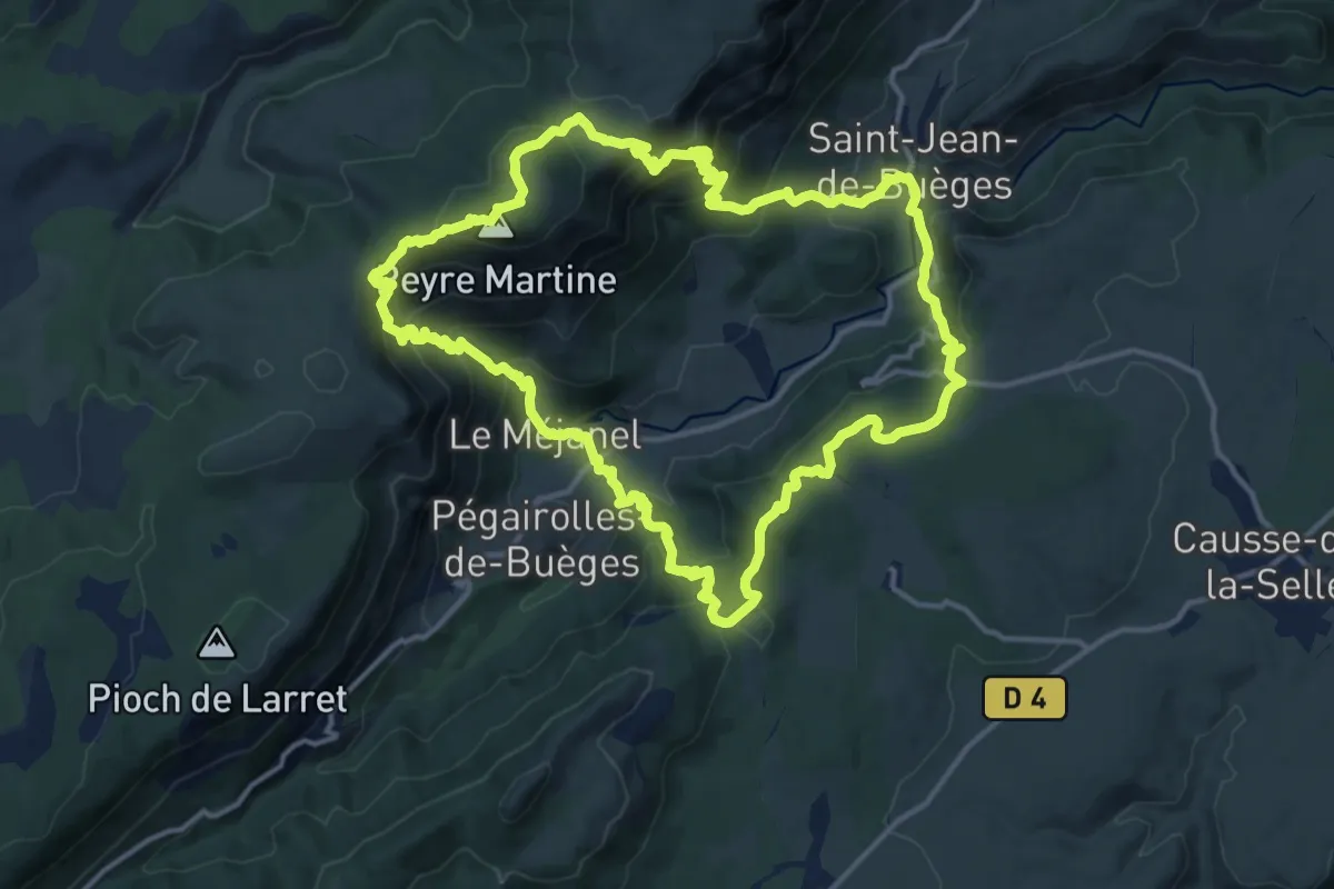
Demanding · Summit
Peyre Martine
15.7 km · ↑ 957 m · 6 h
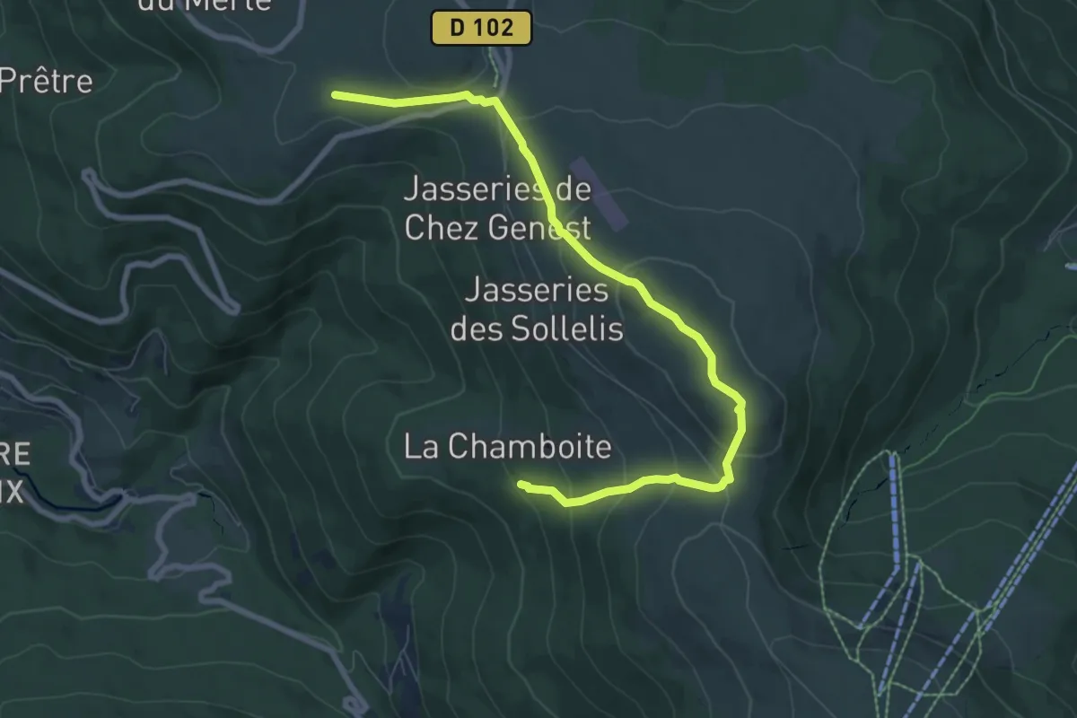
Easy · Summit
Peyre-Mayou
4.3 km · ↑ 240 m · 1 h 34 min
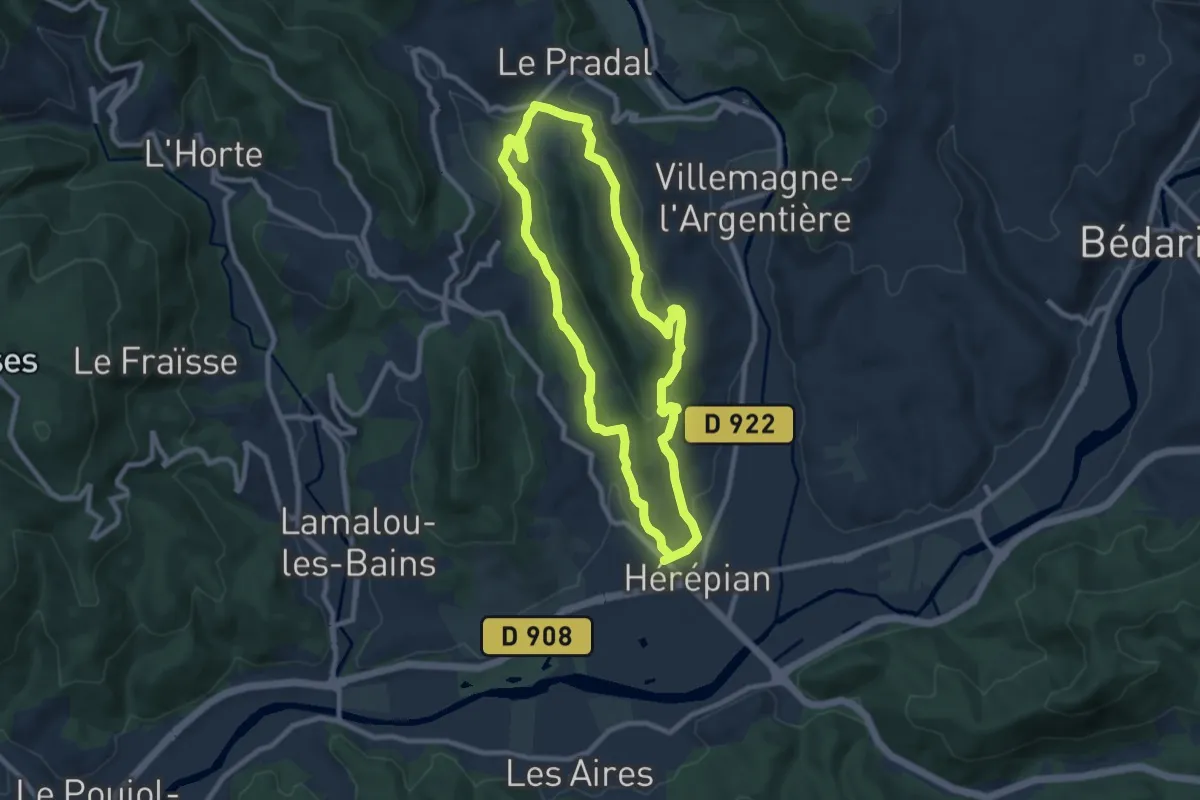
Medium · Trail
Peyre Pinche
8.8 km · ↑ 215 m · 2 h 39 min
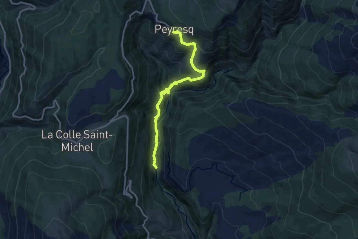
Easy · Trail
Peyresq
4.7 km · ↑ 151 m · 1 h 45 min
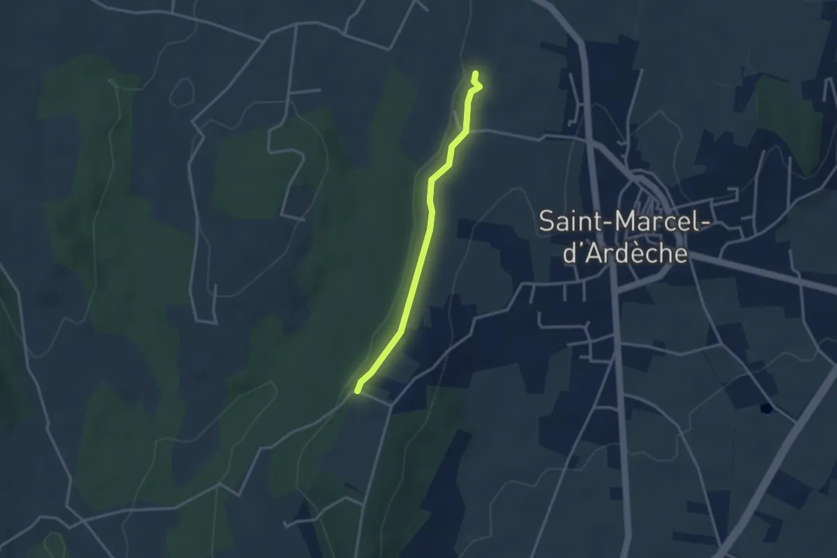
Easy · Trail
Peyrobe - Lafare
2.7 km · ↑ 27 m · 42 min
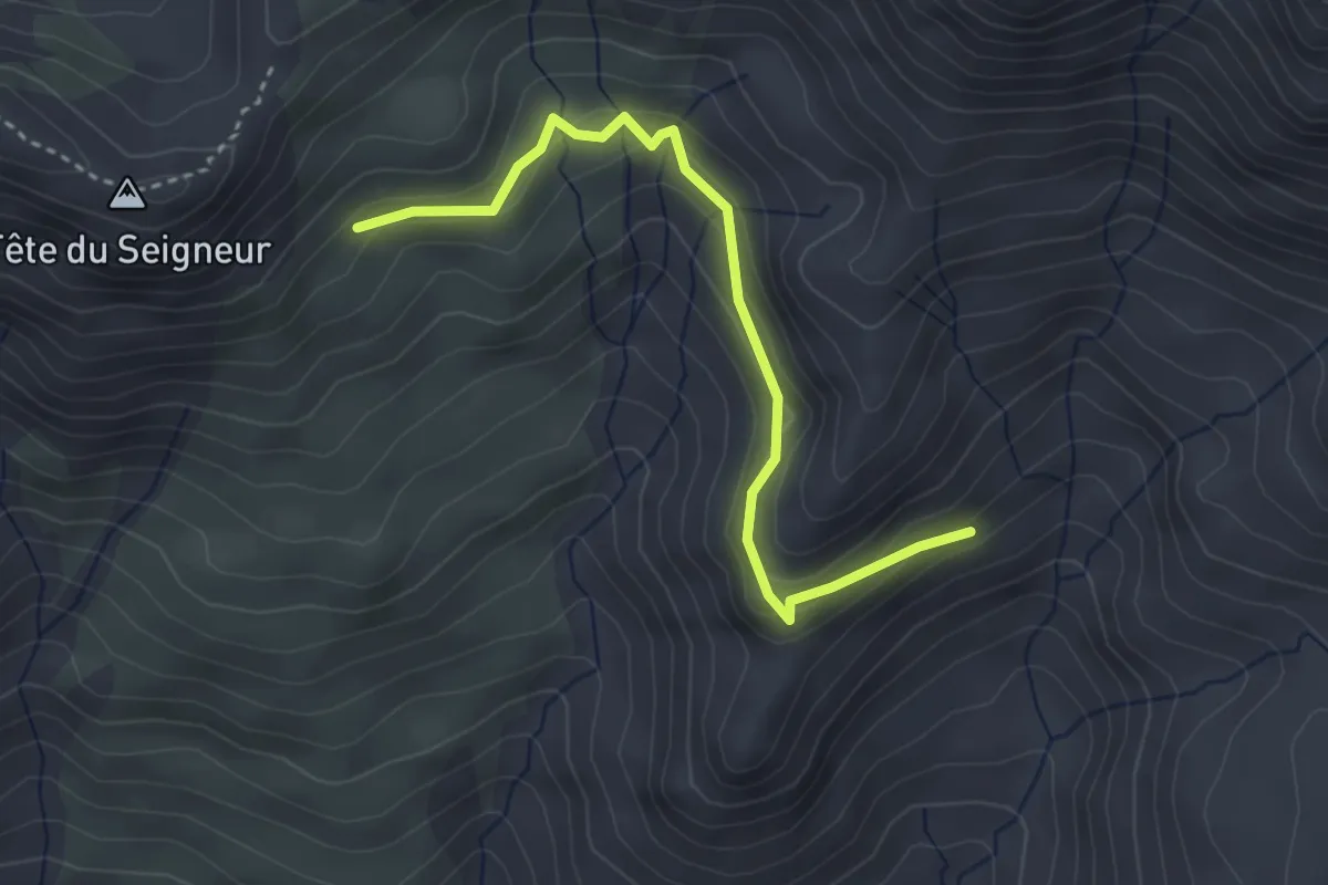
Easy · Trail
Peyron Roux - Pra Mau
3.6 km · ↑ 182 m · 1 h 15 min
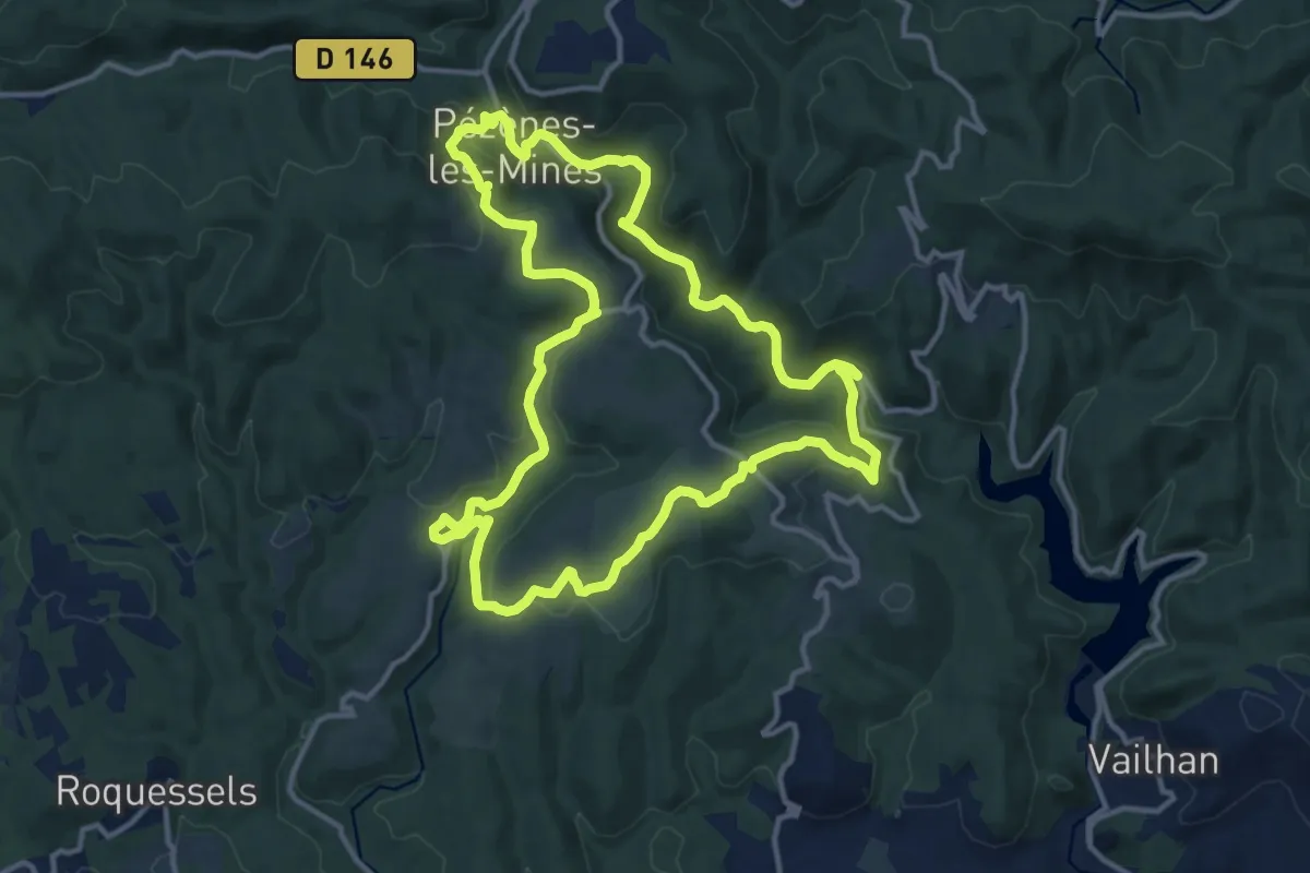
Medium · Trail
Pézènes-les-Mines : vallée de la Peyne et village de Fos
13.7 km · ↑ 378 m · 4 h 15 min
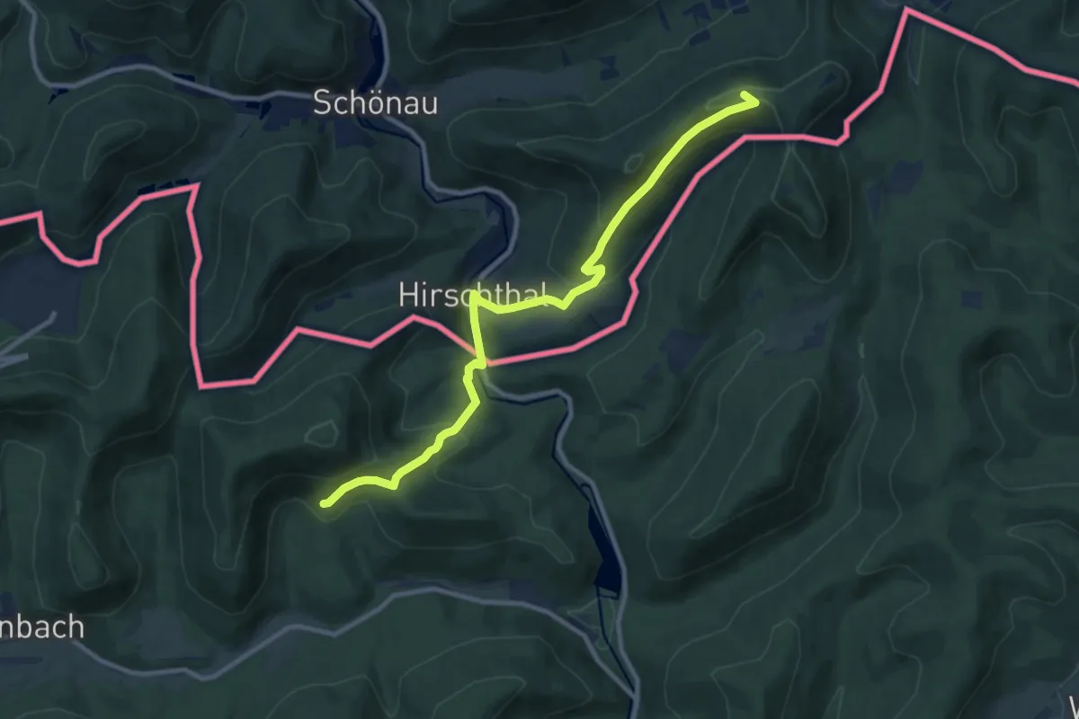
Medium · Summit
Pfälzerwald Blauer Balken
9.7 km · ↑ 511 m · 3 h 24 min
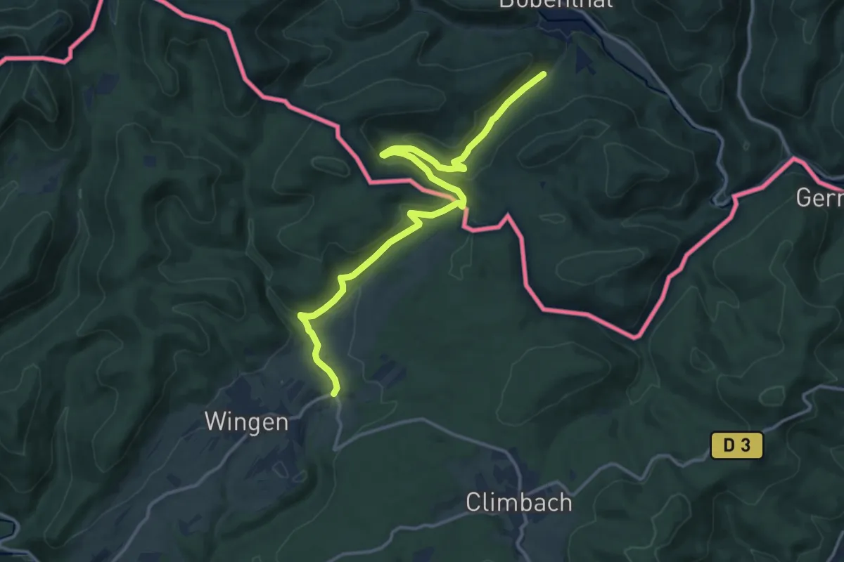
Medium · Trail
Pfälzerwald Roter Punkt
13.4 km · ↑ 407 m · 4 h 2 min
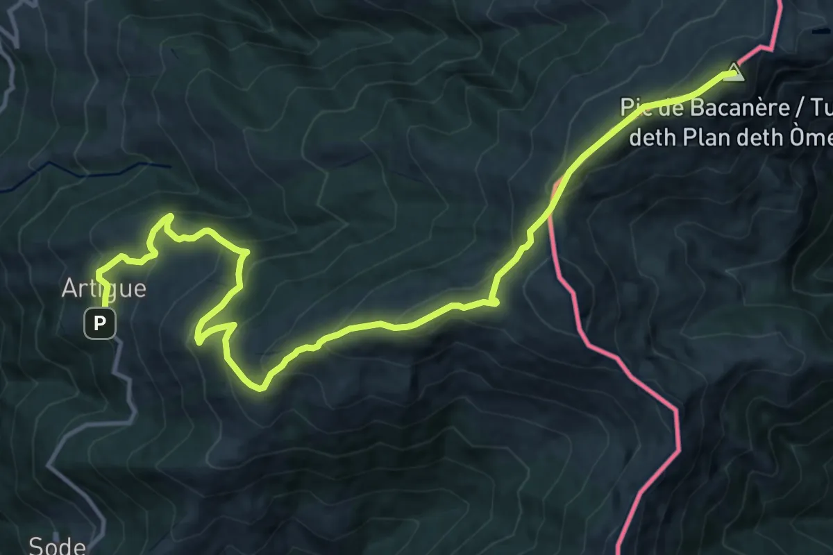
Demanding · Summit
Pic de Bacanère
16.4 km · ↑ 1037 m · 6 h 7 min
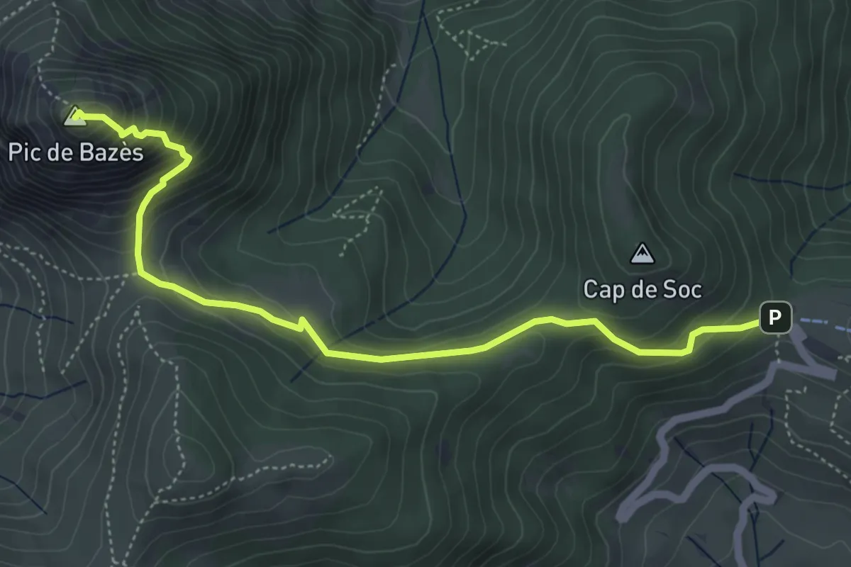
Medium · Summit
Pic de Bazès
5.7 km · ↑ 413 m · 2 h 15 min
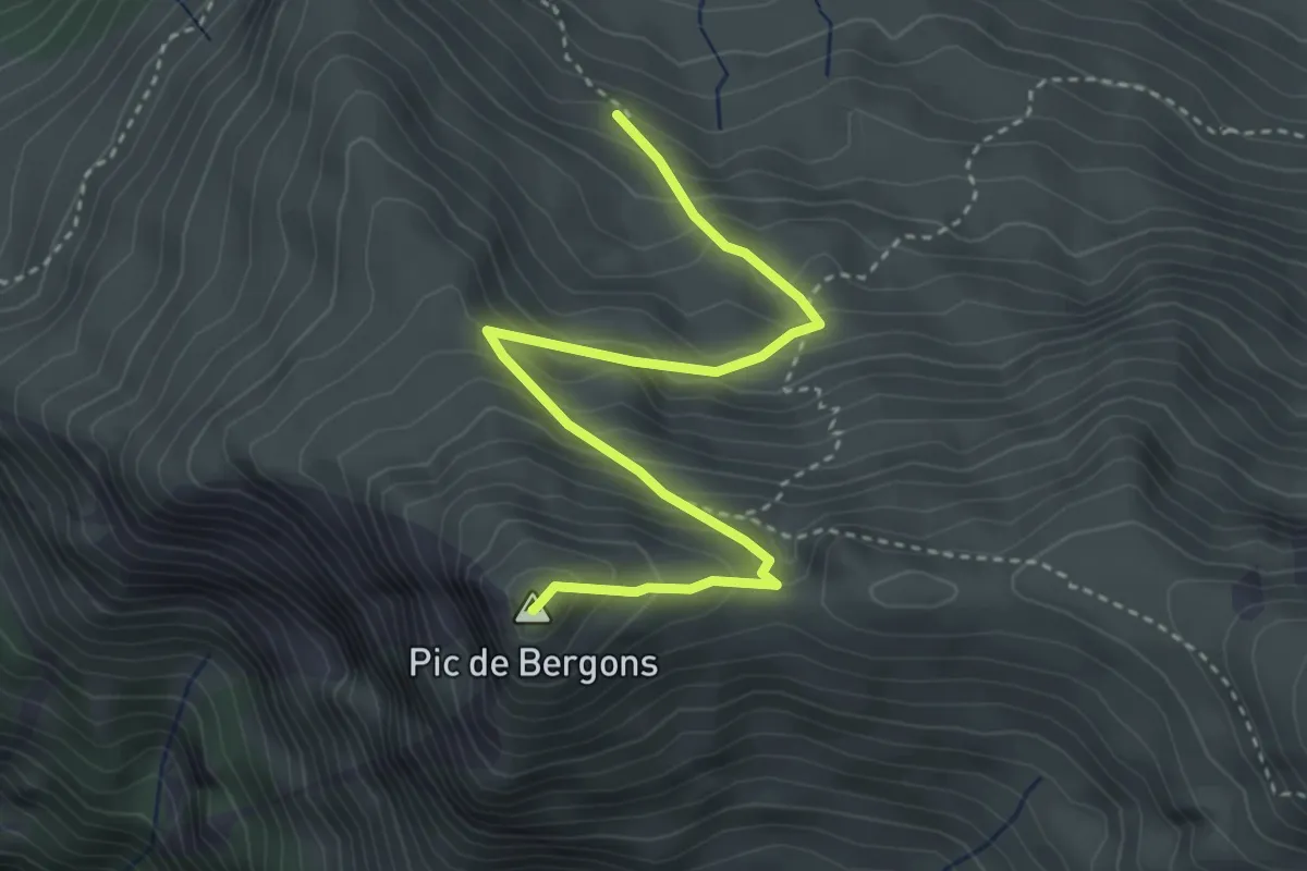
Medium · Summit
Pic de Bergons
4.1 km · ↑ 378 m · 1 h 48 min
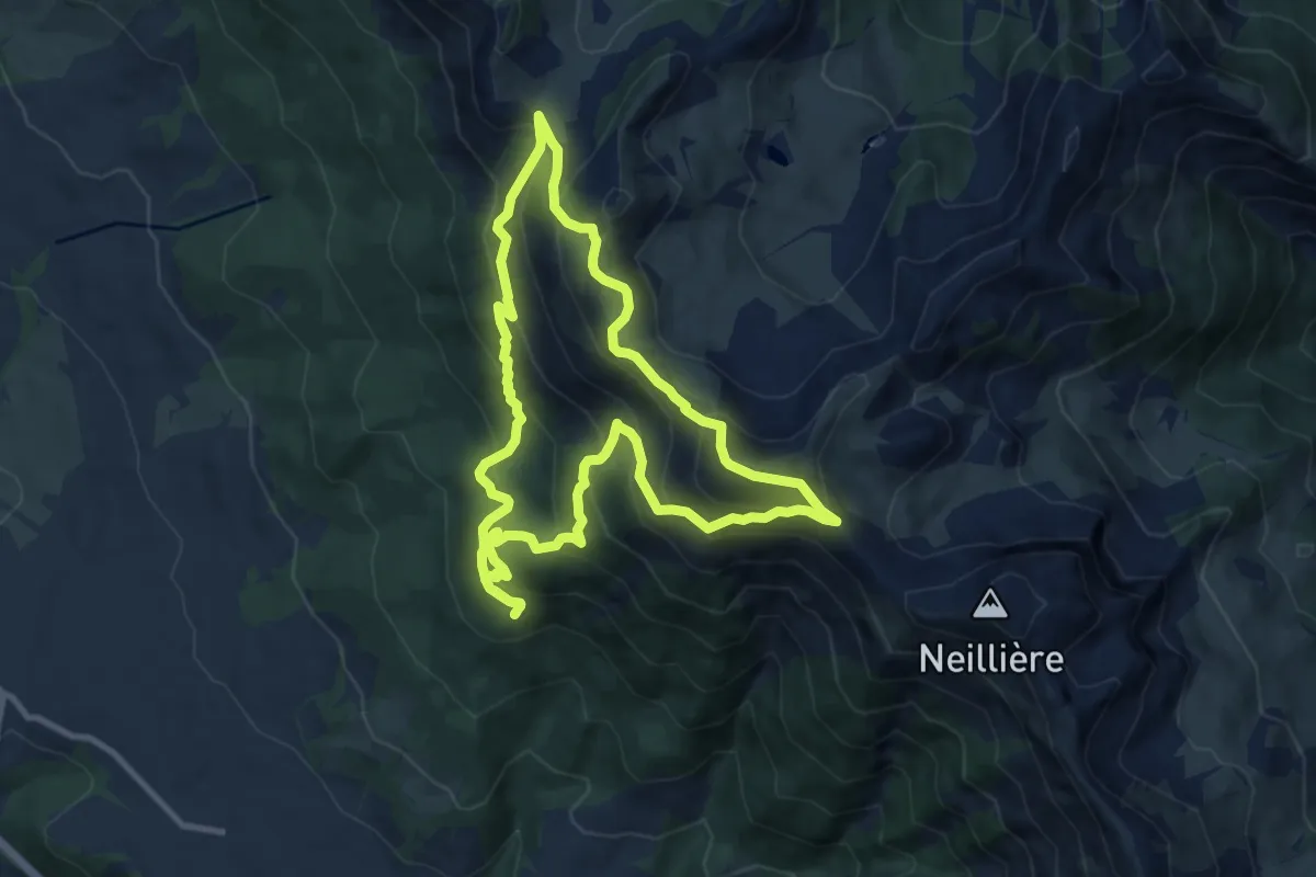
Demanding · Summit
Pic de Bernardez (2 430 m)
9.8 km · ↑ 790 m · 4 h 10 min
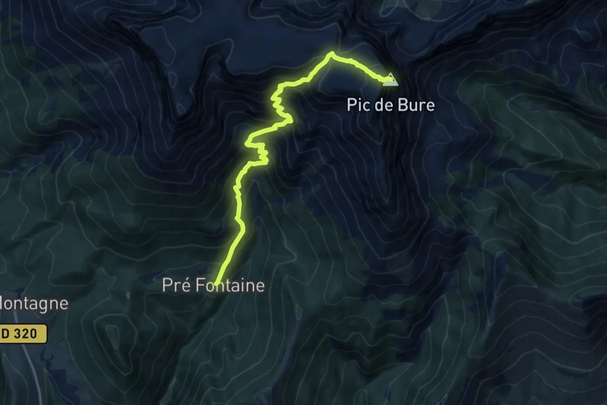
Demanding · Summit
Pic de Bure
13.1 km · ↑ 1543 m · 6 h 27 min
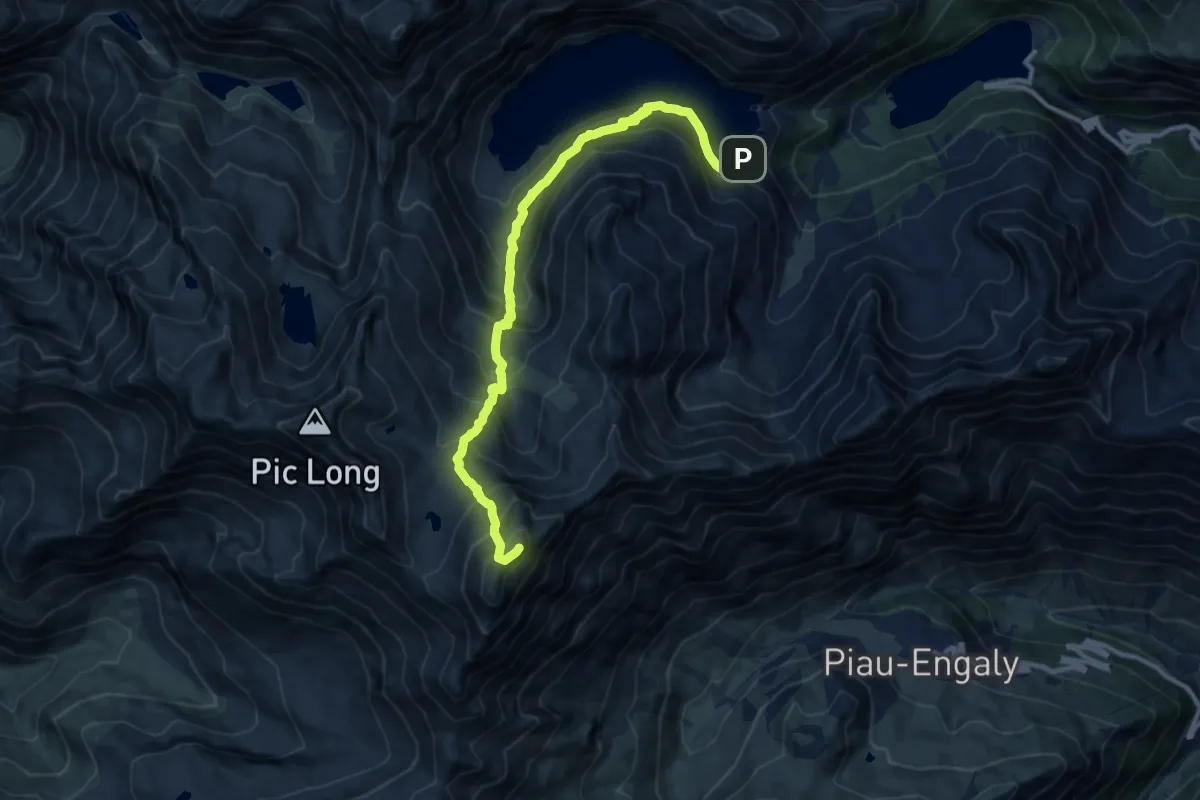
Demanding · Summit
Pic de Campbieil
12.2 km · ↑ 1262 m · 5 h 37 min
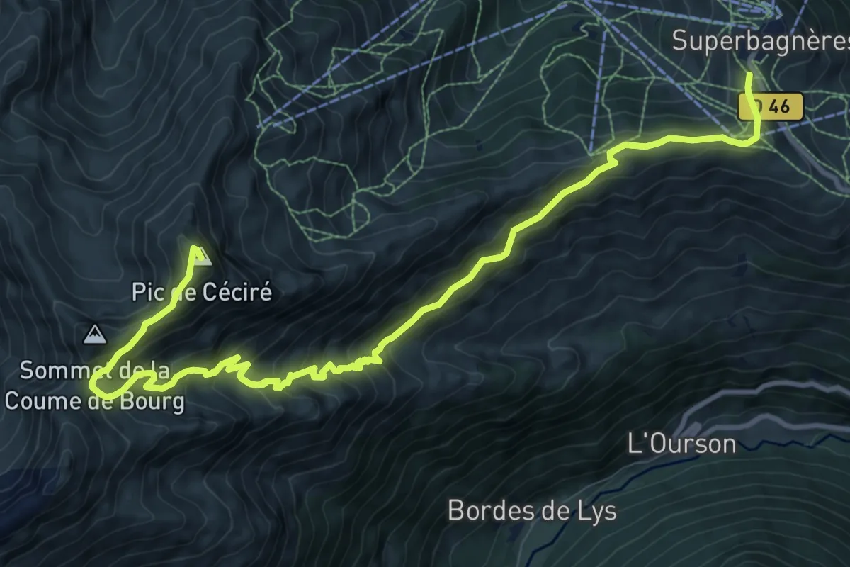
Demanding · Summit
Pic de Céciré
13.7 km · ↑ 982 m · 5 h 22 min
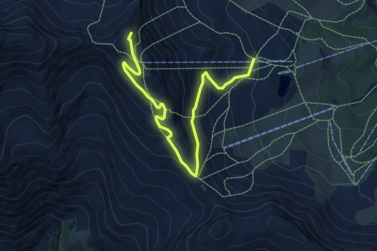
Medium · Summit
Pic de Chabrières - ?
7.9 km · ↑ 496 m · 2 h 57 min
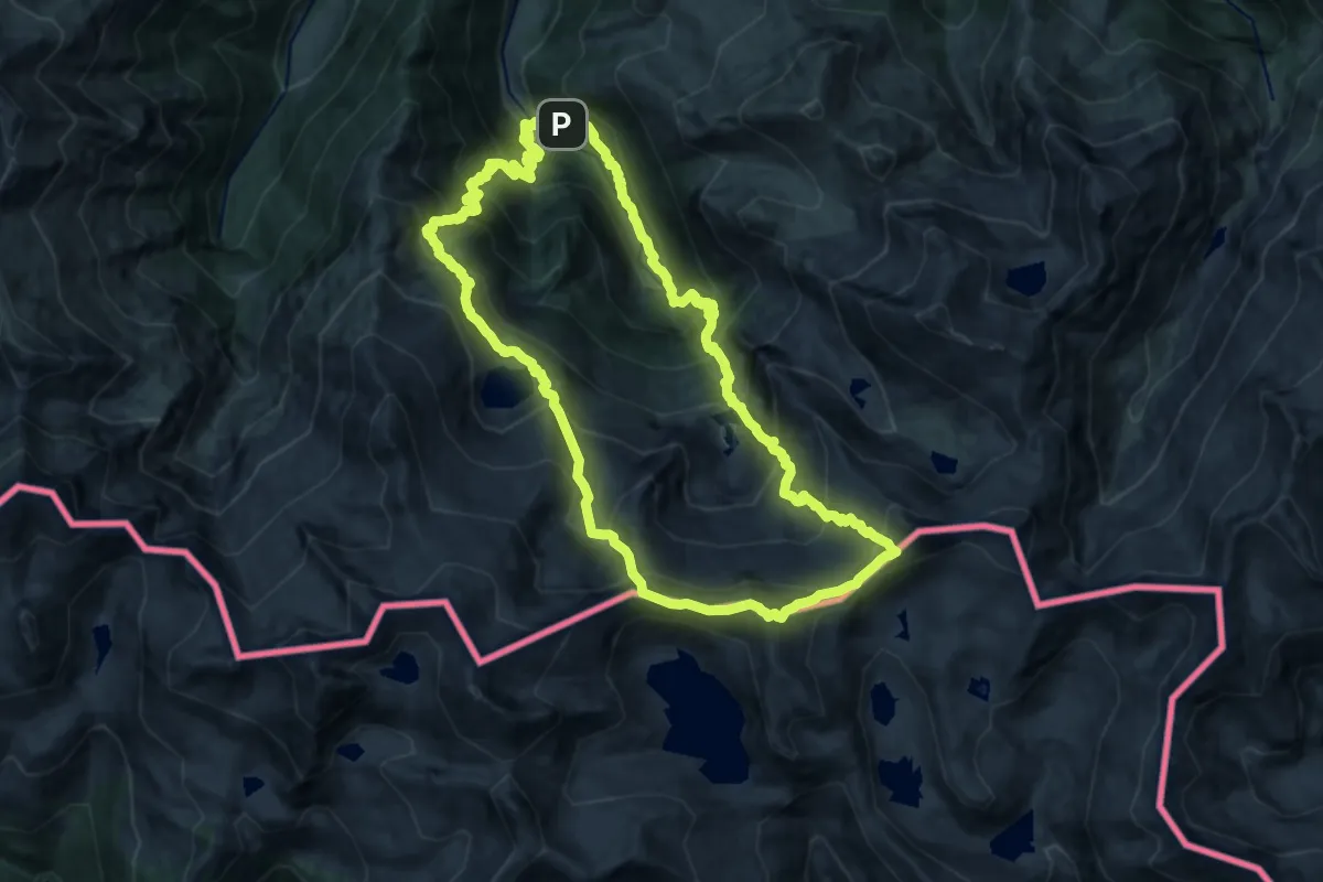
Expert · Summit
Pic de Couillac par le cirque de Cagateille
16.2 km · ↑ 1701 m · 7 h 44 min
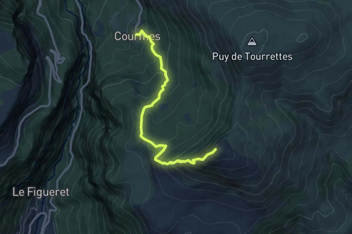
Demanding · Summit
Pic de Courmettes
7.4 km · ↑ 617 m · 3 h 5 min
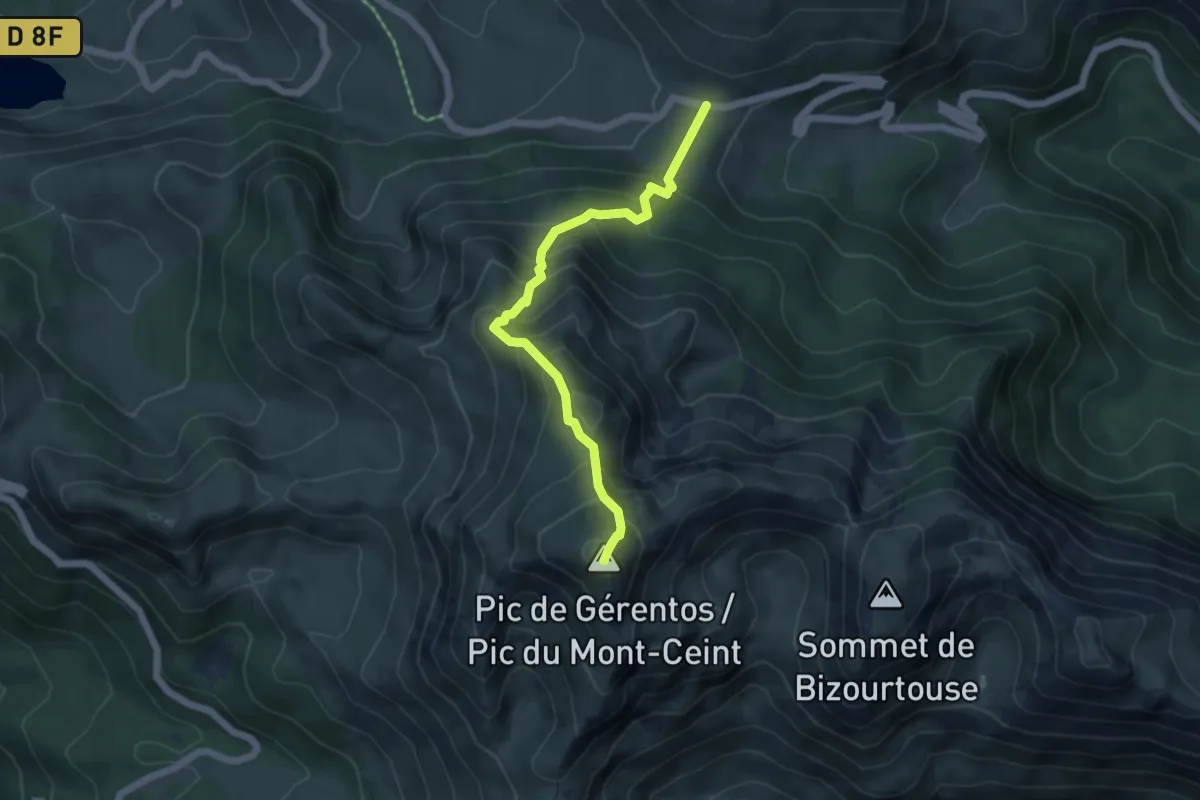
Medium · Summit
Pic de Girantes
5.4 km · ↑ 575 m · 2 h 31 min
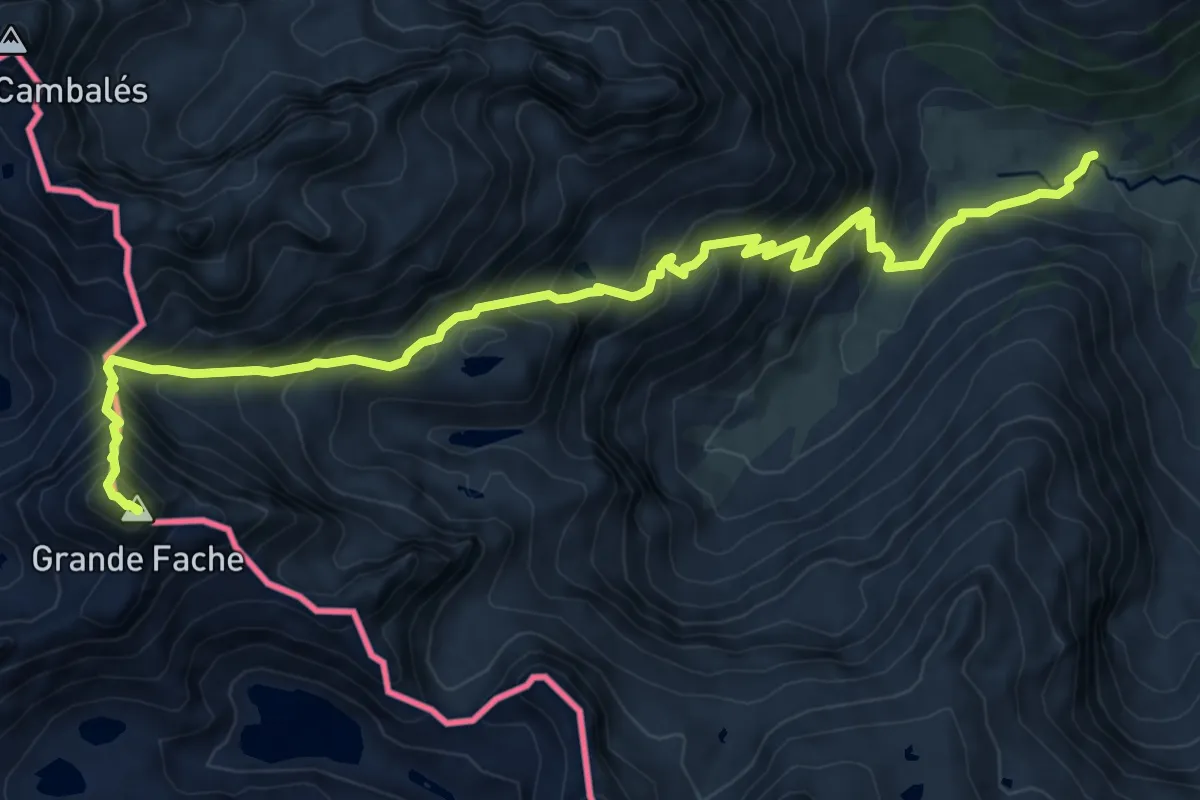
Demanding · Summit
Pic de la Grande Fache
11.1 km · ↑ 1106 m · 5 h 1 min
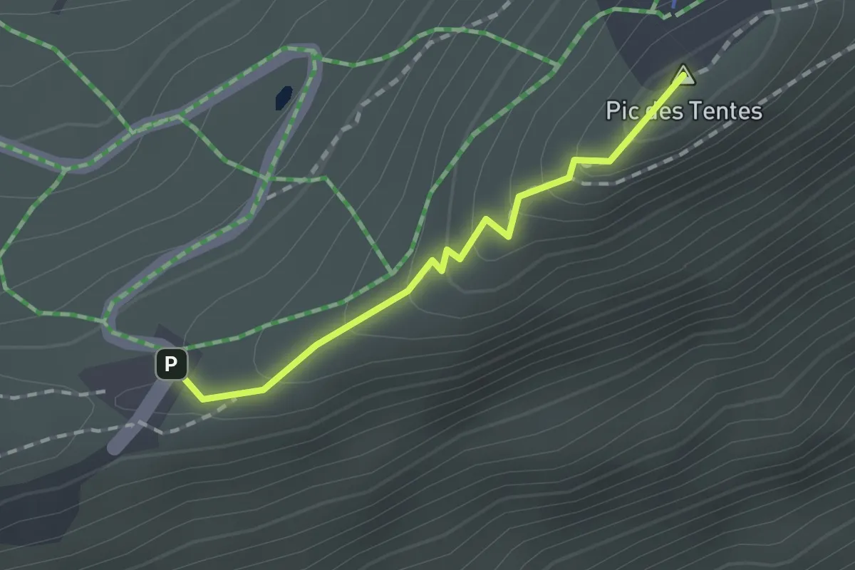
Demanding · Summit
Pic de la Pahule
1.3 km · ↑ 97 m · 32 min
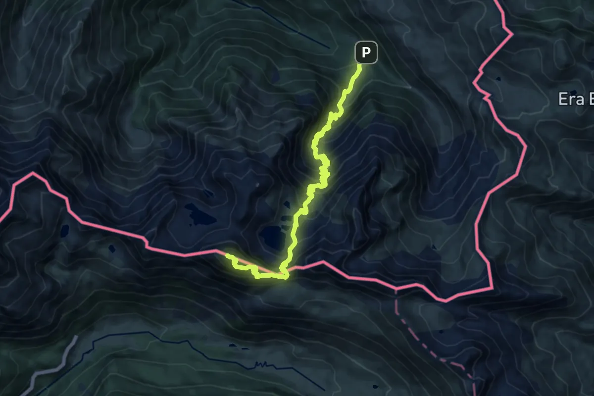
Demanding · Summit
Pic de la Sauvegarde
14.9 km · ↑ 1425 m · 6 h 37 min
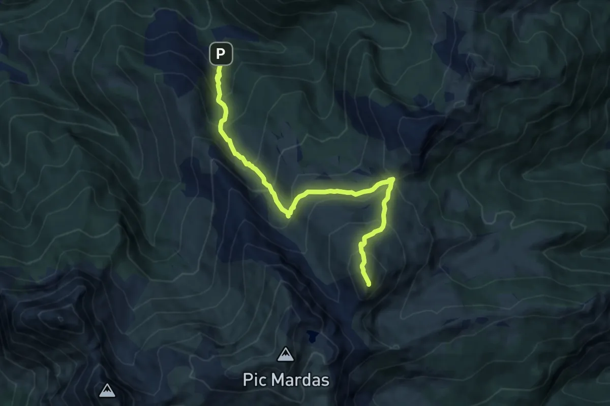
Demanding · Summit
Pic de Lasnères asp101
9.8 km · ↑ 922 m · 4 h 19 min
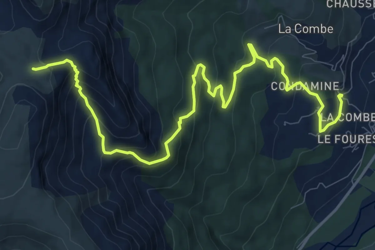
Medium · Trail
Pic de Mal Ubac (1 953 m)
6.4 km · ↑ 757 m · 2 h 52 min
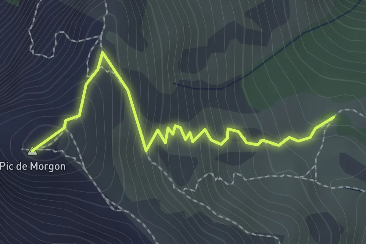
Medium · Summit
Pic de Morgon - Sous le Pic de Morgon
2.2 km · ↑ 250 m · 1 h 4 min