Trails in France
15,926 hiking trails, each with its route, climb, walking time and grade.
All trails, page 220 of 332
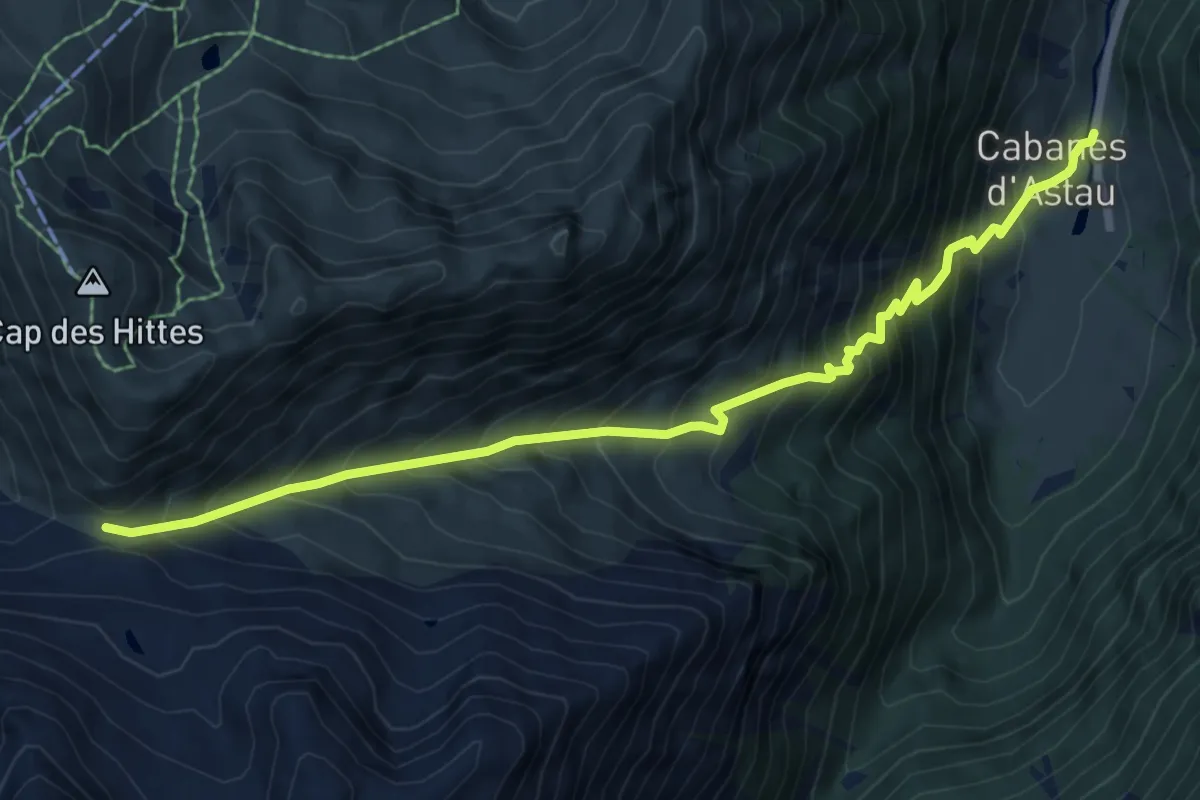
Demanding · Trail
Pic d'Espingo depuis les Granges d'Astau
8.1 km · ↑ 1035 m · 4 h 9 min
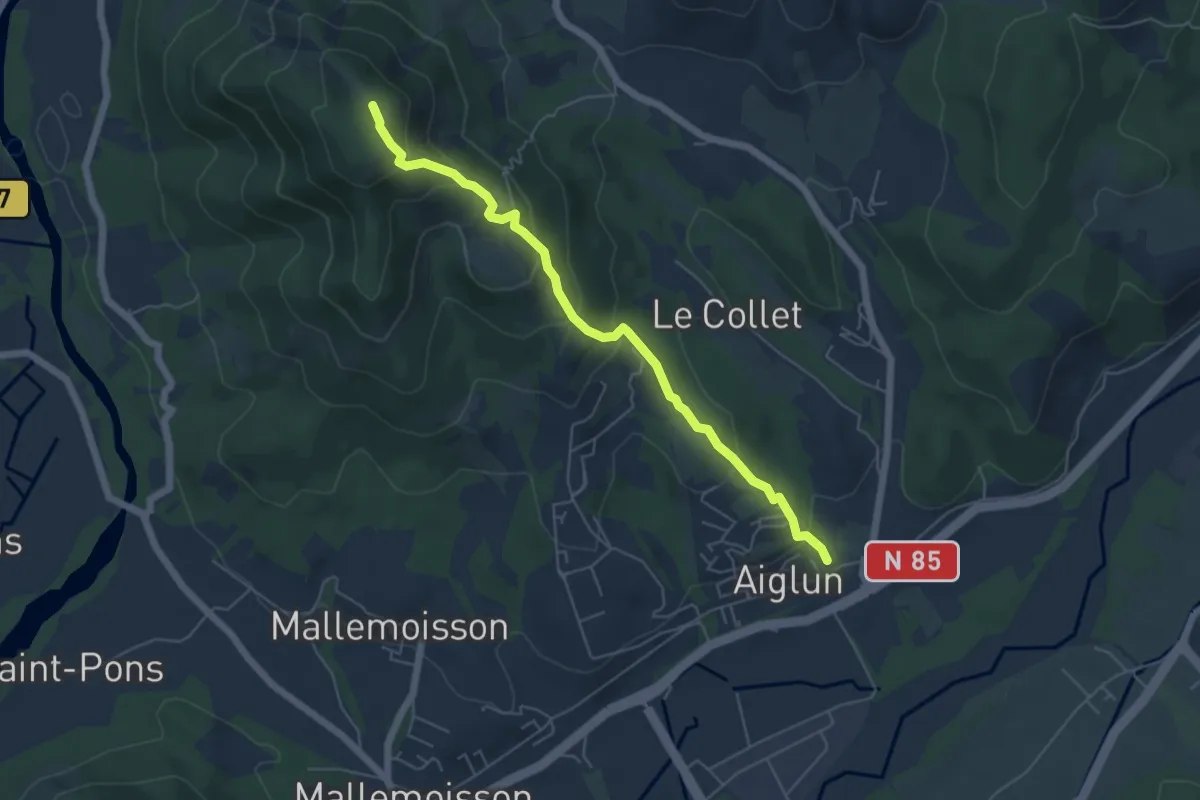
Medium · Summit
Pic du Puy - le Vieil Aiglun
2.9 km · ↑ 351 m · 1 h 19 min
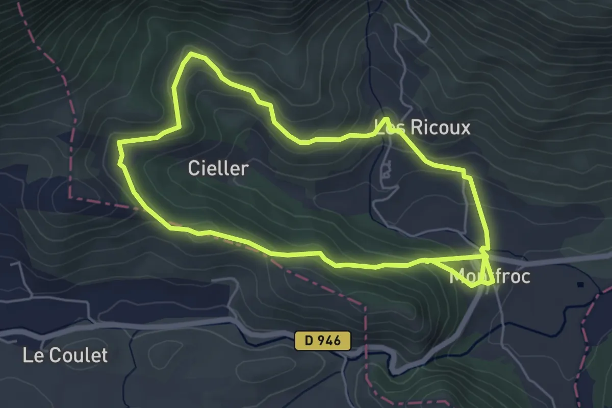
Easy · Trail
Piedblacun
4.9 km · ↑ 190 m · 1 h 38 min
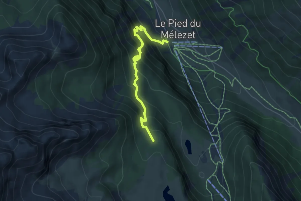
Demanding · Trail
Pied du Mélezet - Ruisseau de la Pisse
4.6 km · ↑ 502 m · 2 h 11 min
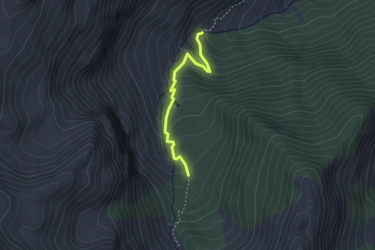
Medium · Trail
Pied La Garduère - Plan du Vallon
2.8 km · ↑ 150 m · 59 min
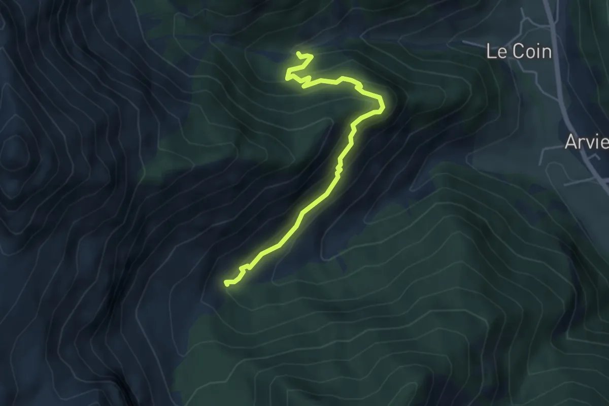
Demanding · Trail
Pied La Garduère - Vallon de Combe Bonne
4.7 km · ↑ 367 m · 1 h 54 min
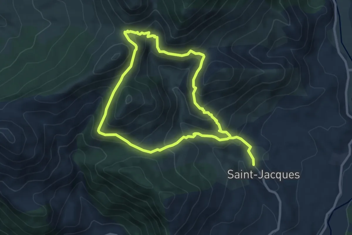
Medium · Trail
Pied Marcellin
6.4 km · ↑ 425 m · 2 h 30 min
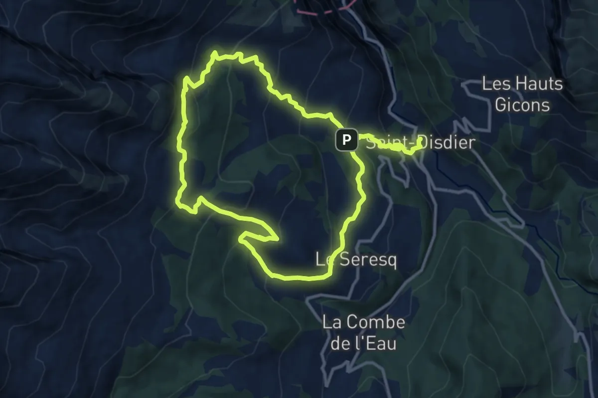
Demanding · Cabin
Pierre Baudinard
19.6 km · ↑ 1163 m · 7 h 8 min
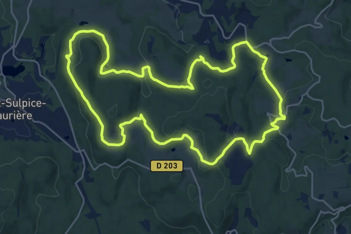
Medium · Trail
Pierre du Roy/Fond du Loup
15.1 km · ↑ 426 m · 4 h 42 min
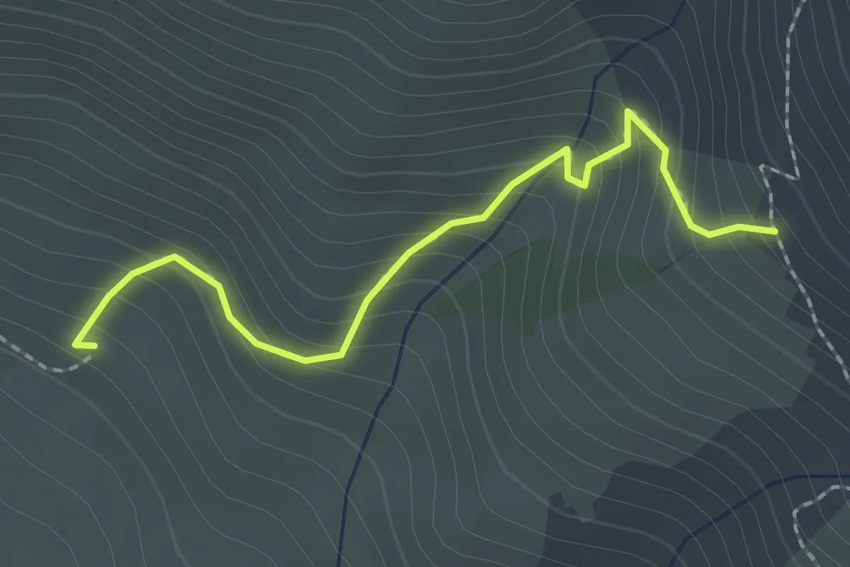
Easy · Trail
Pierre Grosse - ?
2.1 km · ↑ 227 m · 59 min
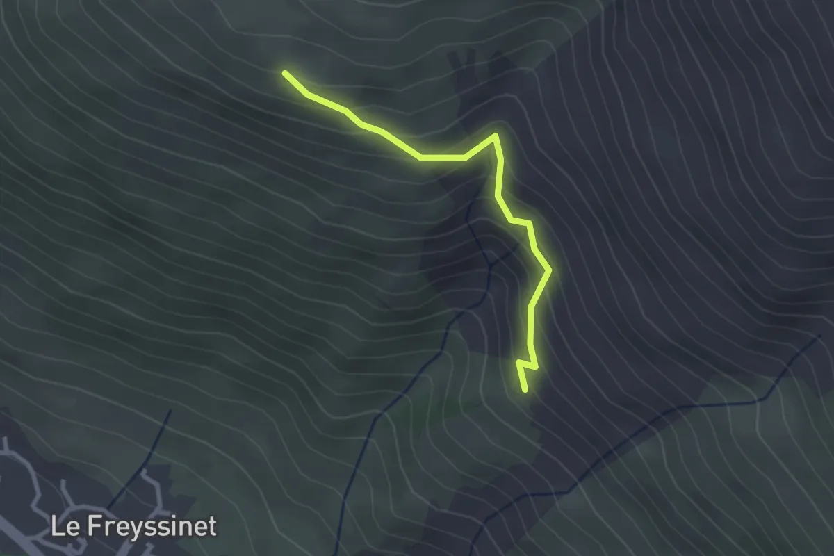
Easy · Trail
Pierre Grosse - Puy Freyssinet
2.5 km · ↑ 253 m · 1 h 9 min
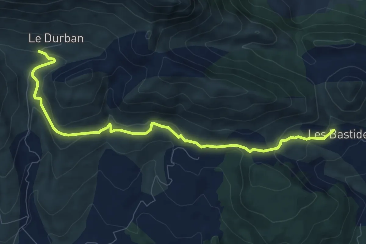
Easy · Trail
Pierre Impie
4.7 km · ↑ 225 m · 1 h 37 min
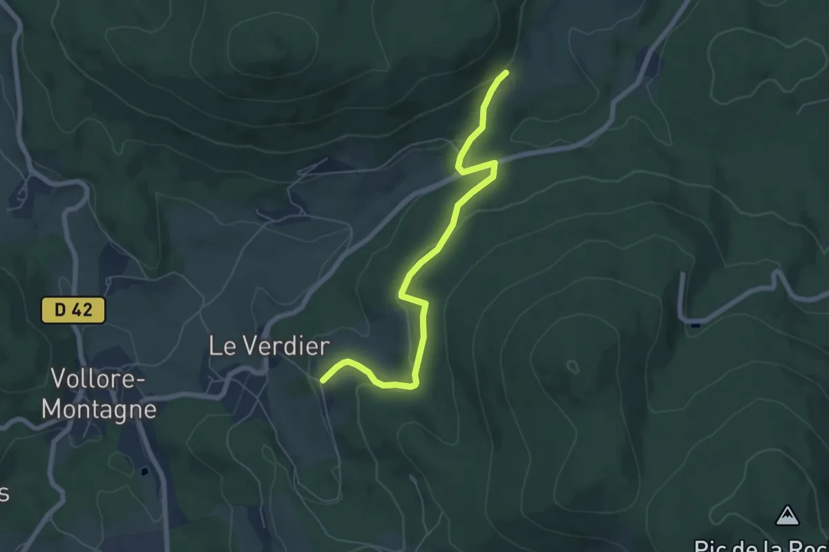
Easy · Trail
Pierre Pamole
3.0 km · ↑ 82 m · 57 min
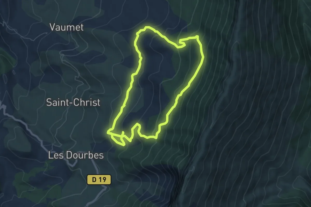
Medium · Trail
Pierre Saint-Martin
6.5 km · ↑ 371 m · 2 h 24 min
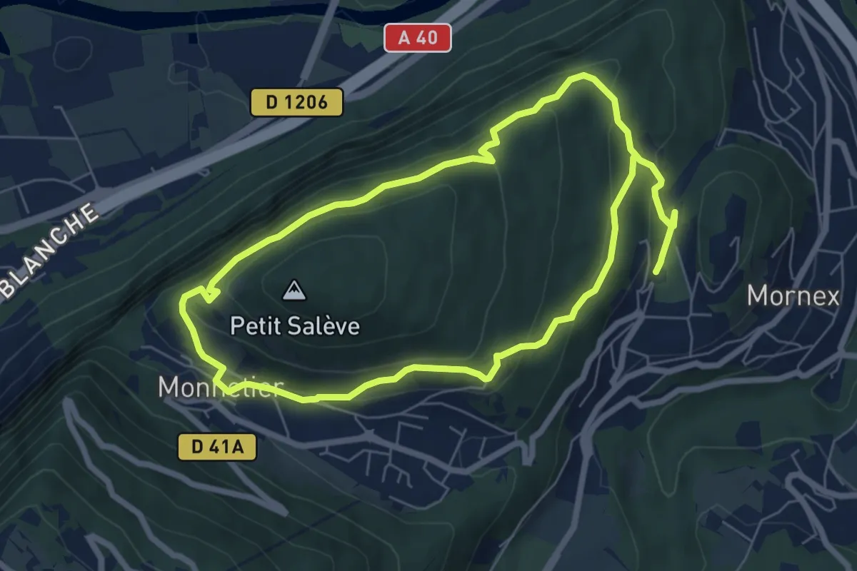
Medium · Trail
Pierre-Vieille
12.2 km · ↑ 544 m · 4 h 4 min
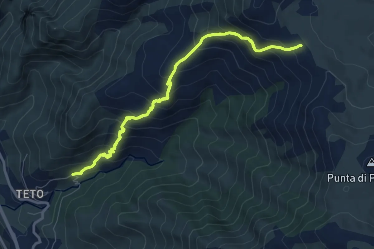
Medium · Trail
Pietralba - Bocca di Tenda
7.7 km · ↑ 694 m · 3 h 26 min
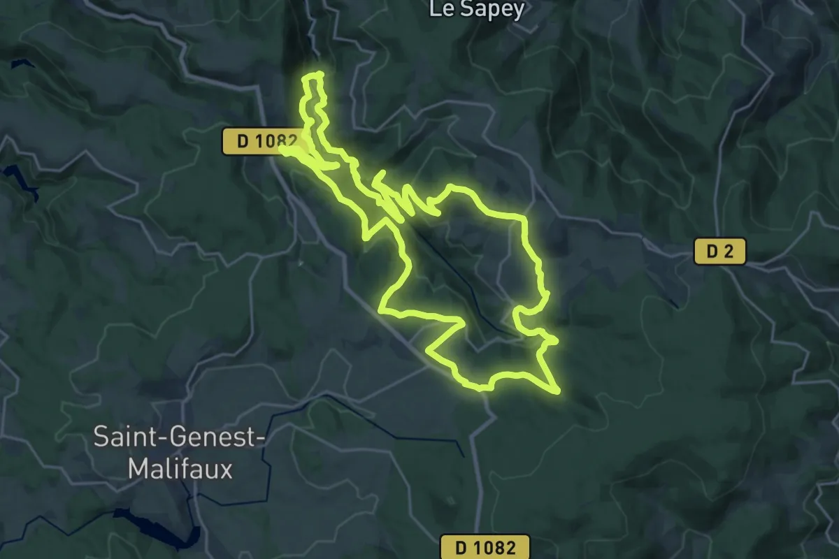
Demanding · Trail
Pilat N°23 : circuit « des barrages »
24.2 km · ↑ 844 m · 7 h 53 min
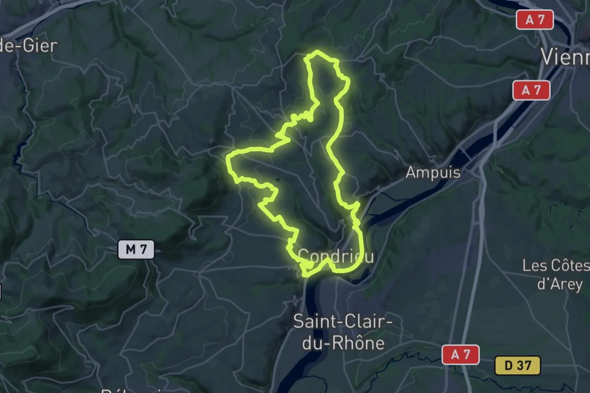
Demanding · Trail
Pilat N°30: des «Côteaux à les Haies»
28.7 km · ↑ 576 m · 8 h 26 min
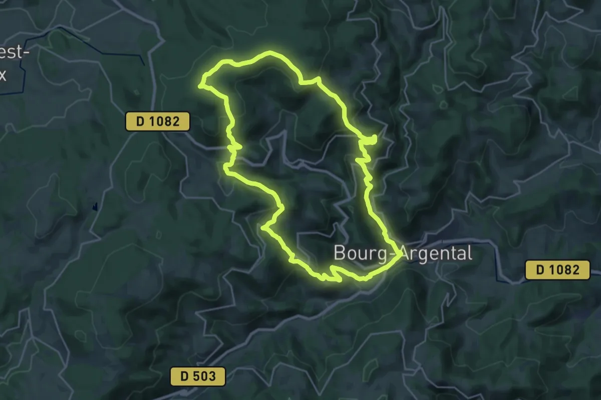
Demanding · Trail
Pilat Nº2: Bourg-Argental - Le Grand Bois
21.7 km · ↑ 818 m · 7 h 12 min
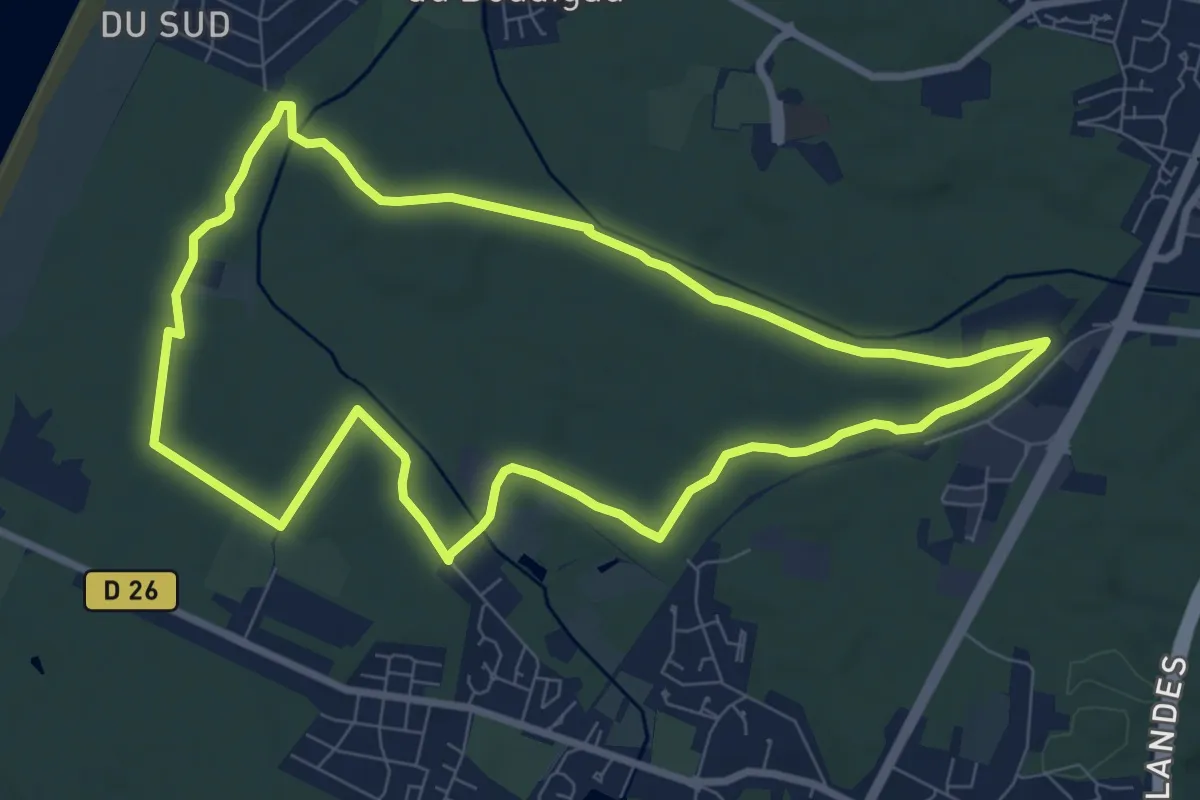
Medium · Trail
Pinède Ondres Jaune
8.9 km · ↑ 32 m · 2 h 17 min
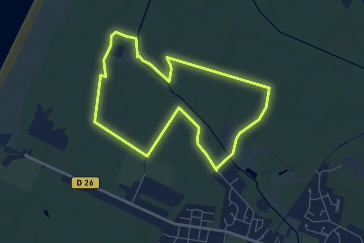
Easy · Trail
Pinède Ondres Rouge
5.3 km · ↑ 9 m · 1 h 21 min
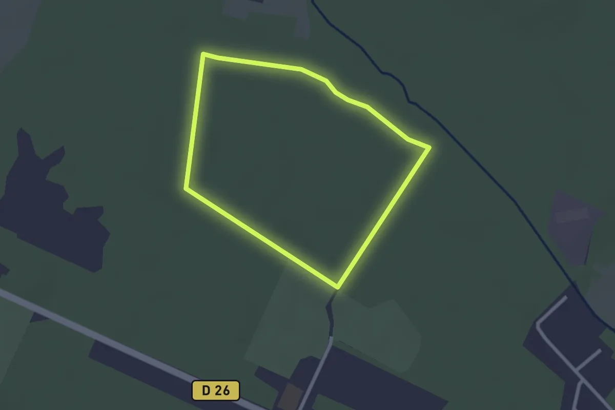
Easy · Trail
Pinède Ondres vert
2.2 km · ↑ 4 m · 33 min
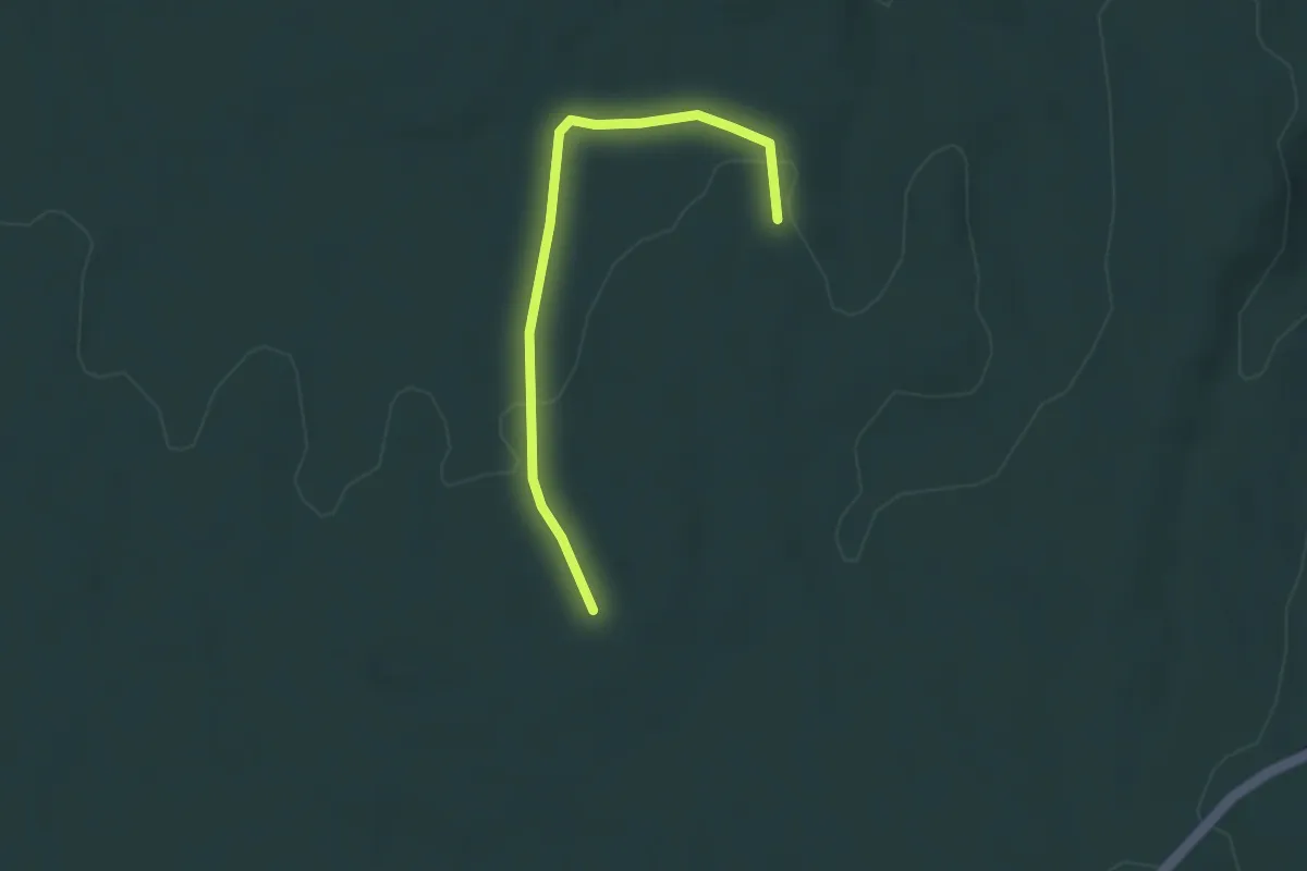
Easy · Trail
Pins de Saint-Montan - La Mourade
3.4 km · ↑ 57 m · 56 min
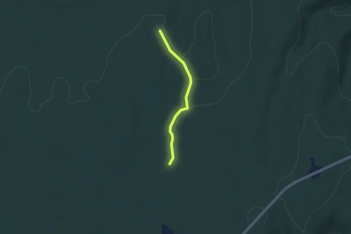
Easy · Trail
Pins de Saint-Montan - Terre des Moines
2.4 km · ↑ 9 m · 35 min
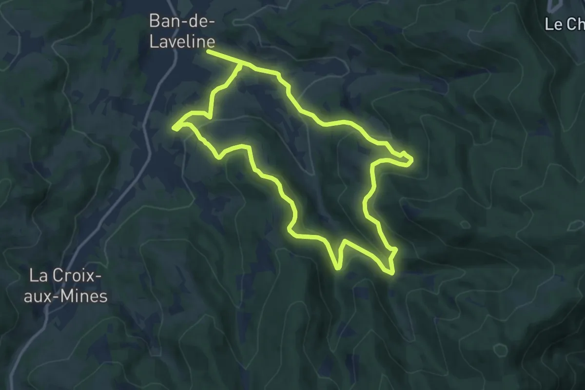
Medium · Trail
Pique-nique à Sorémont
10.7 km · ↑ 396 m · 3 h 32 min
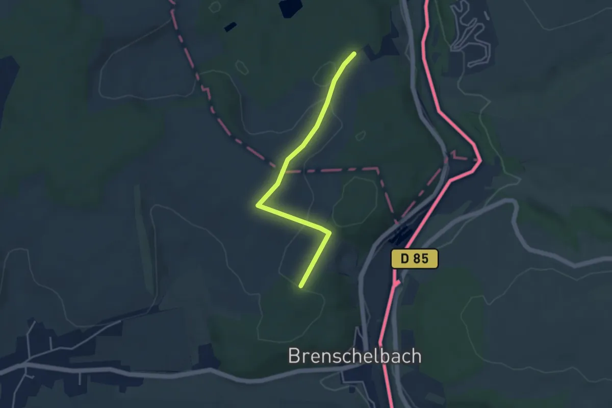
Easy · Trail
Pirminiusweg (lange Variante)
3.5 km · ↑ 74 m · 59 min
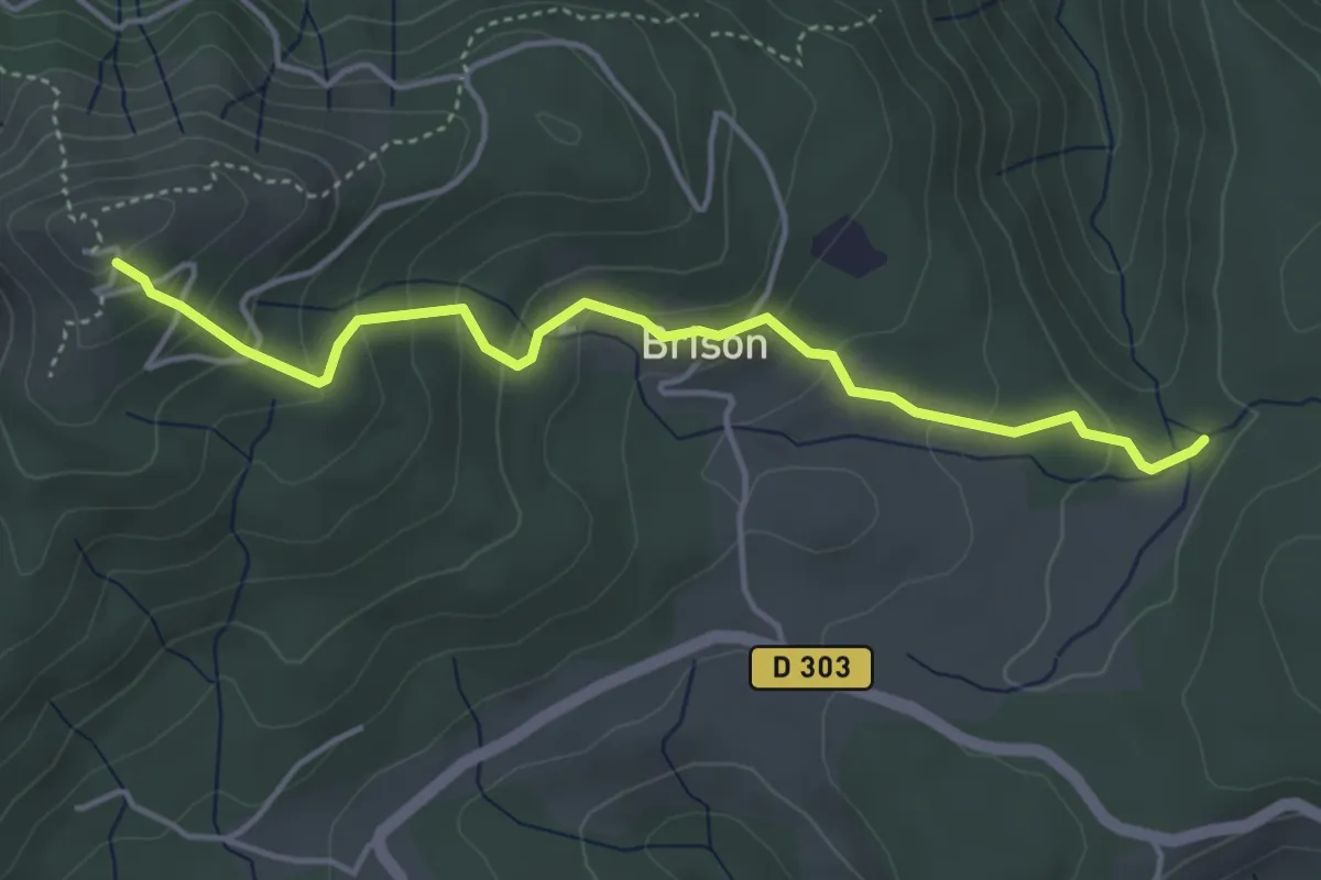
Medium · Trail
Pissevieille - La Tour de Brison
4.5 km · ↑ 266 m · 1 h 38 min
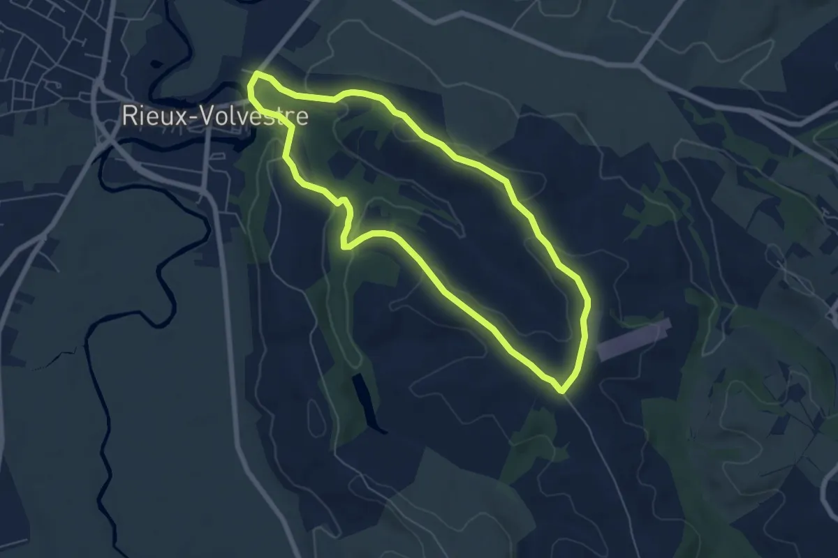
Easy · Trail
Pissevinaigre
6.2 km · ↑ 137 m · 1 h 51 min
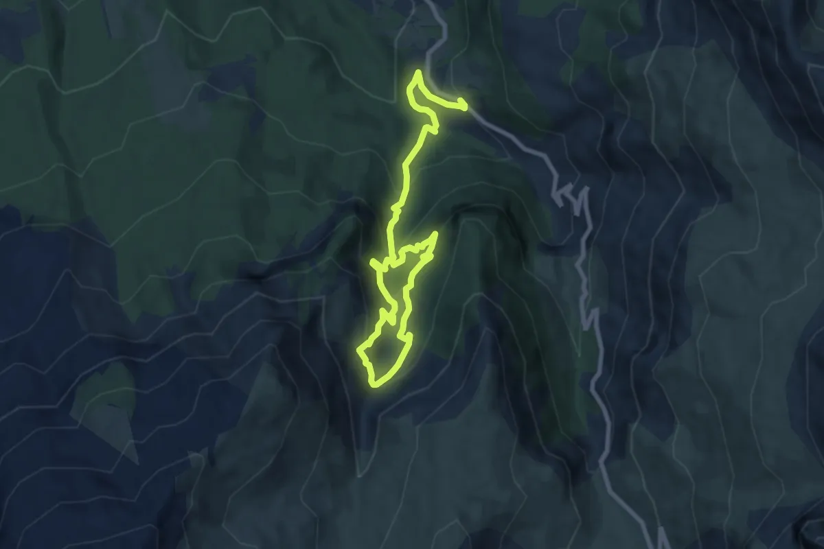
Medium · Summit
Pissoun de Terres Pleines
5.5 km · ↑ 499 m · 2 h 23 min
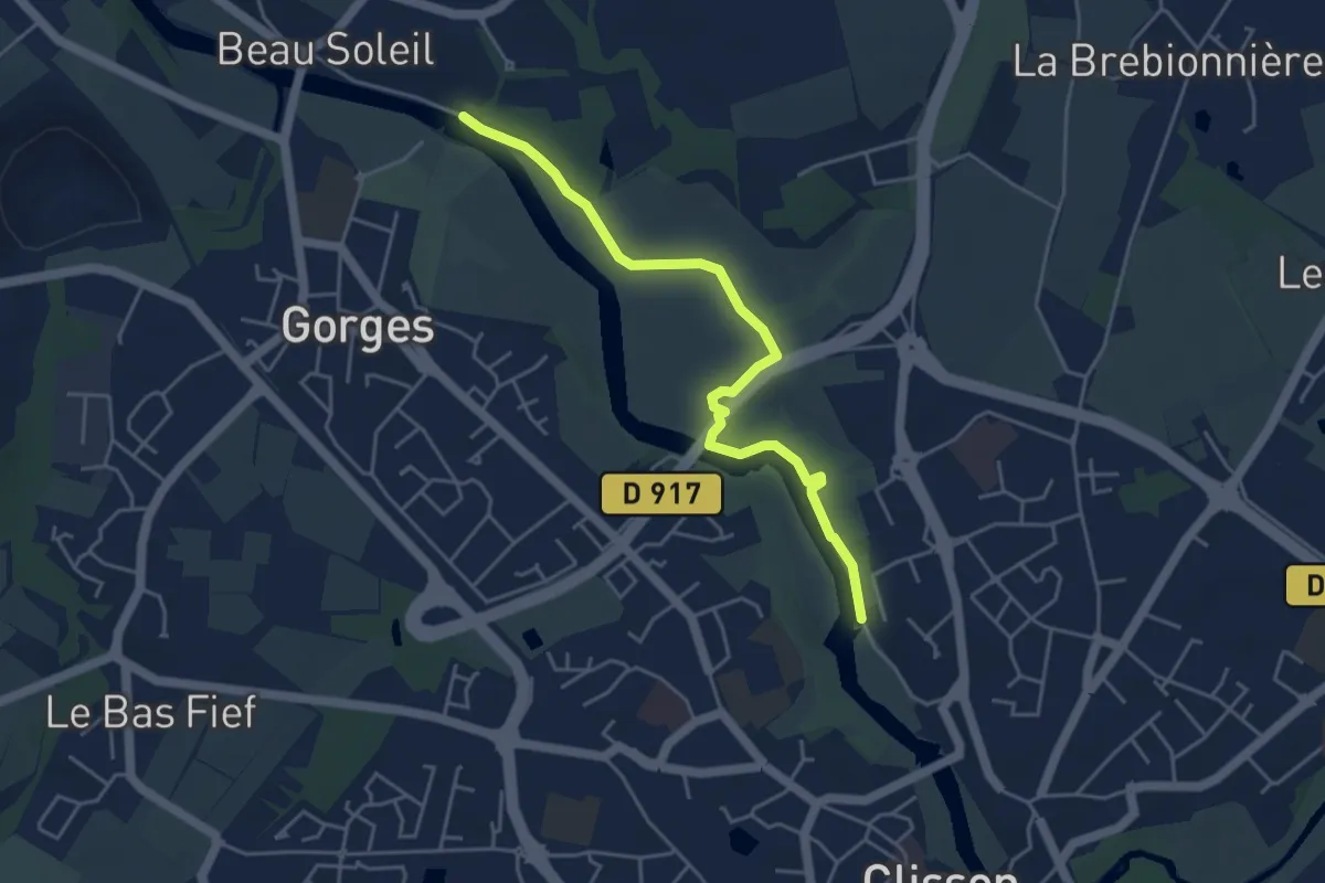
Easy · Trail
Piste aux empreintes
4.6 km · ↑ 30 m · 1 h 9 min
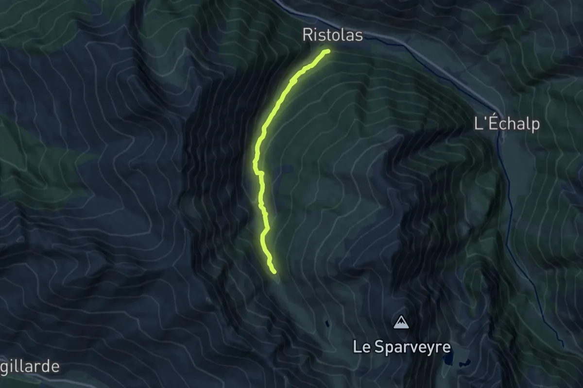
Medium · Trail
Piste de Ségure - Le Plan de l'Alpe
9.3 km · ↑ 522 m · 3 h 19 min
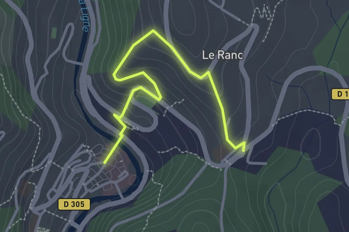
Easy · Trail
Place de la Ligne - Sainte-Foy
3.0 km · ↑ 187 m · 1 h 7 min
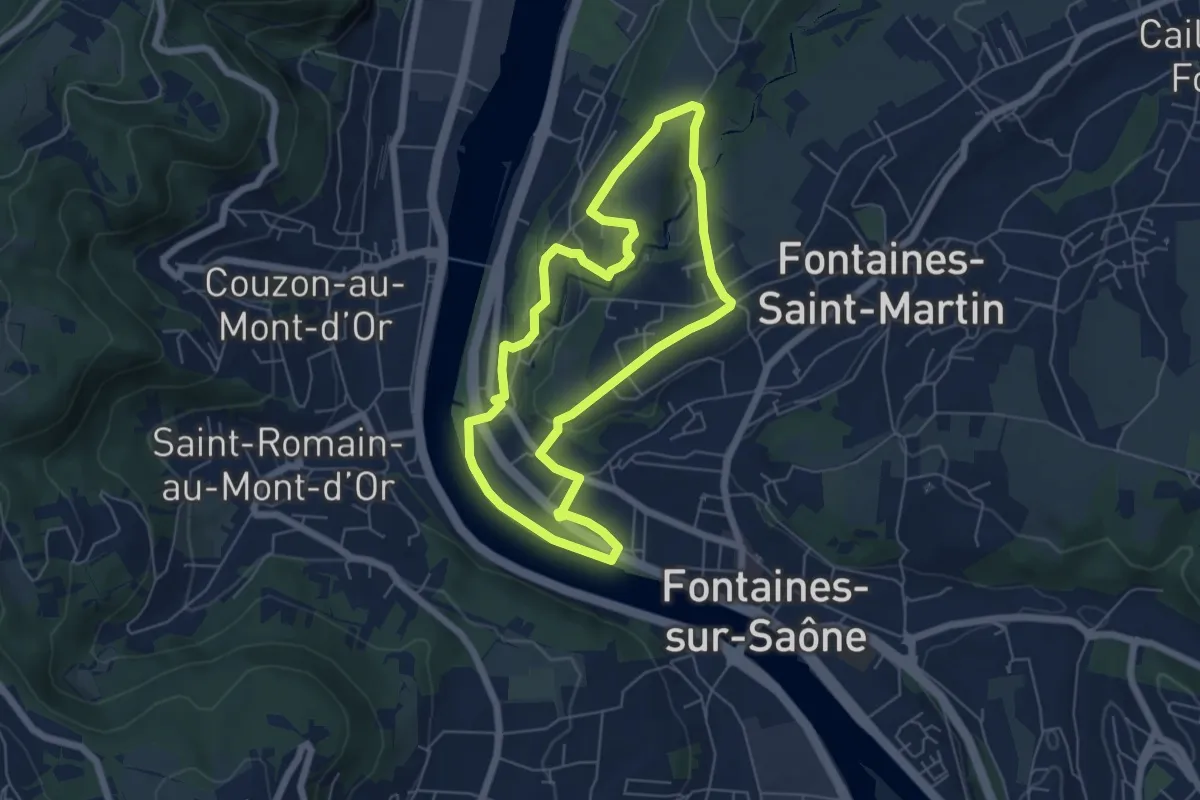
Easy · Trail
Place de la République
5.7 km · ↑ 99 m · 1 h 38 min
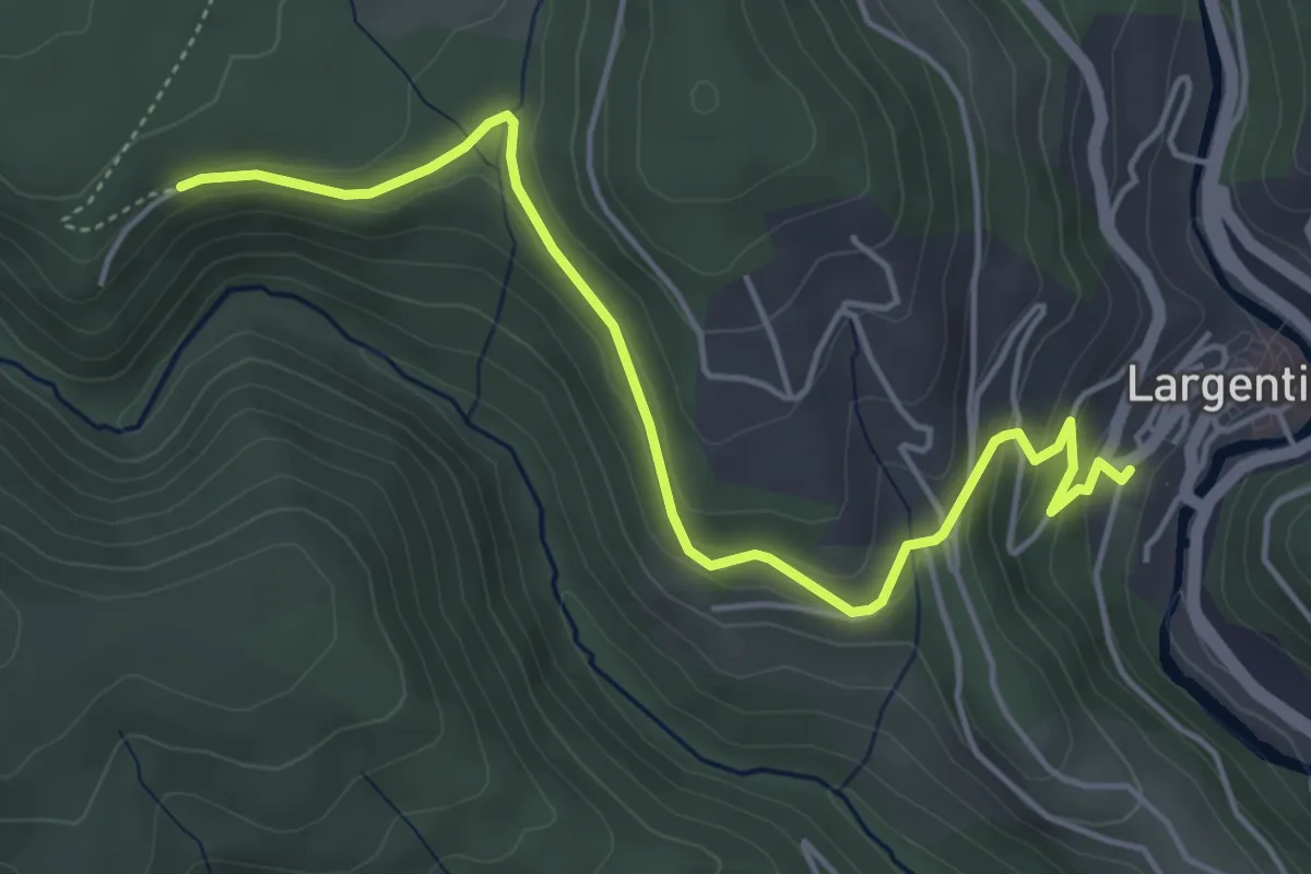
Easy · Trail
Place de l'église - Les Vers
5.2 km · ↑ 209 m · 1 h 41 min
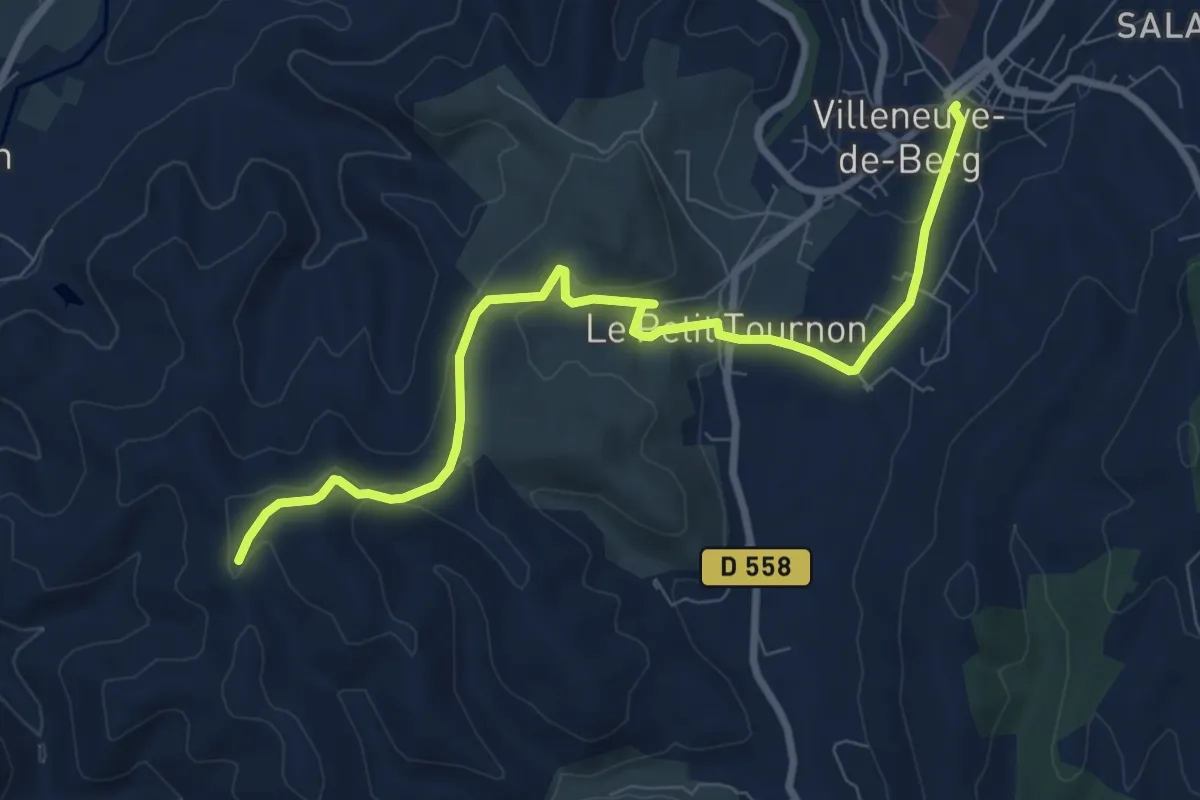
Medium · Trail
Place de l'Obélisque - Terme Noir
9.2 km · ↑ 181 m · 2 h 34 min
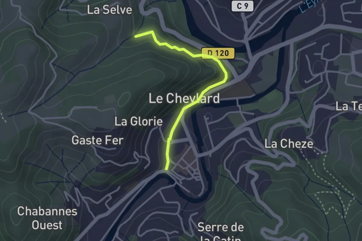
Easy · Trail
Place du Serre - Selves
2.8 km · ↑ 114 m · 54 min
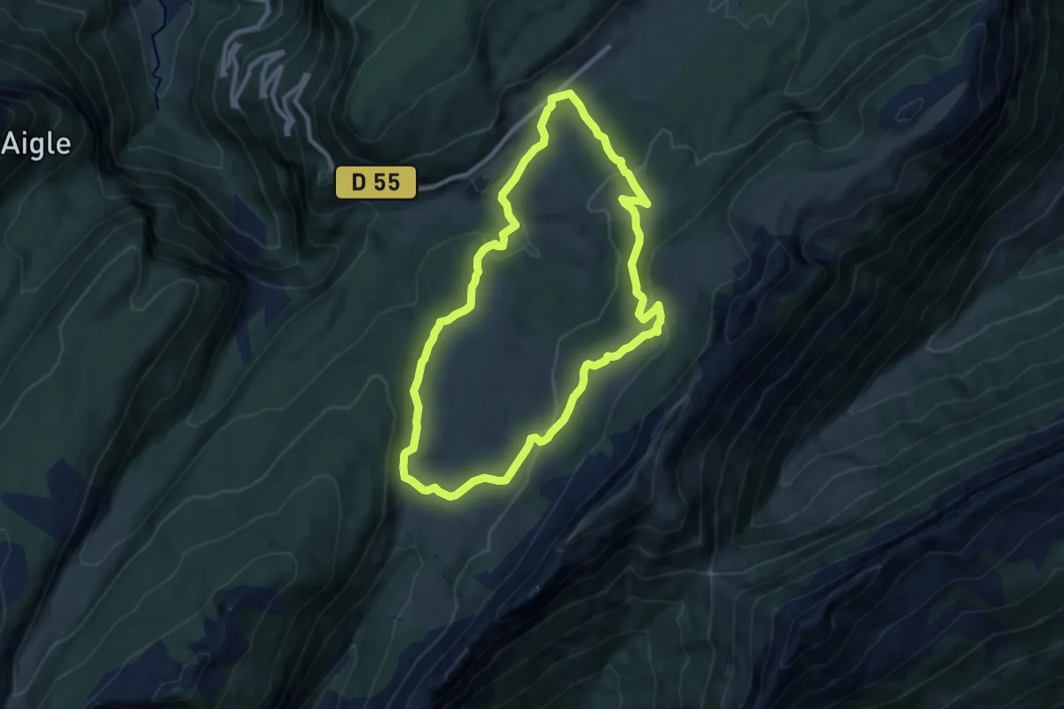
Medium · Trail
Plaine de Dran
8.9 km · ↑ 285 m · 2 h 50 min
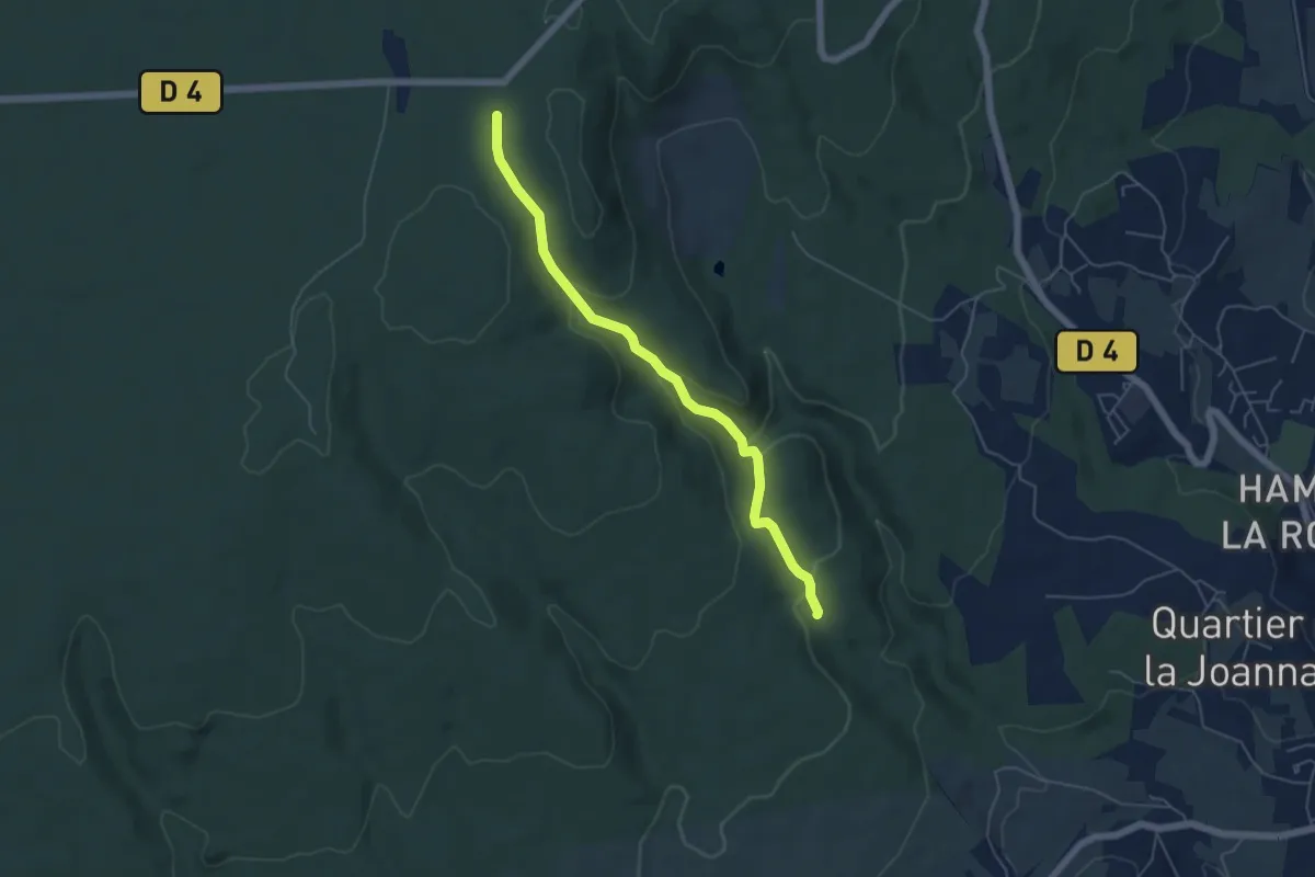
Easy · Trail
Plaine de Mias - Combe des Acacias
5.4 km · ↑ 225 m · 1 h 45 min
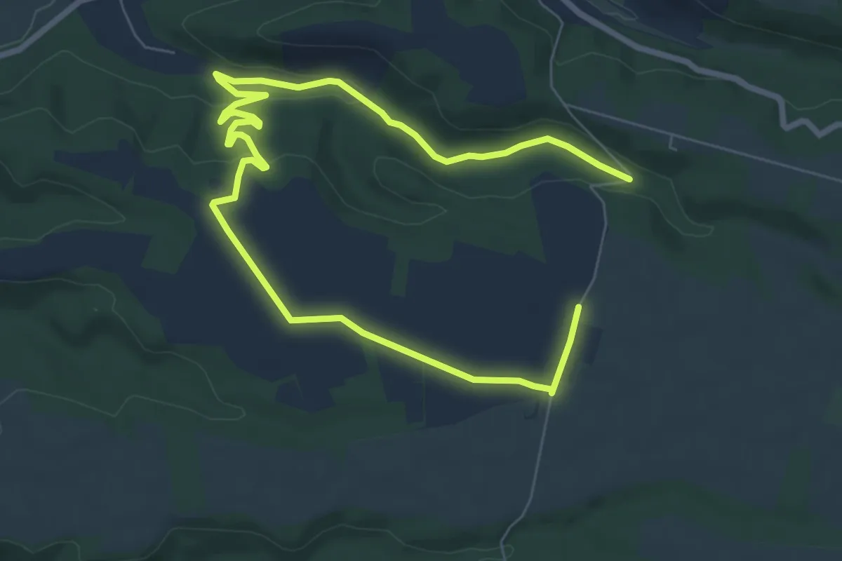
Easy · Trail
Plaine de Millarettes
5.6 km · ↑ 65 m · 1 h 33 min
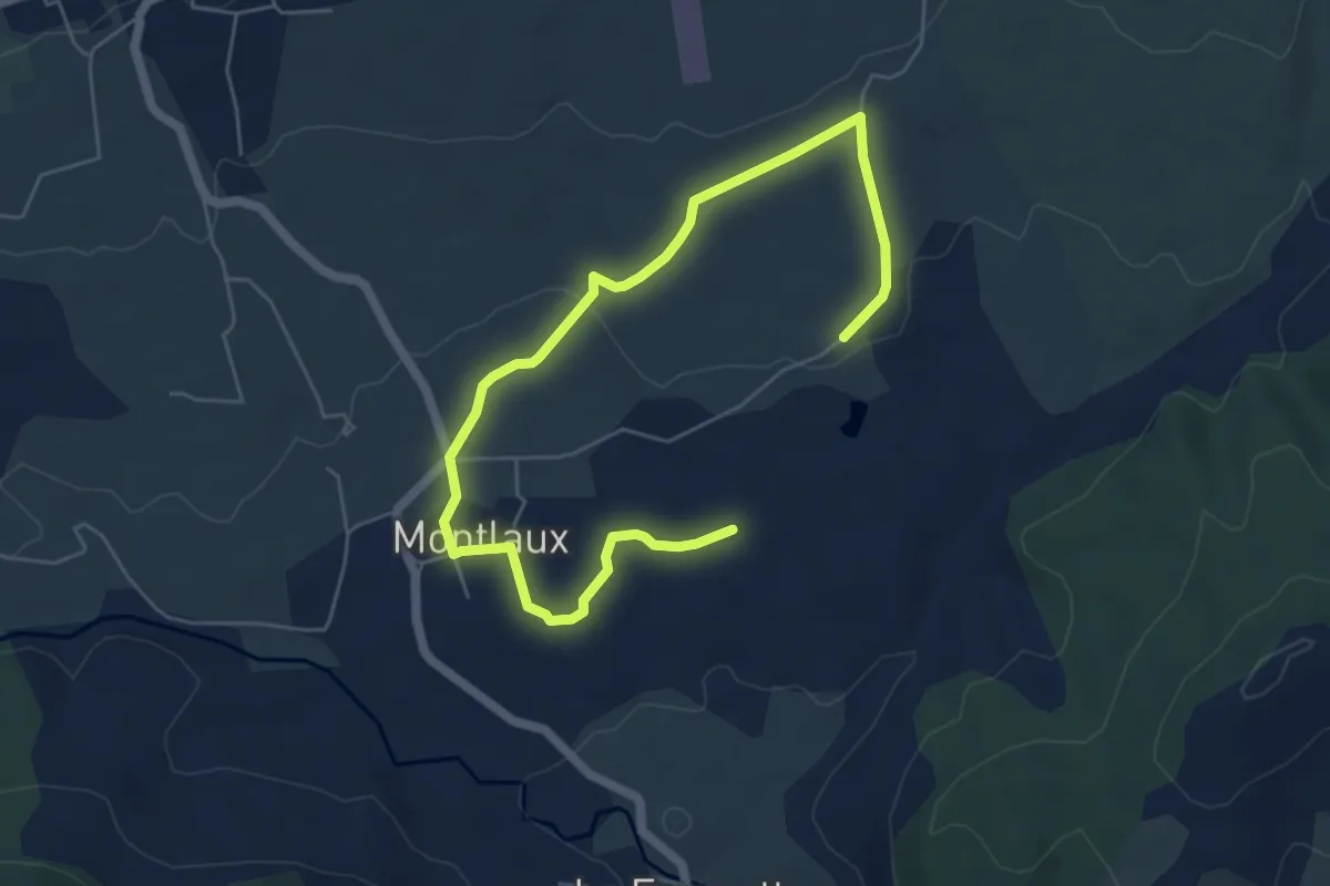
Easy · Trail
Plaine de Montlaux
3.8 km · ↑ 86 m · 1 h 7 min
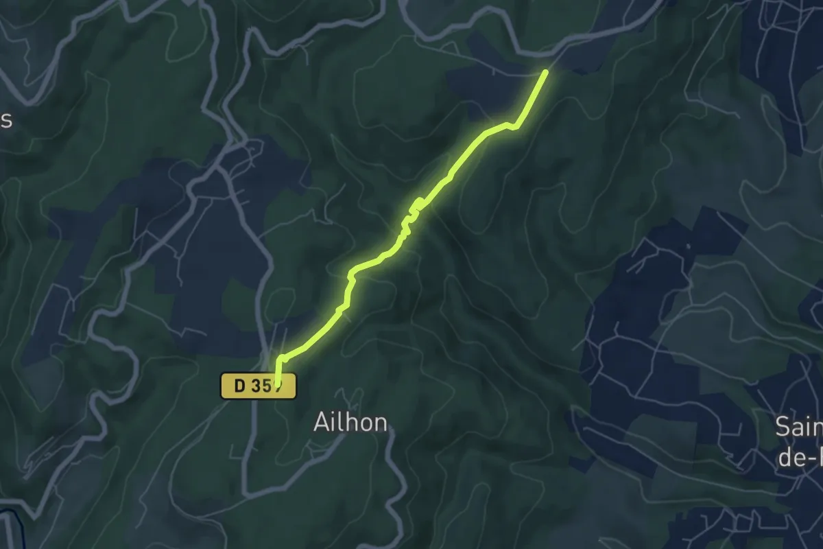
Easy · Trail
Plaine des Rompudes - Basse Lieure
5.3 km · ↑ 208 m · 1 h 43 min
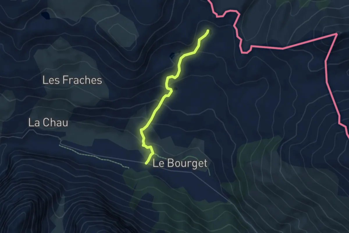
Medium · Trail
Plaine du Bourget - Lac sous Bousson sud
5.0 km · ↑ 259 m · 1 h 45 min
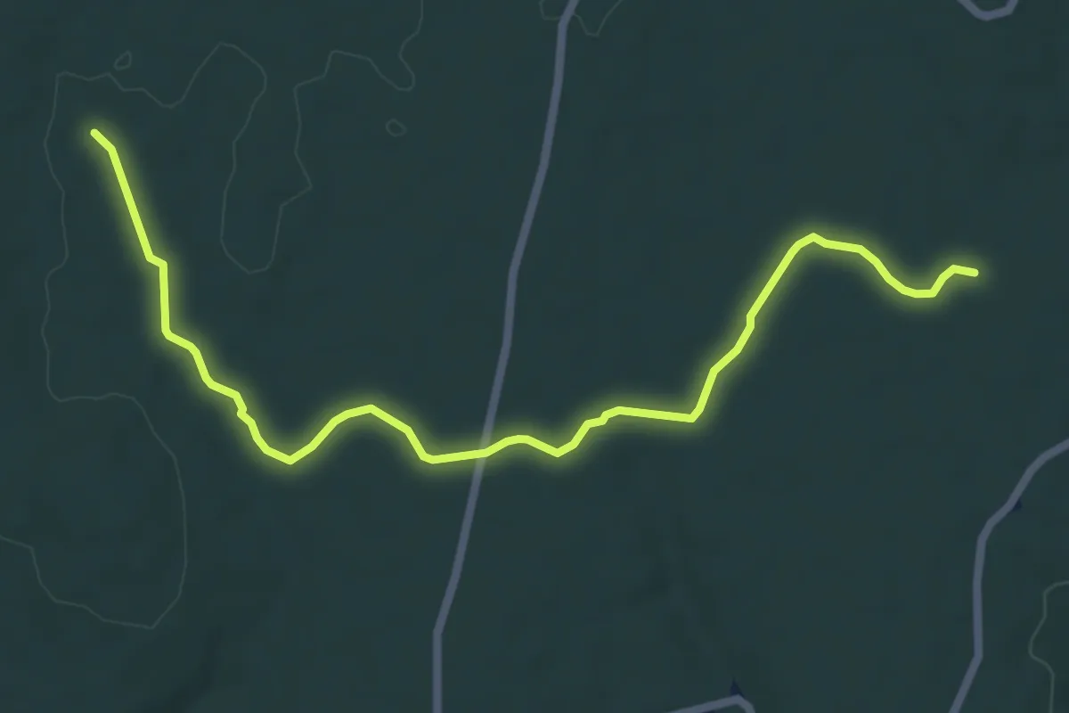
Easy · Trail
Plaine du Cayre - Claud de Goudaud
7.3 km · ↑ 49 m · 1 h 50 min
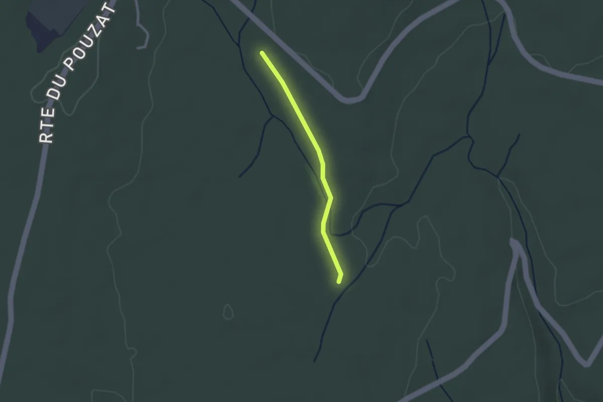
Easy · Trail
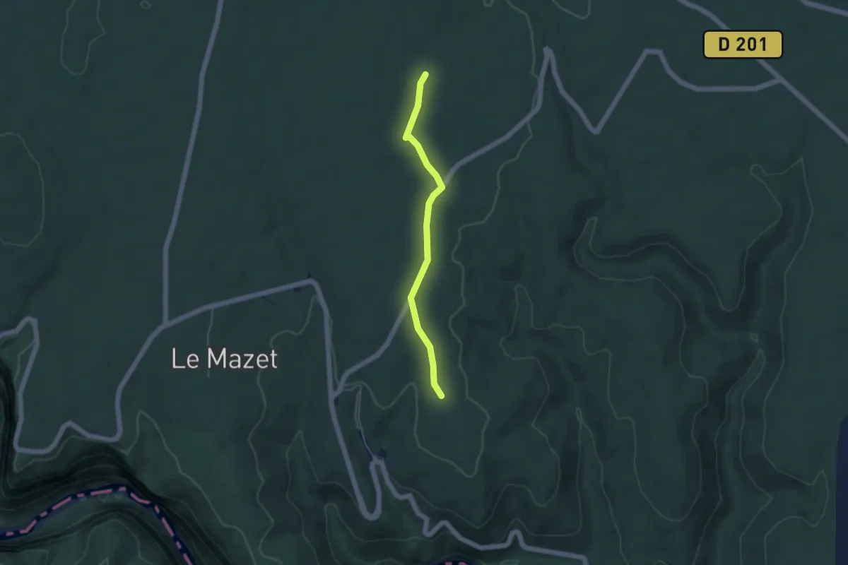
Plaine du Cayre - Grand Champ
2.0 km · ↑ 9 m · 30 min
Easy · Trail
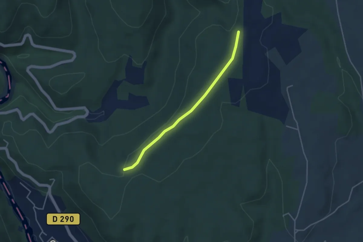
Plaine du Cayre - La Grosse Pierre
4.1 km · ↑ 14 m · 1 h 1 min
Easy · Trail
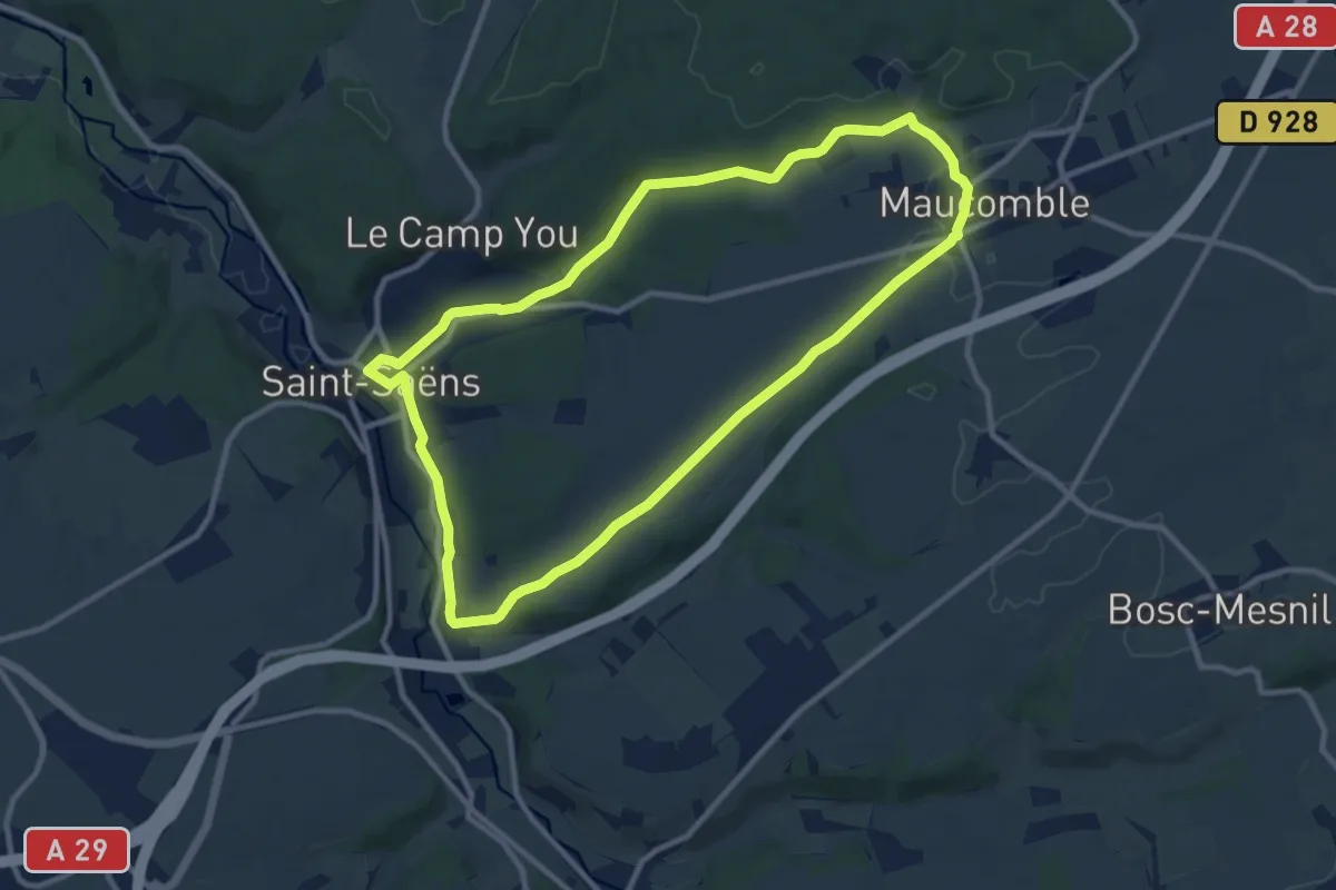
Plaine du Feuillet - Plaine des Catalans
3.2 km · ↑ 28 m · 49 min
Medium · Trail
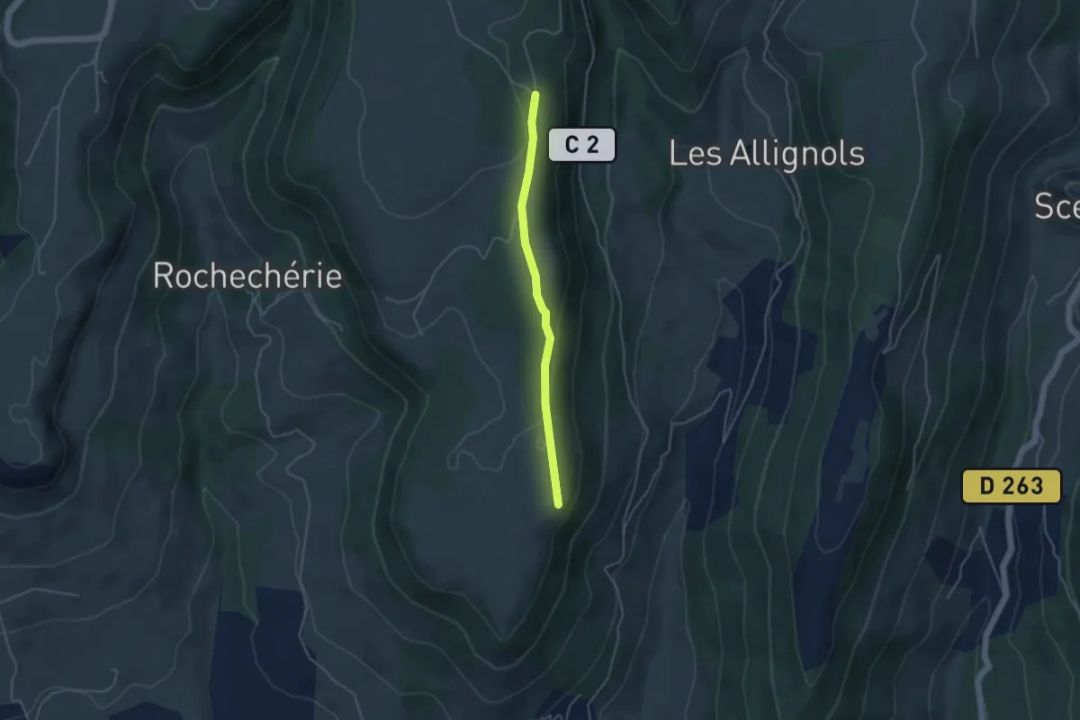
Plaine du Maucomble
9.6 km · ↑ 132 m · 2 h 41 min
Easy · Trail
Plaine du Regard - Brasse Nègre
3.8 km · ↑ 71 m · 1 h 3 min