Trails in France
15,926 hiking trails, each with its route, climb, walking time and grade.
All trails, page 221 of 332
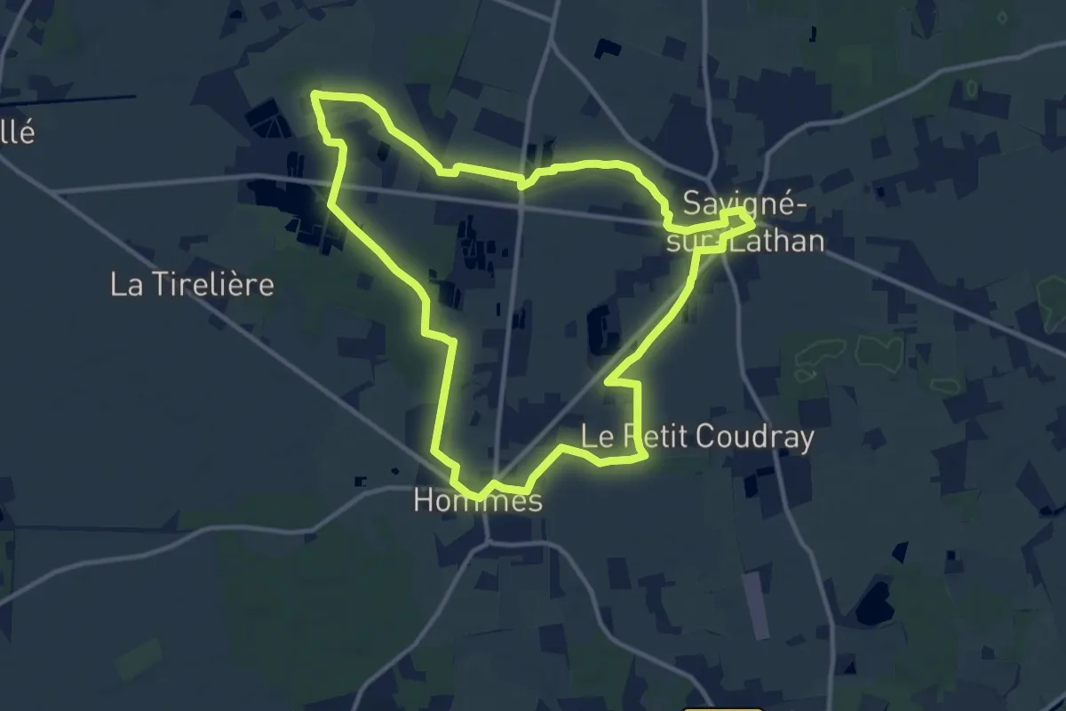
Medium · Trail
Plan d’eau de Hommes - Savigné - Hommes
11.9 km · ↑ 8 m · 2 h 59 min
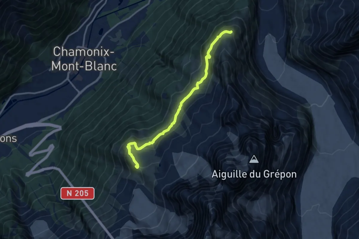
Medium · Summit
Plan de l'Aiguille - Montenvers
10.0 km · ↑ 613 m · 3 h 41 min
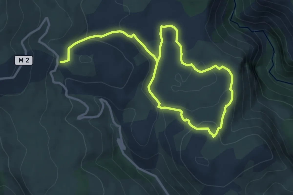
Medium · Trail
Plan des Noves
11.2 km · ↑ 324 m · 3 h 20 min
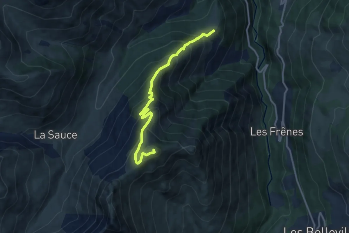
Medium · Summit
Plan des Queux
8.5 km · ↑ 774 m · 3 h 41 min
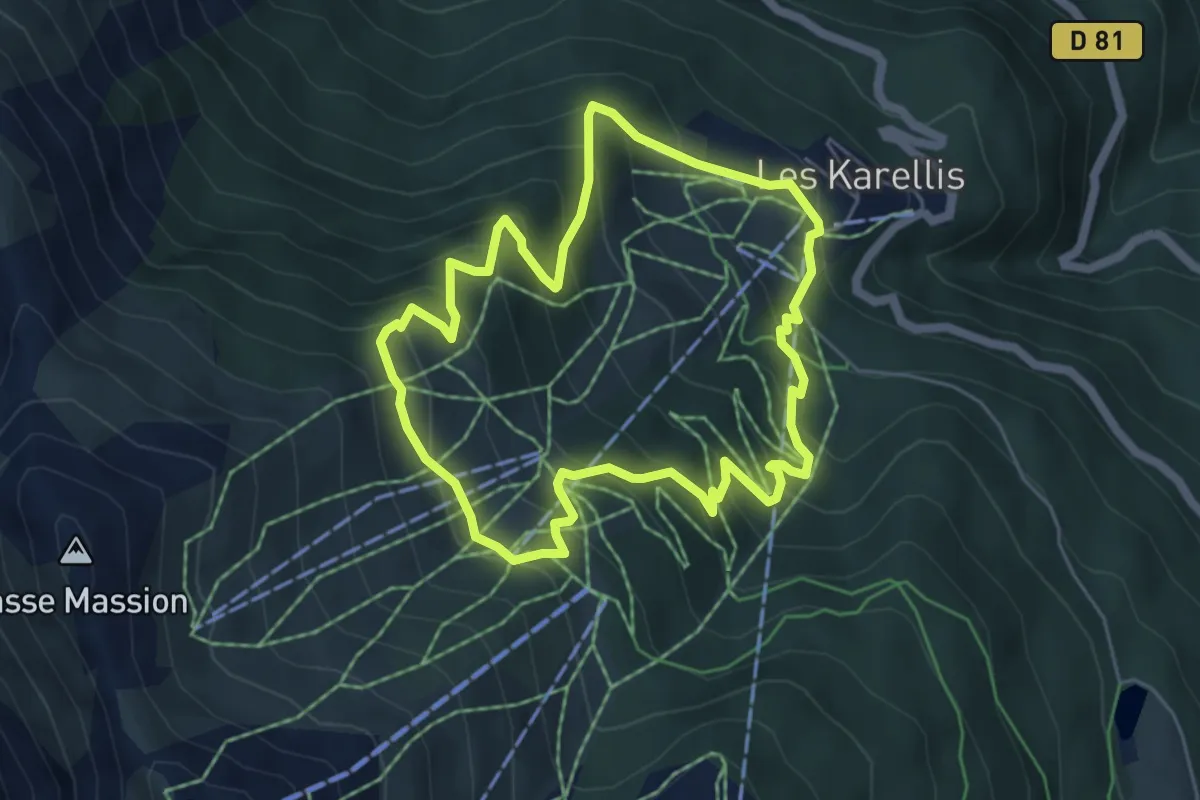
Medium · Trail
Plan du Four
5.2 km · ↑ 422 m · 2 h 13 min
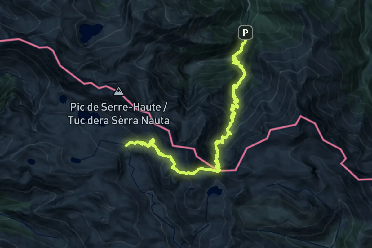
Demanding · Trail
Plans del Pas Estret - Eylie
14.5 km · ↑ 1698 m · 6 h 44 min
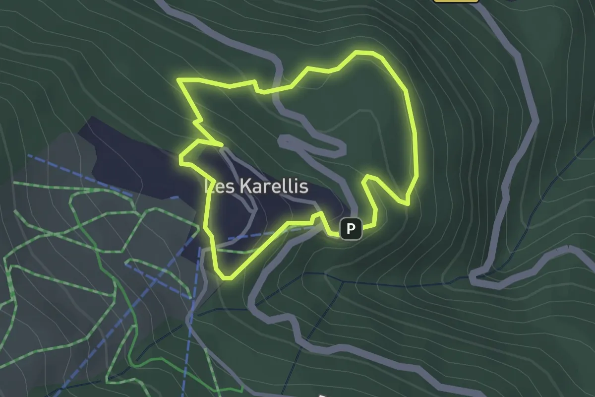
Easy · Trail
Plan Thimel
2.4 km · ↑ 147 m · 55 min
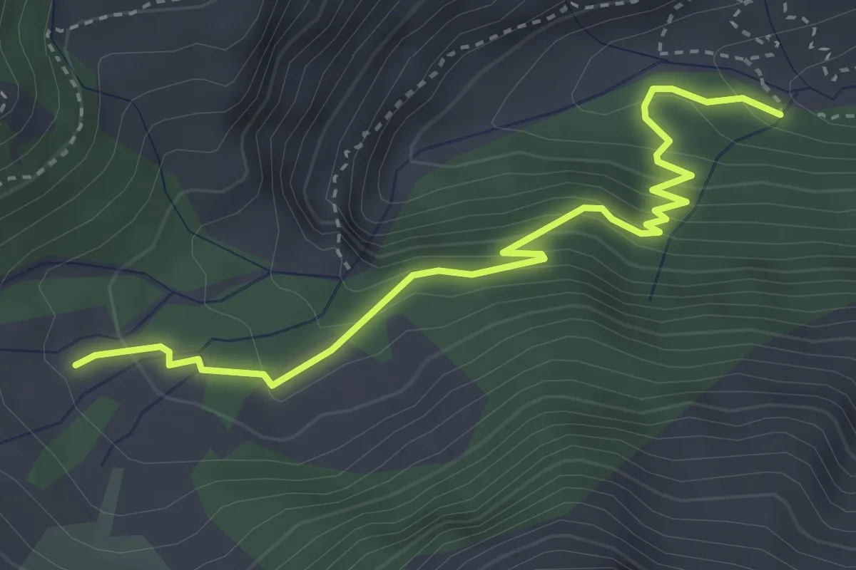
Medium · Trail
Planure - Prés du Clot
4.0 km · ↑ 327 m · 1 h 39 min
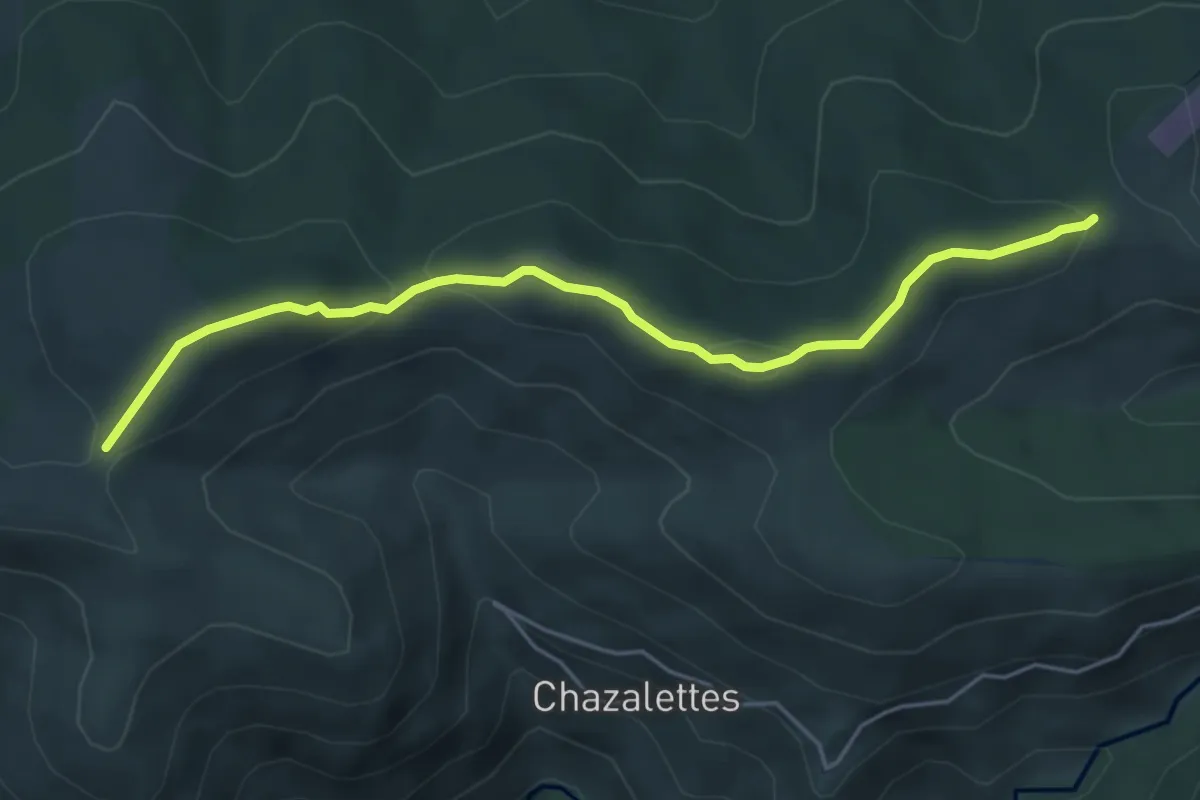
Easy · Trail
? - Plat des Laires
5.2 km · ↑ 206 m · 1 h 41 min
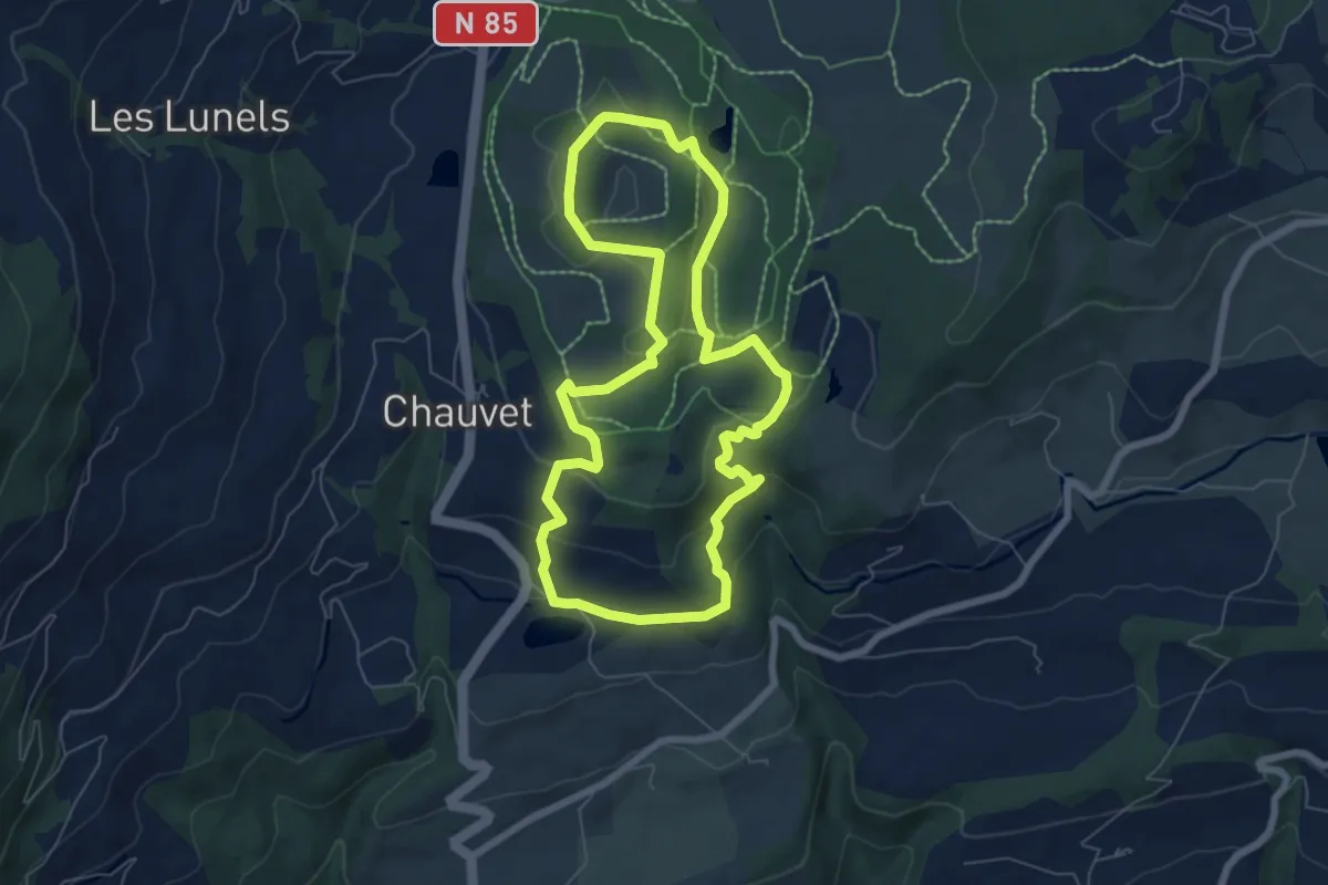
Easy · Trail
Plateau de Bayard
6.7 km · ↑ 200 m · 2 h 6 min
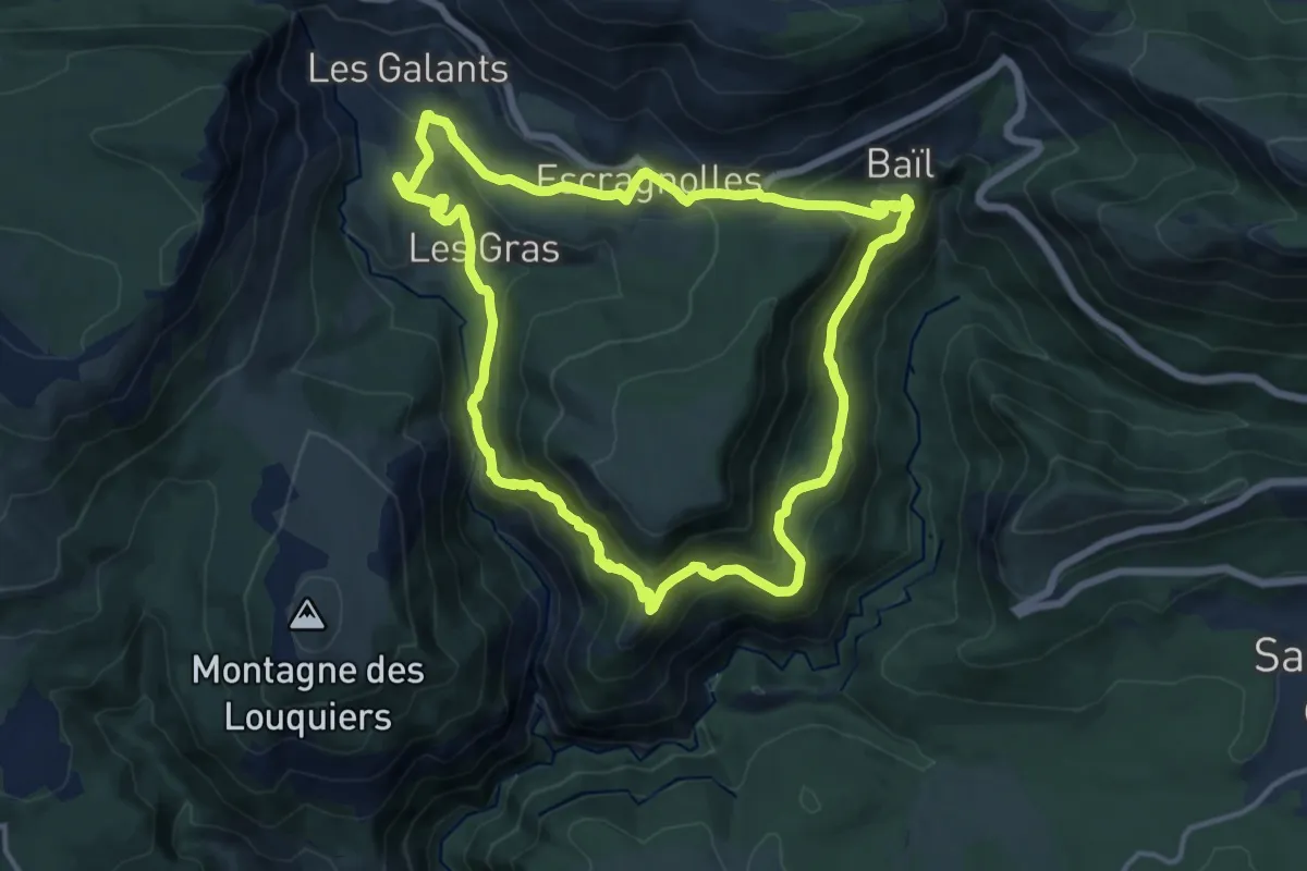
Medium · Trail
Plateau de Briasq
14.0 km · ↑ 649 m · 4 h 55 min
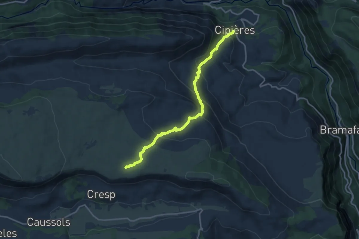
Medium · Trail
Plateau de Calern
5.4 km · ↑ 502 m · 2 h 12 min
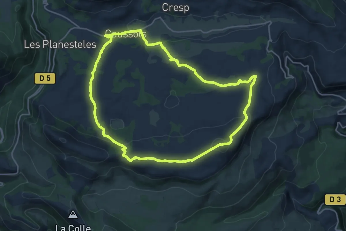
Medium · Summit
Plateau de Caussols
13.8 km · ↑ 341 m · 4 h 11 min
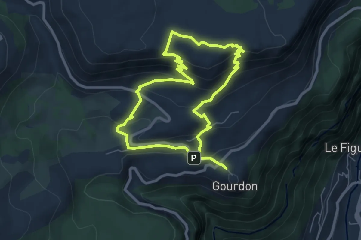
Easy · Summit
Plateau de Cavillore
5.5 km · ↑ 288 m · 2 h
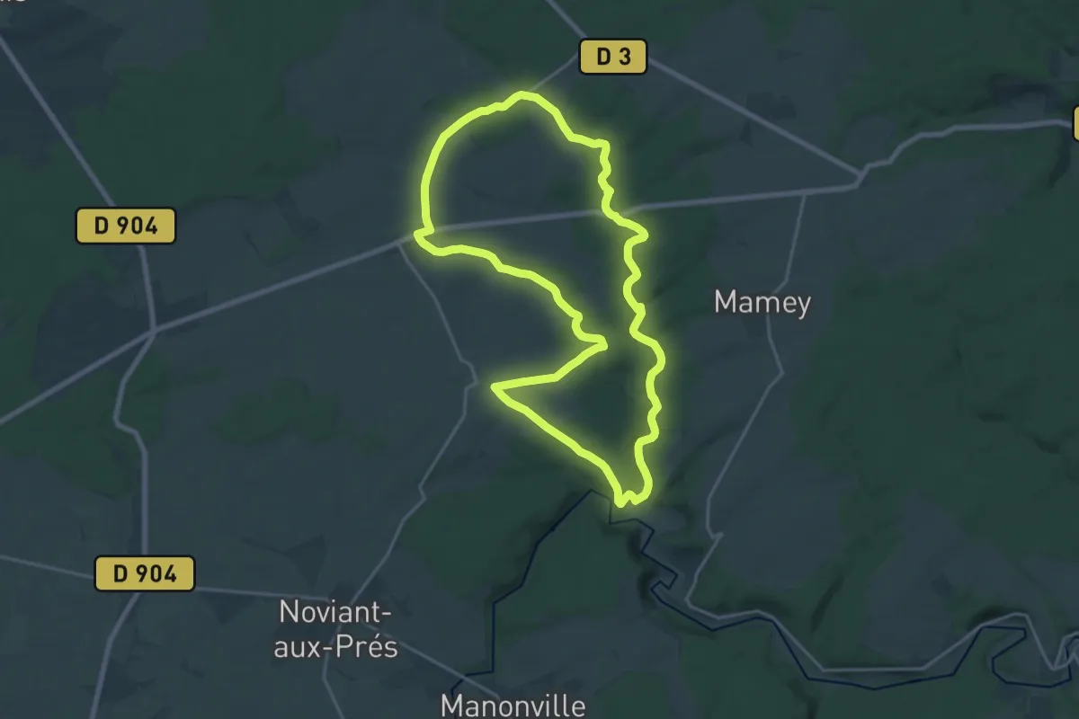
Medium · Trail
Plateau de Haye
18.0 km · ↑ 213 m · 4 h 57 min
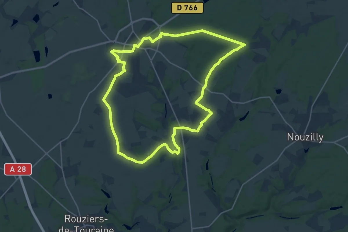
Medium · Trail
Plateau de la Forêt - Beaumont-la-Ronce
17.3 km · ↑ 120 m · 4 h 35 min
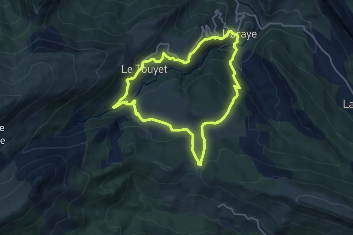
Medium · Trail
Plateau de la Palud
9.1 km · ↑ 436 m · 3 h 12 min
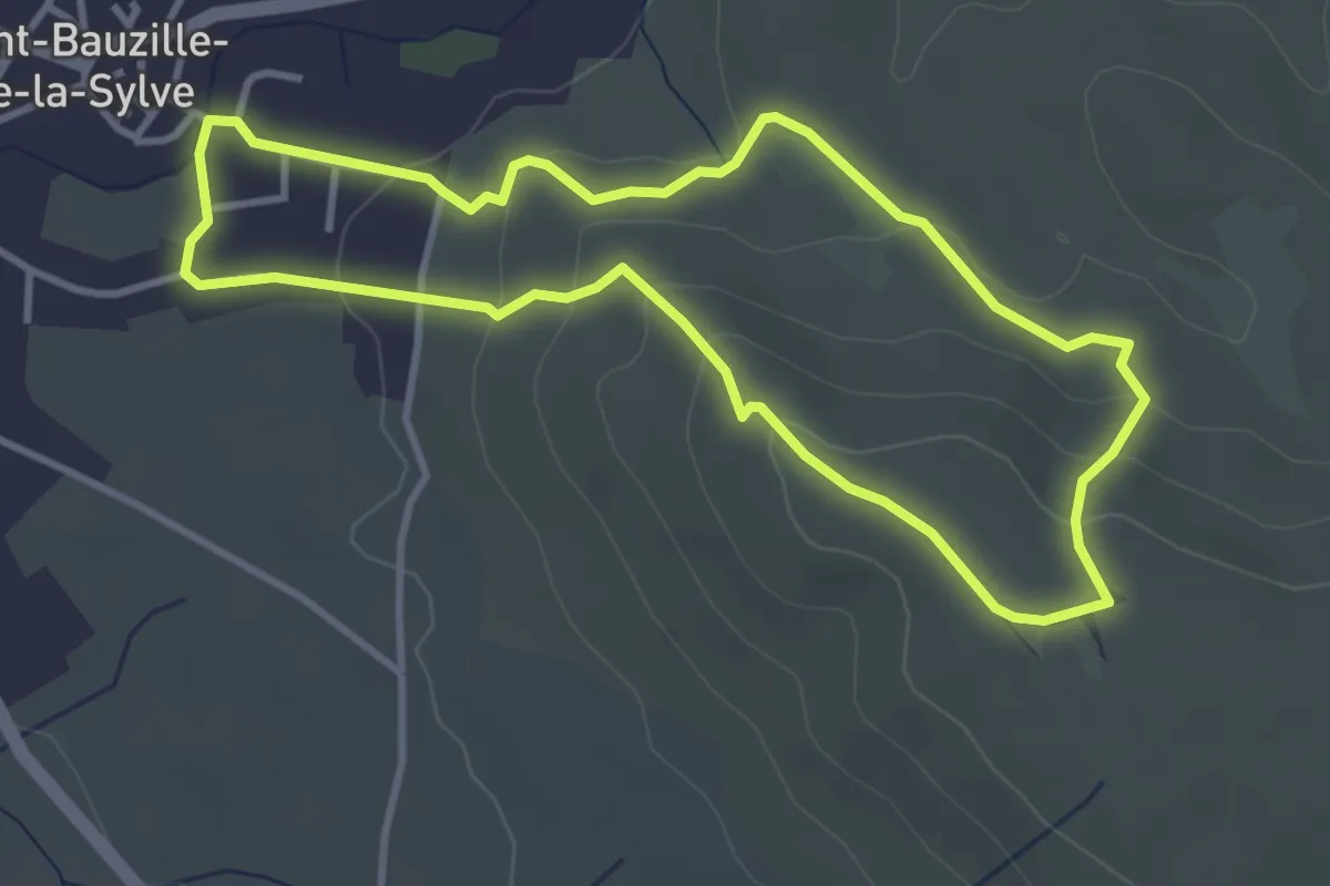
Easy · Trail
Plateau de l'Horloge
3.7 km · ↑ 122 m · 1 h 12 min
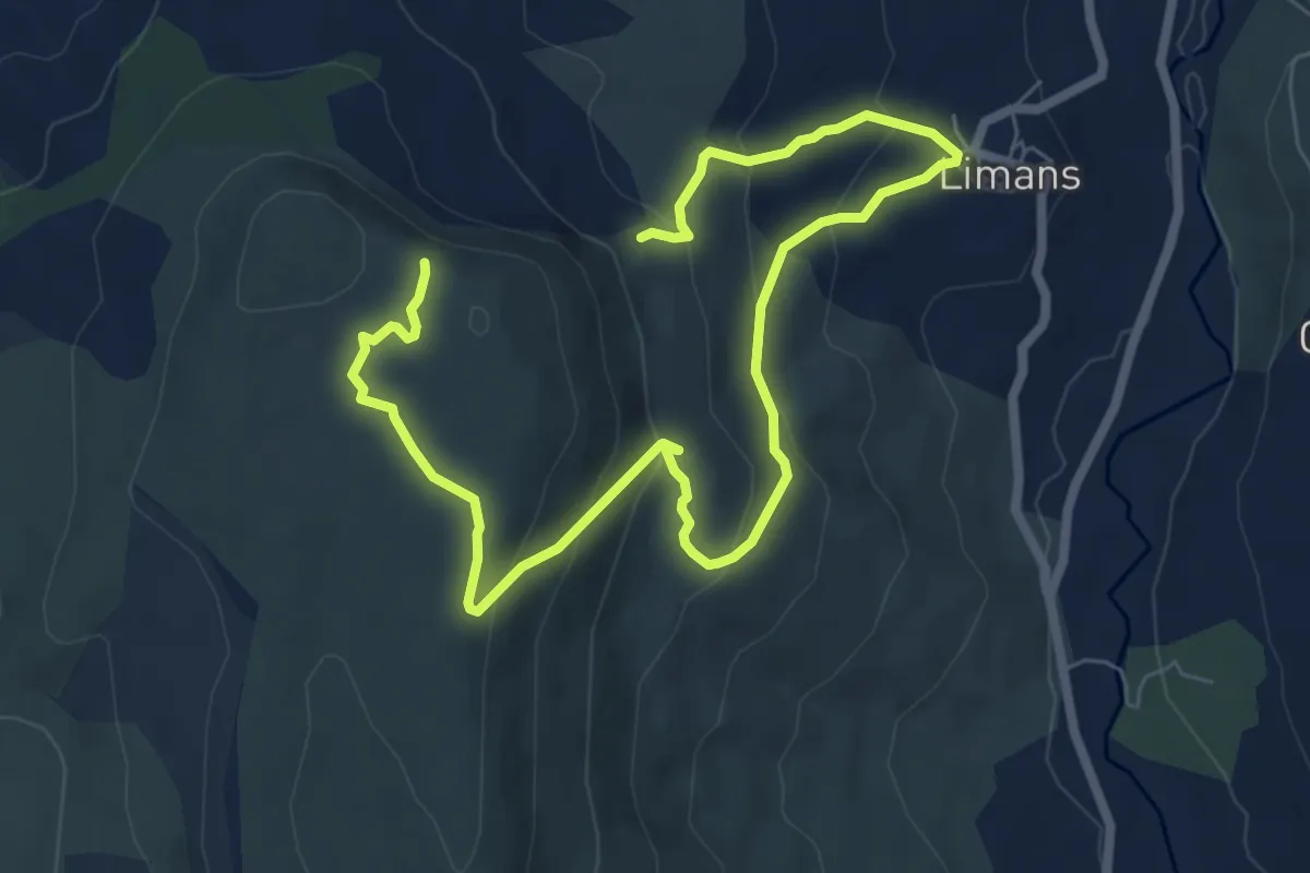
Medium · Trail
Plateau de Majargues
5.1 km · ↑ 325 m · 1 h 54 min
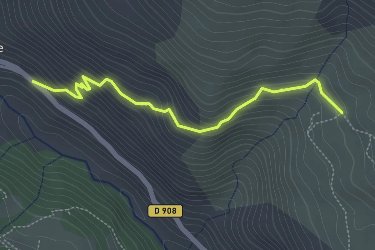
Easy · Trail
Plateau de Montgros
1.4 km · ↑ 219 m · 44 min
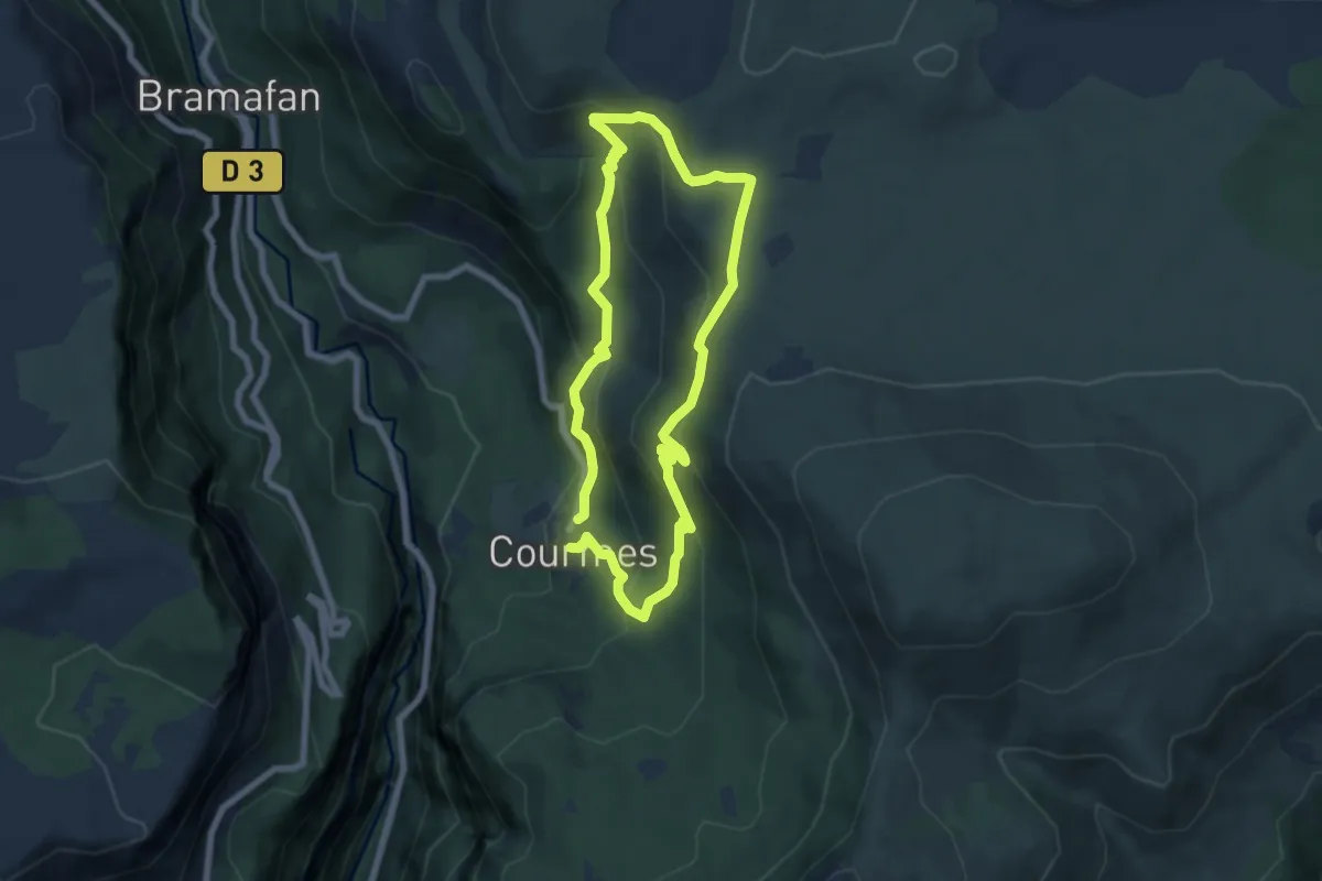
Medium · Trail
Plateau de Saint-Barnabé
6.5 km · ↑ 383 m · 2 h 26 min
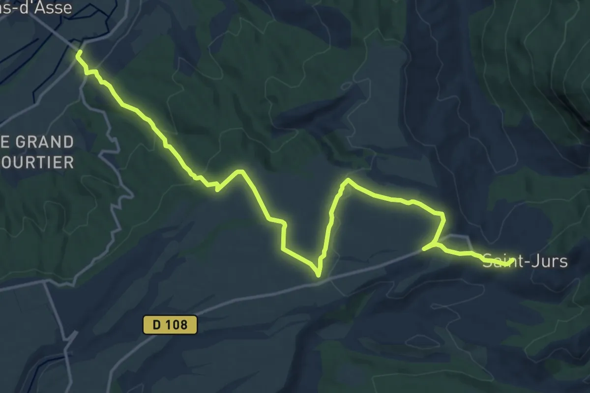
Medium · Trail
Plateau de Saint-Jurs
17.4 km · ↑ 447 m · 5 h 4 min
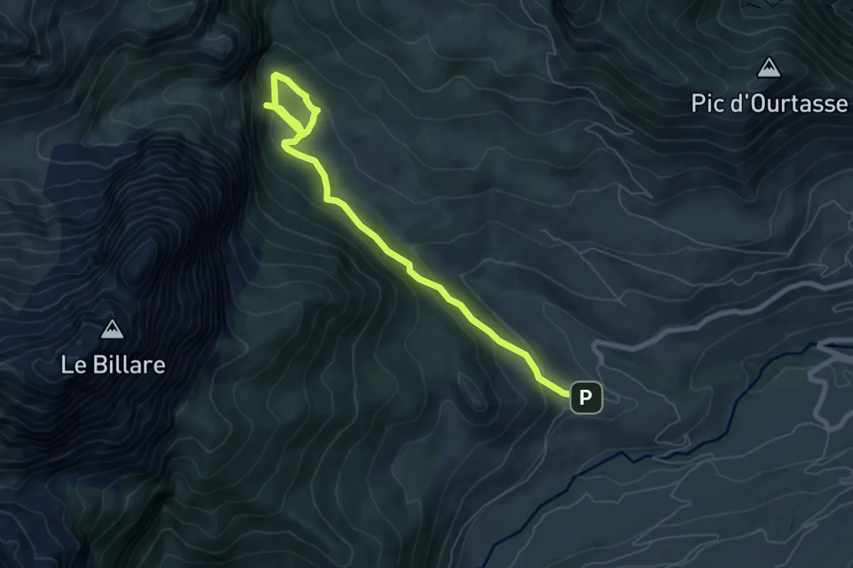
Easy · Trail
Plateau de Sanchèse asp50
3.7 km · ↑ 252 m · 1 h 24 min
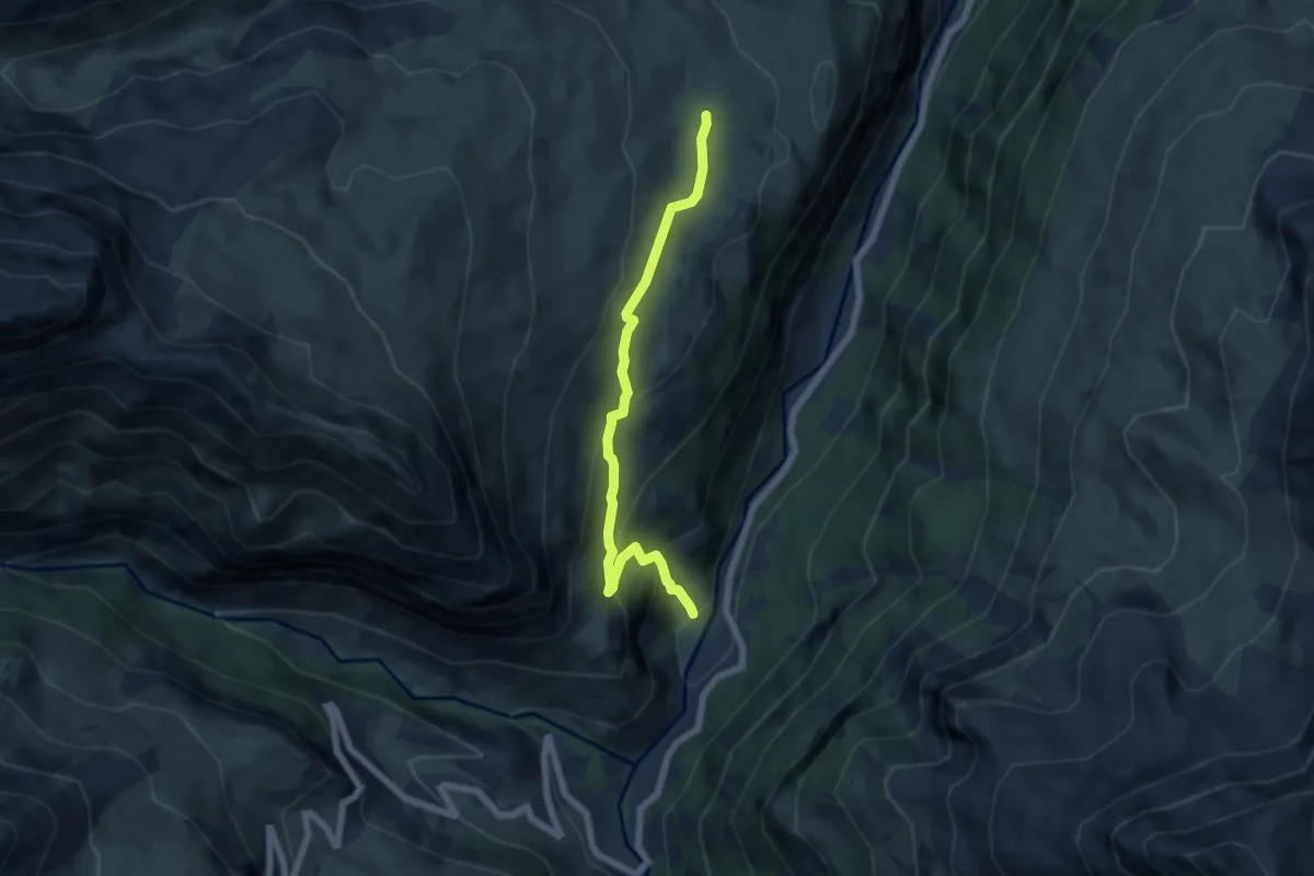
Medium · Trail
Plateau de Saugué
6.2 km · ↑ 457 m · 2 h 27 min
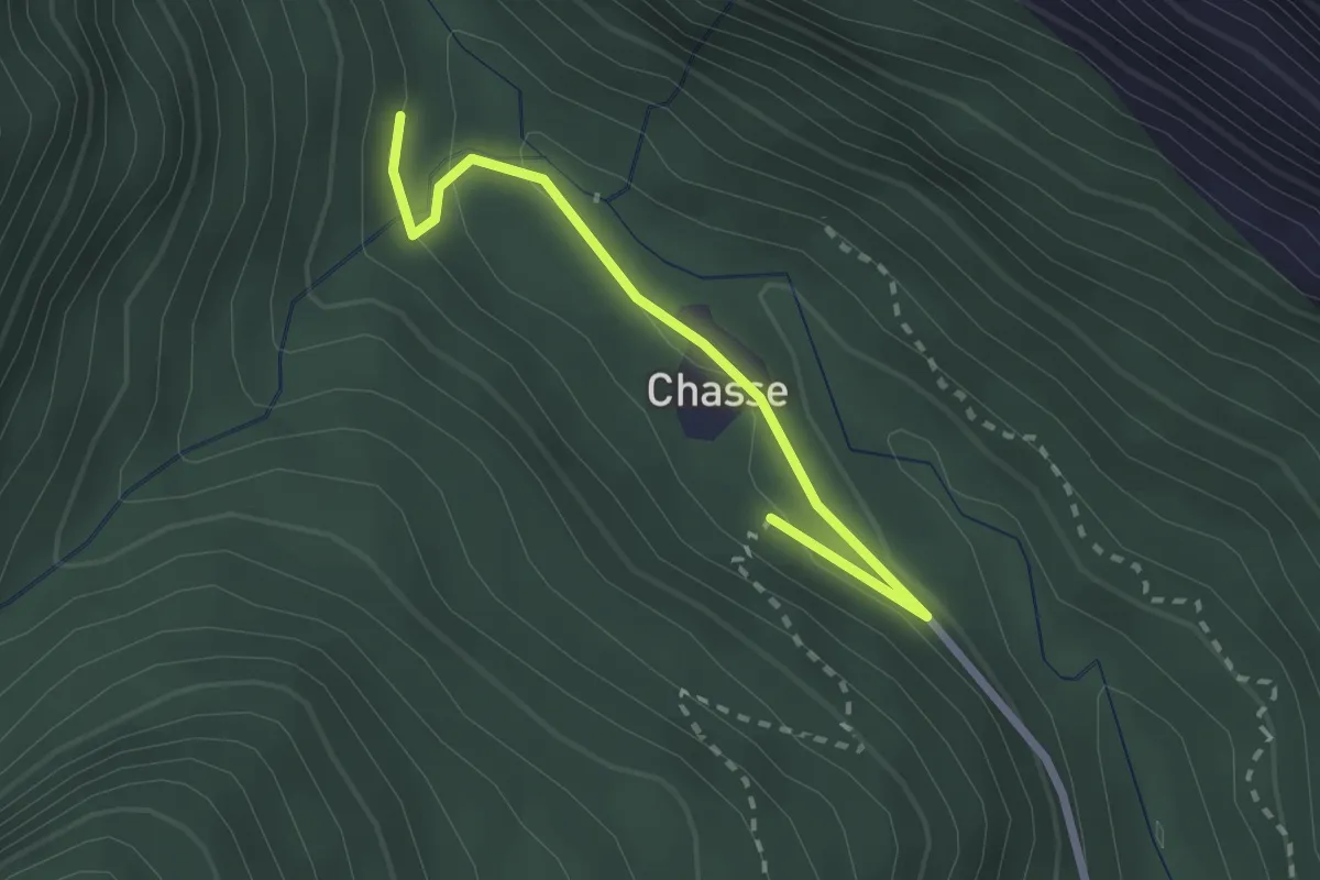
Easy · Trail
Plateau des Chasts - cabane de Marie-Louise
1.3 km · ↑ 35 m · 24 min
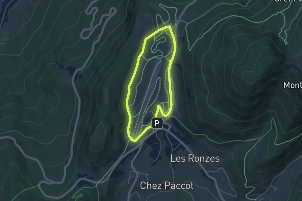
Easy · Trail
Plateau des Moises
3.4 km · ↑ 89 m · 1 h 2 min
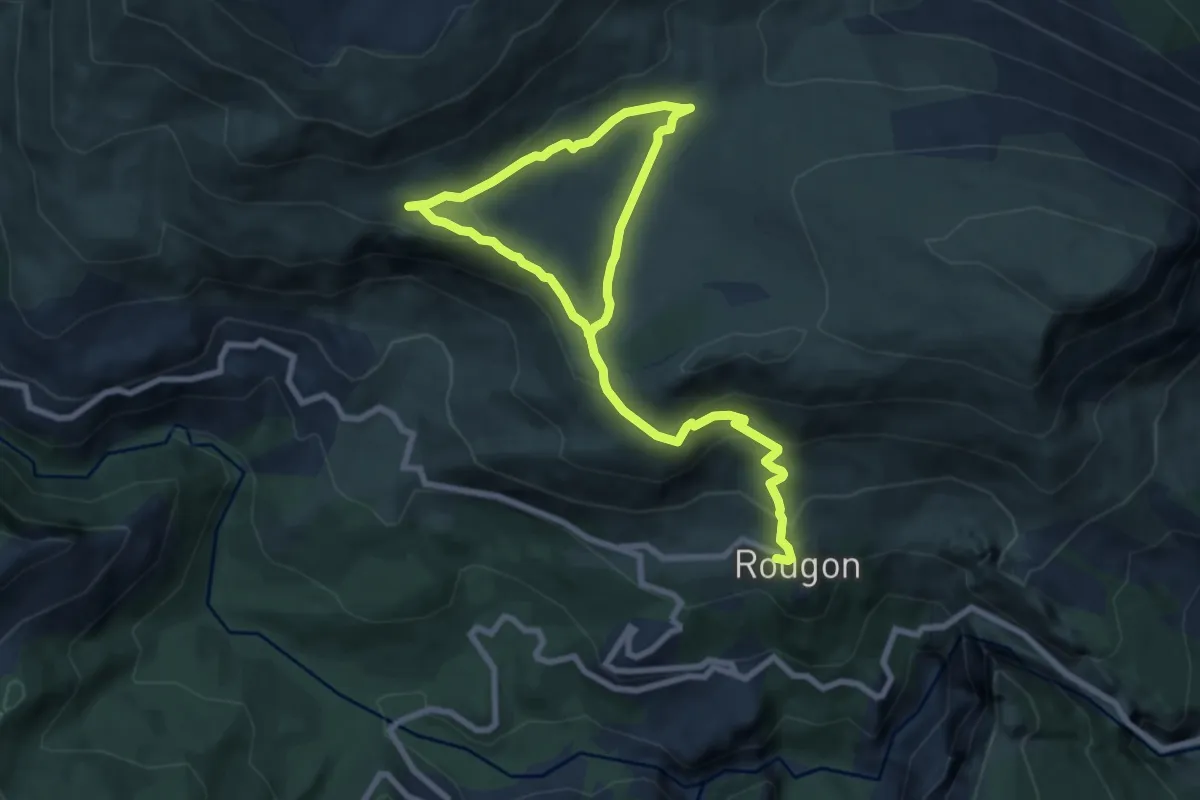
Medium · Trail
Plateau de Suech
6.1 km · ↑ 378 m · 2 h 13 min
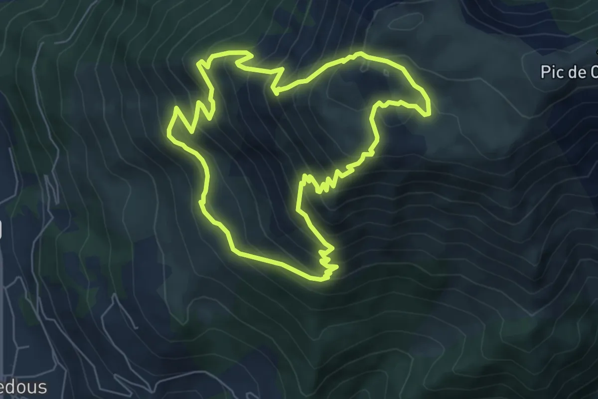
Medium · Trail
Plateau d'Ourdinse asp17
6.5 km · ↑ 655 m · 3 h 2 min
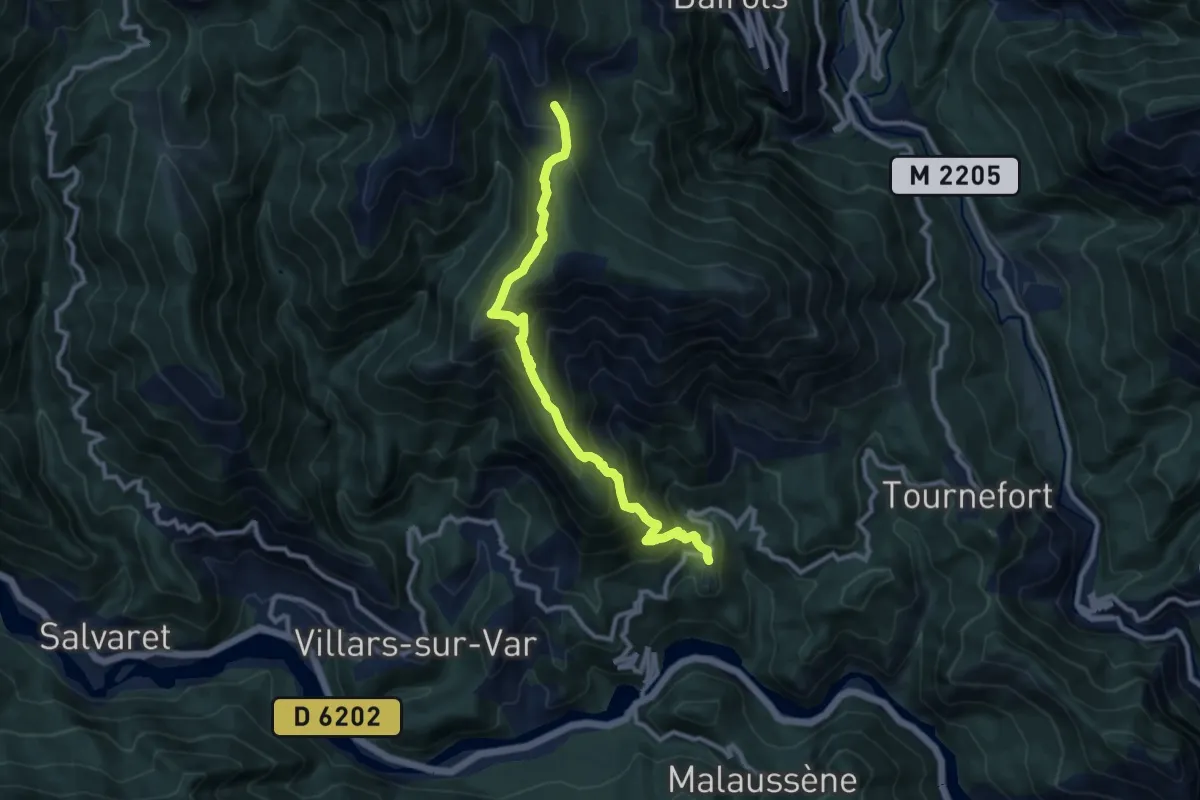
Easy · Trail
Plateau du Lac
5.3 km · ↑ 104 m · 1 h 57 min
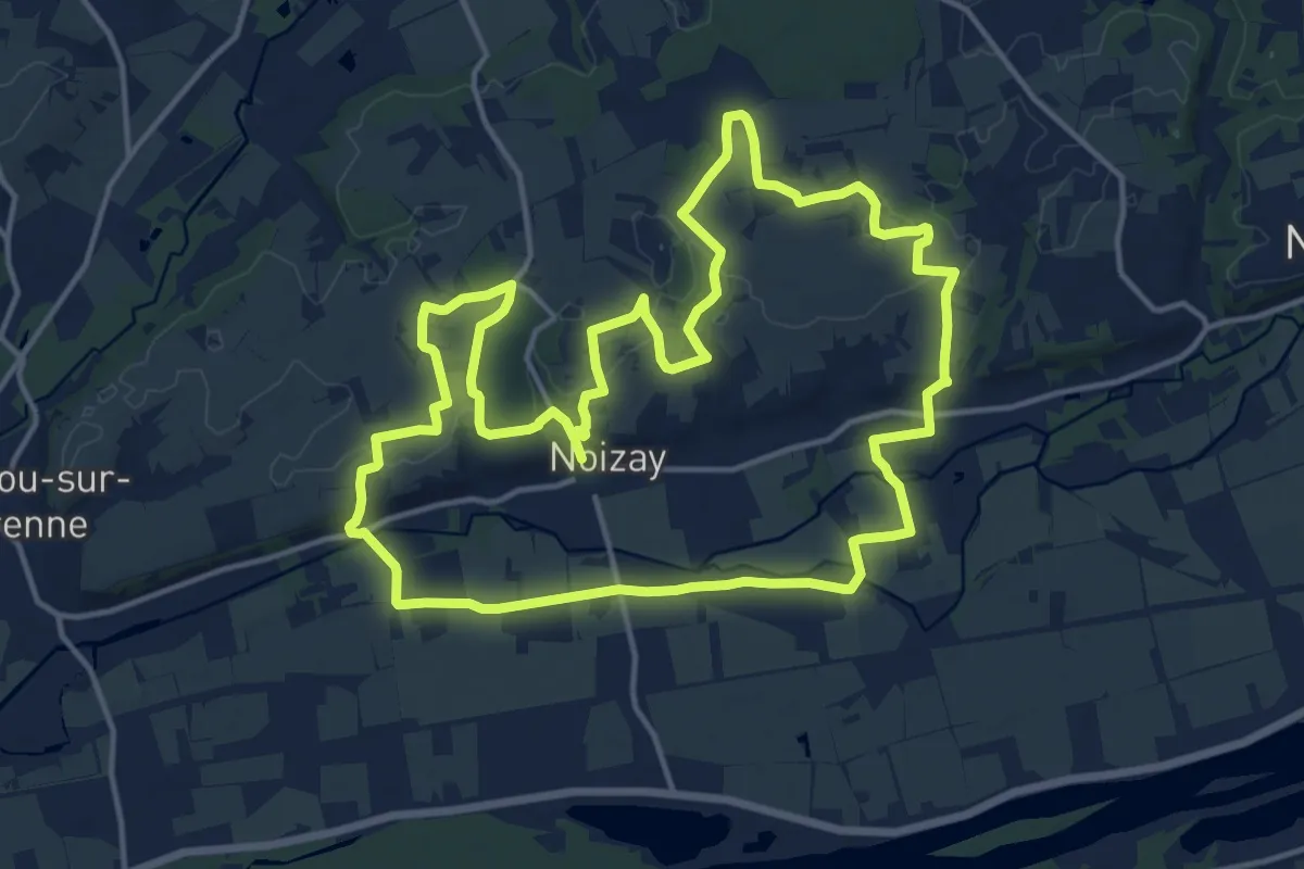
Medium · Trail
Plateau et Varenne
15.8 km · ↑ 131 m · 4 h 14 min
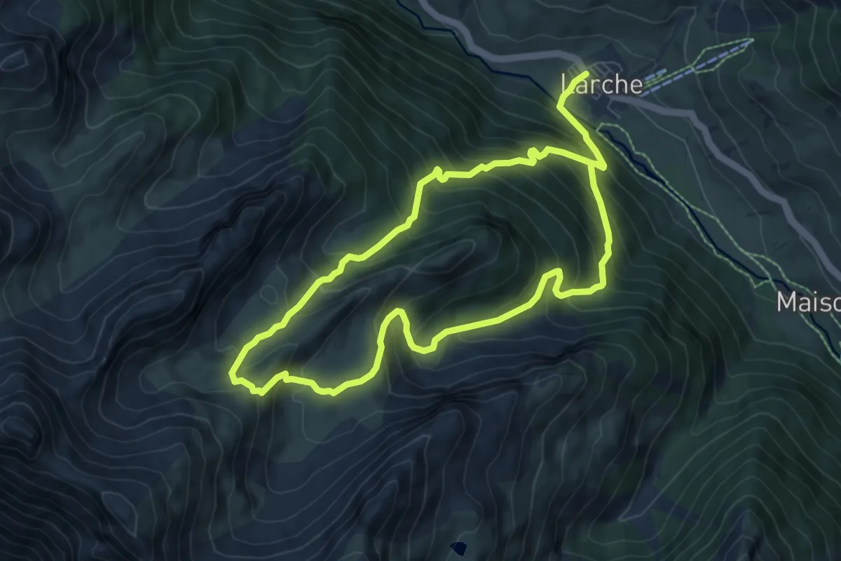
Medium · Summit
Plate longe (2 790 m)
7.0 km · ↑ 644 m · 3 h 12 min
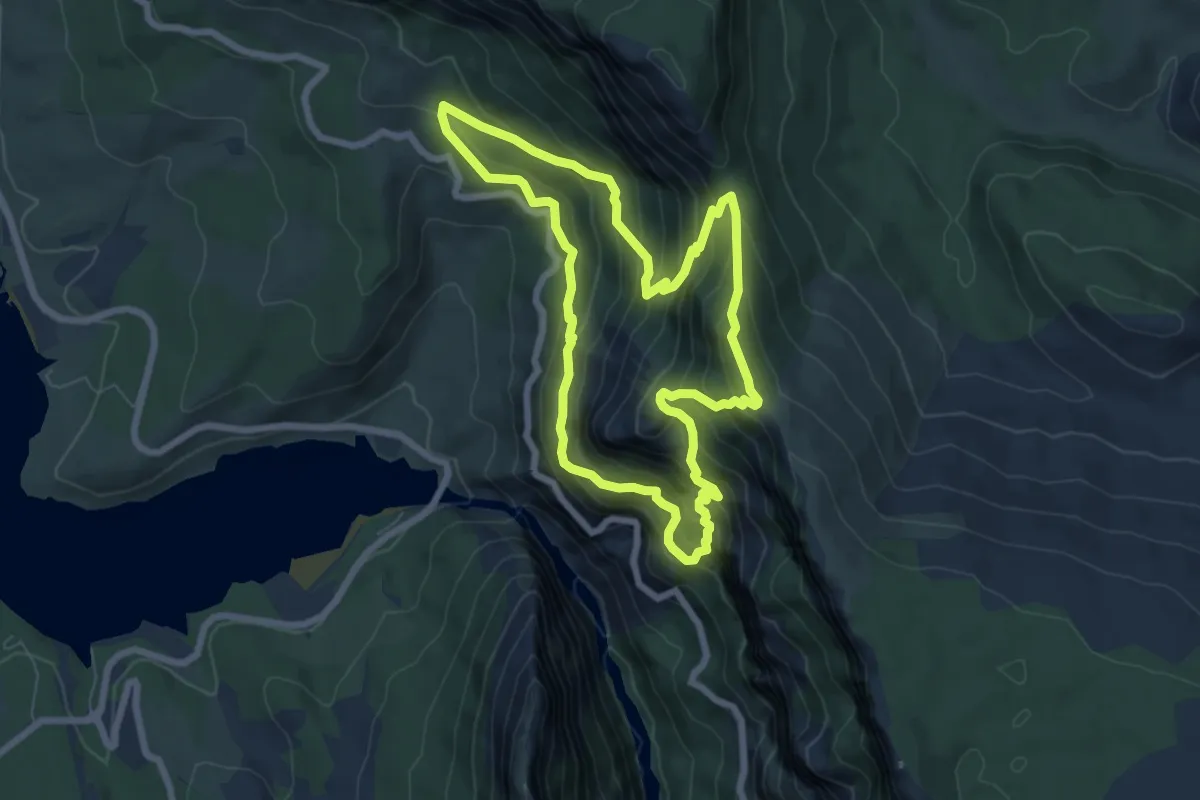
Demanding · Trail
Plein Voir
7.1 km · ↑ 661 m · 3 h 12 min
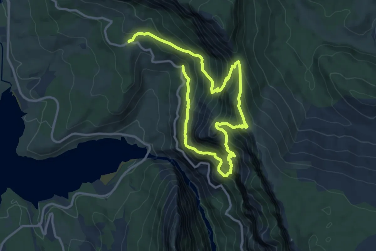
Demanding · Trail
Plein Voir
6.6 km · ↑ 649 m · 3 h 4 min
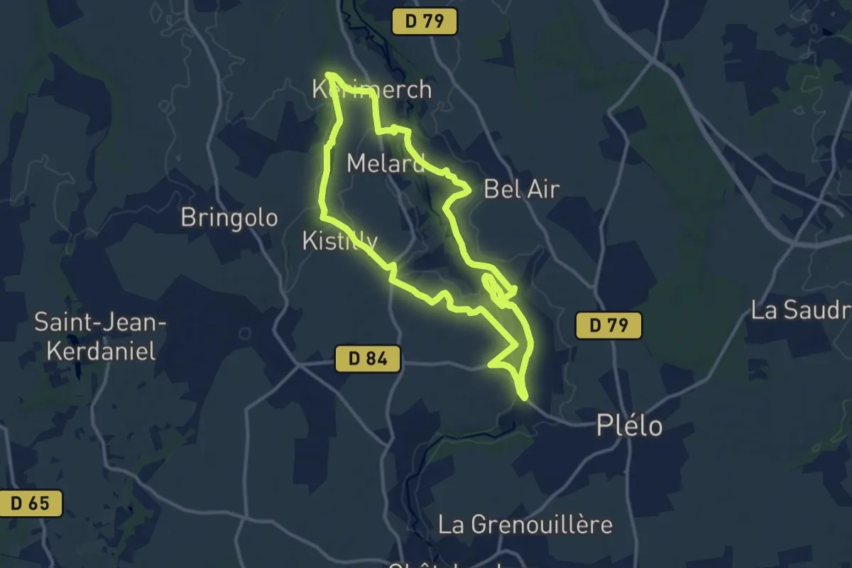
Medium · Trail
Plélo-Chapelle Saint-Quay
11.3 km · ↑ 111 m · 3 h 4 min
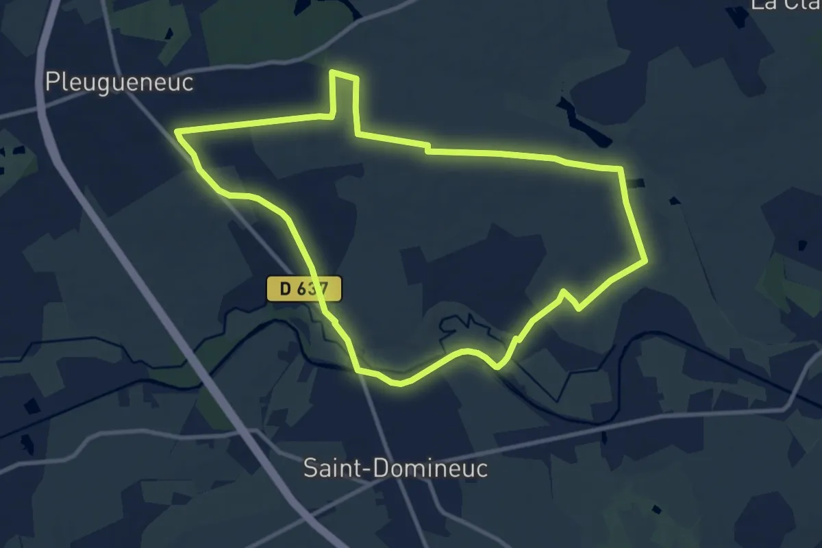
Medium · Trail
Pleugueneuc - circuit du Tram
9.7 km · ↑ 50 m · 2 h 32 min
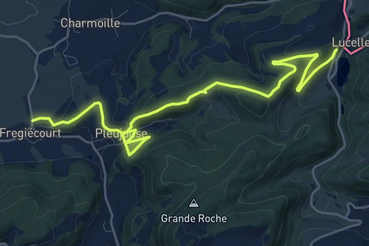
Medium · Trail
Pleujuse - fixme
13.8 km · ↑ 544 m · 4 h 26 min
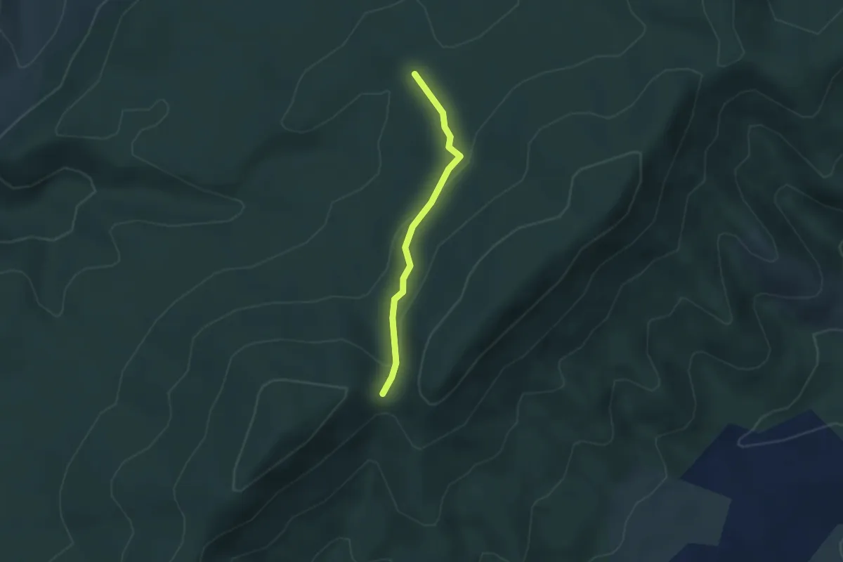
Easy · Trail
Plot de la Molle - Col de la Cize
2.7 km · ↑ 117 m · 53 min
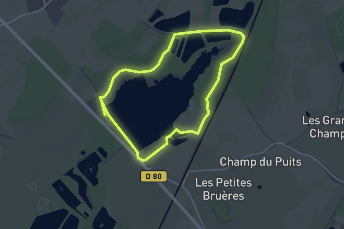
Easy · Trail
Plumages humides au creux de la roselière
3.1 km · ↑ 4 m · 46 min
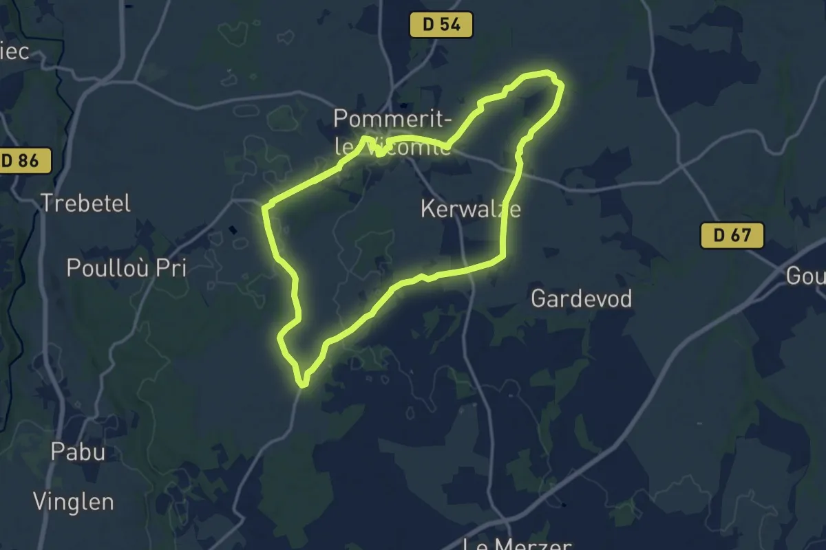
Demanding · Trail
PLV boucle 12 km
25.2 km · ↑ 72 m · 6 h 6 min
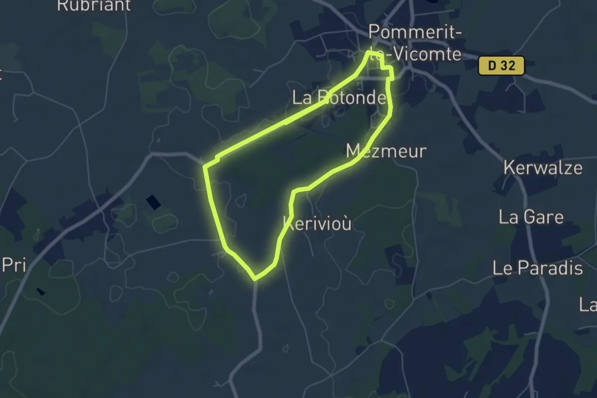
Medium · Trail
PLV boucle 5 km
10.0 km · ↑ 18 m · 2 h 24 min
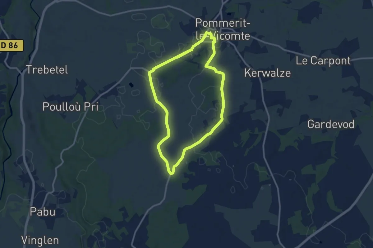
Medium · Trail
PLV boucle 8 km
16.2 km · ↑ 25 m · 3 h 52 min
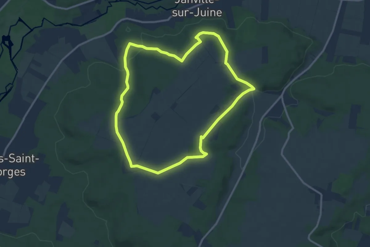
Easy · Trail
Pocancy
7.9 km · ↑ 94 m · 2 h 11 min
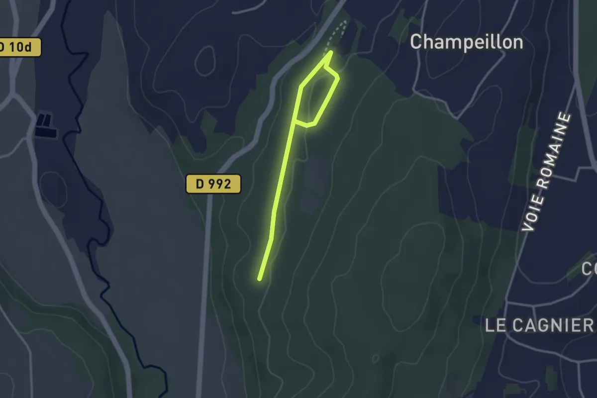
Easy · Trail
Poilu
3.0 km · ↑ 45 m · 48 min
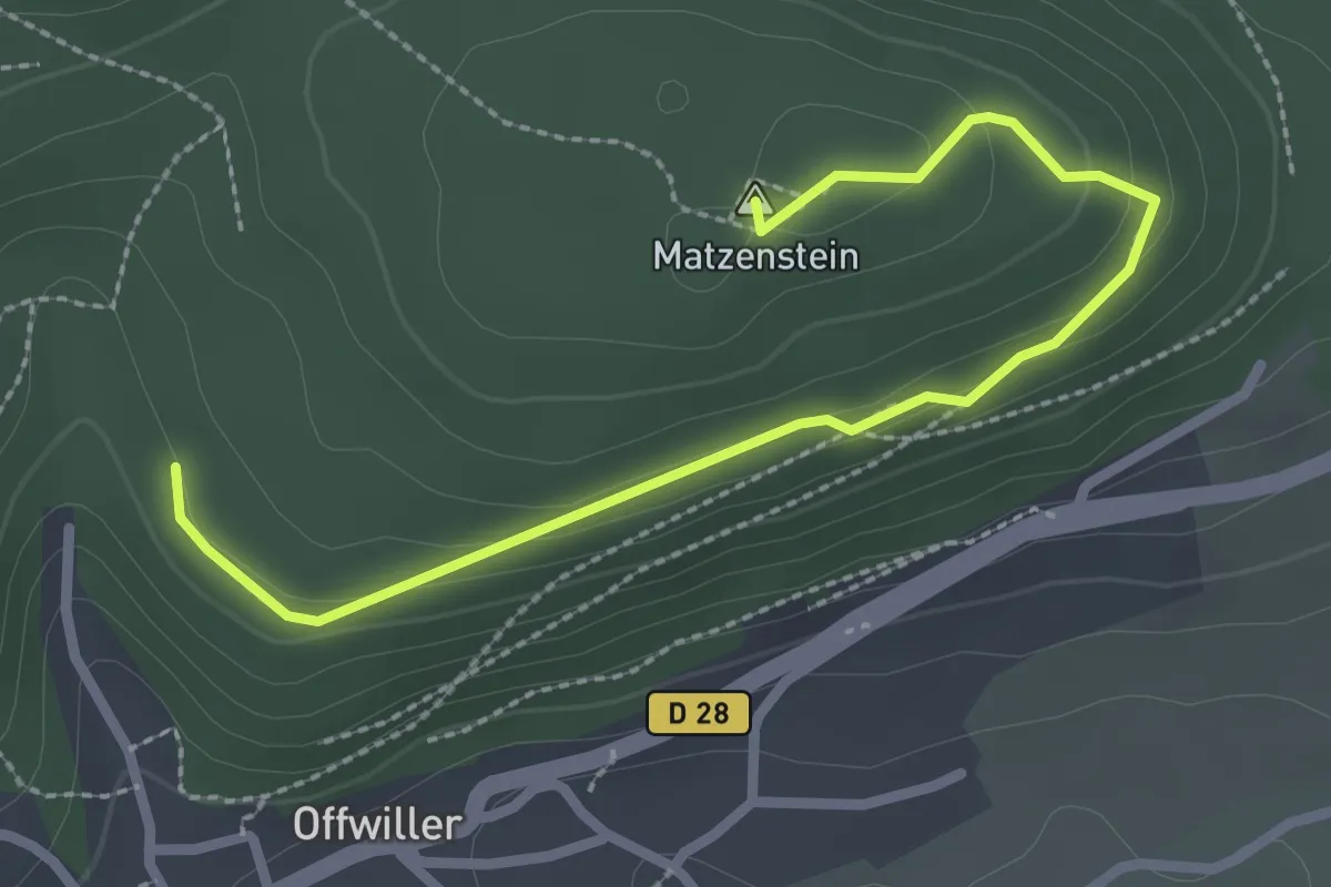
Easy · Summit
Point bleu
2.7 km · ↑ 96 m · 50 min
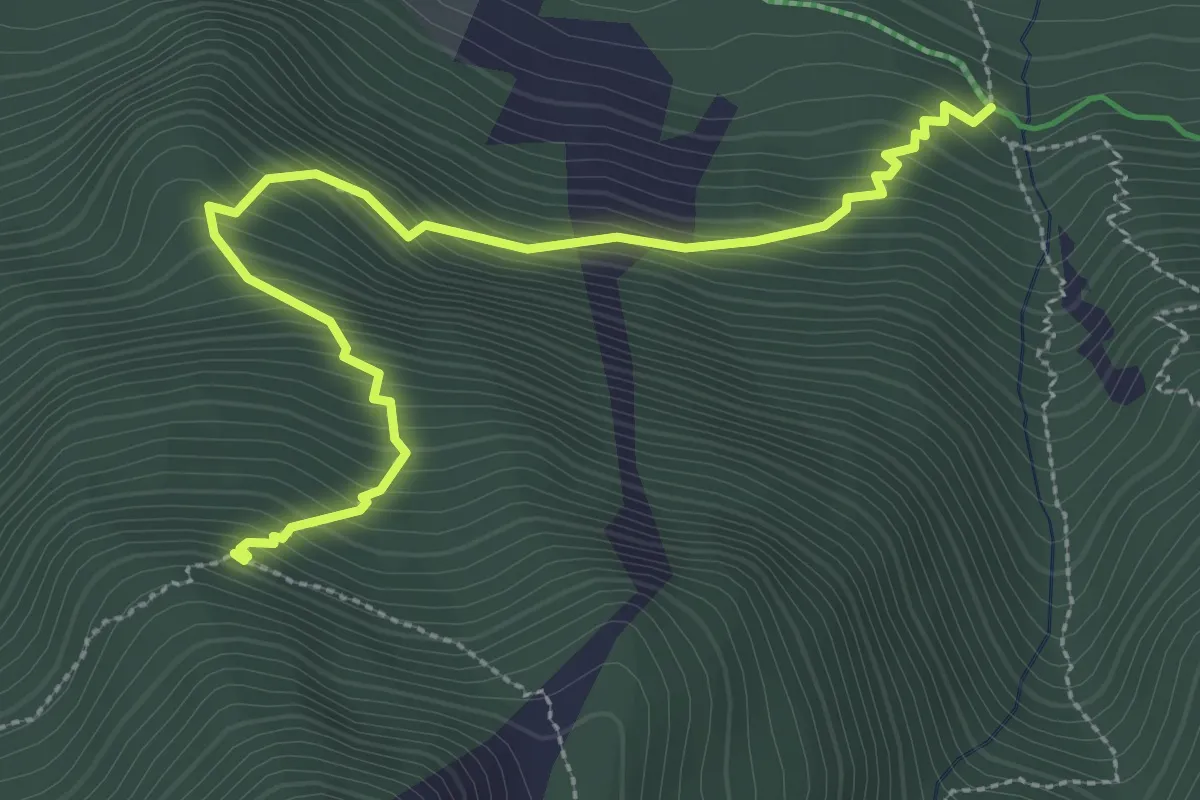
Medium · Trail
Point Côte - Ravin du Longet
3.5 km · ↑ 432 m · 1 h 46 min
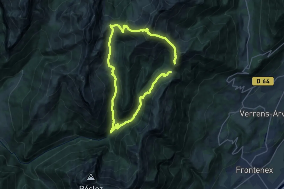
Demanding · Summit
Pointe de Chaurionde
13.5 km · ↑ 1122 m · 5 h 45 min
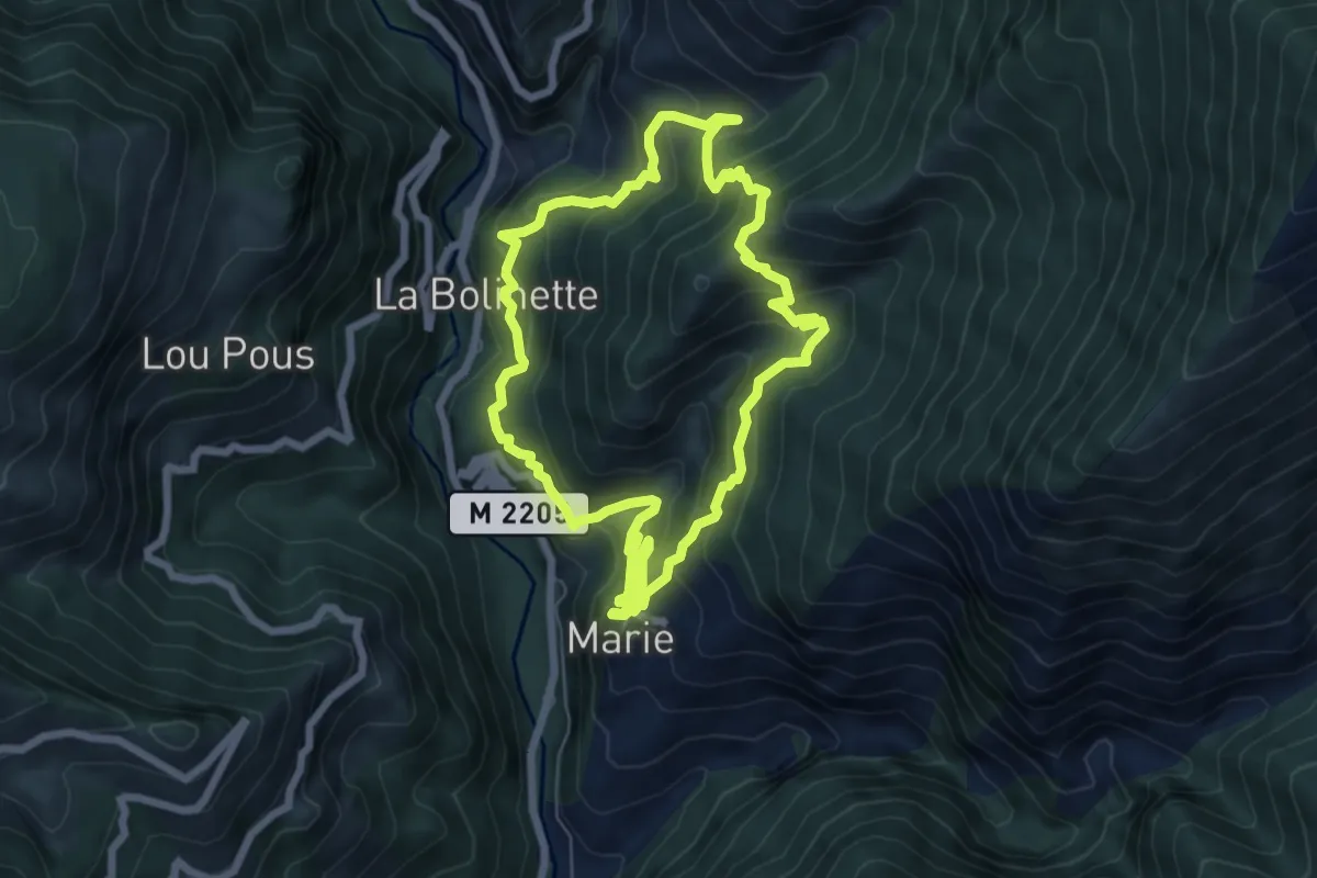
Medium · Trail
Pointe de Clamia
6.7 km · ↑ 659 m · 3 h 6 min
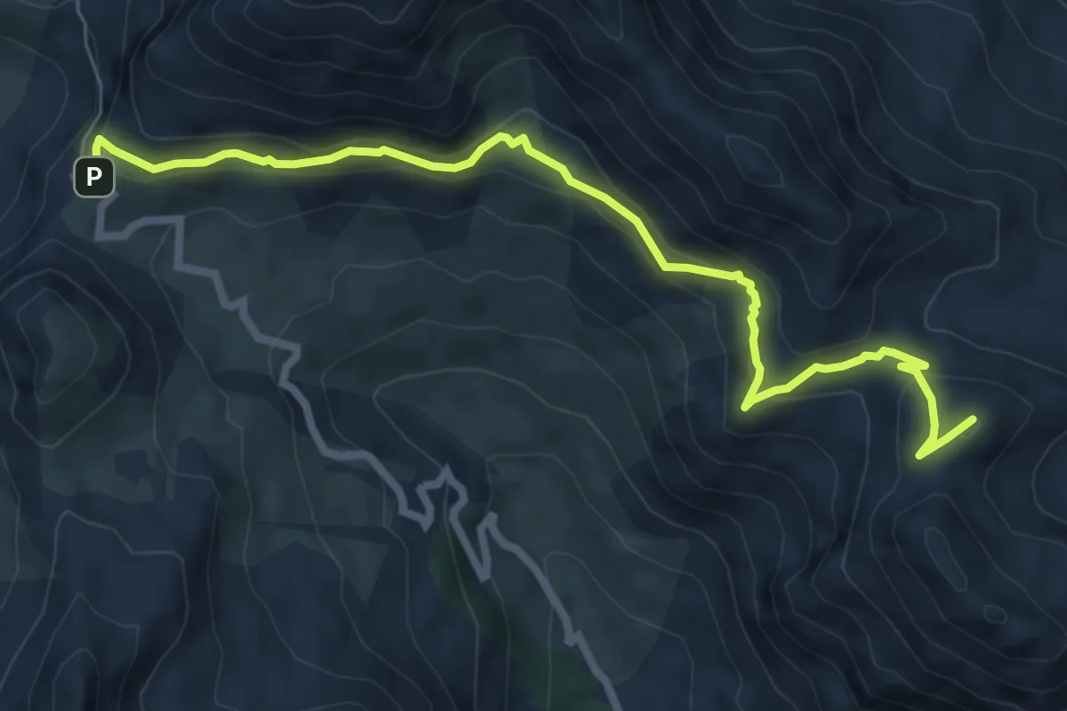
Medium · Summit
Pointe de Colombart
7.9 km · ↑ 436 m · 2 h 48 min