Trails in France
15,926 hiking trails, each with its route, climb, walking time and grade.
All trails, page 222 of 332
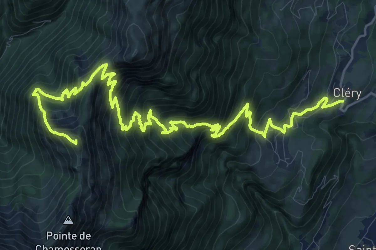
Demanding · Summit
Pointe de la Fougère
19.0 km · ↑ 1829 m · 8 h 26 min
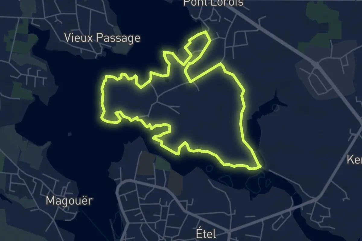
Easy · Trail
Pointe de Larmor
6.0 km · ↑ 28 m · 1 h 33 min
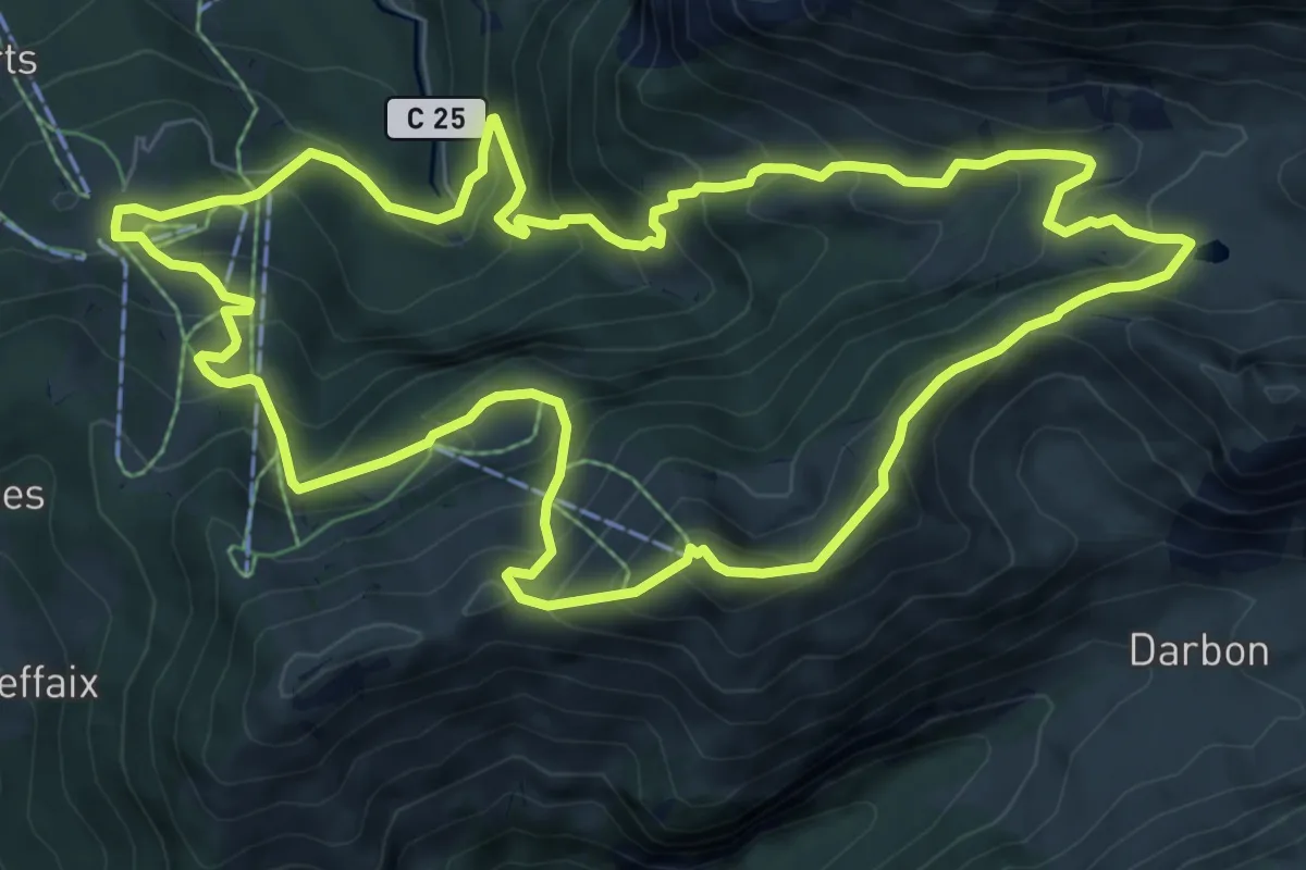
Medium · Summit
Pointe de Pelluaz par Chalets d'Oche
8.6 km · ↑ 687 m · 3 h 38 min
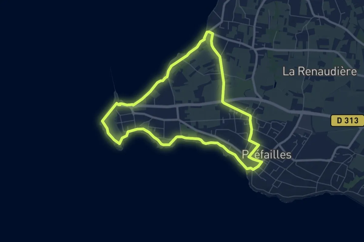
Easy · Trail
Pointe Saint-Gildas
7.2 km · ↑ 26 m · 1 h 51 min
Easy · Trail
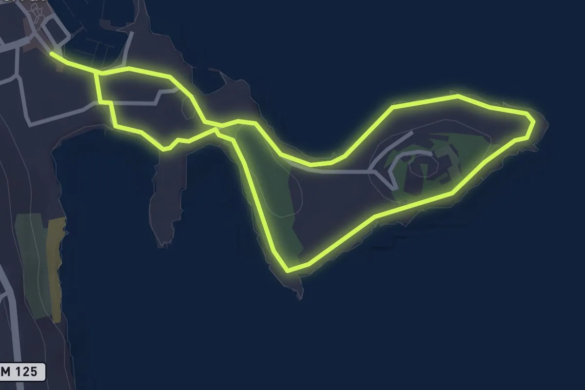
Pointe Saint-Hospice
3.0 km · ↑ 19 m · 47 min
Medium · Trail
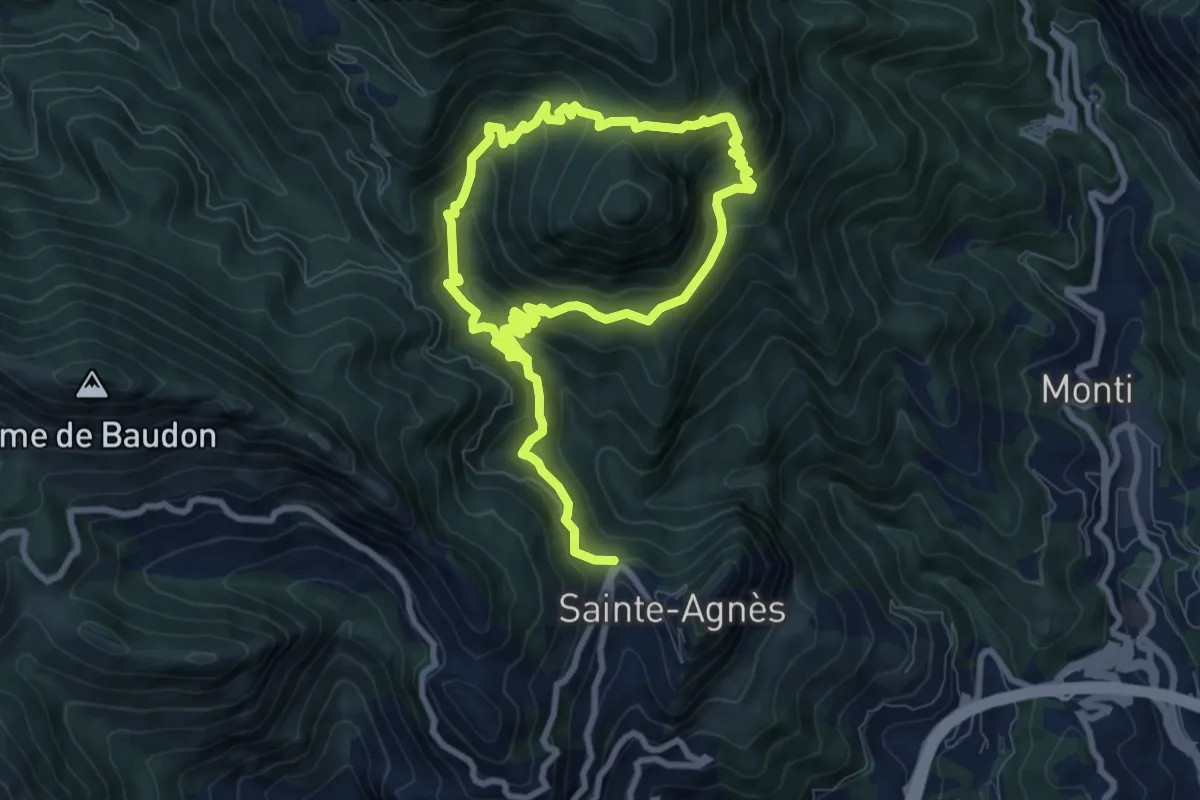
Pointe Siricocca
7.2 km · ↑ 498 m · 2 h 53 min
Easy · Summit
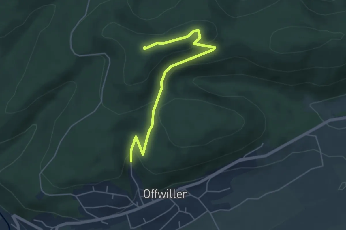
Point rouge
4.1 km · ↑ 149 m · 1 h 18 min
Demanding · Summit
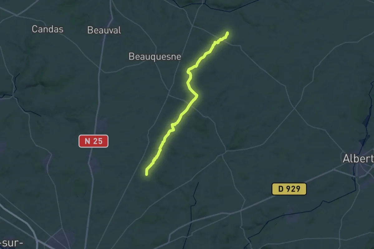
Pommera - Molliens-au-Bois
34.9 km · ↑ 381 m · 9 h 4 min
Easy · Trail
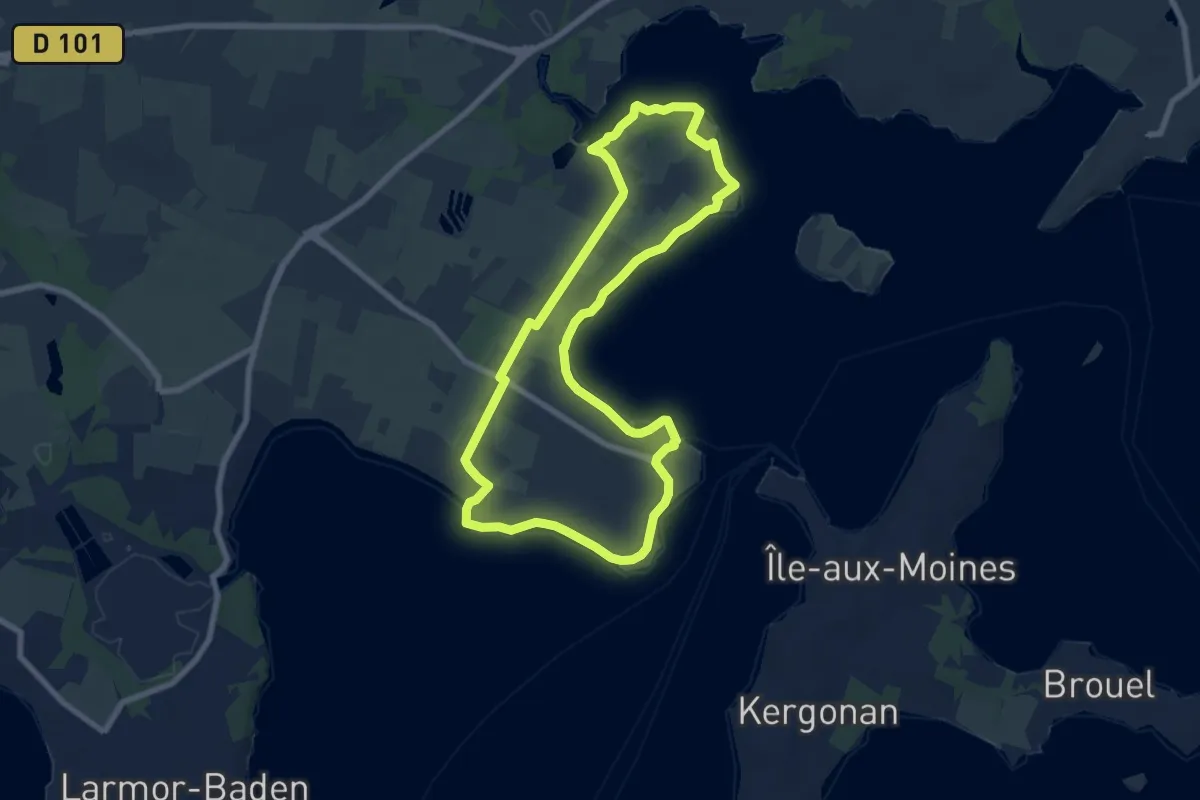
Pomper - Port Blanc
7.5 km · ↑ 33 m · 1 h 57 min
Easy · Trail
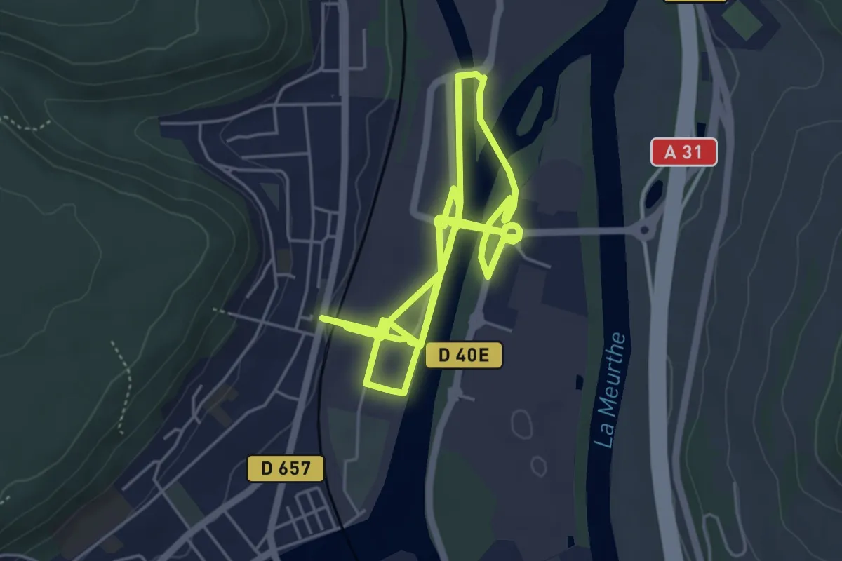
Pompey, de la fonte à l'acier
4.9 km · ↑ 30 m · 1 h 18 min
Medium · Trail
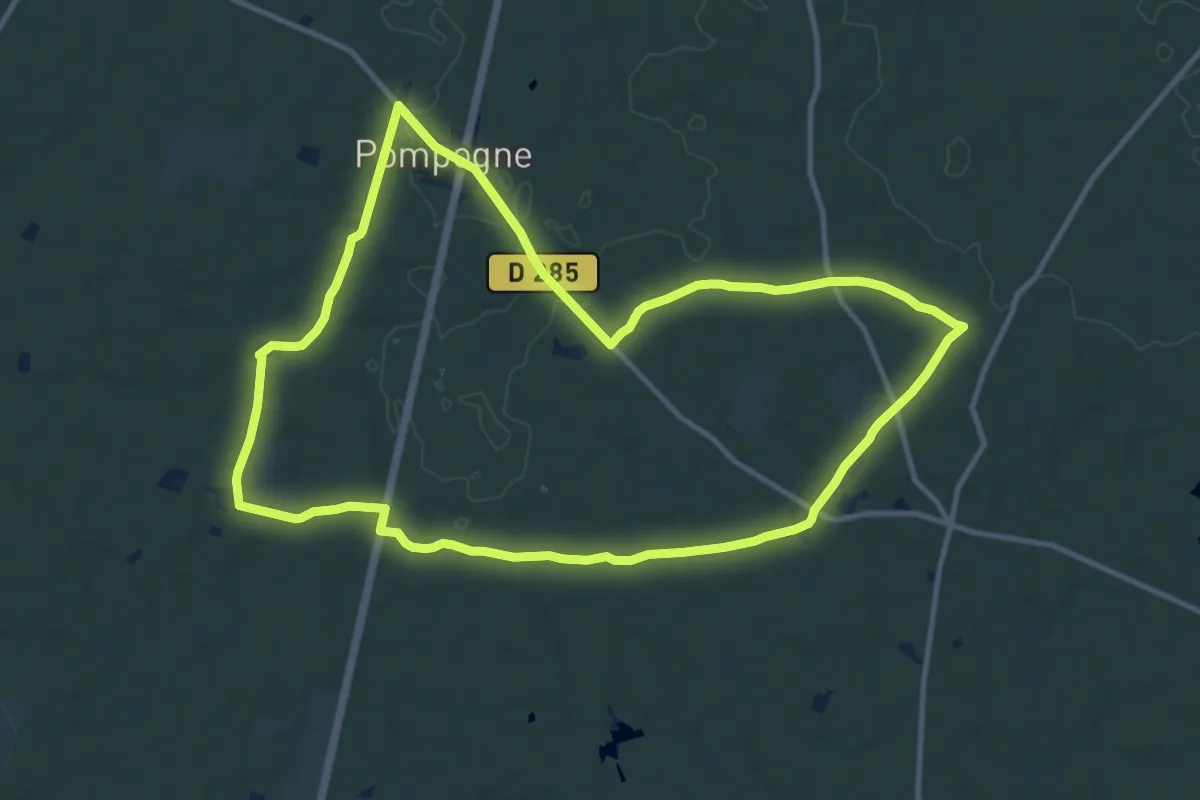
Pompogne, le clocher et le pin - 12.3 km
12.1 km · ↑ 78 m · 3 h 12 min
Easy · Trail
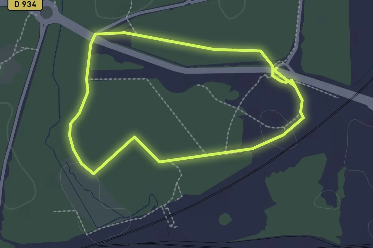
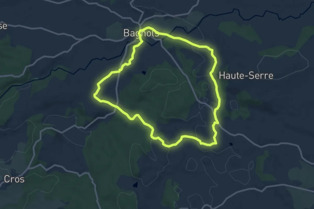
Pomponne
2.1 km · ↑ 4 m · 33 min
Medium · Trail
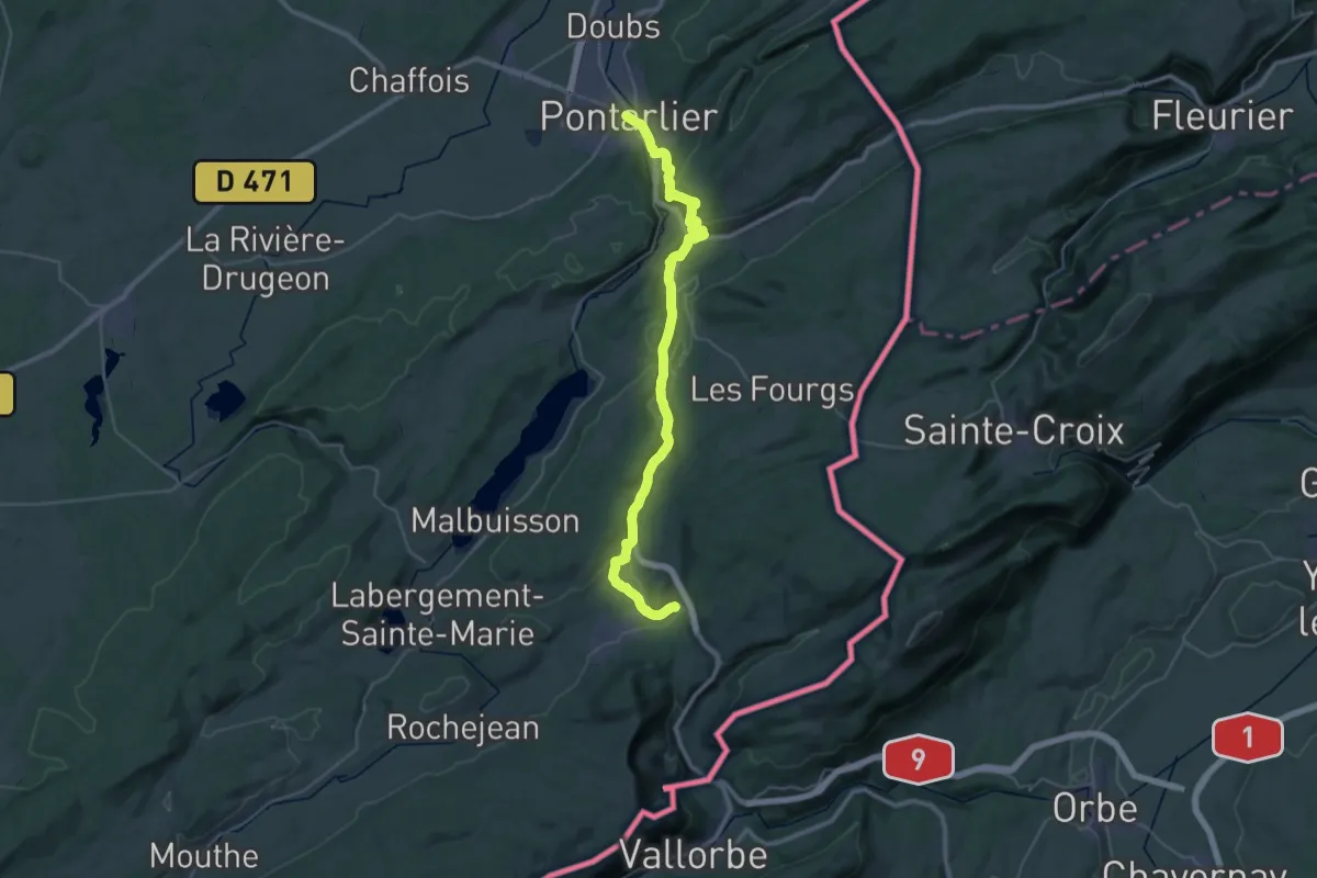
Ponchet
8.3 km · ↑ 153 m · 2 h 24 min
Demanding · Trail
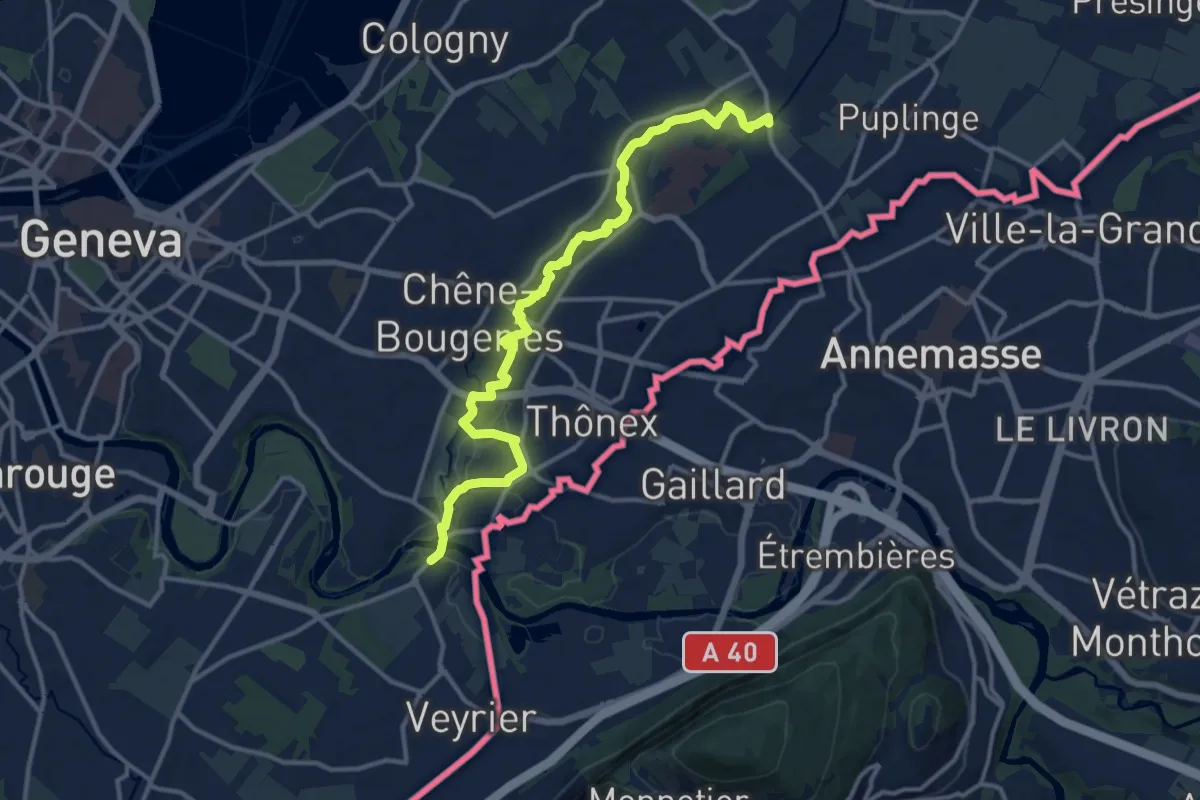
Pontarlier to Les Hôpitaux-Neufs
19.8 km · ↑ 645 m · 6 h 16 min
Medium · Trail
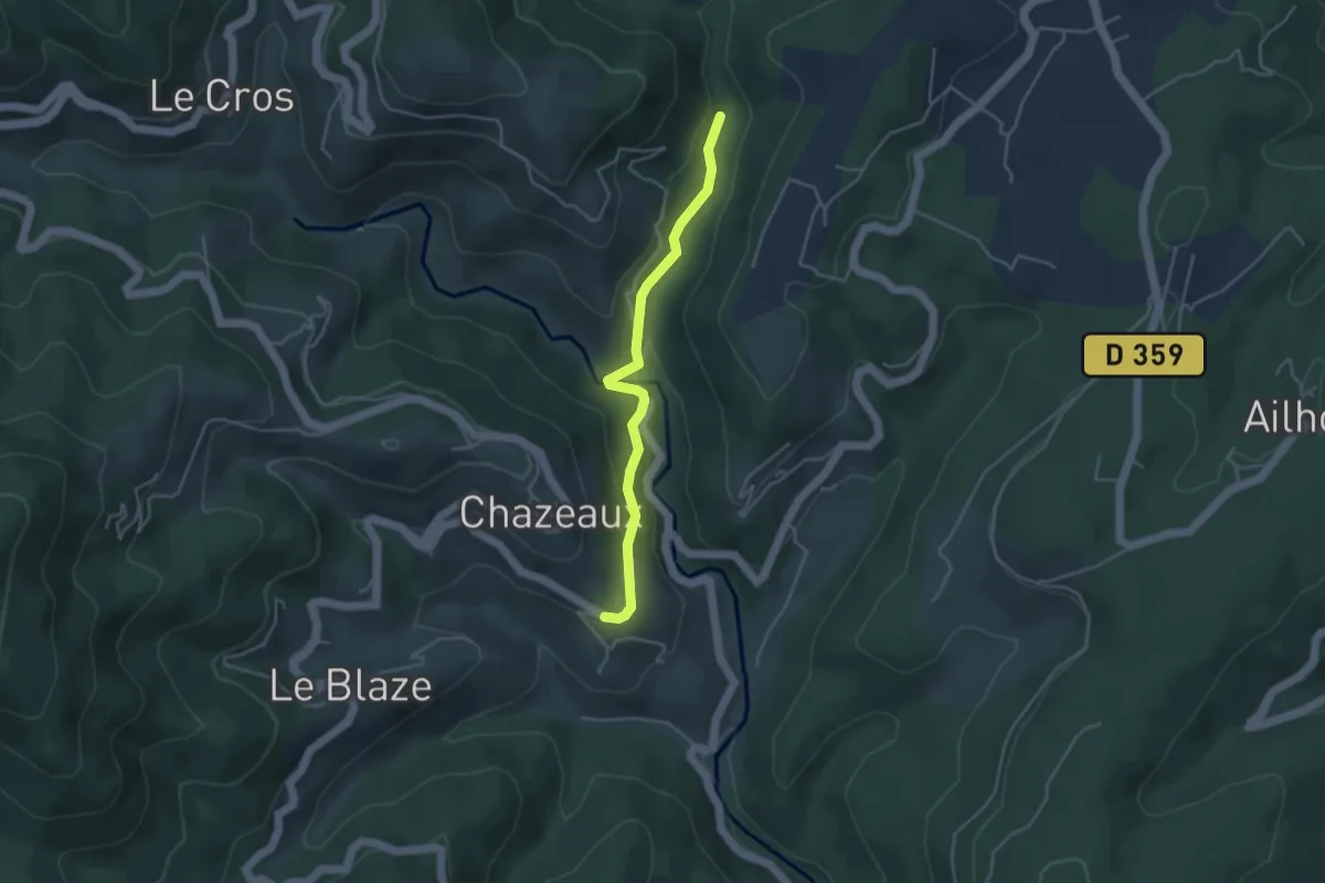
Pont Bochet - Sierne Veyrier
14.2 km · ↑ 63 m · 3 h 29 min
Easy · Trail
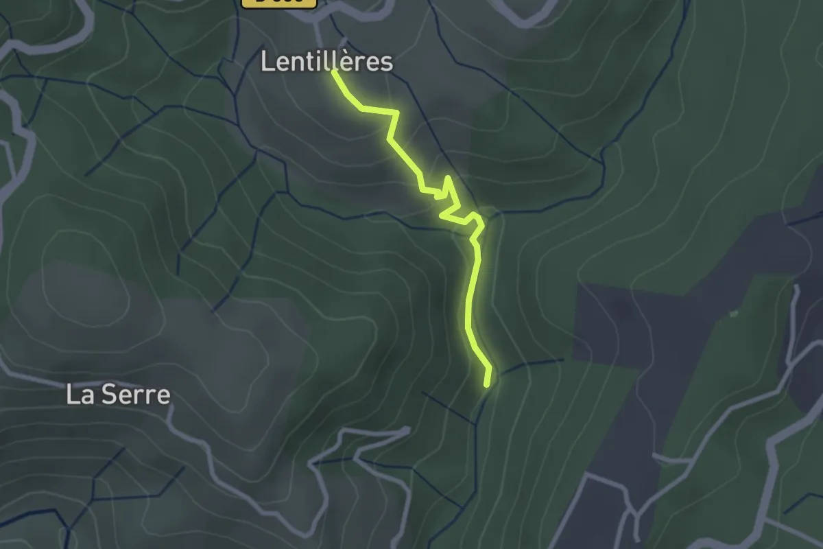
Pont d'Aigueneyre - La Coste
3.9 km · ↑ 116 m · 1 h 11 min
Easy · Trail
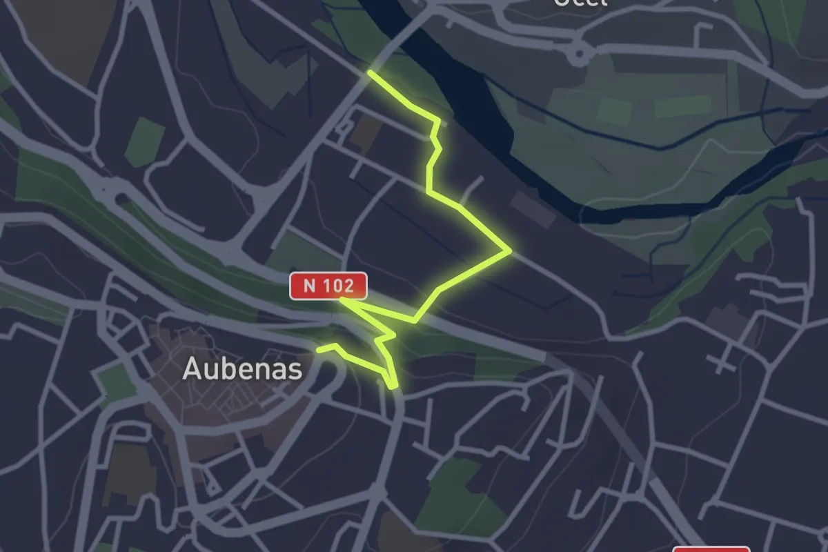
Pont d'Aigueneyre - L'École
2.2 km · ↑ 118 m · 46 min
Easy · Trail
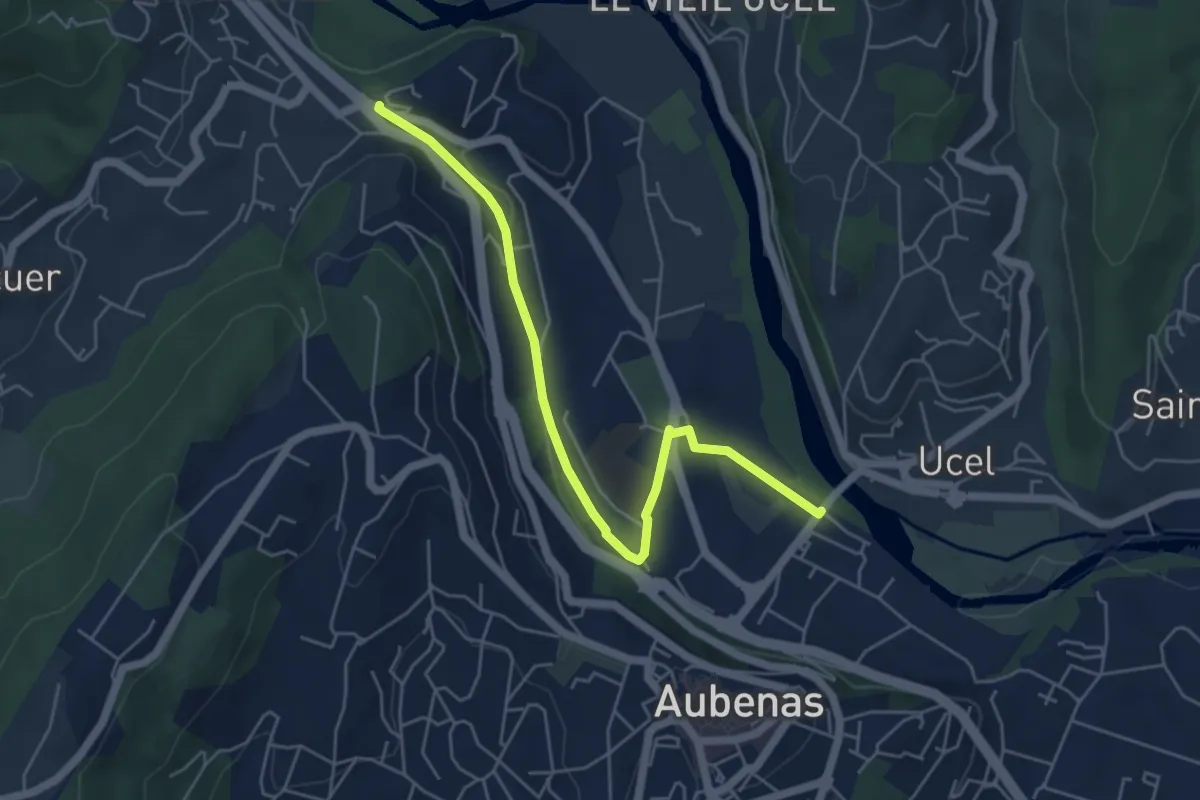
Pont d'Aubenas - L'Airette
2.8 km · ↑ 84 m · 51 min
Easy · Trail
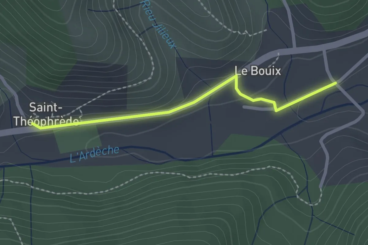
Pont d'Aubenas - La Temple
5.6 km · ↑ 62 m · 1 h 28 min
Easy · Trail
Pont de Bouix - Barnas
2.0 km · ↑ 25 m · 32 min
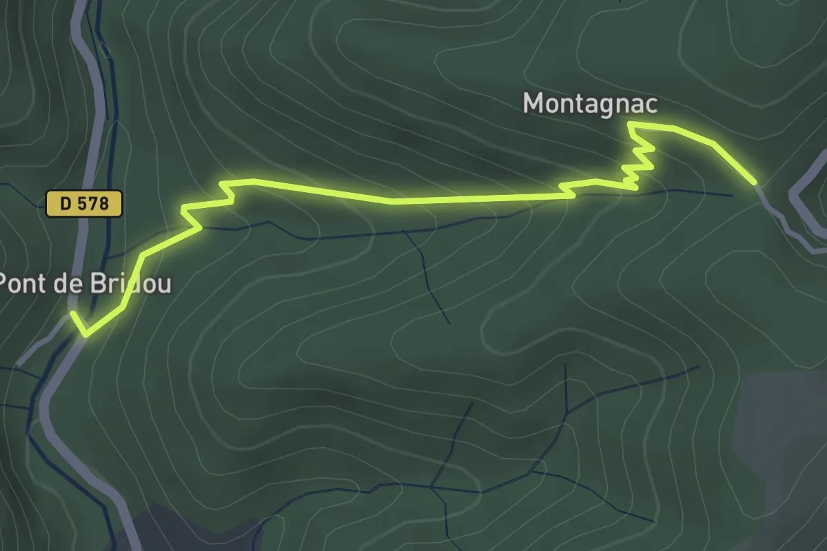
Easy · Trail
Pont de Bridou - Col de Montagnac
3.7 km · ↑ 254 m · 1 h 25 min
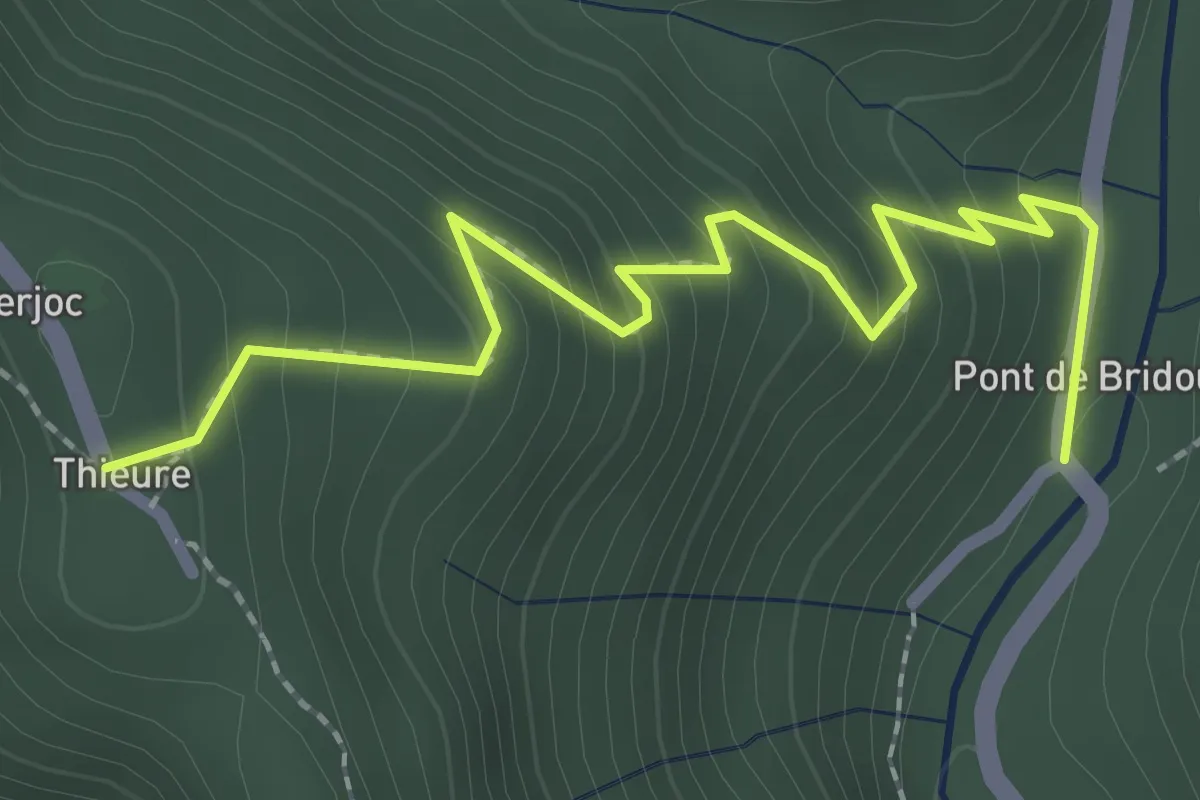
Easy · Trail
Pont de Bridou - Thieure
2.7 km · ↑ 243 m · 1 h 10 min
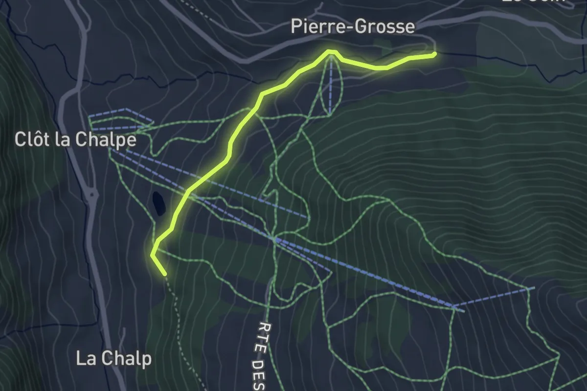
Easy · Trail
Pont de Chanterane - Clot Gauthier
3.8 km · ↑ 112 m · 1 h 8 min
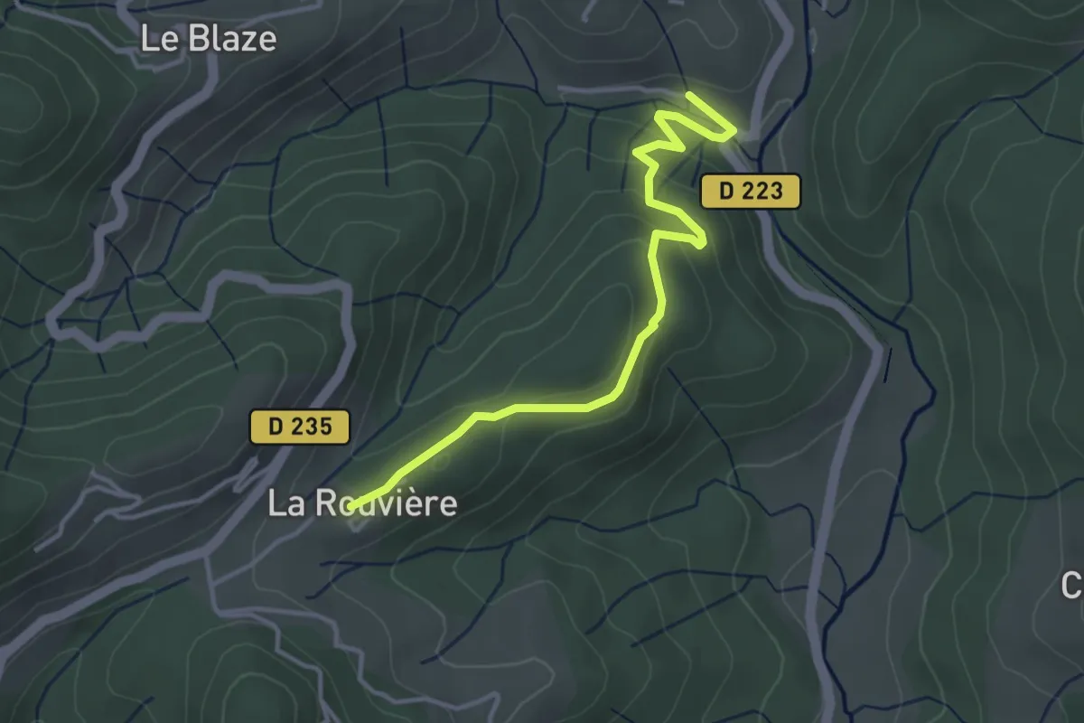
Easy · Trail
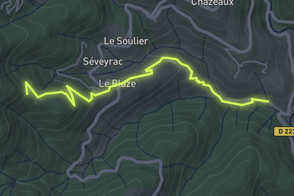
Pont de Charbonnier - La Rouvière
3.8 km · ↑ 132 m · 1 h 11 min
Easy · Trail
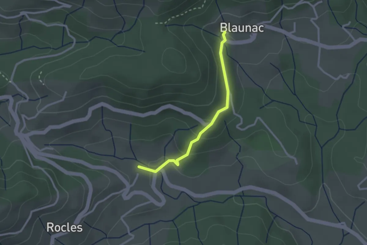
Pont de Charbonnier - L'Hubac
5.1 km · ↑ 256 m · 1 h 45 min
Easy · Trail
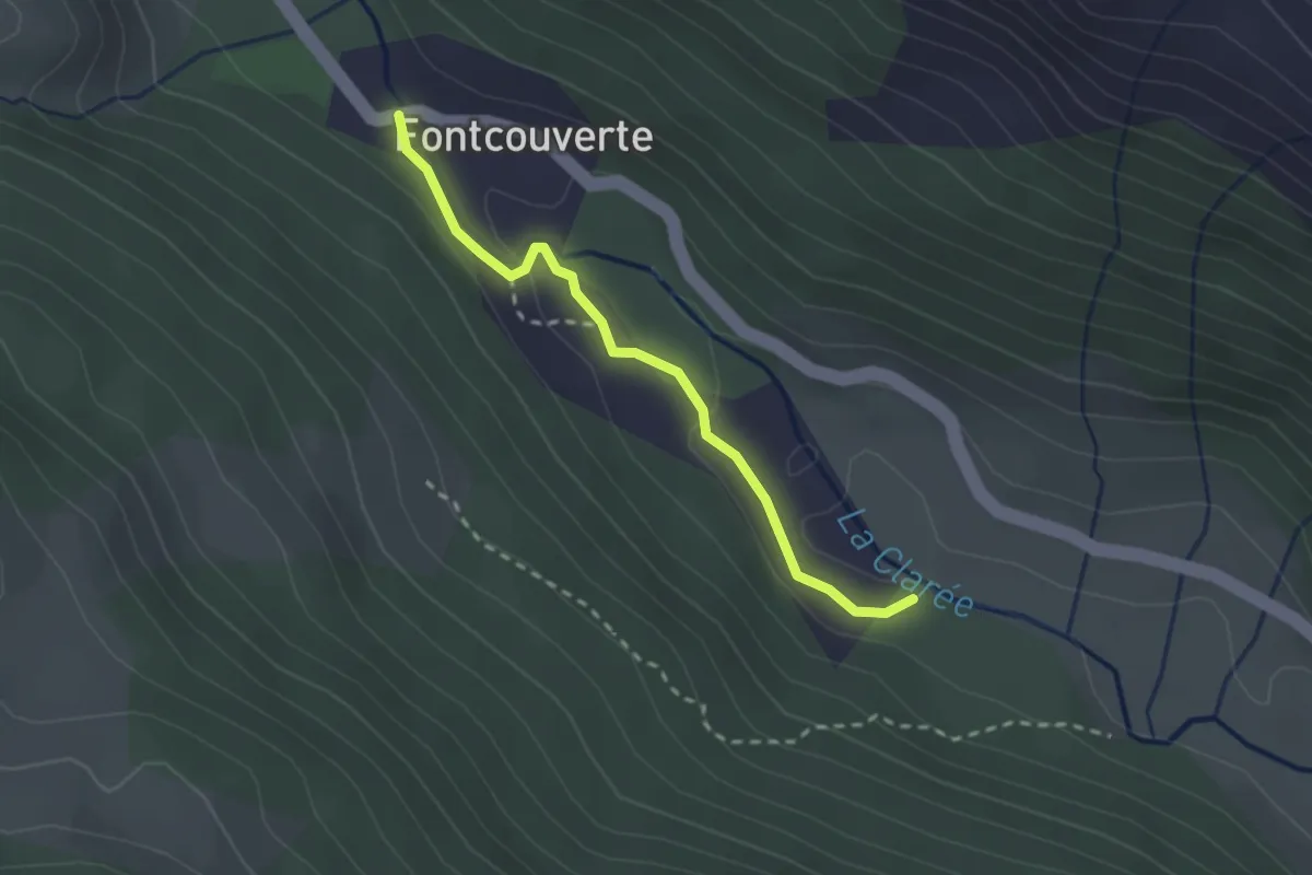
Pont de Charles - Blaunac
2.2 km · ↑ 67 m · 40 min
Medium · Trail
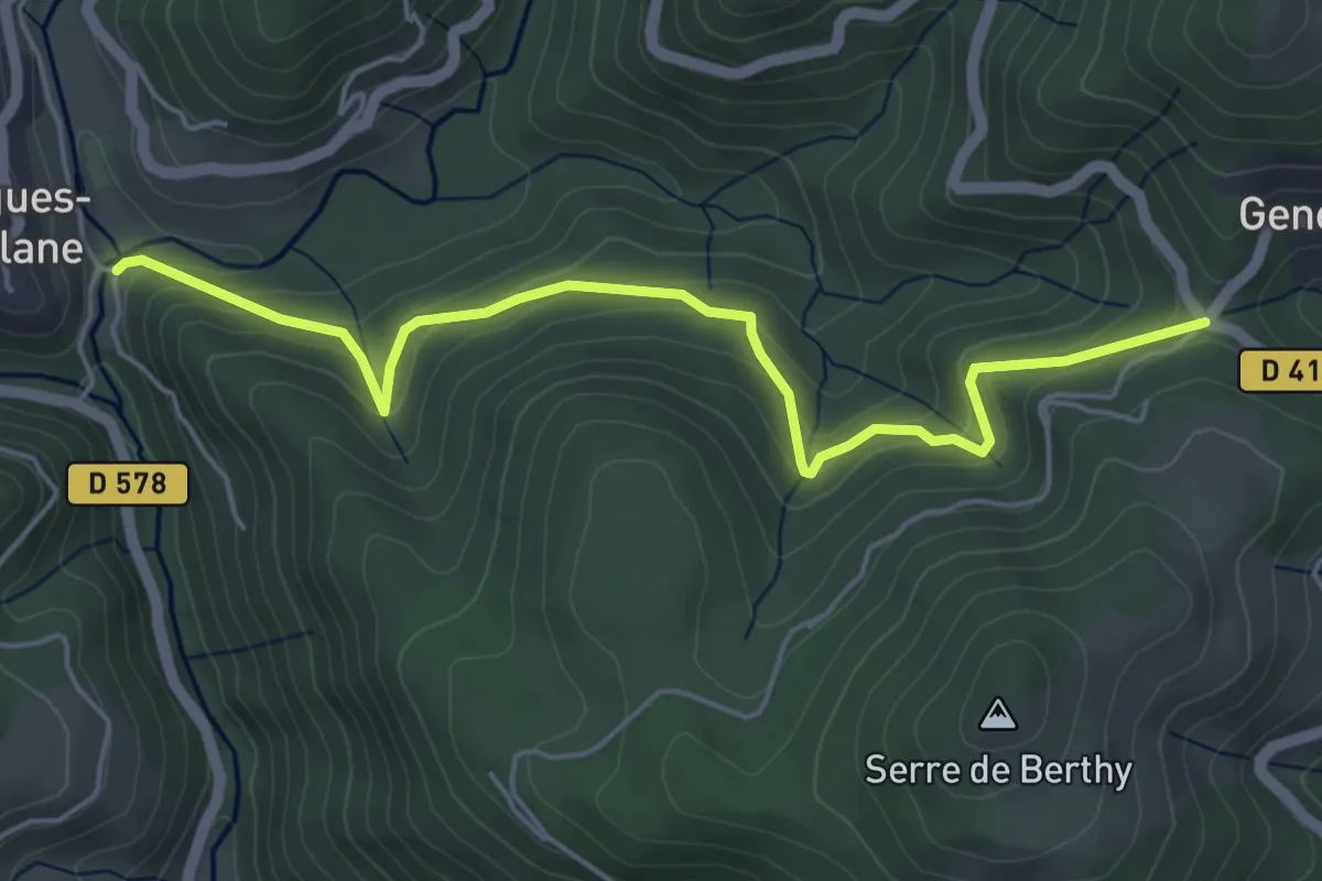
Pont de Foncouverte - ?
2.3 km · ↑ 71 m · 42 min
Medium · Trail
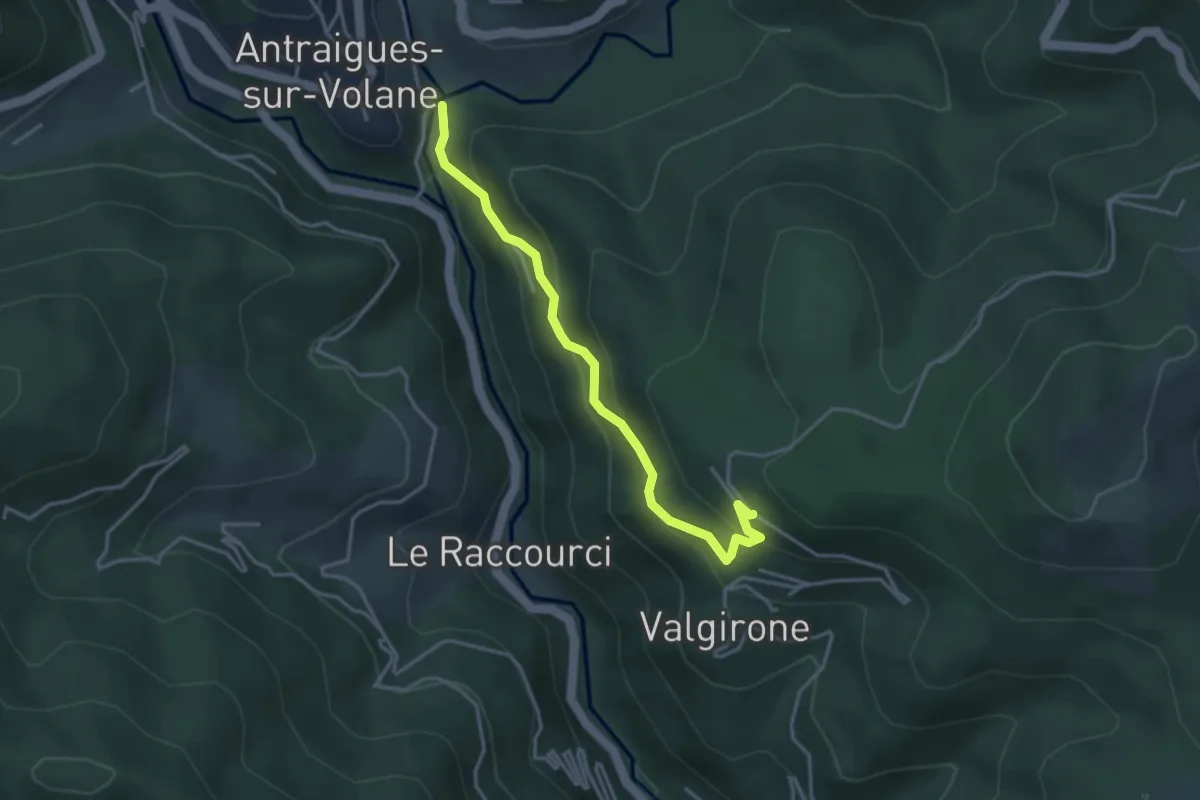
Pont de Gamond - Col de Genestelle
5.6 km · ↑ 371 m · 2 h 7 min
Easy · Trail
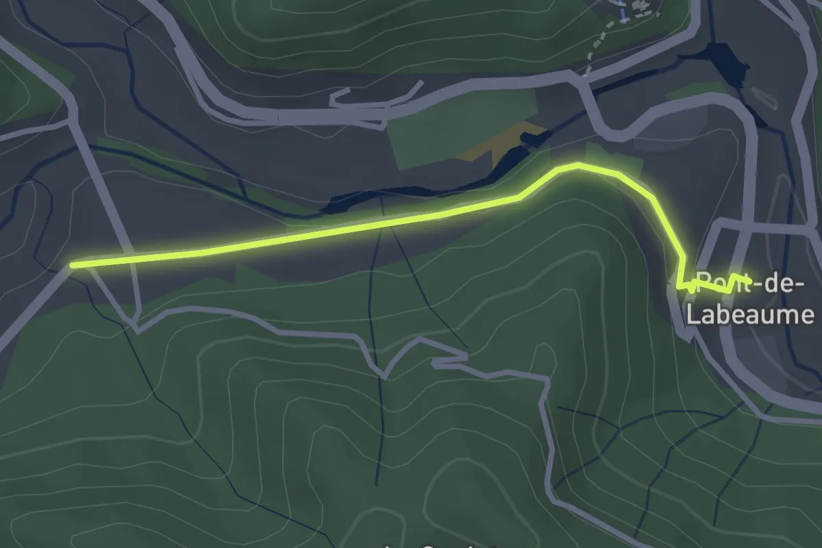
Pont de Gamond - Le Rouge
3.7 km · ↑ 255 m · 1 h 25 min
Easy · Trail
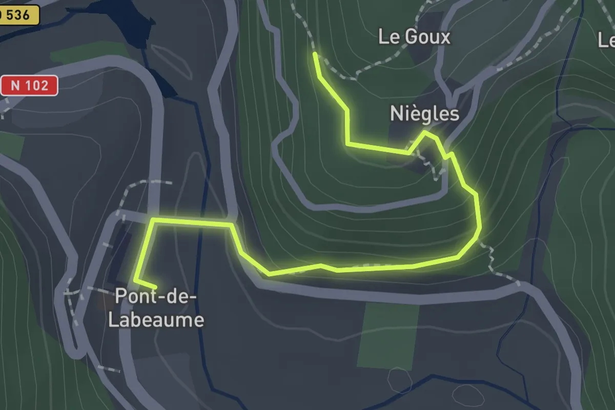
Pont de Labeaume - La Croisée de Réjus
2.8 km · ↑ 79 m · 50 min
Easy · Trail
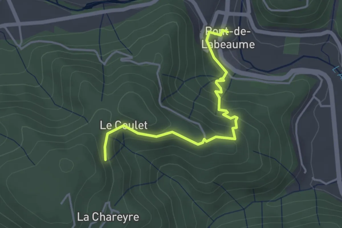
Pont de Labeaume - Le Goux
2.2 km · ↑ 137 m · 49 min
Easy · Trail
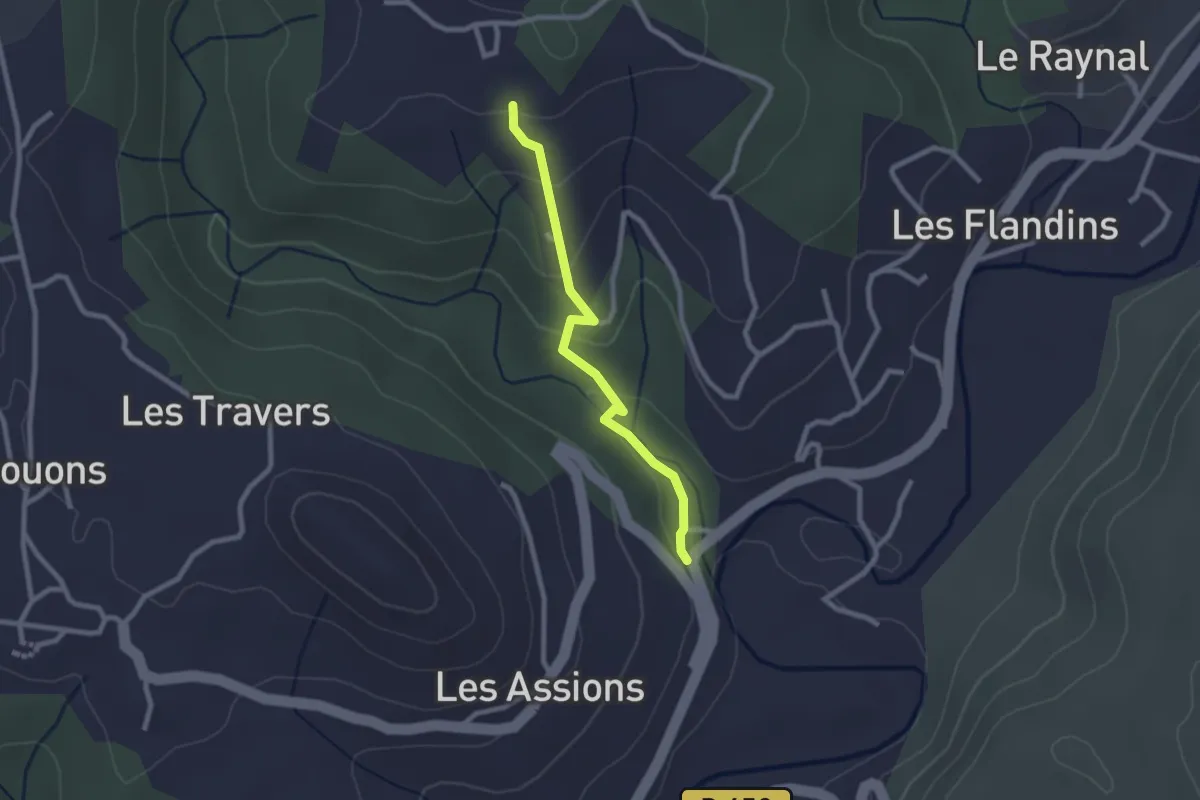
Pont de Labeaume - Les Traverses
3.7 km · ↑ 251 m · 1 h 25 min
Easy · Trail
Pont de la Boutonette - Champetier Haut
2.3 km · ↑ 88 m · 44 min
Medium · Trail
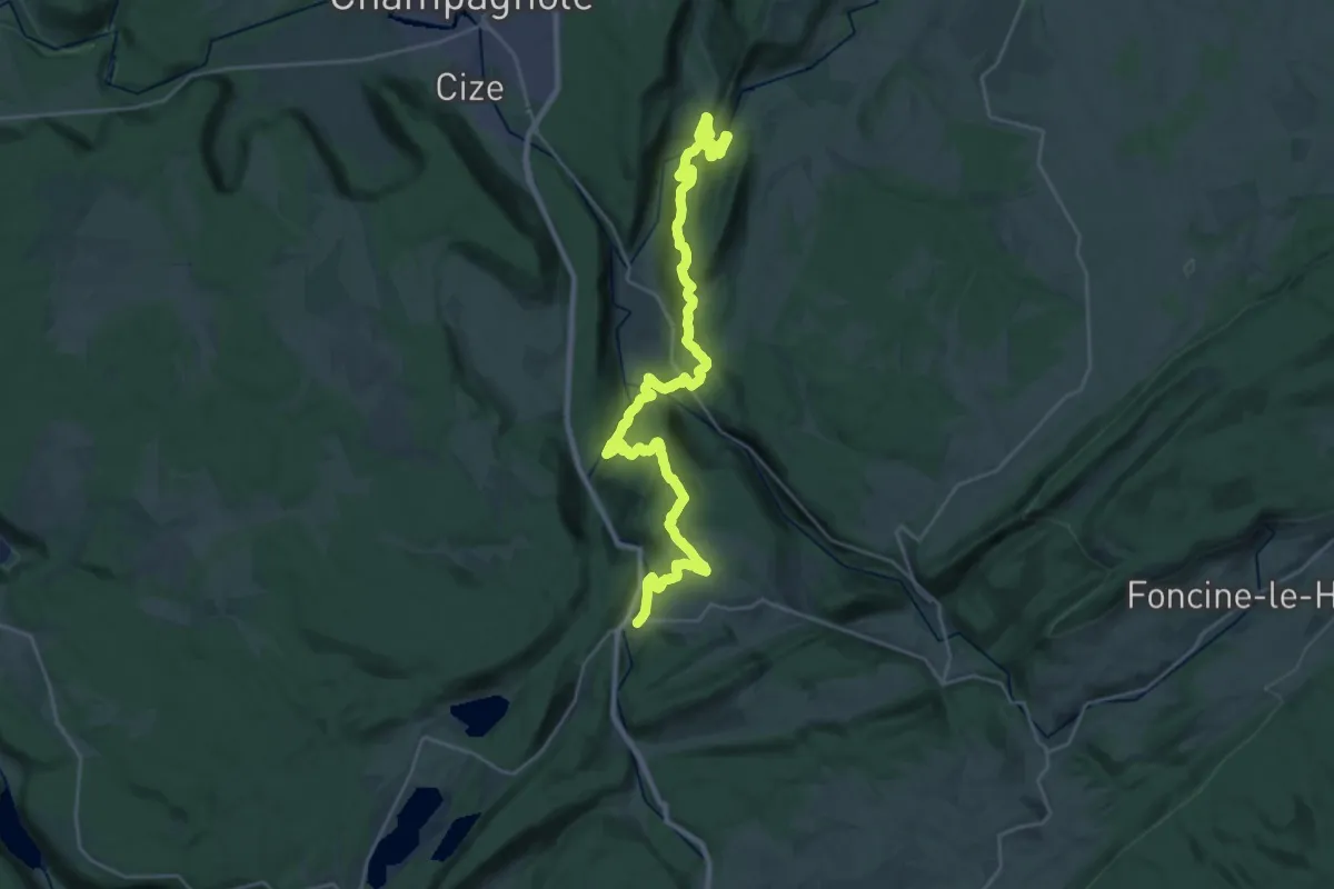
Pont de la Chaux - Bourg-de-Sirod
15.3 km · ↑ 590 m · 5 h 9 min
Easy · Trail
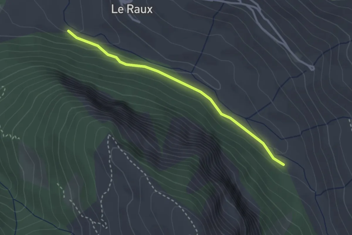
Pont de la Choumasse - Pont du Moulin
2.7 km · ↑ 72 m · 48 min
Easy · Trail
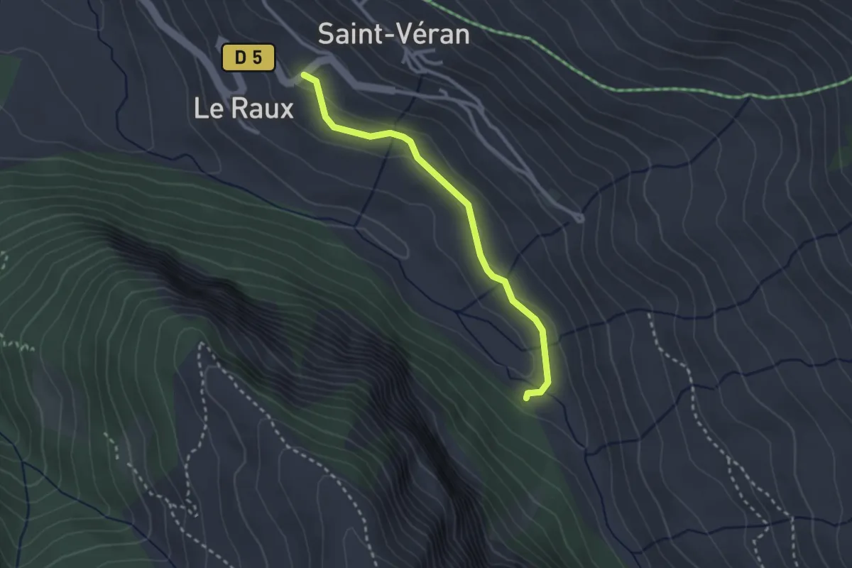
Pont de la Choumasse - Saint-Véran
2.6 km · ↑ 75 m · 47 min
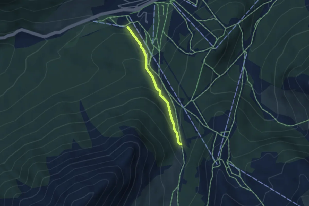
Medium · Trail
Pont de la Durance - Le Barral
2.7 km · ↑ 179 m · 1 h 1 min
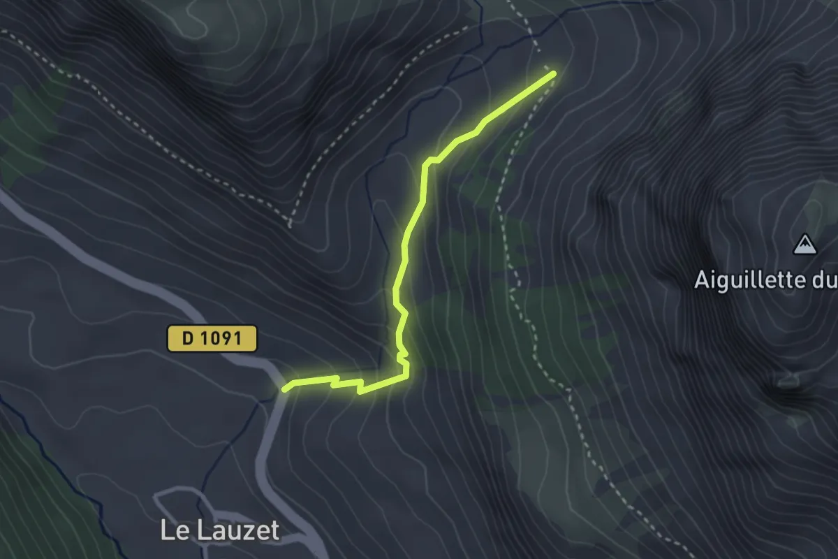
Medium · Trail
Pont de l'Alpe - ?
2.8 km · ↑ 233 m · 1 h 10 min
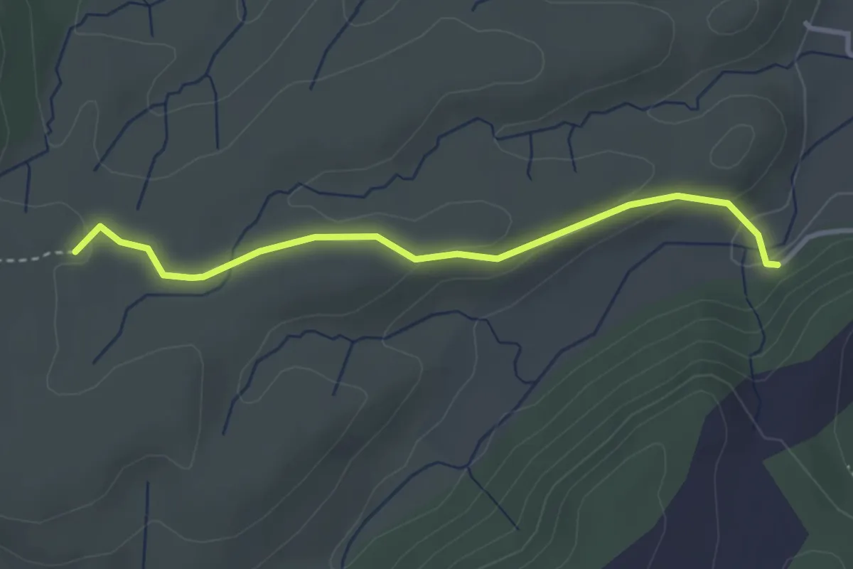
Easy · Trail
Pont de Lantousse - Chat du Devès
3.3 km · ↑ 73 m · 56 min
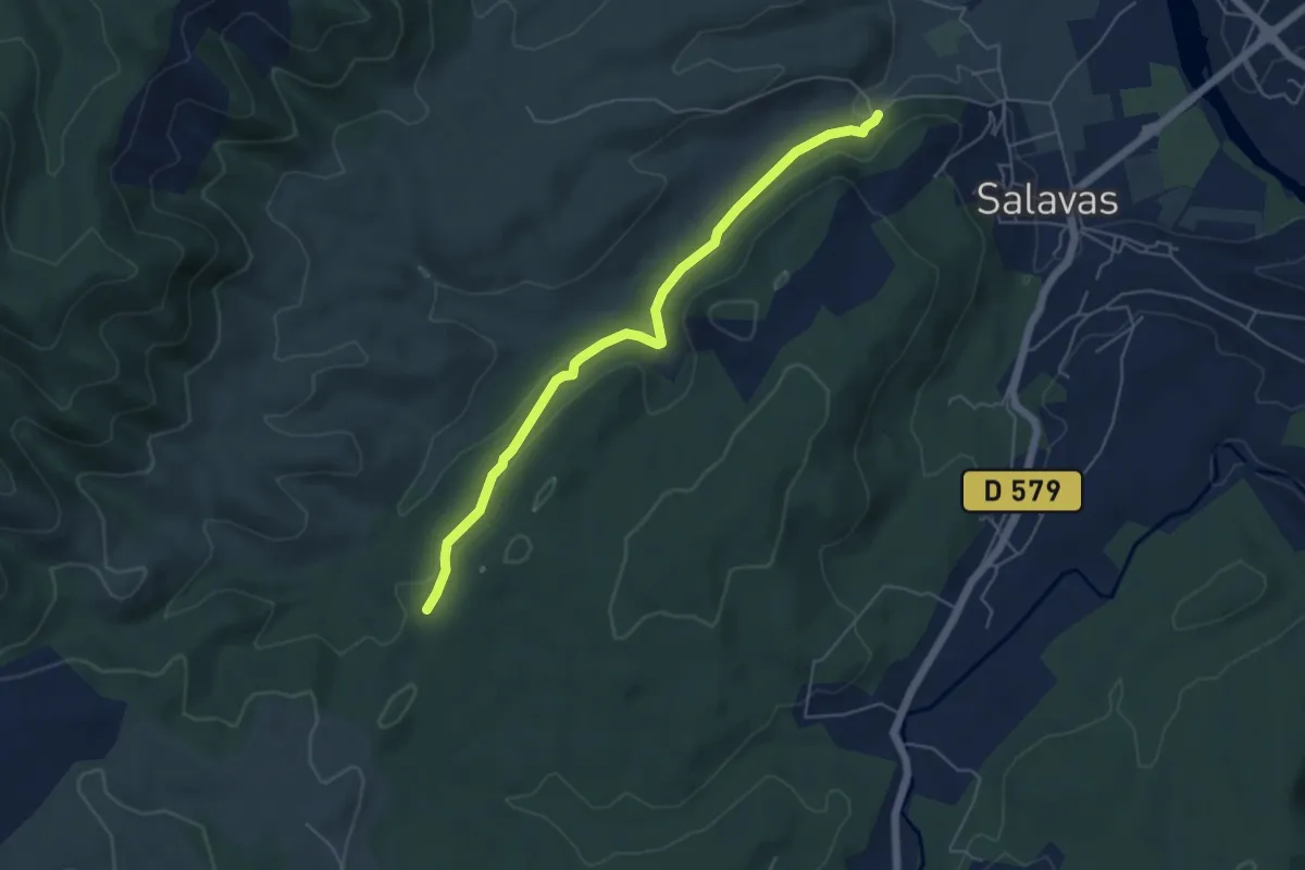
Easy · Trail
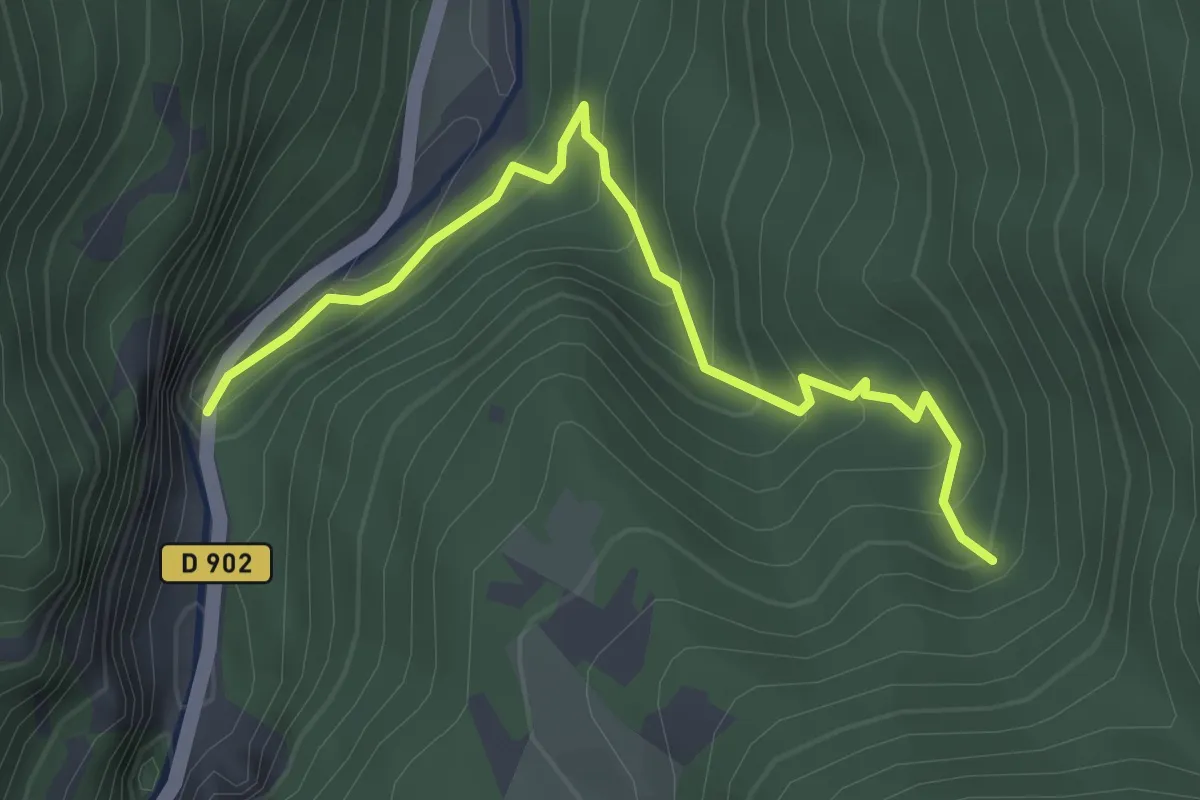
Pont de Lantousse - L'Épingle
5.4 km · ↑ 169 m · 1 h 39 min
Easy · Trail
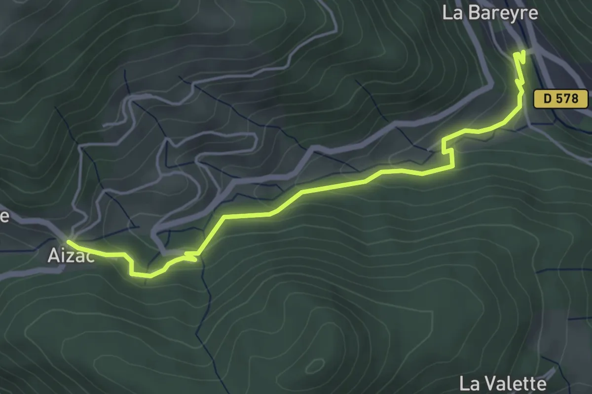
Pont de la Tête - Ravin de la Grande Combe
3.3 km · ↑ 278 m · 1 h 22 min
Easy · Trail
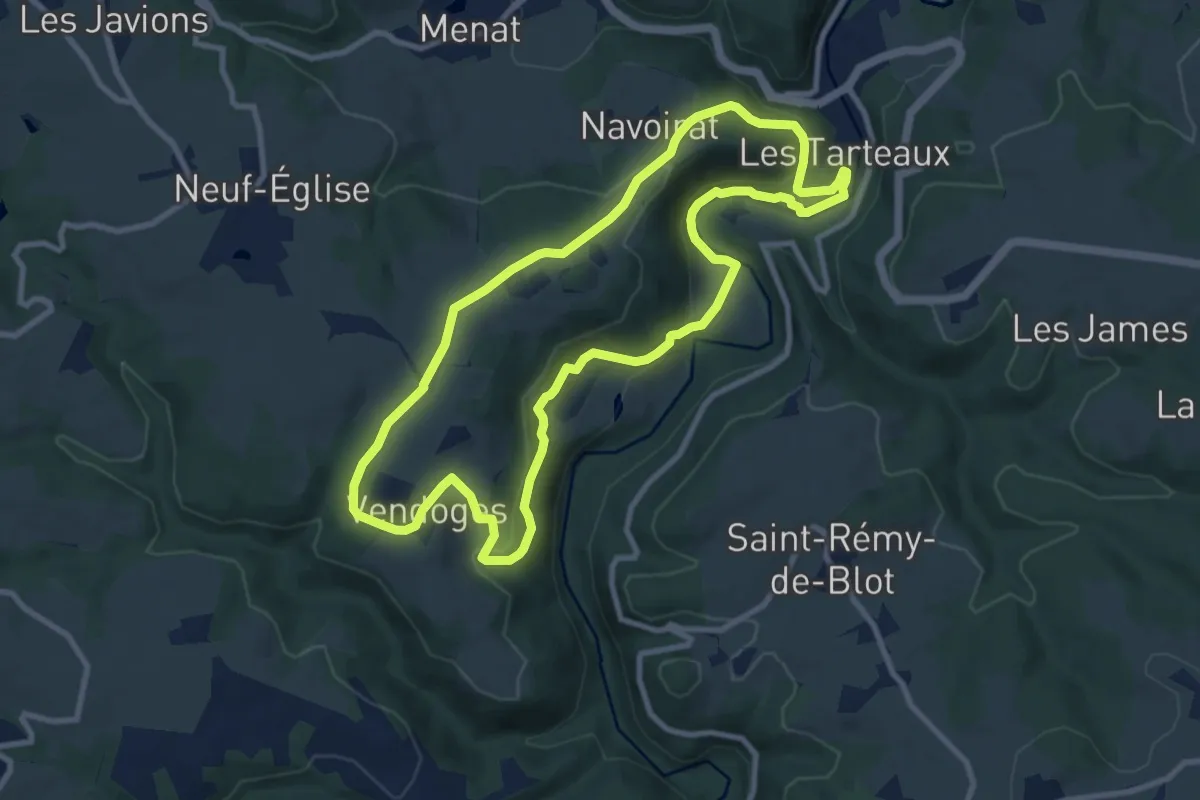
Pont de l'Huile - Col d'Aizac
4.8 km · ↑ 220 m · 1 h 37 min
Medium · Trail
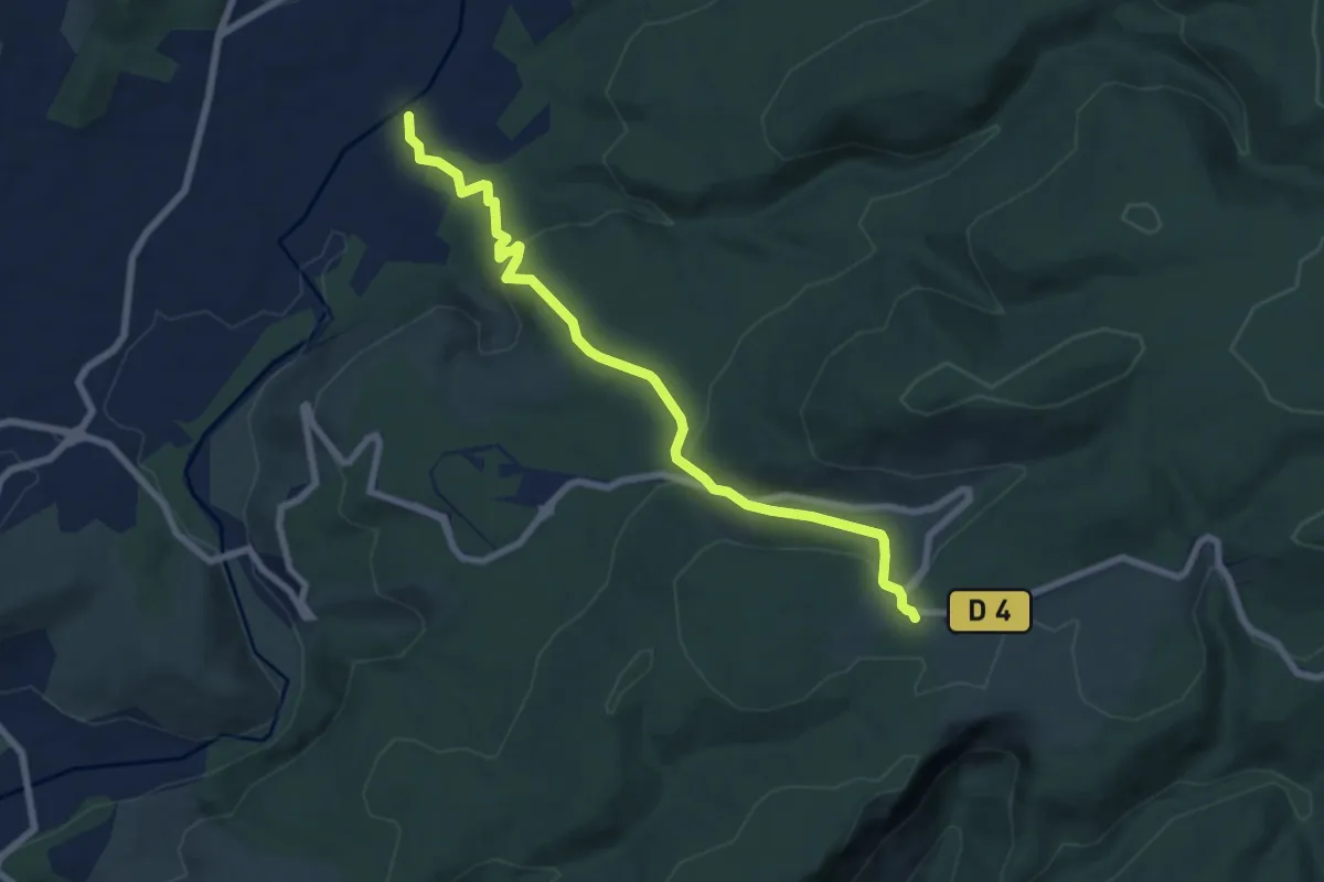
Pont de Menat
9.5 km · ↑ 263 m · 2 h 57 min
Medium · Trail
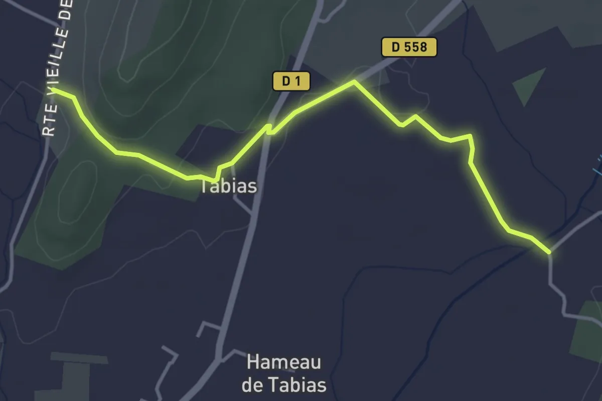
Pont de Miquenly - Le Razal
7.7 km · ↑ 327 m · 2 h 32 min
Easy · Trail
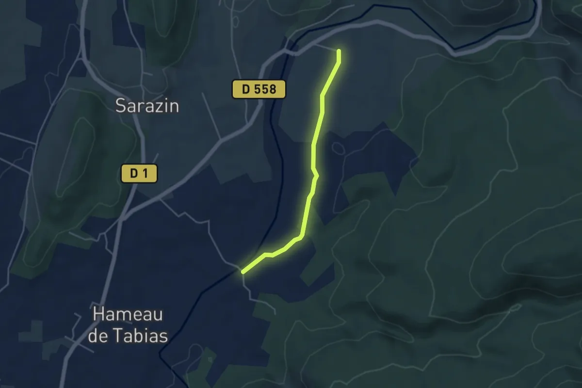
Pont de Miquenly - Sigaud
4.0 km · ↑ 64 m · 1 h 5 min
Easy · Trail
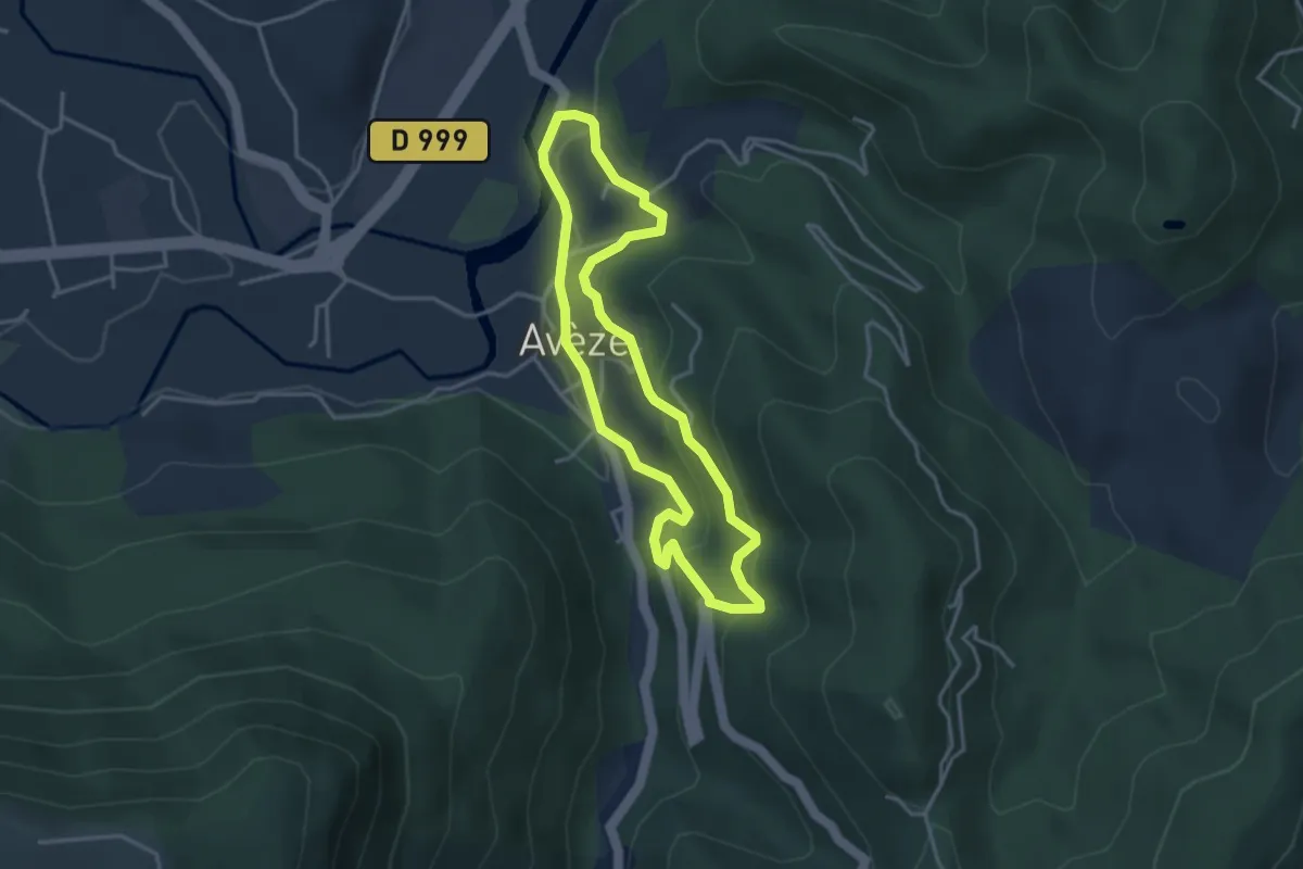
Pont de Miquenly - Vigier
3.6 km · ↑ 35 m · 55 min
Easy · Trail
Pont de Mousse
3.5 km · ↑ 156 m · 1 h 13 min
Demanding · Trail
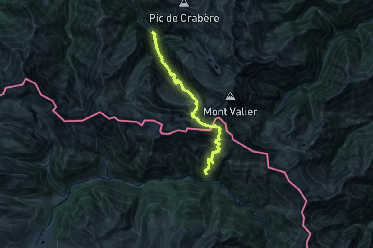
Pont de Pedrosa - Pla de la Lau
11.7 km · ↑ 1564 m · 6 h 1 min