Trails in France
15,926 hiking trails, each with its route, climb, walking time and grade.
All trails, page 223 of 332
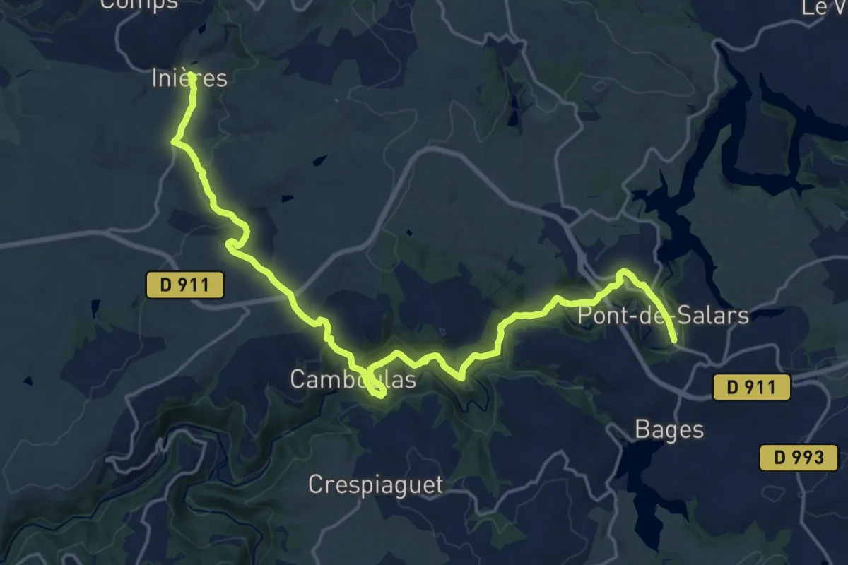
Demanding · Trail
Pont-de-Salars - Inières
23.1 km · ↑ 719 m · 7 h 1 min
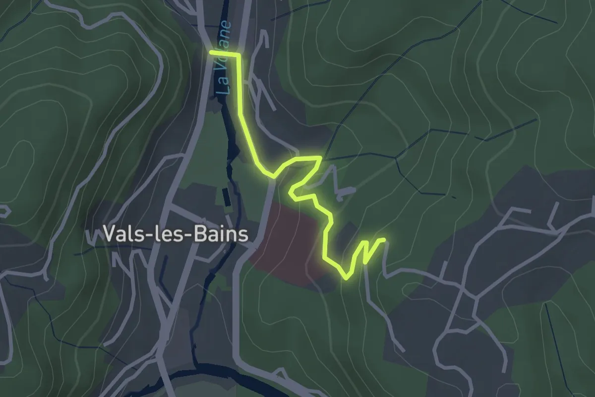
Easy · Trail
Pont des Deux Eaux - Bois Vert
2.6 km · ↑ 117 m · 53 min
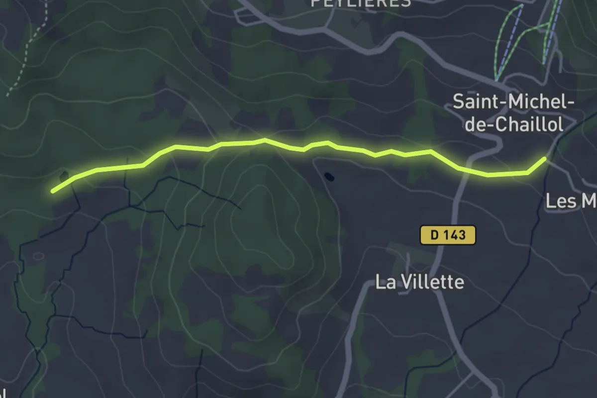
Easy · Trail
Pont des Marrons - Chahio Vieux
4.0 km · ↑ 99 m · 1 h 9 min
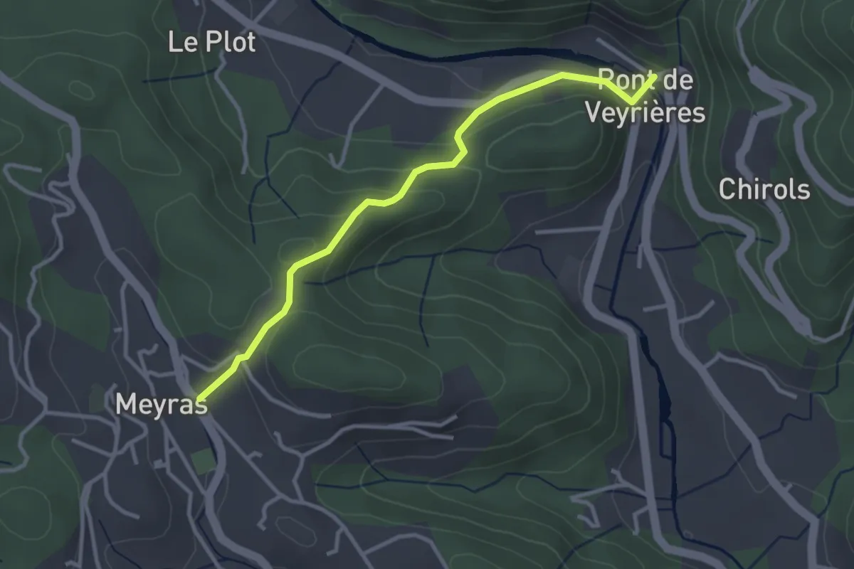
Easy · Trail
Pont de Veyrières - Le Champ
3.3 km · ↑ 140 m · 1 h 4 min
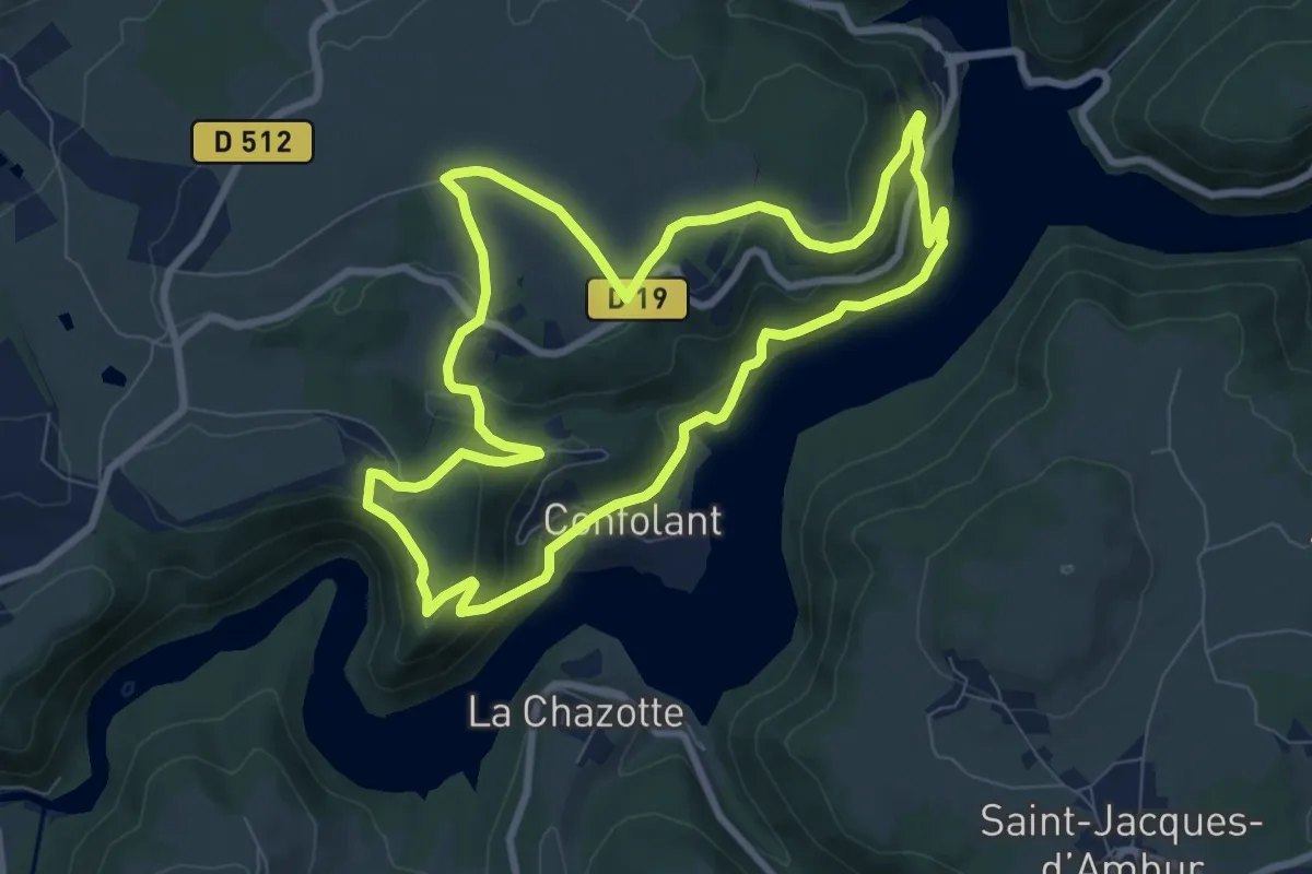
Medium · Trail
Pont du Bouchet
8.5 km · ↑ 319 m · 2 h 49 min
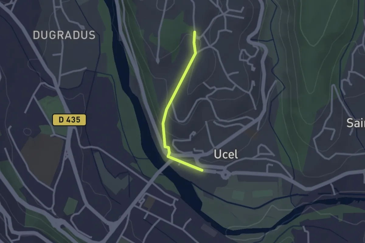
Easy · Trail
Pont d'Ucel - Villa Paradis
2.0 km · ↑ 74 m · 38 min
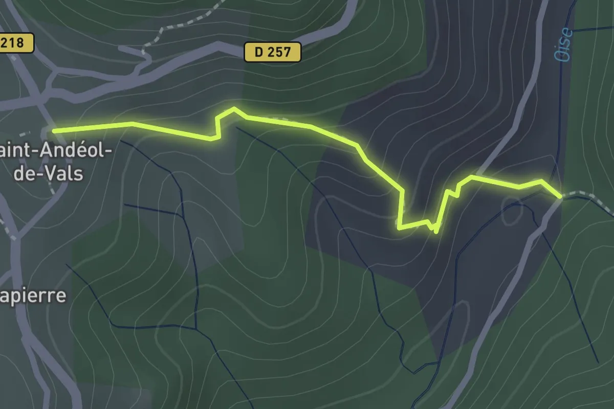
Easy · Trail
Pont du Devès - Village
2.0 km · ↑ 142 m · 47 min
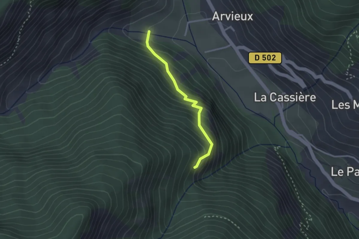
Easy · Trail
Pont du Vallon - Route du Devez L'Adroit
2.2 km · ↑ 242 m · 1 h 3 min
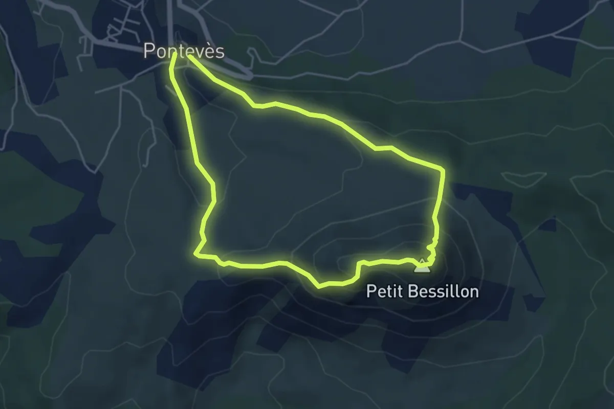
Demanding · Summit
Ponteves Petit Bessillon
4.3 km · ↑ 251 m · 1 h 37 min
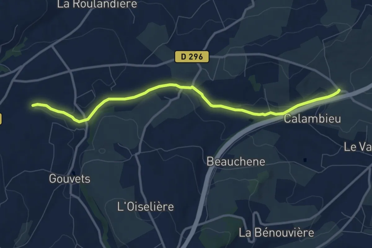
Medium · Trail
Pont-Farcy à Gouvets
8.1 km · ↑ 112 m · 2 h 9 min
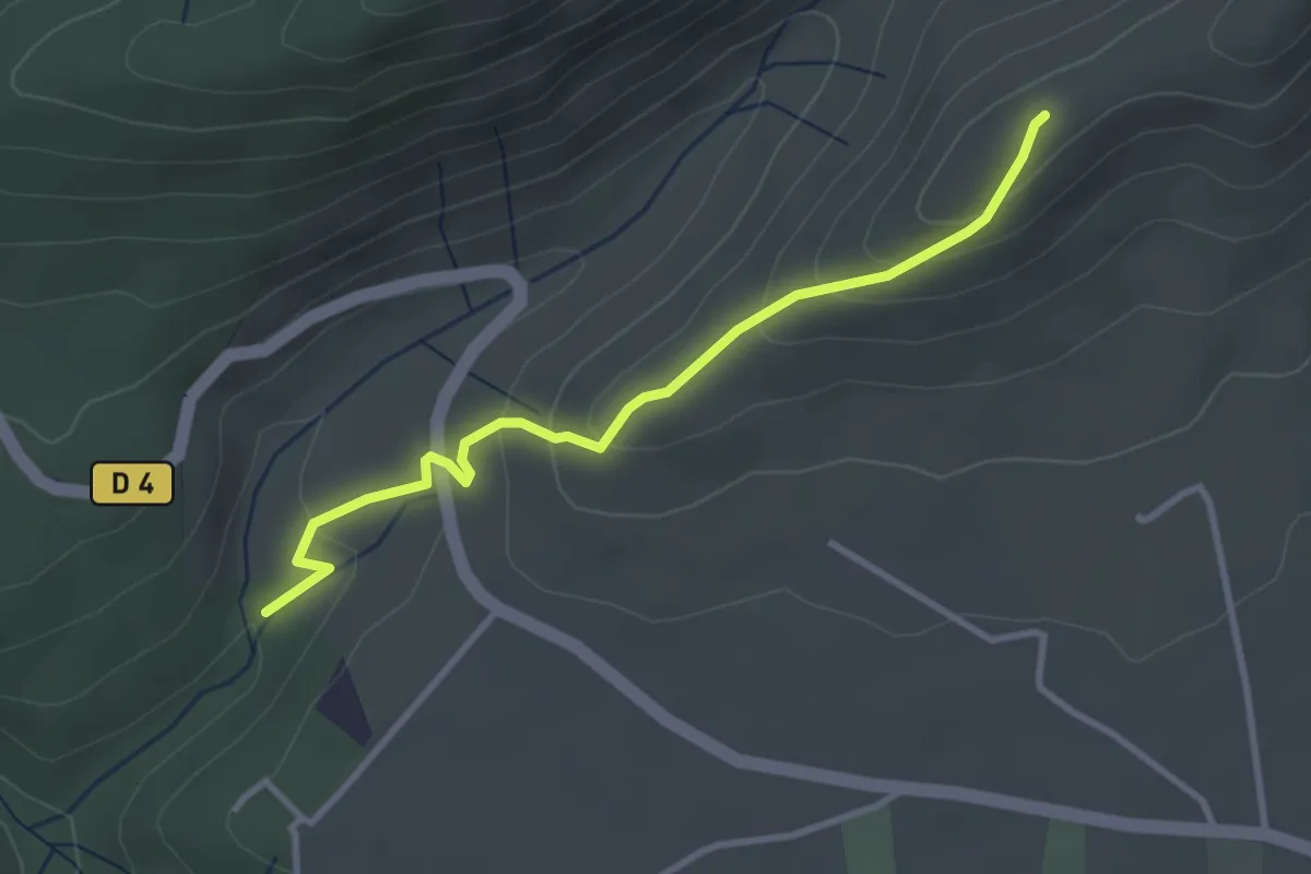
Easy · Trail
Pont Laval - Les Costes 2
3.3 km · ↑ 177 m · 1 h 10 min
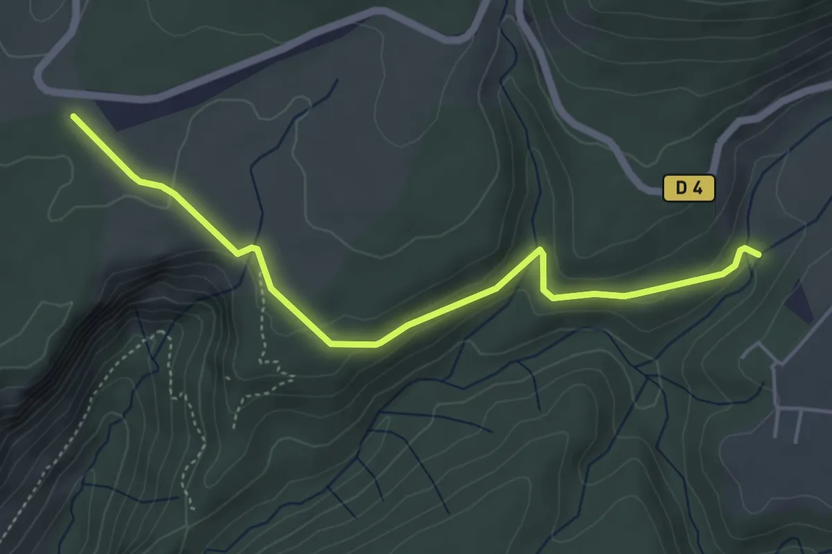
Easy · Trail
Pont Laval - Mayres
5.0 km · ↑ 107 m · 1 h 25 min
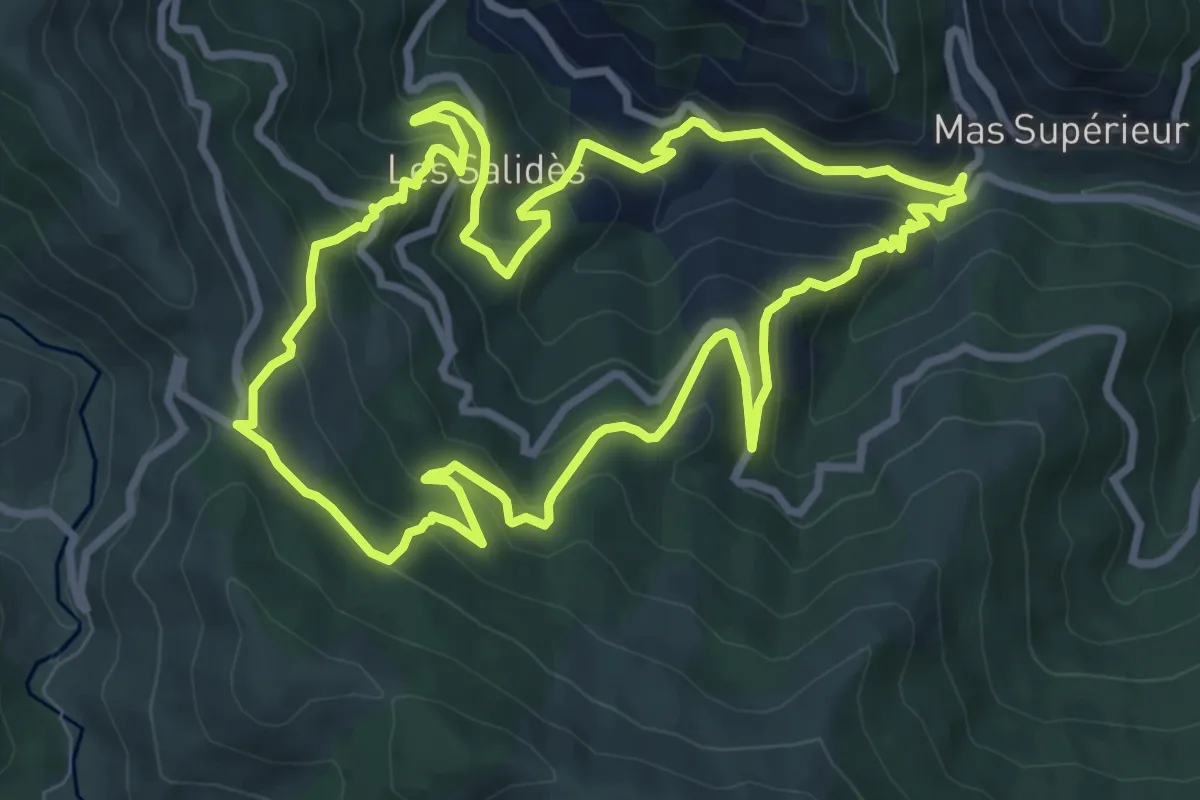
Medium · Trail
Pont Marès
9.2 km · ↑ 560 m · 3 h 31 min
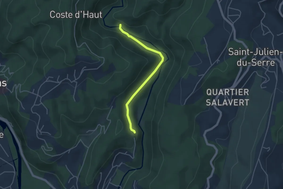
Easy · Trail
Pont Neuf - Bréchignac
3.5 km · ↑ 62 m · 58 min
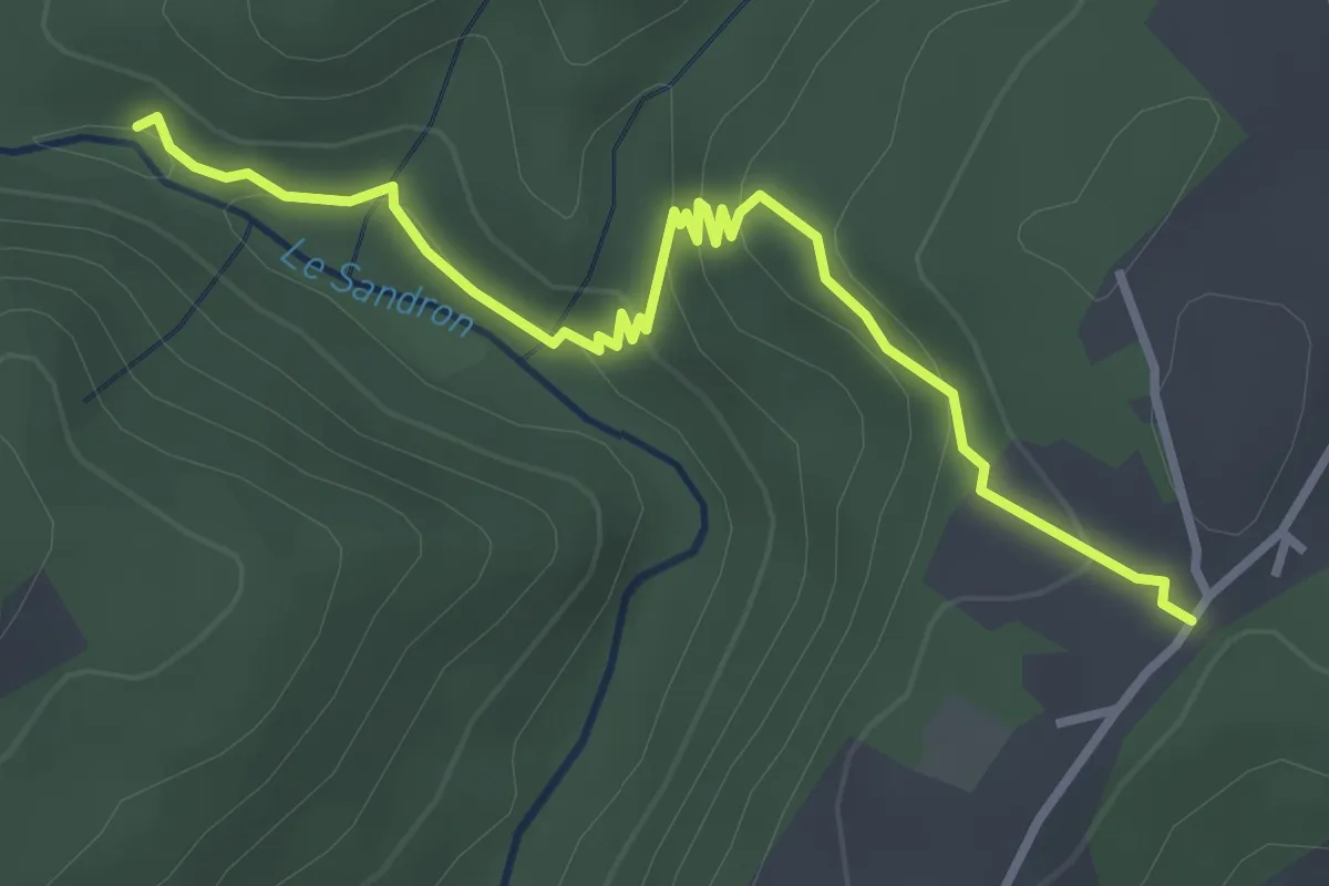
Easy · Trail
Pont Neuf - Fromenteyrol
3.6 km · ↑ 153 m · 1 h 11 min
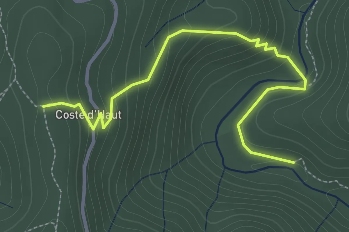
Medium · Trail
Pont Neuf - La Coste d'Haut
3.0 km · ↑ 170 m · 1 h 4 min
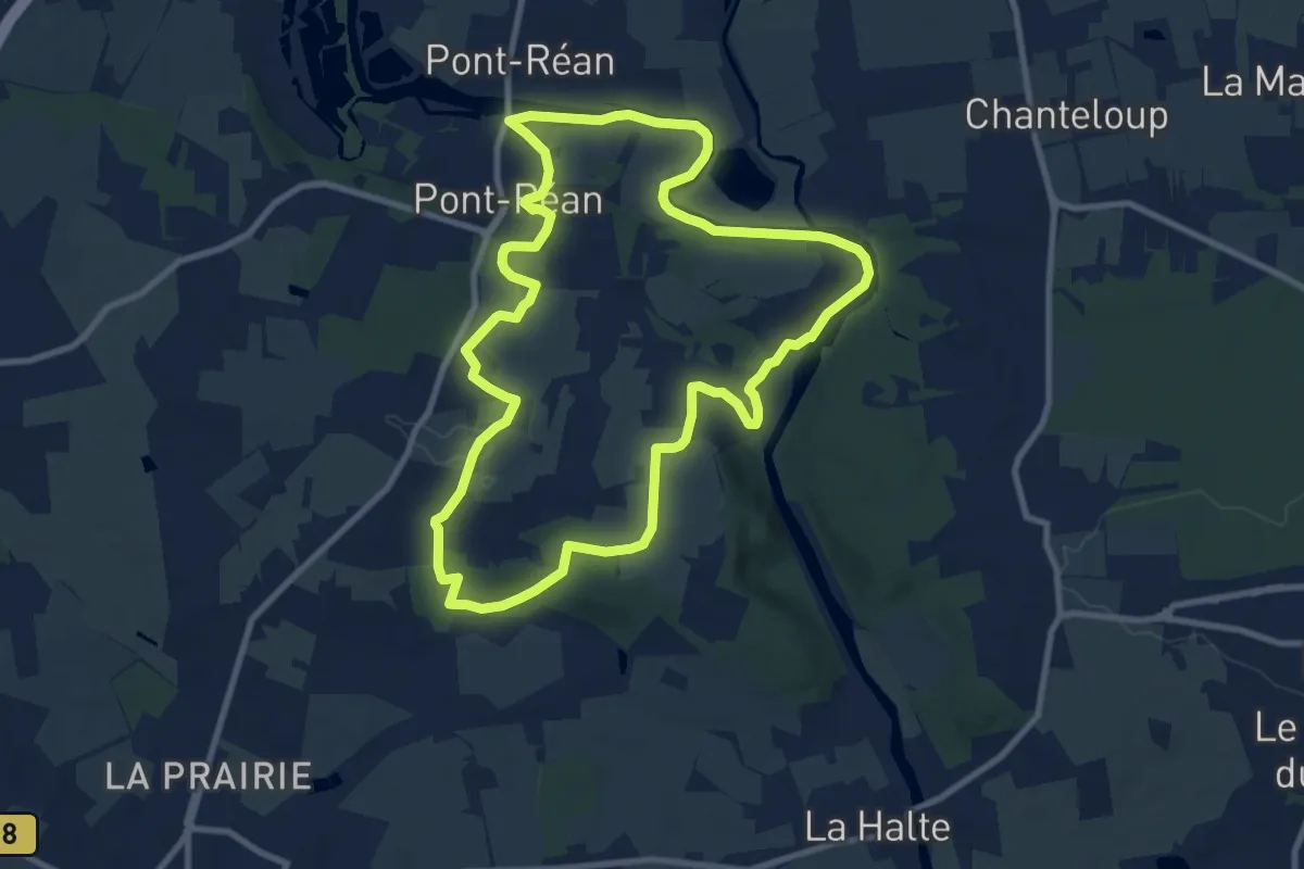
Medium · Trail
Pont-Réan le Boël
9.4 km · ↑ 116 m · 2 h 36 min
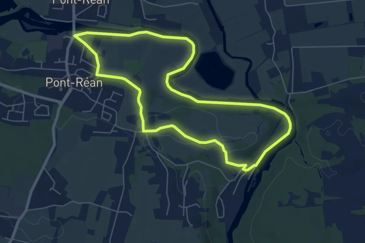
Easy · Trail
Pont-Réan les landes du Boël
5.3 km · ↑ 40 m · 1 h 24 min
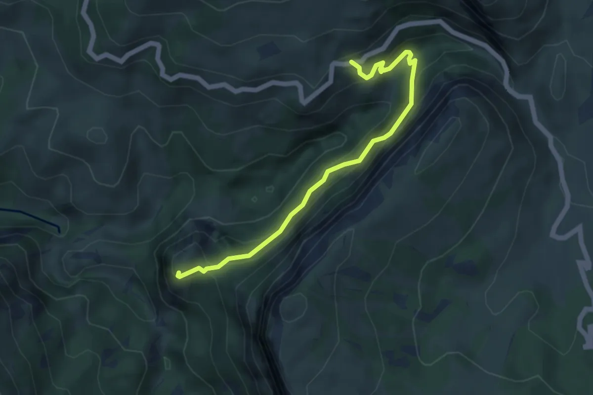
Easy · Trail
Pont romain - Chapelle Saint-André
2.3 km · ↑ 216 m · 1 h 1 min
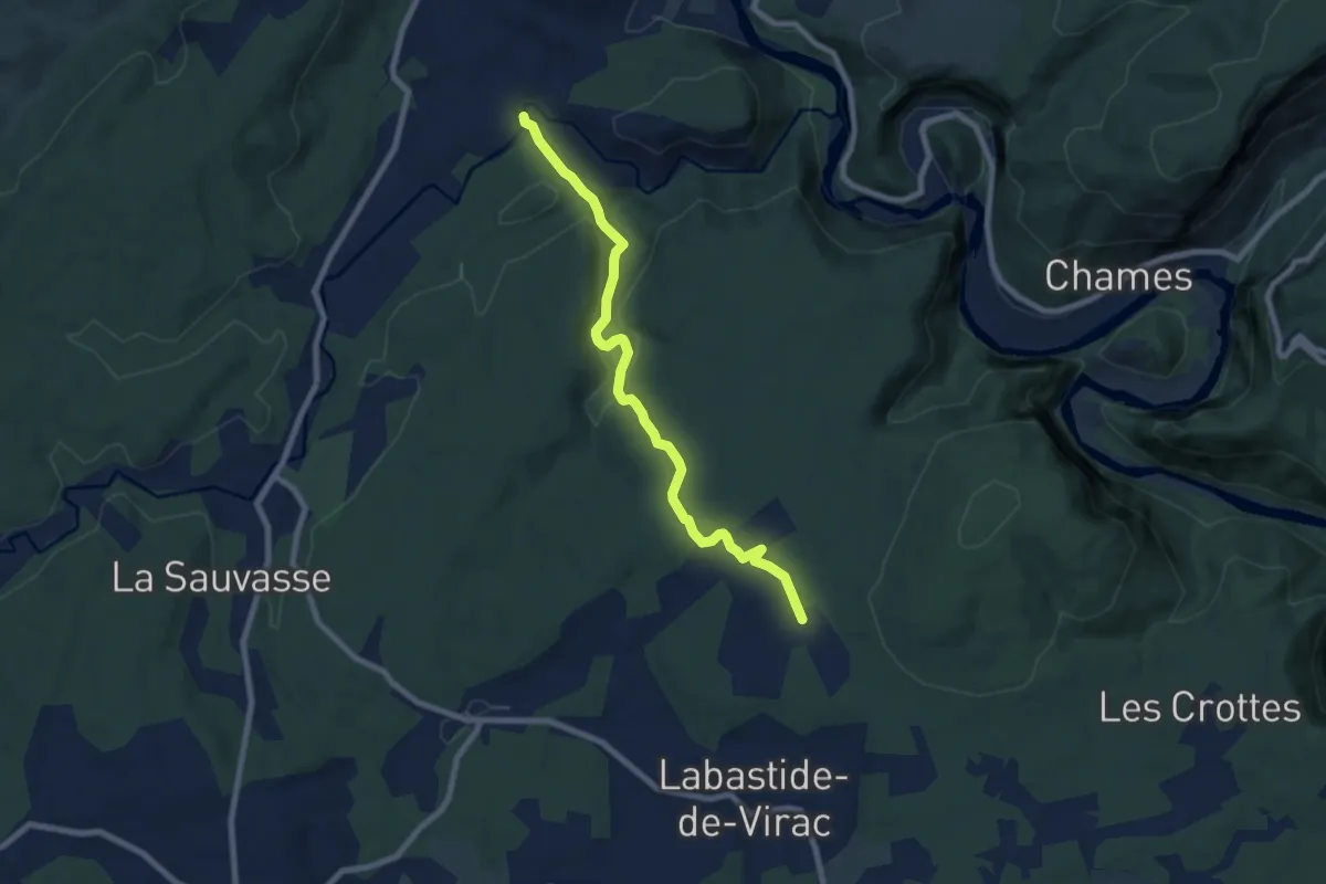
Medium · Trail
Pont Romain - Le Gras
8.1 km · ↑ 204 m · 2 h 22 min
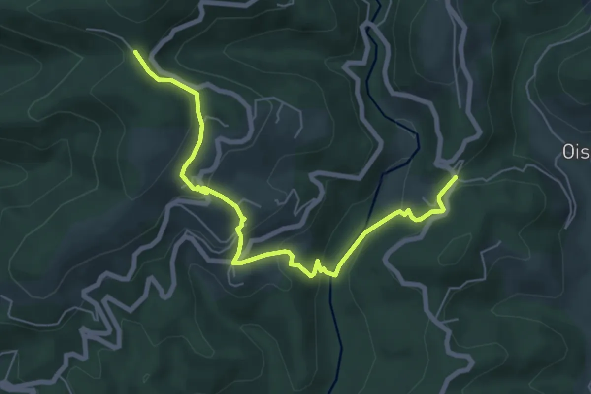
Easy · Trail
Pont Sans Eau - Col de Montagnac
5.9 km · ↑ 315 m · 2 h 4 min
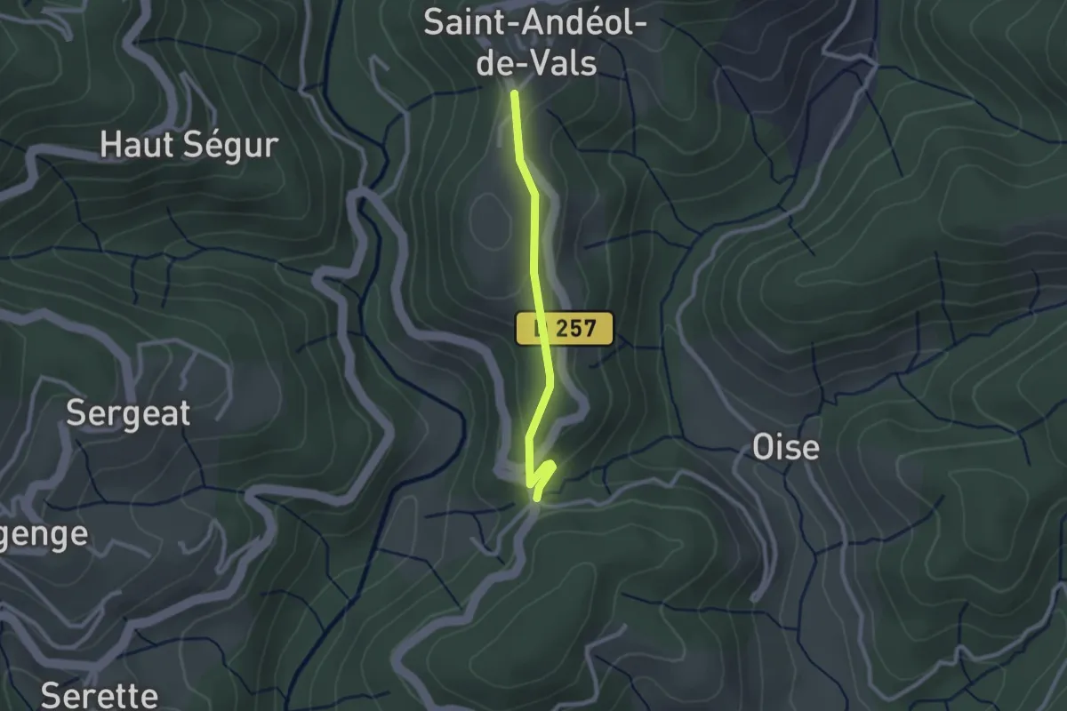
Easy · Trail
Pont Sans Eau - Mas Lapierre
2.2 km · ↑ 79 m · 41 min
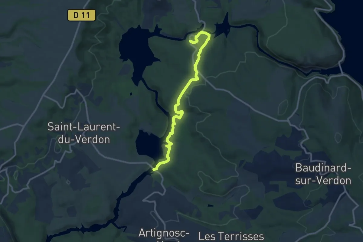
Medium · Trail
Pont Verdon au Pont Sylvestre
9.8 km · ↑ 292 m · 2 h 56 min
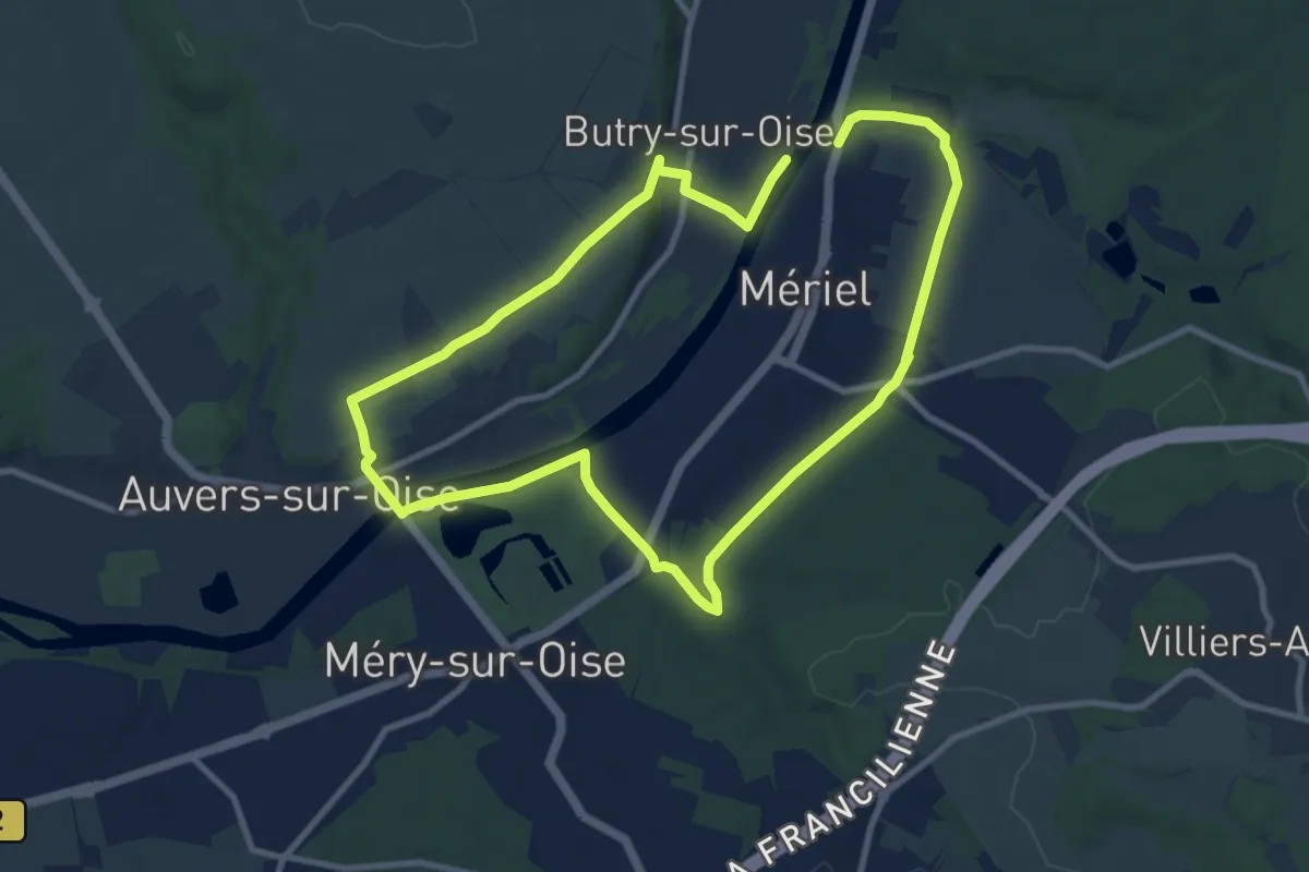
Medium · Trail
Port aux Moines
8.7 km · ↑ 91 m · 2 h 22 min
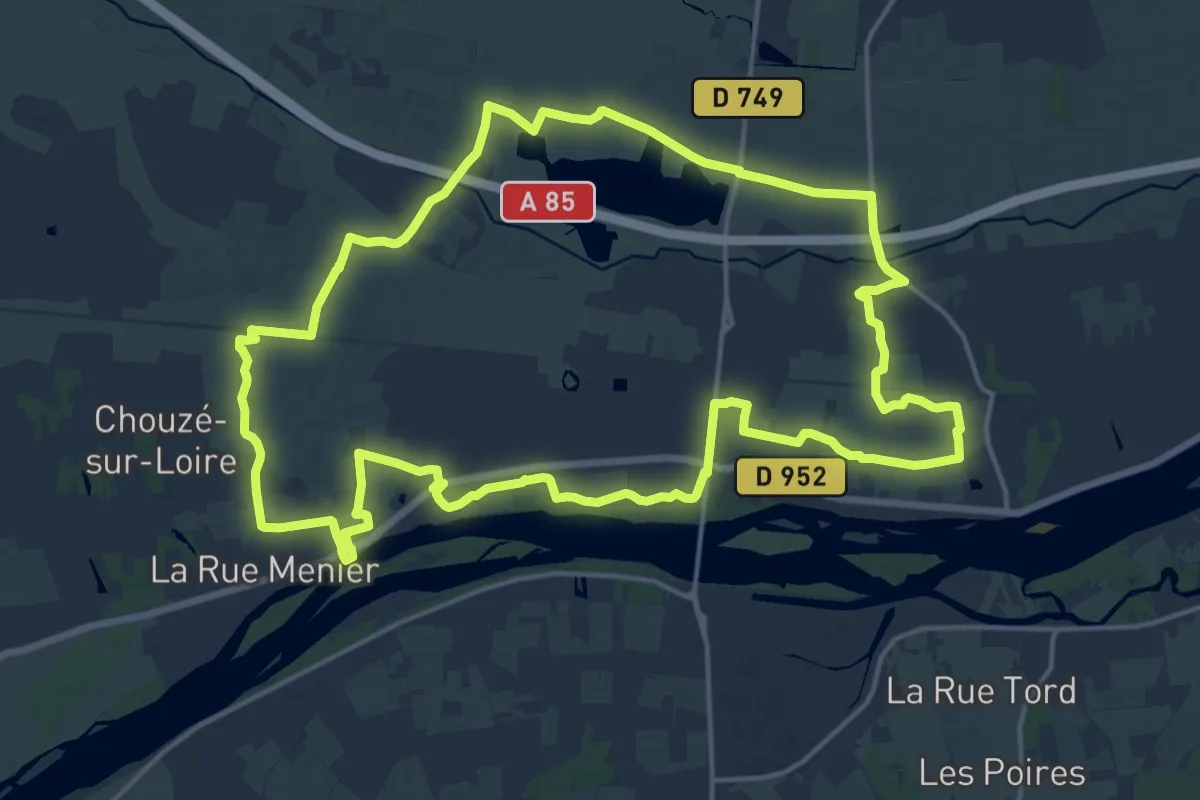
Demanding · Trail
Port Boulet - Chouzé-sur-Loire
18.1 km · ↑ 17 m · 4 h 34 min
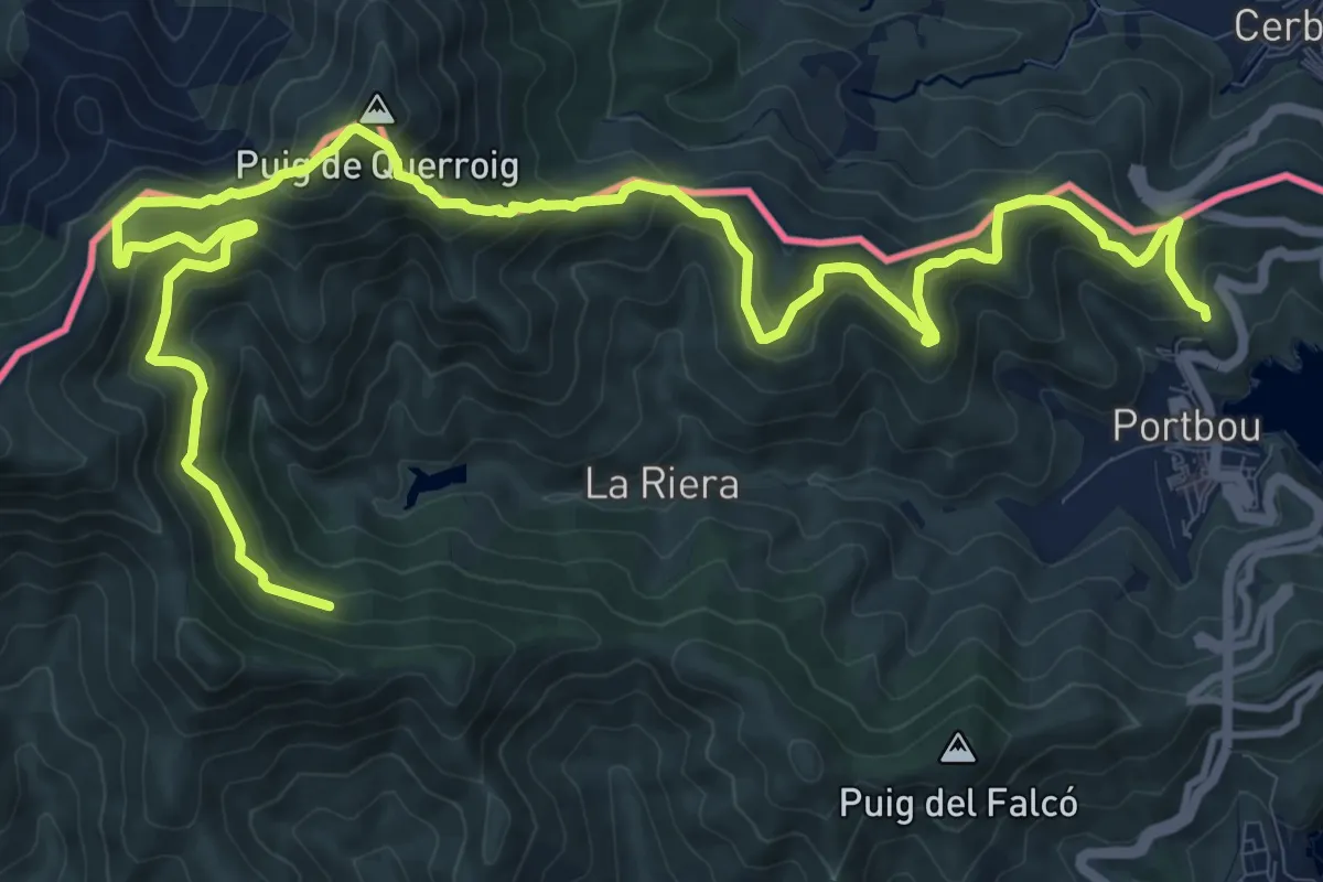
Demanding · Summit
Portbou-Querroig
9.2 km · ↑ 813 m · 3 h 57 min
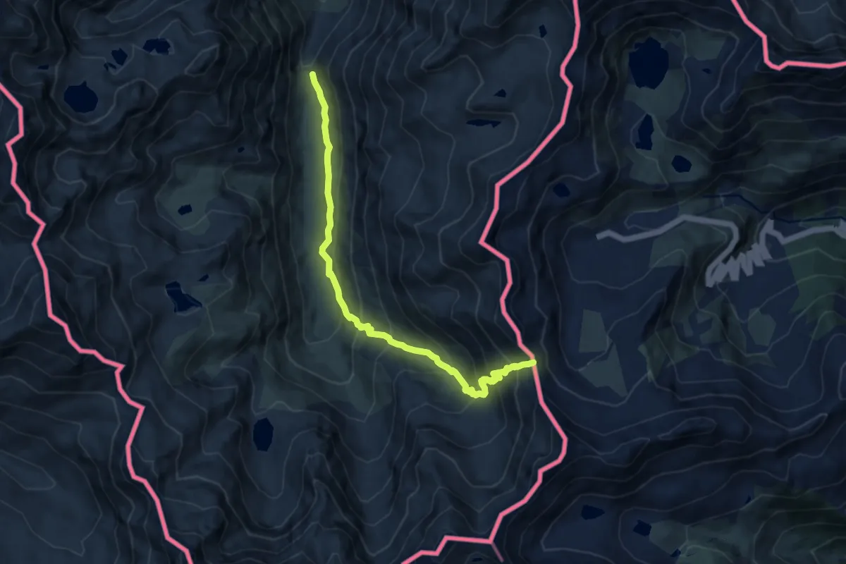
Demanding · Trail
Port de Rat
9.9 km · ↑ 812 m · 4 h 6 min
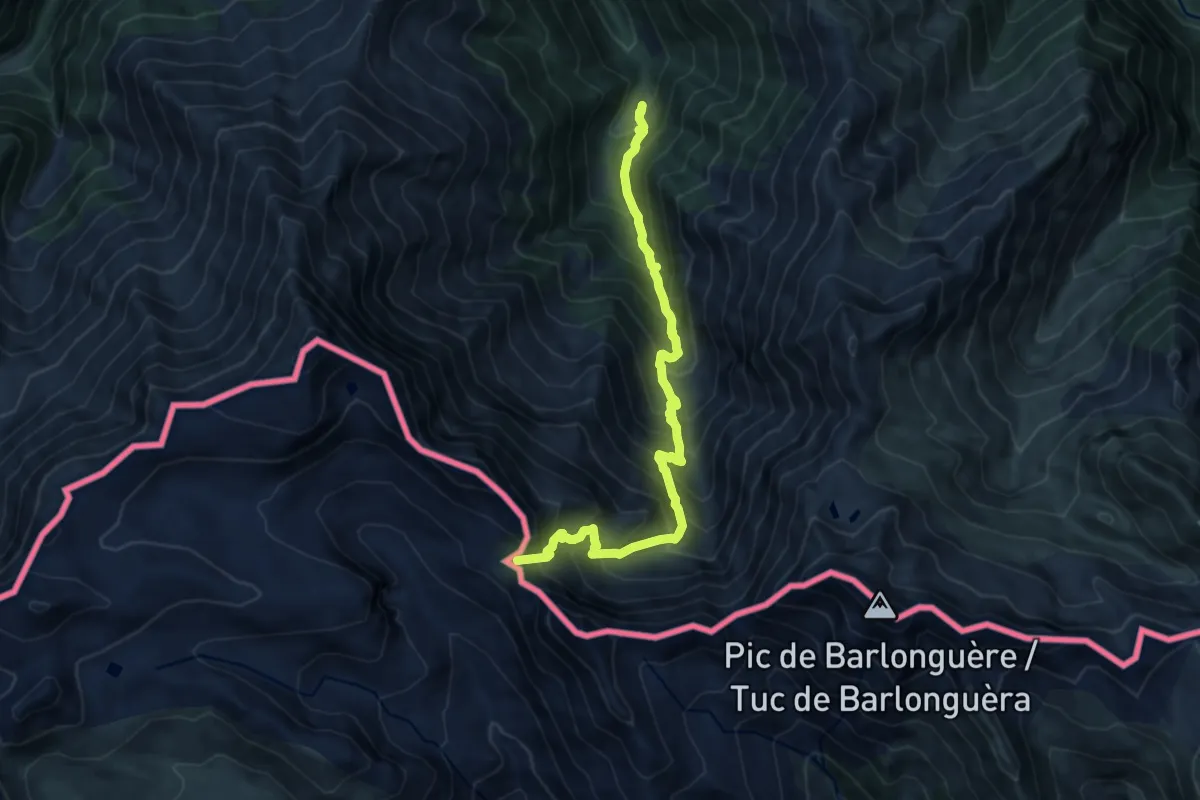
Demanding · Trail
Port d'Orle - Fontaine Rouge
11.1 km · ↑ 1270 m · 5 h 22 min
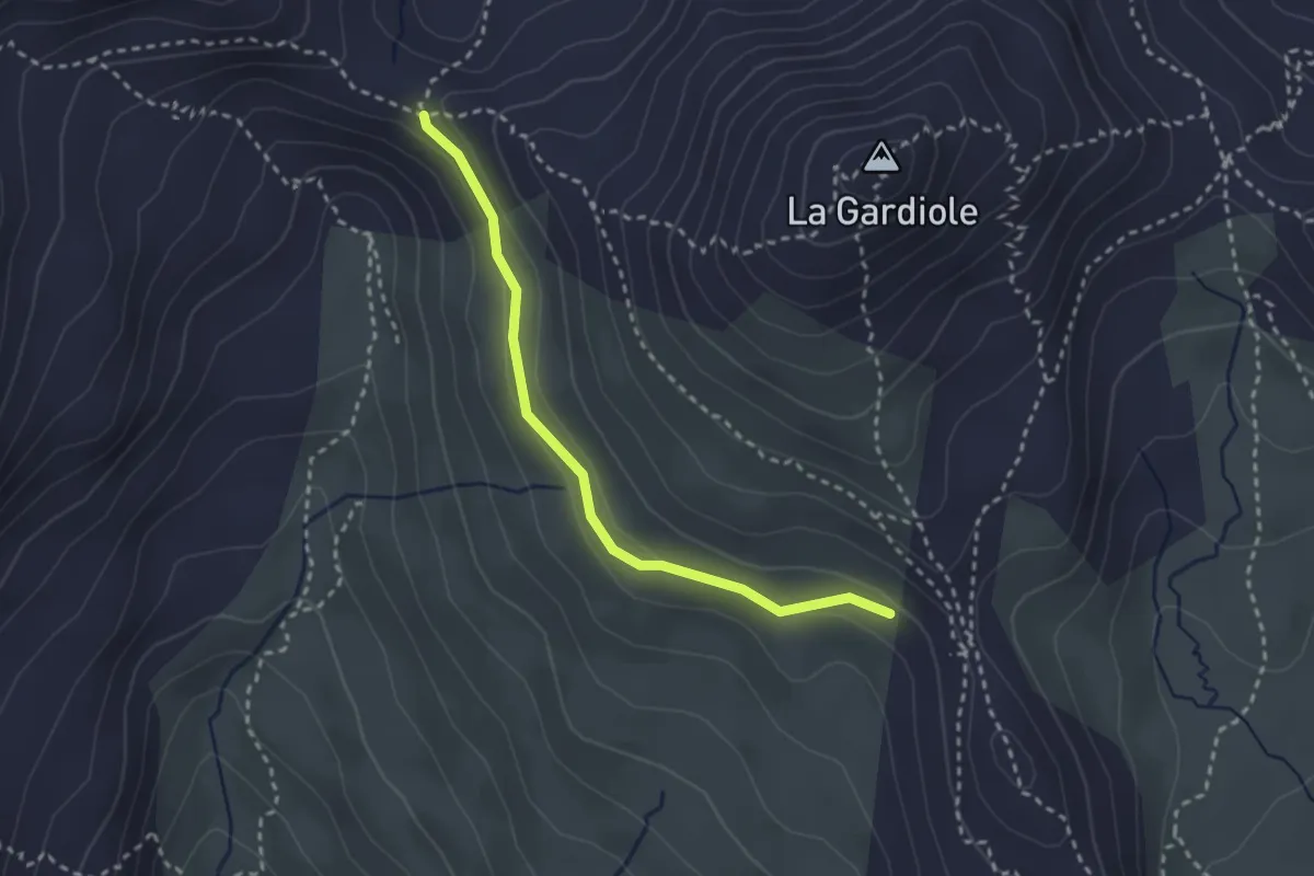
Medium · Trail
Porte de Cristol - ?
2.7 km · ↑ 56 m · 46 min
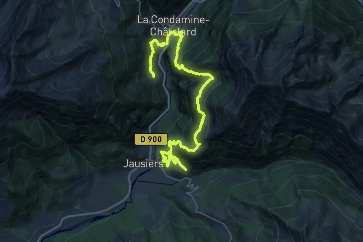
Demanding · Trail
Portes de Haute-Ubaye
13.2 km · ↑ 995 m · 5 h 28 min
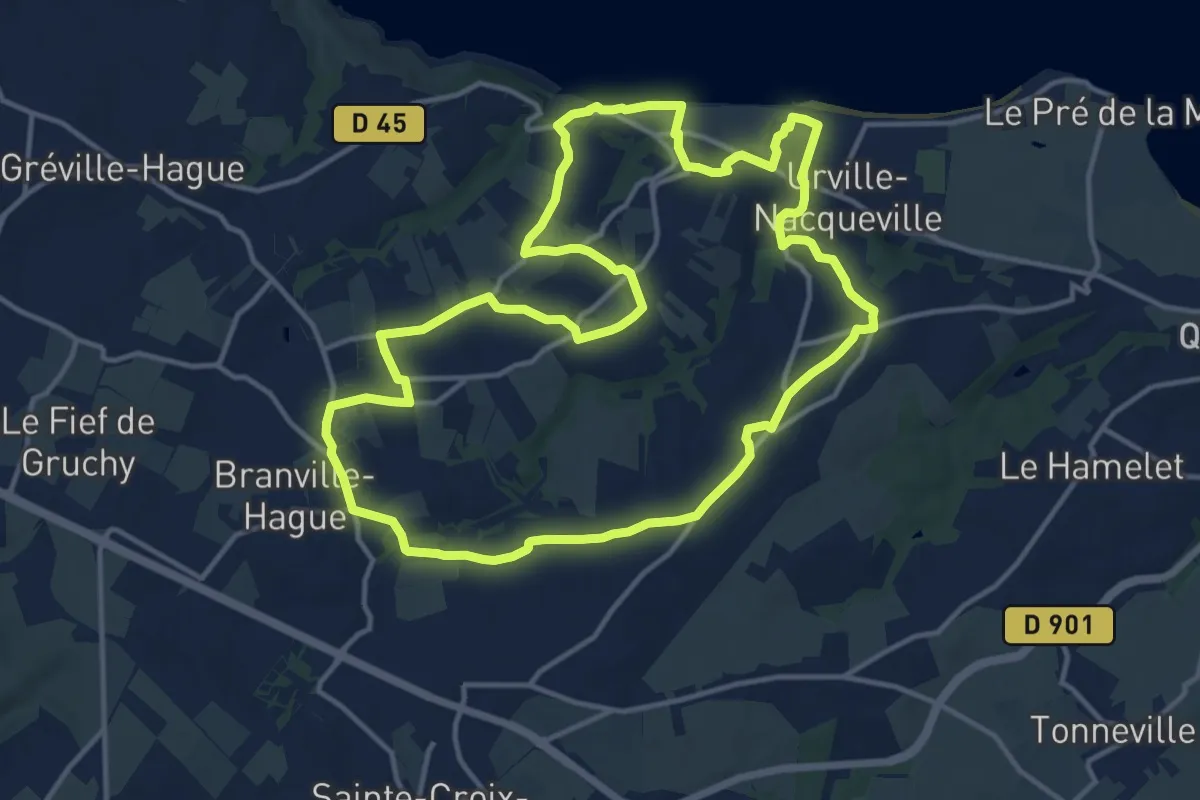
Medium · Trail
Portes de La Hague
13.8 km · ↑ 230 m · 3 h 56 min
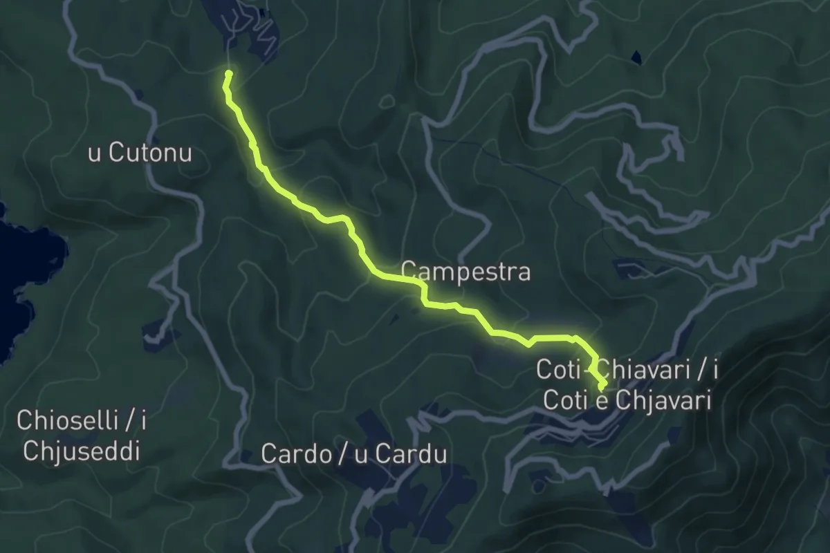
Medium · Trail
Portiglio à Coti
6.7 km · ↑ 351 m · 2 h 20 min
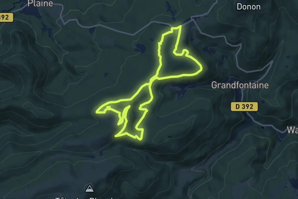
Medium · Summit
Positions fortifiées Sud du Donon
11.3 km · ↑ 358 m · 3 h 36 min
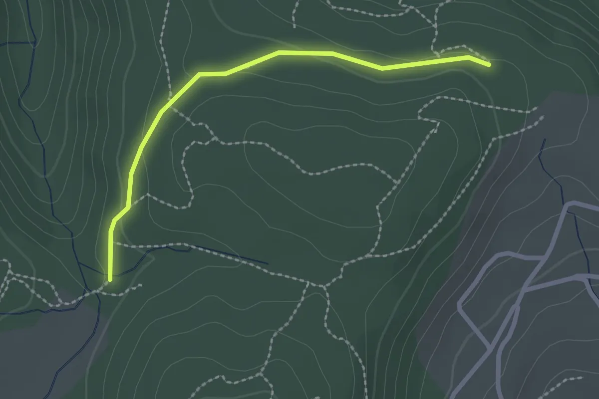
Easy · Trail
Pouchonnet - Pissevieille
2.2 km · ↑ 52 m · 38 min
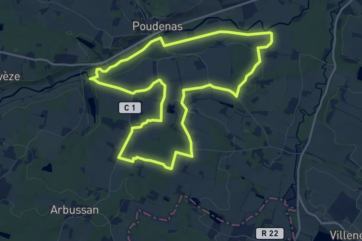
Medium · Trail
Poudenas, une ambiance de Toscane 10.8 km
10.5 km · ↑ 108 m · 2 h 51 min
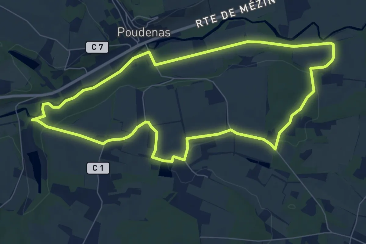
Easy · Trail
Poudenas, une ambiance de Toscane variante 7.8 km
7.2 km · ↑ 77 m · 1 h 59 min
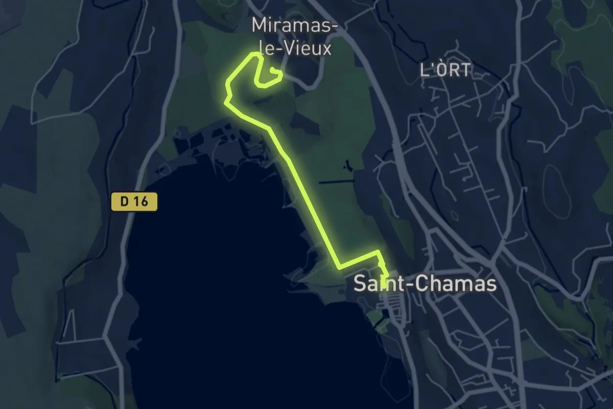
Easy · Trail
Poudrerie
5.3 km · ↑ 33 m · 1 h 19 min
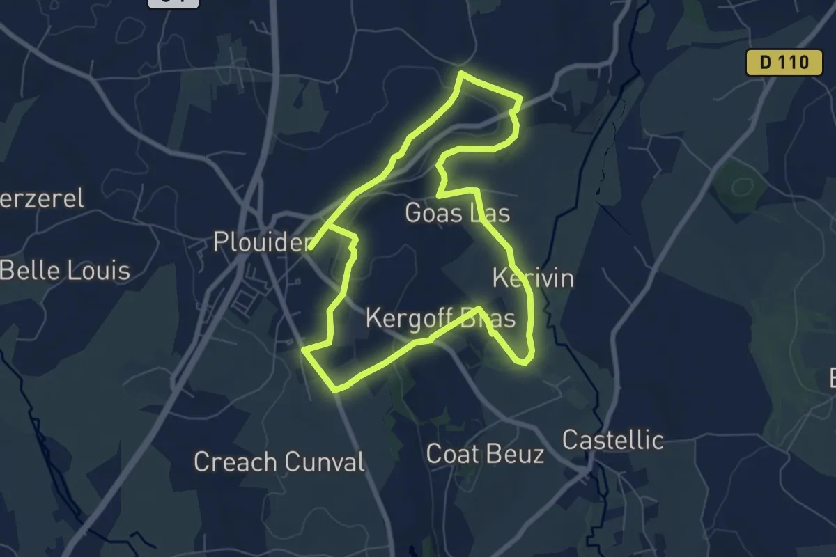
Easy · Trail
Poul Sant Dider
6.3 km · ↑ 60 m · 1 h 43 min
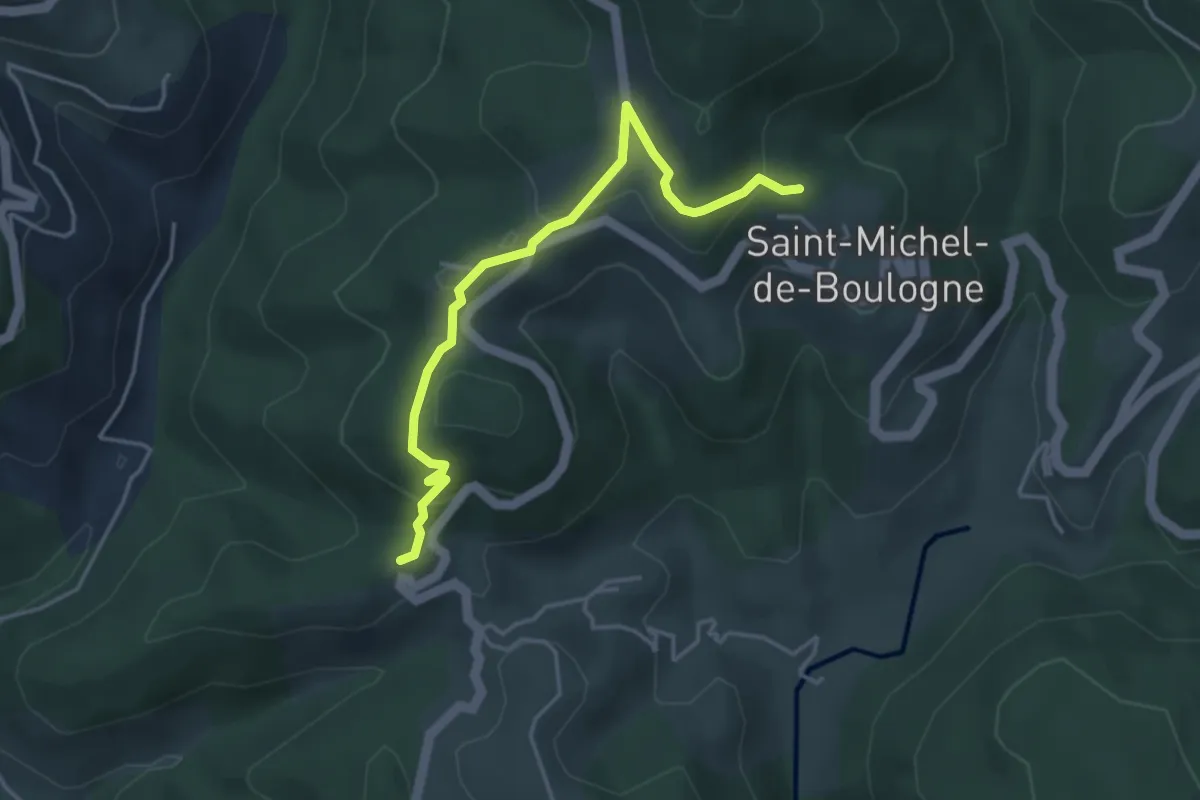
Easy · Trail
Pourchary - La Chapelle
4.2 km · ↑ 144 m · 1 h 18 min
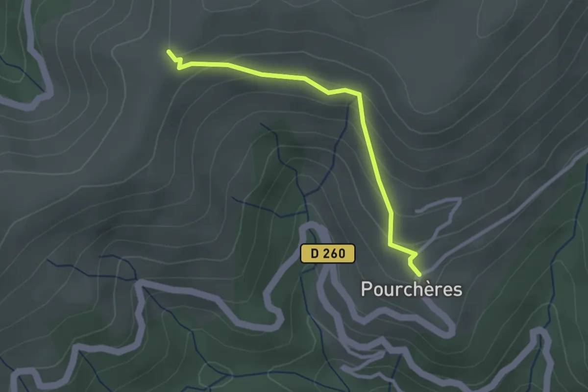
Easy · Trail
Pourchères - Les Côtes
2.4 km · ↑ 141 m · 52 min
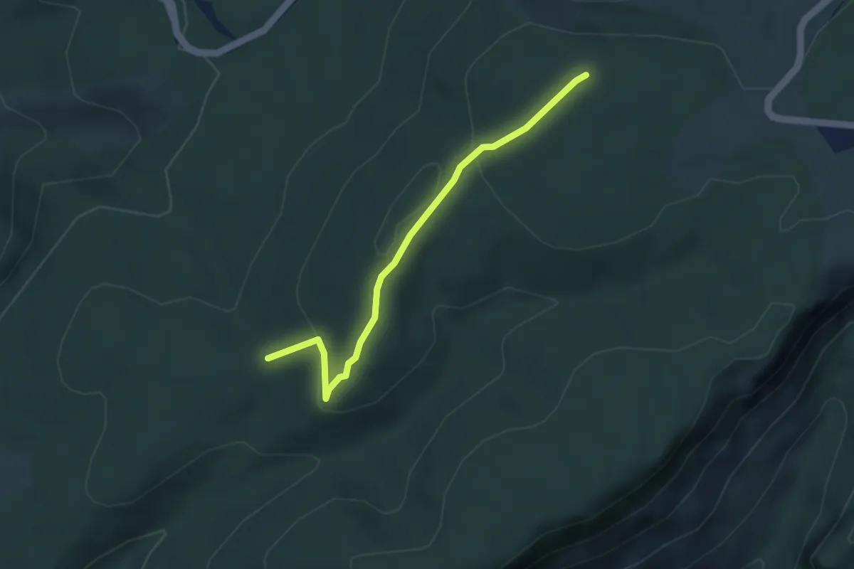
Easy · Trail
Pousaras - Serre de la Desferre
3.6 km · ↑ 93 m · 1 h 4 min
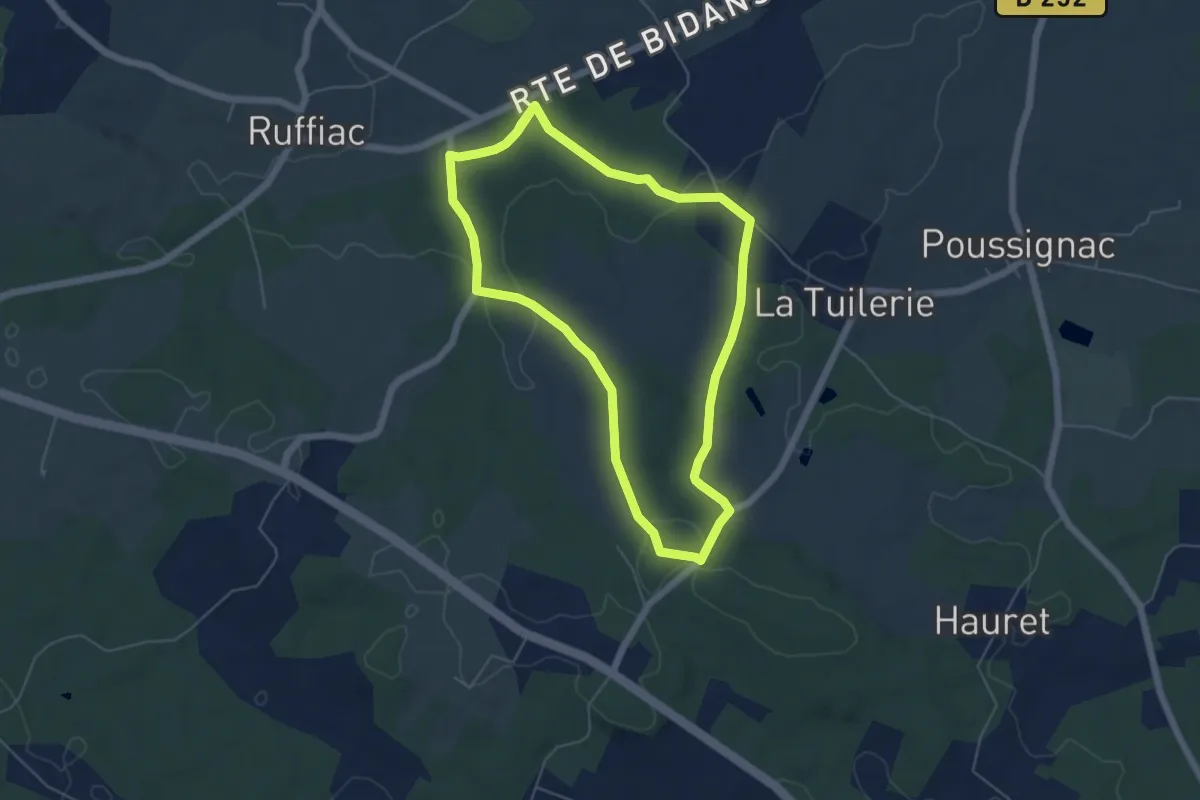
Easy · Trail
Poussignac, une église isolée - 5.5 km
5.7 km · ↑ 89 m · 1 h 38 min
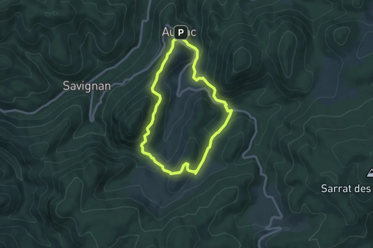
Easy · Trail
PR
5.5 km · ↑ 253 m · 1 h 55 min
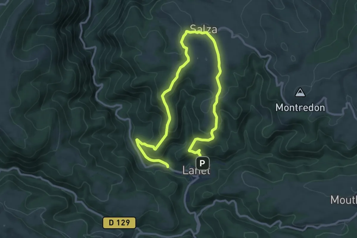
Medium · Trail
PR
12.4 km · ↑ 588 m · 4 h 12 min
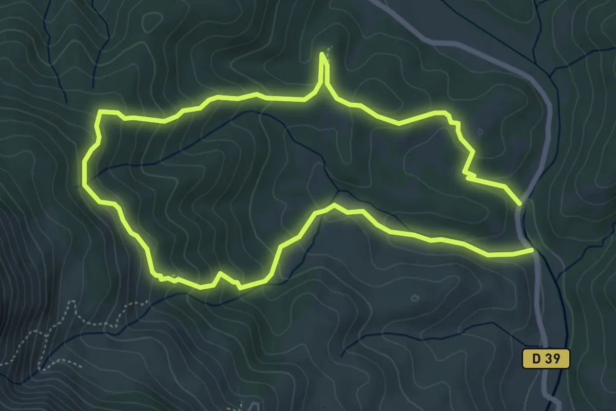
Easy · Trail
PR
5.6 km · ↑ 296 m · 2 h 2 min
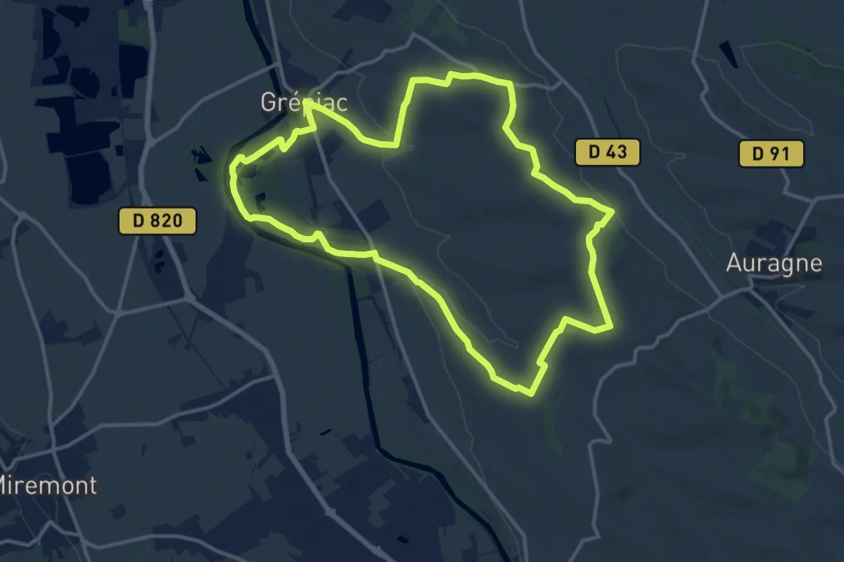
Medium · Trail
PR
13.1 km · ↑ 183 m · 3 h 40 min
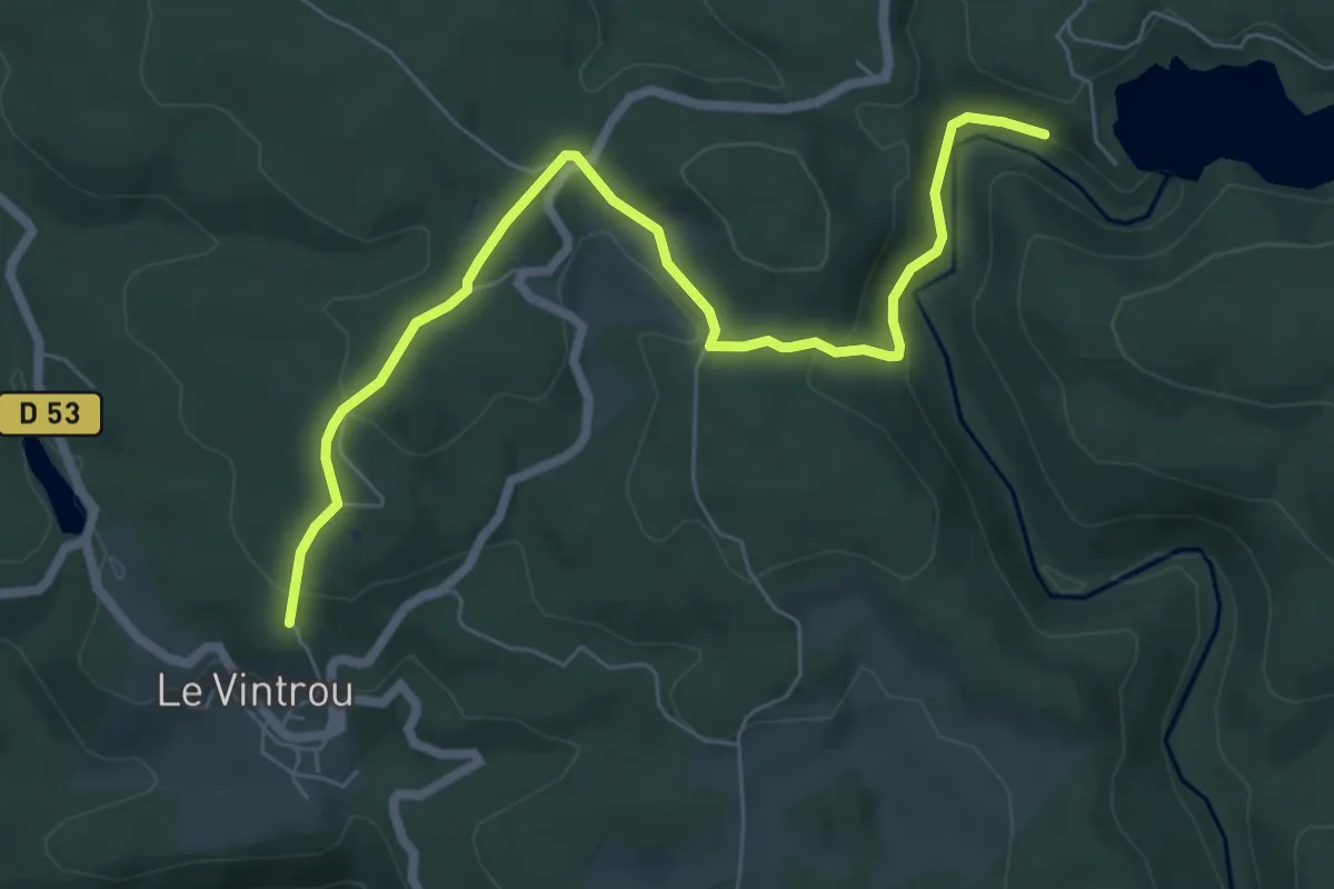
Easy · Trail
PR
7.5 km · ↑ 243 m · 2 h 18 min
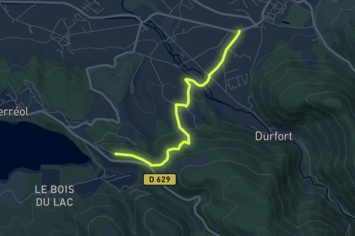
Easy · Trail
PR
6.4 km · ↑ 234 m · 2 h 2 min