Trails in France
15,926 hiking trails, each with its route, climb, walking time and grade.
All trails, page 224 of 332
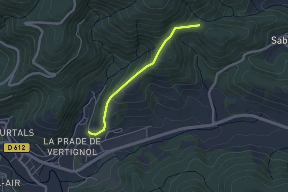
Easy · Trail
PR
3.2 km · ↑ 190 m · 1 h 10 min
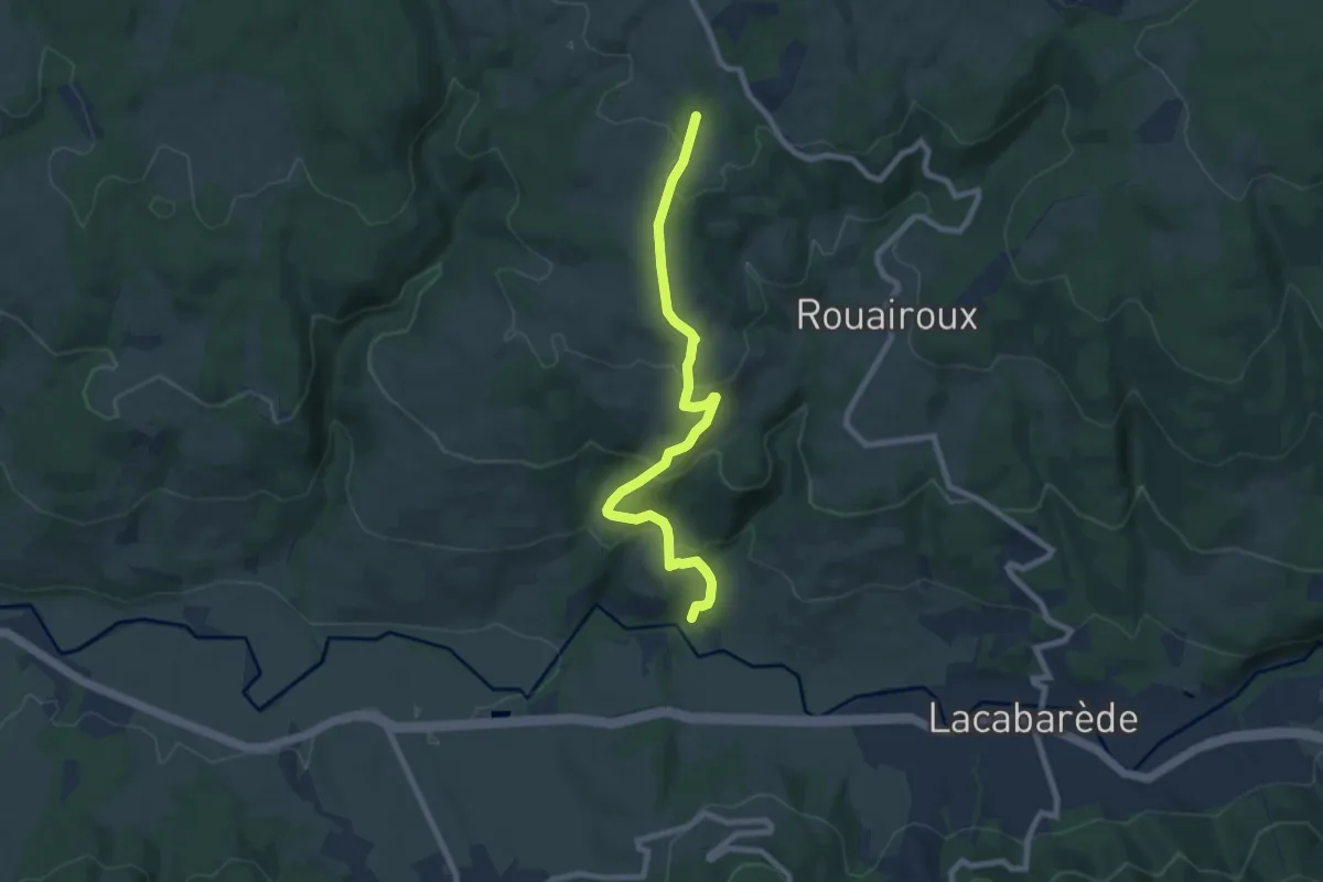
Medium · Trail
PR
8.4 km · ↑ 383 m · 2 h 49 min
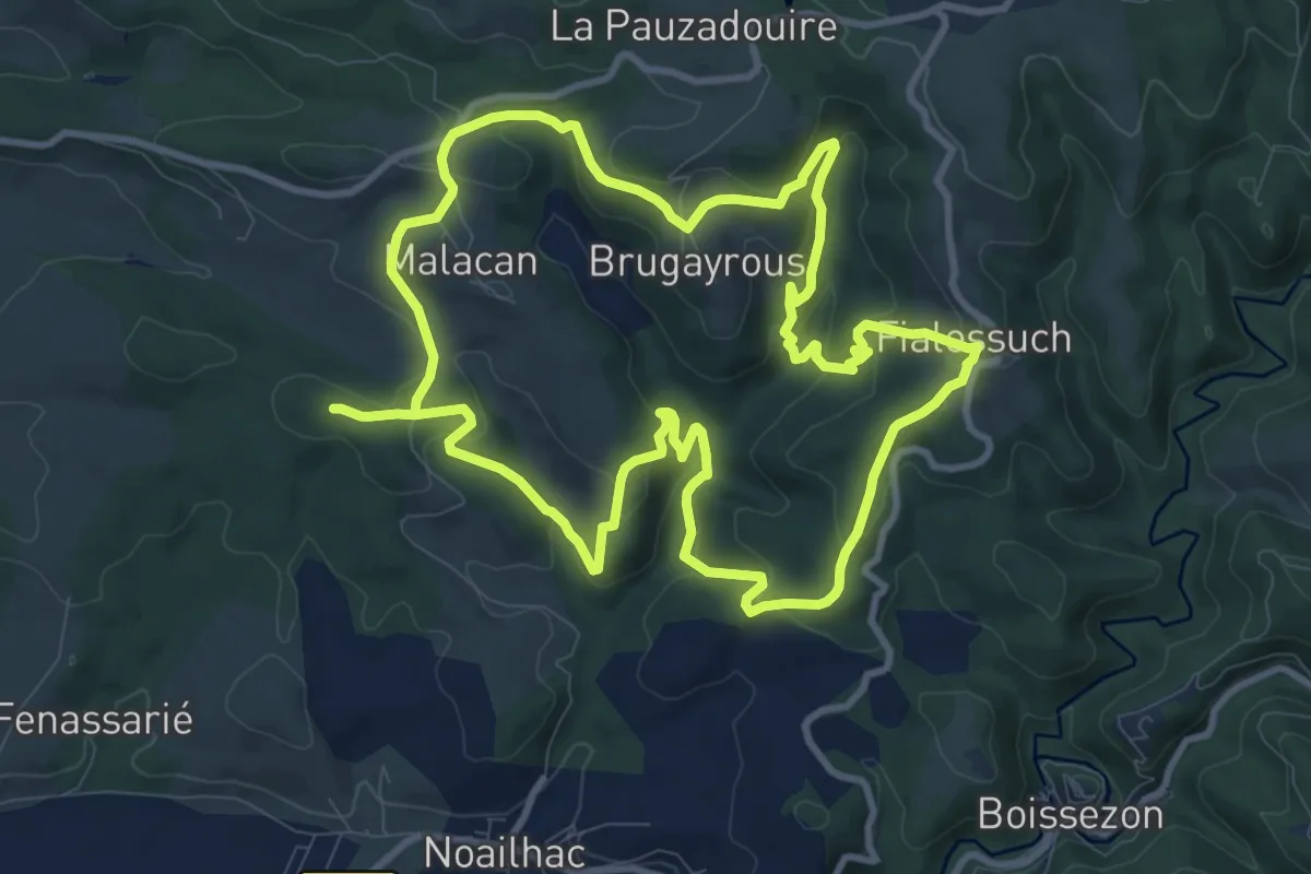
Demanding · Trail
PR
21.8 km · ↑ 763 m · 6 h 48 min
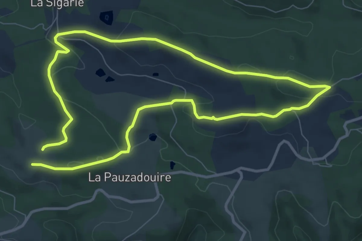
Easy · Trail
PR
7.3 km · ↑ 150 m · 2 h 9 min
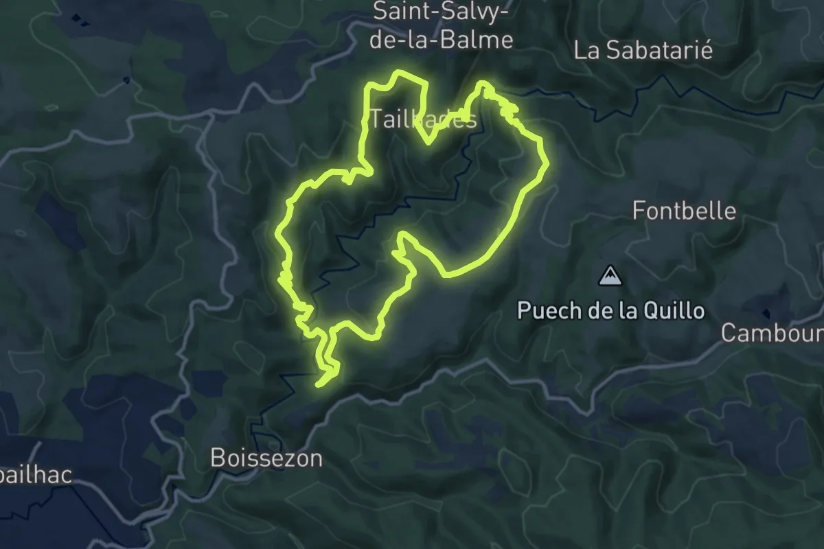
Medium · Trail
PR
13.0 km · ↑ 490 m · 4 h 20 min
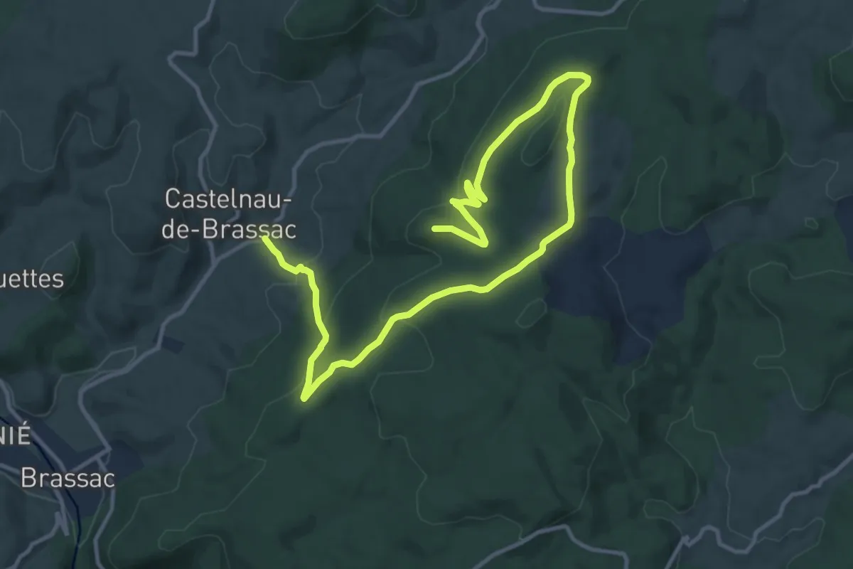
Medium · Summit
PR
11.3 km · ↑ 461 m · 3 h 49 min
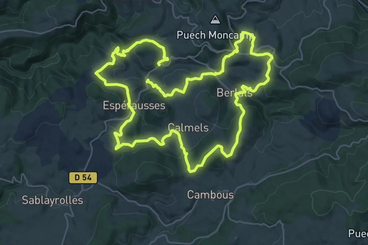
Demanding · Trail
PR
19.5 km · ↑ 756 m · 6 h 30 min
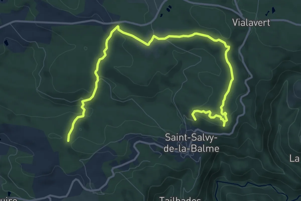
Medium · Trail
PR
12.6 km · ↑ 294 m · 3 h 37 min
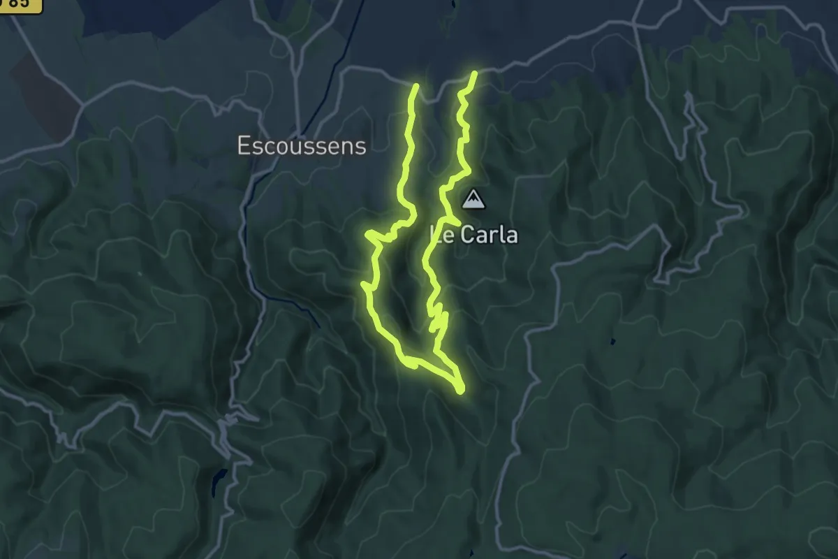
Demanding · Trail
PR
20.5 km · ↑ 896 m · 6 h 46 min
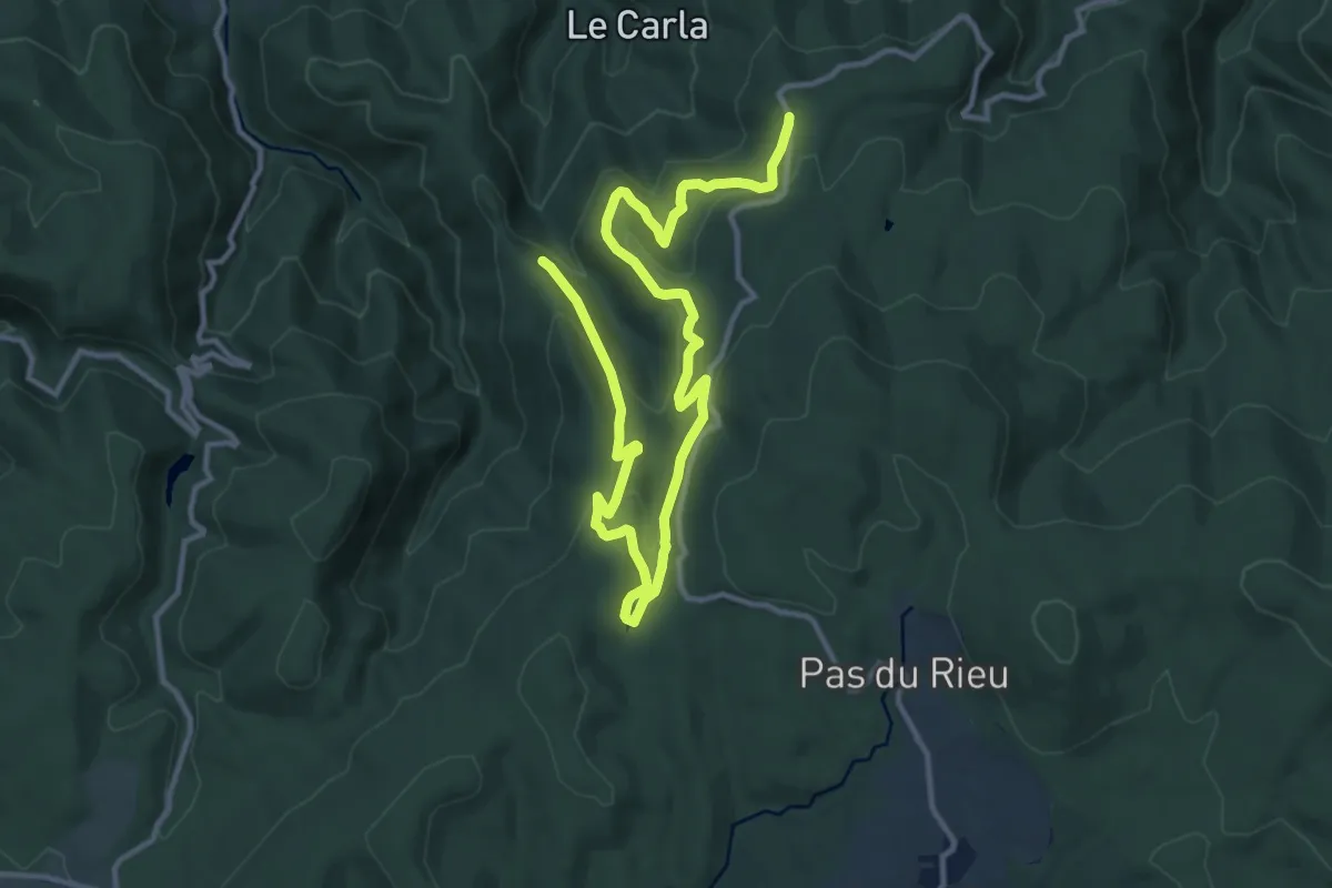
Medium · Trail
PR
17.1 km · ↑ 727 m · 5 h 37 min
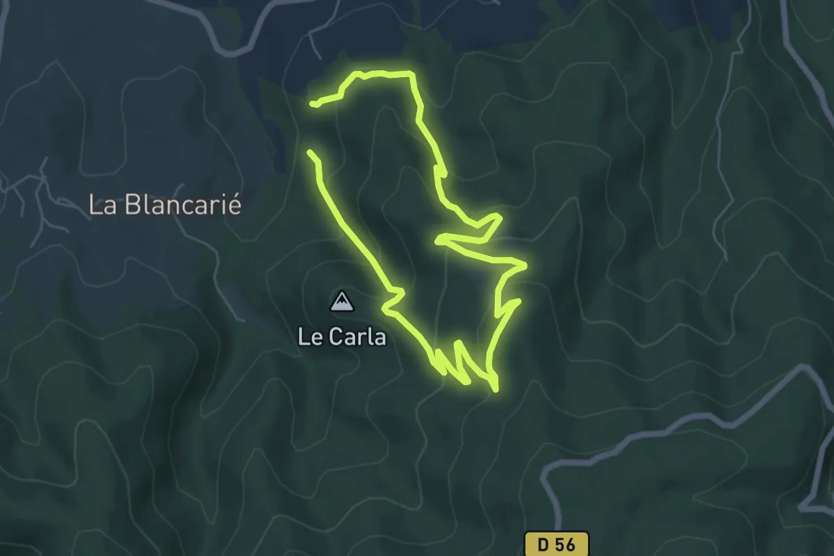
Easy · Trail
PR
5.0 km · ↑ 256 m · 1 h 49 min
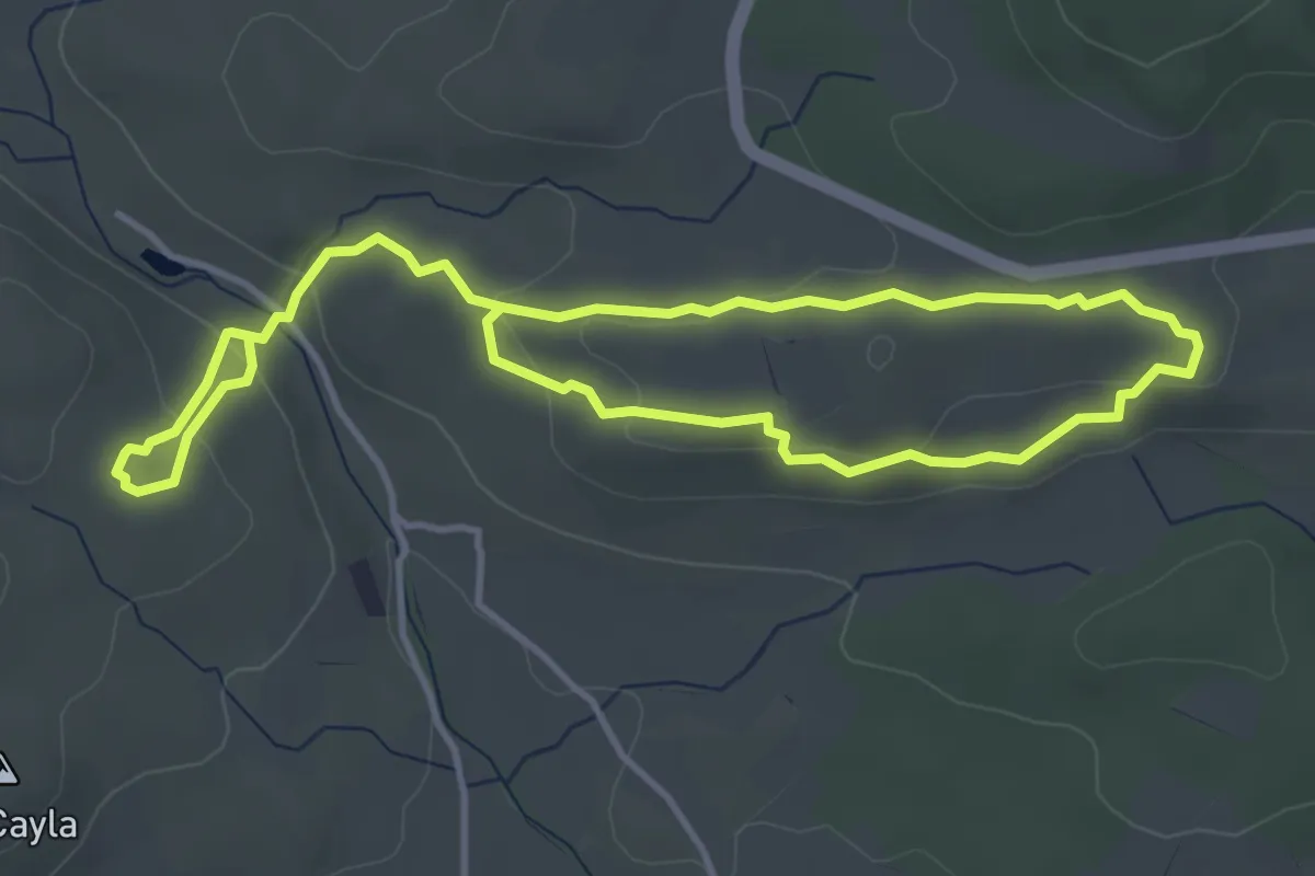
Easy · Trail
PR
7.3 km · ↑ 222 m · 2 h 13 min
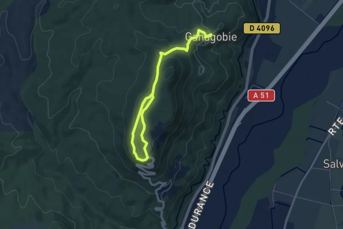
Easy · Trail
PR
7.1 km · ↑ 242 m · 2 h 12 min
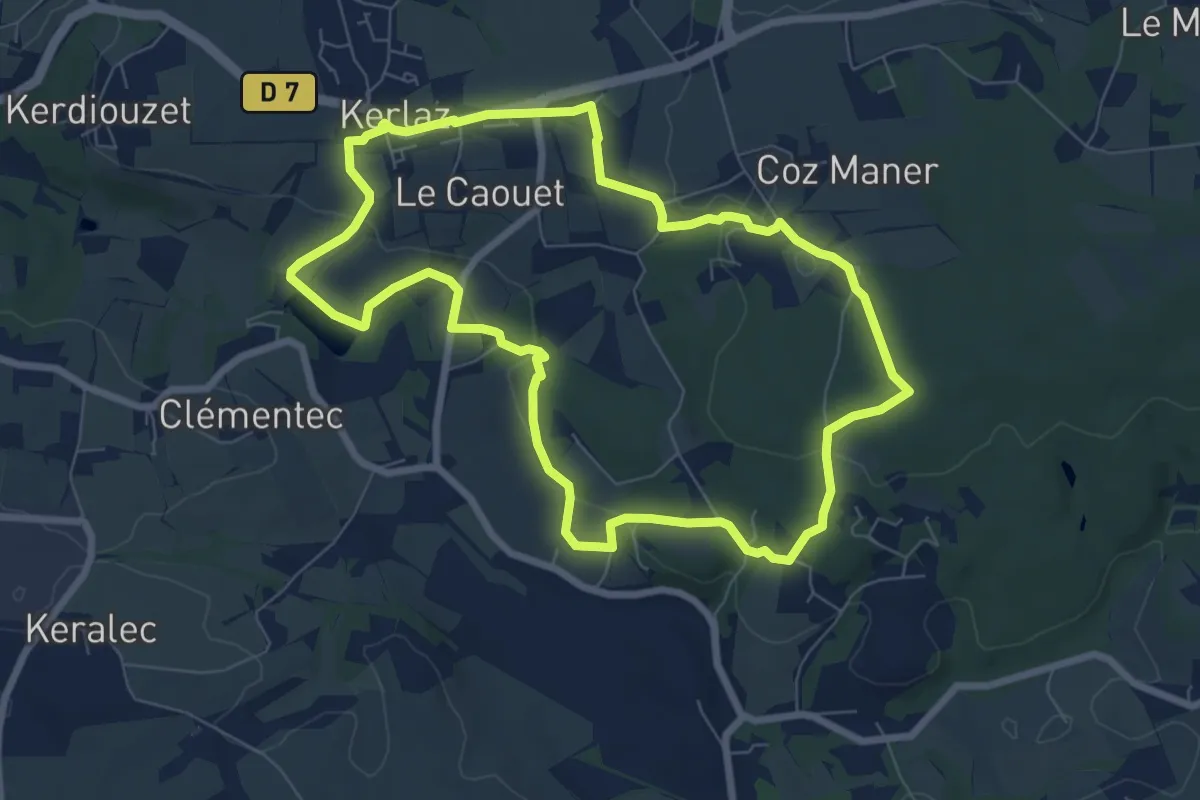
Easy · Trail
PR035 La Vallée de Kerlaz
7.2 km · ↑ 170 m · 2 h 10 min
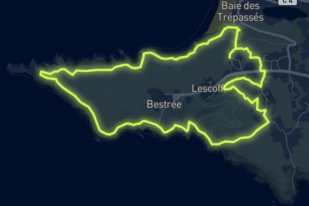
Medium · Trail
PR 1
8.7 km · ↑ 266 m · 2 h 45 min
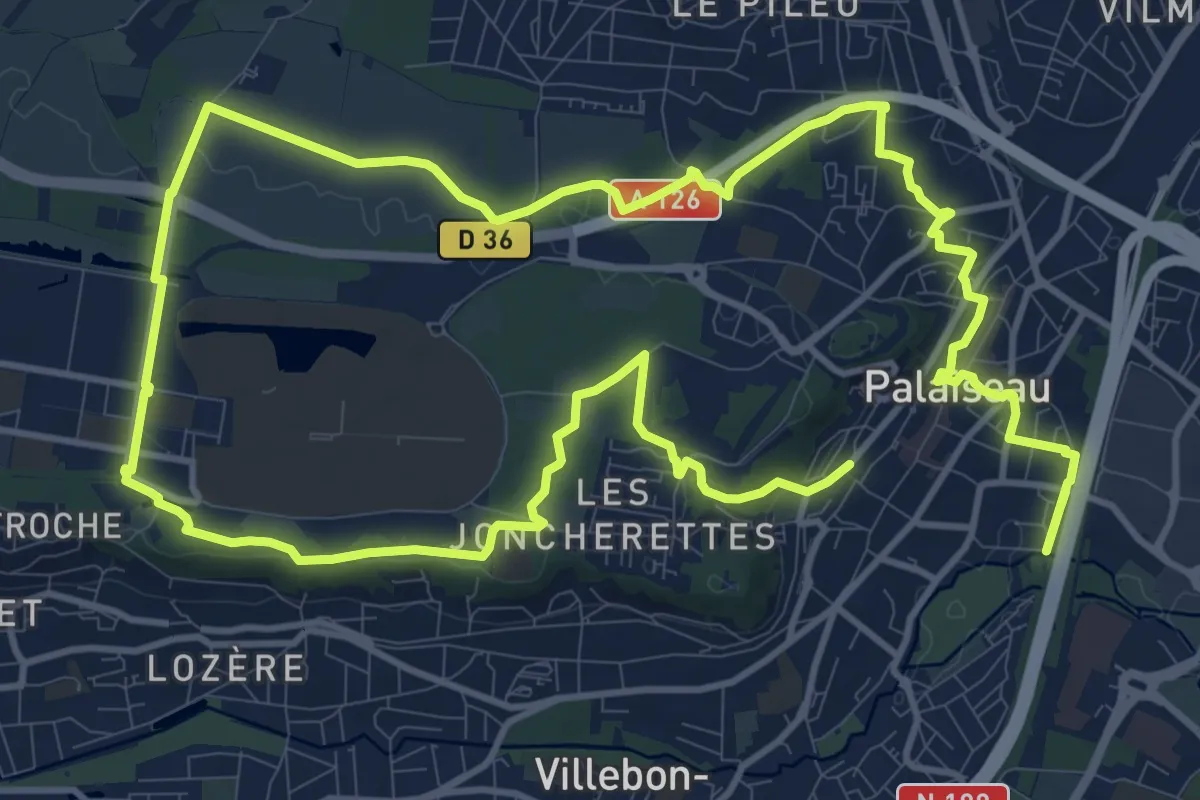
Demanding · Trail
PR 11
24.0 km · ↑ 234 m · 6 h 10 min
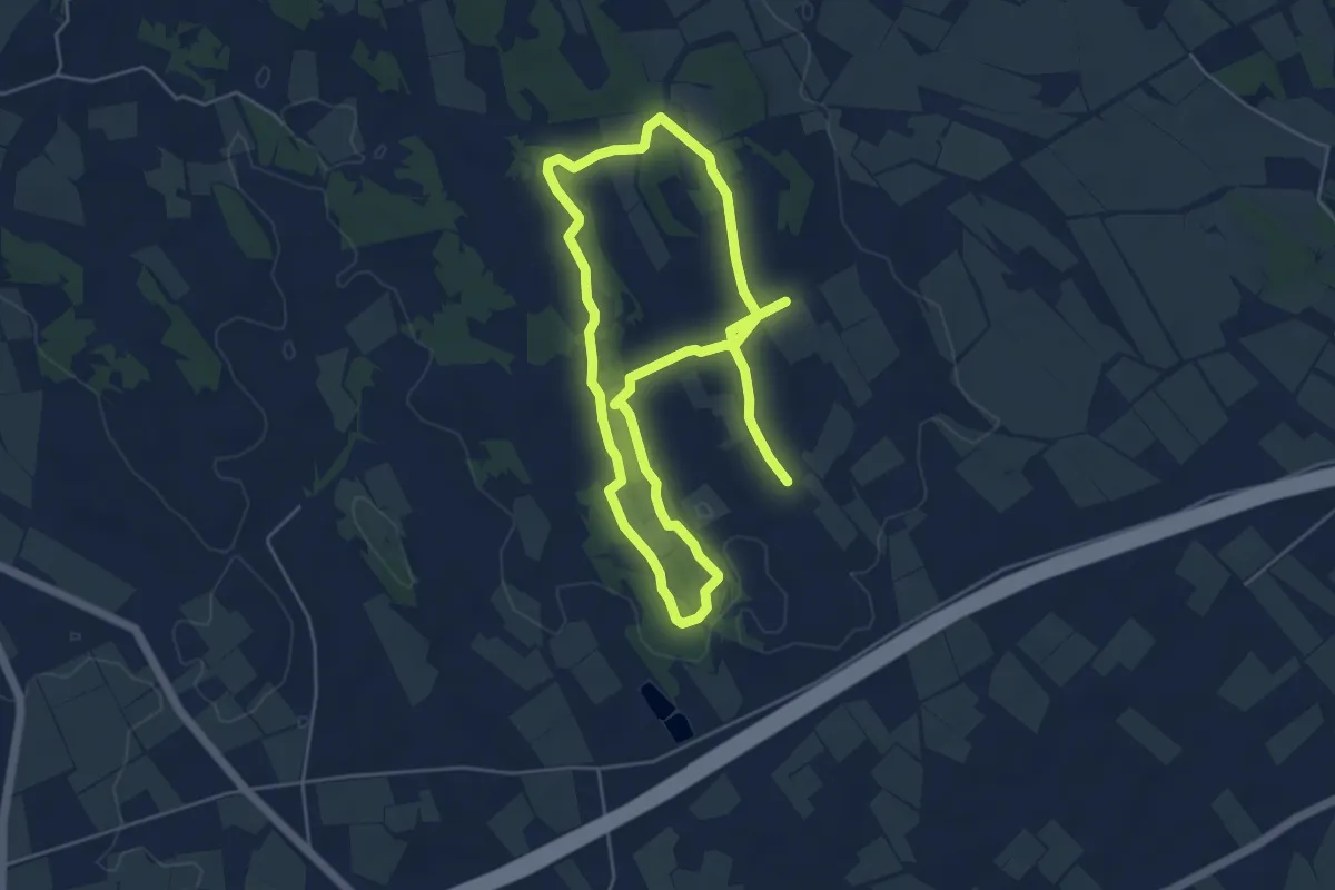
Medium · Trail
PR1 La Via Domitia
10.0 km · ↑ 61 m · 2 h 30 min
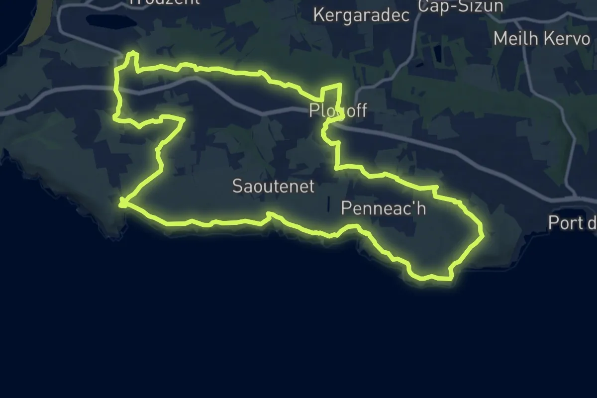
Medium · Trail
PR 2
13.1 km · ↑ 264 m · 3 h 52 min
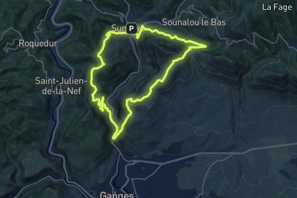
Demanding · Summit
PR22 Le Ranc de Banes
14.6 km · ↑ 1046 m · 5 h 55 min
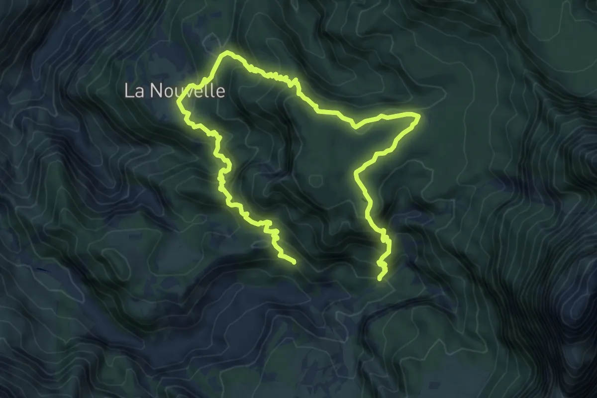
Demanding · Trail
PR25
15.1 km · ↑ 1162 m · 6 h 5 min
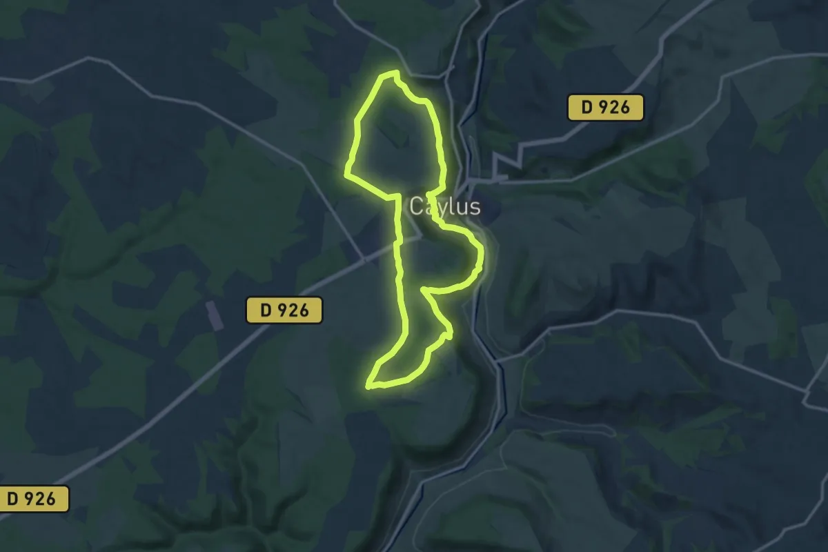
Medium · Trail
PR 2 Caylus : Côte Gelée et Pech d'Ablanc
12.0 km · ↑ 255 m · 3 h 32 min
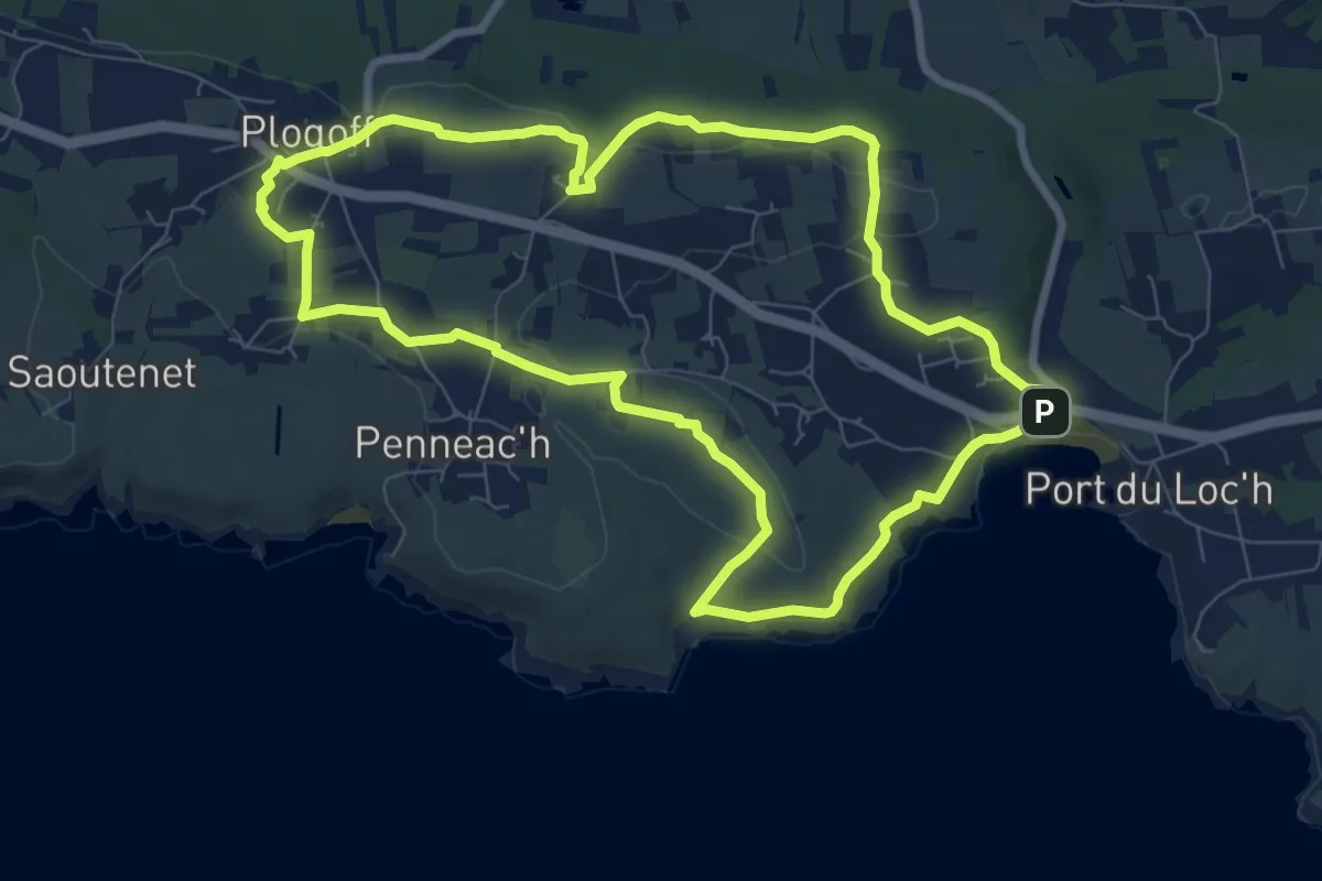
Medium · Trail
PR 3
8.2 km · ↑ 140 m · 2 h 21 min
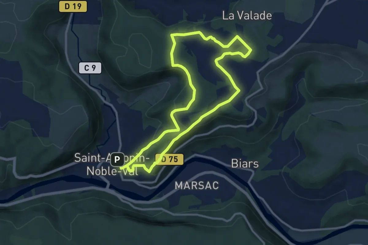
Medium · Trail
PR3 St-Antonin : Ste-Sabine
8.2 km · ↑ 264 m · 2 h 36 min
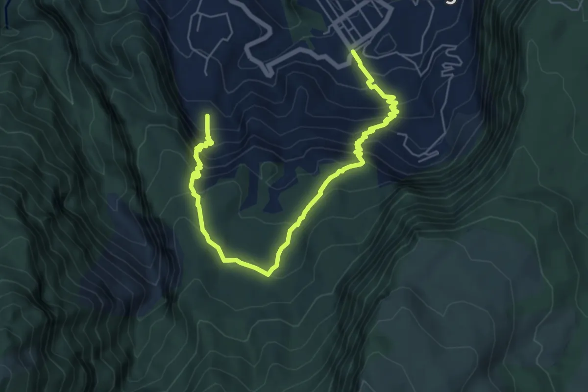
Demanding · Trail
PR4
8.7 km · ↑ 782 m · 3 h 45 min
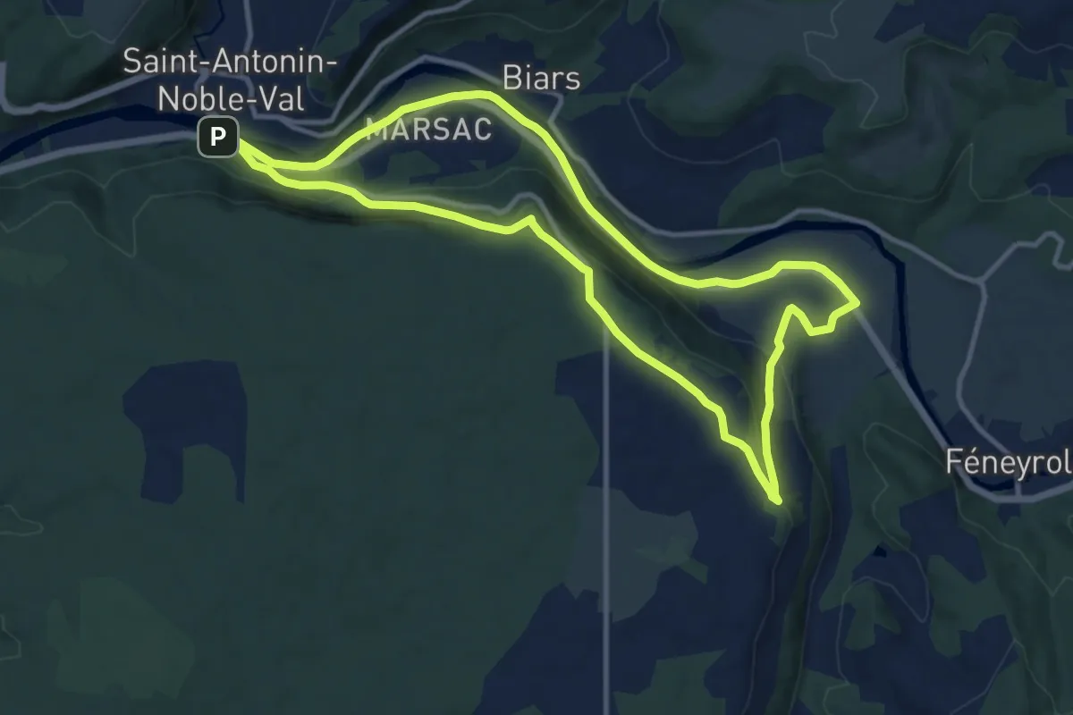
Medium · Trail
PR 4 St-Antonin : Sainte-Sabine
11.6 km · ↑ 237 m · 3 h 25 min
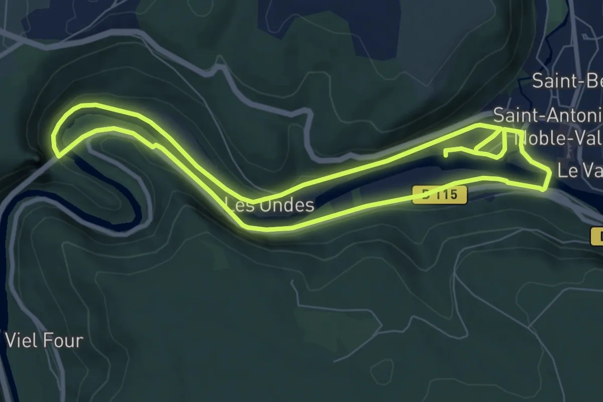
Easy · Trail
PR 5 St-Antonin : Sentier de la Loutre
7.6 km · ↑ 115 m · 2 h 9 min
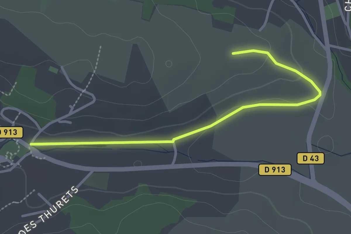
Easy · Trail
PR 60
2.8 km · ↑ 28 m · 44 min
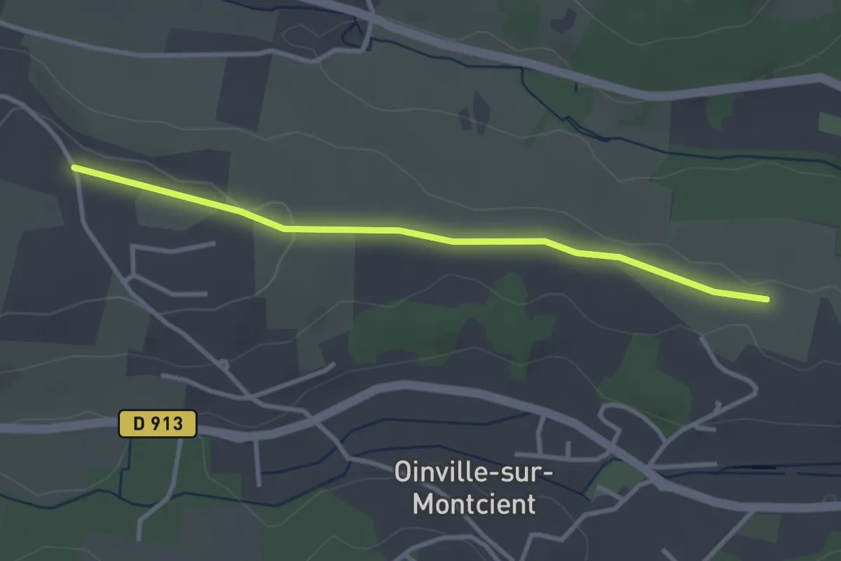
Easy · Trail
PR61
3.0 km · ↑ 22 m · 45 min
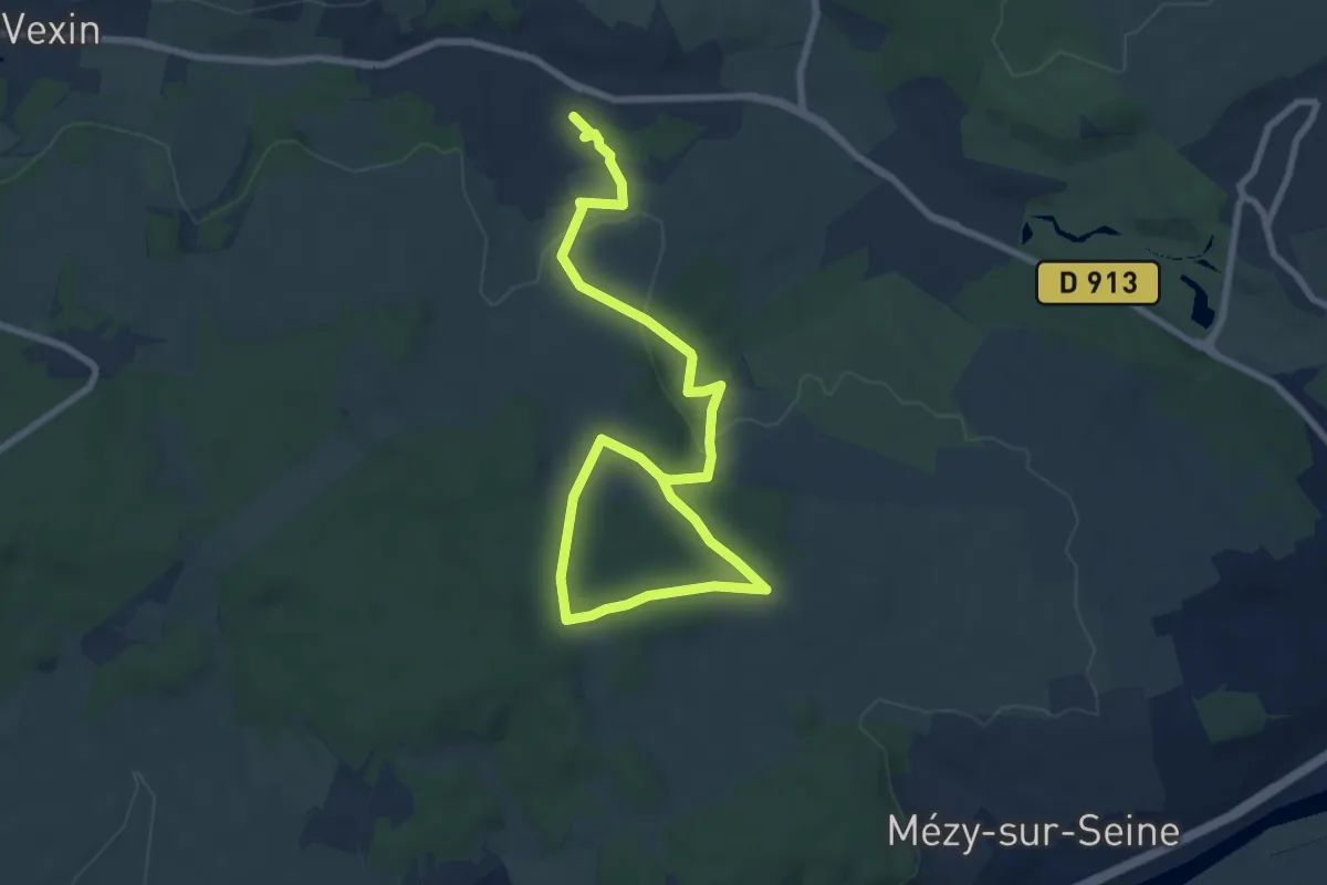
Medium · Trail
PR 62
10.4 km · ↑ 198 m · 2 h 53 min
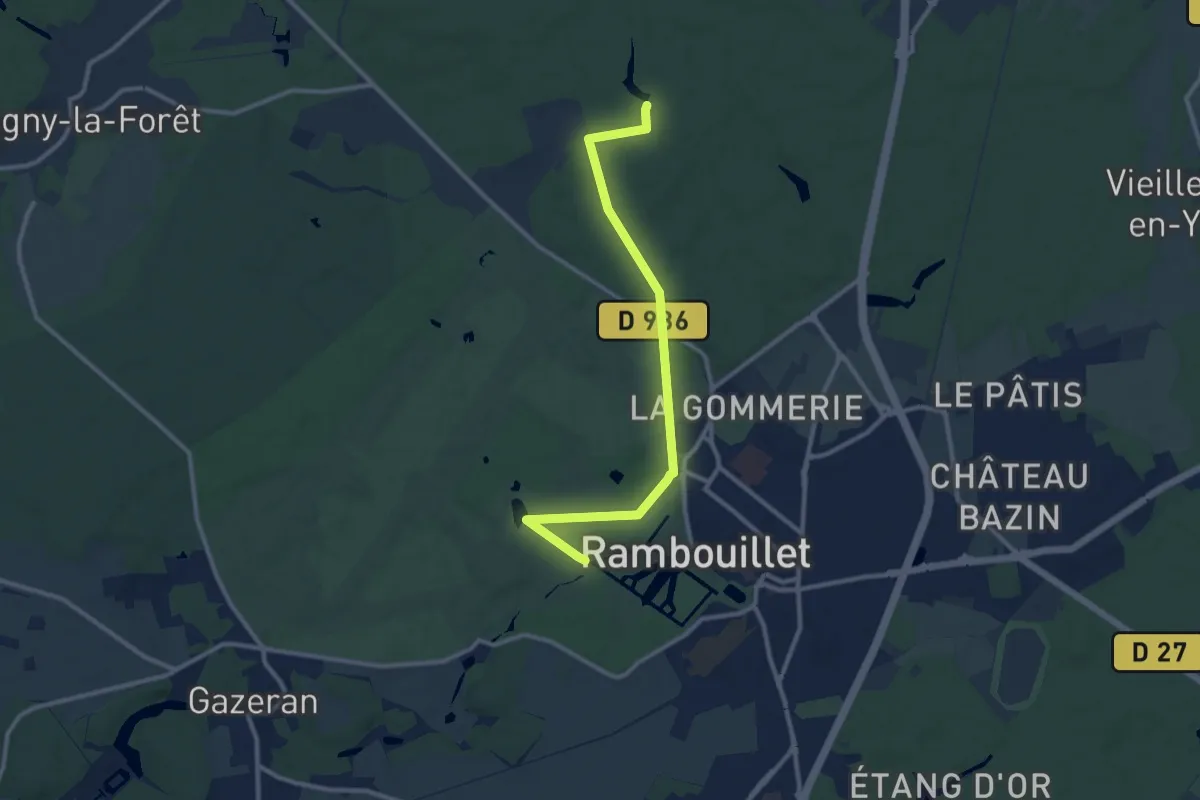
Medium · Trail
PR78
10.6 km · ↑ 83 m · 2 h 40 min
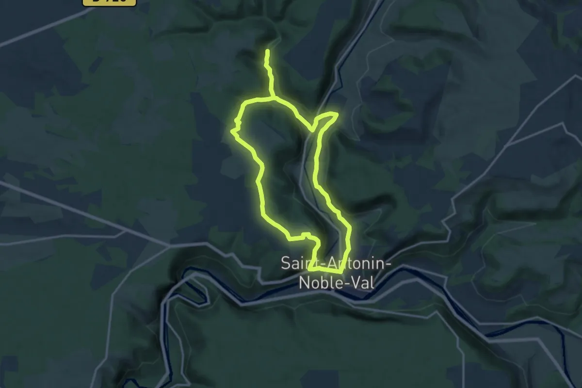
Demanding · Trail
PR 8 St-Antonin : La Gourgue
23.4 km · ↑ 505 m · 6 h 37 min
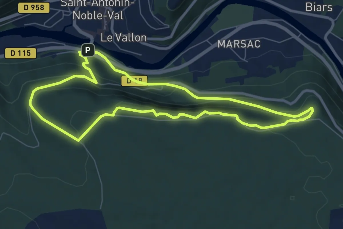
Medium · Trail
PR 9 St-Antonin : Roc d'Anglars
6.5 km · ↑ 348 m · 2 h 23 min
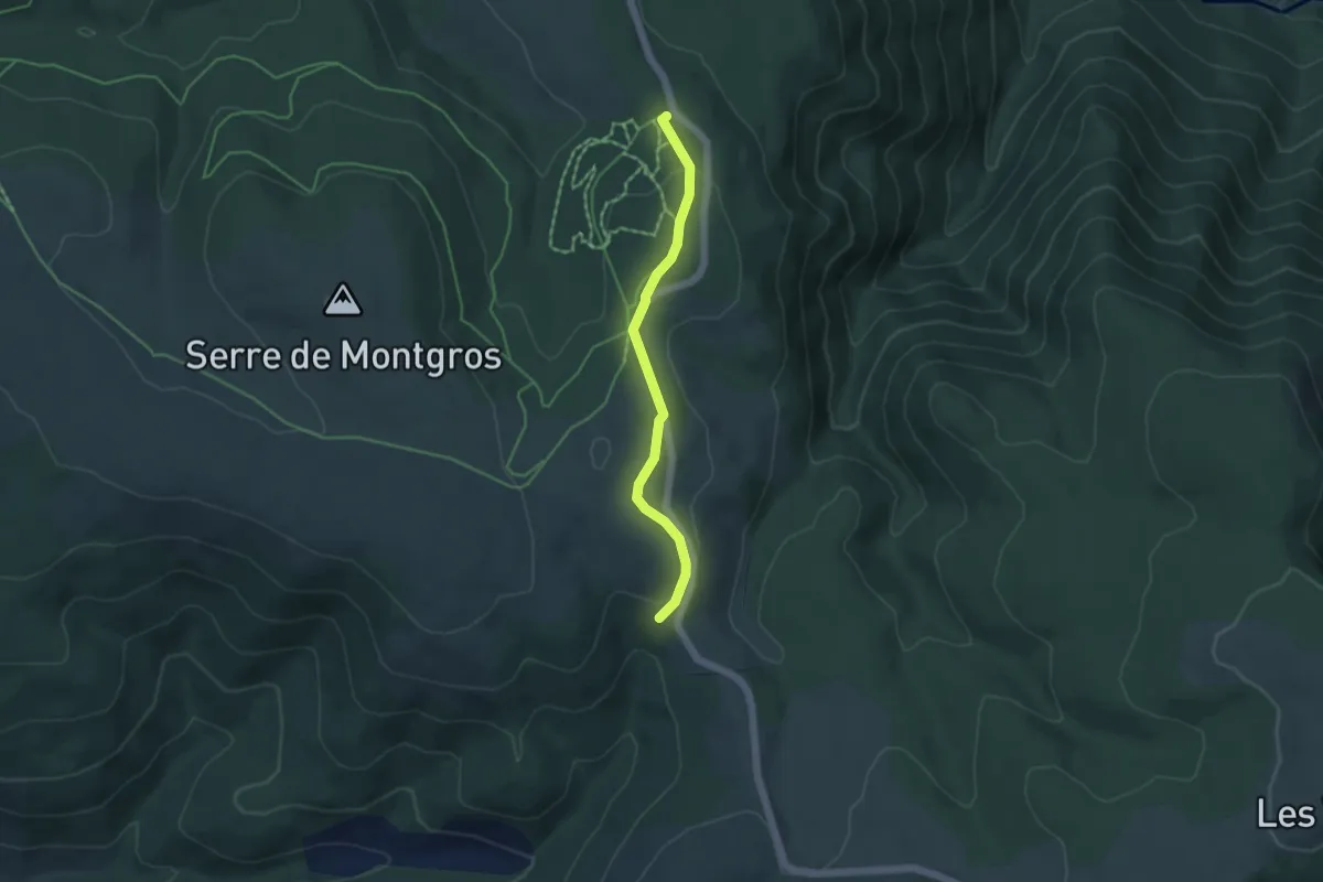
Easy · Trail
Pra Bargès - Bel-Air
4.4 km · ↑ 107 m · 1 h 16 min
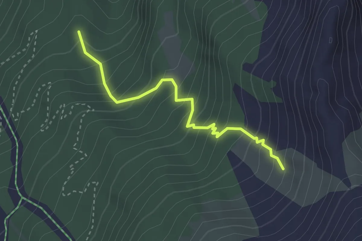
Medium · Trail
Pra Cascuers - ?
2.9 km · ↑ 376 m · 1 h 30 min
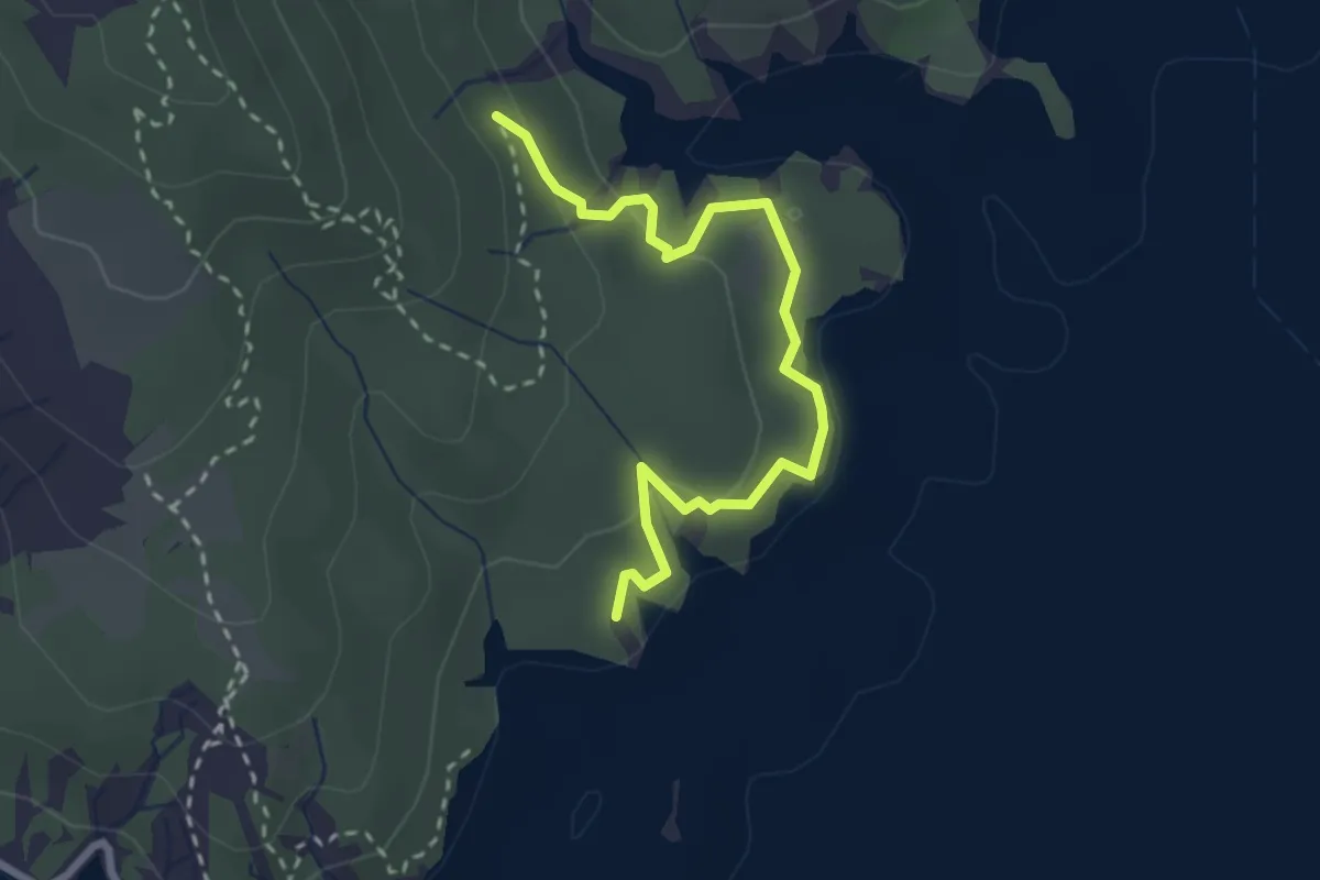
Easy · Trail
Pra de l'Ase - Serre de l'Aigle
2.9 km · ↑ 152 m · 1 h 1 min
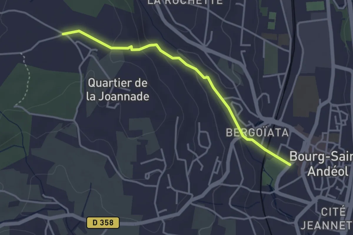
Easy · Trail
Pradelle - Darbousset
3.4 km · ↑ 97 m · 1 h
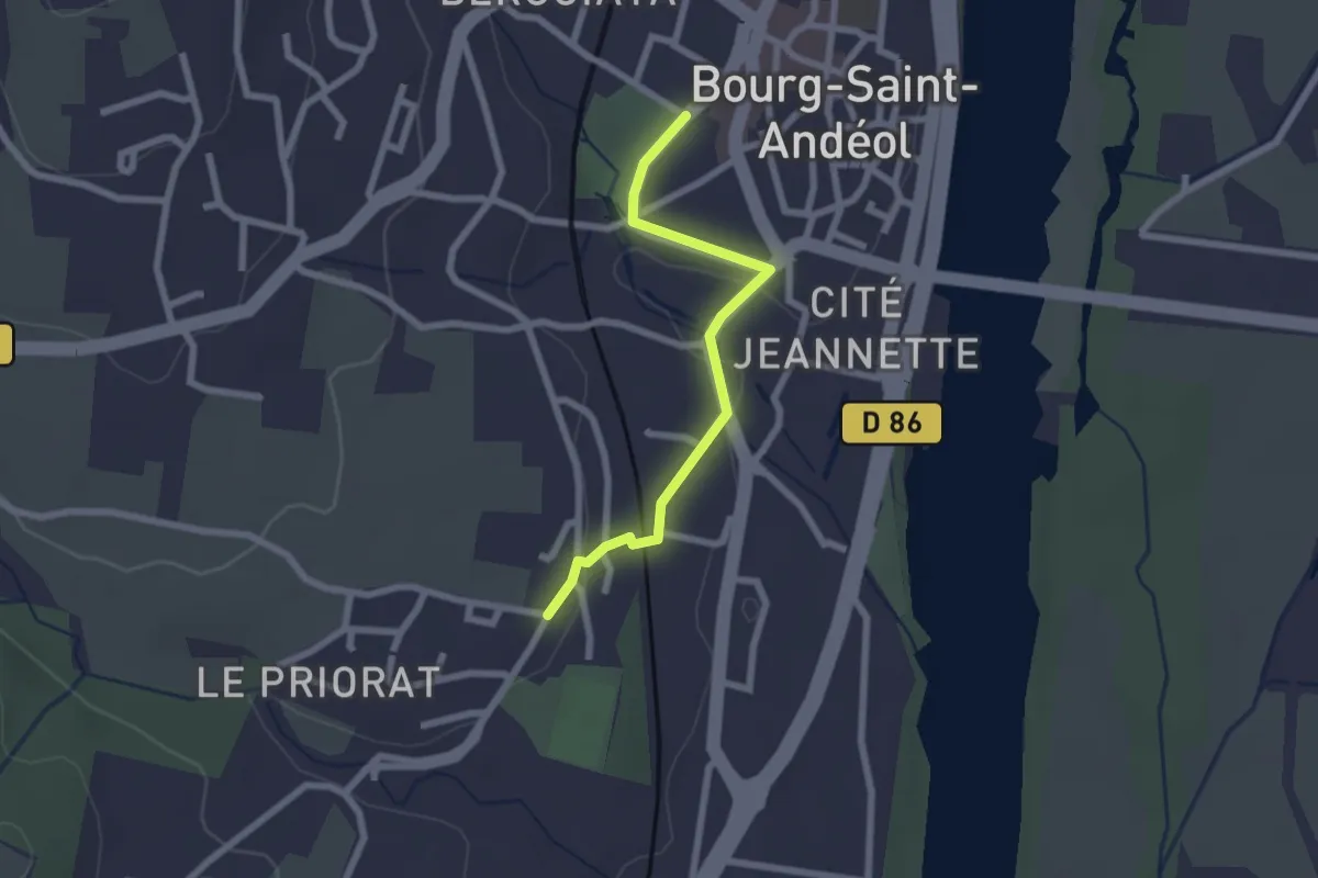
Easy · Trail
Pradelle - Seilloux
2.2 km · ↑ 35 m · 36 min
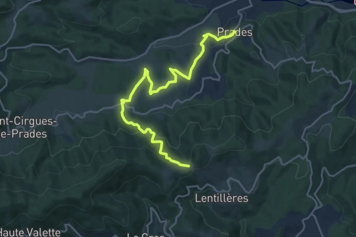
Medium · Trail
Prades - Les Perringues
11.7 km · ↑ 527 m · 3 h 54 min
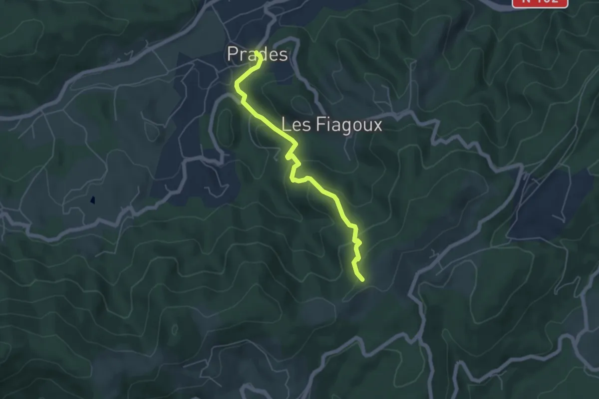
Easy · Trail
Prades - Montferou
5.0 km · ↑ 261 m · 1 h 44 min
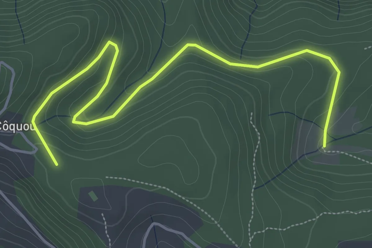
Easy · Trail
Prades - Stribes
4.6 km · ↑ 125 m · 1 h 22 min
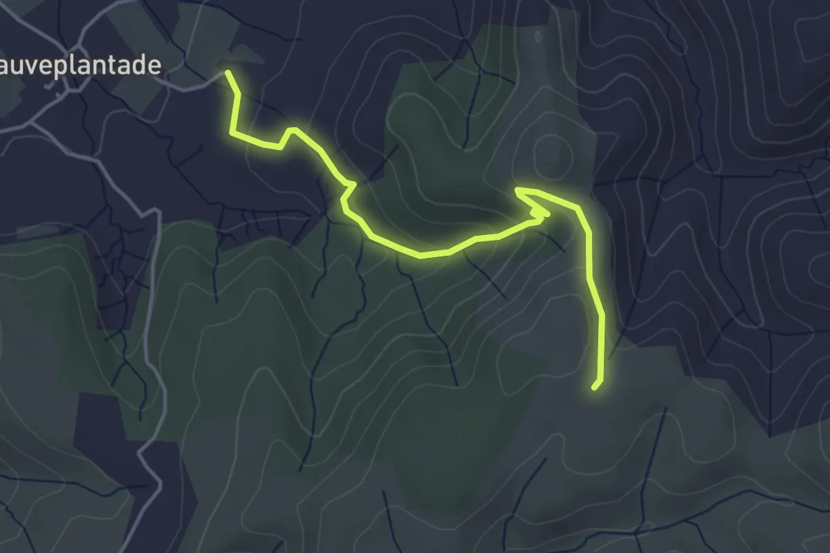
Easy · Trail
Pradet - Le Palas
4.3 km · ↑ 195 m · 1 h 27 min
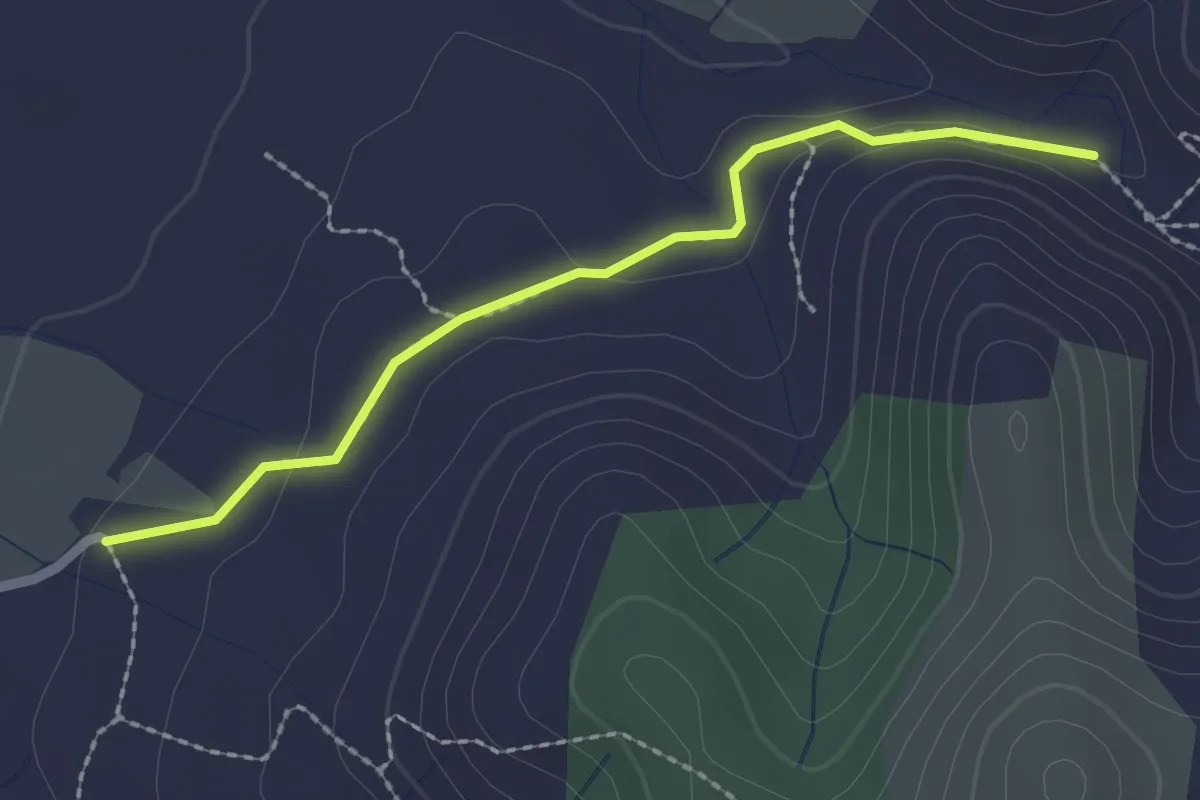
Easy · Trail
Pradet - Le Rieusset
2.2 km · ↑ 37 m · 36 min
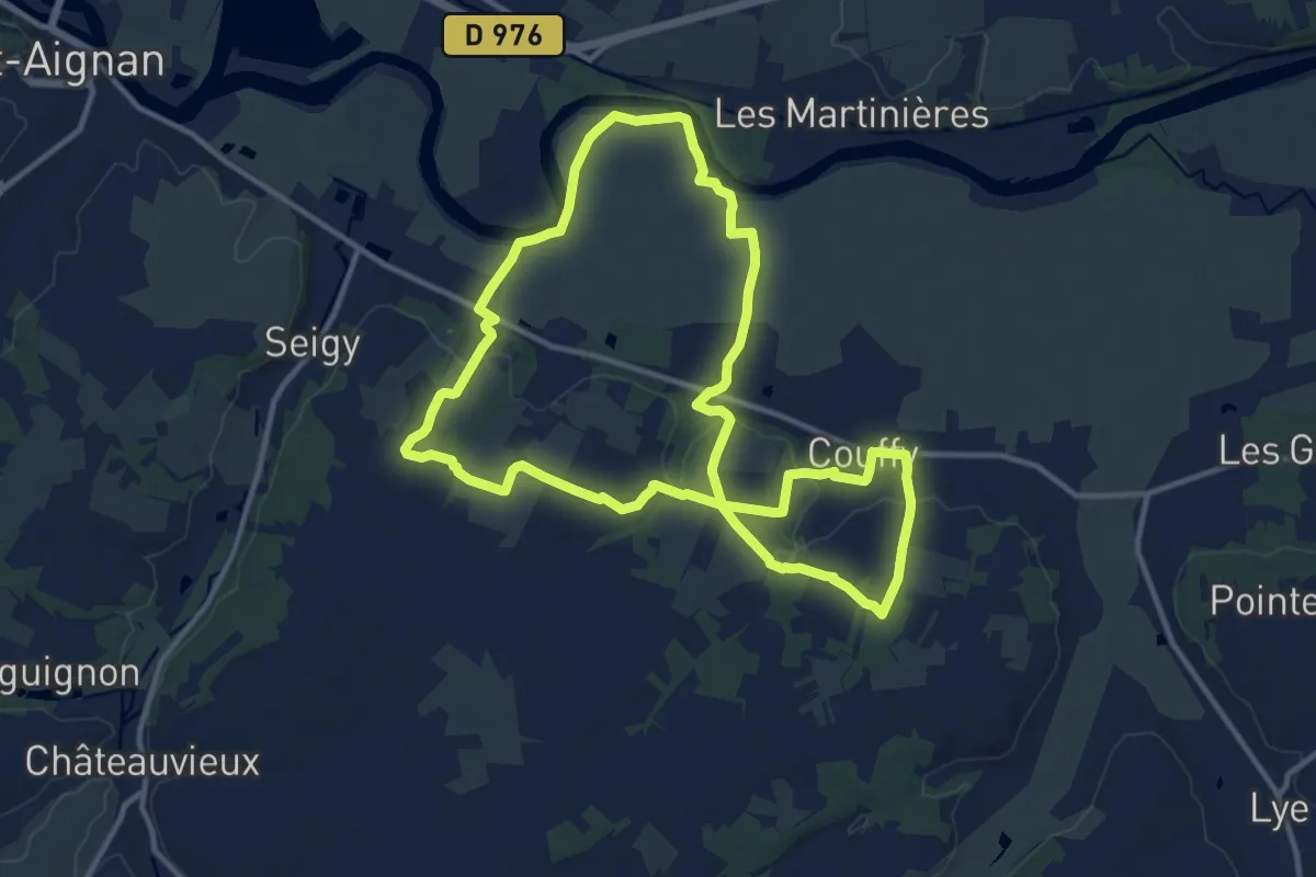
Medium · Trail
Prairies et Vignobles
12.1 km · ↑ 108 m · 3 h 15 min
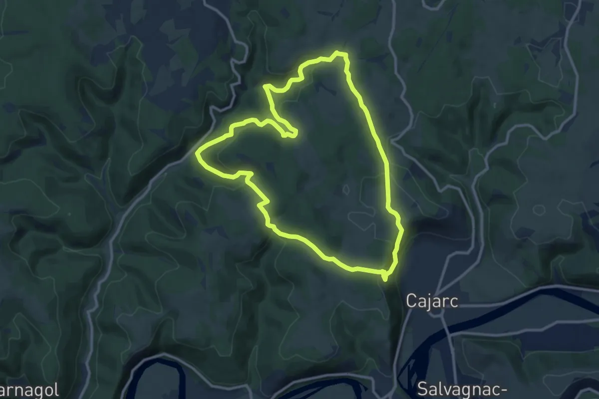
Medium · Trail
Prajoux
10.2 km · ↑ 415 m · 3 h 27 min
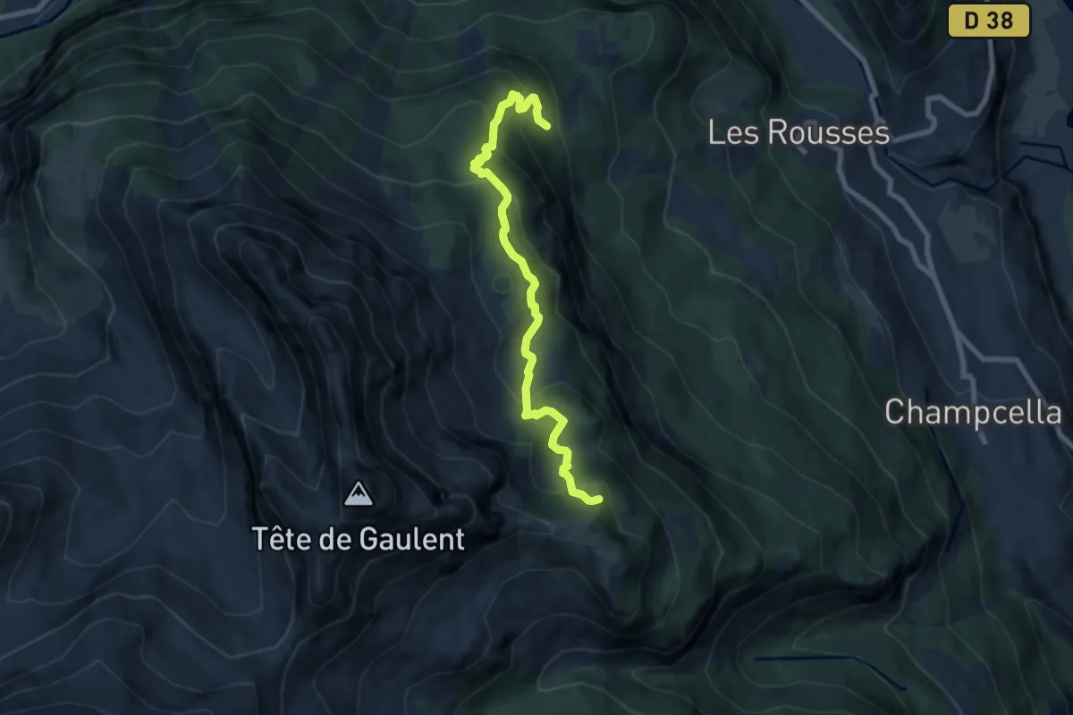
Medium · Trail
Pra la Payro - ?
7.6 km · ↑ 614 m · 3 h 8 min
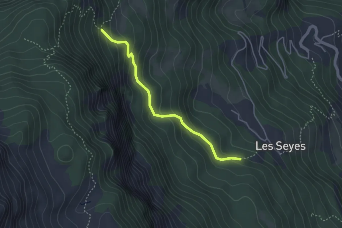
Easy · Trail
Pra la Payro - ?
3.3 km · ↑ 197 m · 1 h 13 min
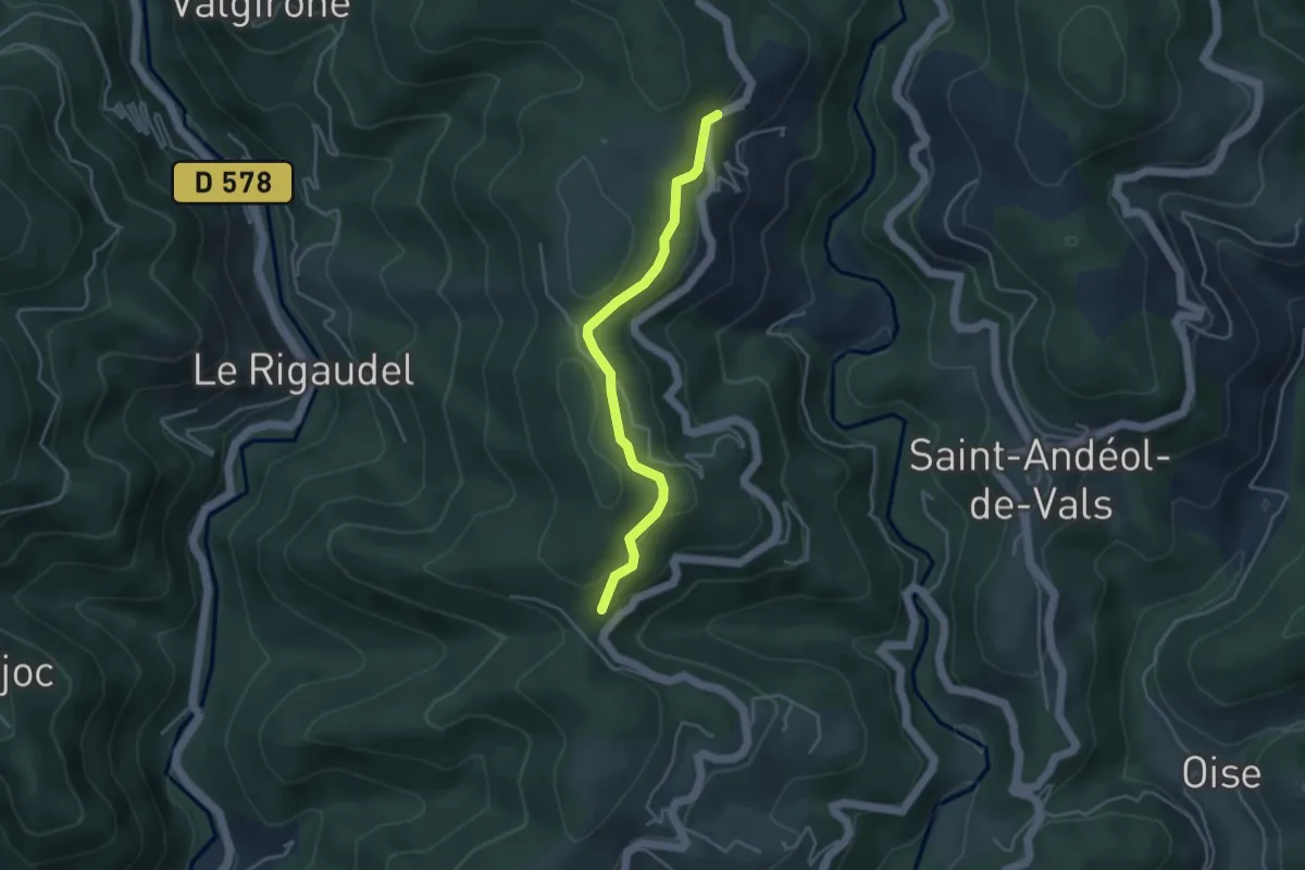
Easy · Trail
Pra Neuf - Fontbonne
3.9 km · ↑ 110 m · 1 h 9 min
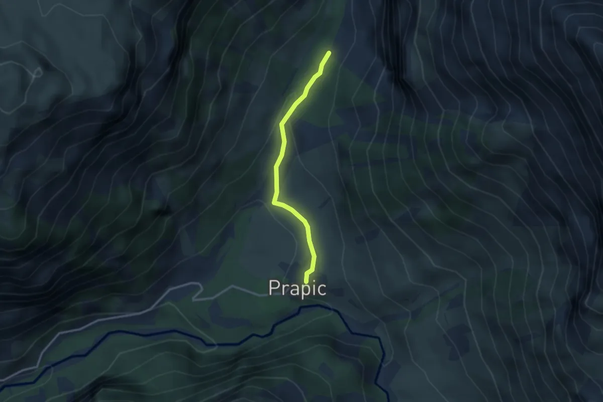
Easy · Trail
Prapic - ?
2.5 km · ↑ 61 m · 44 min