Trails in France
15,926 hiking trails, each with its route, climb, walking time and grade.
All trails, page 225 of 332
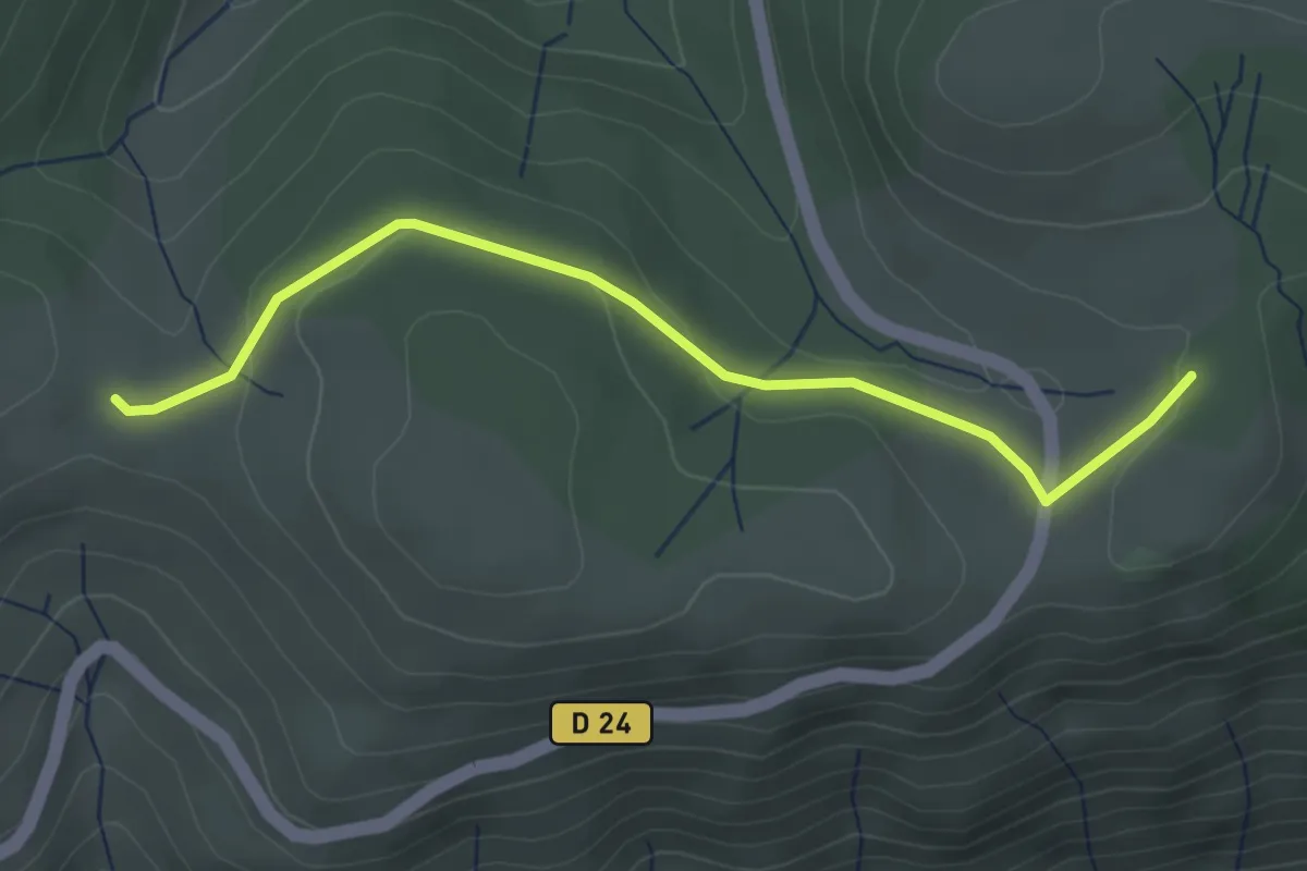
Easy · Trail
Pratarabiat - Col de Meyrand
3.6 km · ↑ 77 m · 1 h
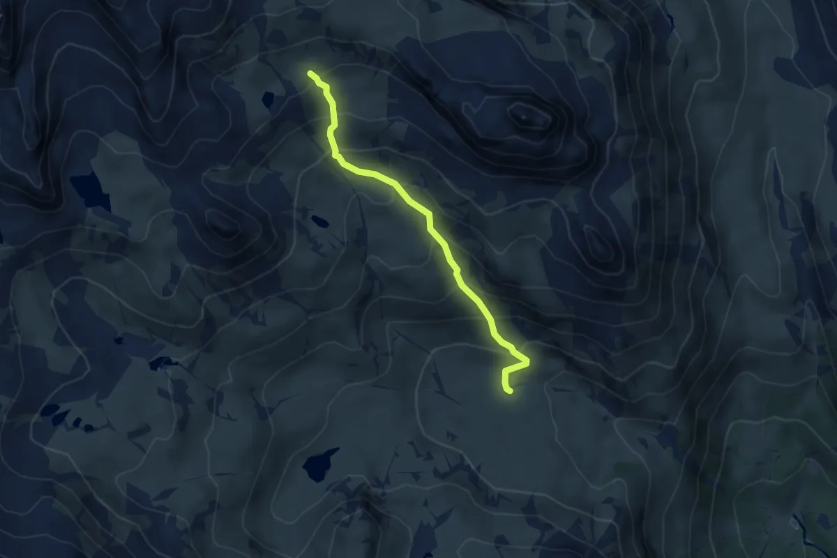
Demanding · Trail
Prat du Plan - Vallon du Diner
4.1 km · ↑ 390 m · 1 h 50 min
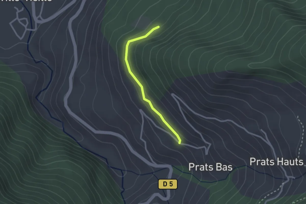
Easy · Trail
Prats Bas - Pierre Plate
2.1 km · ↑ 54 m · 36 min
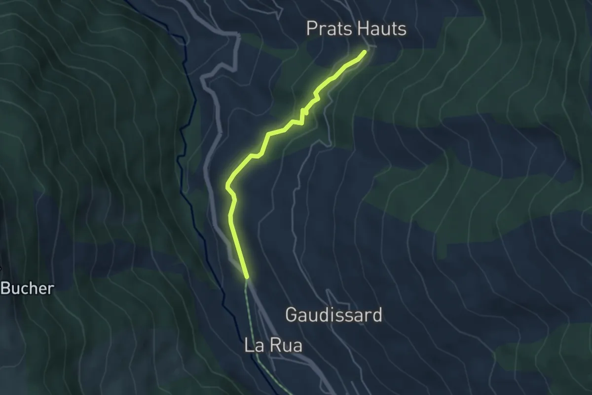
Easy · Trail
Prats Hauts Chouliers - ?
3.7 km · ↑ 144 m · 1 h 12 min
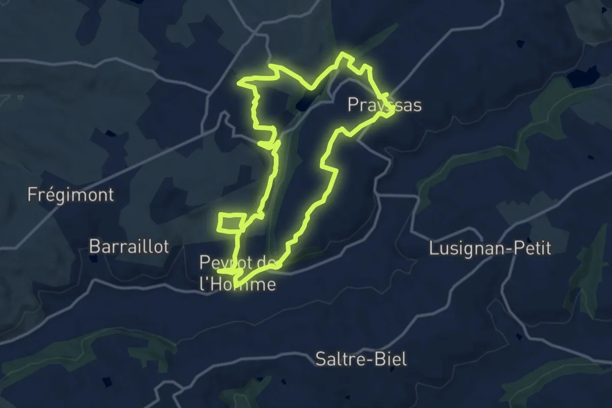
Medium · Trail
Prayssas, le circuit des pigeonniers
12.3 km · ↑ 287 m · 3 h 42 min
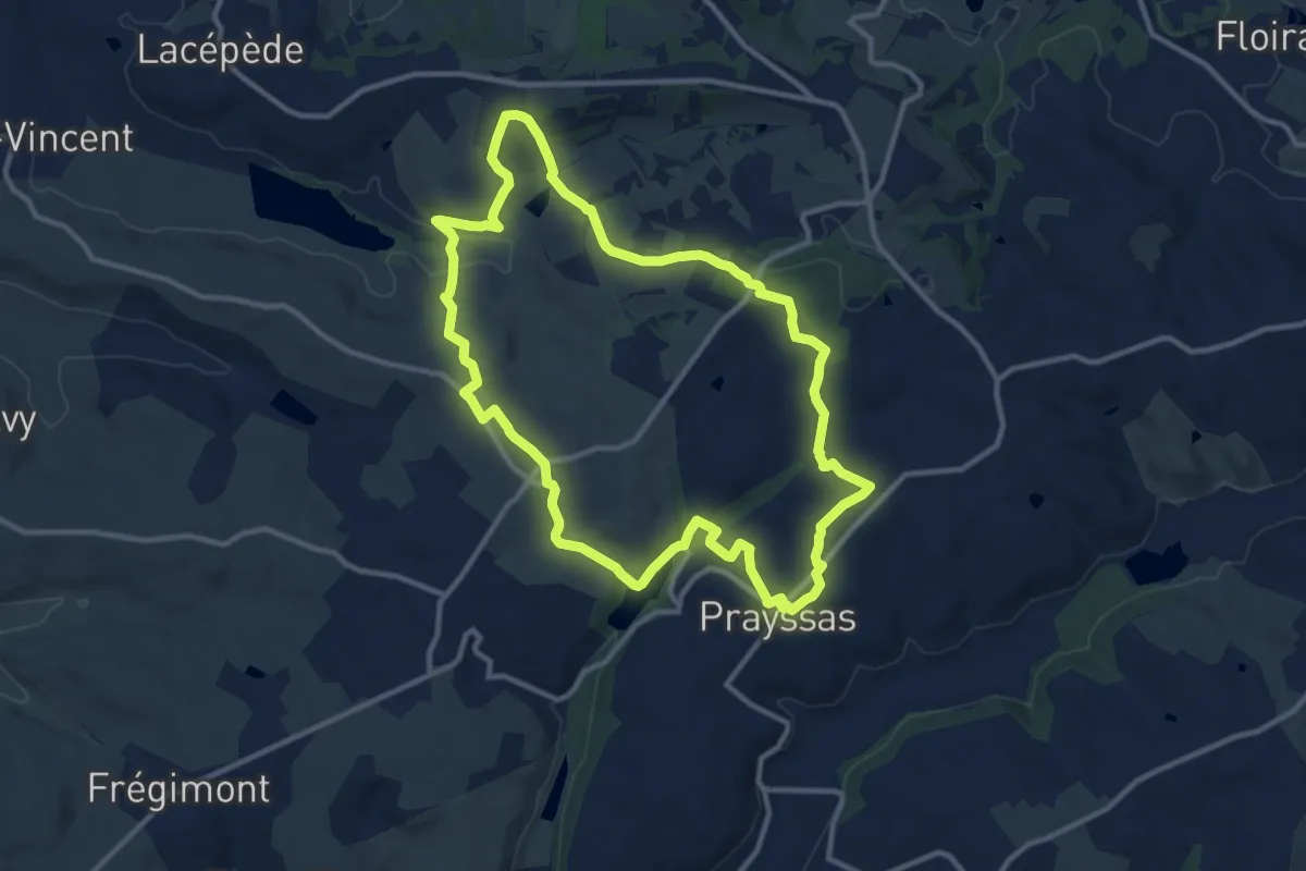
Medium · Trail
Prayssas / Quittimont, circuit panoramique dans le Pays de serres
11.9 km · ↑ 274 m · 3 h 34 min
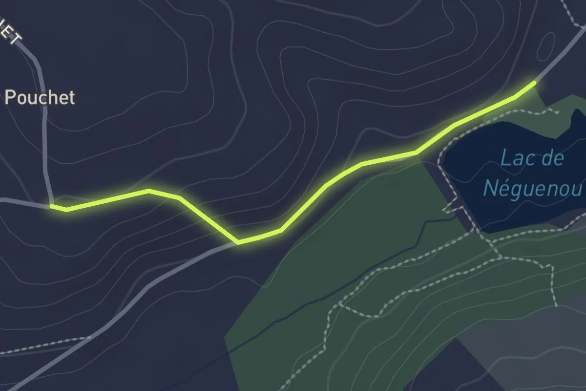
Easy · Trail
Prayssas, tourisme au pays du chasselas - 9km
1.2 km · ↑ 0 m · 19 min
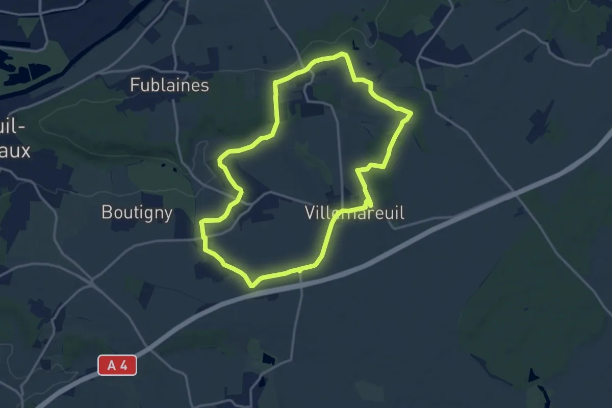
Demanding · Trail
PR Boucle de Saint-Fiacre
23.2 km · ↑ 248 m · 6 h 1 min
Easy · Trail
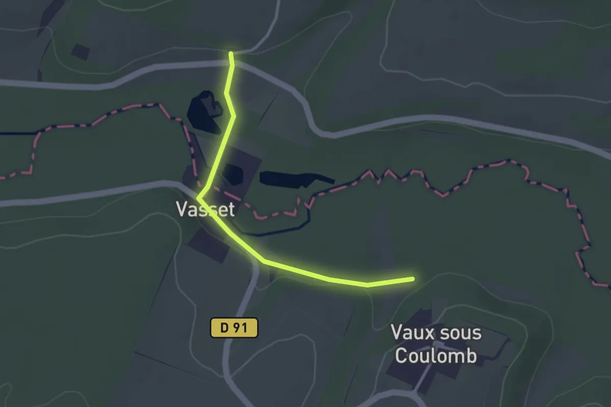
PR Crouy
2.6 km · ↑ 33 m · 41 min
Easy · Trail
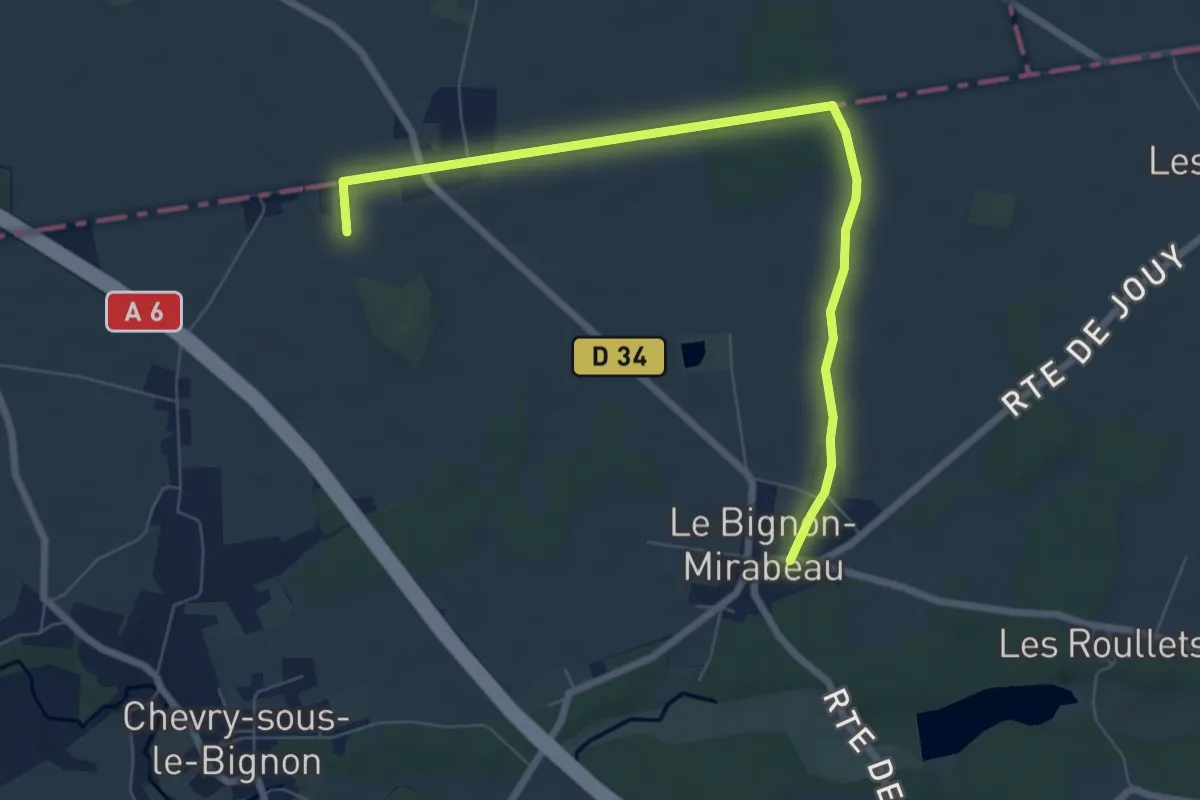
PR de César
7.6 km · ↑ 17 m · 1 h 49 min
Easy · Trail
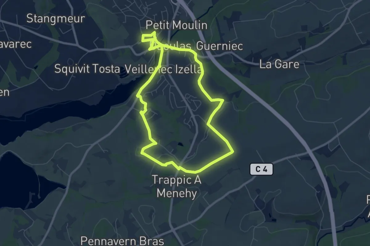
PR de Daoulas
6.4 km · ↑ 98 m · 1 h 49 min
Easy · Trail
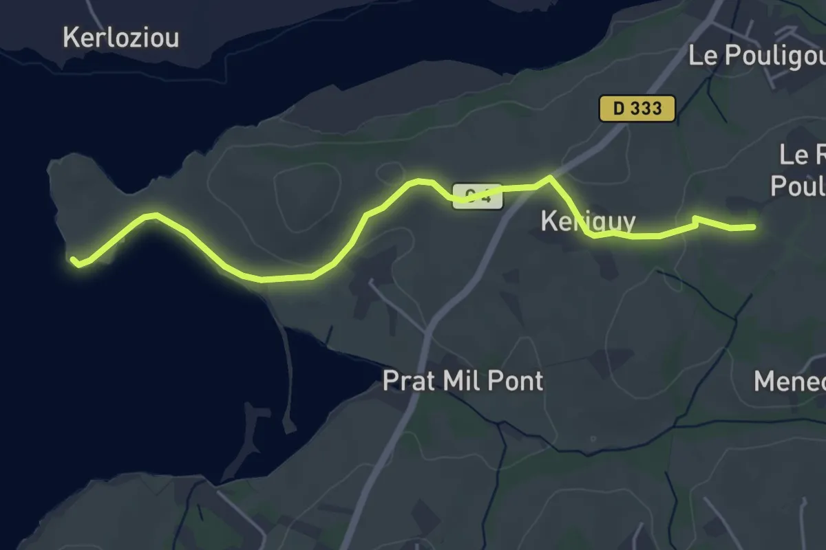
PR de Daoulas variante
4.8 km · ↑ 46 m · 1 h 13 min
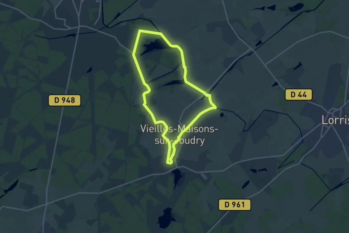
Medium · Trail
PR de Grignon
12.5 km · ↑ 36 m · 3 h 12 min
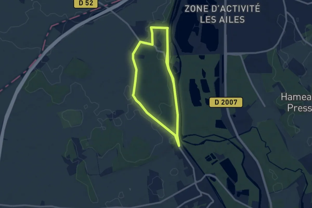
Medium · Trail
PR de la Croix Quantine
12.1 km · ↑ 111 m · 3 h 5 min
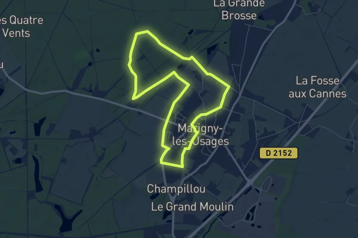
Easy · Trail
PR de la Forêt
6.7 km · ↑ 31 m · 1 h 44 min
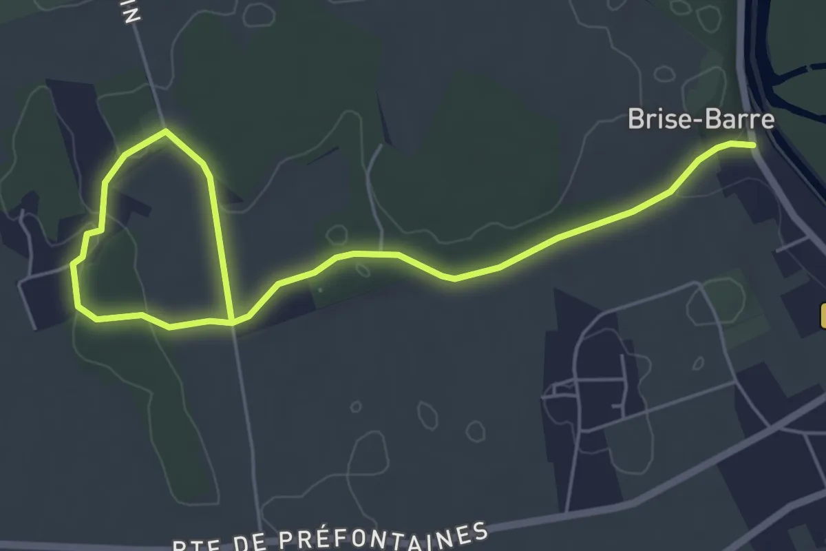
Easy · Trail
PR de la Forge
6.7 km · ↑ 35 m · 1 h 39 min
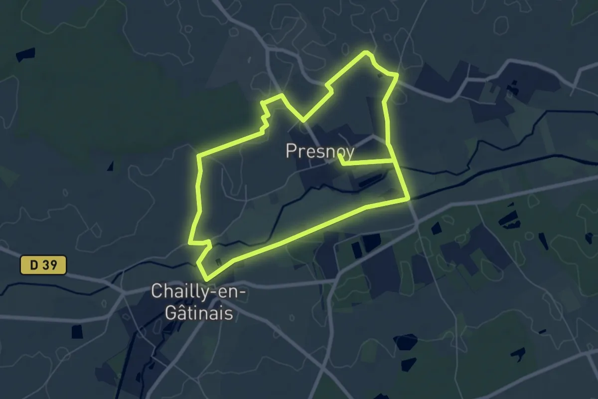
Easy · Trail
PR de la Planche aux Filles E1
6.6 km · ↑ 14 m · 1 h 40 min
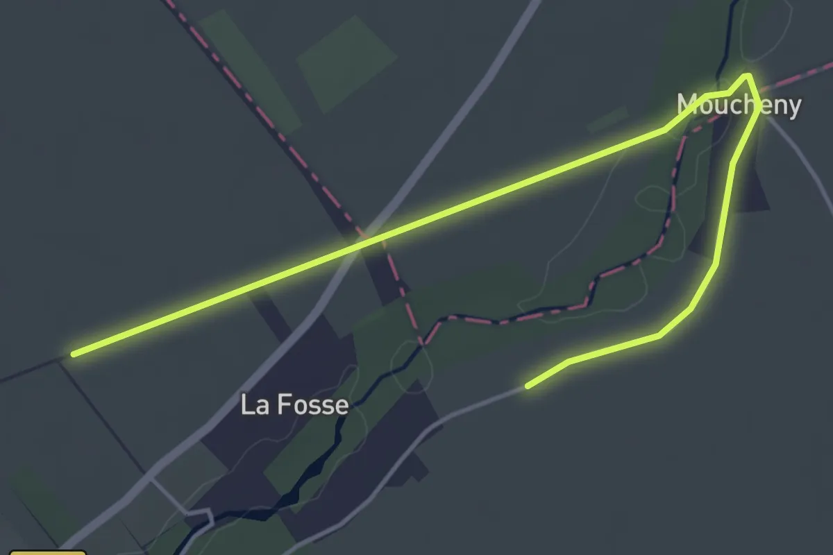
Easy · Trail
PR de la Vallée du Fusain
5.2 km · ↑ 13 m · 1 h 15 min
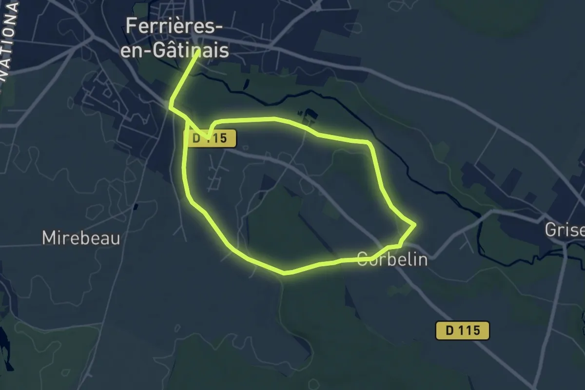
Medium · Trail
PR de L'Orée des Bois
10.9 km · ↑ 94 m · 2 h 46 min
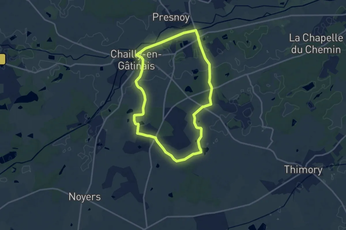
Medium · Trail
PR de Romaison E2
9.9 km · ↑ 31 m · 2 h 33 min
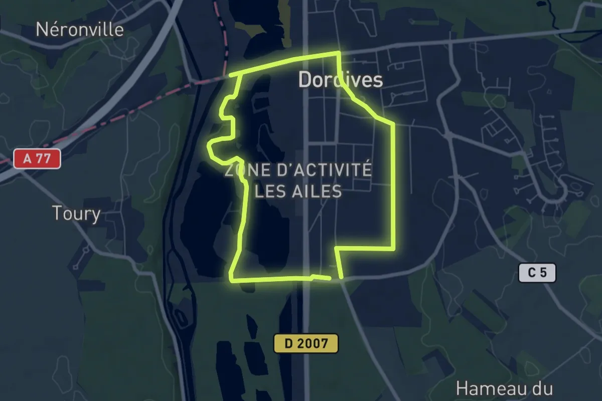
Easy · Trail
PR des Aulnois
6.0 km · ↑ 22 m · 1 h 33 min
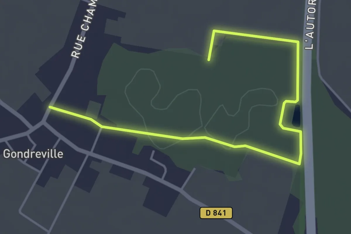
Easy · Trail
PR des Bois
4.7 km · ↑ 17 m · 1 h 9 min
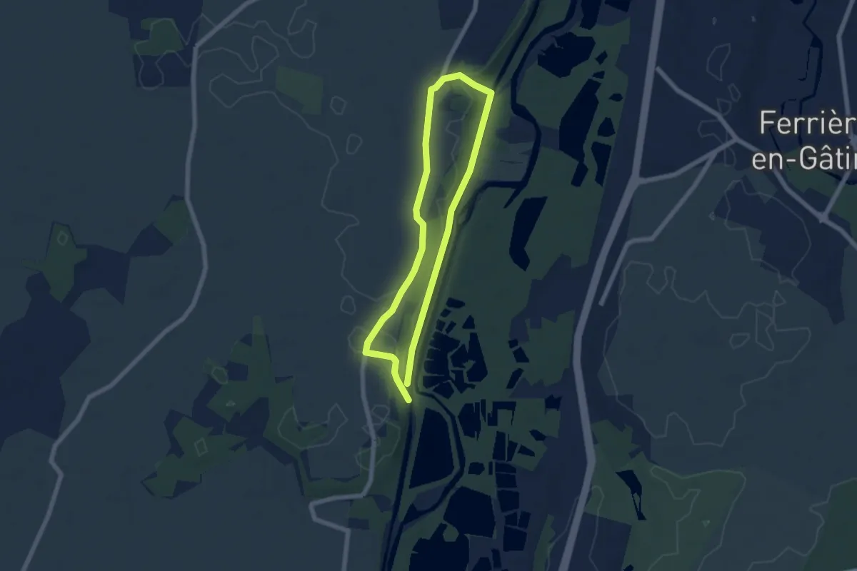
Easy · Trail
PR des Bois des Vaux
4.8 km · ↑ 29 m · 1 h 15 min
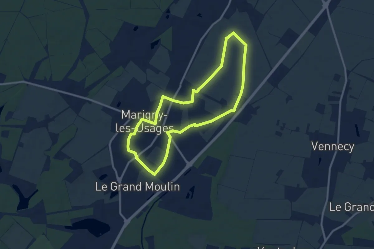
Easy · Trail
PR des Champs
6.9 km · ↑ 21 m · 1 h 46 min
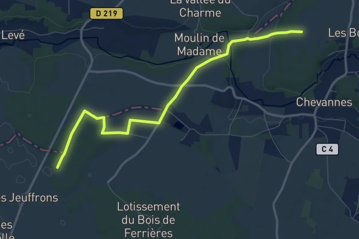
Medium · Trail
PR des Deux Rivières
8.0 km · ↑ 60 m · 2 h 2 min
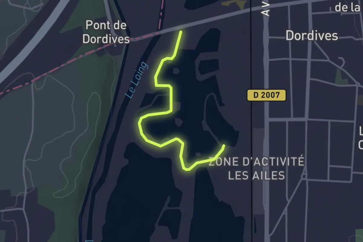
Easy · Trail
PR des Etangs
3.1 km · ↑ 8 m · 45 min
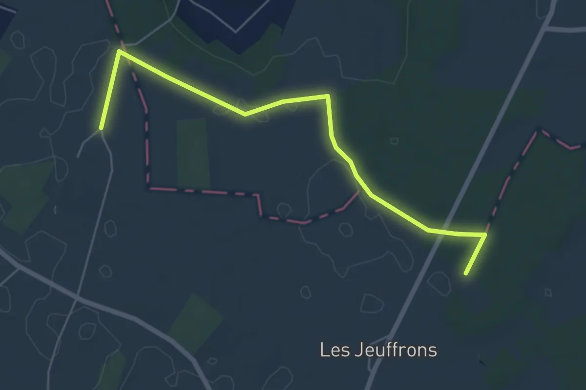
Easy · Trail
PR des Hameaux
5.2 km · ↑ 14 m · 1 h 15 min
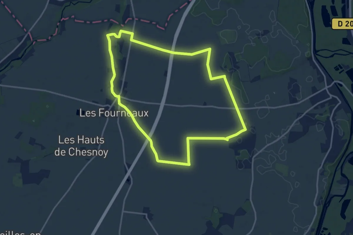
Medium · Trail
PR des Muraliens
11.3 km · ↑ 12 m · 2 h 52 min
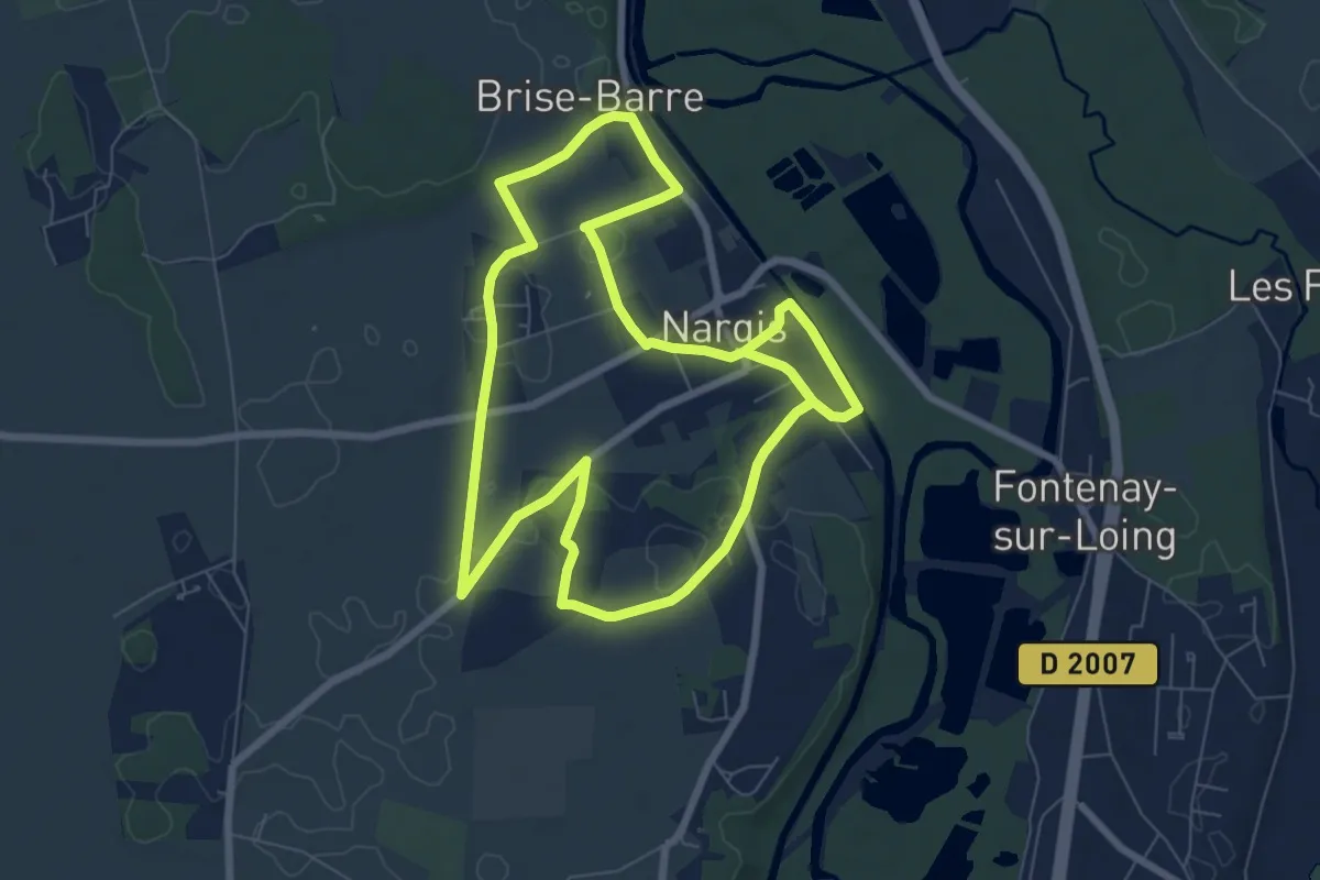
Medium · Trail
PR des Pieds Chauffés
15.5 km · ↑ 162 m · 4 h 1 min

Easy · Trail
PR du Bourg
5.0 km · ↑ 9 m · 1 h 12 min
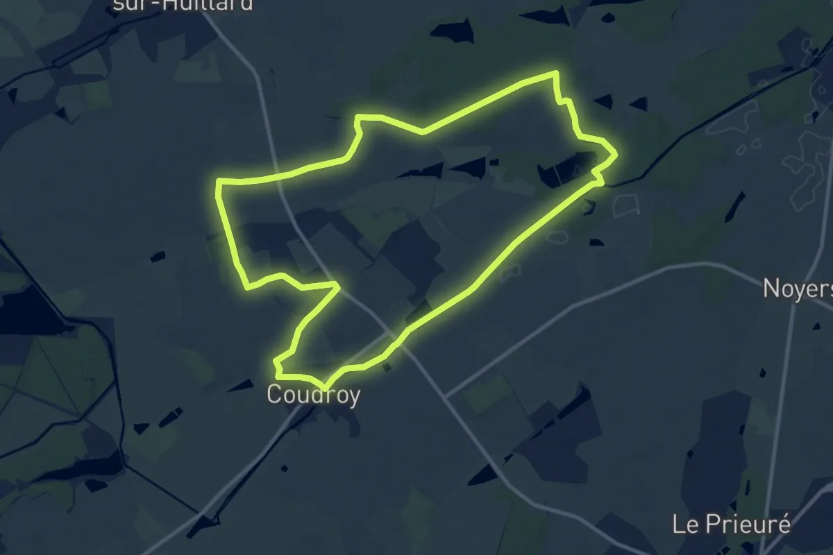
Medium · Trail
PR du Hateau E10
10.9 km · ↑ 28 m · 2 h 48 min
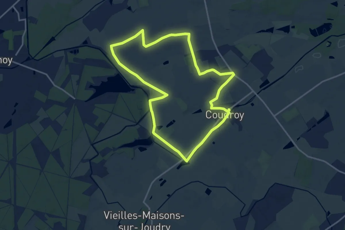
Medium · Trail
PR du Petit Château E9
10.9 km · ↑ 20 m · 2 h 46 min
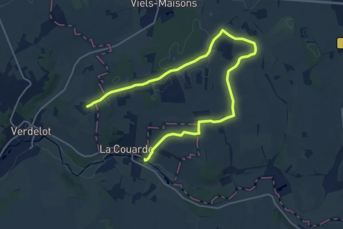
Medium · Trail
PR® du Petit Morin
14.6 km · ↑ 180 m · 3 h 50 min
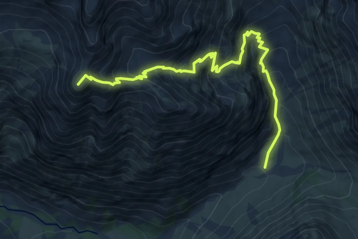
Demanding · Summit
Pré de la Chaumette - Col de la Valette
9.4 km · ↑ 932 m · 4 h 14 min
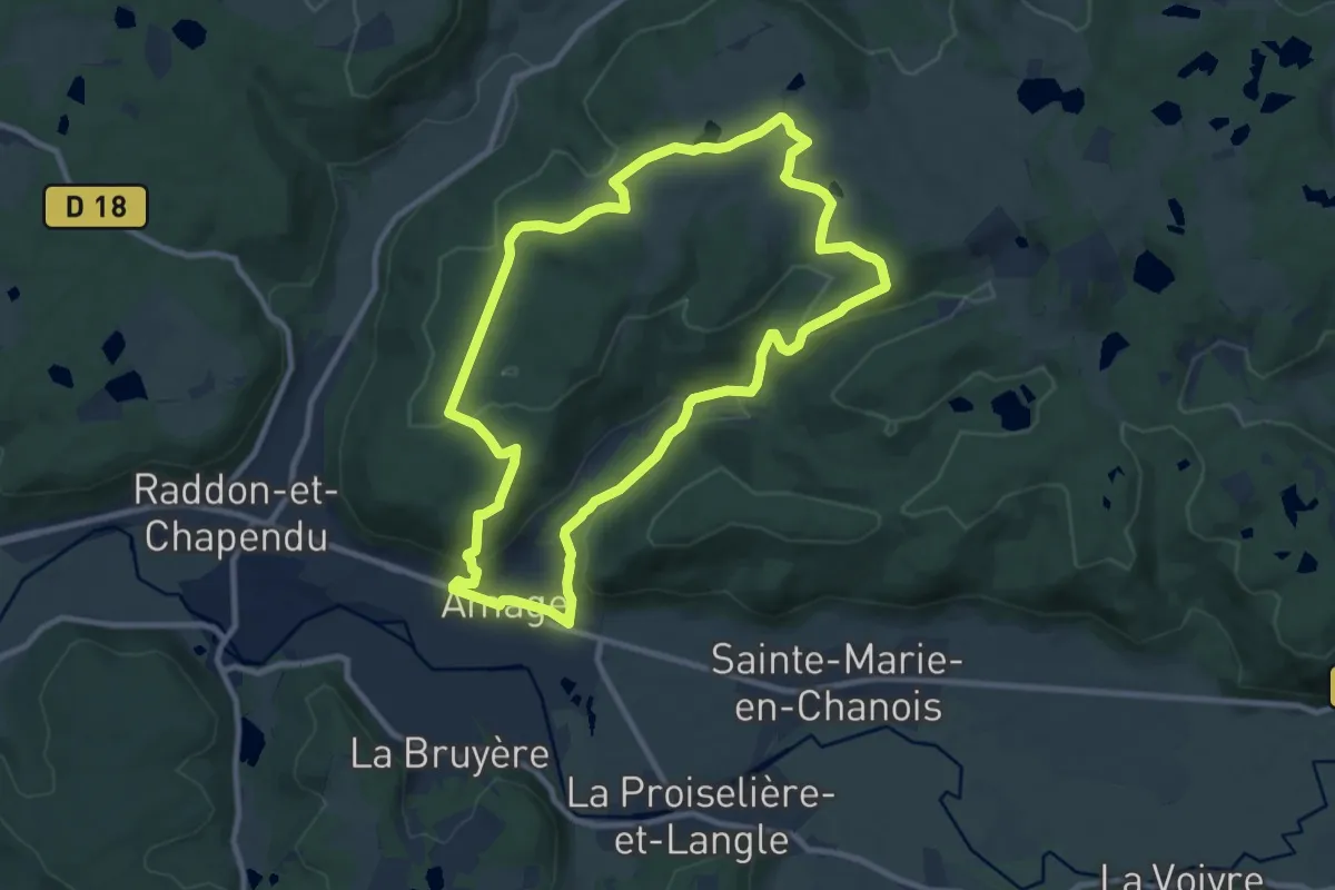
Medium · Trail
Pré d'Oro
9.4 km · ↑ 266 m · 2 h 56 min
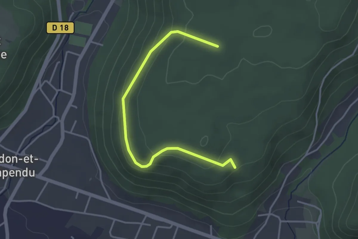
Easy · Trail
Pré d'Oro Variante du Grand Ban
3.6 km · ↑ 127 m · 1 h 8 min
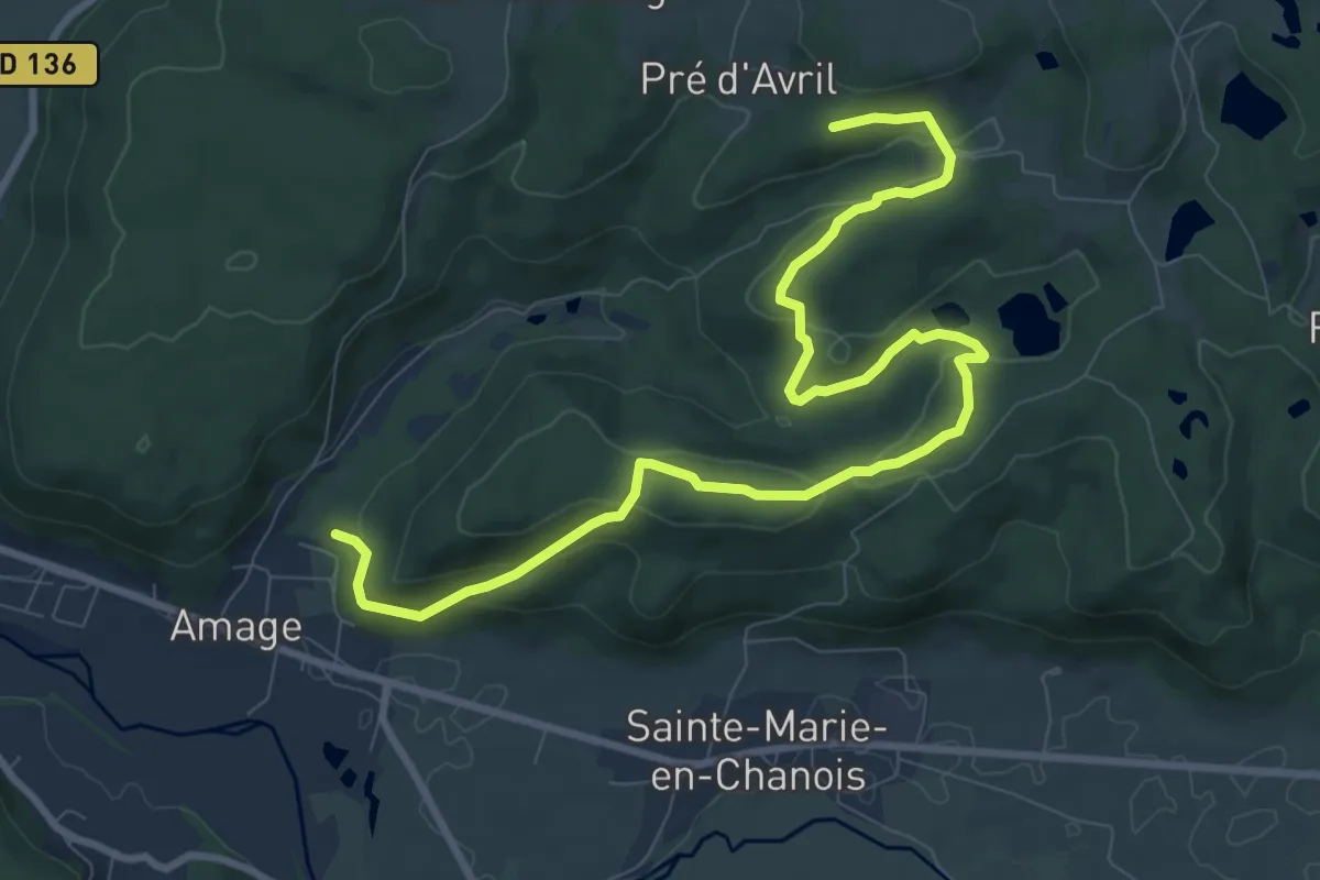
Medium · Trail
Pré d'Oro Variante du Petit Ban
11.0 km · ↑ 426 m · 3 h 31 min
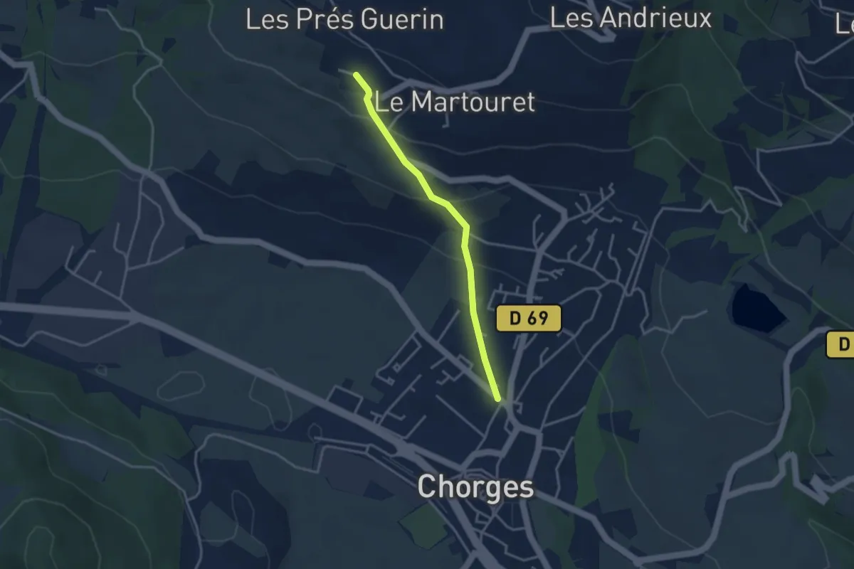
Easy · Trail
Pré du Château - Palier
3.0 km · ↑ 151 m · 1 h 3 min
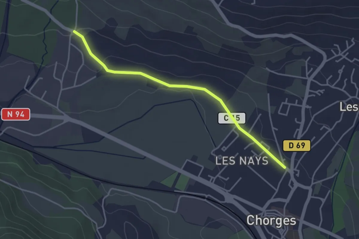
Easy · Trail
Pré du Château - Serre Vial
3.6 km · ↑ 50 m · 58 min
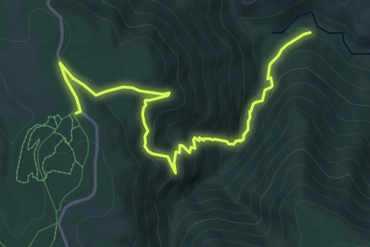
Medium · Trail
Pré du Poux - Bel-Air
8.6 km · ↑ 591 m · 3 h 19 min
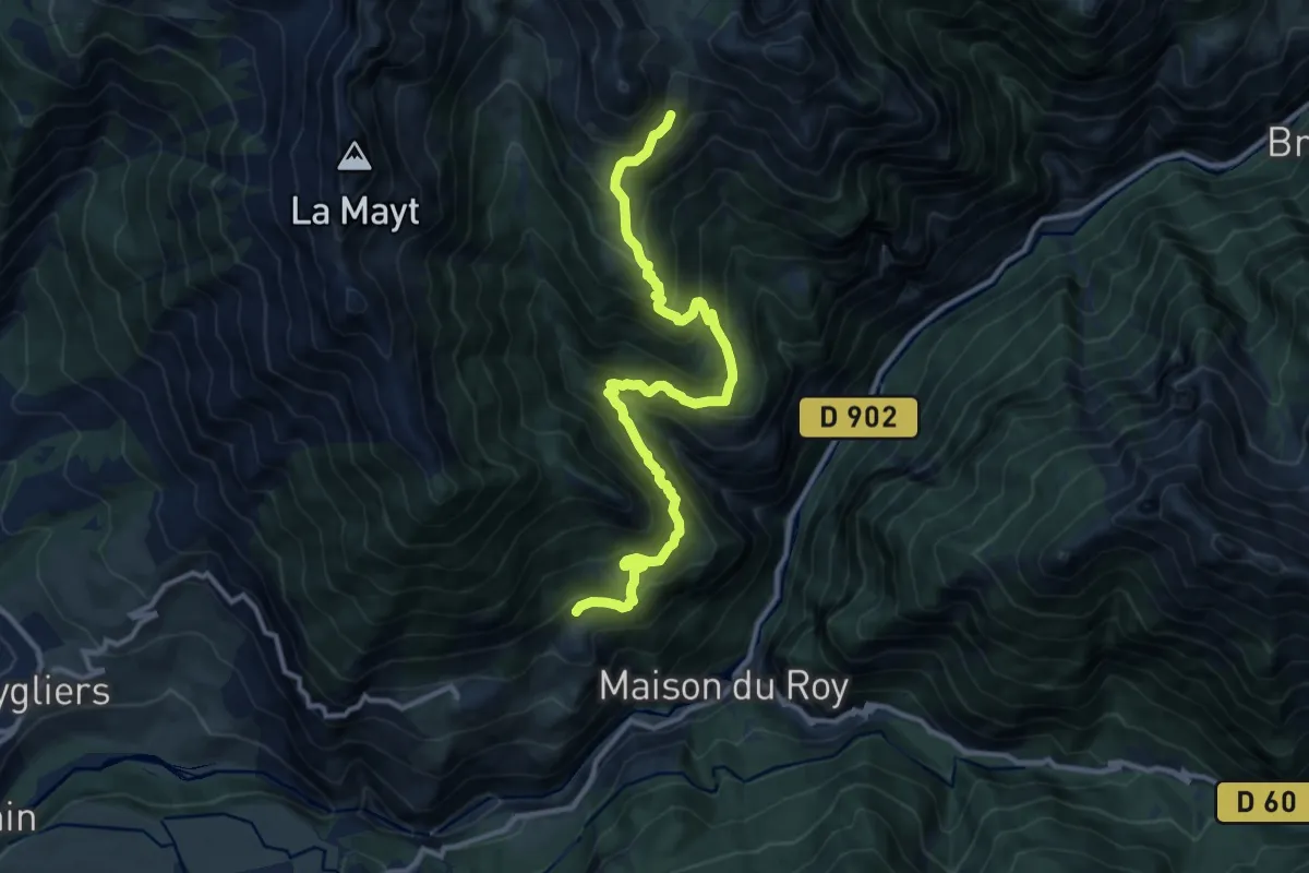
Demanding · Trail
Pré Fonza - ?
12.7 km · ↑ 1132 m · 5 h 27 min
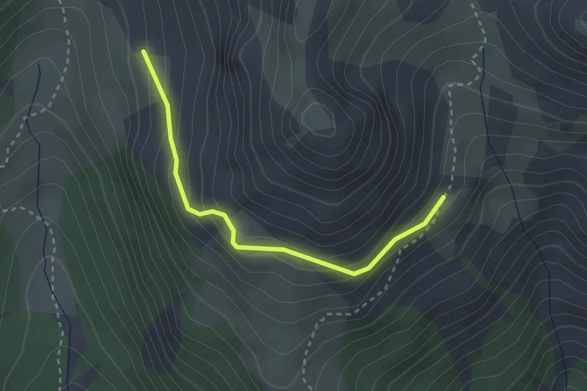
Medium · Trail
Pré Fonza - Terre Noire La Valette
2.6 km · ↑ 188 m · 1 h 1 min
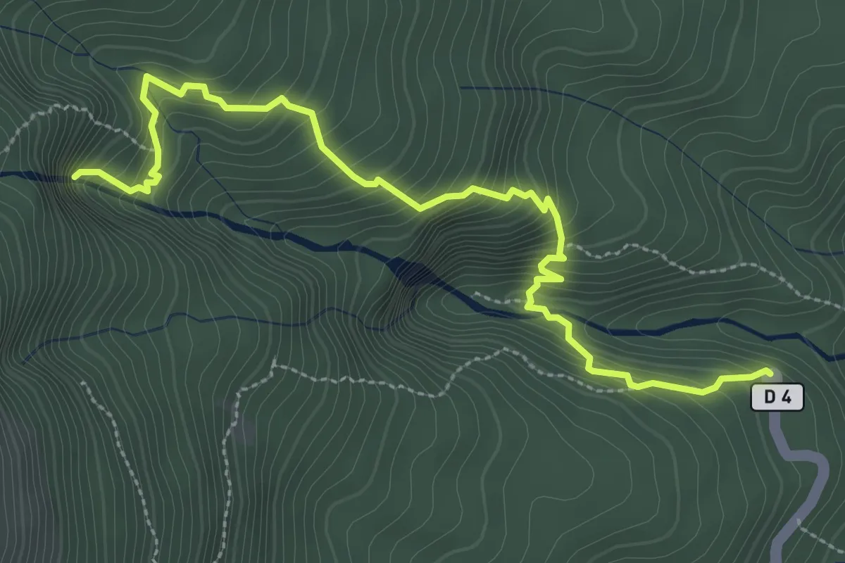
Demanding · Trail
Première Chute du Carbet
4.9 km · ↑ 452 m · 2 h 8 min
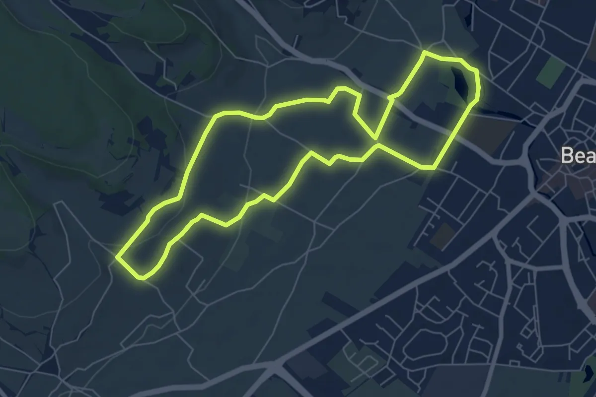
Easy · Trail
Premiers Crus de Beaune
6.1 km · ↑ 107 m · 1 h 45 min
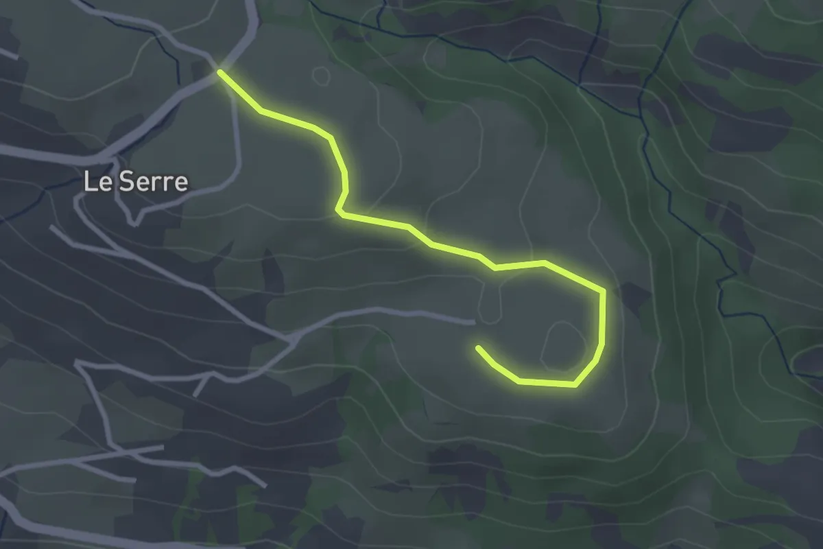
Easy · Trail
Pré Riand - La Clouisse
2.9 km · ↑ 78 m · 51 min
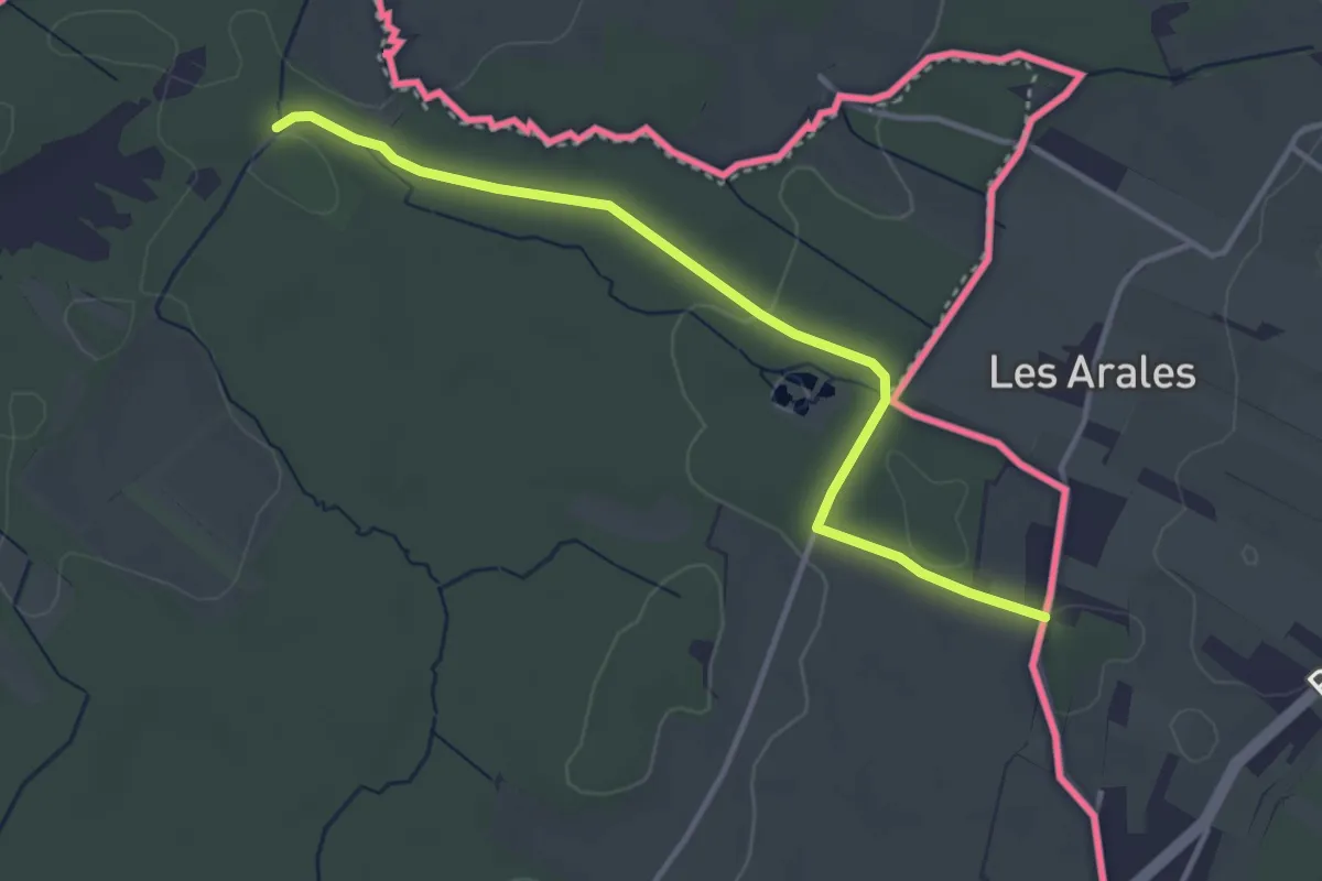
Easy · Trail
Prés de Villette - Les Arales
3.6 km · ↑ 45 m · 57 min
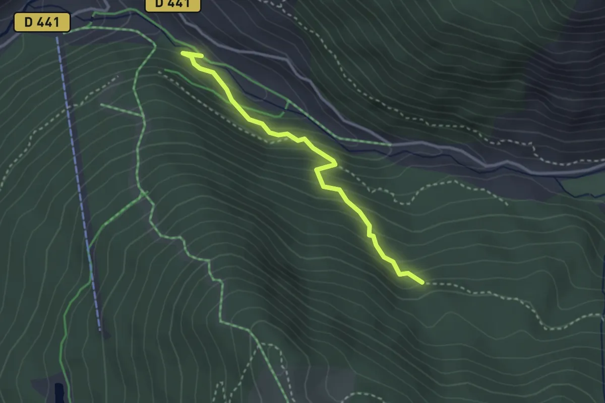
Easy · Trail
Près du Bois de la Brune - Torrent du Bouchet
3.0 km · ↑ 220 m · 1 h 10 min
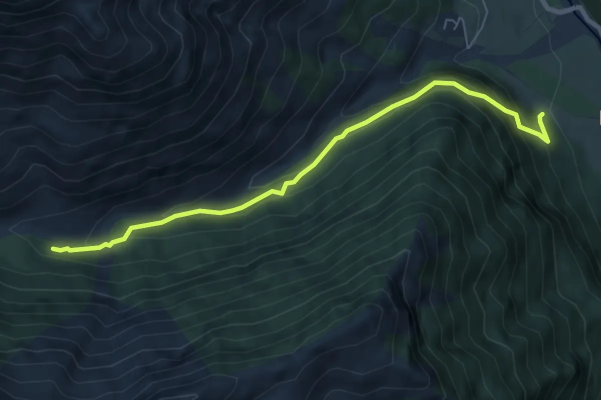
Medium · Trail
Prés du Clot - Sous Coste Fourranne
5.9 km · ↑ 406 m · 2 h 16 min