Trails in France
15,926 hiking trails, each with its route, climb, walking time and grade.
All trails, page 227 of 332
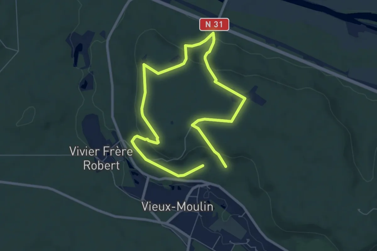
Easy · Trail
Promenade de Vieux moulin
5.1 km · ↑ 151 m · 1 h 35 min
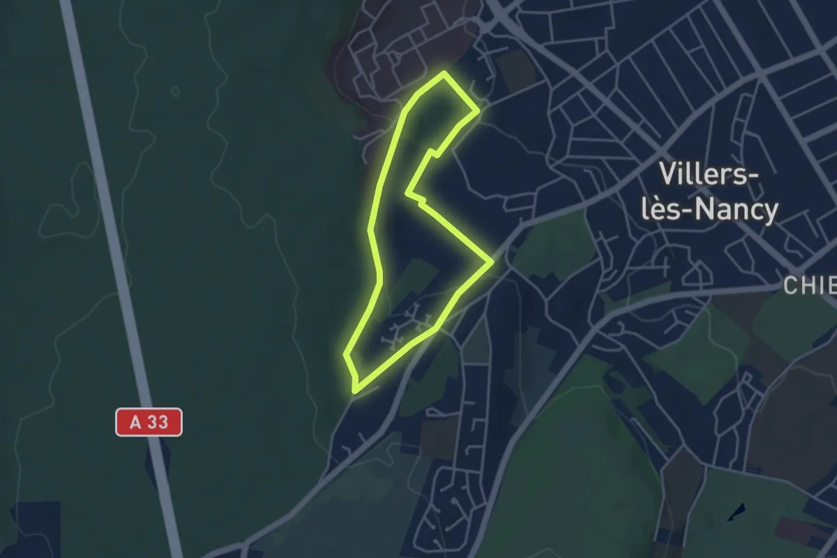
Easy · Trail
Promenade d'Hardeval
3.2 km · ↑ 81 m · 58 min
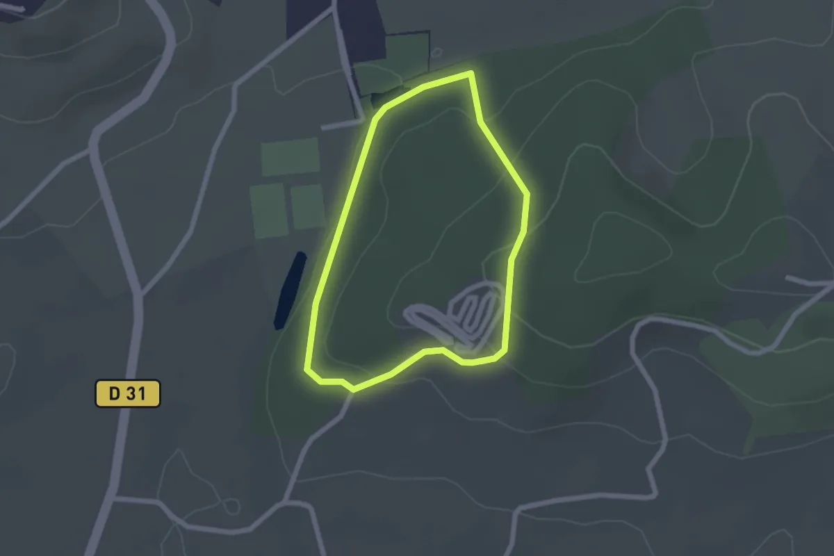
Easy · Trail
Promenade du bois de Canarde à Arthez
1.9 km · ↑ 56 m · 35 min
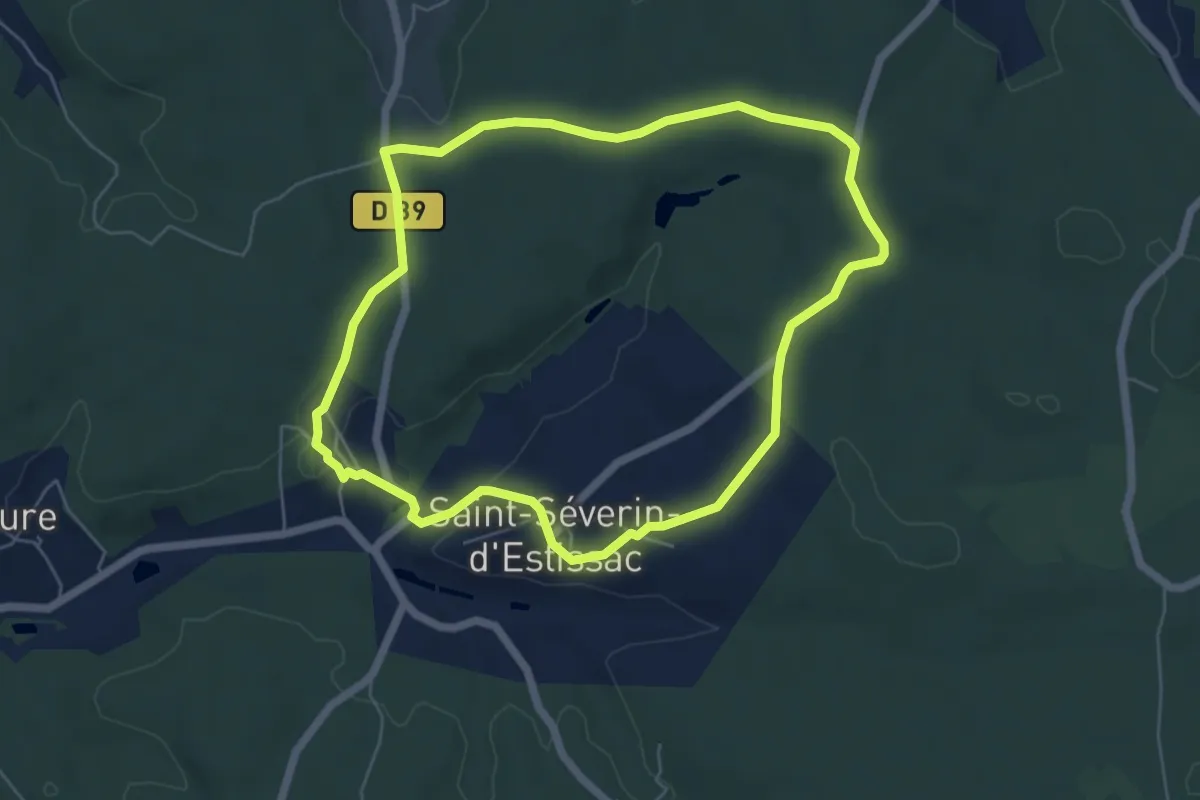
Easy · Trail
Promenade du Bost
5.8 km · ↑ 77 m · 1 h 37 min
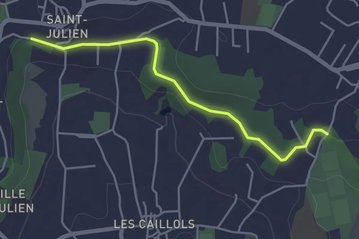
Easy · Trail
Promenade du Canal Saint Julien
3.4 km · ↑ 57 m · 56 min
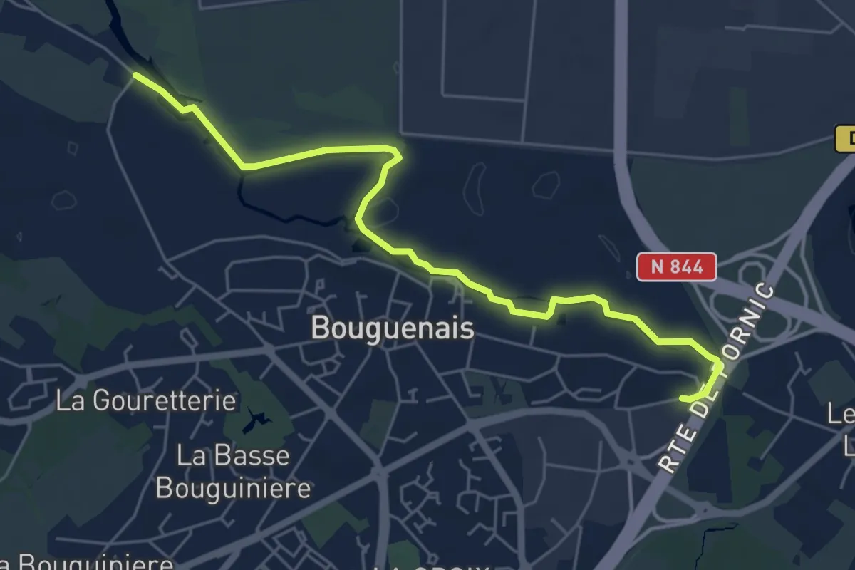
Easy · Trail
Promenade du Chemin des Canotiers
5.7 km · ↑ 13 m · 1 h 22 min
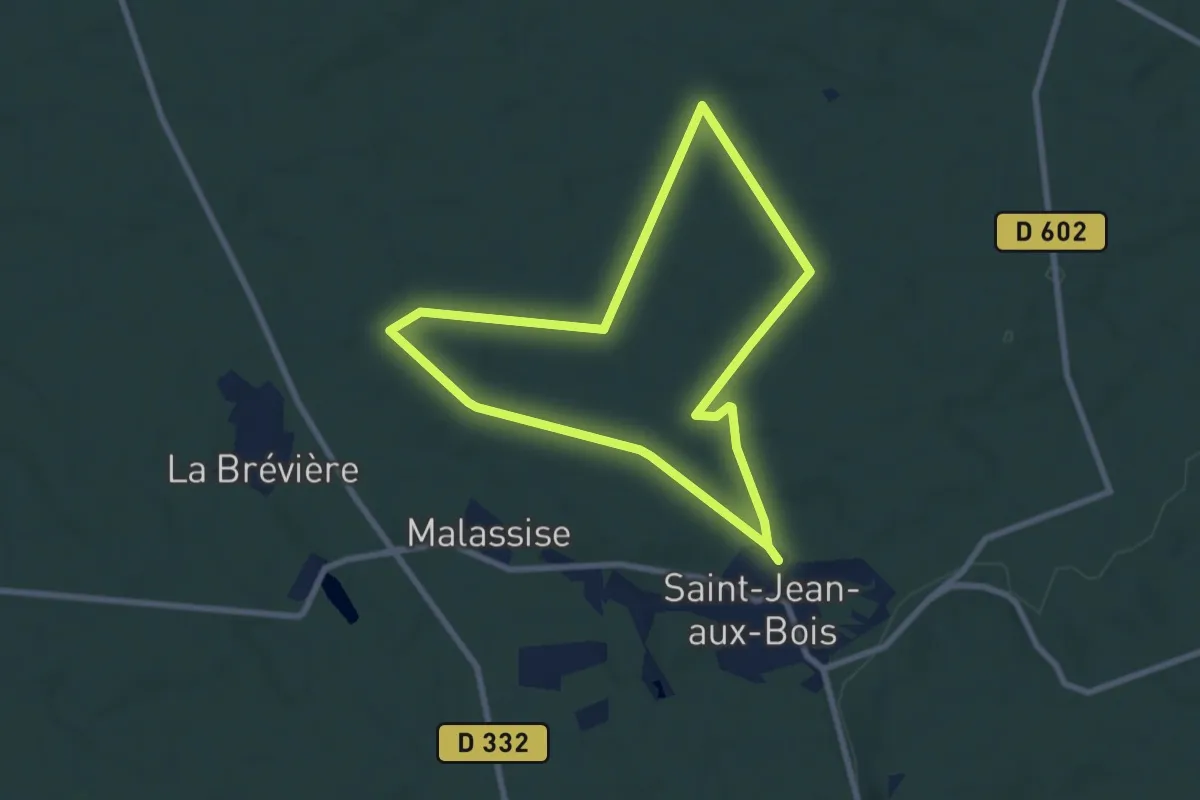
Easy · Trail
Promenade du Chêne de Saint-Jean
6.8 km · ↑ 30 m · 1 h 46 min
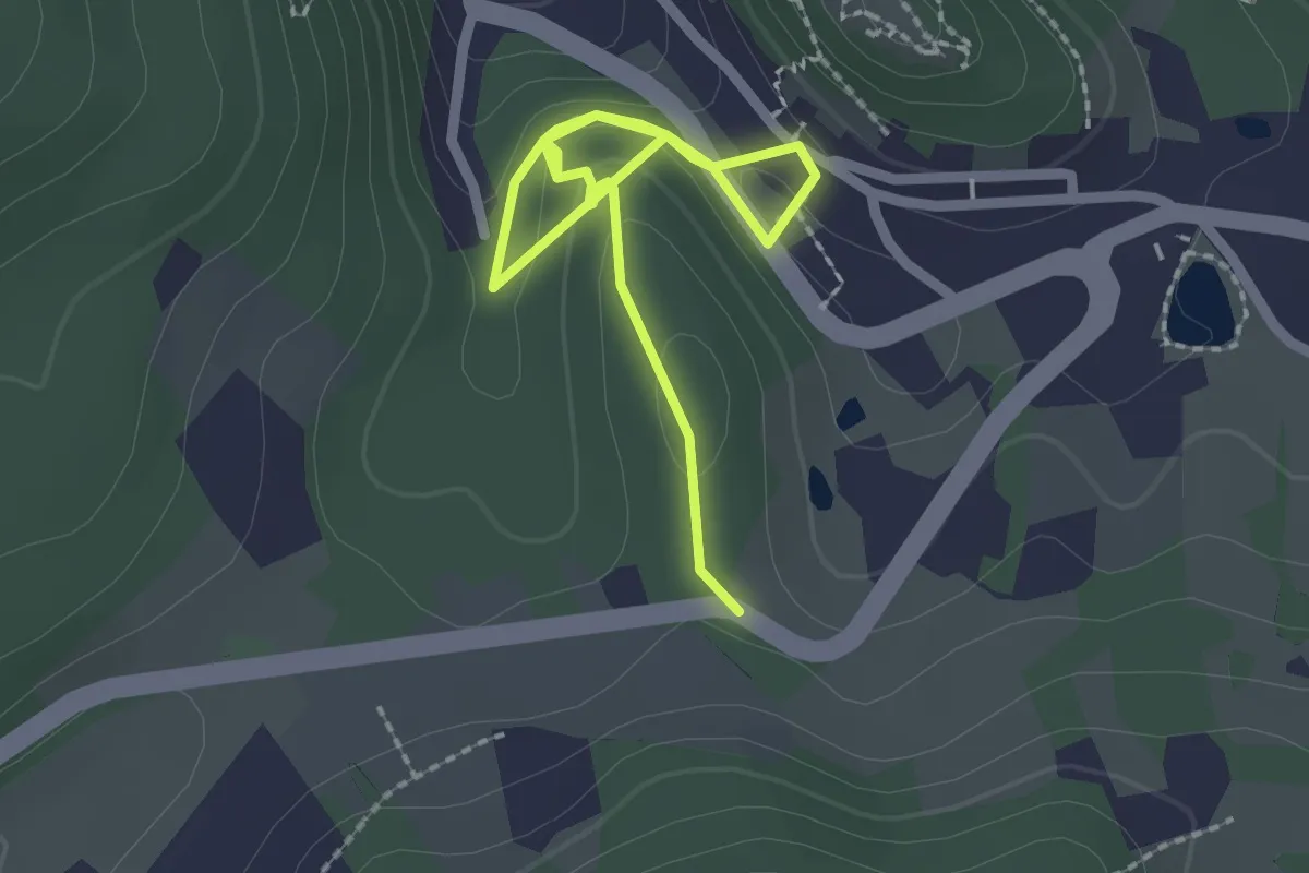
Easy · Trail
Promenade du Geisberg
2.9 km · ↑ 56 m · 49 min
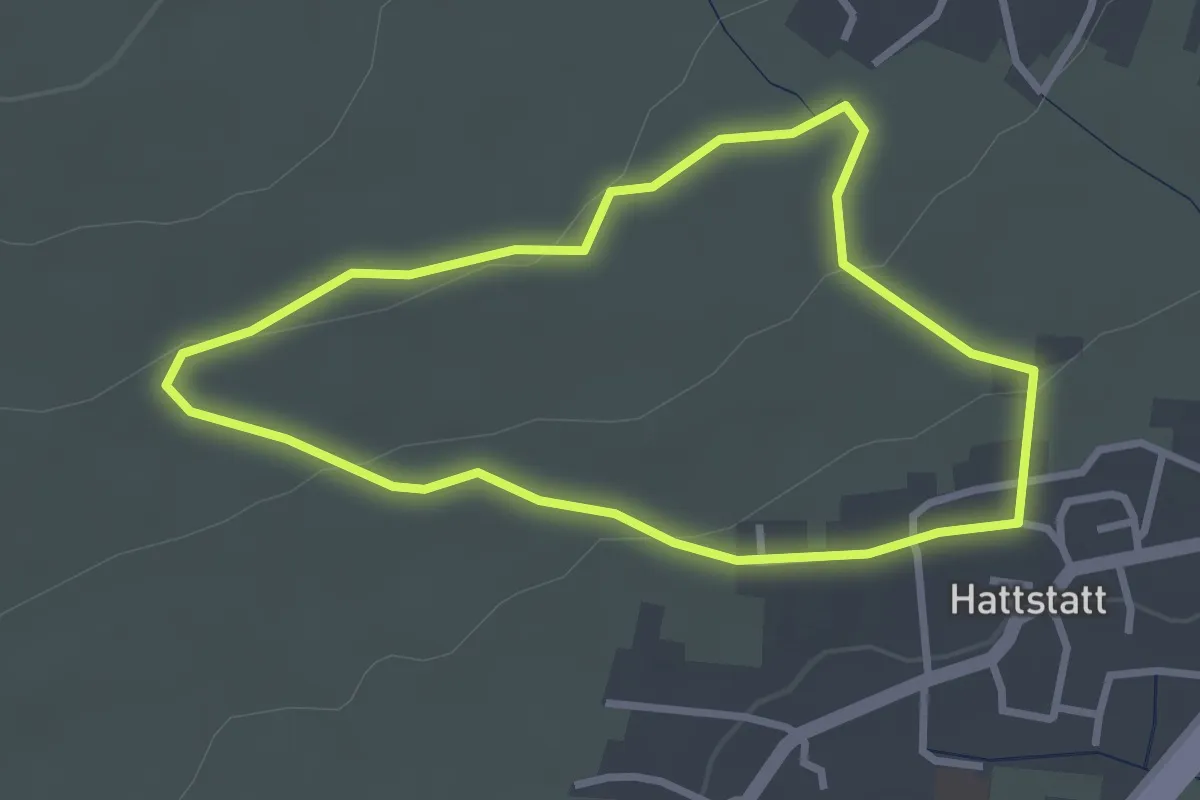
Easy · Trail
Promenade du Grand Cru Hatschbourg
2.6 km · ↑ 66 m · 48 min
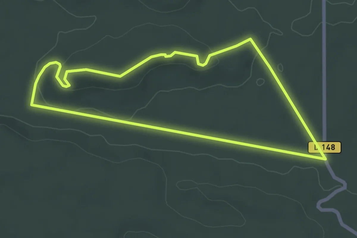
Easy · Trail
Promenade du Haut Mont
4.2 km · ↑ 43 m · 1 h 8 min
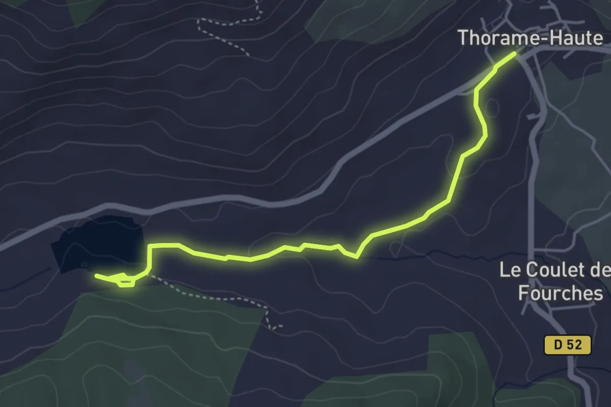
Easy · Trail
Promenade du lac des Sagnes
2.4 km · ↑ 45 m · 42 min
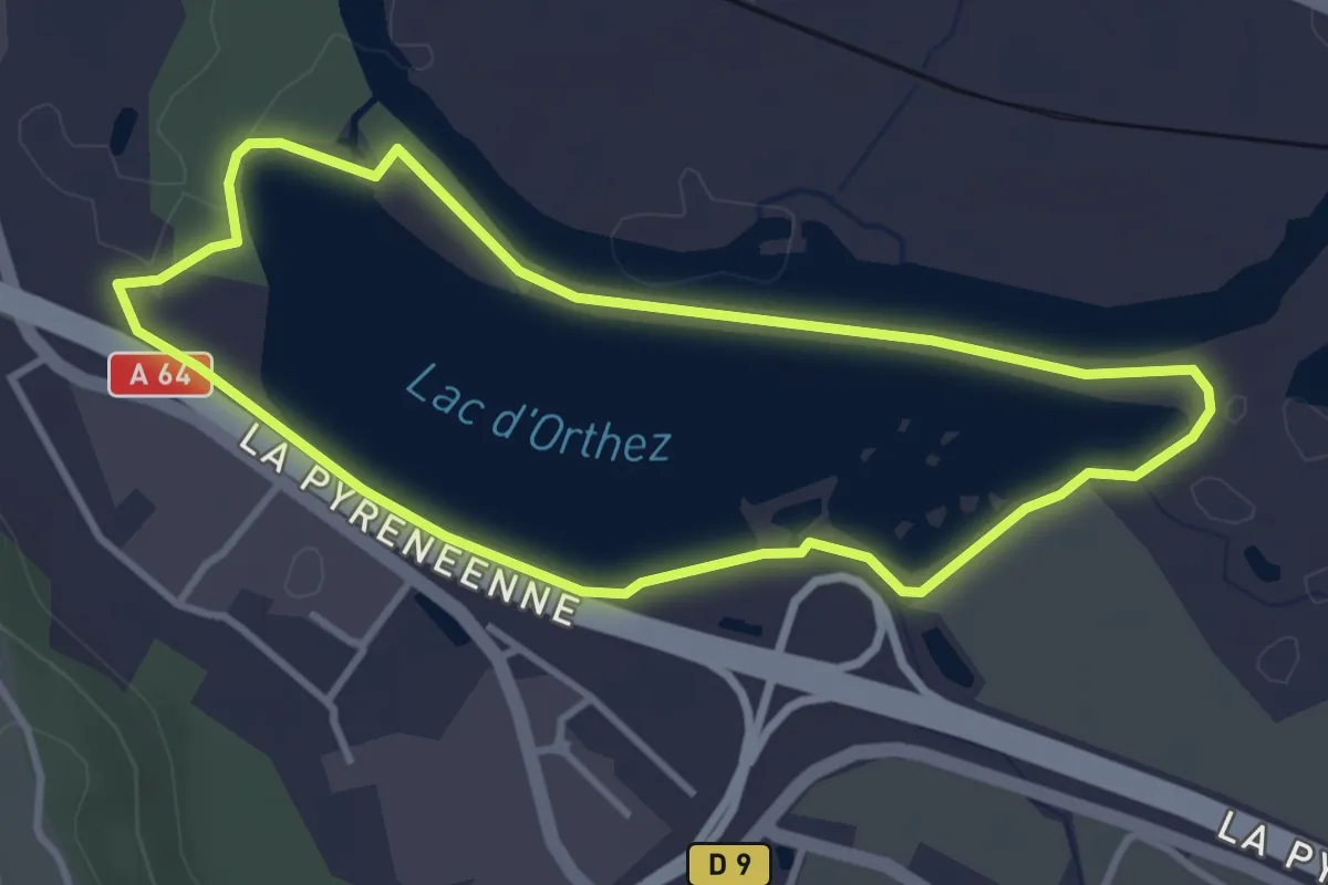
Easy · Trail
Promenade du lac d’Orthez-Biron
3.6 km · ↑ 10 m · 55 min
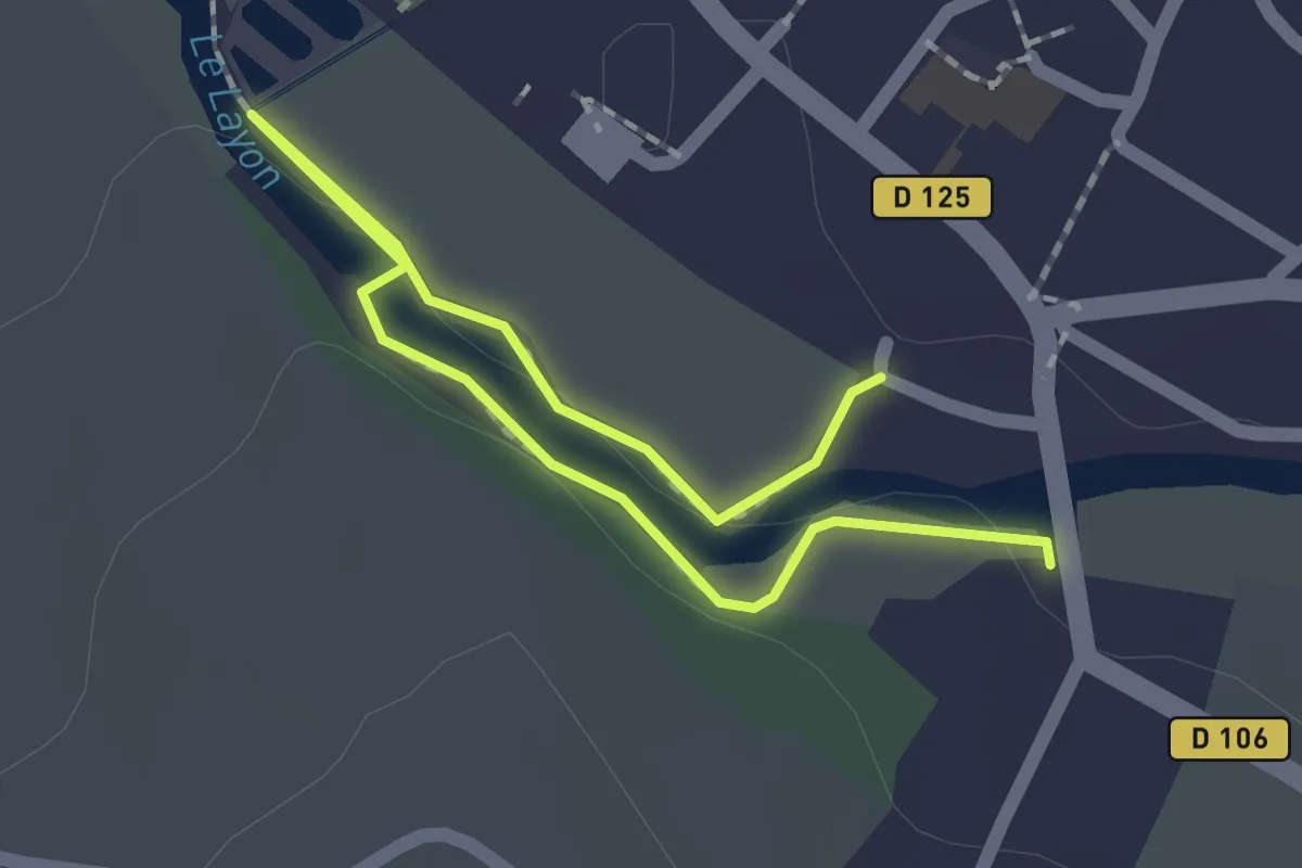
Easy · Trail
Promenade du Layon
1.2 km · ↑ 15 m · 20 min
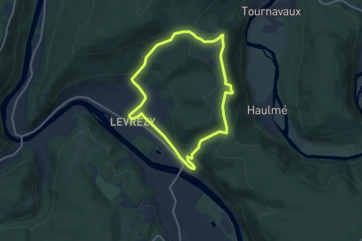
Easy · Trail
Promenade du Liry
6.0 km · ↑ 223 m · 1 h 59 min
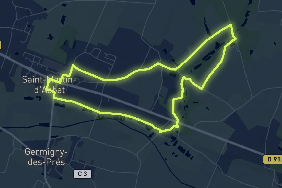
Medium · Trail
Promenade du Milourdin
8.6 km · ↑ 18 m · 2 h 11 min
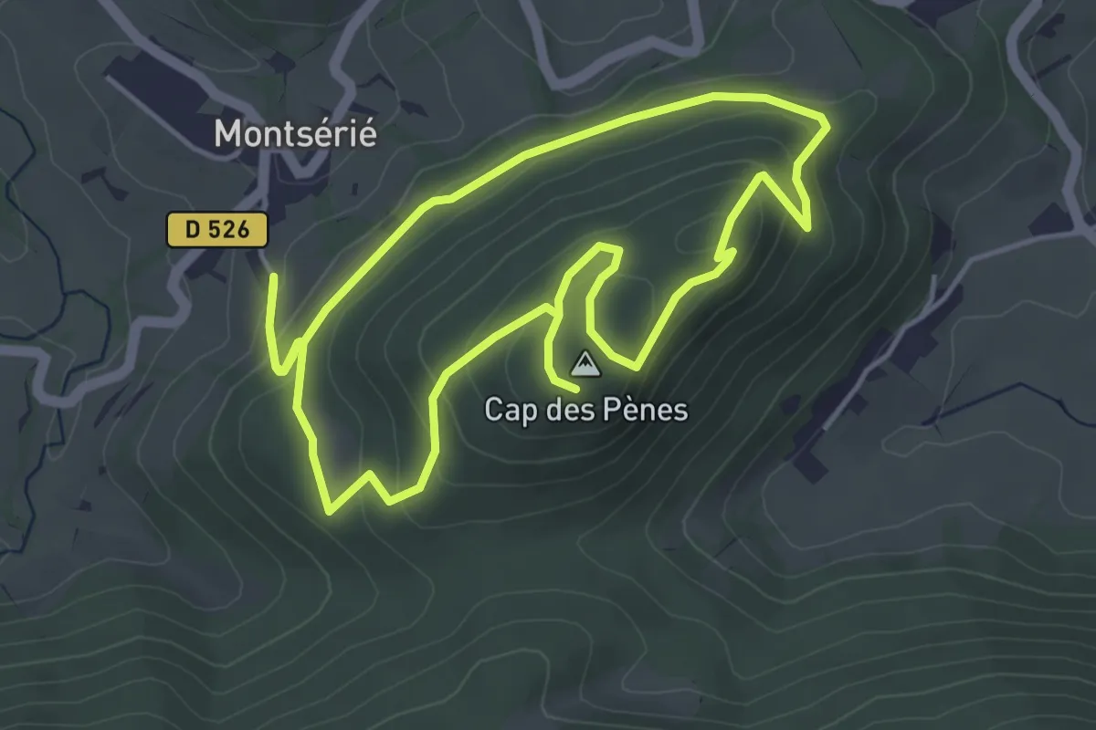
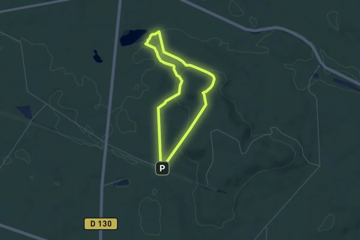
Demanding · Summit
Promenade du Mont Ergé
4.7 km · ↑ 204 m · 1 h 38 min
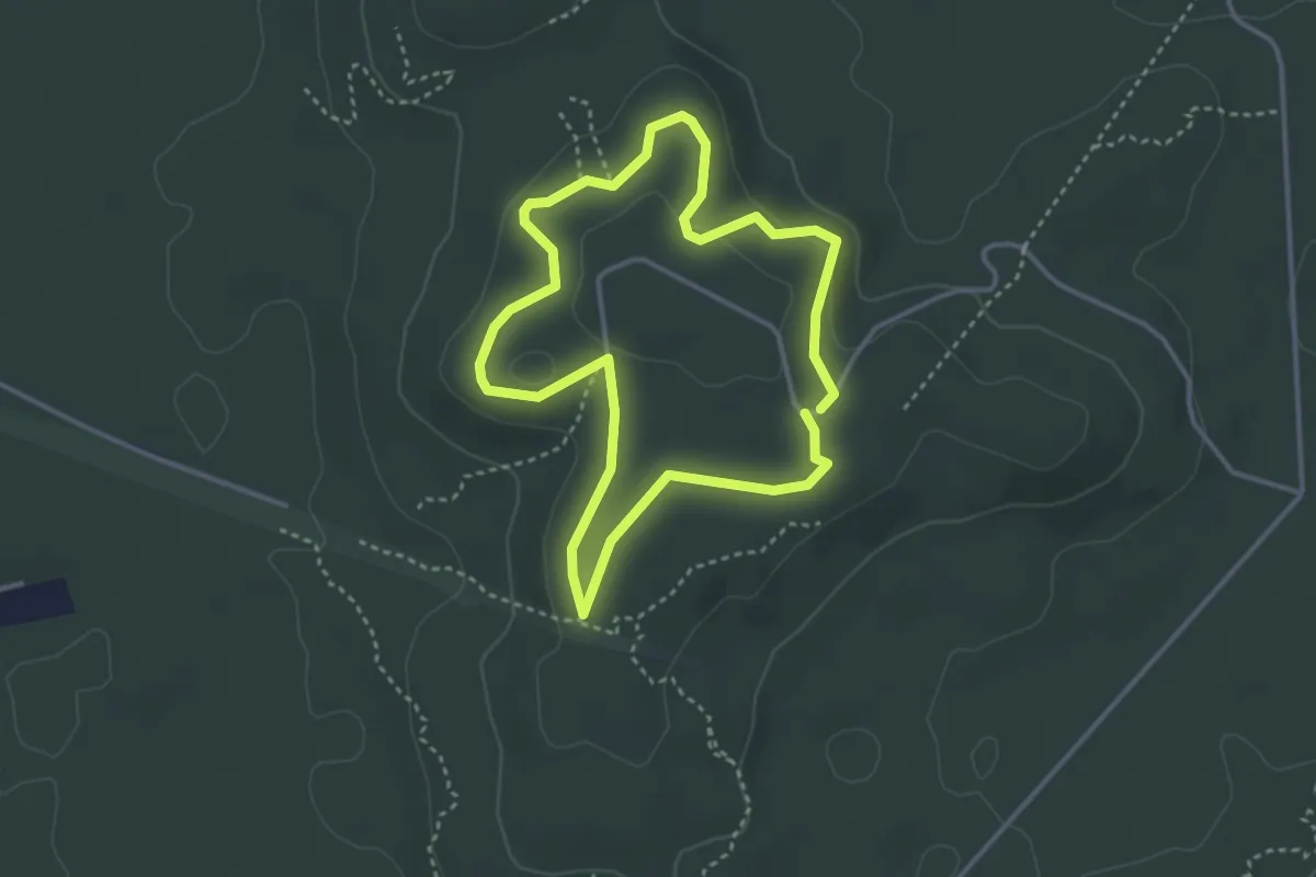
Easy · Summit
Promenade du Mont Tremble
4.2 km · ↑ 133 m · 1 h 20 min
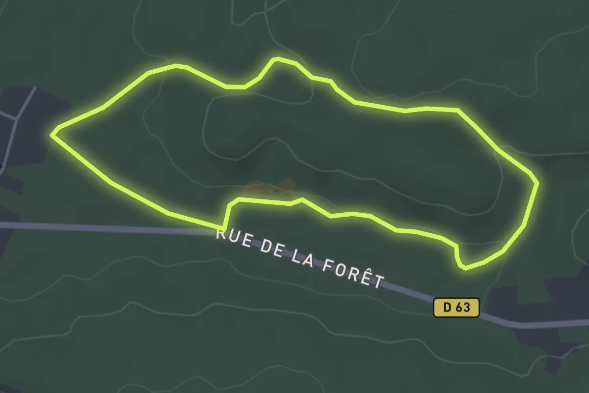
Easy · Summit
Promenade du Point de Vue des beaux Monts
3.1 km · ↑ 59 m · 53 min
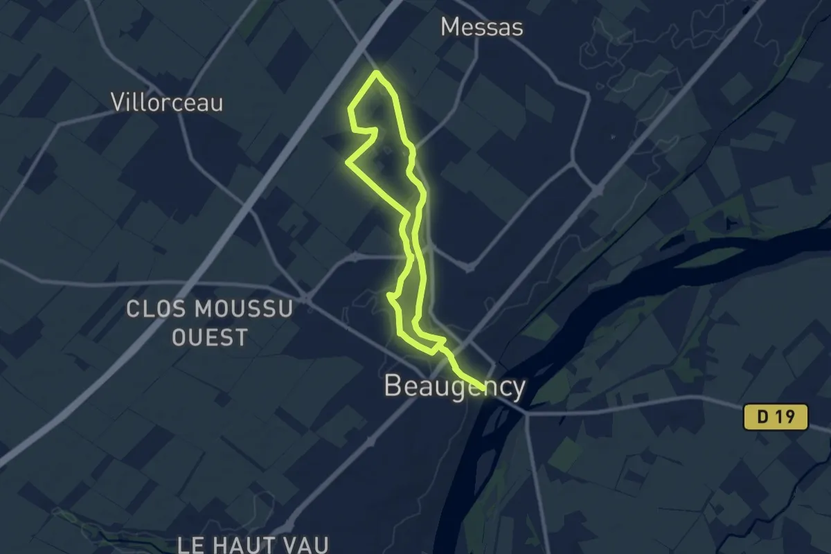
Easy · Trail
Promenade du Rocher Cailleau
3.8 km · ↑ 44 m · 1 h 3 min
Medium · Trail
Promenade du Rû
14.1 km · ↑ 46 m · 3 h 26 min
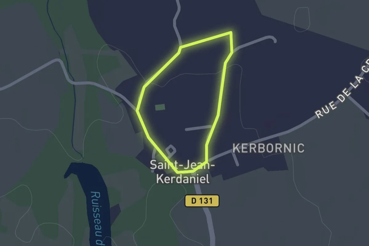
Easy · Trail
Promenade du Rupiquet
1.1 km · ↑ 4 m · 18 min
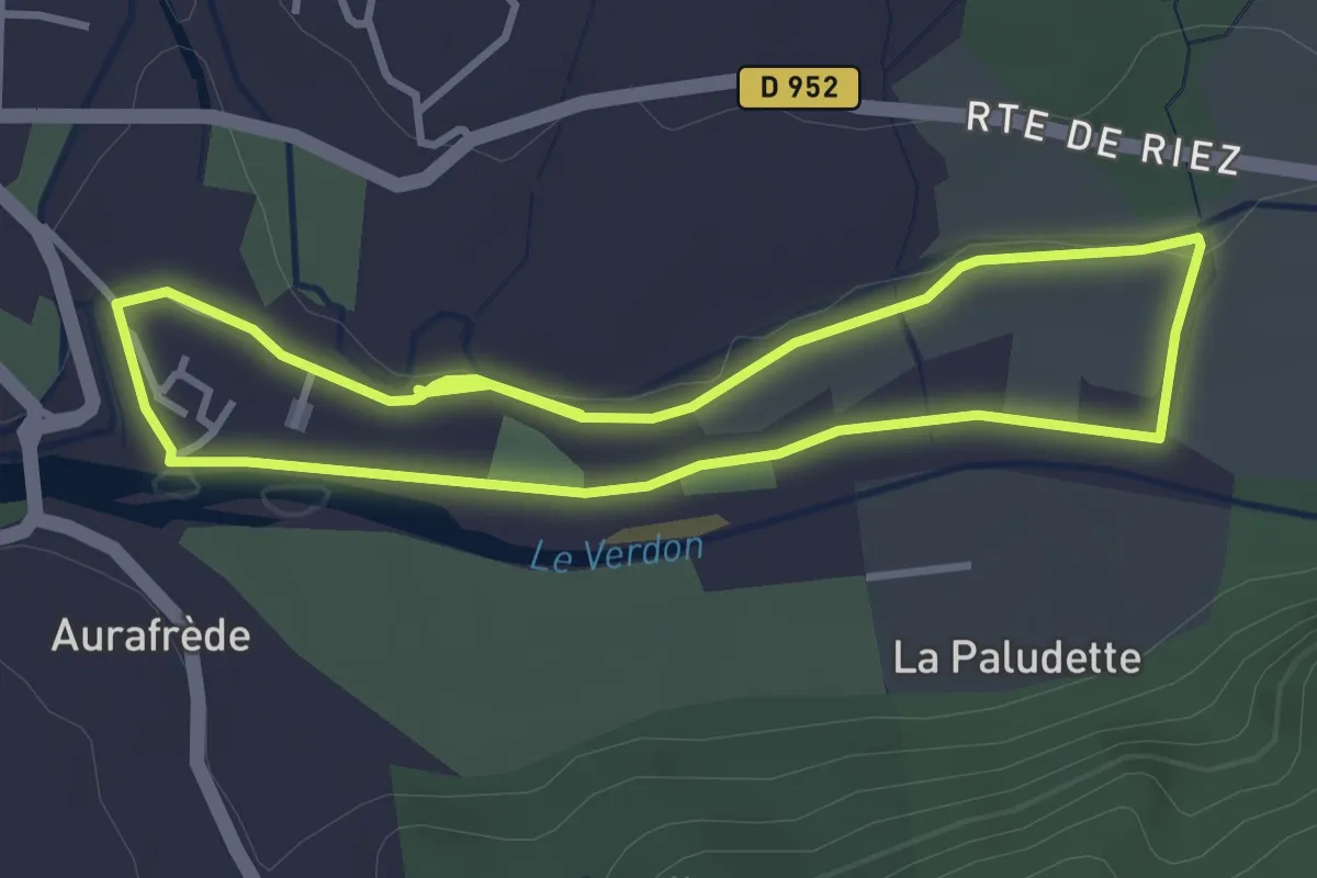
Easy · Trail
Promenade du Verdon
3.5 km · ↑ 23 m · 55 min
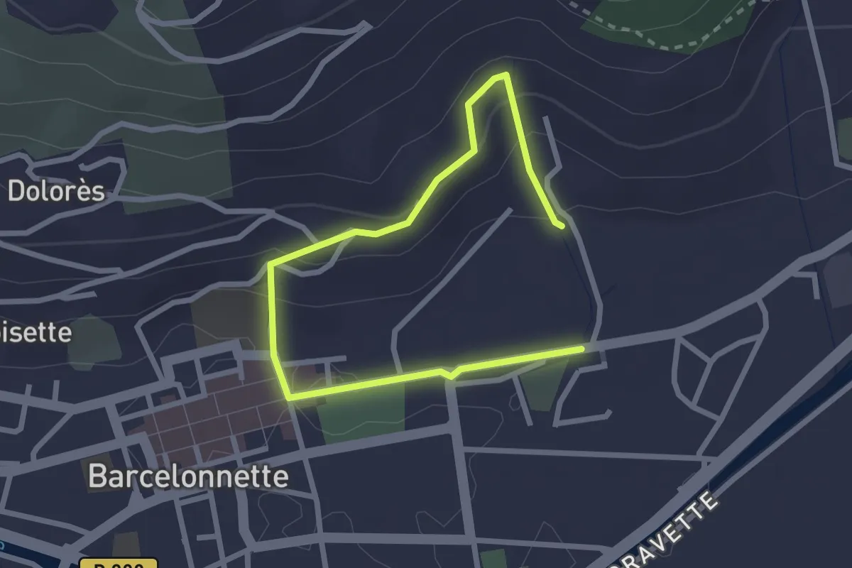
Medium · Trail
Promenade du Verger
1.7 km · ↑ 77 m · 35 min
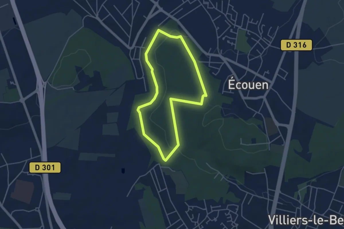
Easy · Trail
Promenade en Forêt d'Écouen
3.5 km · ↑ 80 m · 1 h 3 min
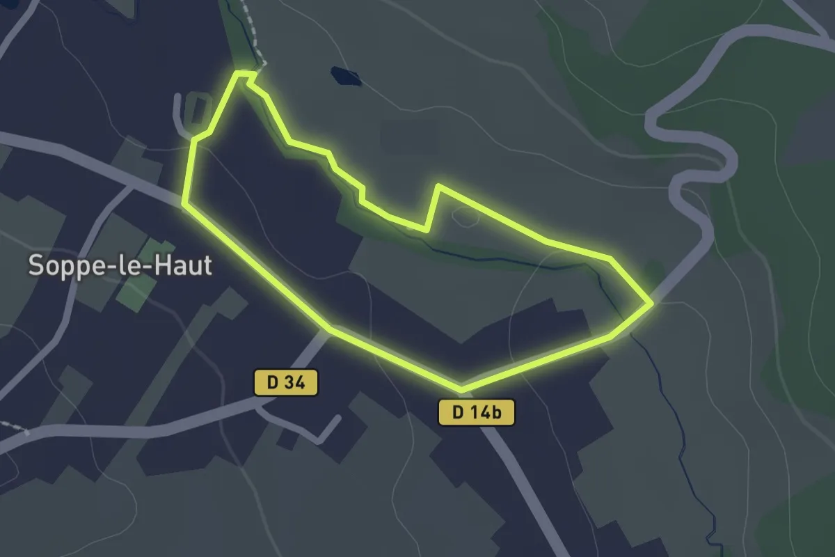
Easy · Trail
Promenade Familiale
1.6 km · ↑ 13 m · 26 min
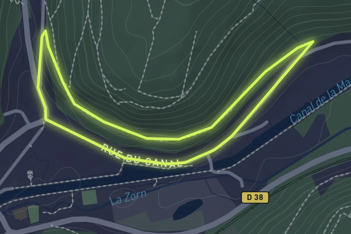
Easy · Trail
Promenade Florentine
2.0 km · ↑ 35 m · 35 min
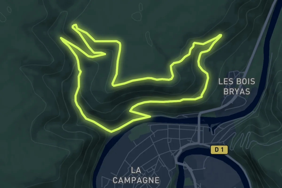
Medium · Trail
Promenade George Sand
9.1 km · ↑ 327 m · 2 h 58 min
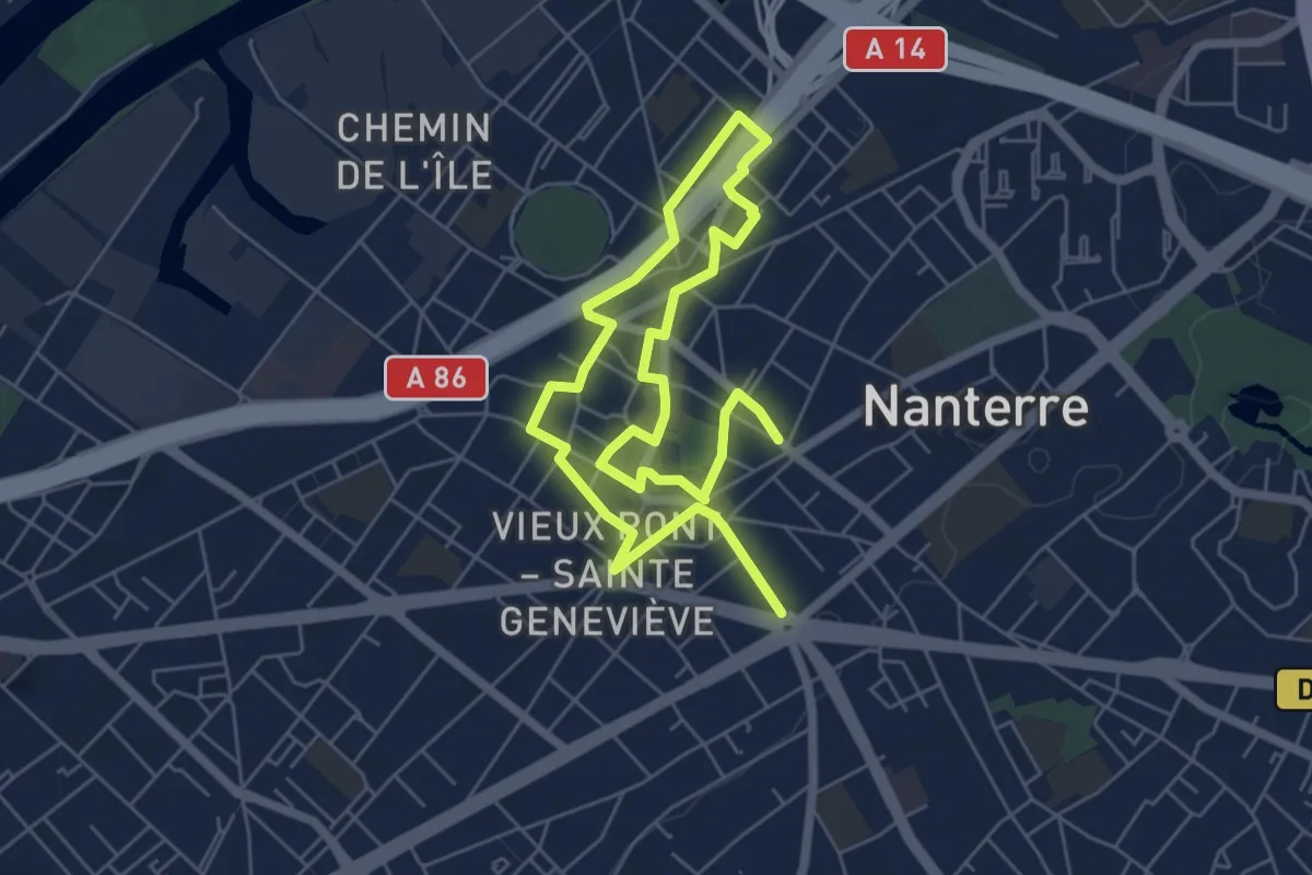
Medium · Trail
Promenade Historique de Nanterre
9.4 km · ↑ 22 m · 2 h 16 min
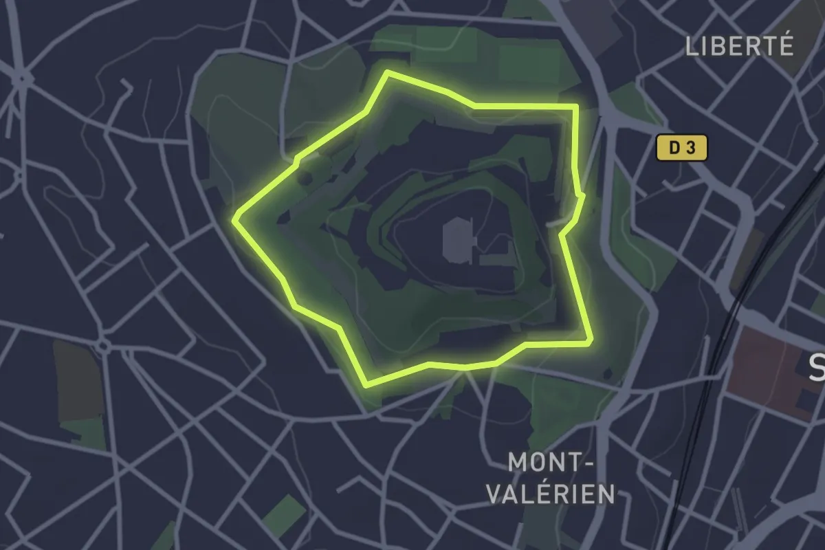
Easy · Trail
Promenade Jacques Baumel
2.3 km · ↑ 45 m · 41 min
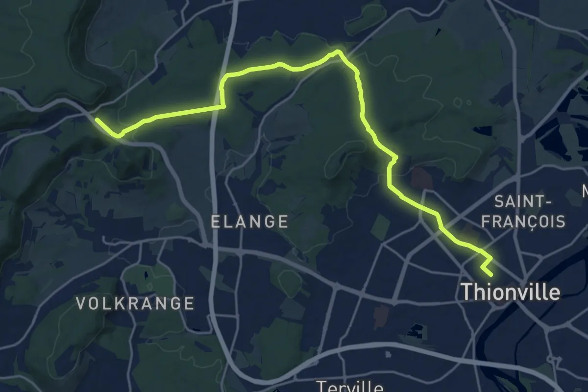
Demanding · Trail
Promenade linéaire Thionville-Bellevue
18.9 km · ↑ 363 m · 5 h 16 min
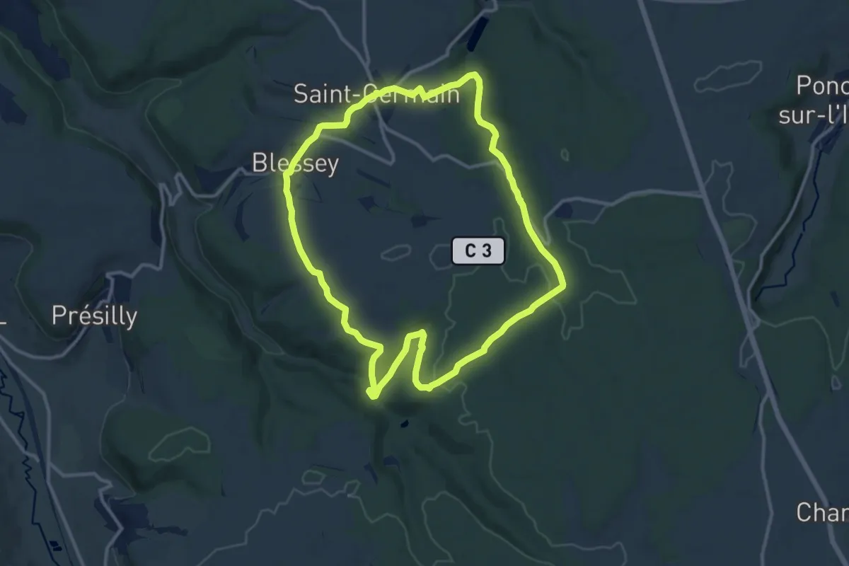
Medium · Trail
Promenade Source-Seine
11.2 km · ↑ 197 m · 3 h 14 min
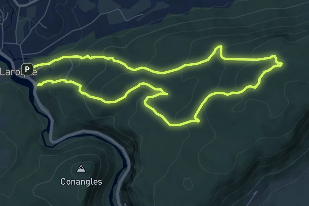
Medium · Trail
PR Plateau du Thaurac
6.9 km · ↑ 336 m · 2 h 28 min
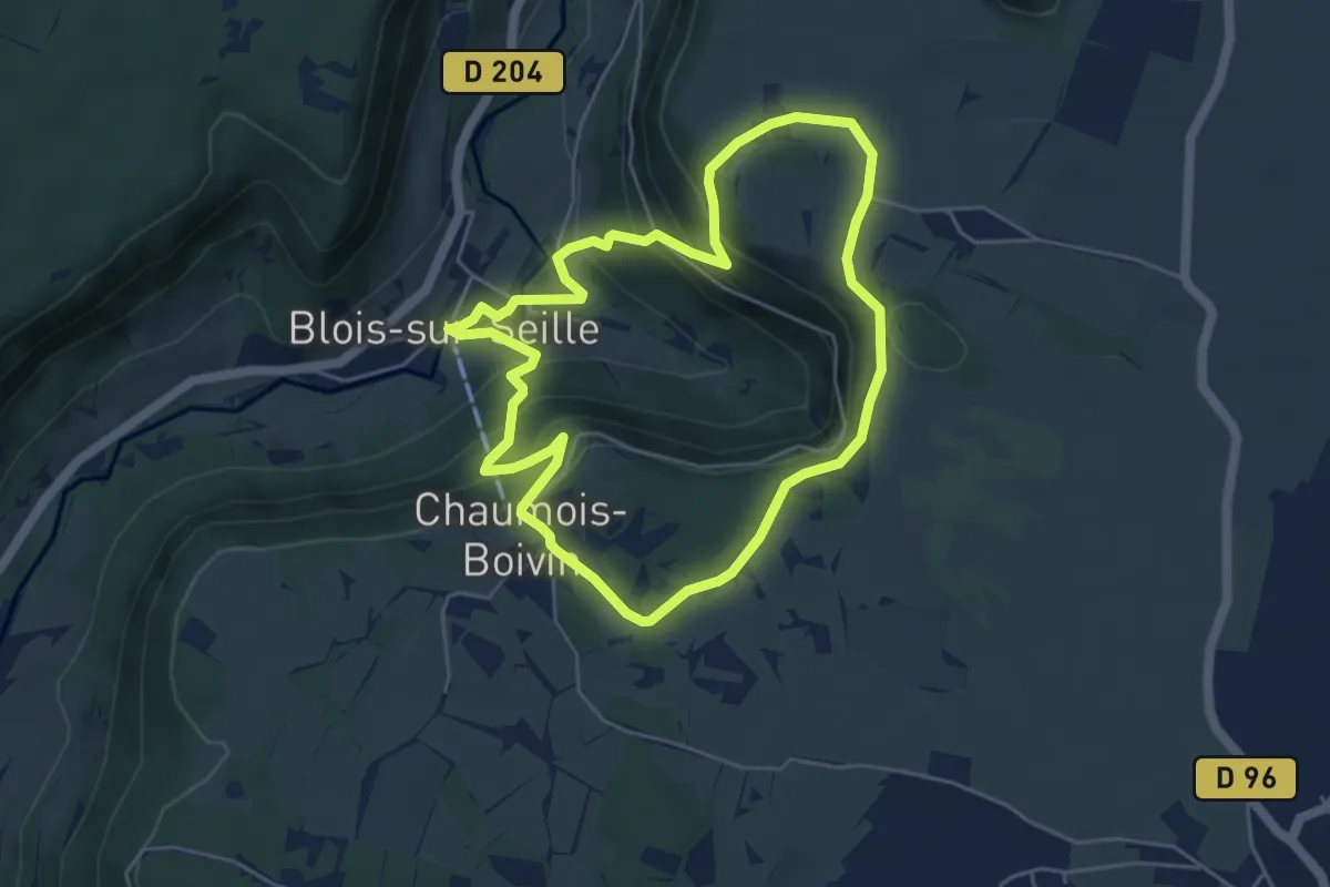
Easy · Trail
PR reculée Blois-sur-Seille 4,5 km
4.8 km · ↑ 231 m · 1 h 42 min
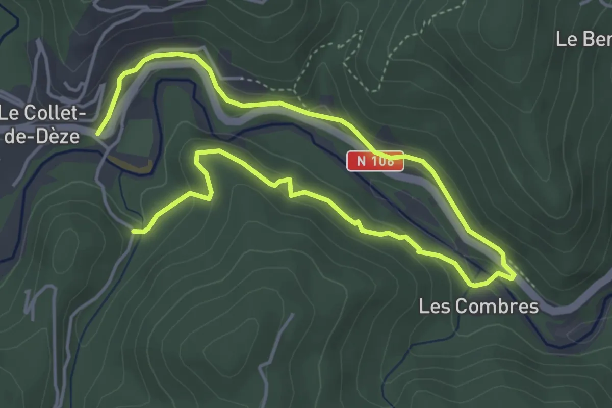
Easy · Trail
PR Sentier de Molières
6.9 km · ↑ 245 m · 2 h 9 min
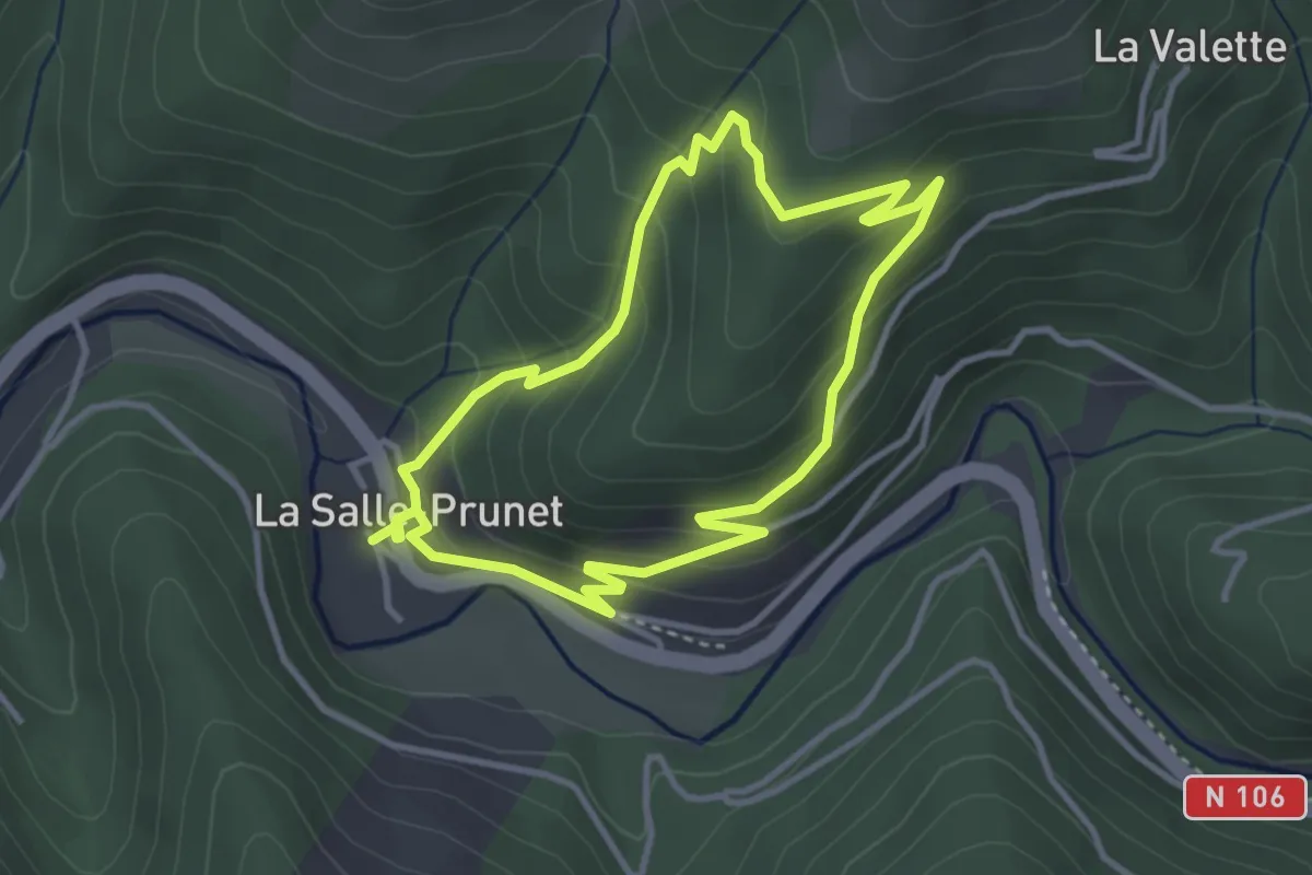
Easy · Trail
Prunet
3.4 km · ↑ 217 m · 1 h 19 min
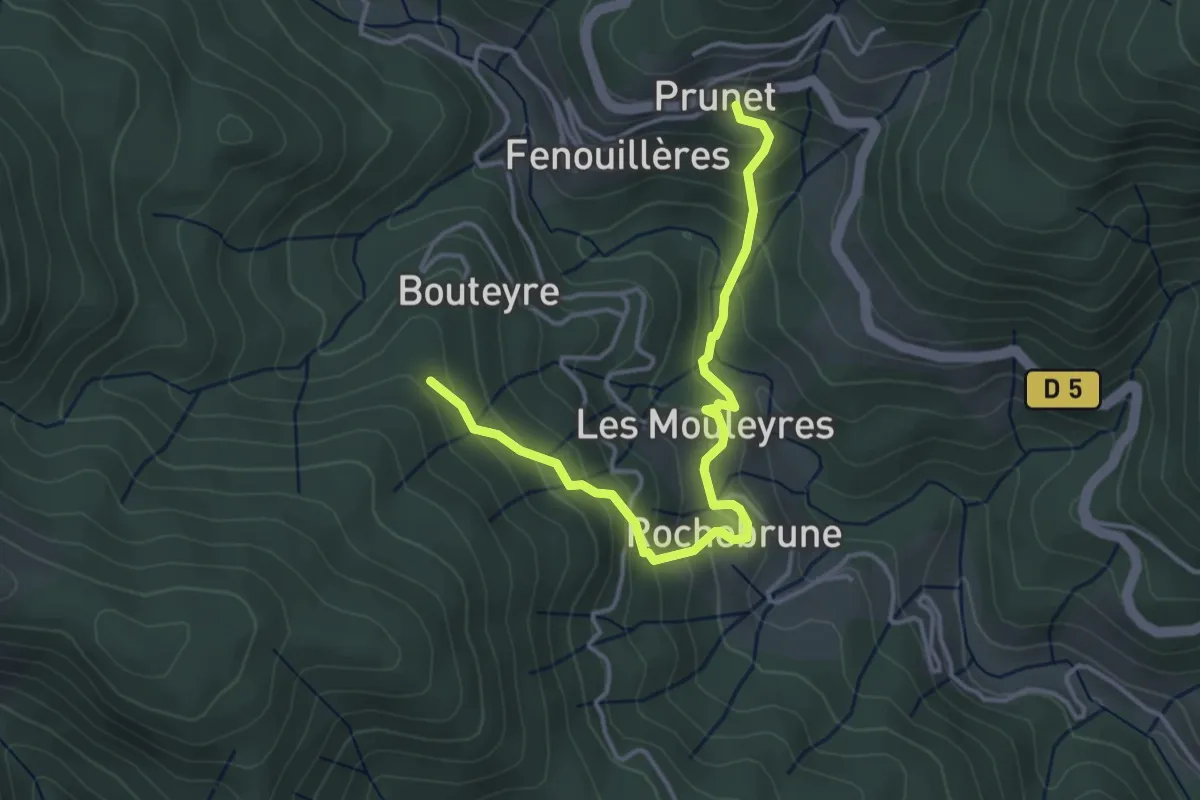
Easy · Trail
Prunet - Bouteyre
4.2 km · ↑ 307 m · 1 h 39 min
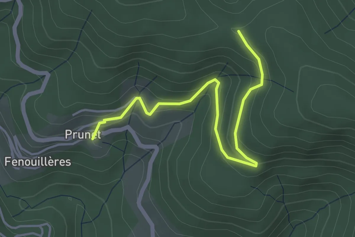
Easy · Trail
Prunet - Chapelle Sainte-Philomène
4.1 km · ↑ 245 m · 1 h 30 min
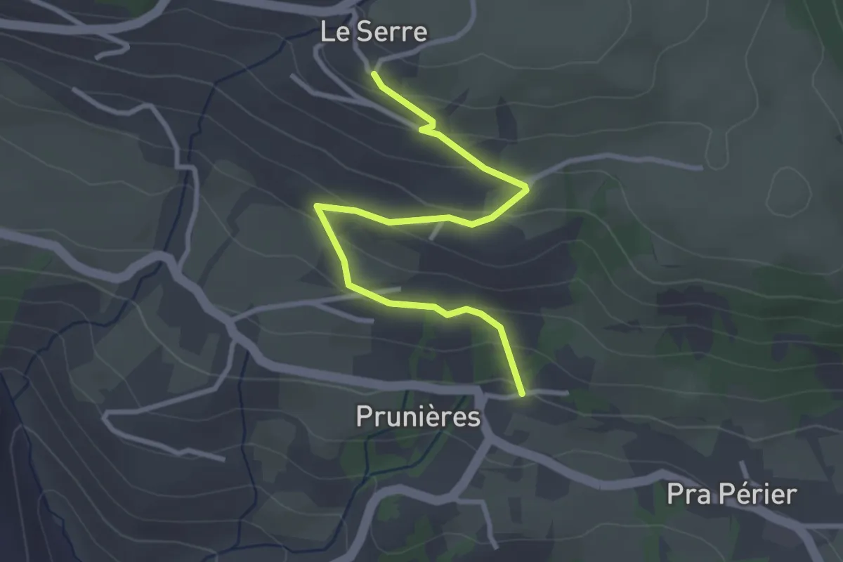
Easy · Trail
Prunières - Le Serre
3.2 km · ↑ 163 m · 1 h 7 min
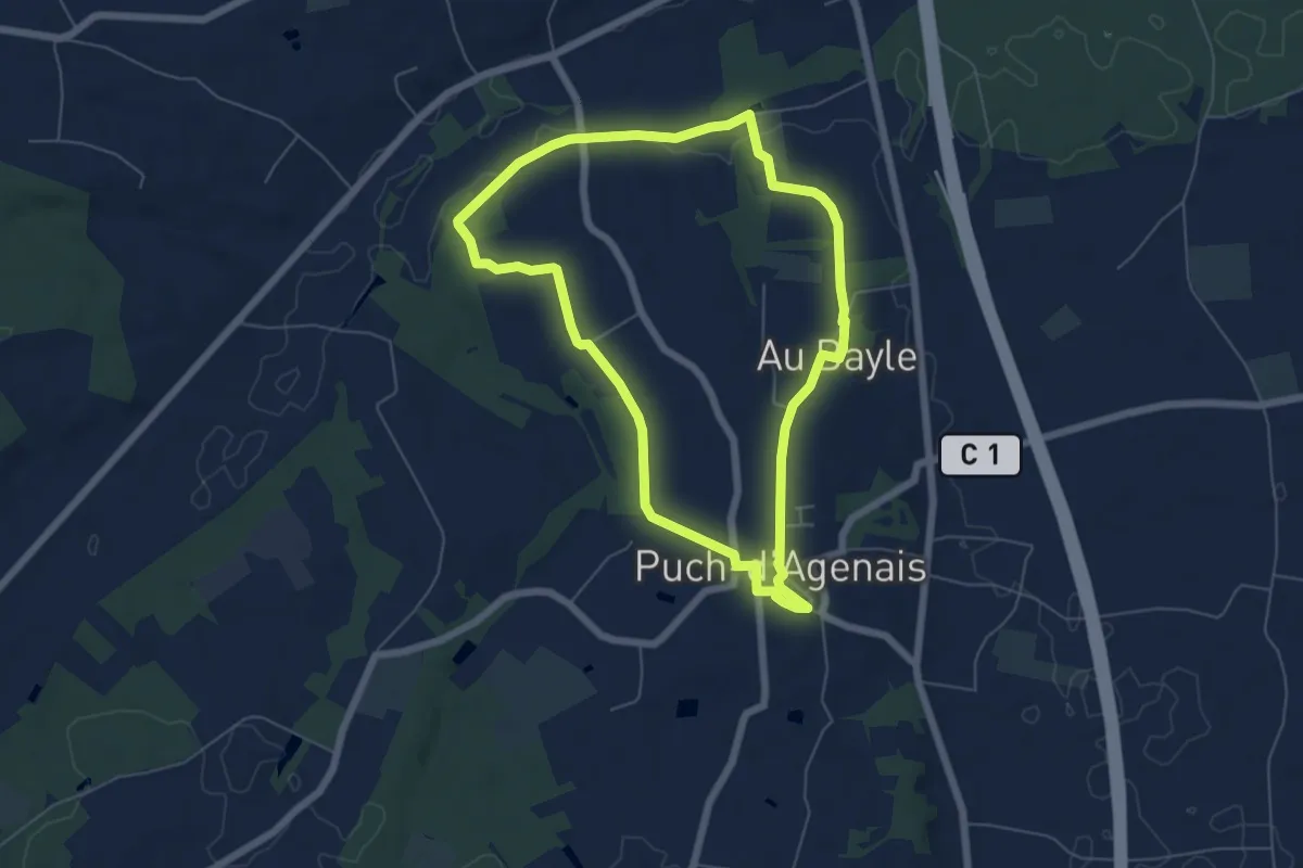
Easy · Trail
Puch-d’Agenais, dans les terrasses de Garonne - 6.2km
6.1 km · ↑ 49 m · 1 h 37 min
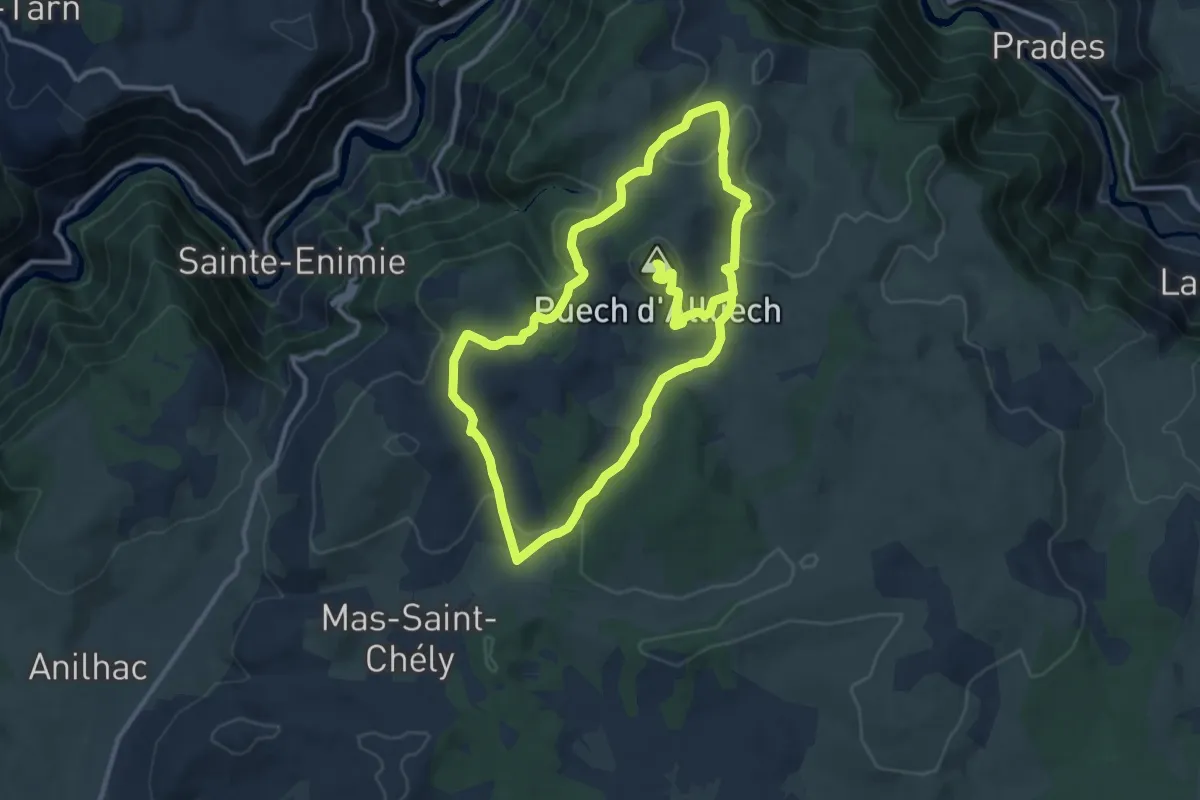
Medium · Summit
Puech d'Alluech
12.4 km · ↑ 332 m · 3 h 49 min
Easy · Summit
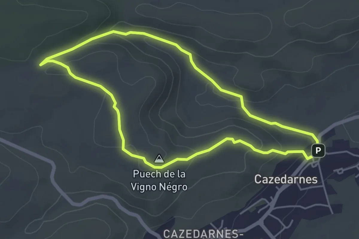
Puech de la Vigne Nègre
4.3 km · ↑ 90 m · 1 h 17 min
Medium · Trail
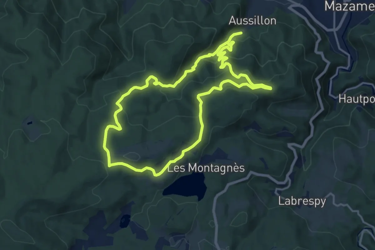
Puech d’En Blanc
11.1 km · ↑ 478 m · 3 h 50 min
Medium · Trail
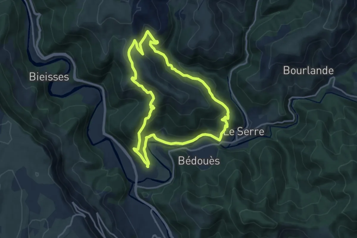
Puecheral
11.4 km · ↑ 487 m · 3 h 54 min
Demanding · Trail
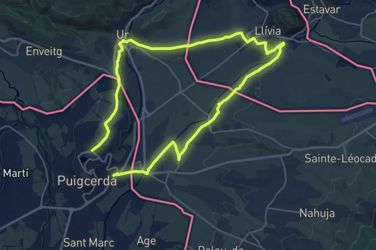
Puigcerdà Guingueta d'Ix Llivia Ur
27.7 km · ↑ 135 m · 6 h 50 min
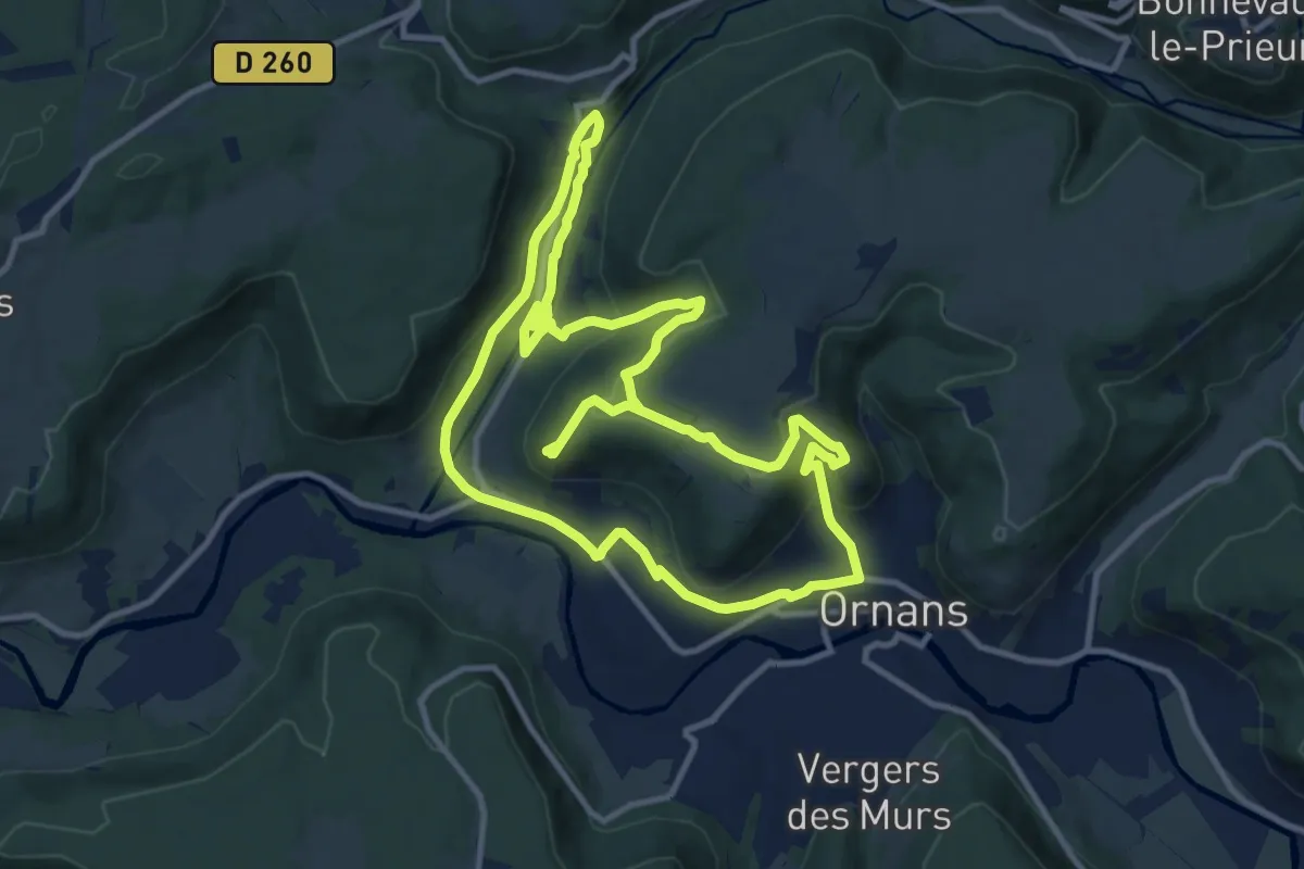
Demanding · Trail
Puits de la Brême
11.1 km · ↑ 364 m · 3 h 34 min
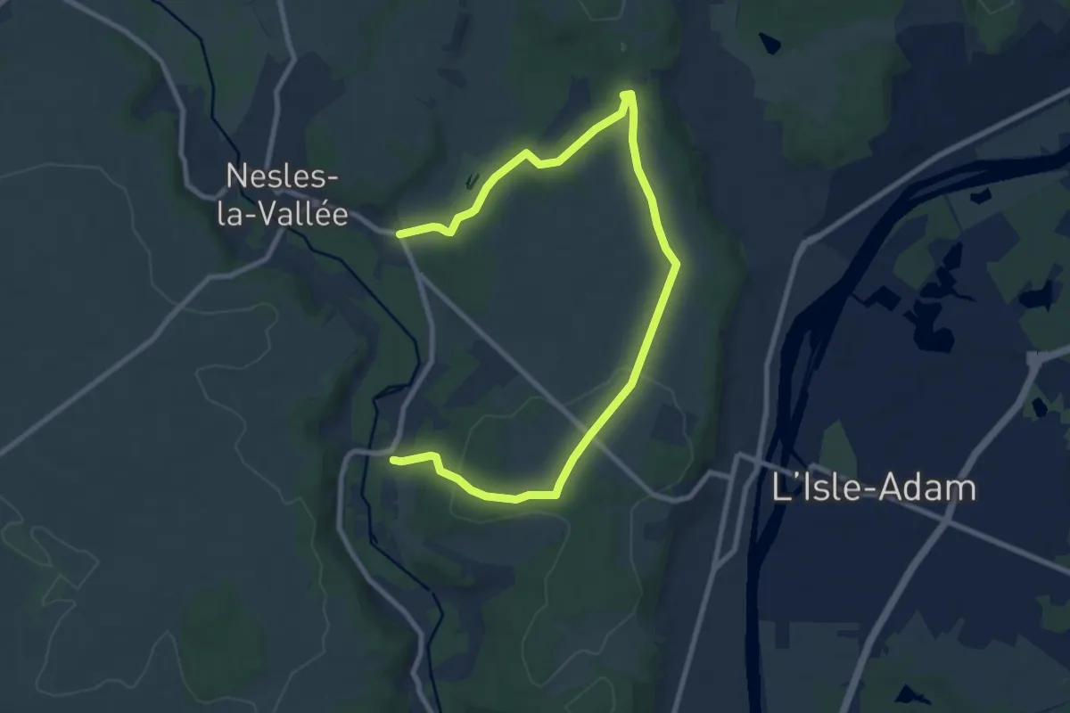
Medium · Trail
Puits Fondu
10.9 km · ↑ 155 m · 2 h 54 min
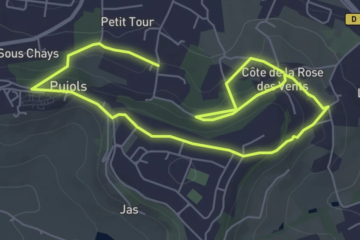
Easy · Trail
Pujols - Petit-Tour - 5,5km
4.3 km · ↑ 138 m · 1 h 22 min
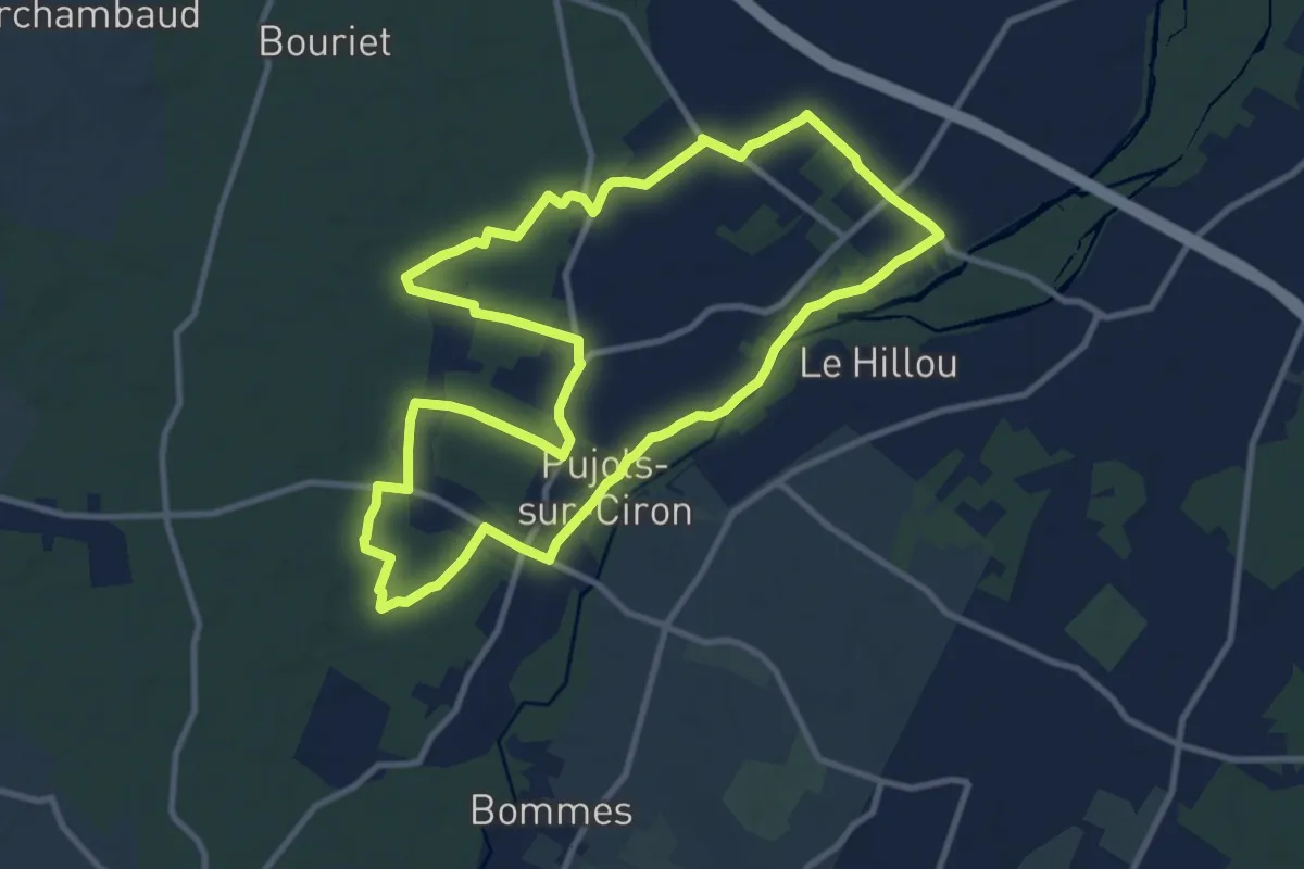
Medium · Trail
Pujols-sur-Ciron : boucle locale
11.1 km · ↑ 27 m · 2 h 50 min