Trails in France
15,926 hiking trails, each with its route, climb, walking time and grade.
All trails, page 228 of 332
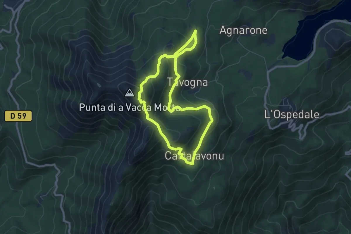
Medium · Trail
Punta di a Vacca Morta
6.3 km · ↑ 309 m · 2 h 15 min
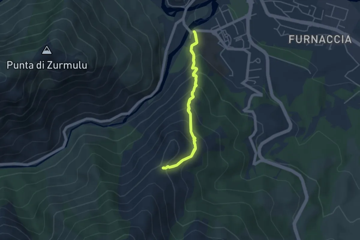
Medium · Trail
Punta di u Corbu
3.6 km · ↑ 340 m · 1 h 38 min
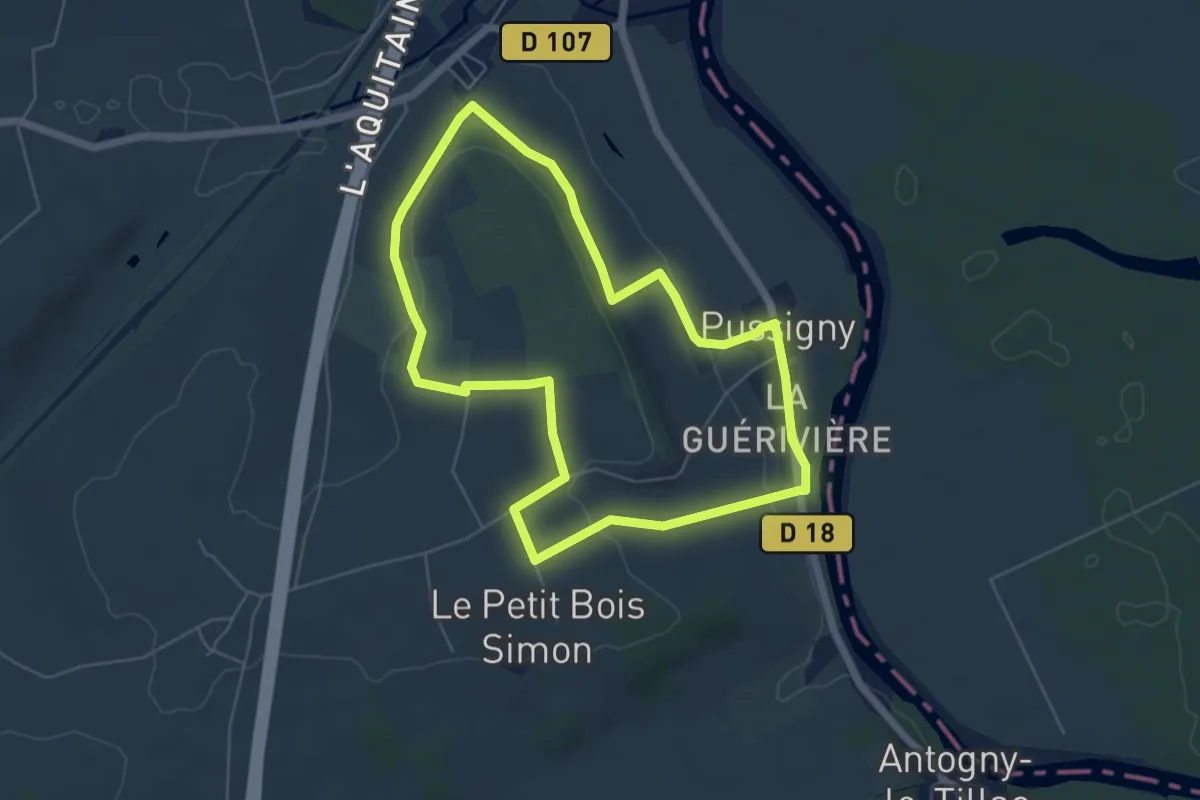
Easy · Trail
Pussigny - Vallées et Plateaux
5.4 km · ↑ 83 m · 1 h 32 min
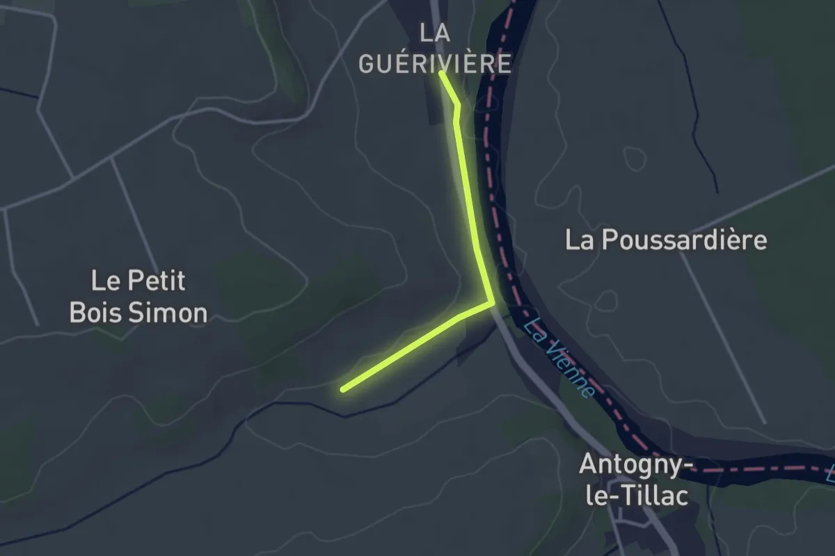
Easy · Trail
Pussigny - Vallées et Plateaux - Variante 7,5 km
1.2 km · ↑ 14 m · 19 min
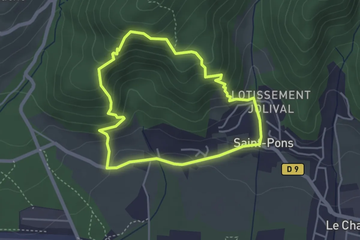
Easy · Trail
Puy Bas
3.4 km · ↑ 227 m · 1 h 21 min
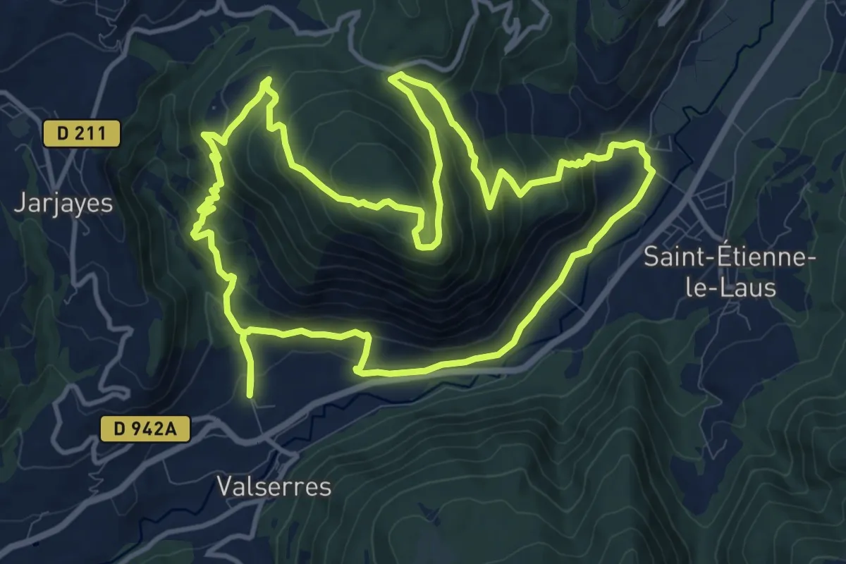
Medium · Summit
Puy Cervier
12.6 km · ↑ 688 m · 4 h 38 min
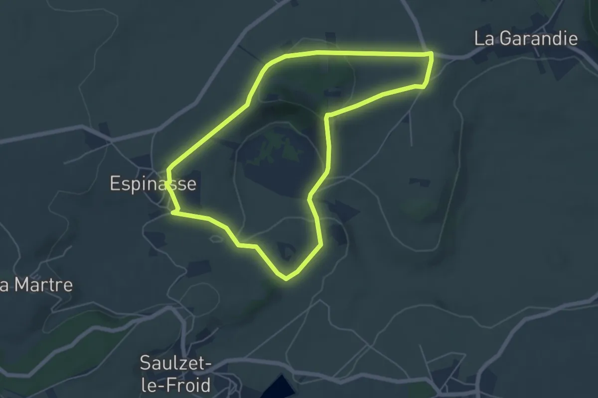
Easy · Trail
Puy de l'Enfer et Narse d'Espinasse
5.3 km · ↑ 135 m · 1 h 37 min
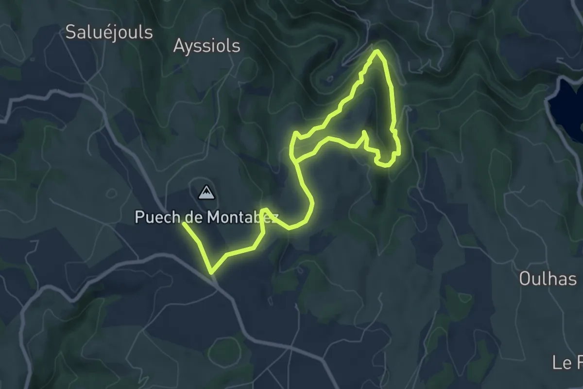
Demanding · Trail
Puy de Montabes
10.6 km · ↑ 441 m · 3 h 28 min
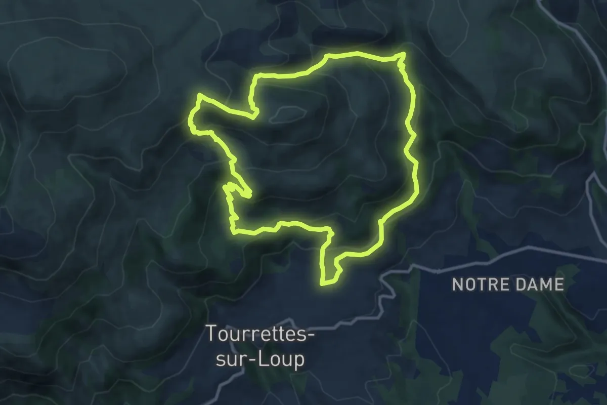
Medium · Trail
Puy de Naouri
11.0 km · ↑ 656 m · 4 h 9 min
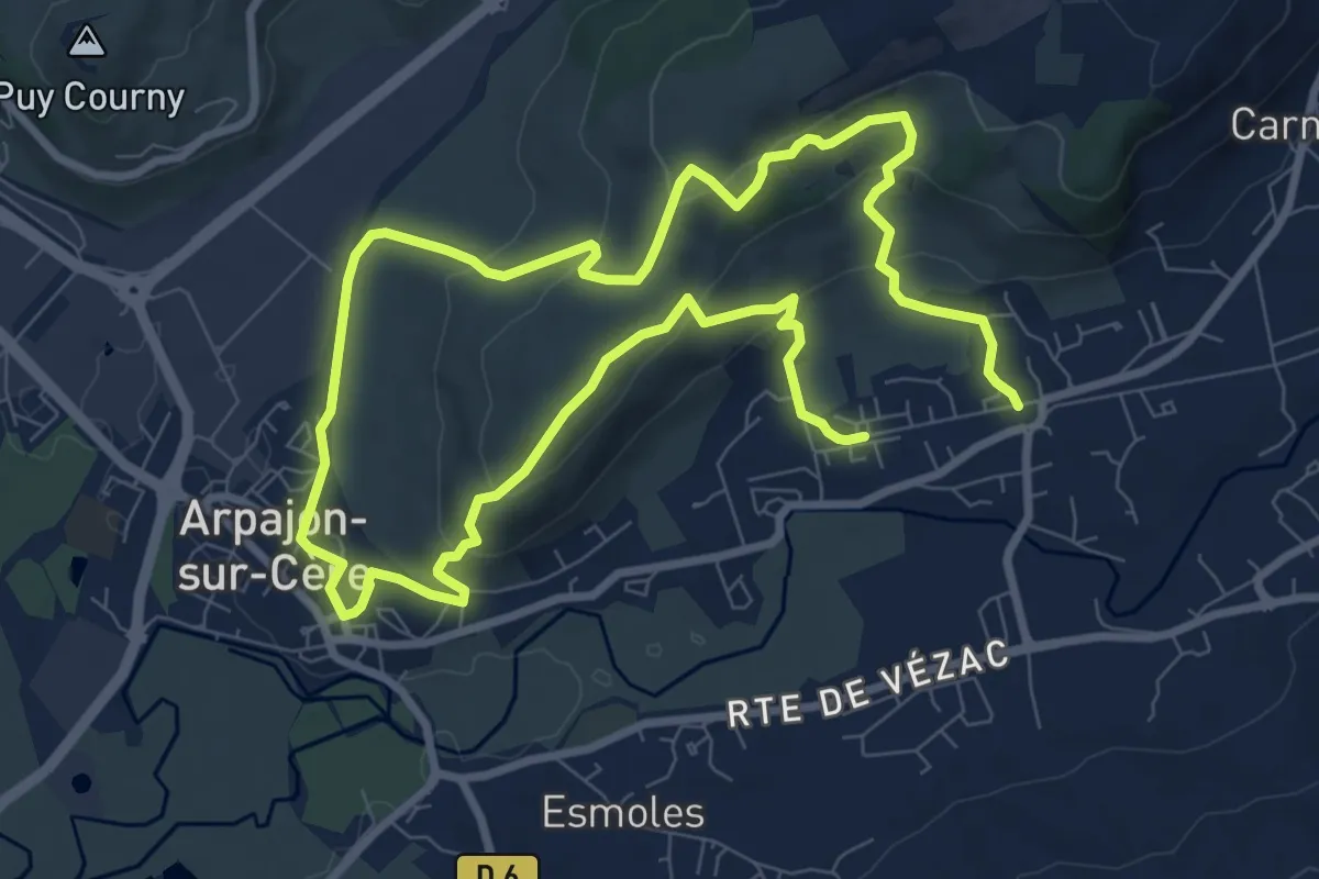
Medium · Trail
Puy de Vaurs
15.9 km · ↑ 550 m · 4 h 57 min
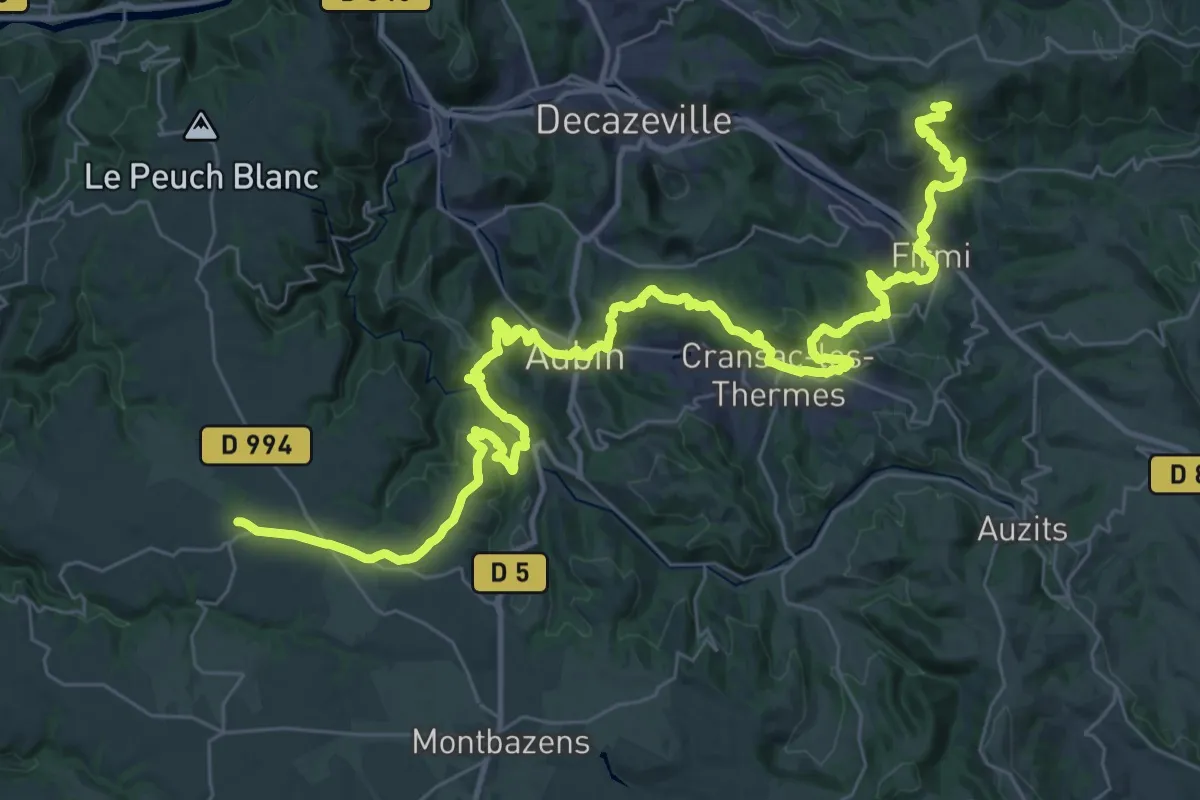
Demanding · Trail
Puy-de-Wolf - Galgan
25.8 km · ↑ 849 m · 8 h 19 min
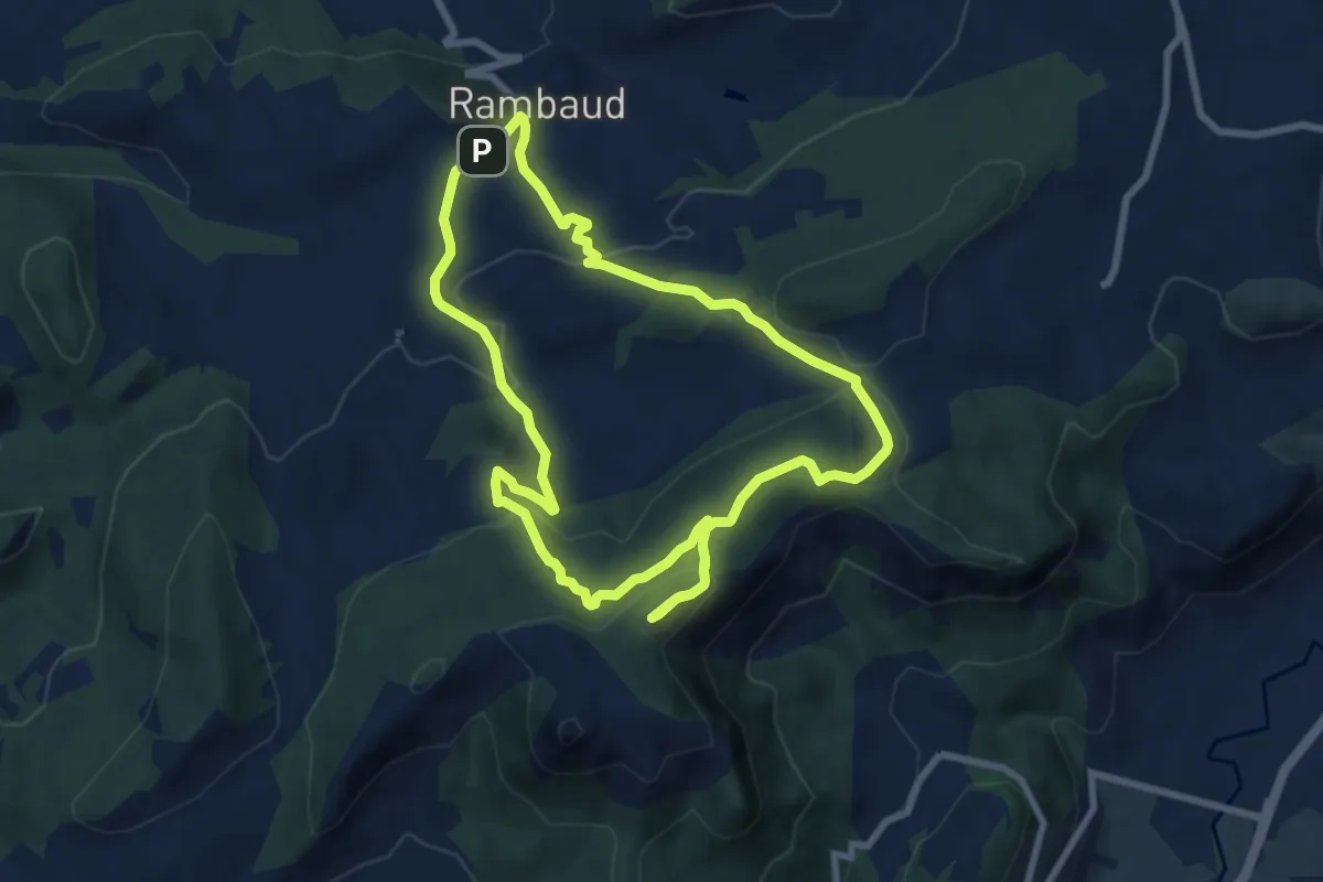
Medium · Trail
Puy Maurel
8.1 km · ↑ 309 m · 2 h 42 min
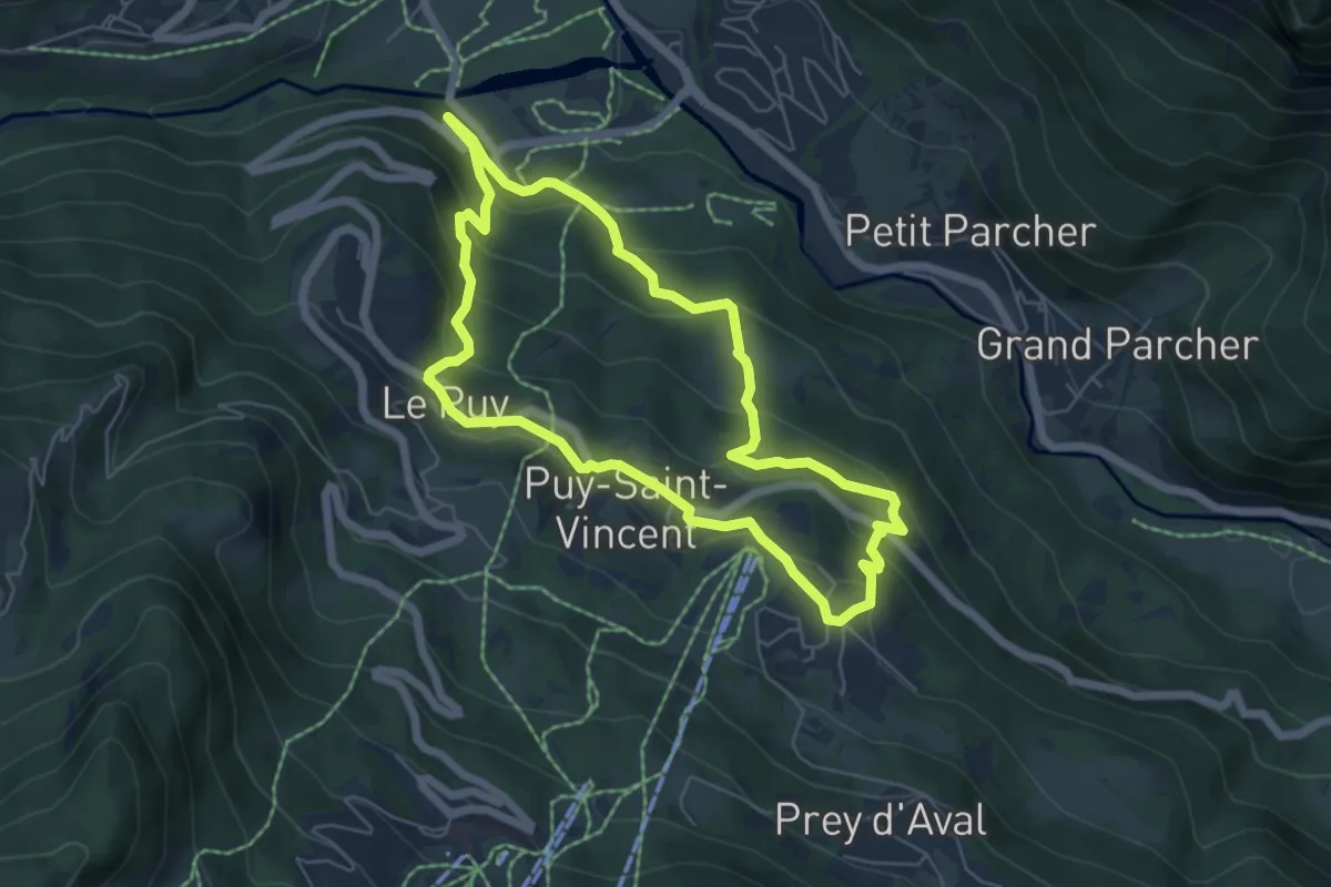
Medium · Trail
Puy-Saint-Vincent - Les Chapelles
5.8 km · ↑ 286 m · 2 h 4 min
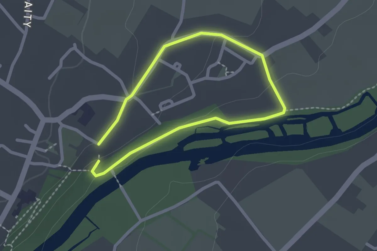
Easy · Trail
Quand la nature rejoint la culture
1.5 km · ↑ 14 m · 25 min
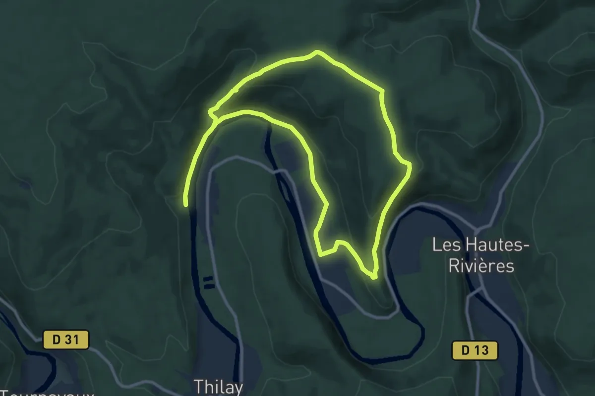
Medium · Trail
Quand une Crête devient Rempart
8.3 km · ↑ 266 m · 2 h 40 min
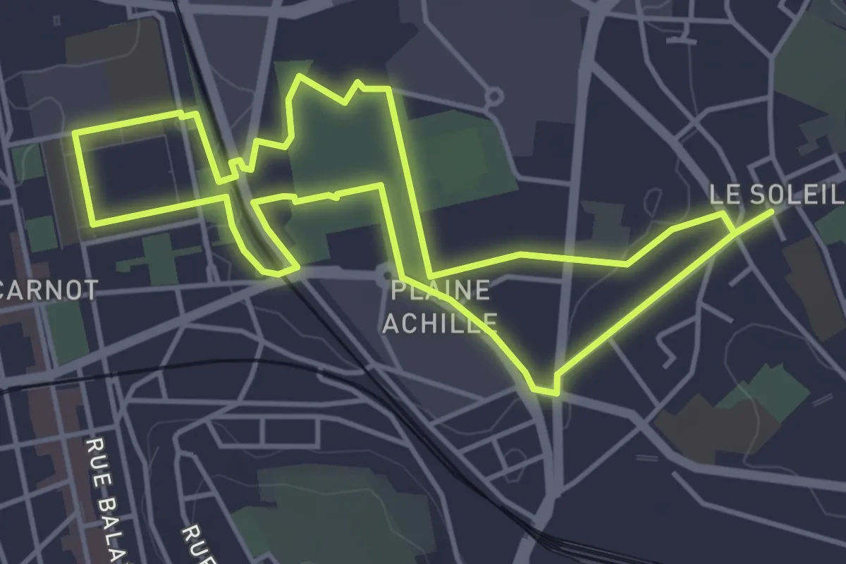
Easy · Trail
Quartier créatif, culturel et sportif
4.5 km · ↑ 21 m · 1 h 10 min
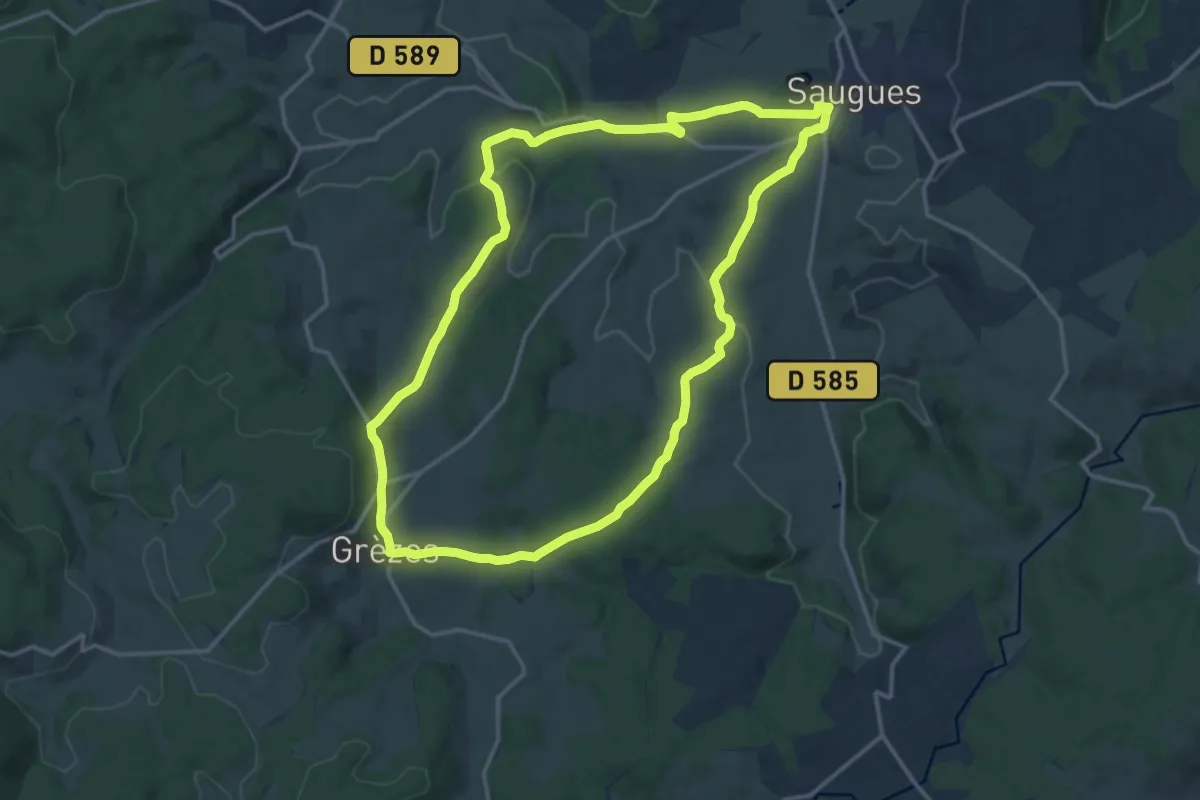
Medium · Trail
Quartz et Granite
15.3 km · ↑ 247 m · 4 h 22 min
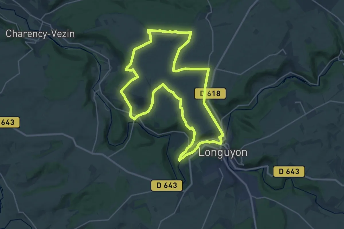
Demanding · Trail
Quatre Fermes
18.6 km · ↑ 277 m · 5 h 15 min
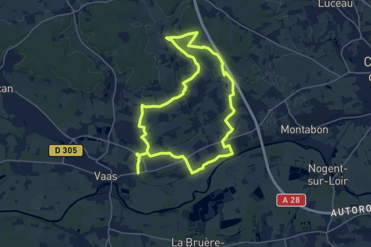
Medium · Trail
Qu'elle est belle ma campagne
15.0 km · ↑ 179 m · 4 h 9 min
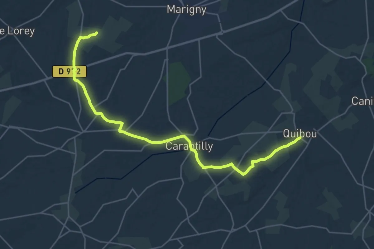
Demanding · Trail
Quibou à Marigny
19.9 km · ↑ 174 m · 5 h 5 min
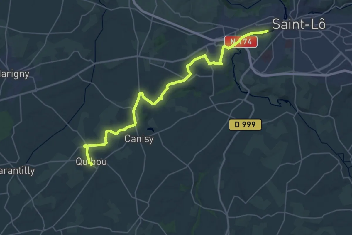
Demanding · Trail
Quibou à Saint-Lô
24.4 km · ↑ 311 m · 6 h 26 min
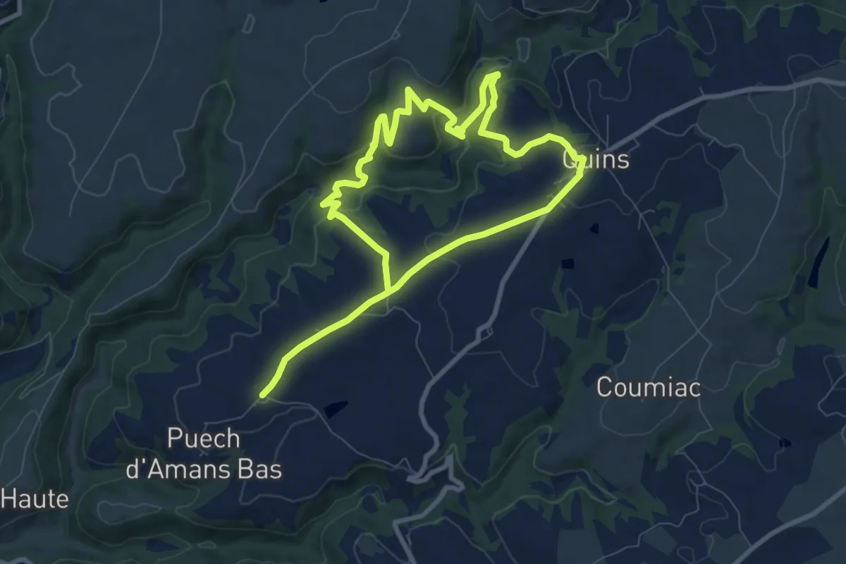
Medium · Trail
Quins 2
14.6 km · ↑ 509 m · 4 h 33 min
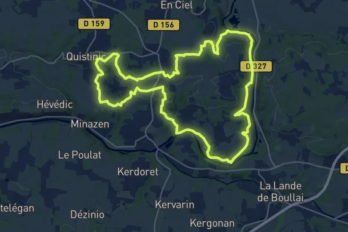
Medium · Trail
Quistinic - circuit des Chapelles, boucle Sud
17.6 km · ↑ 380 m · 5 h 14 min
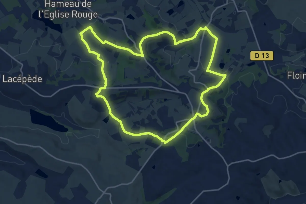
Medium · Trail
Quittimont, une église traditionnelle à clocher-mur
13.3 km · ↑ 305 m · 3 h 59 min
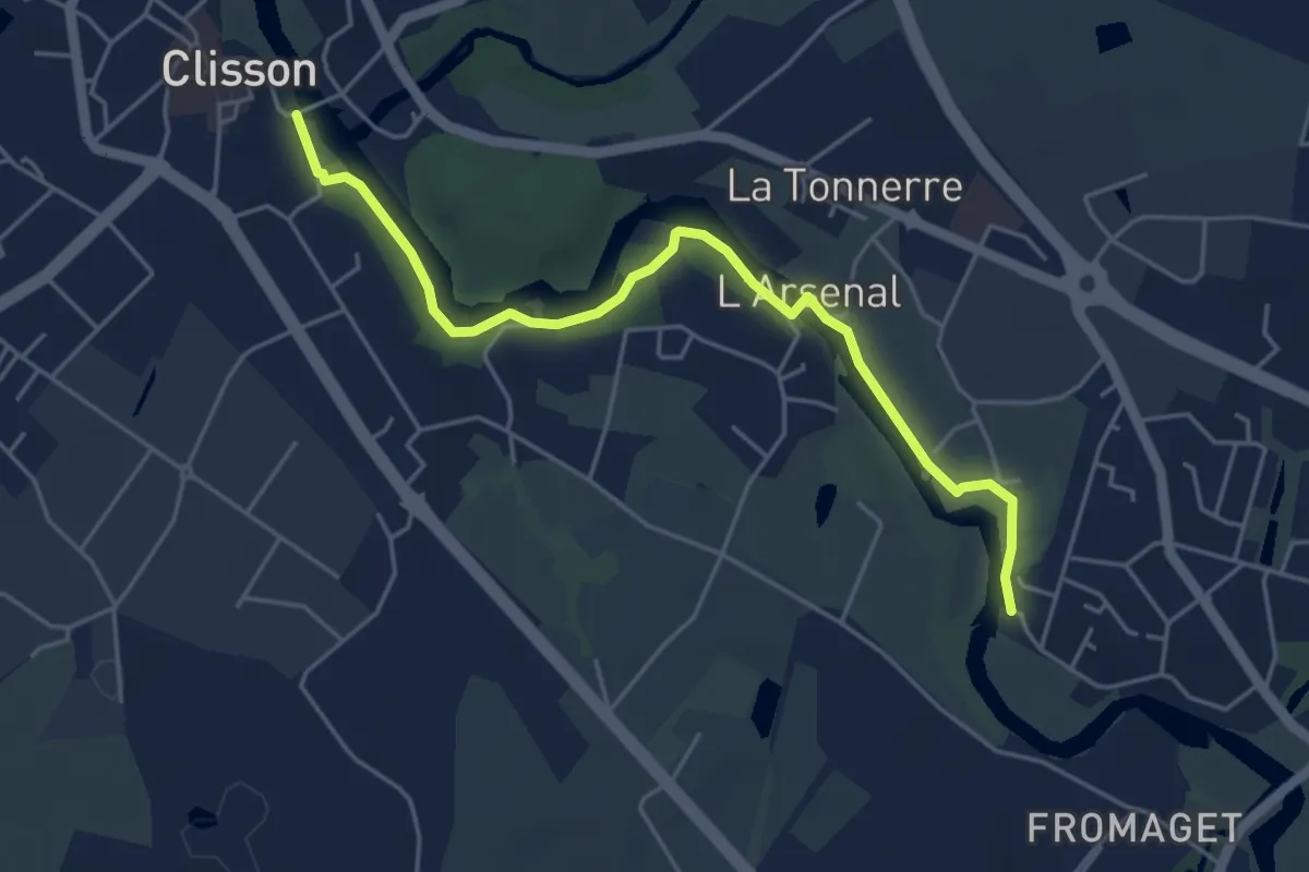
Easy · Trail
Qui va là
5.0 km · ↑ 22 m · 1 h 13 min
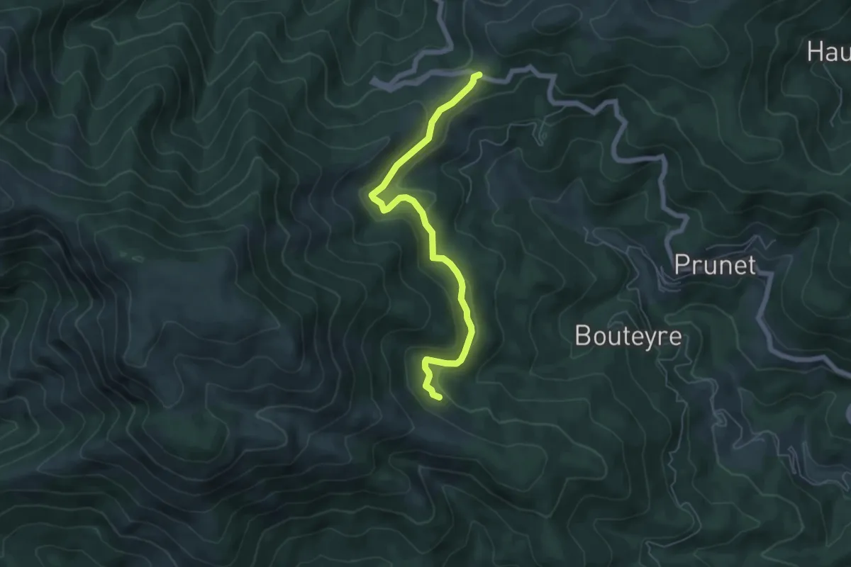
Easy · Trail
Rabié - Col de la Croix de Millet
5.8 km · ↑ 216 m · 1 h 51 min
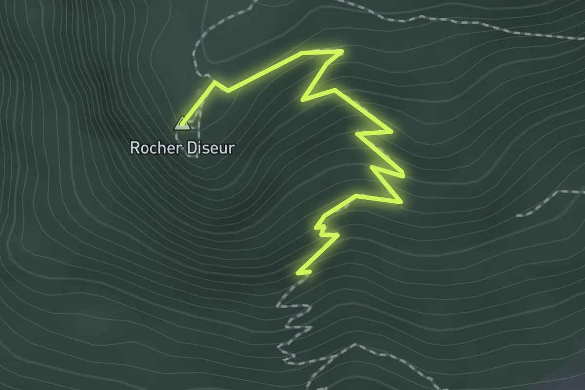
Medium · Summit
Rachas - ?
2.1 km · ↑ 160 m · 51 min
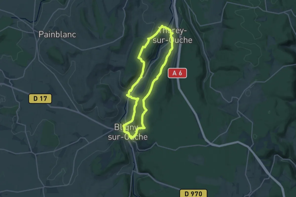
Medium · Trail
Rail d'Antan 13 km
13.5 km · ↑ 437 m · 4 h 19 min
Demanding · Trail
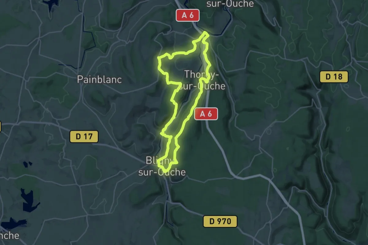
Rail d'Antan 23 km
21.0 km · ↑ 618 m · 6 h 35 min
Easy · Trail
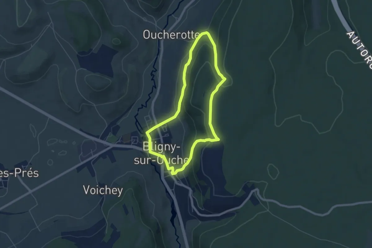
Rail d'Antan 5 km
5.0 km · ↑ 216 m · 1 h 43 min
Medium · Trail
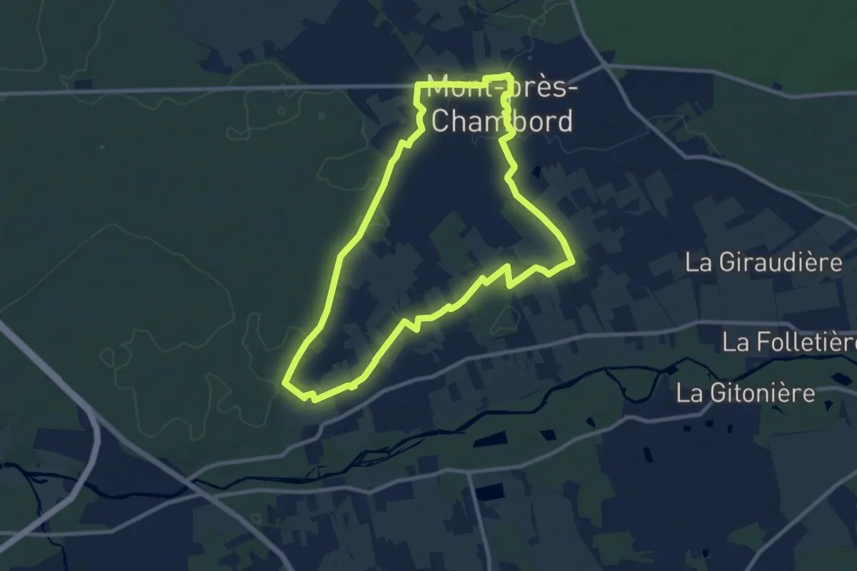
Rain de la forêt
9.1 km · ↑ 31 m · 2 h 20 min
Medium · Summit
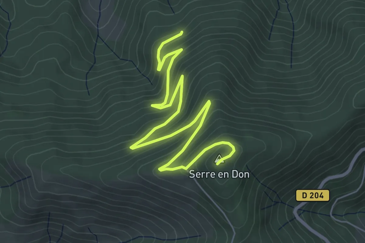
Ranc Bardon - Serre en Don
7.9 km · ↑ 401 m · 2 h 44 min
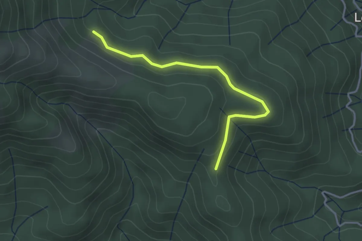
Easy · Trail
Ranc de Bal - Rabié
3.2 km · ↑ 79 m · 56 min
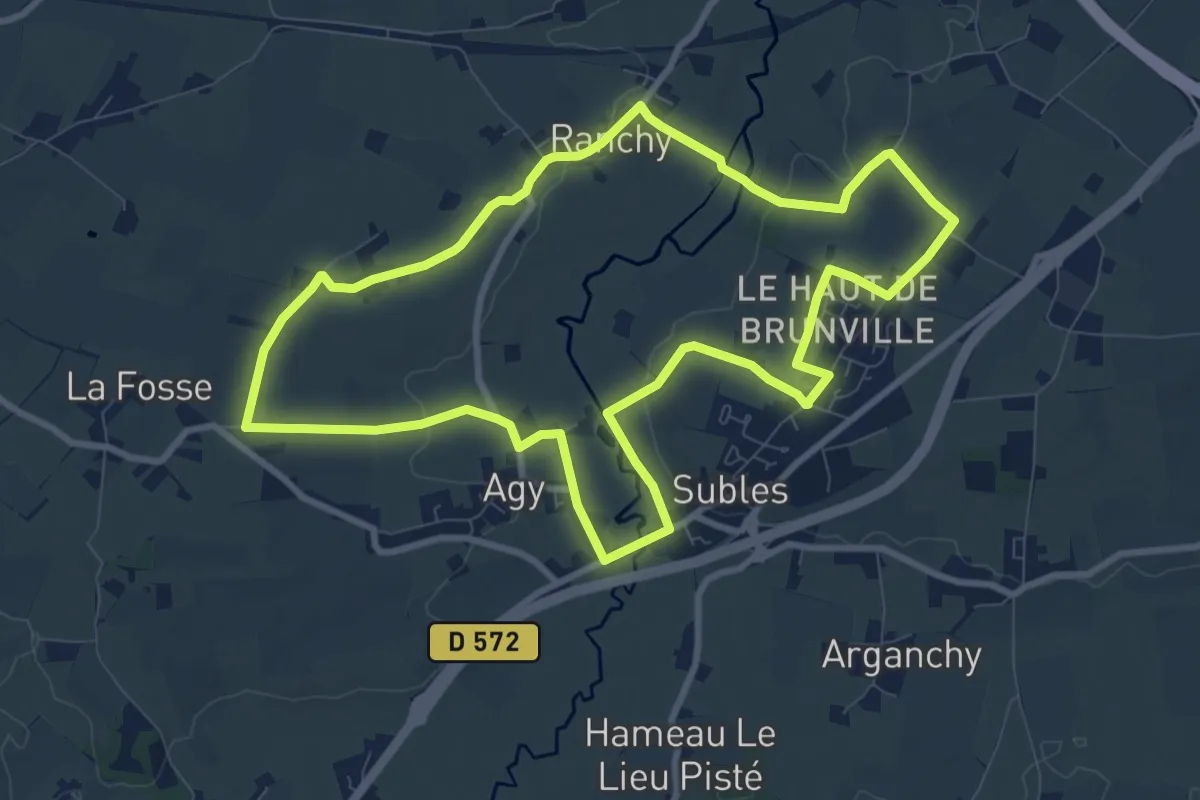
Medium · Trail
Ranchy
8.9 km · ↑ 104 m · 2 h 27 min
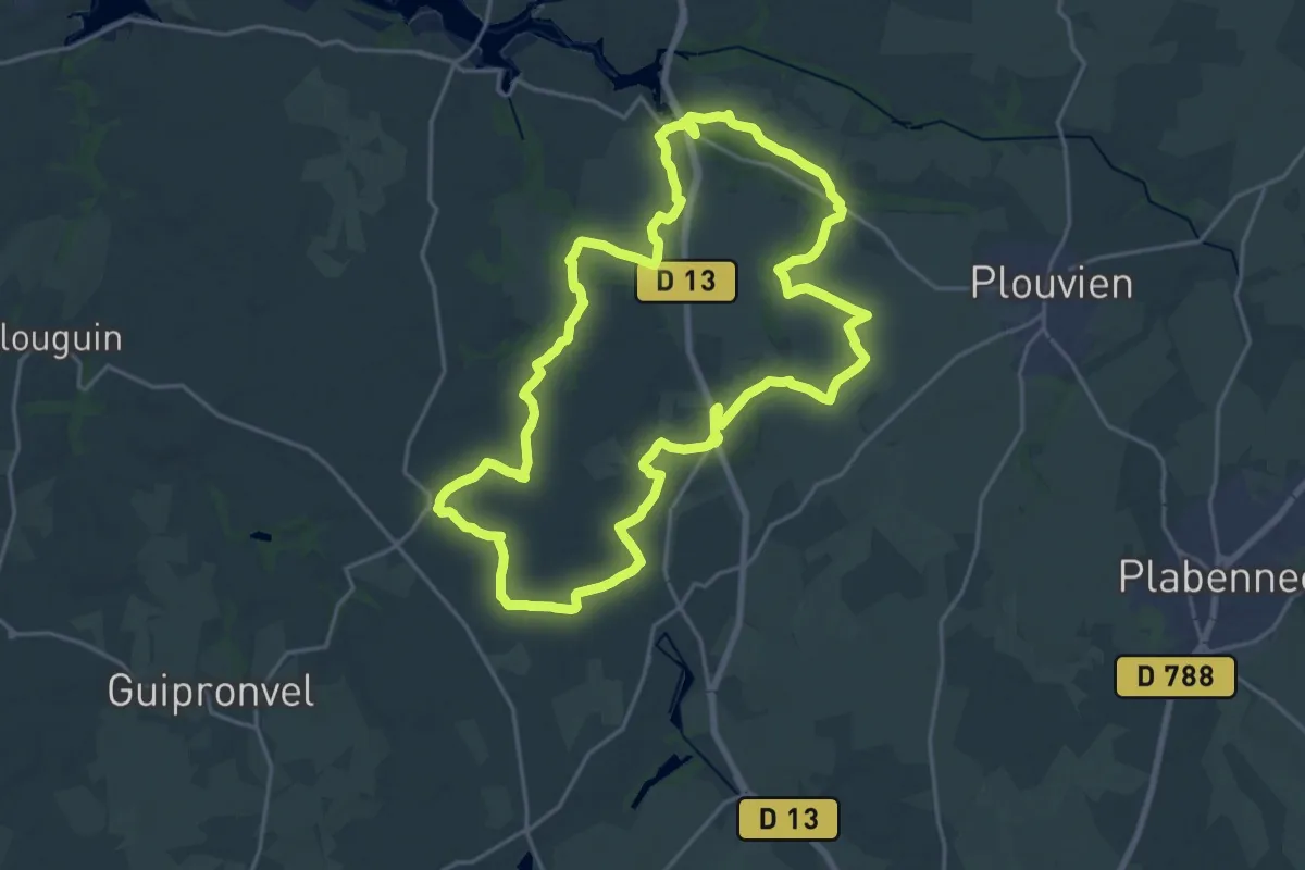
Demanding · Trail
Rand'Abers 10
21.1 km · ↑ 149 m · 5 h 36 min
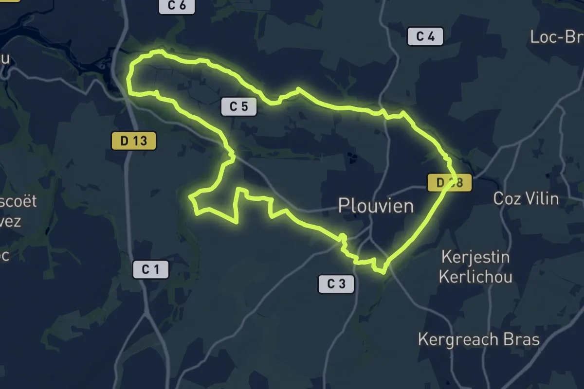
Medium · Trail
Rand'Abers 11
17.0 km · ↑ 110 m · 4 h 29 min
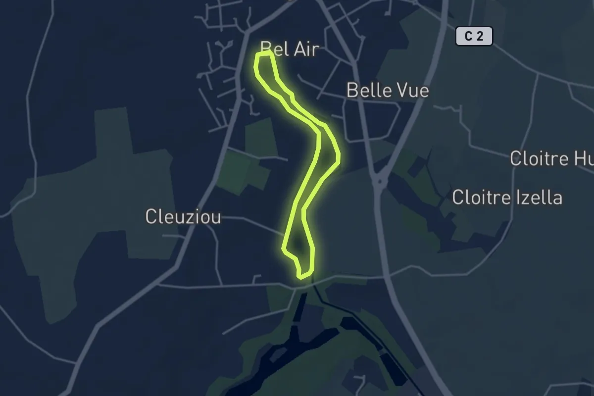
Easy · Trail
Rand'Abers 4
2.6 km · ↑ 4 m · 39 min
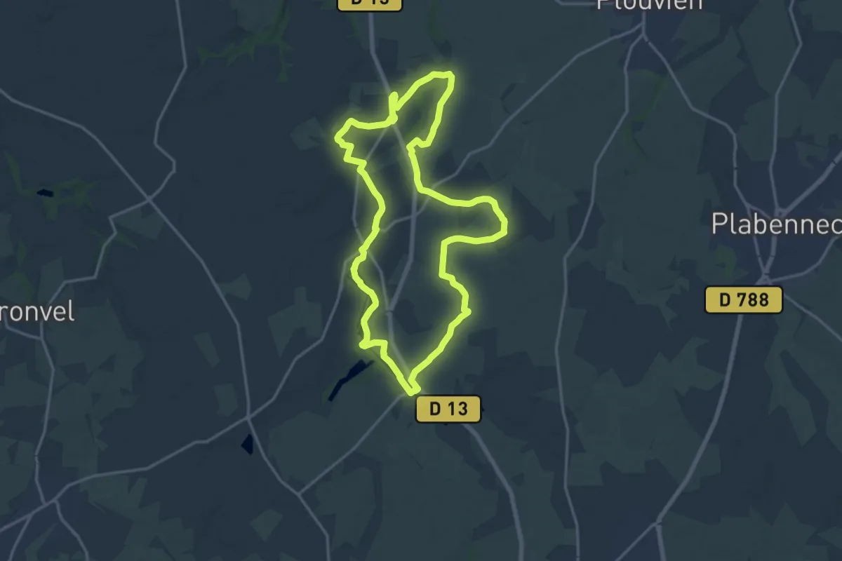
Medium · Trail
Rand'Abers 5
14.9 km · ↑ 75 m · 3 h 53 min
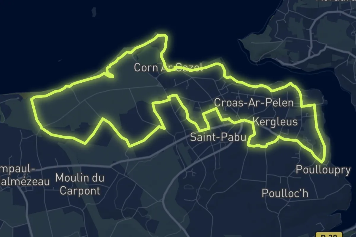
Medium · Trail
Rand'Abers 7
13.1 km · ↑ 118 m · 3 h 32 min
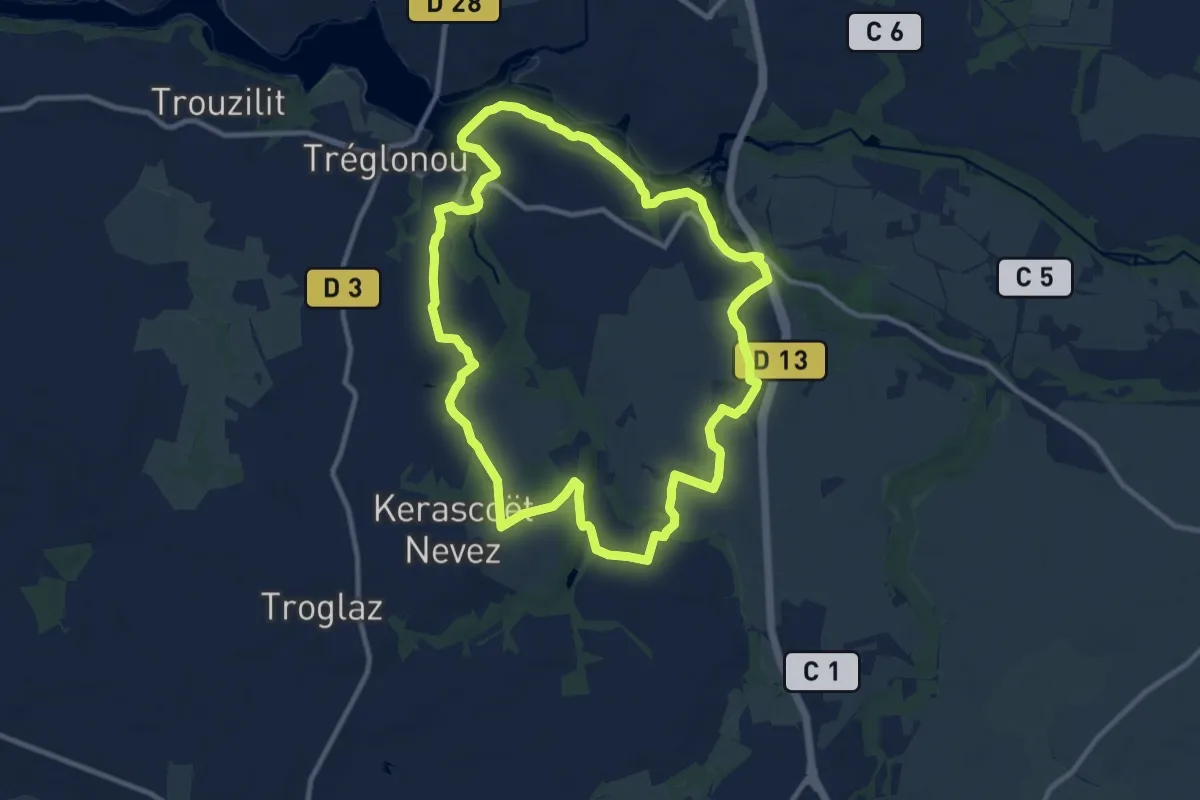
Medium · Trail
Rand'Abers 9
10.3 km · ↑ 113 m · 2 h 49 min
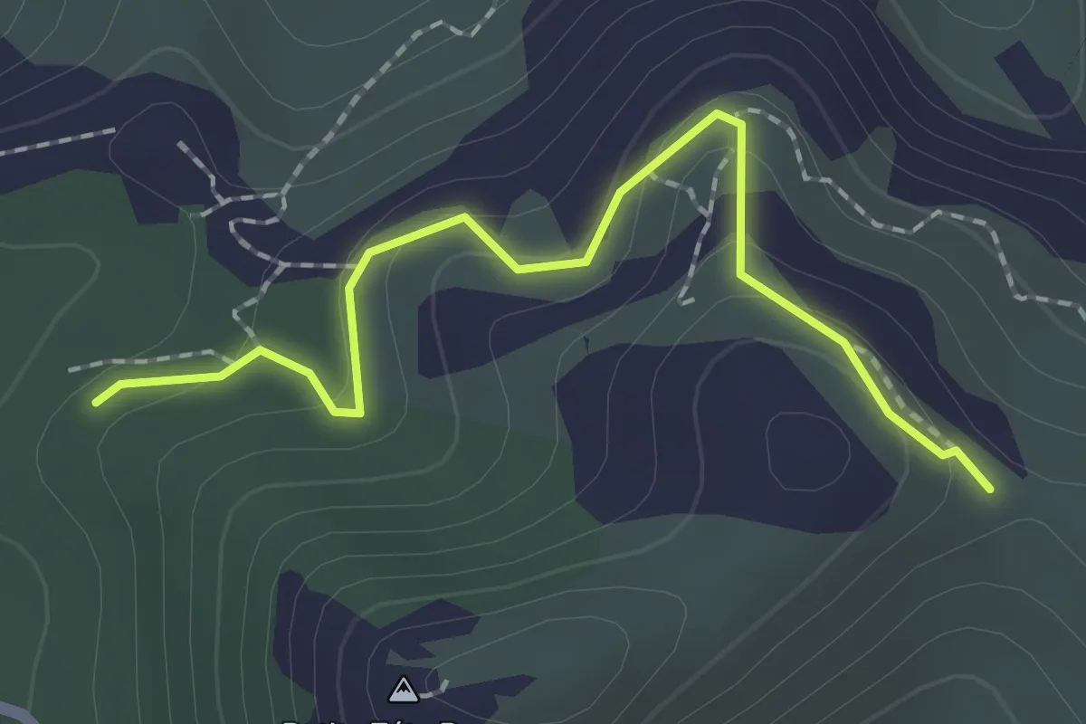
Easy · Trail
Rando
2.1 km · ↑ 96 m · 42 min
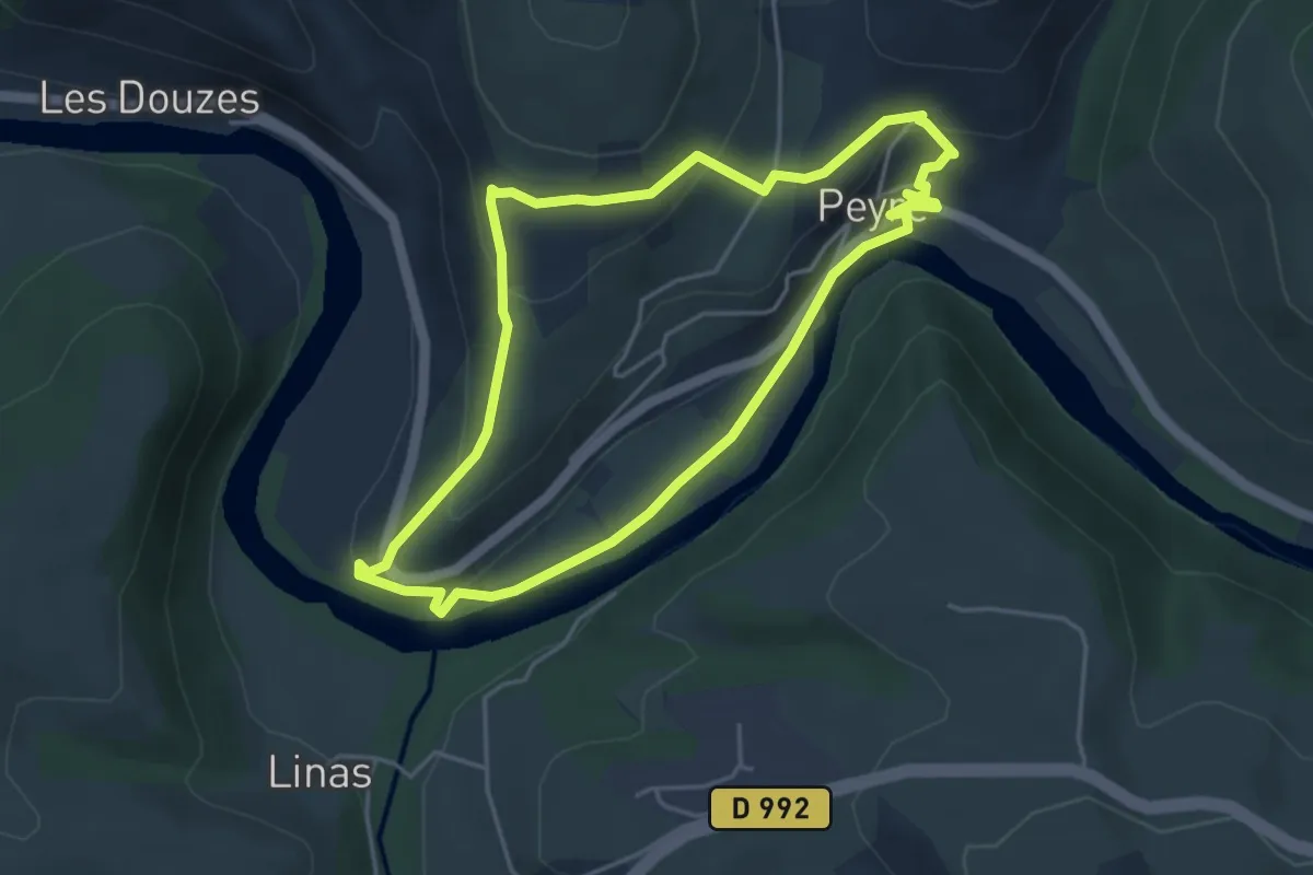
Easy · Trail
Rando Croquis
4.4 km · ↑ 167 m · 1 h 27 min
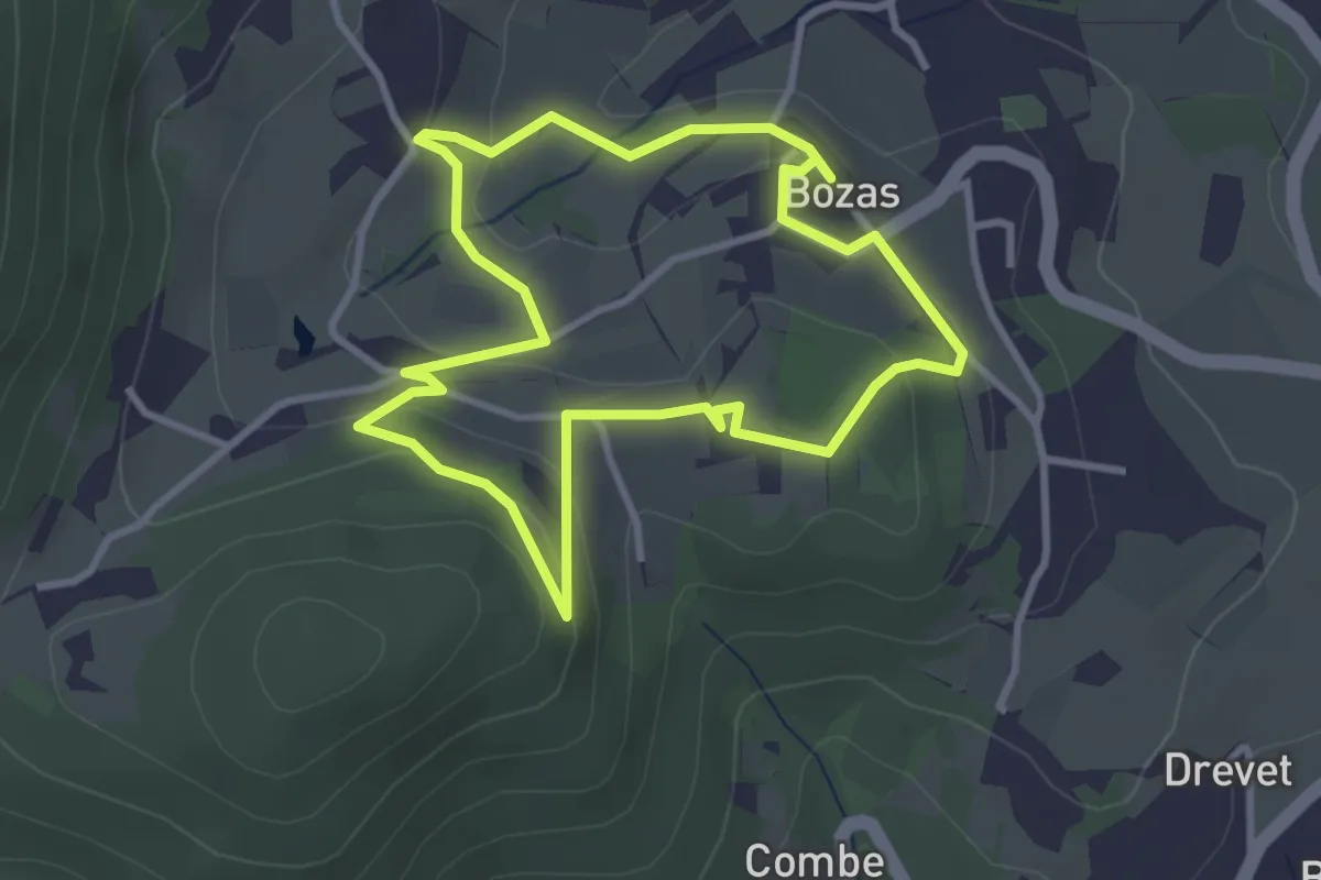
Medium · Trail
Rando Croquis
3.1 km · ↑ 106 m · 1 h 1 min
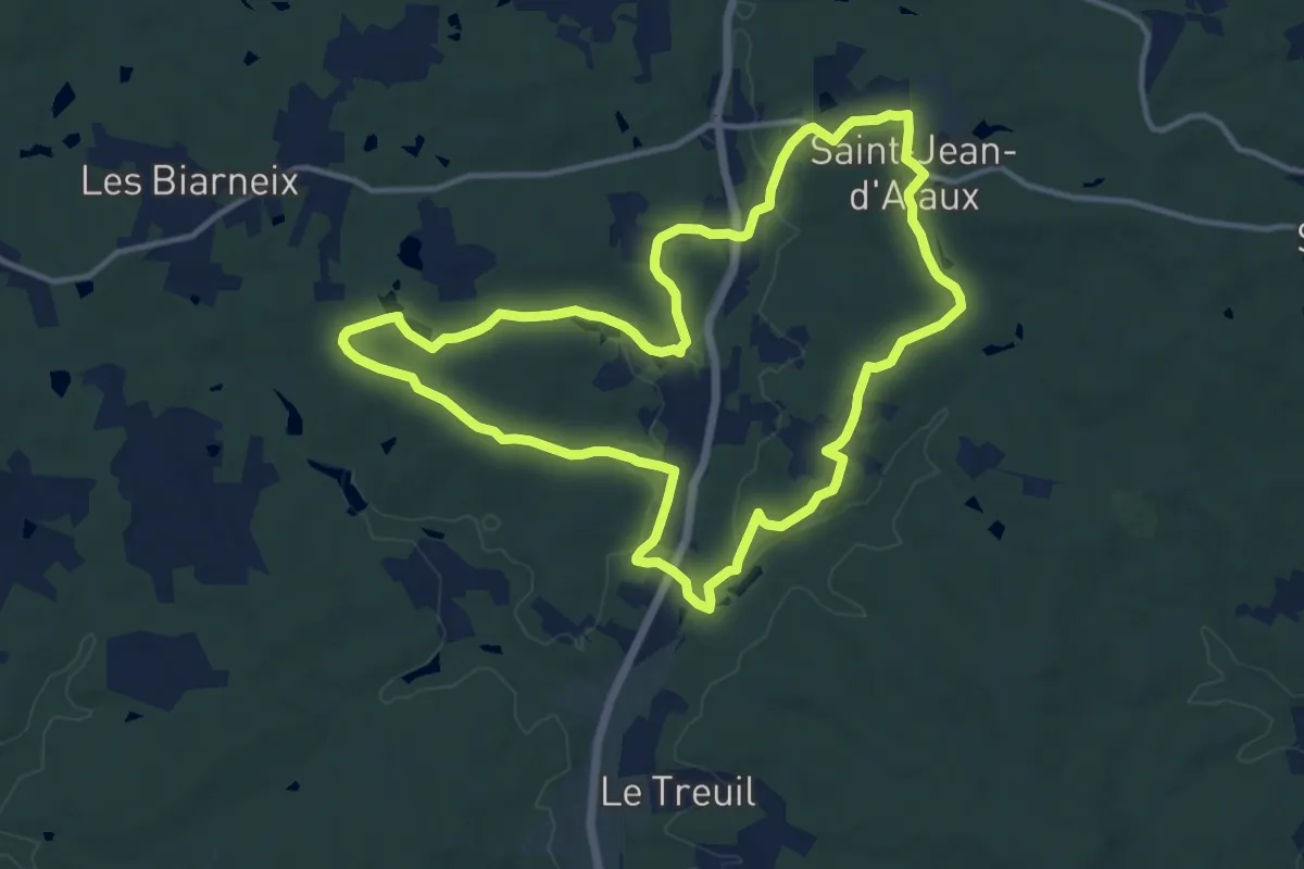
Medium · Trail
Rando d'Ataux
12.8 km · ↑ 137 m · 3 h 30 min
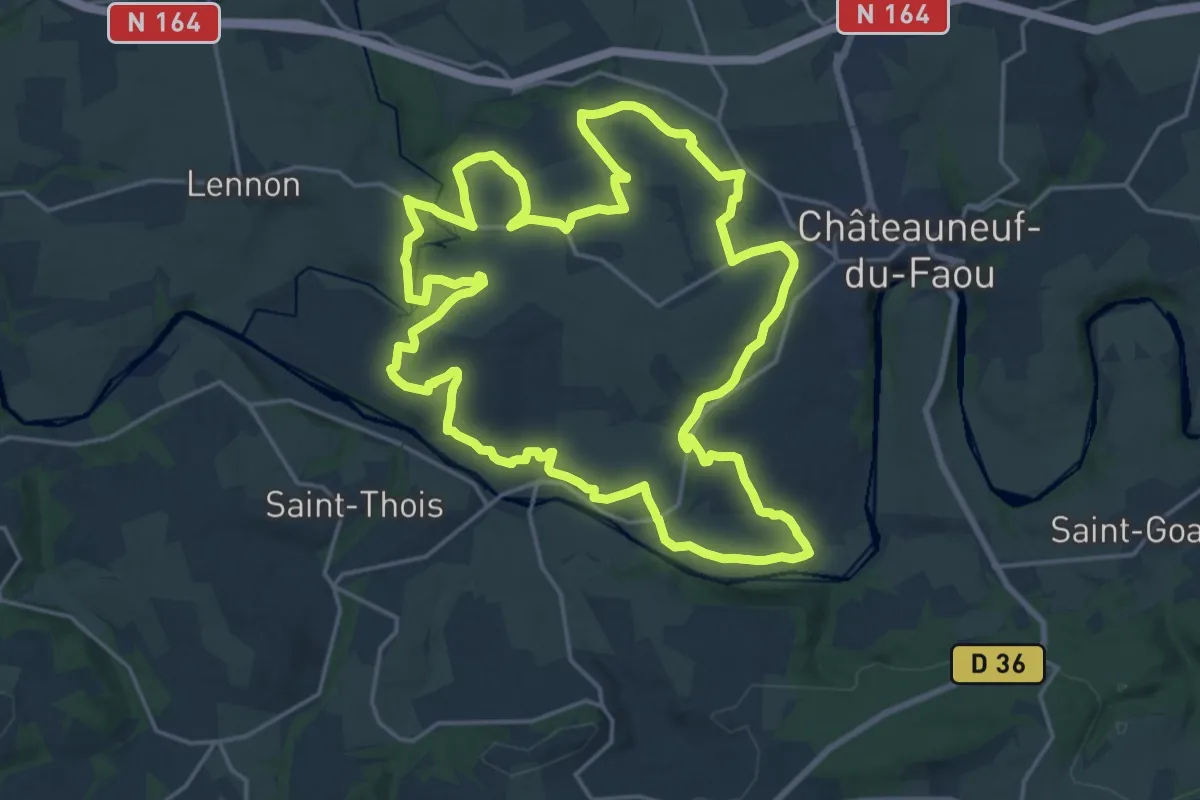
Demanding · Trail
Rando drosera - Aulne Ster Goanez
21.4 km · ↑ 320 m · 6 h 3 min
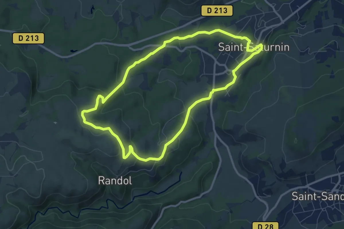
Easy · Trail
Randol
7.8 km · ↑ 194 m · 2 h 22 min
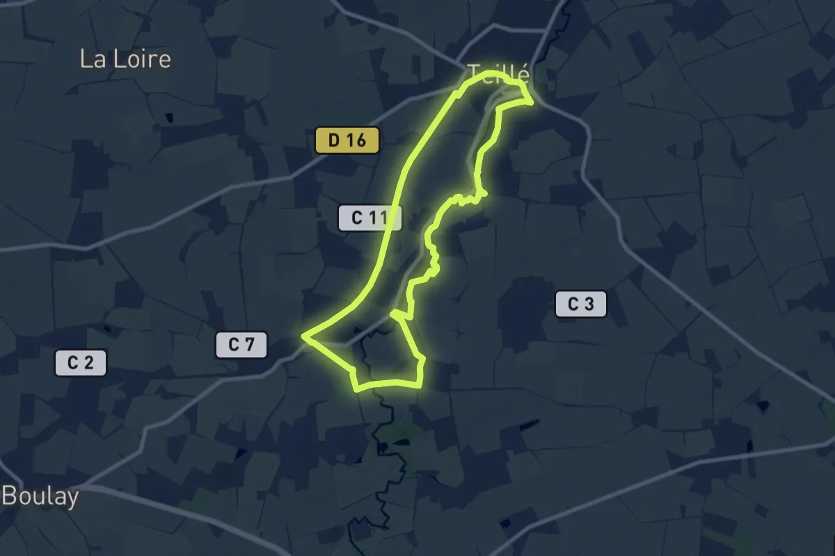
Medium · Trail
Randonneau des Pierres Levées
8.1 km · ↑ 45 m · 2 h 8 min
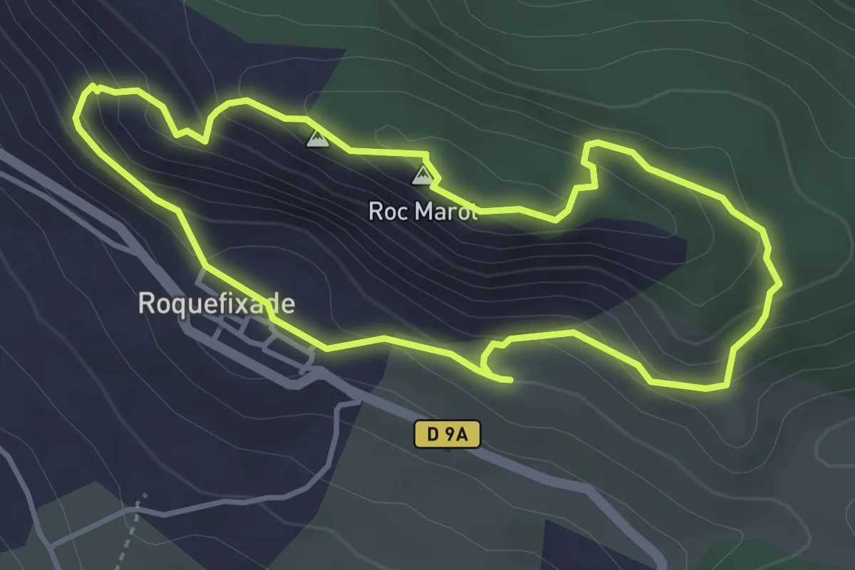
Easy · Summit
Randonnée à Roquefixade
3.7 km · ↑ 222 m · 1 h 24 min