Trails in France
15,926 hiking trails, each with its route, climb, walking time and grade.
All trails, page 229 of 332
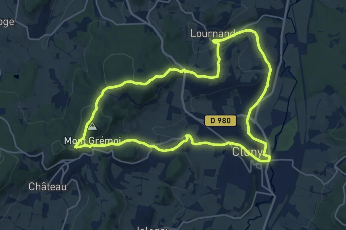
Medium · Summit
Randonnée autour de Cluny
14.2 km · ↑ 380 m · 4 h 23 min
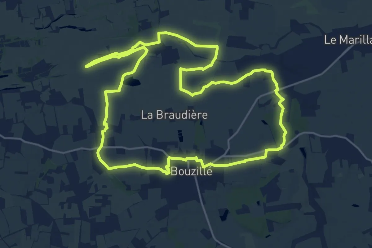
Medium · Trail
Randonnée Boire et Coteaux
14.7 km · ↑ 89 m · 3 h 51 min
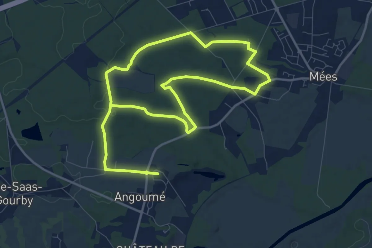
Medium · Trail
Randonnée d'Angoumée aux tourbières de Mées
8.3 km · ↑ 54 m · 2 h 12 min
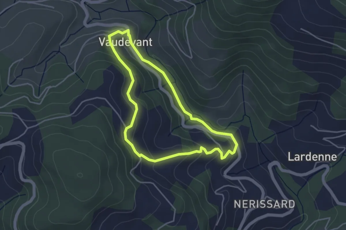
Easy · Trail
Randonnée de Brudon à Sauze
3.3 km · ↑ 138 m · 1 h 8 min
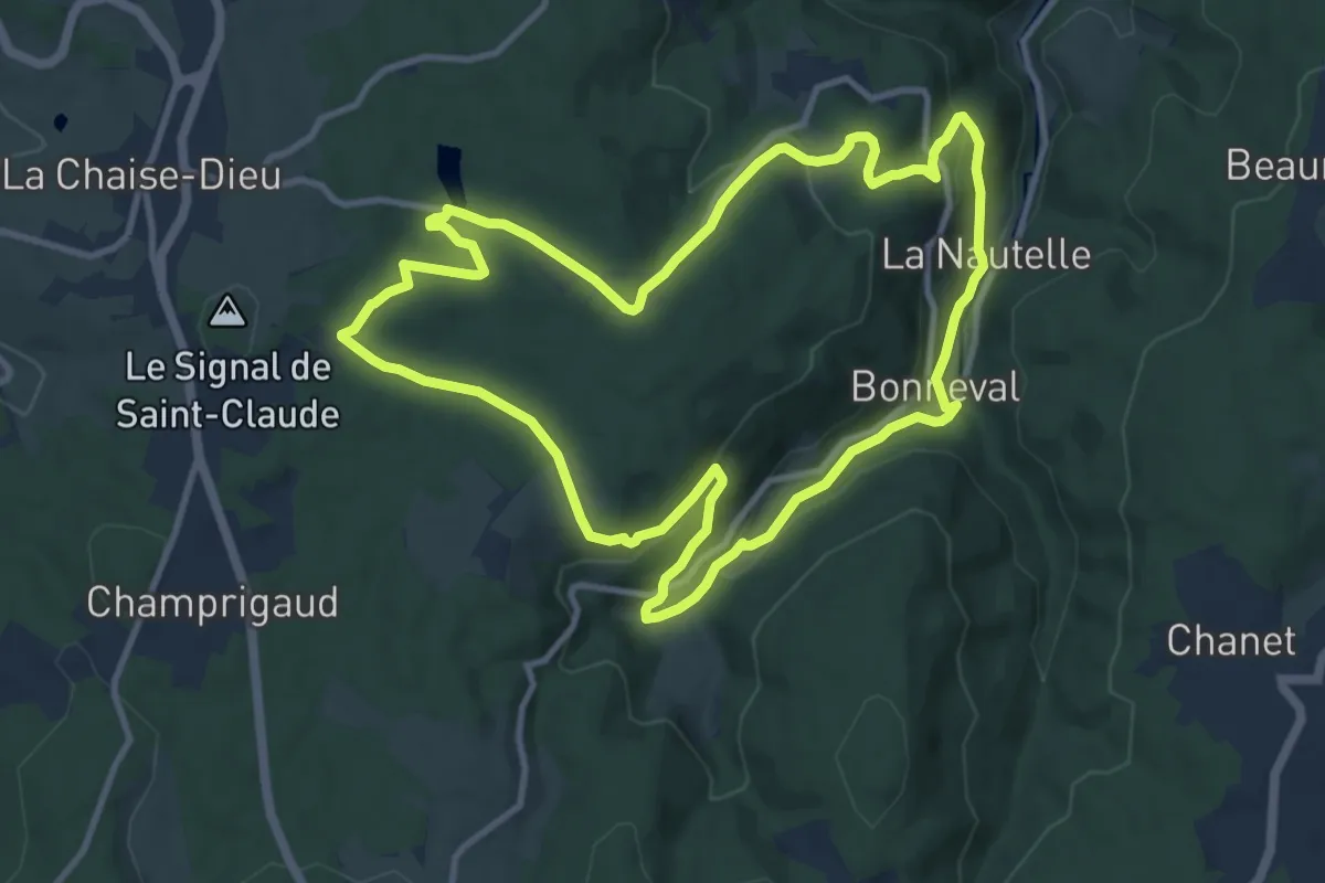
Medium · Trail
Randonnée de la Chaise Dieu à Bonneval
11.1 km · ↑ 319 m · 3 h 28 min
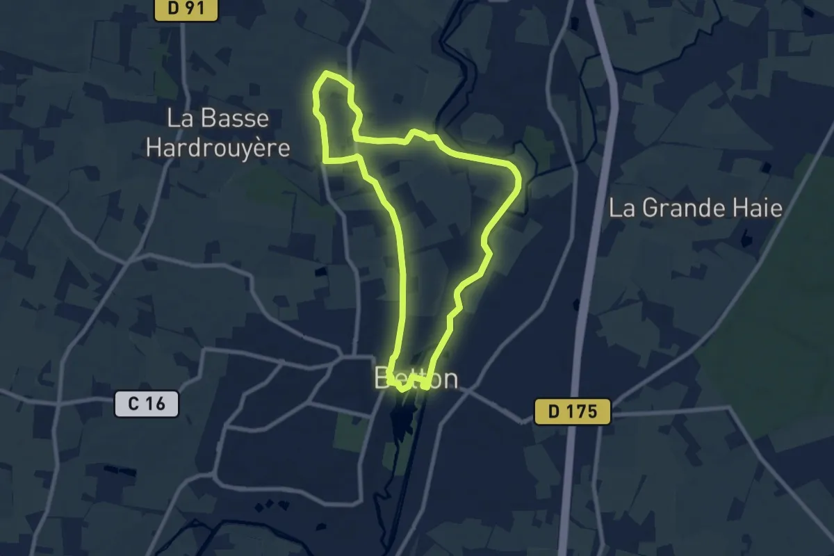
Easy · Trail
Randonnée de la Planchette
7.2 km · ↑ 52 m · 1 h 55 min
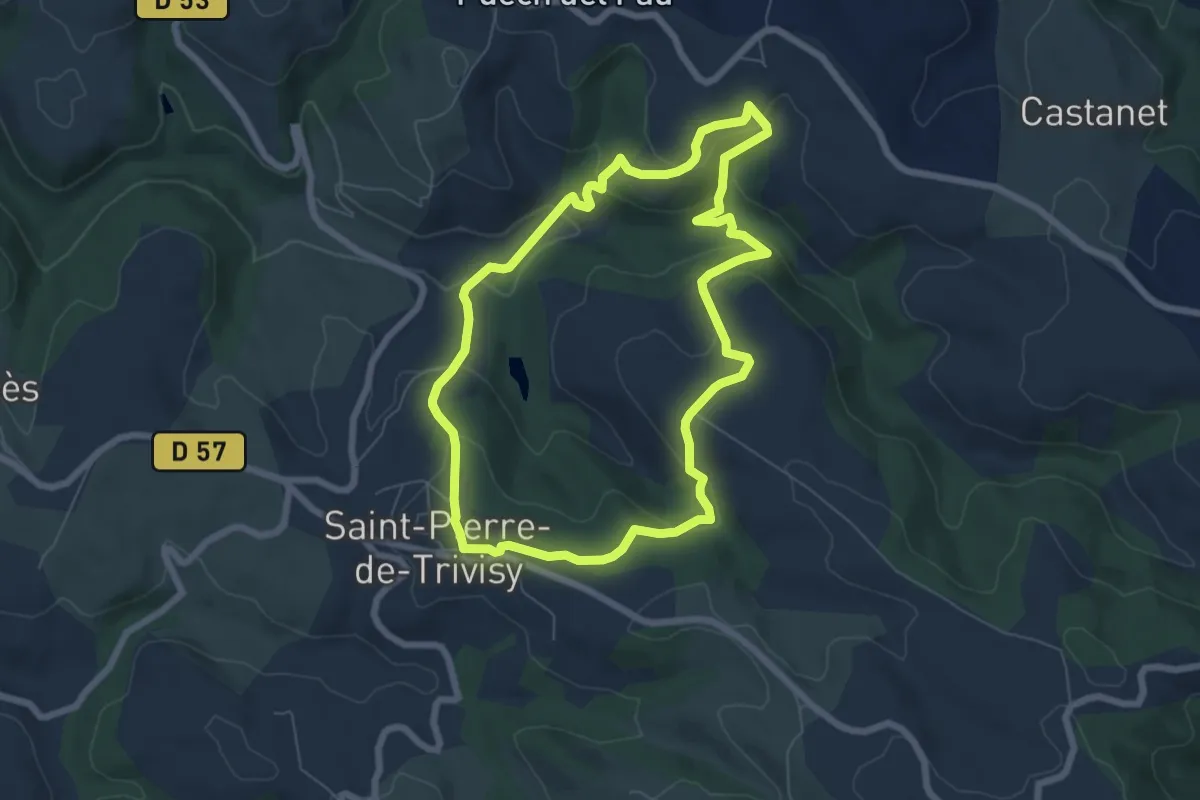
Easy · Trail
Randonnée de la Trivalle et ses variantes
6.8 km · ↑ 256 m · 2 h 15 min
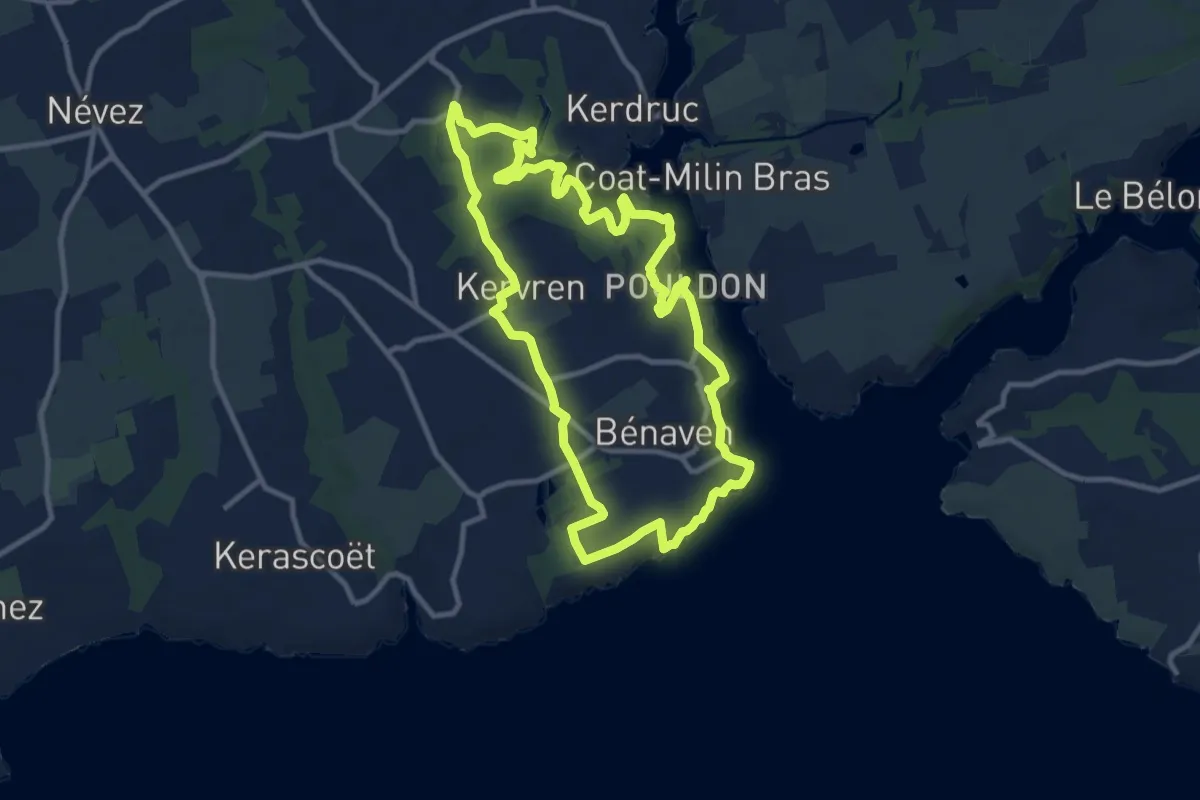
Medium · Trail
Randonnée de Port-Manec'h
10.4 km · ↑ 166 m · 2 h 57 min
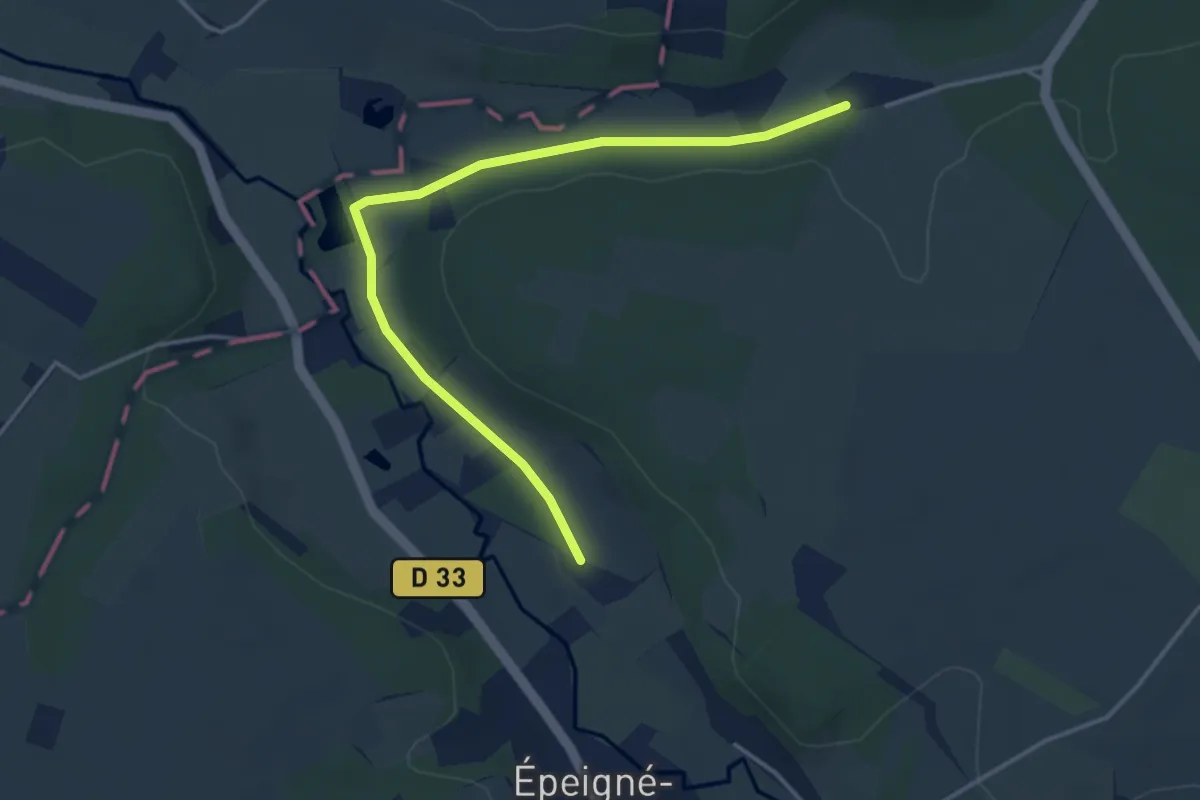
Easy · Trail
Randonnée des 3 Villages
4.1 km · ↑ 48 m · 1 h 4 min
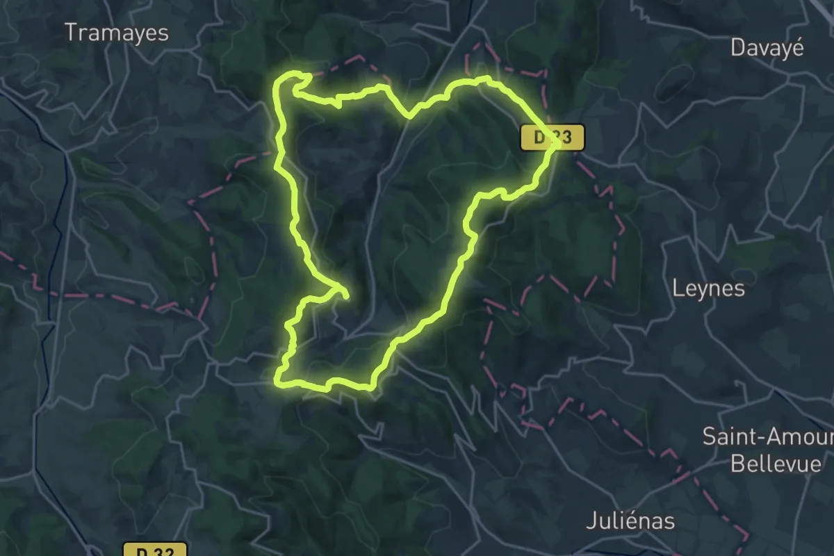
Demanding · Trail
Randonnée des 4 Montagnes
21.1 km · ↑ 694 m · 6 h 47 min
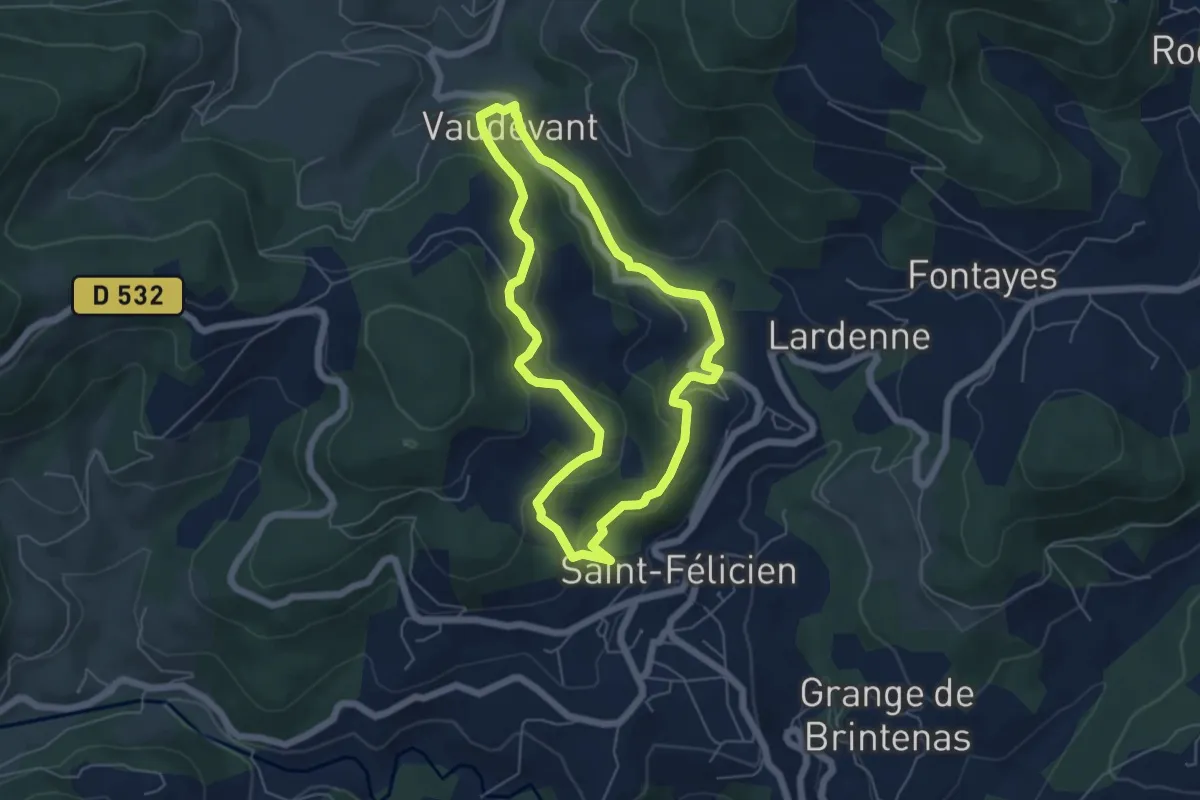
Easy · Trail
Randonnée : De Saint-Félicien à Vaudevant
5.3 km · ↑ 209 m · 1 h 47 min
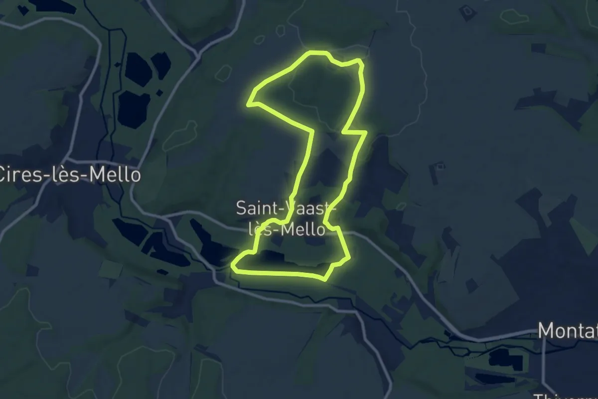
Medium · Trail
Randonnée des carrières
8.3 km · ↑ 85 m · 2 h 16 min
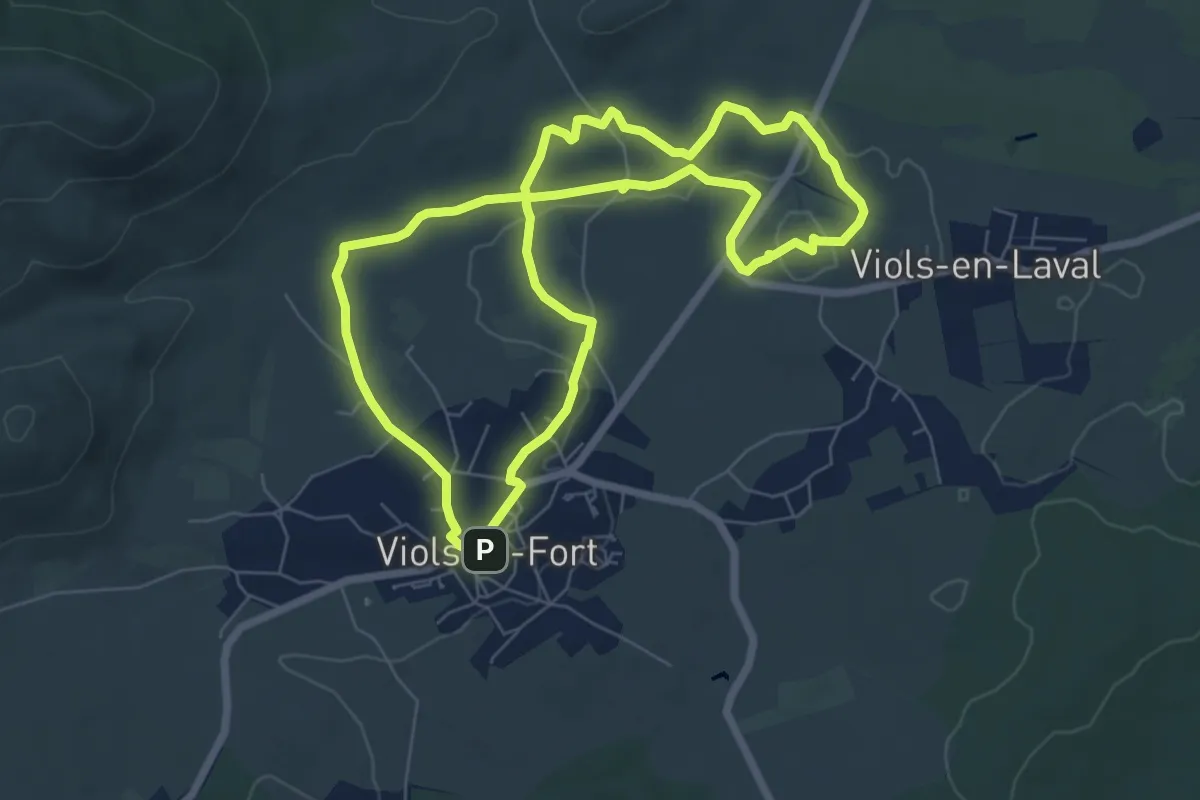
Easy · Trail
Randonnée des Drailles
7.2 km · ↑ 58 m · 1 h 55 min
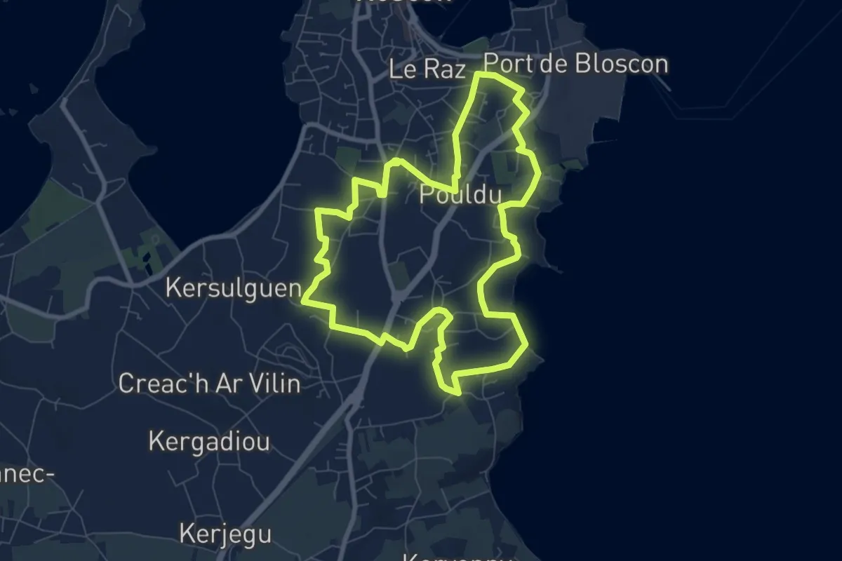
Easy · Trail
Randonnée des Fontaines
7.5 km · ↑ 73 m · 2 h 2 min
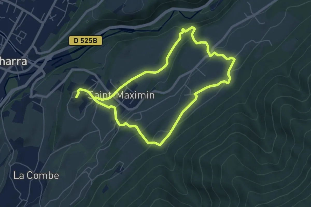
Medium · Trail
Randonnée des Hameaux
5.1 km · ↑ 229 m · 1 h 46 min
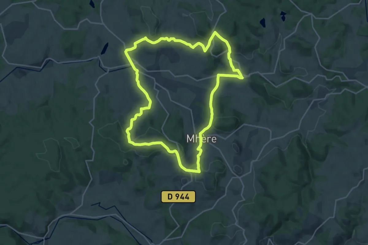
Medium · Trail
Randonnée des trois évêchés
16.8 km · ↑ 484 m · 5 h 15 min
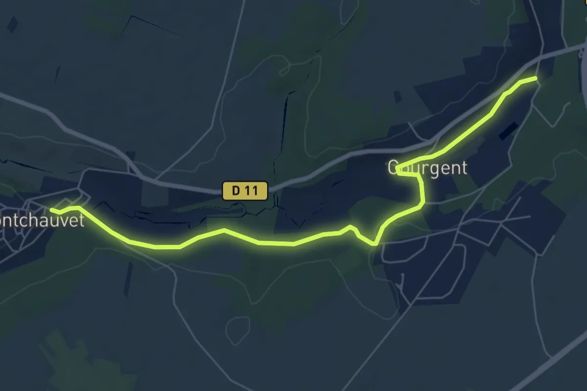
Easy · Trail
Randonnée des Yvelines, accès GR 11
6.8 km · ↑ 124 m · 1 h 52 min
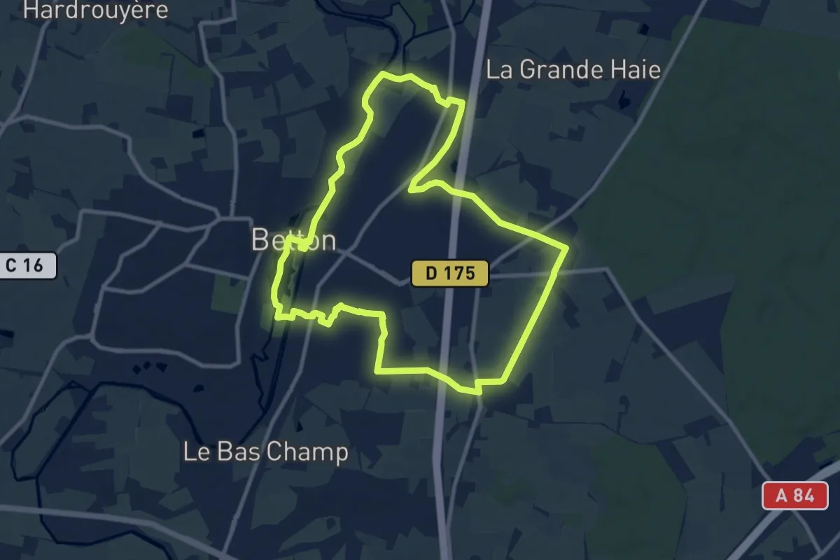
Medium · Trail
Randonnée du Bois de Betton
9.1 km · ↑ 45 m · 2 h 23 min
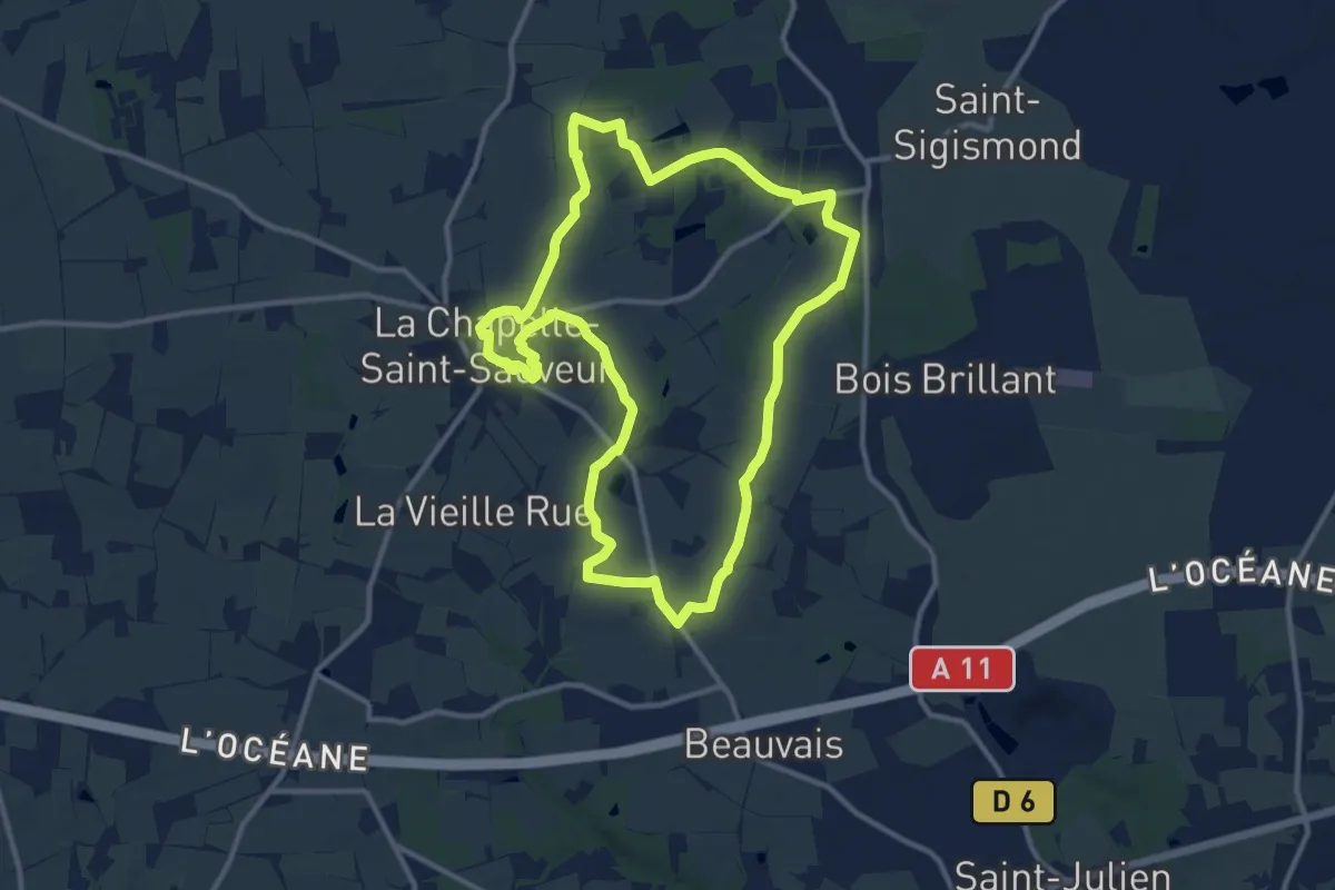
Medium · Trail
Randonnée du Perchage
11.5 km · ↑ 40 m · 2 h 57 min
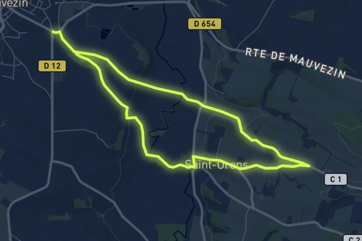
Medium · Trail
Randonnée du Tumulus
14.0 km · ↑ 218 m · 3 h 47 min
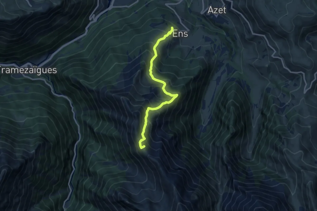
Demanding · Summit
Randonnée Ens <> Lac de Consaterre
9.7 km · ↑ 940 m · 4 h 20 min
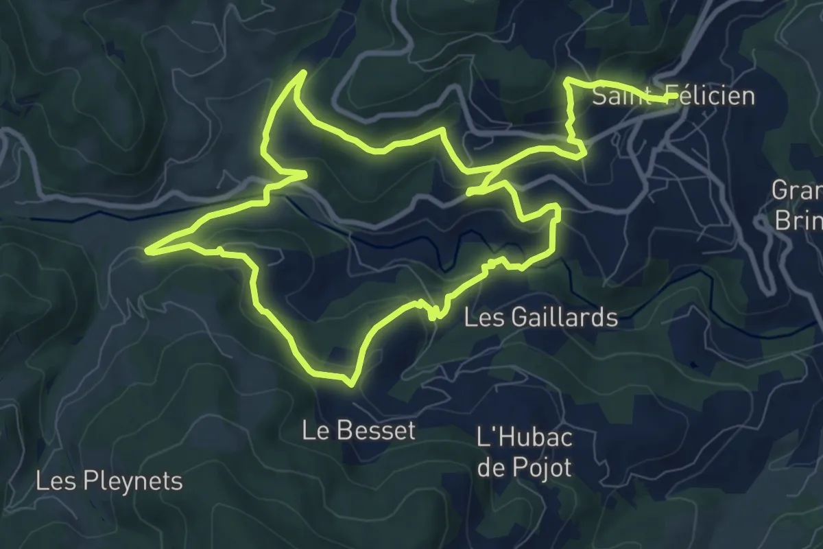
Medium · Trail
Randonnée : La Daronne
9.1 km · ↑ 342 m · 3 h 2 min
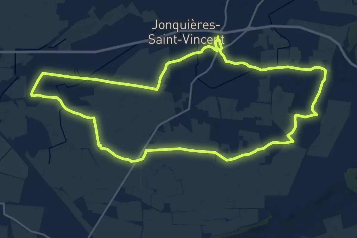
Medium · Trail
Randonnée la Voie Domitia
14.6 km · ↑ 40 m · 3 h 44 min
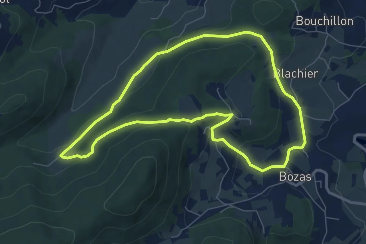
Easy · Trail
Randonnée : Le bois de Malaurier
6.1 km · ↑ 209 m · 1 h 59 min
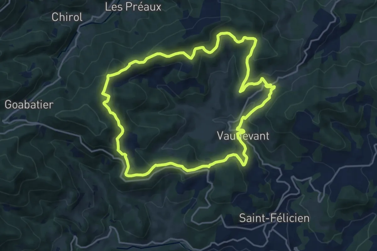
Medium · Trail
Randonnée : Le Col du Gibet
14.4 km · ↑ 499 m · 4 h 41 min
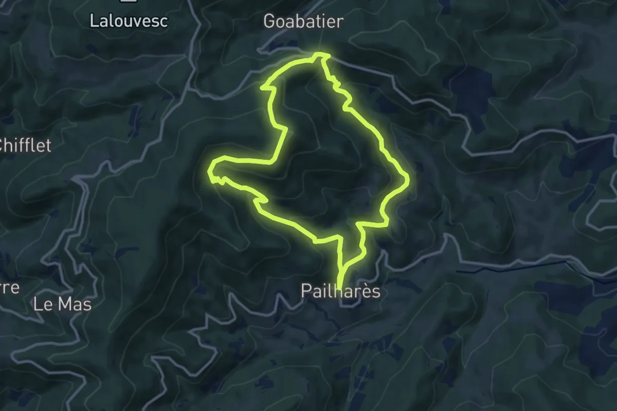
Medium · Trail
Randonnée : Le Col du Marchand
10.4 km · ↑ 516 m · 3 h 43 min
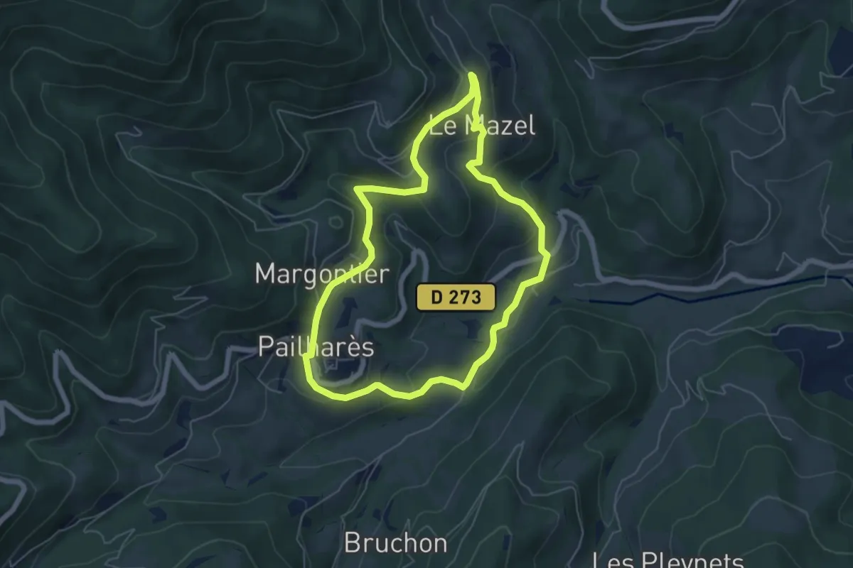
Easy · Trail
Randonnée : Le Mazel
5.4 km · ↑ 238 m · 1 h 52 min
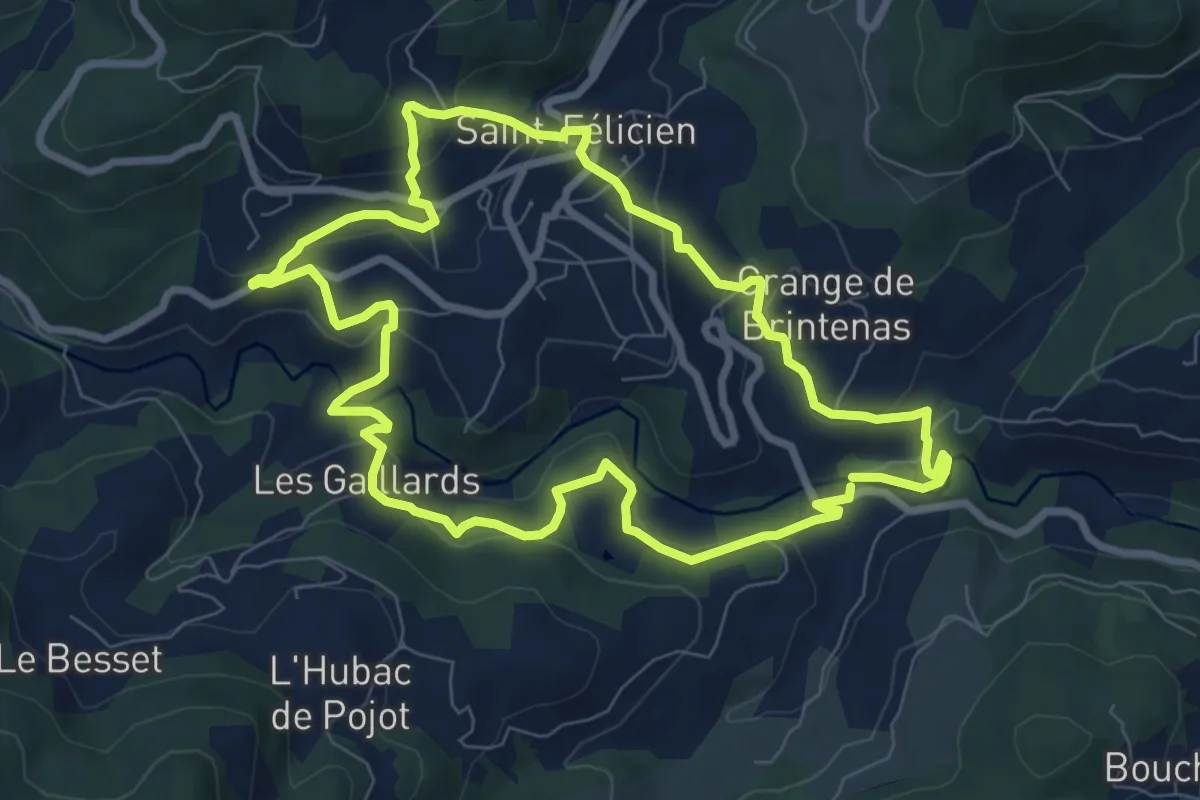
Medium · Trail
Randonnée : Le Moulin des Gaillards
8.3 km · ↑ 328 m · 2 h 47 min
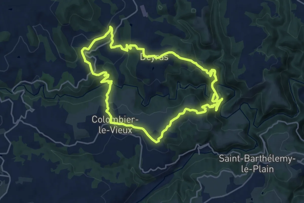
Medium · Trail
Randonnée : Les Gorges de la Daronne
15.1 km · ↑ 513 m · 4 h 53 min
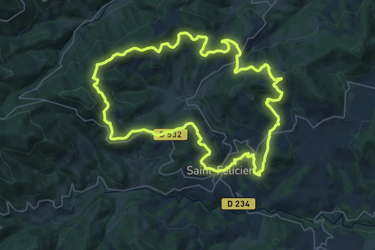
Demanding · Trail
Randonnée : Les Grands Massifs
22.6 km · ↑ 819 m · 7 h 25 min
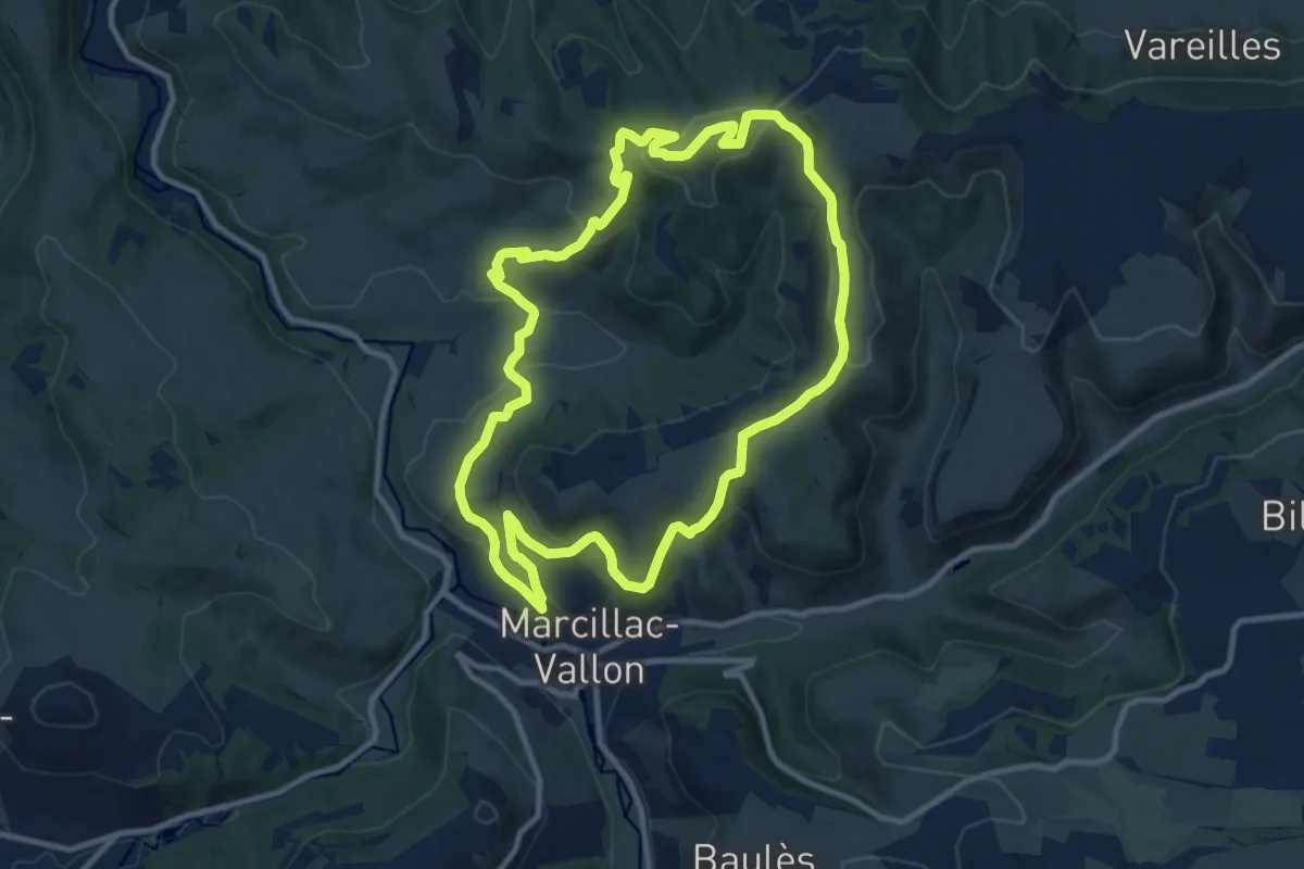
Medium · Summit
Randonnée Marcillac autour de Saint-Jean le Froid
11.0 km · ↑ 394 m · 3 h 36 min
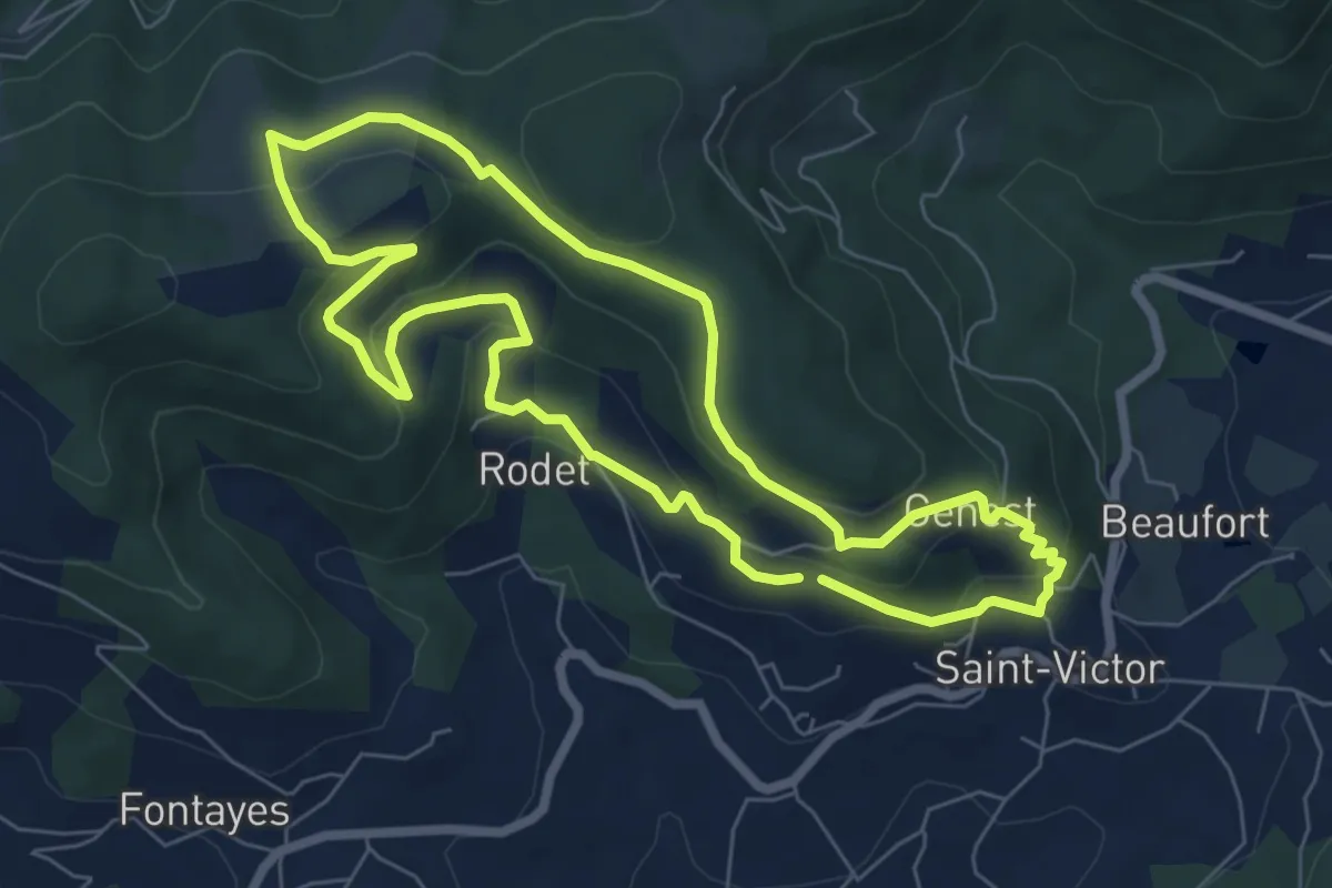
Easy · Trail
Randonnée : Montplot
6.9 km · ↑ 245 m · 2 h 16 min
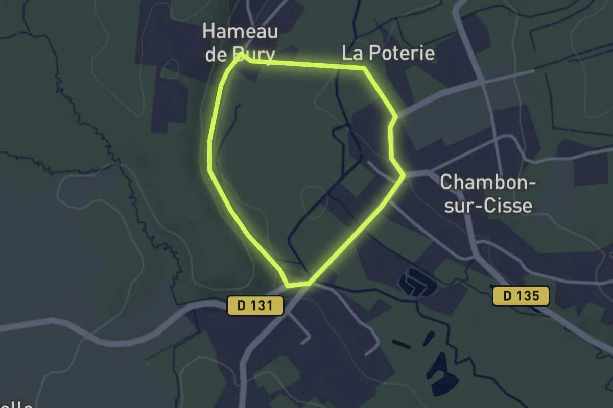
Easy · Trail
Randonnée non balisée de Chambon-sur-Cisse
2.2 km · ↑ 30 m · 37 min
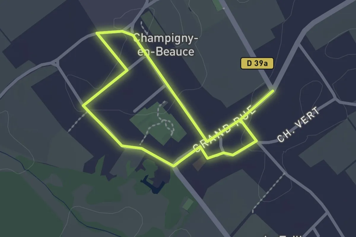
Easy · Trail
Randonnée non balisée de Champigny-en-Beauce
1.8 km · ↑ 0 m · 27 min
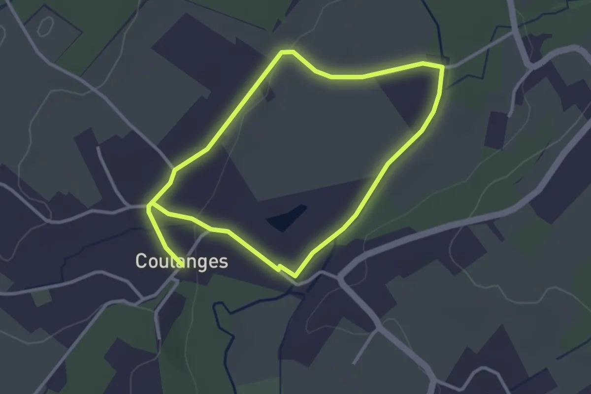
Easy · Trail
Randonnée non balisée de Coulanges
2.6 km · ↑ 15 m · 42 min
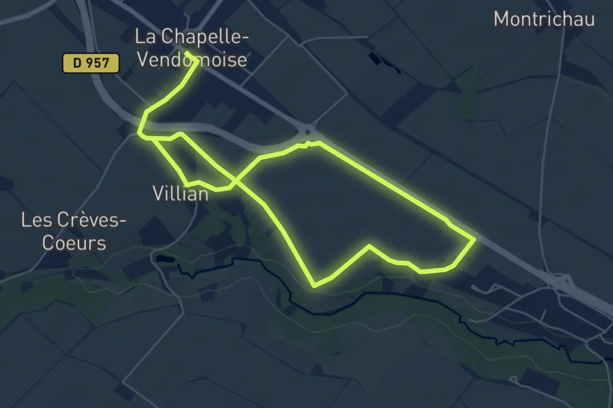
Medium · Trail
Randonnée non balisée de la Chapelle-Vendômoise
9.7 km · ↑ 32 m · 2 h 21 min
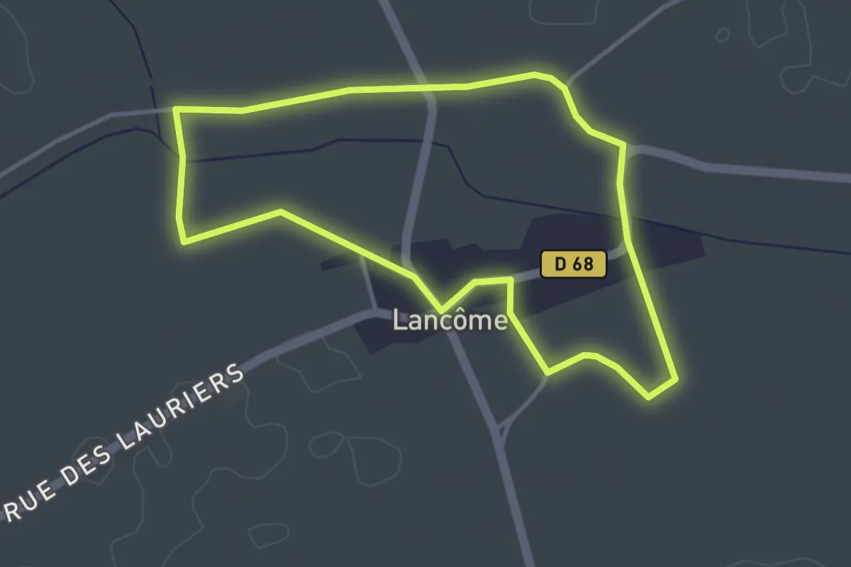
Easy · Trail
Randonnée non balisée de Lancôme
3.2 km · ↑ 8 m · 49 min
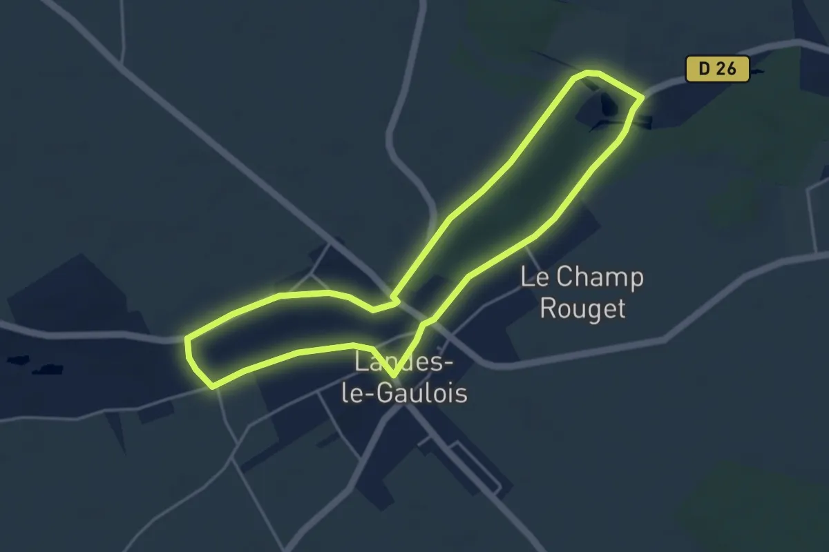
Easy · Trail
Randonnée non balisée de Landes-le-Gaulois
3.9 km · ↑ 8 m · 1 h
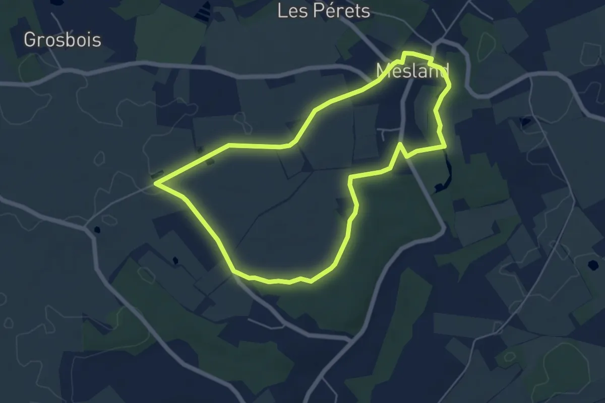
Easy · Trail
Randonnée non balisée de Mesland
5.0 km · ↑ 31 m · 1 h 20 min
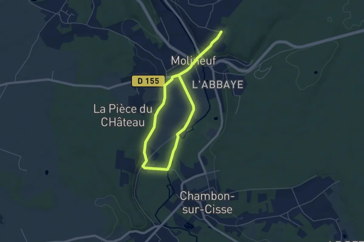
Easy · Trail
Randonnée non balisée de Molineuf
7.4 km · ↑ 107 m · 1 h 58 min
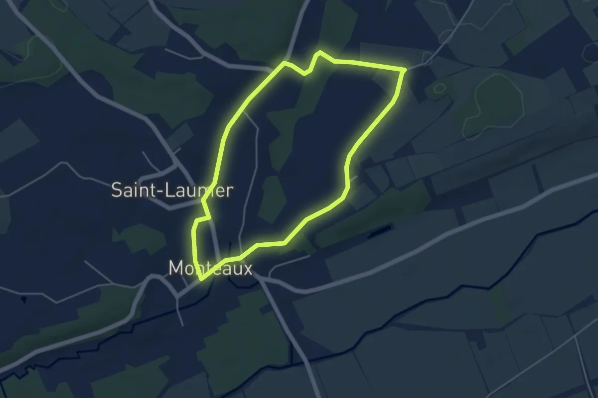
Easy · Trail
Randonnée non balisée de Monteaux
3.9 km · ↑ 42 m · 1 h 4 min
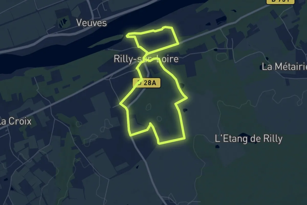
Easy · Trail
Randonnée non balisée de Rilly sur Loire
6.1 km · ↑ 48 m · 1 h 38 min
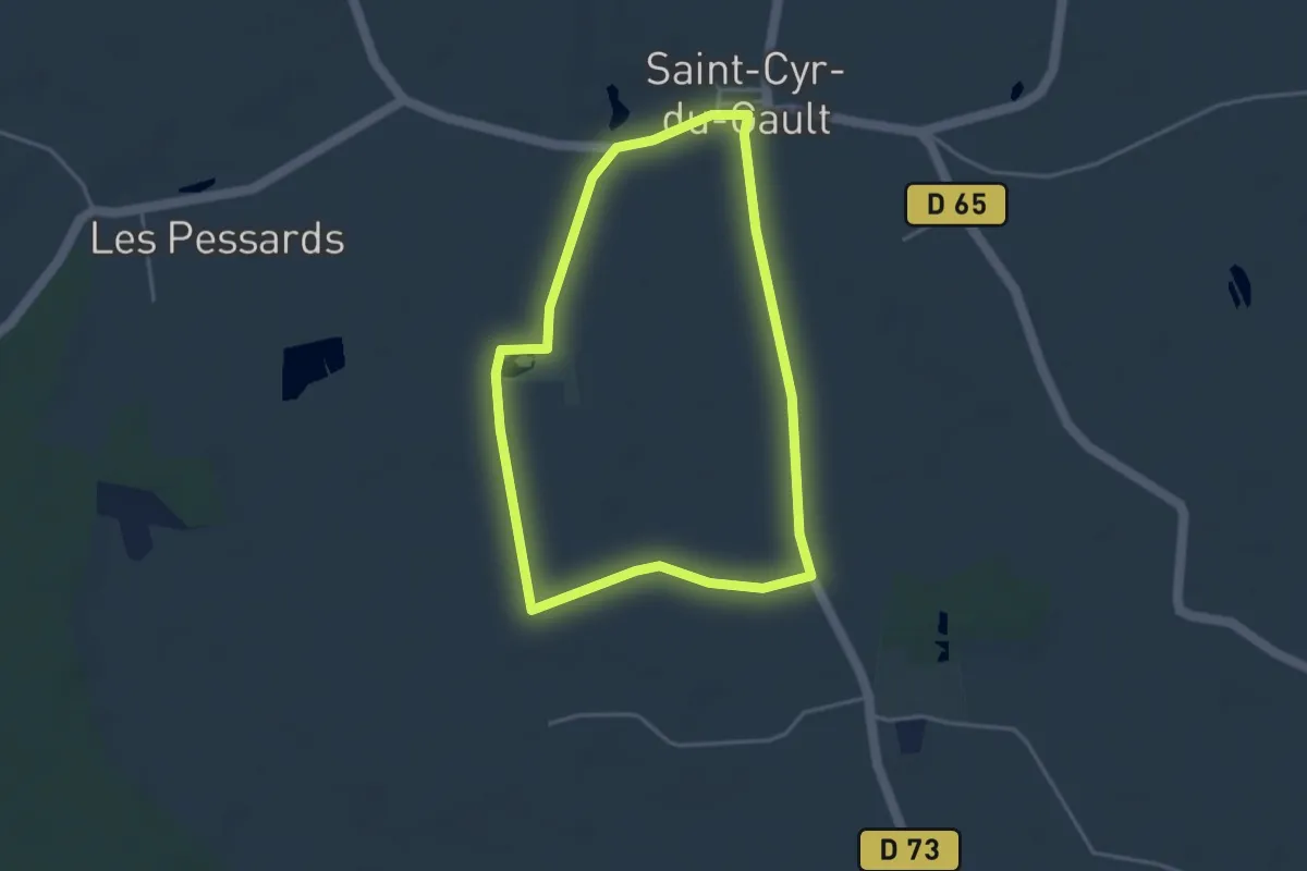
Easy · Trail
Randonnée non balisée de Saint Cyr du Gault
3.5 km · ↑ 4 m · 54 min
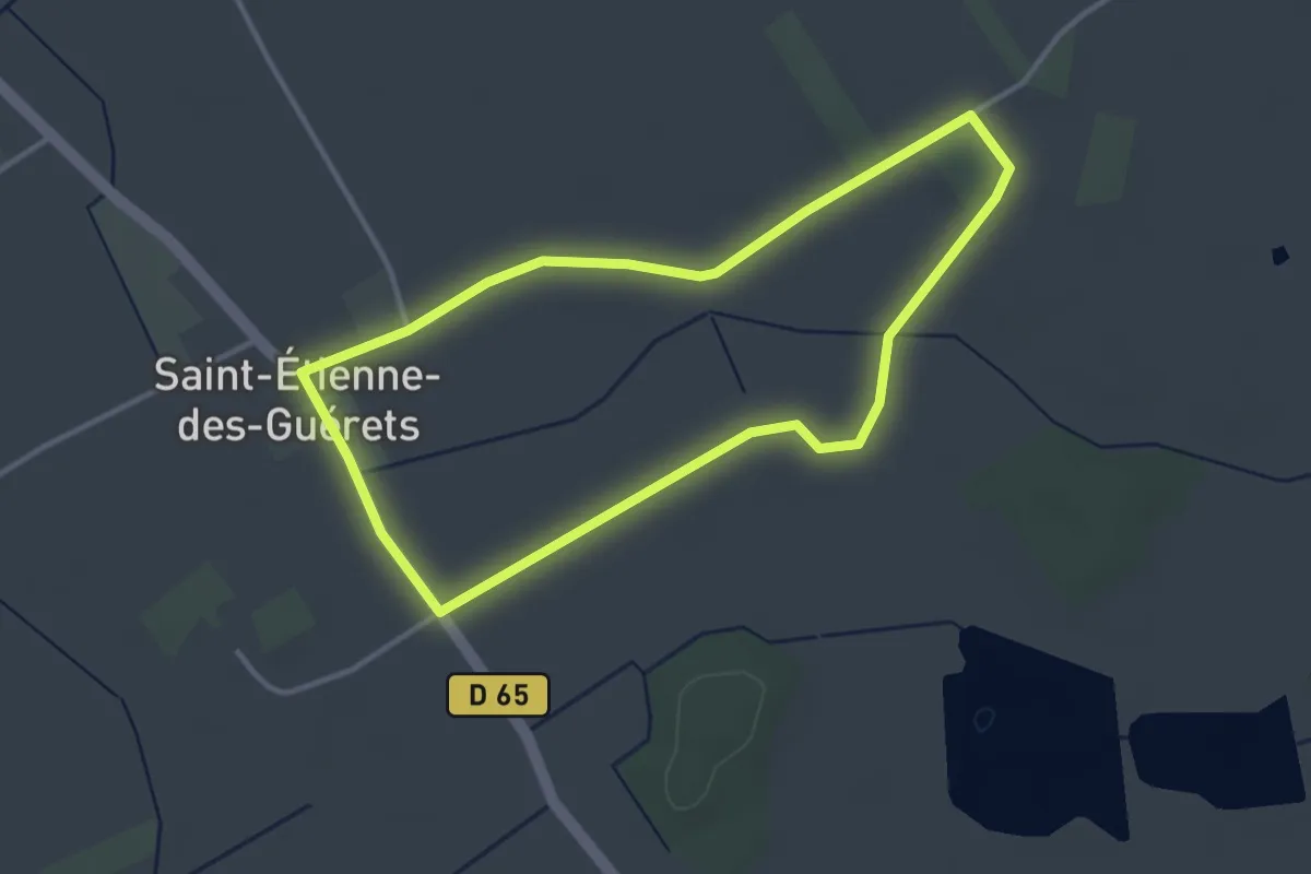
Easy · Trail
Randonnée non balisée de Saint Etienne des Guérets
3.3 km · ↑ 4 m · 49 min
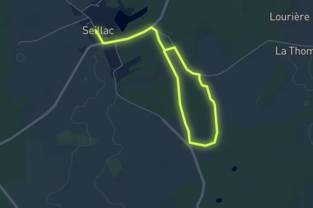
Easy · Trail
Randonnée non balisée de Seillac
6.2 km · ↑ 55 m · 1 h 35 min
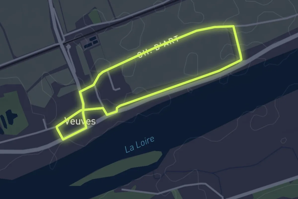
Easy · Trail
Randonnée non balisée de Veuves
2.8 km · ↑ 0 m · 42 min
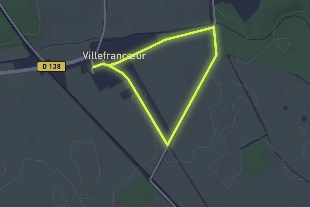
Easy · Trail
Randonnée non balisée de Villefrancœur
1.7 km · ↑ 4 m · 27 min
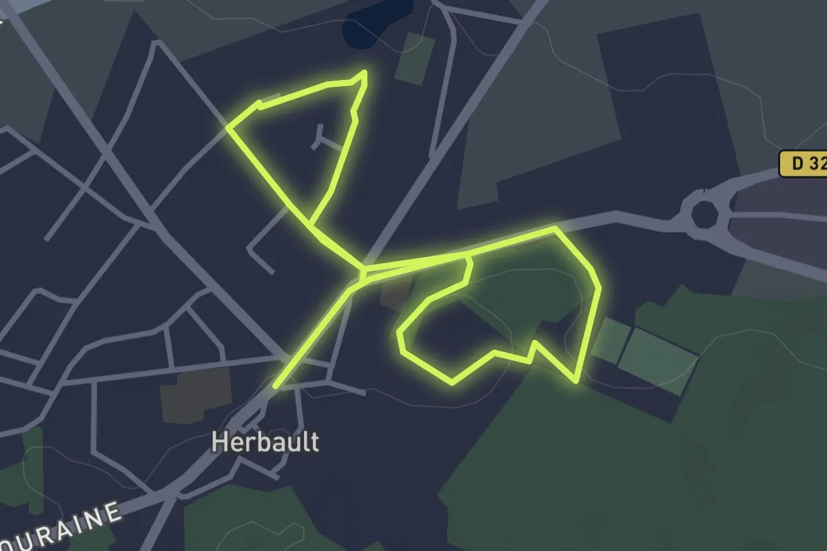
Easy · Trail
Randonnée non balisée d'Herbault
2.7 km · ↑ 17 m · 43 min