Trails in France
15,926 hiking trails, each with its route, climb, walking time and grade.
All trails, page 230 of 332
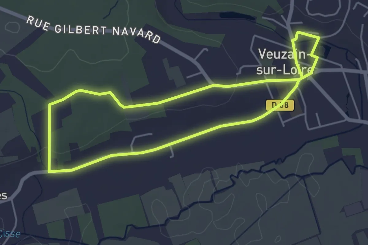
Easy · Trail
Randonnée non balisée d'Onzain
4.0 km · ↑ 35 m · 1 h 5 min
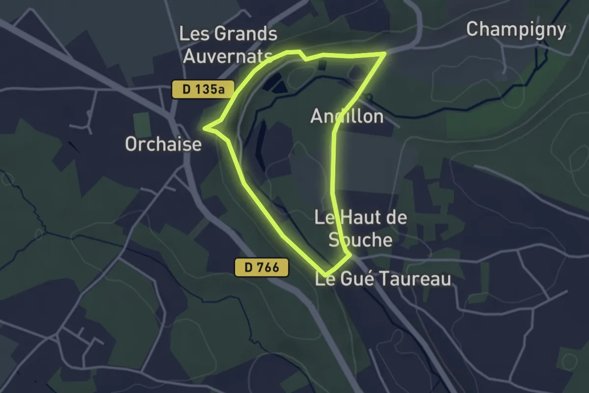
Easy · Trail
Randonnée non balisée d'Orchaise
2.6 km · ↑ 39 m · 45 min
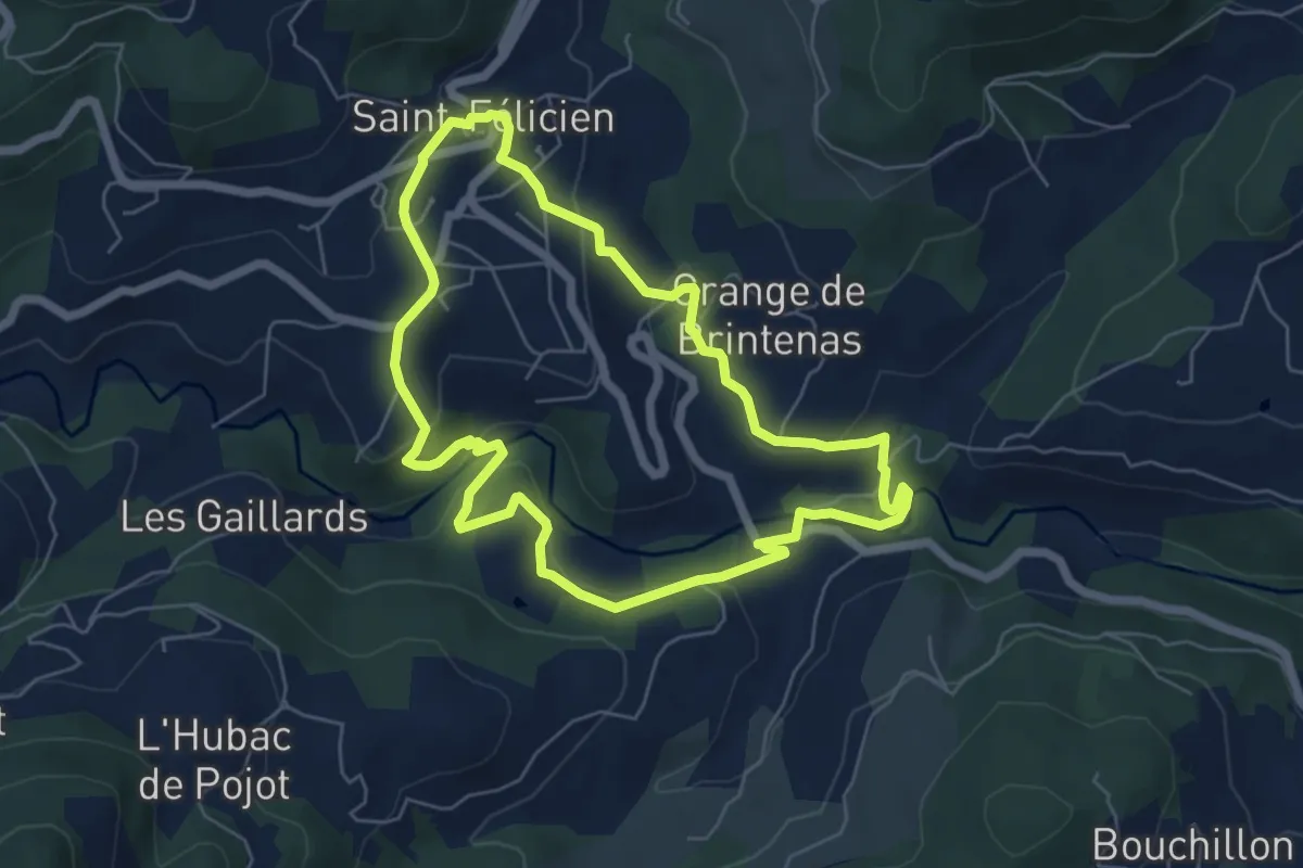
Easy · Trail
Randonnée : Raillon
6.0 km · ↑ 180 m · 1 h 54 min
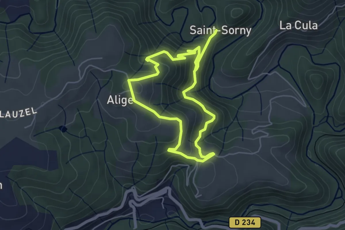
Easy · Trail
Randonnée Saint-Sorny
3.9 km · ↑ 225 m · 1 h 29 min
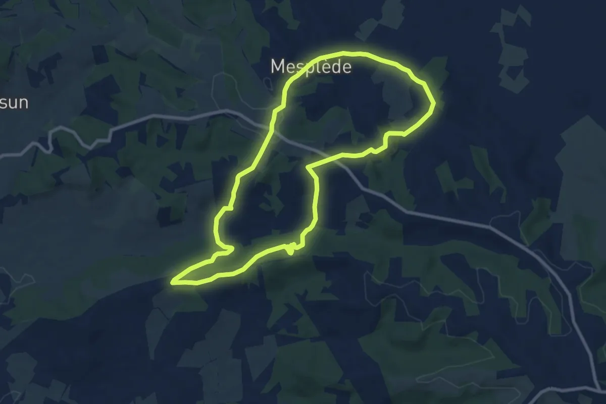
Medium · Trail
Randonnée : Tour de Mesplède
8.5 km · ↑ 238 m · 2 h 39 min
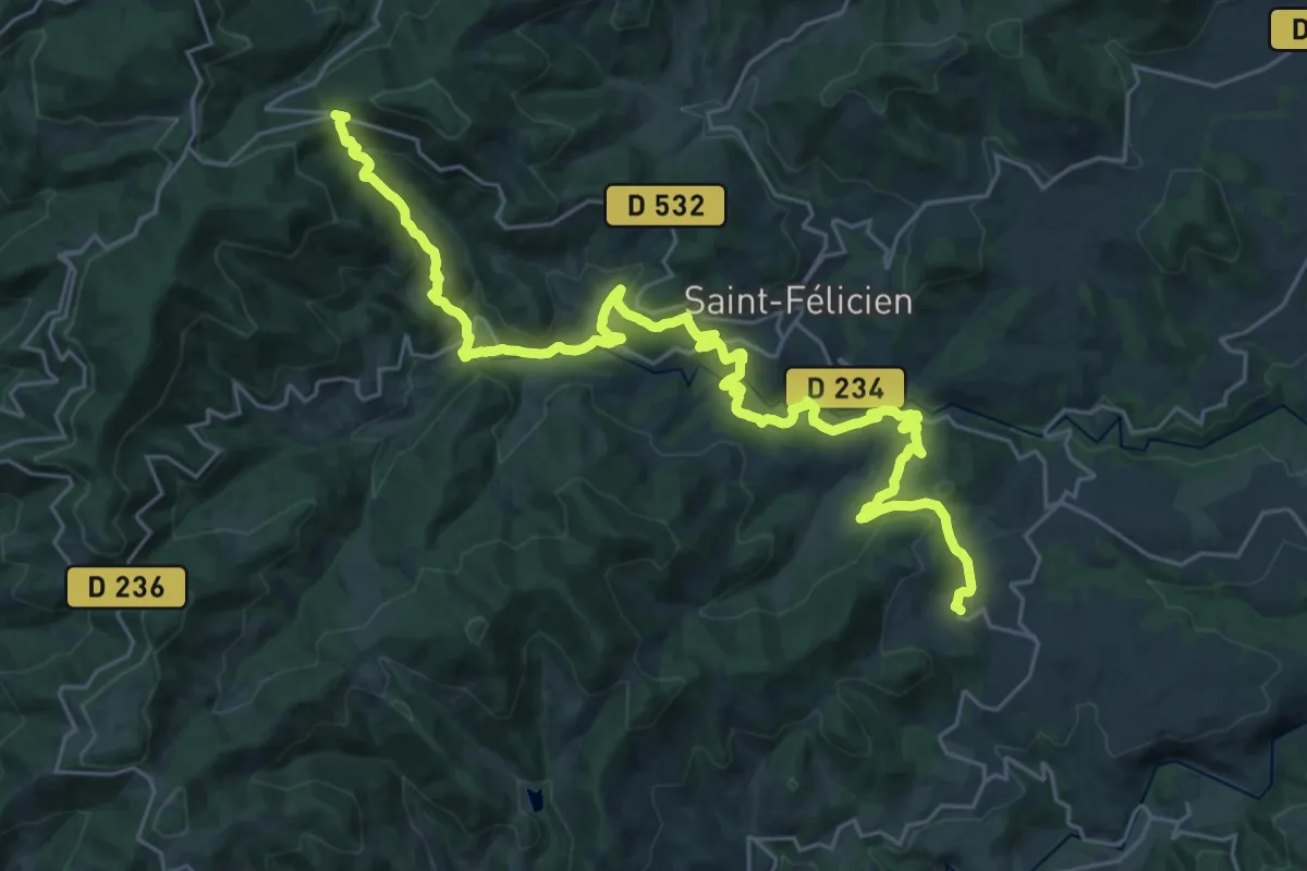
Medium · Trail
Randonnée : Tour du Pays de Saint-Félicien - Jour 1
16.7 km · ↑ 429 m · 5 h 17 min
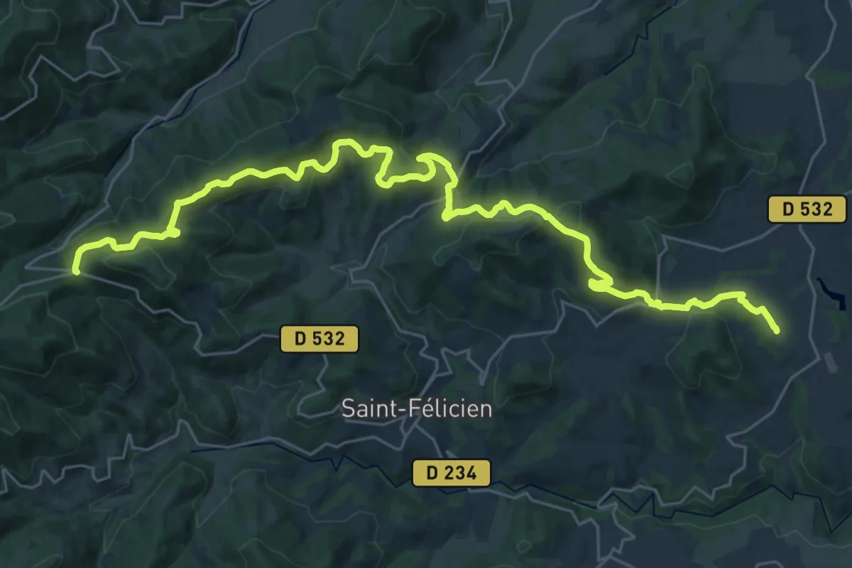
Medium · Trail
Randonnée : Tour du Pays de Saint-Félicien - Jour 2
17.0 km · ↑ 390 m · 5 h 17 min
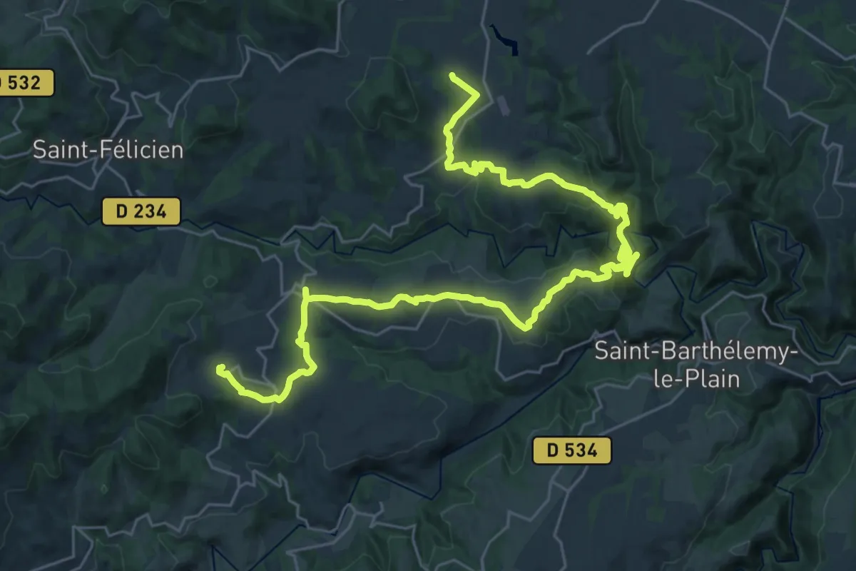
Demanding · Trail
Randonnée : Tour du Pays de Saint-Félicien - Jour 3
18.2 km · ↑ 554 m · 5 h 46 min
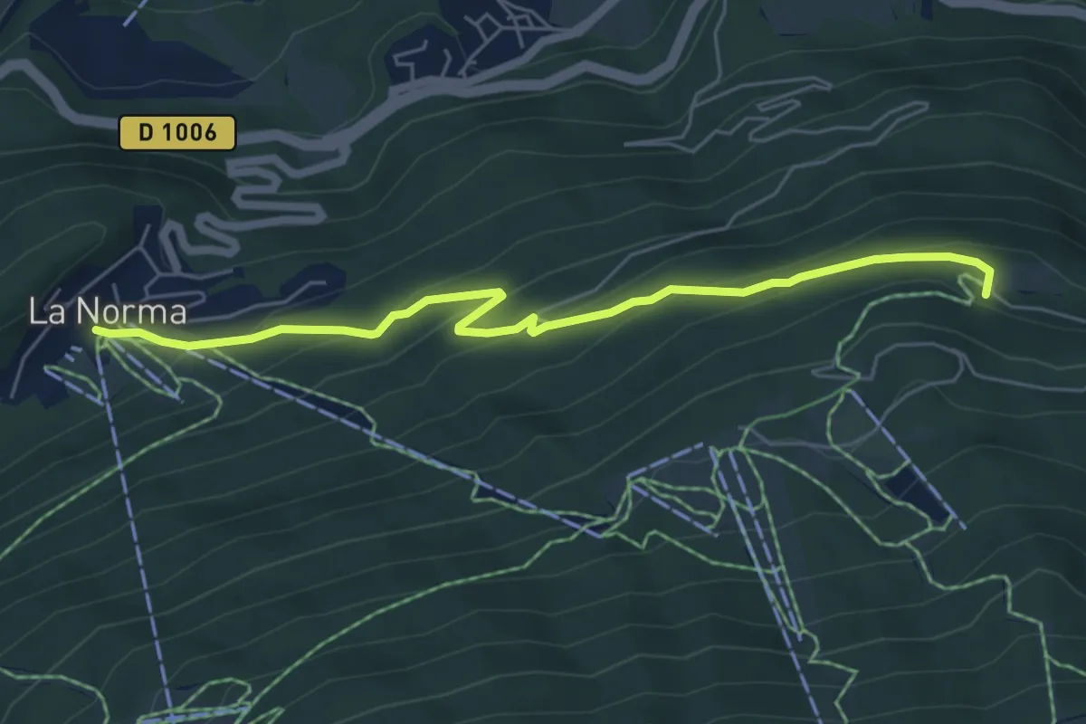
Medium · Trail
Randonnée vers la Chapelle Sainte-Anne
5.9 km · ↑ 344 m · 2 h 9 min
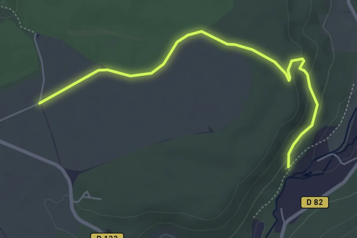
Easy · Trail
Randonnue Heliomonde - Renarde
5.0 km · ↑ 74 m · 1 h 20 min
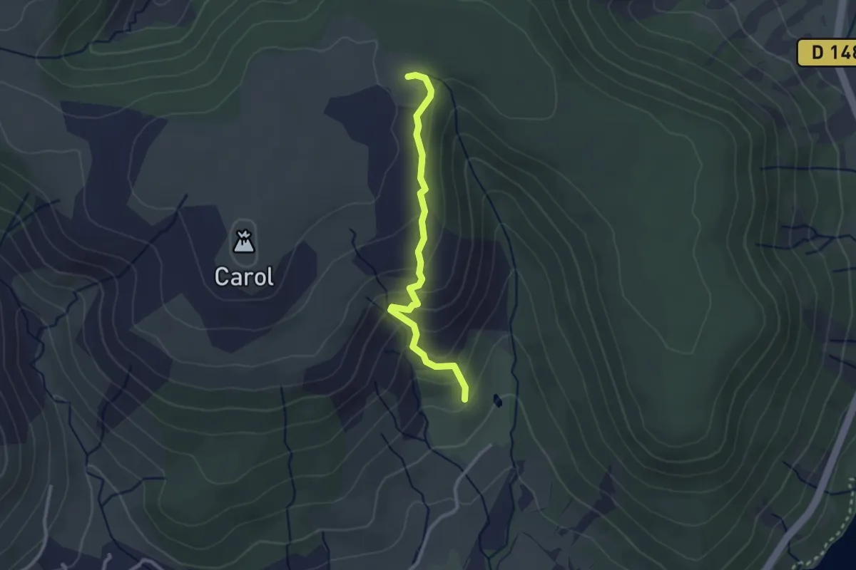
Easy · Trail
Randonnue Jaune
2.6 km · ↑ 162 m · 58 min
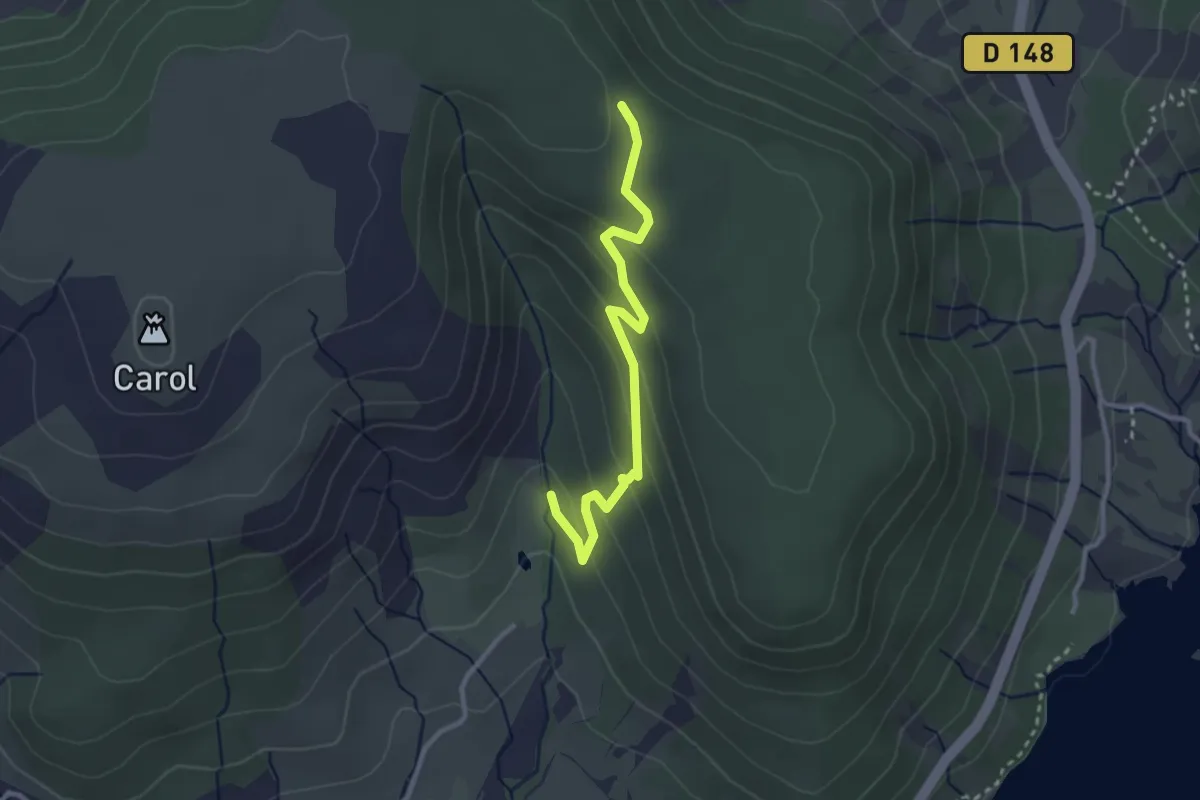
Easy · Trail
Randonnue Orange
3.0 km · ↑ 147 m · 1 h 2 min
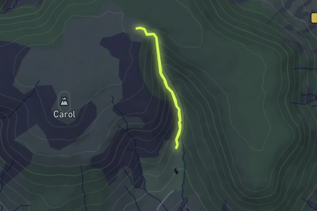
Easy · Trail
Randonnue Rouge
1.9 km · ↑ 146 m · 47 min
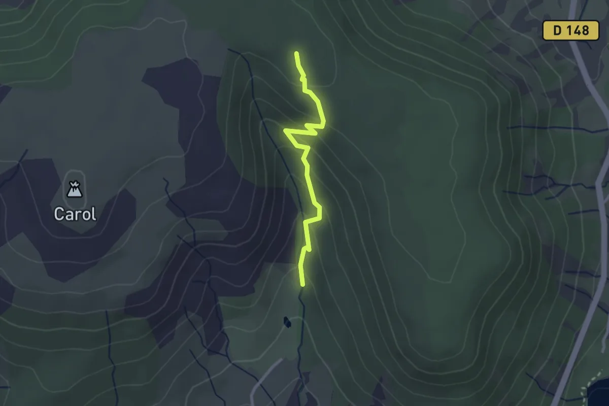
Easy · Trail
Randonnue Rouge Jaune
2.4 km · ↑ 145 m · 53 min
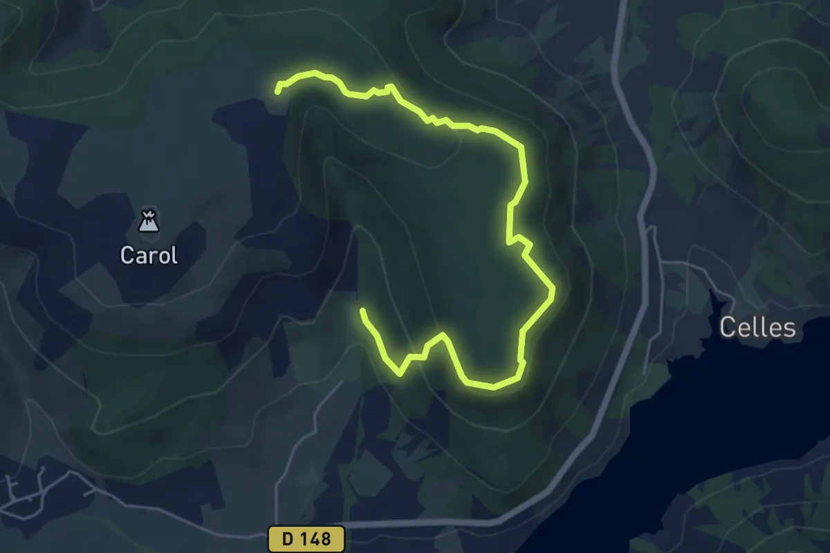
Easy · Trail
Randonnue verte
6.3 km · ↑ 195 m · 1 h 55 min
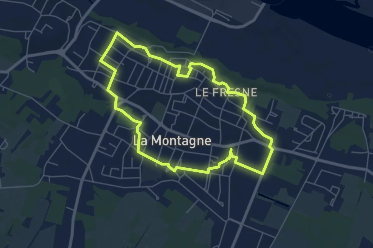
Easy · Trail
Rando-Patrimoine
4.6 km · ↑ 42 m · 1 h 15 min
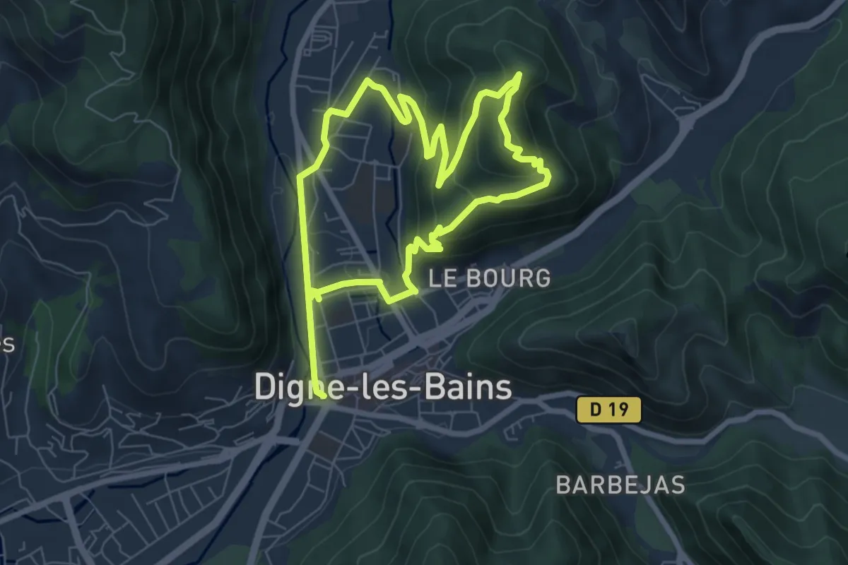
Medium · Trail
Rando Trail 1 Les Trois Chapelles
12.9 km · ↑ 509 m · 4 h 9 min
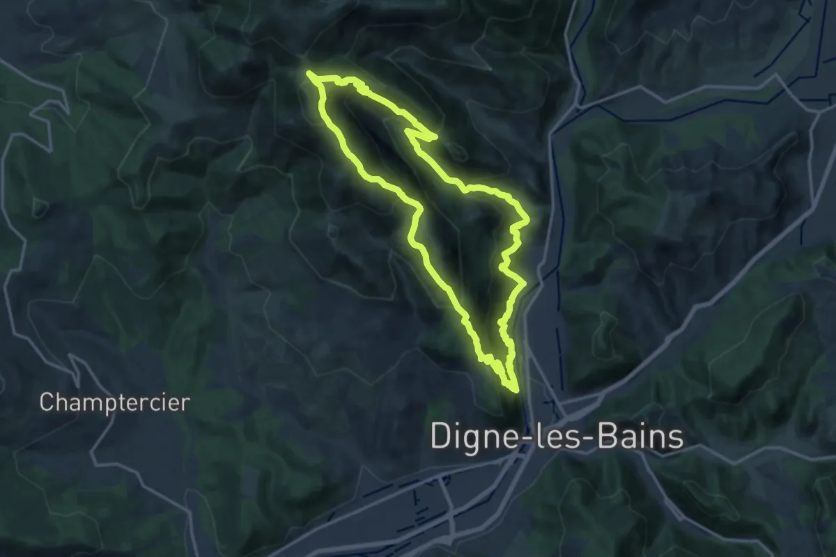
Demanding · Summit
Rando Trail 2 Caguerenard, Le Dareau, Martinon
14.2 km · ↑ 1065 m · 5 h 52 min
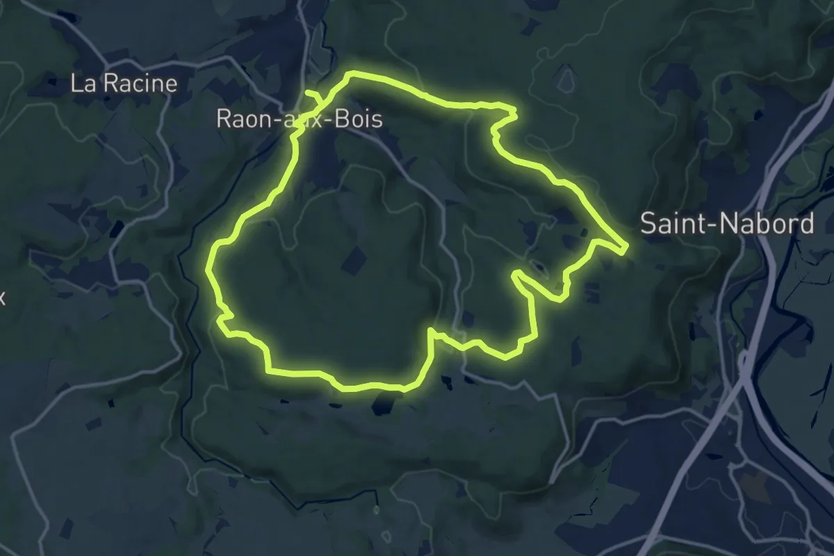
Medium · Trail
Raon-aux-Bois - Circuit 1
13.9 km · ↑ 383 m · 4 h 18 min
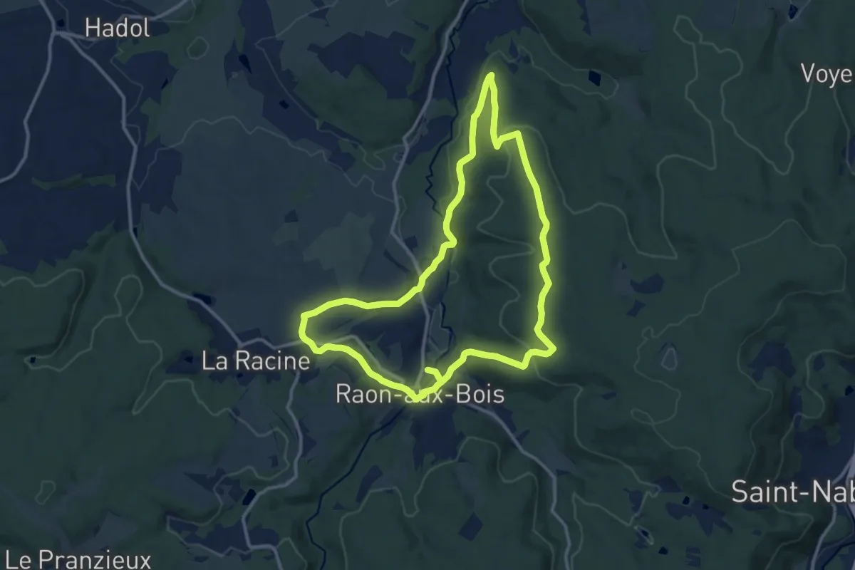
Medium · Trail
Raon-aux-Bois - Circuit 2
11.1 km · ↑ 231 m · 3 h 17 min
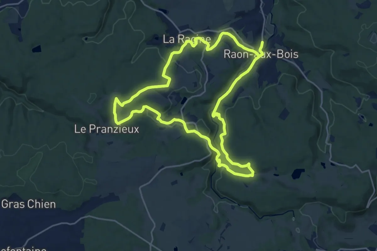
Medium · Trail
Raon-aux-Bois - Circuit 3
14.9 km · ↑ 367 m · 4 h 32 min
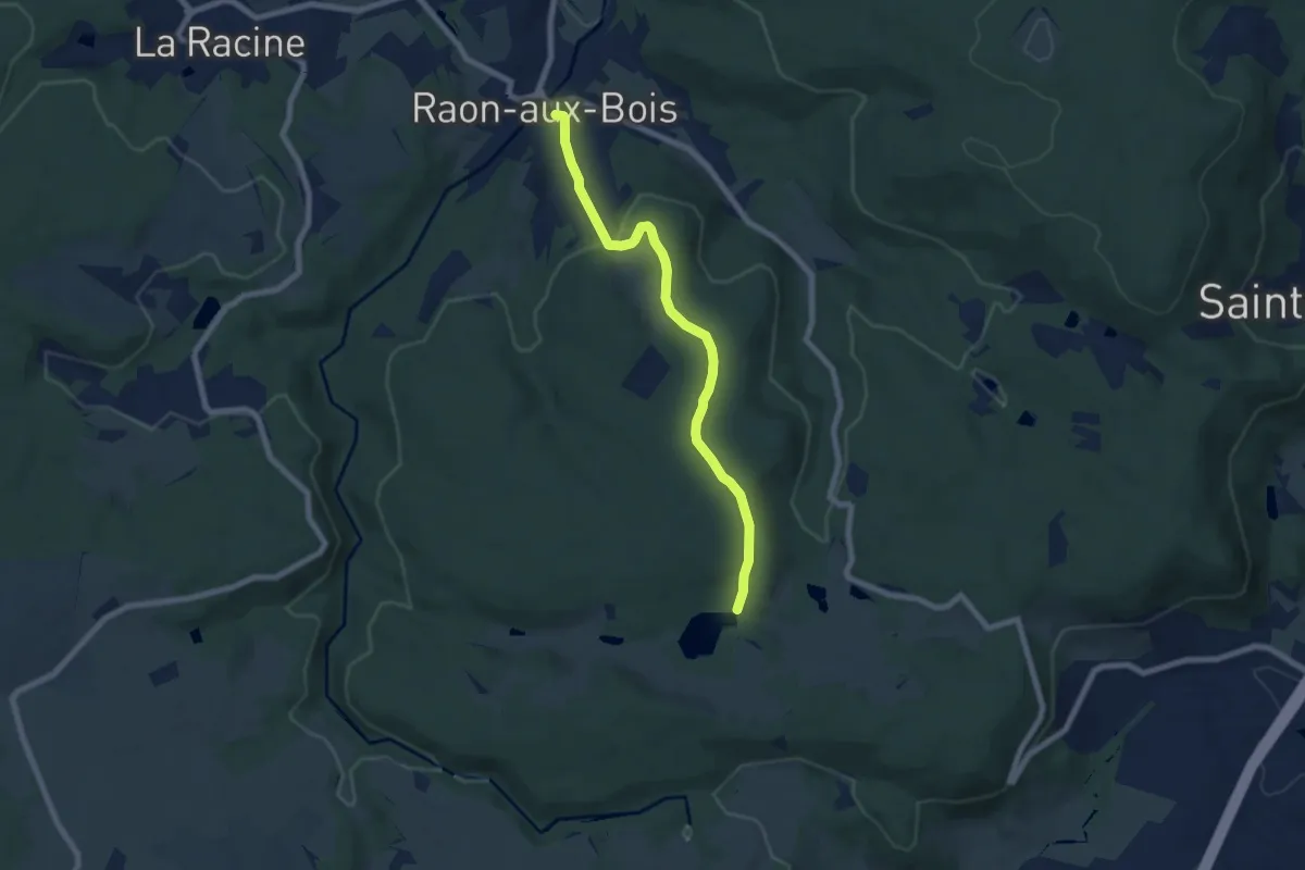
Easy · Trail
Raon-aux-Bois - Variantes Circuit 1
6.7 km · ↑ 209 m · 2 h 2 min
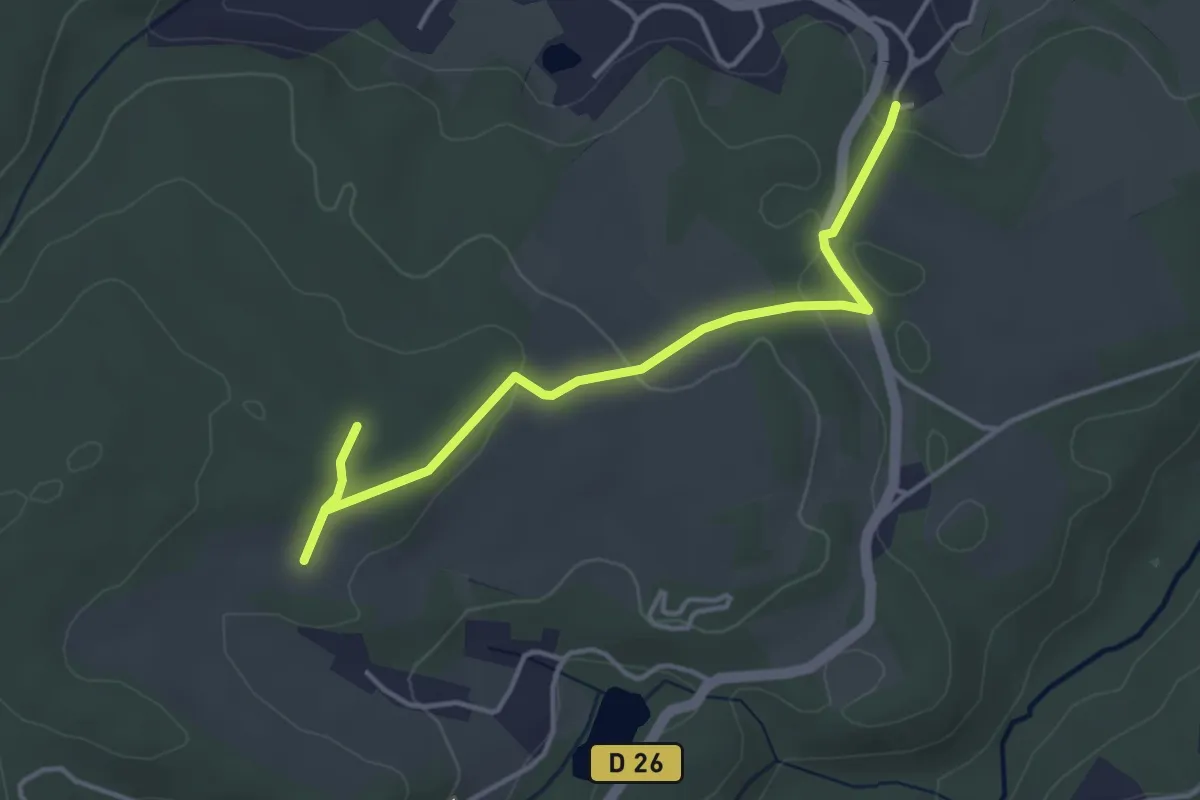
Easy · Trail
Raon-aux-Bois - Variantes Circuit 3
4.1 km · ↑ 89 m · 1 h 9 min
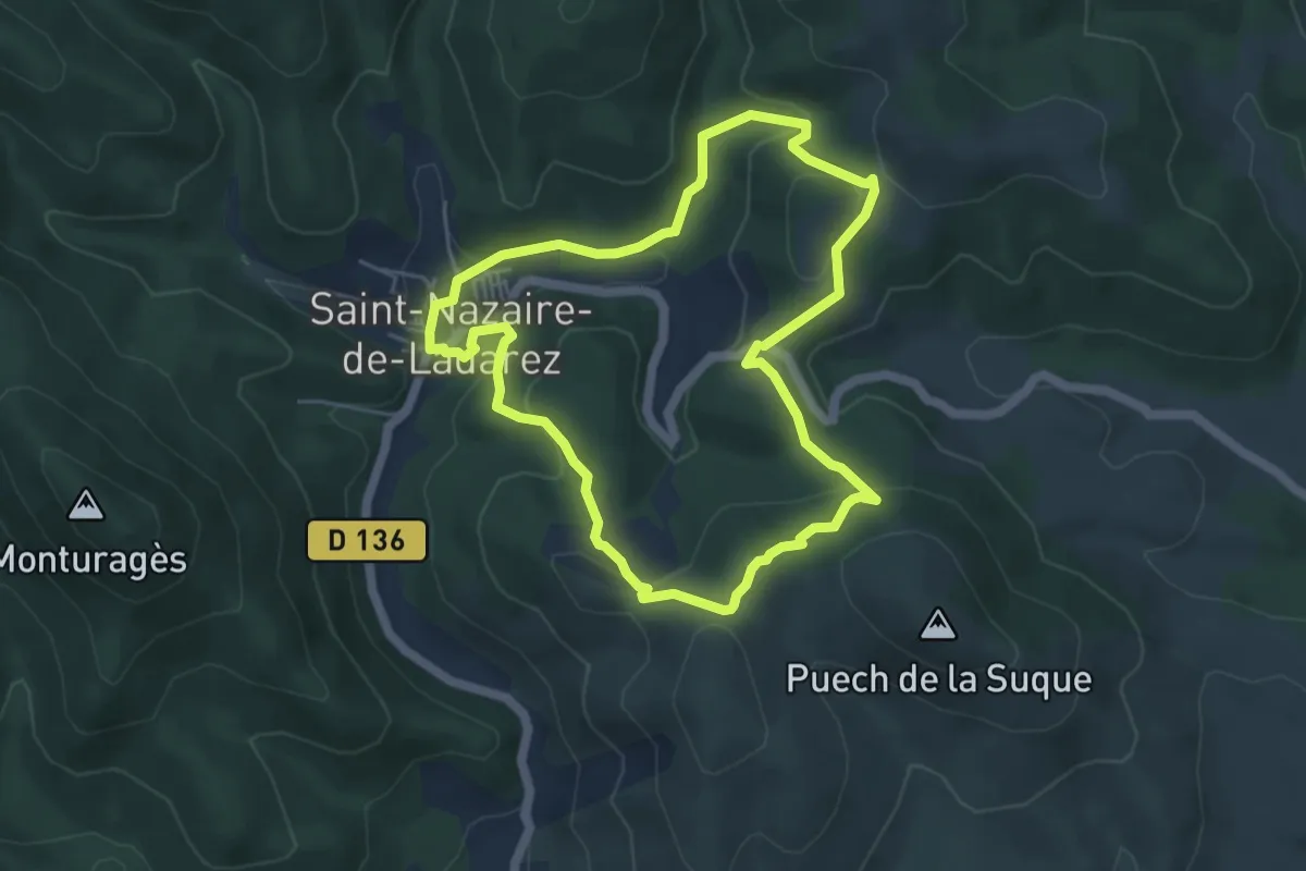
Easy · Trail
Raouta Saoumas
5.1 km · ↑ 204 m · 1 h 43 min
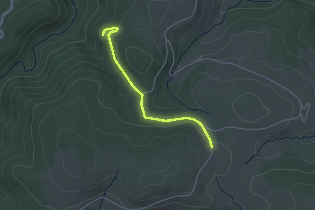
Easy · Trail
Rastélède - Les Palles
3.2 km · ↑ 81 m · 56 min
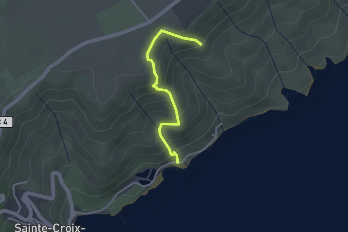
Easy · Trail
Ravin de Chabrier
2.6 km · ↑ 191 m · 1 h 1 min
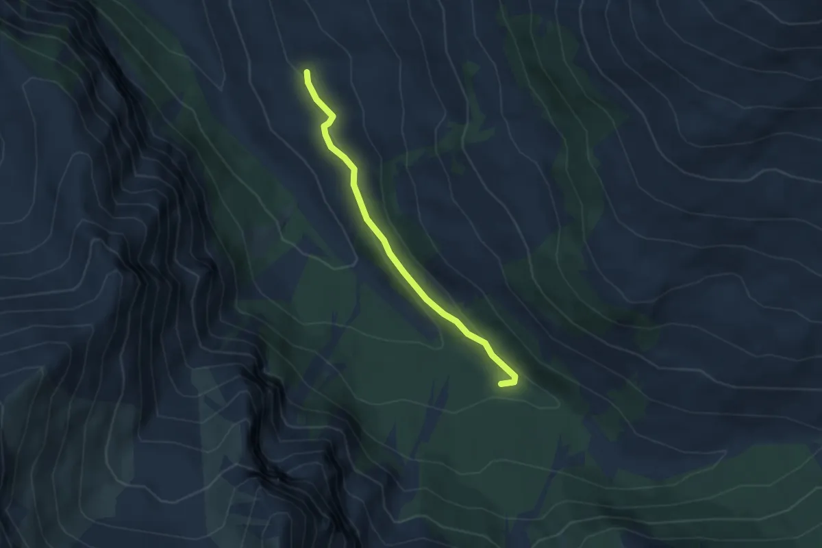
Easy · Trail
Ravin de la Fontaine de l'Ours - ?
3.5 km · ↑ 115 m · 1 h 5 min
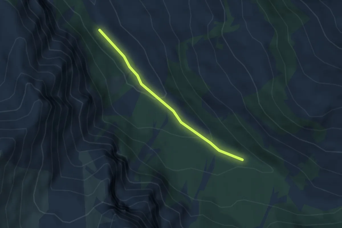
Easy · Trail
Ravin de la Fontaine de l'Ours - Pont Vieux
3.2 km · ↑ 122 m · 1 h 1 min
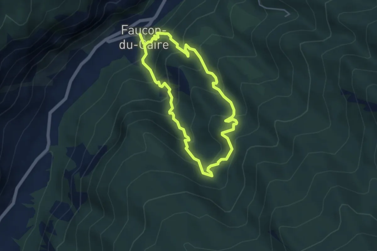
Easy · Trail
Ravin de la Piche
3.5 km · ↑ 317 m · 1 h 34 min
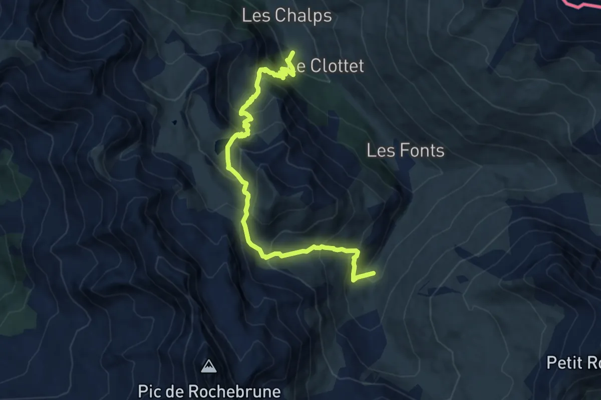
Expert · Trail
Ravin des Chalmettes - Le Bourgea
11.4 km · ↑ 1075 m · 5 h 2 min
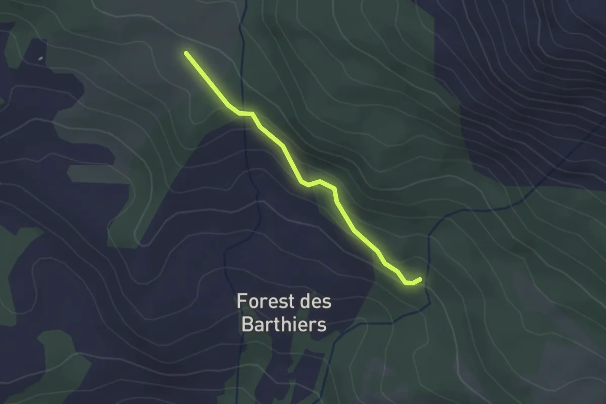
Easy · Trail
Ravin des Moulettes - Jardins des Gardes
2.2 km · ↑ 141 m · 49 min
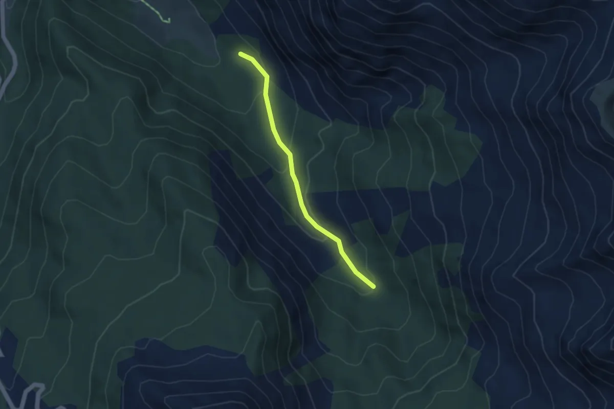
Easy · Trail
Ravin des Oules - ?
3.5 km · ↑ 206 m · 1 h 16 min
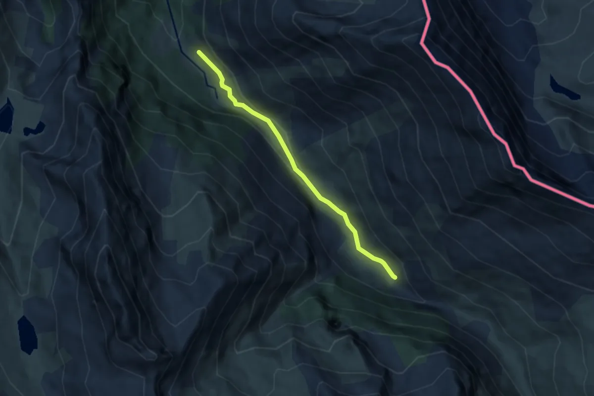
Easy · Trail
Razine - Le Pied des Lauzières
5.7 km · ↑ 131 m · 1 h 38 min
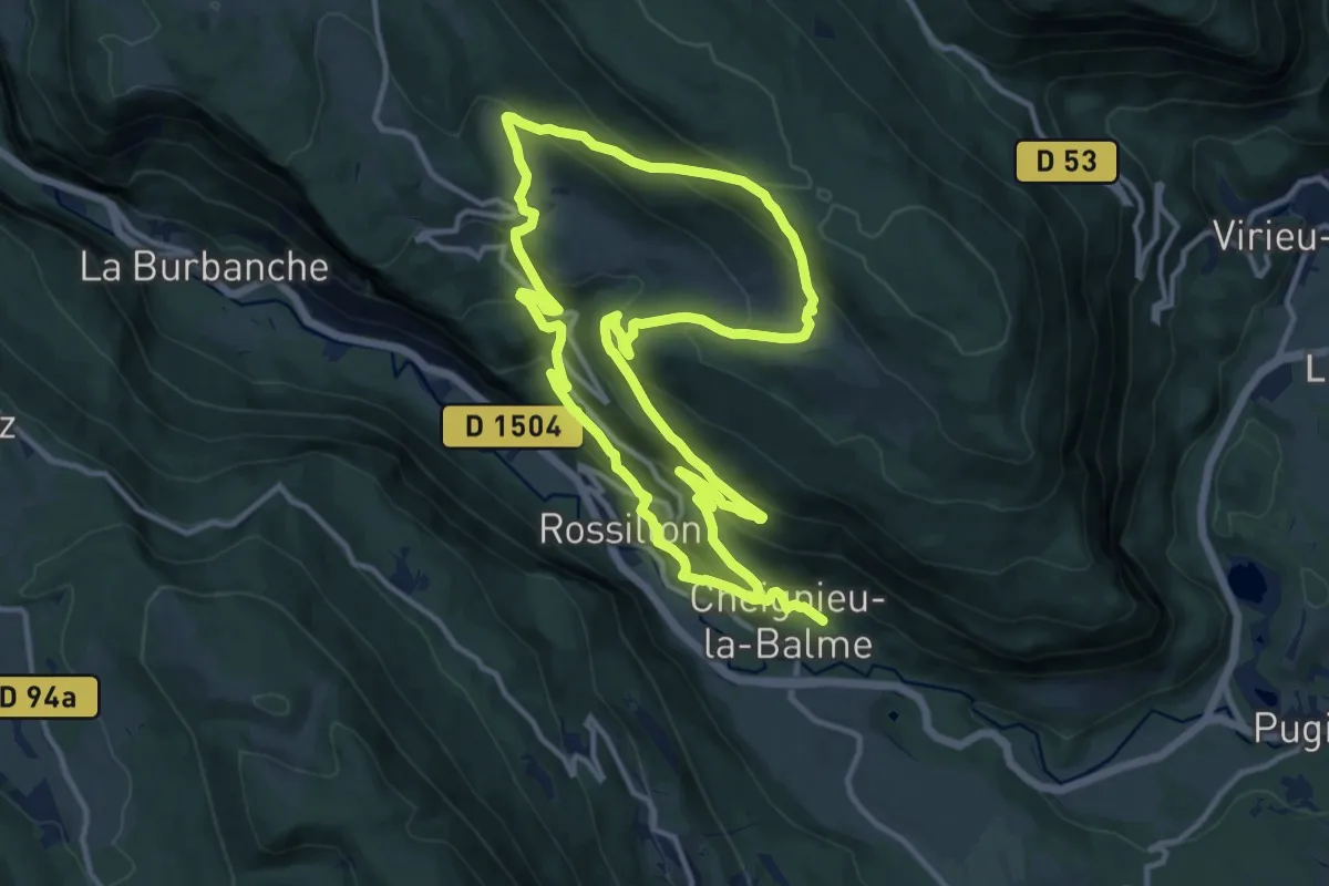
Medium · Trail
RC - La randonnée du Chevrier
12.9 km · ↑ 735 m · 4 h 48 min
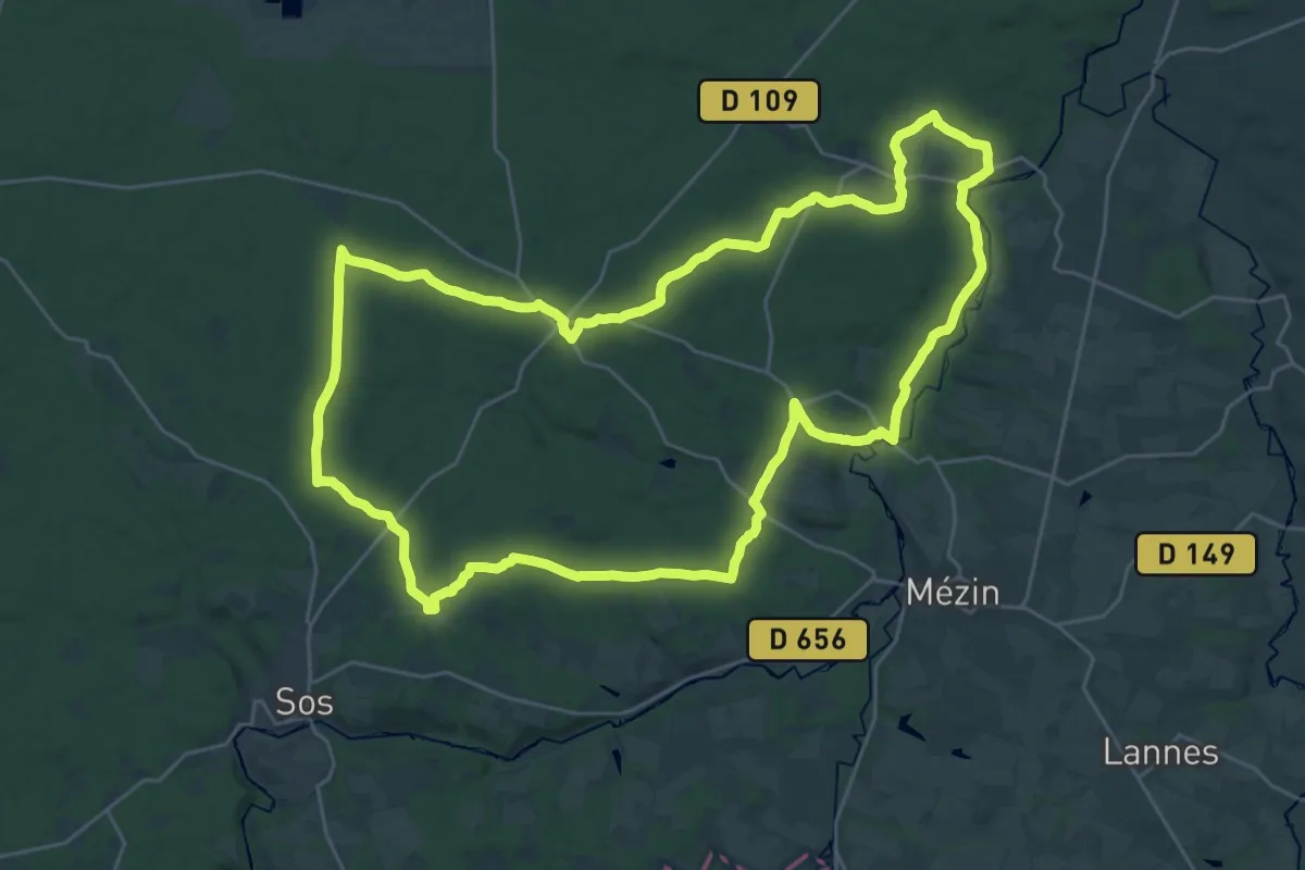
Demanding · Trail
Réaup, longue randonnée dans la forêt Landaise 32.7 km
32.5 km · ↑ 357 m · 8 h 54 min
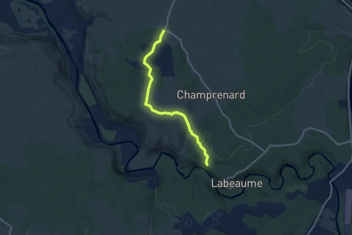
Easy · Trail
Récatadou - Chapias
6.9 km · ↑ 151 m · 1 h 57 min
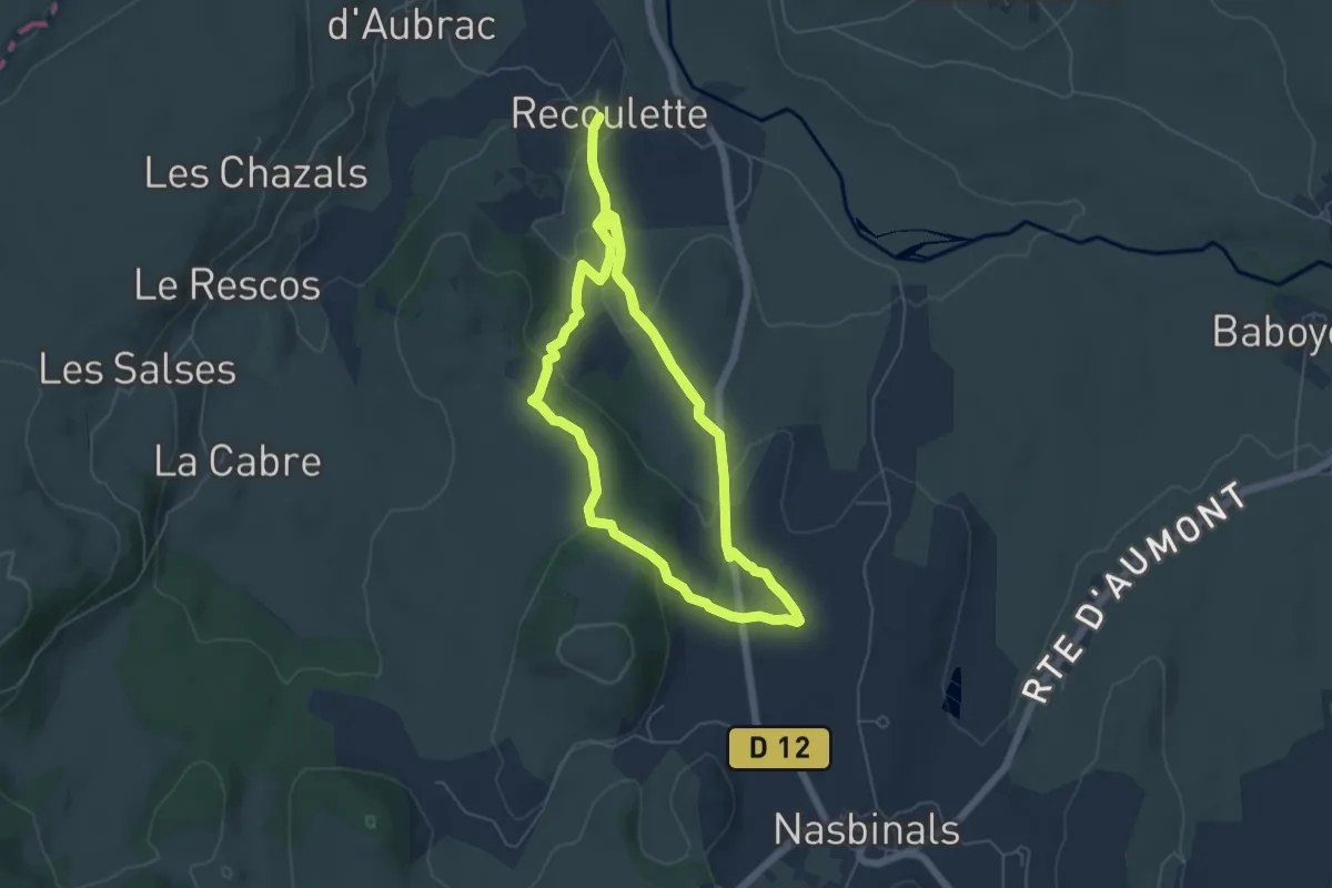
Medium · Trail
Recoulette
12.1 km · ↑ 259 m · 3 h 26 min
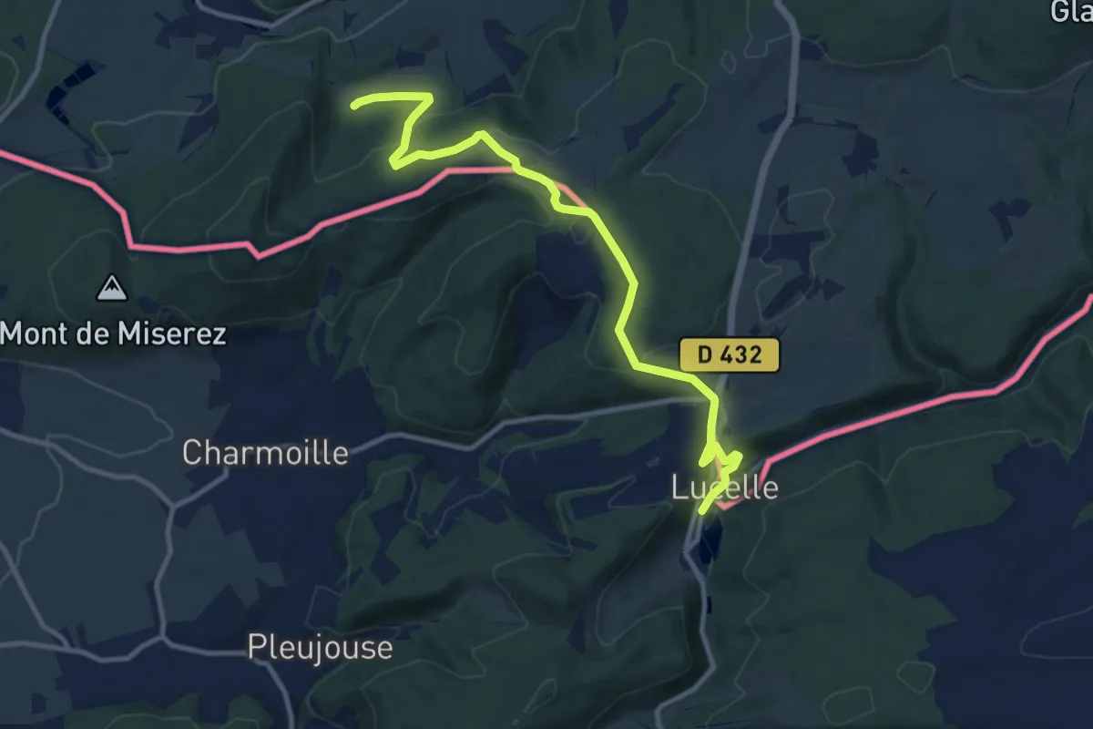
Medium · Trail
Rectangle jaune , Liebsdorf - Lucelle
11.0 km · ↑ 420 m · 3 h 30 min
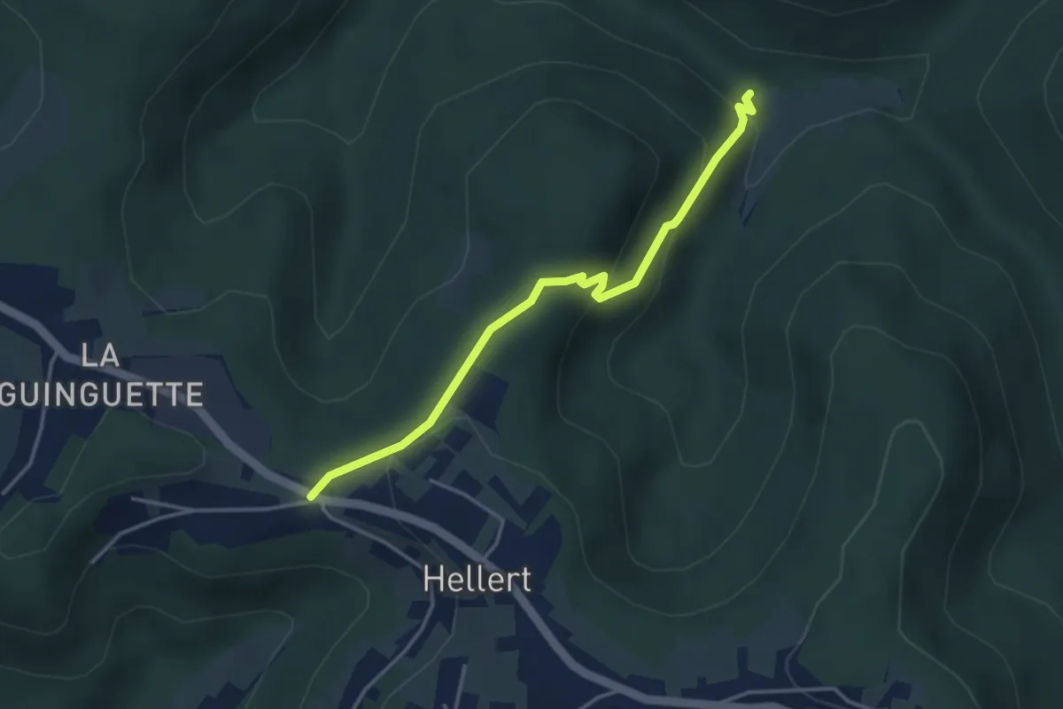
Easy · Trail
rectangle JBJ
3.4 km · ↑ 171 m · 1 h 10 min
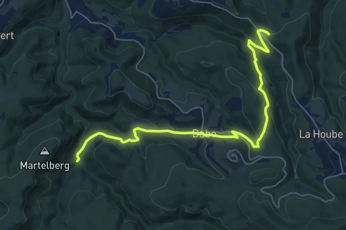
Medium · Trail
rectangle RBR 1
17.4 km · ↑ 642 m · 5 h 30 min
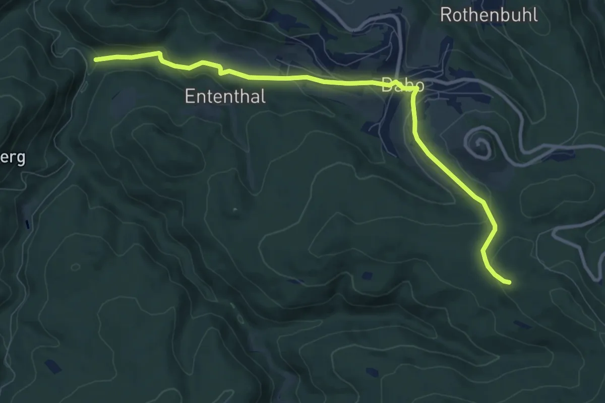
Medium · Trail
rectangle RBR 2
9.3 km · ↑ 341 m · 2 h 56 min
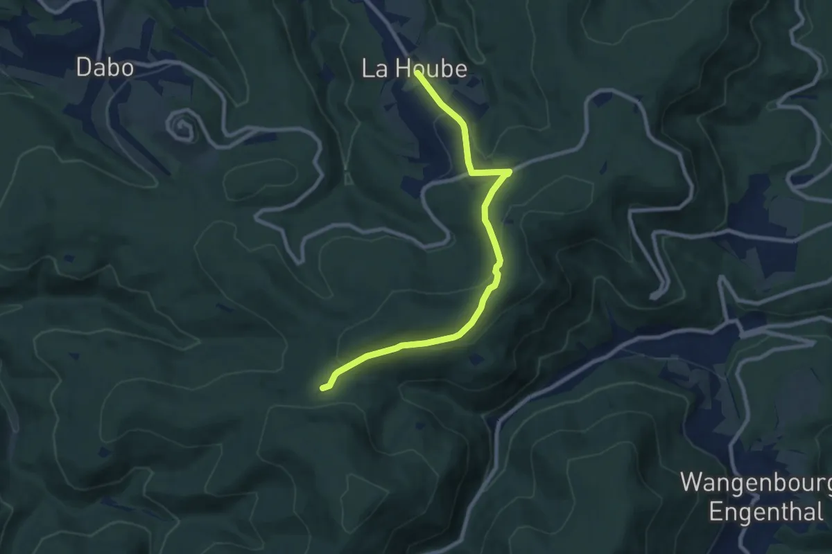
Medium · Cabin
rectangle RBR 3
7.9 km · ↑ 250 m · 2 h 24 min
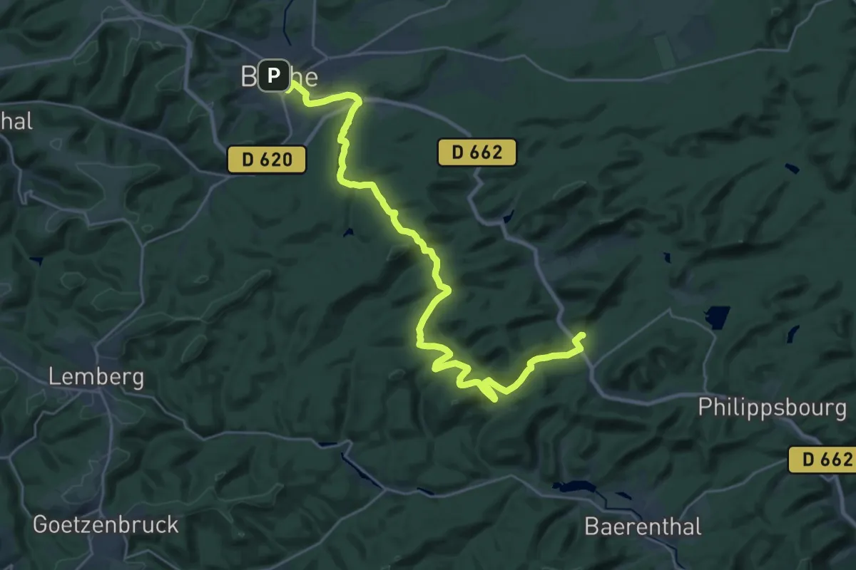
Medium · Trail
Red cross
14.2 km · ↑ 355 m · 4 h 21 min
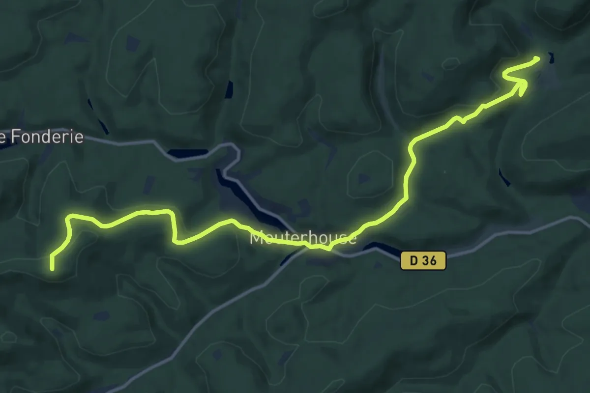
Medium · Summit
Red dot
13.2 km · ↑ 454 m · 4 h 7 min
Easy · Summit
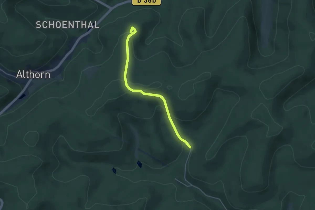
Red dot
3.4 km · ↑ 153 m · 1 h 8 min
Medium · Trail
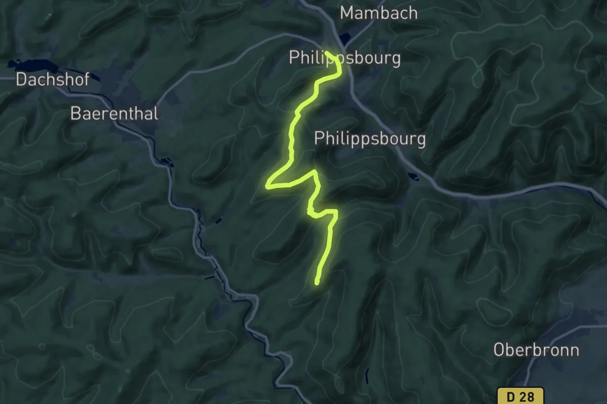
Red dot
12.1 km · ↑ 470 m · 3 h 52 min
Medium · Trail
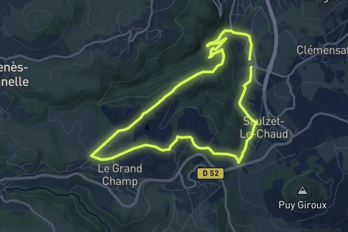
Redon
8.4 km · ↑ 274 m · 2 h 42 min
Medium · Trail
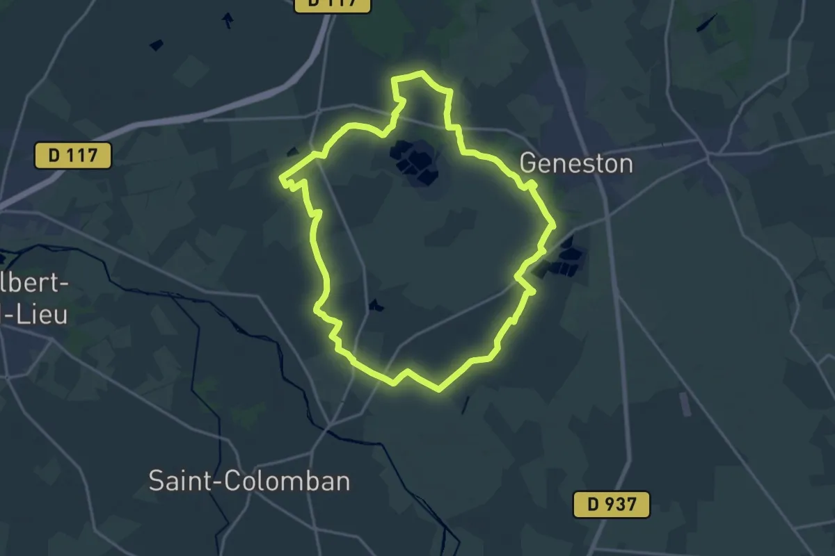
Redour
17.0 km · ↑ 22 m · 4 h 18 min