Trails in France
15,926 hiking trails, each with its route, climb, walking time and grade.
All trails, page 231 of 332
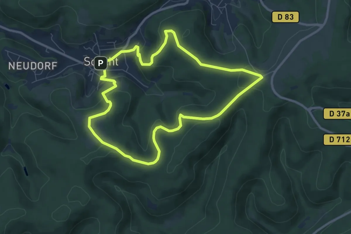
Easy · Summit
Red ring
6.7 km · ↑ 196 m · 2 h 6 min
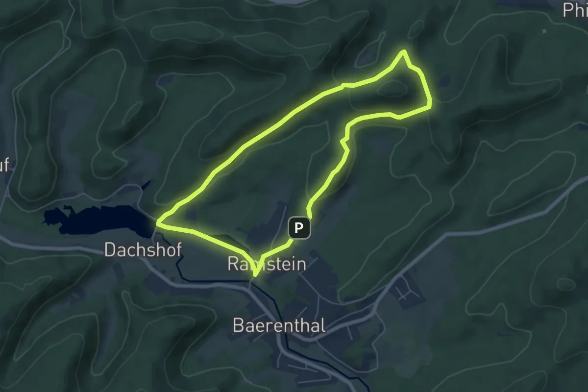
Easy · Summit
Red ring
5.4 km · ↑ 169 m · 1 h 43 min
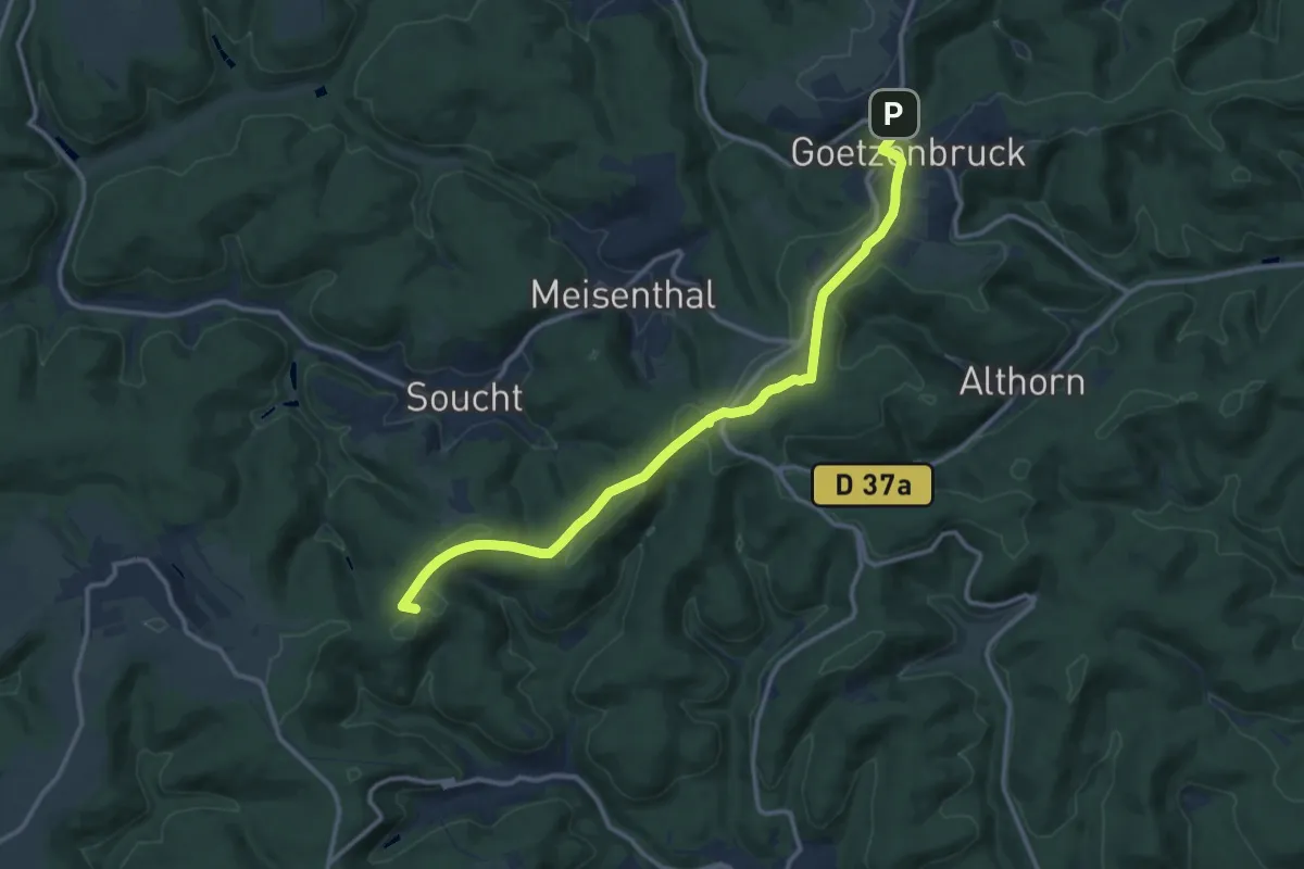
Medium · Summit
Red triangle
12.5 km · ↑ 201 m · 3 h 24 min
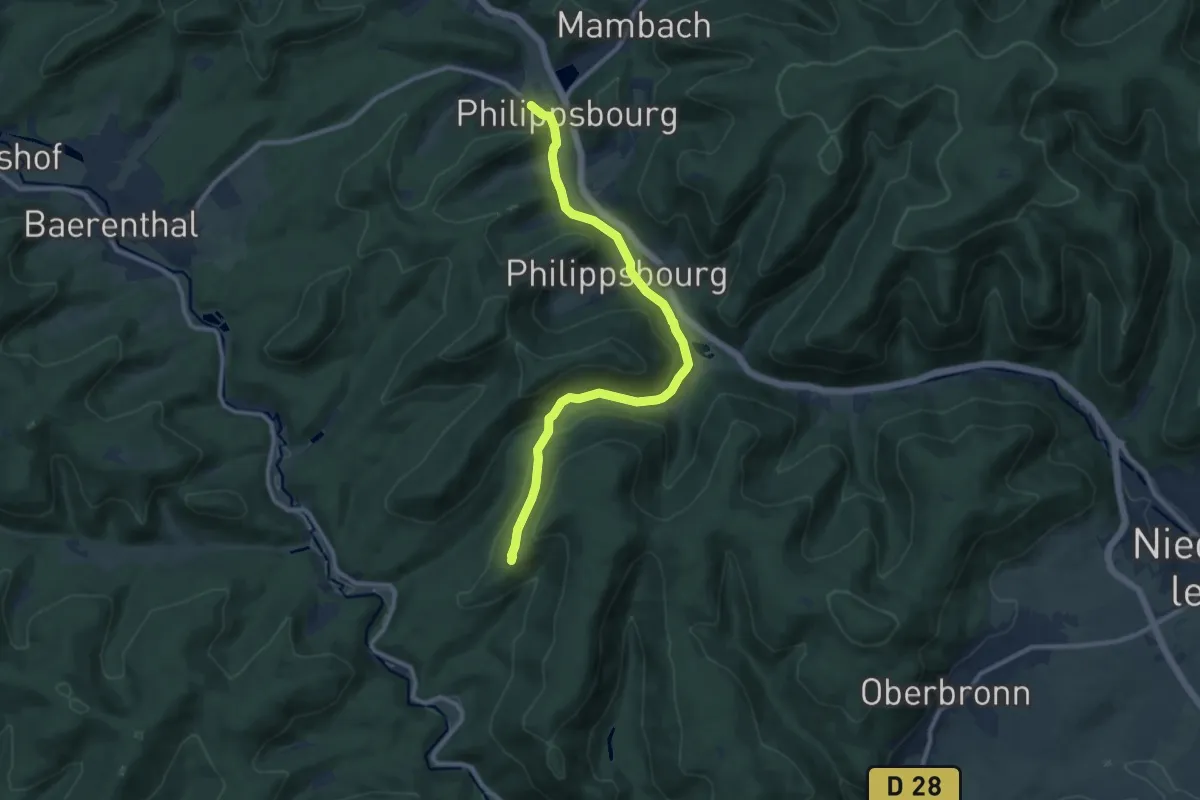
Medium · Trail
Red triangle
10.2 km · ↑ 327 m · 3 h 7 min
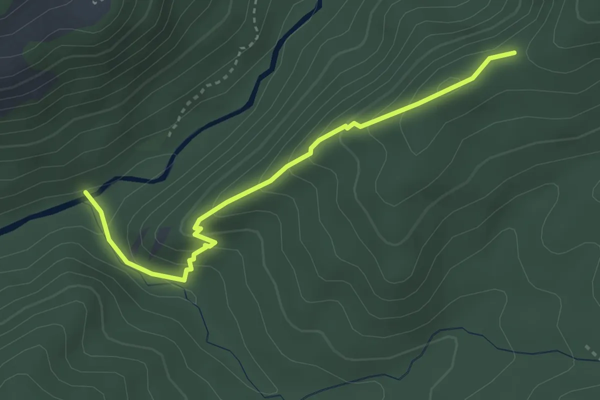
Easy · Trail
Refuge d'Art La Forest
1.7 km · ↑ 229 m · 49 min
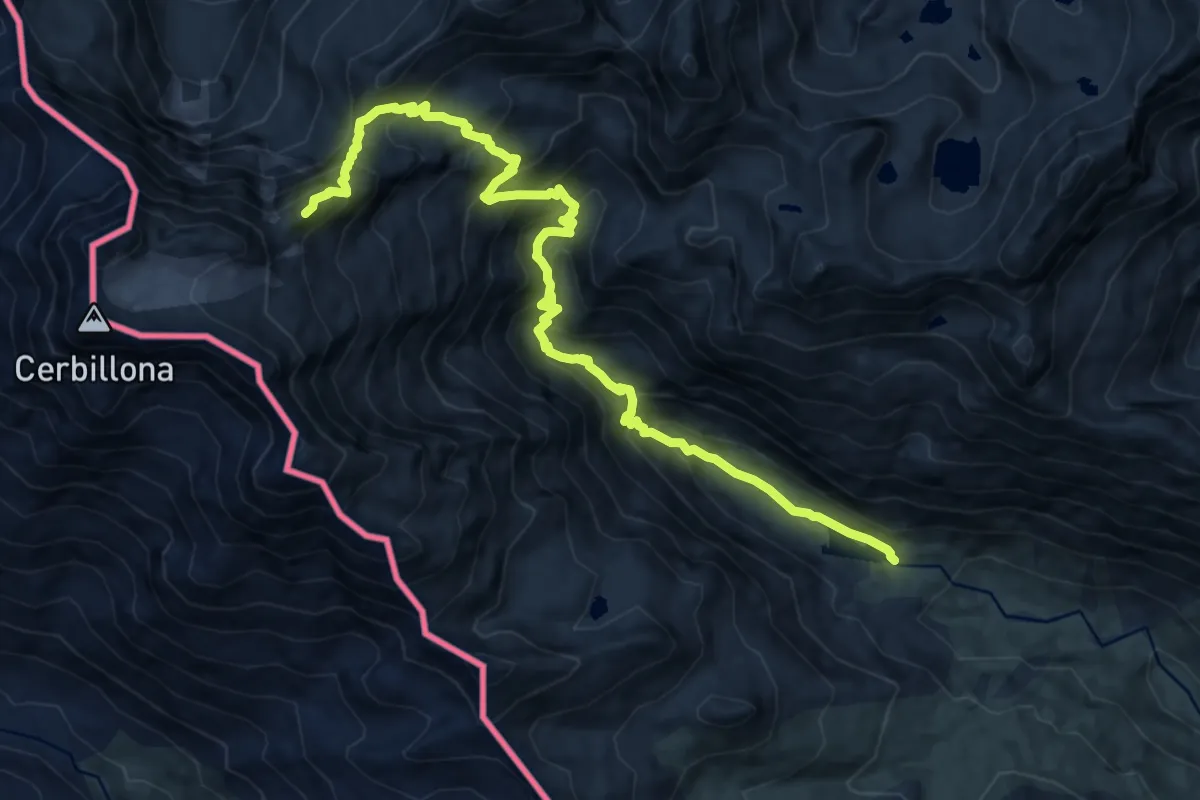
Demanding · Summit
Refuge de Baysselance et Petit Vignemale
14.1 km · ↑ 1302 m · 6 h 10 min
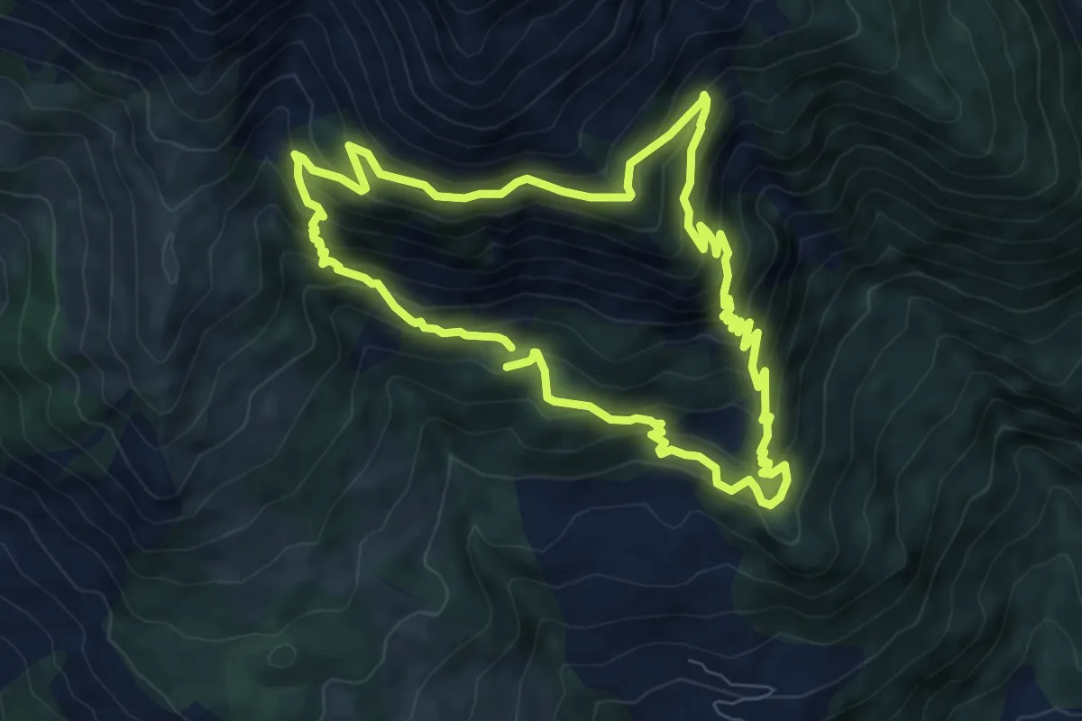
Medium · Cabin
Refuge de Belmont
8.0 km · ↑ 695 m · 3 h 30 min
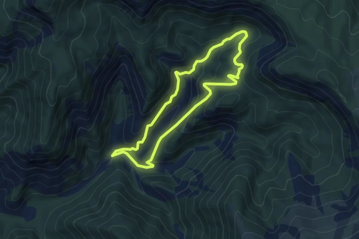
Medium · Trail
Refuge de Chagne
5.1 km · ↑ 371 m · 2 h 5 min
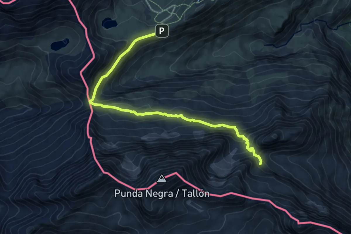
Demanding · Cabin
Refuge de la Brèche de Roland
9.4 km · ↑ 521 m · 3 h 21 min
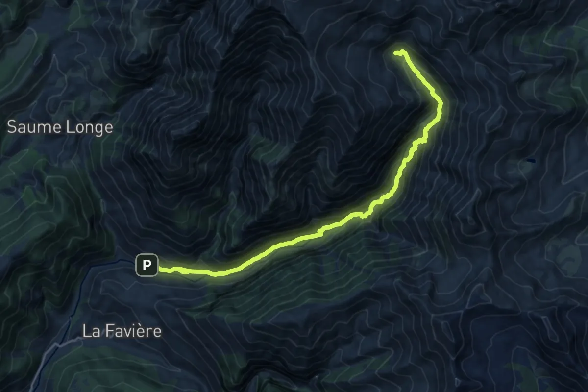
Demanding · Cabin
Refuge de l'Estrop
8.4 km · ↑ 855 m · 3 h 32 min
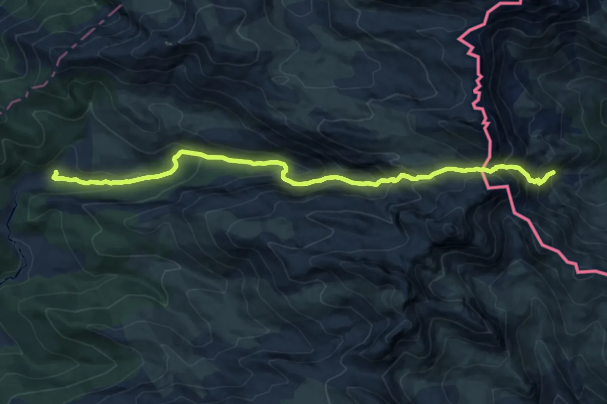
Demanding · Cabin
Refuge de Linza par le Col de Pétragème asp119
14.7 km · ↑ 1144 m · 5 h 56 min
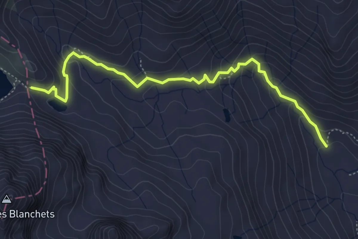
Medium · Cabin
Refuge des Drayères - Seuil des Rochilles
5.2 km · ↑ 292 m · 1 h 52 min
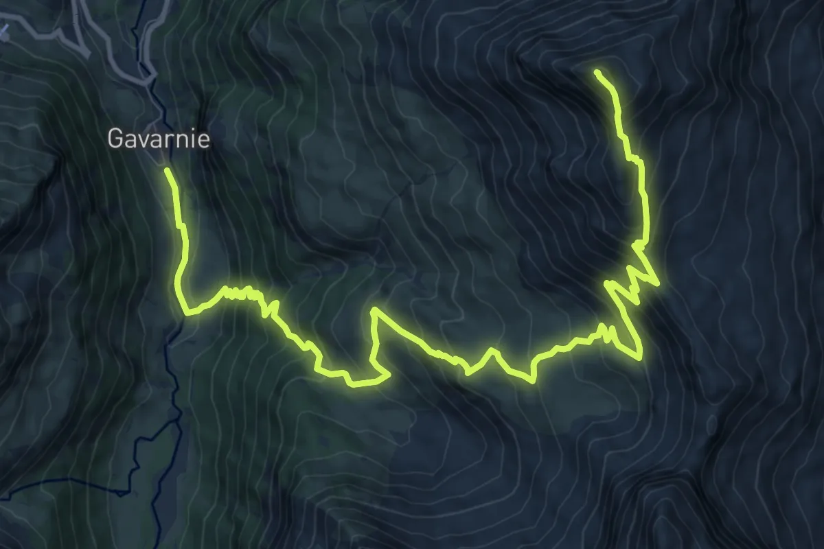
Demanding · Summit
Refuge des Espugeuttes et Pimené
16.5 km · ↑ 1385 m · 6 h 54 min
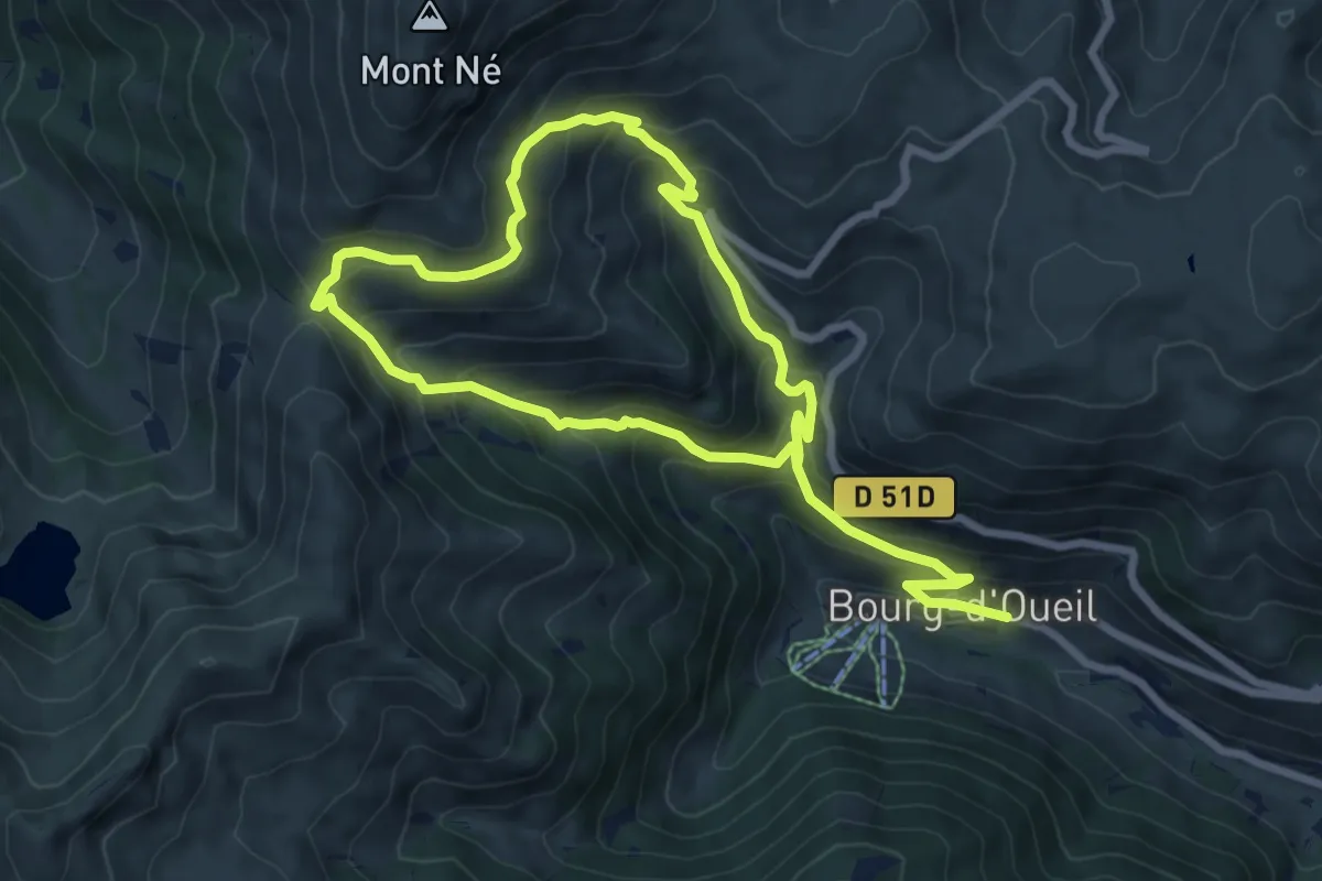
Demanding · Trail
Refuge du Mont Né
13.6 km · ↑ 998 m · 5 h 23 min
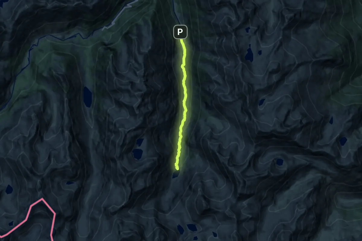
Medium · Cabin
Refuge et Lac d'Estom
10.8 km · ↑ 467 m · 3 h 34 min
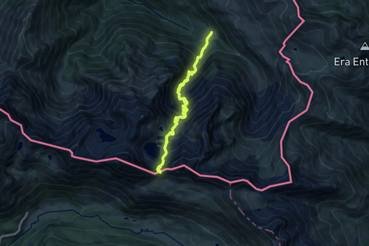
Demanding · Cabin
Refuge et Port de Vénasque
12.2 km · ↑ 1065 m · 5 h 11 min
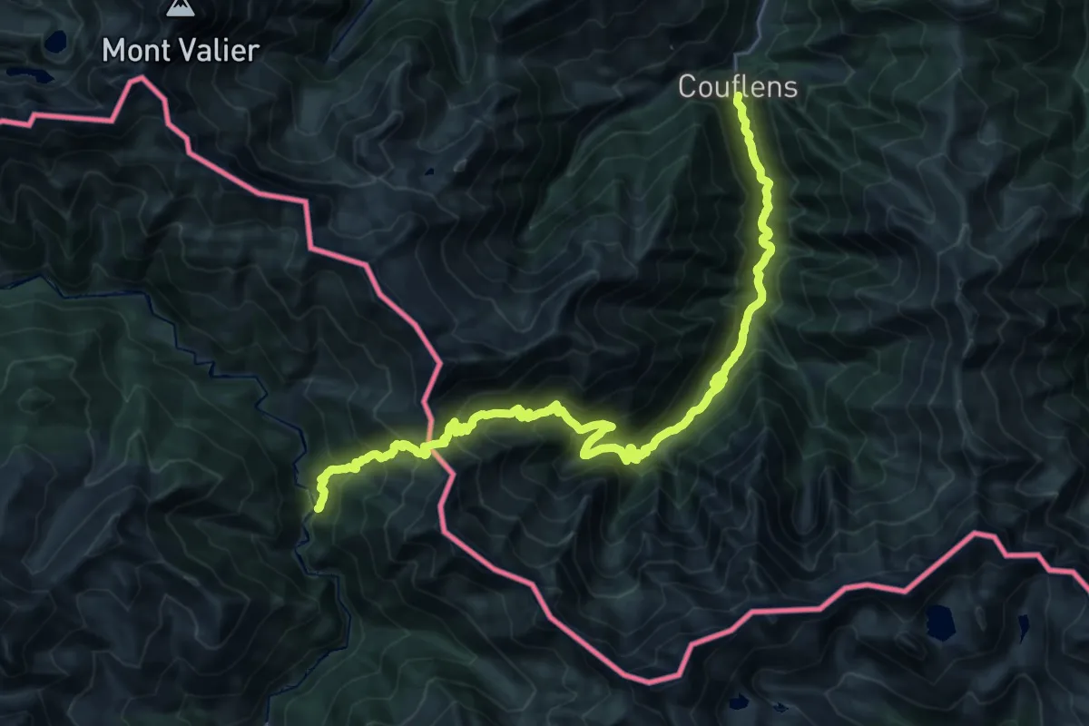
Demanding · Trail
Refugi del Fornet - Couflens
16.4 km · ↑ 1452 m · 6 h 55 min
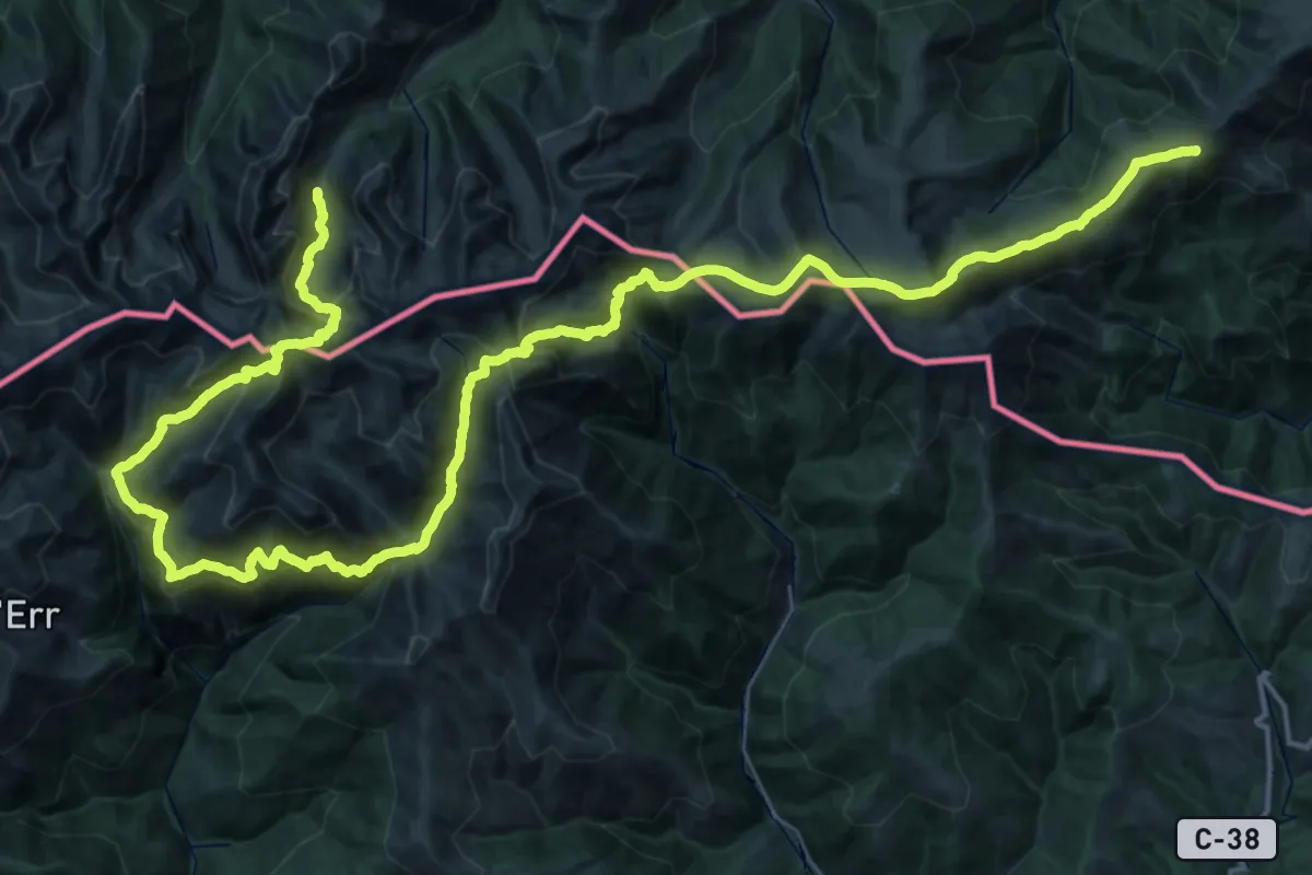
Demanding · Summit
Refugis del Torb
37.3 km · ↑ 2274 m · 14 h 16 min
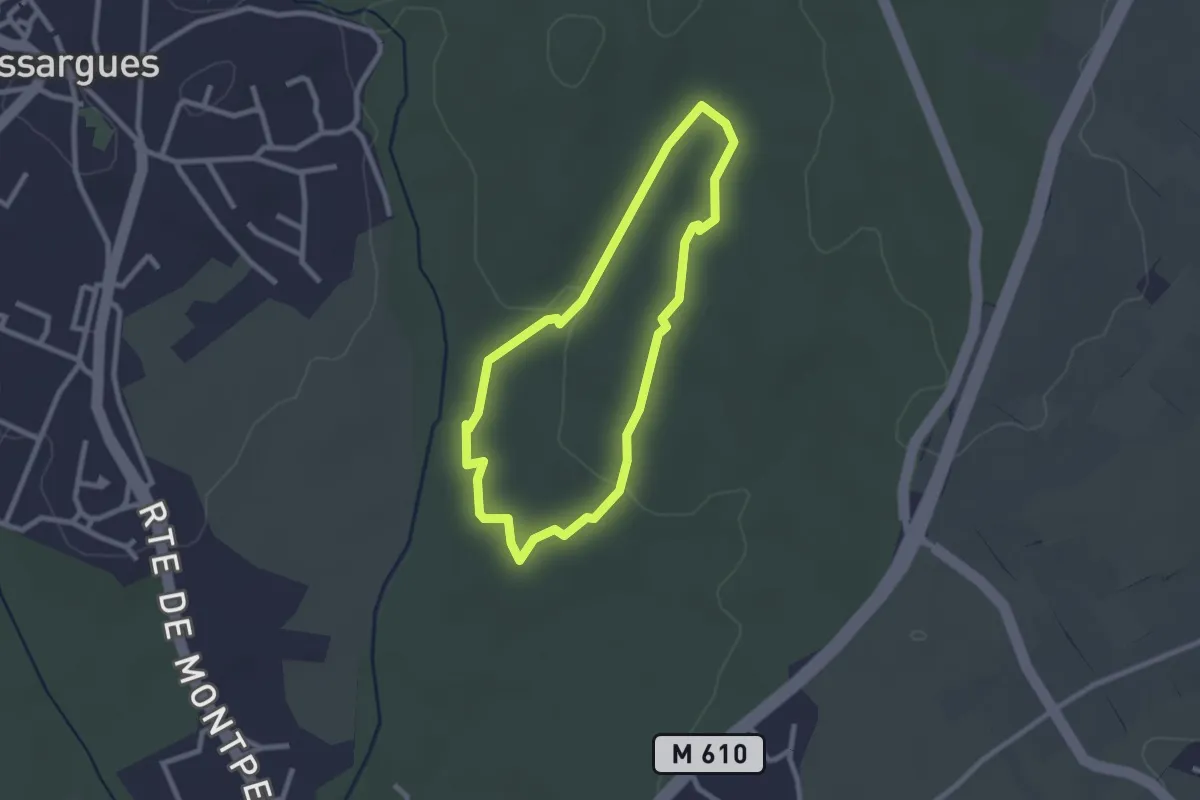
Easy · Trail
Reganhat
2.3 km · ↑ 13 m · 37 min
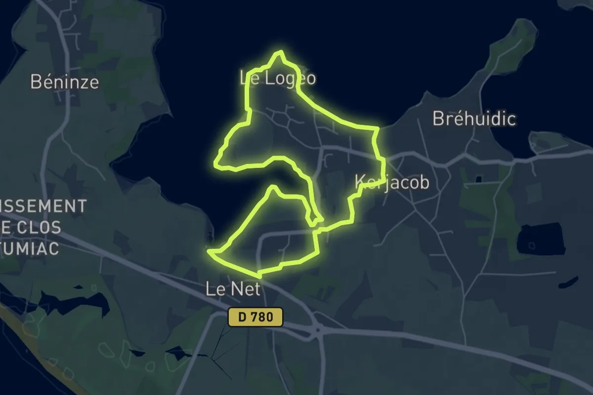
Easy · Trail
Regards sur le Golfe – Variante par la boucle de Kermaillard
6.0 km · ↑ 14 m · 1 h 32 min
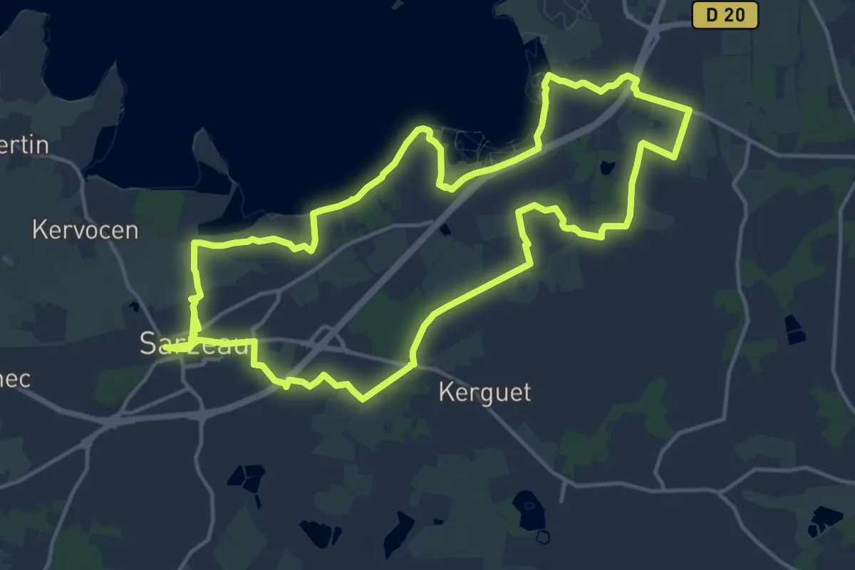
Medium · Trail
Regards sur le Golfe – Variante par le Duer
14.9 km · ↑ 43 m · 3 h 50 min
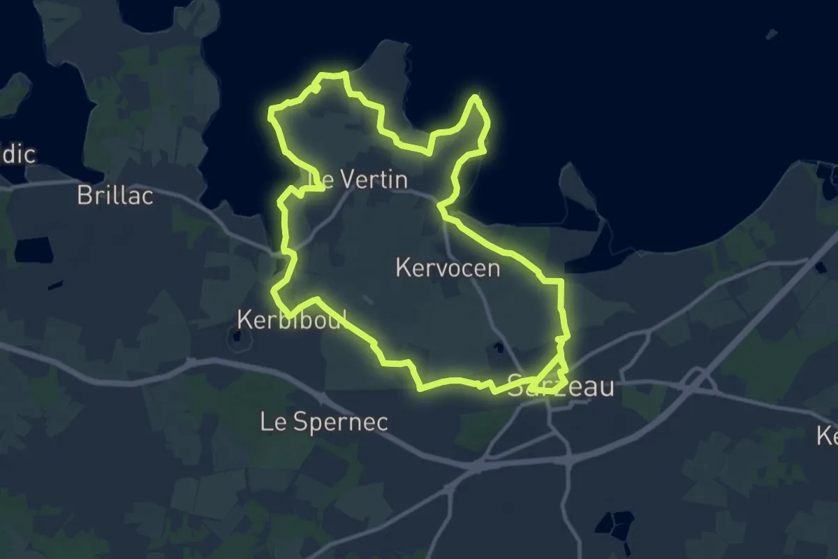
Medium · Trail
Regards sur le Golfe – Variante par le Ruaud
11.5 km · ↑ 49 m · 2 h 58 min
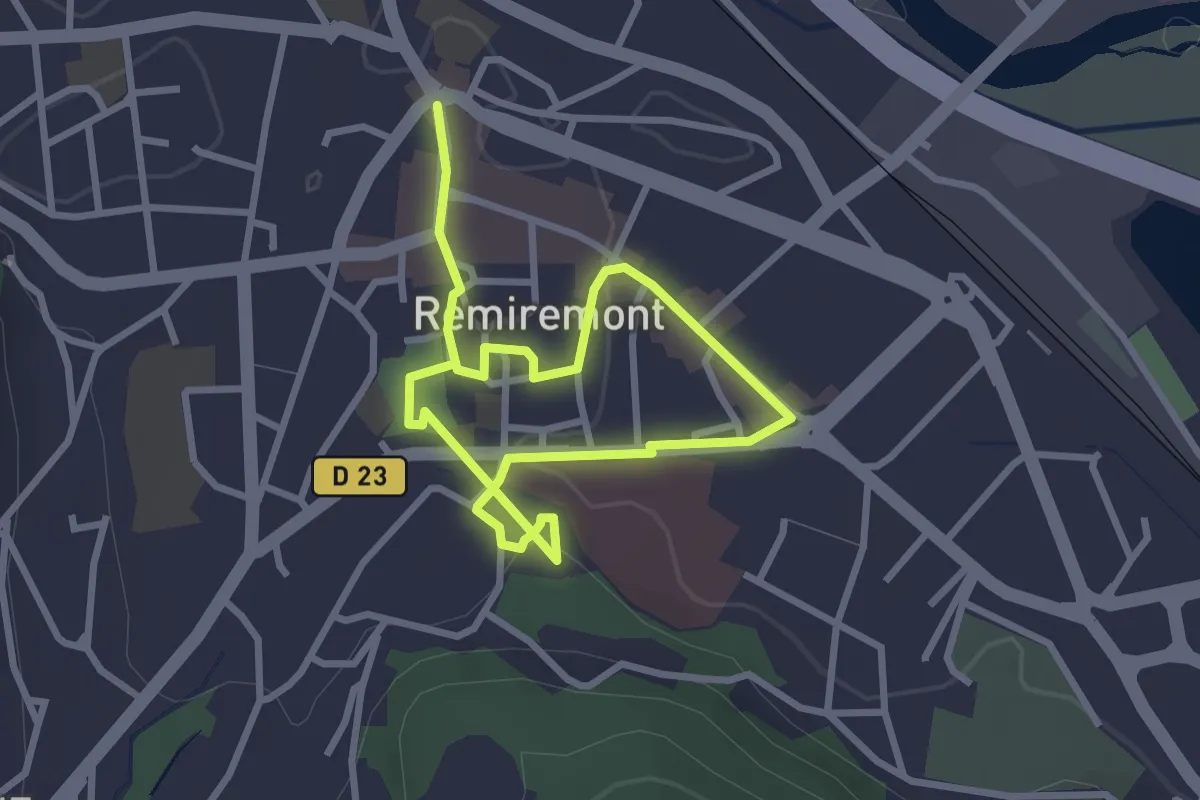
Easy · Trail
Remiremont au fil de son histoire
4.3 km · ↑ 24 m · 1 h 4 min
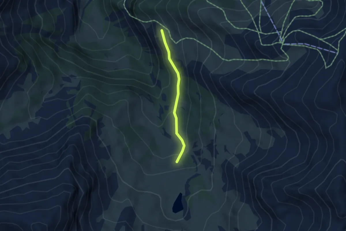
Medium · Trail
Remollon - Vieille Cabane
2.9 km · ↑ 114 m · 55 min
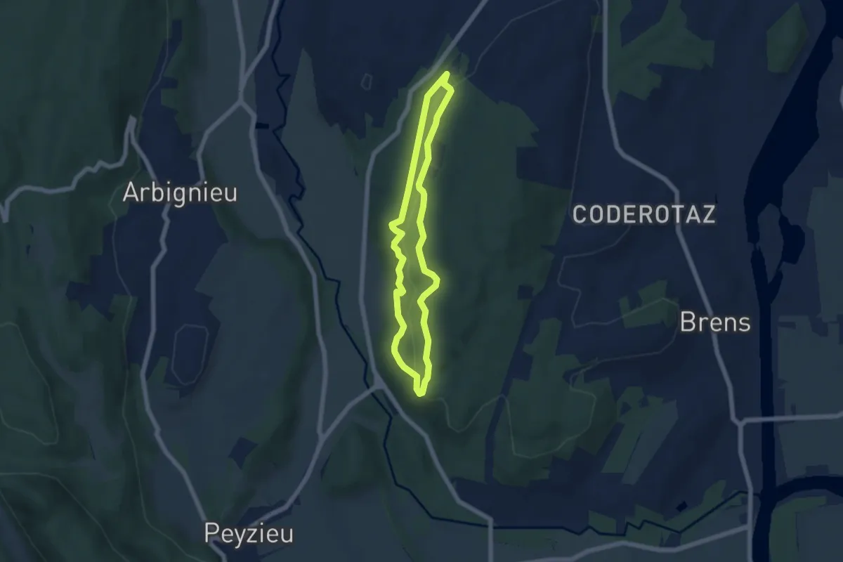
Easy · Trail
Renard
4.8 km · ↑ 116 m · 1 h 27 min
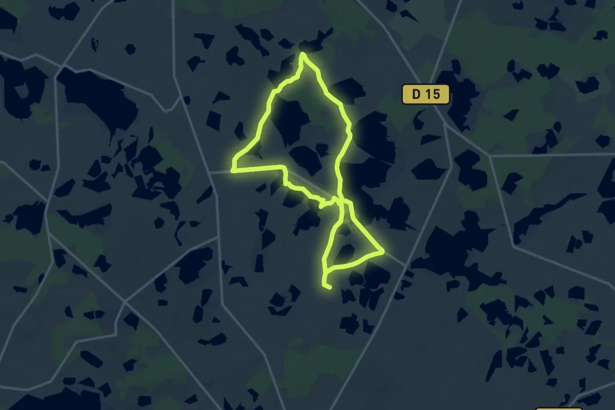
Medium · Trail
Rencontre avec les paysages de Brenne
11.7 km · ↑ 13 m · 2 h 58 min
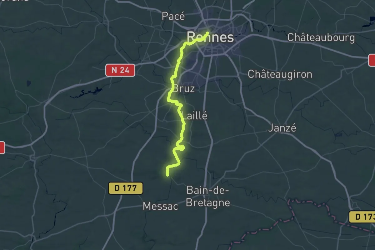
Demanding · Trail
Rennes - Saint-Malo-de-Phily
39.9 km · ↑ 154 m · 10 h 16 min
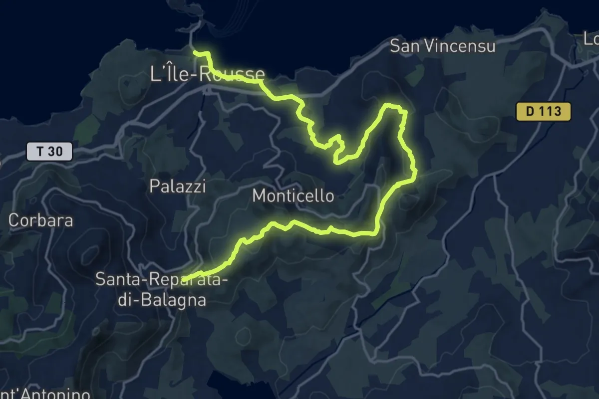
Demanding · Trail
Reparata-Ile Rousse
23.3 km · ↑ 574 m · 6 h 45 min
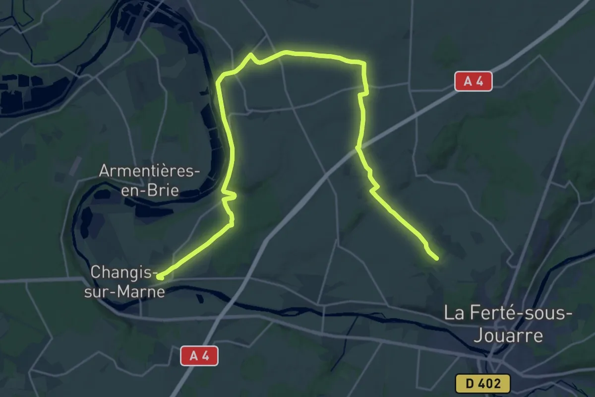
Demanding · Trail
Réseau PR
29.1 km · ↑ 441 m · 7 h 50 min
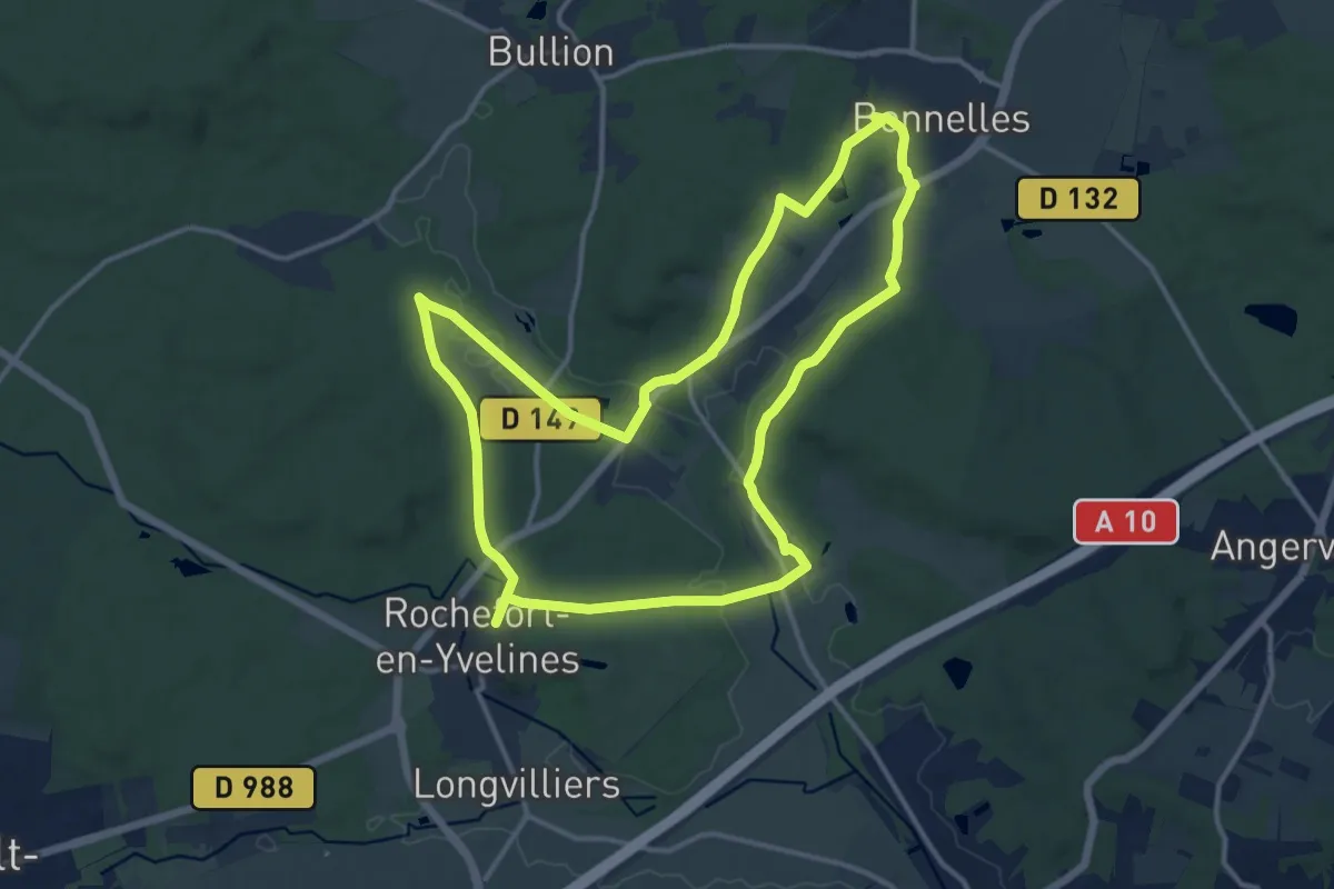
Medium · Trail
Réserve naturelle et Cité Féodale
13.2 km · ↑ 91 m · 3 h 30 min
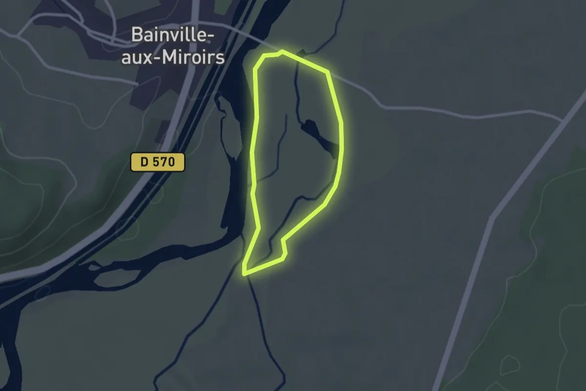
Easy · Trail
Réserve naturelle régionale de la Moselle sauvage
1.8 km · ↑ 0 m · 28 min
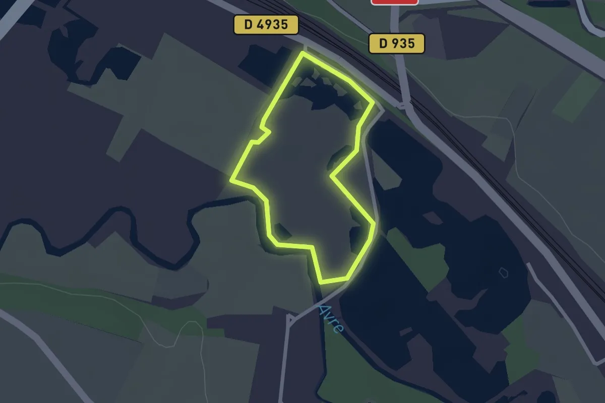
Easy · Trail
Réserve Naturelle Saint-Ladre
1.6 km · ↑ 4 m · 24 min
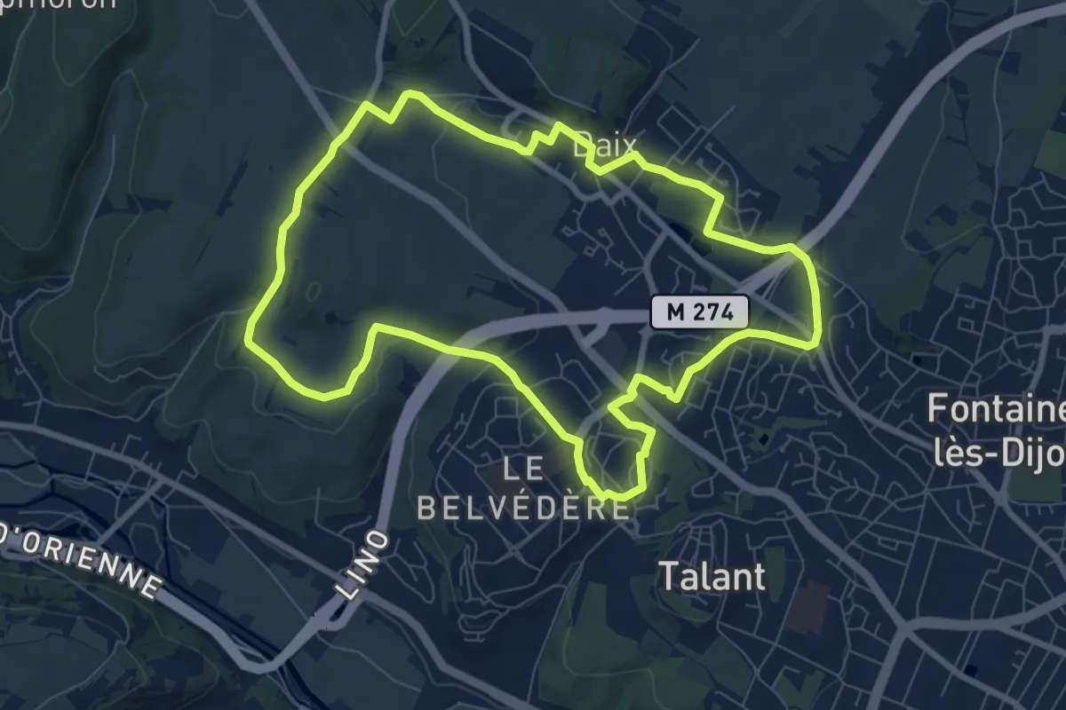
Medium · Trail
Réservoir de la butte Chaumont
8.1 km · ↑ 120 m · 2 h 18 min
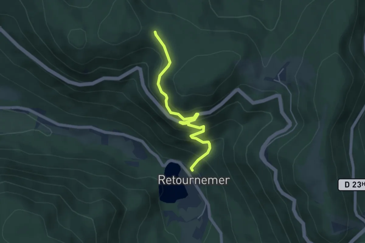
Medium · Trail
Retournemer - Col de Malakoff
3.9 km · ↑ 347 m · 1 h 41 min
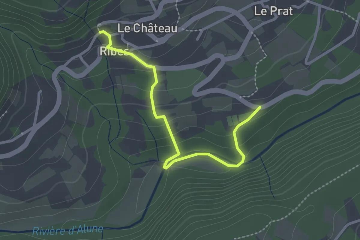
Easy · Trail
Ribes Info Rando - Mas de Laffont
2.6 km · ↑ 120 m · 52 min
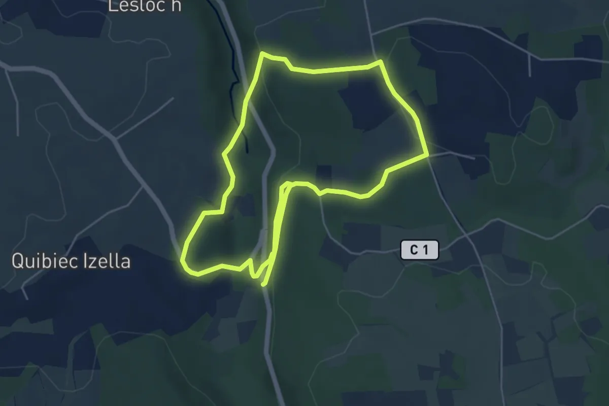
Medium · Trail
Riboul Potic
9.0 km · ↑ 279 m · 2 h 43 min
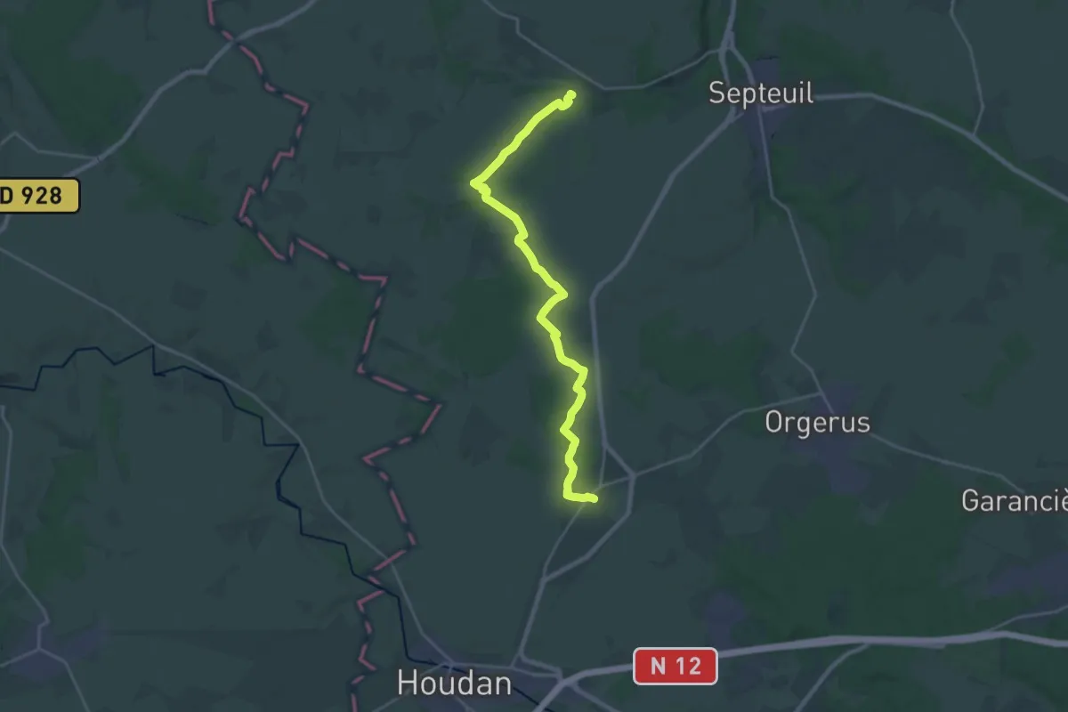
Demanding · Trail
Richebourg - Montchauvet
22.5 km · ↑ 165 m · 5 h 40 min
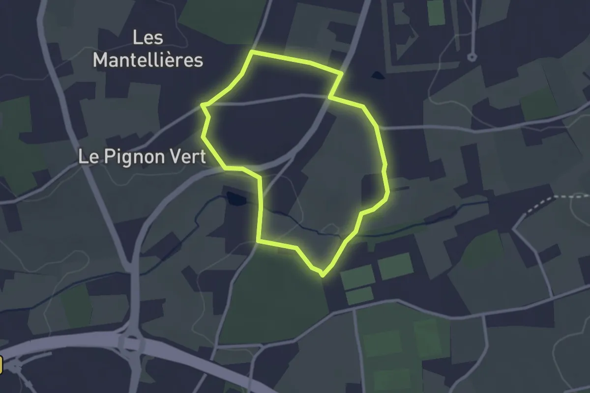
Easy · Trail
Richemont
2.2 km · ↑ 24 m · 36 min
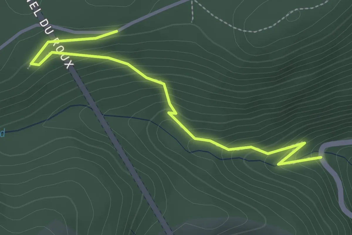
Easy · Trail
Rieugrand - La Marugier
3.1 km · ↑ 180 m · 1 h 7 min
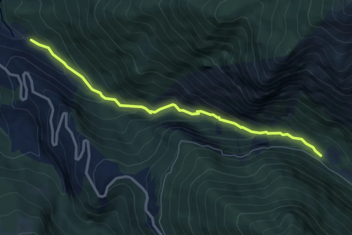
Medium · Trail
Rif-Bel - Pont de Vars
6.3 km · ↑ 451 m · 2 h 28 min
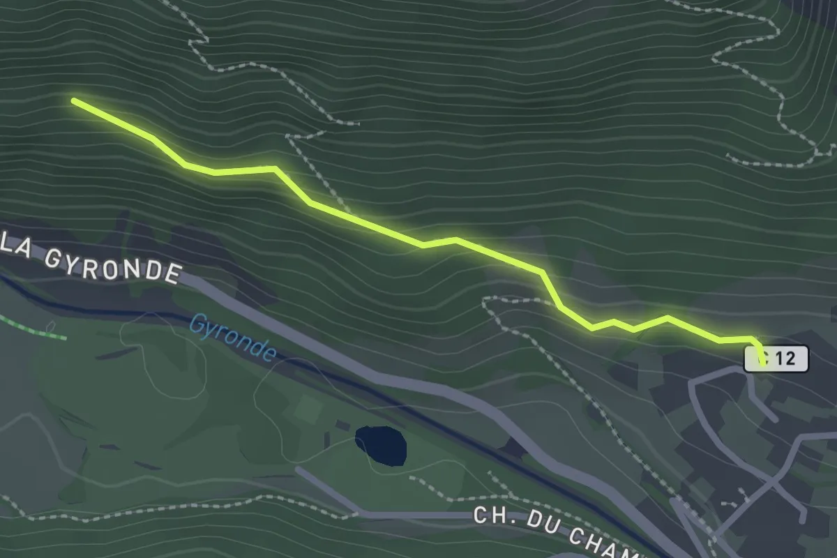
Medium · Trail
Rif Cros - ?
2.3 km · ↑ 141 m · 50 min
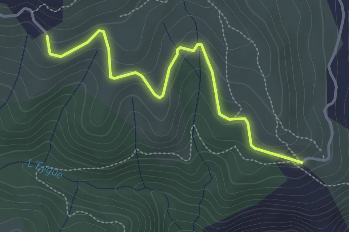
Easy · Trail
Rignas - Malatère
3.1 km · ↑ 100 m · 57 min
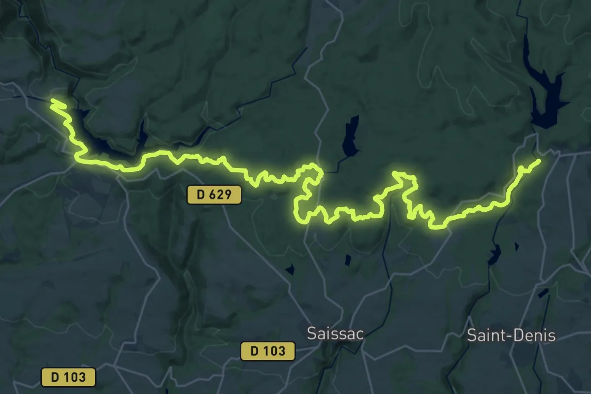
Demanding · Trail
rigole de la montagne noire
22.7 km · ↑ 423 m · 6 h 38 min
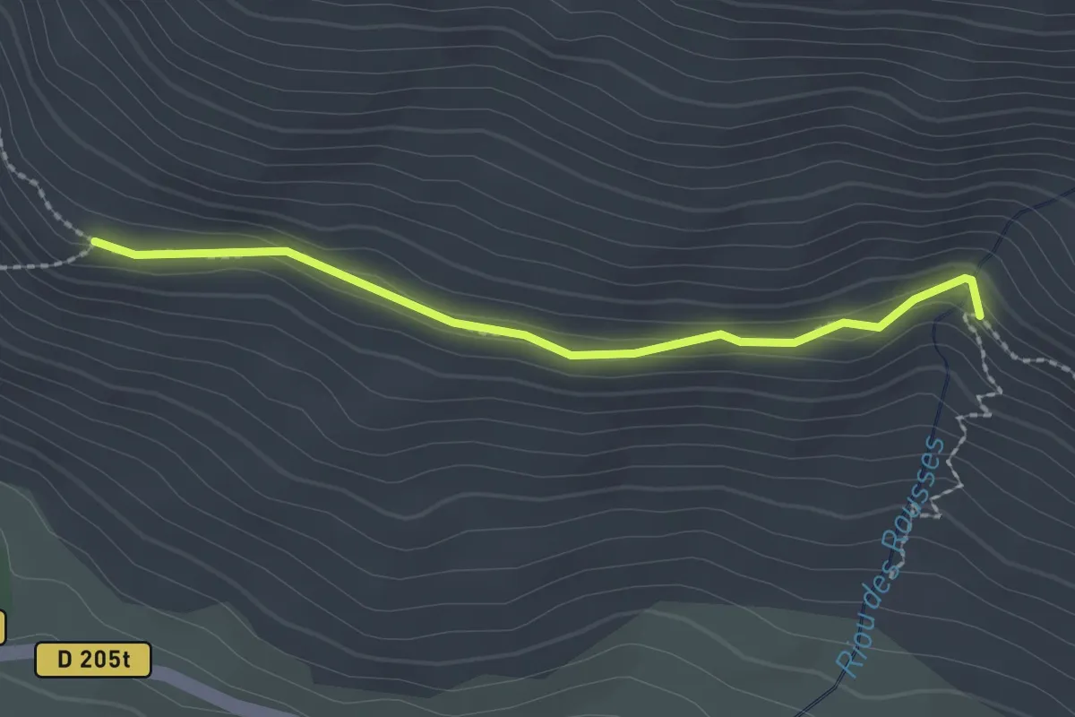
Easy · Trail
Riou des Rousses - ?
2.2 km · ↑ 111 m · 46 min
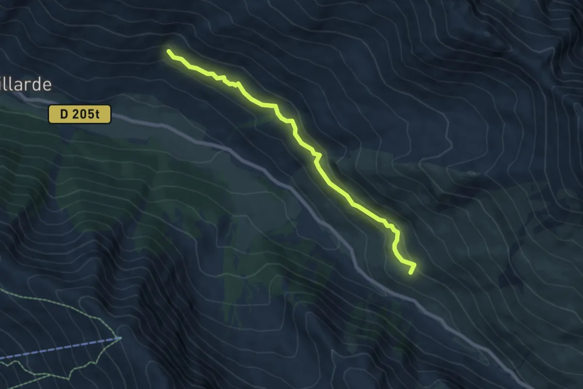
Easy · Trail
Riou des Rousses - Notre Dame du Berceau
6.0 km · ↑ 280 m · 2 h 2 min
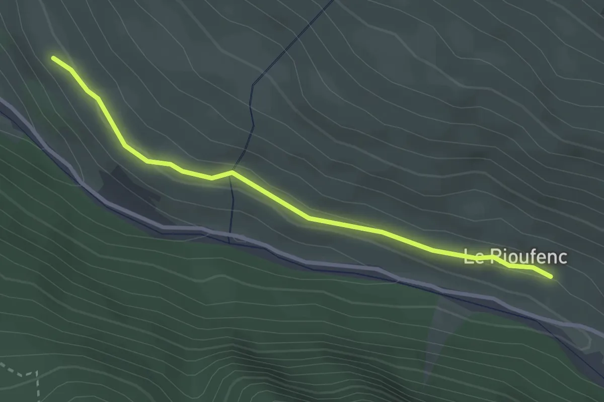
Easy · Trail
Rioufenc - Le Serre
2.9 km · ↑ 60 m · 49 min
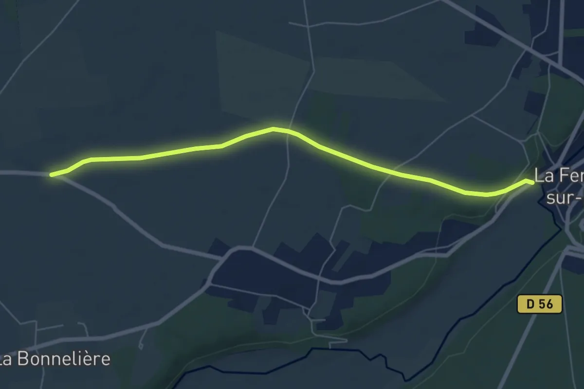
Easy · Trail
Risle-Charentonne
6.0 km · ↑ 39 m · 1 h 30 min
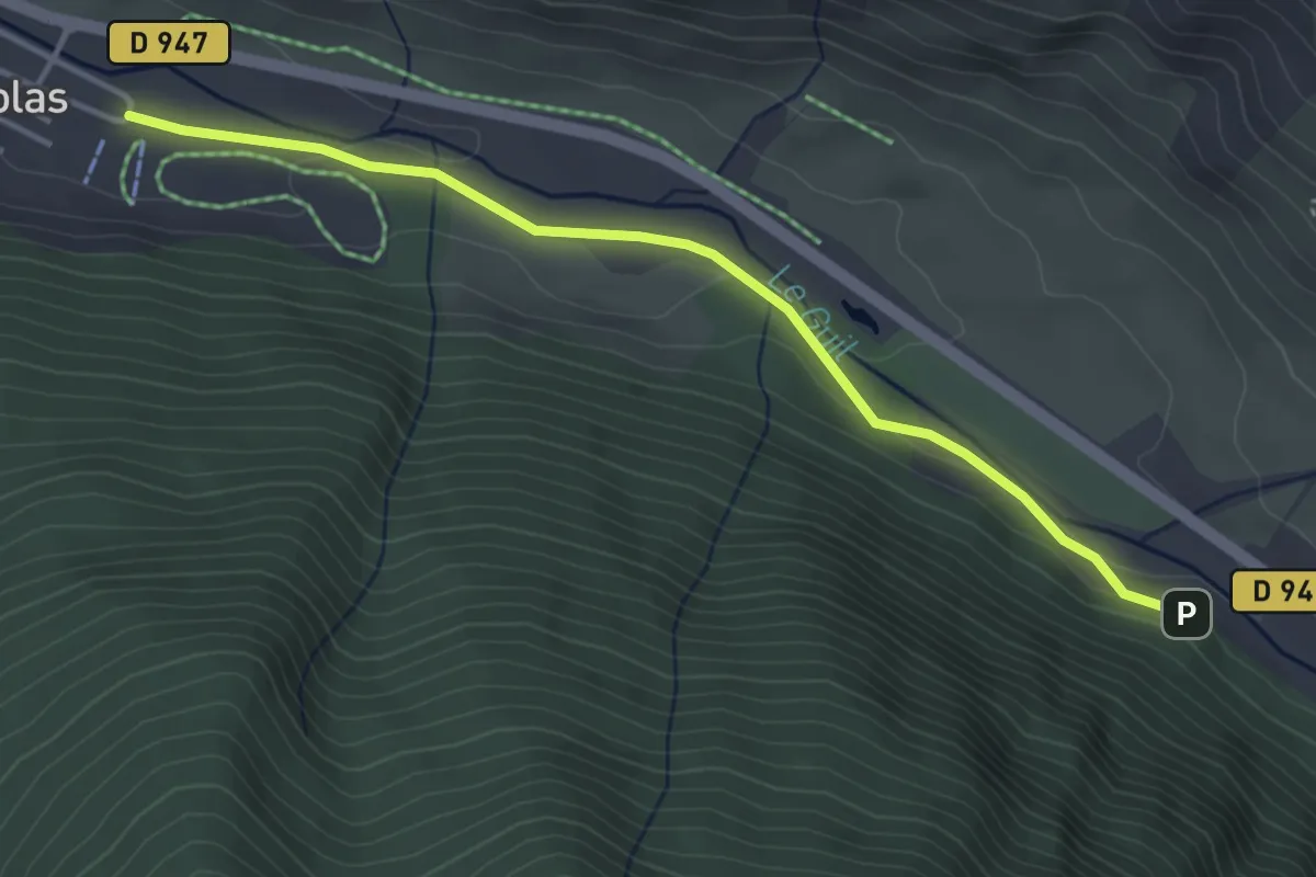
Easy · Cabin
Ristolas Les Ayres - Les Plates
4.1 km · ↑ 59 m · 1 h 6 min