Trails in France
15,926 hiking trails, each with its route, climb, walking time and grade.
All trails, page 232 of 332
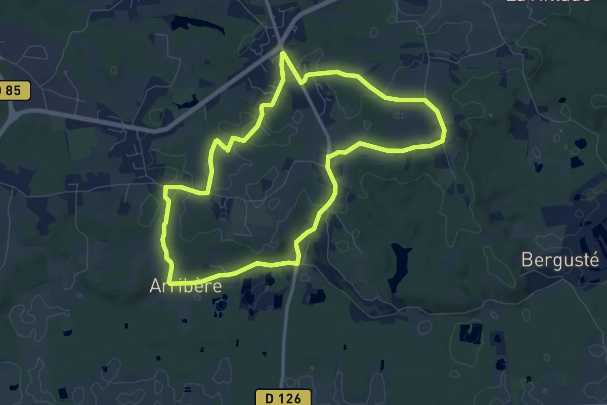
Medium · Trail
Riston
8.5 km · ↑ 108 m · 2 h 21 min
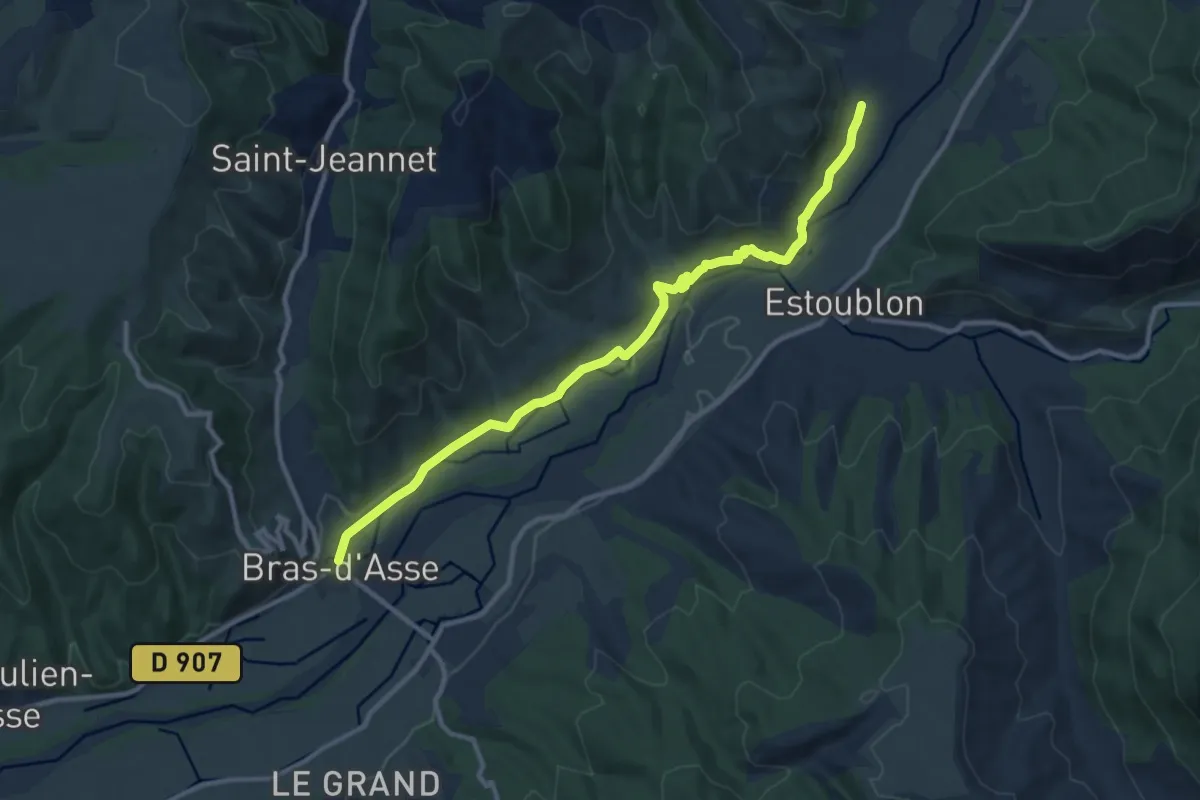
Easy · Trail
Rive de l'Asse depuis Bras d'Asse
5.9 km · ↑ 92 m · 1 h 40 min
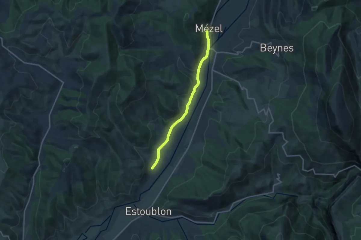
Easy · Trail
Rive de l'Asse depuis Mézel
5.1 km · ↑ 24 m · 1 h 22 min
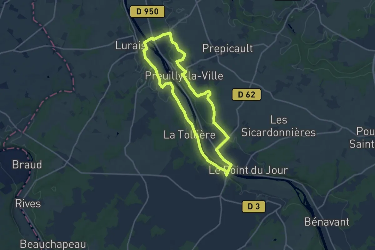
Medium · Trail
Rive gauche, rive droite
11.4 km · ↑ 143 m · 3 h 10 min
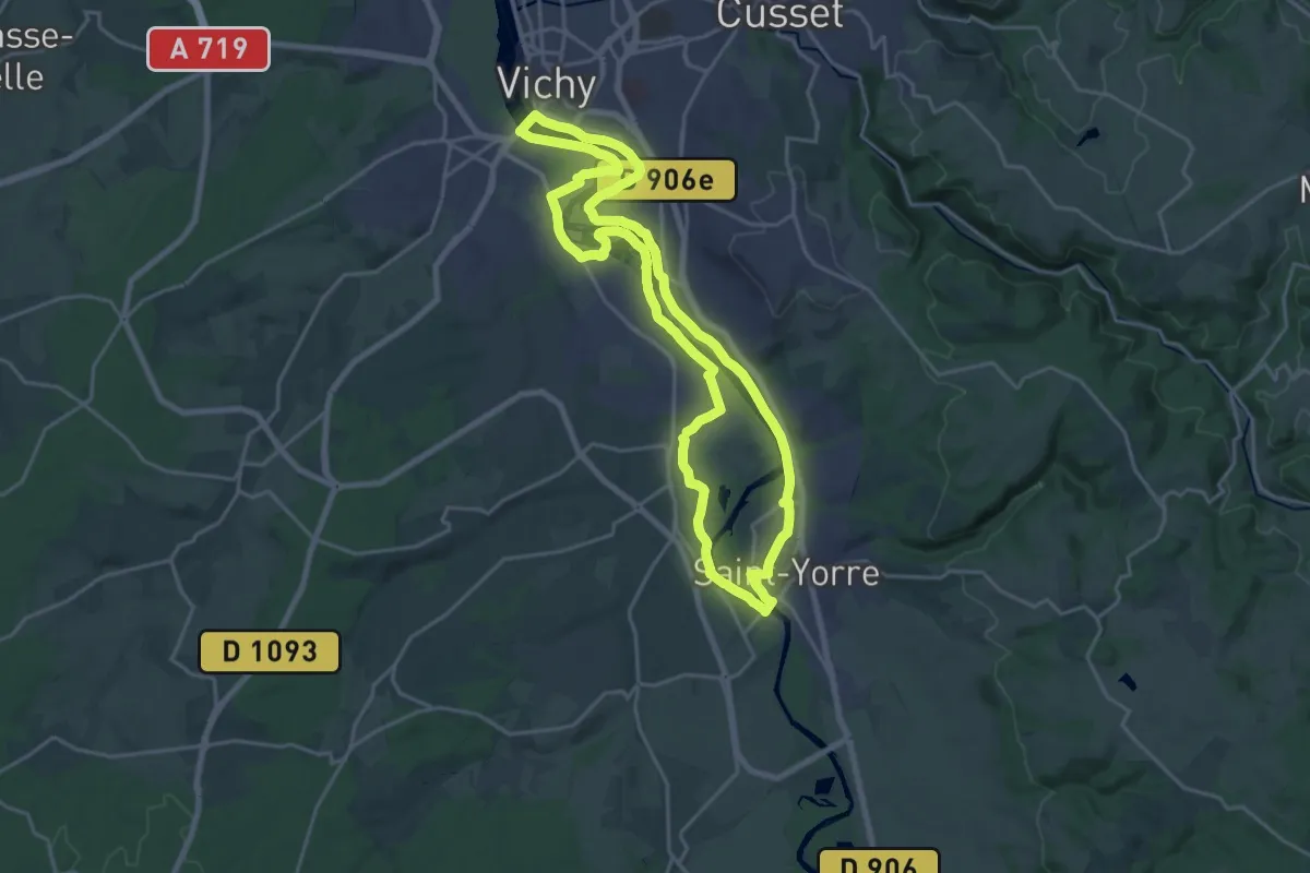
Demanding · Trail
Rives et boires de l'Allier
20.7 km · ↑ 32 m · 5 h 14 min
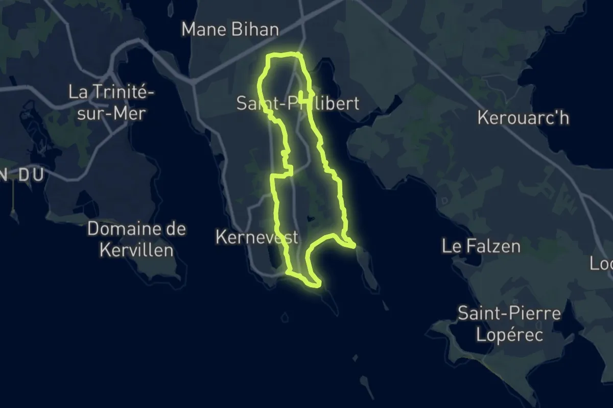
Medium · Trail
Rivière de Saint-Philibert et Men Er Beleg
8.2 km · ↑ 54 m · 2 h 11 min
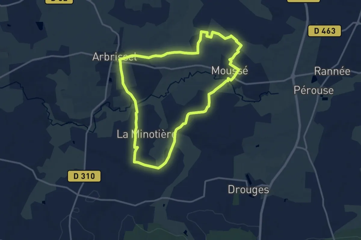
Medium · Trail
Robert d'Arbrissel
10.3 km · ↑ 66 m · 2 h 43 min
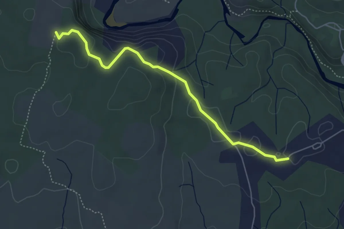
Easy · Trail
Robert - Falaise de Lunel
4.9 km · ↑ 118 m · 1 h 25 min
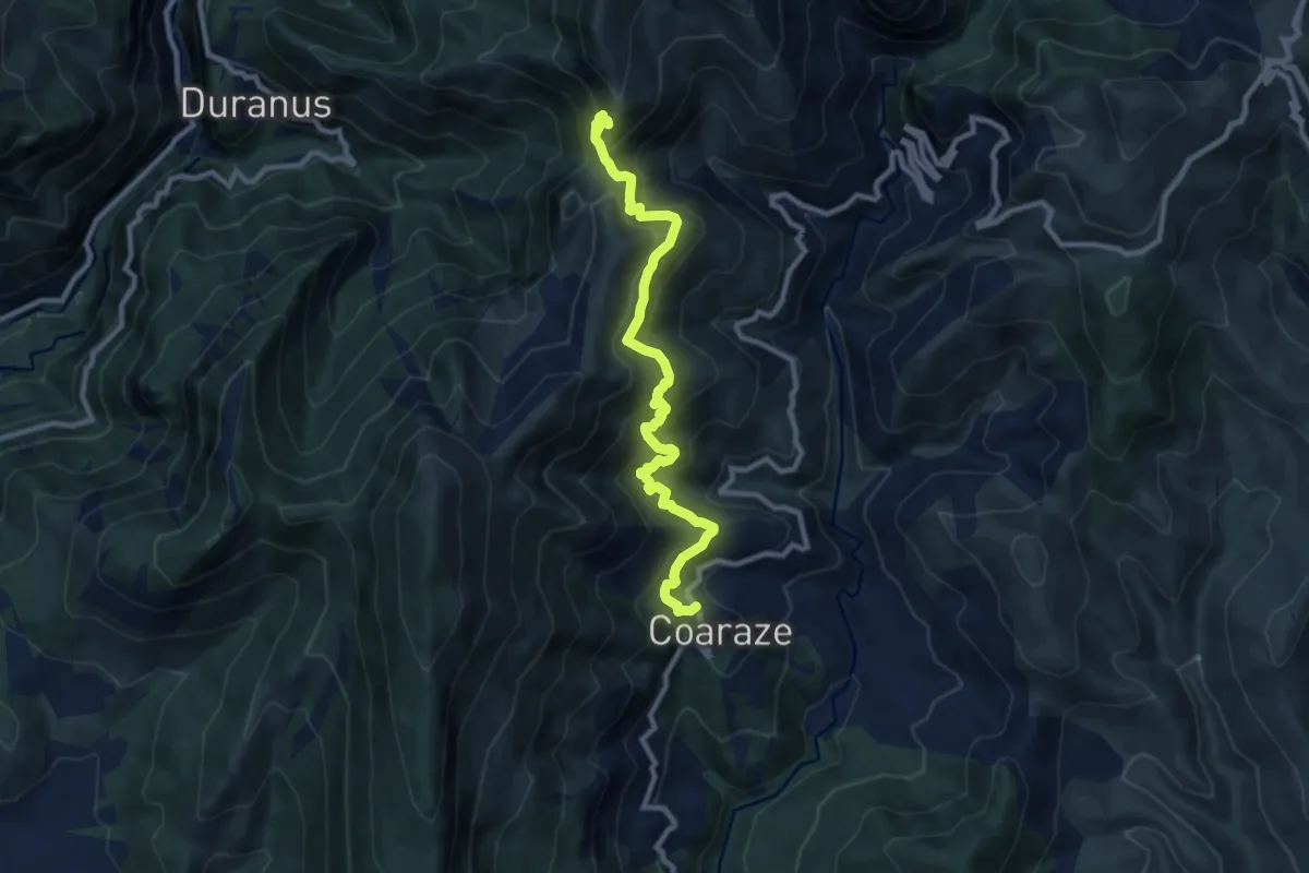
Medium · Trail
Rocca Sparvièra
5.2 km · ↑ 642 m · 2 h 28 min
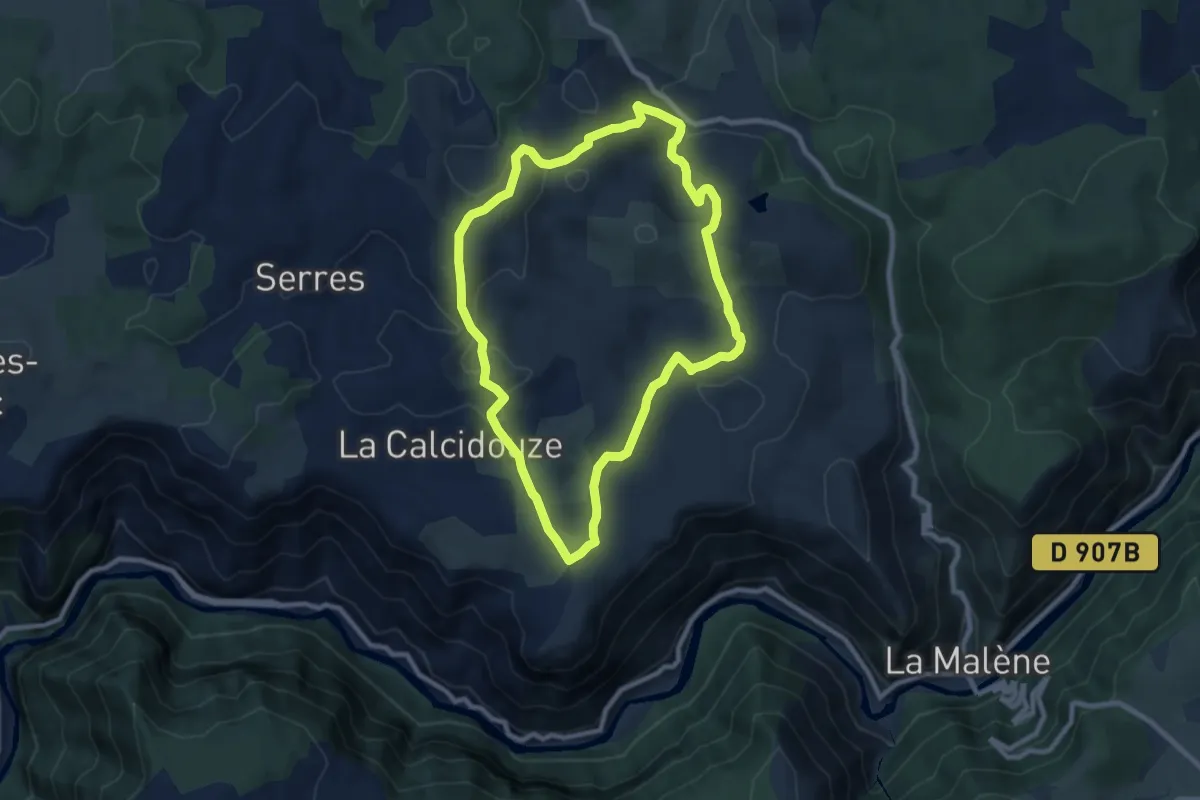
Medium · Trail
Roc de la Truque
8.7 km · ↑ 188 m · 2 h 35 min
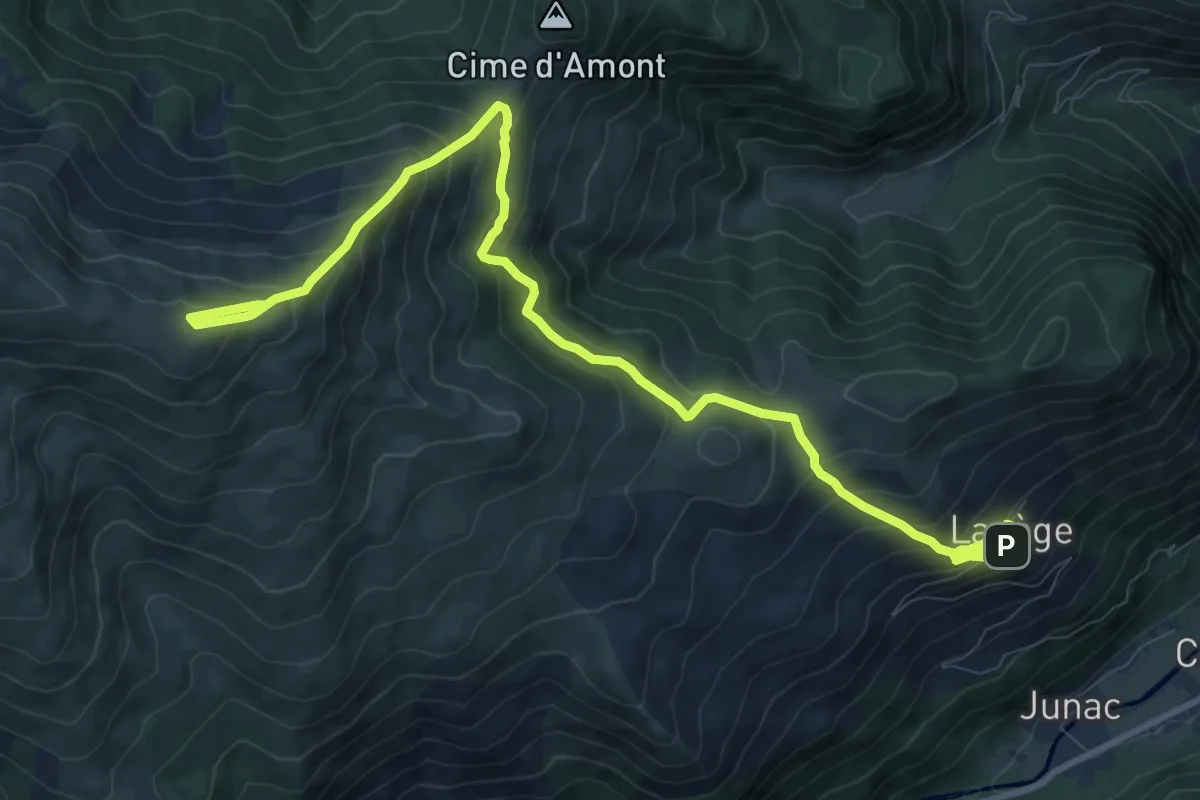
Demanding · Summit
Roc de Querquéou
6.8 km · ↑ 905 m · 3 h 16 min
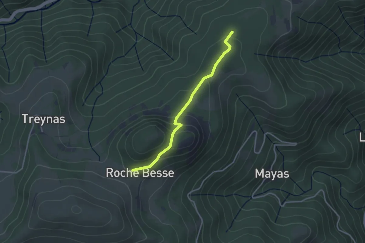
Easy · Trail
Rochebesse - La Grange
2.7 km · ↑ 121 m · 55 min
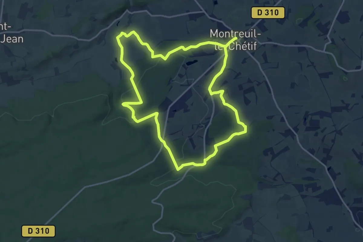
Medium · Trail
Roche Brune
12.5 km · ↑ 209 m · 3 h 34 min
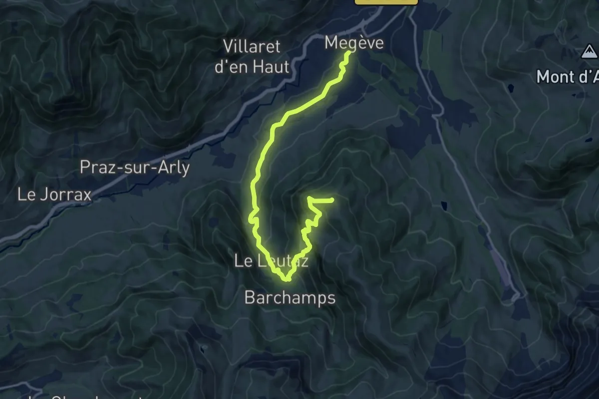
Medium · Summit
Rochebrune - Mègeve
15.3 km · ↑ 689 m · 5 h 6 min
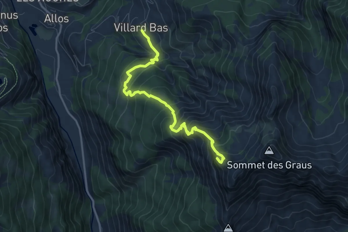
Medium · Summit
Rochecline (2 415 m)
4.6 km · ↑ 721 m · 2 h 23 min
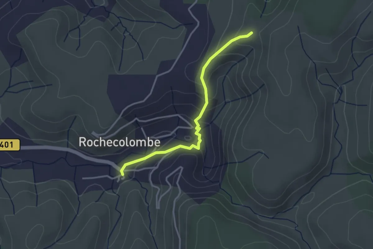
Easy · Trail
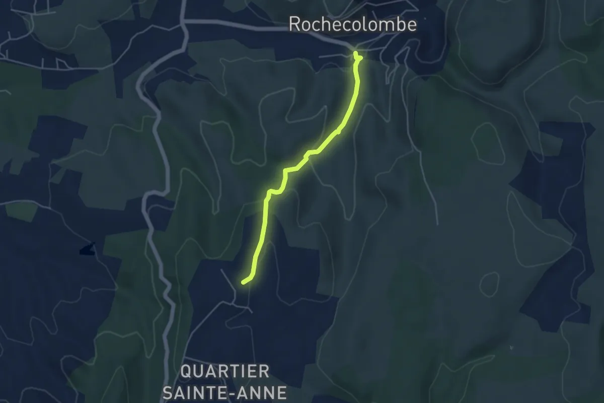
Rochecolombe - Lauzière
3.0 km · ↑ 145 m · 1 h 2 min
Easy · Trail
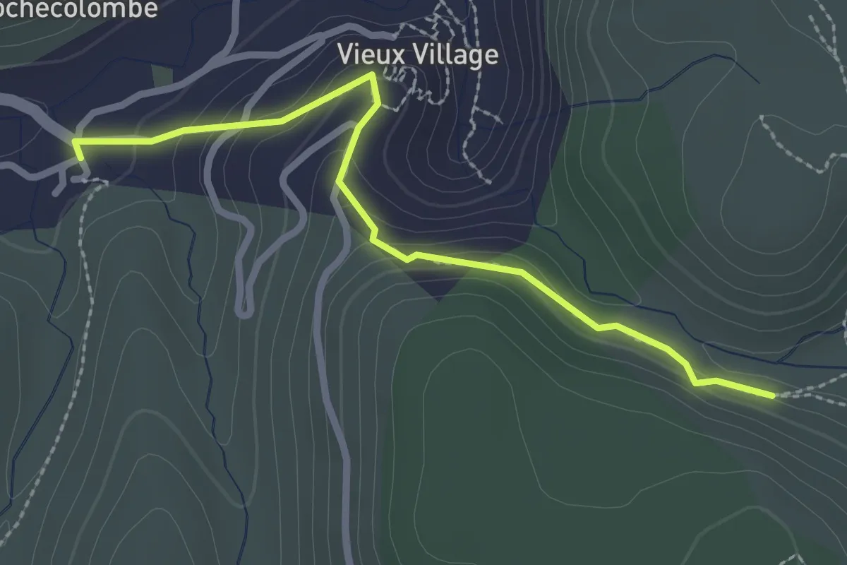
Rochecolombe - Les Clos
4.0 km · ↑ 133 m · 1 h 14 min
Easy · Trail
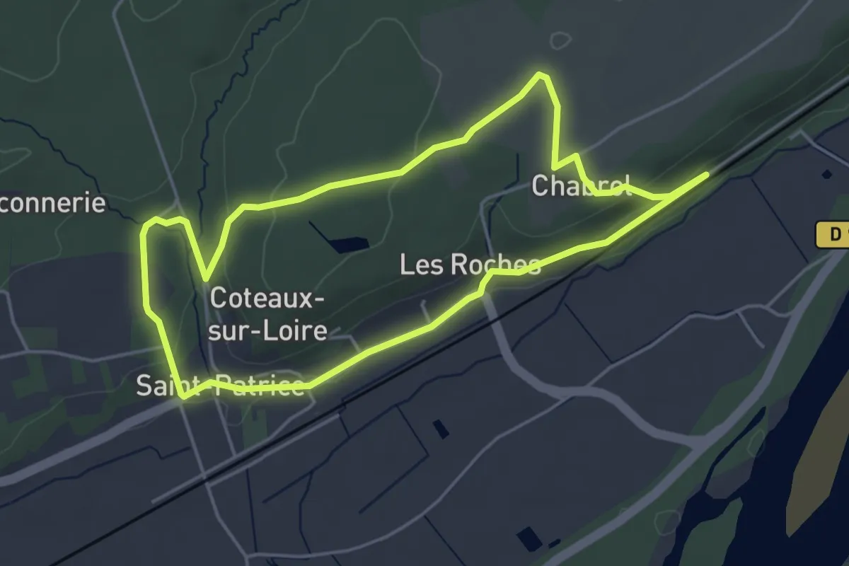
Rochecolombe - Ron Chamorel
2.6 km · ↑ 154 m · 57 min
Easy · Trail
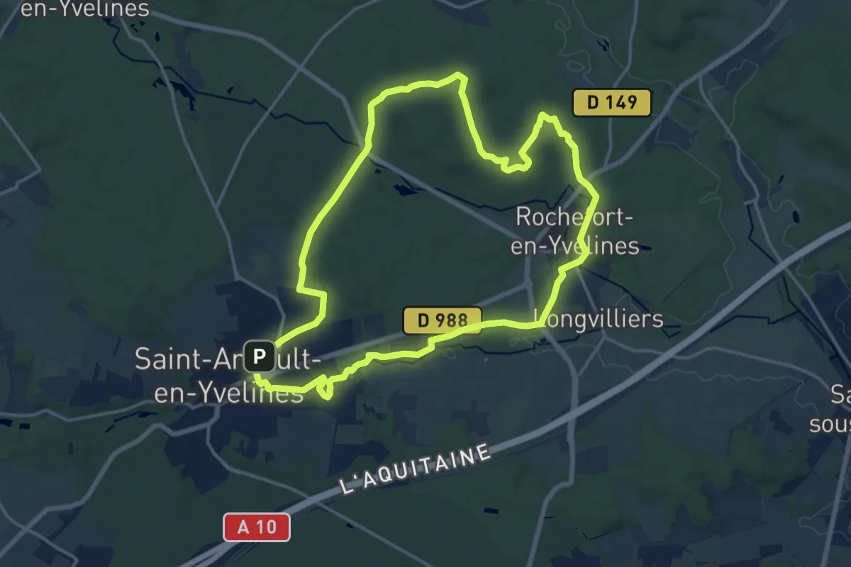
Rochecotte et Chabrol - Coteaux-sur-Loire
4.5 km · ↑ 70 m · 1 h 16 min
Medium · Trail
Rochefort-en-Yvelines
14.3 km · ↑ 154 m · 3 h 55 min
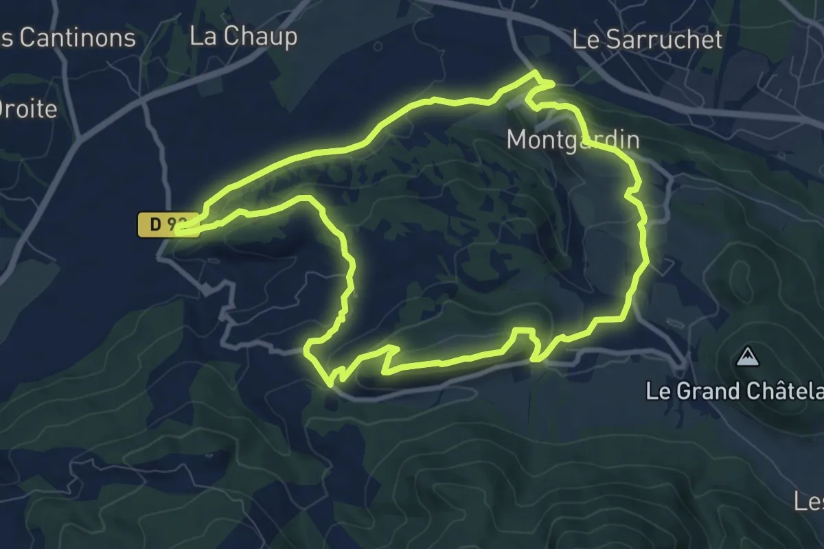
Medium · Trail
Roche Longue
9.8 km · ↑ 305 m · 3 h 6 min
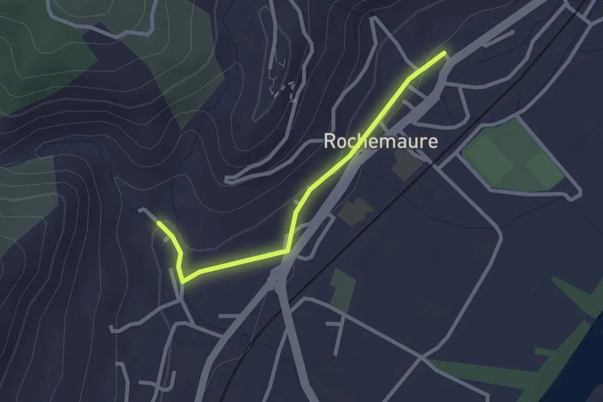
Easy · Trail
Rochemaure - Eygue
2.3 km · ↑ 39 m · 37 min
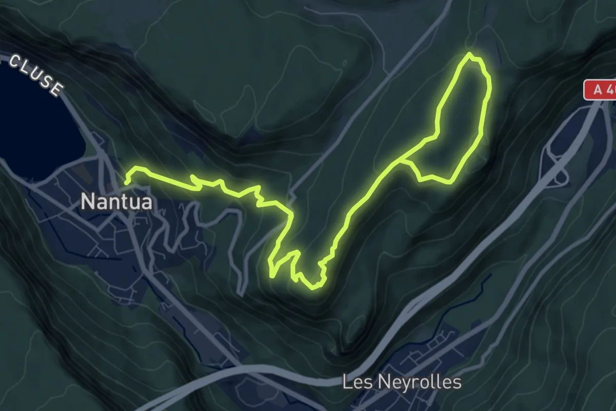
Medium · Trail
Roche Merveilleuse
13.4 km · ↑ 609 m · 4 h 29 min
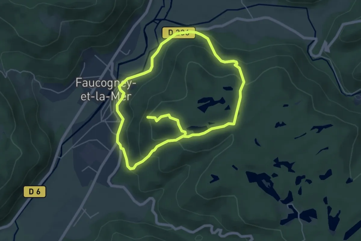
Easy · Trail
Rochenoz
4.6 km · ↑ 198 m · 1 h 36 min
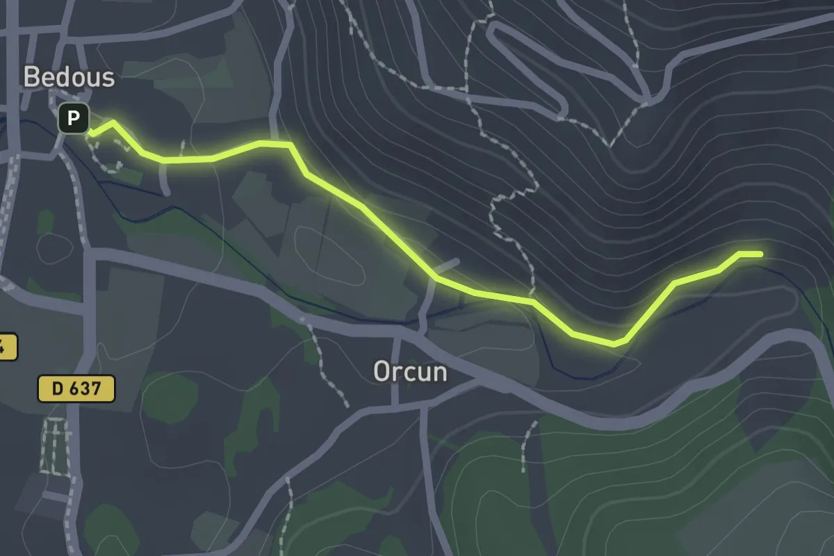
Easy · Trail
Roche qui Pleure asp09
2.1 km · ↑ 51 m · 37 min
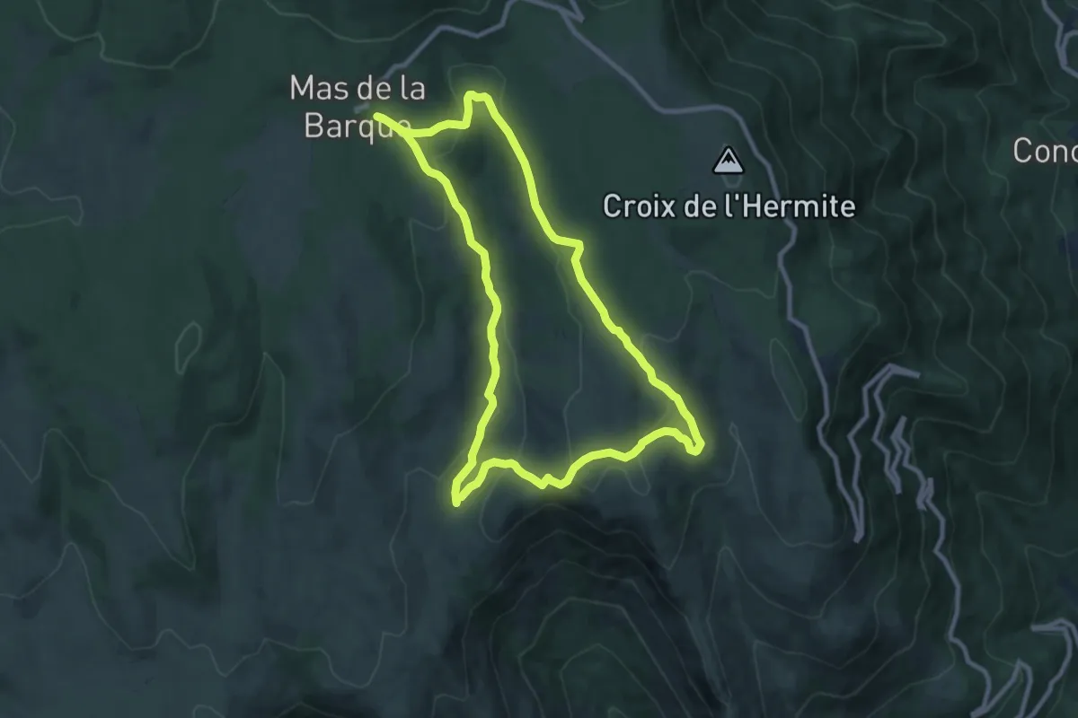
Medium · Trail
Rocher de Bayard
9.3 km · ↑ 258 m · 2 h 52 min
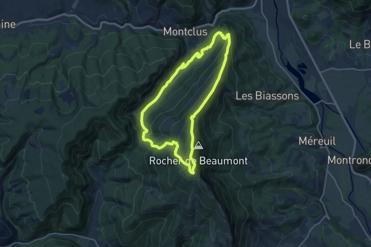
Medium · Summit
Rocher de Beaumont
11.9 km · ↑ 788 m · 4 h 41 min
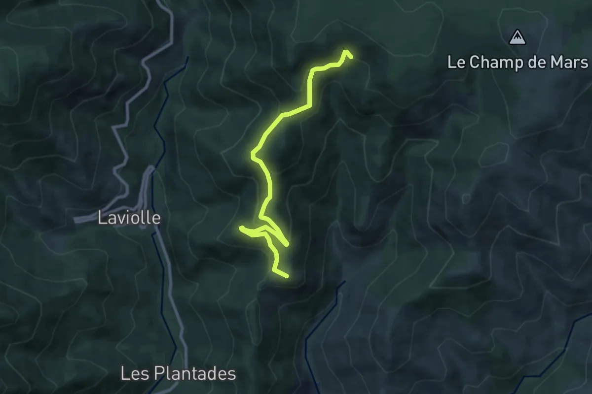
Medium · Summit
Rocher de la Clé - Le Chabrol
8.0 km · ↑ 410 m · 2 h 46 min
Medium · Summit
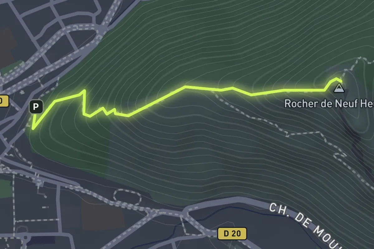
Rocher de Neuf Heures
1.0 km · ↑ 223 m · 38 min
Medium · Trail
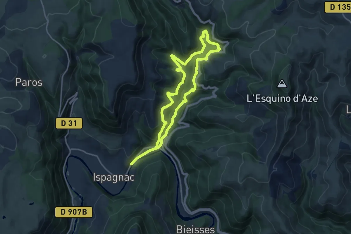
Rocher des Fées
10.9 km · ↑ 476 m · 3 h 45 min
Medium · Trail
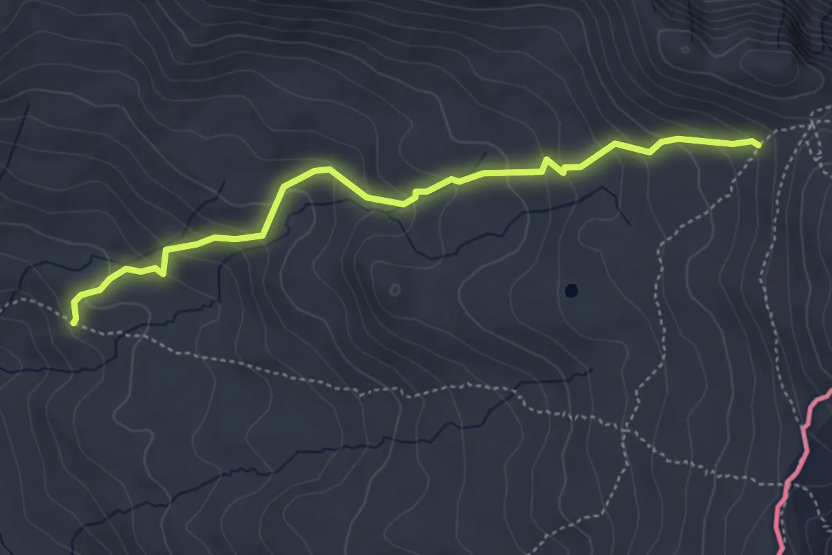
Rocher des Marrous - ?
4.7 km · ↑ 368 m · 1 h 54 min
Easy · Summit
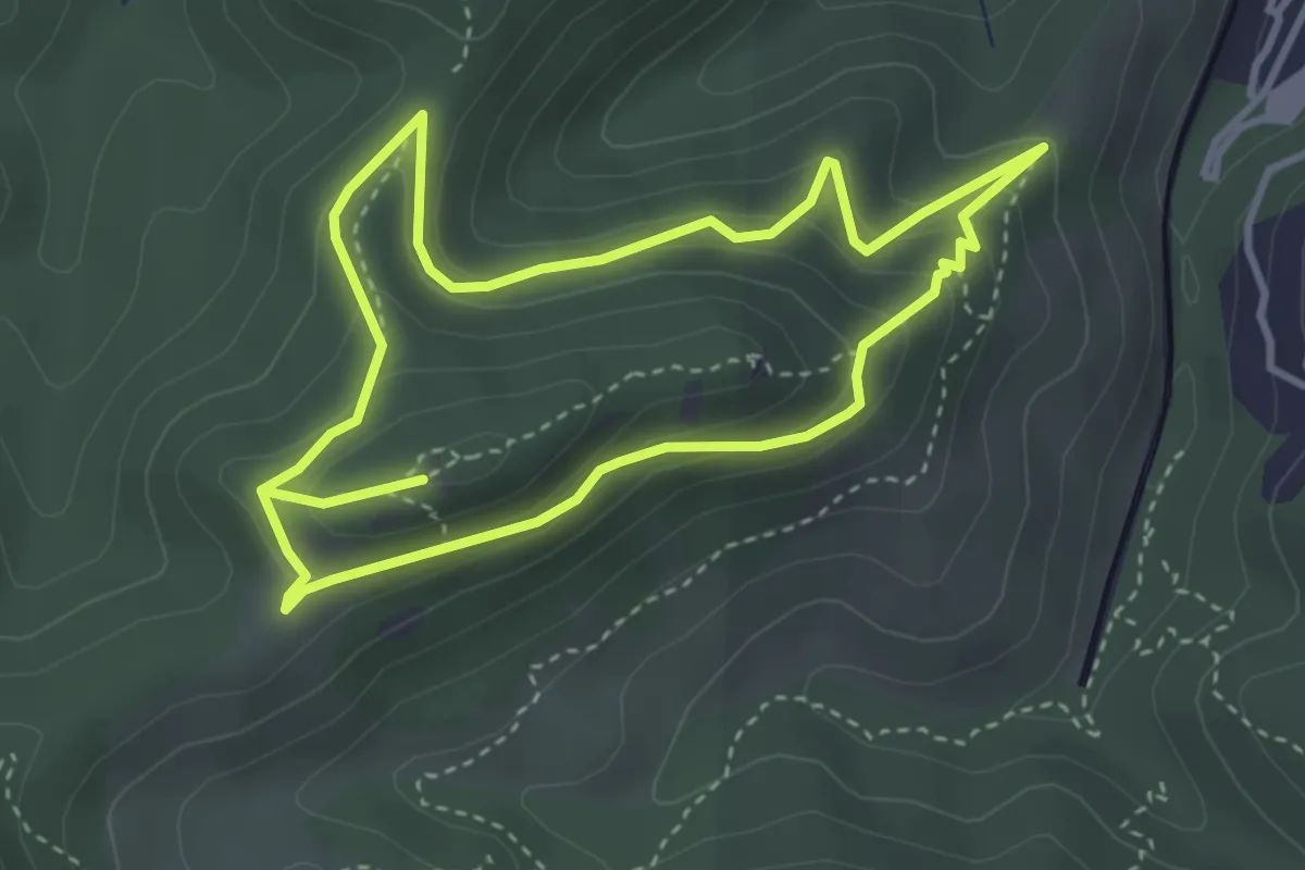
Rocher des Monges
3.6 km · ↑ 223 m · 1 h 23 min
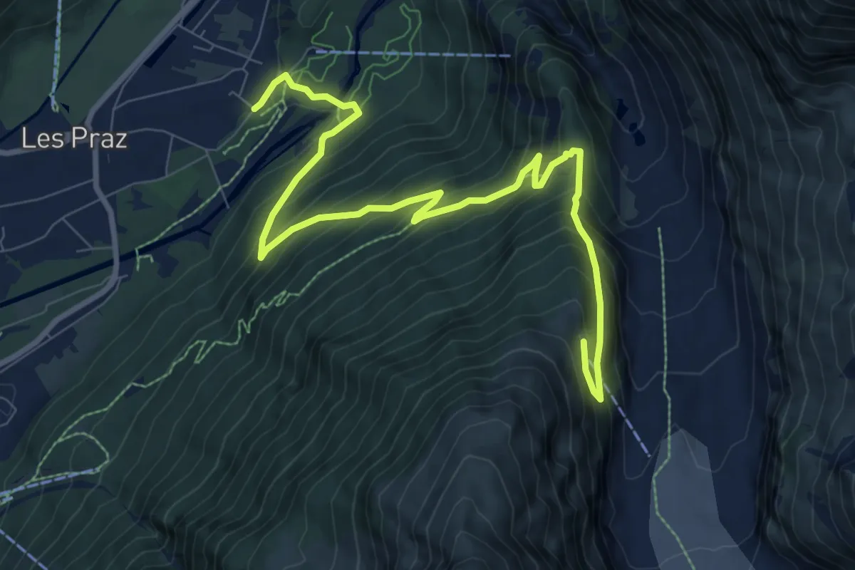
Demanding · Trail
Rocher des Mottets - Montenvers
10.5 km · ↑ 830 m · 4 h 17 min
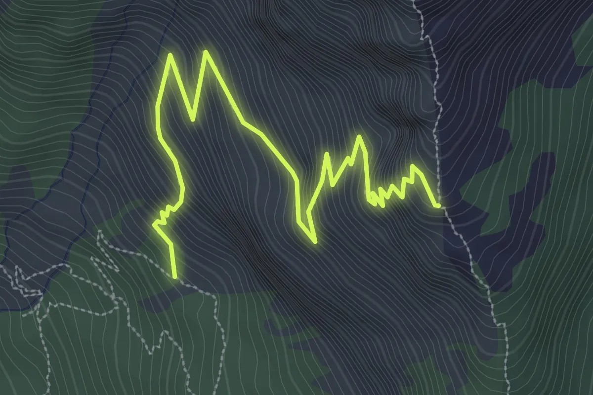
Medium · Trail
Rocher des Rouilles - Serre des Hières
4.7 km · ↑ 527 m · 2 h 15 min
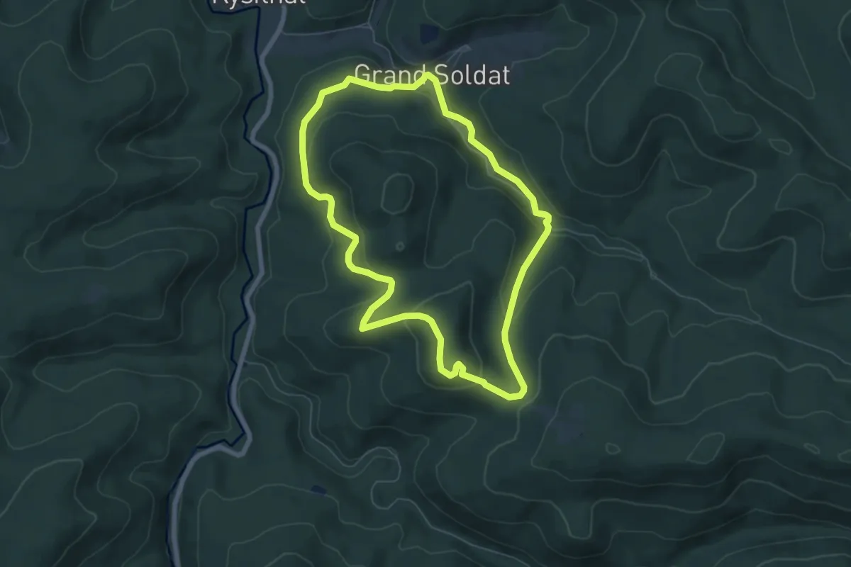
Easy · Trail
Rocher du Calice
5.9 km · ↑ 235 m · 1 h 59 min
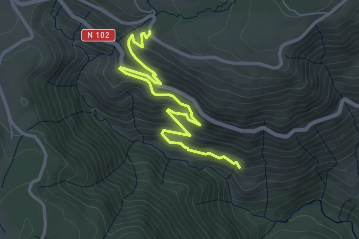
Medium · Trail
Rocher du Cheylard - Lesparet/Besselias
6.3 km · ↑ 363 m · 2 h 17 min
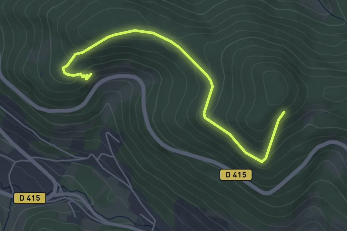
Easy · Trail
Rocher et Vierge du Hangochet
5.1 km · ↑ 224 m · 1 h 41 min
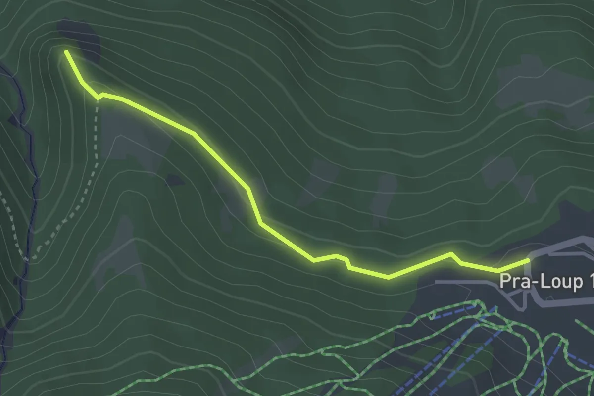
Easy · Trail
Rocher Jaumas
1.6 km · ↑ 82 m · 33 min
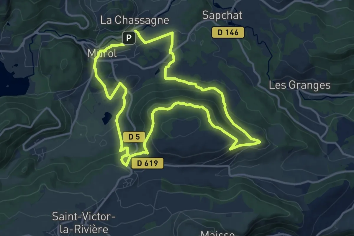
Medium · Trail
Roche-Romaine
10.0 km · ↑ 271 m · 3 h 6 min
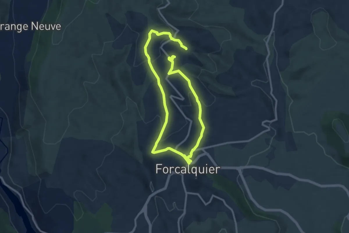
Easy · Trail
Rochers des Mourres
6.6 km · ↑ 197 m · 2 h 4 min
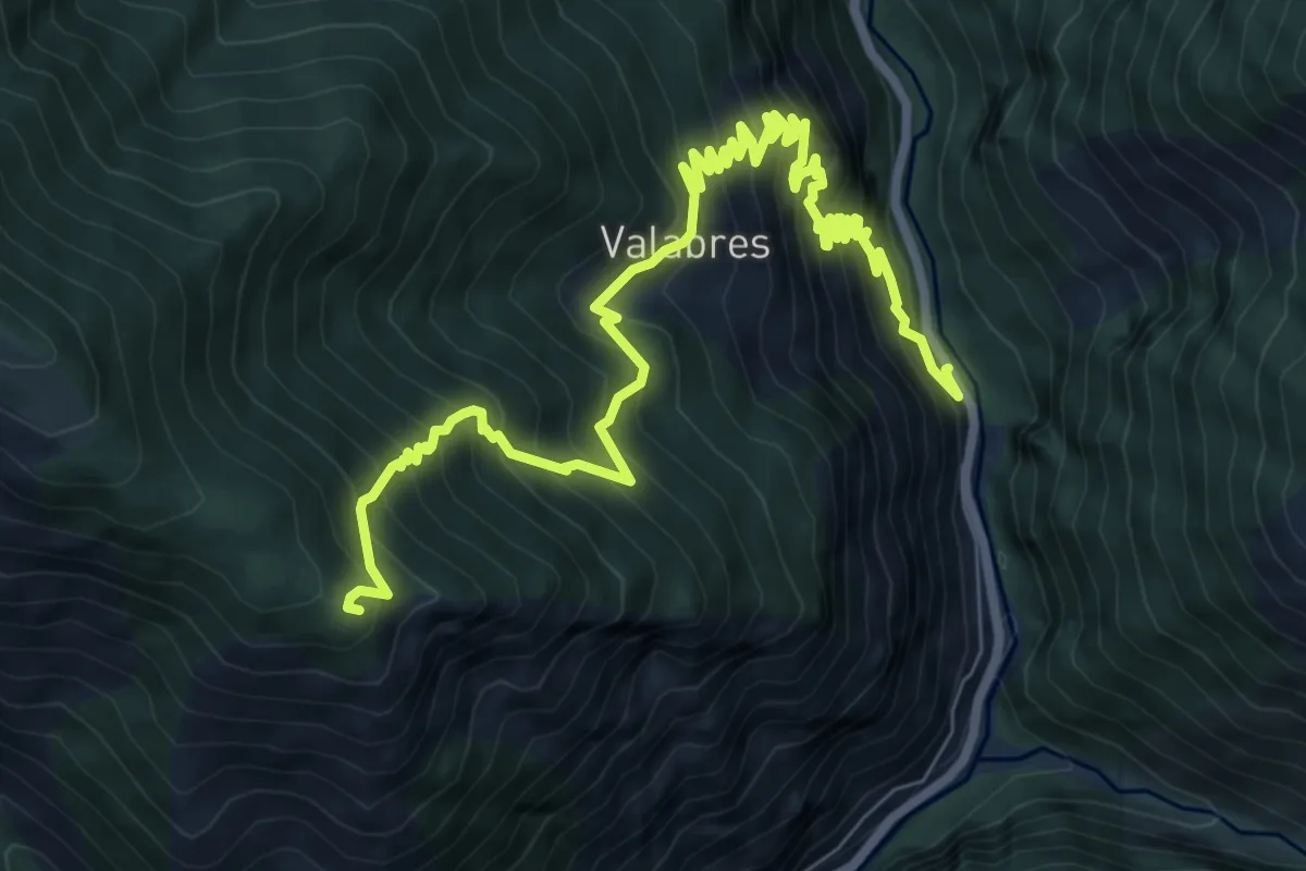
Demanding · Summit
Rochers de Valabres
11.0 km · ↑ 1357 m · 5 h 32 min
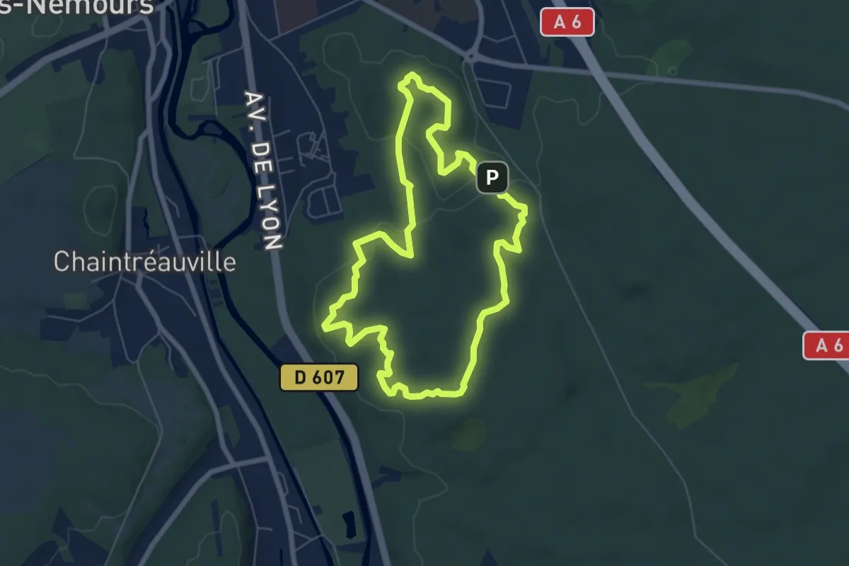
Easy · Trail
Rocher Vert
6.0 km · ↑ 81 m · 1 h 40 min
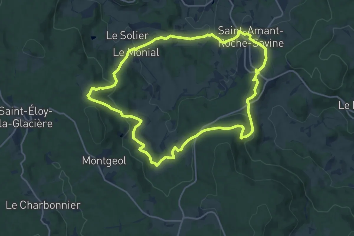
Medium · Trail
Roche-Savine
12.1 km · ↑ 460 m · 4 h 2 min
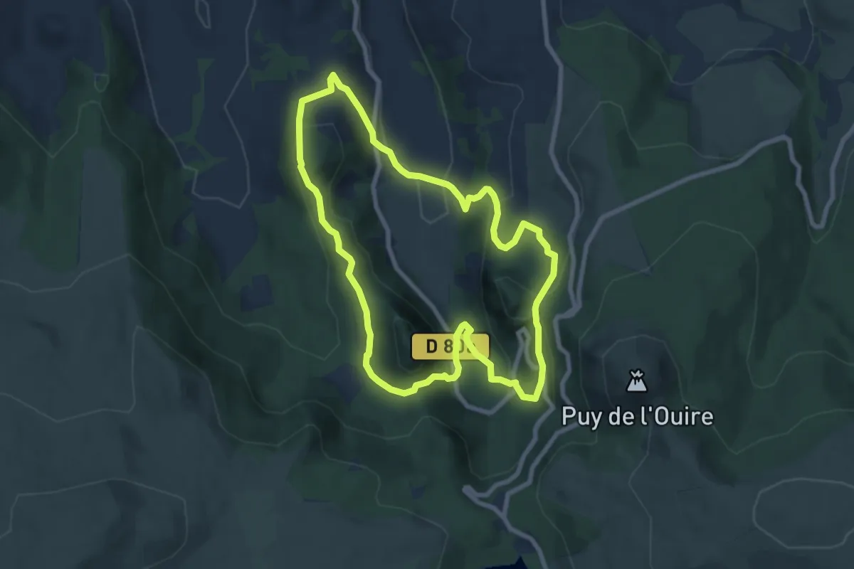
Medium · Summit
Roches Tuilière et Sanadoire
7.3 km · ↑ 373 m · 2 h 38 min
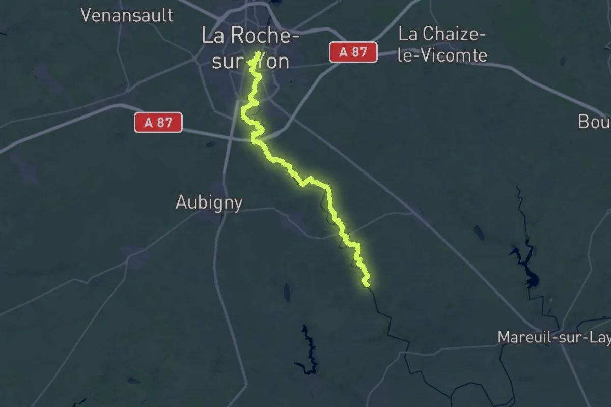
Demanding · Trail
Roche-sur-Yon - Tablier
20.5 km · ↑ 144 m · 5 h 26 min
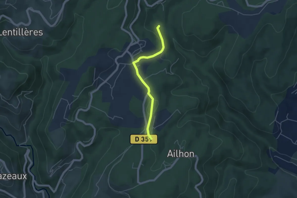
Easy · Trail
Rode - Basse Lieure
4.0 km · ↑ 88 m · 1 h 8 min
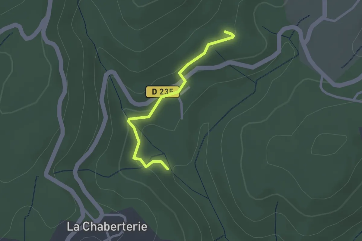
Easy · Trail
Rode - La Faugère
2.2 km · ↑ 73 m · 40 min
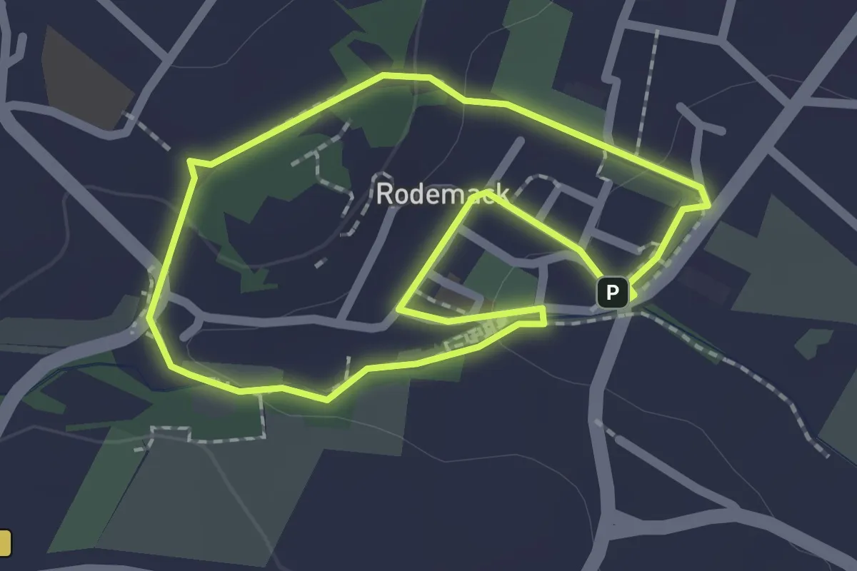
Easy · Trail
Rodemack Promenade des Remparts
1.7 km · ↑ 36 m · 30 min