Trails in France
15,926 hiking trails, each with its route, climb, walking time and grade.
All trails, page 233 of 332
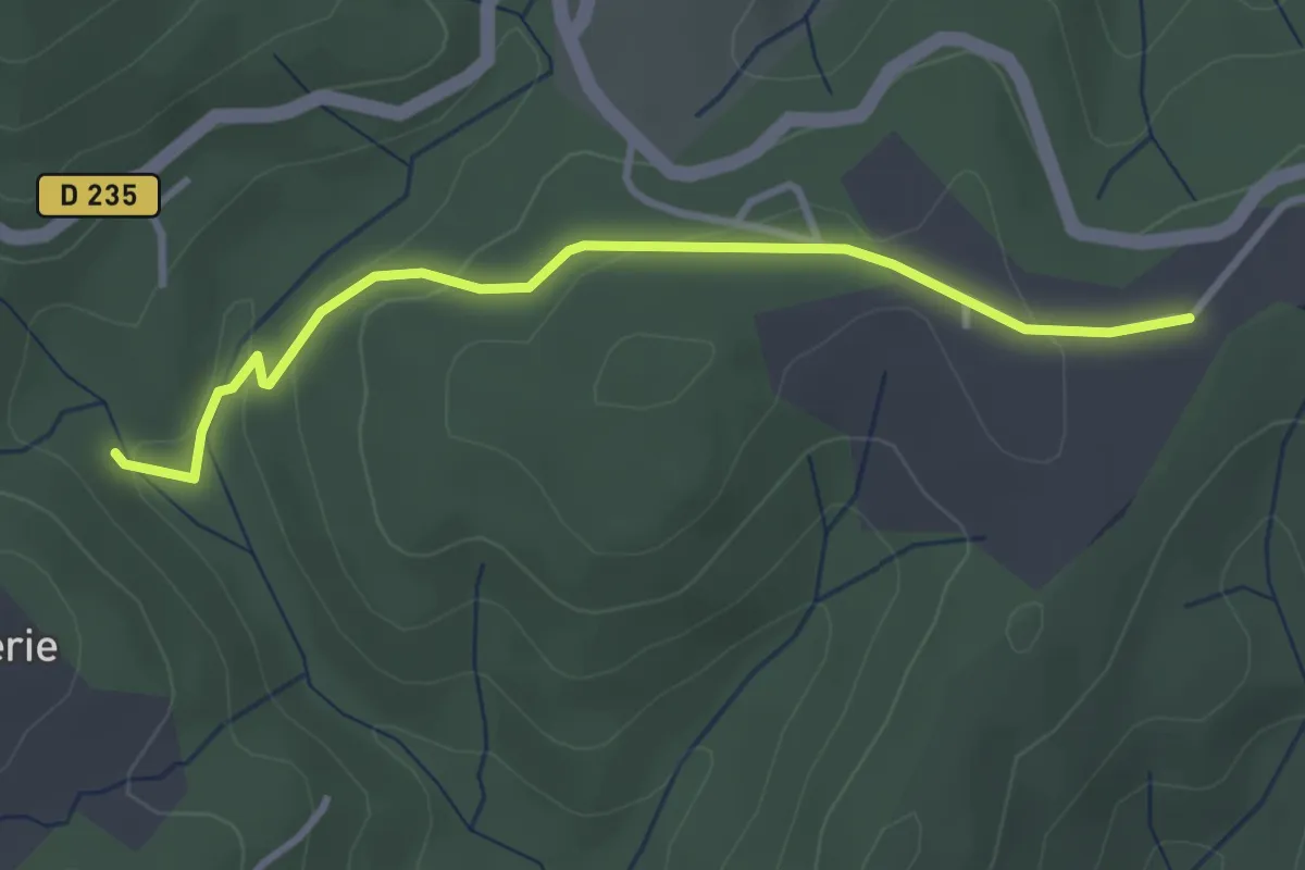
Easy · Trail
Rode - Plaine des Rompudes
3.3 km · ↑ 85 m · 58 min
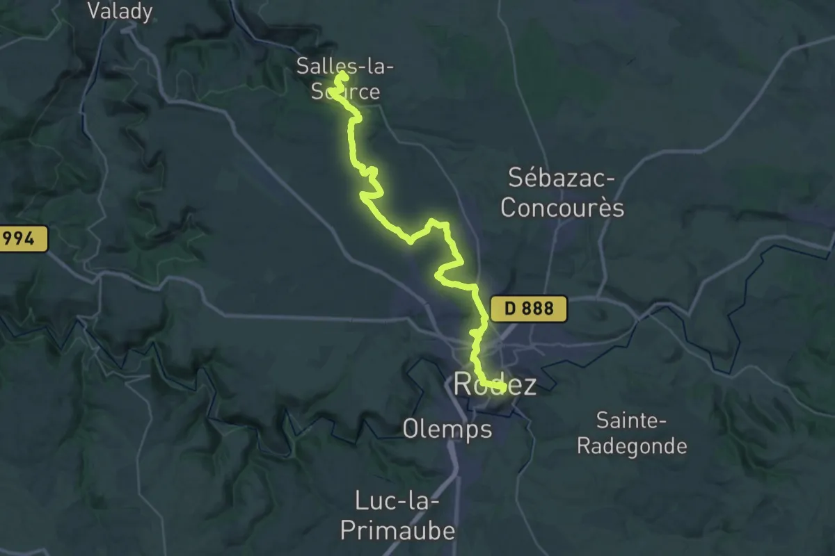
Demanding · Trail
Rodez - Salles-la-Source
18.6 km · ↑ 242 m · 5 h 17 min
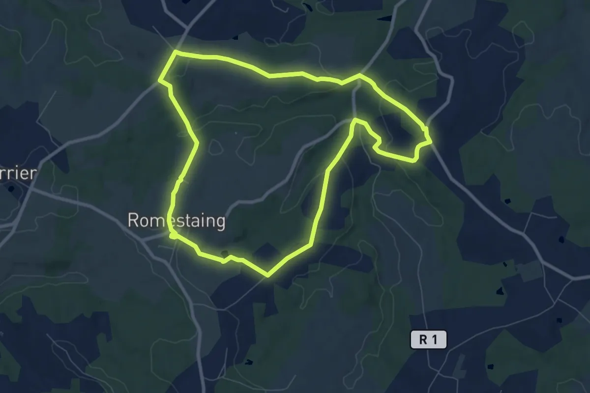
Medium · Trail
Romestaing, dans les pas des Templiers - 8.3 km
8.2 km · ↑ 197 m · 2 h 28 min
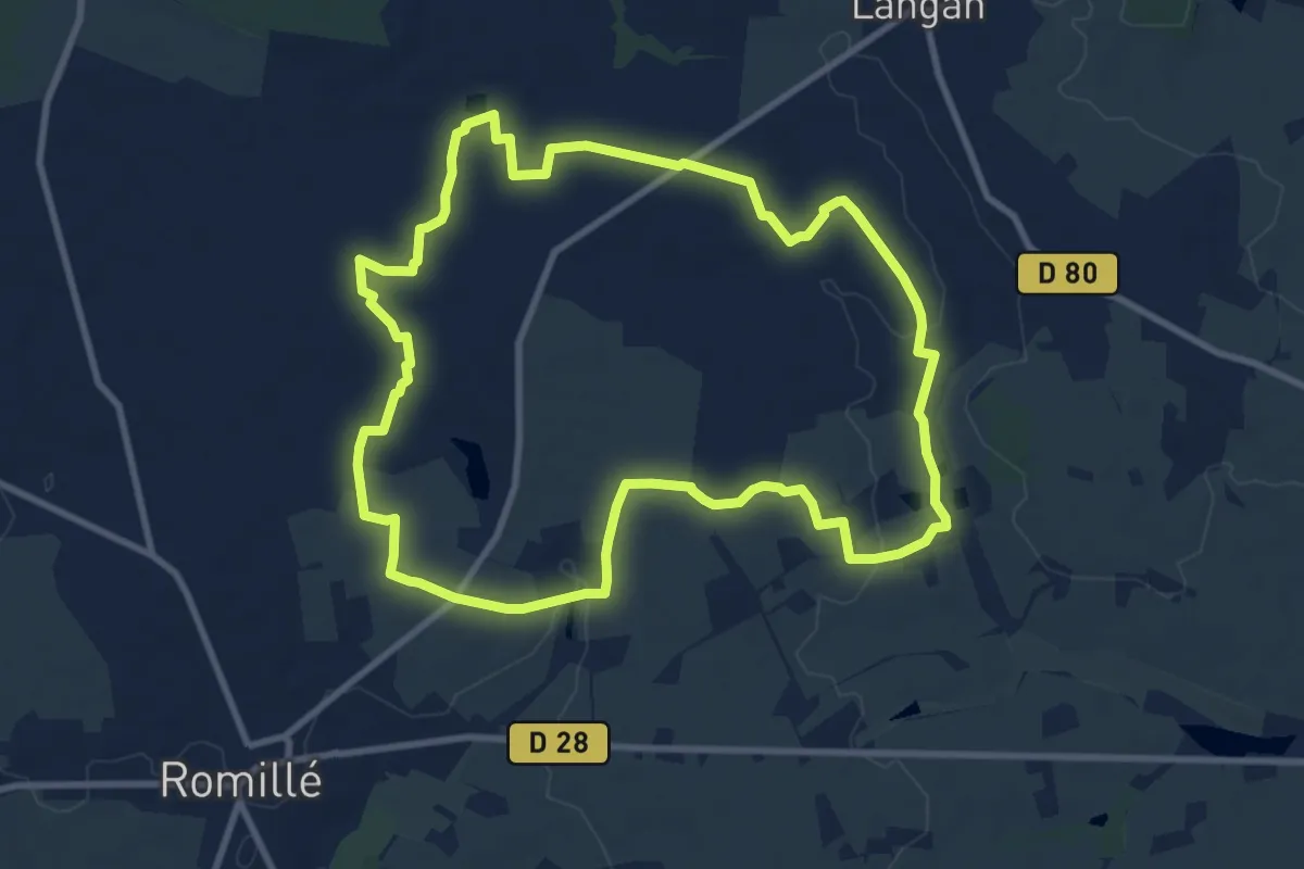
Medium · Trail
Romillé - la Draperie
9.6 km · ↑ 56 m · 2 h 31 min
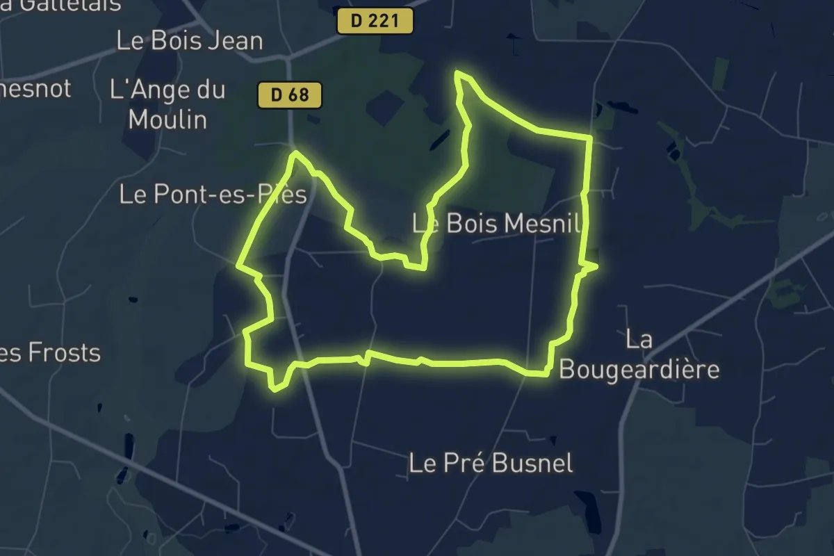
Medium · Trail
Romillé - le Bois
8.7 km · ↑ 37 m · 2 h 16 min
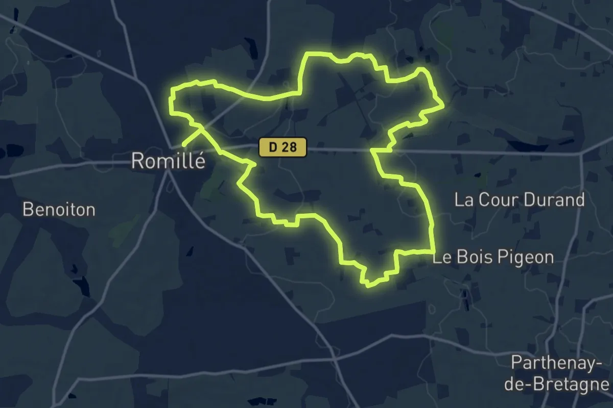
Medium · Trail
Romillé - le Pas de l'Oie
13.3 km · ↑ 92 m · 3 h 31 min
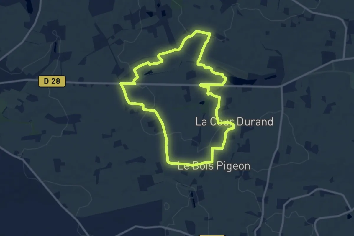
Easy · Trail
Romillé - le Saut-Bois
7.7 km · ↑ 58 m · 2 h 3 min
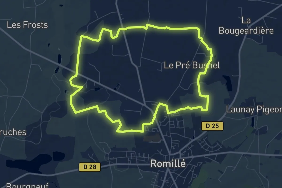
Medium · Trail
Romillé - les Néfliers
8.8 km · ↑ 45 m · 2 h 17 min
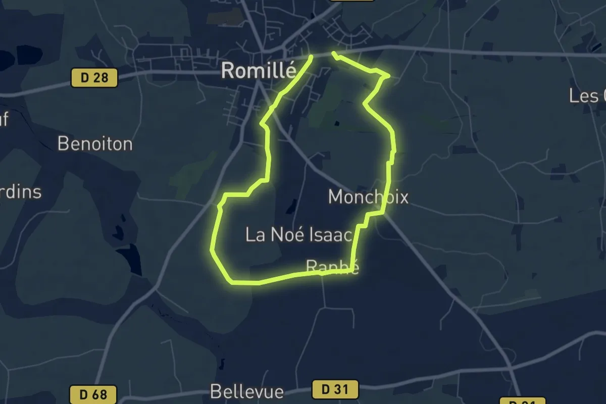
Easy · Trail
Romillé - les Ruisseaux
5.6 km · ↑ 49 m · 1 h 30 min
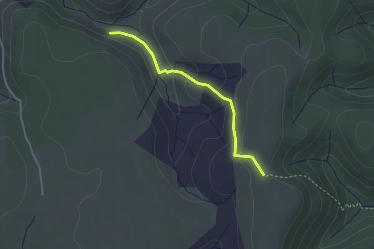
Easy · Trail
Ron Chamorel - Tête de Crespi
2.6 km · ↑ 97 m · 49 min
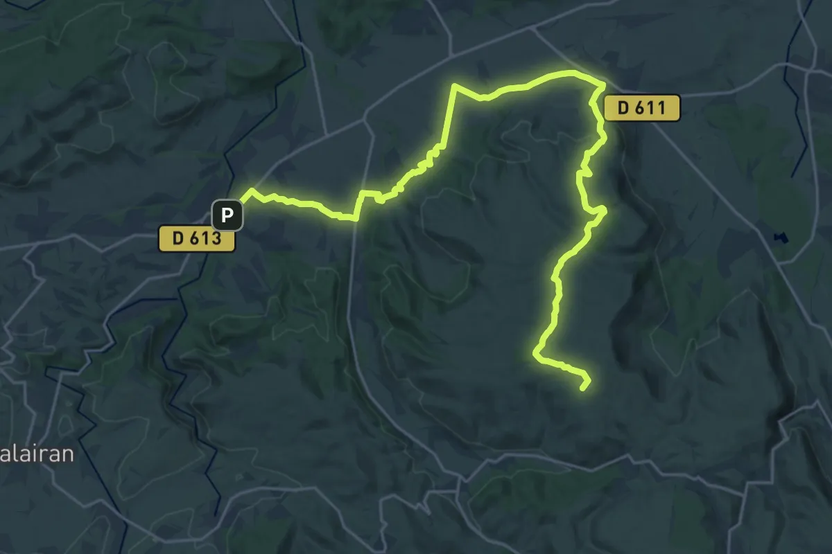
Demanding · Summit
Ronde Au Coeur Des Corbières Etape 1
29.1 km · ↑ 475 m · 7 h 55 min
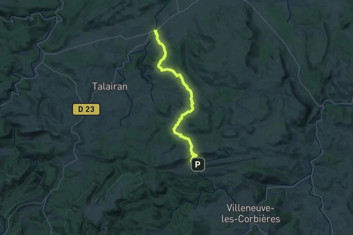
Demanding · Trail
Ronde Au Coeur Des Corbières Etape 2
27.6 km · ↑ 568 m · 7 h 44 min
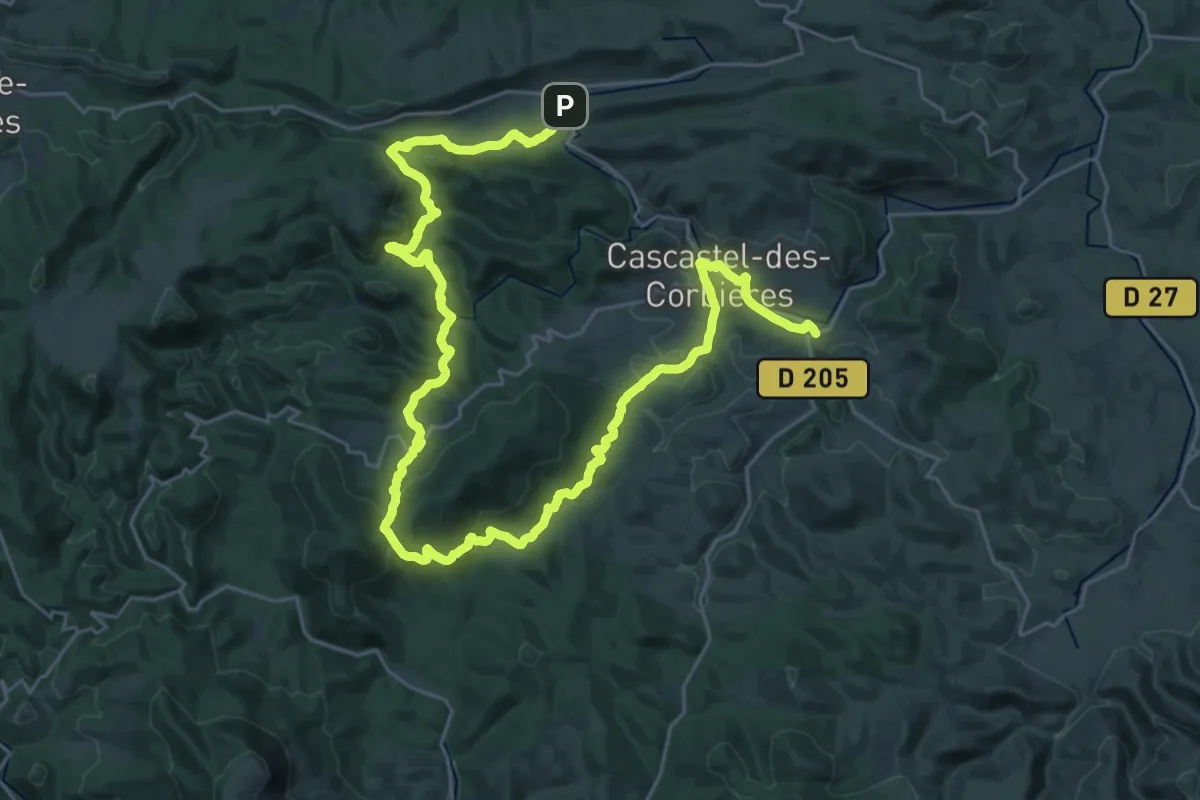
Demanding · Trail
Ronde Au Coeur Des Corbières Etape 3
21.6 km · ↑ 592 m · 6 h 44 min
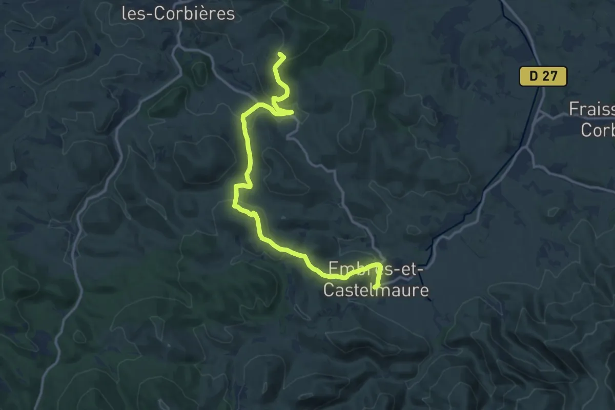
Medium · Summit
Ronde Au Coeur Des Corbières Etape 4
13.8 km · ↑ 456 m · 4 h 14 min
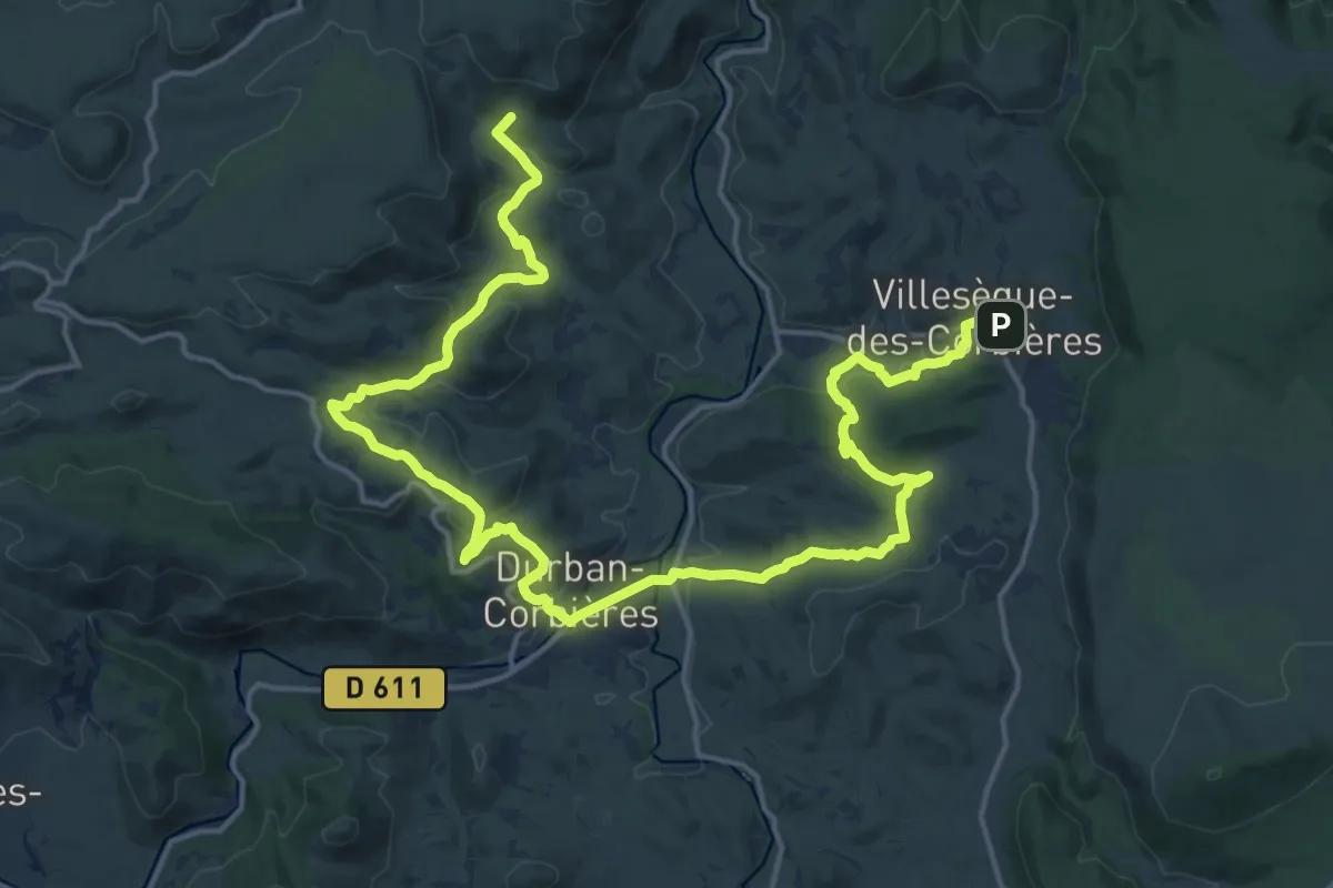
Demanding · Summit
Ronde Au Coeur Des Corbières Etape 6
25.6 km · ↑ 590 m · 7 h 19 min
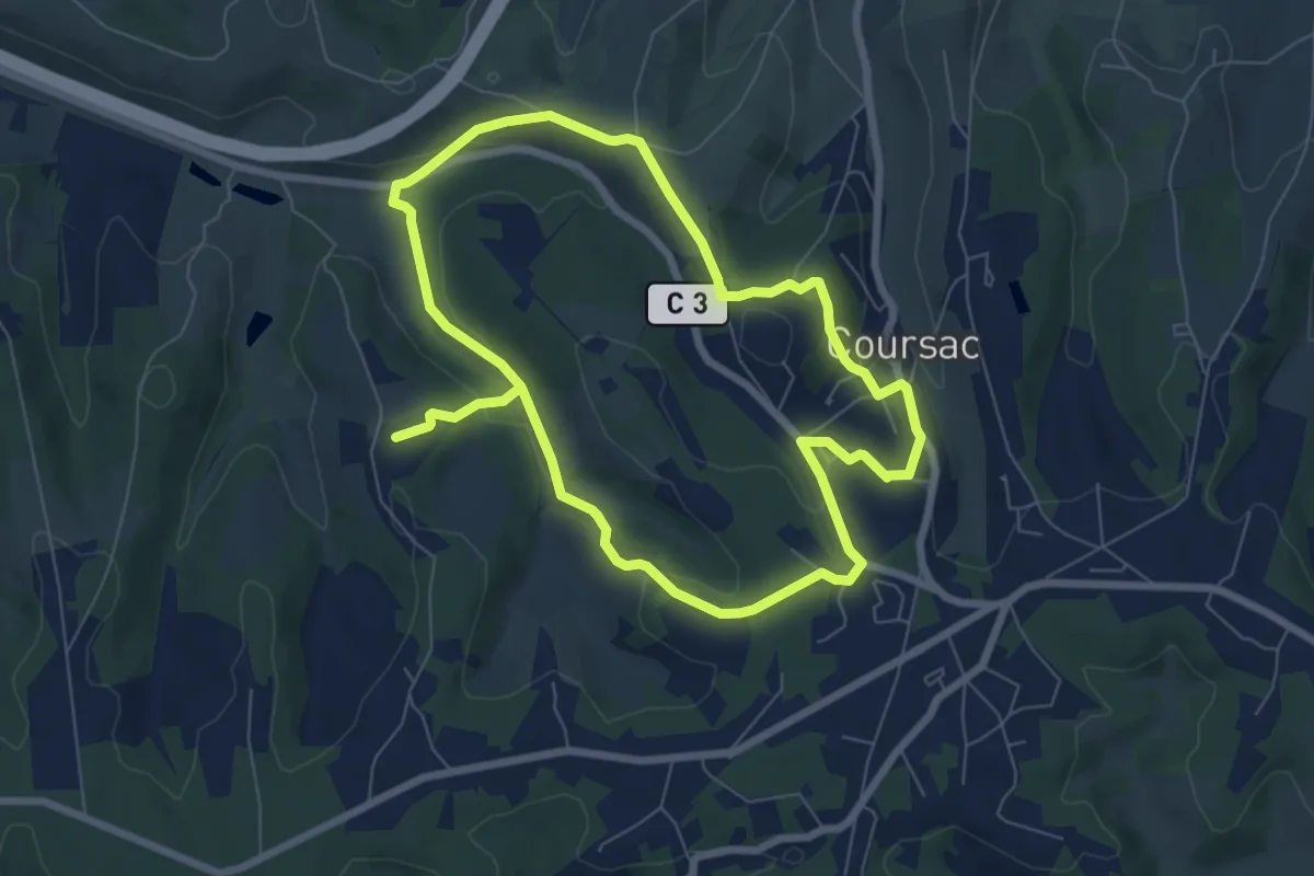
Medium · Trail
Ronde des Lavandières
13.9 km · ↑ 332 m · 4 h
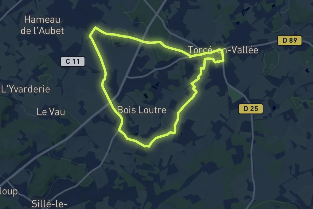
Medium · Trail
Ronde du Palet de Gargantua
8.3 km · ↑ 61 m · 2 h 13 min
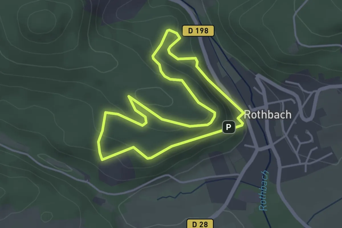
Easy · Trail
Rond jaune
5.8 km · ↑ 238 m · 1 h 53 min
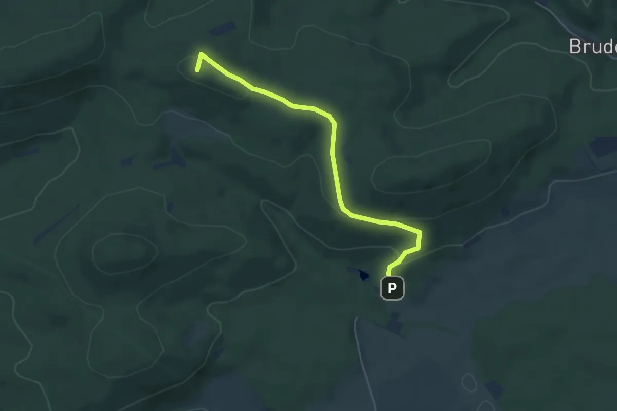
Easy · Summit
Rond jaune
4.4 km · ↑ 173 m · 1 h 25 min
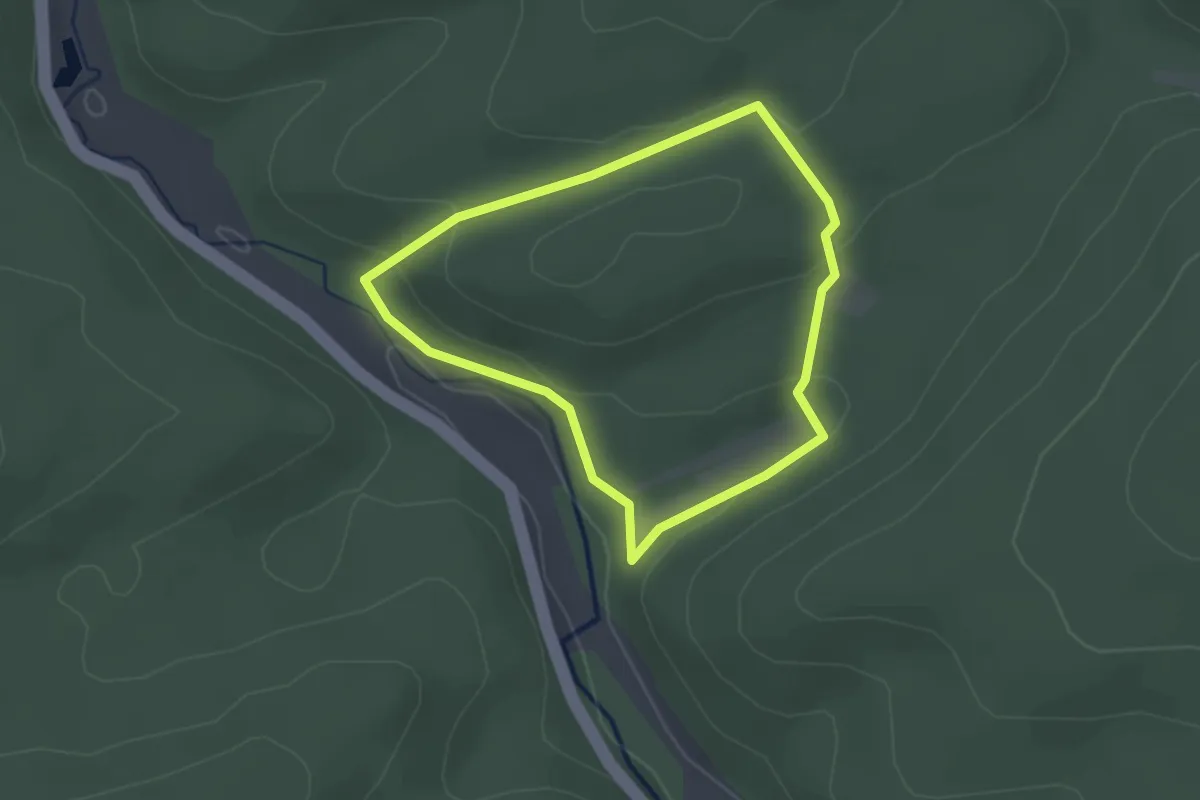
Easy · Trail
Rond rouge
2.0 km · ↑ 62 m · 39 min
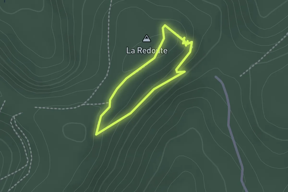
Easy · Summit
Rond rouge
1.3 km · ↑ 24 m · 22 min
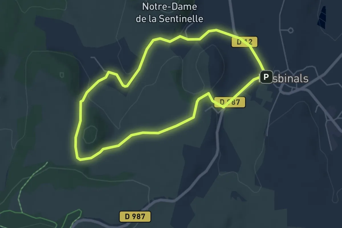
Easy · Trail
Roquecole
4.9 km · ↑ 85 m · 1 h 24 min
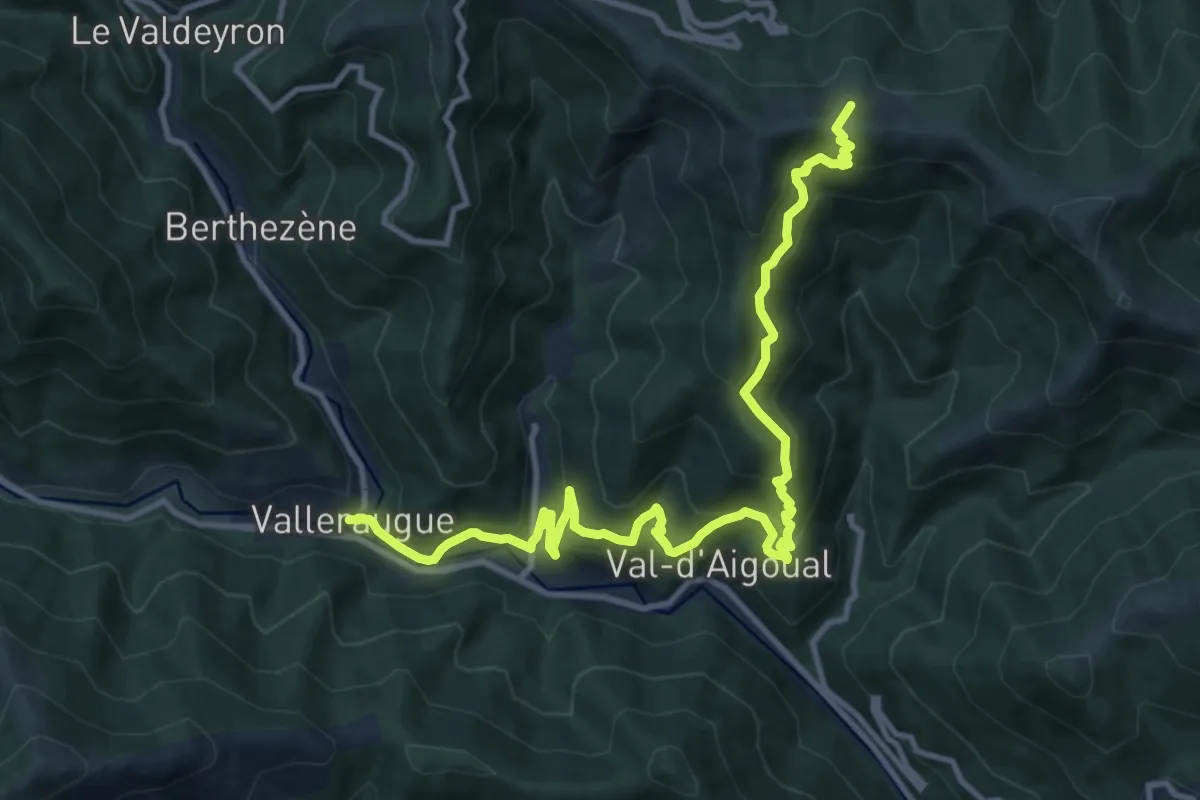
Demanding · Trail
Roque-Rouge - Valleraugue
13.9 km · ↑ 887 m · 5 h 13 min
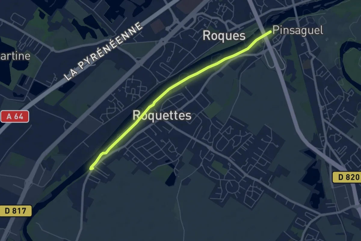
Easy · Trail
Roquette-Saubens alternative
6.4 km · ↑ 8 m · 1 h 31 min
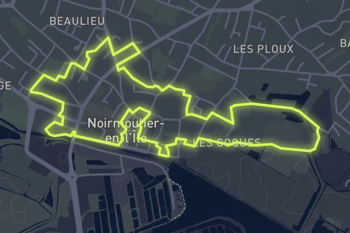
Easy · Trail
Roses Trémières
5.4 km · ↑ 4 m · 1 h 21 min
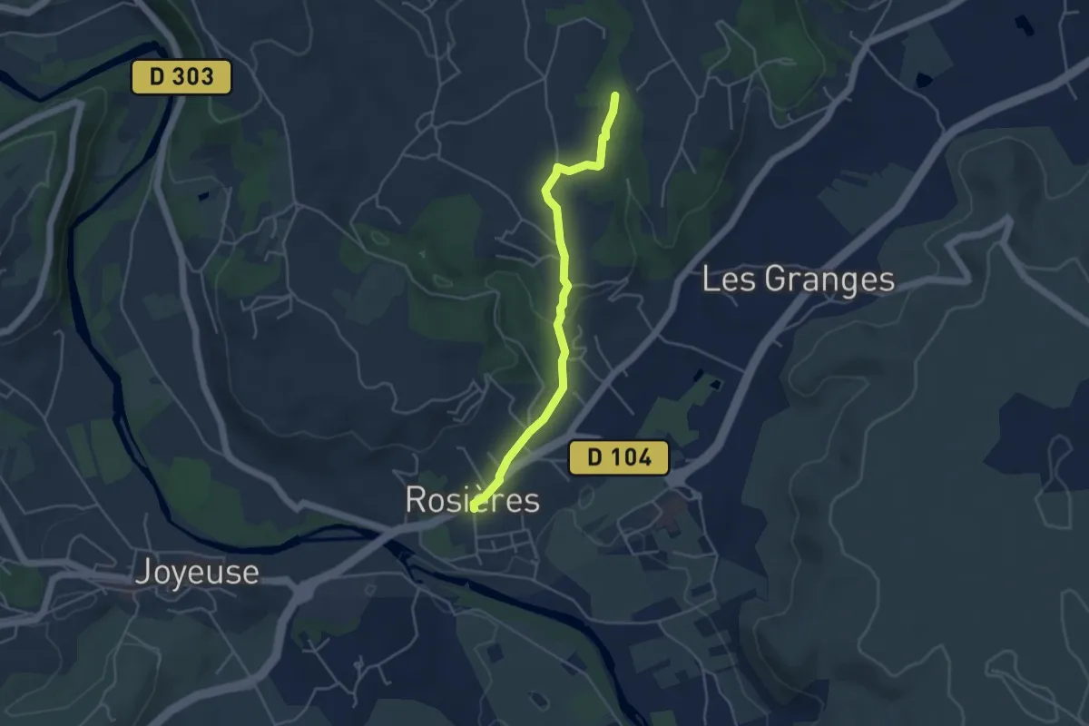
Easy · Trail
Rosières Info Rando - Augnac
4.2 km · ↑ 83 m · 1 h 11 min
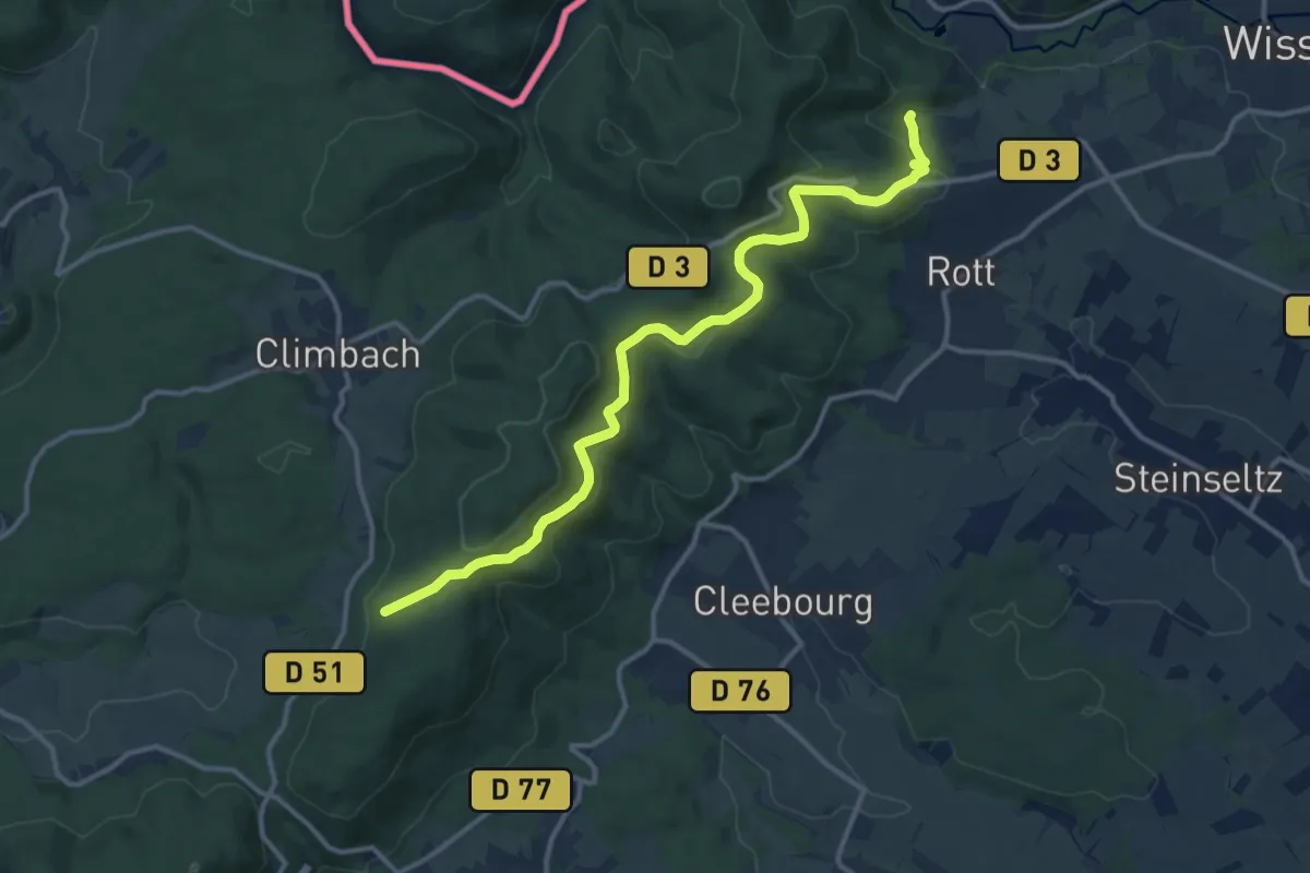
Medium · Trail
Rotes Kreuz
12.9 km · ↑ 535 m · 4 h 12 min
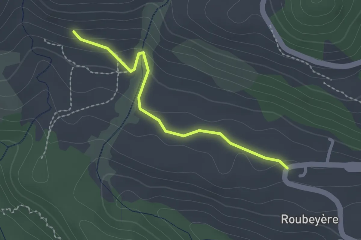
Easy · Trail
Roubeyère- ?
2.0 km · ↑ 79 m · 38 min
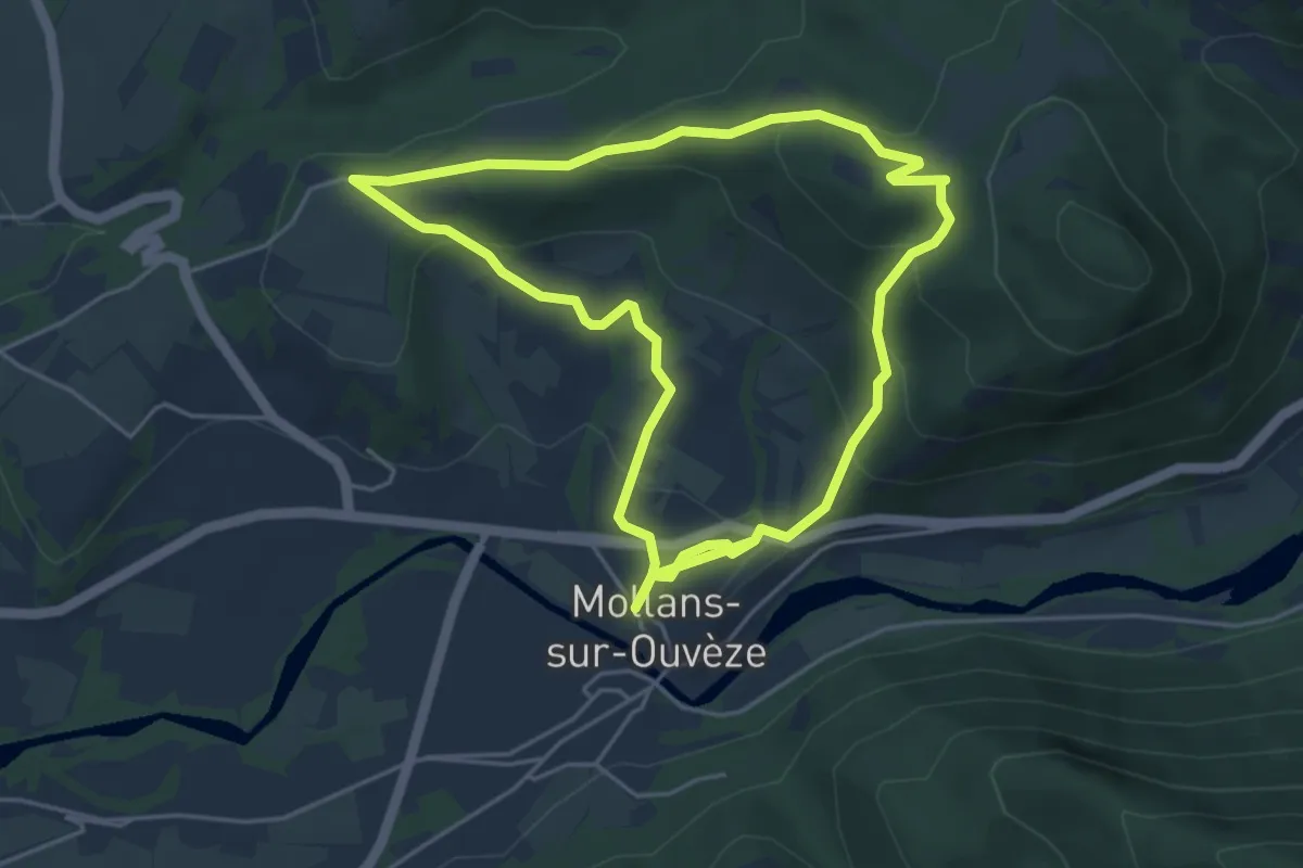
Easy · Trail
Roubion
4.8 km · ↑ 194 m · 1 h 38 min
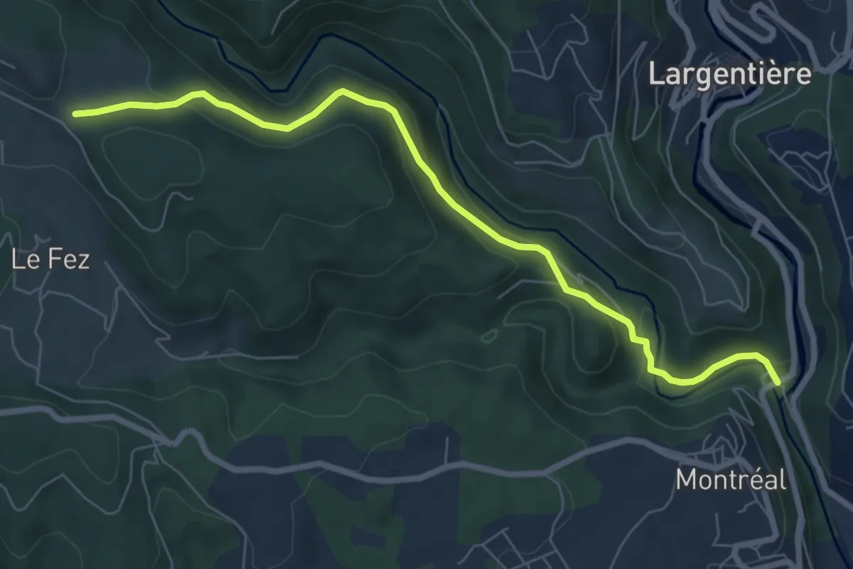
Easy · Trail
Roubreau - Haut Laval
7.4 km · ↑ 297 m · 2 h 23 min
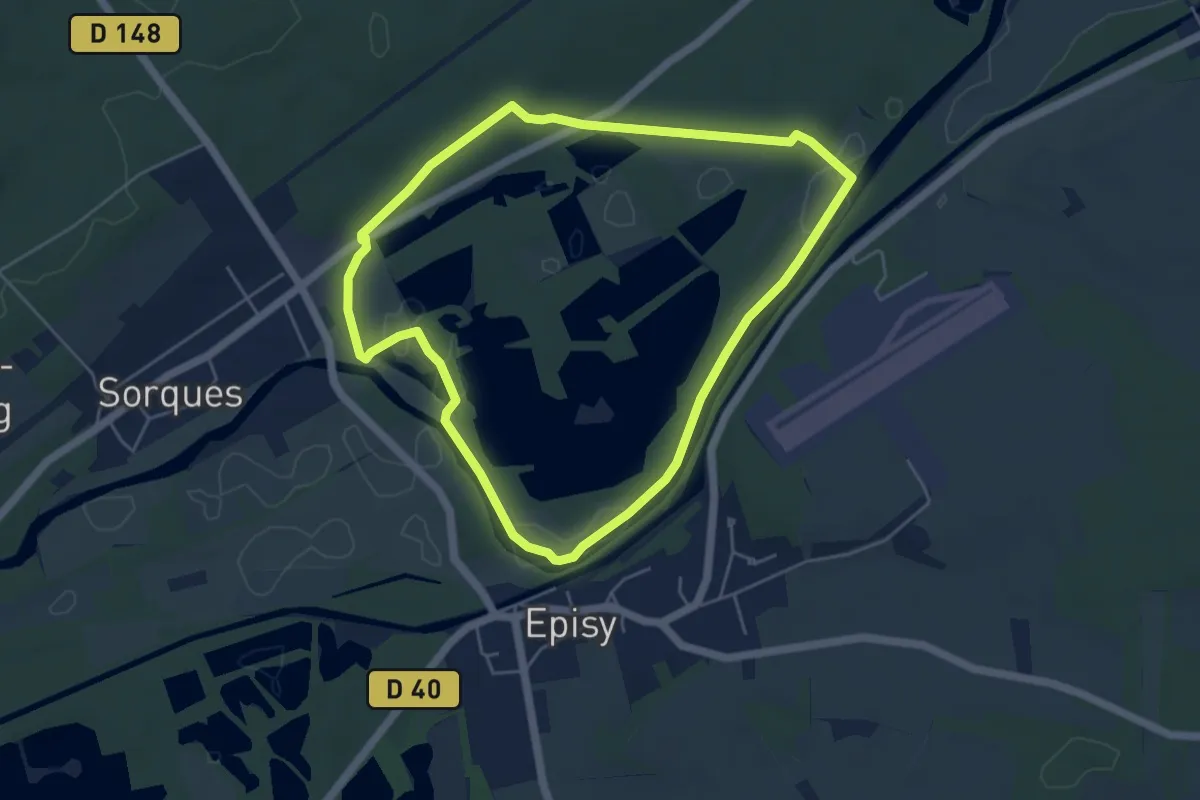
Easy · Trail
Rouge
4.8 km · ↑ 36 m · 1 h 16 min
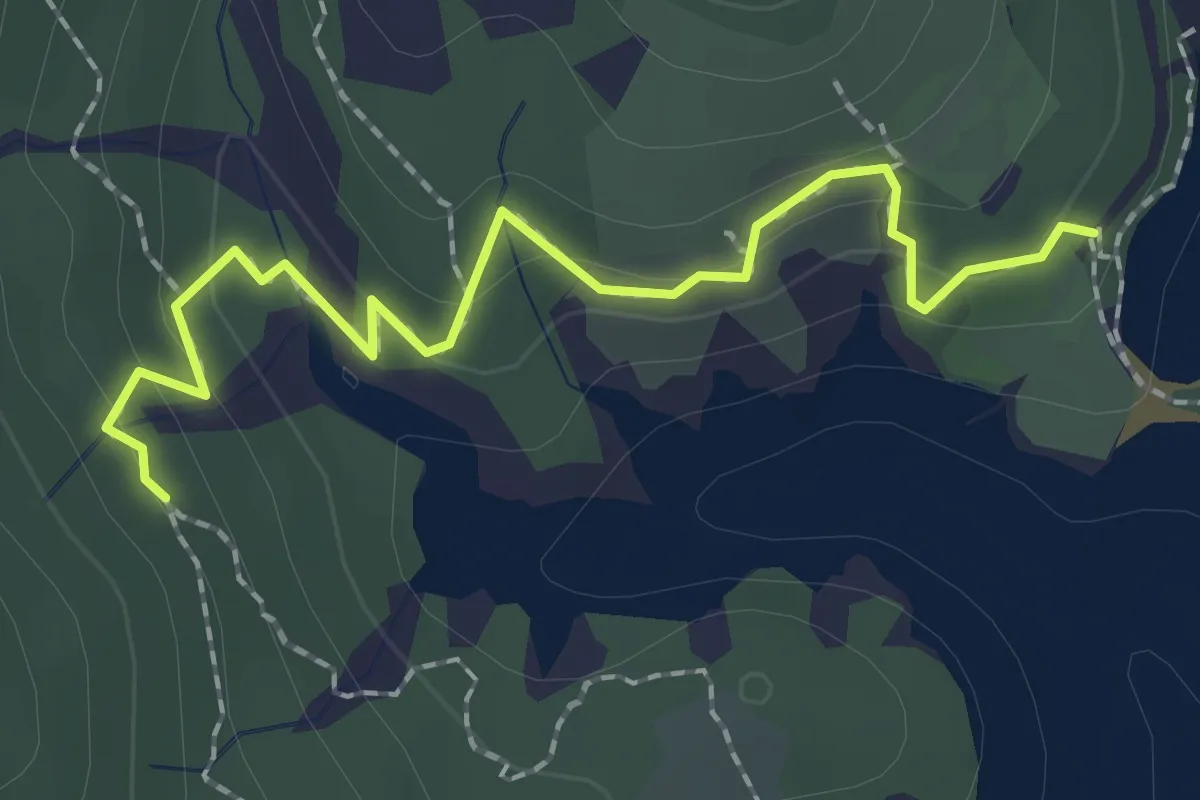
Easy · Trail
Rougon - Serre de l'Aigle
2.3 km · ↑ 153 m · 52 min
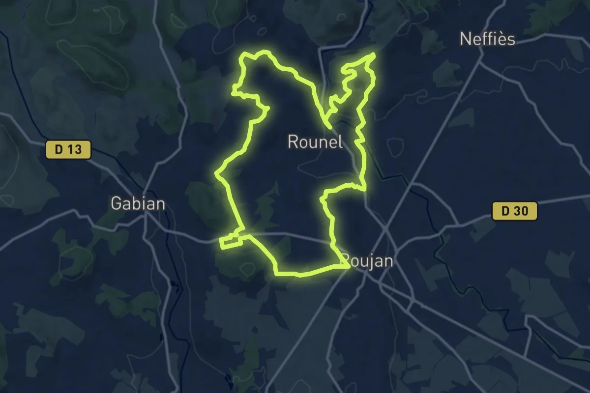
Medium · Summit
Roujan - Abbaye de Cassan
13.9 km · ↑ 293 m · 4 h 6 min
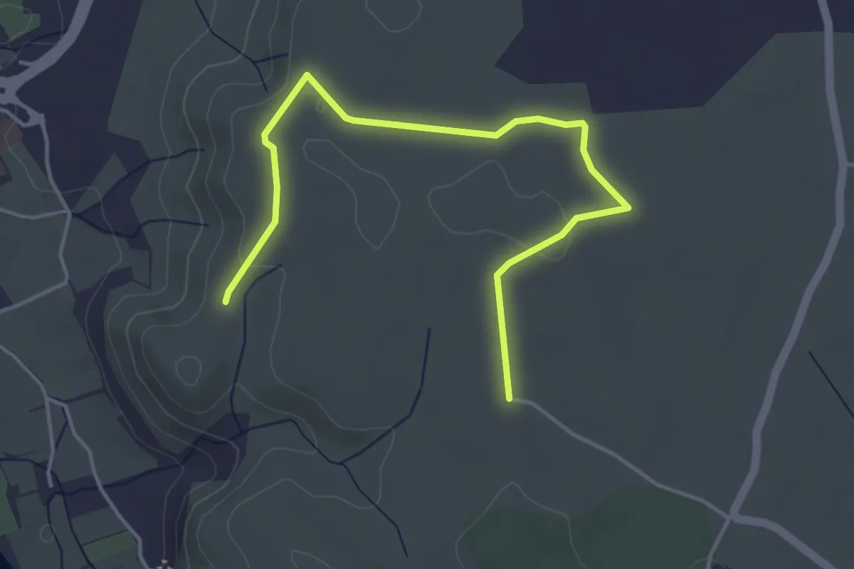
Easy · Trail
Rouseiret - Remène
4.9 km · ↑ 60 m · 1 h 17 min
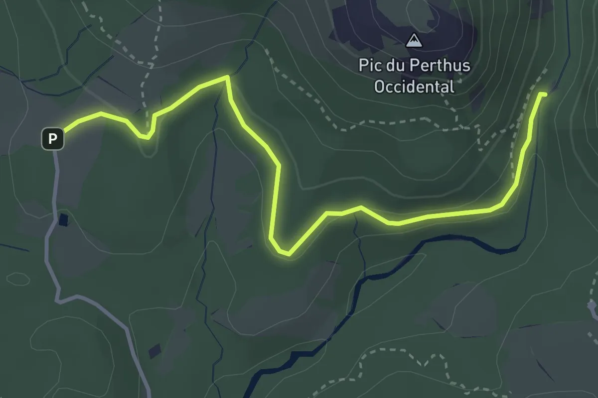
Easy · Trail
Roussivau (rose)
2.0 km · ↑ 33 m · 34 min
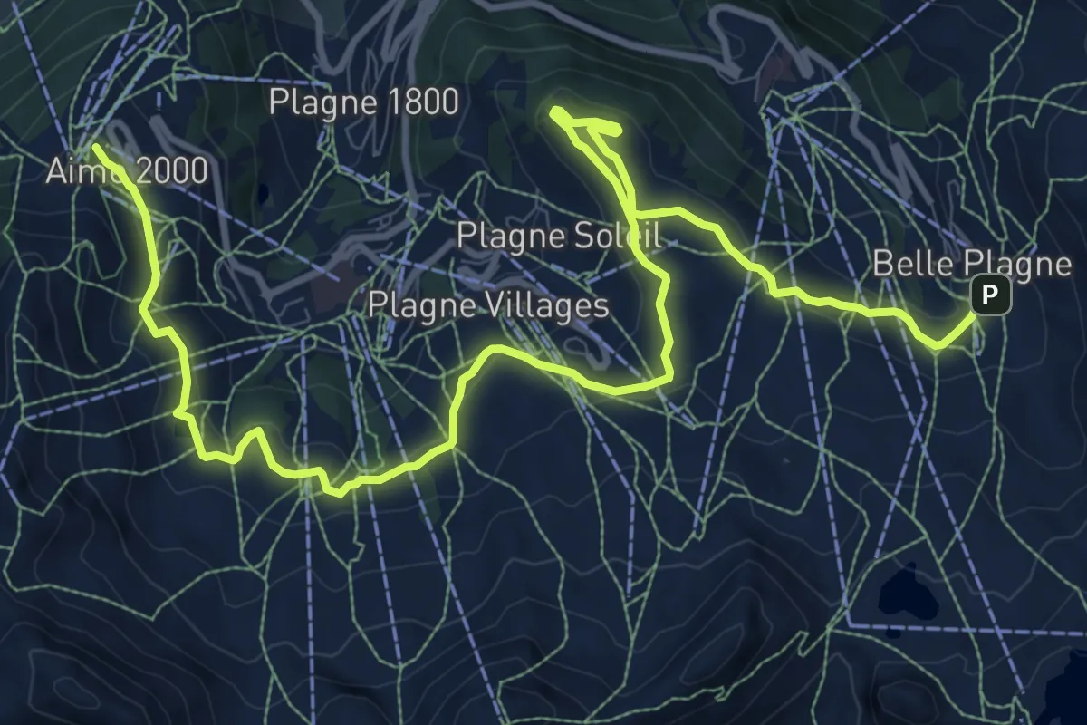
Medium · Trail
Route Balcon
14.6 km · ↑ 382 m · 4 h 16 min
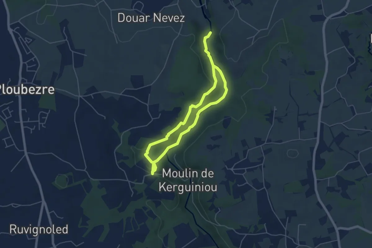
Easy · Trail
Route balise
7.5 km · ↑ 149 m · 2 h 6 min
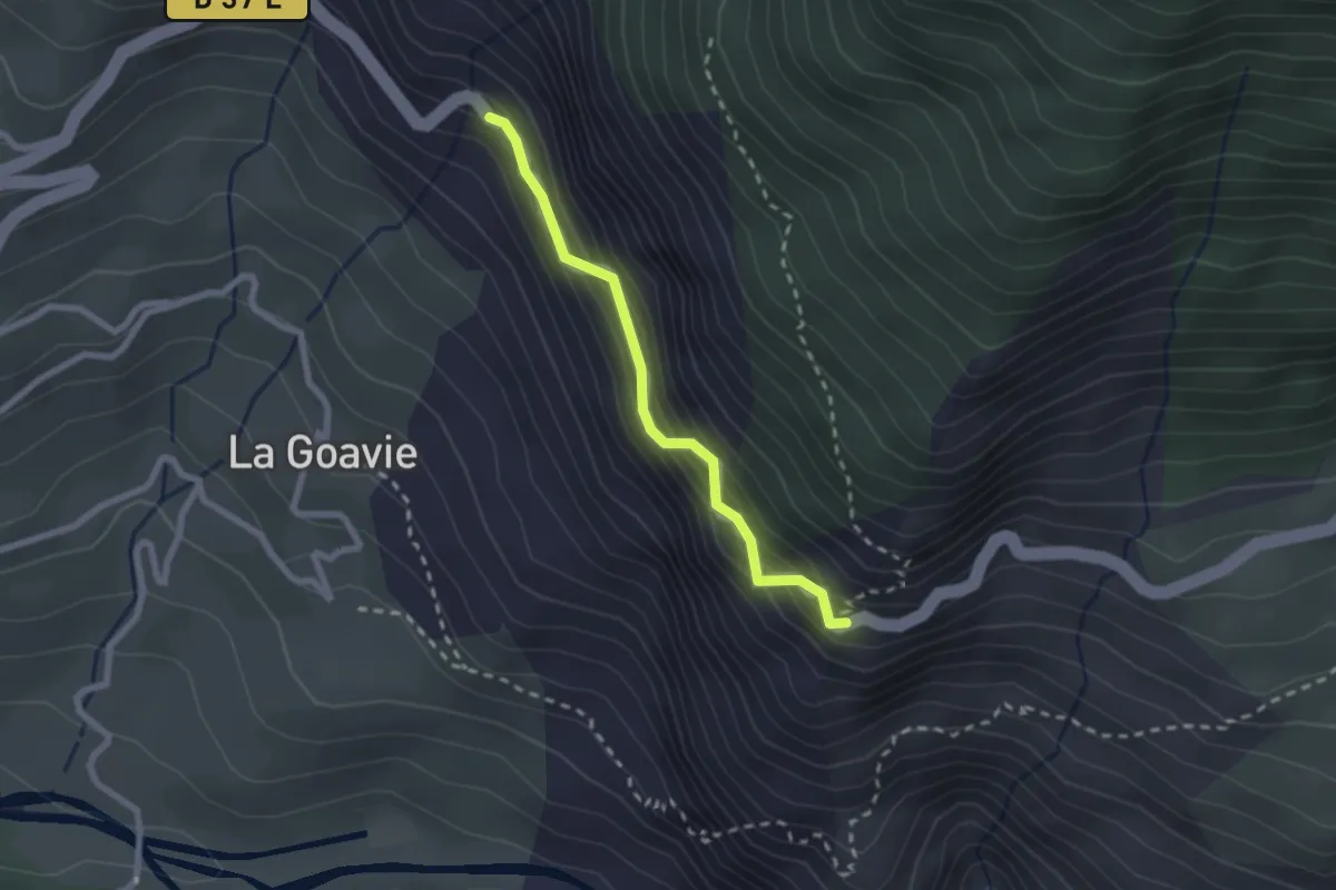
Easy · Trail
Route de Gros - Serre de l'Aigle
2.2 km · ↑ 238 m · 1 h 1 min
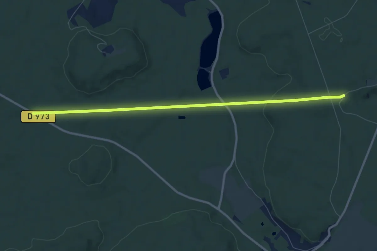
Easy · Trail
Route de la Mariolle
7.6 km · ↑ 108 m · 2 h 2 min
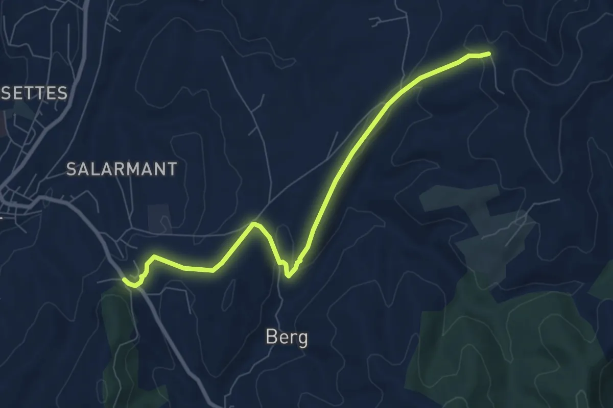
Easy · Trail
Route de Saint-Andeol - Chantuzas
7.8 km · ↑ 167 m · 2 h 13 min
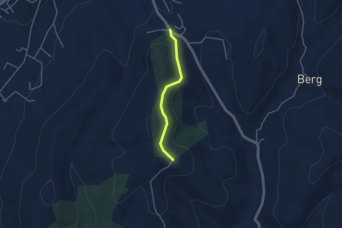
Easy · Trail
Route de Saint-Andeol - Fournery
2.4 km · ↑ 84 m · 46 min
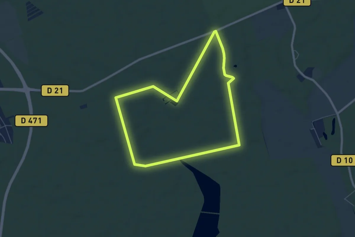
Easy · Trail
Route des Buronnières
5.7 km · ↑ 13 m · 1 h 28 min
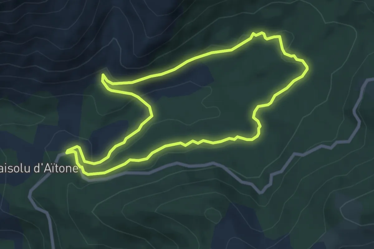
Medium · Trail
Route des Condamnés
5.9 km · ↑ 93 m · 1 h 40 min
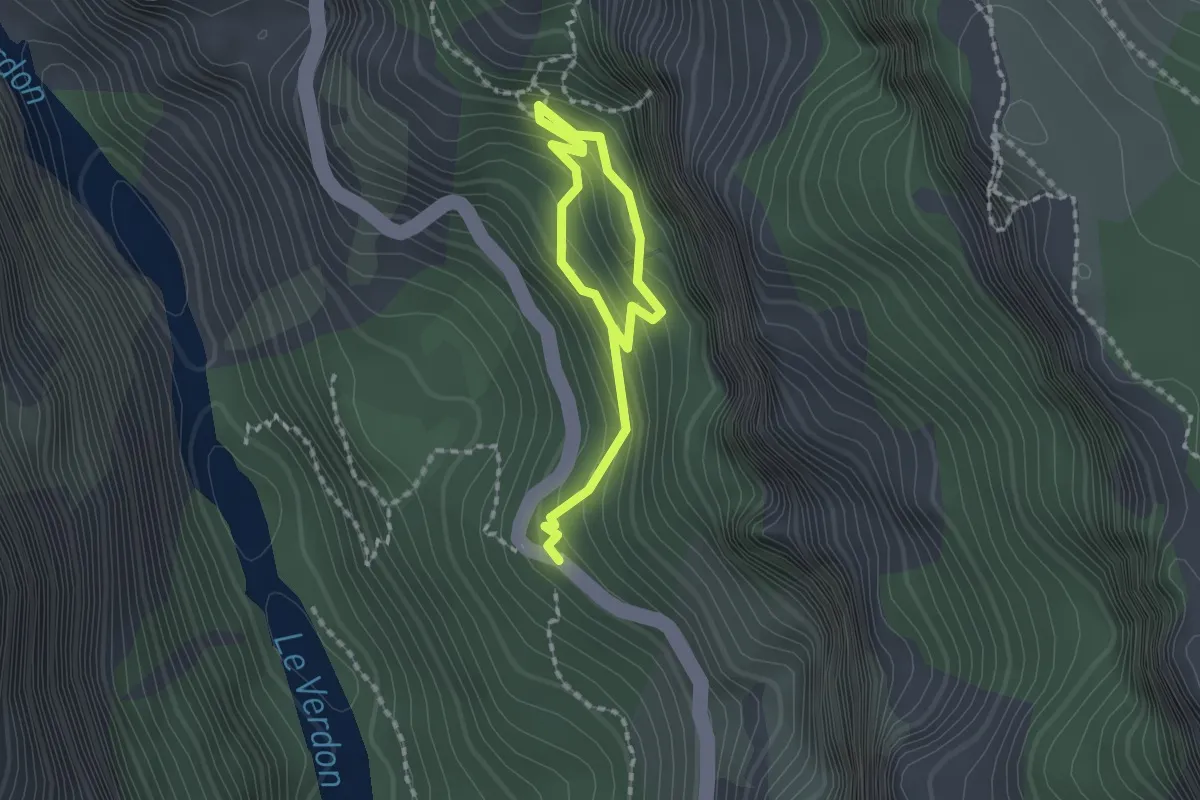
Medium · Trail
Route des Grottes de Saint-Maurin
2.2 km · ↑ 195 m · 57 min
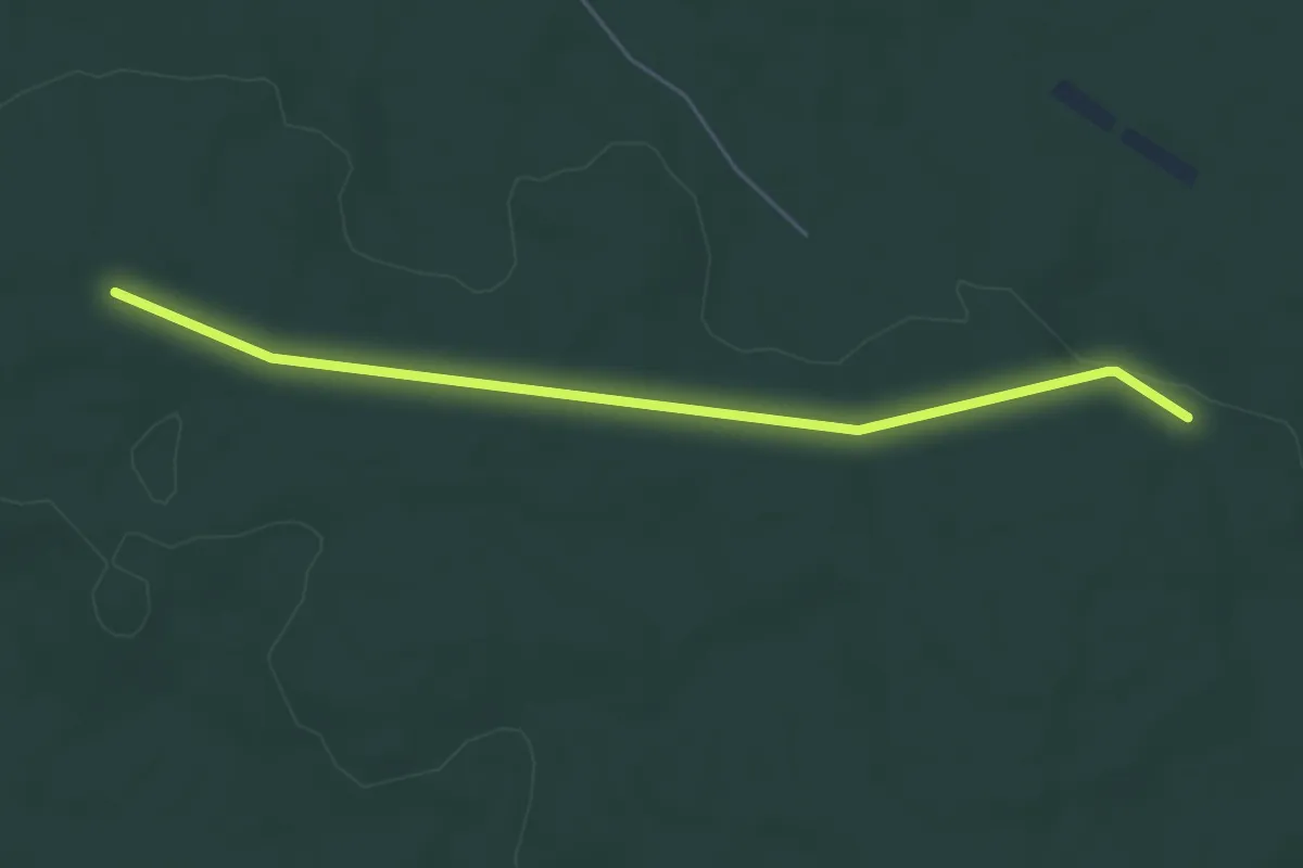
Easy · Trail
Route d'Osmond
5.0 km · ↑ 5 m · 1 h 12 min
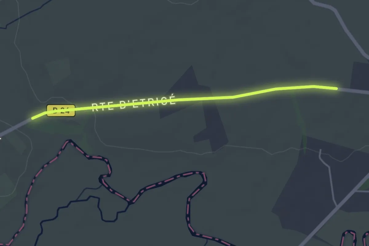
Easy · Trail
Route du Poiré
1.8 km · ↑ 18 m · 28 min
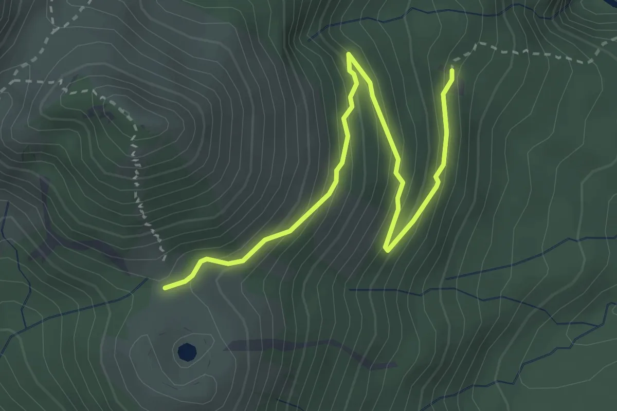
Easy · Cabin
Route en lacets
4.7 km · ↑ 313 m · 1 h 47 min
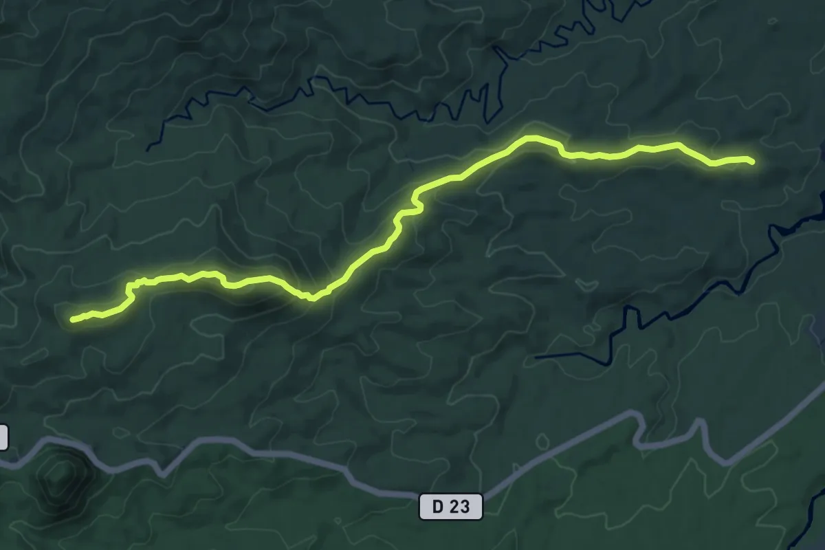
Medium · Summit
Route forestière de Grosse Montagne
13.9 km · ↑ 609 m · 4 h 36 min