Trails in France
15,926 hiking trails, each with its route, climb, walking time and grade.
All trails, page 234 of 332
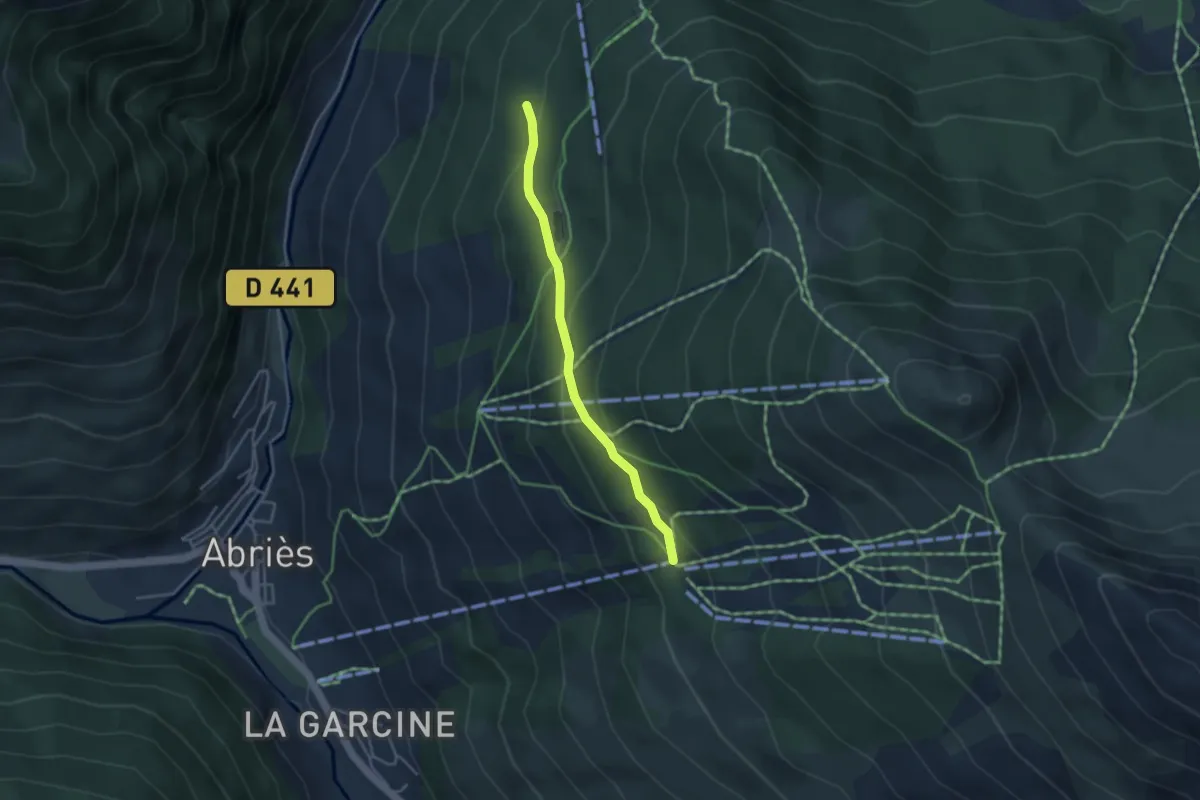
Easy · Trail
Route Forestière - Le Fusteit
3.5 km · ↑ 185 m · 1 h 13 min
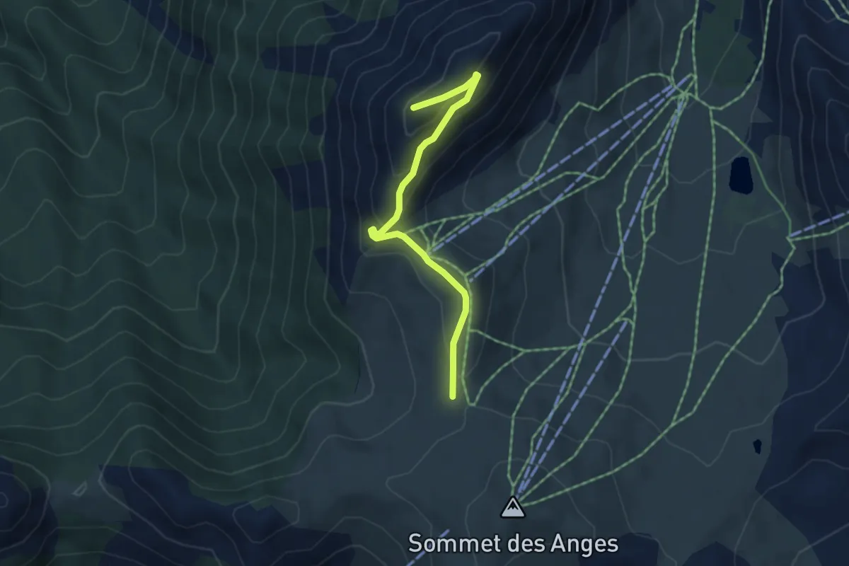
Easy · Summit
Route militaire - Le Janus
4.4 km · ↑ 276 m · 1 h 39 min
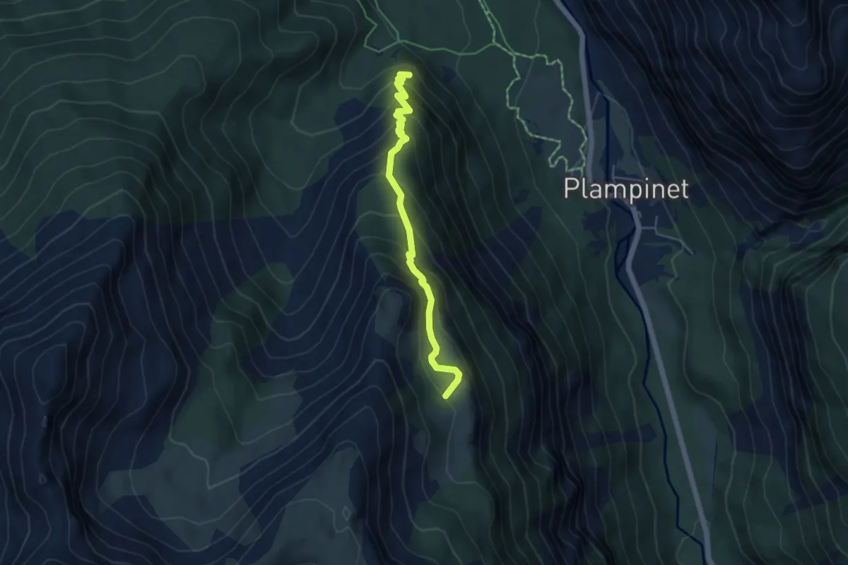
Medium · Trail
Route militaire - Les Savoyes
4.7 km · ↑ 488 m · 2 h 10 min
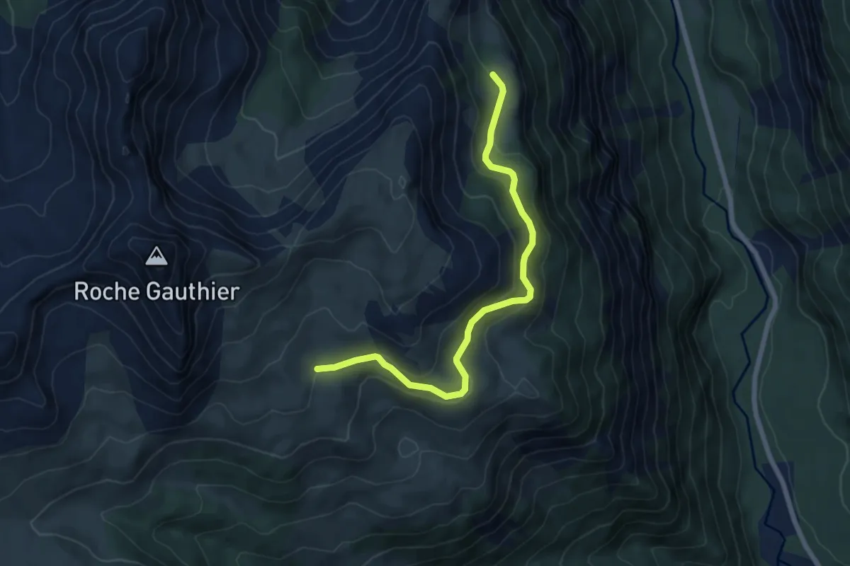
Easy · Trail
Route militaire - Route militaire
6.5 km · ↑ 259 m · 2 h 6 min
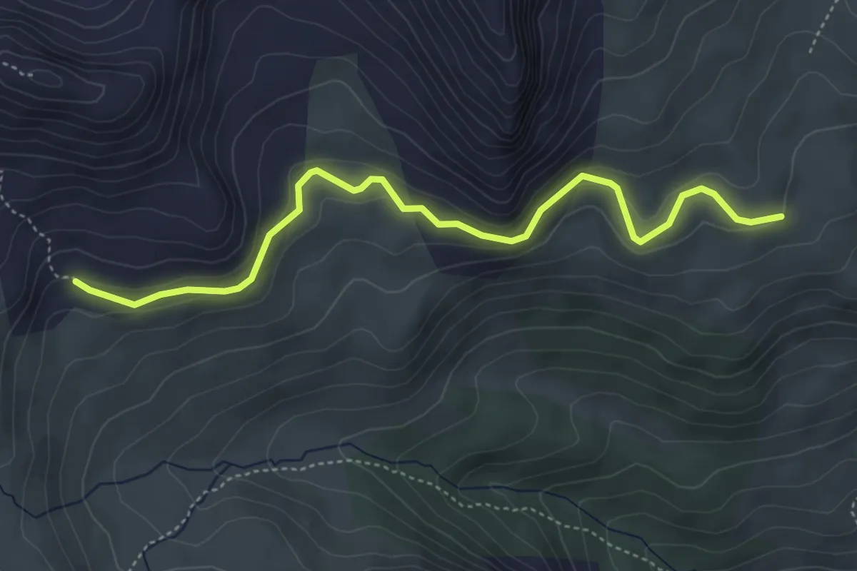
Easy · Trail
Route militaire - Route militaire
5.0 km · ↑ 243 m · 1 h 43 min
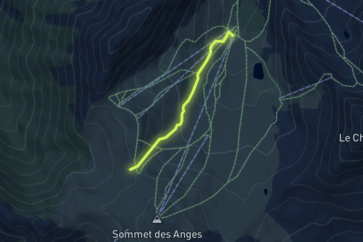
Medium · Trail
Route militaire - Télésiège des Gondrans
3.7 km · ↑ 253 m · 1 h 25 min
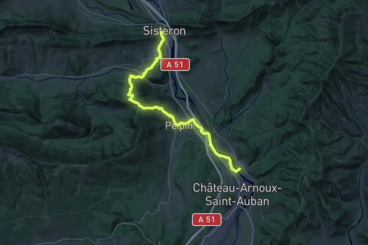
Demanding · Trail
Route Napoléon à Pied (variante)
18.7 km · ↑ 647 m · 6 h 7 min
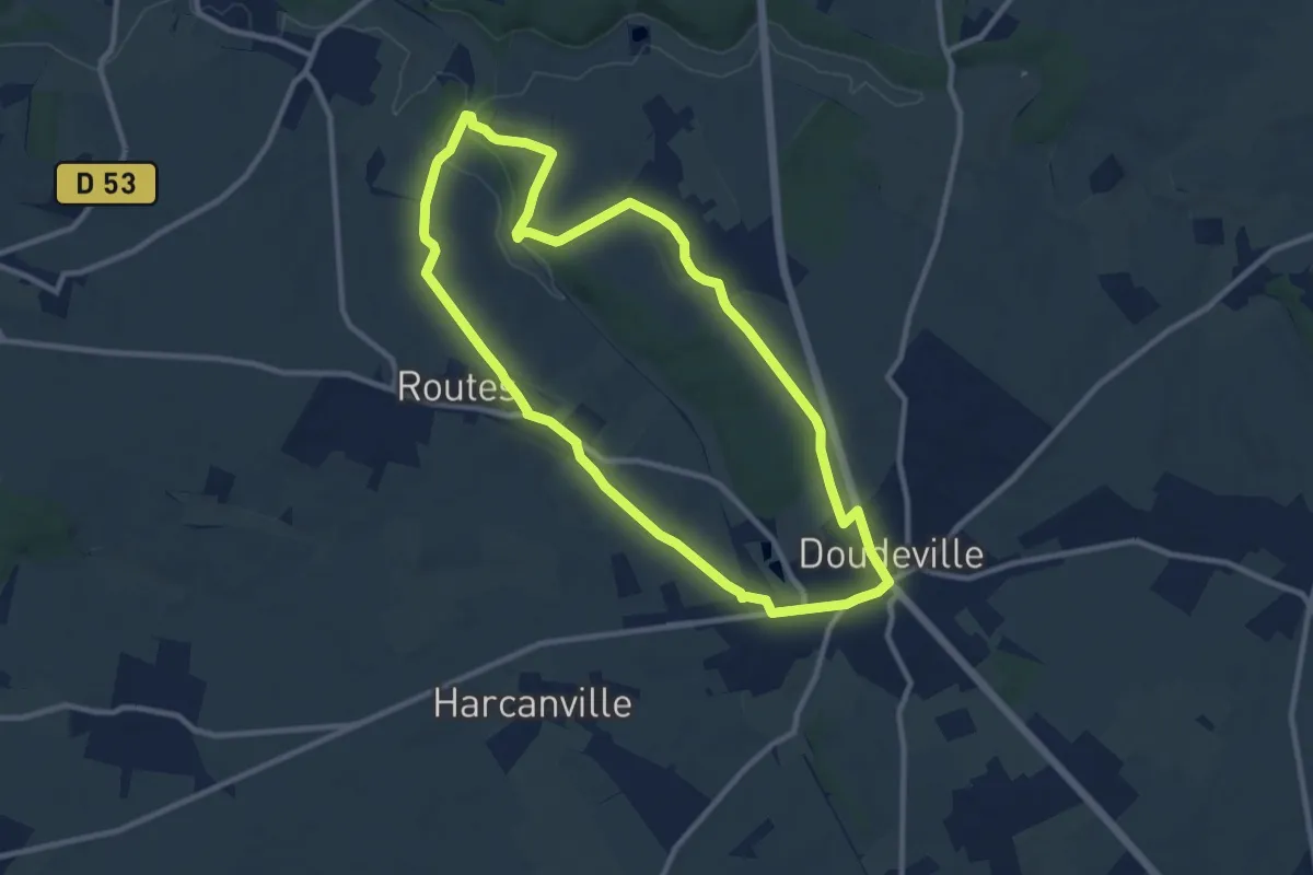
Medium · Trail
Routes par le Maroc
9.5 km · ↑ 97 m · 2 h 35 min
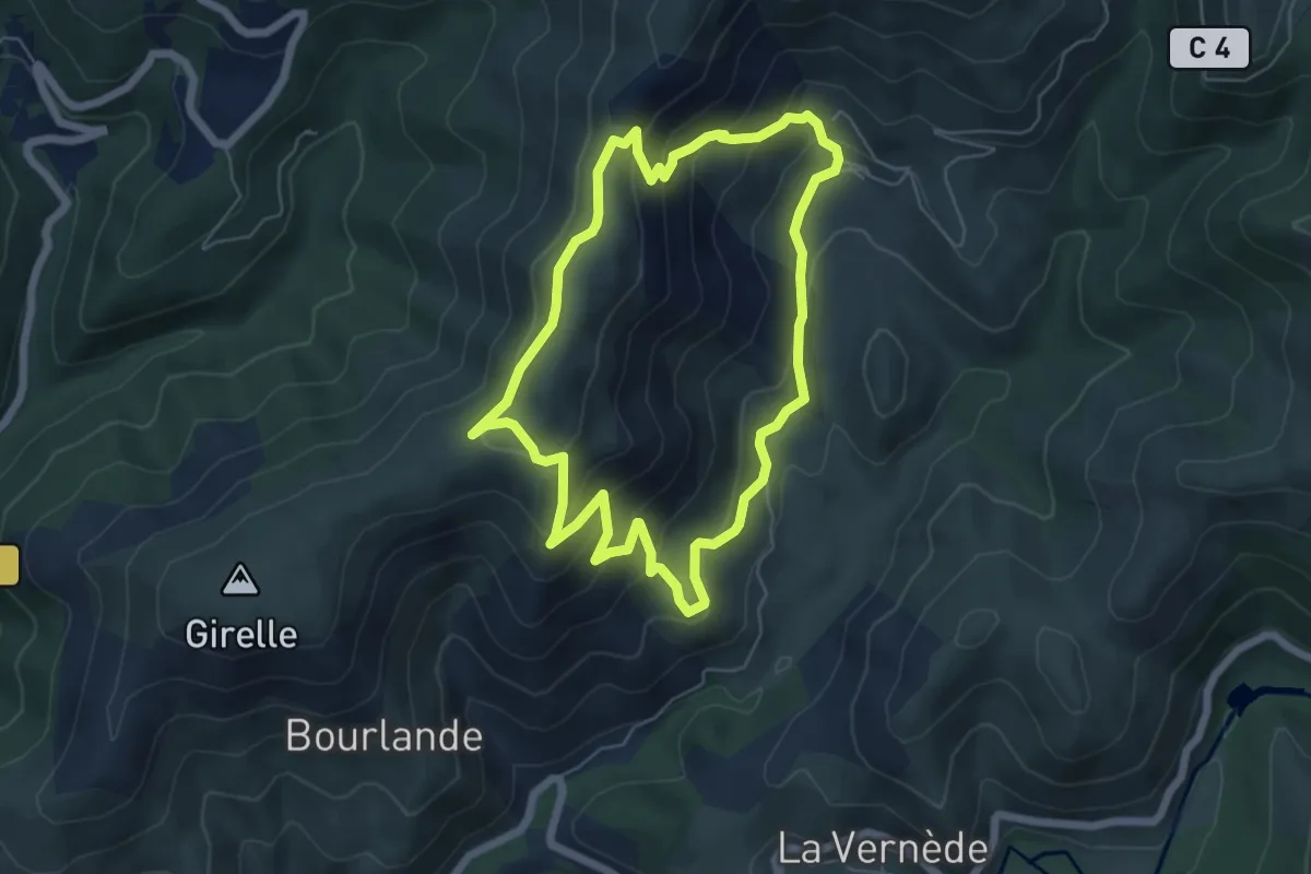
Medium · Trail
Ruas
5.9 km · ↑ 352 m · 2 h 14 min
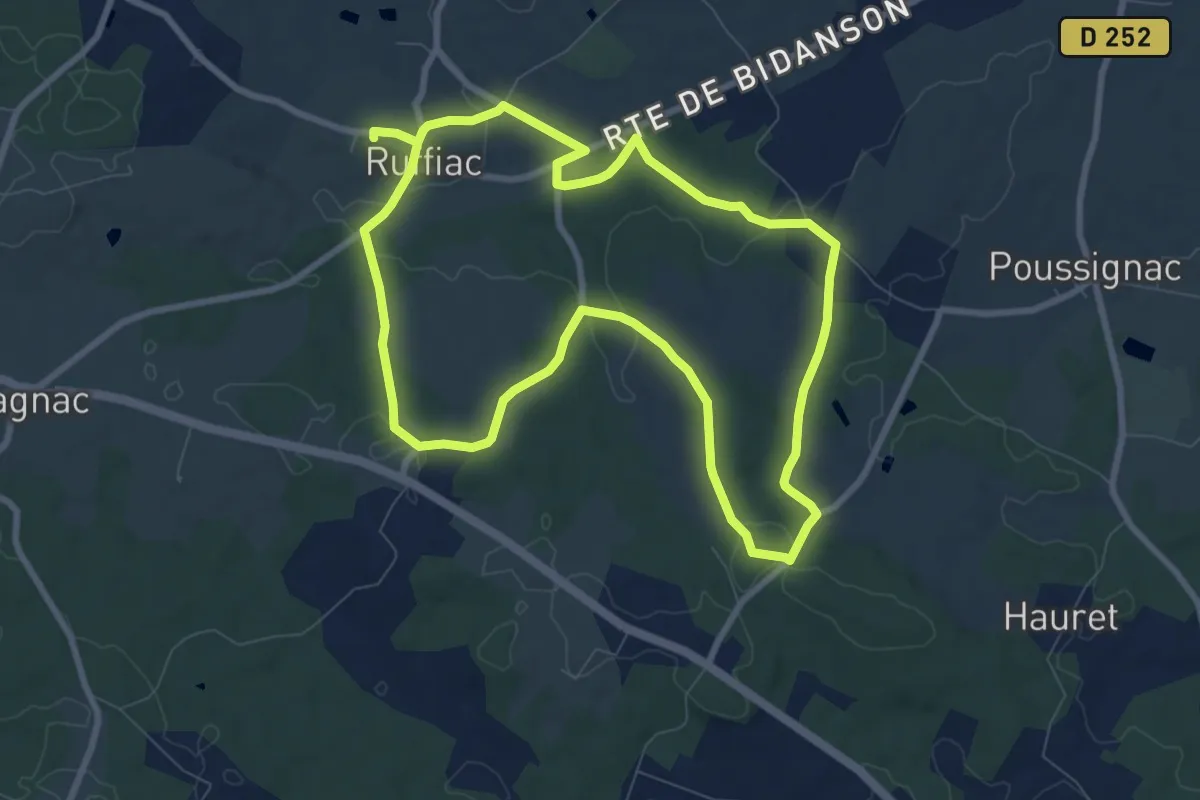
Medium · Trail
Ruffiac - Du château de Ruffiac à l'église de Poussignac - 8.9 km
8.6 km · ↑ 151 m · 2 h 29 min
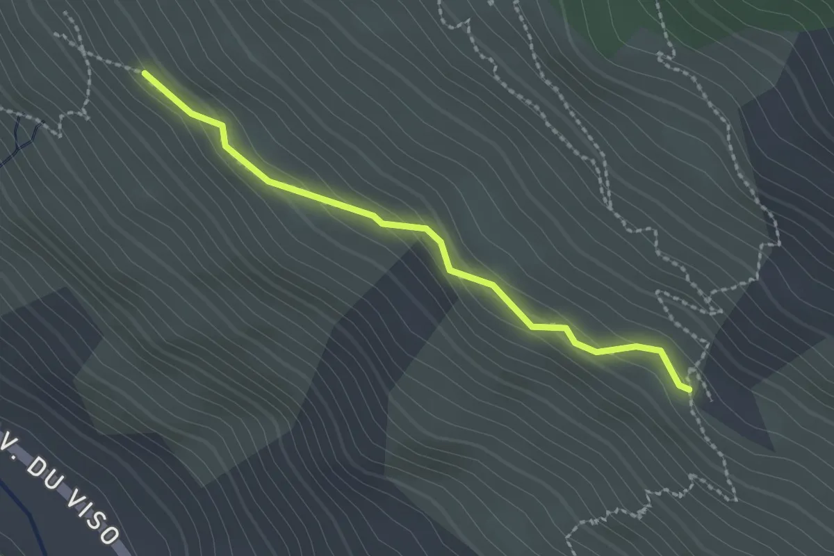
Easy · Trail
Ruines de Patarel - Sous l'Etang de Moussou
2.1 km · ↑ 95 m · 43 min
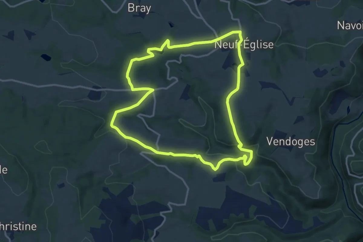
Medium · Trail
Ruisseau de Bort
10.1 km · ↑ 240 m · 3 h 3 min
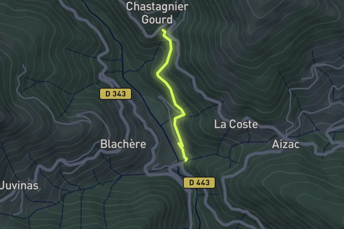
Easy · Trail
Ruisseau de la Pauze - Pont de Gamarnes
2.4 km · ↑ 166 m · 55 min
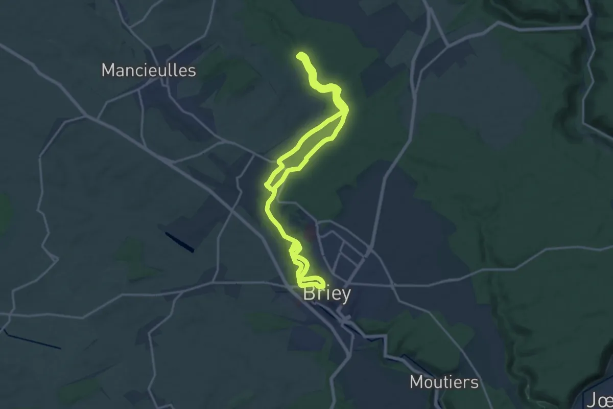
Medium · Trail
Ruisseau de la Vallée
11.8 km · ↑ 155 m · 3 h 17 min
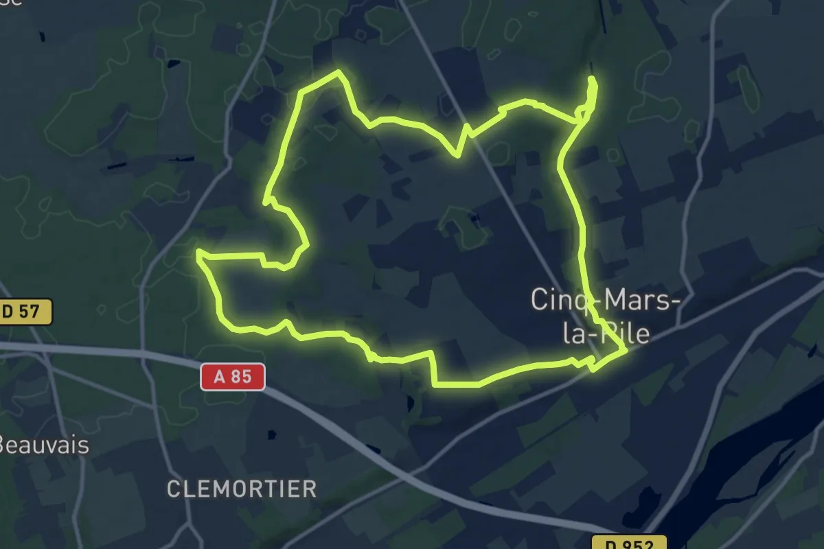
Medium · Trail
Ruisseau des Agneaux/Breuil - Cinq-Mars-la-Pile
12.8 km · ↑ 137 m · 3 h 30 min
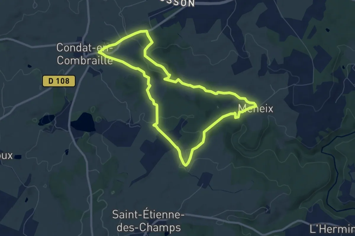
Easy · Trail
Ruisseau du Tyx
7.4 km · ↑ 131 m · 2 h 8 min
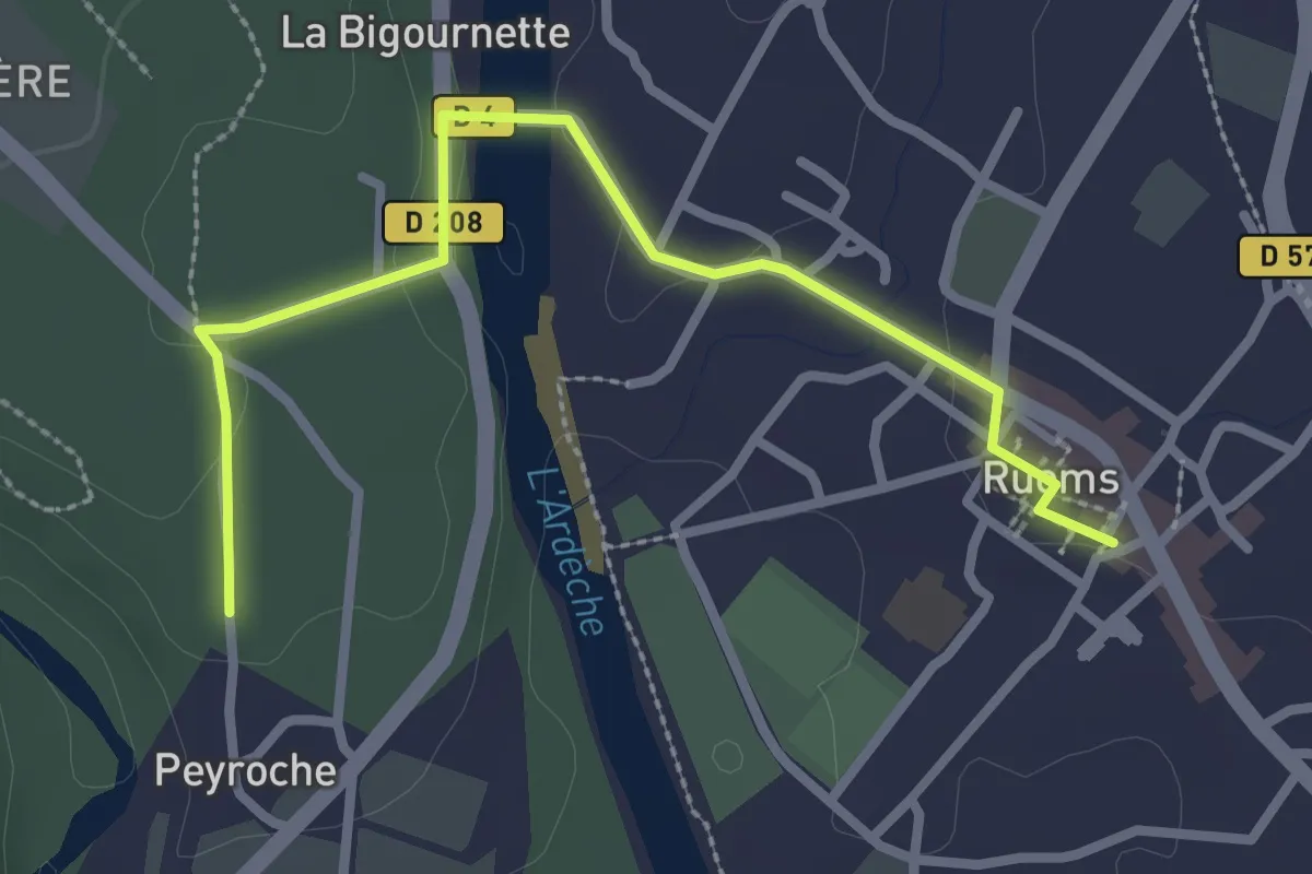
Easy · Trail
Ruoms - Peyroche
3.1 km · ↑ 49 m · 50 min
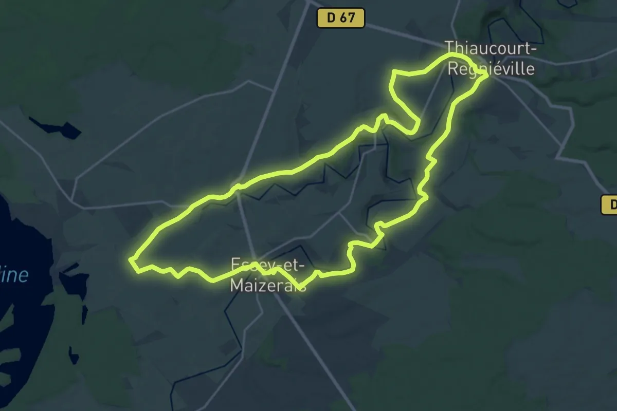
Demanding · Trail
Rupt-de-Mad
20.0 km · ↑ 230 m · 5 h 30 min
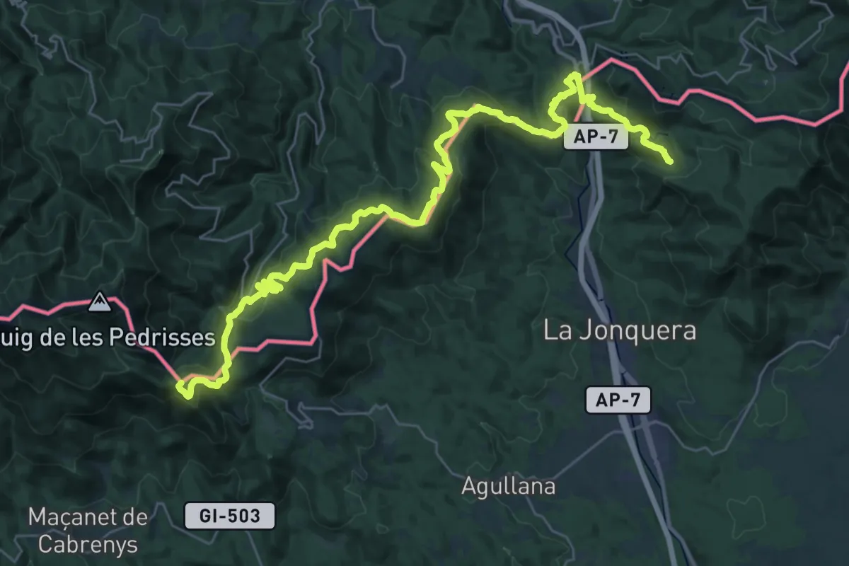
Demanding · Summit
Ruta dels 4 refugis de Tramuntana. Etapa: Refugi Refugi "Forn de Calç" <=> "Refugi Les Salines"
39.4 km · ↑ 1782 m · 13 h 10 min
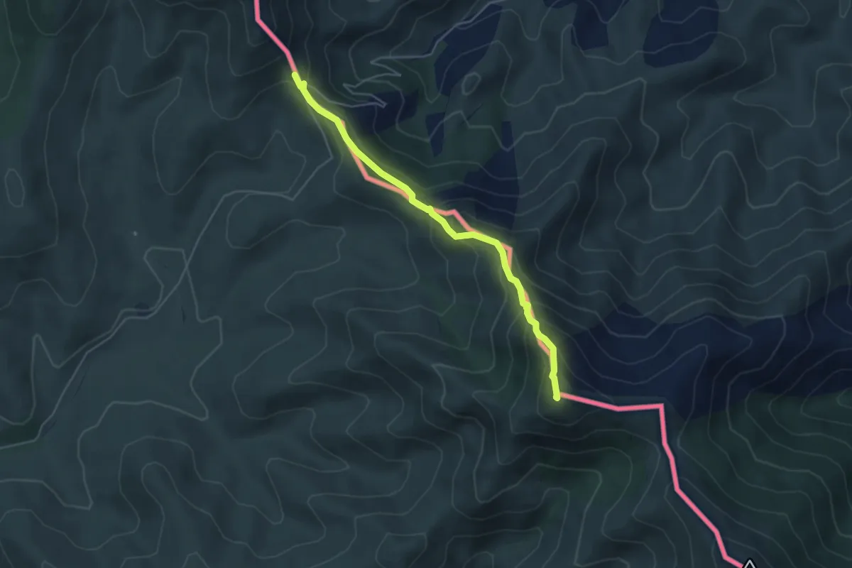
Medium · Summit
Ruta dels 4 refugis de Tramuntana. Etapa: Roses <=> Refugi del Coll de Banyuls
4.8 km · ↑ 414 m · 2 h 1 min
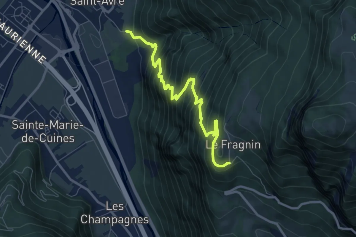
Medium · Trail
S01 - De Montvernier vers Saint-Avre
7.5 km · ↑ 769 m · 3 h 26 min
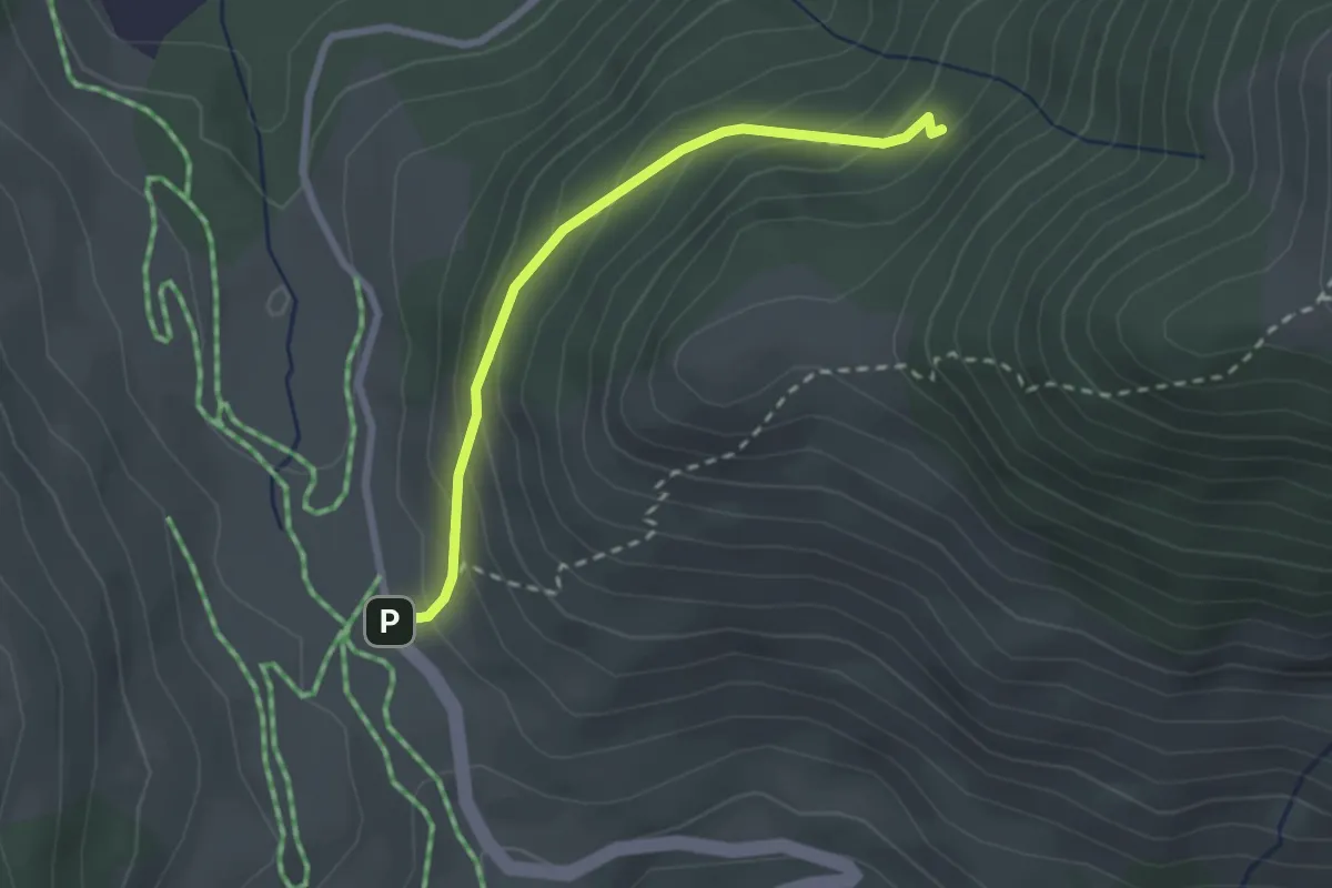
Easy · Trail
S02 - Du col du Chaussy vers Fontaine Froide
2.4 km · ↑ 186 m · 58 min
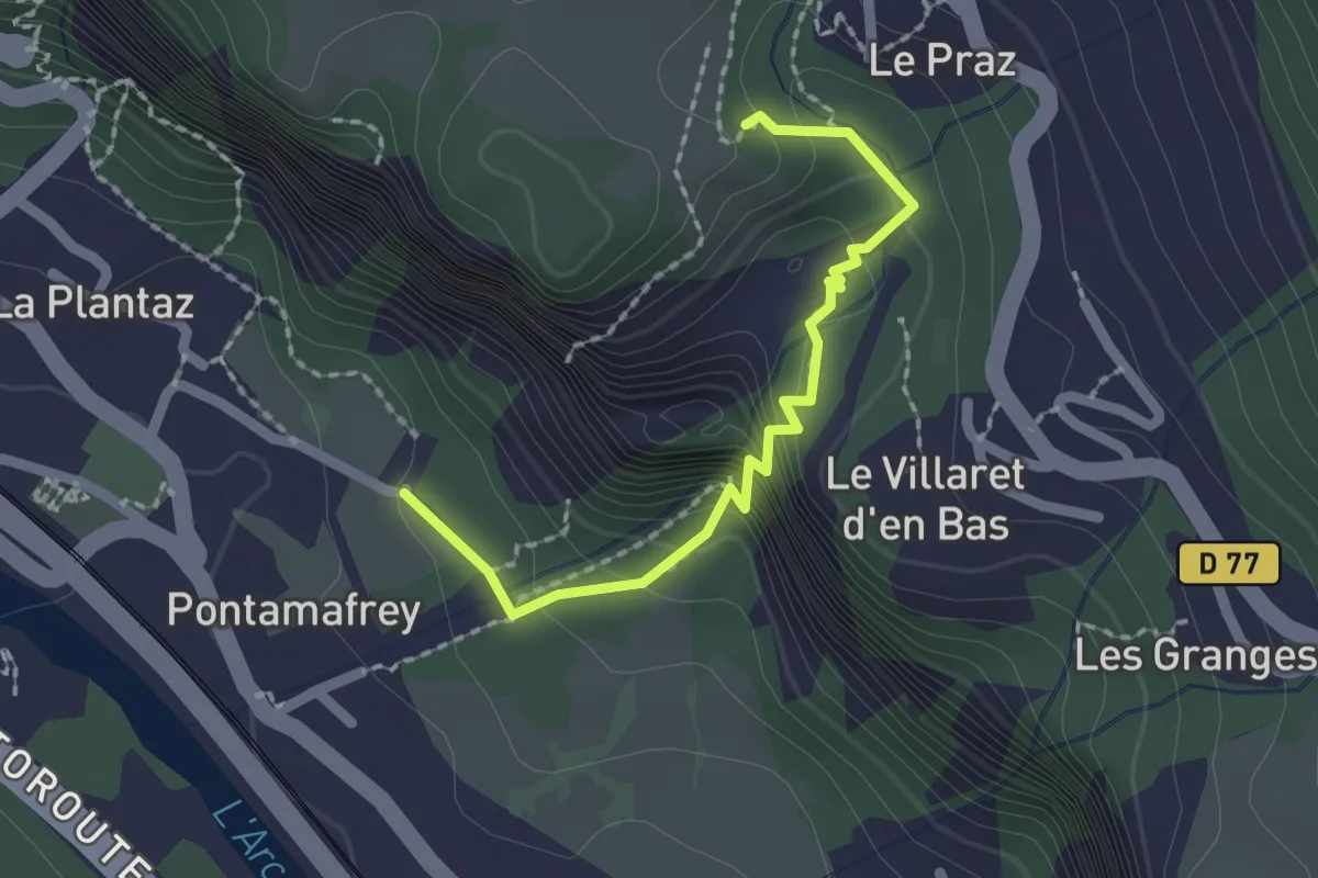
Easy · Trail
S03 - Les gorges du ruisseau de la Ravoire
2.0 km · ↑ 207 m · 55 min
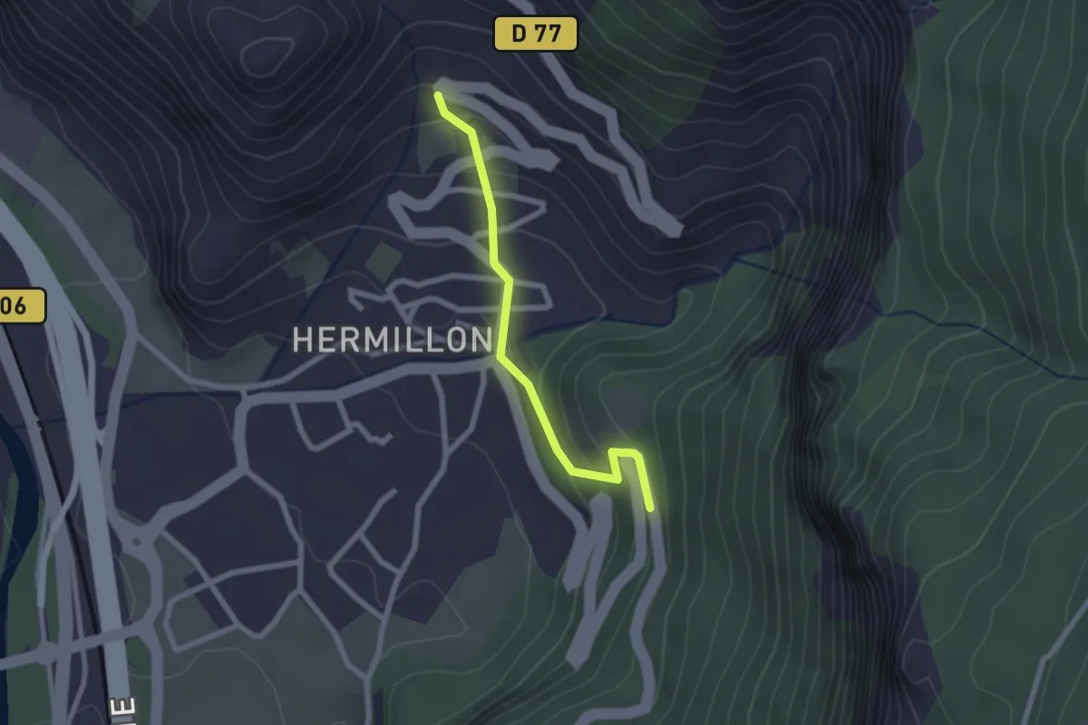
Easy · Trail
S05 - Traversée d'Hermillon
2.0 km · ↑ 143 m · 48 min
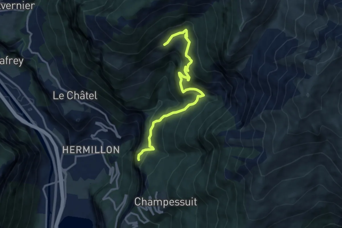
Medium · Trail
S07 - Des Grangettes à Saint-Jacques
8.9 km · ↑ 717 m · 3 h 39 min
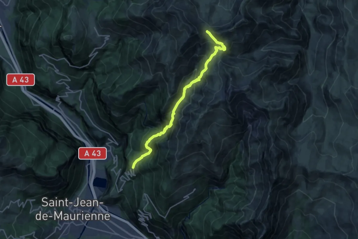
Demanding · Trail
S09 - De Champessuit au Col du Châtelard
17.8 km · ↑ 1511 m · 7 h 28 min
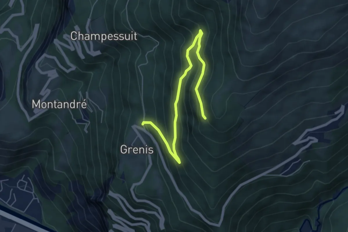
Medium · Trail
S12 - De Grenis à Montdenis
5.9 km · ↑ 479 m · 2 h 26 min
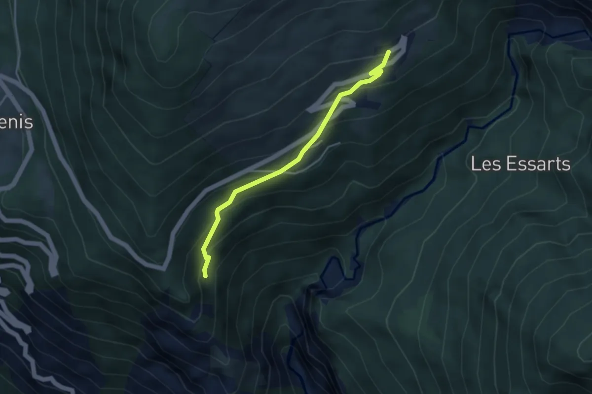
Easy · Trail
S13 - Chemin des Crêtes
3.5 km · ↑ 253 m · 1 h 22 min
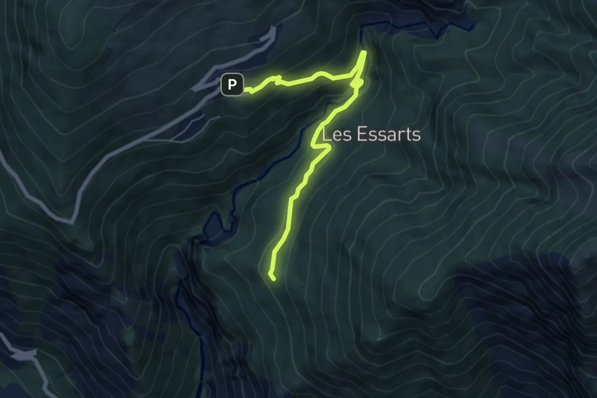
Medium · Trail
S14 - De Montdenis à Tourmentier
5.8 km · ↑ 384 m · 2 h 12 min
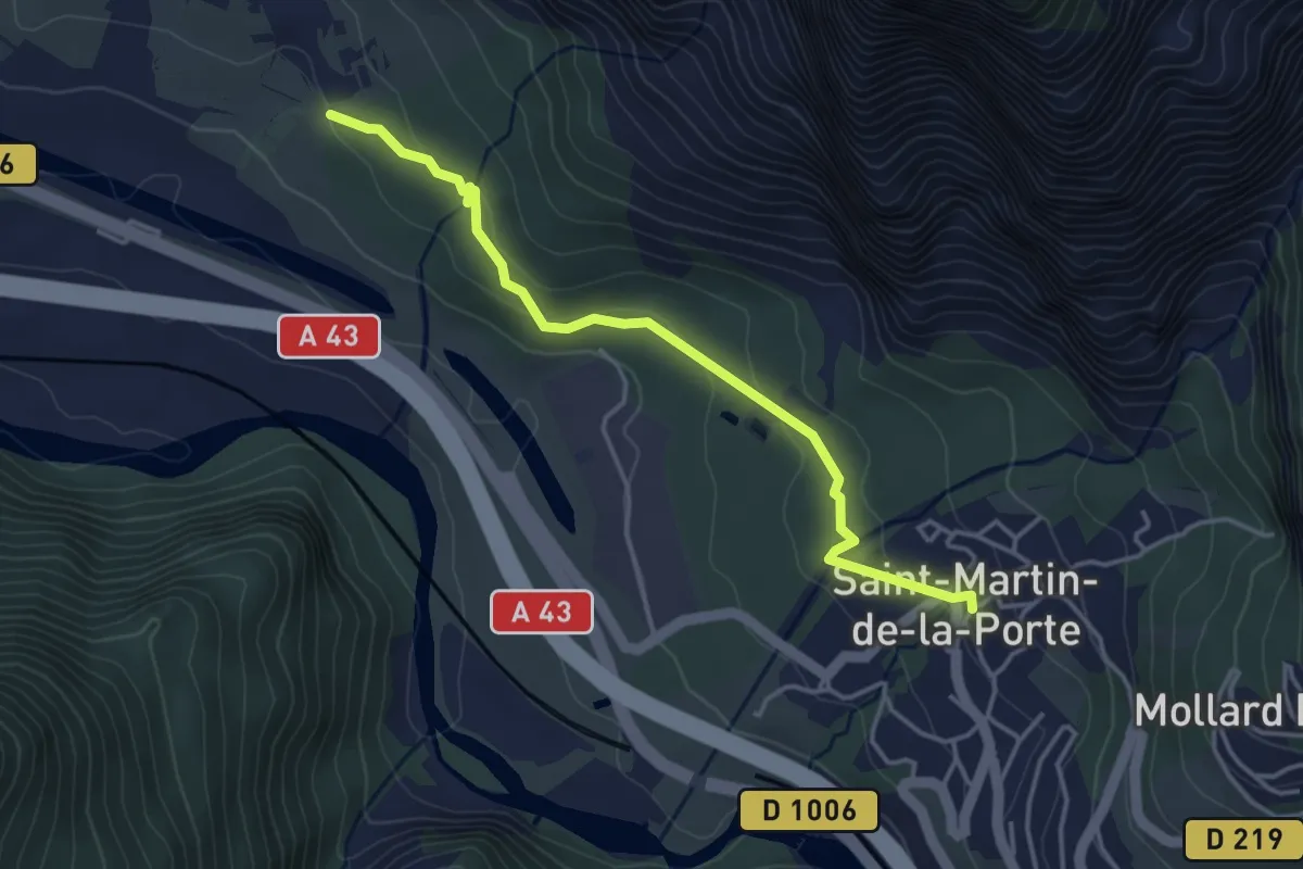
Easy · Trail
S15 - De Serpolière vers Saint-Martin-de-la-Porte
4.0 km · ↑ 123 m · 1 h 13 min
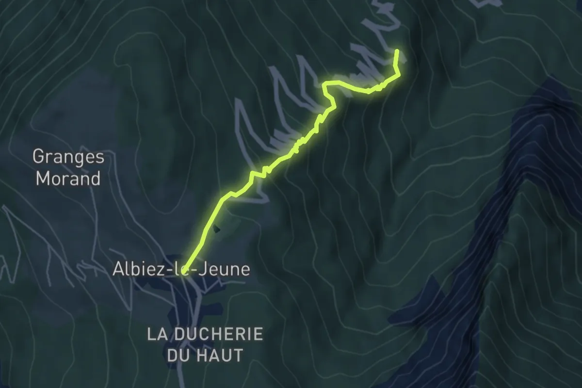
Medium · Trail
S17 - Boucle du Mont l'Évêque - De Villargondran vers Albiez-le-Jeune
4.5 km · ↑ 397 m · 1 h 55 min
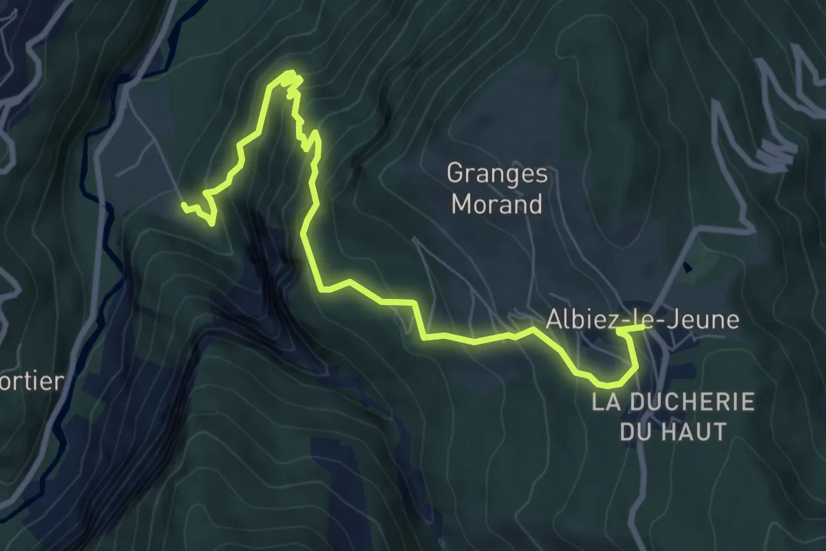
Medium · Trail
S18 - Boucle du Mont l'Évêque – De Saint-Jean-de-Maurienne vers Albiez-le-Jeune
8.5 km · ↑ 741 m · 3 h 37 min
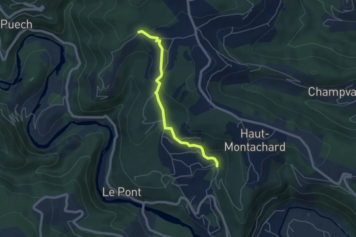
Easy · Trail
Sabatier - Luminières
4.2 km · ↑ 140 m · 1 h 18 min
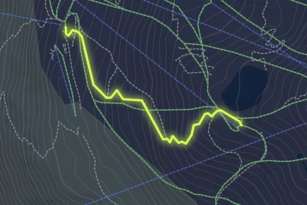
Easy · Trail
Safari des animaux
2.5 km · ↑ 207 m · 1 h 2 min
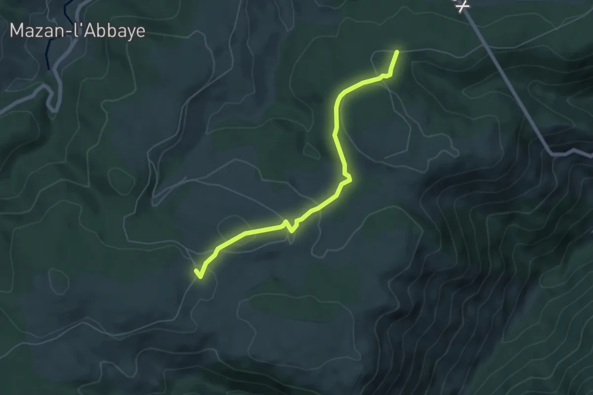
Easy · Trail
Sagnas - Les Palles
5.6 km · ↑ 163 m · 1 h 41 min
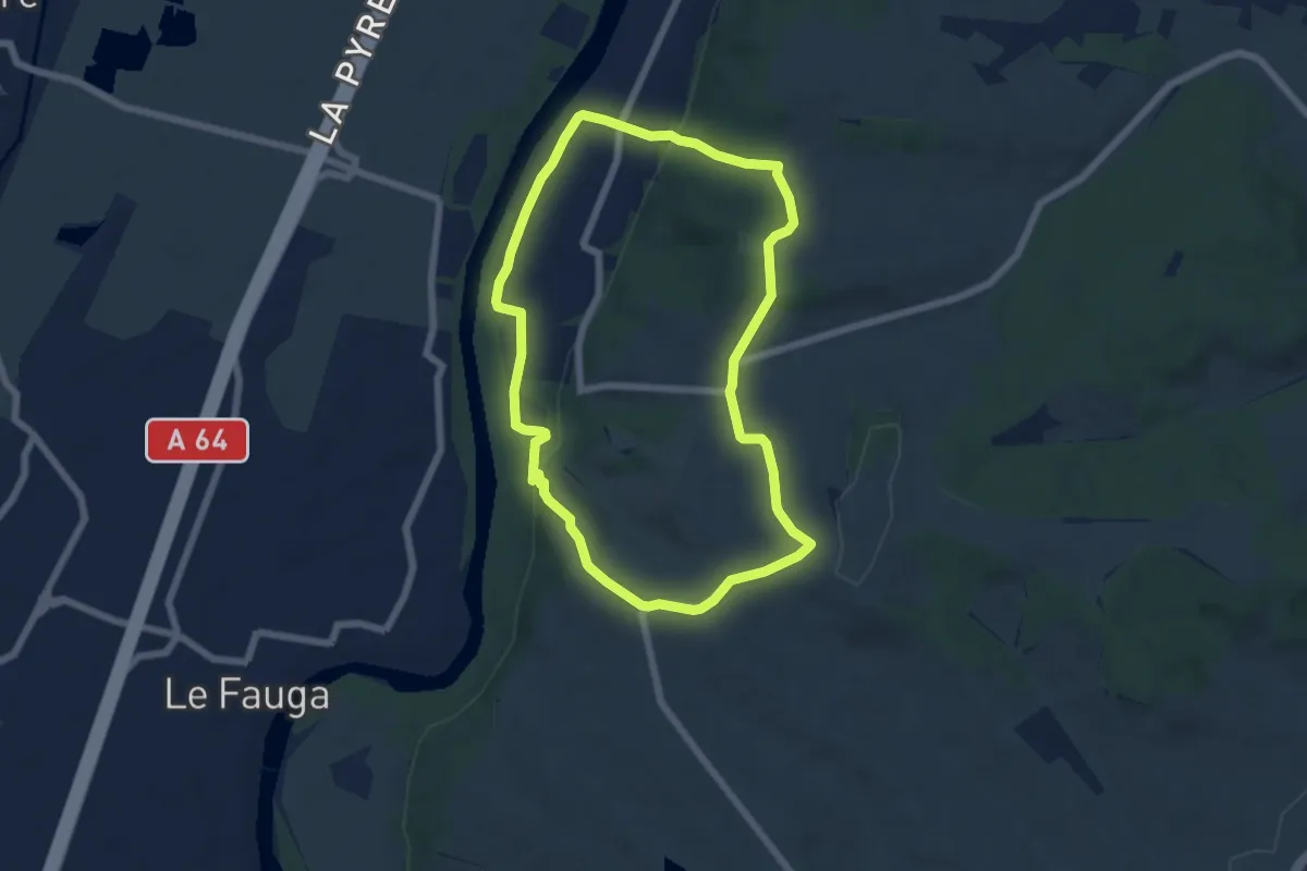
Easy · Trail
Saint-Amans : Garonne et Panorama
6.2 km · ↑ 146 m · 1 h 53 min
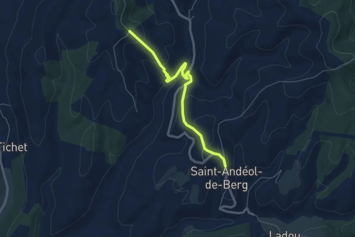
Easy · Trail
Saint-Andéol de Berg - Fournery
5.6 km · ↑ 236 m · 1 h 50 min
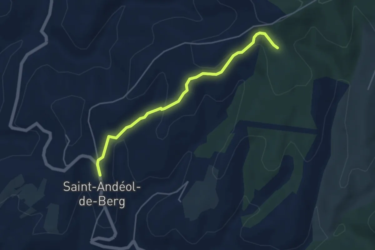
Easy · Trail
Saint-Andéol de Berg - Serrecourt
3.9 km · ↑ 142 m · 1 h 14 min
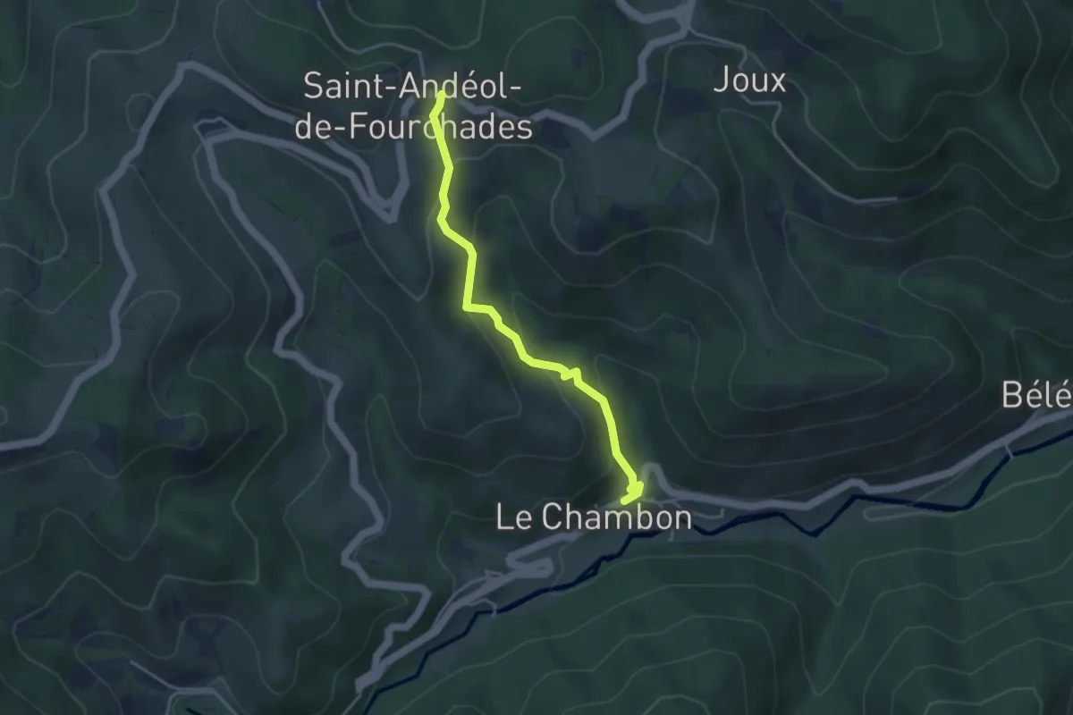
Easy · Trail
Saint-Andéol-de-Fourchades - Le Chambon
3.6 km · ↑ 222 m · 1 h 19 min
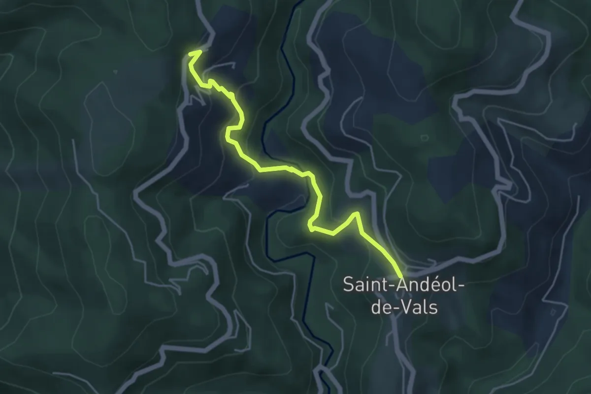
Easy · Trail
Saint-Andeol Nord - Fontbonne
4.3 km · ↑ 314 m · 1 h 42 min
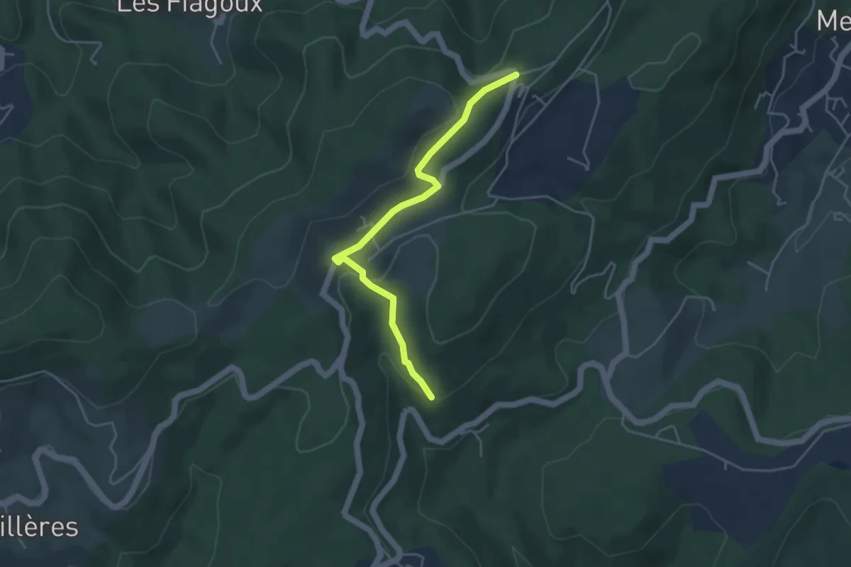
Easy · Trail
Saint Antoine - Col de Farges
4.2 km · ↑ 127 m · 1 h 16 min
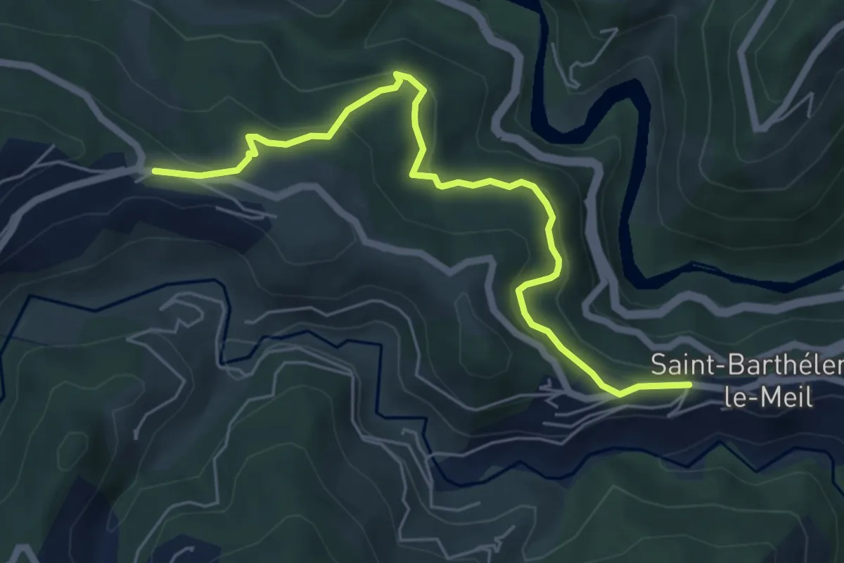
Easy · Trail
Saint-Barthélemy-le-Meil Ouest - Burianne Est
6.0 km · ↑ 280 m · 2 h 1 min
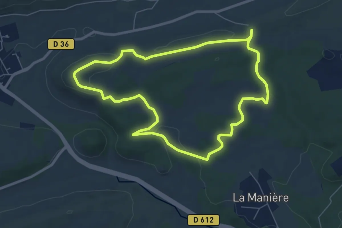
Easy · Summit
Saint-Bauléry
6.0 km · ↑ 106 m · 1 h 43 min
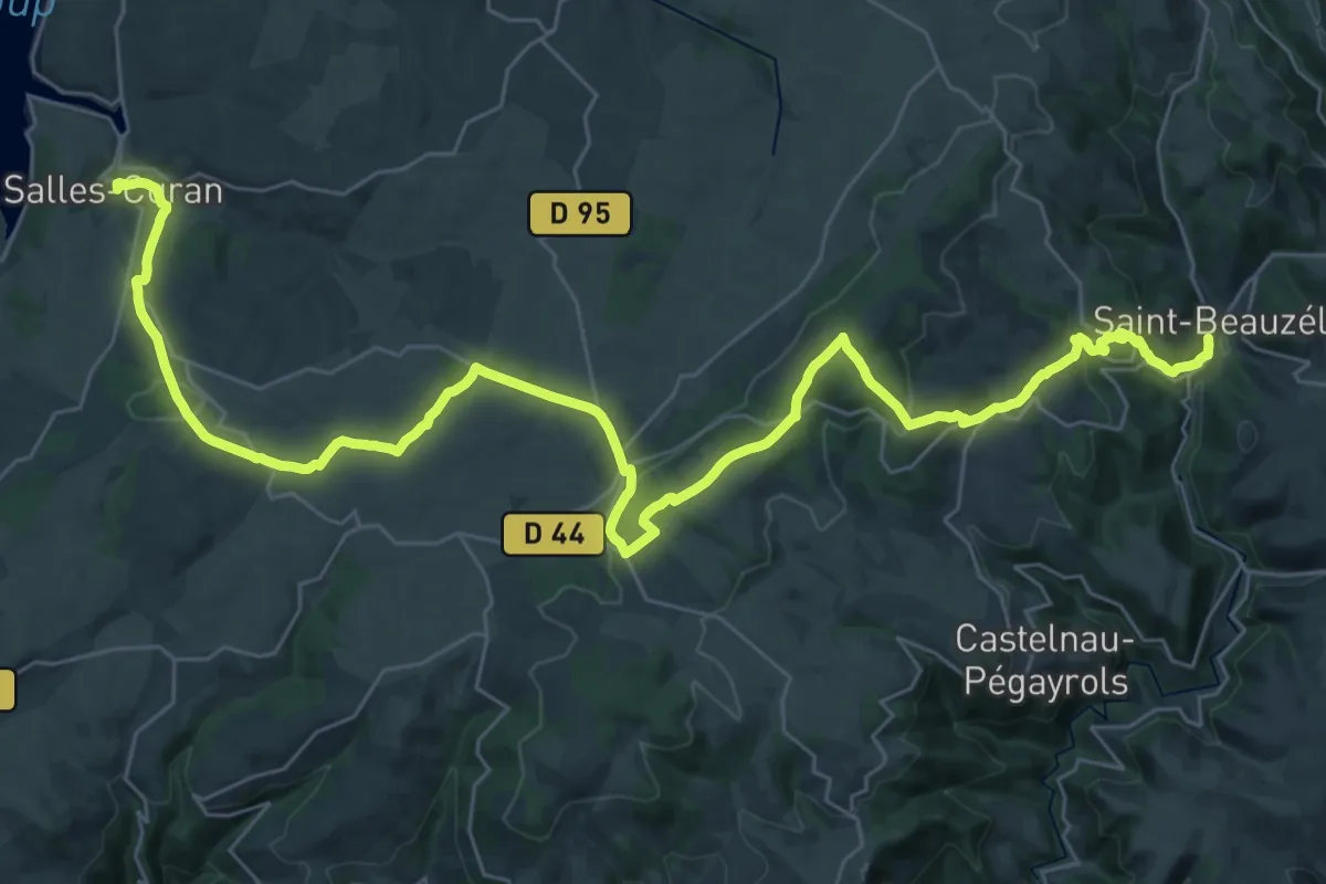
Demanding · Trail
Saint-Beauzély - Salles-Curan
22.9 km · ↑ 670 m · 7 h 3 min
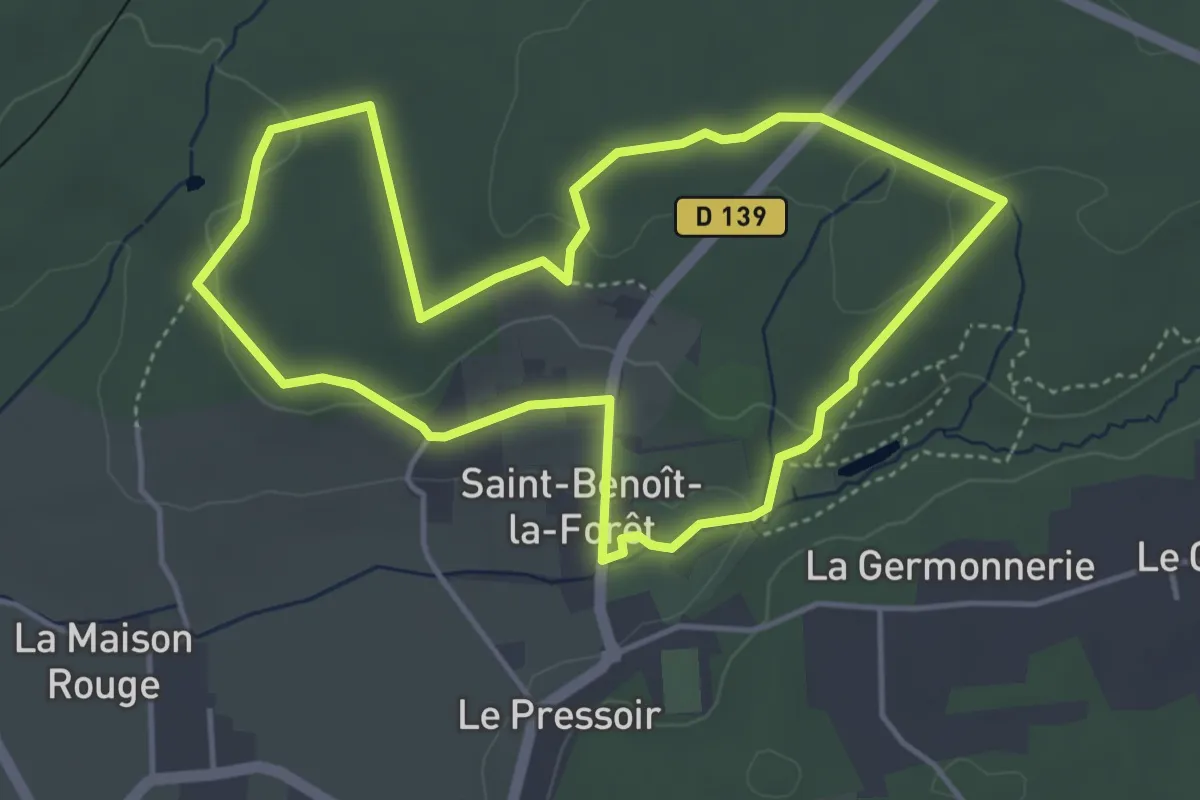
Easy · Trail
Saint-Benoît-la-Forêt : De l'arbre au bois
4.3 km · ↑ 65 m · 1 h 13 min
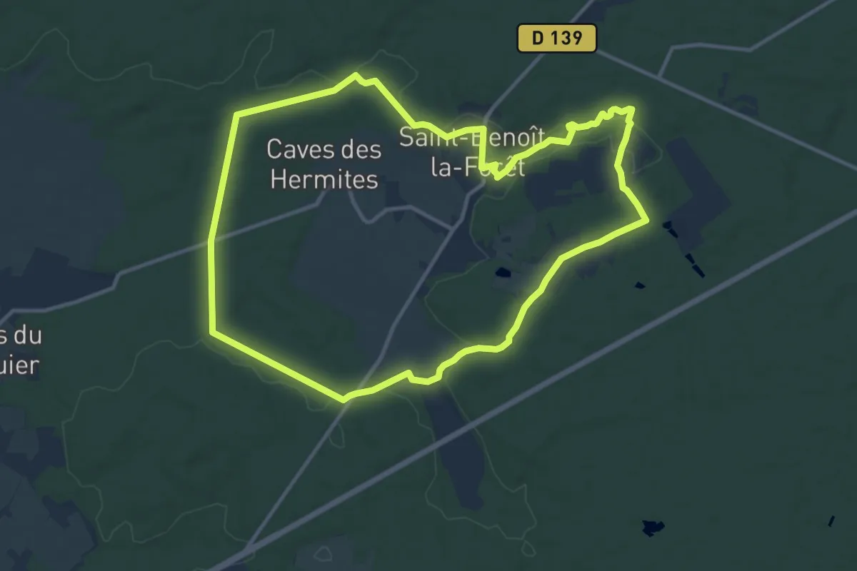
Medium · Trail
Saint-Benoît-la-Forêt : Entre forêts et clairières
11.6 km · ↑ 167 m · 3 h 16 min
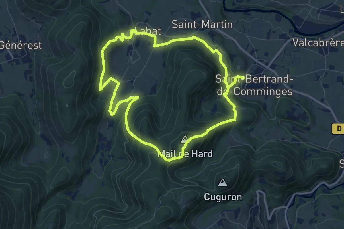
Medium · Summit
Saint-Bertrand-de-Comminges : au coeur du Comminges
9.3 km · ↑ 479 m · 3 h 22 min
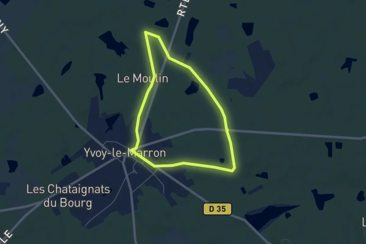
Easy · Trail
Saint-Caprais
4.5 km · ↑ 27 m · 1 h 10 min