Trails in France
15,926 hiking trails, each with its route, climb, walking time and grade.
All trails, page 235 of 332
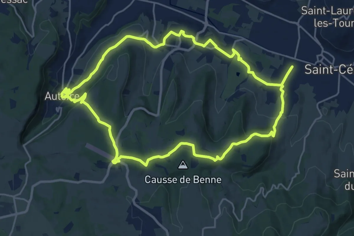
Medium · Summit
Saint-Céré - Autoire
15.5 km · ↑ 415 m · 4 h 47 min
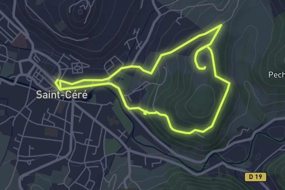
Easy · Trail
Saint Céré - Le Tours du Pech
5.0 km · ↑ 179 m · 1 h 39 min
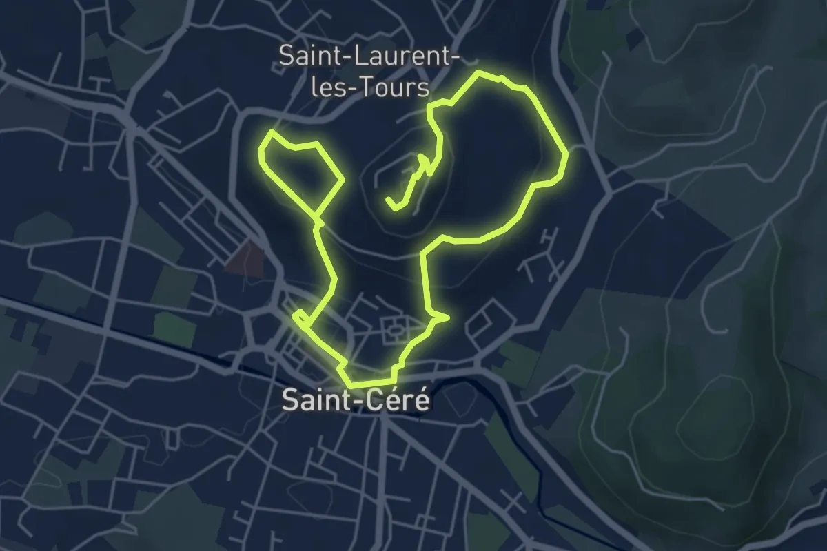
Easy · Trail
Saint Céré - Saint Laurent
4.3 km · ↑ 216 m · 1 h 30 min
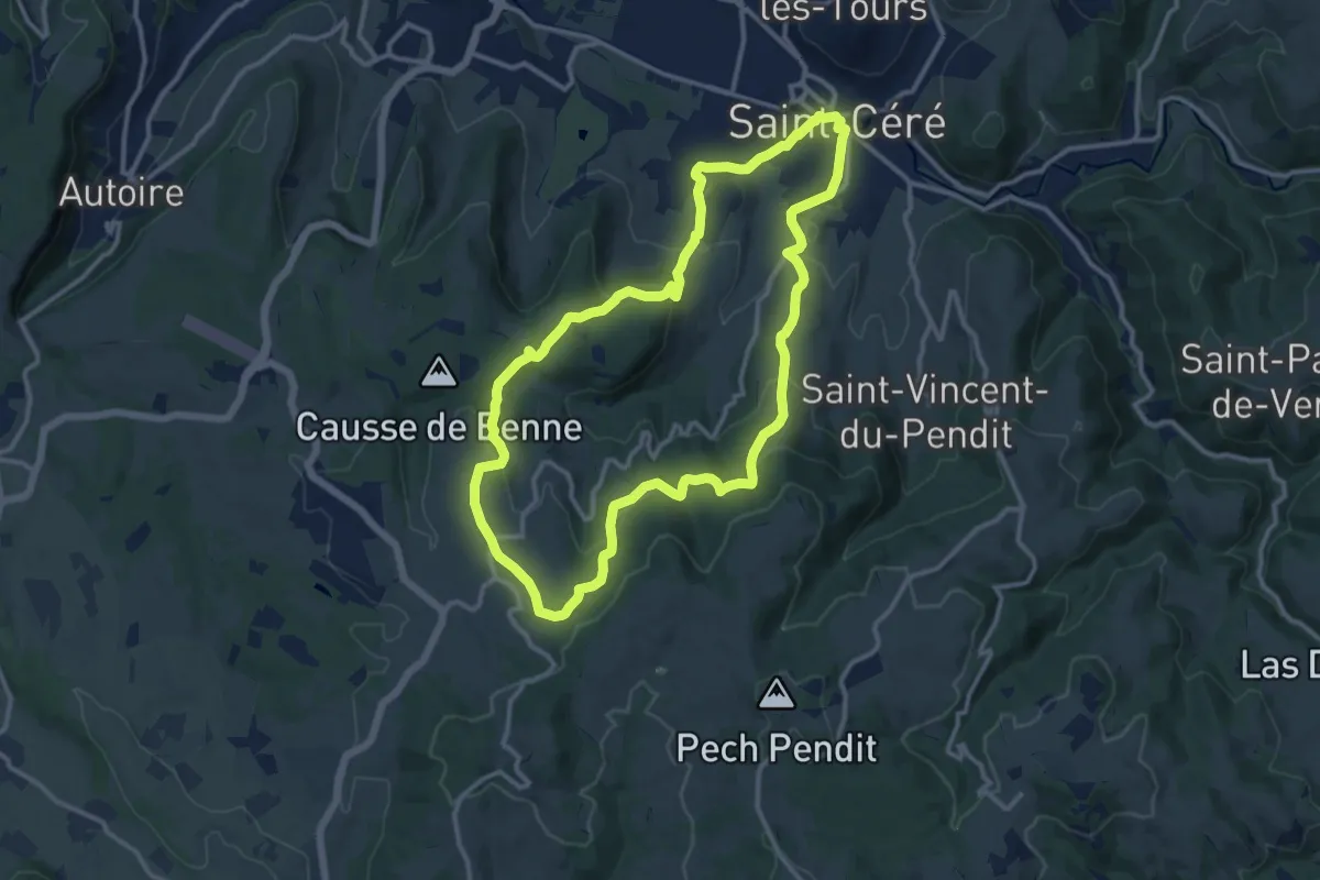
Medium · Summit
Saint Céré - St Jean Lagineste
12.5 km · ↑ 374 m · 3 h 56 min
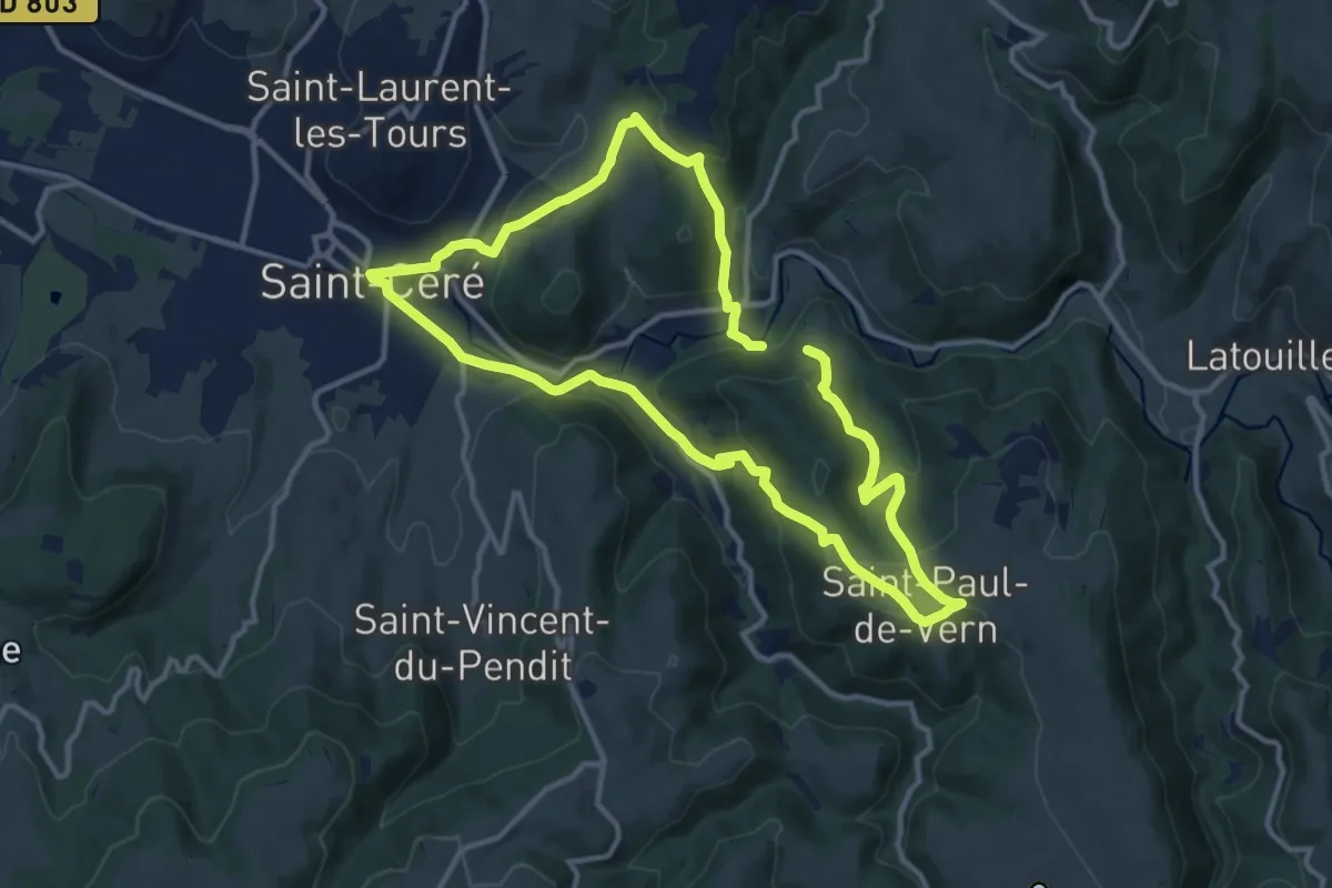
Medium · Trail
Saint Céré - St Paul de Vern
11.6 km · ↑ 462 m · 3 h 52 min
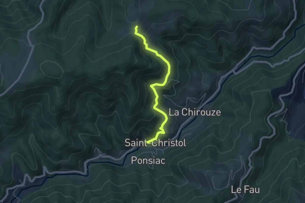
Easy · Trail
Saint-Christol - Col des Pizes
4.8 km · ↑ 315 m · 1 h 49 min
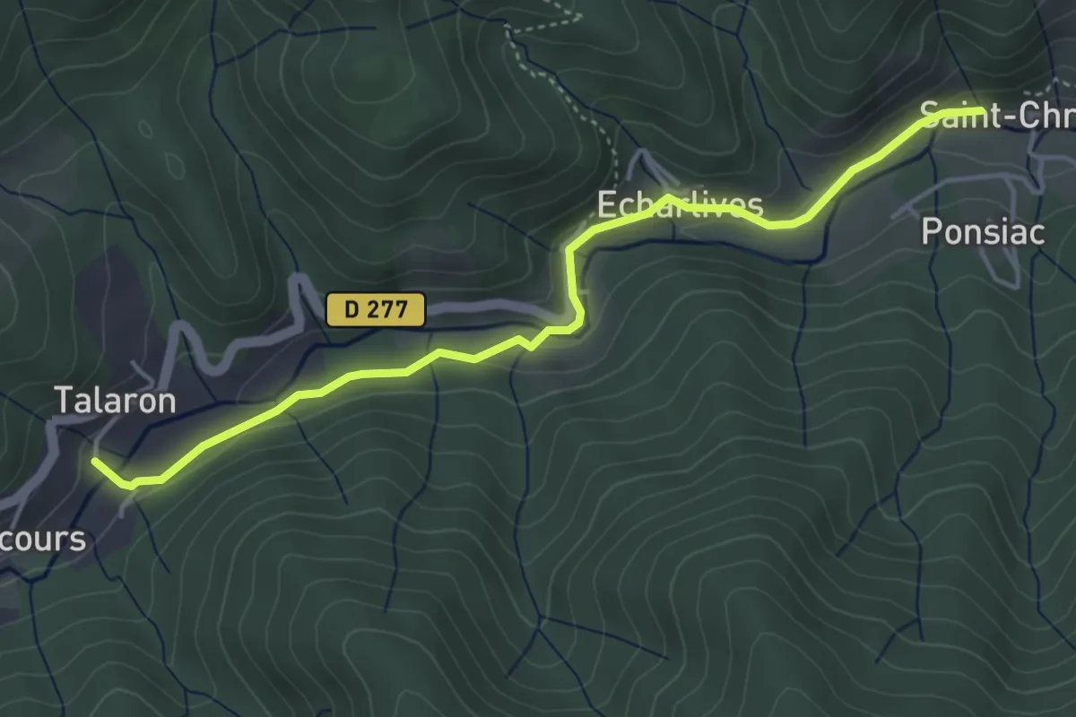
Easy · Trail
Saint-Christol - Talaron
4.6 km · ↑ 84 m · 1 h 16 min
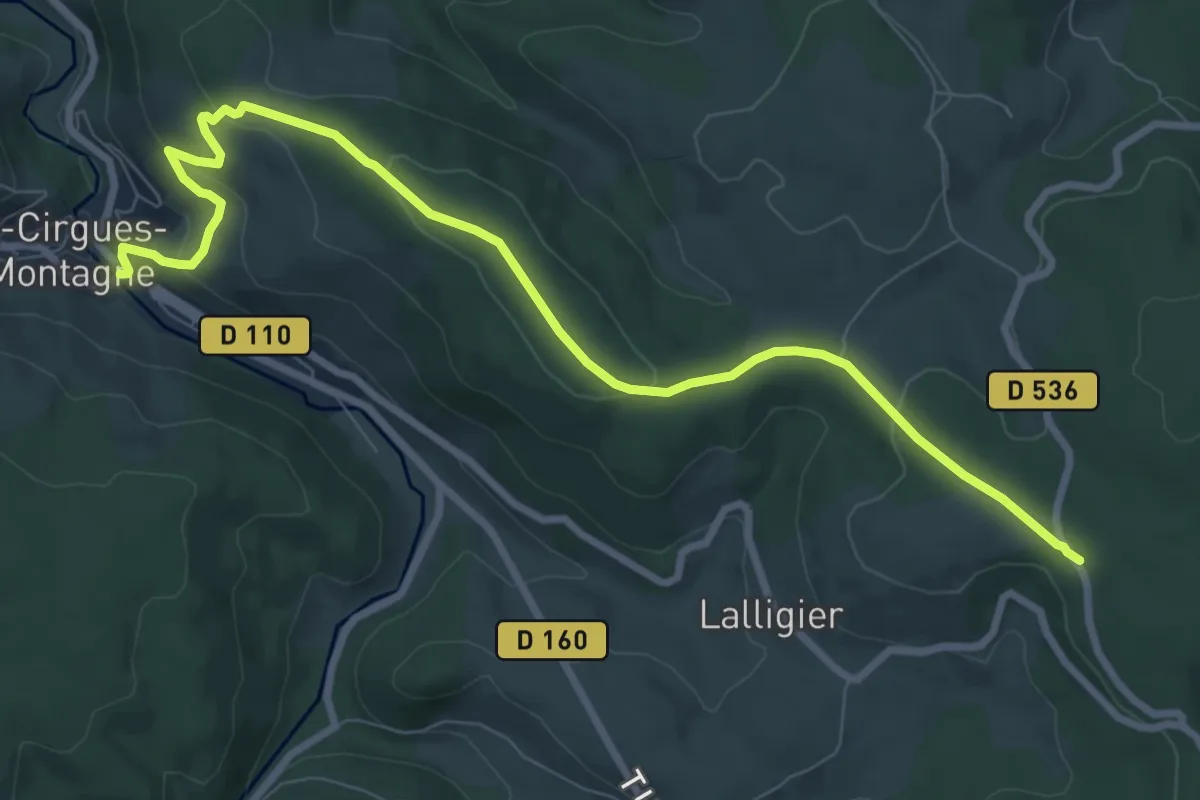
Medium · Trail
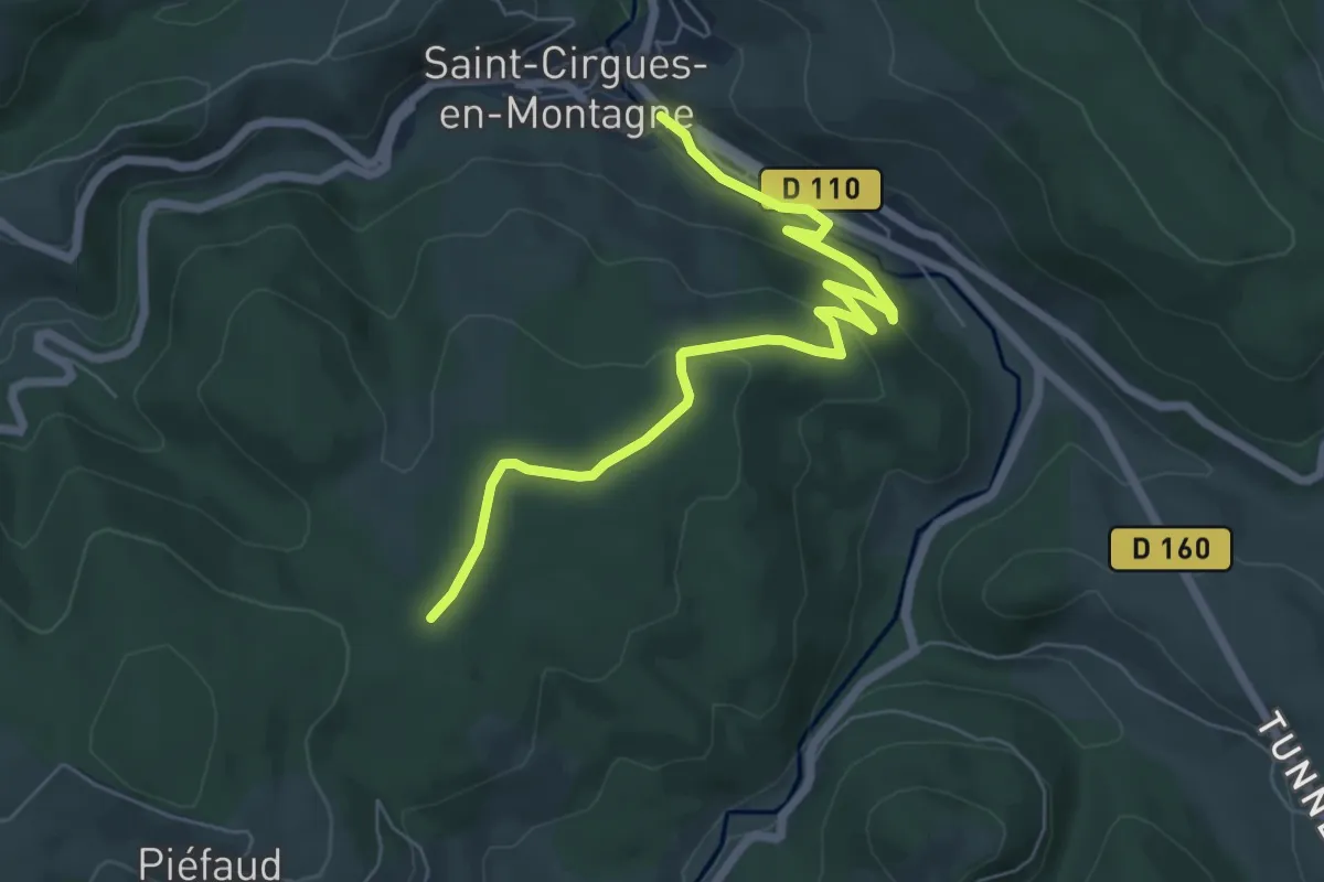
Saint-Cirgues (Le Pont) - Ancien garage
10.0 km · ↑ 284 m · 2 h 59 min
Easy · Trail
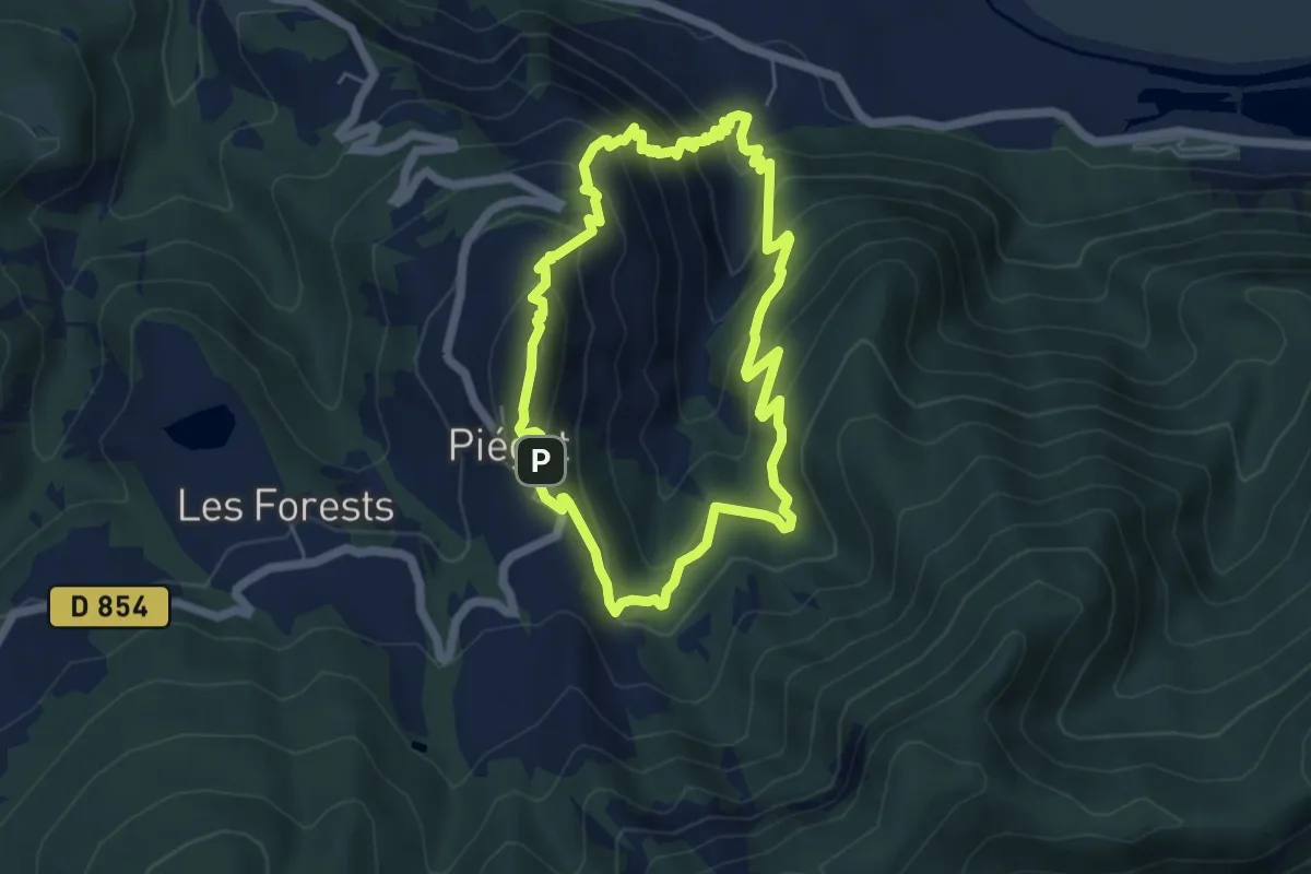
Saint-Cirgues (Le Pont) - La Citerne
7.3 km · ↑ 181 m · 2 h 7 min
Medium · Summit
Saint Collomban
5.4 km · ↑ 453 m · 2 h 21 min
Easy · Trail
Saint-Crépin - Thurifère Elephant
1.9 km · ↑ 198 m · 53 min
Easy · Trail
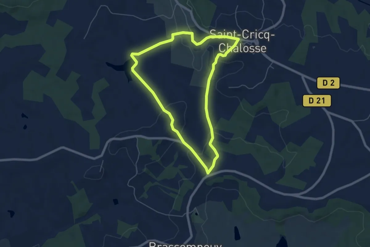
SAINT-CRICQ-CHALOSSE - CIRCUIT DE PÉDOUHAOUT
5.4 km · ↑ 127 m · 1 h 38 min
Easy · Trail
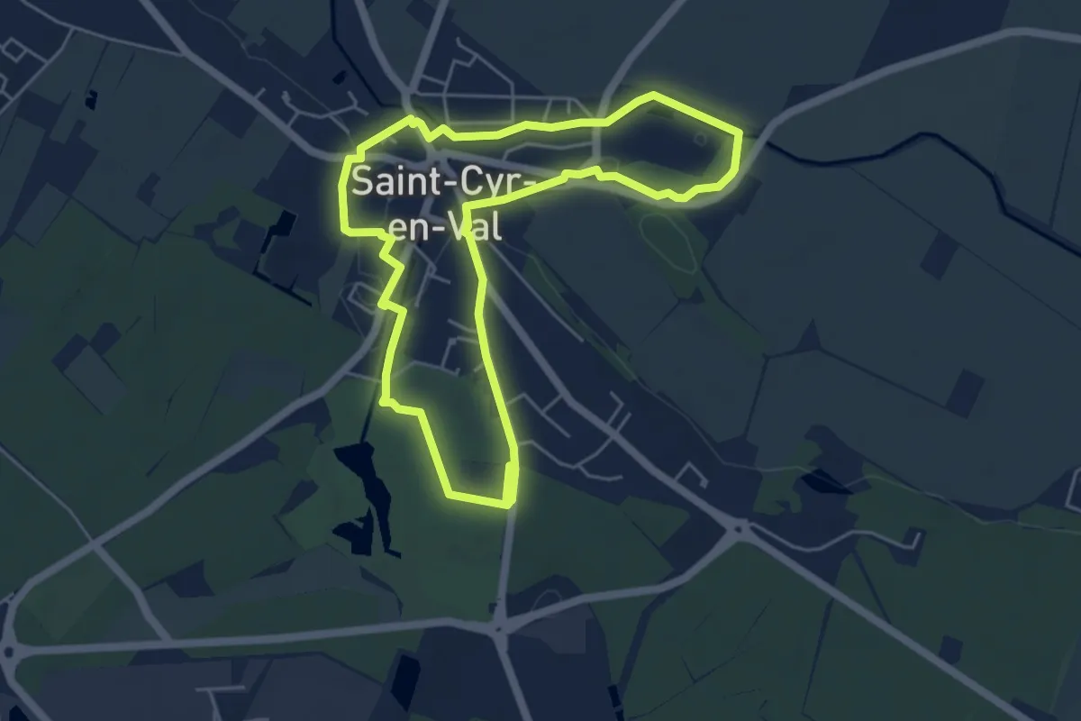
Saint Cyr en Val - circuit orange
4.8 km · ↑ 21 m · 1 h 15 min
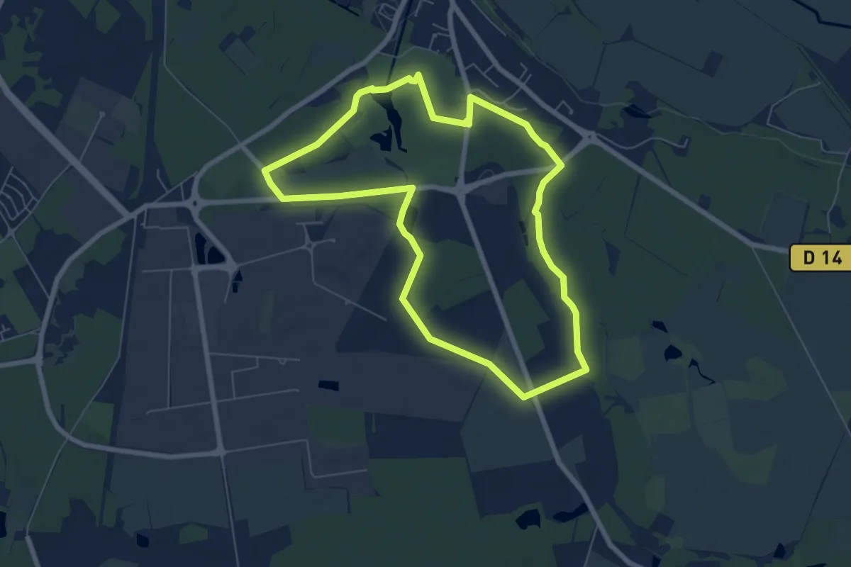
Easy · Trail
Saint Cyr en Val - circuit vert
6.3 km · ↑ 30 m · 1 h 38 min
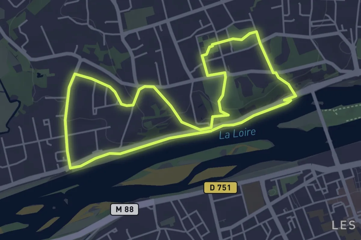
Easy · Trail
Saint-Cyr-sur-Loire Sentier découverte
4.6 km · ↑ 90 m · 1 h 21 min
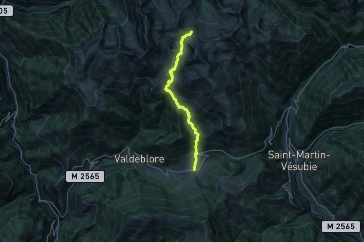
Demanding · Summit
Saint-Dalmas-Valdeblore - Col de Salèse
16.3 km · ↑ 1265 m · 6 h 35 min
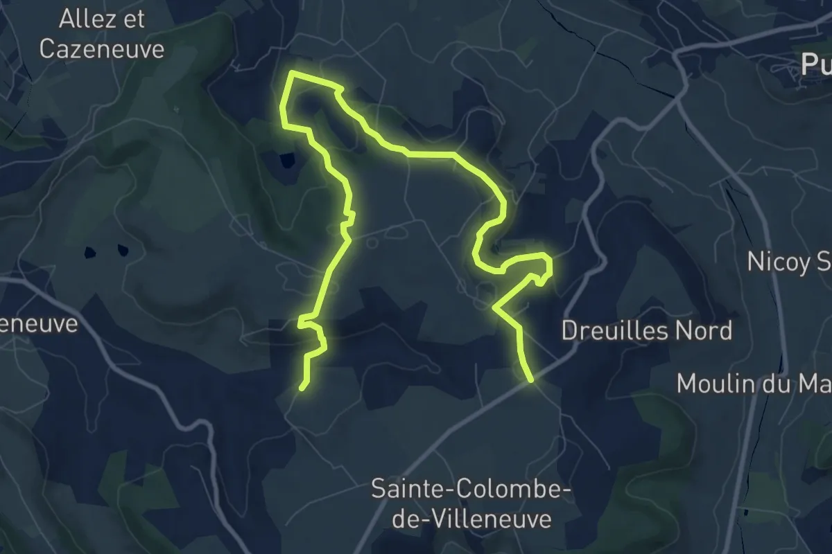
Easy · Trail
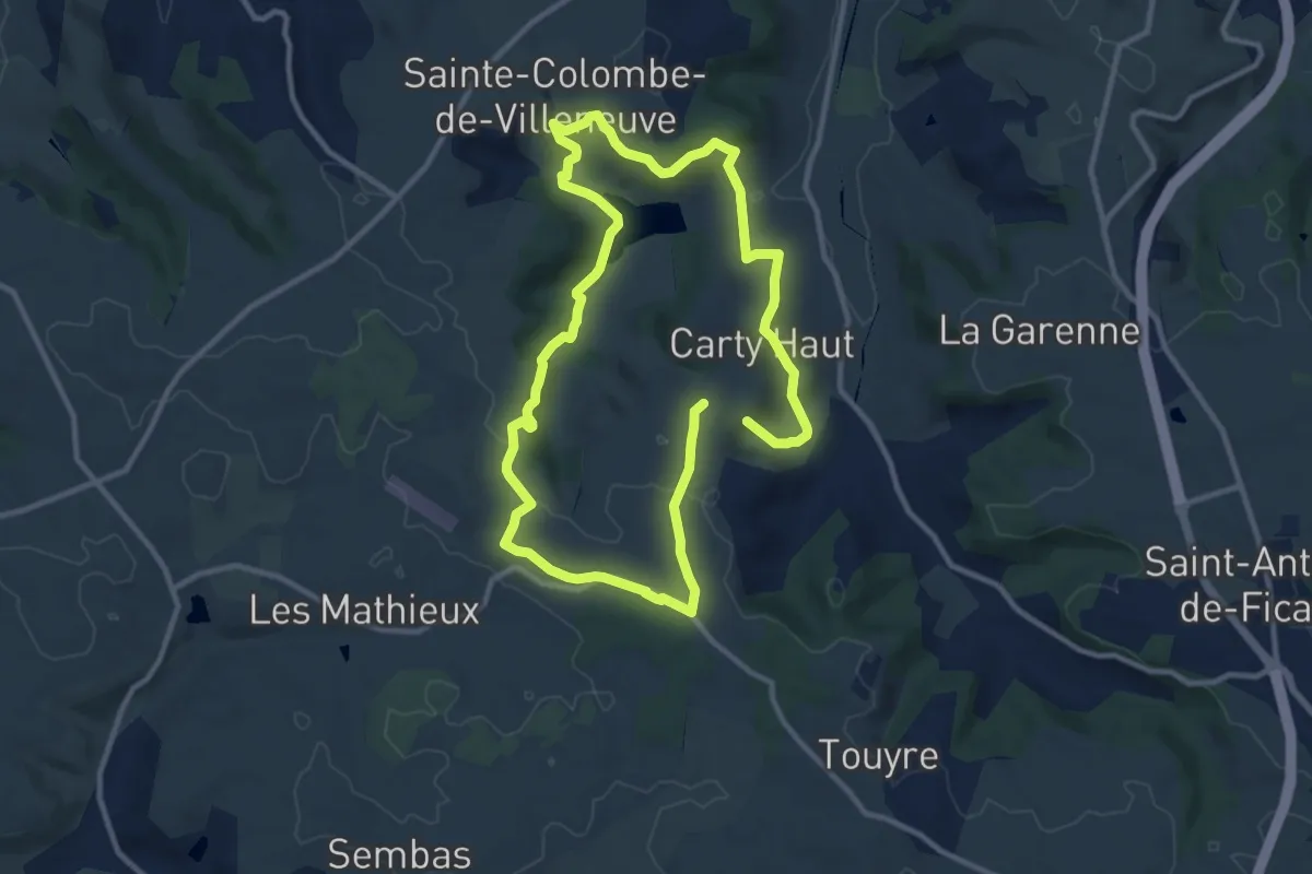
Sainte-Colombe-de-Villeneuve, vers l’église du Laurier
6.6 km · ↑ 234 m · 2 h 7 min
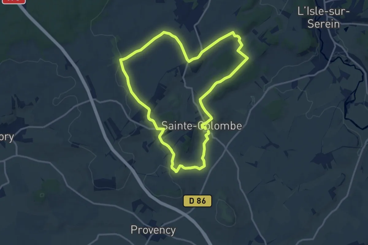
Medium · Trail
Sainte-Colombe-de-Villeneuve, vers les grottes de Lastournelles - 10.9 km
10.3 km · ↑ 231 m · 3 h 5 min
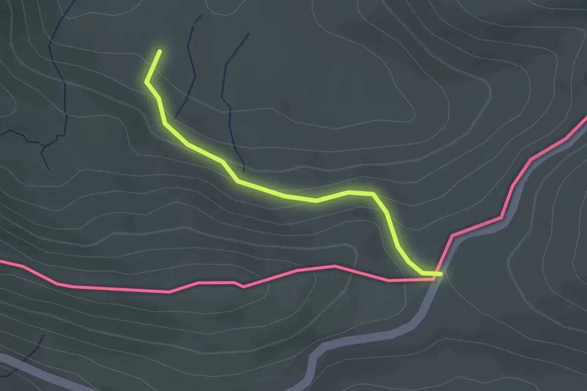
Medium · Trail
Sainte-Colombe et ses hameaux
10.5 km · ↑ 157 m · 2 h 59 min
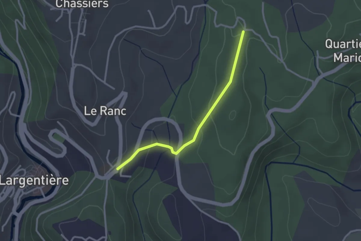
Easy · Trail
Sainte-Engrâce - Erraitzeko Lepua
2.3 km · ↑ 138 m · 50 min
Easy · Trail
Sainte-Foy - Les Juliennes
2.4 km · ↑ 75 m · 44 min
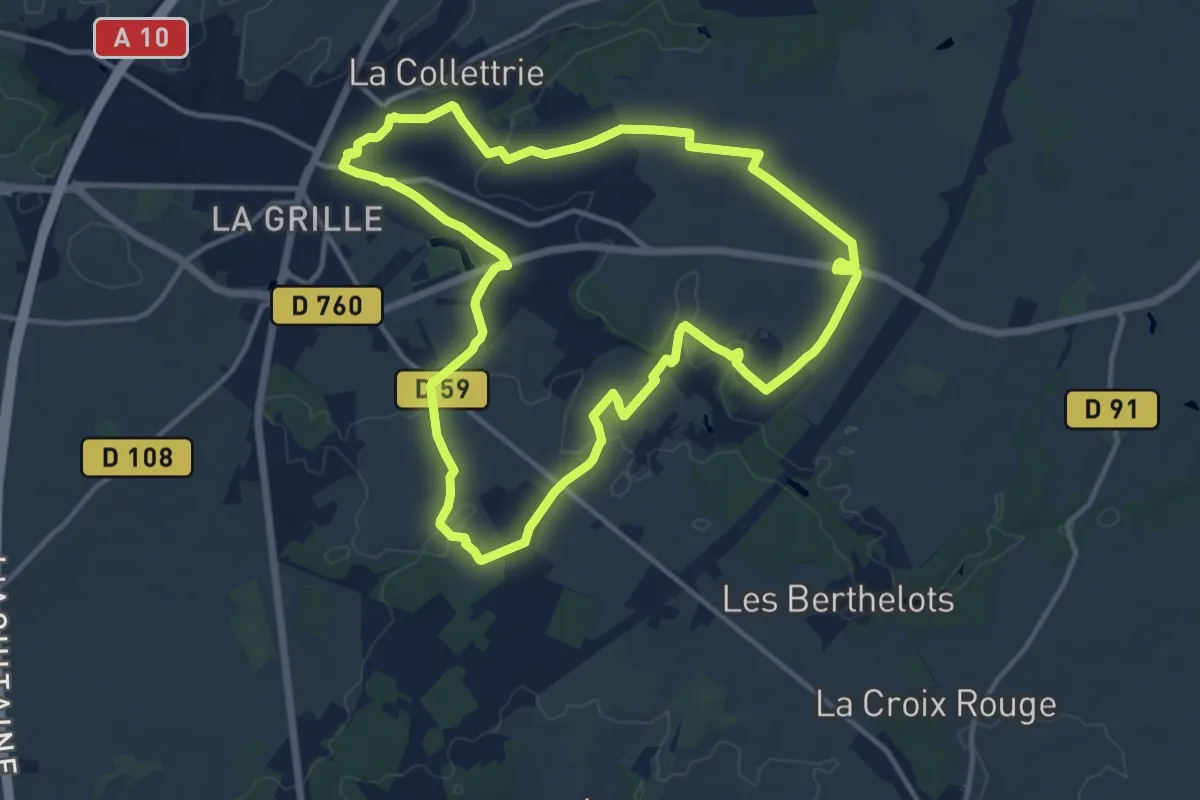
Medium · Trail
Sainte-Maure-de-Touraine Circuit 1
13.3 km · ↑ 95 m · 3 h 33 min
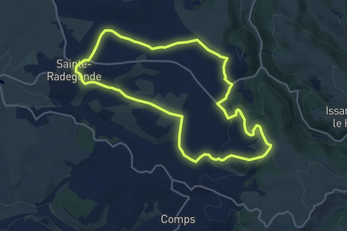
Medium · Trail
Sainte-Radegonde
9.9 km · ↑ 240 m · 2 h 59 min
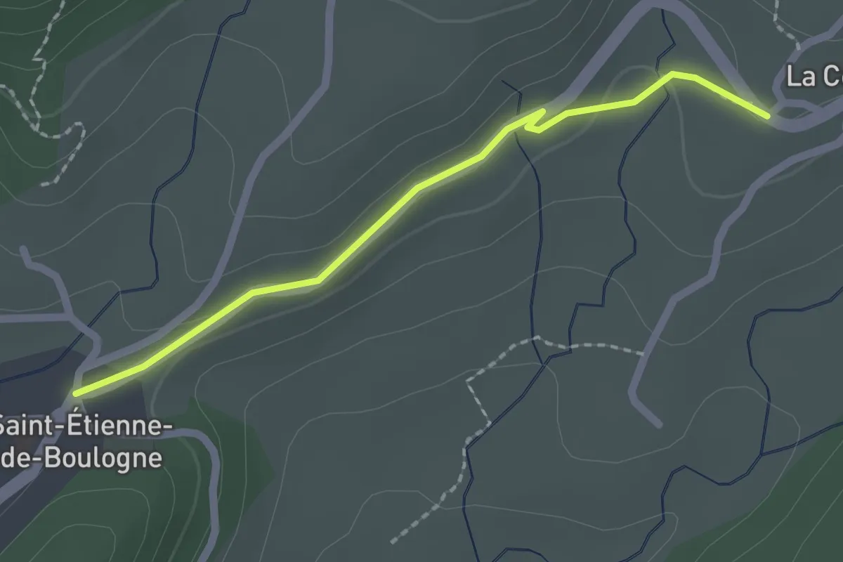
Easy · Trail
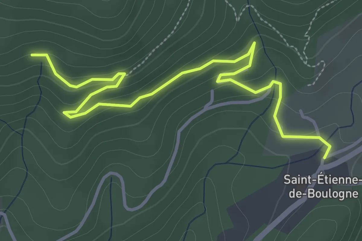
Saint-Etienne de Boulogne - La Conchy
2.0 km · ↑ 31 m · 32 min
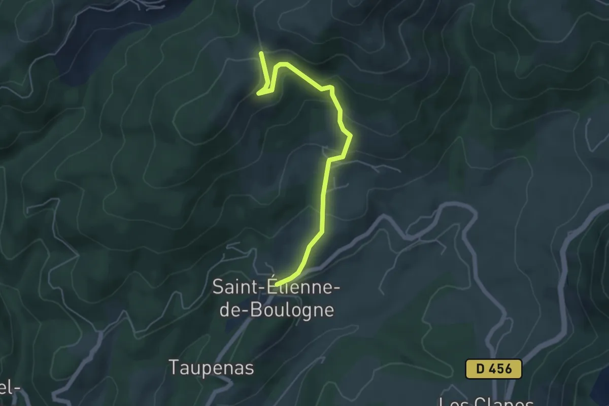
Easy · Trail
Saint-Etienne Nord - Le Col d'Auzon
4.9 km · ↑ 248 m · 1 h 41 min
Easy · Trail
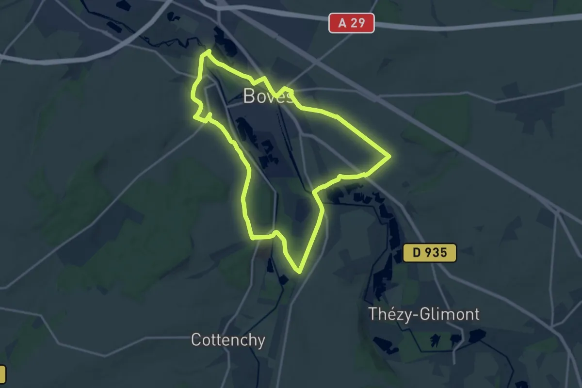
Saint-Etienne Nord - Les Molières
4.0 km · ↑ 140 m · 1 h 14 min
Medium · Trail
Sainte-Ulphe
12.3 km · ↑ 119 m · 3 h 19 min
Demanding · Summit
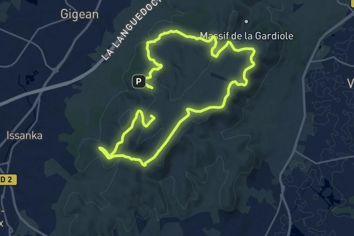
Saint Félix en Gardiole
26.7 km · ↑ 652 m · 7 h 43 min
Easy · Trail
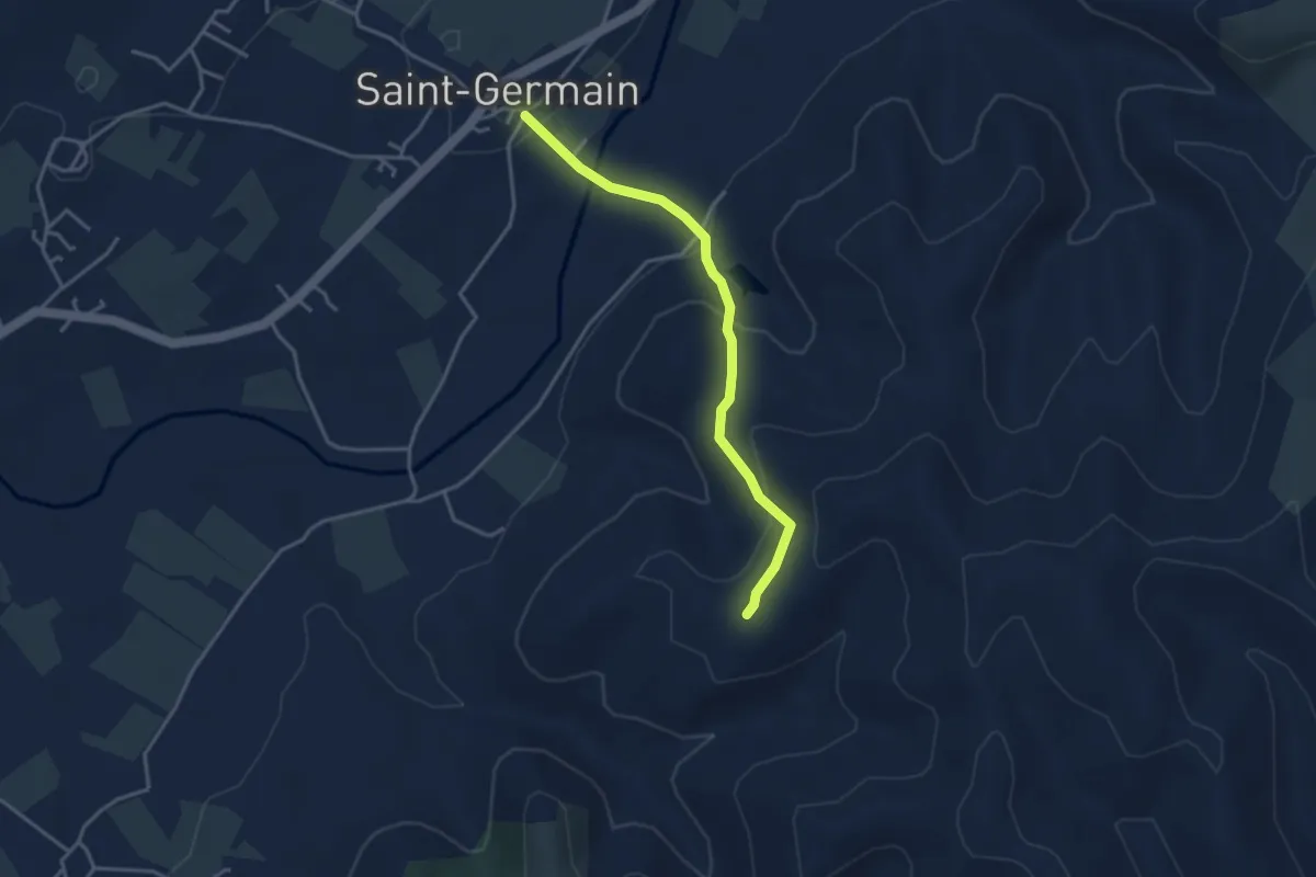
Saint-Germain - Blache de Gros
3.5 km · ↑ 154 m · 1 h 10 min
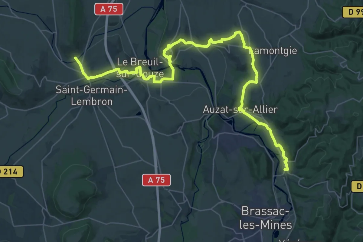
Demanding · Trail
Saint-Germain-Lembron - Jumeaux
18.7 km · ↑ 316 m · 5 h 22 min
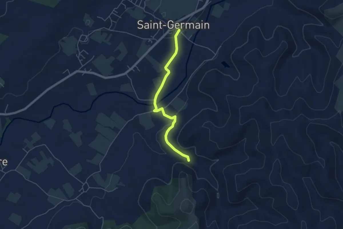
Easy · Trail
Saint-Germain - Le Rieusset
4.6 km · ↑ 71 m · 1 h 14 min
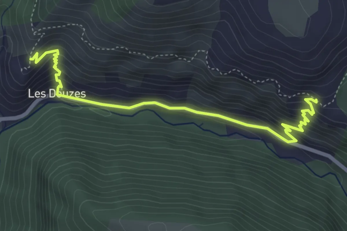
Medium · Trail
Saint-Gervais
2.6 km · ↑ 229 m · 1 h 7 min
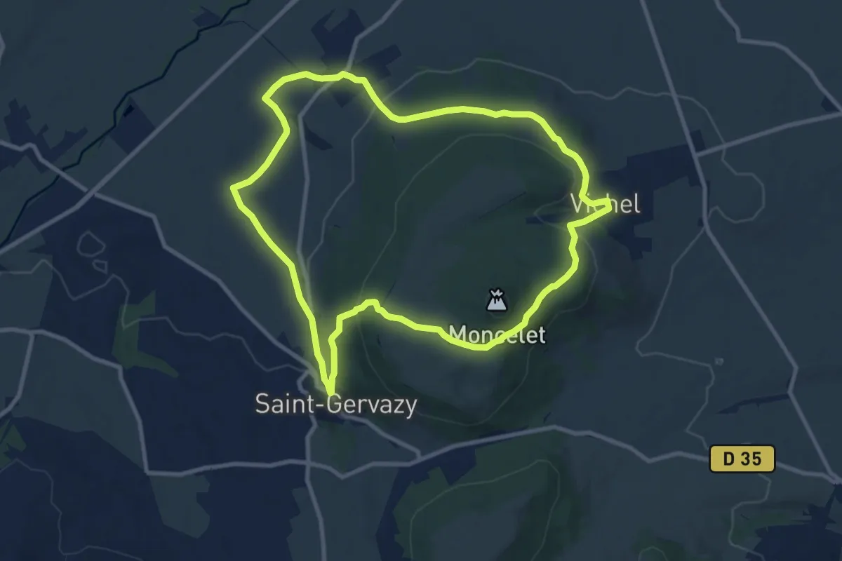
Medium · Trail
Saint-Gervazy
9.4 km · ↑ 269 m · 2 h 56 min
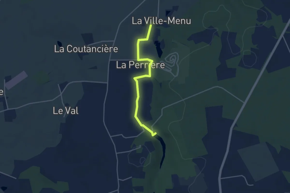
Easy · Trail
Saint-Gonlay Balade Buissonnière
3.2 km · ↑ 23 m · 49 min
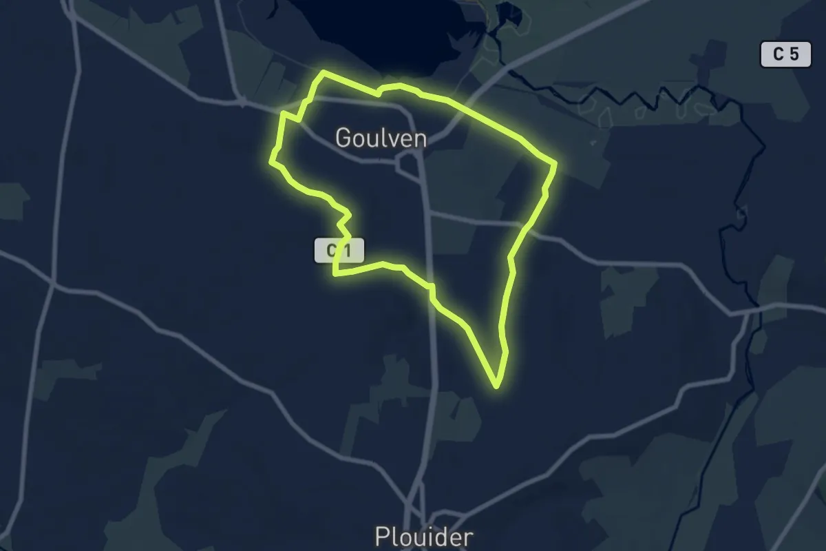
Easy · Trail
Saint-Goulven
6.3 km · ↑ 59 m · 1 h 42 min
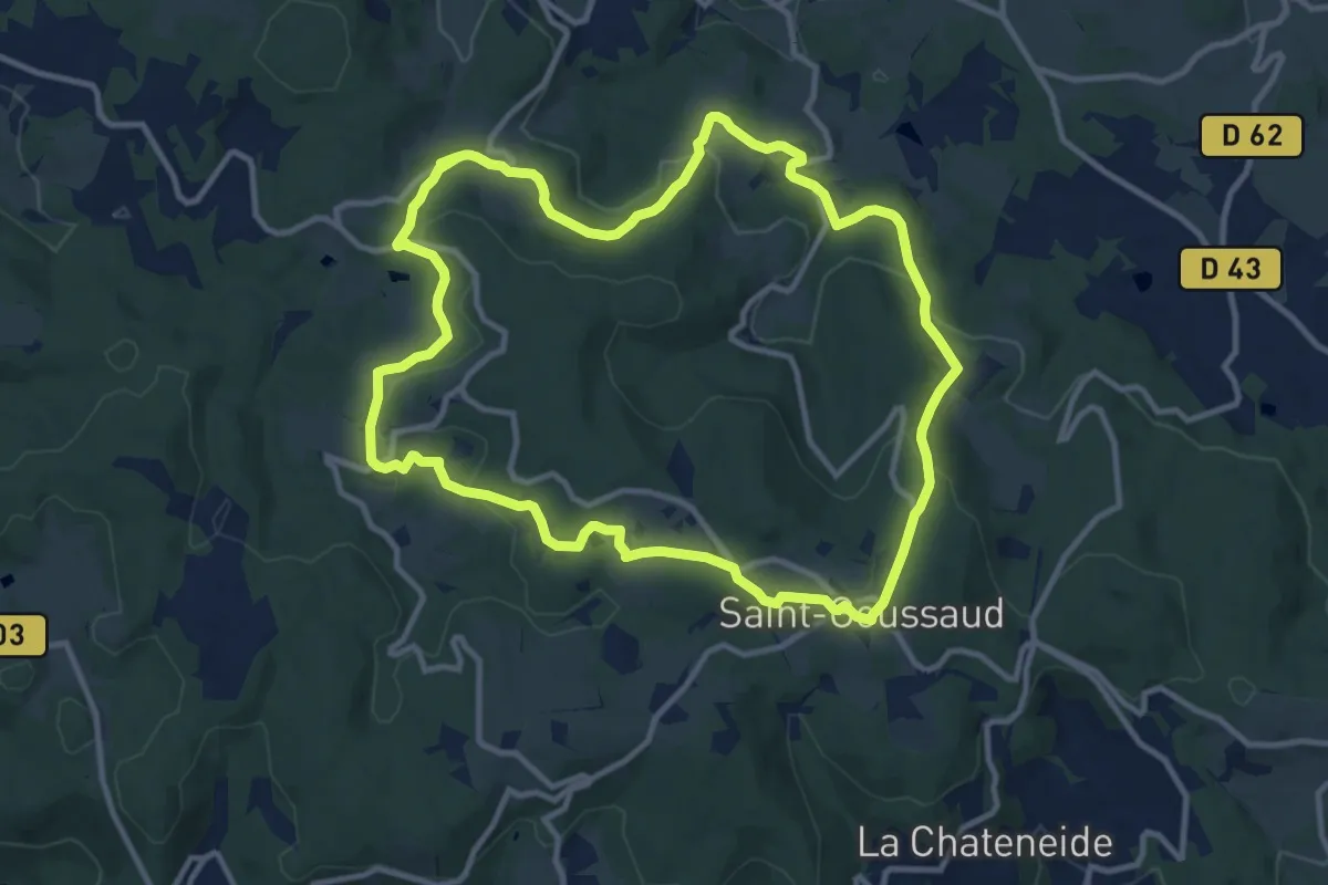
Medium · Trail
Saint-Goussaud 1 : Bossabut
11.5 km · ↑ 269 m · 3 h 27 min
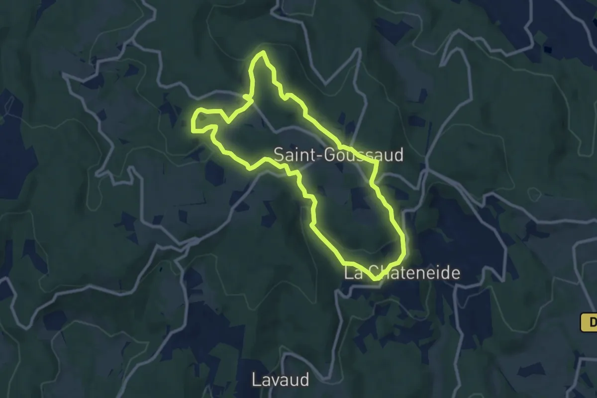
Medium · Trail
Saint-Goussaud 4 : Bois de roche
8.1 km · ↑ 206 m · 2 h 28 min
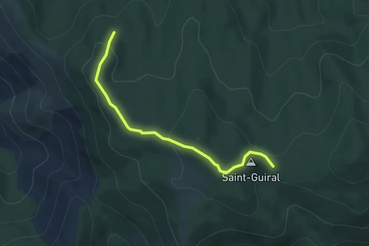
Easy · Trail
Saint-Guiral
2.2 km · ↑ 123 m · 46 min
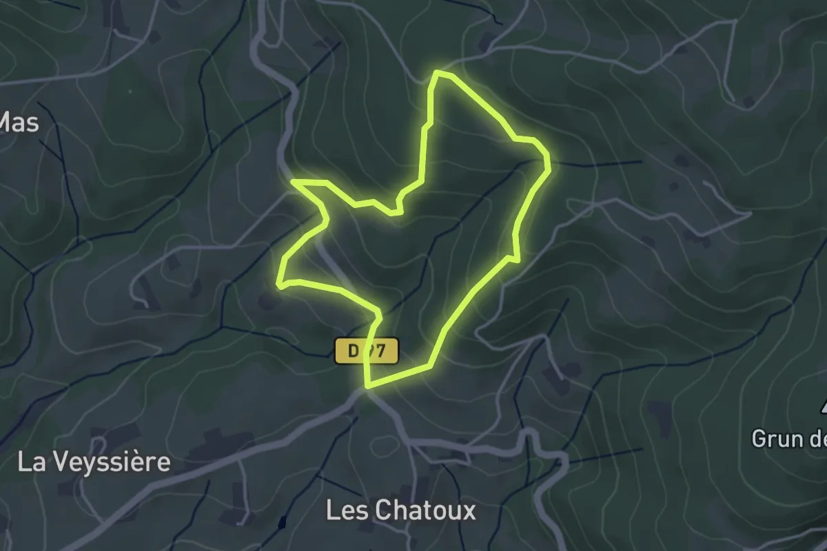
Easy · Trail
Saint-James
3.3 km · ↑ 175 m · 1 h 12 min
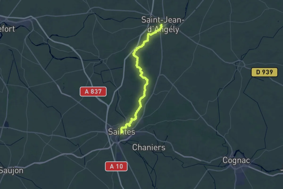
Demanding · Trail
Saint-Jean-d'Angély - Saintes
34.8 km · ↑ 378 m · 9 h 32 min
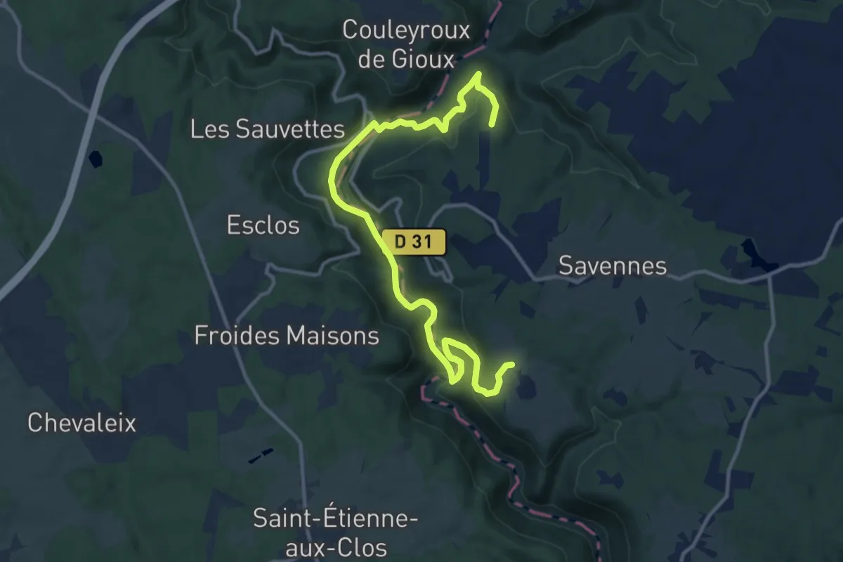
Medium · Trail
Saint-Jean-du-Desert
13.3 km · ↑ 482 m · 4 h 12 min
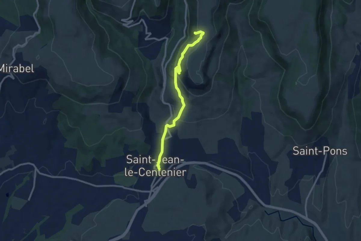
Medium · Trail
Saint-Jean-le-Centenier - Balmes de Montbrun
7.7 km · ↑ 339 m · 2 h 34 min
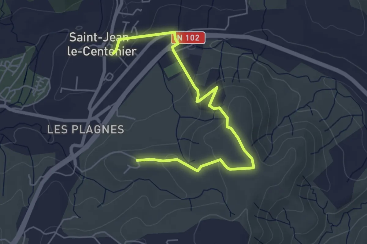
Easy · Trail
Saint-Jean-le-Centenier - Font Nègre
5.6 km · ↑ 160 m · 1 h 40 min
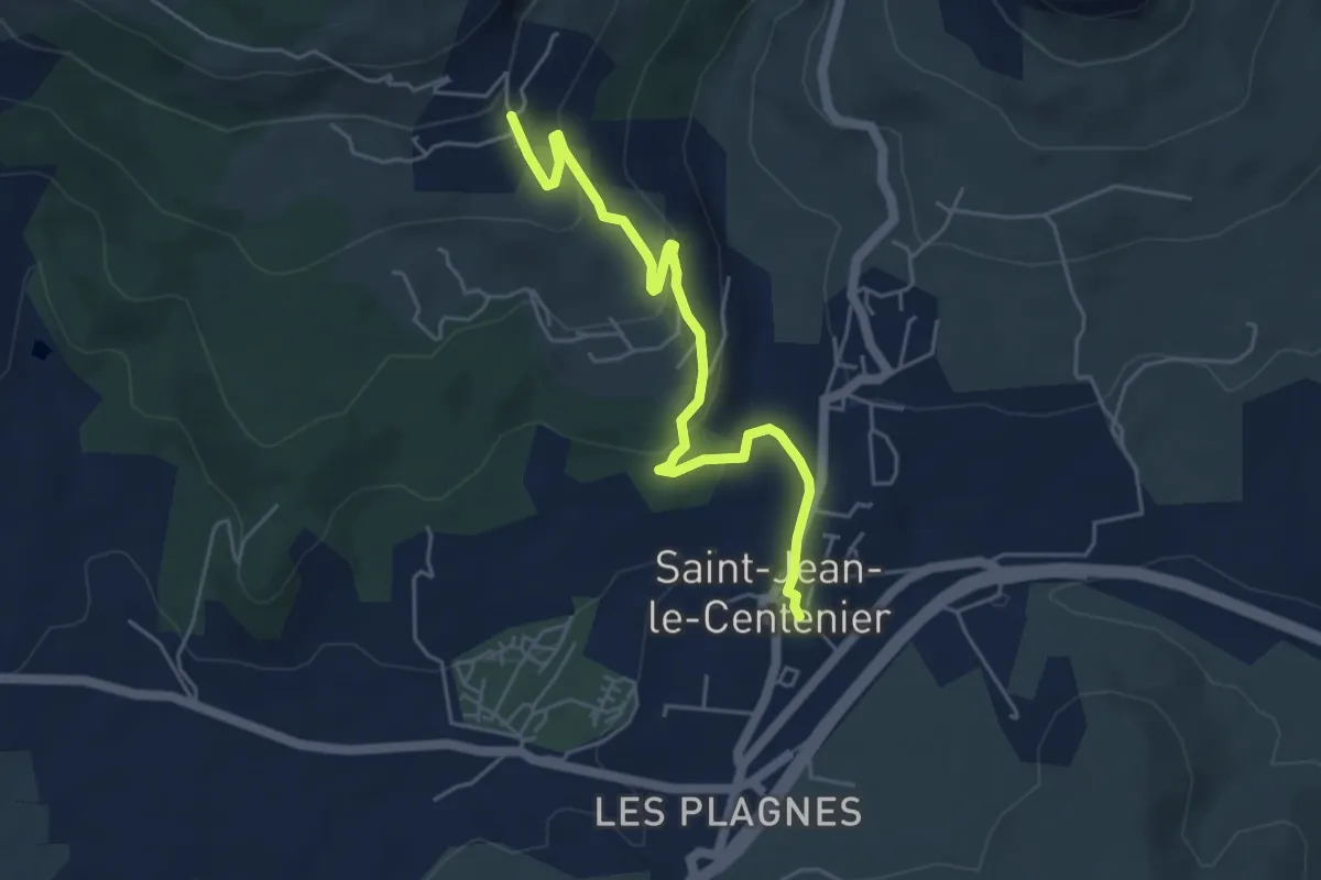
Easy · Trail
Saint-Jean-le-Centenier - Jarnias
5.3 km · ↑ 195 m · 1 h 40 min
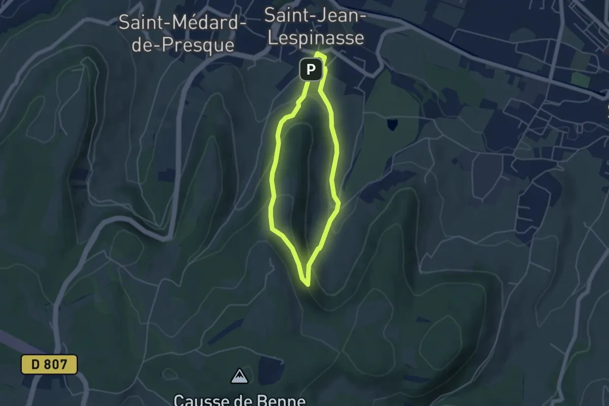
Easy · Summit
Saint-Jean Lespinasse - La Césarine
3.8 km · ↑ 152 m · 1 h 17 min
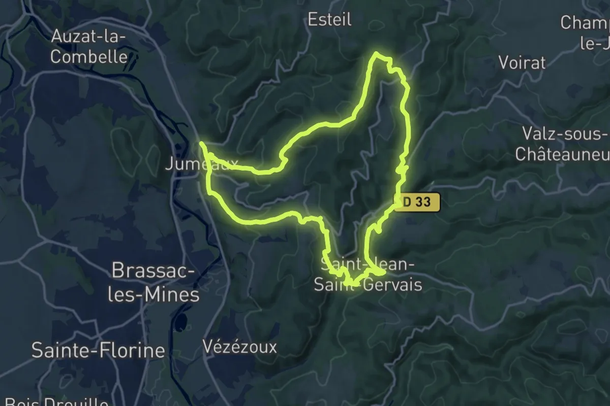
Medium · Trail
Saint Jean Saint Gervais
15.0 km · ↑ 632 m · 5 h 8 min
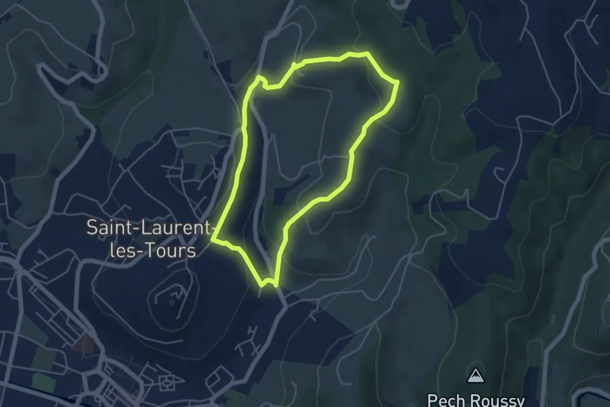
Easy · Trail
Saint Laurent les Tours - La Boisse
4.1 km · ↑ 164 m · 1 h 23 min
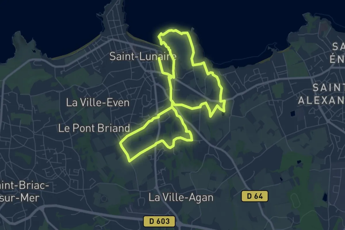
Easy · Trail
Saint-Lunaire Le Papillon
7.6 km · ↑ 106 m · 2 h 8 min