Trails in France
15,926 hiking trails, each with its route, climb, walking time and grade.
All trails, page 236 of 332
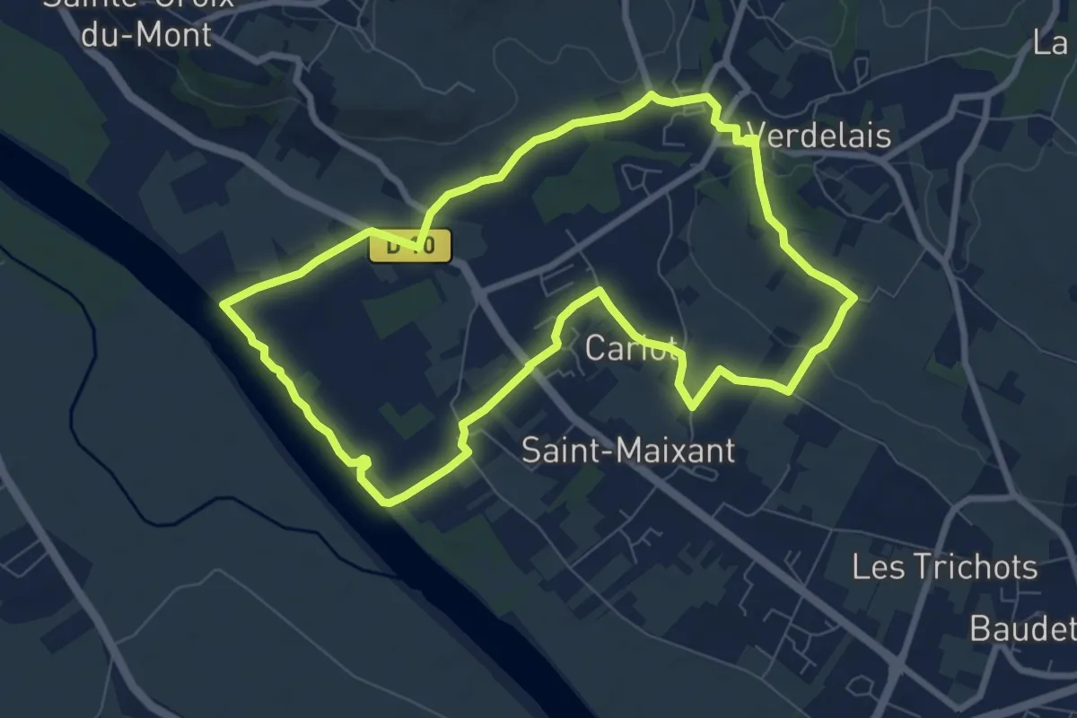
Medium · Trail
Saint-Maixant : boucle locale
8.1 km · ↑ 108 m · 2 h 16 min
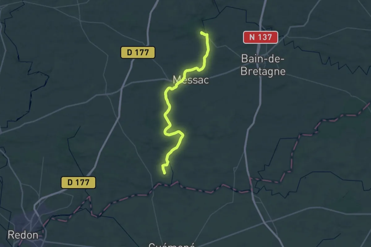
Demanding · Trail
Saint-Malo-de-Phily - Langon
26.0 km · ↑ 45 m · 6 h 38 min
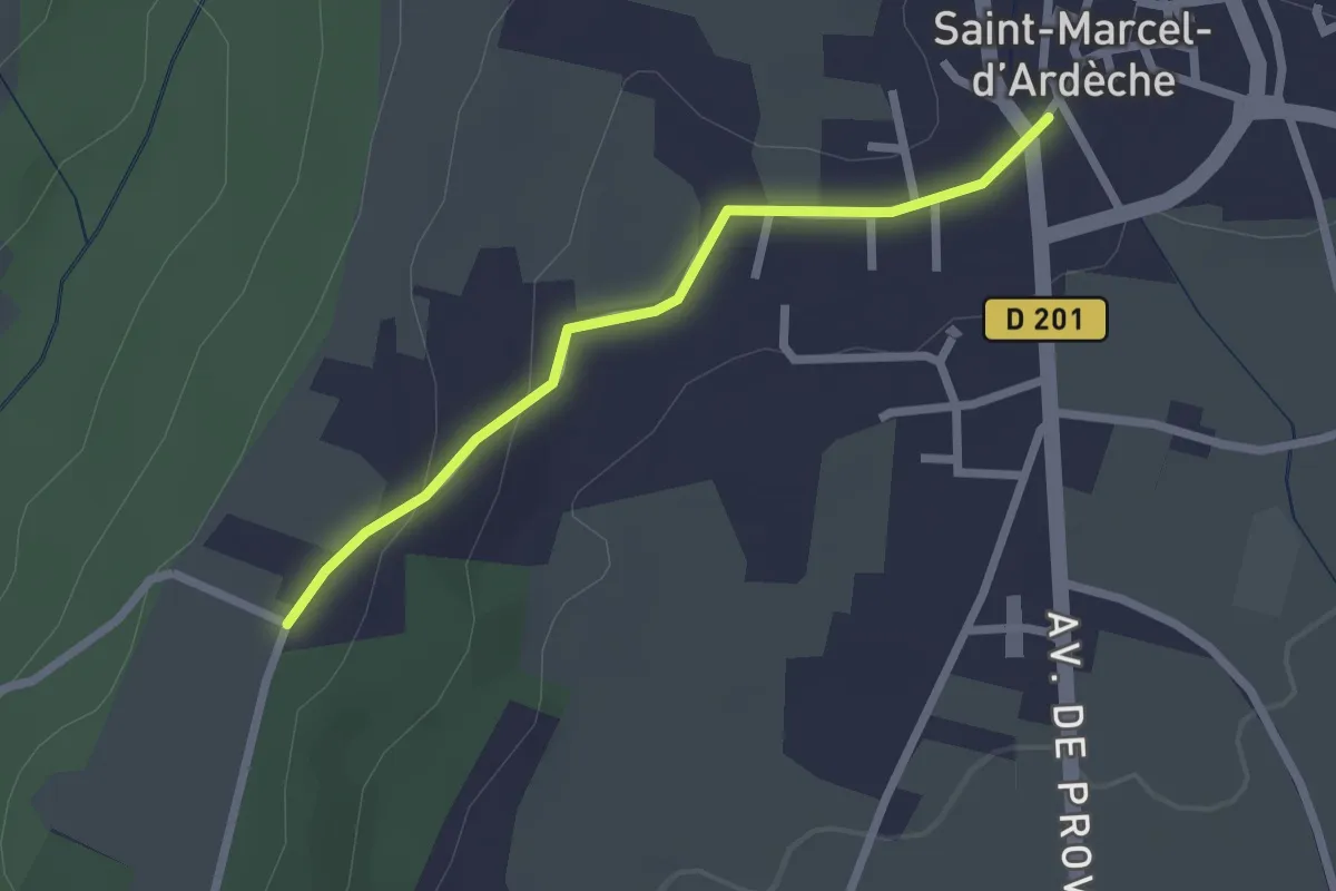
Easy · Trail
Saint-Marcel-d'Ardèche - Chaveyron
2.2 km · ↑ 41 m · 37 min
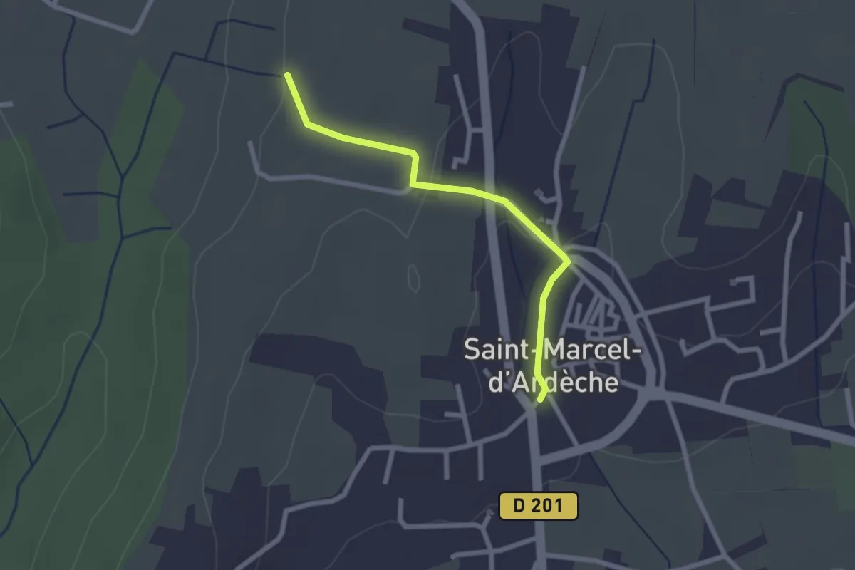
Easy · Trail
Saint-Marcel-d'Ardèche - Lafare
2.2 km · ↑ 52 m · 38 min
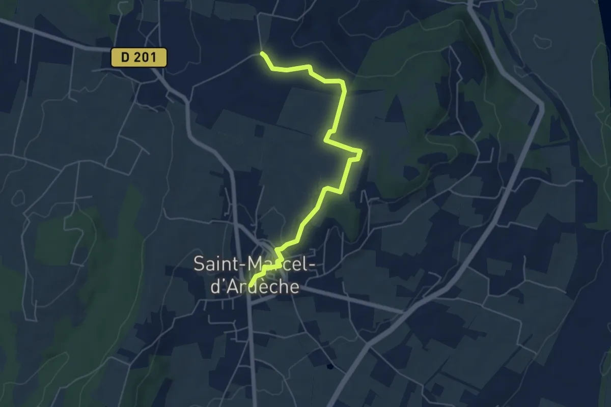
Easy · Trail
Saint-Marcel-d'Ardèche - Souchas
5.8 km · ↑ 70 m · 1 h 31 min
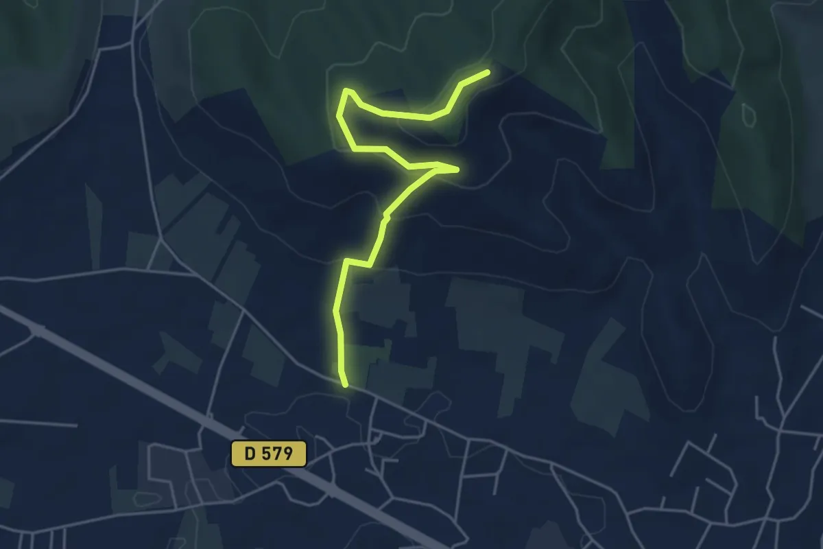
Easy · Trail
Saint-Martin - Coucouru
4.6 km · ↑ 234 m · 1 h 36 min
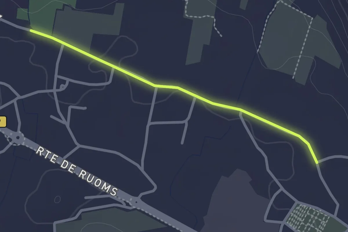
Easy · Trail
Saint-Martin - Coulette
2.3 km · ↑ 4 m · 34 min
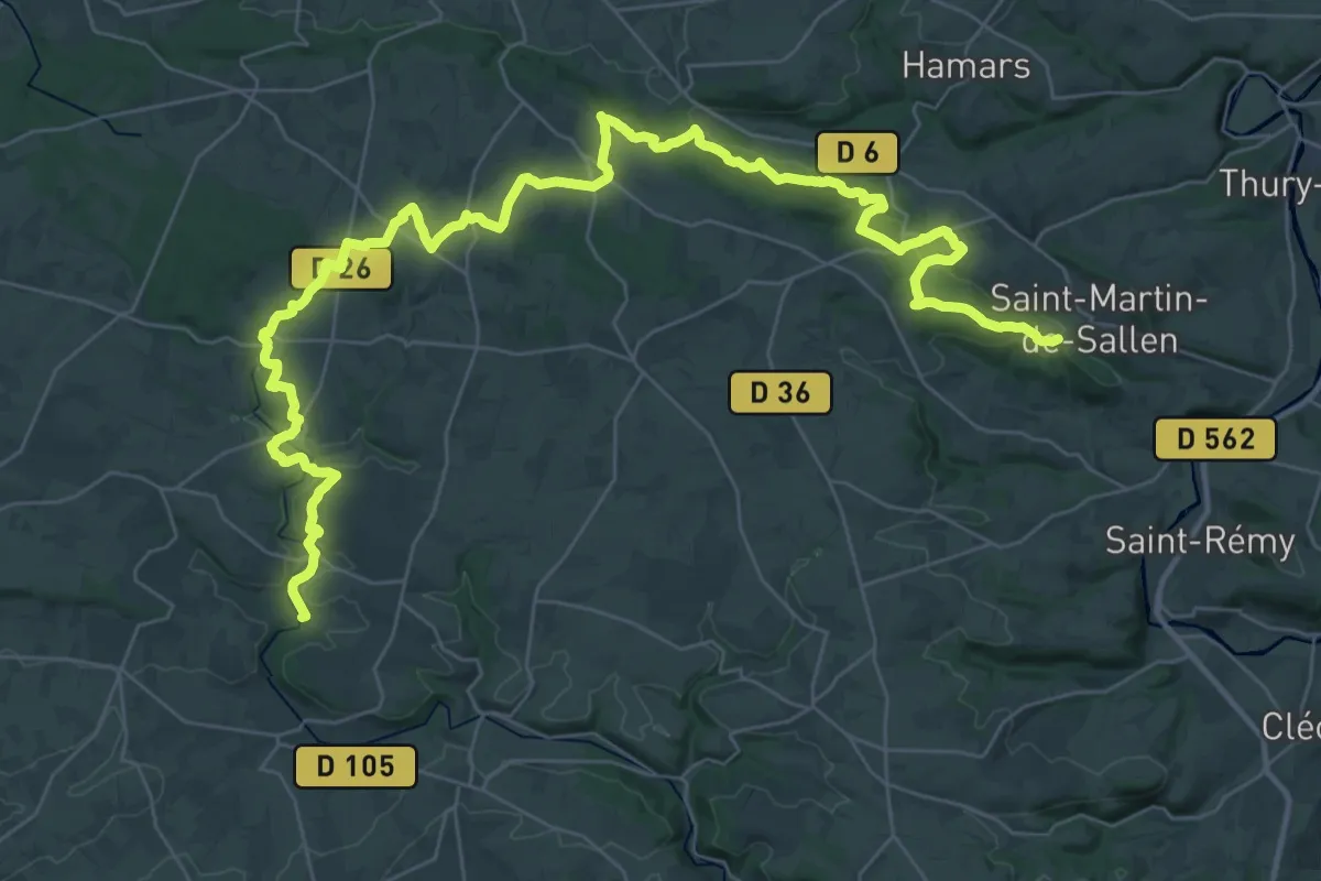
Demanding · Trail
Saint-Martin-de-Sallen à Saint-Jean-le-Blanc
24.7 km · ↑ 545 m · 7 h 23 min
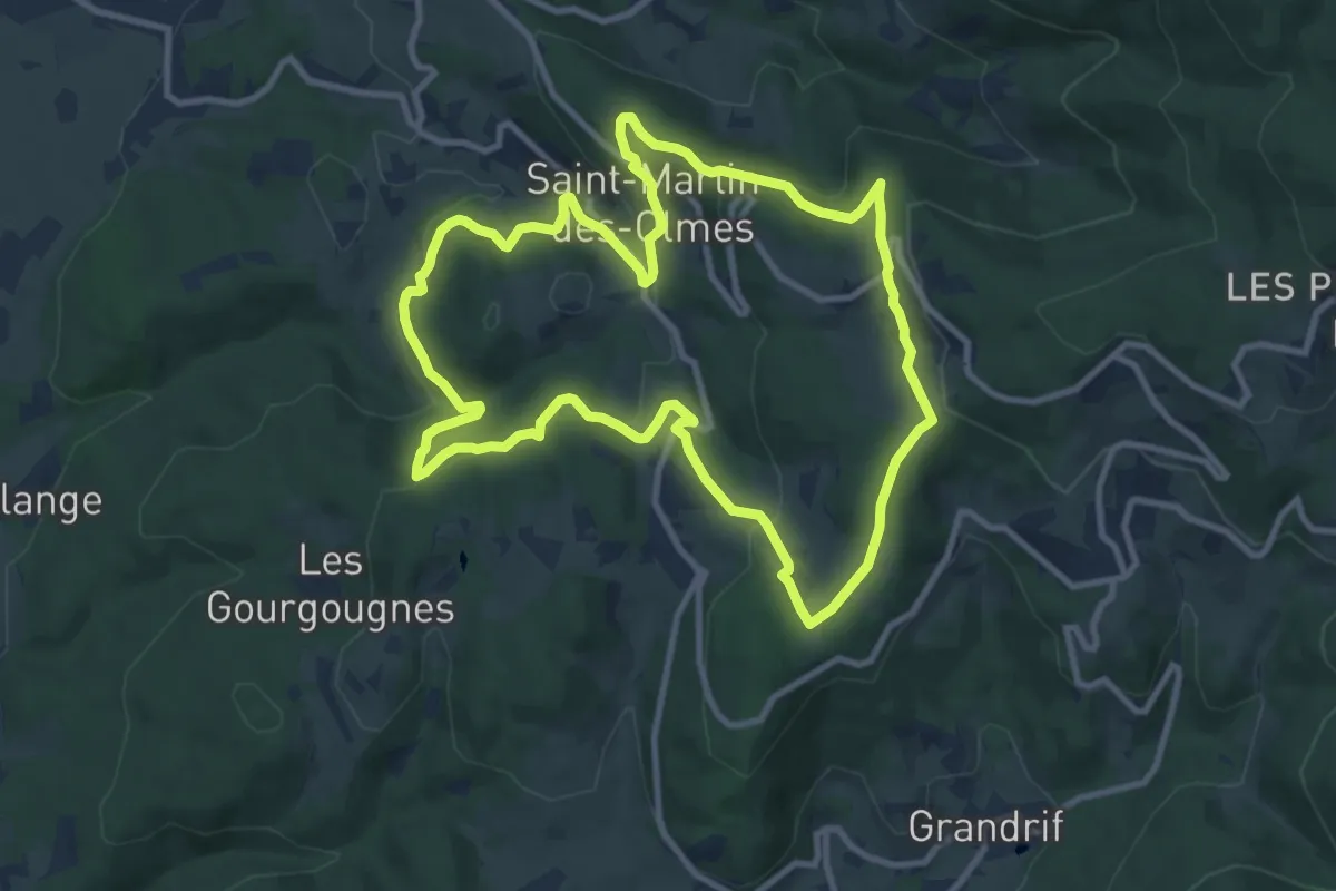
Medium · Trail
Saint-Martin Des Olmes
10.4 km · ↑ 351 m · 3 h 21 min
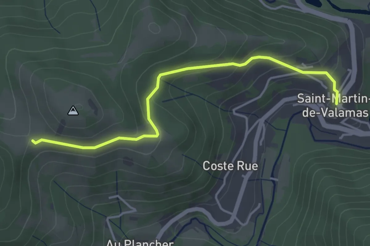
Easy · Trail
Saint-Martin-de-Valamas - La Romane
3.9 km · ↑ 183 m · 1 h 19 min
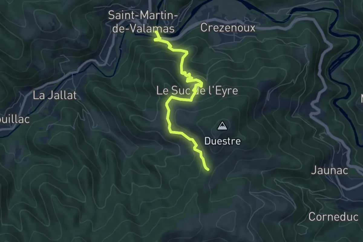
Medium · Trail
Saint-Martin-de-Valamas Le Pont - Le Col
6.9 km · ↑ 423 m · 2 h 32 min
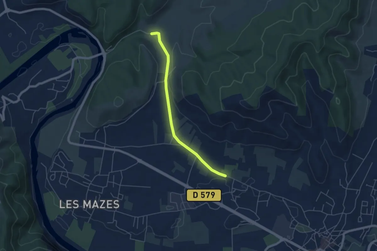
Easy · Trail
Saint-Martin - La Loubière
4.7 km · ↑ 76 m · 1 h 16 min
Easy · Trail
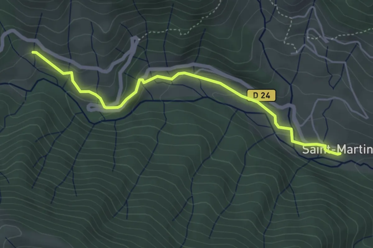
Saint Martin - Le Couderc
4.6 km · ↑ 154 m · 1 h 26 min
Demanding · Summit
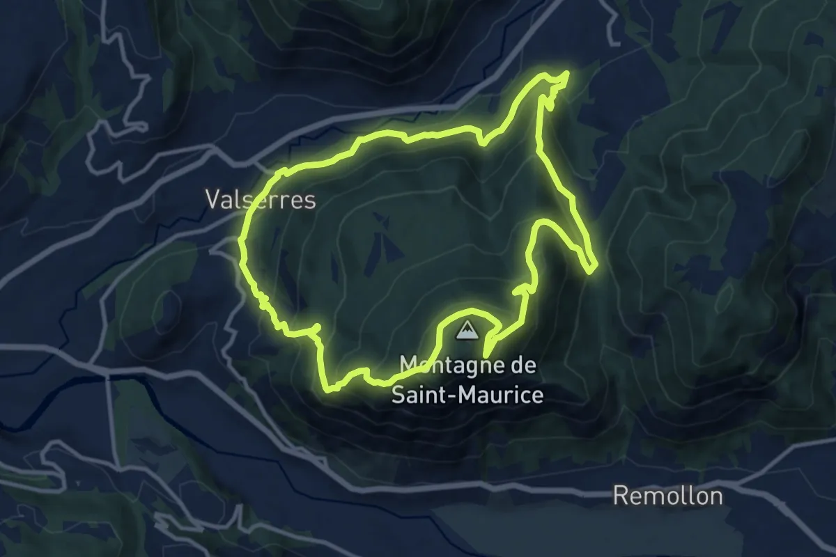
Saint-Maurice
11.6 km · ↑ 878 m · 4 h 48 min
Easy · Trail
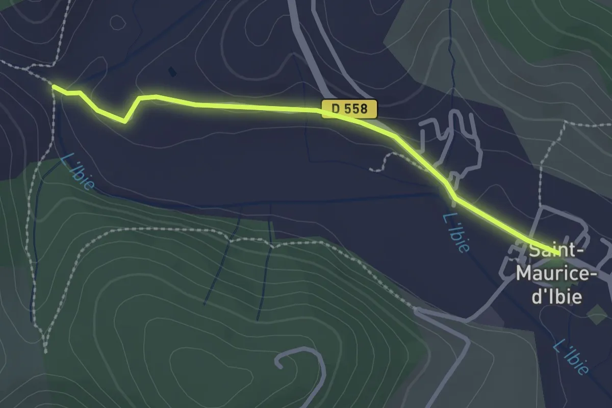
Saint-Maurice d'Ibie - L'Ibie
2.5 km · ↑ 30 m · 40 min
Easy · Trail
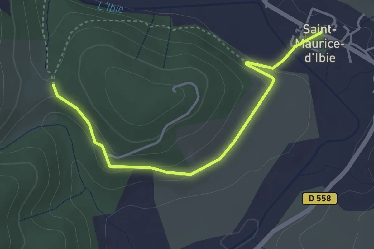
Saint-Maurice d'Ibie - Petit Montagu
3.7 km · ↑ 78 m · 1 h 2 min
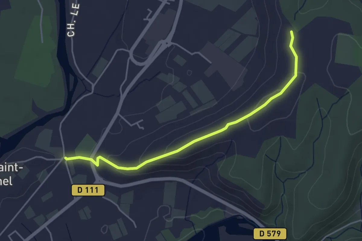
Easy · Trail
Saint-Michel - Chaussy
4.2 km · ↑ 115 m · 1 h 15 min
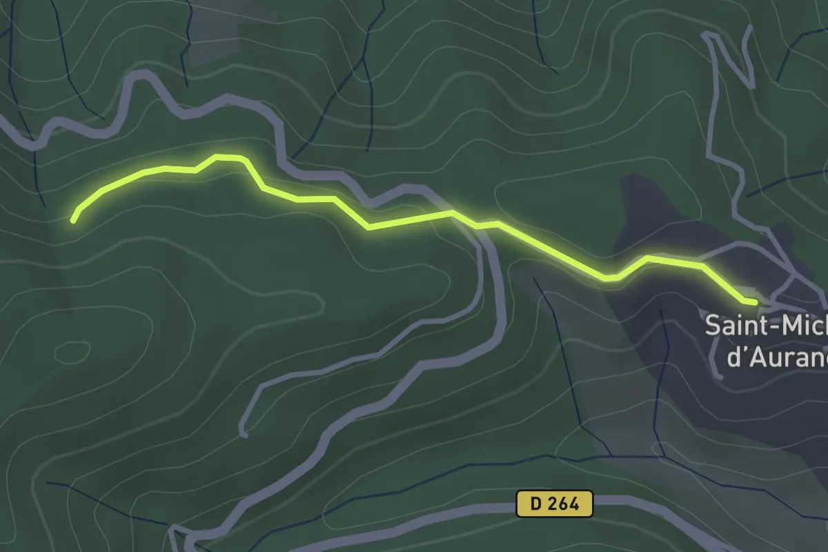
Easy · Trail
Saint-Michel-d'Aurance - Source Banban
2.9 km · ↑ 92 m · 54 min
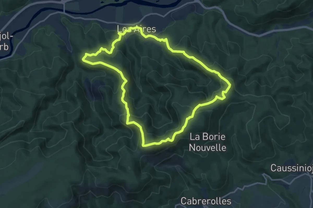
Medium · Summit
Saint-Michel de Mourcairol
11.1 km · ↑ 587 m · 4 h 2 min
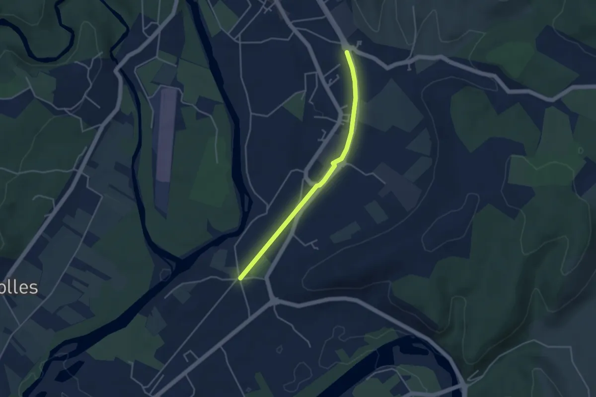
Easy · Trail
Saint-Michel - La Gare
3.6 km · ↑ 8 m · 52 min
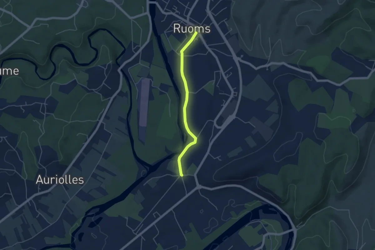
Easy · Trail
Saint-Michel - Ruoms
4.2 km · ↑ 33 m · 1 h 4 min
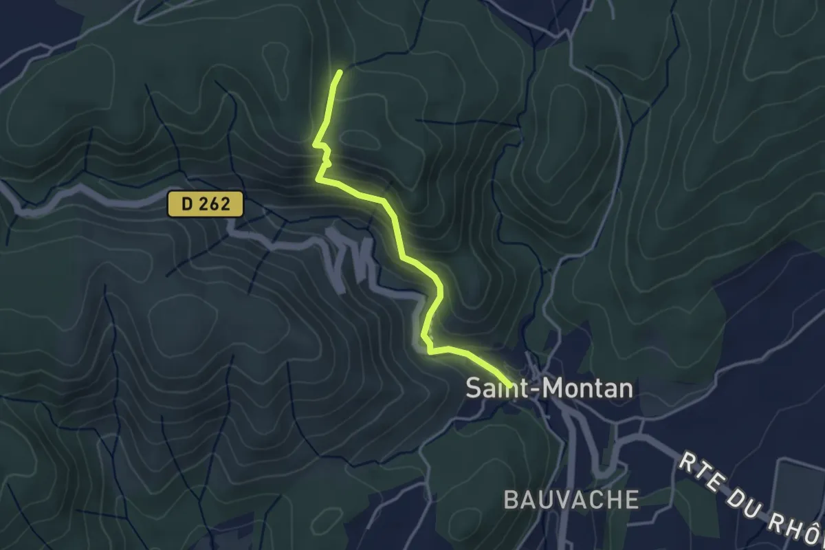
Easy · Trail
Saint-Montan - Bois de Deniéret
3.1 km · ↑ 220 m · 1 h 12 min
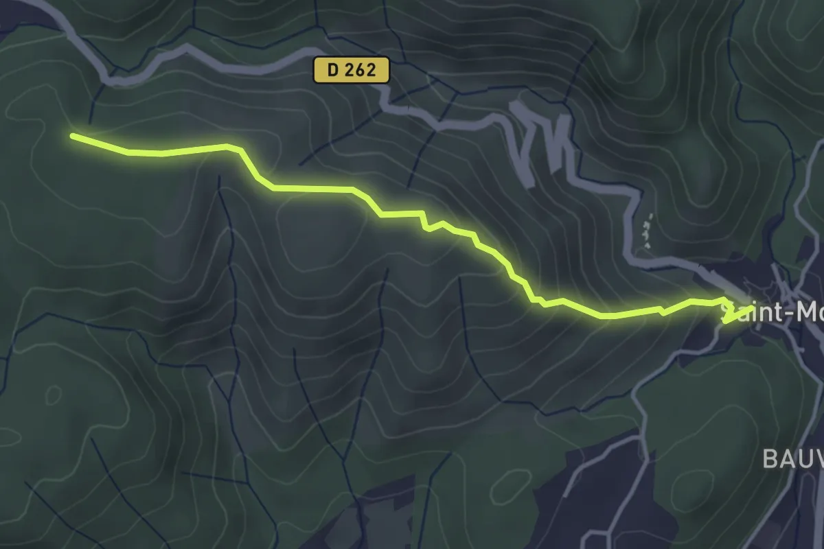
Easy · Trail
Saint-Montan - La Peyrière
4.0 km · ↑ 259 m · 1 h 30 min
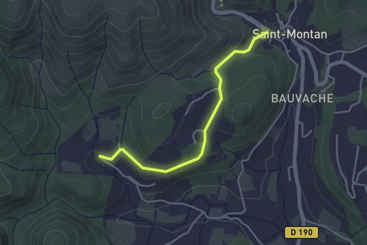
Easy · Trail
Saint-Montan - Valescure
3.2 km · ↑ 60 m · 53 min
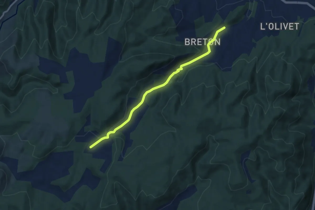
Easy · Trail
Saint-Ostian - Le Moure
7.6 km · ↑ 229 m · 2 h 17 min
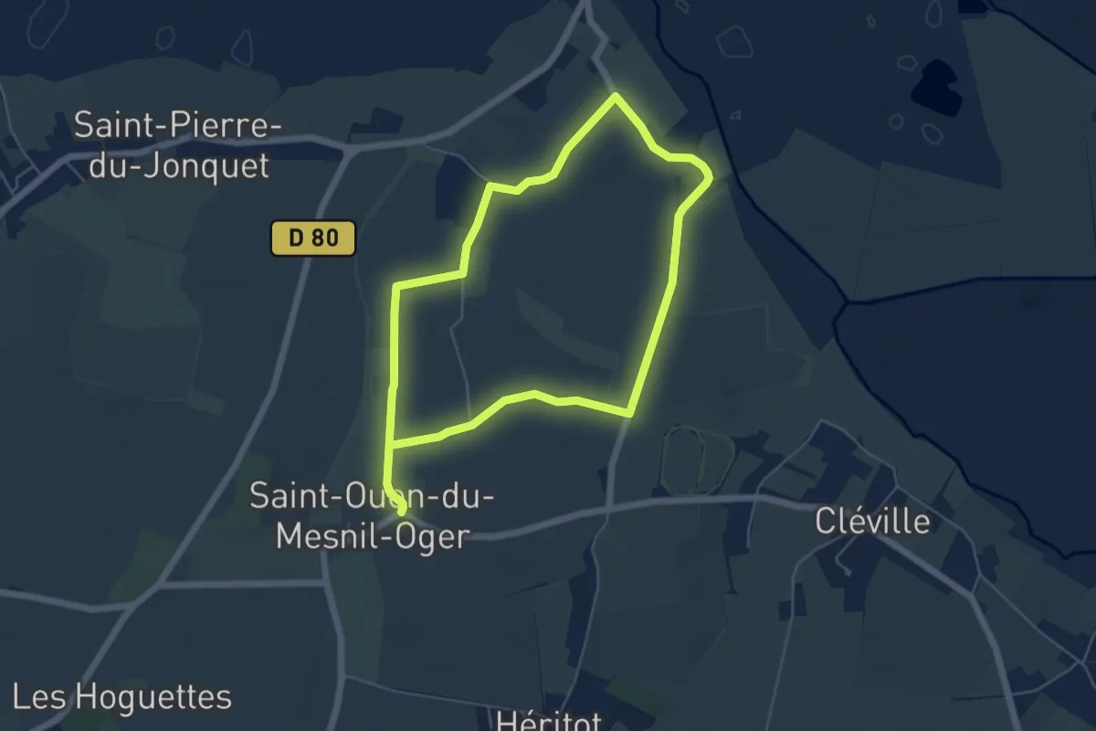
Easy · Trail
Saint-Ouen-du-Mesnil-Oger
4.9 km · ↑ 17 m · 1 h 16 min
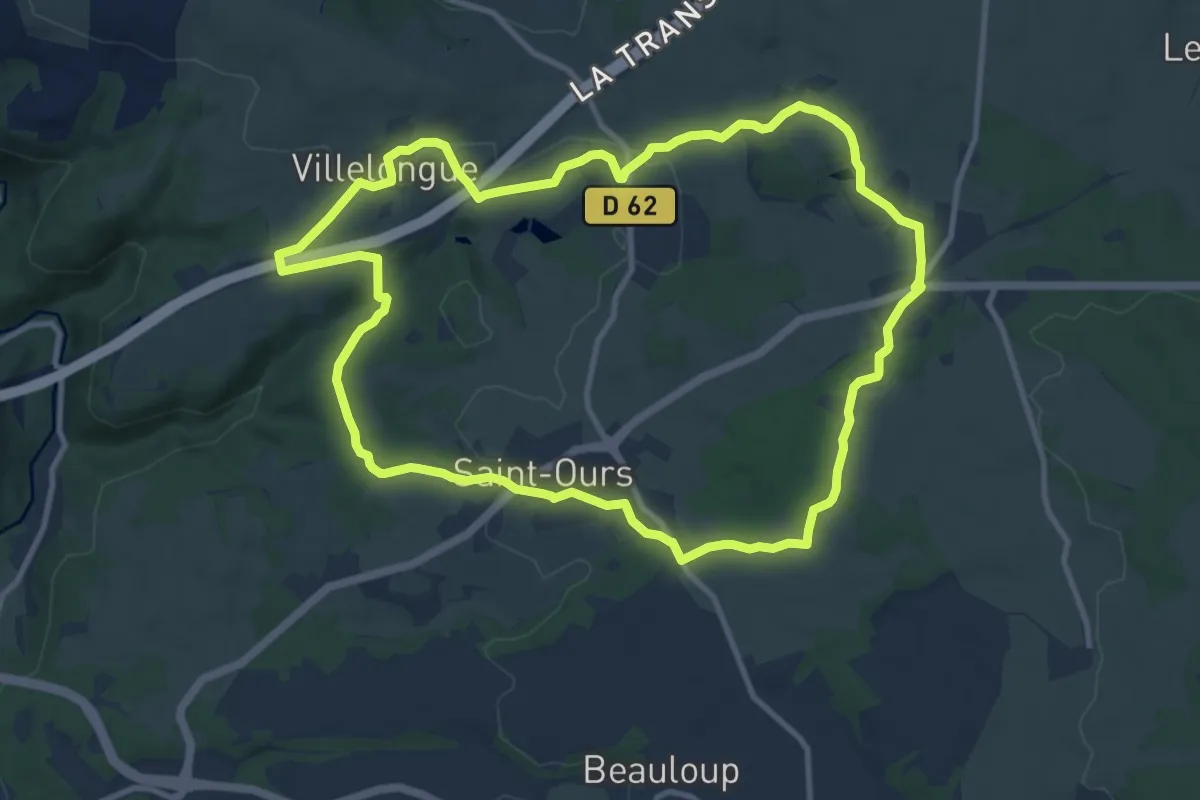
Medium · Trail
Saint-Ours-les-Roches
11.2 km · ↑ 224 m · 3 h 16 min
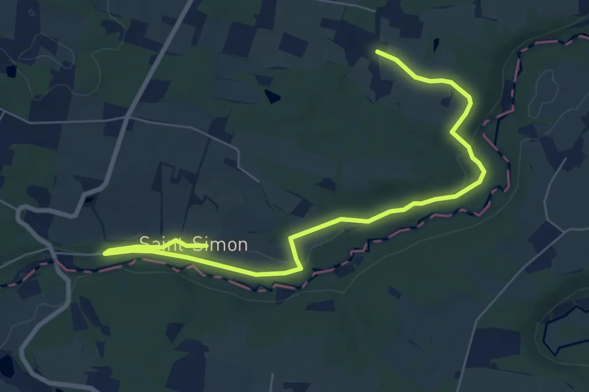
Easy · Trail
Saint-Pé-Saint-Simon, aux confins du Gers et des Landes 9.4 km
3.9 km · ↑ 65 m · 1 h 7 min
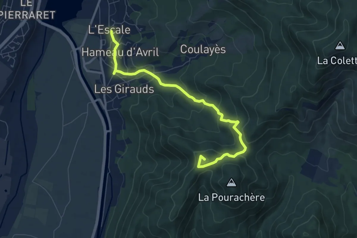
Medium · Summit
Saint-Pierre
8.5 km · ↑ 403 m · 2 h 53 min
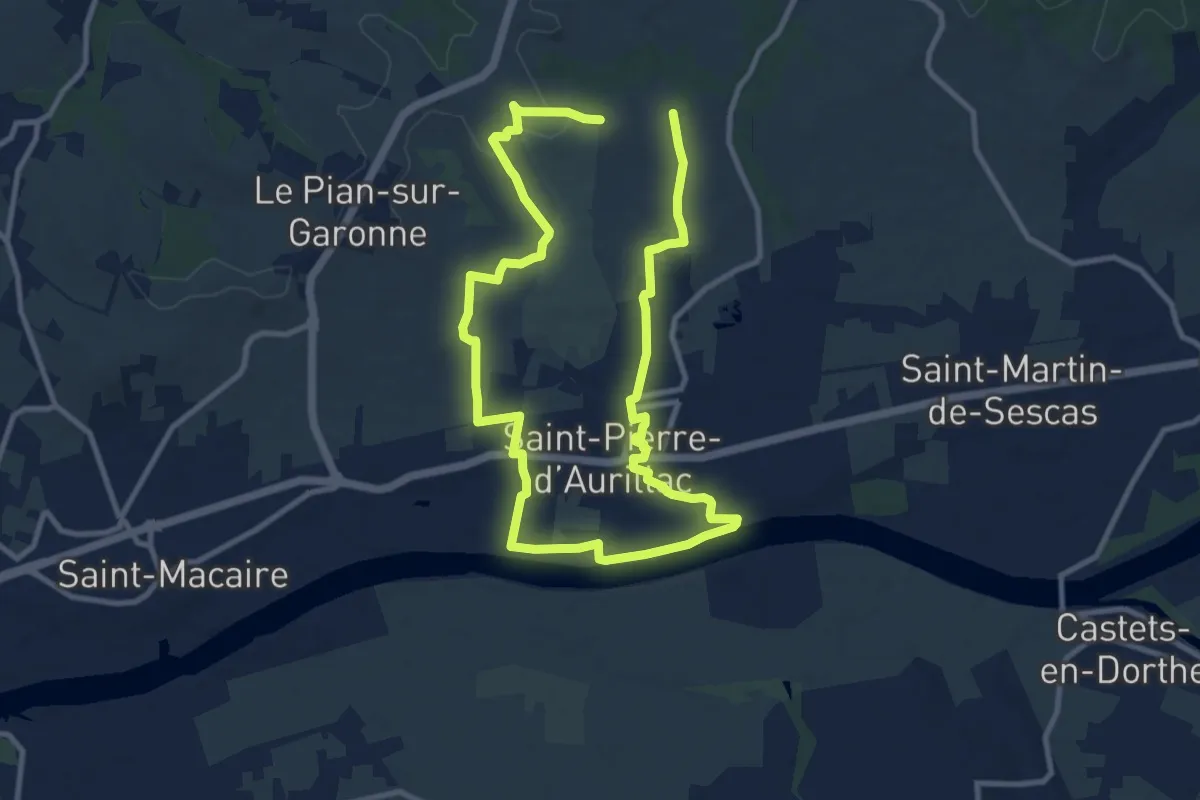
Demanding · Trail
Saint-Pierre-d'Aurillac : boucle locale
18.6 km · ↑ 227 m · 4 h 53 min
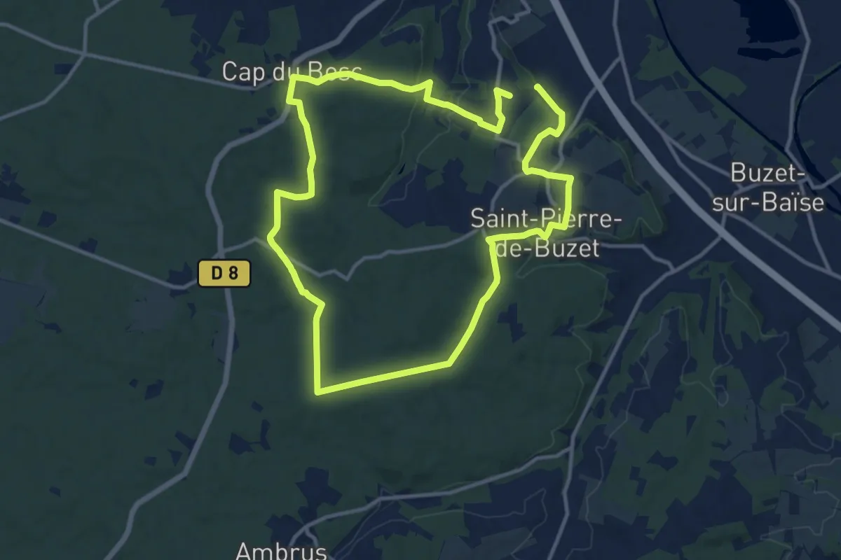
Medium · Trail
Saint-Pierre-de-Buzet, la randonnée du Cap-du-Bosc - 12 km
13.6 km · ↑ 330 m · 4 h 7 min
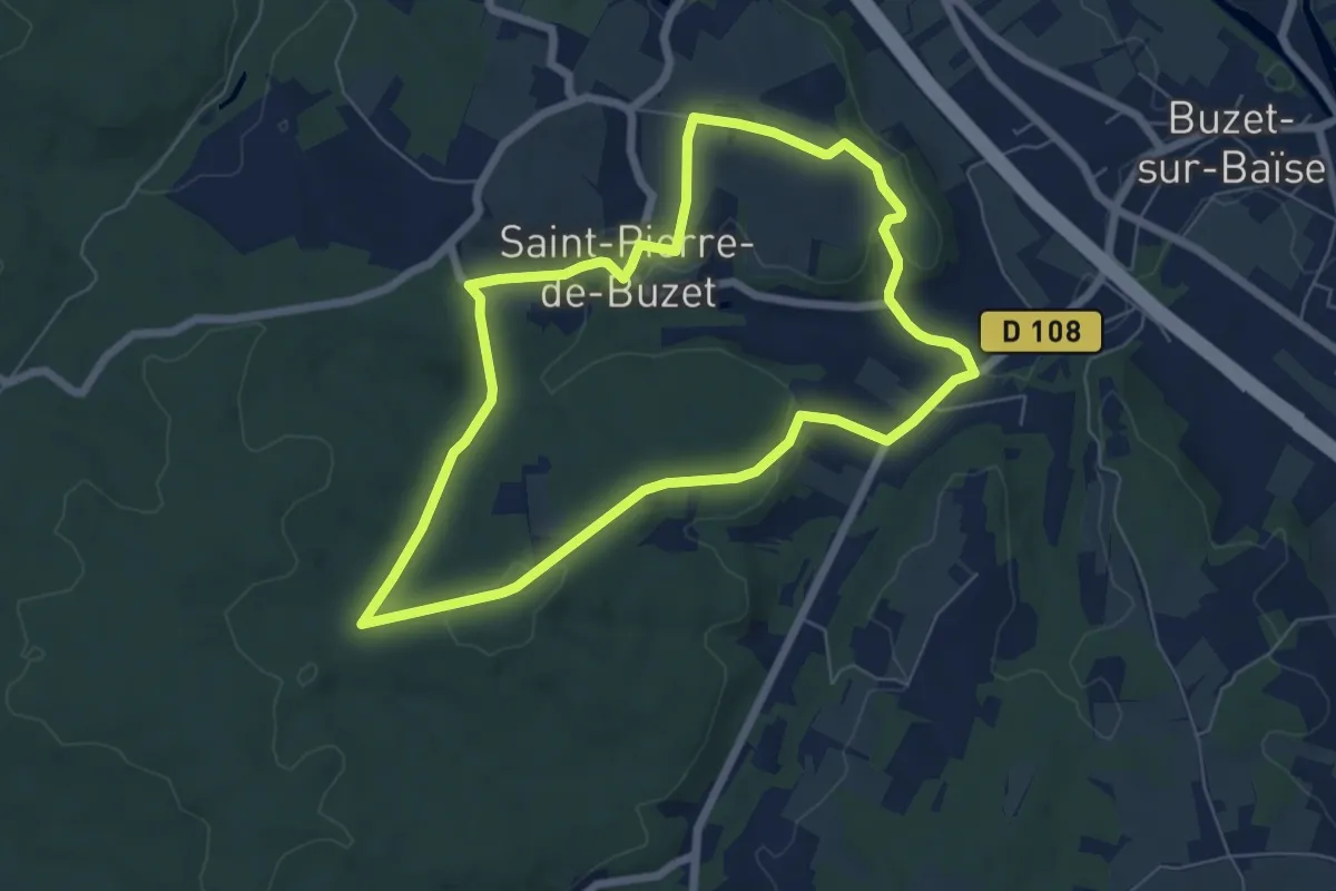
Easy · Trail
Saint-Pierre-de-Buzet, vignes, pins et chênes lièges - 6.5 km
6.5 km · ↑ 140 m · 1 h 56 min
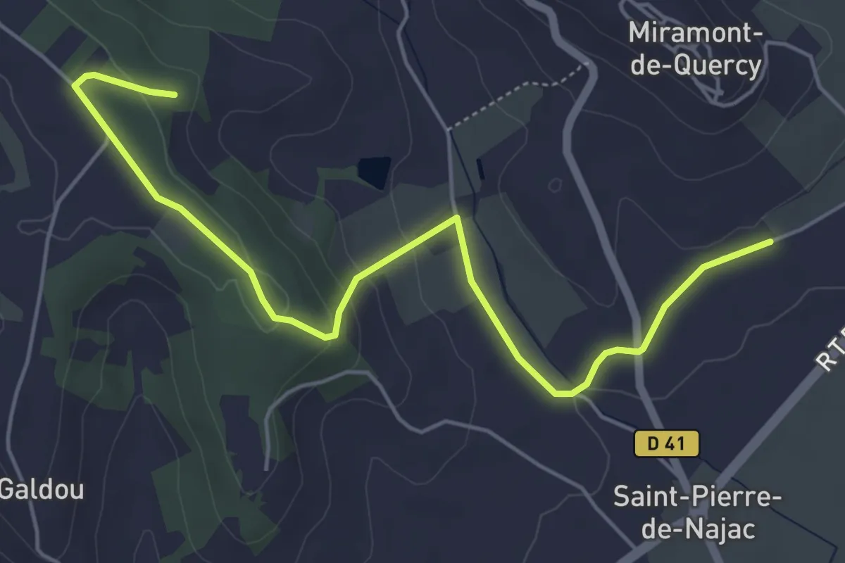
Easy · Trail
Saint-Pierre de Najac
3.0 km · ↑ 35 m · 52 min
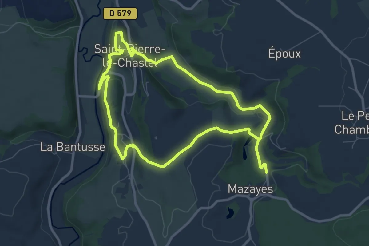
Easy · Trail
Saint-Pierre-le-Chastel
6.8 km · ↑ 134 m · 2 h 1 min
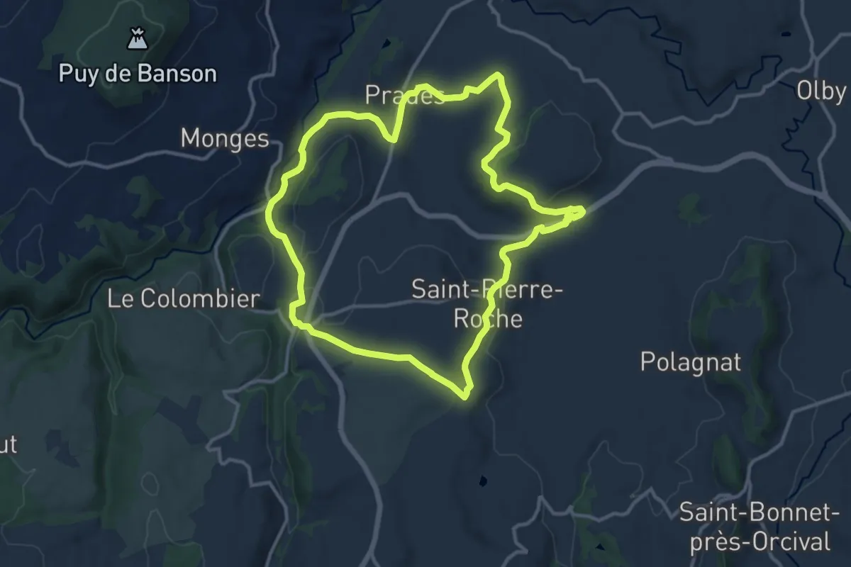
Medium · Trail
Saint-Pierre-Roche
11.7 km · ↑ 290 m · 3 h 33 min
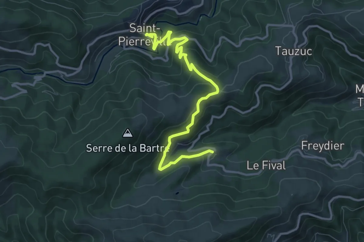
Medium · Trail
Saint-Pierreville - Craux
9.7 km · ↑ 402 m · 3 h 9 min
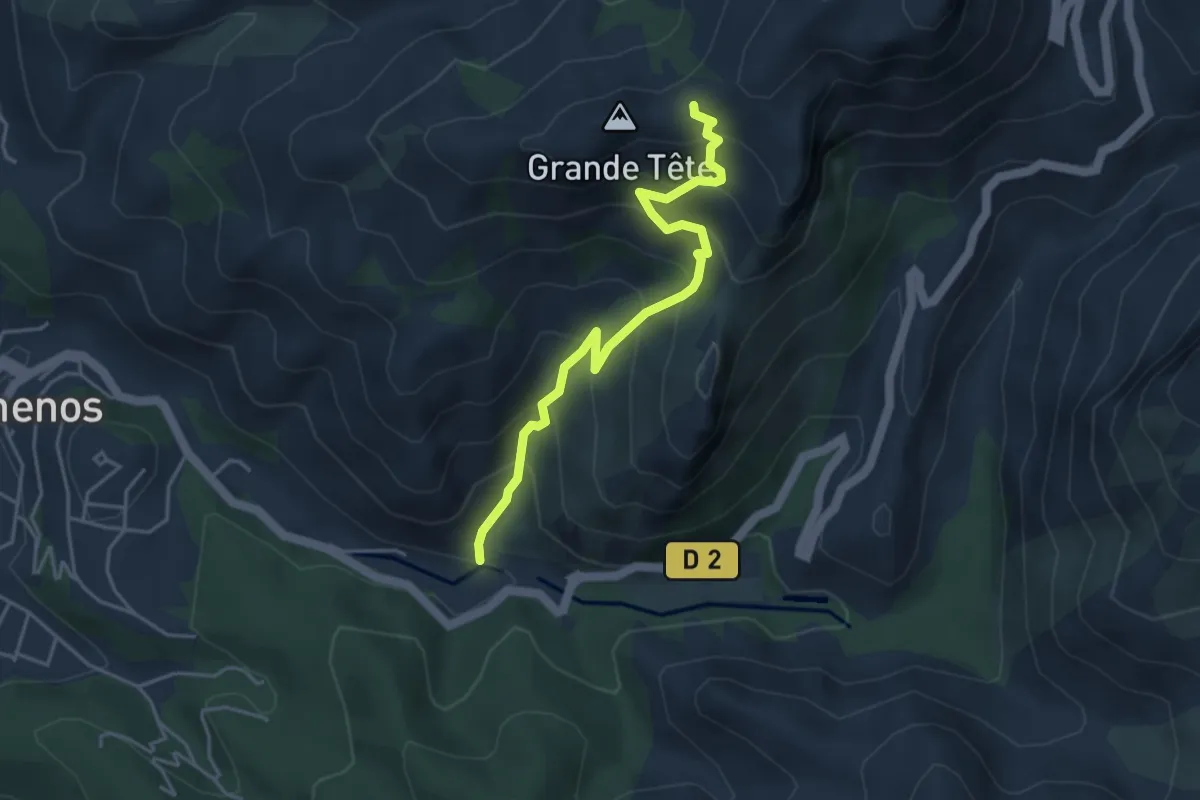
Medium · Trail
Saint-Pons - Col de Brest
4.4 km · ↑ 450 m · 2 h 1 min
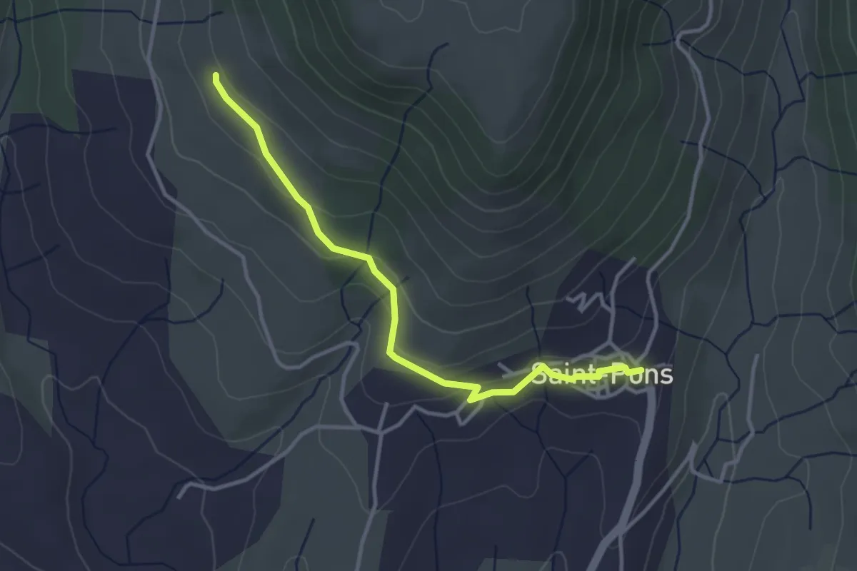
Easy · Trail
Saint-Pons - La Peyre Haut
3.5 km · ↑ 103 m · 1 h 3 min
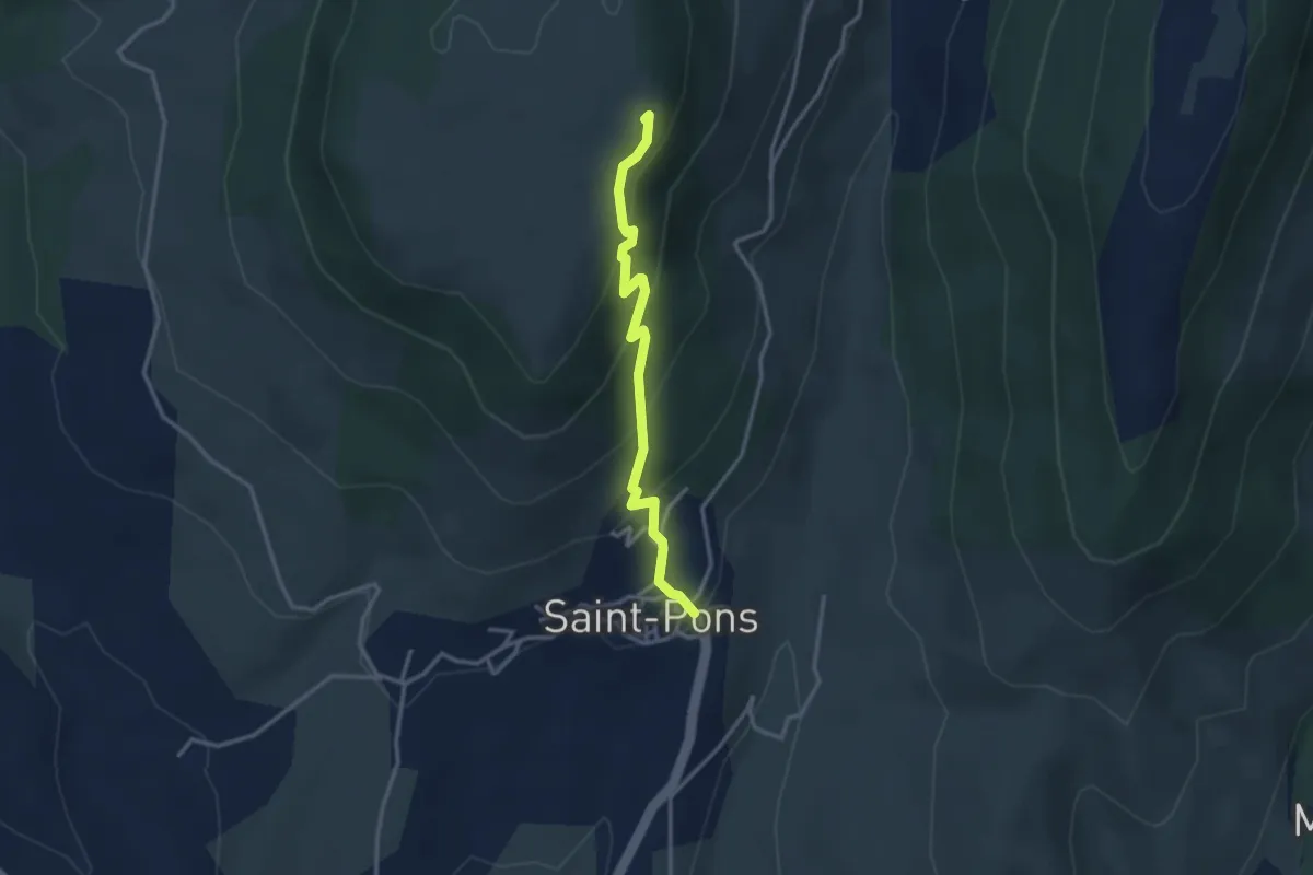
Easy · Trail
Saint-Pons - Plaine du Regard
3.1 km · ↑ 229 m · 1 h 13 min
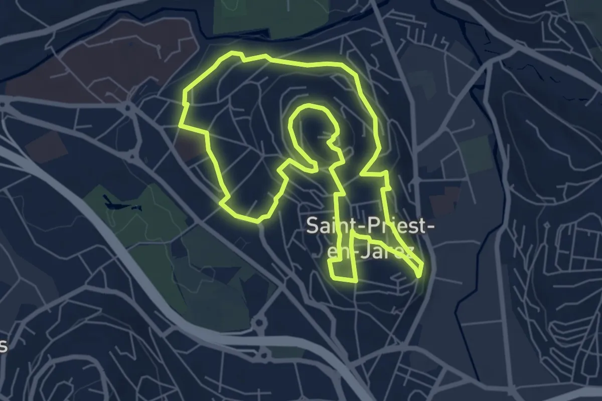
Easy · Trail
Saint-Priest en Jarez de Brassens à Brel…
6.3 km · ↑ 175 m · 1 h 57 min
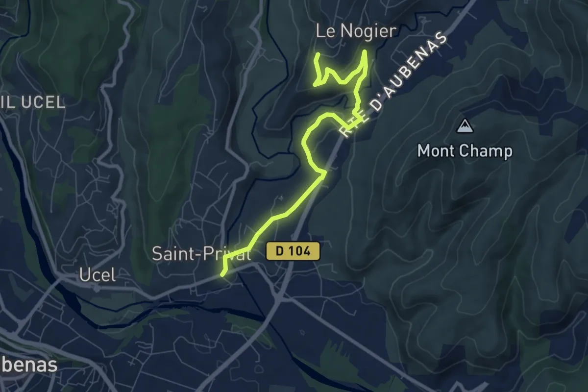
Medium · Trail
Saint-Privat - La Téoule
8.0 km · ↑ 144 m · 2 h 12 min
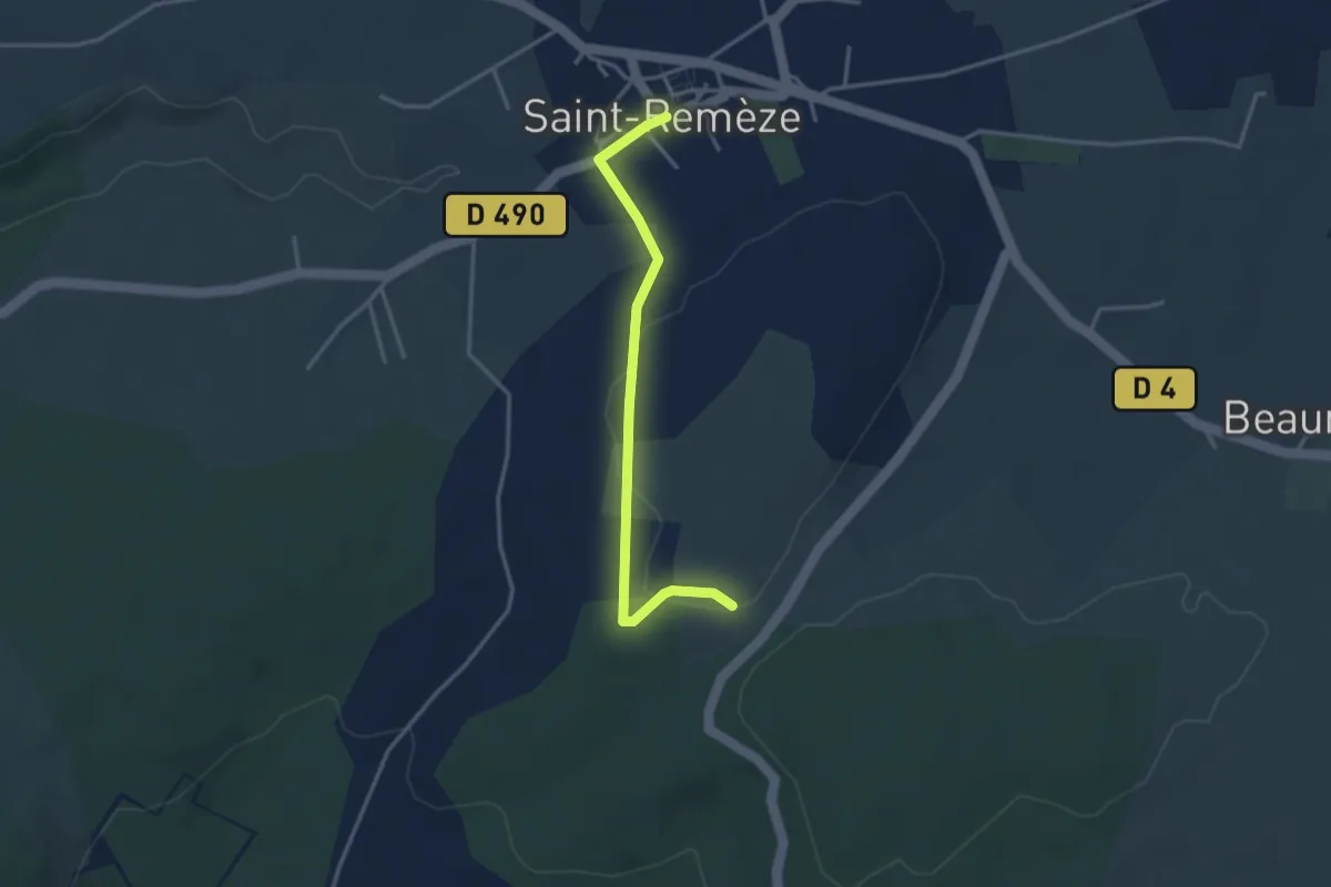
Easy · Trail
Saint-Remèze - Le Deves
3.4 km · ↑ 46 m · 54 min
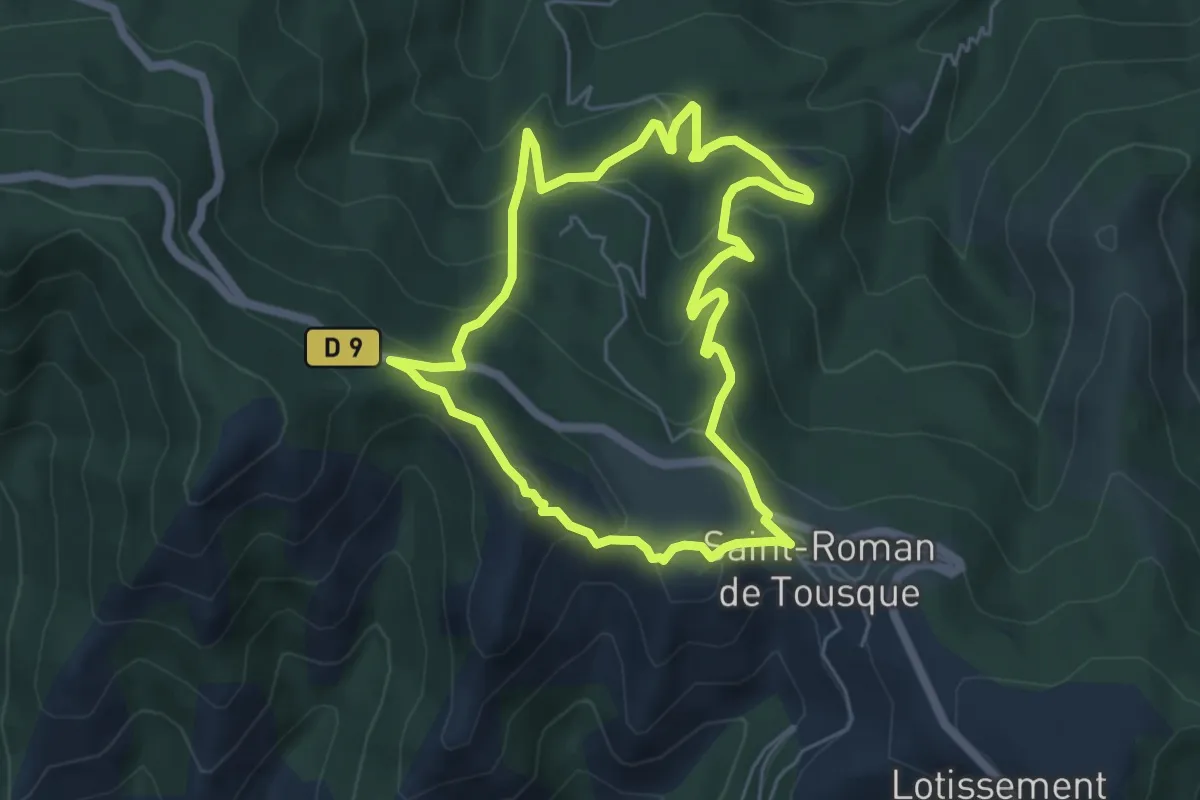
Easy · Trail
Saint-Roman
5.5 km · ↑ 319 m · 2 h 4 min
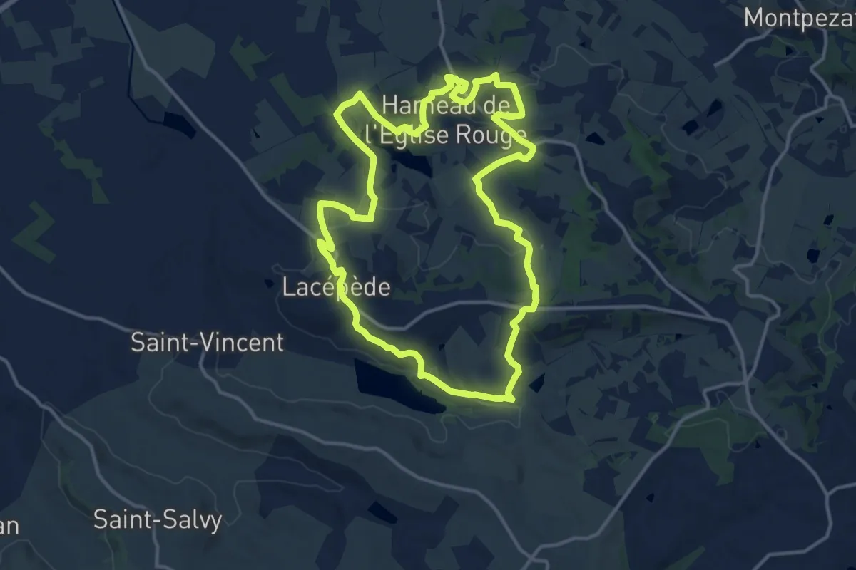
Medium · Trail
Saint-Sardos / Lacépède, cultures et patrimoines en Vallée du Lot
14.0 km · ↑ 213 m · 3 h 57 min
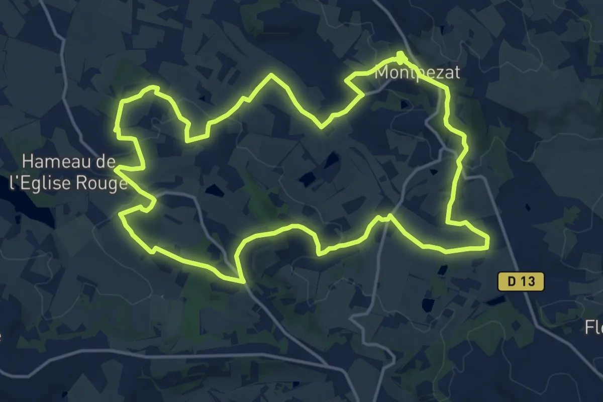
Medium · Trail
Saint-Sardos/Montpezat, aux origines de la guerre de Cent Ans
15.3 km · ↑ 296 m · 4 h 28 min
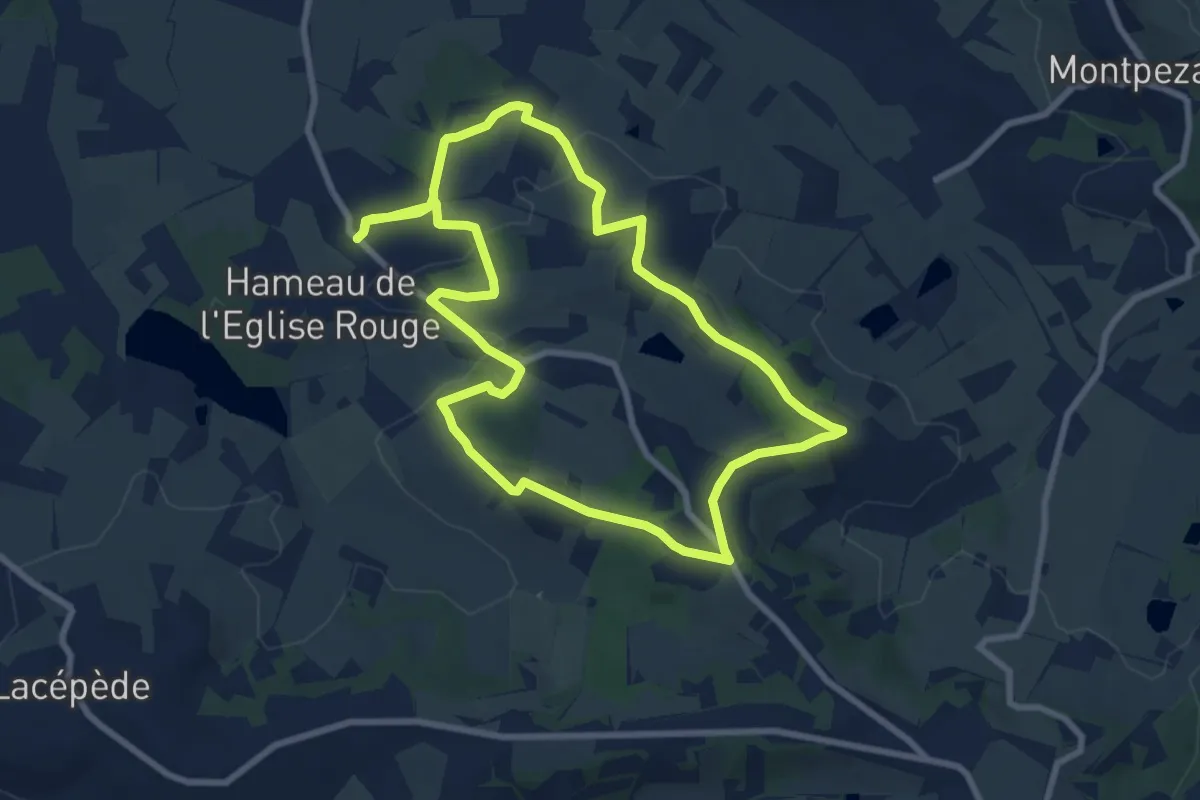
Medium · Trail
Saint-Sardos, une bastide éphémère
8.9 km · ↑ 105 m · 2 h 27 min
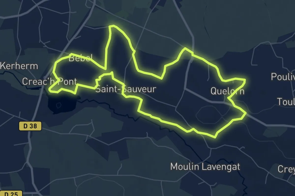
Medium · Trail
Saint Sauveur
8.1 km · ↑ 75 m · 2 h 11 min
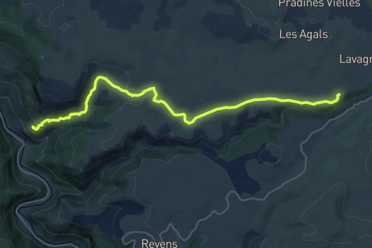
Medium · Trail
Saint-Sauveur-de-Camprieu - Saint-Véran
15.3 km · ↑ 500 m · 4 h 42 min