Trails in France
15,926 hiking trails, each with its route, climb, walking time and grade.
All trails, page 237 of 332
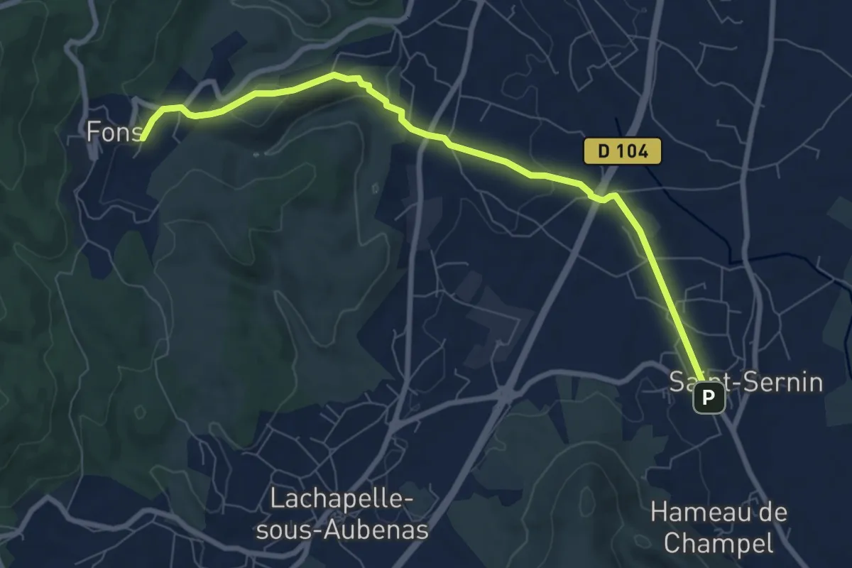
Medium · Trail
Saint-Sernin - Croix du Trible
8.4 km · ↑ 166 m · 2 h 20 min
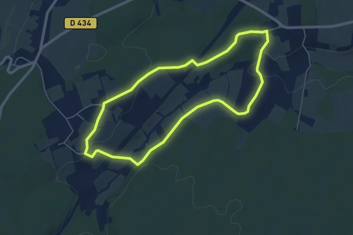
Easy · Trail
Saint-Sylvestre-Pragoulin
4.6 km · ↑ 77 m · 1 h 18 min
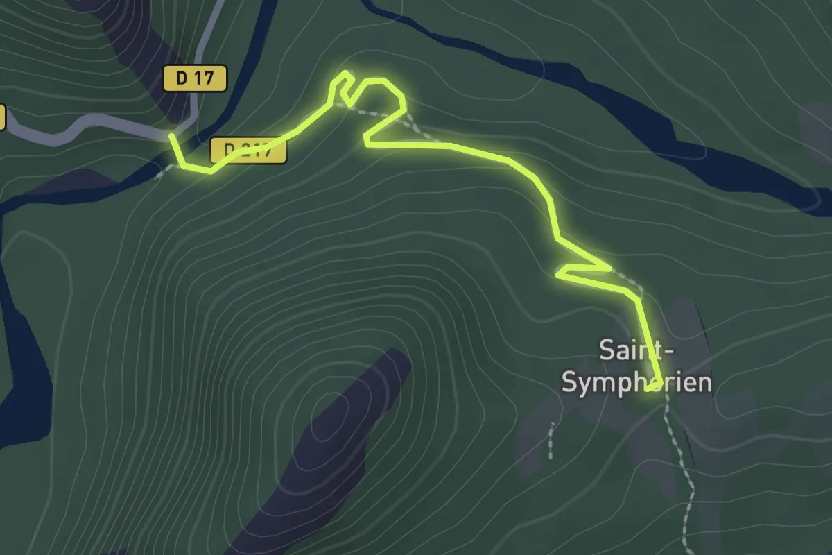
Easy · Trail
Saint-Symphorien
1.3 km · ↑ 83 m · 28 min
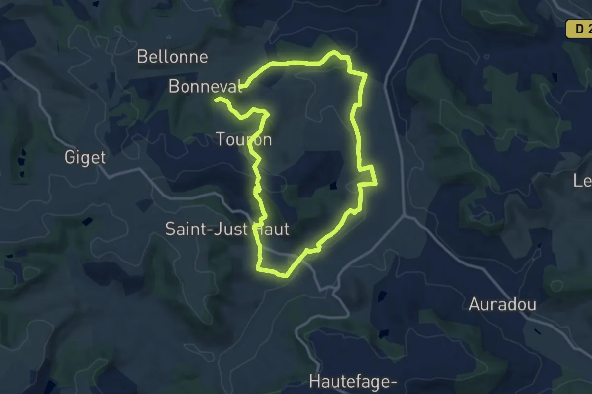
Medium · Trail
Saint-Thomas, par Saint-Just et Piquepoul - 10.6 km
9.5 km · ↑ 248 m · 2 h 53 min
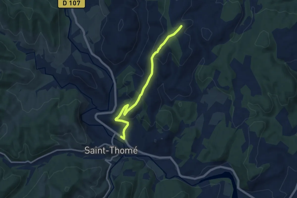
Easy · Trail
Saint-Thomé - Montfaucon
7.9 km · ↑ 288 m · 2 h 29 min
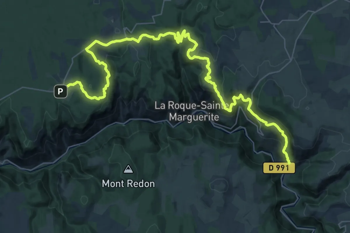
Demanding · Trail
Saint-Véran - Longuiers
19.2 km · ↑ 784 m · 6 h 23 min
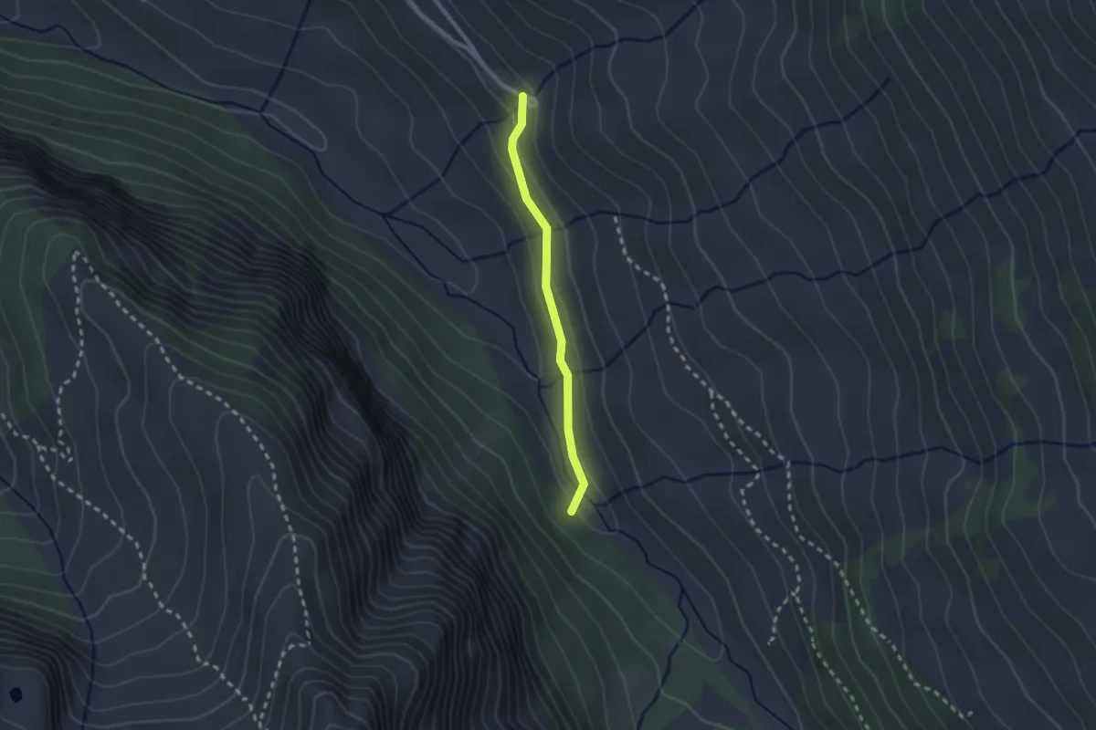
Easy · Trail
Saint-Véran Sainte-Luce - Pont Vieux
2.1 km · ↑ 62 m · 37 min
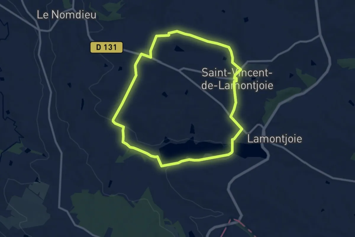
Easy · Trail
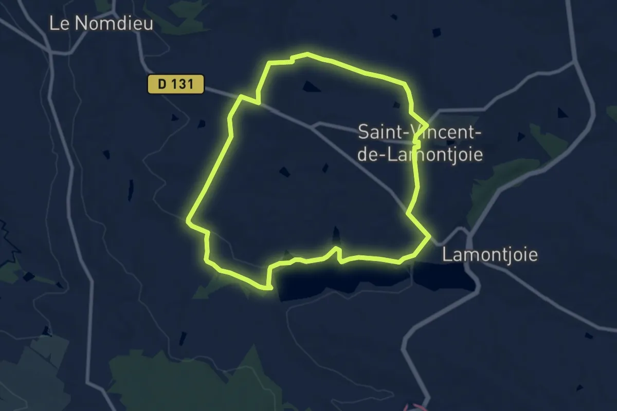
Saint-Vincent-de-Lamontjoie, balade vers le lac de Lambronne 8 km
7.9 km · ↑ 119 m · 2 h 13 min
Easy · Trail
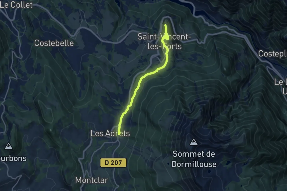
Saint-Vincent-de-Lamontjoie, balade vers le lac de Lambronne variante 8 km
7.9 km · ↑ 132 m · 2 h 15 min
Easy · Trail
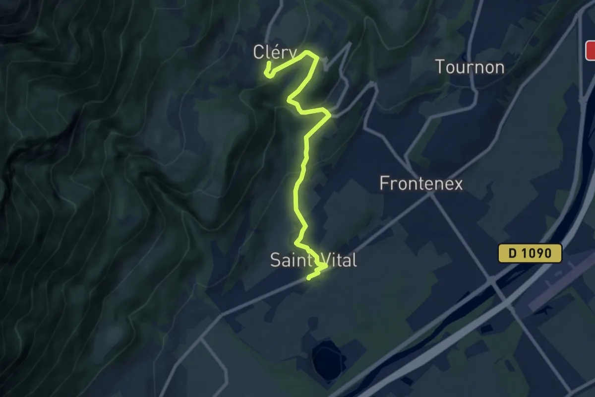
Saint-Vincent-les-Forts
5.7 km · ↑ 80 m · 1 h 38 min
Easy · Trail
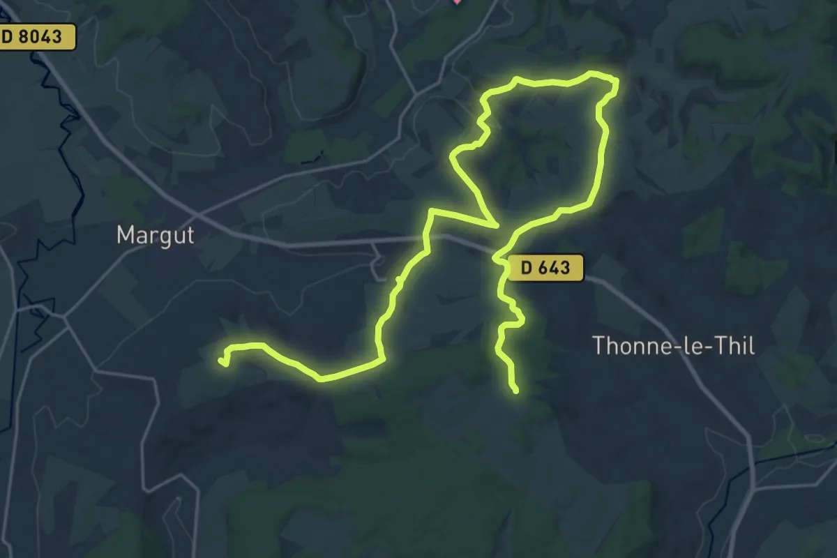
Saint-Vital à Cléry
7.0 km · ↑ 292 m · 2 h 17 min
Demanding · Summit
Saint-Walfroy et le Pays des Sources
29.7 km · ↑ 752 m · 8 h 39 min
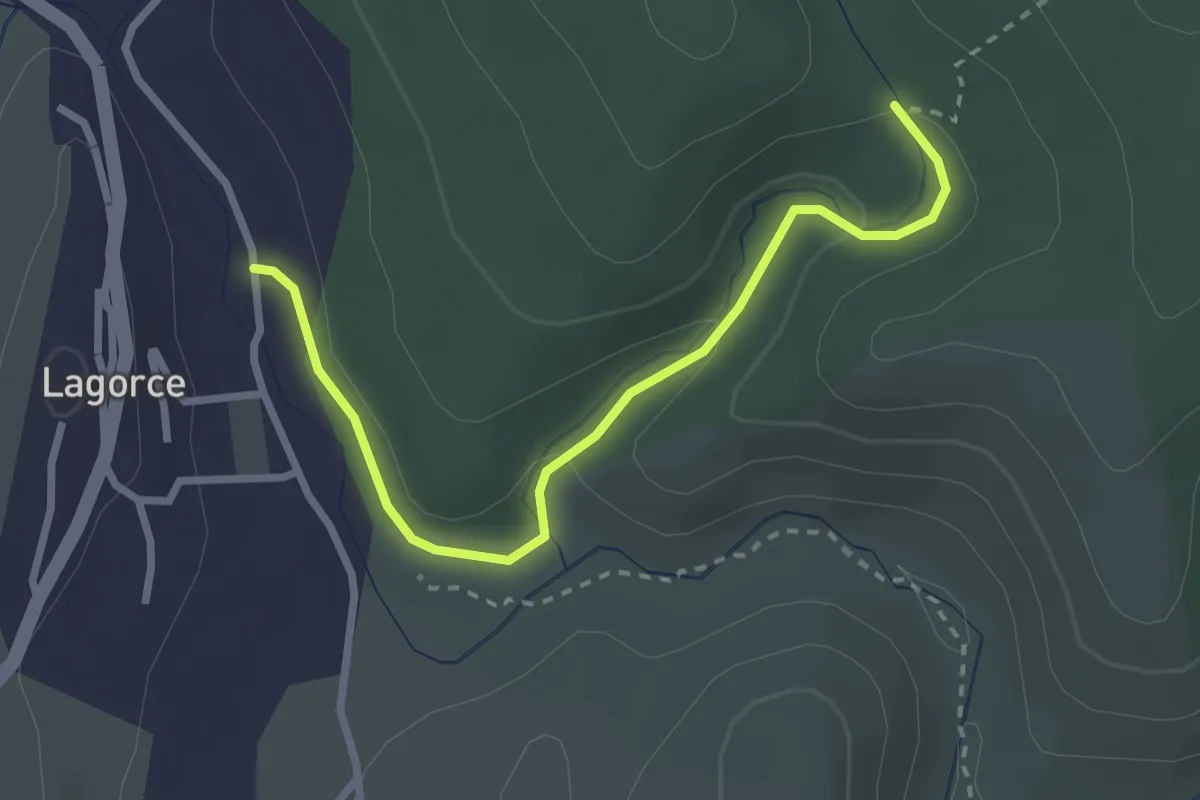
Easy · Trail
Salastre - Notre Dame d'Ajude
3.0 km · ↑ 94 m · 54 min
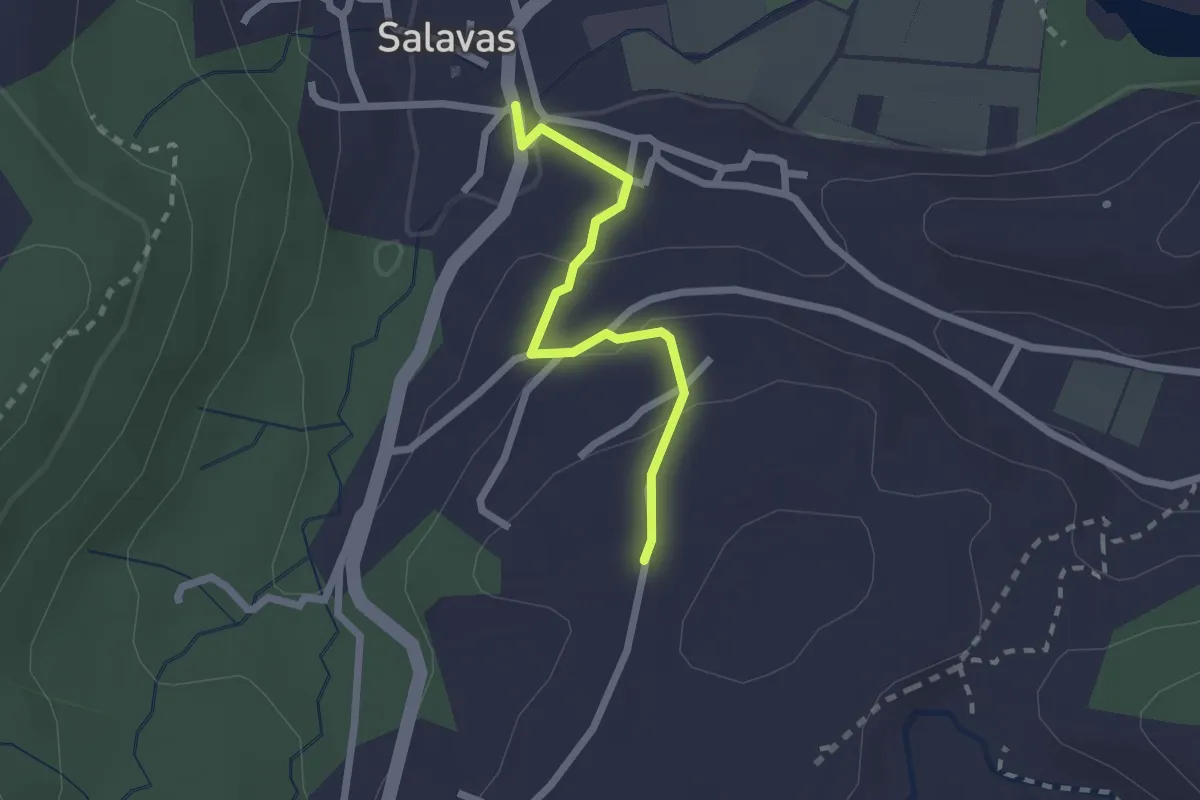
Easy · Trail
Salavas Info Rando - Cigeaille
2.0 km · ↑ 67 m · 38 min
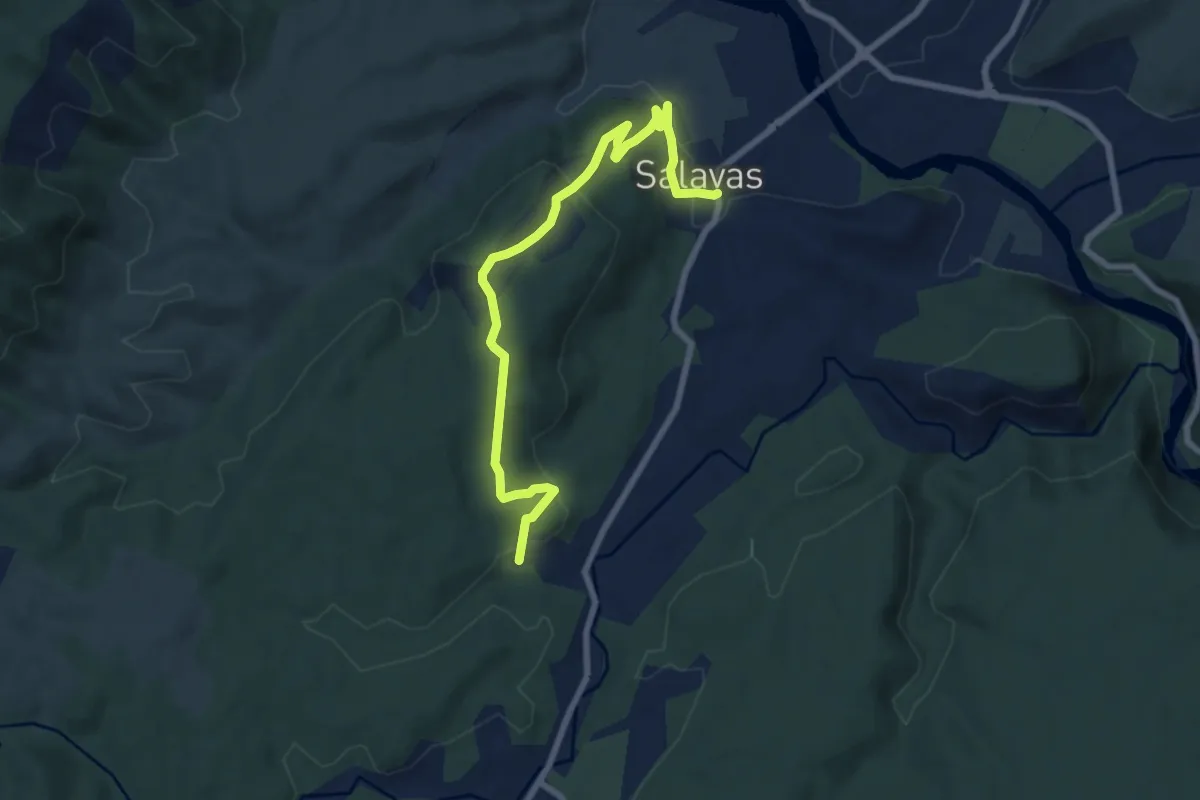
Medium · Trail
Salavas Info Rando - La Brulade
8.6 km · ↑ 319 m · 2 h 44 min
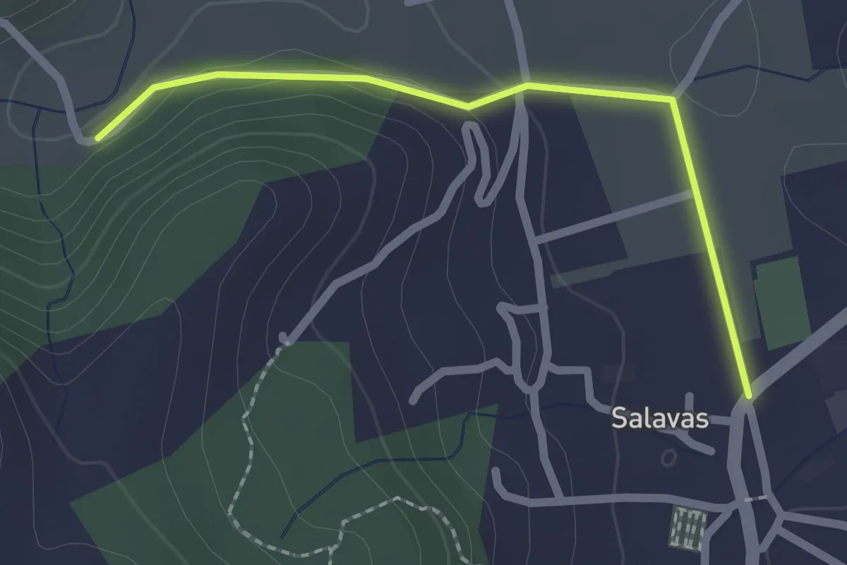
Easy · Trail
Salavas - Pont de Lantousse
2.0 km · ↑ 40 m · 34 min
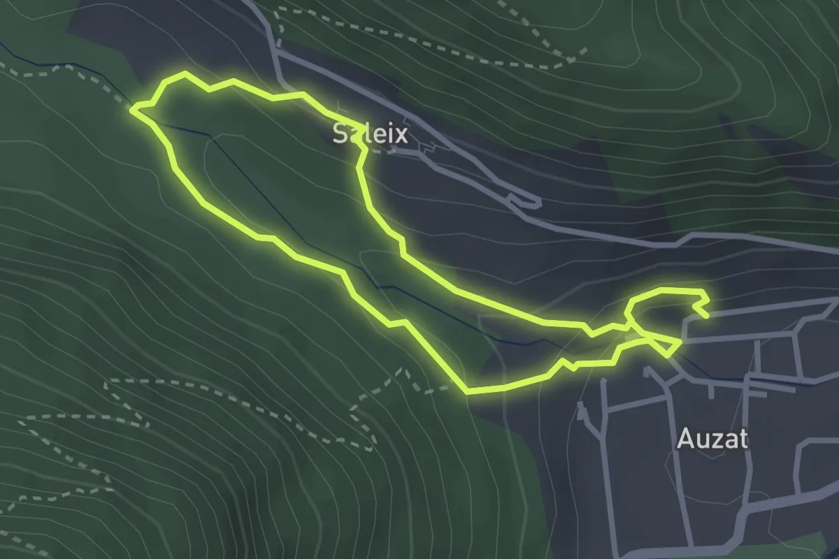
Medium · Trail
Saleix
2.8 km · ↑ 149 m · 1 h 1 min
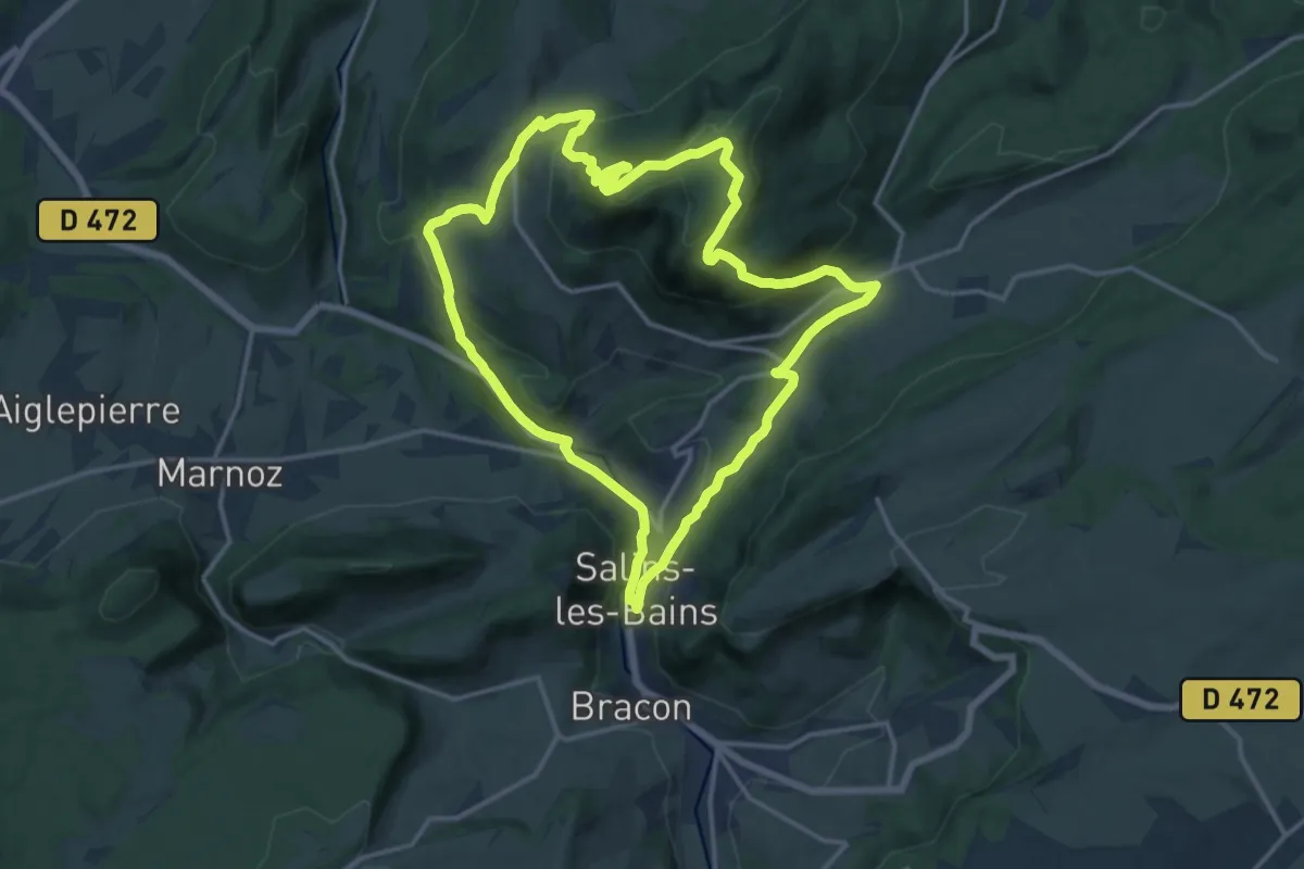
Medium · Summit
Salins les Bains et le Mont Poupet
14.9 km · ↑ 602 m · 5 h 2 min
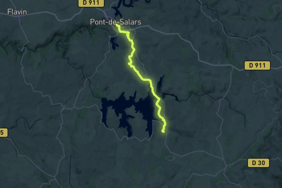
Medium · Trail
Salles-Curan - Pont-de-Salars
15.2 km · ↑ 200 m · 4 h 19 min
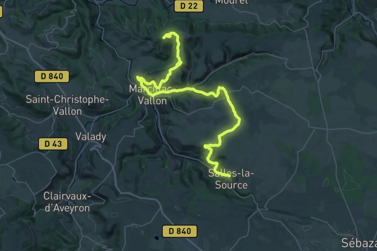
Demanding · Summit
Salles-la-Source - Combret
37.4 km · ↑ 956 m · 10 h 54 min
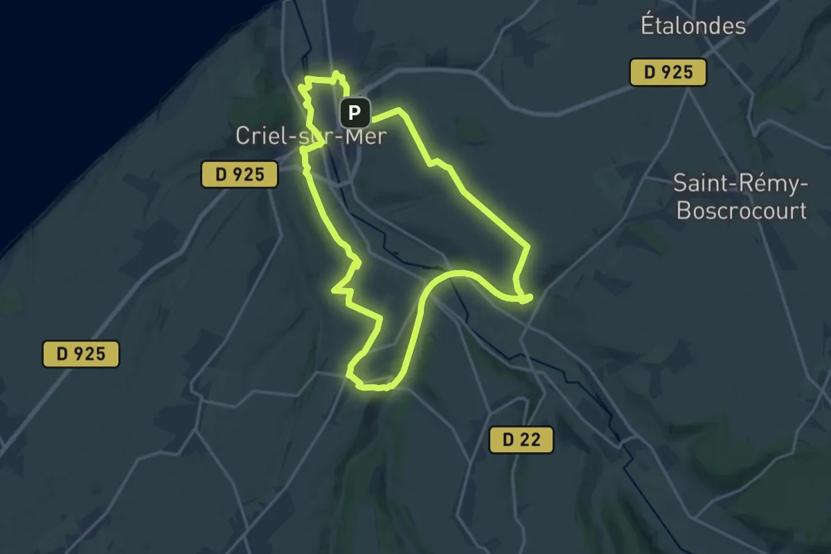
Medium · Trail
Sang-Roy
14.6 km · ↑ 188 m · 4 h 3 min
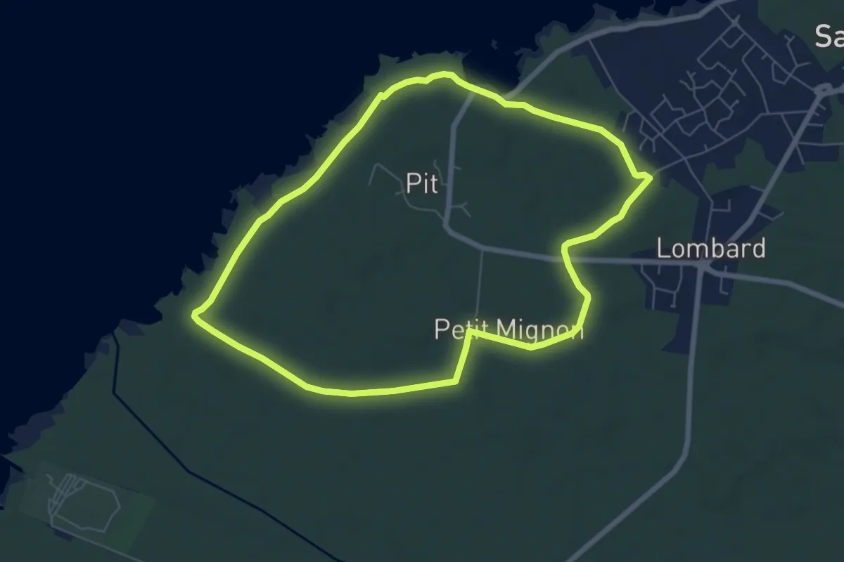
Easy · Trail
SANGUINET - CIRCUIT ENTRE ÉTANG ET FORÊT
6.6 km · ↑ 17 m · 1 h 41 min
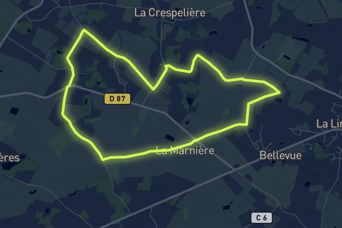
Medium · Trail
Santier des Vignes - La Priaudière
8.6 km · ↑ 13 m · 2 h 10 min
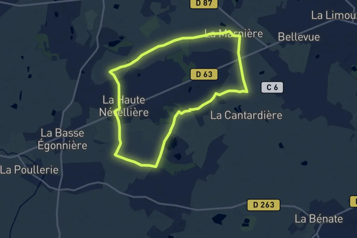
Medium · Trail
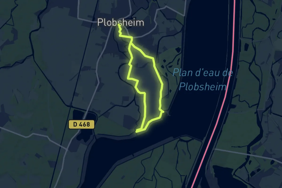
Santier du Bocage
9.5 km · ↑ 12 m · 2 h 24 min
Medium · Trail
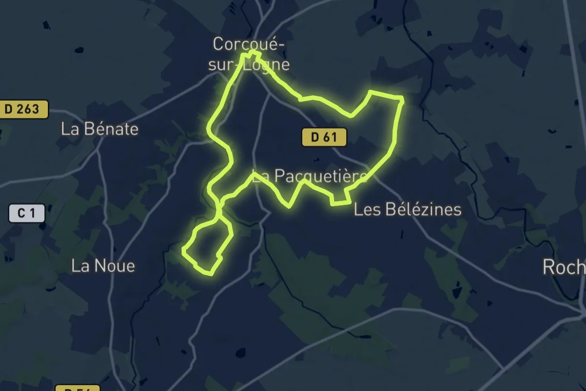
Santier du Rhinland
13.7 km · ↑ 9 m · 3 h 16 min
Medium · Trail
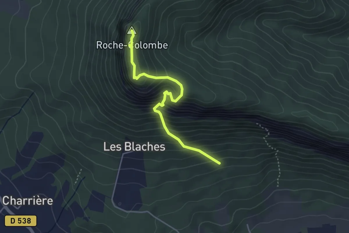
Santiers des Hauts de Saint-Étienne
12.7 km · ↑ 96 m · 3 h 22 min
Medium · Summit
Saoû
3.8 km · ↑ 438 m · 1 h 51 min
Medium · Trail
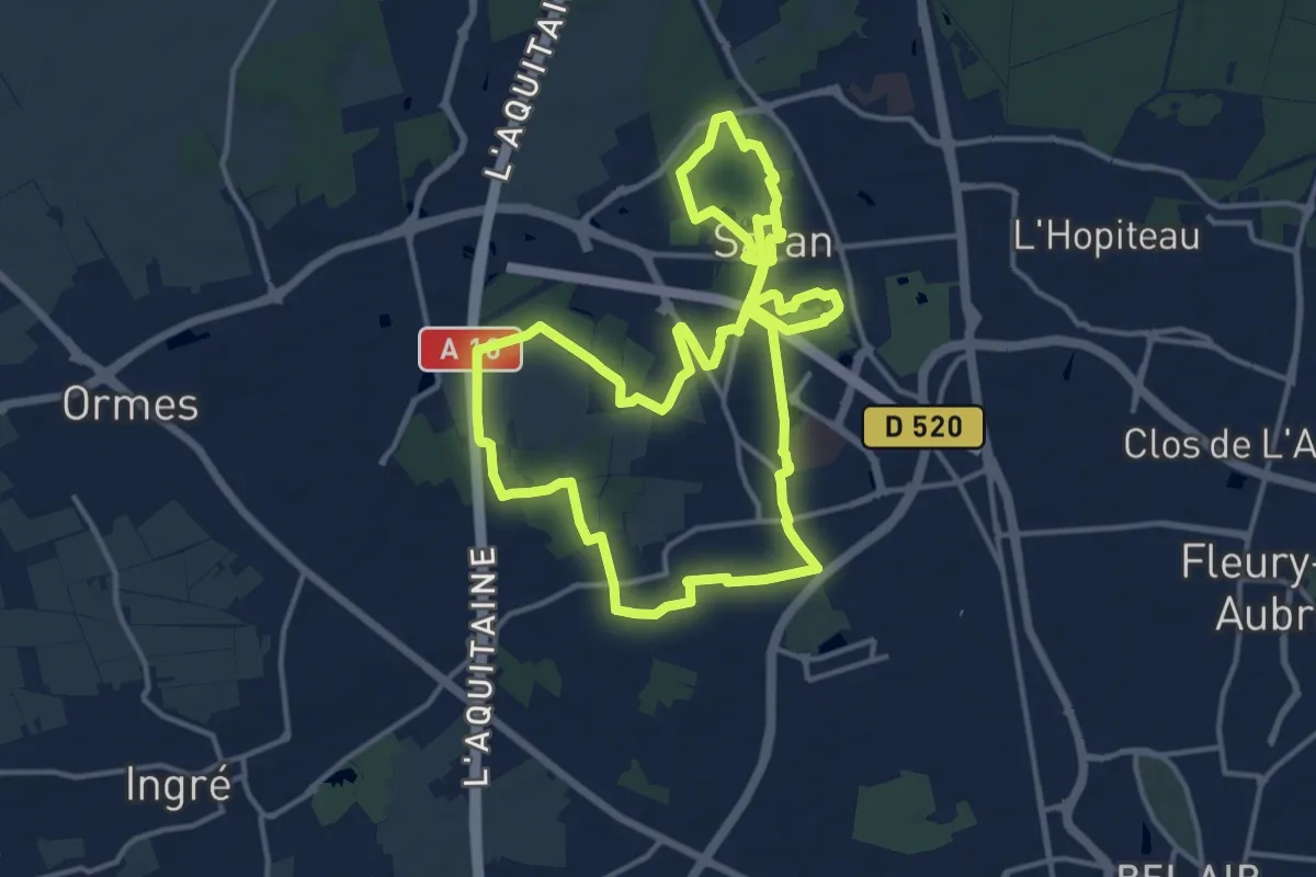
Saran une Ville à la Campagne
14.9 km · ↑ 45 m · 3 h 50 min
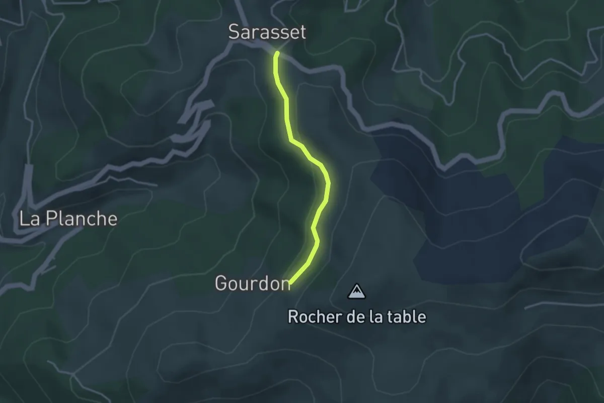
Easy · Trail
Sarasset - Signal Bosc
2.6 km · ↑ 87 m · 48 min
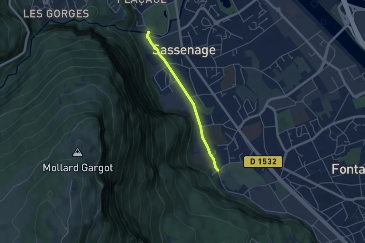
Easy · Trail
Sassenage Village
3.6 km · ↑ 19 m · 53 min
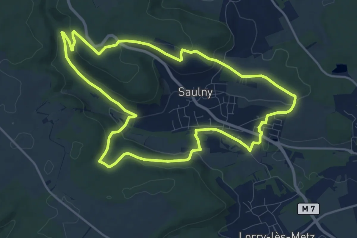
Medium · Trail
Saulny Circuit Panoramique
9.9 km · ↑ 261 m · 3 h 2 min
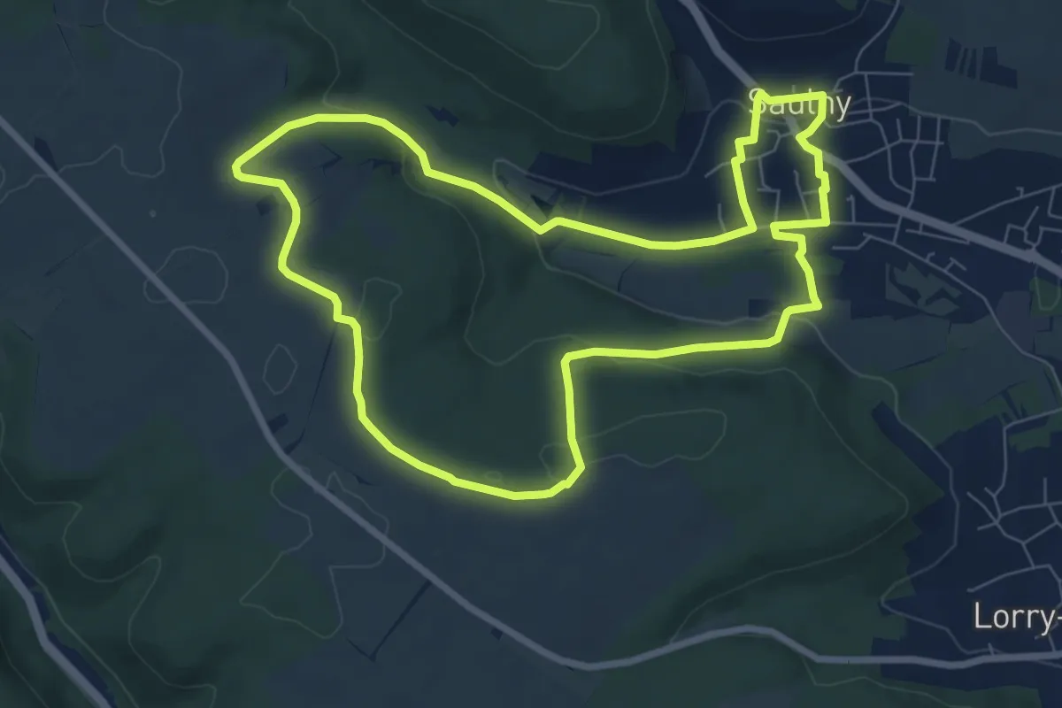
Easy · Trail
Saulny Circuit Saint-Maurice
7.5 km · ↑ 162 m · 2 h 14 min
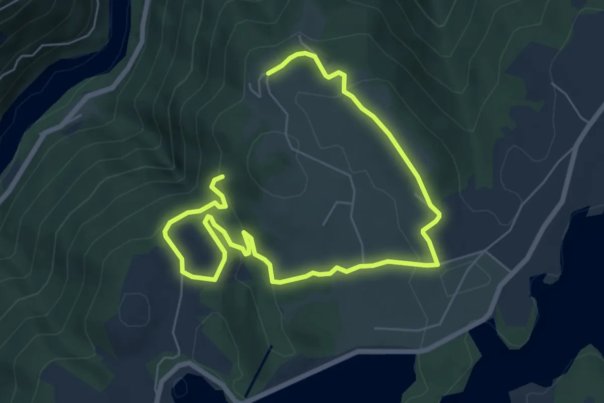
Medium · Trail
Saut du Chien
8.5 km · ↑ 215 m · 2 h 29 min
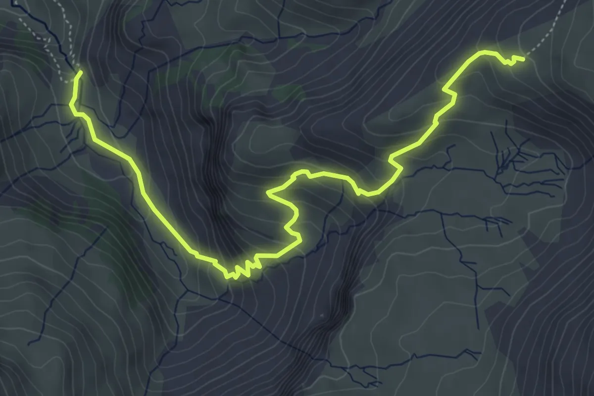
Medium · Trail
Saut du Laïre - ?
6.9 km · ↑ 525 m · 2 h 46 min
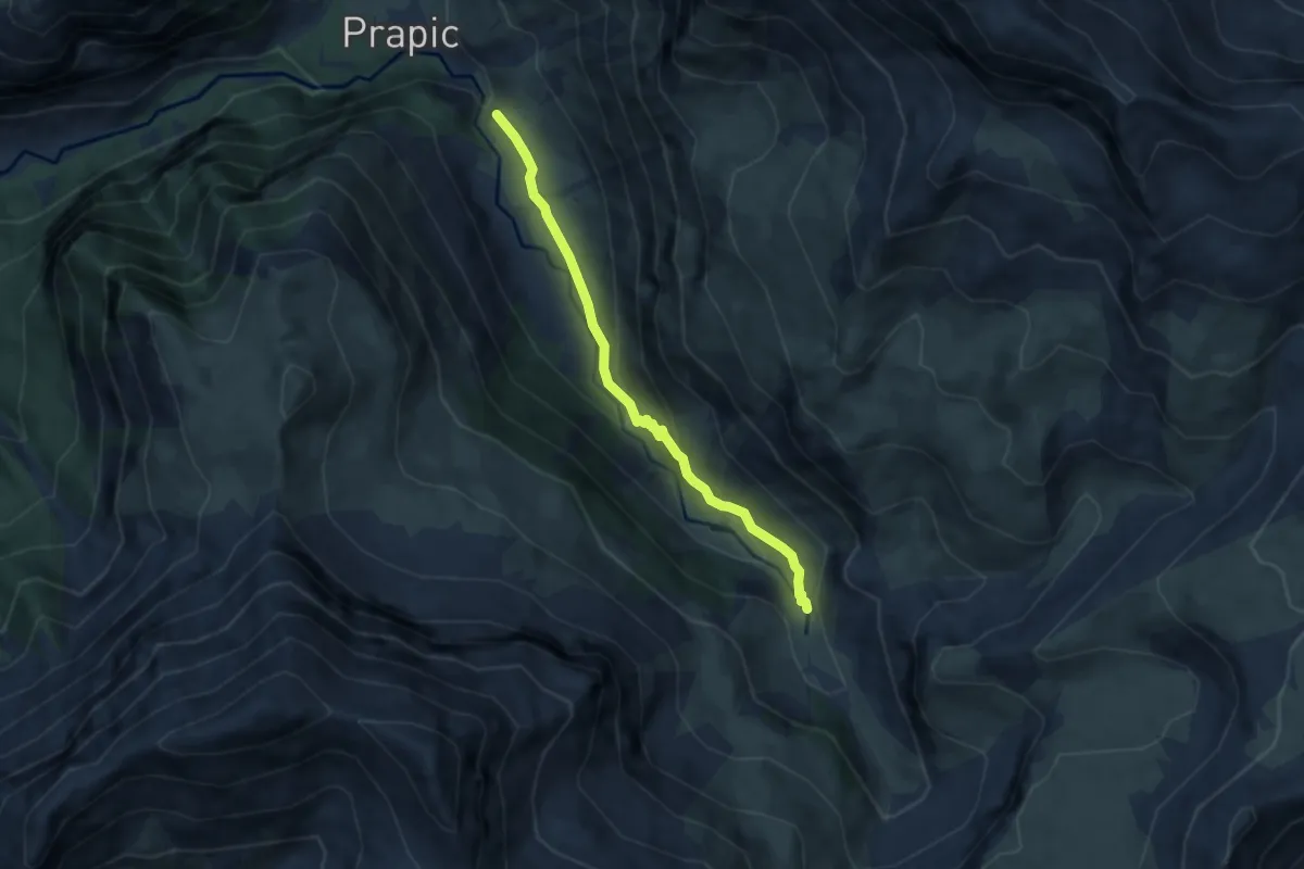
Medium · Trail
Saut du Laïre - ?
6.3 km · ↑ 301 m · 2 h 9 min
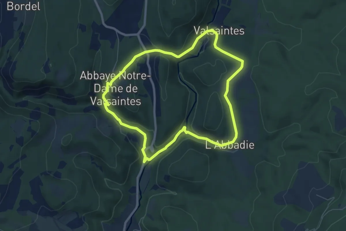
Medium · Trail
Saut du Moine
6.3 km · ↑ 156 m · 1 h 55 min
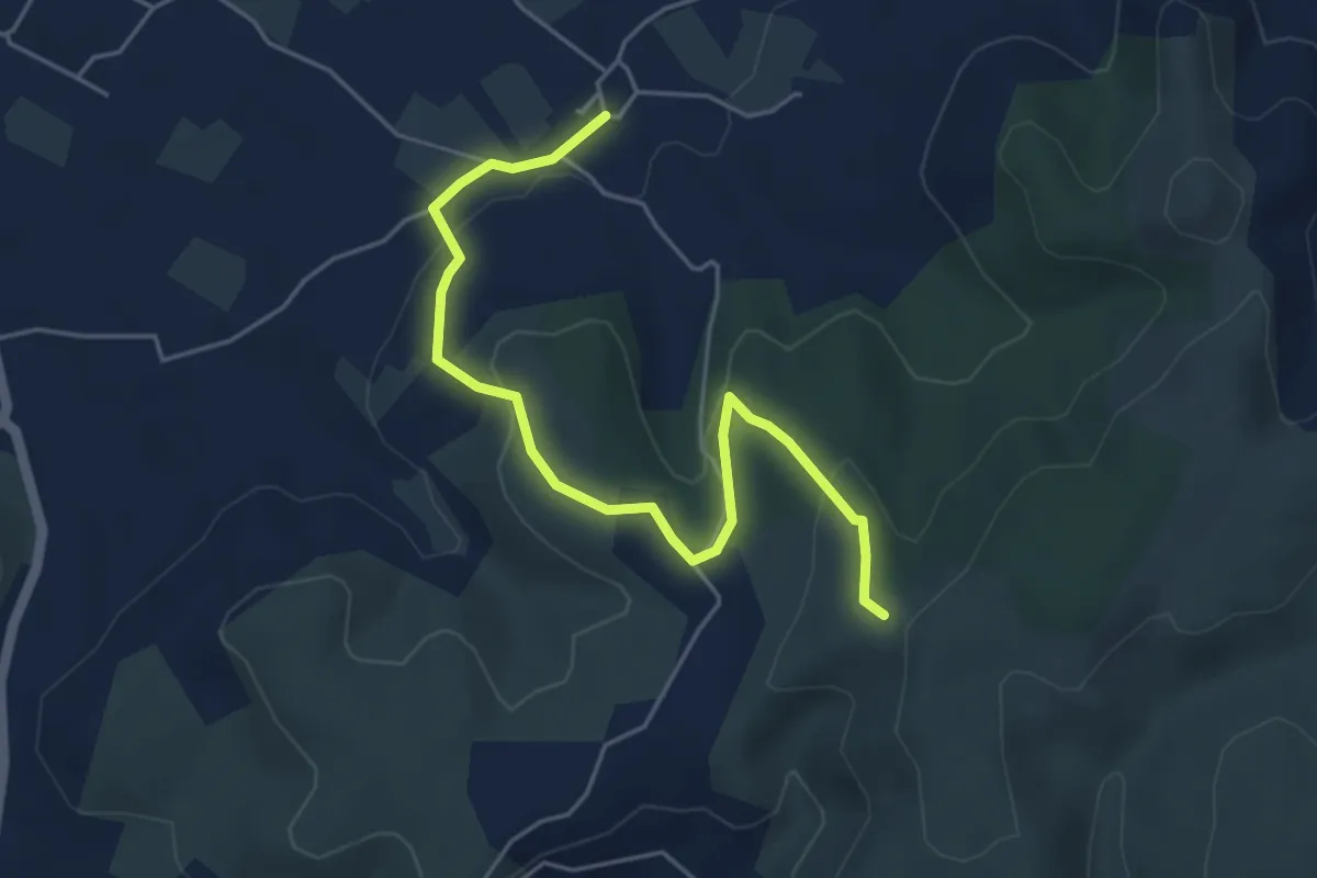
Easy · Trail
Sauveplantade - Léauze
5.4 km · ↑ 172 m · 1 h 39 min
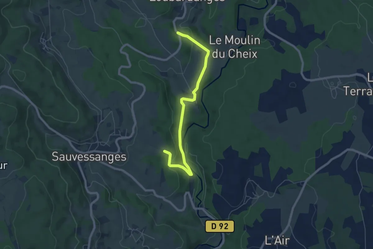
Easy · Trail
Sauvessannelles
3.0 km · ↑ 75 m · 55 min
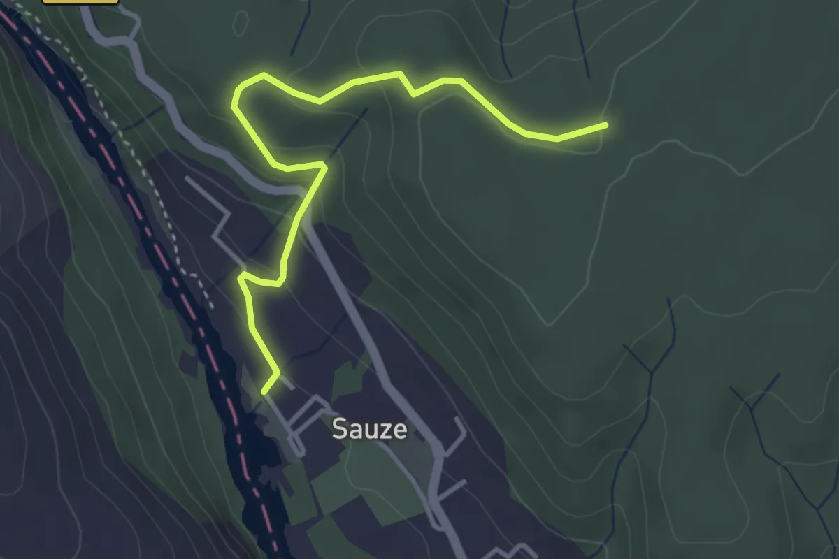
Easy · Trail
Sauze - Plaine du Feuillet
3.7 km · ↑ 165 m · 1 h 14 min
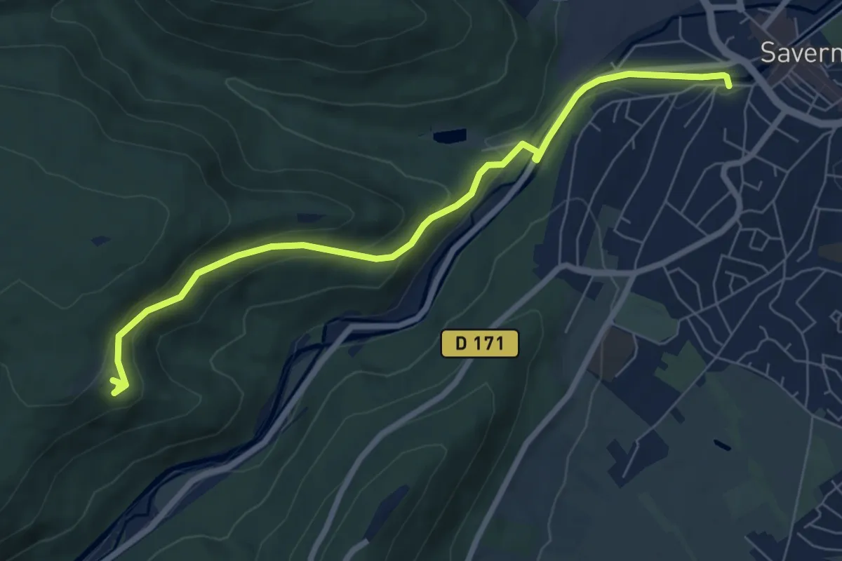
Easy · Trail
Saverne - Grotte Saint-Vit
7.0 km · ↑ 257 m · 2 h 13 min
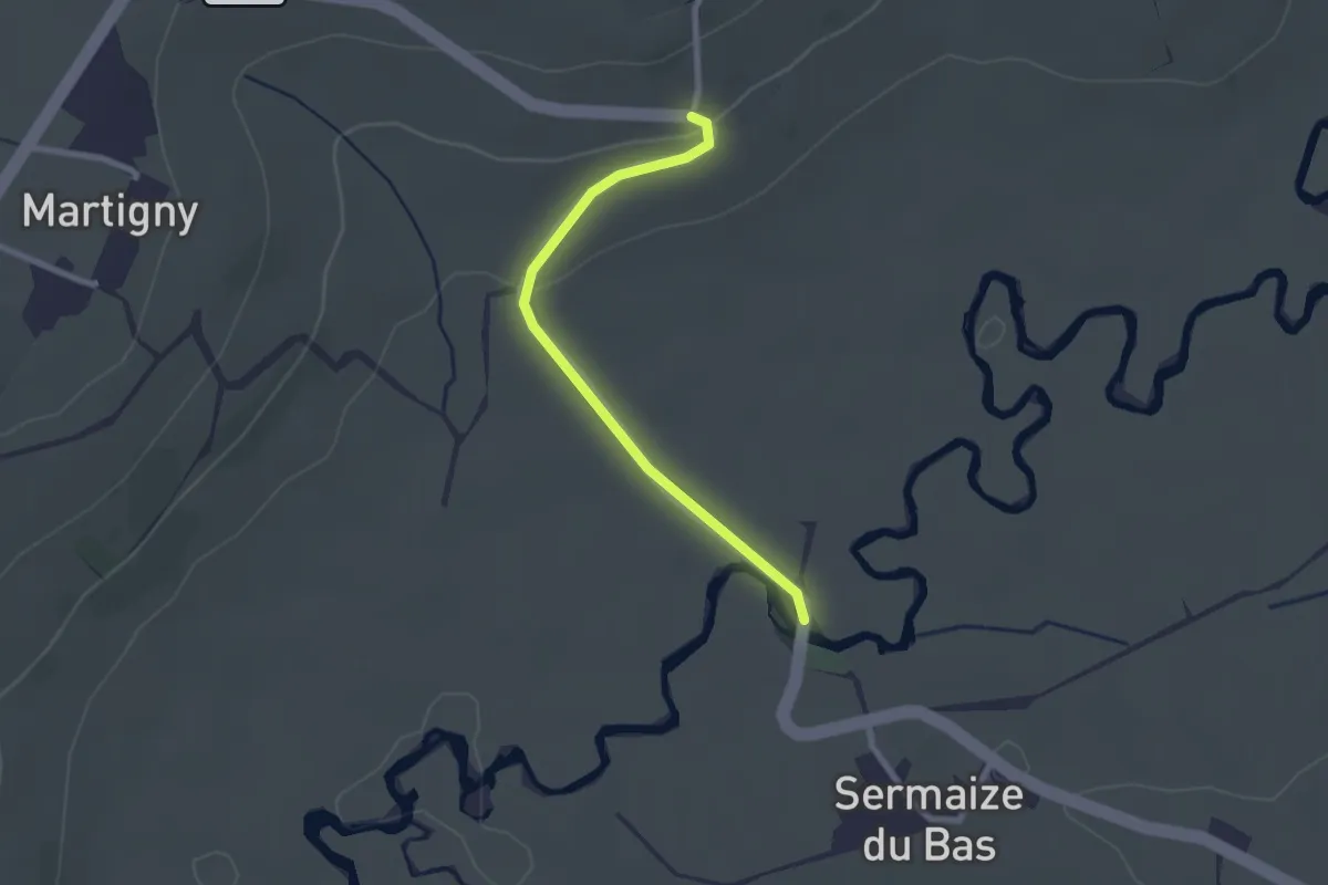
Easy · Trail
Savoir faire du terroir
2.2 km · ↑ 39 m · 37 min
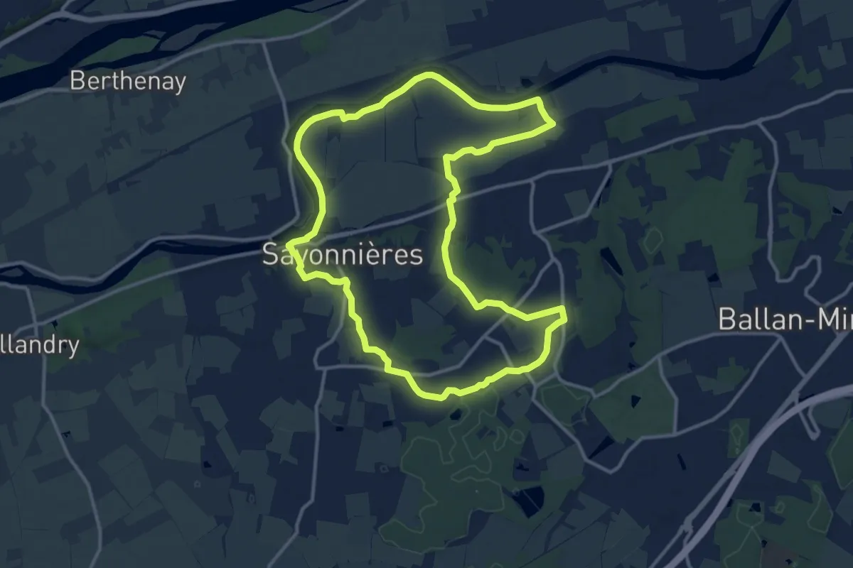
Medium · Trail
Savonnières Sentier découverte
12.6 km · ↑ 69 m · 3 h 19 min
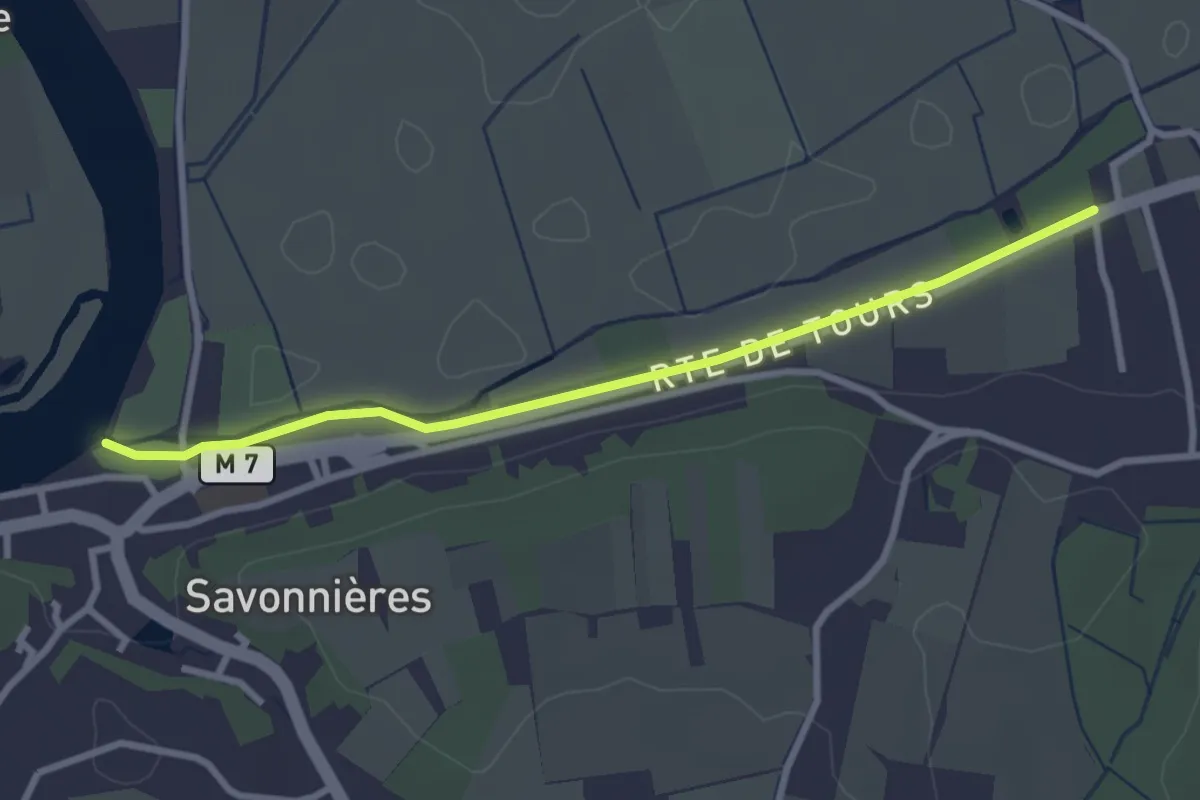
Easy · Trail
Savonnières Sentier Découverte (Variante Courte)
2.9 km · ↑ 18 m · 43 min
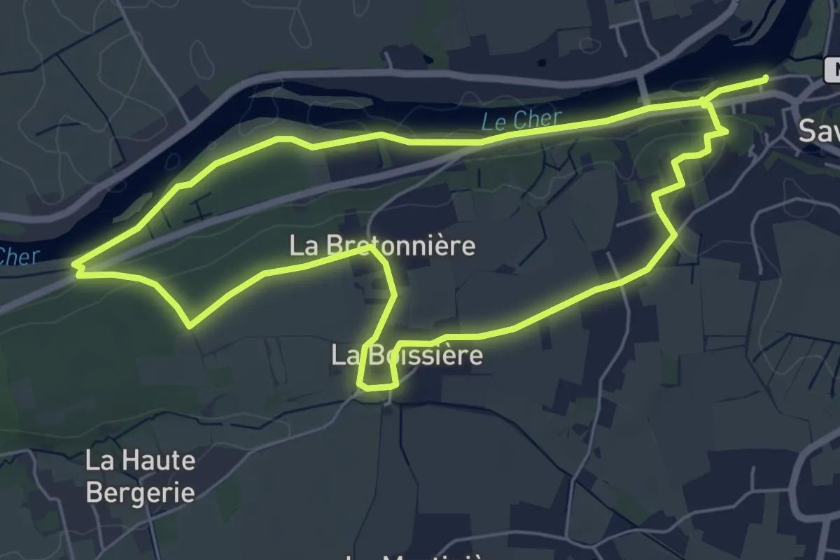
Easy · Trail
Savonnières Sentier des Cent-Marches
5.5 km · ↑ 52 m · 1 h 30 min
Medium · Trail
SC 01 : Port-la-Nouvelle - Durban-Corbières
14.5 km · ↑ 397 m · 4 h 29 min
Demanding · Summit
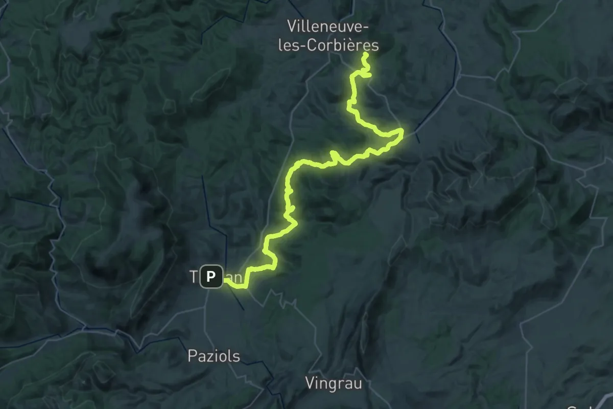
SC 02 : Durban-Corbières - Tuchan
45.4 km · ↑ 1404 m · 13 h 46 min
Demanding · Summit
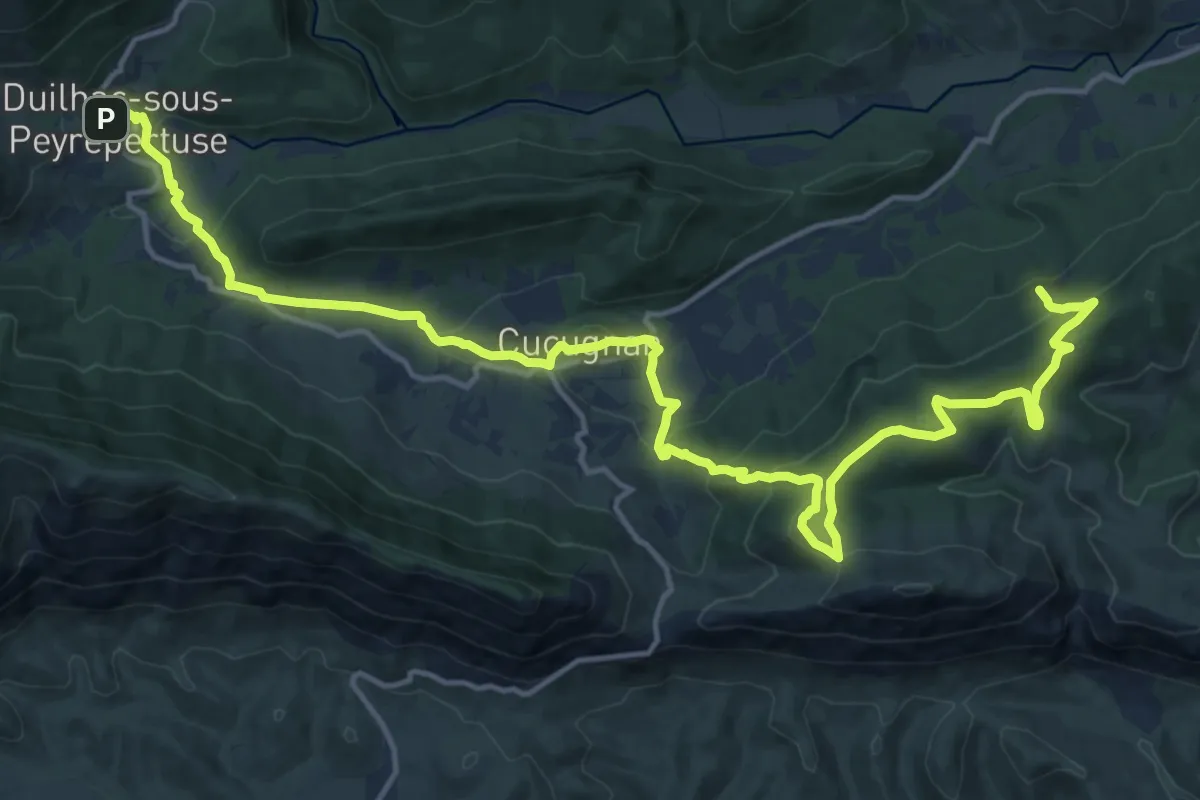
SC 03 : Tuchan - Duilhac-sous-Peyrepertuse
22.0 km · ↑ 884 m · 7 h 6 min
Medium · Summit
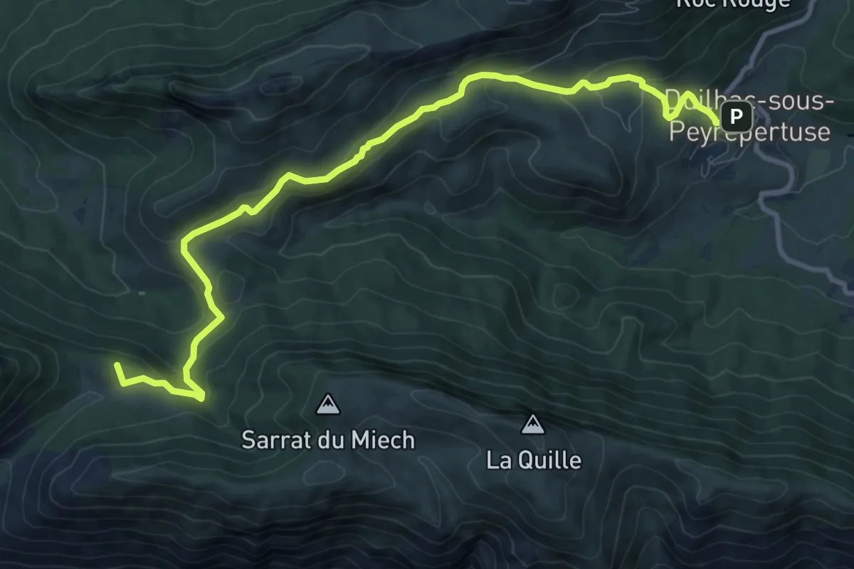
SC 04 : Duilhac-sous-Peyrepertuse - Cubières-sur-Cinoble
11.5 km · ↑ 457 m · 3 h 43 min