Trails in France
15,926 hiking trails, each with its route, climb, walking time and grade.
All trails, page 238 of 332
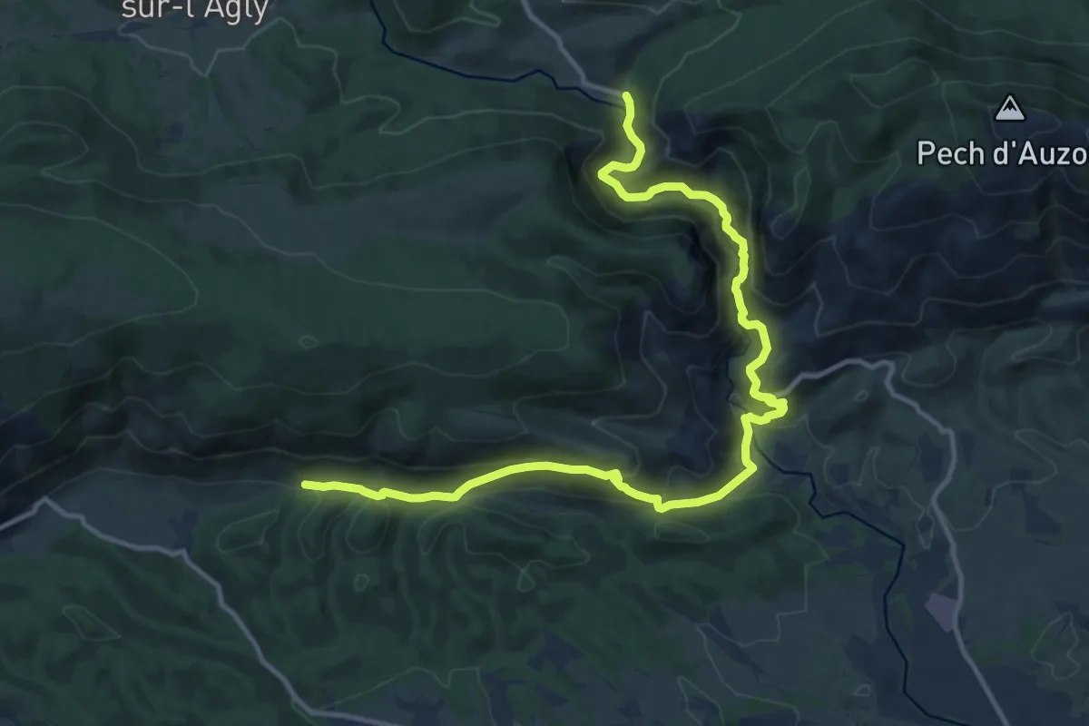
Demanding · Trail
SC 04S : Duilhac-sous-Peyrepertuse - Prugnanes
15.5 km · ↑ 861 m · 5 h 32 min
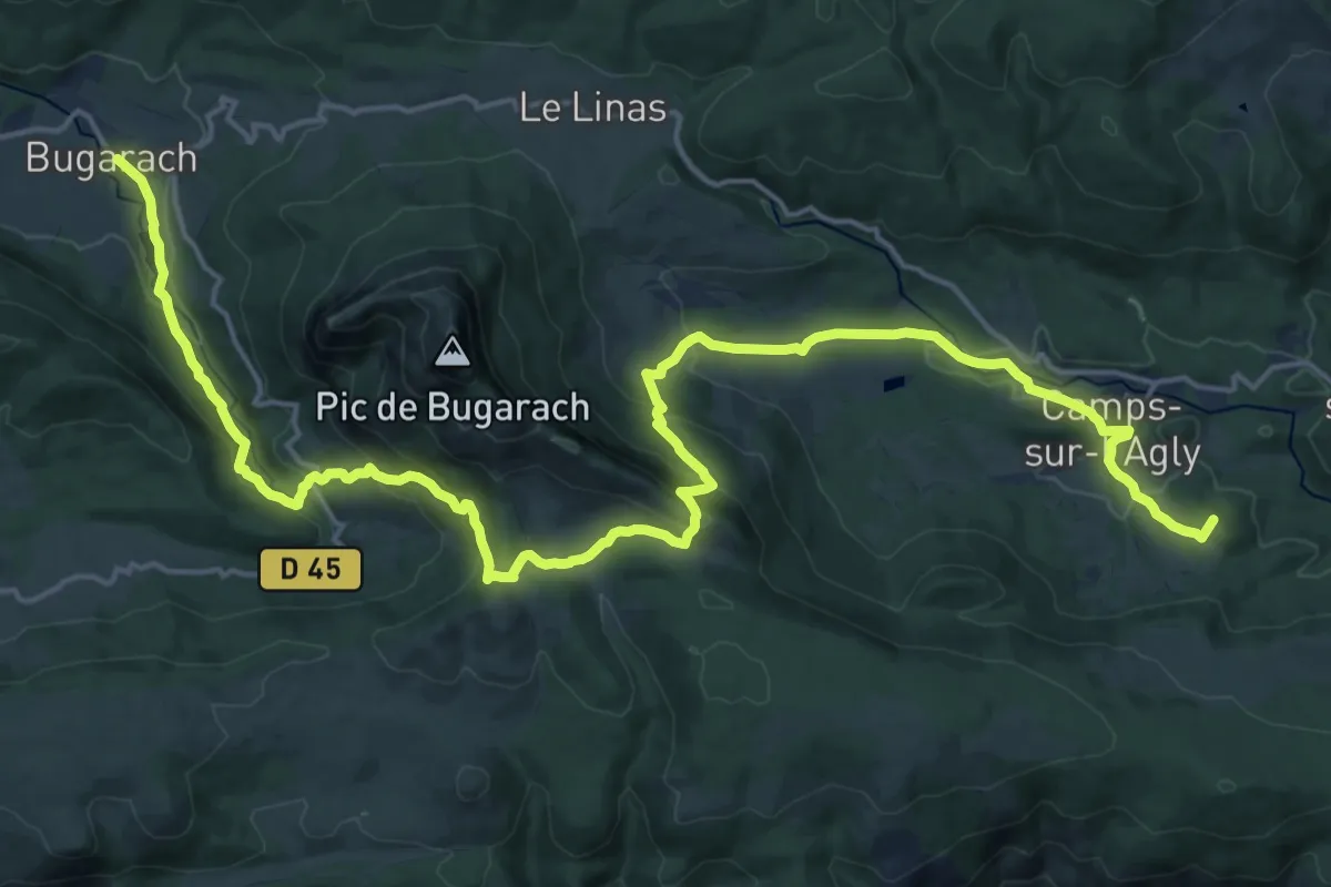
Demanding · Summit
SC 05N : Cubières-sur-Cinoble - Bugarach
26.3 km · ↑ 1194 m · 8 h 48 min
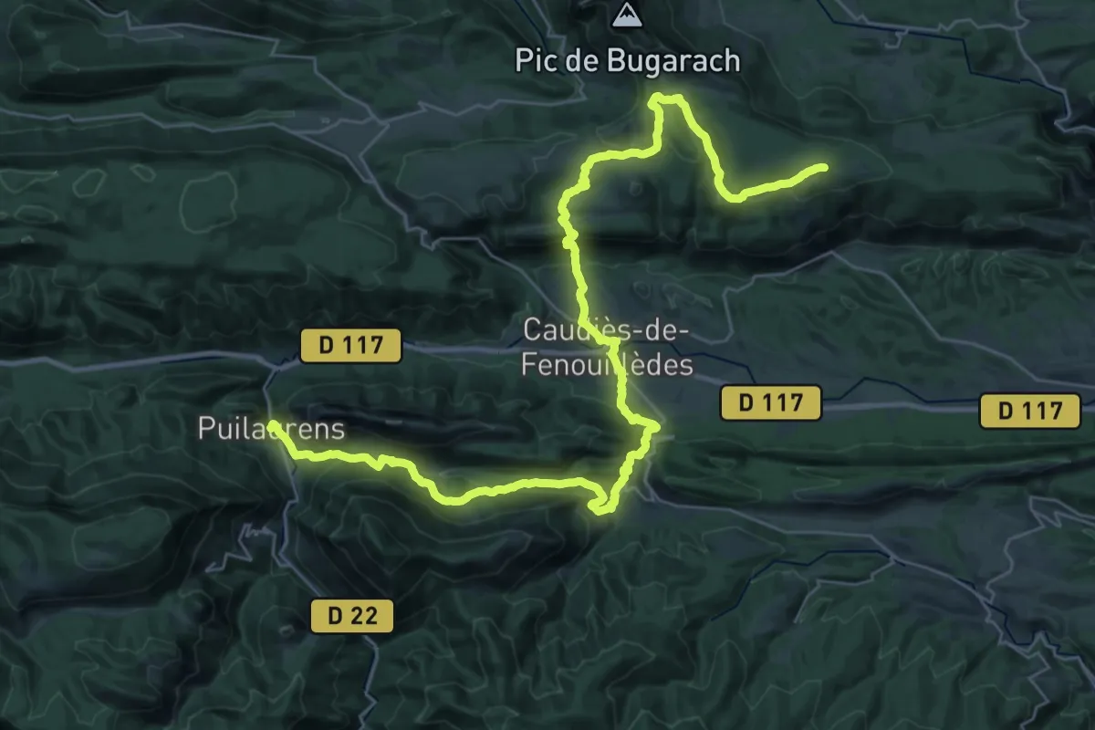
Demanding · Summit
SC 05S : Prugnanes - Puilaurens
44.3 km · ↑ 1645 m · 14 h 1 min
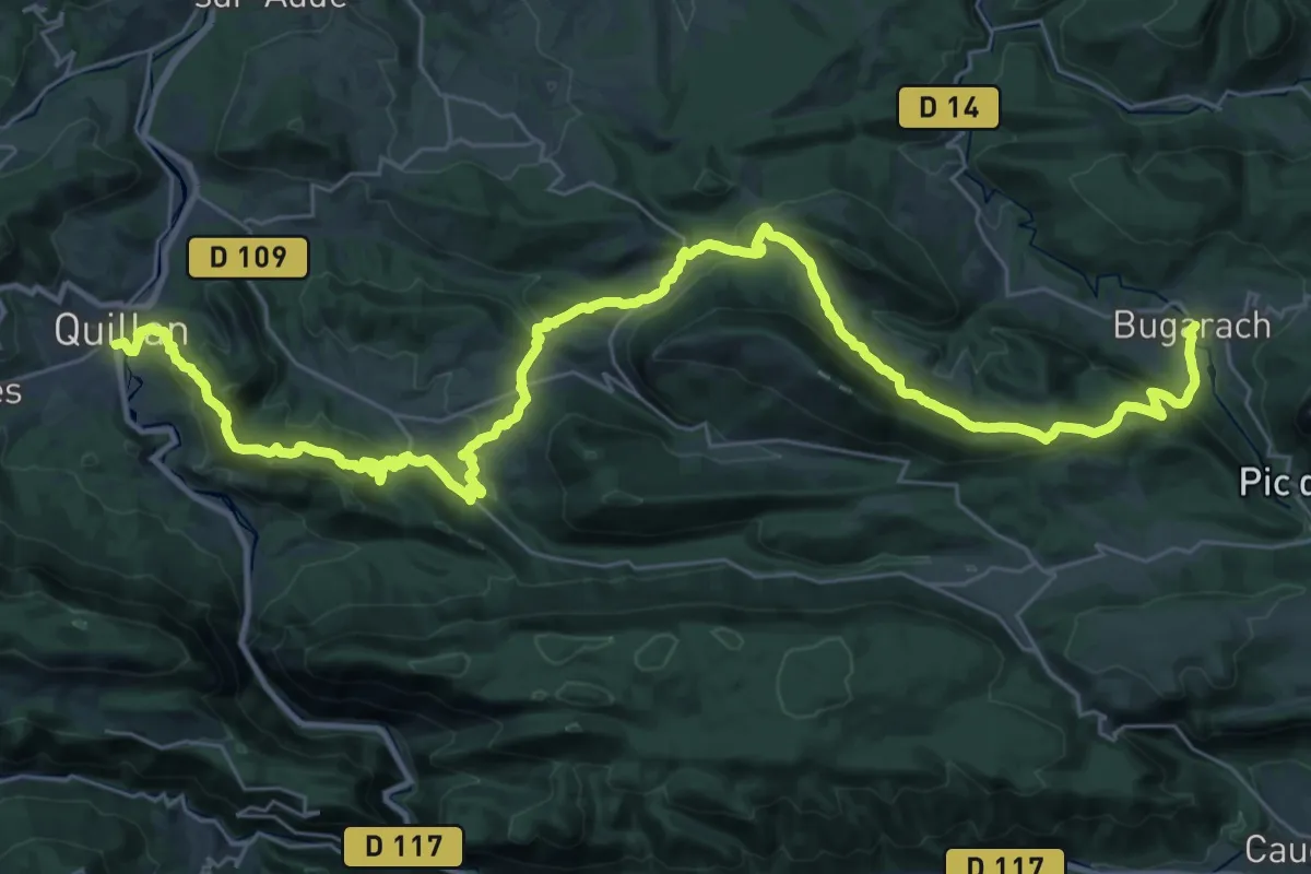
Demanding · Trail
SC 06N : Bugarach - Quillan
23.1 km · ↑ 828 m · 7 h 40 min
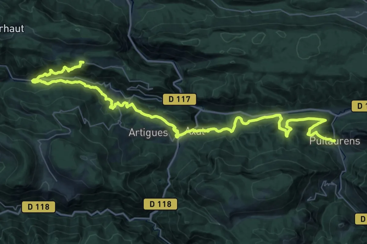
Demanding · Trail
SC 06S : Puilaurens - Quirbajou
22.4 km · ↑ 1156 m · 7 h 55 min
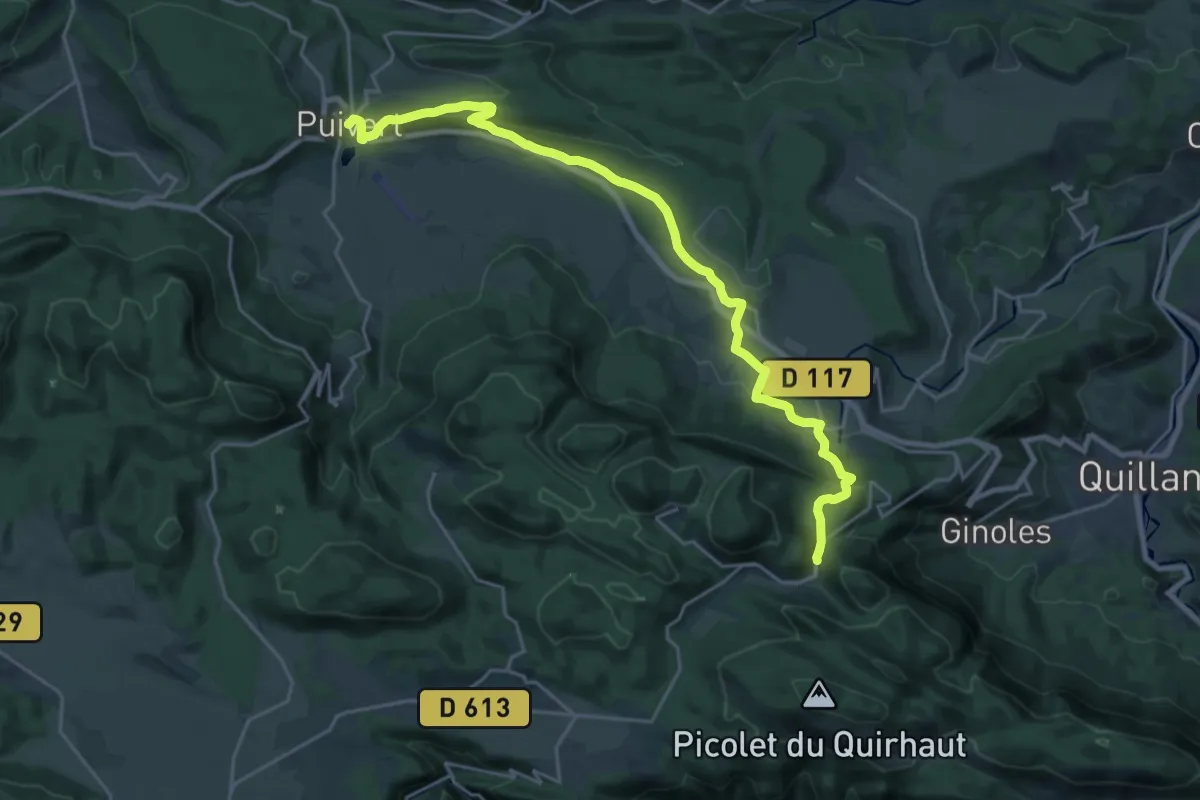
Demanding · Trail
SC 07C : Coudons - Puivert
26.0 km · ↑ 688 m · 7 h 38 min
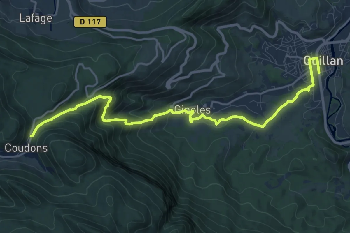
Medium · Trail
SC 07N : Quillan - Puivert
13.6 km · ↑ 661 m · 4 h 39 min
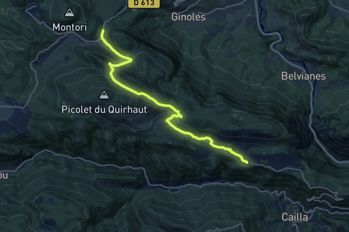
Medium · Trail
SC 07S : Quirbajou - Puivert
16.9 km · ↑ 698 m · 5 h 30 min
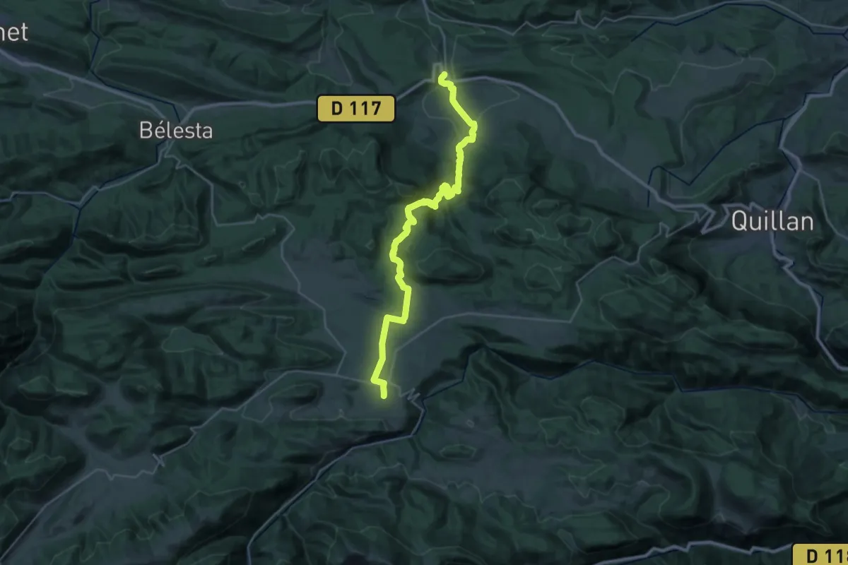
Medium · Trail
SC 08 : Puivert - Espezel
16.8 km · ↑ 162 m · 4 h 45 min
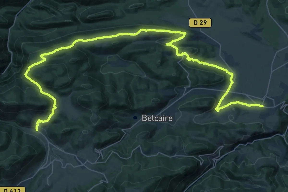
Demanding · Trail
SC 09 : Espezel - Comus
22.3 km · ↑ 523 m · 6 h 50 min
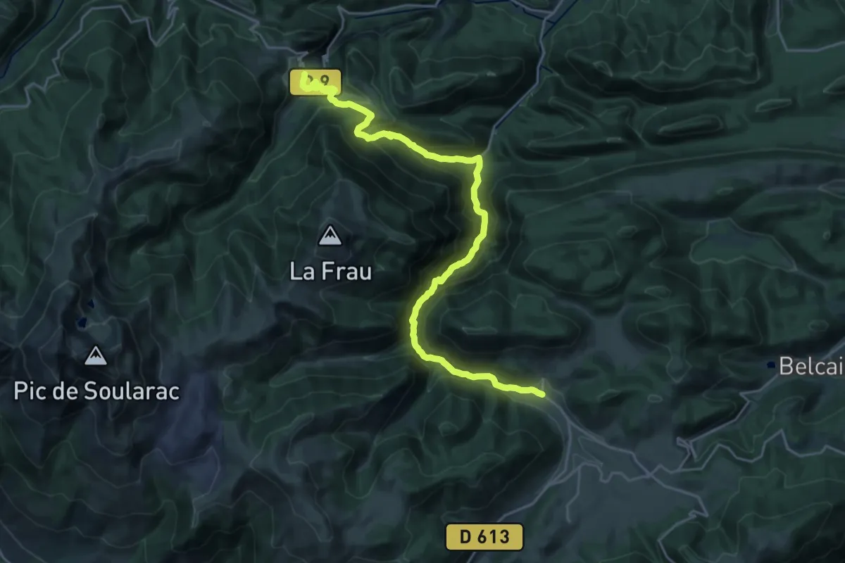
Demanding · Trail
SC 10 : Comus - Montségur
13.2 km · ↑ 890 m · 5 h 7 min
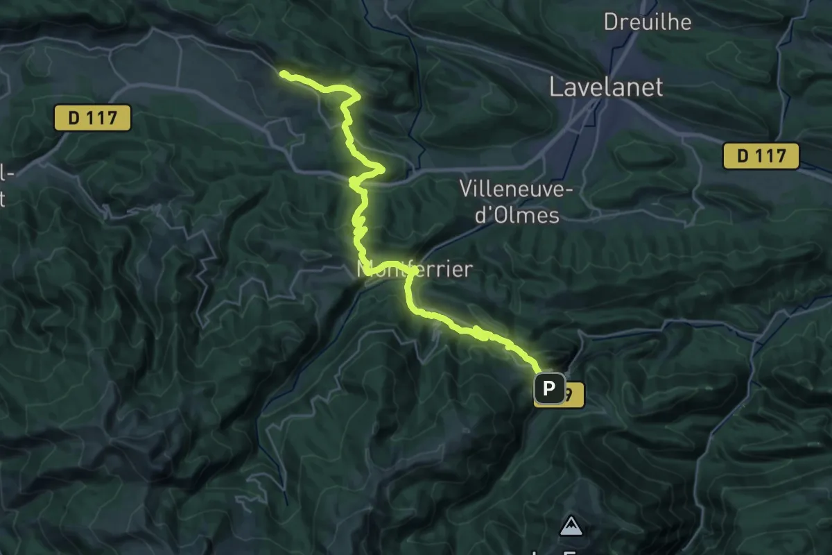
Medium · Trail
SC 11 : Montségur - Roquefixade
16.4 km · ↑ 617 m · 5 h 30 min
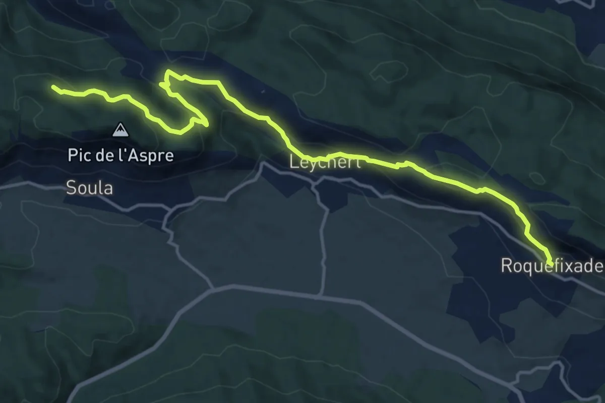
Medium · Summit
SC 12 : Roquefixade - Foix
15.8 km · ↑ 718 m · 5 h 17 min
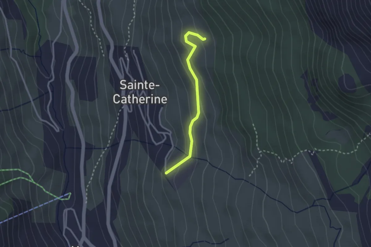
Easy · Trail
Scierie - Parking Pylone
2.3 km · ↑ 128 m · 49 min
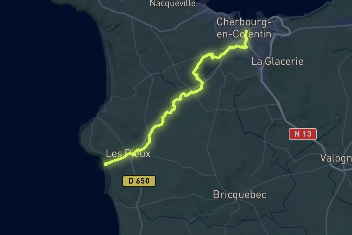
Demanding · Trail
Sciotot à Cherbourg par les terres
31.7 km · ↑ 470 m · 8 h 58 min
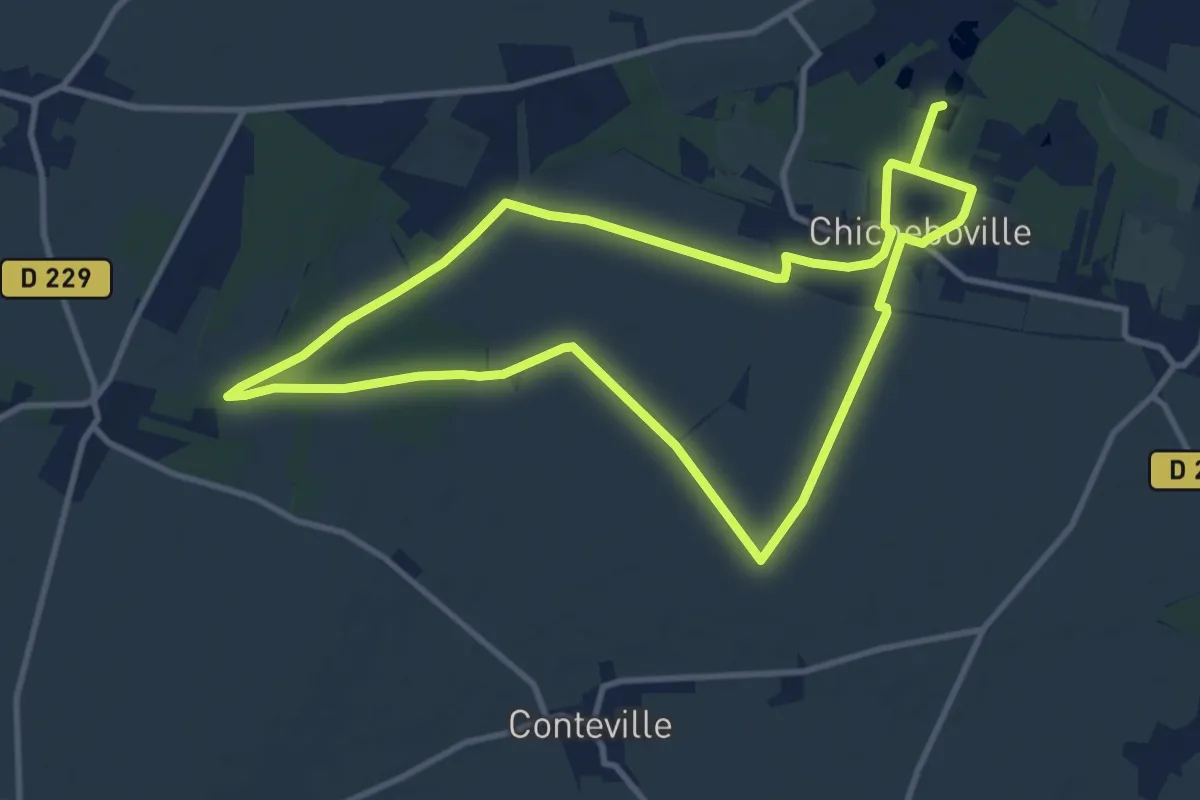
Medium · Trail
Secqueville - Les Marais de Chicheboville
10.1 km · ↑ 48 m · 2 h 37 min
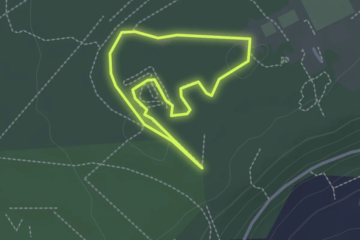
Easy · Trail
Secrets de la Castine
1.9 km · ↑ 5 m · 29 min
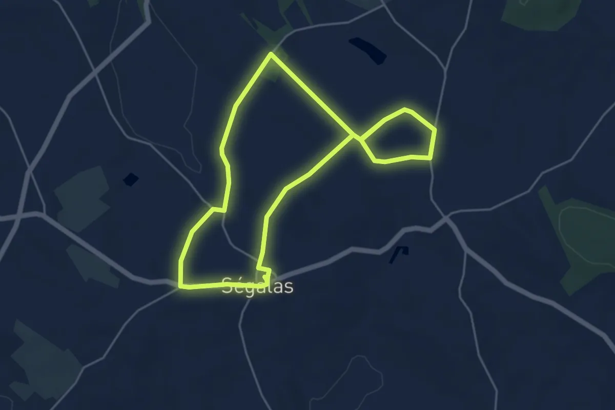
Easy · Trail
Ségalas, la balade familiale du Grand Champ
4.4 km · ↑ 36 m · 1 h 11 min
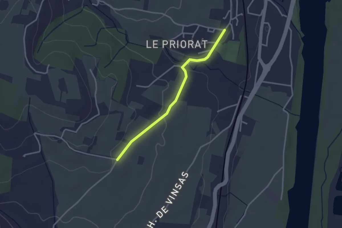
Easy · Trail
Seilloux - Coulange
2.6 km · ↑ 41 m · 42 min
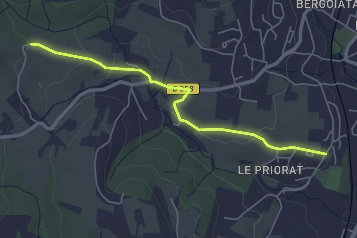
Easy · Trail
Seilloux - Croix de Romanet
4.5 km · ↑ 77 m · 1 h 14 min
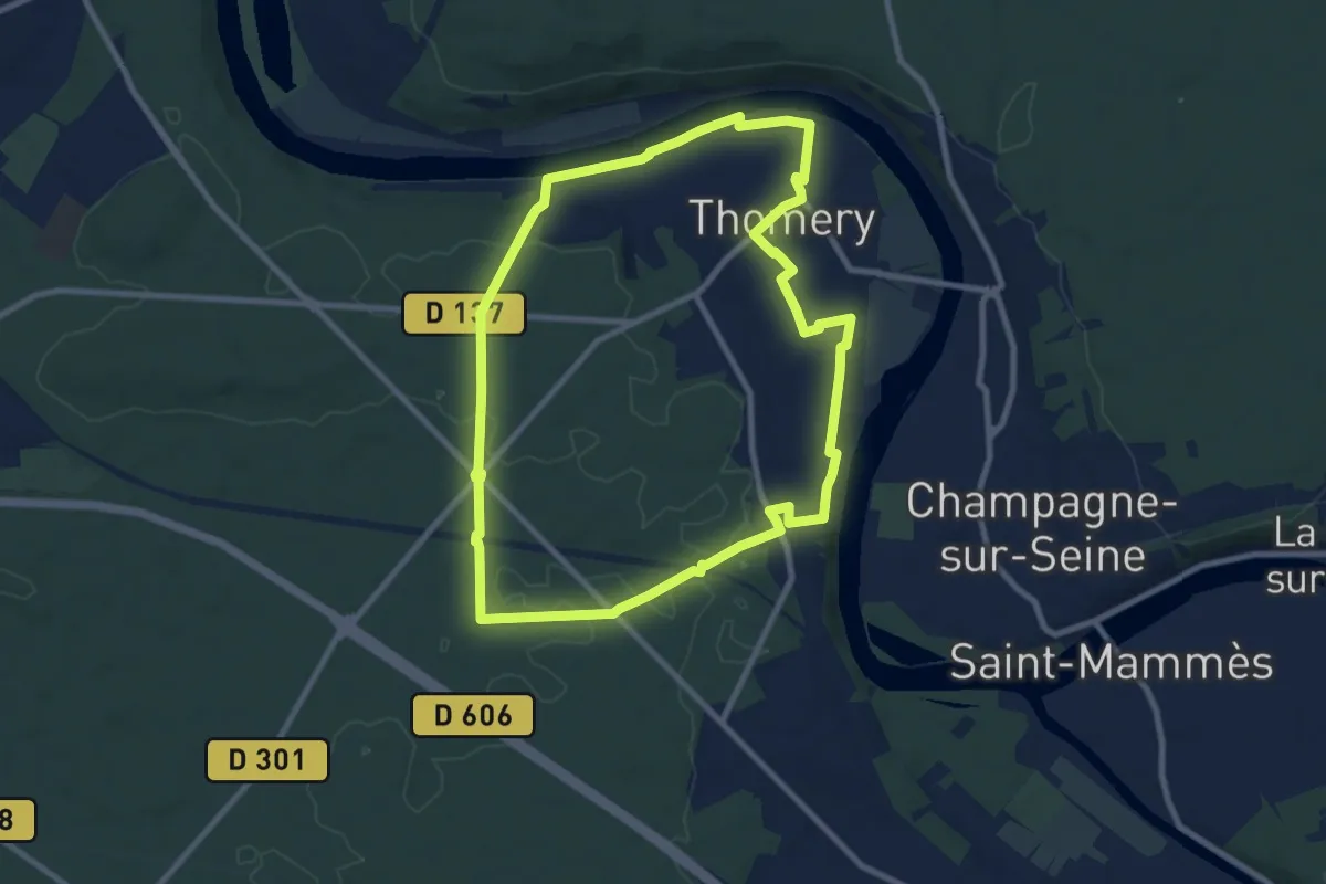
Medium · Trail
Seine, Murs et Forêt
8.8 km · ↑ 88 m · 2 h 23 min
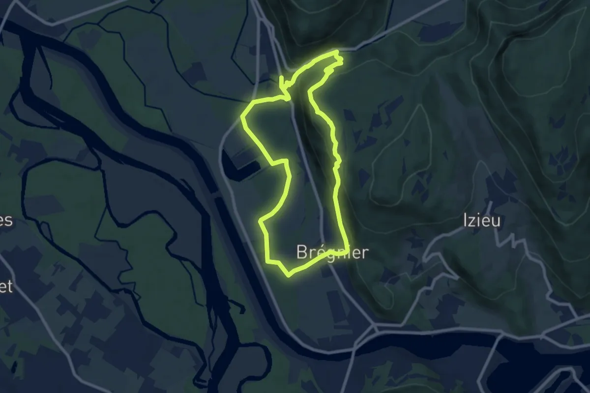
Medium · Trail
SE - Le Sentier de l'eau
7.2 km · ↑ 249 m · 2 h 21 min
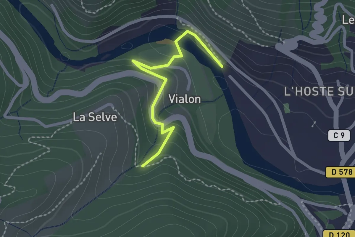
Easy · Trail
Selves - La Passerelle
2.0 km · ↑ 111 m · 42 min
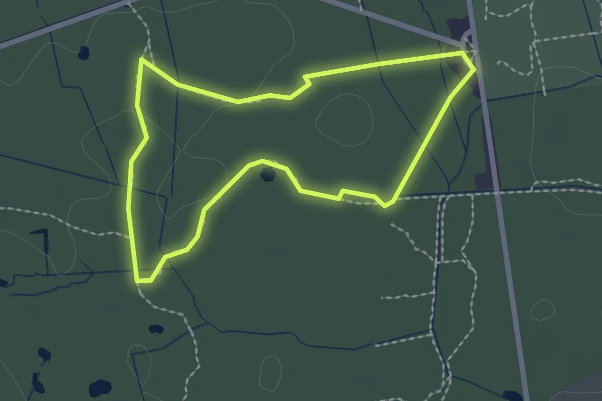
Easy · Trail
Sénart en quête d'un secret
1.8 km · ↑ 0 m · 28 min
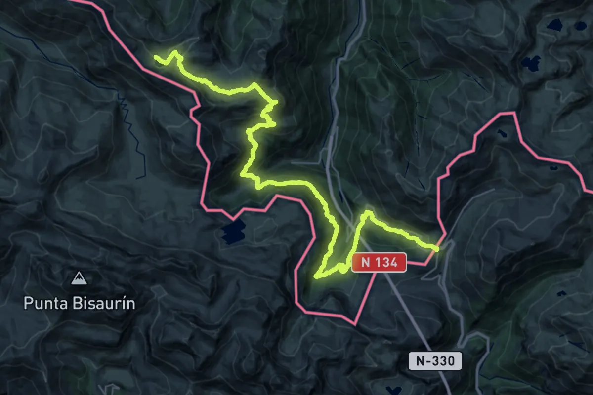
Demanding · Summit
Senda de Camille 3 (Somport-Arlet)
36.2 km · ↑ 1869 m · 12 h 36 min
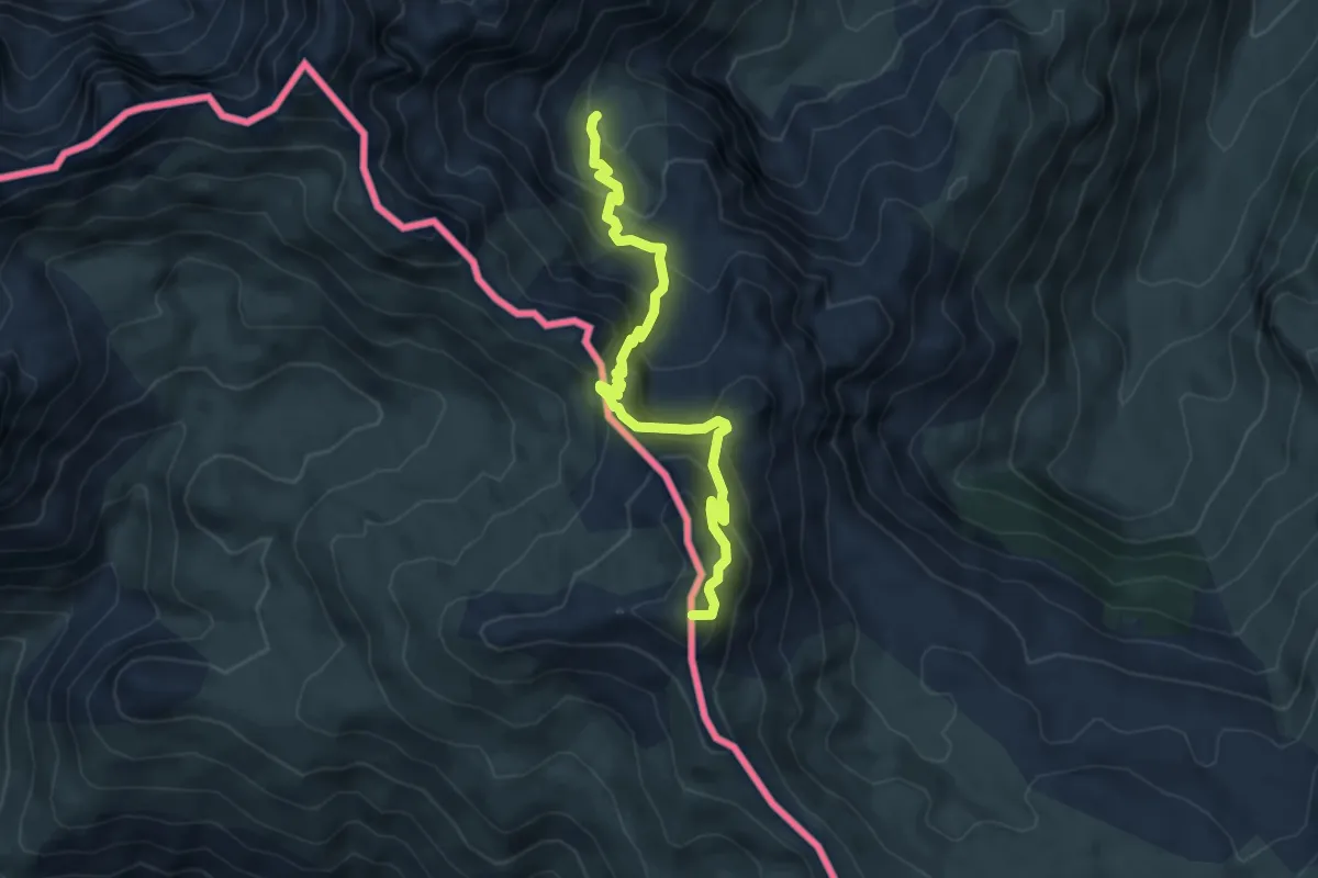
Medium · Summit
Senda de Camille 4 (Arlet-Lescun)
6.0 km · ↑ 425 m · 2 h 21 min
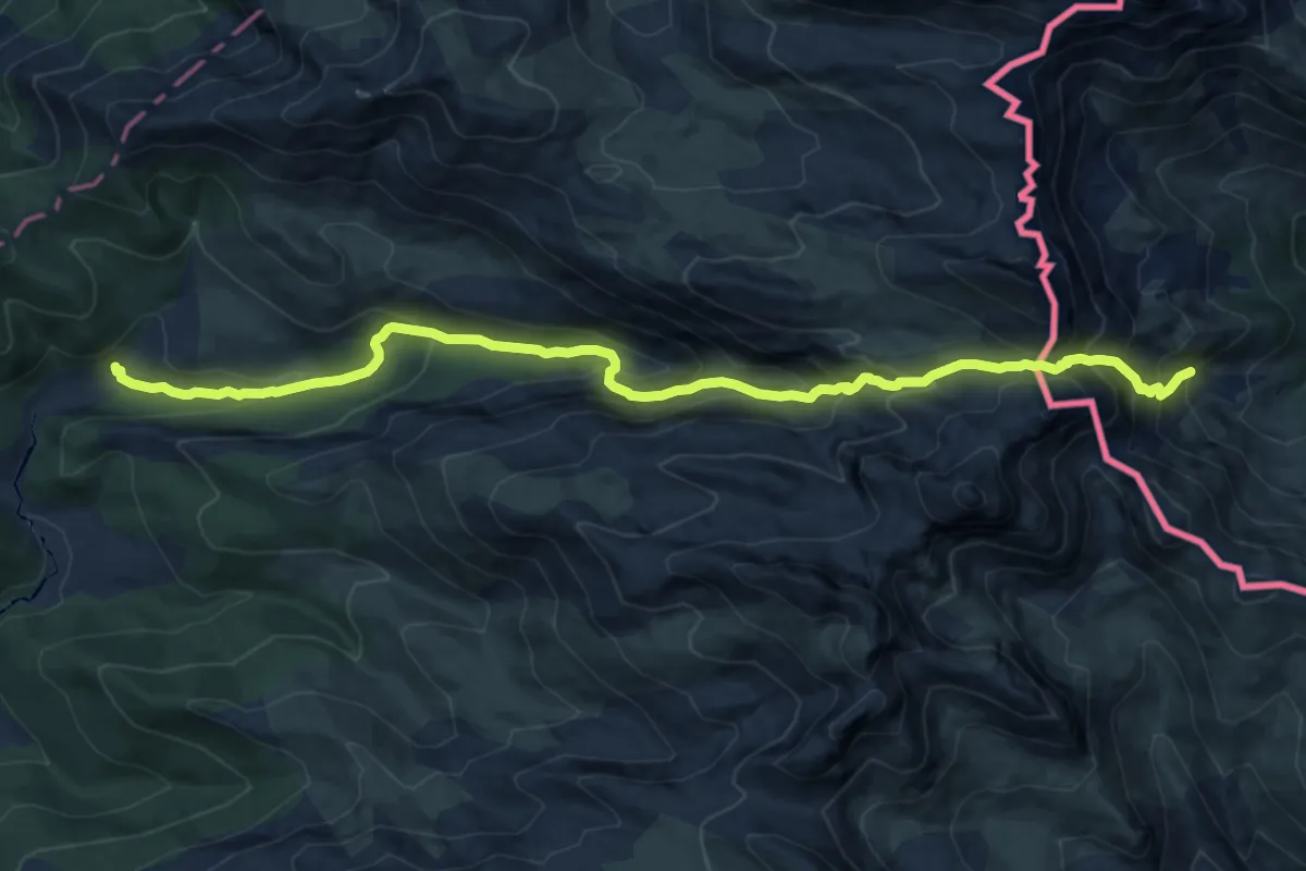
Demanding · Cabin
Senda de Camille 5 (Lescun-Linza)
14.6 km · ↑ 1139 m · 5 h 55 min
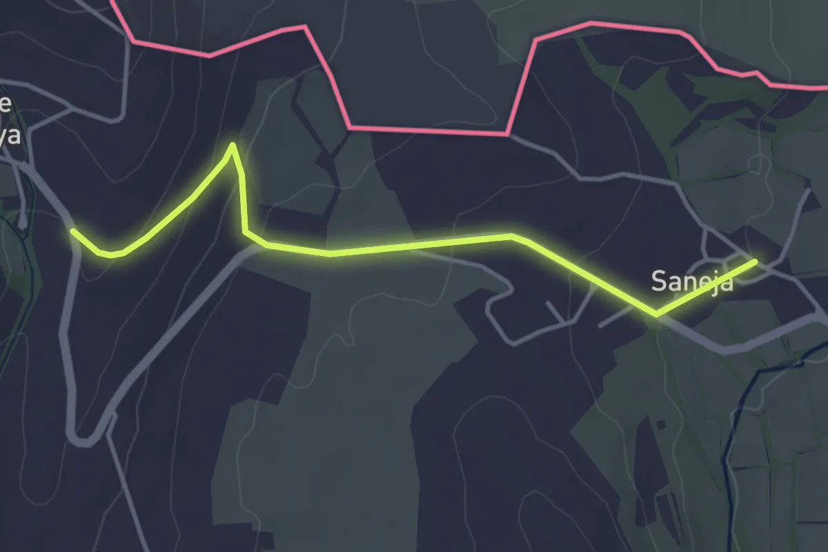
Easy · Trail
Senda Pirenaica - E12
4.1 km · ↑ 123 m · 1 h 14 min
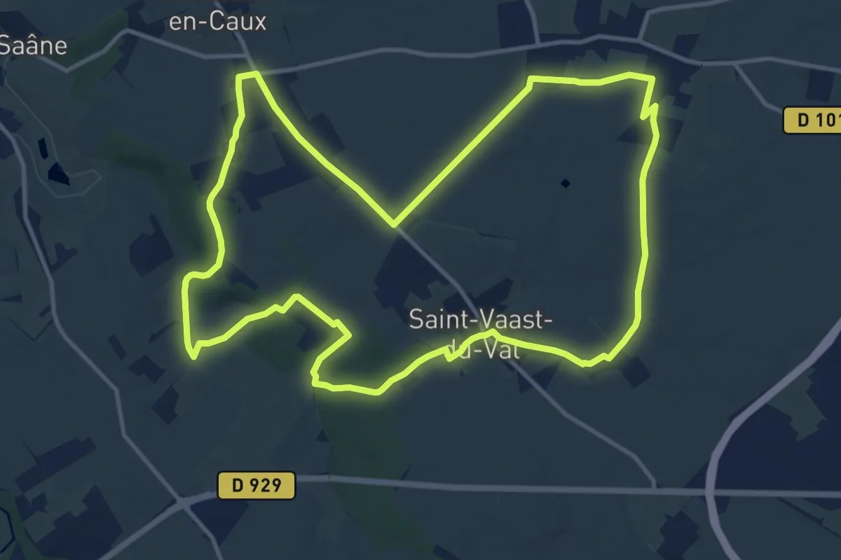
Medium · Trail
Sente aux fées
11.8 km · ↑ 121 m · 3 h 13 min
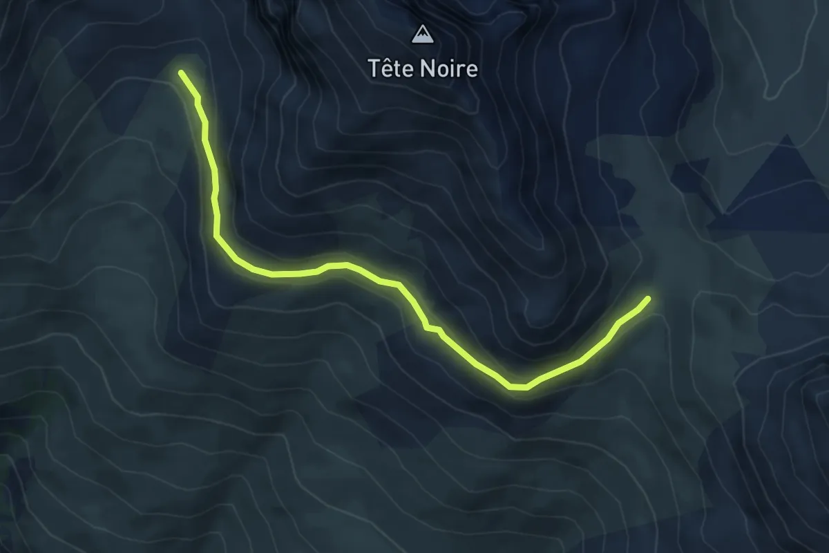
Medium · Trail
Sente des Grimpeurs - Vallon de la Moulette
6.0 km · ↑ 203 m · 1 h 52 min
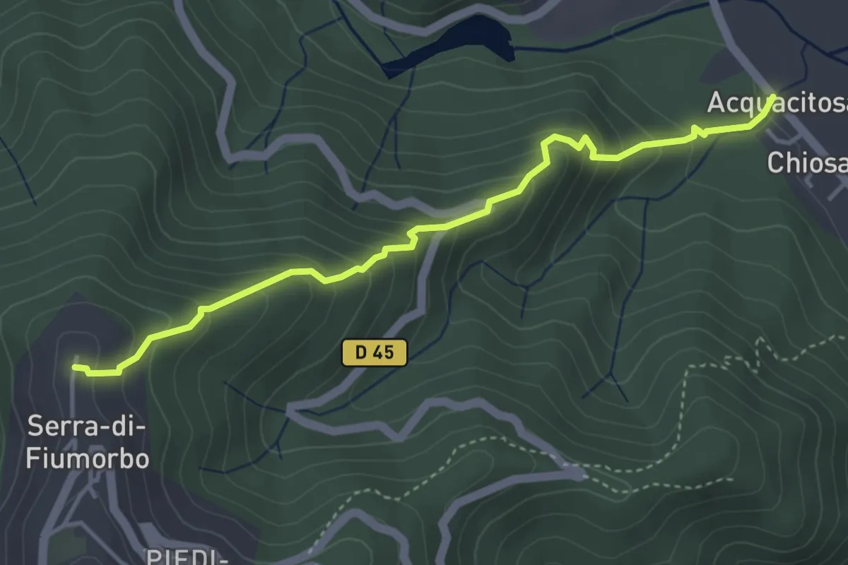
Medium · Trail
Sentier Agnatello - Ornasu
4.4 km · ↑ 385 m · 1 h 52 min
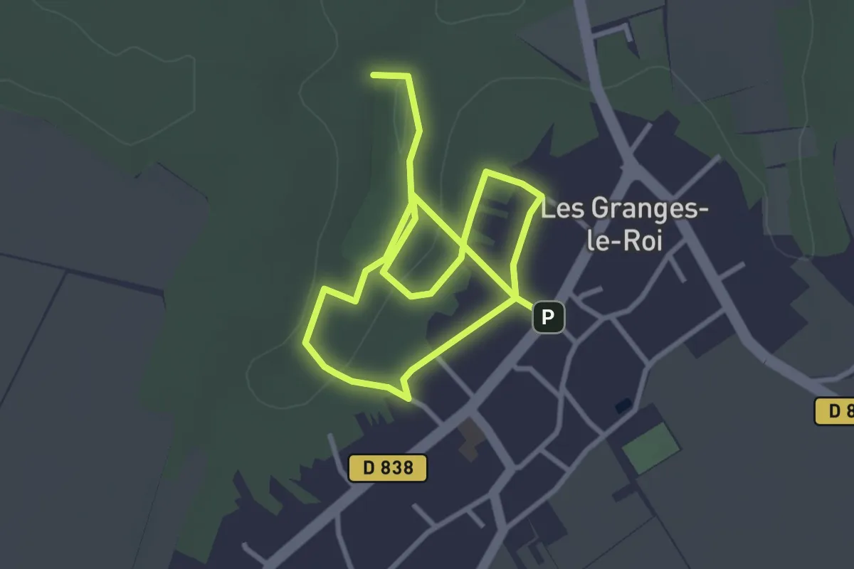
Easy · Trail
Sentier à la découverte des arbres
4.8 km · ↑ 61 m · 1 h 16 min
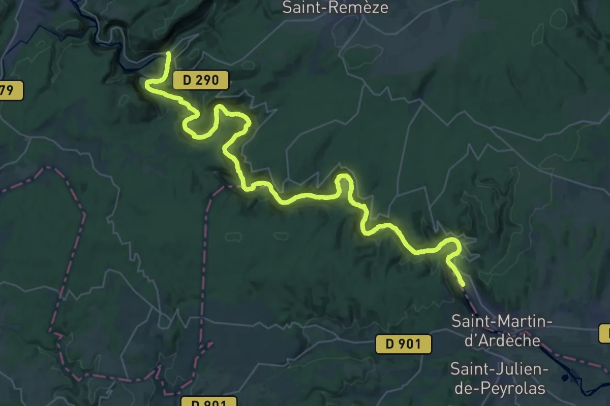
Demanding · Trail
Sentier amont des Gorges de l'Ardèche
21.7 km · ↑ 895 m · 7 h 20 min
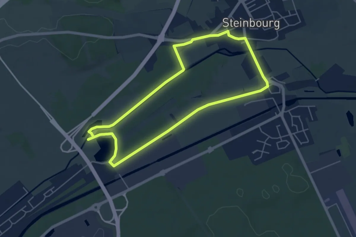
Easy · Trail
Sentier André Weckmann
4.4 km · ↑ 14 m · 1 h 8 min
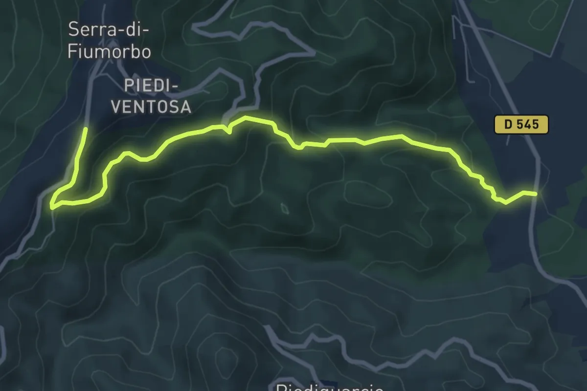
Medium · Trail
Sentier Aquacitosa - Pinellu - Ornasu
8.1 km · ↑ 452 m · 2 h 53 min
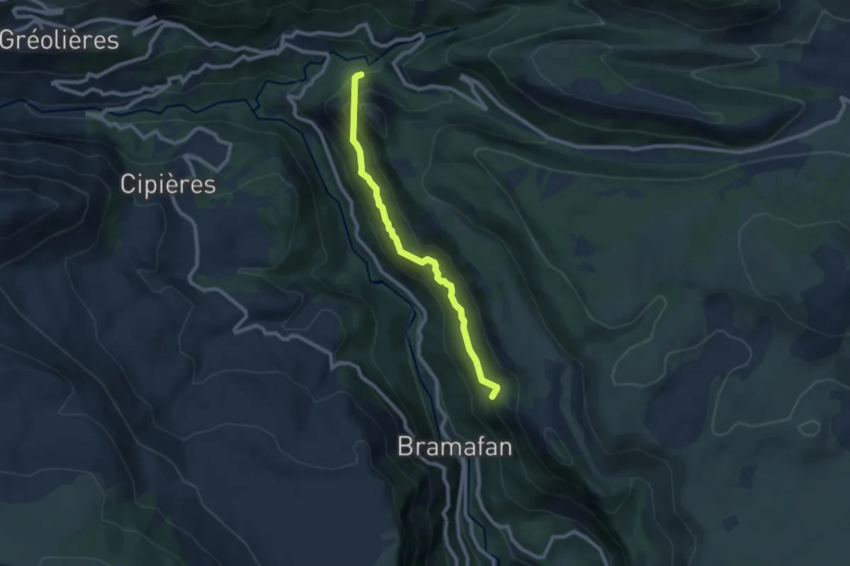
Medium · Trail
sentier aqueduc du Loup
7.3 km · ↑ 622 m · 3 h 4 min
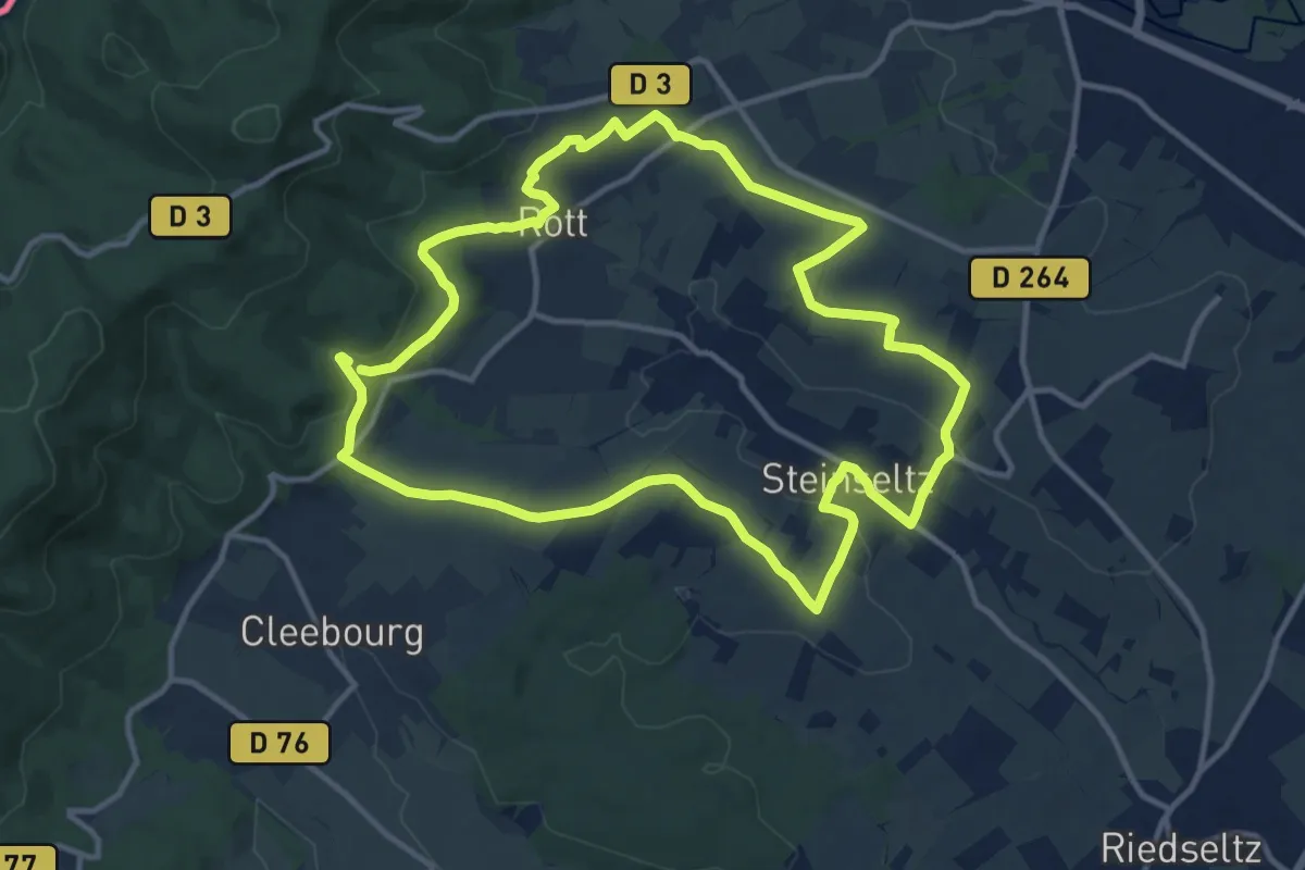
Medium · Trail
Sentier arboricole
11.9 km · ↑ 214 m · 3 h 25 min
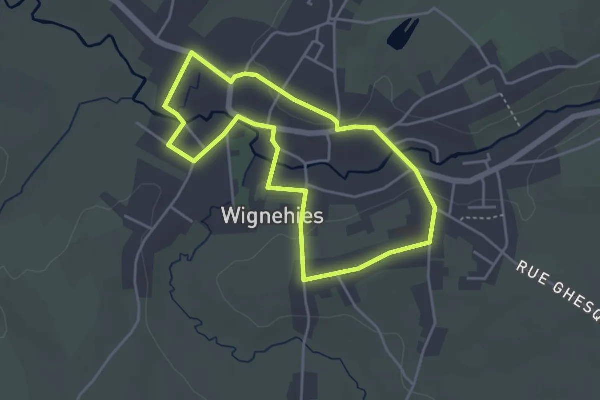
Easy · Trail
Sentier Architecture de Wignehies
3.1 km · ↑ 29 m · 51 min
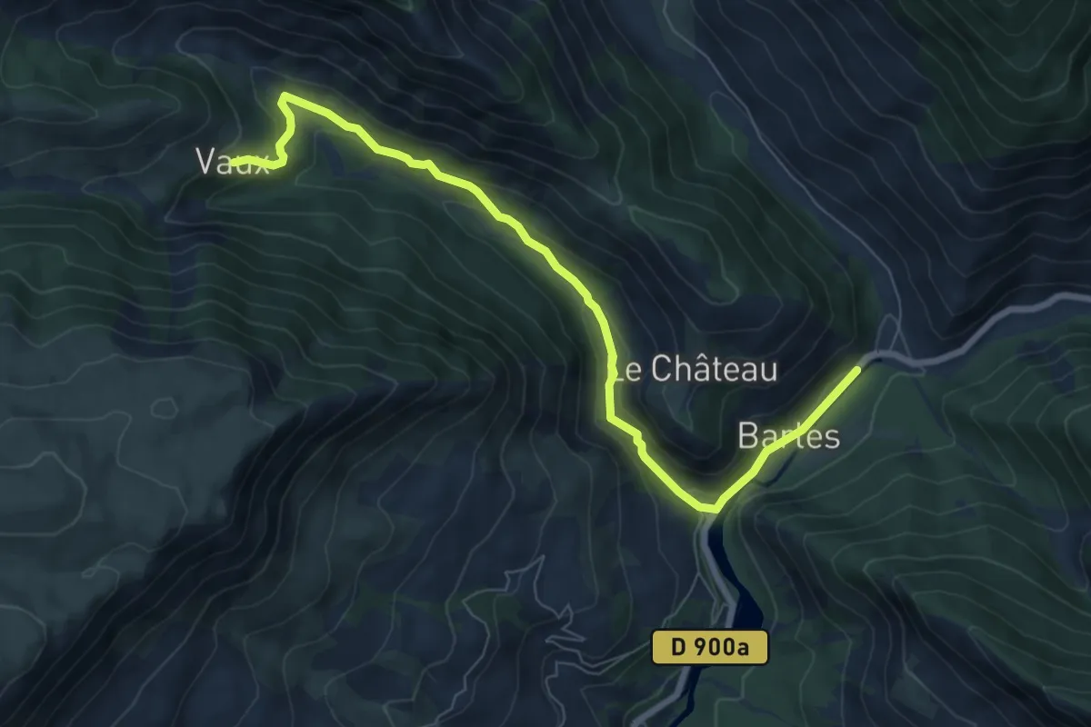
Easy · Trail
Sentier Armand Payan
4.1 km · ↑ 295 m · 1 h 33 min
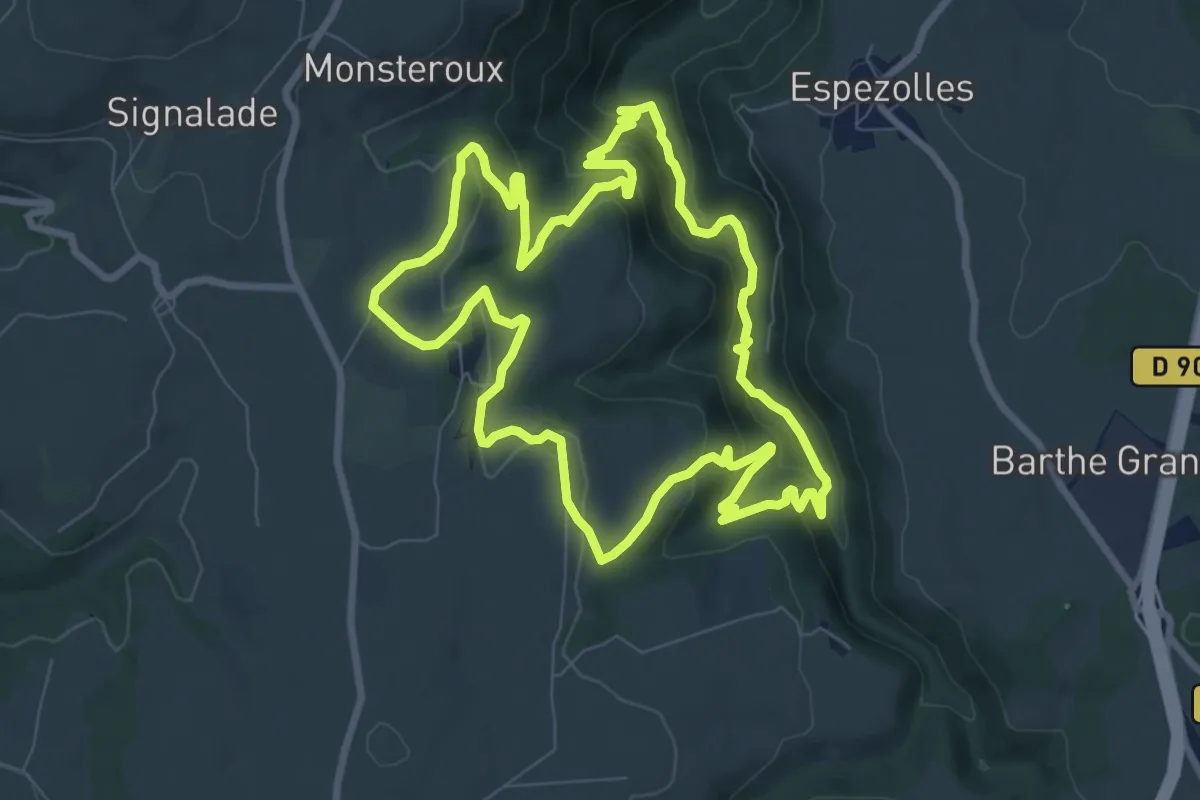
Medium · Trail
Sentier Art et Nature
9.1 km · ↑ 433 m · 3 h 13 min
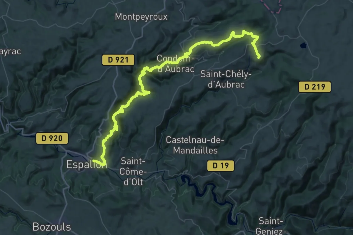
Demanding · Trail
Sentier Aubrac - Abbaye de Bonneval - Espalion
33.5 km · ↑ 1107 m · 11 h 12 min
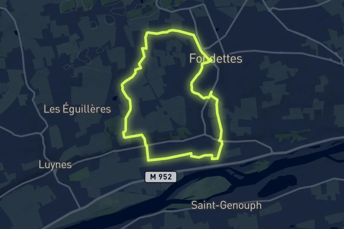
Medium · Trail
Sentier Aubrière-Gâtine - Fondettes
9.1 km · ↑ 81 m · 2 h 27 min
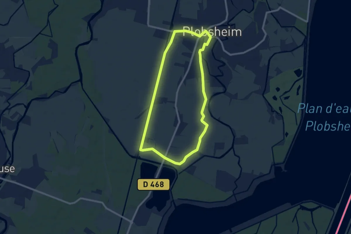
Easy · Trail
Sentier Au Fil de l'Eau
6.3 km · ↑ 4 m · 1 h 34 min
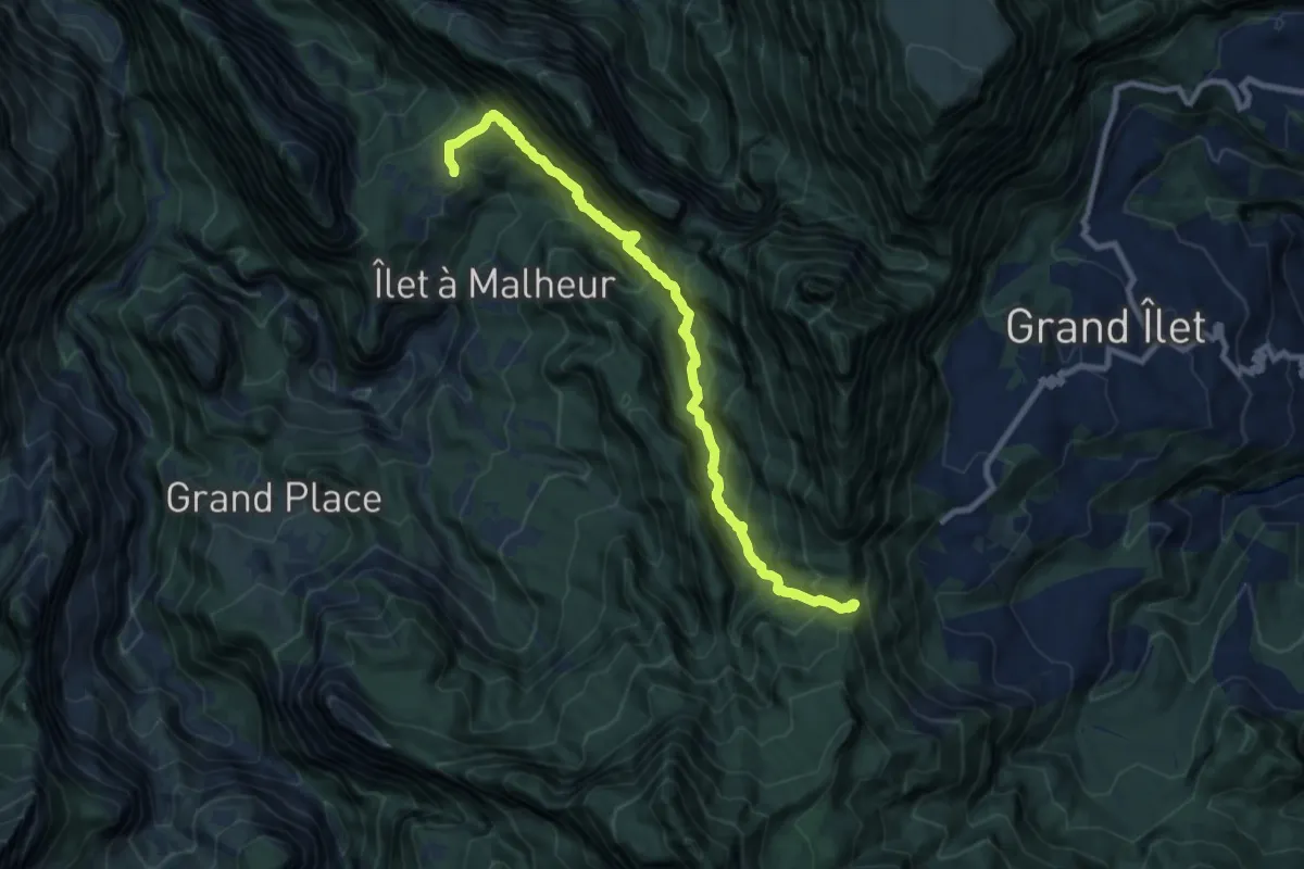
Demanding · Trail
Sentier Augustave
12.6 km · ↑ 1589 m · 6 h 25 min
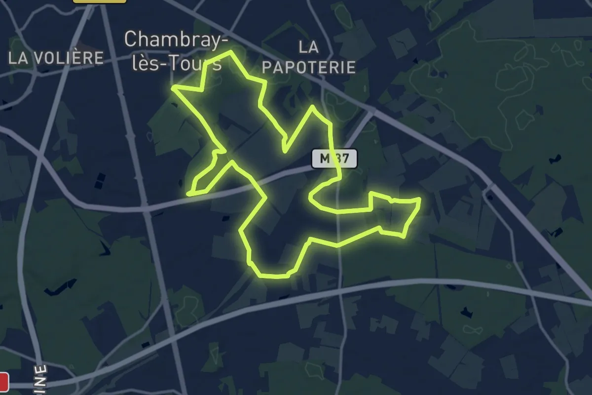
Medium · Trail
Sentier au travers des landes - Chambray-les-Tours
13.1 km · ↑ 42 m · 3 h 22 min
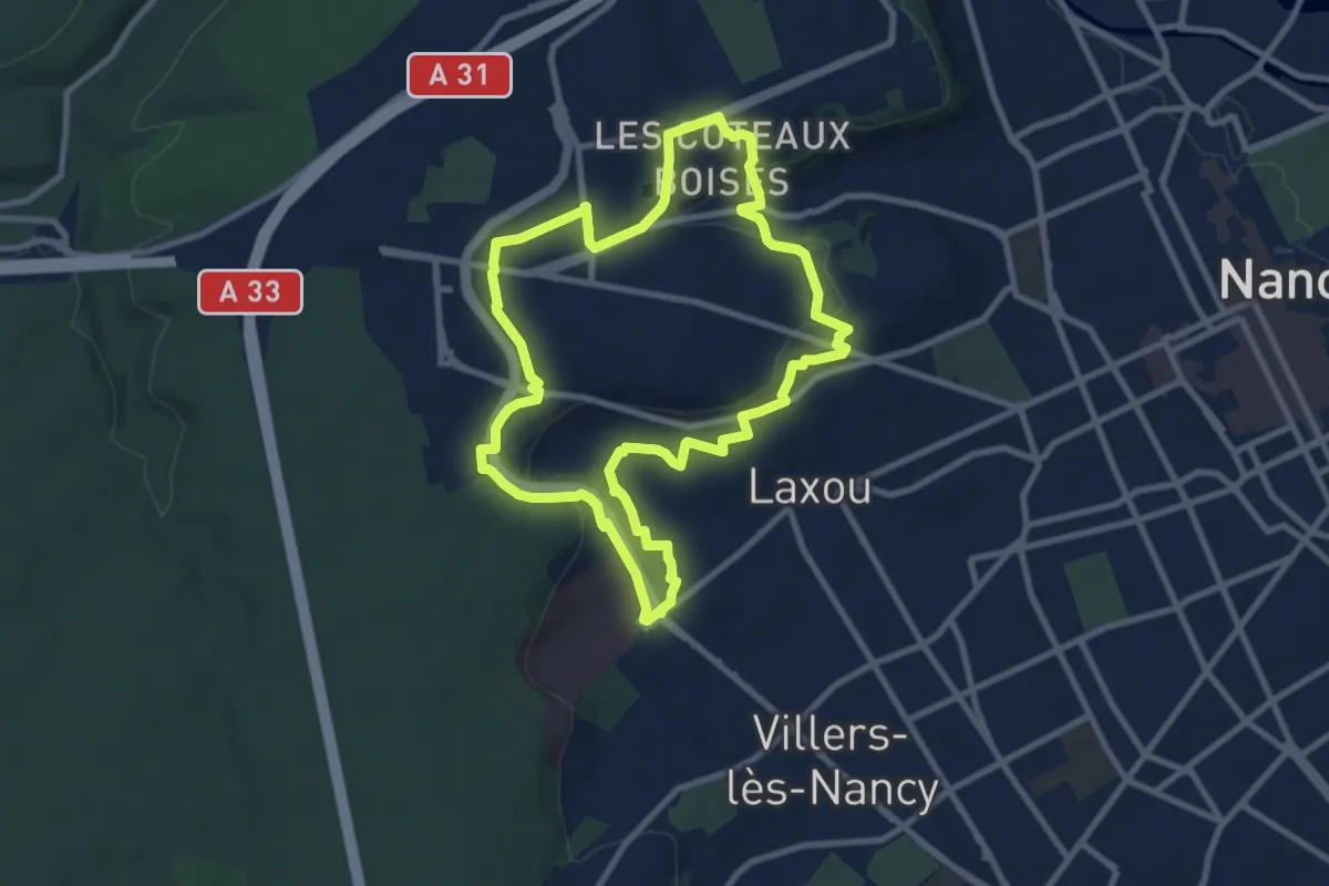
Medium · Trail
Sentier aux Quatre-Vents
8.7 km · ↑ 177 m · 2 h 33 min
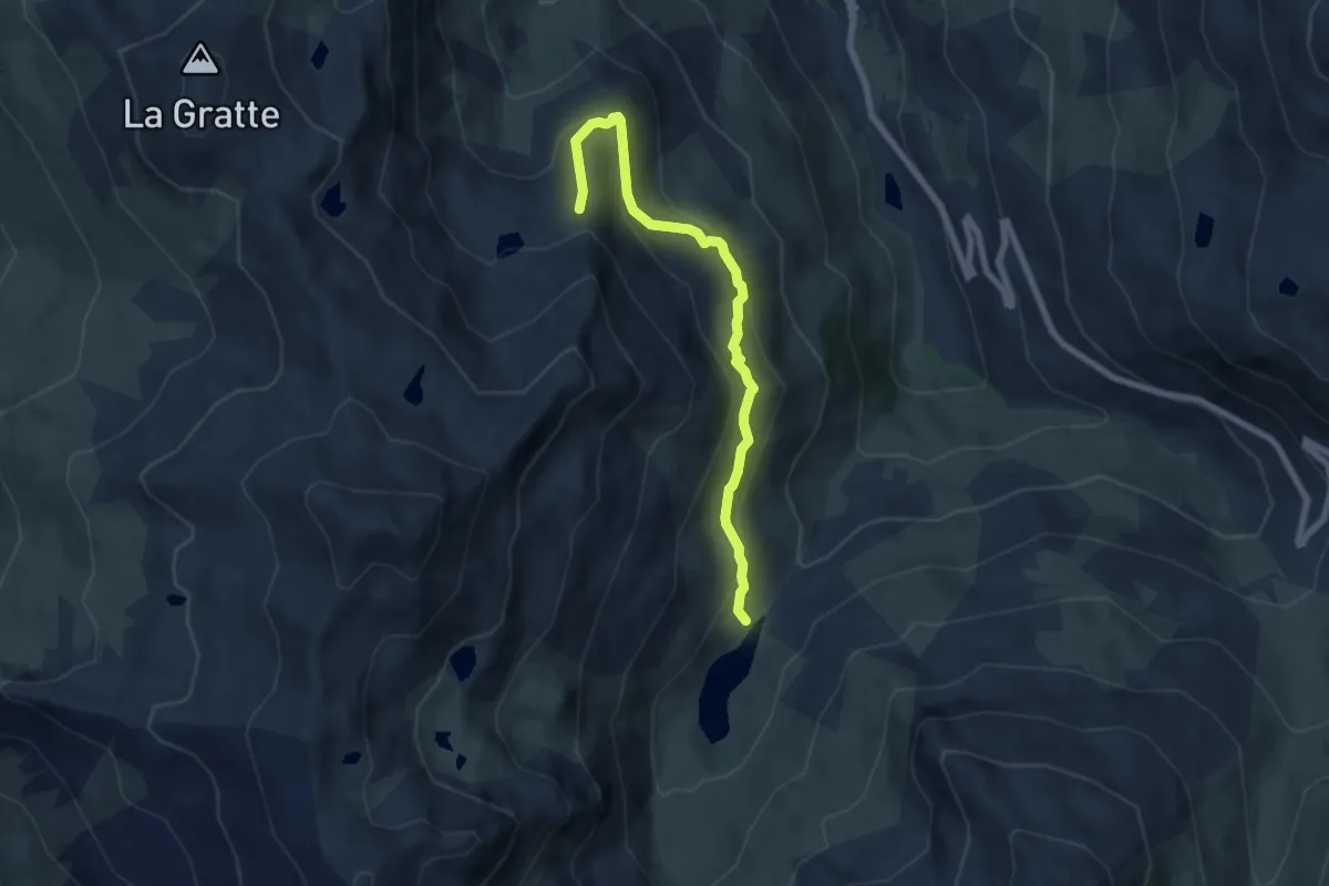
Medium · Cabin
Sentier Balcon de la Masse
7.0 km · ↑ 403 m · 2 h 32 min
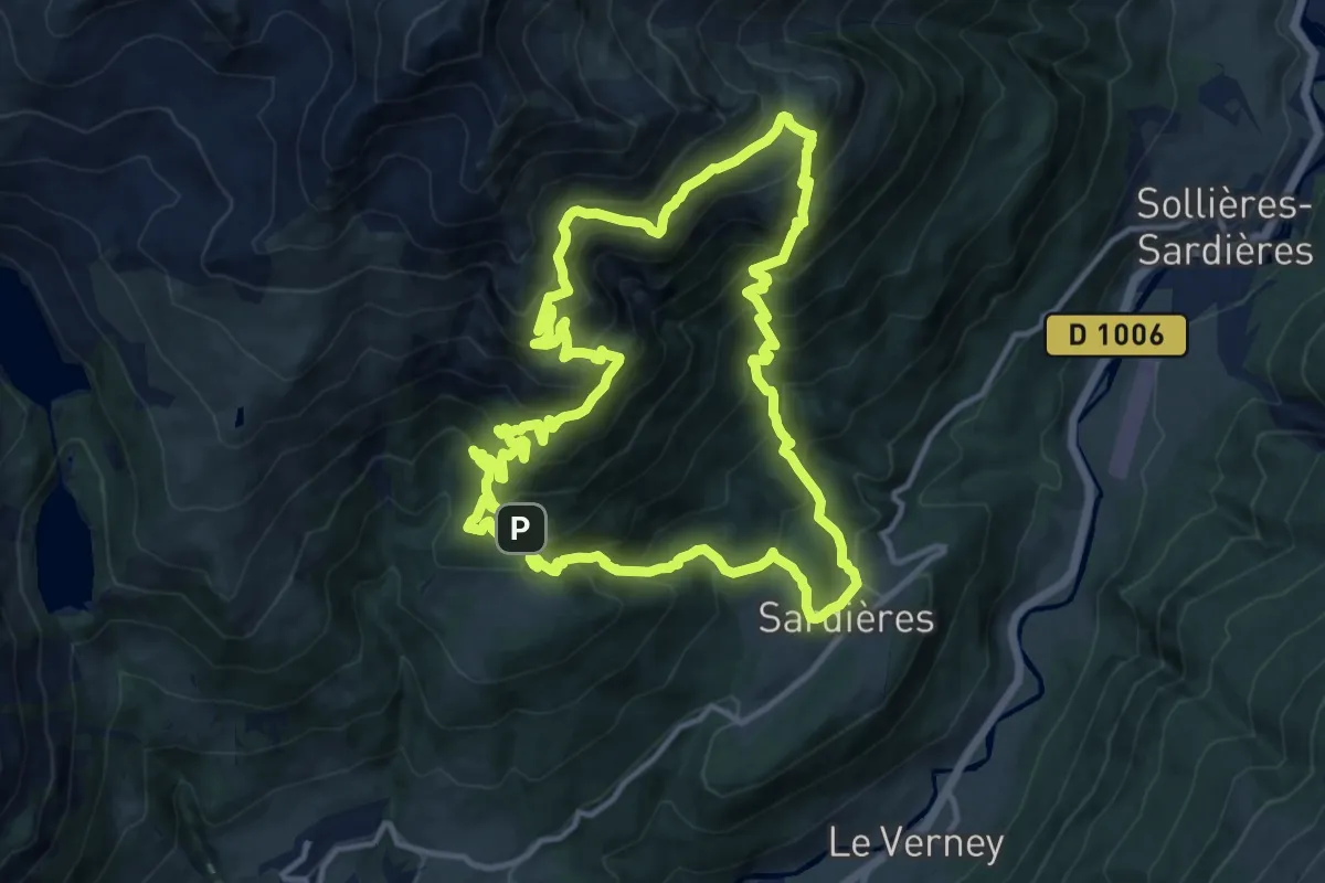
Demanding · Summit
Sentier Balcon de la Turra à la Loza
13.4 km · ↑ 1199 m · 5 h 57 min