Trails in France
15,926 hiking trails, each with its route, climb, walking time and grade.
All trails, page 247 of 332
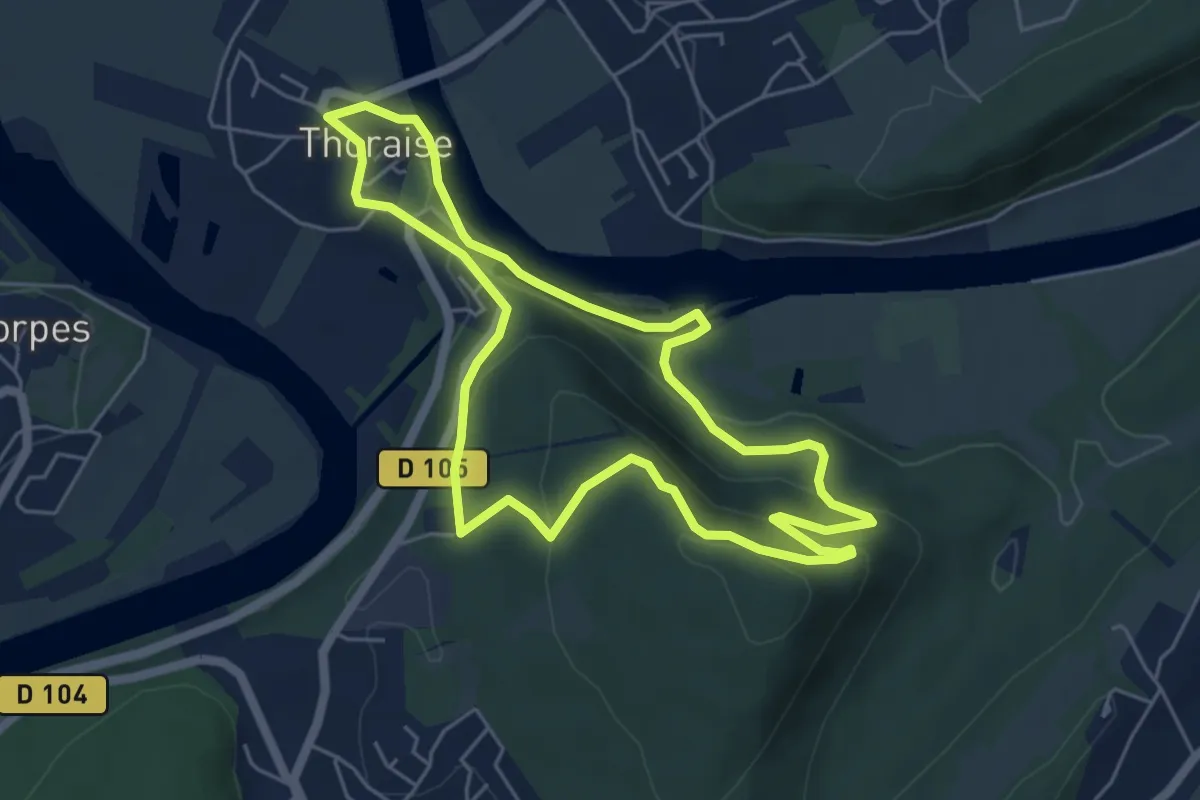
Easy · Trail
Sentier de Notre Dame du Mont
5.3 km · ↑ 217 m · 1 h 47 min
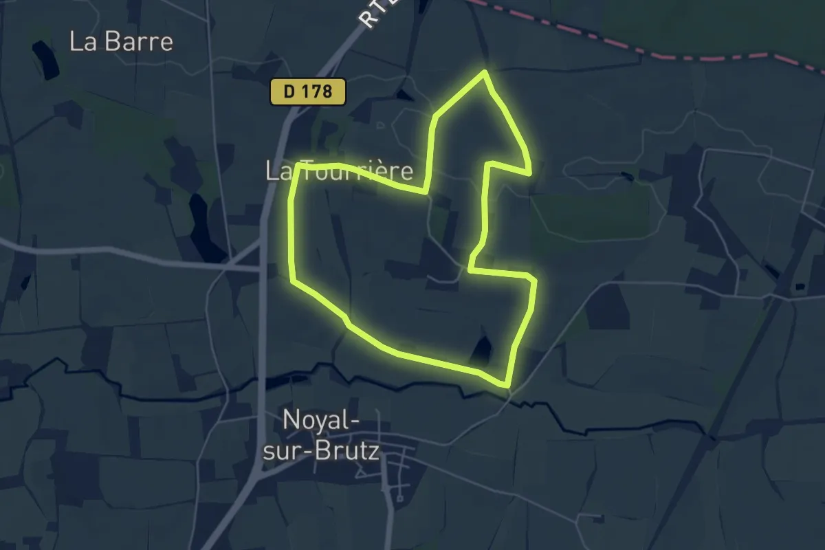
Easy · Trail
Sentier de Noyal-sur-Brutz
5.0 km · ↑ 35 m · 1 h 20 min
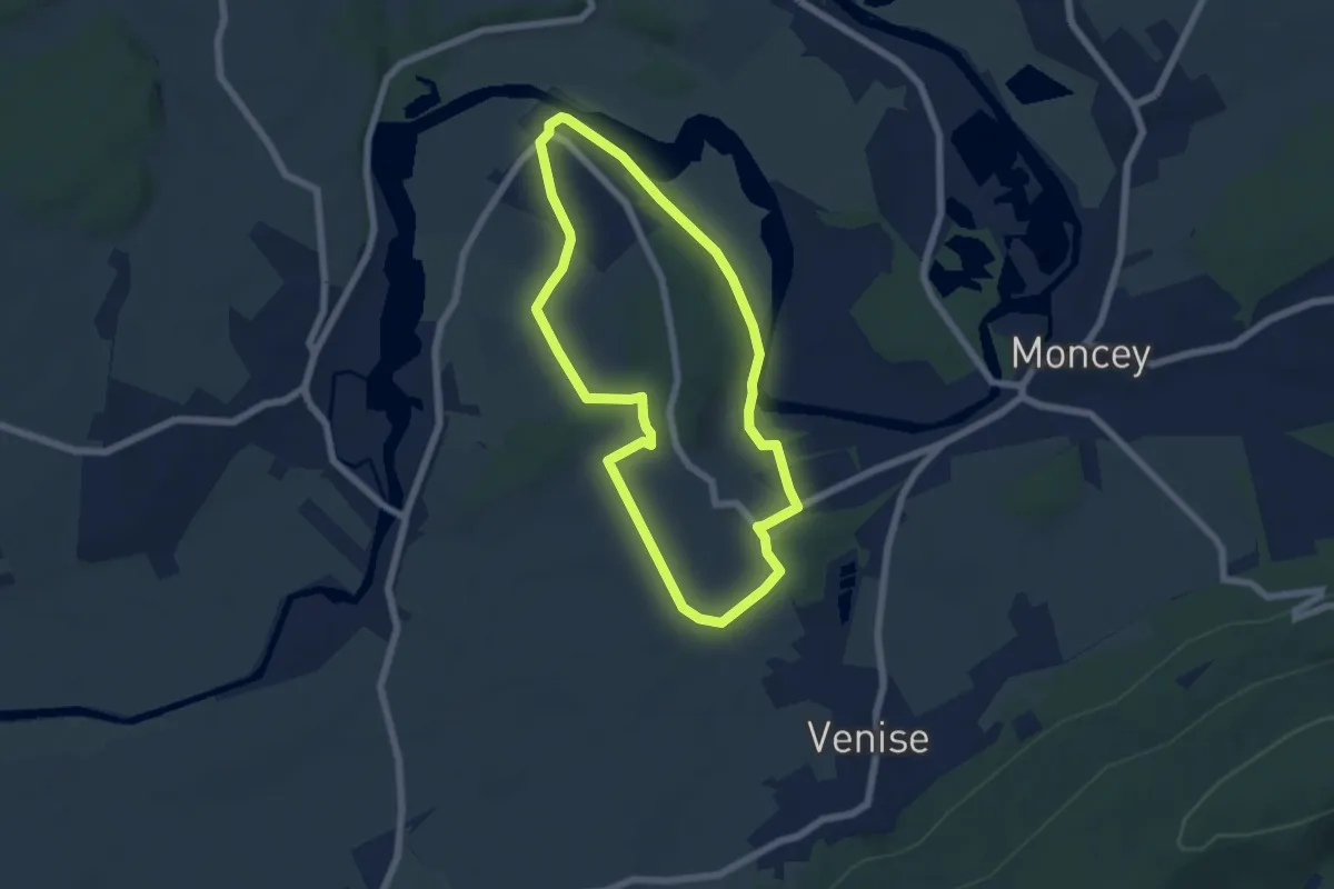
Easy · Trail
Sentier de Palise
5.7 km · ↑ 60 m · 1 h 33 min
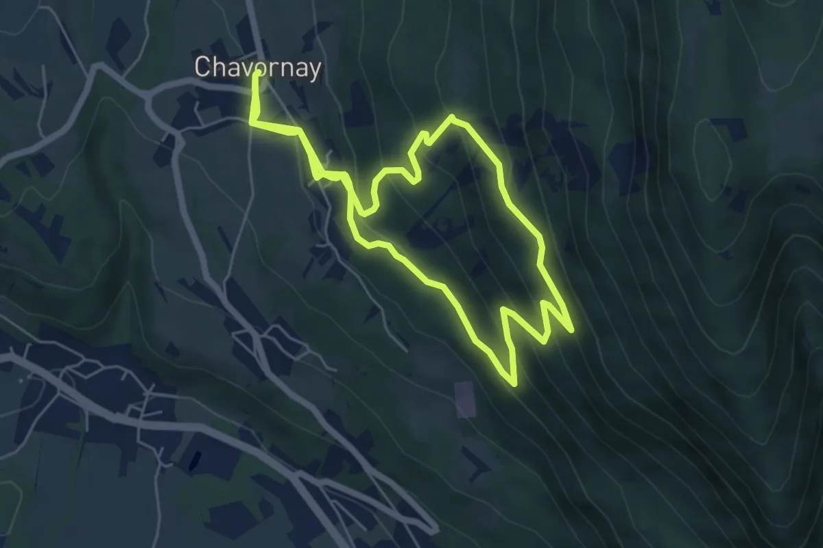
Medium · Trail
Sentier de Parnaud
5.7 km · ↑ 352 m · 2 h 10 min
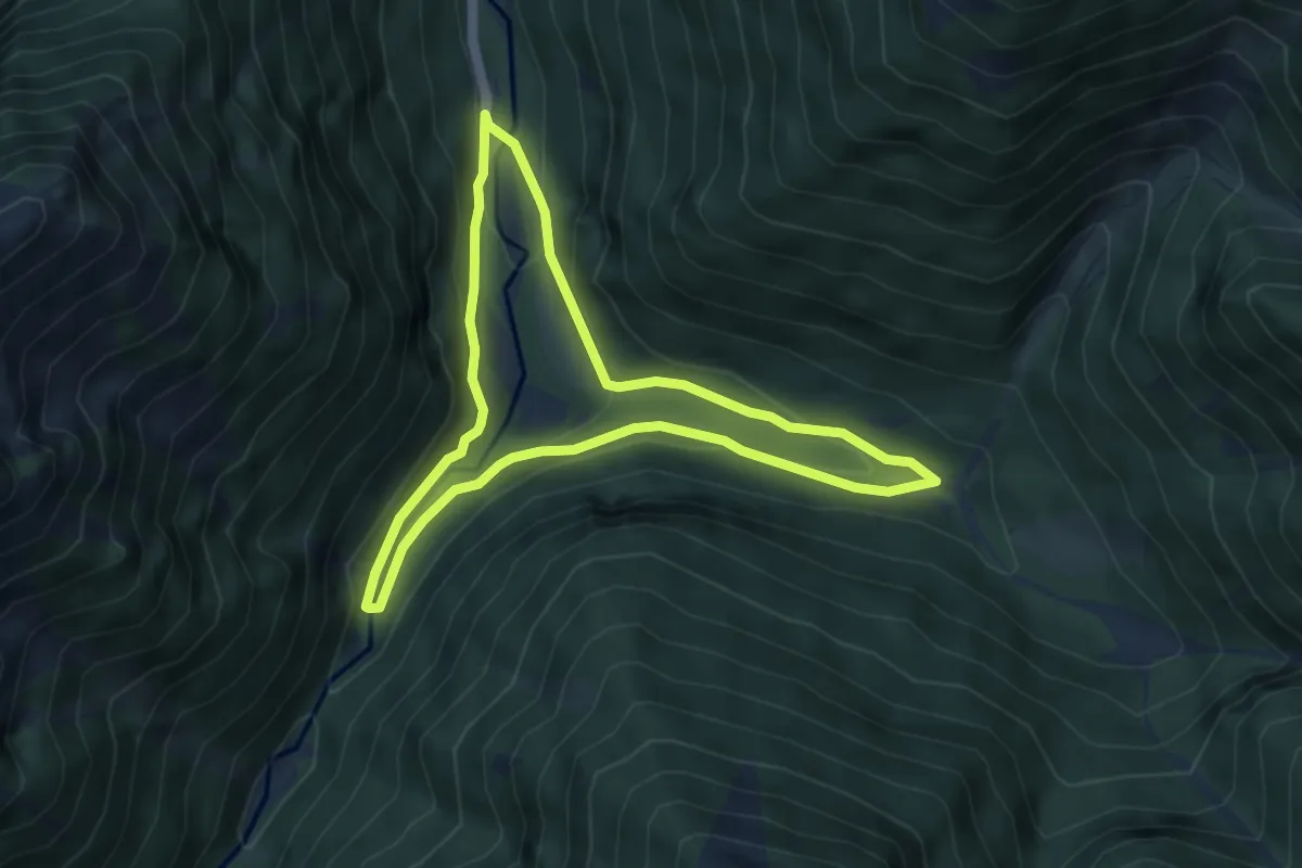
Easy · Trail
Sentier de Péguère
4.5 km · ↑ 179 m · 1 h 31 min
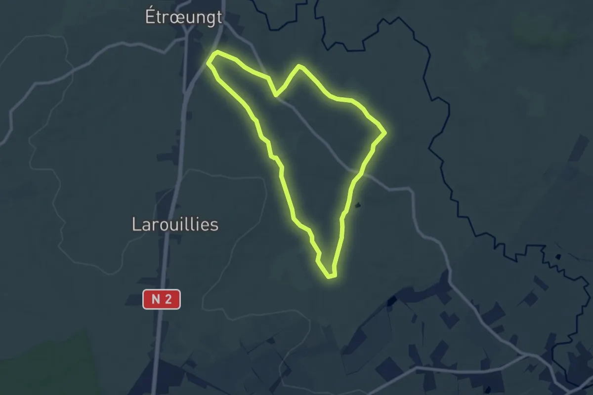
Easy · Trail
Sentier de Petit Bois
6.7 km · ↑ 58 m · 1 h 49 min
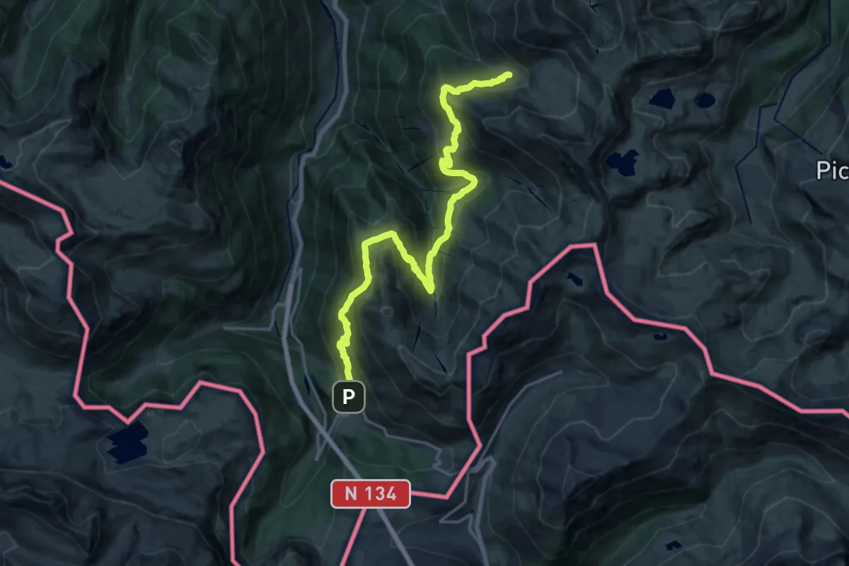
Demanding · Cabin
Sentier de Peyranère au Refuge de Larry PNP
20.6 km · ↑ 1262 m · 7 h 36 min
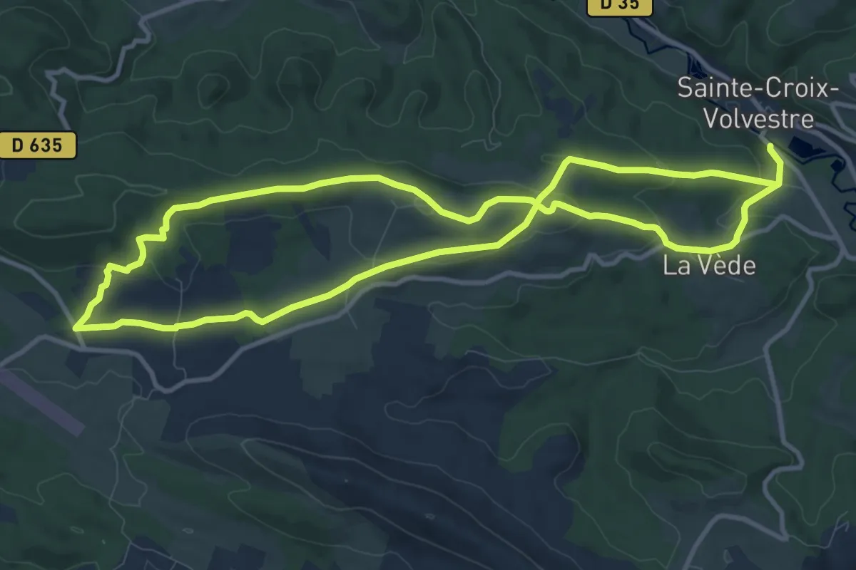
Medium · Trail
Sentier de Peyre
10.7 km · ↑ 266 m · 3 h 14 min
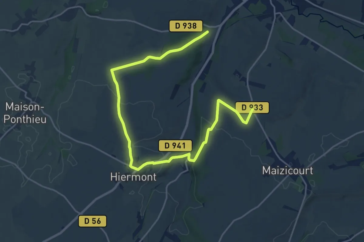
Medium · Trail
Sentier de Picardie
8.6 km · ↑ 91 m · 2 h 22 min
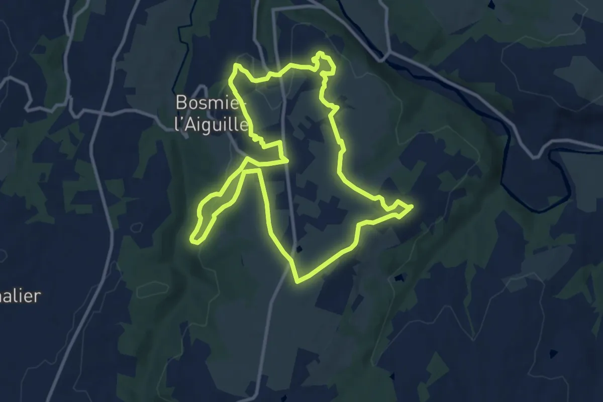
Medium · Trail
Sentier de Plein-Ciel
9.6 km · ↑ 171 m · 2 h 46 min
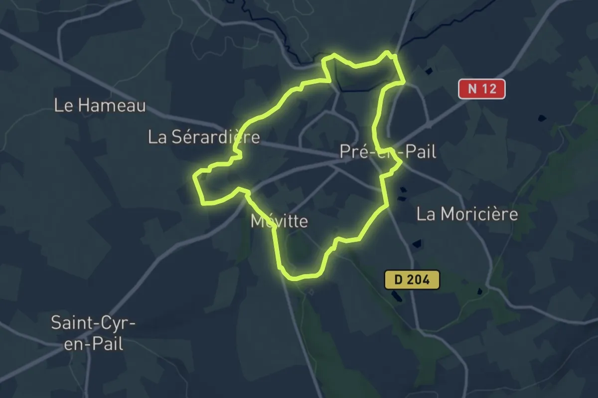
Medium · Trail
Sentier de Prez
9.1 km · ↑ 142 m · 2 h 35 min
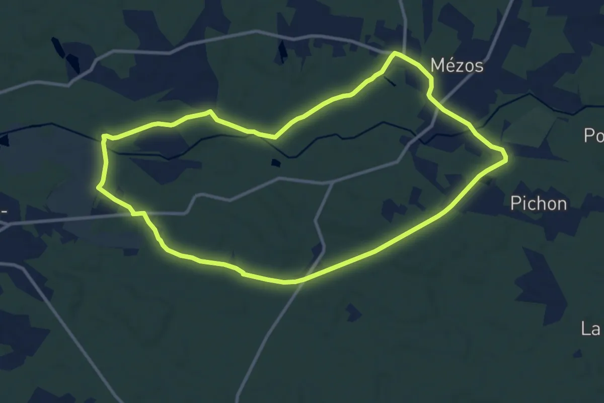
Medium · Trail
Sentier de randonnée Mézos
10.2 km · ↑ 52 m · 2 h 39 min
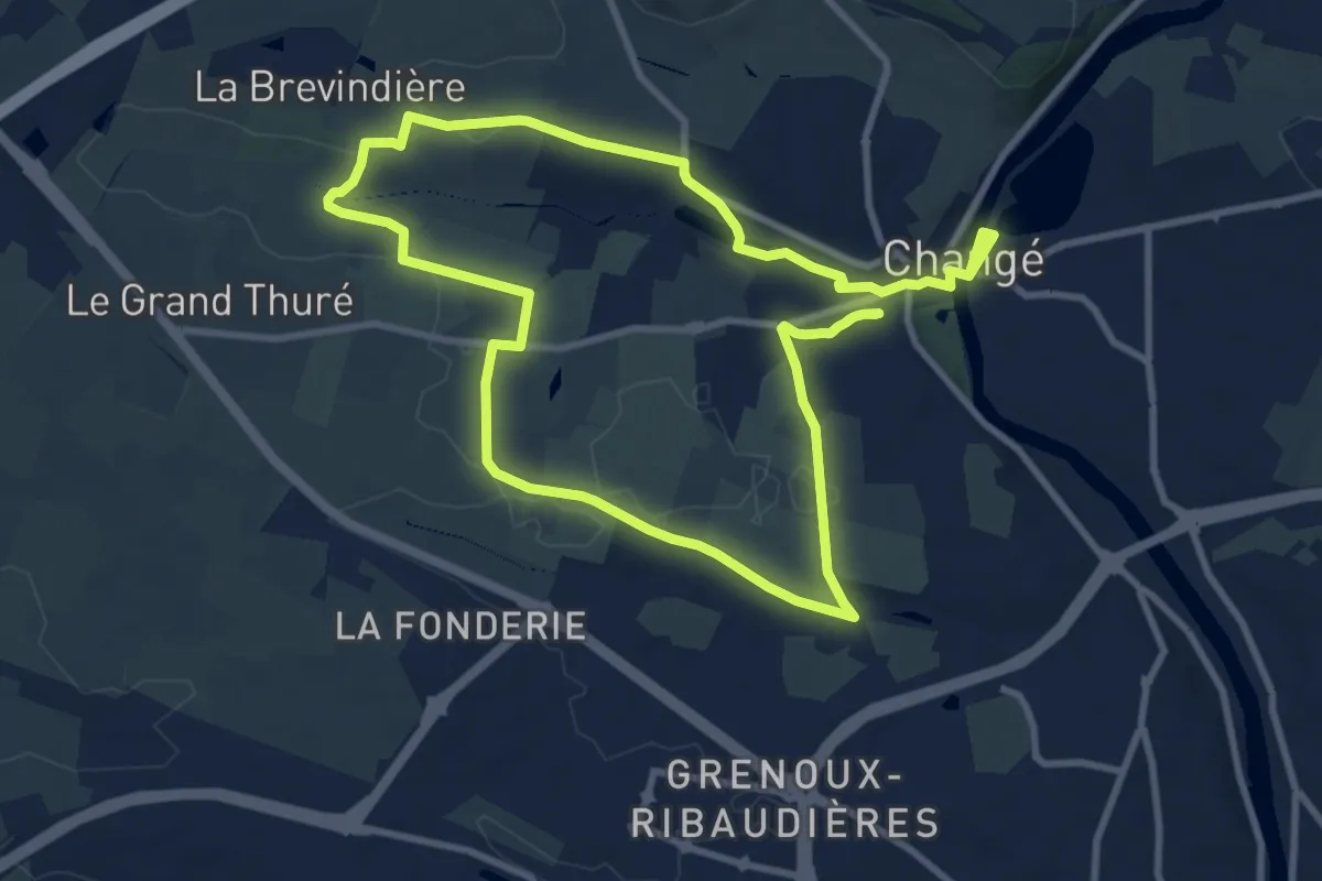
Medium · Trail
Sentier de randonnée pédestre #10
17.7 km · ↑ 151 m · 4 h 31 min
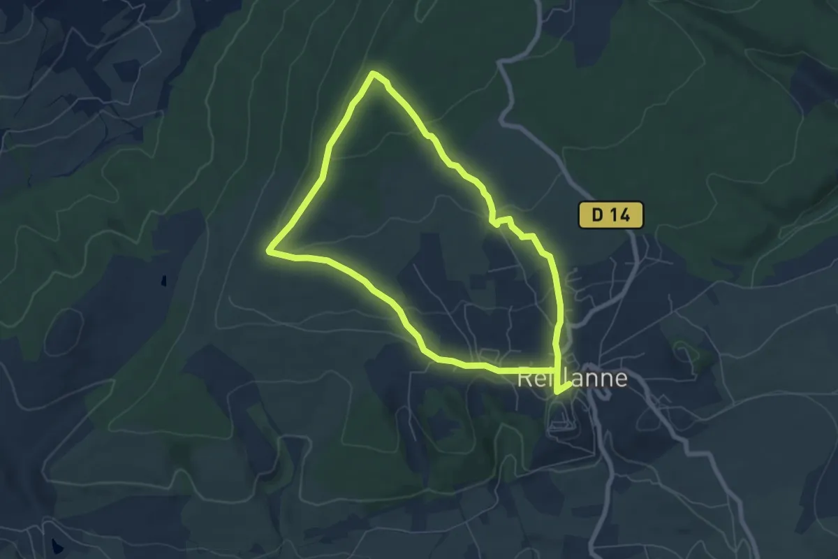
Easy · Trail
Sentier de Reclapous
6.3 km · ↑ 173 m · 1 h 58 min
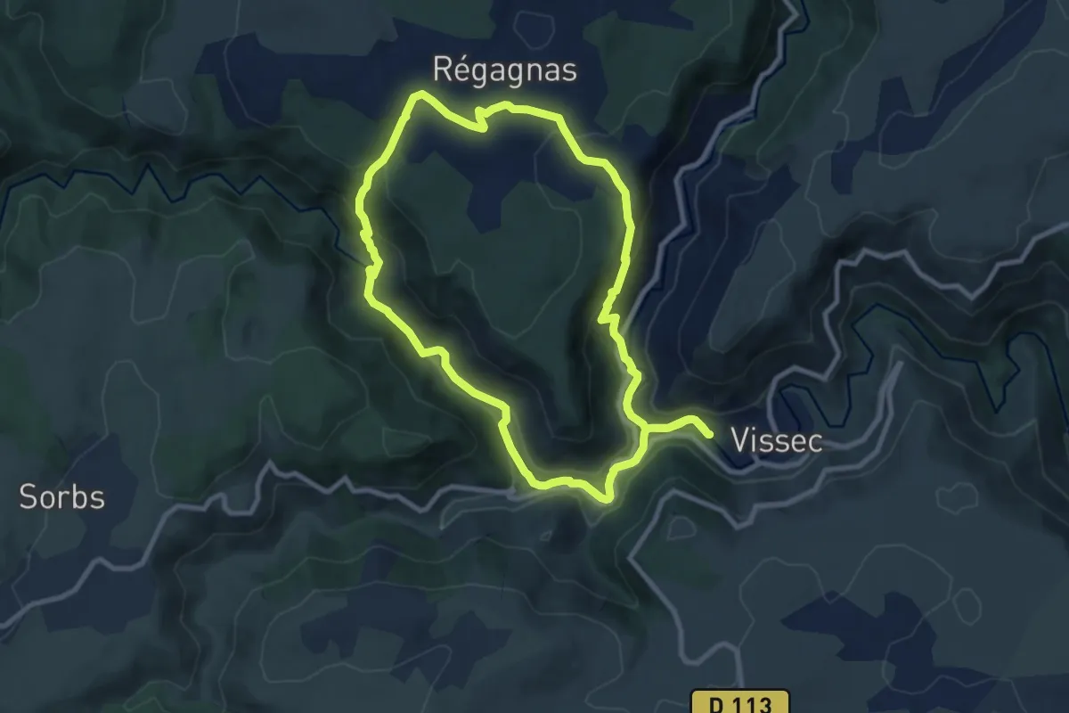
Medium · Trail
Sentier de Régagnas
9.1 km · ↑ 347 m · 3 h 1 min
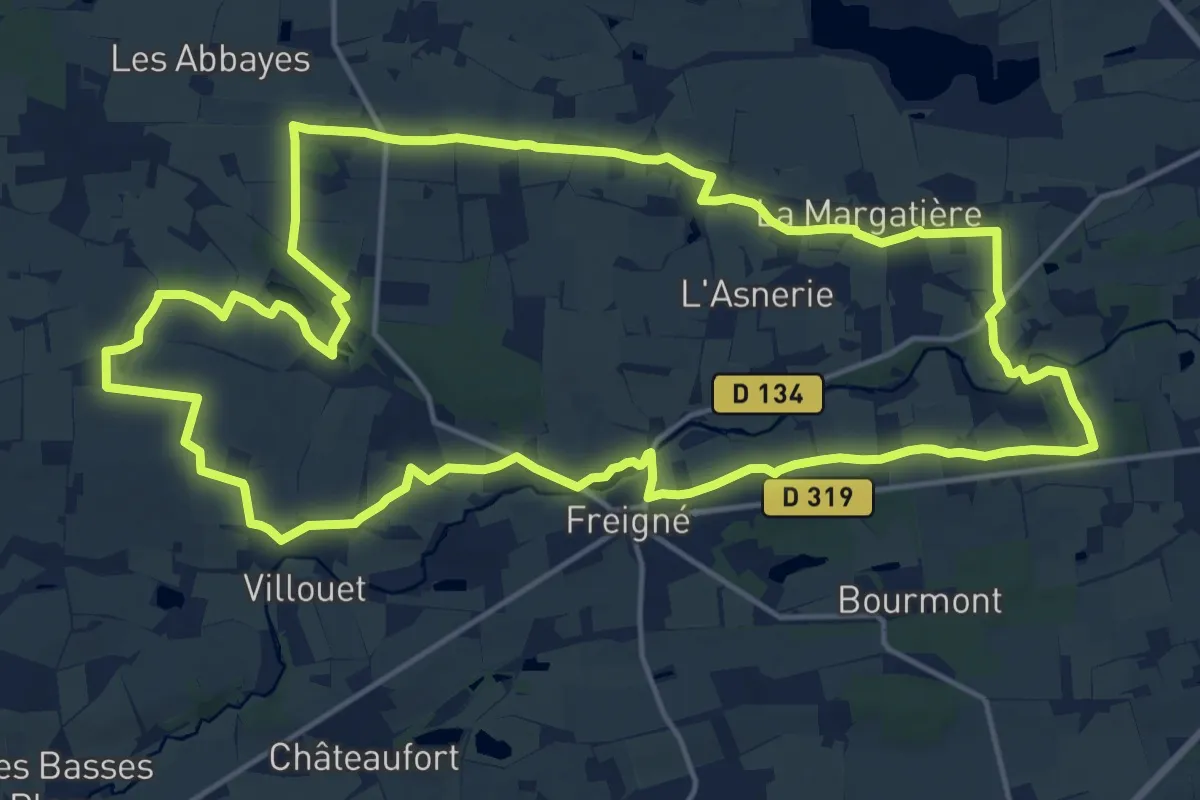
Demanding · Trail
Sentier de Rochementru
18.3 km · ↑ 136 m · 4 h 53 min
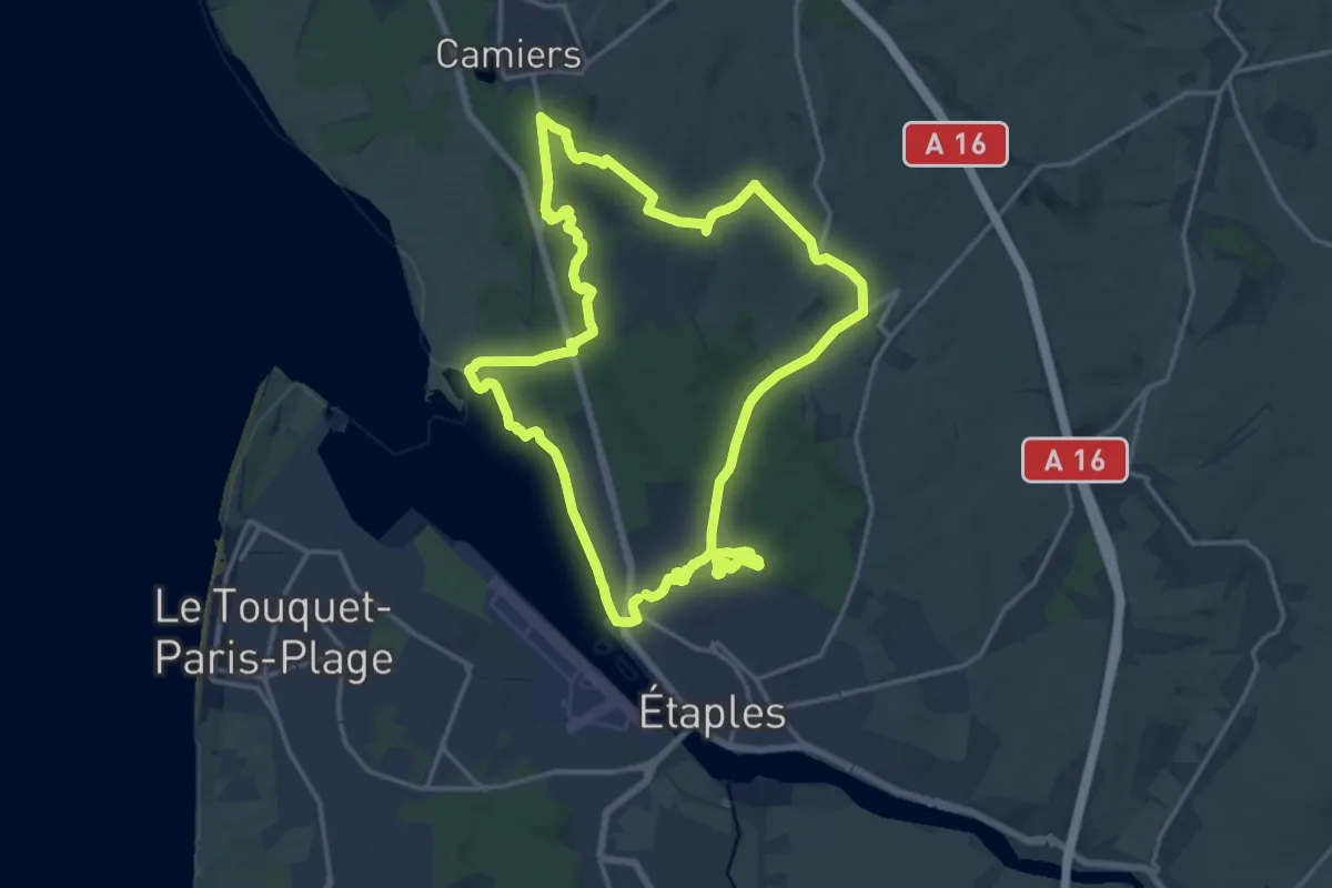
Medium · Trail
Sentier de Rombly
15.6 km · ↑ 224 m · 4 h 23 min
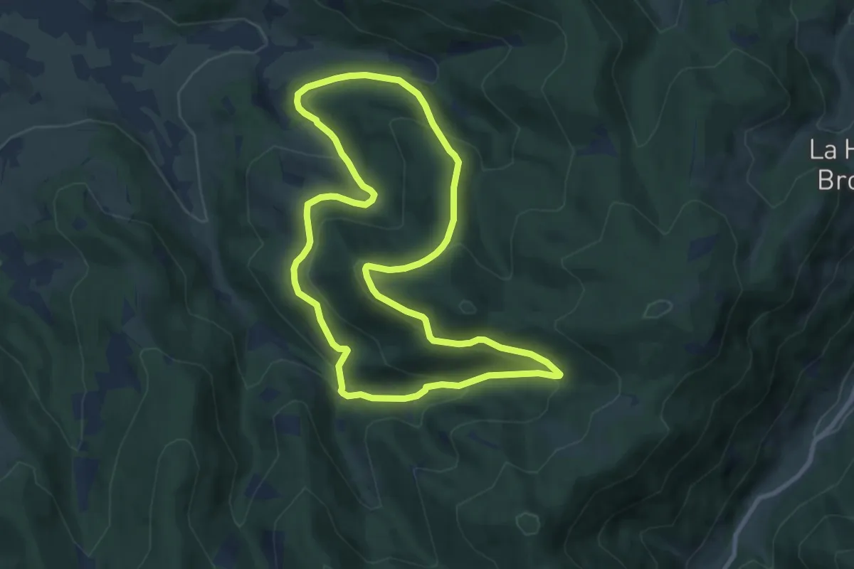
Medium · Trail
Sentier de Ronde
8.4 km · ↑ 399 m · 2 h 58 min
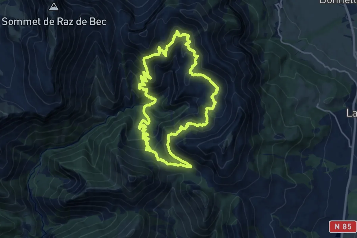
Demanding · Trail
Sentier de ronde de Chaudun
14.6 km · ↑ 956 m · 5 h 43 min
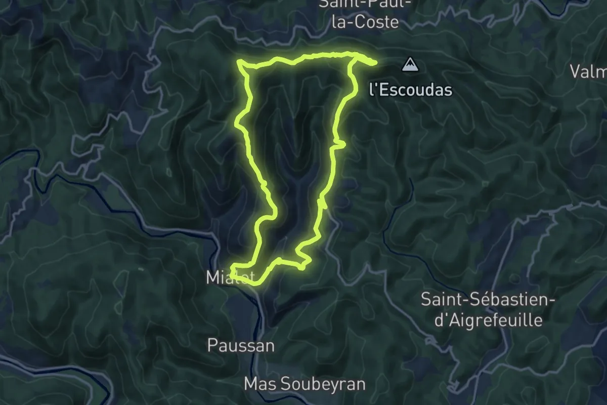
Medium · Trail
Sentier de Roquefeuil
13.0 km · ↑ 672 m · 4 h 42 min
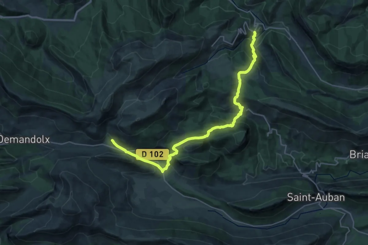
Demanding · Trail
Sentier de Royan à Grasse
11.7 km · ↑ 898 m · 4 h 40 min
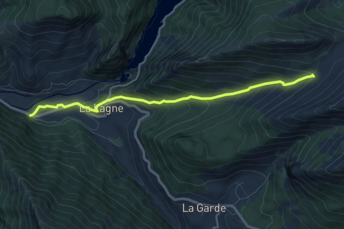
Medium · Trail
Sentier de Royan à Grasse
9.0 km · ↑ 522 m · 3 h 15 min
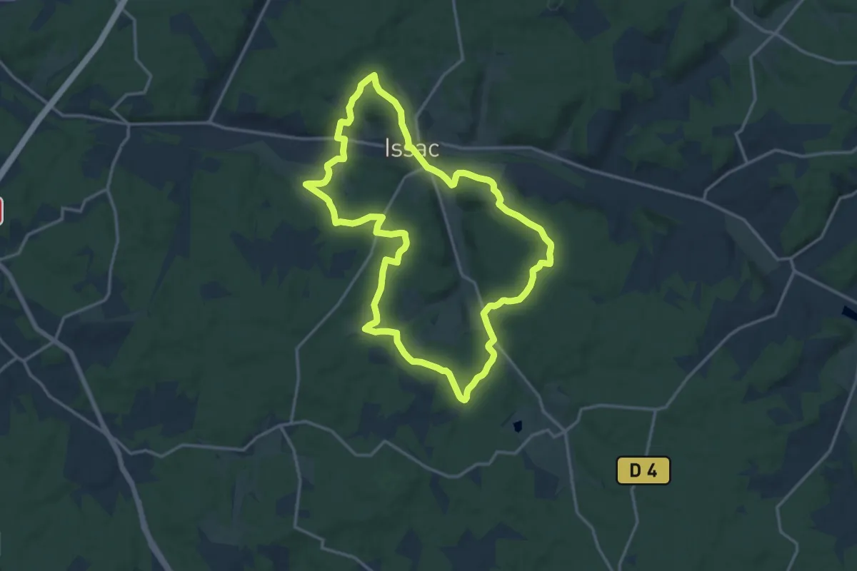
Medium · Trail
Sentier des 10 000 ans
14.4 km · ↑ 263 m · 4 h 10 min
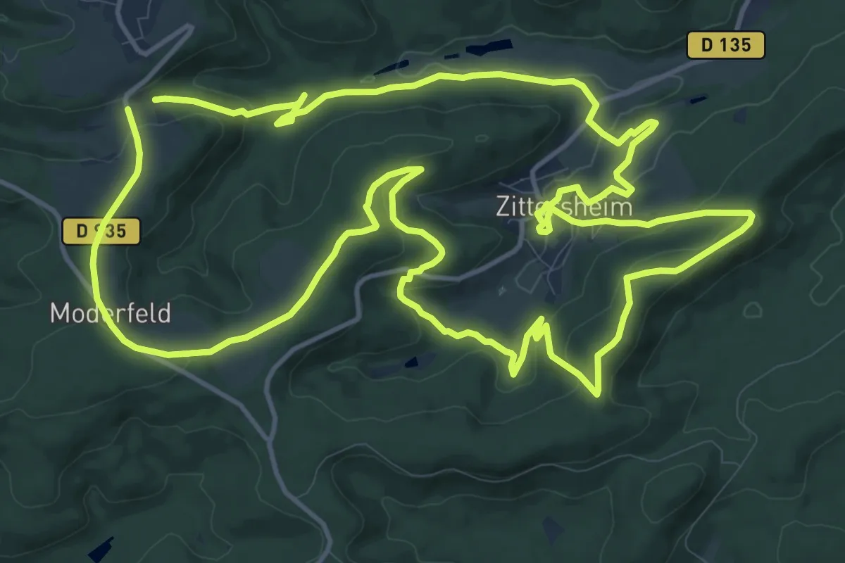
Medium · Trail
Sentier des 12 Sources
14.0 km · ↑ 396 m · 4 h 21 min
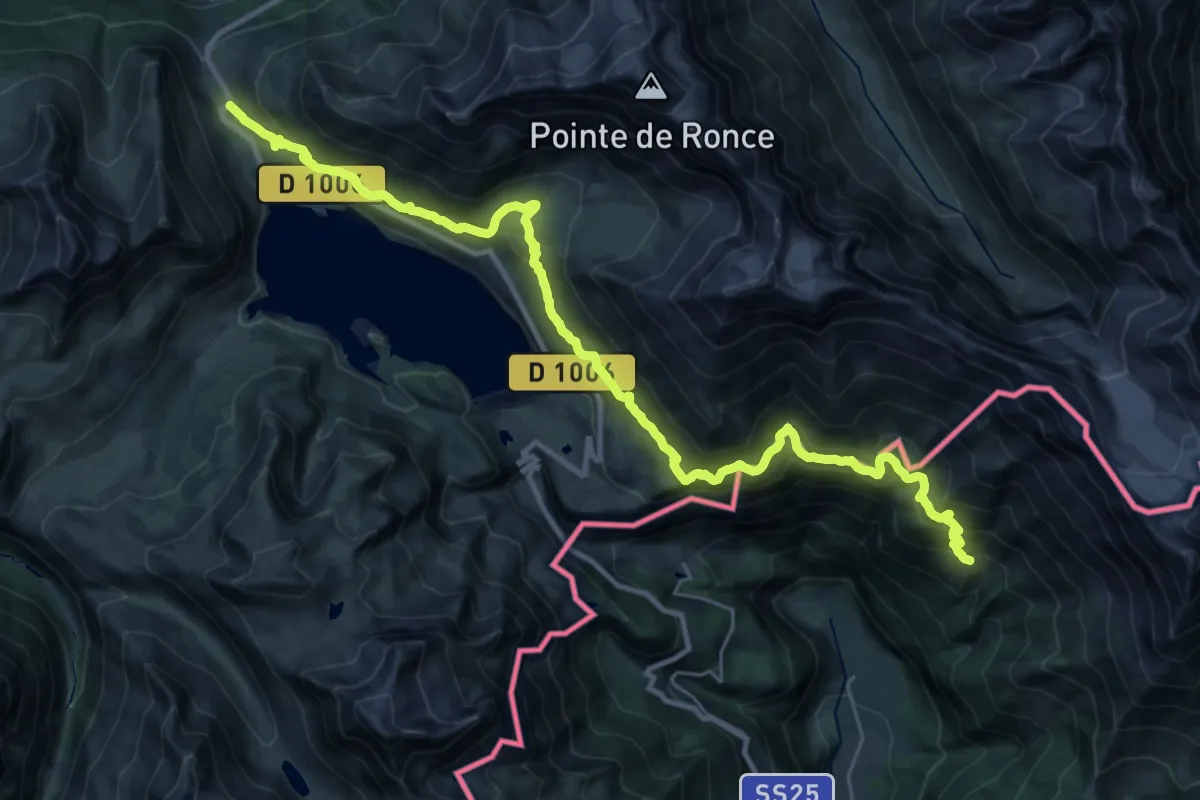
Expert · Trail
Sentier des 2000
17.7 km · ↑ 865 m · 6 h 27 min
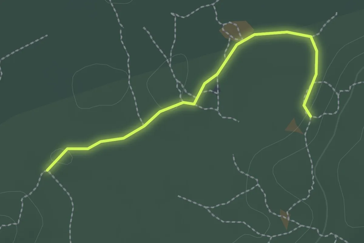
Easy · Trail
Sentier des 25 bosses Variante du Diplodocus
2.1 km · ↑ 4 m · 31 min
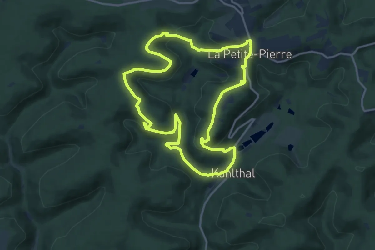
Medium · Trail
Sentier des 3 rochers
9.1 km · ↑ 308 m · 2 h 56 min
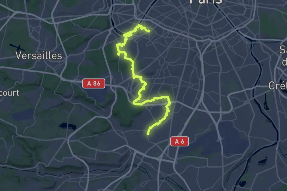
Demanding · Trail
Sentier des 3 Vallées
28.5 km · ↑ 339 m · 7 h 53 min
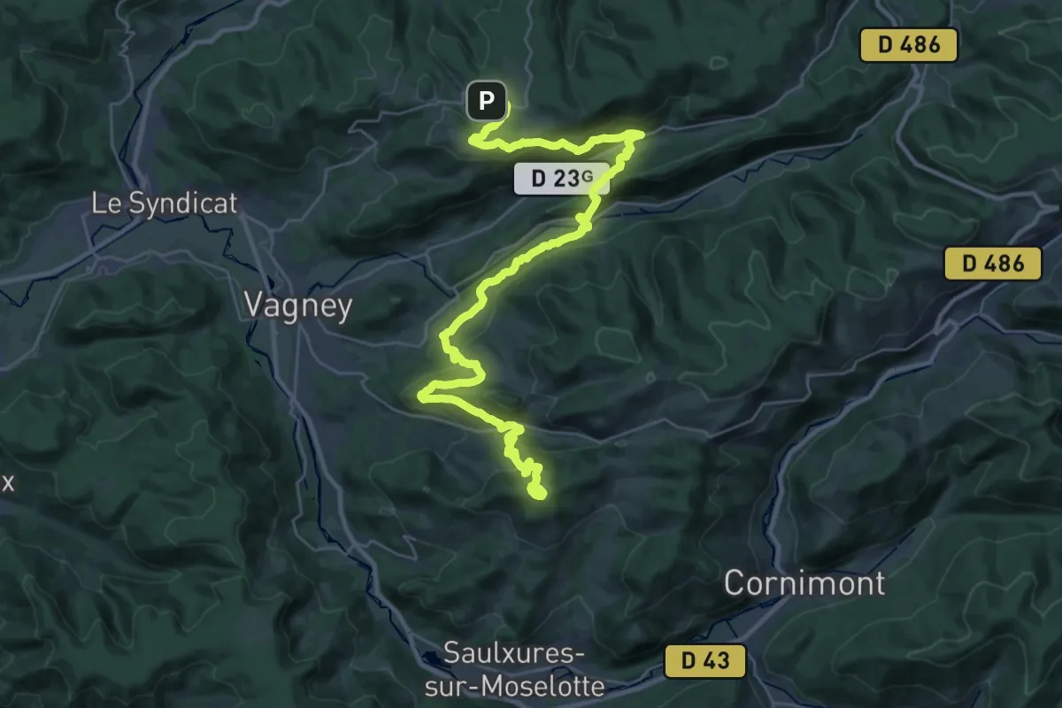
Demanding · Trail
Sentier des 4 communes
18.5 km · ↑ 678 m · 6 h 11 min
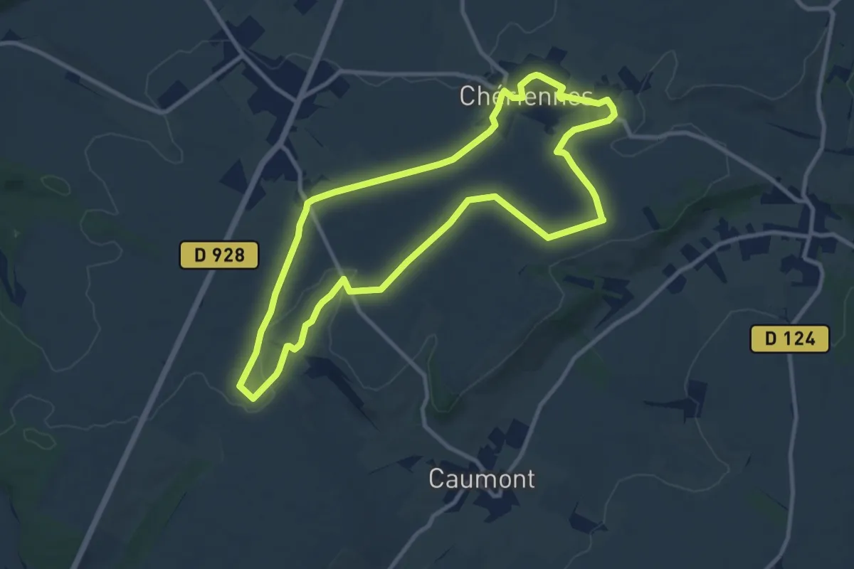
Medium · Trail
Sentier des Agaches
9.0 km · ↑ 60 m · 2 h 23 min
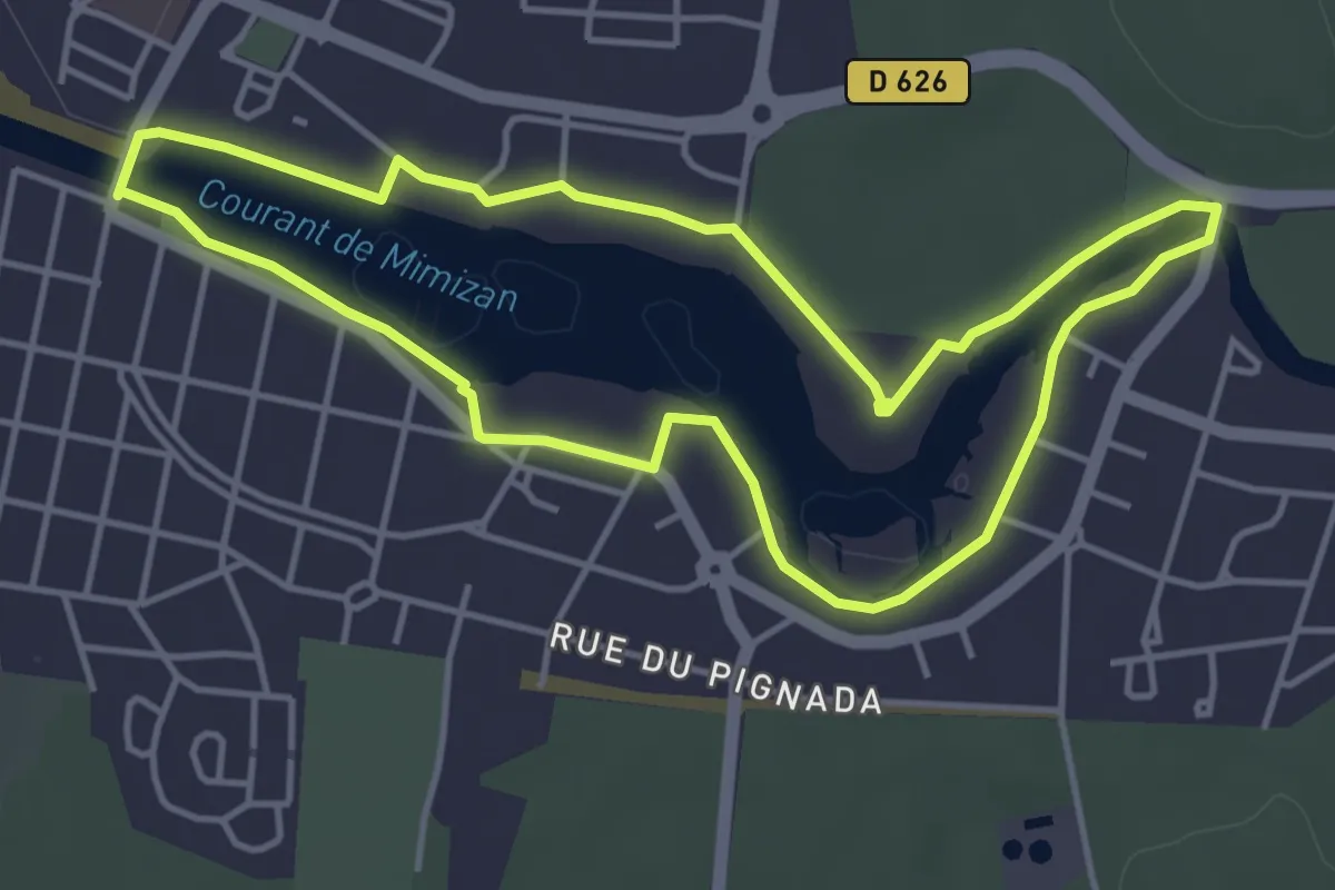
Easy · Trail
Sentier des Aigrettes
4.5 km · ↑ 14 m · 1 h 10 min
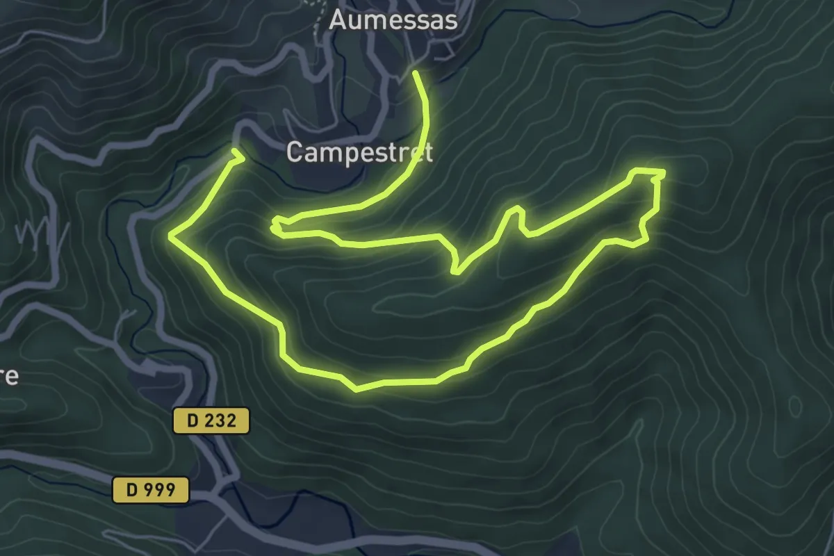
Medium · Trail
Sentier de Saint Cau
10.3 km · ↑ 586 m · 3 h 42 min
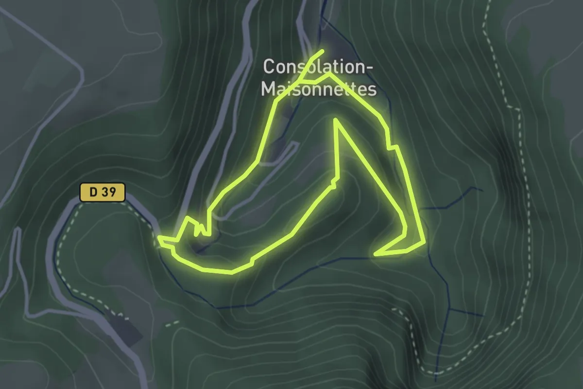
Easy · Trail
Sentier de Sainte-Catherine
3.0 km · ↑ 187 m · 1 h 9 min
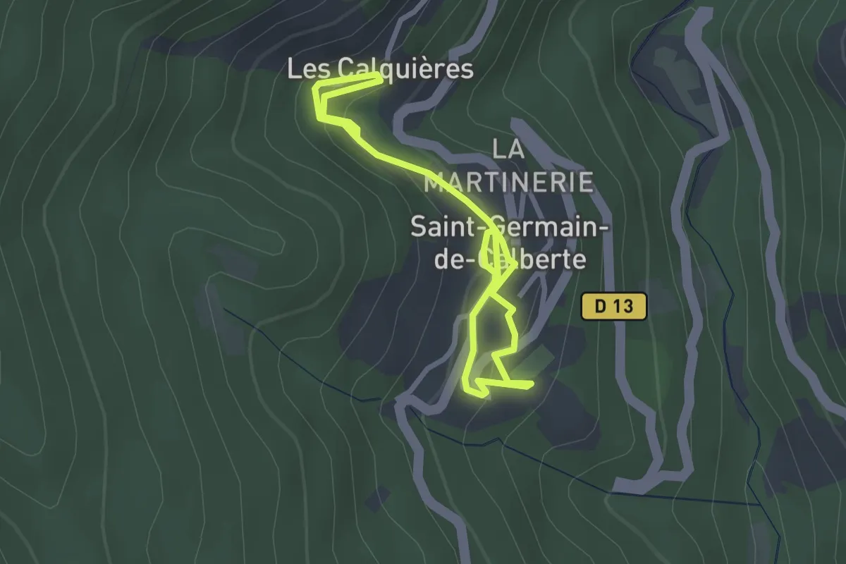
Easy · Trail
Sentier de Saint-Germain-de-Calberte
1.9 km · ↑ 77 m · 39 min
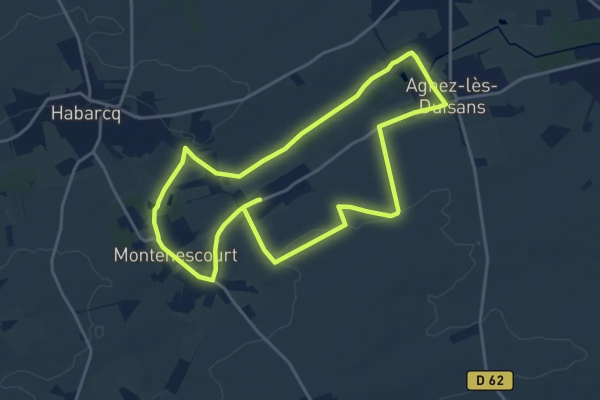
Medium · Trail
Sentier de Saint-Maclou
9.3 km · ↑ 49 m · 2 h 26 min
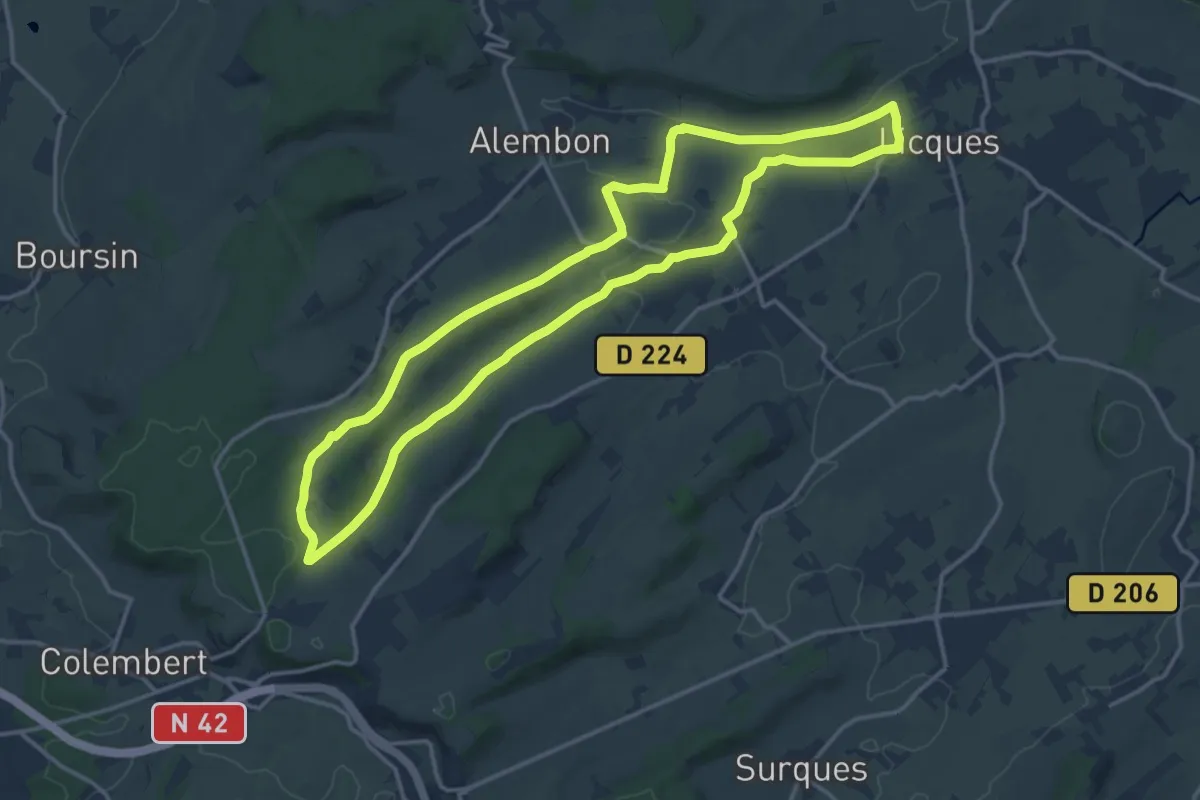
Medium · Trail
Sentier de Saint-Martin
13.6 km · ↑ 144 m · 3 h 43 min
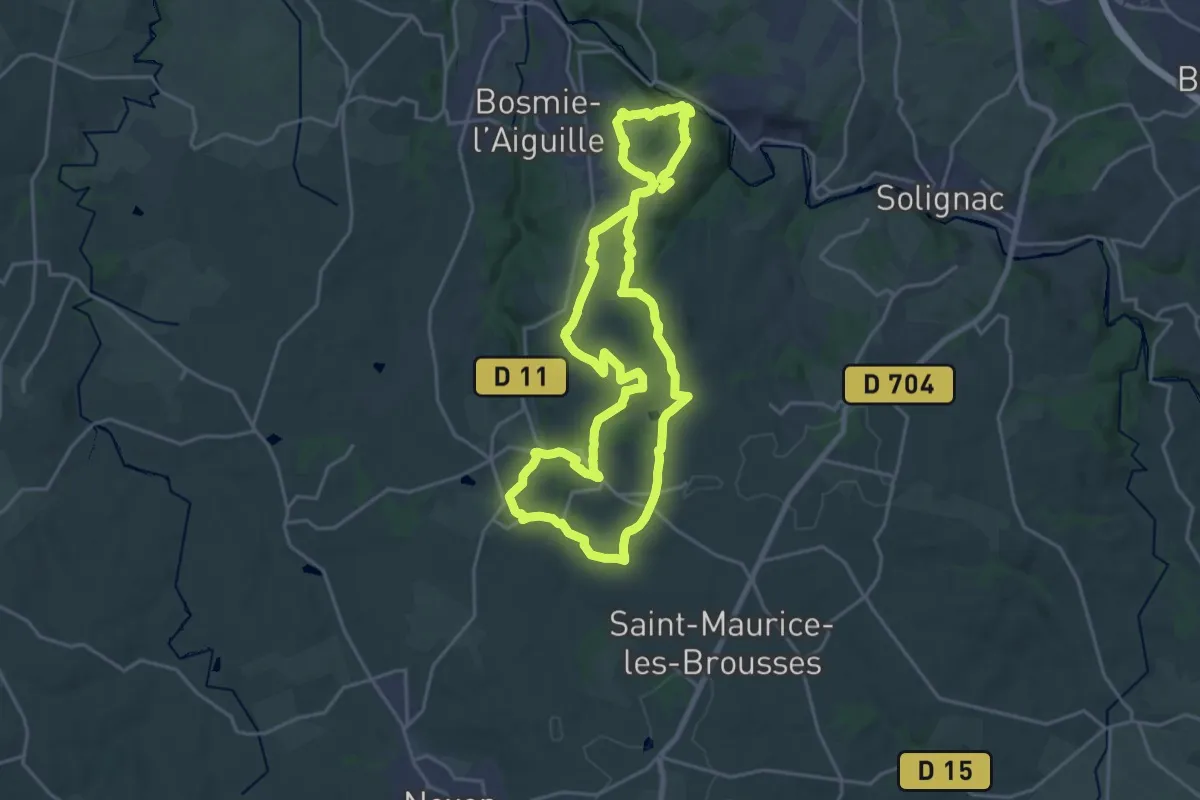
Demanding · Trail
Sentier de Saint-Roch
21.3 km · ↑ 476 m · 6 h 20 min
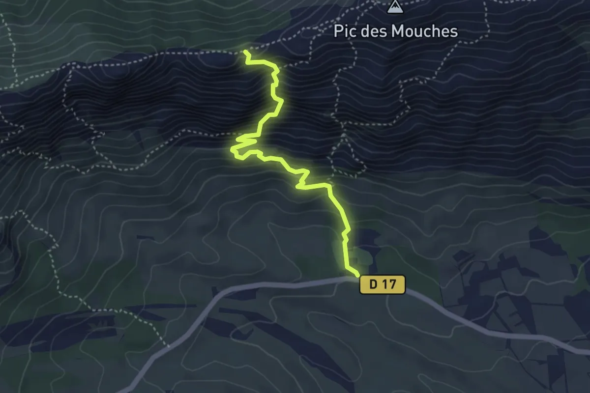
Expert · Trail
Sentier de Saint-Ser
4.0 km · ↑ 531 m · 2 h 6 min
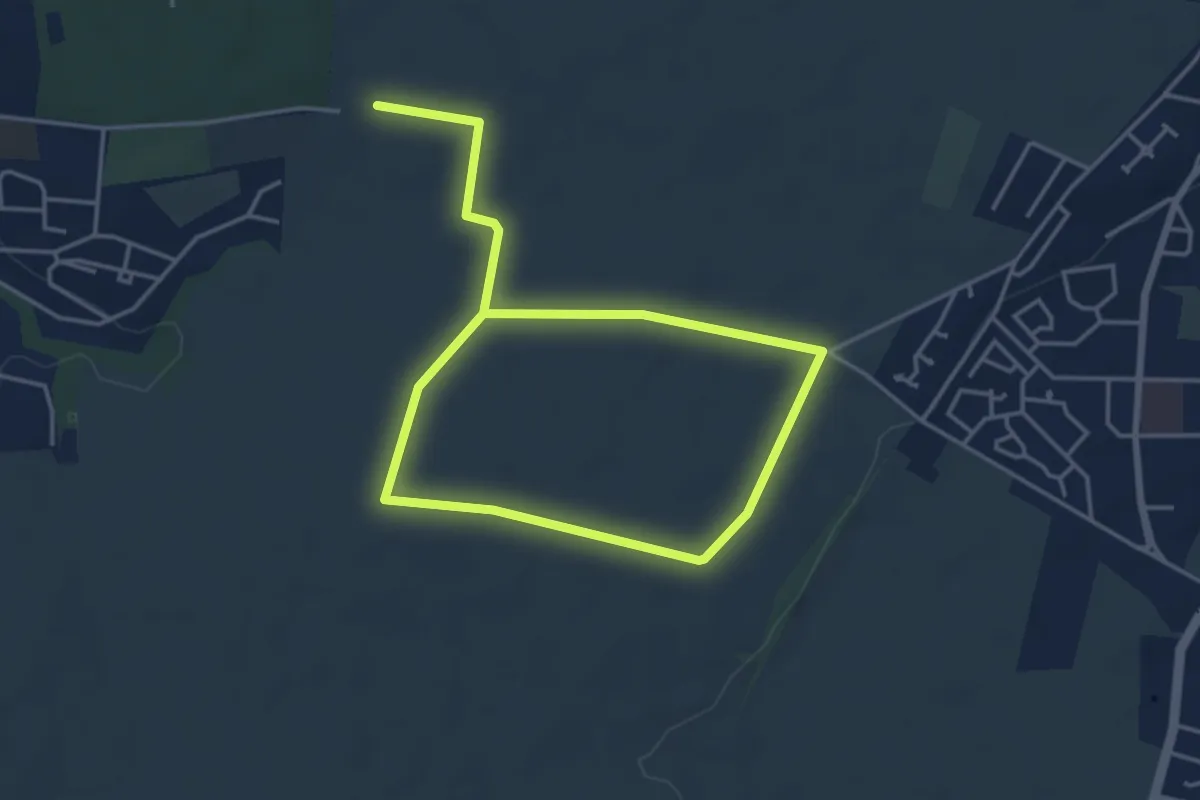
Easy · Trail
Sentier des Alouettes
6.6 km · ↑ 32 m · 1 h 37 min
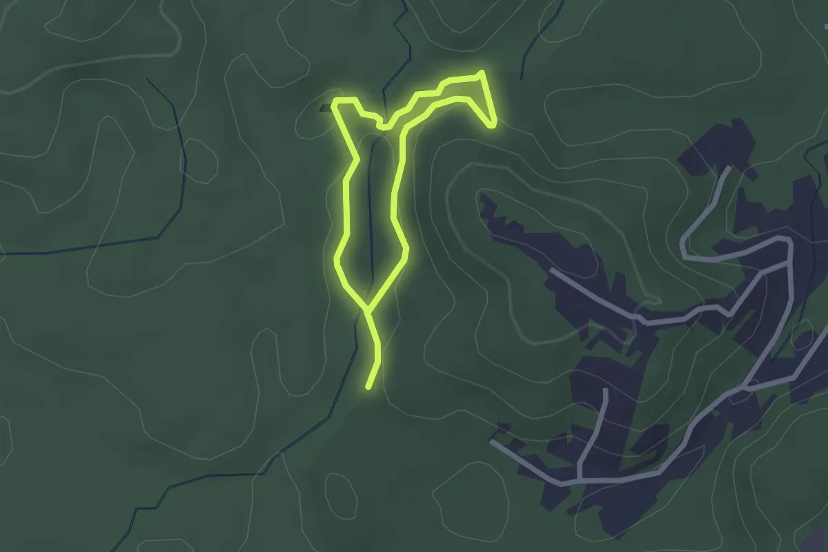
Easy · Trail
Sentier des Américains
2.3 km · ↑ 57 m · 42 min
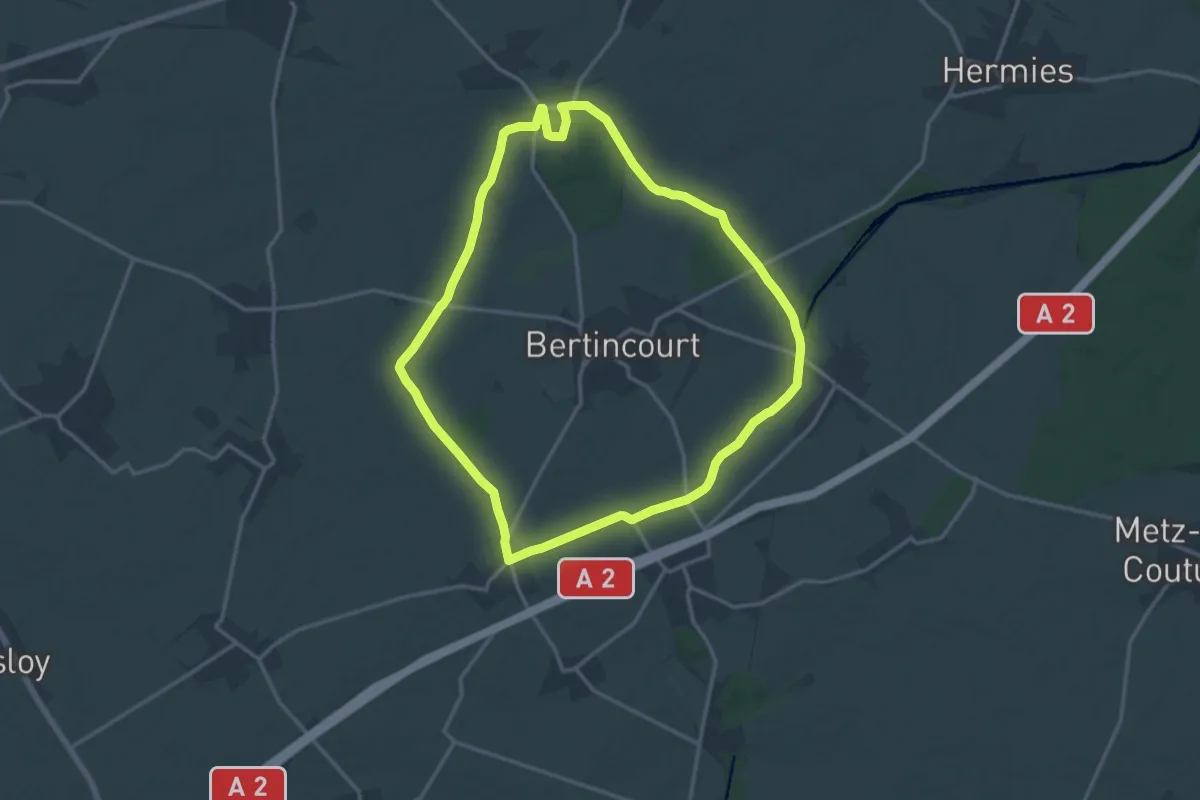
Medium · Summit
Sentier des Anciens Chemins
13.8 km · ↑ 71 m · 3 h 37 min
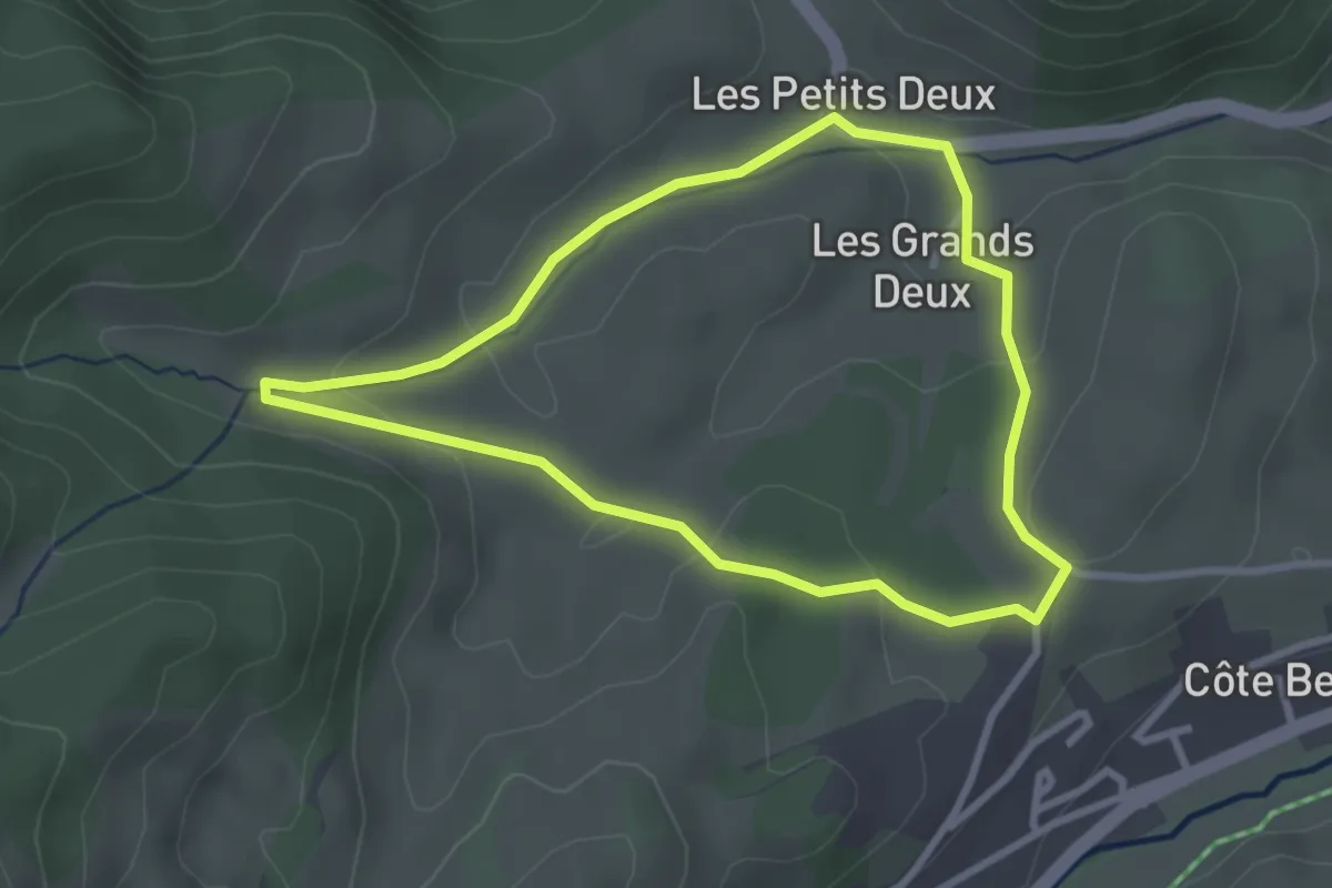
Easy · Trail
Sentier des arbres
2.8 km · ↑ 69 m · 51 min
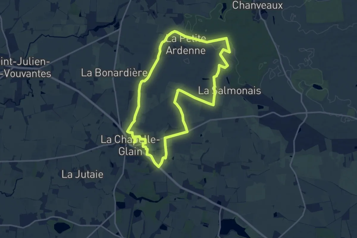
Medium · Trail
Sentier des Ardennes
13.6 km · ↑ 56 m · 3 h 31 min
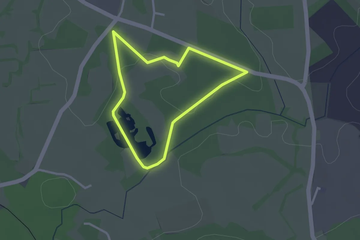
Easy · Trail
Sentier des argiles
2.1 km · ↑ 17 m · 34 min
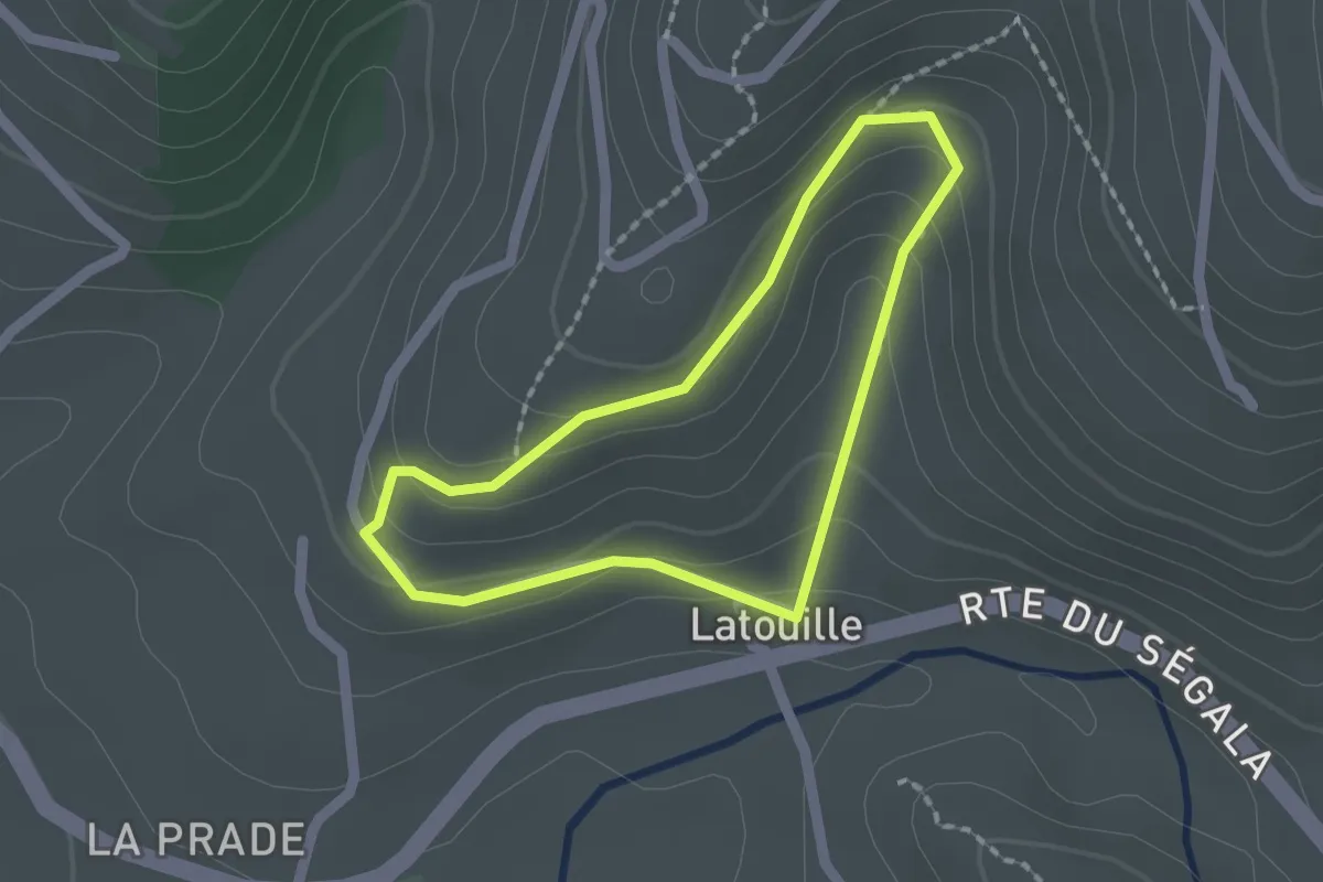
Easy · Trail
Sentier des Arts
1.6 km · ↑ 69 m · 33 min
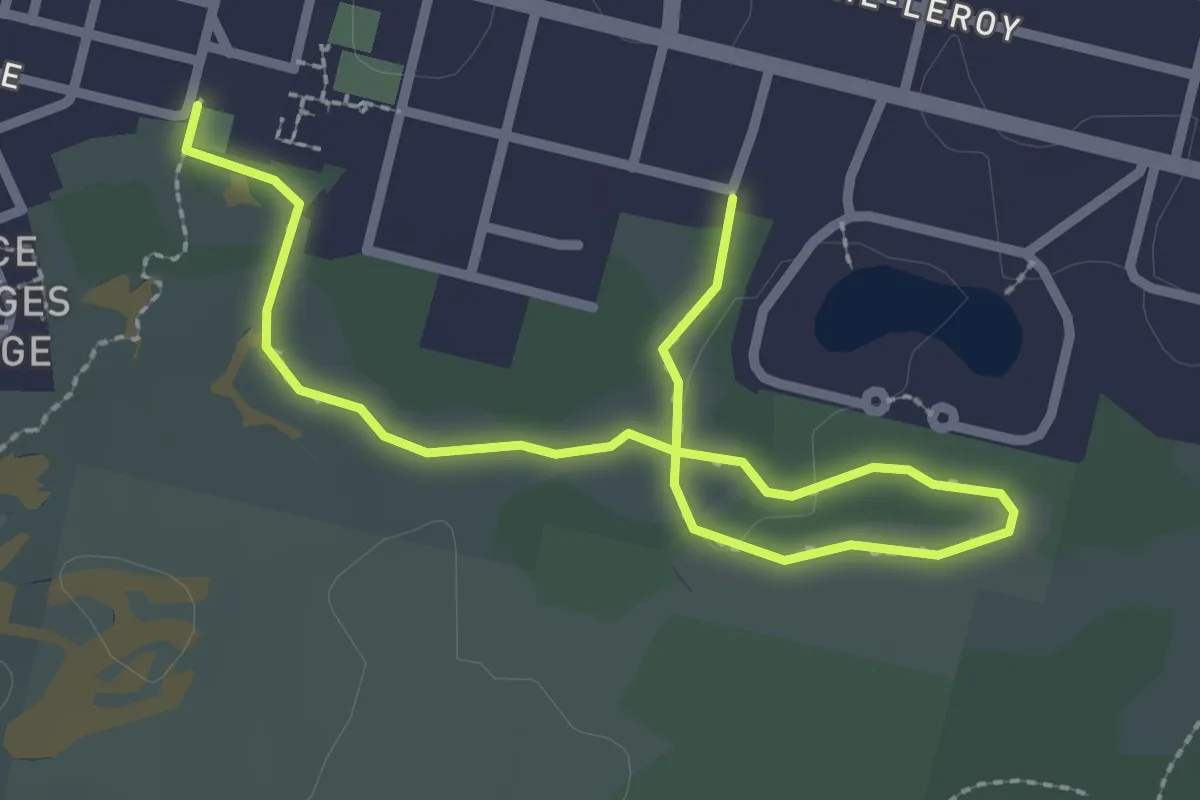
Easy · Trail
Sentier des Aubépines
3.2 km · ↑ 8 m · 46 min
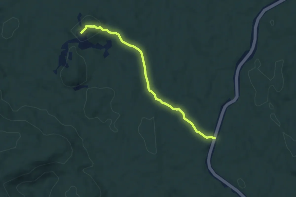
Easy · Summit
Sentier de Savane-Roche Virginie
5.7 km · ↑ 180 m · 1 h 45 min
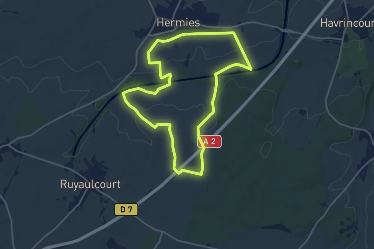
Medium · Trail
Sentier des Bannis
10.3 km · ↑ 67 m · 2 h 44 min