Trails in France
15,926 hiking trails, each with its route, climb, walking time and grade.
All trails, page 248 of 332
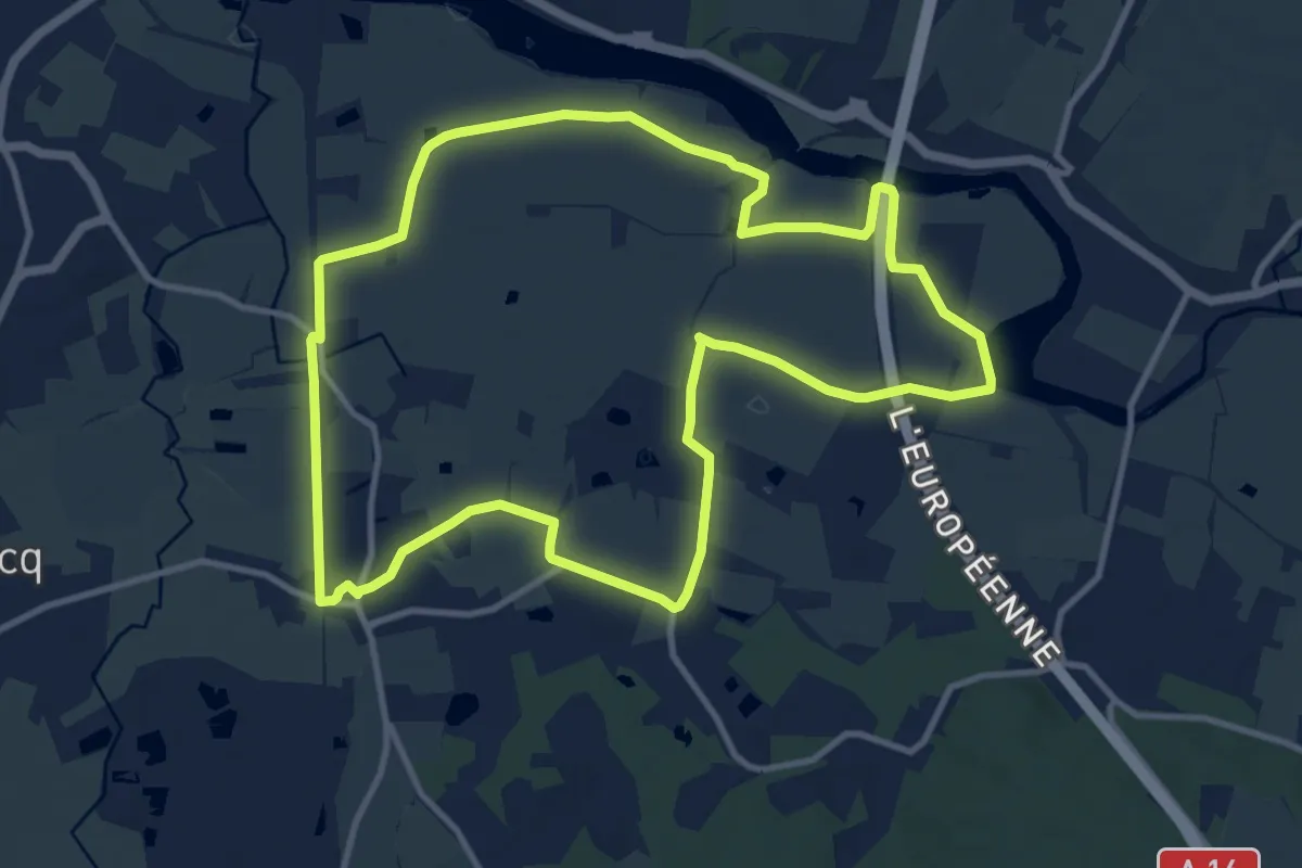
Medium · Trail
Sentier des Bas Champs
10.8 km · ↑ 4 m · 2 h 42 min
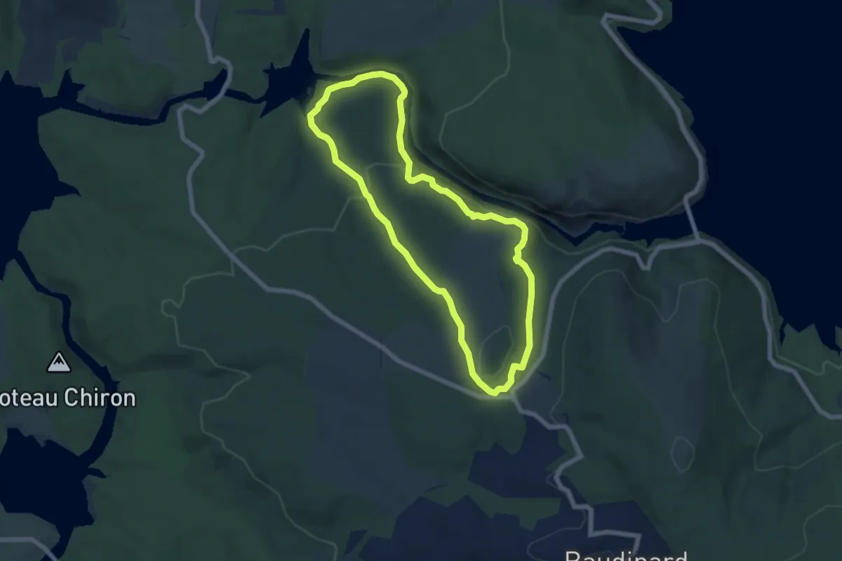
Easy · Trail
Sentier des basses gorges
5.9 km · ↑ 290 m · 2 h 6 min
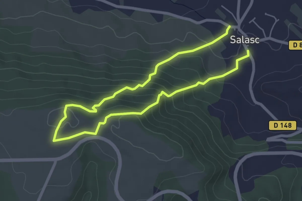
Easy · Trail
Sentier des Béals
3.9 km · ↑ 209 m · 1 h 25 min
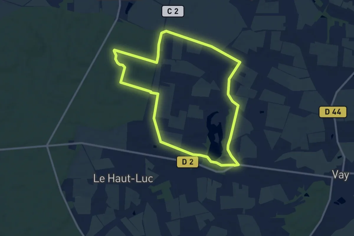
Medium · Trail
Sentier des Belles Contrées
8.2 km · ↑ 39 m · 2 h 9 min
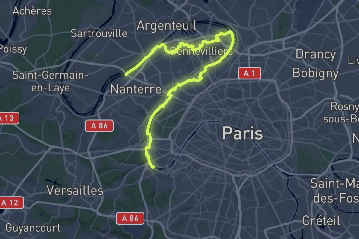
Demanding · Trail
Sentier des berges
37.9 km · ↑ 118 m · 9 h 44 min
Easy · Trail
Sentier des Berges du Gers
4.5 km · ↑ 0 m · 1 h 4 min
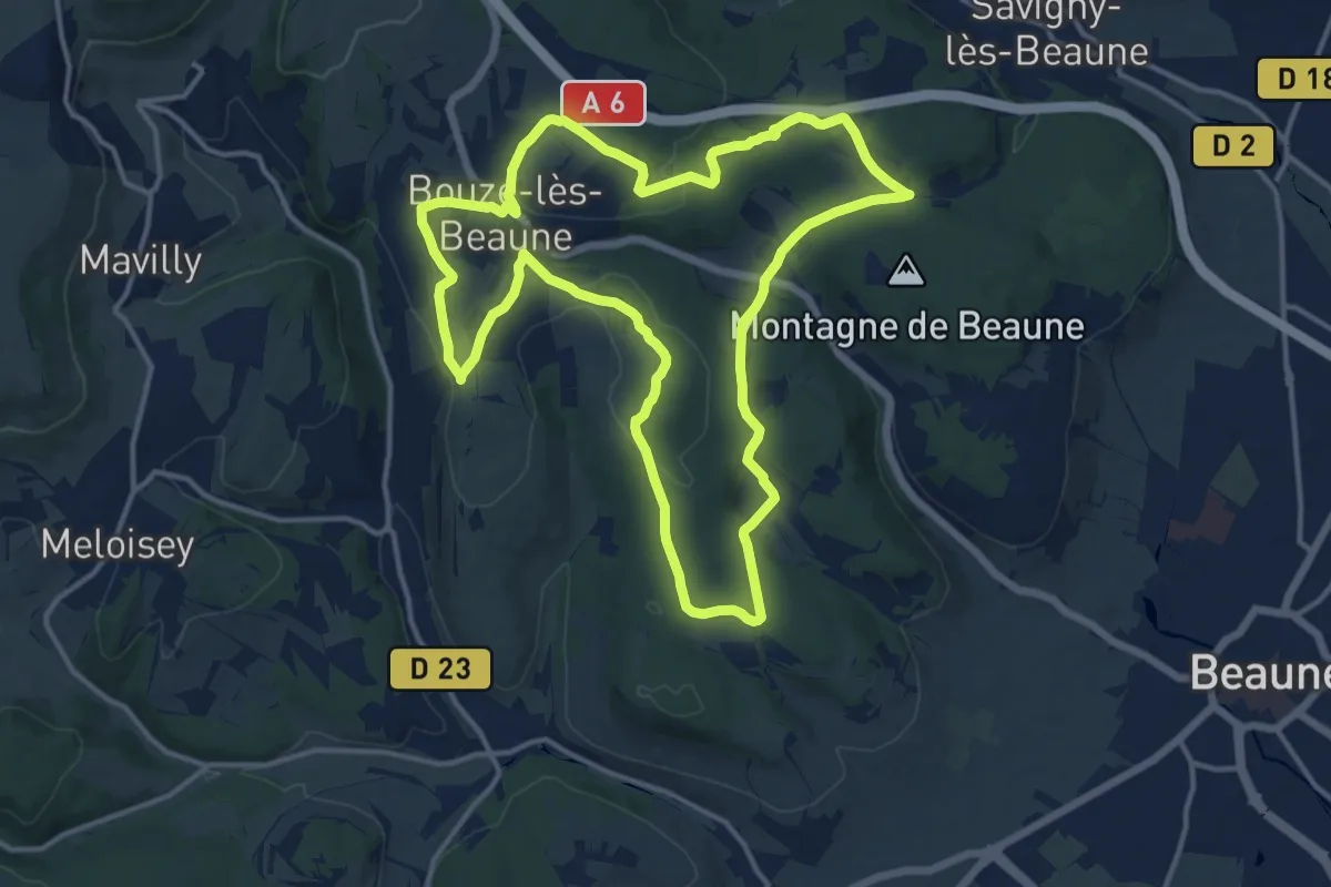
Medium · Trail
Sentier des Biques
14.3 km · ↑ 242 m · 4 h 6 min
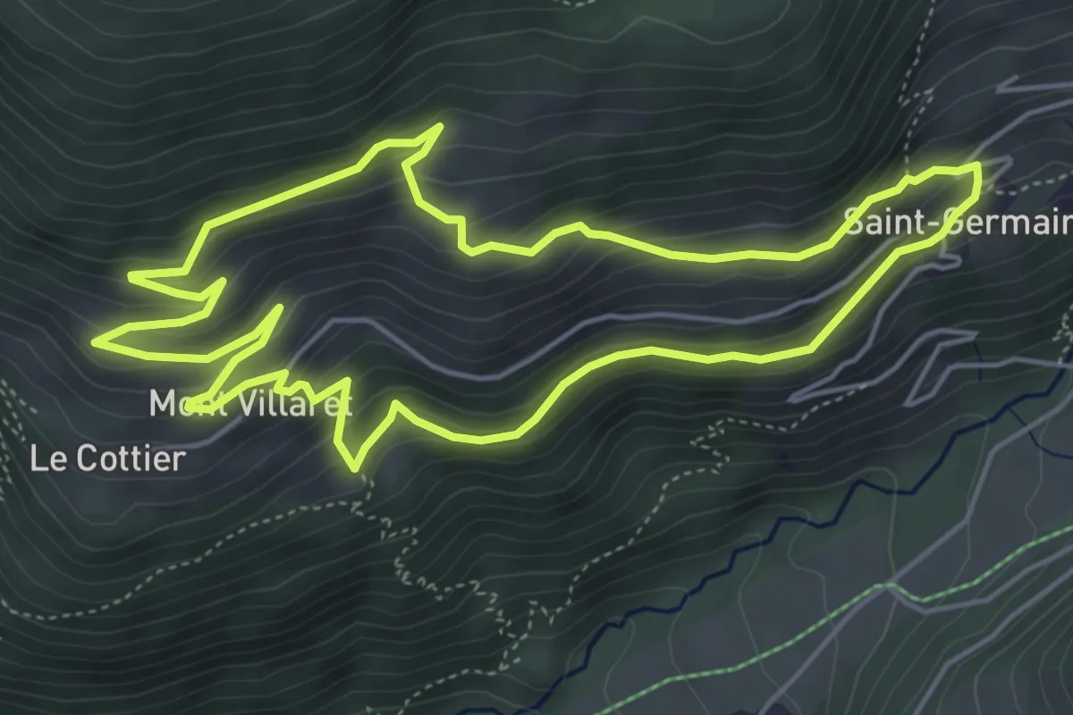
Medium · Trail
Sentier des Boëdets
5.3 km · ↑ 334 m · 2 h 3 min
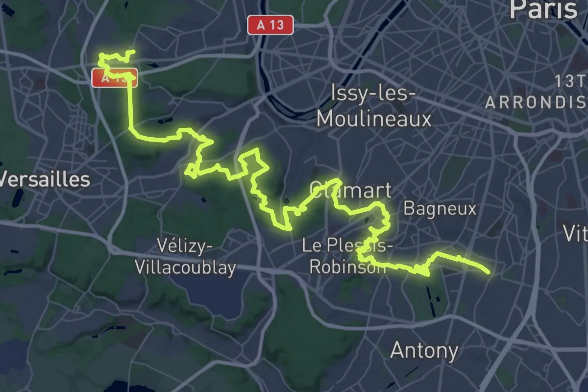
Demanding · Trail
Sentier des bois
34.2 km · ↑ 740 m · 10 h 6 min
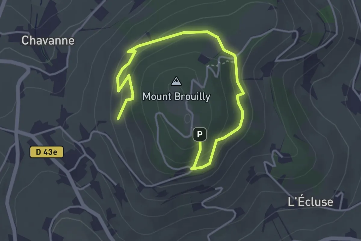
Medium · Trail
Sentier des Bois
4.5 km · ↑ 215 m · 1 h 31 min
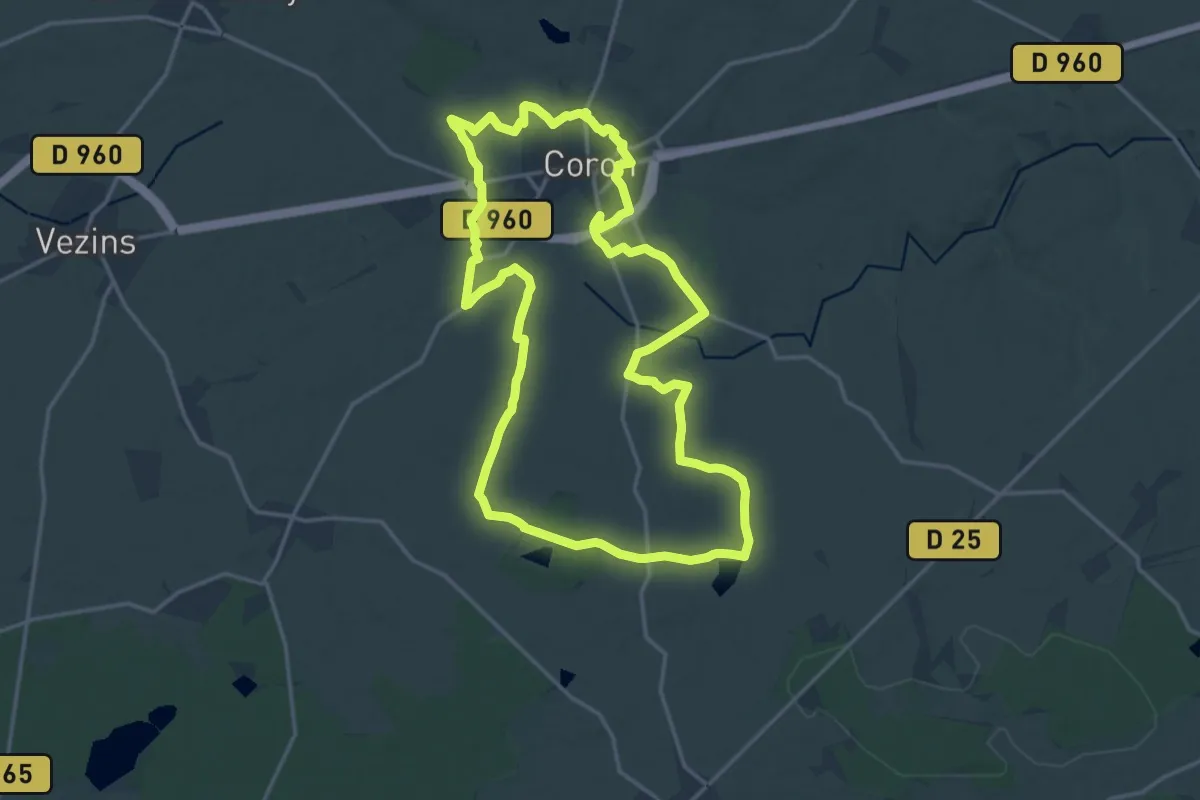
Medium · Trail
Sentier des Bois
17.7 km · ↑ 99 m · 4 h 38 min
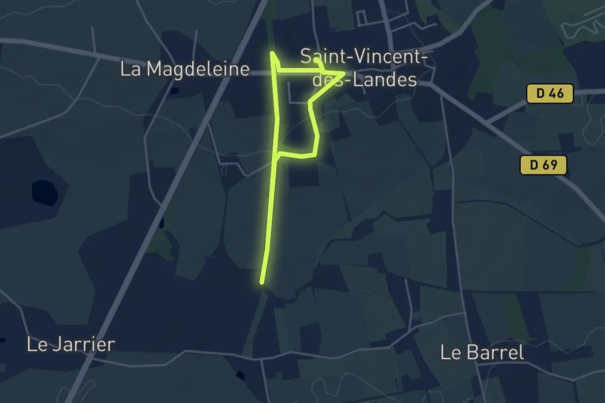
Easy · Trail
Sentier des Bois
3.0 km · ↑ 13 m · 47 min
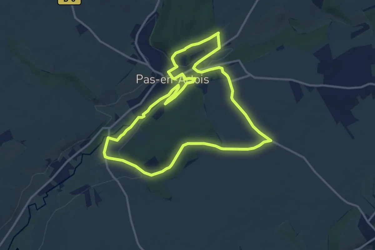
Medium · Trail
Sentier des Bois
9.0 km · ↑ 133 m · 2 h 33 min
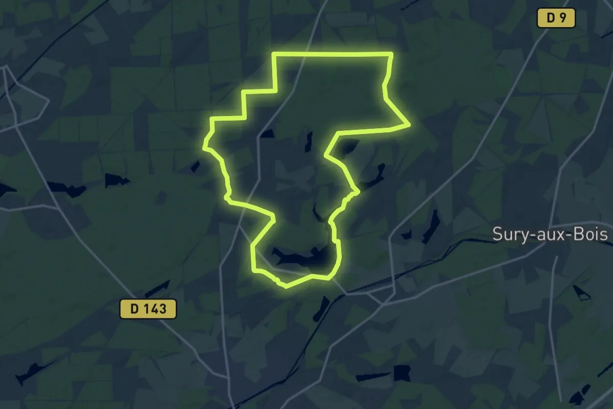
Medium · Trail
Sentier des Bois Bézard
15.2 km · ↑ 97 m · 4 h 1 min
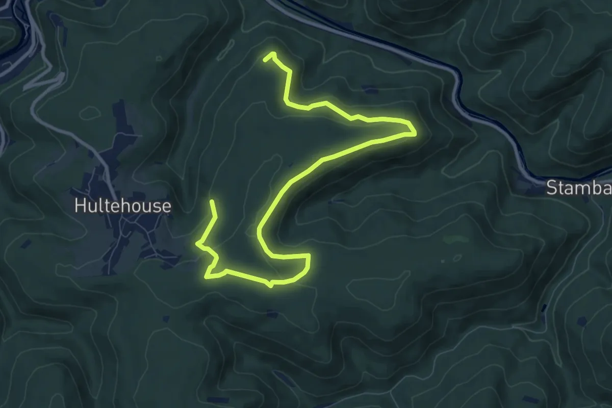
Easy · Trail
Sentier des bornes
5.6 km · ↑ 111 m · 1 h 41 min
Easy · Trail
Sentier des Bosquets
4.3 km · ↑ 17 m · 1 h 2 min
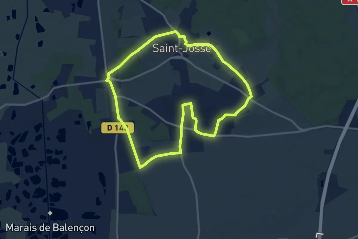
Easy · Summit
Sentier des Briqueteries
7.6 km · ↑ 74 m · 2 h 3 min
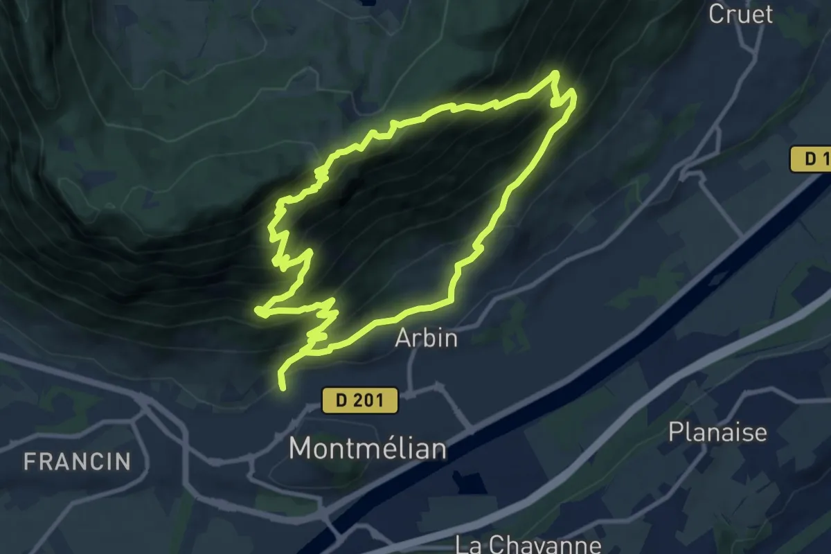
Demanding · Summit
Sentier des Buis
9.5 km · ↑ 869 m · 4 h 16 min
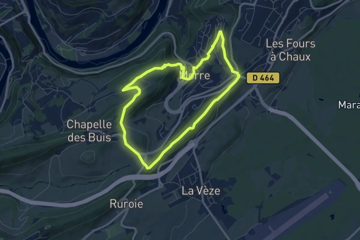
Medium · Trail
Sentier des Buis
6.3 km · ↑ 189 m · 1 h 59 min
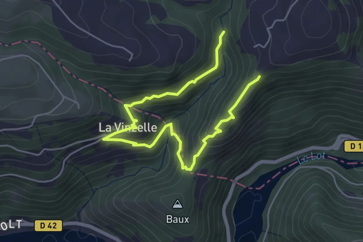
Easy · Trail
Sentier des Buissières
3.0 km · ↑ 197 m · 1 h 9 min
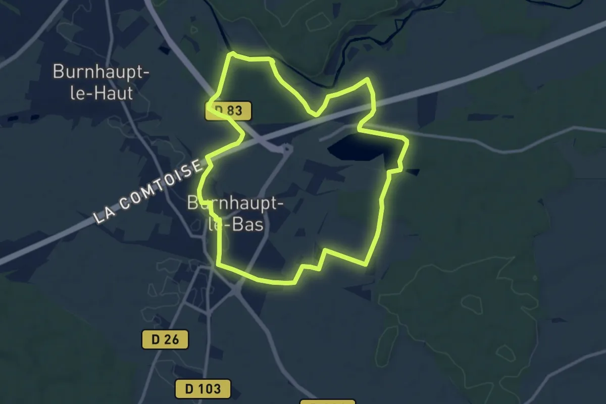
Medium · Trail
Sentier des bunkers
9.0 km · ↑ 35 m · 2 h 20 min
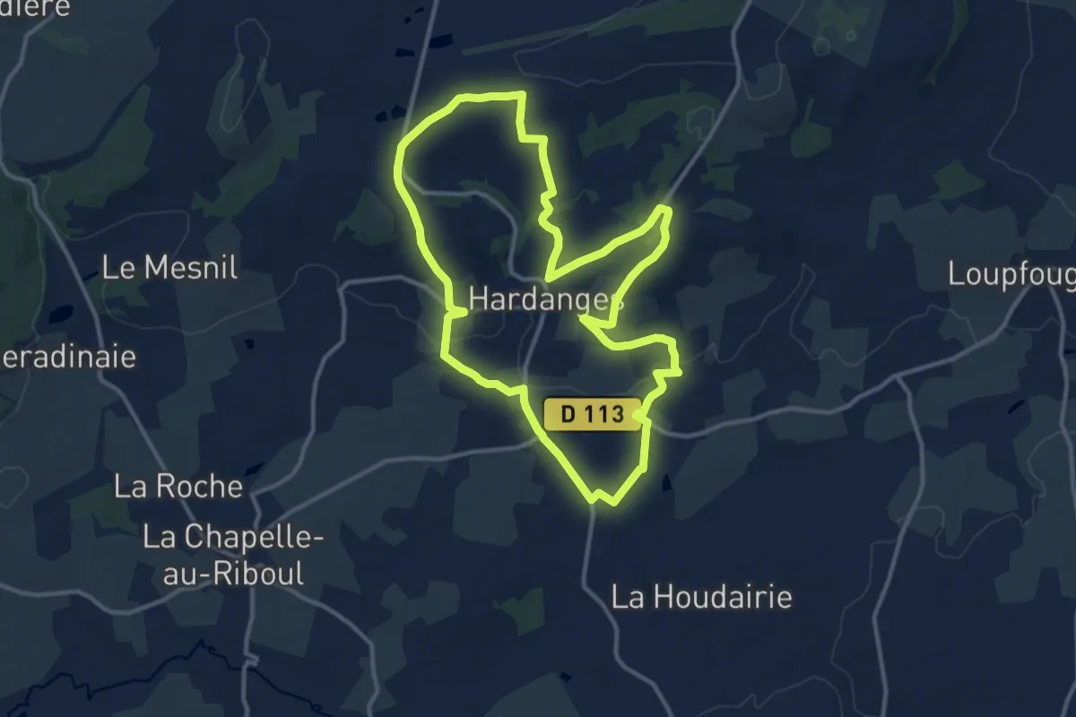
Medium · Trail
Sentier des Buttes d'Hardanges
11.7 km · ↑ 200 m · 3 h 22 min
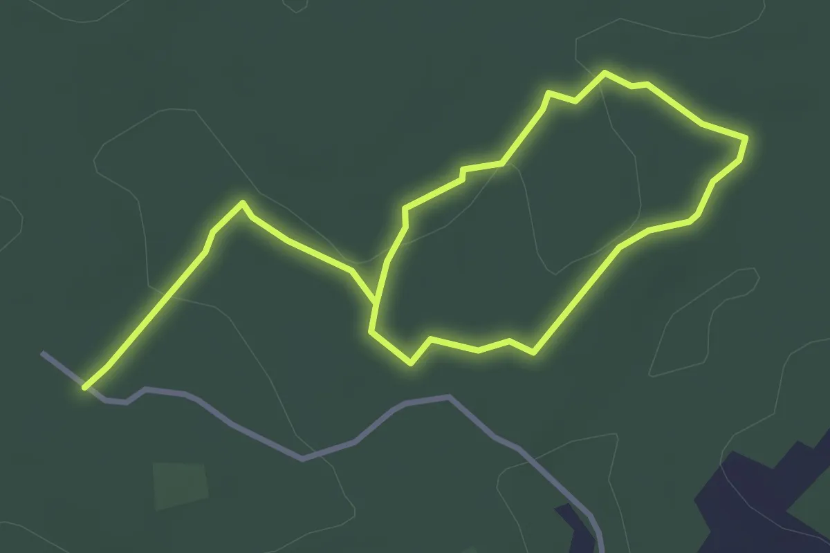
Easy · Trail
Sentier des cabanes (Sud)
4.9 km · ↑ 48 m · 1 h 16 min
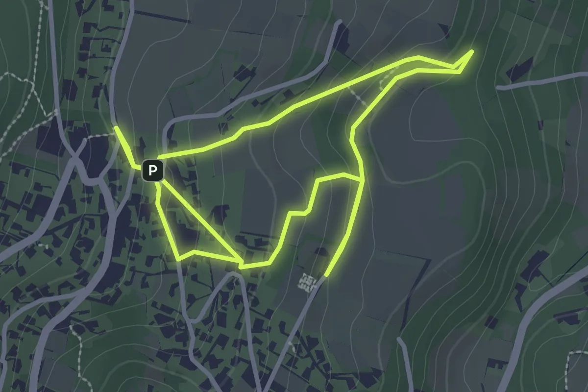
Easy · Trail
Sentier des Cabornes
2.9 km · ↑ 119 m · 59 min
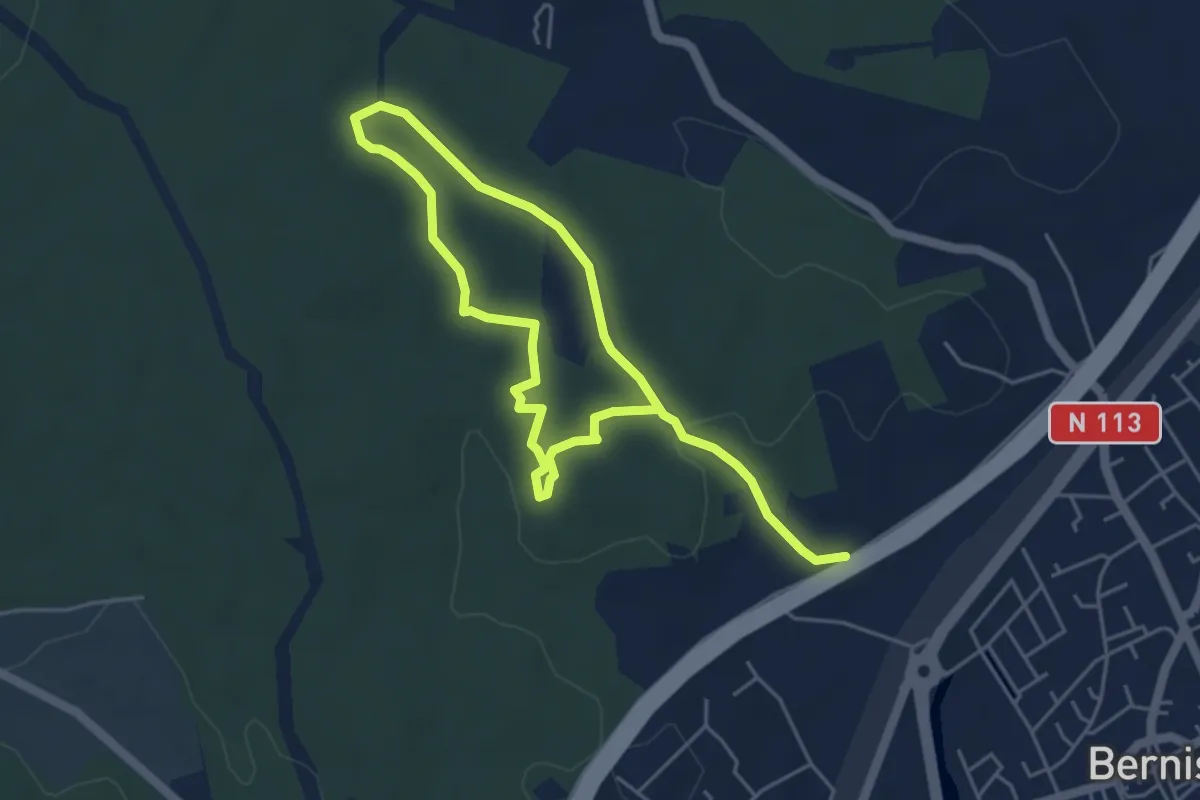
Easy · Trail
Sentier des Capitelles
7.8 km · ↑ 140 m · 2 h 9 min
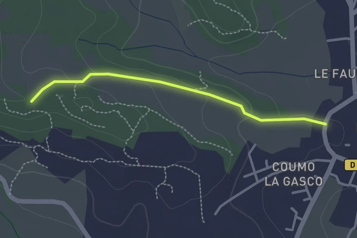
Easy · Trail
Sentier des Capitelles - Retour 1
2.4 km · ↑ 46 m · 40 min
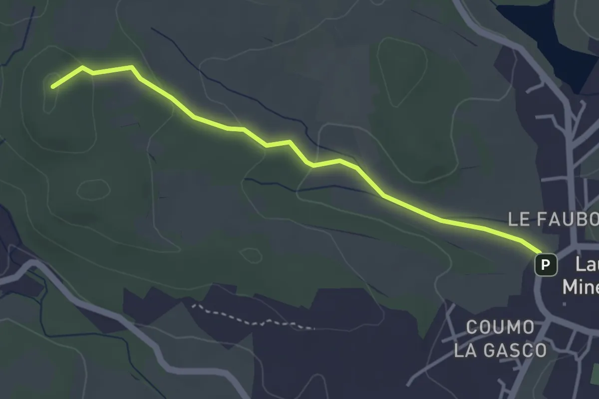
Easy · Summit
Sentier des Capitelles - Retour 2
3.7 km · ↑ 88 m · 1 h 3 min
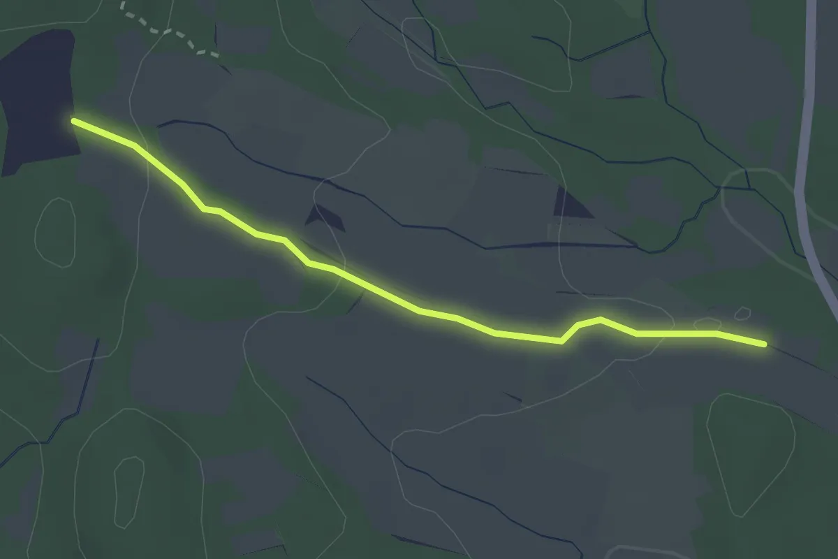
Easy · Trail
Sentier des Capitelles - Retour 3
2.8 km · ↑ 51 m · 46 min
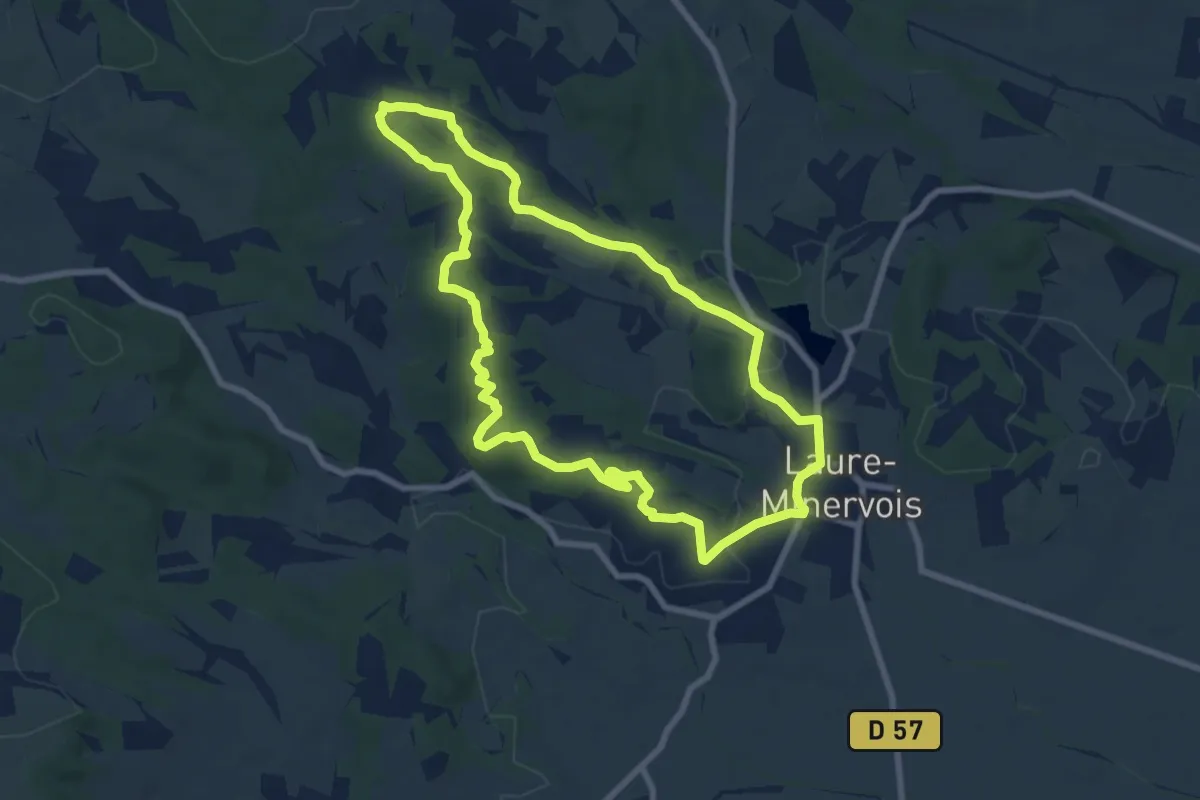
Medium · Summit
Sentier des Capitelles - Retour 4
8.3 km · ↑ 149 m · 2 h 25 min
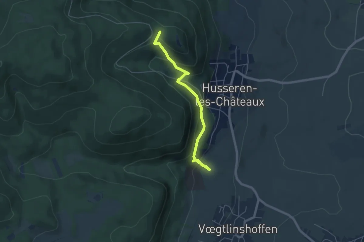
Easy · Trail
Sentier des carrières
4.5 km · ↑ 254 m · 1 h 37 min
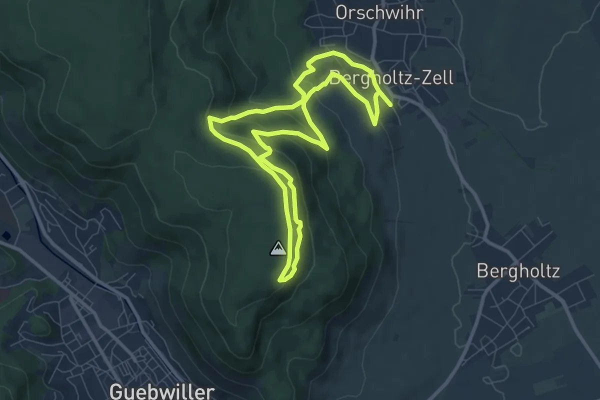
Medium · Trail
Sentier des carrières de Berghotz
7.0 km · ↑ 344 m · 2 h 29 min
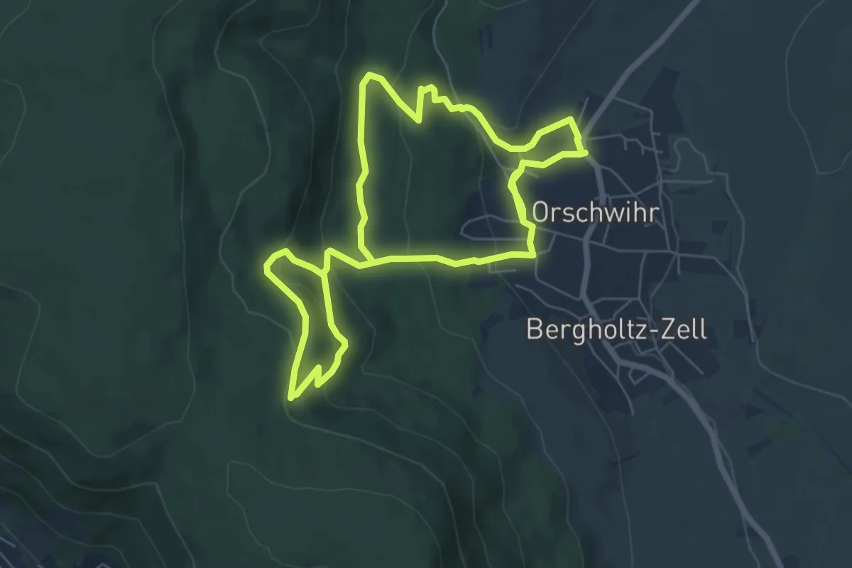
Easy · Trail
Sentier des carrières de Orschwihr
6.1 km · ↑ 213 m · 2 h 1 min
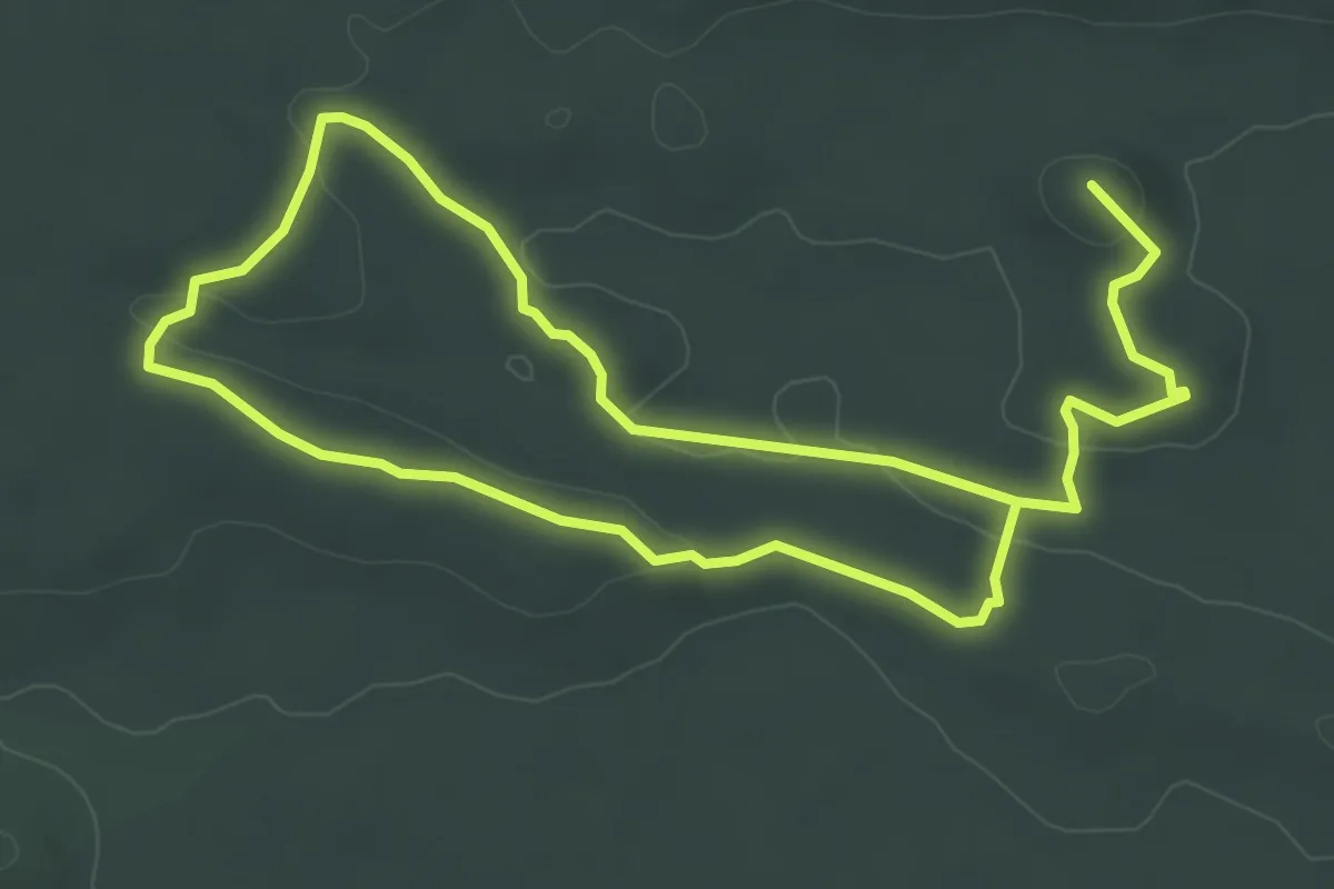
Easy · Summit
Sentier des Carriers
6.9 km · ↑ 104 m · 1 h 56 min
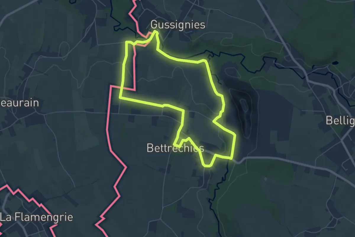
Easy · Trail
Sentier des Carriers
5.7 km · ↑ 66 m · 1 h 34 min
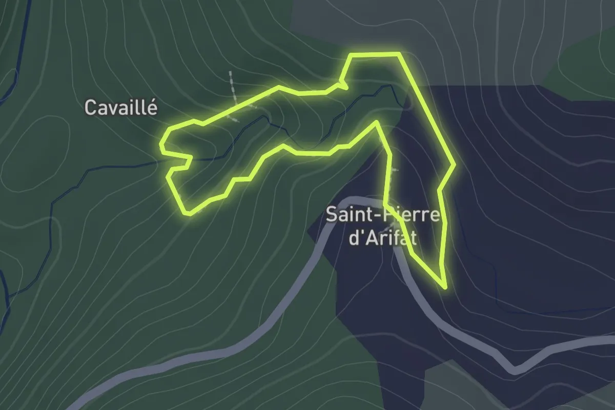
Easy · Trail
Sentier des Cascades
2.1 km · ↑ 108 m · 45 min
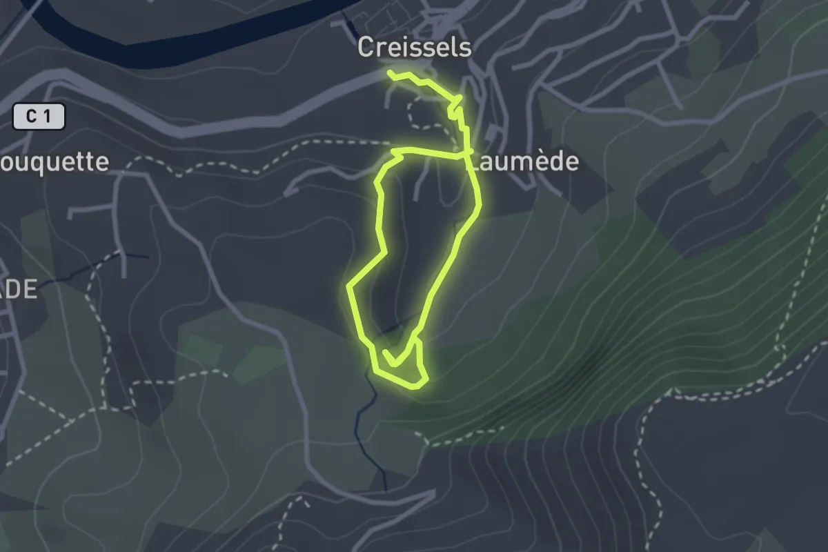
Easy · Trail
Sentier des Cascades
4.0 km · ↑ 193 m · 1 h 22 min
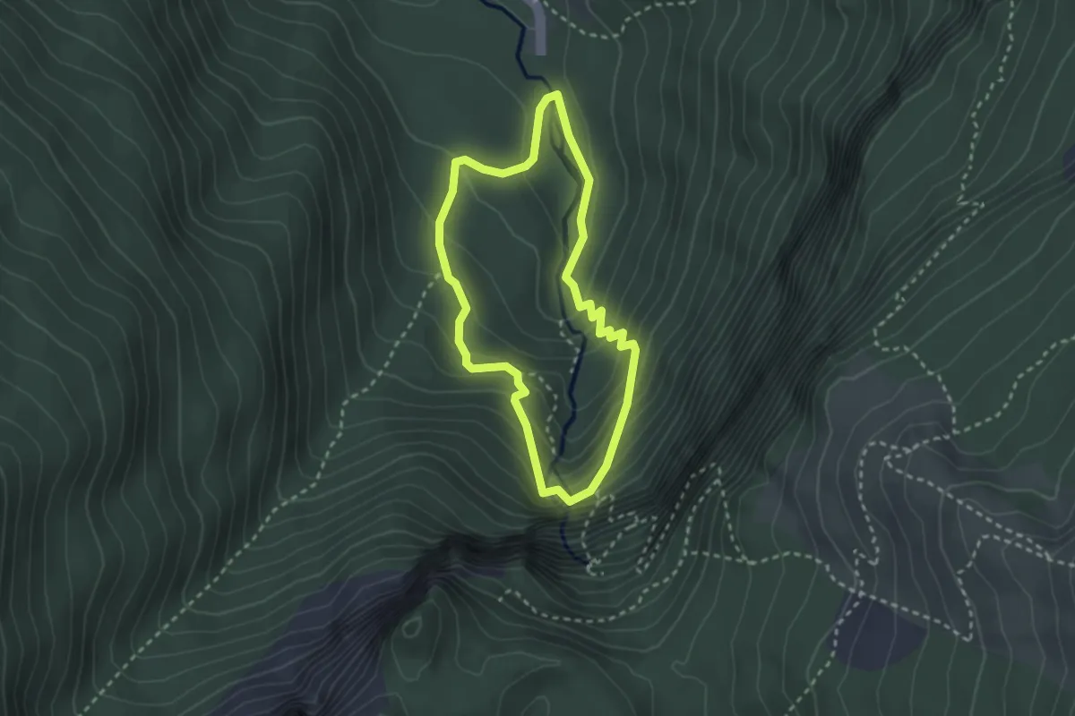
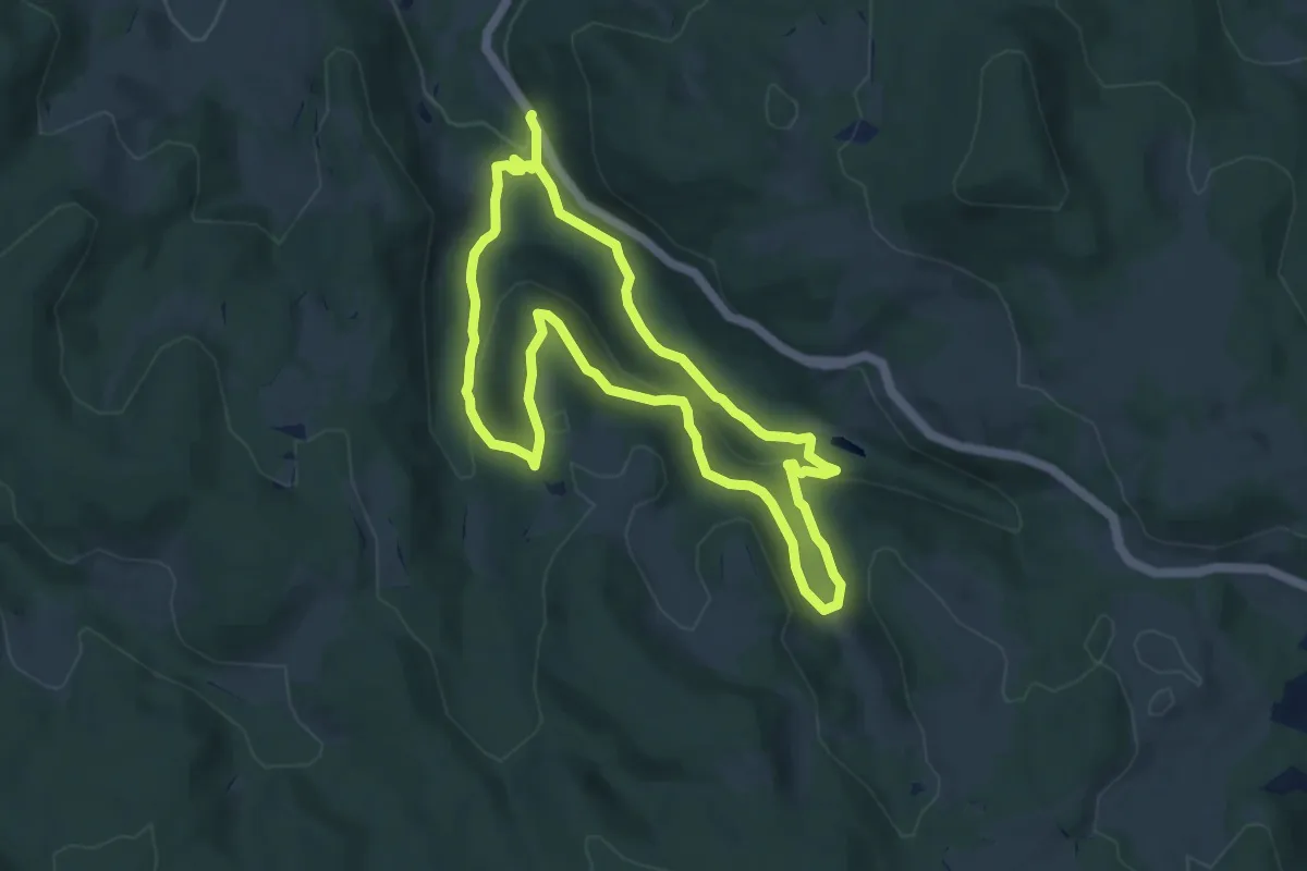
Medium · Trail
Sentier des Cascades
2.5 km · ↑ 183 m · 1 h 1 min
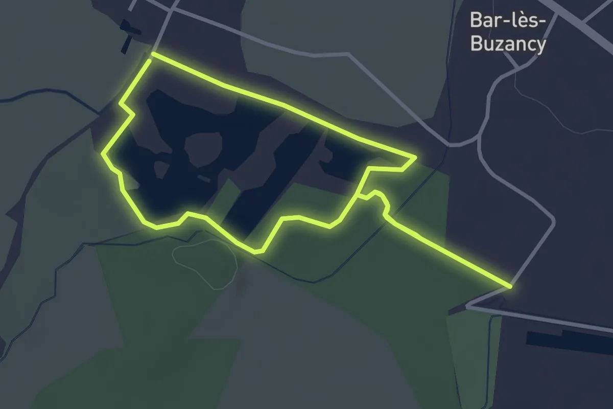
Medium · Trail
Sentier des Cascades
7.8 km · ↑ 329 m · 2 h 40 min
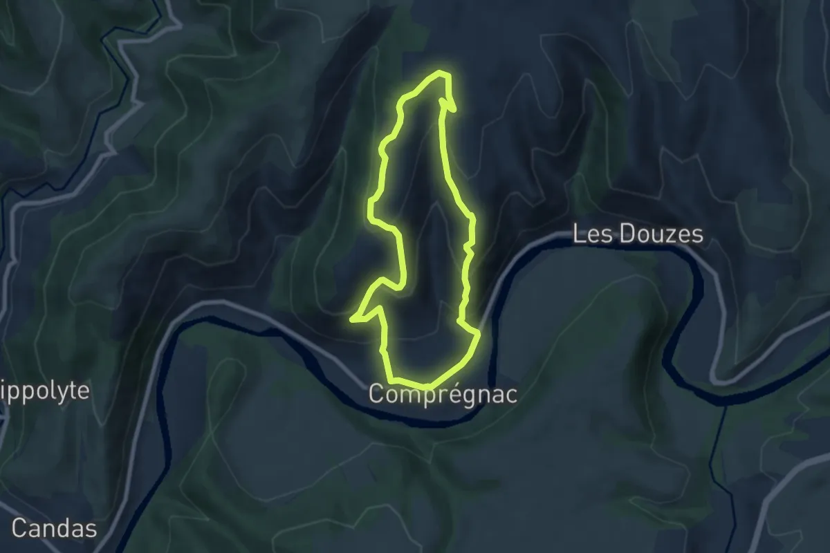
Easy · Trail
Sentier des Castors
2.9 km · ↑ 4 m · 44 min
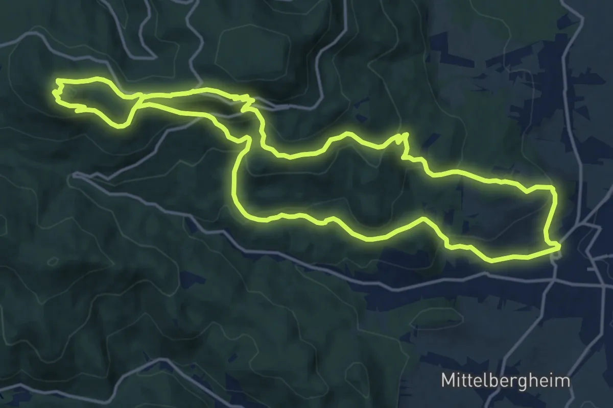
Medium · Trail
Sentier des Cazelles Comprégnac
6.3 km · ↑ 327 m · 2 h 17 min
Medium · Summit
Sentier des chameaux
14.6 km · ↑ 663 m · 5 h 5 min
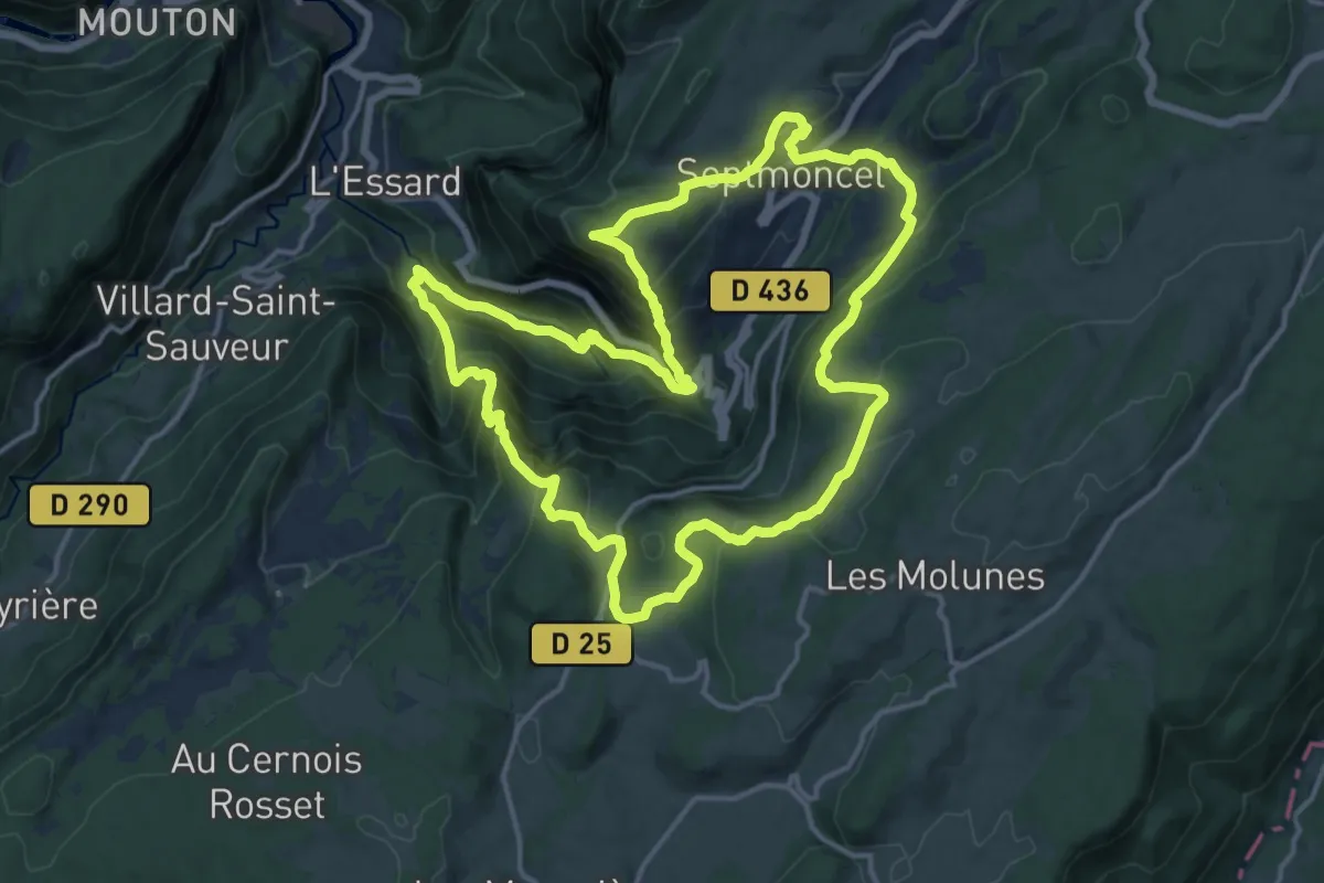
Demanding · Trail
Sentier des Chamois du Jura
15.9 km · ↑ 1055 m · 6 h 16 min
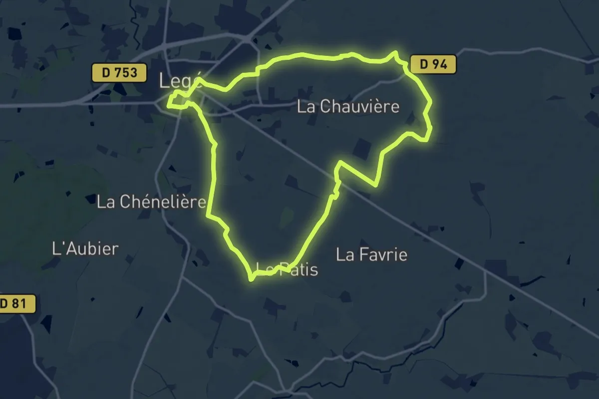
Medium · Trail
Sentier des Chapelles
13.9 km · ↑ 76 m · 3 h 38 min
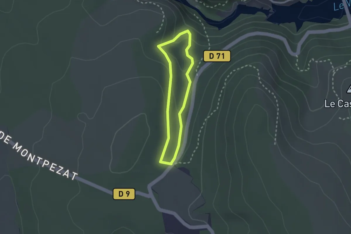
Easy · Trail
Sentier des charbonniers
1.9 km · ↑ 82 m · 39 min
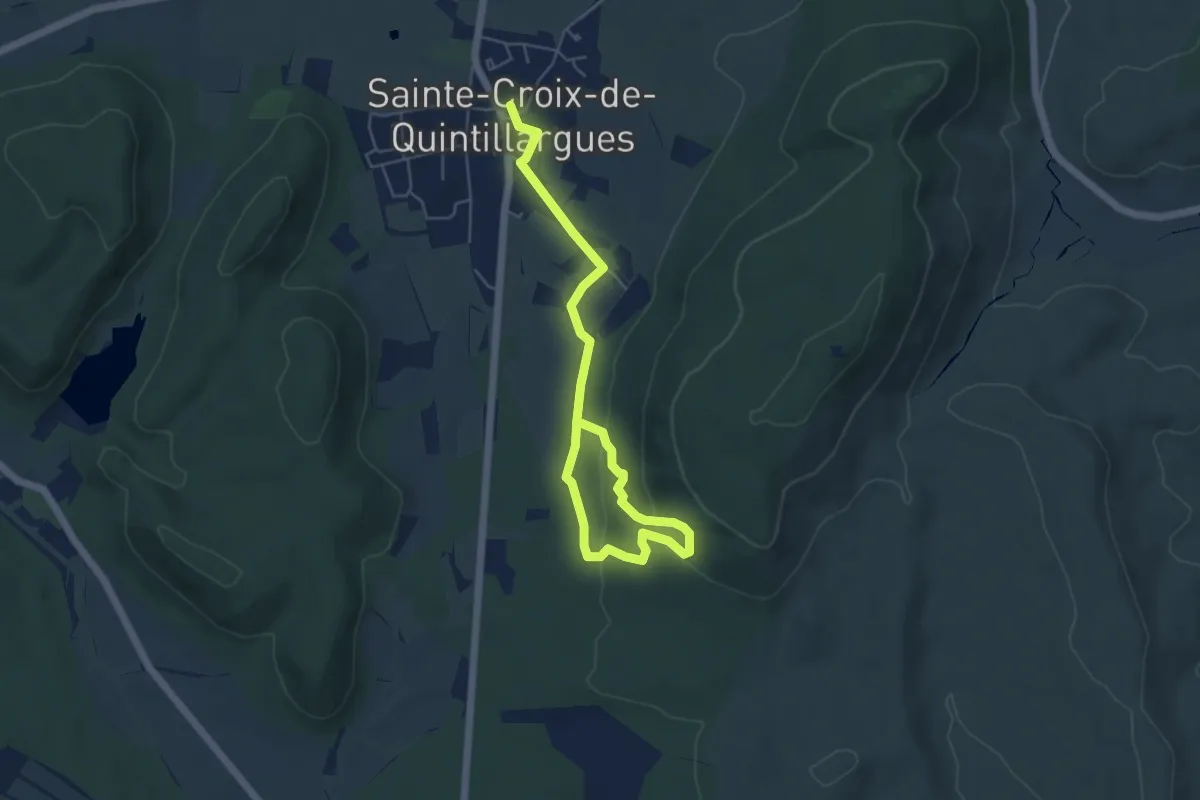
Easy · Trail
Sentier des Charbonniers
6.8 km · ↑ 207 m · 2 h 3 min
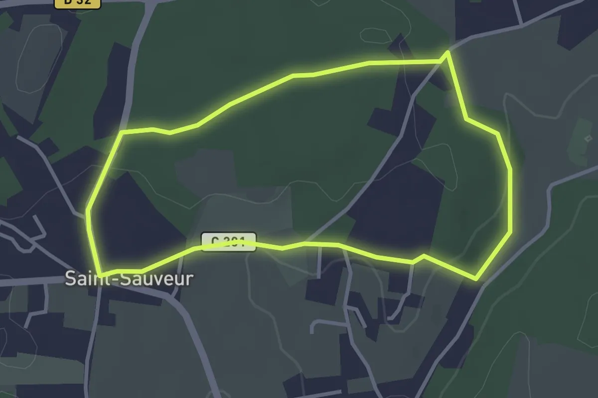
Easy · Trail
Sentier des Charmes
3.0 km · ↑ 34 m · 50 min
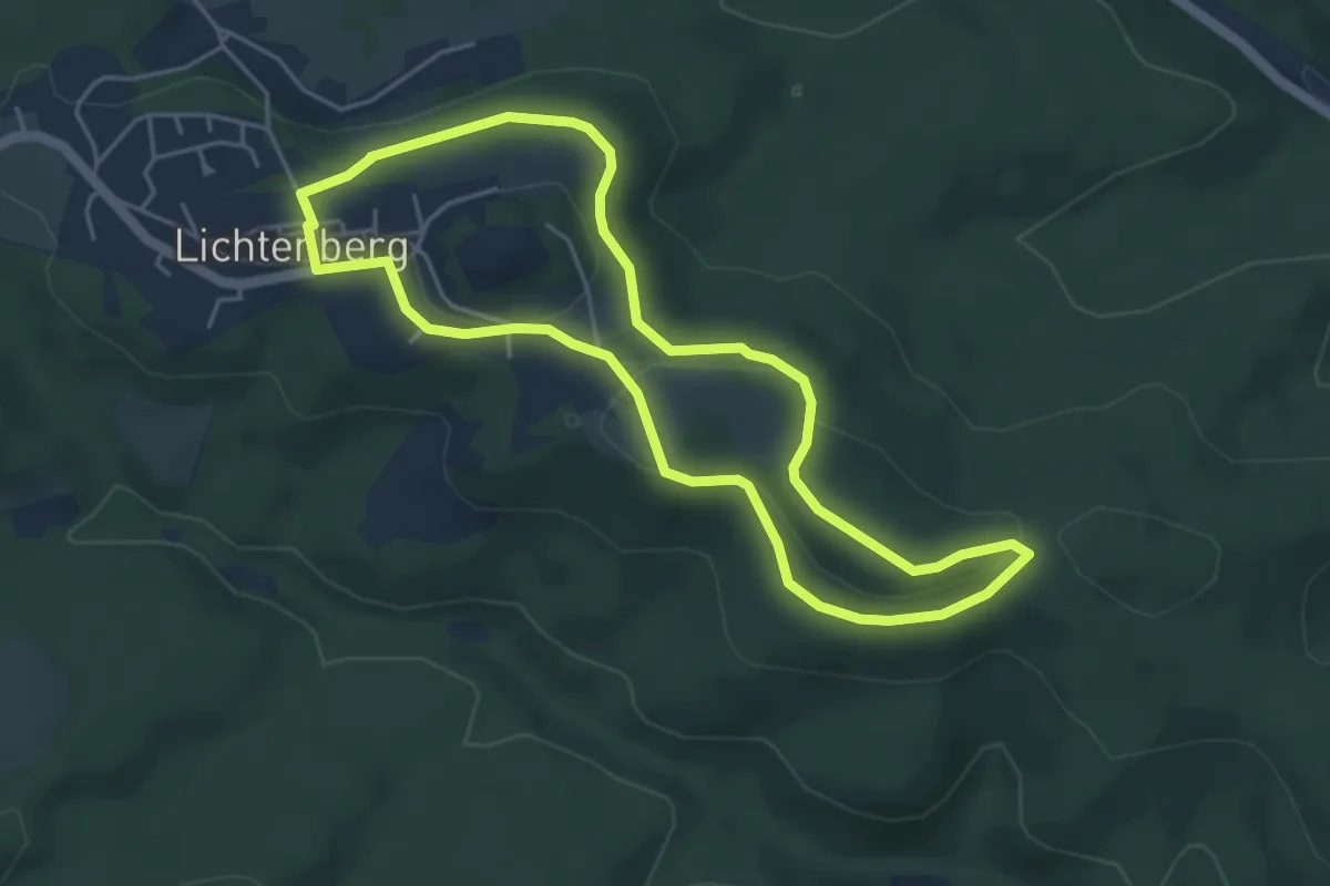
Easy · Summit
Sentier des Châtaigniers
4.3 km · ↑ 88 m · 1 h 16 min
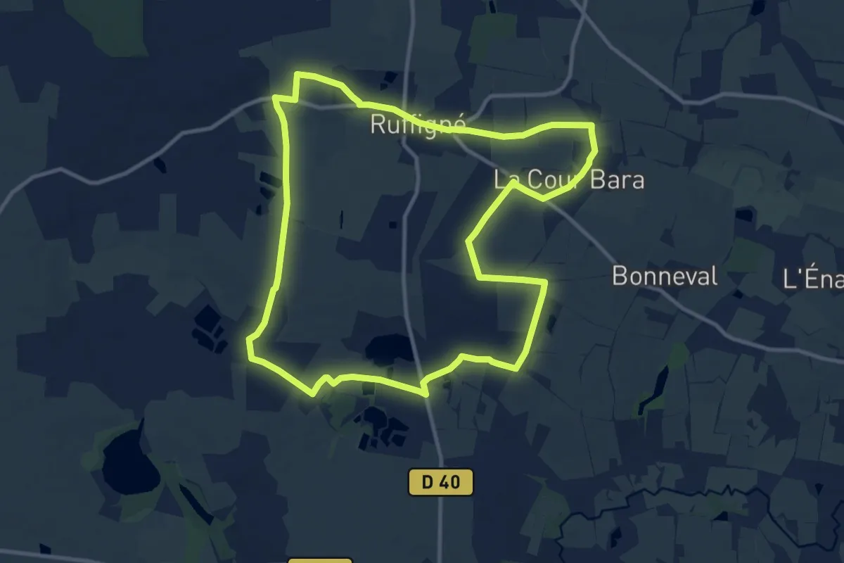
Medium · Trail
Sentier des Chênes et des Châtaigniers
10.8 km · ↑ 70 m · 2 h 52 min