Trails in France
15,926 hiking trails, each with its route, climb, walking time and grade.
All trails, page 249 of 332
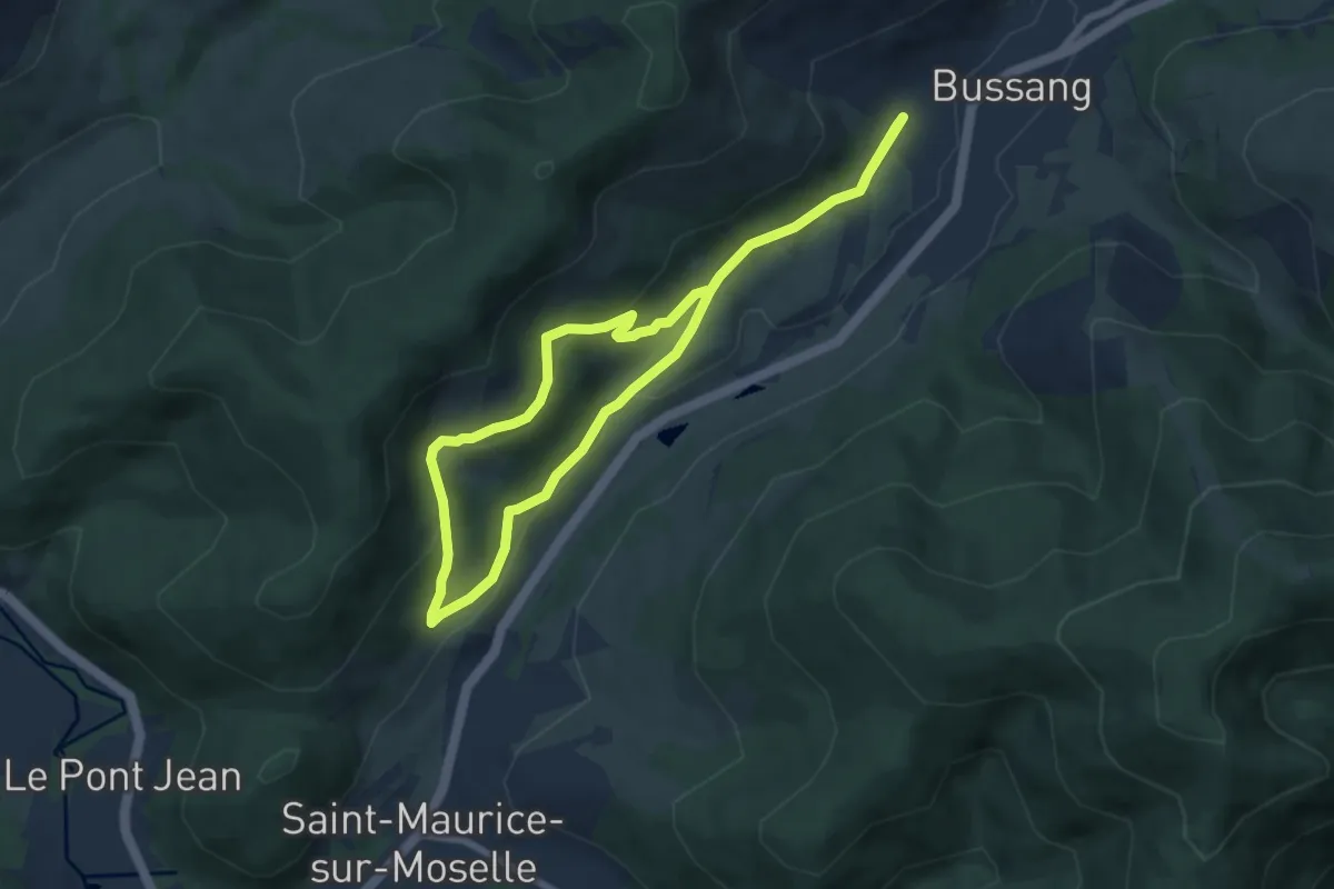
Easy · Trail
Sentier des Chèvres
5.5 km · ↑ 152 m · 1 h 43 min
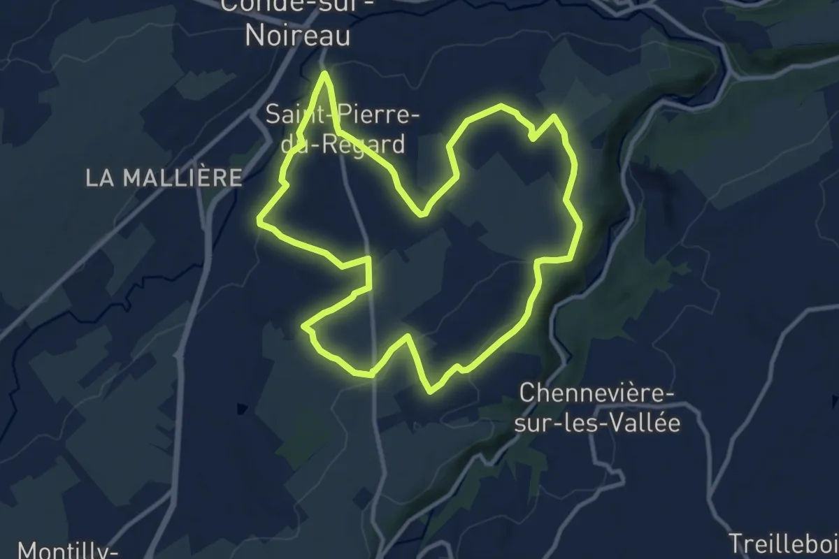
Medium · Trail
Sentier des Collines
9.8 km · ↑ 169 m · 2 h 49 min
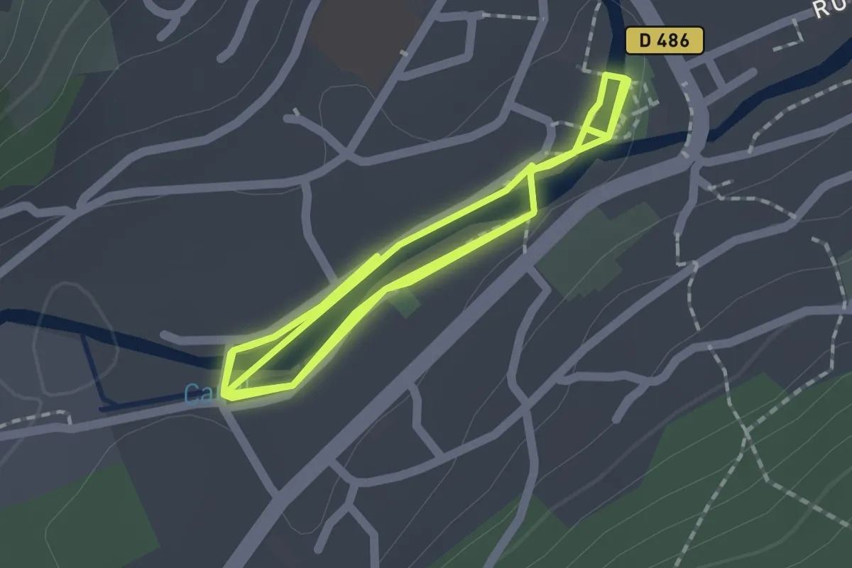
Easy · Trail
Sentier des Colverts
2.0 km · ↑ 0 m · 31 min
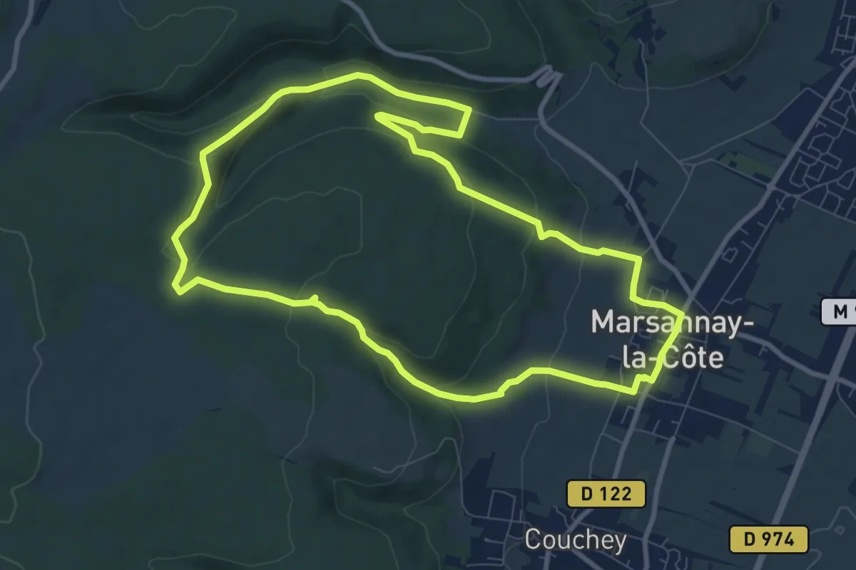
Medium · Trail
Sentier des Combes
9.0 km · ↑ 286 m · 2 h 53 min
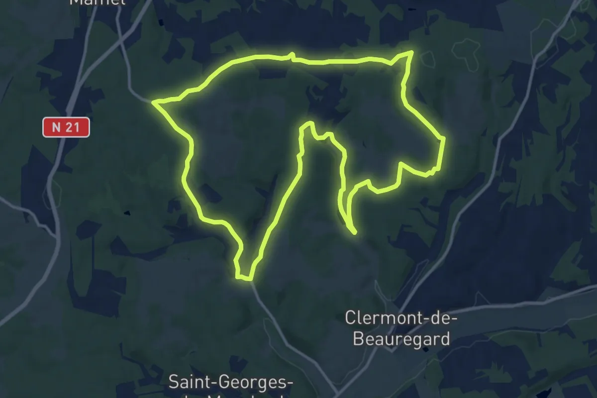
Medium · Trail
Sentier des Combes de Saint-Martin
13.1 km · ↑ 198 m · 3 h 43 min
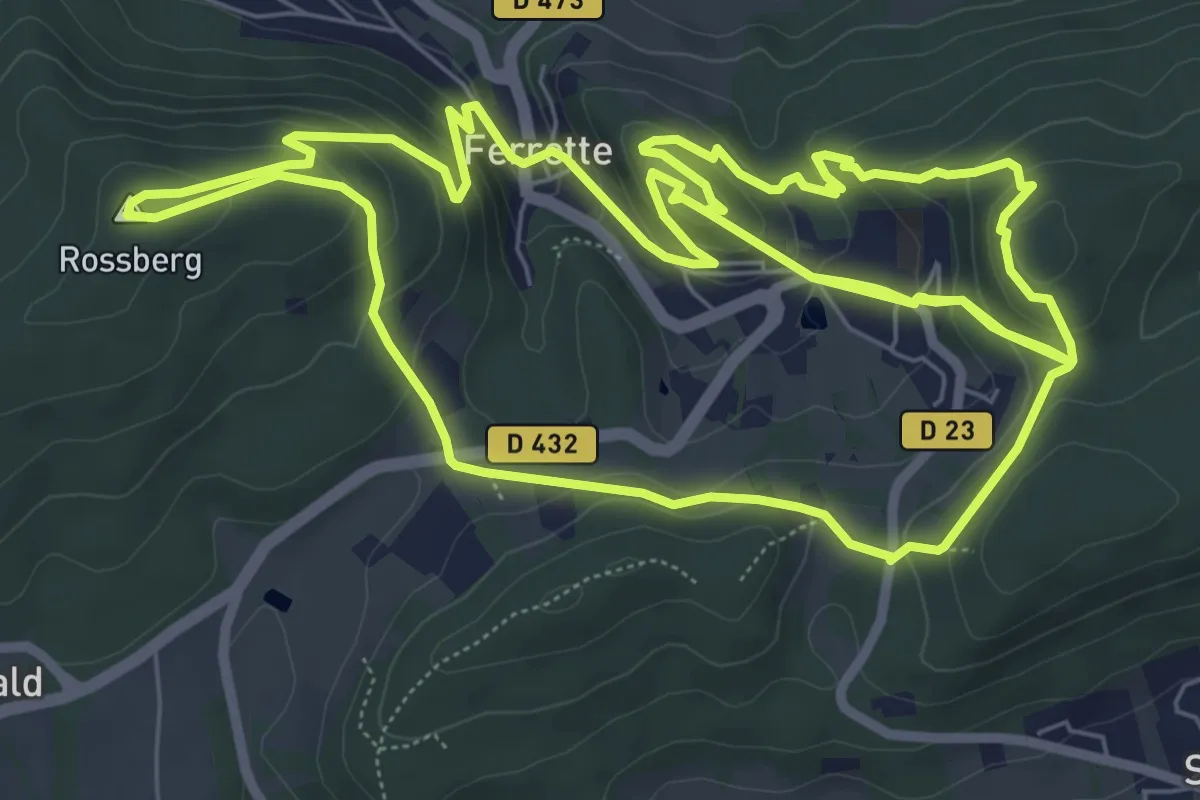
Medium · Summit
Sentier des Comptes
8.7 km · ↑ 400 m · 3 h 3 min
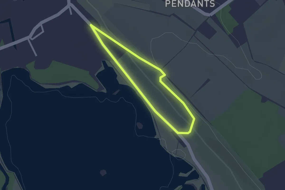
Easy · Trail
Sentier des Coteaux
1.7 km · ↑ 35 m · 30 min
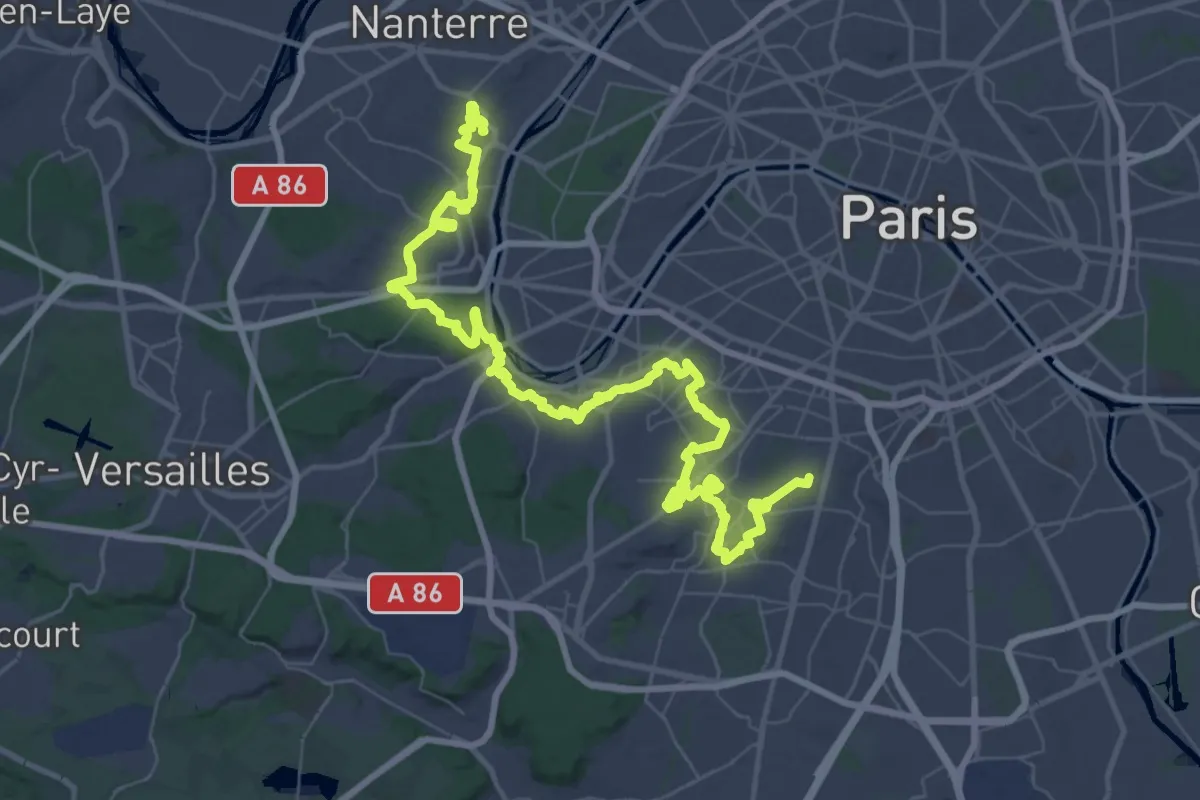
Demanding · Trail
Sentier des Côteaux
34.2 km · ↑ 554 m · 9 h 45 min
Easy · Trail
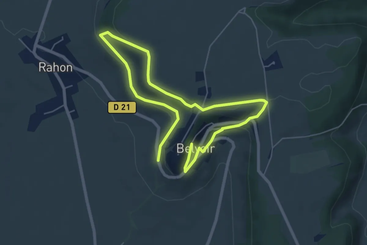
Sentier des Coteaux de Belvoir
4.0 km · ↑ 130 m · 1 h 15 min
Medium · Trail
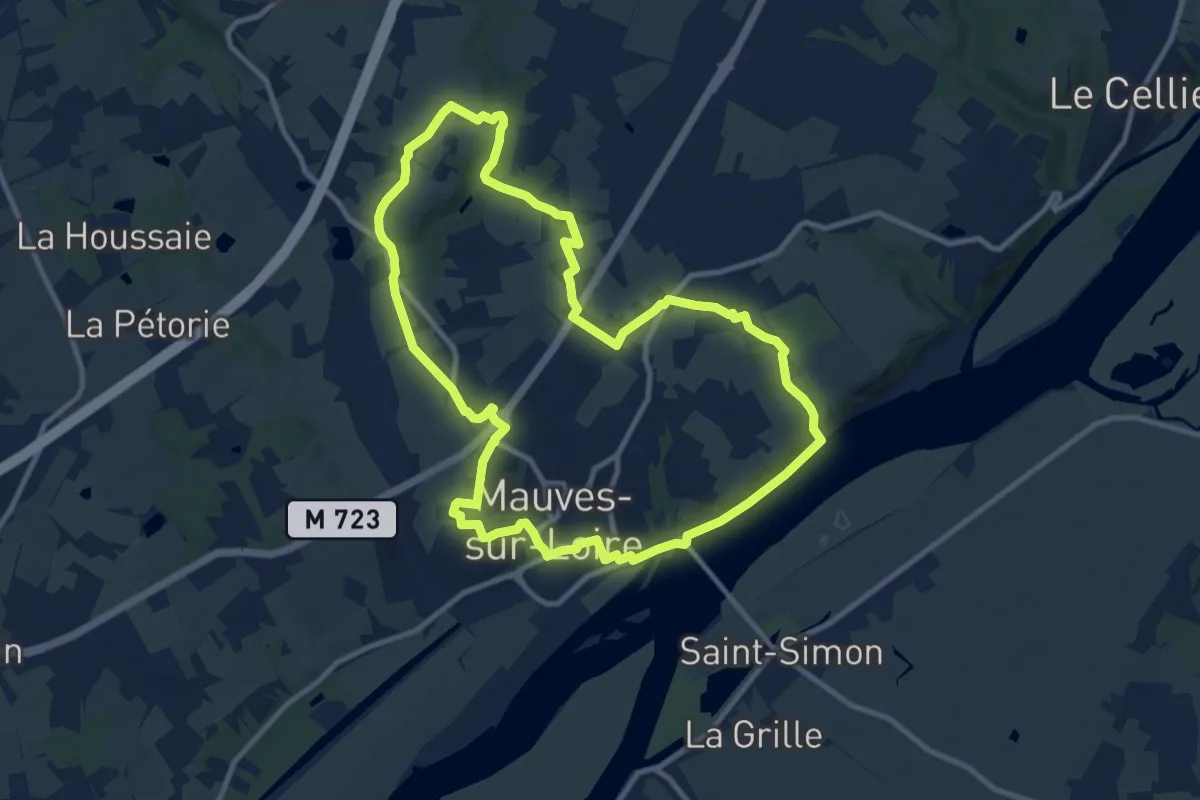
Sentier des Côteaux et des Coulées
10.5 km · ↑ 144 m · 2 h 56 min
Easy · Trail
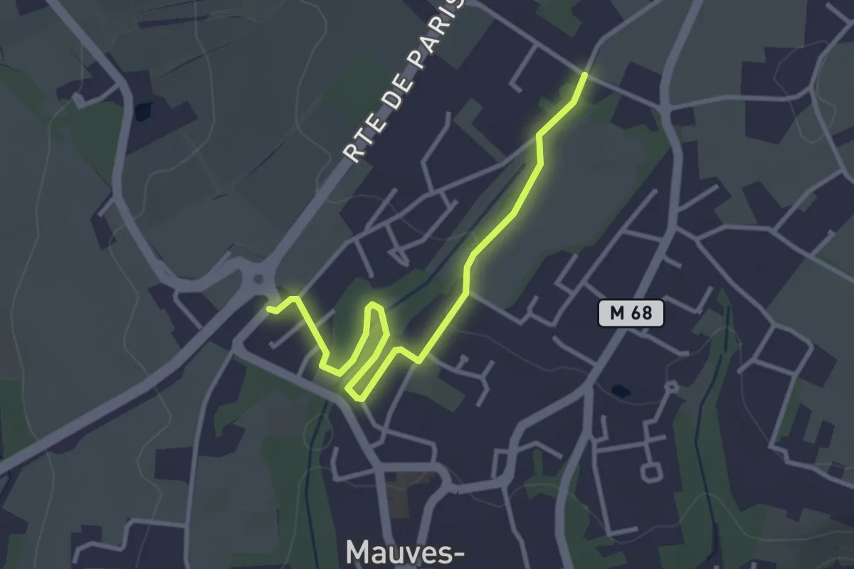
Sentier des Côteaux et des Coulées (Variante petite boucle)
3.2 km · ↑ 32 m · 50 min
Medium · Trail
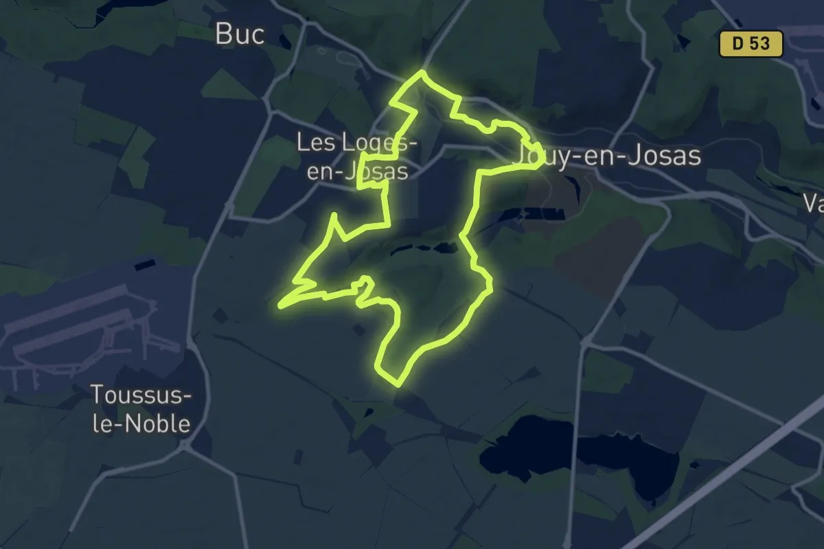
Sentier des côtes de Montbron
10.8 km · ↑ 144 m · 3 h 1 min
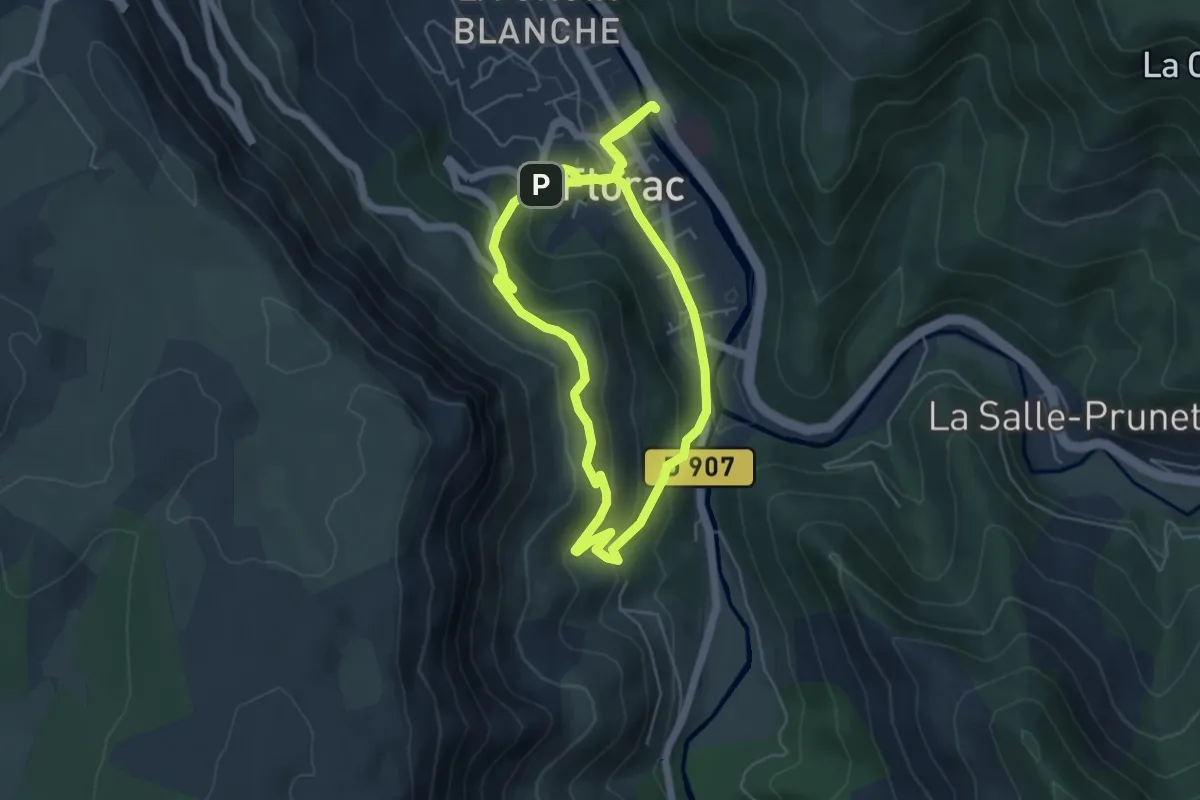
Medium · Trail
Sentier des couronnes (courte)
5.6 km · ↑ 187 m · 1 h 50 min
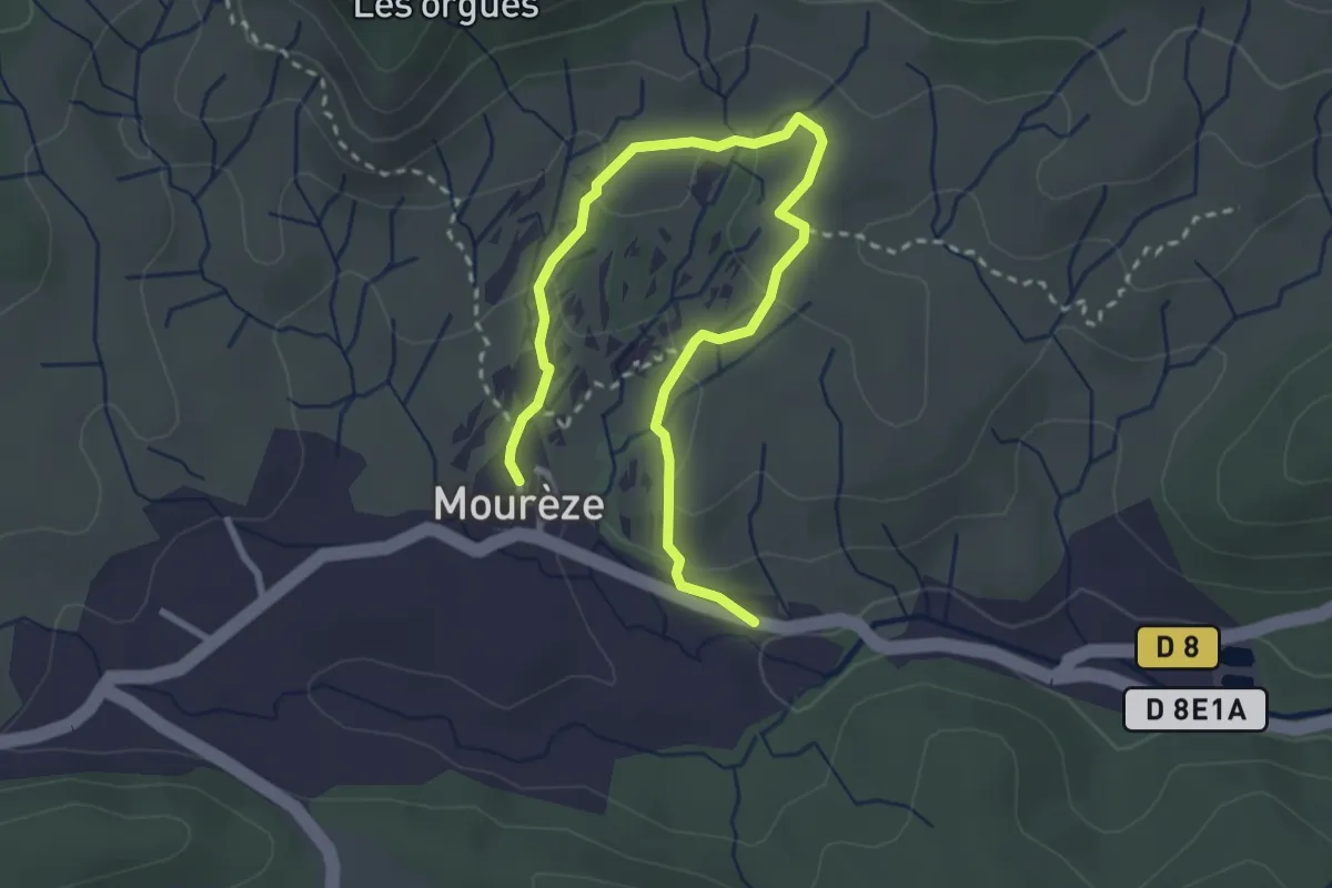
Medium · Trail
Sentier des Courtinals
3.8 km · ↑ 98 m · 1 h 7 min
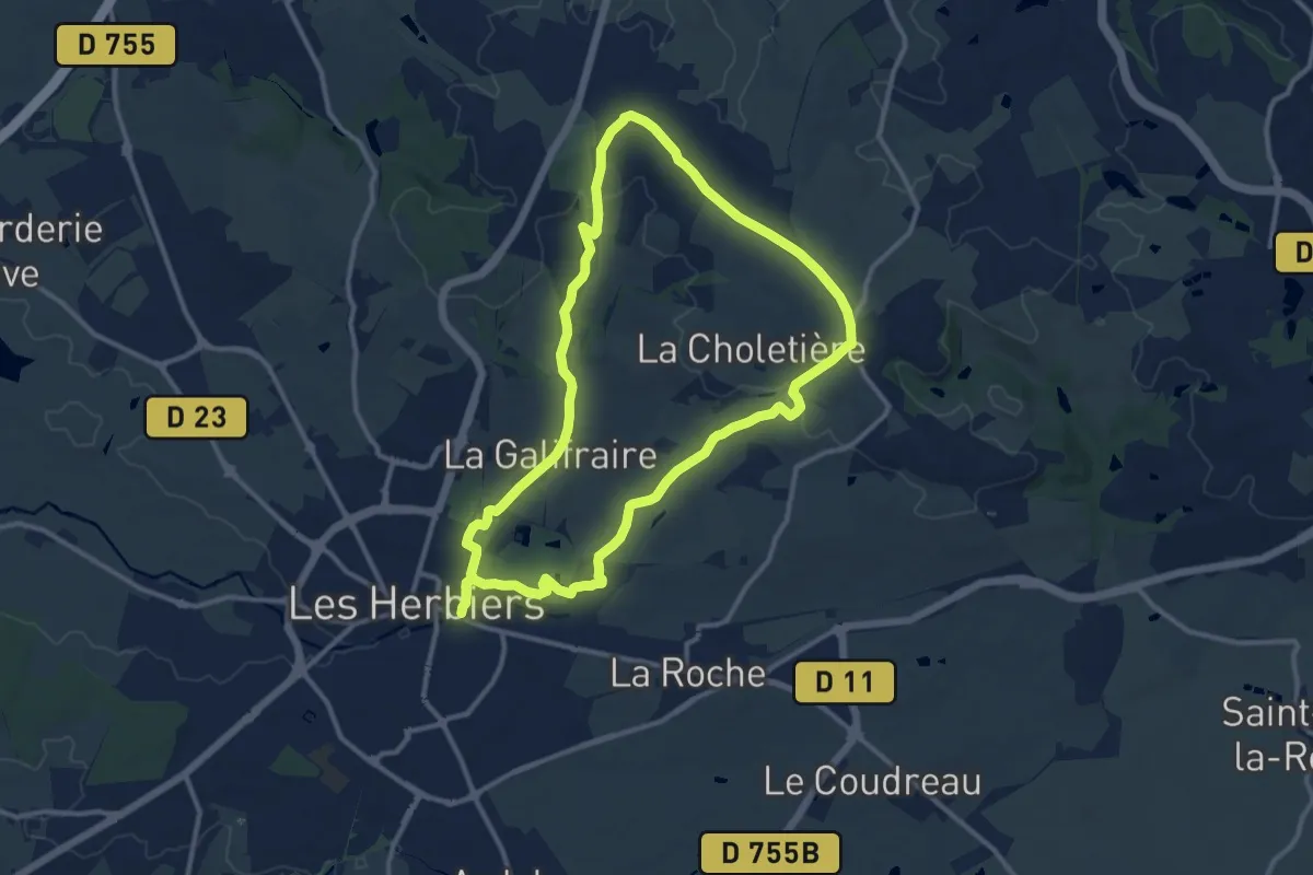
Medium · Trail
Sentier des crêtes
11.6 km · ↑ 153 m · 3 h 15 min
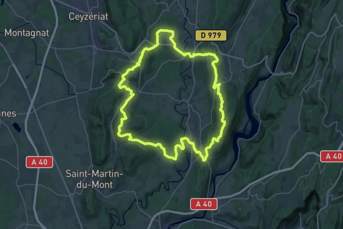
Demanding · Summit
Sentier des crêtes
27.1 km · ↑ 784 m · 8 h 28 min
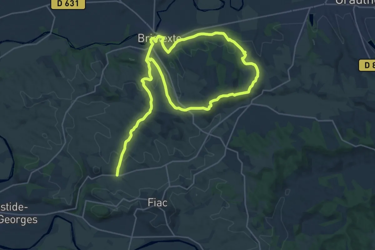
Medium · Trail
Sentier des Crêtes
16.1 km · ↑ 311 m · 4 h 42 min
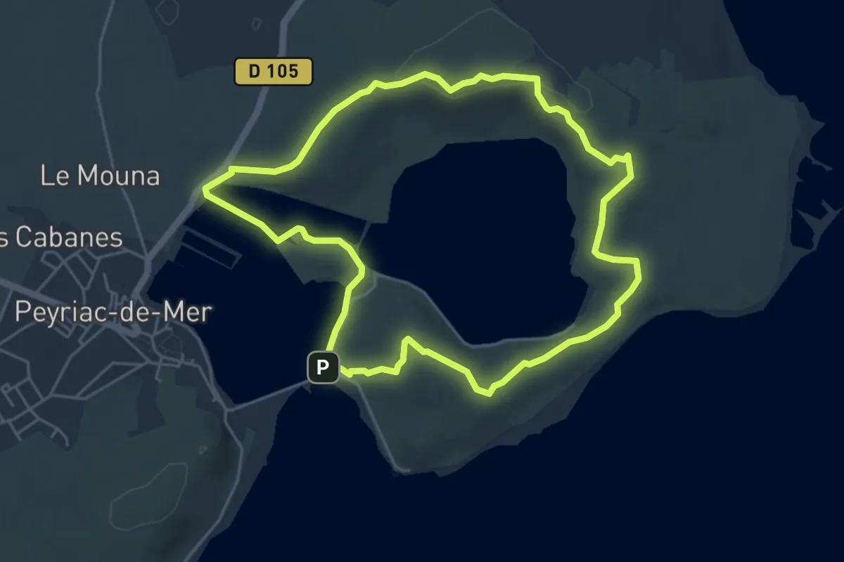
Easy · Summit
Sentier des Crêtes
5.1 km · ↑ 100 m · 1 h 30 min
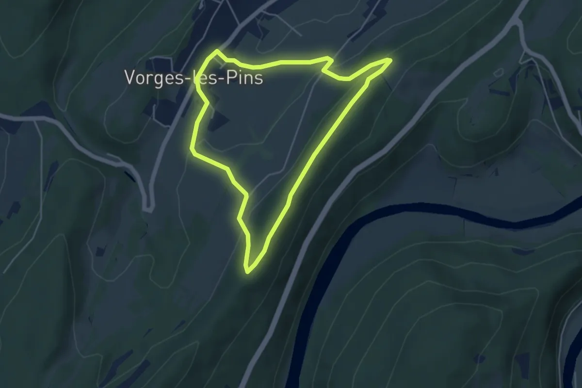
Easy · Trail
Sentier des Crêtes
4.2 km · ↑ 153 m · 1 h 23 min
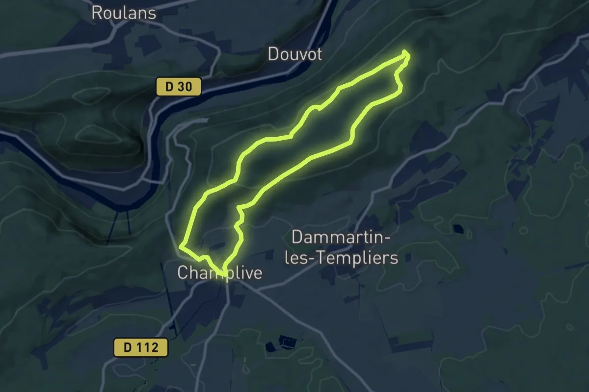
Medium · Trail
Sentier des Crêtes
8.5 km · ↑ 286 m · 2 h 45 min
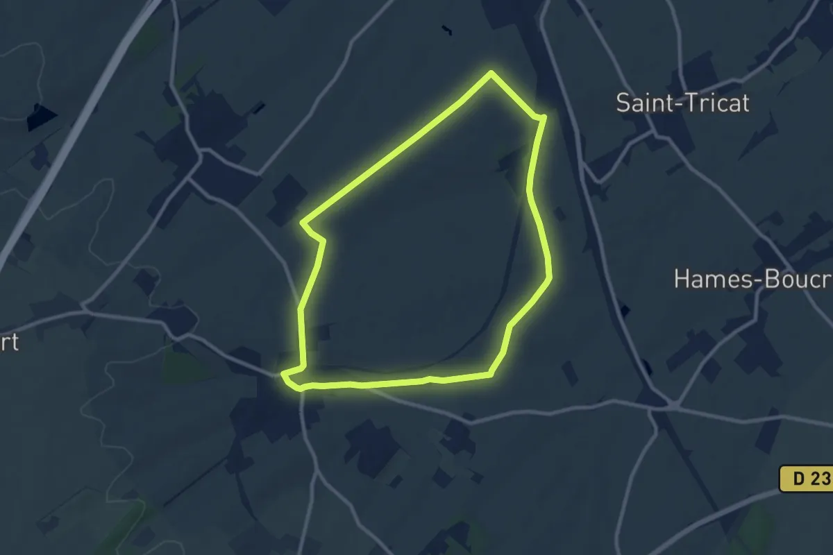
Medium · Trail
Sentier des Crêtes
8.3 km · ↑ 67 m · 2 h 13 min
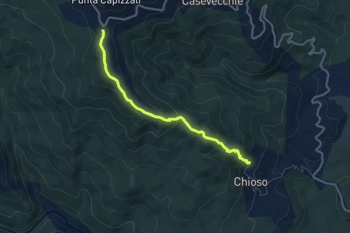
Medium · Summit
Sentier des Crêtes de Casevecchie
6.6 km · ↑ 367 m · 2 h 27 min
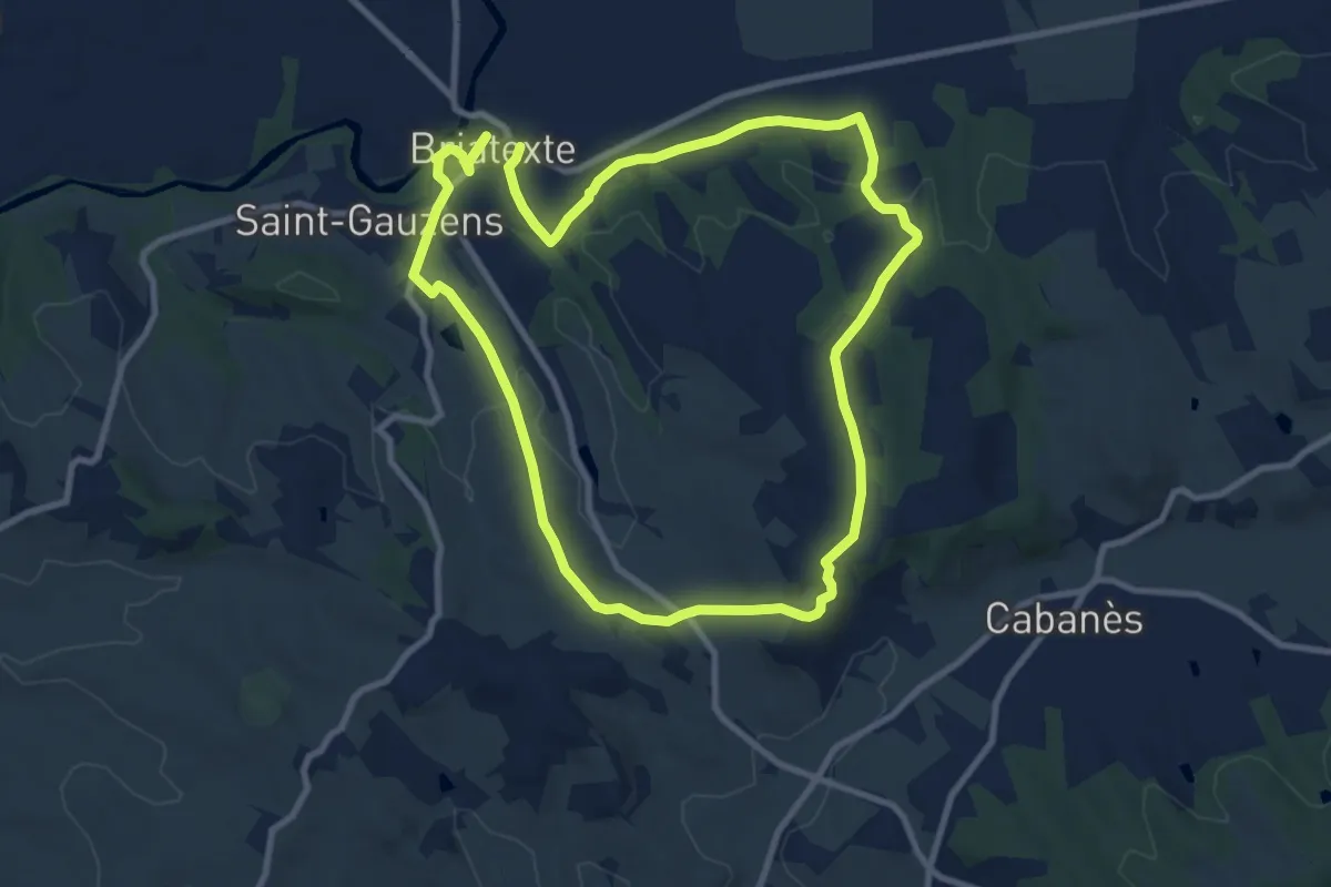
Medium · Trail
Sentier des Crêtes, raccourci des Vignes
9.4 km · ↑ 178 m · 2 h 45 min
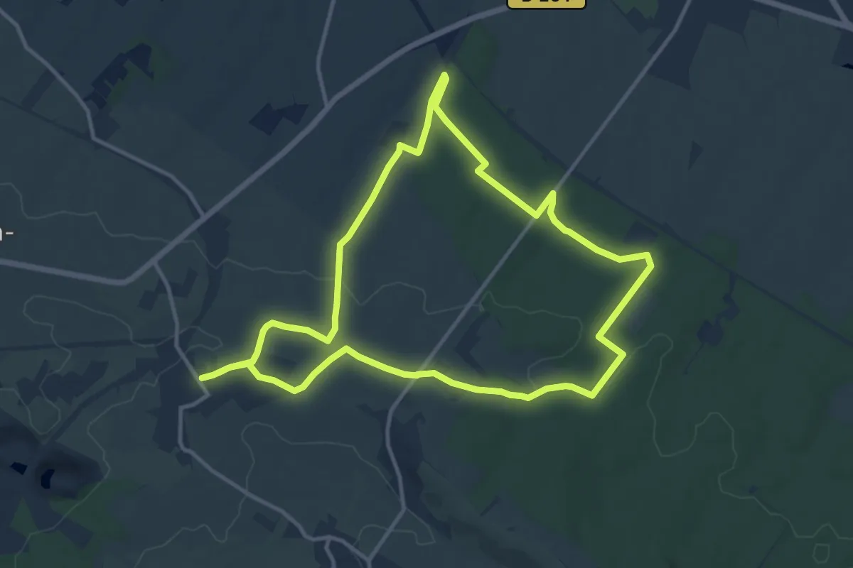
Medium · Trail
Sentier des Croisettes
10.7 km · ↑ 138 m · 2 h 58 min
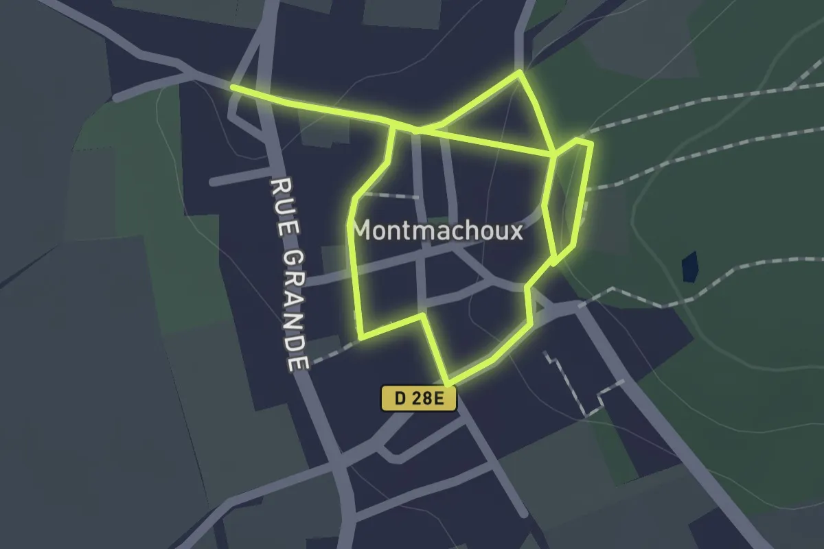
Easy · Trail
Sentier des Croix
2.5 km · ↑ 38 m · 40 min
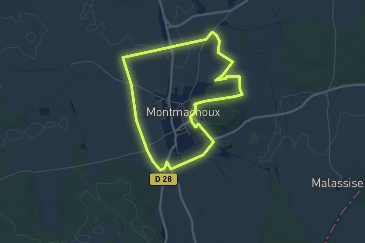
Easy · Trail
Sentier des Croix
5.5 km · ↑ 58 m · 1 h 30 min
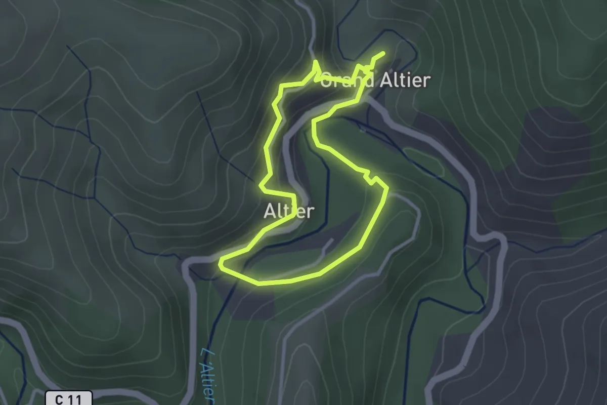
Easy · Trail
Sentier de sculptures d'Altier
2.6 km · ↑ 130 m · 55 min
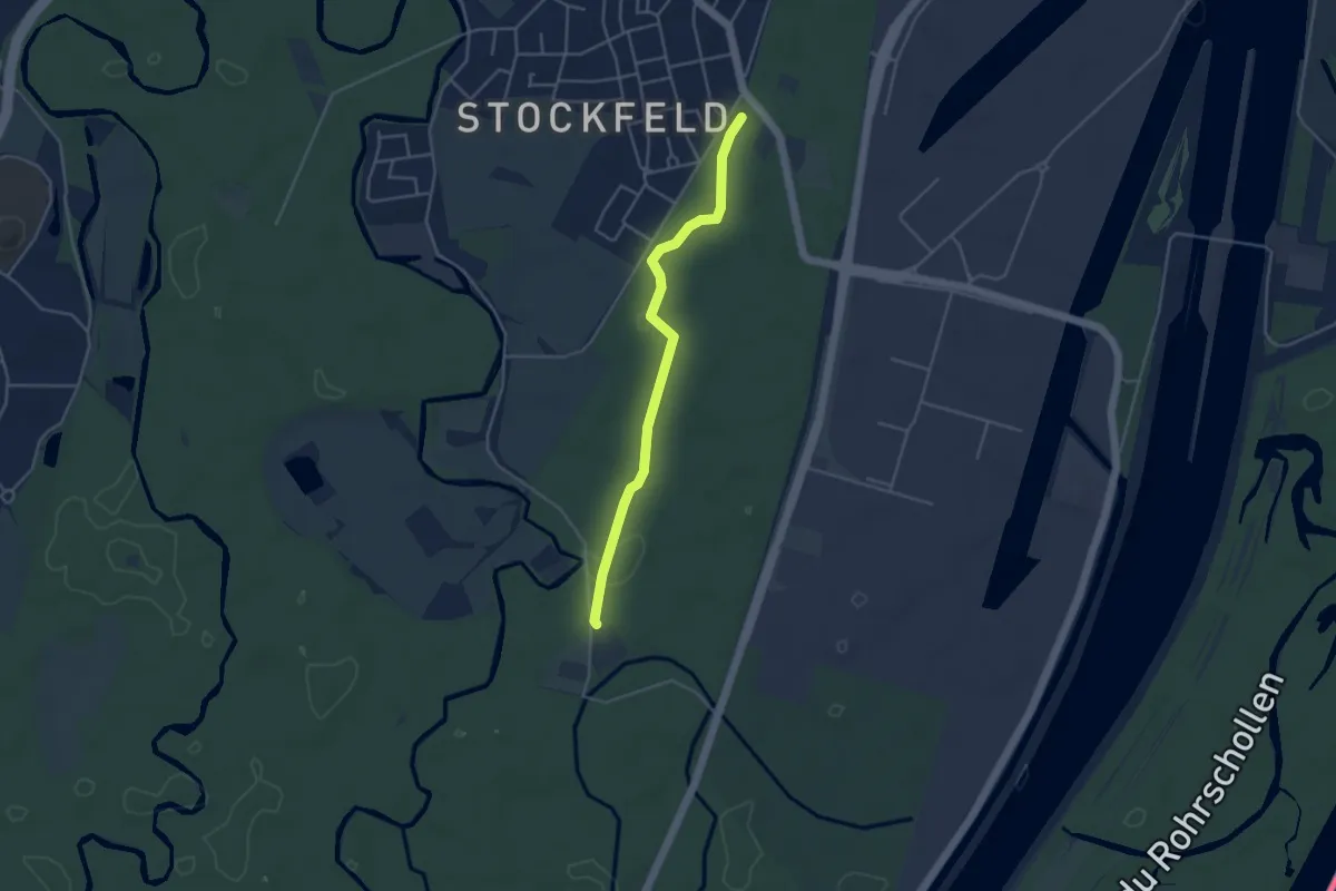
Easy · Trail
Sentier des Dames
3.8 km · ↑ 4 m · 55 min
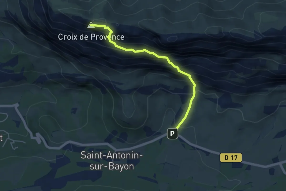
Expert · Summit
Sentier des deux aiguilles
4.0 km · ↑ 533 m · 2 h 5 min
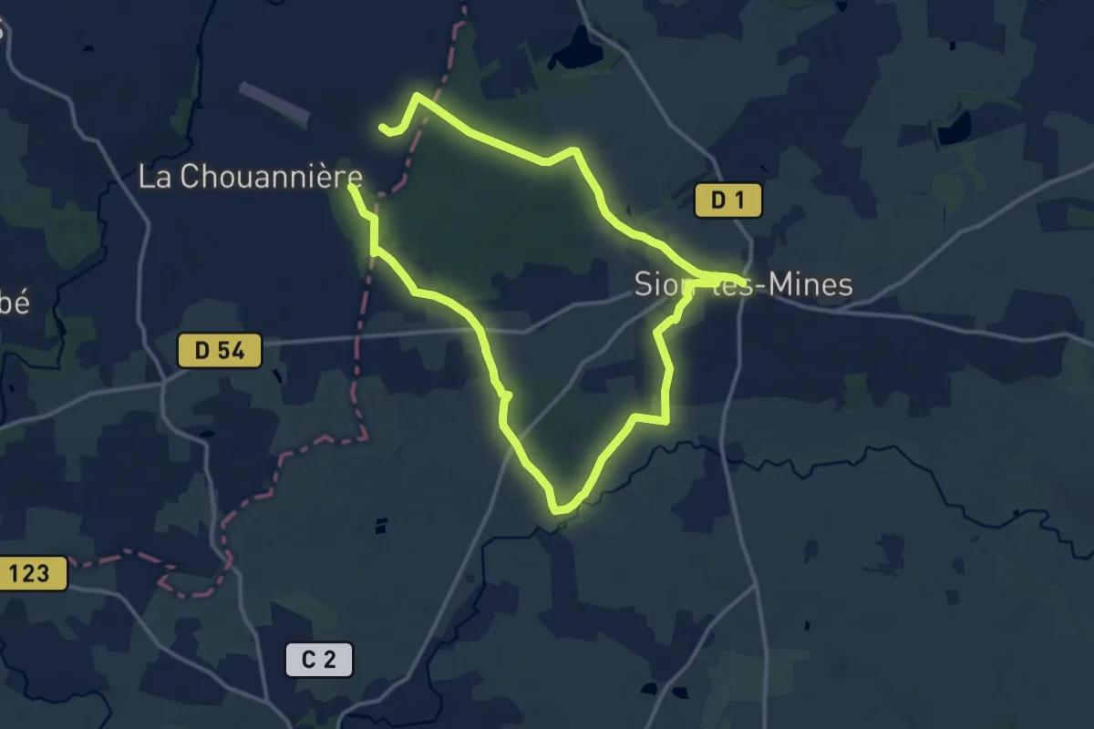
Medium · Trail
Sentier des Deux Bois
11.6 km · ↑ 75 m · 3 h 4 min
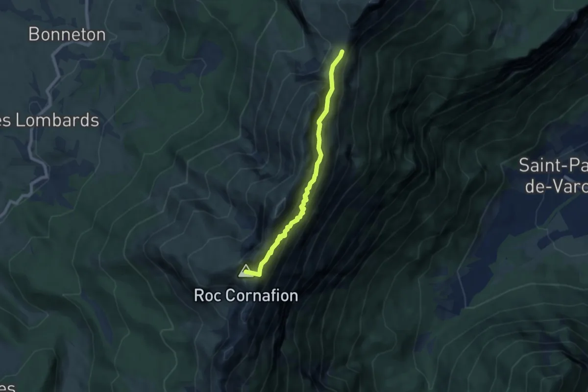
Demanding · Summit
Sentier des deux cols
5.9 km · ↑ 590 m · 2 h 41 min
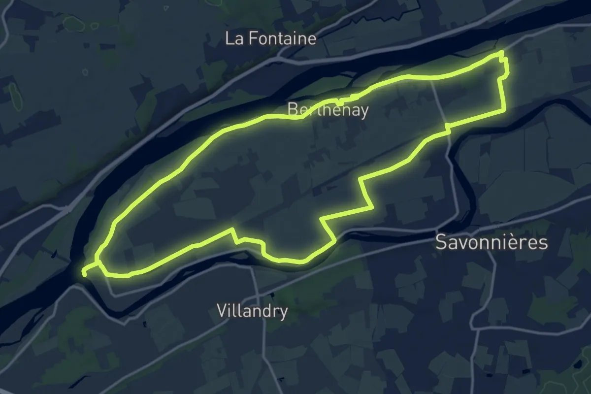
Medium · Trail
Sentier des Deux Eaux - Berthenay
15.2 km · ↑ 19 m · 3 h 51 min
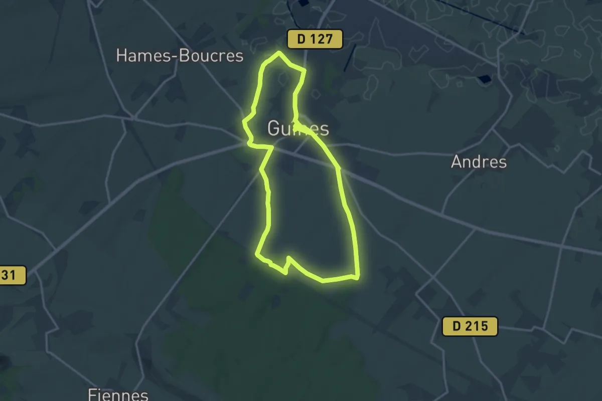
Medium · Trail
Sentier des Deux Moulins
11.2 km · ↑ 72 m · 2 h 58 min
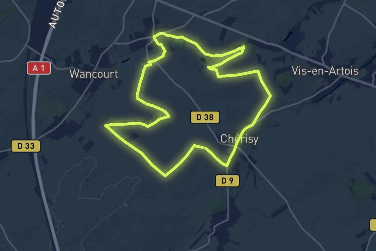
Medium · Trail
Sentier des Deux Riviières
13.3 km · ↑ 72 m · 3 h 30 min
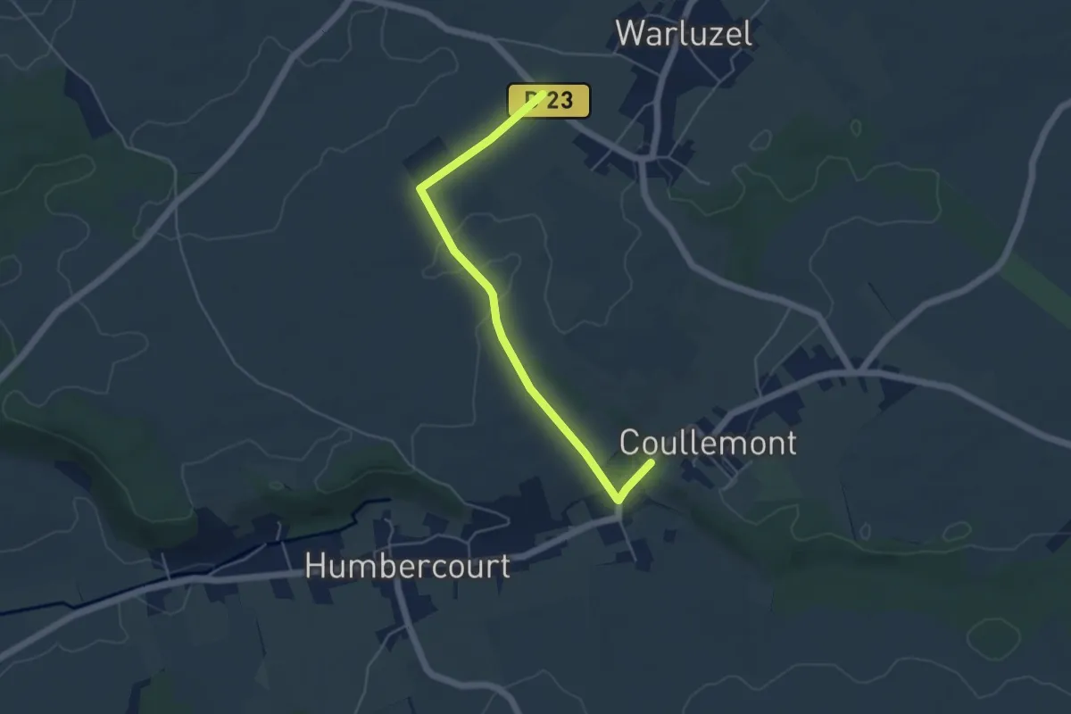
Easy · Trail
Sentier des Deux Sources
2.3 km · ↑ 9 m · 36 min
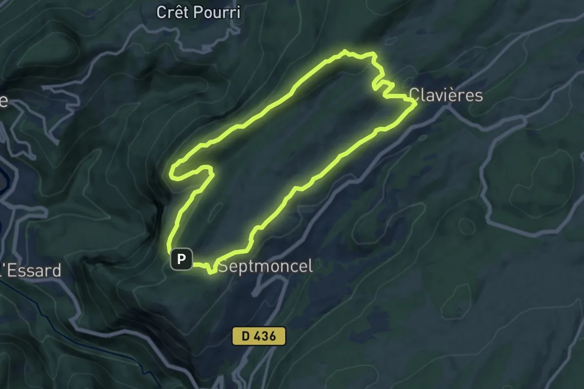
Medium · Trail
Sentier des Diots
9.8 km · ↑ 318 m · 3 h 8 min
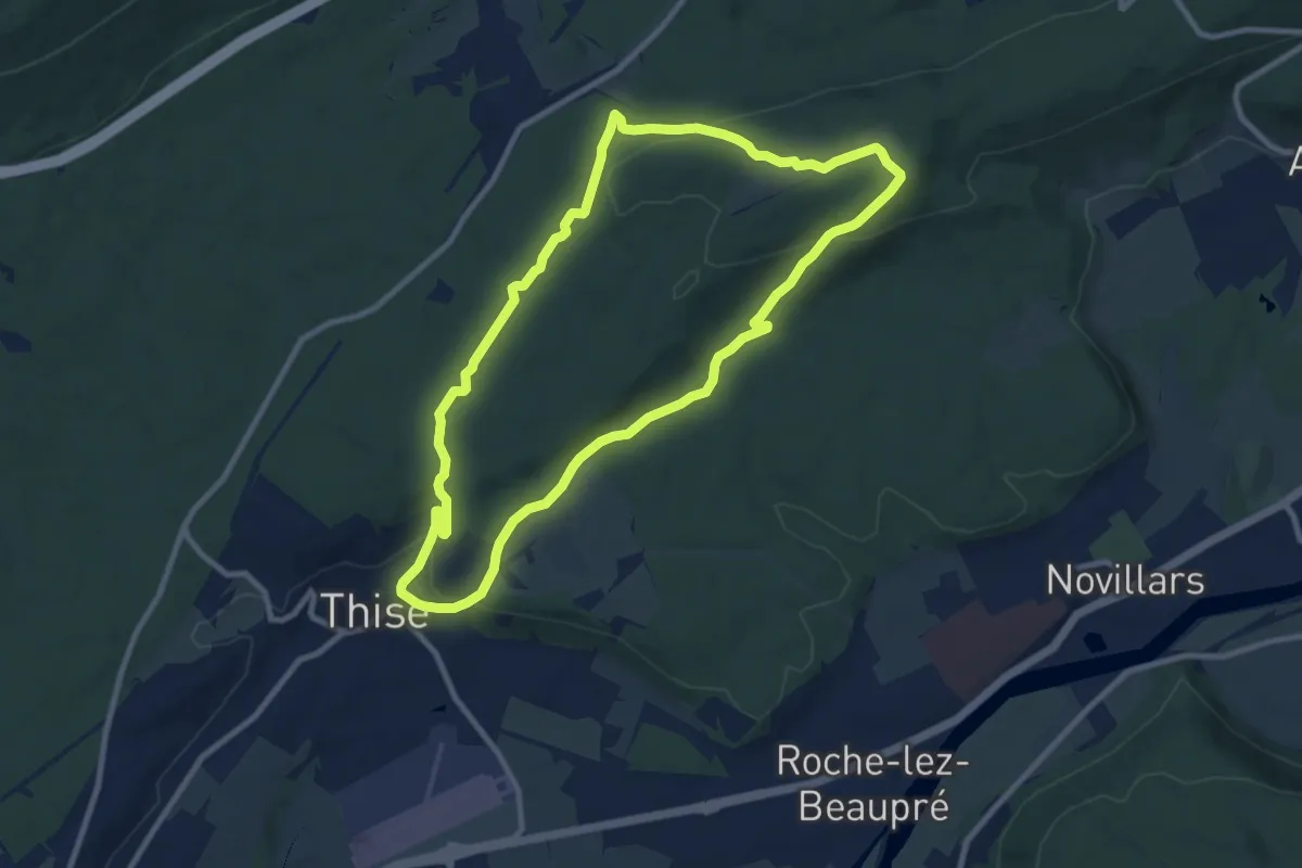
Medium · Trail
Sentier des Dolines
9.3 km · ↑ 255 m · 2 h 52 min
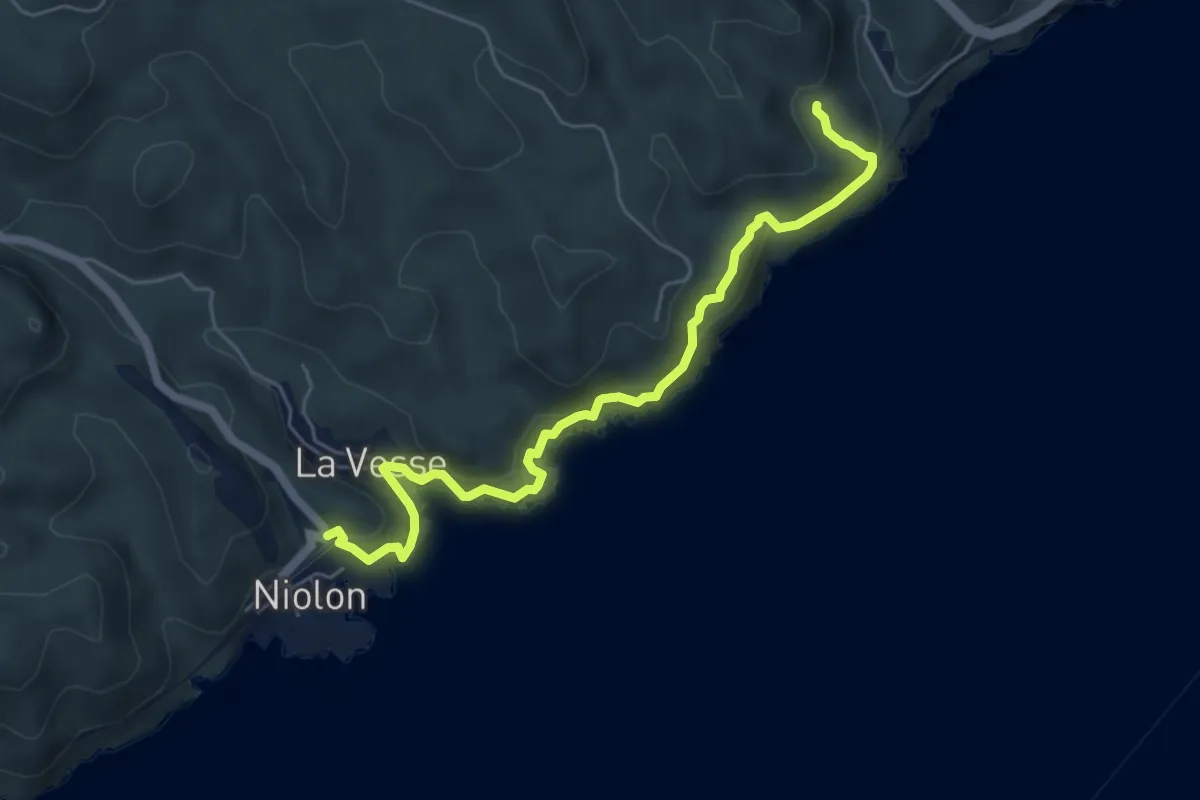
Demanding · Trail
Sentier des Douaniers
6.2 km · ↑ 318 m · 2 h 9 min
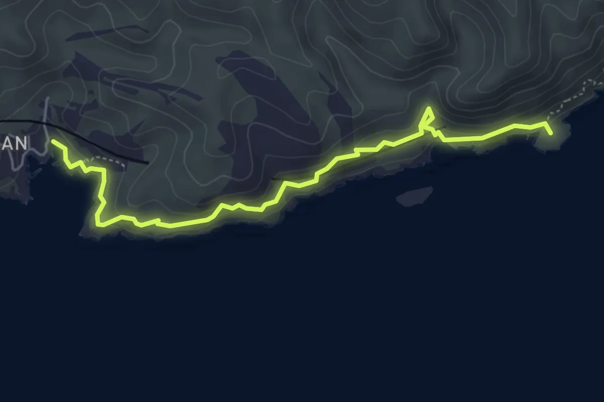
Demanding · Summit
Sentier des Douaniers
5.6 km · ↑ 348 m · 2 h 5 min
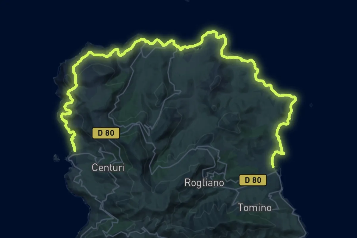
Demanding · Trail
Sentier des Douaniers du Cap Corse
22.8 km · ↑ 885 m · 7 h 38 min
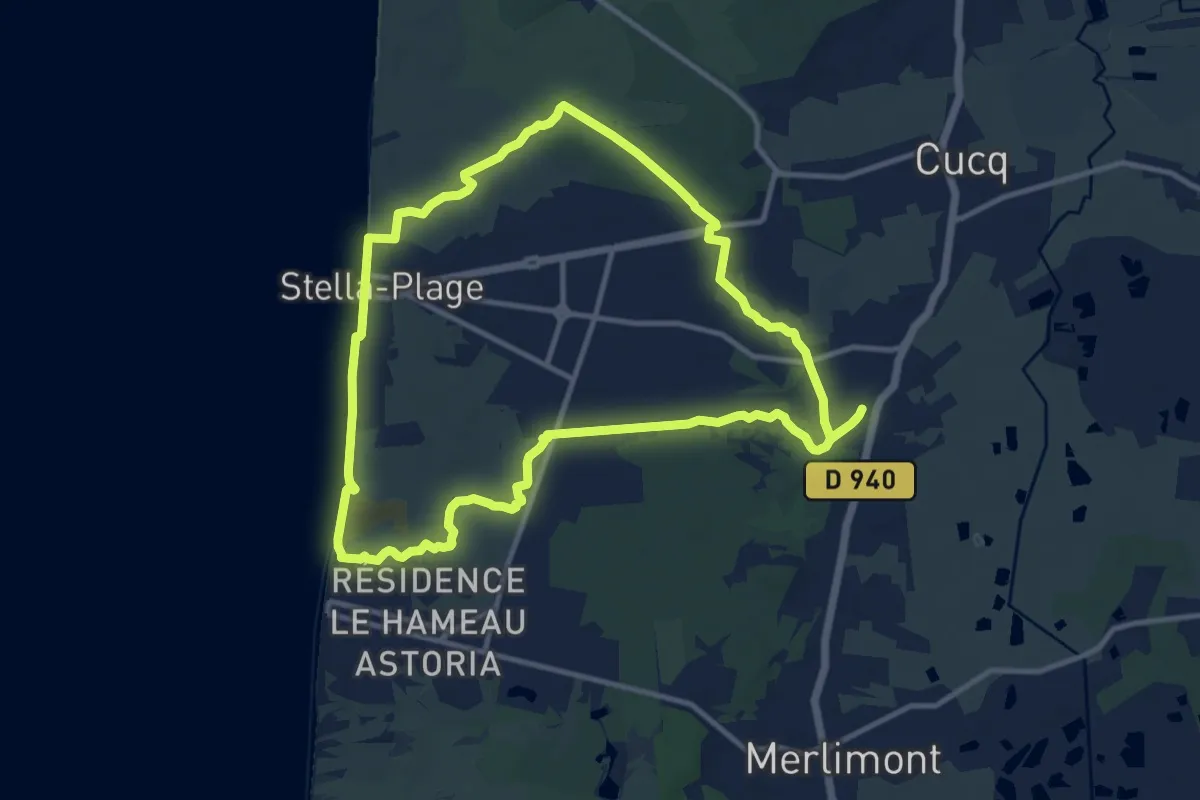
Medium · Trail
Sentier des Dunes
10.6 km · ↑ 39 m · 2 h 44 min
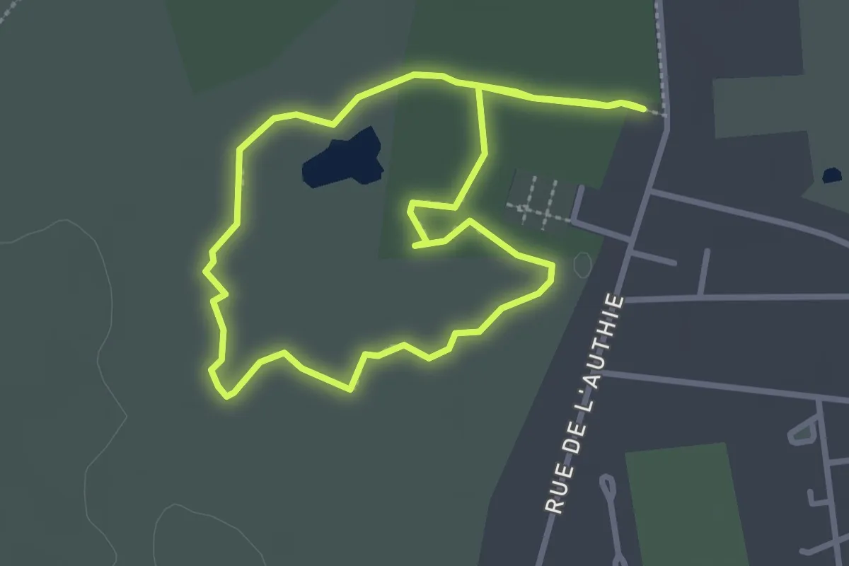
Easy · Trail
Sentier des Dunes de l'Authie
2.4 km · ↑ 0 m · 36 min
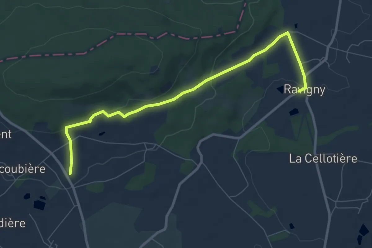
Easy · Trail
Sentier des écoliers
7.2 km · ↑ 176 m · 2 h 5 min
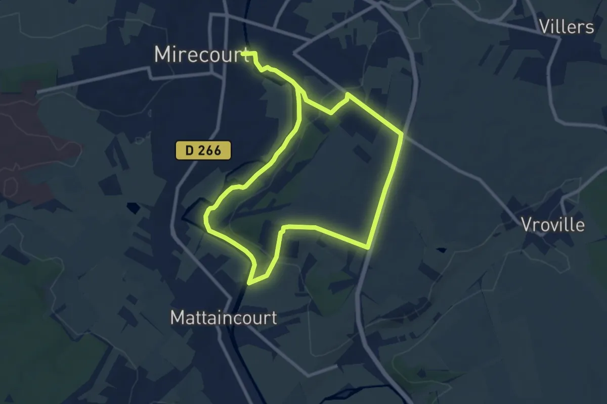
Easy · Trail
Sentier des Écoliers
6.6 km · ↑ 111 m · 1 h 53 min
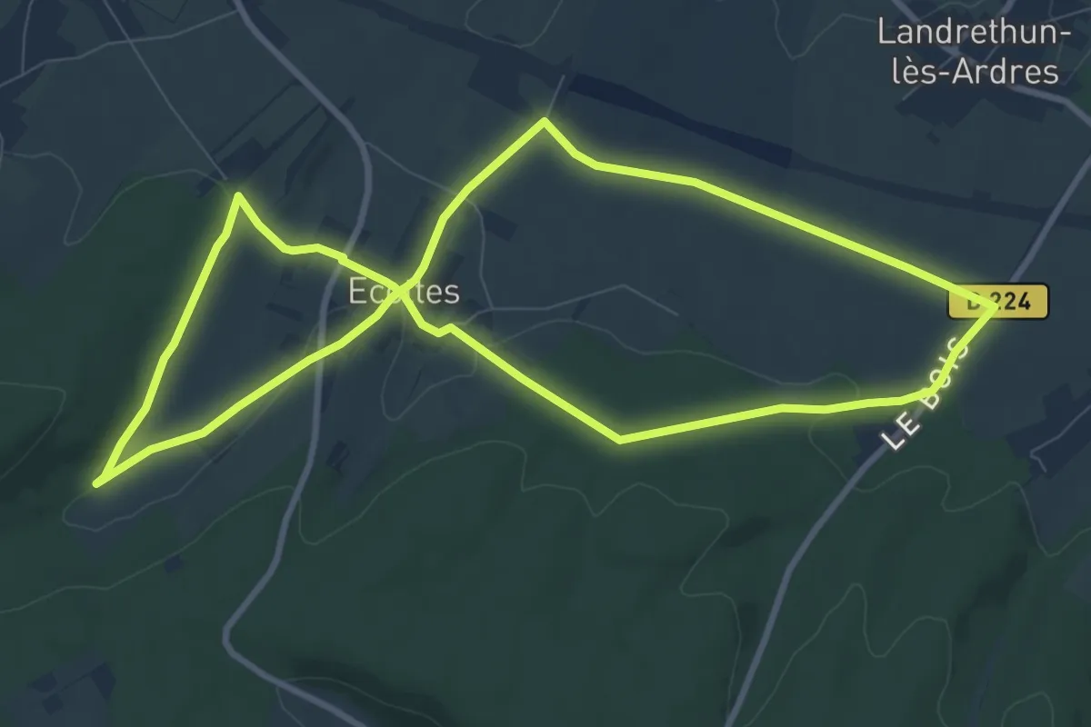
Medium · Trail
Sentier des Ecottiers
8.7 km · ↑ 149 m · 2 h 30 min
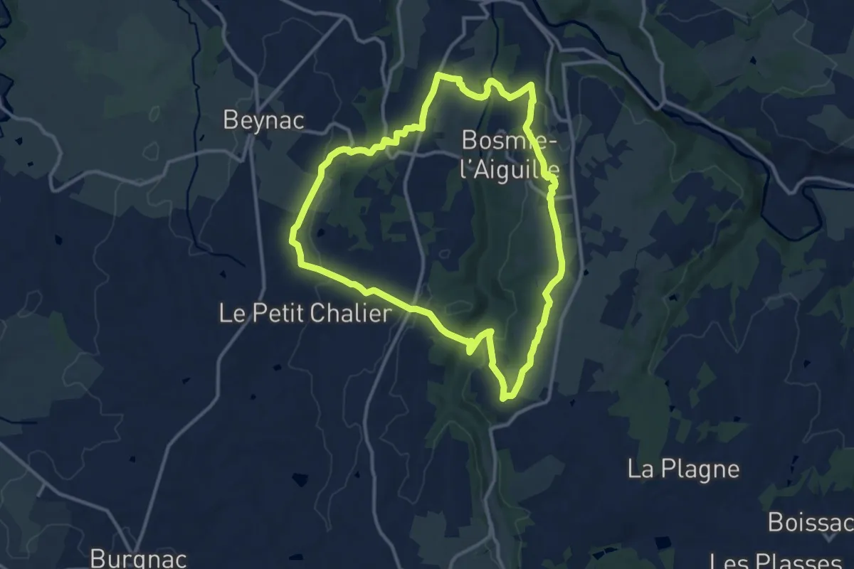
Medium · Trail
Sentier des Écrevisses
11.7 km · ↑ 224 m · 3 h 25 min
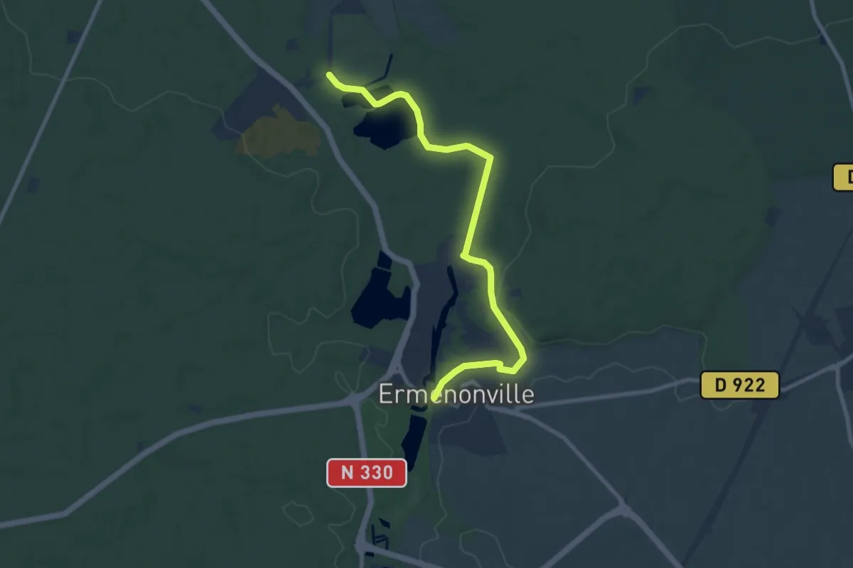
Medium · Trail
Sentier des Ecrivains
8.4 km · ↑ 66 m · 2 h 7 min
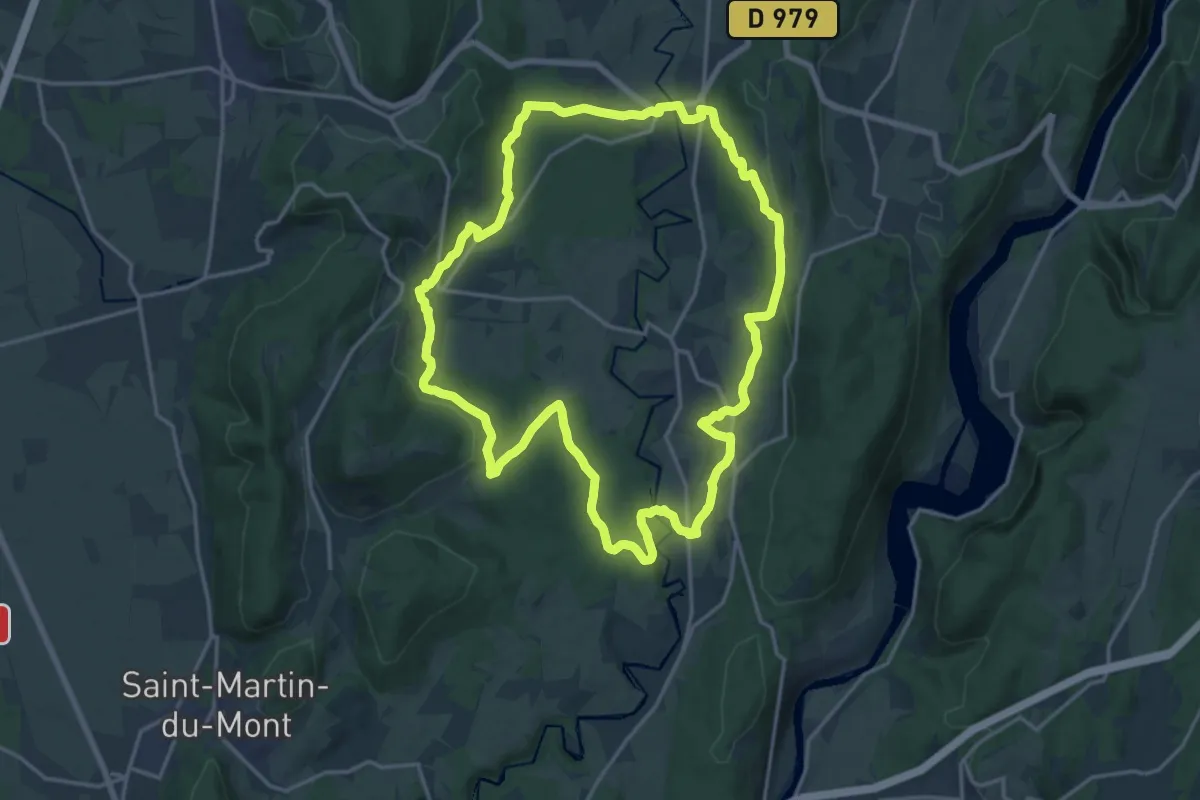
Demanding · Trail
Sentier des écureuils
18.1 km · ↑ 344 m · 5 h 16 min