Trails in France
15,926 hiking trails, each with its route, climb, walking time and grade.
All trails, page 258 of 332
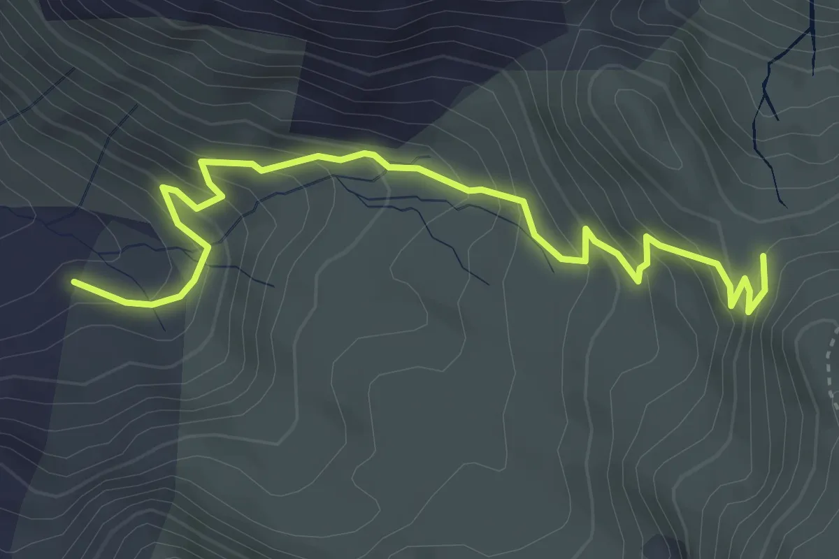
Medium · Cabin
Sentier du Refuge au Col de Larry PNP
4.8 km · ↑ 391 m · 1 h 58 min
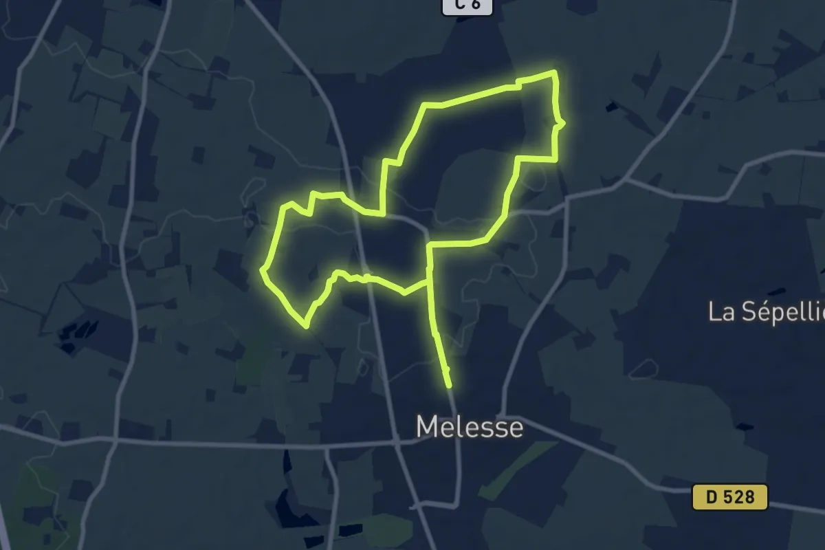
Medium · Trail
Sentier du Rocher Blanc
14.9 km · ↑ 90 m · 3 h 43 min
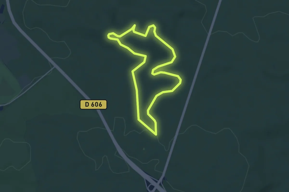
Easy · Trail
Sentier du Rocher Cassepot
3.4 km · ↑ 38 m · 56 min
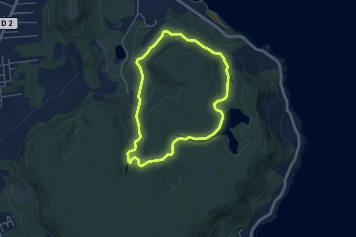
Easy · Trail
Sentier du Rorota
4.8 km · ↑ 145 m · 1 h 32 min
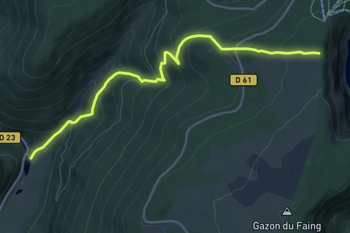
Medium · Trail
Sentier du Ruhlock
8.6 km · ↑ 546 m · 3 h 13 min
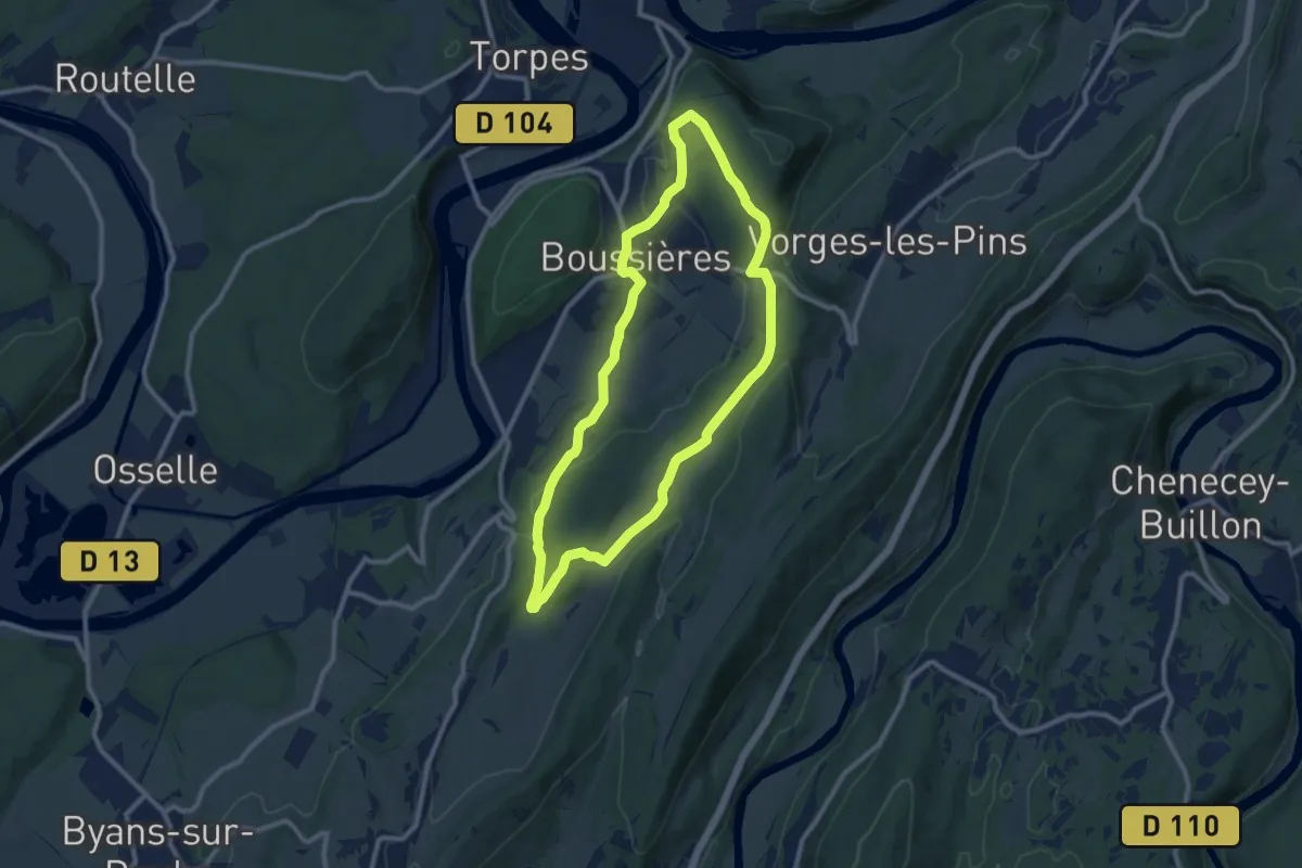
Medium · Trail
Sentier du Ruisseau
9.3 km · ↑ 248 m · 2 h 52 min
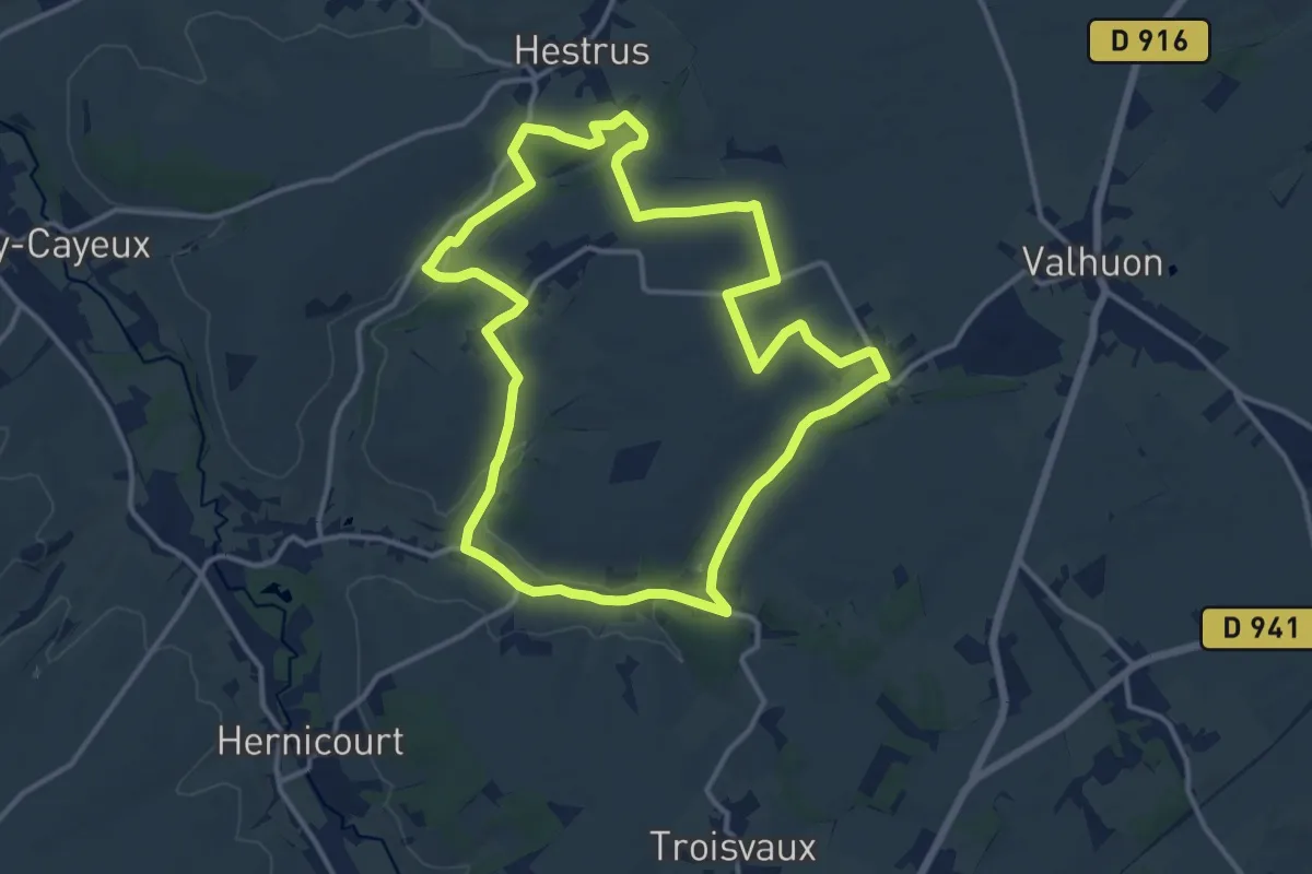
Medium · Trail
Sentier du Saint-Benoît
12.5 km · ↑ 139 m · 3 h 26 min
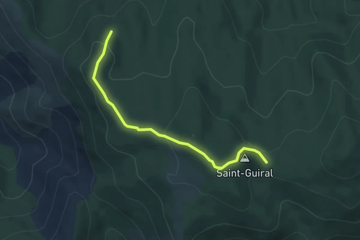
Easy · Trail
Sentier du Saint-Guiral
2.2 km · ↑ 123 m · 46 min
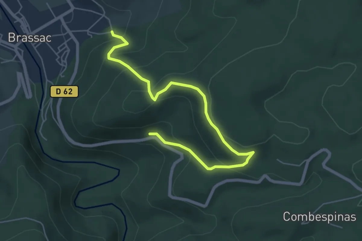
Medium · Trail
Sentier du Salas
5.9 km · ↑ 329 m · 2 h 6 min
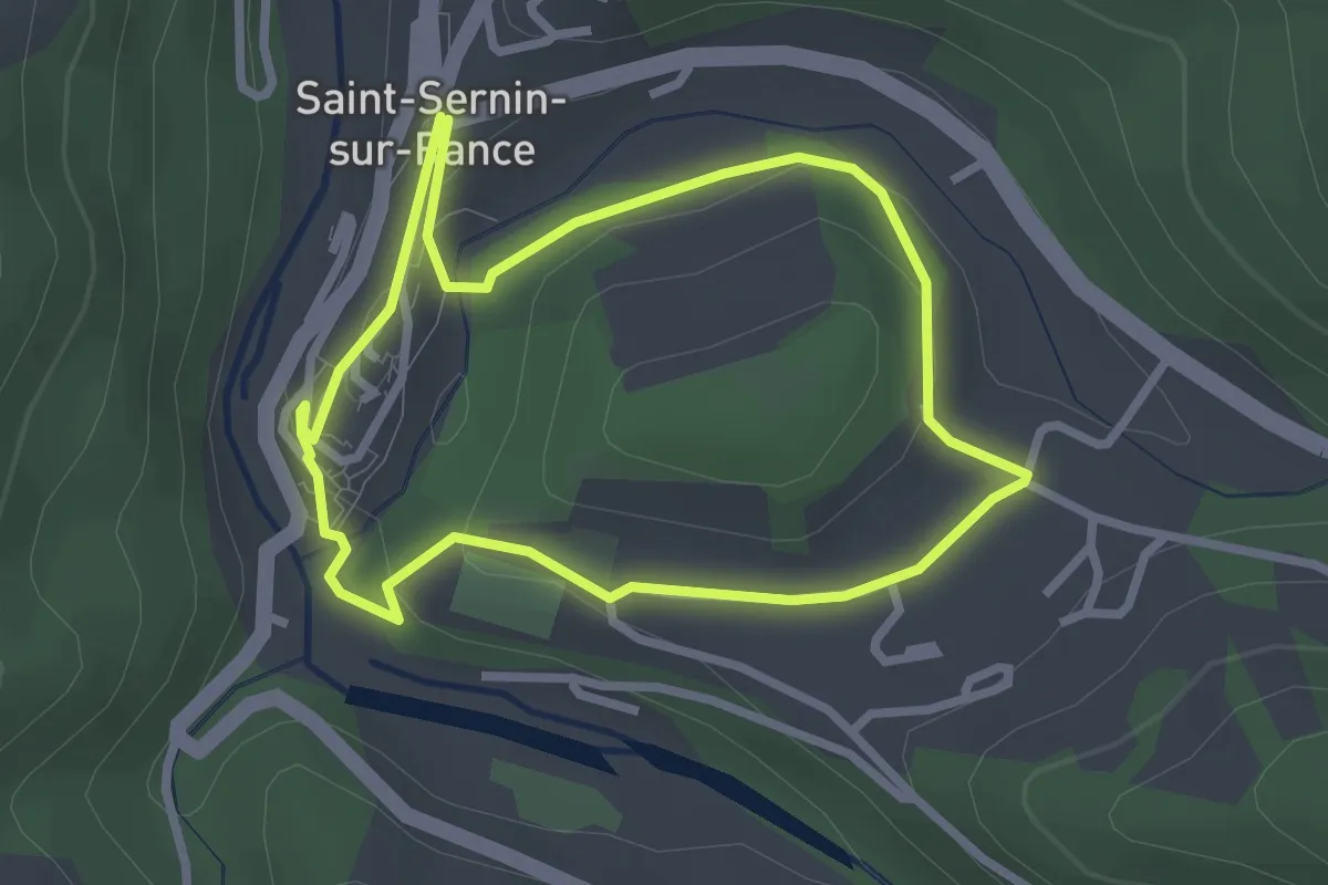
Easy · Trail
Sentier du Salès et du Vieux Saint-Sernin
2.6 km · ↑ 62 m · 47 min
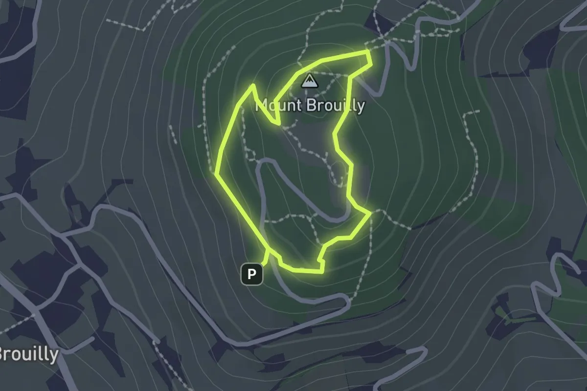
Medium · Summit
Sentier du Sommet
1.5 km · ↑ 74 m · 32 min
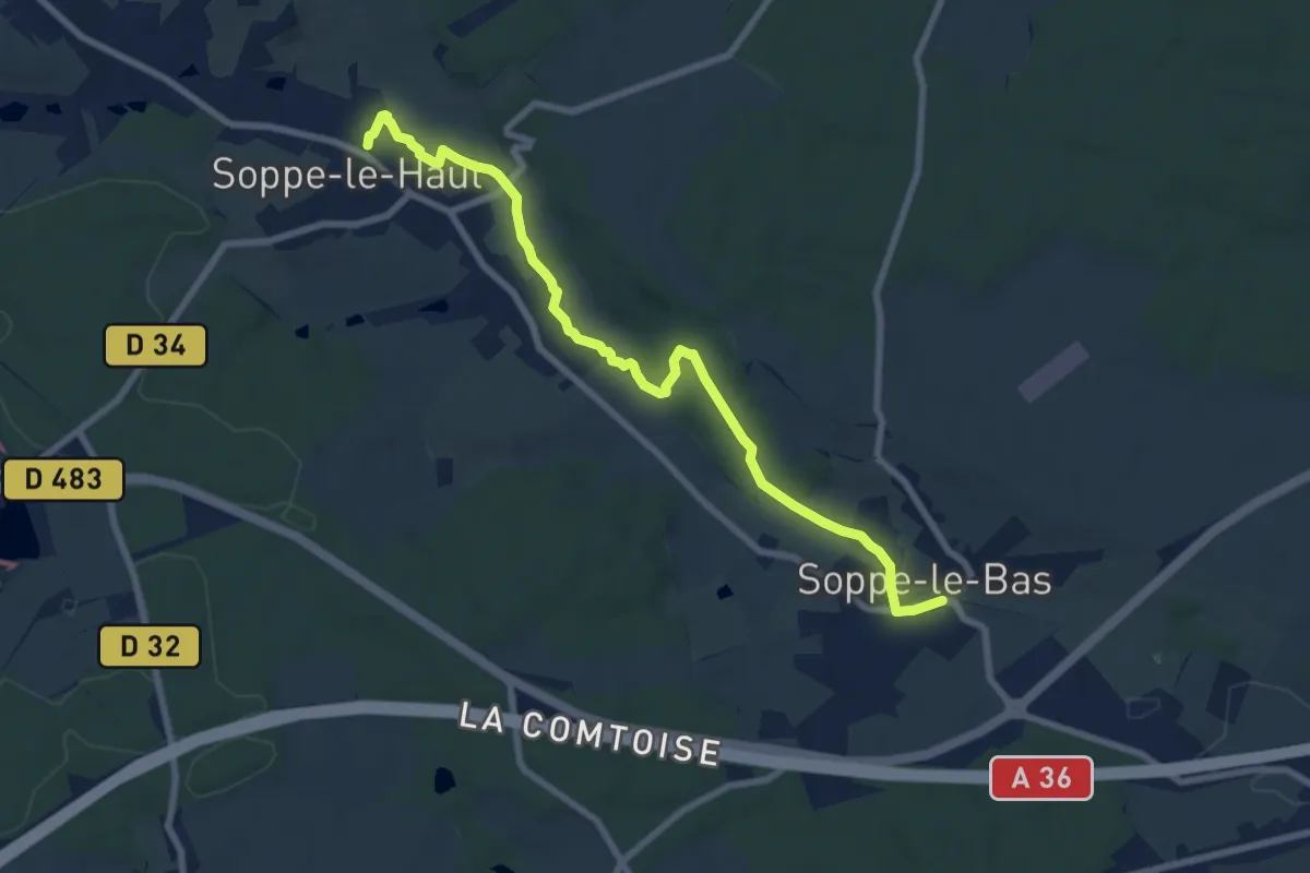
Medium · Trail
Sentier du Soultzbach
8.1 km · ↑ 95 m · 2 h 8 min
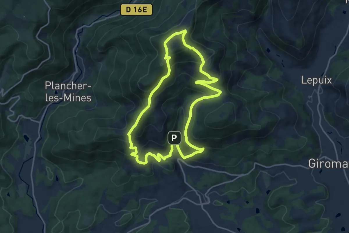
Medium · Summit
Sentier du Souvenir
11.9 km · ↑ 613 m · 4 h 19 min
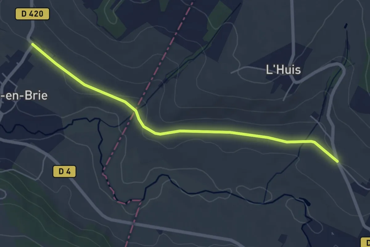
Easy · Trail
Sentier du Surmelin
4.6 km · ↑ 47 m · 1 h 11 min
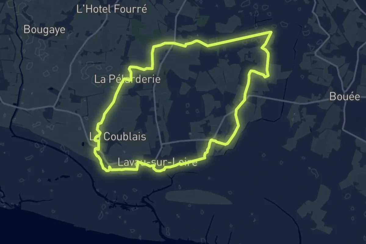
Medium · Trail
Sentier du Syl au Trou Bleu
13.9 km · ↑ 13 m · 3 h 30 min
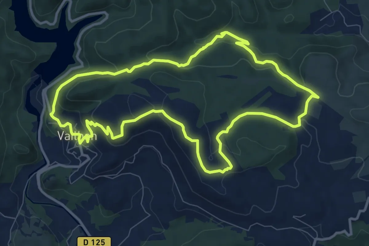
Medium · Summit
Sentier du Temple
9.2 km · ↑ 275 m · 2 h 54 min
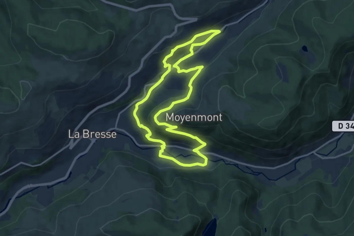
Medium · Trail
Sentier du Textile
9.6 km · ↑ 371 m · 3 h 12 min
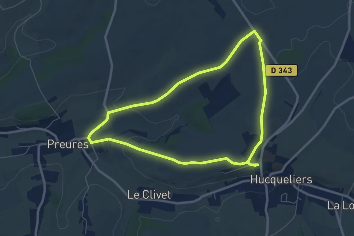
Easy · Trail
Sentier du Thiévremont
5.4 km · ↑ 81 m · 1 h 32 min
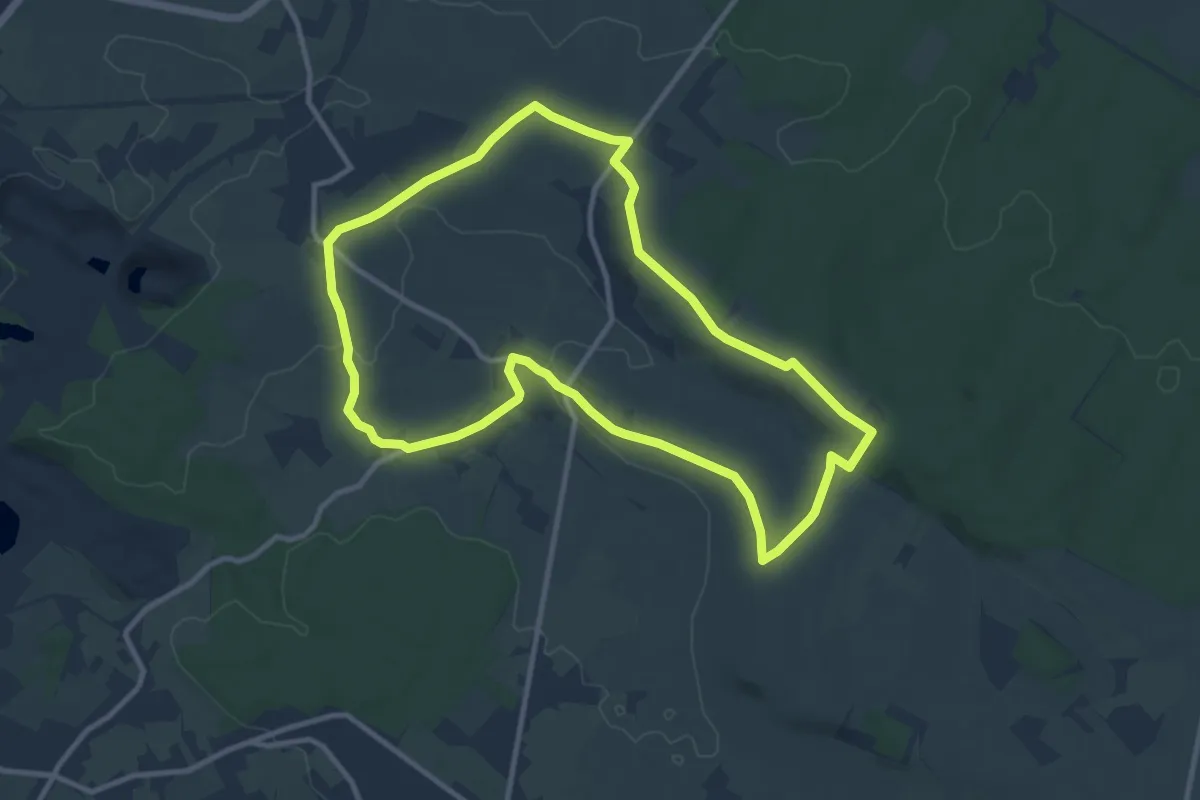
Medium · Trail
Sentier du Tilleul
9.7 km · ↑ 102 m · 2 h 38 min
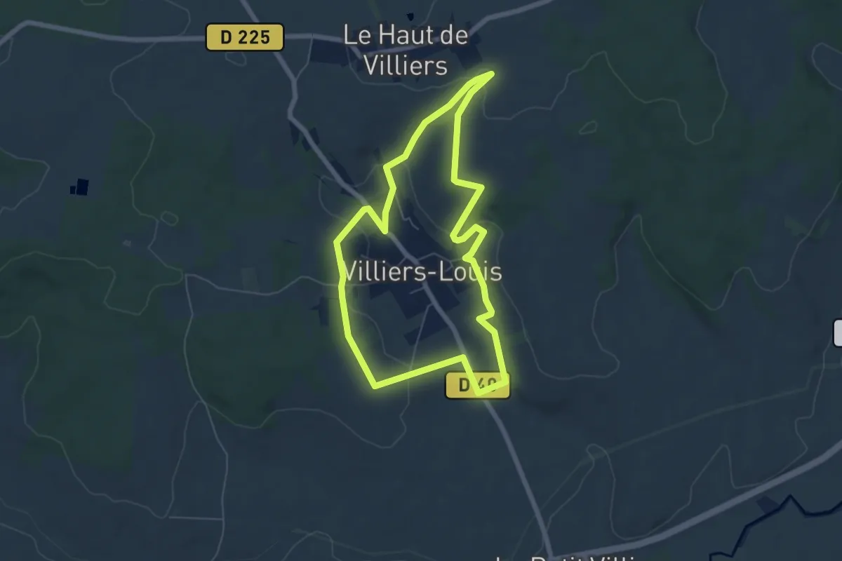
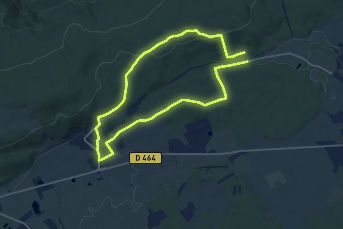
Easy · Trail
Sentier du tour de du clocher de Villiers-Louis
5.8 km · ↑ 129 m · 1 h 43 min
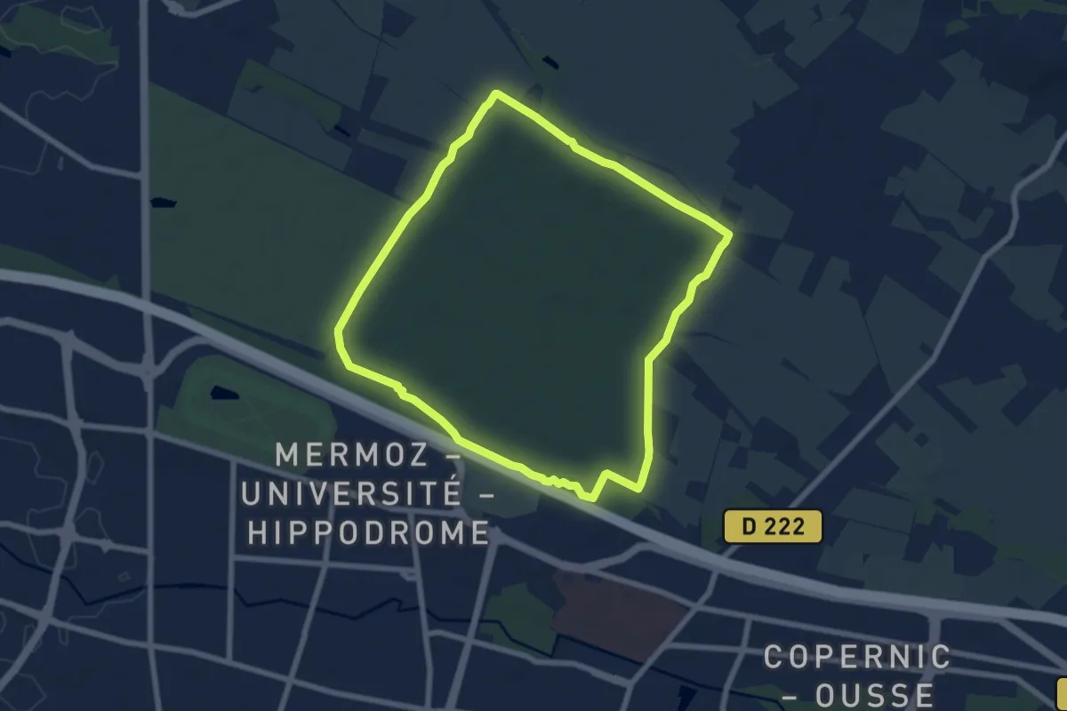
Easy · Trail
Sentier du Tour des Landes
8.0 km · ↑ 190 m · 2 h 23 min
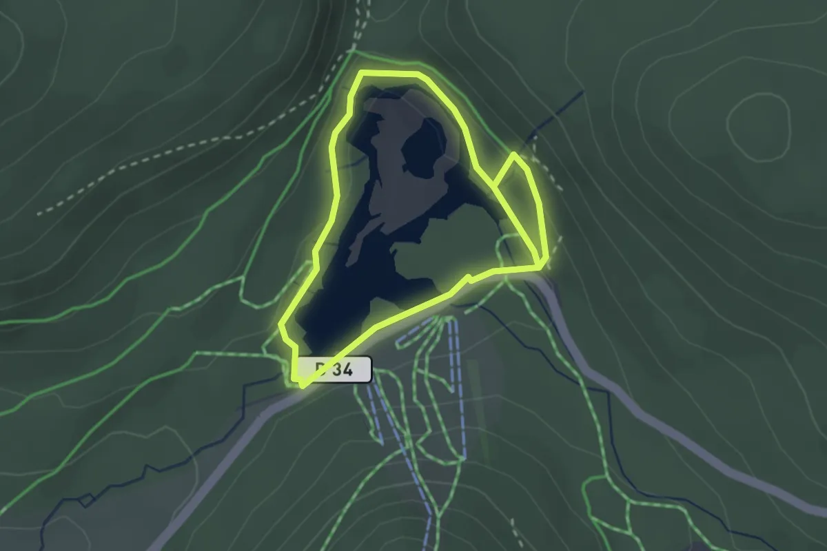
Easy · Trail
Sentier du tour du bois
6.9 km · ↑ 57 m · 1 h 52 min
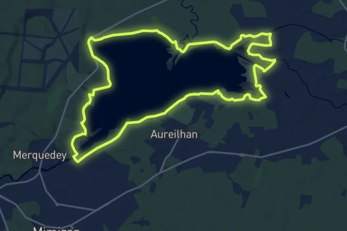
Easy · Trail
Sentier du tour du lac
2.1 km · ↑ 80 m · 42 min
Medium · Trail
Sentier du Tour du Lac
13.6 km · ↑ 59 m · 3 h 31 min
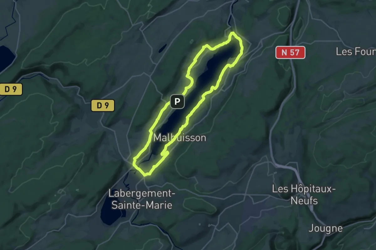
Demanding · Trail
Sentier du Tour du Lac
18.4 km · ↑ 308 m · 5 h 16 min
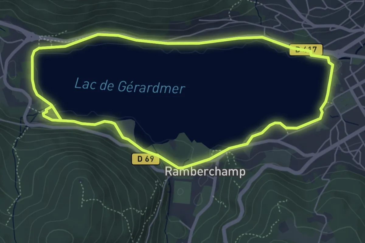
Demanding · Trail
Sentier du Tour du Lac
5.3 km · ↑ 44 m · 1 h 25 min
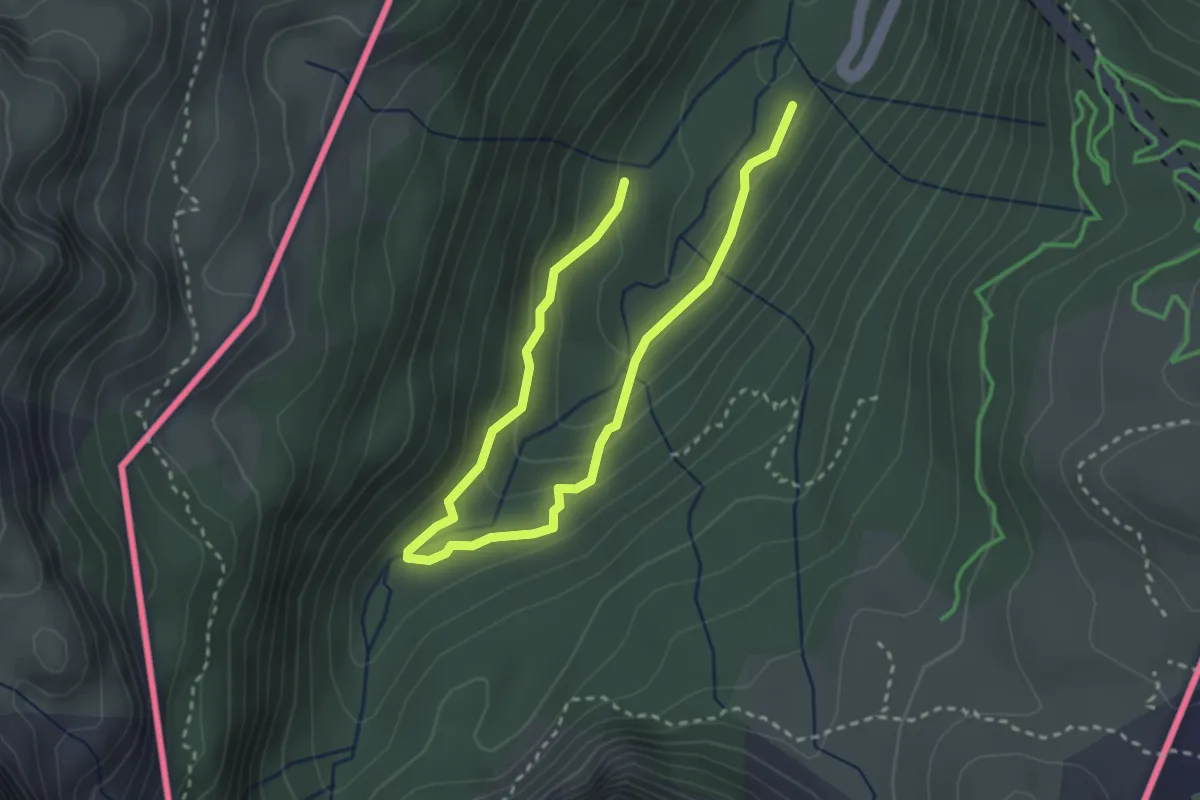
Easy · Trail
Sentier du Tour du Val d'Aspe PNP
4.2 km · ↑ 216 m · 1 h 27 min
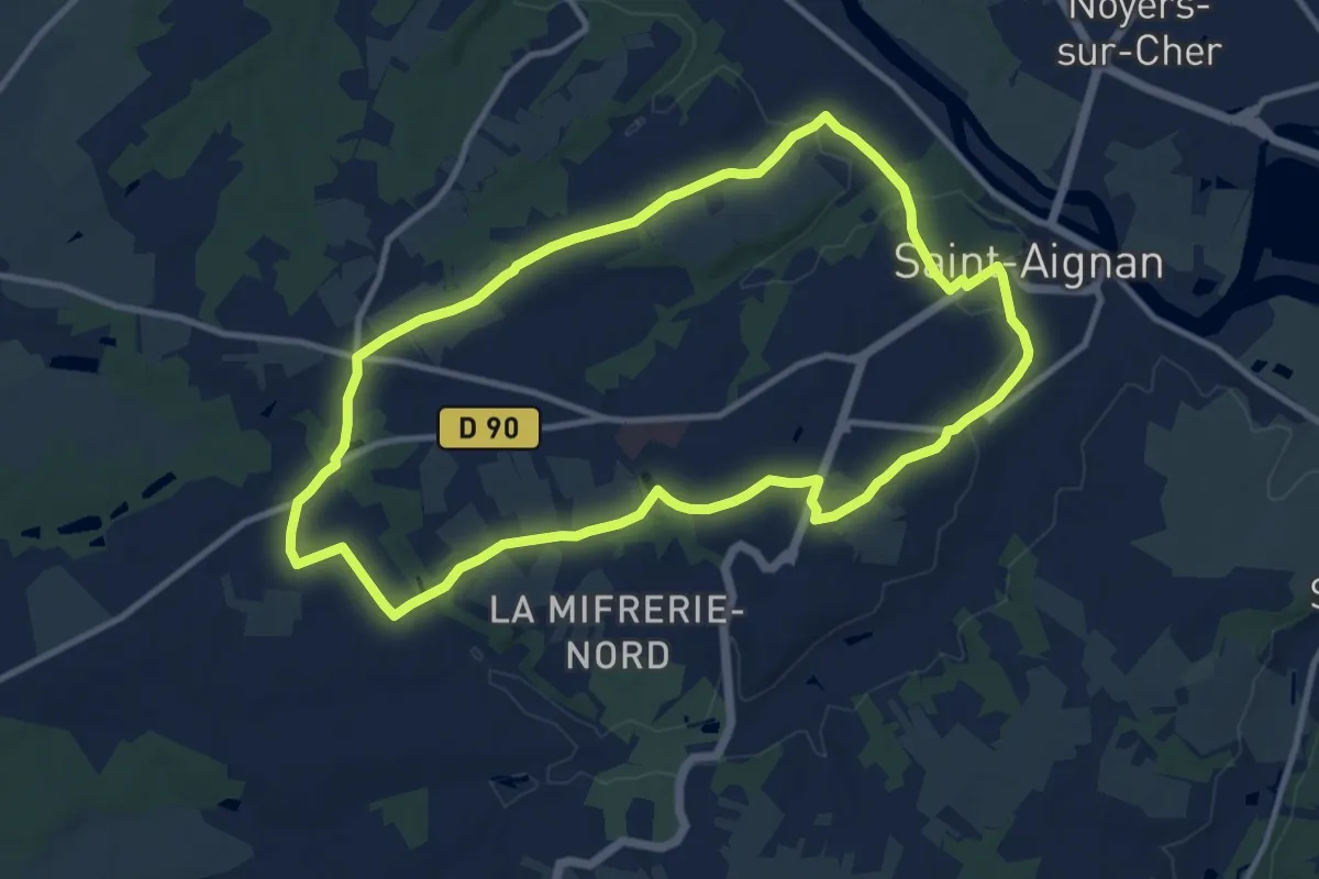
Medium · Trail
Sentier du Trainefeuilles
10.7 km · ↑ 125 m · 2 h 57 min
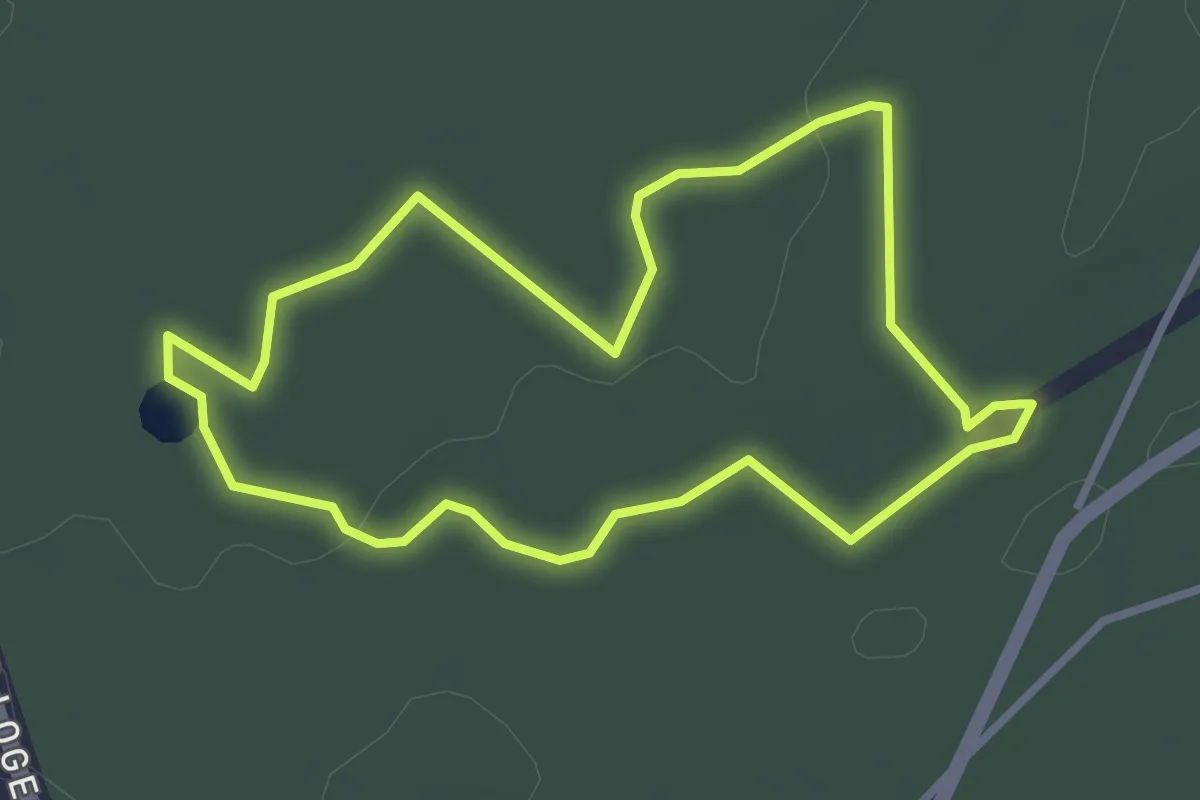
Easy · Trail
Sentier du Val
2.8 km · ↑ 19 m · 44 min
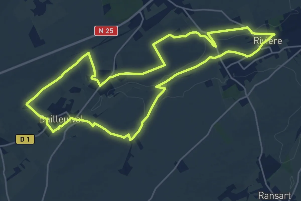
Medium · Trail
Sentier du Val du Crinchon
12.8 km · ↑ 99 m · 3 h 24 min
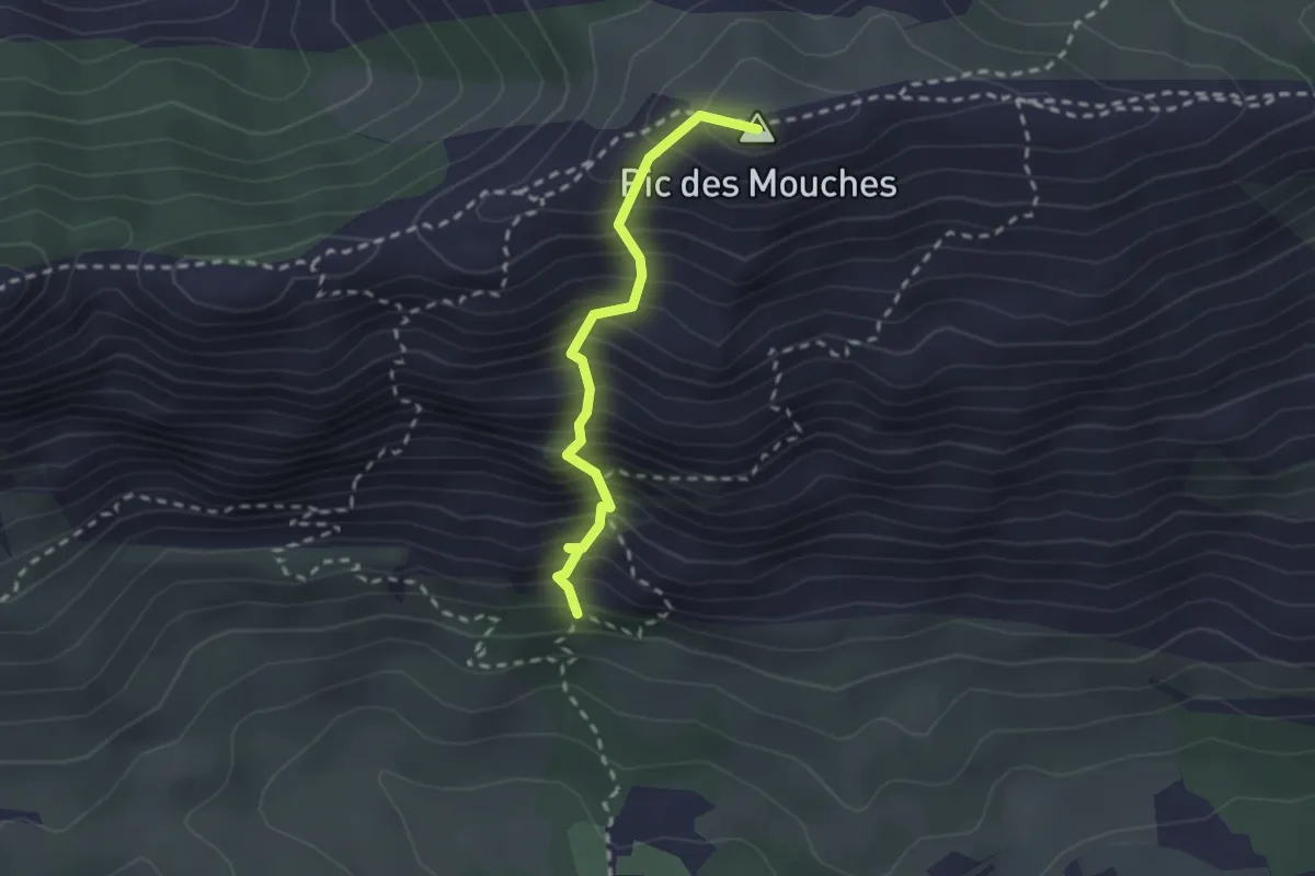
Expert · Summit
Sentier du vallon de la Tine
2.2 km · ↑ 458 m · 1 h 31 min
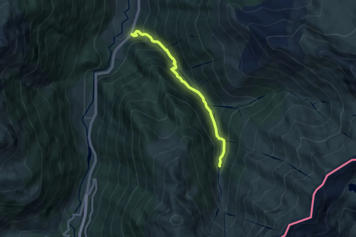
Medium · Trail
Sentier du Viaduc au Vallon d'Arnousse PNP
6.6 km · ↑ 600 m · 2 h 52 min
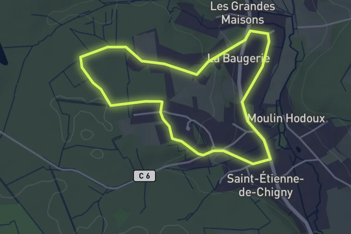
Easy · Trail
Sentier du Vieux Bourg - Saint-Étienne-de-Chigny
3.4 km · ↑ 57 m · 58 min
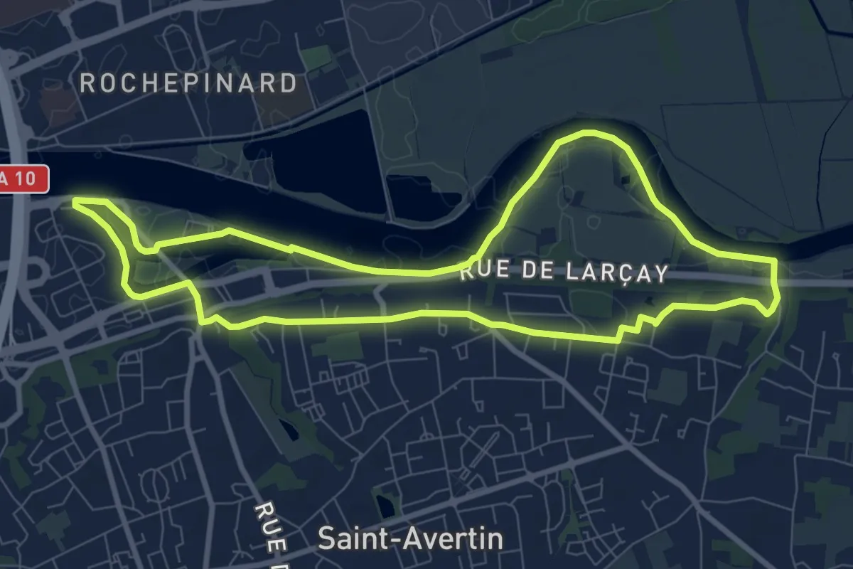
Medium · Trail
Sentier du vieux Cher, Cangé - Saint-Avertin
8.2 km · ↑ 65 m · 2 h 12 min
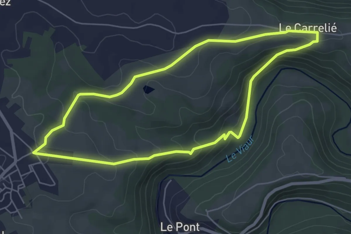
Easy · Trail
Sentier du Vieux Moulin
5.1 km · ↑ 174 m · 1 h 40 min
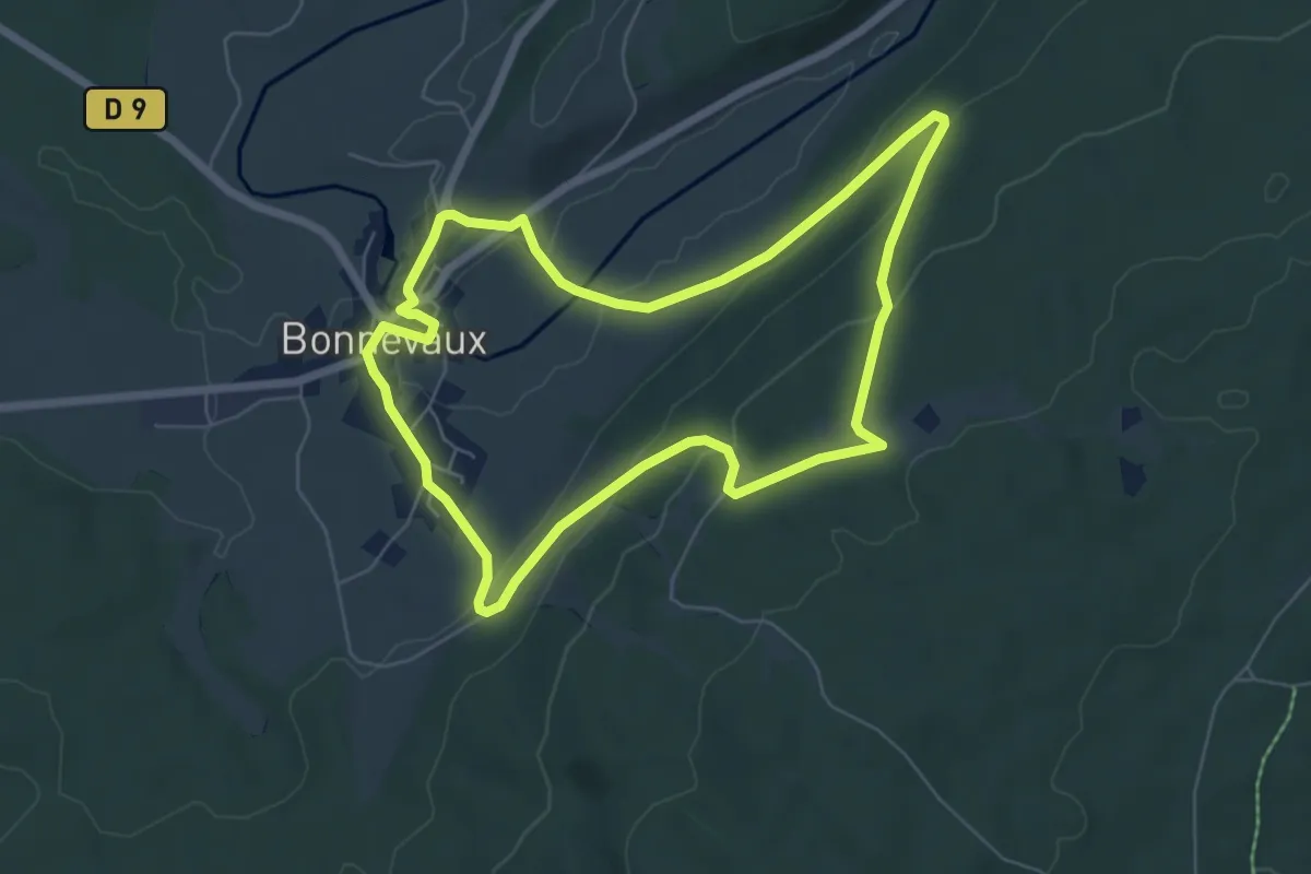
Easy · Trail
Sentier du Village de Bonevaux
6.2 km · ↑ 193 m · 1 h 58 min
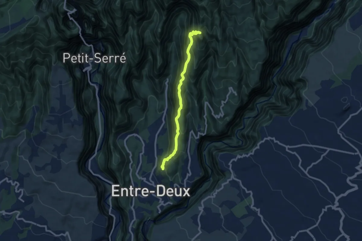
Demanding · Summit
Sentier du Zèbre
9.6 km · ↑ 830 m · 4 h 4 min
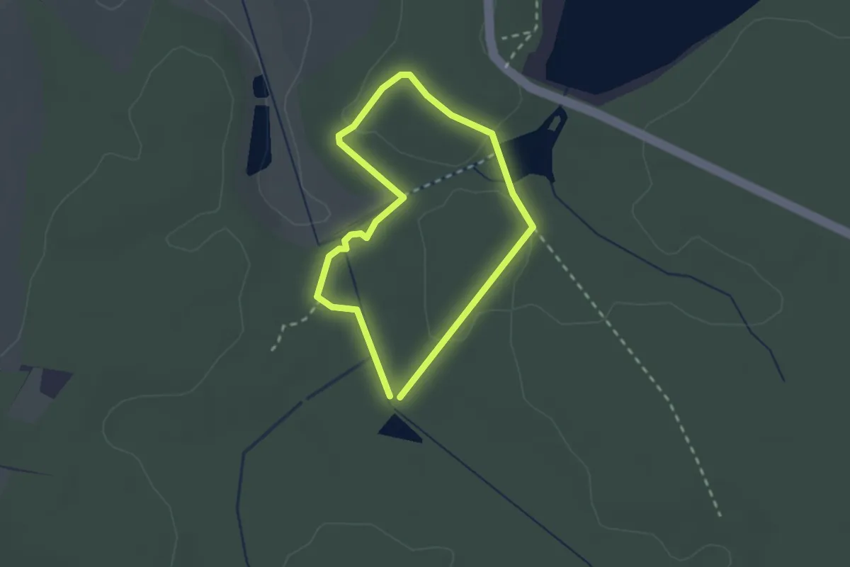
Easy · Trail
Sentier Écologique
1.8 km · ↑ 38 m · 32 min
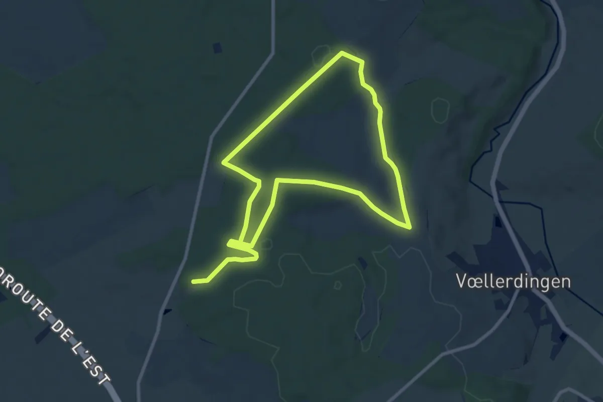
Easy · Trail
Sentier educatif
6.8 km · ↑ 97 m · 1 h 55 min
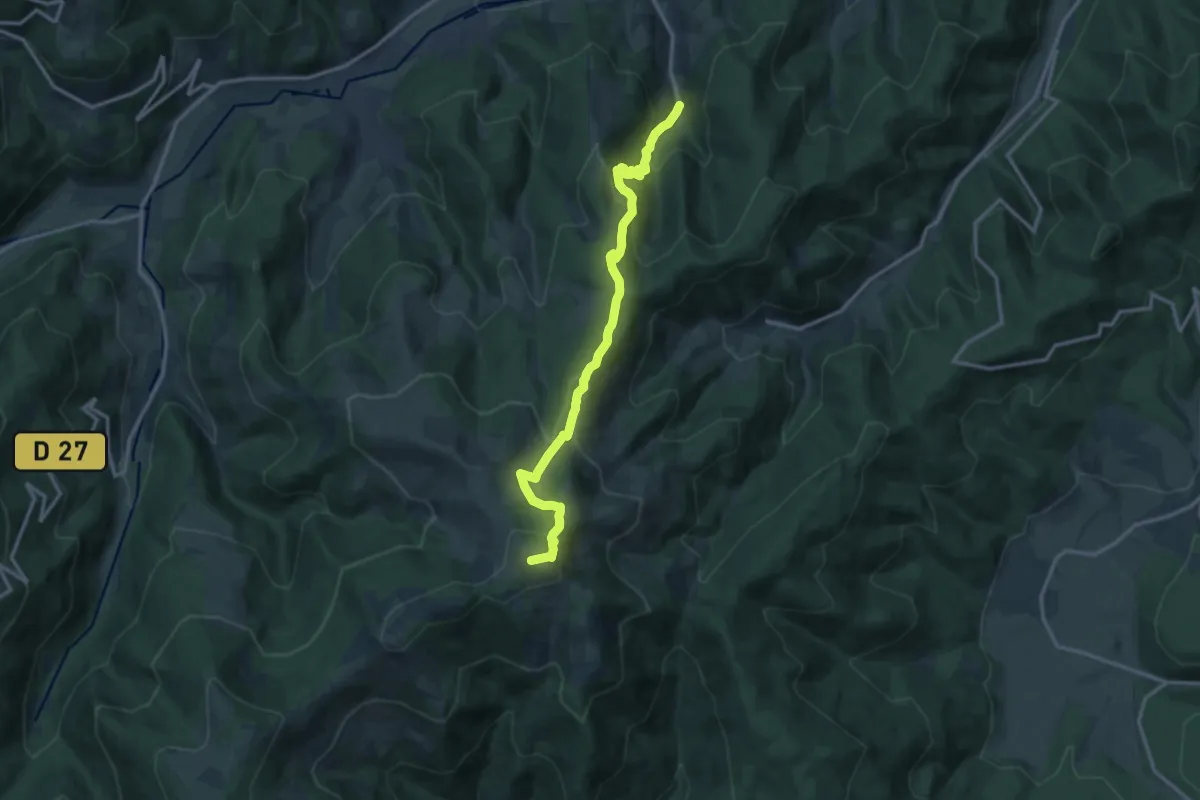
Medium · Summit
Sentier Emile Hertzog
13.7 km · ↑ 789 m · 4 h 56 min
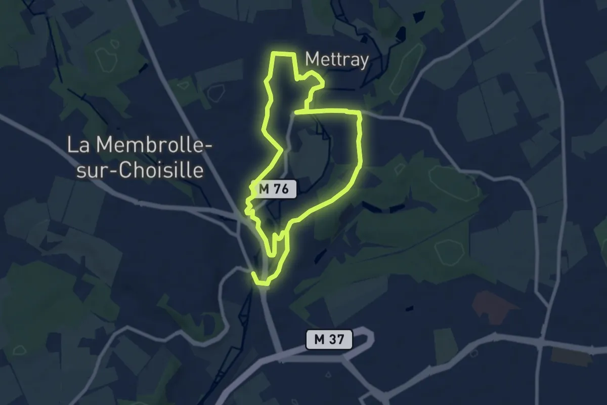
Easy · Trail
Sentier entre deux villages - La Membrolle-sur-Choisille
6.1 km · ↑ 59 m · 1 h 39 min
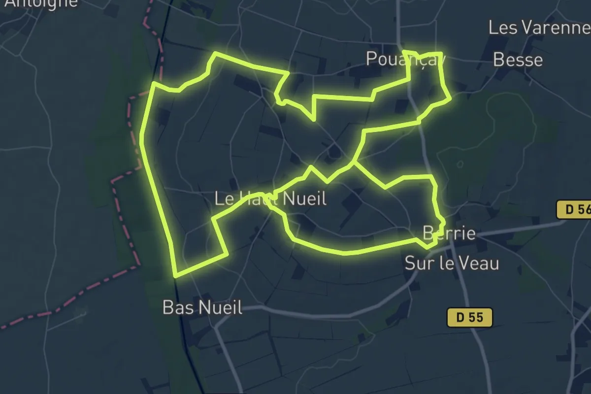
Demanding · Trail
Sentier entre Dive et Troglos
23.6 km · ↑ 230 m · 6 h 4 min
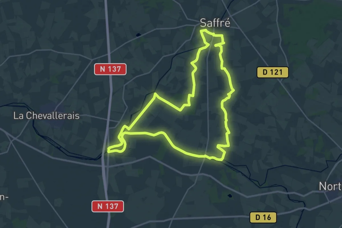
Demanding · Trail
Sentier entre Isac et Bout de Bois
23.4 km · ↑ 62 m · 5 h 59 min
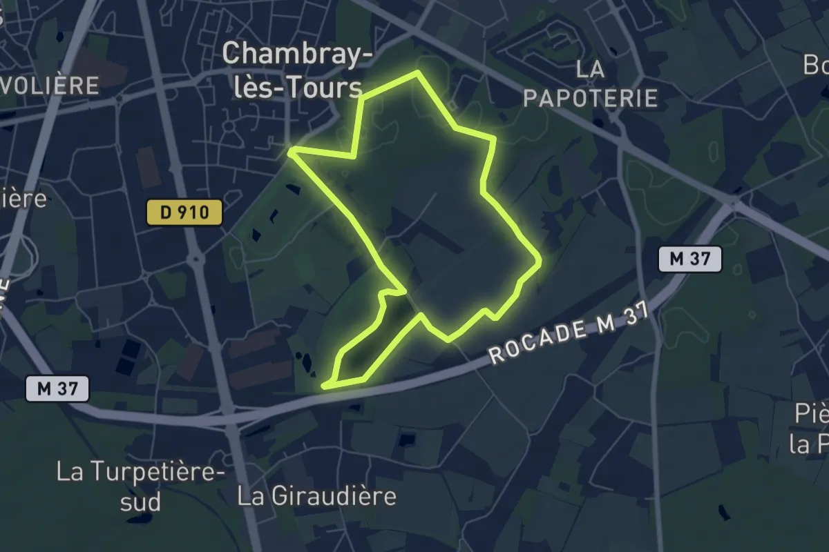
Easy · Trail
Sentier entre lac et bois - Chambray-lès-Tours
5.8 km · ↑ 36 m · 1 h 32 min
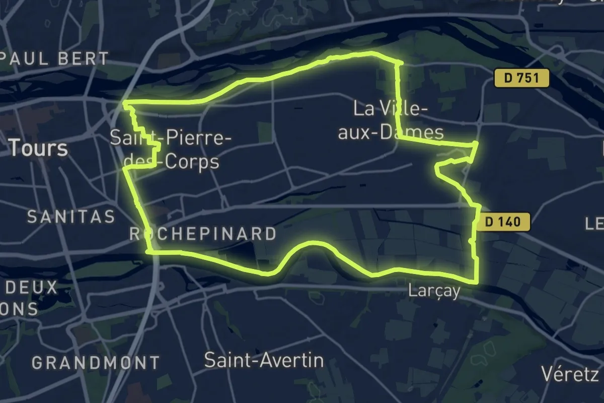
Demanding · Trail
Sentier entre Loire et Cher - Saint-Pierre-des-Corps
20.9 km · ↑ 17 m · 5 h 15 min
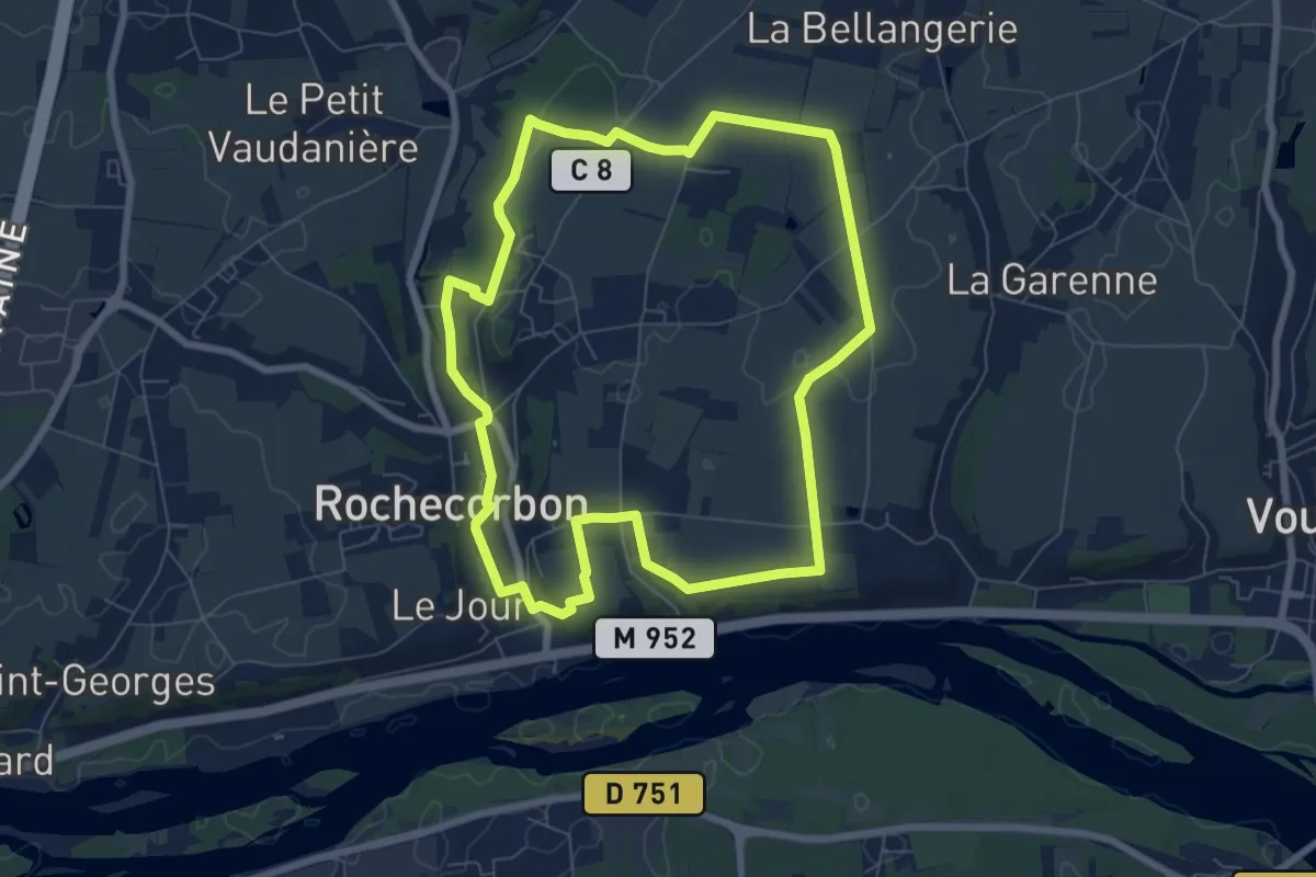
Easy · Trail
Sentier entre Loire et Vignes - Rochecorbon
7.2 km · ↑ 63 m · 1 h 57 min
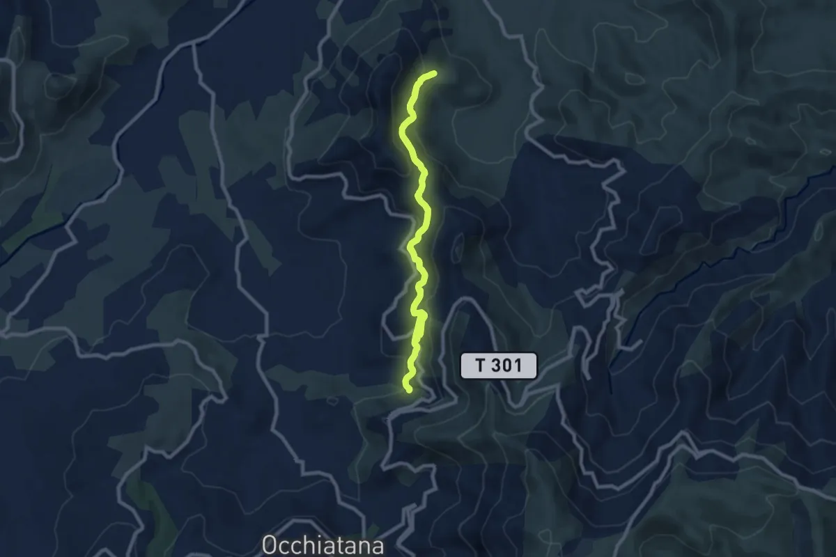
Medium · Trail
Sentier E Spelonche
8.4 km · ↑ 394 m · 2 h 58 min
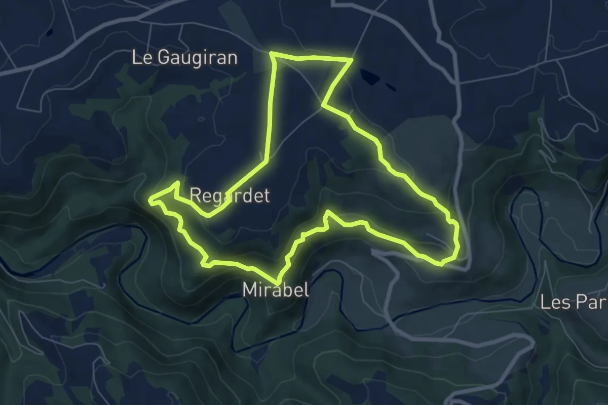
Medium · Trail
Sentier Ethno-Botanique en Ségala
7.2 km · ↑ 322 m · 2 h 29 min