Trails in France
15,926 hiking trails, each with its route, climb, walking time and grade.
All trails, page 259 of 332
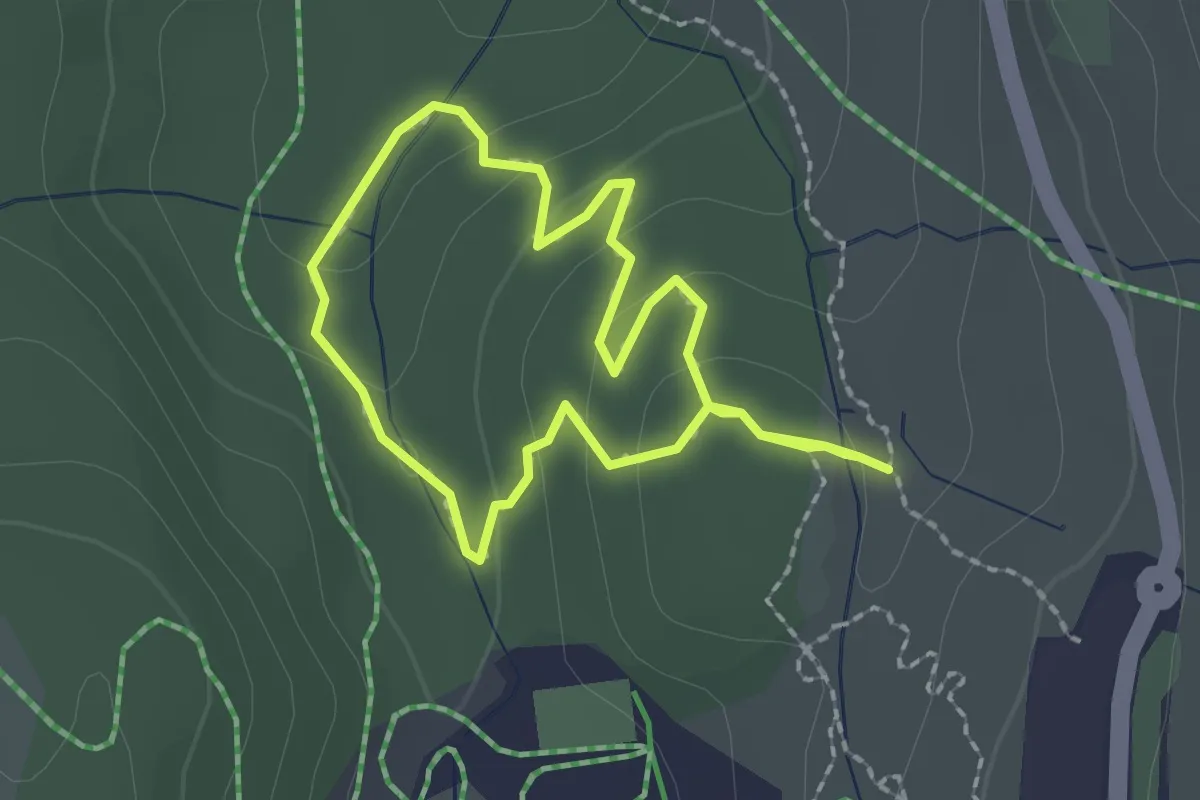
Easy · Trail
Sentier flore et milieux naturels
1.7 km · ↑ 52 m · 33 min
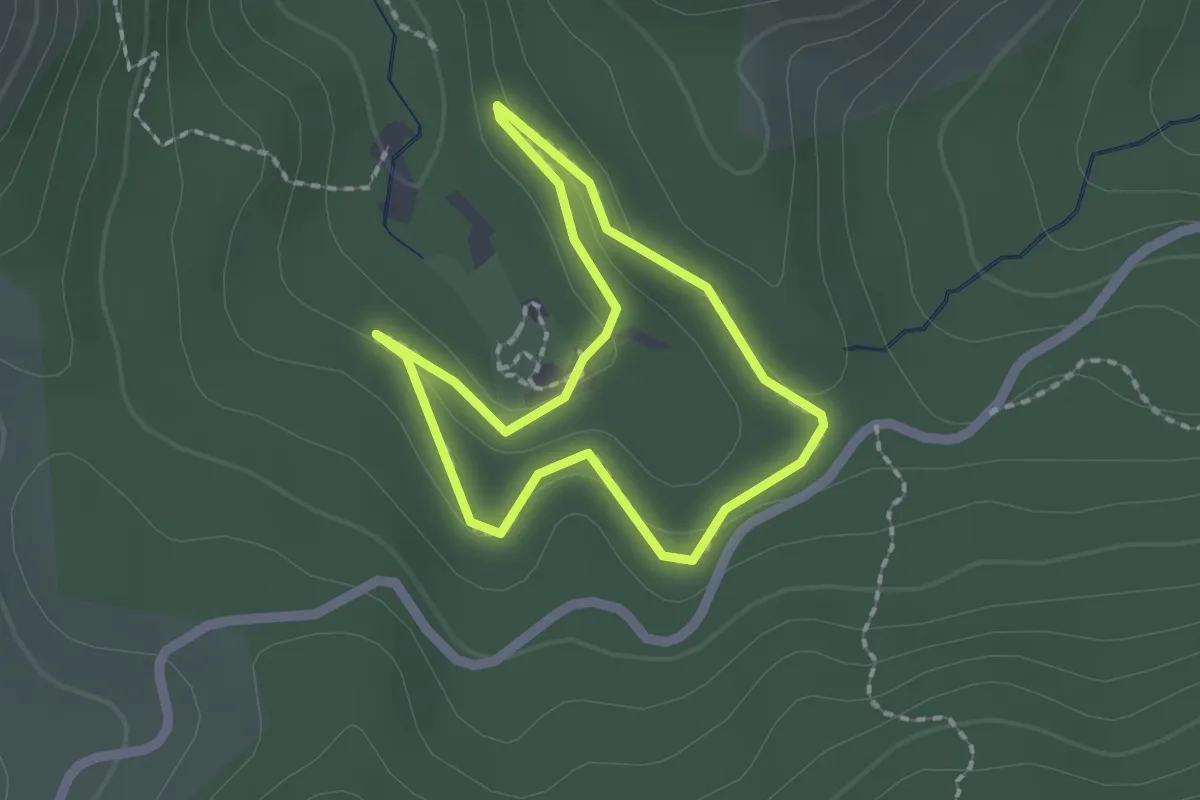
Easy · Trail
Sentier Forestier de la Pineraie
1.7 km · ↑ 38 m · 30 min
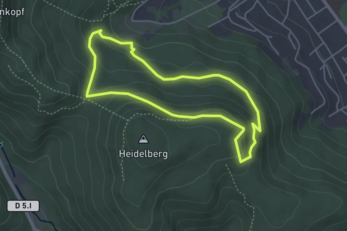
Easy · Trail
Sentier forestier de l'Axwald
3.5 km · ↑ 130 m · 1 h 9 min
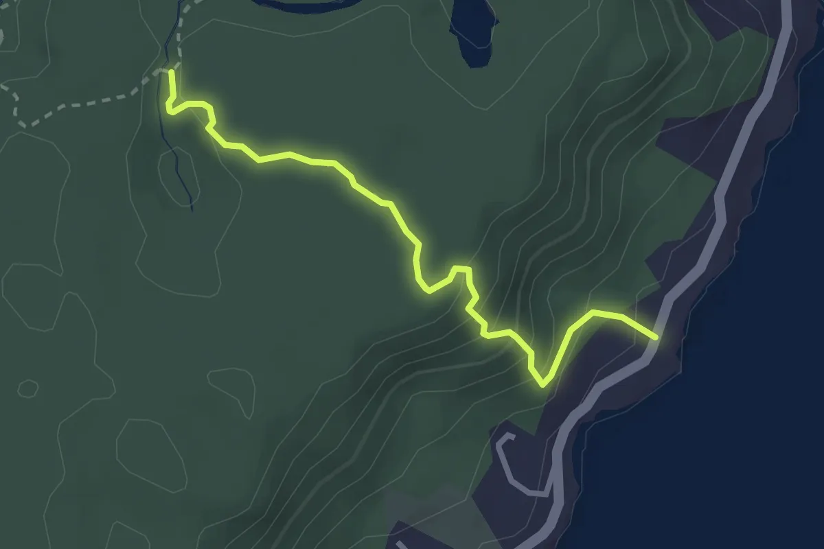
Easy · Trail
Sentier Fort Diamant
3.8 km · ↑ 189 m · 1 h 18 min
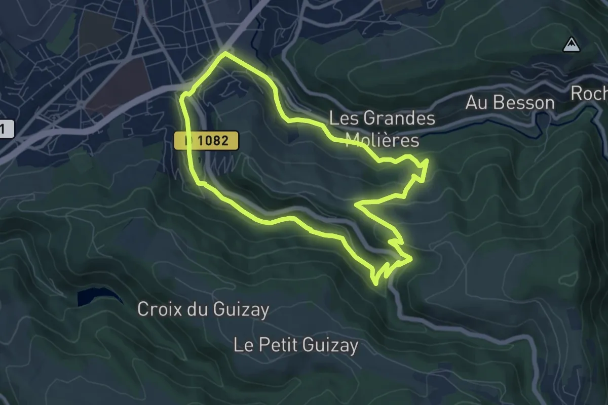
Easy · Trail
Sentier Furan Furet
7.7 km · ↑ 254 m · 2 h 29 min
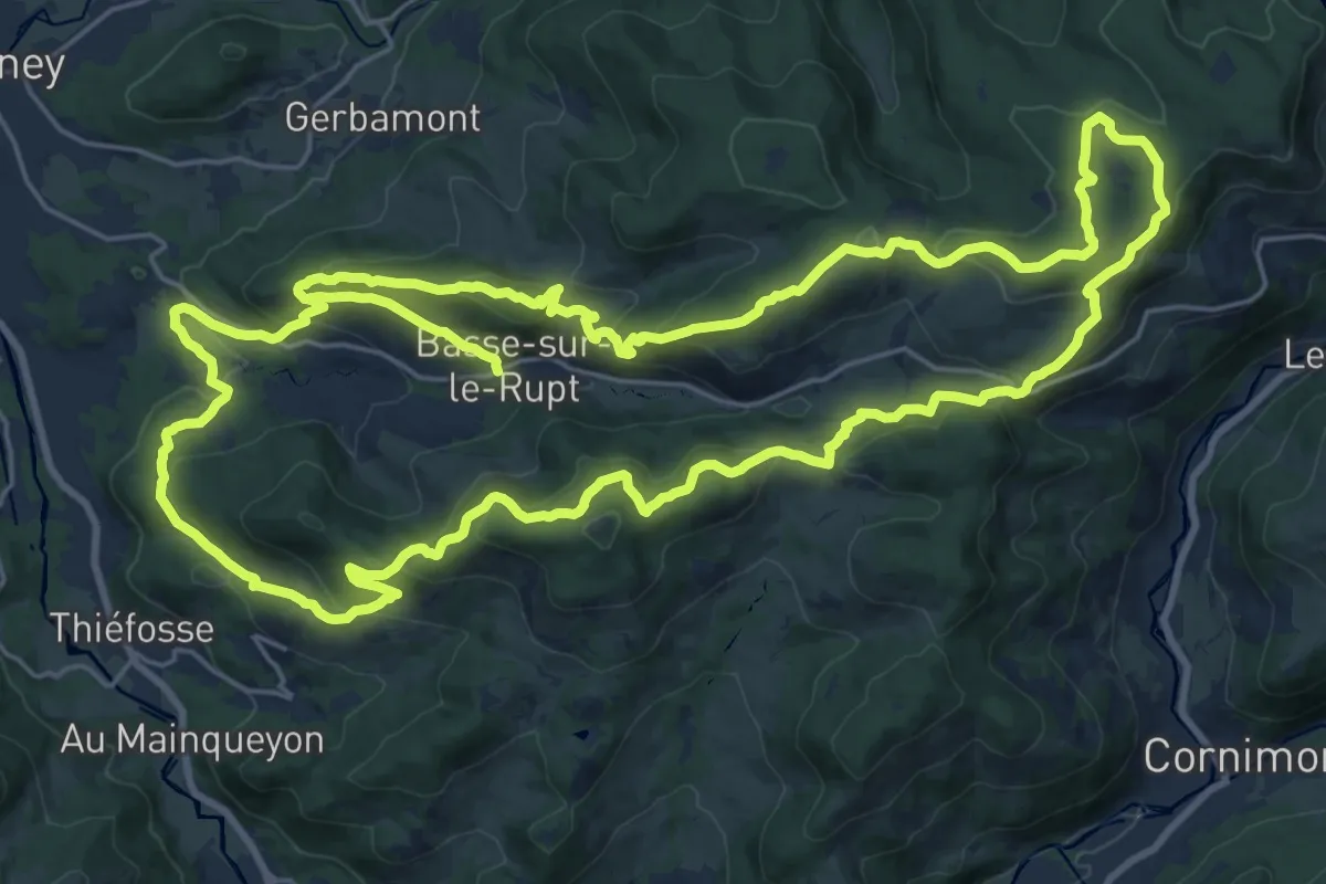
Demanding · Trail
Sentier Gaby Claudel
24.9 km · ↑ 970 m · 8 h 19 min
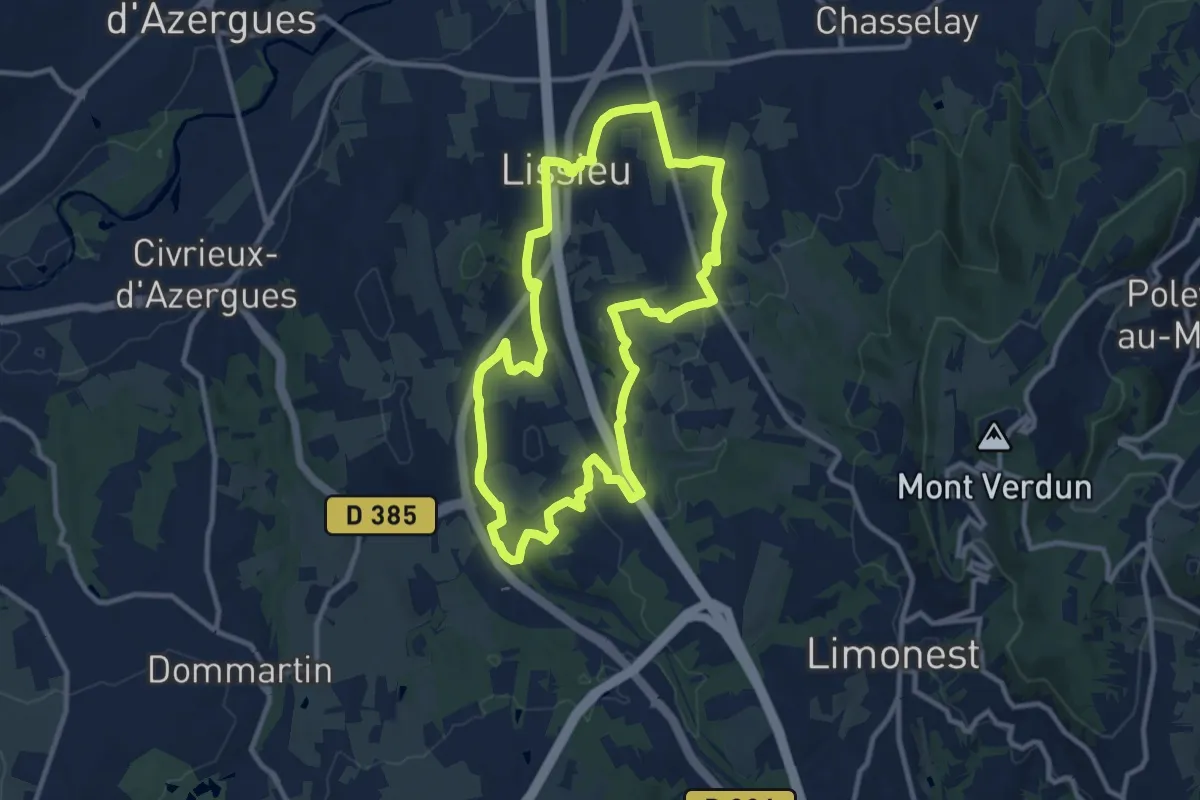
Medium · Trail
Sentier Géologie et Paysage
10.6 km · ↑ 205 m · 3 h 6 min
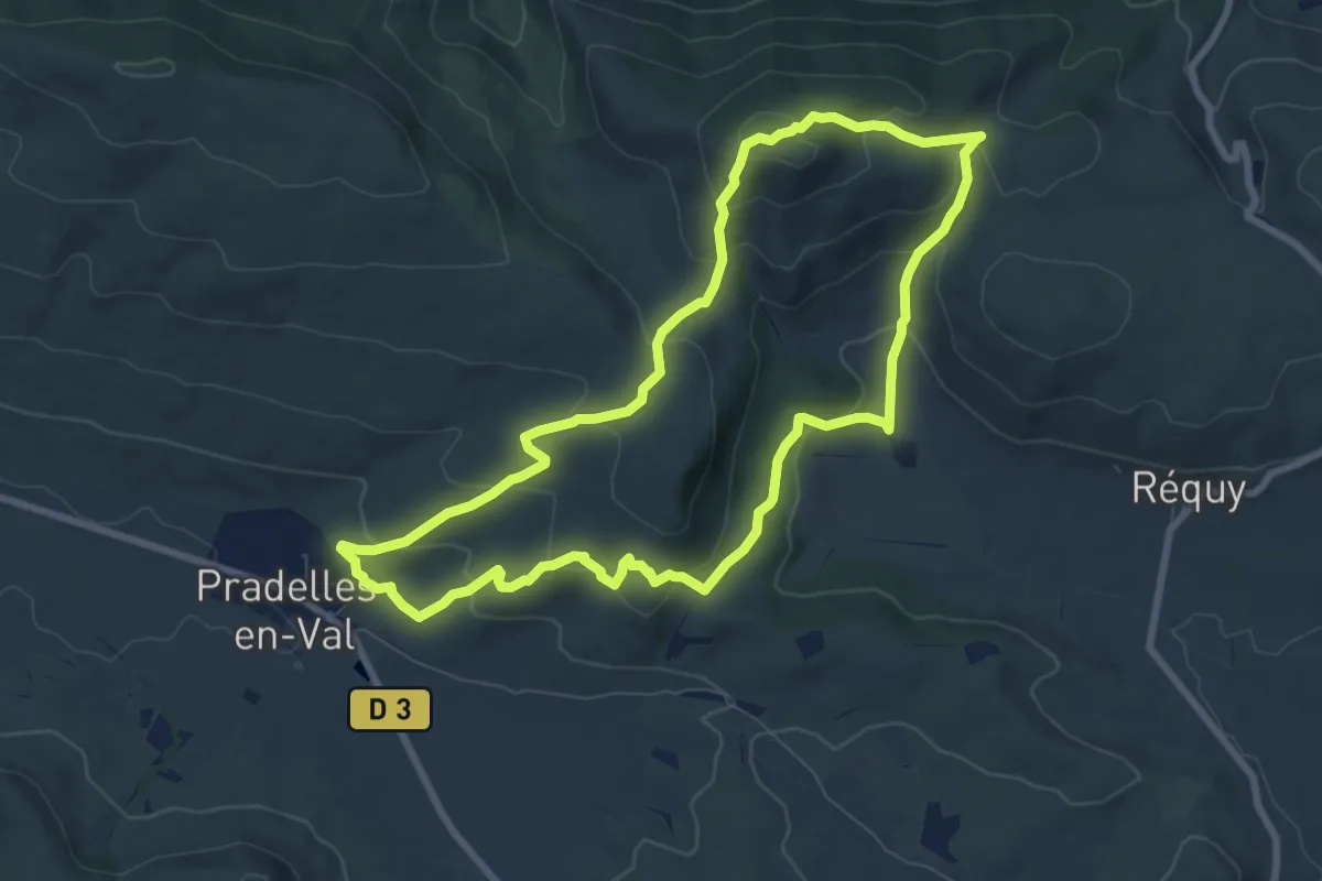
Medium · Summit
Sentier Géologique
8.4 km · ↑ 361 m · 2 h 52 min
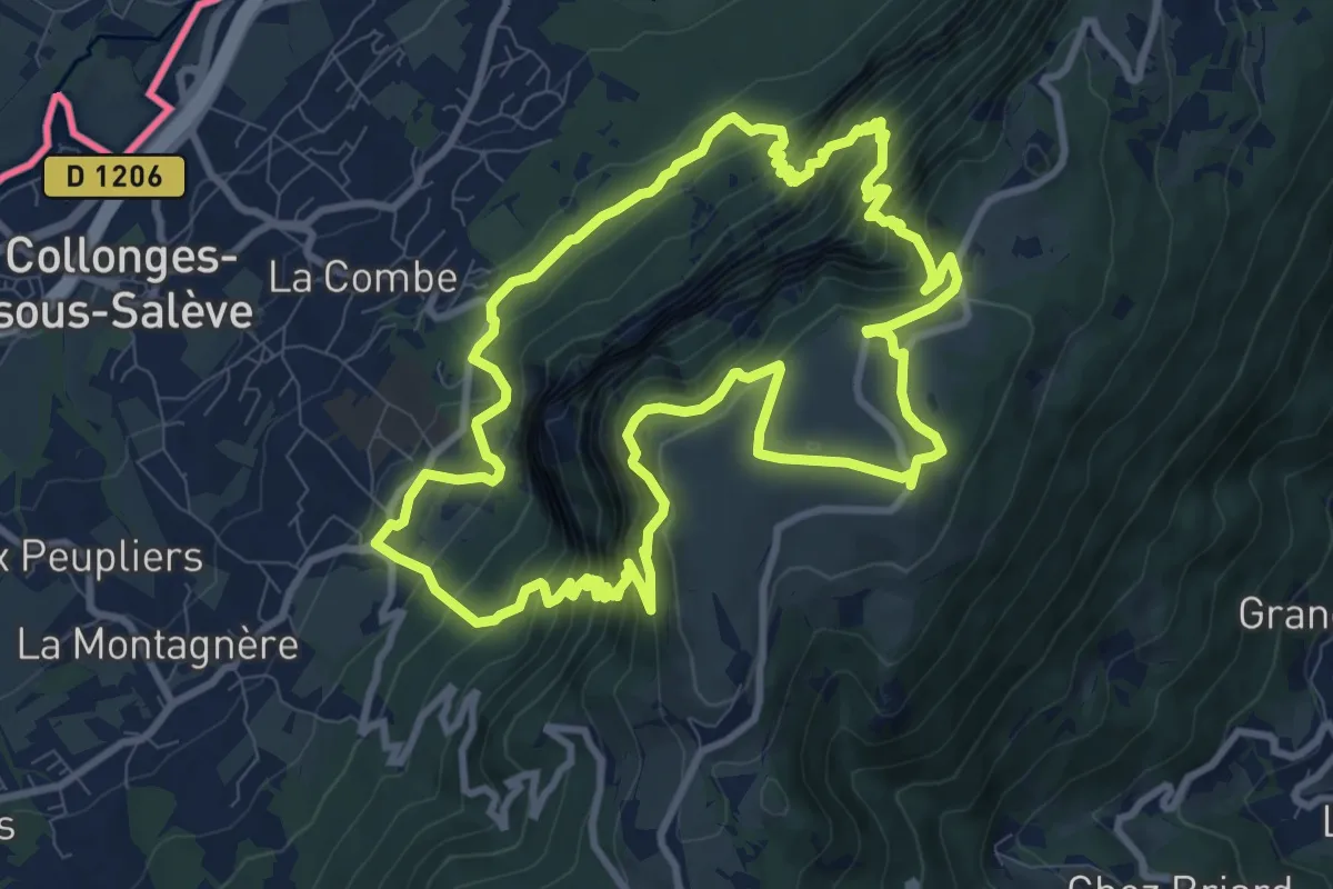
Expert · Trail
Sentier géologique de la grotte d'Orjobet
10.3 km · ↑ 881 m · 4 h 30 min
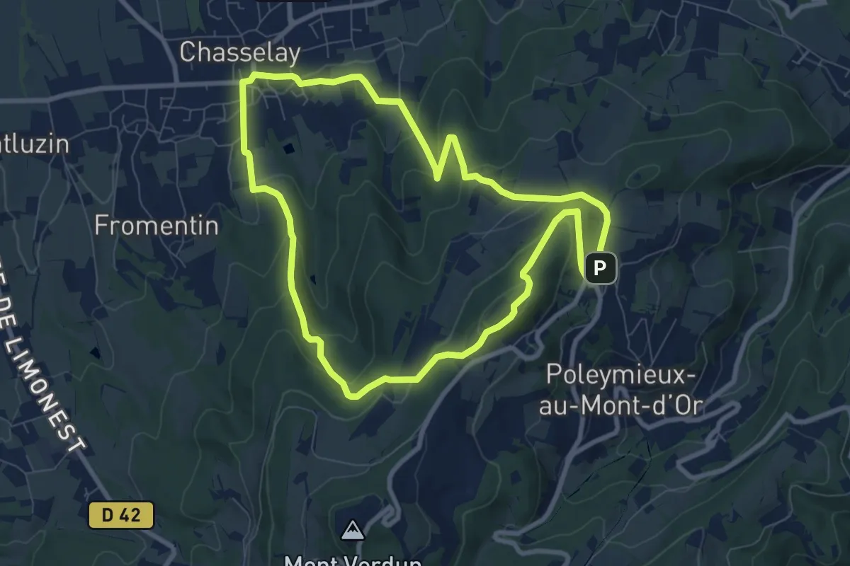
Medium · Summit
Sentier Géologique des Monts d'Or
7.9 km · ↑ 338 m · 2 h 43 min
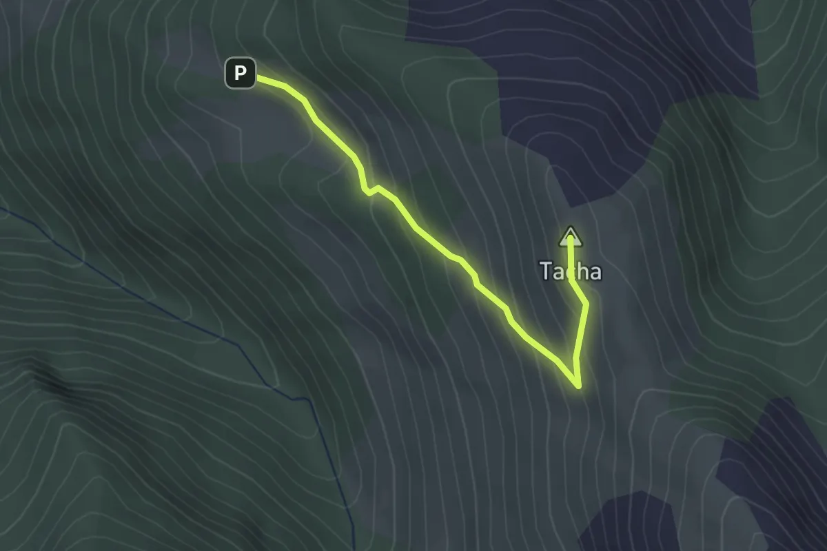
Easy · Summit
Sentier géologique de Tacha asp103
2.8 km · ↑ 213 m · 1 h 8 min
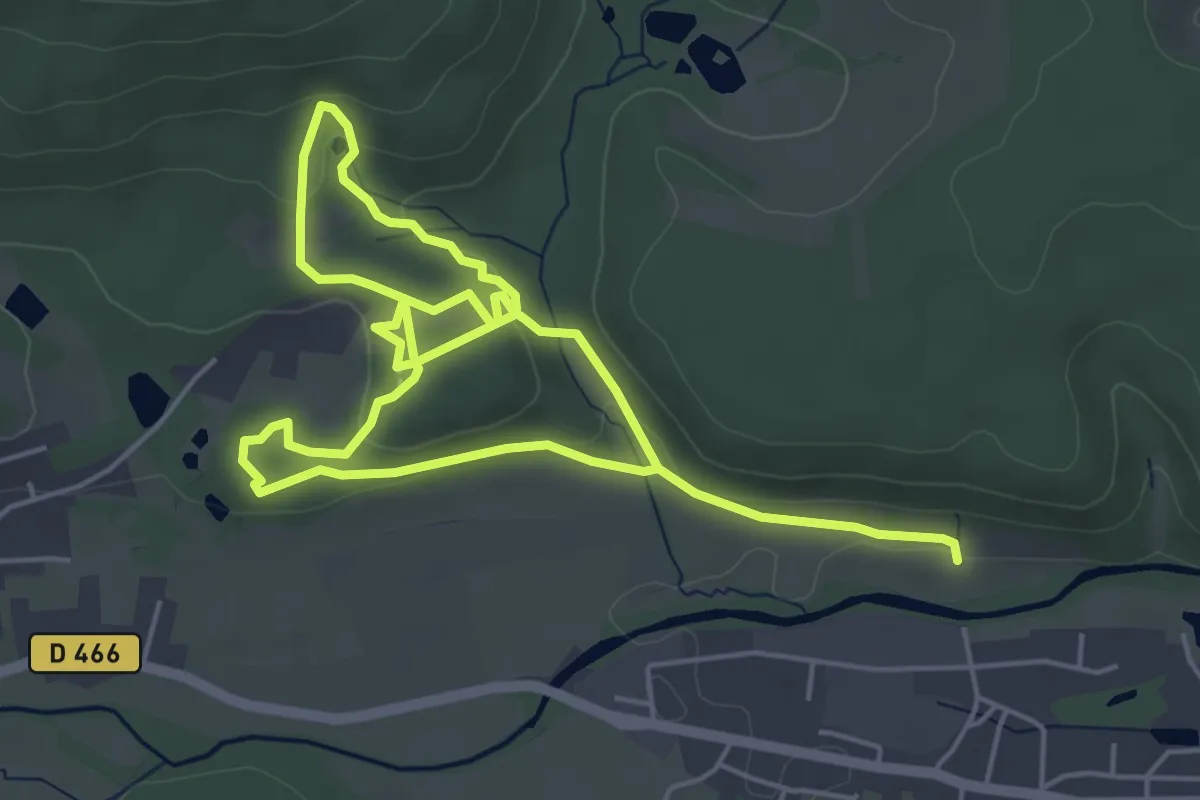
Easy · Trail
Sentier géologique du Wolfloch
4.4 km · ↑ 97 m · 1 h 19 min
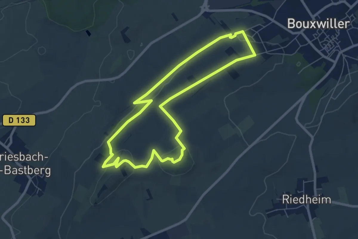
Easy · Summit
Sentier Géologique / Sentier des Chortens
5.7 km · ↑ 96 m · 1 h 39 min
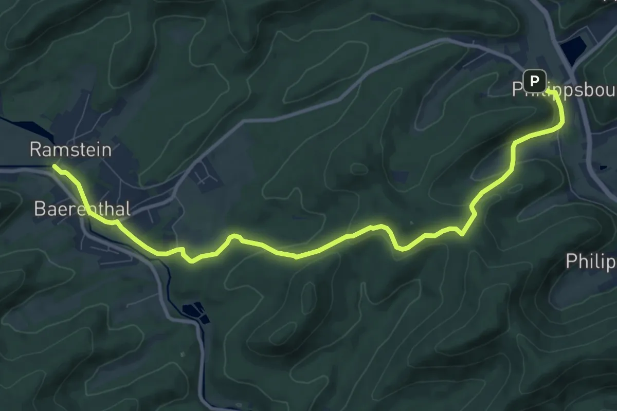
Medium · Trail
Sentier Goldenberg
10.5 km · ↑ 313 m · 3 h 10 min
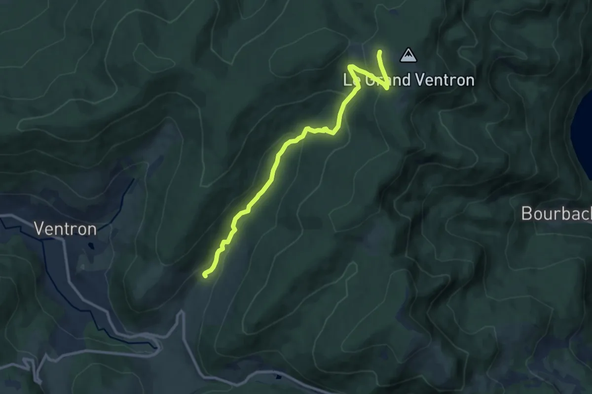
Medium · Cabin
Sentier Guy Mercier
8.9 km · ↑ 396 m · 2 h 57 min
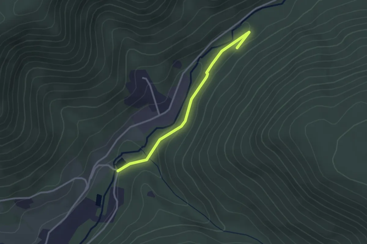
Medium · Trail
Sentier Hermès
2.6 km · ↑ 62 m · 45 min
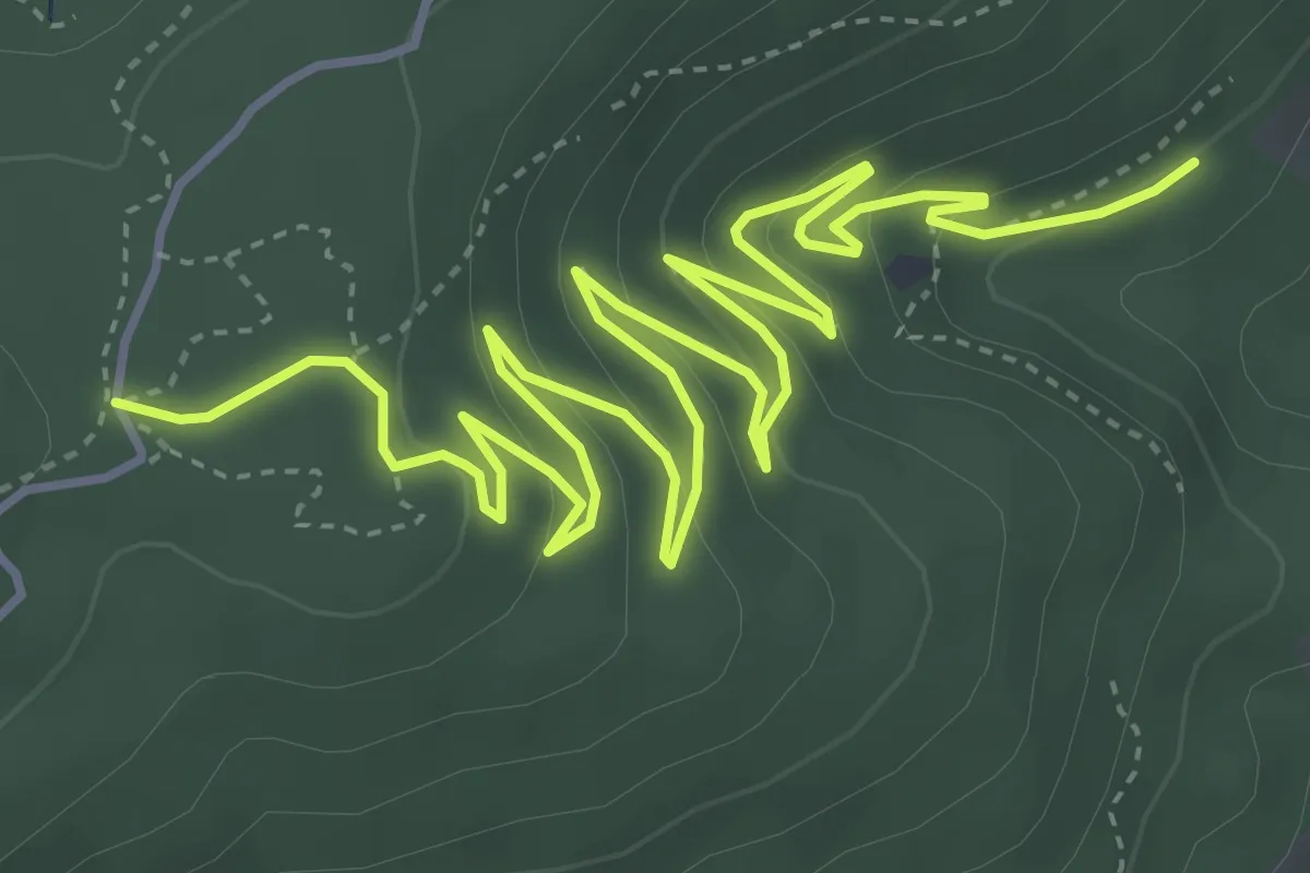
Medium · Trail
Sentier Herzog
7.0 km · ↑ 369 m · 2 h 28 min
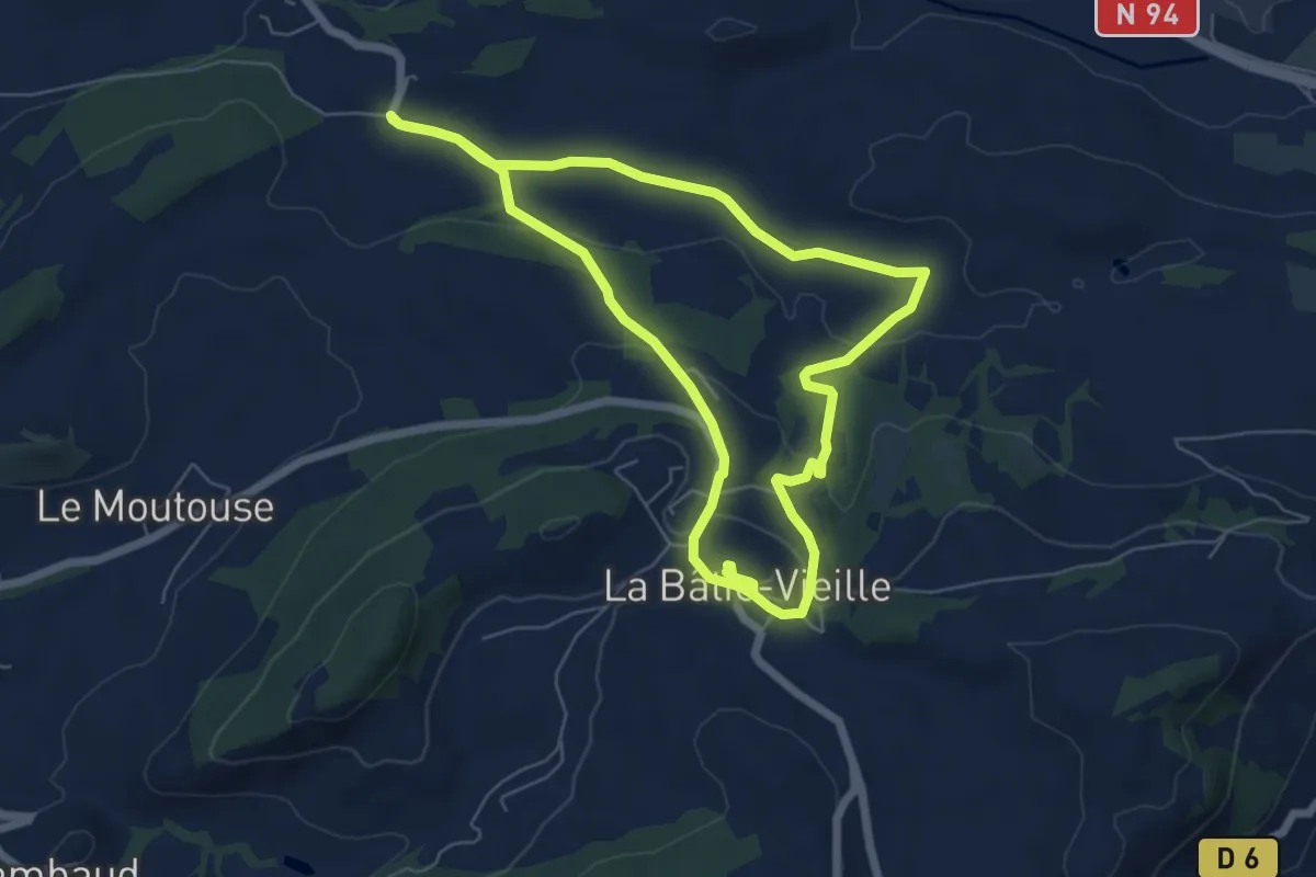
Easy · Trail
Sentier historique
6.5 km · ↑ 140 m · 1 h 56 min
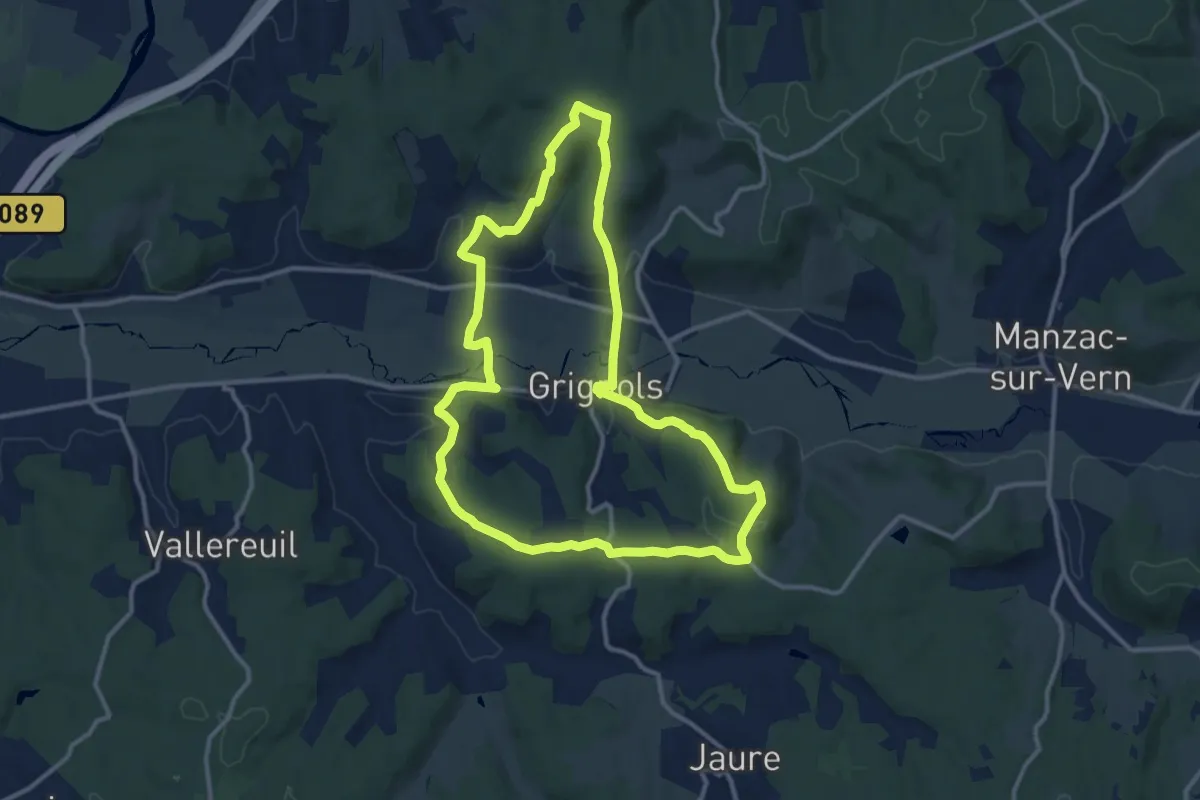
Medium · Trail
Sentier historique
12.2 km · ↑ 264 m · 3 h 38 min
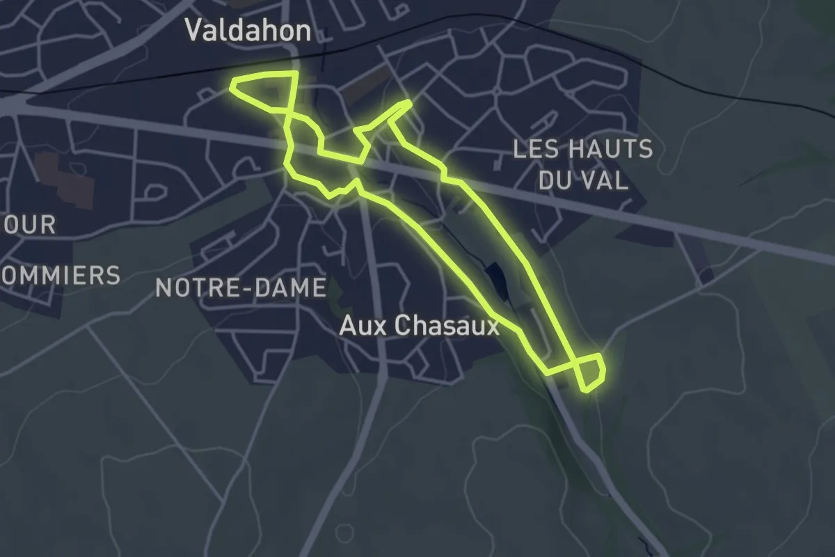
Easy · Trail
Sentier Historique
3.7 km · ↑ 39 m · 1 h
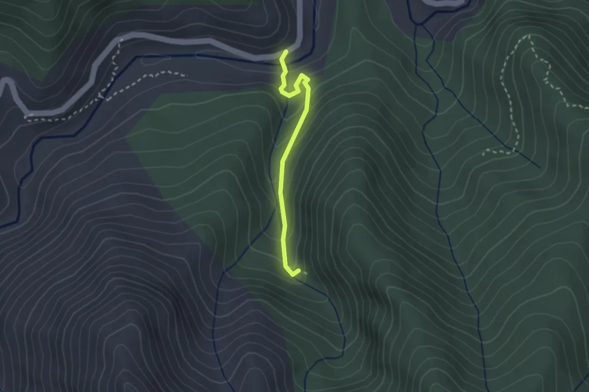
Medium · Trail
Sentier historique de la mine de la Finosa
2.3 km · ↑ 160 m · 54 min
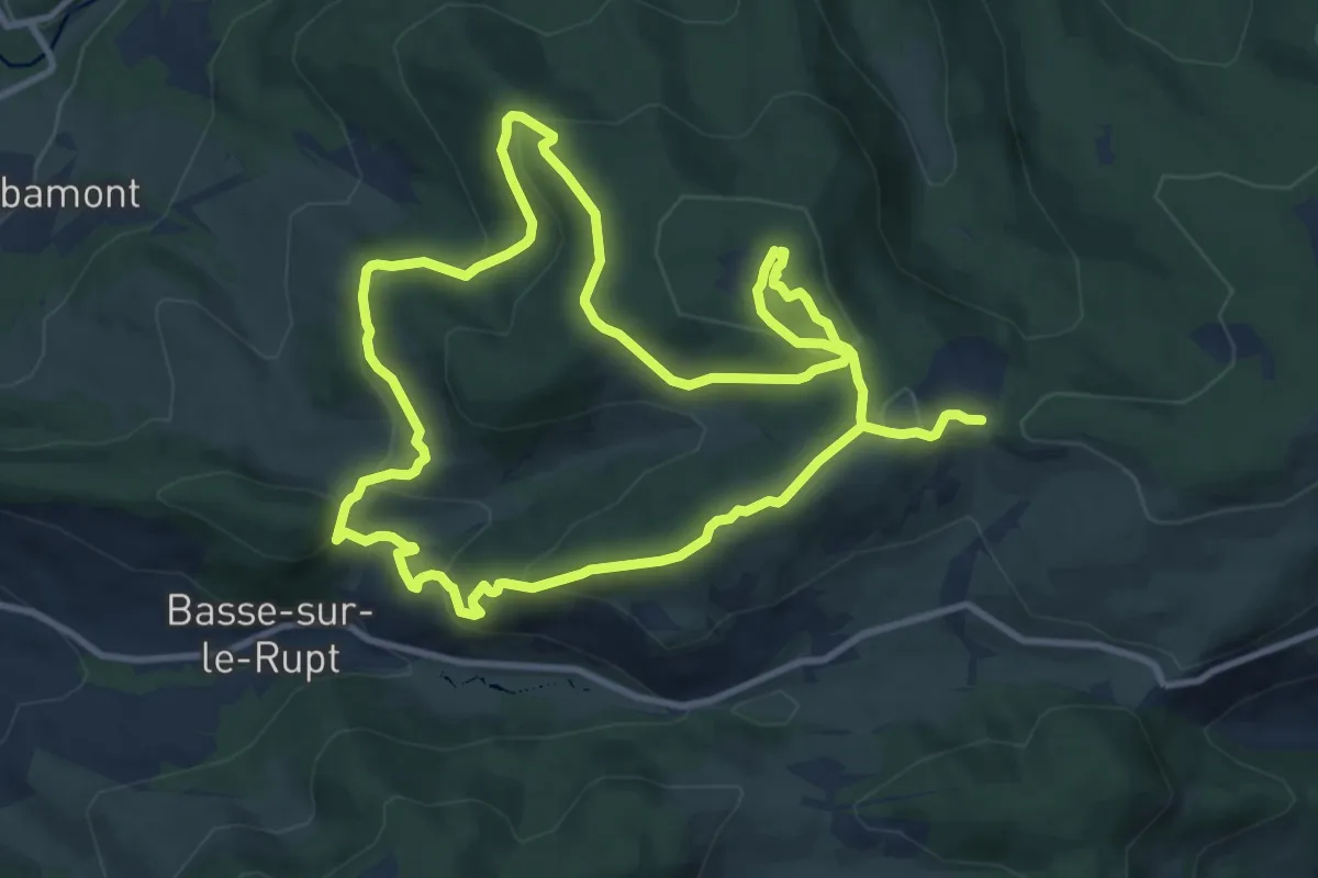
Demanding · Trail
Sentier historique du maquis de la Piquante Pierre
10.1 km · ↑ 397 m · 3 h 22 min
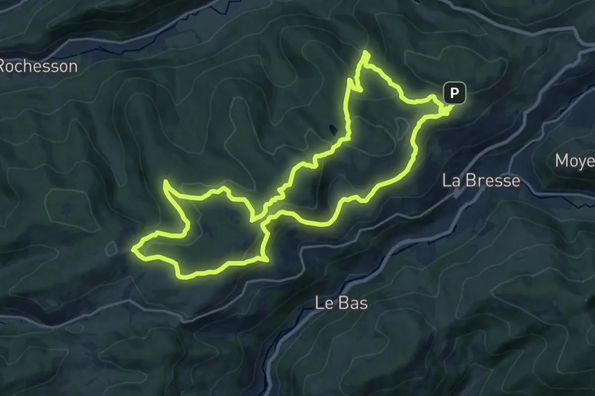
Medium · Trail
Sentier historique du maquis de la Piquante Pierre
17.1 km · ↑ 584 m · 5 h 33 min
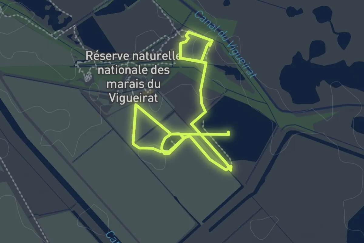
Easy · Trail
Sentier Homme Nature
4.5 km · ↑ 0 m · 1 h 4 min
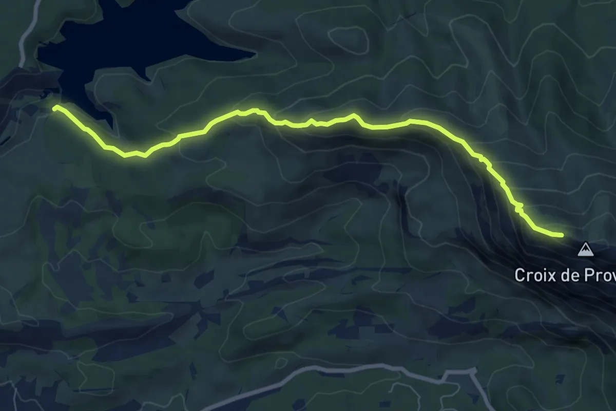
Medium · Cabin
Sentier Imoucha
8.3 km · ↑ 573 m · 3 h 12 min
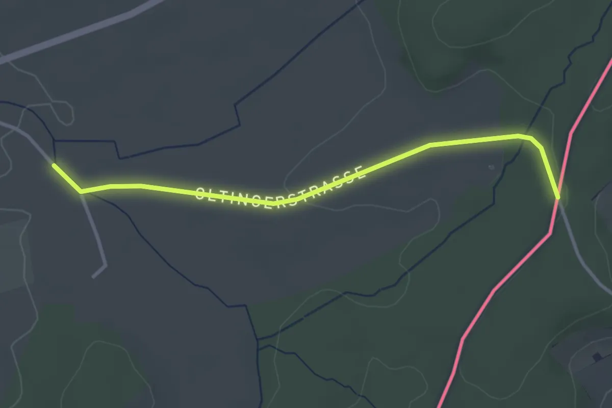
Easy · Trail
Sentier interregio - Wanderweg - Losange rouge
3.1 km · ↑ 33 m · 49 min
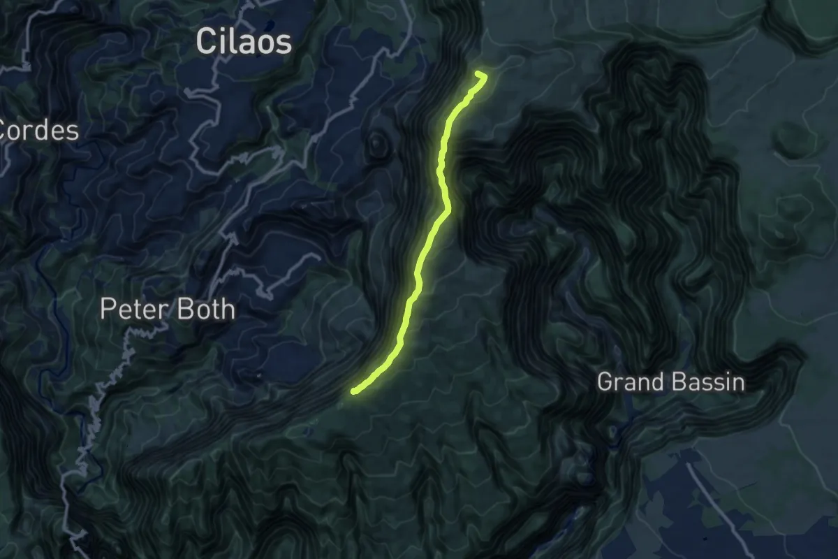
Demanding · Summit
Sentier Jacky Inard
11.3 km · ↑ 881 m · 4 h 34 min
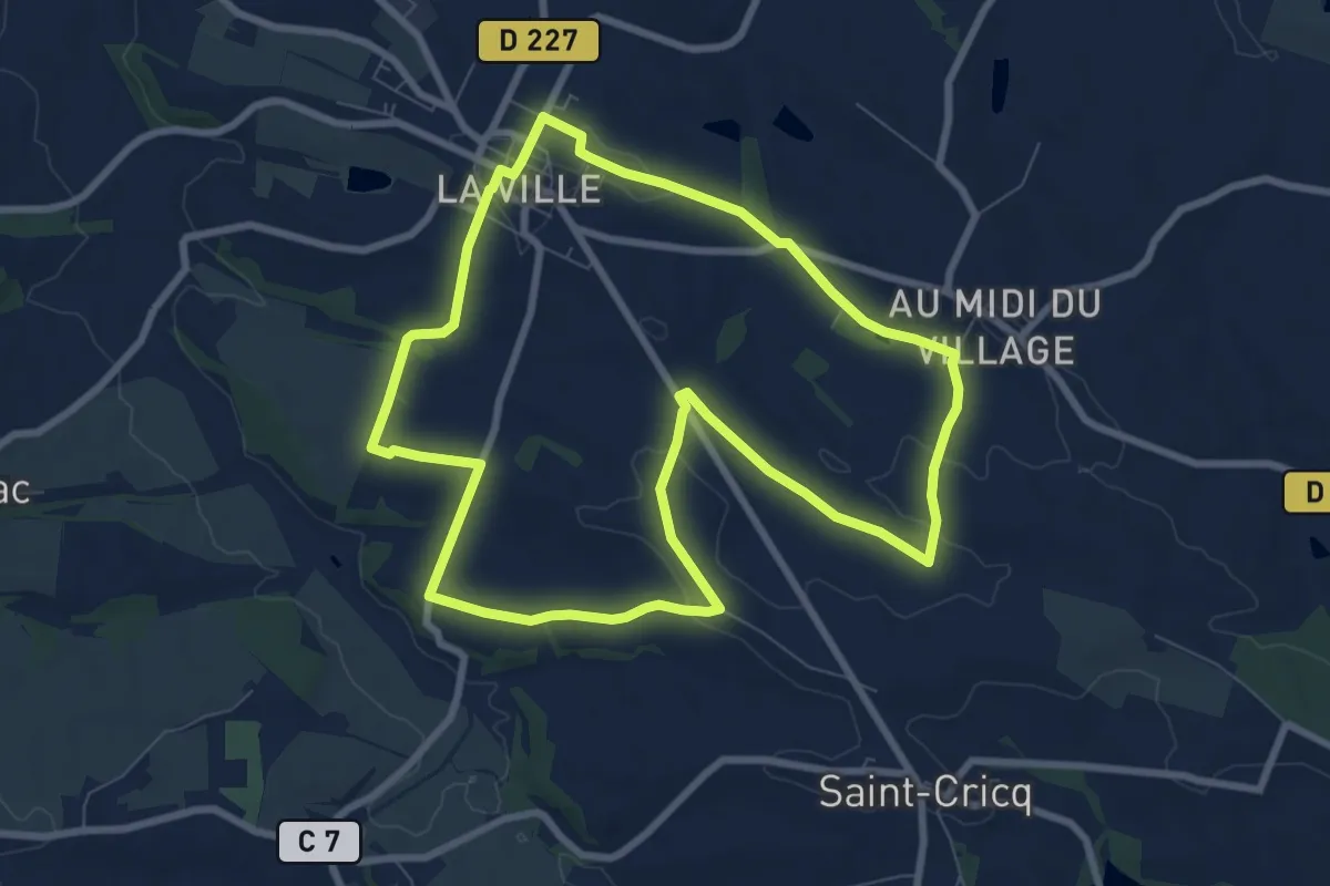
Medium · Trail
Sentier Jacquetat et Planese
8.8 km · ↑ 115 m · 2 h 26 min
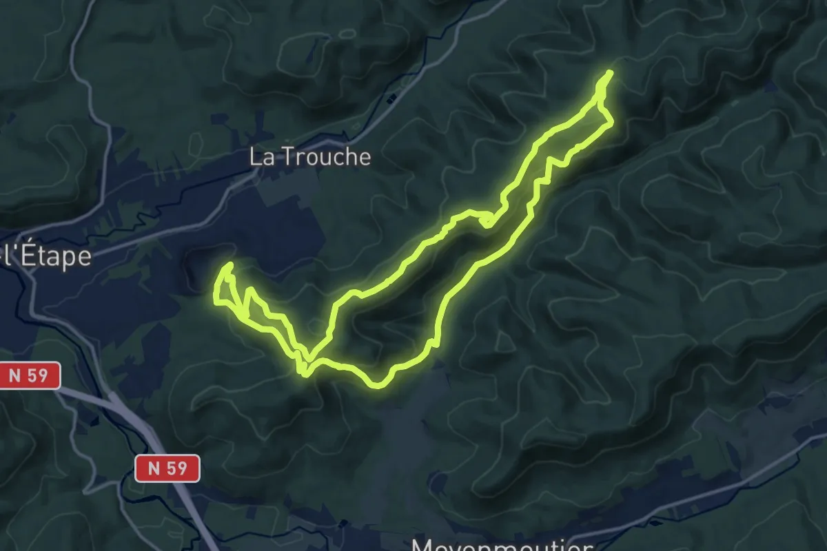
Medium · Trail
Sentier Jean-Marie Michel
14.6 km · ↑ 687 m · 5 h 9 min
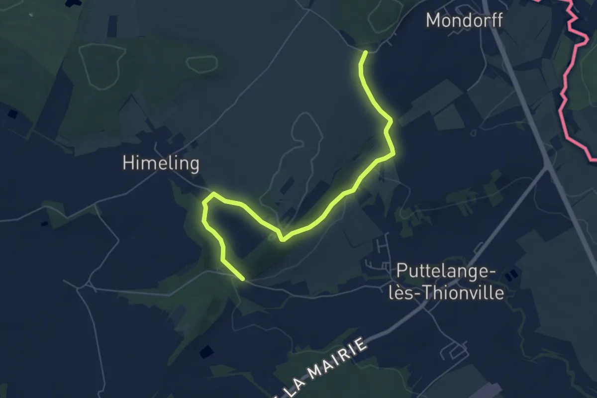
Easy · Trail
Sentier Jean-Marie Pelt
6.3 km · ↑ 134 m · 1 h 47 min
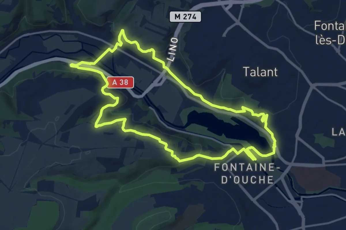
Medium · Trail
Sentier Jean Montmey
11.2 km · ↑ 322 m · 3 h 30 min
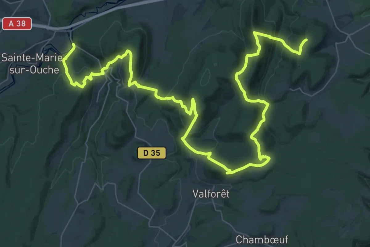
Demanding · Summit
Sentier Jean Sage
48.8 km · ↑ 2626 m · 17 h 13 min
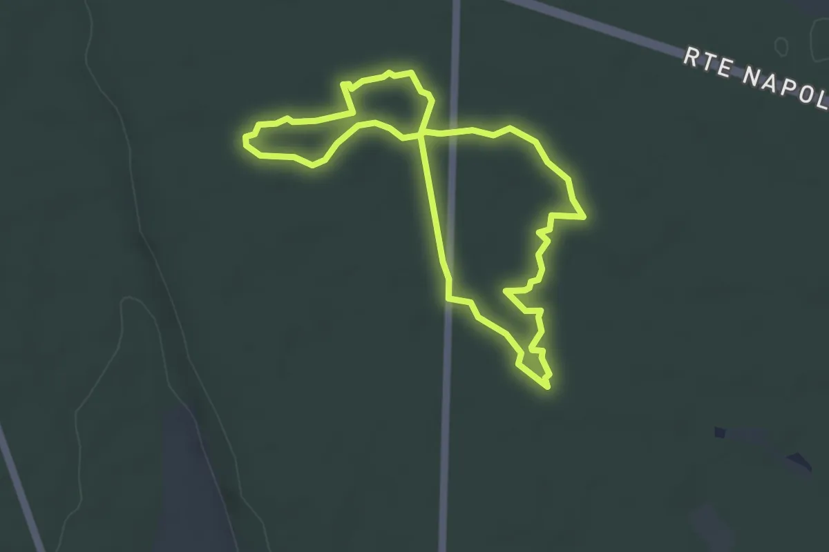
Easy · Trail
Sentier karstique des Malrochers
3.7 km · ↑ 8 m · 57 min
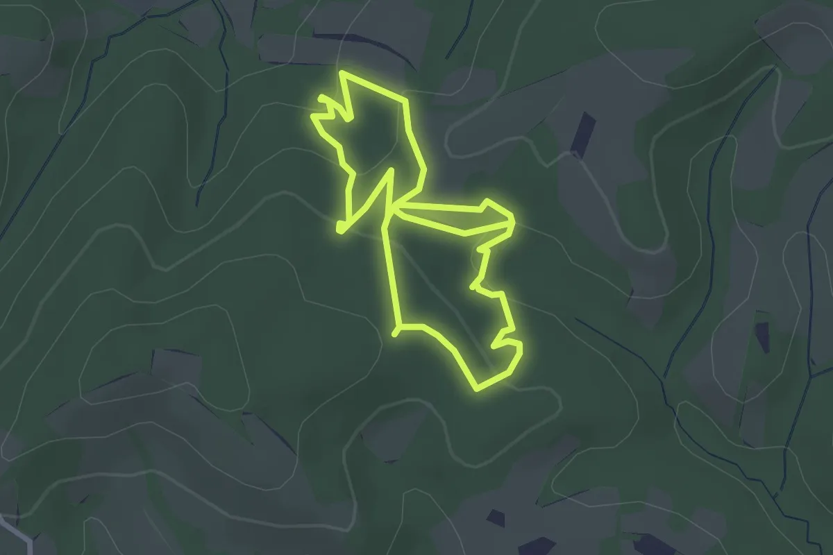
Easy · Trail
Sentier Karstique d'Harizpé
2.7 km · ↑ 99 m · 54 min
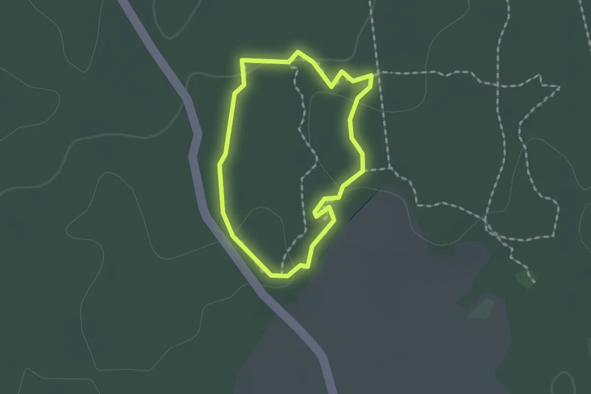
Easy · Trail
Sentier karstique du Grand Bois
1.2 km · ↑ 9 m · 20 min
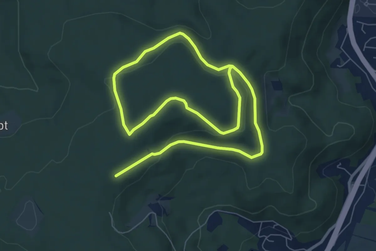
Medium · Trail
Sentier "La Grande Feigne"
11.3 km · ↑ 242 m · 3 h 12 min
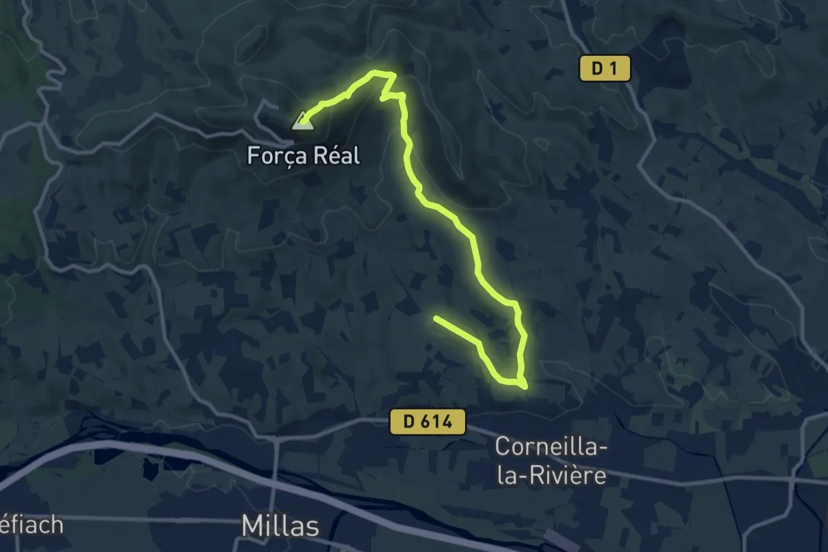
Medium · Summit
Sentier Lambert Narach
12.1 km · ↑ 424 m · 3 h 46 min
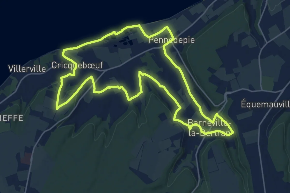
Medium · Trail
Sentier la plage, un refuge fragile
15.1 km · ↑ 245 m · 4 h 18 min
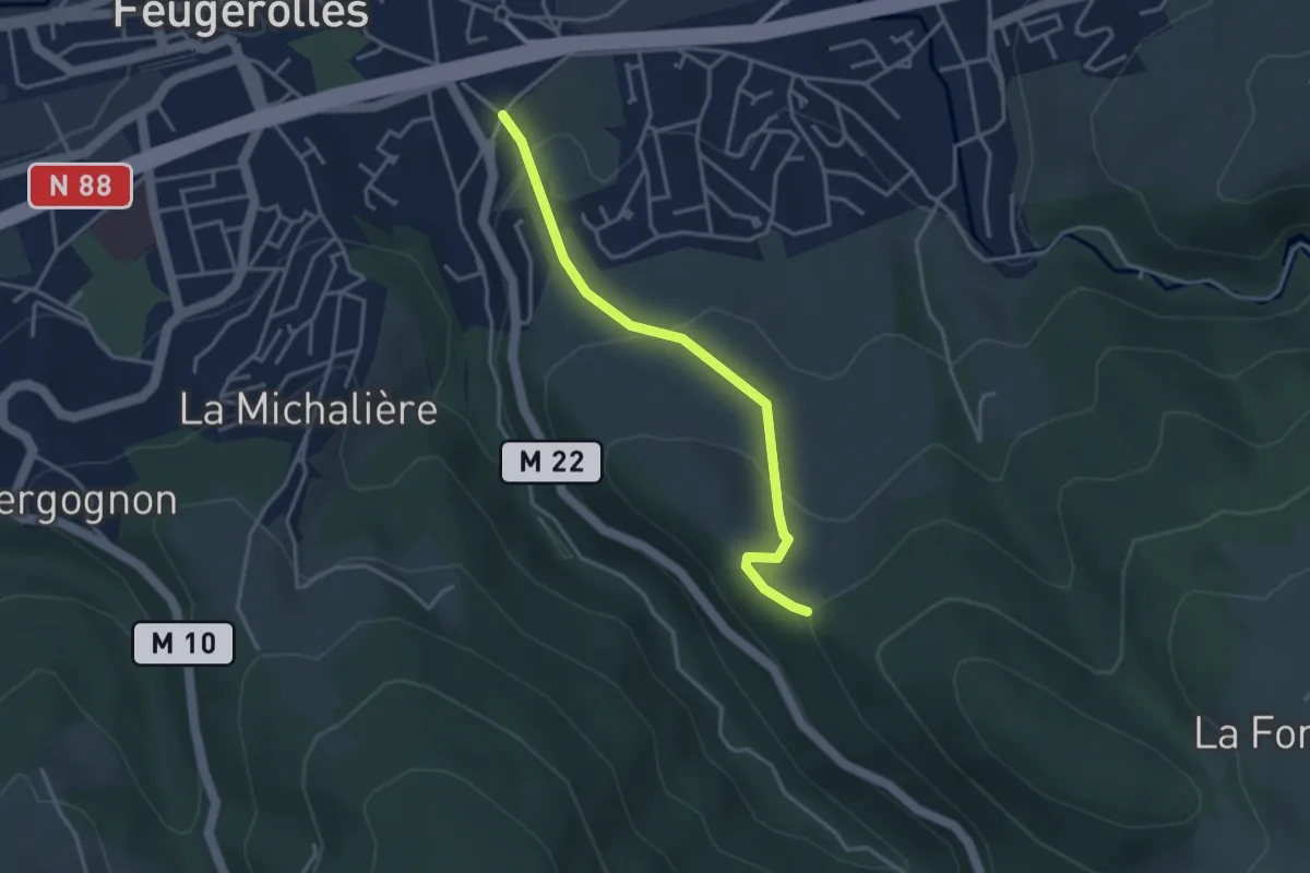
Easy · Trail
Sentier Laurent Odouard
3.5 km · ↑ 150 m · 1 h 9 min
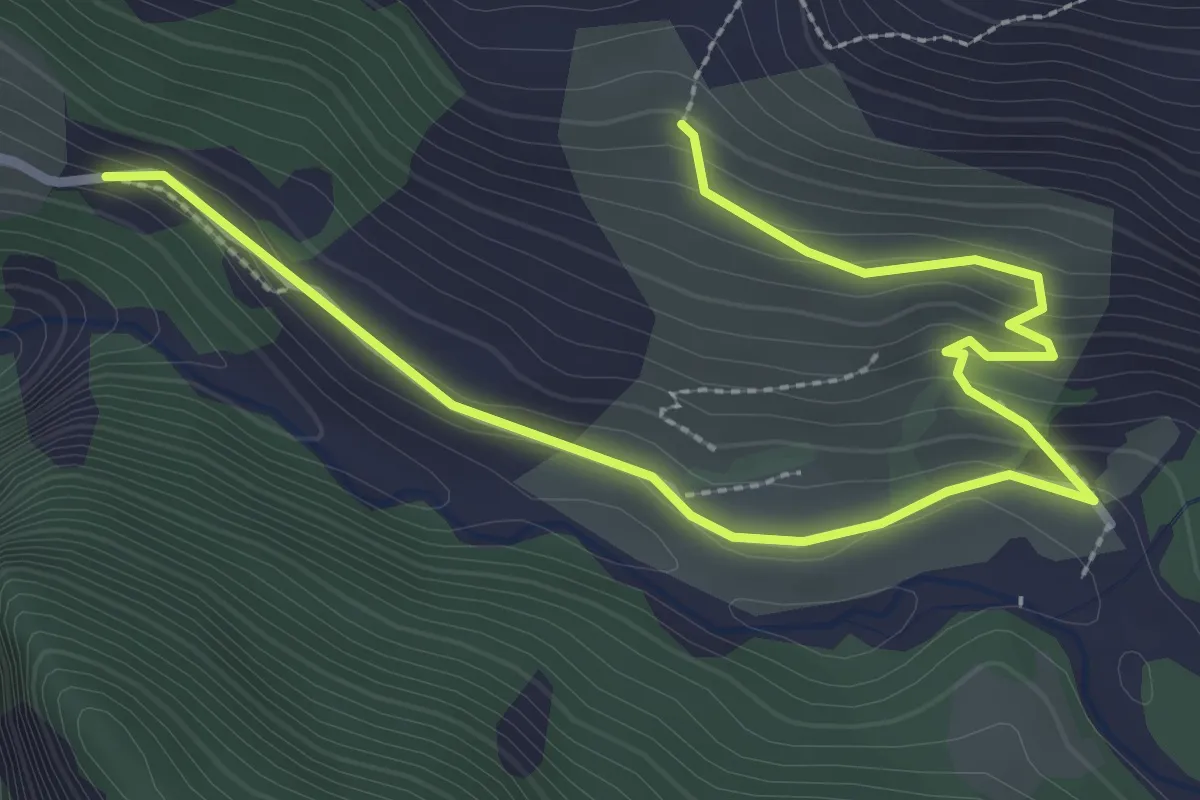
Easy · Trail
Sentier Lavergan long
2.0 km · ↑ 144 m · 44 min
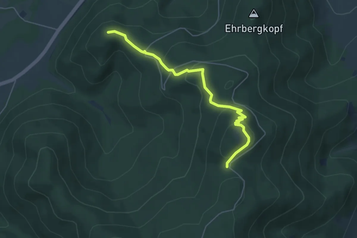
Easy · Trail
Sentier Lazare de Schwendi
4.8 km · ↑ 224 m · 1 h 36 min
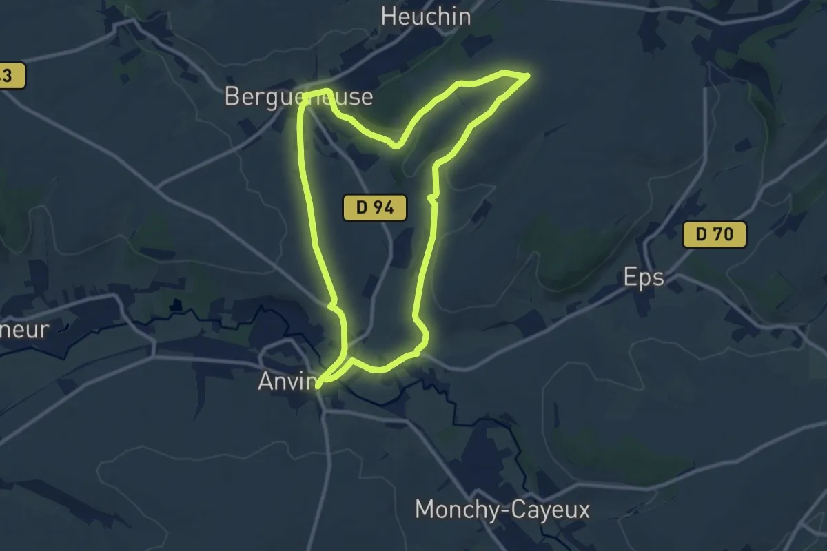
Medium · Trail
Sentier Le Bliot
9.0 km · ↑ 111 m · 2 h 30 min
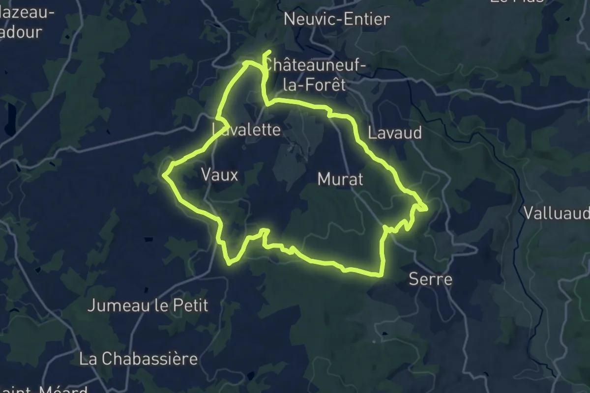
Medium · Trail
Sentier Le Bois du Curé et des mille diables
15.7 km · ↑ 364 m · 4 h 42 min
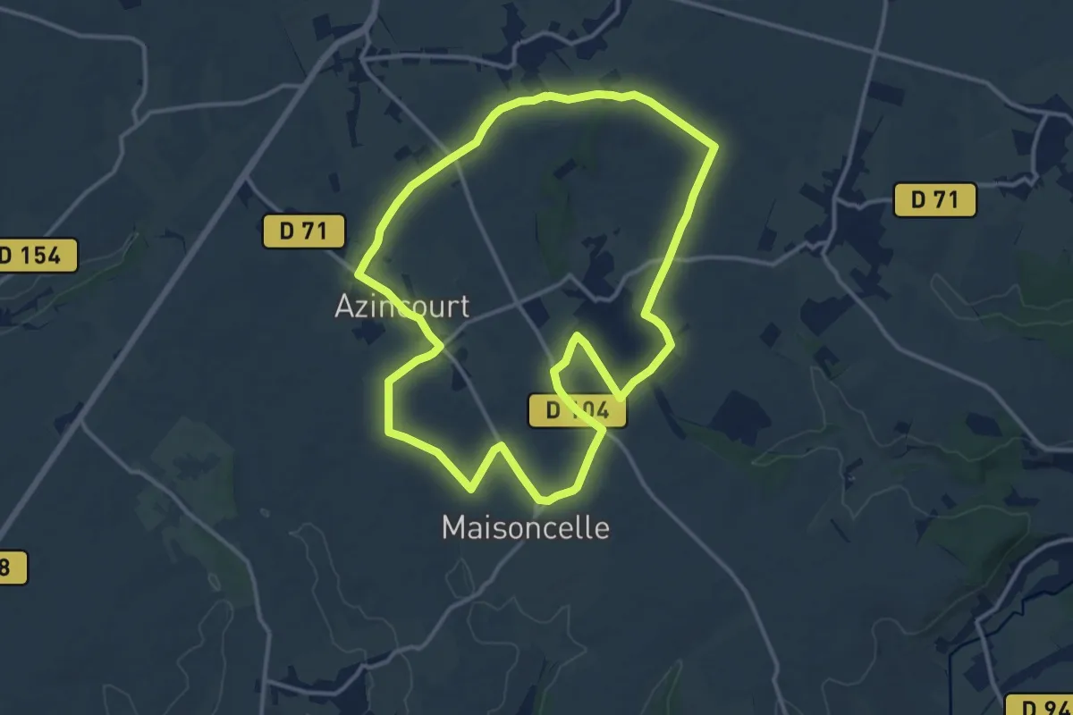
Medium · Trail
Sentier le Henri V
12.1 km · ↑ 56 m · 3 h 8 min
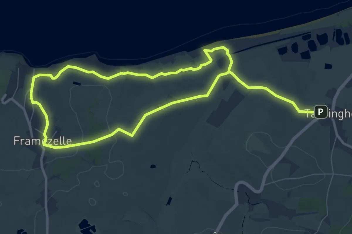
Easy · Summit
Sentier Les Berniques
6.3 km · ↑ 71 m · 1 h 44 min
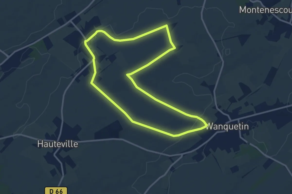
Easy · Trail
Sentier Les Canados
7.5 km · ↑ 35 m · 1 h 57 min
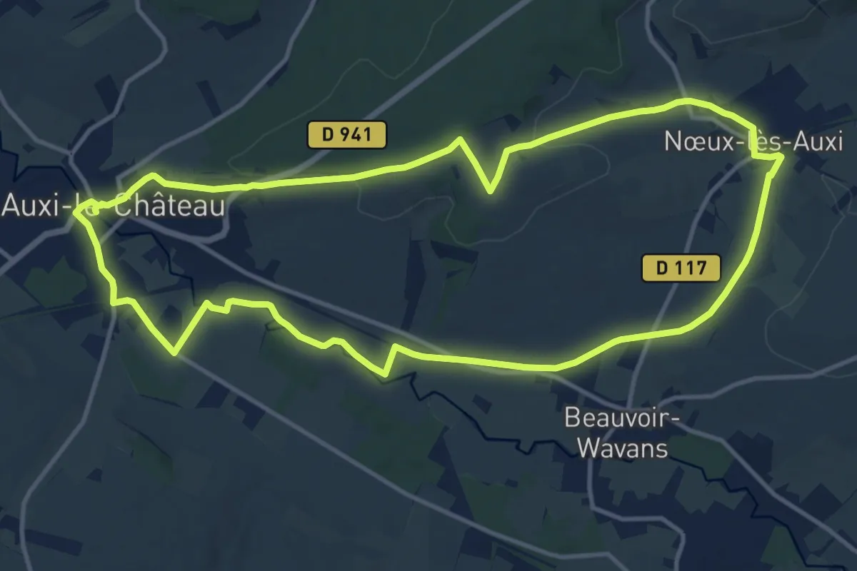
Medium · Trail
Sentier Les Capris
11.7 km · ↑ 127 m · 3 h 12 min
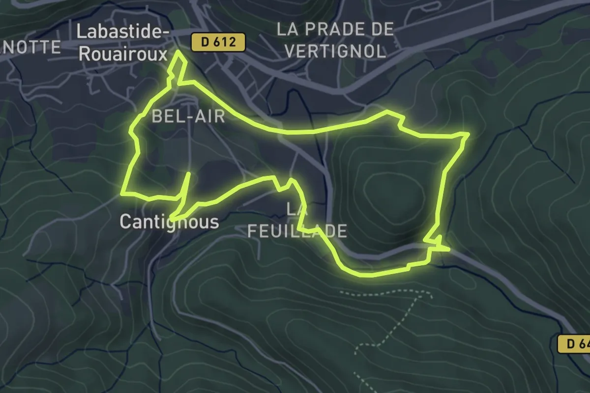
Easy · Trail
Sentier les Cayrans
5.4 km · ↑ 202 m · 1 h 47 min