Trails in France
15,926 hiking trails, each with its route, climb, walking time and grade.
All trails, page 260 of 332
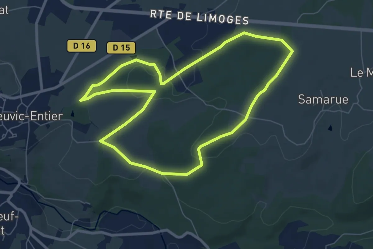
Easy · Trail
Sentier les Débutants
6.1 km · ↑ 122 m · 1 h 47 min
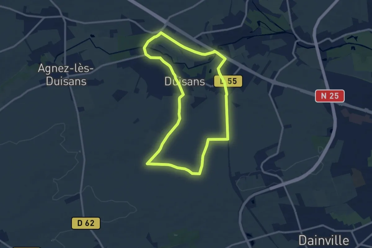
Easy · Trail
Sentier Les Longs Rideaux
7.7 km · ↑ 38 m · 2 h 1 min
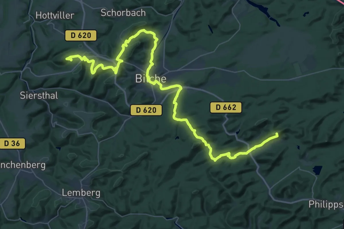
Demanding · Summit
Sentier Ligne Maginot
44.1 km · ↑ 914 m · 12 h 24 min
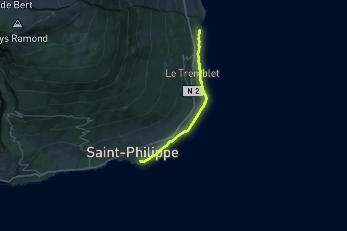
Demanding · Trail
Sentier Littoral
9.8 km · ↑ 882 m · 4 h 22 min
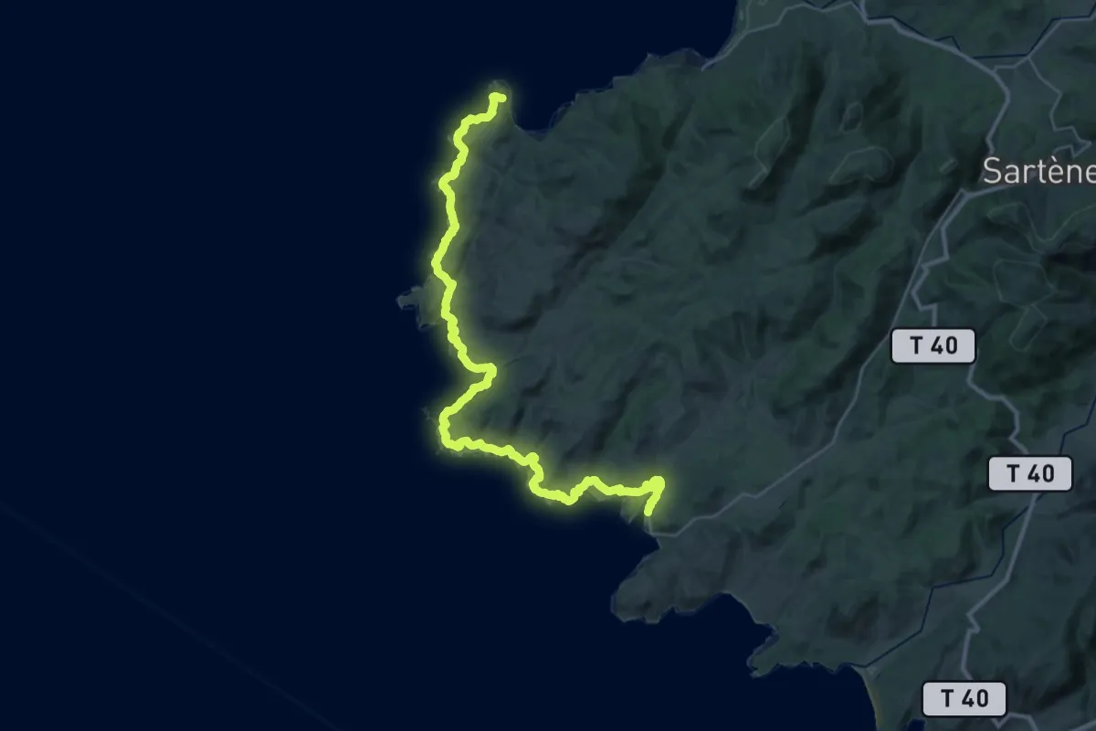
Demanding · Trail
Sentier Littoral
21.6 km · ↑ 295 m · 6 h 2 min
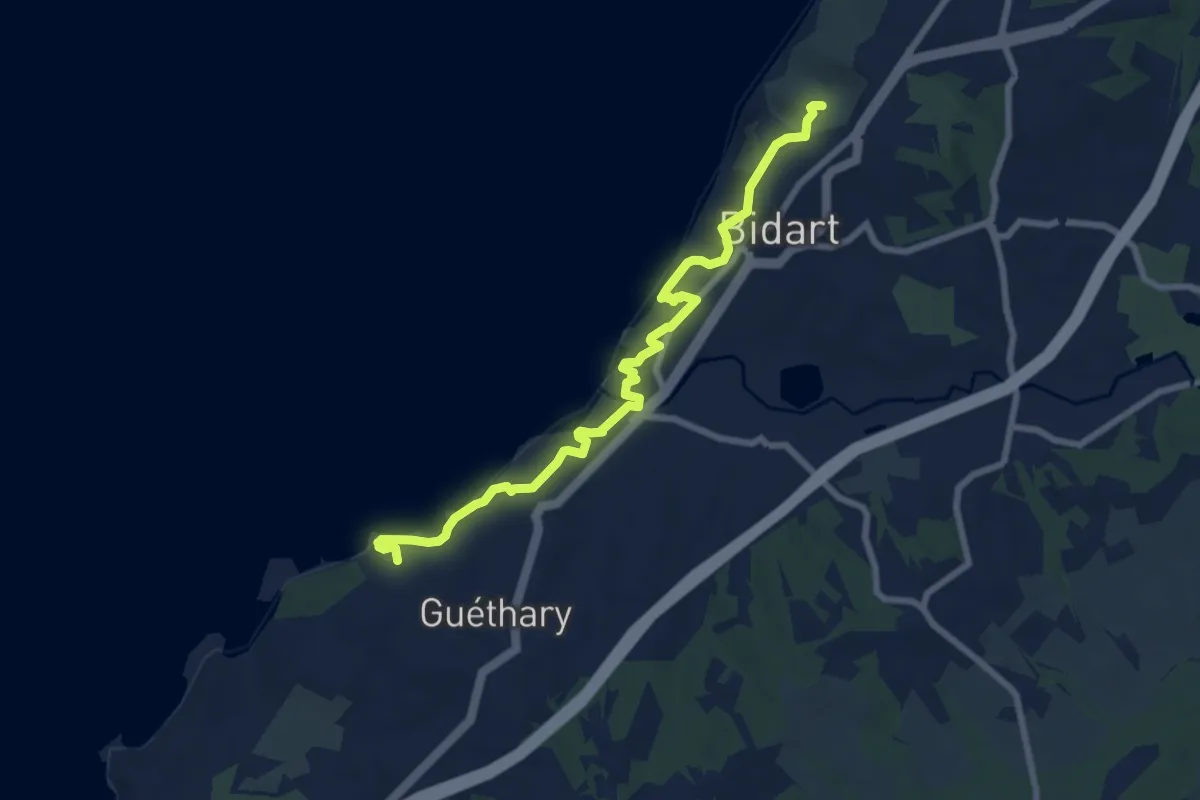
Medium · Trail
Sentier Littoral Bidart
8.6 km · ↑ 197 m · 2 h 27 min
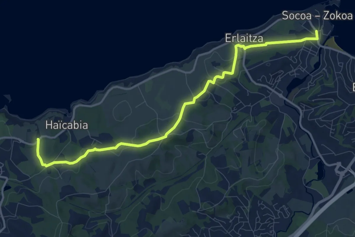
Medium · Trail
Sentier Littoral Bidart-Hendaye : tracé temporaire
11.9 km · ↑ 206 m · 3 h 16 min
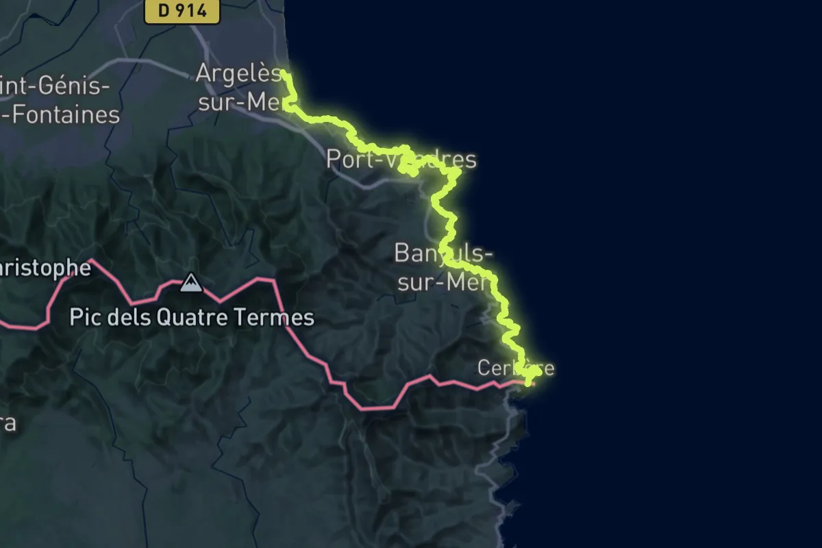
Demanding · Summit
Sentier Littoral, Cerbère - Argelès-sur-Mer
68.3 km · ↑ 2463 m · 21 h 28 min
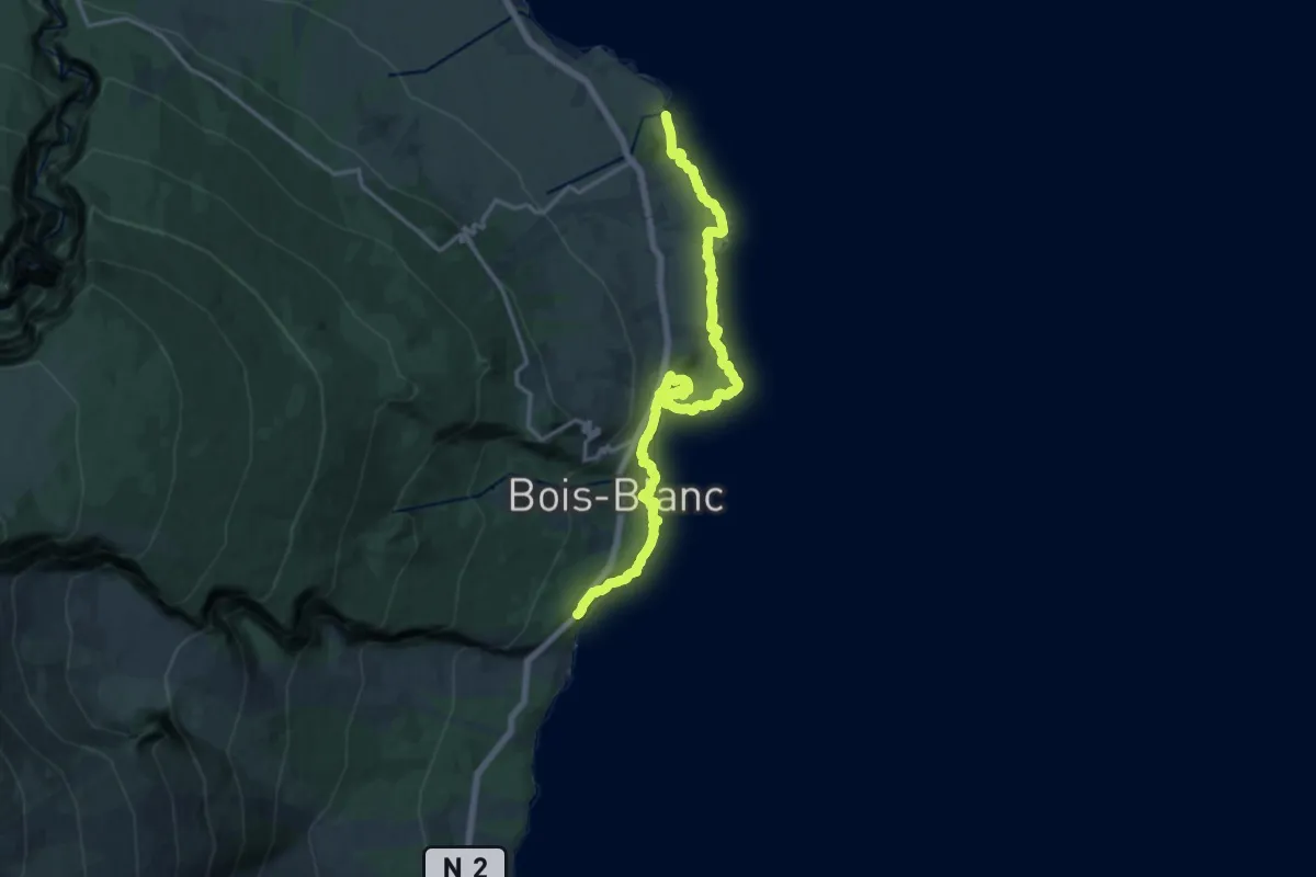
Demanding · Trail
Sentier Littoral Est
23.5 km · ↑ 998 m · 7 h 43 min
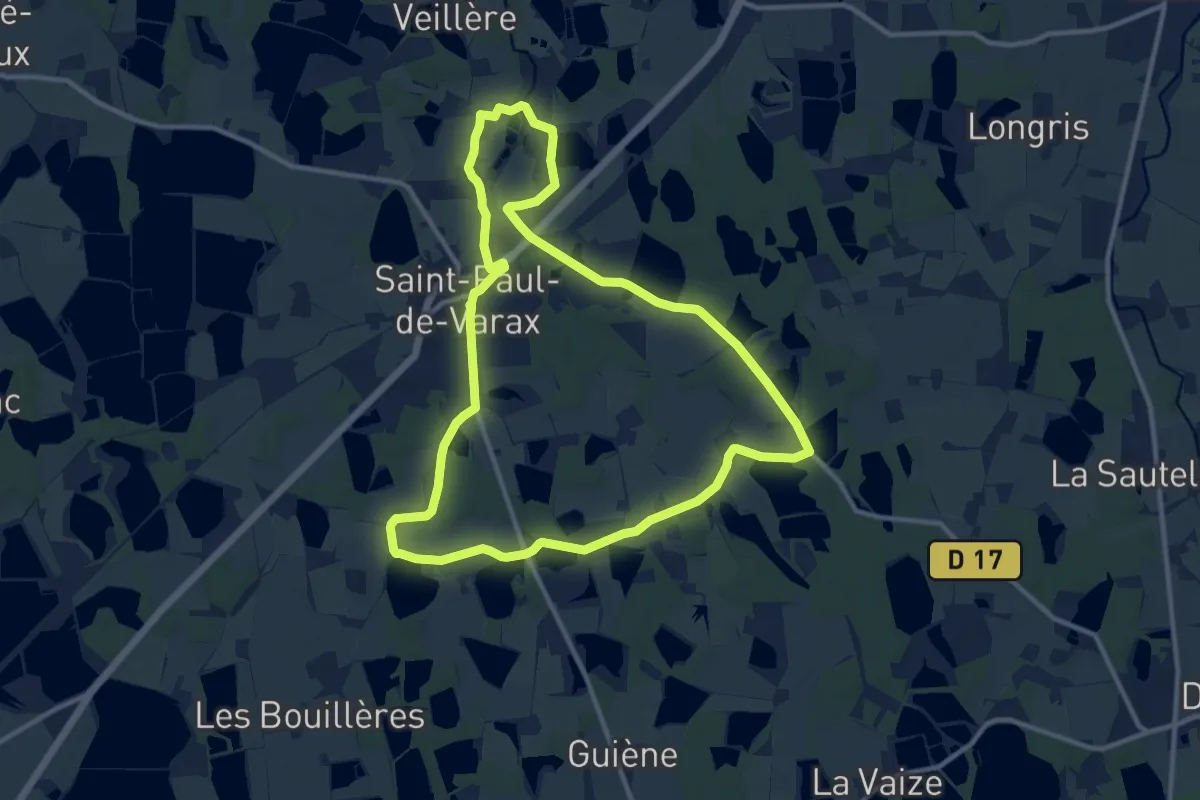
Medium · Trail
Sentier Louis Jourdan
11.8 km · ↑ 70 m · 3 h 5 min
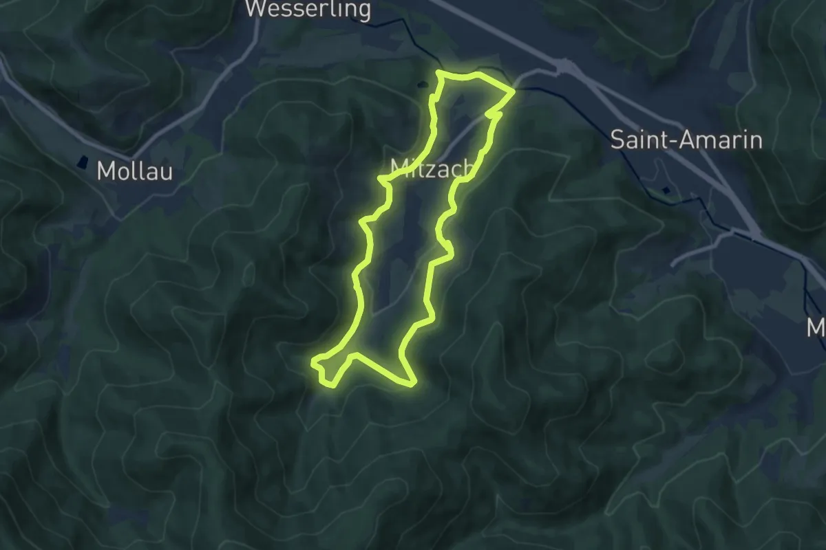
Easy · Trail
Sentier M
7.8 km · ↑ 270 m · 2 h 32 min
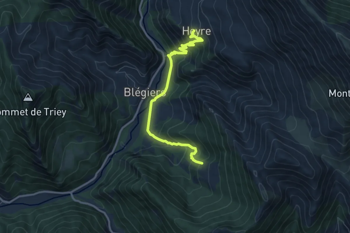
Medium · Trail
Sentier Marcel
3.9 km · ↑ 328 m · 1 h 38 min
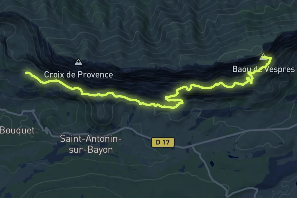
Demanding · Summit
(Sentier marron)
12.0 km · ↑ 978 m · 4 h 58 min
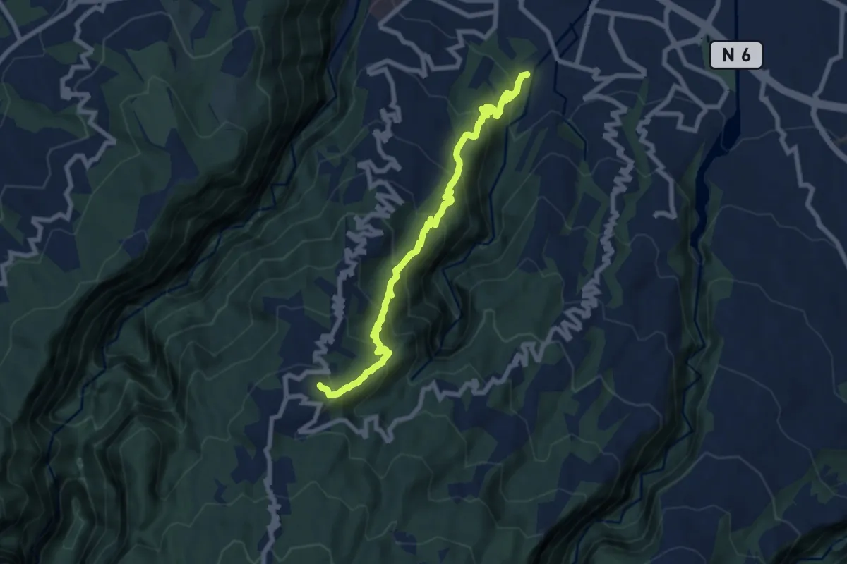
Medium · Trail
Sentier Mercure
9.9 km · ↑ 793 m · 4 h 4 min
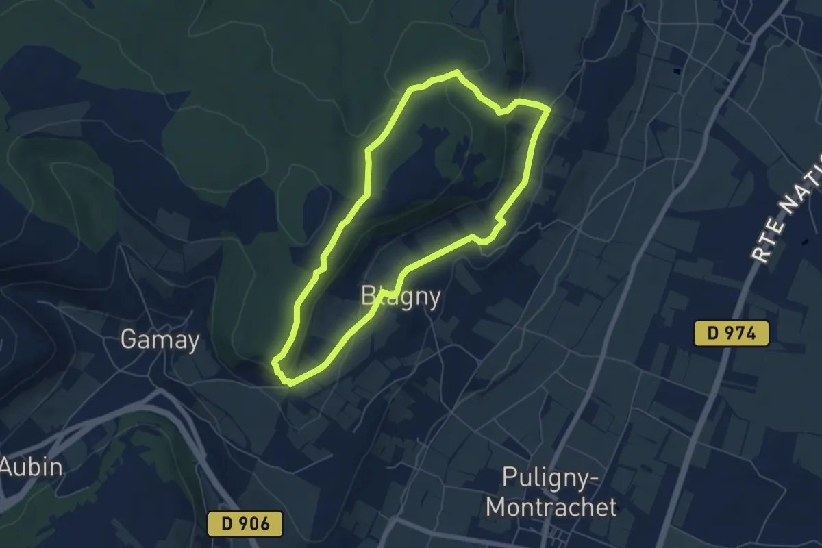
Easy · Trail
Sentier Meursault-Blagny
5.6 km · ↑ 138 m · 1 h 42 min
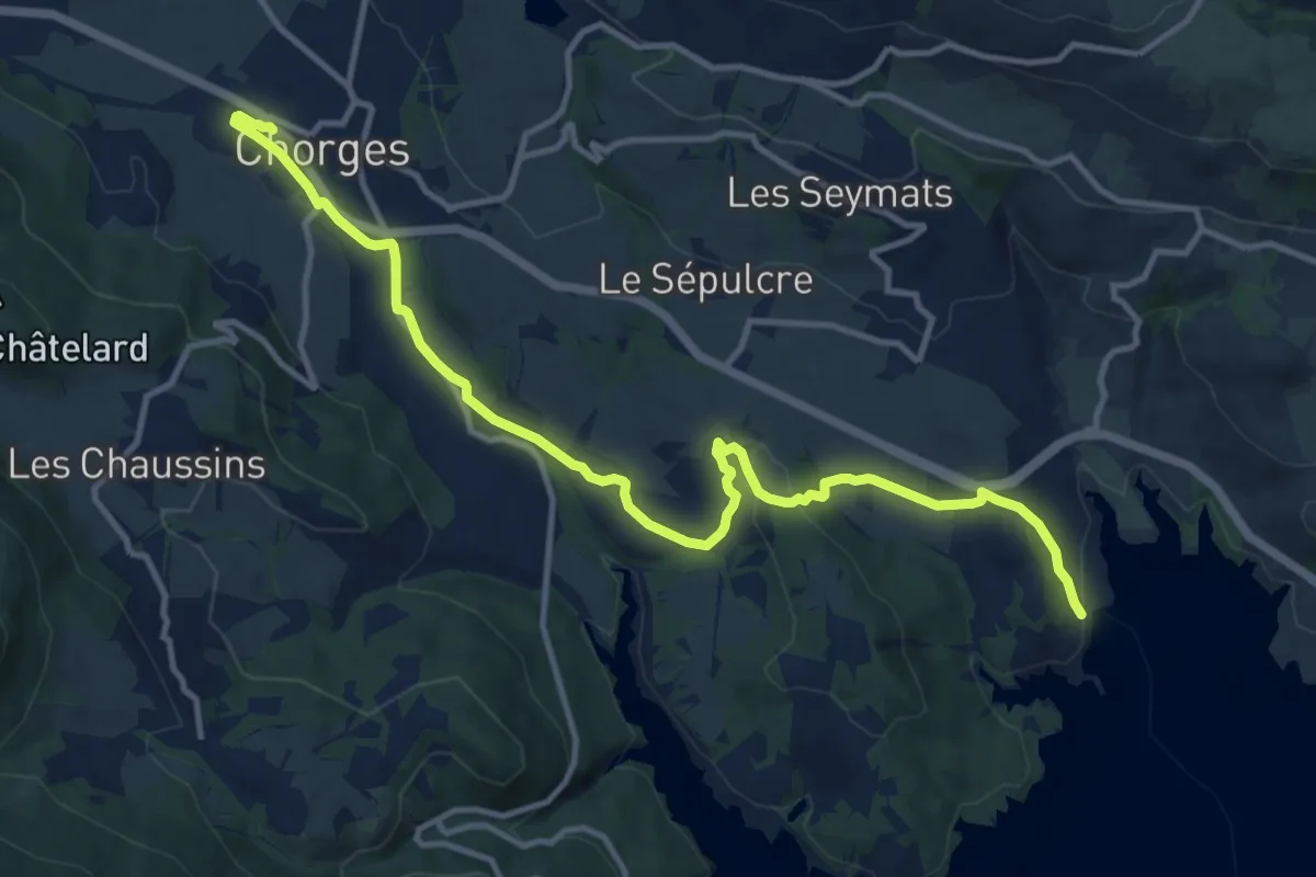
Medium · Trail
Sentier mobilité douce Chorges - Baie Saint-Michel
14.2 km · ↑ 271 m · 3 h 56 min
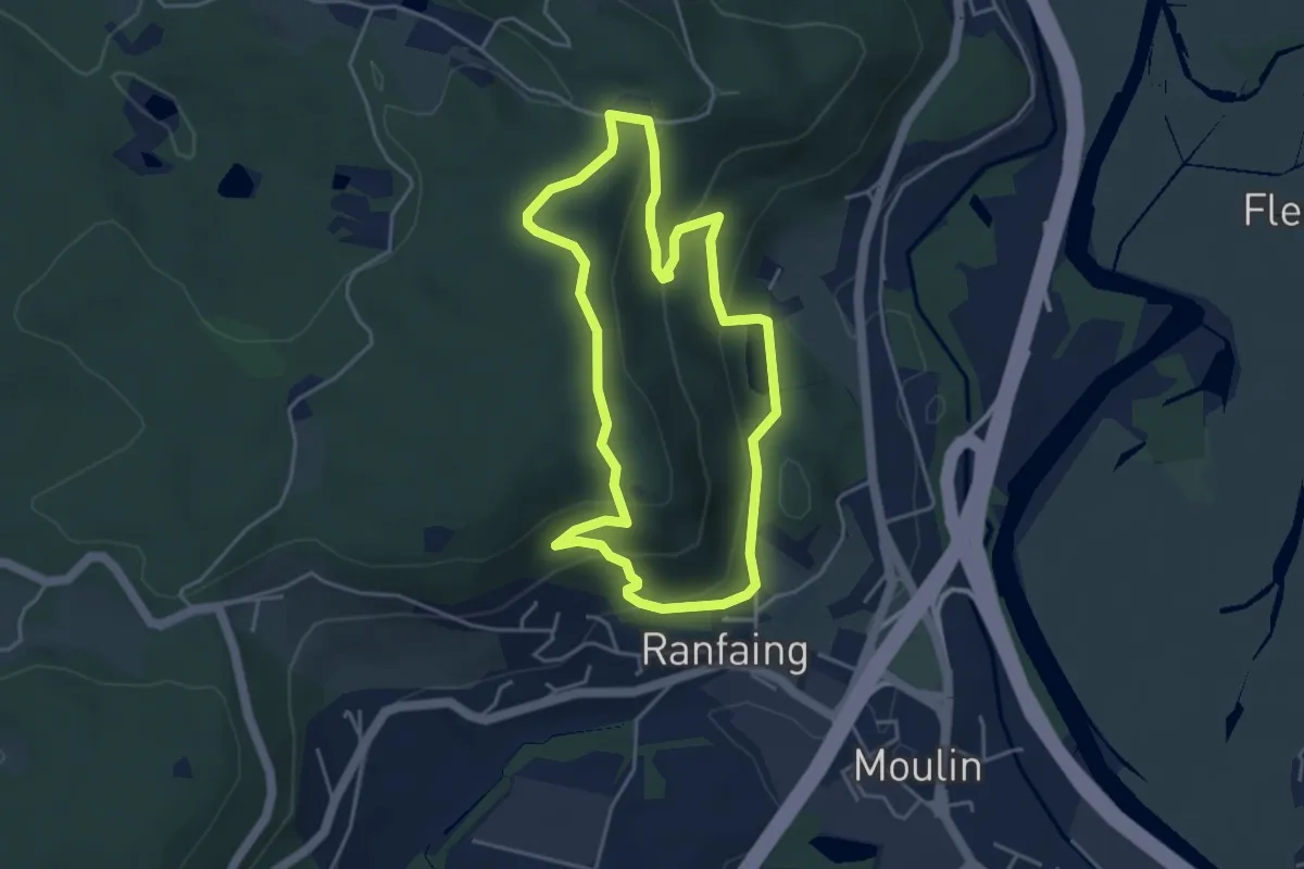
Easy · Trail
Sentier "Montiroche"
3.9 km · ↑ 203 m · 1 h 25 min
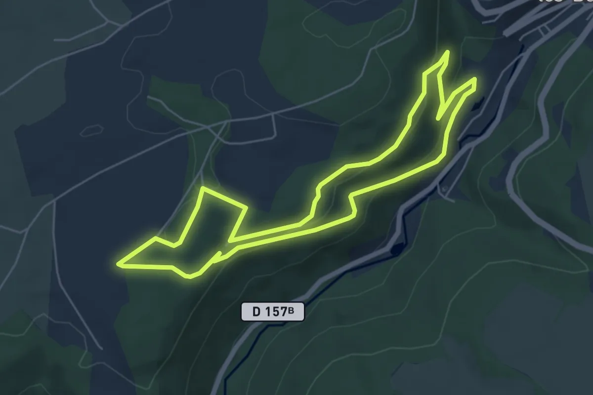
Easy · Trail
Sentier musical de Plombières
5.1 km · ↑ 195 m · 1 h 42 min
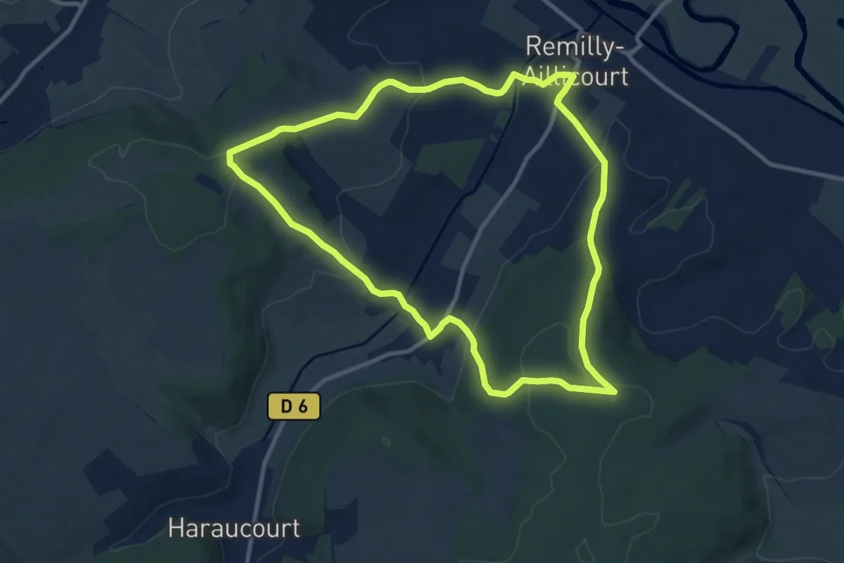
Medium · Trail
Sentier n°24
8.7 km · ↑ 291 m · 2 h 49 min
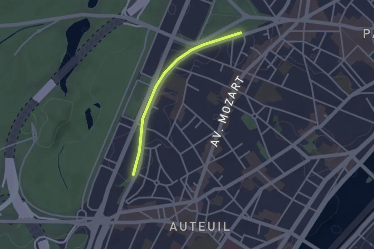
Easy · Trail
Sentier Nature de la Petite Ceinture du 16e
2.2 km · ↑ 13 m · 33 min
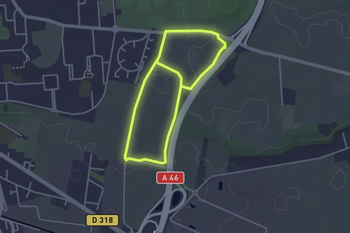
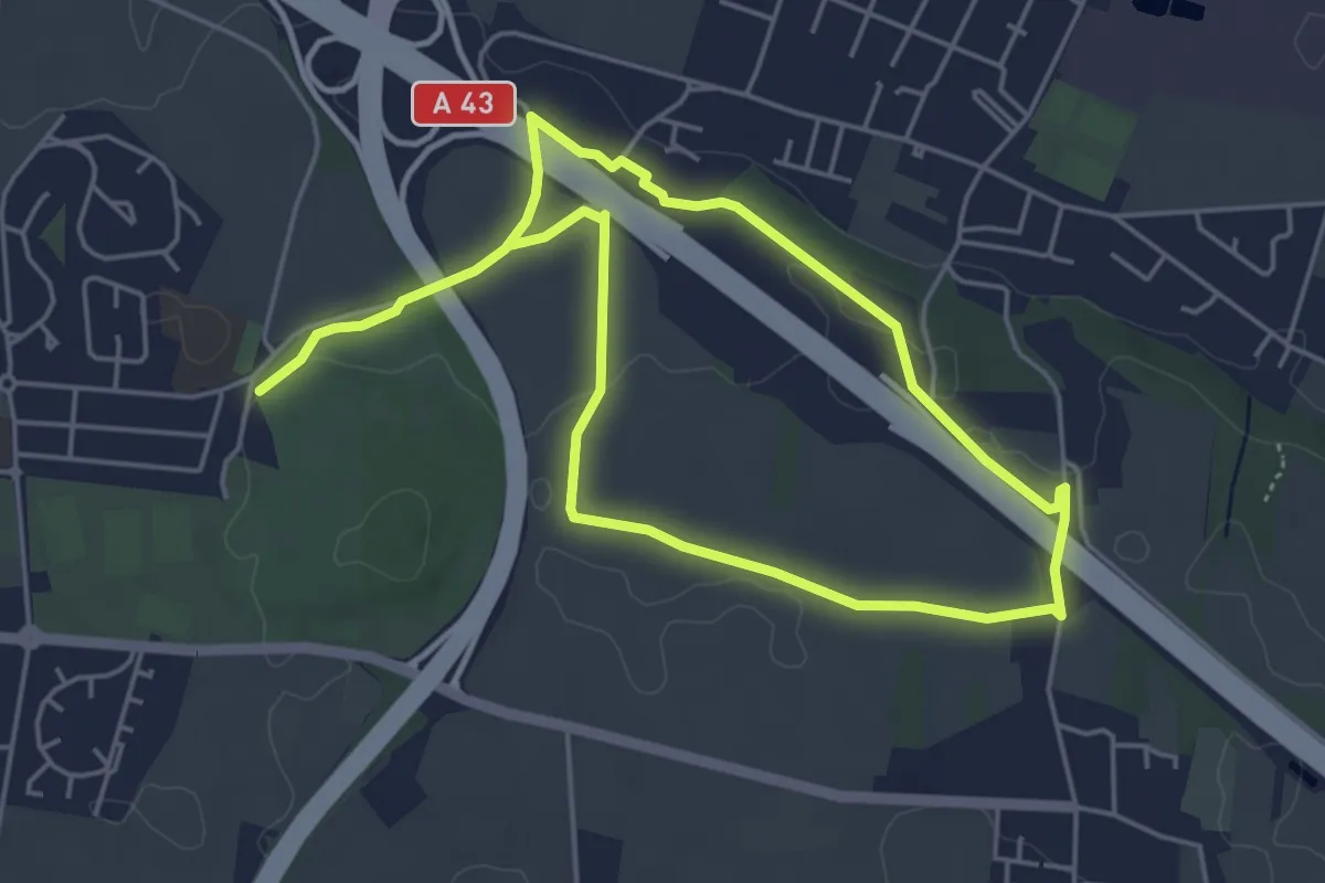
Easy · Trail
Sentier nature de la Route de Vienne
2.8 km · ↑ 23 m · 44 min
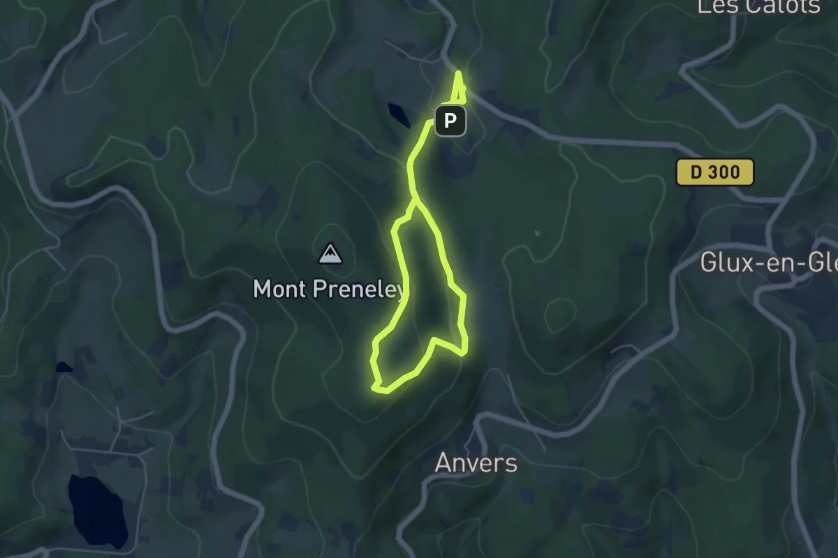
Medium · Trail
Sentier-nature des Cervettes
8.6 km · ↑ 43 m · 2 h 8 min
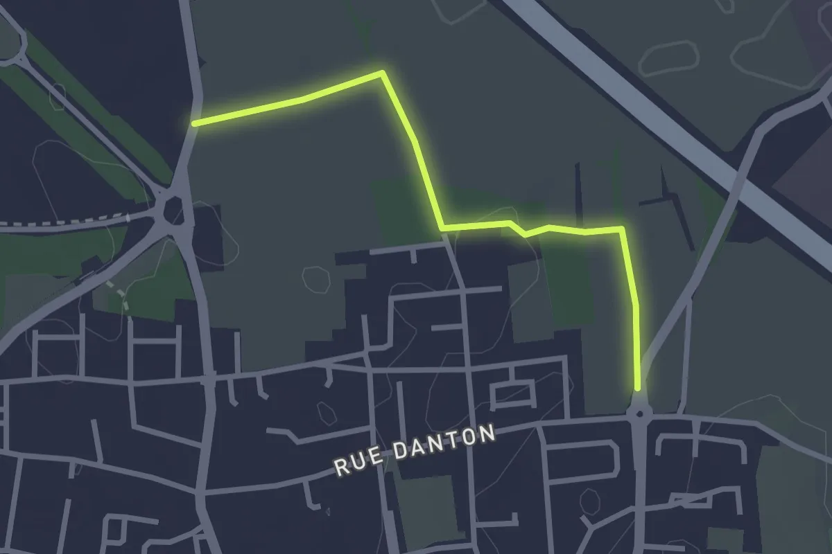
Easy · Trail
Sentier nature des Sources de l'Yonne
7.0 km · ↑ 242 m · 2 h 10 min
Easy · Trail
Sentier nature du Borgeai
2.5 km · ↑ 18 m · 37 min
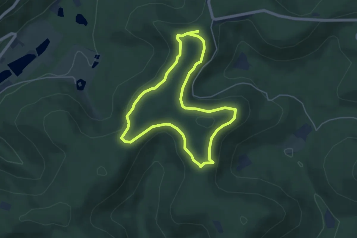
Easy · Trail
Sentier nature du Loosthal
4.1 km · ↑ 76 m · 1 h 12 min
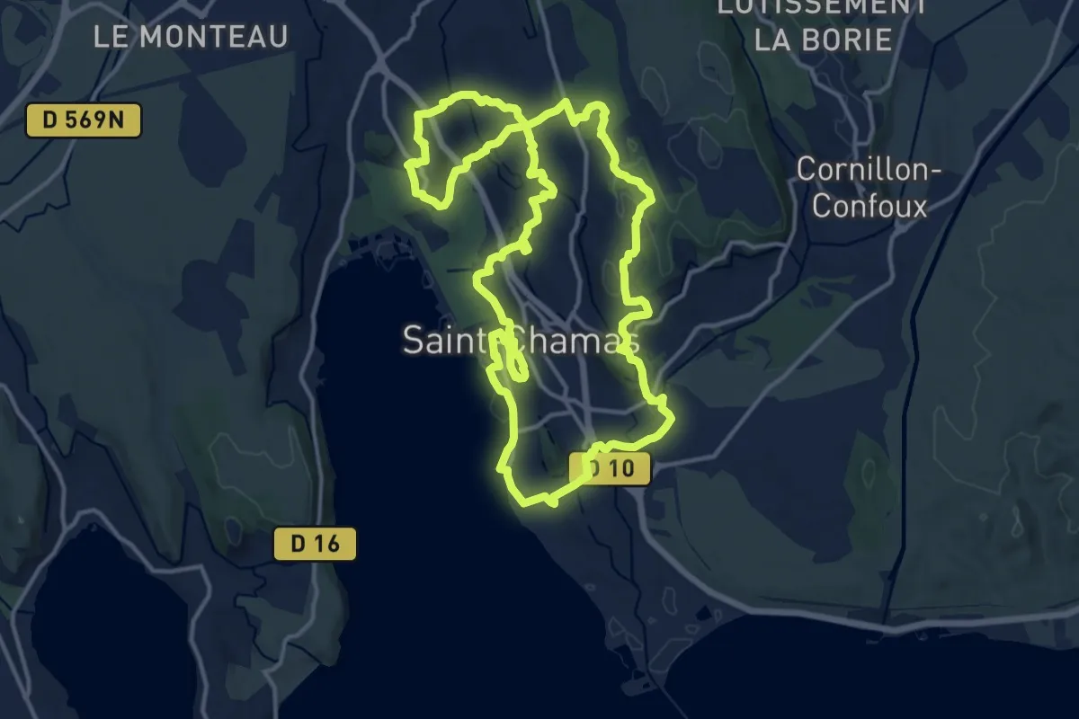
Medium · Summit
Sentier Nature et Découverte
16.0 km · ↑ 252 m · 4 h 32 min
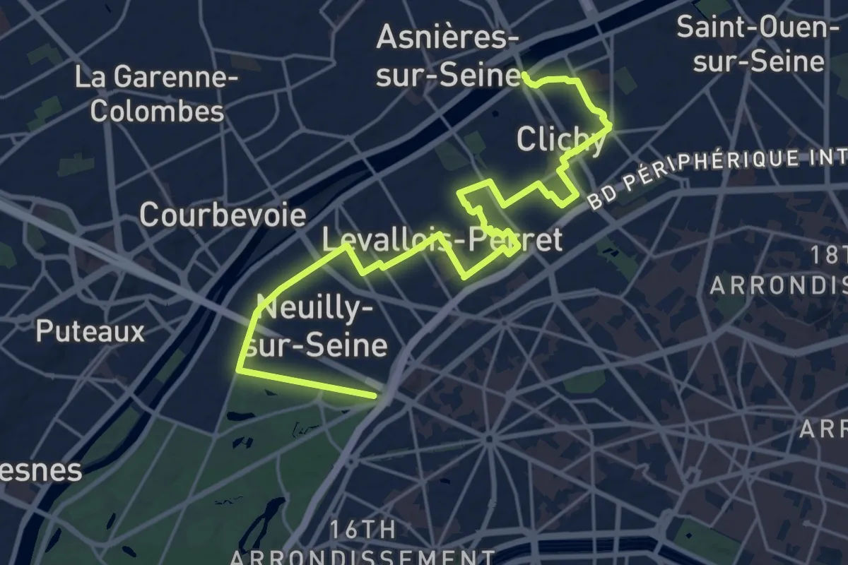
Demanding · Trail
Sentier neuf
22.3 km · ↑ 64 m · 5 h 24 min
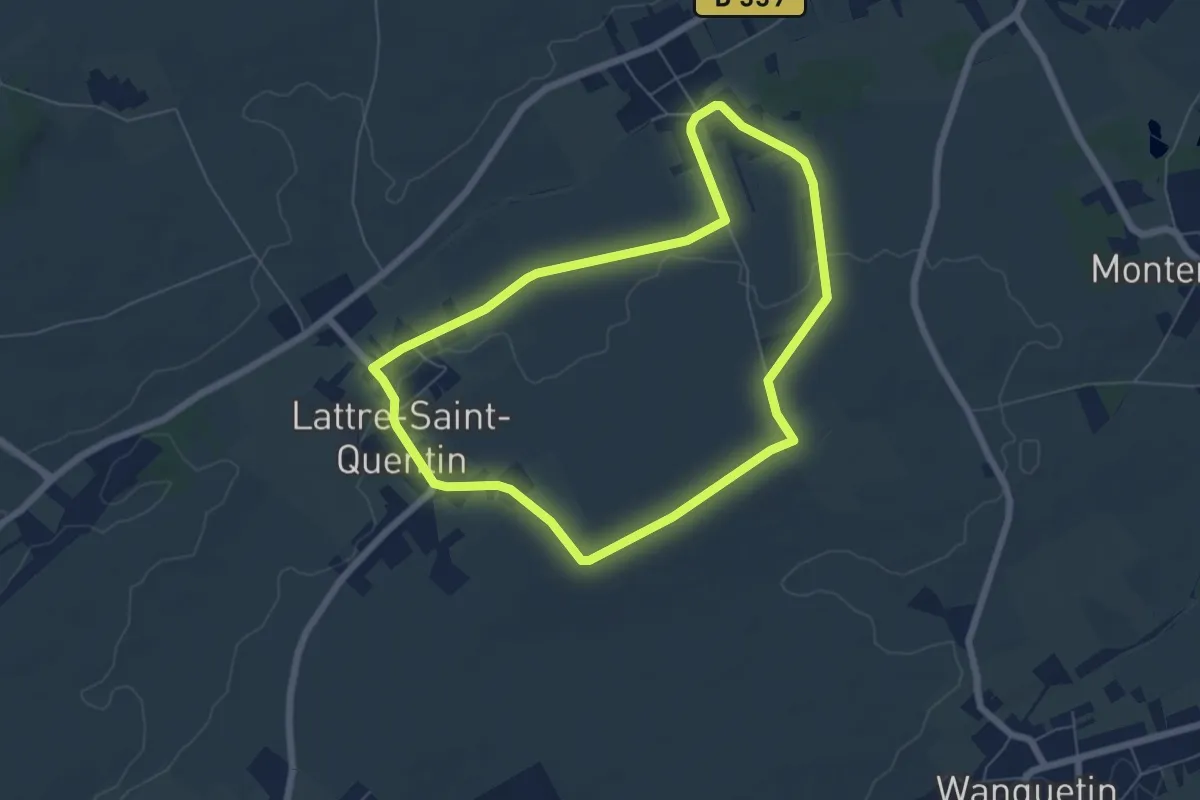
Easy · Trail
Sentier Nigella
5.6 km · ↑ 44 m · 1 h 30 min
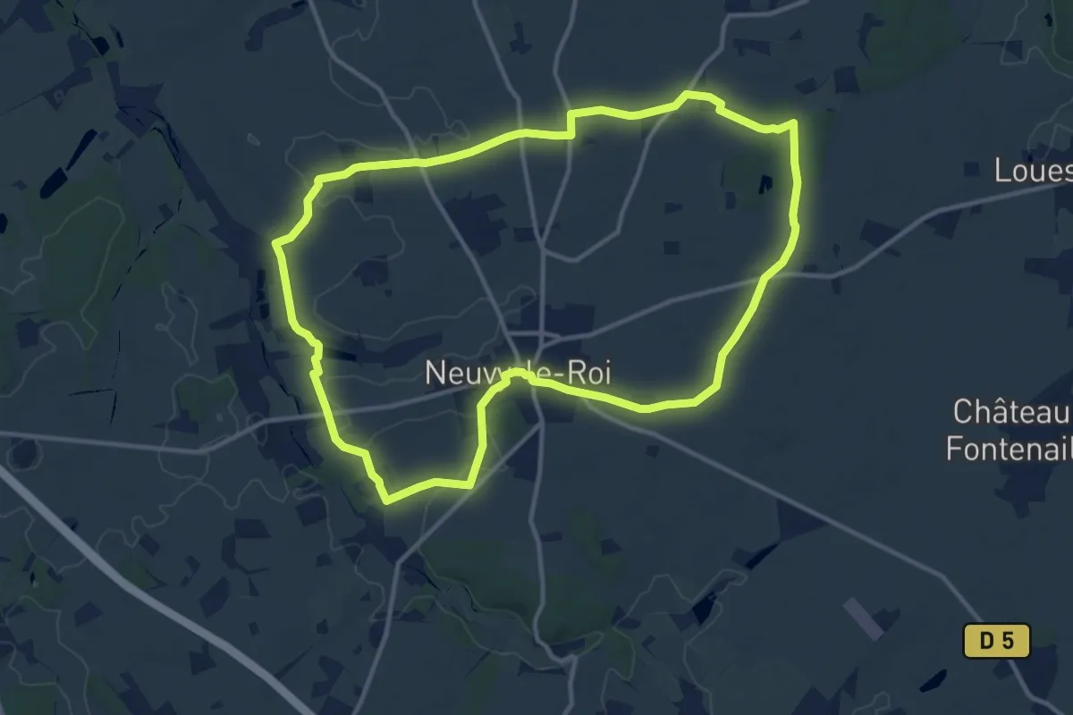
Medium · Trail
Sentier Nord du Brouillard
12.4 km · ↑ 84 m · 3 h 17 min
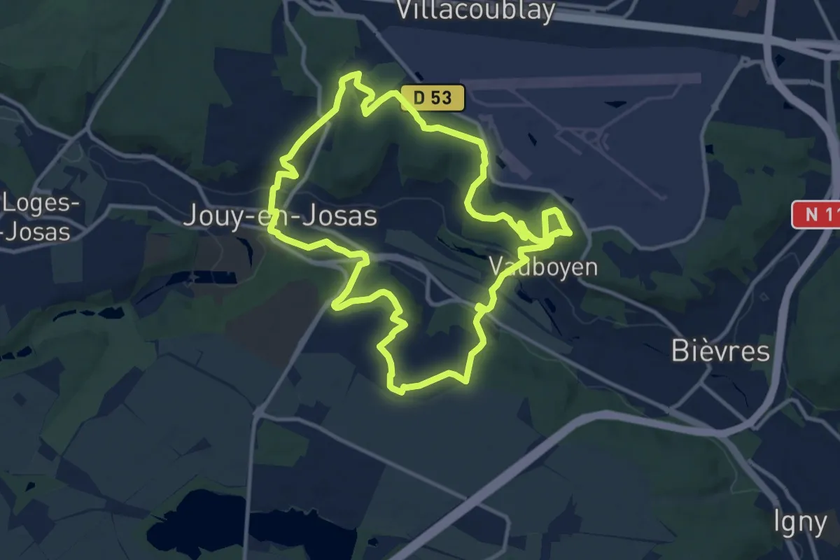
Medium · Trail
Sentier Oberkampf
11.0 km · ↑ 214 m · 3 h 12 min
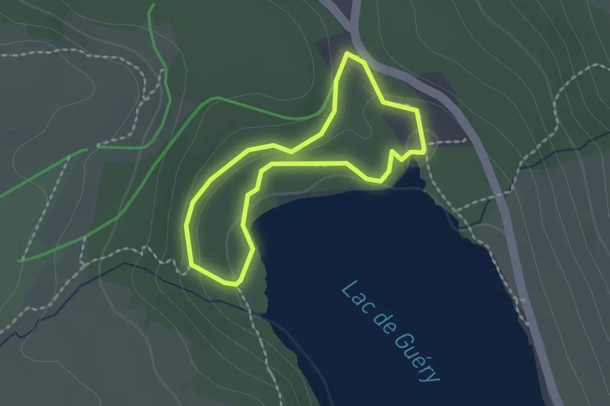
Medium · Trail
Sentier orange de la Maison des Fleurs
1.5 km · ↑ 41 m · 28 min
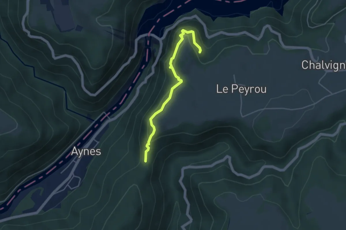
Easy · Trail
Sentier Ornitho de l'Aigle
3.8 km · ↑ 258 m · 1 h 27 min
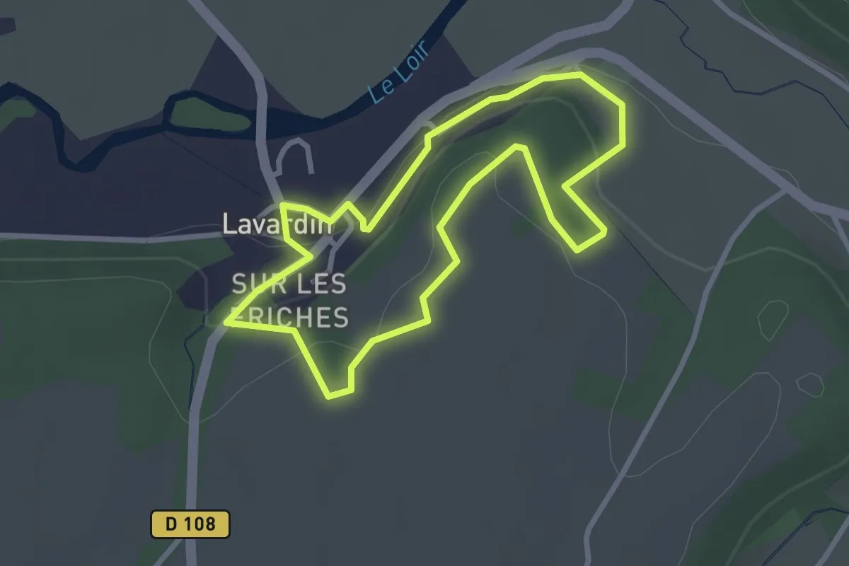
Easy · Trail
Sentier panoramique
2.5 km · ↑ 63 m · 45 min
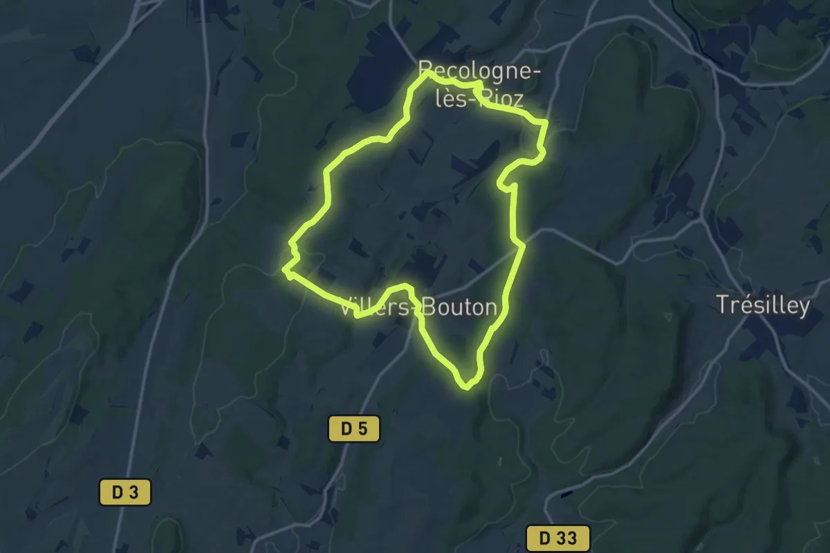
Medium · Trail
Sentier Panoramique
12.0 km · ↑ 198 m · 3 h 26 min
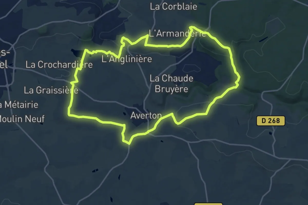
Medium · Trail
Sentier Panoramique des Perles
13.9 km · ↑ 218 m · 3 h 56 min
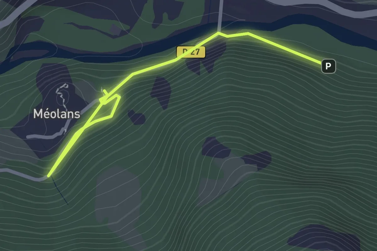
Easy · Trail
Sentier Passaloup
1.4 km · ↑ 72 m · 30 min
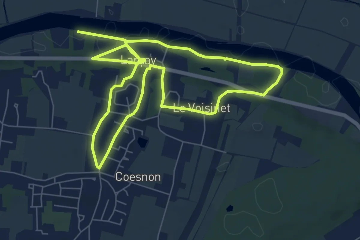
Easy · Trail
Sentier Patrimoine - Larçay
5.8 km · ↑ 80 m · 1 h 37 min
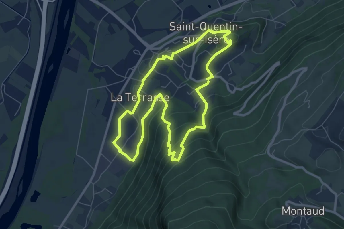
Medium · Trail
Sentier Patrimonial
6.5 km · ↑ 348 m · 2 h 23 min
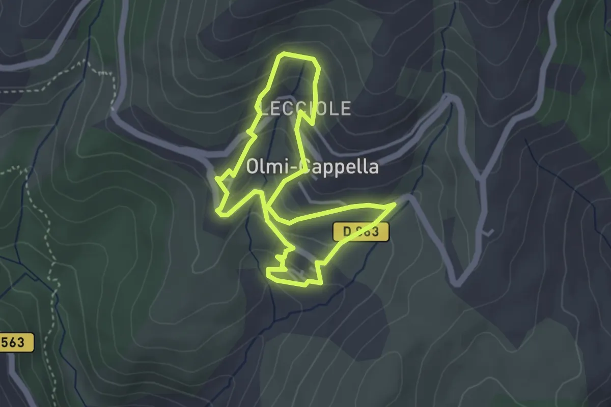
Easy · Trail
Sentier patrimonial d'Olmi-Cappella
3.2 km · ↑ 170 m · 1 h 11 min
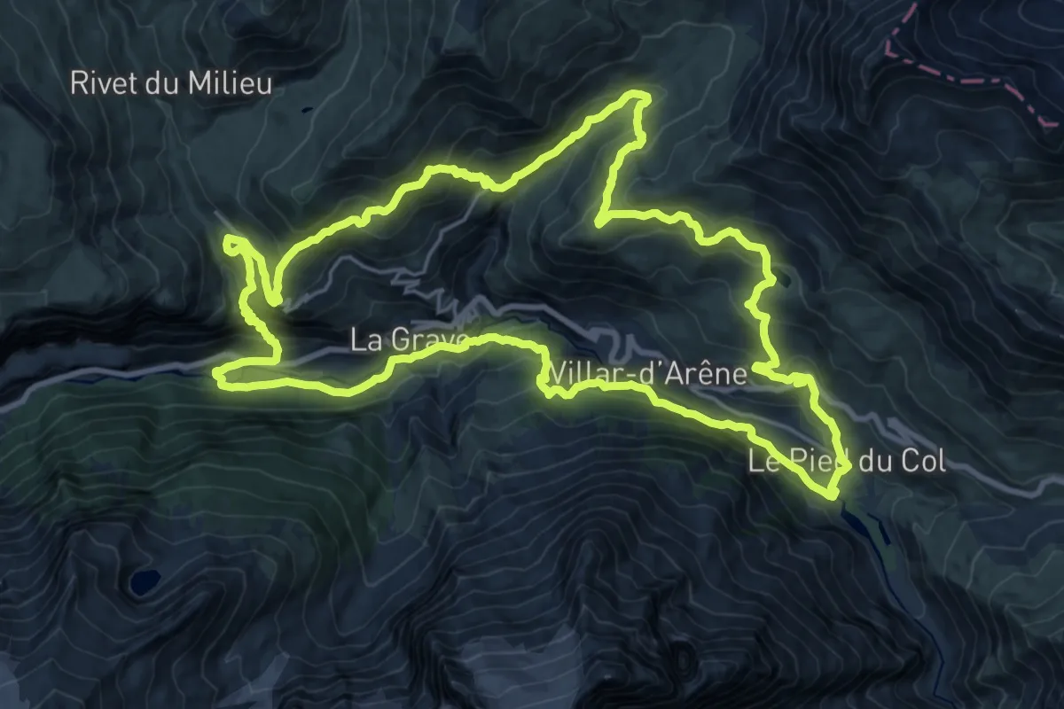
Demanding · Trail
Sentier Paul Louis Rousset
22.8 km · ↑ 1301 m · 8 h 31 min
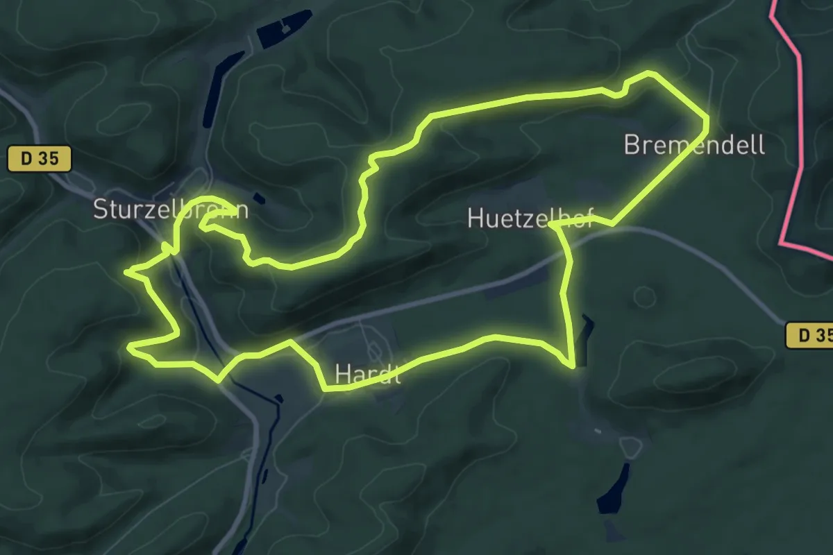
Medium · Summit
Sentier paysager passe-frontière n°3
9.9 km · ↑ 306 m · 3 h 9 min
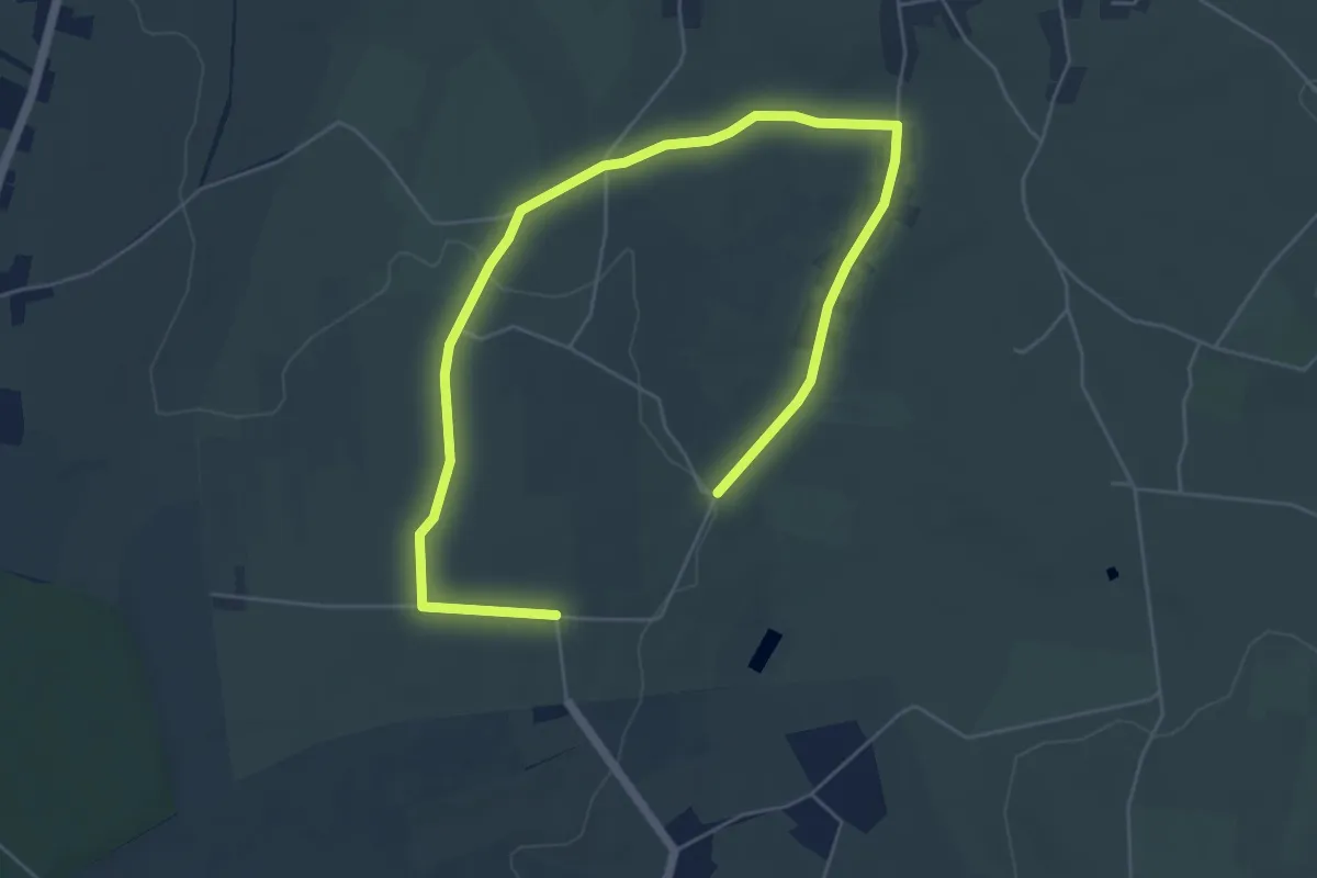
Easy · Trail
Sentier Pays et Nature de Wignehies
7.2 km · ↑ 77 m · 1 h 52 min
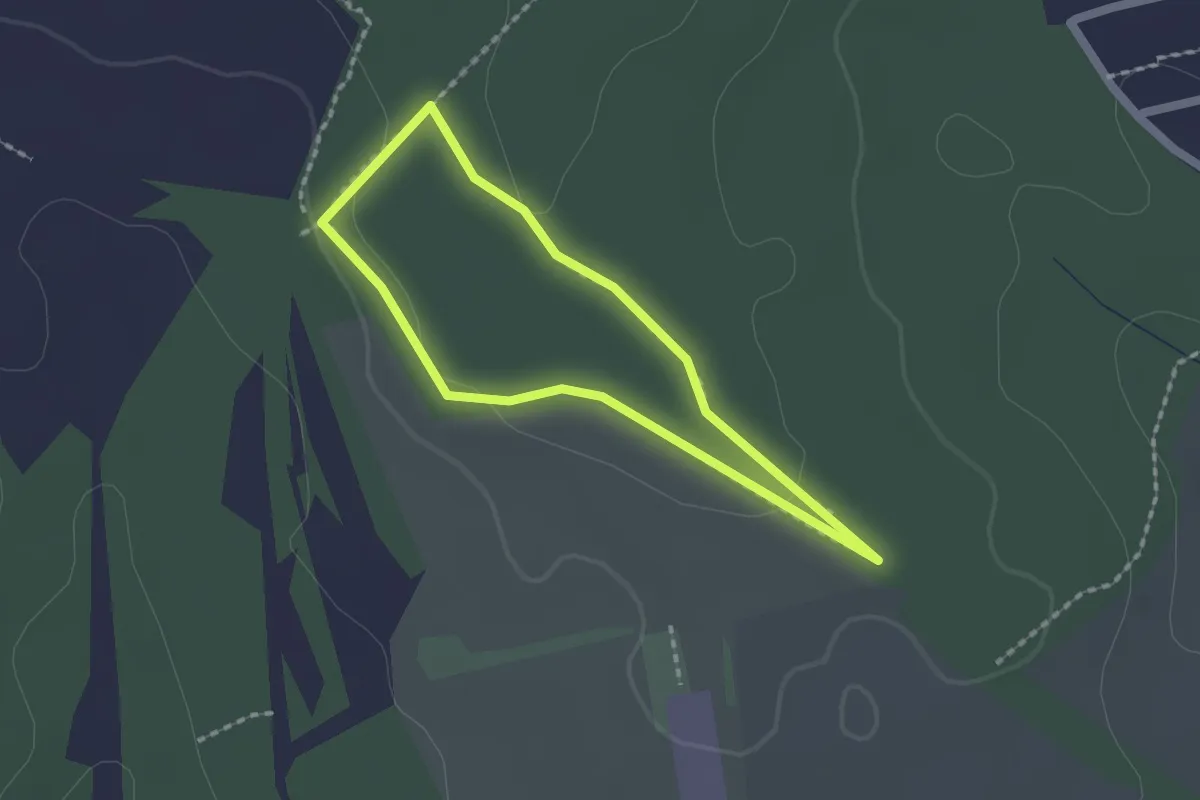
Easy · Trail
sentier pédagogique
1.5 km · ↑ 24 m · 26 min
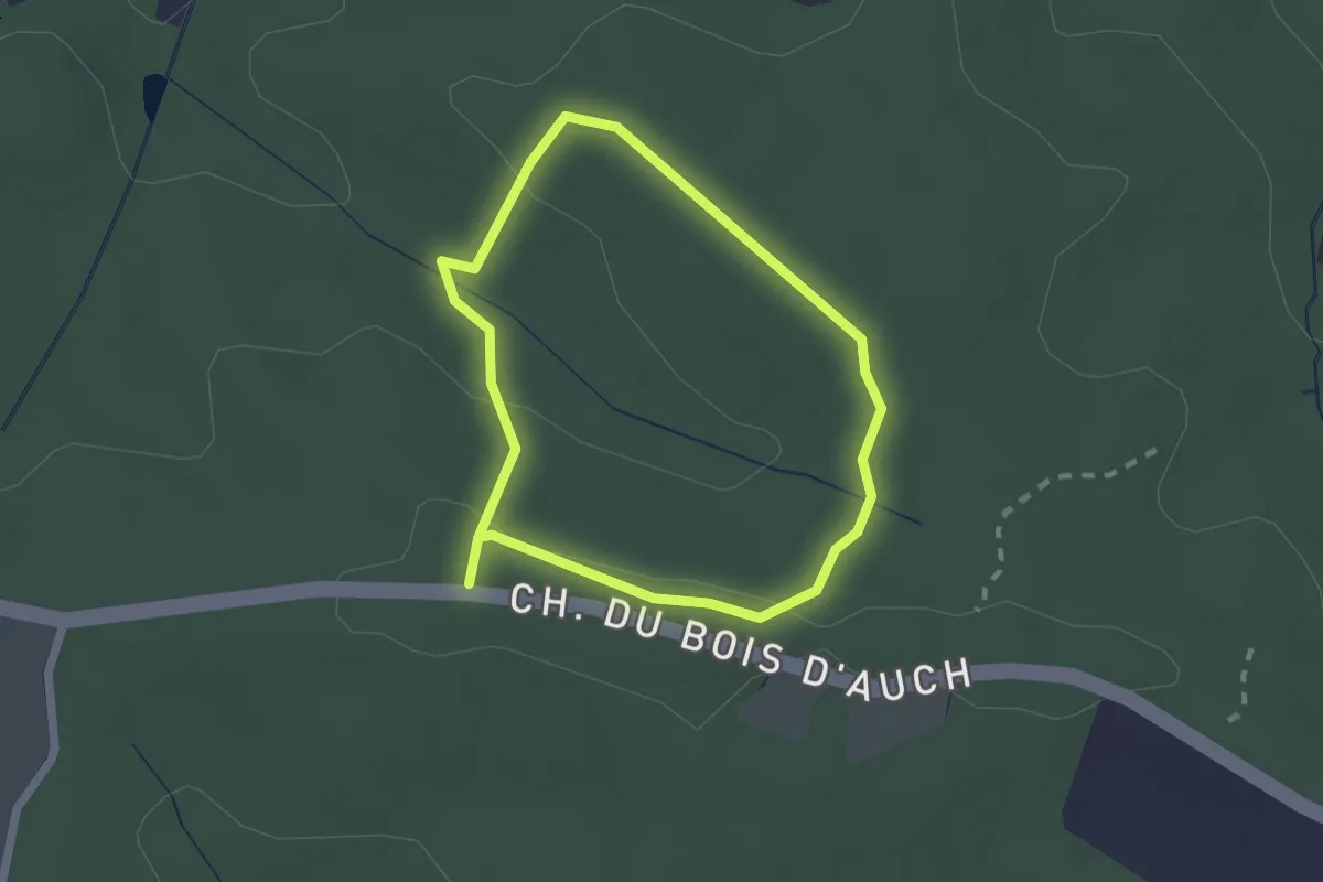
Easy · Trail
Sentier Pédagogique Bleu
1.8 km · ↑ 41 m · 32 min
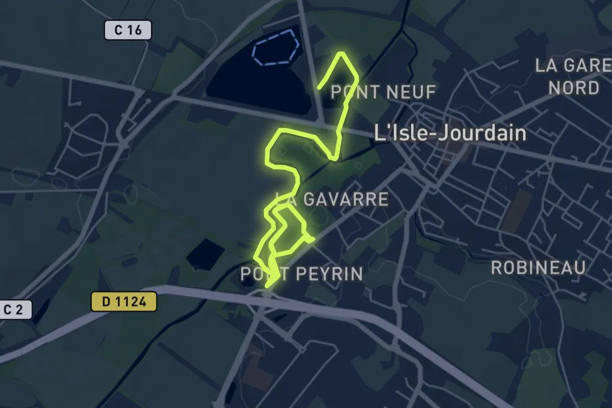
Medium · Trail
Sentier pédagogique de la Gavarre
8.5 km · ↑ 4 m · 2 h 1 min
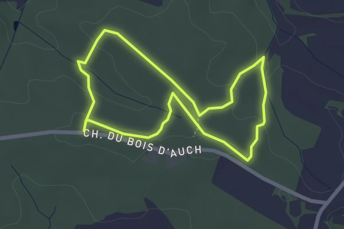
Easy · Trail
Sentier Pédagogique Jaune
3.6 km · ↑ 81 m · 1 h 5 min
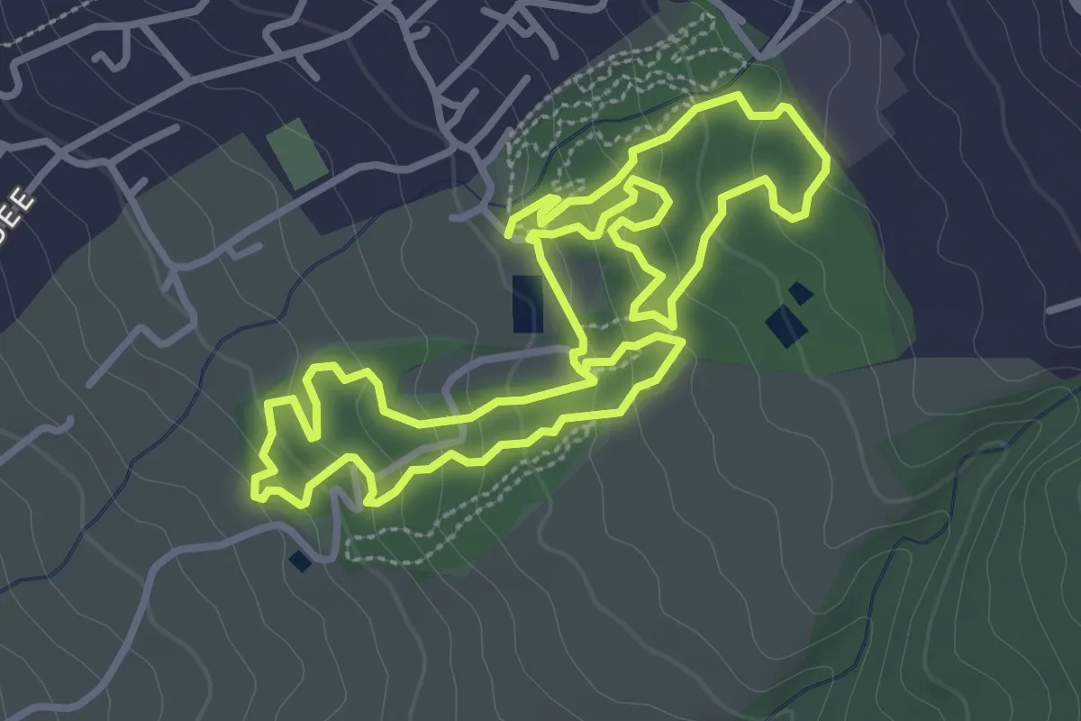
Easy · Trail
Sentier pédestre de la Ravine Blanche
4.4 km · ↑ 186 m · 1 h 31 min
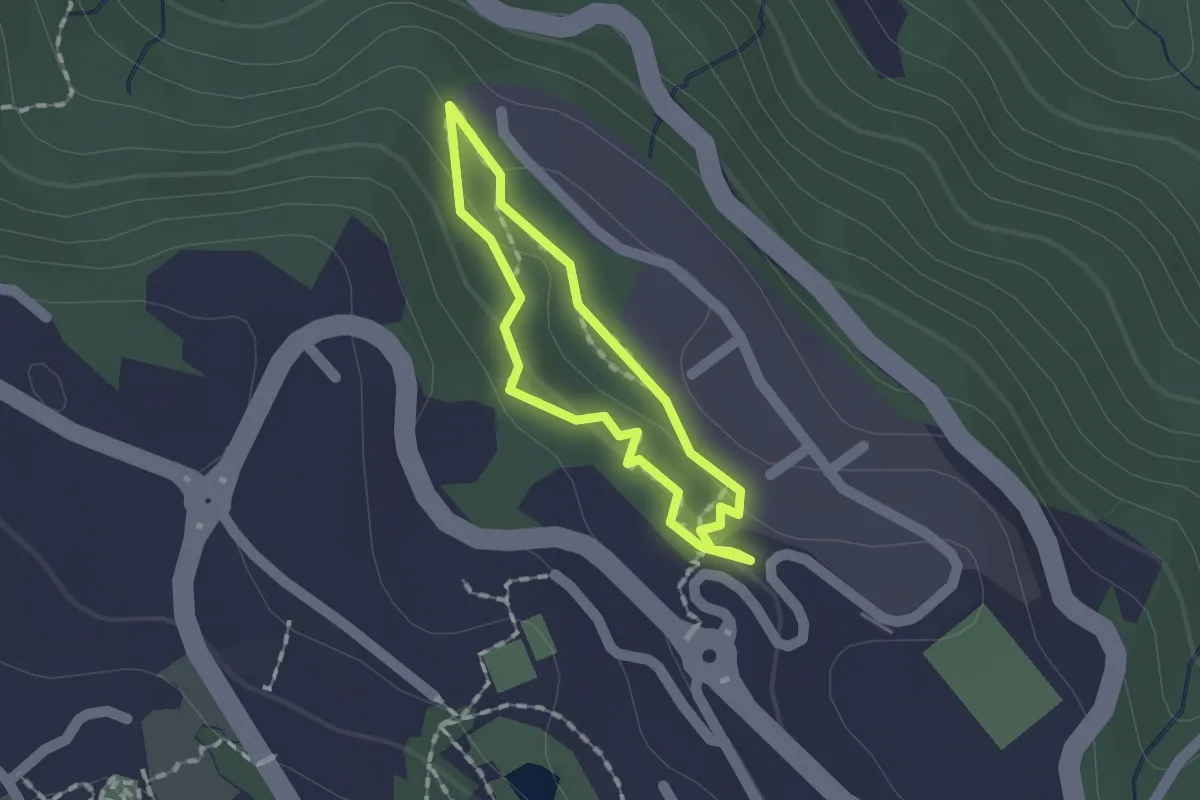
Easy · Trail
Sentier pédestre des Graniteurs
1.1 km · ↑ 44 m · 23 min