Trails in France
15,926 hiking trails, each with its route, climb, walking time and grade.
All trails, page 261 of 332
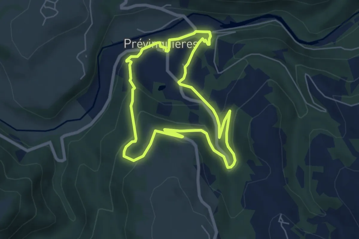
Easy · Trail
Sentier «Pervenche 1»
5.0 km · ↑ 208 m · 1 h 42 min
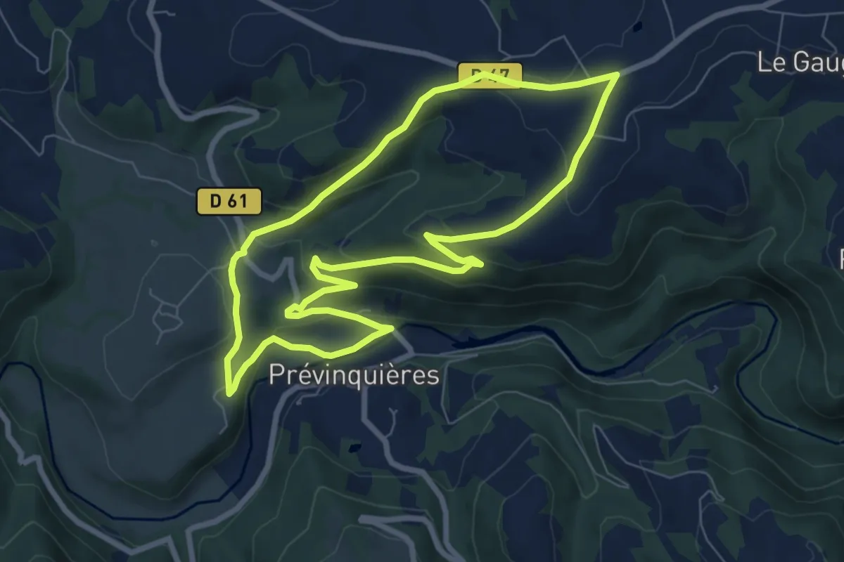
Easy · Trail
Sentier Pervenche 2
7.3 km · ↑ 228 m · 2 h 19 min
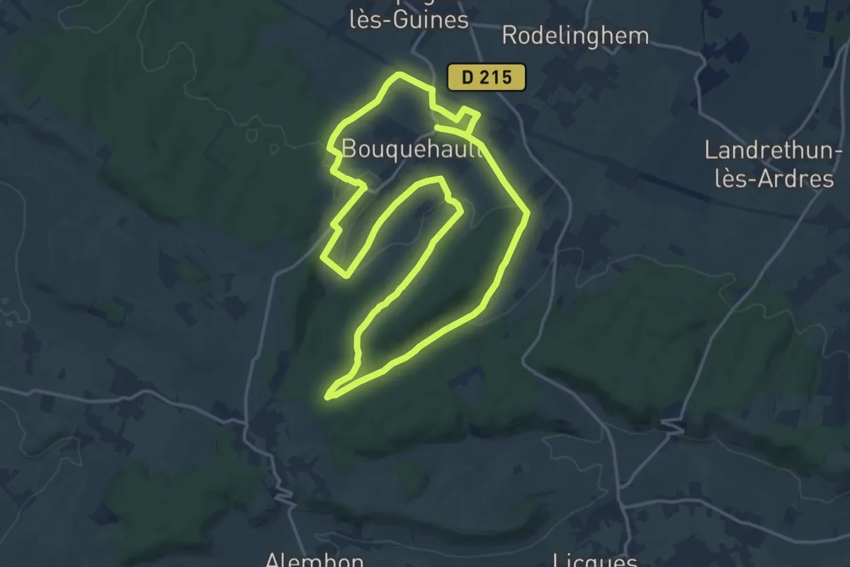
Medium · Trail
Sentier Philippe de Montgardin
14.5 km · ↑ 222 m · 4 h 6 min
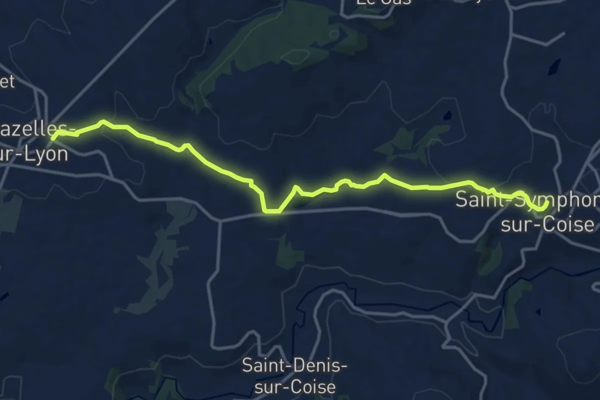
Medium · Trail
Sentier piétonnier entre Chazelle sur Lyon et Saint-Symphorien sur Coise
11.7 km · ↑ 277 m · 3 h 22 min
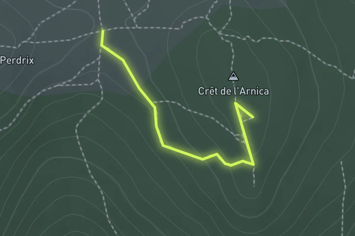
Easy · Summit
Sentier Pilat
1.7 km · ↑ 49 m · 30 min
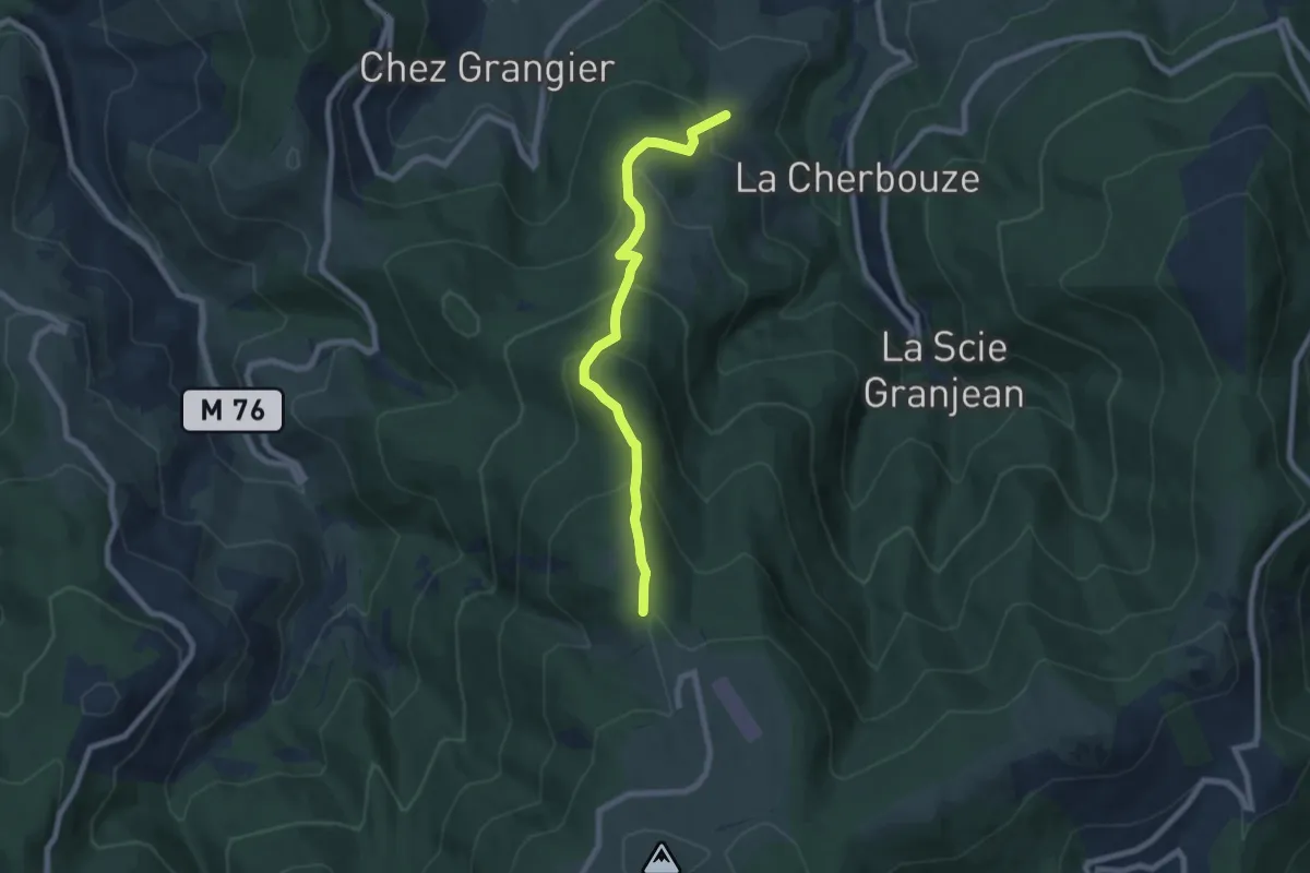
Medium · Trail
Sentier Pilat
7.3 km · ↑ 514 m · 2 h 50 min
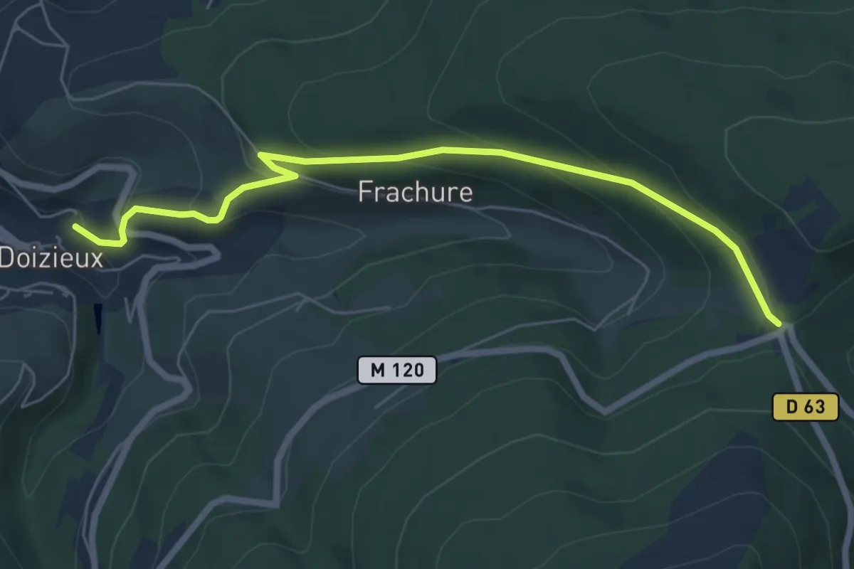
Medium · Trail
Sentier Pilat
6.4 km · ↑ 366 m · 2 h 18 min
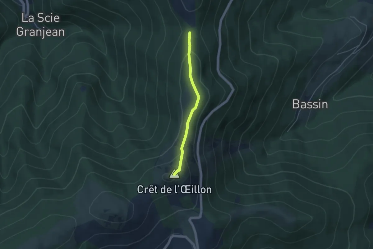
Easy · Summit
Sentier Pilat
3.3 km · ↑ 132 m · 1 h 4 min
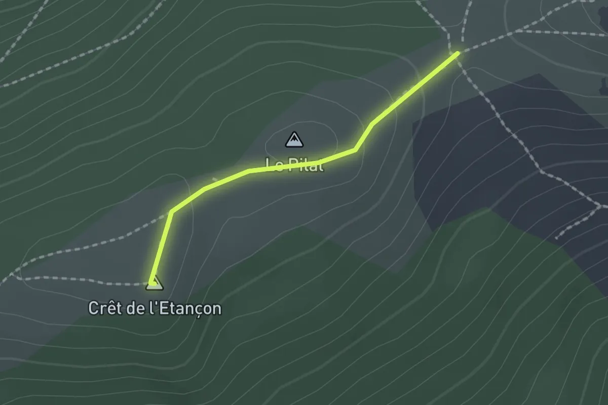
Easy · Summit
Sentier Pilat
1.4 km · ↑ 40 m · 26 min
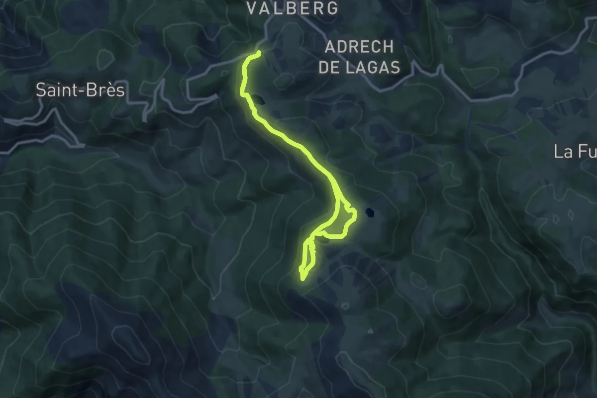
Medium · Summit
Sentier Planétaire
7.6 km · ↑ 264 m · 2 h 28 min
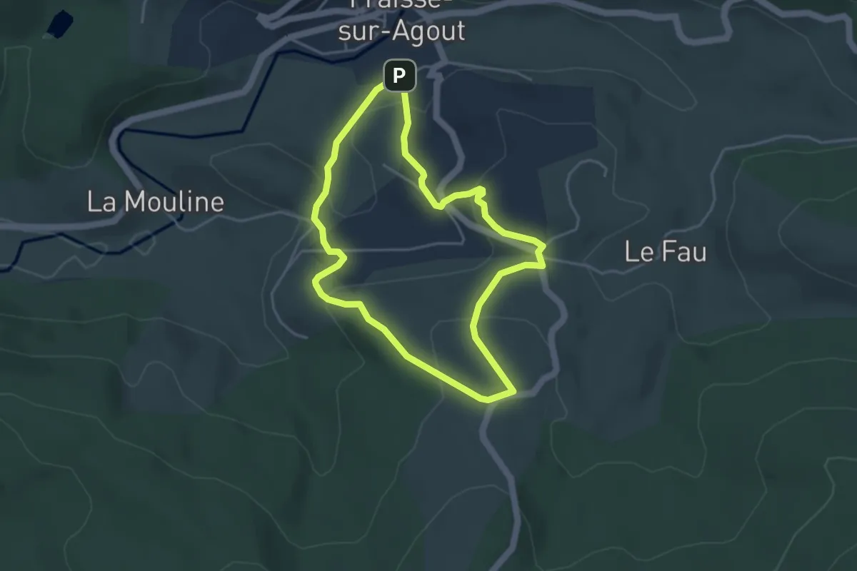
Easy · Trail
Sentier Prévert
3.9 km · ↑ 137 m · 1 h 16 min
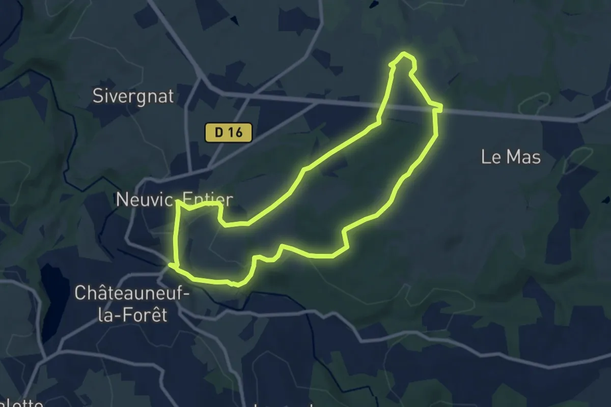
Medium · Trail
Sentier Puy du Thé
8.1 km · ↑ 171 m · 2 h 23 min
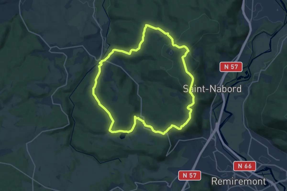
Medium · Trail
Sentier "Raon-Aux-Bois"
15.1 km · ↑ 410 m · 4 h 40 min
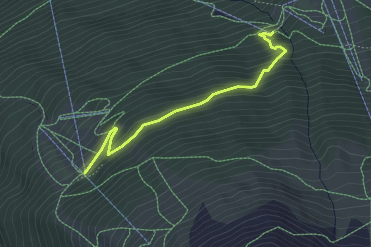
Easy · Trail
Sentier raquettes Les Sources
4.2 km · ↑ 274 m · 1 h 36 min
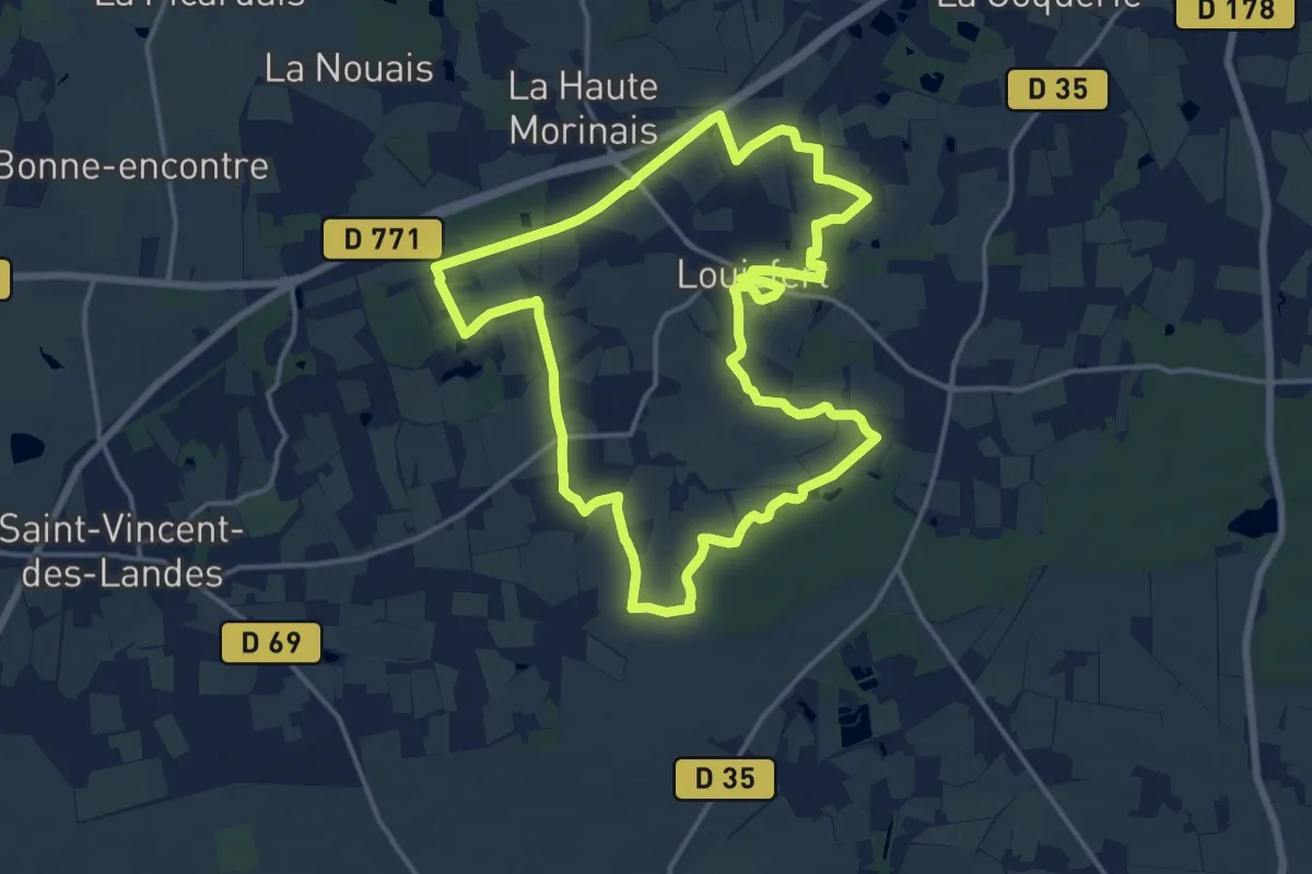
Medium · Trail
Sentier René-Guy Cadou
15.7 km · ↑ 104 m · 4 h 9 min
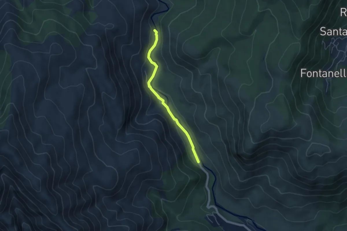
Easy · Trail
Sentier Retour du Ponte di Marionu
4.7 km · ↑ 86 m · 1 h 18 min
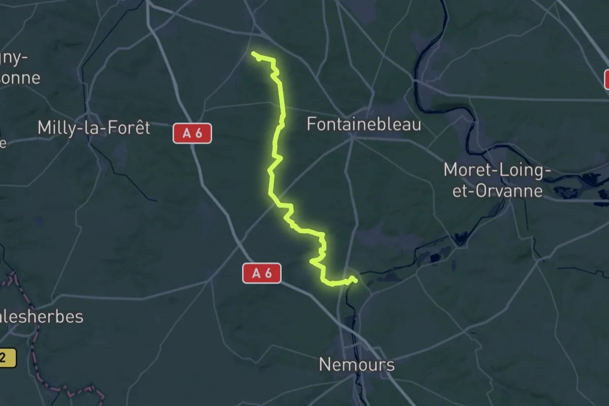
Demanding · Trail
Sentier Robert Louis Stevenson
23.7 km · ↑ 196 m · 6 h 21 min
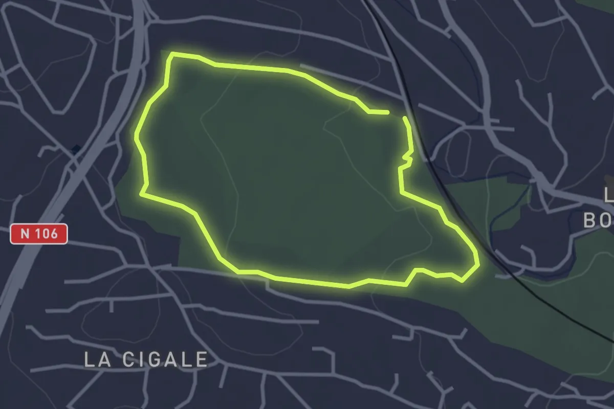
Easy · Trail
Sentier rouge
2.9 km · ↑ 44 m · 49 min
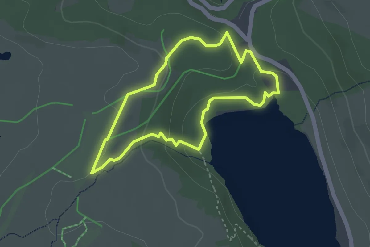
Medium · Trail
Sentier rouge de la Maison des Fleurs
2.6 km · ↑ 77 m · 49 min
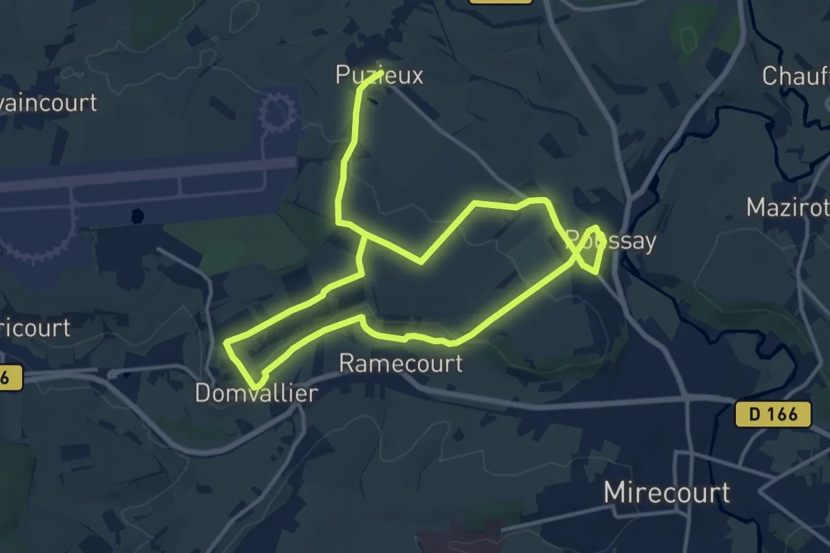
Medium · Trail
Sentier Sainte-Menne
10.5 km · ↑ 108 m · 2 h 51 min
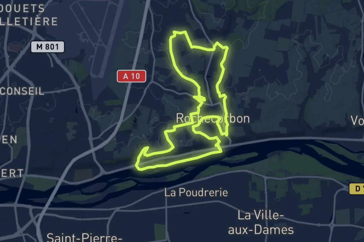
Medium · Trail
Sentier Saint Georges - Rochecorbon
12.9 km · ↑ 161 m · 3 h 35 min
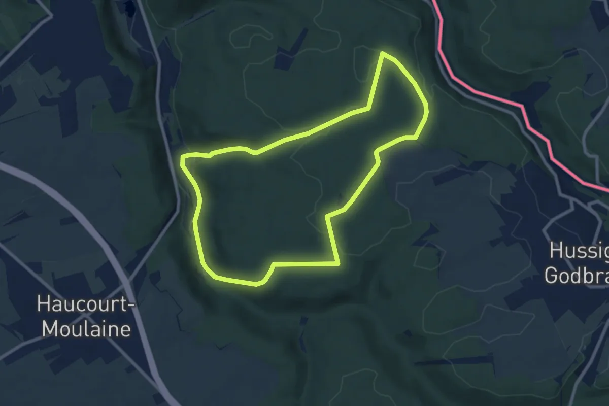
Easy · Trail
Sentier Saint-Jacques
7.0 km · ↑ 130 m · 2 h 2 min
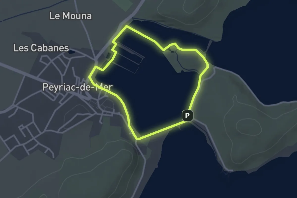
Easy · Trail
Sentier Saline
2.6 km · ↑ 15 m · 41 min
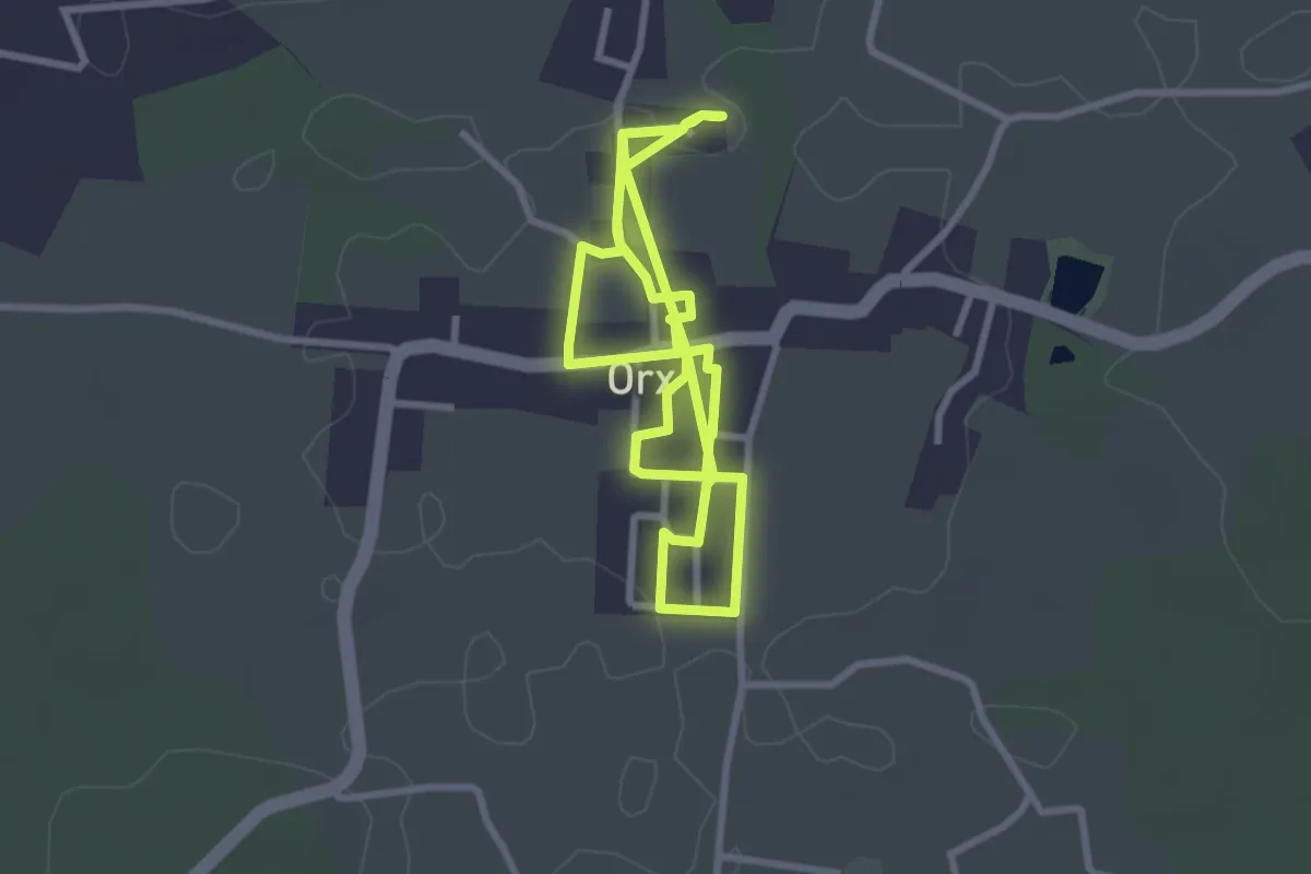
Easy · Trail
Sentier Saveurs et Senteurs
6.2 km · ↑ 4 m · 1 h 28 min
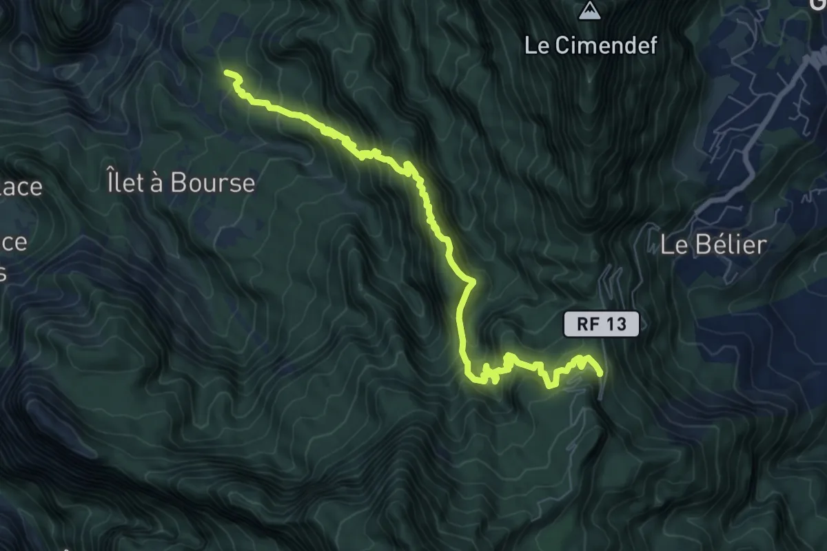
Demanding · Trail
Sentier Scout
11.7 km · ↑ 1409 m · 5 h 48 min
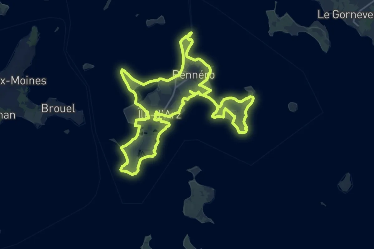
Medium · Trail
Sentiers de l'ïle d'Arz
15.8 km · ↑ 27 m · 4 h
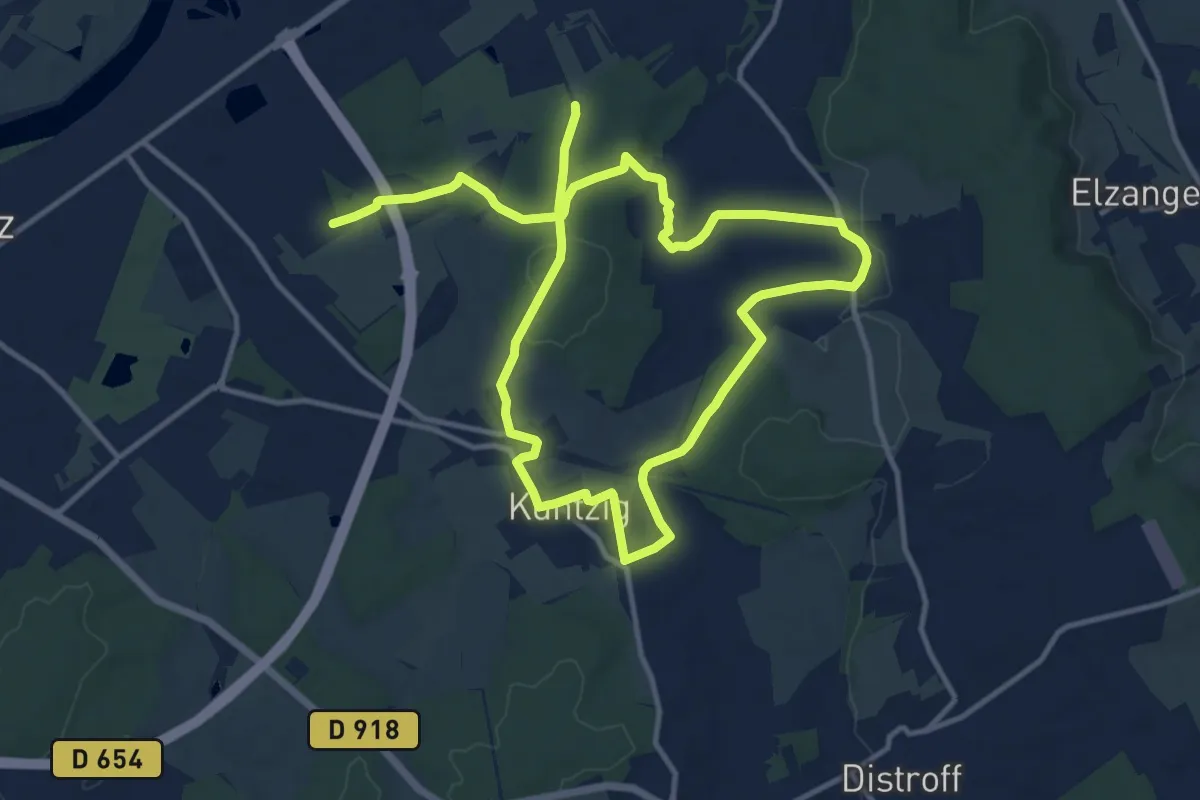
Demanding · Trail
Sentiers des 3 Clériaux
21.2 km · ↑ 274 m · 5 h 36 min
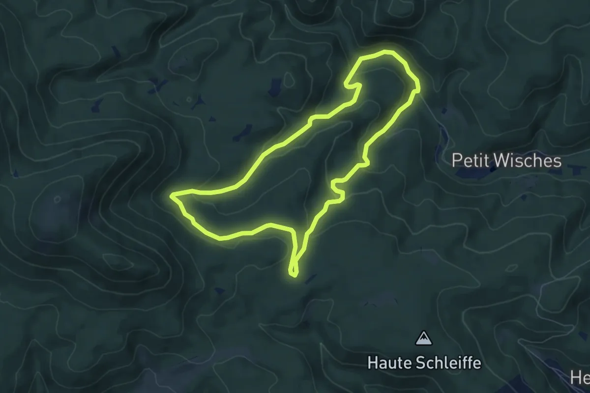
Easy · Trail
Sentiers des Géants : Roche Solaire 1
6.9 km · ↑ 226 m · 2 h 13 min
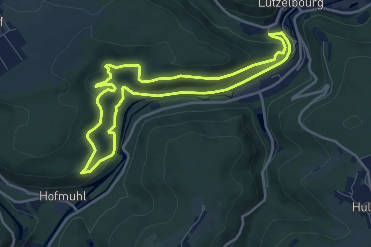
Easy · Trail
Sentiers du Buchholzkopf et des Roches
6.4 km · ↑ 236 m · 2 h 7 min
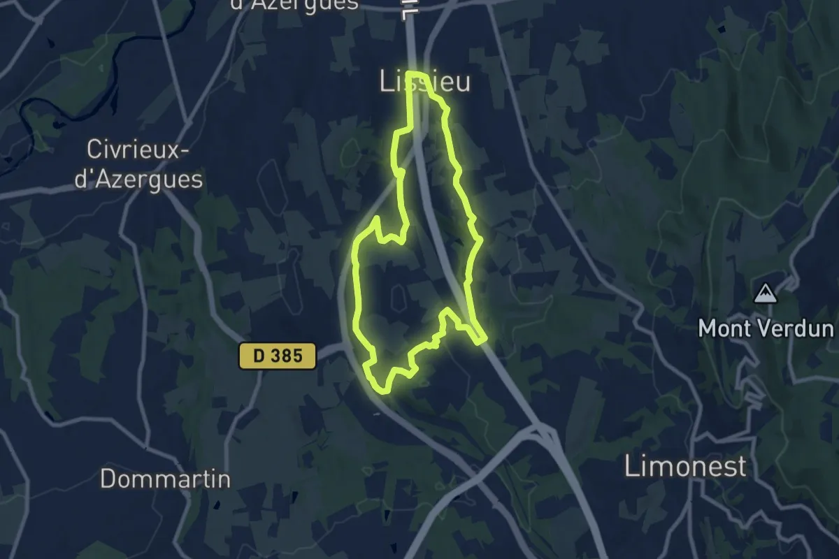
Medium · Trail
Sentier Secret des Pierres et du Patrimoine
8.1 km · ↑ 169 m · 2 h 23 min
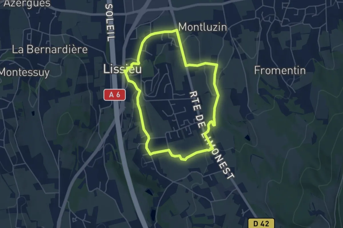
Easy · Trail
Sentier Secret des Pierres et du Paysage
4.6 km · ↑ 111 m · 1 h 23 min
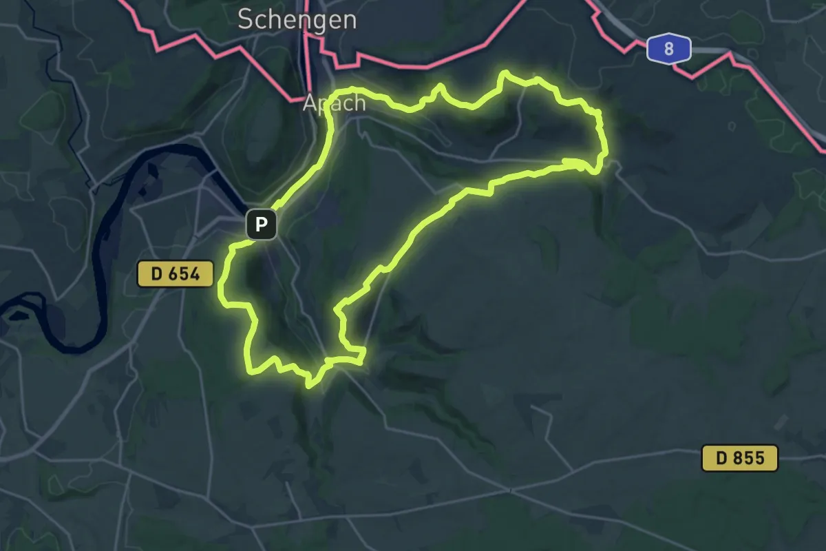
Demanding · Trail
Sentier Sierck-Apach-Montenach
23.0 km · ↑ 599 m · 7 h 2 min
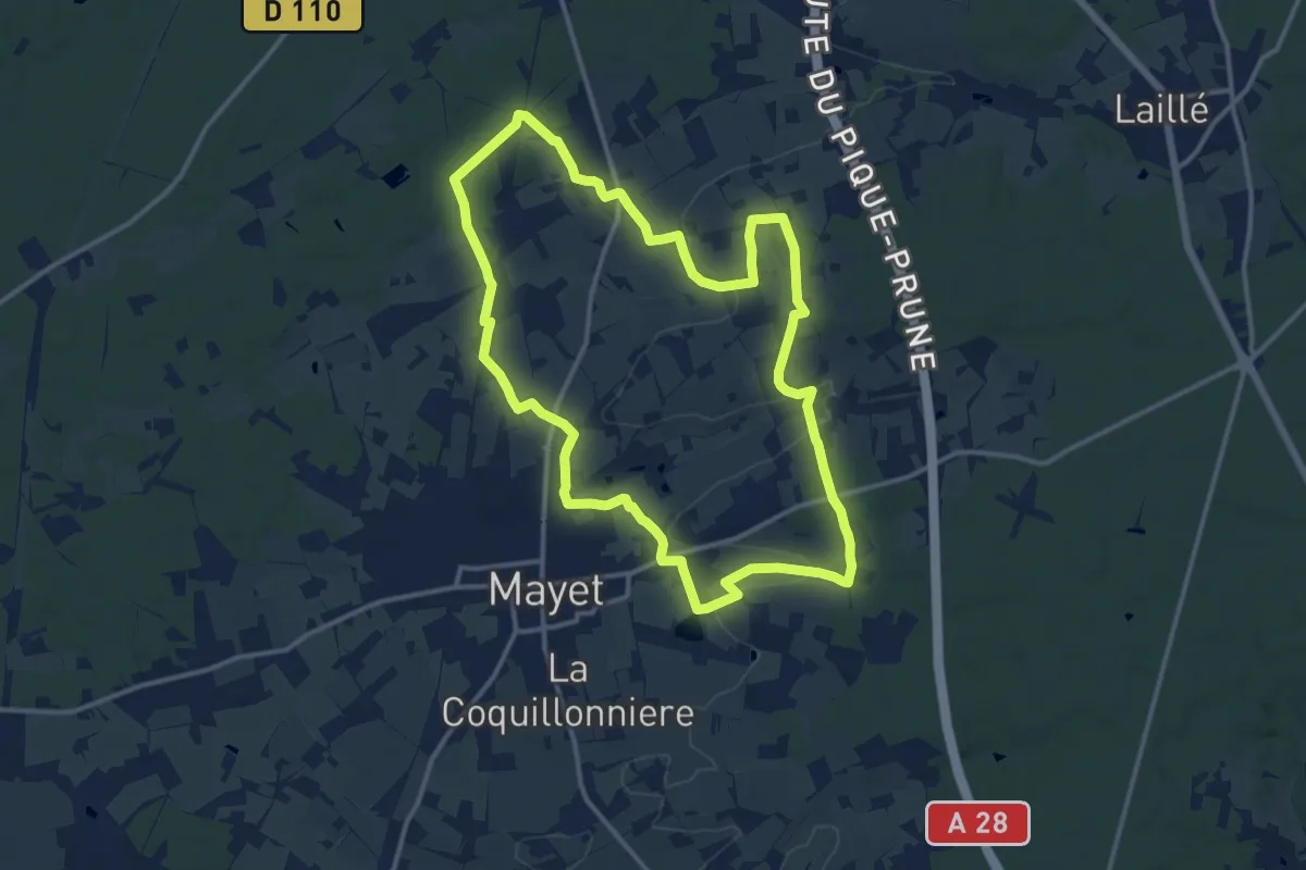
Medium · Trail
Sentiers retrouvés
13.1 km · ↑ 137 m · 3 h 34 min
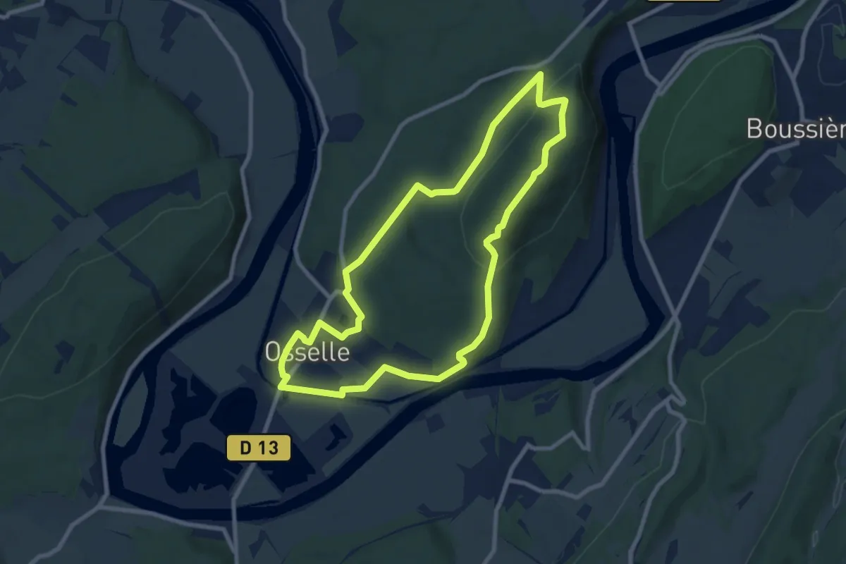
Easy · Trail
Sentier sur les Roches
7.7 km · ↑ 203 m · 2 h 22 min
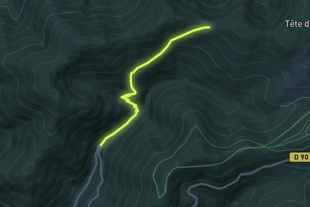
Medium · Trail
Sentier Sybille
5.2 km · ↑ 352 m · 2 h
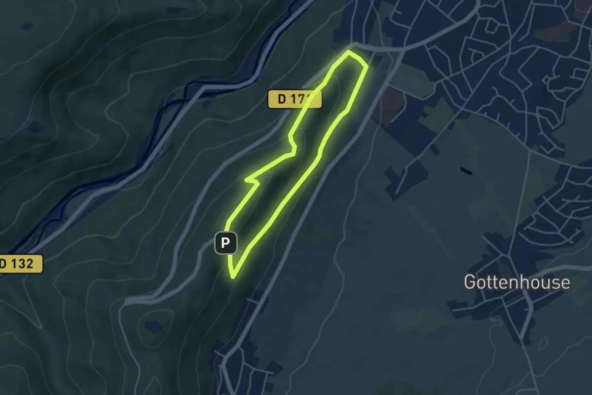
Demanding · Trail
Sentier sylvicole
3.4 km · ↑ 158 m · 1 h 12 min
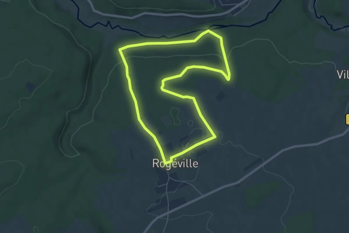
Easy · Trail
Sentier Thématique de Rogéville
5.4 km · ↑ 93 m · 1 h 32 min
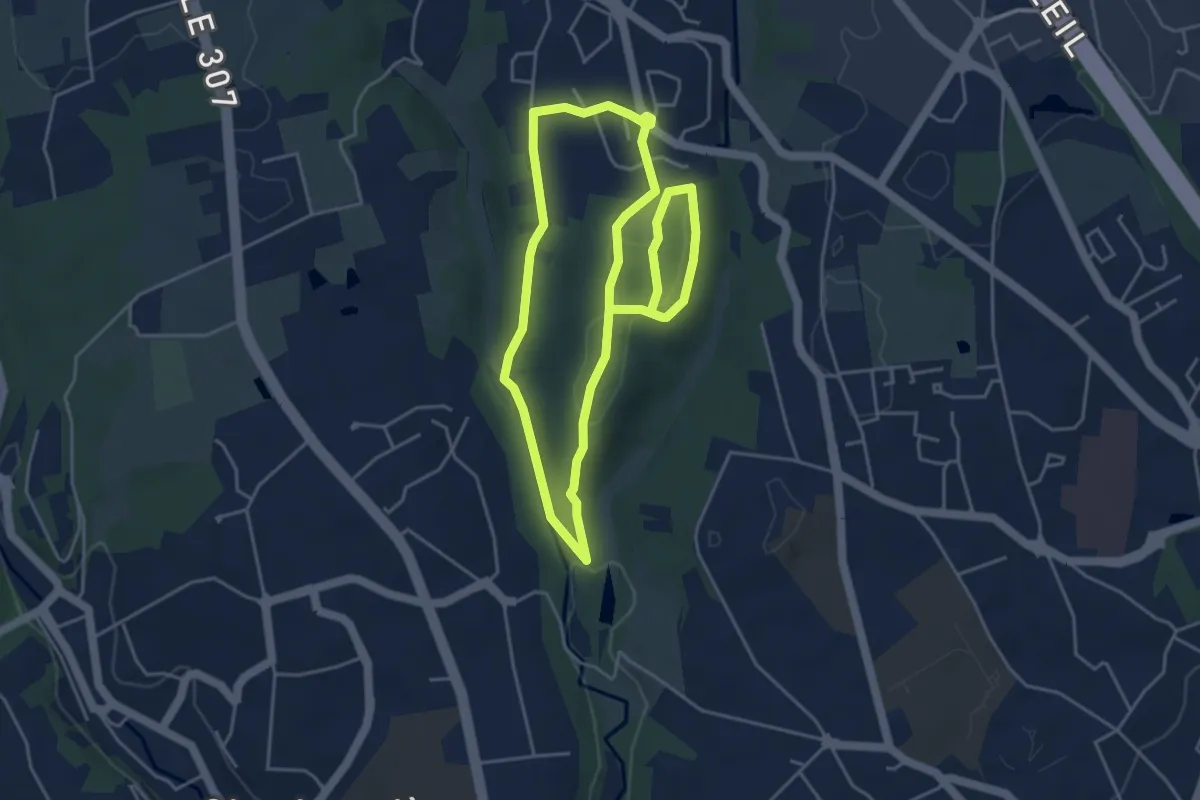
Easy · Trail
Sentier thématique du Bois de Serres
4.4 km · ↑ 64 m · 1 h 14 min
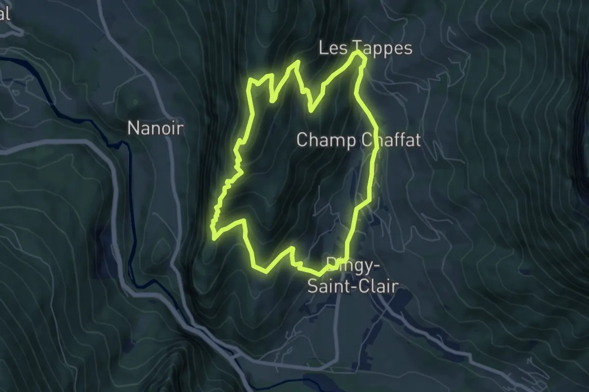
Medium · Trail
Sentier Thématique du Capitaine Anjot
7.1 km · ↑ 529 m · 2 h 55 min
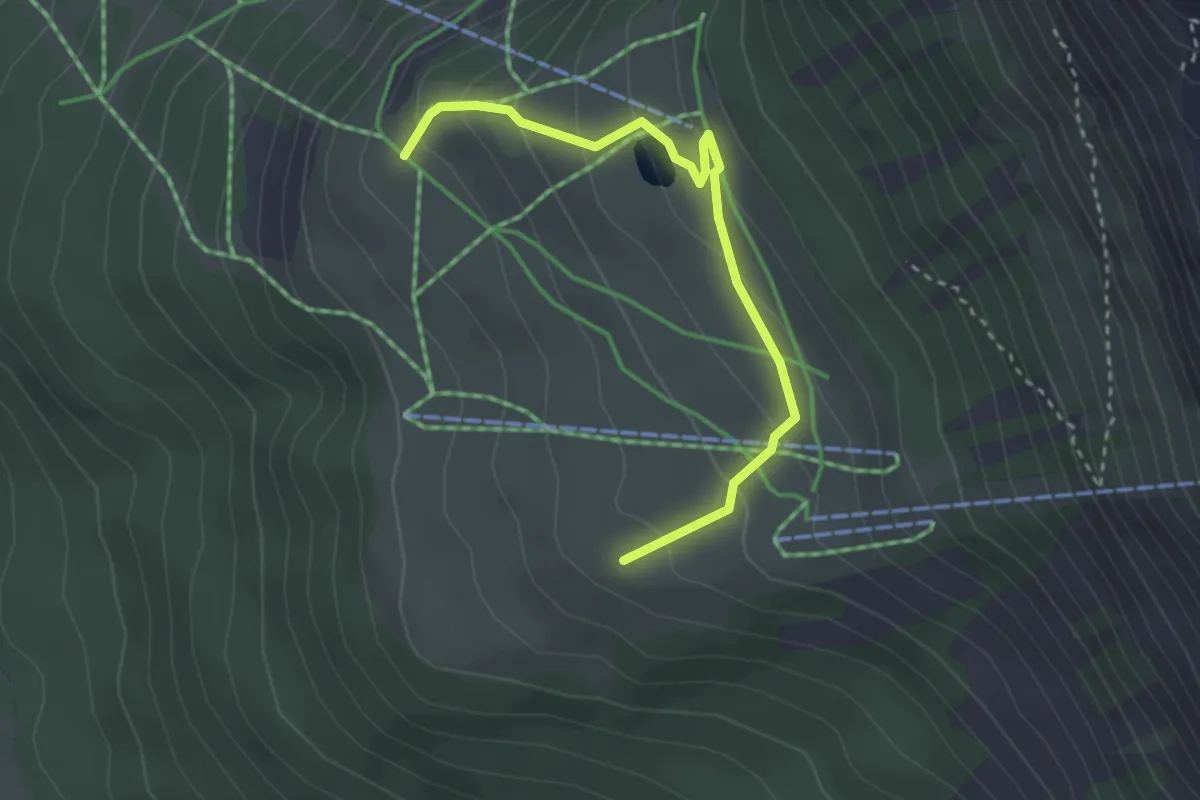
Easy · Trail
Sentier thématique du plateau de la Chau
1.6 km · ↑ 88 m · 36 min
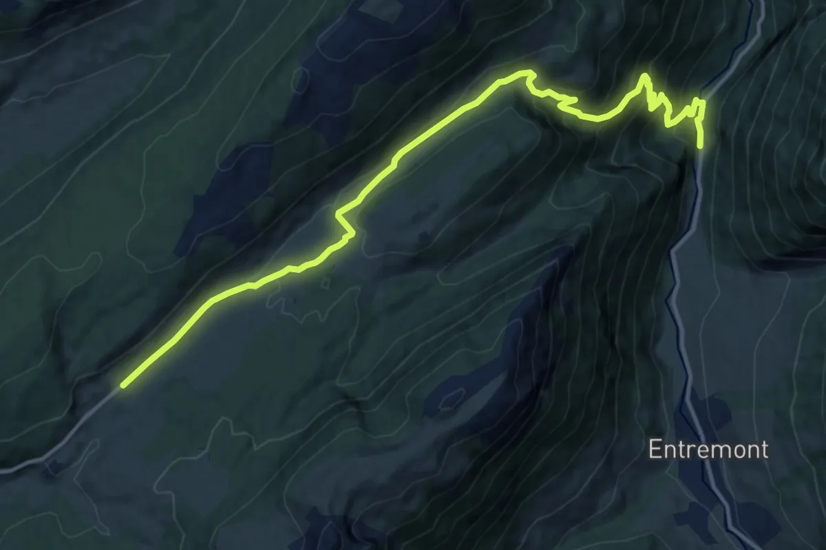
Medium · Trail
Sentier Tom Morel
15.4 km · ↑ 761 m · 5 h 17 min
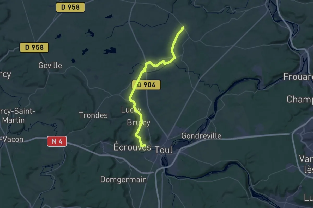
Demanding · Trail
Sentier Toul-Thiaucourt
21.8 km · ↑ 104 m · 5 h 41 min
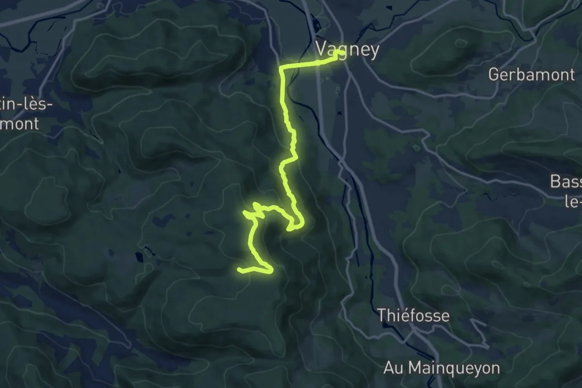
Medium · Trail
Sentier touristique du Solem
14.6 km · ↑ 525 m · 4 h 36 min
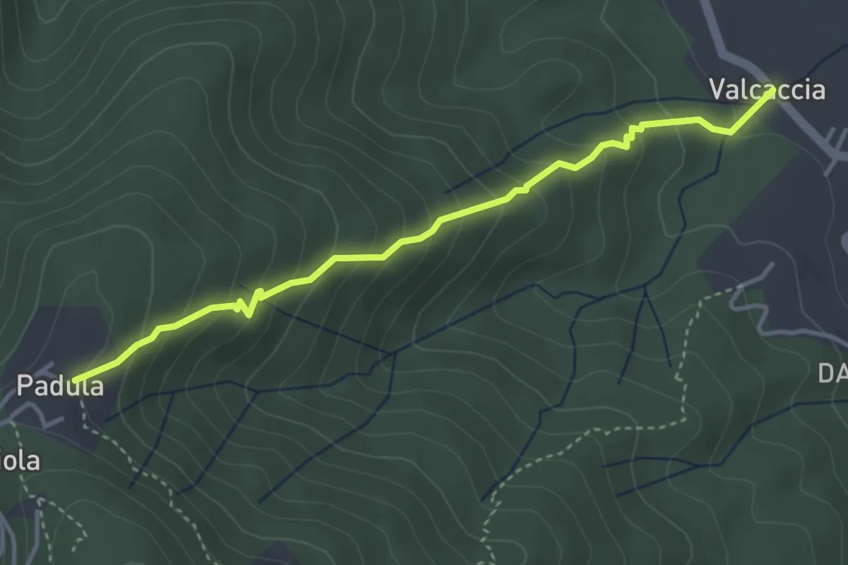
Medium · Trail
Sentier Valaccia-Padula
4.0 km · ↑ 350 m · 1 h 43 min
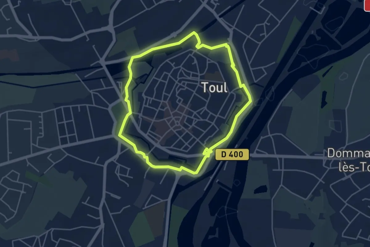
Easy · Trail
Sentier Vauban
3.8 km · ↑ 4 m · 57 min
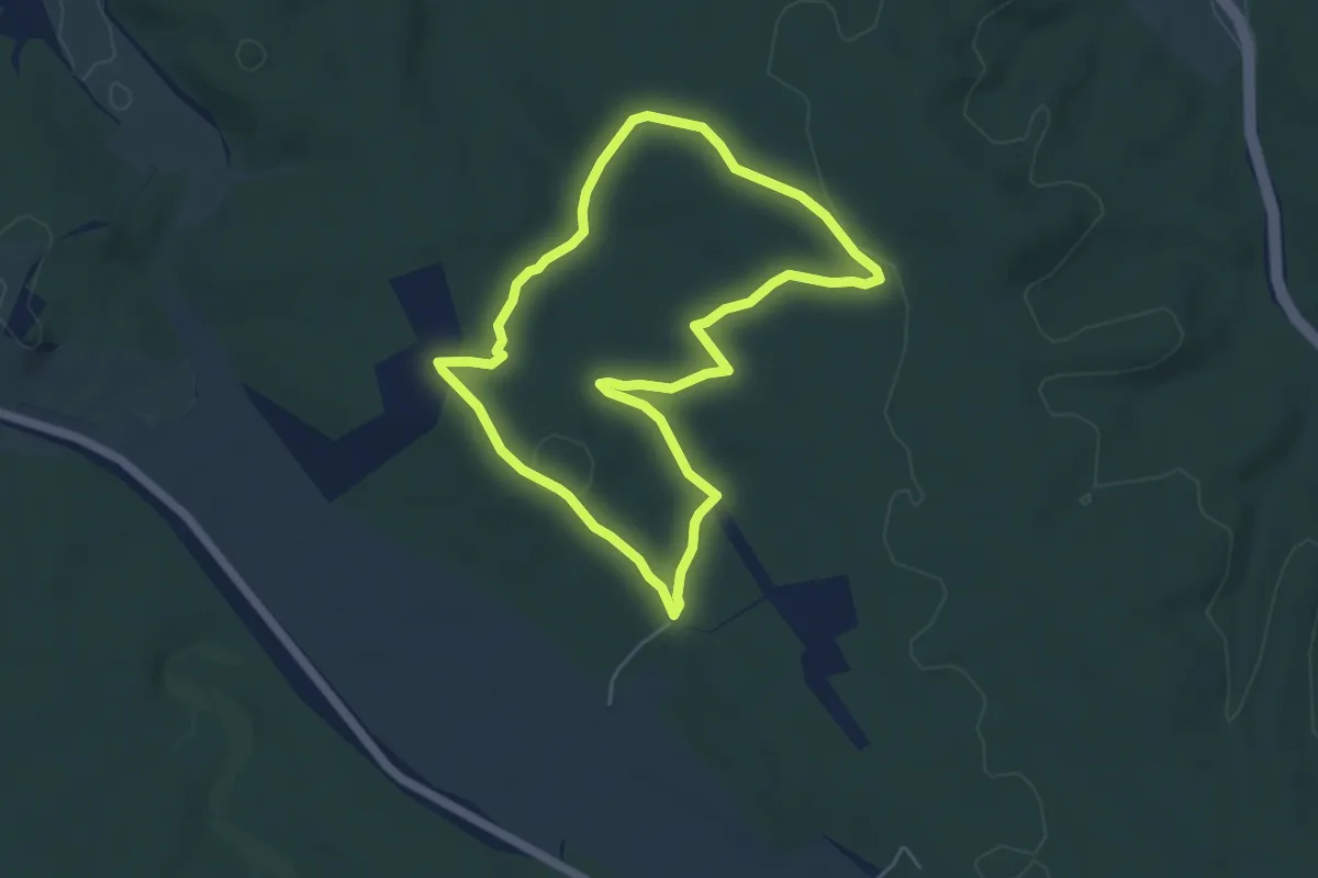
Easy · Trail
Sentier vert
5.1 km · ↑ 45 m · 1 h 22 min
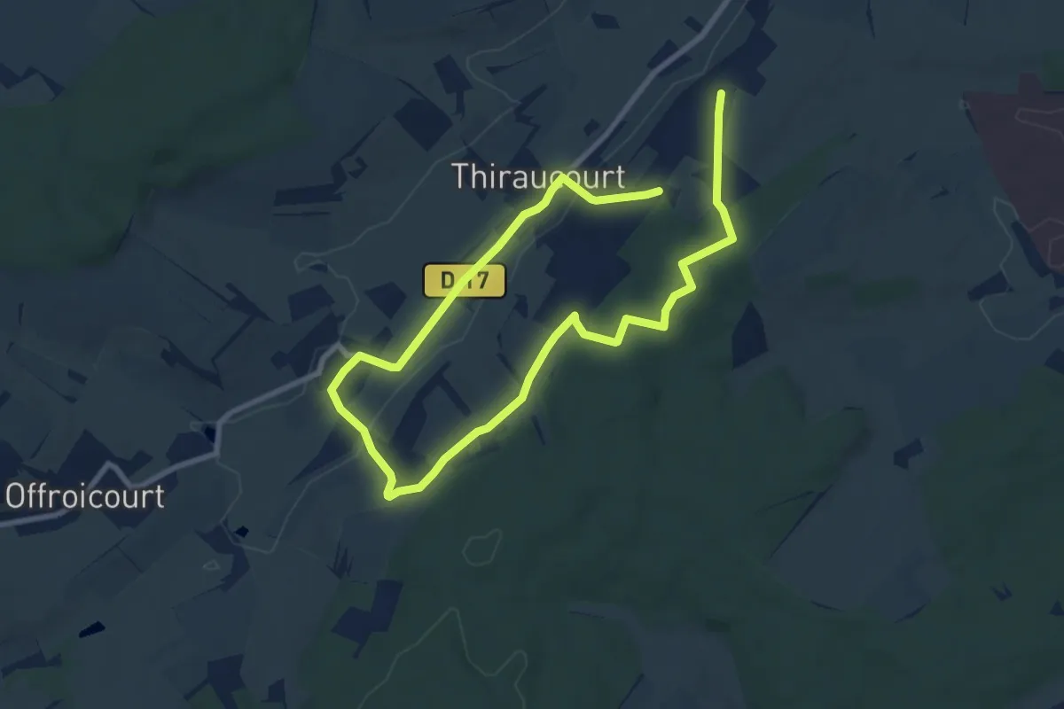
Easy · Trail
Sentier Victor Hugo
6.4 km · ↑ 116 m · 1 h 51 min
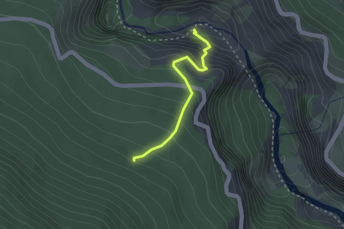
Demanding · Trail
Sentier Vidal
2.1 km · ↑ 412 m · 1 h 23 min