Trails in France
15,926 hiking trails, each with its route, climb, walking time and grade.
All trails, page 262 of 332
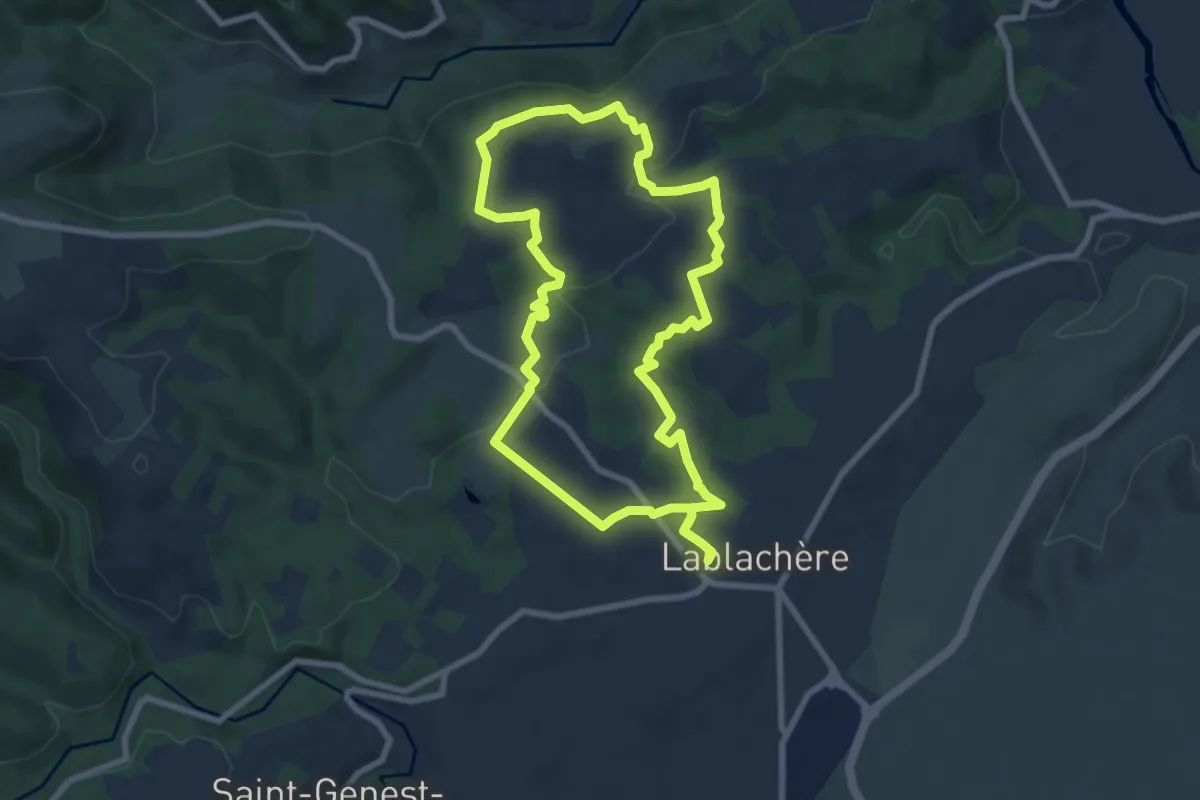
Easy · Trail
Sentier Vigneron
7.9 km · ↑ 154 m · 2 h 18 min
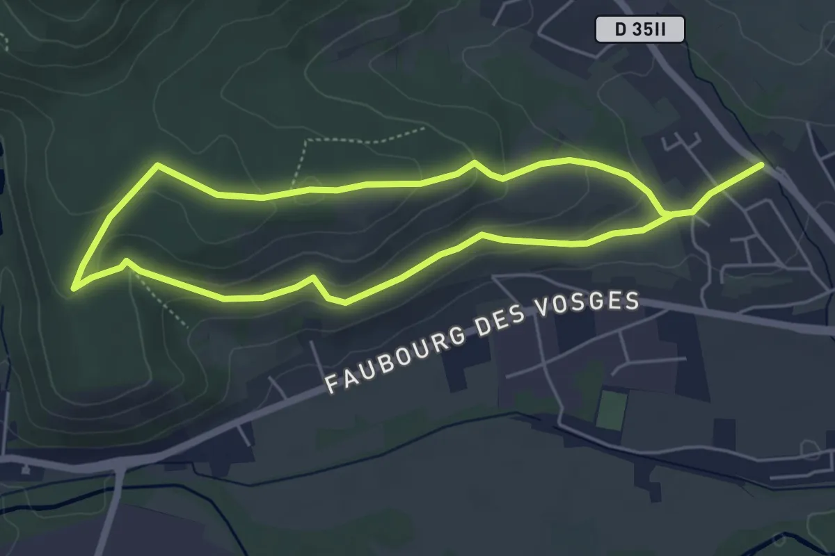
Easy · Trail
Sentier viticole
4.4 km · ↑ 120 m · 1 h 21 min
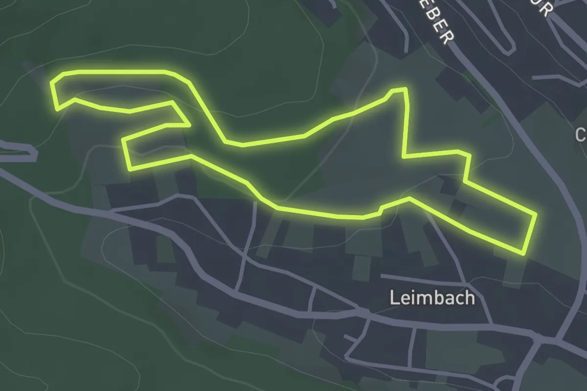
Easy · Trail
Sentier viticole du Gottelstal
3.4 km · ↑ 85 m · 1 h 2 min
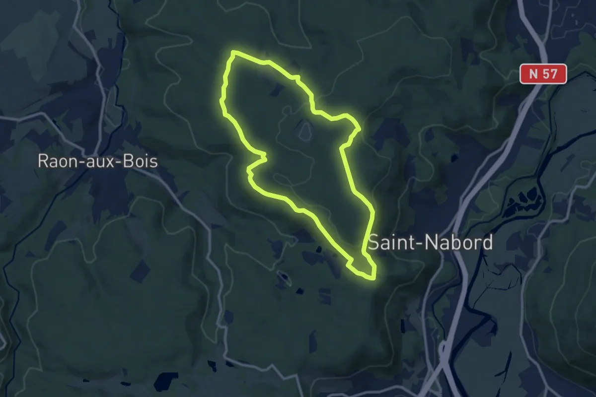
Medium · Trail
Sentier "Vrupt"
8.5 km · ↑ 220 m · 2 h 36 min
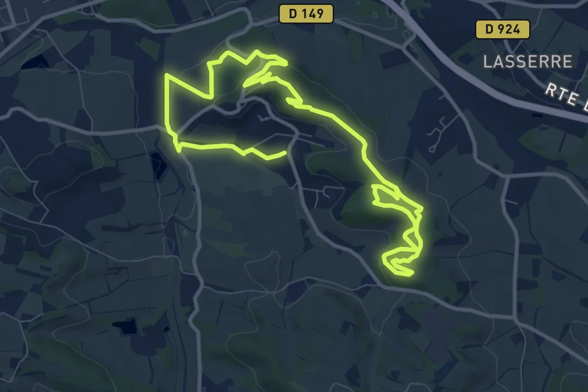
Medium · Trail
Sentier VTT Montégut
15.1 km · ↑ 353 m · 4 h 21 min
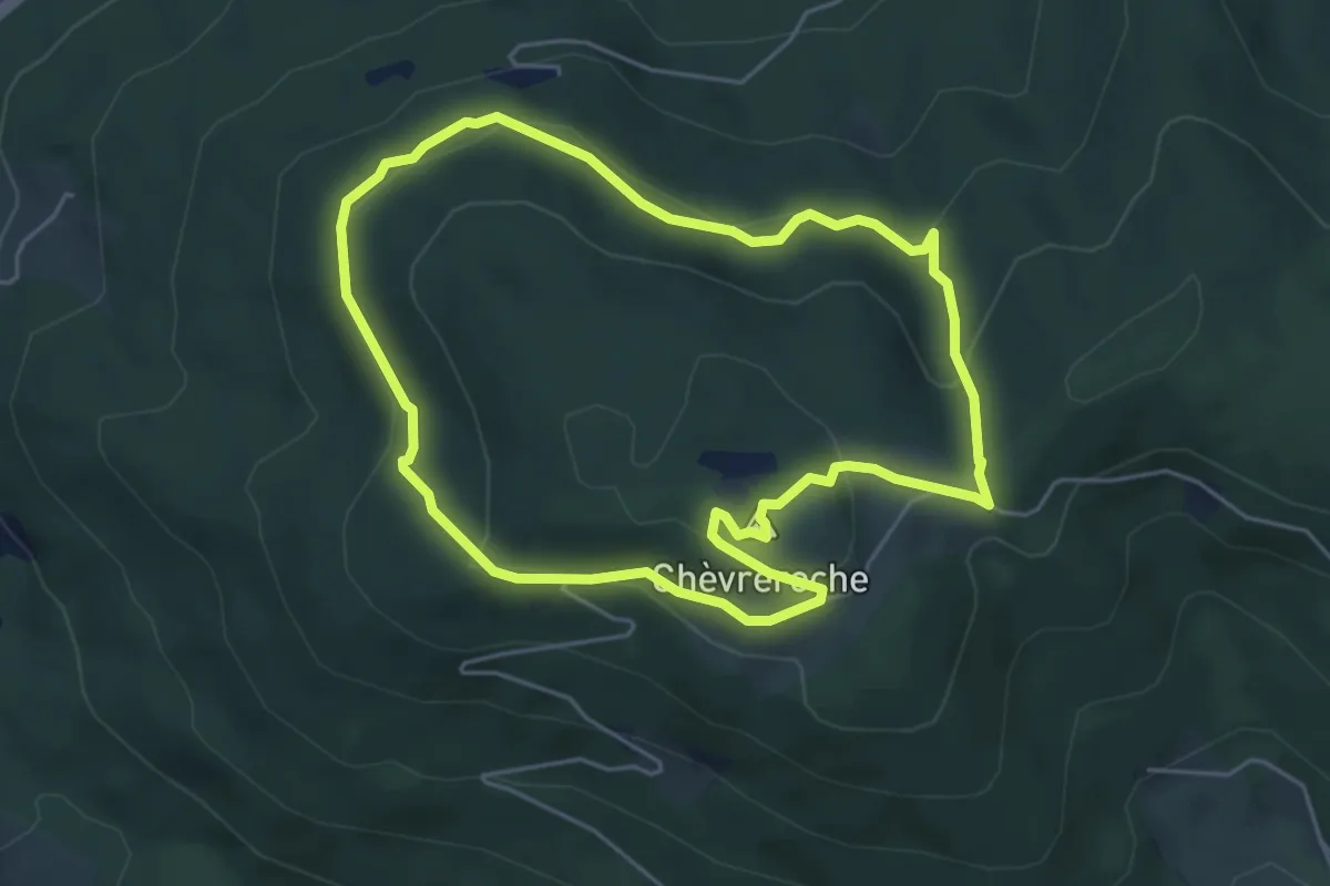
Medium · Summit
Sentier Xavier Thiriat
4.8 km · ↑ 199 m · 1 h 38 min
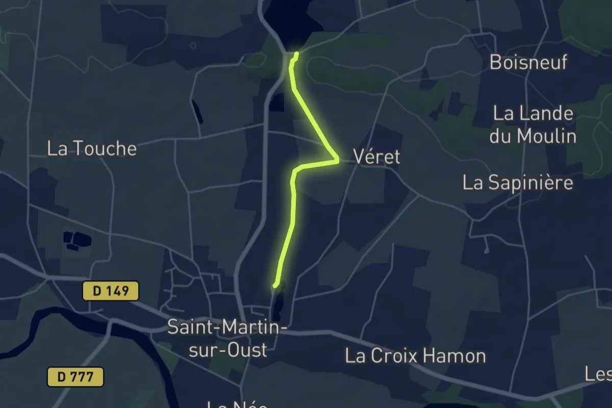
Easy · Trail
Sentier Yves Rocher
3.3 km · ↑ 23 m · 50 min
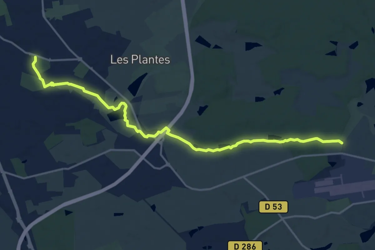
Medium · Trail
Sentier Yzeure 2000
13.6 km · ↑ 85 m · 3 h 23 min
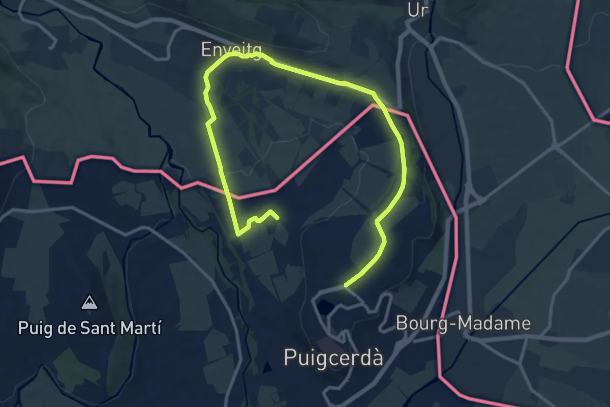
Easy · Trail
Sèquia de Puigcerdà Enveig
6.4 km · ↑ 44 m · 1 h 43 min
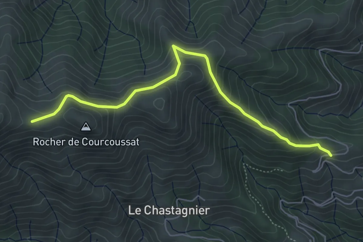
Medium · Trail
Serangelier - Courcoussat
5.6 km · ↑ 402 m · 2 h 12 min
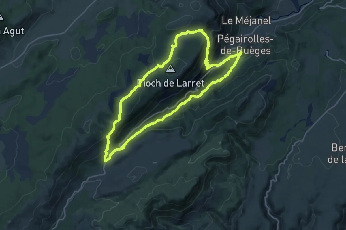
Medium · Trail
Seranne-Pontel
13.7 km · ↑ 592 m · 4 h 42 min
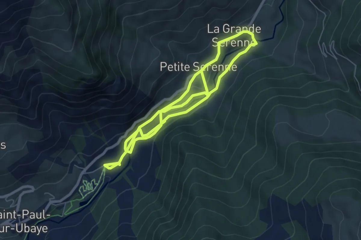
Easy · Trail
Serenne
5.6 km · ↑ 172 m · 1 h 44 min
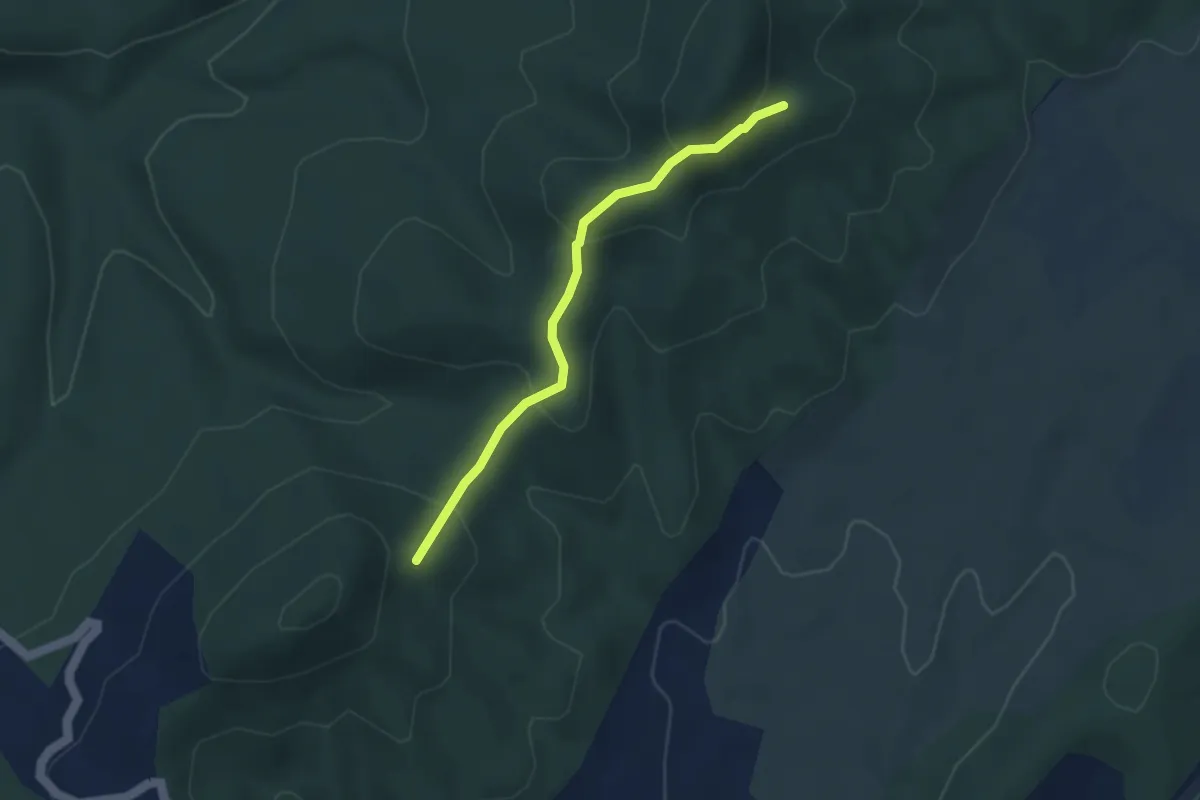
Easy · Trail
Serpentière - Colombou
3.5 km · ↑ 212 m · 1 h 17 min
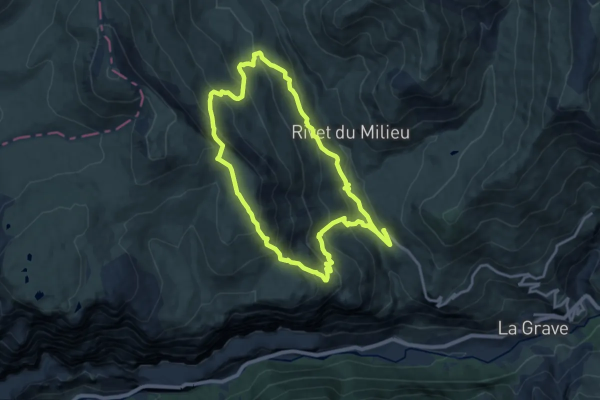
Expert · Trail
Serre Bernard par la Berche
10.2 km · ↑ 689 m · 4 h 2 min
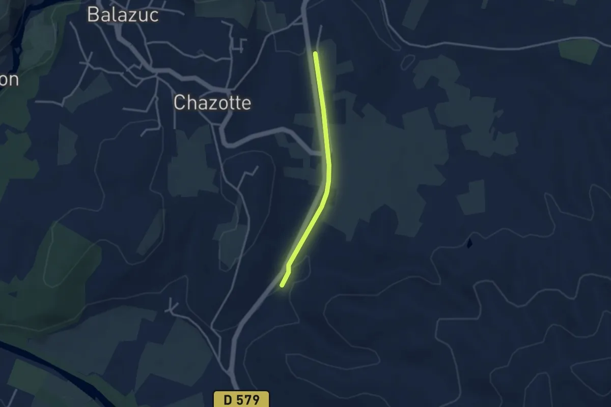
Easy · Trail
Serre Bouchet - Mourre Frais
2.6 km · ↑ 22 m · 40 min
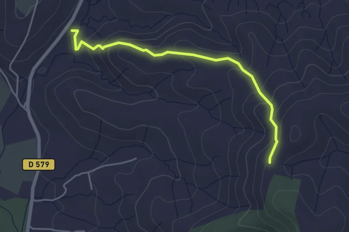
Easy · Trail
Serre Bouchet - Serre de Rimbaud
3.9 km · ↑ 200 m · 1 h 22 min
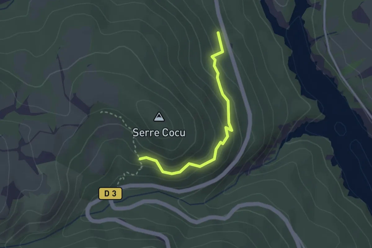
Easy · Trail
Serre Cocu - ?
2.5 km · ↑ 152 m · 55 min
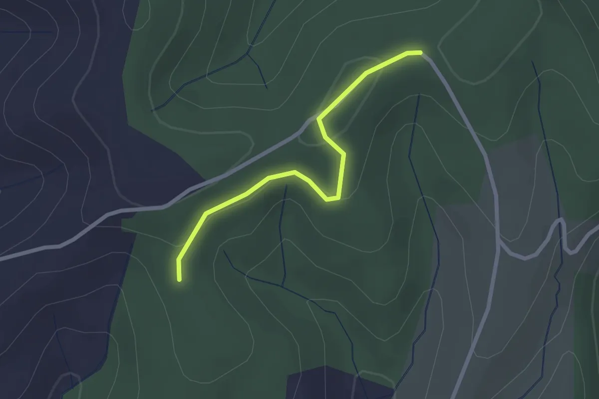
Easy · Trail
Serrecourt - Bois de Berg
2.2 km · ↑ 58 m · 38 min
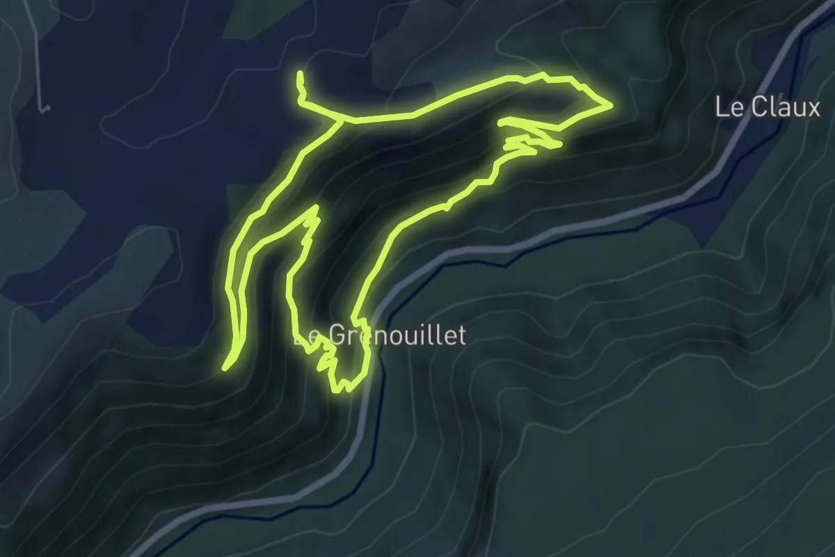
Medium · Trail
Serre de Grenouillet
6.7 km · ↑ 443 m · 2 h 38 min
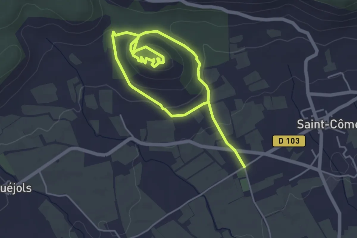
Easy · Trail
Serre de Mouressipe
6.6 km · ↑ 194 m · 1 h 58 min
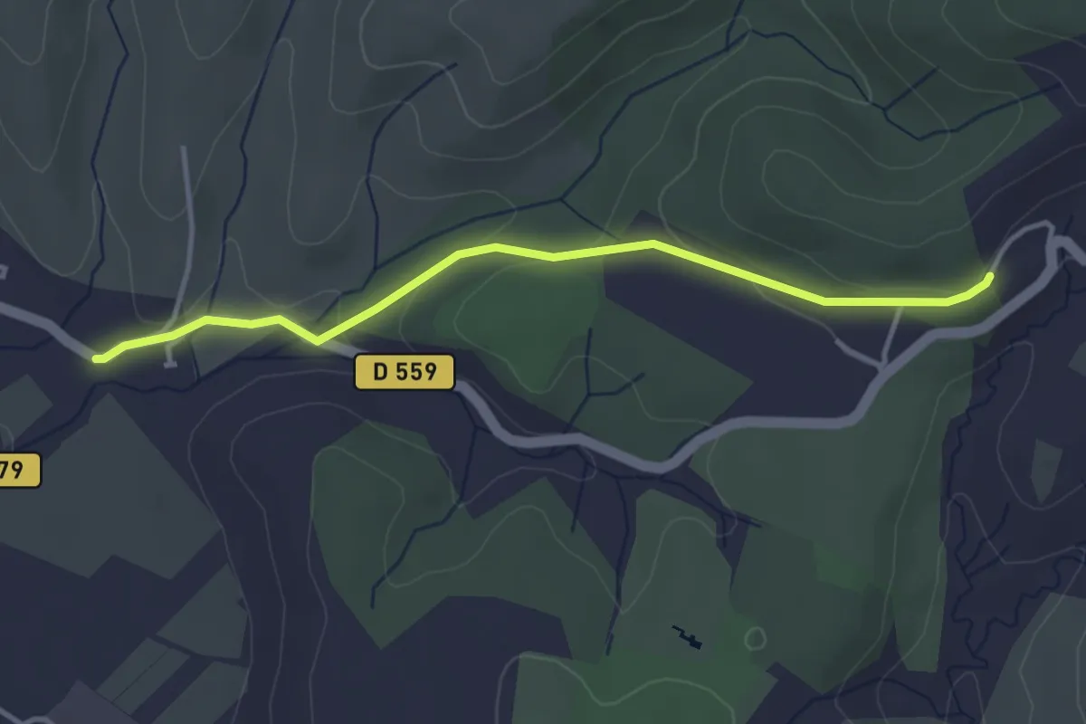
Easy · Trail
Serre de Nicard - Petit Chaussy
3.7 km · ↑ 88 m · 1 h 4 min
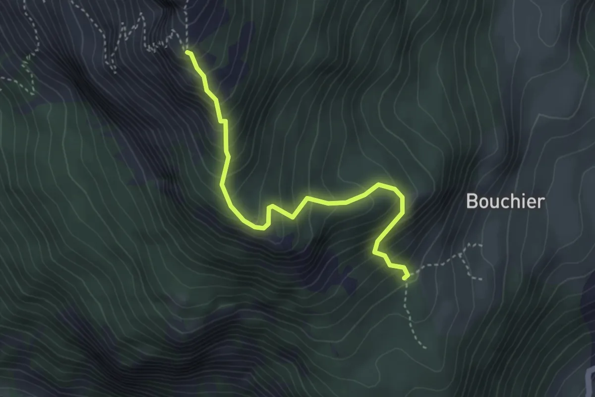
Medium · Trail
Serre des Hières - ?
3.8 km · ↑ 447 m · 1 h 52 min
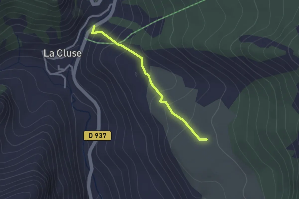
Easy · Trail
Serre du Lièvre - Mouche Chat
2.0 km · ↑ 126 m · 45 min
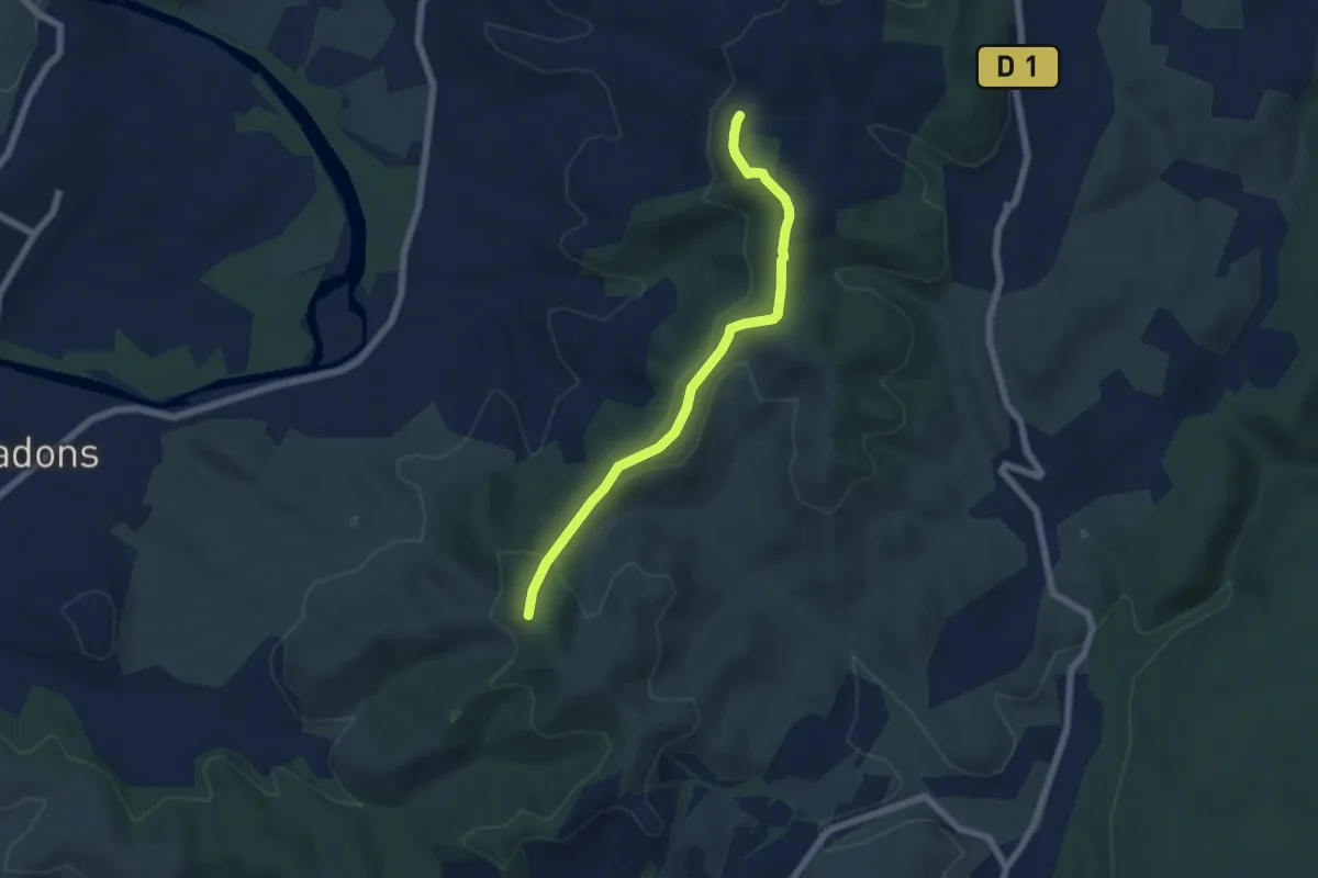
Easy · Trail
Serre Juillet - Serre de Rimbaud
5.9 km · ↑ 190 m · 1 h 49 min
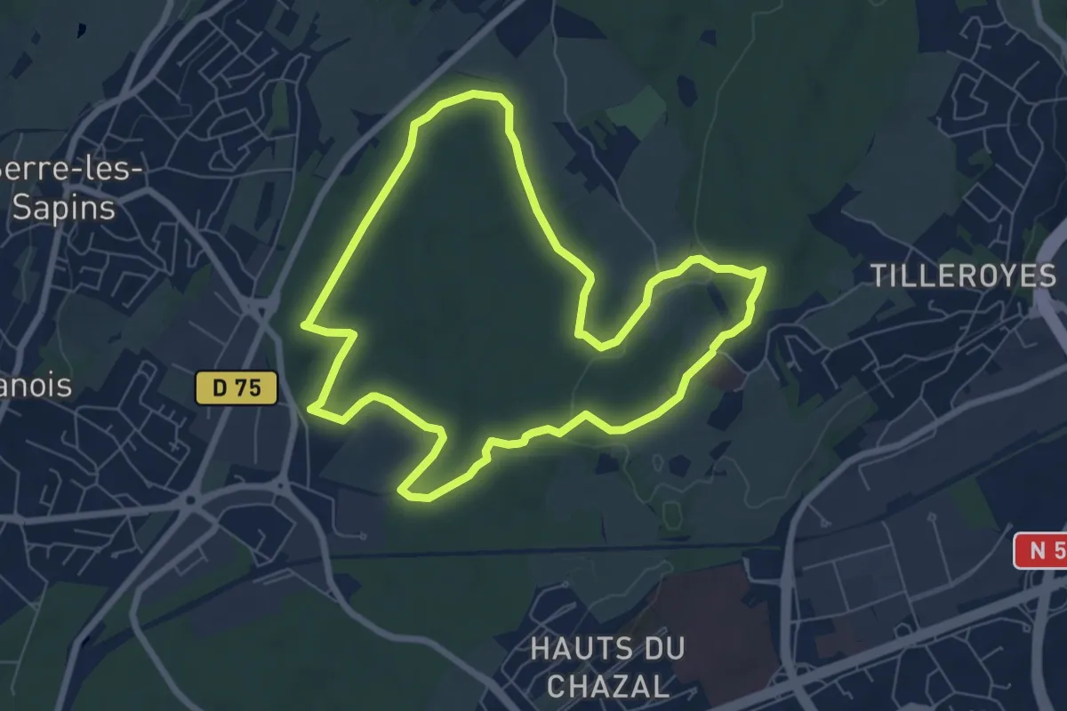
Easy · Trail
Serre-les-Sapins - Tilleroyes
6.8 km · ↑ 94 m · 1 h 54 min
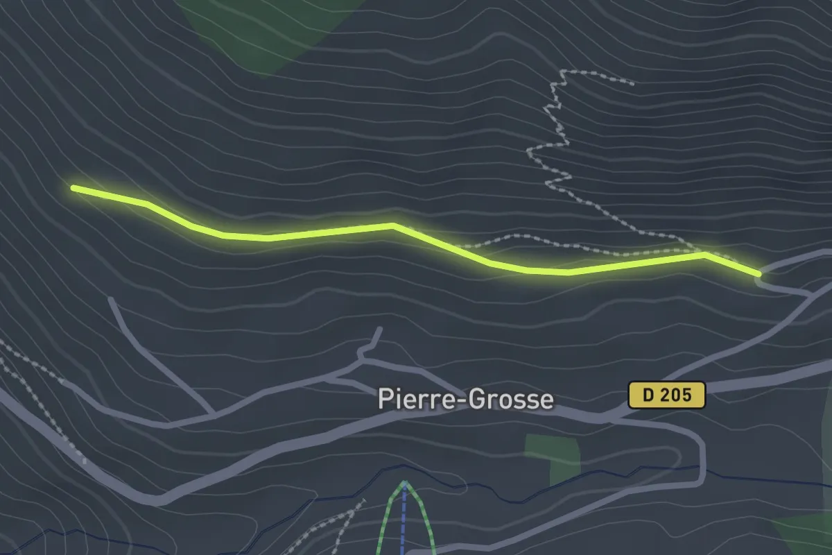
Easy · Trail
Serre Nebrens - Le Coin Chateaurenard
2.2 km · ↑ 49 m · 38 min
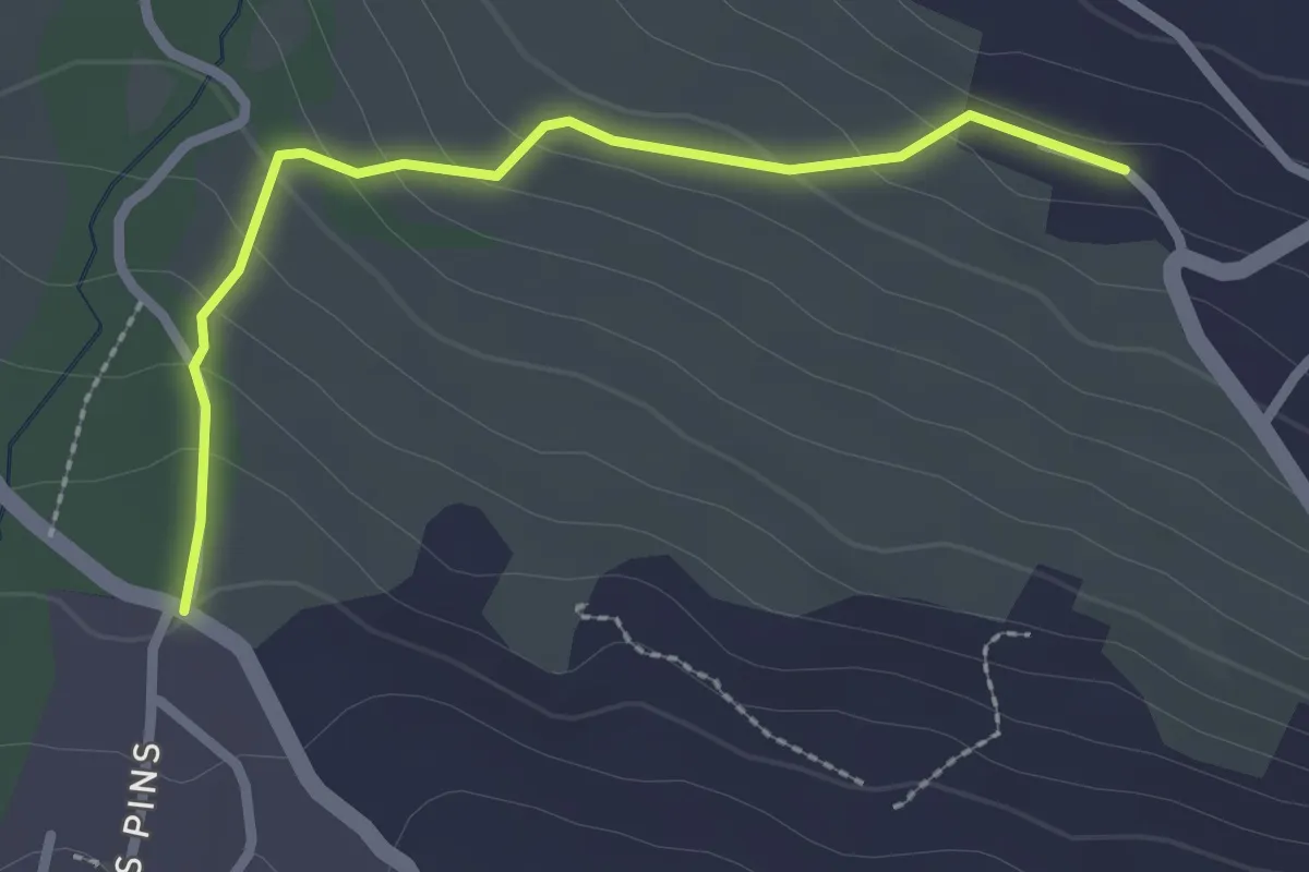
Easy · Trail
Serre Vial - Palier
2.5 km · ↑ 123 m · 52 min
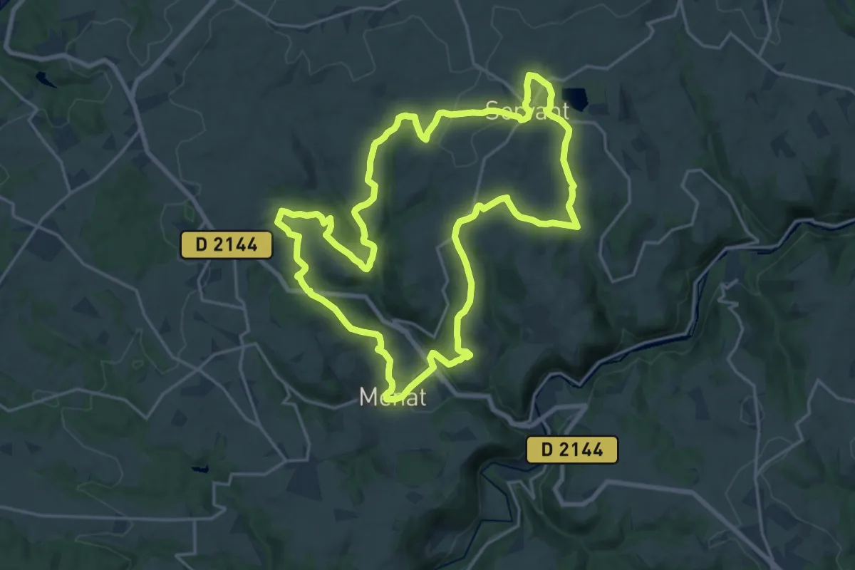
Demanding · Trail
Servant
18.8 km · ↑ 459 m · 5 h 42 min
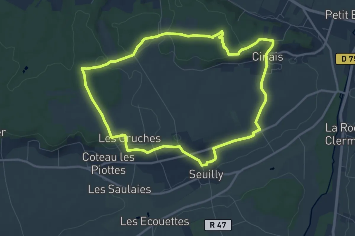
Easy · Trail
Seuilly - Au Pays de Rabelais
7.7 km · ↑ 91 m · 2 h 8 min
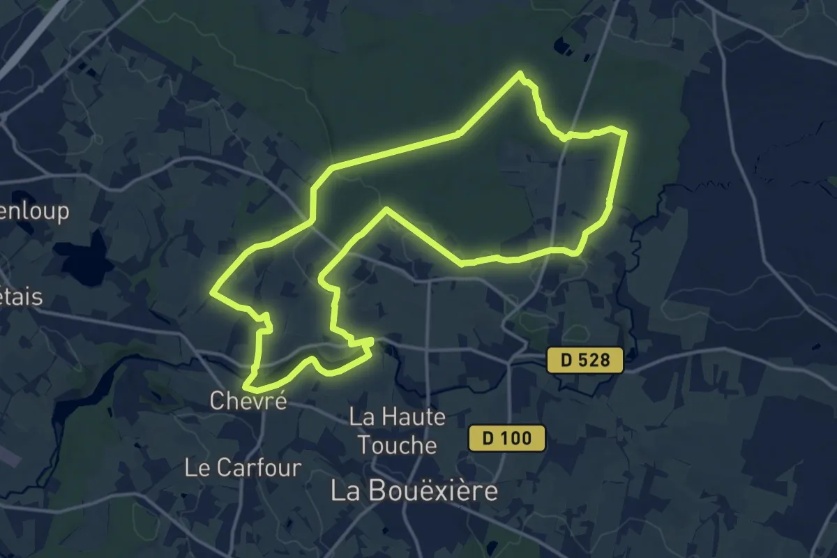
Medium · Trail
Sevailles et le pont romain
15.0 km · ↑ 145 m · 4 h 4 min
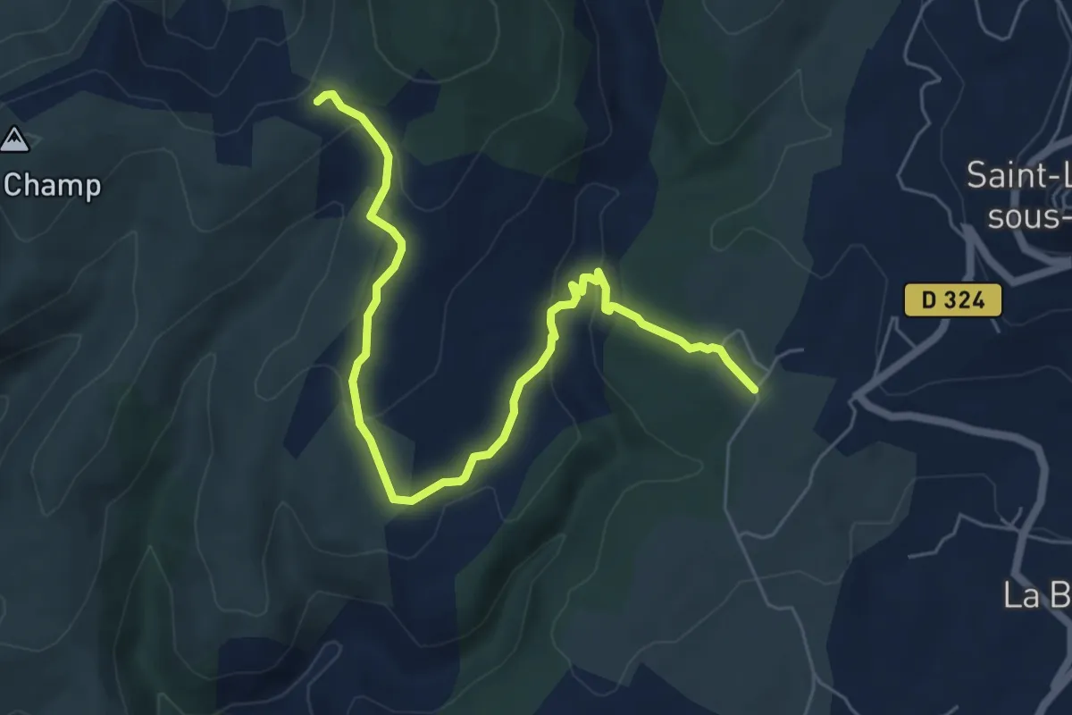
Easy · Trail
Séveniers - Croix de l'Houme
6.9 km · ↑ 218 m · 2 h 7 min
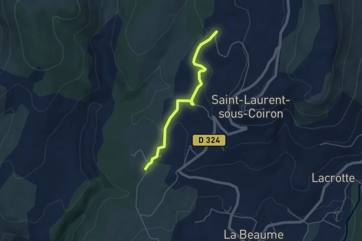
Easy · Trail
Séveniers - Perret
3.9 km · ↑ 90 m · 1 h 7 min
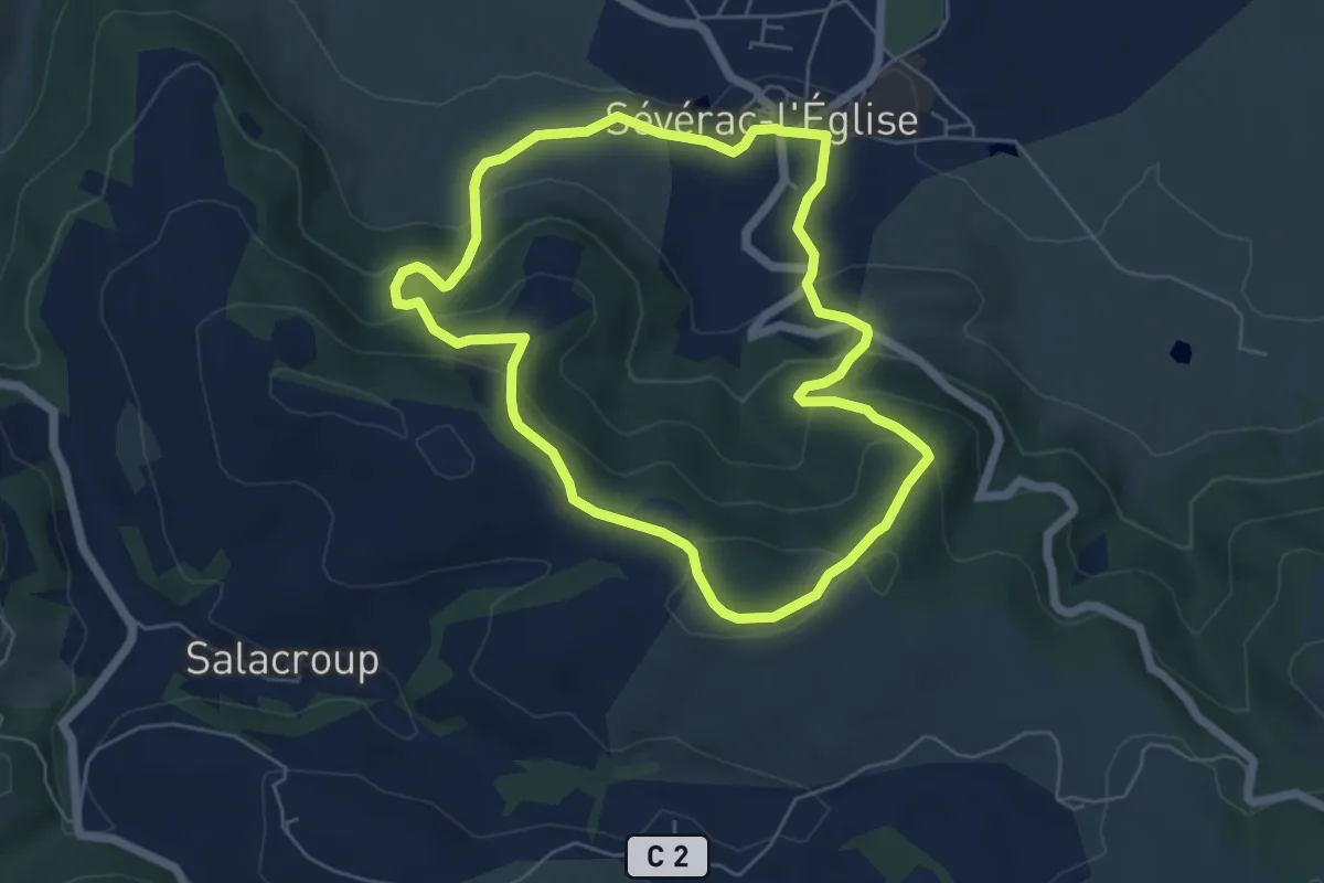
Easy · Trail
Sévérac l'Église
5.8 km · ↑ 271 m · 2 h 2 min
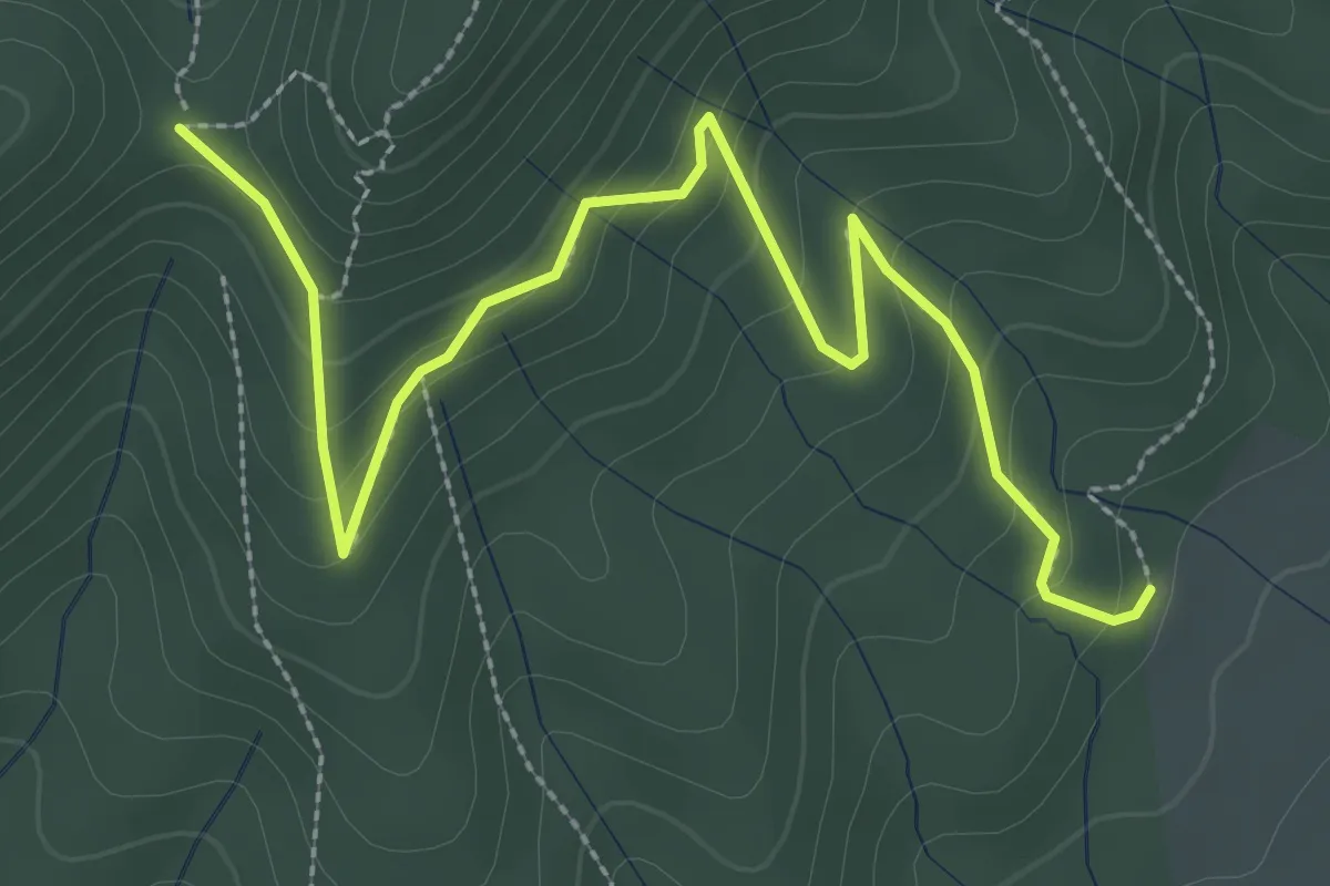
Easy · Trail
Sicouzac - Col de la Cize
3.7 km · ↑ 248 m · 1 h 24 min
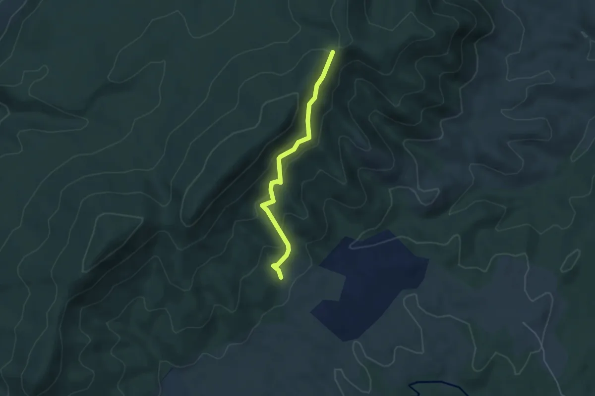
Easy · Trail
Sicouzac - Pas des Pigeons
4.0 km · ↑ 290 m · 1 h 34 min
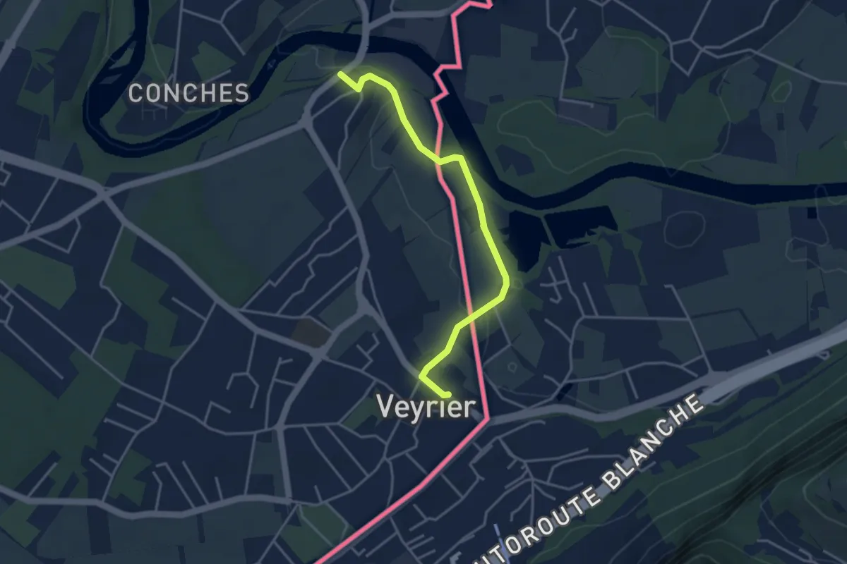
Easy · Trail
Sierne Veyrier - Veyrier
3.7 km · ↑ 39 m · 58 min
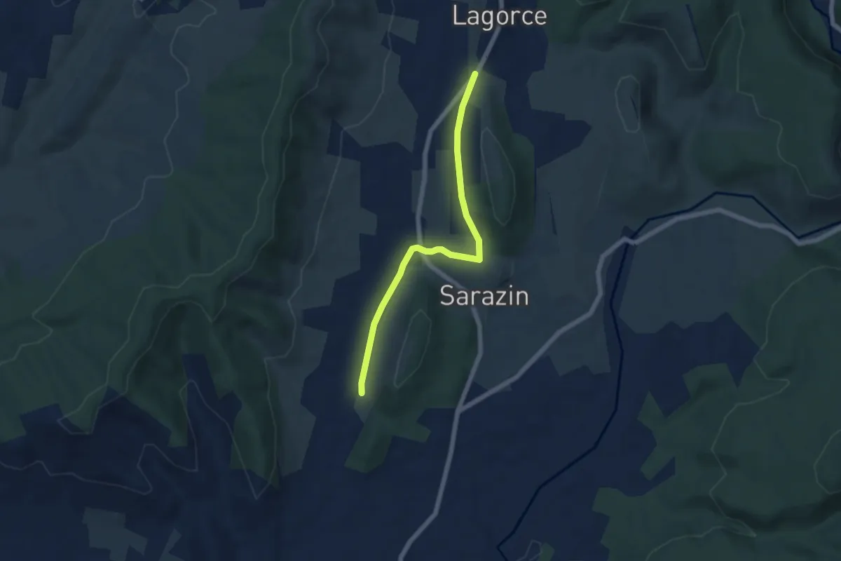
Easy · Trail
Sigaud - Le Pertus
5.5 km · ↑ 66 m · 1 h 27 min
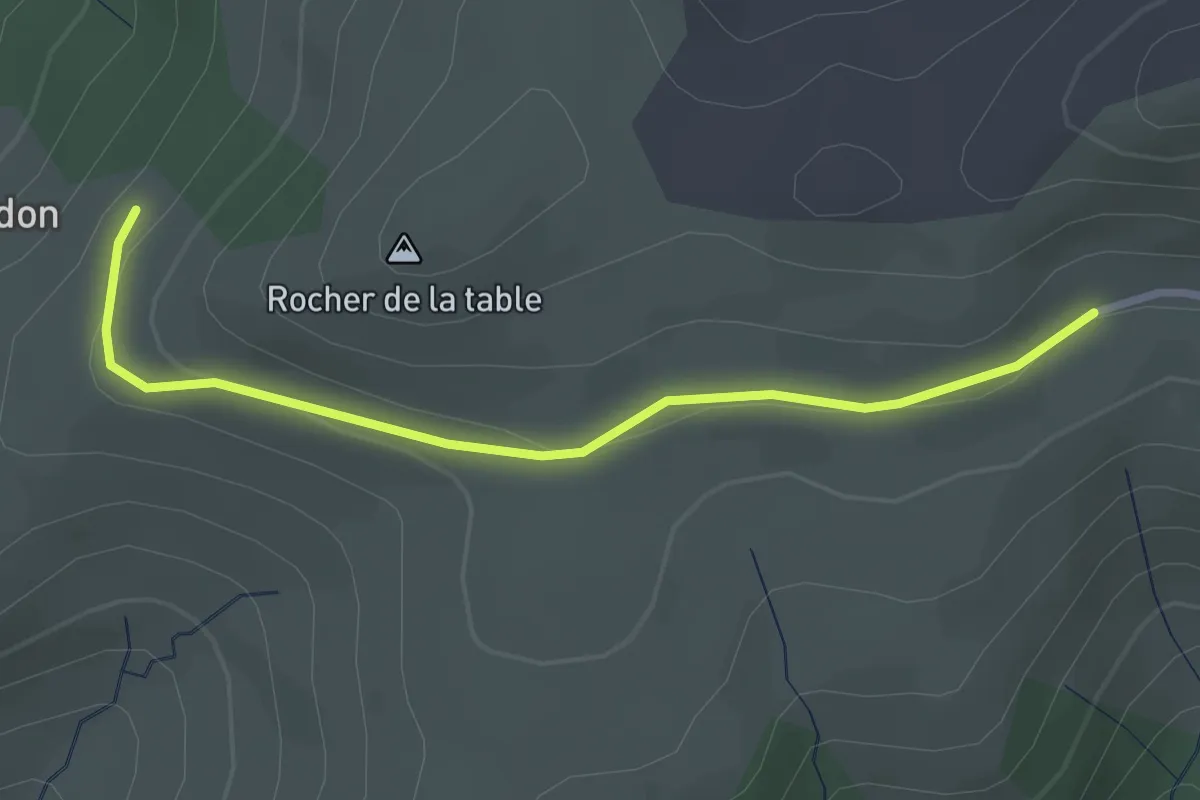
Easy · Trail
Signal Bosc - Gourdon
2.9 km · ↑ 69 m · 50 min
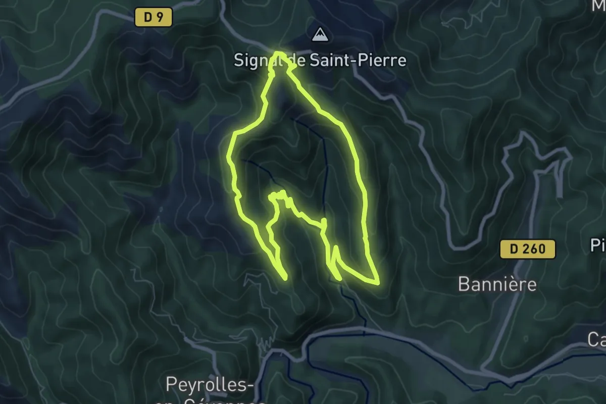
Medium · Trail
Signal Saint-Pierre
7.0 km · ↑ 364 m · 2 h 33 min
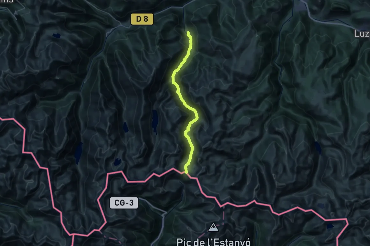
Demanding · Trail
Siguer - Port de Siguer
16.0 km · ↑ 1668 m · 6 h 48 min
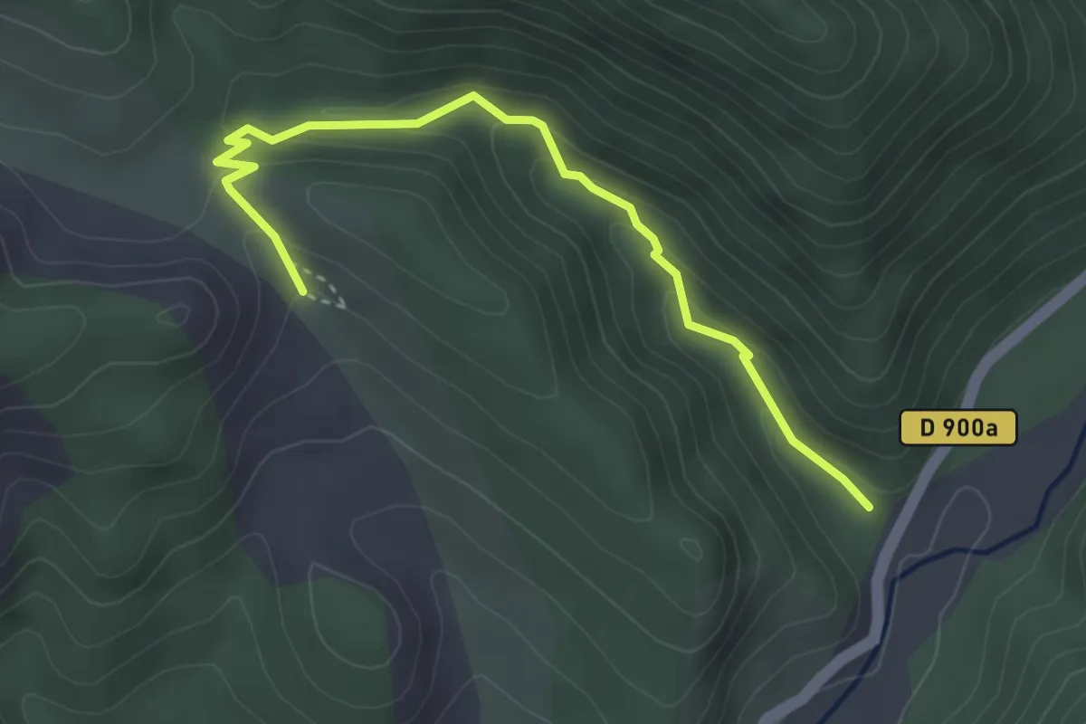
Easy · Trail
Site de l'ichtyosaure (reptile marin fossile)
1.9 km · ↑ 21 m · 36 min
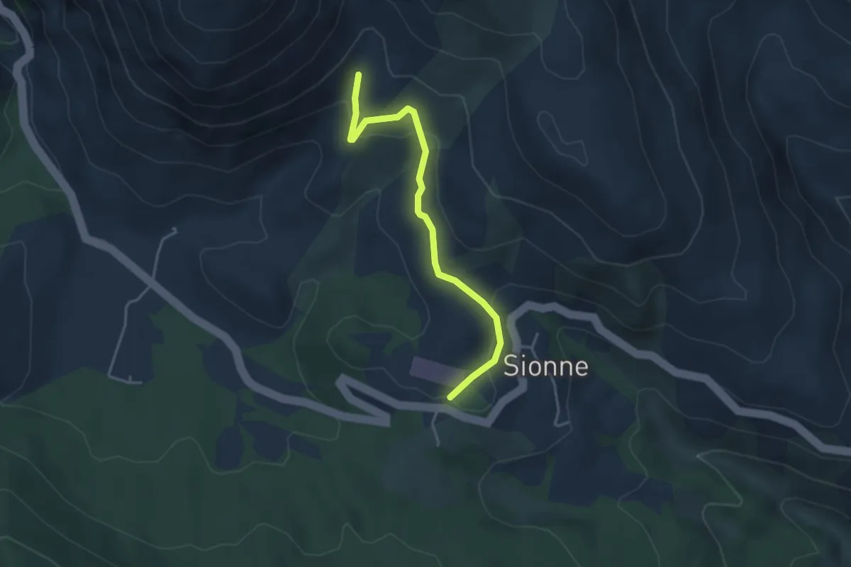
Easy · Trail
Site des siréniens (mammifères marins fossiles)
1.9 km · ↑ 32 m · 35 min
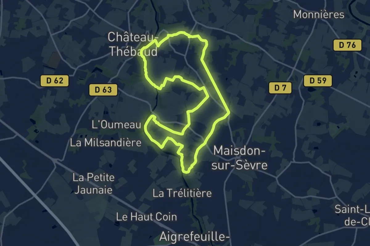
Medium · Trail
Soif de Nature
14.7 km · ↑ 130 m · 3 h 57 min
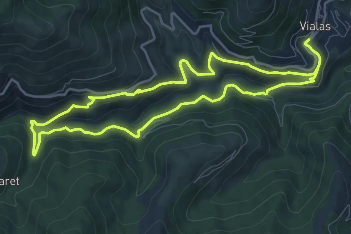
Medium · Trail
Soleyrols
8.5 km · ↑ 356 m · 2 h 54 min
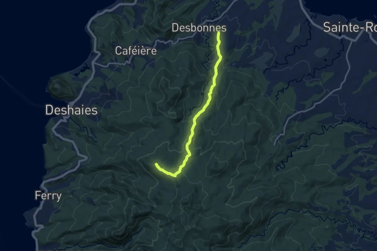
Medium · Summit
Solitude
13.3 km · ↑ 569 m · 4 h 22 min
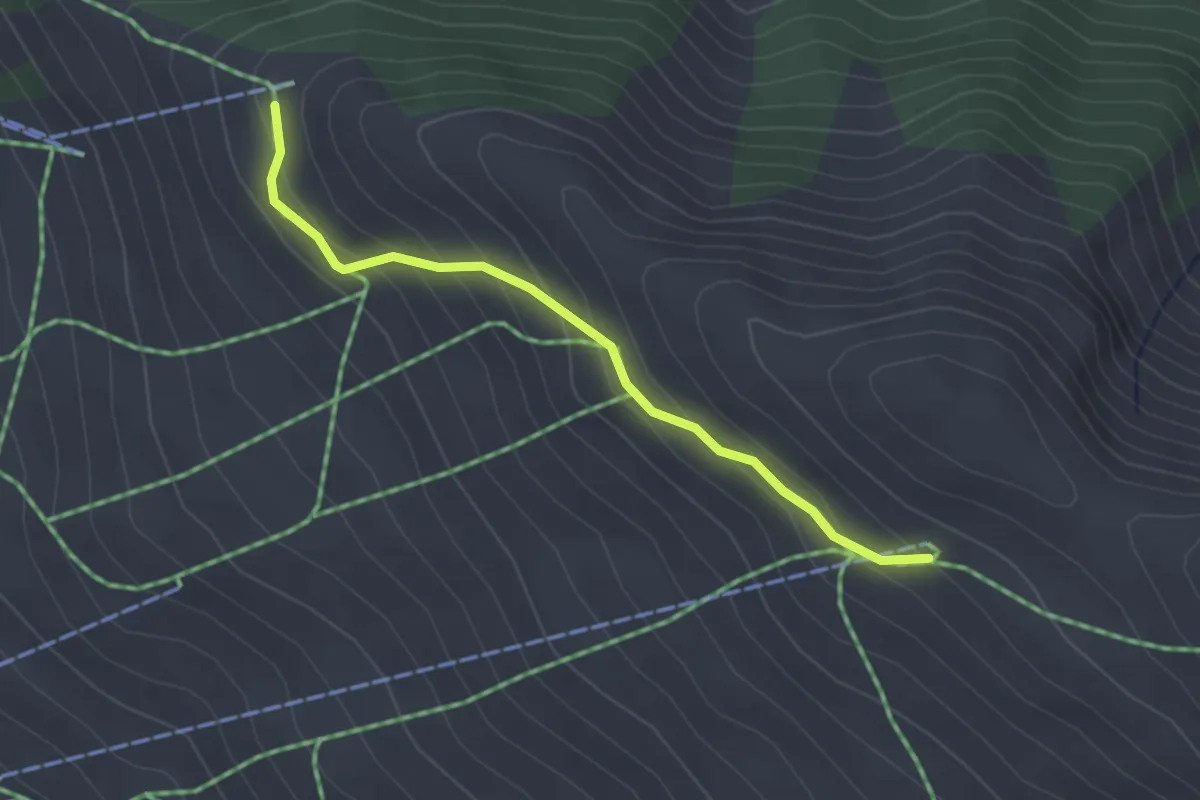
Easy · Trail
Sommet Beauregard - Sommet TS Cassettes
2.7 km · ↑ 190 m · 1 h 3 min
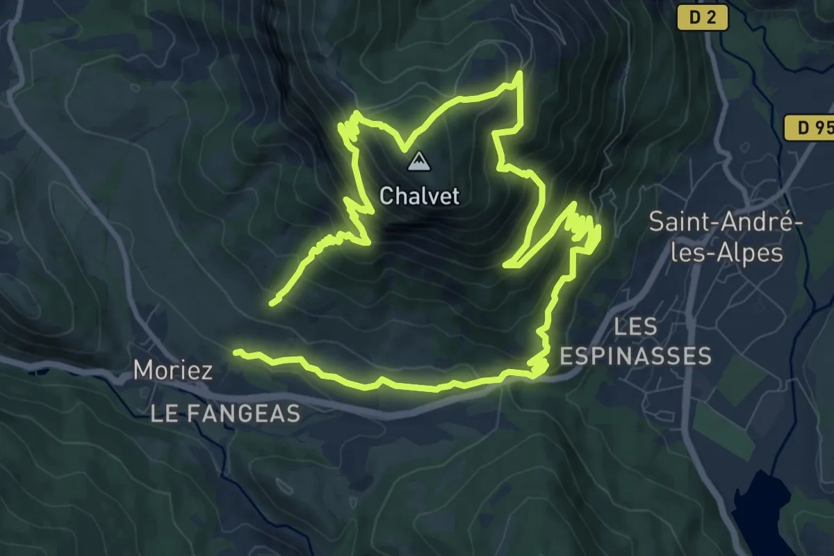
Medium · Summit
Sommet de Chalvet (1 613 m)
10.1 km · ↑ 771 m · 4 h 9 min
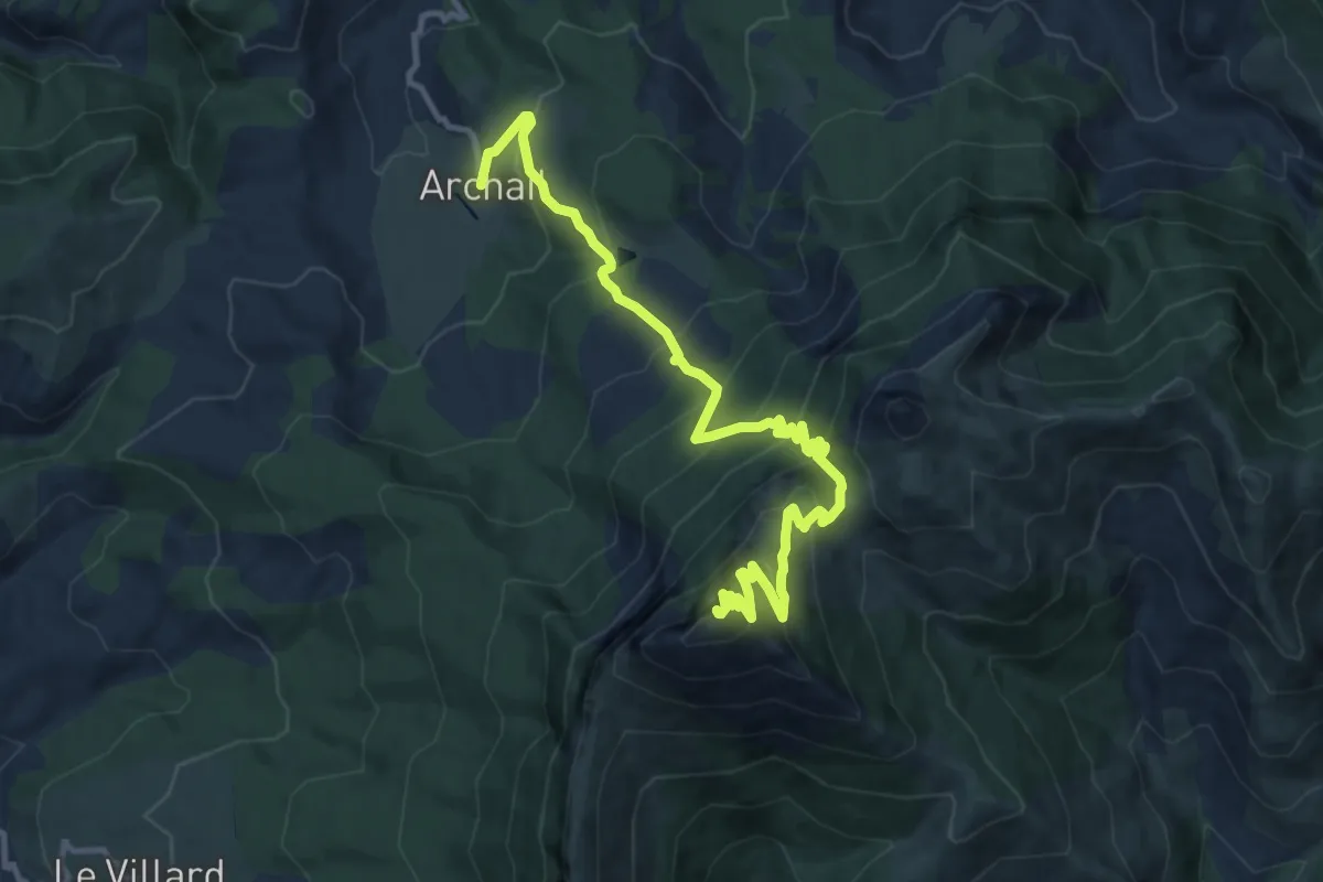
Demanding · Summit
Sommet de Couar
13.6 km · ↑ 1246 m · 5 h 55 min