Trails in France
15,926 hiking trails, each with its route, climb, walking time and grade.
All trails, page 263 of 332
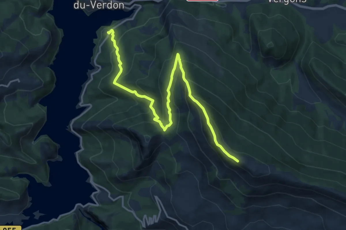
Demanding · Summit
Sommet de Crémon (1 760 m)
6.9 km · ↑ 884 m · 3 h 14 min
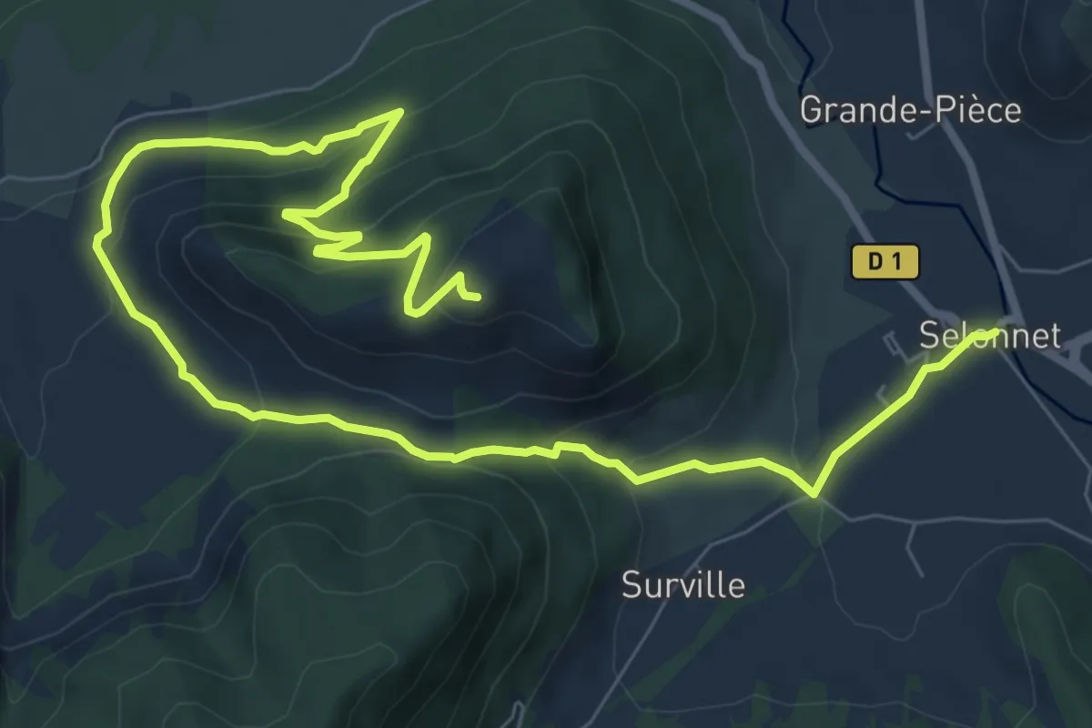
Medium · Trail
Sommet de Cuguyon
5.9 km · ↑ 452 m · 2 h 19 min
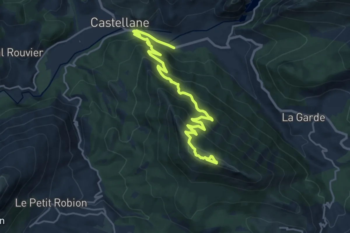
Demanding · Summit
Sommet de Destourbes (1 547 m)
7.5 km · ↑ 830 m · 3 h 17 min
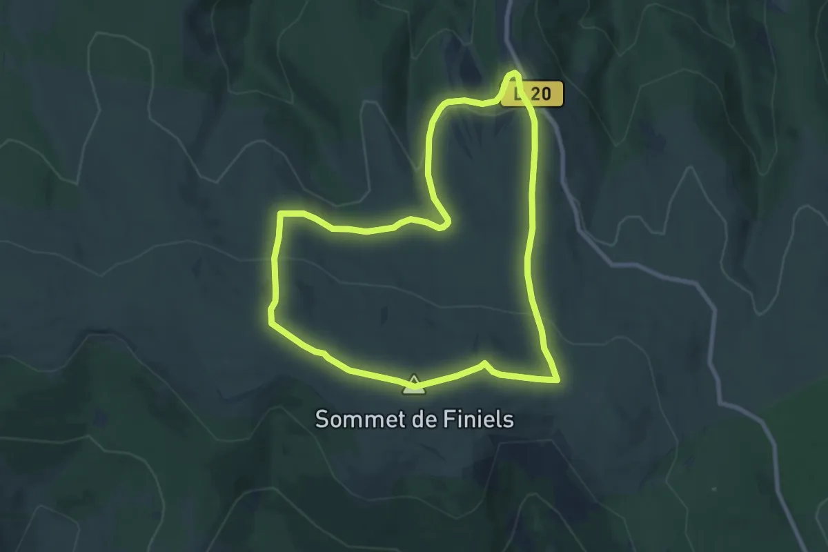
Medium · Summit
Sommet de Finiels
7.7 km · ↑ 224 m · 2 h 25 min
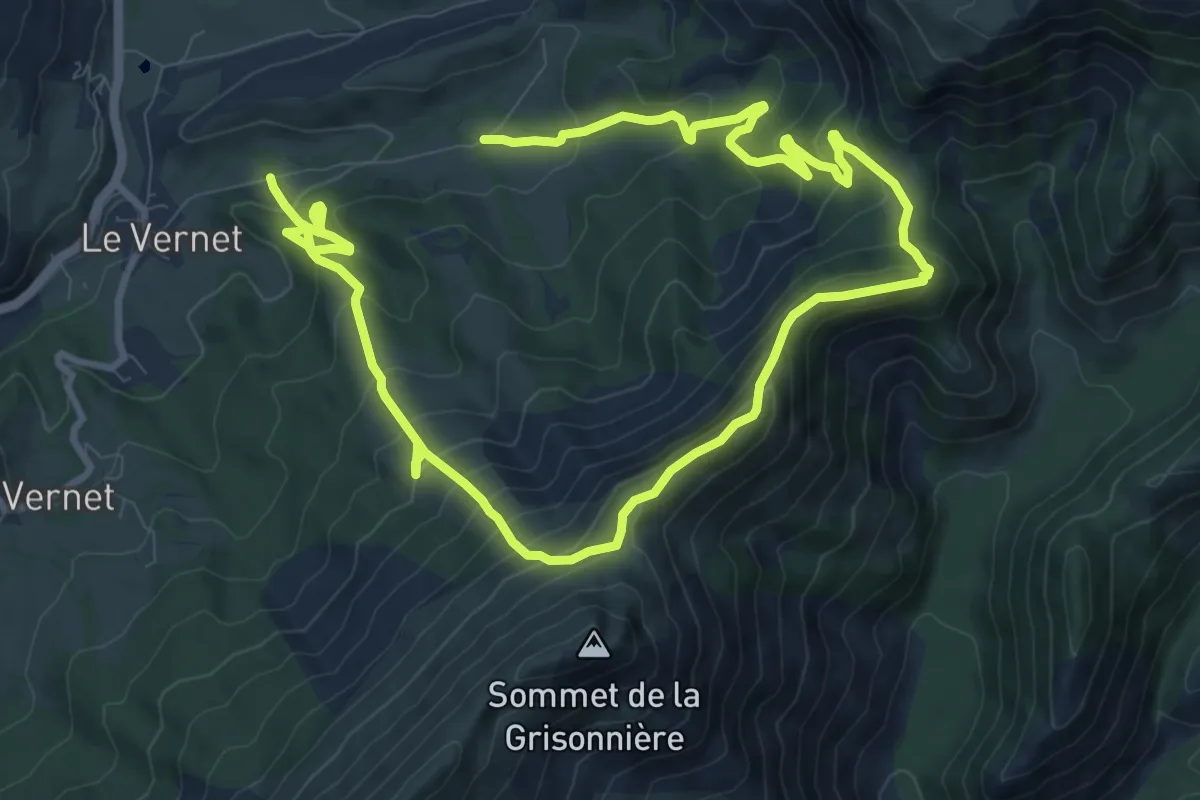
Medium · Trail
Sommet de Grisonnière (2 010 m)
8.6 km · ↑ 626 m · 3 h 31 min
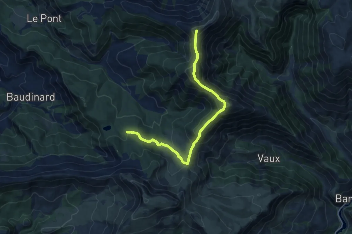
Medium · Summit
Sommet de l'Oratoire (2 072 m)
6.8 km · ↑ 715 m · 3 h 2 min
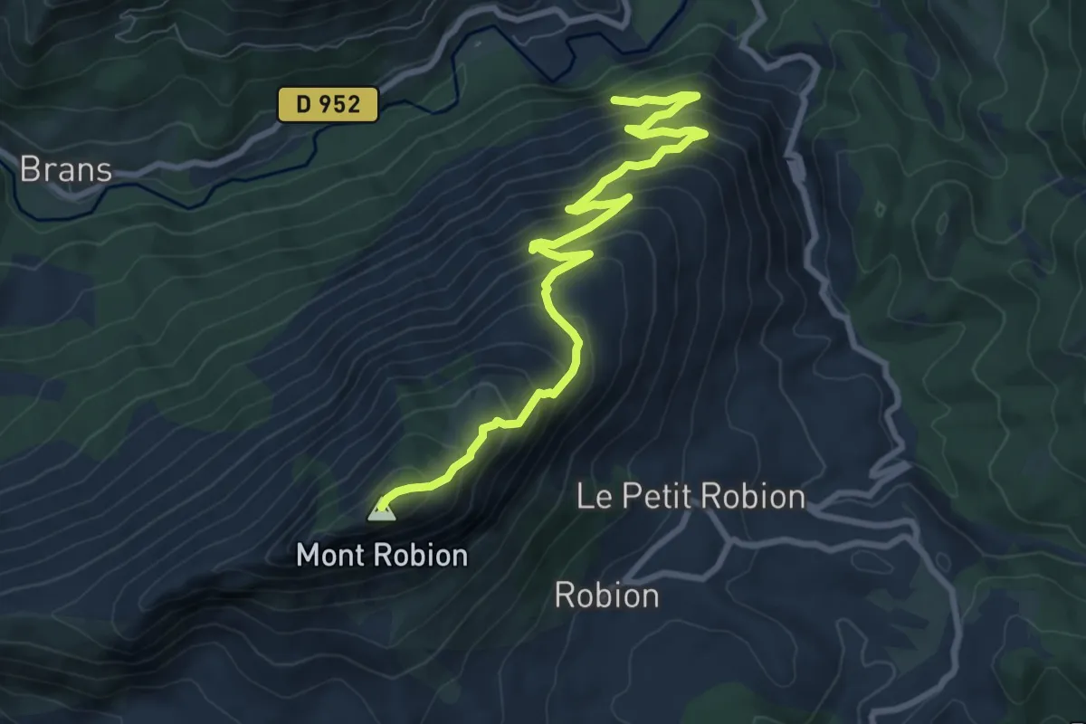
Demanding · Summit
Sommet de Robion (1 660 m)
4.9 km · ↑ 804 m · 2 h 34 min
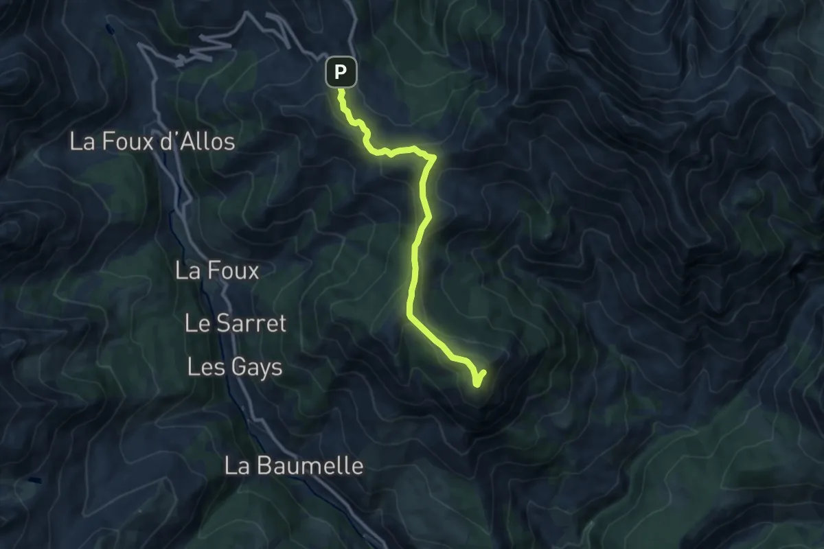
Medium · Summit
Sommet de Rochegrand (2 409 m)
4.8 km · ↑ 288 m · 1 h 44 min
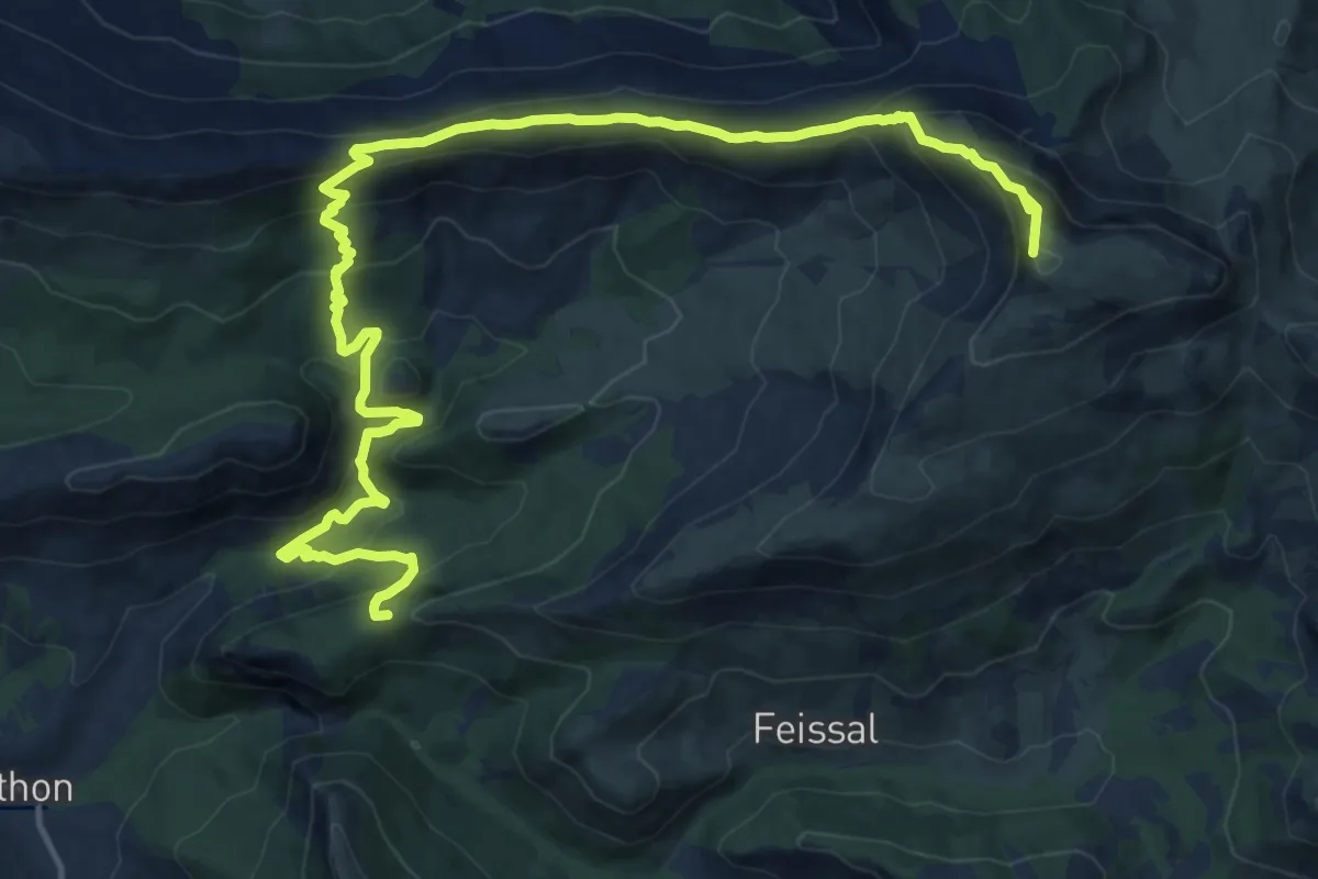
Demanding · Summit
Sommet des Monges (2 115 m)
9.7 km · ↑ 881 m · 4 h 2 min
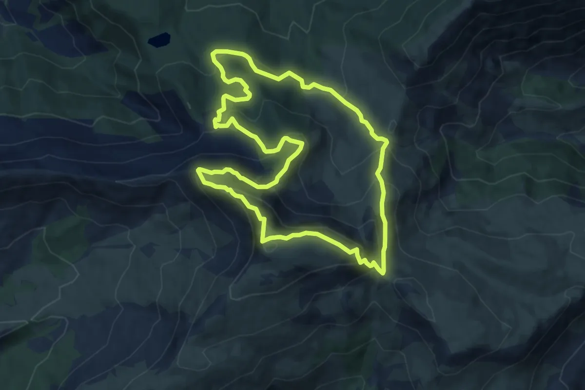
Medium · Summit
Sommet des Monges (2 115 m) par le lac des Monges
10.0 km · ↑ 592 m · 3 h 47 min
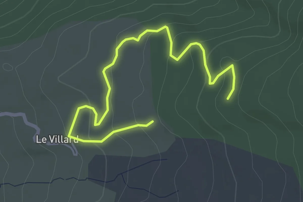
Easy · Trail
Sommet des Philosophes
2.6 km · ↑ 148 m · 55 min
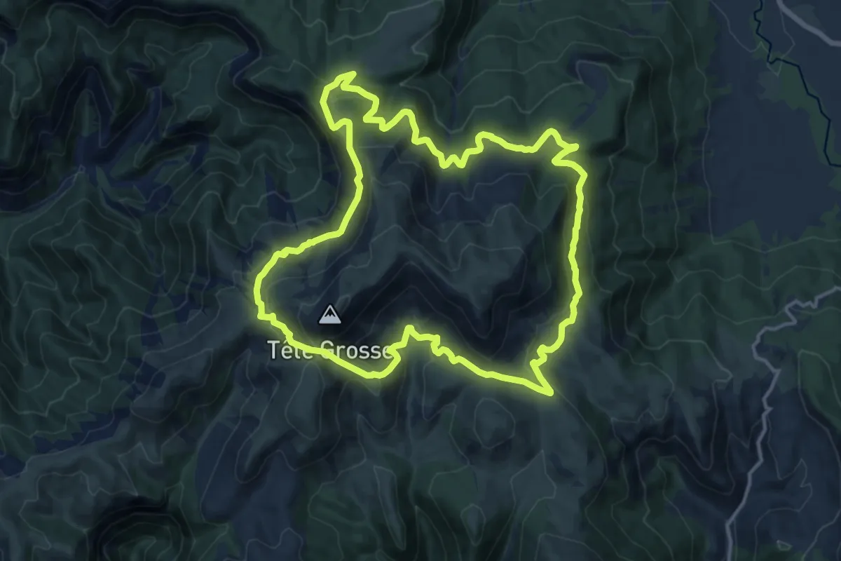
Medium · Summit
Sommet de Tête Grosse (2 032 m)
14.8 km · ↑ 712 m · 5 h 15 min
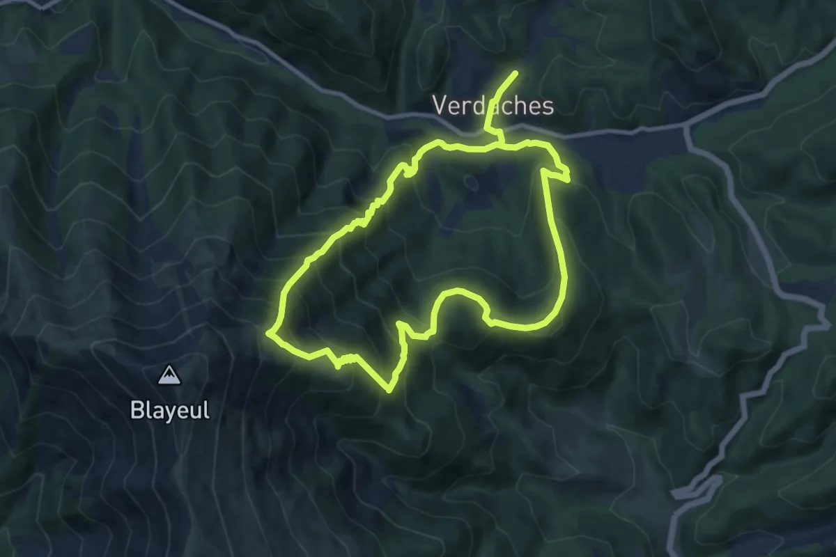
Demanding · Trail
Sommet du Blayeul
8.8 km · ↑ 879 m · 4 h 7 min
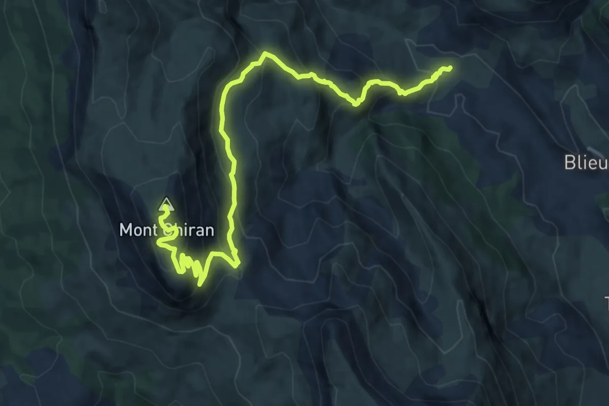
Demanding · Summit
Sommet du Chiran (1 905 m)
7.7 km · ↑ 943 m · 3 h 31 min
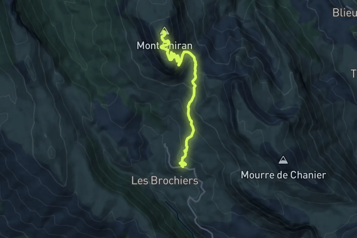
Medium · Summit
Sommet du Chiran par les Chauvets (1 905 m)
5.8 km · ↑ 630 m · 2 h 30 min
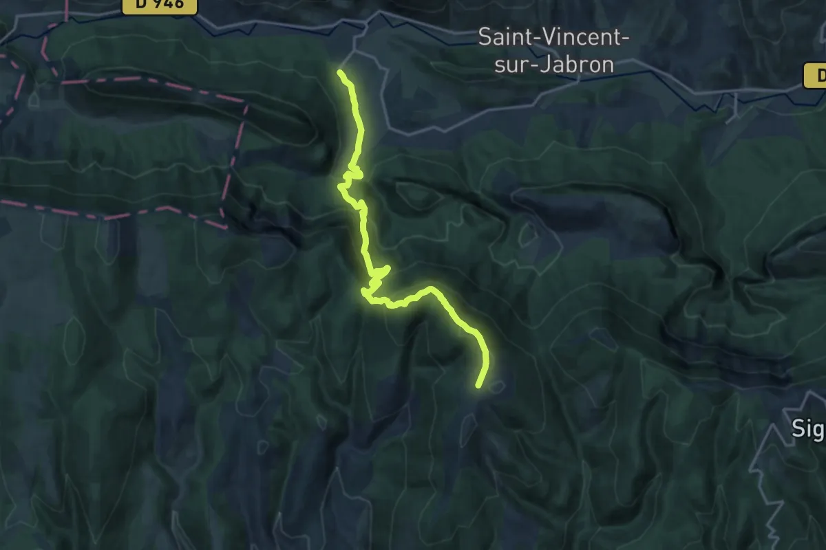
Demanding · Trail
Sommet du Contras
8.3 km · ↑ 1028 m · 3 h 52 min
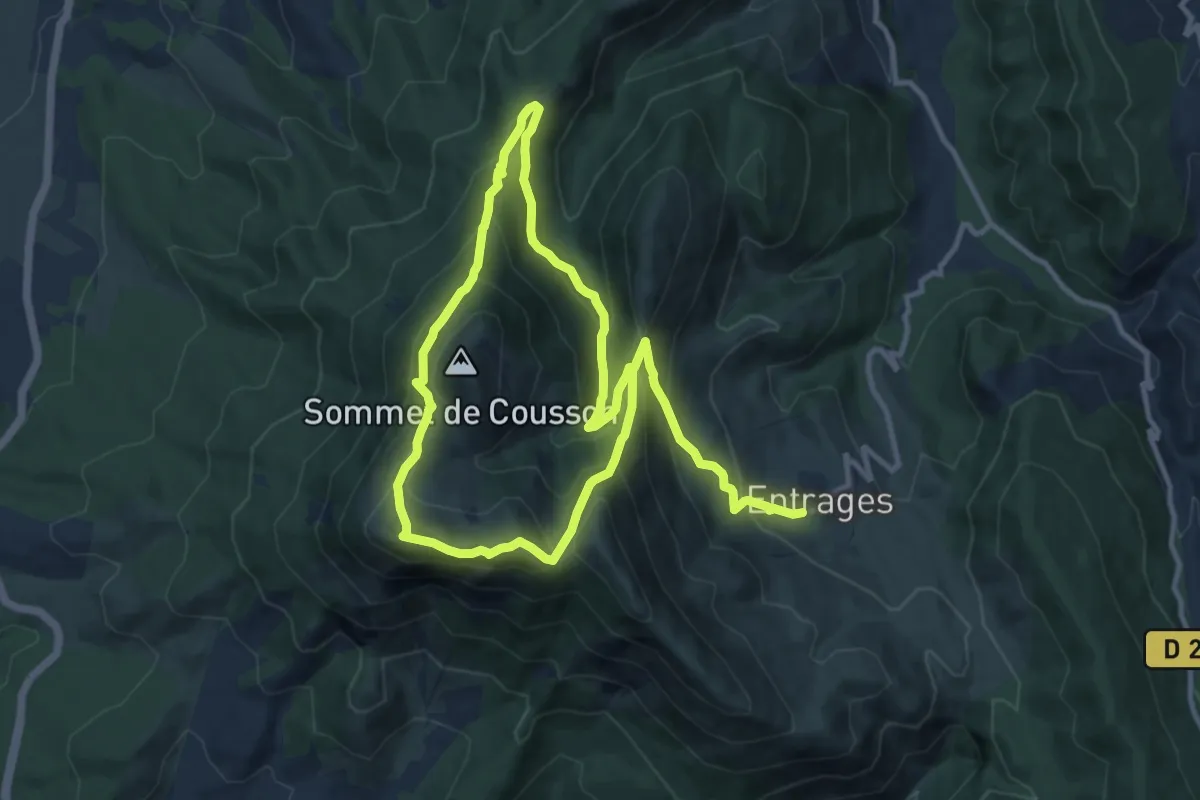
Medium · Summit
Sommet du Cousson (1 512 m)
9.9 km · ↑ 737 m · 3 h 58 min
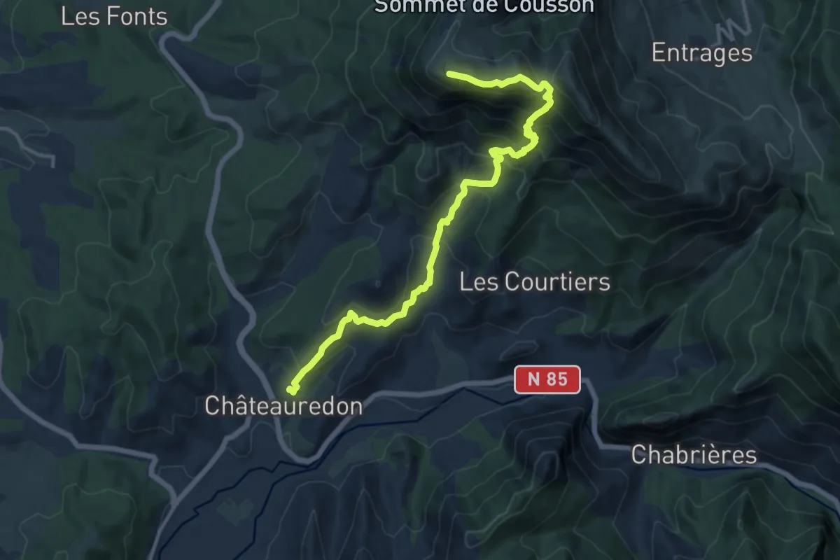
Demanding · Summit
Sommet du Cousson (1 512 m) depuis Châteauredon
6.6 km · ↑ 900 m · 3 h 11 min
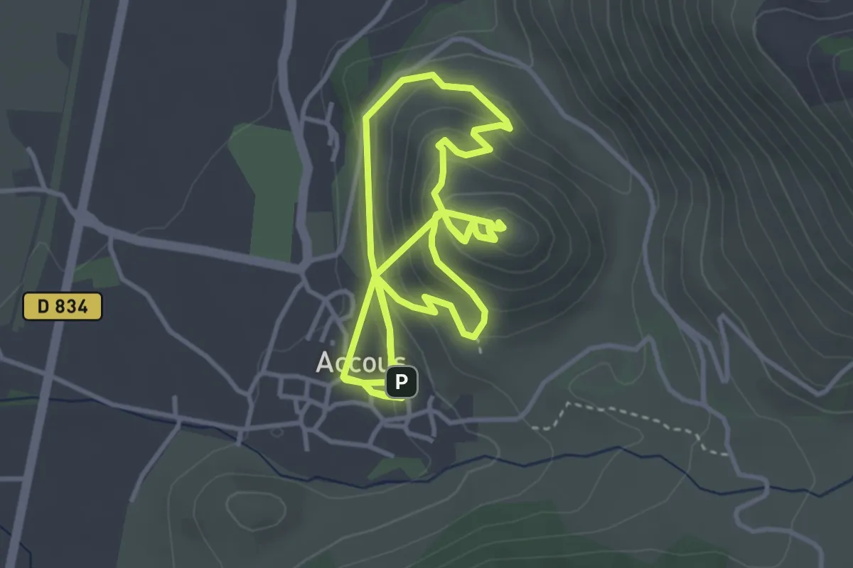
Easy · Summit
Sommet du Poey asp122
4.1 km · ↑ 290 m · 1 h 36 min
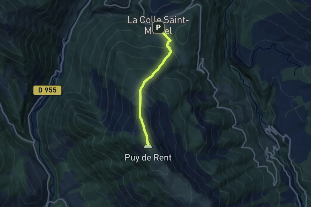
Medium · Summit
Sommet du Puy de Rent (1 996 m) depuis la Colle Saint Michel
3.4 km · ↑ 558 m · 1 h 47 min
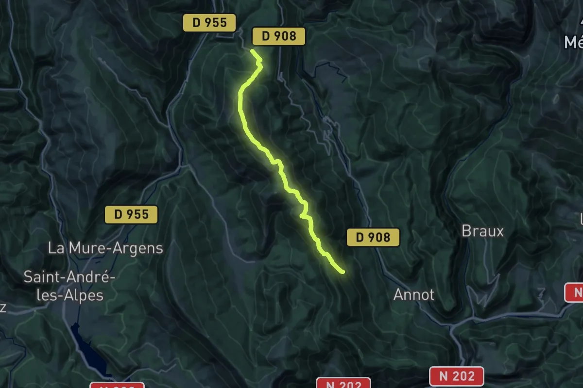
Medium · Summit
Sommet du Puy de Rent (1 996 m) depuis Roncharel
10.7 km · ↑ 770 m · 4 h 15 min
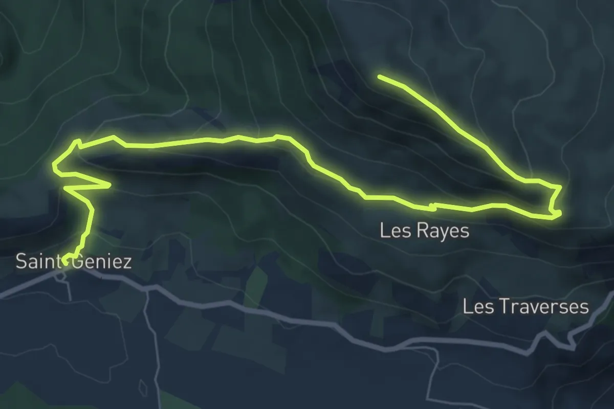
Medium · Summit
Sommet du Trainon (1 654 m)
4.7 km · ↑ 536 m · 2 h 5 min
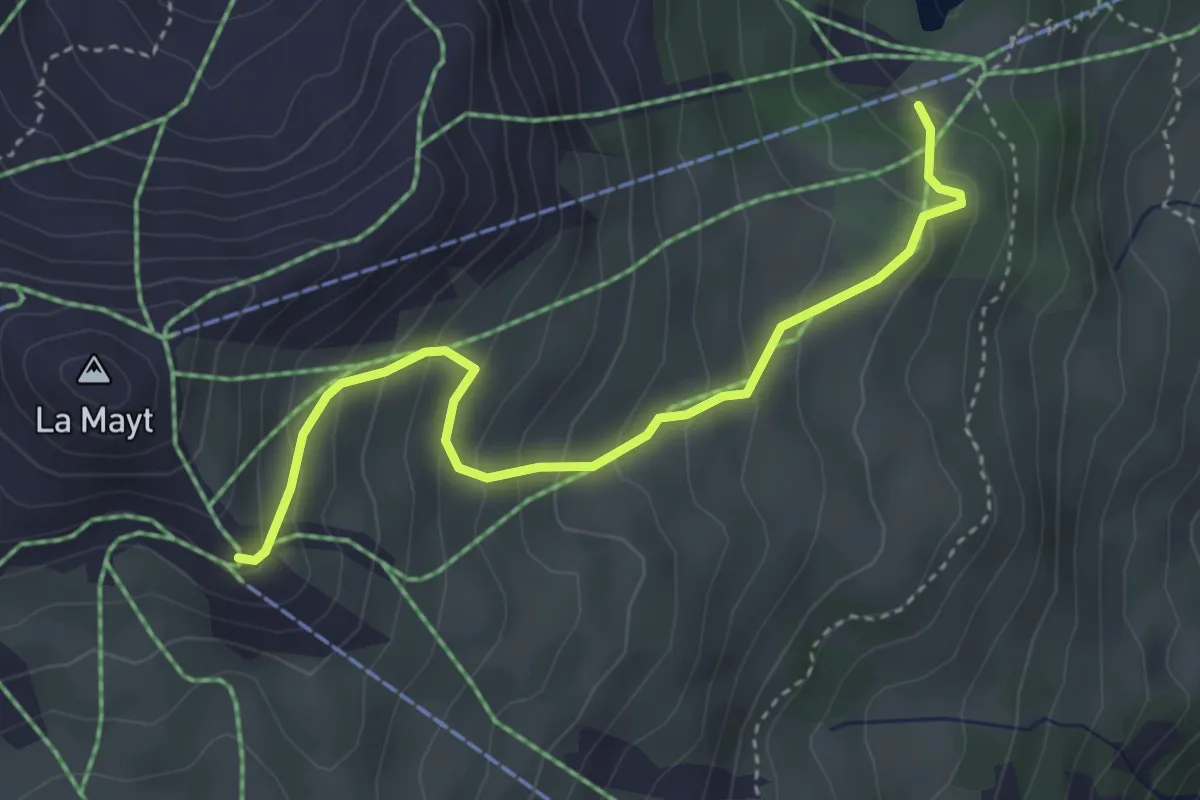
Easy · Trail
Sommet TS Mayt - Lac Peyrol
4.0 km · ↑ 298 m · 1 h 35 min
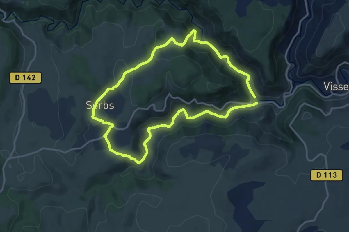
Medium · Trail
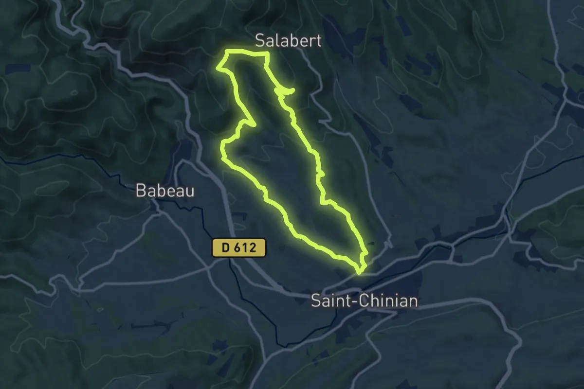
Sorbs et les vallées sèches
10.0 km · ↑ 322 m · 3 h 12 min
Medium · Trail
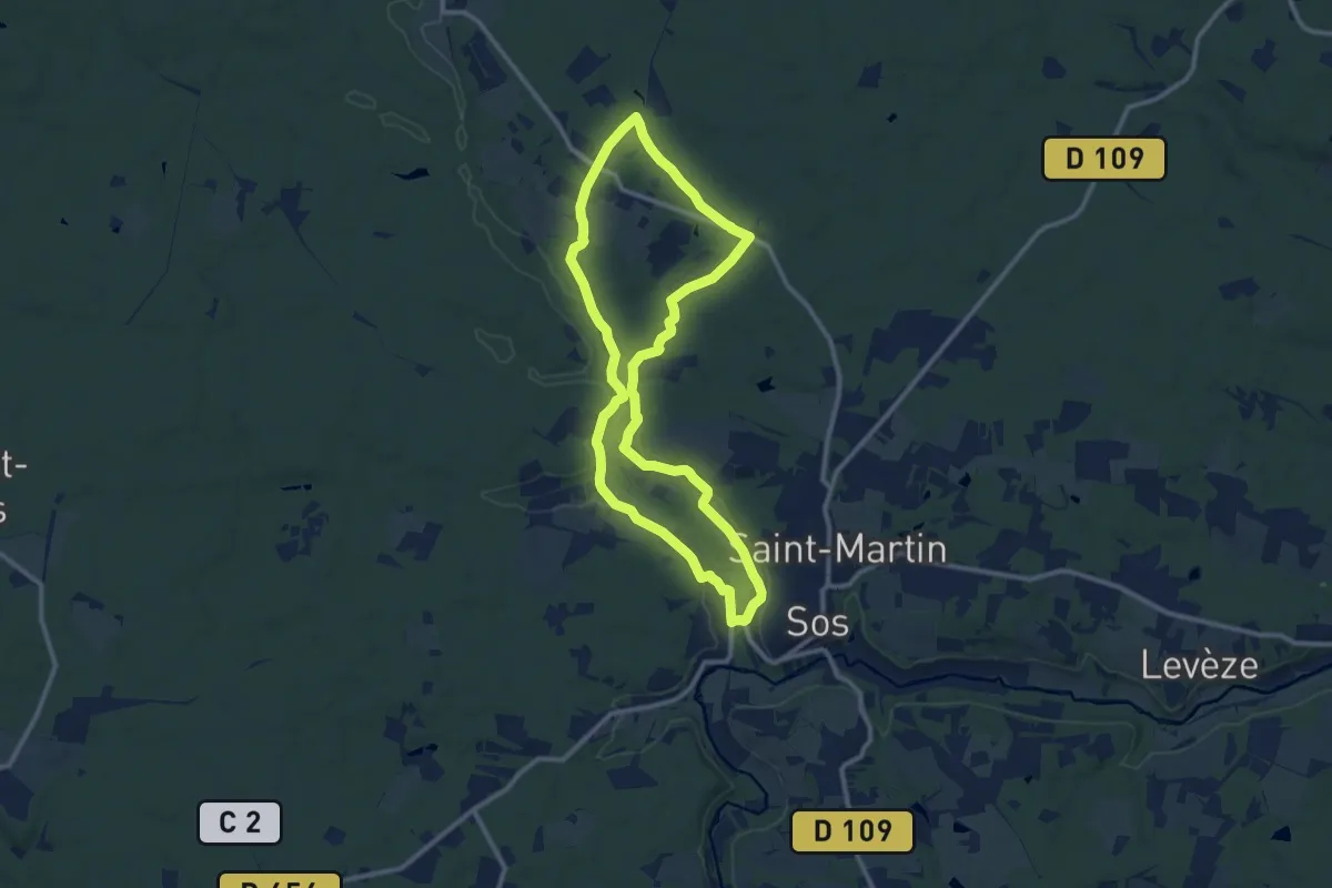
Sorteilho
10.2 km · ↑ 385 m · 3 h 23 min
Medium · Trail
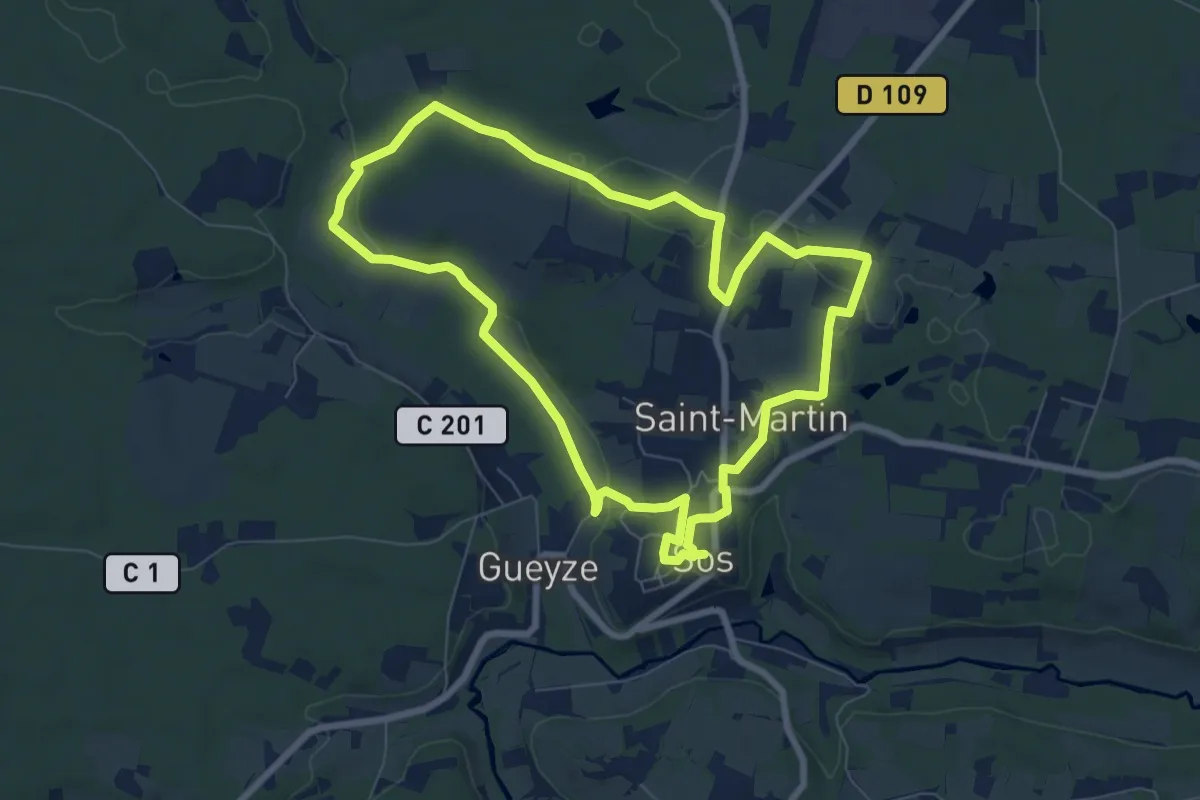
Sos, De Gueyze à Meylan, au fil de la Gueyze 11.3 km
11.0 km · ↑ 168 m · 3 h 6 min
Easy · Trail
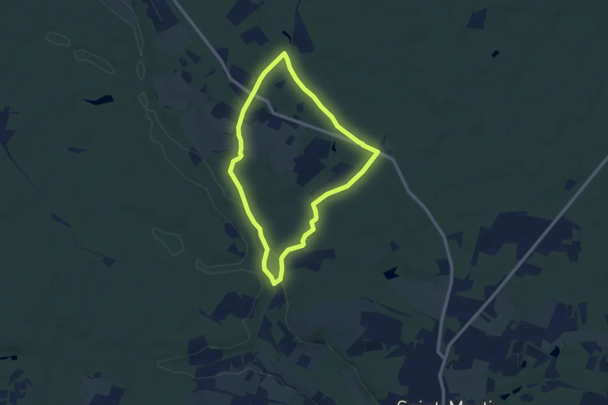
Sos, la promenade de Campet 7.9 km
8.0 km · ↑ 114 m · 2 h 14 min
Easy · Trail
Sos, Meylan, balade entre pins et chênes 5.9 km
5.8 km · ↑ 102 m · 1 h 41 min
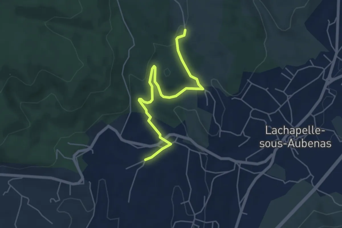
Easy · Trail
Soudournas - Les Plantades
4.9 km · ↑ 141 m · 1 h 28 min
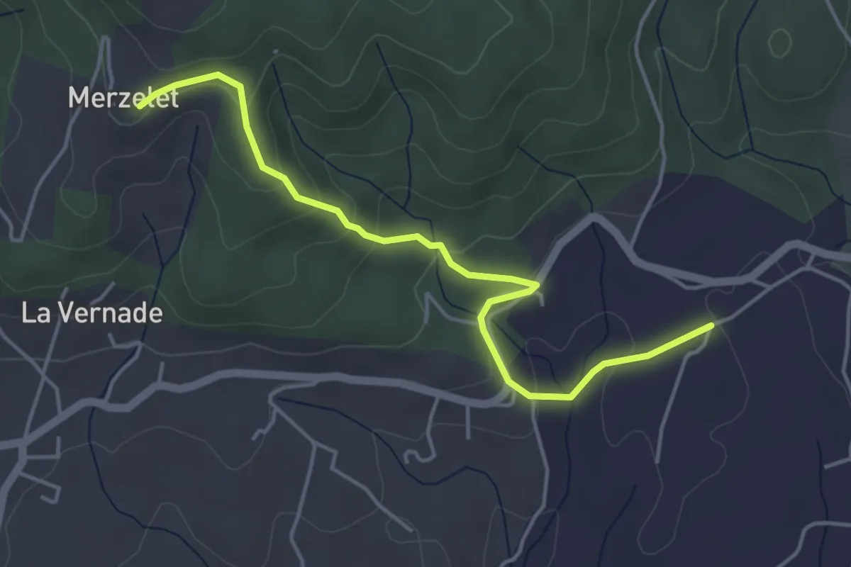
Easy · Trail
Soudournas - Merzelet
4.7 km · ↑ 178 m · 1 h 29 min
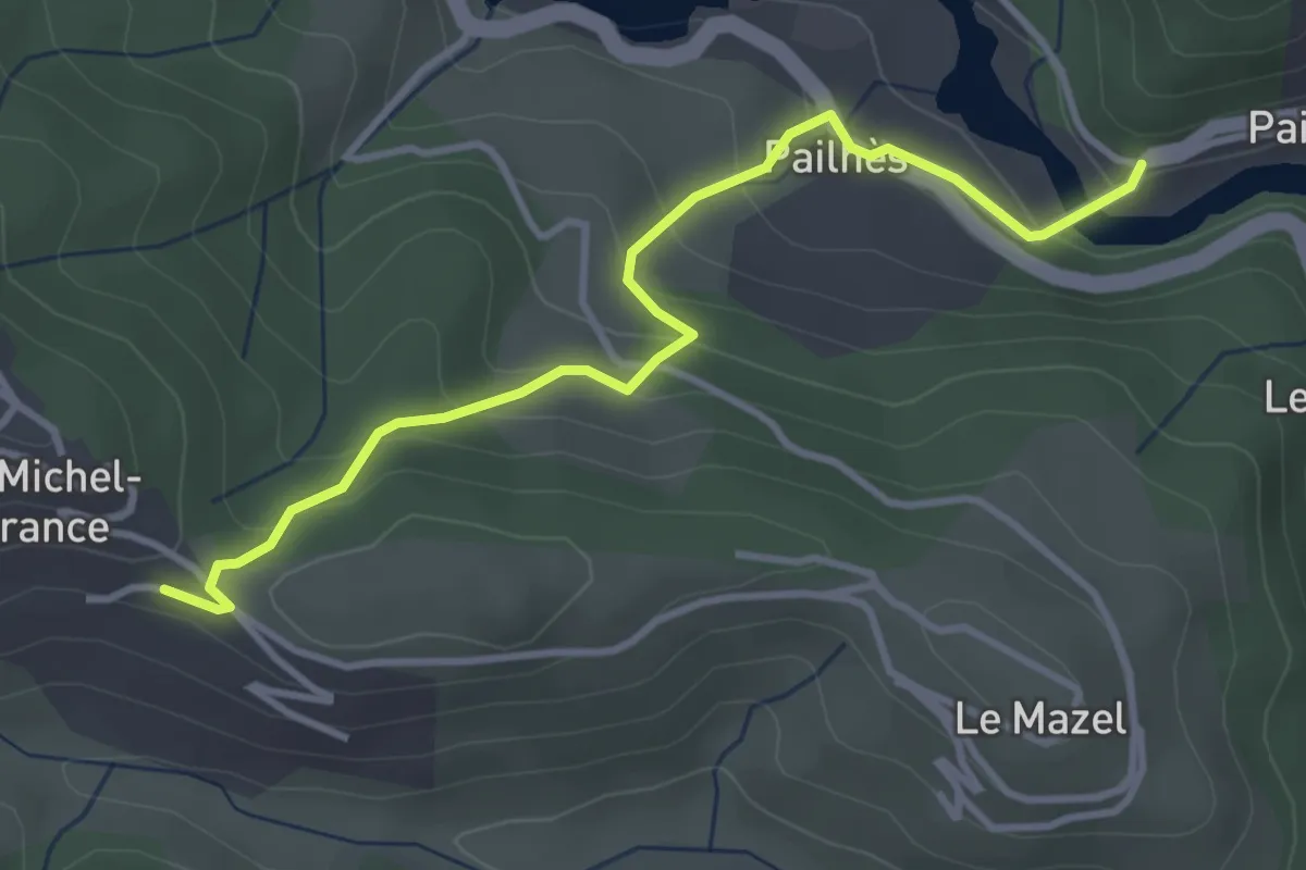
Easy · Trail
Soulage - Pailhès
3.8 km · ↑ 192 m · 1 h 19 min
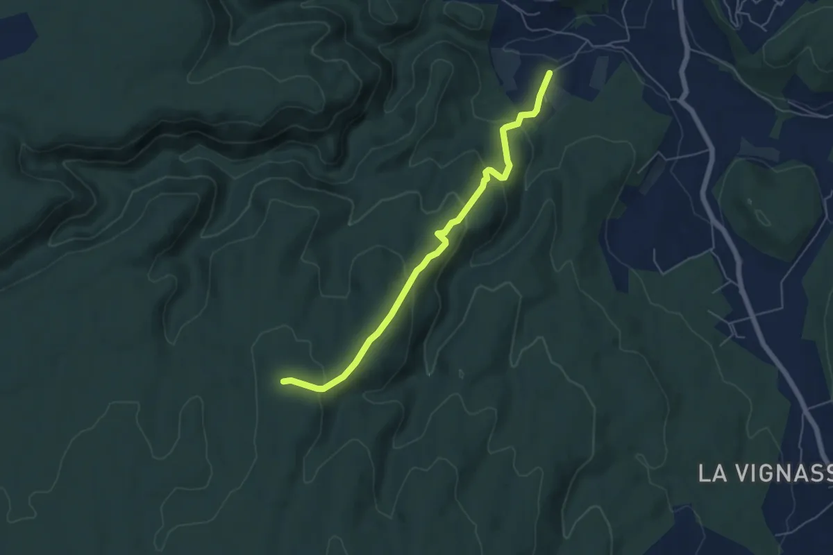
Easy · Trail
Soulière - Aven des Aubes
5.6 km · ↑ 254 m · 1 h 52 min
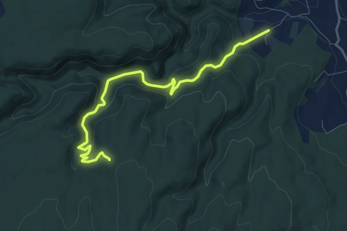
Medium · Trail
Soulière - Bardalène
8.7 km · ↑ 399 m · 2 h 55 min
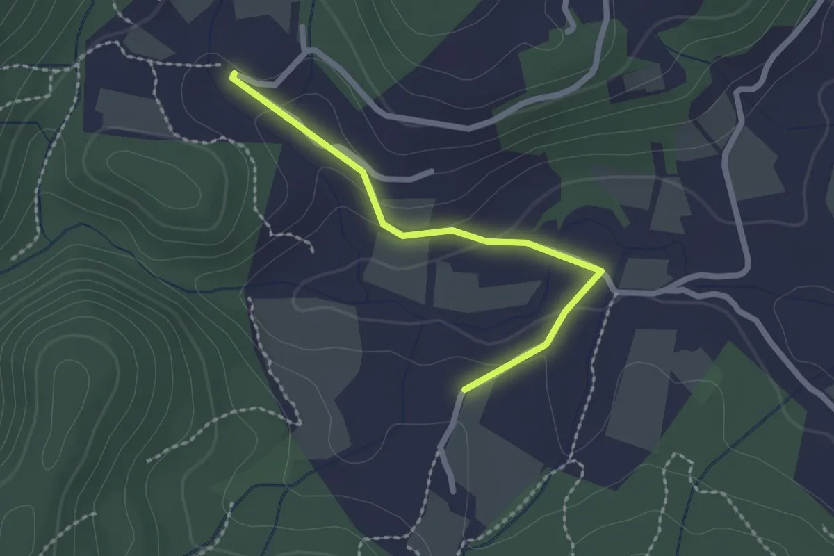
Easy · Trail
Soulière - Valescure
2.1 km · ↑ 61 m · 37 min
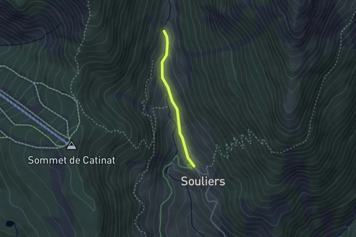
Easy · Trail
Souliers Clot Charvin - ?
2.1 km · ↑ 107 m · 44 min
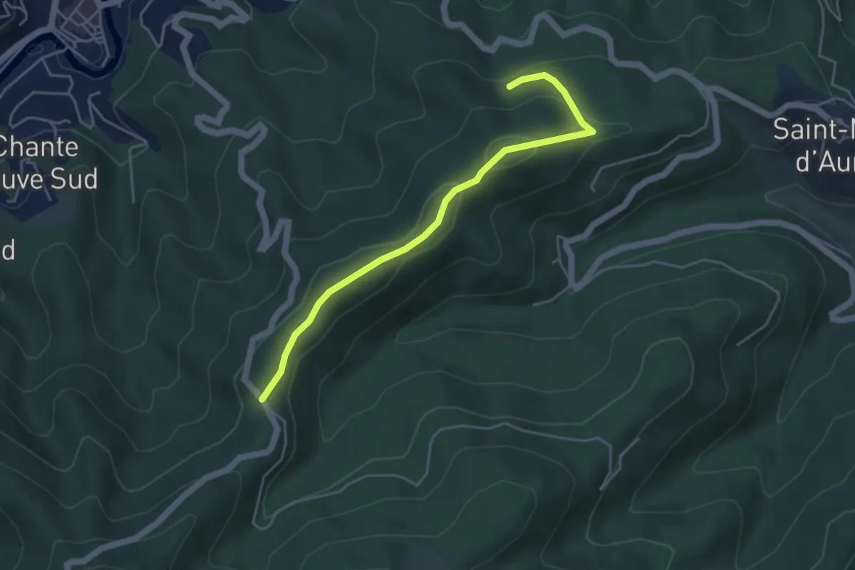
Easy · Trail
Source Banban - Col du Vaset
4.4 km · ↑ 131 m · 1 h 20 min
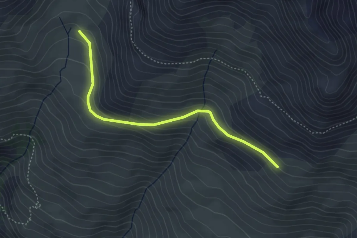
Easy · Trail
Source de la Moulette - La Côta Bella
4.2 km · ↑ 174 m · 1 h 22 min
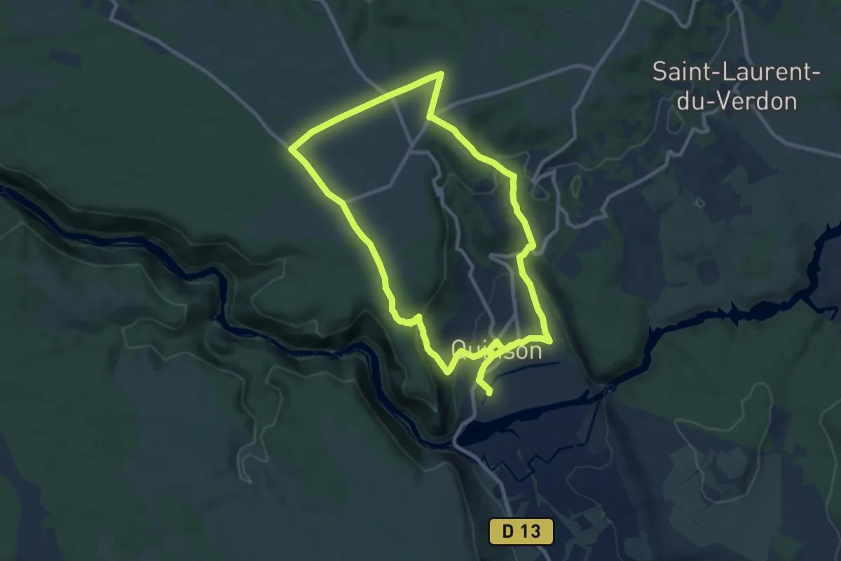
Medium · Trail
Source de Poiraque
9.8 km · ↑ 192 m · 2 h 53 min
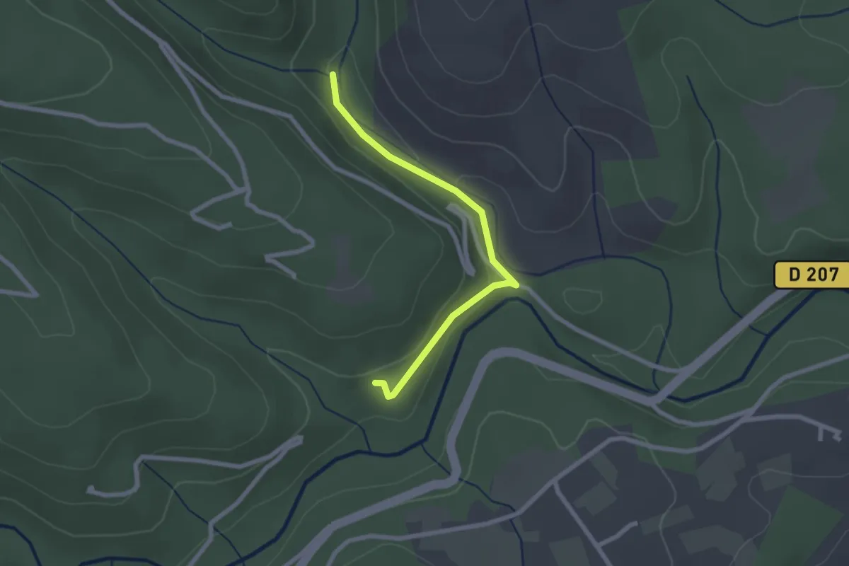
Easy · Trail
Source du Picou - La Passerelle
2.3 km · ↑ 90 m · 44 min
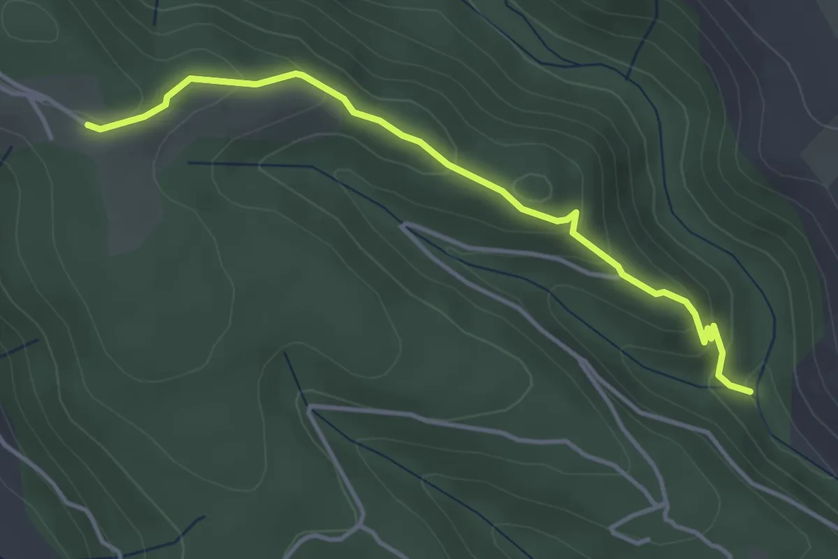
Easy · Trail
Source du Picou - La Pierre Plantée
4.1 km · ↑ 169 m · 1 h 20 min
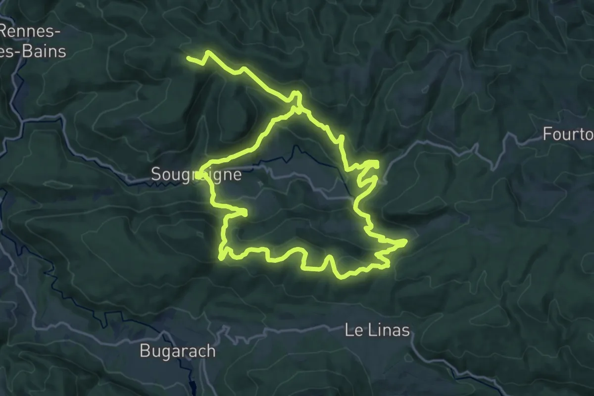
Medium · Trail
Sources de la Salz
17.1 km · ↑ 677 m · 5 h 48 min
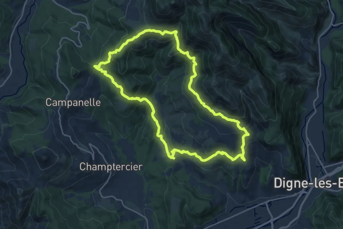
Medium · Trail
Sources du Rouveiret
15.1 km · ↑ 685 m · 5 h 15 min
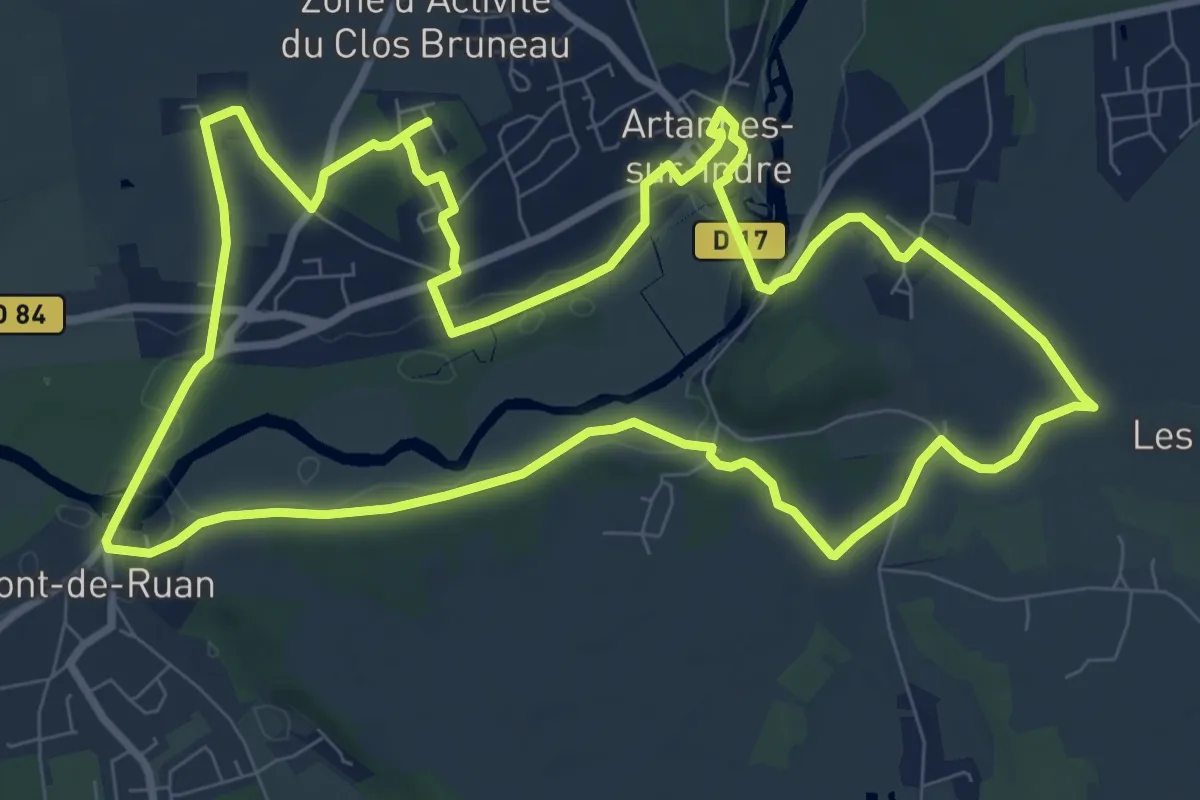
Medium · Trail
Sources & Patrimoine
10.1 km · ↑ 99 m · 2 h 44 min
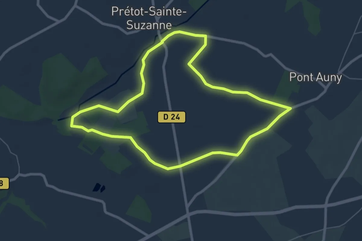
Easy · Trail
Sous-bois et vallée de la Senelle
5.6 km · ↑ 61 m · 1 h 32 min
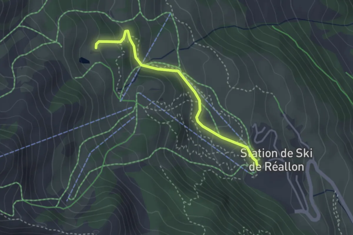
Easy · Trail
Sous Font Guillarde - Centre Station
3.0 km · ↑ 179 m · 1 h 6 min
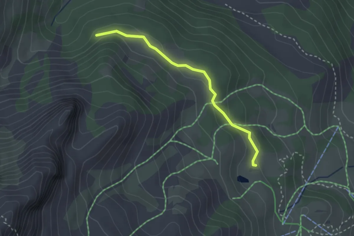
Easy · Trail
Sous Font Guillarde - Pierre Rouge
2.6 km · ↑ 78 m · 47 min
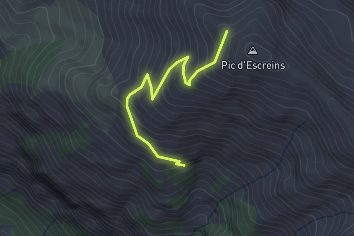
Medium · Trail
Sous la Crête d'Agnès - Sous le Pic d'Escreins
3.4 km · ↑ 344 m · 1 h 33 min
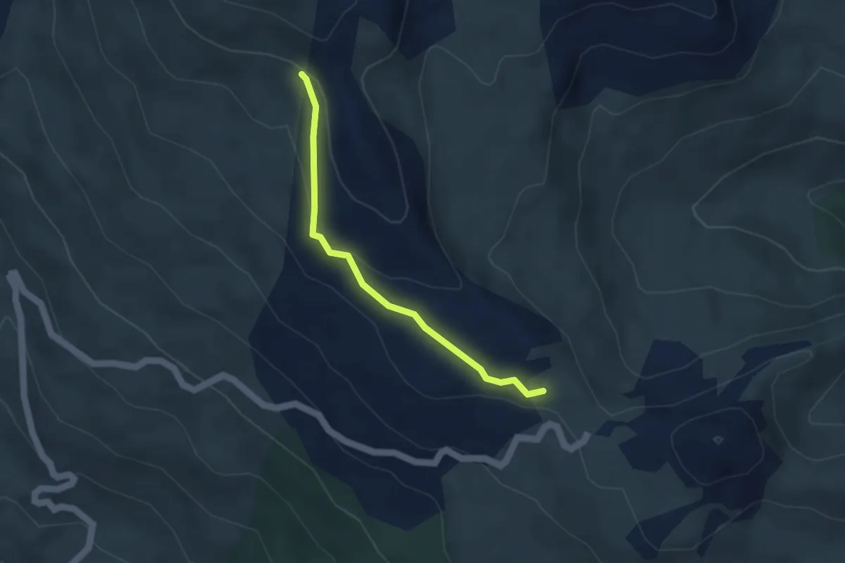
Easy · Trail
Sous la Gardiole - ?
3.3 km · ↑ 104 m · 1 h