Trails in France
15,926 hiking trails, each with its route, climb, walking time and grade.
All trails, page 264 of 332
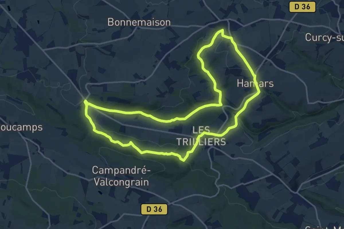
Medium · Trail
Sous le Mont d'Ancre
13.1 km · ↑ 291 m · 3 h 55 min
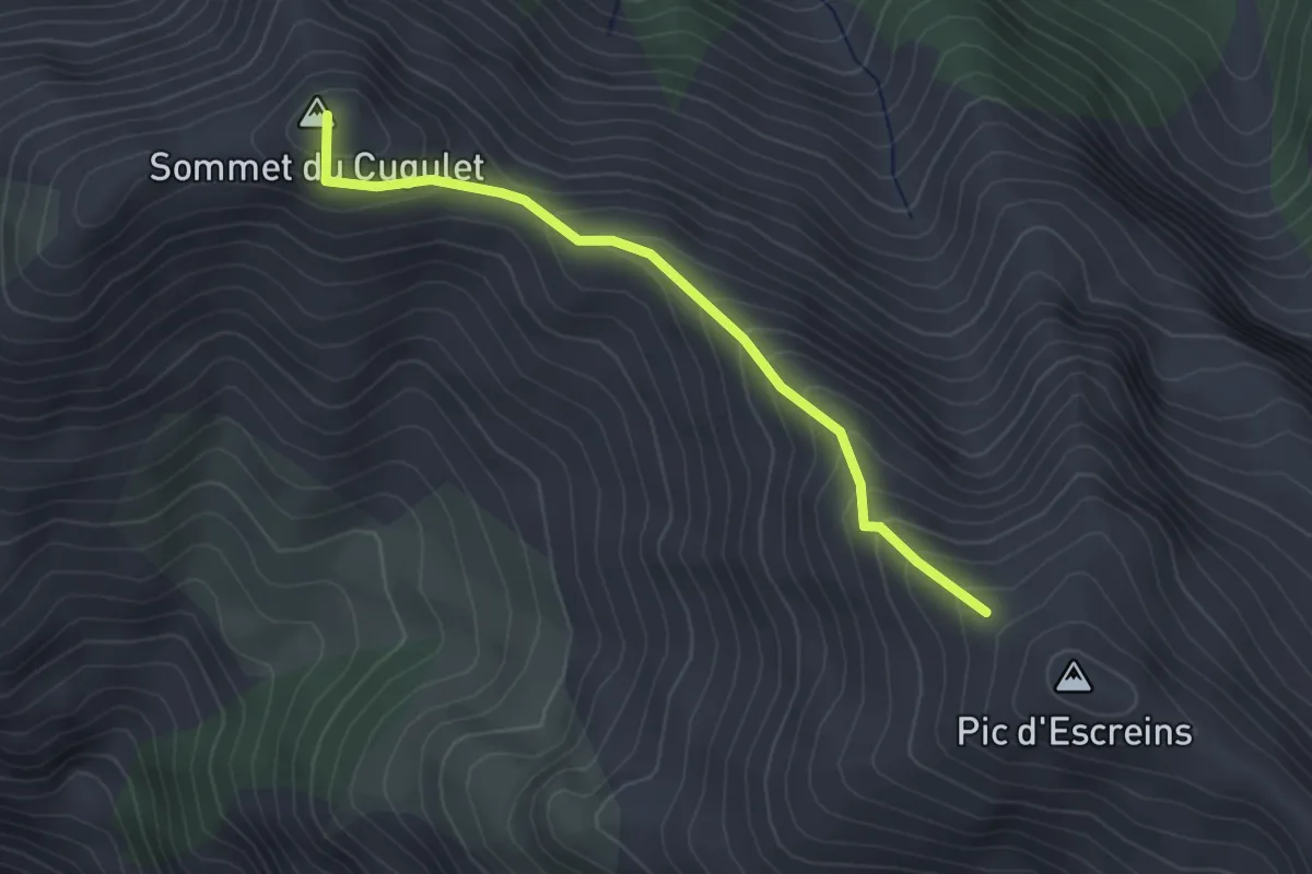
Medium · Summit
Sous le Pic d'Escreins - Sur la Crête
2.9 km · ↑ 266 m · 1 h 16 min
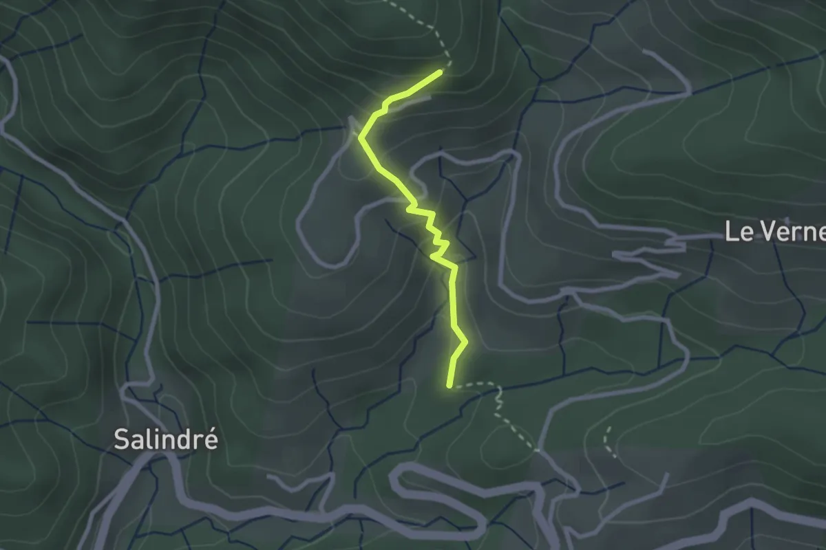
Medium · Trail
Sous les Combes - Bouteillac
2.1 km · ↑ 166 m · 51 min
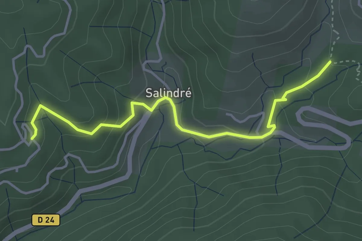
Easy · Trail
Sous les Combes - Champussac
3.7 km · ↑ 176 m · 1 h 15 min
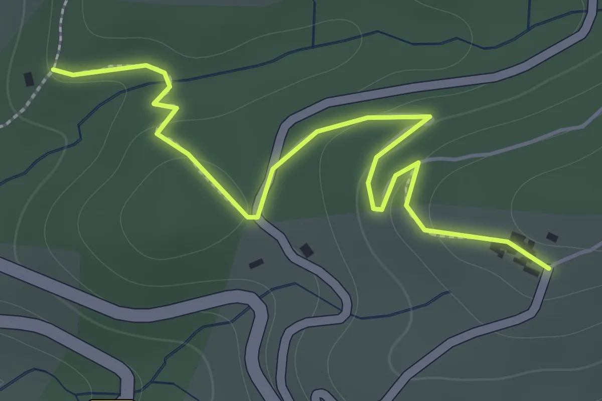
Easy · Trail
Sous les Combes - Le Jal
2.0 km · ↑ 70 m · 37 min
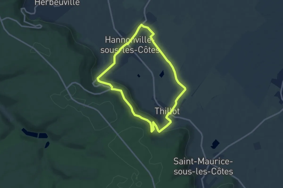
Easy · Trail
Sous les Côtes
6.4 km · ↑ 146 m · 1 h 55 min
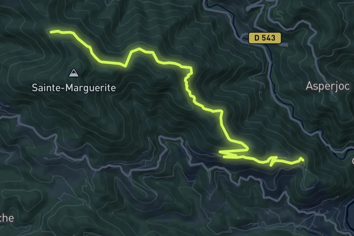
Medium · Trail
Sous les Eaux - Font Rognon
12.8 km · ↑ 607 m · 4 h 20 min
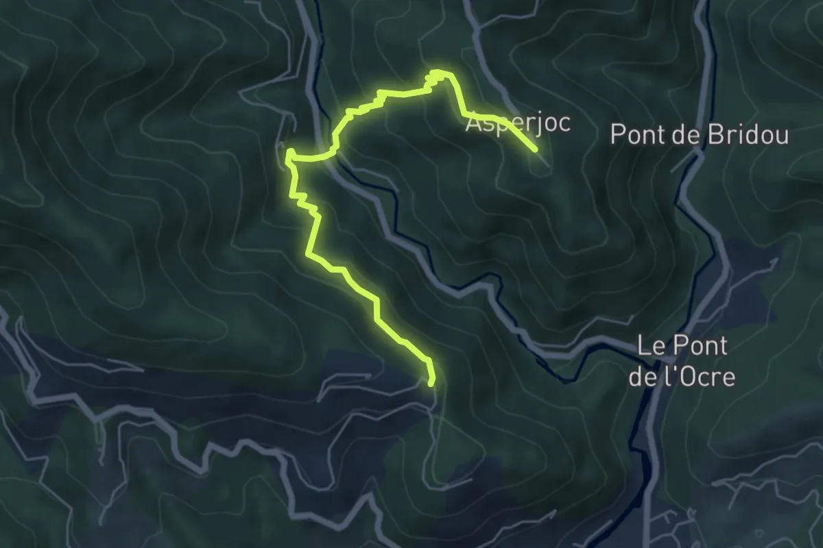
Medium · Trail
Sous les Eaux - Thieure
5.9 km · ↑ 430 m · 2 h 19 min
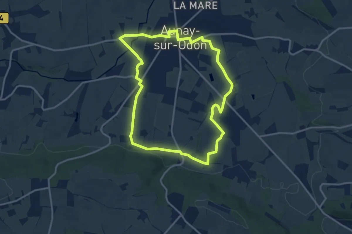
Easy · Trail
Sous les Monts d'Aunay
7.9 km · ↑ 89 m · 2 h 10 min
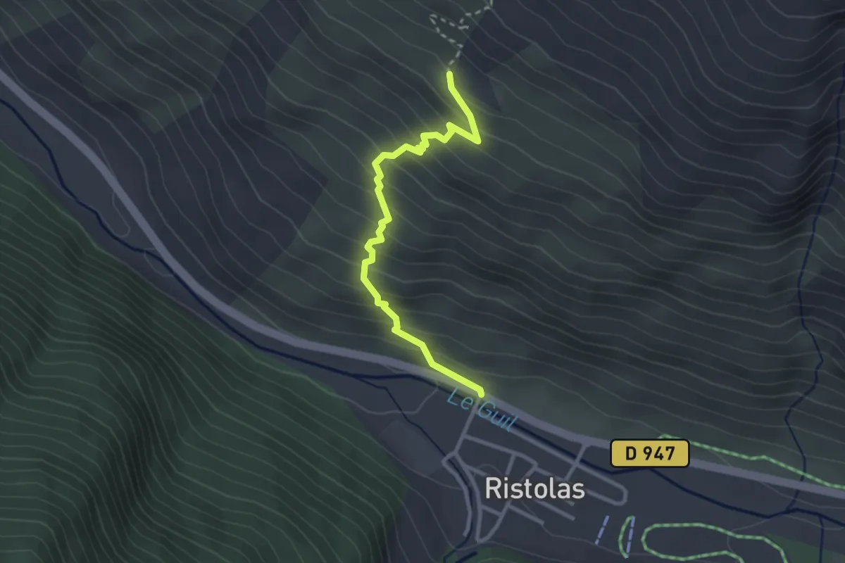
Medium · Trail
Sous l'Etang de Moussou - Ristolas Prés Rond
2.9 km · ↑ 305 m · 1 h 21 min
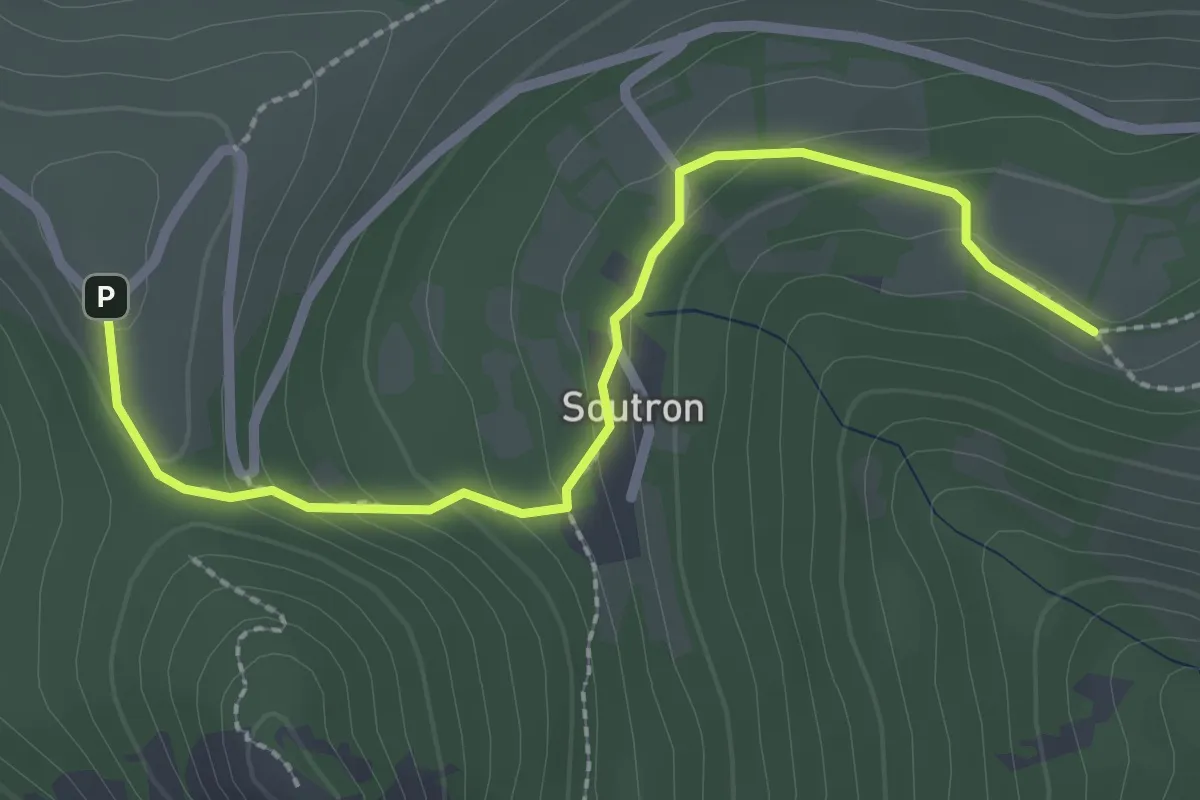
Easy · Trail
Soutron - Le Calvaire
2.7 km · ↑ 139 m · 56 min
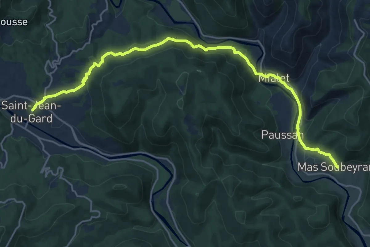
Medium · Trail
SPHC, étape 01
16.6 km · ↑ 677 m · 5 h 23 min
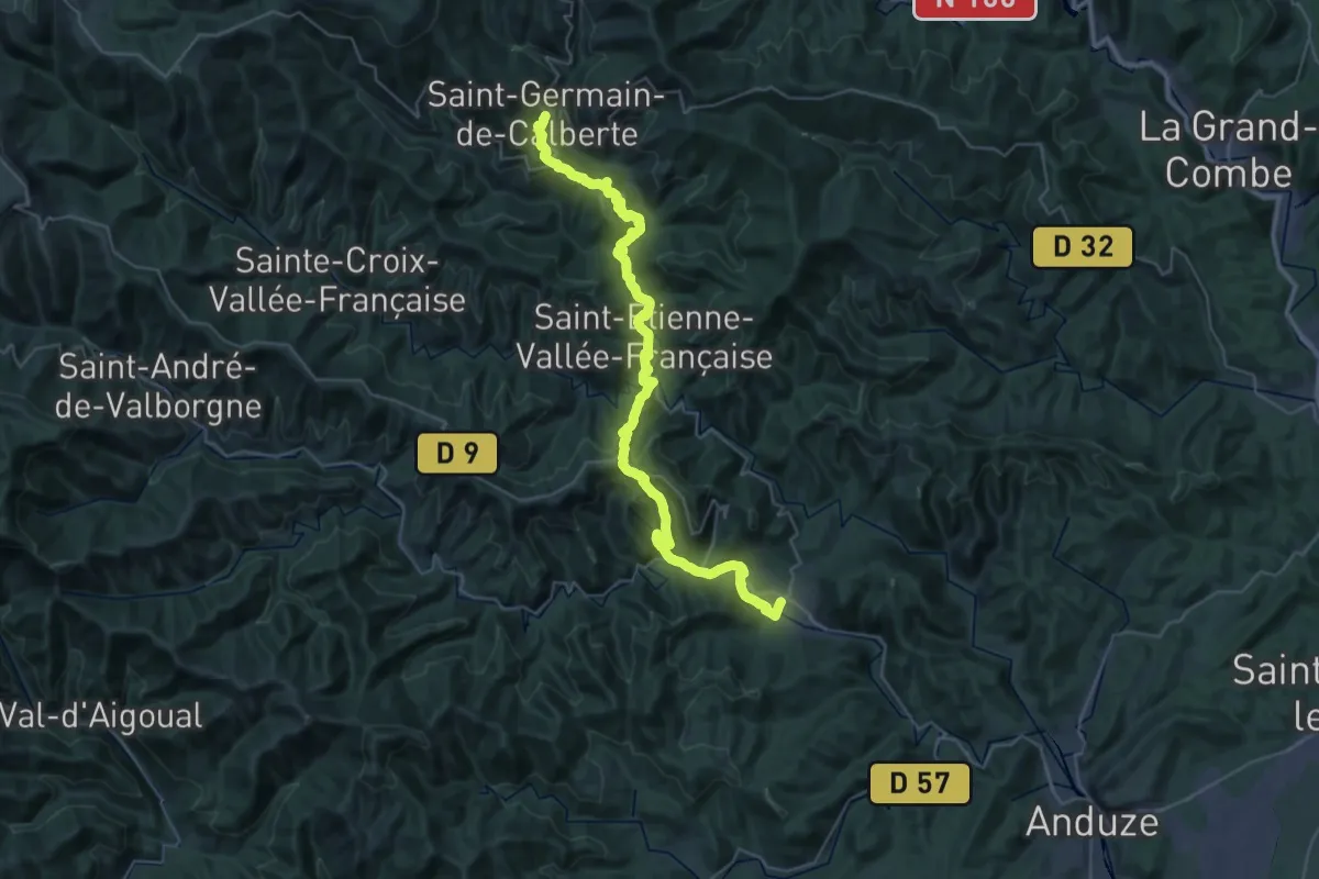
Demanding · Trail
SPHC, étape 02
22.0 km · ↑ 1016 m · 7 h 32 min
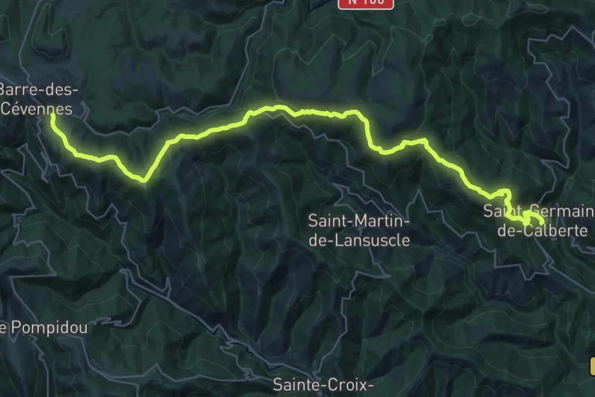
Medium · Trail
SPHC, étape 03
17.3 km · ↑ 746 m · 5 h 43 min
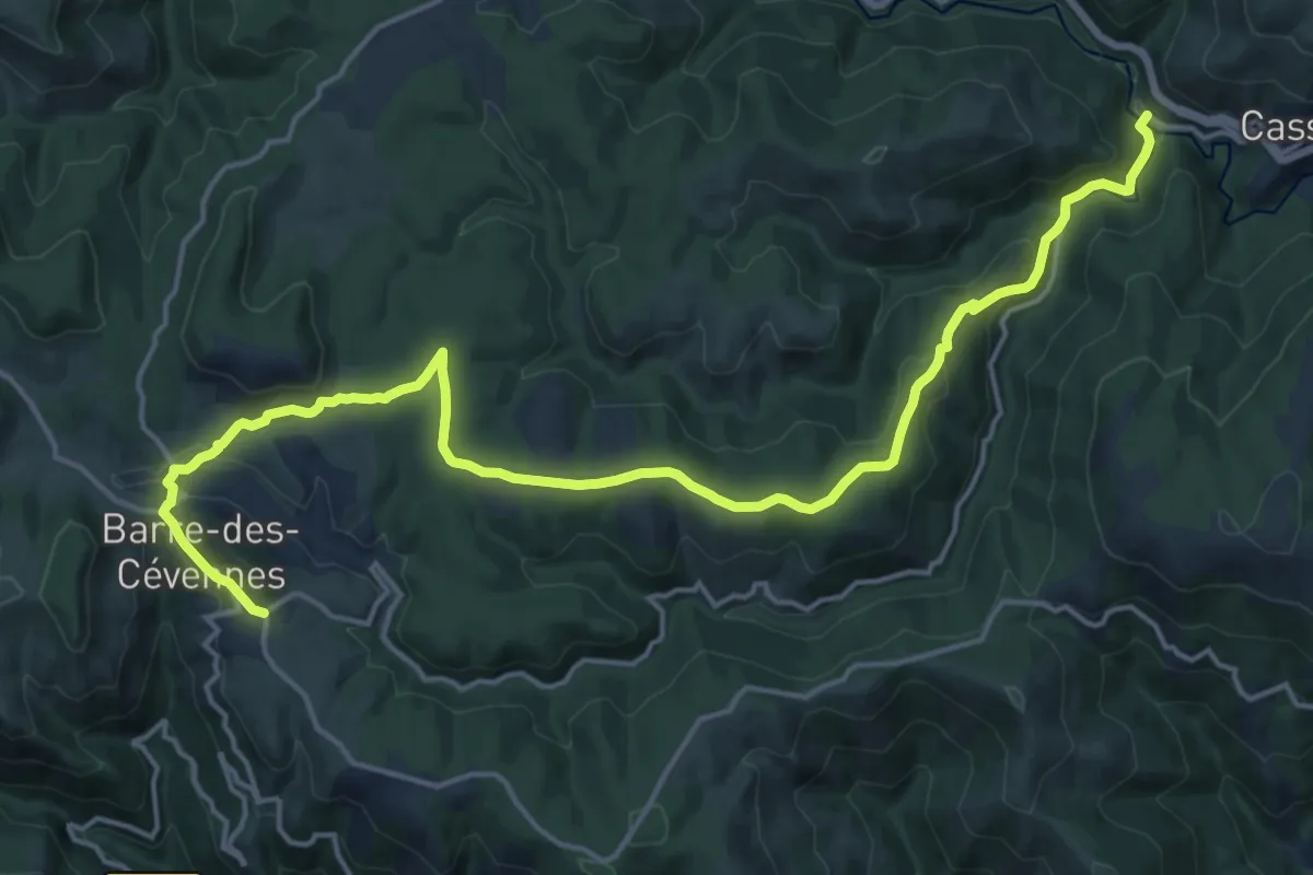
Demanding · Trail
SPHC, étape 04
21.1 km · ↑ 533 m · 6 h 8 min
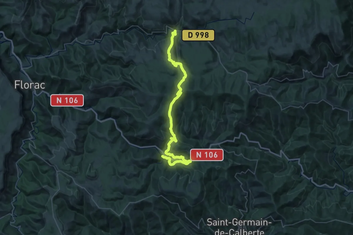
Demanding · Trail
SPHC, étape 05
20.0 km · ↑ 829 m · 6 h 42 min
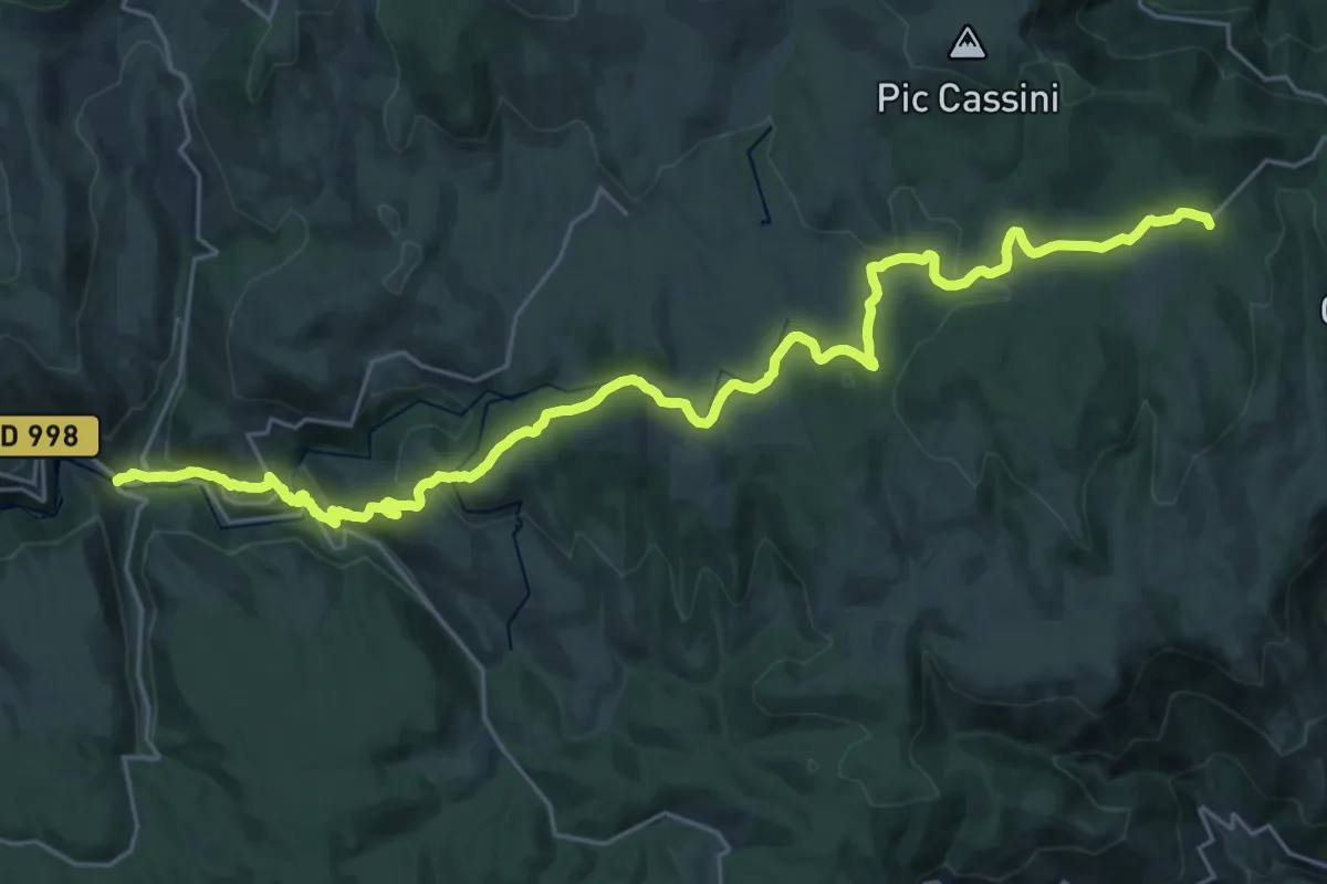
Medium · Trail
SPHC, étape 06
15.2 km · ↑ 117 m · 4 h 19 min
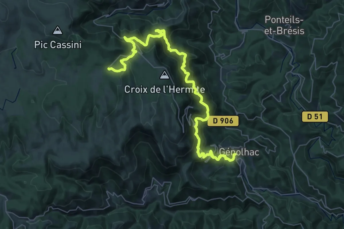
Medium · Trail
SPHC, étape 07
17.6 km · ↑ 438 m · 5 h 48 min
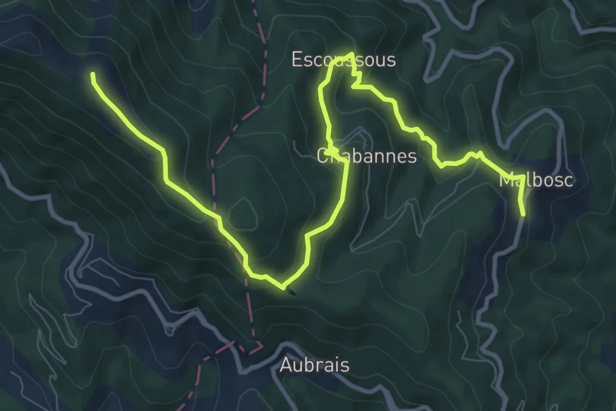
Medium · Trail
SPHC, étape 08
10.7 km · ↑ 522 m · 3 h 39 min
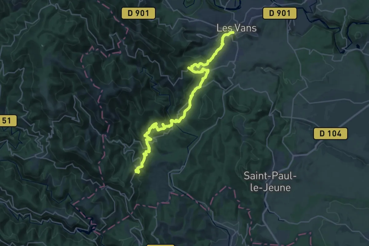
Medium · Trail
SPHC, étape 09
14.3 km · ↑ 475 m · 4 h 44 min
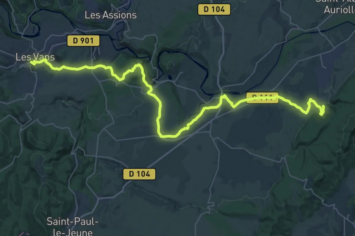
Demanding · Trail
SPHC, étape 10
19.6 km · ↑ 323 m · 5 h 35 min
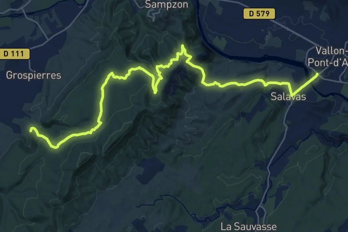
Demanding · Trail
SPHC, étape 11
26.8 km · ↑ 725 m · 7 h 54 min
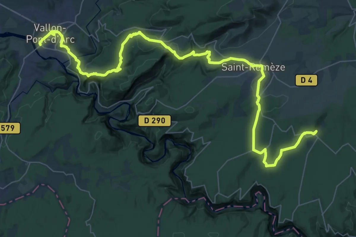
Demanding · Trail
SPHC, étape 12
23.0 km · ↑ 602 m · 6 h 58 min
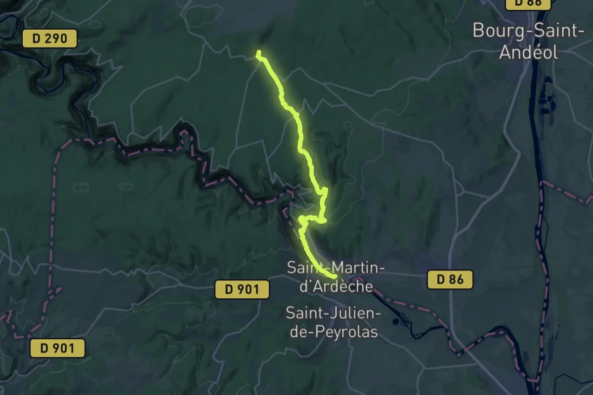
Demanding · Trail
SPHC, étape 13
21.3 km · ↑ 503 m · 6 h 7 min
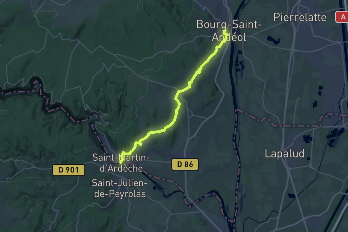
Demanding · Trail
SPHC, étape 14
25.0 km · ↑ 520 m · 7 h 1 min
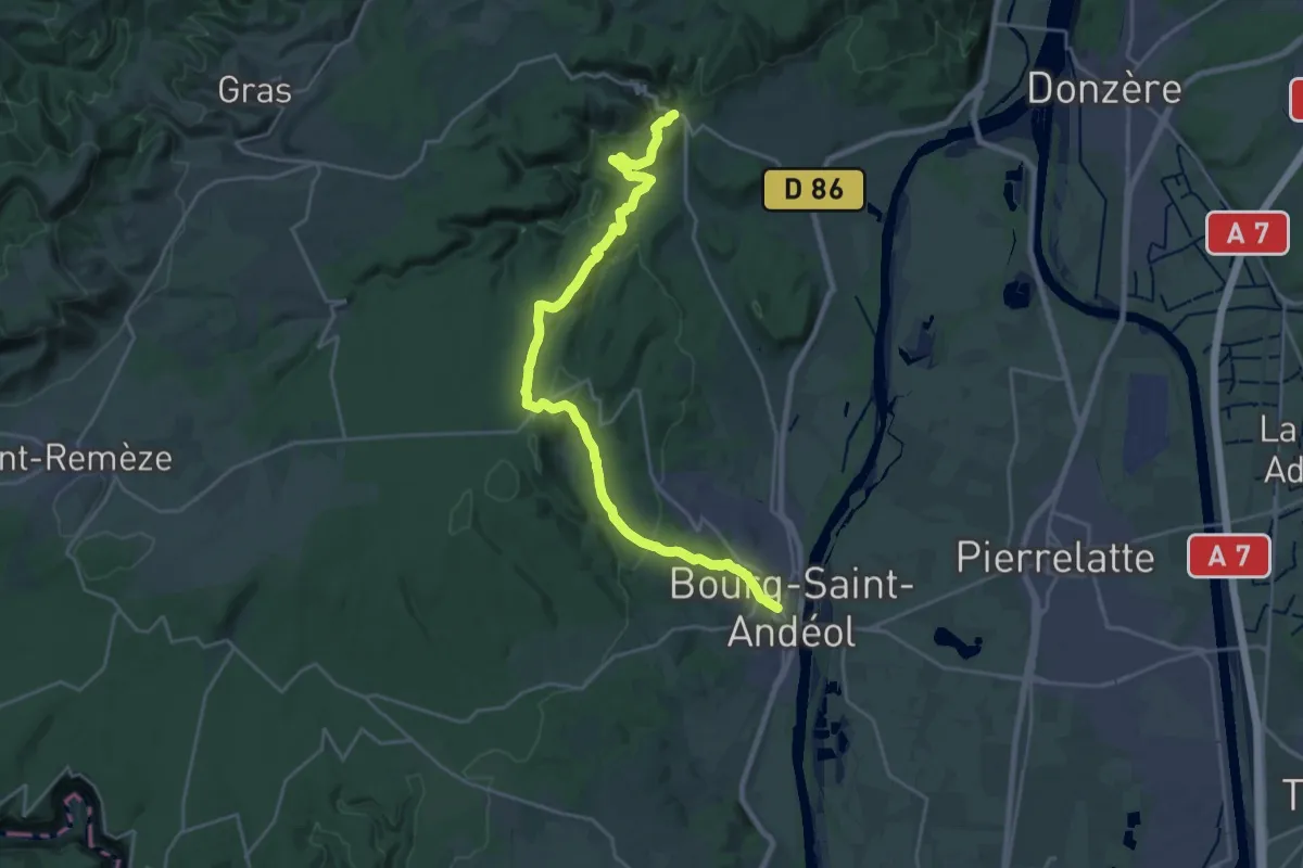
Demanding · Trail
SPHC, étape 15
25.7 km · ↑ 740 m · 7 h 40 min
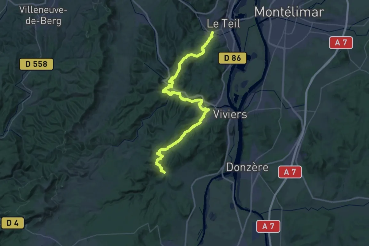
Demanding · Trail
SPHC, étape 16
23.1 km · ↑ 693 m · 7 h 18 min
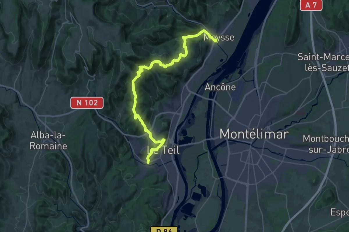
Medium · Trail
SPHC, étape 17
16.2 km · ↑ 511 m · 5 h 10 min
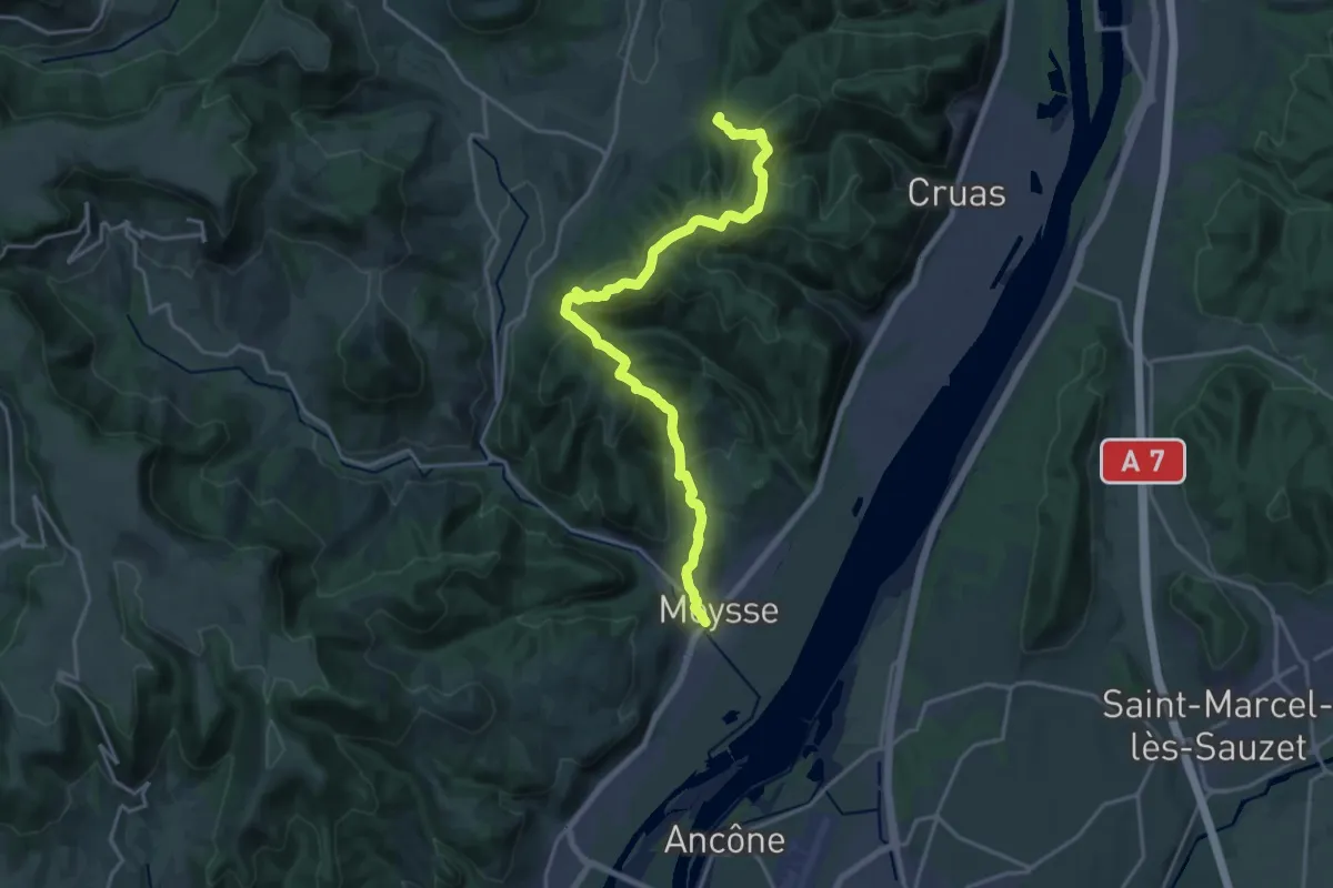
Demanding · Trail
SPHC, étape 18
20.6 km · ↑ 915 m · 6 h 51 min
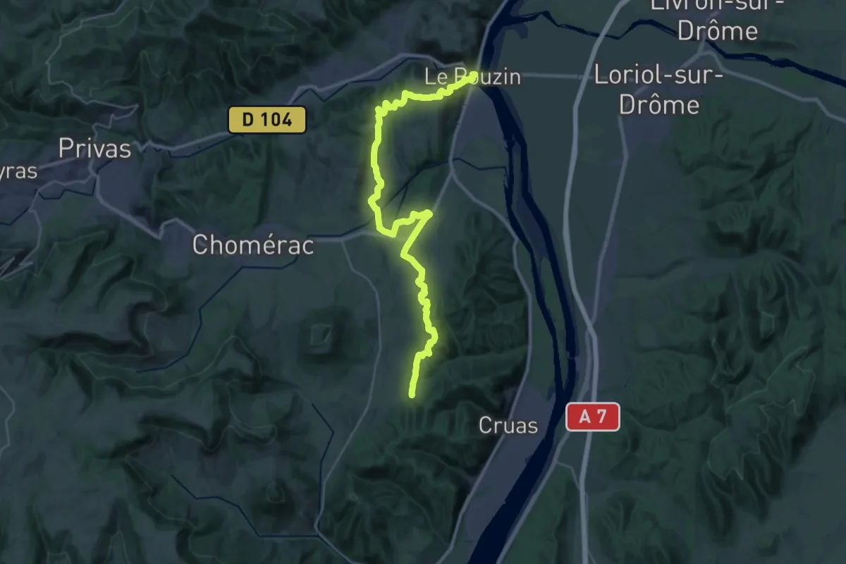
Demanding · Trail
SPHC, étape 19
18.2 km · ↑ 417 m · 5 h 34 min
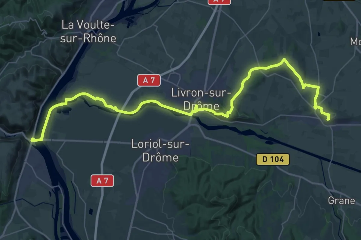
Demanding · Trail
SPHC, étape 20
20.3 km · ↑ 287 m · 5 h 38 min
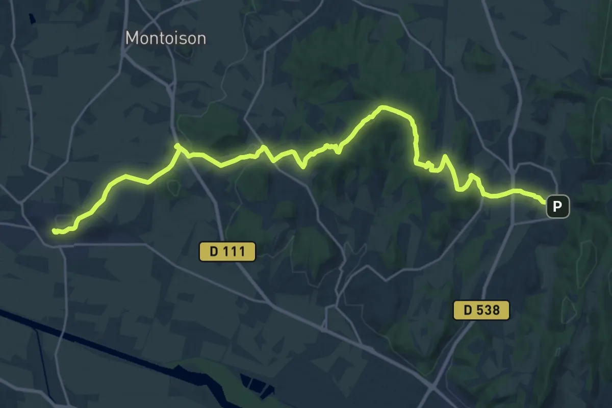
Demanding · Trail
SPHC, étape 21
26.8 km · ↑ 571 m · 7 h 34 min
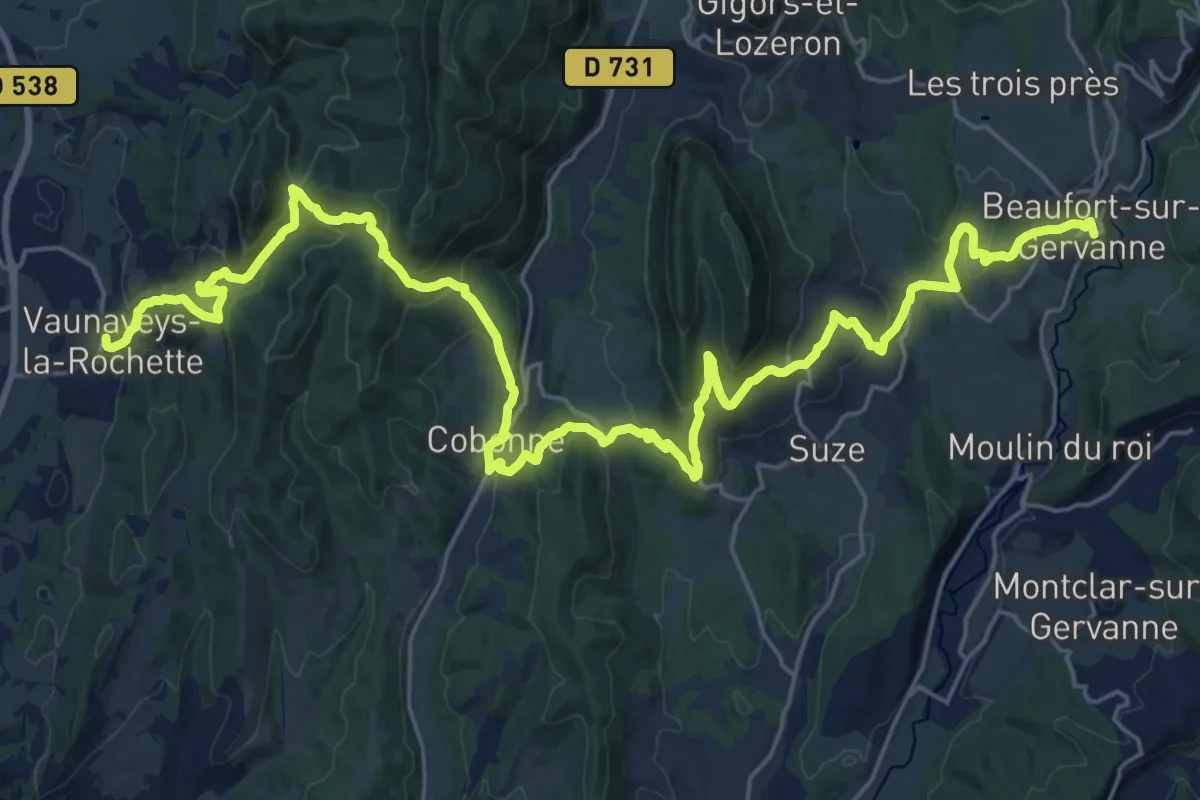
Medium · Trail
SPHC, étape 22
16.8 km · ↑ 736 m · 5 h 45 min
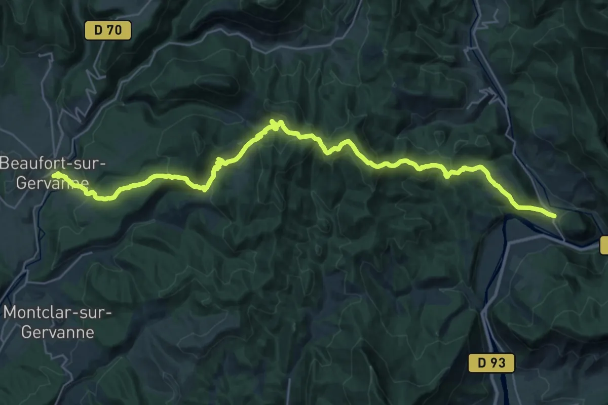
Medium · Trail
SPHC, étape 23
15.2 km · ↑ 757 m · 5 h 26 min
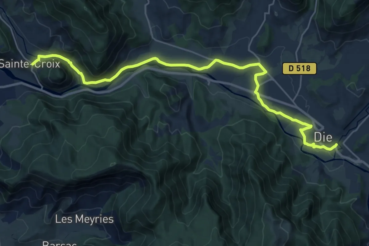
Demanding · Trail
SPHC, étape 24
20.1 km · ↑ 205 m · 5 h 11 min
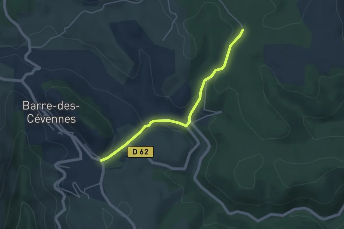
Easy · Trail
SPHC, variante étape 04
3.6 km · ↑ 144 m · 1 h 9 min
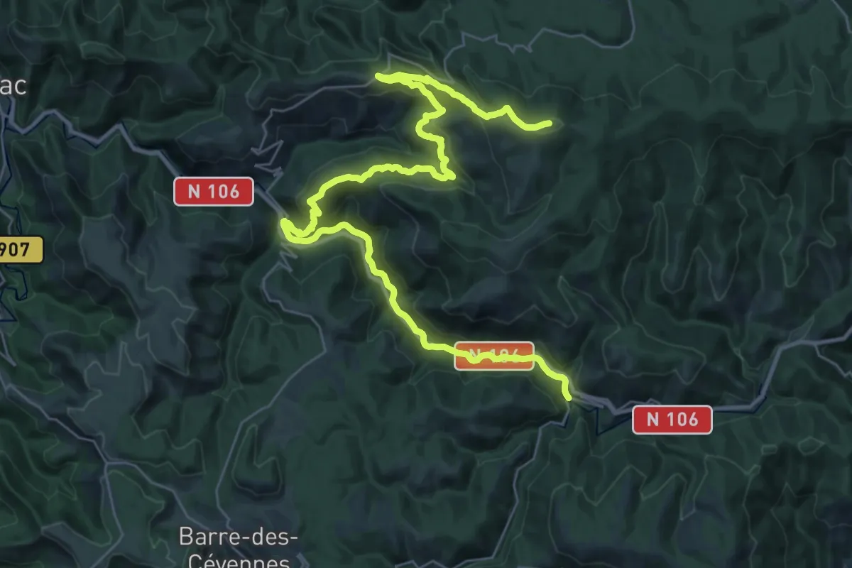
Demanding · Summit
SPHC, variante étape 05
39.6 km · ↑ 1465 m · 12 h 31 min
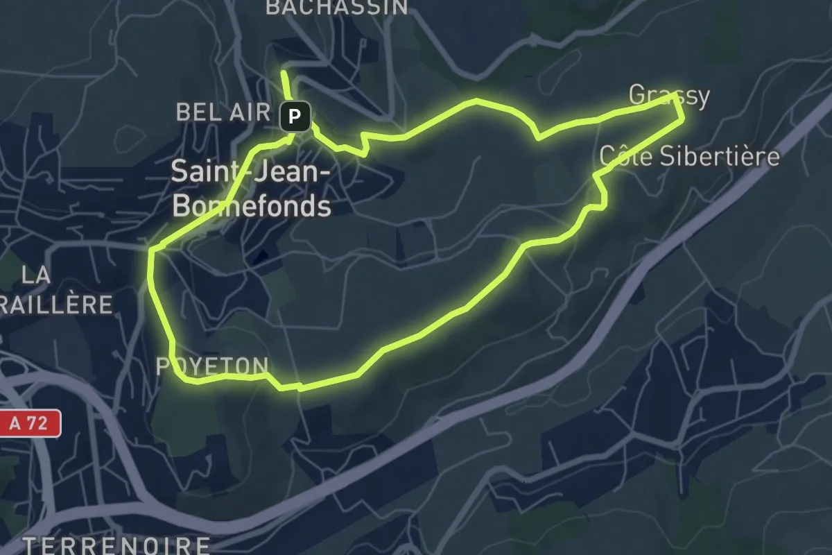
Easy · Trail
Sport et nature
6.9 km · ↑ 119 m · 1 h 59 min
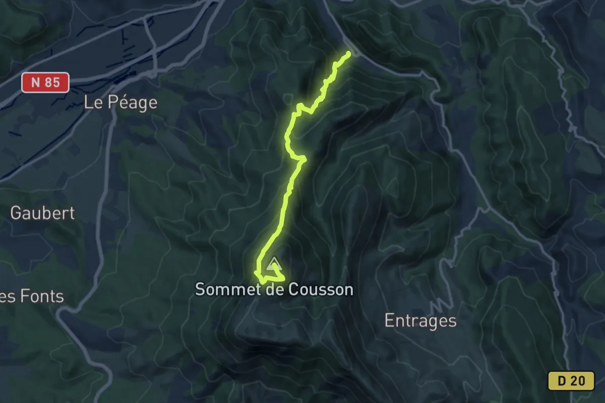
Demanding · Summit
Stade de trail KMV Le Cousson
11.0 km · ↑ 946 m · 4 h 39 min
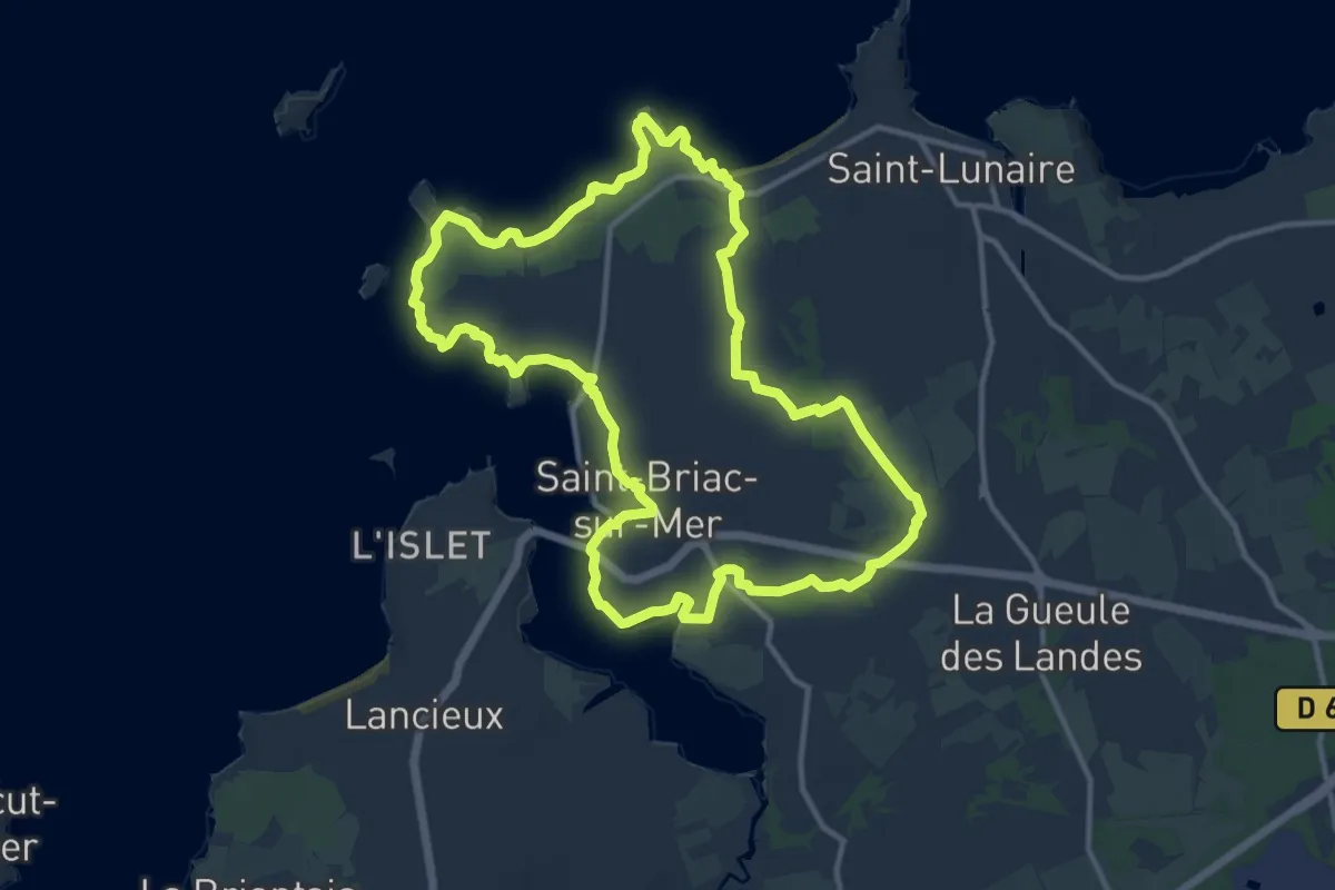
Medium · Trail
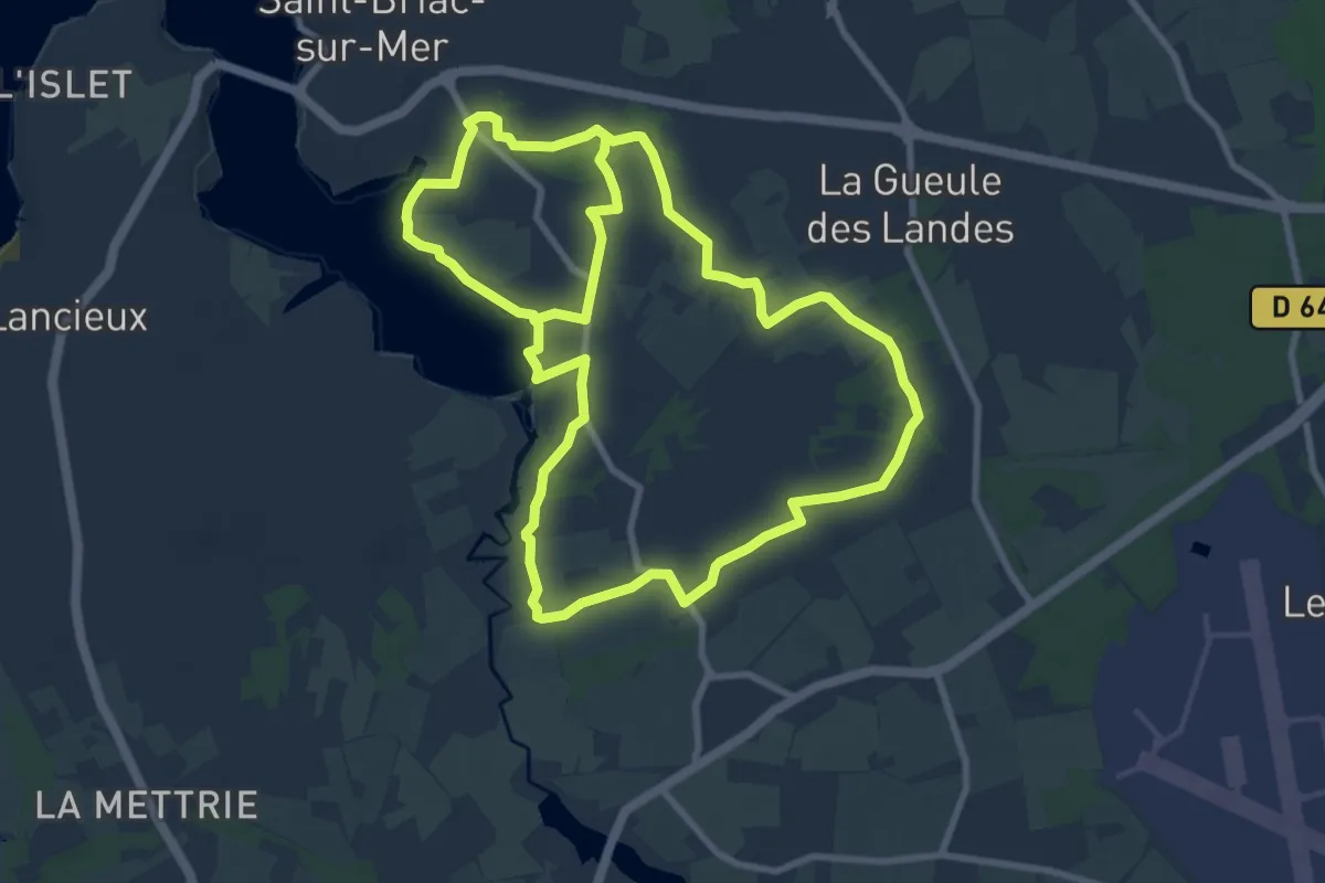
St-Briac Le Littoral
12.0 km · ↑ 101 m · 3 h 14 min
Medium · Trail
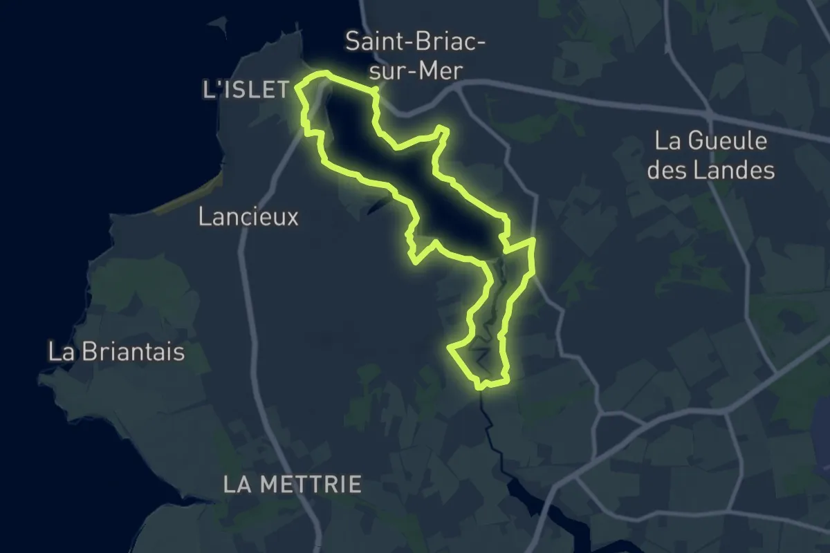
St-Briac les berges du Frémur
9.2 km · ↑ 92 m · 2 h 29 min
Medium · Trail
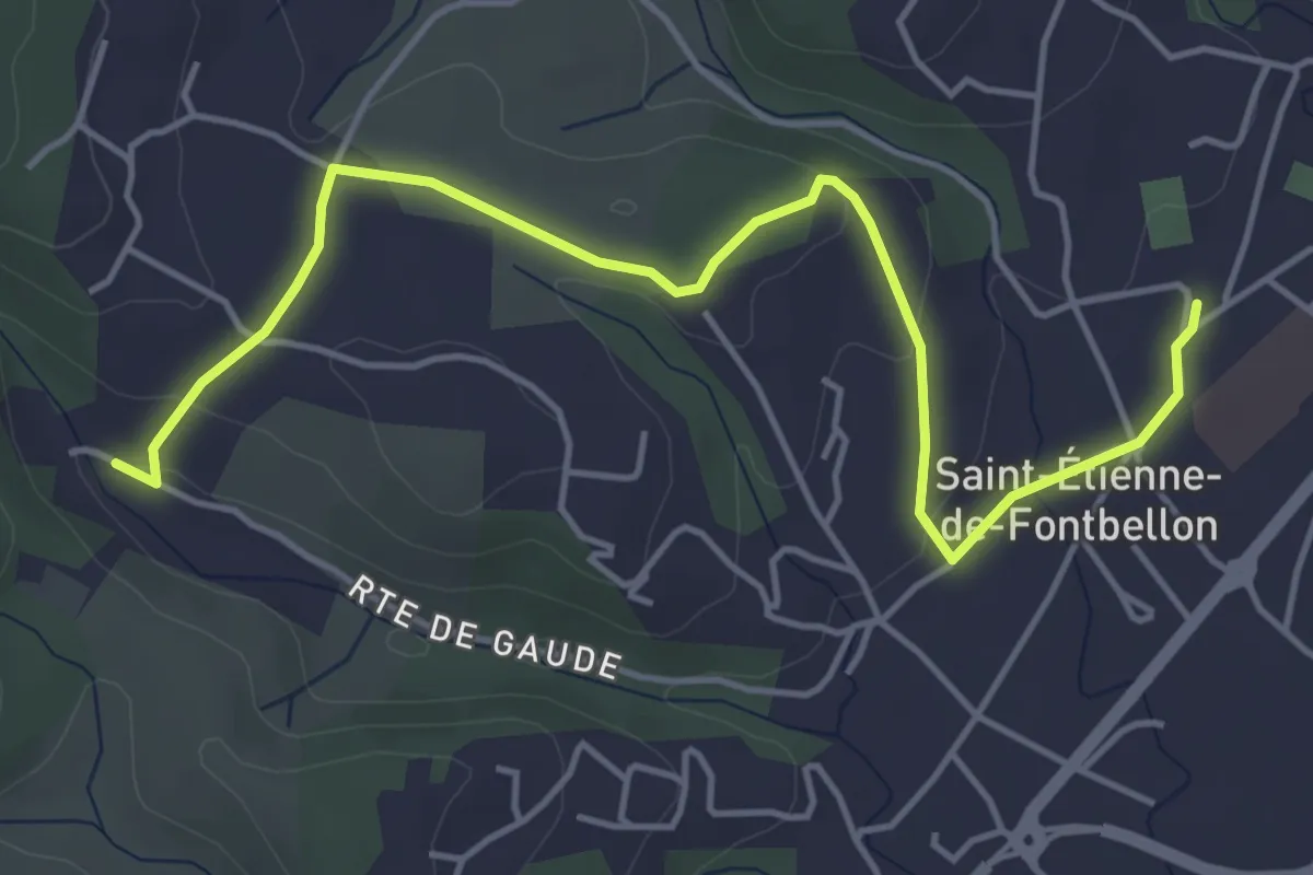
St-Briac l'estuaire du Frémur
8.6 km · ↑ 65 m · 2 h 17 min
Easy · Trail
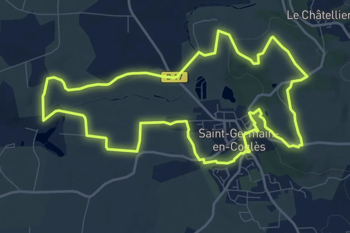
St-Etienne de Fontbellon Via Ardèche - Gaude
5.6 km · ↑ 92 m · 1 h 31 min
Medium · Trail
St-Germain-en-Coglès Boucle des Écrivains
8.7 km · ↑ 113 m · 2 h 25 min
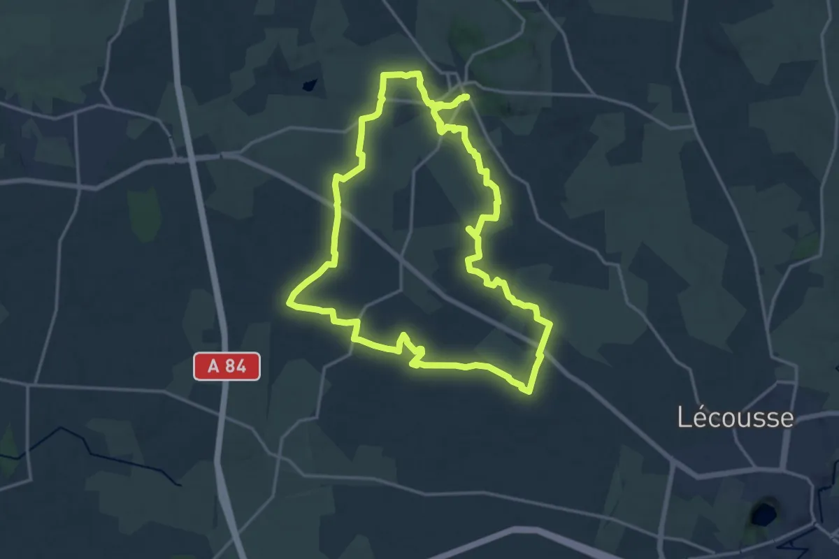
Medium · Trail
St-Germain-en-Coglès Circuit de Bagué
14.8 km · ↑ 104 m · 3 h 56 min
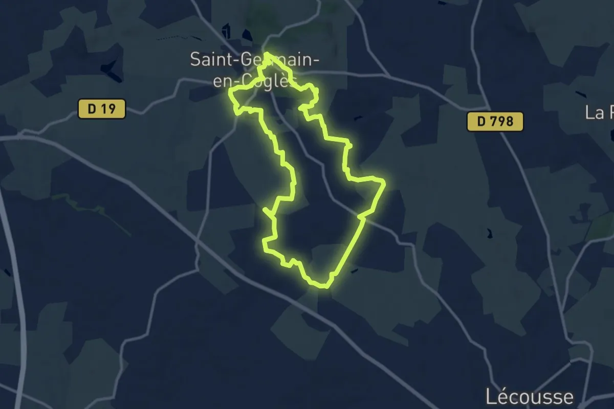
Medium · Trail
St-Germain-en-Coglès Circuit des Légendes
10.1 km · ↑ 116 m · 2 h 46 min
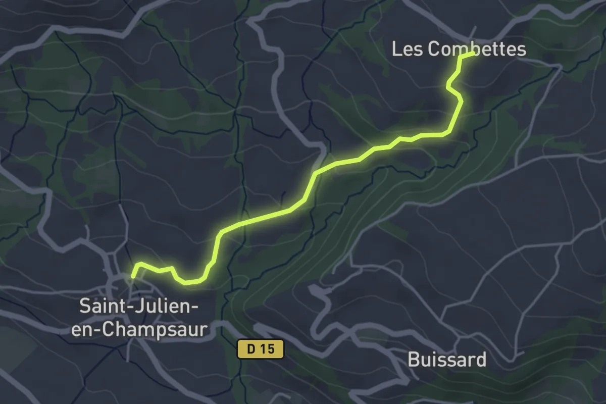
Easy · Trail
St Julien - ?
4.0 km · ↑ 164 m · 1 h 18 min
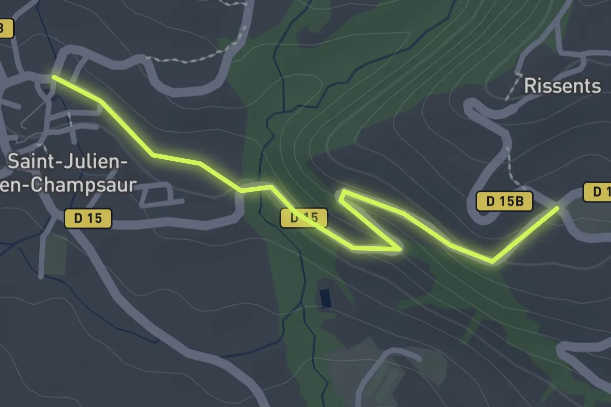
Easy · Trail
St Julien - ?
2.5 km · ↑ 63 m · 44 min