Trails in France
15,926 hiking trails, each with its route, climb, walking time and grade.
All trails, page 267 of 332
Medium · Trail
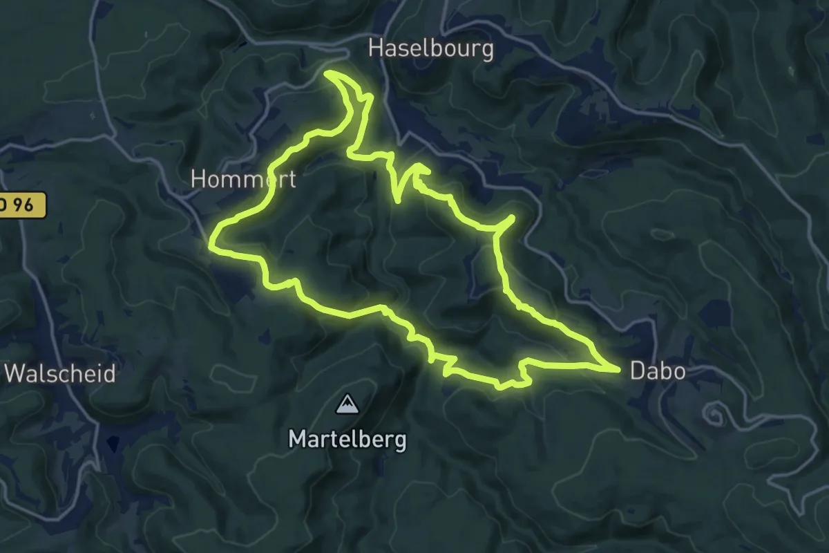
Sur les versants de la rivière Zorn entre Harreberg et Dabo
16.1 km · ↑ 625 m · 5 h 22 min
Medium · Trail
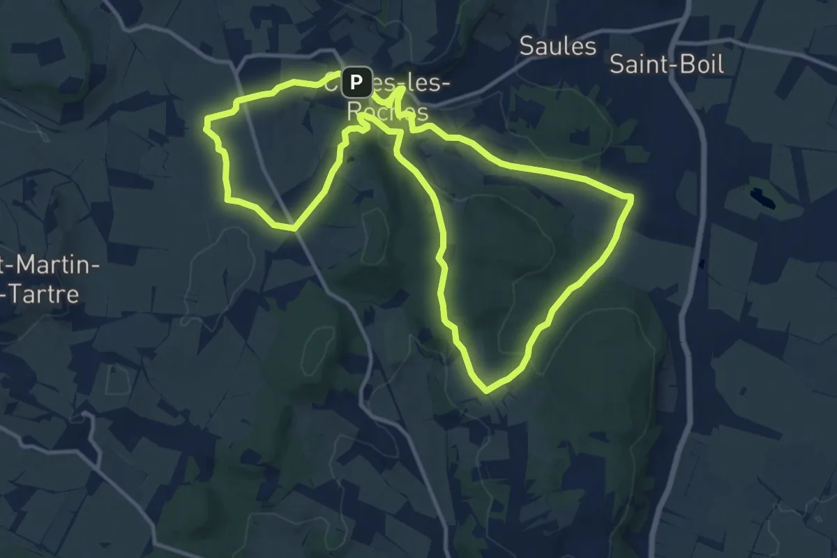
Sur l'Ormeau, la Grande Croix
12.1 km · ↑ 257 m · 3 h 35 min
Easy · Trail
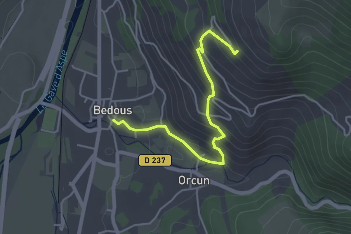
Table d'Orientation asp15
3.7 km · ↑ 251 m · 1 h 25 min
Medium · Trail
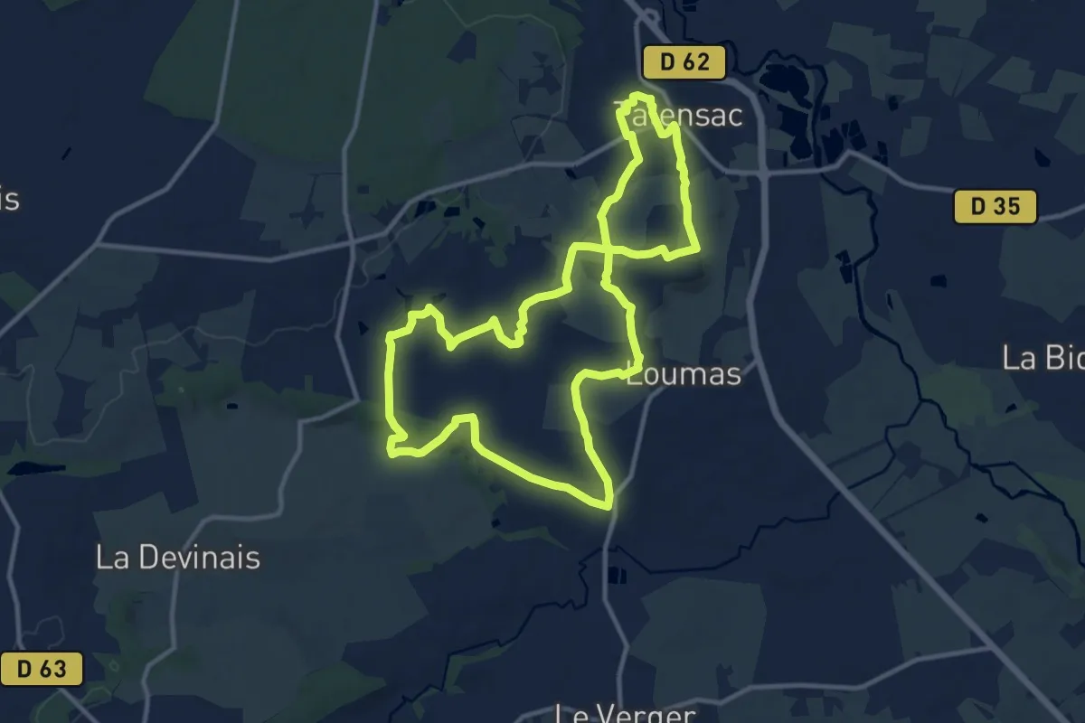
Talensac - Val Beuzet
11.5 km · ↑ 131 m · 3 h 10 min
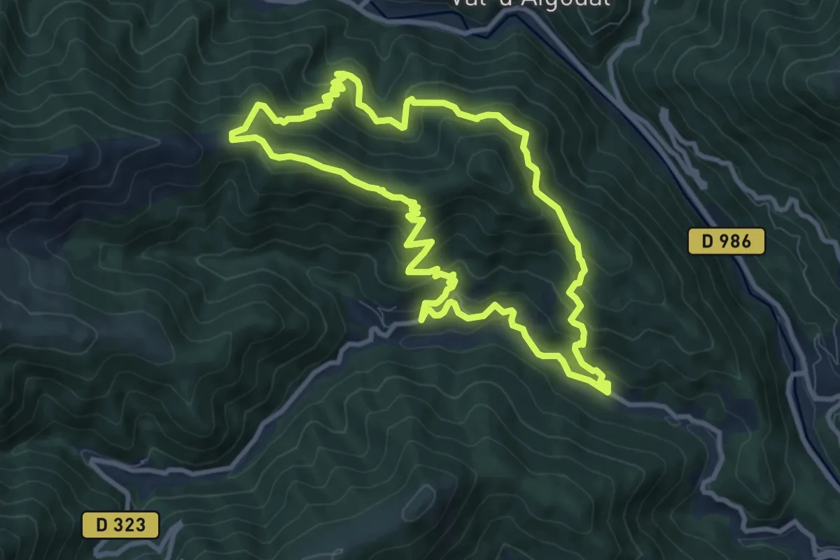
Medium · Trail
Taleyrac
9.2 km · ↑ 607 m · 3 h 36 min
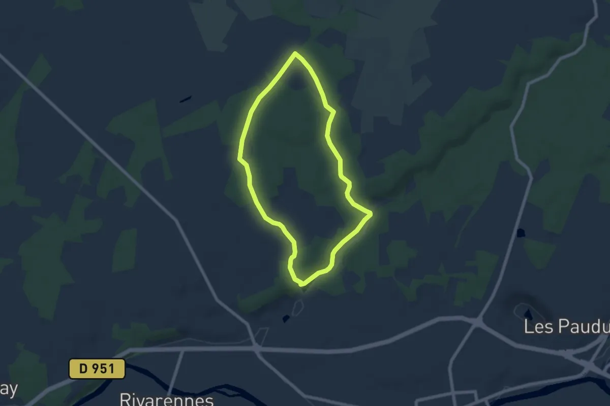
Medium · Trail
Tapis de fleurs par monts et par vaux
5.5 km · ↑ 55 m · 1 h 30 min
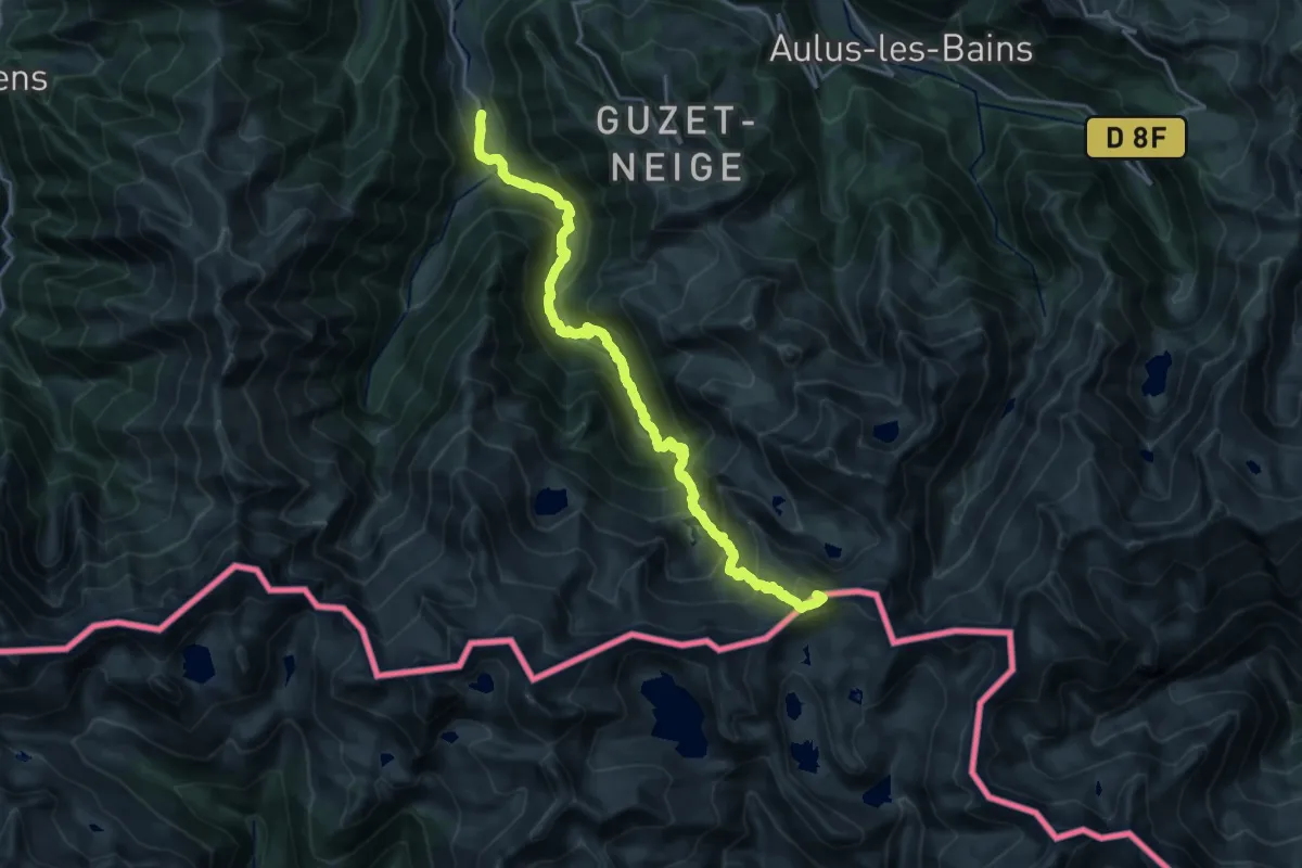
Expert · Summit
Tavascan - Layte
22.4 km · ↑ 1868 m · 9 h 20 min
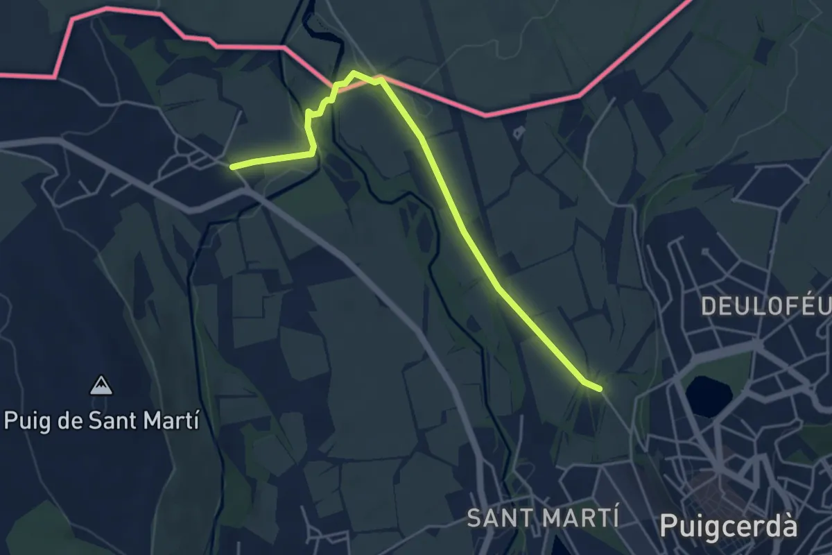
Easy · Trail
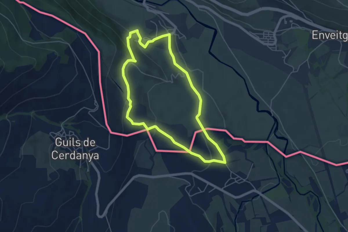
TC063 Saneja Sant Martí d'Aravó Puigcerdà
2.4 km · ↑ 5 m · 38 min
Medium · Trail
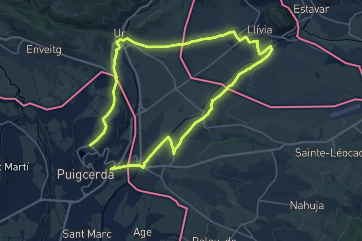
TC074 Puigcerdà Onzès Llívia Ur Rigolisa Puigcerdà
13.7 km · ↑ 30 m · 3 h 32 min
Easy · Trail
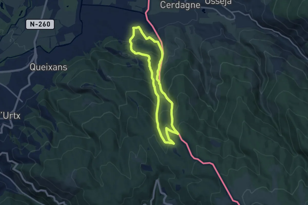
TC138 Saneja Iravals San Pere de Sedret
4.8 km · ↑ 159 m · 1 h 33 min
Medium · Trail
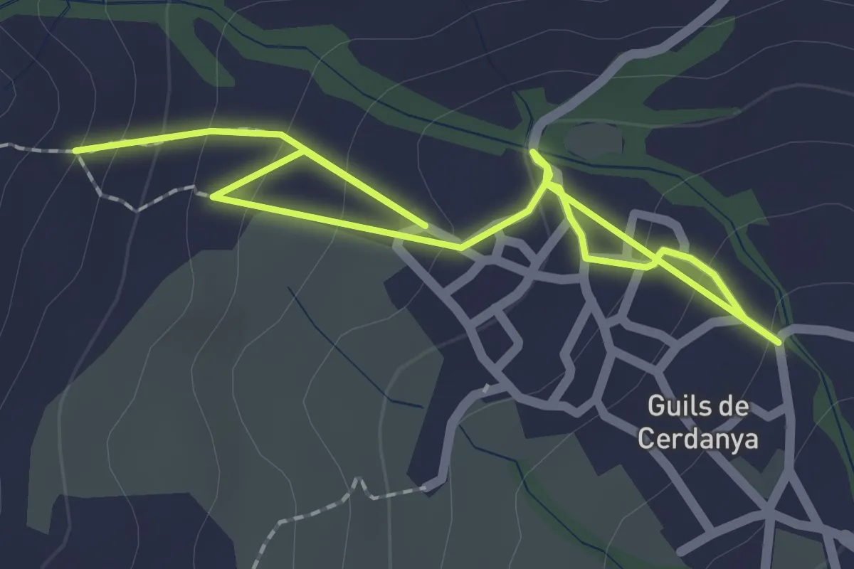
TC225 Refugi de Vilallobent
9.1 km · ↑ 547 m · 3 h 28 min
Easy · Trail
TC241 Guils Fontanera
1.6 km · ↑ 119 m · 38 min
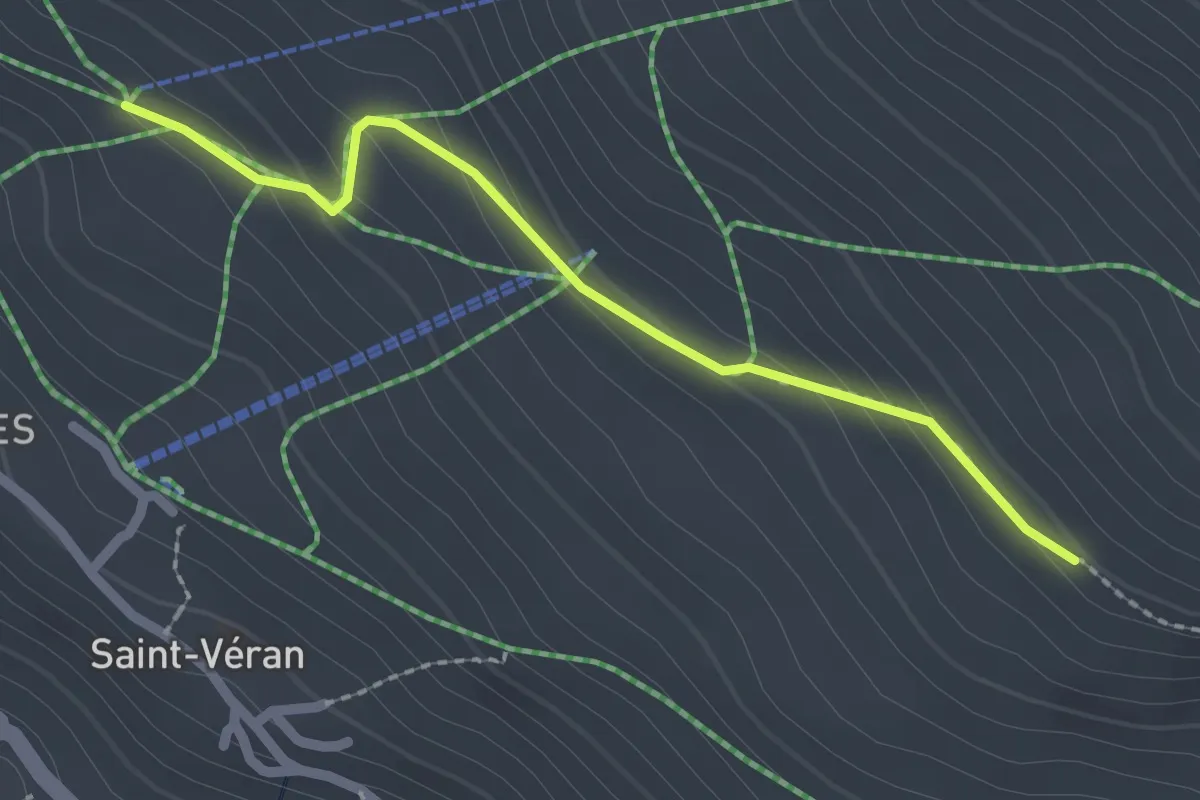
Easy · Trail
Télésiège des Cassettes - Grand Canal
2.2 km · ↑ 111 m · 46 min
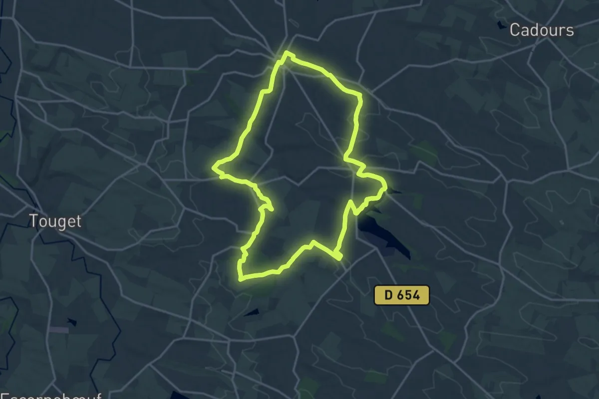
Demanding · Trail
Tembourets et Saint-Germier
20.2 km · ↑ 318 m · 5 h 44 min
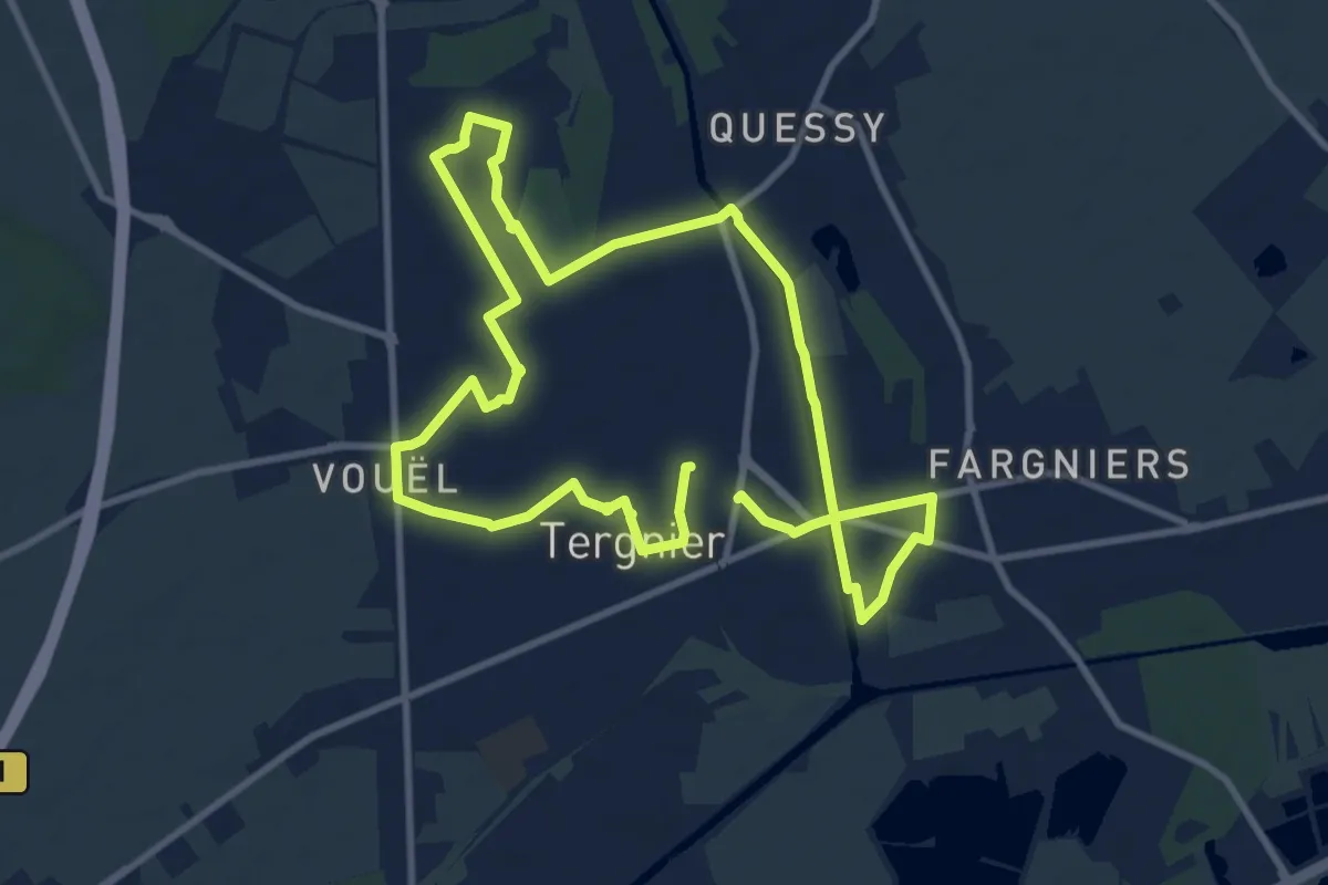
Medium · Trail
Tergnier ou la Bataille du Rail
8.8 km · ↑ 22 m · 2 h 15 min
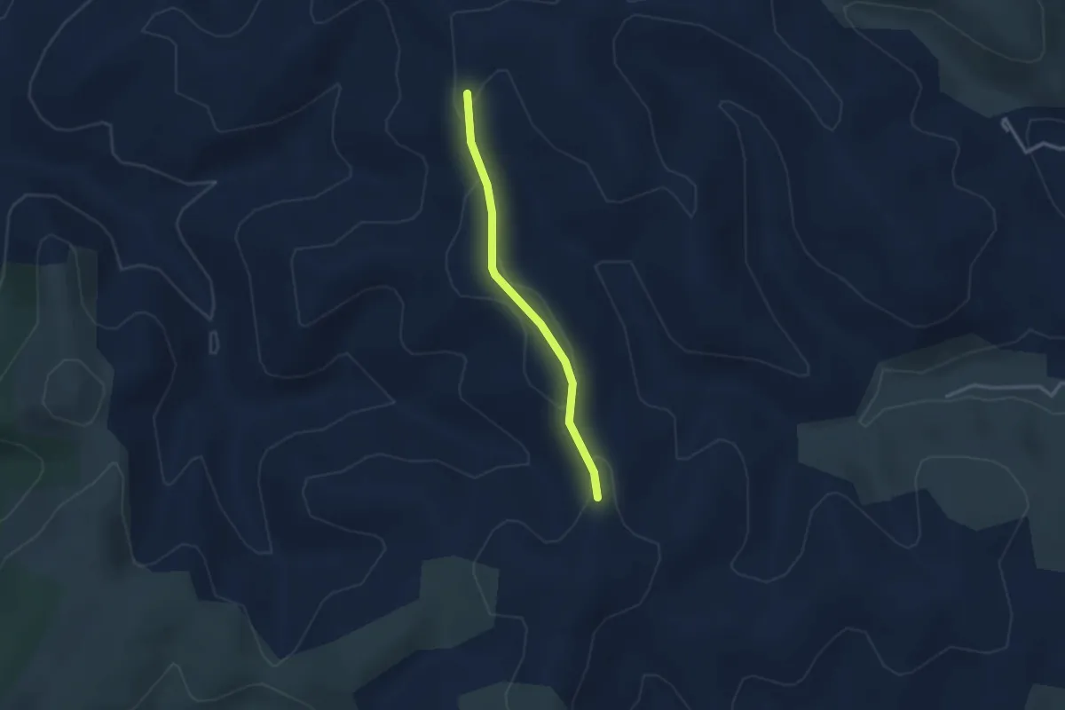
Easy · Trail
Terme Noir - Serre Donde
2.5 km · ↑ 49 m · 42 min
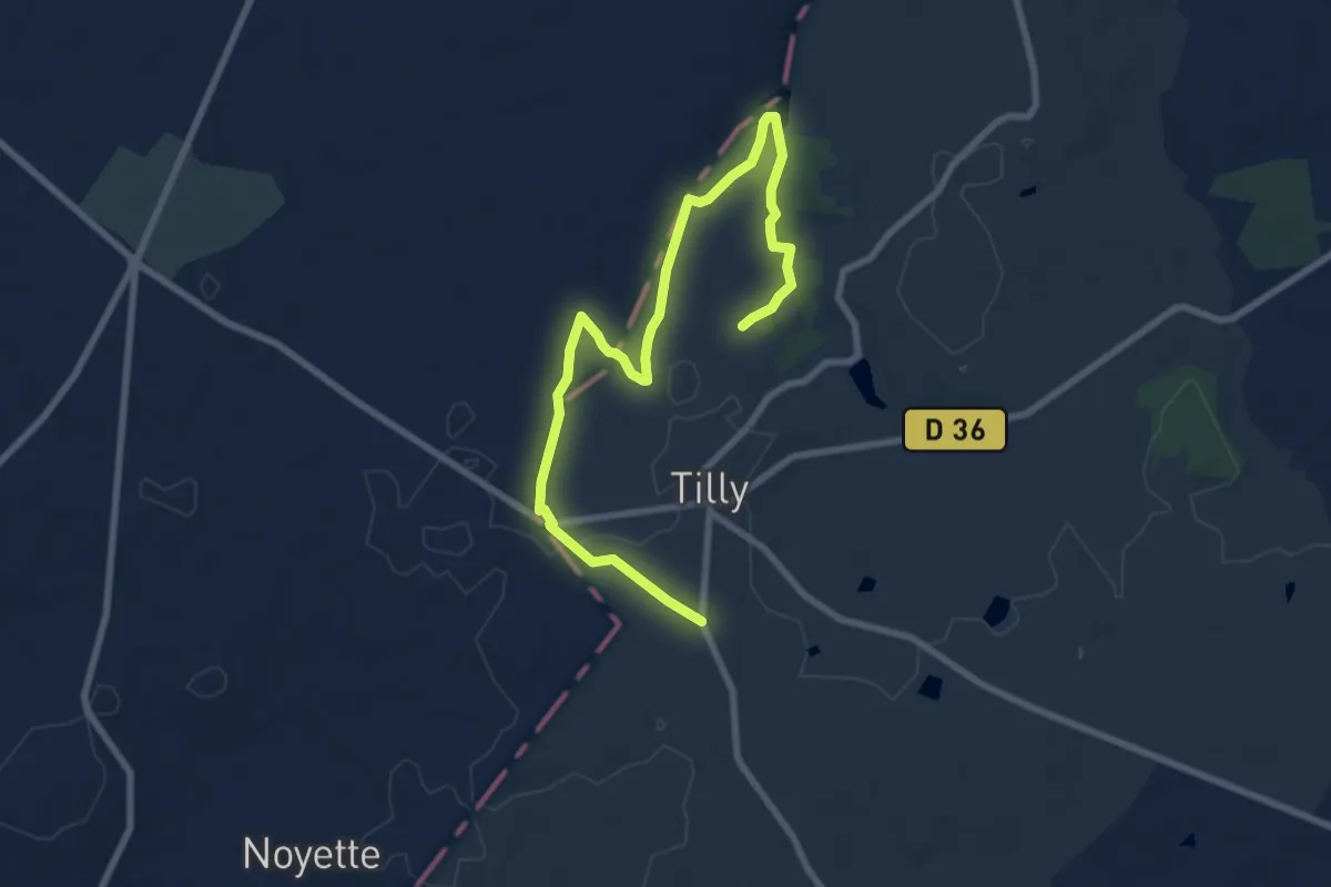
Easy · Trail
Terre crue, terre cuite
4.8 km · ↑ 50 m · 1 h 18 min
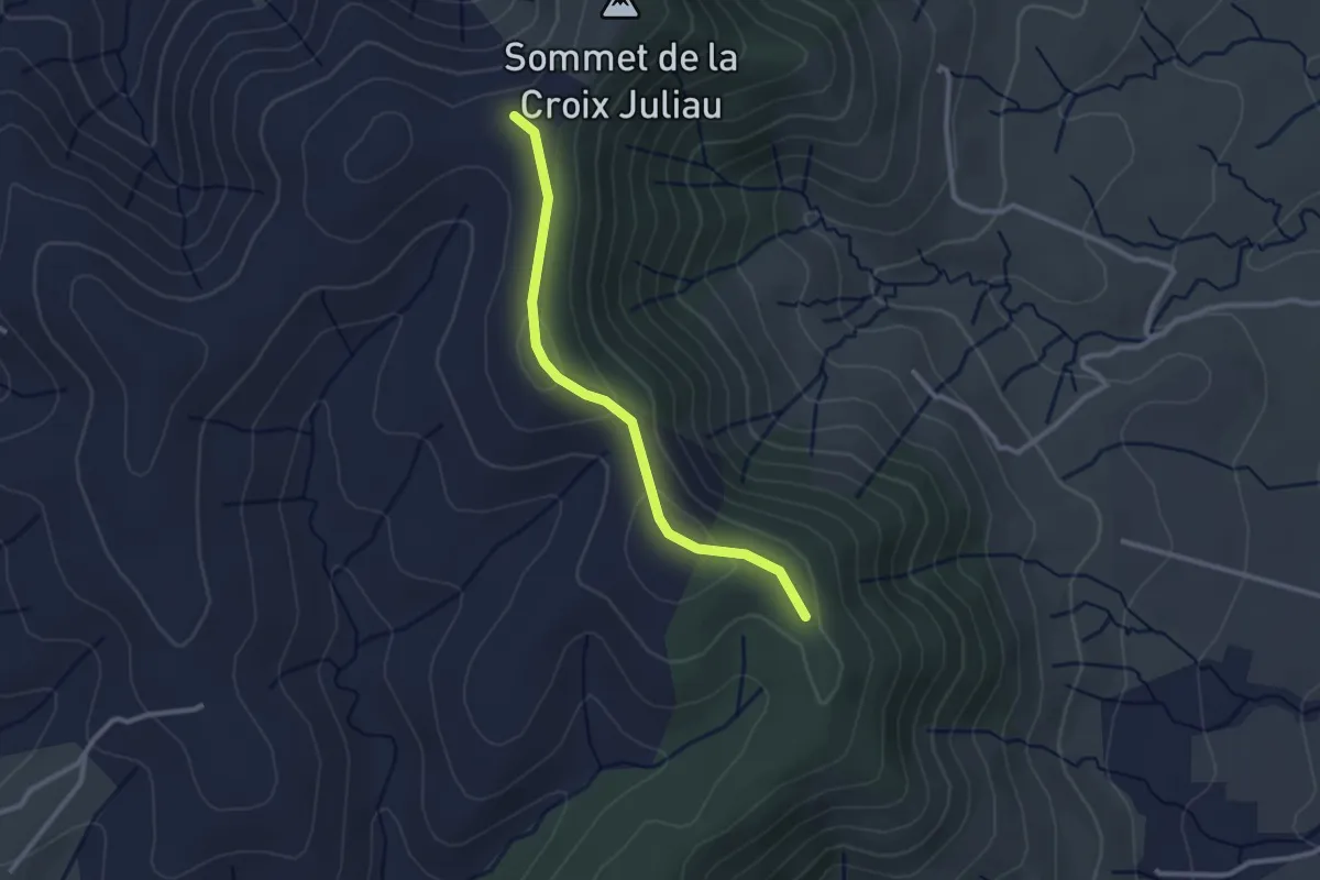
Easy · Trail
Terre d'Aps - Juliau
2.6 km · ↑ 88 m · 48 min
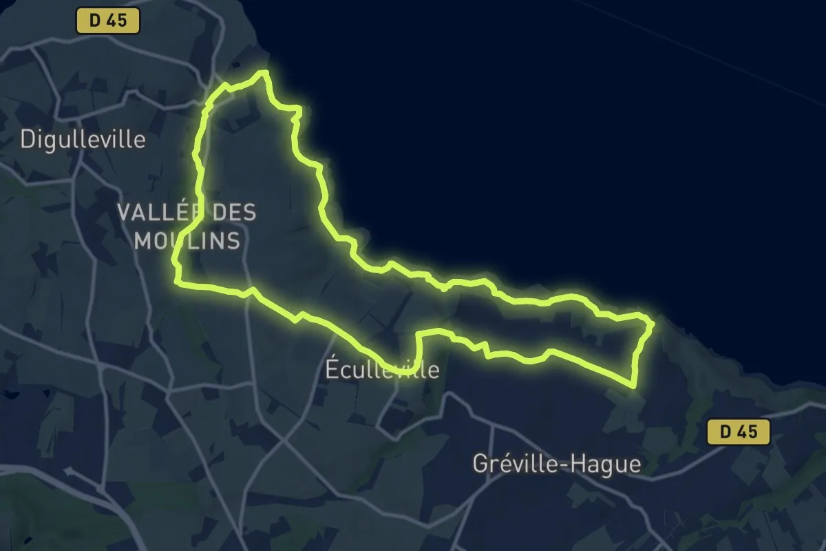
Medium · Trail
Terre d’Artistes
13.1 km · ↑ 274 m · 3 h 52 min
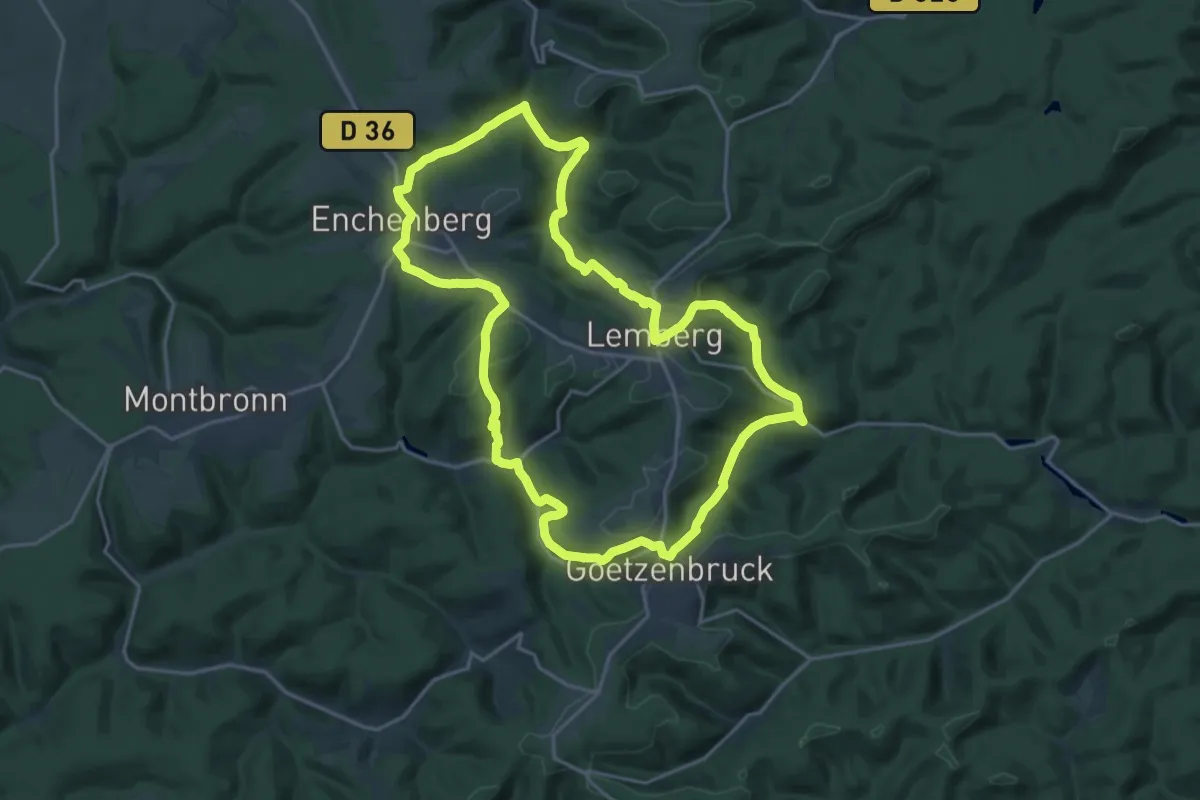
Demanding · Summit
Terre de Cristal
19.4 km · ↑ 477 m · 5 h 52 min
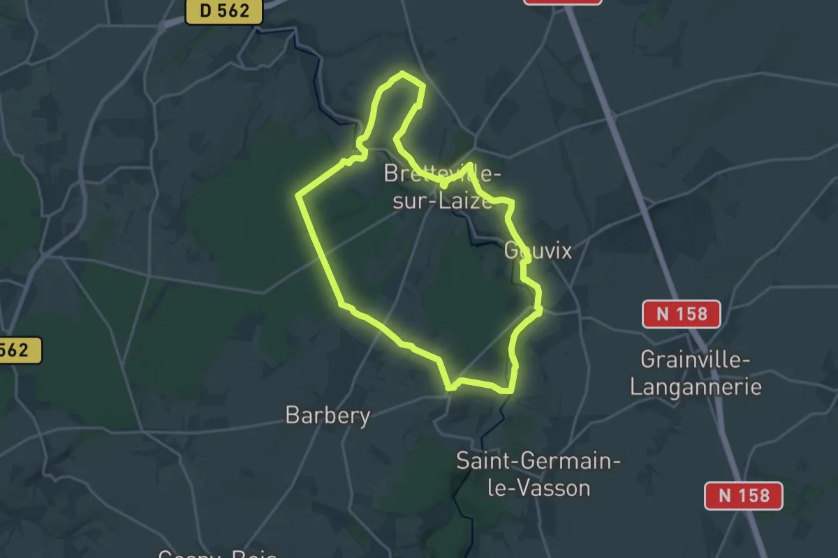
Medium · Trail
Terre, eau et patrimoine en Cingal
16.9 km · ↑ 212 m · 4 h 40 min
Easy · Trail
Terre Longue - Chêne Rond
2.0 km · ↑ 18 m · 31 min
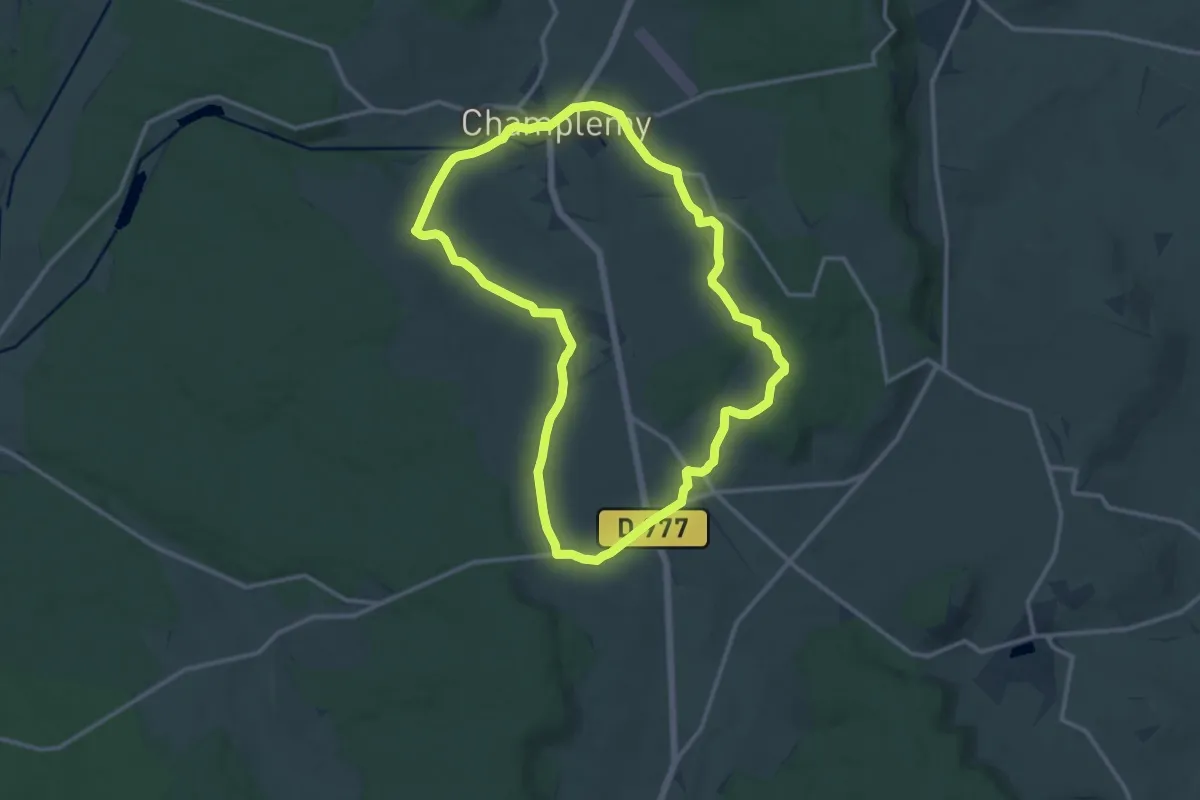
Medium · Trail
Terres de seigneurs - Champlemy
12.2 km · ↑ 119 m · 3 h 19 min
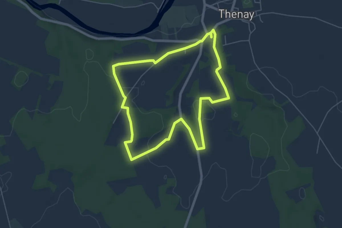
Easy · Trail
Terres de vignerons
5.1 km · ↑ 66 m · 1 h 25 min
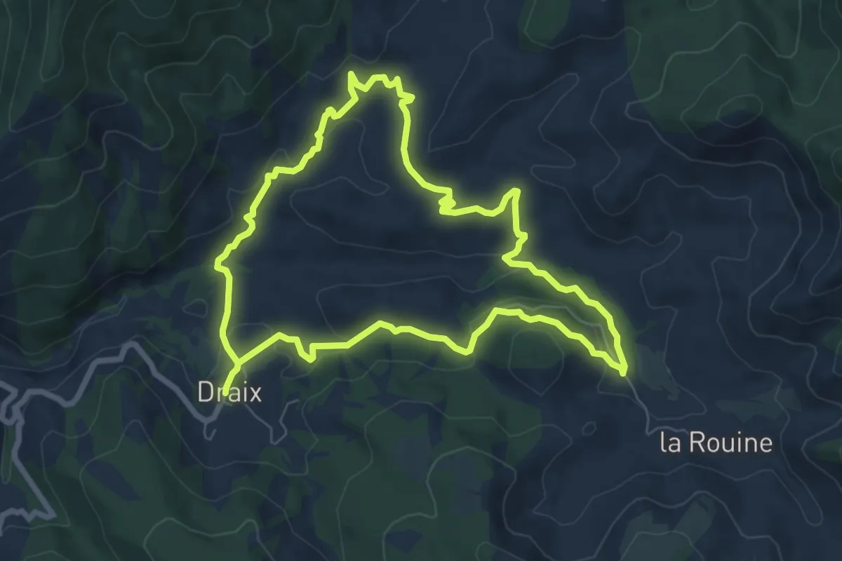
Easy · Trail
Terres Noires
7.0 km · ↑ 250 m · 2 h 18 min
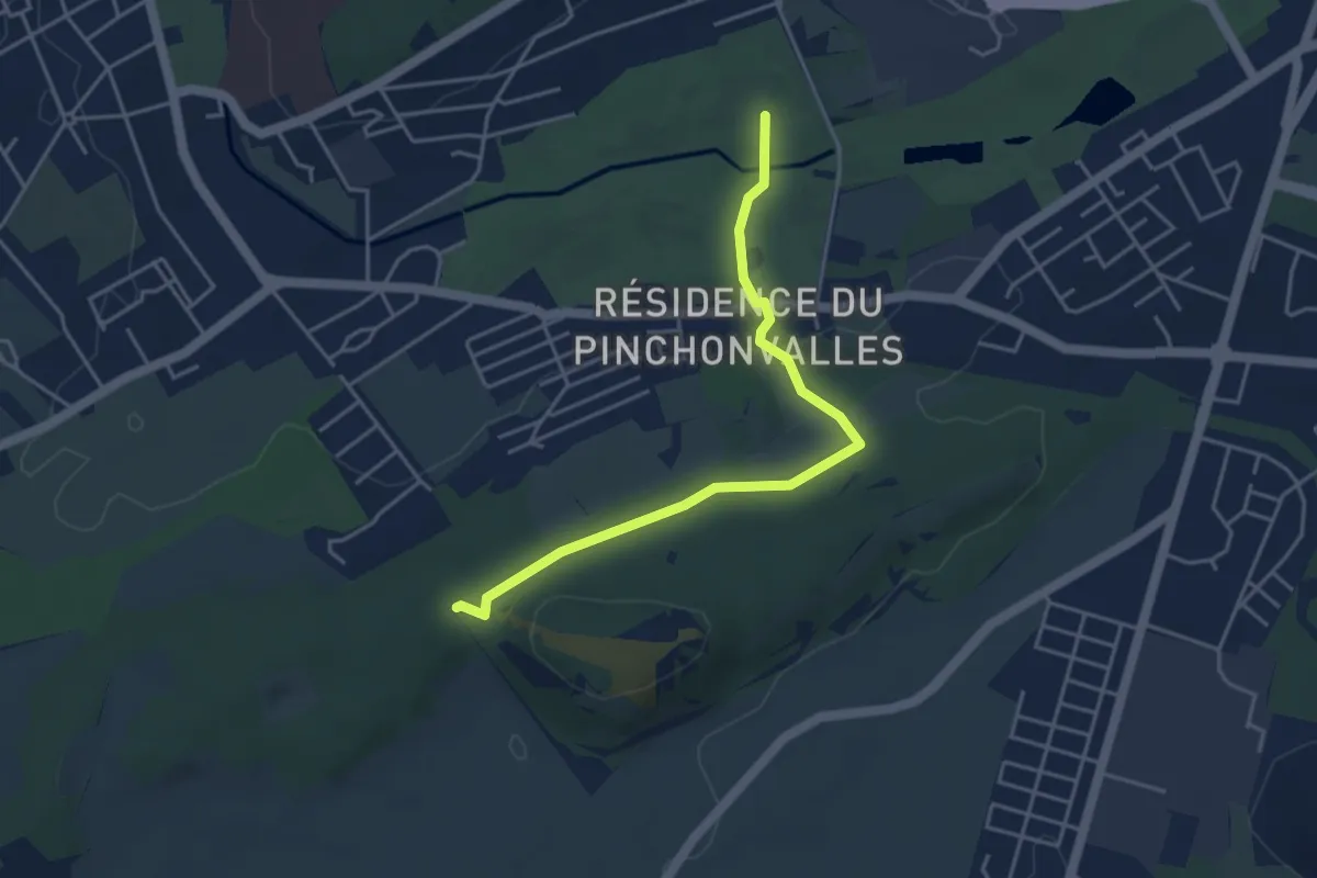
Easy · Summit
Terril 81A - Terril des Pinchonvalles
4.0 km · ↑ 51 m · 1 h 3 min
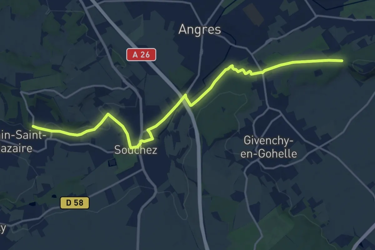
Medium · Trail
Terril des Pinchonvalles - Mont de Justice
13.5 km · ↑ 111 m · 3 h 26 min
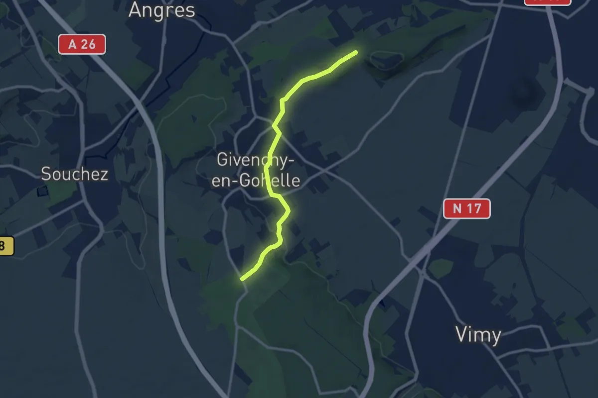
Easy · Trail
Terril des Pinchonvalles - Monument aux morts
7.5 km · ↑ 115 m · 2 h 1 min
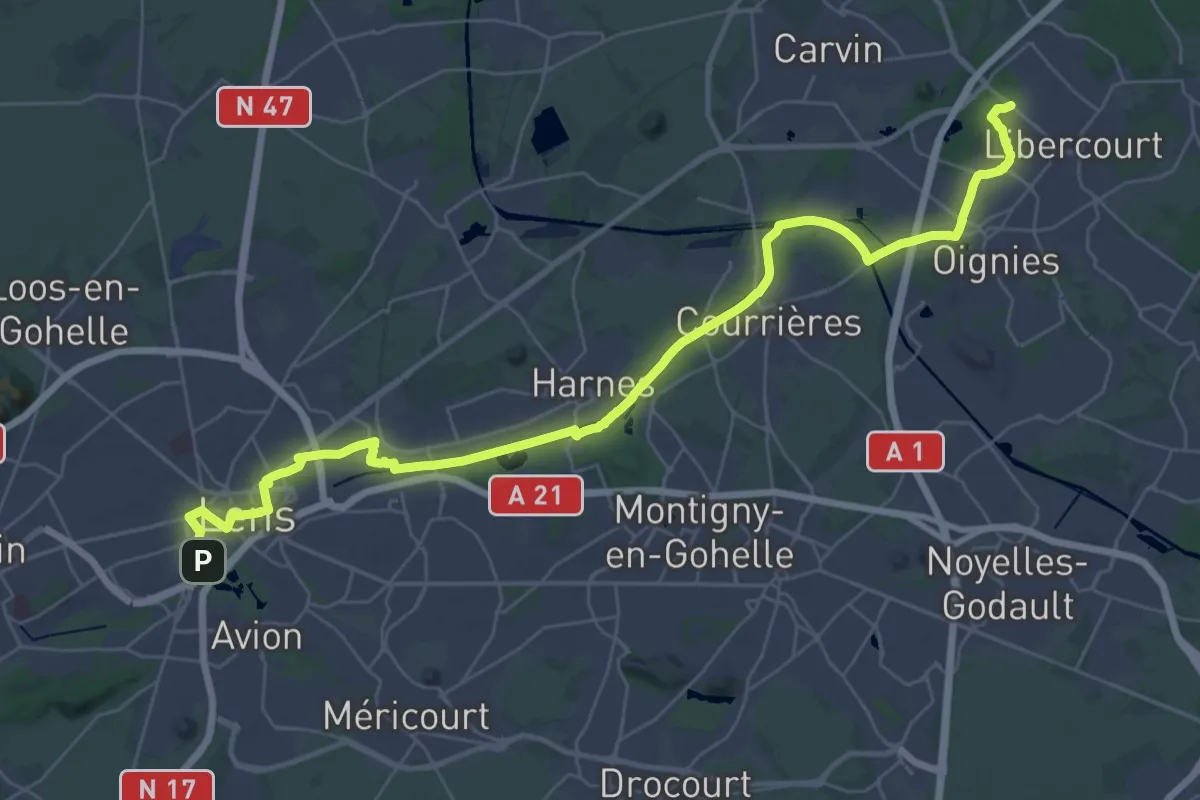
Demanding · Trail
Terril du Téléphérique - Terril 81A
19.2 km · ↑ 35 m · 4 h 52 min
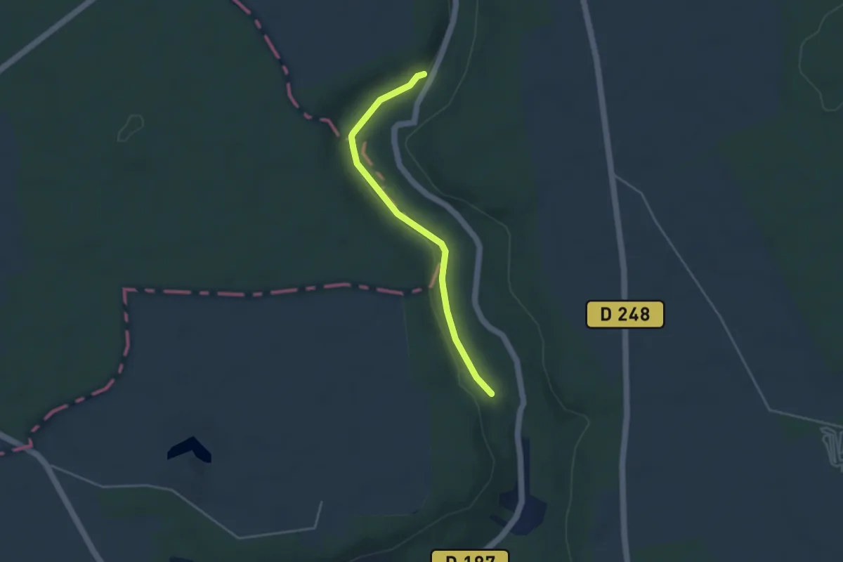
Easy · Trail
Terroir et Vignes en Val de Noxe
3.5 km · ↑ 39 m · 54 min
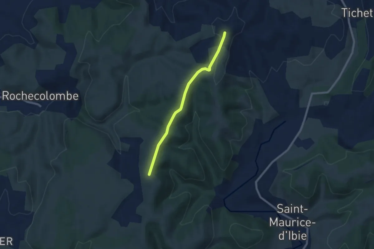
Easy · Trail
Tête de Crespi - Clos de Vernet
5.4 km · ↑ 110 m · 1 h 31 min
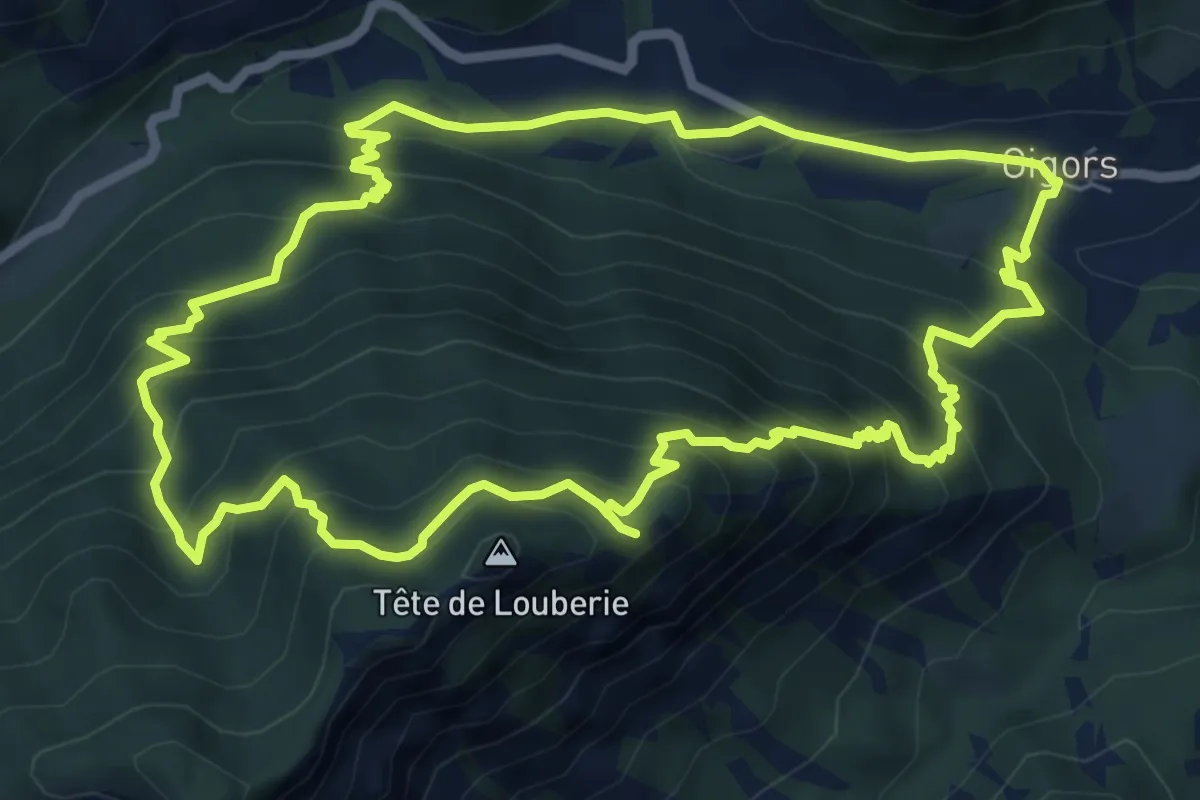
Medium · Summit
Tête de la Plane (1 446 m)
7.4 km · ↑ 655 m · 3 h 16 min
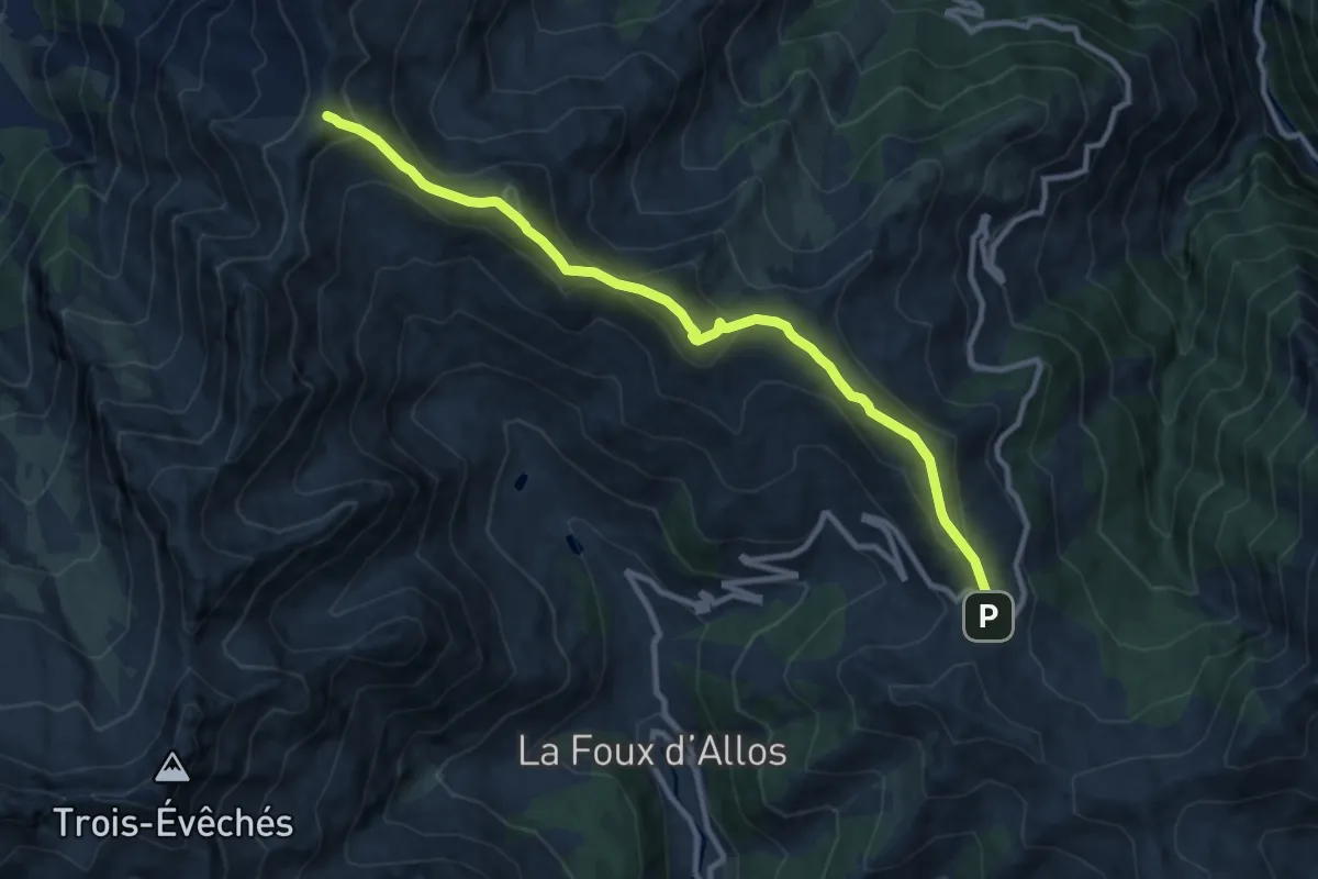
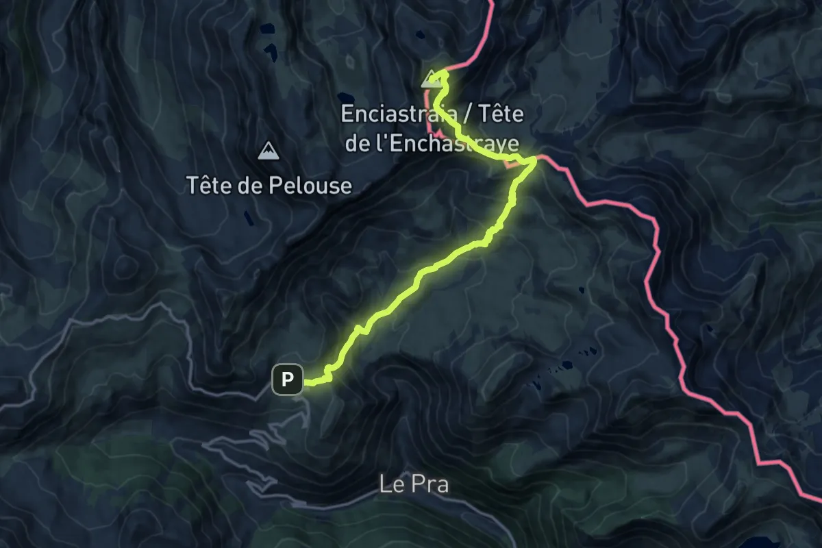
Medium · Summit
Tête de la Sestrière (2 575 m)
5.4 km · ↑ 457 m · 2 h 12 min
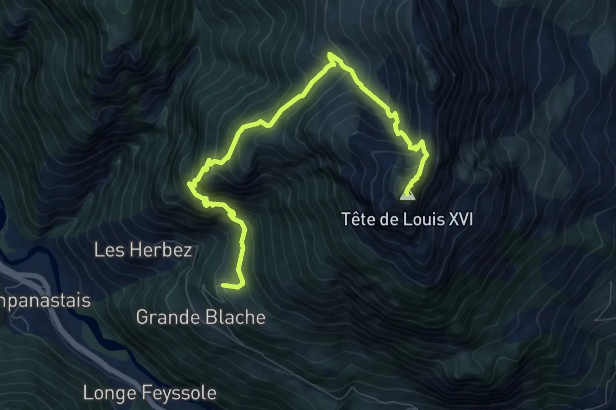
Demanding · Summit
Tête de l'Enchastraye
14.4 km · ↑ 1066 m · 5 h 42 min
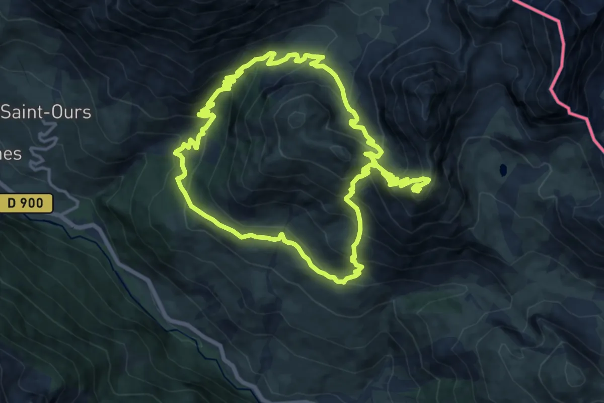
Demanding · Summit
Tête de Louis XVI (2 408 m)
4.7 km · ↑ 1005 m · 2 h 54 min
Demanding · Summit
Tête de Viraysse (2 772 m)
12.2 km · ↑ 911 m · 4 h 57 min
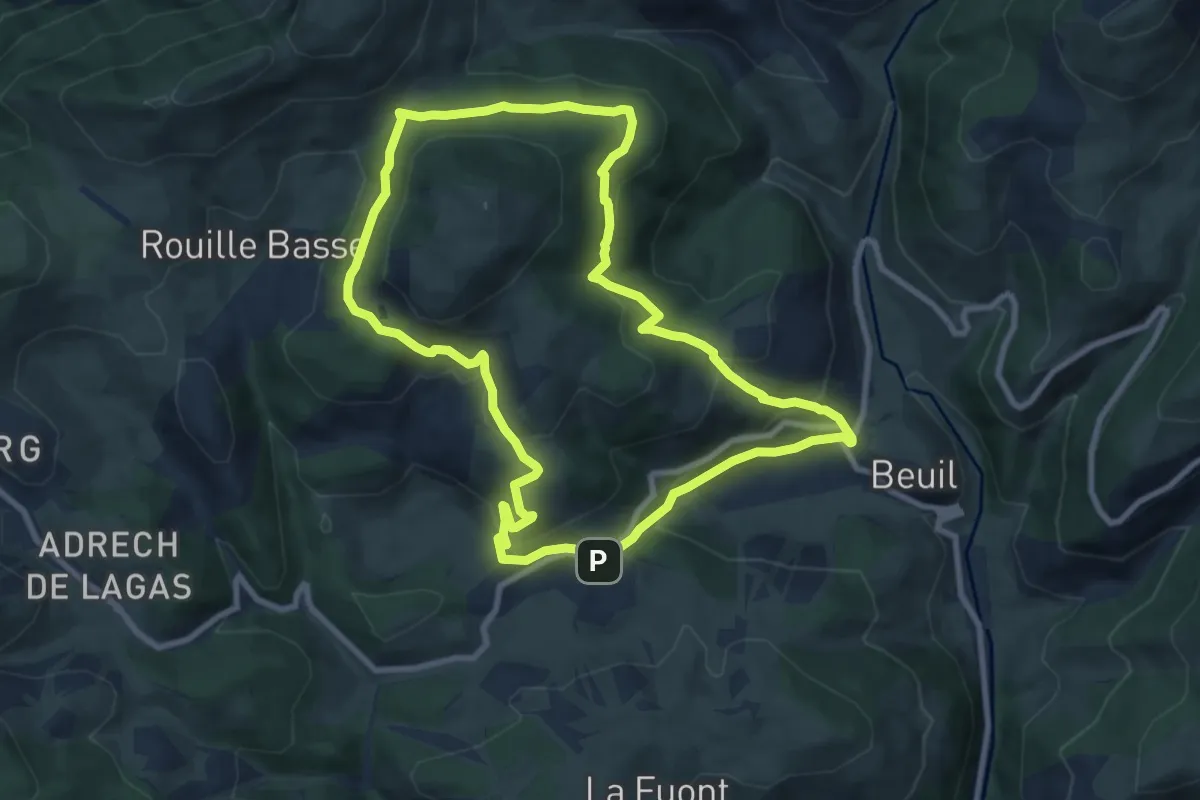
Medium · Trail
Tête du Garnier
9.3 km · ↑ 378 m · 3 h 8 min
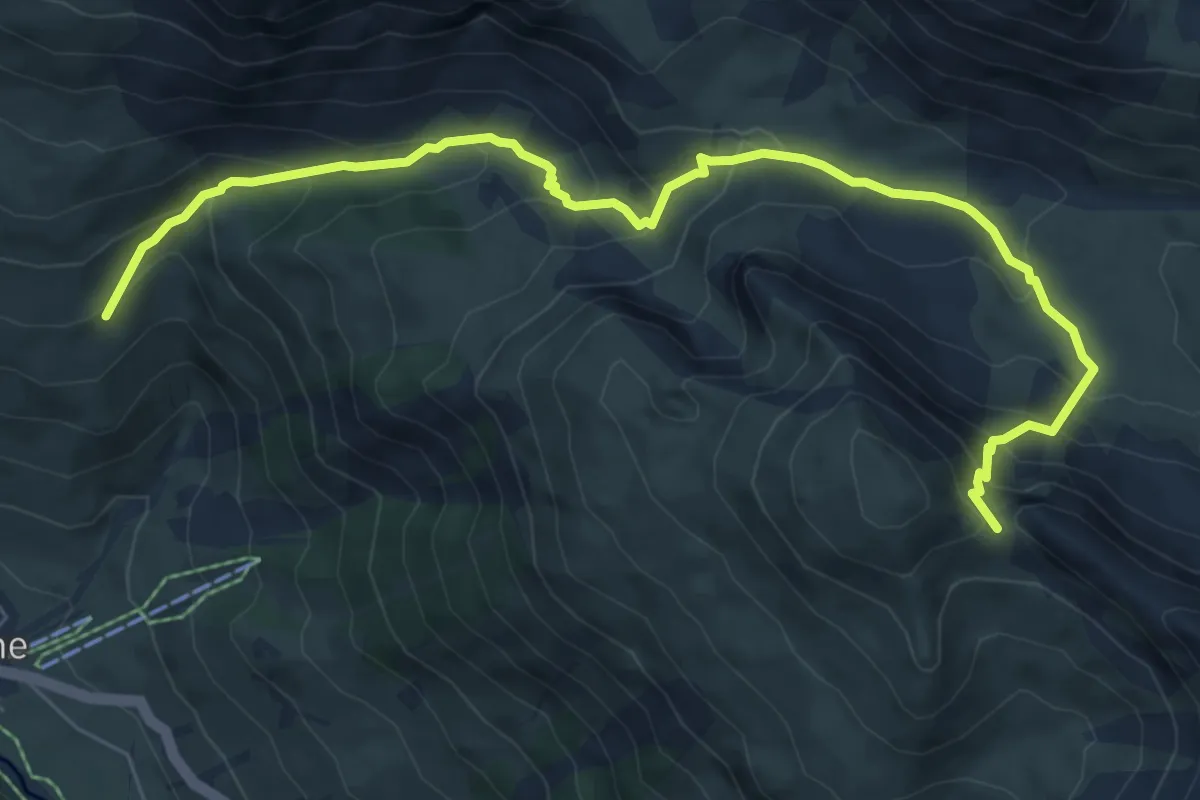
Demanding · Trail
Tête Dure (2 629 m)
4.3 km · ↑ 597 m · 2 h 4 min
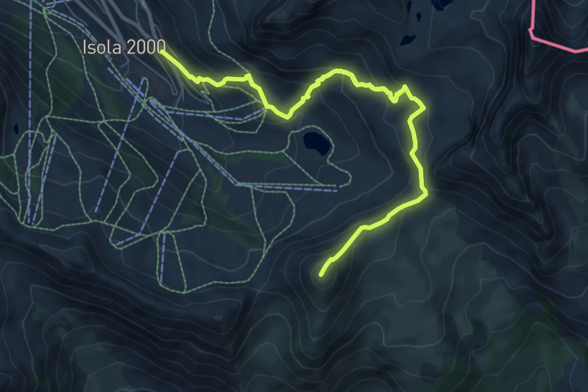
Medium · Summit
Tête Mercière
9.8 km · ↑ 650 m · 3 h 54 min
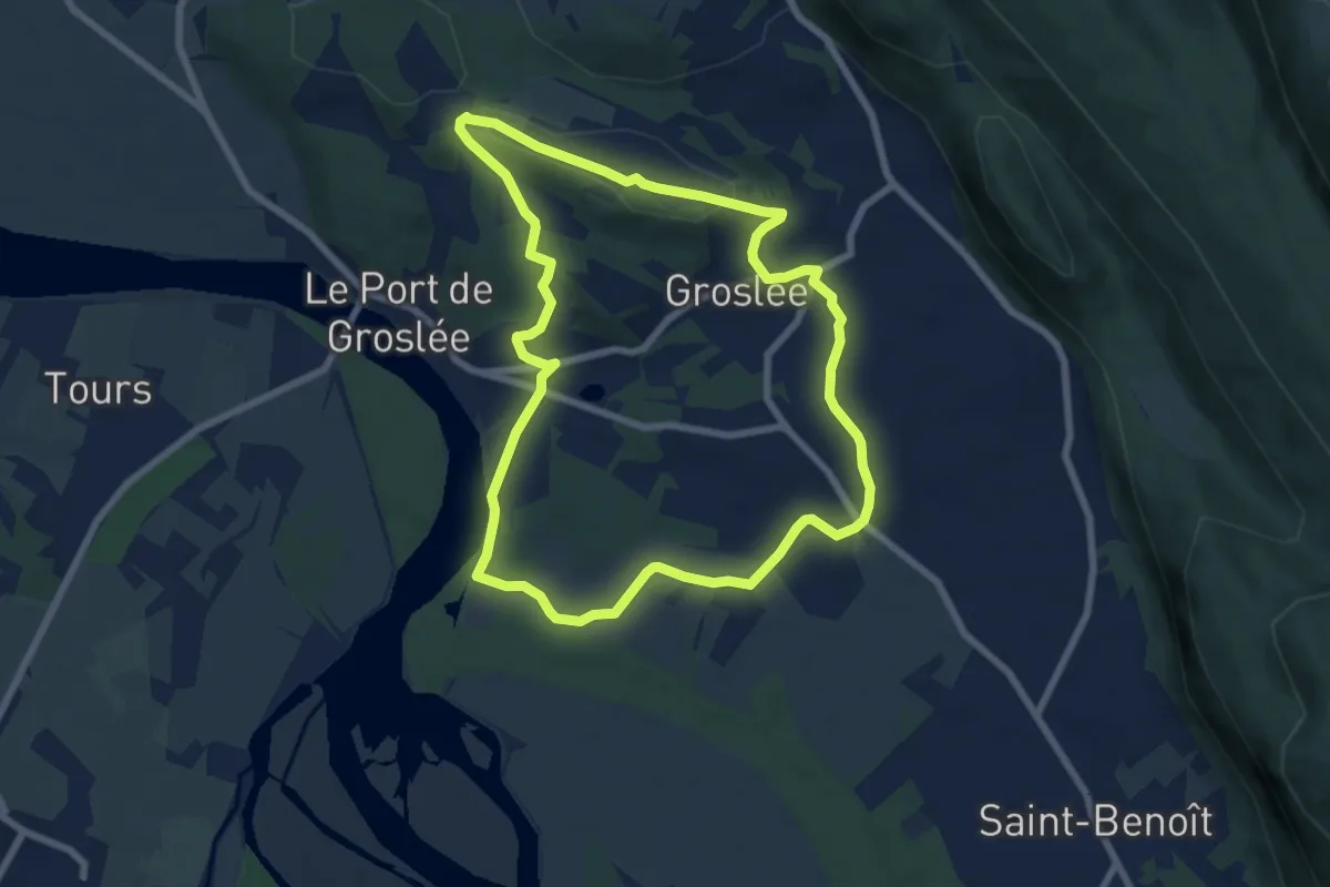
Easy · Trail
TG - Le tour de Groslée
7.4 km · ↑ 113 m · 2 h 5 min
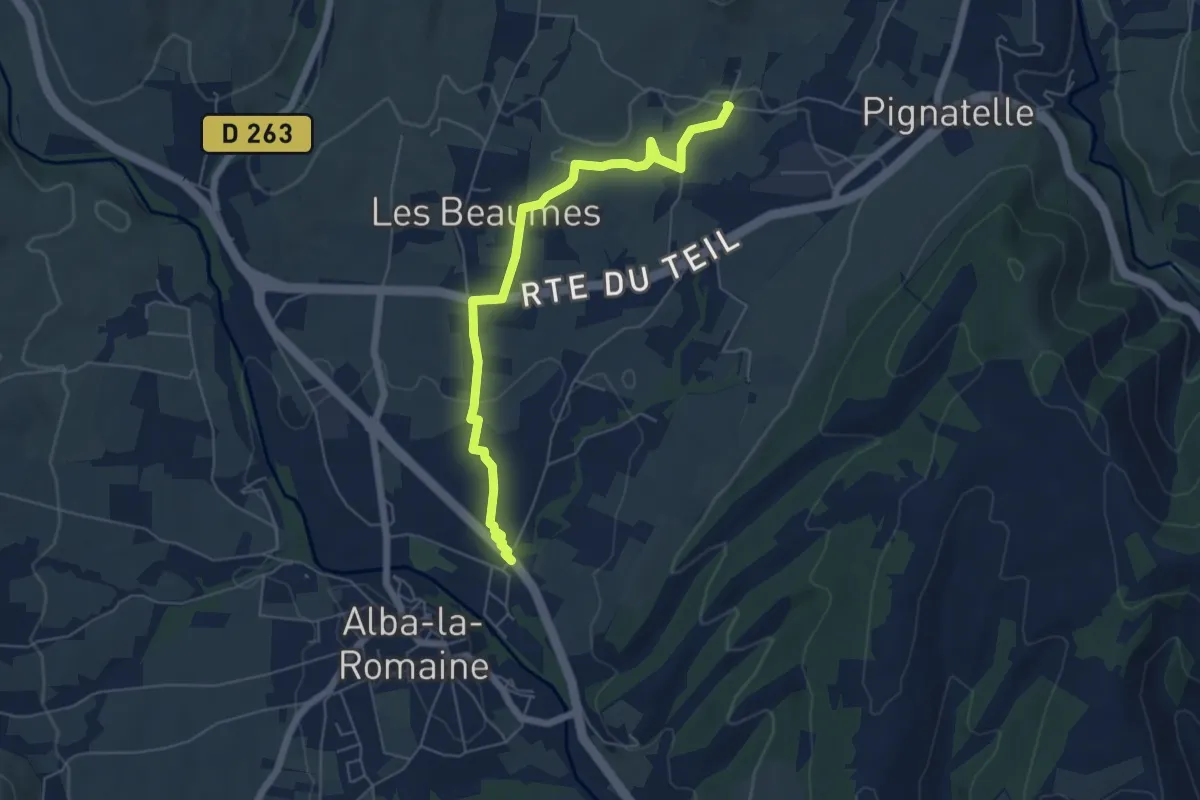
Easy · Trail
Théatre Antique - Aunas
6.0 km · ↑ 61 m · 1 h 34 min
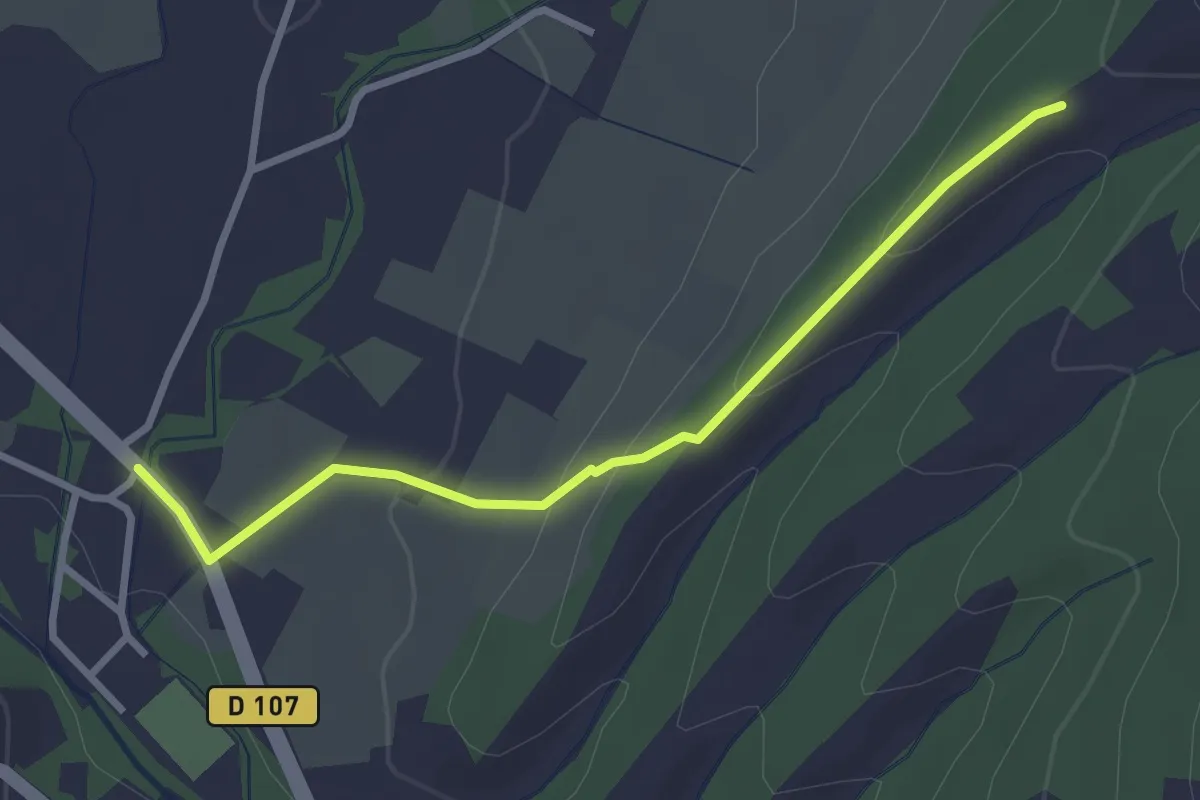
Easy · Trail
Théatre Antique - Fontbonne
3.1 km · ↑ 109 m · 57 min
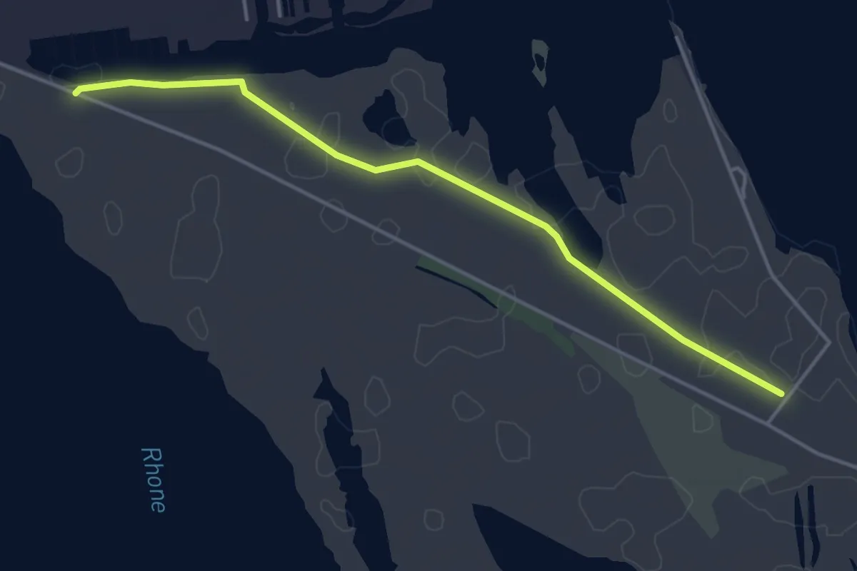
Easy · Trail
They du Mazet, l'embouchure du Rhône
2.3 km · ↑ 0 m · 34 min
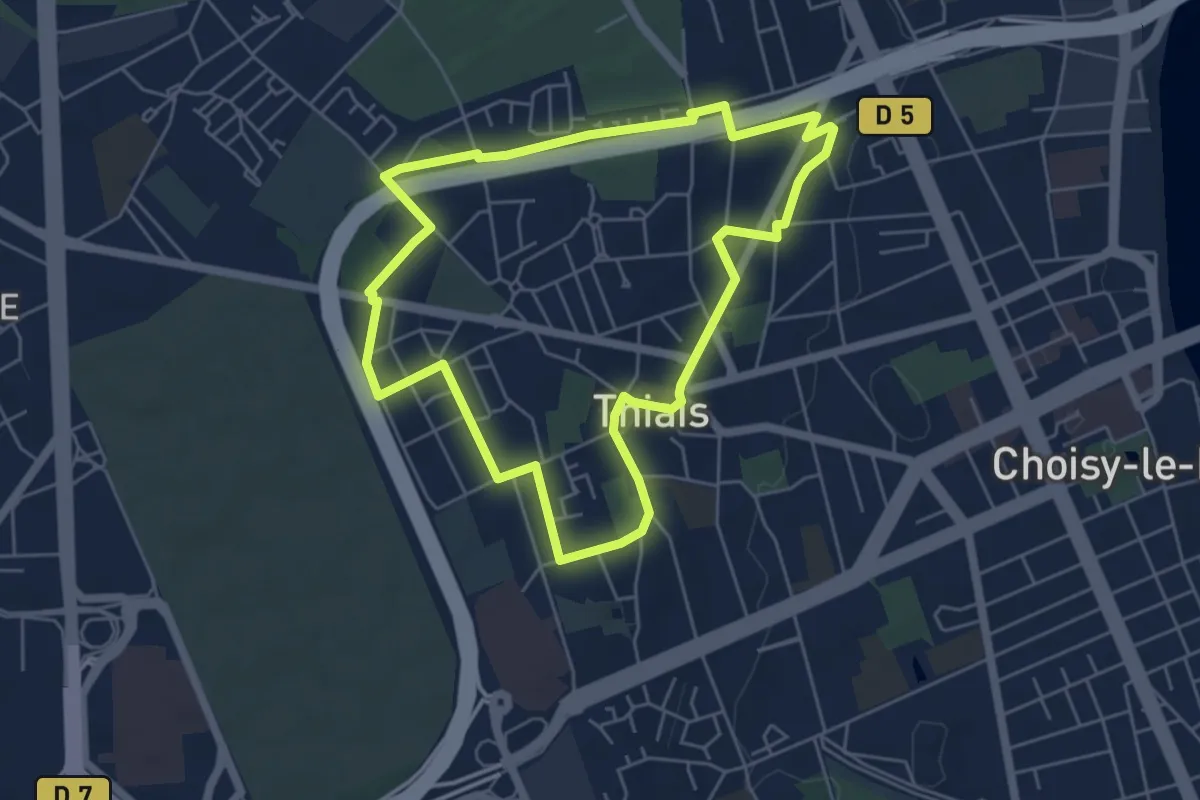
Easy · Trail
Thiais insolite
5.2 km · ↑ 51 m · 1 h 24 min
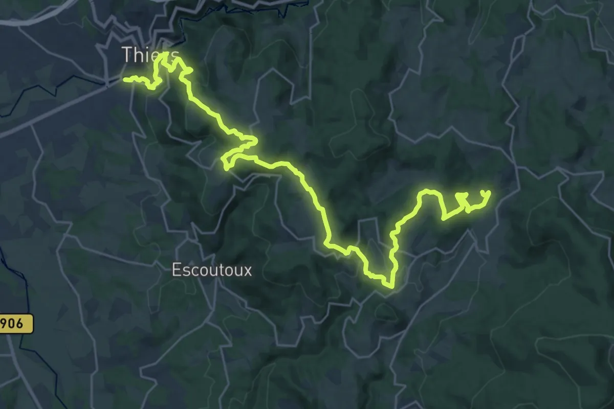
Medium · Trail
Thiers - Château de Vaulx
15.8 km · ↑ 740 m · 5 h 23 min
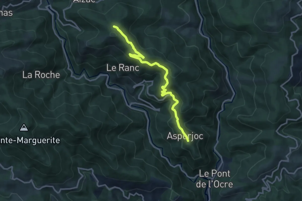
Medium · Trail
Thieure - Fontalazon
9.3 km · ↑ 393 m · 3 h 3 min
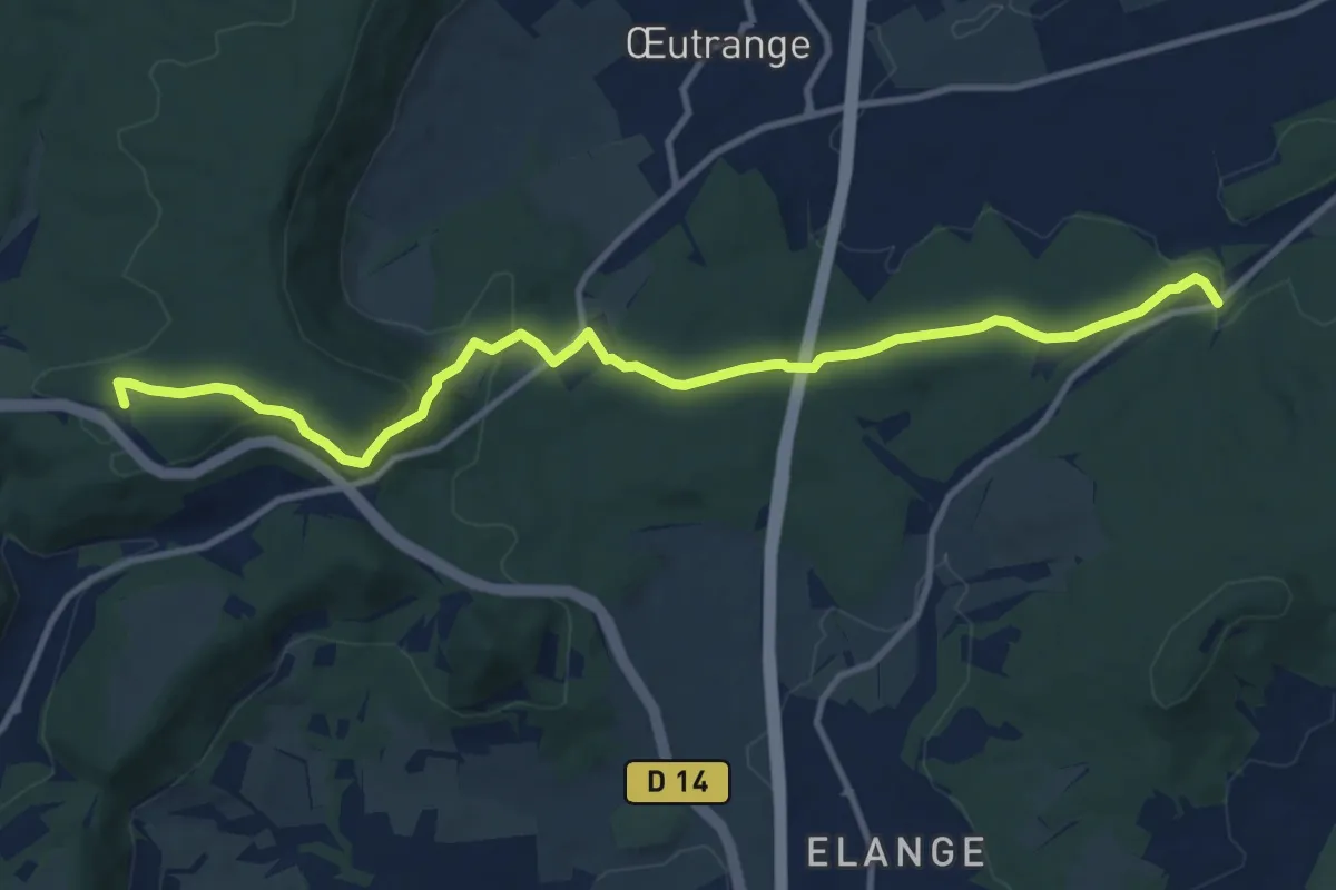
Medium · Trail
Thionville Théatre-Chalet CV
11.5 km · ↑ 301 m · 3 h 23 min
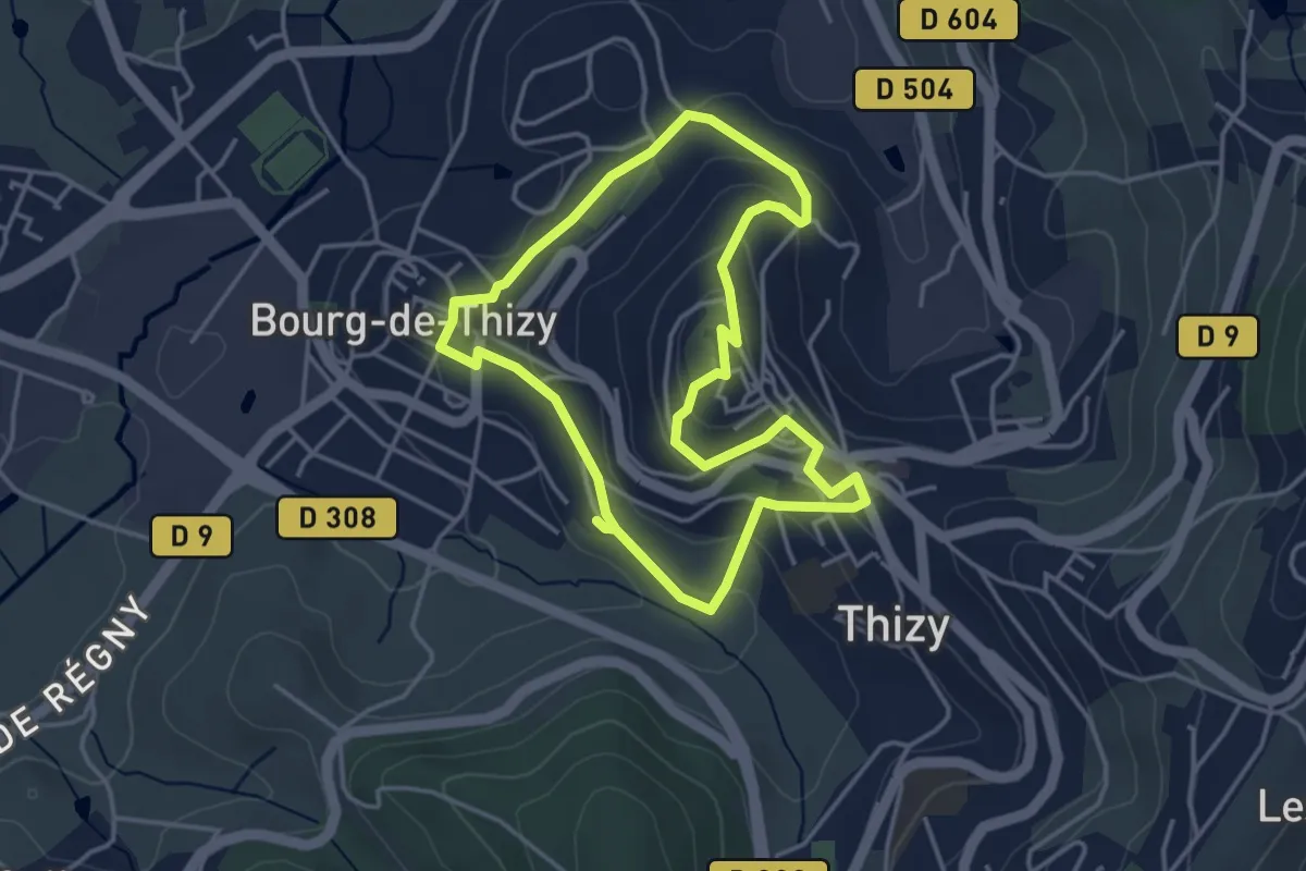
Easy · Trail
Thizy Parcours Patrimoine
3.8 km · ↑ 127 m · 1 h 13 min