Trails in France
15,926 hiking trails, each with its route, climb, walking time and grade.
All trails, page 268 of 332
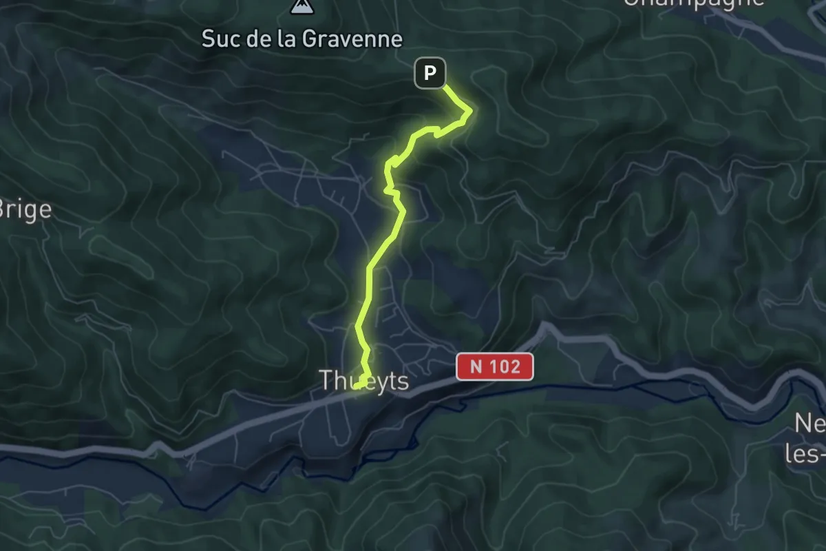
Easy · Trail
Thueyts - La Croix Blanche
5.2 km · ↑ 240 m · 1 h 45 min
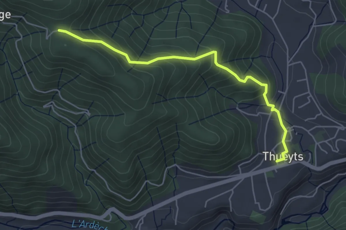
Easy · Trail
Thueyts - La Croix de Briges
4.8 km · ↑ 293 m · 1 h 46 min
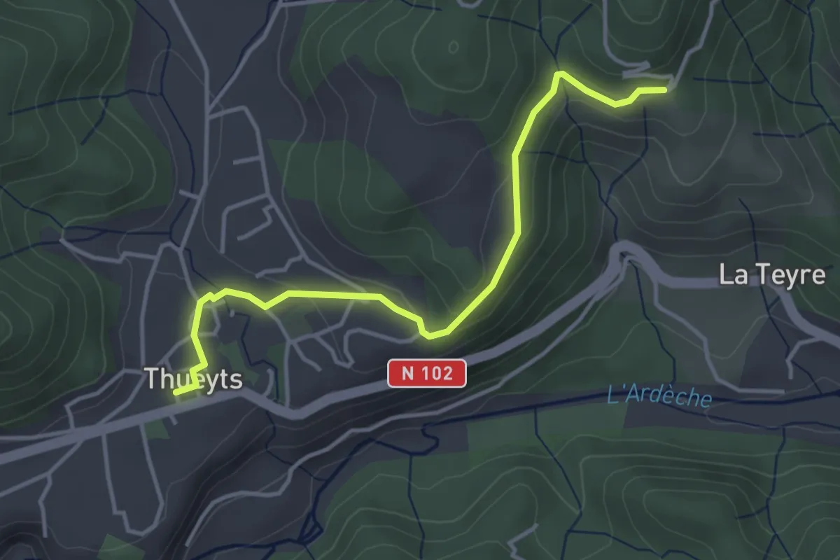
Easy · Trail
Thueyts - Peyraud
4.0 km · ↑ 97 m · 1 h 9 min
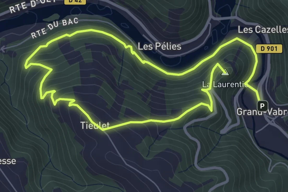
Easy · Summit
Tieulet
6.0 km · ↑ 300 m · 2 h 9 min
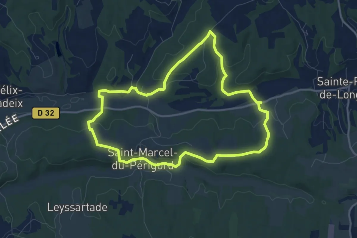
Medium · Trail
Tiregrand
8.8 km · ↑ 203 m · 2 h 38 min
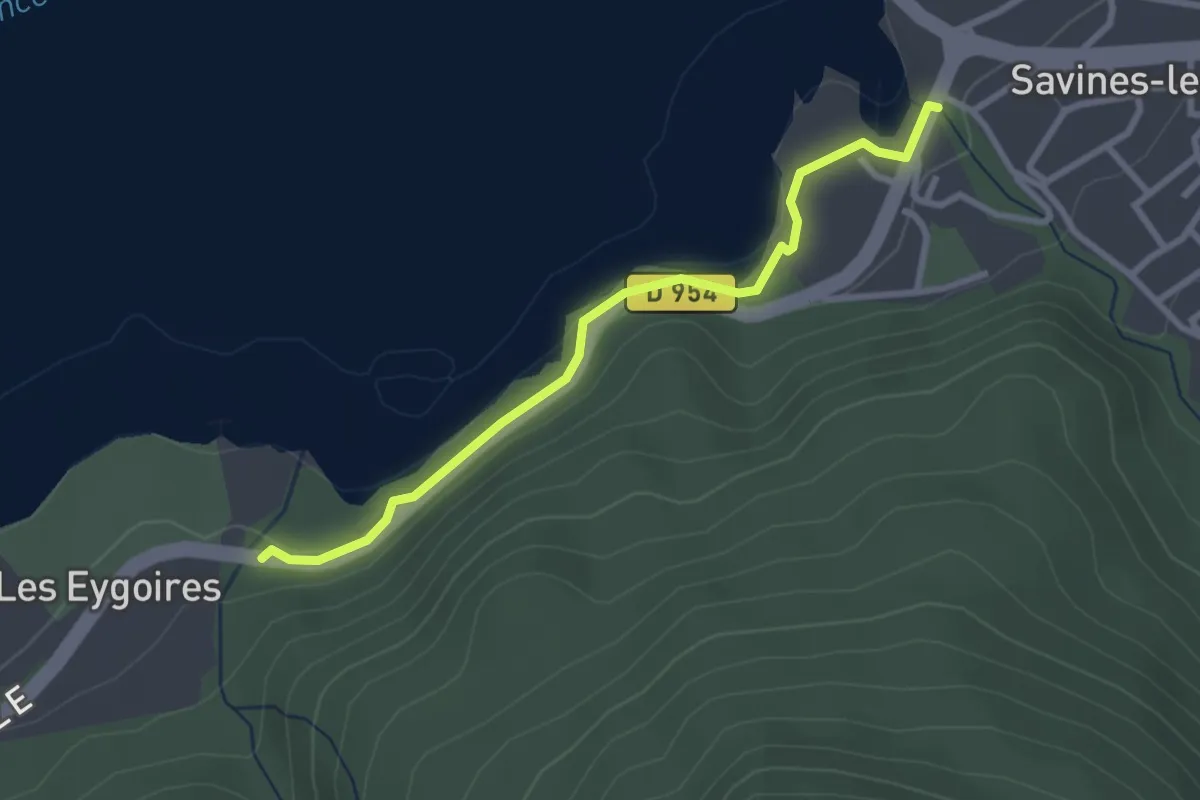
Easy · Trail
Torrent de Barnafret - Les Eygoires
2.9 km · ↑ 78 m · 51 min
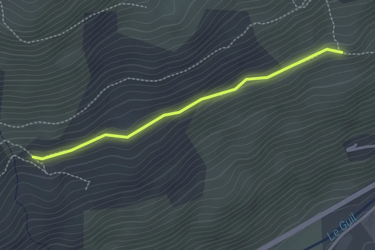
Easy · Trail
Torrent de Chalvet - La Glaizole
2.4 km · ↑ 67 m · 42 min
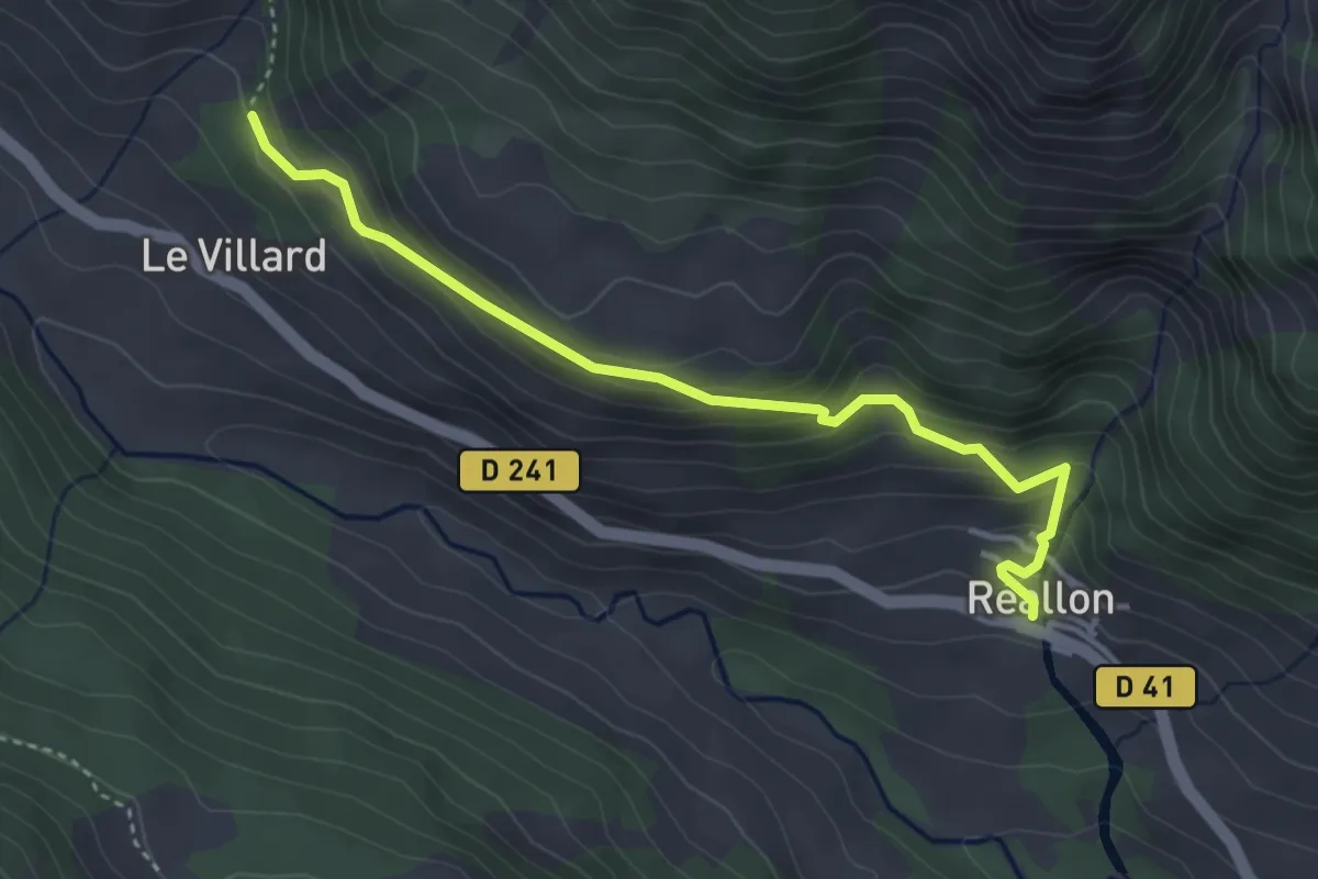
Easy · Trail
Torrent de la Pisse - ?
4.0 km · ↑ 303 m · 1 h 36 min
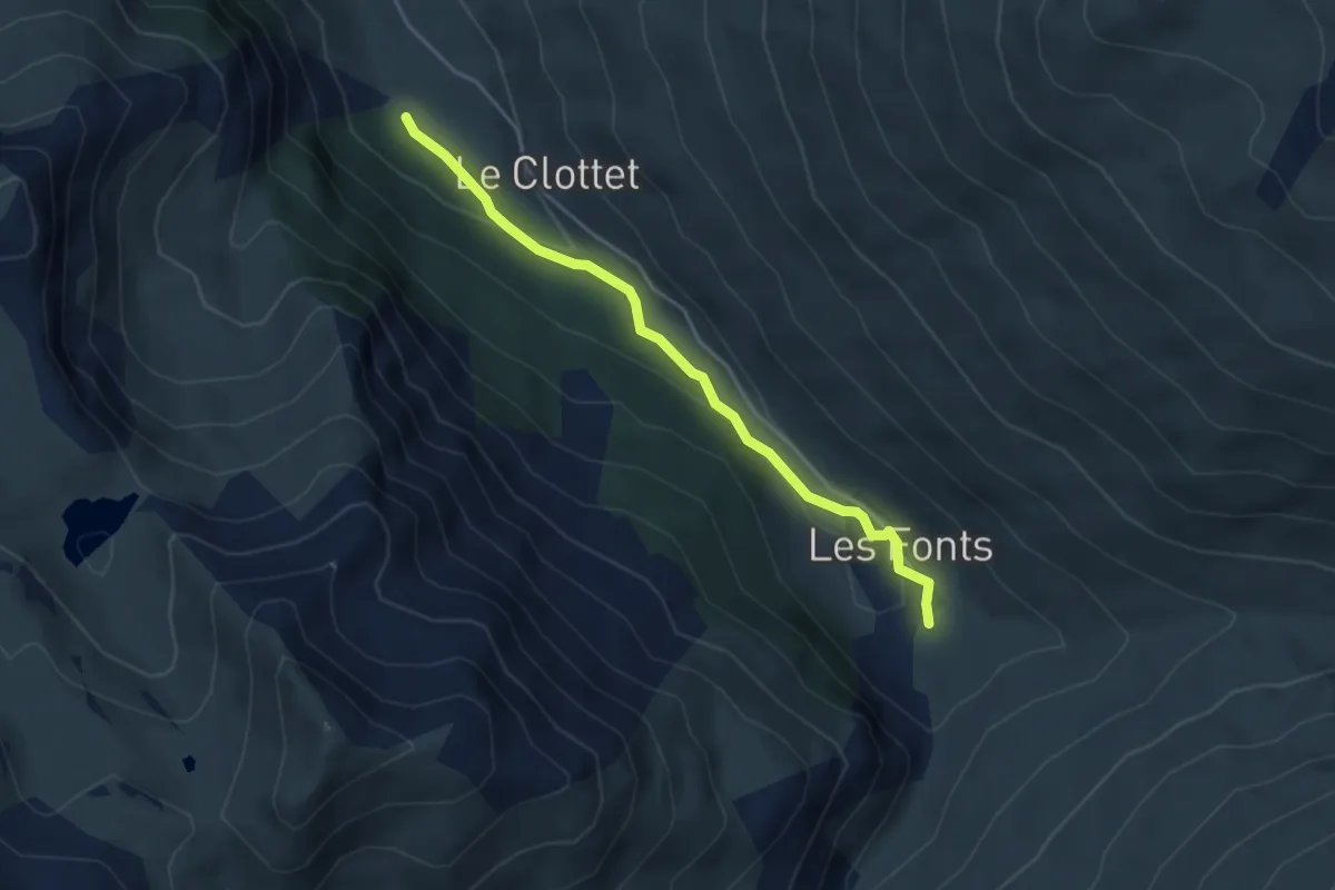
Easy · Trail
Torrent de Pierre-Rouge - Le Bourgea
4.1 km · ↑ 98 m · 1 h 11 min
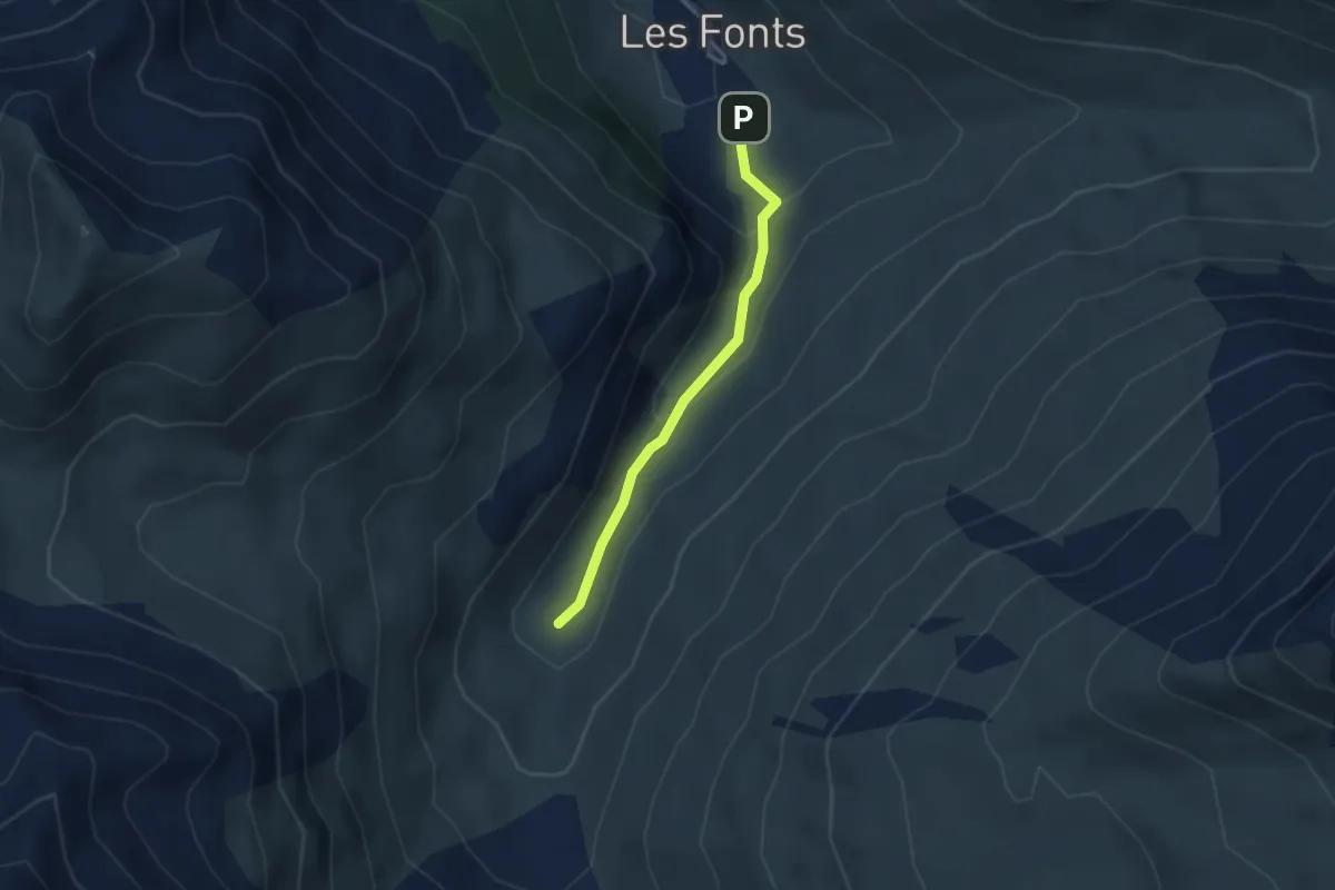
Medium · Trail
Torrent de Pierre-Rouge - Ravin des Chalmettes
2.8 km · ↑ 145 m · 59 min
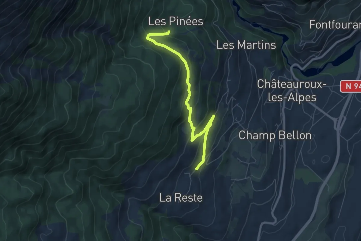
Medium · Trail
Torrent des Eyssirolles - Les Gérards
6.8 km · ↑ 353 m · 2 h 22 min
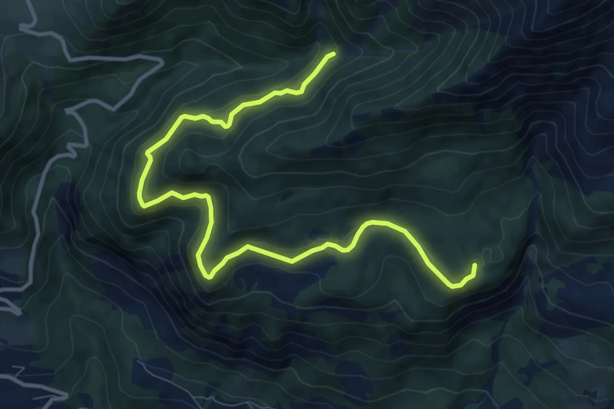
Medium · Trail
Torrent du Sapet - Forest du Suret
10.9 km · ↑ 386 m · 3 h 24 min
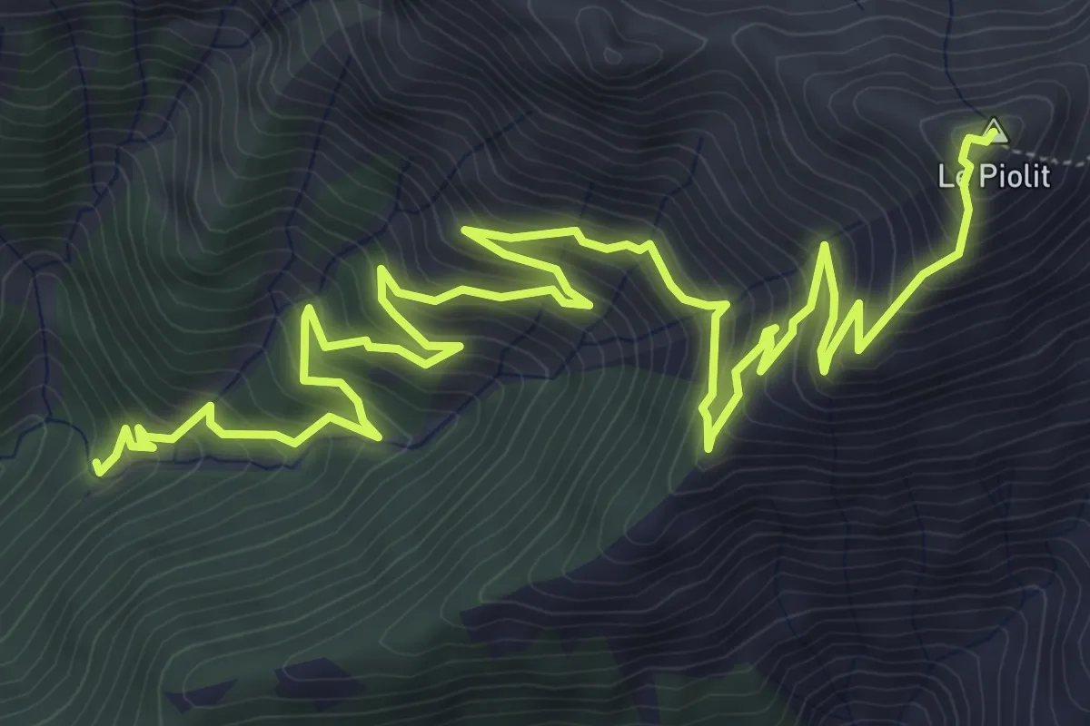
Demanding · Summit
Torrent du Sapet - Le Piolit
9.7 km · ↑ 901 m · 4 h 15 min
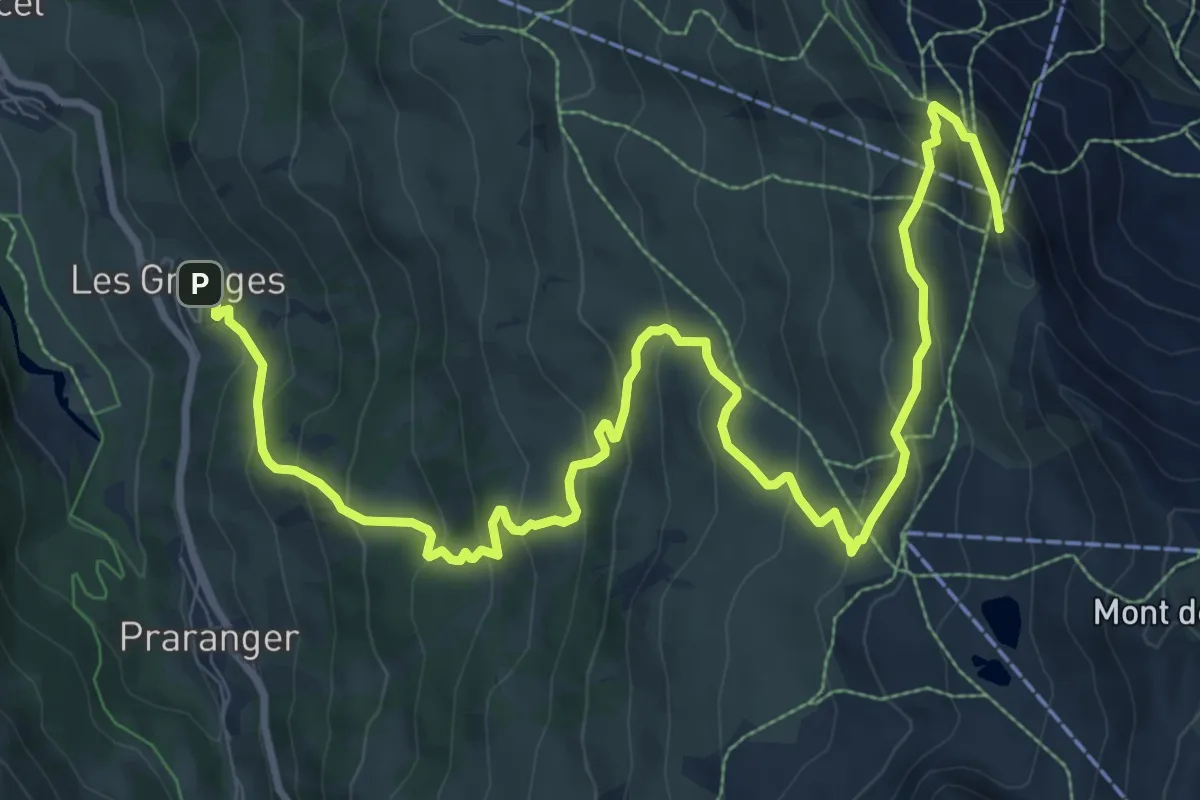
Demanding · Summit
Tougnète 1
13.2 km · ↑ 857 m · 4 h 59 min
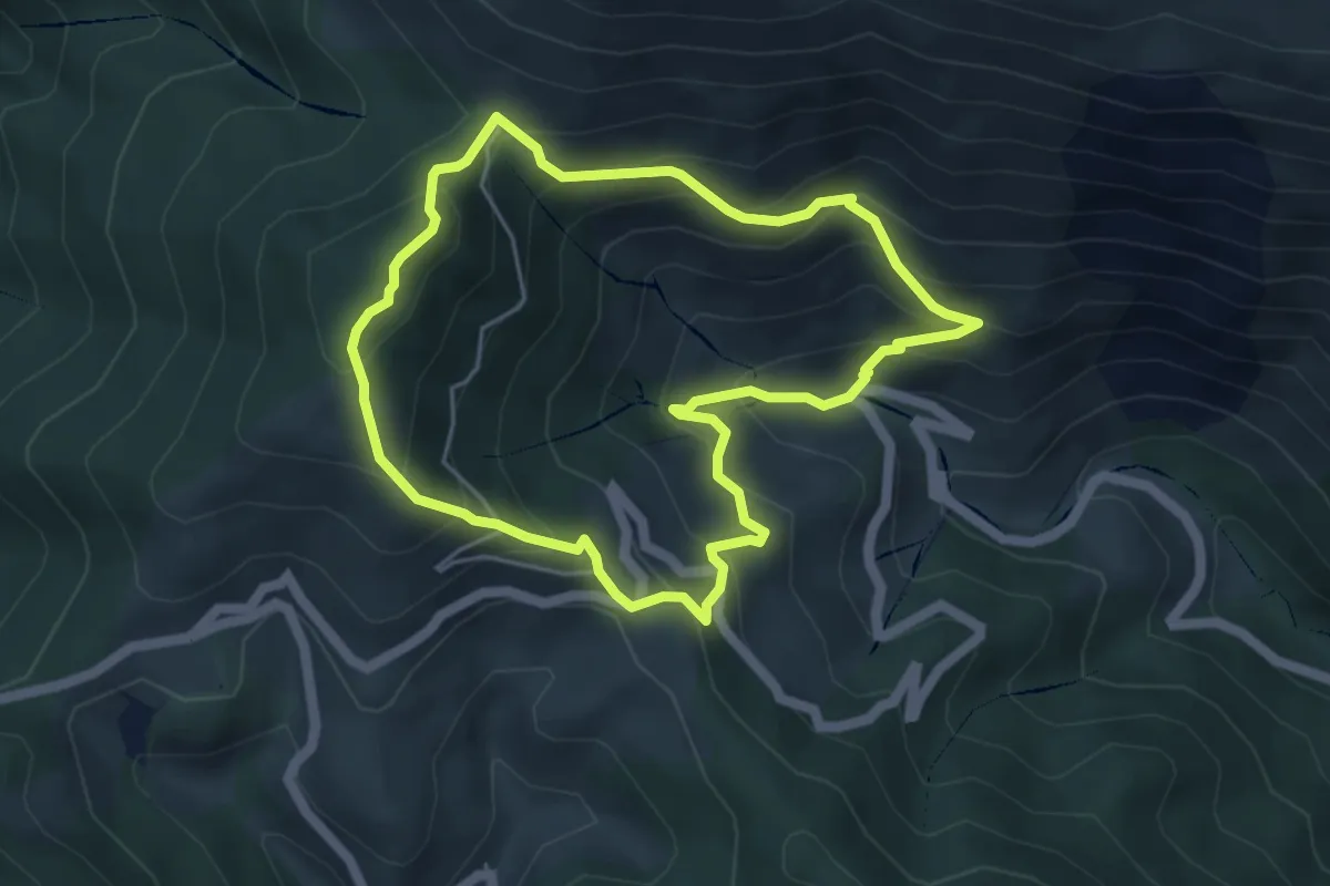
Medium · Summit
Tour Arreugle-Massey asp112
4.8 km · ↑ 432 m · 2 h 9 min
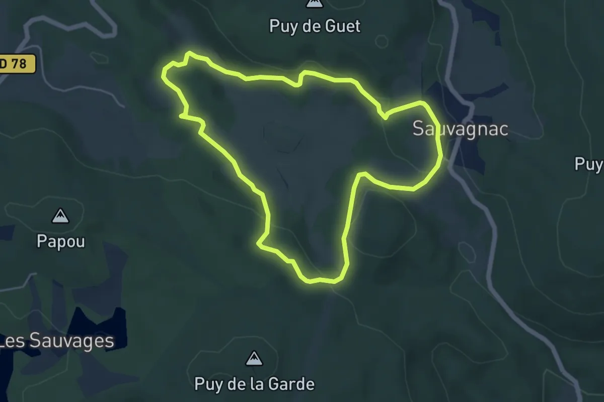
Easy · Trail
Tourbière des Dauges - parcours long
4.7 km · ↑ 117 m · 1 h 25 min
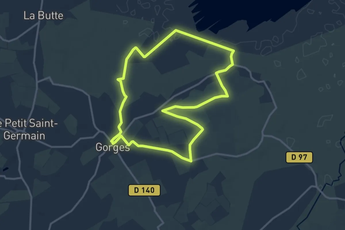
Medium · Trail
Tourbière et chapelle de Gorges
8.2 km · ↑ 17 m · 2 h 6 min
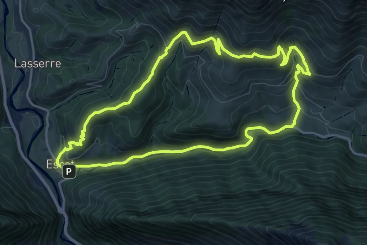
Medium · Summit
Tour Bilboquet-Barescou asp01
9.7 km · ↑ 555 m · 3 h 38 min
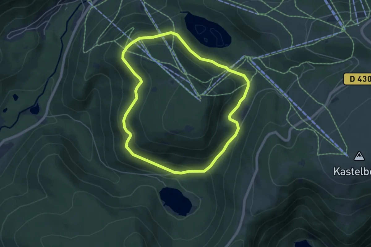
Easy · Trail
Tour d’Artimont
4.5 km · ↑ 187 m · 1 h 32 min
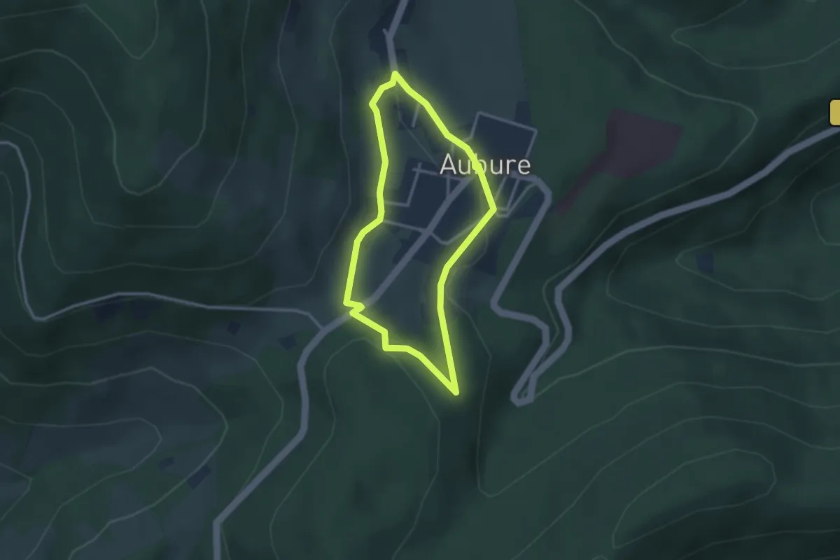
Easy · Trail
Tour d’Aubure
2.4 km · ↑ 51 m · 43 min
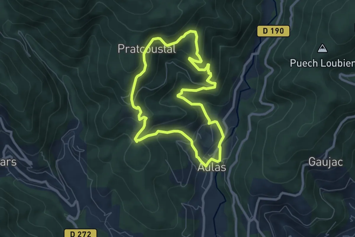
Medium · Trail
Tour d'Aulas
6.2 km · ↑ 370 m · 2 h 22 min
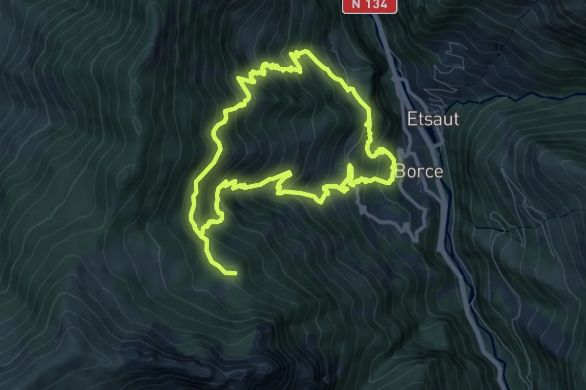
Medium · Trail
Tour d'Ayriré par Udapet asp64
8.2 km · ↑ 773 m · 3 h 42 min
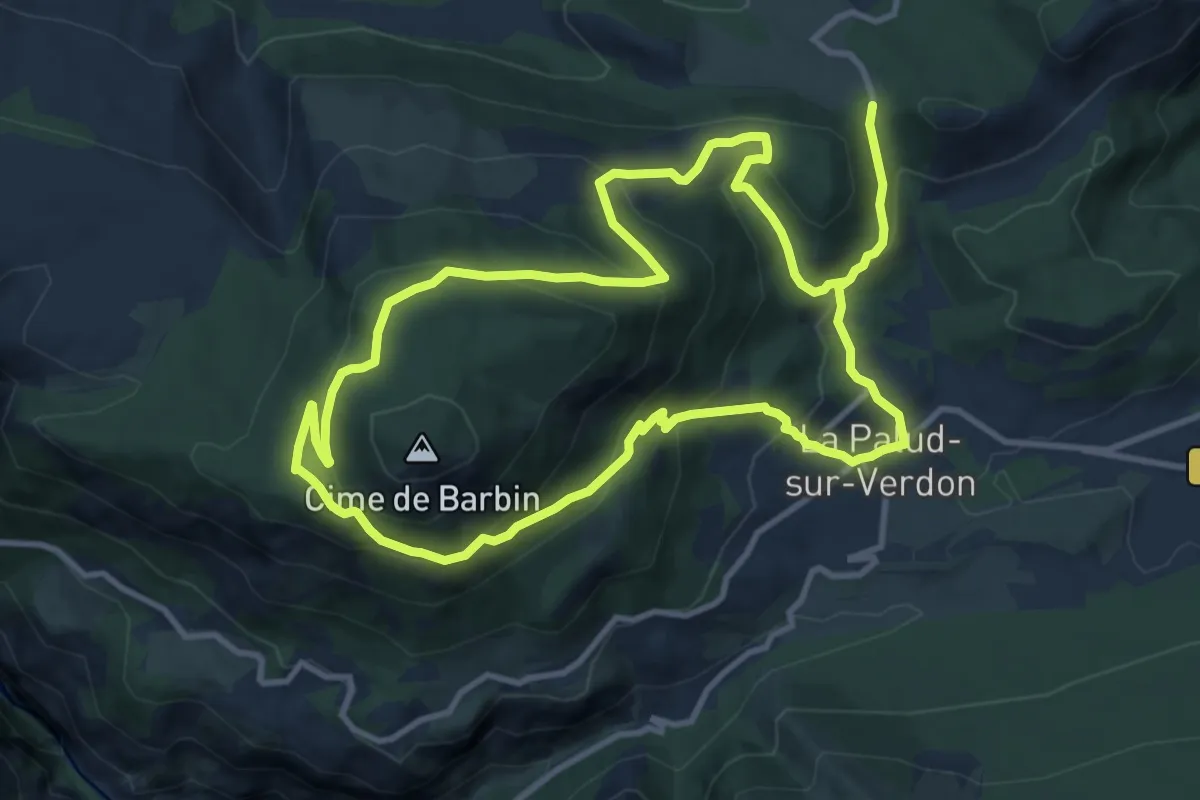
Medium · Trail
Tour de Barbin
11.4 km · ↑ 569 m · 4 h 6 min
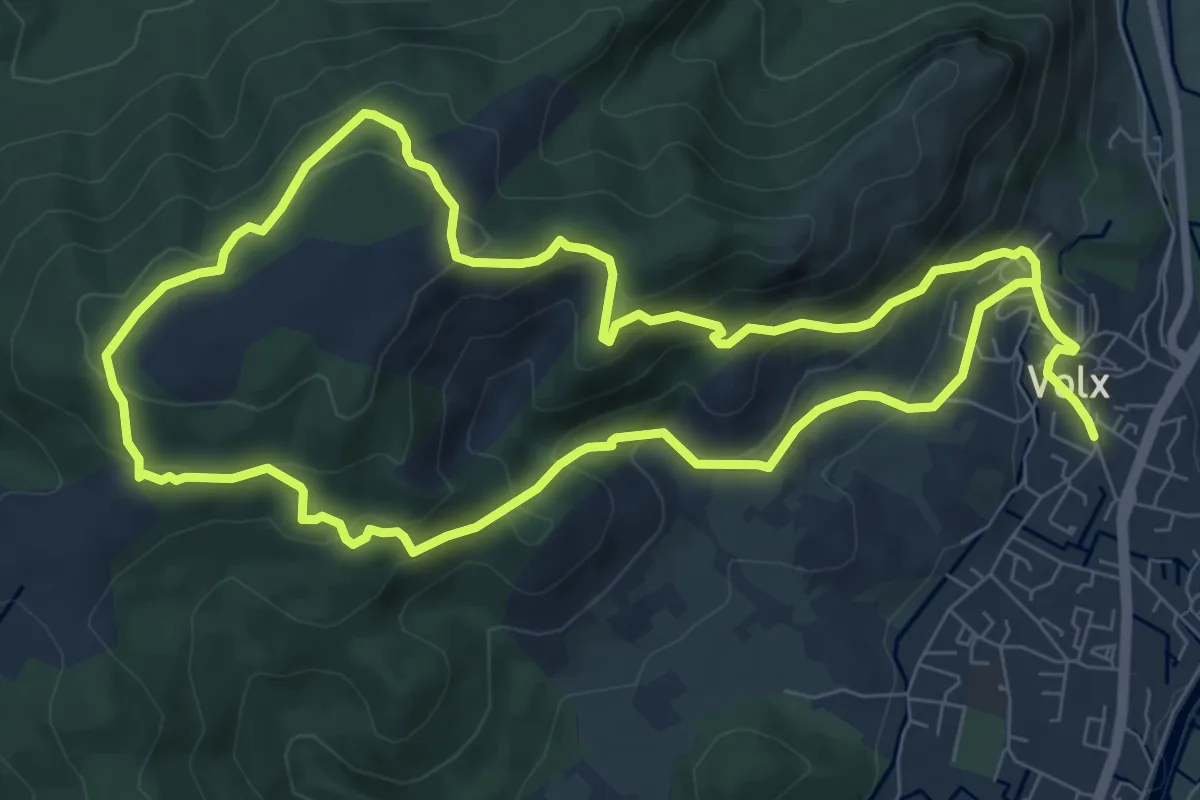
Demanding · Trail
Tour de Bellevue
17.2 km · ↑ 887 m · 5 h 59 min
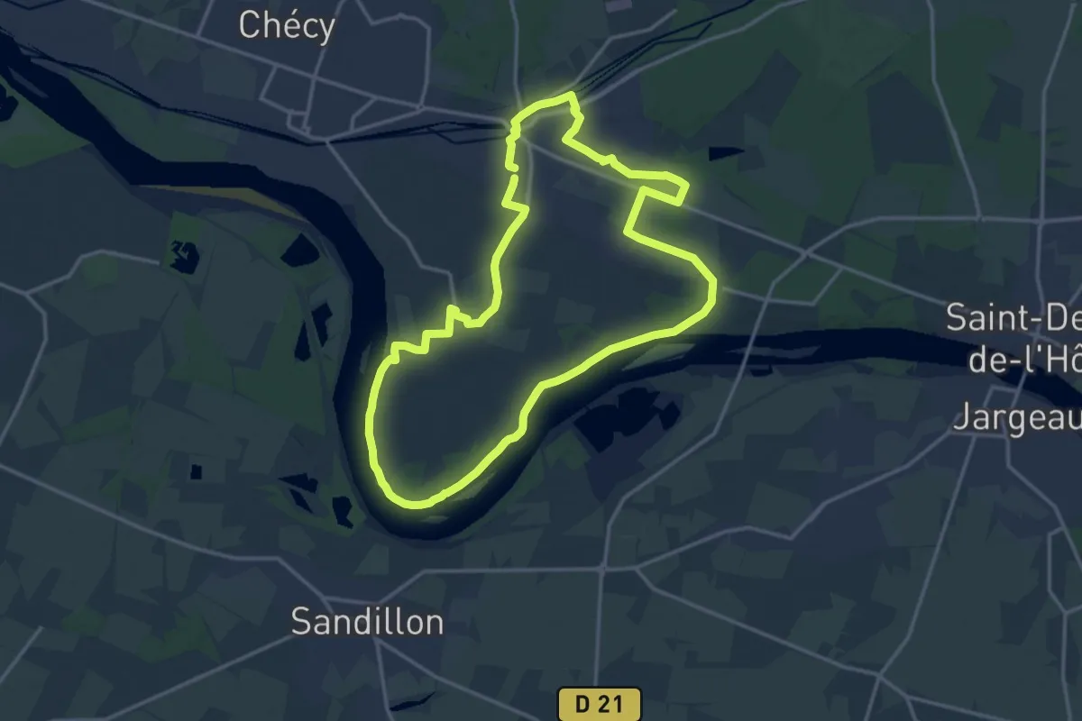
Medium · Trail
Tour de Bou via Mardié
14.8 km · ↑ 38 m · 3 h 47 min
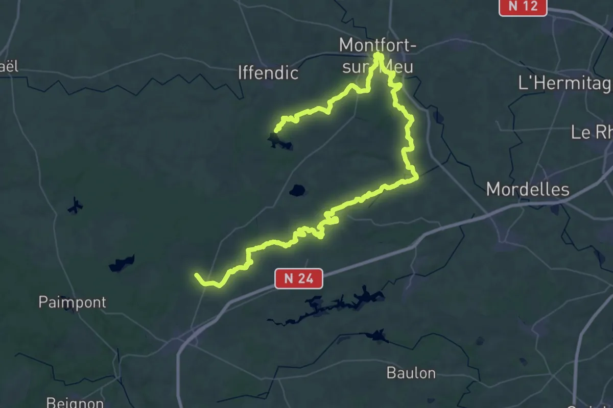
Demanding · Trail
Tour de Brocéliande, Bonamenay - Étang de Trémelin
39.1 km · ↑ 410 m · 10 h 41 min
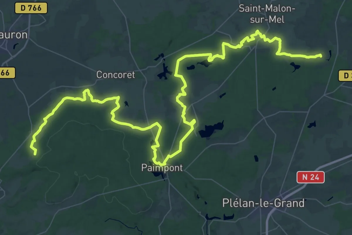
Demanding · Trail
Tour de Brocéliande, partie nord
35.5 km · ↑ 311 m · 9 h 30 min
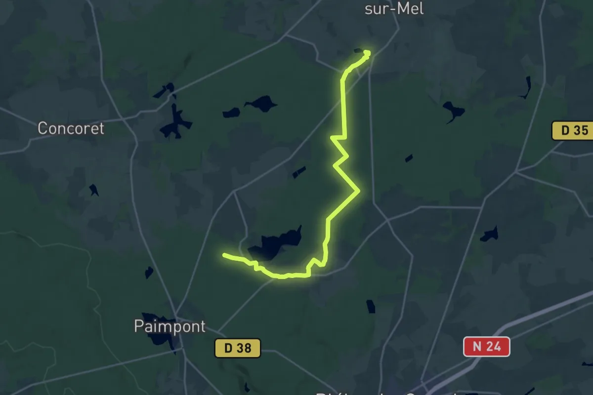
Demanding · Trail
Tour de Brocéliande, variante 7 Chemins - Marette
19.9 km · ↑ 162 m · 5 h 3 min
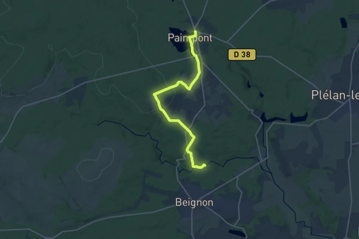
Medium · Trail
Tour de Brocéliande, variante Aff
14.4 km · ↑ 259 m · 3 h 58 min
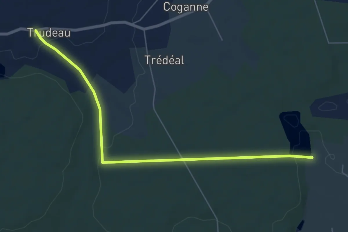
Easy · Trail
Tour de Brocéliande, variante Trudeau
5.6 km · ↑ 58 m · 1 h 26 min
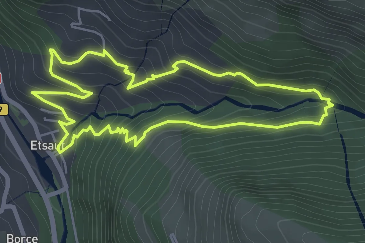
Medium · Trail
Tour de Busteigts asp58
4.4 km · ↑ 321 m · 1 h 47 min
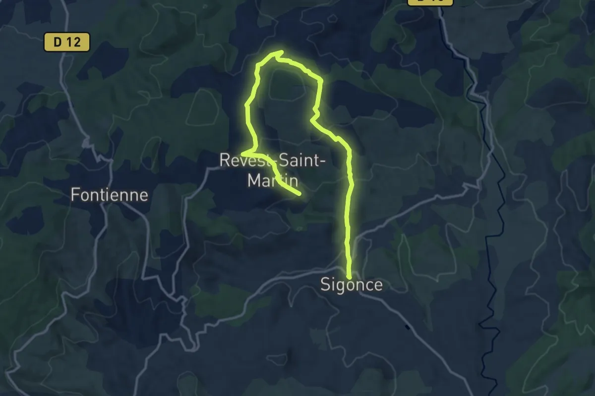
Easy · Trail
Tour de Cabane
7.7 km · ↑ 195 m · 2 h 23 min
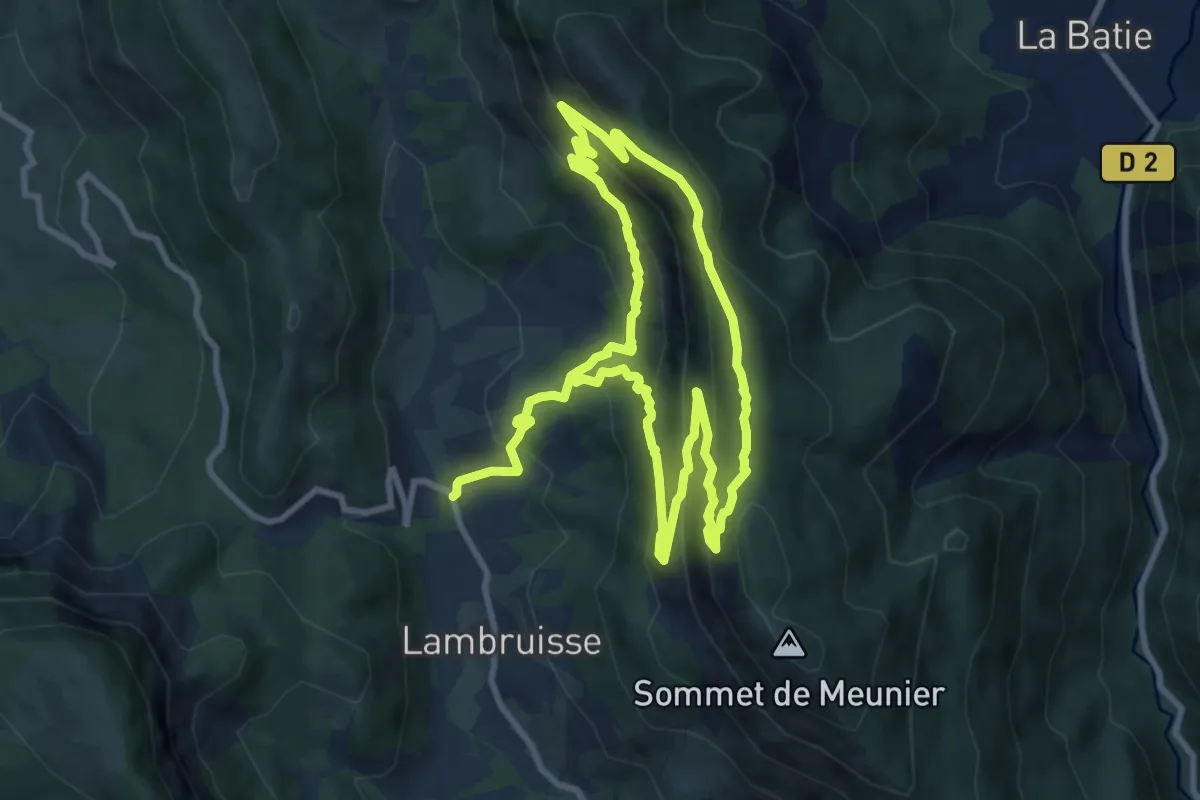
Medium · Summit
Tour de Charvet
9.2 km · ↑ 630 m · 3 h 36 min
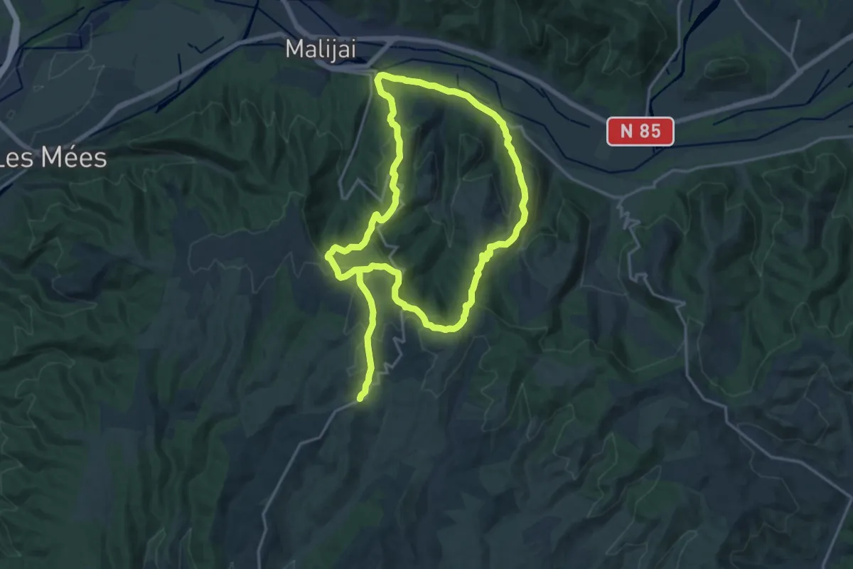
Medium · Trail
Tour de Chénerilles
15.4 km · ↑ 568 m · 5 h 4 min
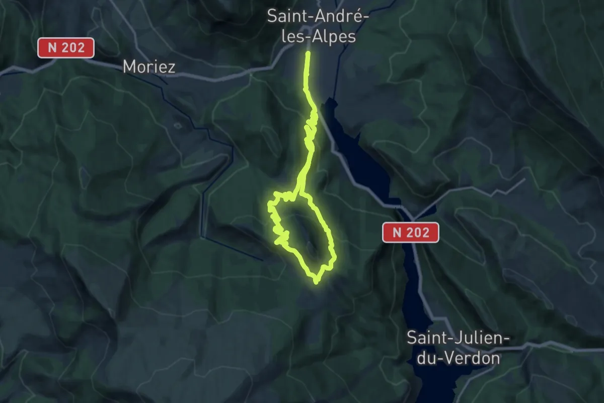
Medium · Trail
Tour de Courchons
11.9 km · ↑ 452 m · 4 h 2 min
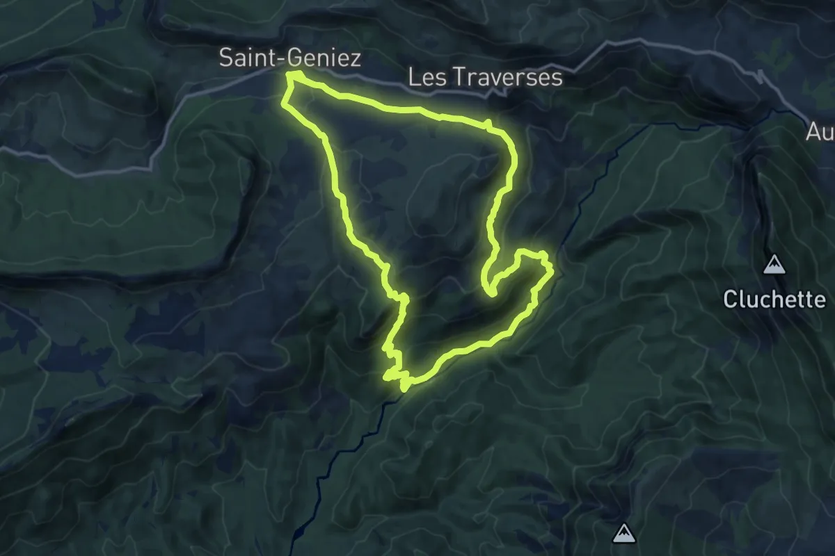
Medium · Trail
Tour de Dromon
13.0 km · ↑ 548 m · 4 h 26 min
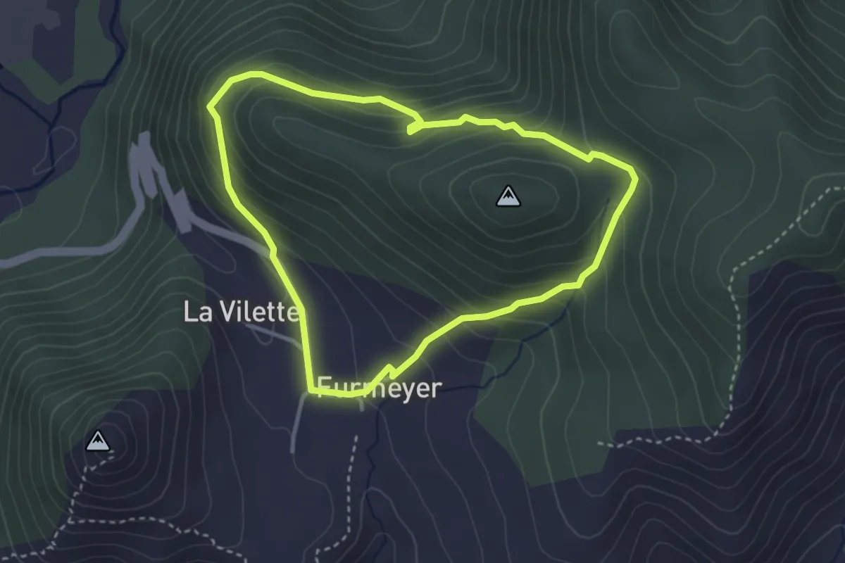
Easy · Trail
Tour de Fays
3.2 km · ↑ 232 m · 1 h 18 min
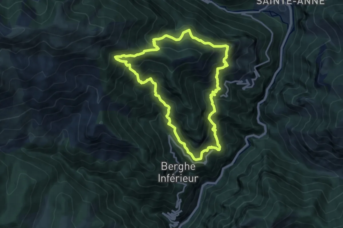
Demanding · Summit
Tour de Gauron
10.9 km · ↑ 1081 m · 5 h 4 min
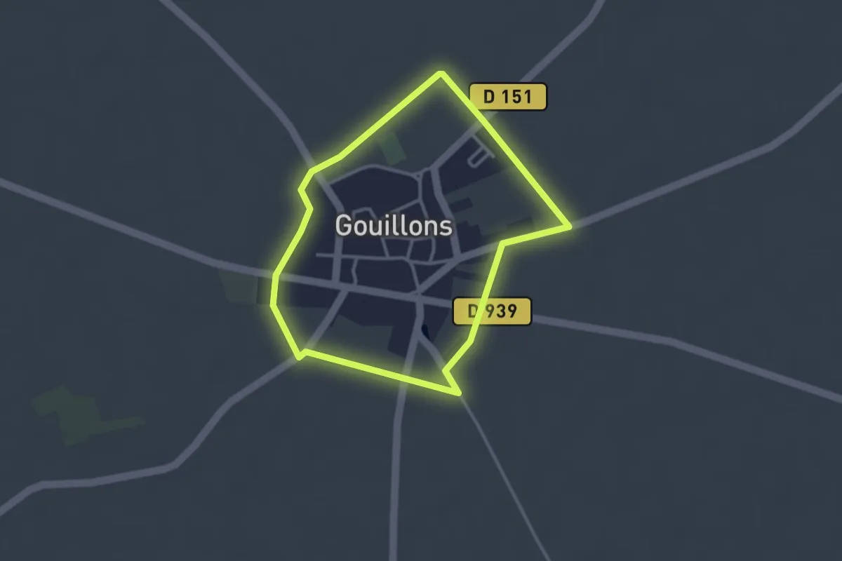
Easy · Trail
Tour de Gouillons
2.7 km · ↑ 0 m · 41 min
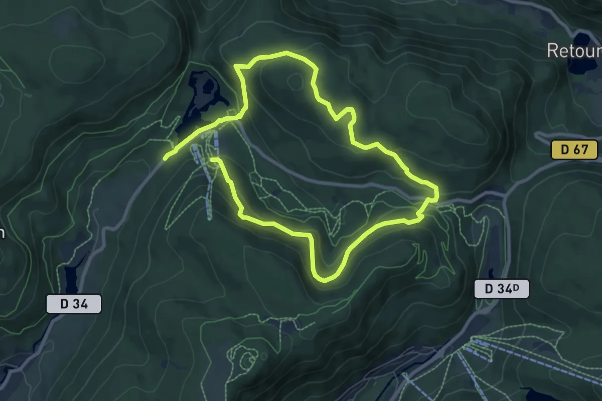
Expert · Trail
Tour de Grande Basse
6.3 km · ↑ 309 m · 2 h 16 min
Easy · Trail
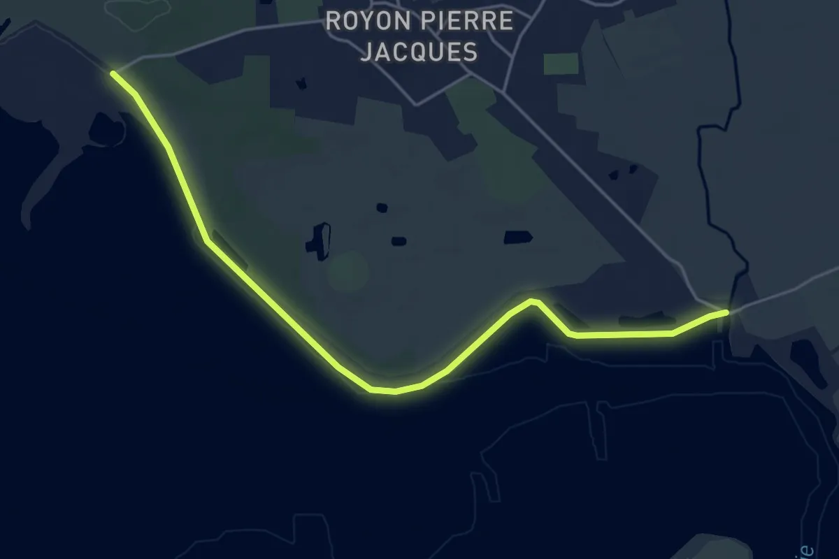
Tour de Groffliers
4.7 km · ↑ 0 m · 1 h 7 min
Medium · Summit
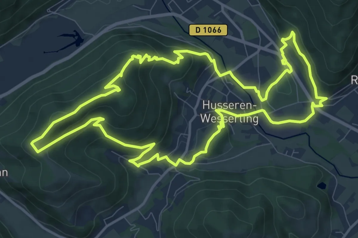
Tour de Husseren-Wesserling
10.4 km · ↑ 374 m · 3 h 25 min
Demanding · Trail
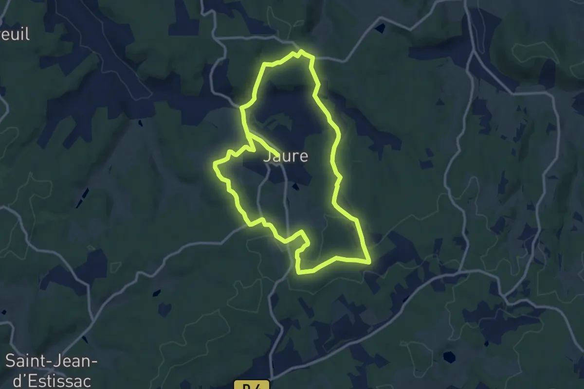
Tour de Jaure
20.7 km · ↑ 313 m · 5 h 34 min
Easy · Trail
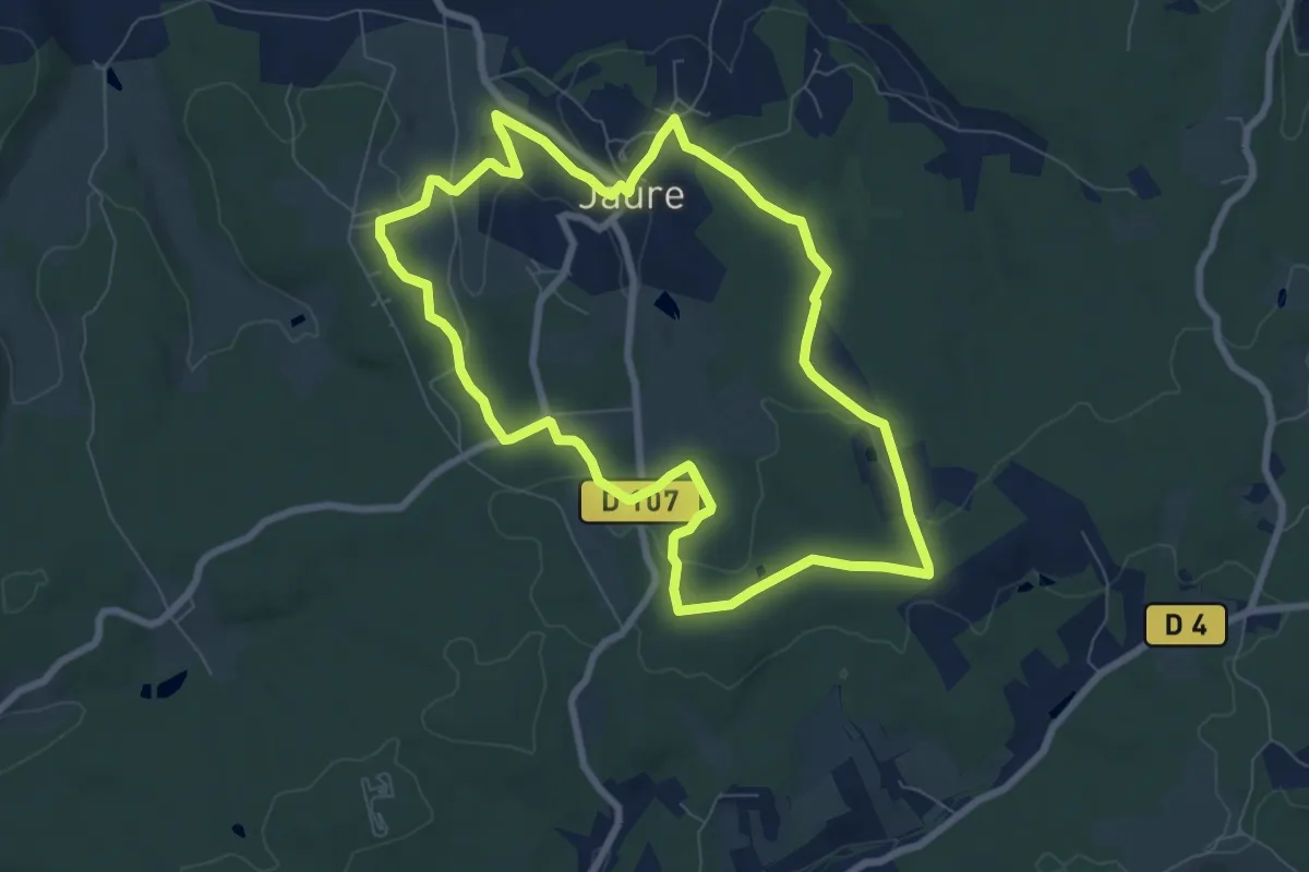
Tour de Jaure (Variante courte)
8.0 km · ↑ 99 m · 2 h 12 min
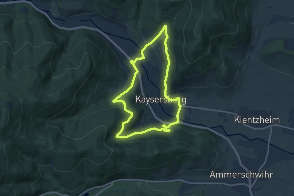
Easy · Trail
Tour de Kaysersgerg
7.2 km · ↑ 304 m · 2 h 28 min
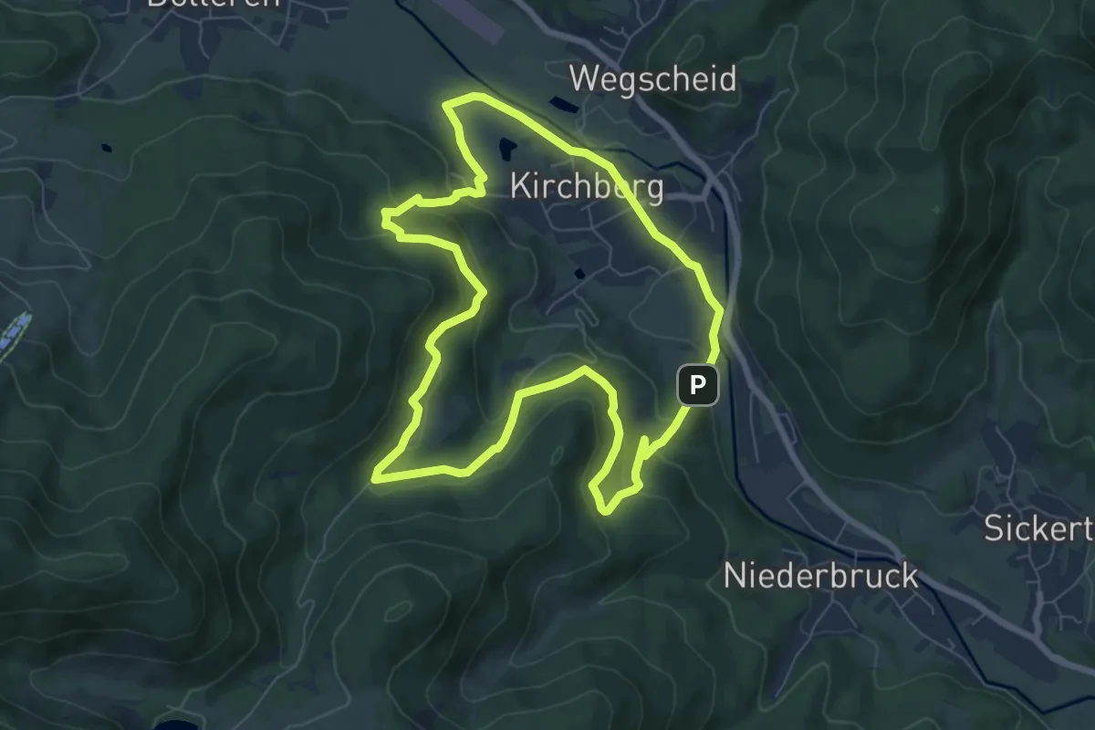
Easy · Trail
Tour de Kirchberg
7.0 km · ↑ 289 m · 2 h 22 min
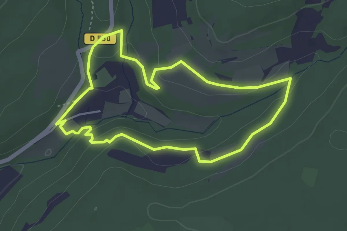
Medium · Trail
Tour de l’Abbaye
3.4 km · ↑ 93 m · 1 h 3 min
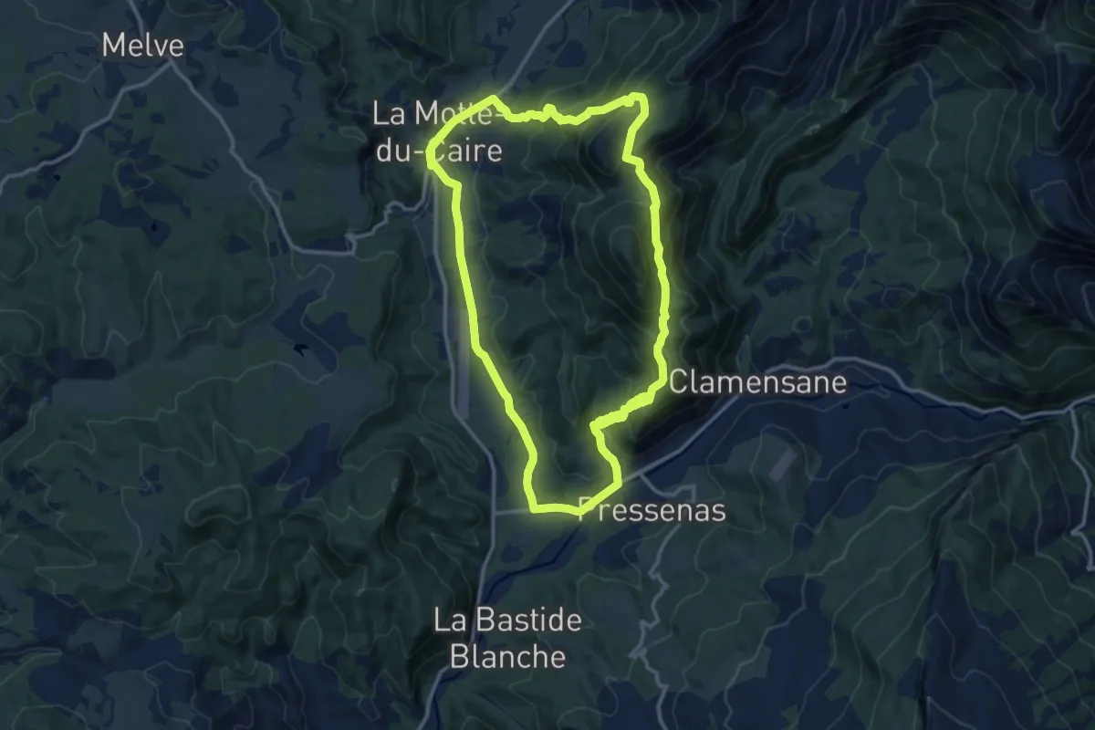
Medium · Trail
Tour de la Blachère
13.5 km · ↑ 584 m · 4 h 38 min