Trails in France
15,926 hiking trails, each with its route, climb, walking time and grade.
All trails, page 269 of 332
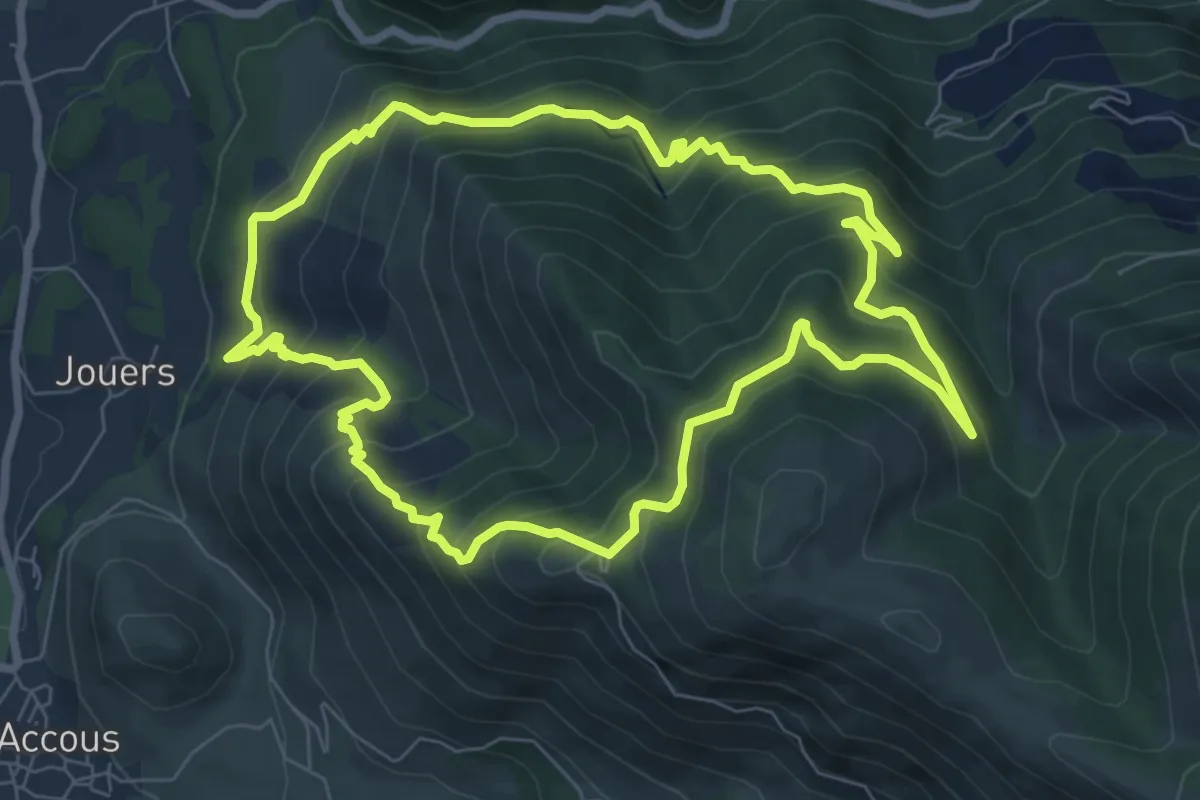
Medium · Trail
Tour de la Borde de Bouhaben asp26
8.2 km · ↑ 658 m · 3 h 28 min
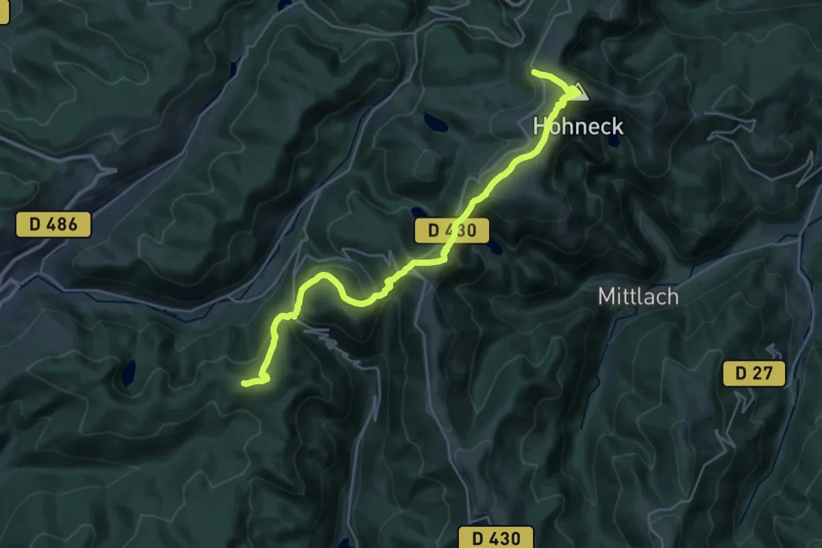
Medium · Summit
Tour de La Bresse
11.6 km · ↑ 617 m · 4 h 10 min
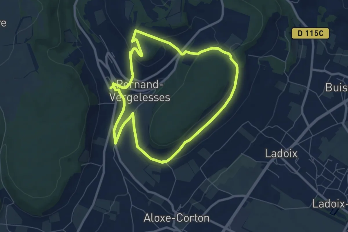
Easy · Trail
Tour de la Butte de Corton
6.2 km · ↑ 166 m · 1 h 55 min
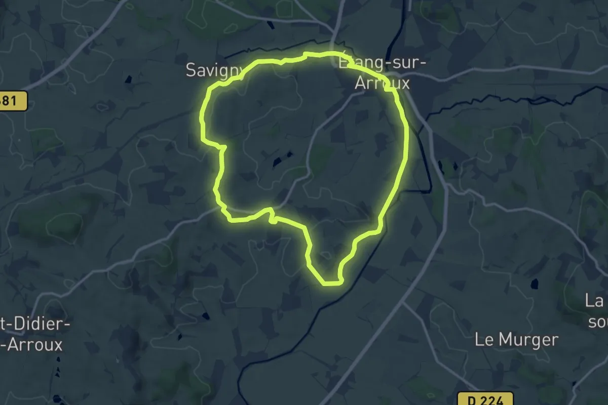
Medium · Trail
Tour de la Butte de la Perrière
11.3 km · ↑ 99 m · 3 h 2 min
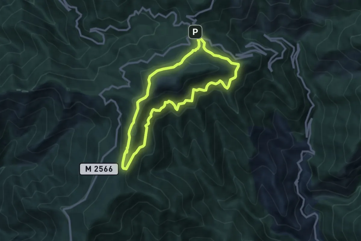
Medium · Summit
Tour de la Calmette
7.1 km · ↑ 507 m · 2 h 52 min
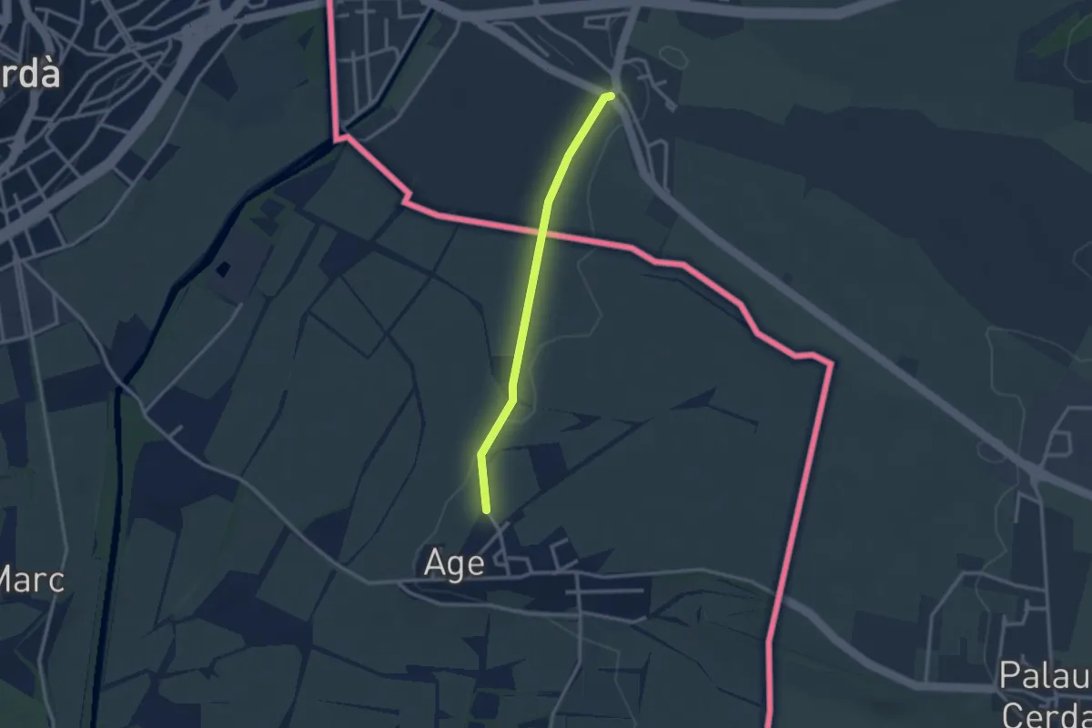
Easy · Trail
Tour de la Cerdagne
2.6 km · ↑ 21 m · 40 min
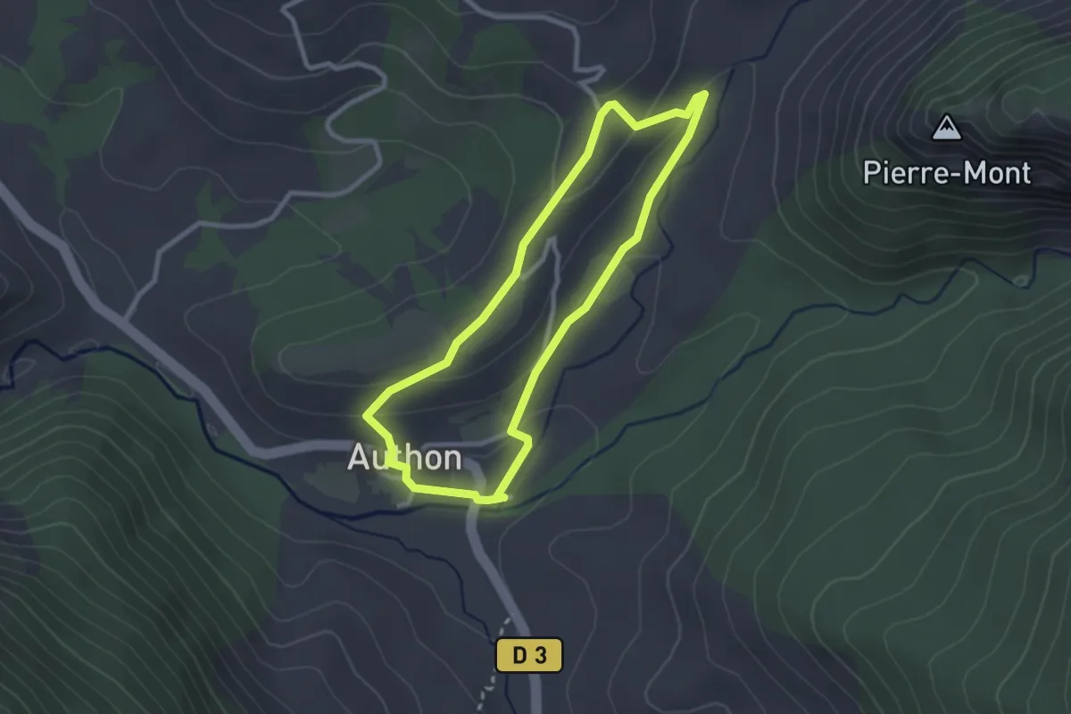
Easy · Trail
Tour de la chapelle Sainte Marthe
2.5 km · ↑ 79 m · 48 min
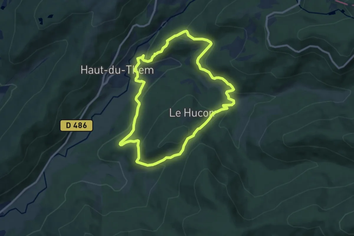
Medium · Trail
Tour de la Chaume
7.6 km · ↑ 343 m · 2 h 38 min
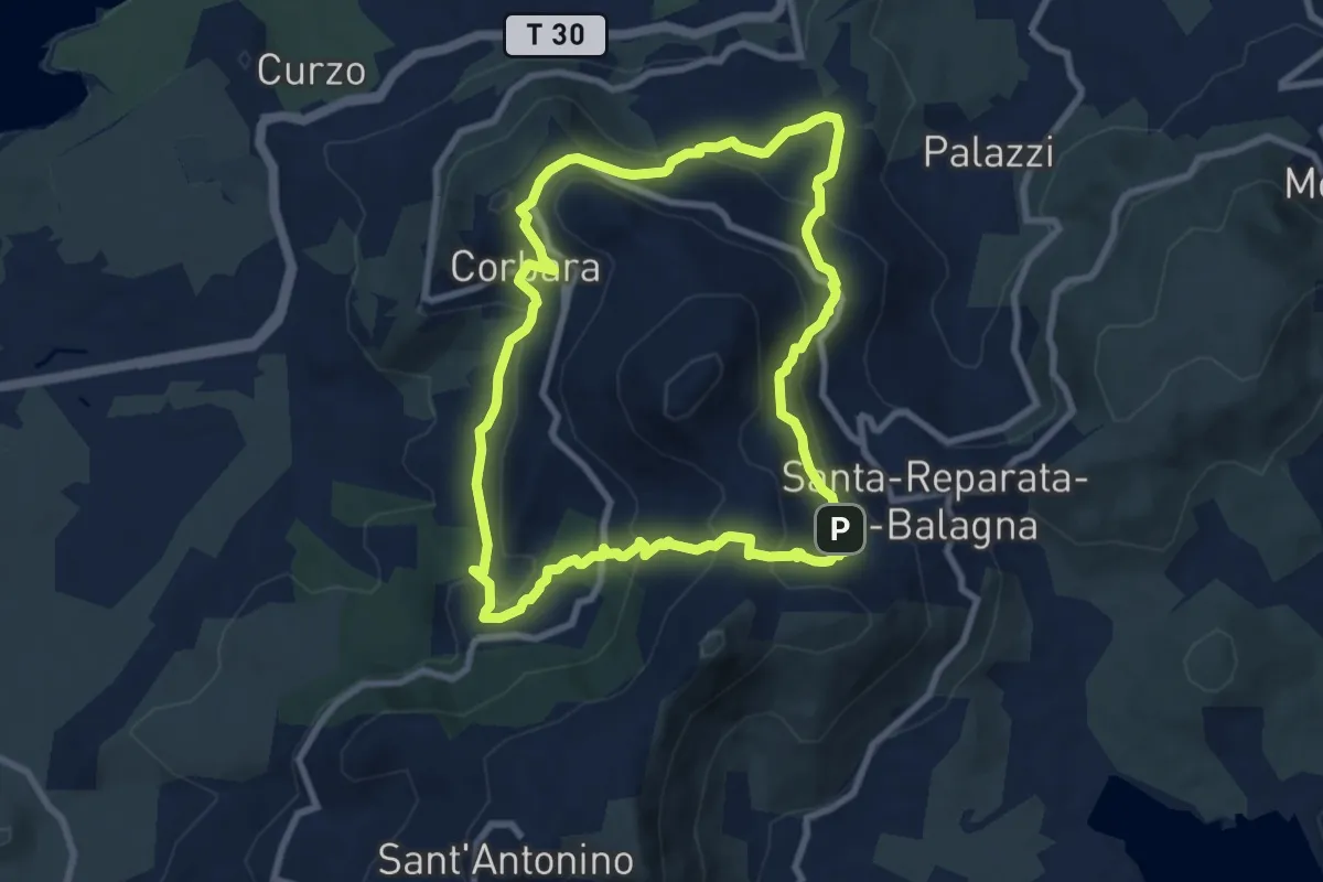
Medium · Trail
Tour de la Cima Sant'Anghjulu
8.7 km · ↑ 440 m · 3 h 8 min
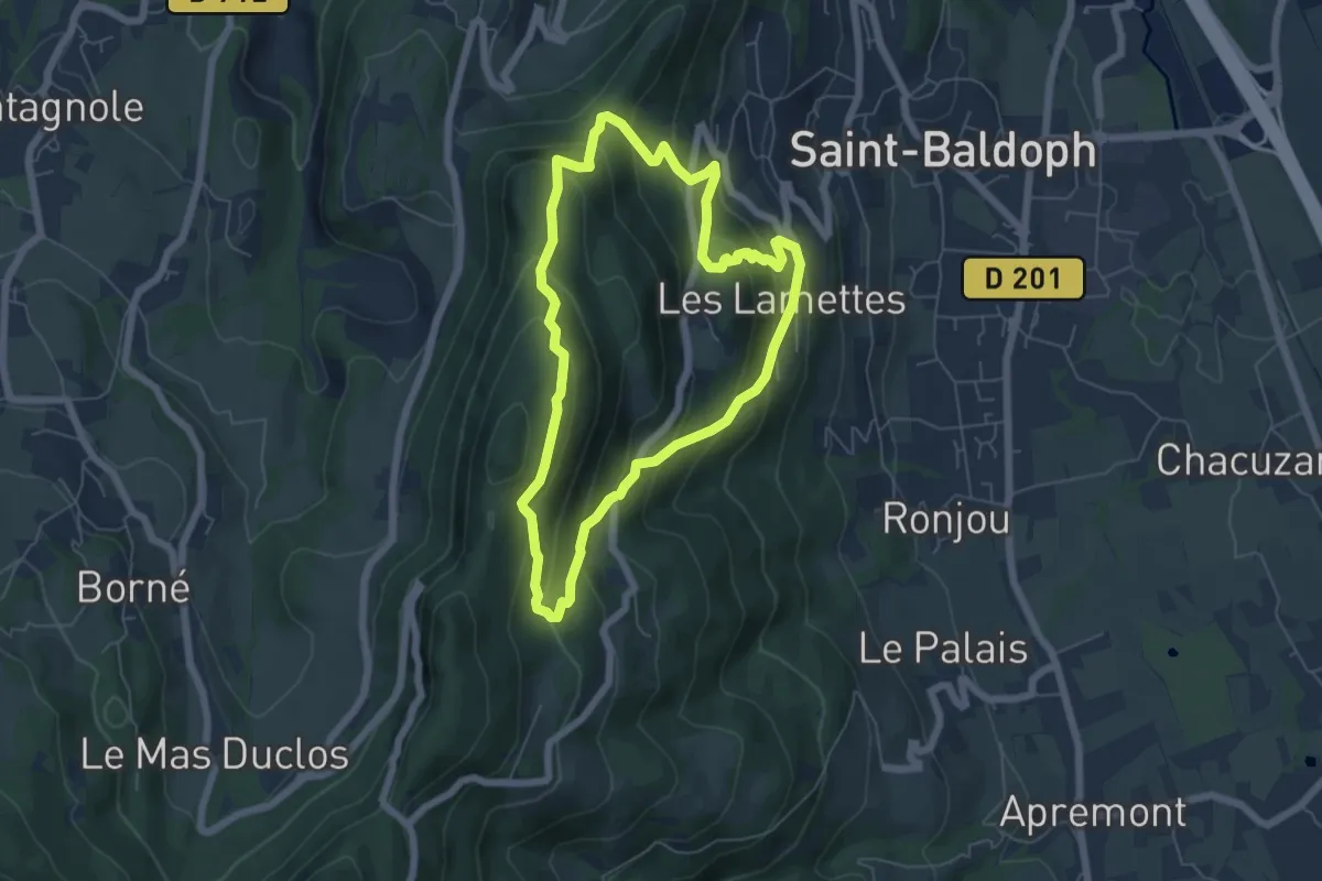
Medium · Summit
Tour de la Coche - n°37
5.6 km · ↑ 431 m · 2 h 21 min
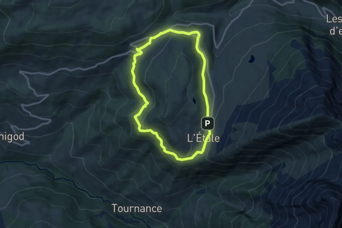
Easy · Trail
Tour de l'Adran
6.8 km · ↑ 264 m · 2 h 17 min
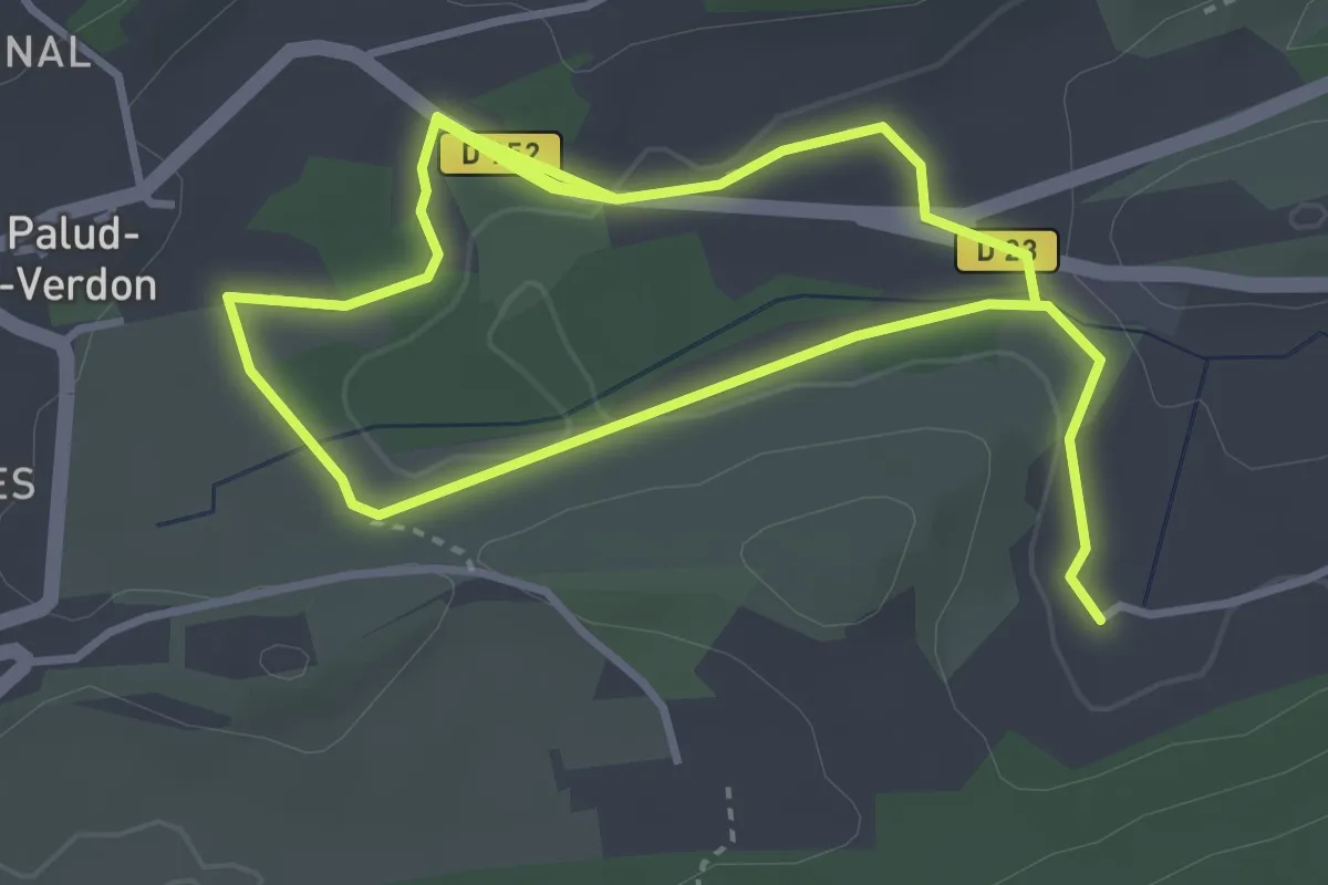
Easy · Trail
Tour de la Fontaine des Près
3.5 km · ↑ 36 m · 56 min
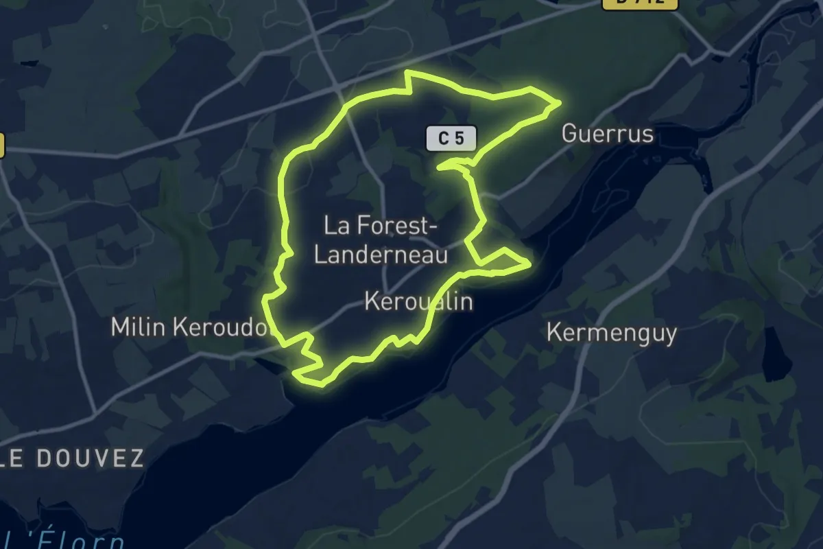
Medium · Trail
Tour de la Forest Landerneau
10.5 km · ↑ 145 m · 2 h 56 min
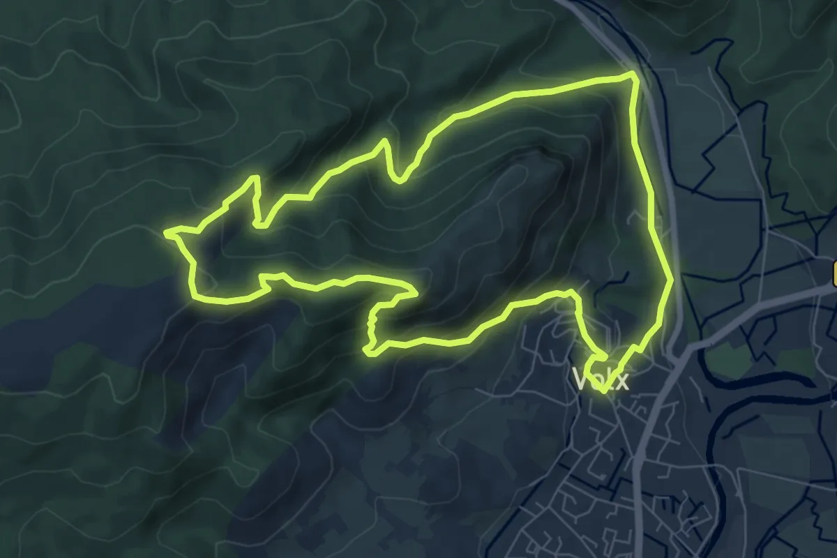
Medium · Trail
Tour de la Garde
8.3 km · ↑ 440 m · 3 h 1 min
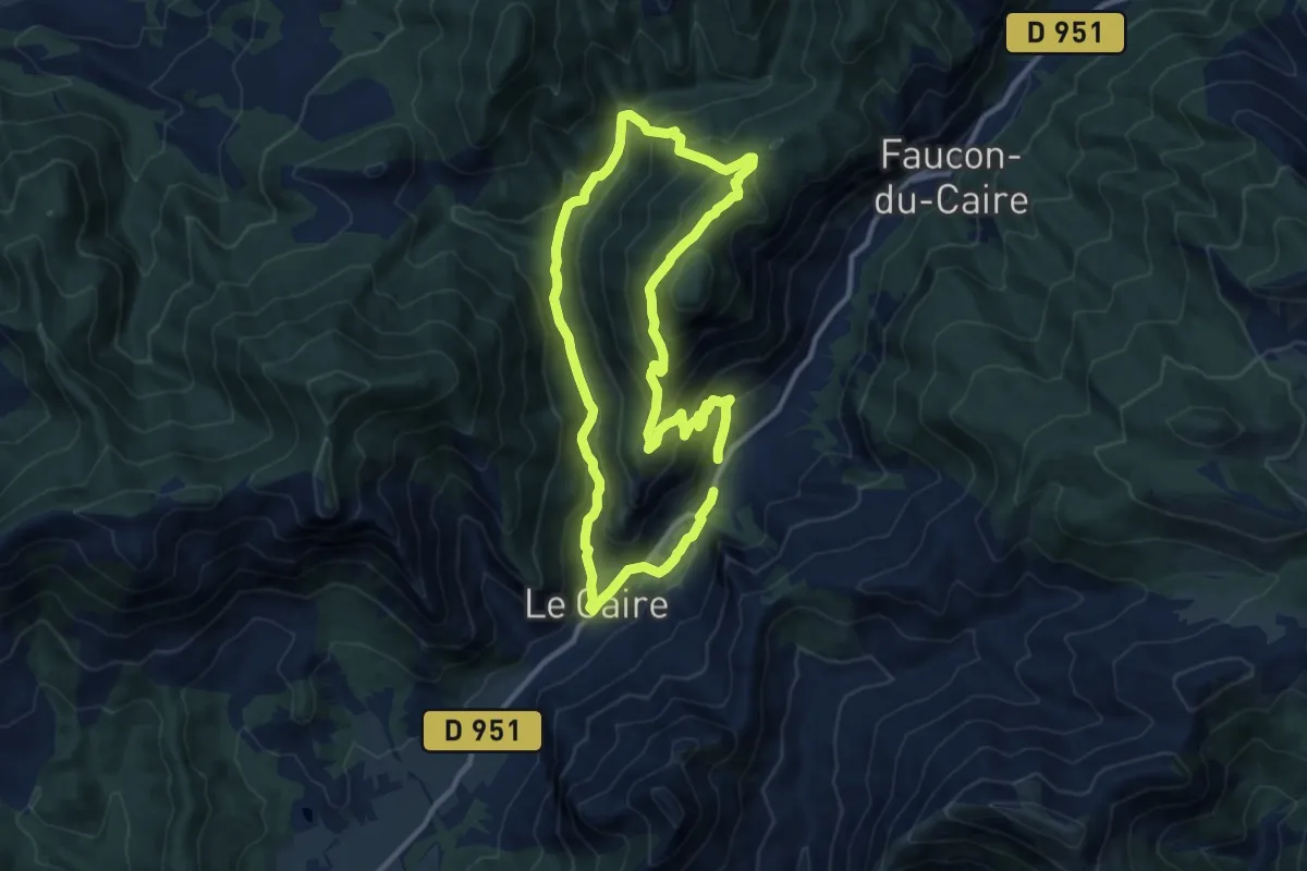
Medium · Trail
Tour de la Grande Fistoire
10.3 km · ↑ 615 m · 3 h 53 min
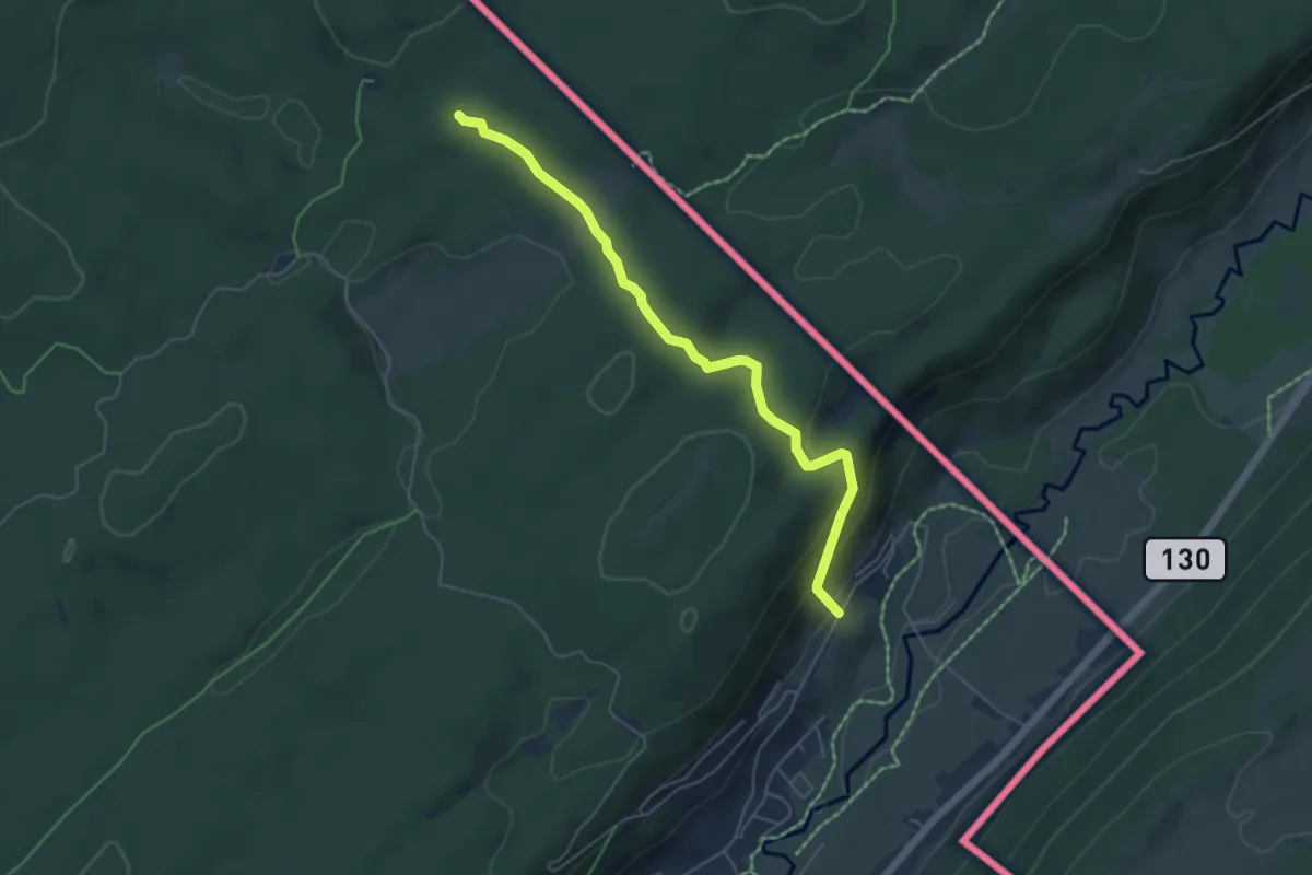
Easy · Trail
Tour de la Haute Bienne
2.7 km · ↑ 47 m · 50 min
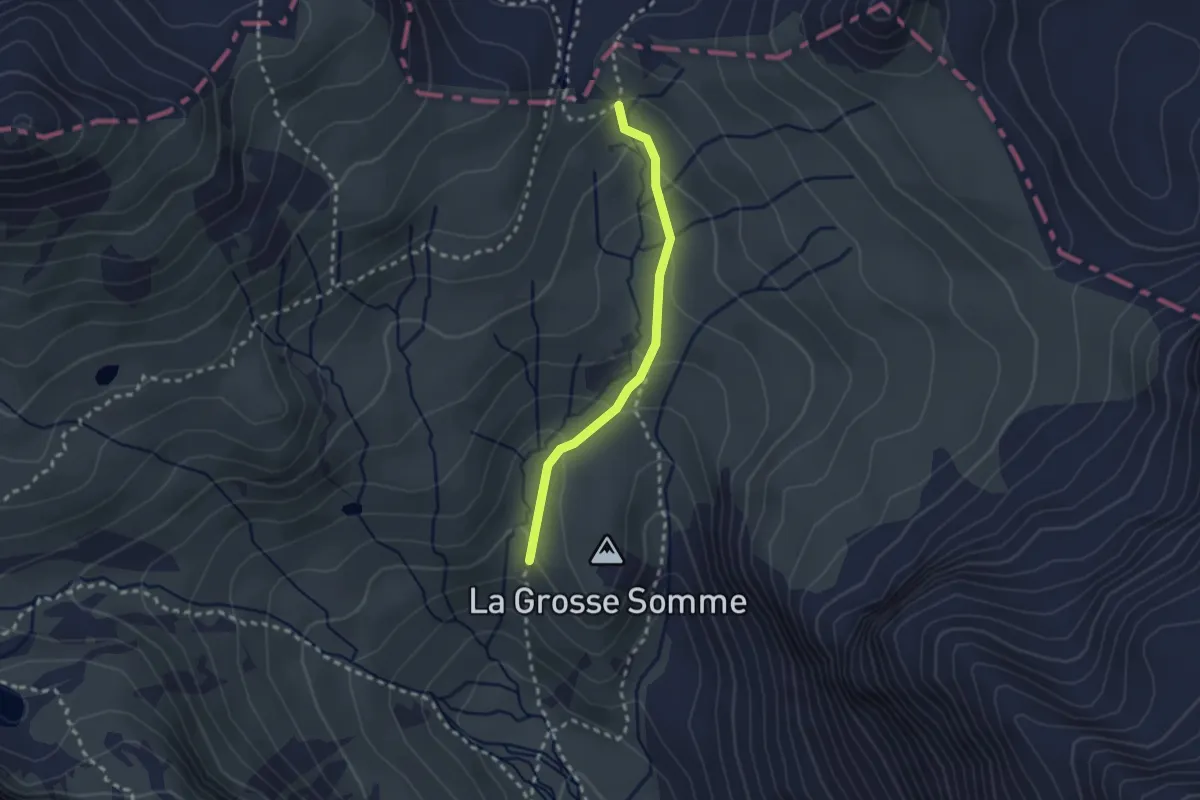
Medium · Trail
Tour de la Haute vallée de la Clarée
1.1 km · ↑ 0 m · 20 min
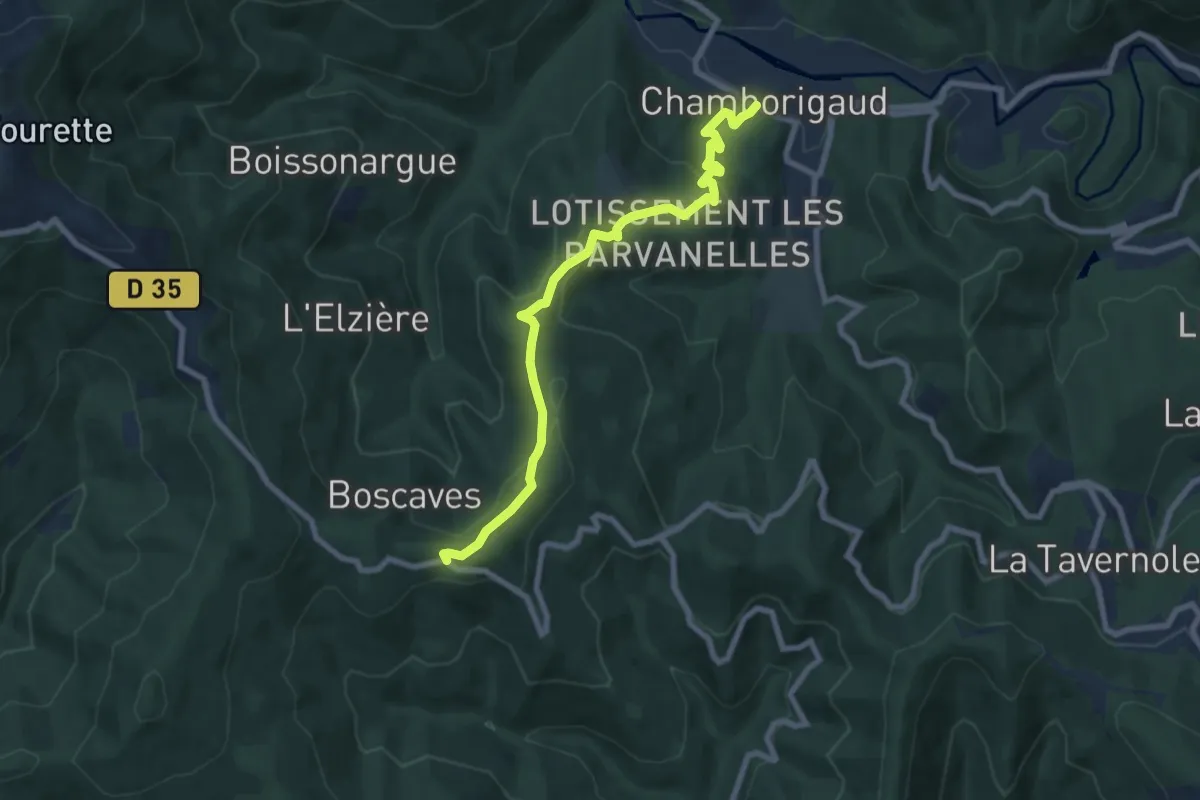
Medium · Trail
Tour de la Haute Vallée du Luech
8.3 km · ↑ 371 m · 2 h 46 min
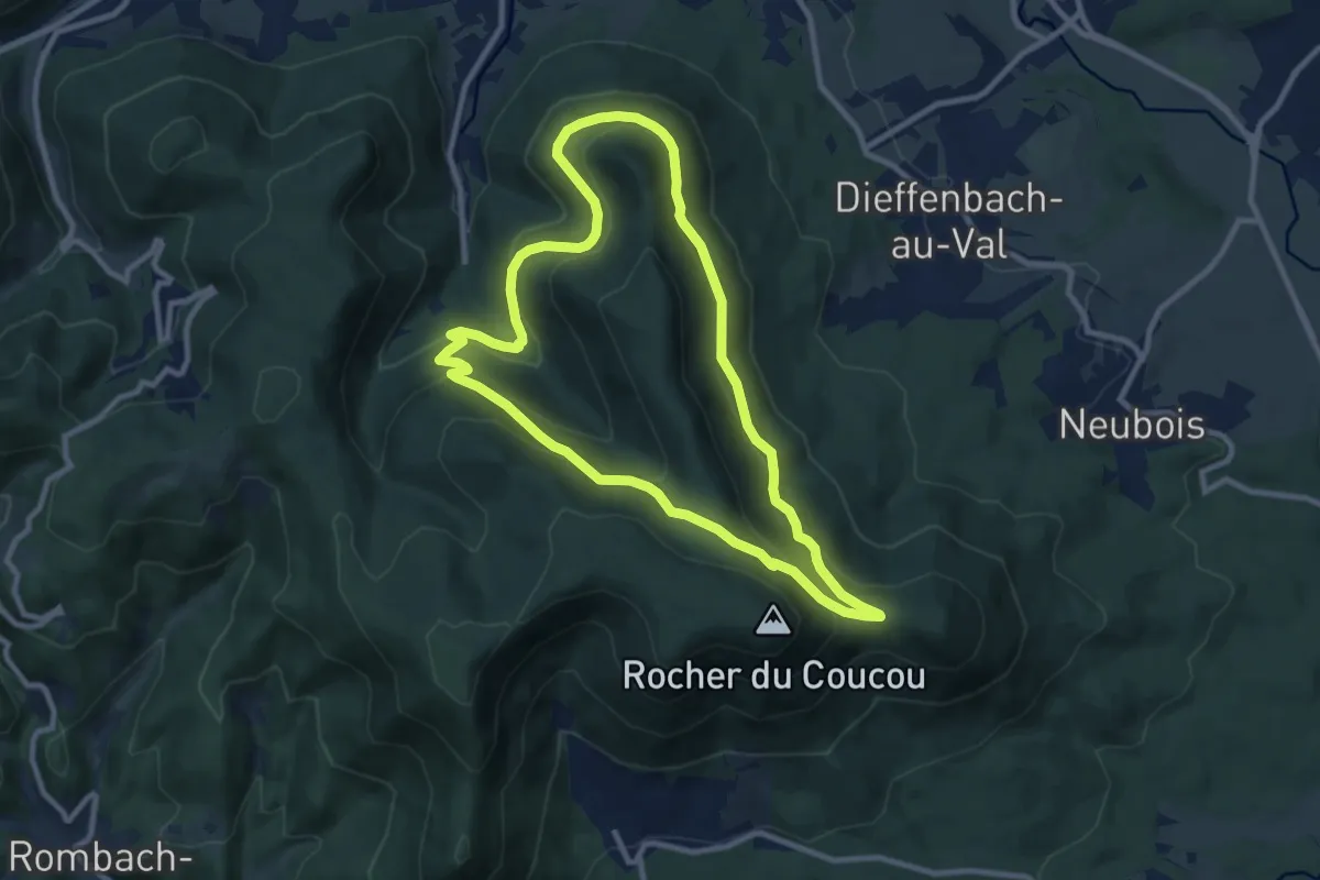
Medium · Trail
Tour de l’Altenberg
9.1 km · ↑ 388 m · 3 h 6 min
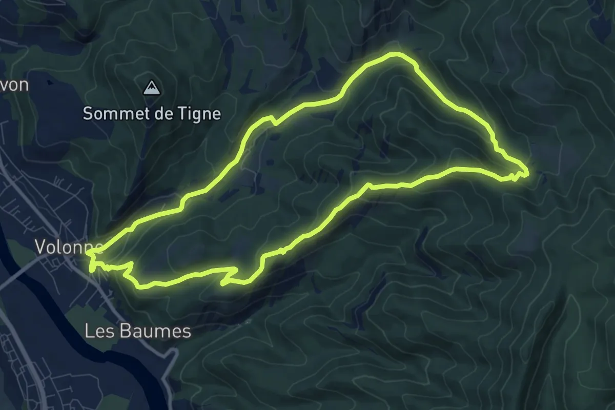
Medium · Trail
Tour de la Magdeleine
10.1 km · ↑ 455 m · 3 h 31 min
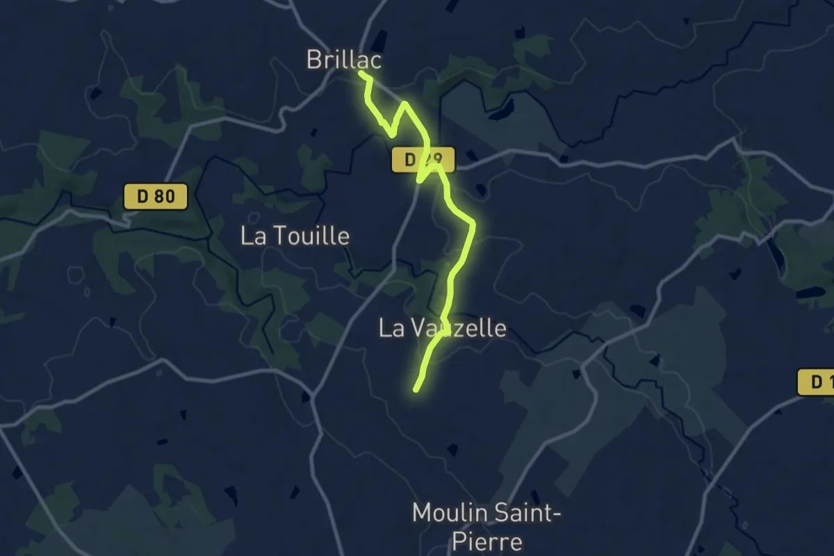
Medium · Trail
Tour de la Mandragore - Variante La Vauzelle
8.9 km · ↑ 160 m · 2 h 27 min
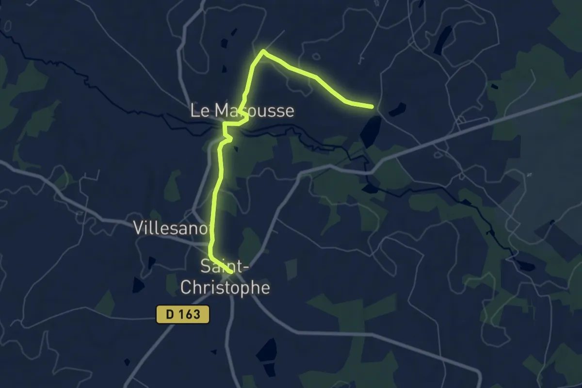
Easy · Trail
Tour de la Mandragore - variante Le Marousse
6.8 km · ↑ 130 m · 1 h 53 min
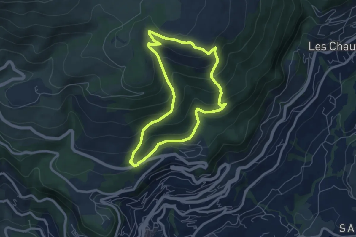
Medium · Trail
Tour de la Marbrière
5.4 km · ↑ 340 m · 2 h 6 min
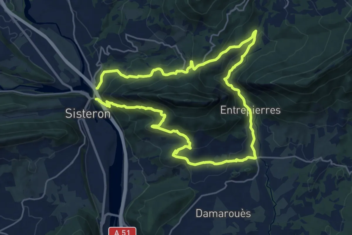
Medium · Trail
Tour de la montagne de la Baume
14.8 km · ↑ 721 m · 5 h 16 min
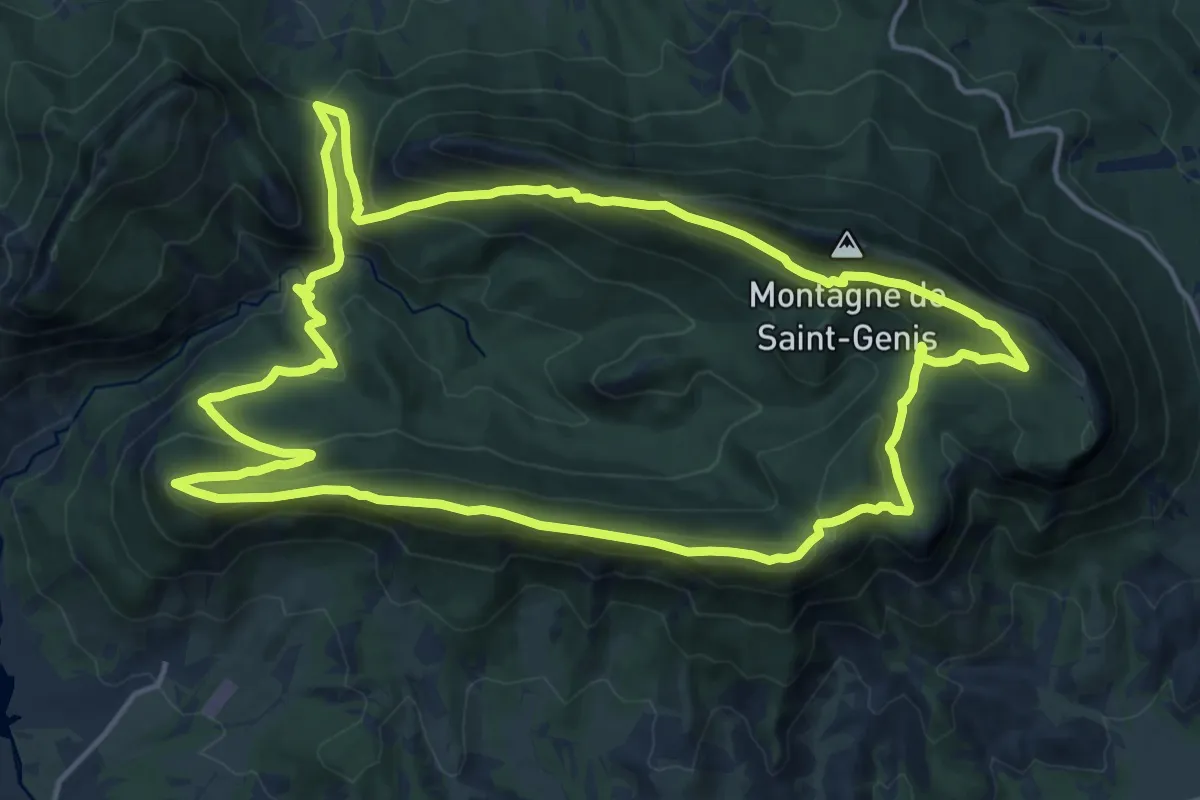
Medium · Trail
Tour de la Montagne de Saint-Genis
17.3 km · ↑ 727 m · 5 h 54 min
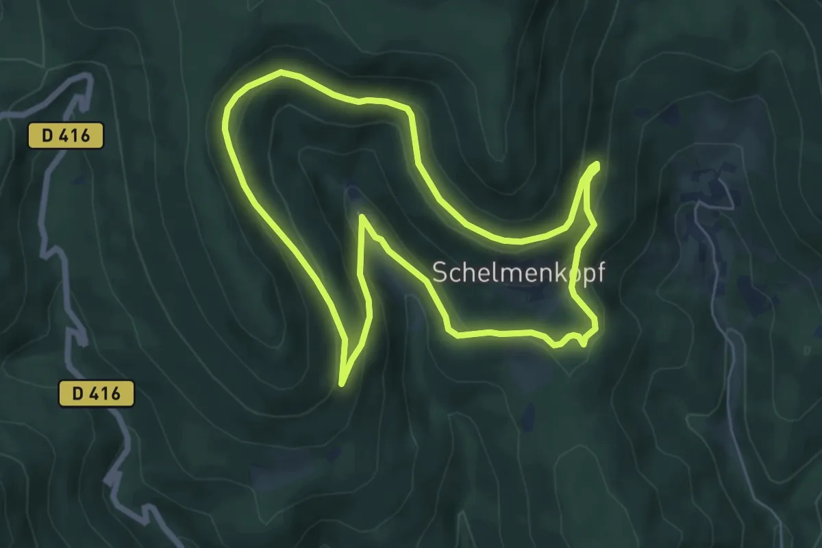
Easy · Trail
Tour de la Petite Verrerie
5.9 km · ↑ 230 m · 1 h 58 min
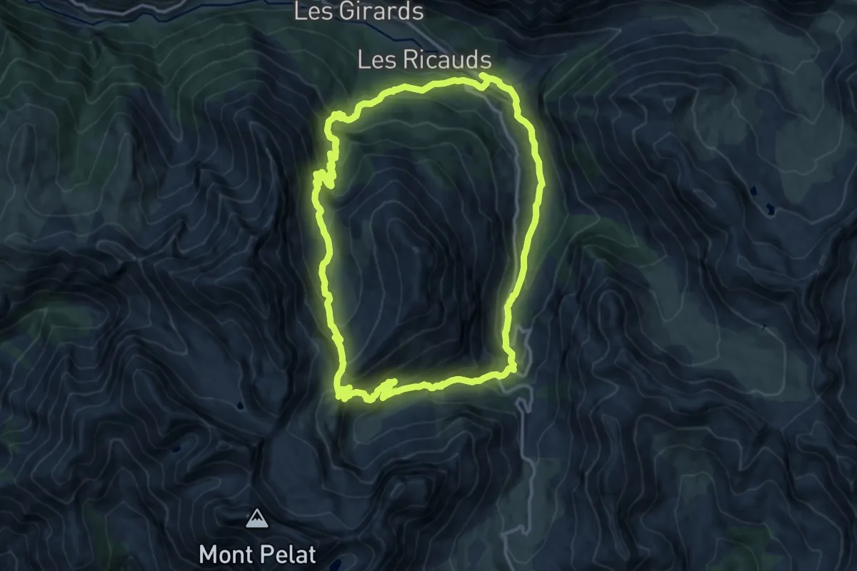
Medium · Trail
Tour de la Pierre Eclatée
14.0 km · ↑ 772 m · 5 h 11 min
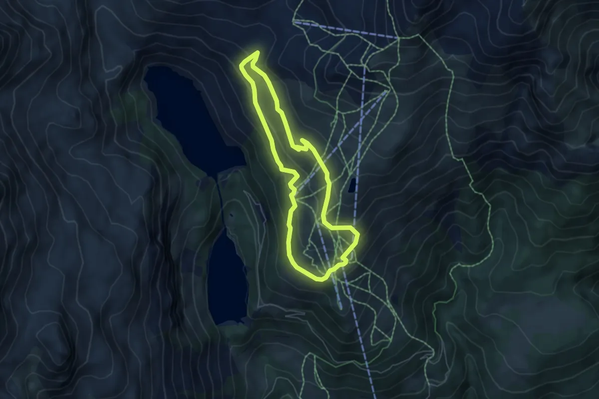
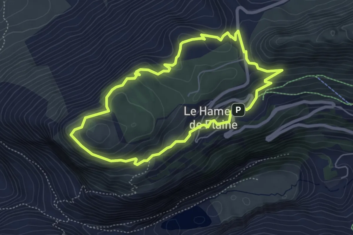
Medium · Cabin
Tour de la Randolière
4.9 km · ↑ 261 m · 1 h 48 min
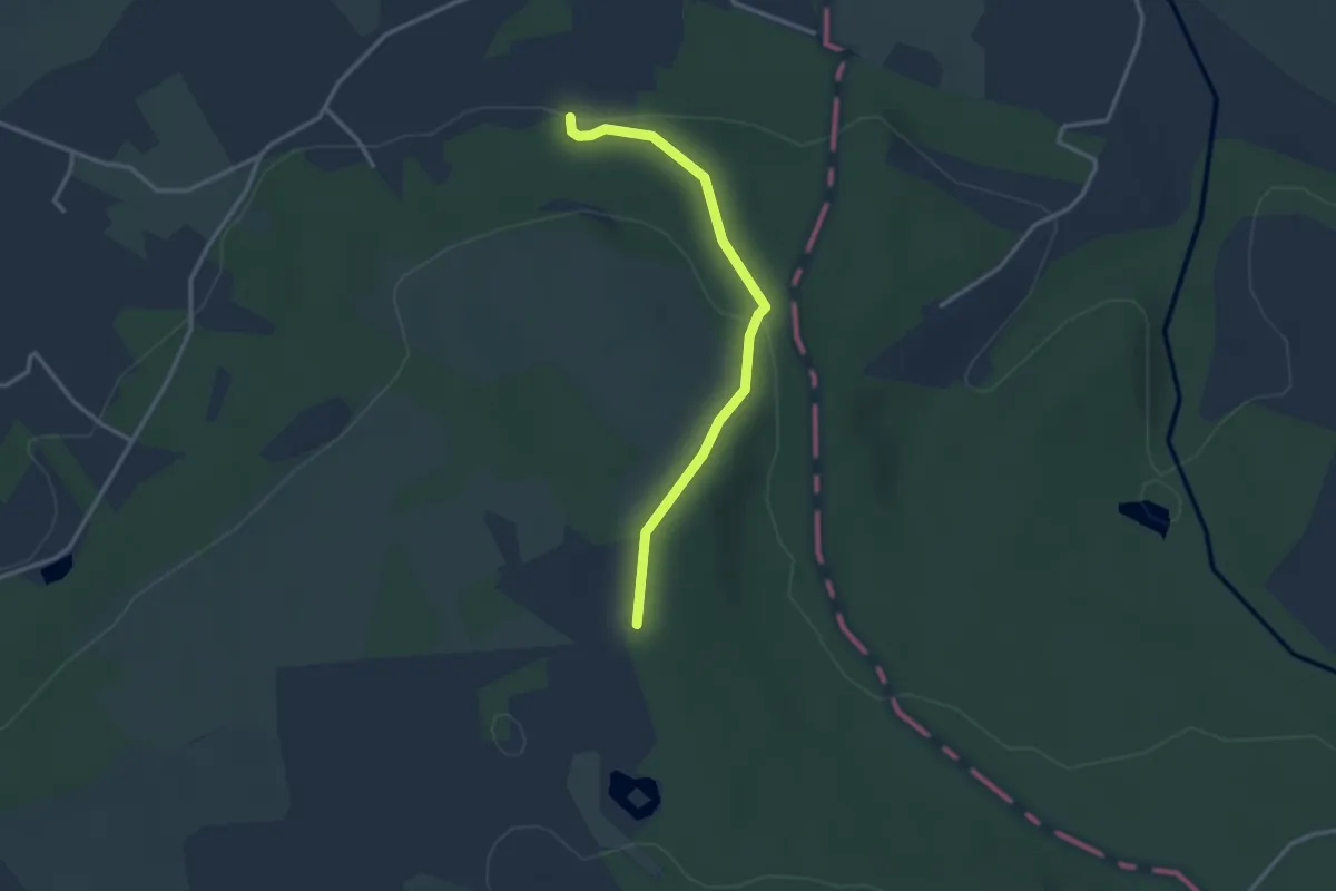
Medium · Summit
Tour de l'Arbaron
4.6 km · ↑ 245 m · 1 h 41 min
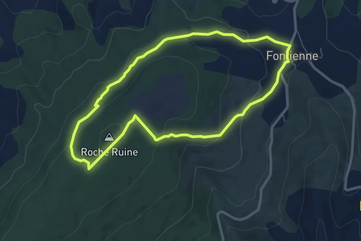
Easy · Trail
Tour de la Réserve Mont des Avaloirs
2.9 km · ↑ 85 m · 51 min
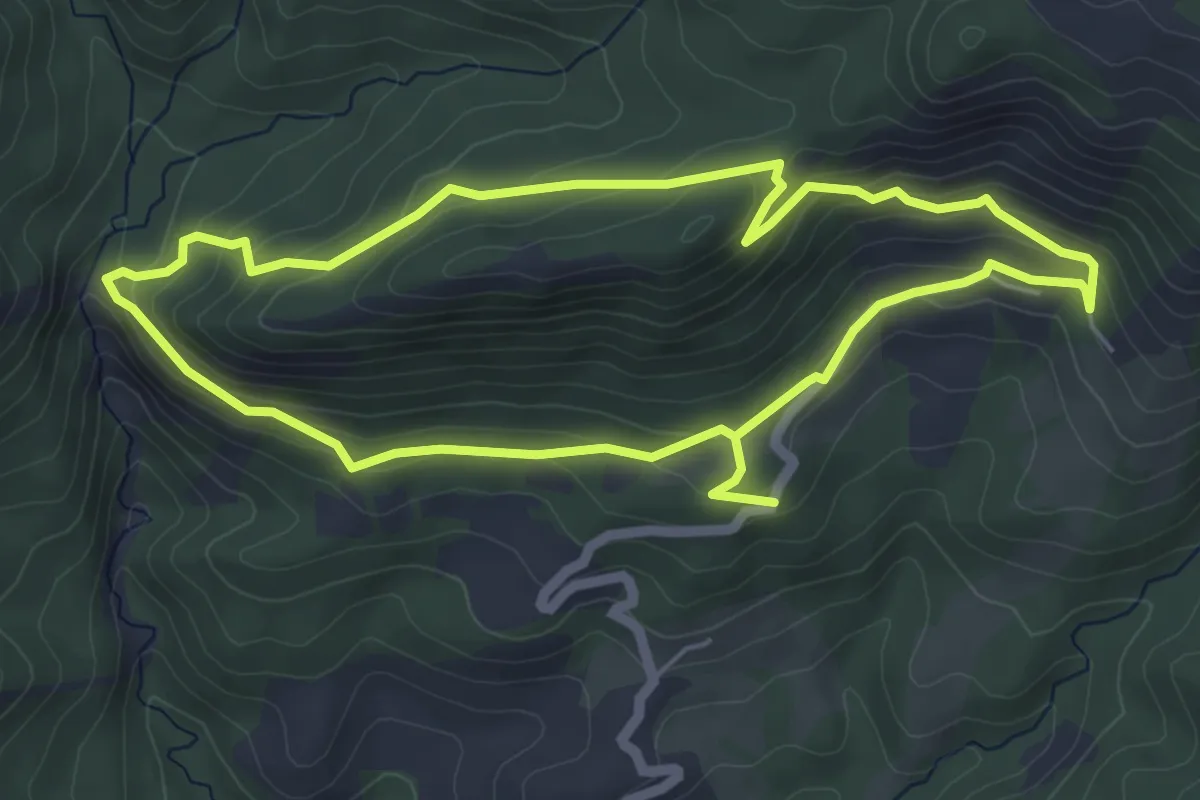
Easy · Summit
Tour de la Roche
6.0 km · ↑ 197 m · 1 h 55 min
Easy · Trail
Tour de la Roche des Brigands
5.5 km · ↑ 244 m · 1 h 54 min
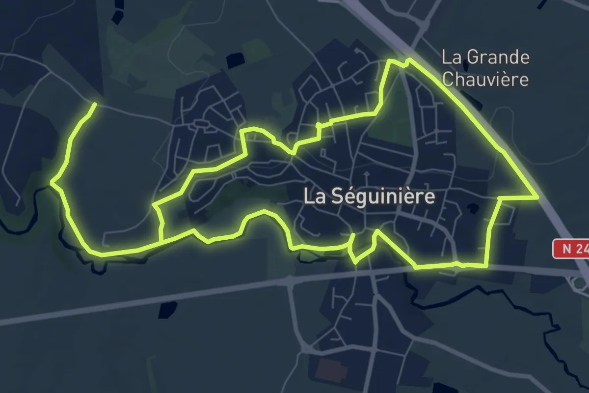
Easy · Trail
Tour de la Séguinière
7.7 km · ↑ 71 m · 2 h 5 min
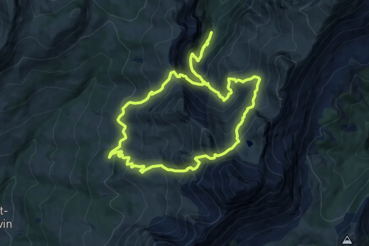
Demanding · Trail
Tour de la Tulle
11.7 km · ↑ 976 m · 5 h 2 min
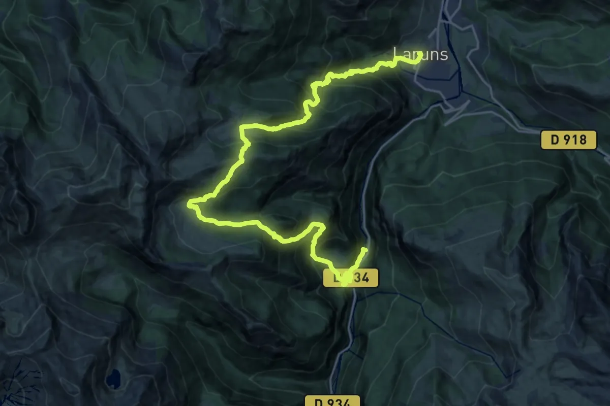
Demanding · Trail
Tour de la Vallée d'Ossau - Étape 1 Eaux-Chaudes / Laruns
13.8 km · ↑ 1291 m · 6 h 11 min
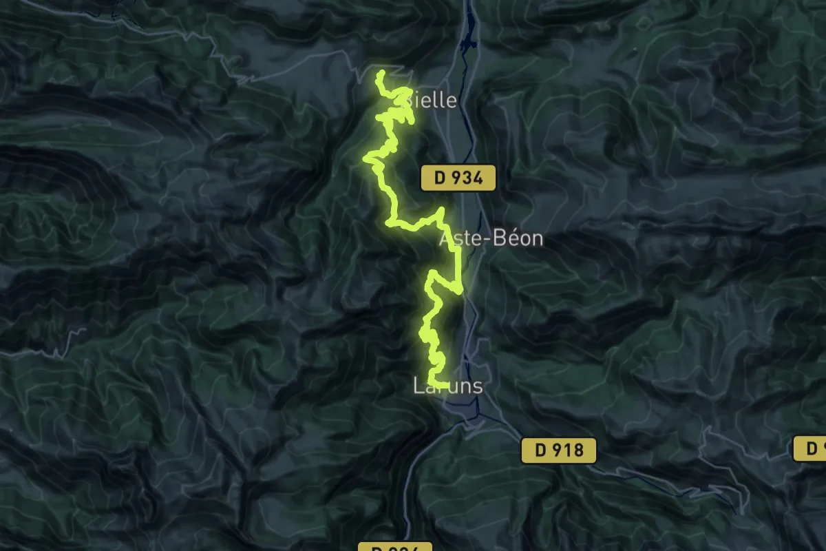
Demanding · Trail
Tour de la Vallée d'Ossau - Étape 2 Laruns / Bilhères
21.7 km · ↑ 1576 m · 8 h 47 min
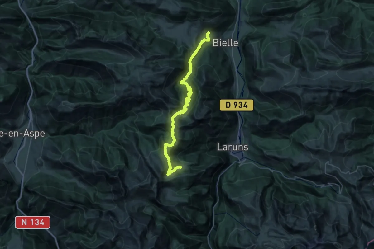
Demanding · Cabin
Tour de la Vallée d'Ossau - Étape 2 Variante Cabane d’Arriutort / Bilhères
17.6 km · ↑ 1569 m · 7 h 22 min
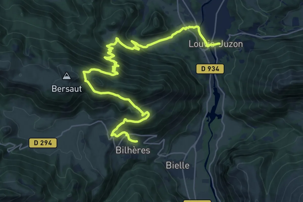
Demanding · Trail
Tour de la Vallée d'Ossau - Étape 3 Bilhères / Louvie-Juzon
13.0 km · ↑ 853 m · 4 h 59 min
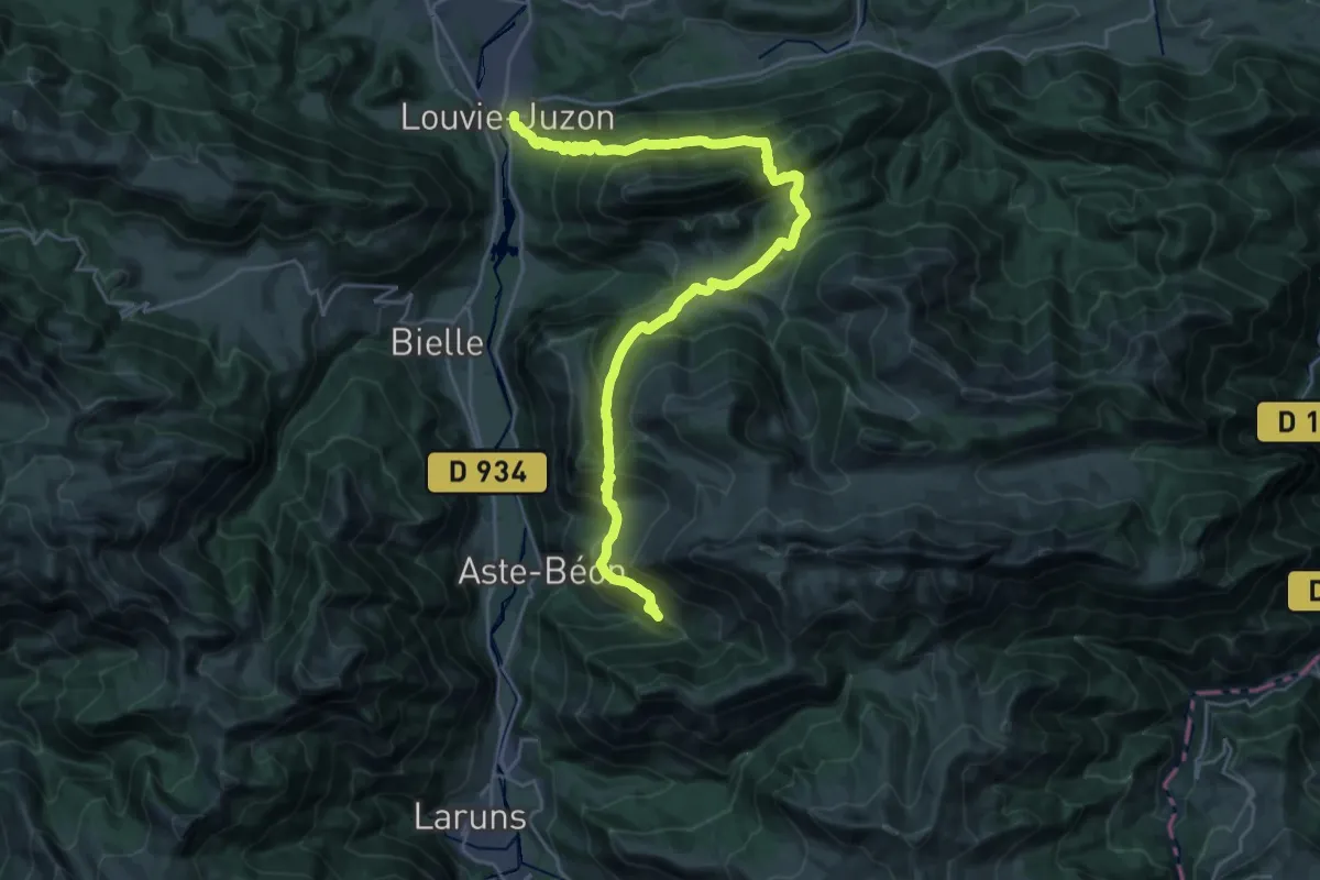
Demanding · Trail
Tour de la Vallée d'Ossau - Étape 4 Louvie-Juzon / Granges du Dès
16.0 km · ↑ 1279 m · 6 h 31 min
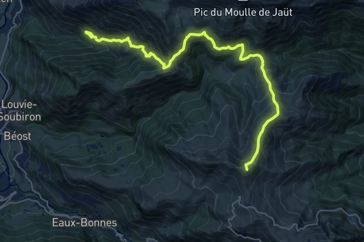
Demanding · Summit
Tour de la Vallée d'Ossau - Étape 5 Granges du Dès / Col d'Aubisque
20.8 km · ↑ 1487 m · 8 h 8 min
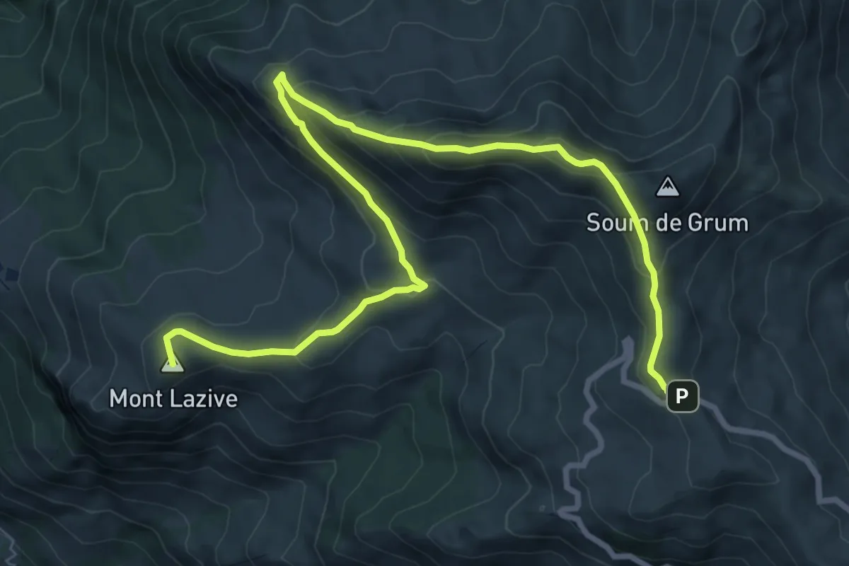
Medium · Summit
Tour de la Vallée d'Ossau - Étape 6 bis Variante Col d'Aubisque / Eaux-Bonnes par Aas
11.2 km · ↑ 575 m · 3 h 54 min
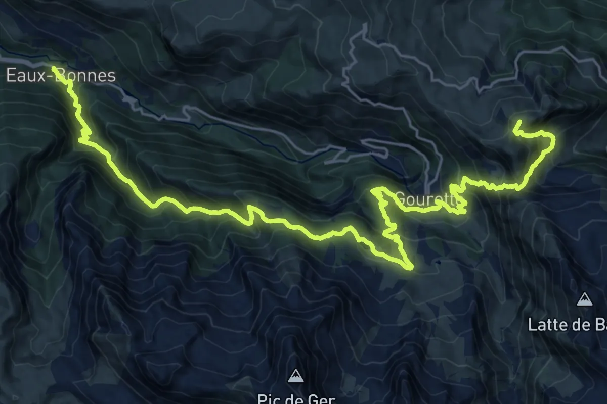
Demanding · Summit
Tour de la Vallée d'Ossau - Étape 6 Col d'Aubisque / Eaux-Bonnes par Gourette
28.0 km · ↑ 2164 m · 11 h 18 min
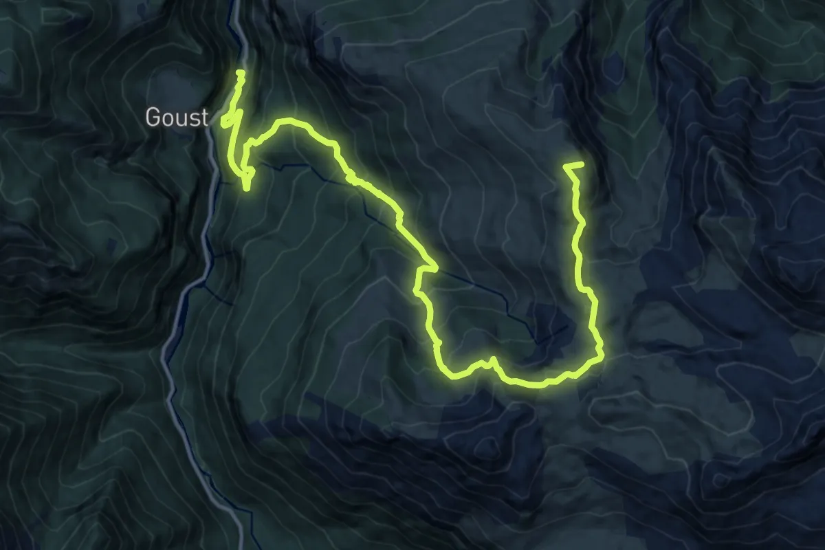
Demanding · Summit
Tour de la Vallée d'Ossau - Étape 7 Eaux-Bonnes / Eaux-Chaudes
19.8 km · ↑ 1596 m · 8 h 7 min
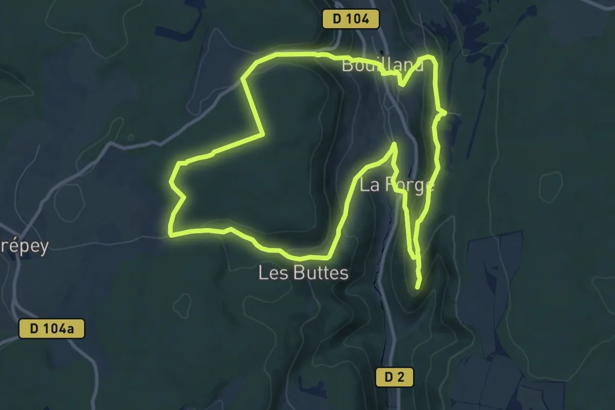
Medium · Trail
Tour de la Vallée du Rhoin
9.9 km · ↑ 376 m · 3 h 17 min
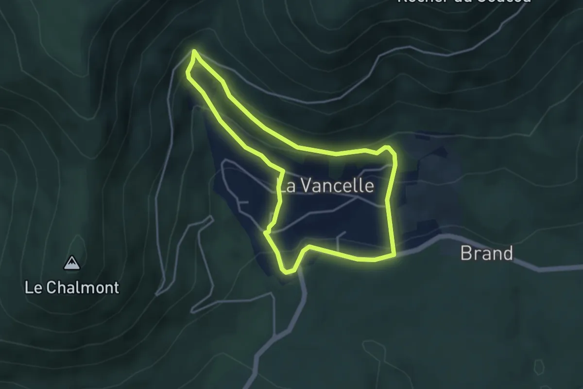
Easy · Trail
Tour de La Vancelle
3.3 km · ↑ 188 m · 1 h 14 min
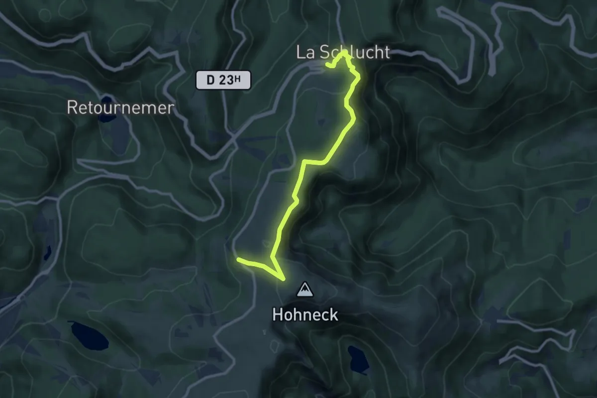
Easy · Trail
Tour de la Vologne
4.4 km · ↑ 209 m · 1 h 30 min
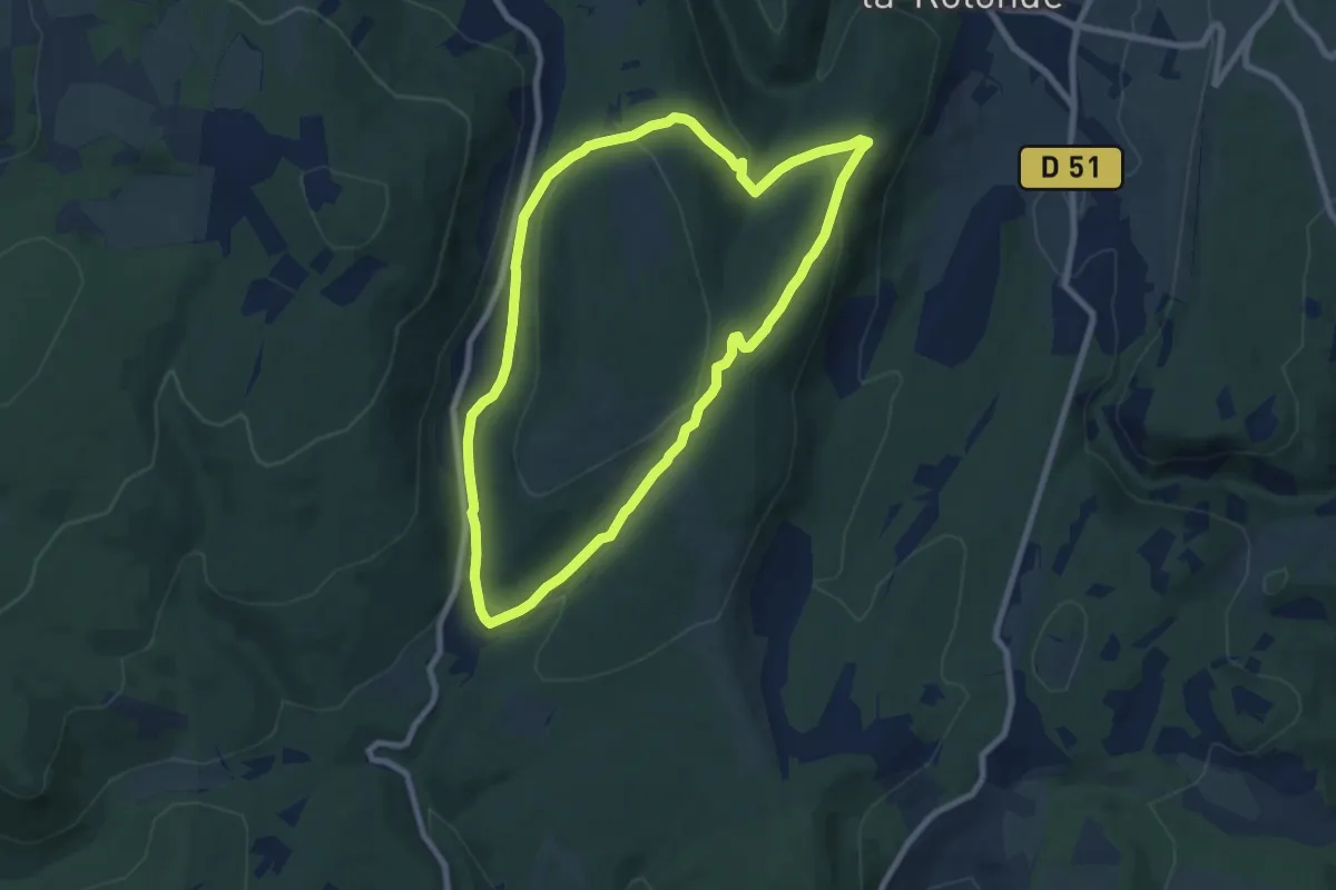
Medium · Trail
Tour de l'Espéron
8.0 km · ↑ 244 m · 2 h 32 min
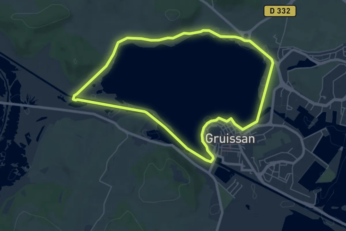
Easy · Trail
Tour de l'Étang
6.0 km · ↑ 13 m · 1 h 32 min