Trails in France
15,926 hiking trails, each with its route, climb, walking time and grade.
All trails, page 270 of 332
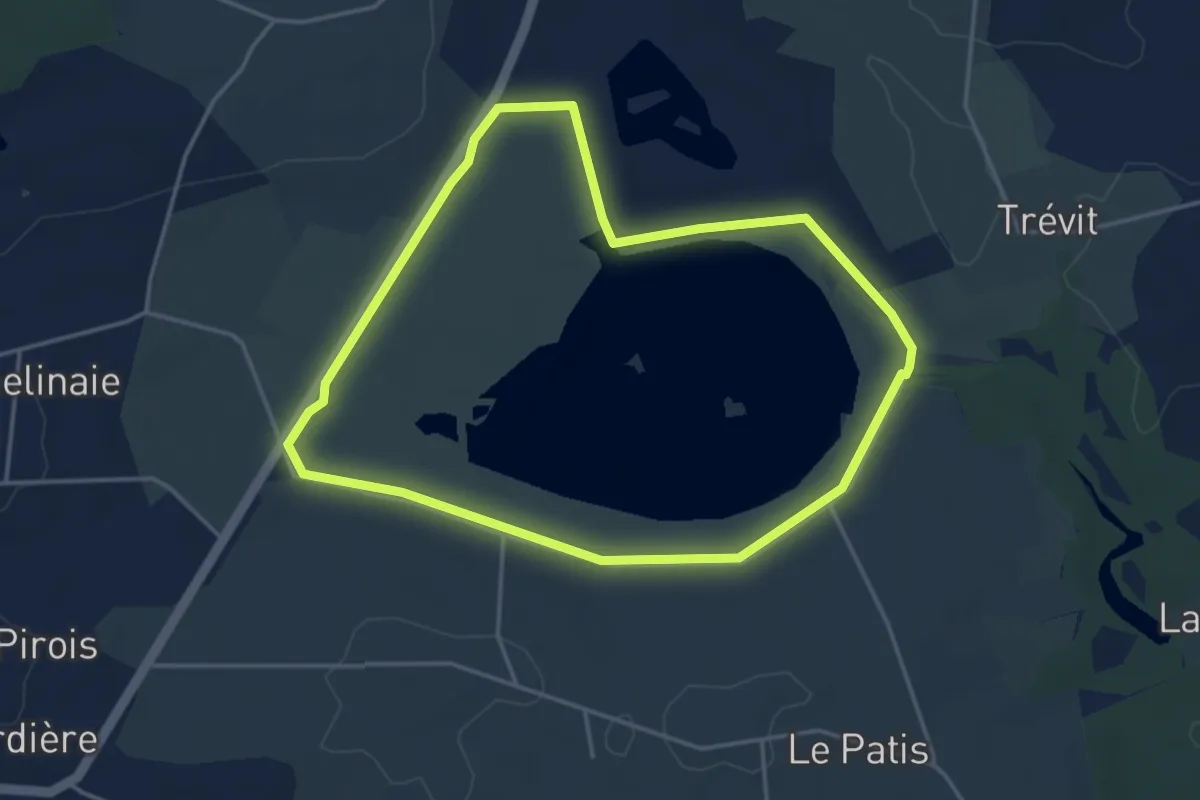
Easy · Trail
Tour de l'Étang de Careil
3.8 km · ↑ 9 m · 59 min
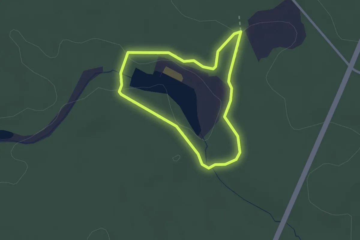
Easy · Trail
Tour de l'étang de Chènedet
1.9 km · ↑ 28 m · 32 min
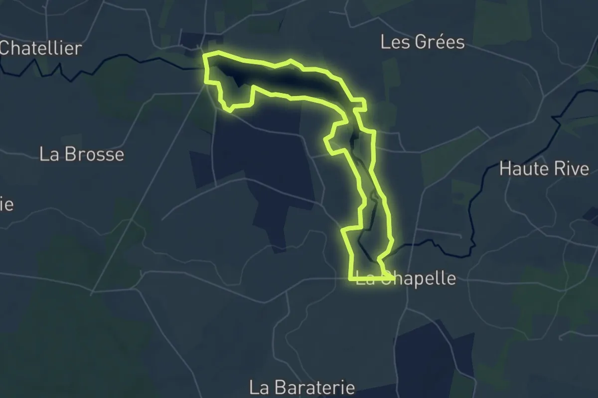
Easy · Trail
Tour de l'étang de la Hunaudière
6.1 km · ↑ 18 m · 1 h 33 min
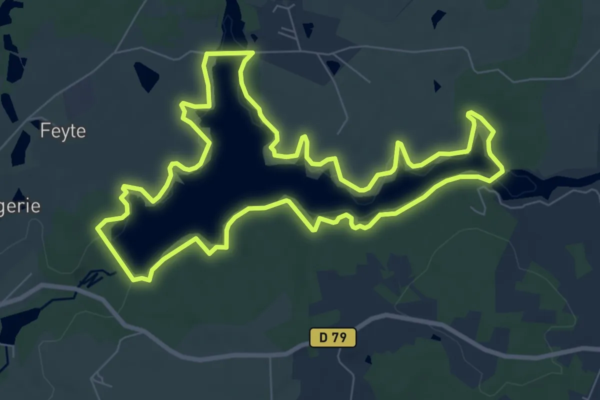
Easy · Trail
Tour de l'étang de Mialet
7.9 km · ↑ 25 m · 2 h 1 min
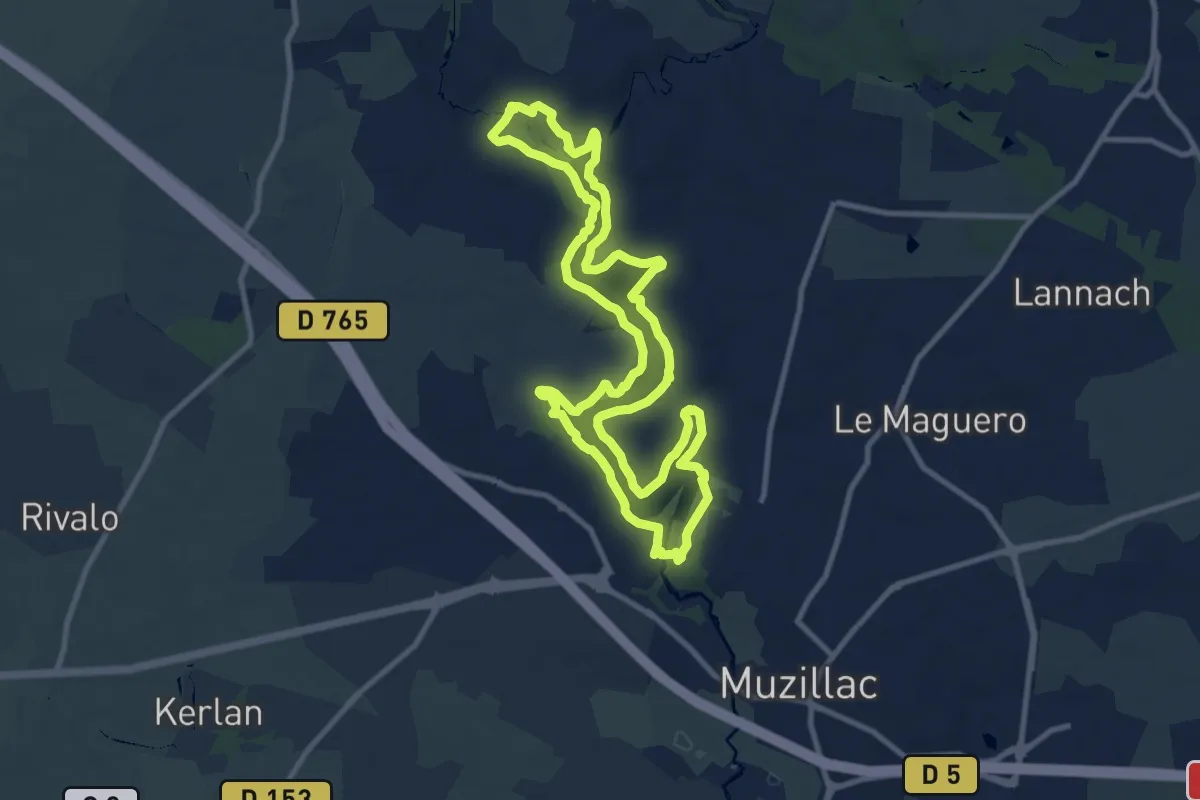
Medium · Trail
Tour de l'Etang de Pen Mur
10.4 km · ↑ 118 m · 2 h 52 min
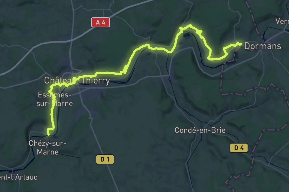
Demanding · Trail
Tour de l'Omois
35.1 km · ↑ 658 m · 10 h 13 min
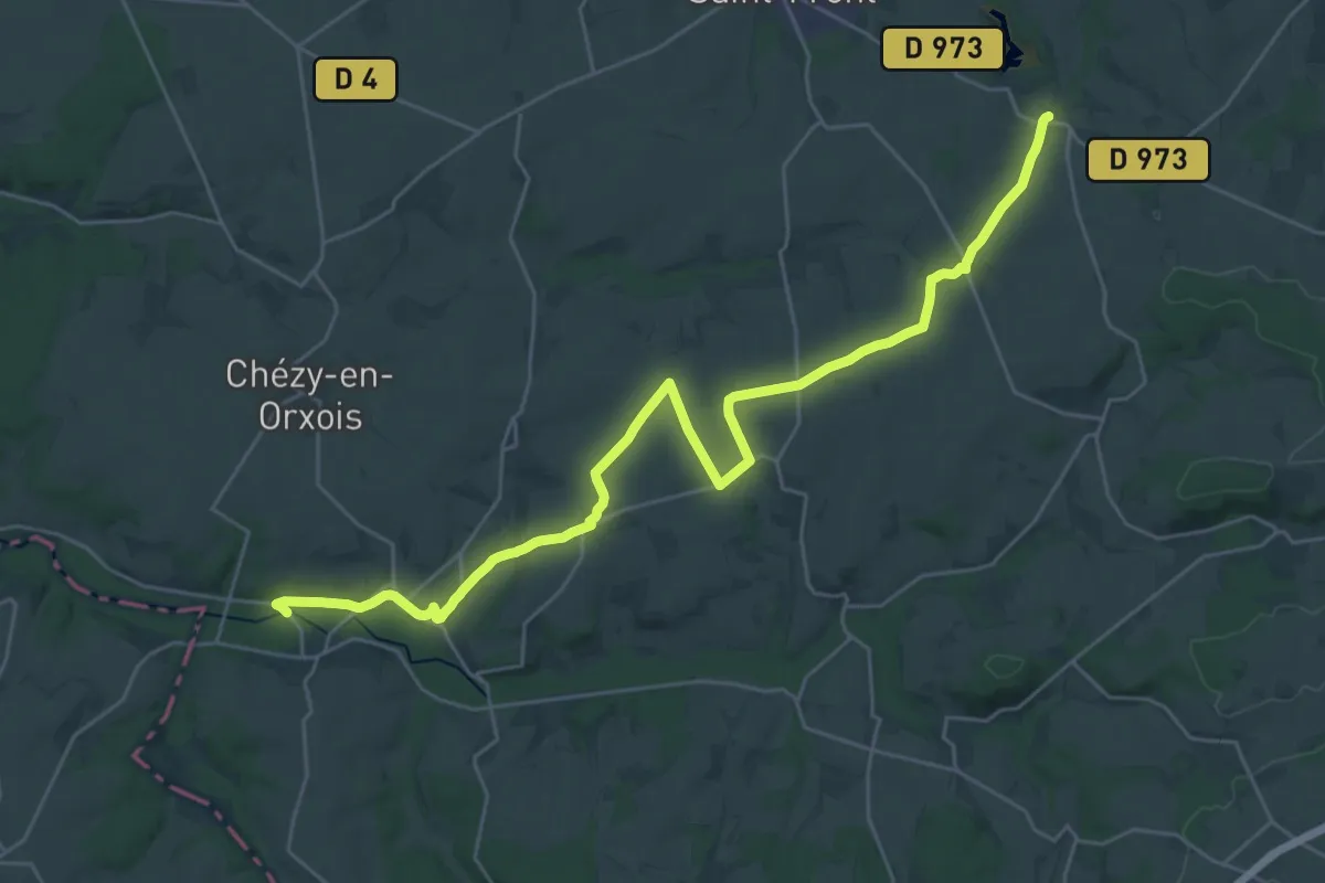
Medium · Trail
Tour de l'Omois
15.5 km · ↑ 216 m · 4 h 19 min
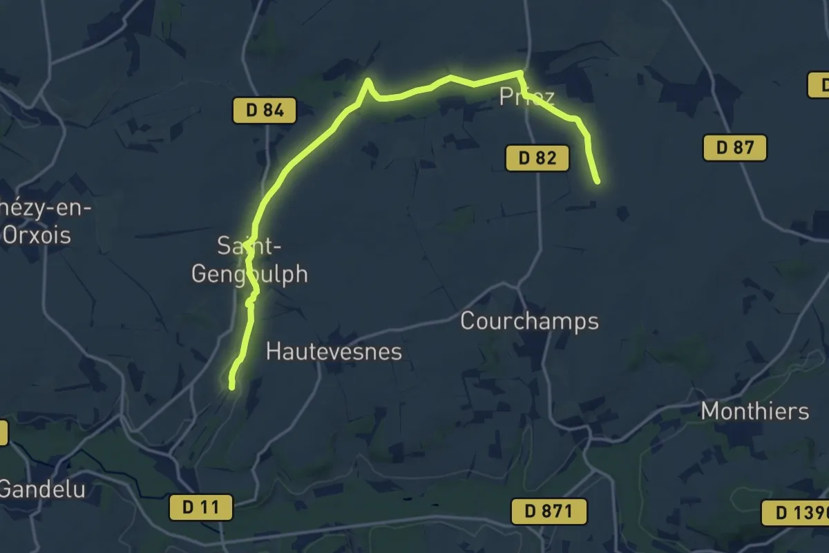
Medium · Trail
Tour de l'Omois
16.4 km · ↑ 188 m · 4 h 17 min
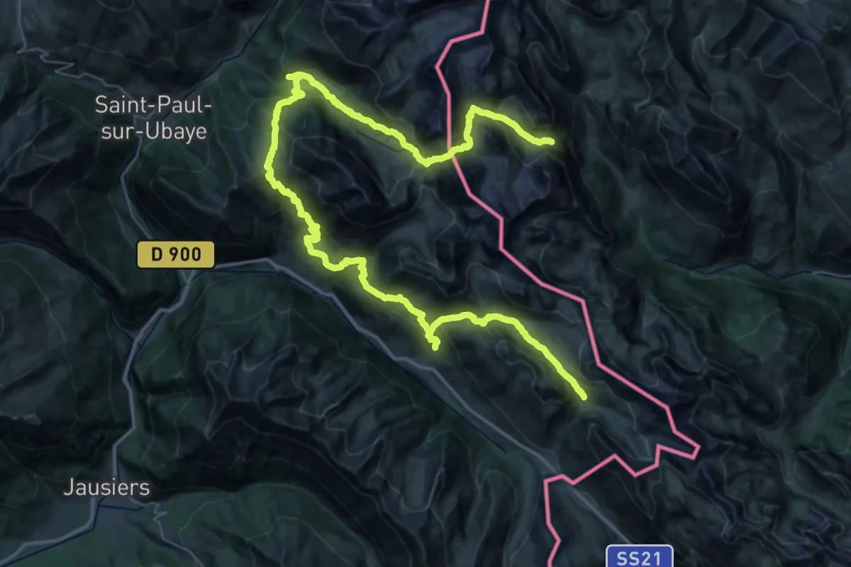
Expert · Summit
Tour de l'Oronaye
31.9 km · ↑ 2255 m · 12 h 51 min
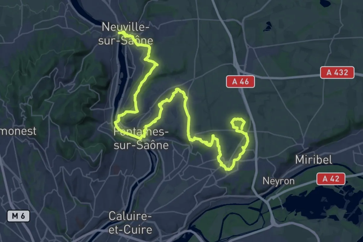
Demanding · Trail
Tour de Lyon, de la Saône au Fort de Vancia
24.4 km · ↑ 420 m · 6 h 56 min
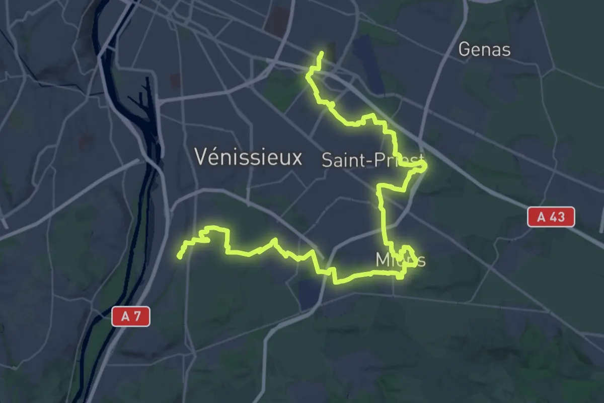
Demanding · Trail
Tour de Lyon, du Fort de Bron à Feyzin
30.6 km · ↑ 182 m · 8 h 4 min
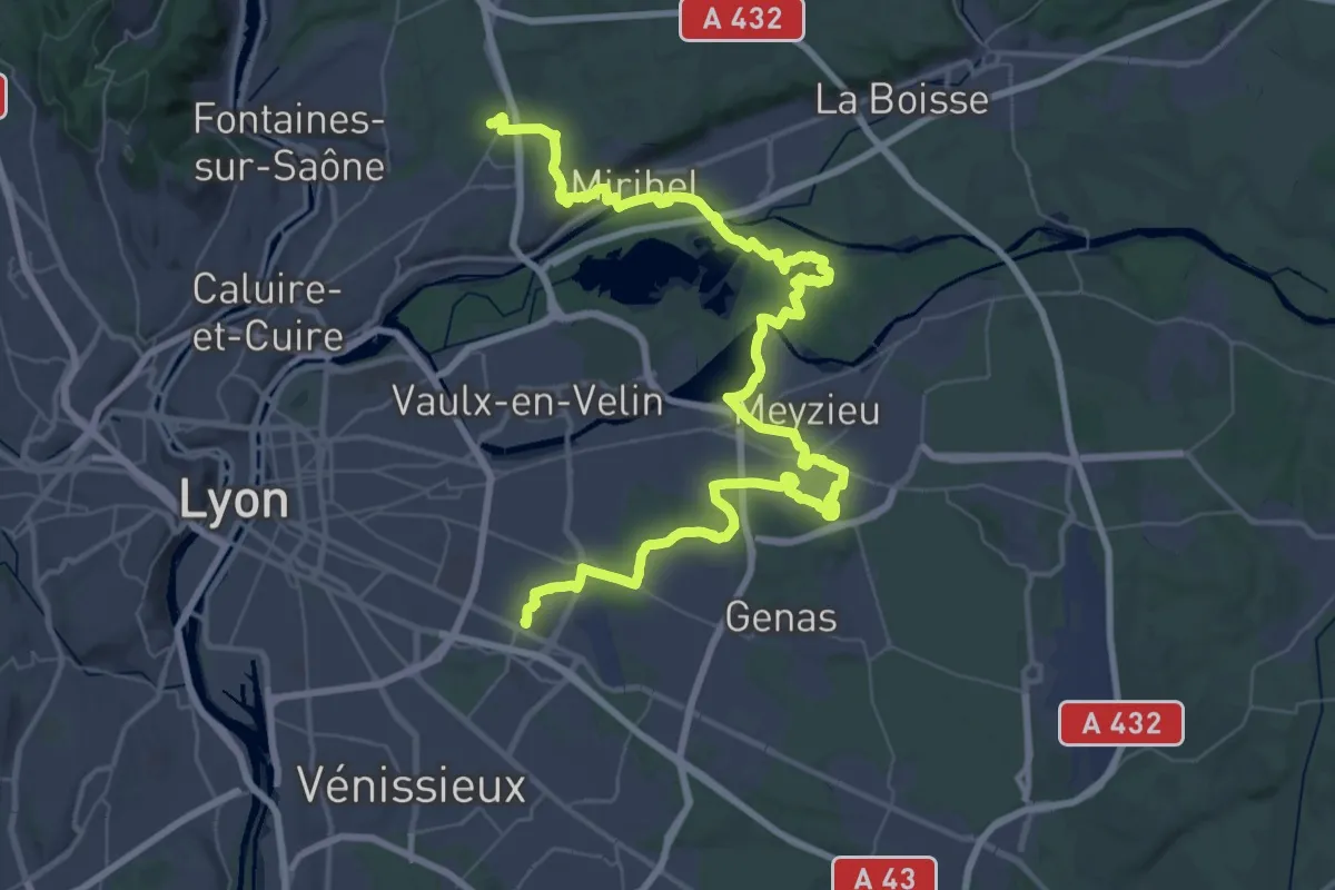
Demanding · Trail
Tour de Lyon, du Fort de Vancia au Fort de Bron
35.3 km · ↑ 297 m · 9 h 26 min
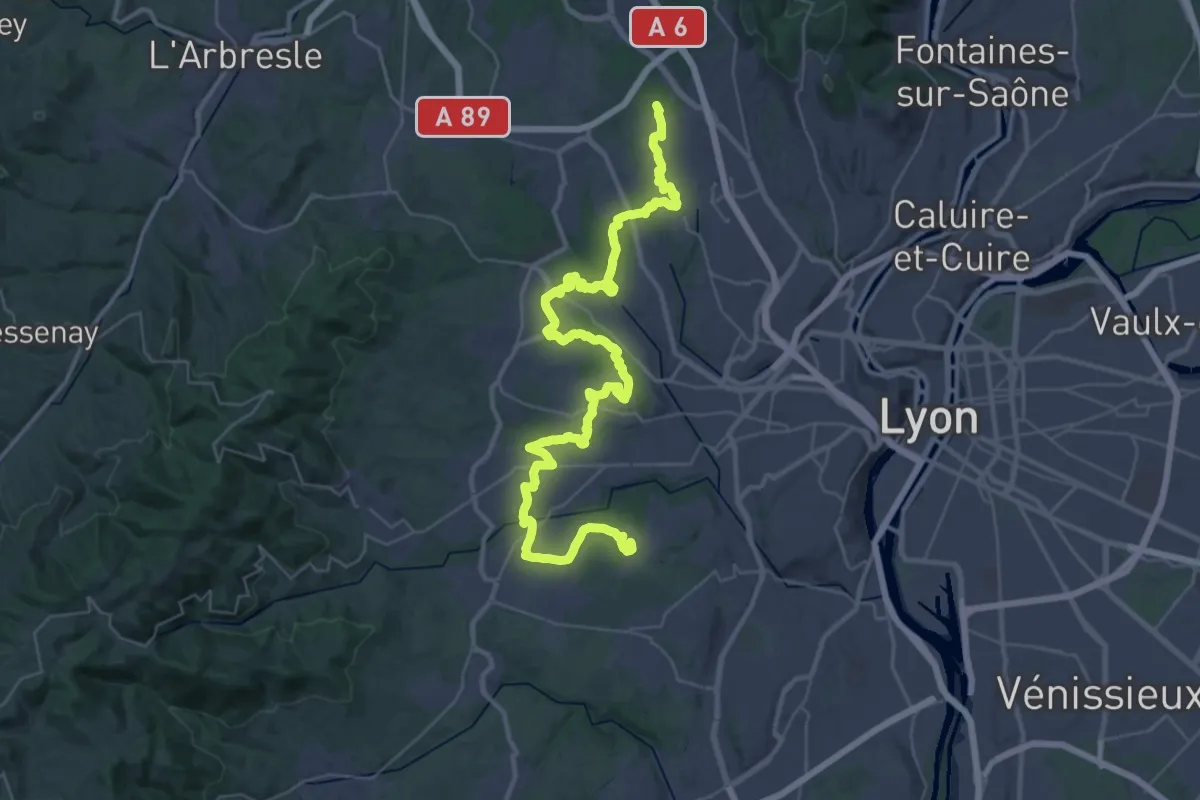
Demanding · Trail
Tour de Lyon, du Fort du Bruissin au Fort du Paillet
25.6 km · ↑ 397 m · 7 h 13 min
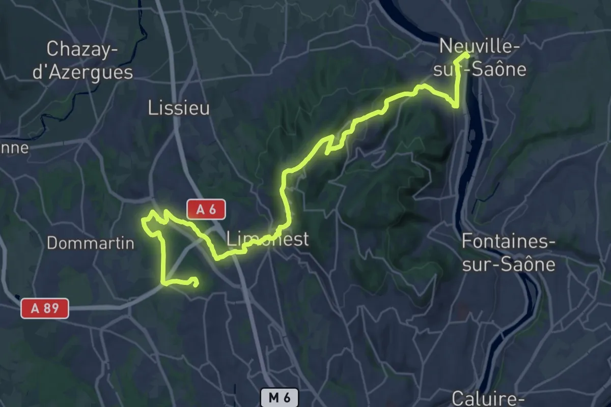
Medium · Trail
Tour de Lyon, du Fort du Paillet à la Saône
17.8 km · ↑ 349 m · 5 h 19 min
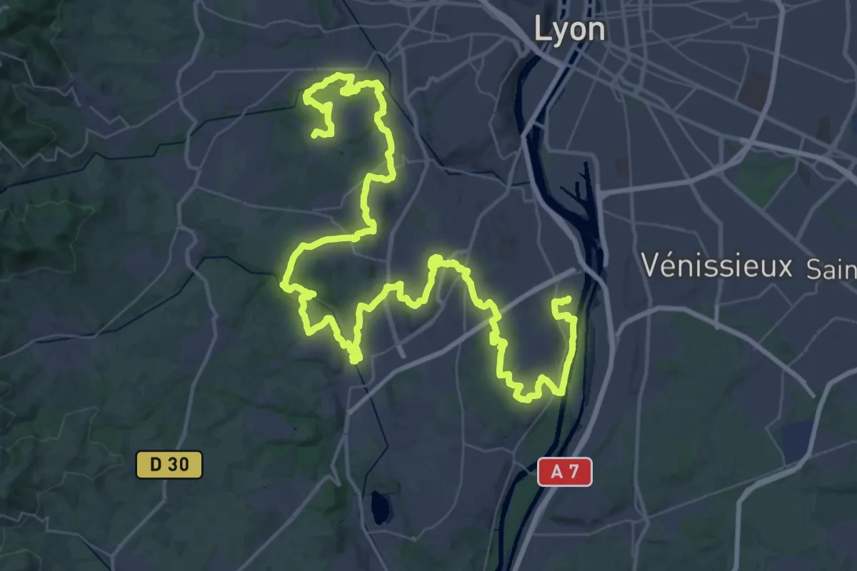
Demanding · Trail
Tour de Lyon, d'Yvours au Fort de Bruissin
39.4 km · ↑ 535 m · 11 h 5 min
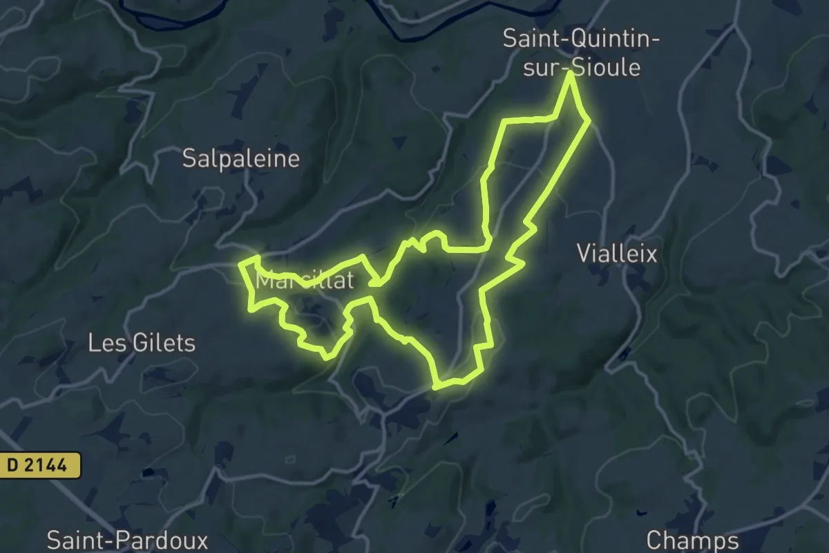
Medium · Trail
Tour de Mathas
13.4 km · ↑ 312 m · 4 h 1 min
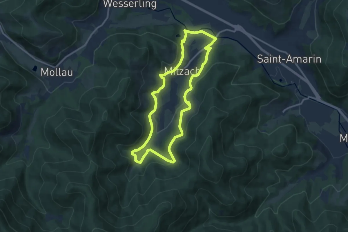
Easy · Trail
Tour de Mitzach
7.8 km · ↑ 270 m · 2 h 32 min
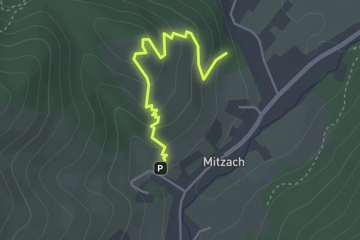
Easy · Trail
Tour de Mitzach variante par Stumpfrain
2.7 km · ↑ 200 m · 1 h 4 min
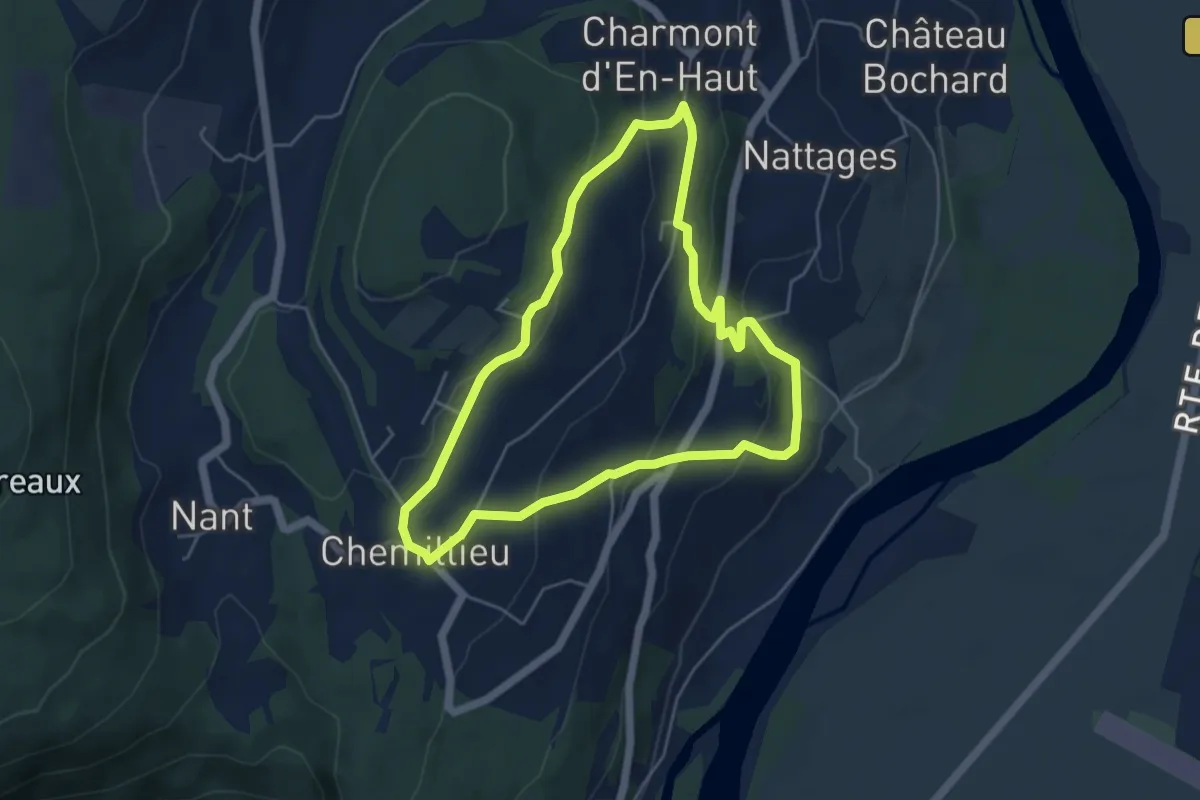
Easy · Trail
Tour de Nattages
4.8 km · ↑ 205 m · 1 h 39 min
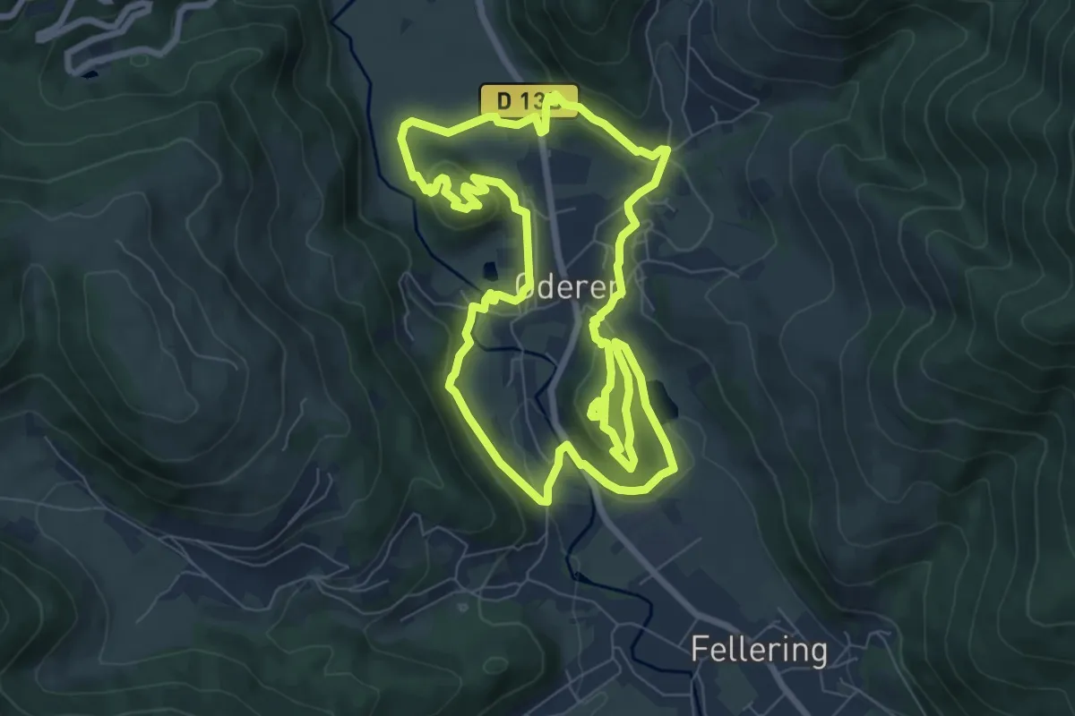
Easy · Trail
Tour de Oderen
7.9 km · ↑ 262 m · 2 h 33 min
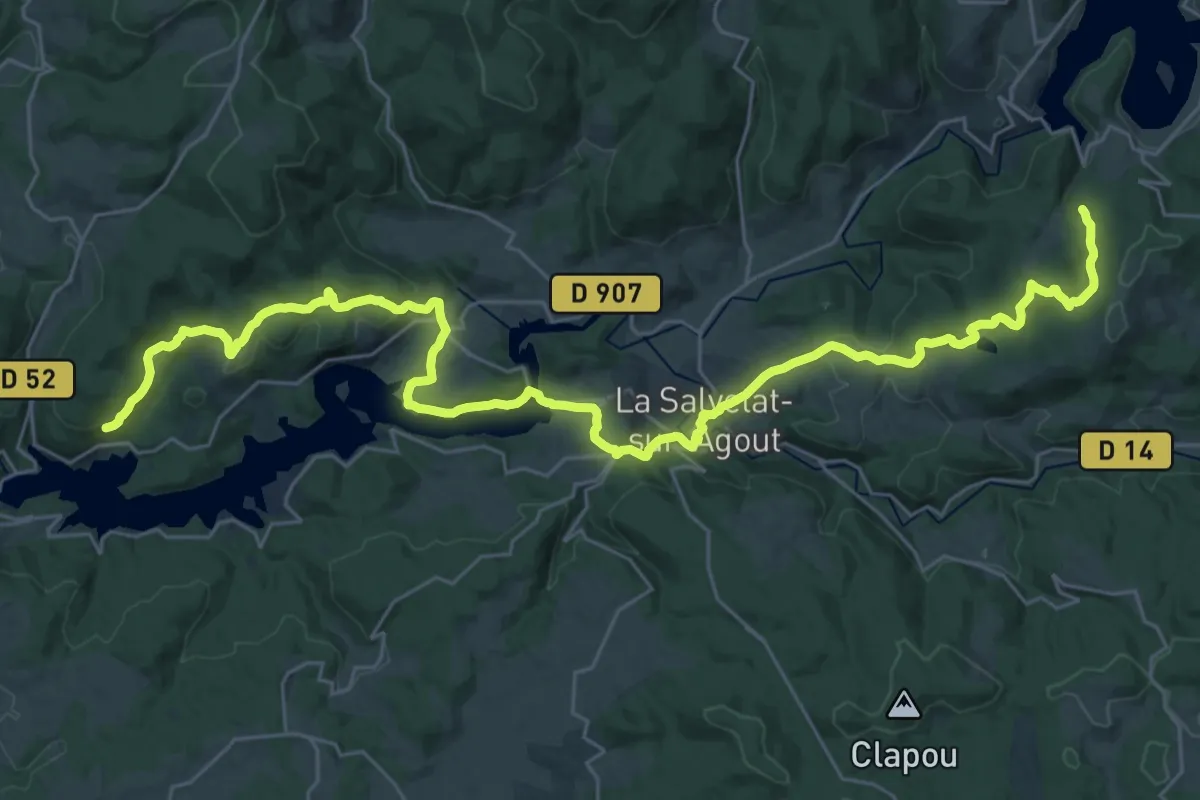
Demanding · Trail
Tour de Pays des Hautes-Terres d'Oc
19.7 km · ↑ 454 m · 5 h 58 min
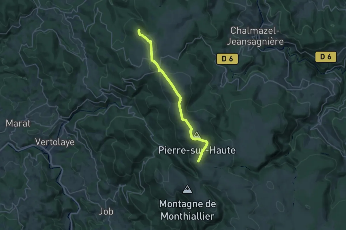
Medium · Summit
Tour de Pays en Livradois-Forez
9.4 km · ↑ 349 m · 3 h 2 min
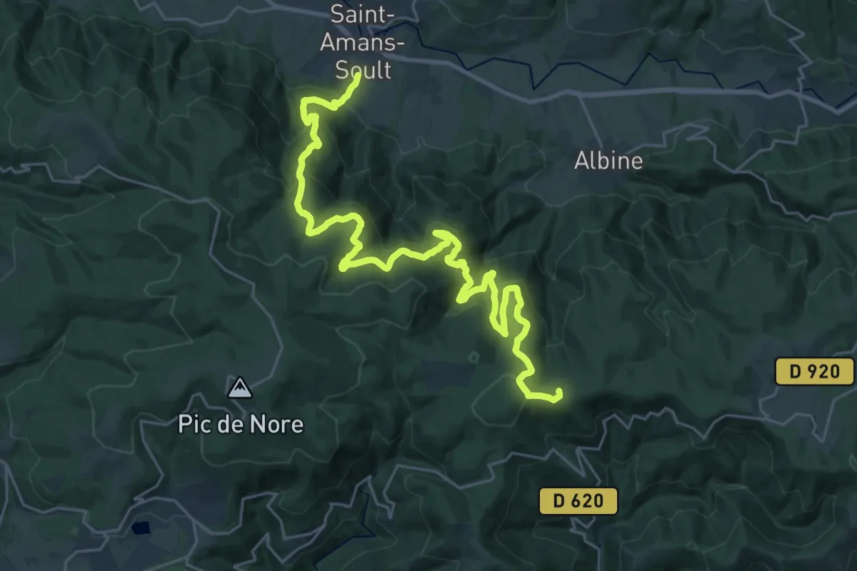
Demanding · Summit
Tour de Pays Haute Vallée du Thoré
33.3 km · ↑ 1498 m · 11 h 6 min
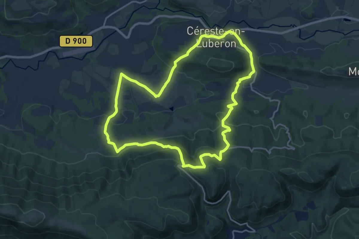
Medium · Trail
Tour de Piégros
12.9 km · ↑ 487 m · 4 h 16 min
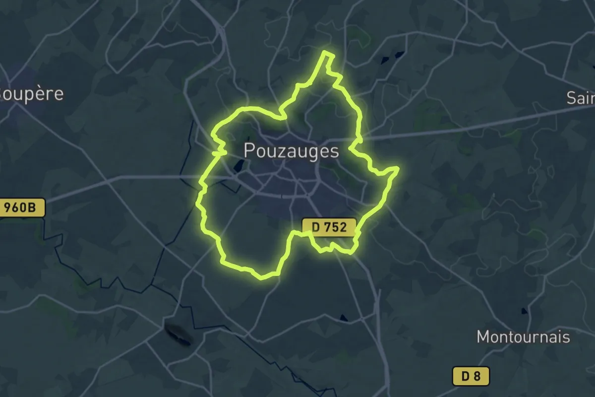
Demanding · Trail
Tour de Pouzauges
20.2 km · ↑ 278 m · 5 h 39 min
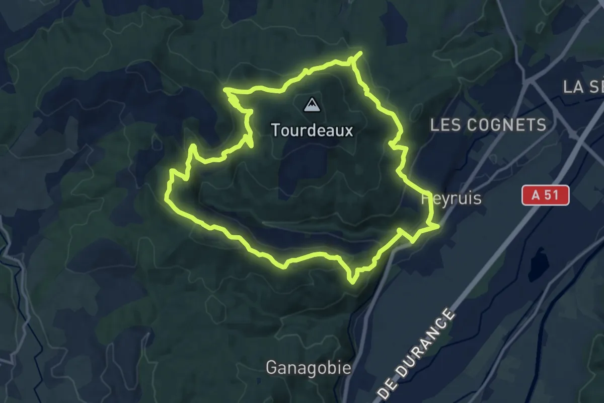
Medium · Trail
Tour de Praconteau
13.9 km · ↑ 518 m · 4 h 36 min
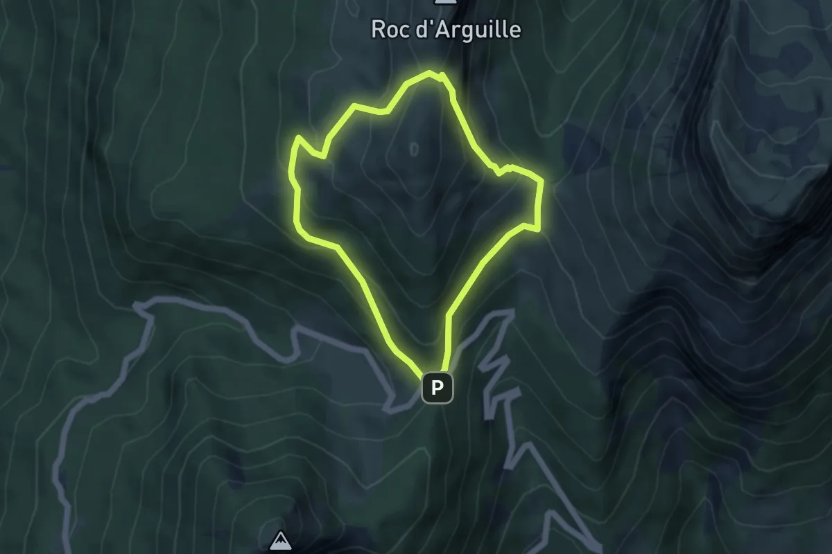
Medium · Trail
Tour de Pravouta
3.9 km · ↑ 272 m · 1 h 34 min
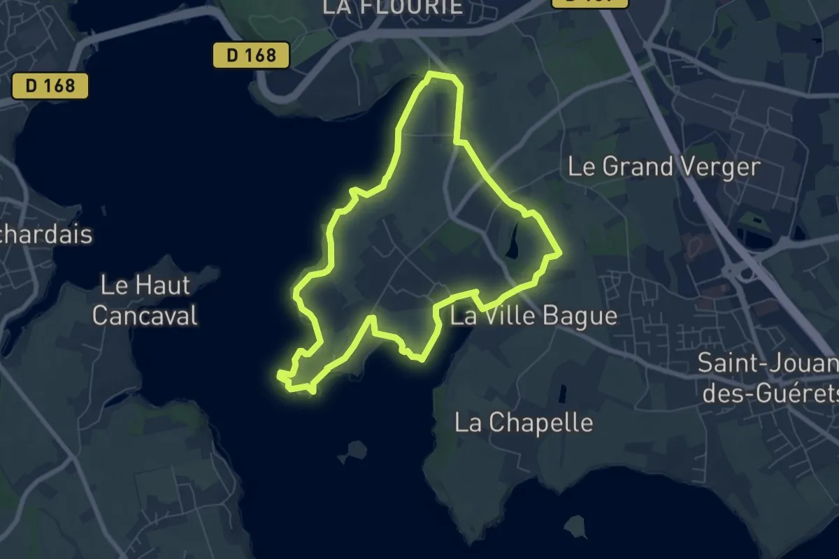
Easy · Trail
Tour de Quelmer
6.7 km · ↑ 90 m · 1 h 52 min
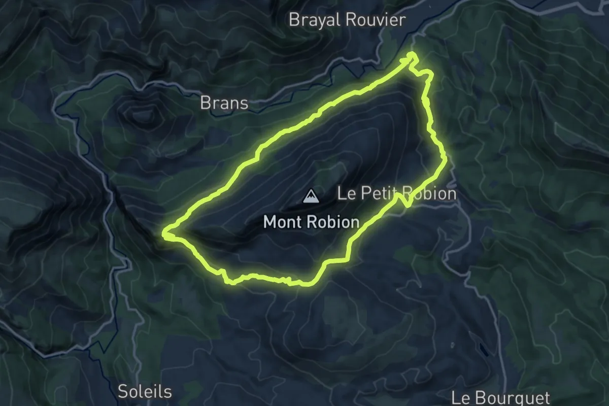
Medium · Trail
Tour de Robion
15.0 km · ↑ 712 m · 5 h 17 min
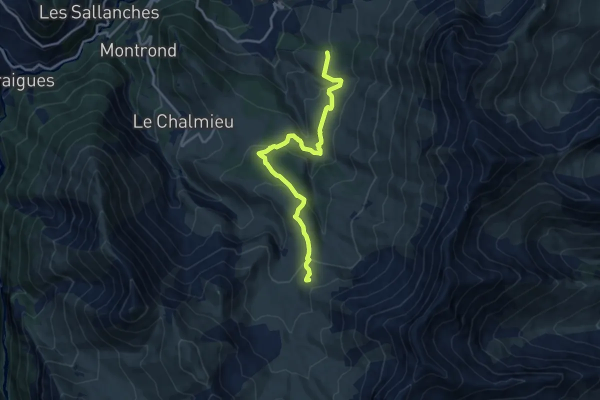
Medium · Trail
Tour des Aiguilles d'Arves (étape 1)
10.8 km · ↑ 537 m · 3 h 43 min
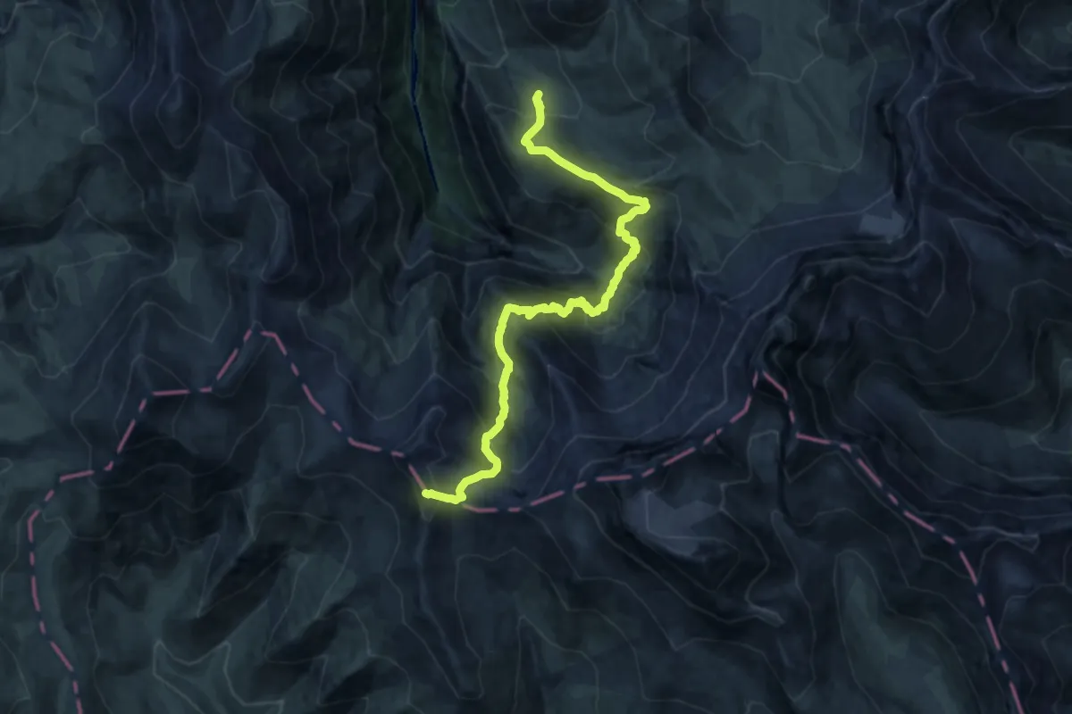
Expert · Summit
Tour des Aiguilles d'Arves (étape 3)
17.3 km · ↑ 1487 m · 7 h 18 min
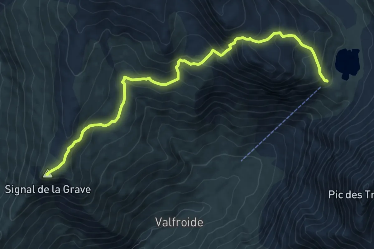
Demanding · Summit
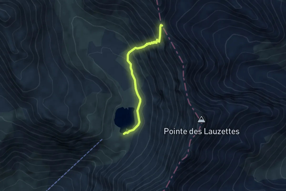
Tour des Aiguilles d'Arves (étape 4)
10.6 km · ↑ 777 m · 4 h 11 min
Demanding · Trail
Tour des Aiguilles d'Arves (étape 5)
4.7 km · ↑ 405 m · 1 h 59 min
Easy · Summit
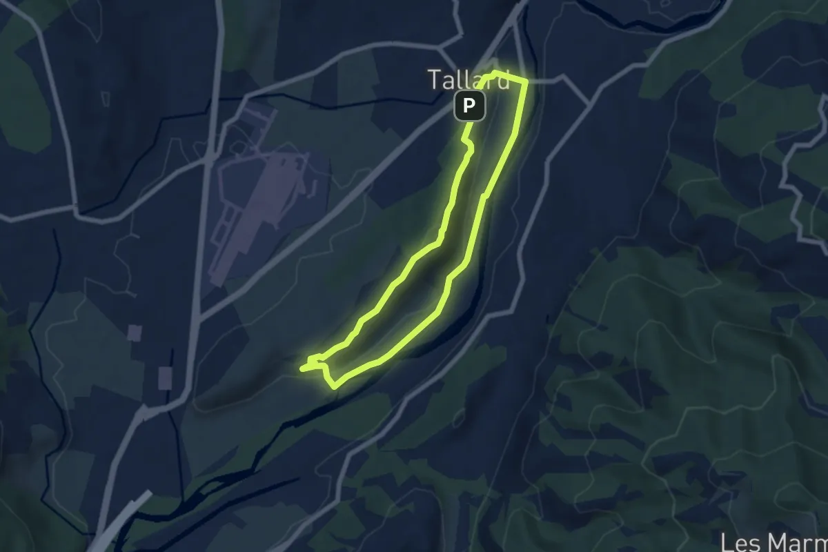
Tour de Saint-Abdon
5.7 km · ↑ 129 m · 1 h 43 min
Easy · Trail
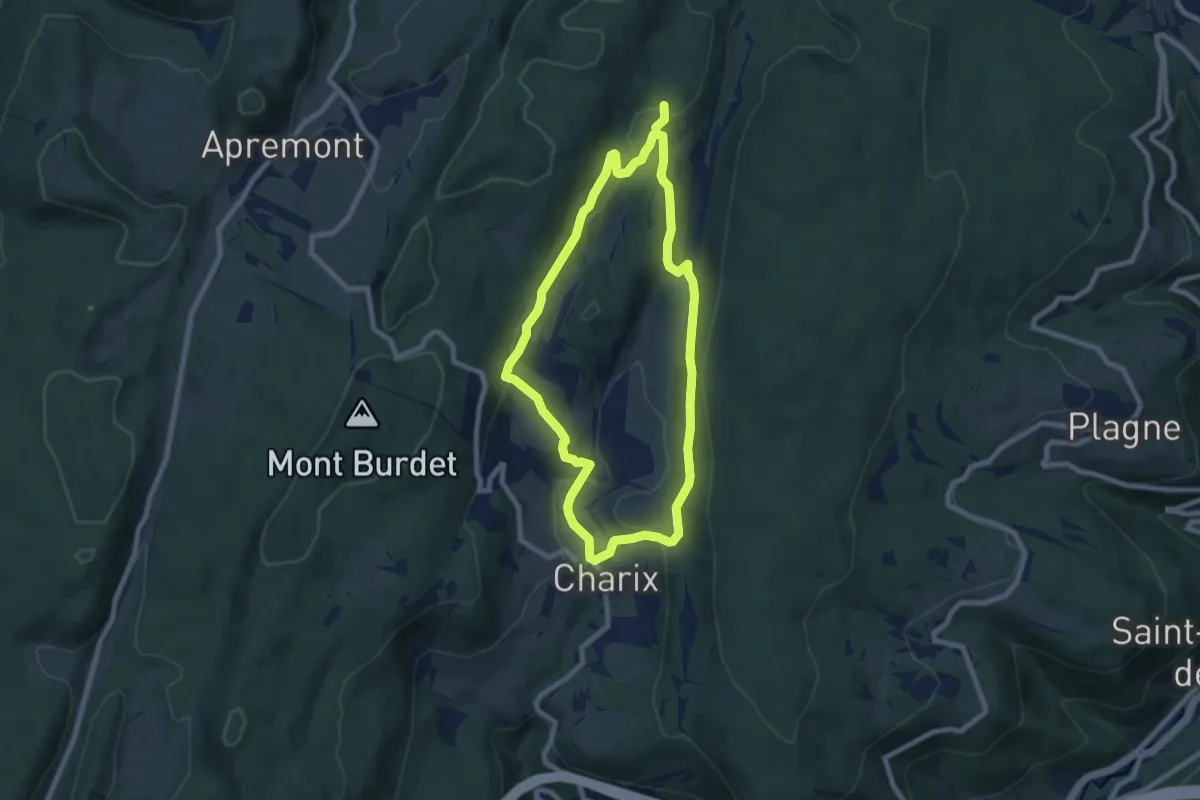
Tour de Saint-Amand
7.4 km · ↑ 230 m · 2 h 21 min
Medium · Trail
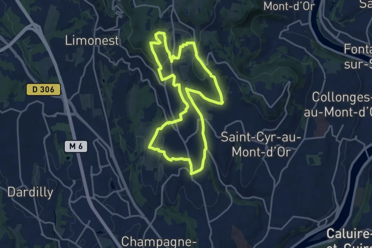
Tour de Saint-Didier
11.3 km · ↑ 411 m · 3 h 42 min
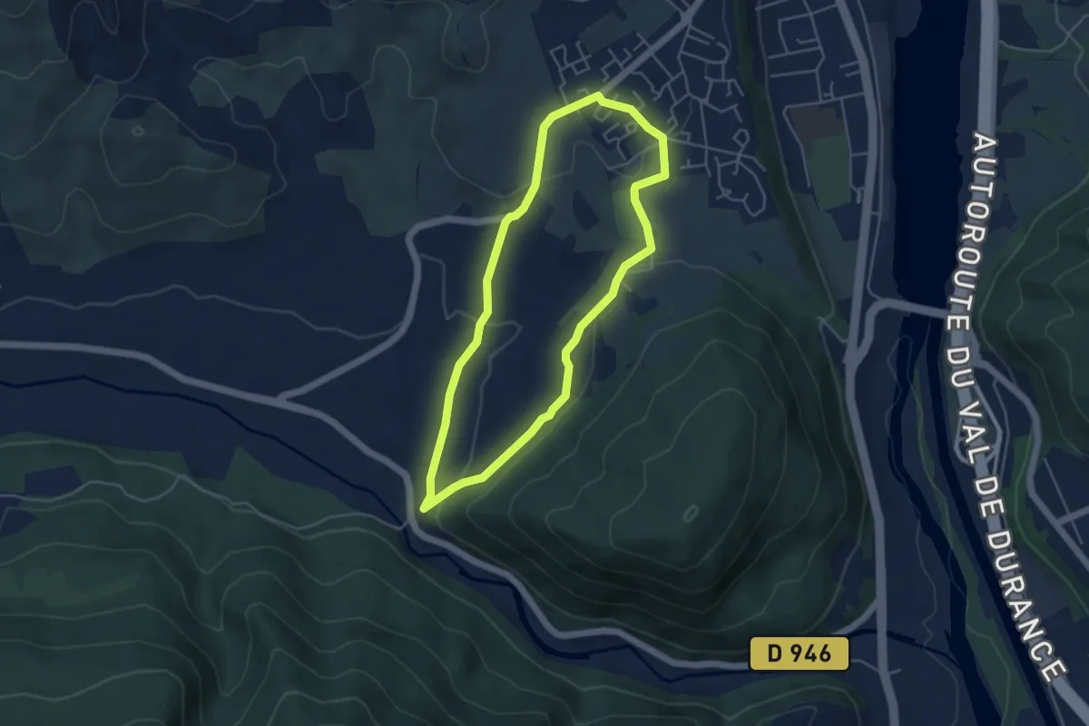
Easy · Trail
Tour de Saint-Domnin
4.4 km · ↑ 97 m · 1 h 19 min
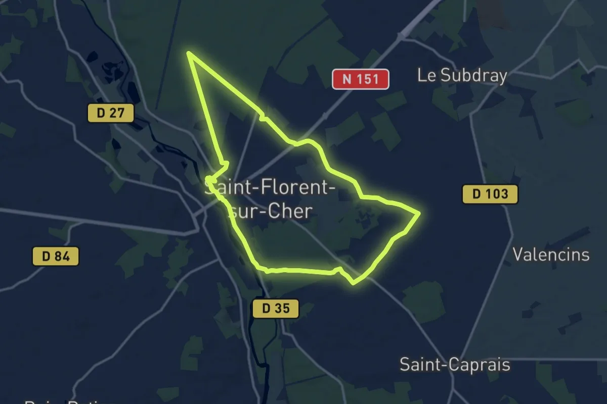
Medium · Trail
Tour de Saint-Florent
12.0 km · ↑ 57 m · 3 h 7 min
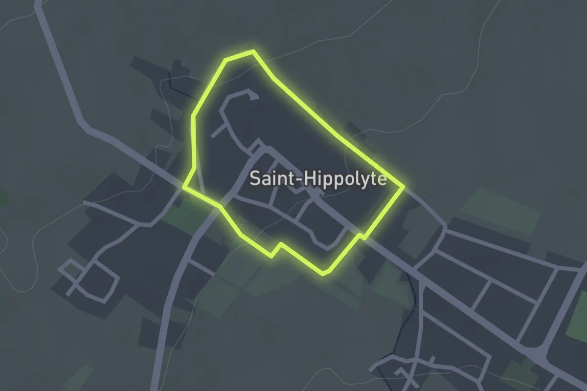
Easy · Trail
Tour de Saint-Hippolyte
1.5 km · ↑ 35 m · 27 min
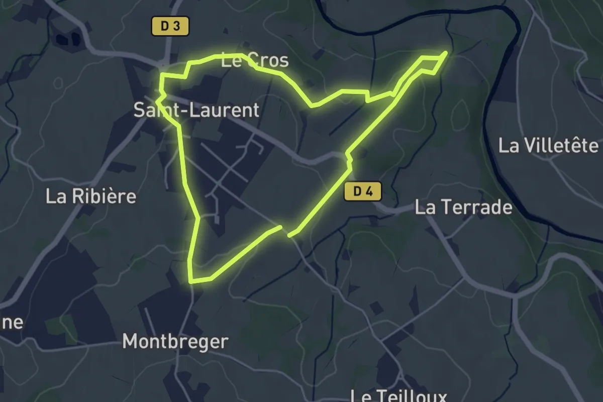
Easy · Trail
Tour de Saint-Laurent
4.0 km · ↑ 67 m · 1 h 8 min
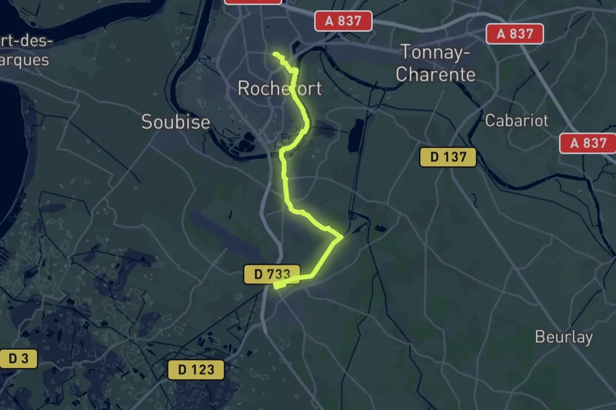
Demanding · Trail
Tour de Saintonge, accès gare de Rochefort
24.7 km · ↑ 46 m · 5 h 56 min
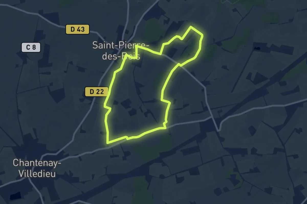
Easy · Trail
Tour de Saint-Pierre
7.2 km · ↑ 56 m · 1 h 55 min
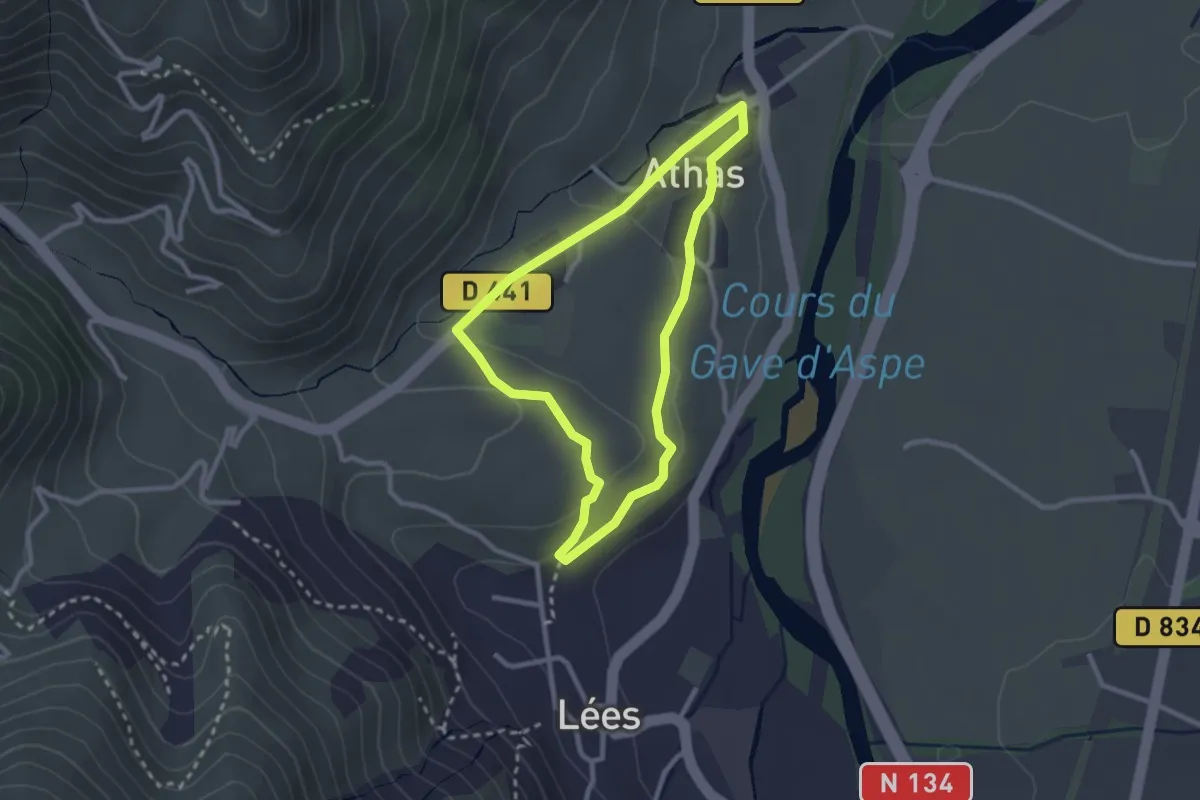
Easy · Trail
Tour des Anaques asp40
2.5 km · ↑ 53 m · 45 min
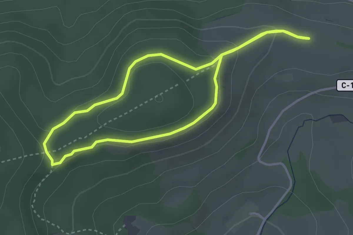
Medium · Trail
Tour de Sarimont
2.8 km · ↑ 77 m · 52 min
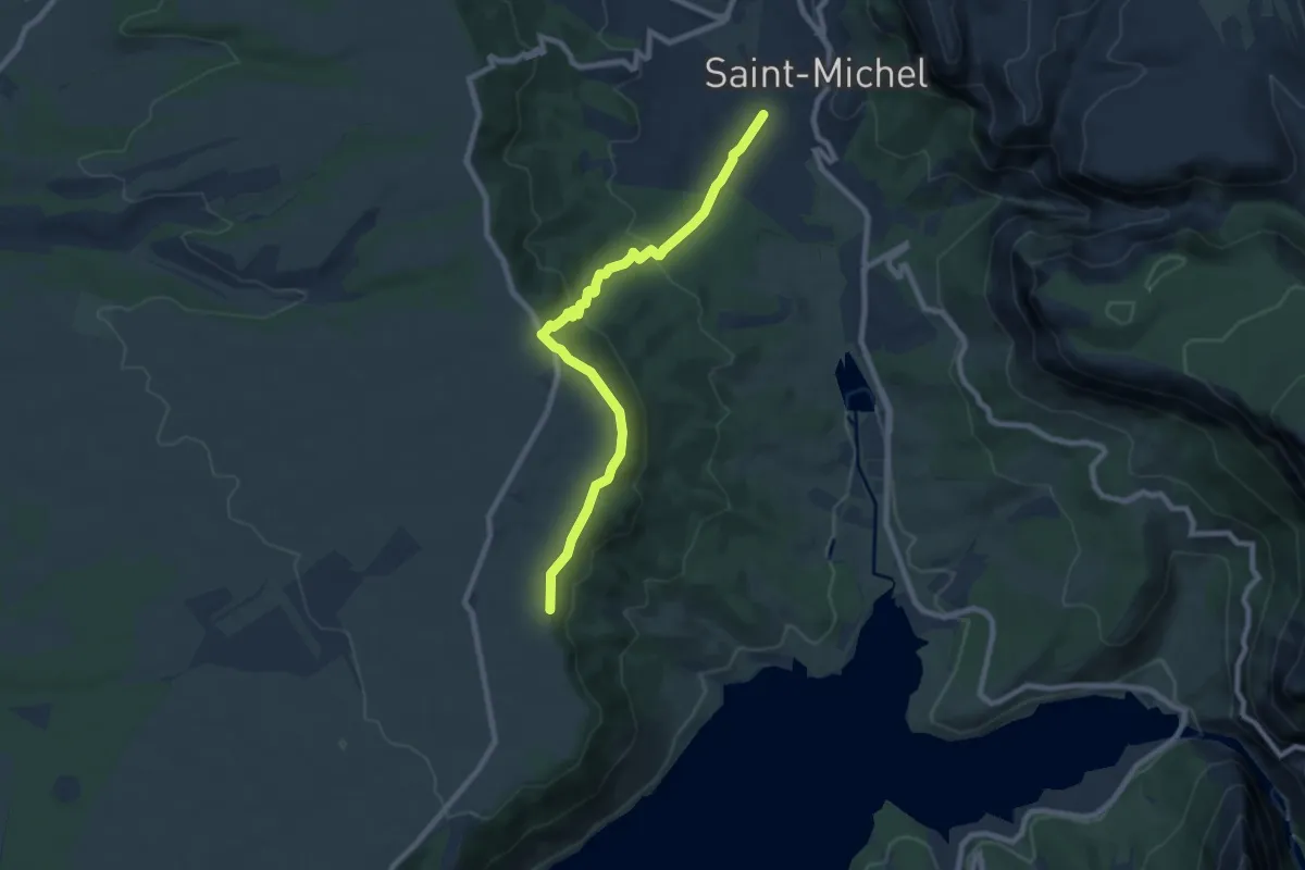
Medium · Trail
Tour des Balcons du Verdon et Plateau de Valensole
8.8 km · ↑ 320 m · 2 h 46 min
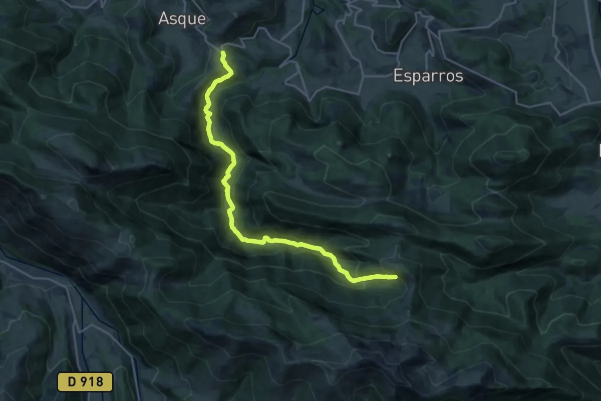
Demanding · Trail
Tour des Baronnies de Bigorre
17.7 km · ↑ 1056 m · 6 h 29 min
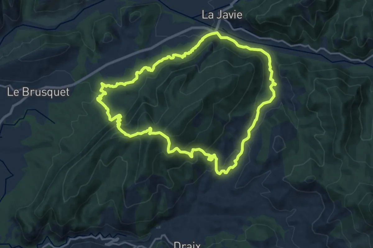
Medium · Trail
Tour des Blaches
12.1 km · ↑ 600 m · 4 h 20 min
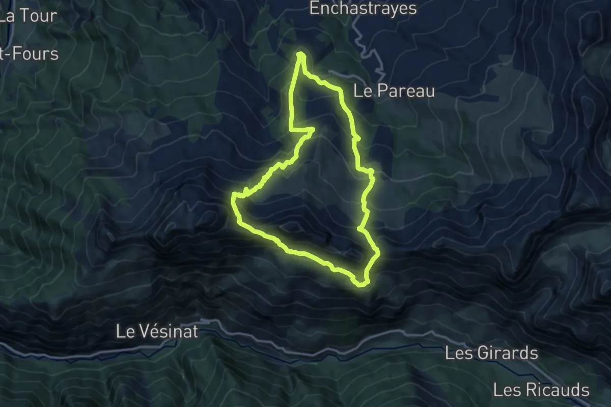
Demanding · Trail
Tour des Brecs
11.2 km · ↑ 849 m · 4 h 38 min