Trails in France
15,926 hiking trails, each with its route, climb, walking time and grade.
All trails, page 275 of 332
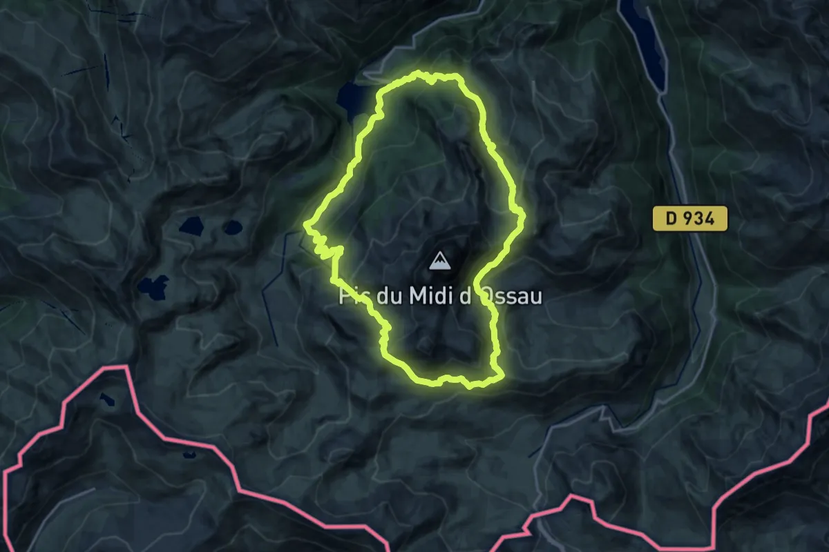
Demanding · Trail
Tour du Pic du Midi d'Ossau
17.1 km · ↑ 1052 m · 6 h 33 min
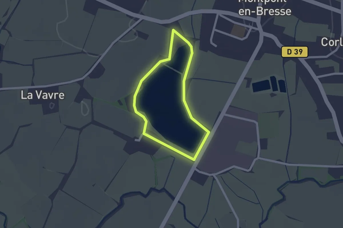
Easy · Trail
Tour du plan d'eau
1.5 km · ↑ 5 m · 23 min
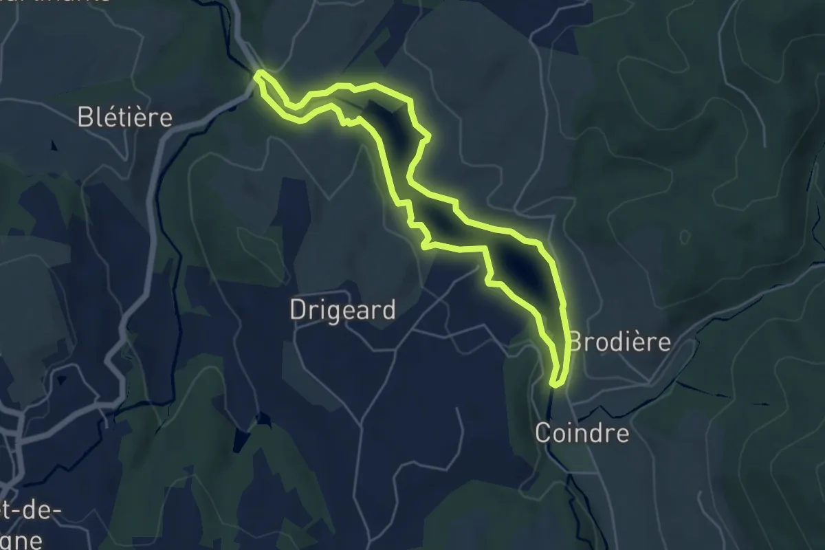
Easy · Trail
Tour du plan d'eau de Saint-Clément
4.9 km · ↑ 43 m · 1 h 19 min
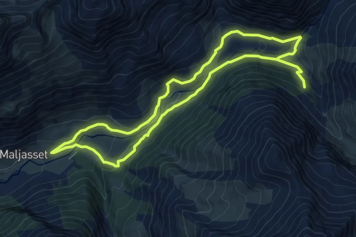
Medium · Trail
Tour du Plan de Parouart
9.0 km · ↑ 256 m · 2 h 51 min
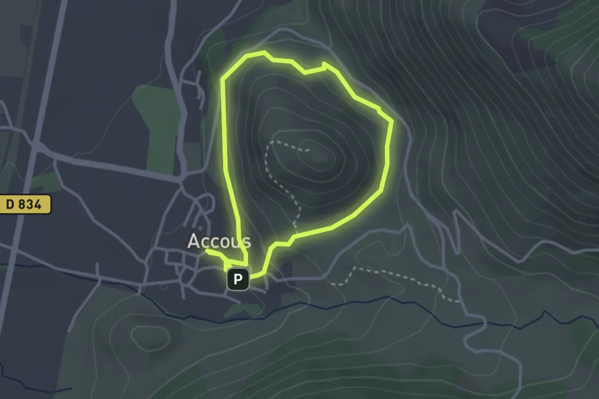
Easy · Trail
Tour du Poey asp27
2.7 km · ↑ 80 m · 51 min
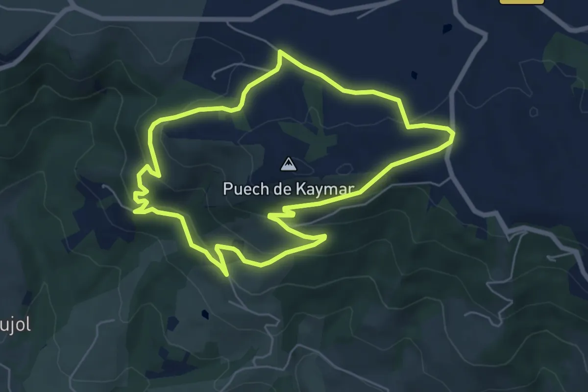
Easy · Trail
Tour du Puech de Kaymard
5.4 km · ↑ 220 m · 1 h 50 min
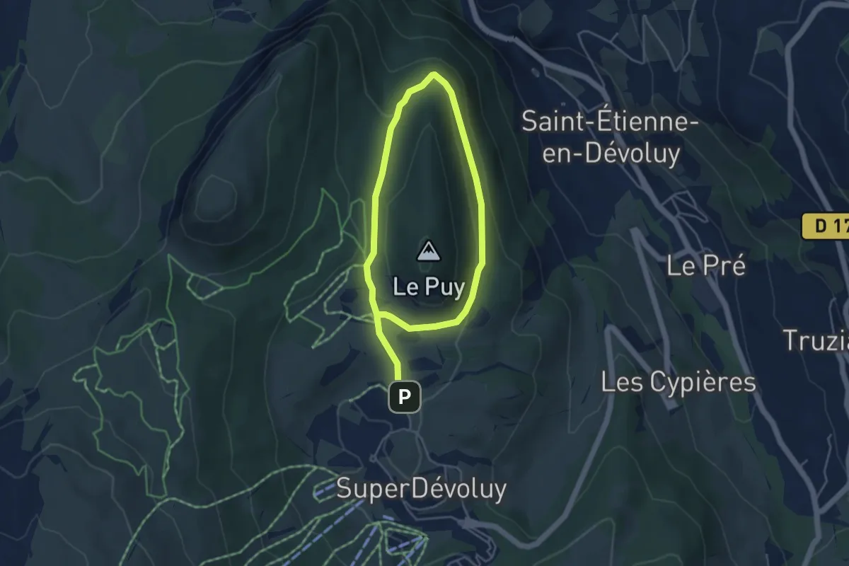
Easy · Trail
Tour du Puy
6.8 km · ↑ 175 m · 2 h
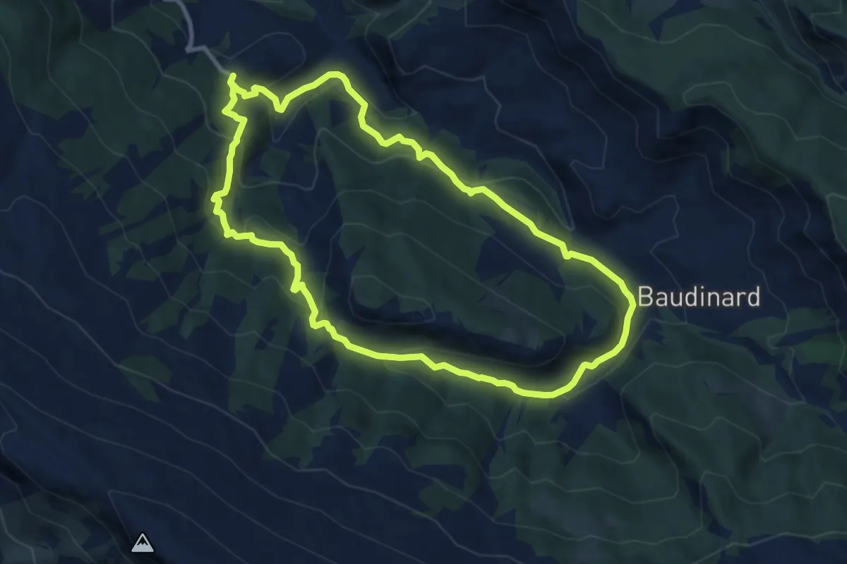
Medium · Trail
Tour du Puy
9.2 km · ↑ 461 m · 3 h 18 min
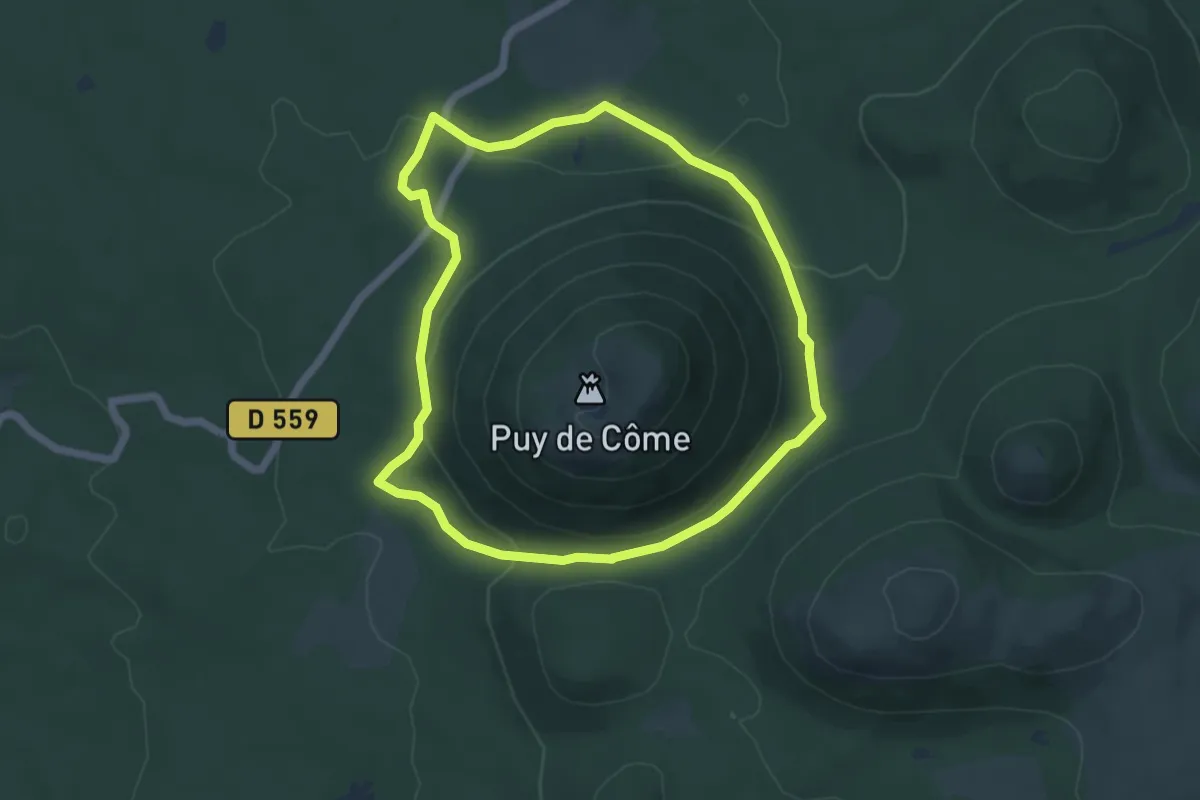
Easy · Trail
Tour du Puy de Côme
5.2 km · ↑ 154 m · 1 h 39 min
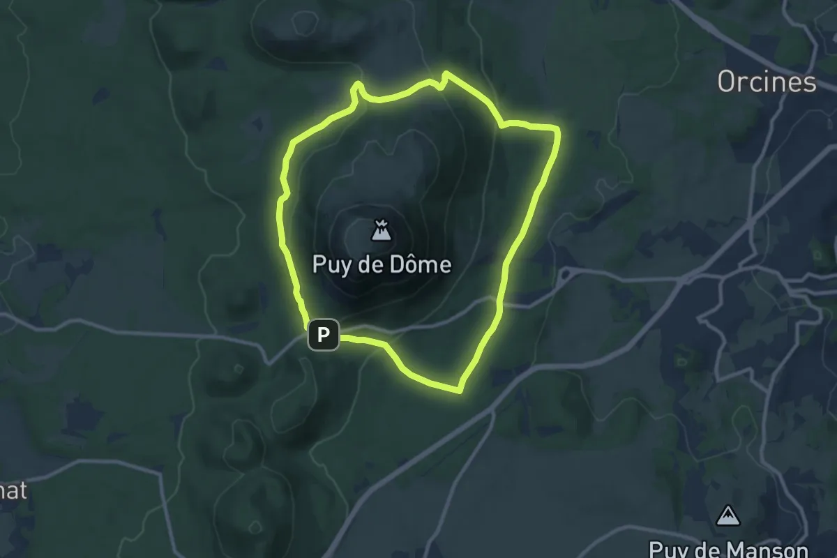
Medium · Summit
Tour du Puy de Dôme
9.4 km · ↑ 246 m · 2 h 53 min
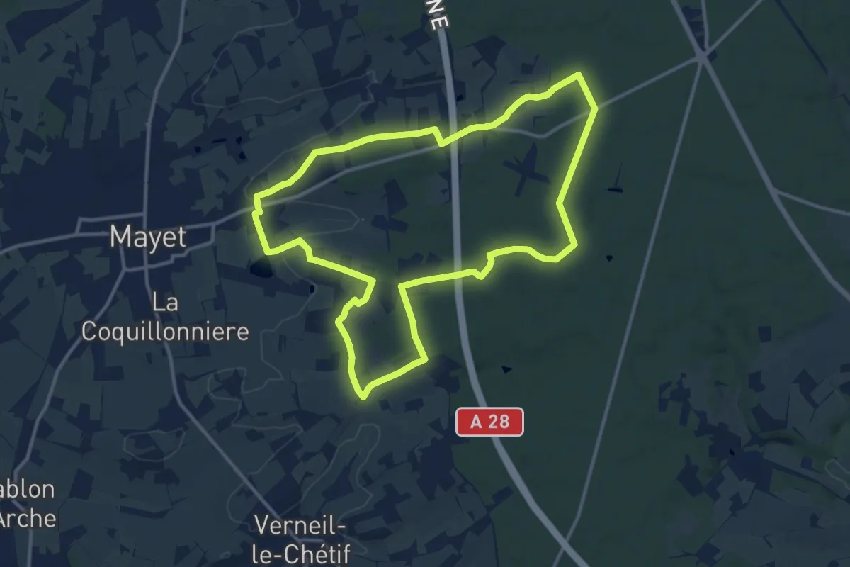
Medium · Trail
Tour du pylône TDF
11.7 km · ↑ 113 m · 3 h 11 min
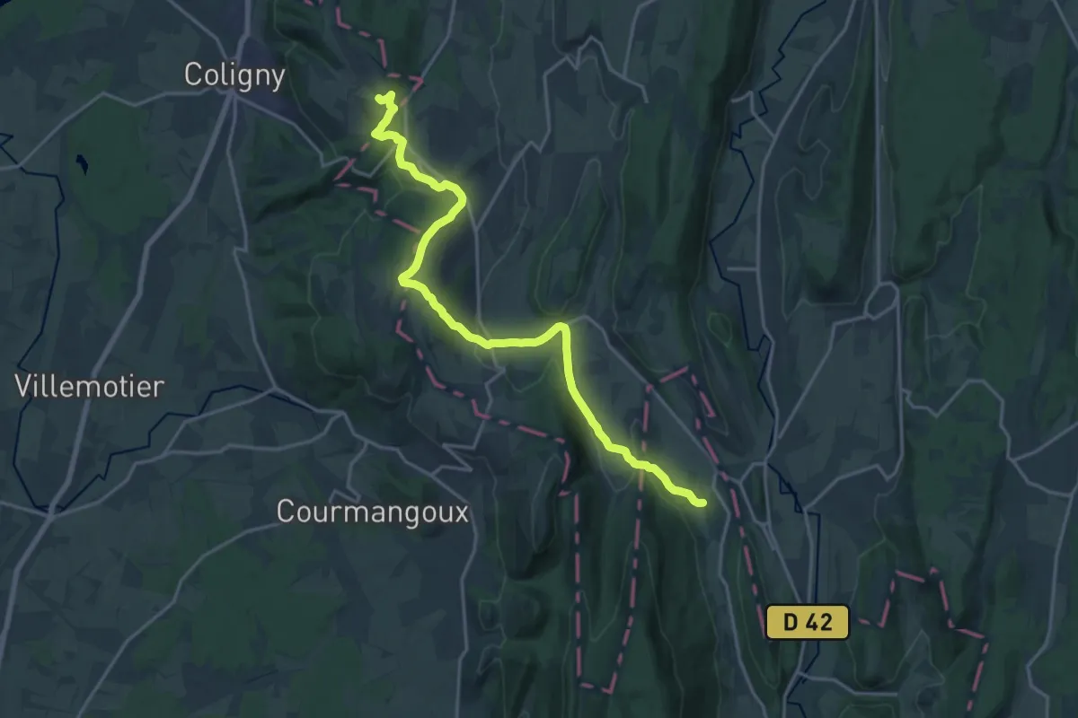
Medium · Summit
Tour du Revermont
9.9 km · ↑ 383 m · 3 h 13 min
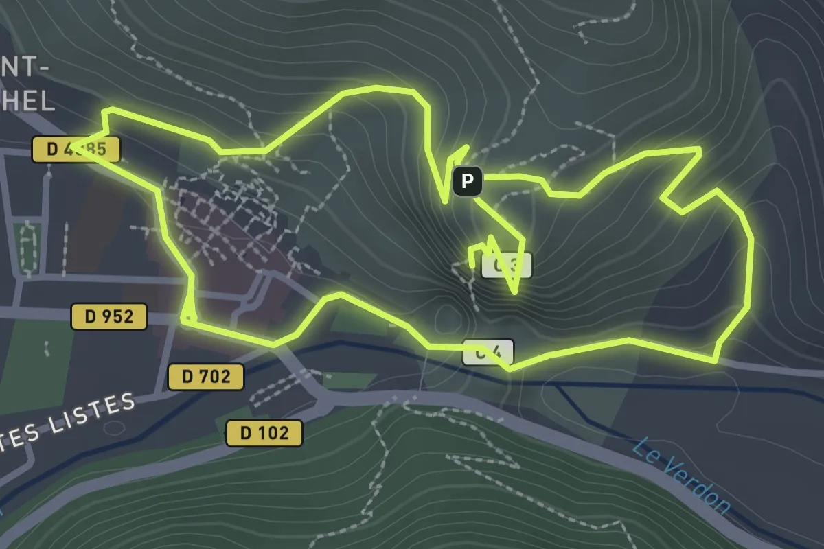
Medium · Summit
Tour du Roc
3.2 km · ↑ 165 m · 1 h 11 min
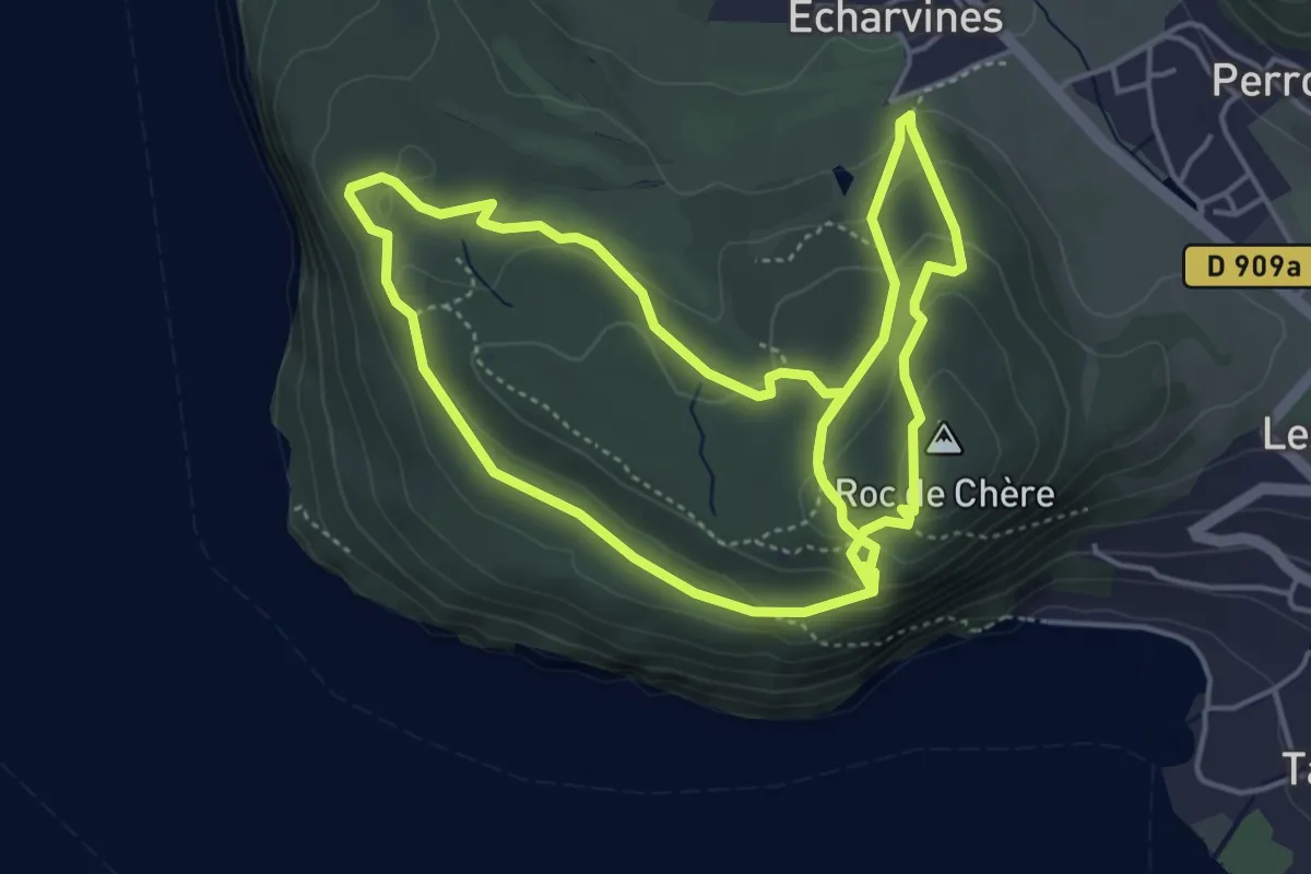
Medium · Summit
Tour du Roc de Chère
5.1 km · ↑ 176 m · 1 h 41 min
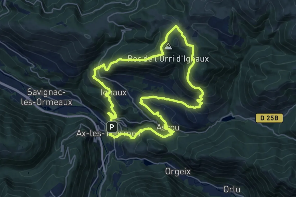
Demanding · Summit
Tour du Roc de l'Orri d'Ignaux
18.6 km · ↑ 1001 m · 6 h 49 min
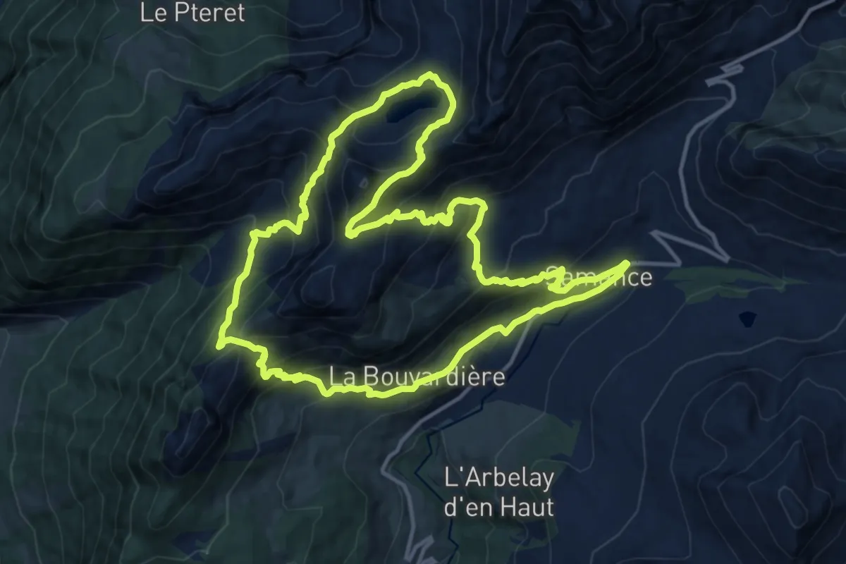
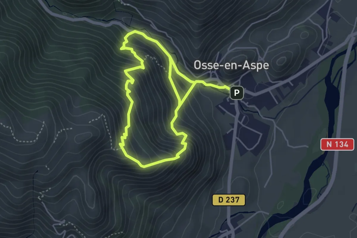
Demanding · Trail
Tour du Roc des Tours et Lac de Lessy
13.4 km · ↑ 998 m · 5 h 30 min
Demanding · Trail
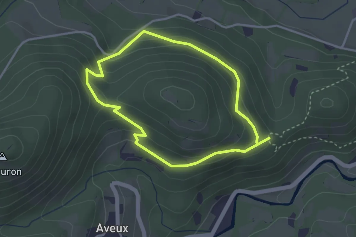
Tour du Rocher des Chèvres asp110
4.2 km · ↑ 442 m · 2 h
Easy · Trail
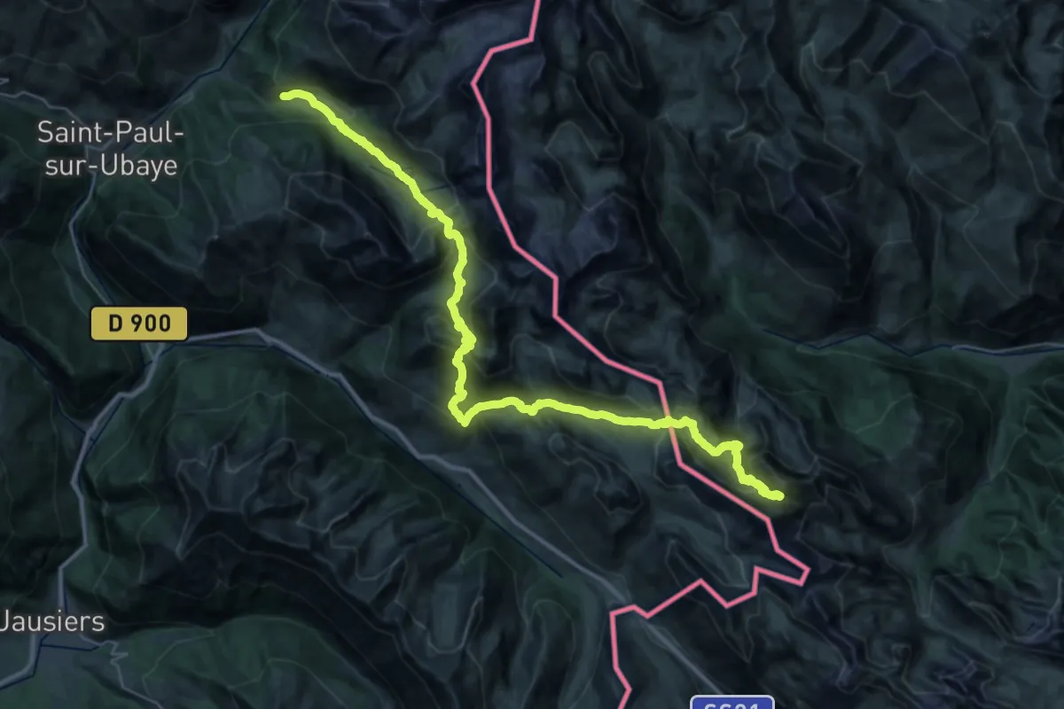
Tour du Sarrat
2.6 km · ↑ 167 m · 1 h 2 min
Expert · Trail
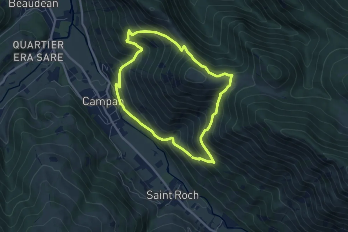
Tour du Sautron
22.3 km · ↑ 1839 m · 9 h 10 min
Medium · Trail
Tour du Theilhet
6.1 km · ↑ 574 m · 2 h 46 min
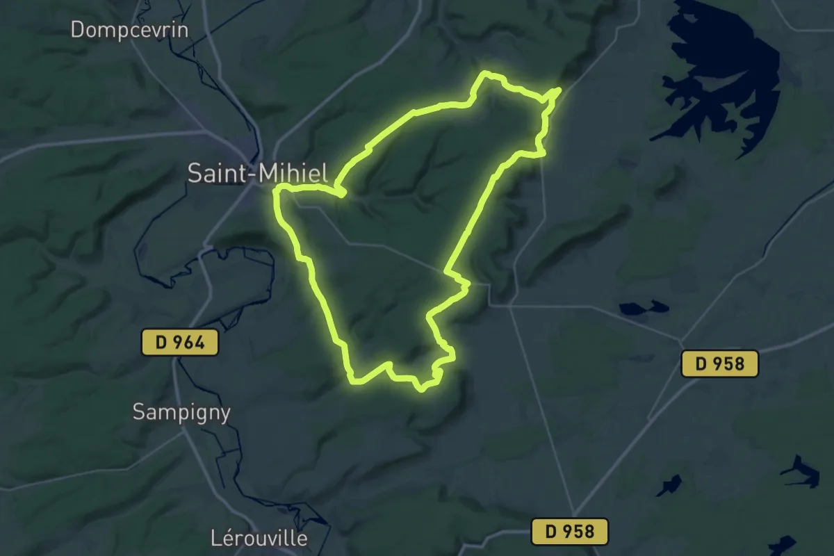
Demanding · Trail
Tour du Val de Meuse
34.2 km · ↑ 685 m · 10 h 2 min
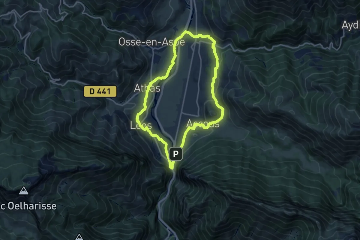
Medium · Trail
Tour du Vallon asp11
11.9 km · ↑ 234 m · 3 h 28 min
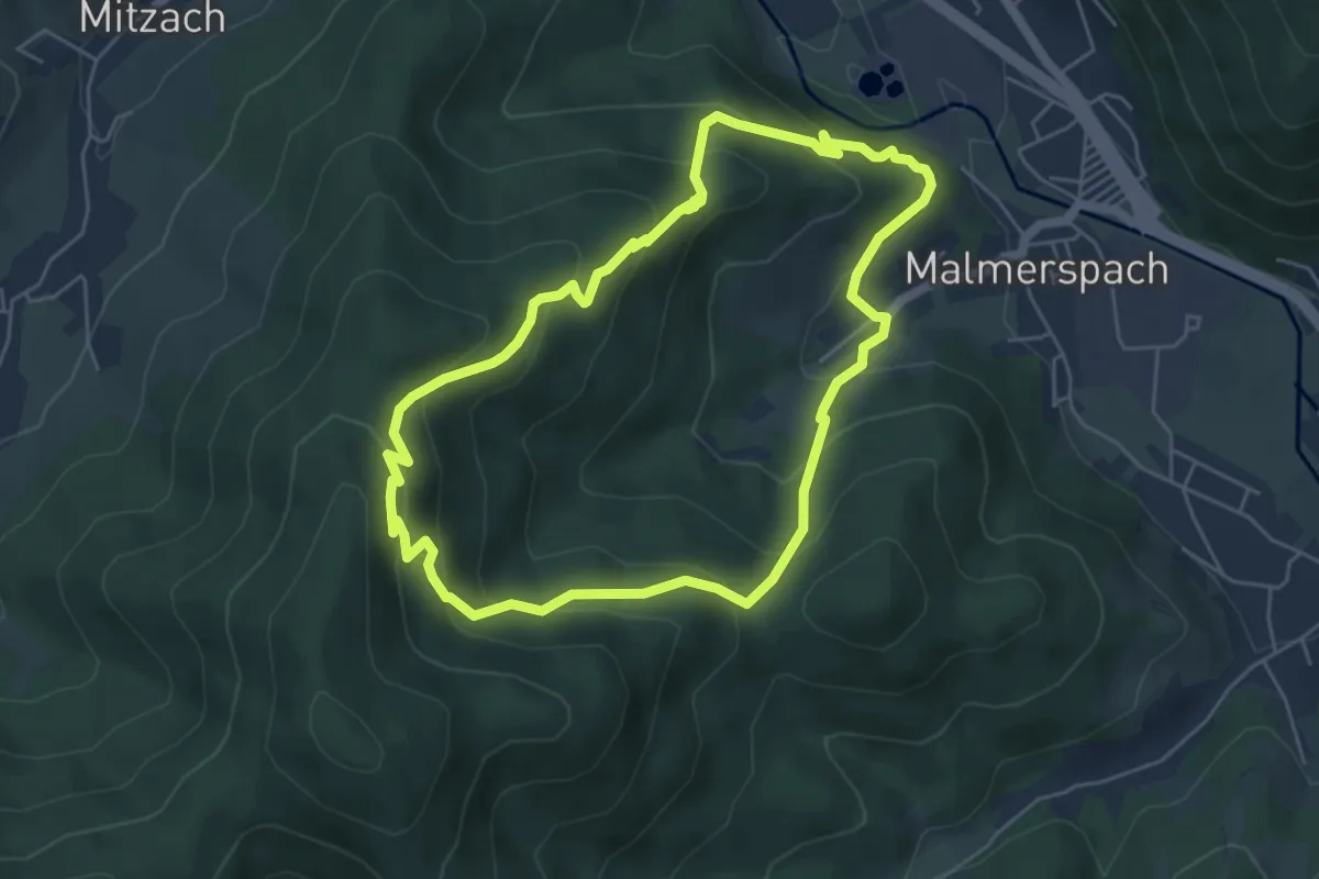
Medium · Trail
Tour du Vallon de Malmerspach
5.0 km · ↑ 410 m · 2 h 9 min
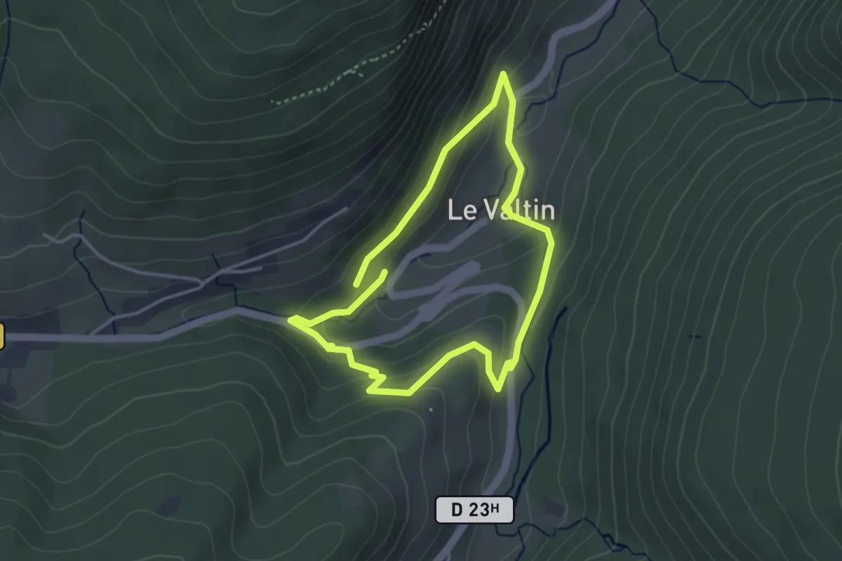
Easy · Trail
Tour du Valtin
3.1 km · ↑ 153 m · 1 h 5 min
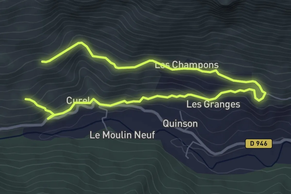
Easy · Trail
Tour du Vieux Curel
4.6 km · ↑ 133 m · 1 h 29 min
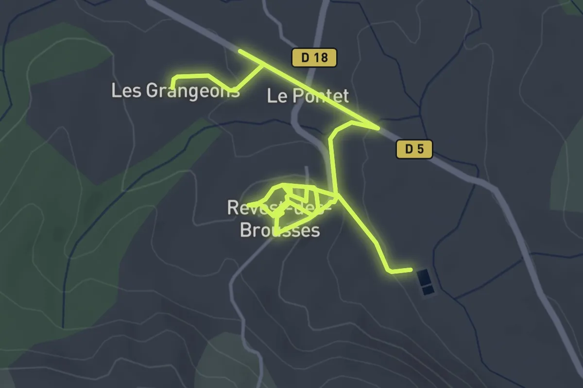
Easy · Trail
Tour du Village
3.0 km · ↑ 58 m · 54 min
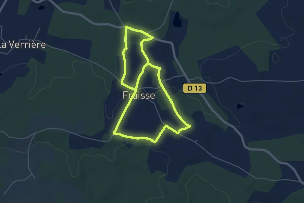
Medium · Trail
Tour du Village
9.0 km · ↑ 67 m · 2 h 16 min
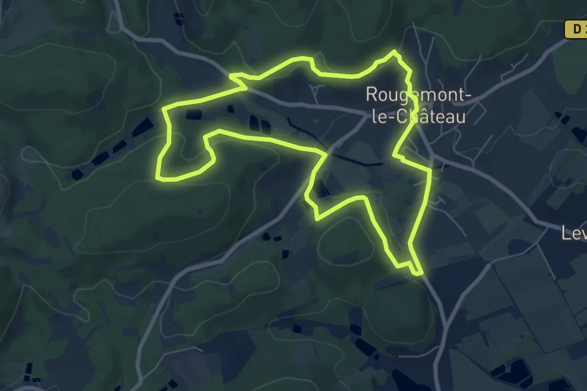
Medium · Trail
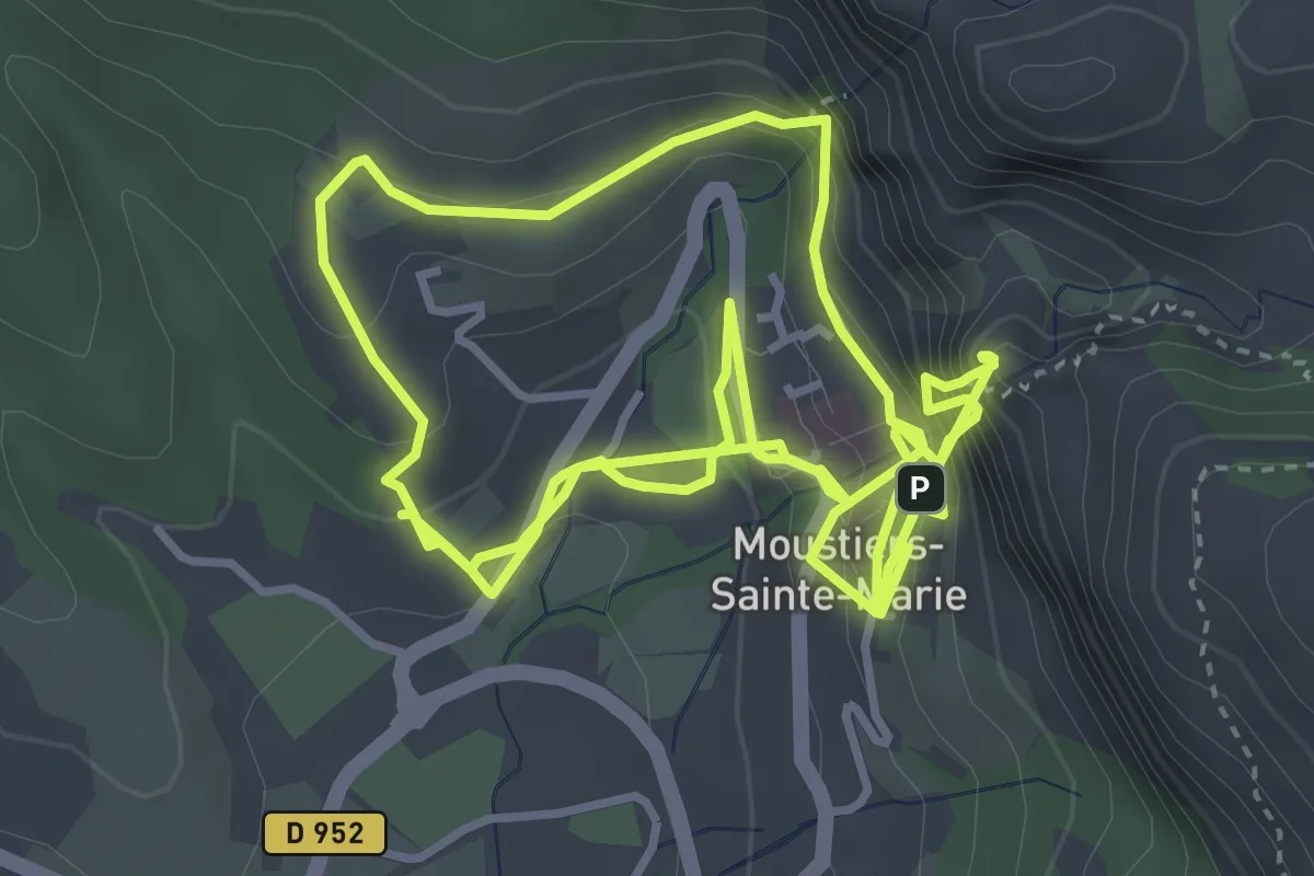
Tour du Village
6.5 km · ↑ 207 m · 2 h 4 min
Medium · Trail
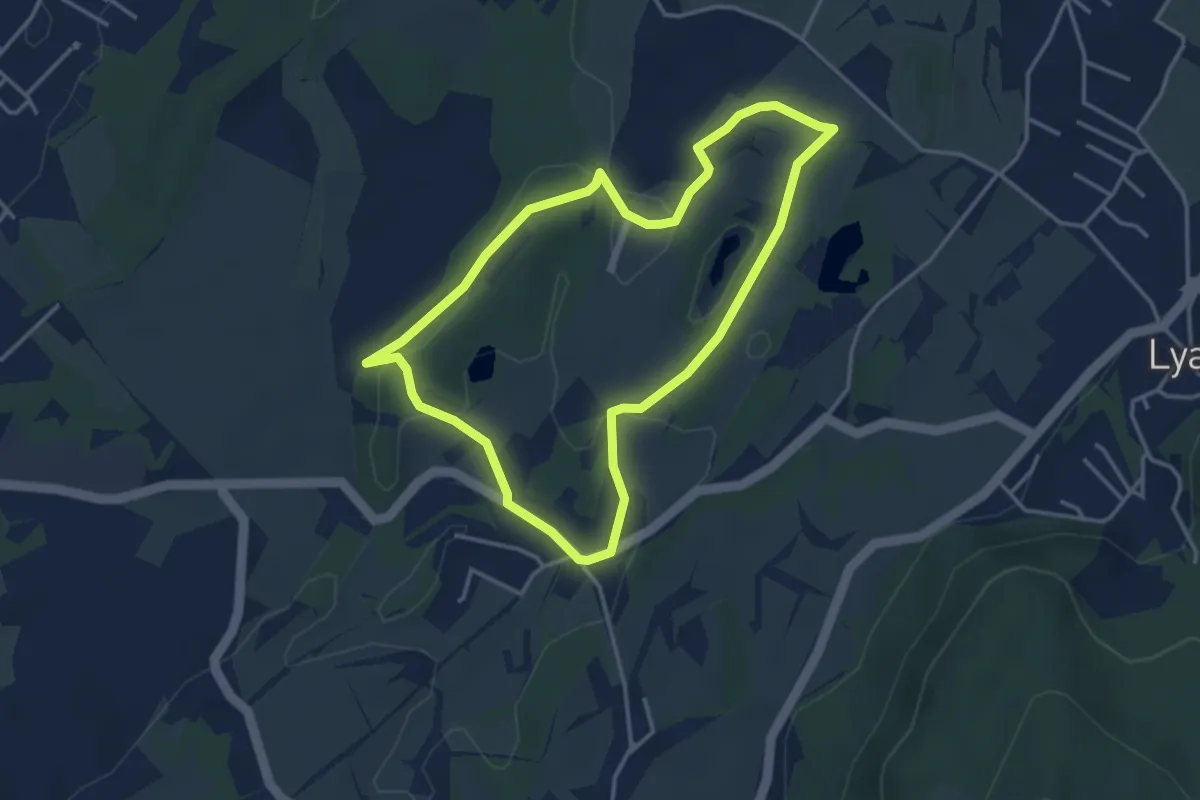
Tour du village par Les Claux
4.5 km · ↑ 380 m · 2 h
Easy · Trail
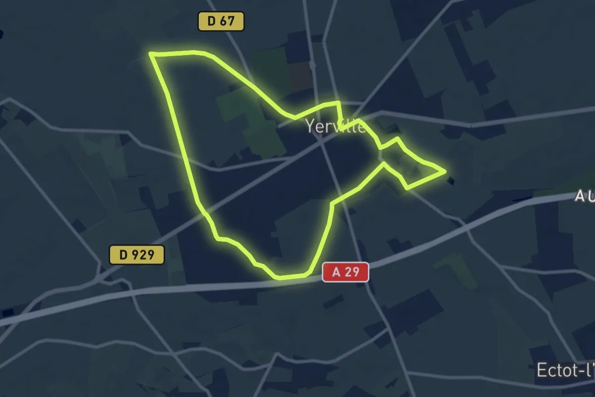
Tour du Voua de la Motte
3.6 km · ↑ 37 m · 58 min
Easy · Trail
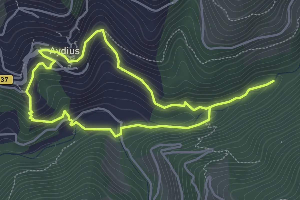
Tour d'Yerville
7.9 km · ↑ 22 m · 2 h 2 min
Easy · Trail
Tour Igaüt-Chechit asp21
3.0 km · ↑ 152 m · 1 h 5 min
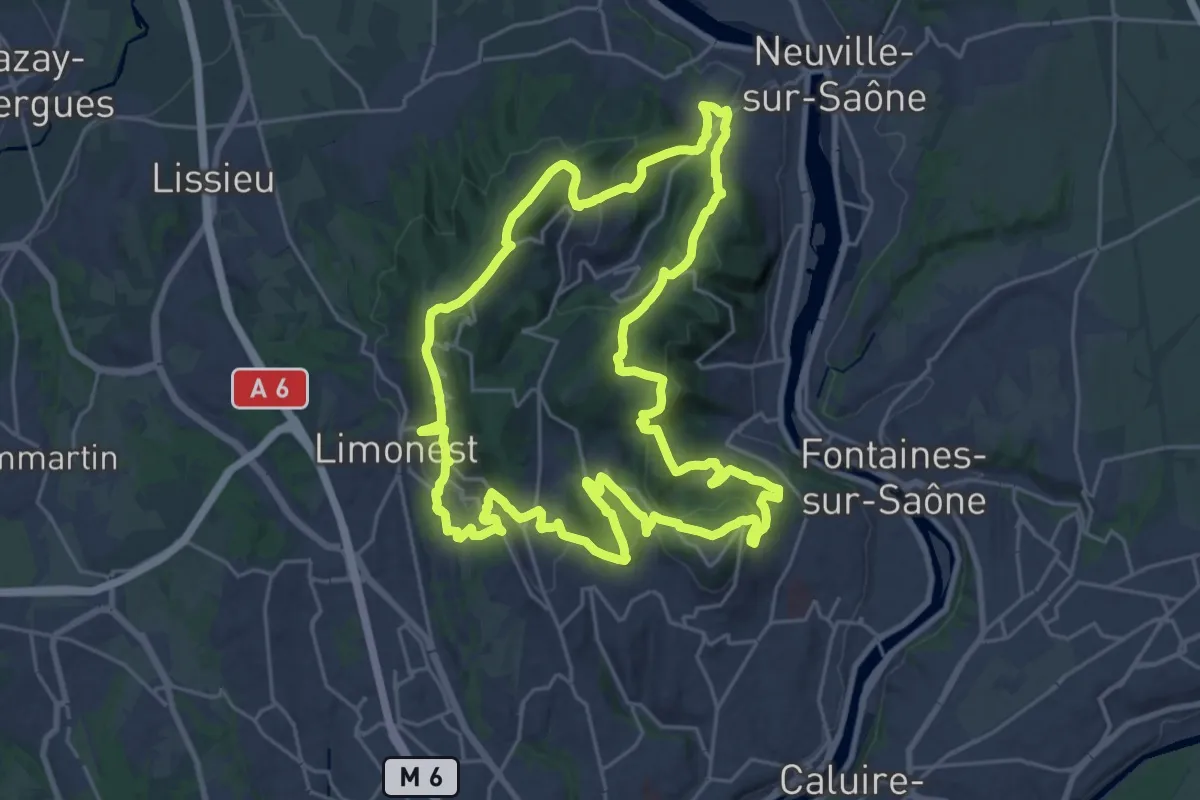
Demanding · Summit
Tour intérieur des Monts d'Or
26.2 km · ↑ 1031 m · 8 h 46 min
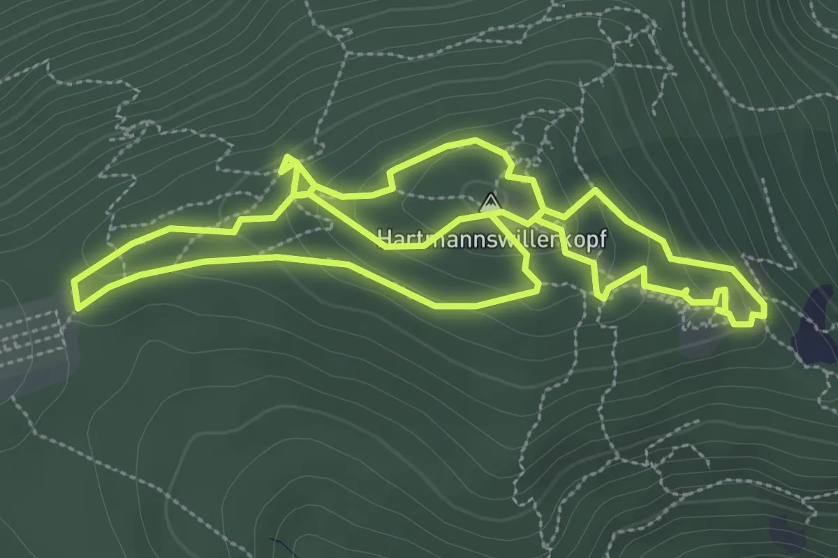
Medium · Summit
Tourisme de mémoire 14-18
3.3 km · ↑ 165 m · 1 h 10 min
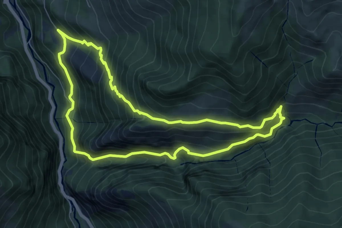
Medium · Summit
Tour Mâture-Arras asp62
7.6 km · ↑ 746 m · 3 h 31 min
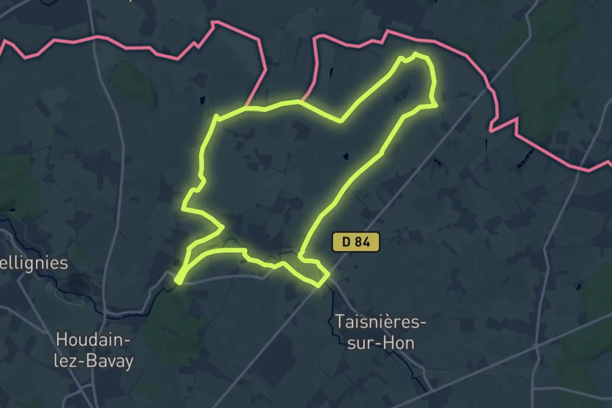
Medium · Trail
Tournée des Chapelles à Hon-Hergies
12.8 km · ↑ 60 m · 3 h 20 min
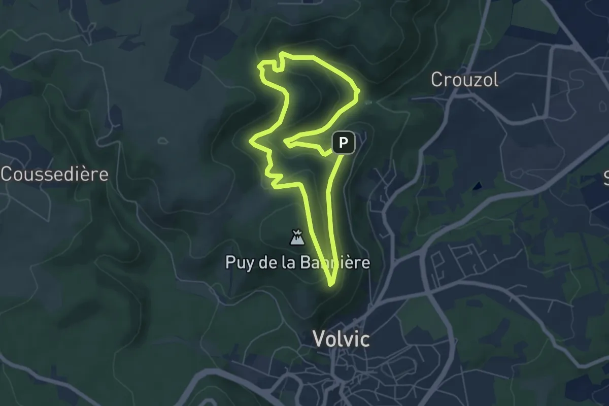
Easy · Summit
Tournoel
5.4 km · ↑ 244 m · 1 h 52 min
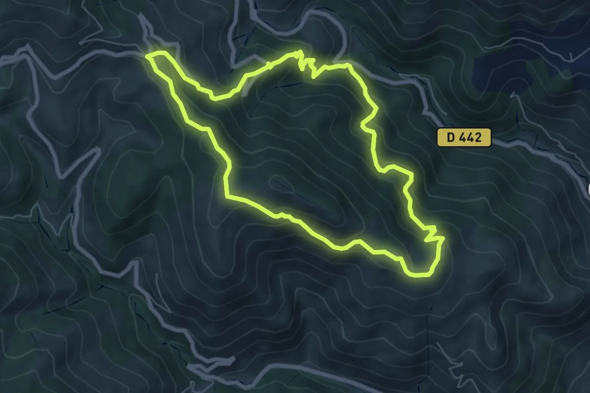
Medium · Trail
Tour Ombrer-Cometas asp111
6.8 km · ↑ 531 m · 2 h 51 min
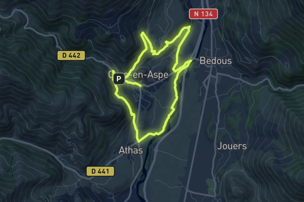
Medium · Trail
Tour panoramique Osse-Athas asp109
8.2 km · ↑ 269 m · 2 h 38 min
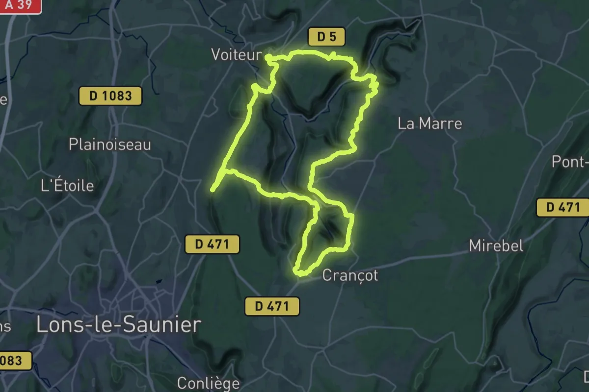
Demanding · Trail
Tour Reculées Baume
29.7 km · ↑ 994 m · 9 h 35 min
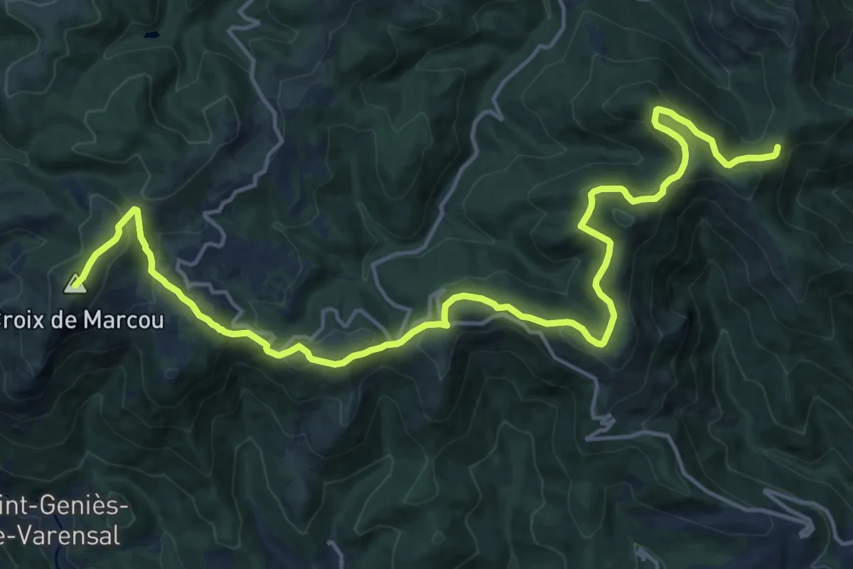
Demanding · Trail
Tours dans le Pays Haut Languedoc et Vignobles
20.1 km · ↑ 867 m · 6 h 37 min
Demanding · Trail
Tours en Minervois
38.7 km · ↑ 513 m · 10 h 48 min
Demanding · Trail
Tours en Monts & Lacs en Haut-Languedoc - Entre Gijou et Raviège
21.1 km · ↑ 646 m · 6 h 36 min
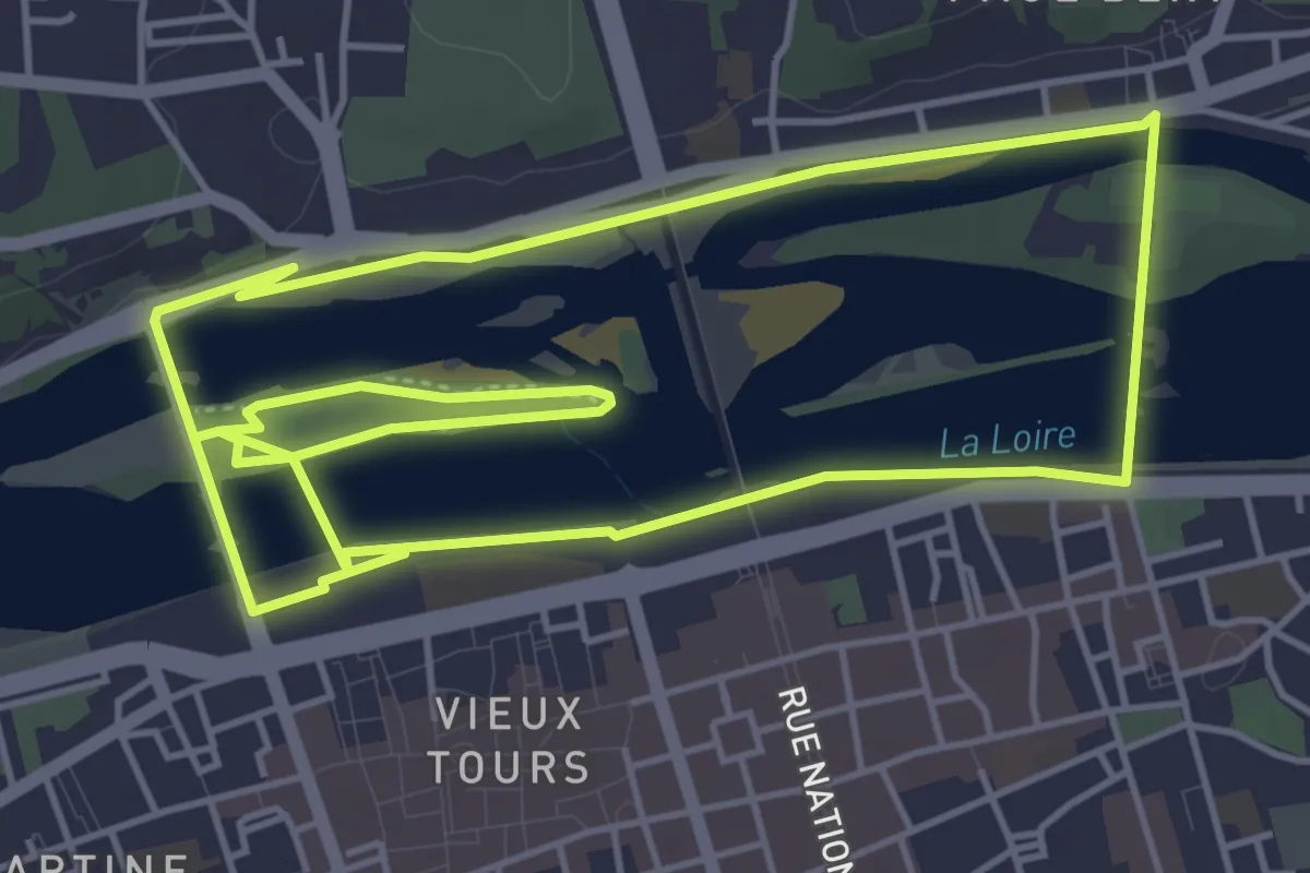
Easy · Trail
Tours Sentier Bord de Loire
5.3 km · ↑ 29 m · 1 h 23 min
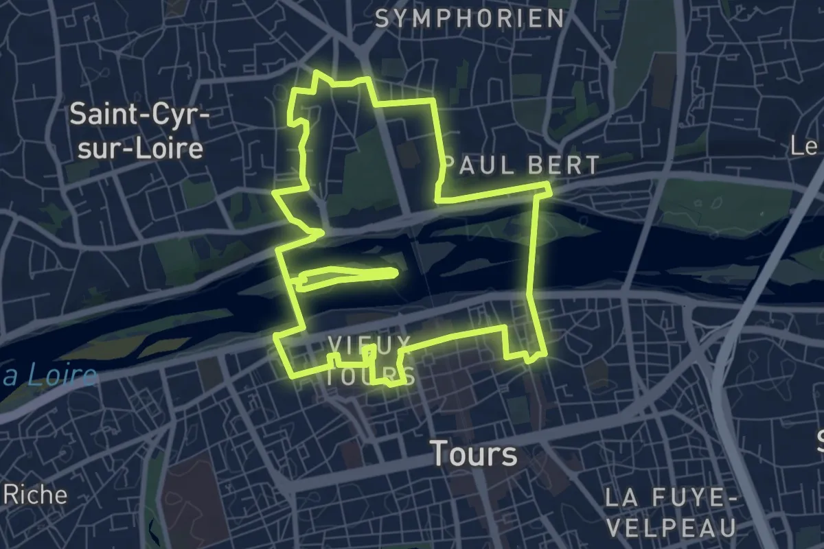
Medium · Trail
Tours Sentier Cœur de ville
8.6 km · ↑ 83 m · 2 h 20 min
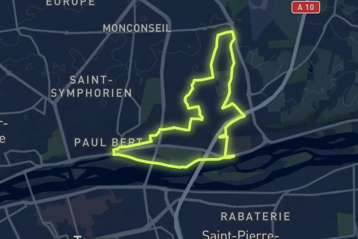
Medium · Trail
Tours Sentier Sainte Radegonde
8.5 km · ↑ 78 m · 2 h 18 min
Easy · Trail
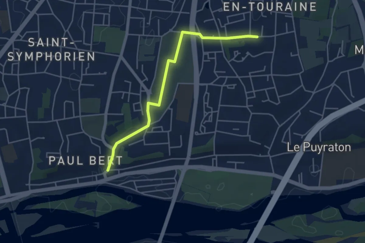
Tours Sentier Sainte Radegonde (variante cimetière)
3.9 km · ↑ 45 m · 1 h 2 min
Easy · Trail
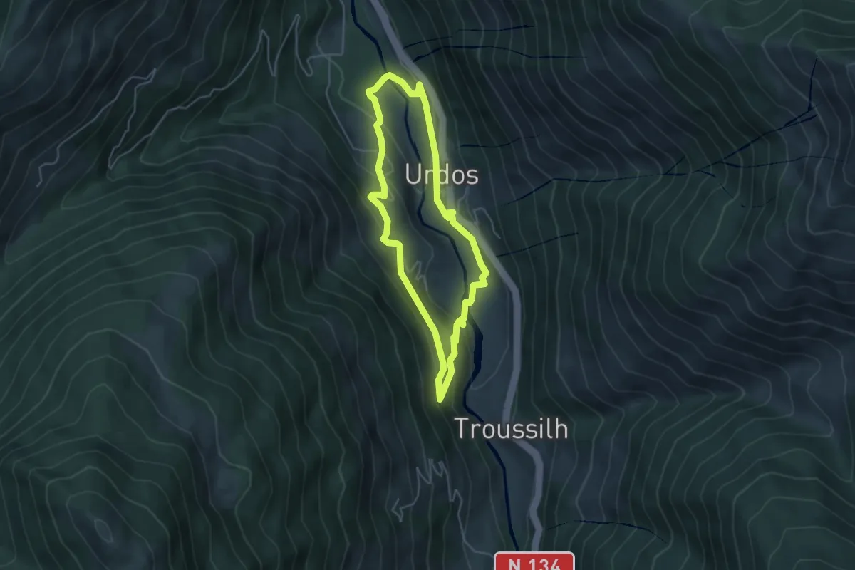
Tour Urdos - Bérat asp66
4.3 km · ↑ 236 m · 1 h 36 min