Trails in France
15,926 hiking trails, each with its route, climb, walking time and grade.
All trails, page 276 of 332
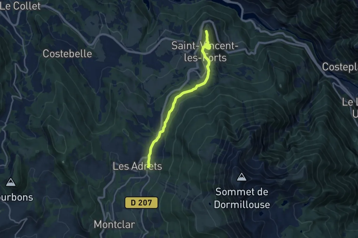
Easy · Trail
Tour Vauban
5.7 km · ↑ 80 m · 1 h 38 min
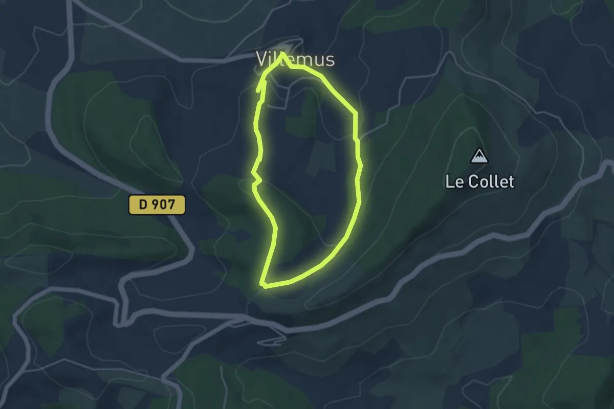
Easy · Trail
Tour vers le col de Montfuron
3.7 km · ↑ 110 m · 1 h 10 min
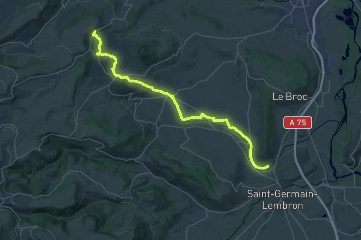
Demanding · Trail
Tourzel - Jumeaux
26.0 km · ↑ 554 m · 7 h 21 min
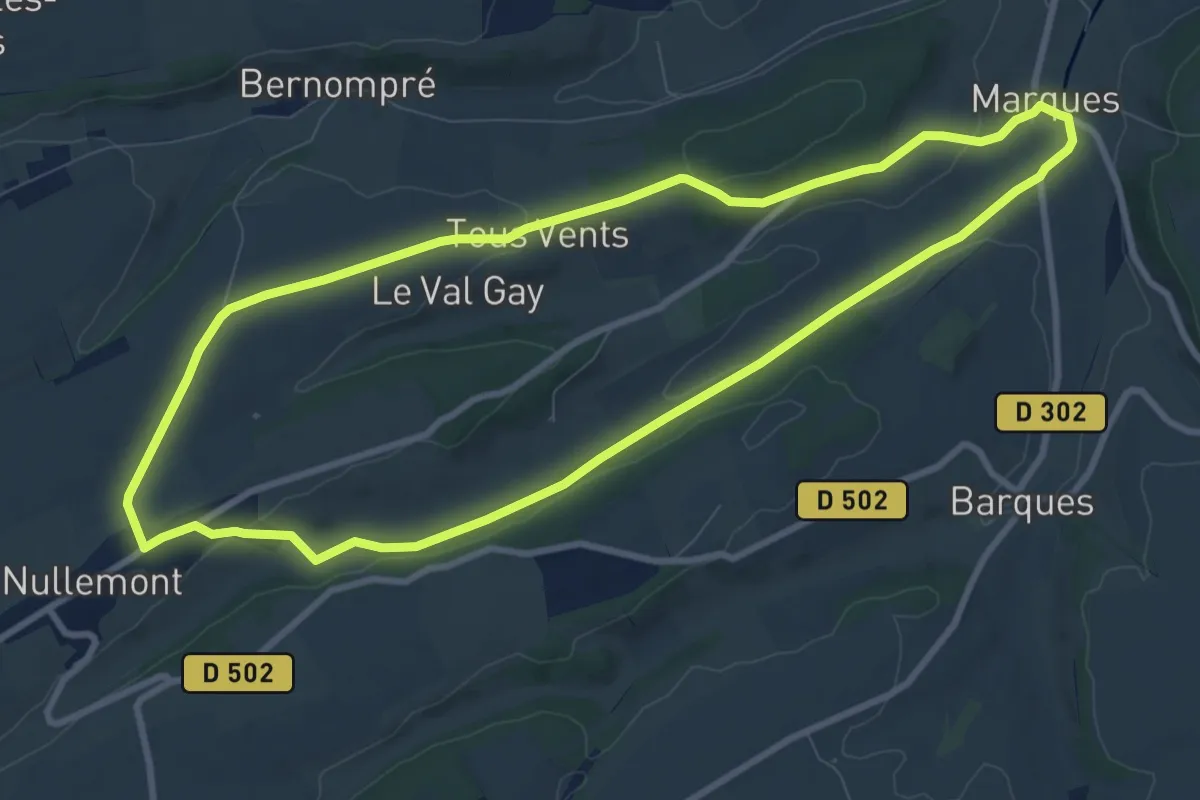
Medium · Trail
Tous Vents
8.8 km · ↑ 105 m · 2 h 25 min
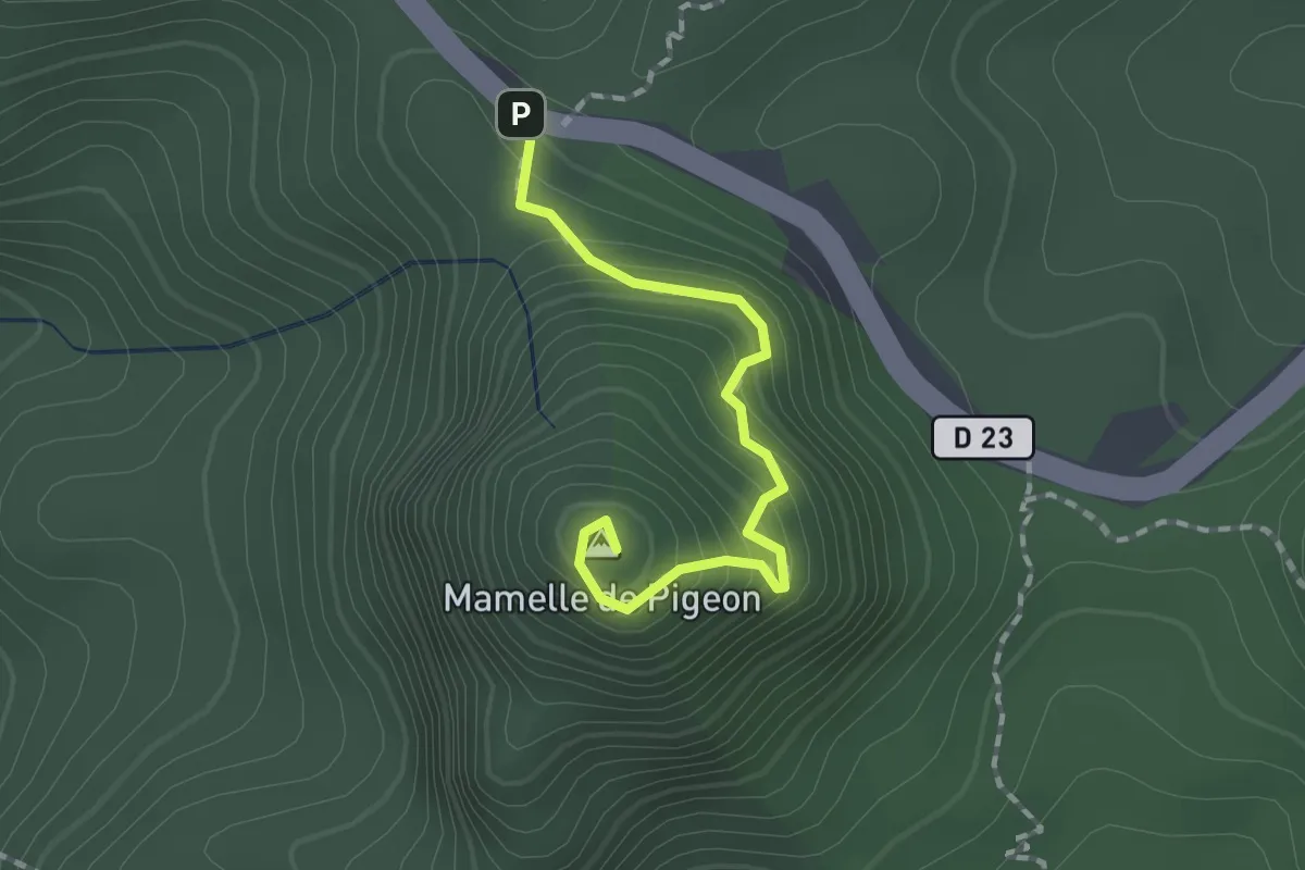
Easy · Summit
Trace de la Mamelle de Pigeon
1.1 km · ↑ 169 m · 33 min
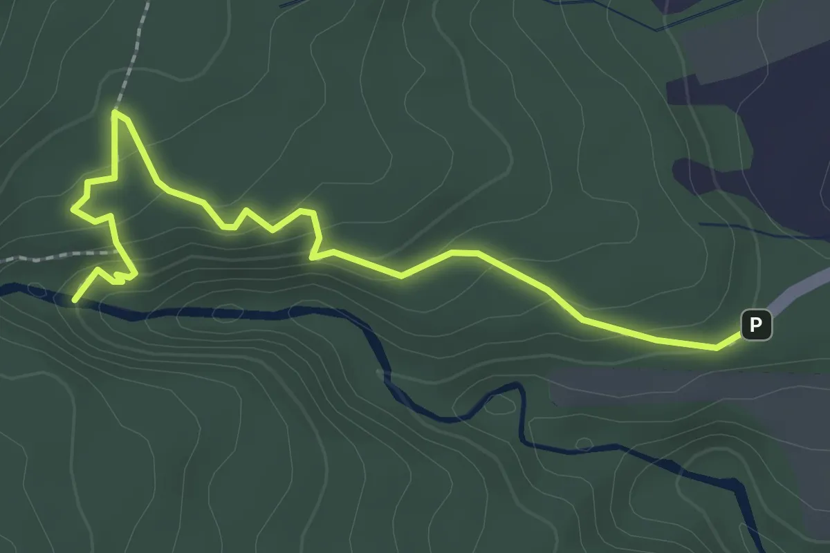
Easy · Trail
Trace de la Troisième Chute du Carbet
3.6 km · ↑ 137 m · 1 h 8 min
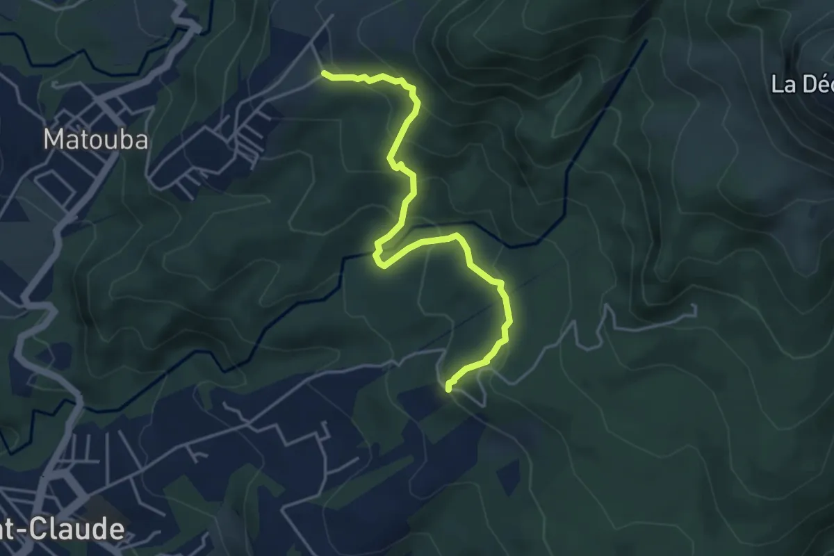
Medium · Trail
Trace Delgrès
5.6 km · ↑ 408 m · 2 h 12 min
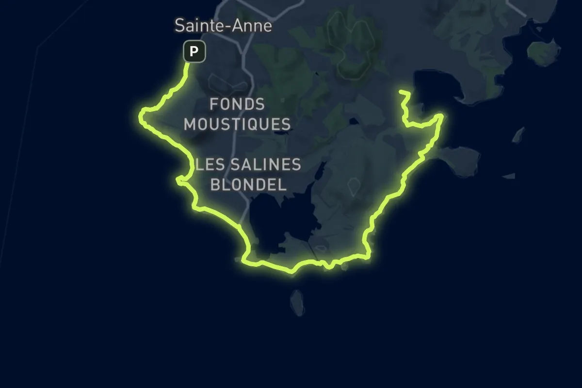
Demanding · Summit
Trace des Caps
25.7 km · ↑ 215 m · 6 h 32 min
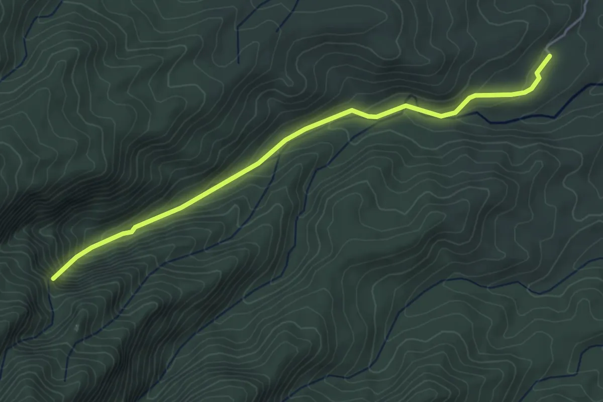
Medium · Trail
Trace des Chutes Moreau
6.4 km · ↑ 327 m · 2 h 14 min
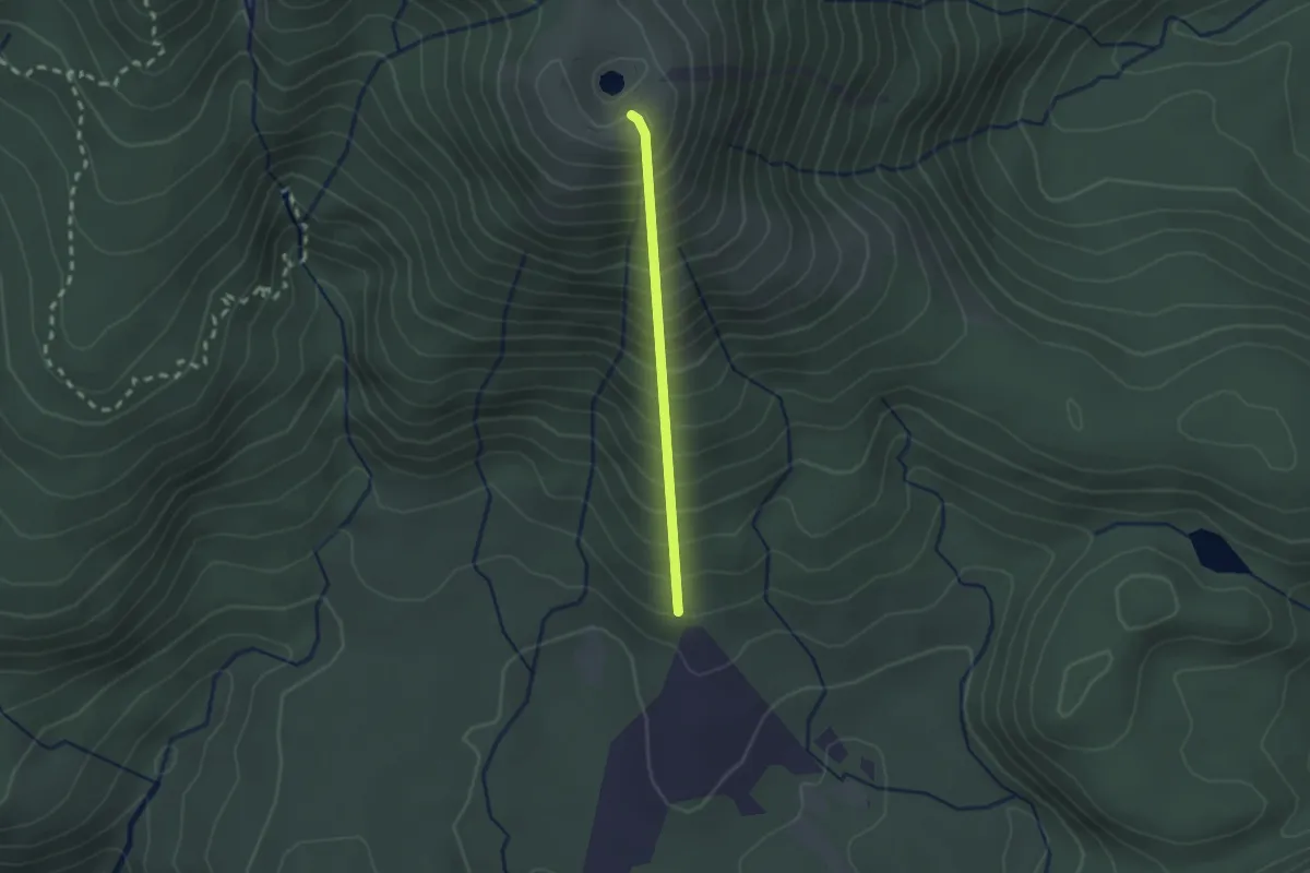
Medium · Summit
Trace des Poteaux
2.3 km · ↑ 403 m · 1 h 25 min
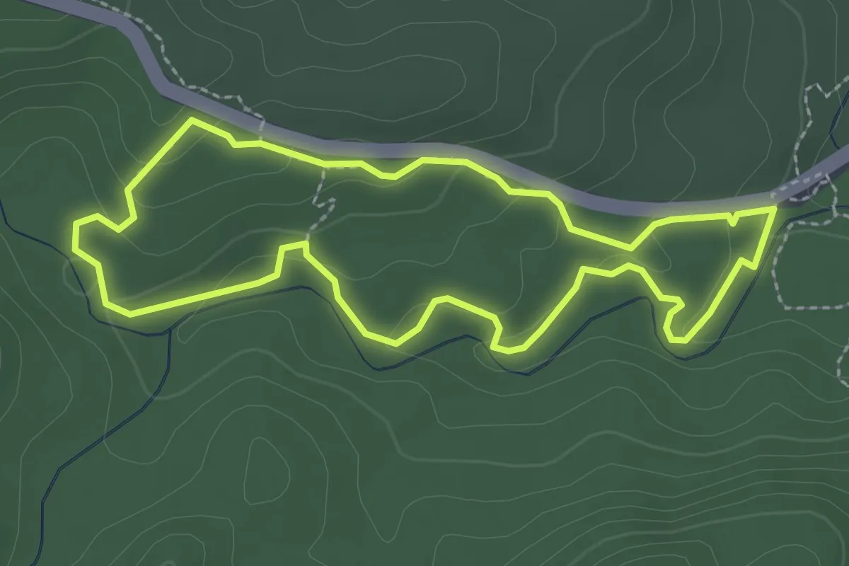
Easy · Trail
Trace des ruisseaux
3.2 km · ↑ 108 m · 1 h 3 min
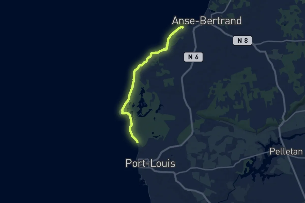
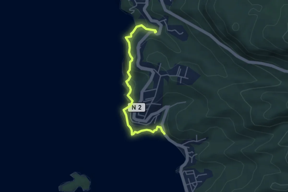
Medium · Trail
Trace du Grand Cul-de-Sac Marin
13.5 km · ↑ 36 m · 3 h 17 min
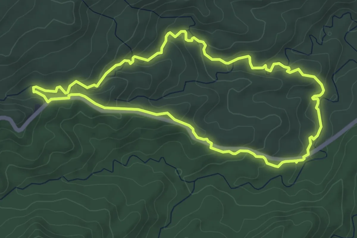
Medium · Trail
Trace du Petit Malendure
5.3 km · ↑ 480 m · 2 h 17 min
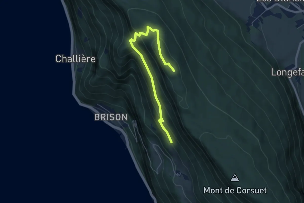
Easy · Trail
Trace Rivière Quiock
7.5 km · ↑ 245 m · 2 h 25 min
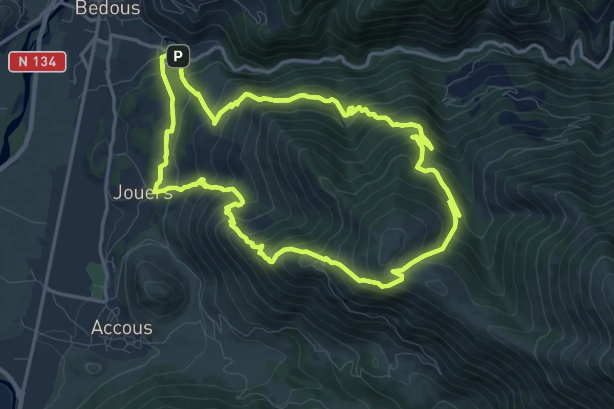
Medium · Trail
Trail 6
5.7 km · ↑ 293 m · 1 h 59 min
Demanding · Trail
Trail de Bergout asp24
9.9 km · ↑ 817 m · 4 h 14 min
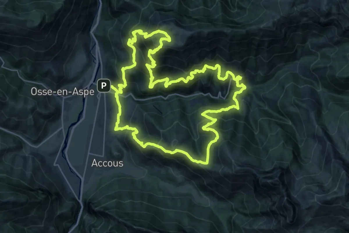
Demanding · Summit
Trail d'Ourdinse asp18
27.0 km · ↑ 2339 m · 11 h 49 min
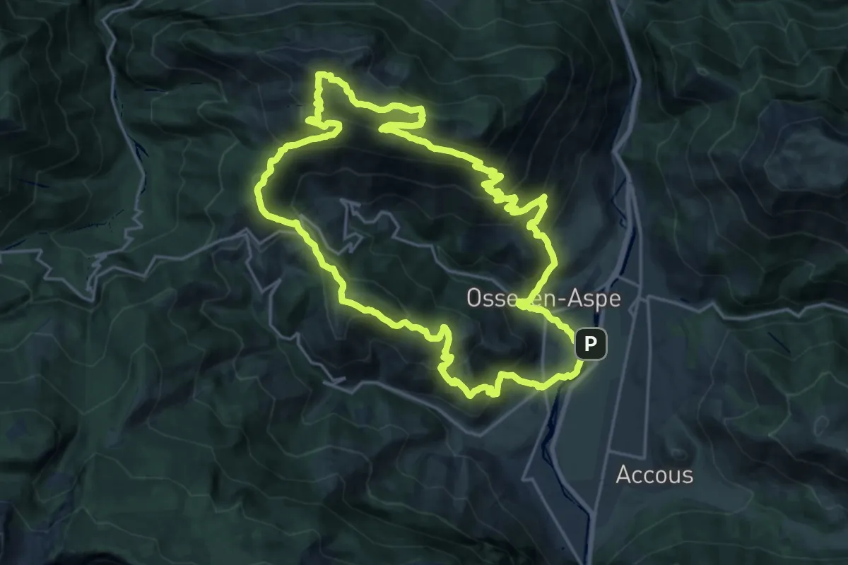
Demanding · Summit
Trail du Layens par Pirait asp36
21.3 km · ↑ 1456 m · 8 h 29 min
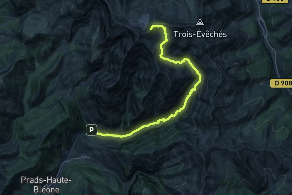
Demanding · Summit
Trail Montée de l'Estrop
24.5 km · ↑ 1796 m · 9 h 41 min
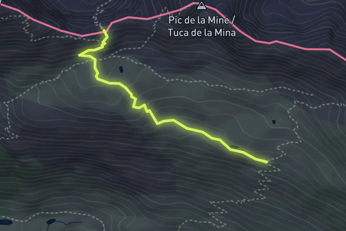
Medium · Trail
Transfronterizo
3.4 km · ↑ 190 m · 1 h 12 min
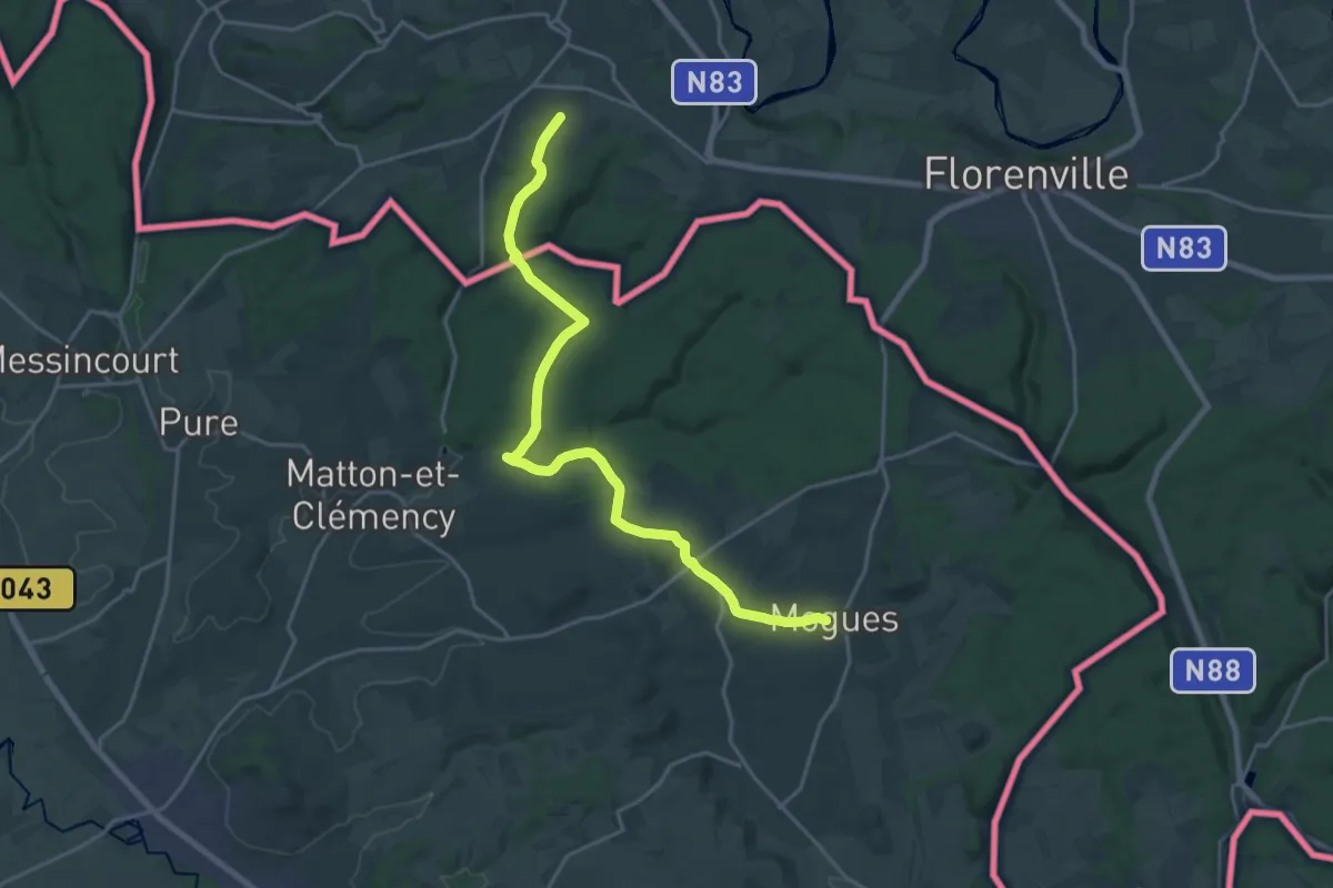
Demanding · Trail
Transgaumaise - Mogues à Chassepierre
20.3 km · ↑ 372 m · 5 h 36 min
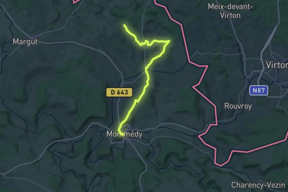
Medium · Trail
Transgaumaise - Montmédy à Mogues
14.3 km · ↑ 337 m · 4 h 16 min
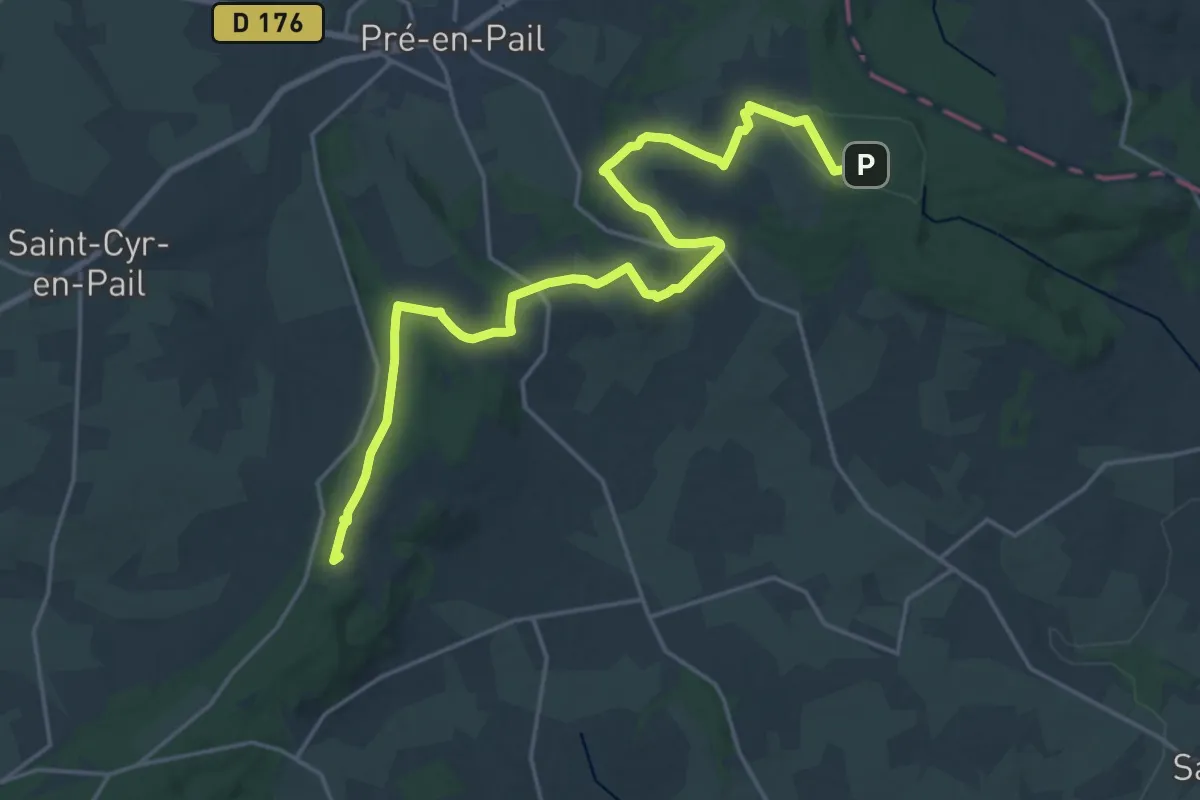
Demanding · Summit
Transversale Boucle du Mont des Avaloirs
21.9 km · ↑ 297 m · 5 h 49 min
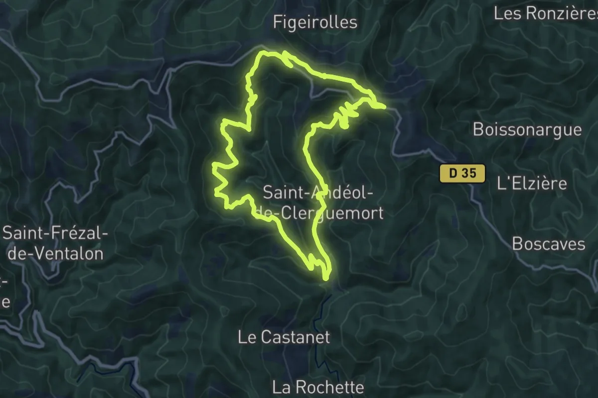
Demanding · Trail
Tras Lou Serre
15.0 km · ↑ 842 m · 5 h 35 min
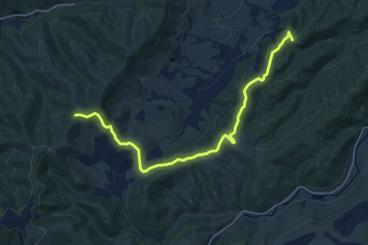
Medium · Trail
Traversas - Les Hermessennes
13.6 km · ↑ 377 m · 4 h 1 min
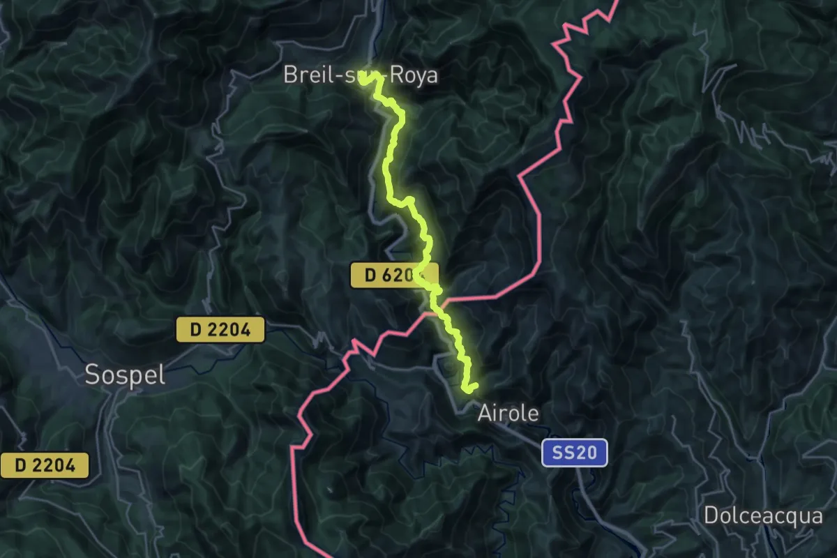
Medium · Trail
Traversée Airole-Breil
11.0 km · ↑ 782 m · 4 h 29 min
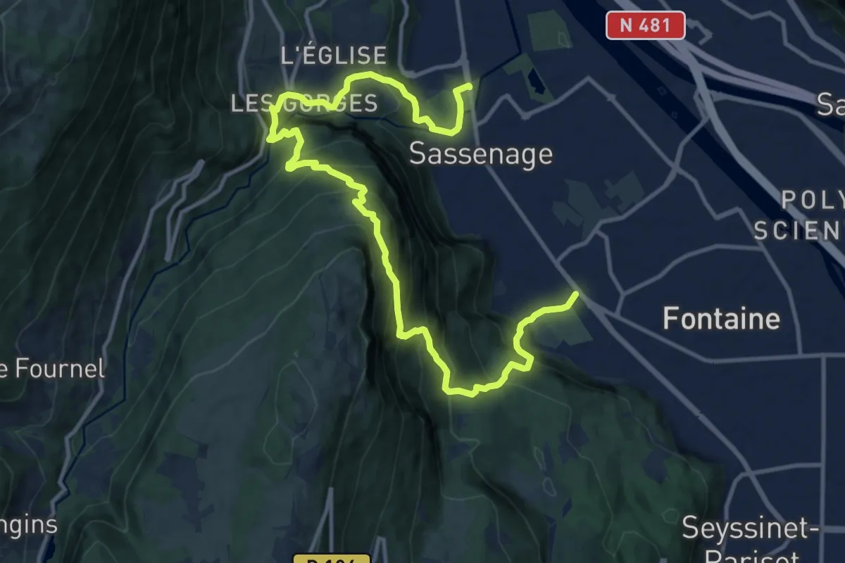
Demanding · Trail
Traversée de la ferme Durand
15.7 km · ↑ 1428 m · 6 h 47 min
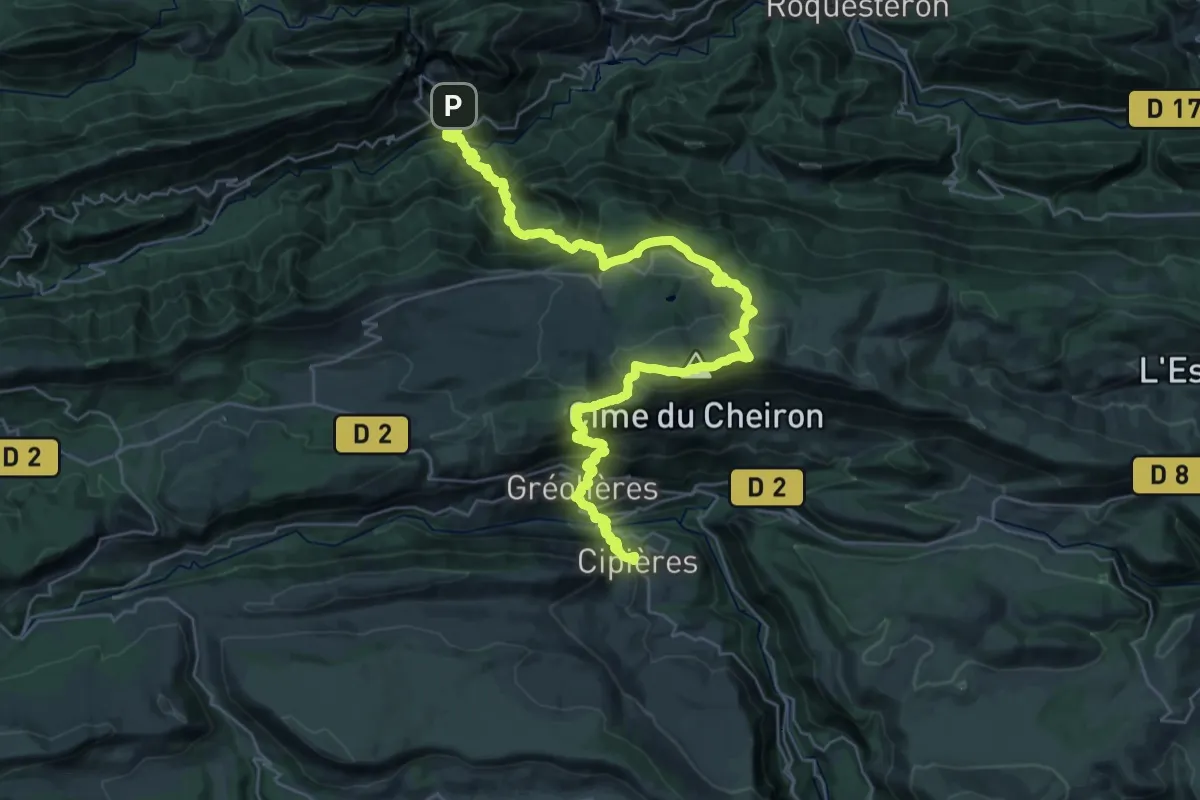
Demanding · Summit
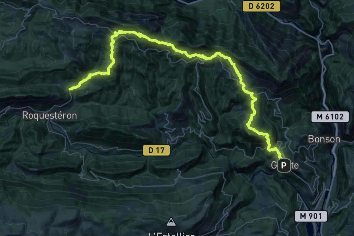
Traversée de l'Estéron - Étape 2
21.5 km · ↑ 1722 m · 9 h 2 min
Demanding · Summit
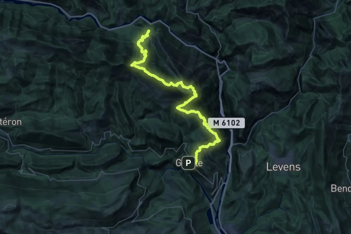
Traversée de l'Estéron - Etape 4
23.7 km · ↑ 1856 m · 9 h 55 min
Demanding · Summit
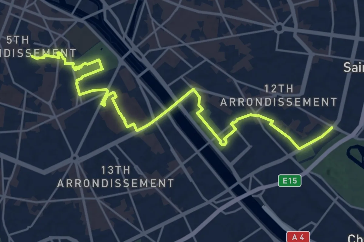
Traversée de l'Estéron - Etape 5
20.5 km · ↑ 1745 m · 8 h 58 min
Medium · Summit
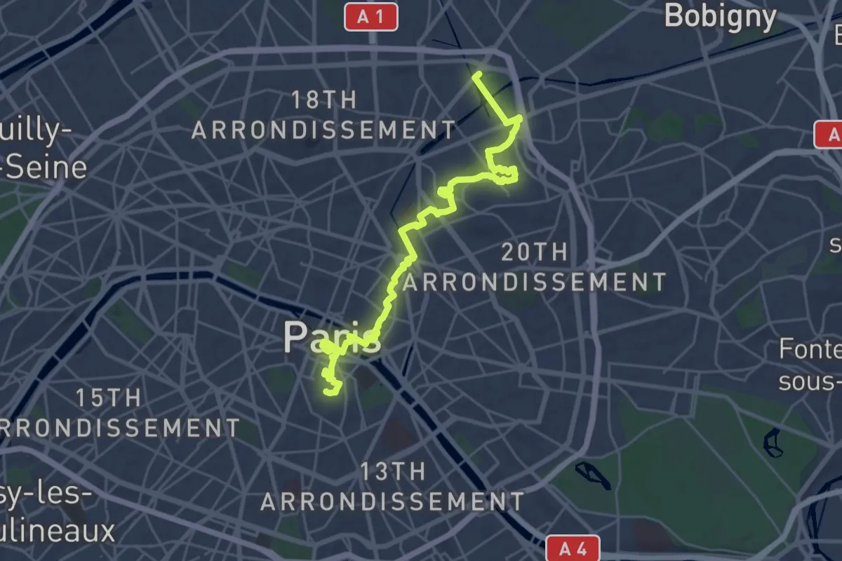
Traversée de Paris n°1
16.6 km · ↑ 93 m · 4 h 7 min
Demanding · Summit
Traversée de Paris n°2
25.7 km · ↑ 251 m · 6 h 36 min
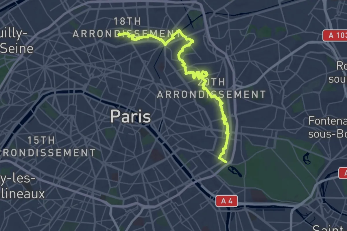
Demanding · Summit
Traversée de Paris n°3
30.9 km · ↑ 352 m · 8 h 3 min
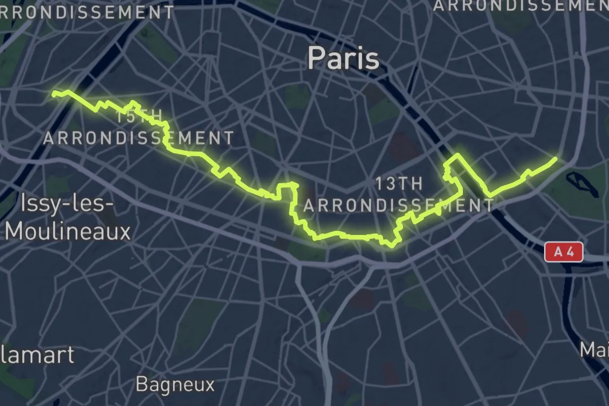
Medium · Trail
Traversée de Paris n°4
17.7 km · ↑ 128 m · 4 h 42 min
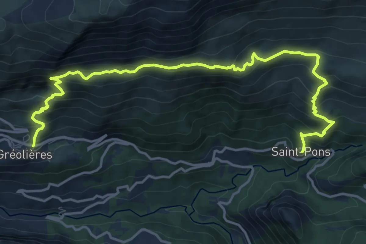
Medium · Trail
Traversée des Miroirs
6.4 km · ↑ 374 m · 2 h 27 min
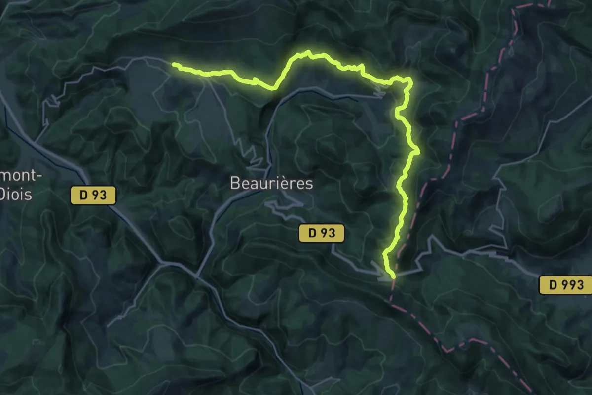
Medium · Trail
Traversée du Vercors Nord-Sud - Variante
13.3 km · ↑ 458 m · 4 h 24 min
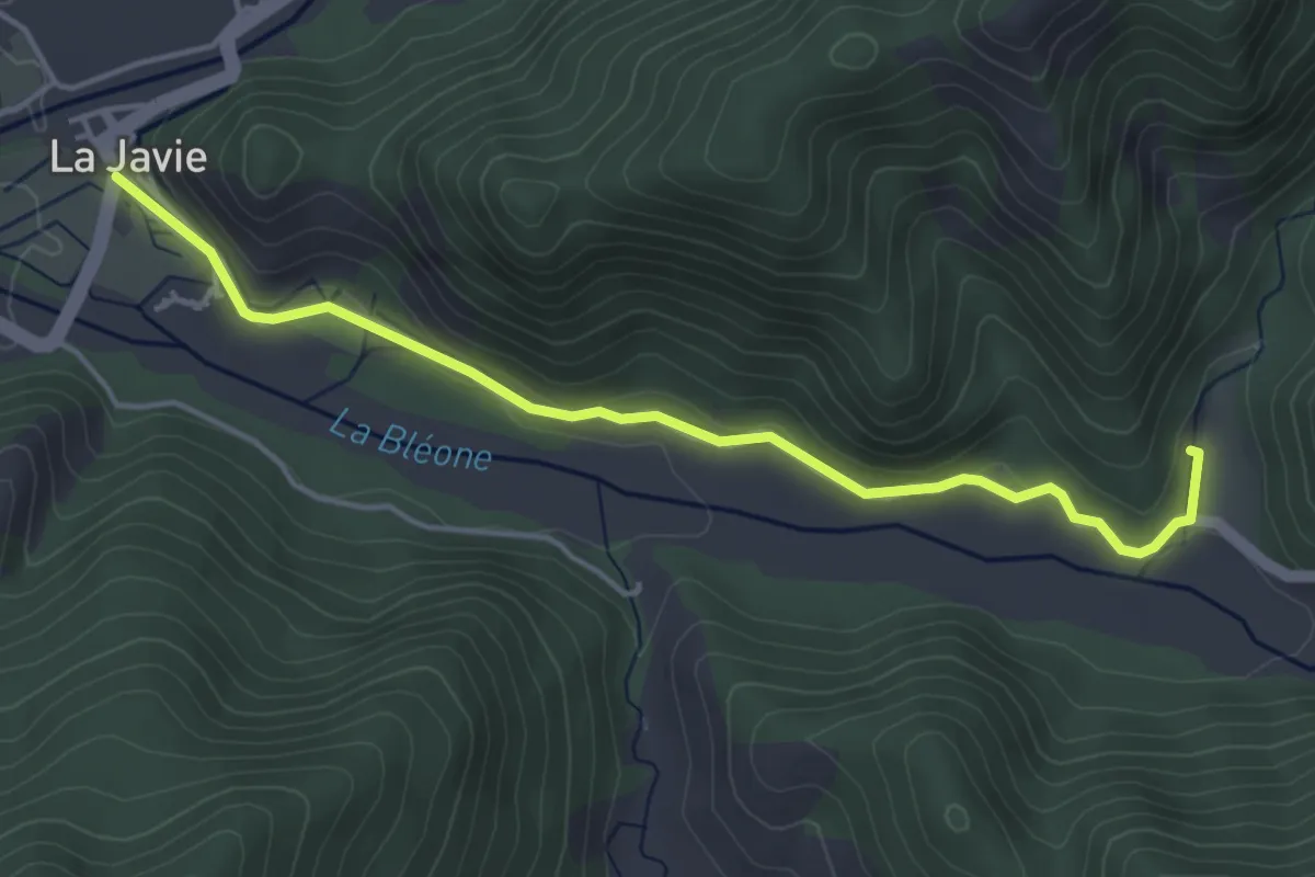
Expert · Trail
Traversée La Javie - Saint-Pierre - Prads Haute Bléone
4.6 km · ↑ 98 m · 1 h 19 min
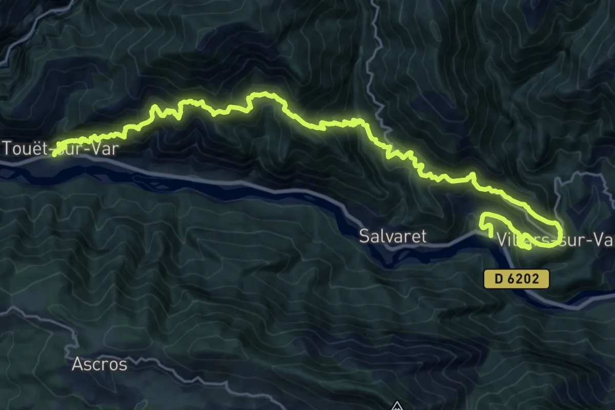
Demanding · Trail
Traversée Touët-sur-Var – Villars-sur-Var
13.7 km · ↑ 1261 m · 6 h 12 min
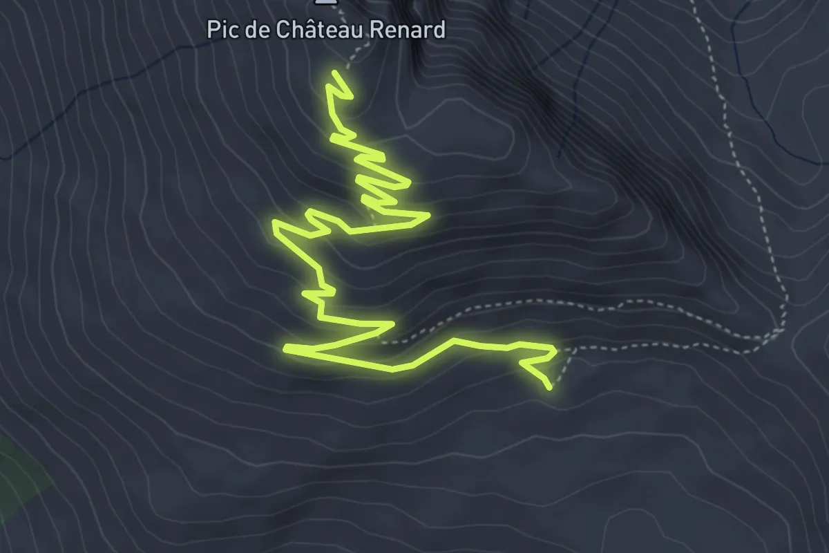
Easy · Trail
Traversier - Observatoire Château Renard
6.9 km · ↑ 299 m · 2 h 16 min
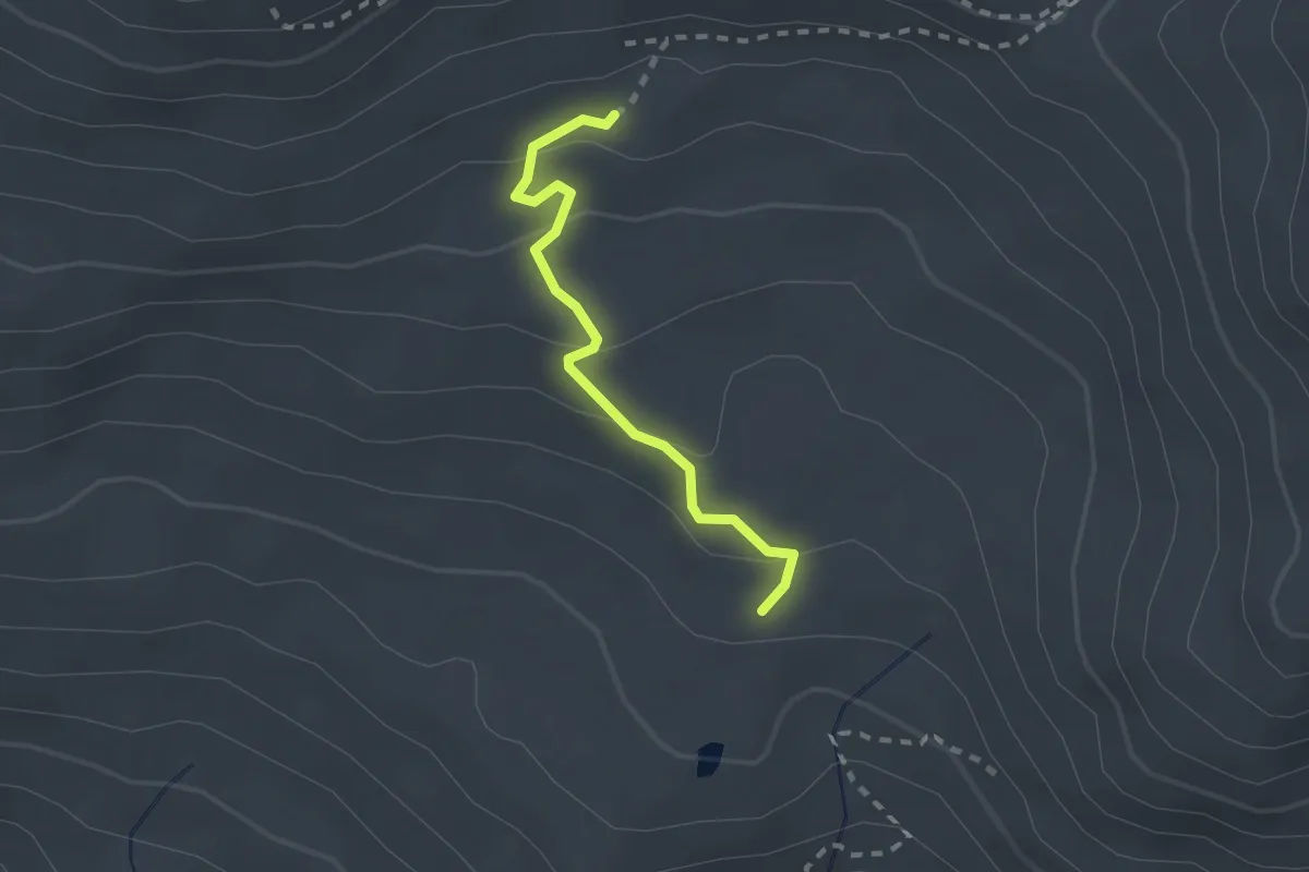
Easy · Trail
Traversier - Pinilière
2.1 km · ↑ 106 m · 43 min
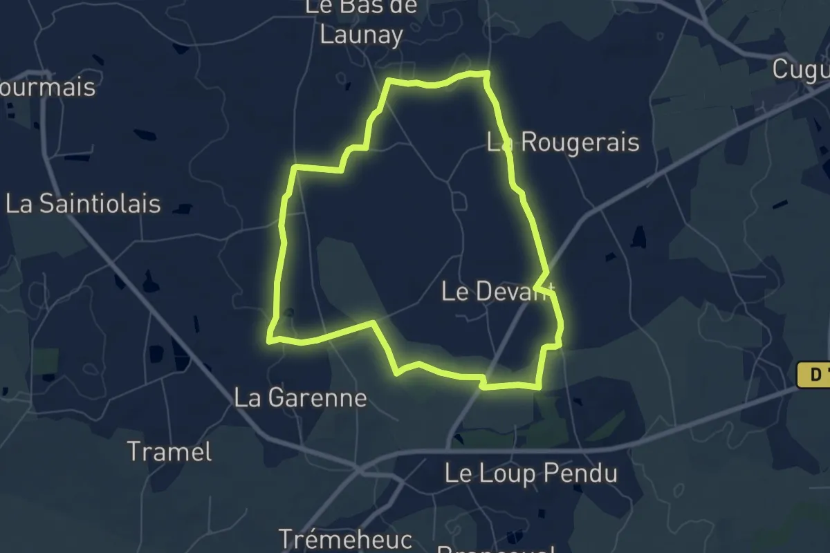
Easy · Trail
Trémeheuc, le parc éolien
6.6 km · ↑ 26 m · 1 h 42 min
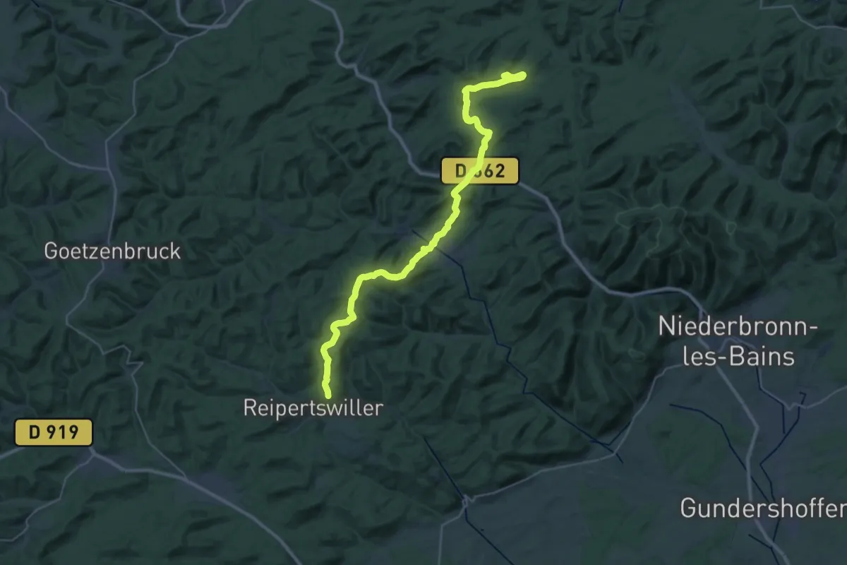
Demanding · Summit
Tres Tabernae trail
31.8 km · ↑ 914 m · 9 h 29 min
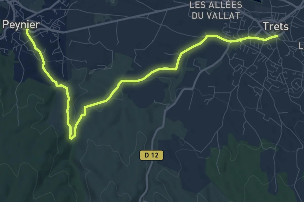
Medium · Trail
Trets à Peynier
11.4 km · ↑ 118 m · 2 h 57 min
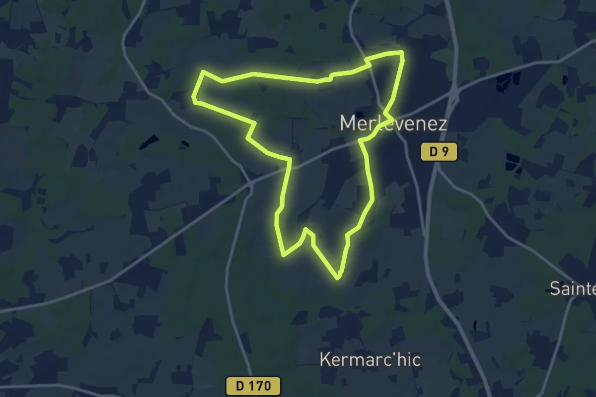
Medium · Trail
Trevelzun
9.2 km · ↑ 40 m · 2 h 23 min
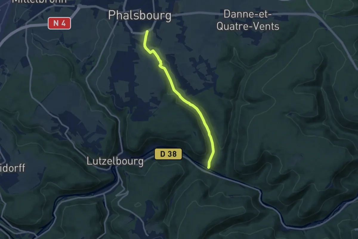
Medium · Trail
Triangle bleu
8.1 km · ↑ 168 m · 2 h 17 min
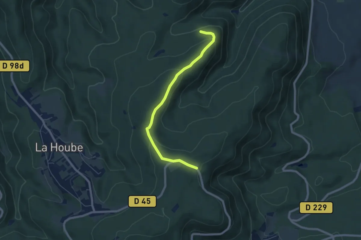
Easy · Trail
Triangle jaune
5.2 km · ↑ 172 m · 1 h 36 min
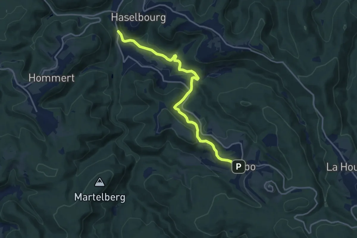
Medium · Trail
triangle jaune 2
11.8 km · ↑ 363 m · 3 h 35 min
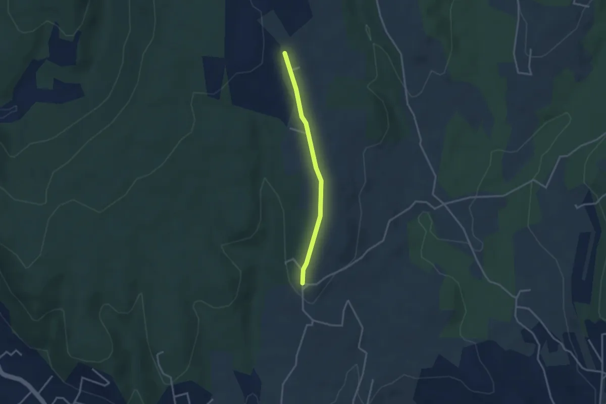
Easy · Trail
Trignan Haut - Chapelle Saint-Sulpice
2.8 km · ↑ 37 m · 44 min