Trails in France
15,926 hiking trails, each with its route, climb, walking time and grade.
All trails, page 277 of 332
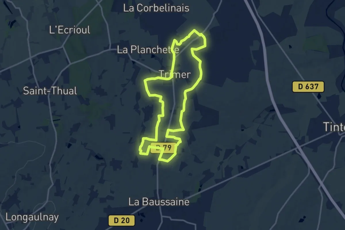
Medium · Trail
Trimer - circuit de la Fontaine
10.8 km · ↑ 49 m · 2 h 49 min
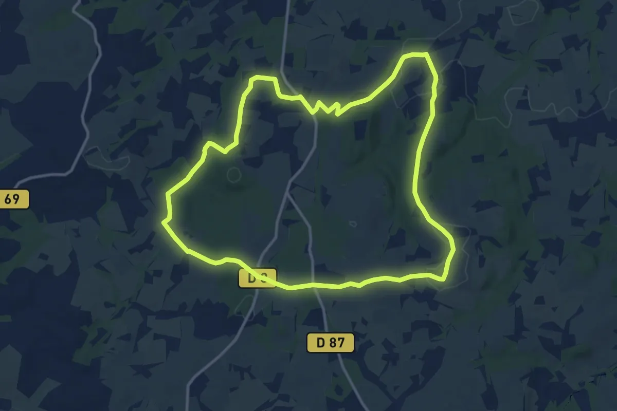
Medium · Trail
Tro An Tri Eskob
11.3 km · ↑ 171 m · 3 h 11 min
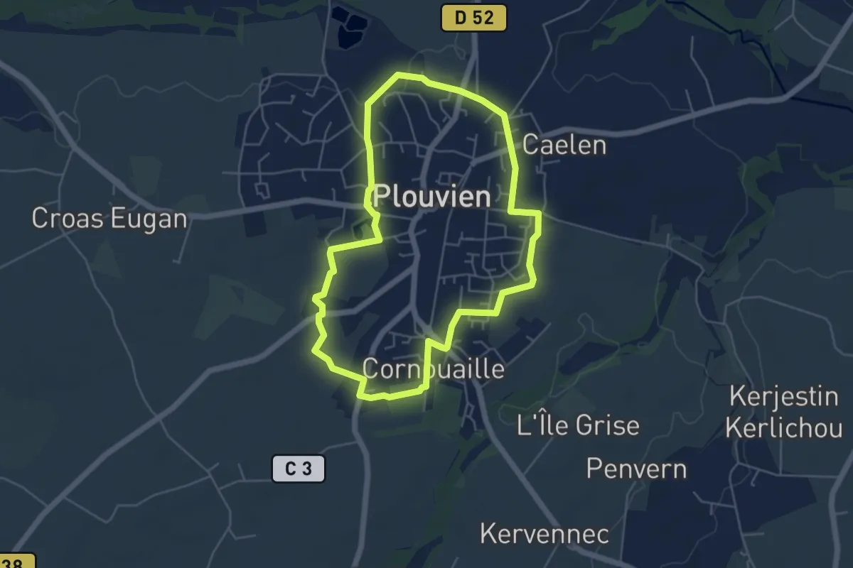
Easy · Trail
Tro ar bourg
4.5 km · ↑ 13 m · 1 h 10 min
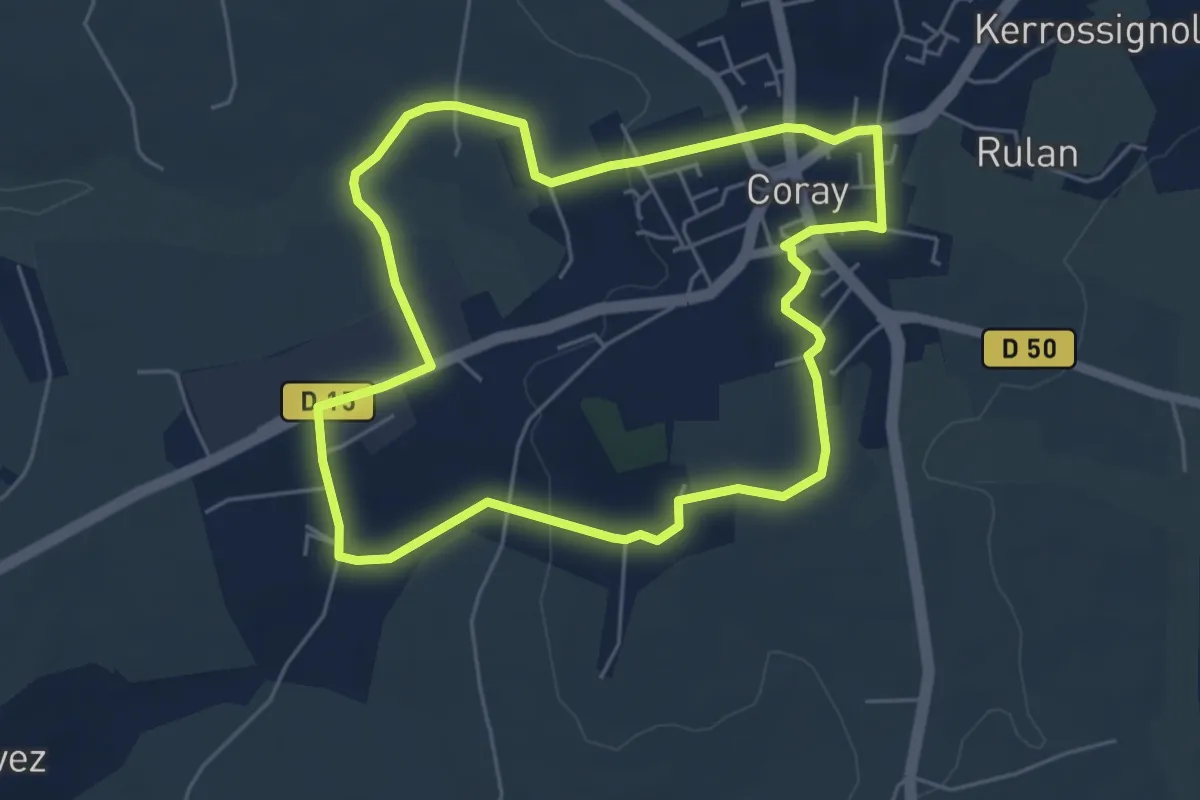
Easy · Trail
Tro Ar Vourc’h
5.2 km · ↑ 78 m · 1 h 28 min
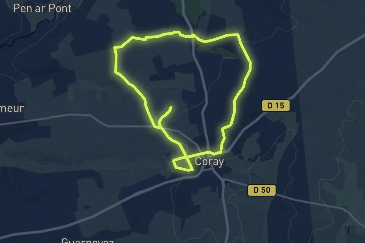
Medium · Trail
Tro Brec’horay
9.4 km · ↑ 152 m · 2 h 41 min
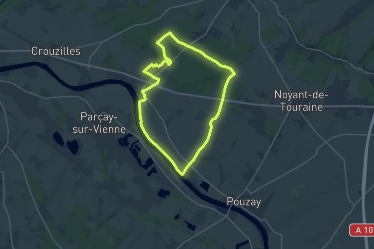
Medium · Trail
Trogues Circuit 1
13.0 km · ↑ 105 m · 3 h 28 min
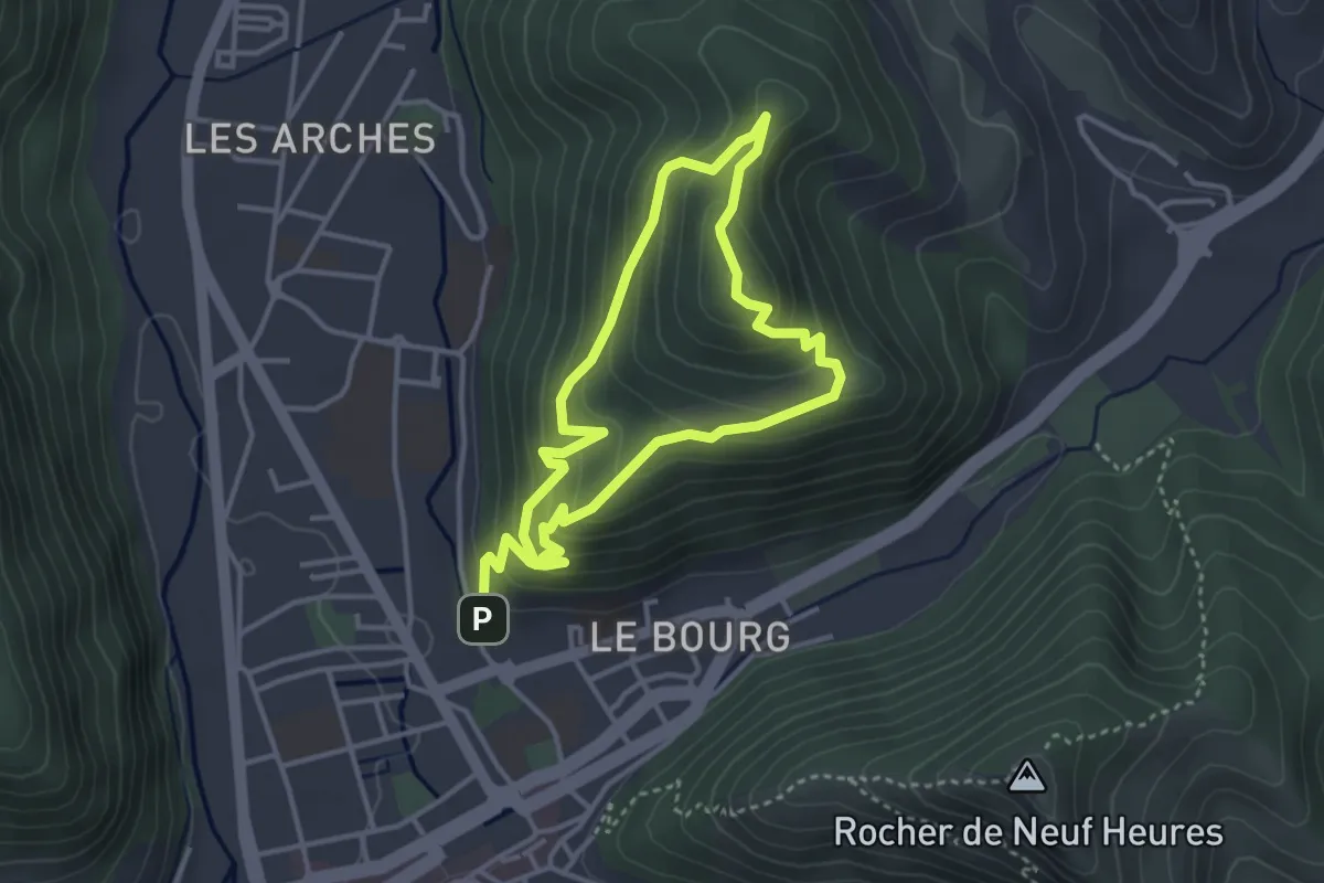
Easy · Trail
Trois chapelles
3.2 km · ↑ 265 m · 1 h 21 min
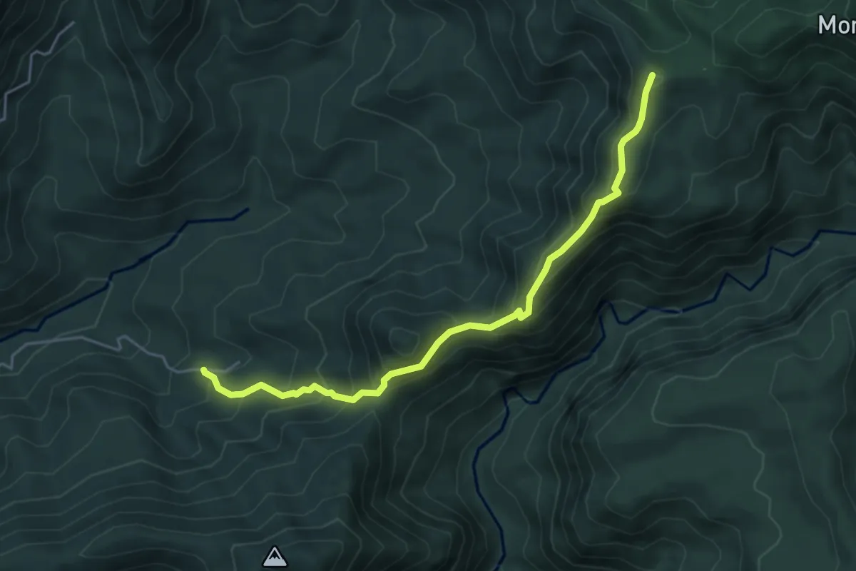
Medium · Summit
Trois Crêtes par la Vallée de Beaugendre
6.5 km · ↑ 593 m · 2 h 49 min
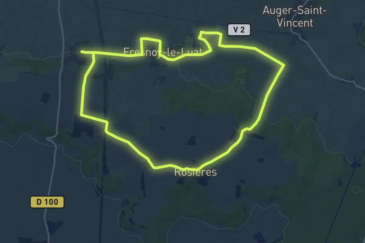
Medium · Trail
Trois Hameaux et Une Montagne
13.7 km · ↑ 99 m · 3 h 39 min
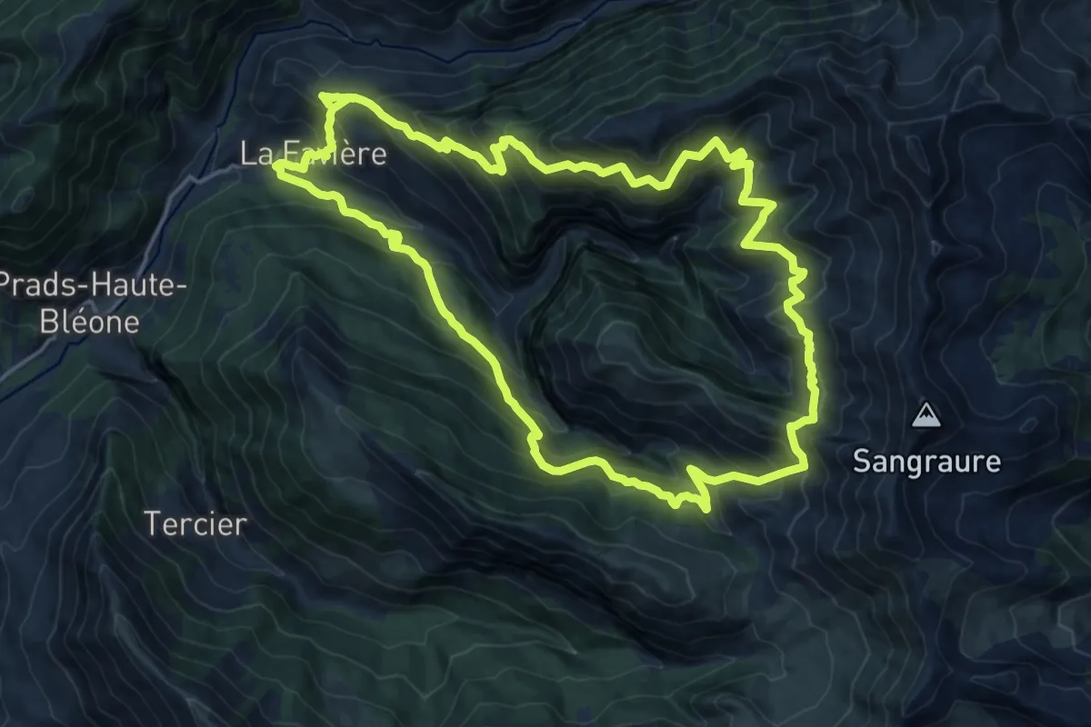
Demanding · Summit
Trois Pâturages
18.3 km · ↑ 1418 m · 7 h 40 min
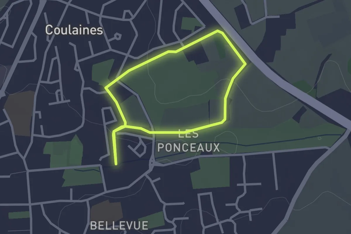
Easy · Trail
Trois vallées - Maison des chemins creux
1.9 km · ↑ 48 m · 35 min
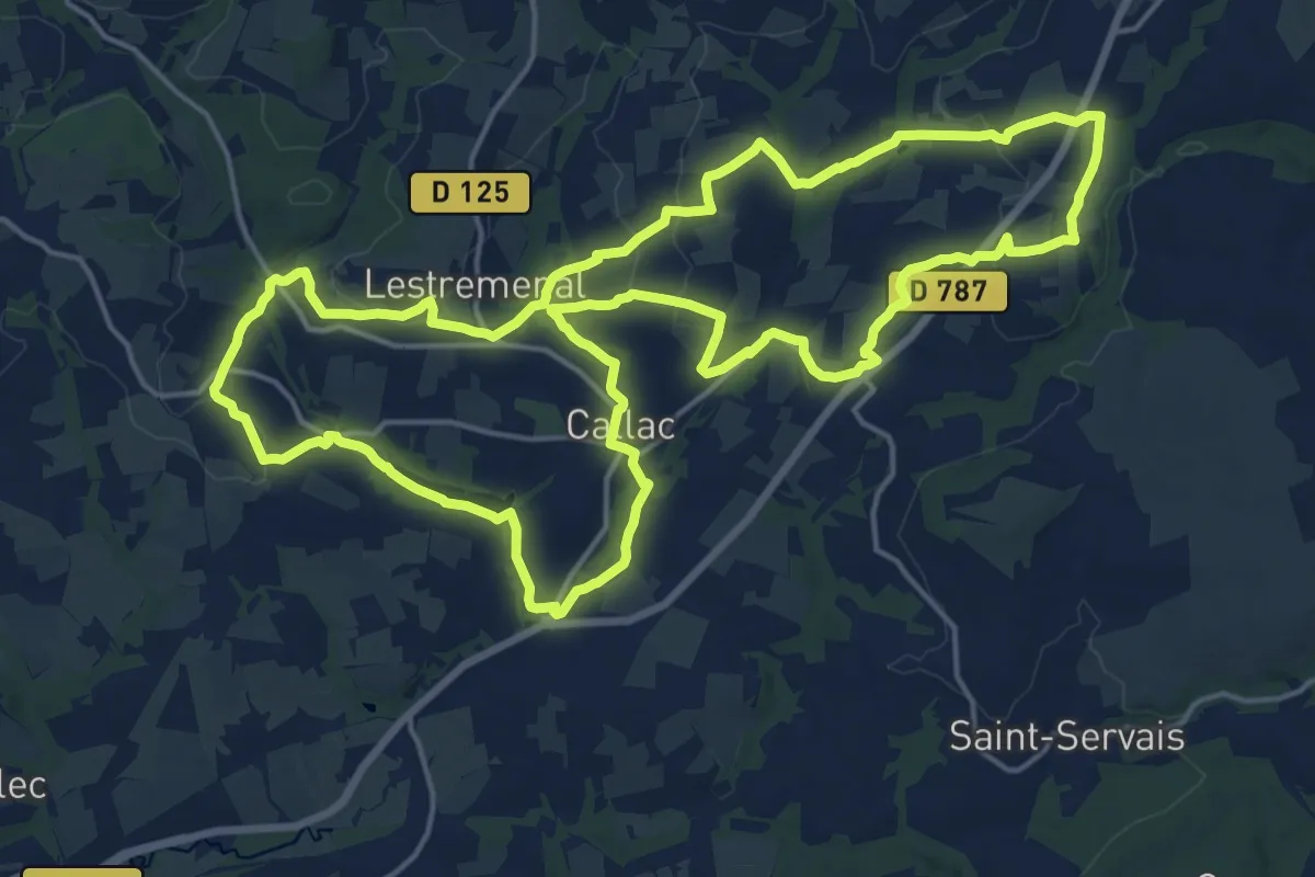
Demanding · Trail
Tro Kallag
19.0 km · ↑ 265 m · 5 h 20 min
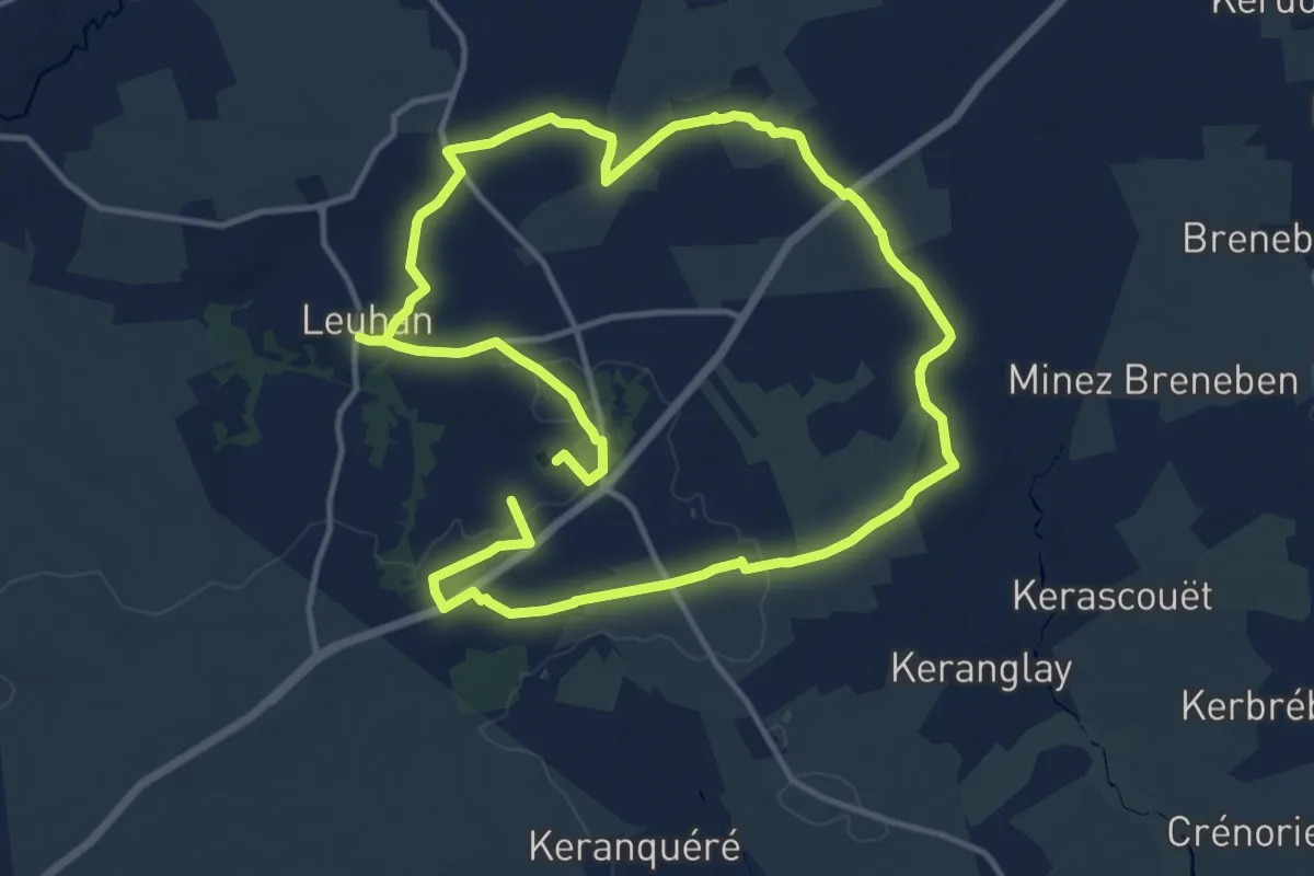
Medium · Trail
Tro Keruscun
12.1 km · ↑ 123 m · 3 h 17 min
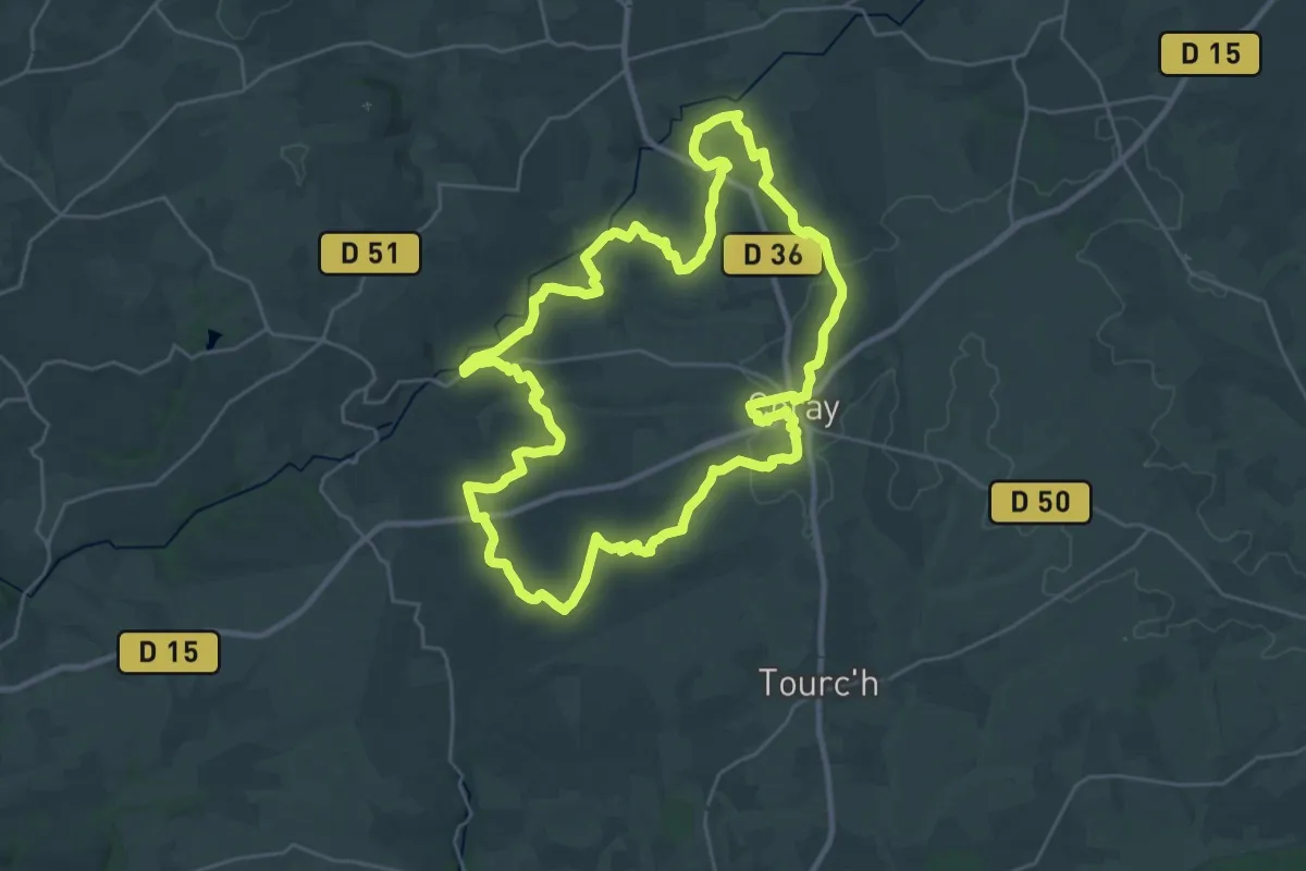
Demanding · Trail
Tro Kore
28.2 km · ↑ 474 m · 8 h 5 min
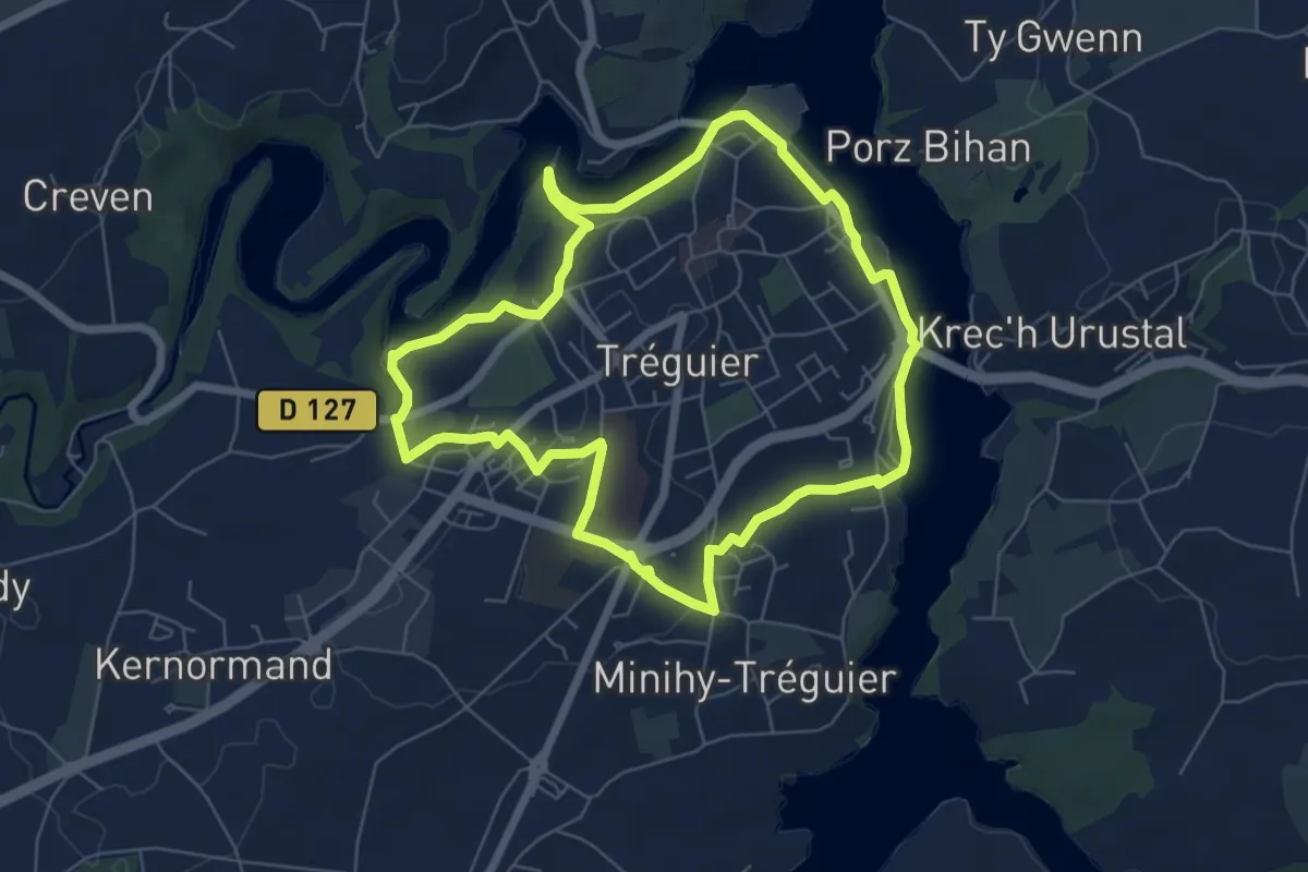
Easy · Trail
Tro Landreger
6.2 km · ↑ 118 m · 1 h 48 min
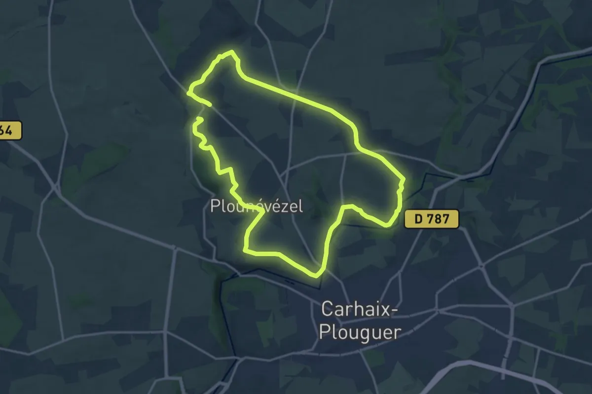
Medium · Trail
Tro Ponvel
13.5 km · ↑ 163 m · 3 h 43 min
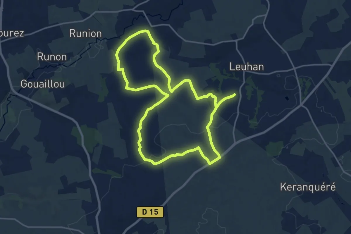
Medium · Trail
Tro San Diboan
12.9 km · ↑ 184 m · 3 h 37 min
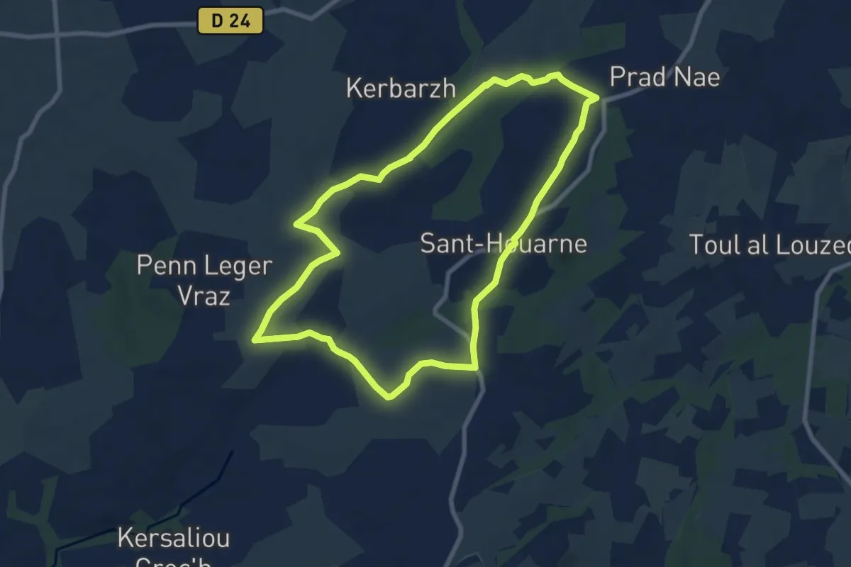
Easy · Trail
Tro Sant Houarne
7.2 km · ↑ 89 m · 1 h 59 min
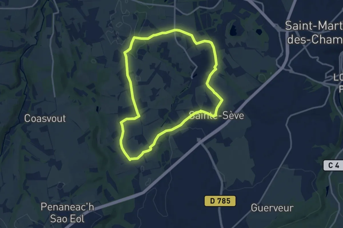
Medium · Trail
Tro Sant Sev
9.4 km · ↑ 76 m · 2 h 31 min
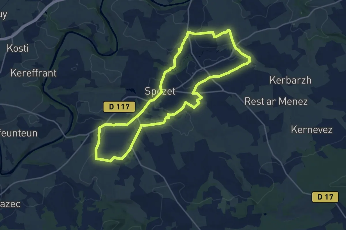
Medium · Trail
Tro Speied : le bocage
14.7 km · ↑ 179 m · 4 h 3 min
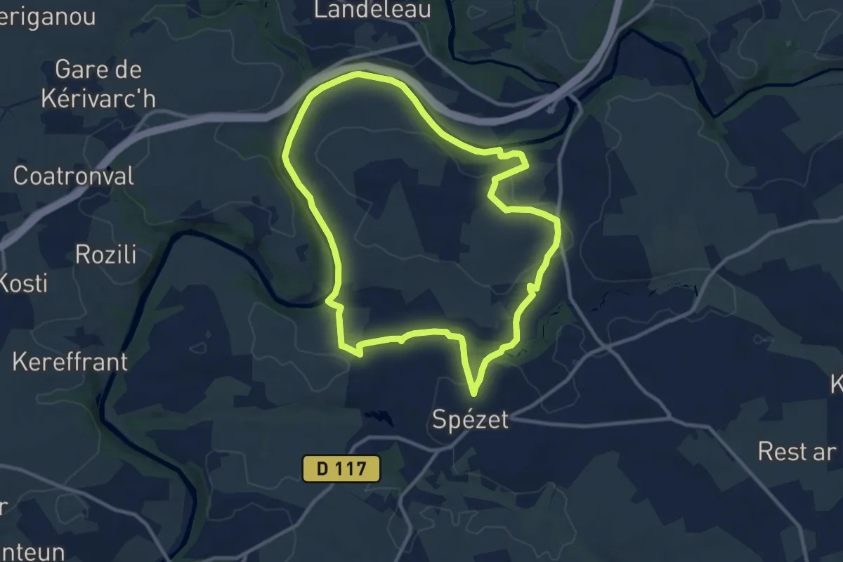
Medium · Trail
Tro Speied : le canal
10.0 km · ↑ 124 m · 2 h 46 min
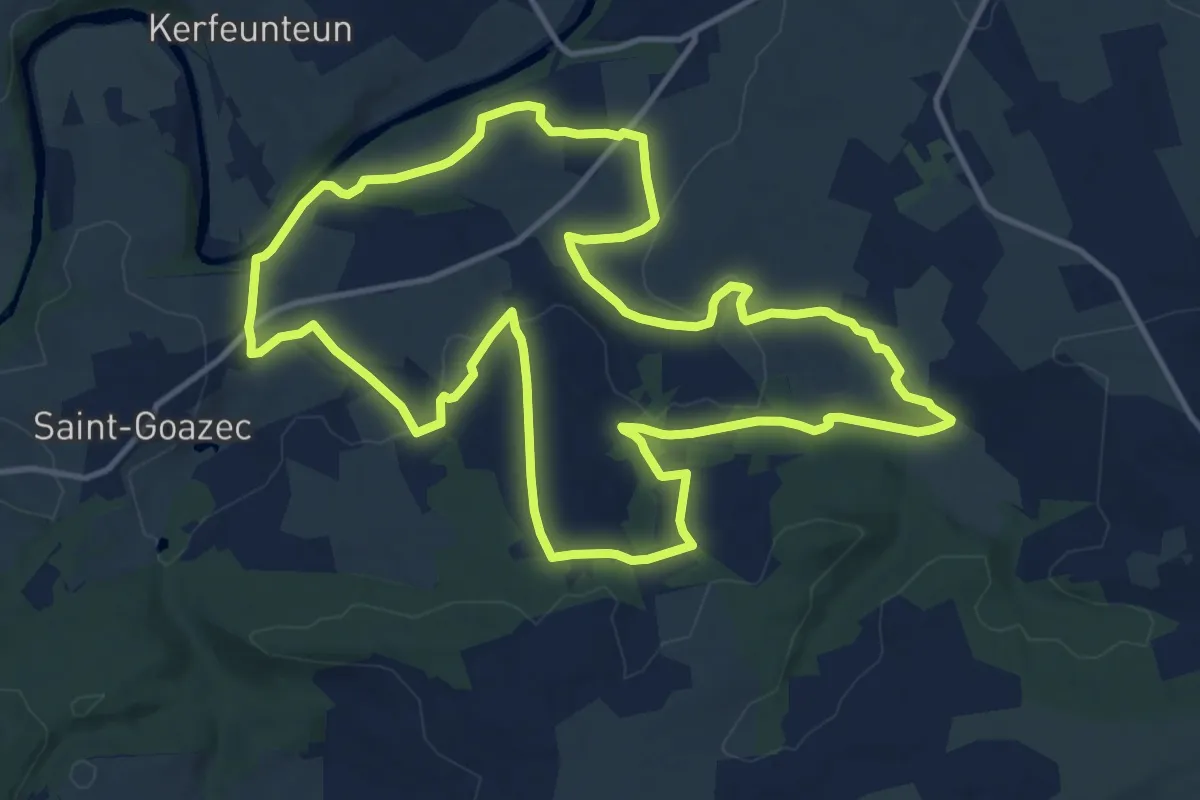
Medium · Trail
Tro ster pont mine
13.6 km · ↑ 245 m · 3 h 56 min
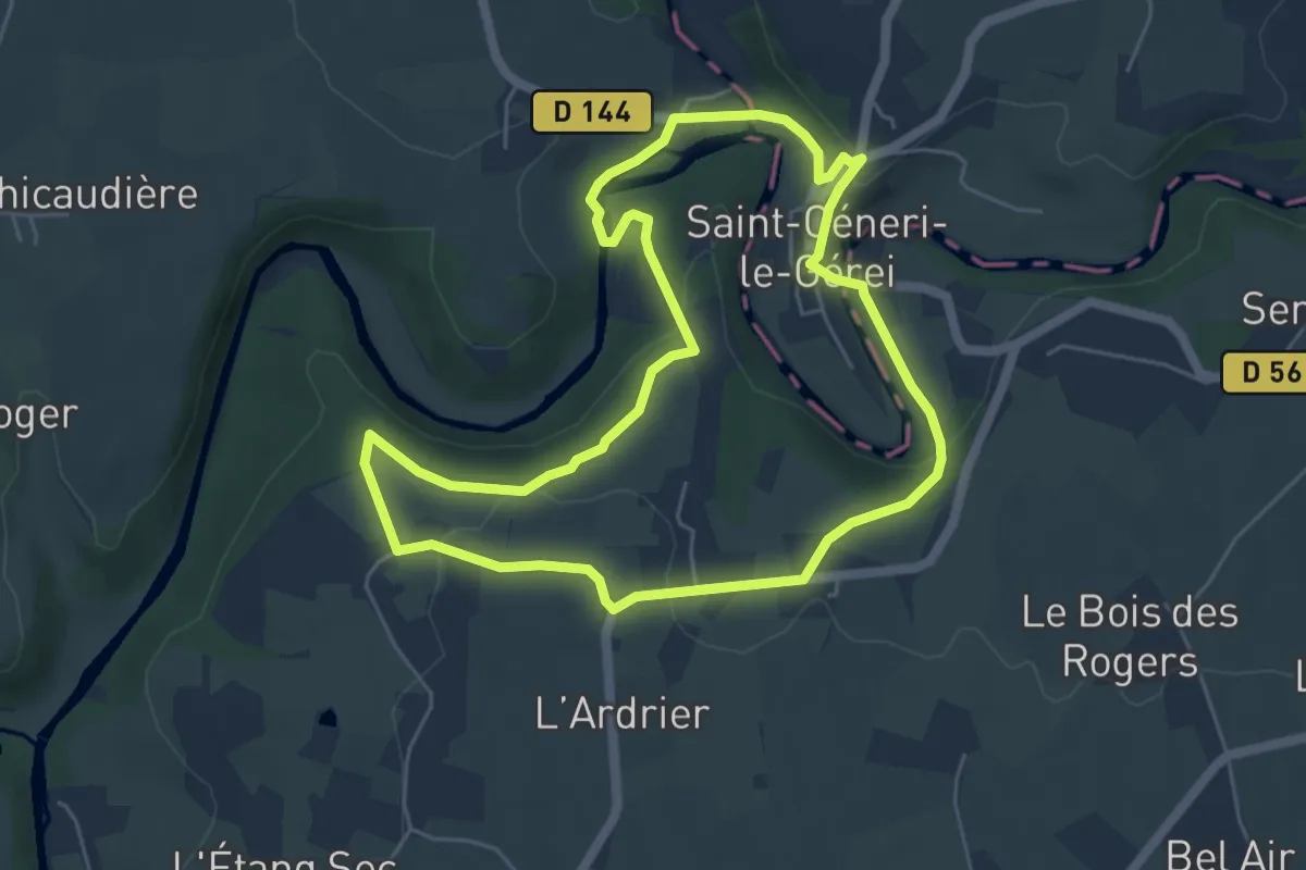
Easy · Trail
Trotté par la corniche
5.4 km · ↑ 120 m · 1 h 37 min
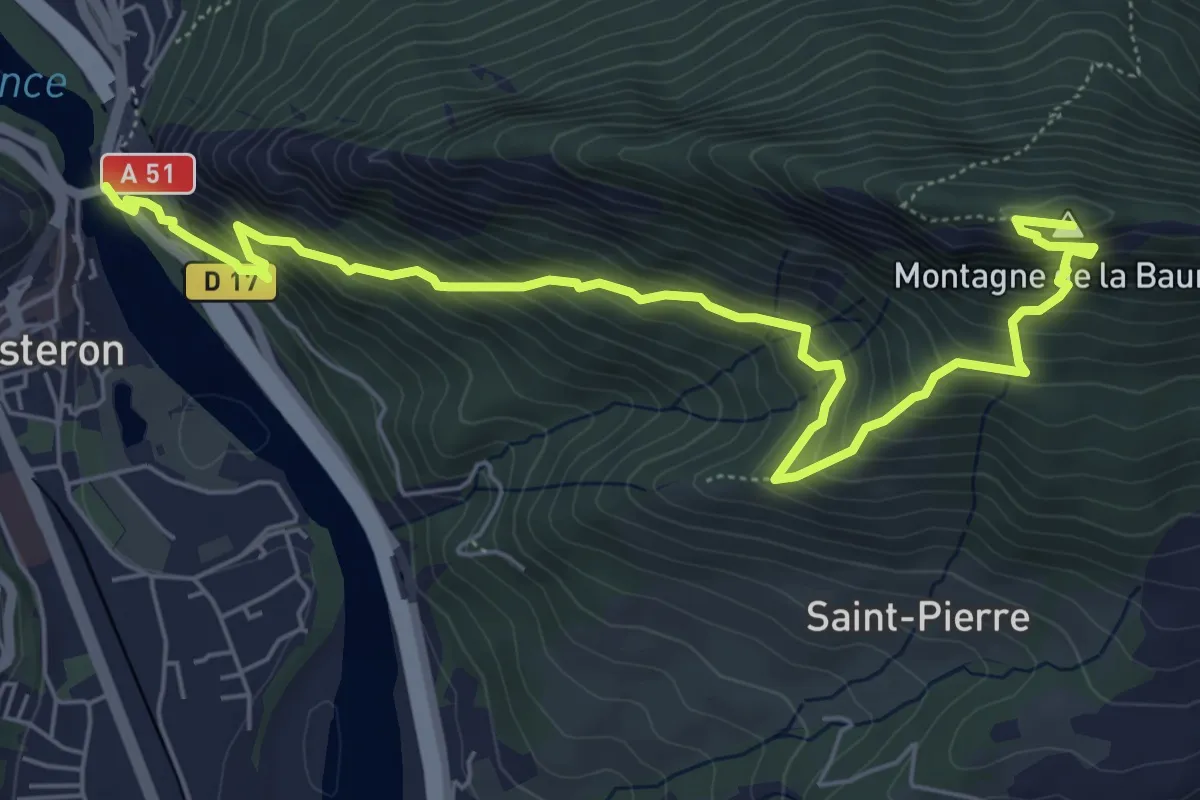
Demanding · Summit
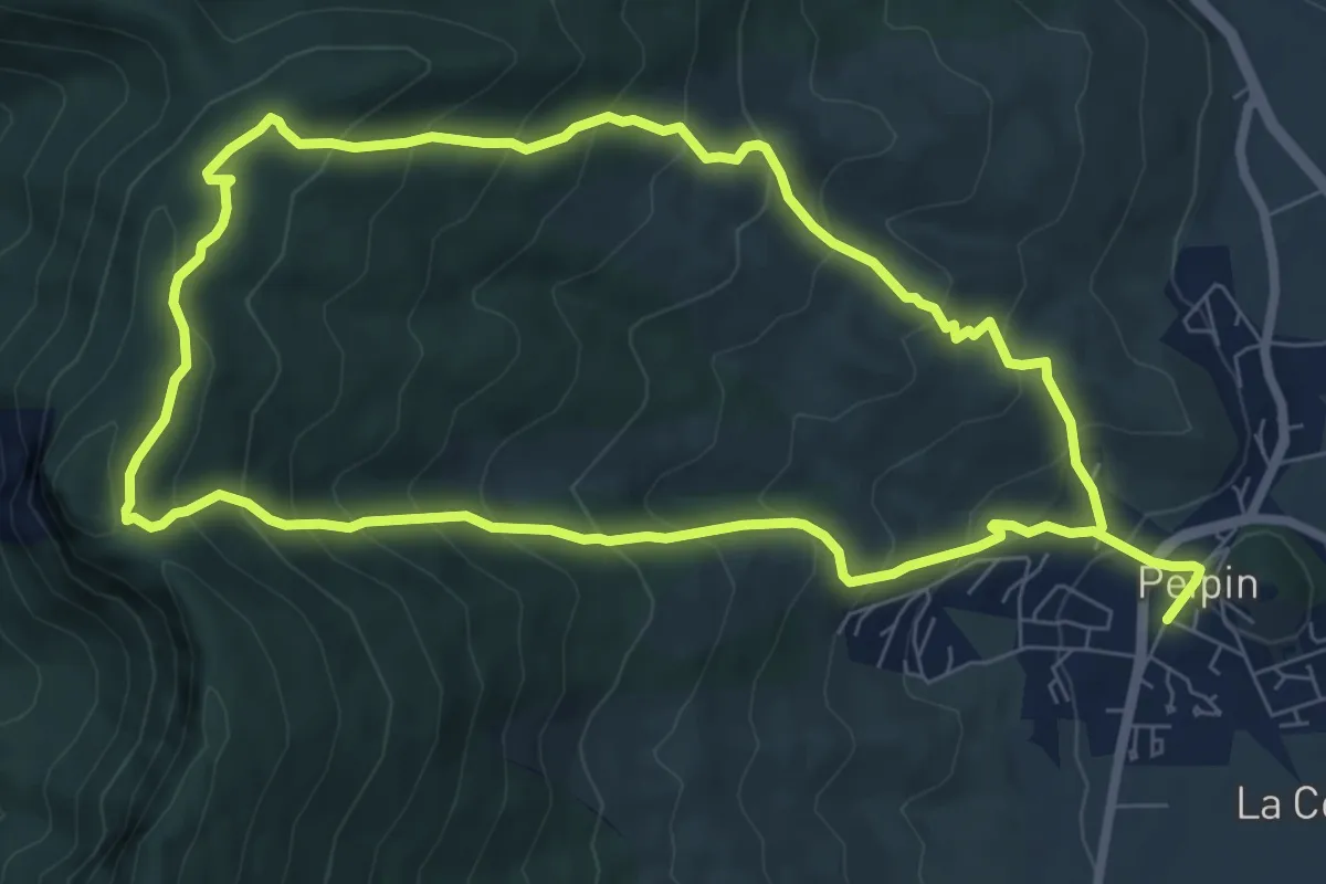
Trou de l'Argent
3.9 km · ↑ 714 m · 2 h 12 min
Medium · Trail
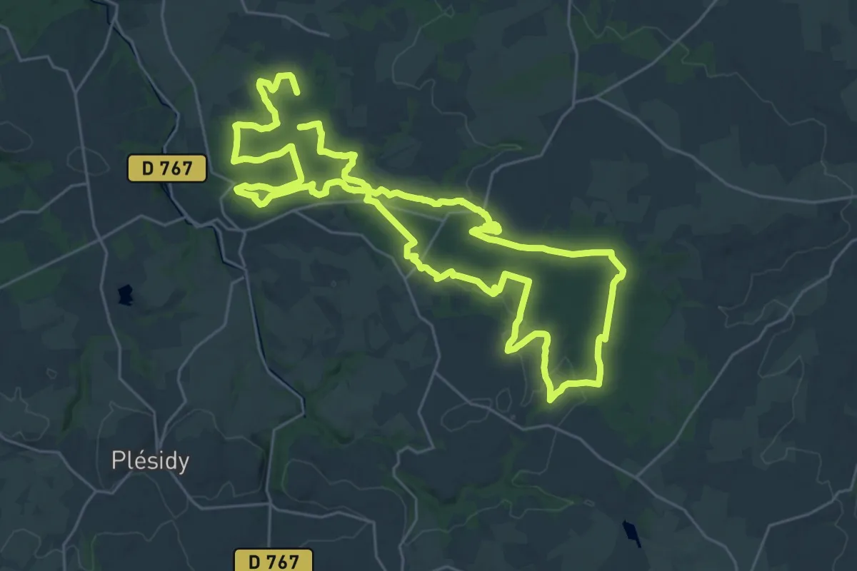
Trou du Loup
7.9 km · ↑ 583 m · 3 h 15 min
Demanding · Trail
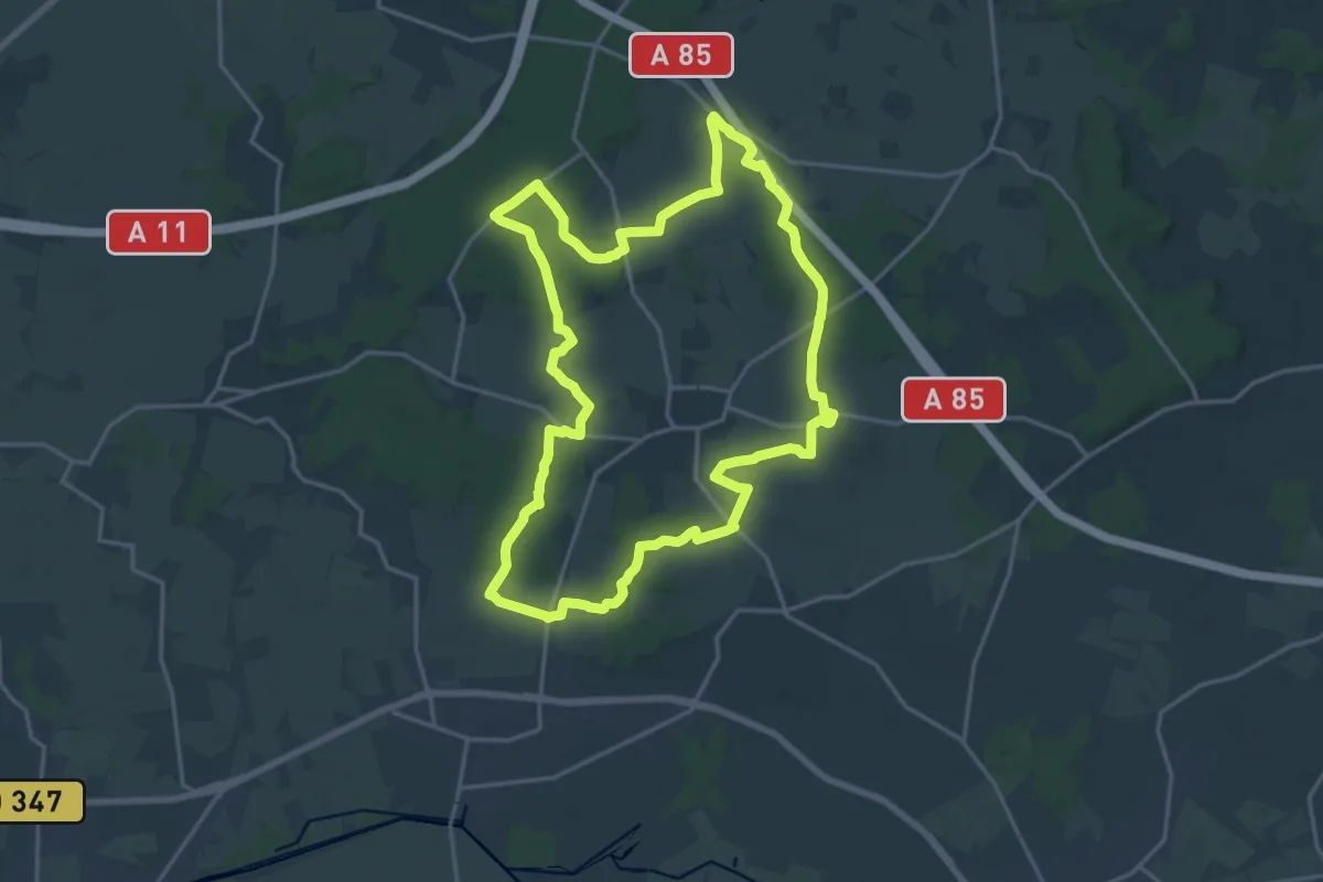
Tro vras
26.5 km · ↑ 295 m · 7 h 16 min
Demanding · Trail
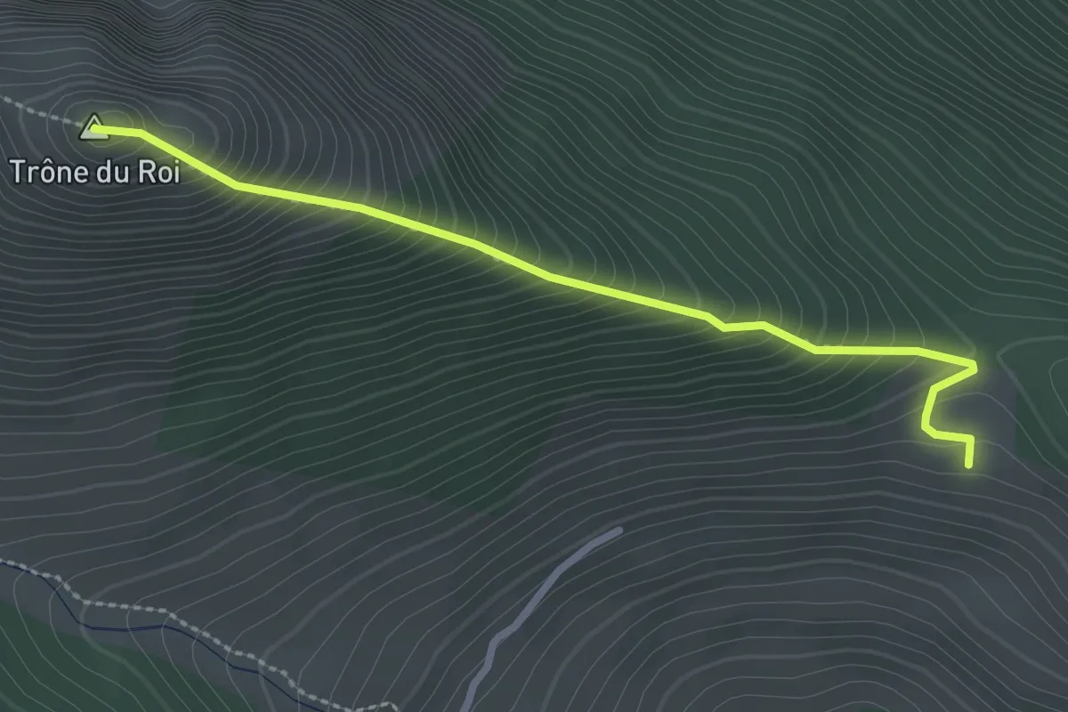
Tuffeau et bois
18.7 km · ↑ 141 m · 4 h 59 min
Medium · Summit
Turon d'Aurey asp04
2.8 km · ↑ 375 m · 1 h 29 min
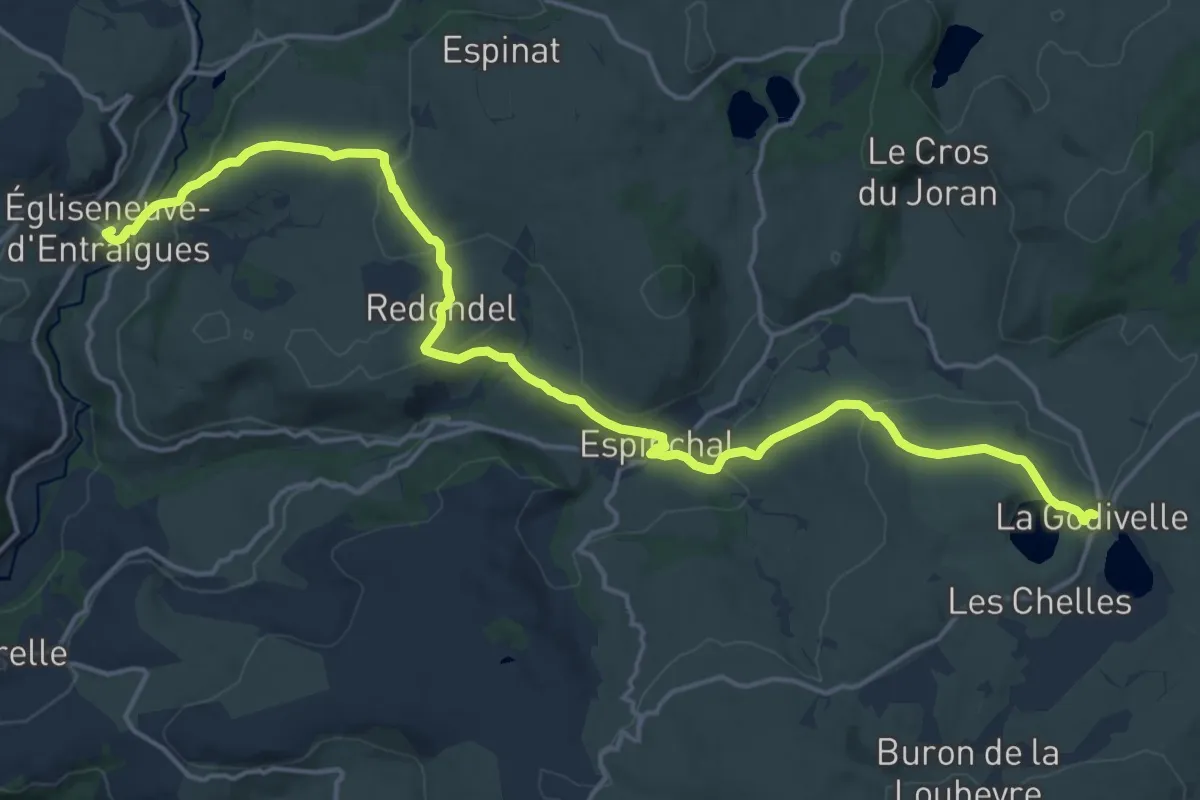
Demanding · Trail
TVR 01 : Égliseneuve-d'Entraigues - La Godivelle
20.9 km · ↑ 625 m · 6 h 17 min
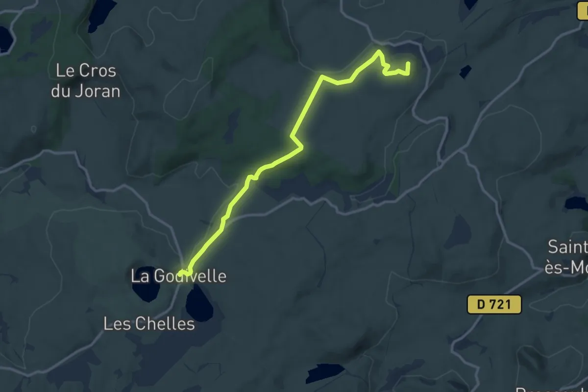
Medium · Summit
TVR 02 : La Godivelle - Boutaresse
10.8 km · ↑ 200 m · 2 h 59 min
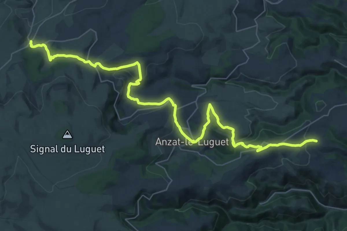
Medium · Trail
TVR 03 : Boutaresse - Courteuge
16.7 km · ↑ 398 m · 5 h 10 min
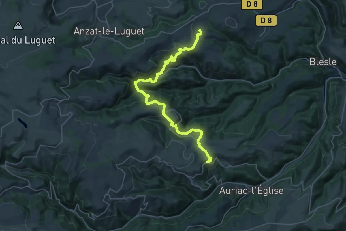
Medium · Trail
TVR 04 : Courteuge - Laurie
13.0 km · ↑ 495 m · 4 h 22 min
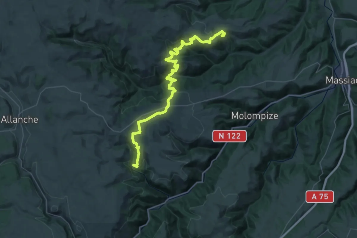
Demanding · Trail
TVR 05 : Laurie - Peyrusse
19.5 km · ↑ 637 m · 6 h 14 min
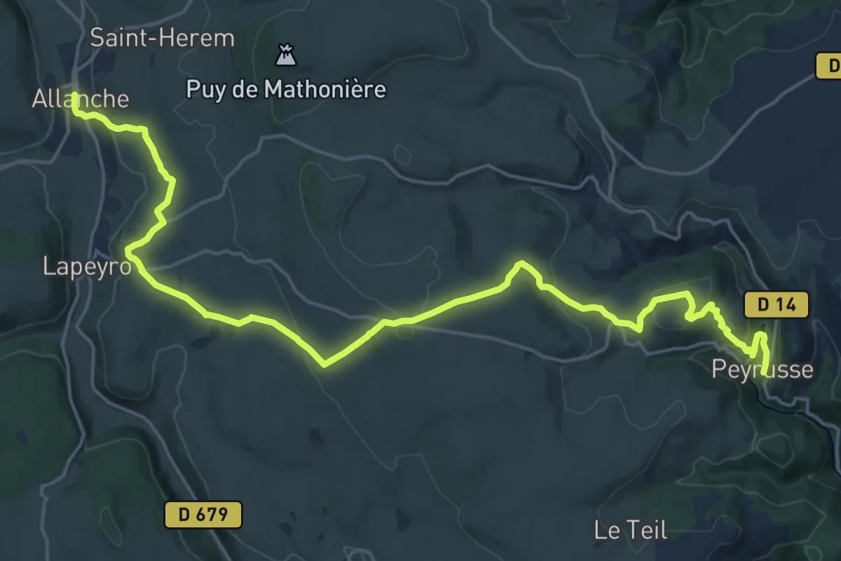
Demanding · Trail
TVR 06 : Peyrusse - Allanche
24.3 km · ↑ 697 m · 7 h 14 min
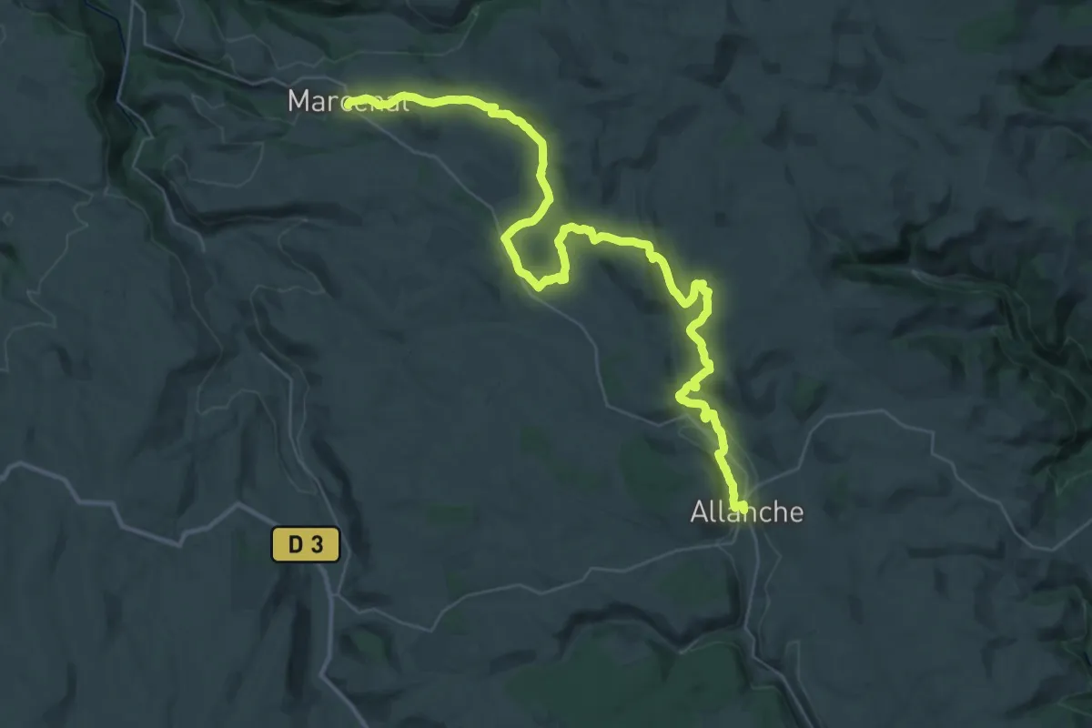
Demanding · Trail
TVR 07 : Allanche - Marcenat
21.7 km · ↑ 500 m · 6 h 27 min
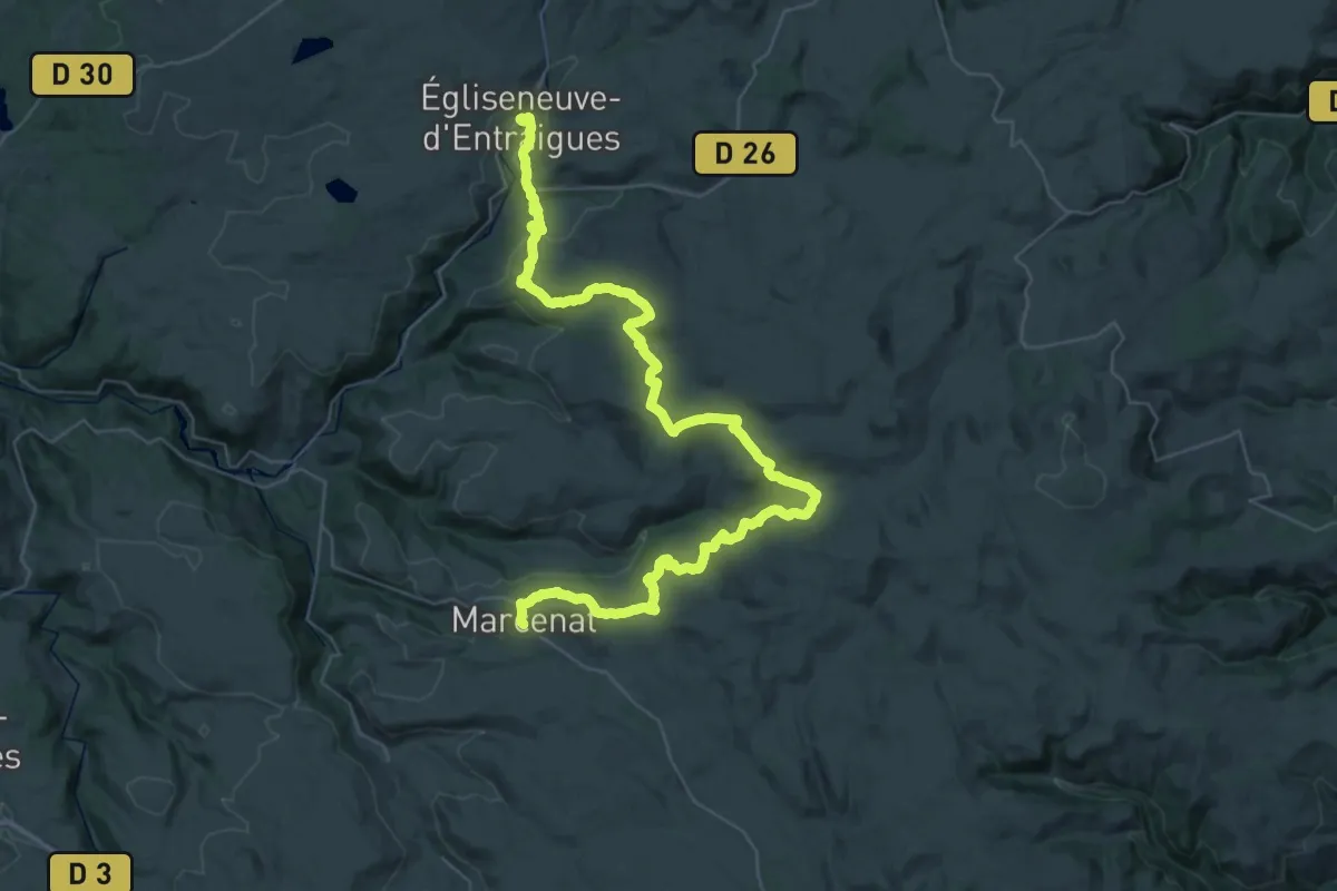
Demanding · Trail
TVR 08 : Marcenat - Égliseneuve-d'Entraigues
26.9 km · ↑ 666 m · 8 h 13 min
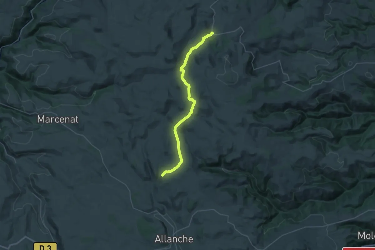
Demanding · Trail
TVR variante Pradiers - La Baraque d'Aubiat
27.2 km · ↑ 598 m · 7 h 43 min
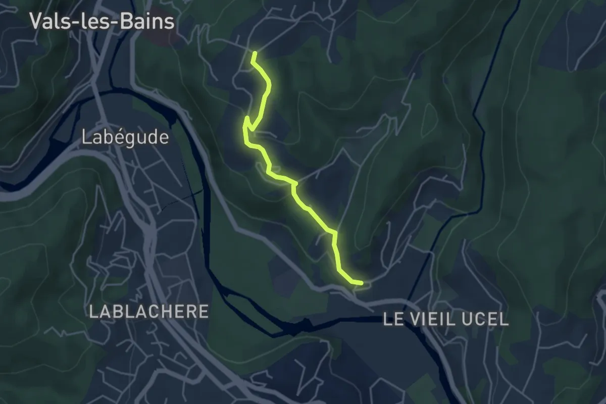
Easy · Trail
Ucel - Les Granges Crémades
3.6 km · ↑ 127 m · 1 h 7 min
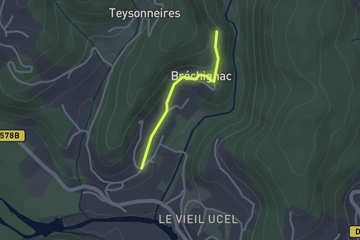
Easy · Trail
Ucel Village - Bréchignac
2.0 km · ↑ 59 m · 36 min
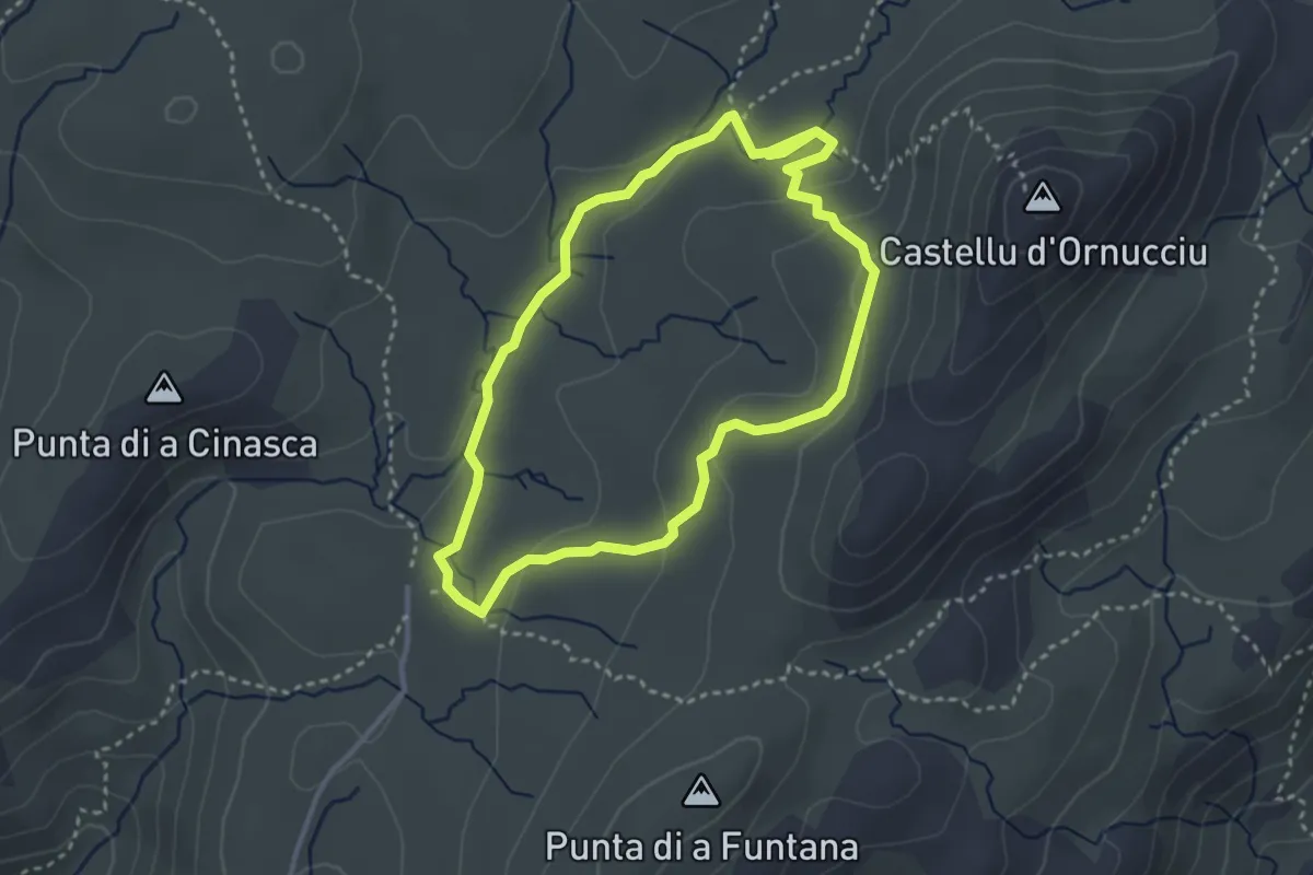
Demanding · Trail
U Cuscionu-Sentier de la Pierre
3.3 km · ↑ 76 m · 59 min
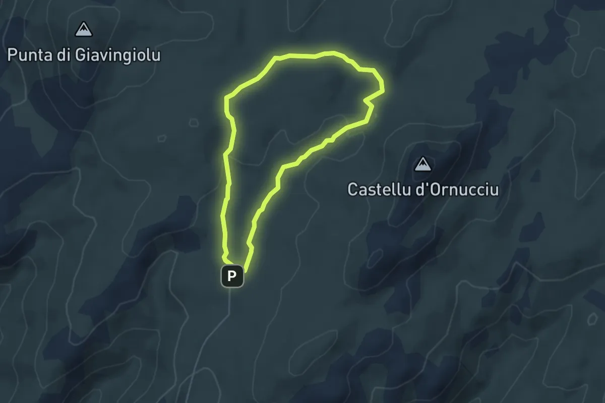
Easy · Trail
U Cuscionu-Sentier de l’Eau
4.3 km · ↑ 65 m · 1 h 13 min
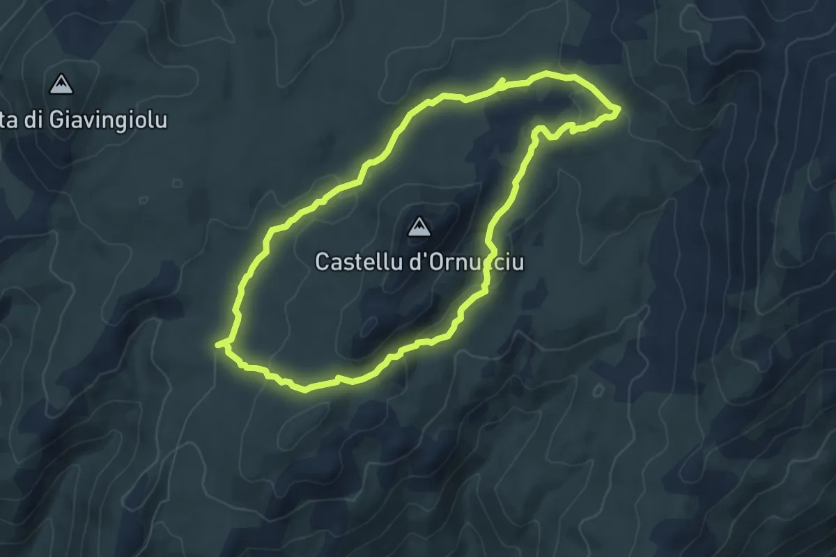
Demanding · Trail
U Cuscionu-Sentier des Bergers
7.3 km · ↑ 139 m · 2 h 8 min
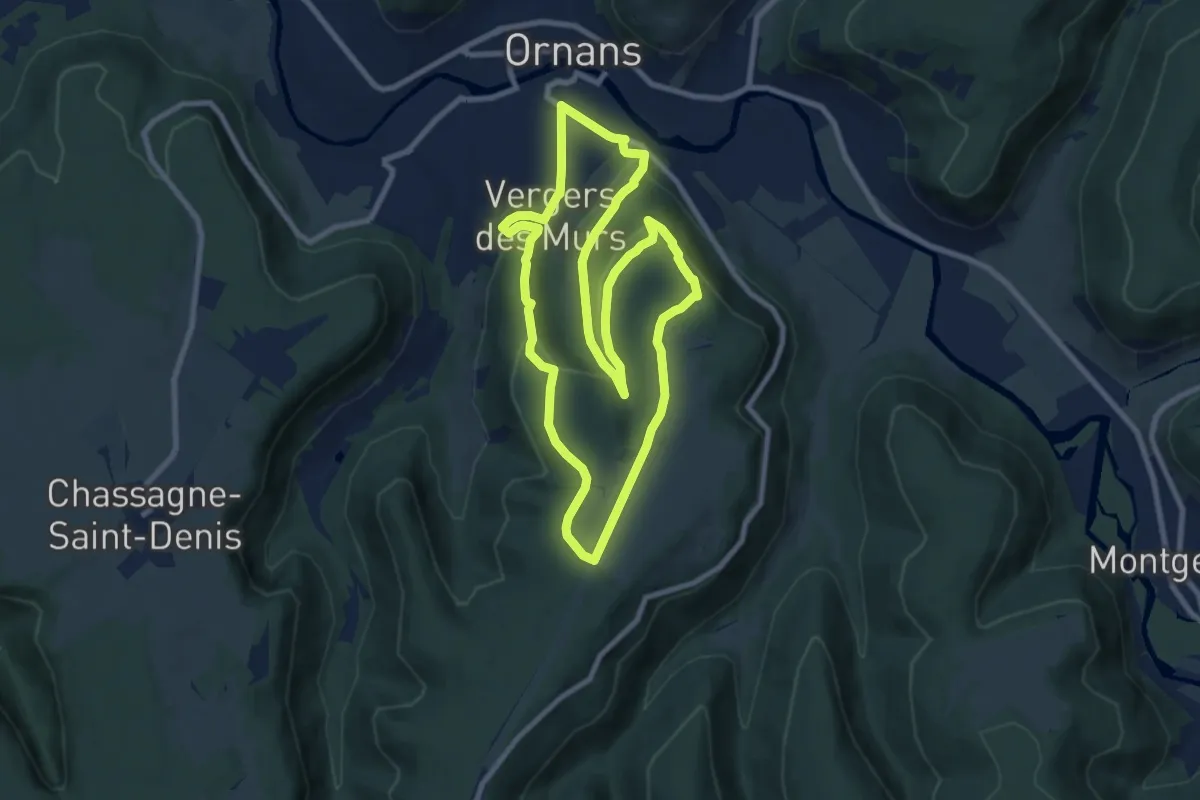
Medium · Trail
Ully - Le Châtelet
8.7 km · ↑ 307 m · 2 h 51 min
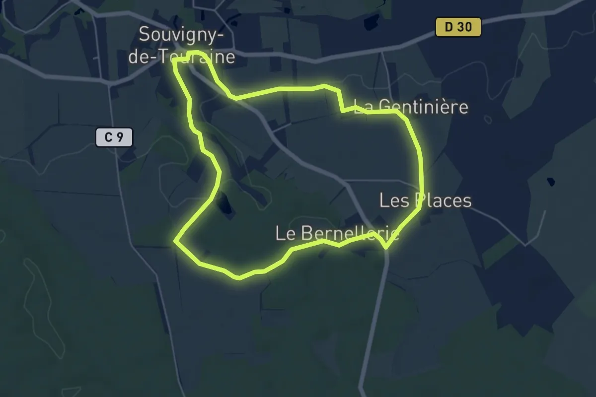
Easy · Trail
Un air de campagne
5.1 km · ↑ 45 m · 1 h 22 min
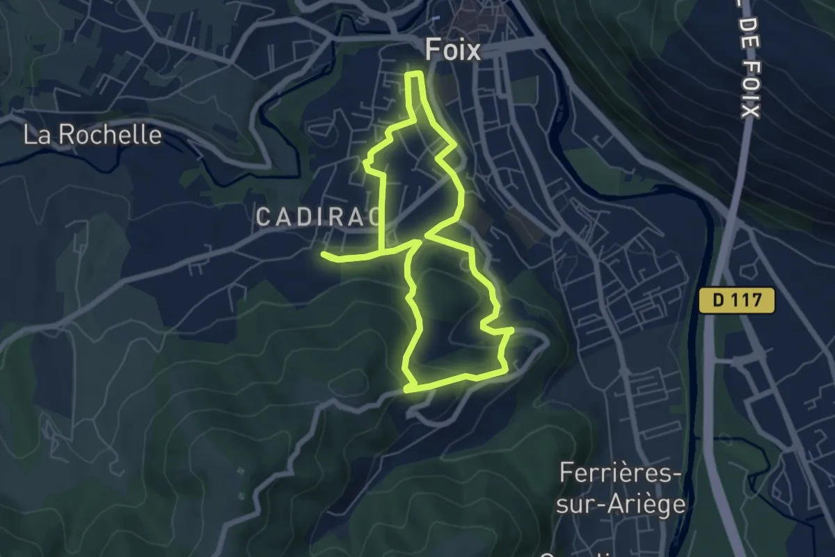
Easy · Trail
Un chemin, une école® Cadirac Foix - 2024 "La Montagne en Ville"
5.8 km · ↑ 184 m · 1 h 51 min
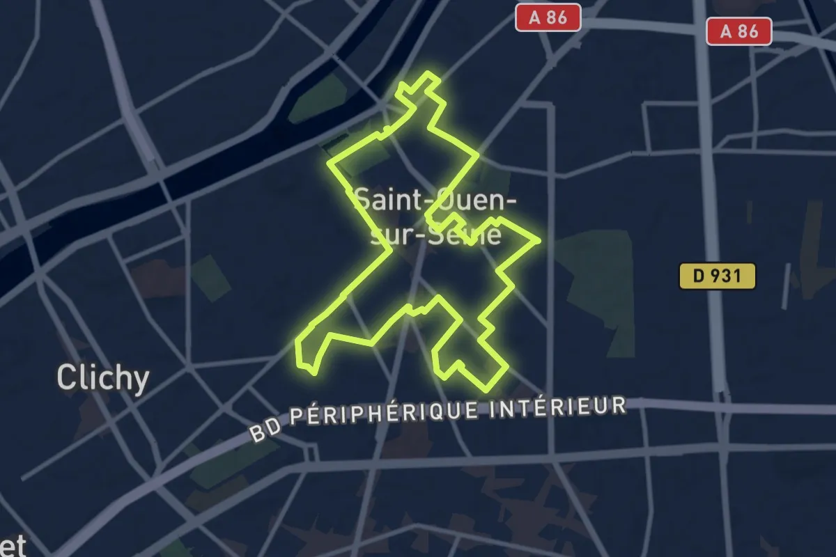
Medium · Trail
Une balade en couleurs
8.8 km · ↑ 13 m · 2 h 14 min
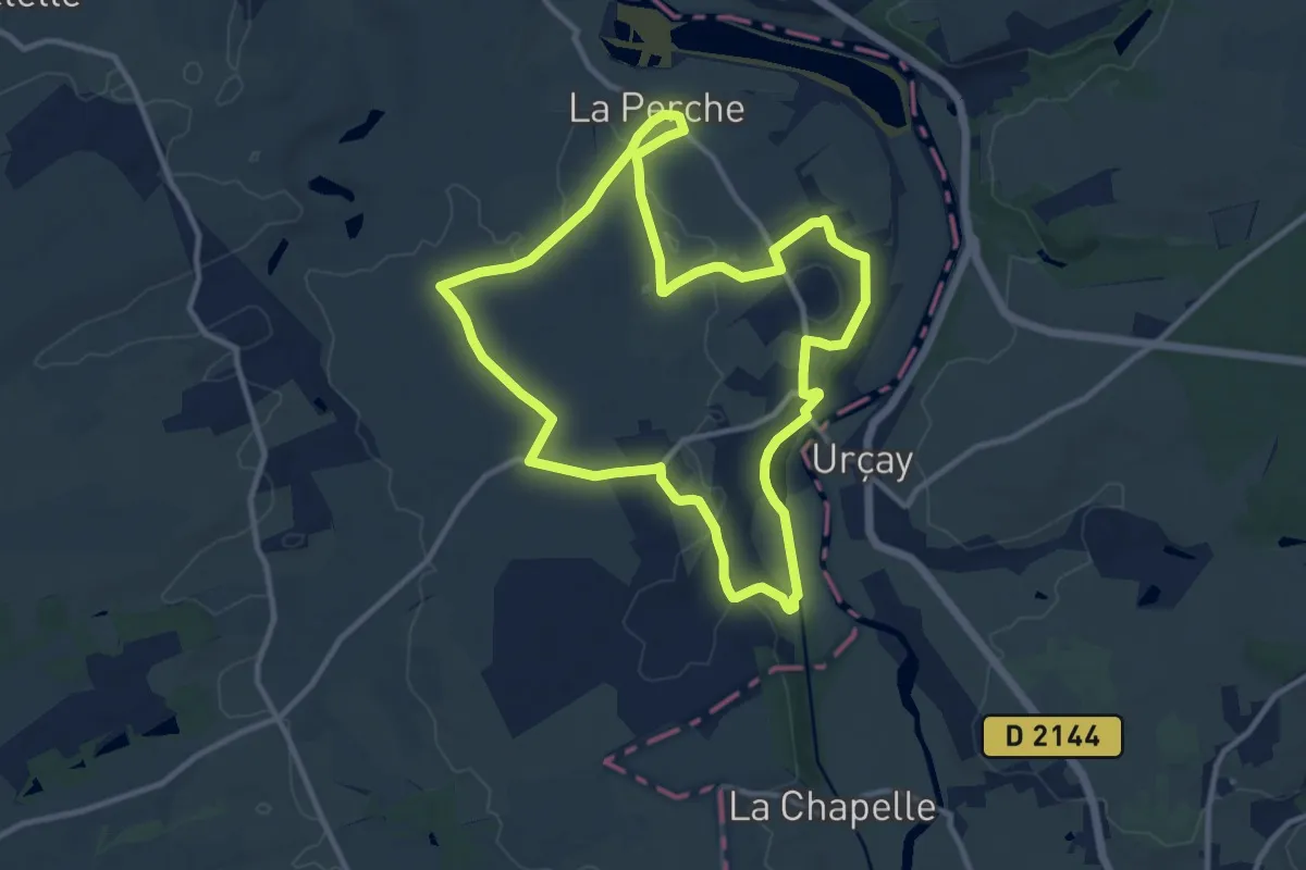
Medium · Trail
Une Balade Perchoise
11.1 km · ↑ 88 m · 2 h 58 min
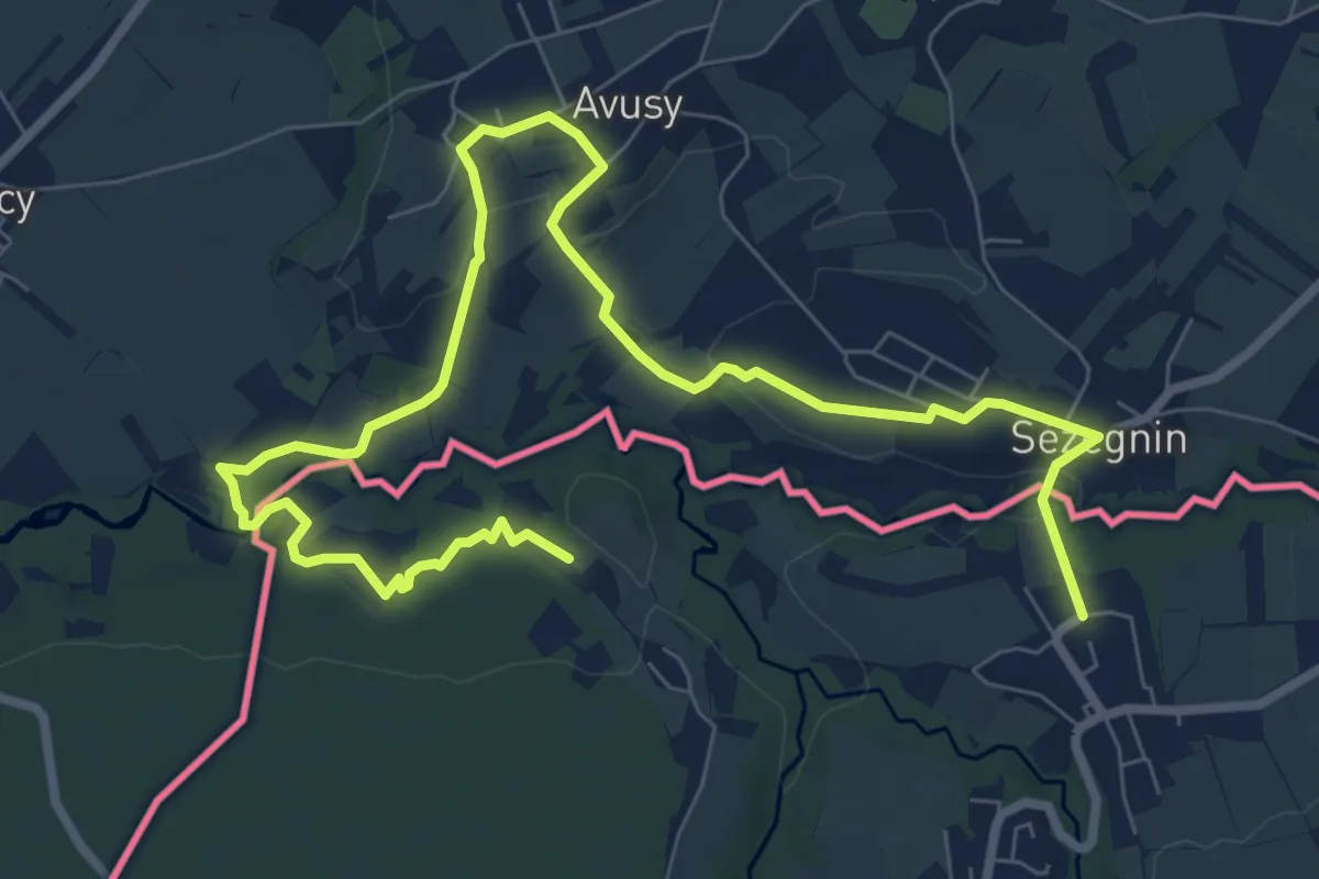
Medium · Trail
Une boucle à saute frontière
11.3 km · ↑ 235 m · 3 h 11 min