Trails in France
15,926 hiking trails, each with its route, climb, walking time and grade.
All trails, page 278 of 332
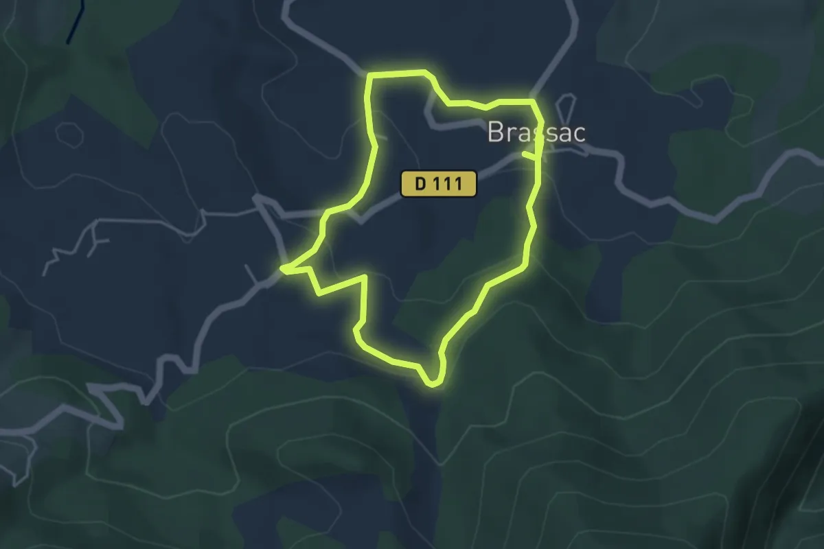
Easy · Trail
Une Chemin Une École
3.7 km · ↑ 118 m · 1 h 11 min
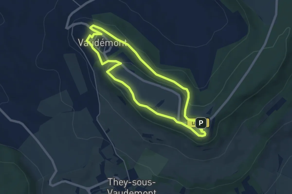
Easy · Summit
Une Colline et des Hommes
4.1 km · ↑ 81 m · 1 h 13 min
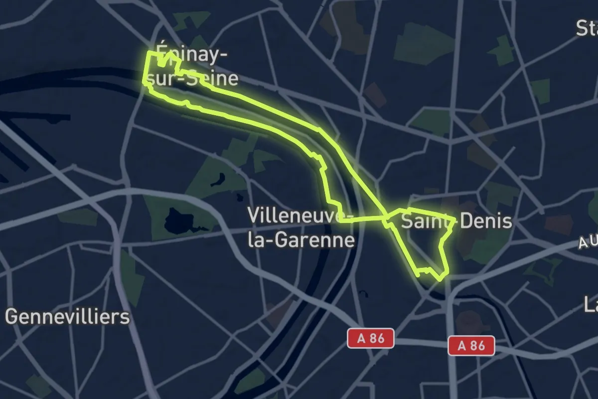
Medium · Trail
Une Île au milieu du fleuve
11.3 km · ↑ 31 m · 2 h 53 min
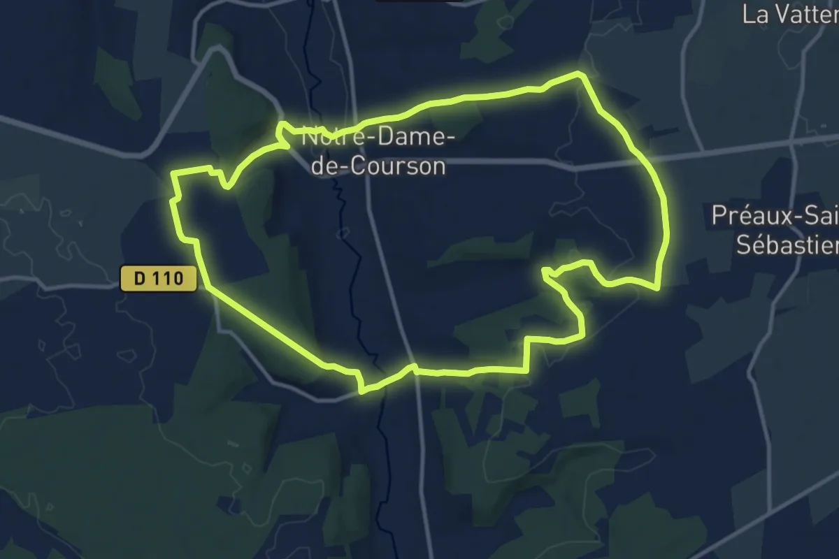
Medium · Trail
Une Vallée Poissonneuse
12.0 km · ↑ 236 m · 3 h 31 min
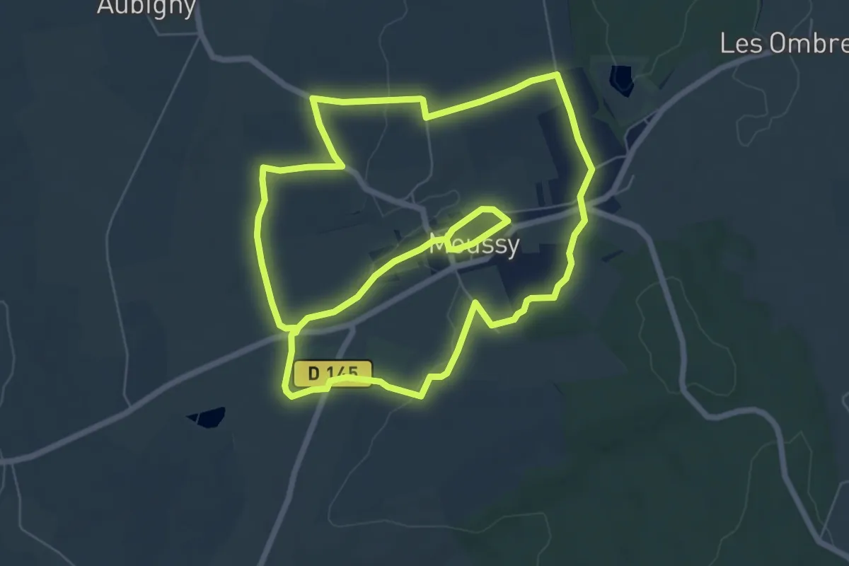
Easy · Trail
Un lavoir et des mots - Moussy
7.1 km · ↑ 67 m · 1 h 56 min
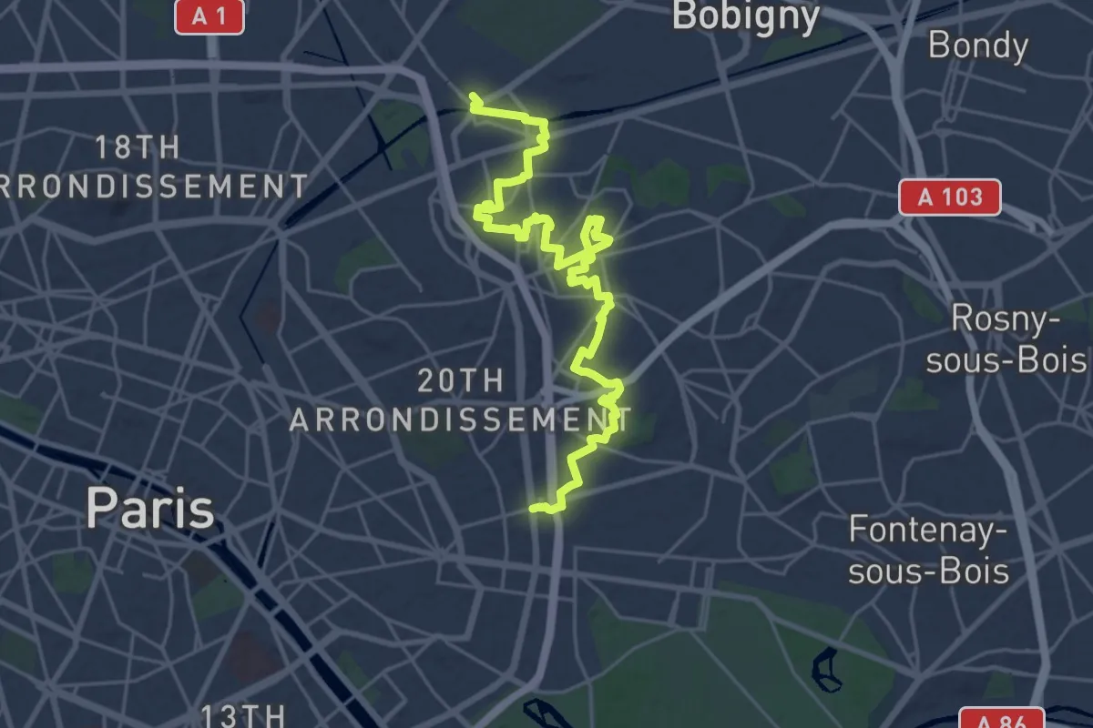
Demanding · Trail
Un parcours, trois histoires
25.4 km · ↑ 212 m · 6 h 27 min
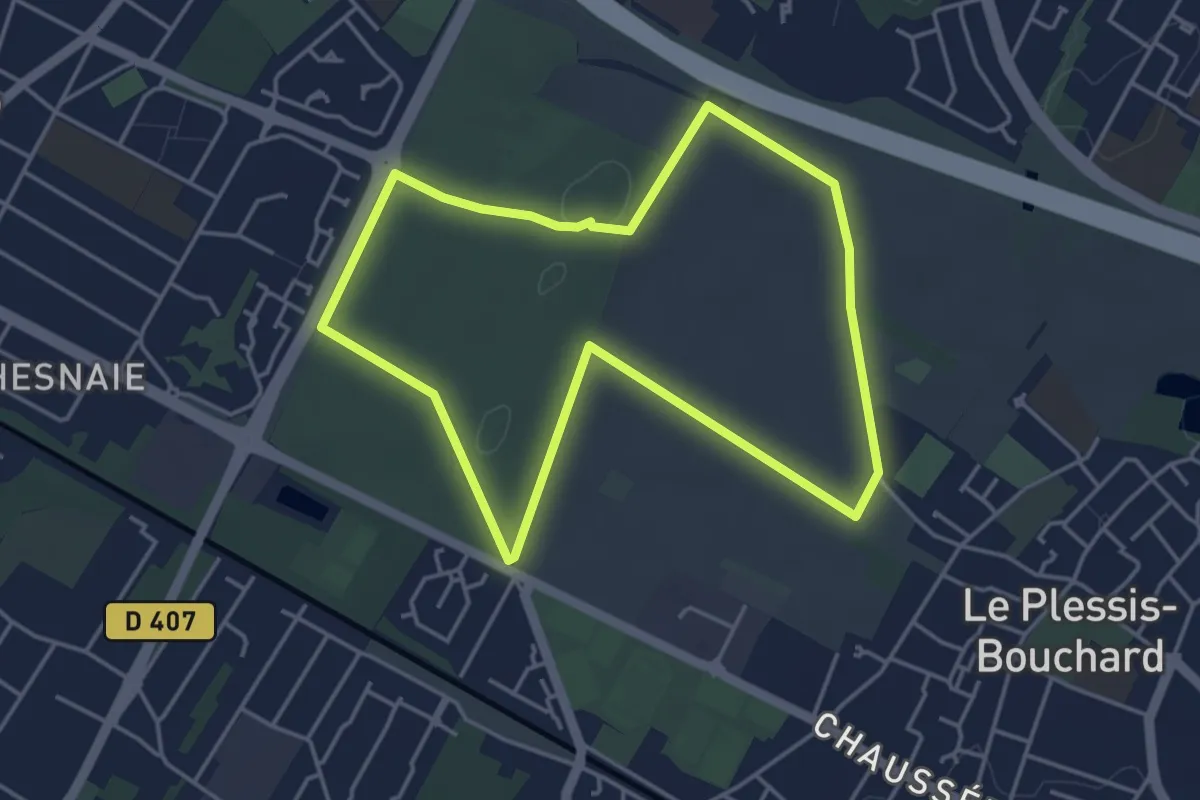
Easy · Trail
Un petit coin de campagne au milieu des villes
4.0 km · ↑ 16 m · 1 h 2 min
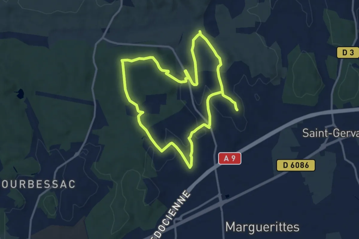
Medium · Trail
Un tour en garrigue
18.0 km · ↑ 305 m · 4 h 54 min
Demanding · Trail
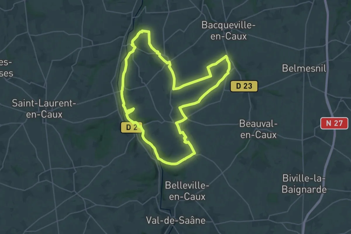
Un vent de liberté
23.7 km · ↑ 366 m · 6 h 43 min
Easy · Trail
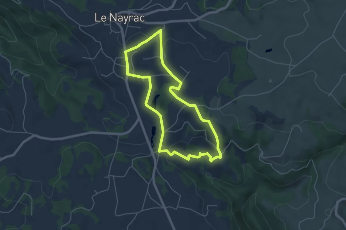
Un Village Fleuri
4.5 km · ↑ 105 m · 1 h 21 min
Expert · Trail
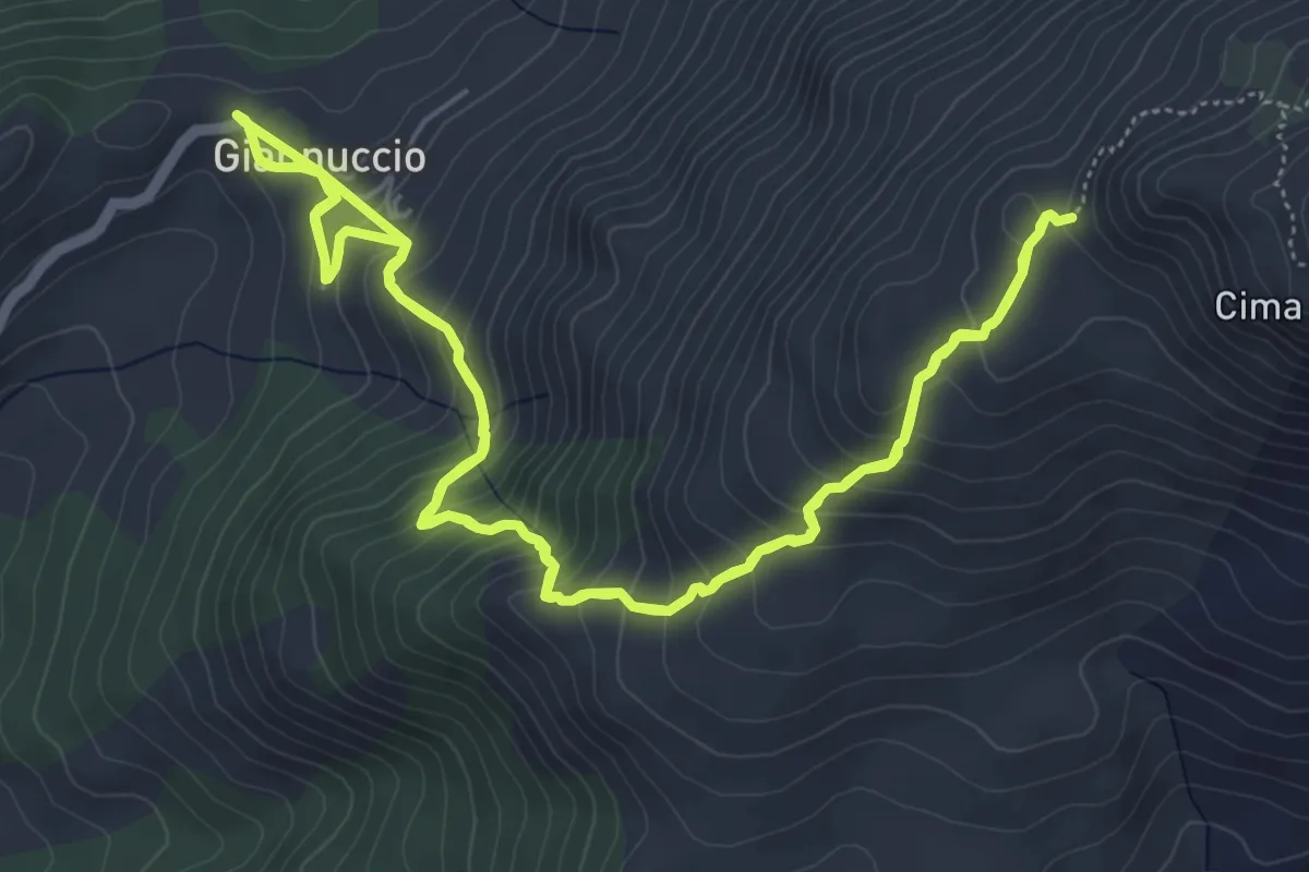
Uomo di Cagna
7.4 km · ↑ 613 m · 3 h 10 min
Demanding · Trail
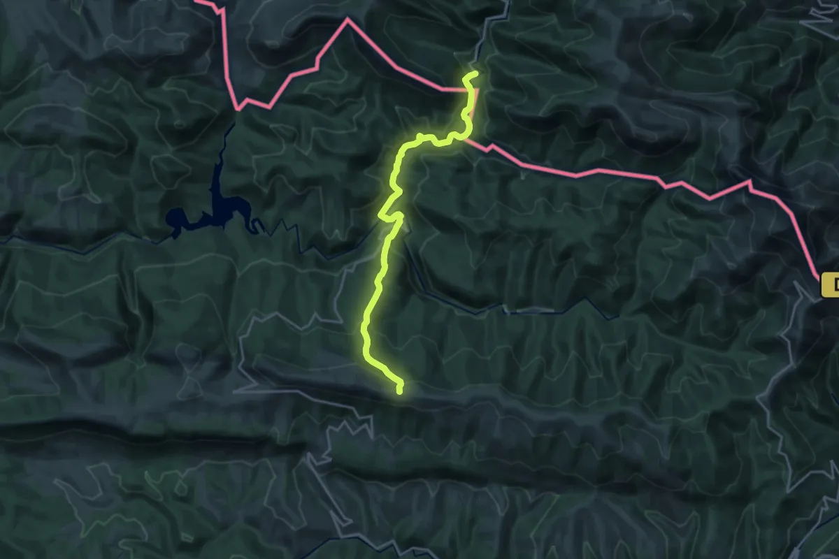
Urbeltza (GR12) - Burdin hesiak pasabidea (GR11)
18.5 km · ↑ 1020 m · 6 h 34 min
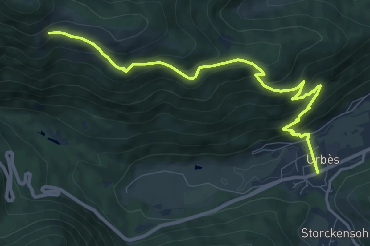
Medium · Trail
Urbès - Gustiberg
9.0 km · ↑ 586 m · 3 h 23 min
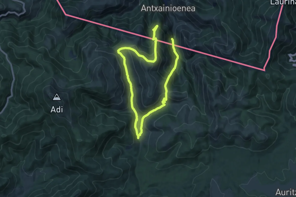
Demanding · Trail
Urepelbide zaharra
22.1 km · ↑ 1184 m · 7 h 47 min
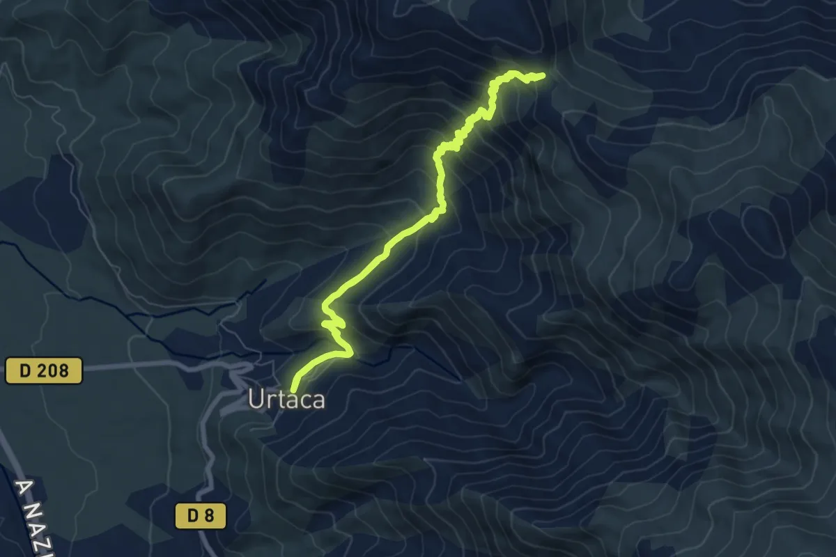
Medium · Trail
Urtaca - Bocca San Pancraziu
8.5 km · ↑ 610 m · 3 h 26 min
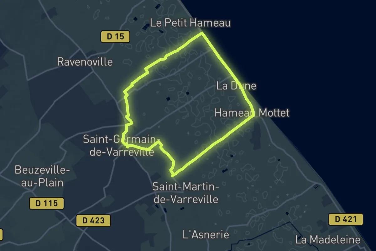
Medium · Trail
Utah Beach
11.3 km · ↑ 18 m · 2 h 51 min
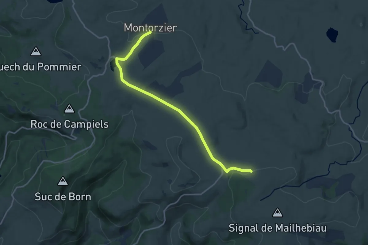
Medium · Trail
UV 01 : Nasbinals - Le Monastier
12.2 km · ↑ 159 m · 3 h 14 min
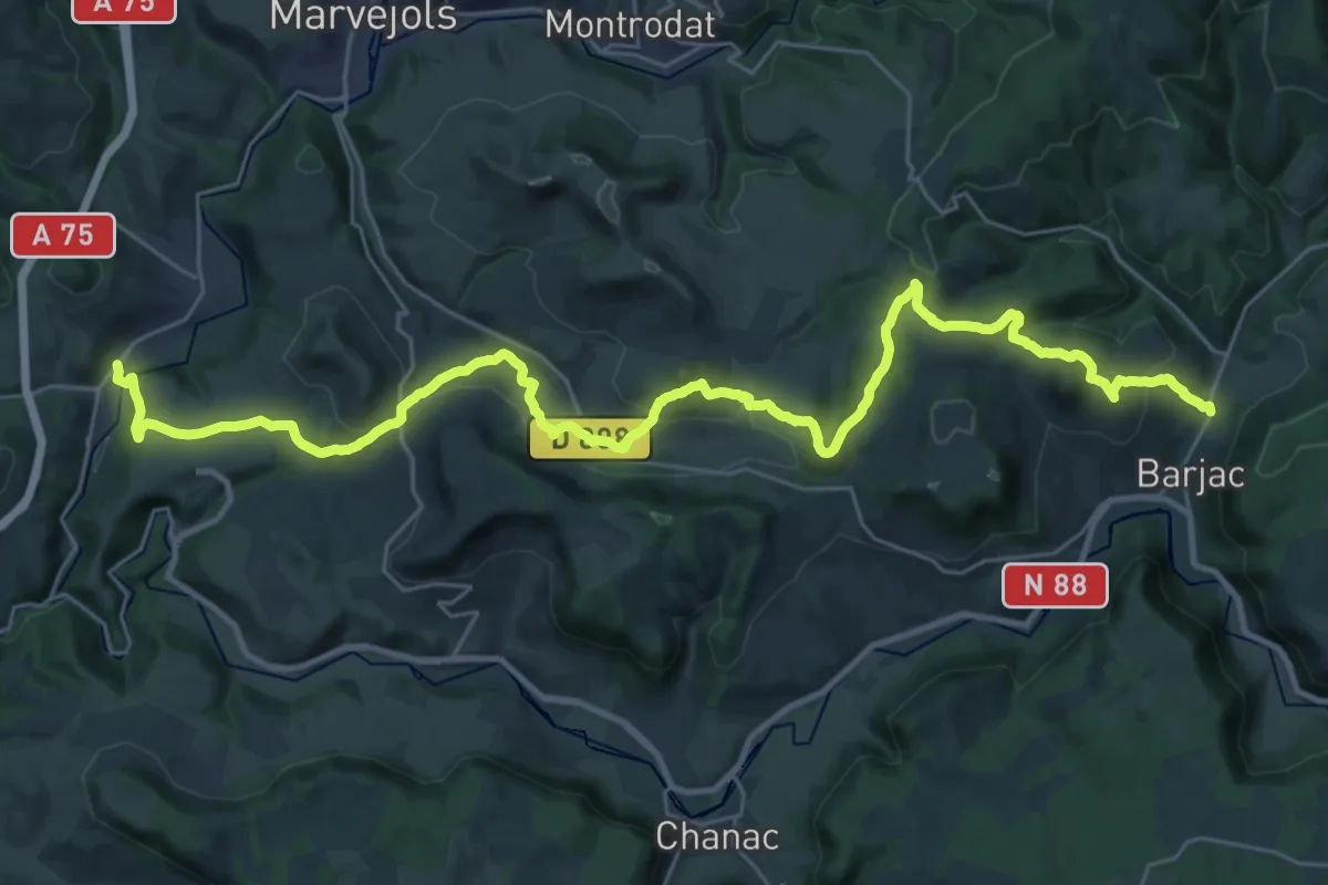
Demanding · Trail
UV 02 : Le Monastier - Barjac
18.8 km · ↑ 747 m · 6 h 18 min
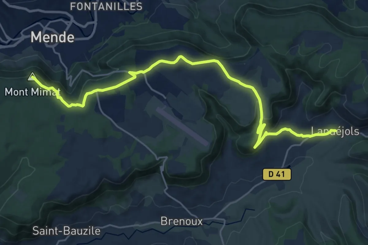
Demanding · Summit
UV 03 : Barjac - Lanuéjols
19.2 km · ↑ 570 m · 5 h 46 min
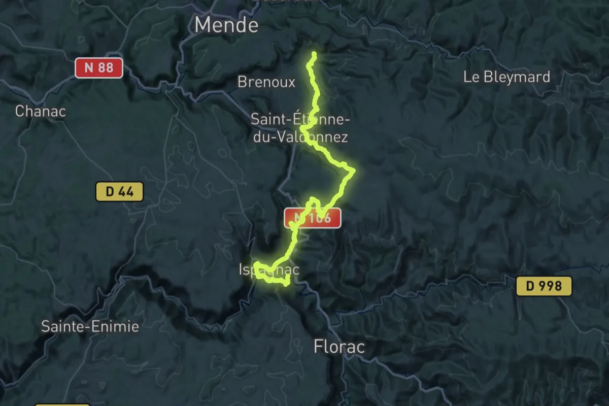
Demanding · Trail
UV 04 : Barjac - Lanuéjols
31.3 km · ↑ 1265 m · 10 h 27 min
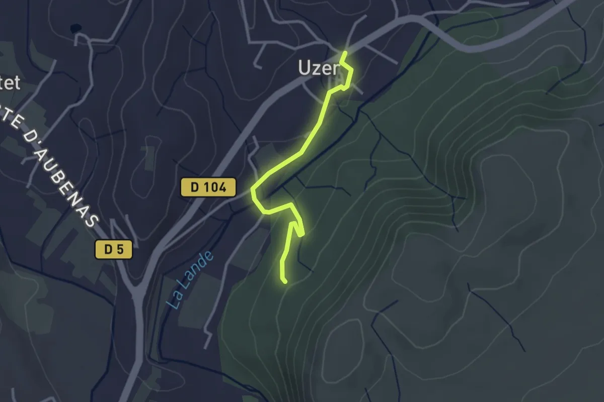
Easy · Trail
Uzer - La Prade Haute
2.7 km · ↑ 82 m · 48 min
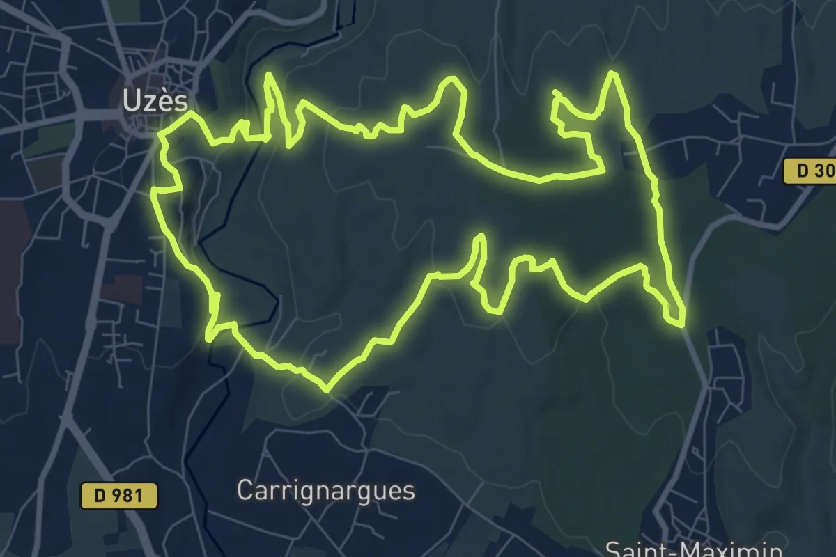
Medium · Trail
Uzès, vallée de l’Eure et capitelles
11.0 km · ↑ 217 m · 3 h 13 min
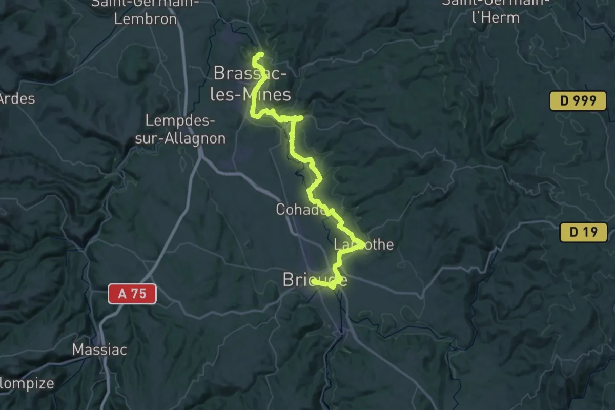
Demanding · Trail
VA 04 : Jumeaux - Brioude
30.6 km · ↑ 351 m · 8 h 23 min
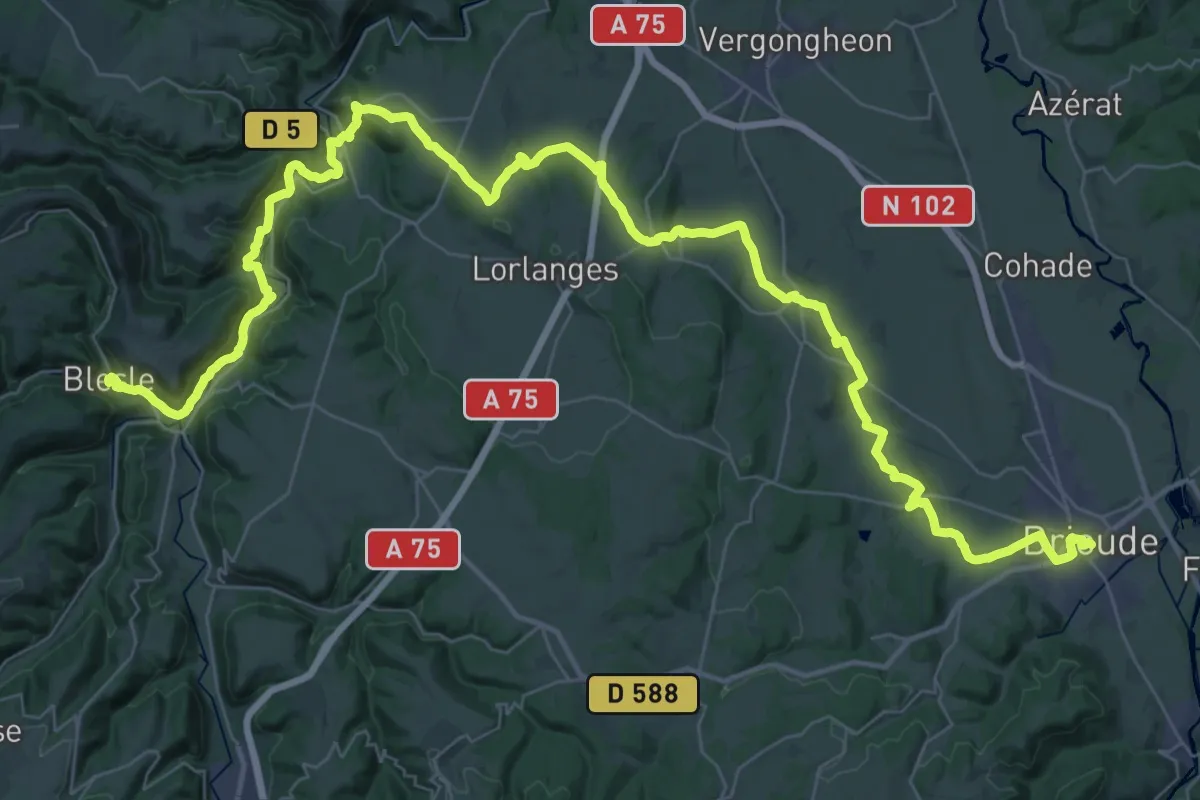
Demanding · Trail
VA 05 : Brioude - Blesle
31.0 km · ↑ 560 m · 8 h 55 min
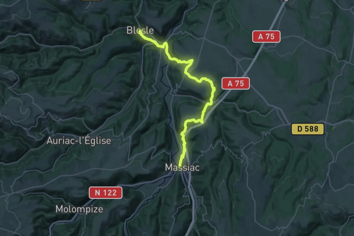
Medium · Trail
VA 06 : Blesle - Massiac
13.9 km · ↑ 424 m · 4 h 23 min
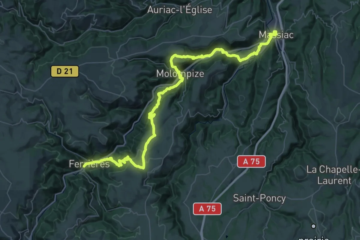
Demanding · Trail
VA 07 : Massiac - Ferrières-Saint-Mary
23.6 km · ↑ 1022 m · 8 h 2 min
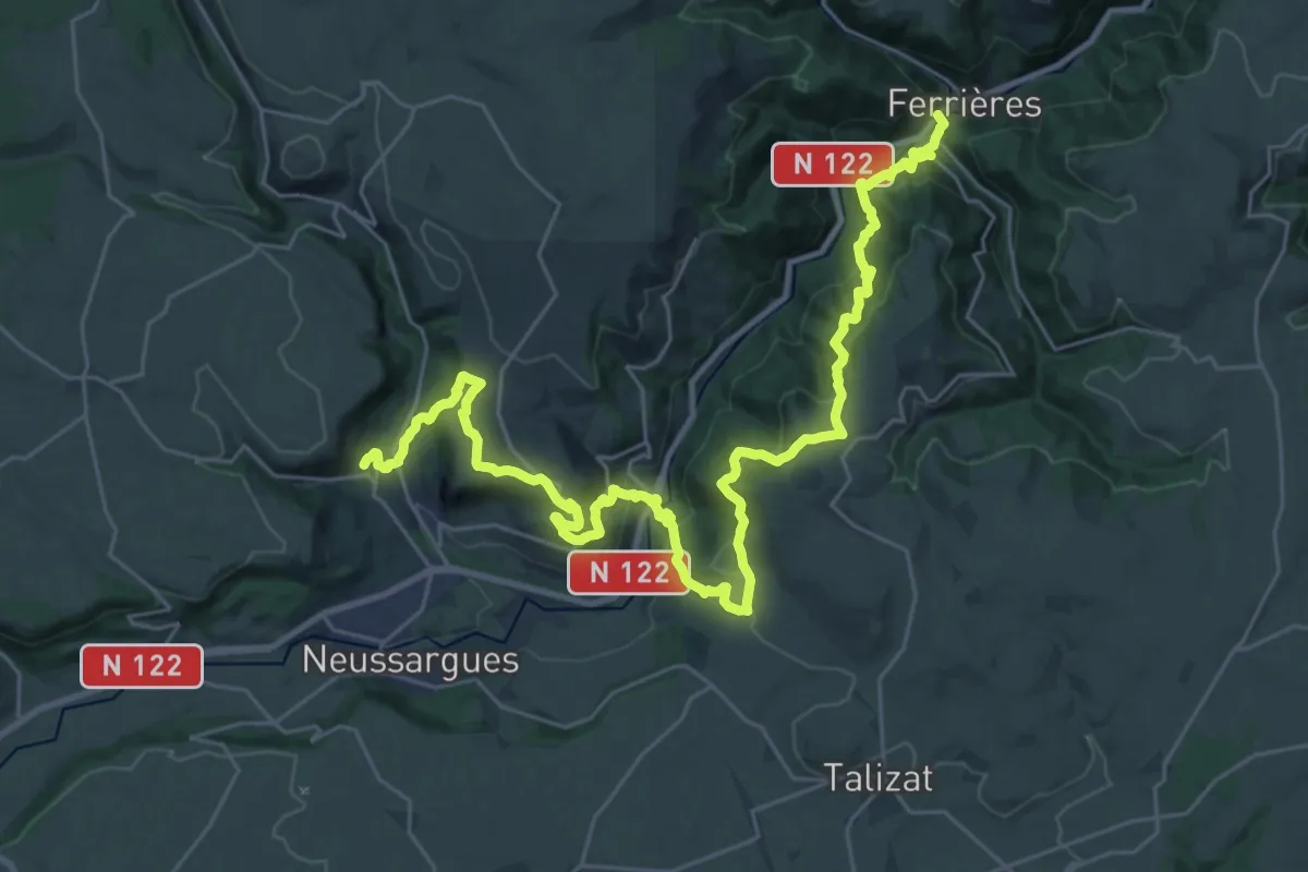
Demanding · Trail
VA 08 : Ferrières-Saint-Mary - Neussargues-Moissac
18.3 km · ↑ 994 m · 6 h 39 min
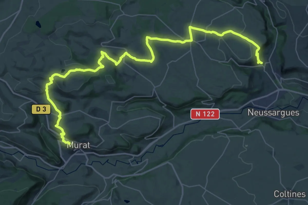
Demanding · Trail
VA 09 : Neussargues-Moissac - Murat
19.0 km · ↑ 527 m · 5 h 50 min
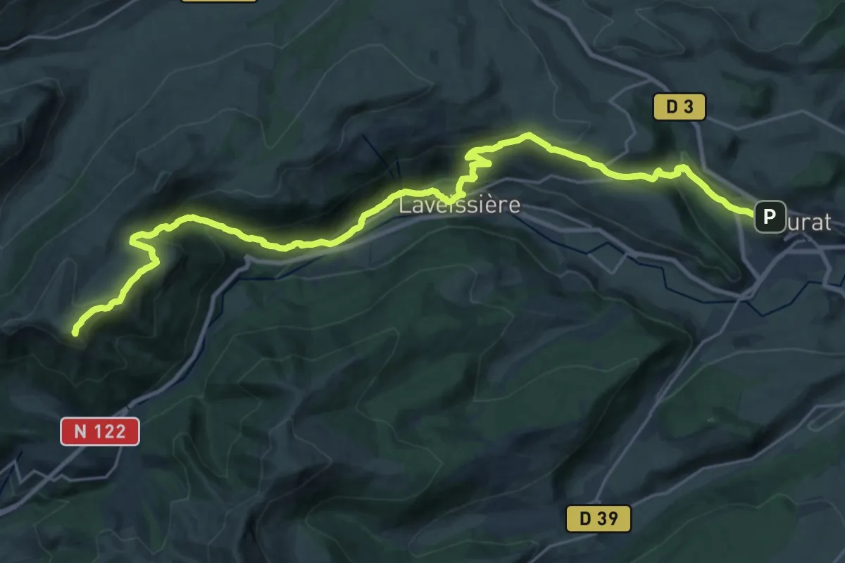
Demanding · Summit
VA 10 : Murat - Saint-Jacques-des-Blats
27.2 km · ↑ 1365 m · 9 h 23 min
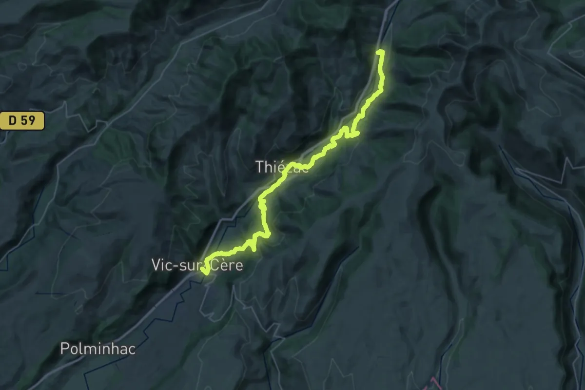
Medium · Trail
VA 11 : Saint-Jacques-des-Blats - Vic-sur-Cère
16.5 km · ↑ 404 m · 5 h 10 min
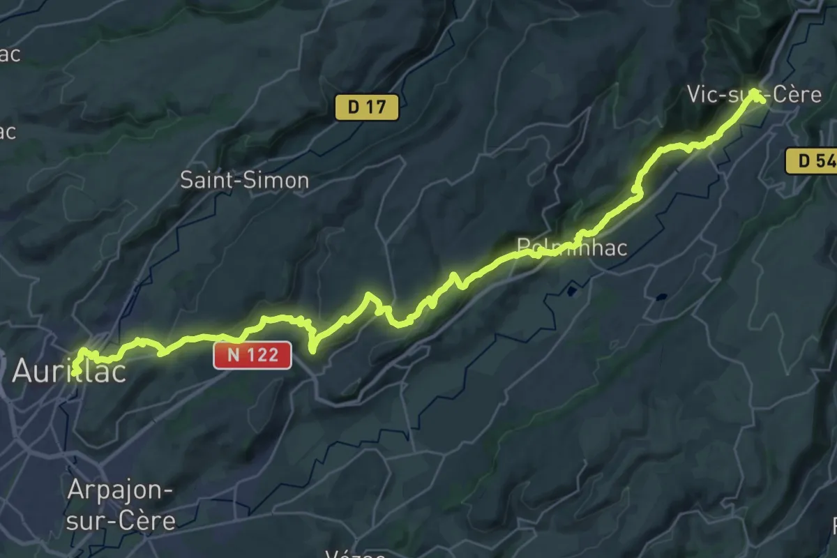
Demanding · Trail
VA 12 : Vic-sur-Cère - Aurillac
22.0 km · ↑ 620 m · 6 h 52 min
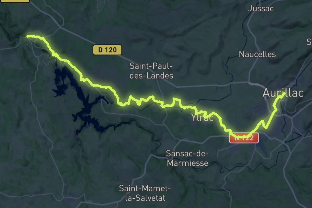
Demanding · Trail
VA 13 : Aurillac - Laroquebrou
33.3 km · ↑ 388 m · 9 h 16 min
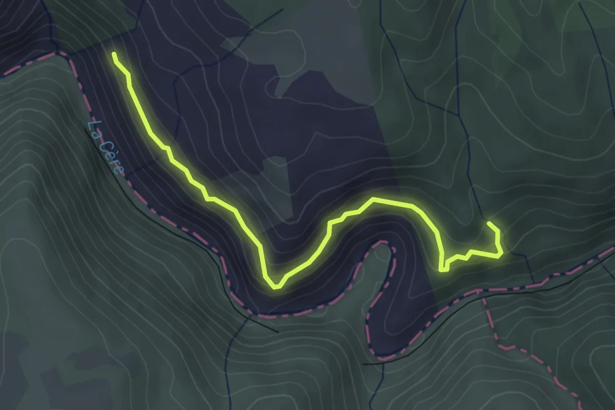
Medium · Trail
VA 14 : Laroquebrou - Camps-Saint-Mathurin
4.4 km · ↑ 329 m · 1 h 45 min
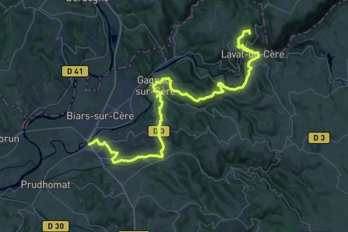
Demanding · Summit
VA 15 : Camps-Saint-Mathurin - Bretenoux
40.4 km · ↑ 1310 m · 12 h 22 min
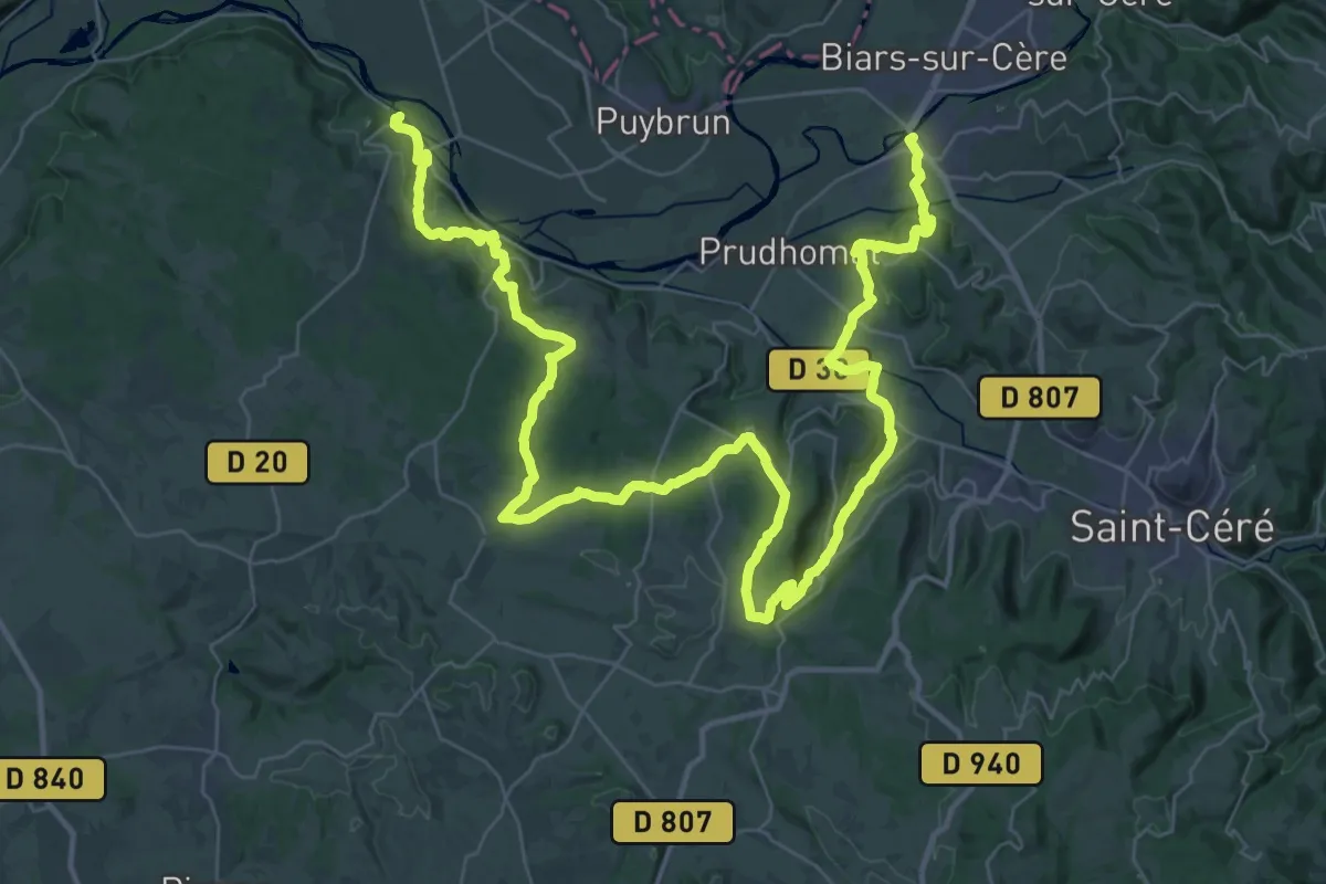
Demanding · Trail
VA 16 : Bretenoux - Carennac
30.9 km · ↑ 744 m · 9 h 20 min
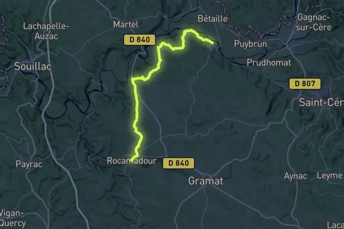
Demanding · Trail
VA 17 : Carennac - Rocamadour
26.8 km · ↑ 672 m · 8 h 7 min
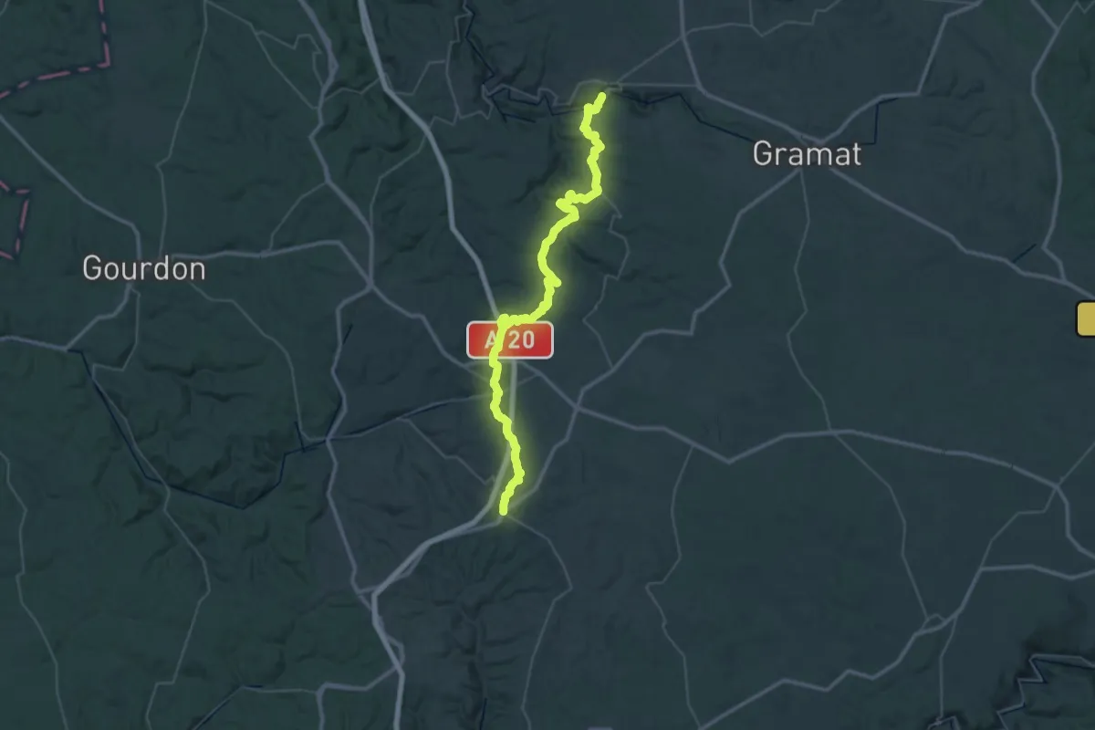
Demanding · Trail
VA 18 : Rocamadour - Labastide-Murat
25.4 km · ↑ 754 m · 7 h 52 min
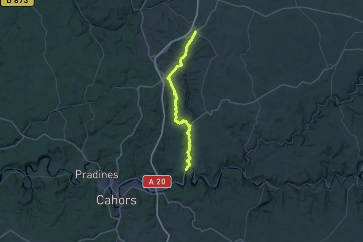
Demanding · Trail
VA 19 : Labastide-Murat - Vers
24.3 km · ↑ 336 m · 6 h 57 min
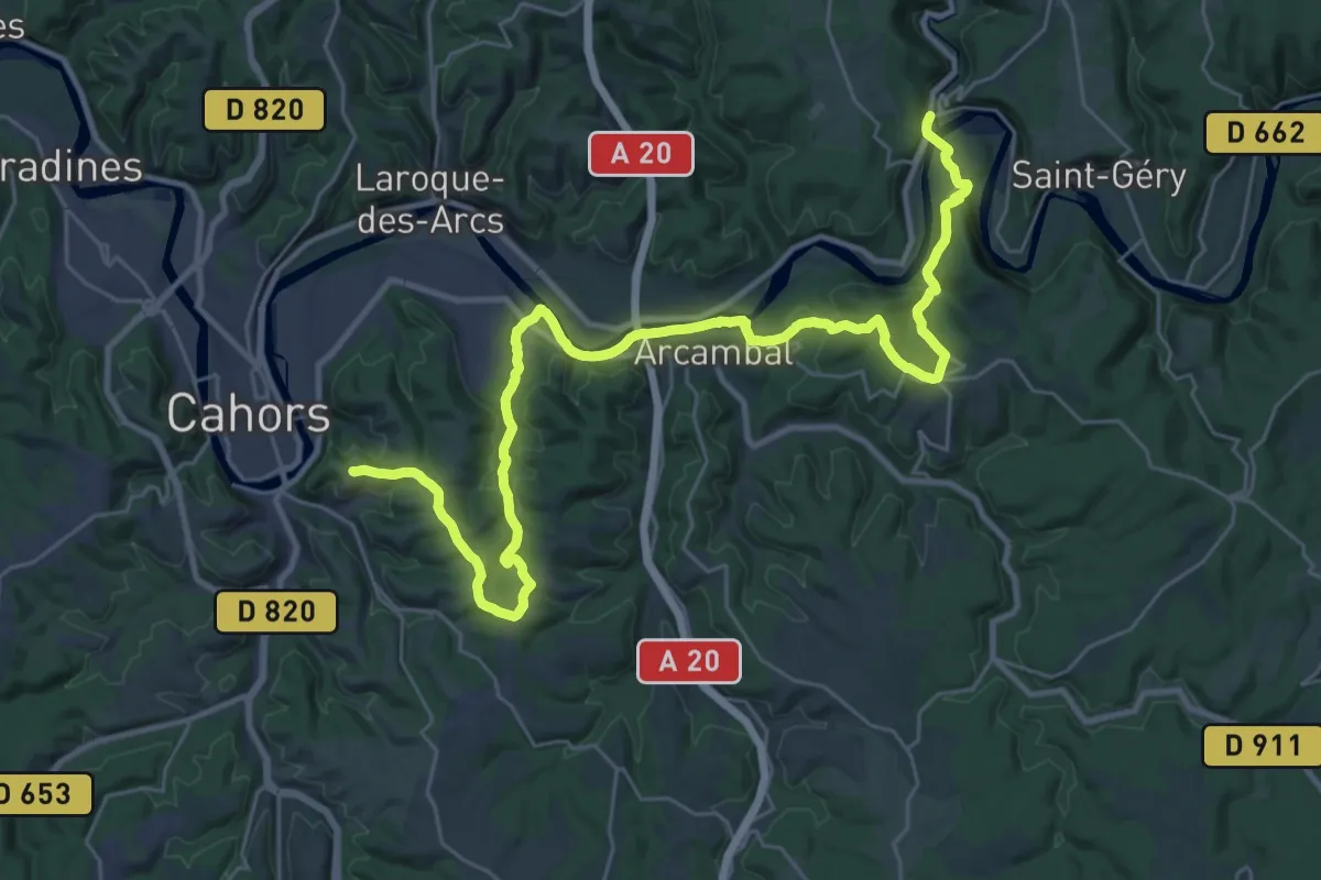
Demanding · Summit
VA 20 : Vers - Cahors
39.0 km · ↑ 734 m · 10 h 48 min
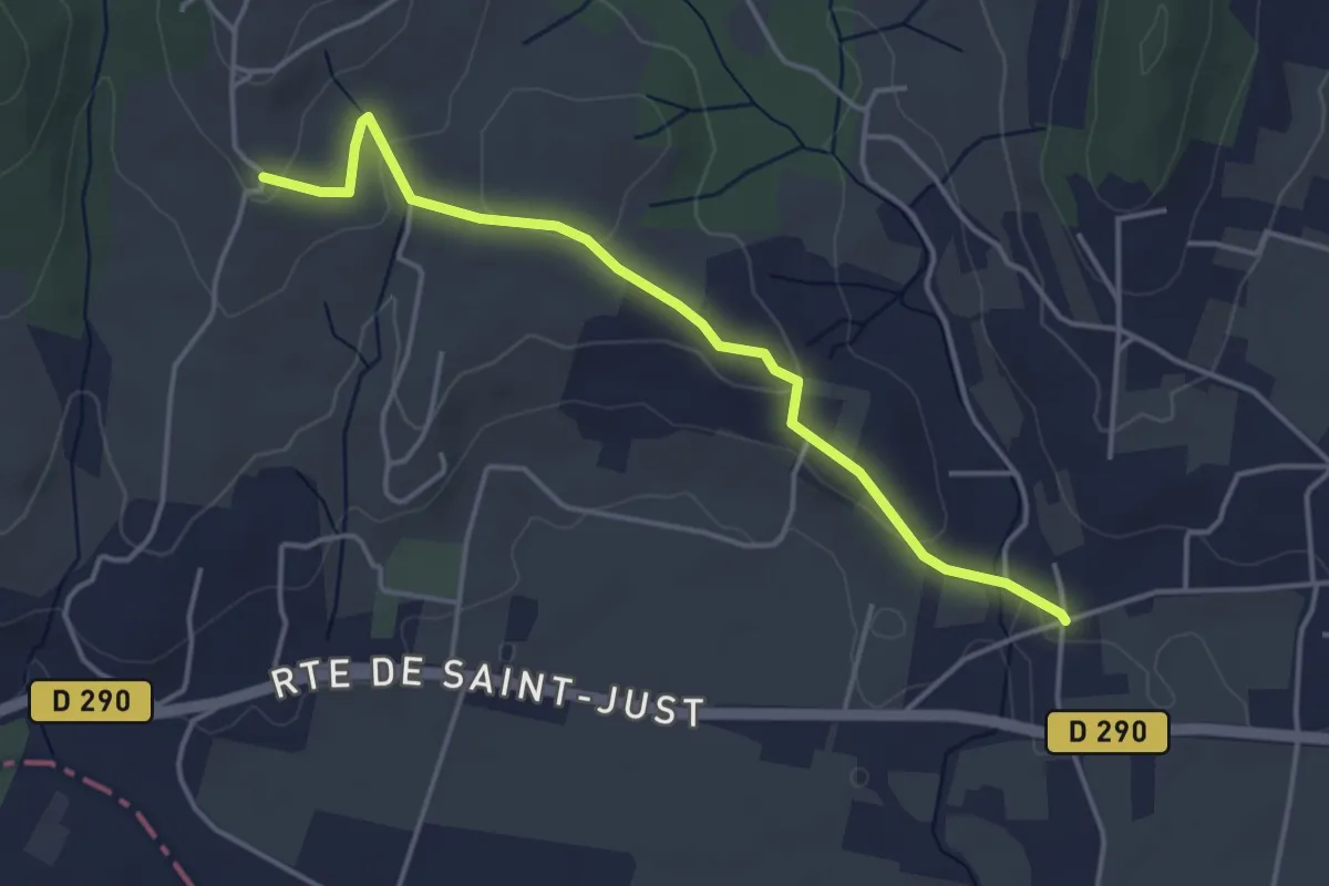
Easy · Trail
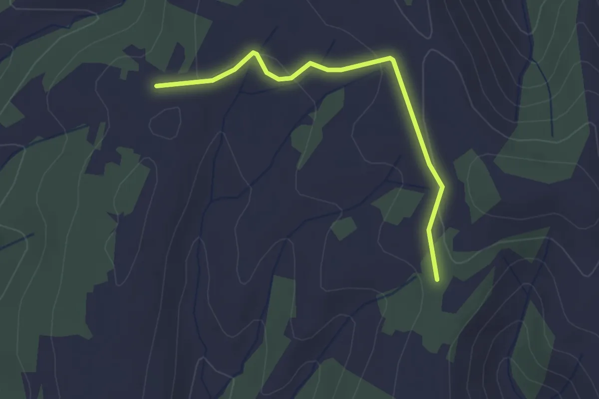
Vachère - Trignan Bas
4.3 km · ↑ 85 m · 1 h 12 min
Easy · Trail
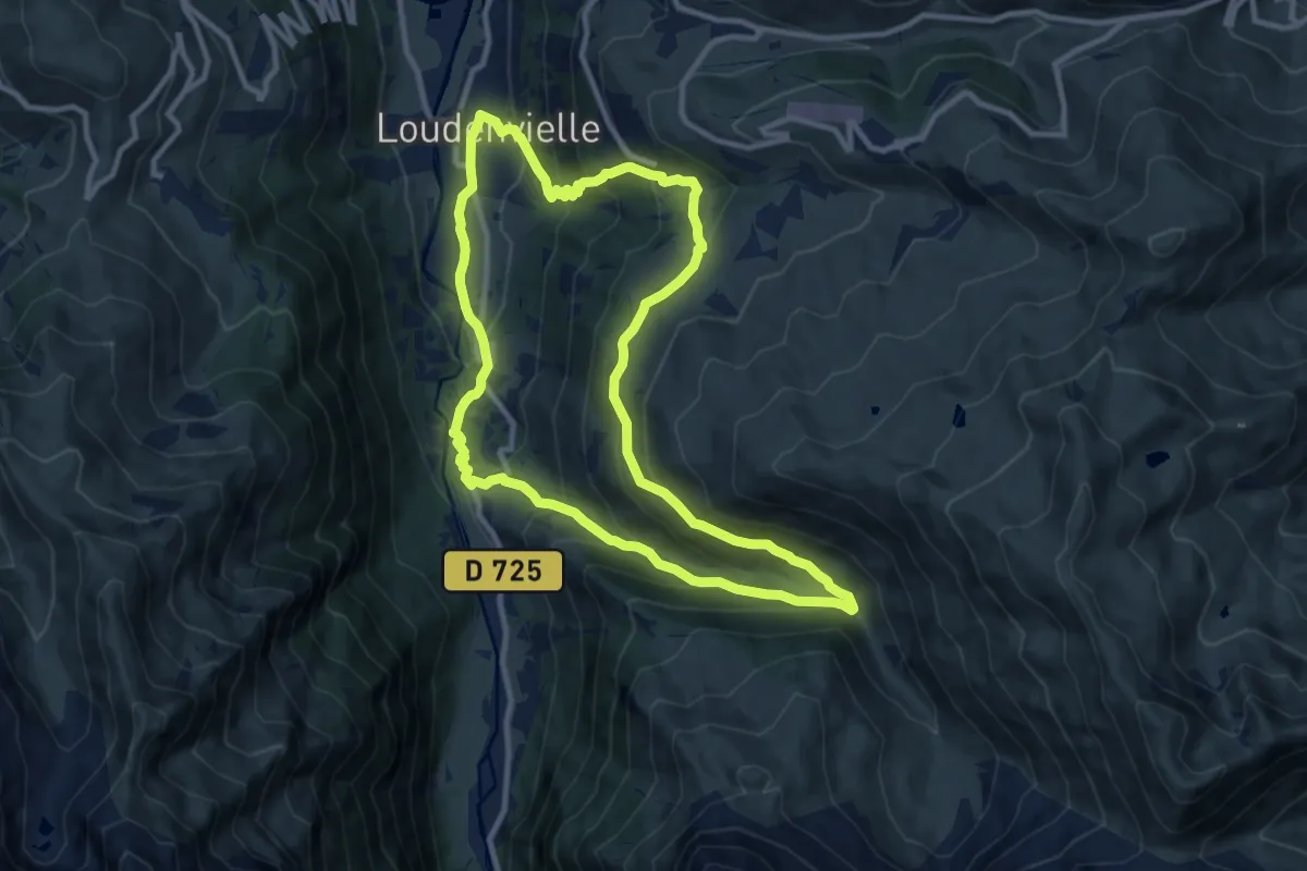
Vacheyre - Montagut
2.8 km · ↑ 54 m · 47 min
Medium · Trail
Val d'Aube 8
10.9 km · ↑ 618 m · 4 h 3 min
Medium · Trail
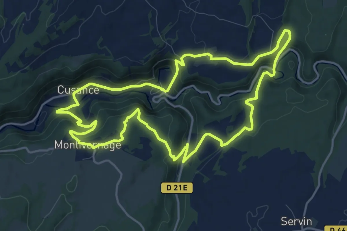
Val de Cusance
11.0 km · ↑ 391 m · 3 h 35 min
Demanding · Trail
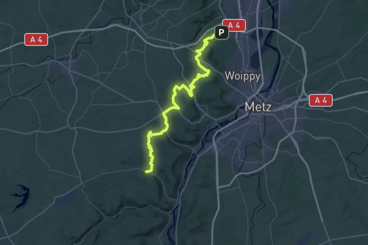
Val de Metz: Fèves - Gorze
32.0 km · ↑ 593 m · 9 h 18 min
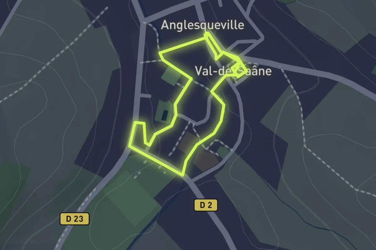
Easy · Trail
Val-de-Saâne à pieds
1.4 km · ↑ 6 m · 22 min
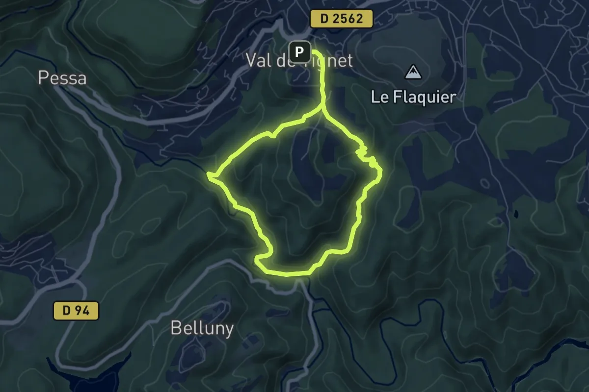
Easy · Trail
Val de Siagne
5.8 km · ↑ 190 m · 1 h 52 min
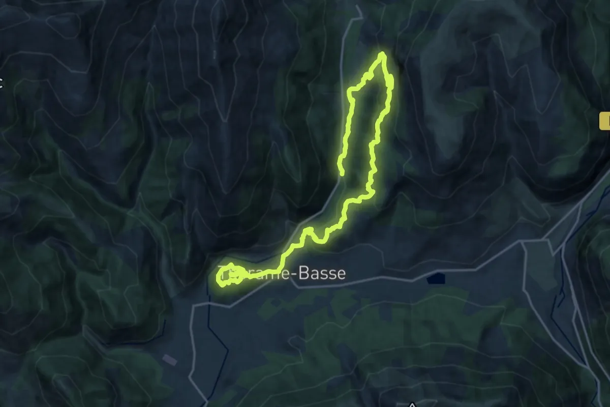
Medium · Trail
Val d'Issole
12.5 km · ↑ 791 m · 4 h 48 min
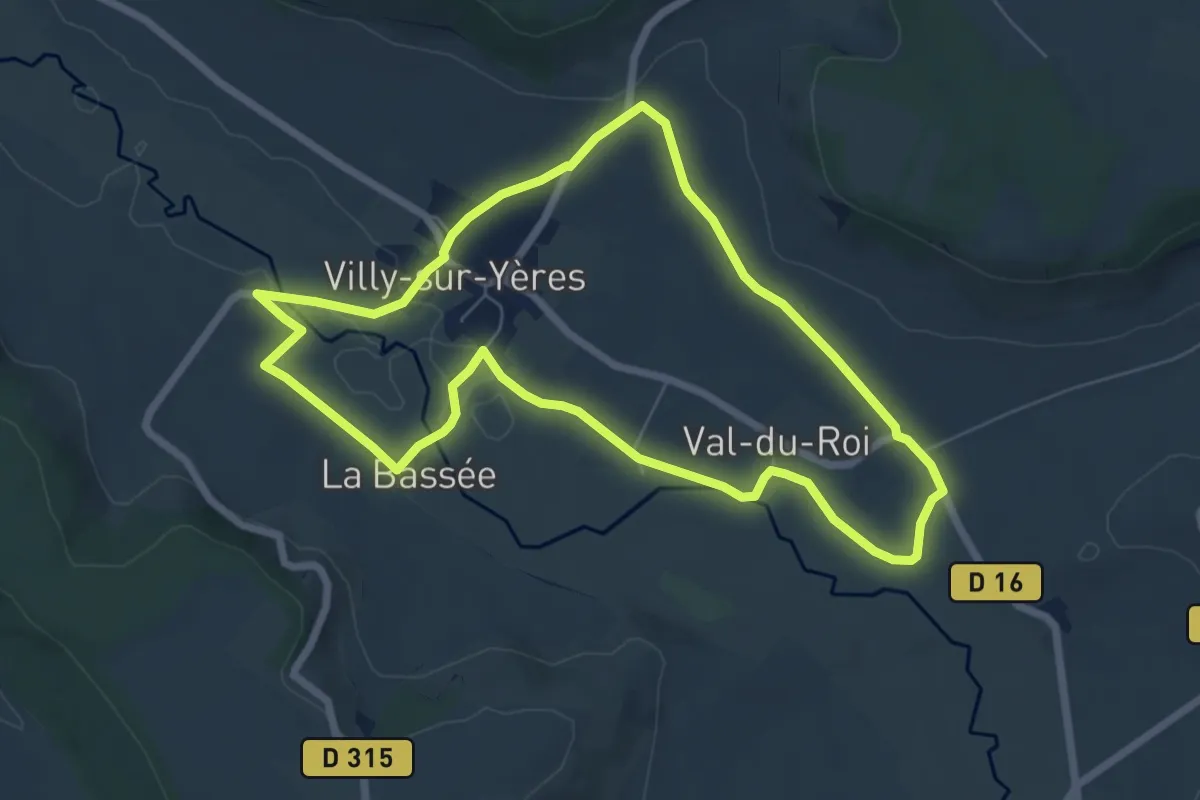
Easy · Trail
Val du Roy
6.3 km · ↑ 69 m · 1 h 44 min