Trails in France
15,926 hiking trails, each with its route, climb, walking time and grade.
All trails, page 279 of 332
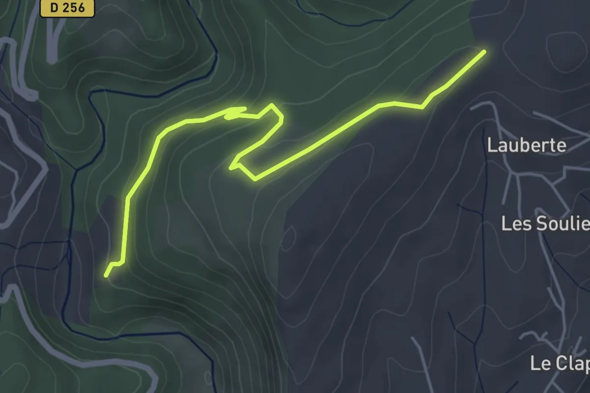
Easy · Trail
Valette - Lachamp
5.1 km · ↑ 183 m · 1 h 36 min
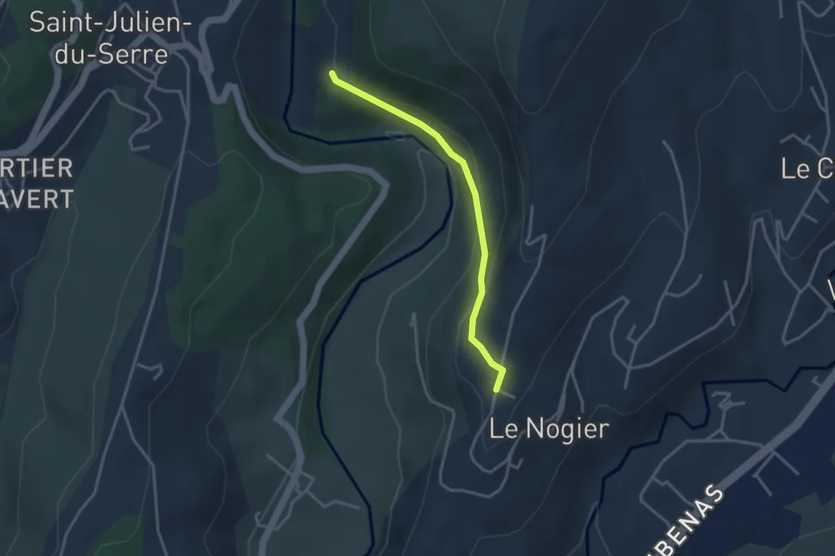
Easy · Trail
Valette - Le Chomeil
2.7 km · ↑ 150 m · 58 min
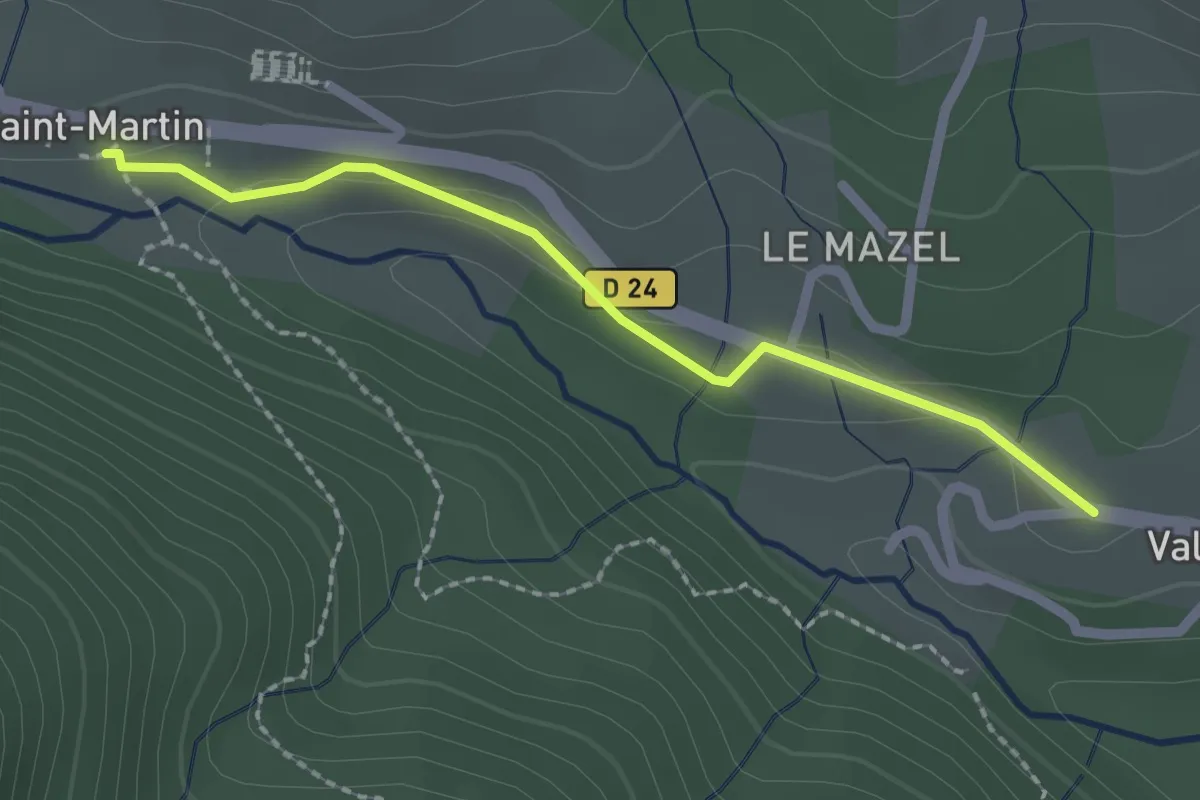
Easy · Trail
Valgorge - Saint Martin
2.1 km · ↑ 37 m · 35 min
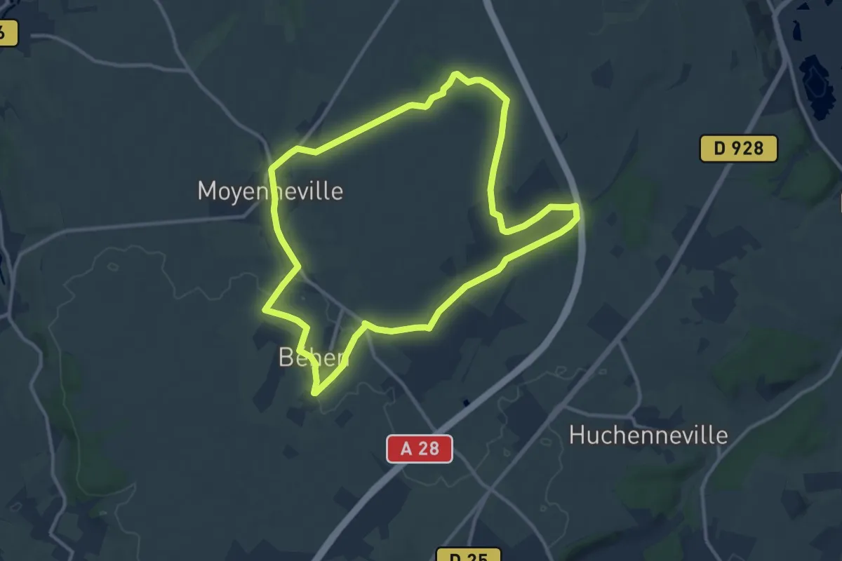
Medium · Trail
Vallée de Bienfay
10.5 km · ↑ 56 m · 2 h 44 min
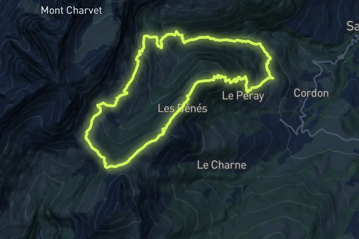
Demanding · Summit
Vallée de Cœur - Col de Niard
15.0 km · ↑ 1025 m · 5 h 59 min
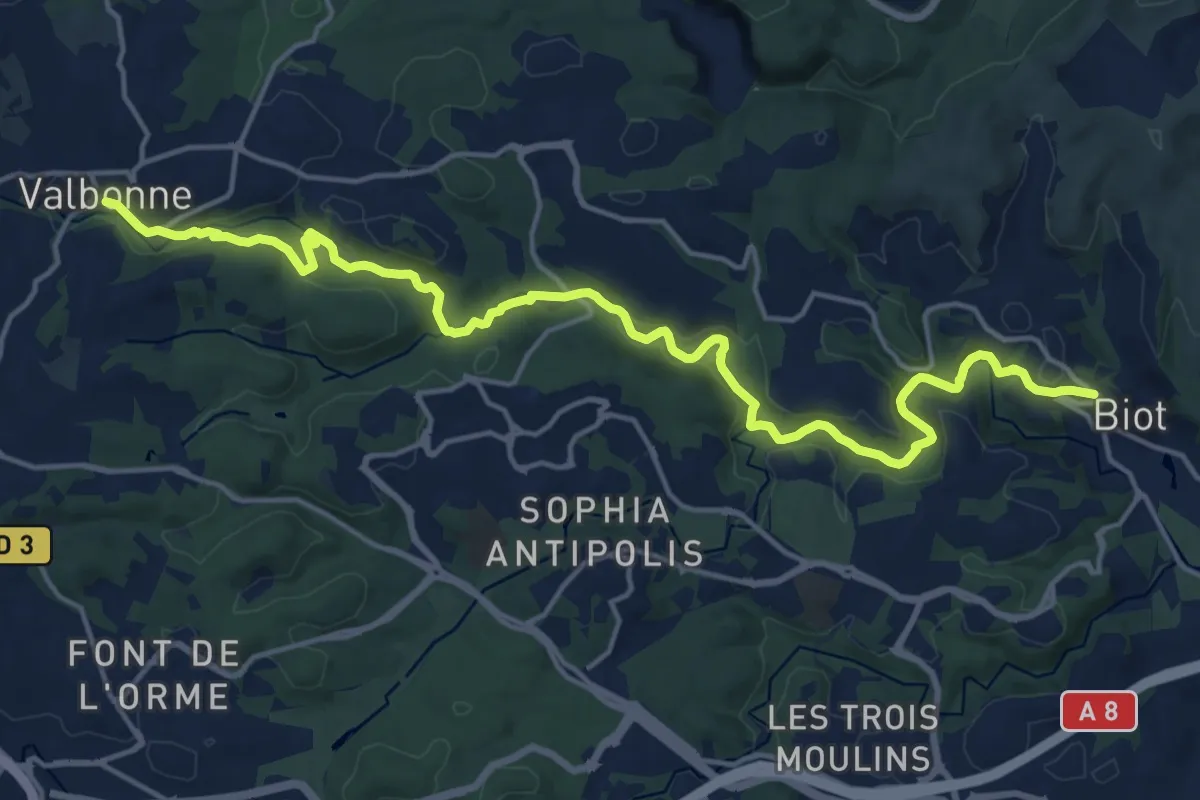
Demanding · Trail
Vallée de la Brague
20.9 km · ↑ 410 m · 5 h 49 min
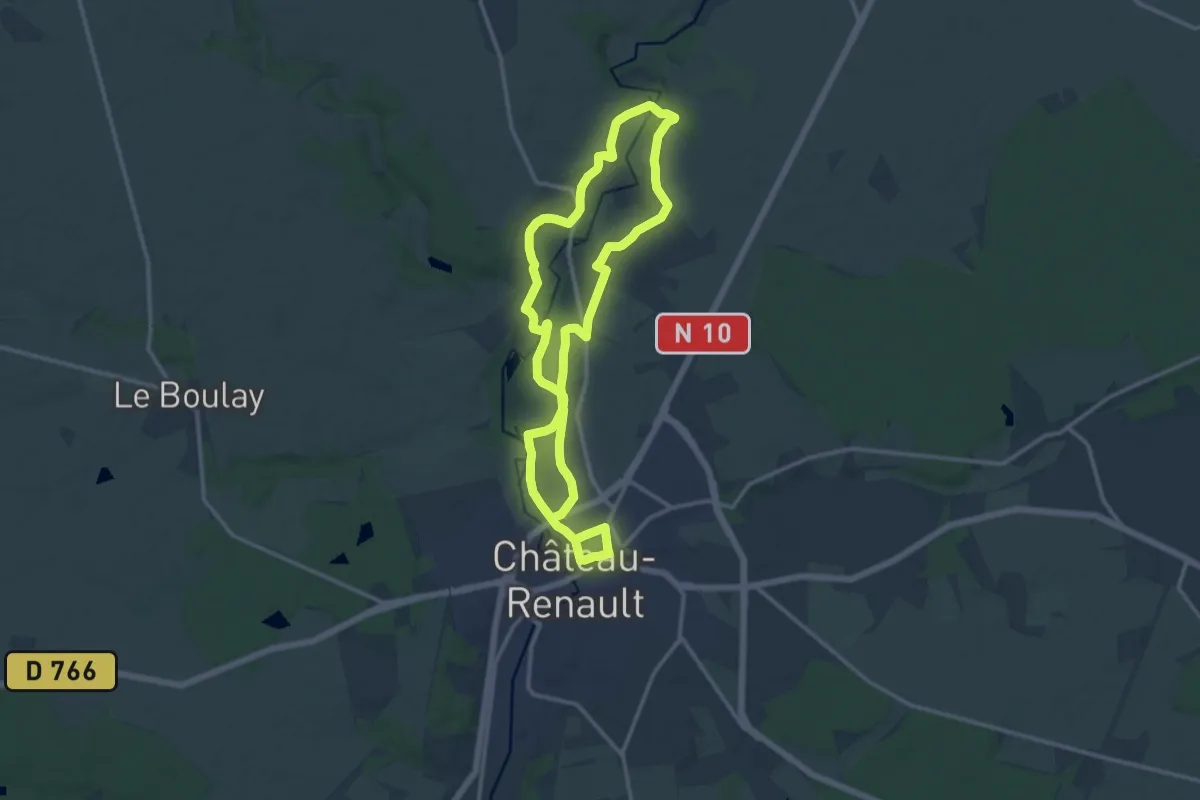
Demanding · Trail
Vallée de la Brenne
24.8 km · ↑ 293 m · 6 h 29 min
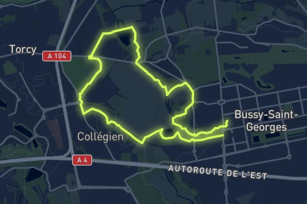
Medium · Trail
Vallée de la Brosse
10.7 km · ↑ 121 m · 2 h 56 min
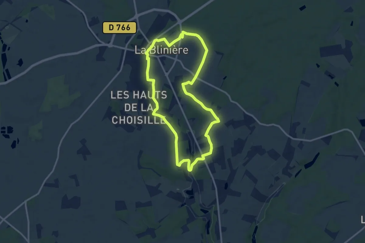
Medium · Trail
Vallée de la Choisille - Beaumont-la-Ronce
8.9 km · ↑ 88 m · 2 h 24 min
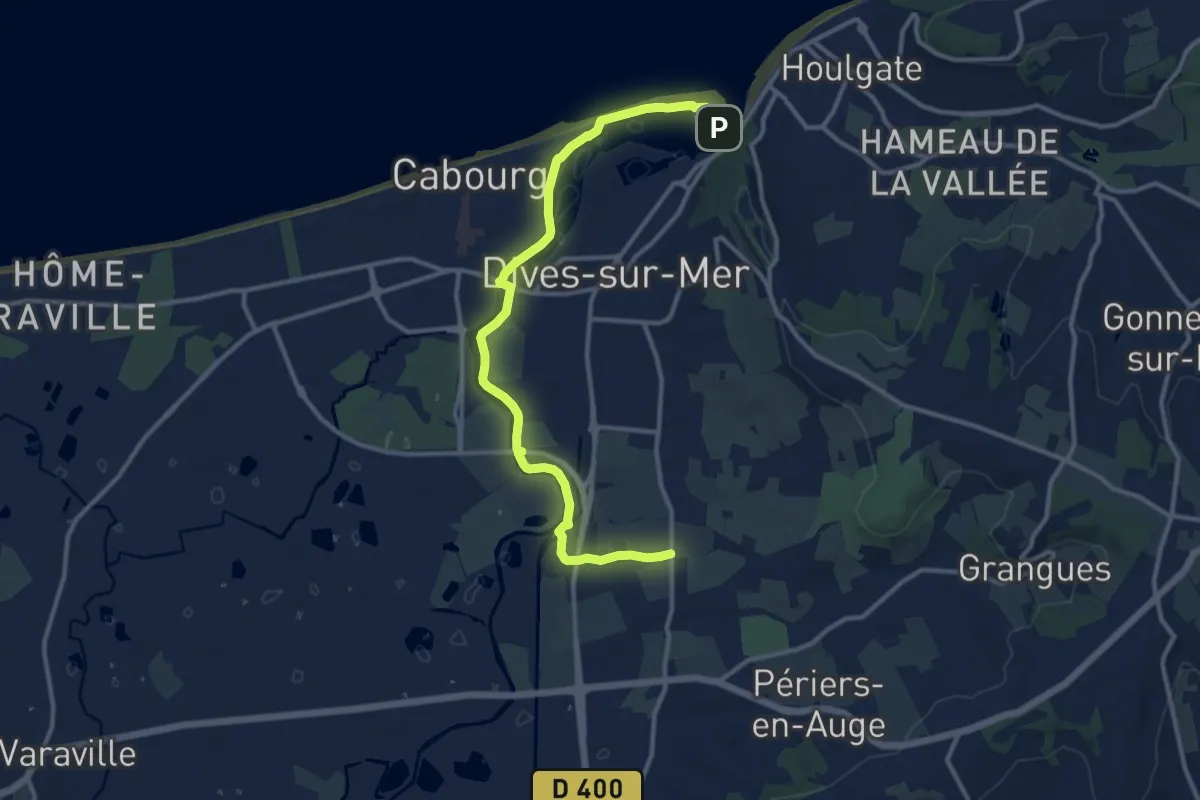
Medium · Trail
Vallée de la Dives
12.4 km · ↑ 25 m · 2 h 59 min
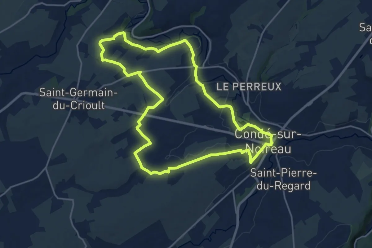
Medium · Trail
Vallée de la Druance
12.9 km · ↑ 167 m · 3 h 35 min
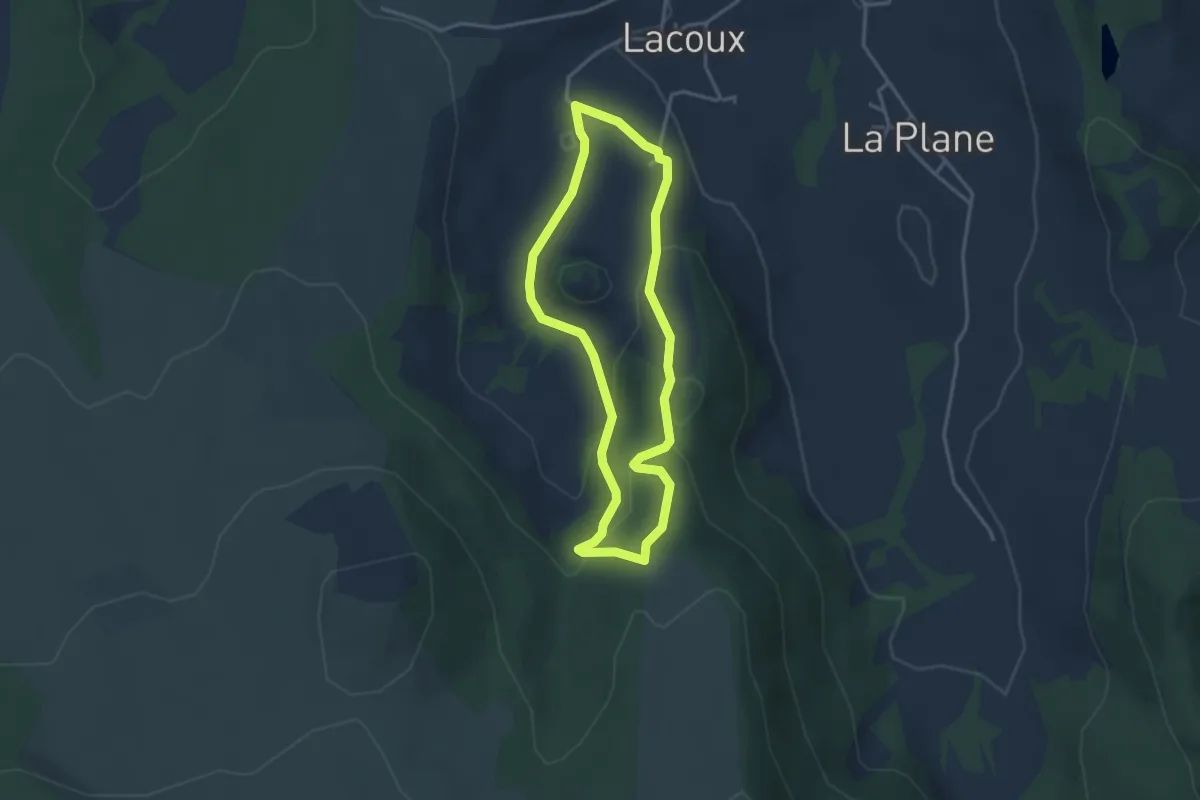
Easy · Trail
Vallée de la Graille
3.2 km · ↑ 136 m · 1 h 5 min
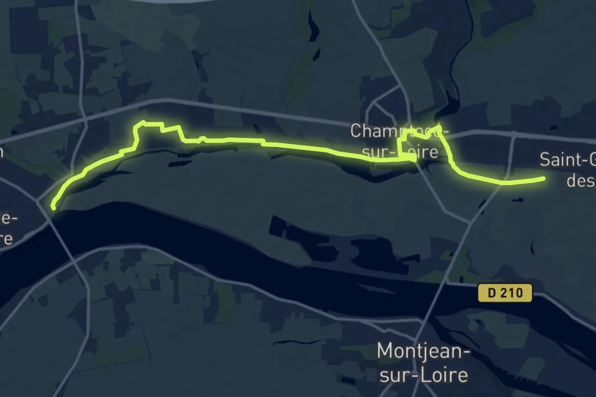
Medium · Trail
Vallée de la Loire Rive droite par Champtocé
15.9 km · ↑ 80 m · 3 h 55 min
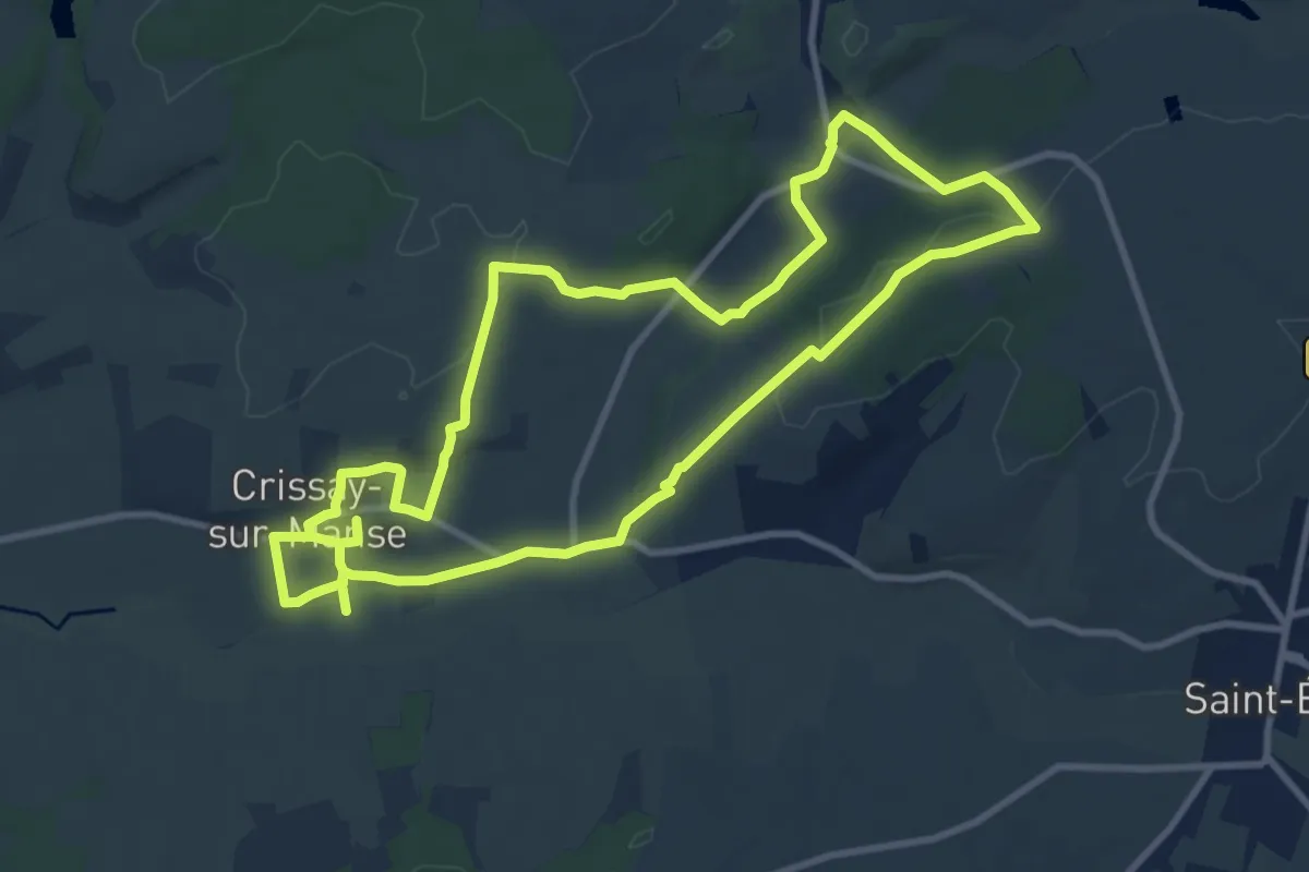
Demanding · Trail
Vallée de la Manse
20.0 km · ↑ 300 m · 5 h 23 min
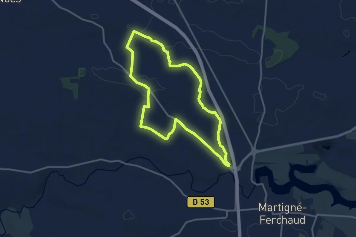
Medium · Trail
Vallée de la Noë-Jollys
8.1 km · ↑ 46 m · 2 h 7 min
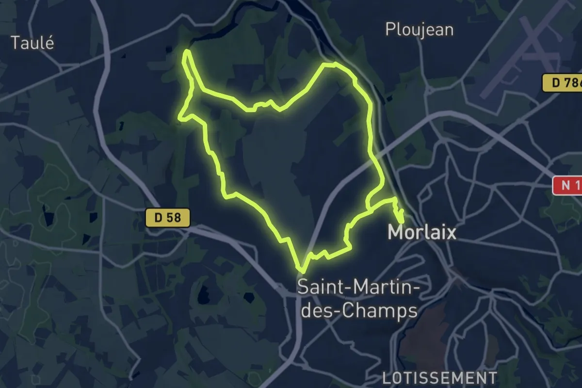
Demanding · Trail
Vallée de la Pennélé
22.0 km · ↑ 398 m · 6 h 4 min
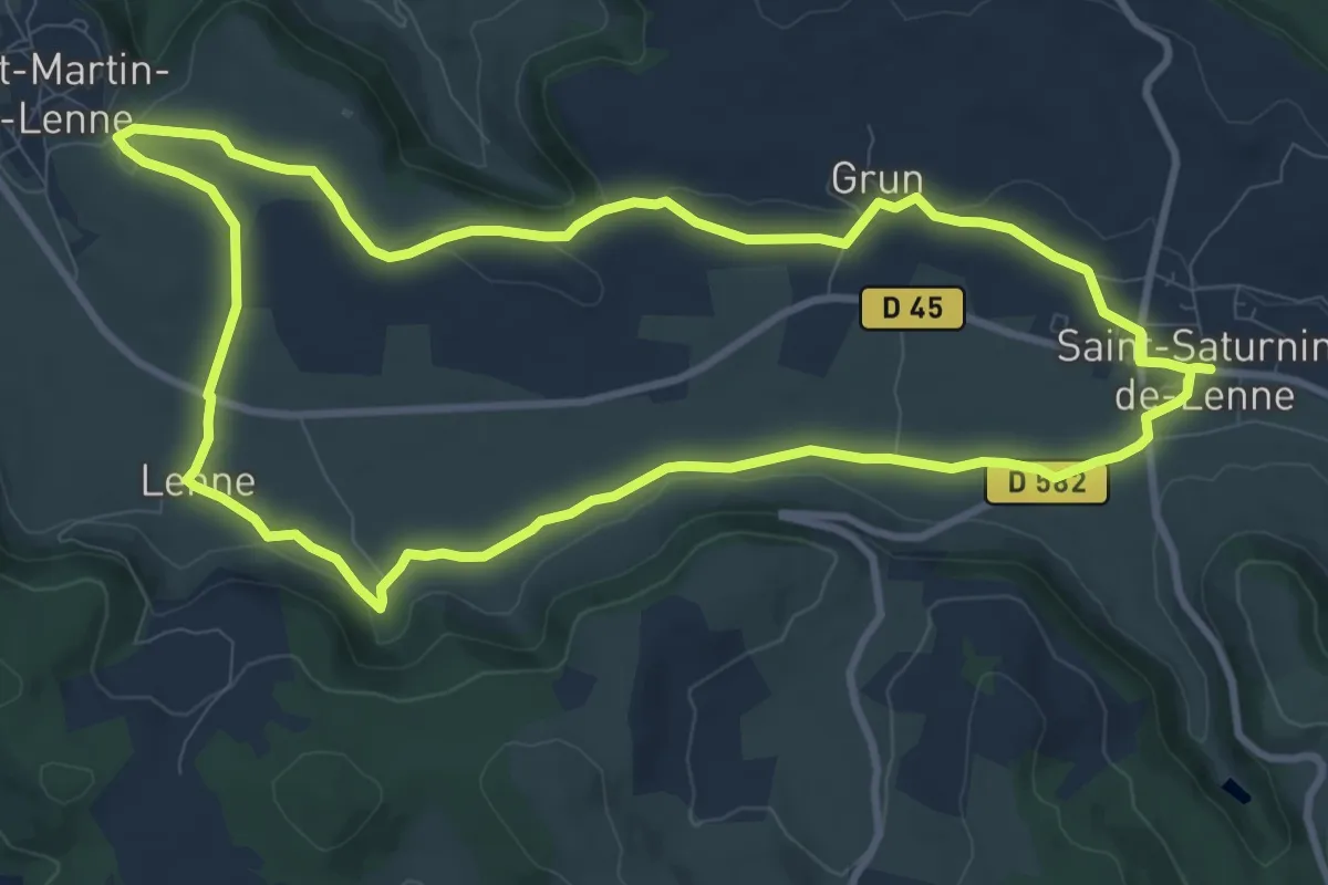
Medium · Trail
Vallée de la Serre
10.5 km · ↑ 108 m · 2 h 52 min
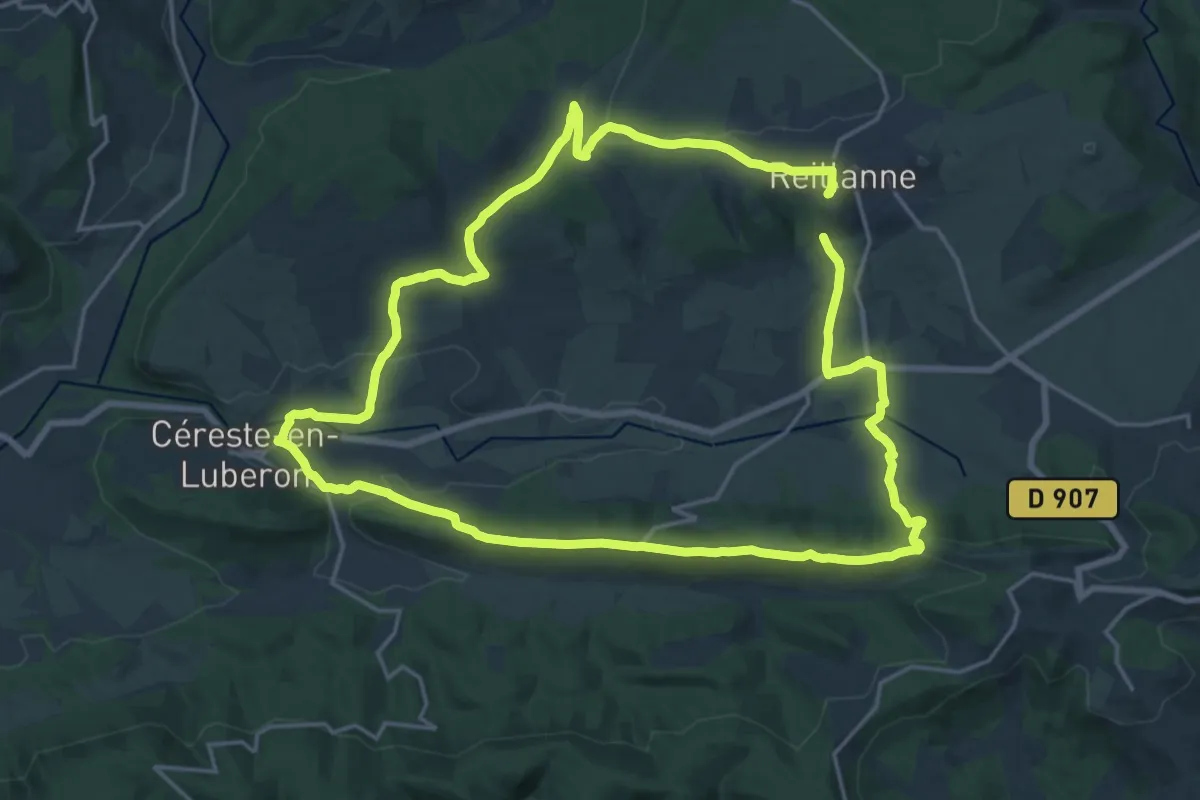
Demanding · Trail
Vallée de l'Encrême
19.4 km · ↑ 474 m · 5 h 52 min
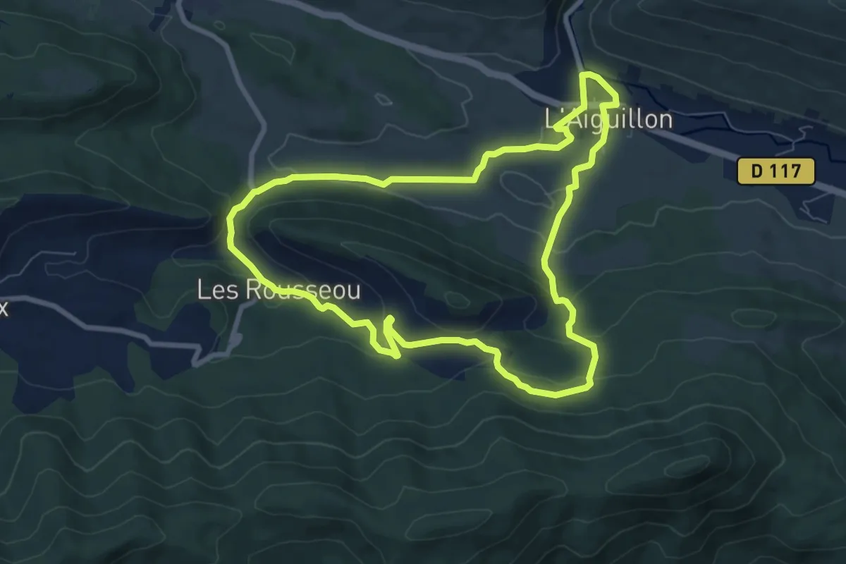
Medium · Trail
Vallée de l'Hers
8.1 km · ↑ 223 m · 2 h 31 min
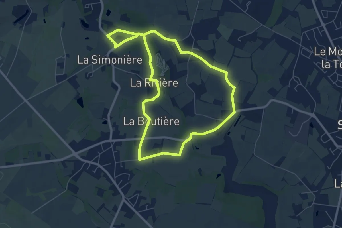
Easy · Trail
Vallée de l'Hocmard
6.0 km · ↑ 62 m · 1 h 38 min
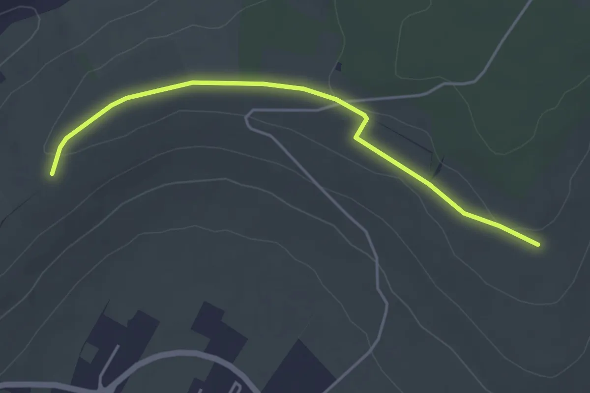
Easy · Trail
Vallée de ́Marne
4.0 km · ↑ 47 m · 1 h 3 min
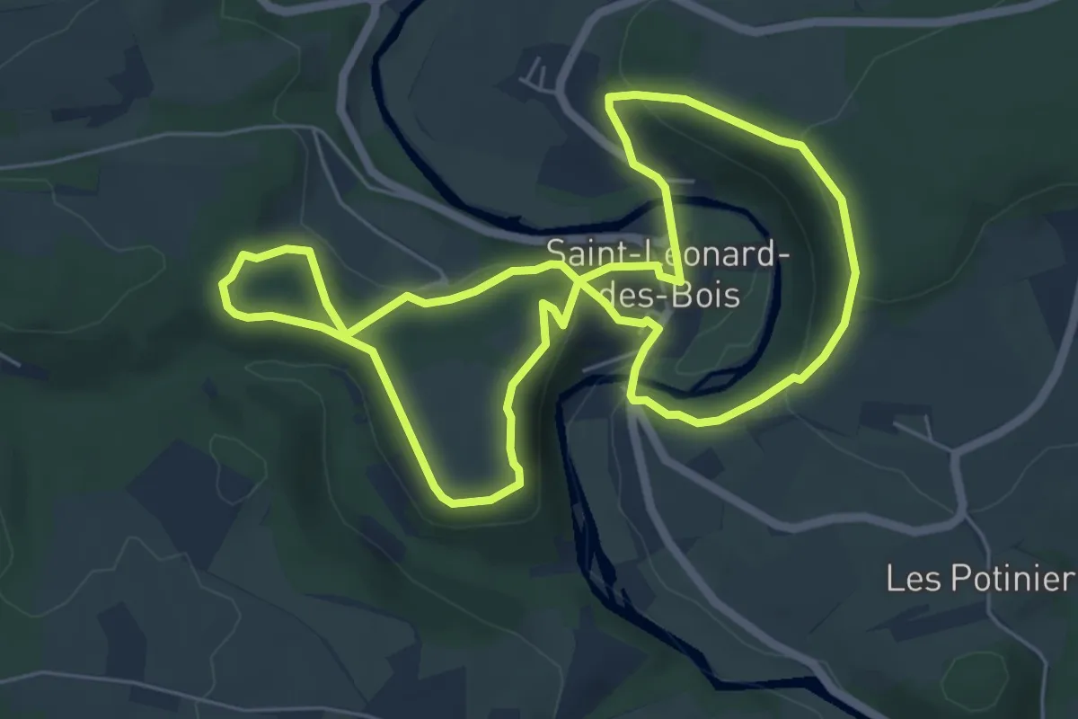
Easy · Trail
Vallée de Misère
5.7 km · ↑ 221 m · 1 h 54 min
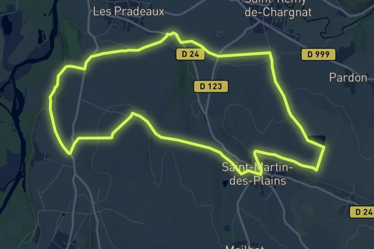
Medium · Trail
Vallee de parcelles
11.3 km · ↑ 175 m · 3 h 12 min
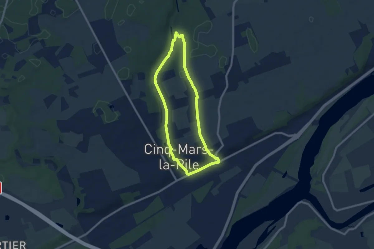
Easy · Trail
Vallée de Racault
5.3 km · ↑ 85 m · 1 h 30 min
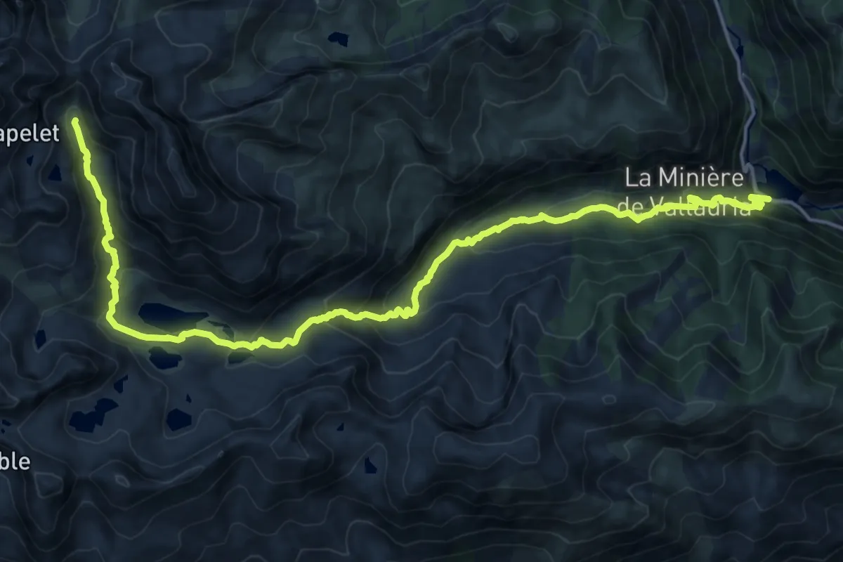
Demanding · Trail
Vallée des Merveilles
21.7 km · ↑ 1169 m · 7 h 40 min
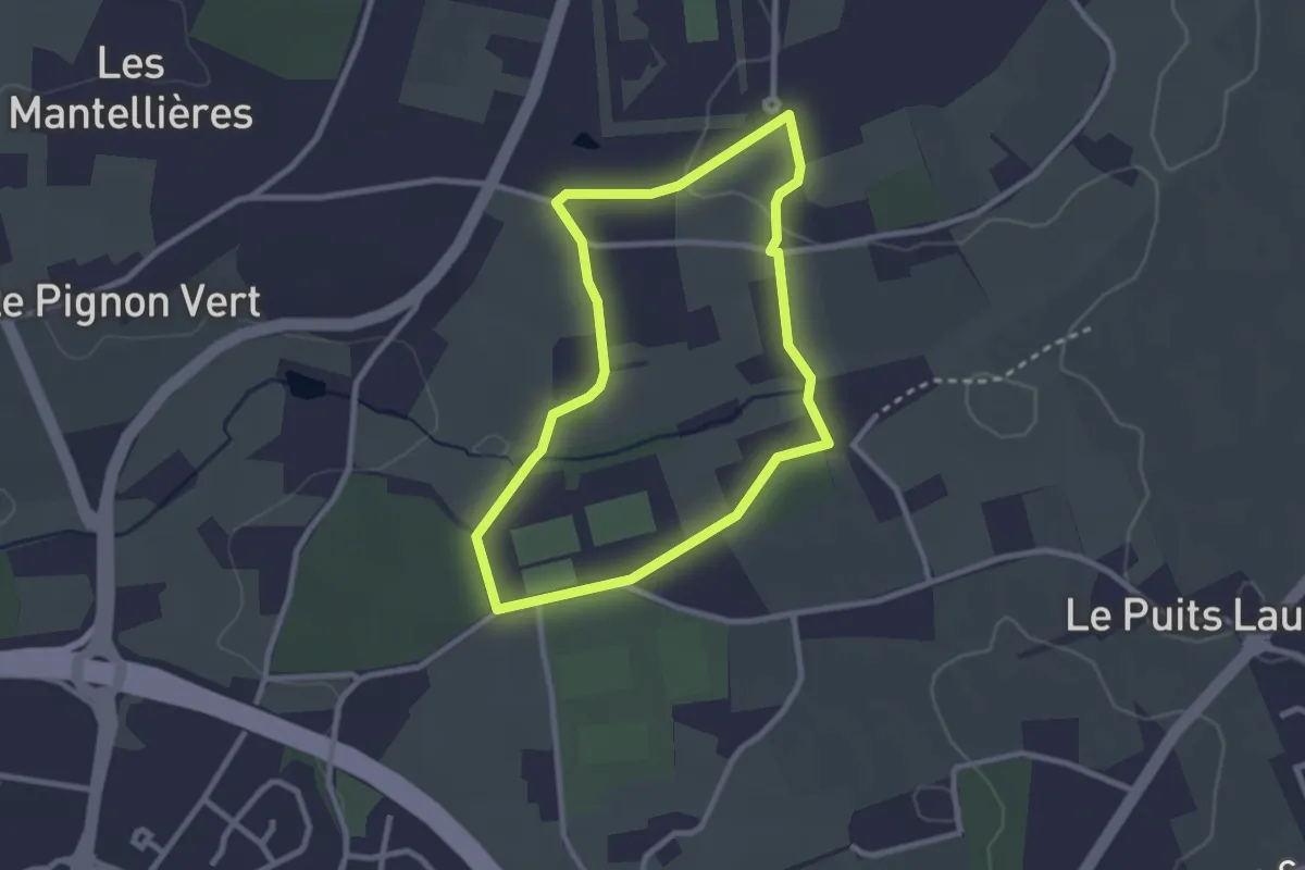
Easy · Trail
Vallée du Monnet
2.4 km · ↑ 24 m · 39 min
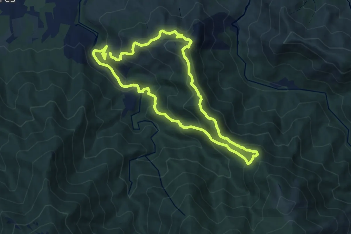
Medium · Summit
Vallée Heureuse - Château d'Ultrera
9.6 km · ↑ 610 m · 3 h 43 min
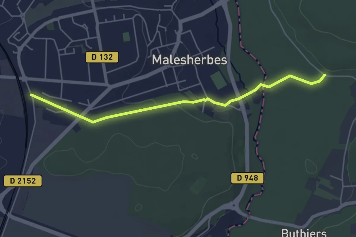
Easy · Trail
Vallées de l'Essonne et de l'École
4.3 km · ↑ 47 m · 1 h 7 min
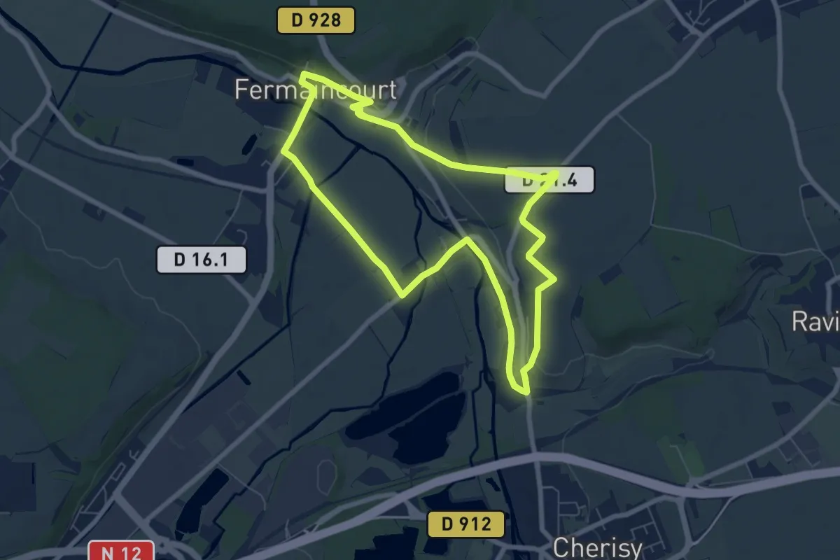
Easy · Trail
Vallées et Collines
6.5 km · ↑ 81 m · 1 h 48 min
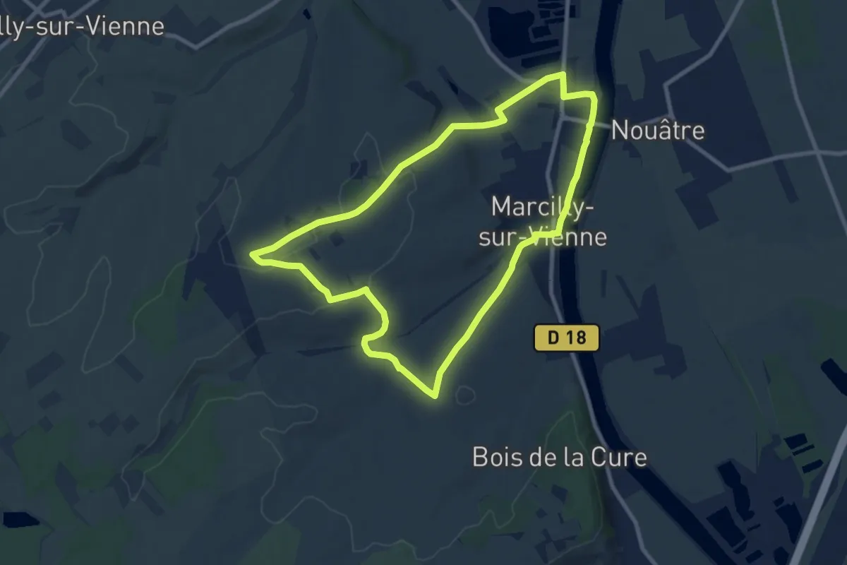
Medium · Trail
Vallées et plateaux
8.2 km · ↑ 121 m · 2 h 19 min
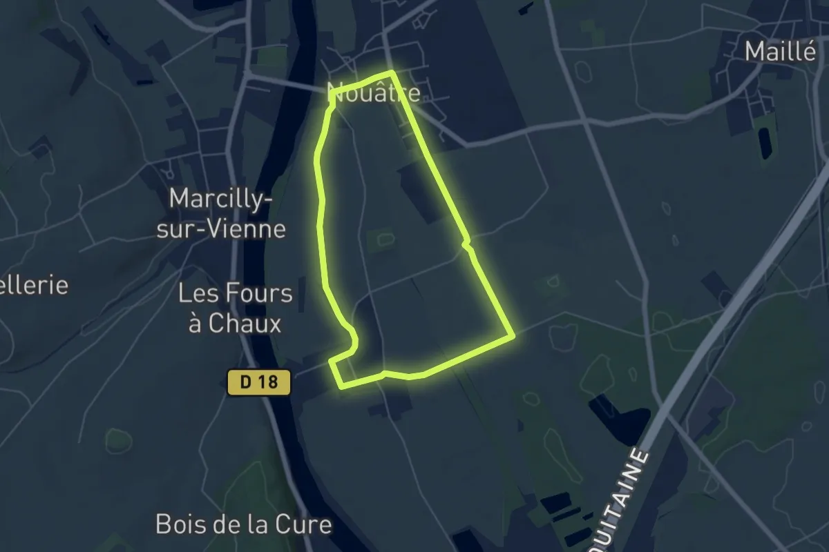
Easy · Trail
Vallées et plateaux
4.9 km · ↑ 0 m · 1 h 13 min
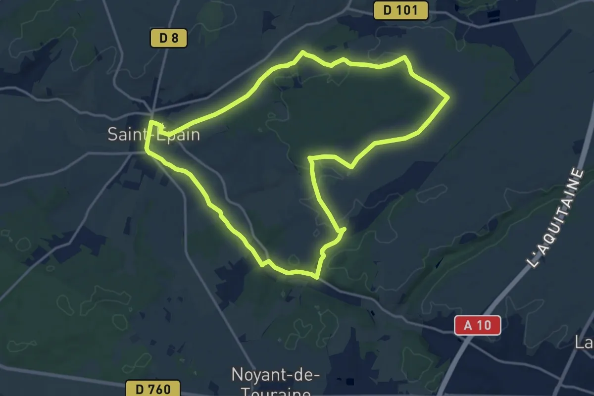
Medium · Trail
Vallées et plateaux
13.5 km · ↑ 89 m · 3 h 35 min
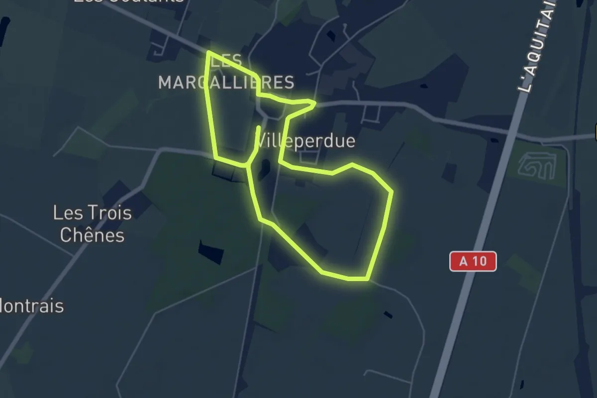
Easy · Trail
Vallées et Plateaux
4.6 km · ↑ 9 m · 1 h 11 min
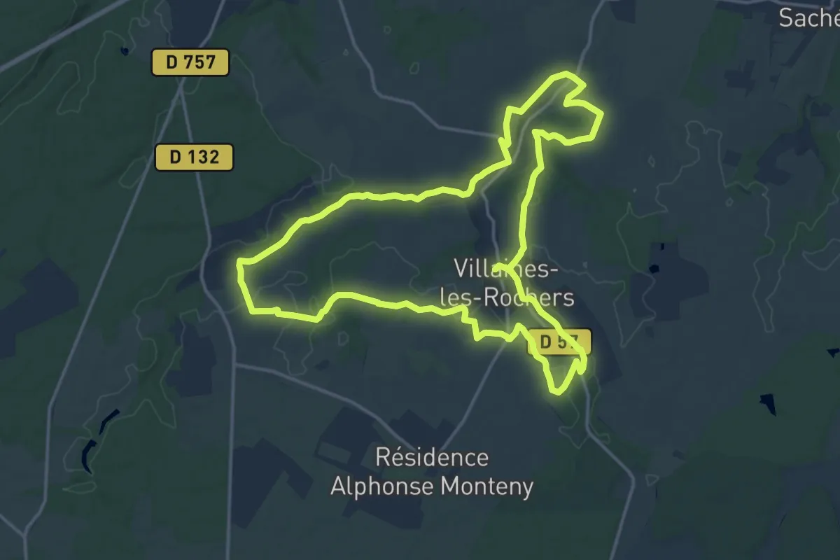
Medium · Trail
Vallées, Nature et Troglo - Villaines-les-Rochers
15.5 km · ↑ 194 m · 4 h 17 min
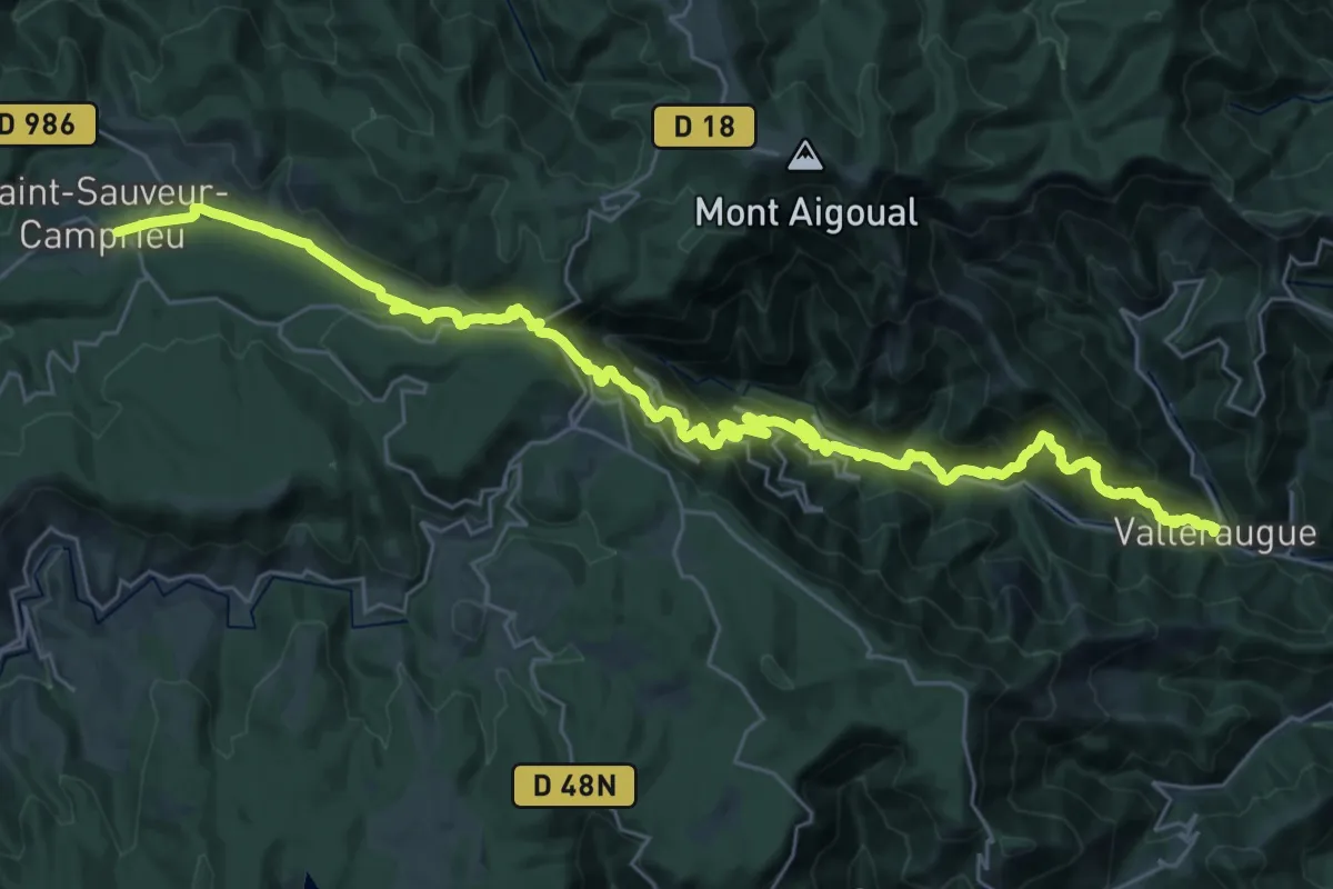
Demanding · Trail
Valleraugue - Saint-Sauveur-de-Camprieu
19.2 km · ↑ 739 m · 6 h 47 min
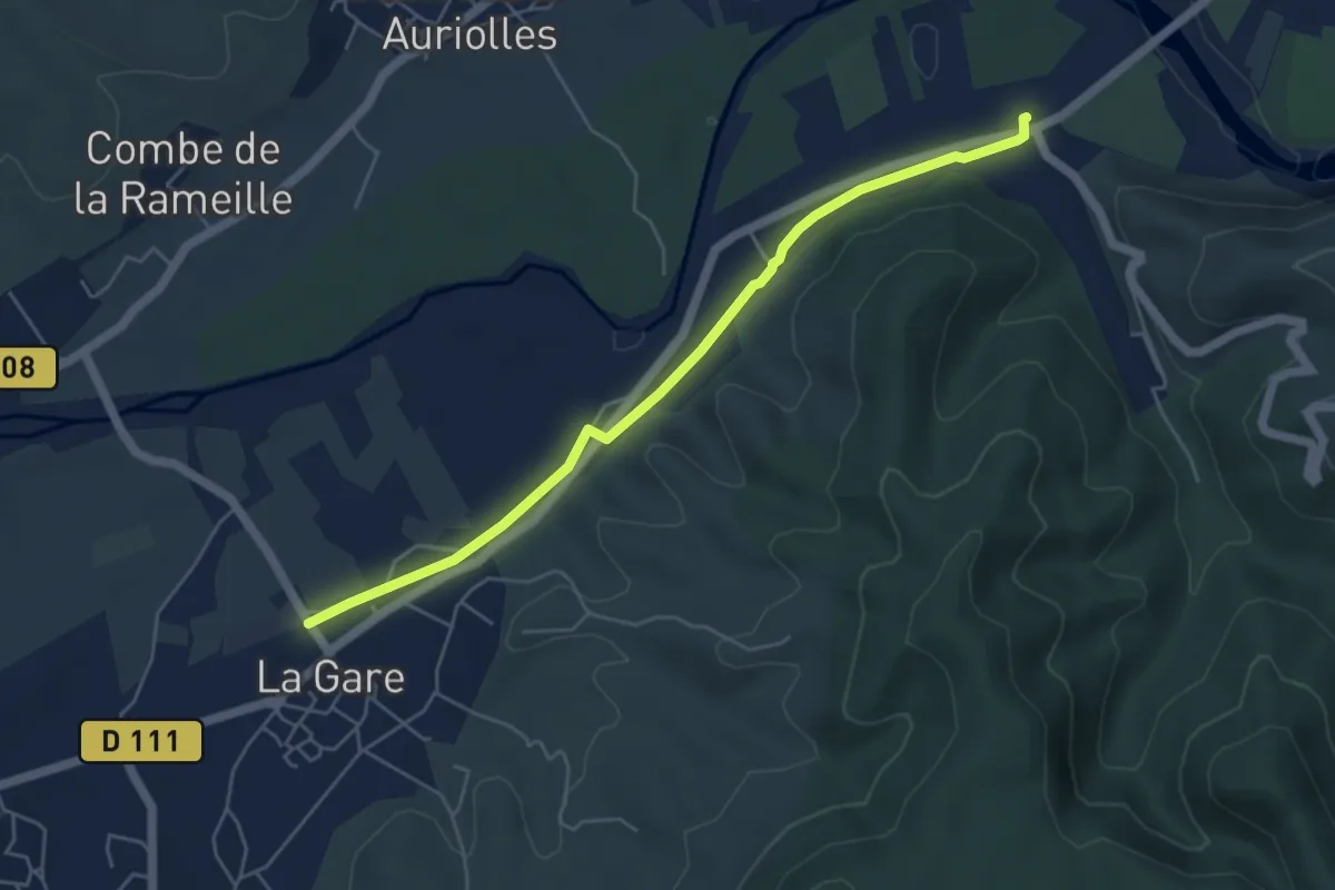
Easy · Trail
Vallier - Grospierres Gare
5.4 km · ↑ 22 m · 1 h 20 min
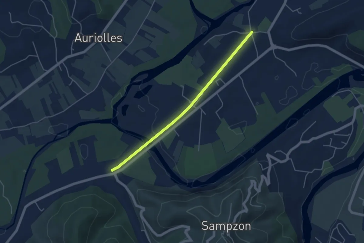
Easy · Trail
Vallier - Saint-Michel
4.2 km · ↑ 33 m · 1 h 3 min
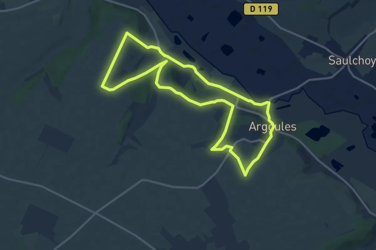
Medium · Trail
Valloire
8.1 km · ↑ 152 m · 2 h 21 min
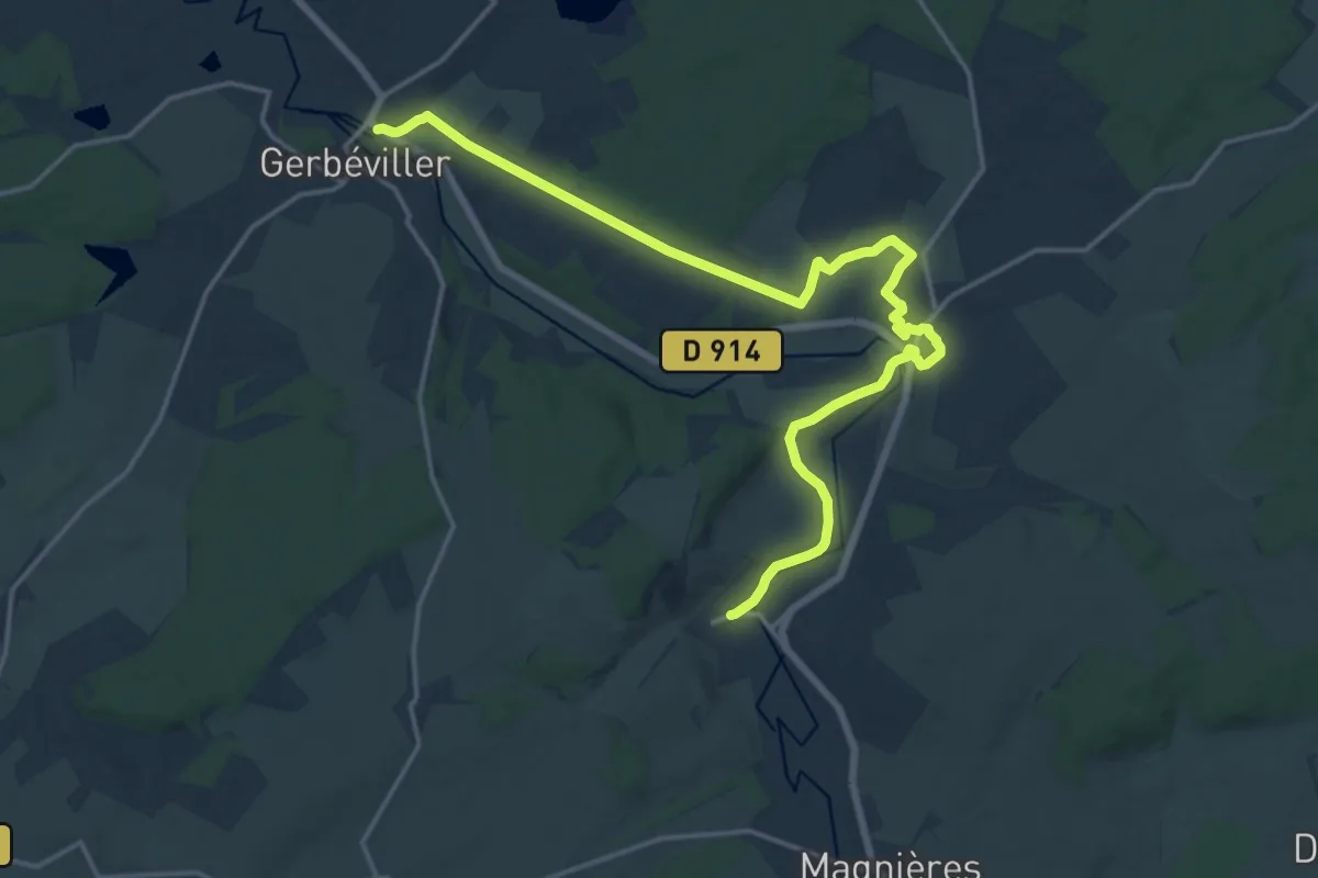
Demanding · Trail
Vallois - Gerbéviller
19.4 km · ↑ 273 m · 5 h 10 min
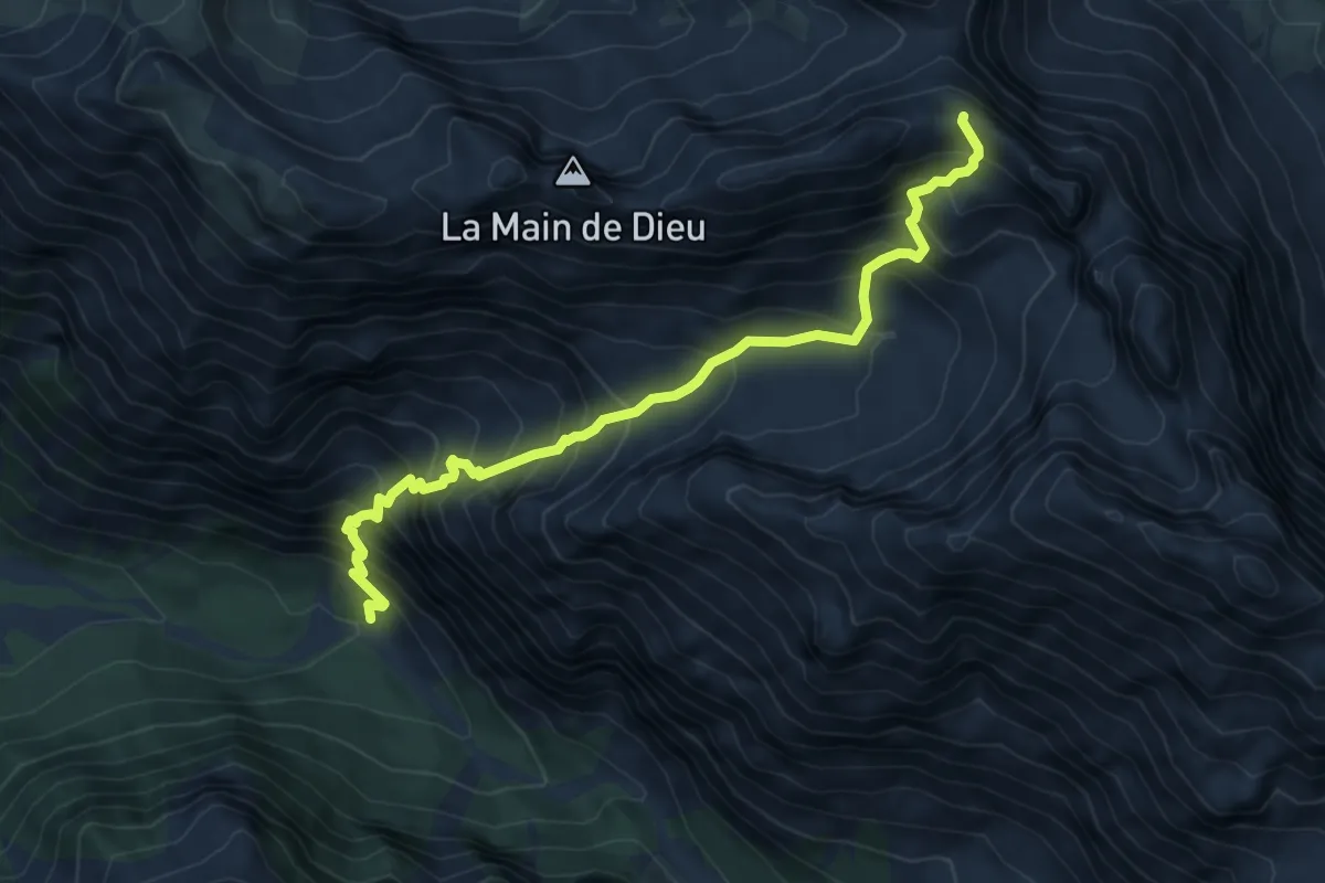
Demanding · Trail
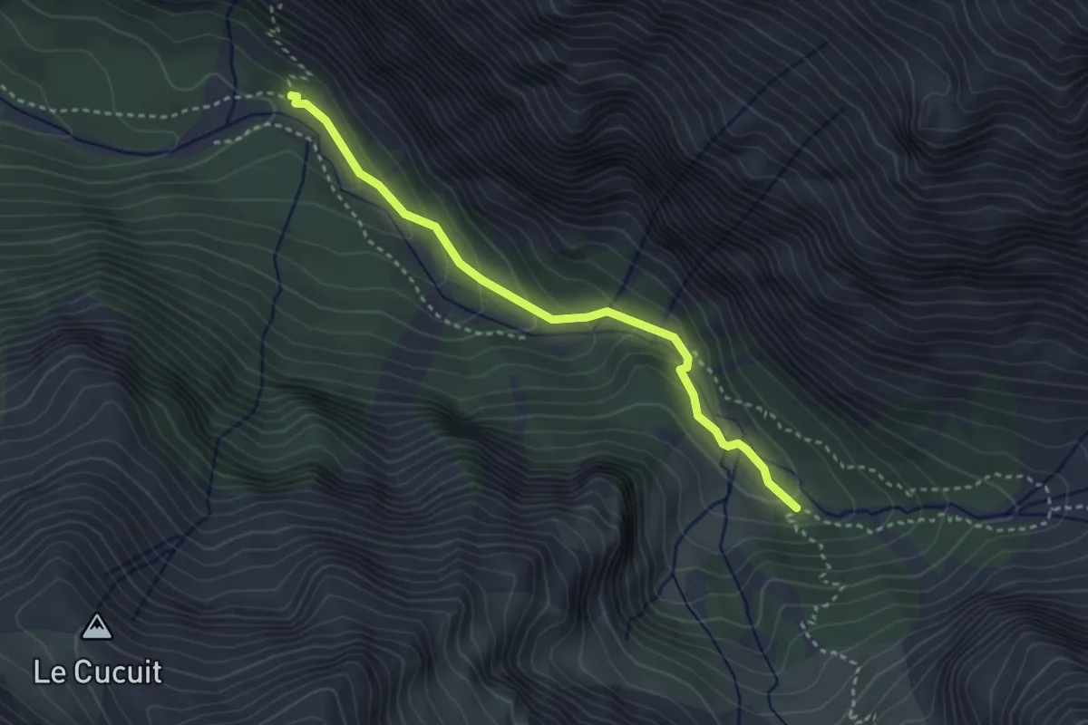
Vallon Claus - Col de la Colette Verte
7.3 km · ↑ 967 m · 3 h 48 min
Medium · Trail
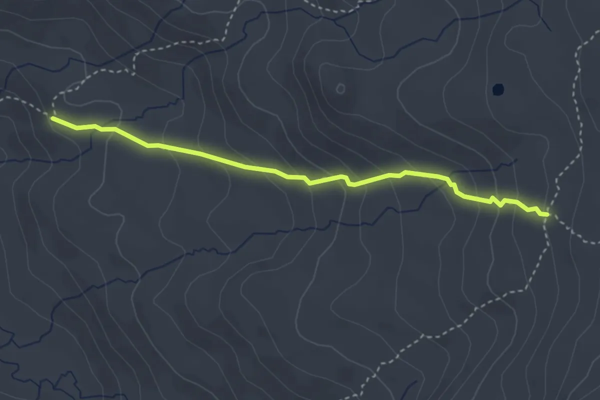
Vallon Claus - Les Chatances
3.3 km · ↑ 188 m · 1 h 12 min
Medium · Trail
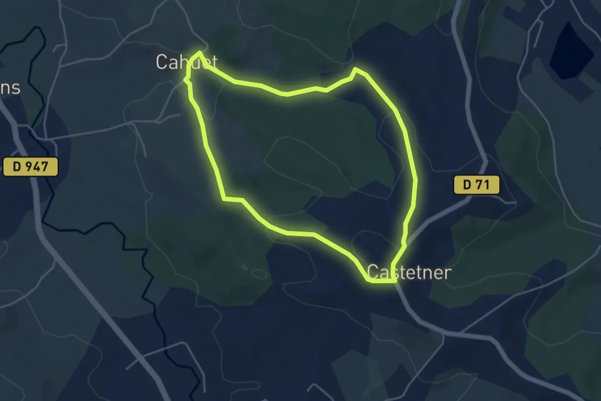
Vallon de la Blanche - Rocher des Marrous
3.4 km · ↑ 263 m · 1 h 22 min
Easy · Trail
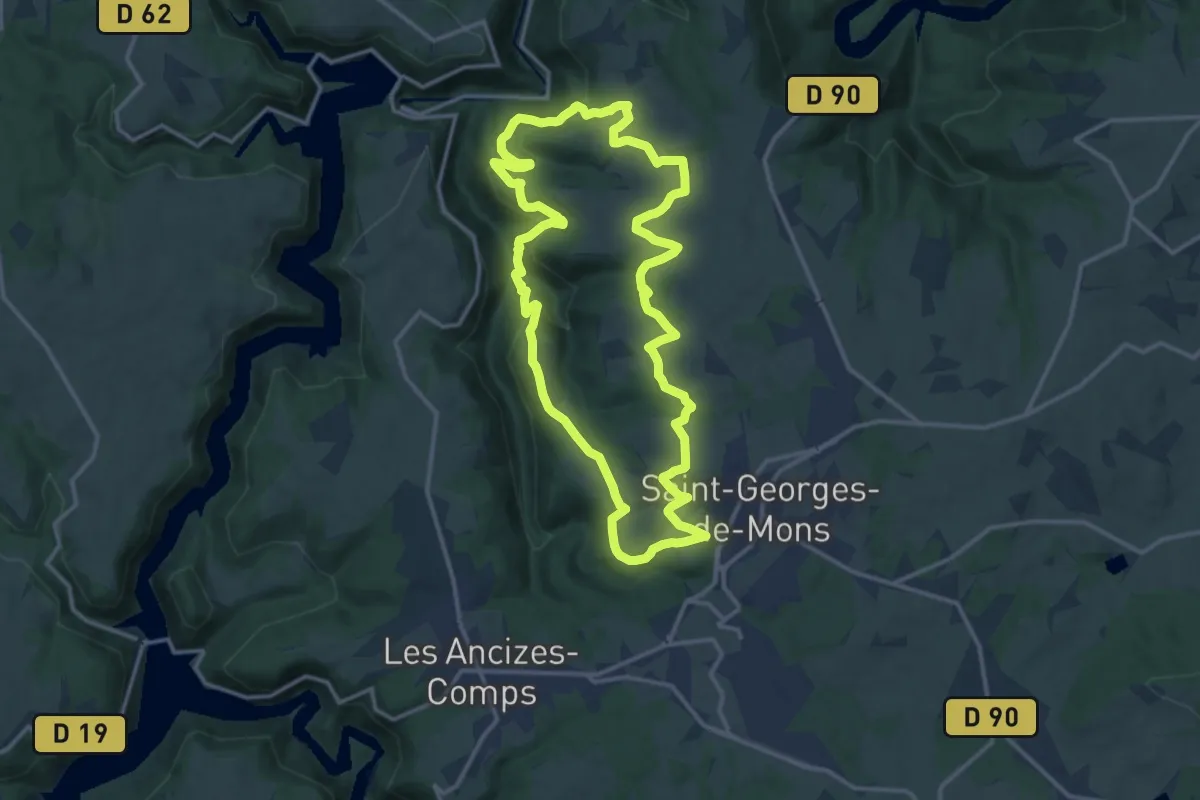
Vallon de Lasbéline
4.3 km · ↑ 106 m · 1 h 18 min
Medium · Trail
Vallon de la Viouze
14.4 km · ↑ 419 m · 4 h 30 min
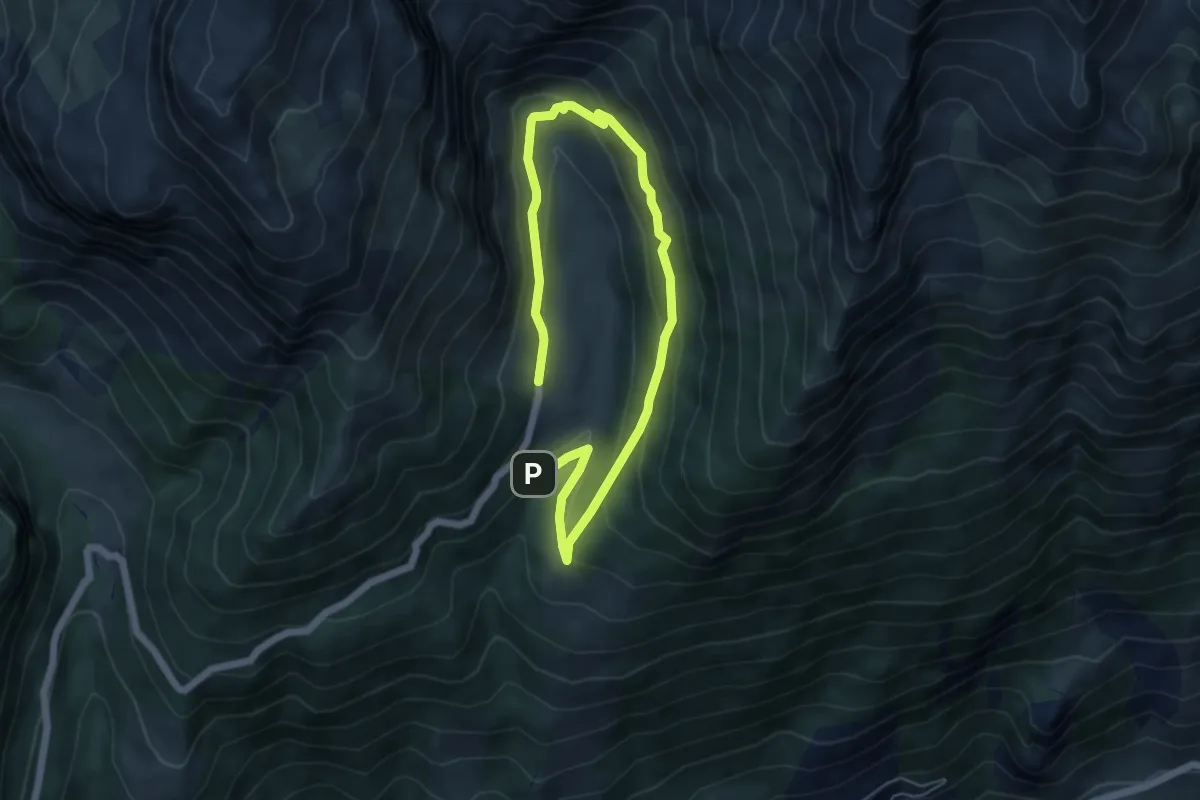
Medium · Cabin
Vallon de l'Orgère
7.8 km · ↑ 359 m · 2 h 37 min
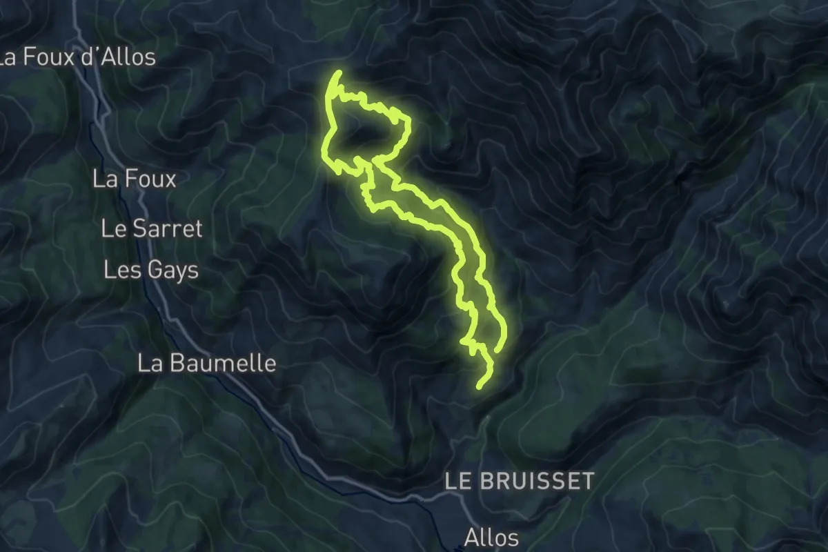
Demanding · Trail
Vallon de Preinier
12.5 km · ↑ 833 m · 4 h 57 min
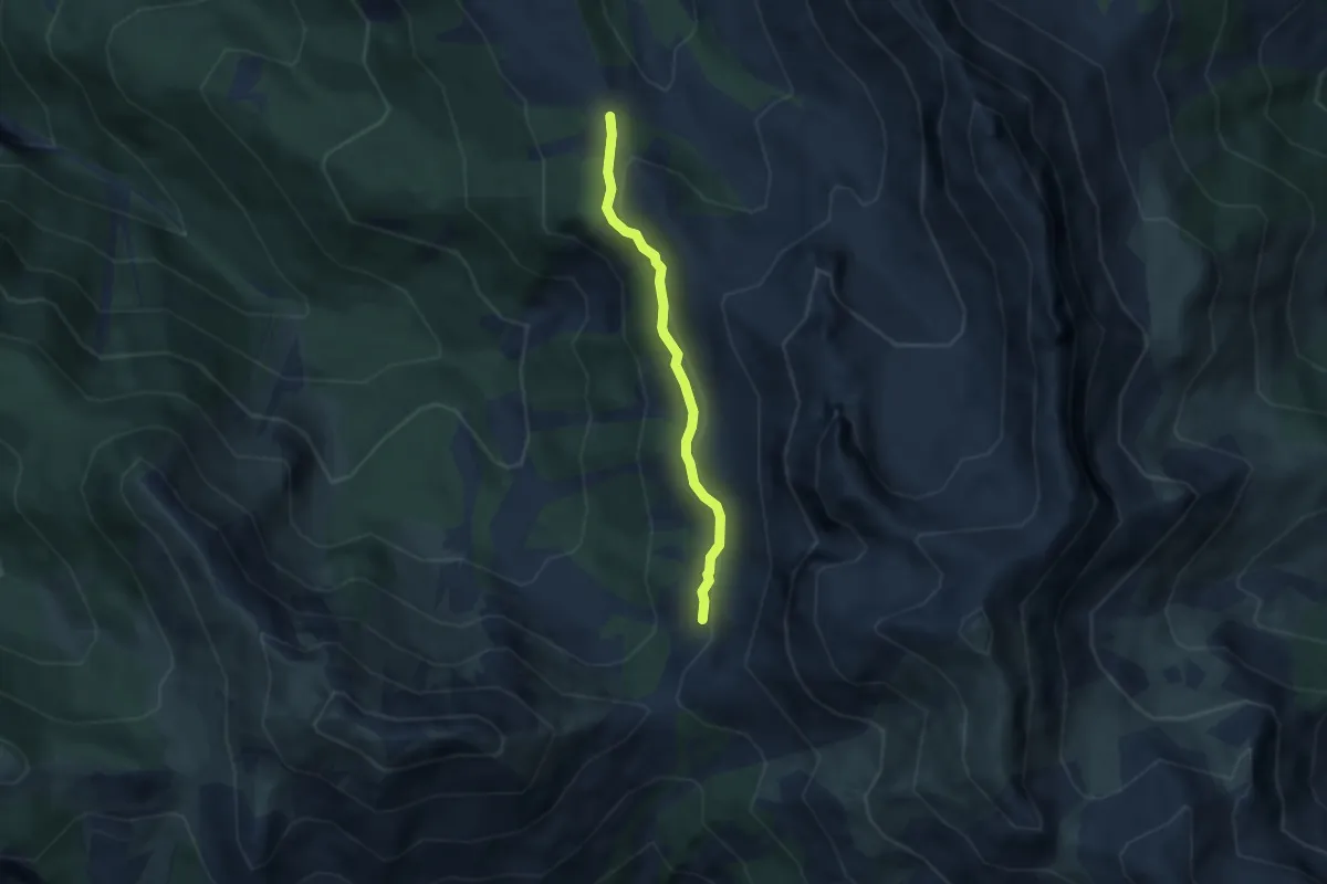
Medium · Trail
Vallon de Riou Vert - Fontantie
4.6 km · ↑ 167 m · 1 h 27 min
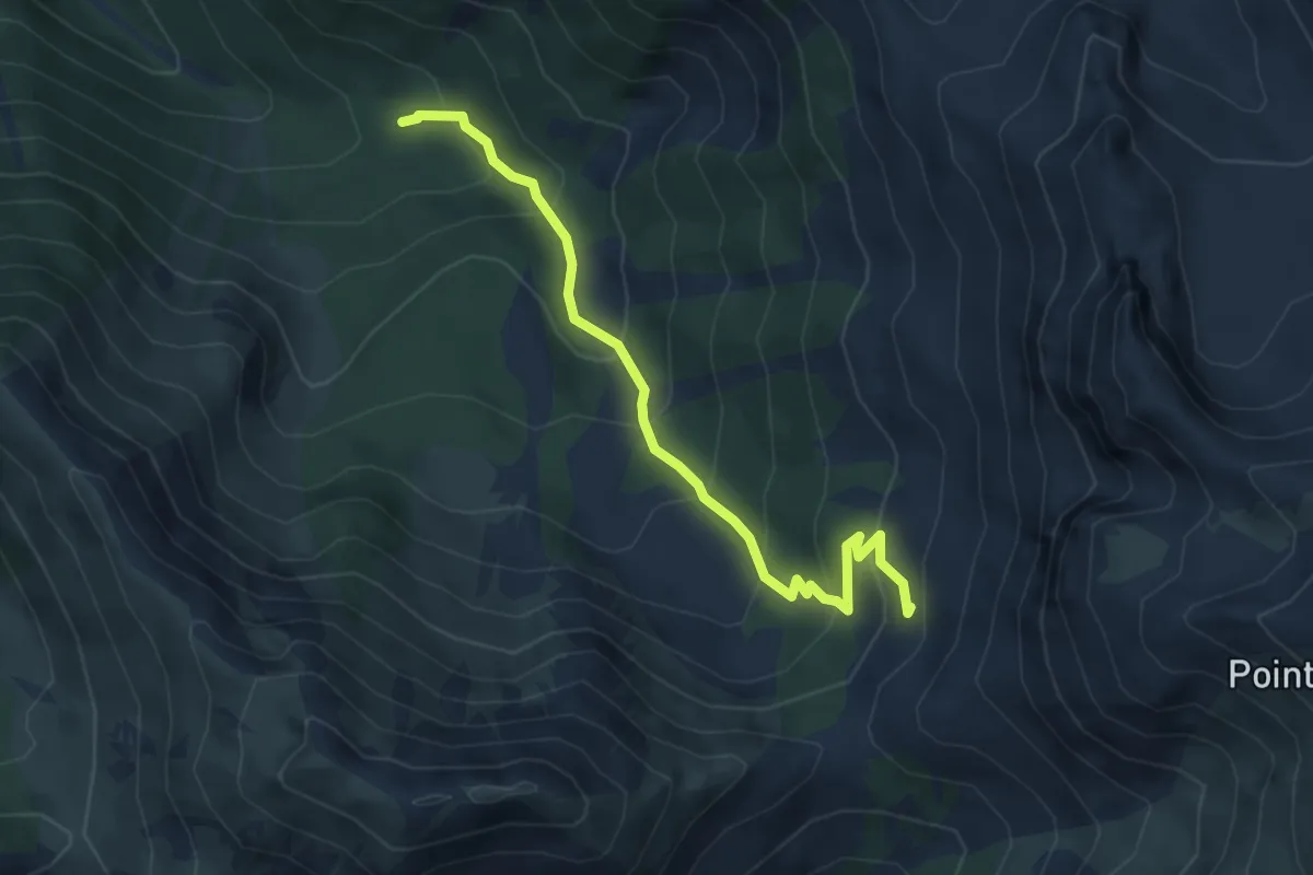
Medium · Trail
Vallon de Riou Vert - L'Arsenne
5.1 km · ↑ 415 m · 2 h 6 min