Trails in France
15,926 hiking trails, each with its route, climb, walking time and grade.
All trails, page 280 of 332
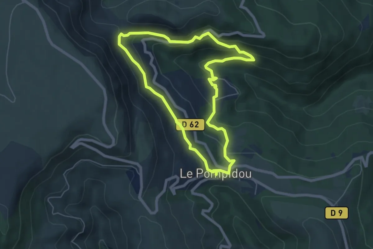
Easy · Trail
Vallon de Saint-Flour
5.2 km · ↑ 242 m · 1 h 49 min
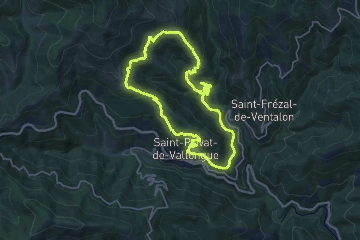
Medium · Trail
Vallon de Soubrelargue
10.2 km · ↑ 516 m · 3 h 41 min
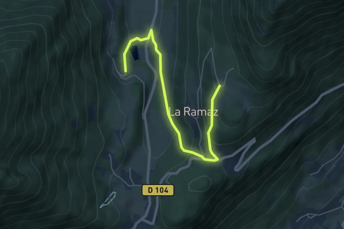
Easy · Trail
Vallon de Tamié
5.3 km · ↑ 253 m · 1 h 47 min
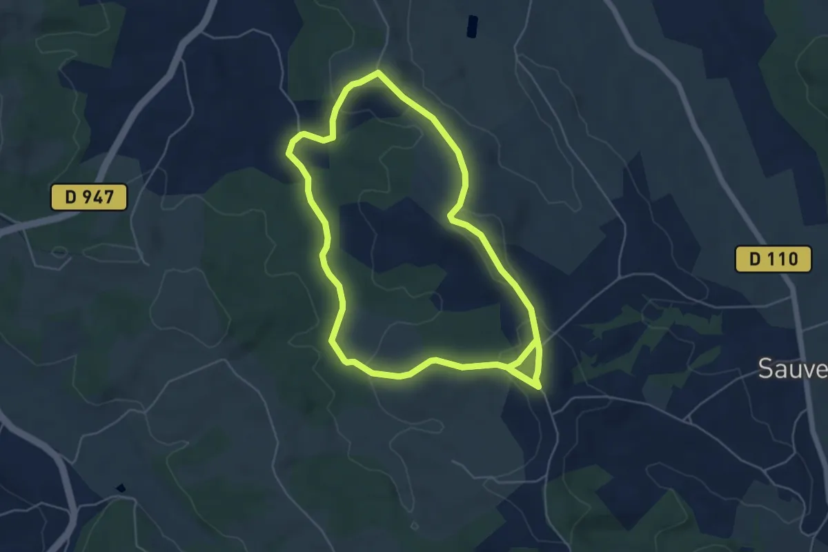
Easy · Trail
Vallon du Lalaas
5.5 km · ↑ 120 m · 1 h 39 min
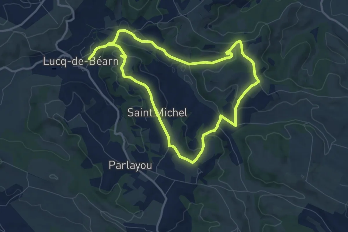
Medium · Trail
Vallon du Layous
16.3 km · ↑ 348 m · 4 h 36 min
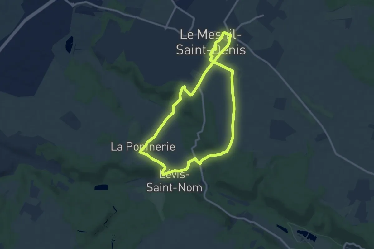
Easy · Trail
Vallon et villages d'antan
7.3 km · ↑ 100 m · 2 h 3 min
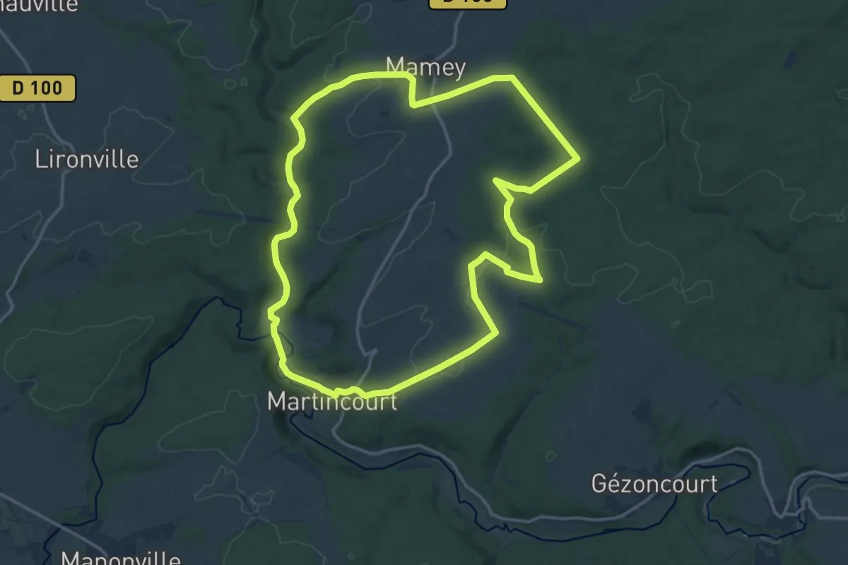
Medium · Trail
Vallon Saint Jean
14.0 km · ↑ 185 m · 3 h 54 min
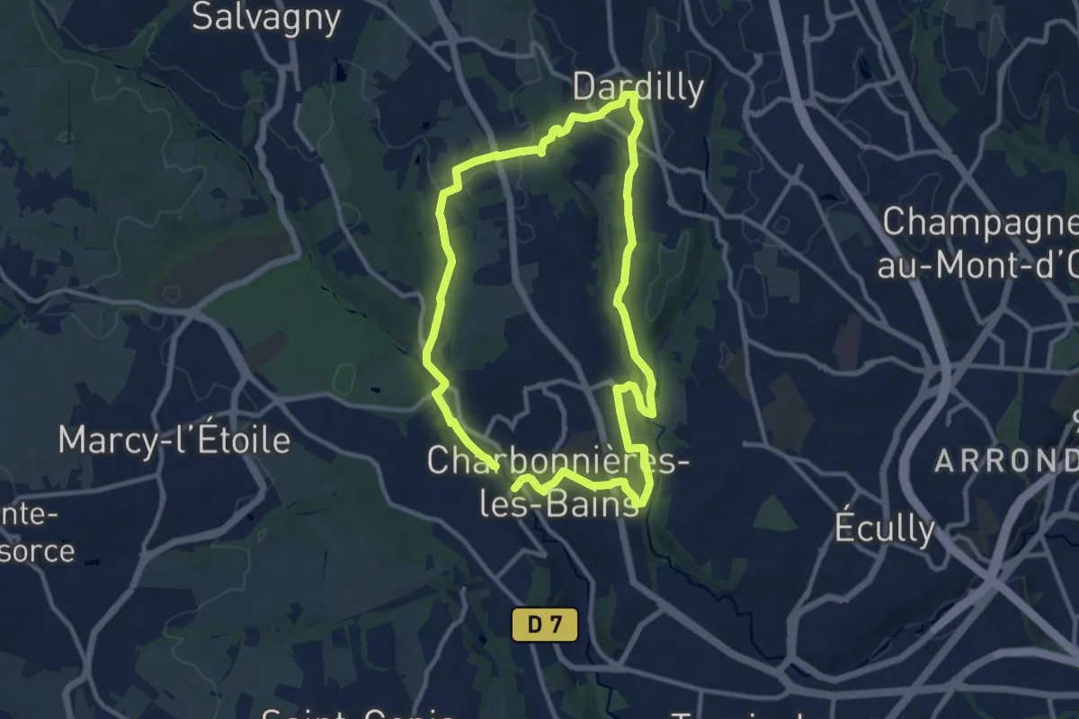
Medium · Trail
Vallons de la Beffe et du Charbonnières
10.0 km · ↑ 175 m · 2 h 52 min
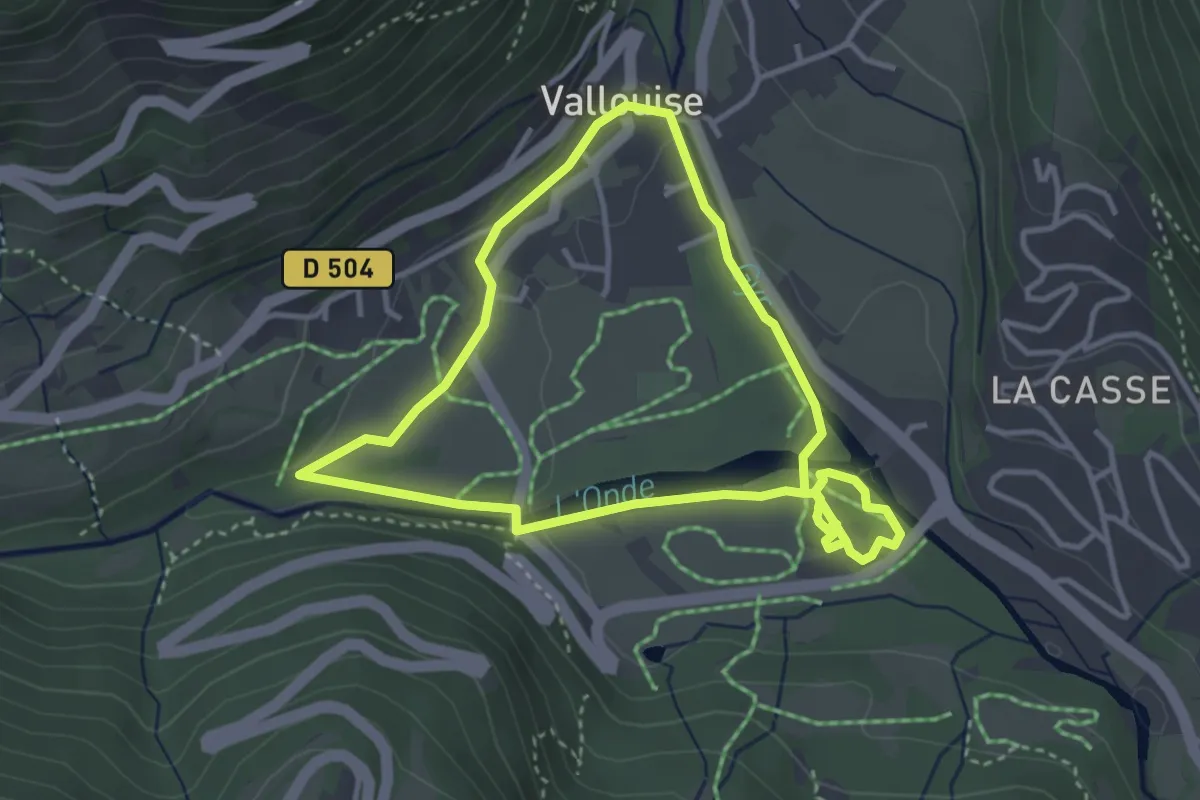
Easy · Trail
Vallouise - Balade cosmique et naturelle
3.4 km · ↑ 51 m · 58 min
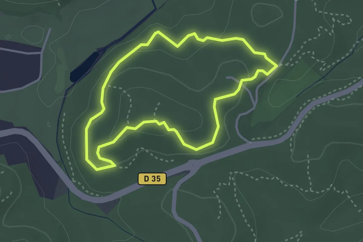
Easy · Trail
Valmasque - Balisage bleu
3.0 km · ↑ 82 m · 55 min
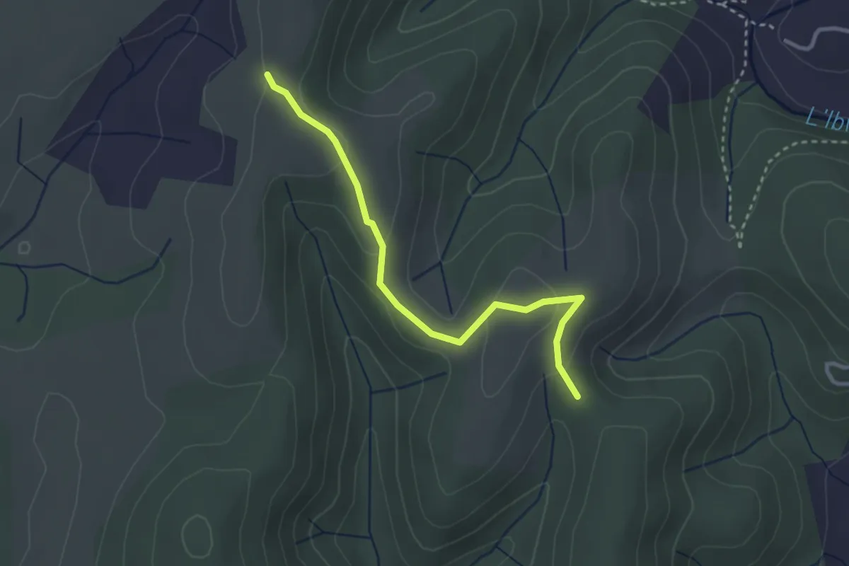
Easy · Trail
Valos - Montagu
3.1 km · ↑ 87 m · 56 min
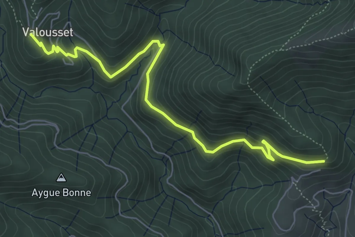
Medium · Trail
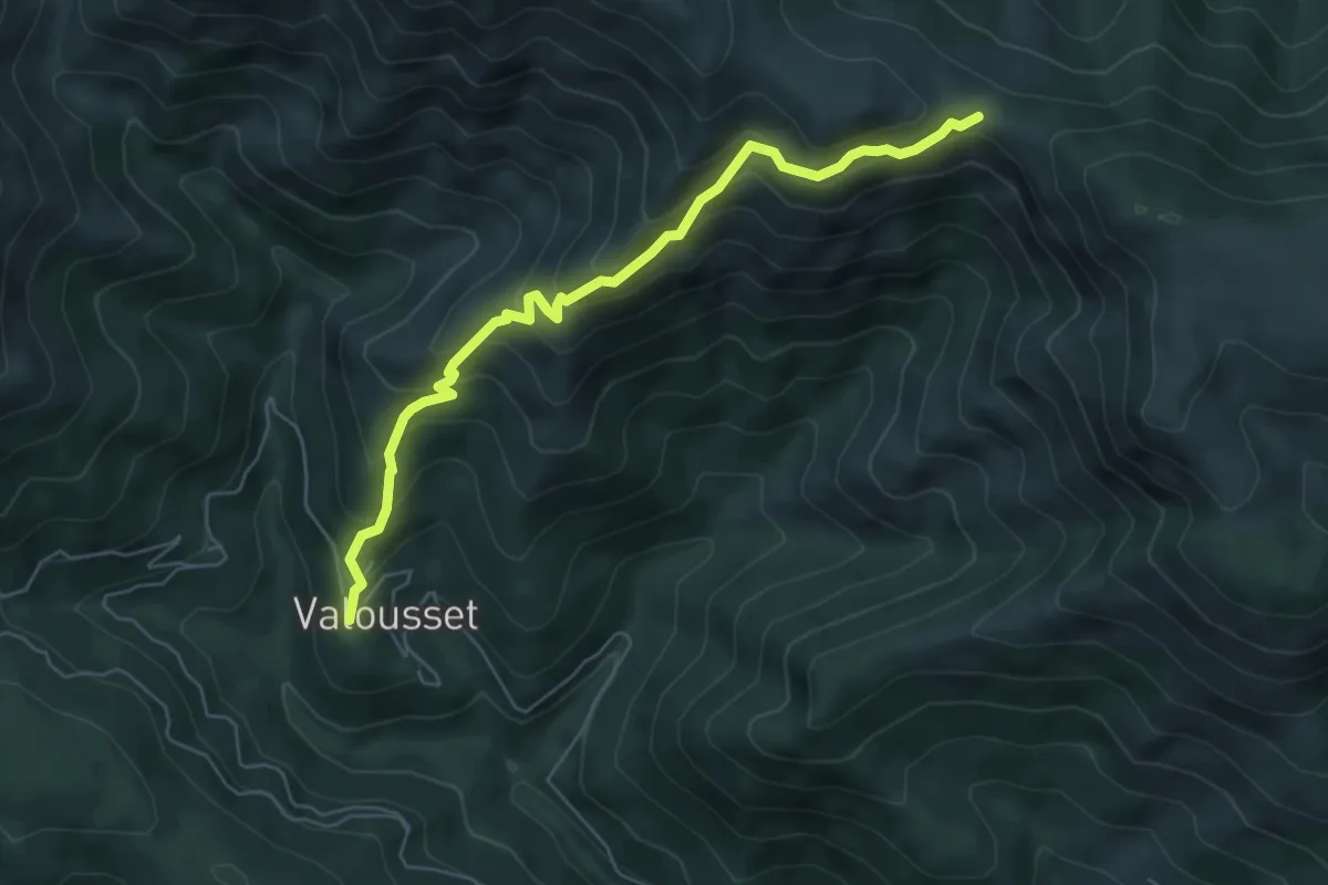
Valousset - Bouteillac
6.7 km · ↑ 258 m · 2 h 9 min
Medium · Trail
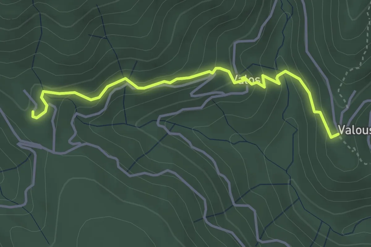
Valousset - Col du Merle
6.3 km · ↑ 546 m · 2 h 40 min
Medium · Trail
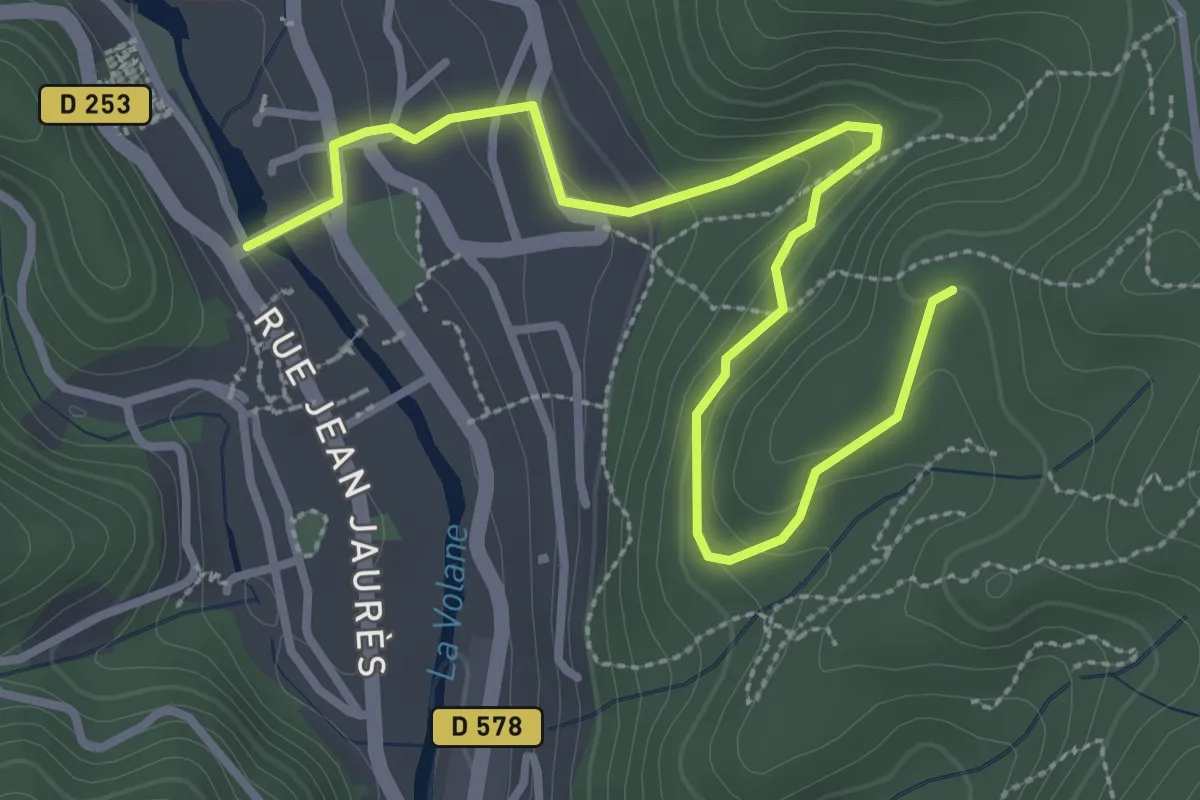
Valousset - Les Cebeyres
3.6 km · ↑ 187 m · 1 h 16 min
Easy · Trail
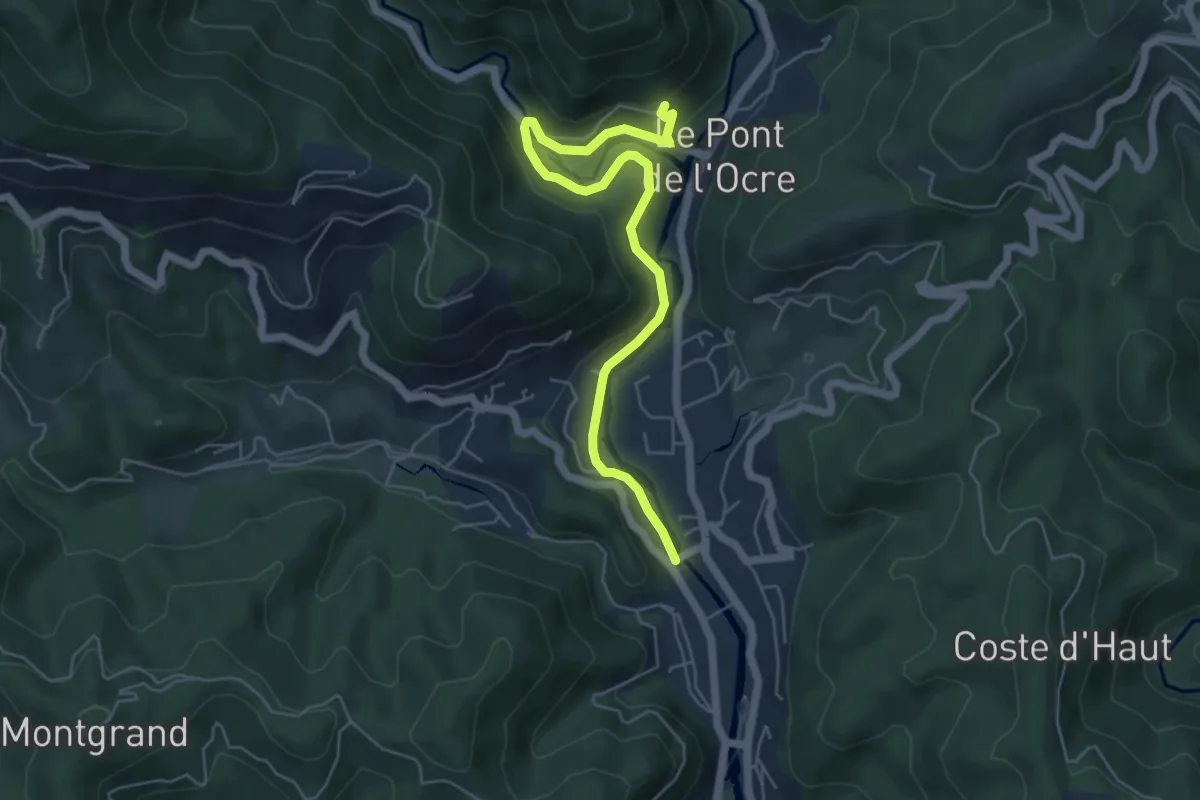
Vals les Bains - Le Bosc
3.8 km · ↑ 187 m · 1 h 18 min
Easy · Trail
Vals les Bains - Les Granges
6.0 km · ↑ 214 m · 1 h 52 min
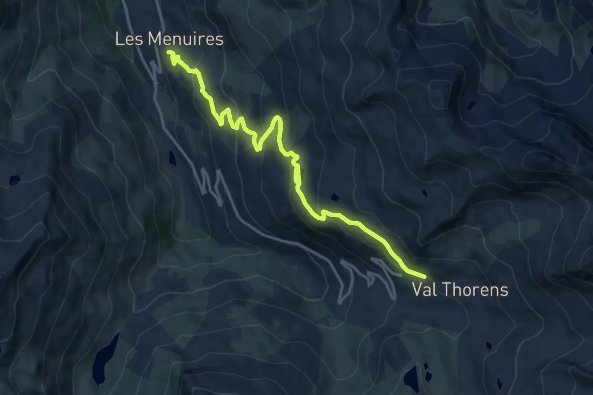
Medium · Trail
Val Thorens - Les Ménuires
12.6 km · ↑ 639 m · 4 h 22 min
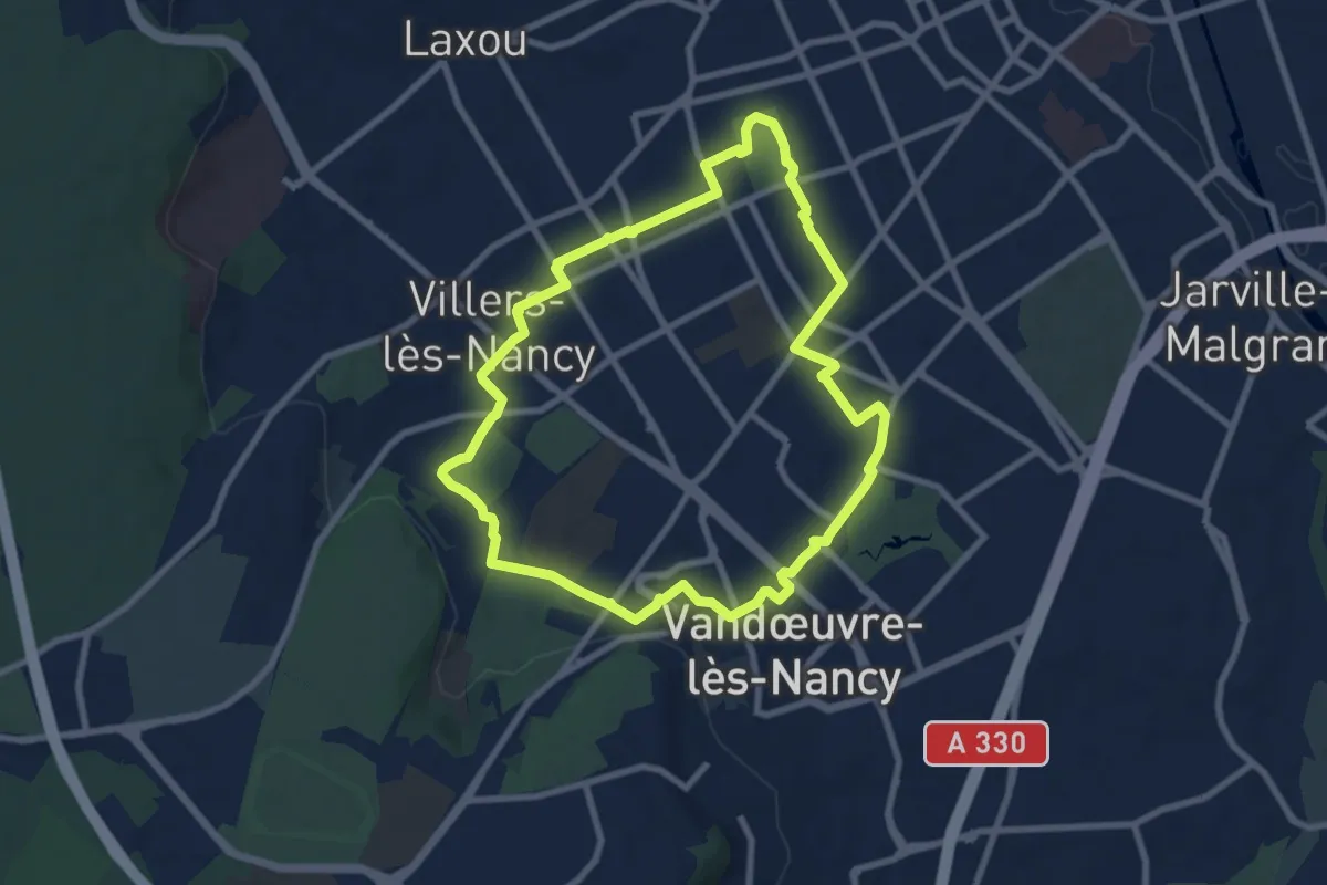
Easy · Trail
Vandœuvre Villers verdure
7.9 km · ↑ 87 m · 2 h 10 min
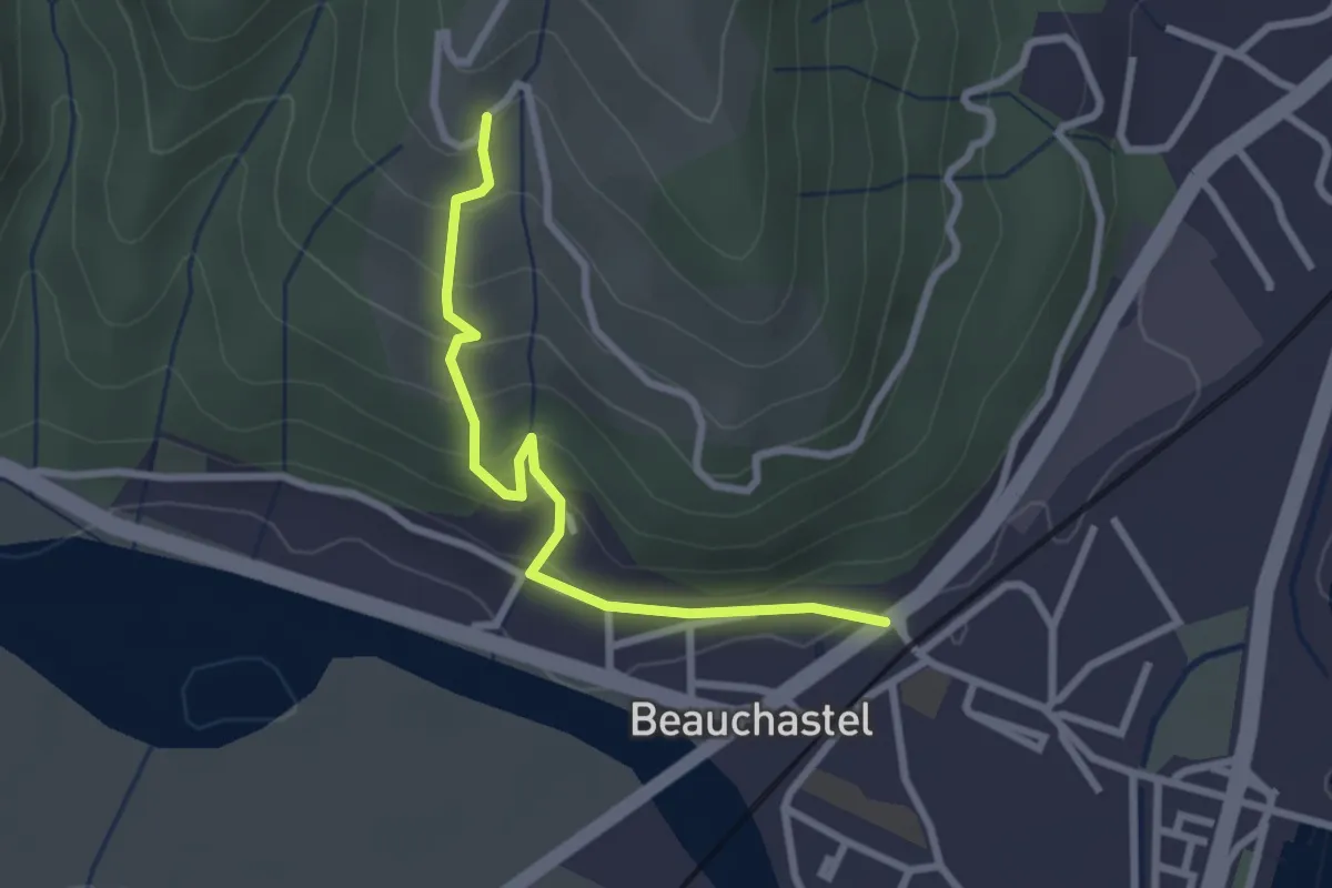
Easy · Trail
Variante
2.7 km · ↑ 200 m · 1 h 5 min
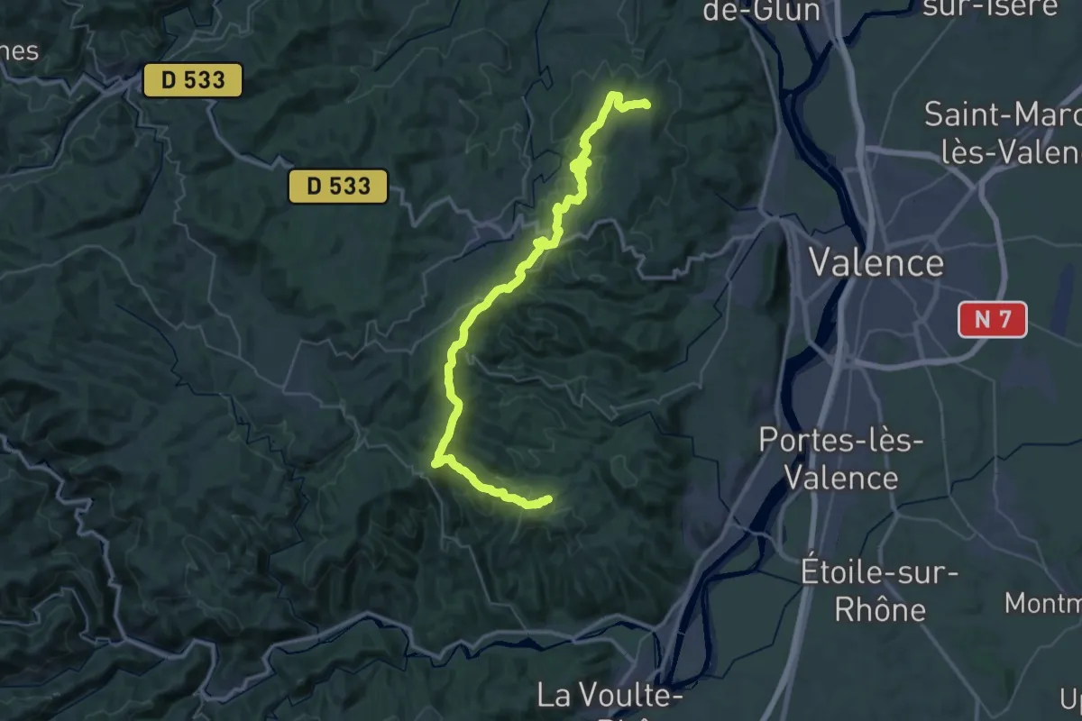
Demanding · Trail
Variante
23.6 km · ↑ 652 m · 7 h 16 min
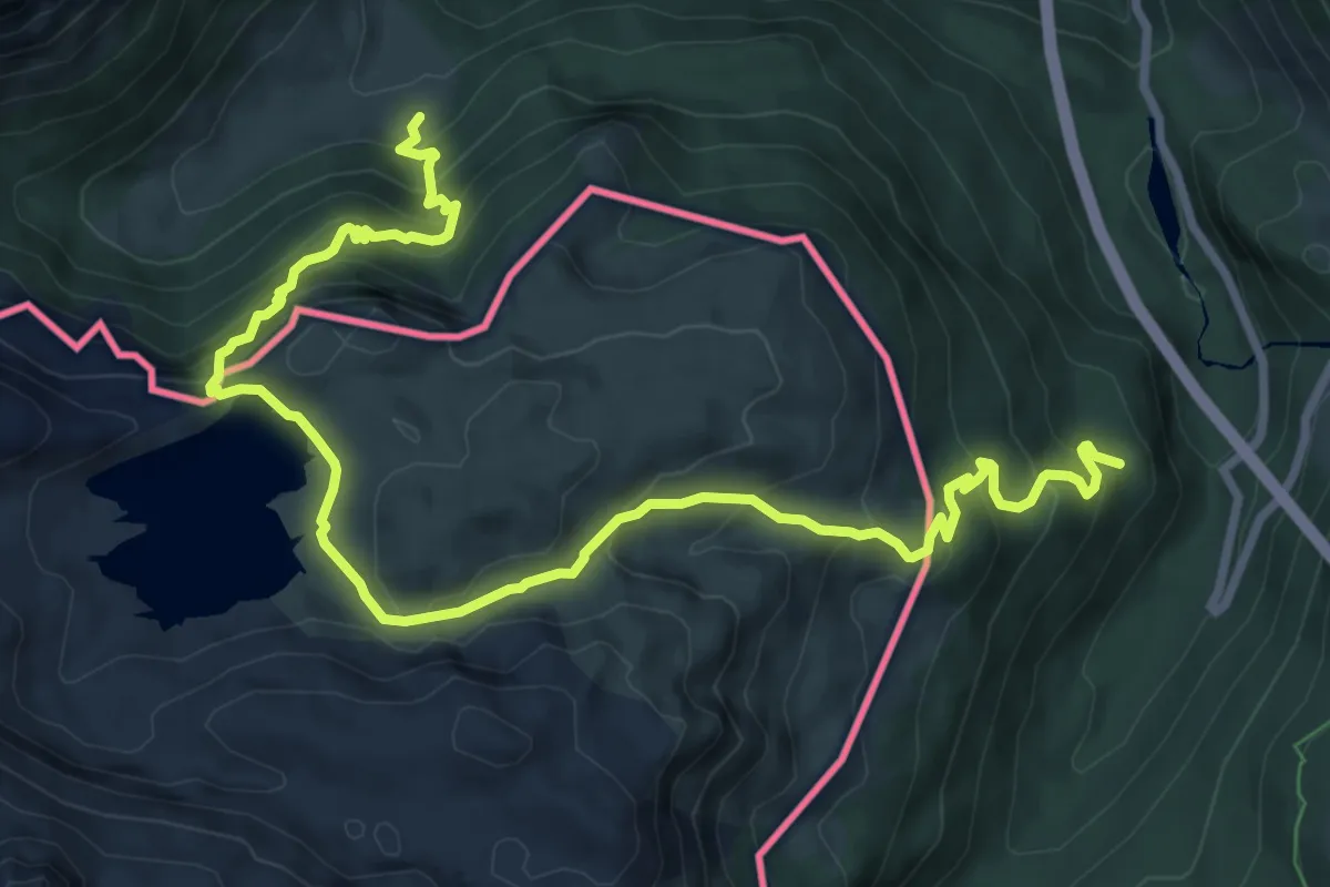
Demanding · Trail
Variante 10.1
11.6 km · ↑ 863 m · 4 h 37 min
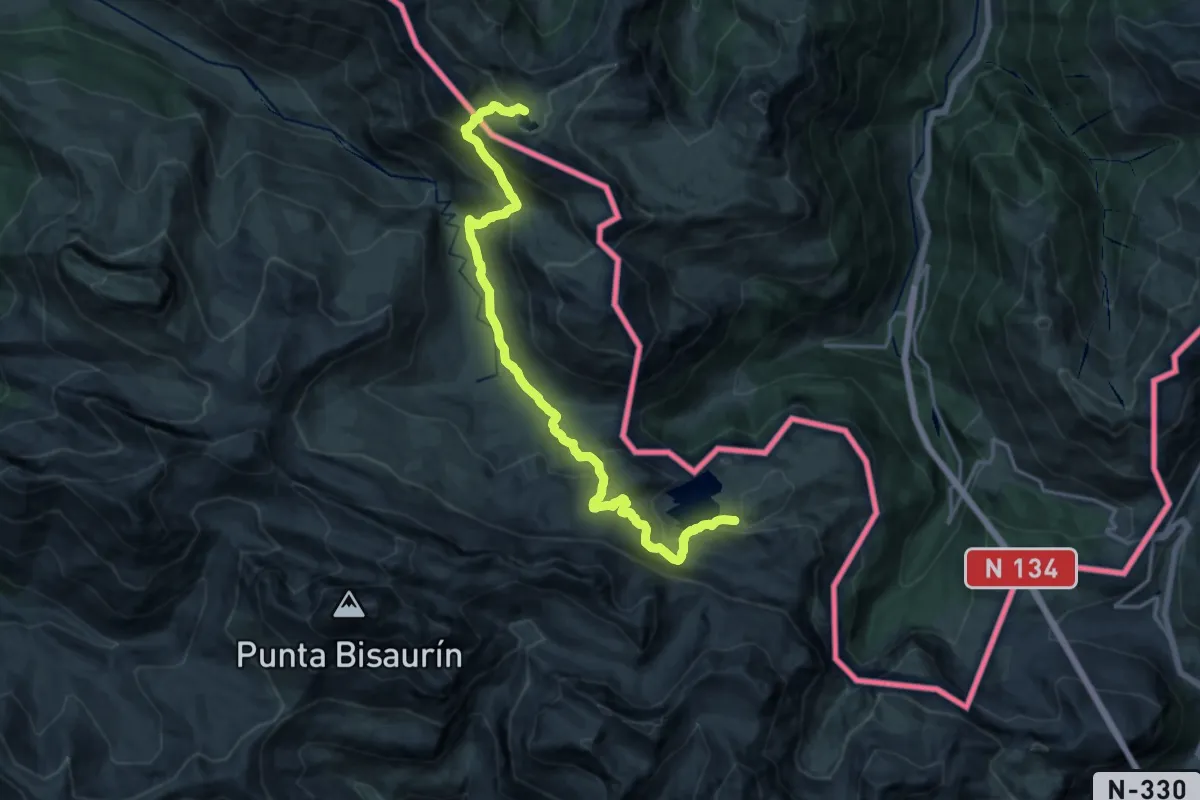
Demanding · Cabin
Variante 10.2
18.9 km · ↑ 1189 m · 7 h 3 min
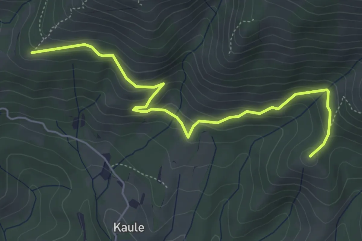
Easy · Summit
Variante 1.1
5.7 km · ↑ 294 m · 1 h 58 min
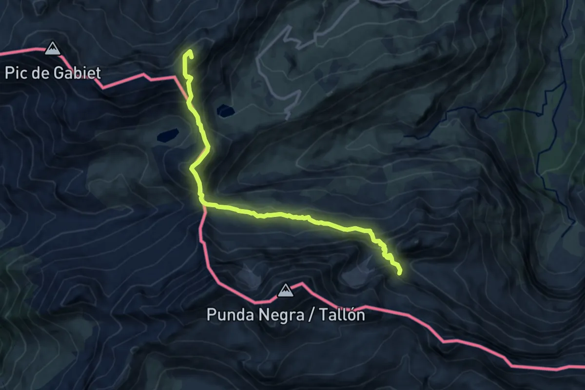
Demanding · Summit
Variante 15.1
10.8 km · ↑ 963 m · 4 h 39 min
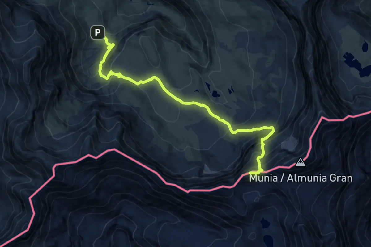
Expert · Summit
Variante 17.1
12.9 km · ↑ 1136 m · 5 h 30 min
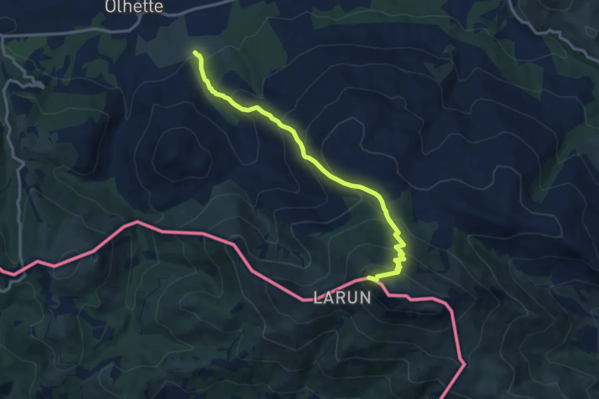
Demanding · Summit
Variante 2.1
9.2 km · ↑ 807 m · 3 h 56 min
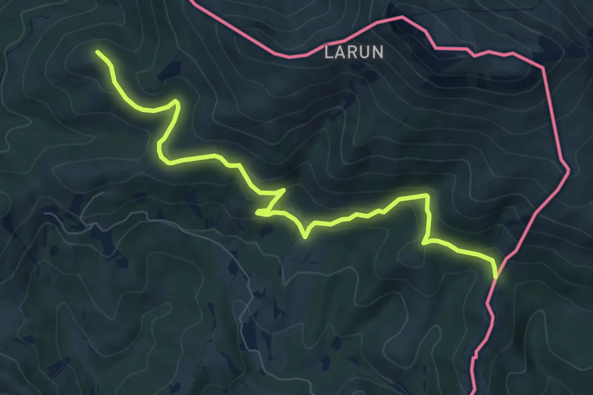
Medium · Summit
Variante 2.2
9.0 km · ↑ 460 m · 3 h 8 min
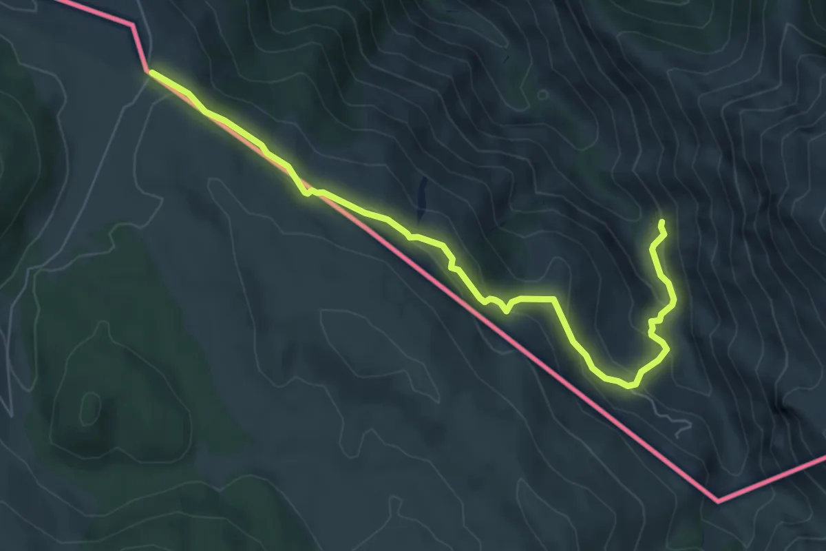
Medium · Cabin
Variante 4.2
7.4 km · ↑ 339 m · 2 h 29 min
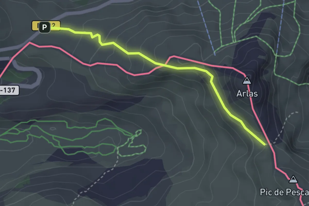
Medium · Trail
Variante 7.1
3.3 km · ↑ 150 m · 1 h 6 min
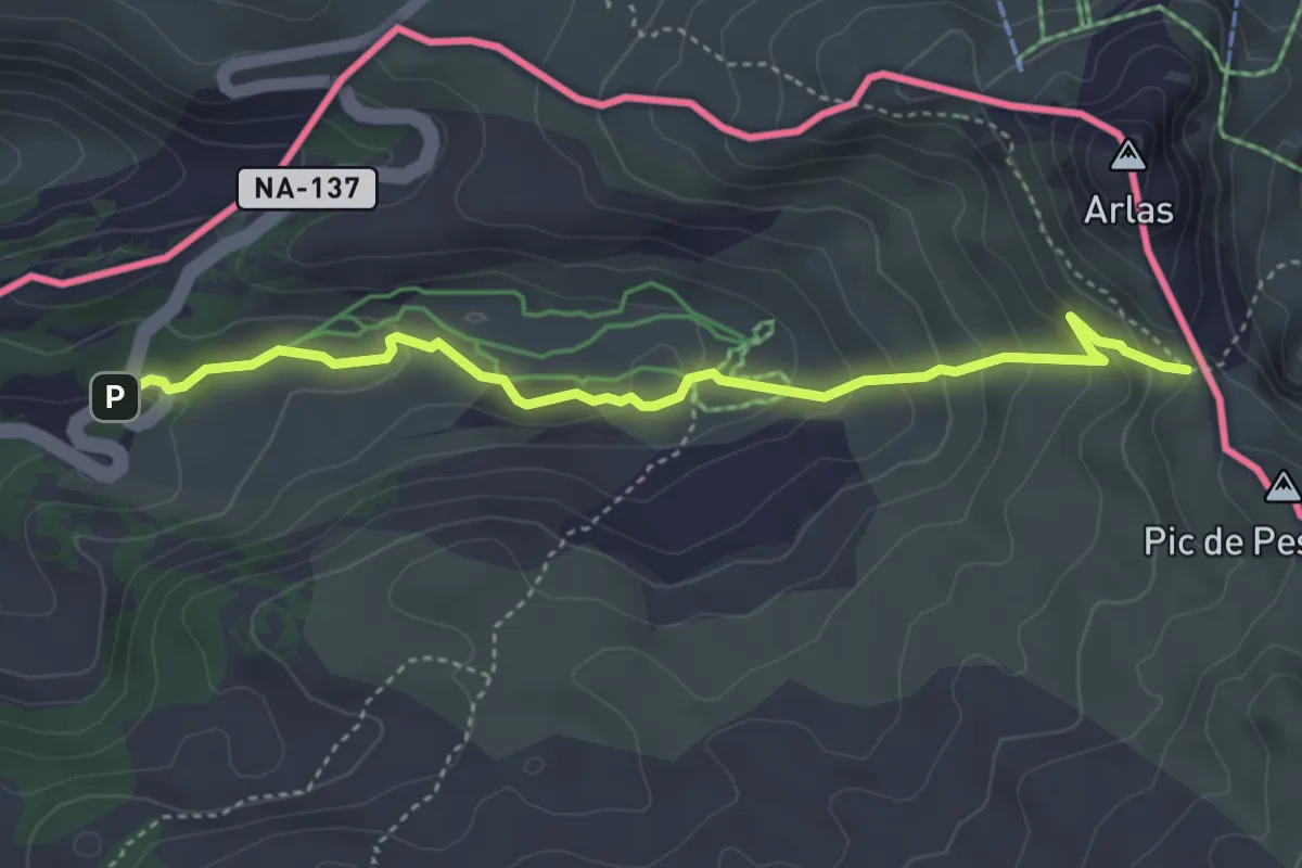
Easy · Trail
Variante 7.2
4.5 km · ↑ 230 m · 1 h 33 min
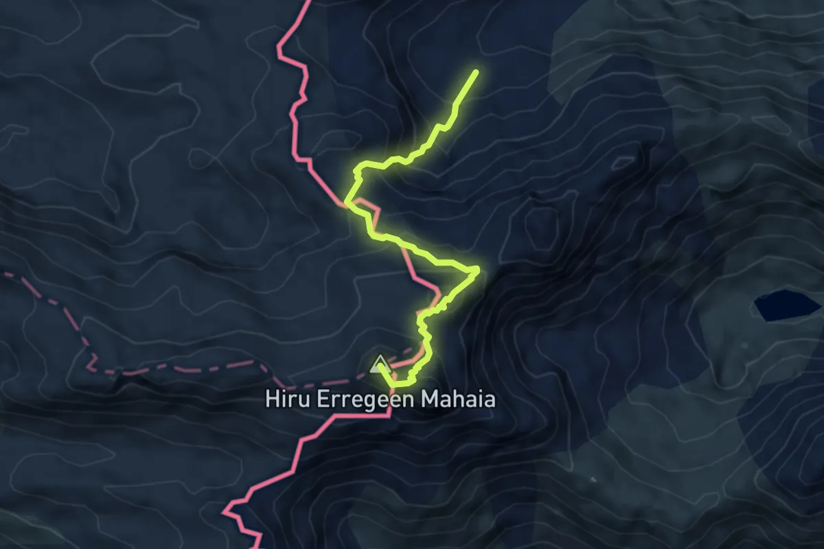
Demanding · Summit
Variante 8.3
5.6 km · ↑ 581 m · 2 h 35 min
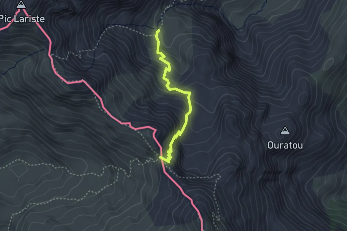
Medium · Trail
Variante 9.1
3.1 km · ↑ 227 m · 1 h 13 min
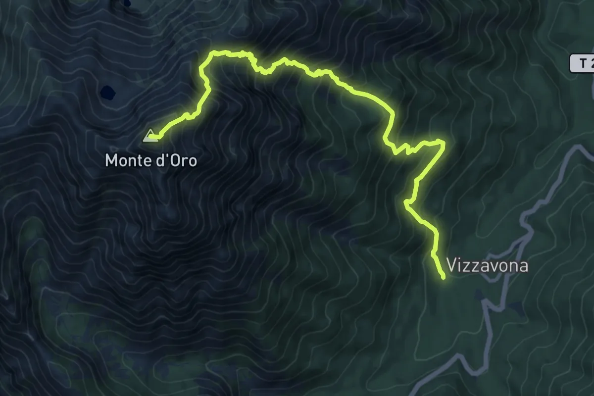
Expert · Summit
Variante Alpine GR20
11.4 km · ↑ 1395 m · 5 h 42 min
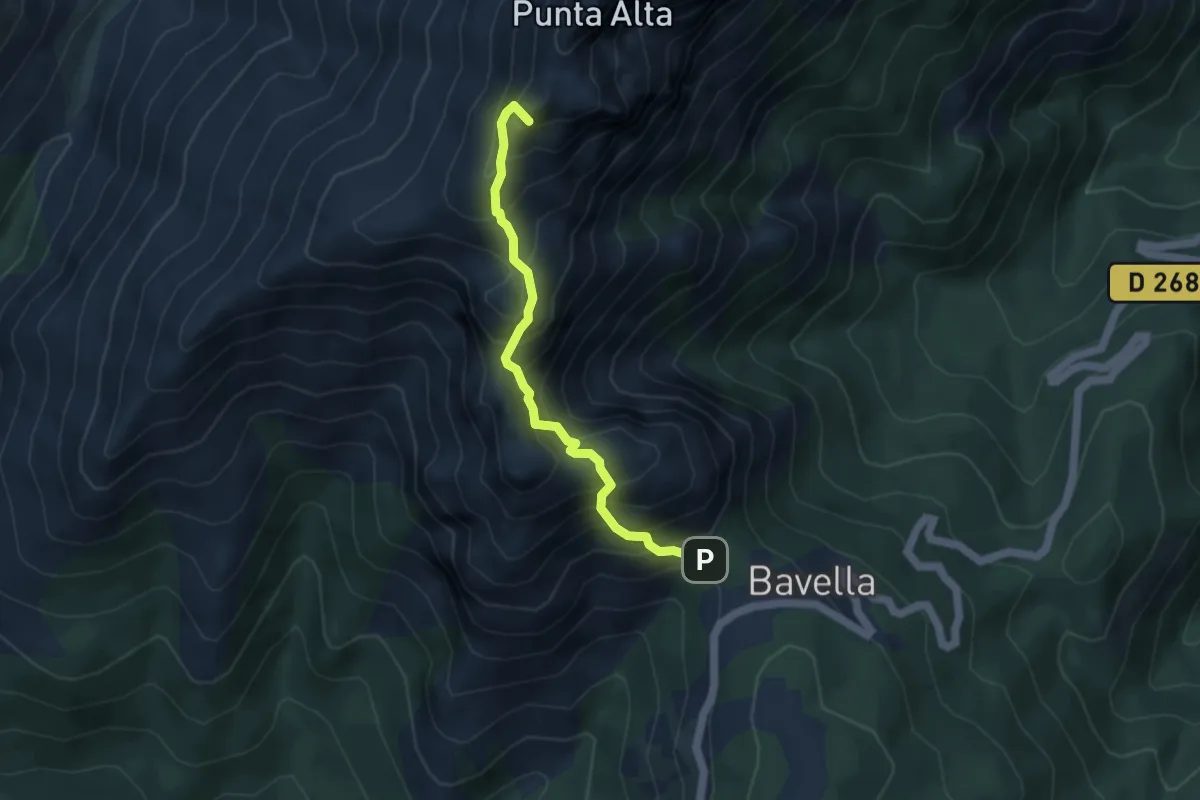
Expert · Summit
Variante Alpine via les Aiguilles de Bavella
4.4 km · ↑ 511 m · 2 h 9 min
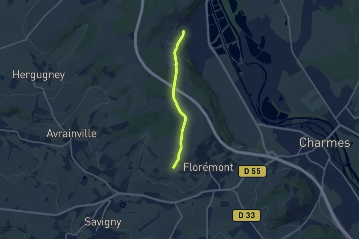
Easy · Trail
Variante Bois Banni
7.0 km · ↑ 172 m · 2 h 1 min
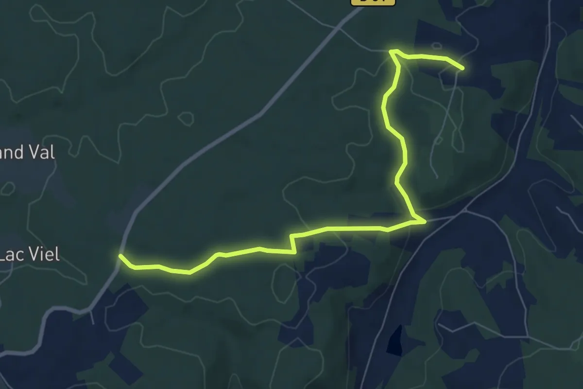
Easy · Trail
Variante Boucle à travers la Foret barade
3.8 km · ↑ 76 m · 1 h 6 min
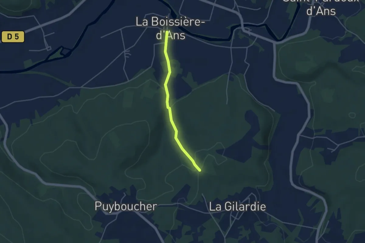
Easy · Trail
Variante boucle du Lac Blanc
1.7 km · ↑ 0 m · 28 min
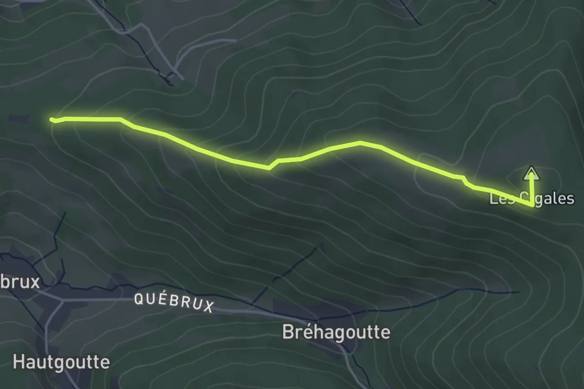
Easy · Summit
Variante Carrefour des Cerfs - Relais TV
4.0 km · ↑ 243 m · 1 h 28 min
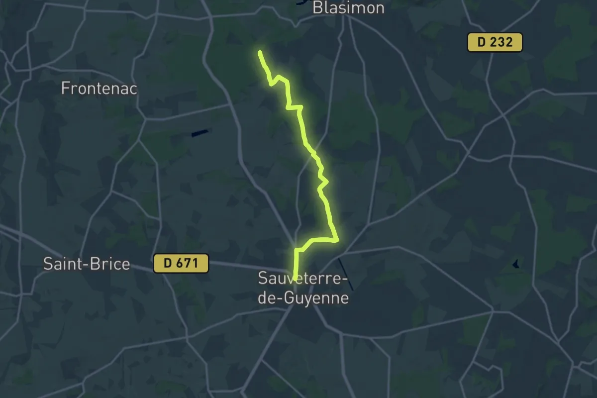
Medium · Trail
Variante Chasse • Chemin d'Amadour
14.5 km · ↑ 171 m · 3 h 47 min
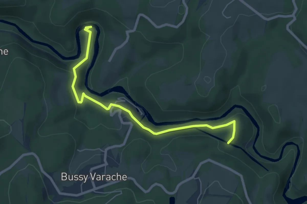
Easy · Trail
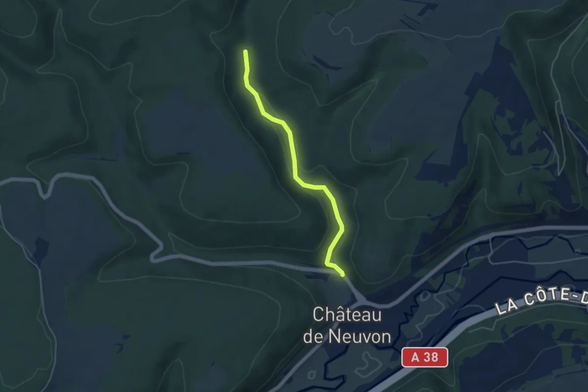
Variante - Circuit des gorges de la Vienne
5.7 km · ↑ 214 m · 1 h 49 min
Easy · Trail
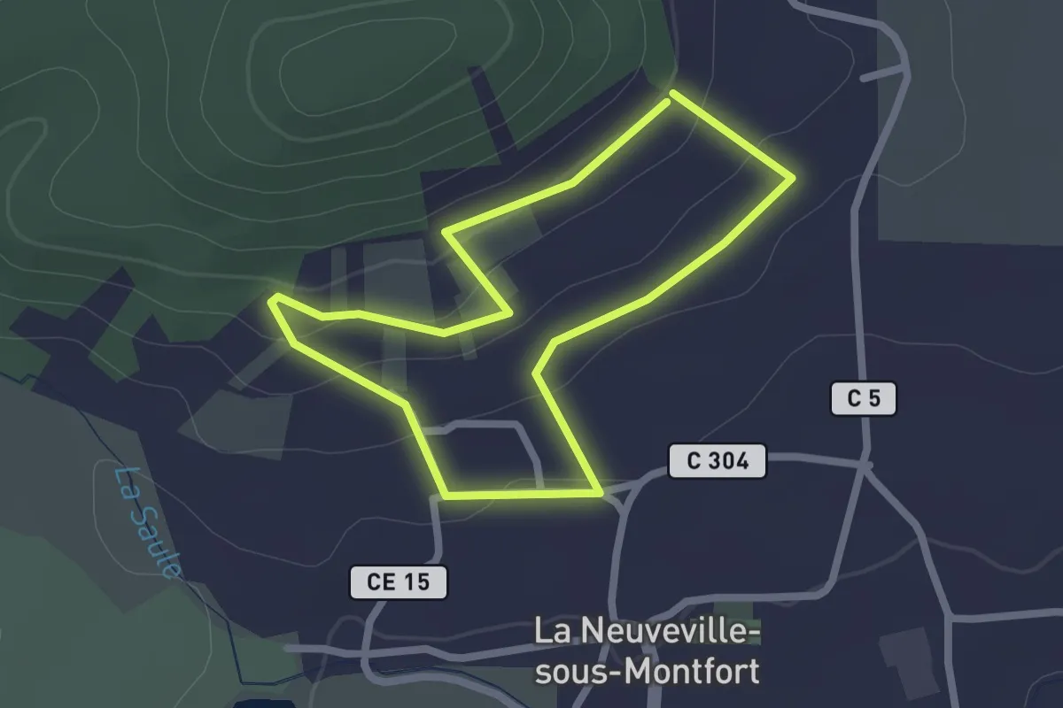
Variante Circuit des sources
3.8 km · ↑ 57 m · 1 h 1 min
Easy · Trail
Variante Circuit des Vignerons
1.9 km · ↑ 58 m · 36 min
Easy · Trail
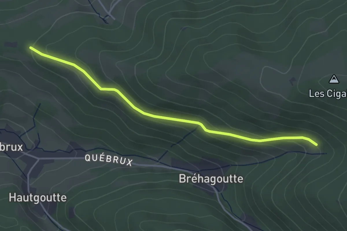
Variante de Brehagoutte
3.7 km · ↑ 133 m · 1 h 10 min
Demanding · Trail
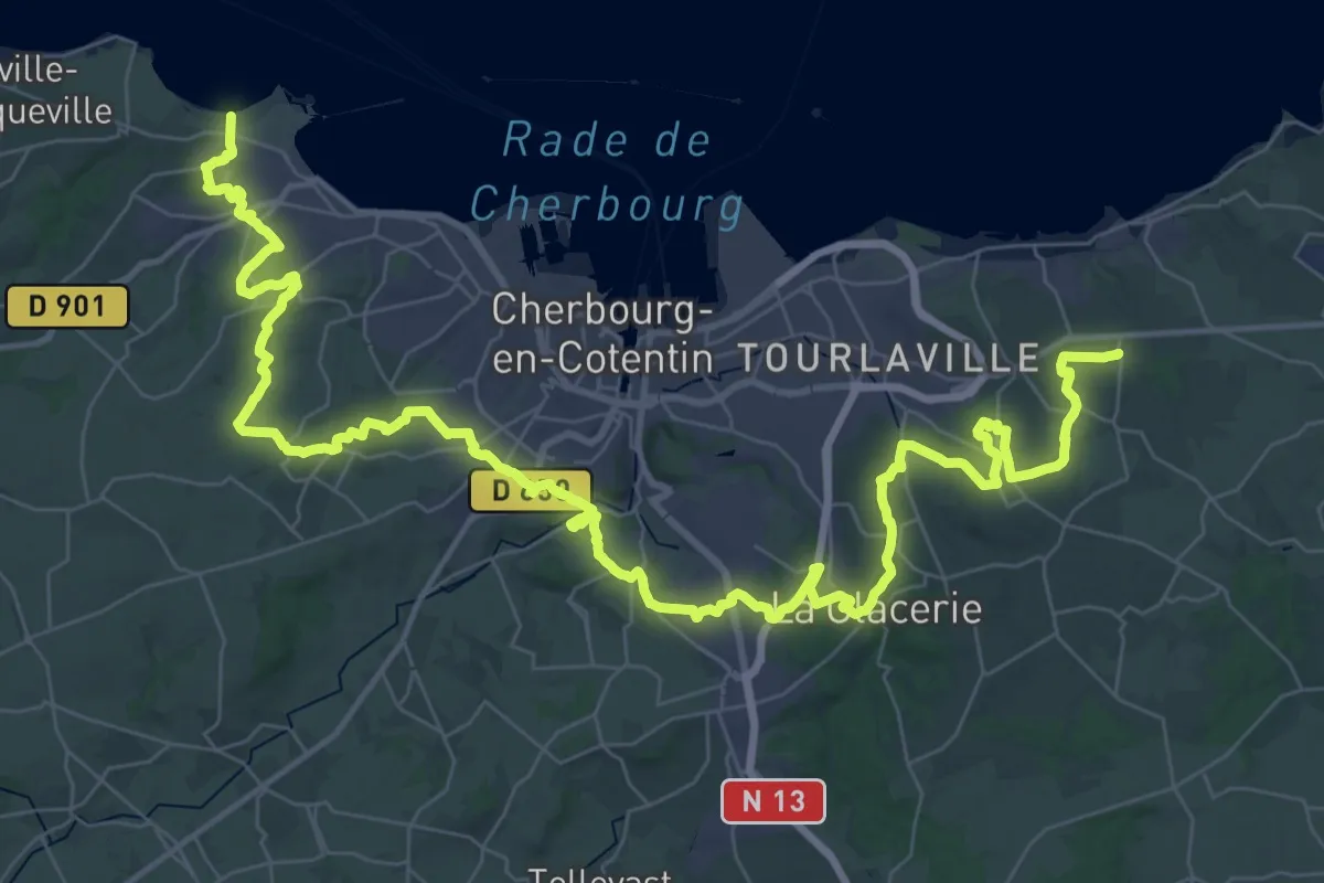
Variante de Cherbourg
30.9 km · ↑ 438 m · 8 h 43 min
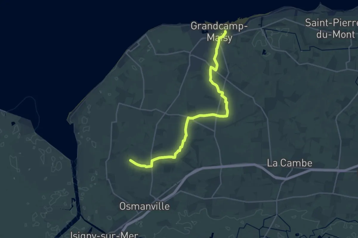
Demanding · Trail
Variante de Grandcamp
18.3 km · ↑ 34 m · 4 h 24 min
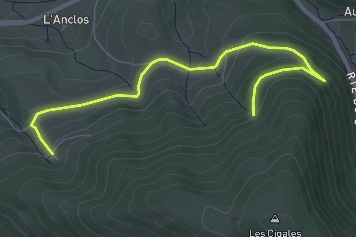
Easy · Trail
Variante de la Fontaine de la Cour
5.9 km · ↑ 197 m · 1 h 49 min
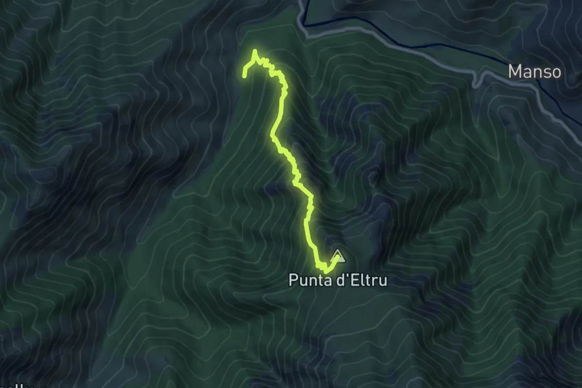
Medium · Summit
Variante d'excursion alpine
7.2 km · ↑ 752 m · 3 h 20 min
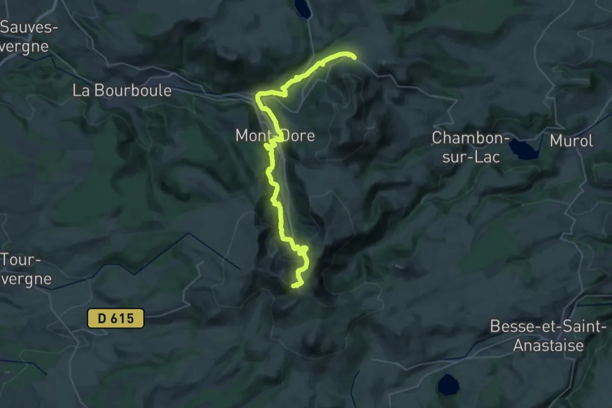
Demanding · Trail
Variante du GR 4 par Le Mont-Dore
14.8 km · ↑ 1026 m · 5 h 43 min