Trails in France
15,926 hiking trails, each with its route, climb, walking time and grade.
All trails, page 281 of 332
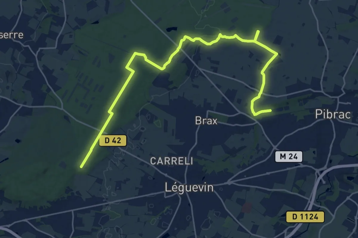
Demanding · Trail
Variante entre Pibrac et Bouconne
24.3 km · ↑ 153 m · 6 h 4 min
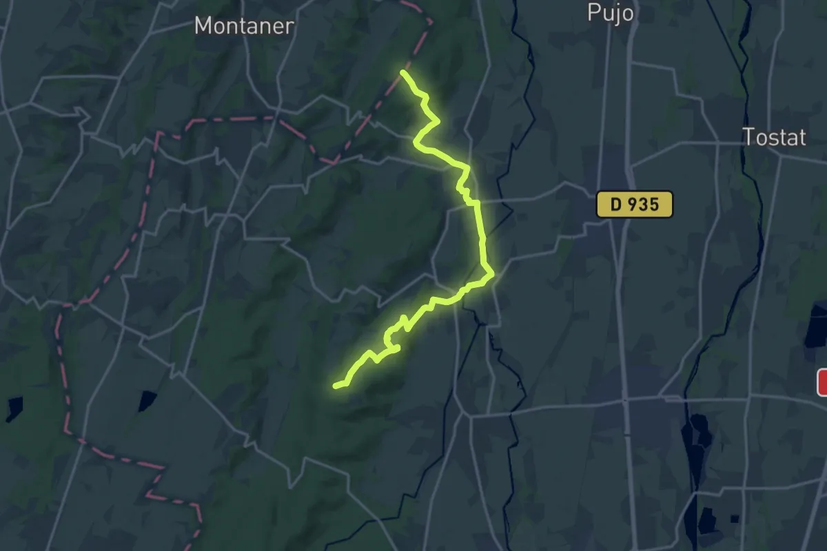
Medium · Trail
Variante GR 101
17.8 km · ↑ 261 m · 4 h 46 min
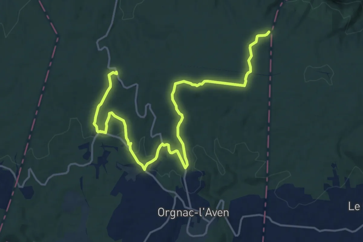
Medium · Summit
variante GR 4B
17.1 km · ↑ 226 m · 4 h 32 min
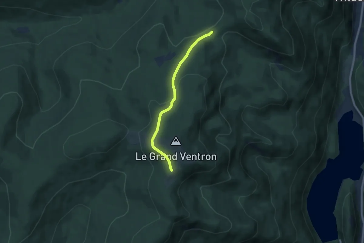
Easy · Trail
Variante GR 531
4.9 km · ↑ 155 m · 1 h 29 min
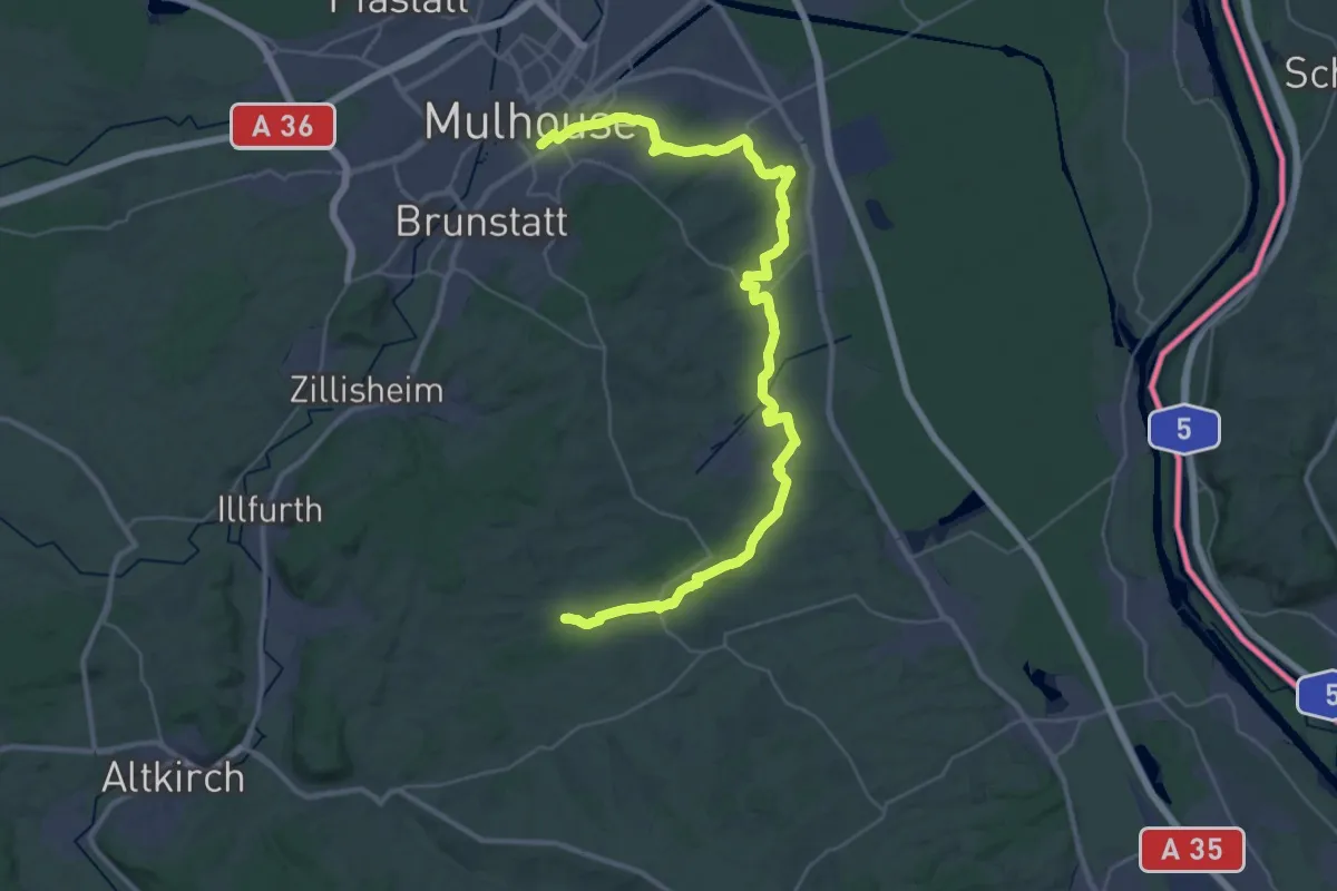
Demanding · Trail
Variante GR532
22.3 km · ↑ 362 m · 6 h 20 min
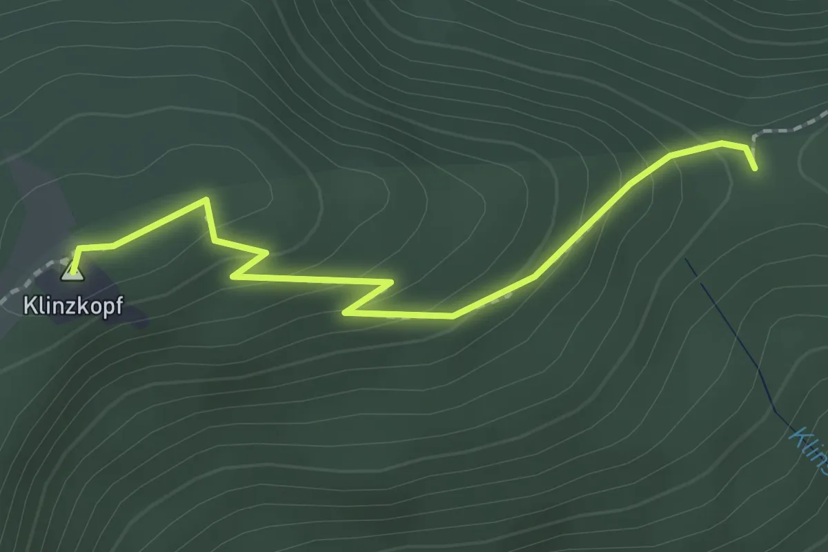
Medium · Summit
Variante GR 532 par Klintzkopf
2.0 km · ↑ 118 m · 43 min
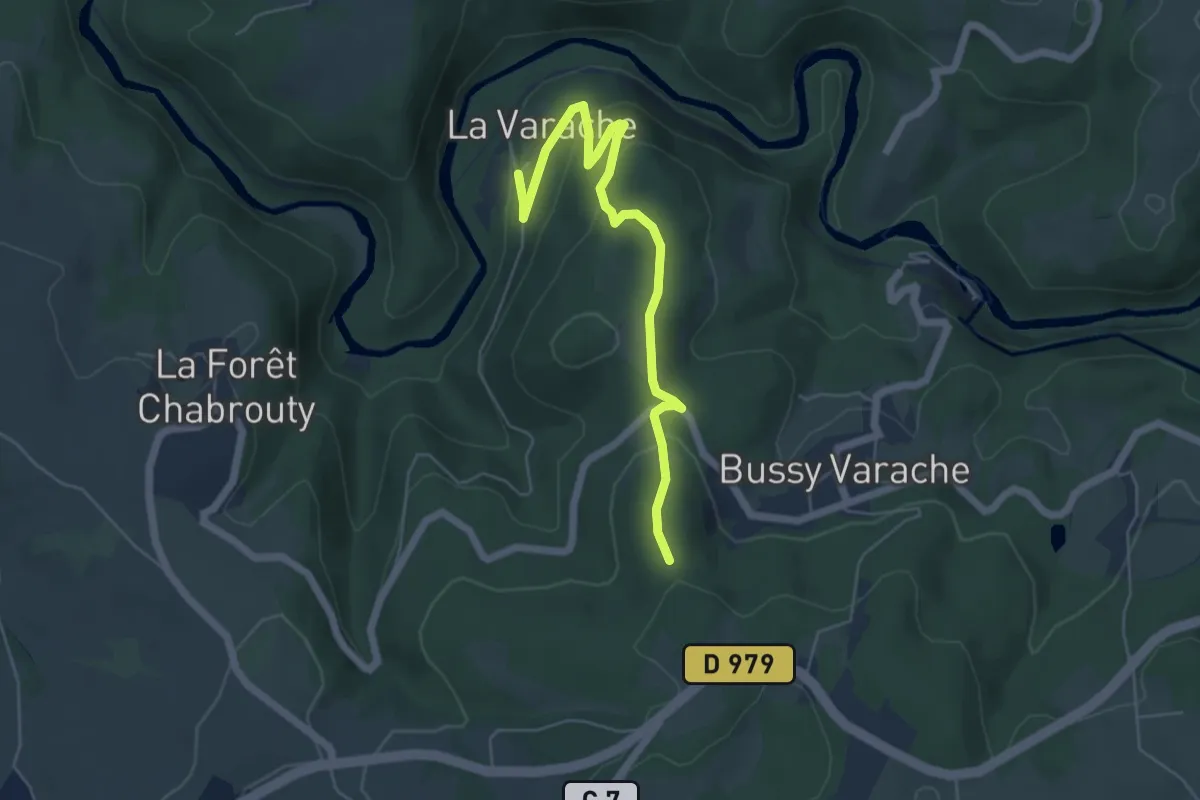
Easy · Trail
Variante - Grand circuit des gorges de la Vienne
5.7 km · ↑ 189 m · 1 h 46 min
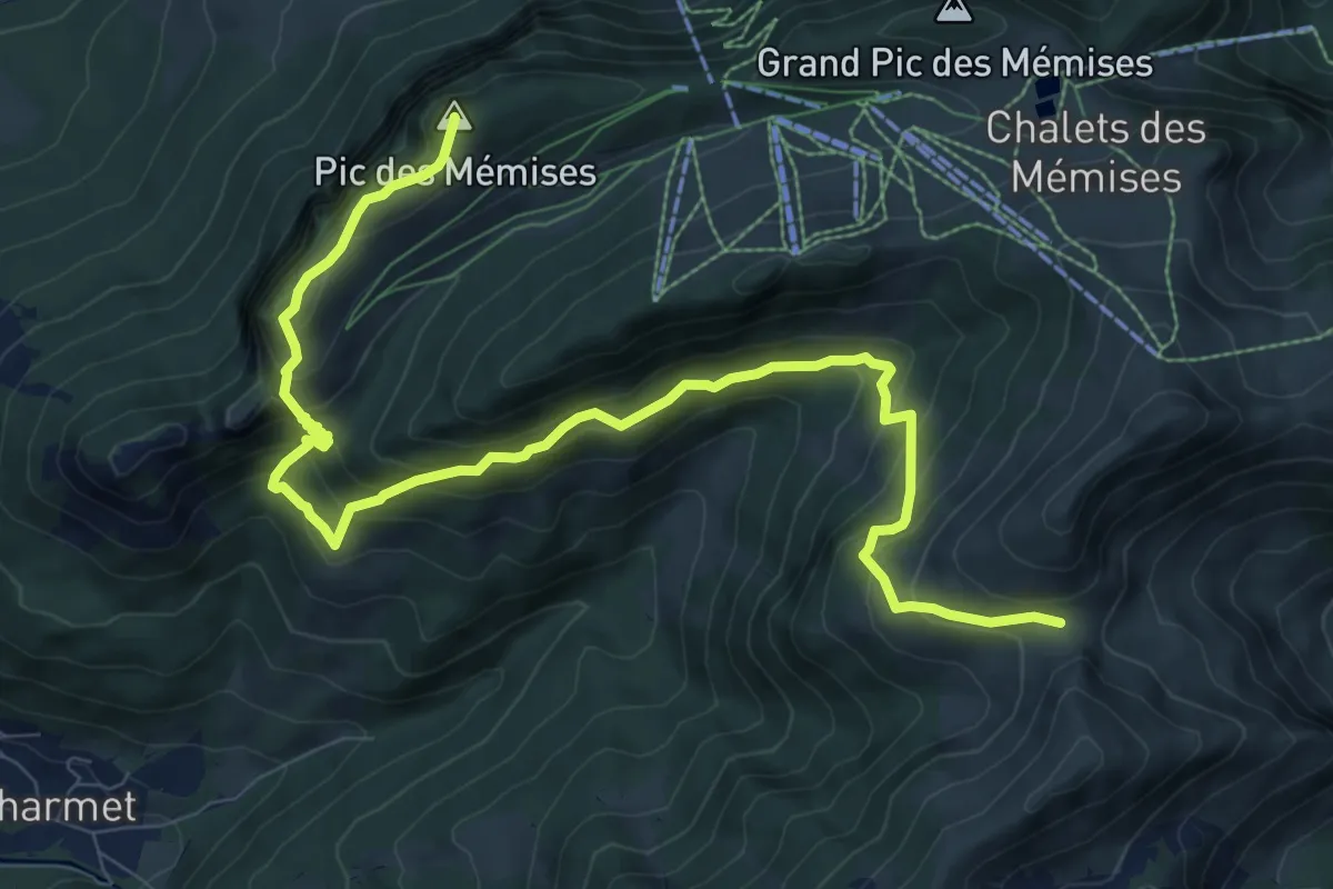
Demanding · Summit
Variante GR Balcon du Léman
11.5 km · ↑ 930 m · 4 h 43 min
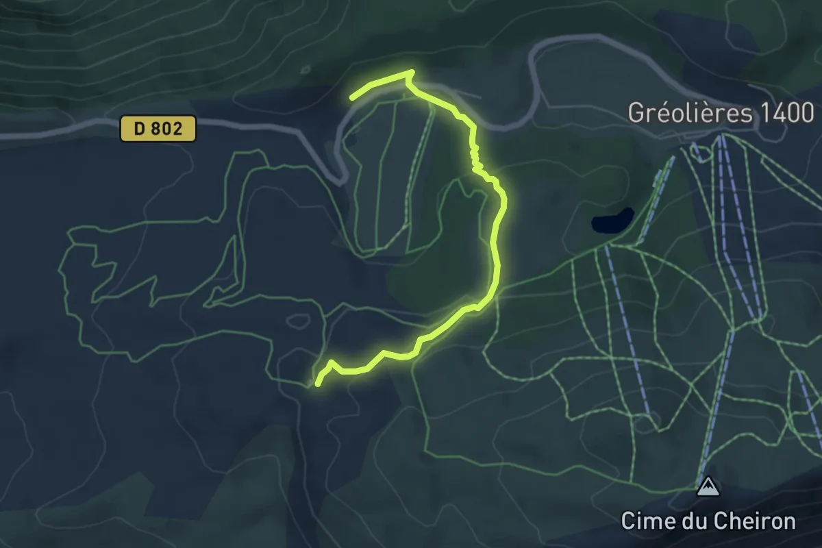
Easy · Trail
Variante Gréolières
5.4 km · ↑ 185 m · 1 h 41 min
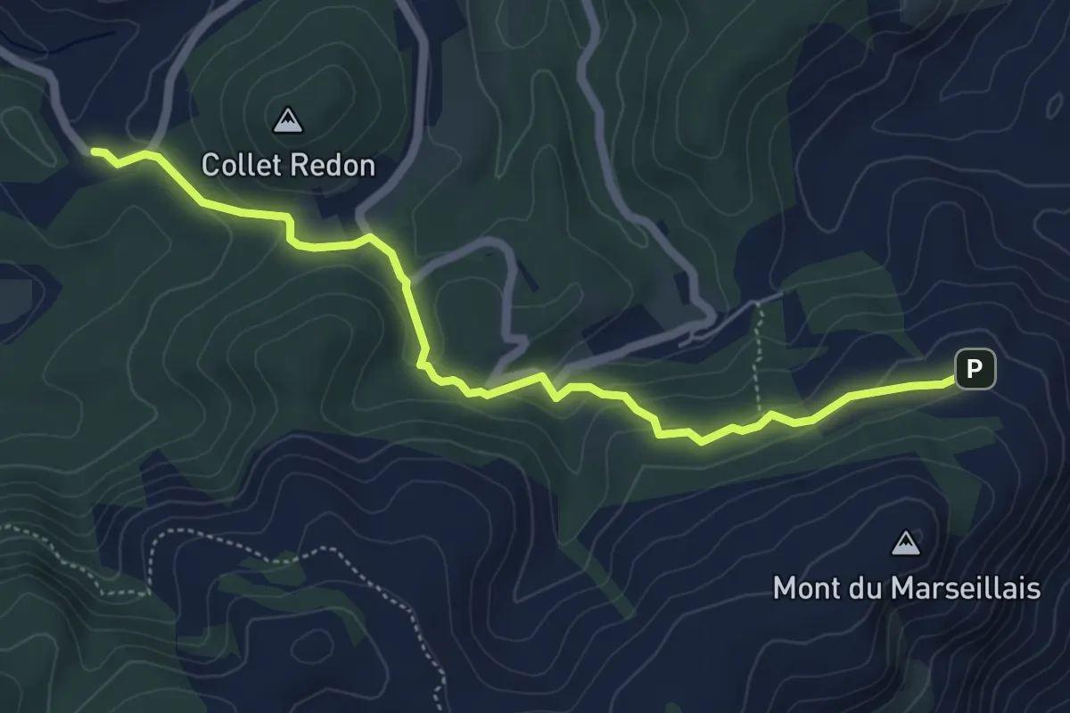
Easy · Trail
Variante GRP évitant le Mont du Marseillais
5.7 km · ↑ 194 m · 1 h 47 min
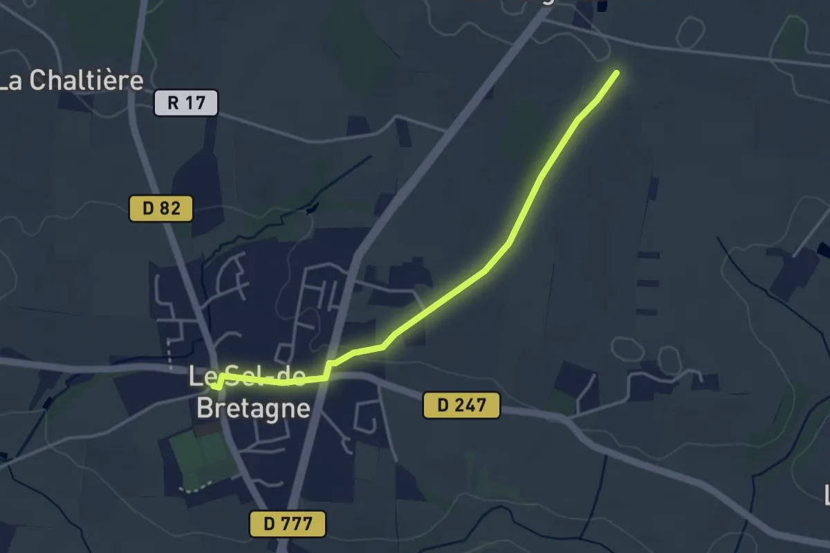
Easy · Trail
Variante la Croix Guénard
3.4 km · ↑ 36 m · 53 min
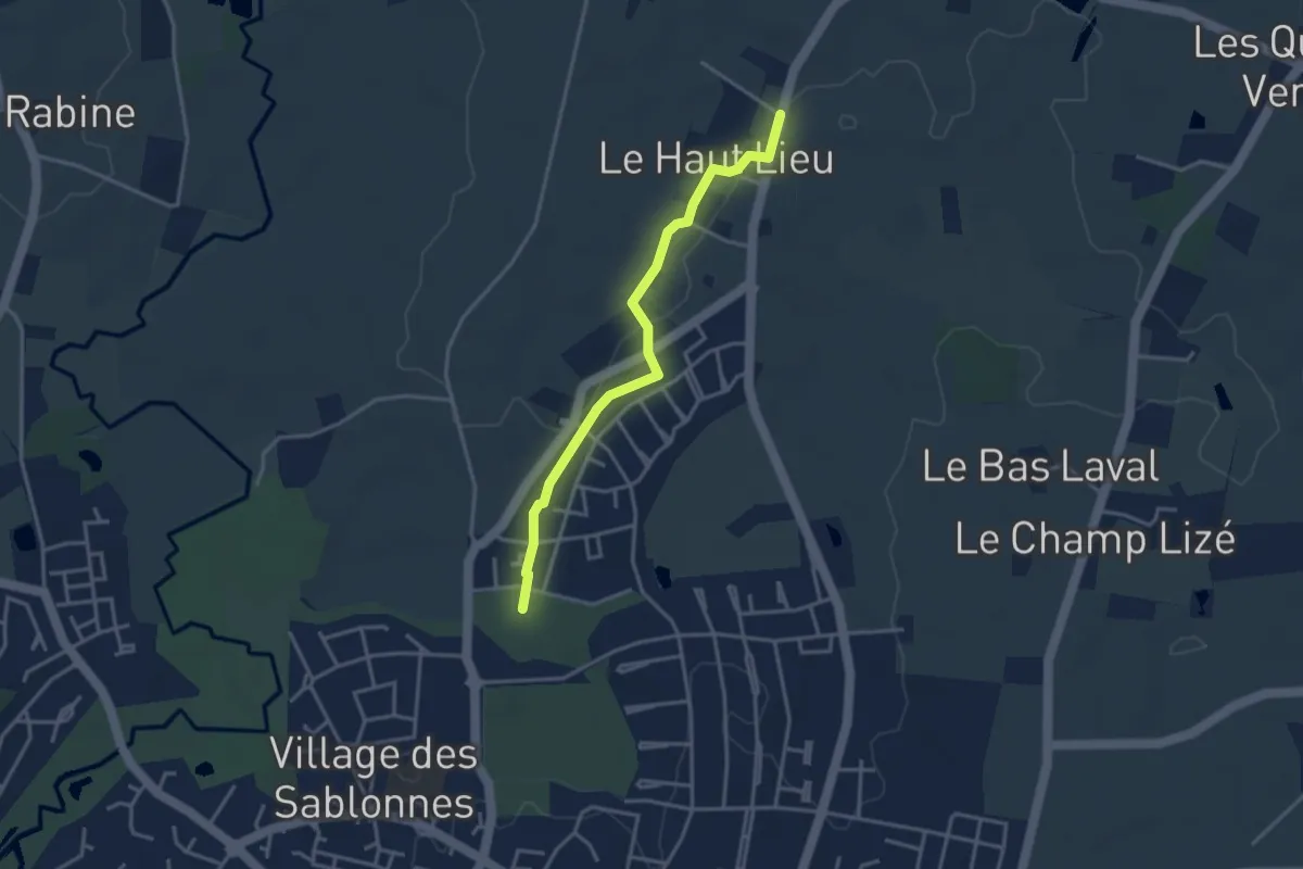
Easy · Trail
Variante La Foucherais
3.2 km · ↑ 13 m · 48 min
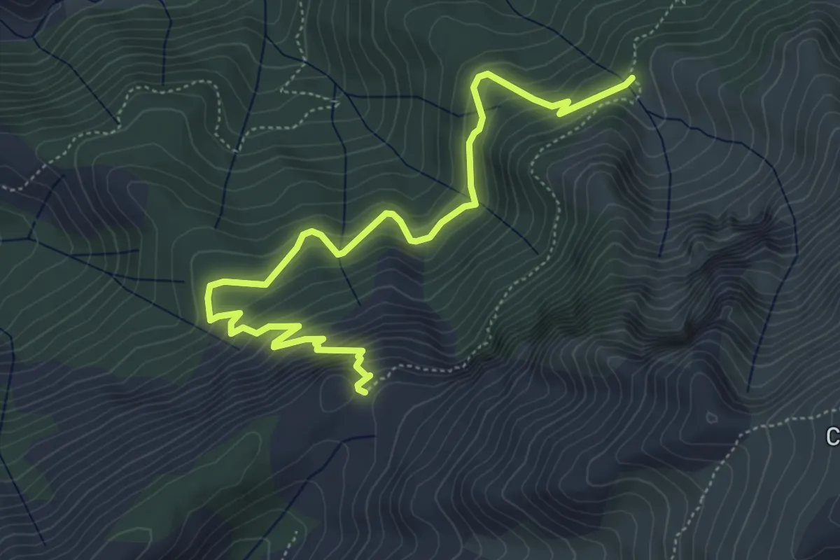
Medium · Trail
Variante Liaison Aîton-Refuge de Puscaghia
6.8 km · ↑ 614 m · 2 h 56 min
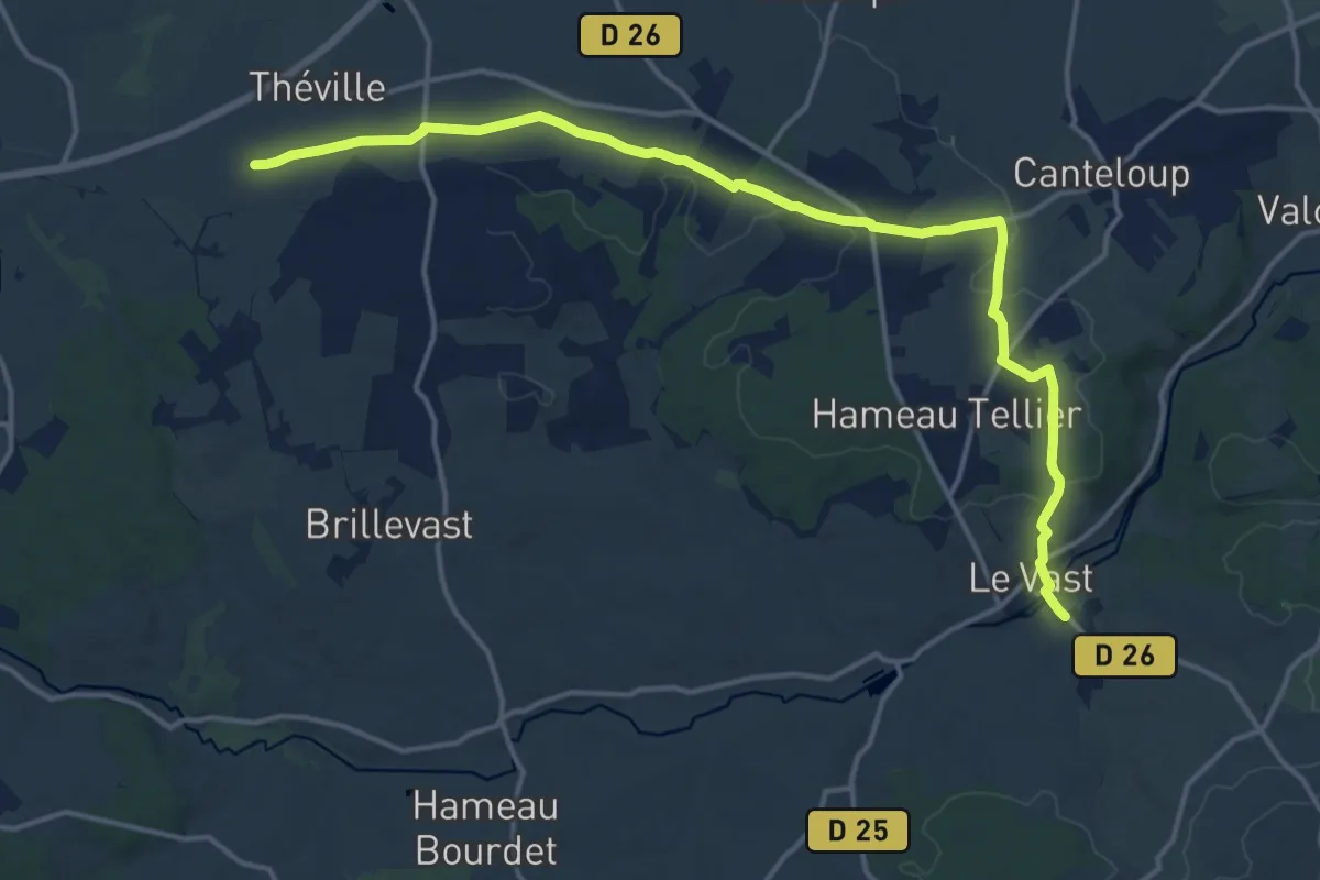
Medium · Trail
Variante nord
16.0 km · ↑ 232 m · 4 h 17 min
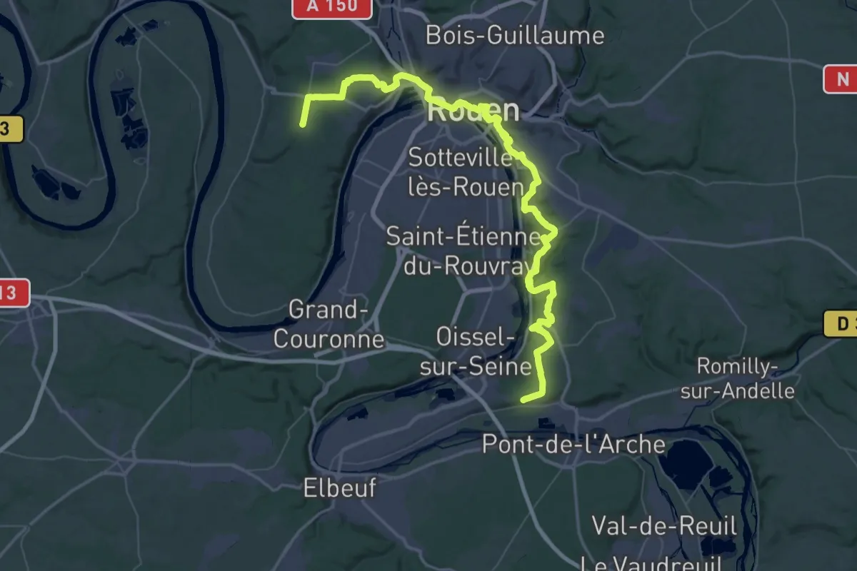
Demanding · Trail
variante par Rouen (rive droite)
34.3 km · ↑ 684 m · 10 h 3 min
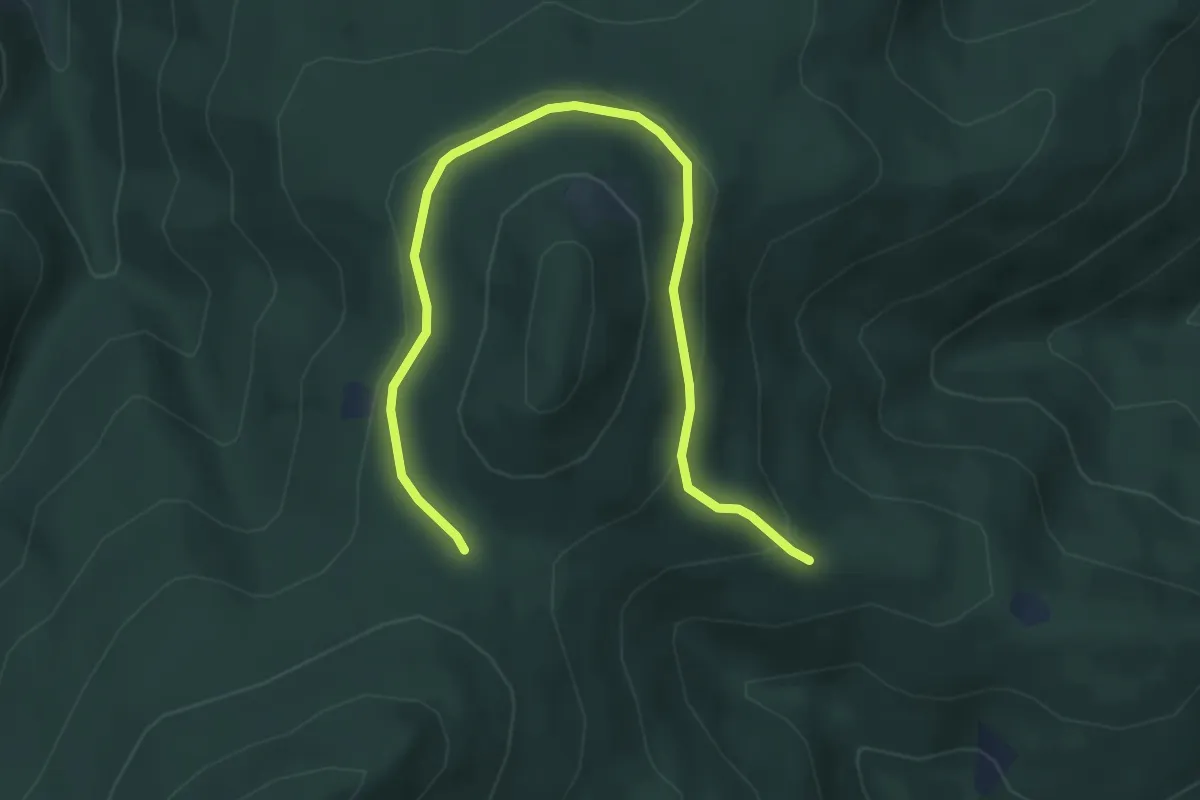
Easy · Trail
Variante par Weibel
5.1 km · ↑ 176 m · 1 h 34 min
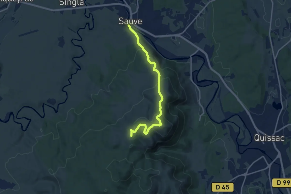
Medium · Summit
Variante PR 44
5.0 km · ↑ 363 m · 1 h 54 min
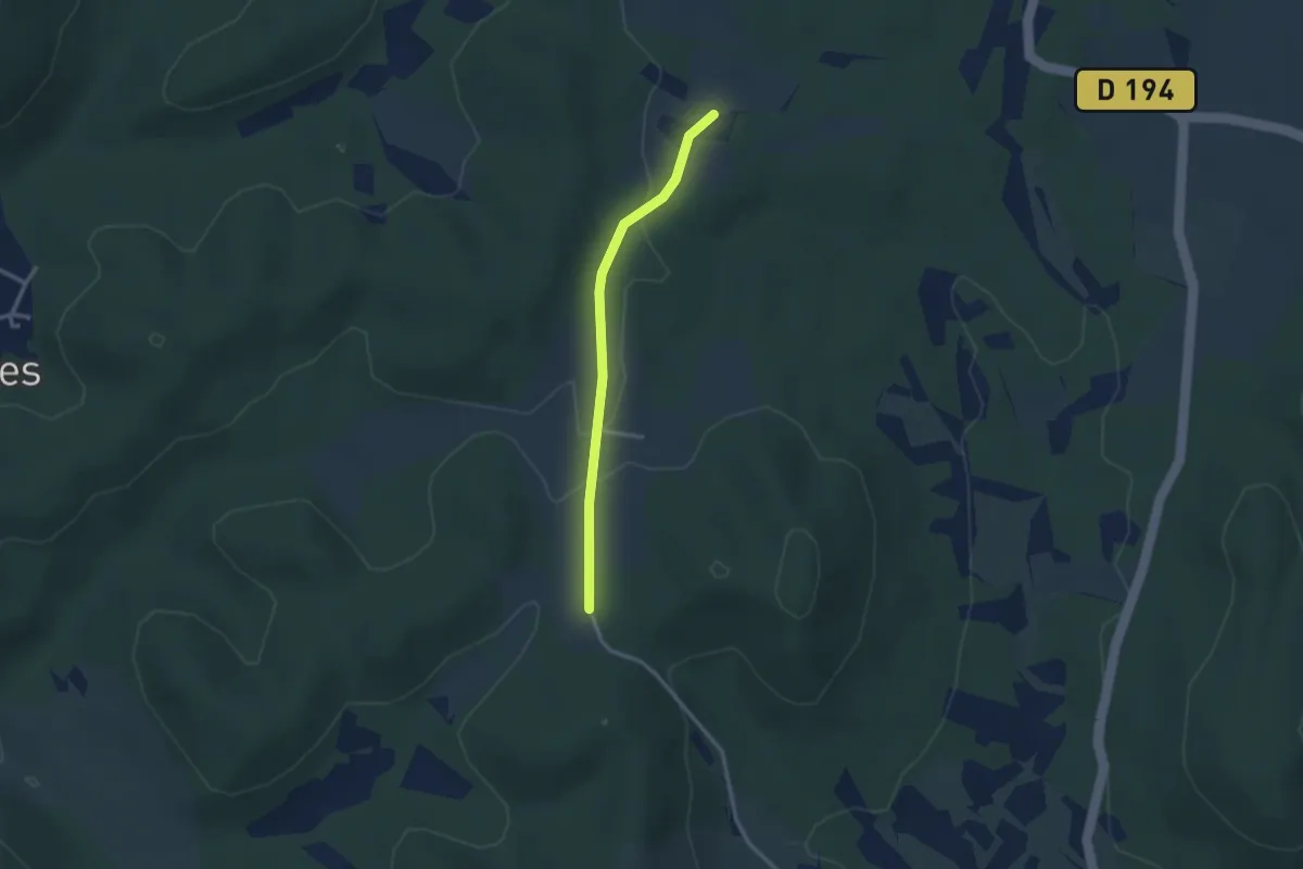
Easy · Trail
Variante PR 45 Le sentier du terroir
1.3 km · ↑ 9 m · 22 min
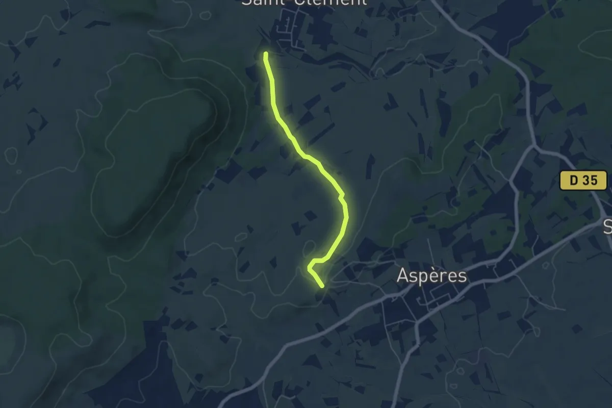
Easy · Trail
Variante PR 47
2.5 km · ↑ 0 m · 38 min
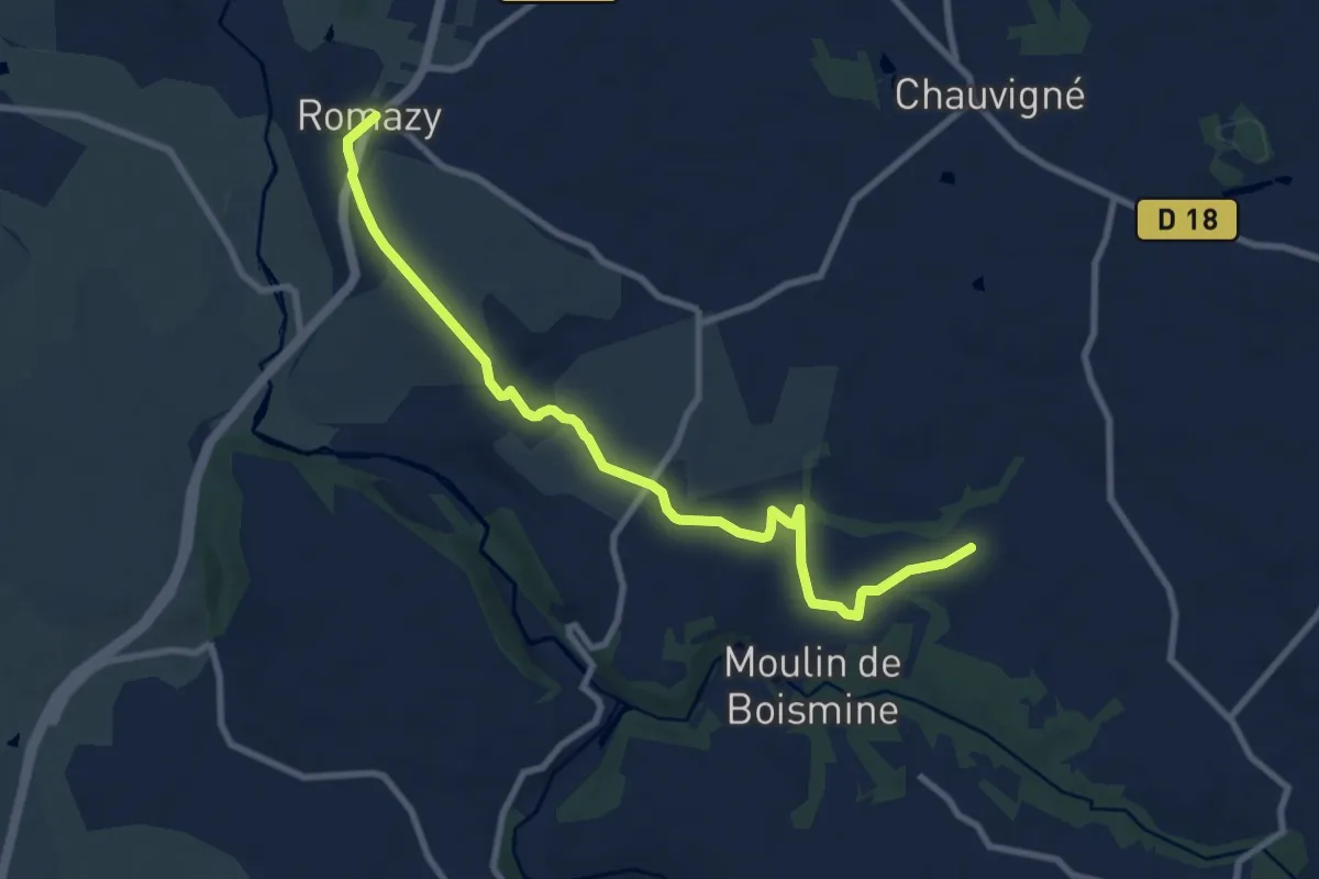
Medium · Trail
variante Romazy
9.4 km · ↑ 100 m · 2 h 26 min
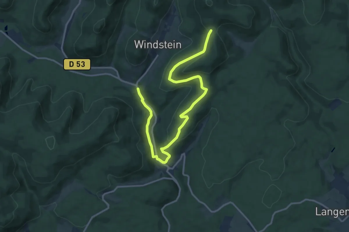
Medium · Trail
Variante Sentier de la Ligne Maginot
11.4 km · ↑ 359 m · 3 h 29 min
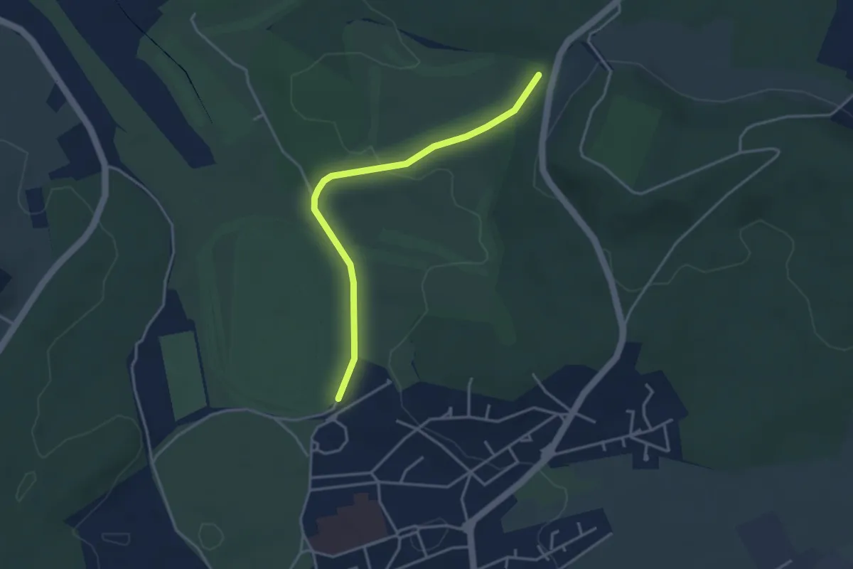
Easy · Trail
Variante Temps Pluvieux
3.4 km · ↑ 40 m · 53 min
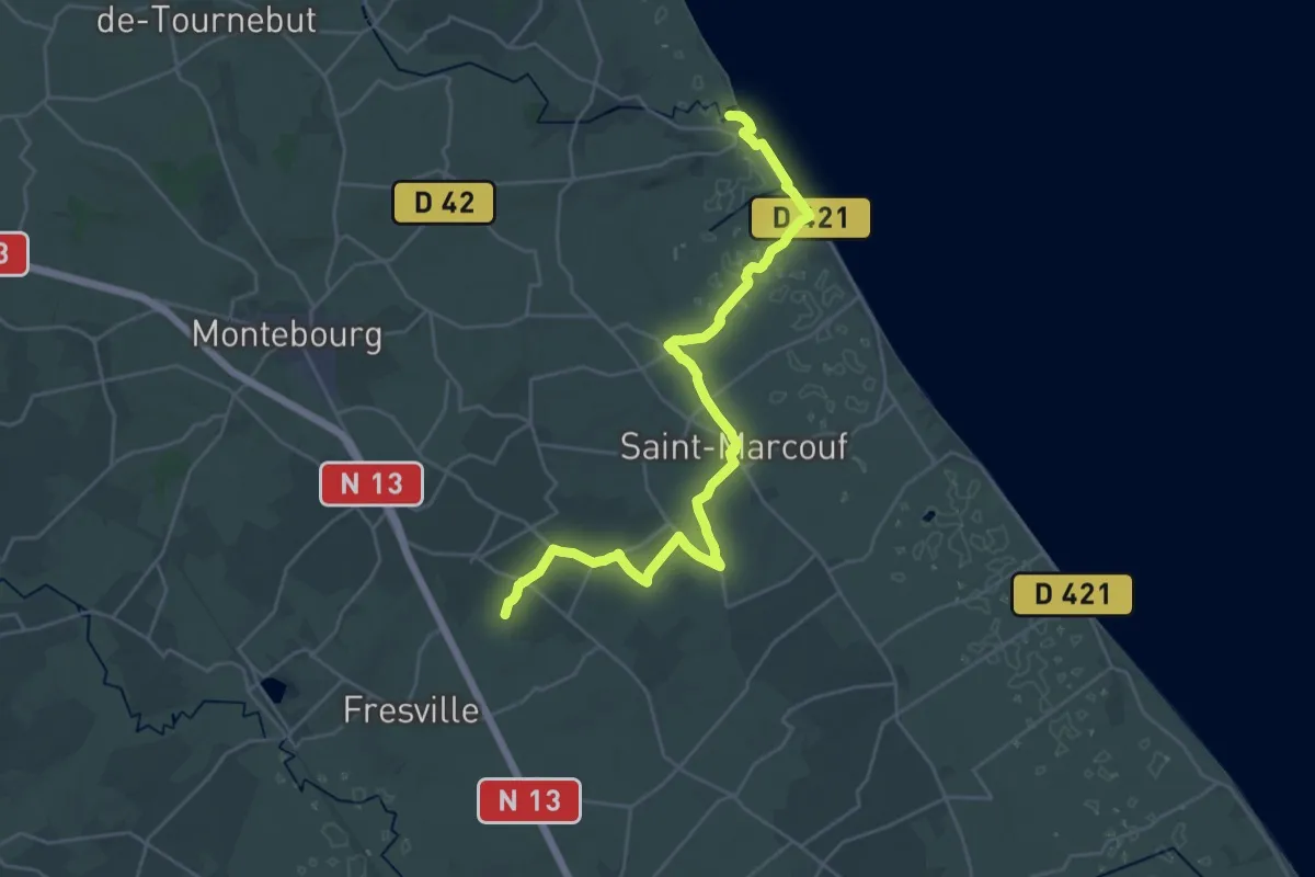
Demanding · Trail
Variante via Saint-Marcouf
27.9 km · ↑ 115 m · 6 h 50 min
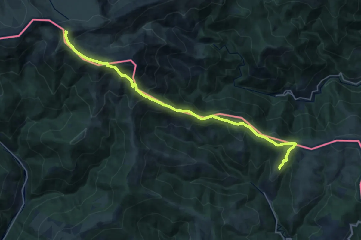
Demanding · Summit
Variant Molló
20.3 km · ↑ 1149 m · 7 h 16 min
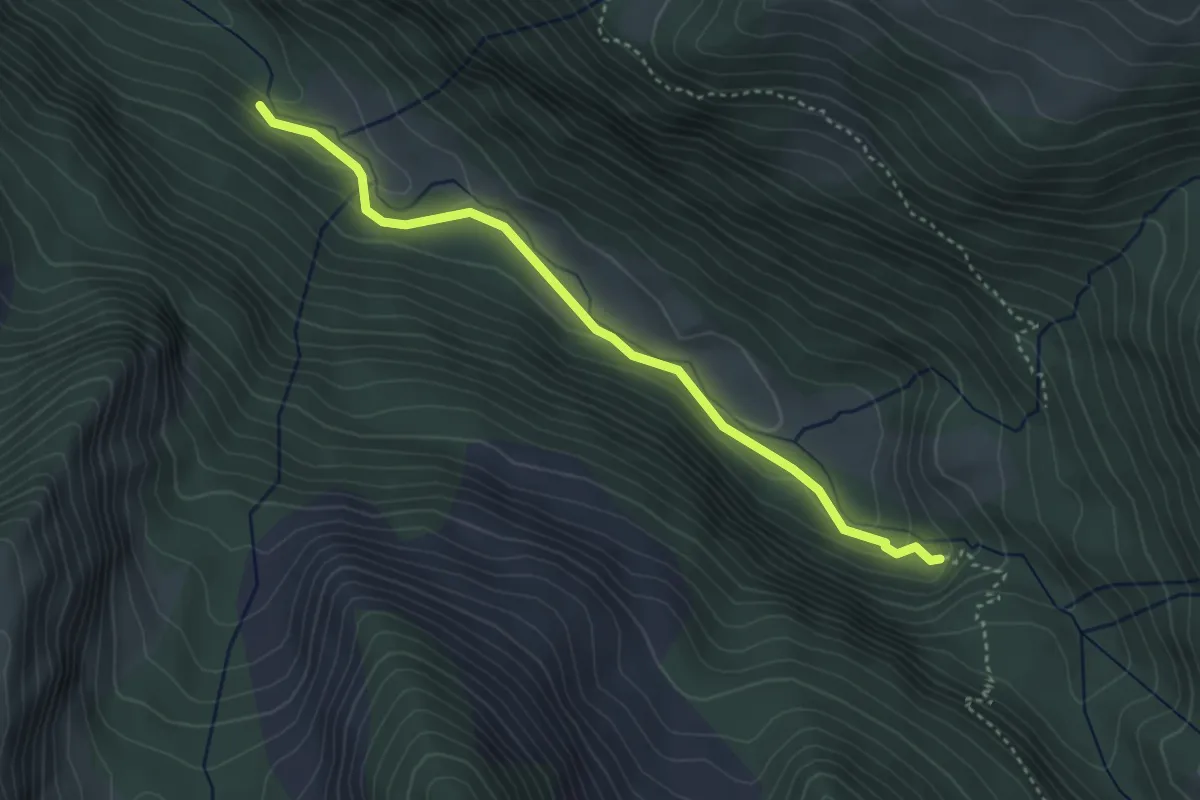
Medium · Trail
Vasques de la Lance
1.9 km · ↑ 126 m · 42 min
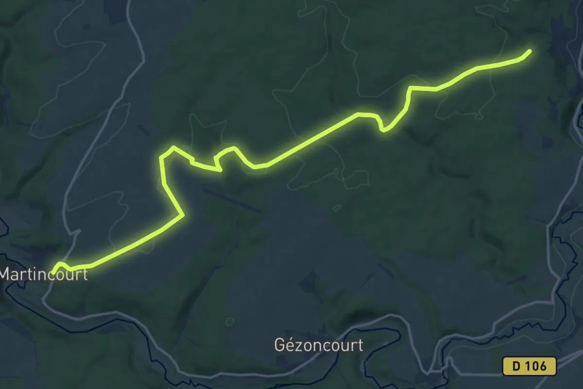
Medium · Trail
Vau de L'Etang
17.5 km · ↑ 298 m · 4 h 46 min
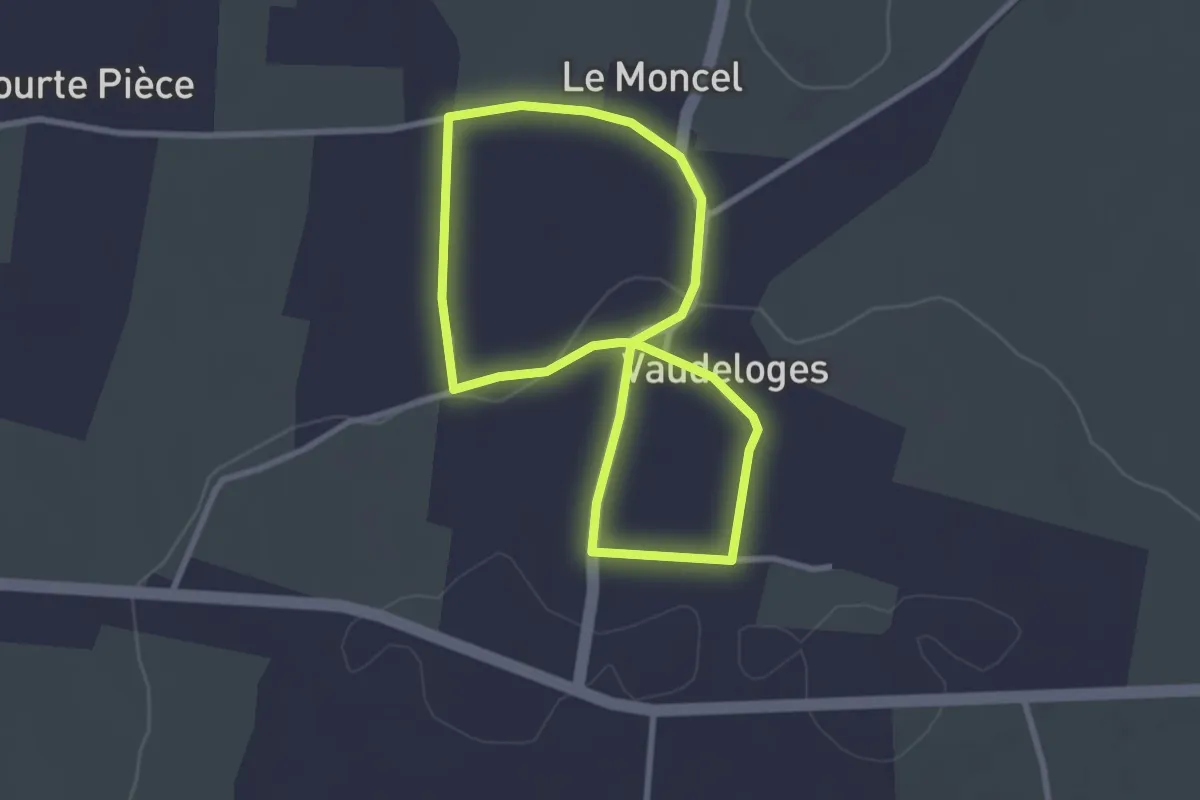
Easy · Trail
Vaudeloges
2.4 km · ↑ 27 m · 40 min
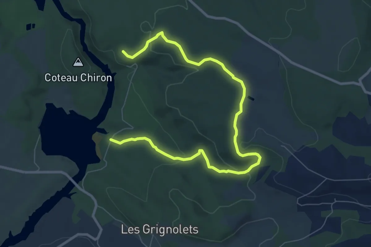
Medium · Trail
Vaumougne
9.3 km · ↑ 214 m · 2 h 40 min
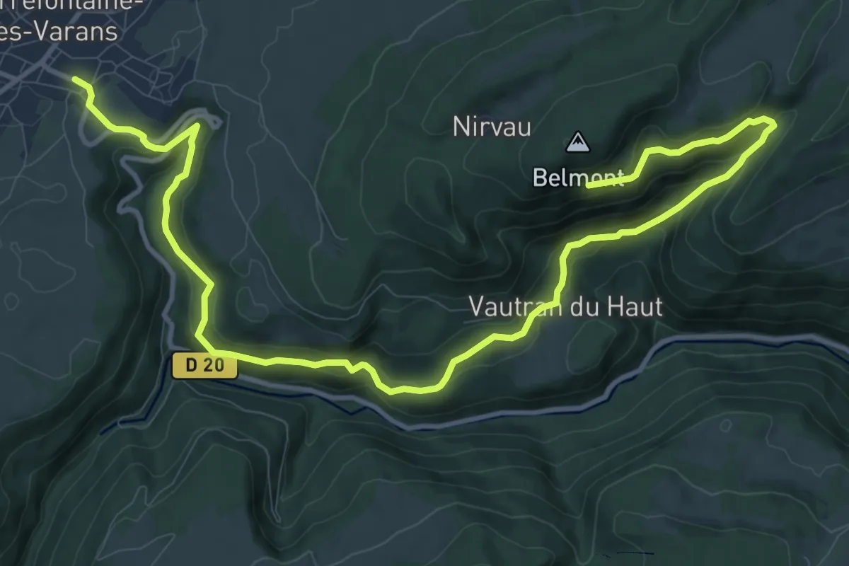
Medium · Trail
Vautran
14.7 km · ↑ 724 m · 5 h 3 min
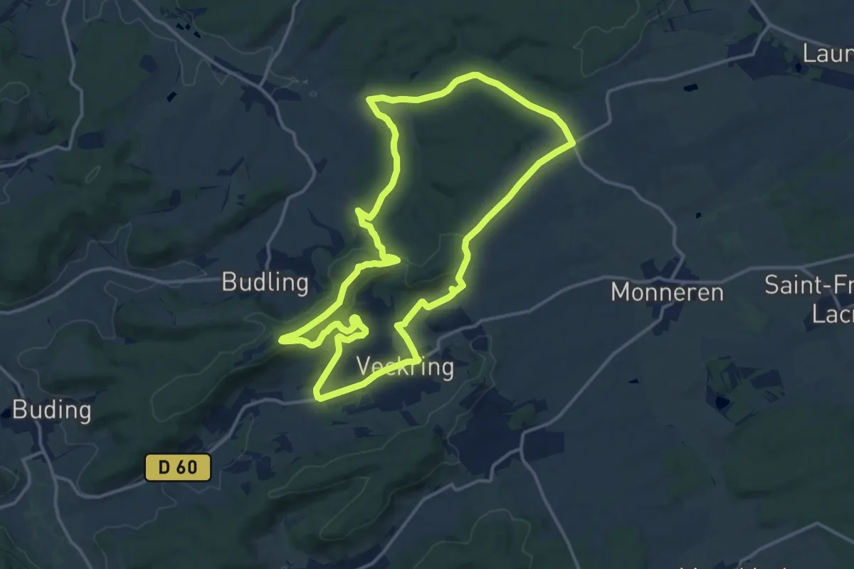
Medium · Summit
Veckring, Le ligne Maginot
13.7 km · ↑ 289 m · 4 h 3 min
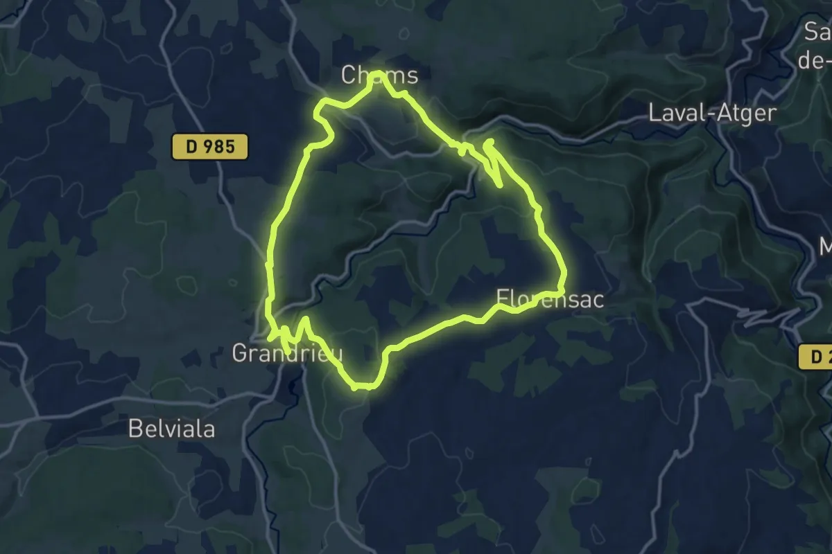
Medium · Trail
Védilhon
14.2 km · ↑ 399 m · 4 h 24 min
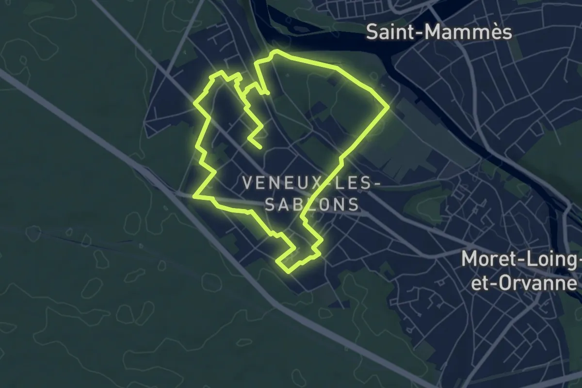
Medium · Trail
Venelles de Veneux
13.1 km · ↑ 149 m · 3 h 26 min
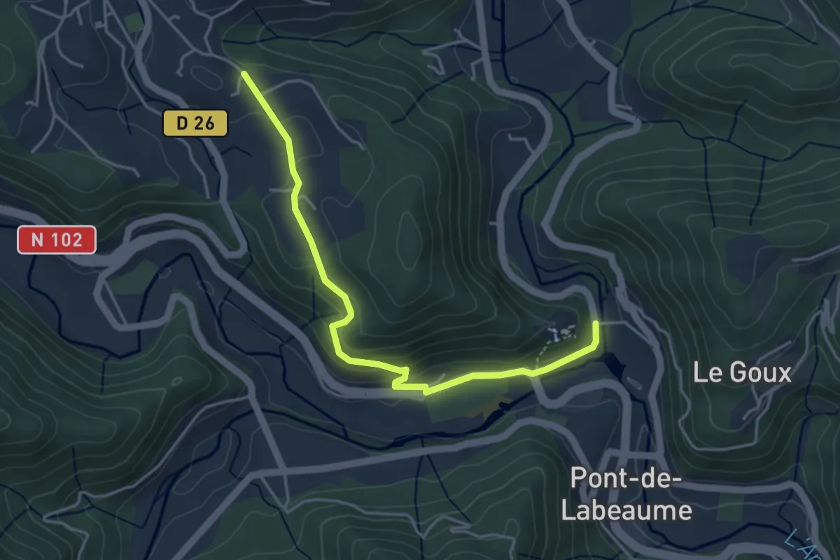
Easy · Trail
Ventadour - Champ Guérin
4.2 km · ↑ 177 m · 1 h 23 min
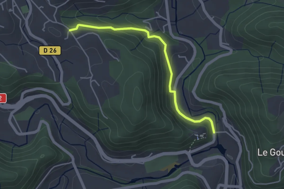
Easy · Trail
Ventadour - Champ Guérin
3.6 km · ↑ 153 m · 1 h 11 min
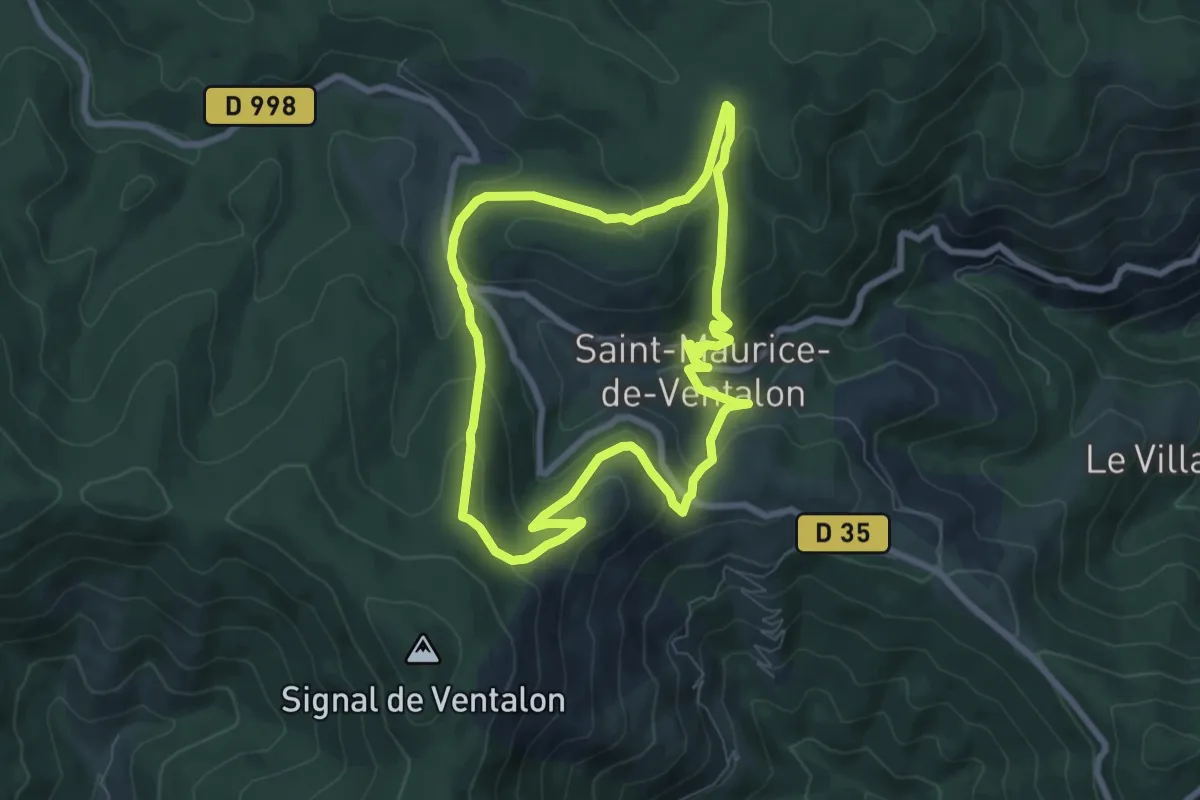
Easy · Trail
Ventalon
7.3 km · ↑ 305 m · 2 h 29 min
Medium · Trail
Ventalon - Falaise de Lunel
2.8 km · ↑ 35 m · 44 min
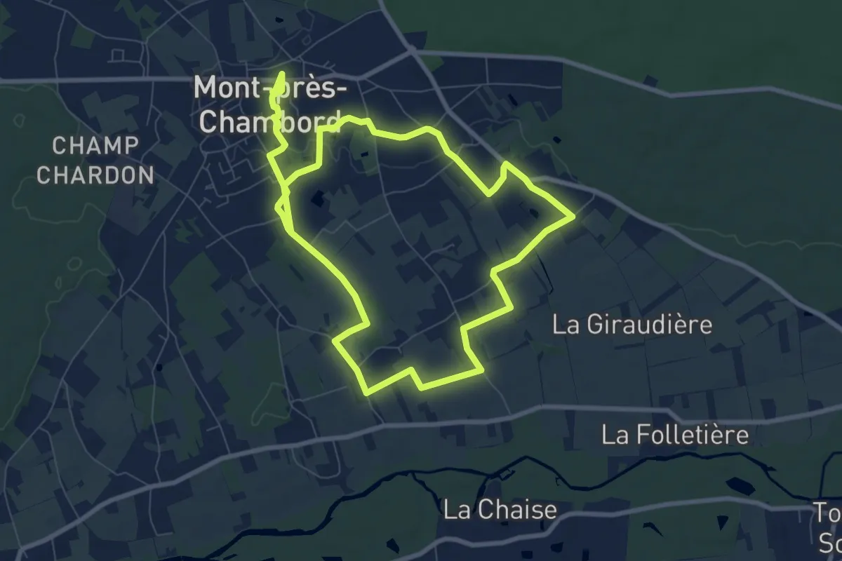
Easy · Trail
Verger Conservatoire
7.6 km · ↑ 21 m · 1 h 58 min
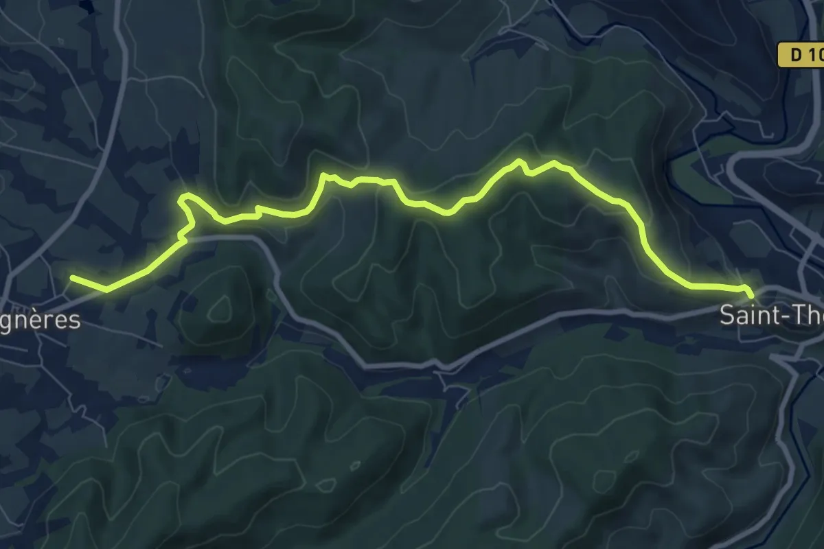
Medium · Trail
Verger - Le Chaussay
9.5 km · ↑ 333 m · 2 h 57 min
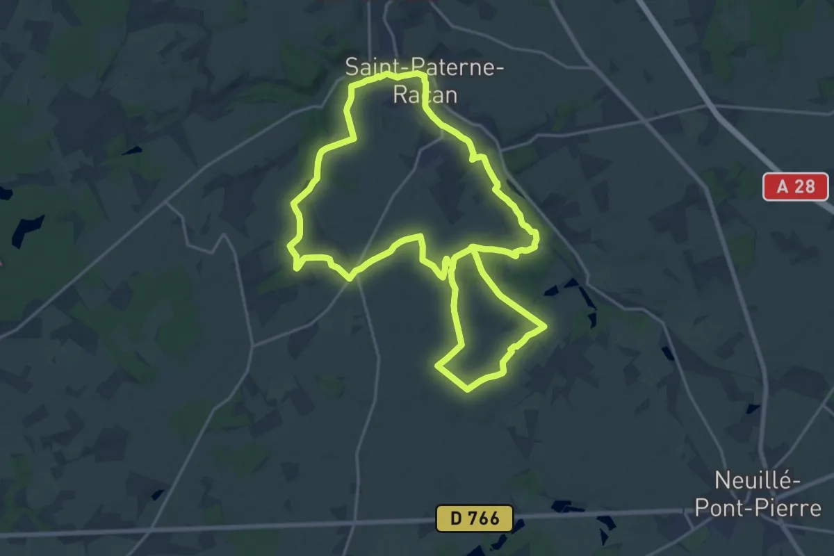
Medium · Trail
Vergers et eaux vives
17.8 km · ↑ 203 m · 4 h 54 min
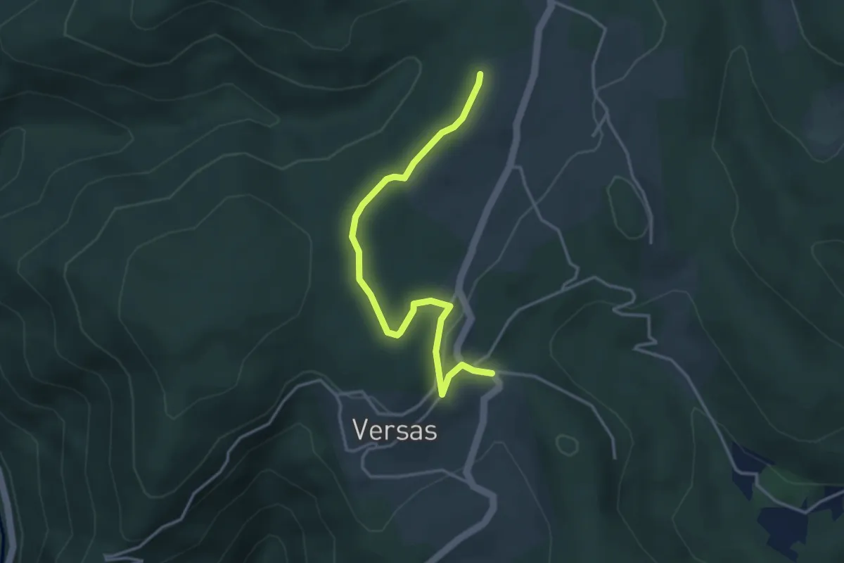
Easy · Trail
Versas - Les Pargues
3.7 km · ↑ 71 m · 1 h 2 min
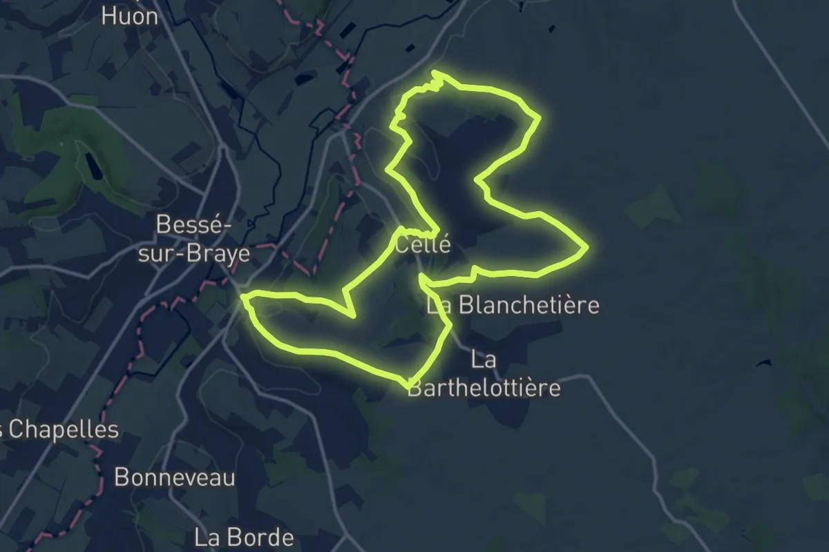
Medium · Trail
Vers Bessé-sur-Braye
13.9 km · ↑ 220 m · 3 h 56 min
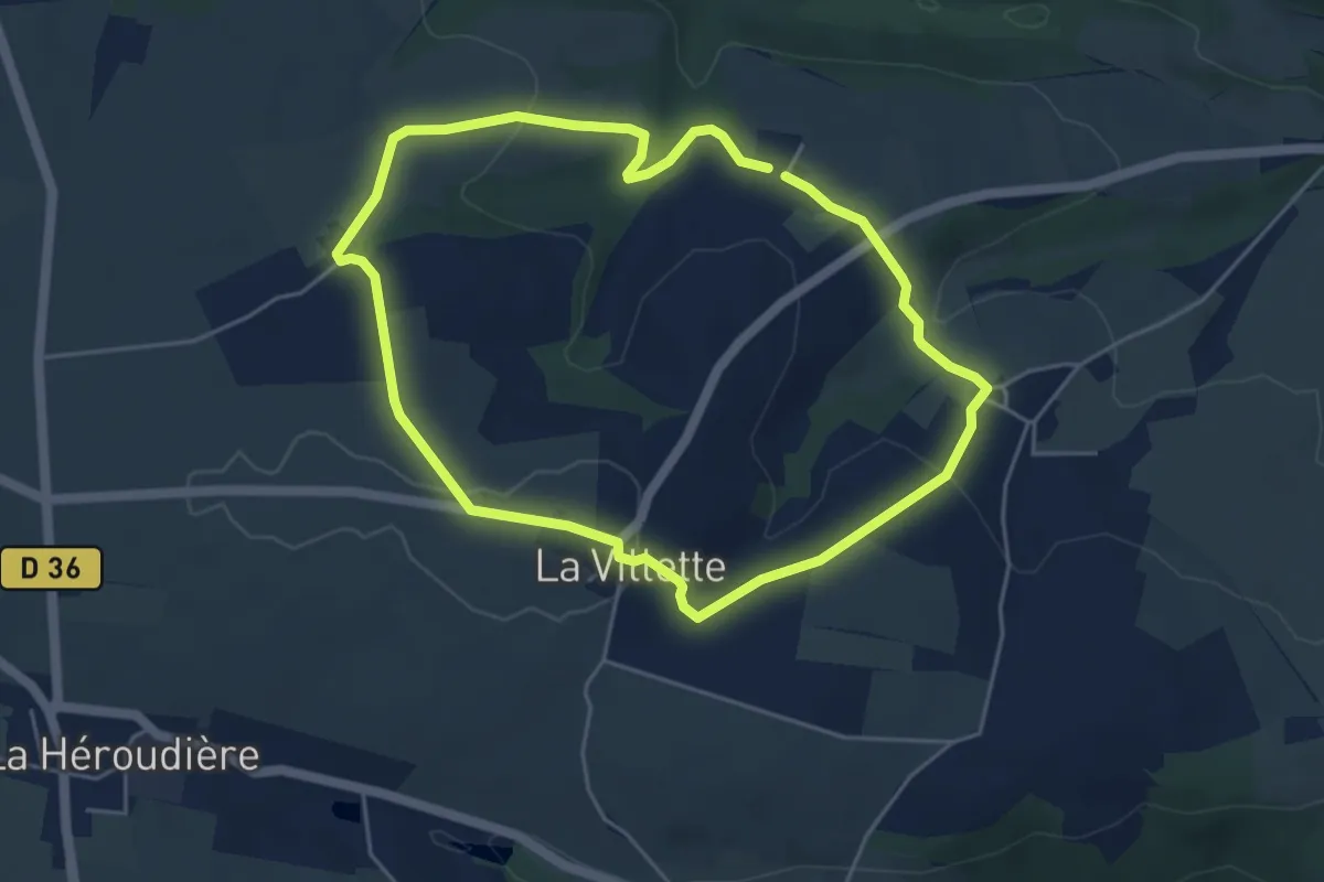
Easy · Trail
Vers la "Fosse aux Renards"
4.4 km · ↑ 121 m · 1 h 22 min
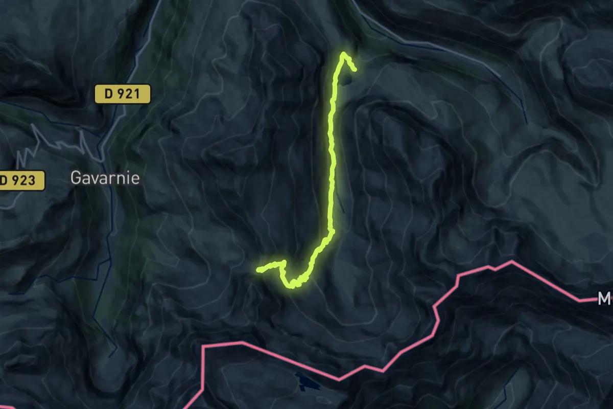
Demanding · Trail
Vers la Hourquette d'Alans par le Cirque d'Estaubé
15.5 km · ↑ 906 m · 5 h 37 min
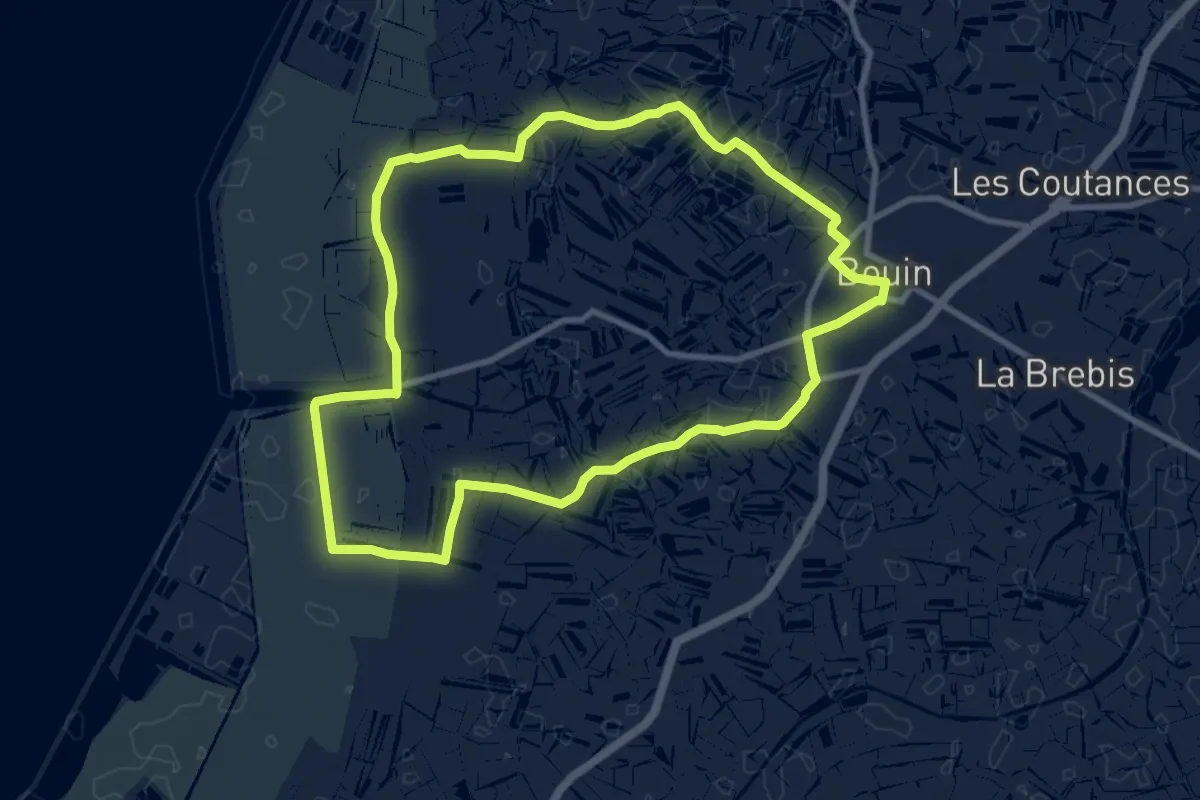
Medium · Trail
Vers la Mer et les Digues
9.5 km · ↑ 0 m · 2 h 23 min
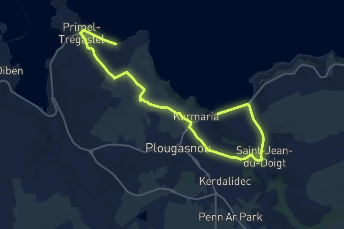
Easy · Trail
Vers la Pointe de Primel
6.3 km · ↑ 96 m · 1 h 48 min
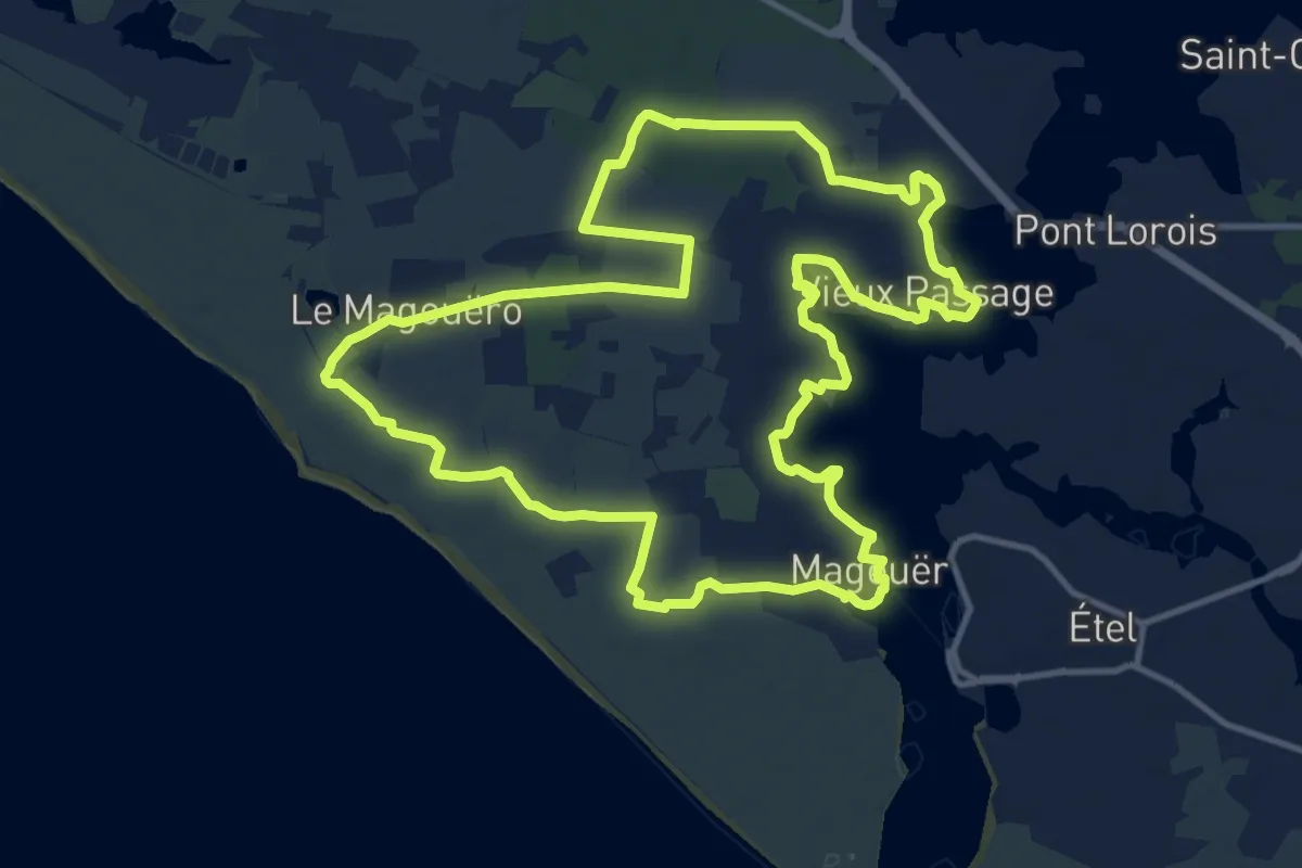
Medium · Trail
Vers la Ria d'Étel
13.8 km · ↑ 48 m · 3 h 34 min
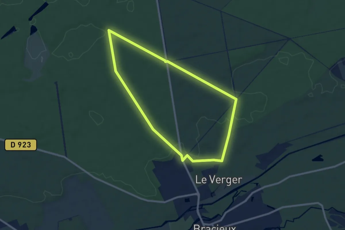
Easy · Trail
Vers la sente des houx
6.4 km · ↑ 41 m · 1 h 41 min
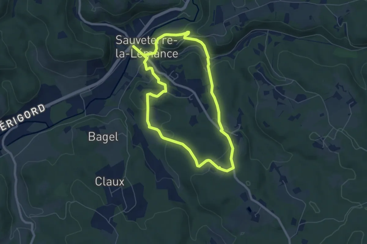
Easy · Trail
Vers le hameau de la Ville
6.0 km · ↑ 176 m · 1 h 52 min