Trails in France
15,926 hiking trails, each with its route, climb, walking time and grade.
All trails, page 283 of 332
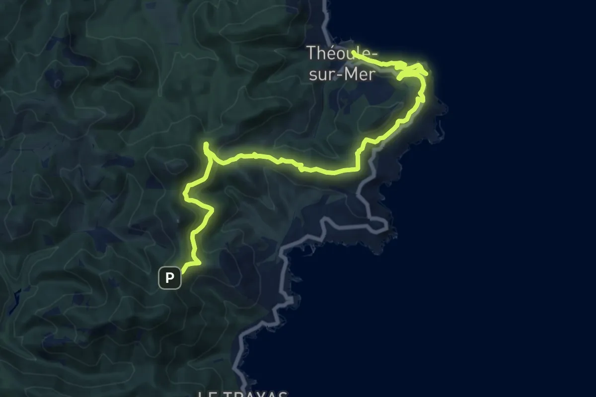
Medium · Trail
Via Aurelia, Théoule - Col Notre-Dame
17.8 km · ↑ 778 m · 5 h 53 min
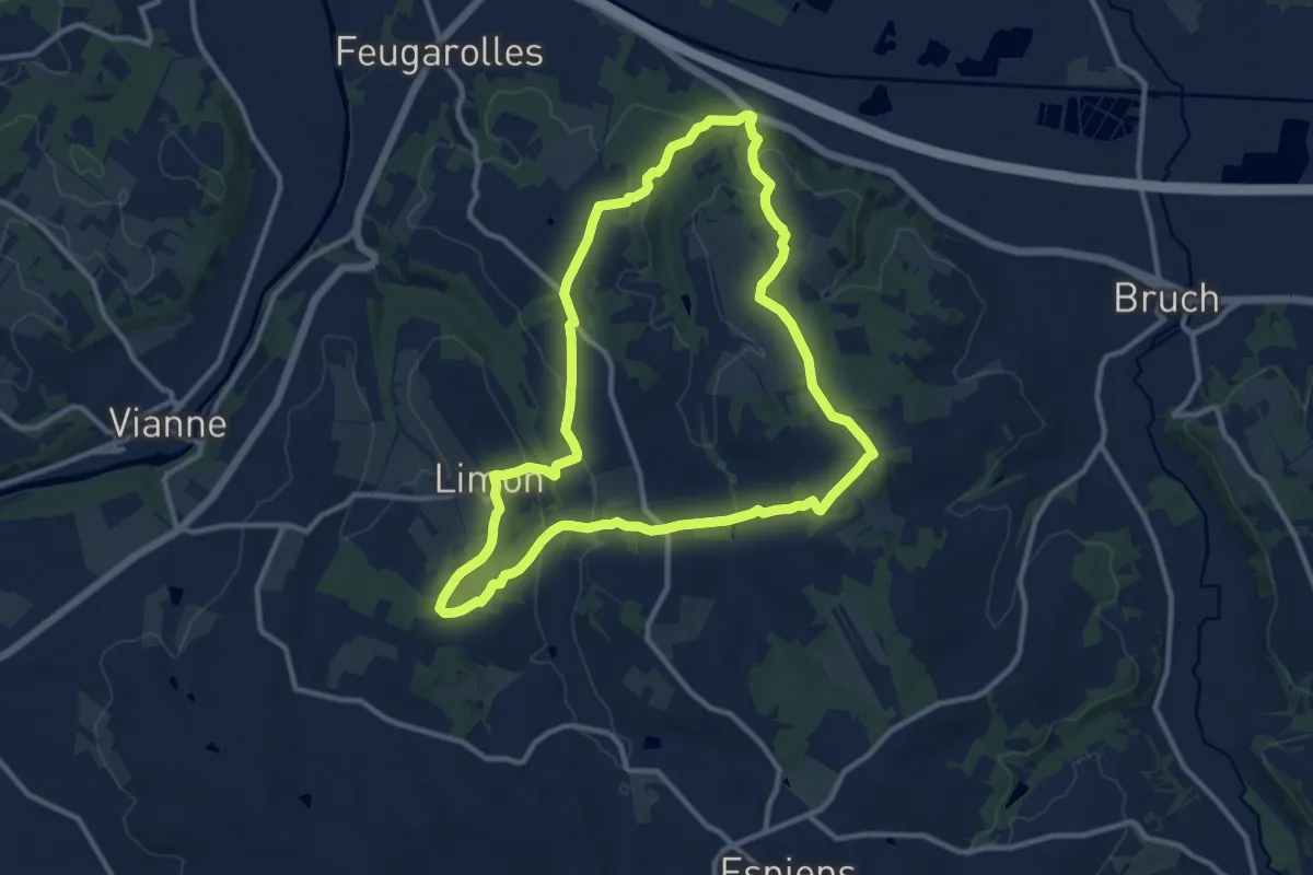
Medium · Trail
Via Brazalem, Limon, vignobles et vergers d'Albret - 12.9 km
11.6 km · ↑ 292 m · 3 h 33 min
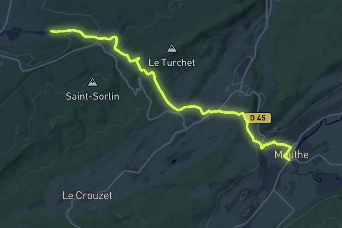
Medium · Trail
Via Cluny Etape 10
14.5 km · ↑ 471 m · 4 h 27 min
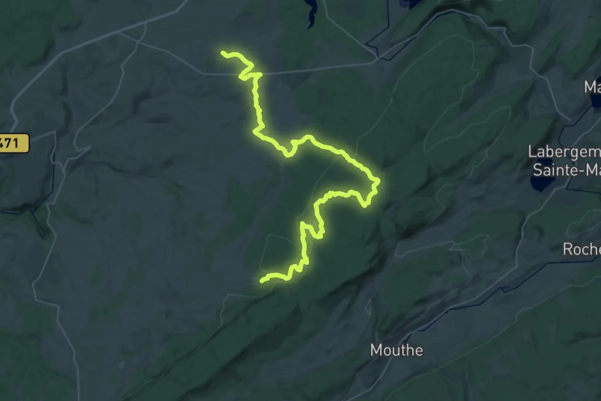
Demanding · Trail
Via Cluny Etape 11
21.2 km · ↑ 320 m · 6 h 3 min
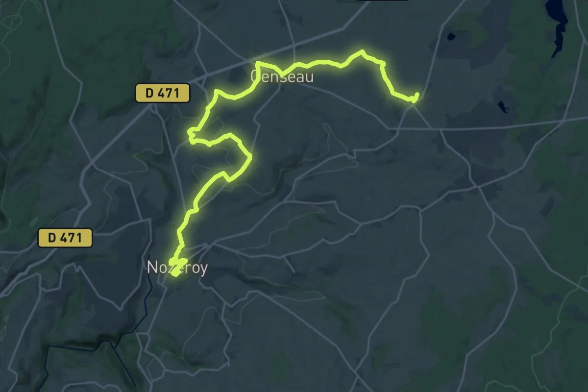
Demanding · Trail
Via Cluny Etape 12
28.6 km · ↑ 497 m · 7 h 49 min
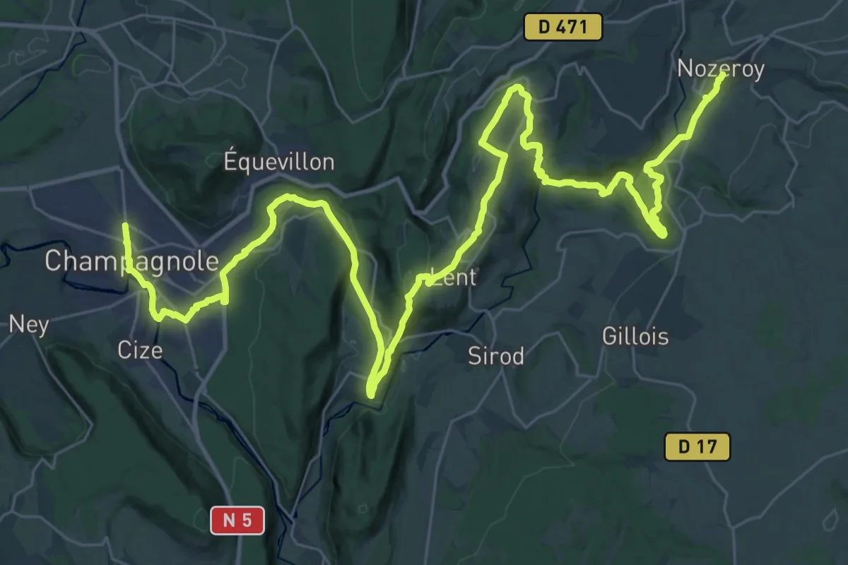
Demanding · Trail
Via Cluny Etape 13
25.2 km · ↑ 499 m · 7 h 31 min
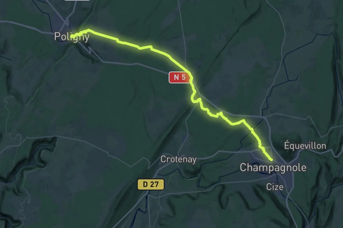
Demanding · Trail
Via Cluny Etape 14
22.8 km · ↑ 220 m · 6 h 17 min
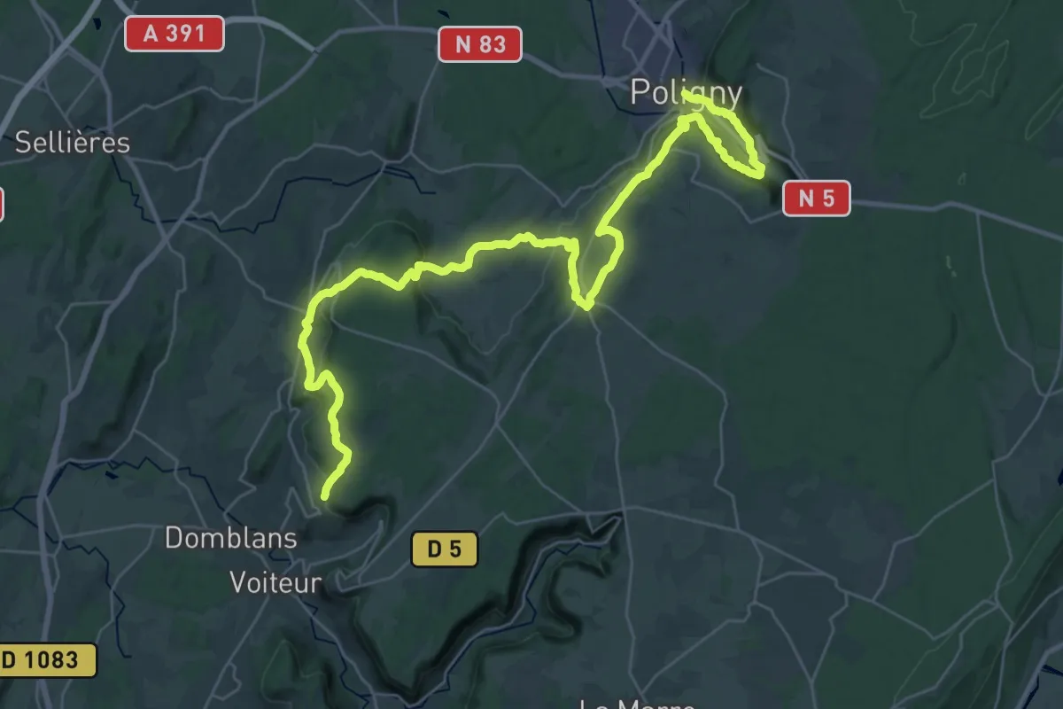
Demanding · Trail
Via Cluny Etape 15
21.1 km · ↑ 854 m · 7 h 6 min
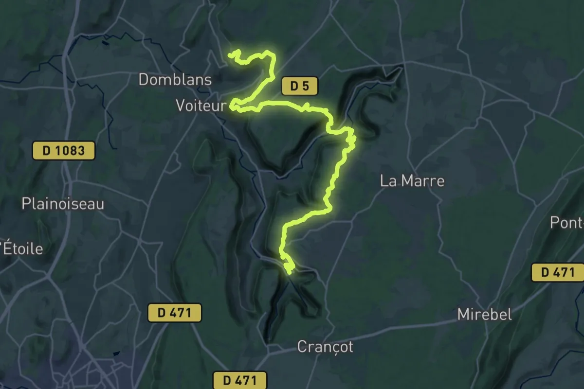
Medium · Trail
Via Cluny Etape 16
16.8 km · ↑ 547 m · 5 h 26 min
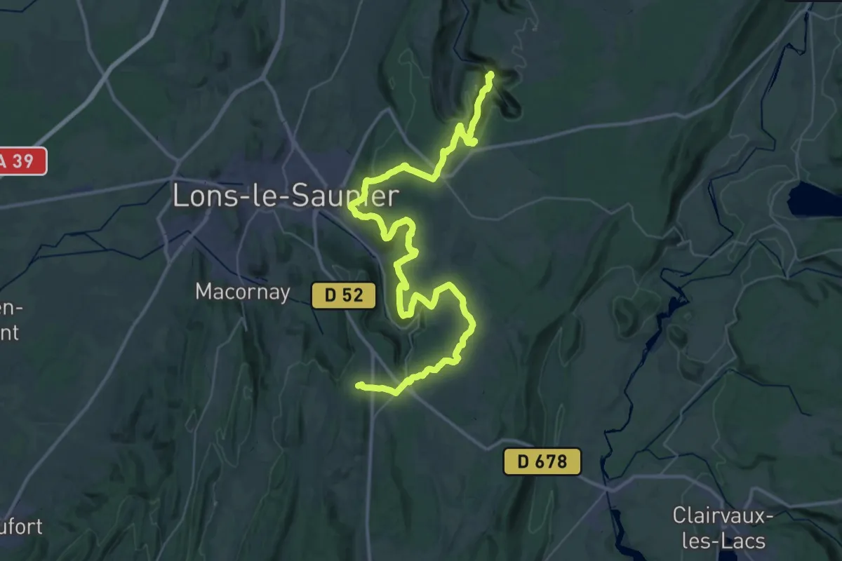
Demanding · Trail
Via Cluny Etape 17
26.3 km · ↑ 889 m · 8 h 21 min
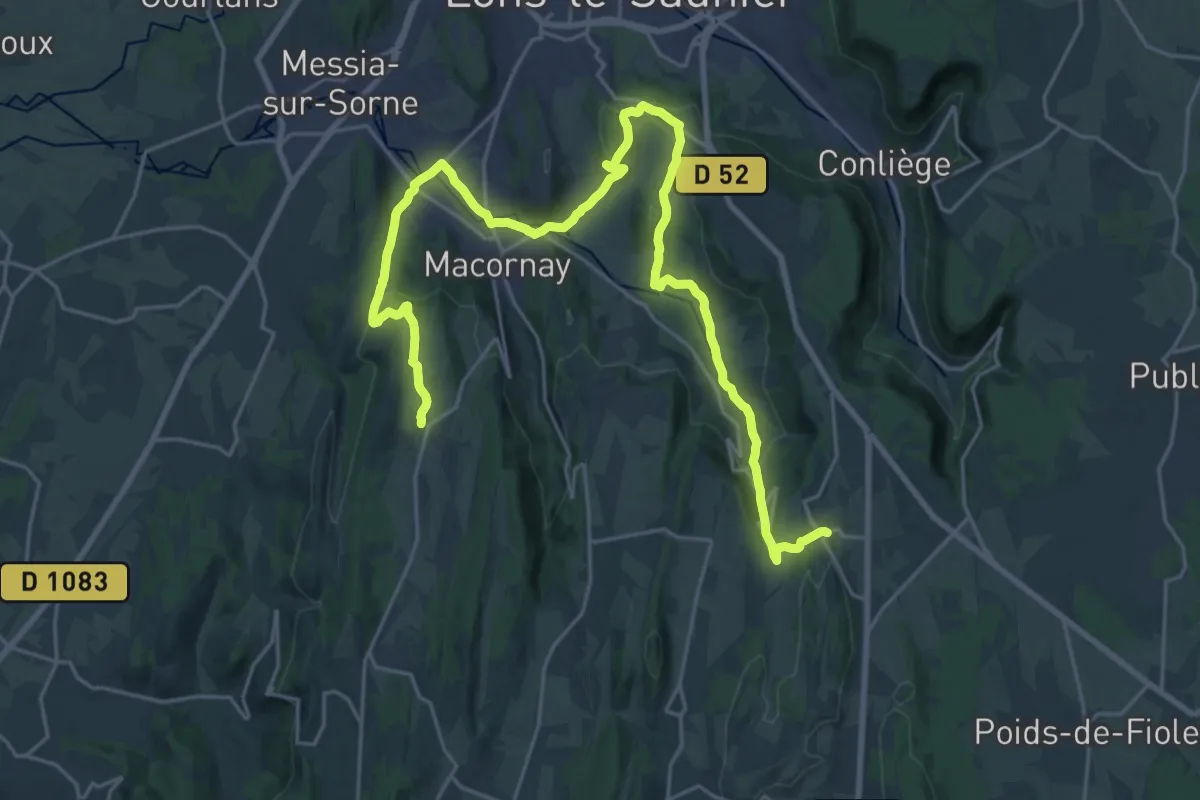
Medium · Trail
Via Cluny Etape 18
15.3 km · ↑ 377 m · 4 h 43 min
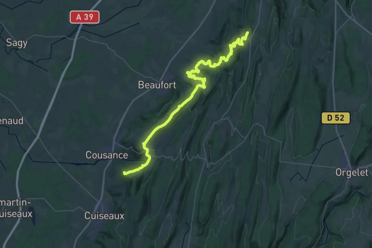
Demanding · Summit
Via Cluny Etape 19
43.6 km · ↑ 1518 m · 13 h 35 min
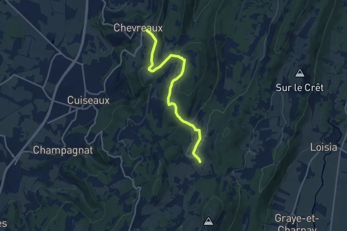
Medium · Trail
Via Cluny Etape 20
10.3 km · ↑ 347 m · 3 h 11 min
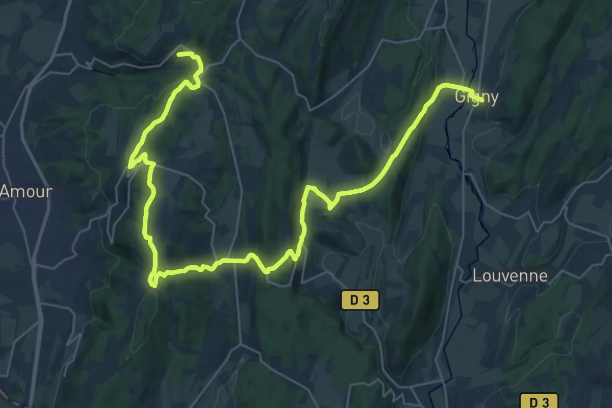
Medium · Trail
Via Cluny Etape 21
16.4 km · ↑ 418 m · 5 h
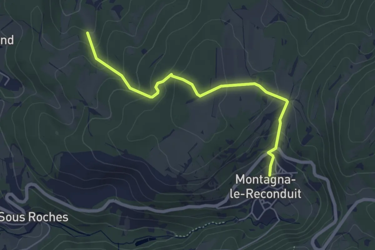
Easy · Trail
Via Cluny Etape 22
4.6 km · ↑ 250 m · 1 h 38 min
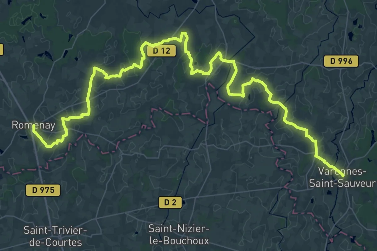
Demanding · Trail
Via Cluny Etape 23
27.4 km · ↑ 201 m · 7 h 18 min
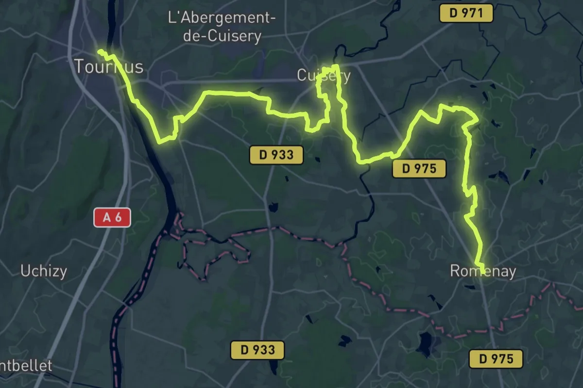
Demanding · Trail
Via Cluny Etape 24
29.8 km · ↑ 128 m · 7 h 44 min
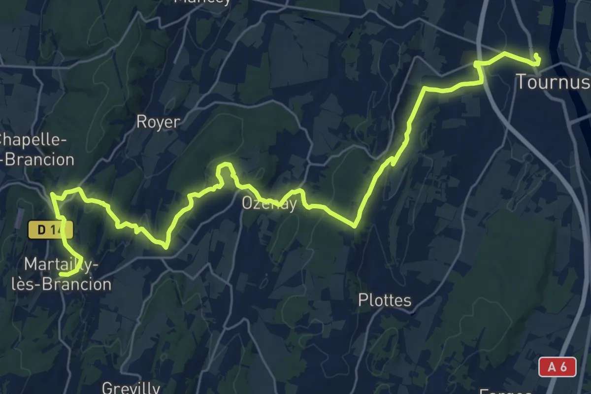
Medium · Trail
Via Cluny Etape 25
15.4 km · ↑ 411 m · 4 h 41 min
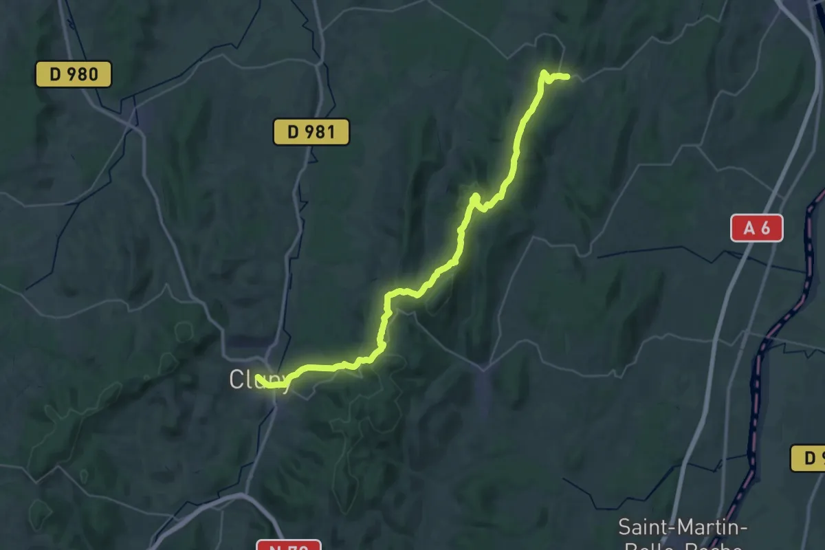
Demanding · Trail
Via Cluny Etape 26
20.7 km · ↑ 443 m · 6 h 9 min
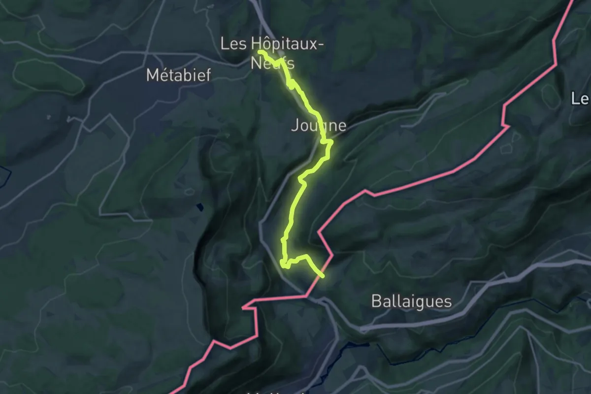
Medium · Trail
Via Cluny Etape 8
14.9 km · ↑ 344 m · 4 h 16 min
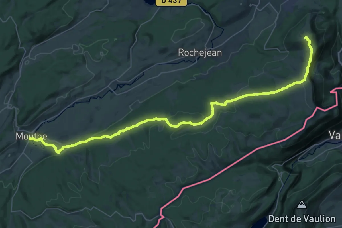
Demanding · Summit
Via Cluny Etape 9
33.3 km · ↑ 983 m · 10 h
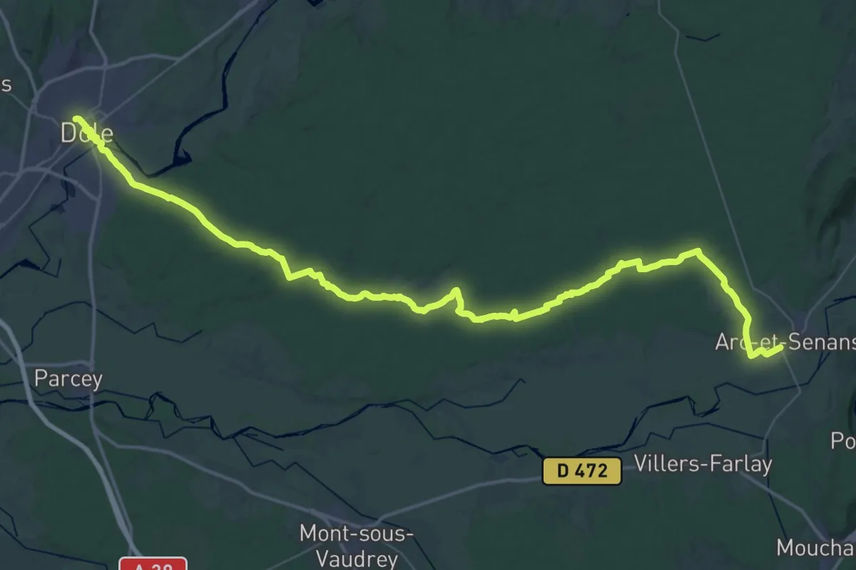
Demanding · Trail
Via Cluny variante Dole Etape 1
30.4 km · ↑ 199 m · 8 h 2 min
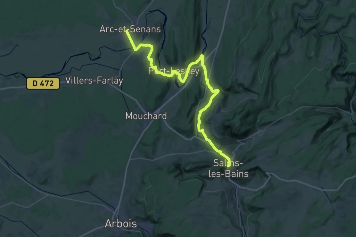
Demanding · Trail
Via Cluny variante Dole Etape 2
21.8 km · ↑ 437 m · 6 h 21 min
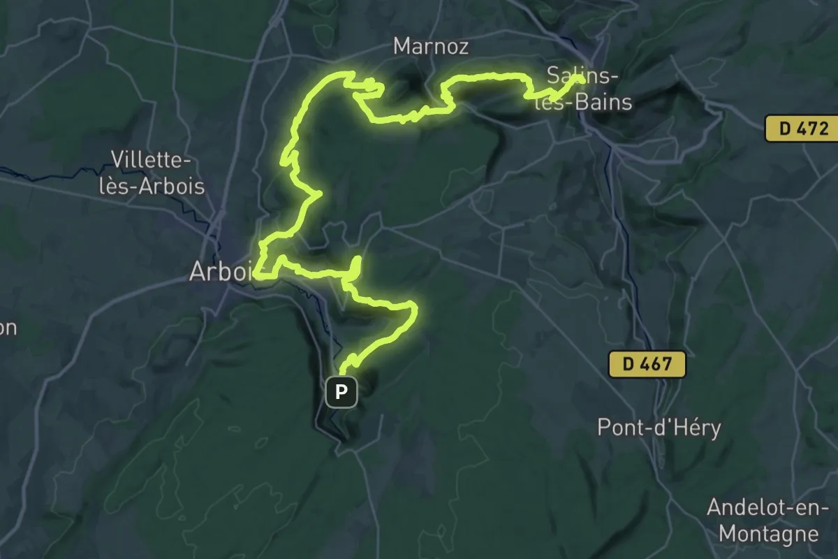
Demanding · Trail
Via Cluny variante Dole Etape 3
26.7 km · ↑ 1193 m · 9 h 16 min
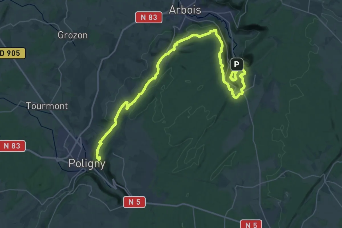
Demanding · Trail
Via Cluny variante Dole Etape 4
19.1 km · ↑ 779 m · 6 h 23 min
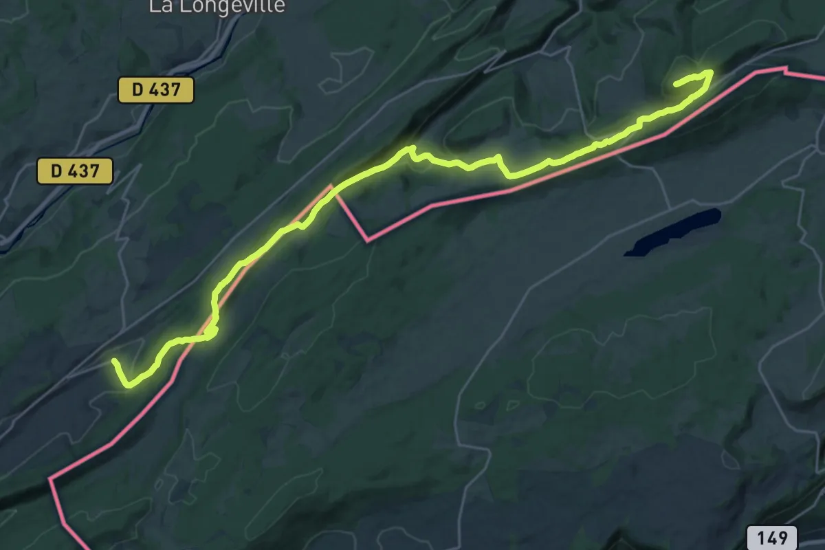
Demanding · Summit
Via Cluny Variante Morteau Etape 1
29.5 km · ↑ 1036 m · 9 h 13 min
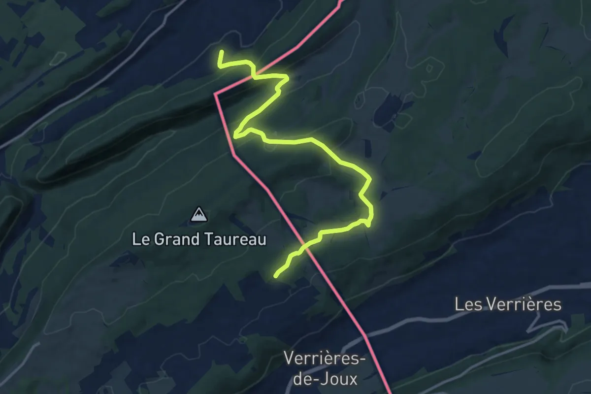
Medium · Trail
Via Cluny Variante Morteau Etape 2
12.9 km · ↑ 469 m · 4 h 4 min
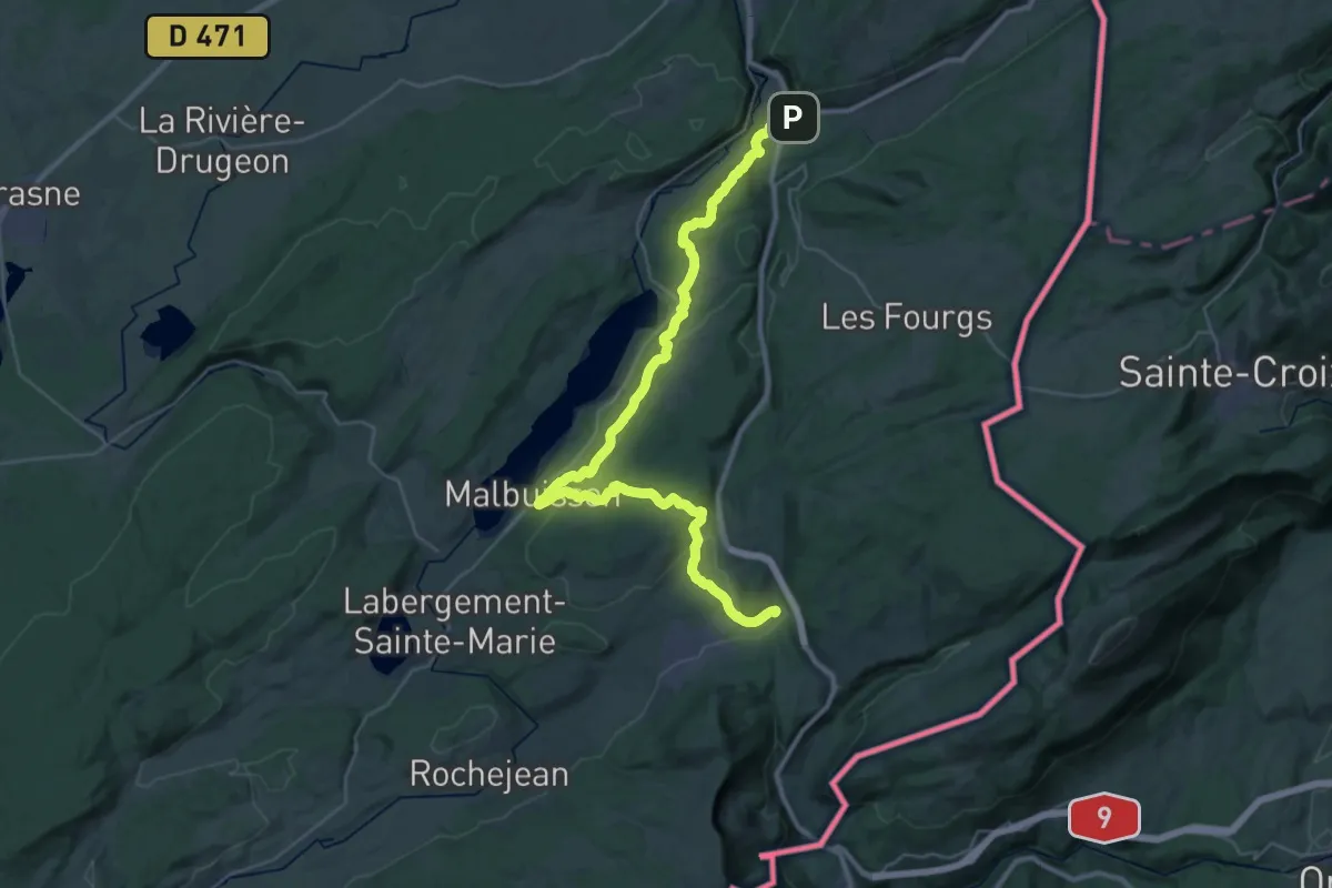
Demanding · Trail
Via Cluny Variante Morteau Etape 3
19.8 km · ↑ 638 m · 6 h 16 min
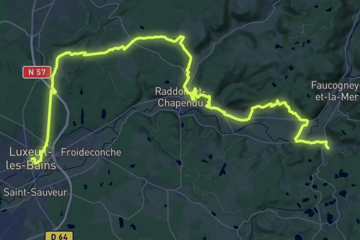
Demanding · Trail
Via Columbani (Ancien Chemin des Moines)
26.5 km · ↑ 714 m · 8 h 9 min
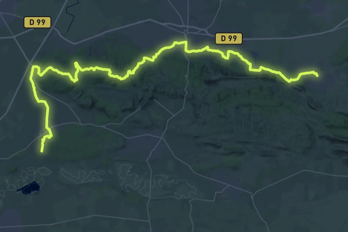
Demanding · Trail
Via Domitia, Eygalières - Fontvieille
37.7 km · ↑ 504 m · 10 h 33 min
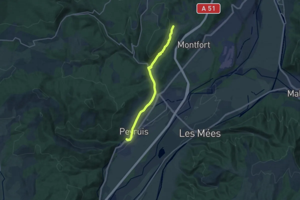
Medium · Trail
Via Domitia (variante)
12.3 km · ↑ 260 m · 3 h 28 min
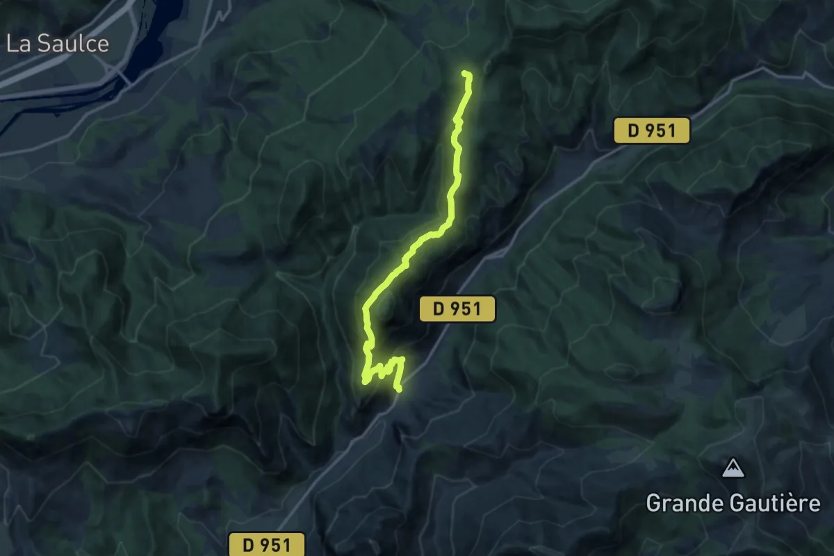
Demanding · Trail
Via Domitia (variante)
14.7 km · ↑ 952 m · 5 h 32 min
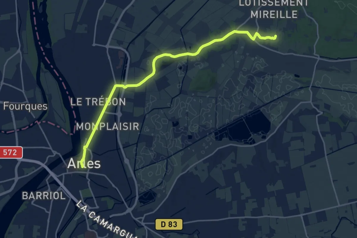
Medium · Trail
Via Domitia - Via Aurelia, Fontvieille - Arles
17.1 km · ↑ 69 m · 4 h 12 min
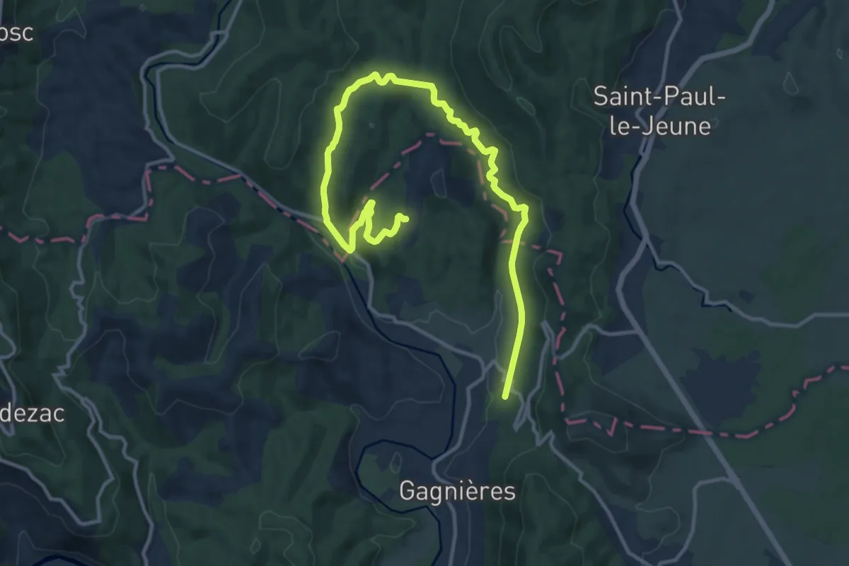
Easy · Trail
Viaduc de Doulovy
7.7 km · ↑ 165 m · 2 h 18 min
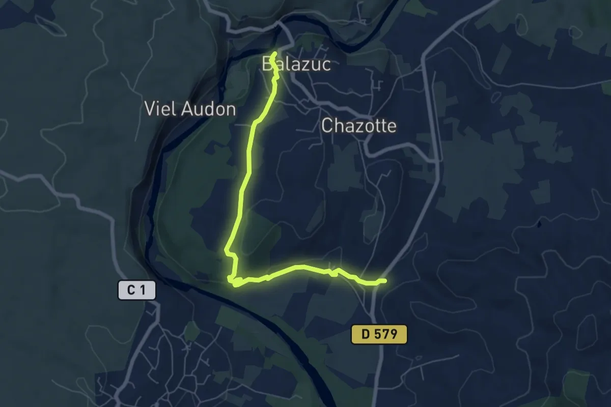
Easy · Trail
Viaduc - Église Romane
6.8 km · ↑ 123 m · 1 h 52 min
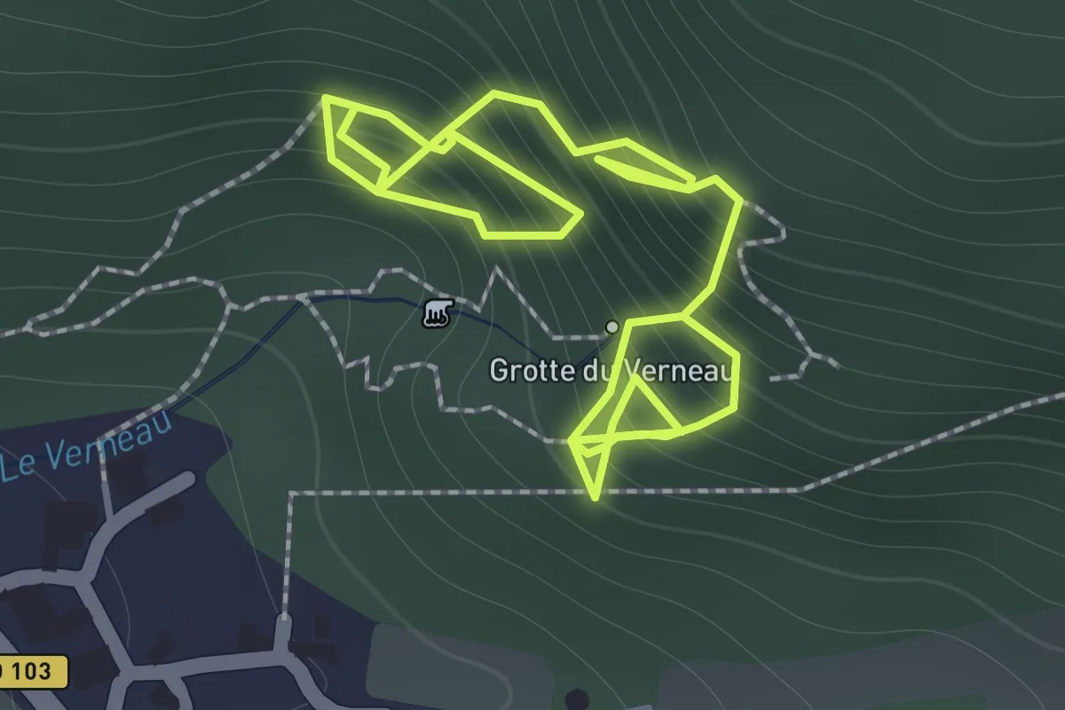
Medium · Trail
Via ferrata les Baumes du Verneau
2.5 km · ↑ 392 m · 1 h 26 min
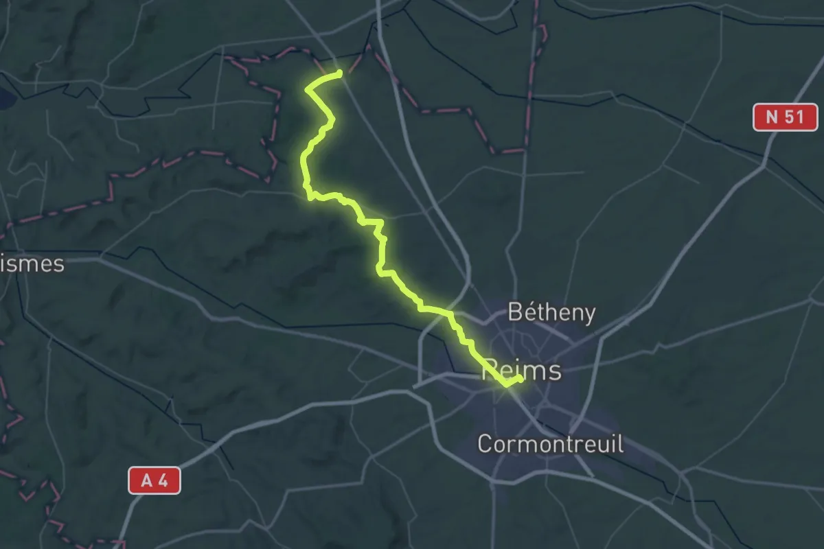
Demanding · Trail
Via Francigena France 02, Arras - Reims
27.5 km · ↑ 266 m · 7 h 26 min
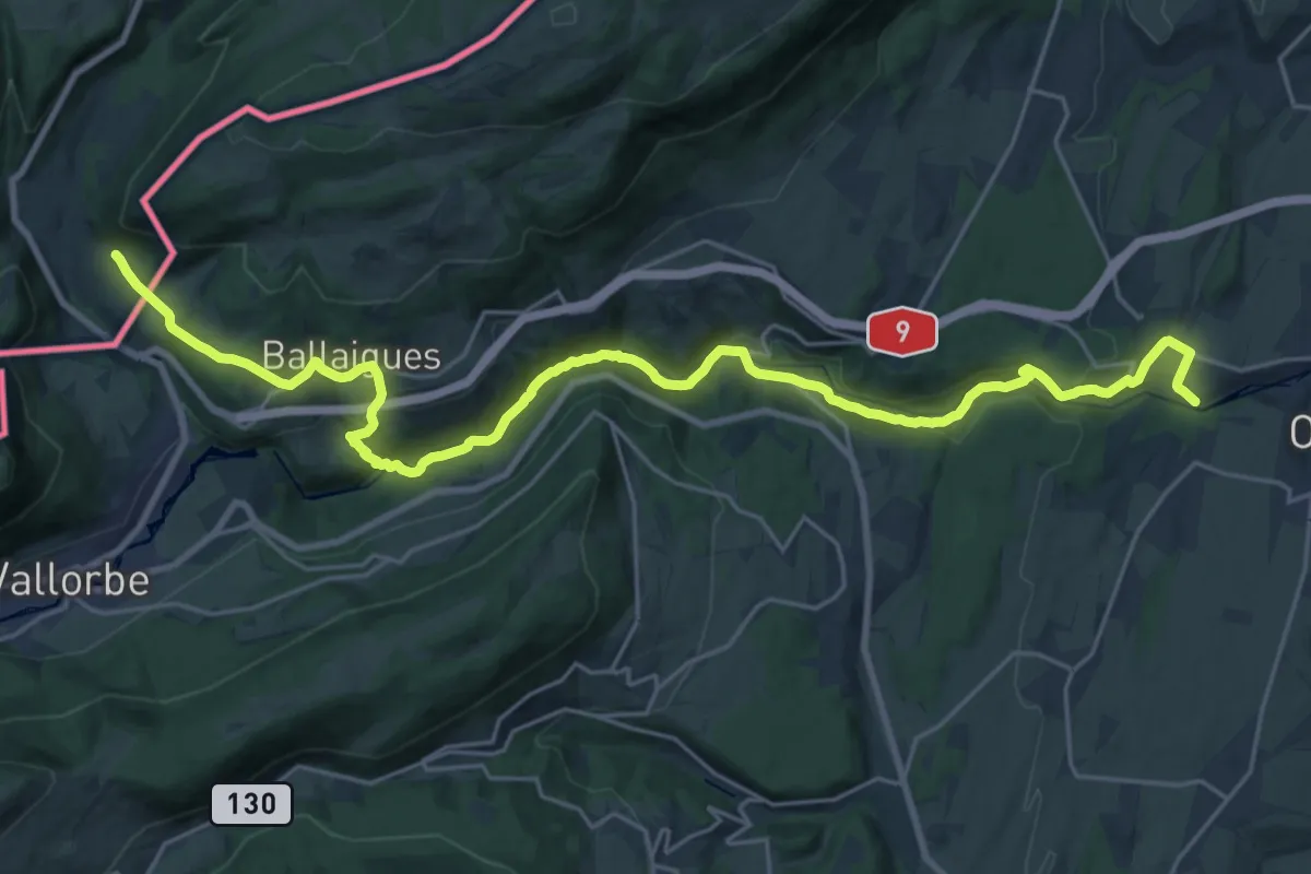
Medium · Trail
Via Francigena - Variante historique
14.0 km · ↑ 237 m · 4 h 13 min
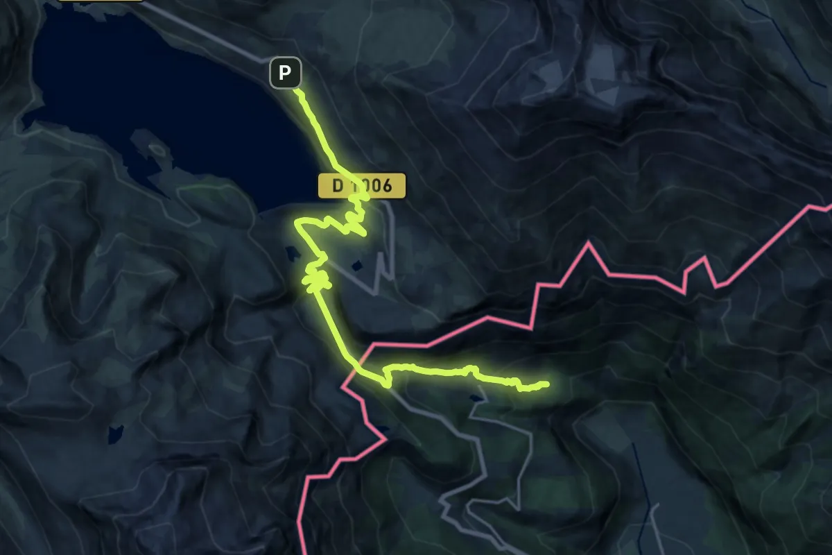
Medium · Pilgrim path
Via Francigena - Variante Moncenisio
11.4 km · ↑ 56 m · 3 h 24 min
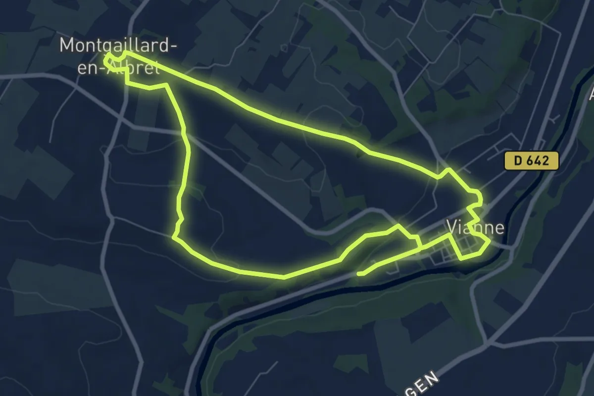
Easy · Trail
Vianne, une bastide sur la Baïse - 7.3 km
7.7 km · ↑ 137 m · 2 h 13 min
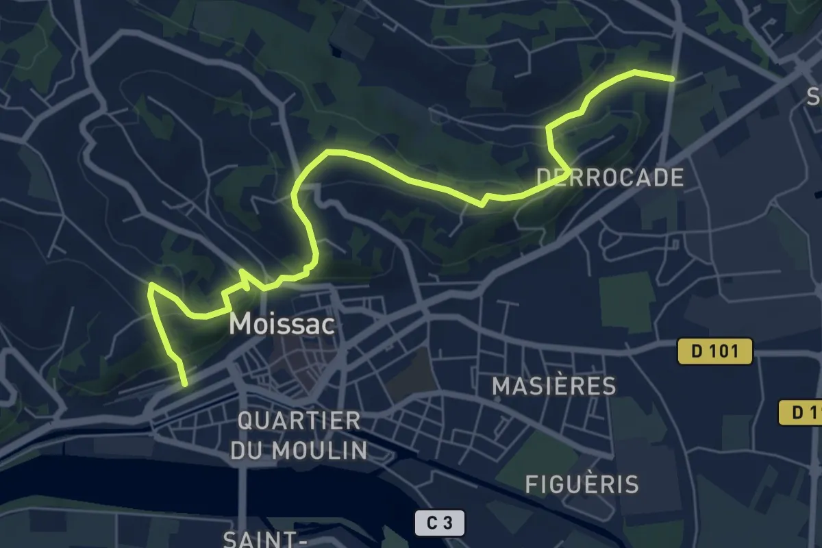
Easy · Trail
Via Podiensis (variante Moissac)
7.9 km · ↑ 312 m · 2 h 33 min
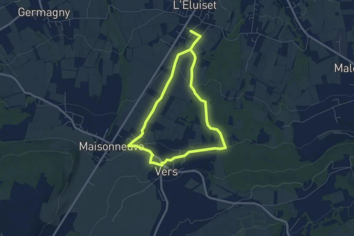
Easy · Trail
Via Romana
5.3 km · ↑ 99 m · 1 h 32 min
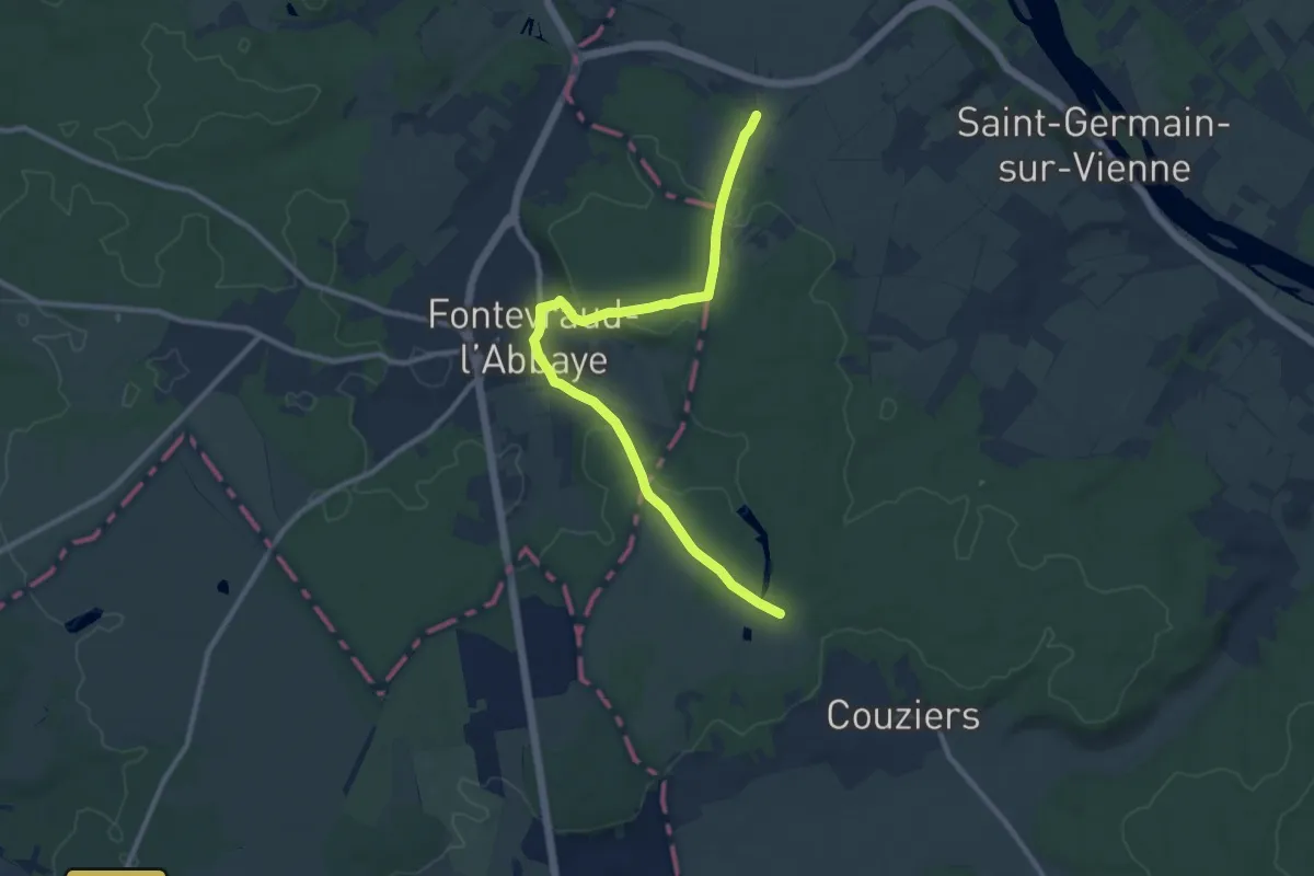
Medium · Trail
Via Sancti Martini - Chemin de Ligugé
10.6 km · ↑ 132 m · 2 h 47 min
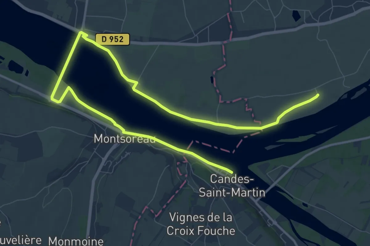
Medium · Trail
Via Sancti Martini - Chemin d'été de la Saint-Martin
14.1 km · ↑ 42 m · 3 h 25 min
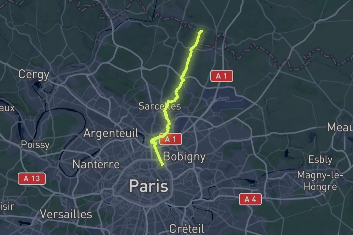
Demanding · Trail
Via Sancti Martini - Chemin d'Utrecht
36.1 km · ↑ 288 m · 9 h 38 min
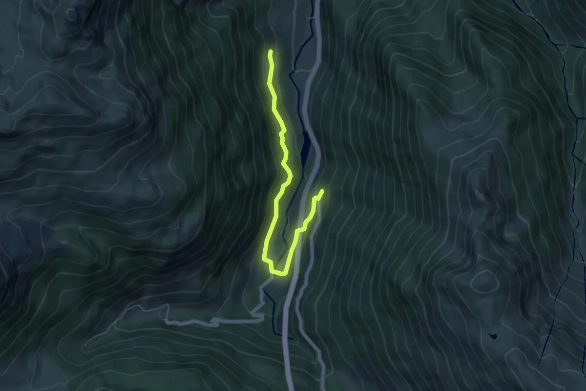
Easy · Trail
Via Tolosana - Variante, Borce - Urdos - du Berat du Haut aux Forges d'Abel
5.6 km · ↑ 278 m · 1 h 55 min
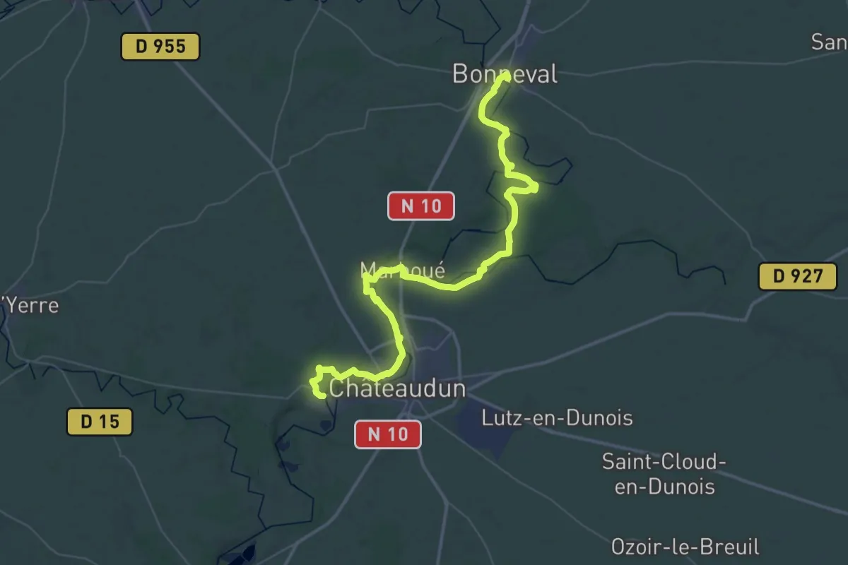
Demanding · Trail
Via Turonensis, Bonneval à Saint-Denis-les-Ponts
27.3 km · ↑ 183 m · 7 h 14 min
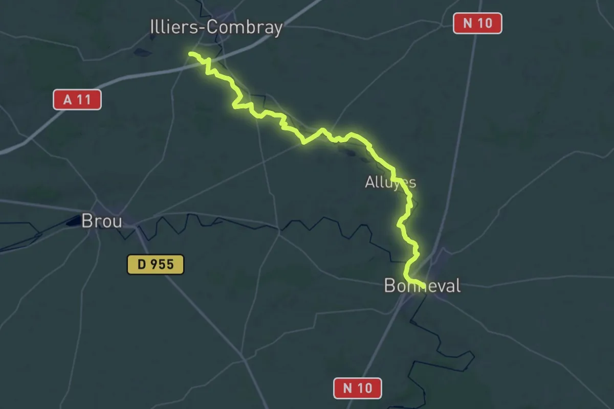
Demanding · Trail
Via Turonensis, Illiers-Combray à Bonneval
24.3 km · ↑ 43 m · 6 h 11 min