Trails in France
15,926 hiking trails, each with its route, climb, walking time and grade.
All trails, page 284 of 332
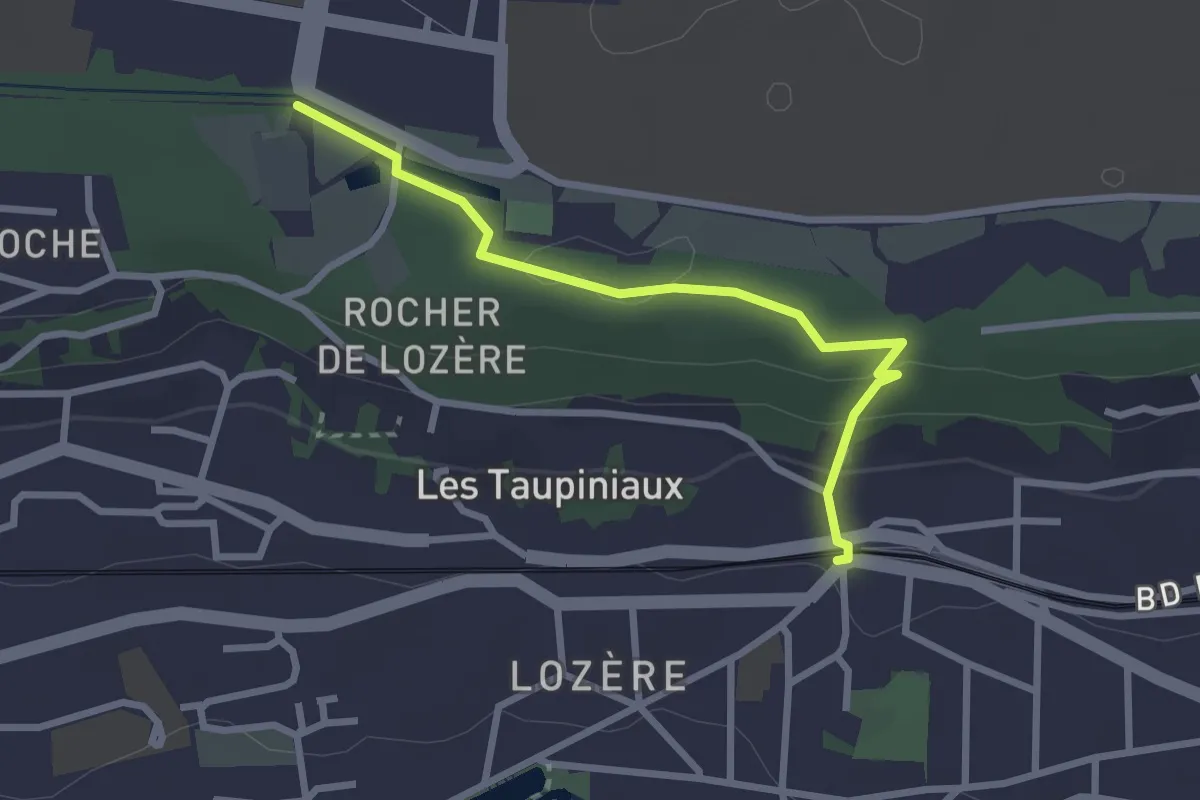
Easy · Trail
Via Turonensis, Orsay - Palaiseau
2.6 km · ↑ 67 m · 45 min
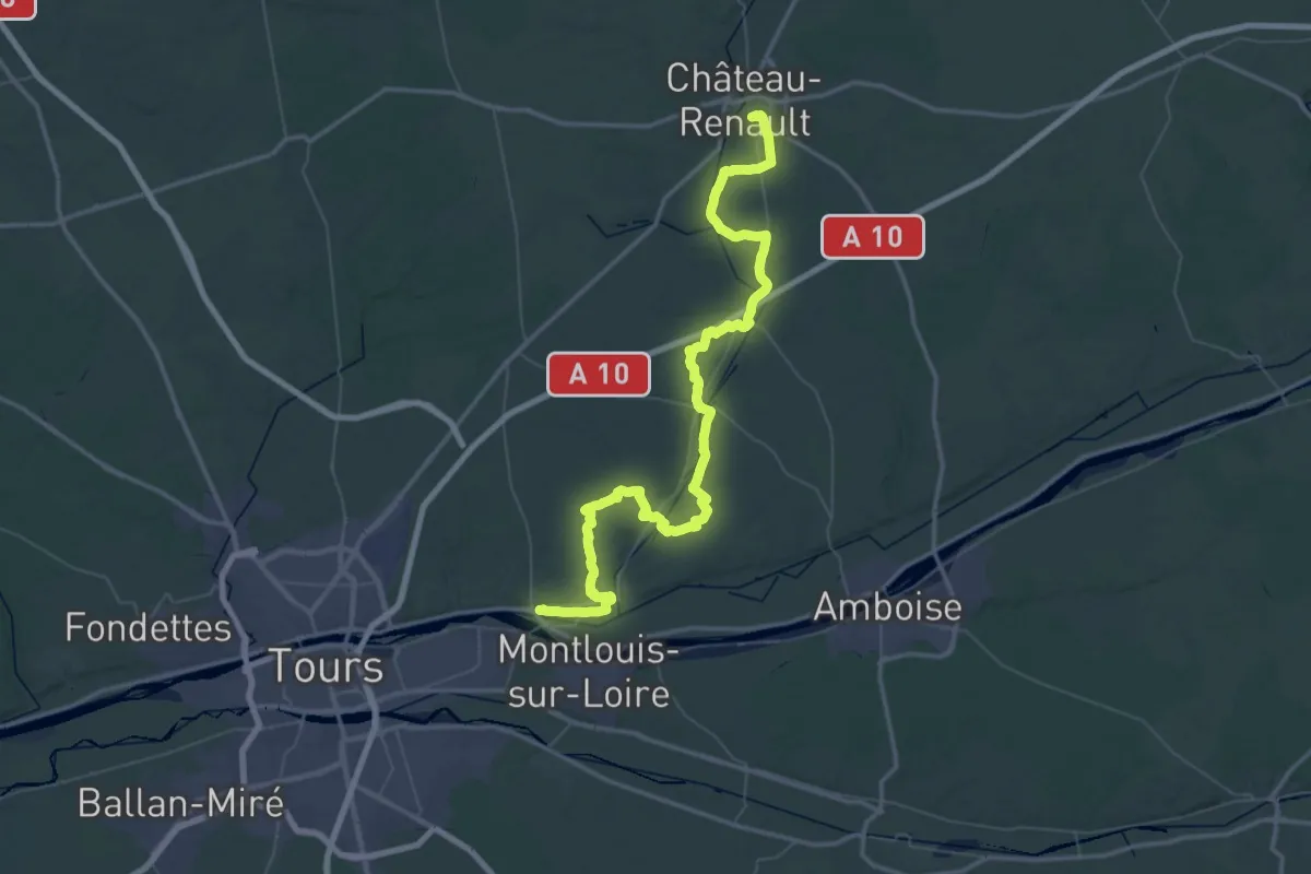
Demanding · Trail
Via Turonensis par Chartres, Château-Renault - Vouvray
38.7 km · ↑ 372 m · 10 h 30 min
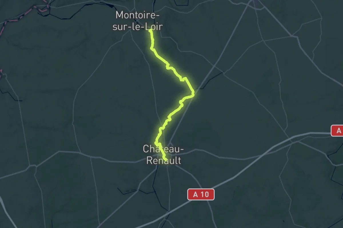
Demanding · Trail
Via Turonensis par Chartres, Lavardin - Château-Renault
26.5 km · ↑ 280 m · 7 h 13 min
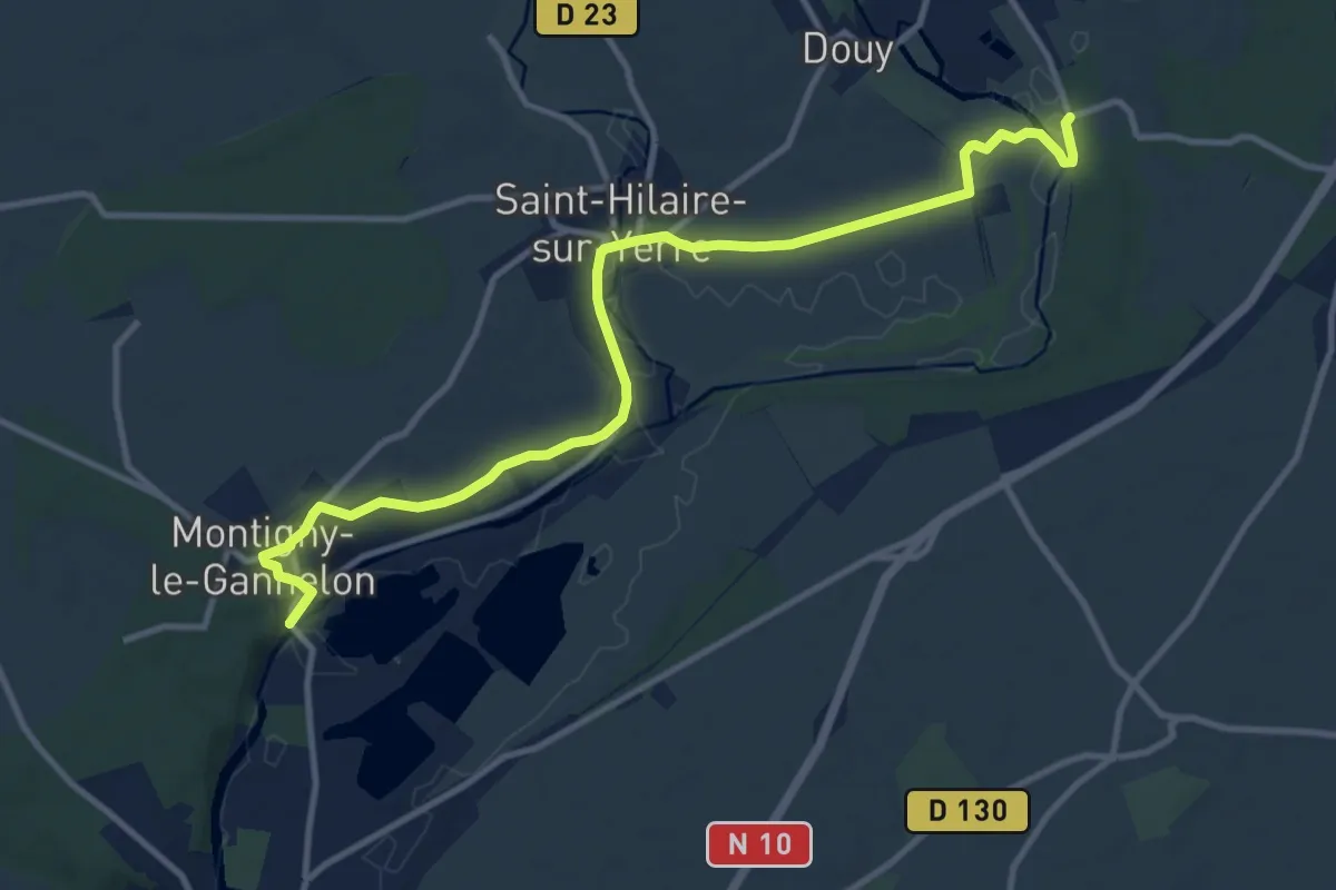
Medium · Trail
Via Turonensis par Chartres, Moulin de Courgain - Montigny-le-Gannelon
12.2 km · ↑ 84 m · 3 h 4 min
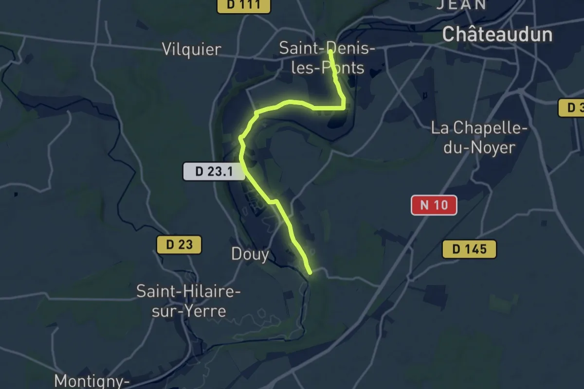
Medium · Trail
Via Turonensis par Chartres - Saint-Denis-les-Ponts - Moulin de Courgain
11.9 km · ↑ 18 m · 2 h 52 min
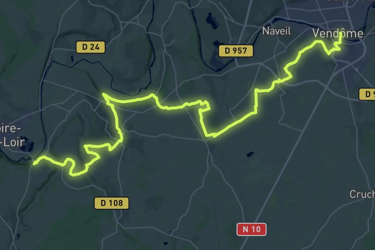
Demanding · Trail
Via Turonensis par Chartres, Vendôme - Lavardin
27.7 km · ↑ 340 m · 7 h 40 min
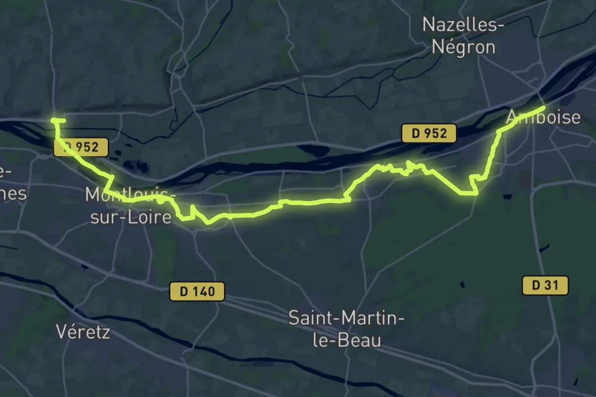
Demanding · Trail
Via Turonensis par Orléans, Amboise - Vouvray
21.3 km · ↑ 177 m · 5 h 43 min
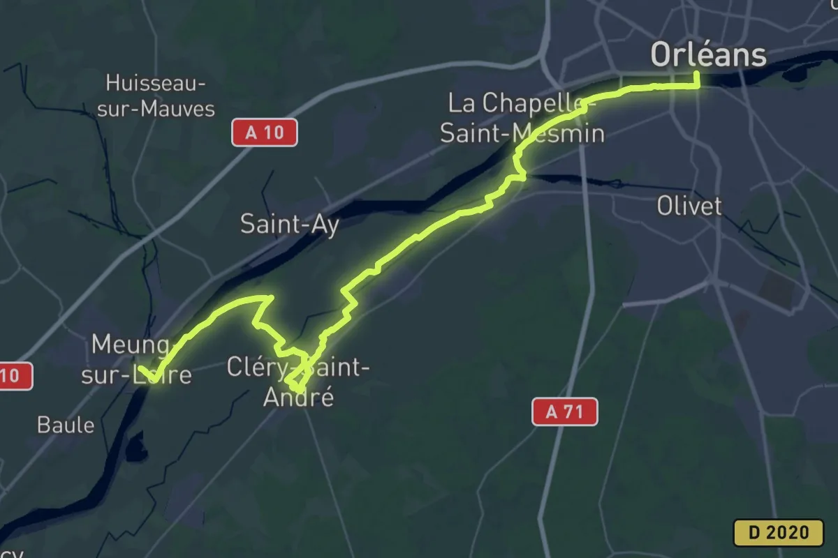
Demanding · Trail
Via Turonensis par Orléans, Orléans - Meung-sur-Loire
26.6 km · ↑ 34 m · 6 h 43 min
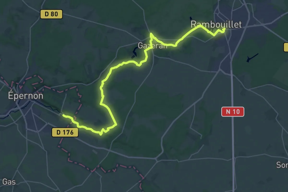
Medium · Trail
Via Turonensis, Rambouillet - Chartres
16.8 km · ↑ 133 m · 4 h 30 min
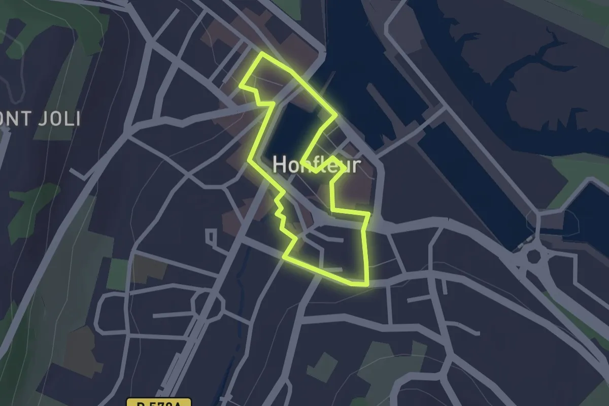
Easy · Trail
Vieille Ville
1.5 km · ↑ 27 m · 27 min
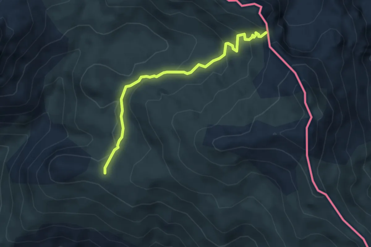
Medium · Trail
Viejo Camino de Santiago por el Valle de Hecho - Calzada del Summo Pyreneo
4.5 km · ↑ 213 m · 1 h 32 min
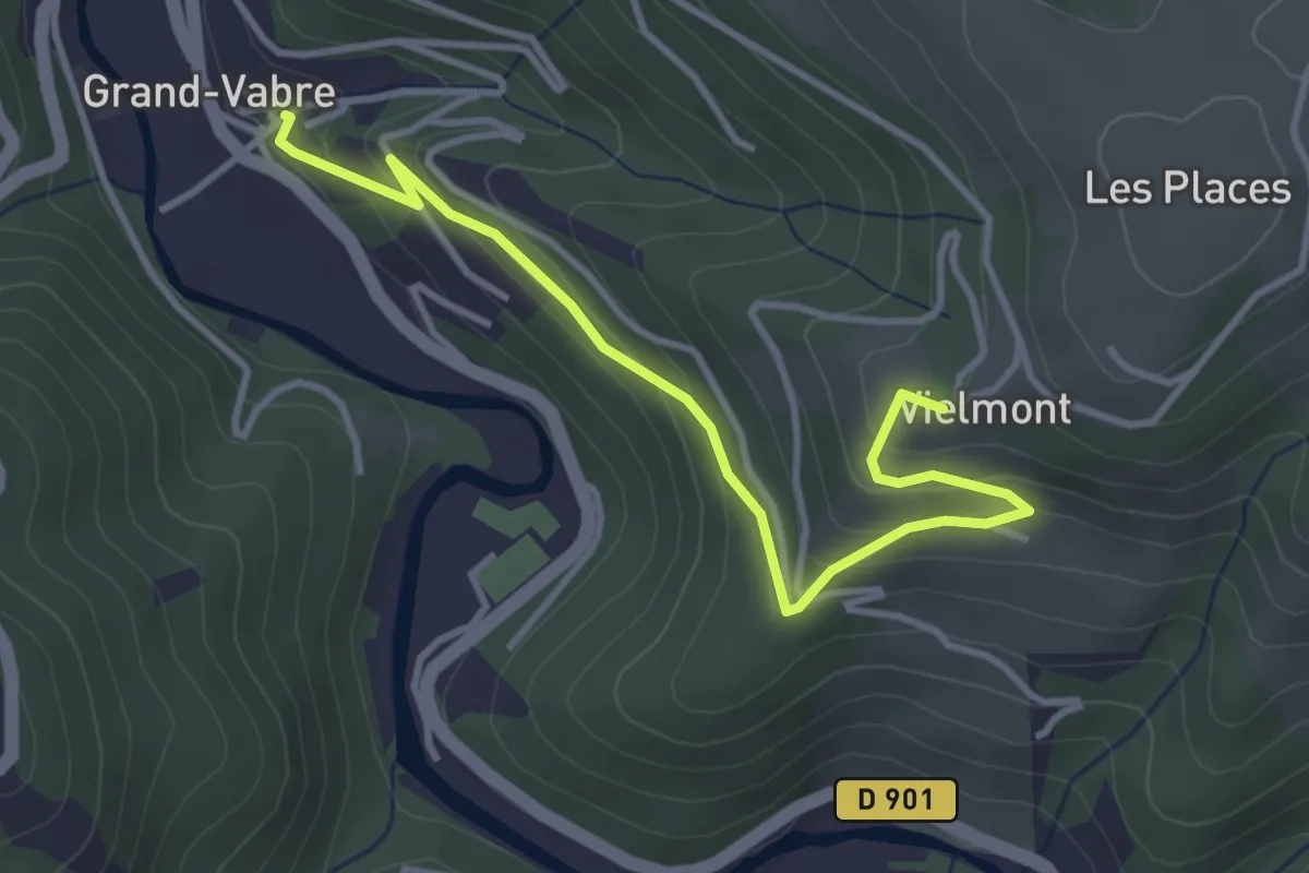
Easy · Trail
Vielmont
4.0 km · ↑ 229 m · 1 h 27 min
Medium · Trail
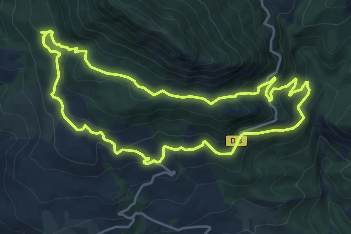
Vieux Mélan
8.9 km · ↑ 402 m · 3 h 6 min
Easy · Trail
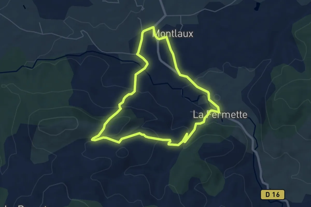
Vieux Montlaux
5.7 km · ↑ 208 m · 1 h 52 min
Medium · Trail
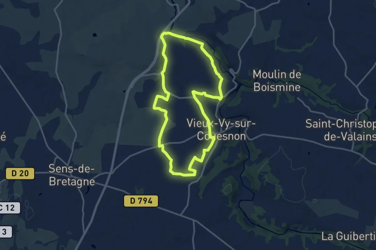
Vieux-Vy-sur-Couesnon - les carrières
10.7 km · ↑ 94 m · 2 h 52 min
Medium · Trail
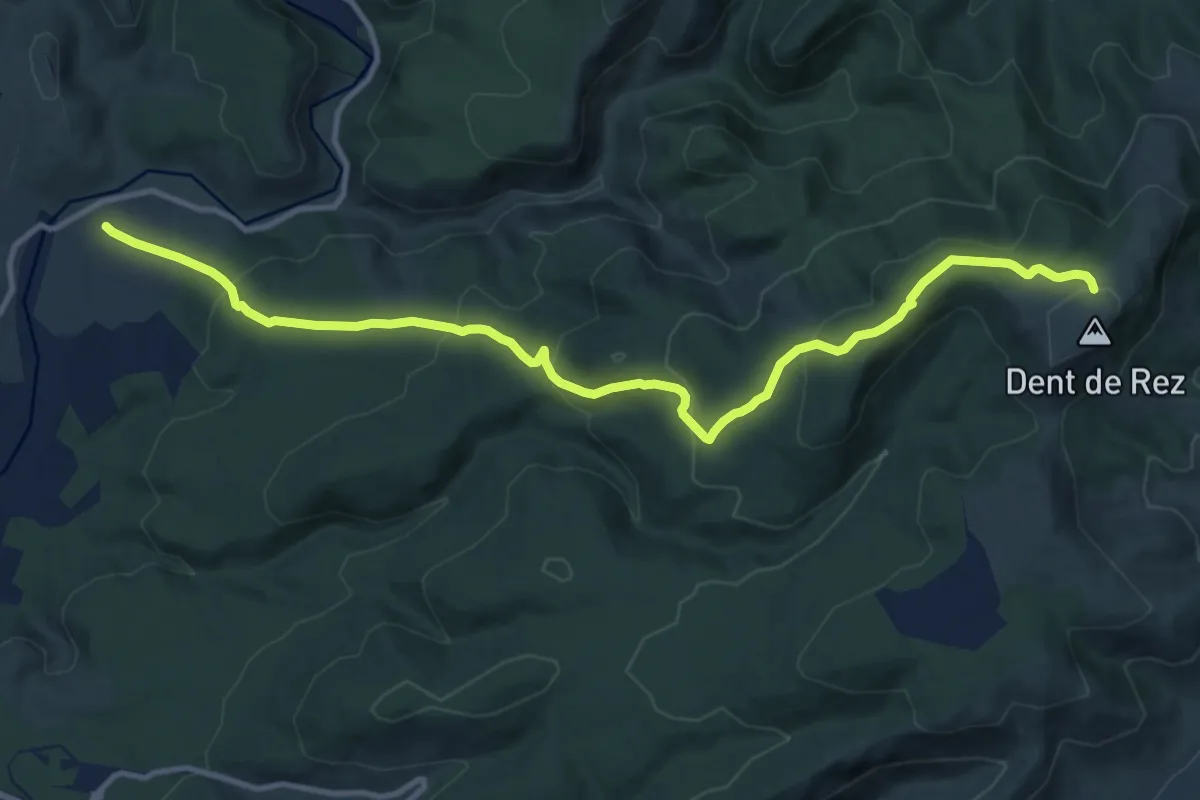
Vigier - Dent de Rez
13.6 km · ↑ 617 m · 4 h 33 min
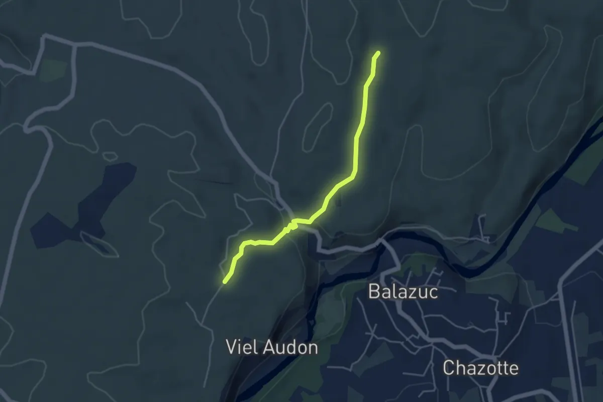
Easy · Trail
Vigiers - Chazette
4.0 km · ↑ 63 m · 1 h 5 min
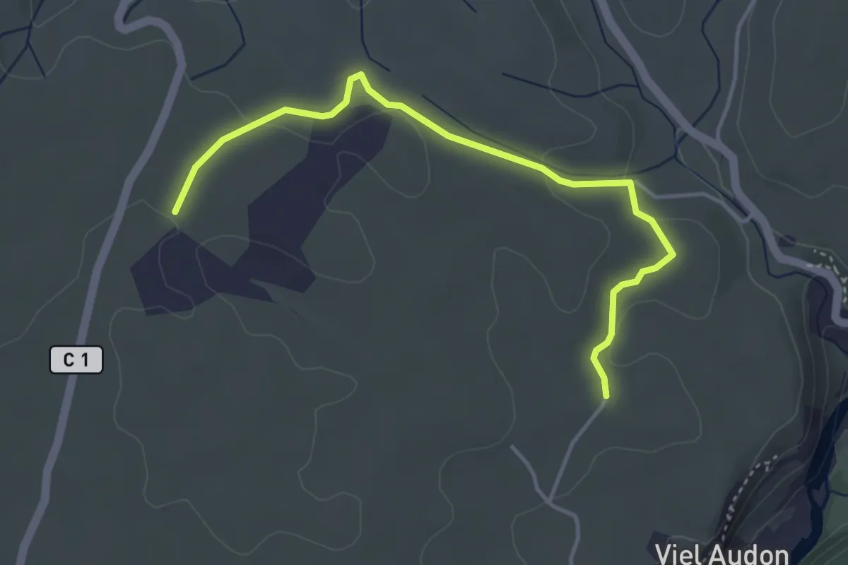
Easy · Trail
Vigiers - Combe Veyras
4.3 km · ↑ 65 m · 1 h 9 min
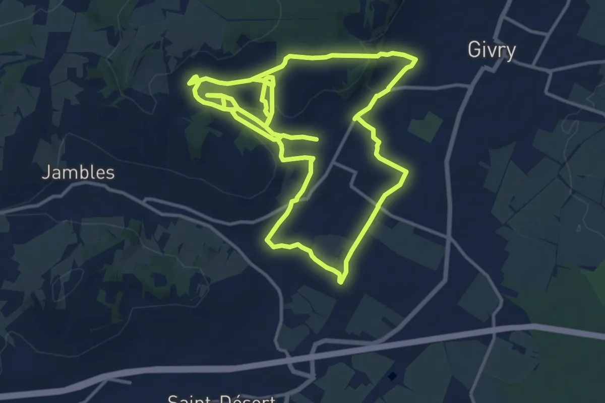
Medium · Trail
Vignes, Clos et Cado
11.5 km · ↑ 274 m · 3 h 29 min
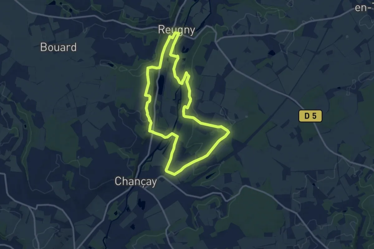
Medium · Trail
Vignes et Brenne
9.9 km · ↑ 136 m · 2 h 46 min
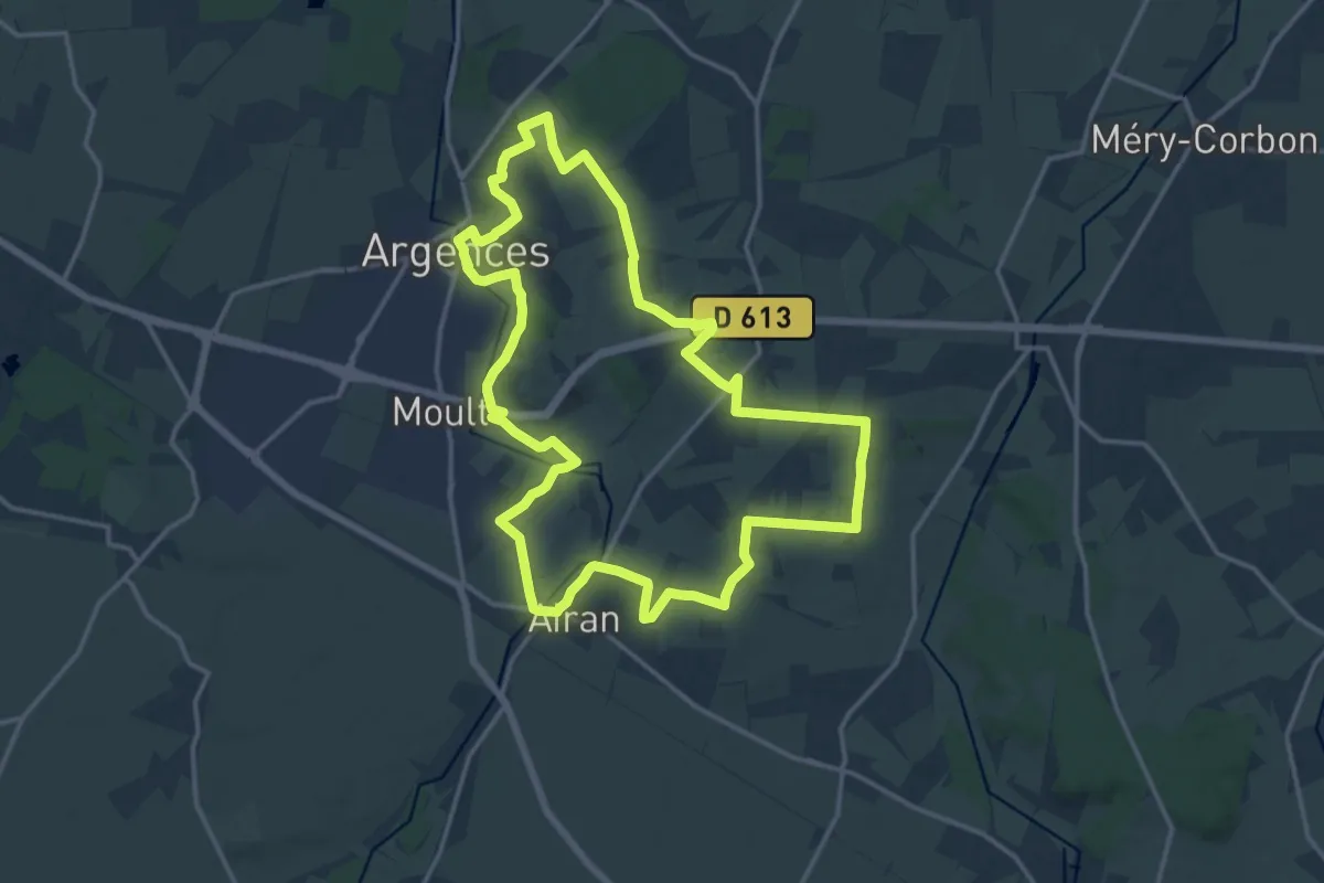
Medium · Trail
Vignes et Bruyères
15.7 km · ↑ 97 m · 4 h 9 min
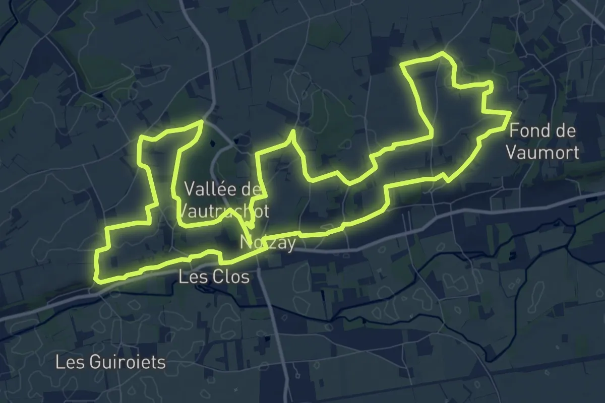
Medium · Trail
Vignes et Coteaux
13.5 km · ↑ 139 m · 3 h 40 min
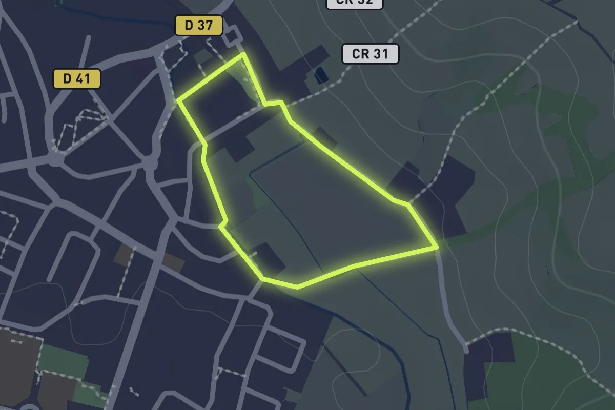
Easy · Trail
Vignes et Moulins
1.3 km · ↑ 5 m · 20 min
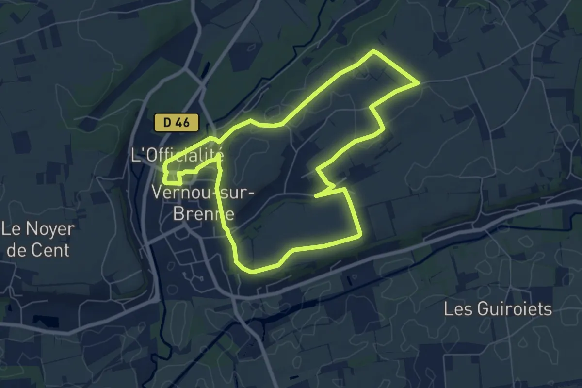
Easy · Trail
Vignes et Patrimoine - Vernou-sur-Brenne
6.6 km · ↑ 63 m · 1 h 47 min
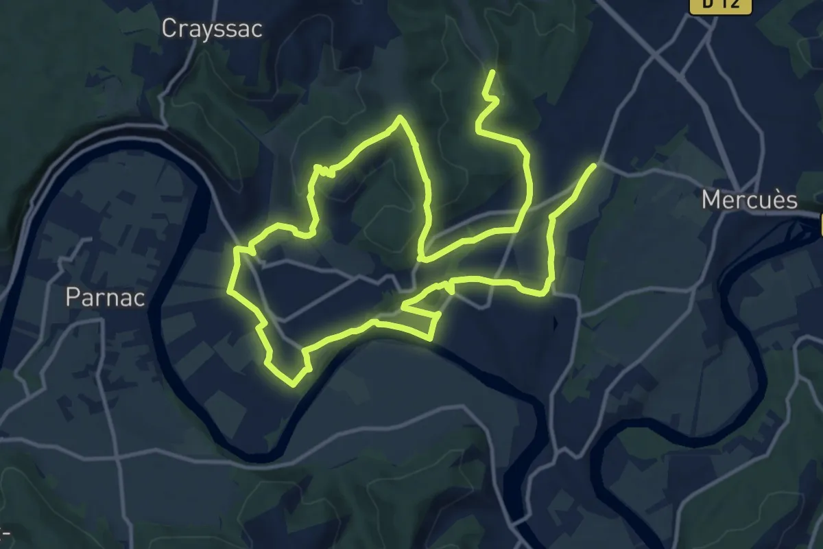
Medium · Trail
Vignes et Vergers
12.8 km · ↑ 303 m · 3 h 49 min
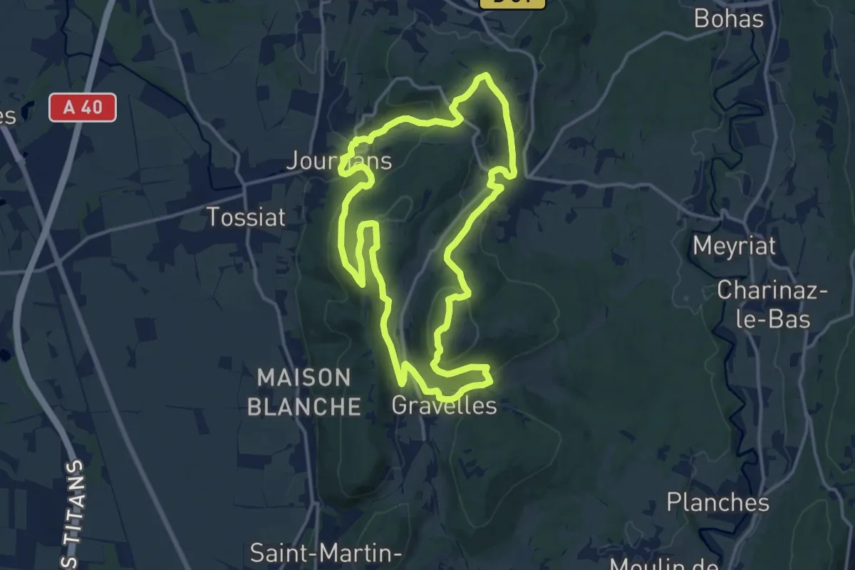
Medium · Summit
Vignoble du Revermont
14.0 km · ↑ 509 m · 4 h 36 min
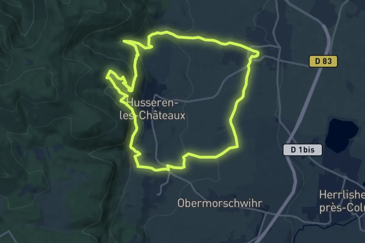
Medium · Trail
Vignoble et Châteaux
11.2 km · ↑ 410 m · 3 h 41 min
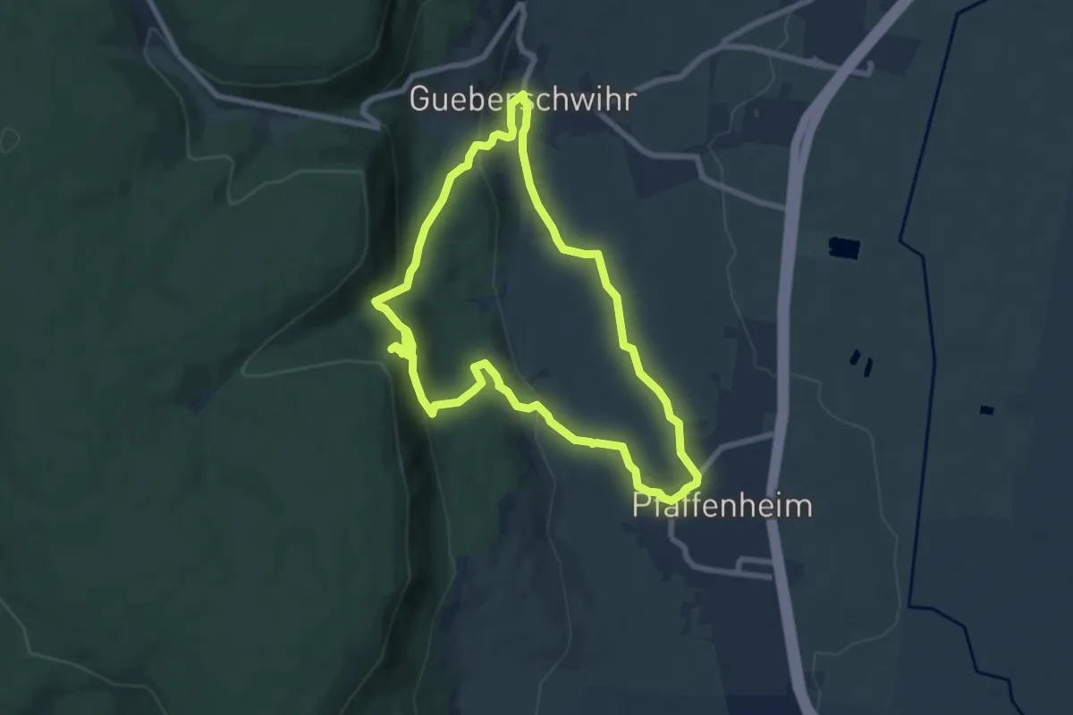
Medium · Trail
Vignoble et Spiritualité
6.8 km · ↑ 295 m · 2 h 19 min
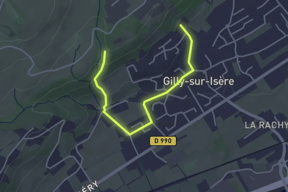
Easy · Trail
Villa Gallo Romaine
3.5 km · ↑ 113 m · 1 h 5 min
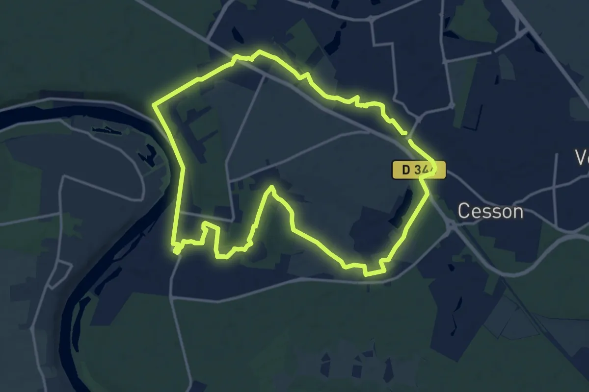
Medium · Trail
Villages briards
13.0 km · ↑ 103 m · 3 h 28 min
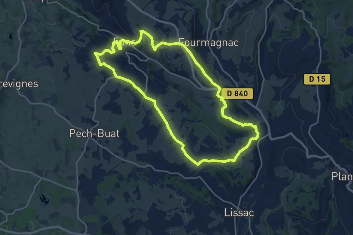
Medium · Trail
Villages et côteaux de Limargue
13.0 km · ↑ 368 m · 4 h 2 min
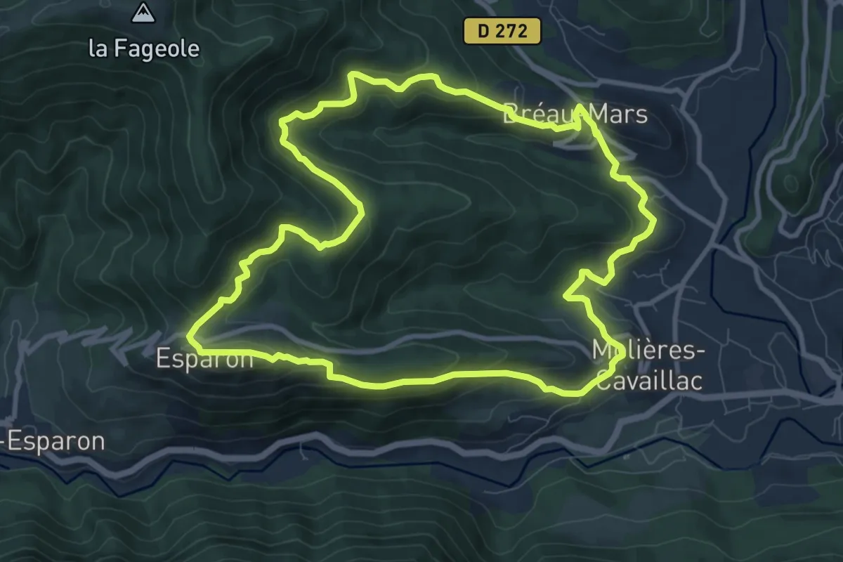
Medium · Trail
Villages viganais, circuit des Rutènes
10.0 km · ↑ 493 m · 3 h 34 min
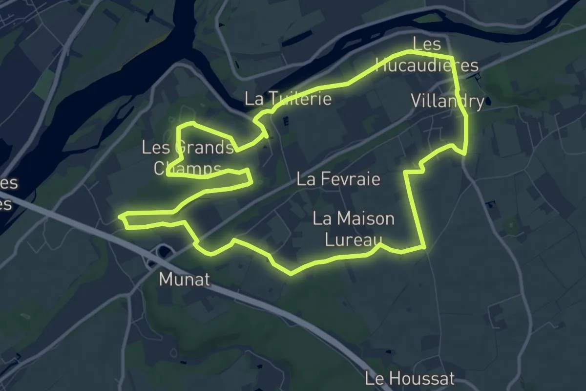
Medium · Trail
Villandry Sentier découverte
10.9 km · ↑ 68 m · 2 h 52 min
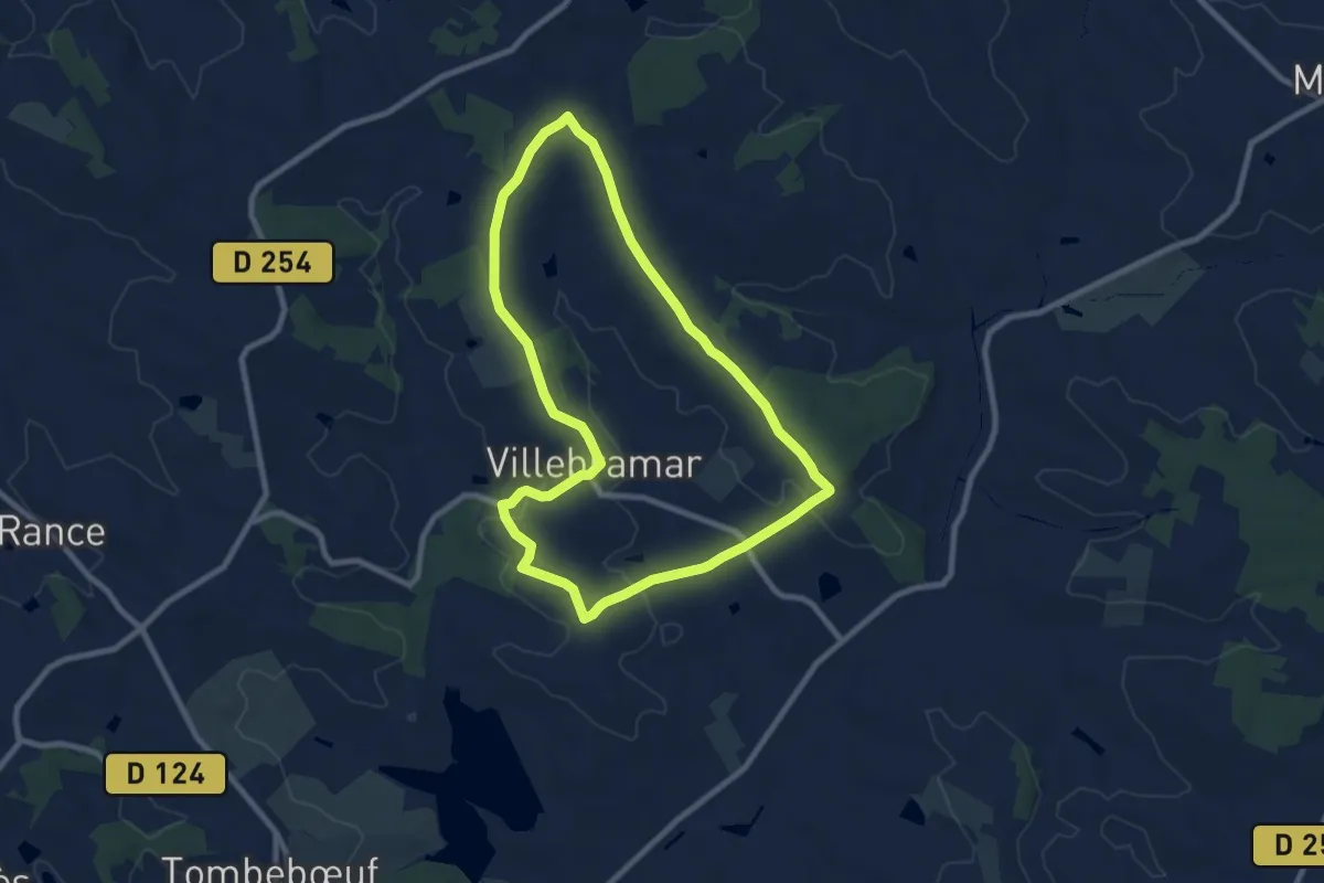
Medium · Trail
Villebramar, la visite des tulipes agenaises
8.6 km · ↑ 96 m · 2 h 22 min
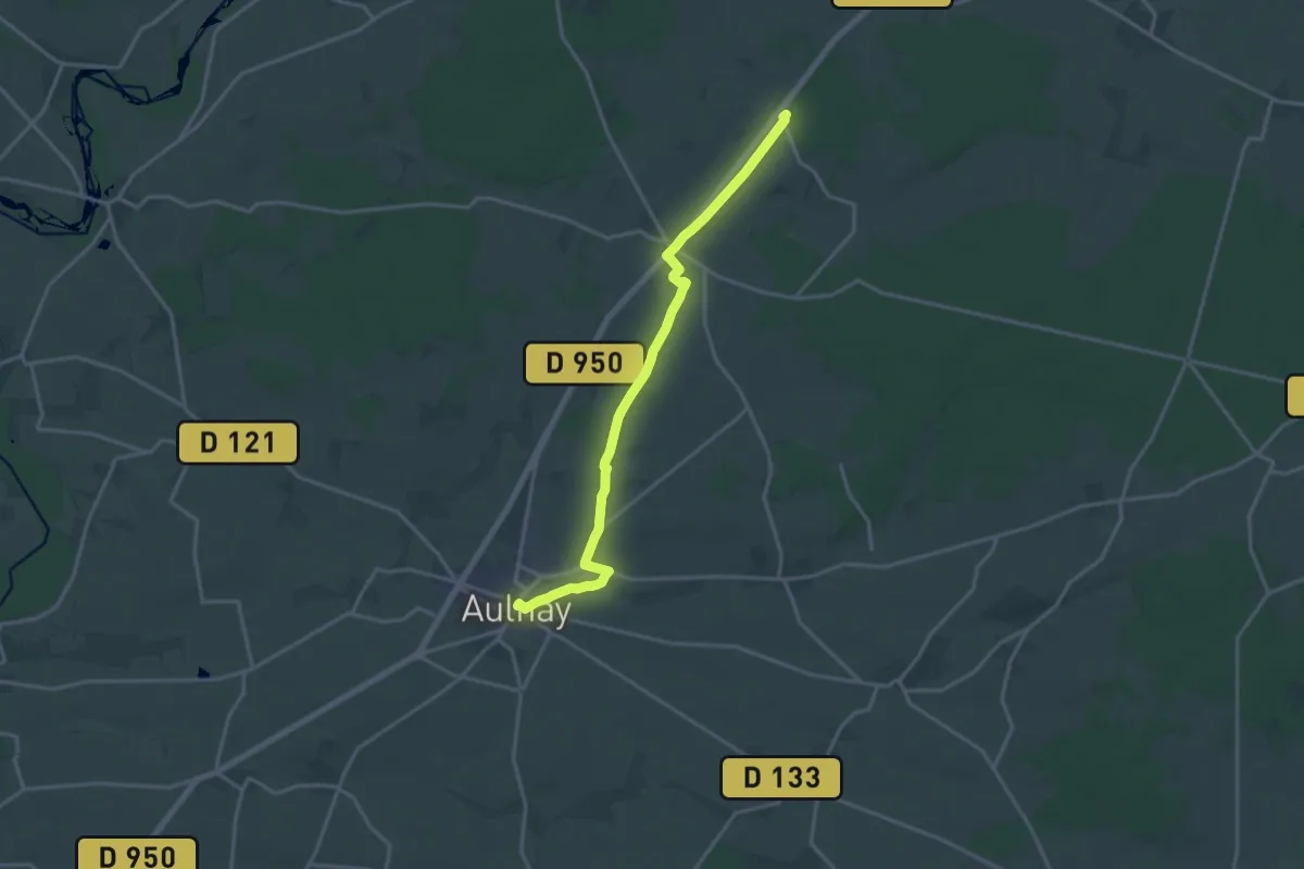
Medium · Trail
Villedieu - Aulnay
17.0 km · ↑ 110 m · 4 h 15 min
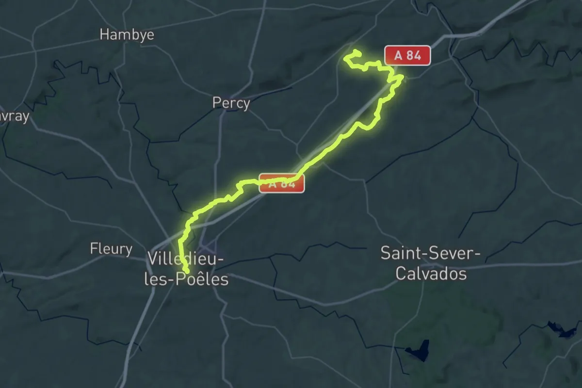
Demanding · Trail
Villedieu-les-Poeles à Gouvets
25.4 km · ↑ 475 m · 7 h 22 min
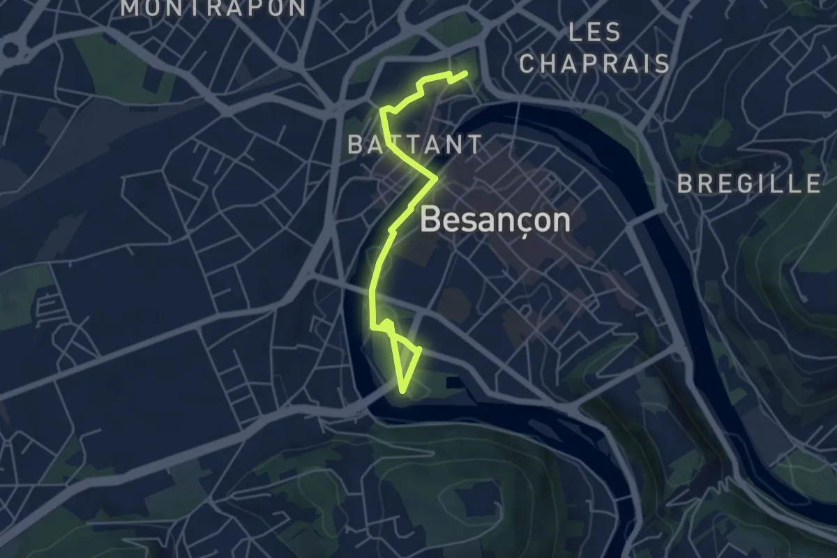
Easy · Trail
Ville Forte
2.5 km · ↑ 42 m · 43 min
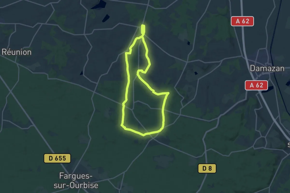
Medium · Trail
Villefranche, la bastide du Queyran - 15.2 km
14.9 km · ↑ 191 m · 4 h 8 min
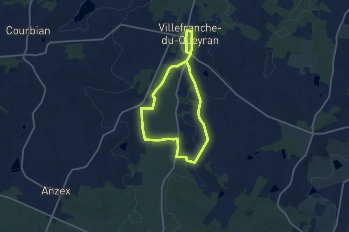
Easy · Trail
Villefranche, la bastide du Queyran (Variante) - 6 km
6.3 km · ↑ 47 m · 1 h 40 min
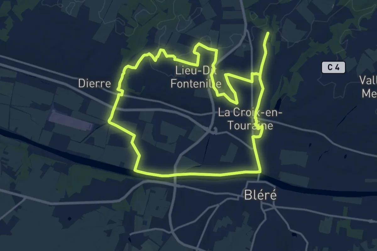
Demanding · Trail
Villefrault
25.7 km · ↑ 131 m · 6 h 21 min
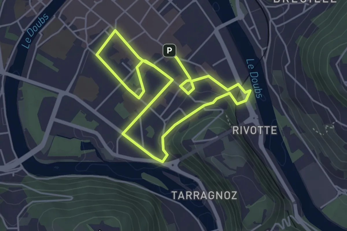
Easy · Trail
Ville Haute
3.7 km · ↑ 49 m · 1 h 2 min
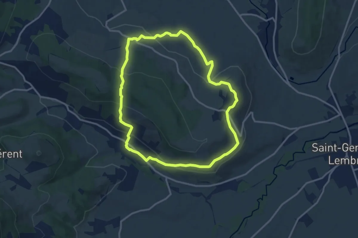
Medium · Trail
Villeneuve, Boudes, Chalus
8.9 km · ↑ 317 m · 2 h 55 min
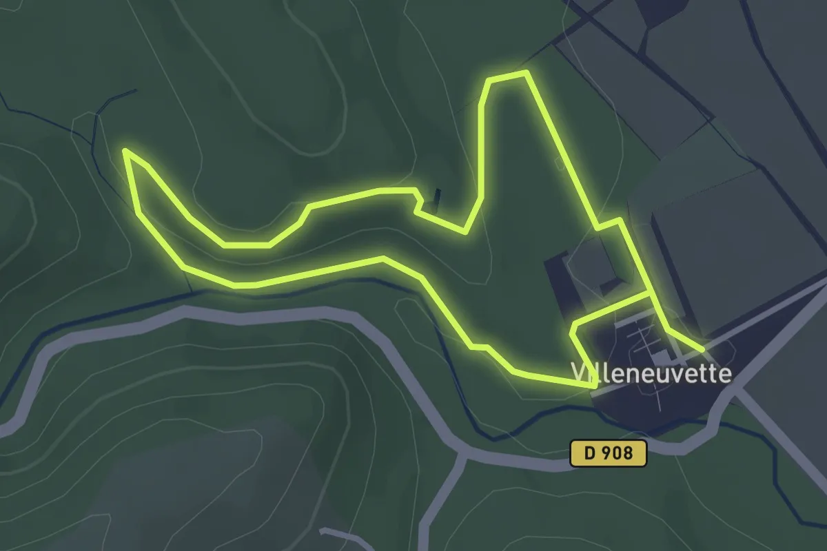
Easy · Trail
Villeneuvette
2.9 km · ↑ 41 m · 49 min
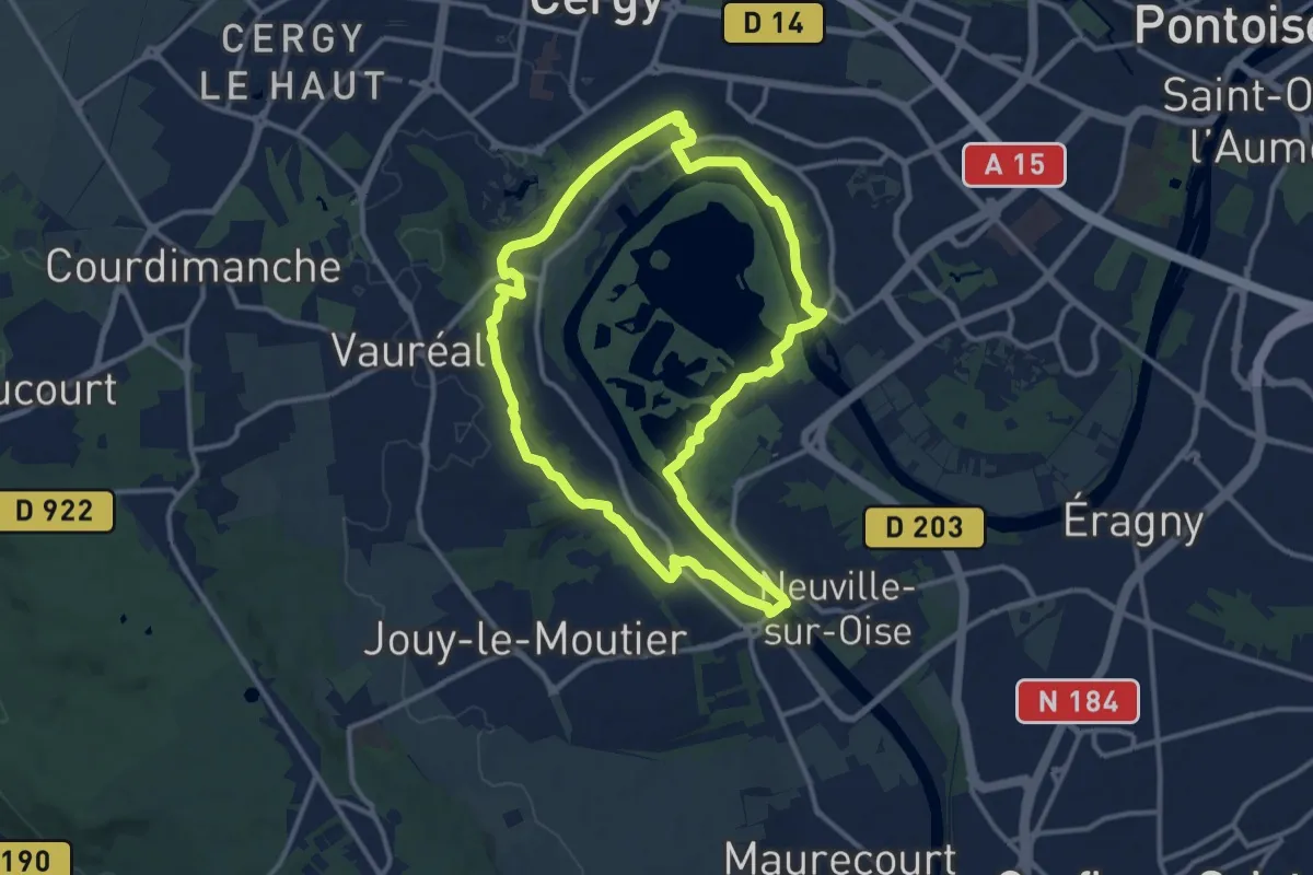
Medium · Trail
Ville nouvelle et loisirs champêtres
11.5 km · ↑ 131 m · 3 h 9 min
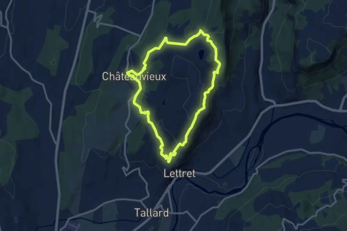
Easy · Trail
Ville vieille - Marinons
7.4 km · ↑ 276 m · 2 h 26 min
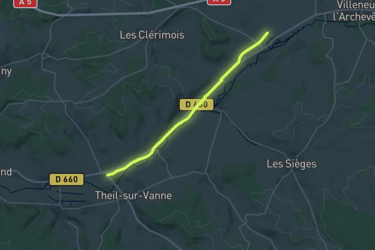
Demanding · Trail
Villier-Louis Autour de la vanne (pas en boucle)
18.3 km · ↑ 42 m · 4 h 25 min
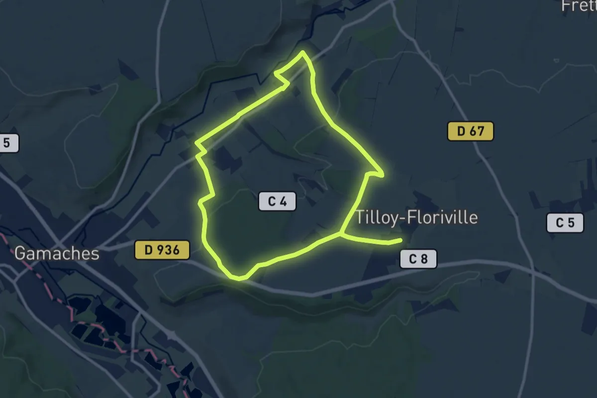
Medium · Trail
Vimeuse
16.5 km · ↑ 187 m · 4 h 18 min
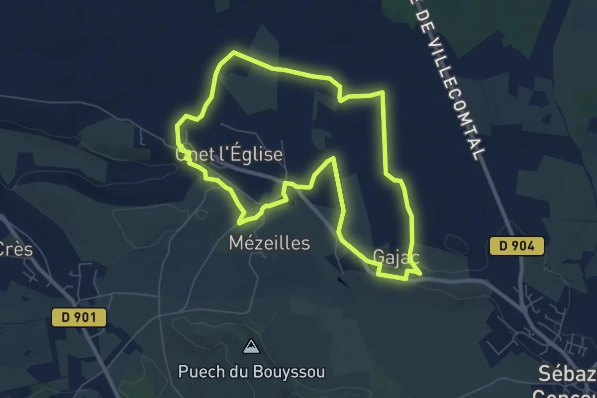
Easy · Trail
Virada De Rescondudon (autour du Rescondudou)
6.5 km · ↑ 55 m · 1 h 45 min