Trails in France
15,926 hiking trails, each with its route, climb, walking time and grade.
All trails, page 285 of 332
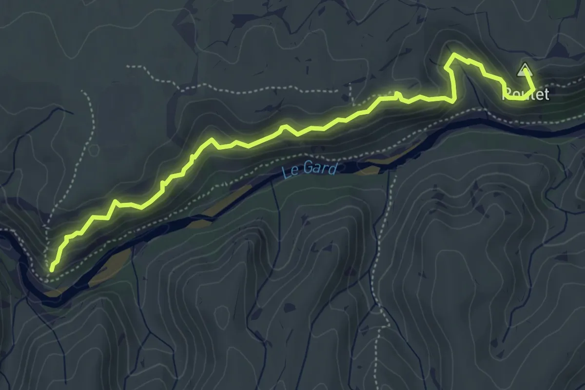
Demanding · Summit
Vire des Chèvres
6.2 km · ↑ 494 m · 2 h 31 min
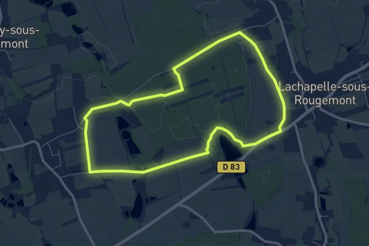
Easy · Trail
Virée des copains
6.4 km · ↑ 39 m · 1 h 41 min
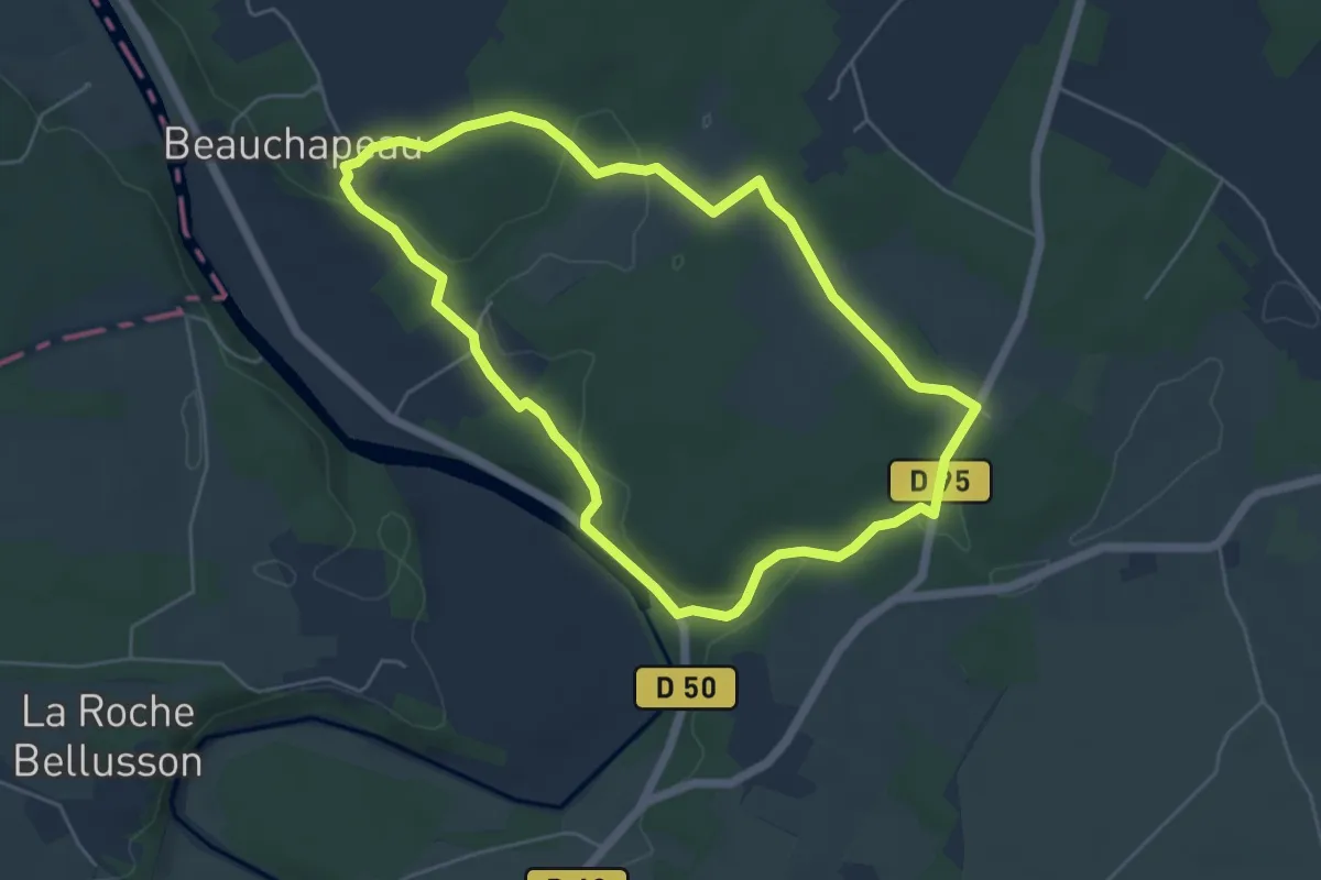
Easy · Trail
Visite au pays des sarcophages
5.2 km · ↑ 68 m · 1 h 26 min
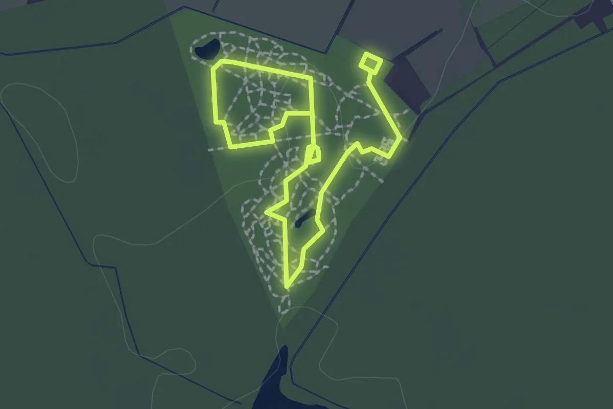
Easy · Trail
Visite de l'Arboretum
1.4 km · ↑ 5 m · 22 min
Easy · Trail
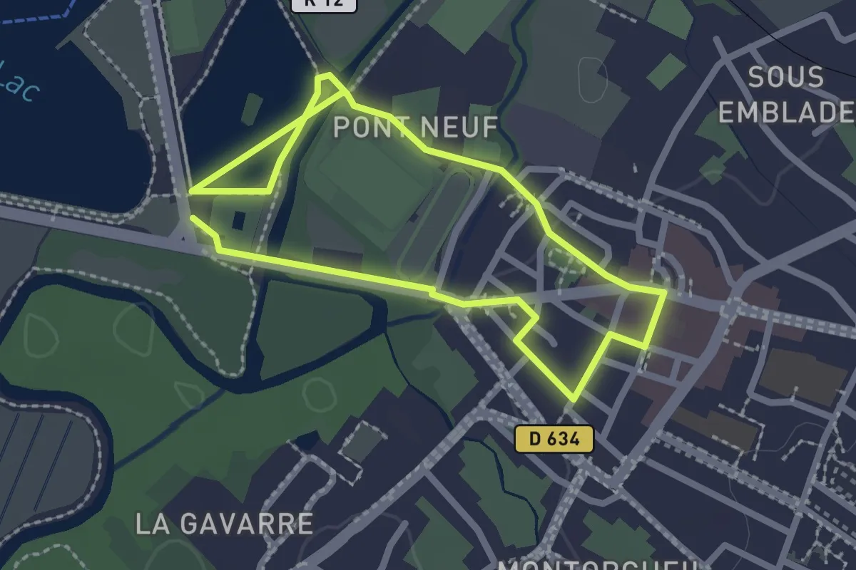
Visite historique du centre-ville de L’Isle-Jourdain
2.1 km · ↑ 13 m · 33 min
Easy · Summit
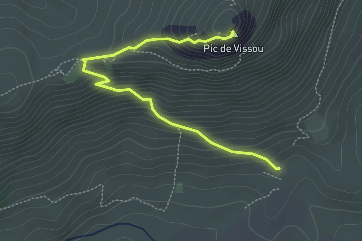
Vissou se raconte
3.3 km · ↑ 258 m · 1 h 20 min
Medium · Trail
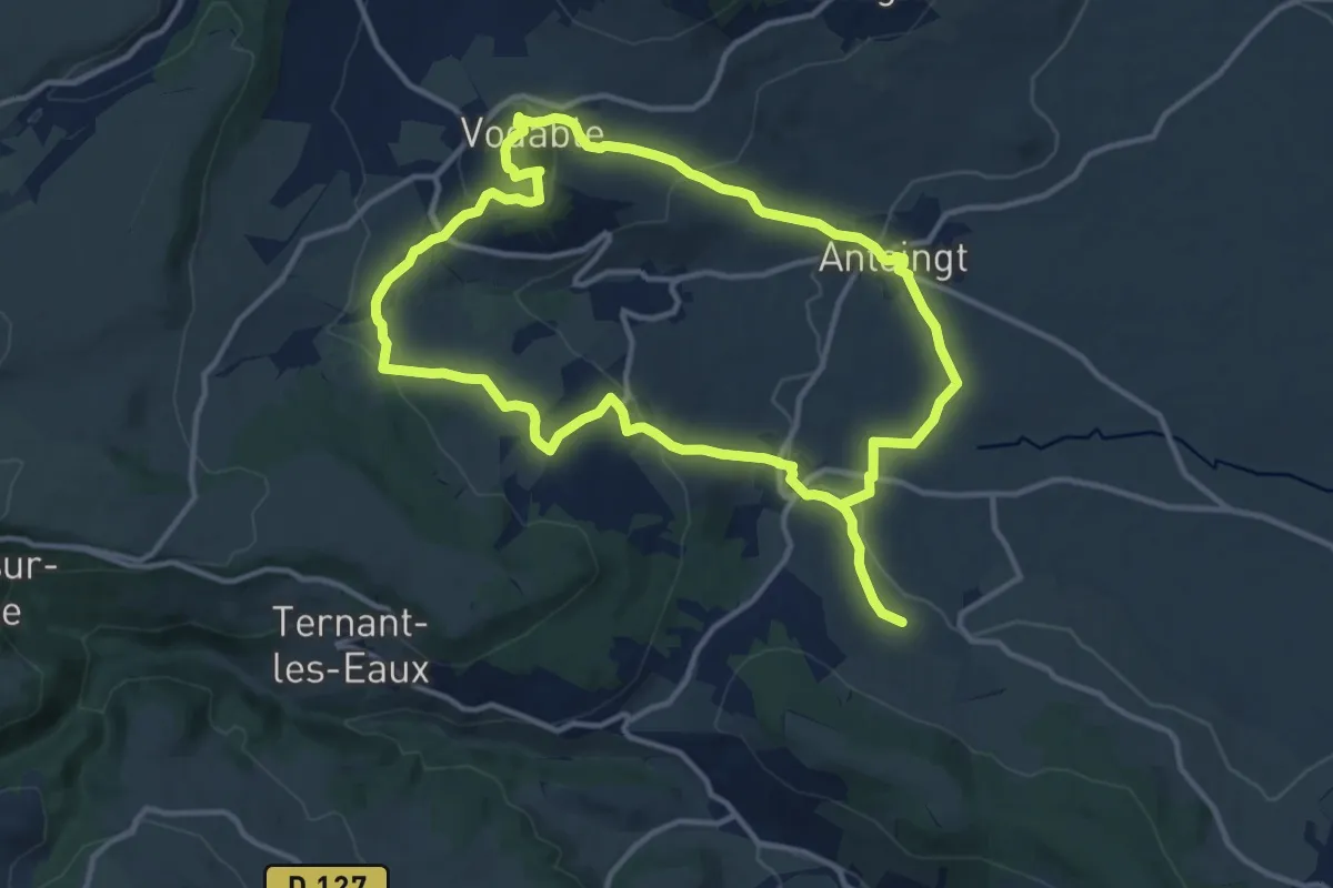
Vodable et Colamine
11.9 km · ↑ 319 m · 3 h 41 min
Medium · Trail
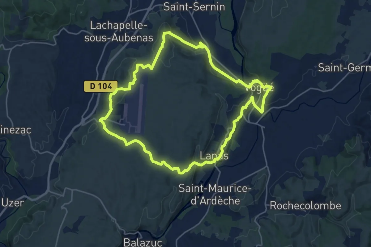
Vogue Lanas Vinobre
16.7 km · ↑ 388 m · 5 h
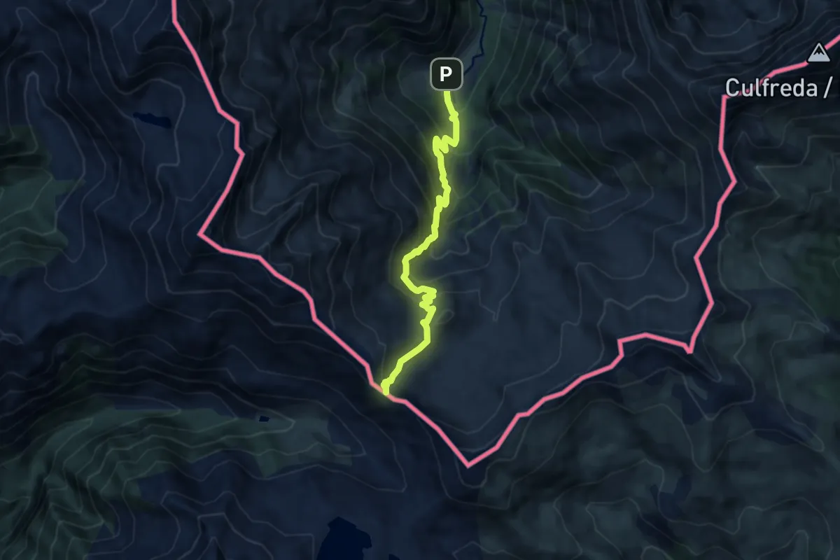
Demanding · Trail
Voie d'Aure
9.4 km · ↑ 833 m · 4 h 1 min
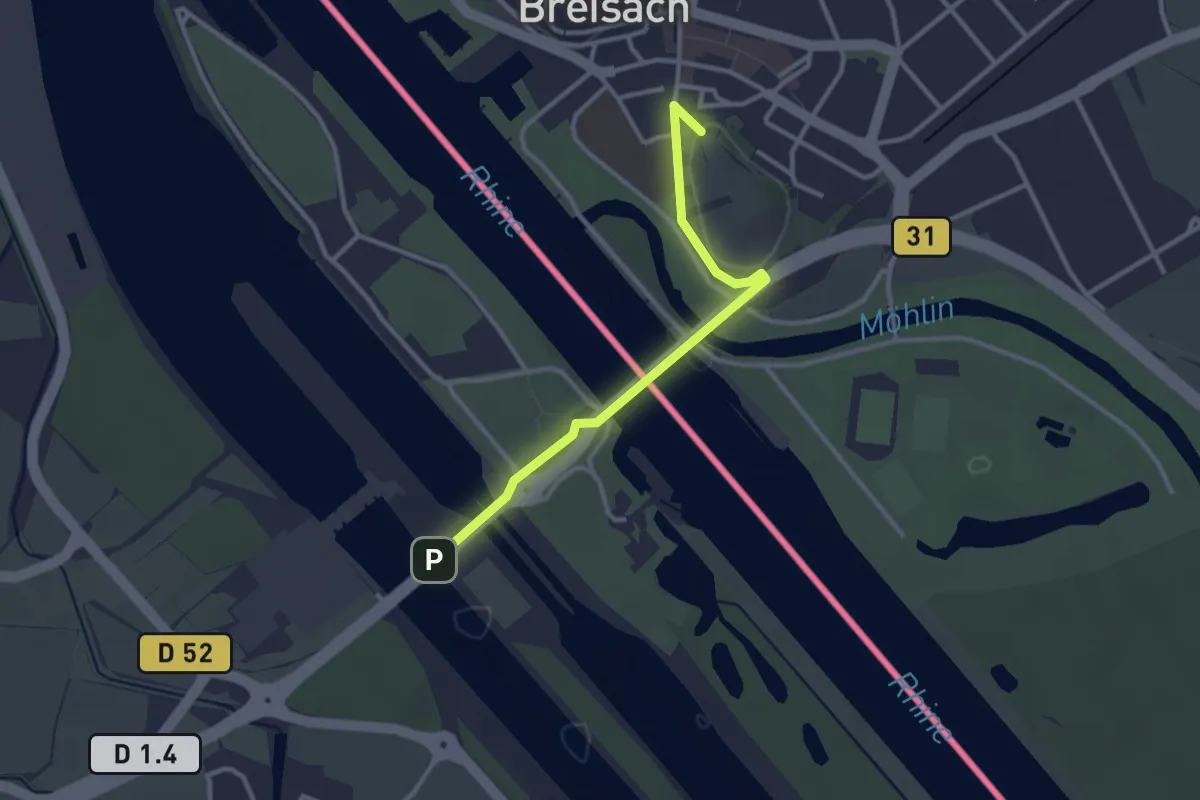
Easy · Summit
Voie de Breisach
2.8 km · ↑ 51 m · 47 min
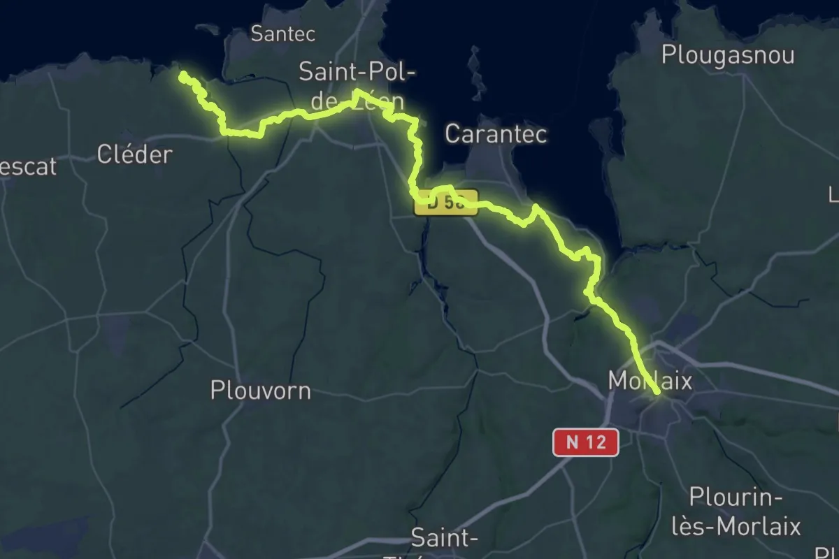
Demanding · Trail
Voie de Moguériec
35.6 km · ↑ 489 m · 9 h 57 min
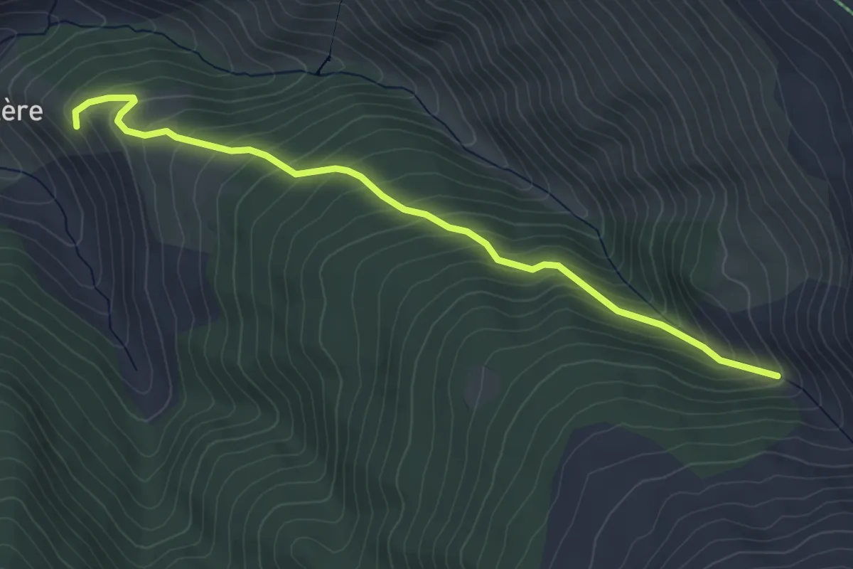
Medium · Trail
Voie de Valcebollère
5.2 km · ↑ 477 m · 2 h 16 min
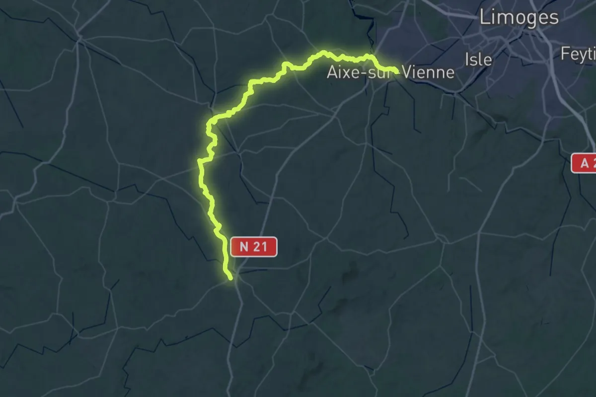
Demanding · Trail
Voie de Vézelay, Aixe-sur-Vienne - Châlus
36.9 km · ↑ 558 m · 10 h 21 min
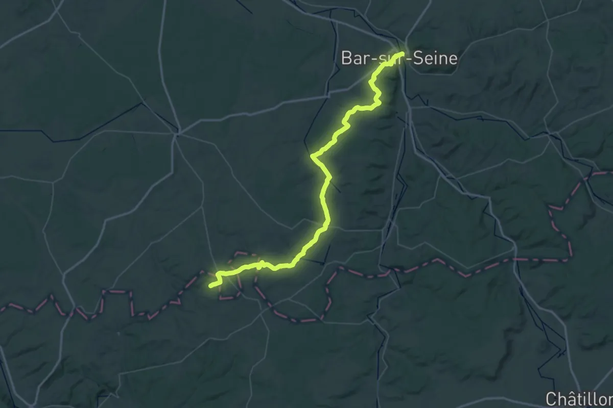
Demanding · Trail
Voie de Vézelay, Bar-sur-Seine - Tonnerre
33.2 km · ↑ 429 m · 9 h 17 min
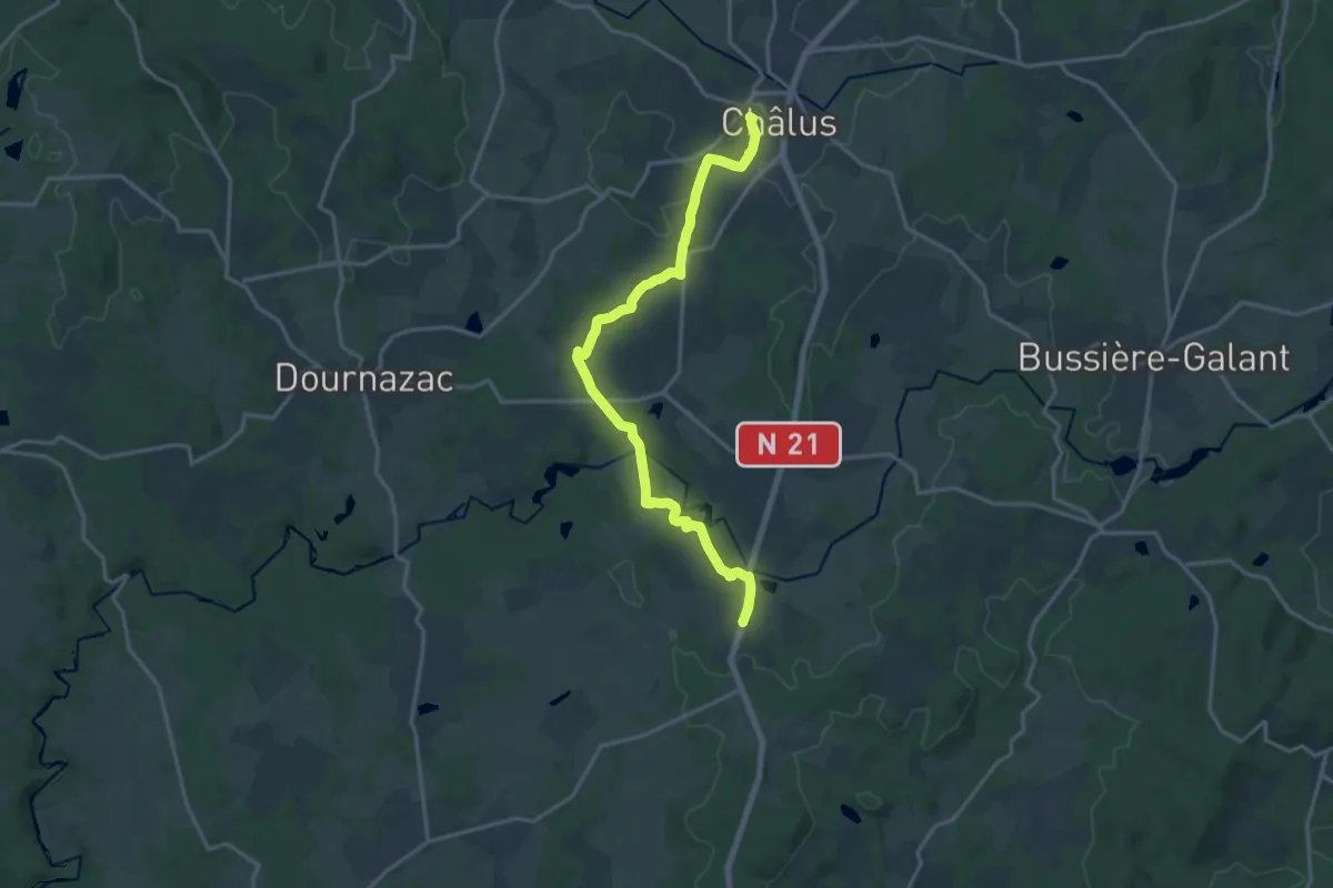
Medium · Trail
Voie de Vézelay, Châlus - Bergerac
17.4 km · ↑ 285 m · 4 h 44 min
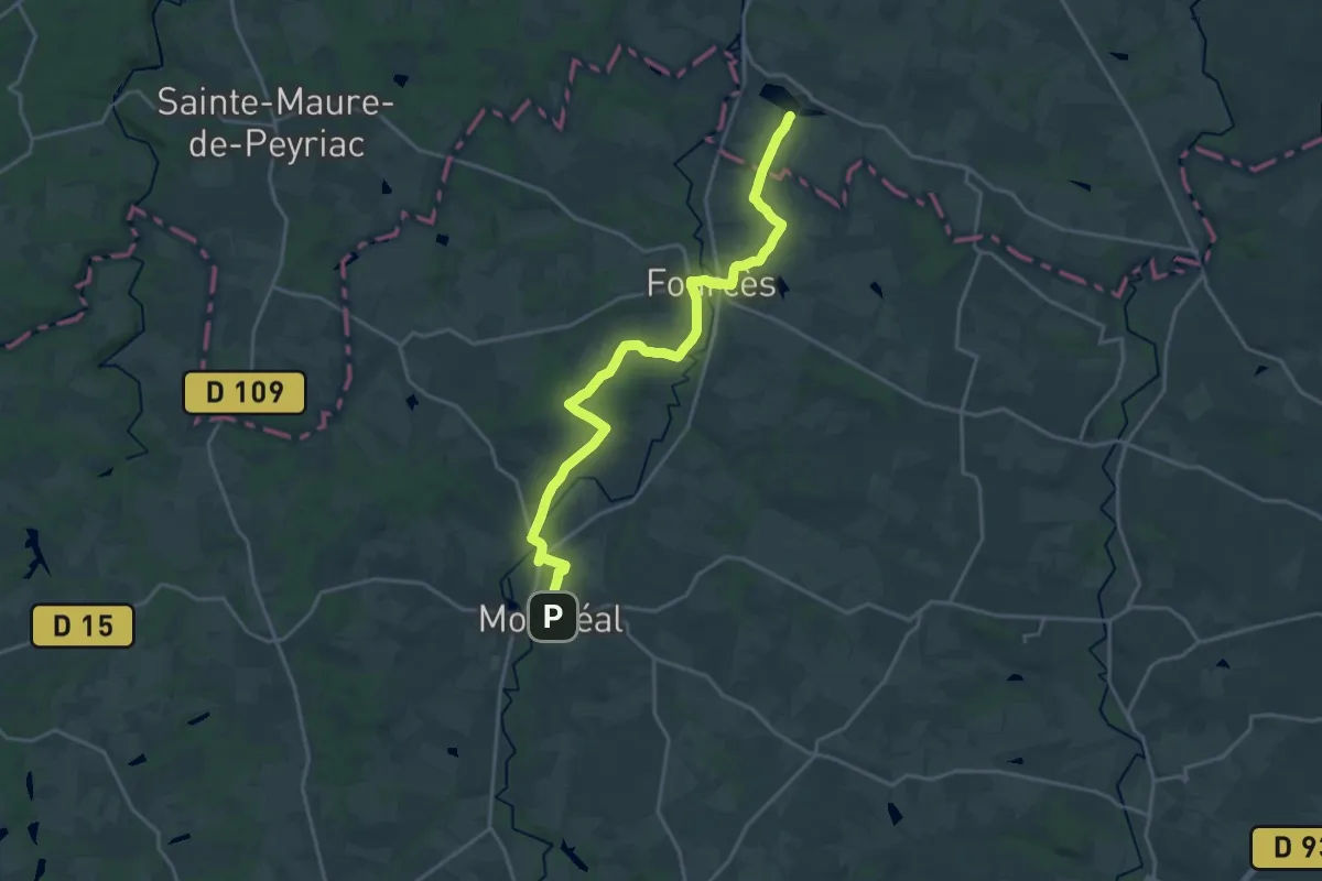
Demanding · Trail
Voie de Vézelay Est, Clairac - Montréal-du-Gers
22.2 km · ↑ 325 m · 5 h 57 min
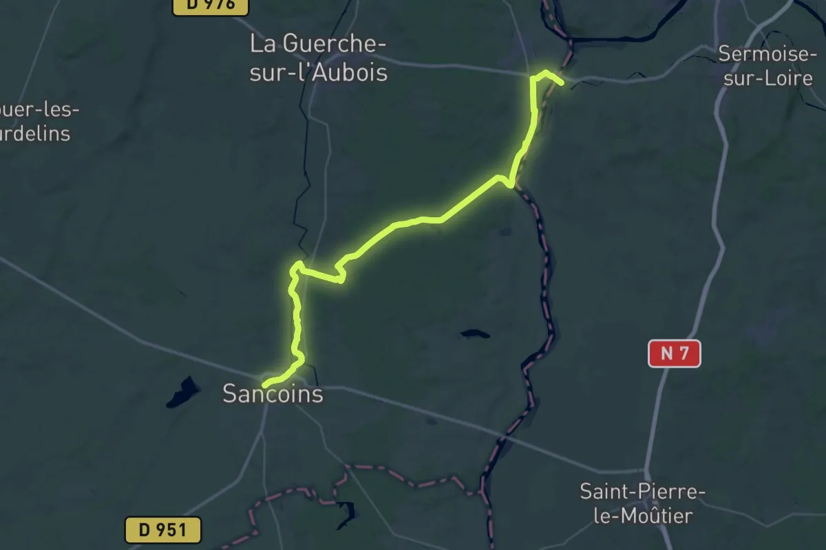
Demanding · Trail
Voie de Vézelay, Nevers - Sancoins
23.3 km · ↑ 128 m · 6 h 7 min
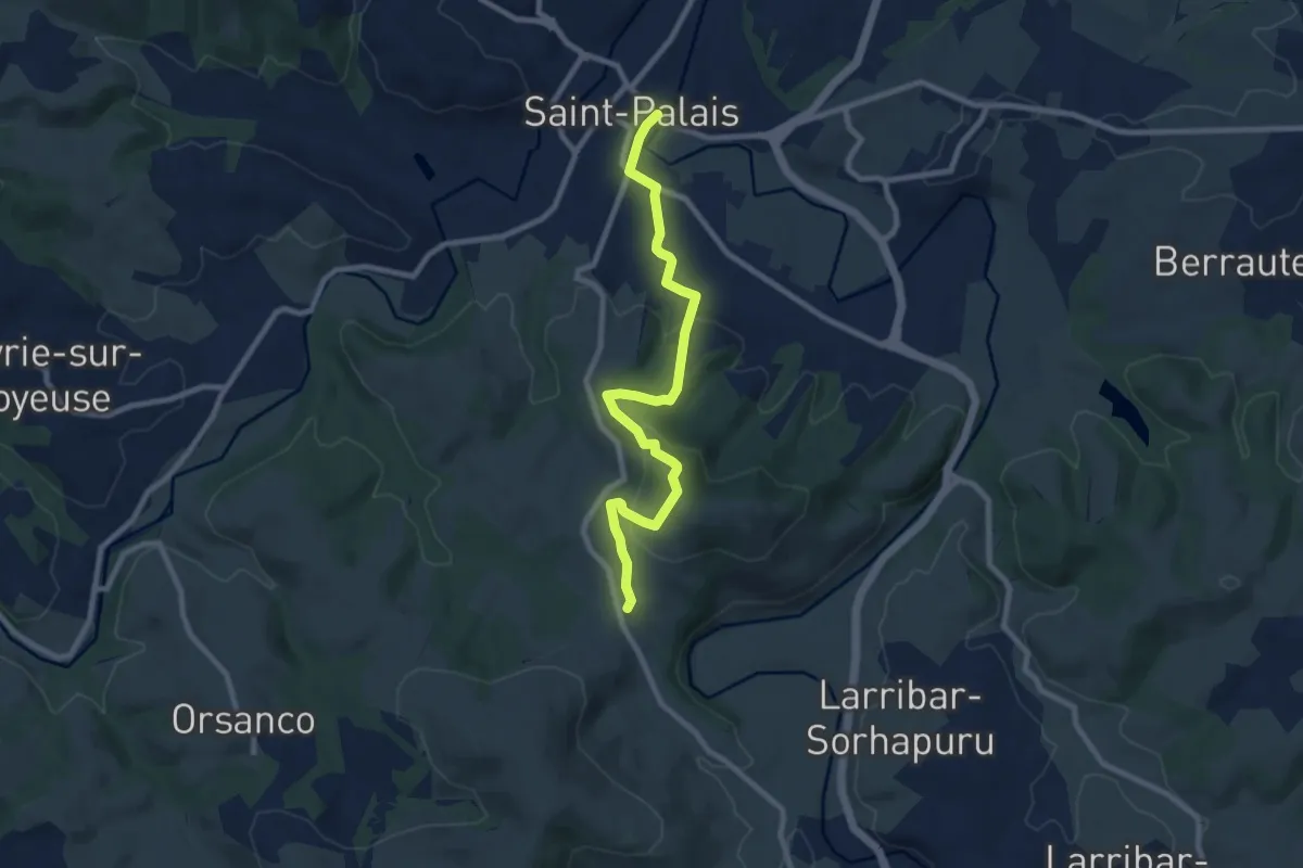
Medium · Trail
Voie de Vézelay Ouest, Saint-Palais - Saint-Jean-Pied-de-Port
9.5 km · ↑ 336 m · 2 h 58 min
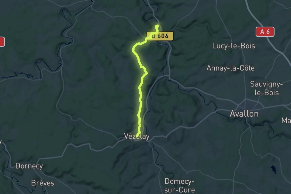
Medium · Trail
Voie de Vézelay, Saint-Moré - Vézelay
16.3 km · ↑ 439 m · 4 h 57 min
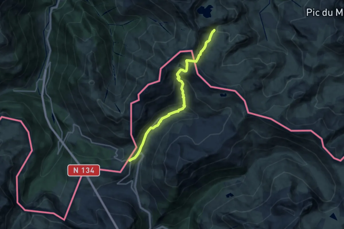
Medium · Summit
Voie d'Ossau
12.6 km · ↑ 739 m · 4 h 35 min
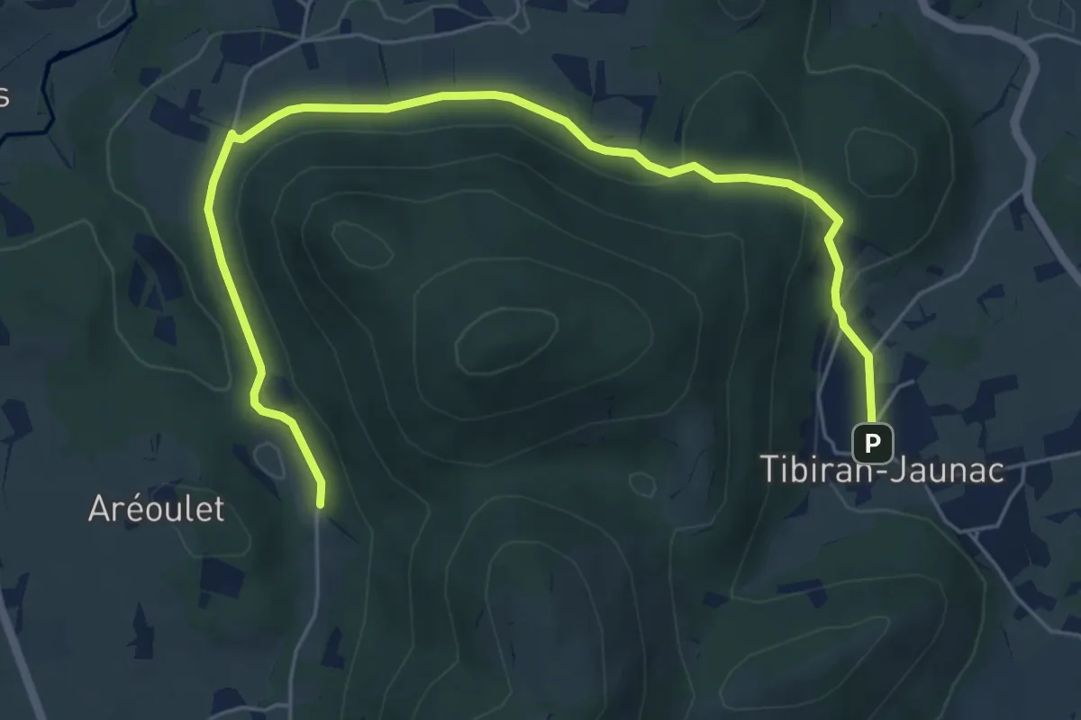
Easy · Trail
Voie du Piémont, Saint-Bertrand-de-Comminges - Bagnères-de-Bigorre
7.4 km · ↑ 176 m · 2 h 8 min
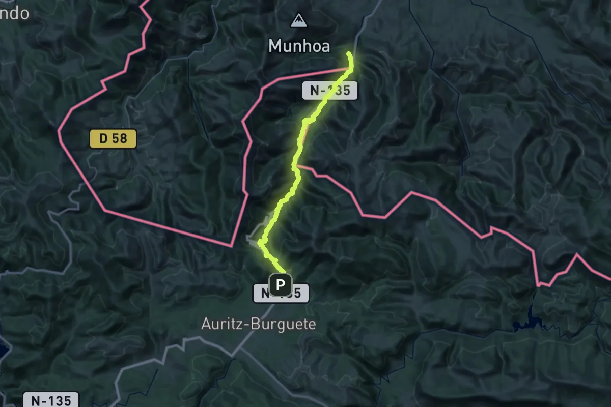
Demanding · Trail
Voie du Puy
17.5 km · ↑ 1198 m · 6 h 39 min
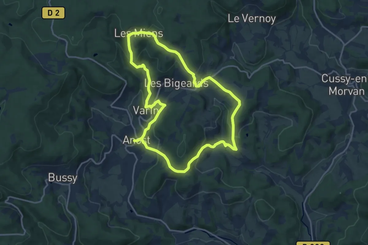
Medium · Trail
Voie du Tacot
11.5 km · ↑ 368 m · 3 h 40 min
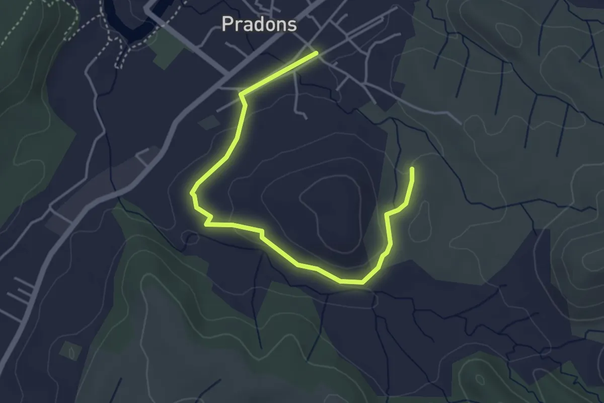
Easy · Trail
Voie Ferrée - Les Blaches
4.6 km · ↑ 74 m · 1 h 15 min
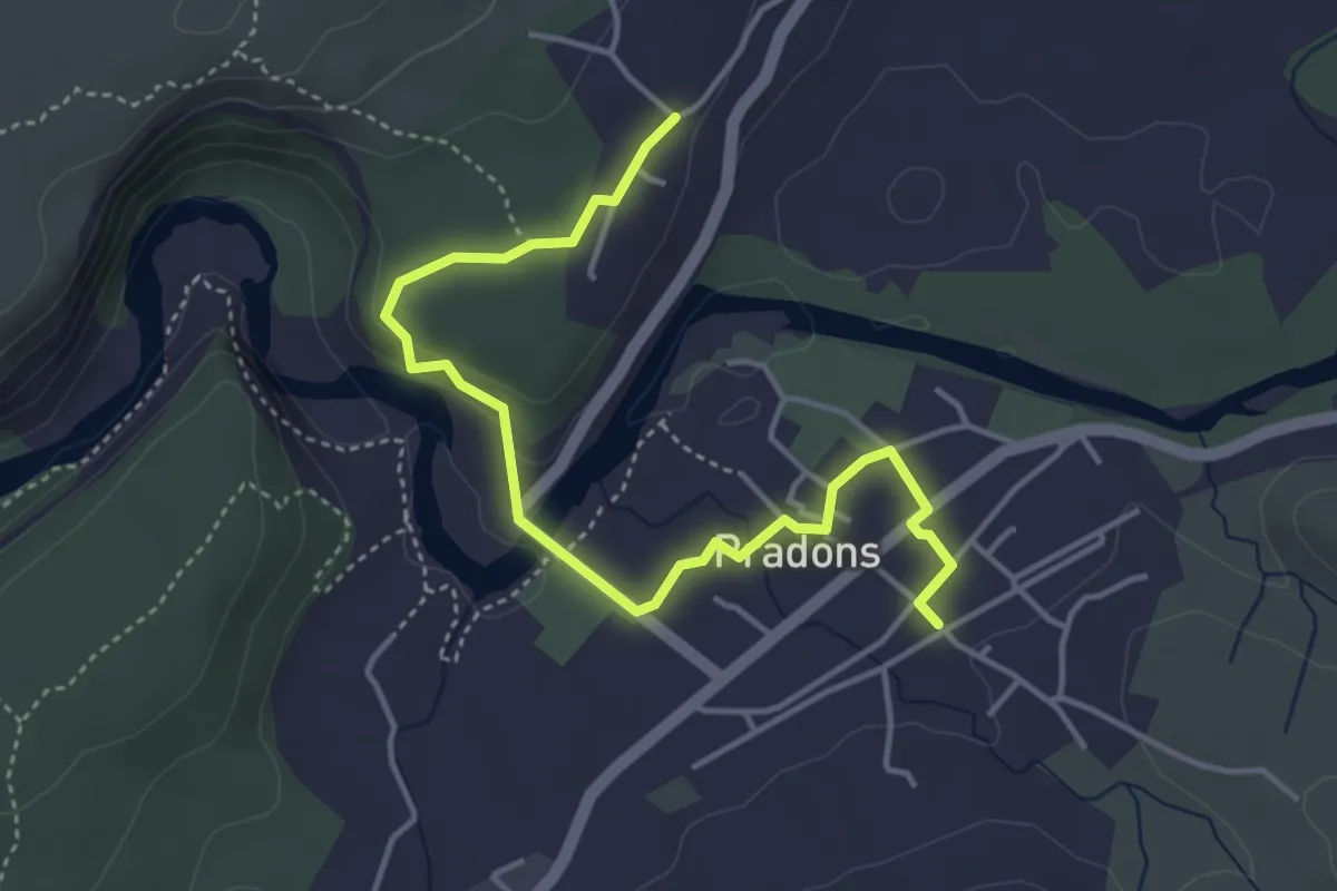
Easy · Trail
Voie Ferrée - Les Traverses
4.7 km · ↑ 126 m · 1 h 23 min
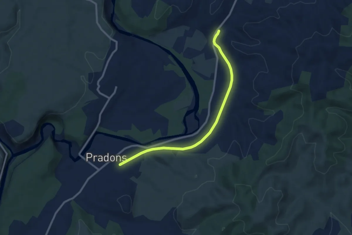
Easy · Trail
Voie Ferrée - Viaduc
7.2 km · ↑ 40 m · 1 h 48 min
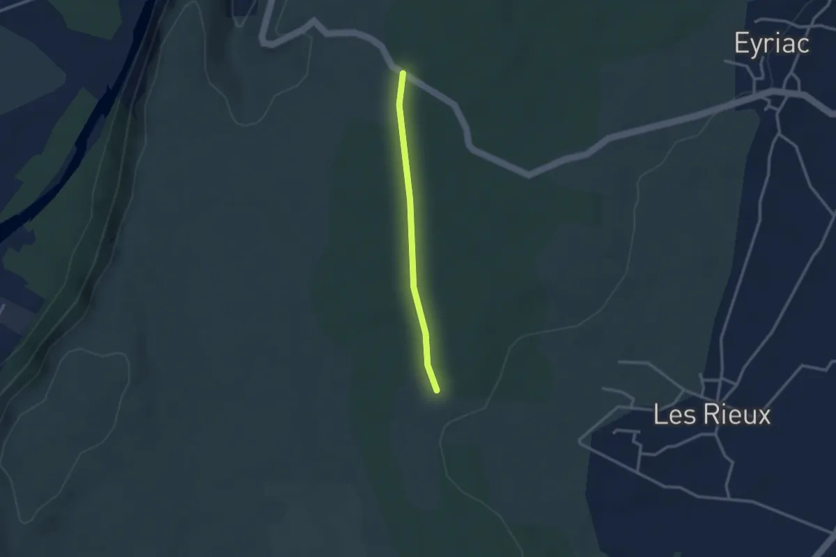
Easy · Trail
Voie Romaine - Bois Vignasse
2.3 km · ↑ 17 m · 35 min
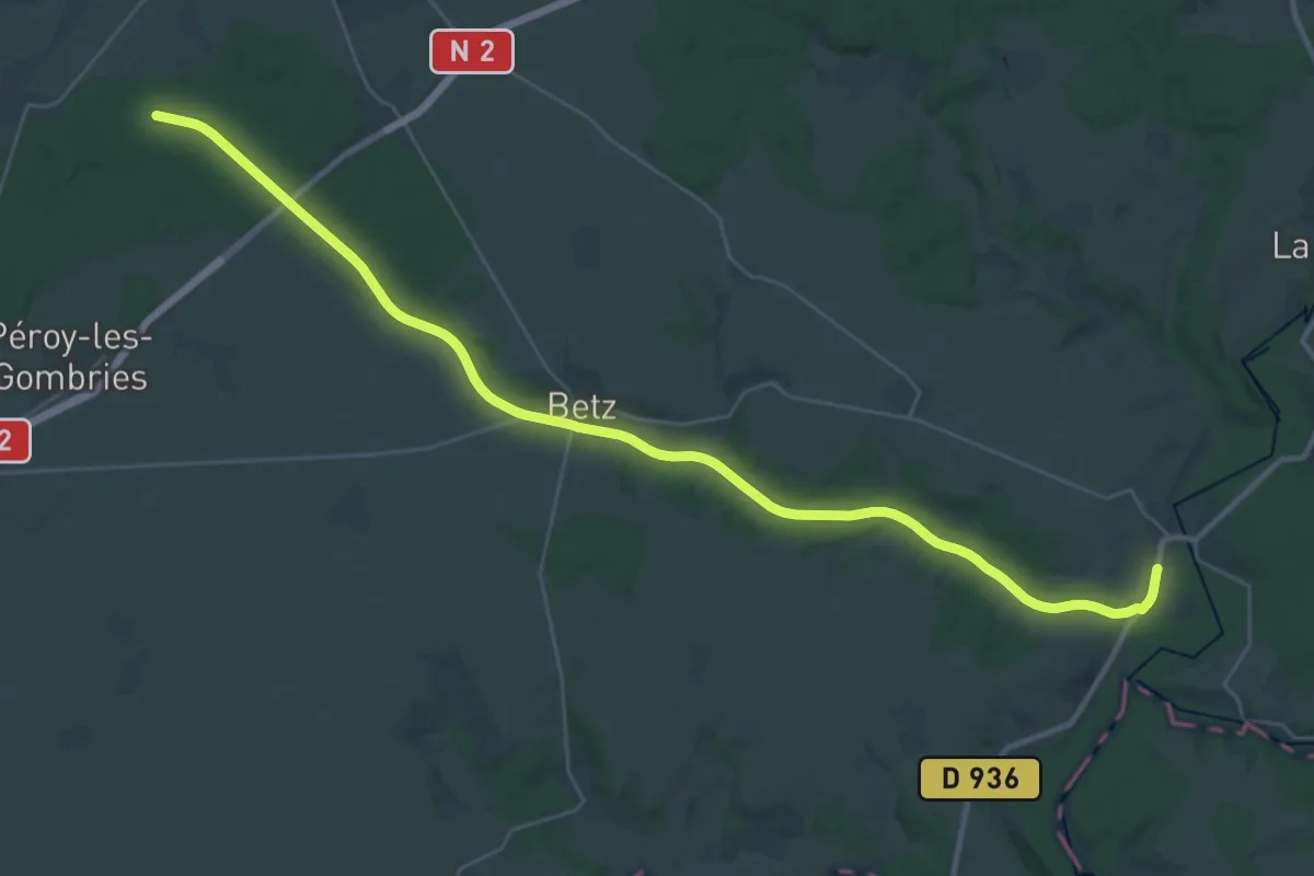
Demanding · Trail
Voie Verte
18.4 km · ↑ 152 m · 4 h 55 min
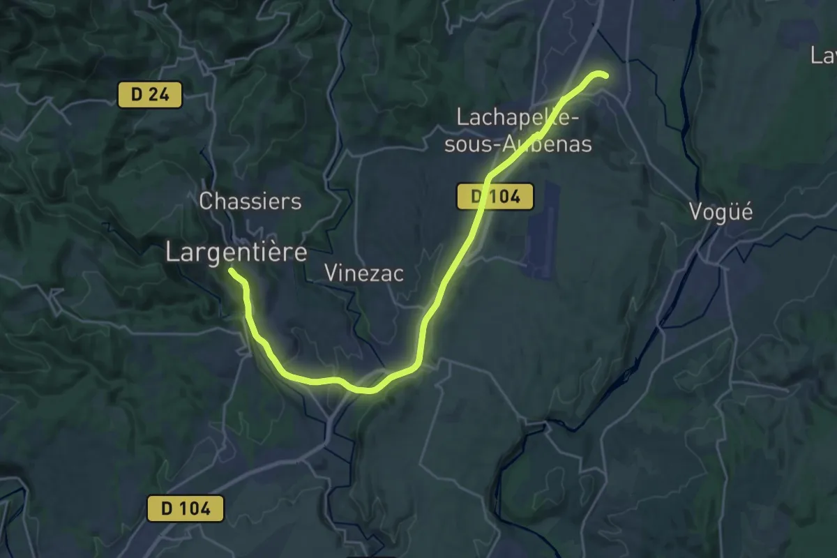
Demanding · Trail
Voie Verte de L'Argentière à Saint-Sernin
25.5 km · ↑ 323 m · 6 h 43 min
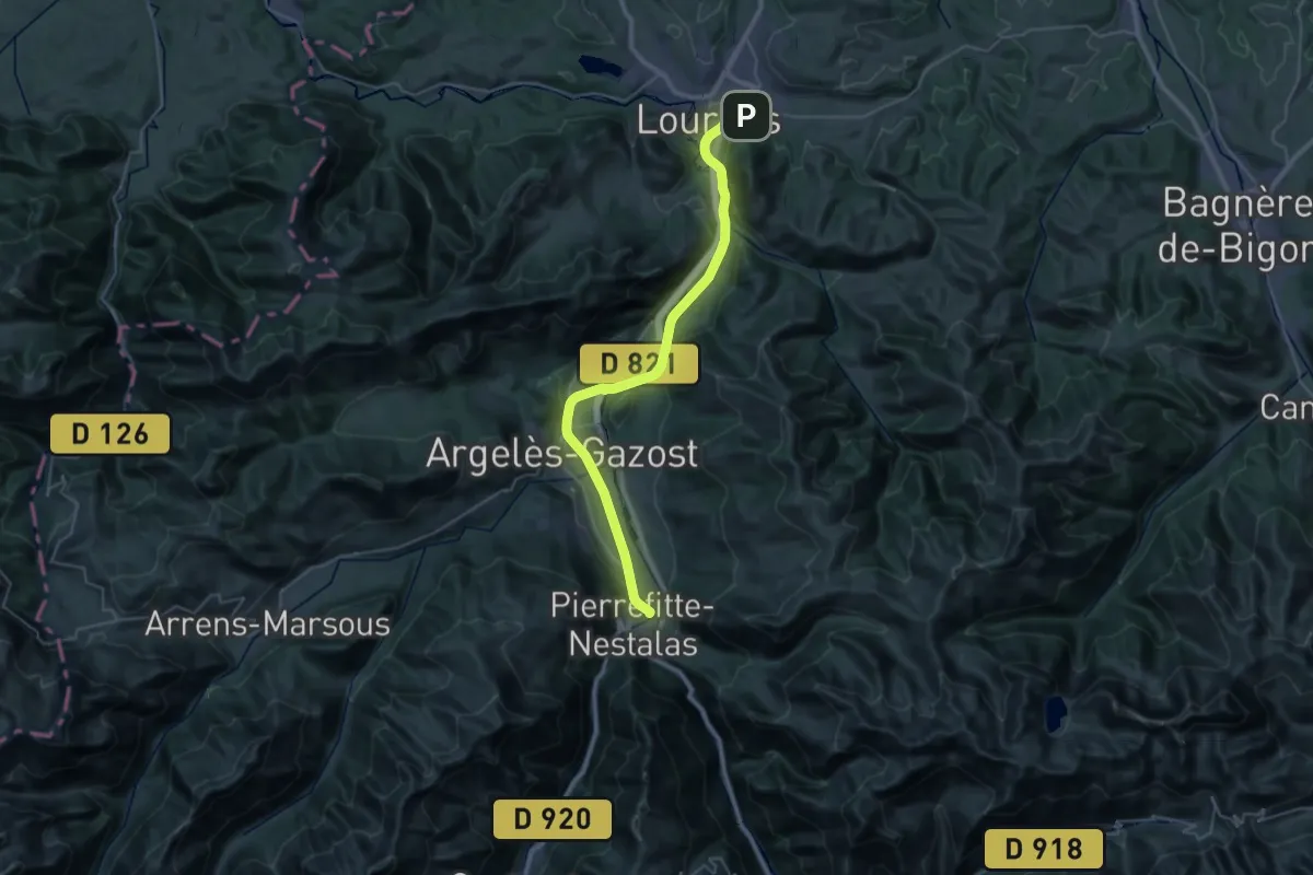
Demanding · Trail
Voie Verte des Gaves
18.9 km · ↑ 171 m · 5 h 4 min
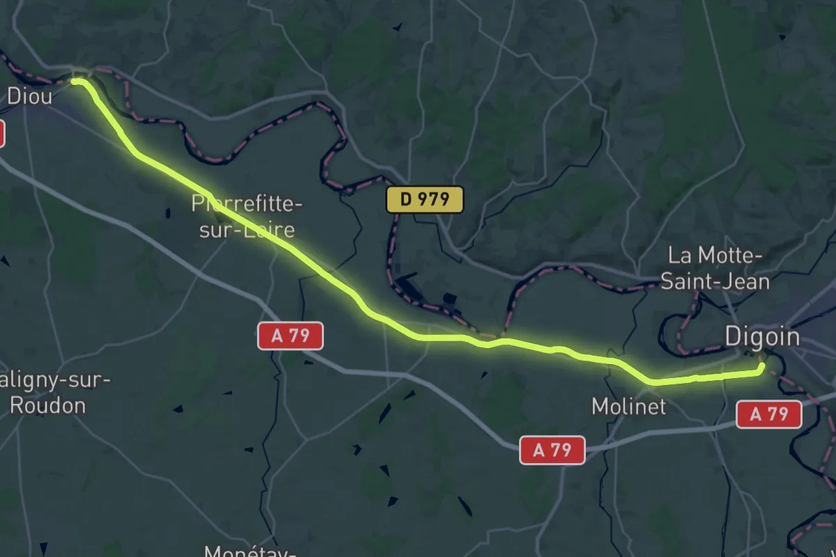
Demanding · Trail
Voie Verte Diou Digoin
19.4 km · ↑ 26 m · 4 h 53 min
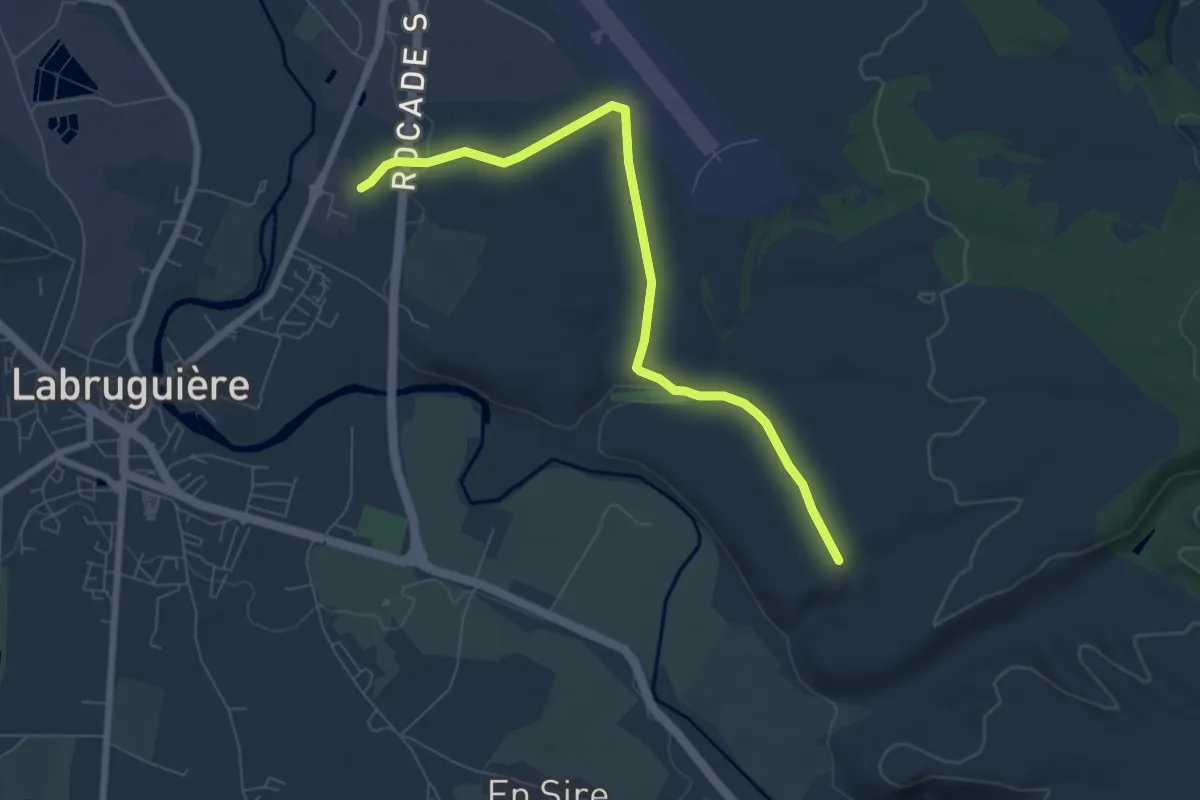
Easy · Trail
Voie Verte du Chemin Blanc
7.8 km · ↑ 129 m · 2 h 7 min
Demanding · Trail
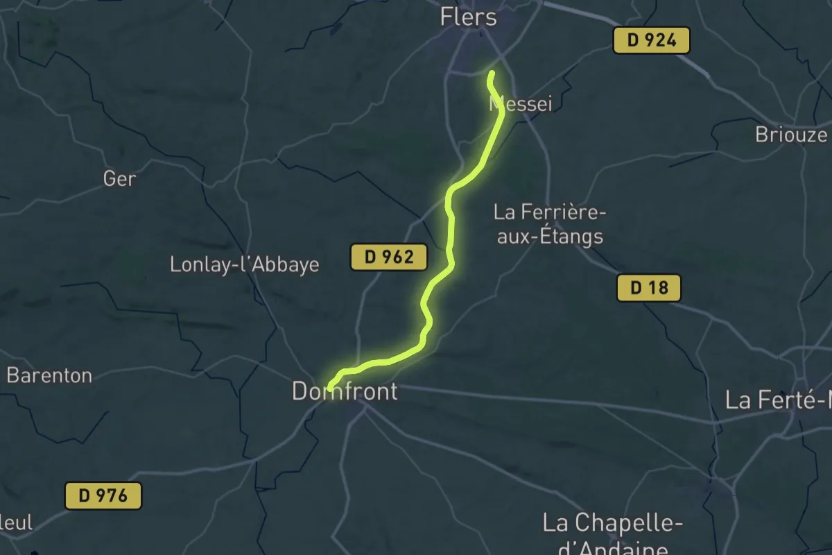
Voie Verte Flers-Domfront
19.2 km · ↑ 94 m · 5 h 1 min
Demanding · Trail
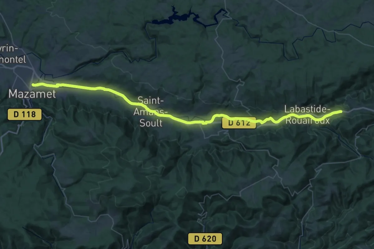
Voie Verte Passa Païs
25.8 km · ↑ 282 m · 6 h 58 min
Demanding · Trail
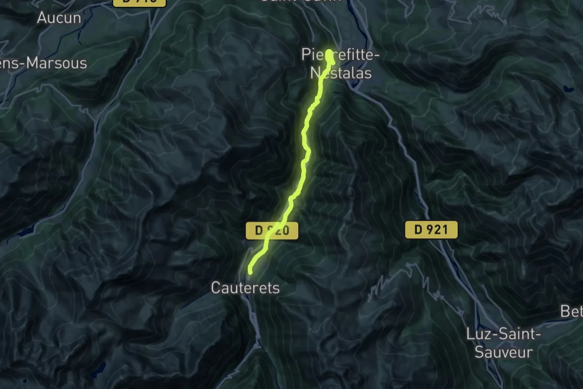
Voie Verte Pierrefitte - Cauterets
19.3 km · ↑ 801 m · 6 h 17 min
Medium · Trail
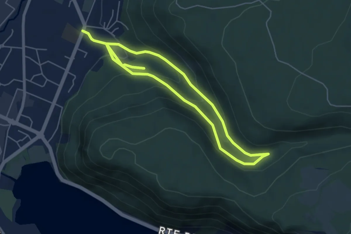
Voiles du Landeyron
8.2 km · ↑ 417 m · 2 h 50 min
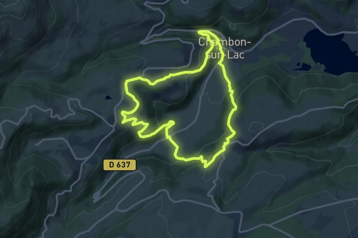
Medium · Trail
Voissière
9.2 km · ↑ 467 m · 3 h 19 min
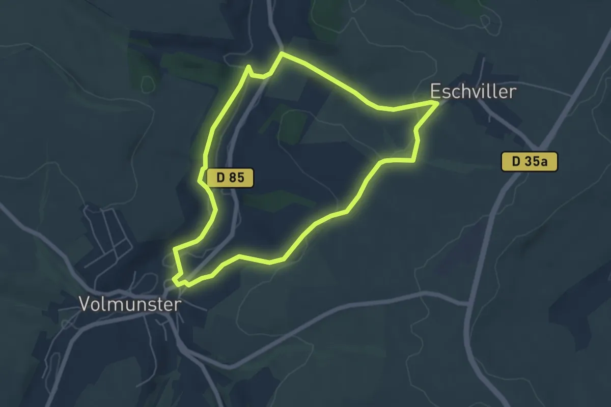
Easy · Trail
Volmunster et Environs
5.0 km · ↑ 105 m · 1 h 28 min
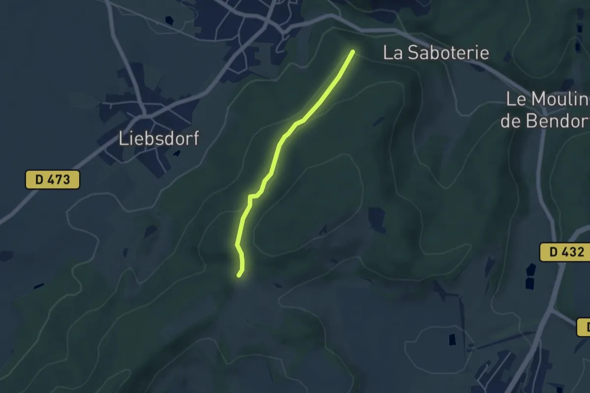
Easy · Trail
Vosges - Yellow Rectangle, Liebsdorf
3.5 km · ↑ 132 m · 1 h 7 min
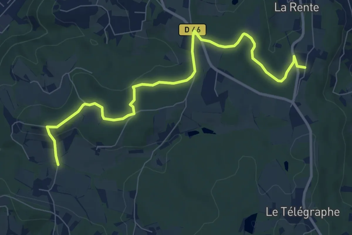
Medium · Trail
Vossères - Croix des Chasseurs - fixme
8.8 km · ↑ 164 m · 2 h 26 min
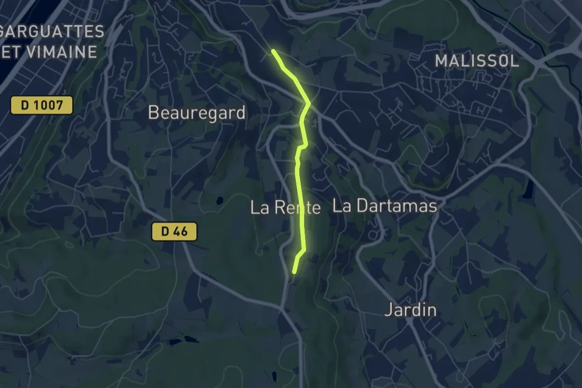
Easy · Trail
Vossères - Vienne Malissol - fixme
4.3 km · ↑ 112 m · 1 h 16 min
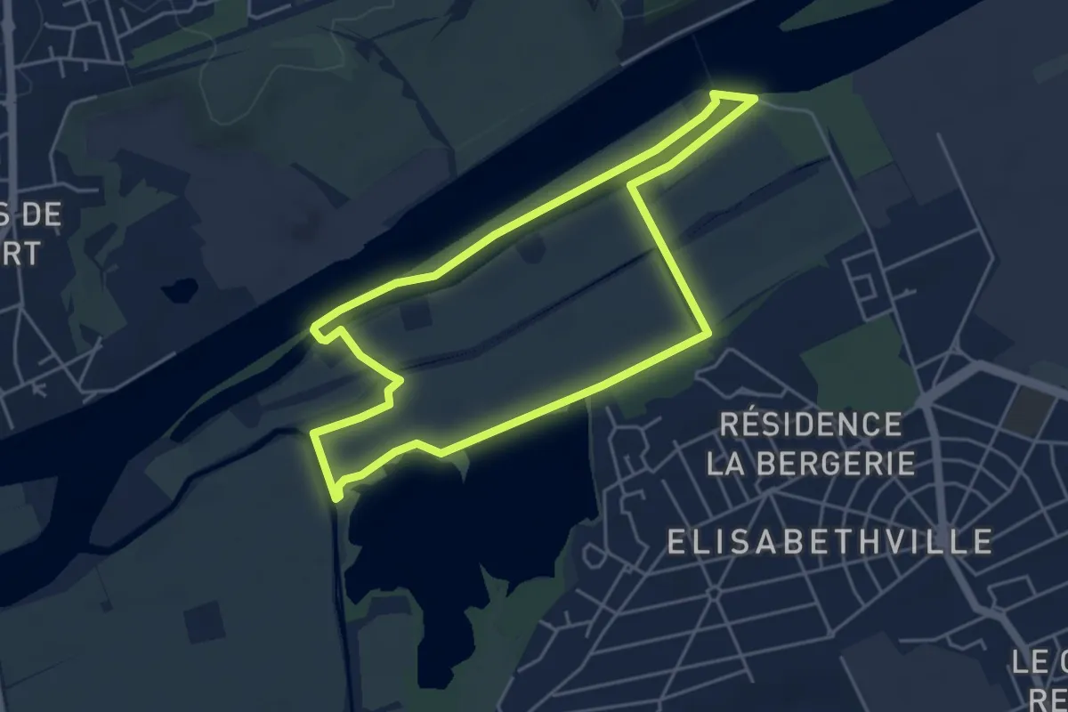
Easy · Trail
Voyage au Bout du Monde
4.3 km · ↑ 4 m · 1 h 5 min
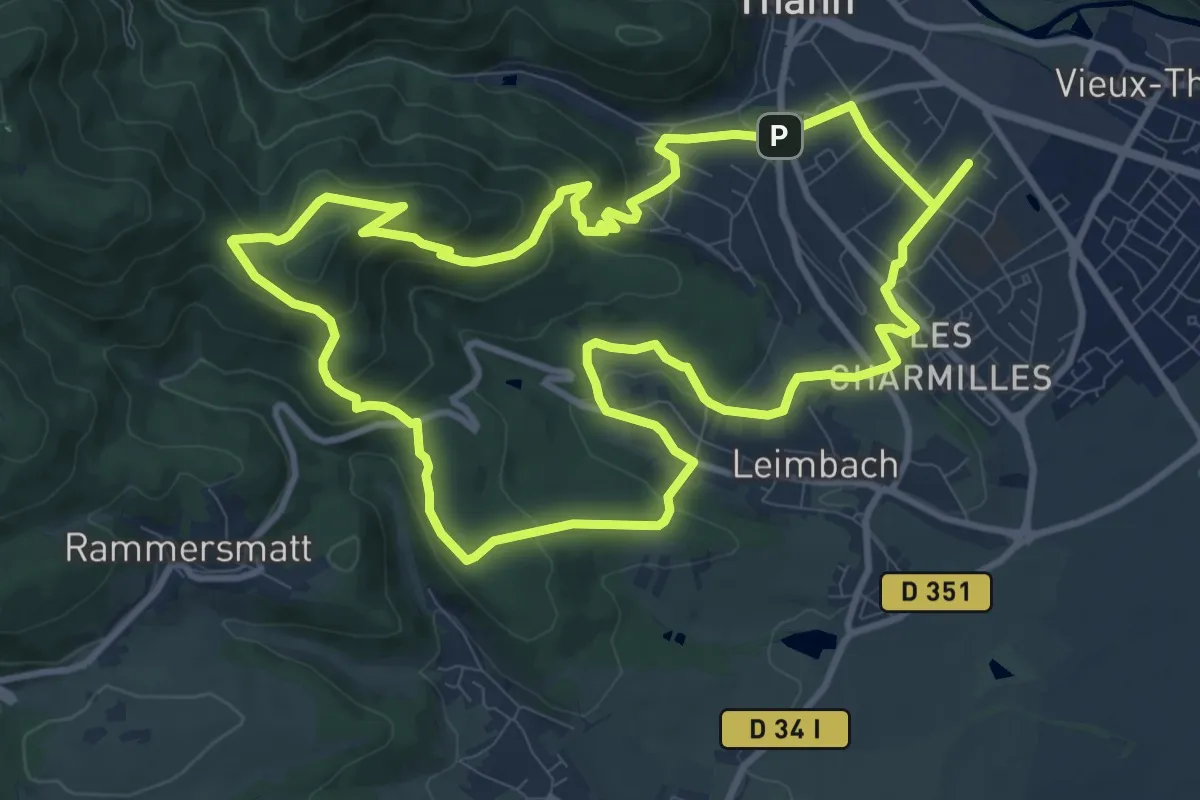
Medium · Summit
Voyage aux Pays de Thann
10.9 km · ↑ 389 m · 3 h 34 min
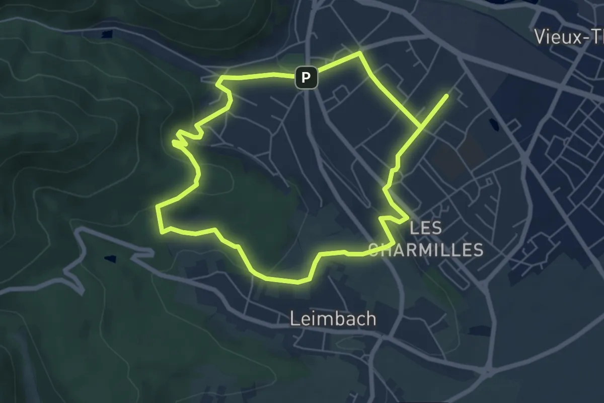
Easy · Trail
Voyage aux Pays de Thann
5.5 km · ↑ 134 m · 1 h 40 min
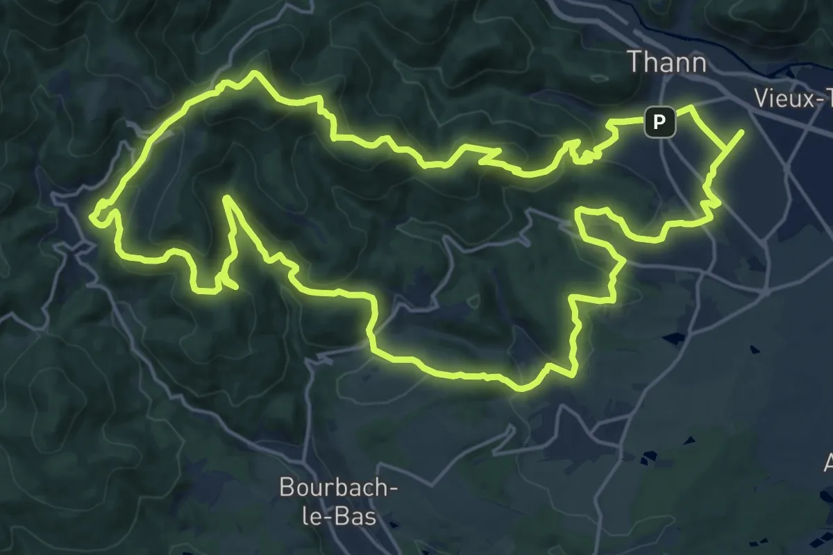
Demanding · Summit
Voyage aux Pays de Thann
21.7 km · ↑ 927 m · 7 h 27 min
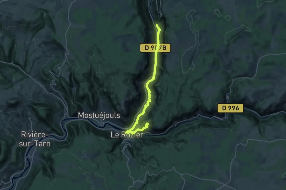
Medium · Summit
Voyage entre Gorges et Causse, au pays des vautours
11.3 km · ↑ 755 m · 4 h 18 min
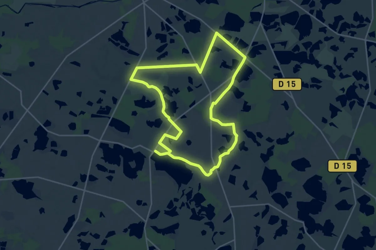
Medium · Trail
Voyage entre les étangs et le canal des cinq bondes
16.9 km · ↑ 44 m · 4 h 20 min
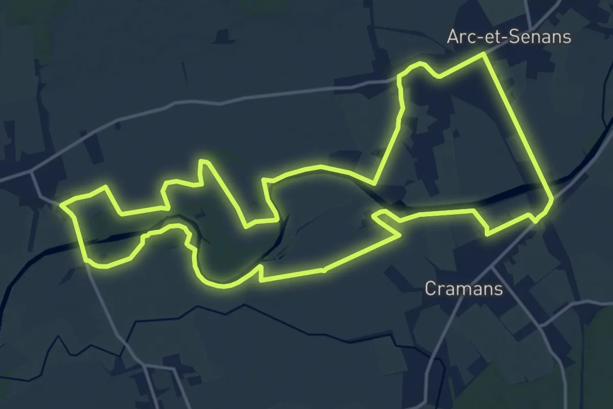
Medium · Trail
VTToutrail
15.0 km · ↑ 8 m · 3 h 46 min