Trails in France
15,926 hiking trails, each with its route, climb, walking time and grade.
All trails, page 286 of 332
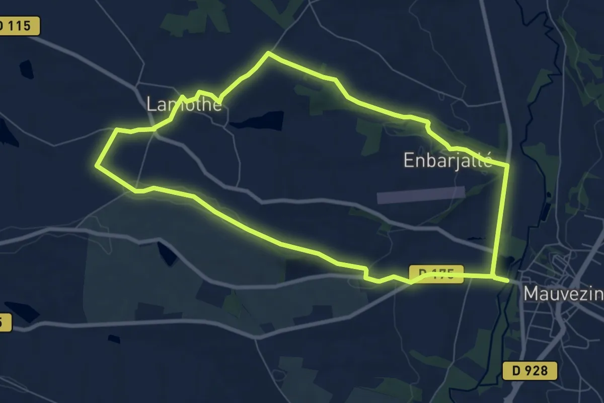
Easy · Trail
Vues sur Mauvezin
7.8 km · ↑ 75 m · 2 h 7 min
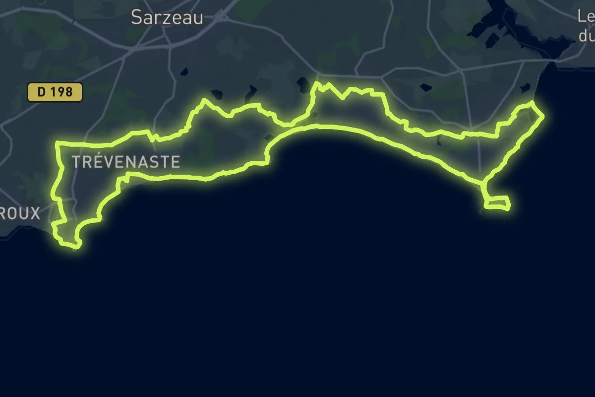
Demanding · Trail
Vue sur l'océan
30.6 km · ↑ 96 m · 7 h 52 min
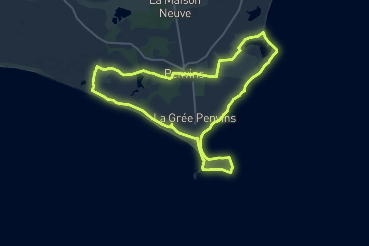
Medium · Trail
Vue sur l’océan – Variante par la boucle de Penvins
9.7 km · ↑ 17 m · 2 h 27 min
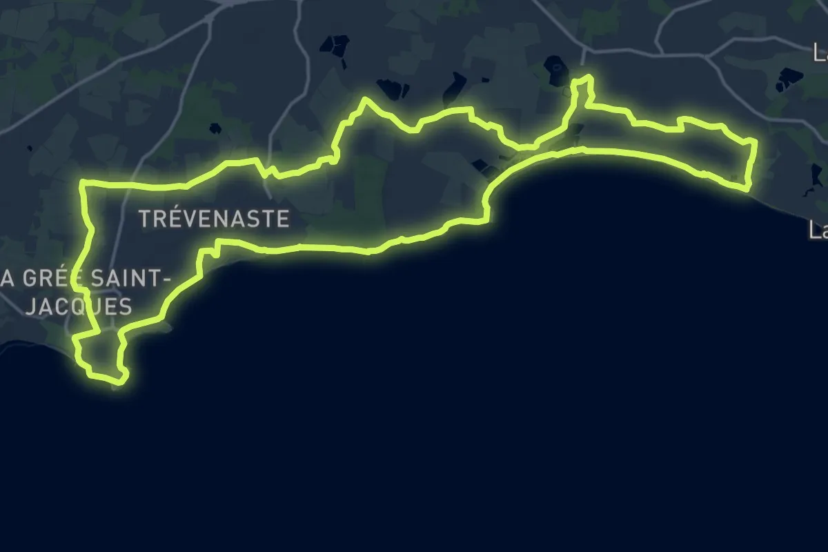
Demanding · Trail
Vue sur l’océan – Variante par Saint-Jacques Suscinio
21.7 km · ↑ 91 m · 5 h 37 min
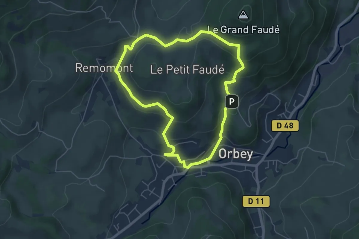
Easy · Trail
VVF Village
4.6 km · ↑ 205 m · 1 h 36 min
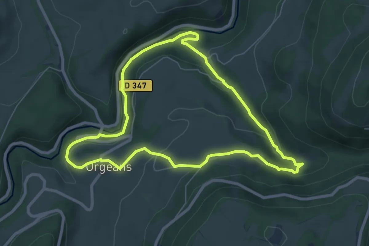
Easy · Trail
Waroly
5.3 km · ↑ 166 m · 1 h 42 min
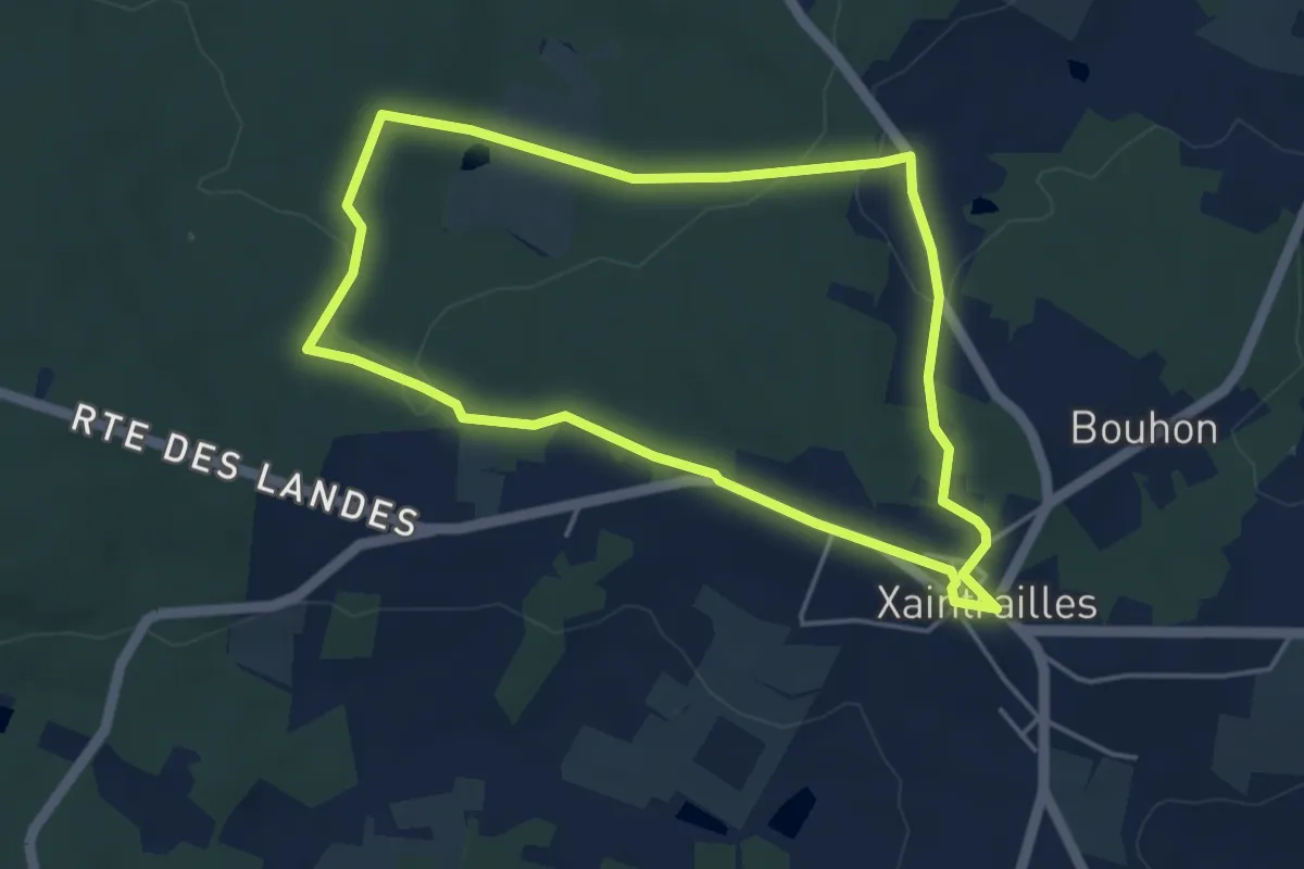
Easy · Trail
Xaintrailles, la balade du château - 4.7 km
4.5 km · ↑ 69 m · 1 h 17 min
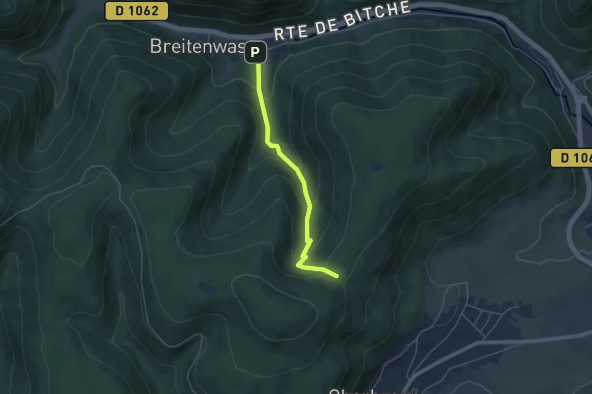
Easy · Trail
X bleu
3.8 km · ↑ 253 m · 1 h 27 min
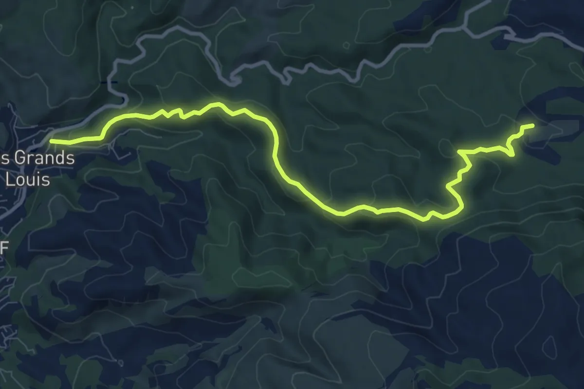
Medium · Trail
yellow
10.5 km · ↑ 351 m · 3 h 14 min
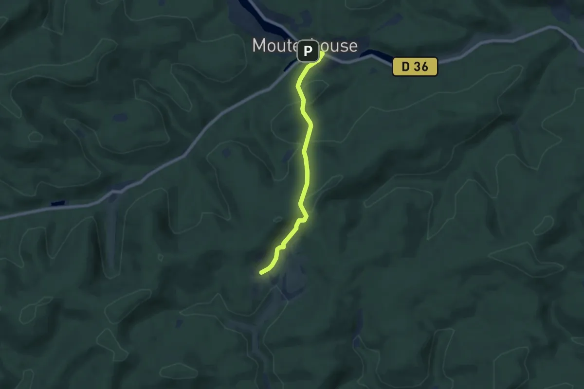
Easy · Trail
Yellow cross
5.4 km · ↑ 255 m · 1 h 49 min
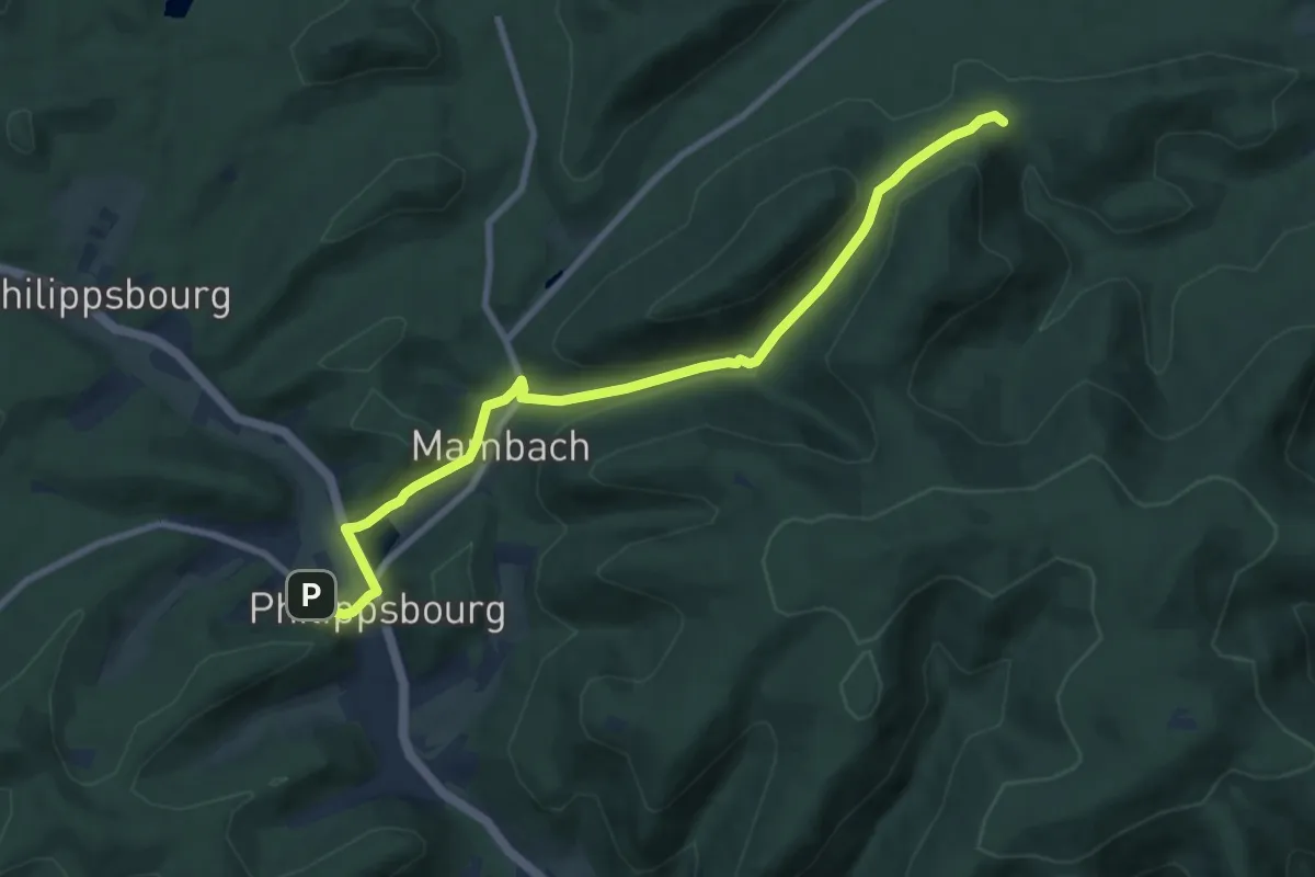
Medium · Trail
Yellow cross
8.7 km · ↑ 365 m · 2 h 51 min
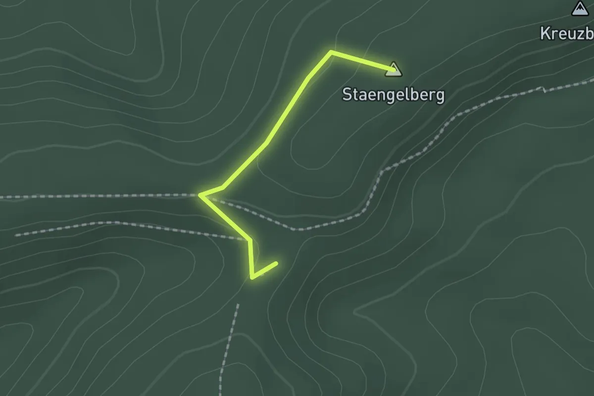
Easy · Summit
Yellow diamond
1.4 km · ↑ 35 m · 24 min
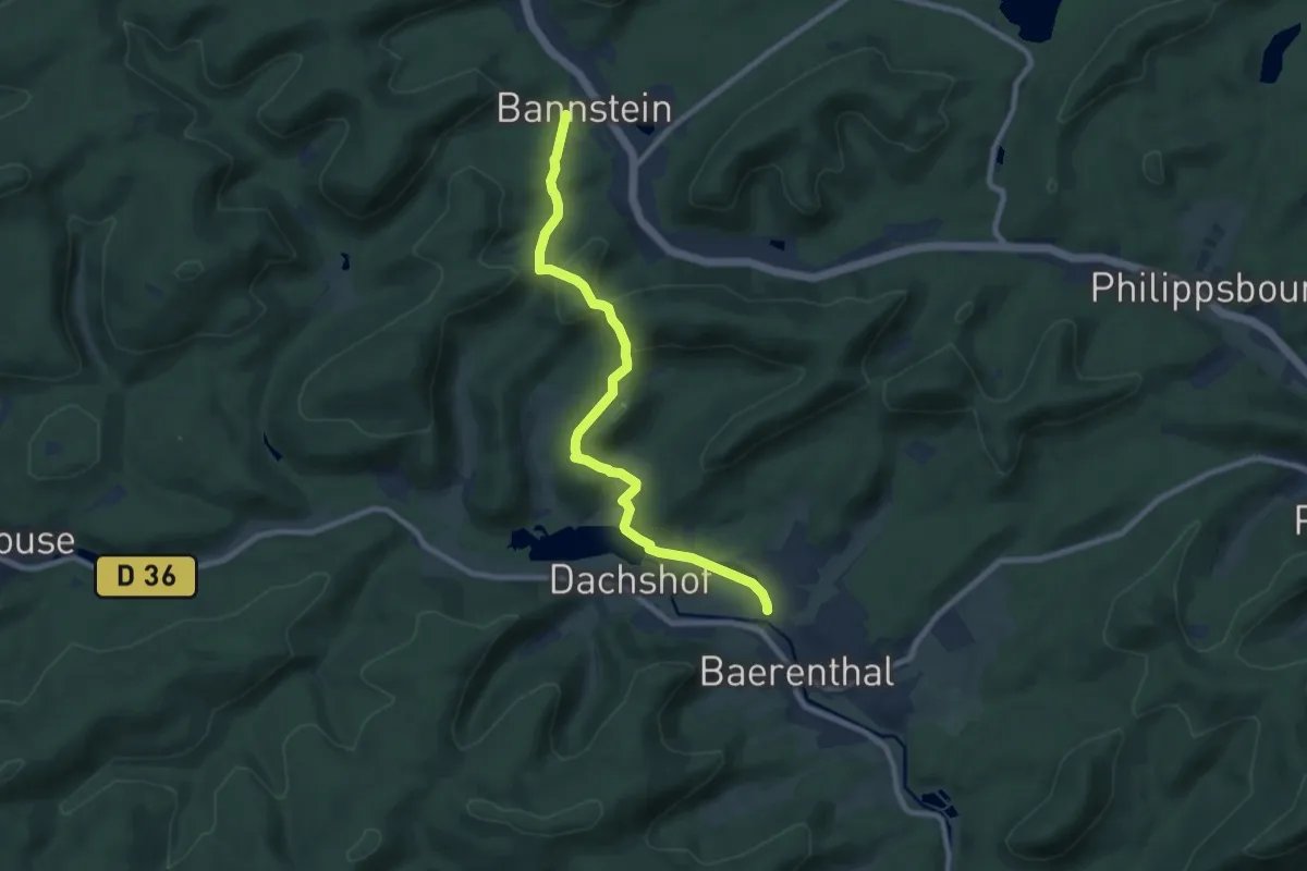
Medium · Trail
Yellow diamond
8.4 km · ↑ 237 m · 2 h 29 min
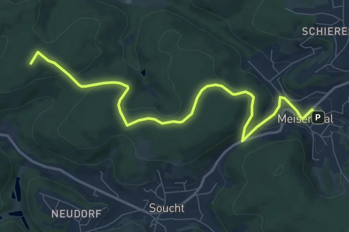
Medium · Summit
Yellow dot
8.3 km · ↑ 176 m · 2 h 20 min
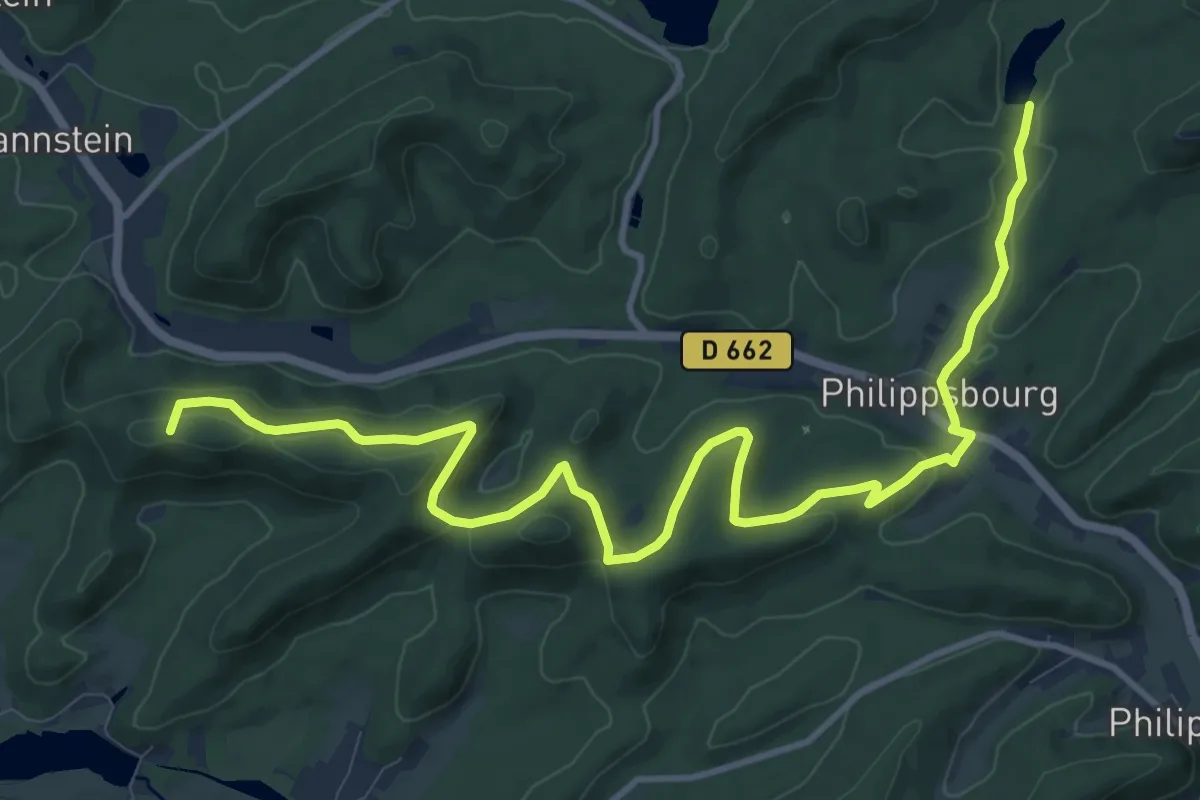
Medium · Summit
Yellow dot
13.7 km · ↑ 430 m · 4 h 10 min
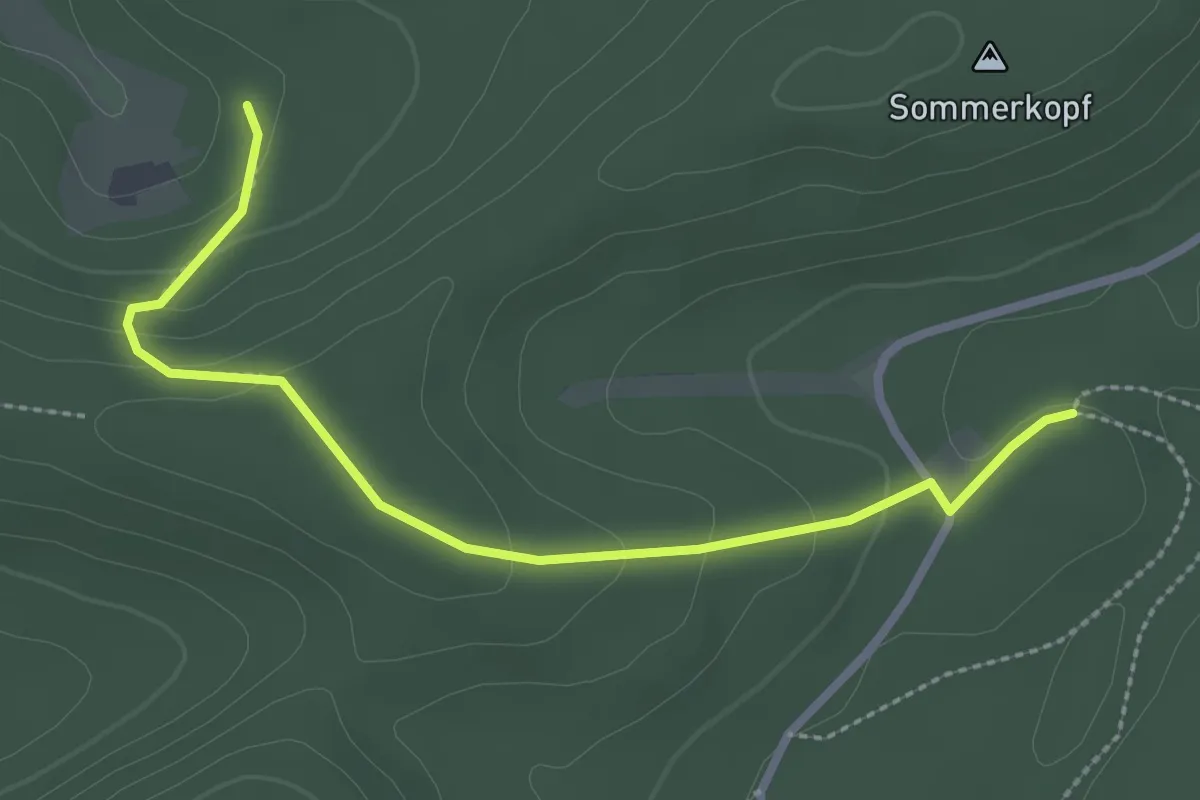
Easy · Trail
Yellow dot
2.8 km · ↑ 115 m · 54 min
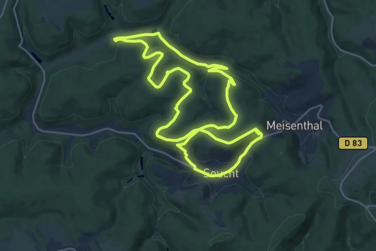
Medium · Summit
Yellow ring
12.6 km · ↑ 311 m · 3 h 50 min
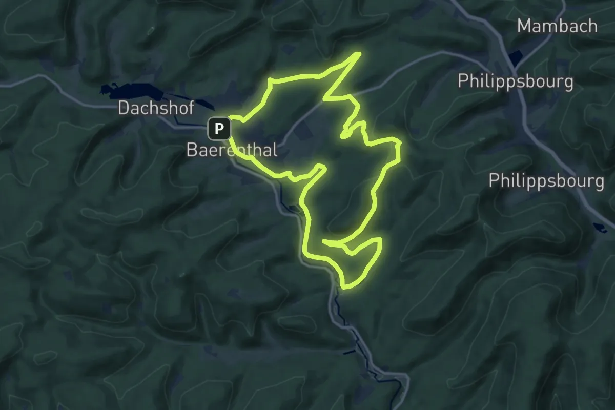
Medium · Trail
Yellow ring
12.2 km · ↑ 195 m · 3 h 29 min
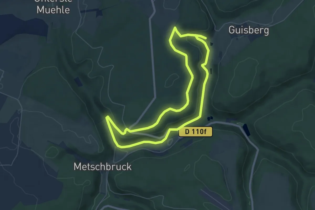
Easy · Summit
Yellow ring
5.9 km · ↑ 157 m · 1 h 50 min
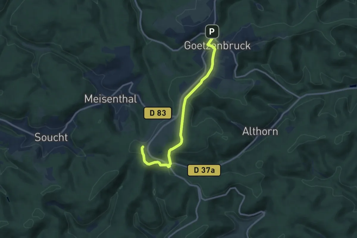
Medium · Trail
Yellow triangle
8.2 km · ↑ 134 m · 2 h 14 min
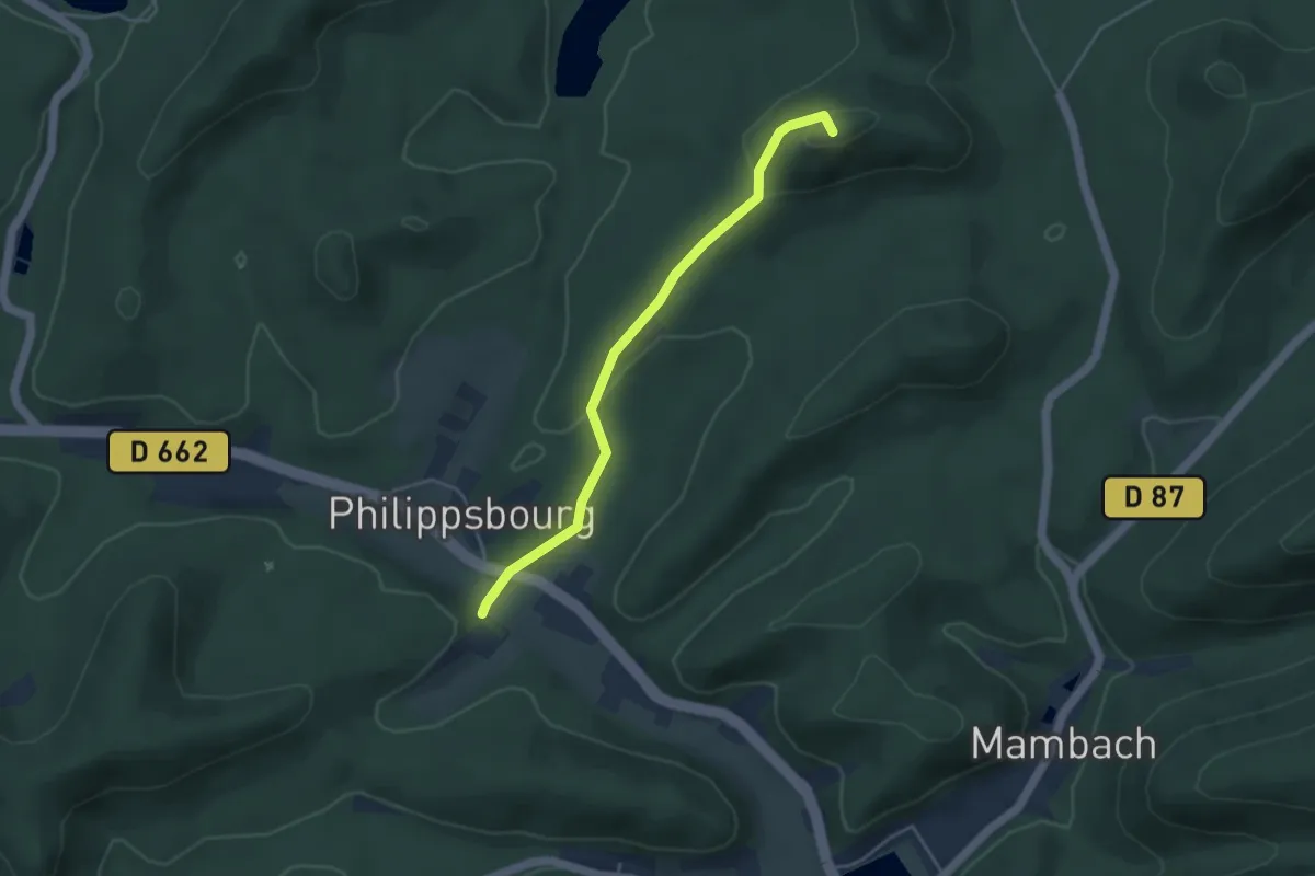
Easy · Summit
Yellow triangle
3.8 km · ↑ 124 m · 1 h 10 min
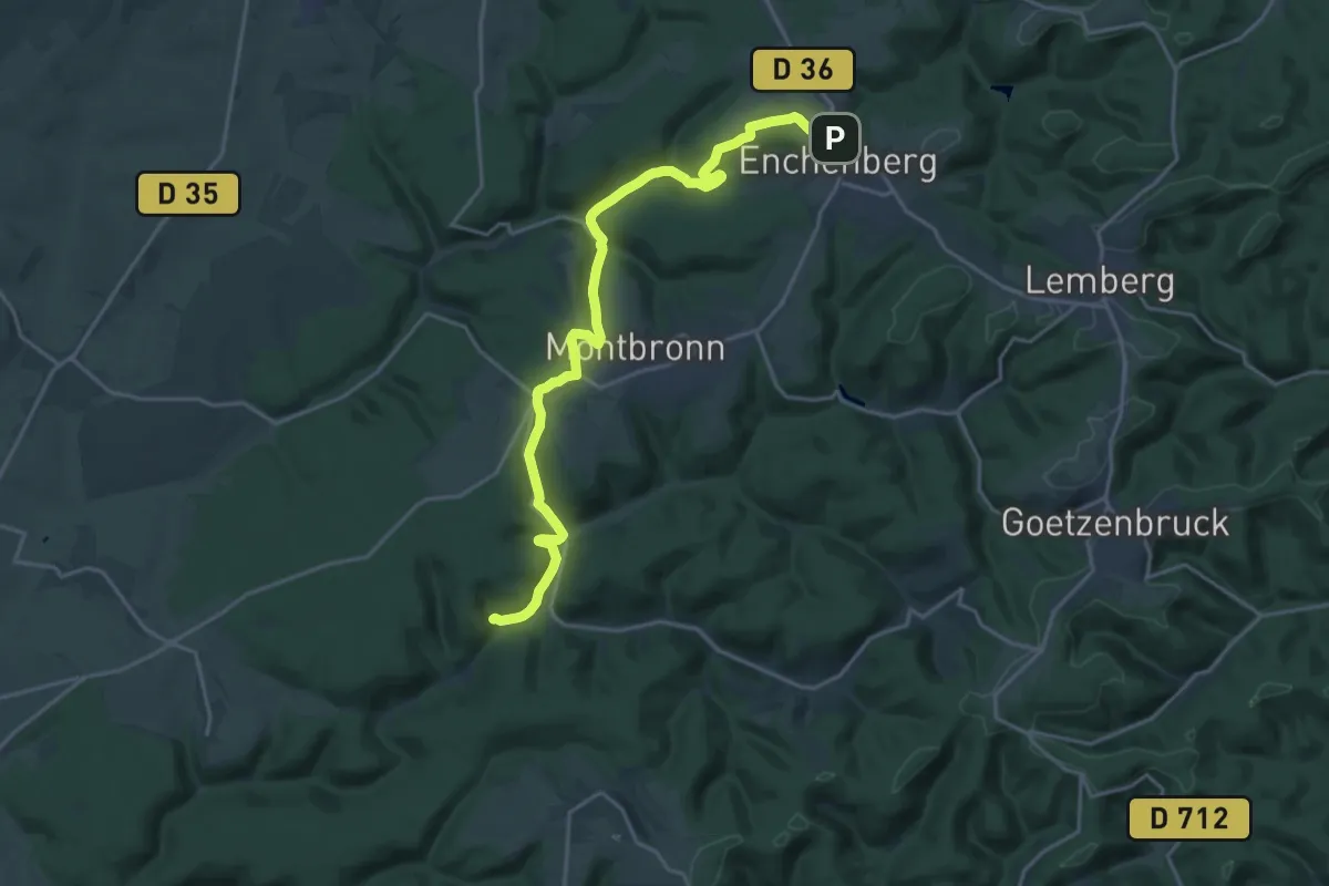
Demanding · Trail
Yellow triangle
20.7 km · ↑ 417 m · 5 h 47 min
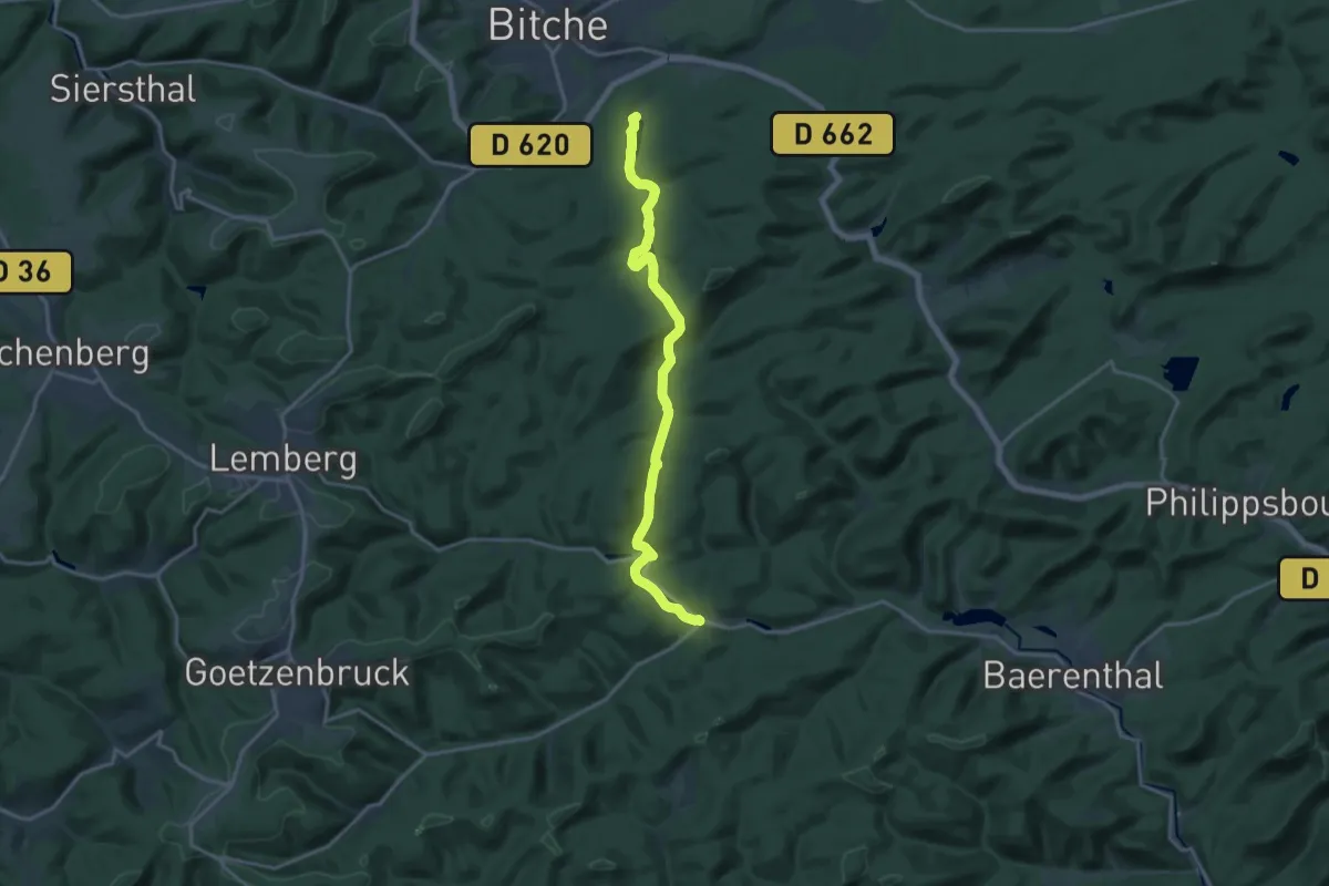
Medium · Trail
Yellow triangle
16.6 km · ↑ 348 m · 4 h 41 min
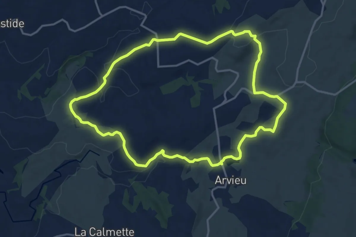
Medium · Trail
yellow:white:yellow_bar
10.2 km · ↑ 214 m · 3 h 1 min
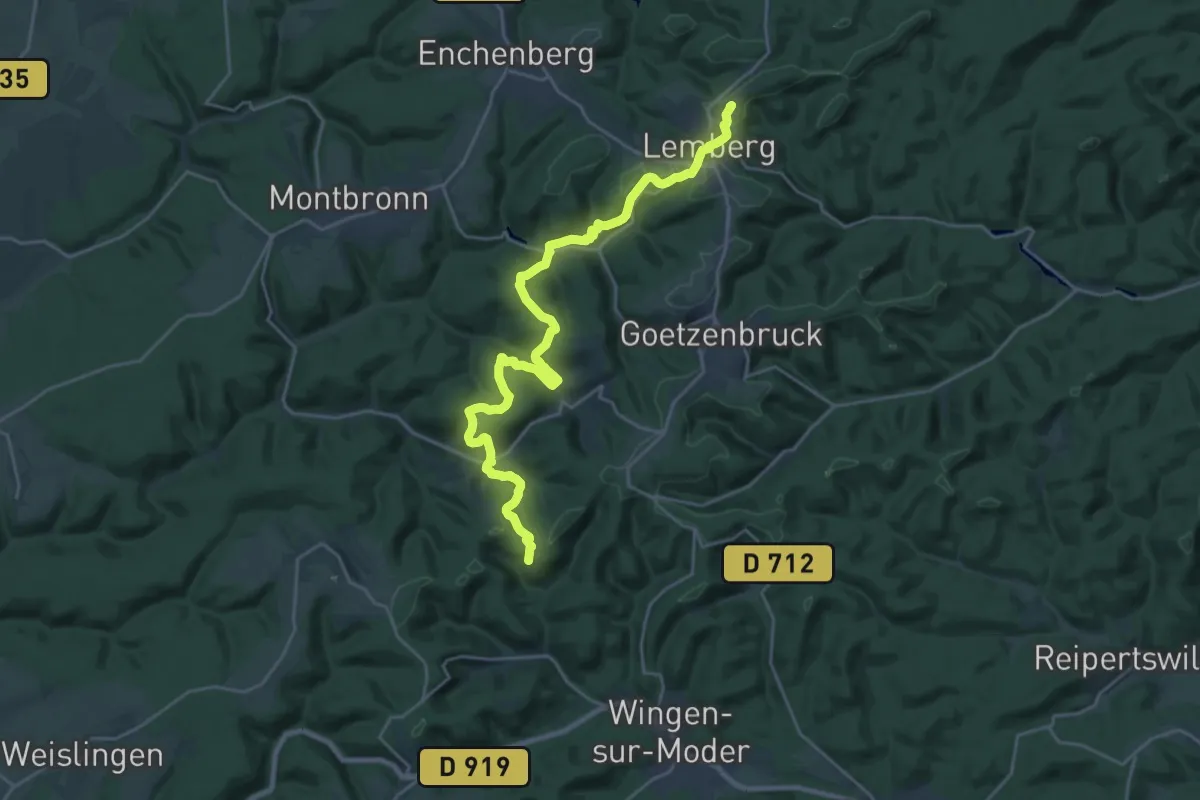
Demanding · Summit
Yellow-white-yellow rectangle
25.4 km · ↑ 809 m · 7 h 45 min
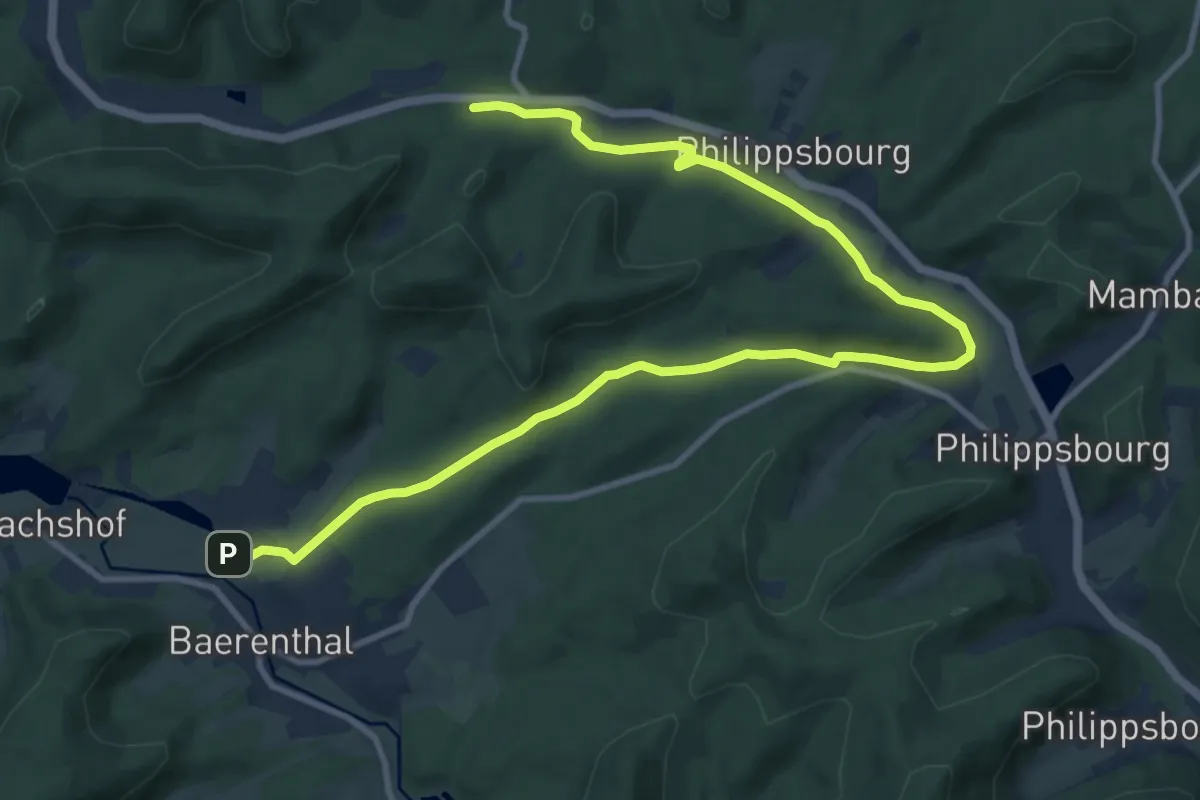
Medium · Trail
Yellow-white-yellow rectangle
13.2 km · ↑ 237 m · 3 h 38 min
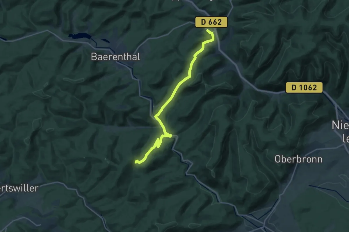
Medium · Trail
Yellow X
14.7 km · ↑ 461 m · 4 h 28 min
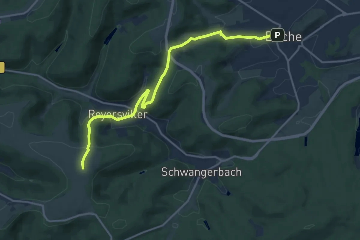
Medium · Summit
Yellow X
9.9 km · ↑ 417 m · 3 h 14 min
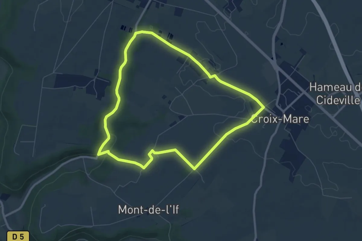
Easy · Trail
Yvelin en Caux à Croix-Mare
6.7 km · ↑ 94 m · 1 h 53 min
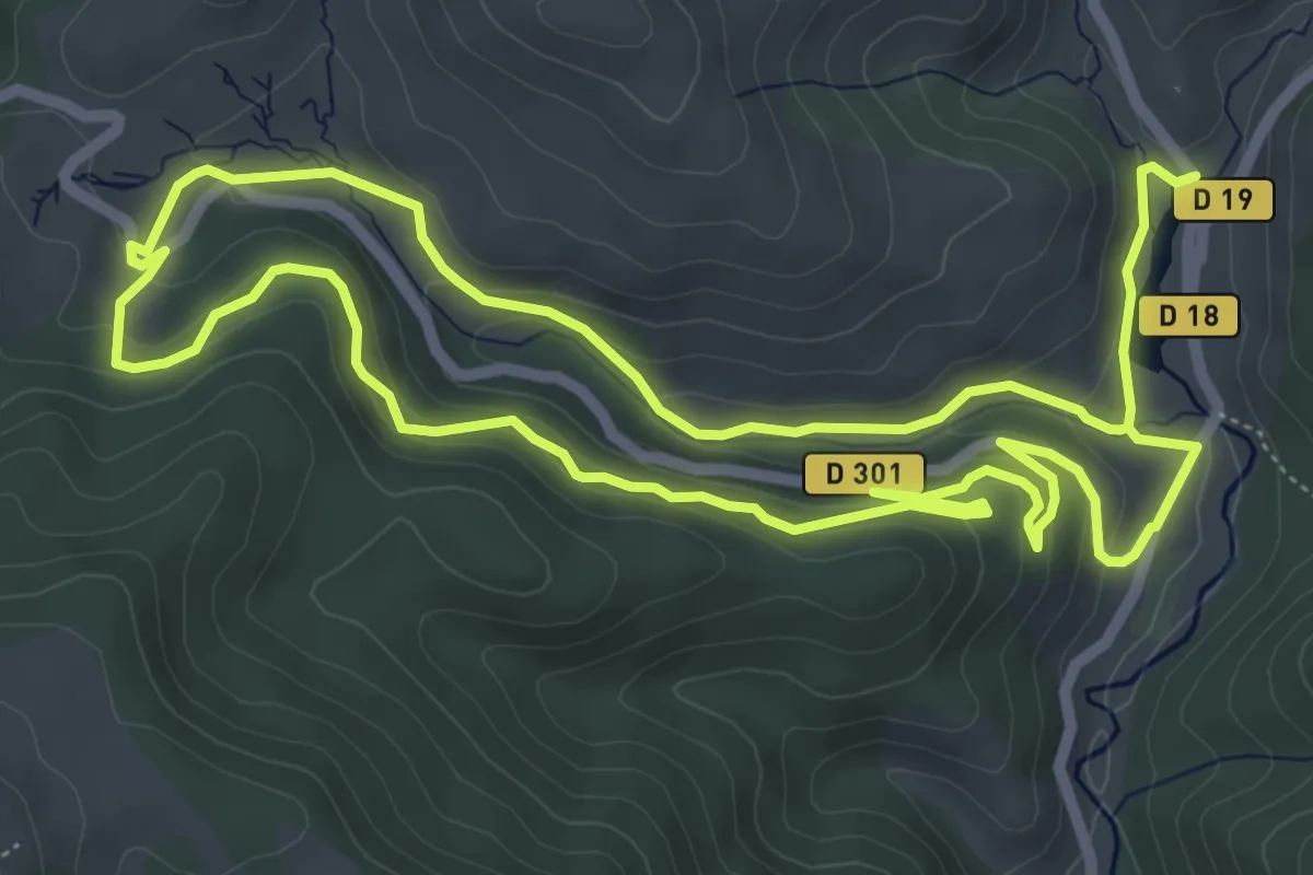
Medium · Trail
Zurzai
13.5 km · ↑ 481 m · 4 h 14 min
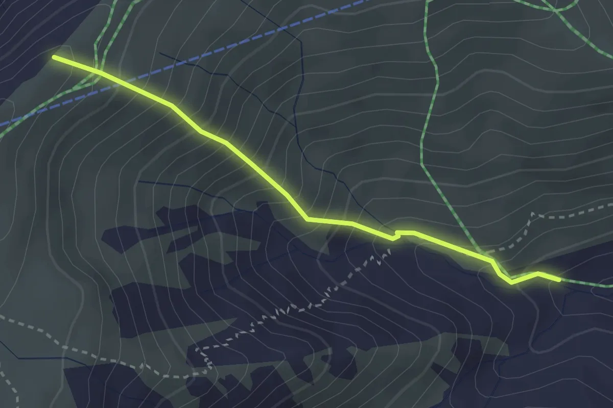
Medium · Trail
1/2 KV de la Toussuire
2.9 km · ↑ 464 m · 1 h 42 min
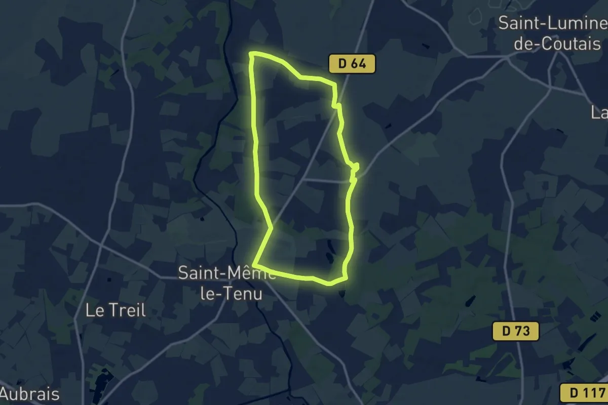
Medium · Trail
149
9.8 km · ↑ 40 m · 2 h 33 min
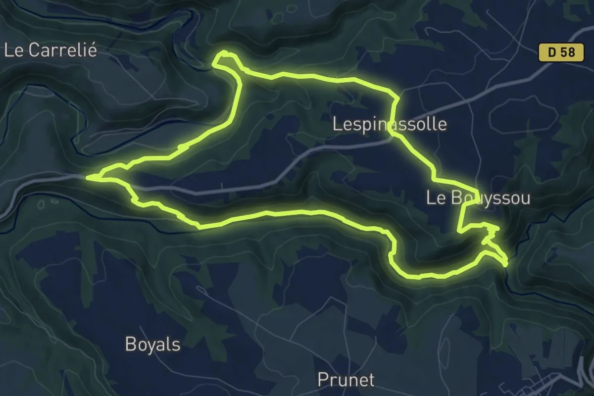
Medium · Trail
17 - combe du Viaur
11.2 km · ↑ 342 m · 3 h 32 min
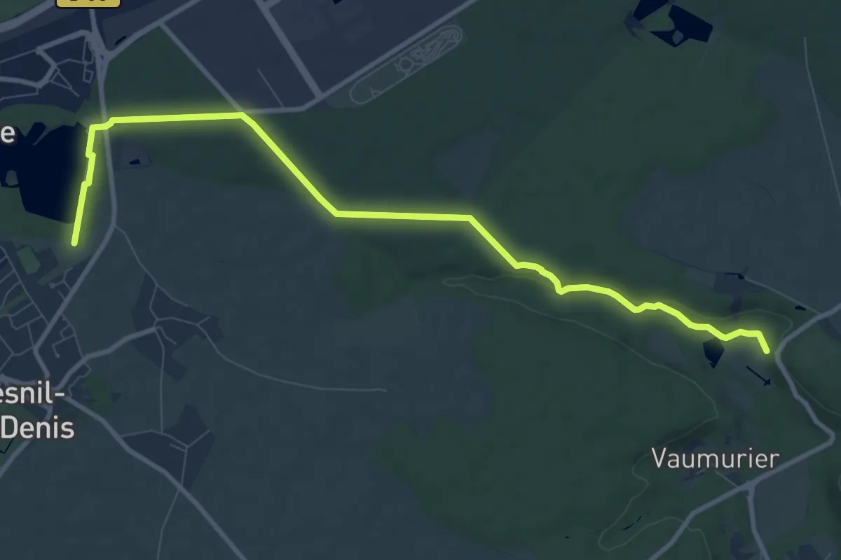
Medium · Trail
19
10.0 km · ↑ 124 m · 2 h 38 min
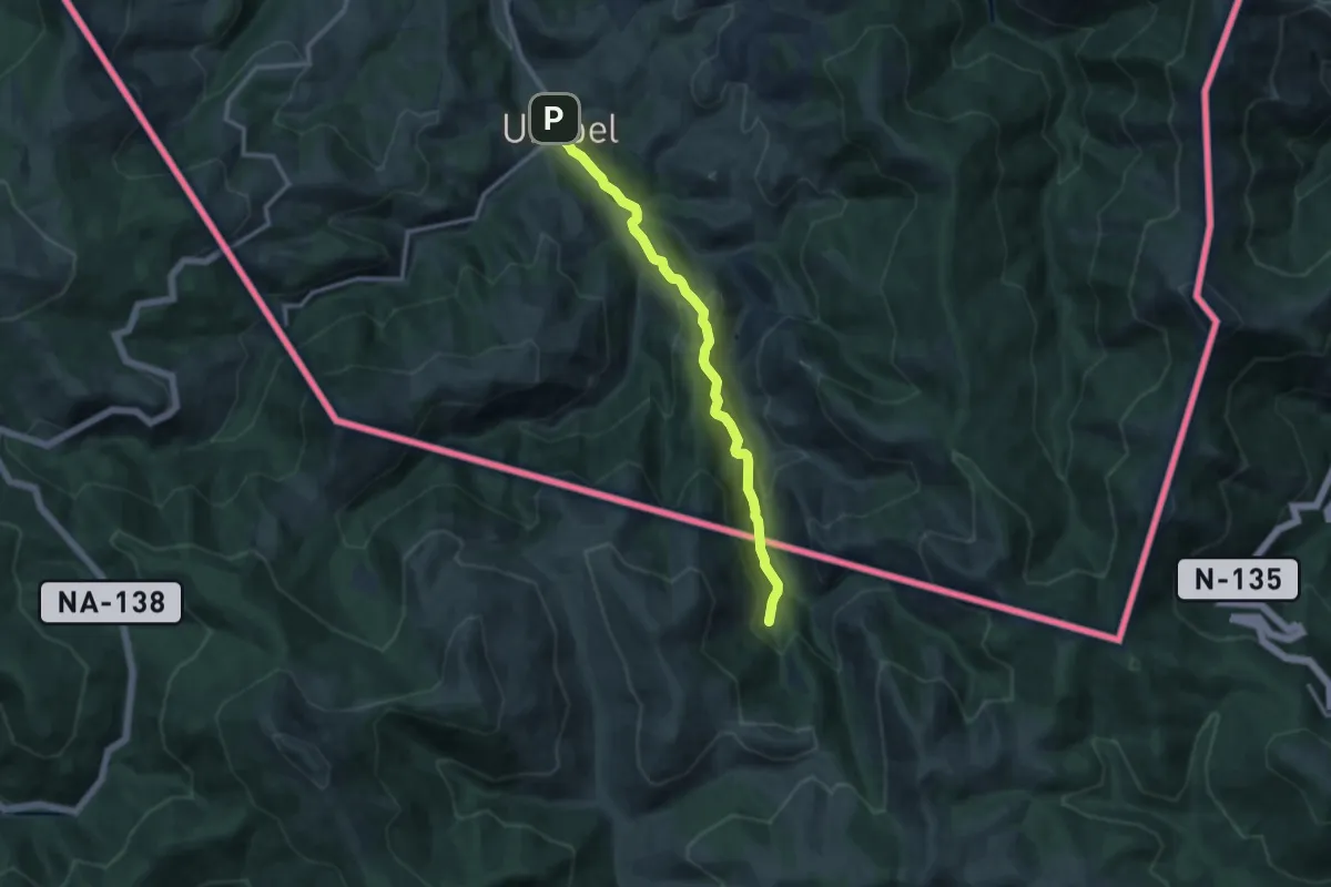
Medium · Trail
1938ko Ezkabako Ihesa
11.2 km · ↑ 562 m · 3 h 51 min
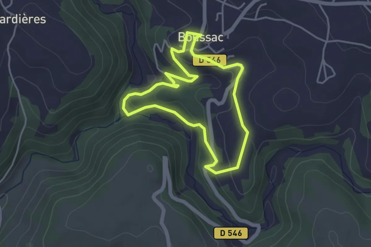
Easy · Trail
1 - Los tres Rius
3.3 km · ↑ 119 m · 1 h 4 min
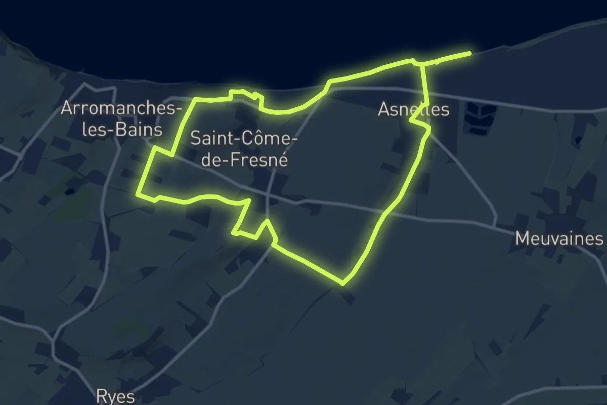
Medium · Trail
231e Brigade Britannique
10.1 km · ↑ 82 m · 2 h 42 min
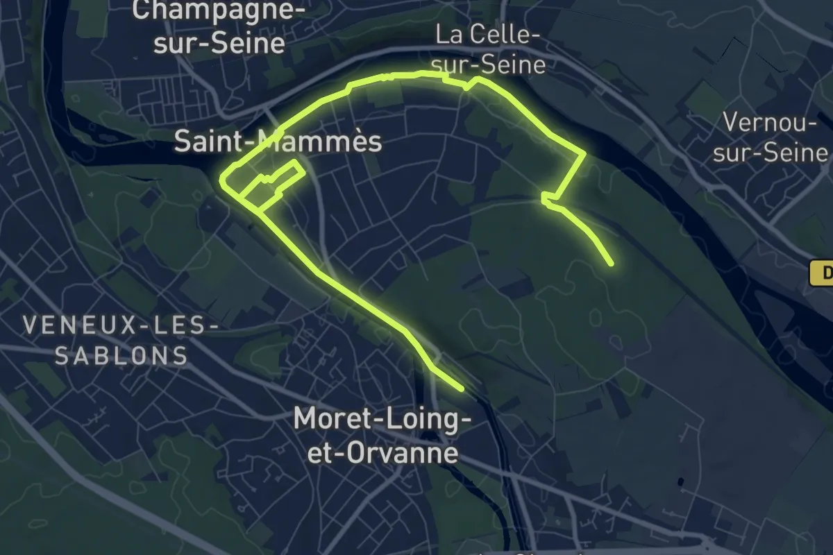
Demanding · Trail
27
22.1 km · ↑ 183 m · 5 h 37 min
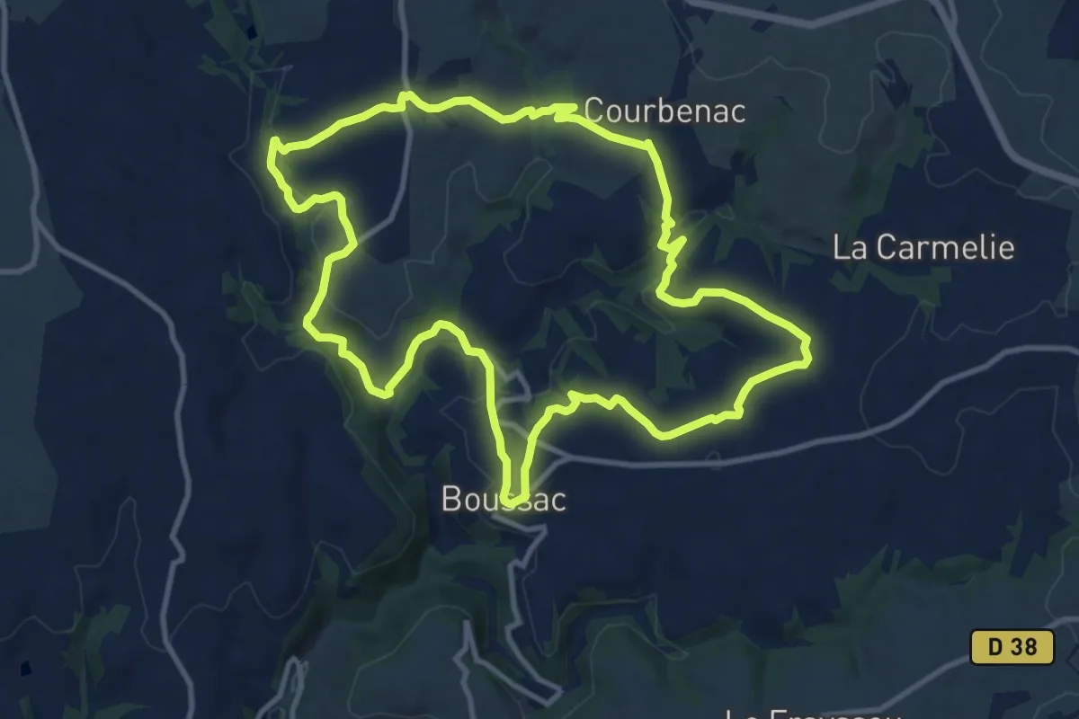
Medium · Trail
2 - Église de BOUSSAC
11.5 km · ↑ 296 m · 3 h 30 min
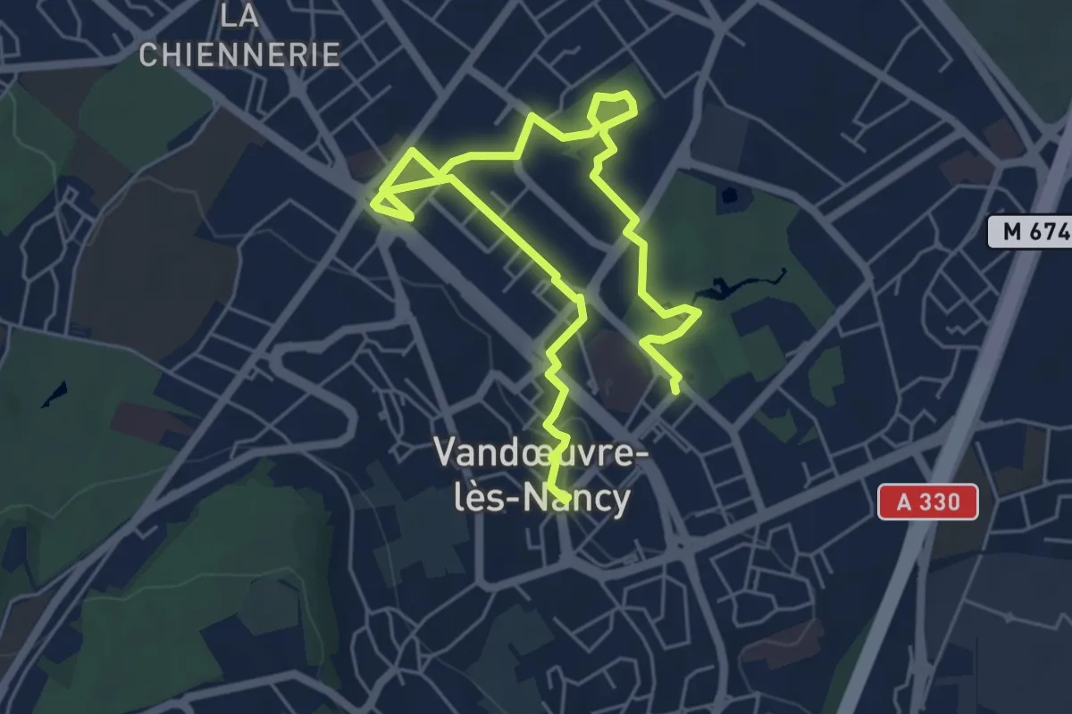
Easy · Trail
3.54
3.7 km · ↑ 13 m · 58 min
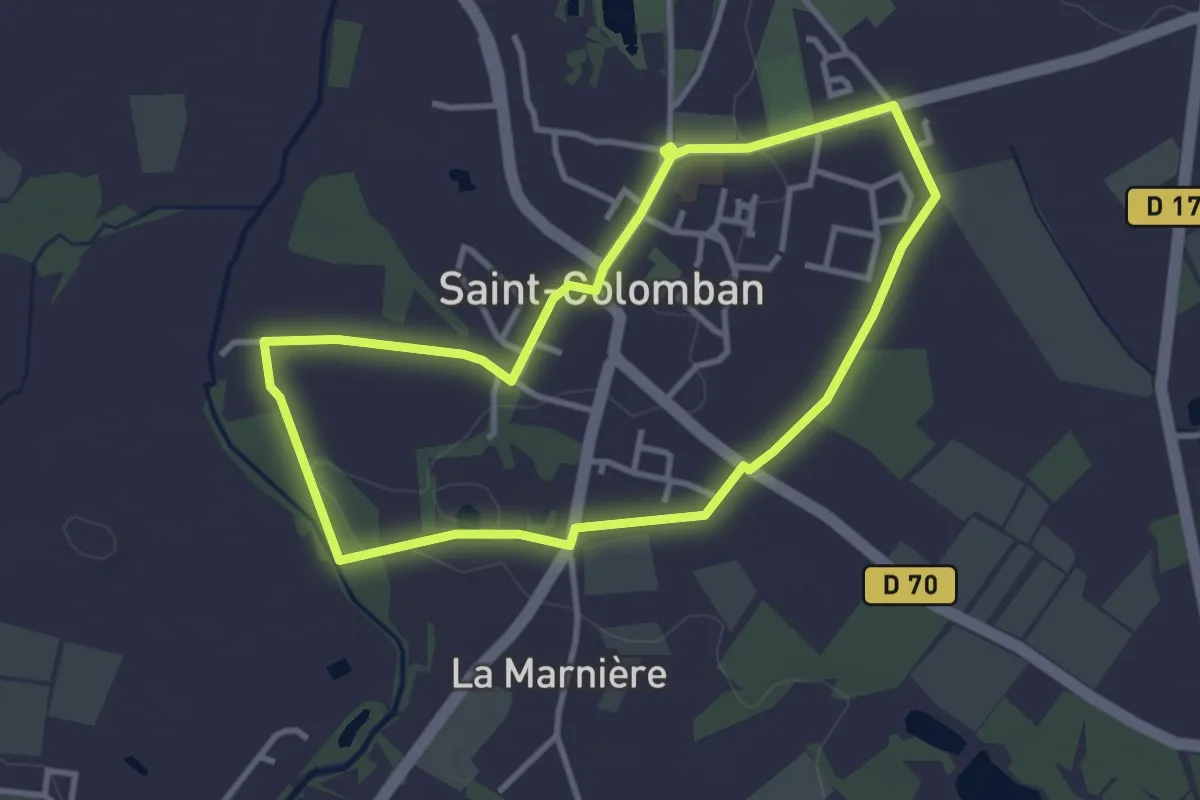
Easy · Trail
40
3.2 km · ↑ 9 m · 49 min
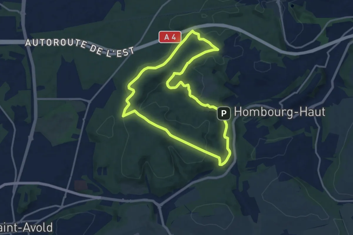
Medium · Trail
4 Circuit du Moulin á Papier
9.2 km · ↑ 235 m · 2 h 49 min
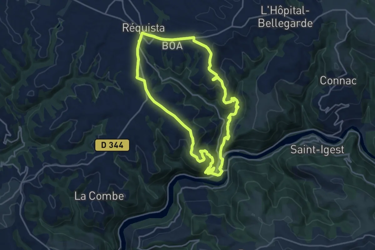
Medium · Trail
5 - Lincou
13.5 km · ↑ 448 m · 4 h 20 min
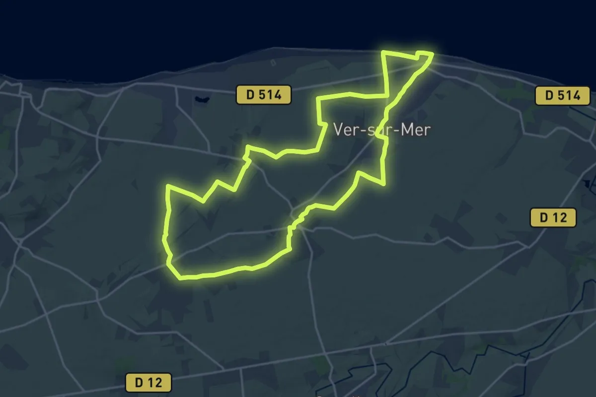
Demanding · Trail
69e Brigade Britannique
18.3 km · ↑ 98 m · 4 h 47 min
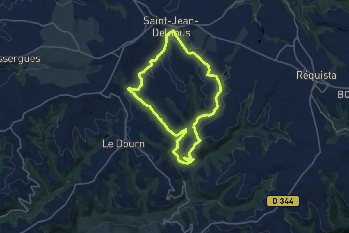
Medium · Trail
7 - Farret
10.5 km · ↑ 265 m · 3 h 13 min
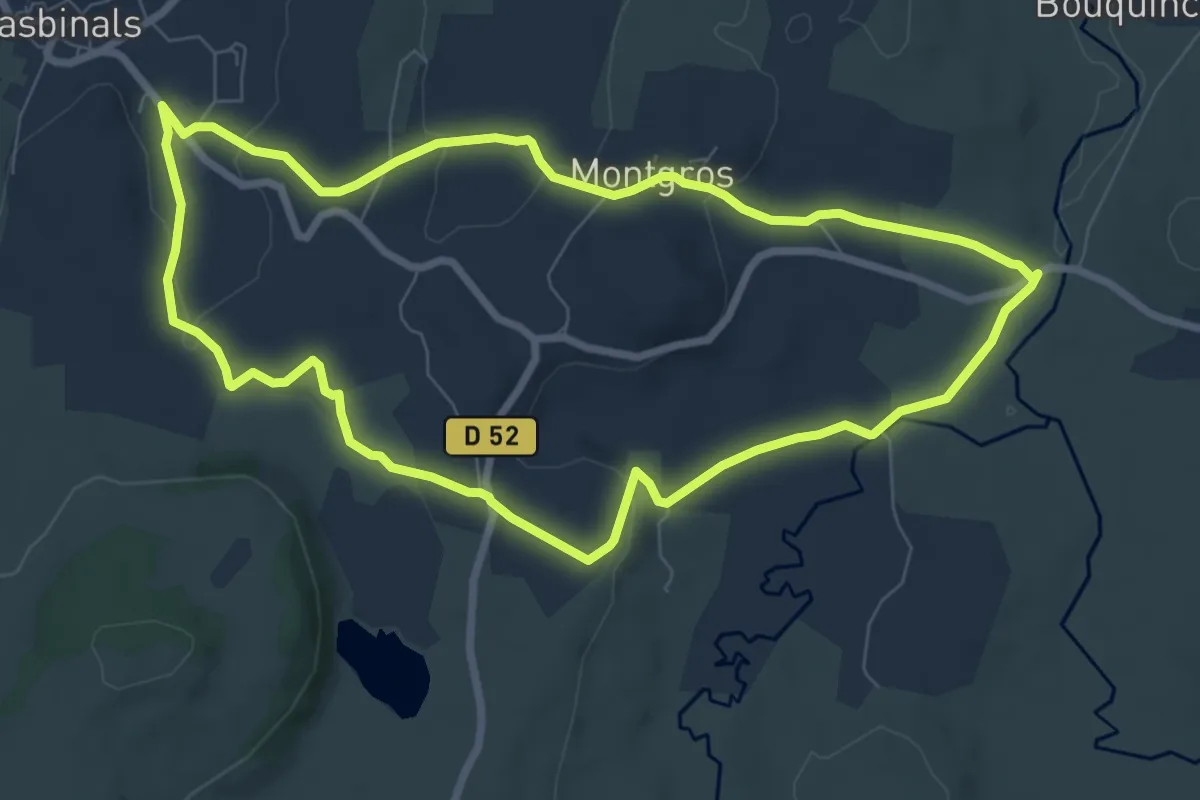
Medium · Trail
9 La cascade du Déroc
8.1 km · ↑ 117 m · 2 h 16 min
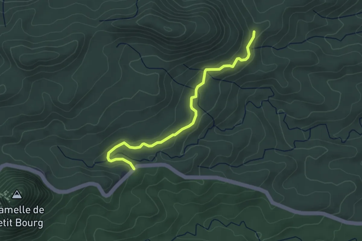
Easy · Trail
Rivière Quiock – Forestière de Grosse Montagne
2.7 km · ↑ 39 m · 46 min
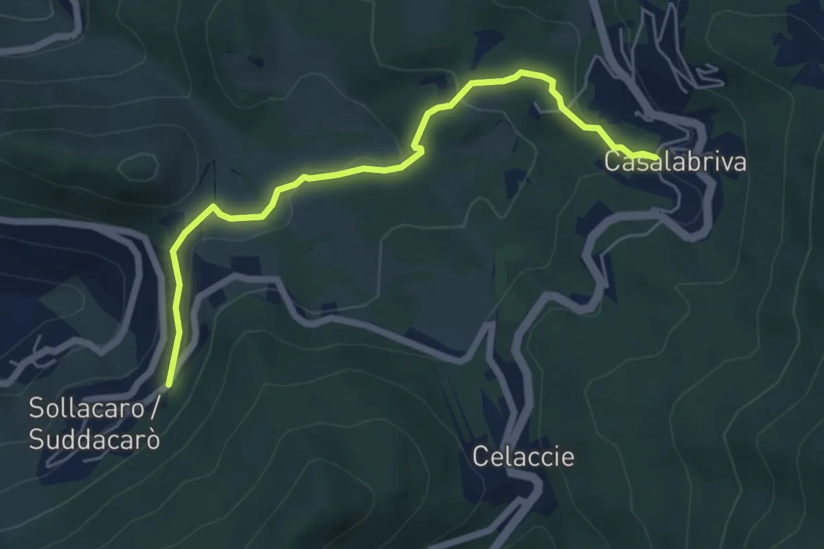
Easy · Trail
Casalabriva – Sollacaro
5.5 km · ↑ 191 m · 1 h 43 min