Trails in France
15,926 hiking trails, each with its route, climb, walking time and grade.
All trails, page 287 of 332
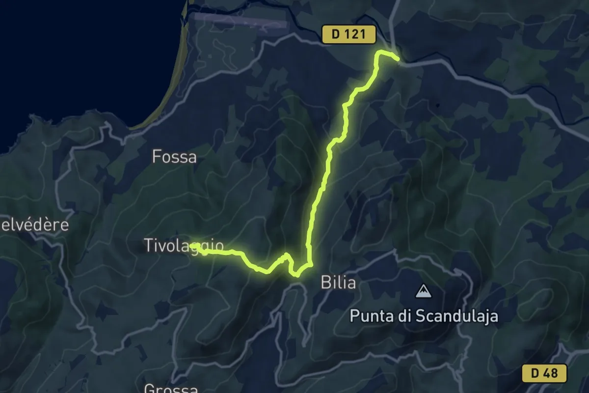
Medium · Trail
Rena Bianca (Pont) – Tivulaghju
13.2 km · ↑ 667 m · 4 h 34 min
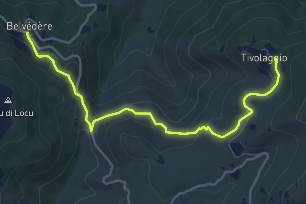
Medium · Trail
Tivulaghju – Belvédère
8.3 km · ↑ 295 m · 2 h 36 min
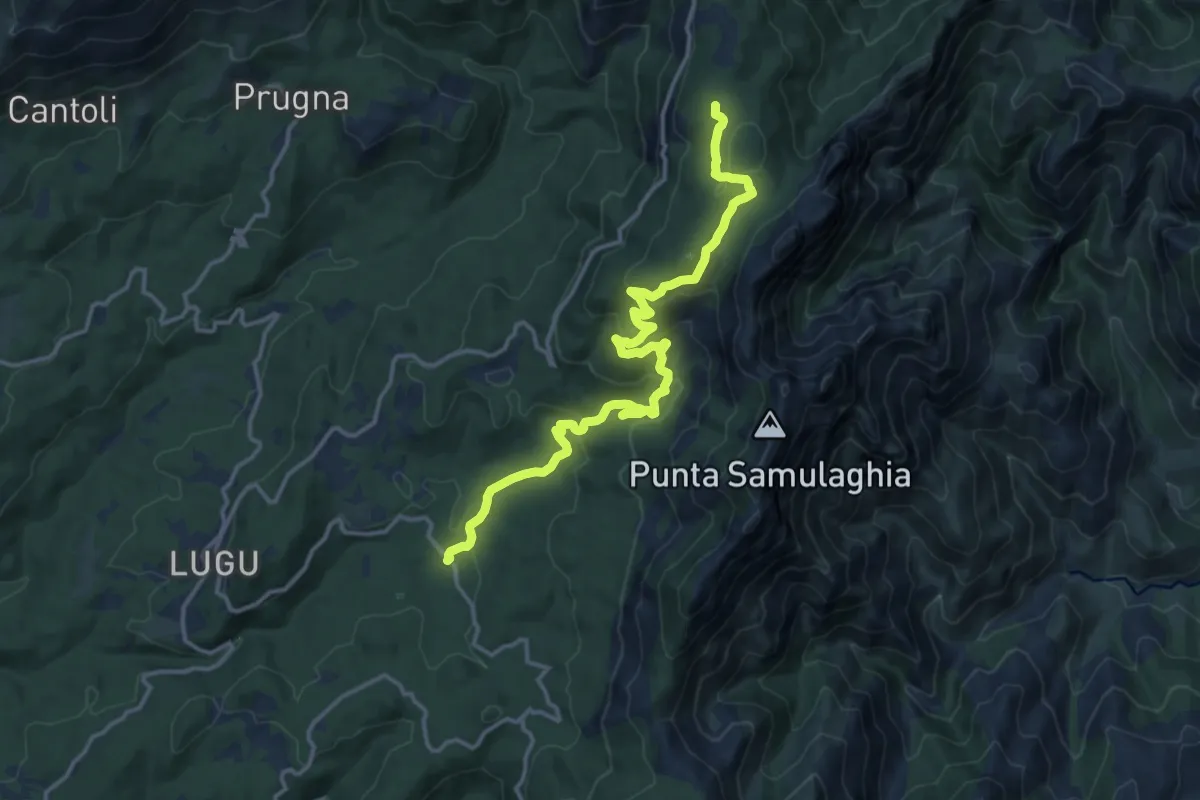
Medium · Trail
D368 – Bavella
16.9 km · ↑ 622 m · 5 h 21 min
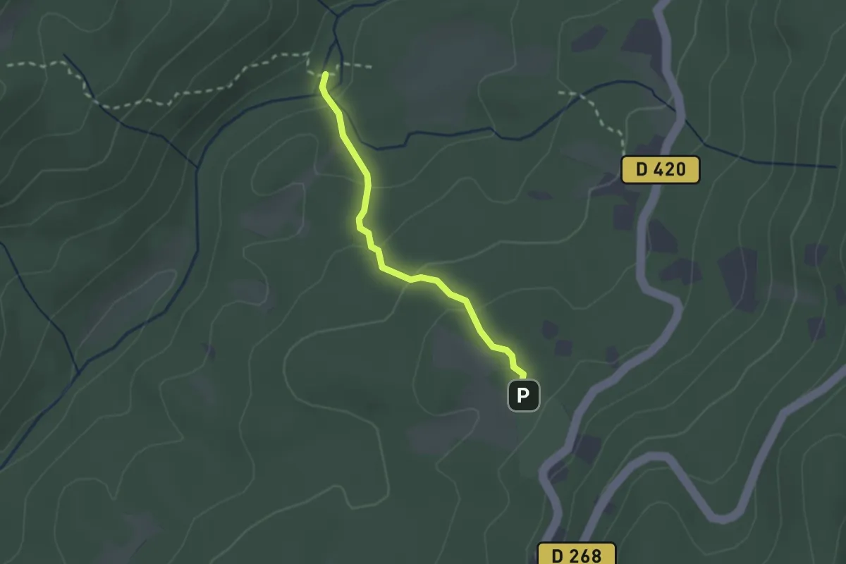
Easy · Trail
CampingBavella Vista – Mare à Mare Sud Variante
2.1 km · ↑ 90 m · 42 min
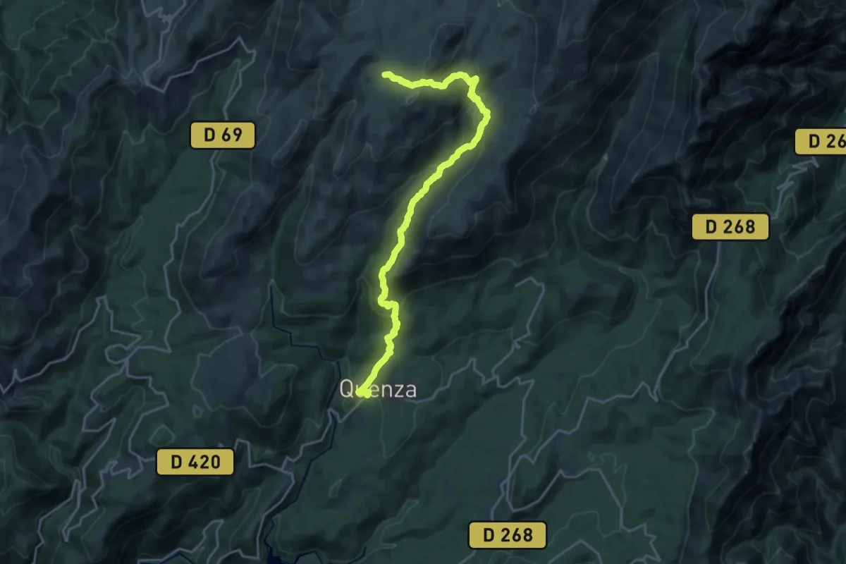
Demanding · Trail
Quenza – Plateau du Coscione
21.6 km · ↑ 1010 m · 7 h 17 min
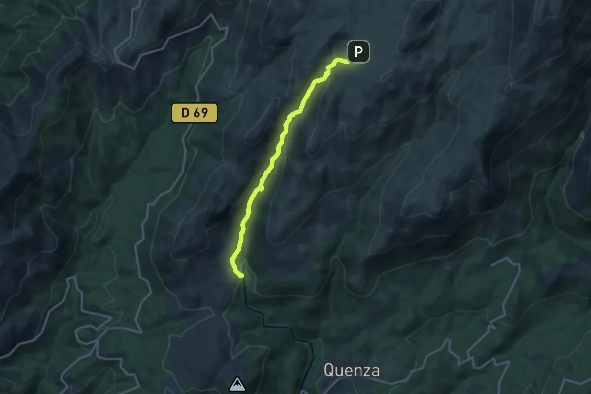
Medium · Trail
Plateau du Coscione – Mare à Mare
11.6 km · ↑ 562 m · 3 h 57 min
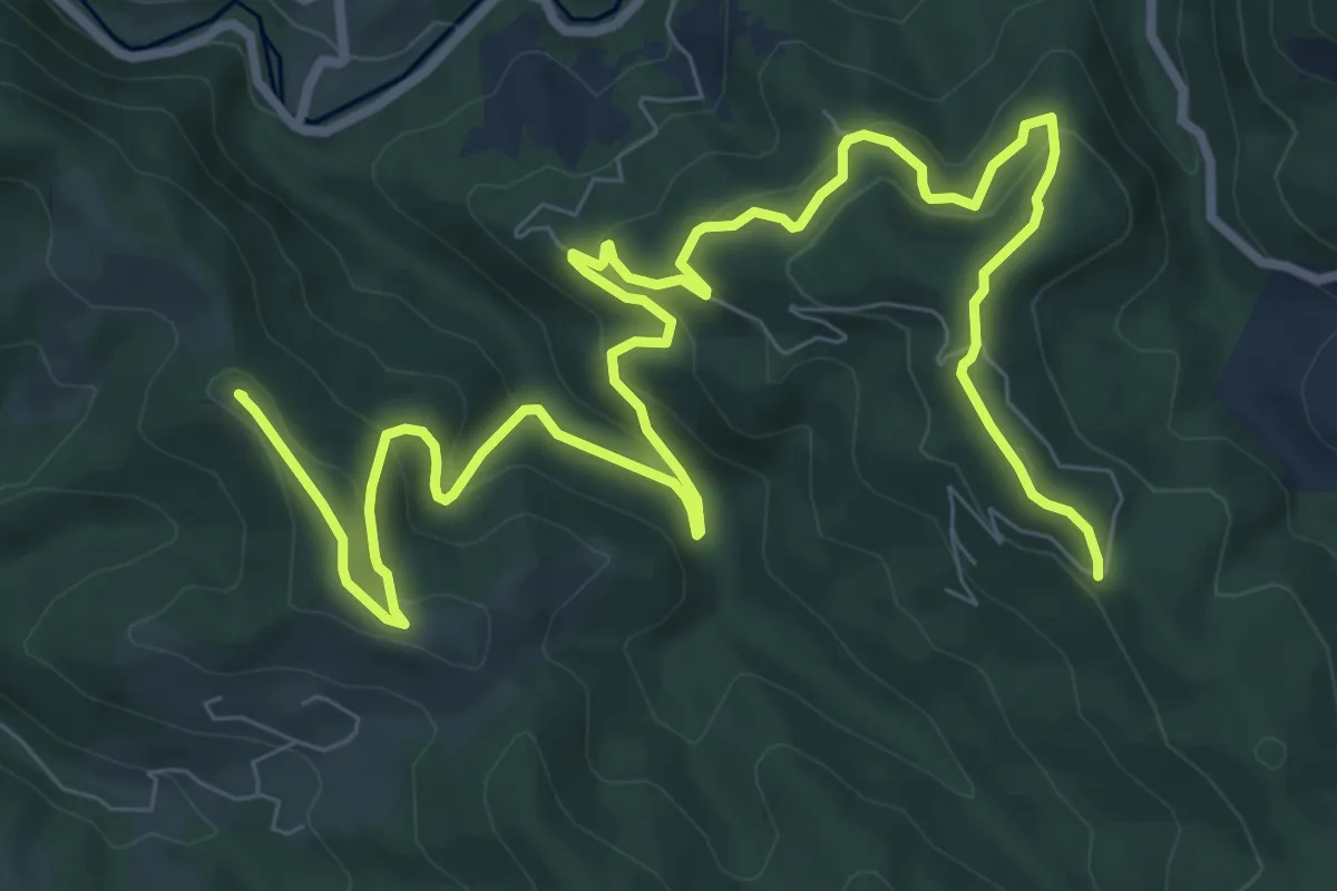
Medium · Summit
Soueix – La Bernadole
14.0 km · ↑ 627 m · 4 h 40 min
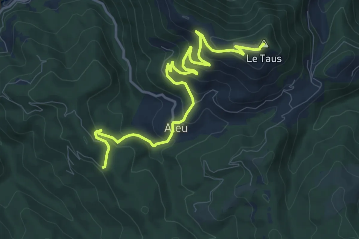
Medium · Summit
La Bernadole – La Comté
10.8 km · ↑ 515 m · 3 h 39 min
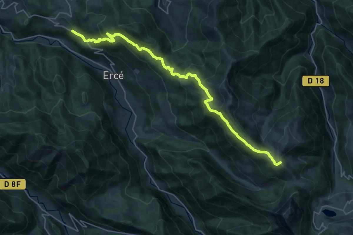
Demanding · Summit
La Comté – Aulus-les-Bains
22.1 km · ↑ 1073 m · 7 h 32 min
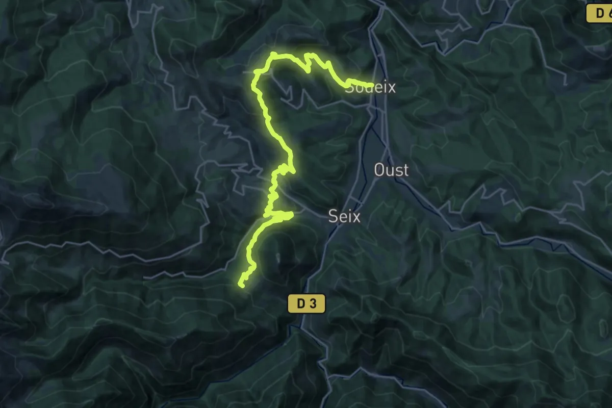
Medium · Cabin
Gîte d'étape d'Aunac – Soueix
13.3 km · ↑ 767 m · 4 h 50 min
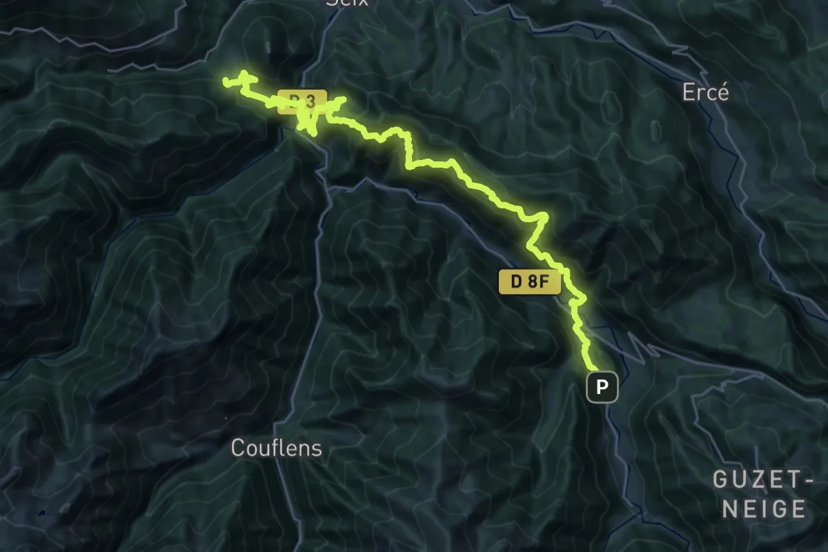
Demanding · Cabin
St-Lizier d'Ustou / Bidous – Aunac
17.1 km · ↑ 1360 m · 7 h 12 min
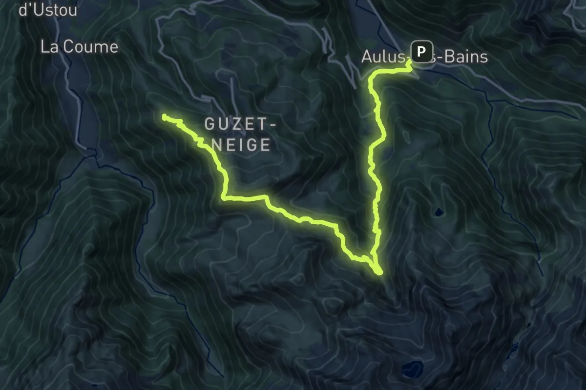
Demanding · Summit
Aulus-les-Bains – St-Lizier d'Ustou
21.4 km · ↑ 1445 m · 8 h 11 min
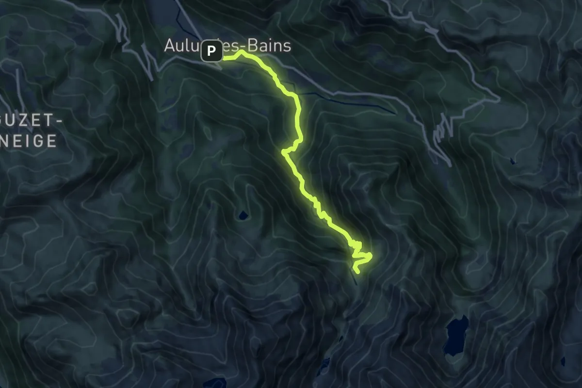
Demanding · Summit
Aulus-les-Bains – St-Lizier d'Ustou
12.0 km · ↑ 855 m · 4 h 41 min
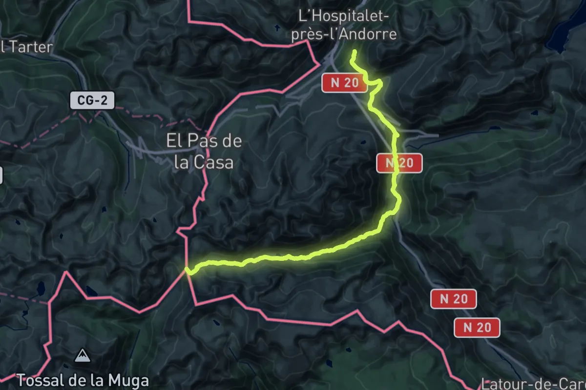
Expert · Trail
Portella Blanca – Comus
17.1 km · ↑ 1173 m · 6 h 30 min
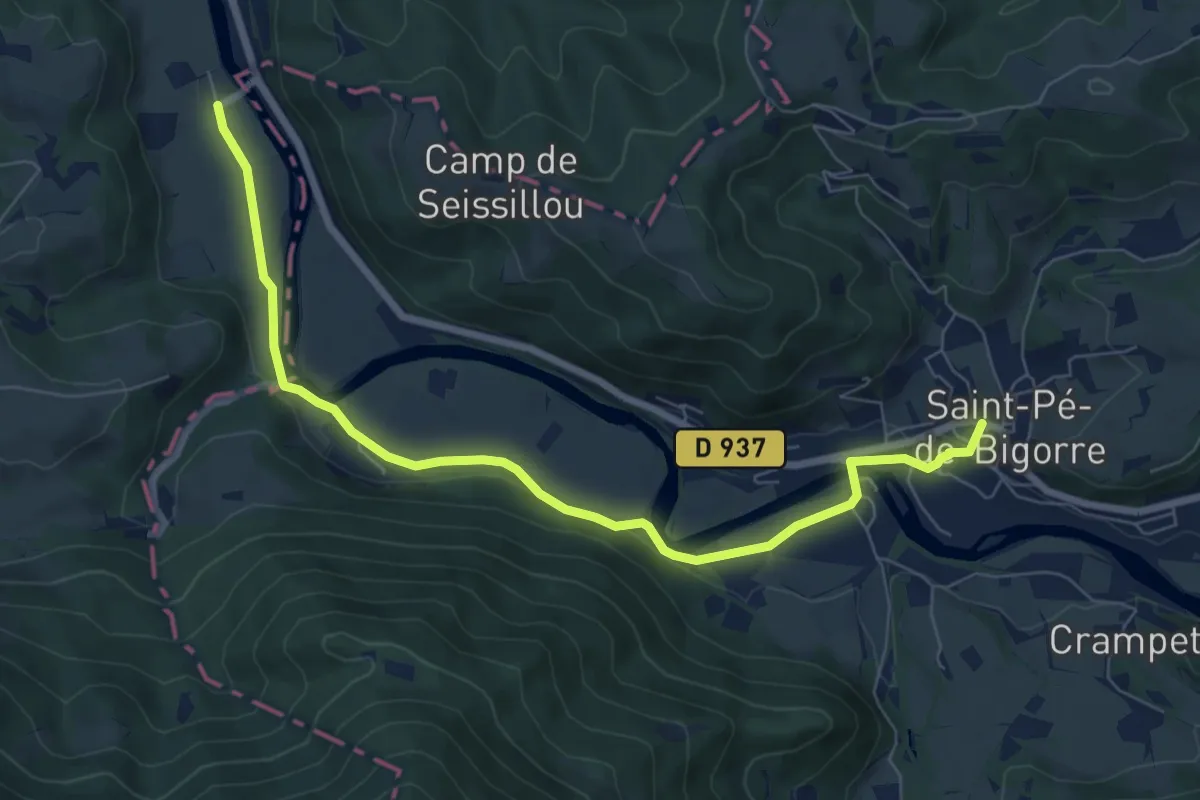
Medium · Trail
Saint-Pé-de-Bigorre – Bruges
8.4 km · ↑ 106 m · 2 h 13 min
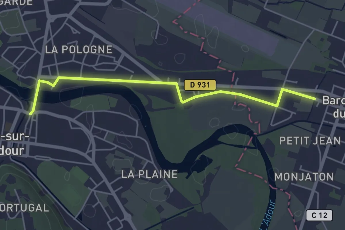
Easy · Trail
Condom – Aire-sur-l'Adour
4.6 km · ↑ 8 m · 1 h 7 min
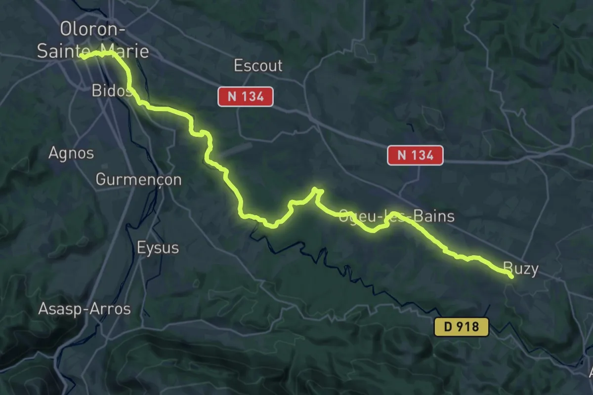
Demanding · Trail
Buzy – Oloron-Sainte-Marie
18.8 km · ↑ 178 m · 5 h 9 min
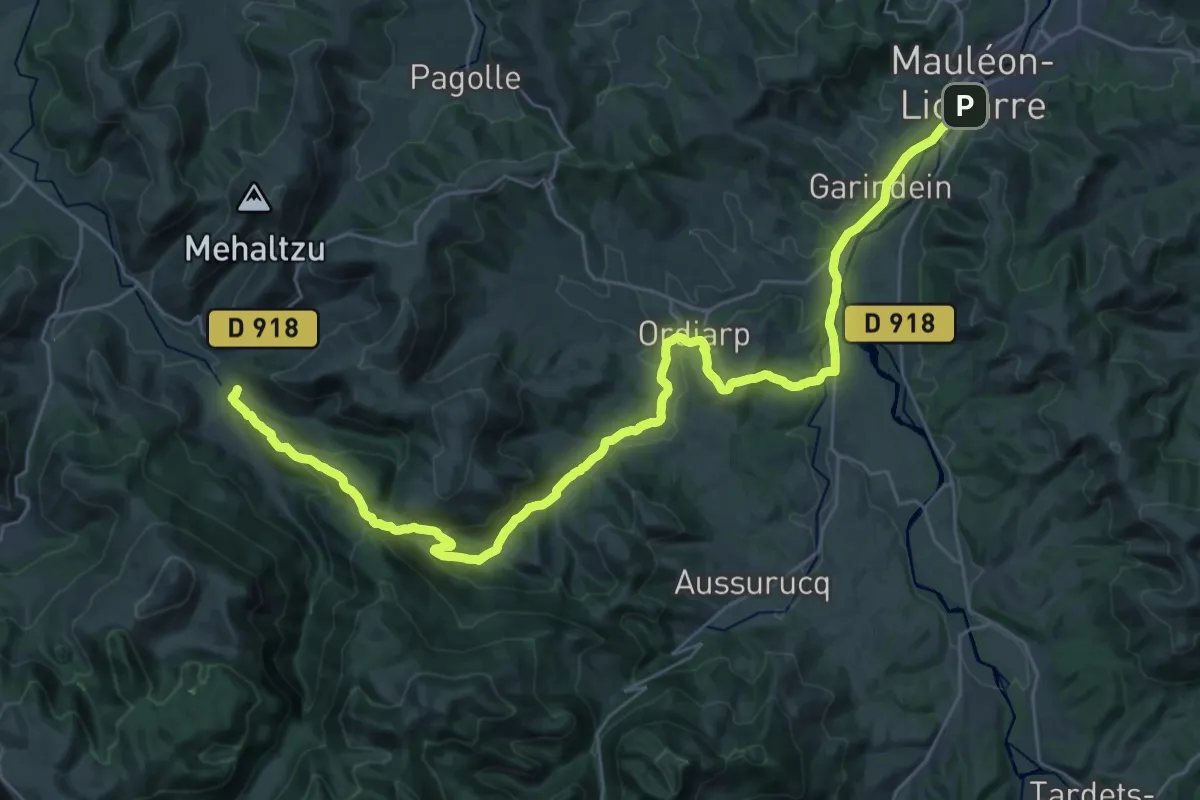
Demanding · Trail
Mauléon-Licharre – Saint-Just-Ibarre
20.3 km · ↑ 608 m · 6 h 21 min
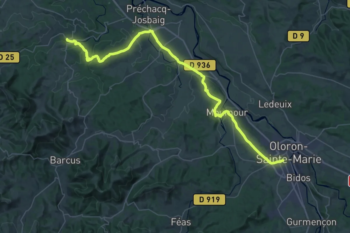
Demanding · Trail
Oloron-Sainte-Marie – L'Hôpital-Saint-Blaise
19.9 km · ↑ 204 m · 5 h 28 min
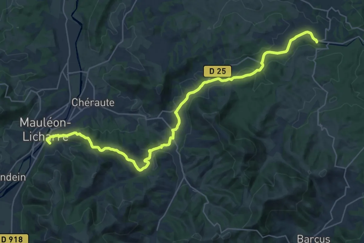
Demanding · Summit
L'Hôpital-Saint-Blaise – Mauléon-Licharre
28.5 km · ↑ 570 m · 7 h 58 min
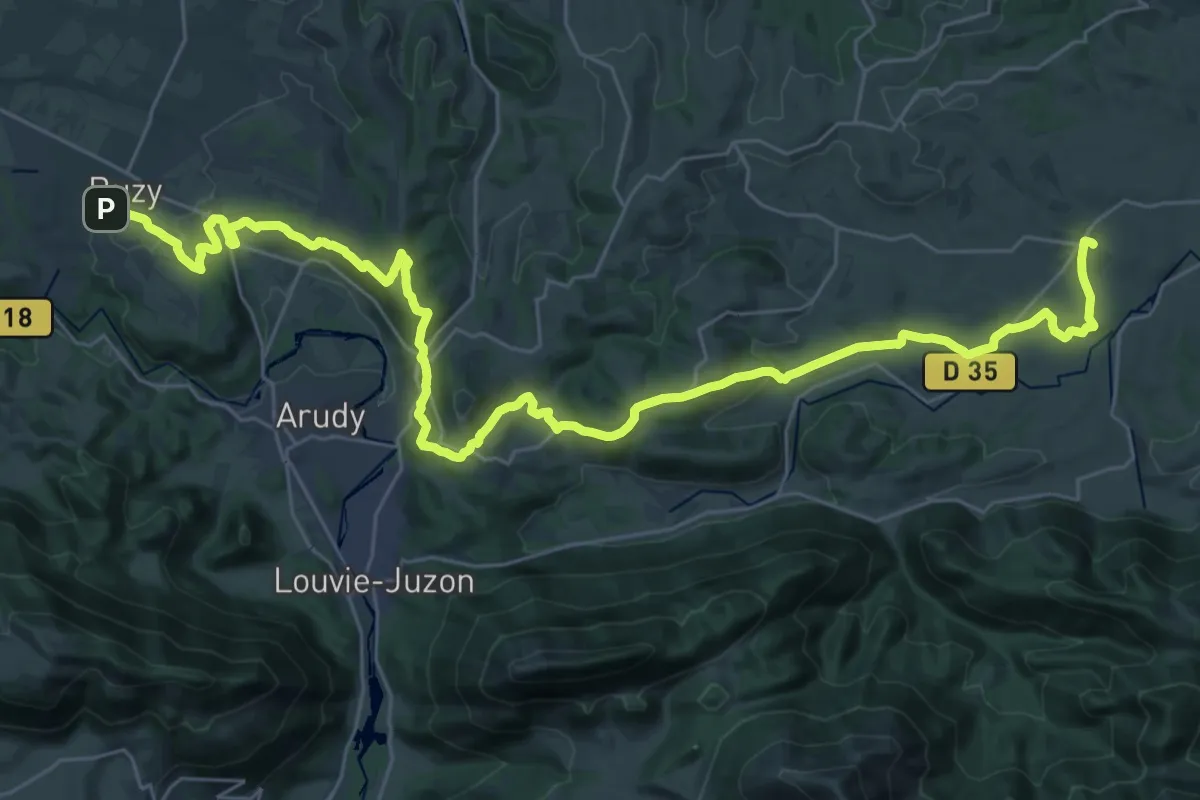
Demanding · Trail
Bruges – Buzy
21.4 km · ↑ 663 m · 6 h 46 min
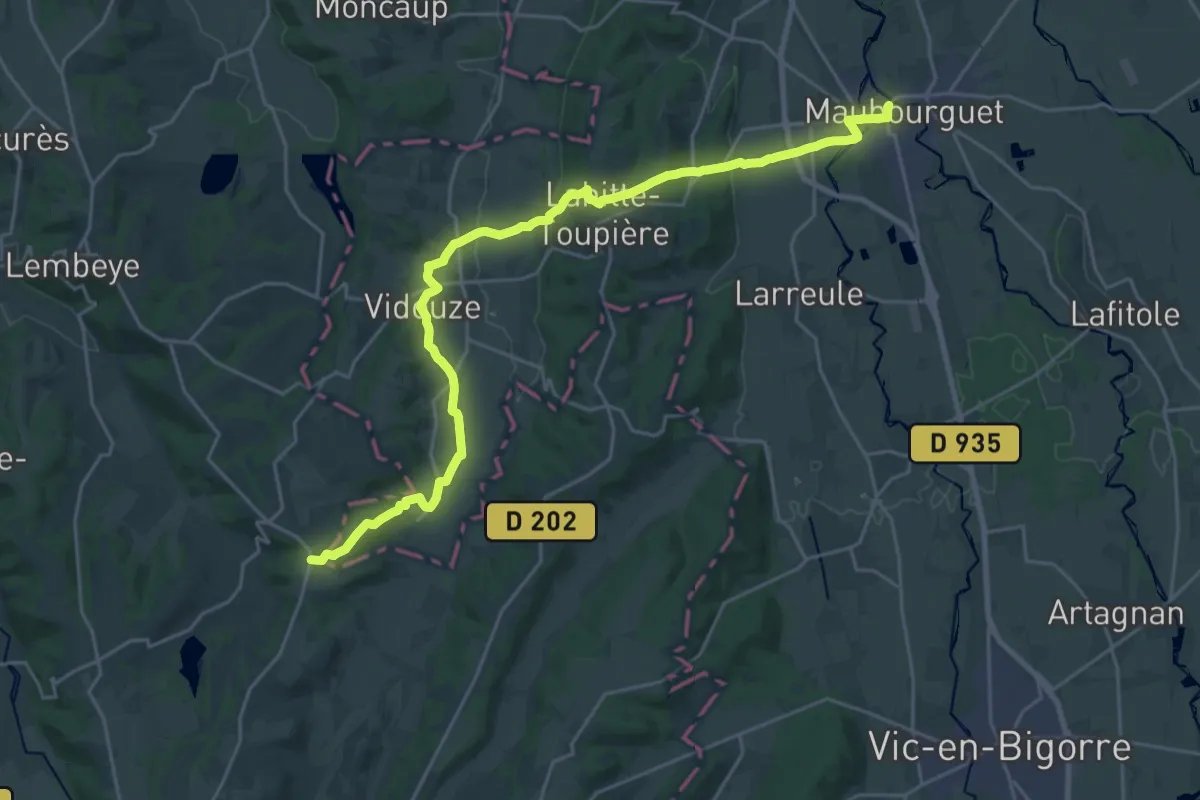
Demanding · Trail
Maubourguet – Oloron-Sainte-Marie
28.9 km · ↑ 442 m · 7 h 47 min
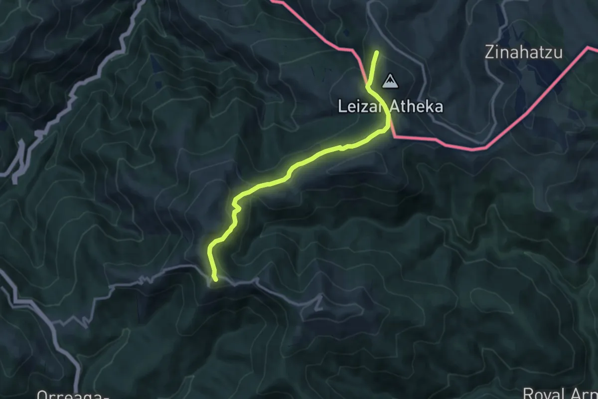
Medium · Summit
Saint-Jean-Pied-de-Port – Roncesvalles
10.2 km · ↑ 337 m · 3 h 8 min
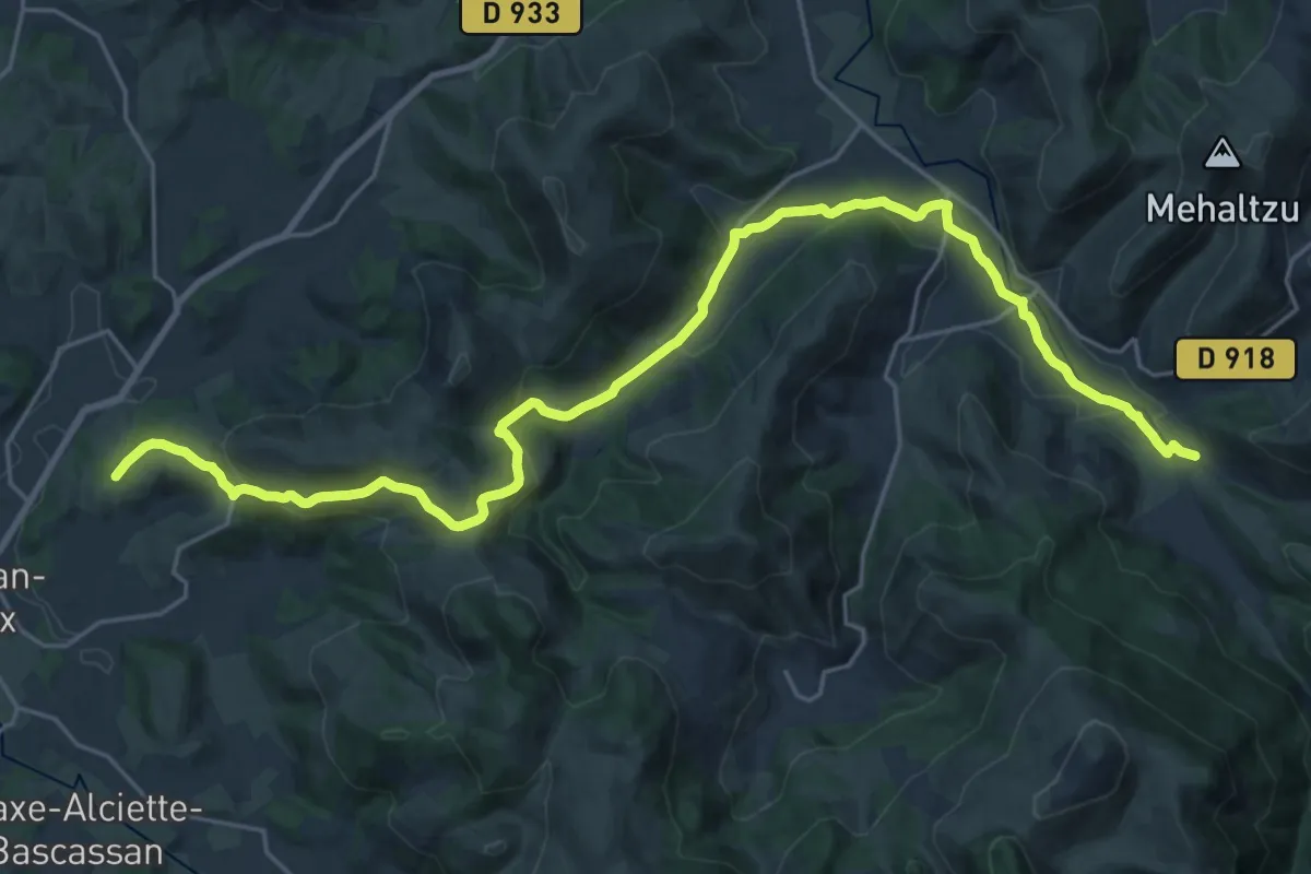
Medium · Trail
Saint-Just-Ibarre – Saint-Jean-Pied-de-Port
15.6 km · ↑ 349 m · 4 h 42 min
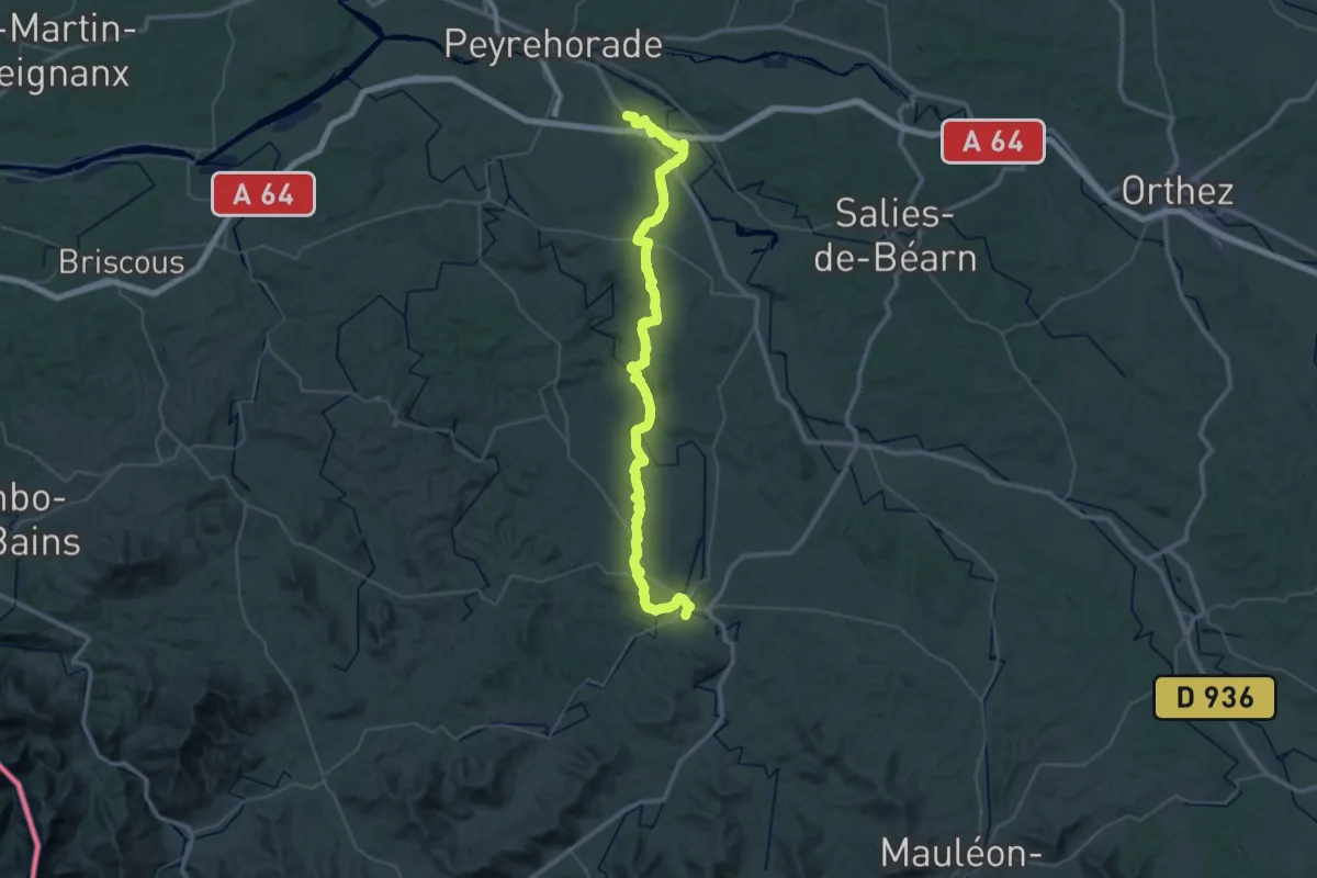
Demanding · Trail
Sorde-l'Abbaye – Saint-Palais
30.6 km · ↑ 338 m · 8 h 23 min
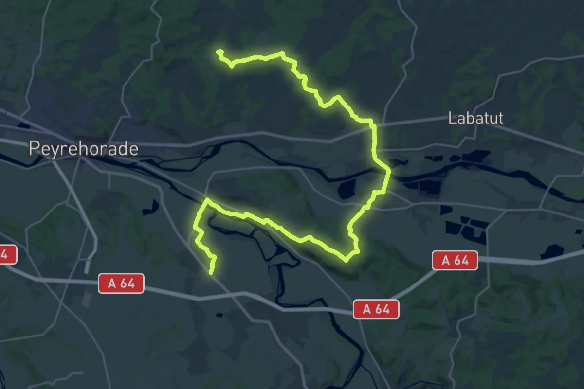
Medium · Trail
Cauneille – Sorde-l'Abbaye
16.4 km · ↑ 212 m · 4 h 36 min
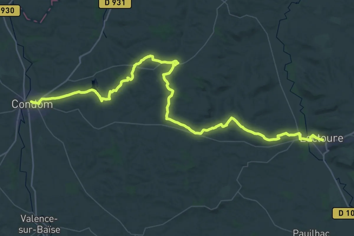
Demanding · Trail
Lectoure – Condom
32.1 km · ↑ 526 m · 9 h 12 min
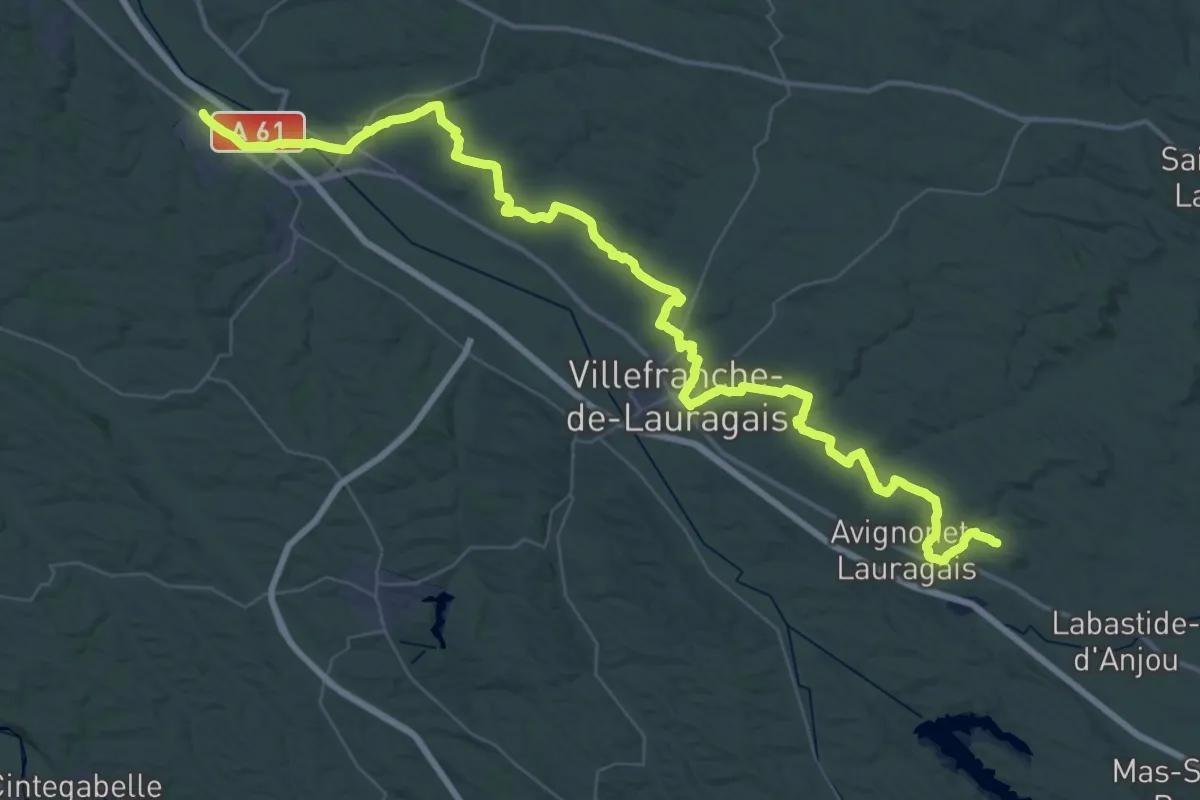
Demanding · Trail
Naurouze – Montgiscard
32.9 km · ↑ 433 m · 9 h 13 min
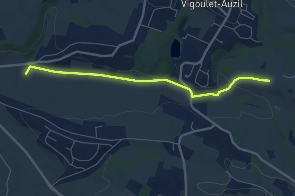
Easy · Trail
Le Réganel – Campagne
5.2 km · ↑ 57 m · 1 h 22 min
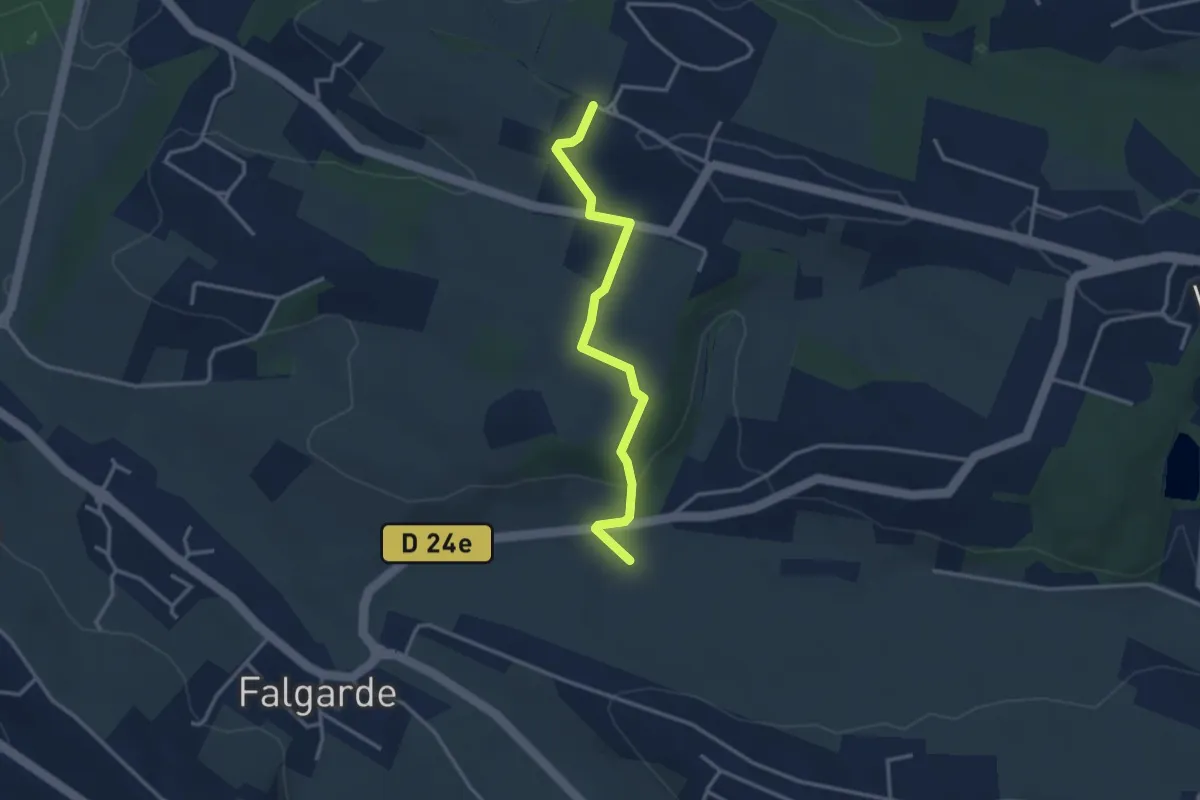
Easy · Trail
Le Réganel – Auzil
3.3 km · ↑ 91 m · 59 min
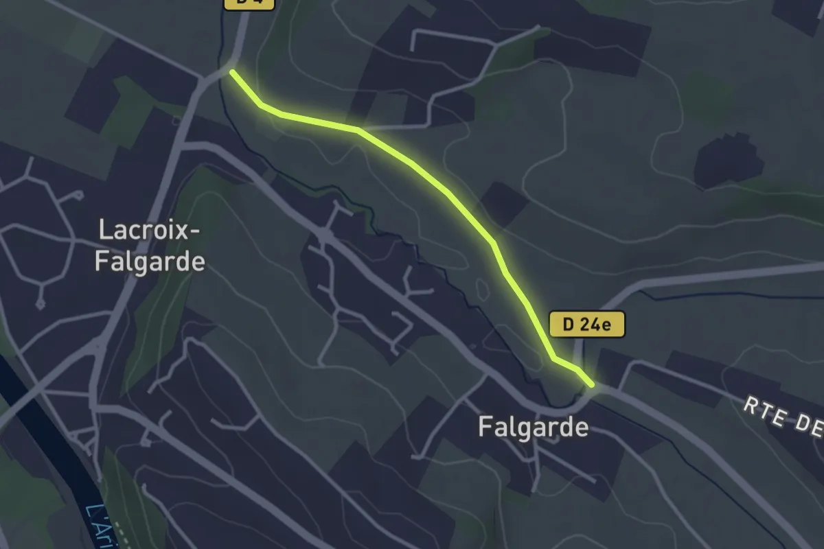
Easy · Trail
Sainte-Christine – Aymard
2.8 km · ↑ 23 m · 42 min
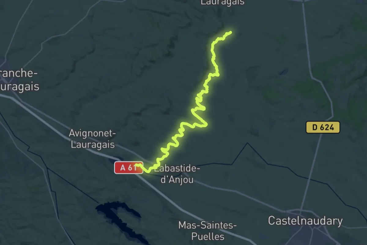
Demanding · Trail
Castres – Naurouze
19.9 km · ↑ 55 m · 5 h 6 min
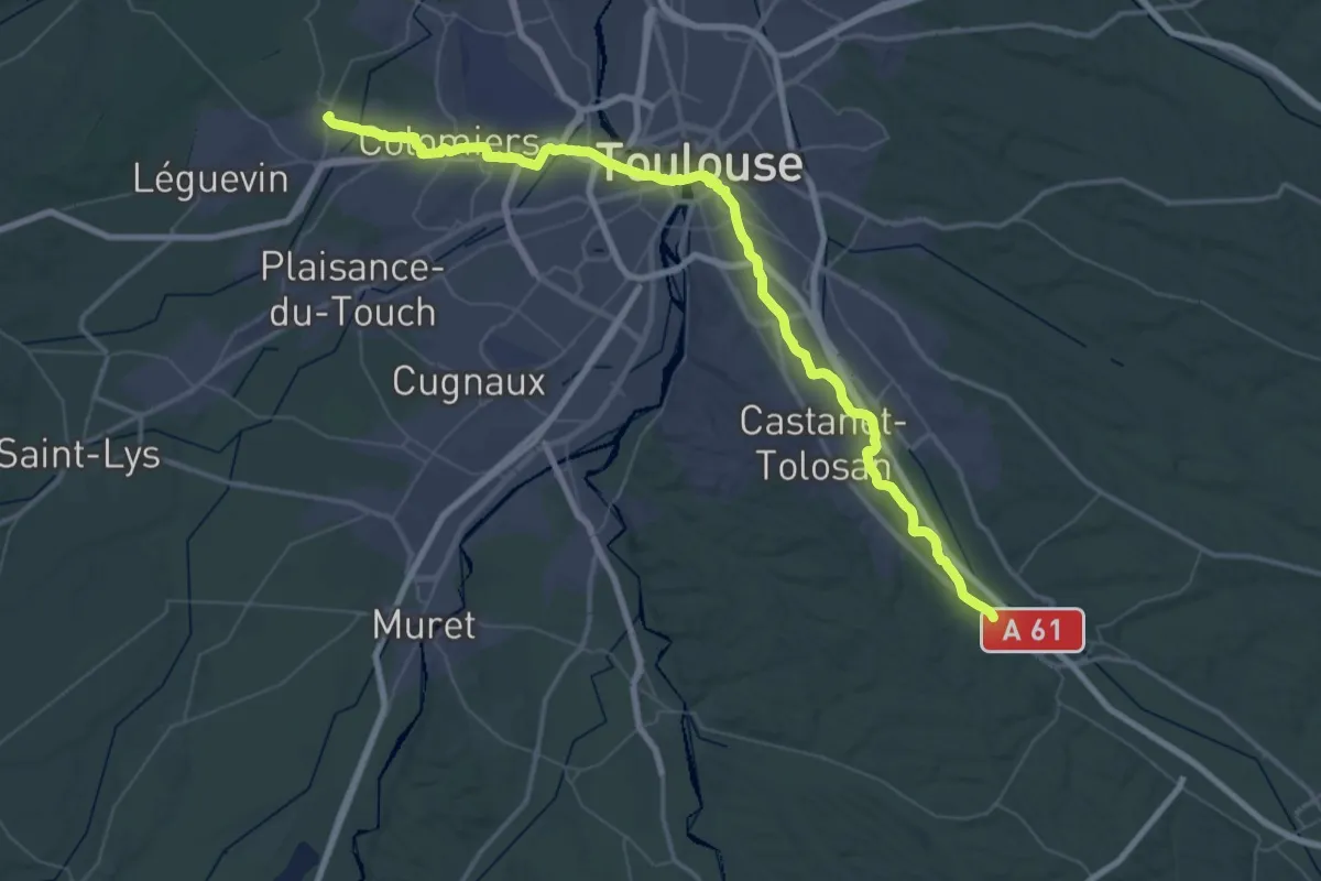
Demanding · Trail
Montgiscard – Pibrac
36.0 km · ↑ 140 m · 9 h 18 min
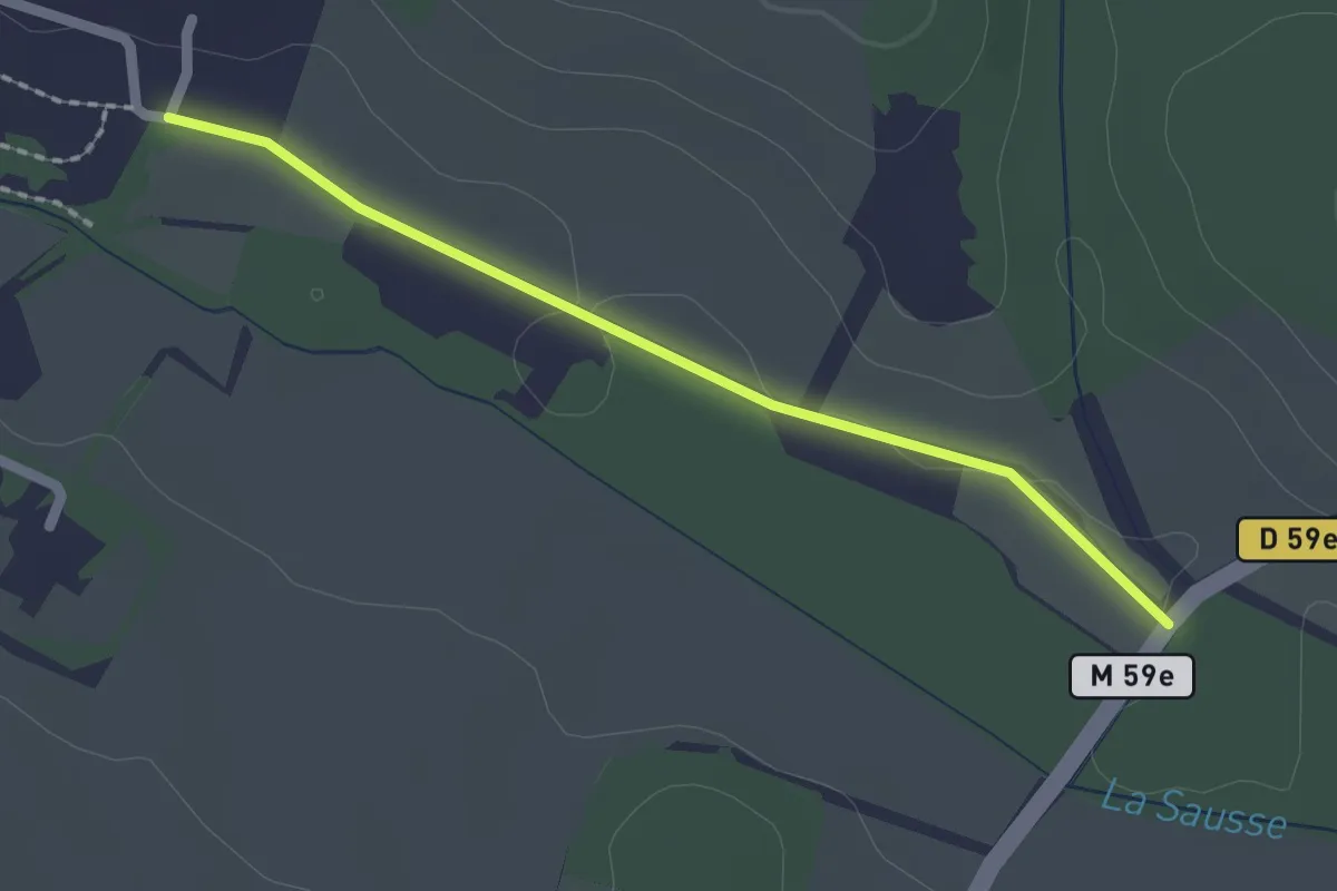
Easy · Trail
Beaupuy – Lavalette
2.0 km · ↑ 10 m · 30 min
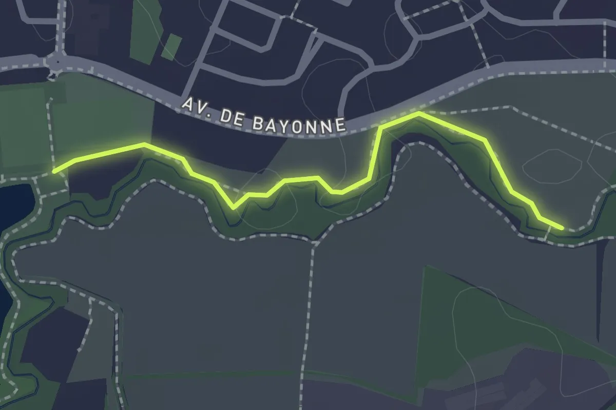
Easy · Trail
Tir à l'Arc – Passerelle de la Sausse
2.0 km · ↑ 0 m · 28 min
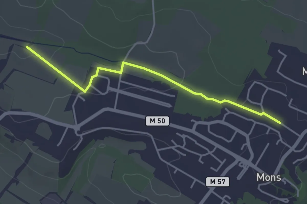
Easy · Trail
Pagé – Tuilerie
3.7 km · ↑ 48 m · 58 min
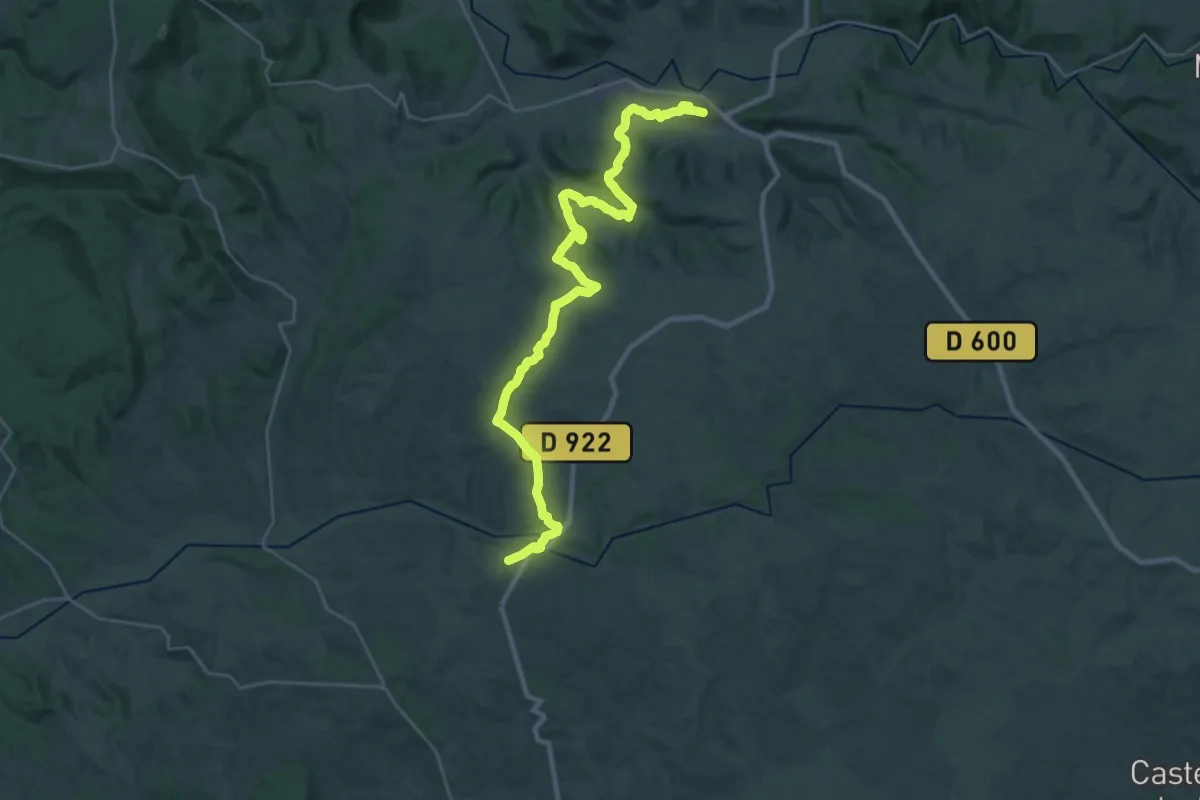
Medium · Trail
Cordes-sur-Ciel – Cahuzac-sur-Vère
17.2 km · ↑ 353 m · 5 h 6 min
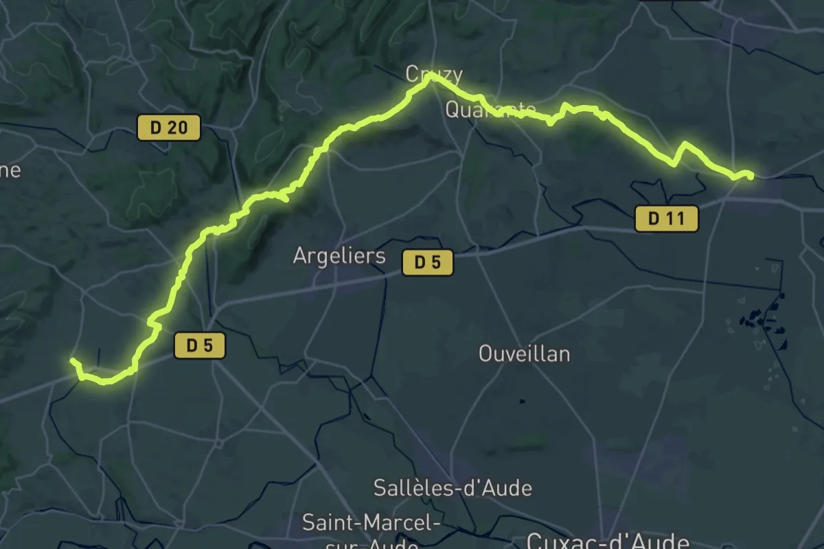
Demanding · Trail
Capestang – Pouzols-Minervois
26.9 km · ↑ 412 m · 7 h 37 min
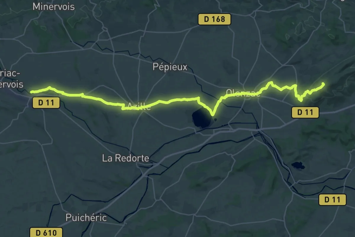
Demanding · Summit
Pouzols-Minervois – Rieux-Minervois
40.9 km · ↑ 376 m · 10 h 29 min
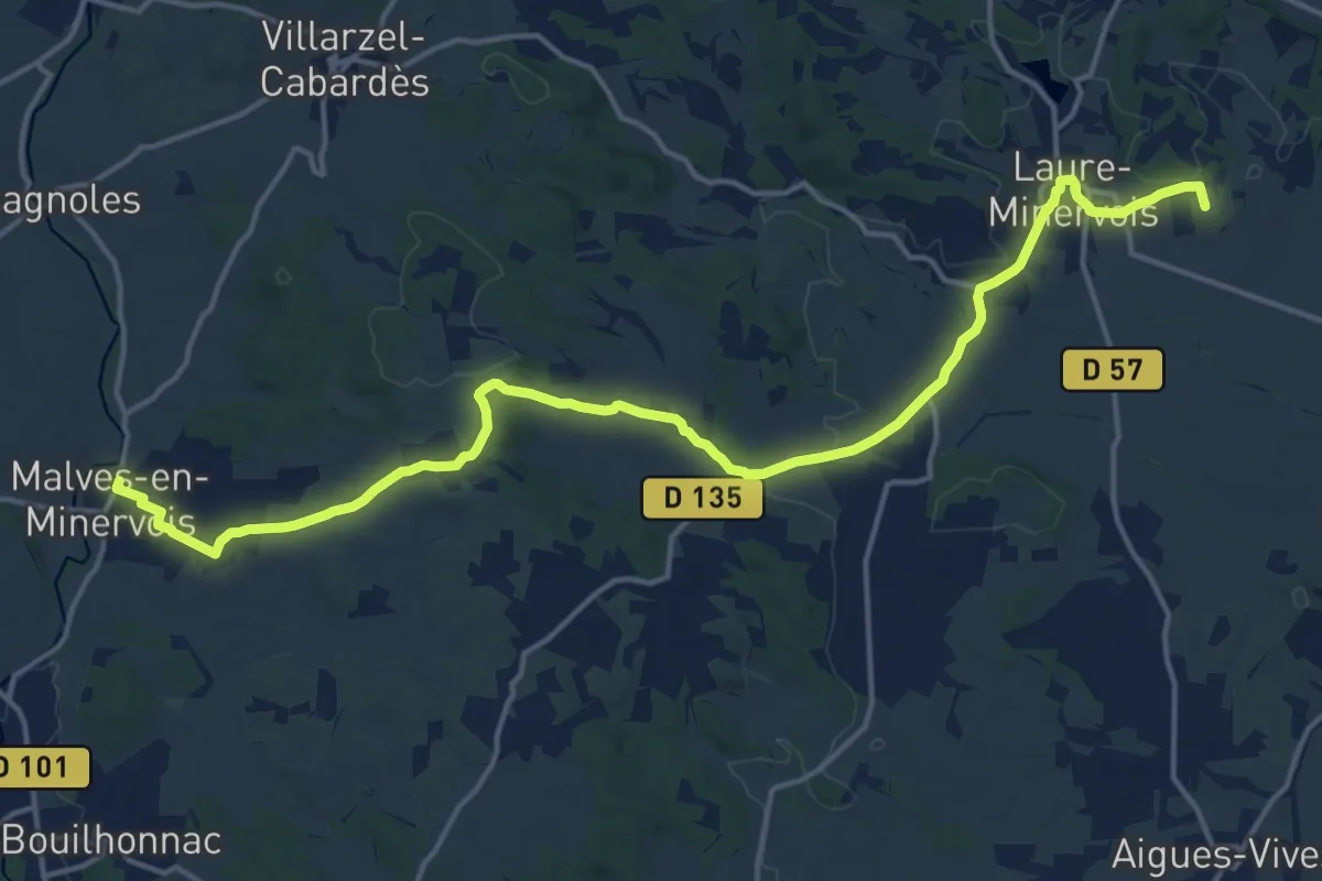
Demanding · Summit
Rieux-Minervois – Malves-en-Minervois
19.9 km · ↑ 245 m · 5 h 14 min
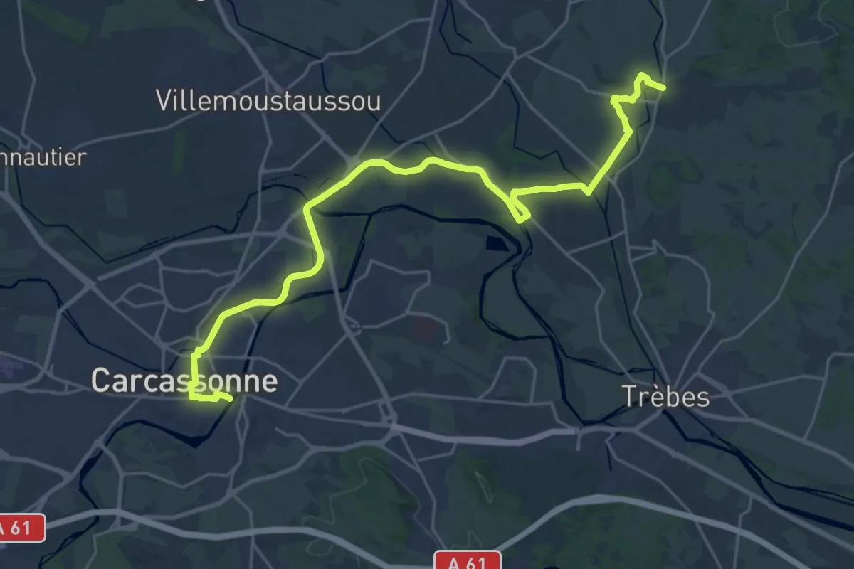
Demanding · Trail
Malves-en-Minervois – Carcassonne
27.6 km · ↑ 184 m · 6 h 55 min
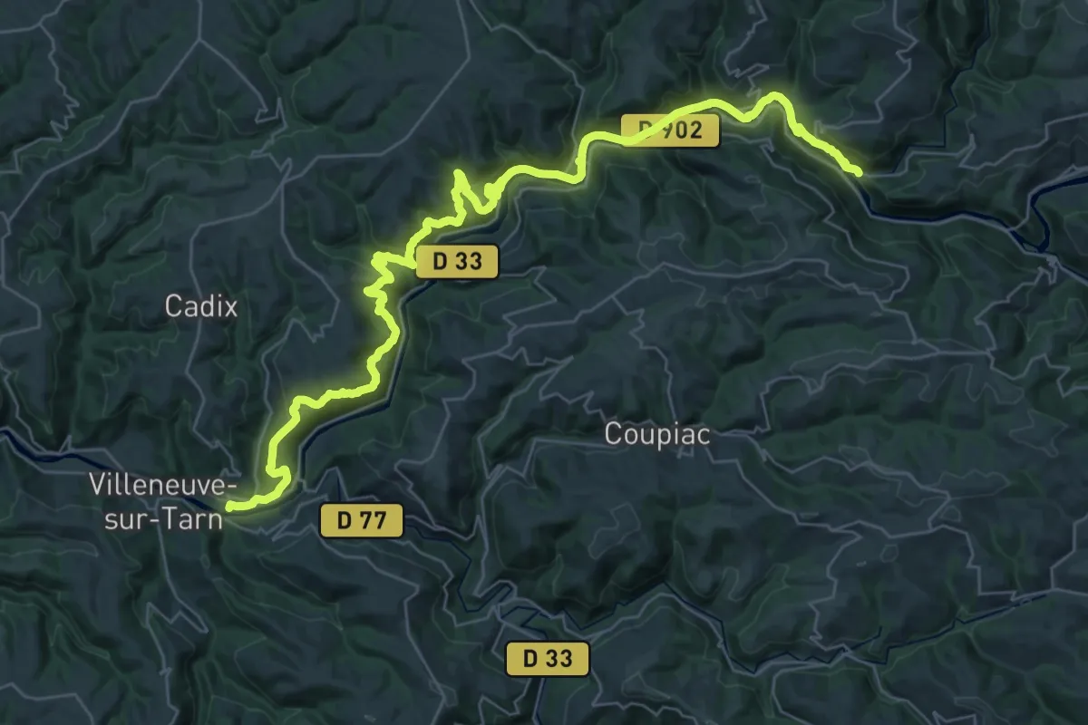
Demanding · Trail
Brousse-le-Château – Trébas
23.0 km · ↑ 694 m · 7 h 16 min
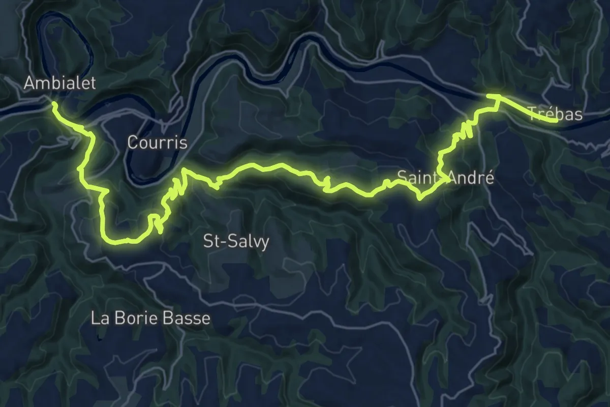
Medium · Trail
Trébas – Ambialet
17.0 km · ↑ 670 m · 5 h 43 min
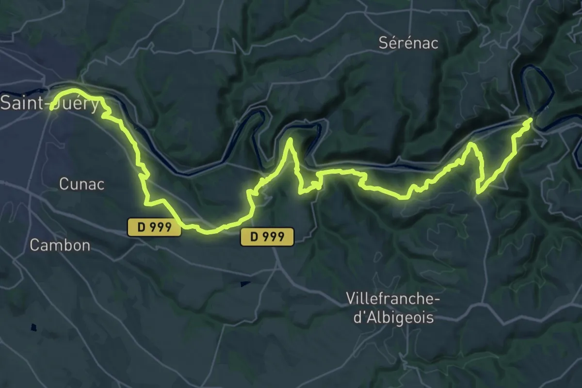
Demanding · Trail
Ambialet – Saint-Juéry
26.4 km · ↑ 966 m · 8 h 42 min
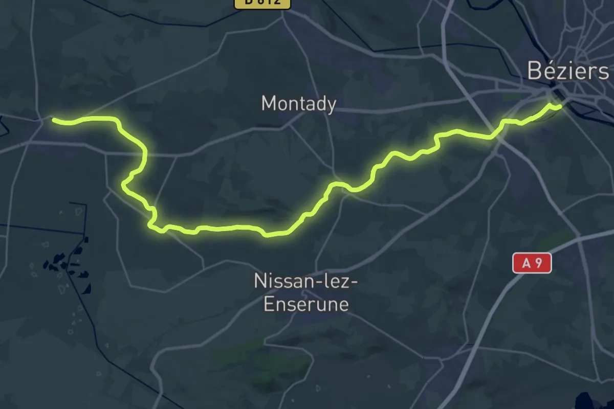
Demanding · Trail
Béziers – Capestang
18.7 km · ↑ 122 m · 4 h 56 min
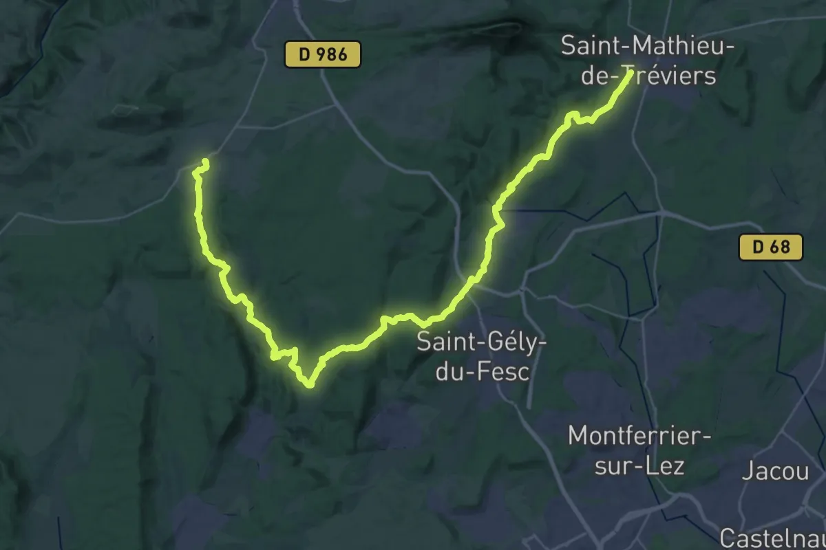
Demanding · Trail
Viols-le-Fort – Saint-Mathieu-de-Tréviers
26.1 km · ↑ 372 m · 7 h 25 min
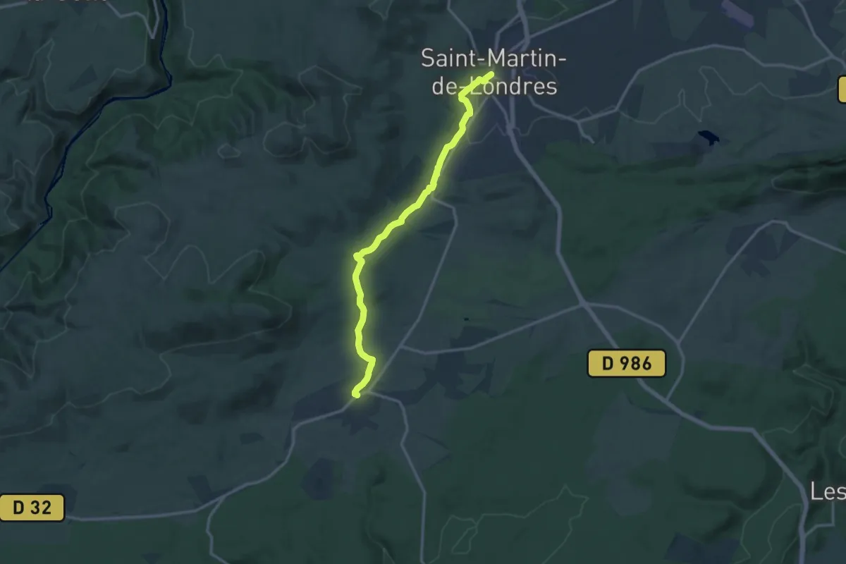
Medium · Trail
Saint-Martin-de-Londres – Viols-le-Fort
13.5 km · ↑ 187 m · 3 h 36 min
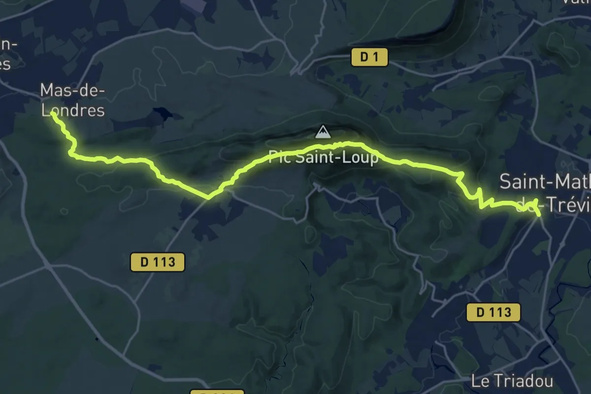
Demanding · Trail
Saint-Mathieu-de-Tréviers – Mas-de-Londres
22.6 km · ↑ 912 m · 7 h 19 min