Trails in France
15,926 hiking trails, each with its route, climb, walking time and grade.
All trails, page 288 of 332
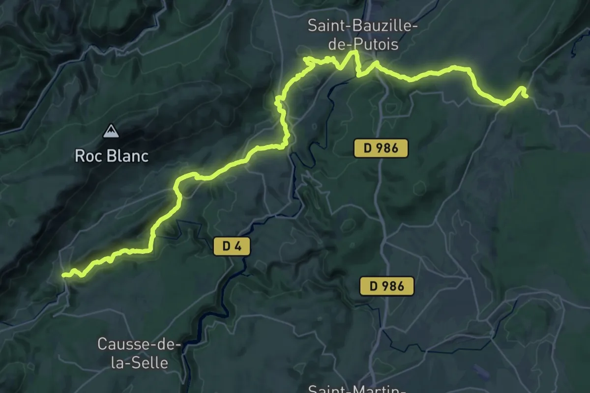
Demanding · Trail
Ferrières-les-Verreries – Saint-Jean-de-Buèges
24.0 km · ↑ 486 m · 7 h 8 min
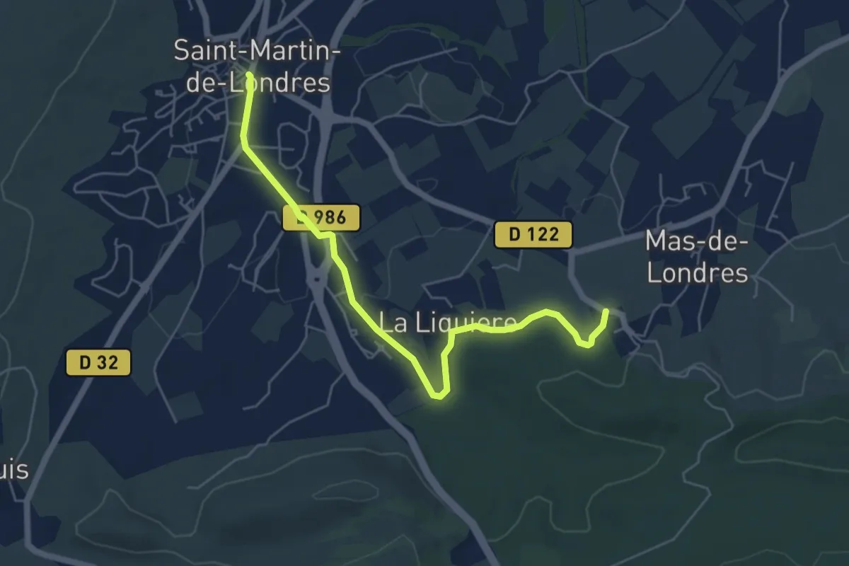
Easy · Trail
Saint-Martin-de-Londres – Mas-de-Londres
5.8 km · ↑ 48 m · 1 h 28 min
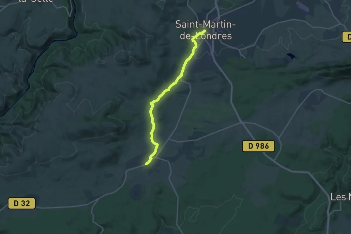
Medium · Trail
Saint-Martin-de-Londres – Viols-le-Fort
14.1 km · ↑ 214 m · 3 h 48 min
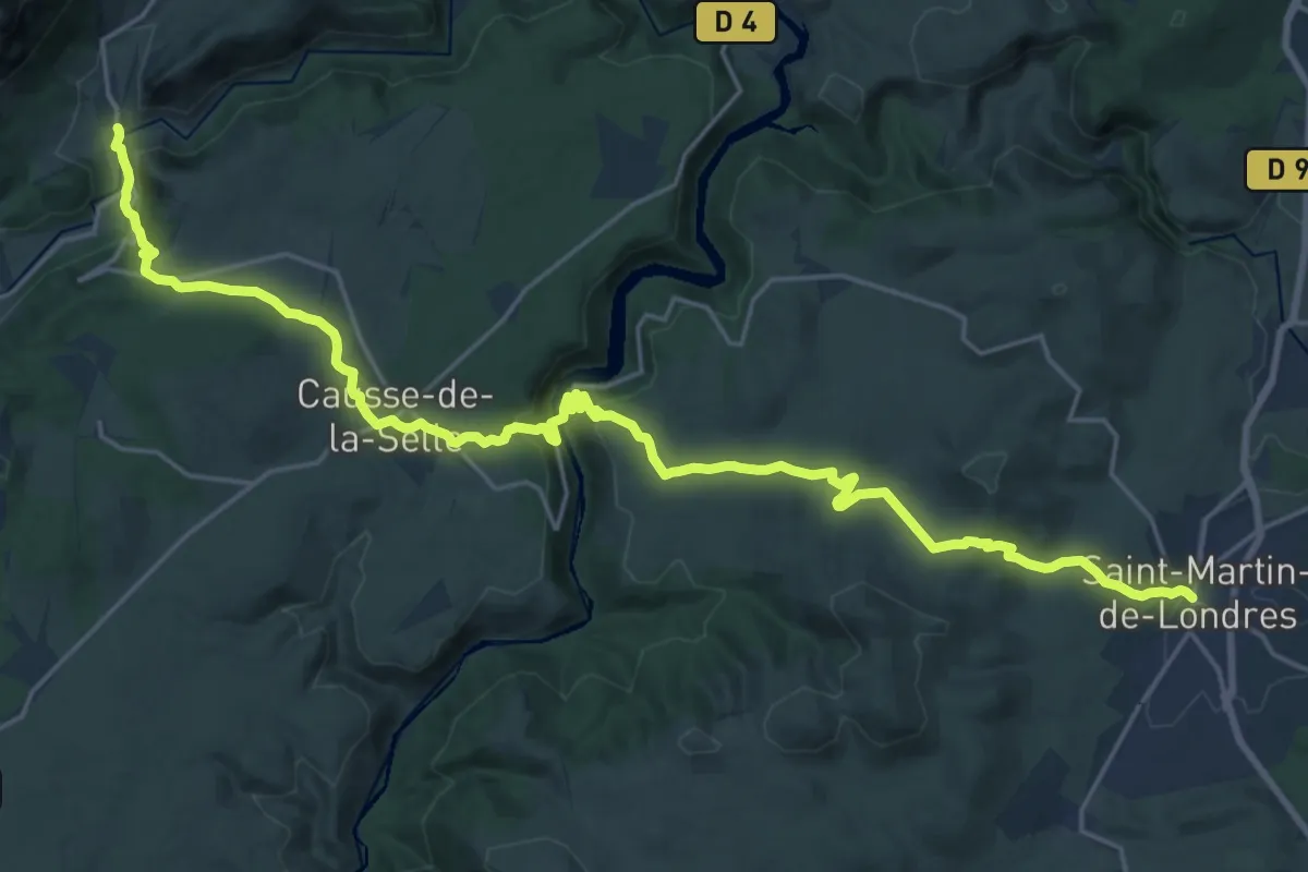
Medium · Trail
Saint-Jean-de-Buèges – Saint-Martin-de-Londres
13.9 km · ↑ 461 m · 4 h 28 min
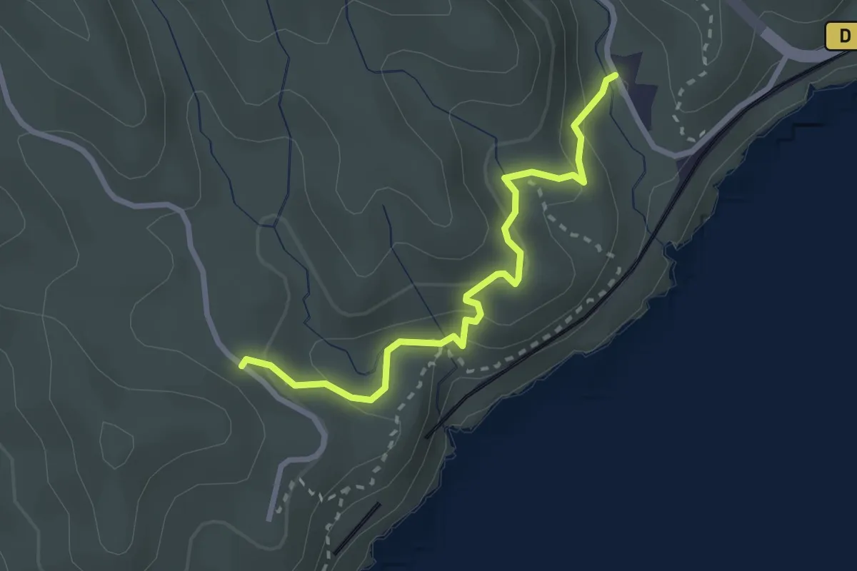
Medium · Trail
Establon – Route Pompidou
2.7 km · ↑ 122 m · 55 min
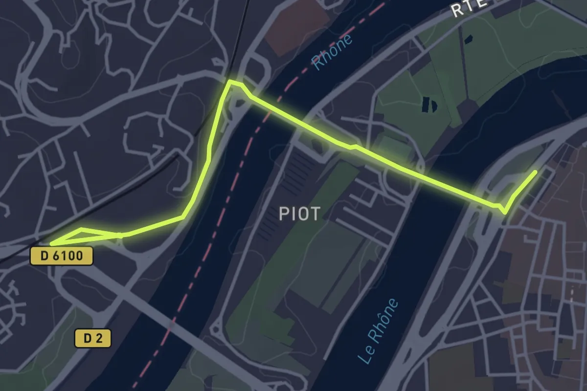
Easy · Trail
Avignon – Col de la Cabane-Vieille
4.7 km · ↑ 45 m · 1 h 12 min
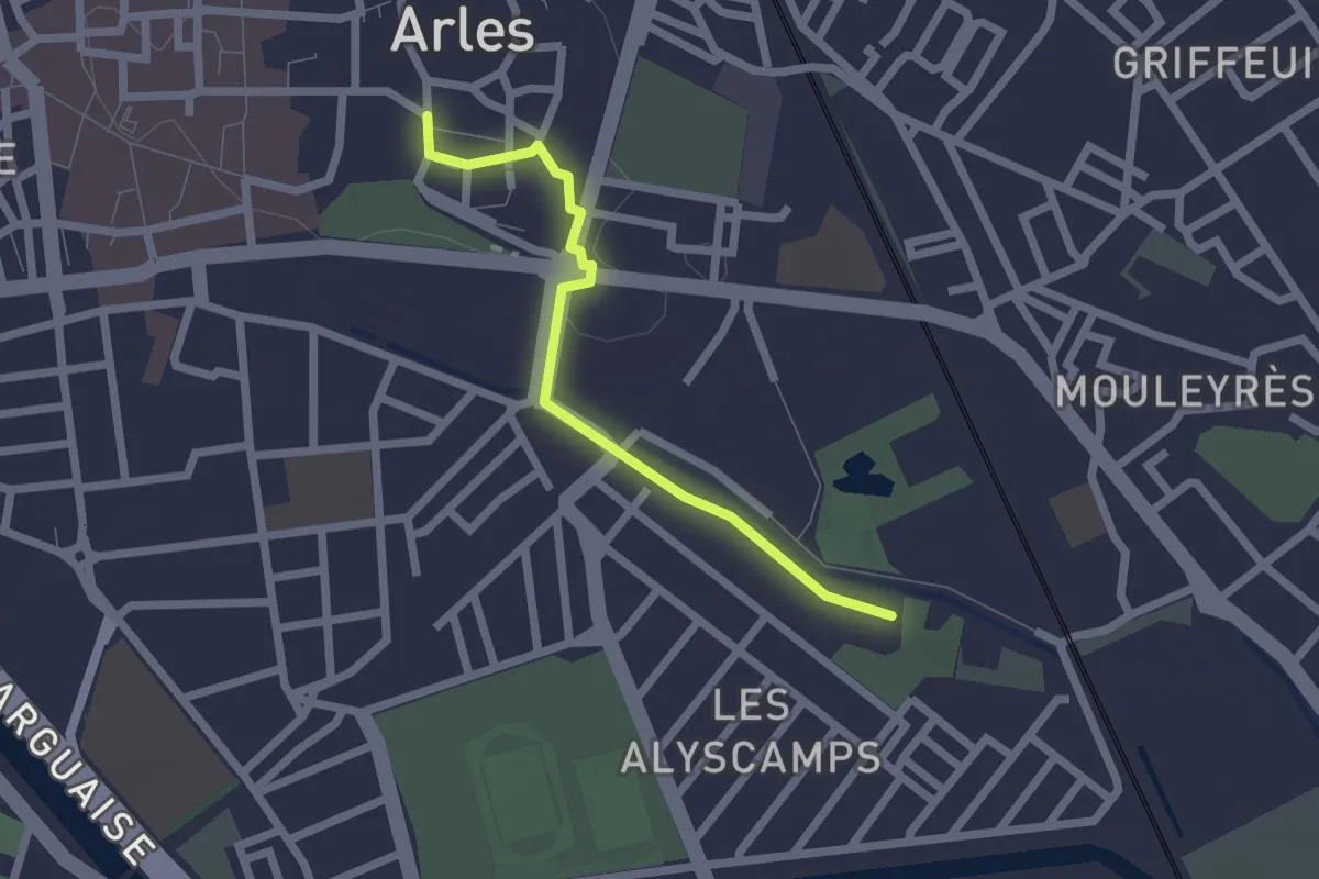
Easy · Trail
Abbaye Saint-Honorat – Arènes d'Arles
2.1 km · ↑ 14 m · 31 min
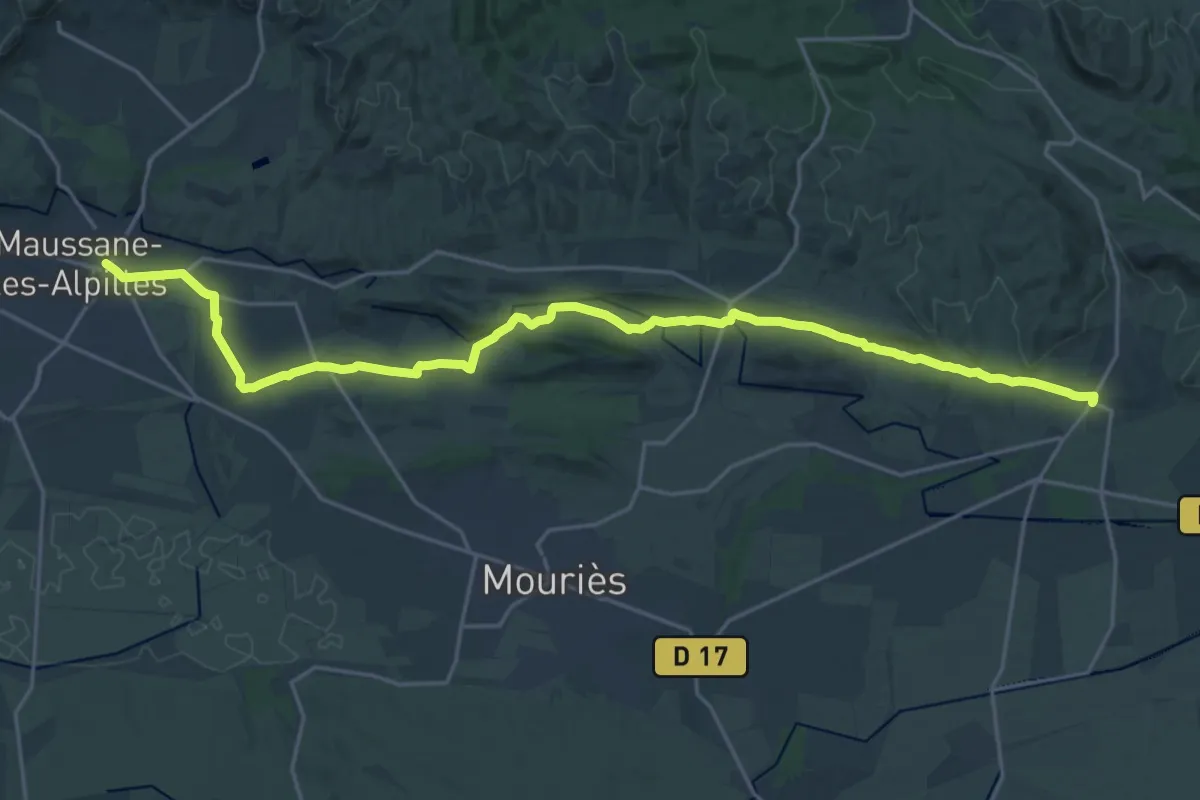
Demanding · Trail
Maussane – Aureille
26.1 km · ↑ 271 m · 6 h 45 min
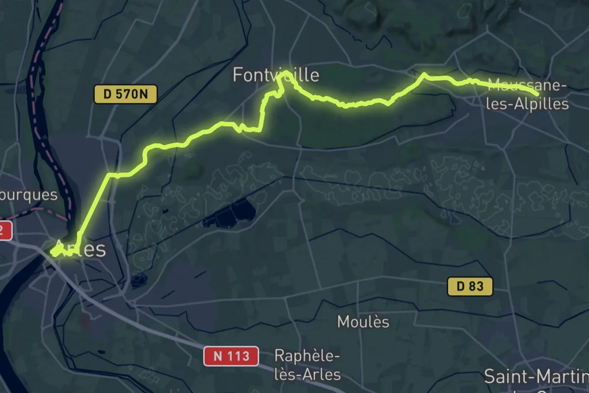
Demanding · Trail
Arles – Maussane
21.8 km · ↑ 200 m · 5 h 52 min
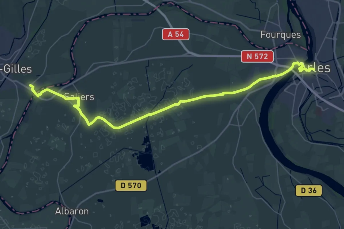
Demanding · Trail
Arènes d'Arles – Montpellier
18.6 km · ↑ 15 m · 4 h 42 min
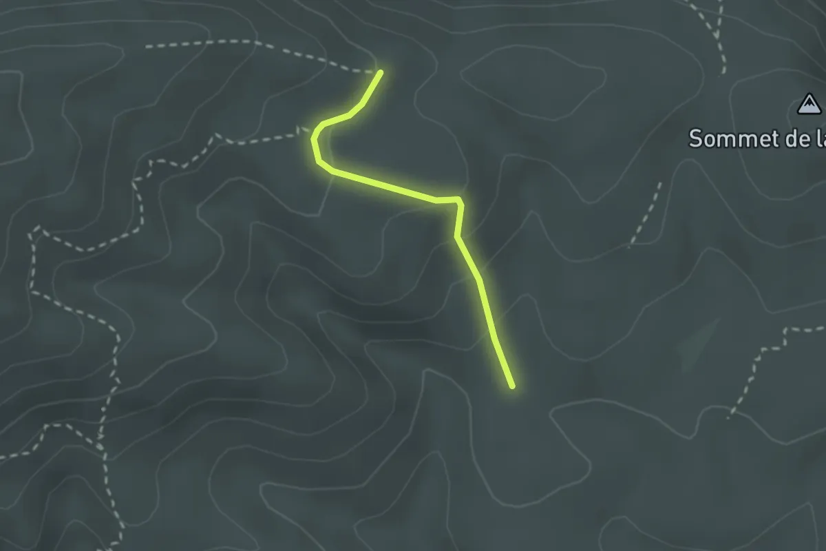
Easy · Trail
Sentier jaune 6 – Sentier marron 5
2.0 km · ↑ 100 m · 42 min
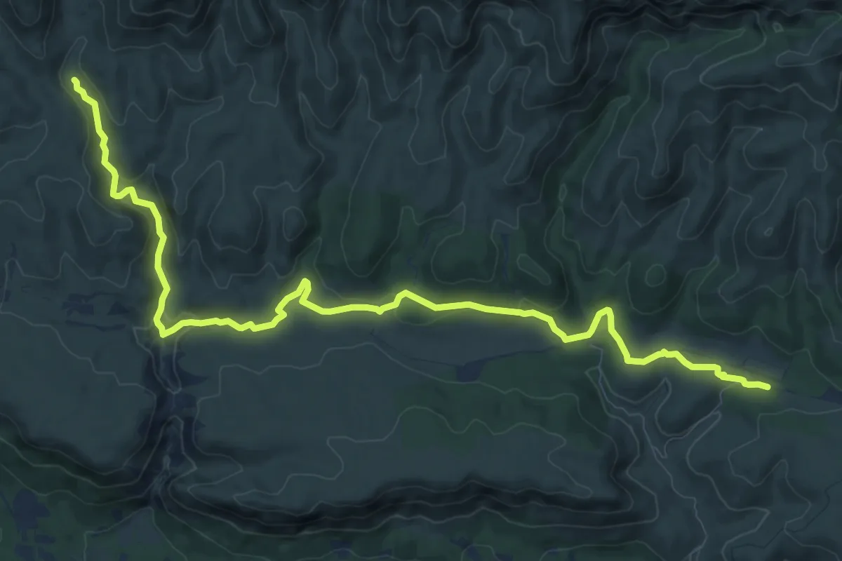
Medium · Trail
Petit Luberon – Vallon de la Galère
13.6 km · ↑ 318 m · 3 h 55 min
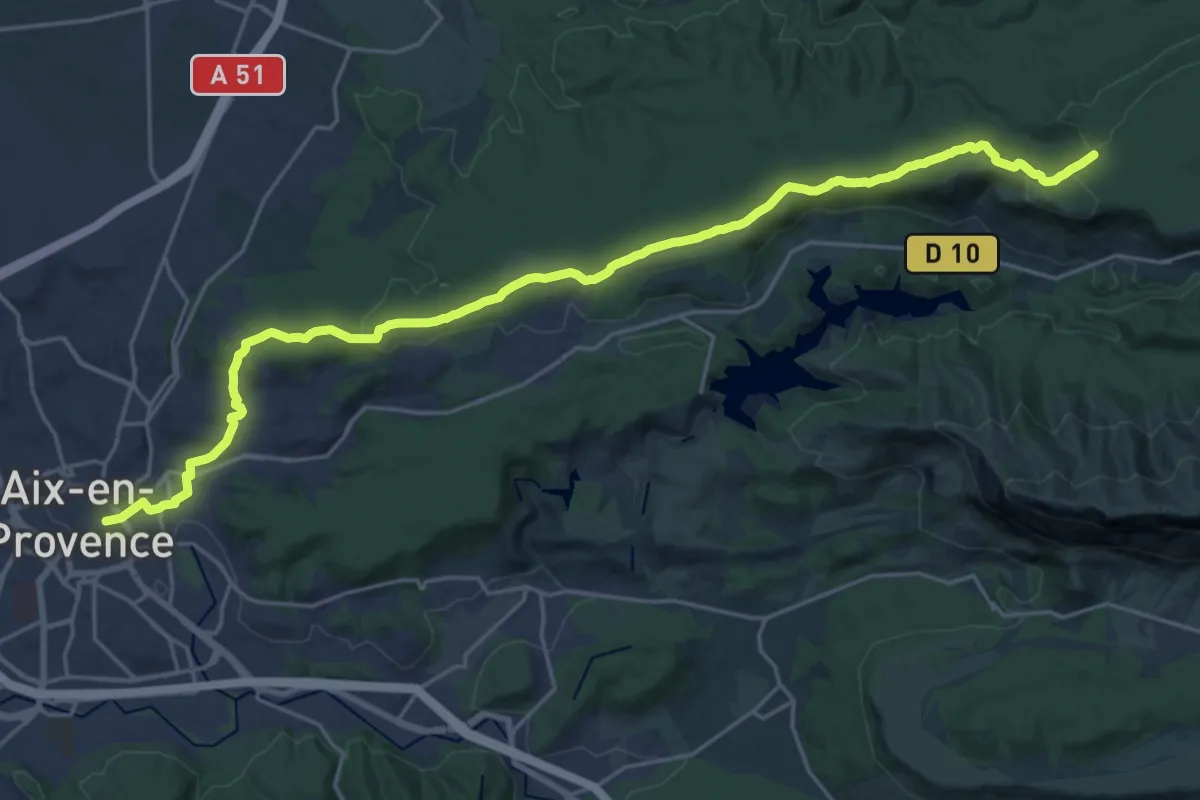
Demanding · Trail
Aix-en-Provence – Vauvenargues
27.5 km · ↑ 504 m · 7 h 36 min
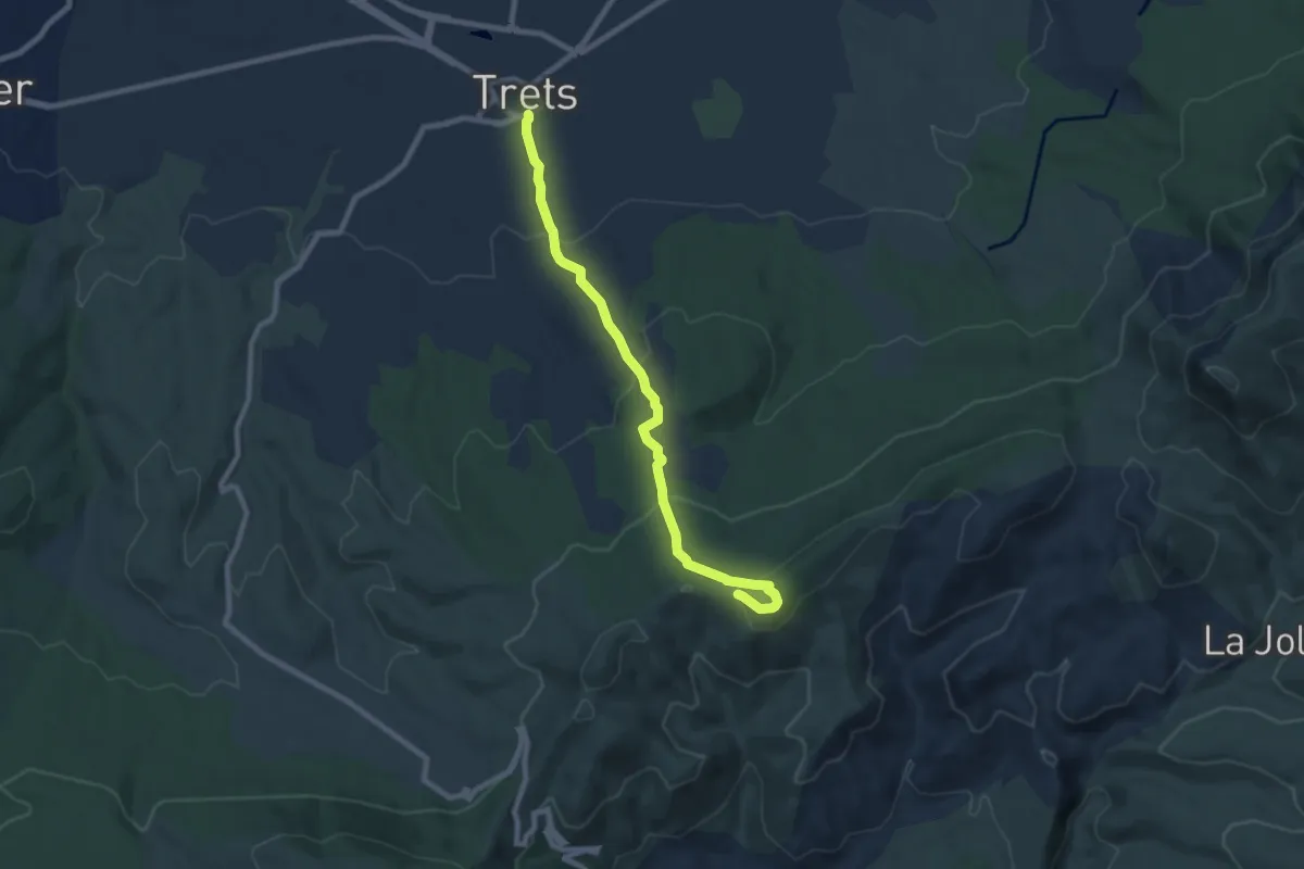
Medium · Trail
Poteau RE-22 – Trets
8.6 km · ↑ 405 m · 2 h 54 min
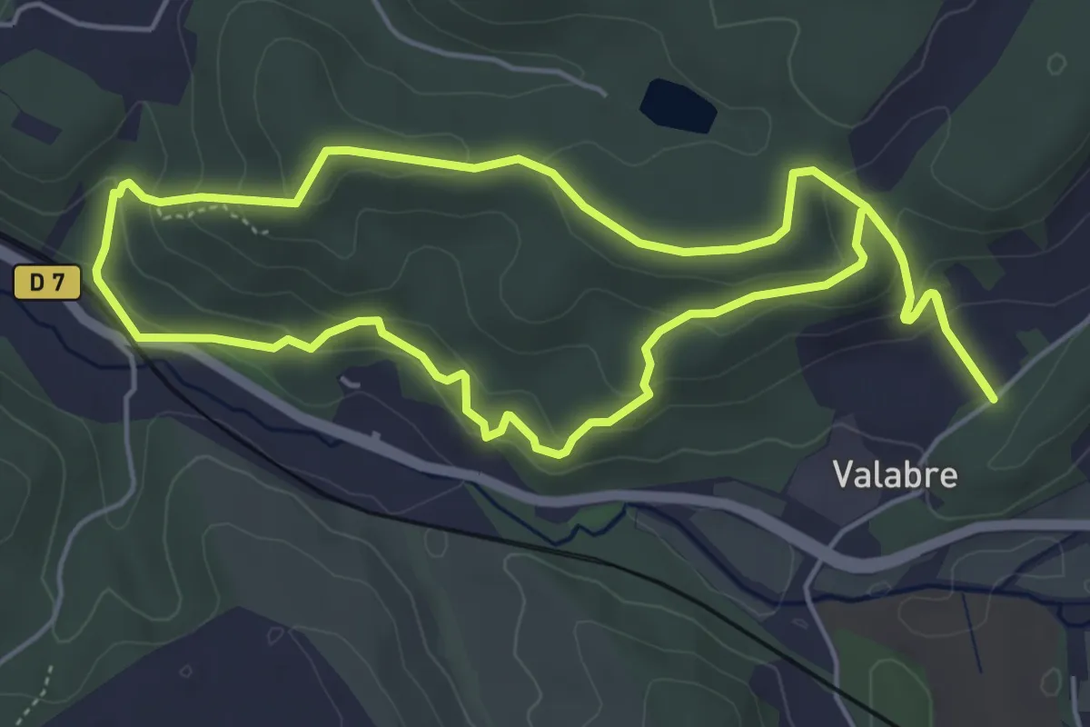
Easy · Trail
Ecomusée de la Forêt – Ecomusée de la Forêt
5.5 km · ↑ 215 m · 1 h 51 min
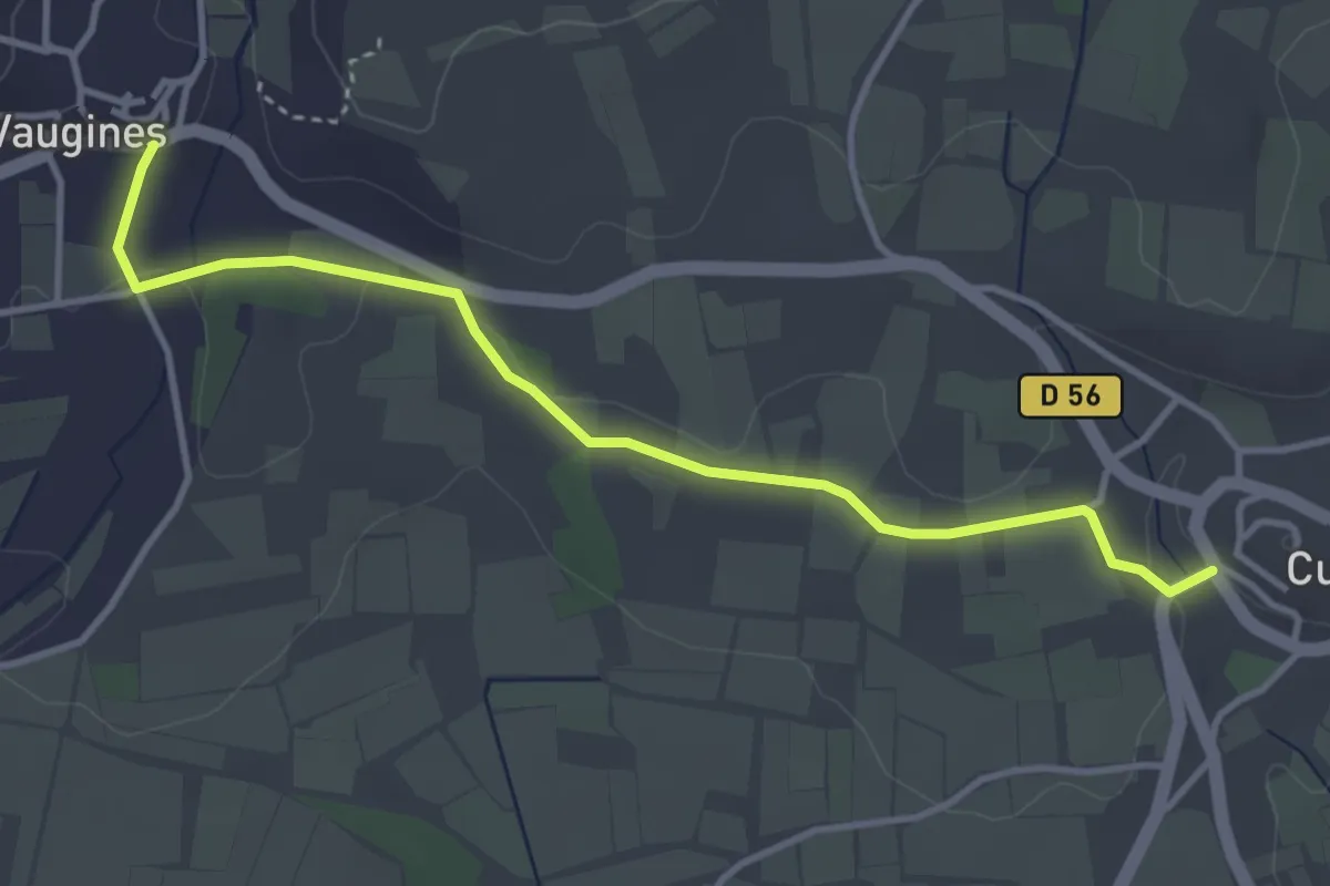
Easy · Trail
Cucuron – Chemin de Lautin
4.1 km · ↑ 45 m · 1 h 4 min
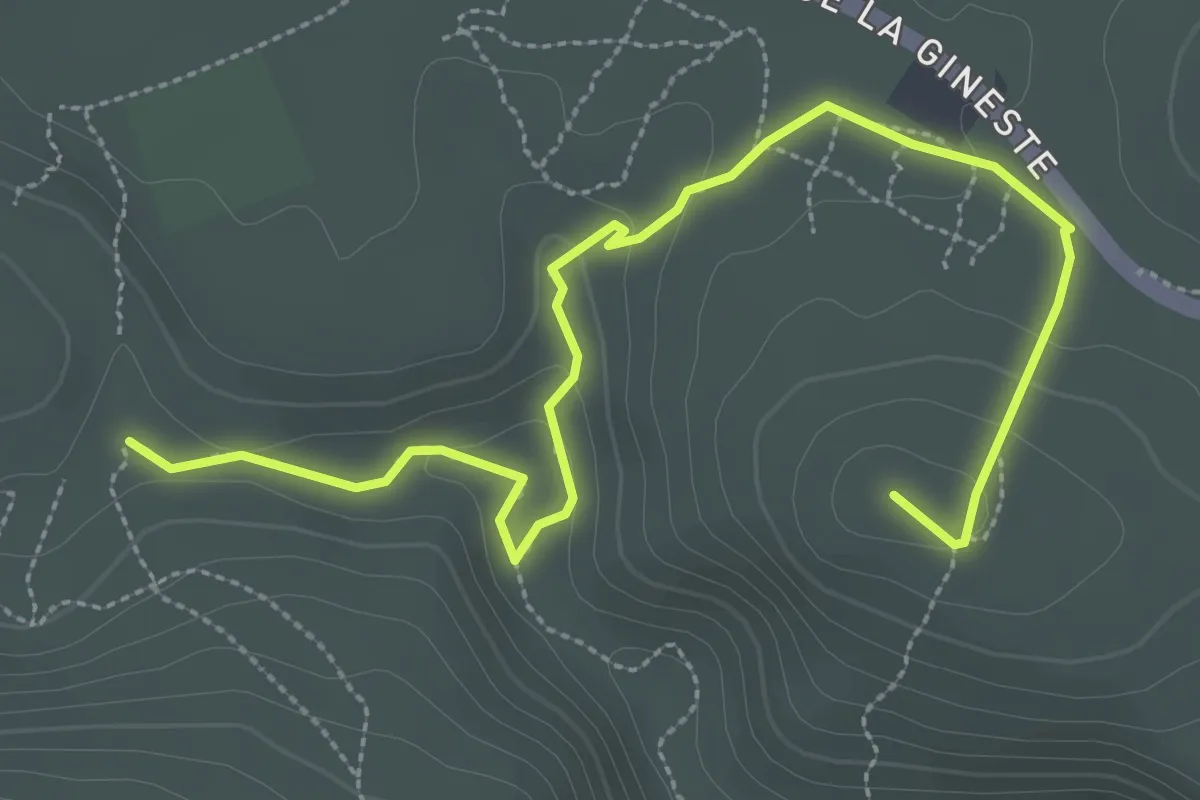
Easy · Trail
Route Gaston Rebuffat – Le Ris
4.1 km · ↑ 120 m · 1 h 14 min
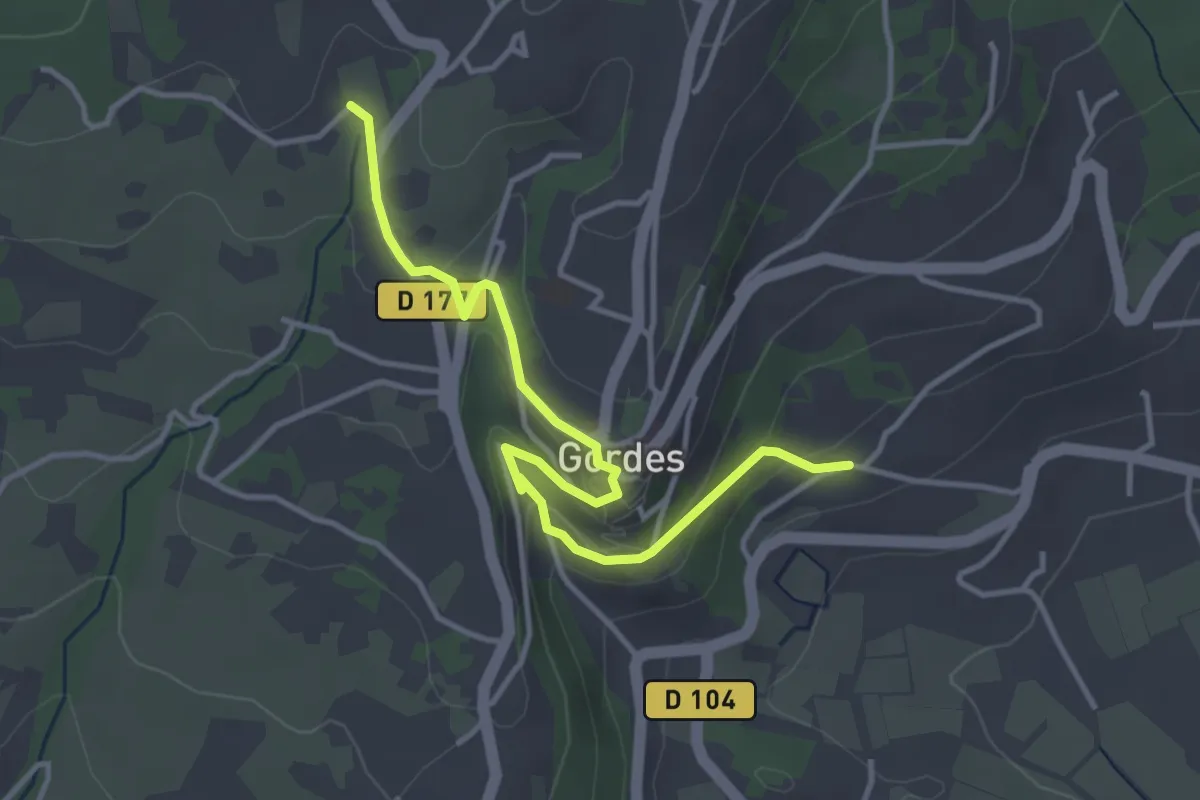
Easy · Trail
La Rouguère – Lourdanaud
4.2 km · ↑ 142 m · 1 h 18 min
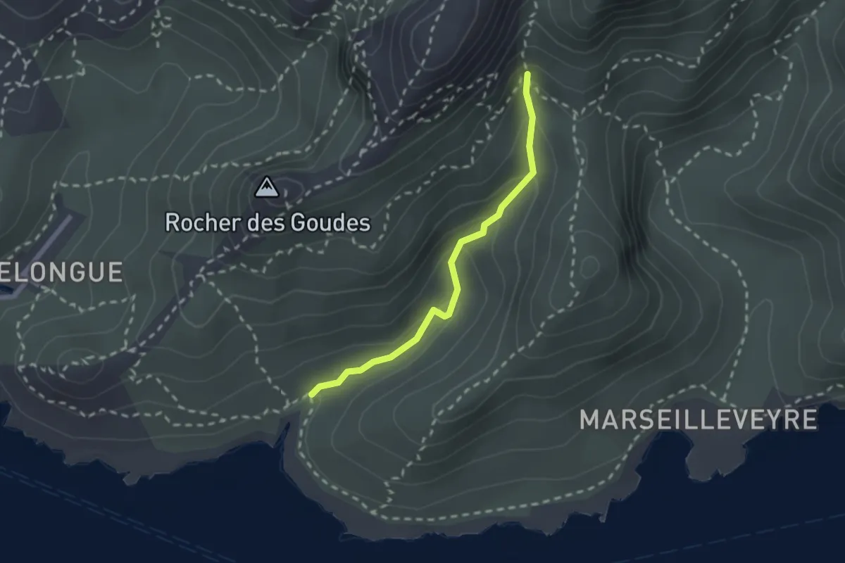
Medium · Trail
Calanque de la Mounine – Sentier jaune (2)
2.0 km · ↑ 169 m · 51 min
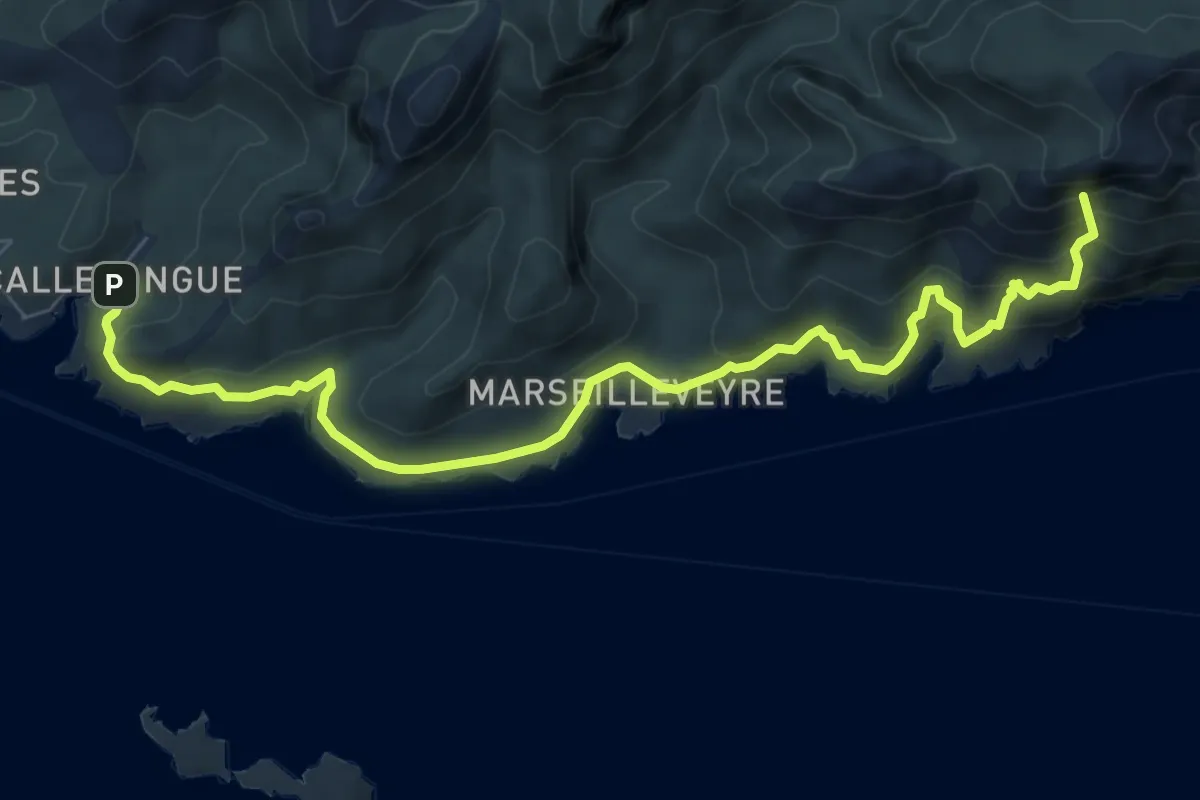
Medium · Summit
Callelongue – Les Baumettes
8.8 km · ↑ 652 m · 3 h 30 min
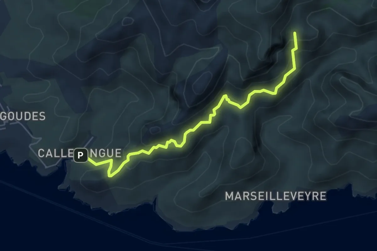
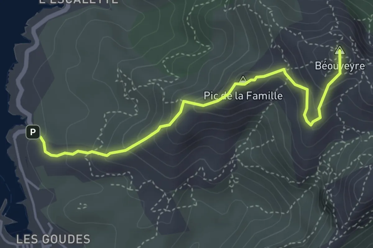
Medium · Summit
Montredon – Callelongue
5.5 km · ↑ 625 m · 2 h 40 min
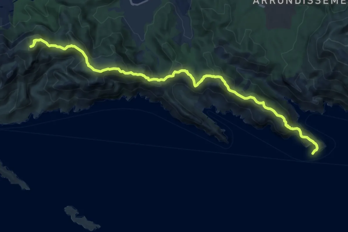
Medium · Summit
Calanque des Trous – Col des chêvres
4.3 km · ↑ 357 m · 1 h 47 min
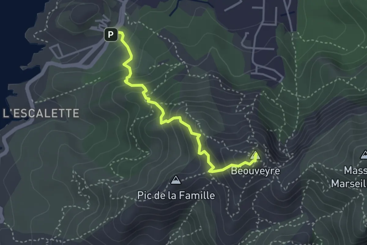
Demanding · Summit
La Madrague – Cap Morgiou
17.6 km · ↑ 937 m · 6 h 11 min
Medium · Summit
Boulevard de la grotte Rolland – La Madrague
3.5 km · ↑ 315 m · 1 h 30 min
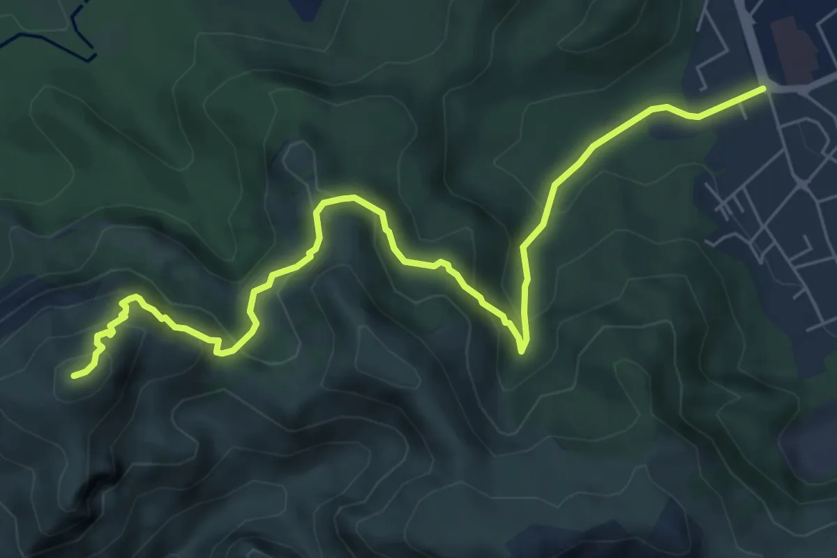
Medium · Summit
Anse des Goudes – La Cayolle
7.8 km · ↑ 436 m · 2 h 47 min
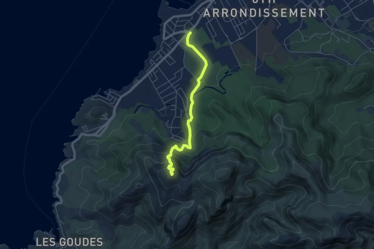
Expert · Summit
Campagne Pastré – Callelongue
5.1 km · ↑ 348 m · 1 h 58 min
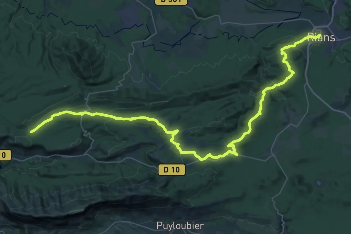
Demanding · Trail
Vauvenargues – Rians
22.3 km · ↑ 353 m · 6 h 26 min
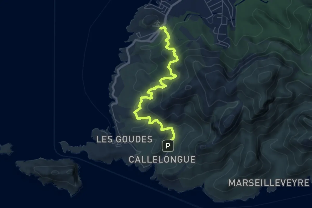
Demanding · Trail
La Madrague – Callelongue
6.8 km · ↑ 571 m · 2 h 51 min
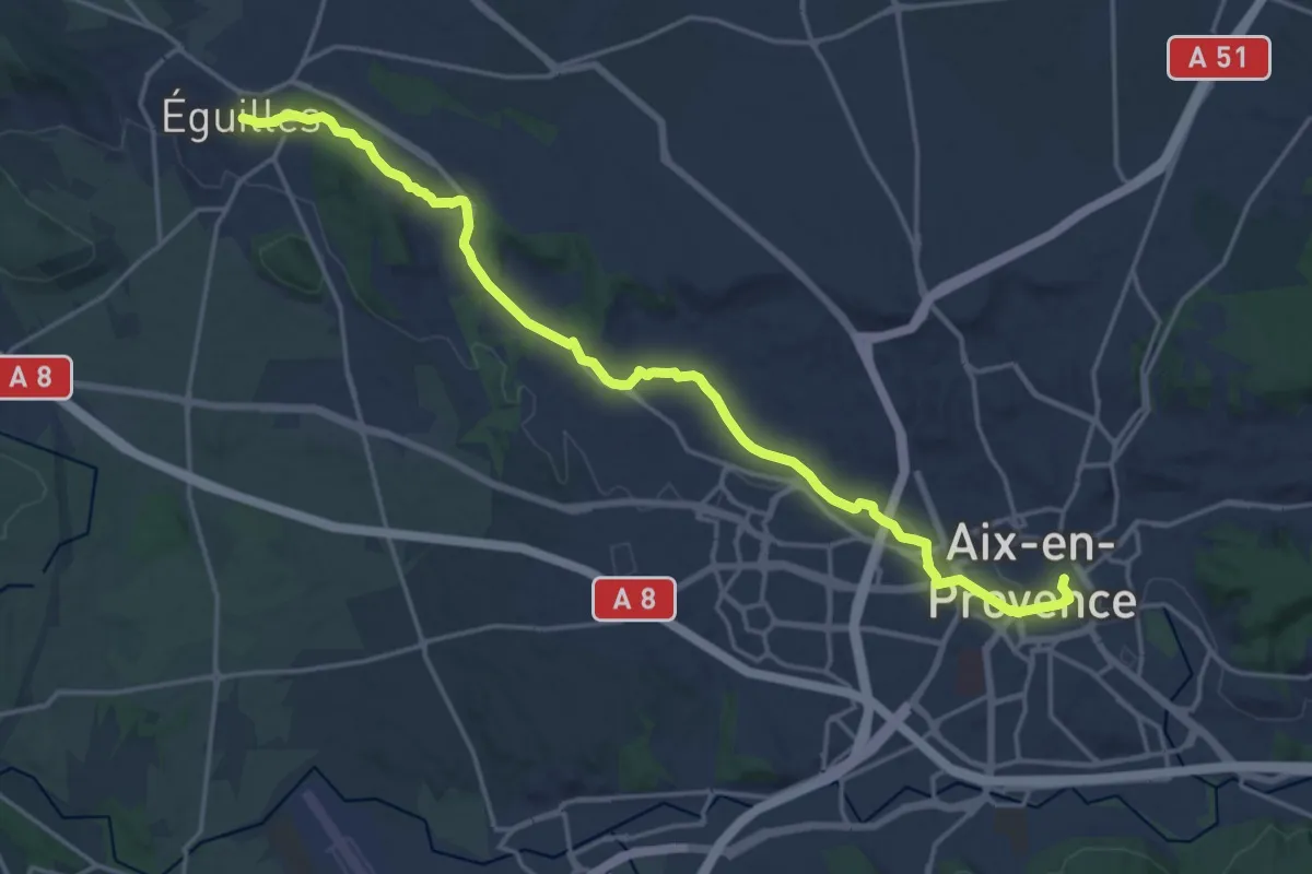
Demanding · Trail
Éguilles – Aix-en-Provence
21.6 km · ↑ 271 m · 5 h 41 min
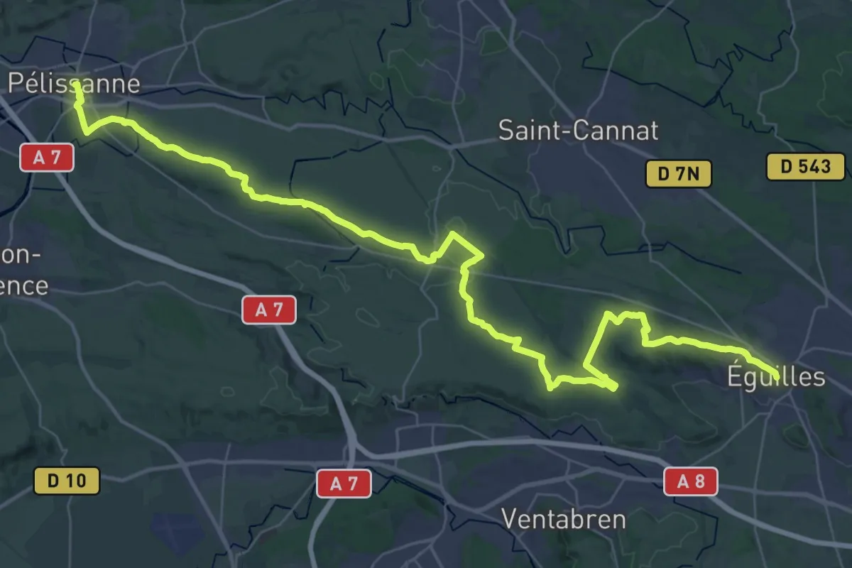
Demanding · Trail
Pélissanne – Éguilles
26.7 km · ↑ 330 m · 7 h 18 min
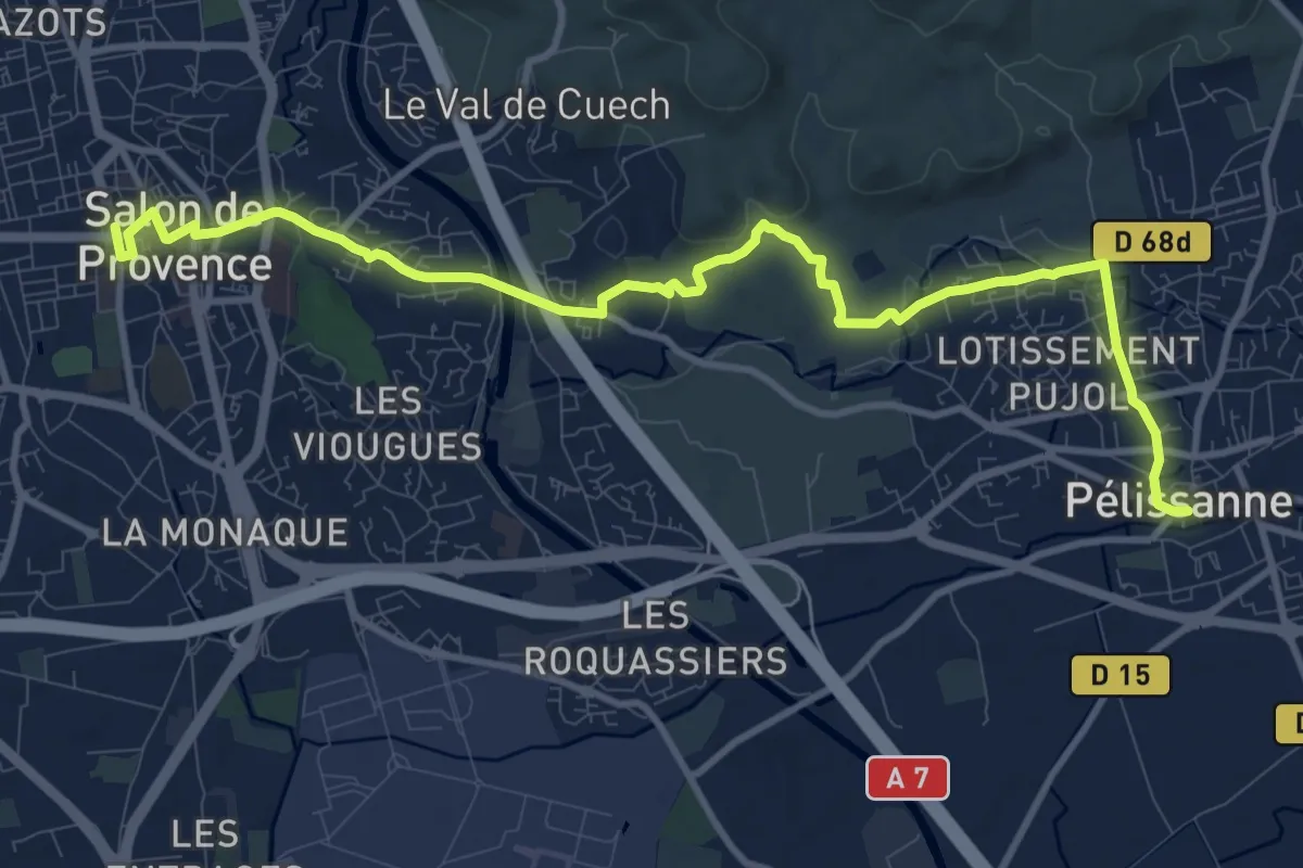
Medium · Trail
Salon-de-Provence – Pélissanne
12.9 km · ↑ 176 m · 3 h 26 min
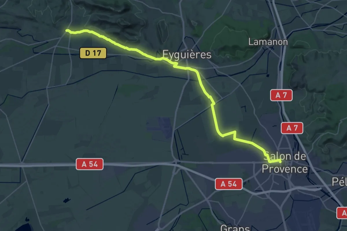
Medium · Trail
Aureille – Salon-de-Provence
16.8 km · ↑ 56 m · 4 h 22 min
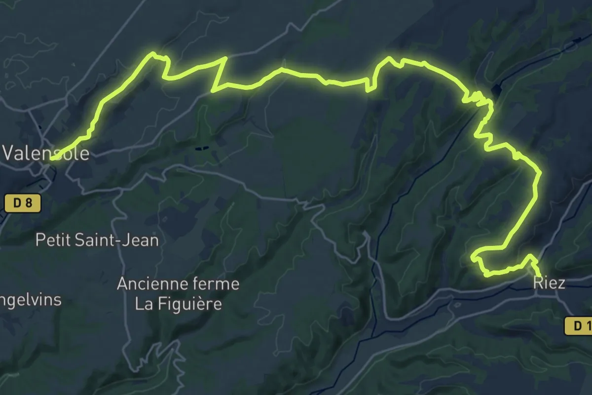
Demanding · Trail
Valensole – Riez
18.2 km · ↑ 327 m · 5 h 16 min
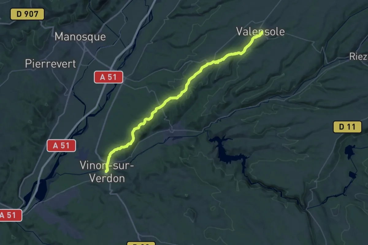
Demanding · Trail
Vinon-sur-Verdon – Valensole
21.5 km · ↑ 451 m · 6 h 12 min
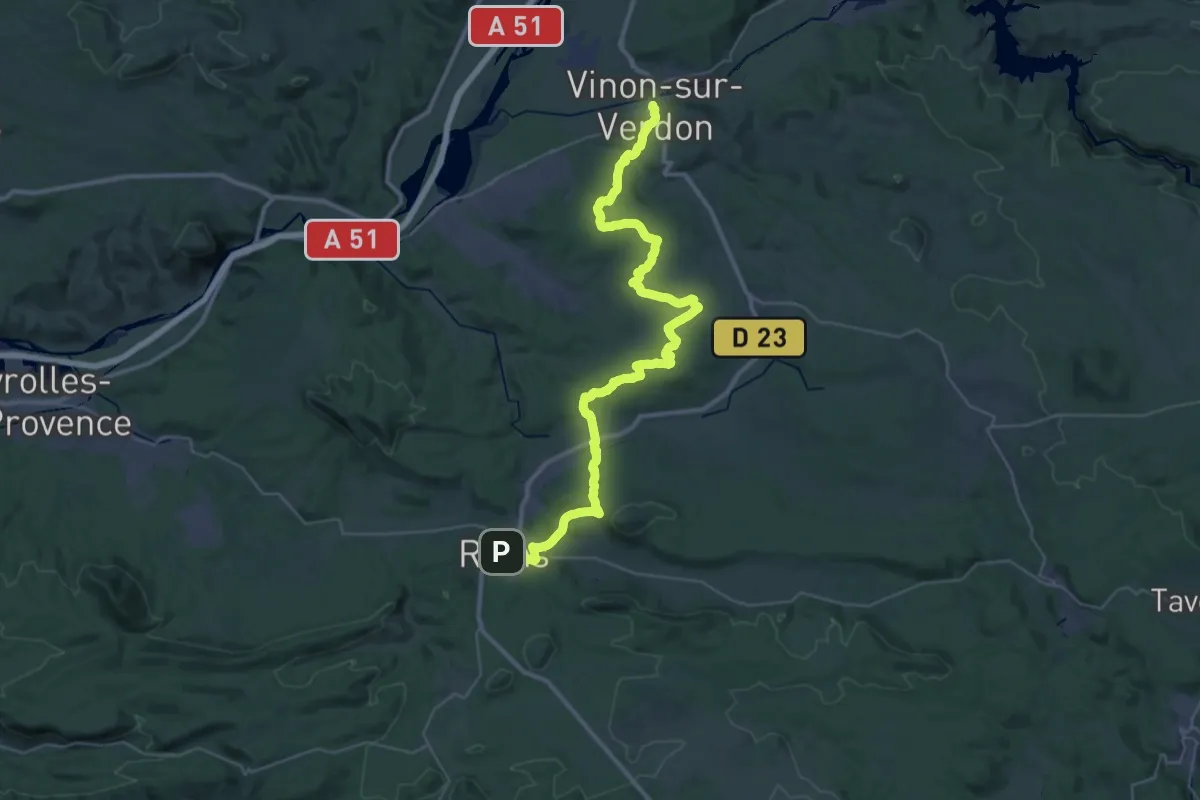
Demanding · Trail
Rians – Vinon-sur-Verdon
24.5 km · ↑ 449 m · 7 h 9 min
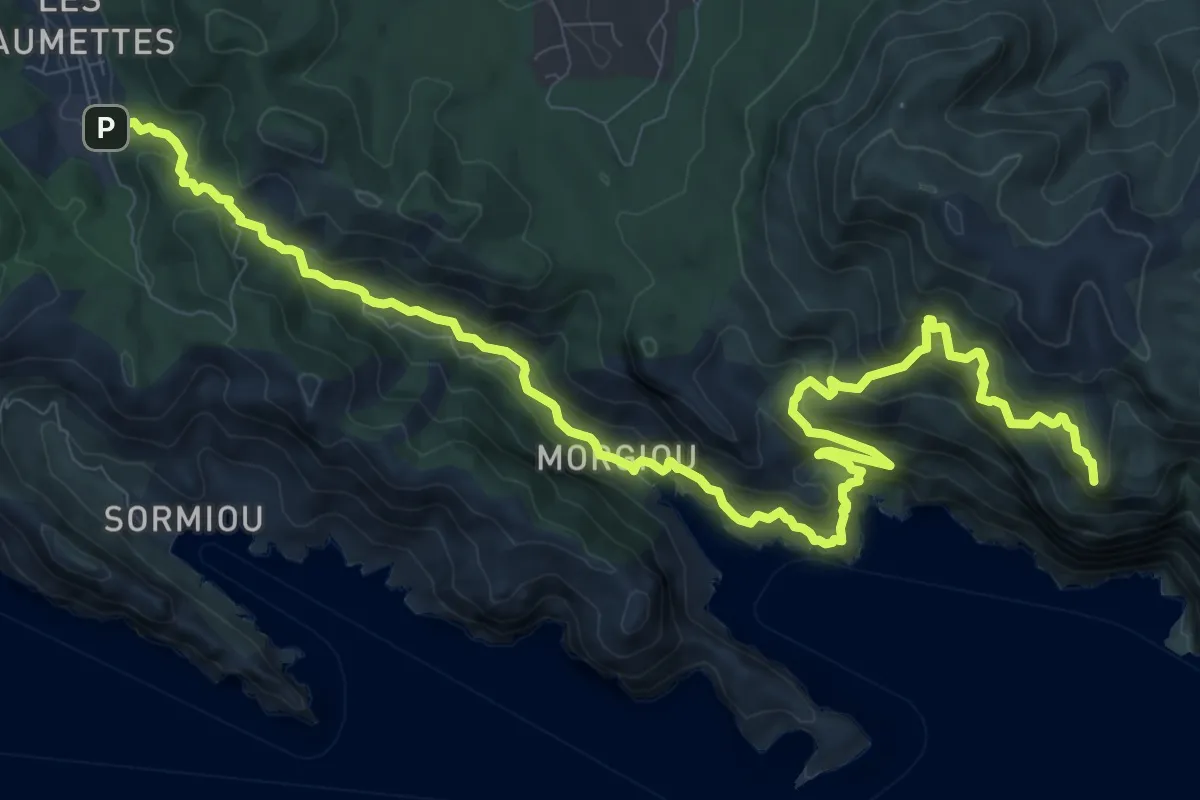
Expert · Summit
Sentier des Baumettes – Col de la Gineste
15.0 km · ↑ 1161 m · 6 h 3 min
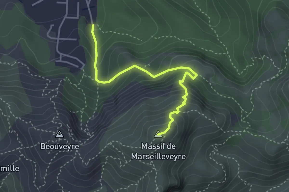
Medium · Summit
Boulevard de la grotte Rolland – Sommet de Marseilleveyre
3.6 km · ↑ 365 m · 1 h 38 min
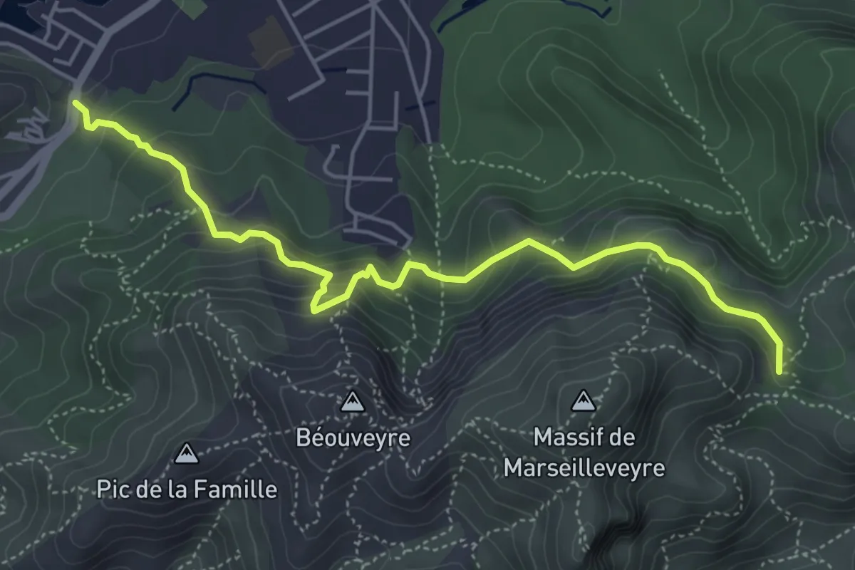
Medium · Trail
Mont Rose – Col de la Selle
5.4 km · ↑ 411 m · 2 h 10 min
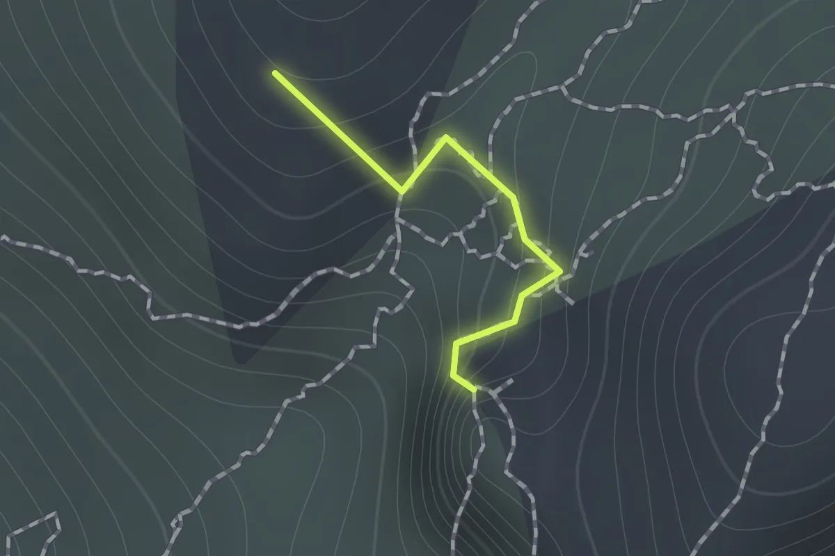
Demanding · Summit
Calleglongue – Grotte Saint-Michel d'Eau Douce
0.7 km · ↑ 71 m · 19 min
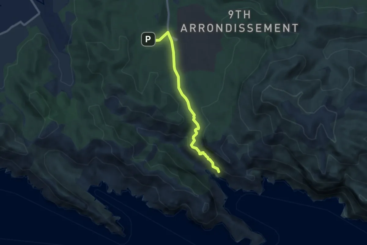
Demanding · Trail
Luminy – Morgiou
6.2 km · ↑ 297 m · 2 h 6 min
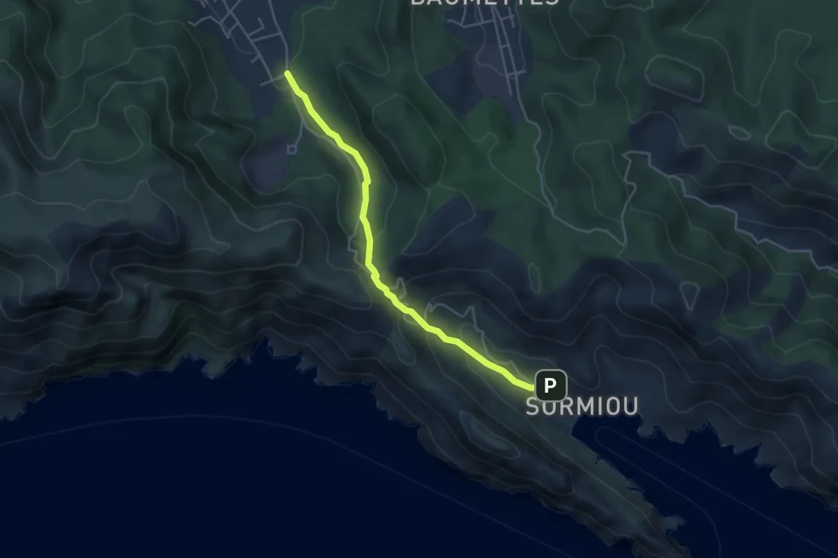
Medium · Trail
Sormiou – Calanque de Sormiou
4.4 km · ↑ 247 m · 1 h 34 min
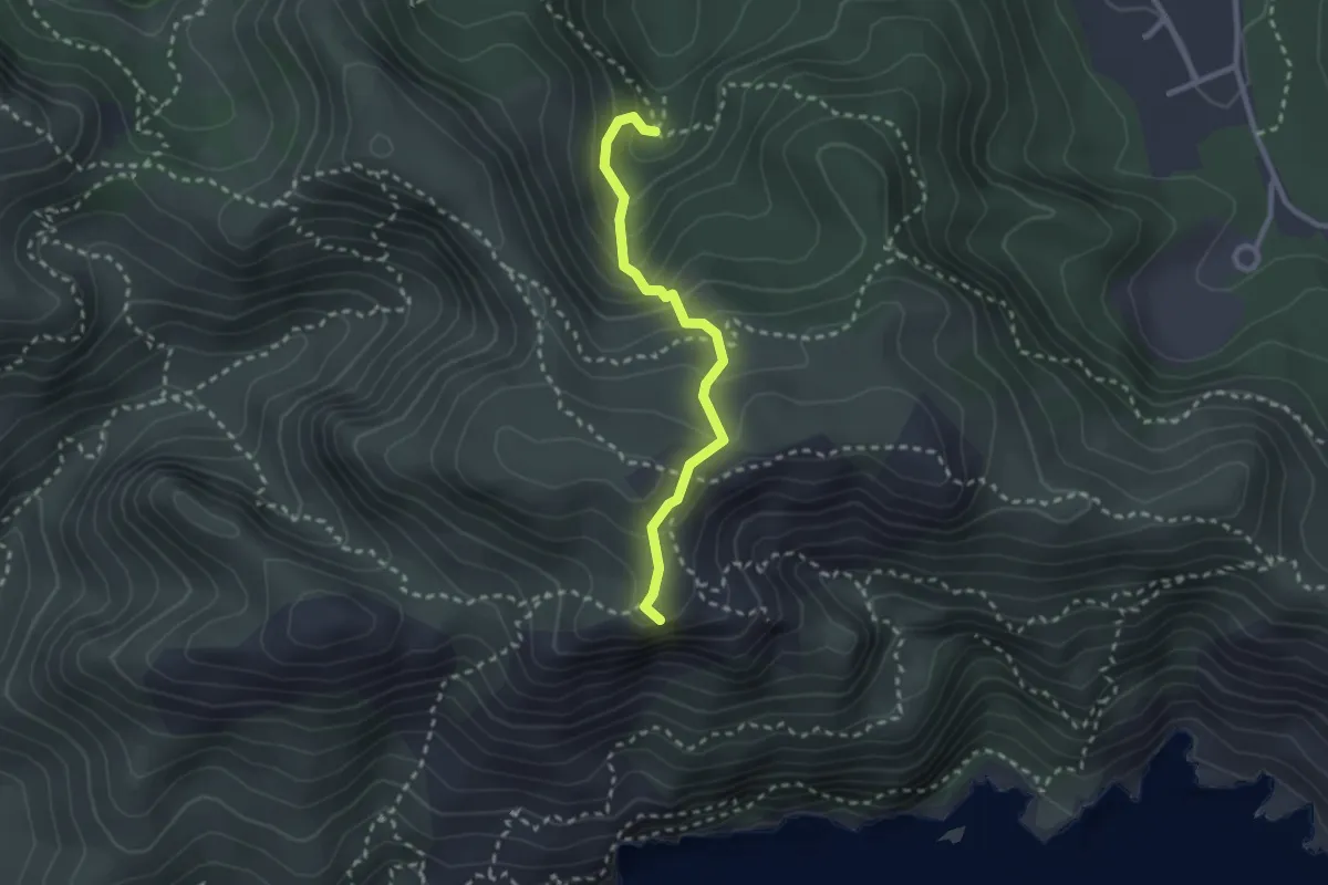
Medium · Summit
Fontaine de la Voire – Mavalon médian
2.5 km · ↑ 229 m · 1 h 5 min
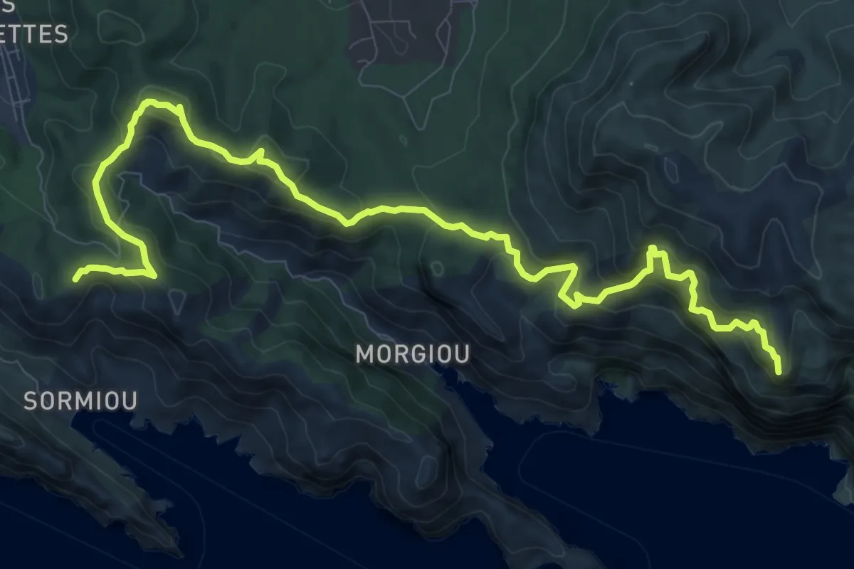
Demanding · Summit
Carrefour des Escourtines – Calanque de Port Miou
13.4 km · ↑ 855 m · 5 h 1 min
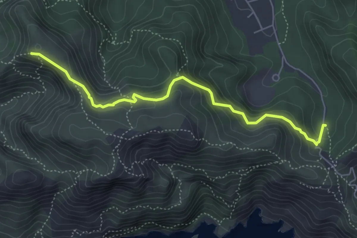
Medium · Summit
Chemin de Sormiou – Carrefour des Malvalons
5.3 km · ↑ 378 m · 2 h 5 min
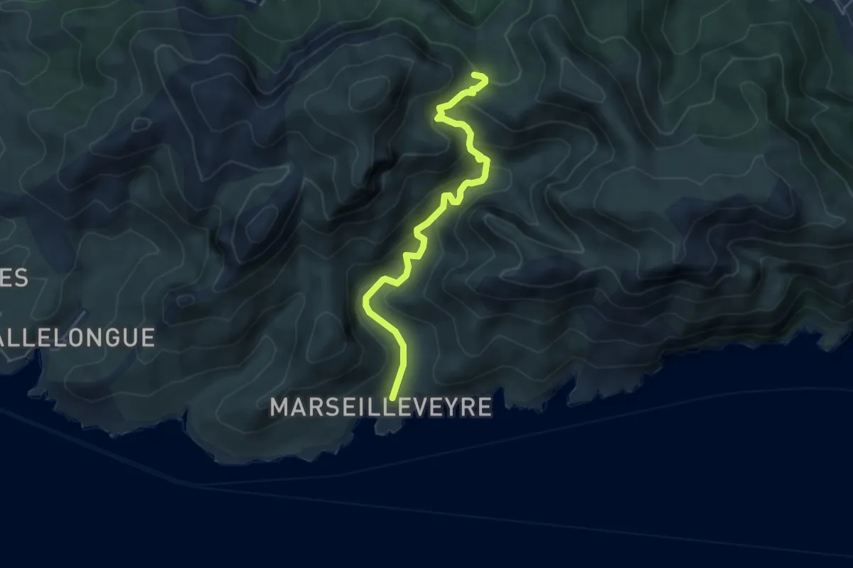
Medium · Trail
Bois de la selle – Calanque de Marseilleveyre
5.0 km · ↑ 301 m · 1 h 50 min
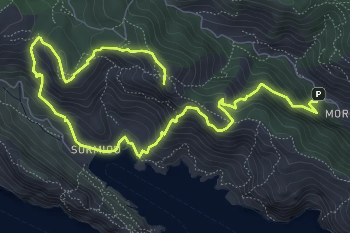
Medium · Summit
Sentier des Baumettes – Morgiou
10.2 km · ↑ 740 m · 4 h 1 min
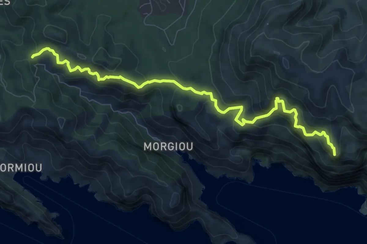
Demanding · Summit
Col de Morgiou – Puits du Cancel
10.6 km · ↑ 843 m · 4 h 19 min
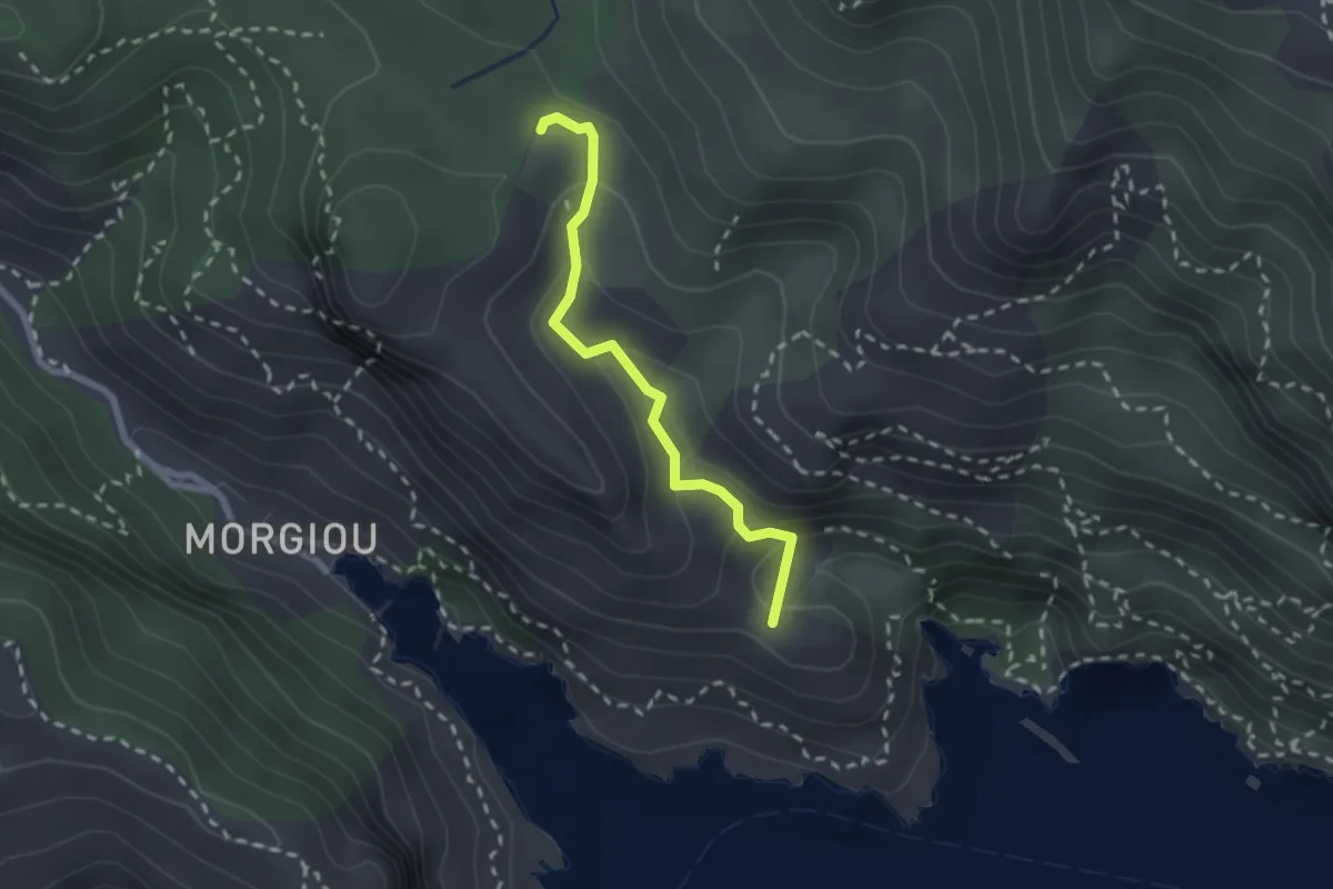
Medium · Summit
Col de Sugiton – Calanque de Sugiton
2.2 km · ↑ 123 m · 48 min