Trails in France
15,926 hiking trails, each with its route, climb, walking time and grade.
All trails, page 289 of 332
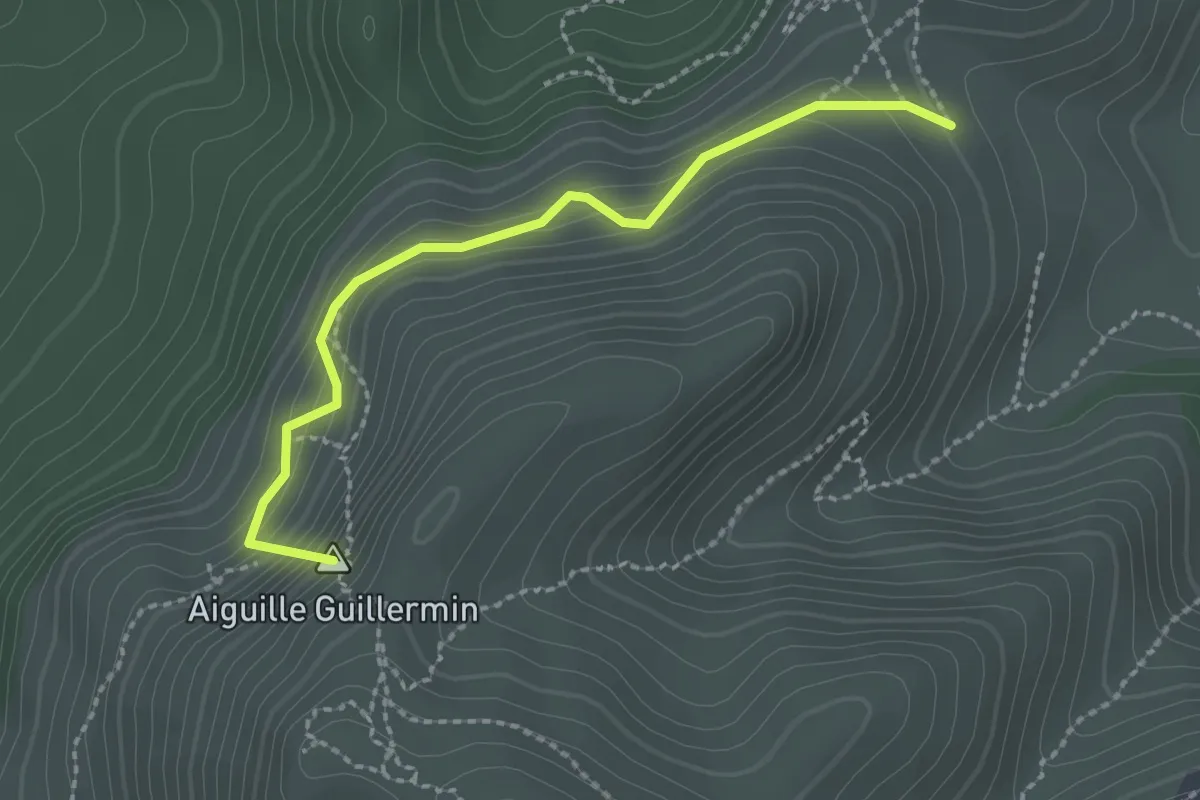
Easy · Summit
Col de Sugiton – Col Ricard
2.4 km · ↑ 196 m · 59 min
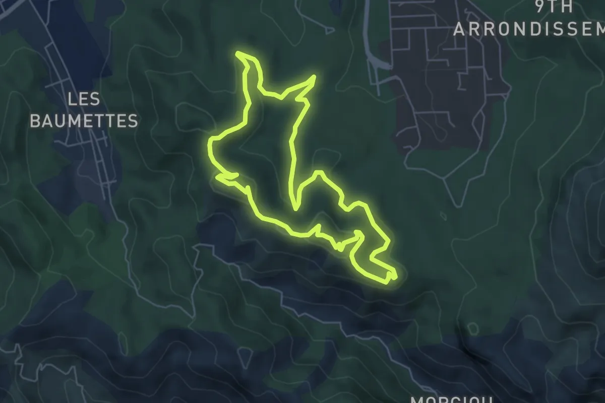
Easy · Summit
Parking de l'école supérieure de commerce – Parking de l'école supérieure de commerce
5.9 km · ↑ 177 m · 1 h 51 min
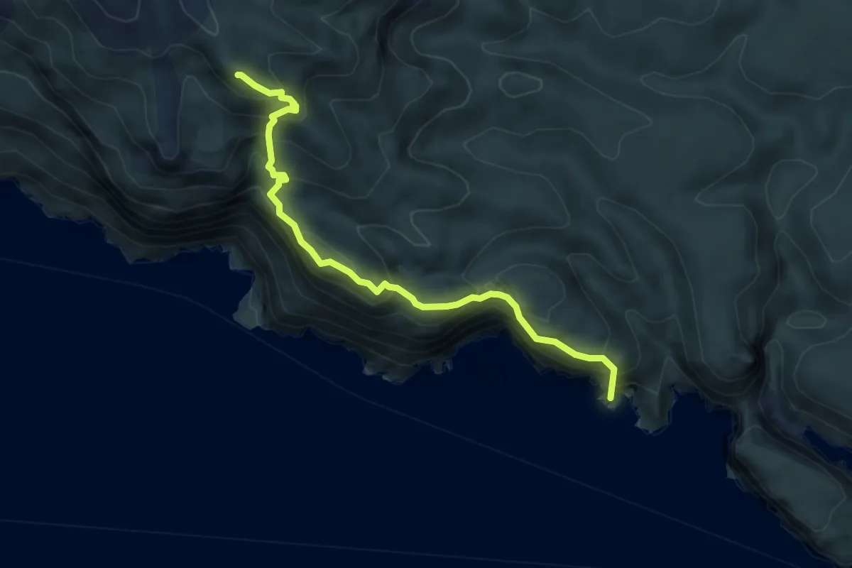
Demanding · Summit
Cap gros – Port Miou
5.5 km · ↑ 636 m · 2 h 40 min
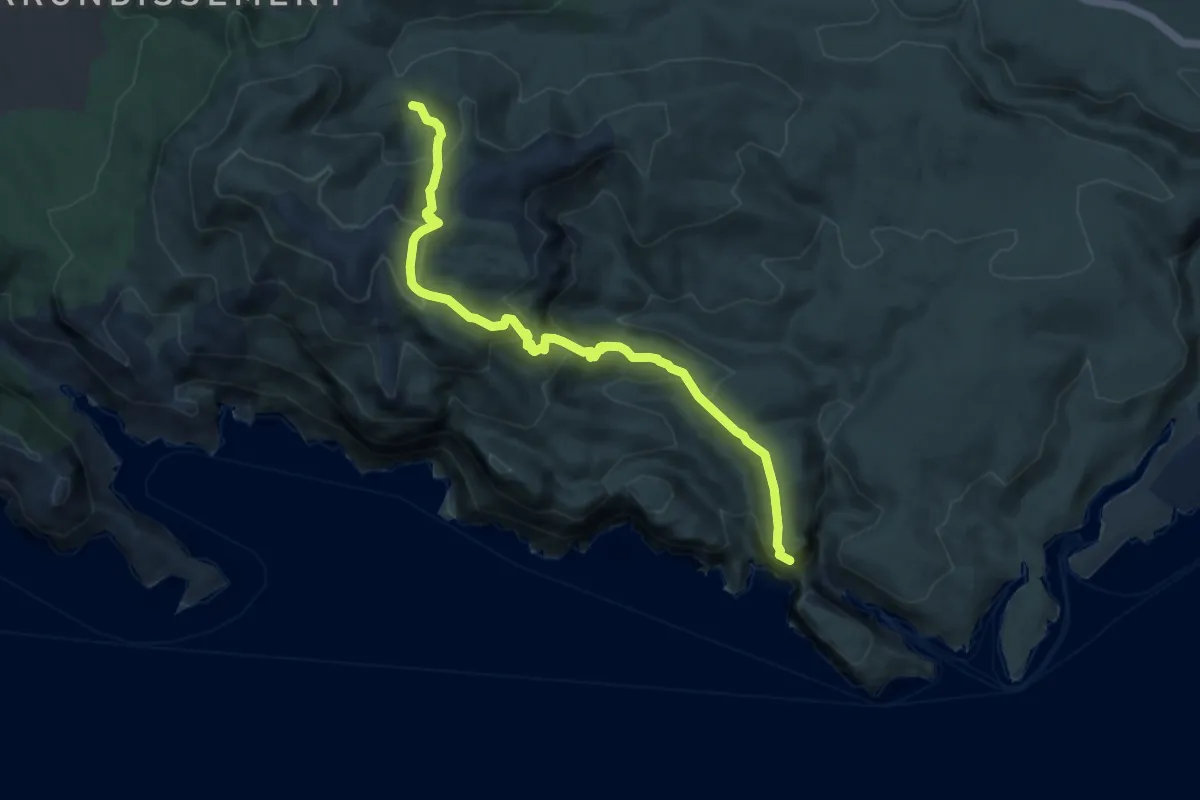
Medium · Trail
Puits du Cancel – Belvédère d'En-Vau
9.4 km · ↑ 616 m · 3 h 34 min
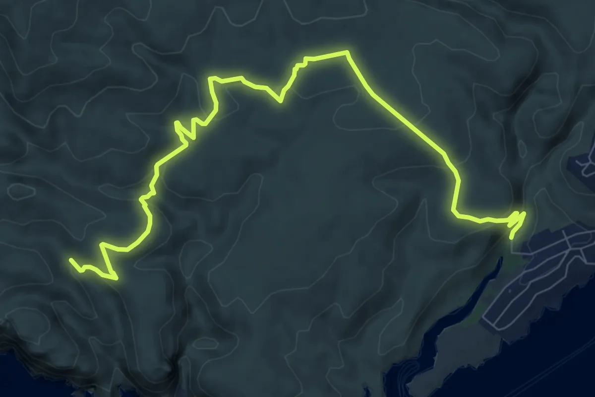
Medium · Trail
Puits de l'Oule – Calanque de Port Miou
11.3 km · ↑ 370 m · 3 h 29 min
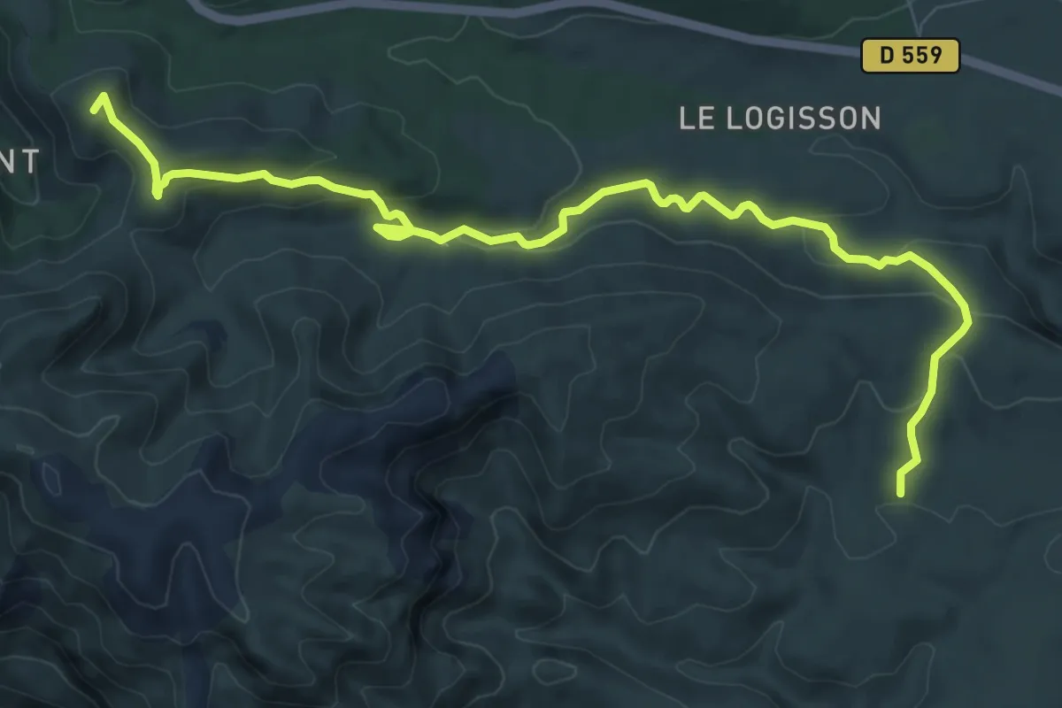
Medium · Summit
Col de la Gineste – Maison forestière de la Gardiole
11.2 km · ↑ 354 m · 3 h 25 min
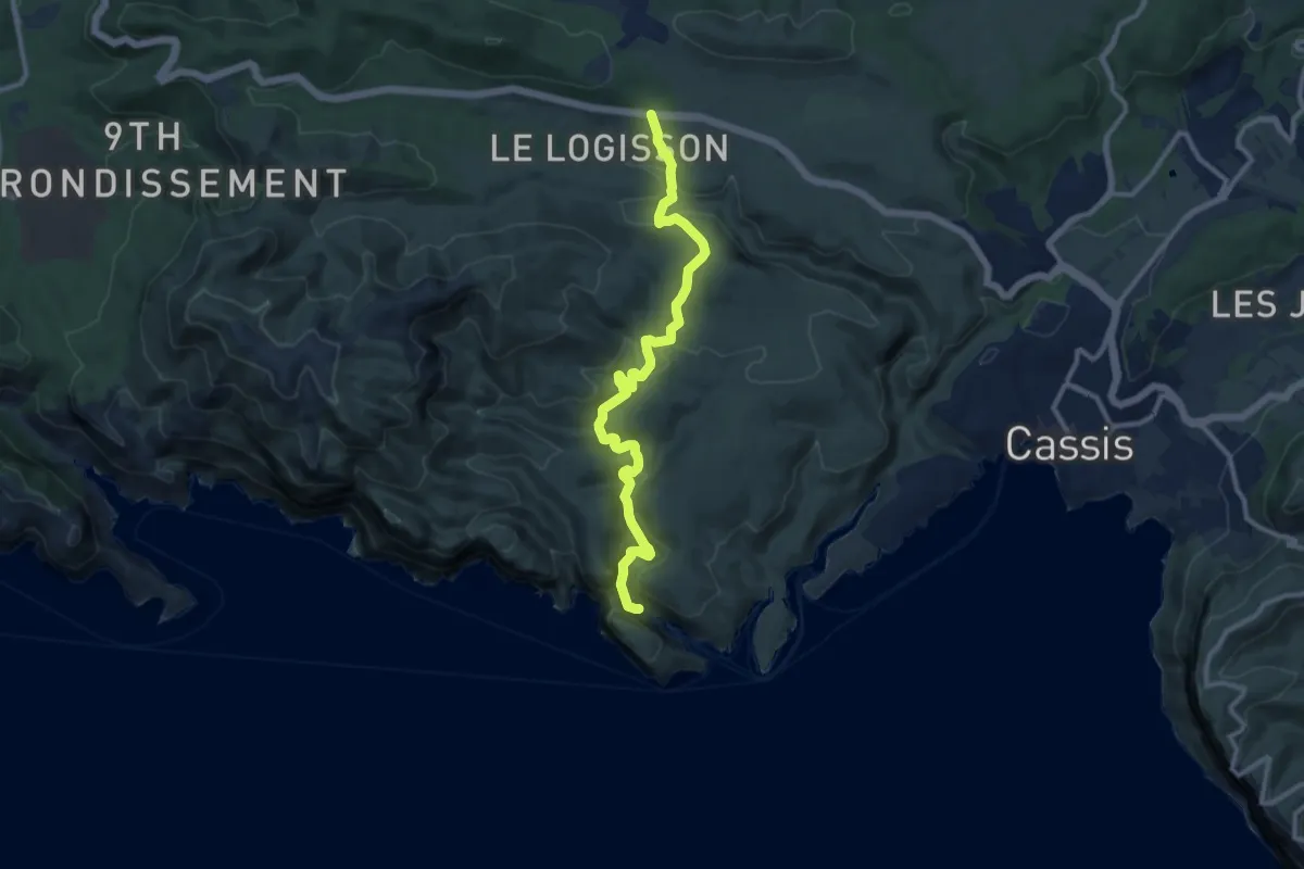
Medium · Trail
Logisson – Calanque d'en Vau
11.7 km · ↑ 461 m · 3 h 46 min
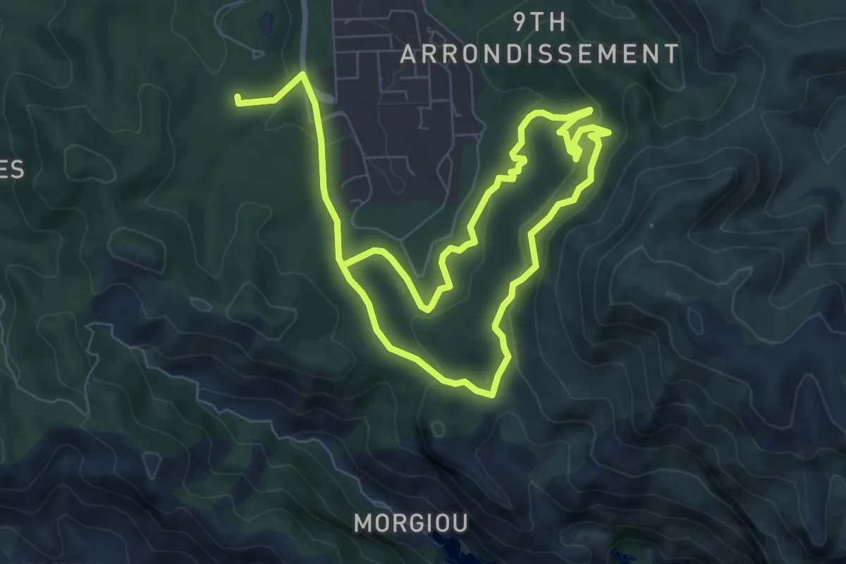
Medium · Trail
Luminy – Luminy
13.6 km · ↑ 392 m · 4 h 4 min
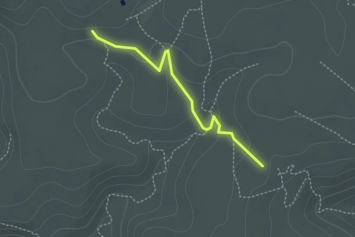
Easy · Trail
Auberge de jeunesse de la Fontasse – Maison forestière de la Gardiole
2.1 km · ↑ 37 m · 35 min
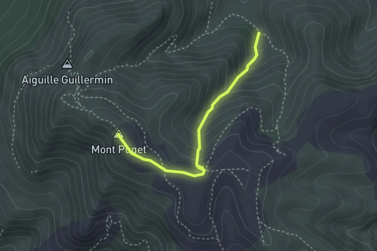
Demanding · Summit
Puits du Cancel – Mont Puget
3.0 km · ↑ 238 m · 1 h 13 min
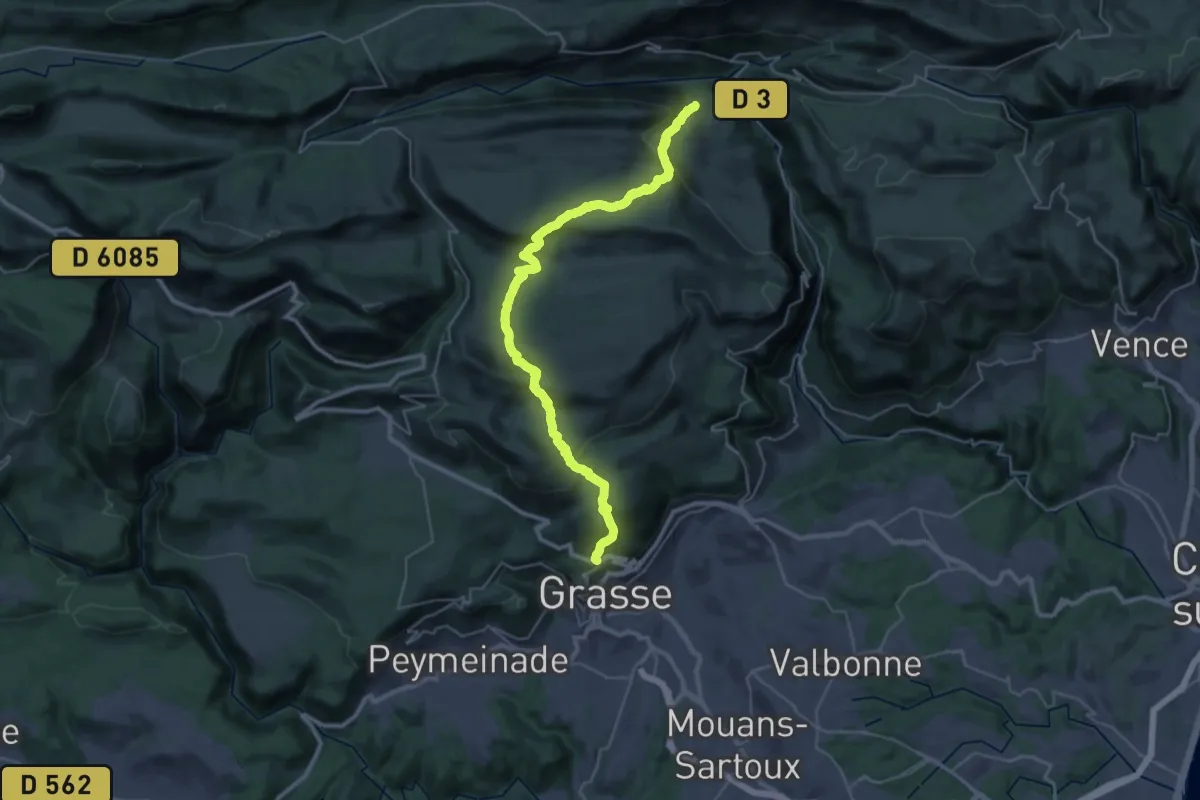
Demanding · Trail
Cipières – Grasse
20.3 km · ↑ 738 m · 6 h 47 min
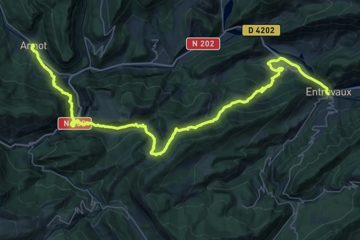
Demanding · Trail
Annot – Entrevaux
20.6 km · ↑ 1068 m · 7 h 34 min
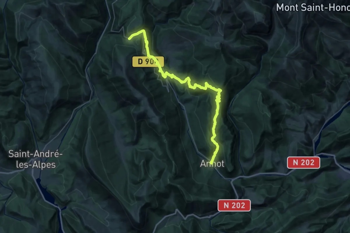
Demanding · Trail
La-Colle-Saint-Michel – Annot
19.6 km · ↑ 722 m · 6 h 50 min
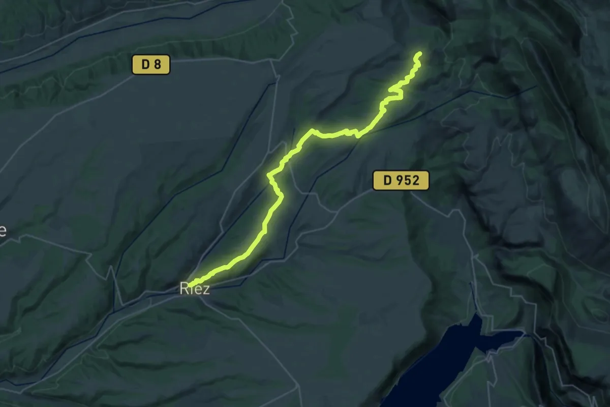
Medium · Trail
Riez – Saint-Jurs
16.7 km · ↑ 544 m · 5 h 11 min
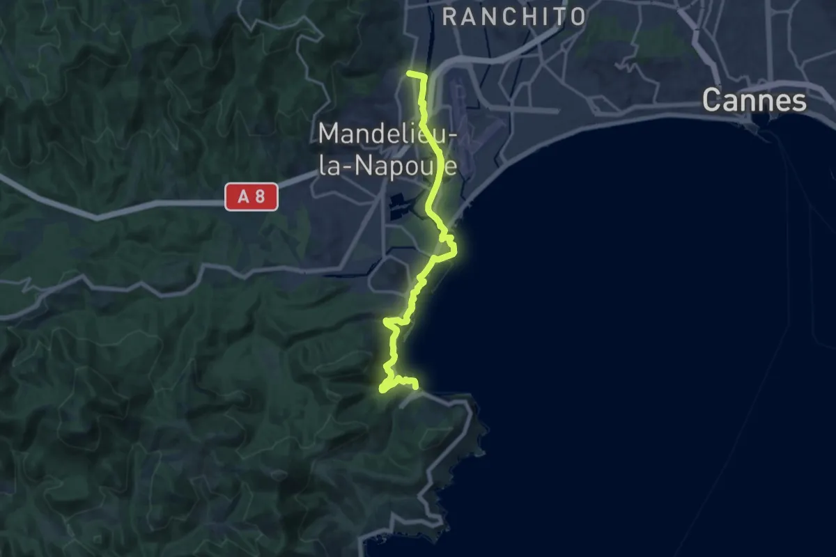
Medium · Trail
Mandelieu – Théoule
16.6 km · ↑ 214 m · 4 h 23 min
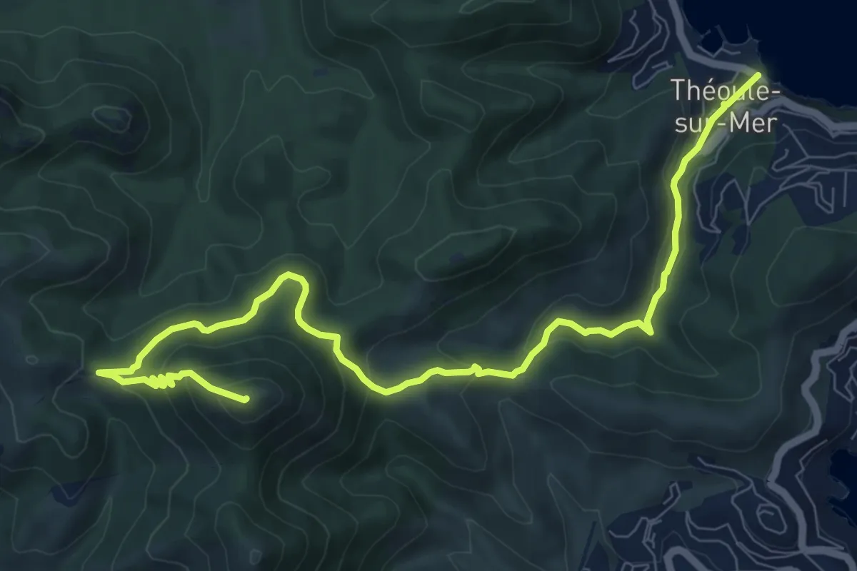
Demanding · Summit
Théoule – Col Notre-Dame
11.5 km · ↑ 527 m · 3 h 51 min
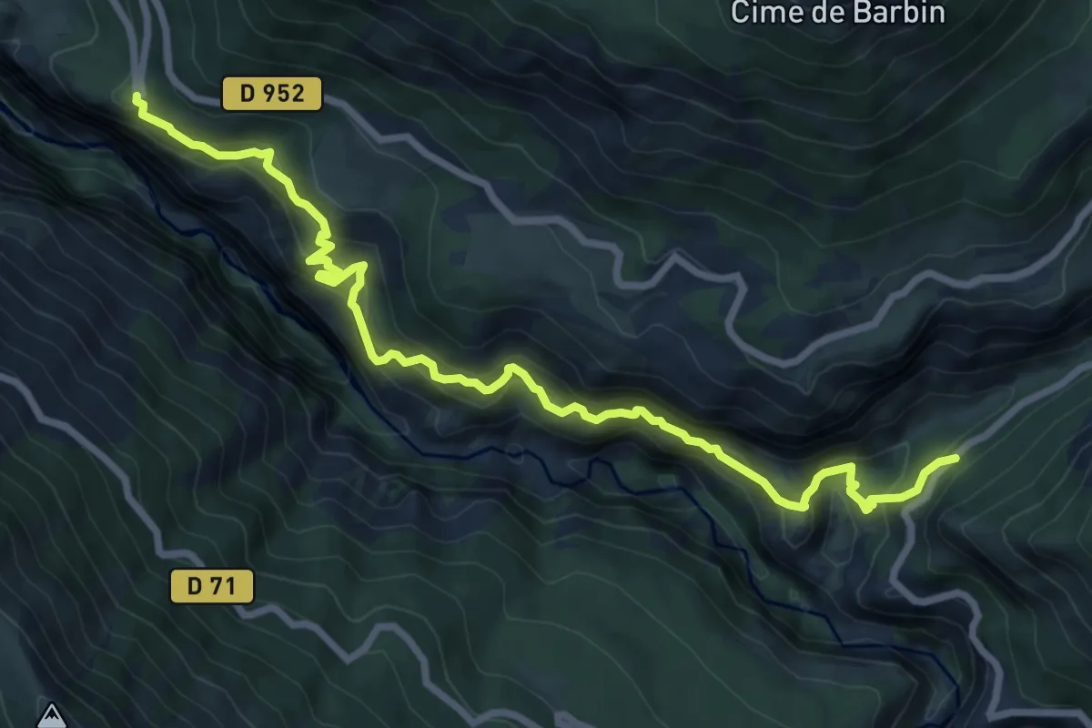
Demanding · Trail
Départ Sentier du Bastidon – Belvédère de Mayreste
9.5 km · ↑ 869 m · 4 h 7 min
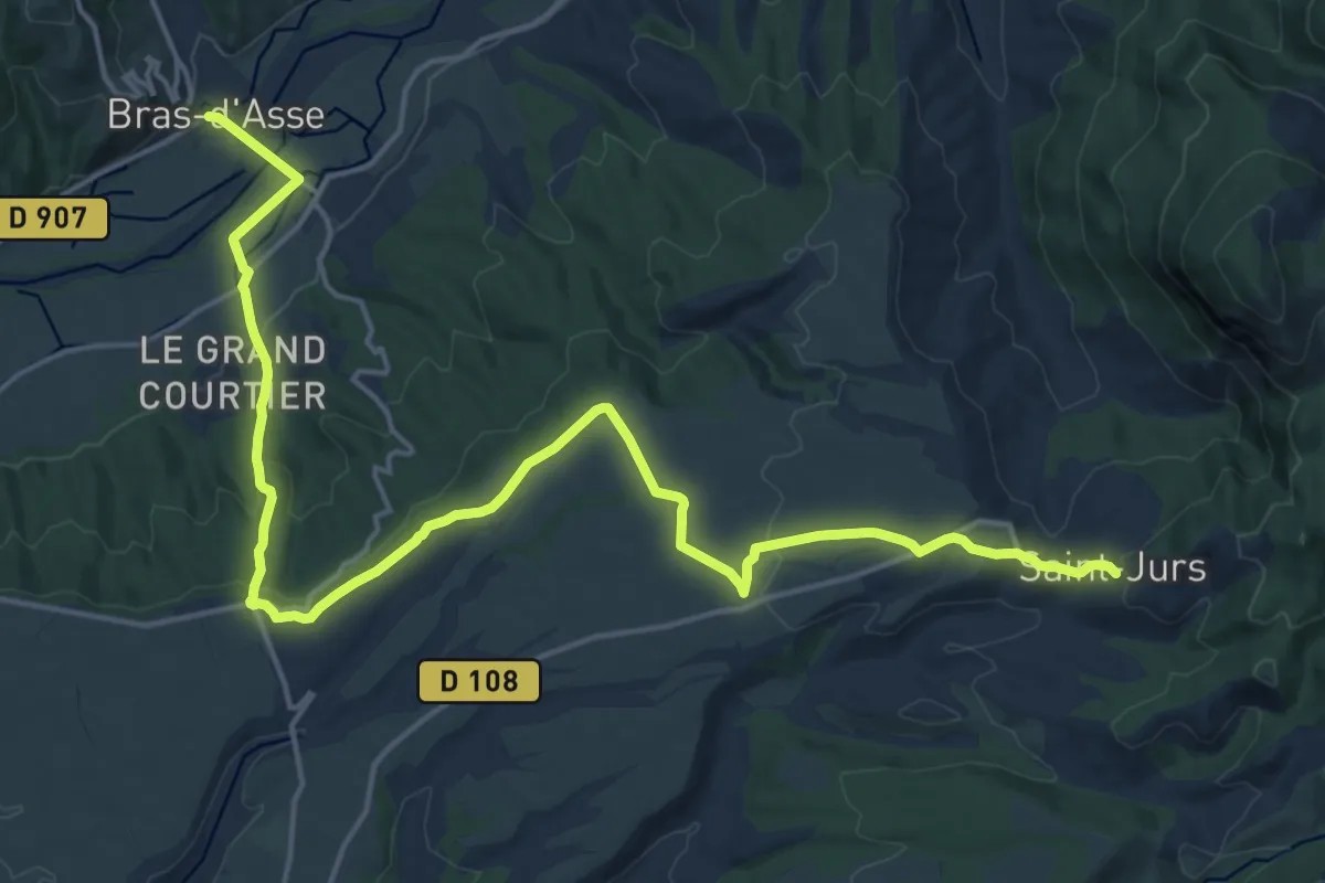
Demanding · Trail
Saint-Jurs – Bras d’Asse
22.7 km · ↑ 478 m · 6 h 24 min
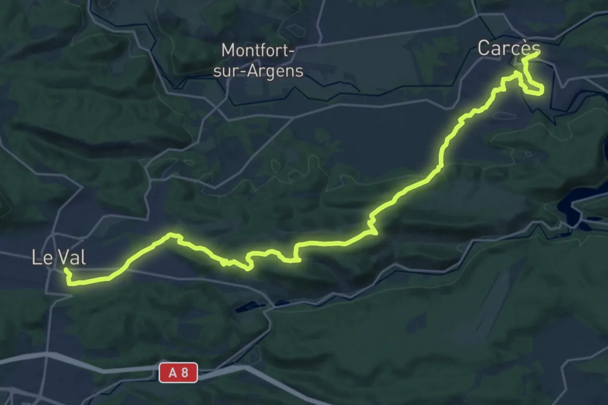
Medium · Trail
Carcès – Le Val
14.8 km · ↑ 372 m · 4 h 28 min
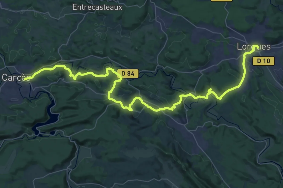
Demanding · Trail
Lorgues – Carcès
24.2 km · ↑ 404 m · 6 h 57 min
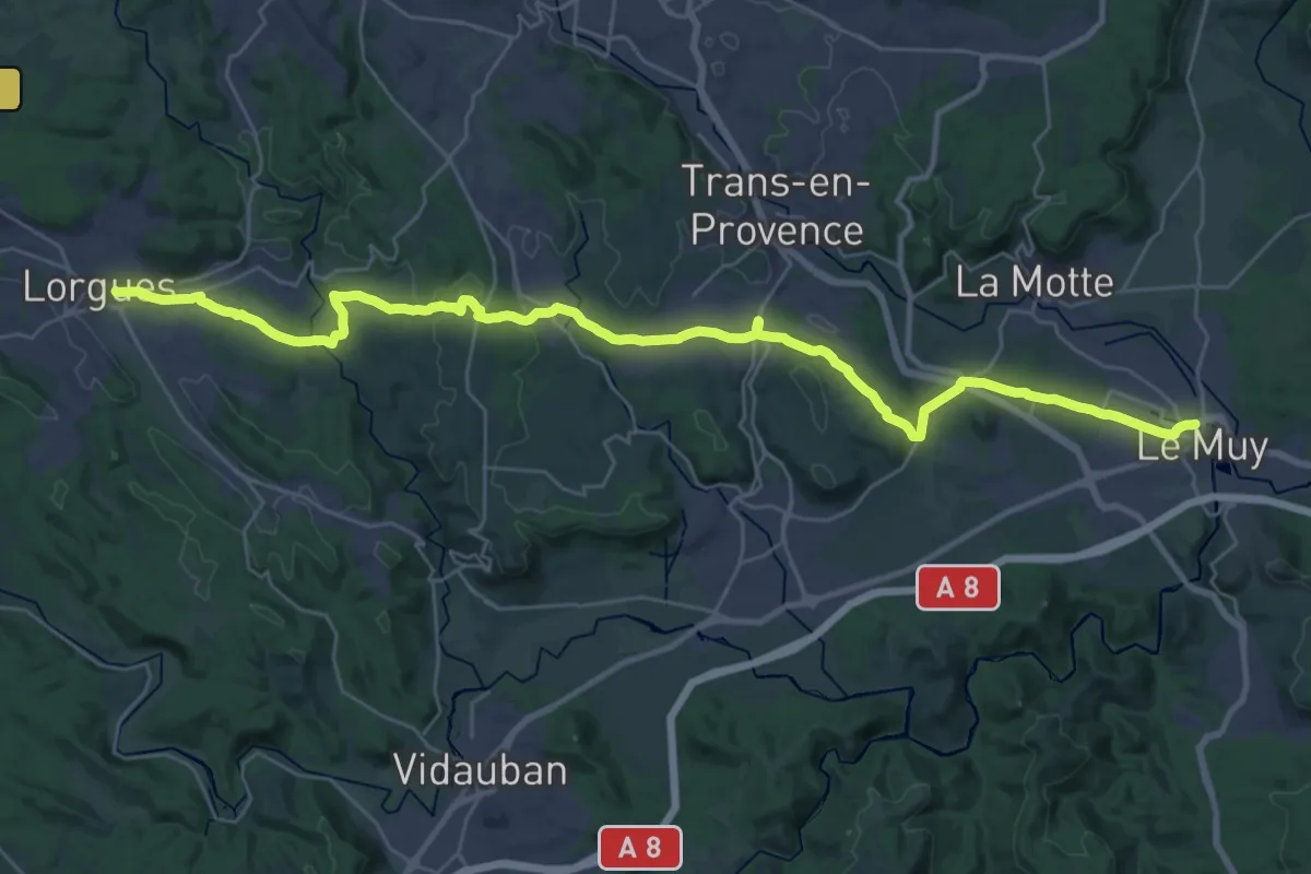
Demanding · Trail
Le Muy – Lorgues
19.8 km · ↑ 347 m · 5 h 38 min
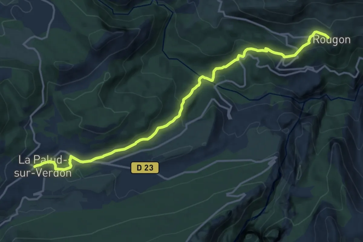
Medium · Trail
Rougon – La Palud
13.3 km · ↑ 509 m · 4 h 15 min
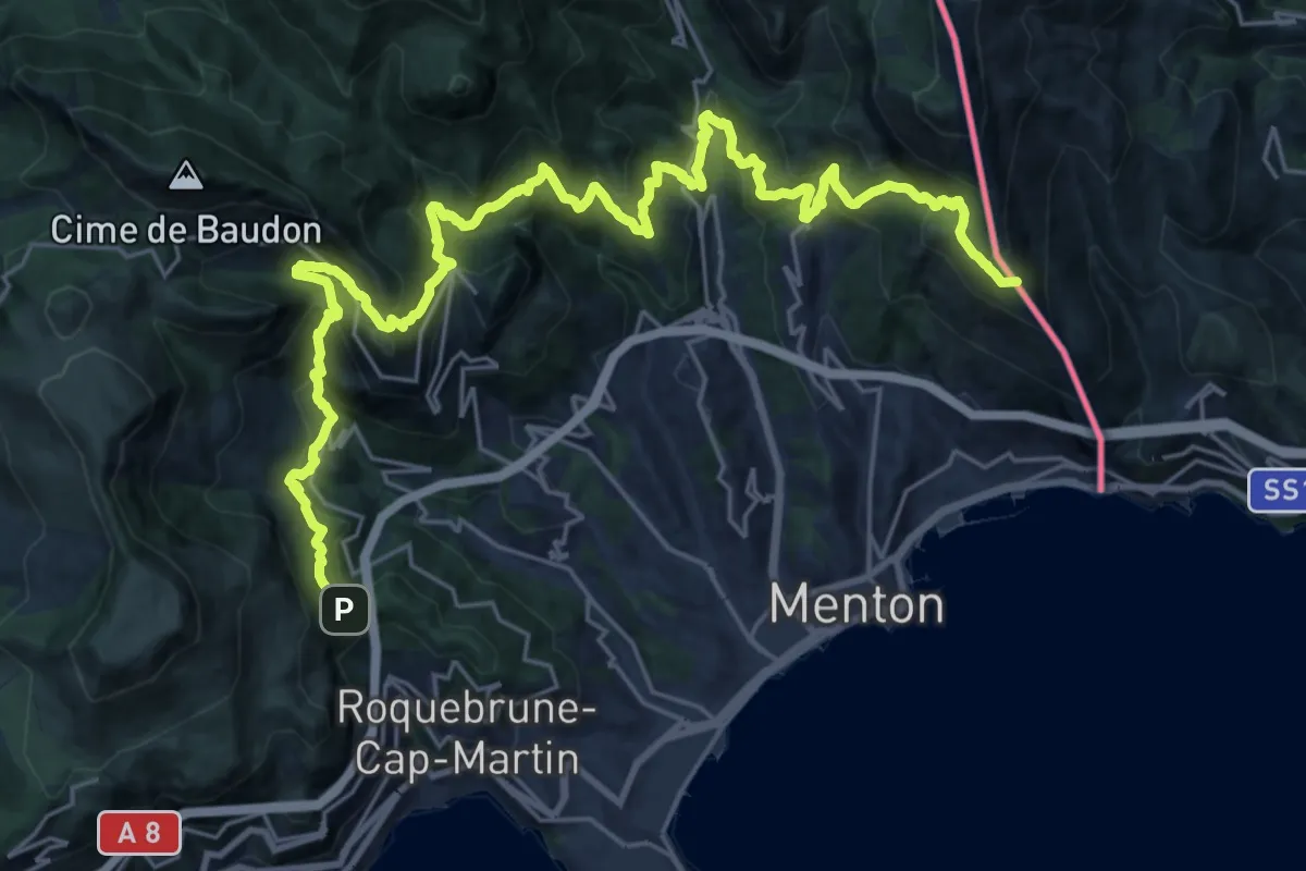
Demanding · Summit
Menton – Roquebrune
34.1 km · ↑ 2330 m · 13 h 6 min
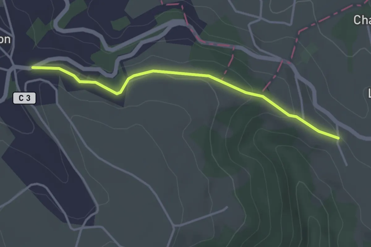
Easy · Trail
Belin-Béliet – Prat-Peyrot
3.3 km · ↑ 83 m · 57 min
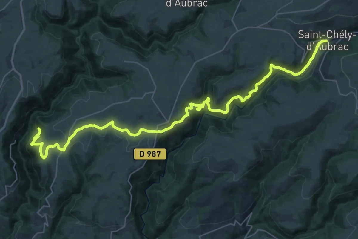
Medium · Trail
Saint-Chély-d'Aubrac – Abbaye de Bonneval
15.7 km · ↑ 513 m · 5 h 7 min
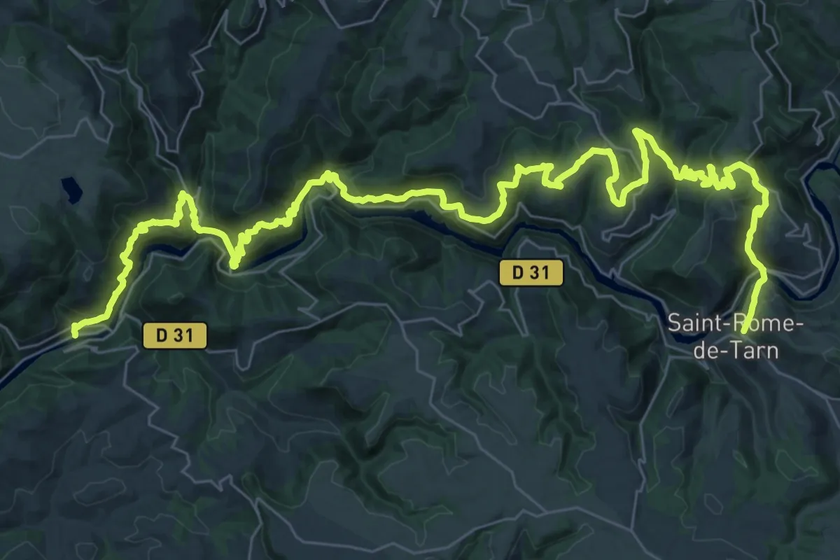
Demanding · Trail
Saint-Rome-du-Tarn – Le Truel
27.3 km · ↑ 1288 m · 9 h 40 min
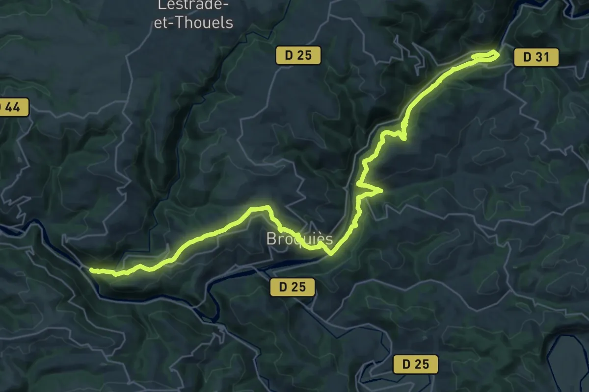
Demanding · Trail
Le Truel – Brousse-le-Château
18.6 km · ↑ 679 m · 6 h 8 min
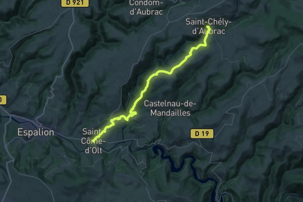
Medium · Trail
Saint-Chély-d'Aubrac – Saint-Côme-d'Olt
16.4 km · ↑ 310 m · 4 h 59 min
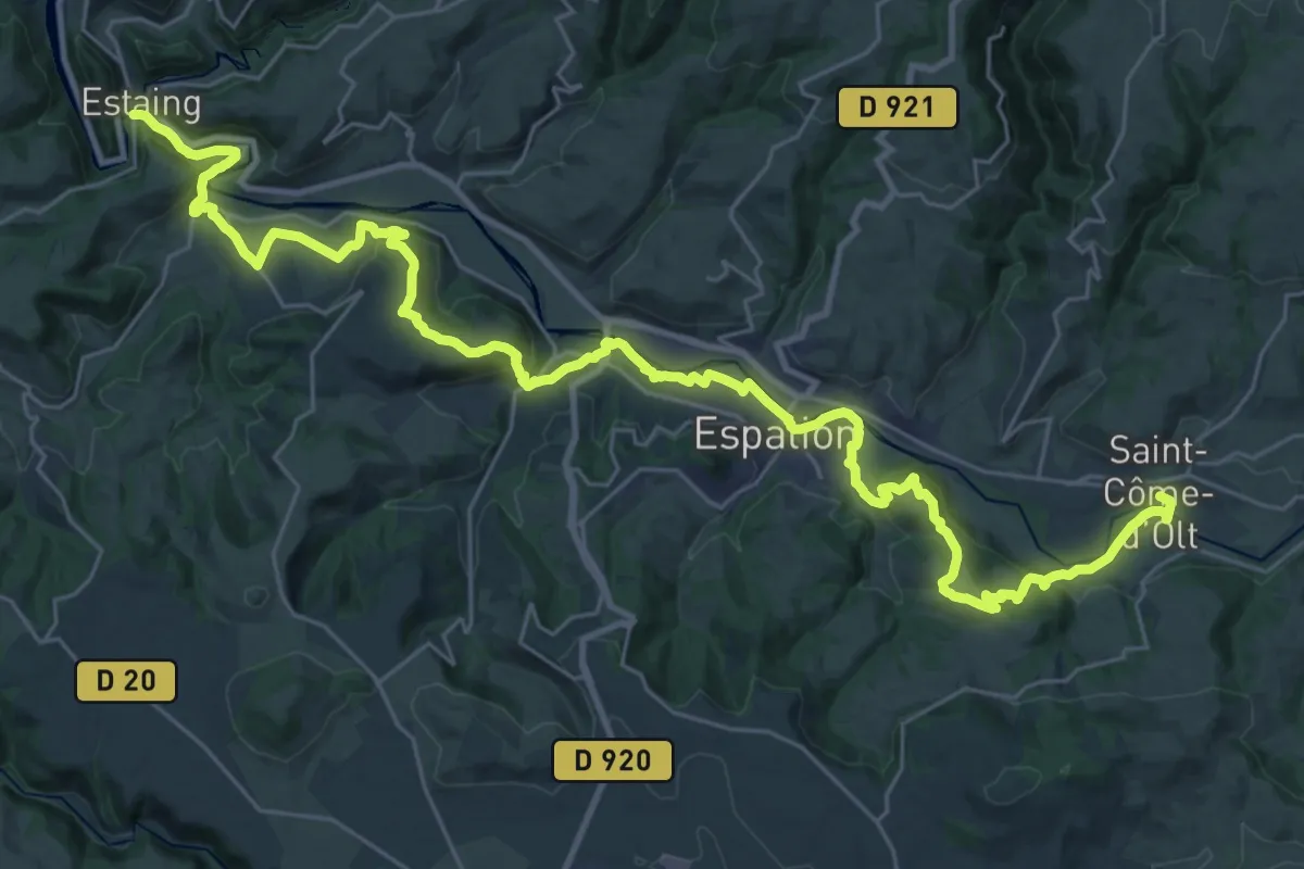
Demanding · Trail
Saint-Côme-d'Olt – Estaing
20.6 km · ↑ 581 m · 6 h 26 min
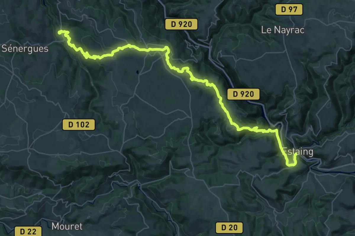
Demanding · Trail
Estaing – Espeyrac
22.8 km · ↑ 743 m · 7 h 17 min
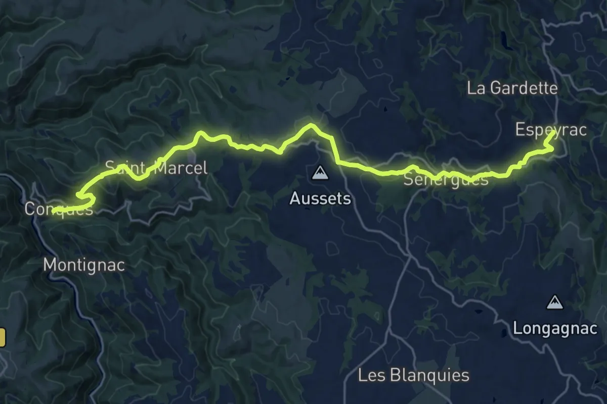
Demanding · Trail
Espeyrac – Conques
24.3 km · ↑ 649 m · 7 h 9 min
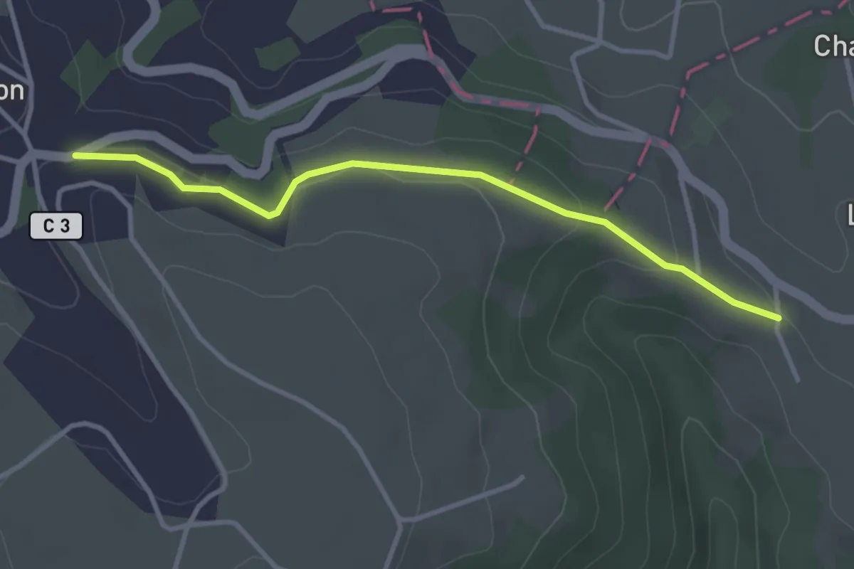
Easy · Trail
Conques – Cahors
3.3 km · ↑ 83 m · 57 min
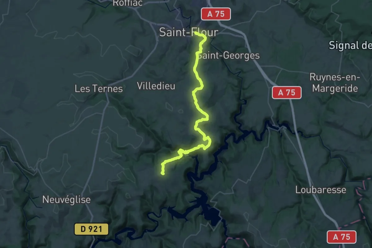
Medium · Trail
La Rochette – Saint-Flour
17.1 km · ↑ 402 m · 5 h 14 min
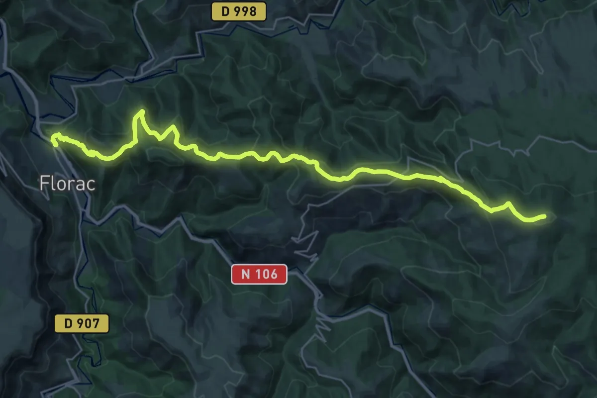
Demanding · Summit
Signal de Ventalon – Florac
28.9 km · ↑ 1413 m · 9 h 53 min
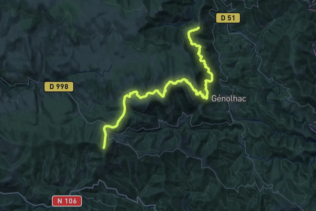
Demanding · Summit
Villefort – Signal de Ventalon
53.0 km · ↑ 2369 m · 17 h 39 min
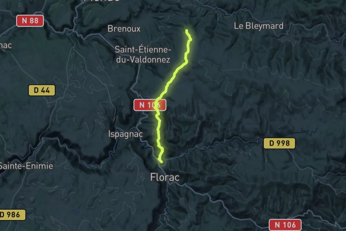
Demanding · Trail
Florac – Les Sagnoles
19.7 km · ↑ 1072 m · 6 h 52 min
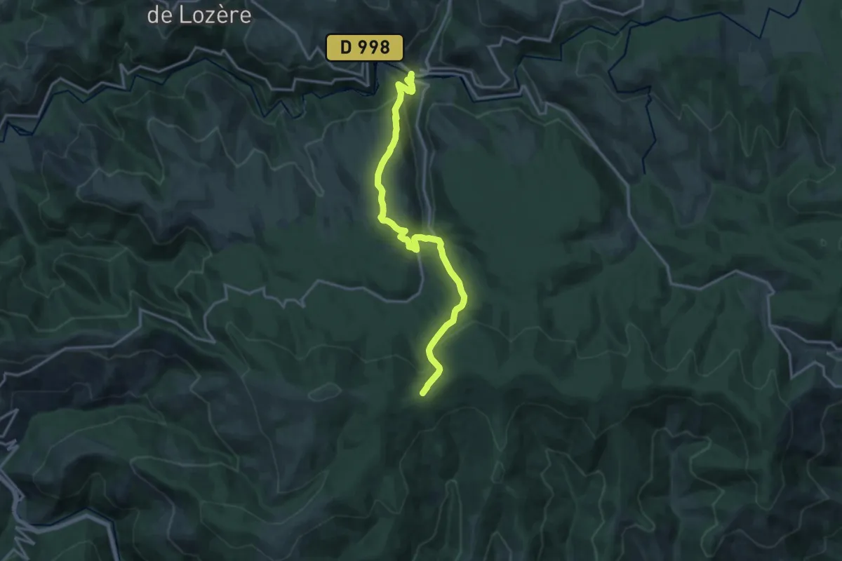
Medium · Trail
Le Pont de Montvert – Col de la Planette
15.2 km · ↑ 631 m · 4 h 57 min
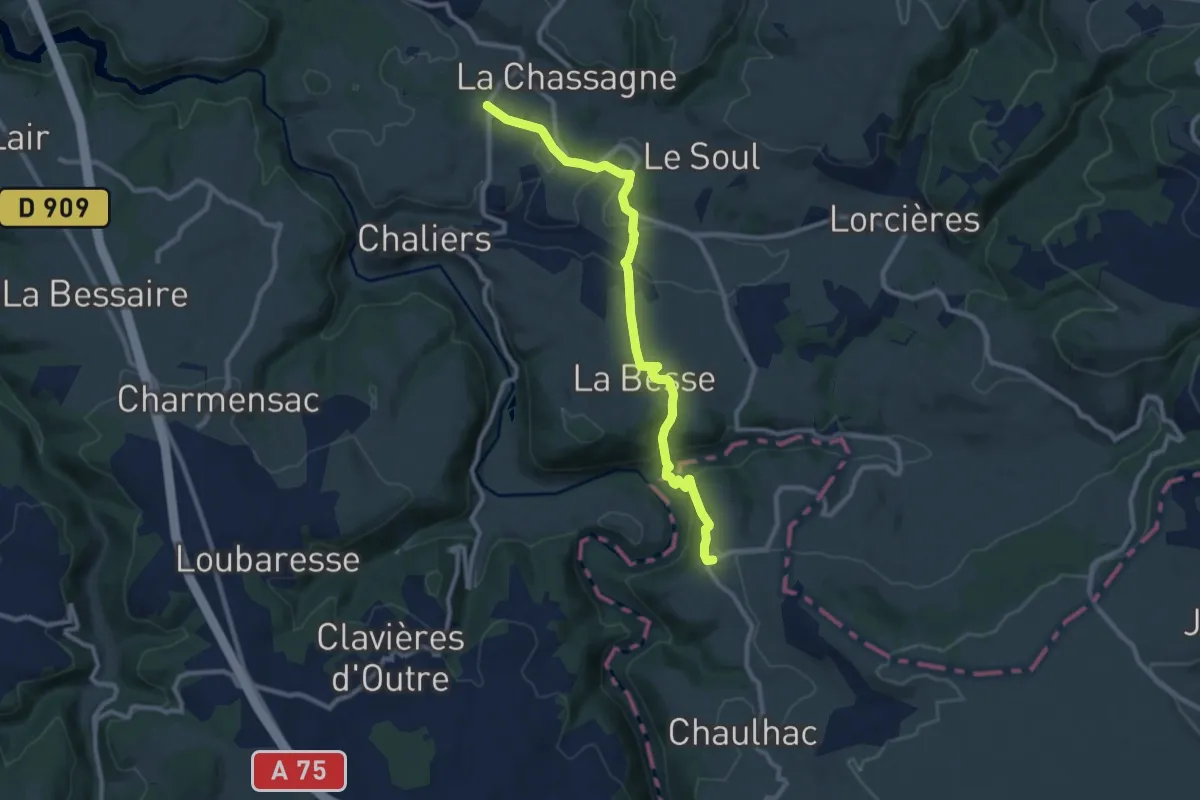
Medium · Trail
La Croix Blanche – Les Vans
10.2 km · ↑ 354 m · 3 h 10 min
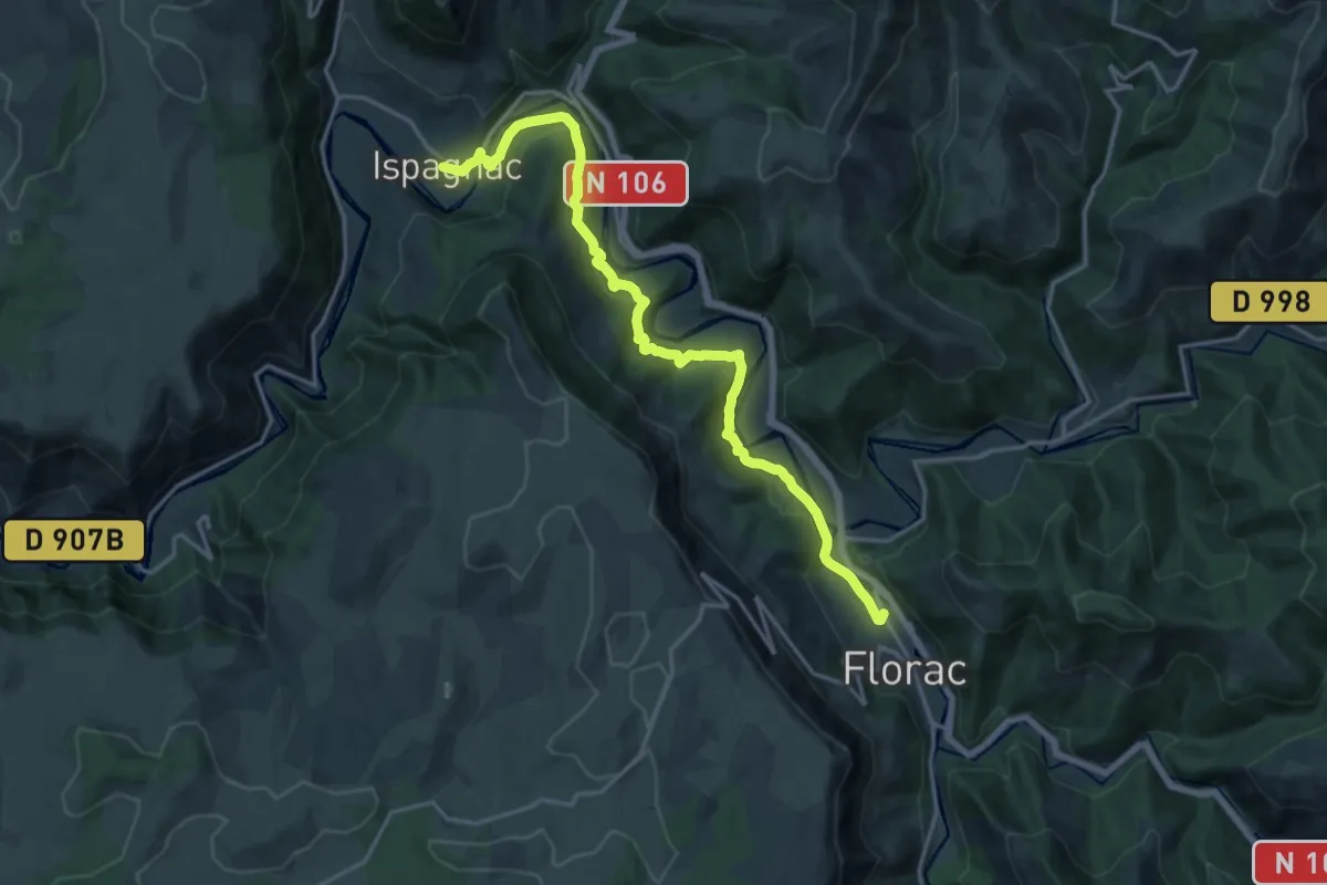
Demanding · Trail
Florac – Ispagnac
18.9 km · ↑ 795 m · 6 h 12 min
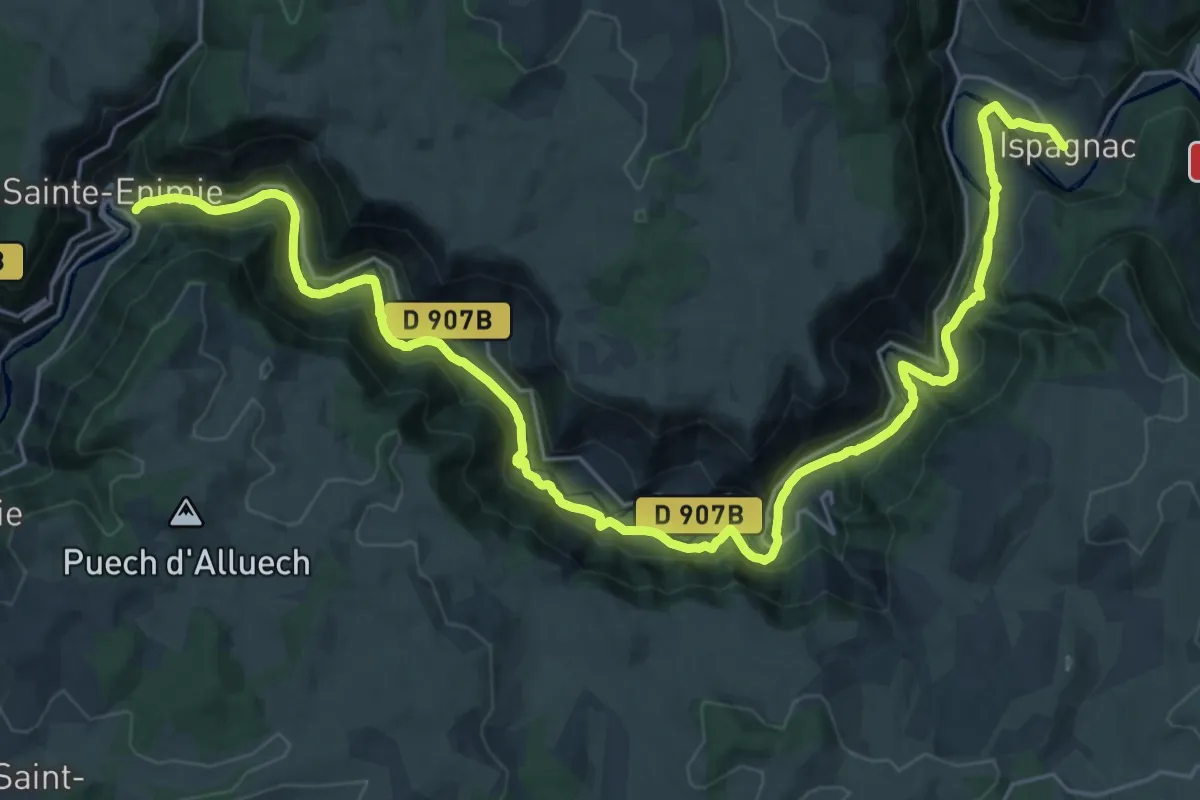
Medium · Trail
Ispagnac – Saint-Énimie
17.2 km · ↑ 354 m · 5 h 4 min
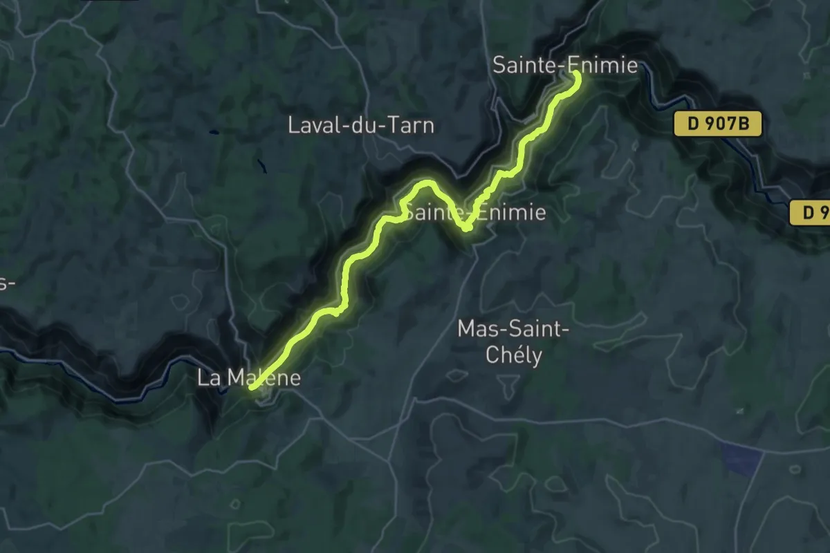
Medium · Trail
Saint-Énimie – La Malène
14.0 km · ↑ 484 m · 4 h 34 min
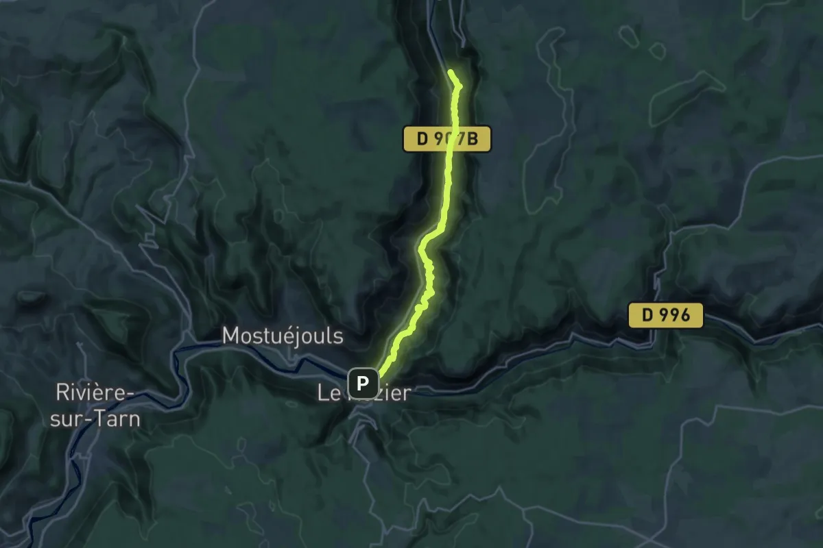
Medium · Trail
La Malène – Le Rozier
17.7 km · ↑ 701 m · 5 h 42 min
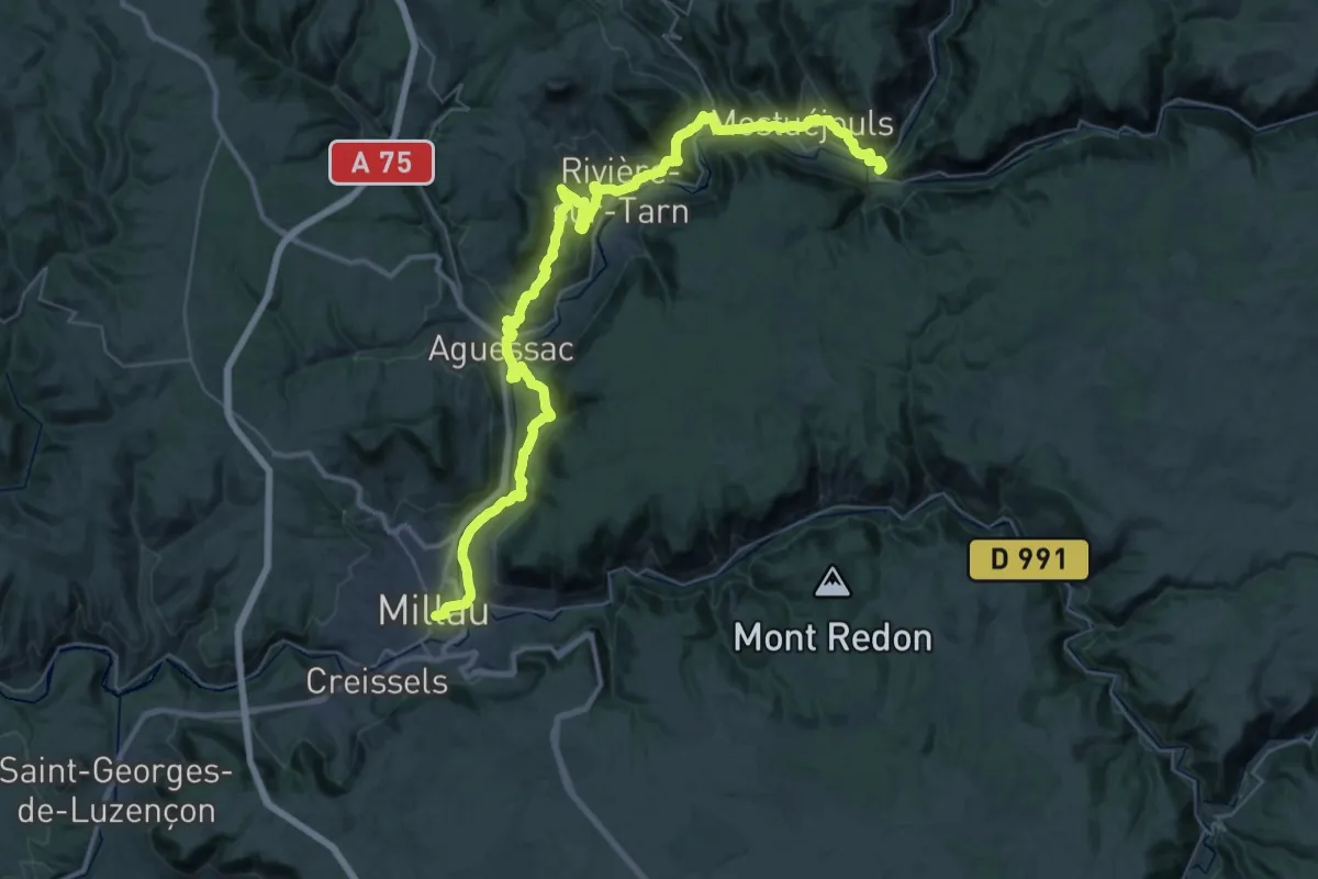
Demanding · Trail
Le Rozier – Millau
26.2 km · ↑ 776 m · 8 h 14 min
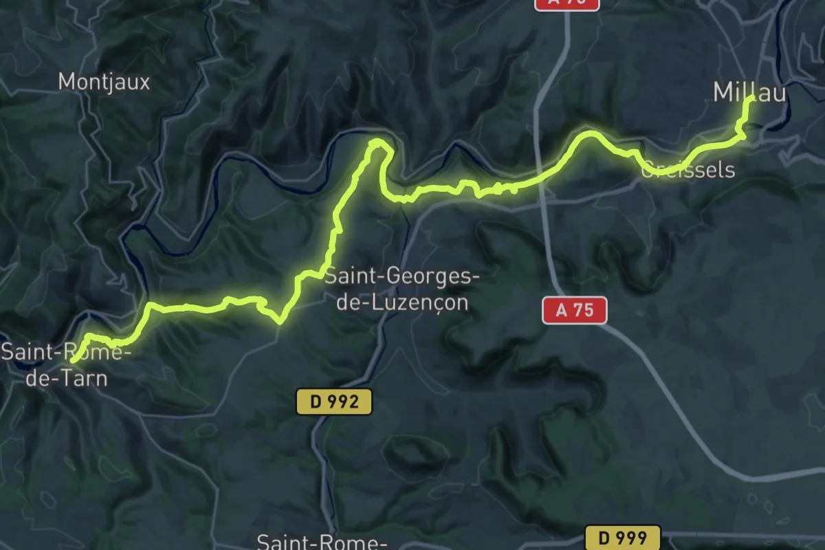
Demanding · Trail
Millau – Saint-Rome-du-Tarn
23.2 km · ↑ 688 m · 7 h 18 min
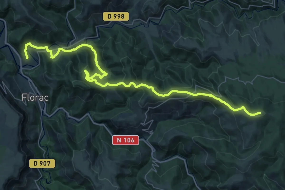
Demanding · Summit
Col de la Planette – Florac
35.2 km · ↑ 1323 m · 11 h 10 min
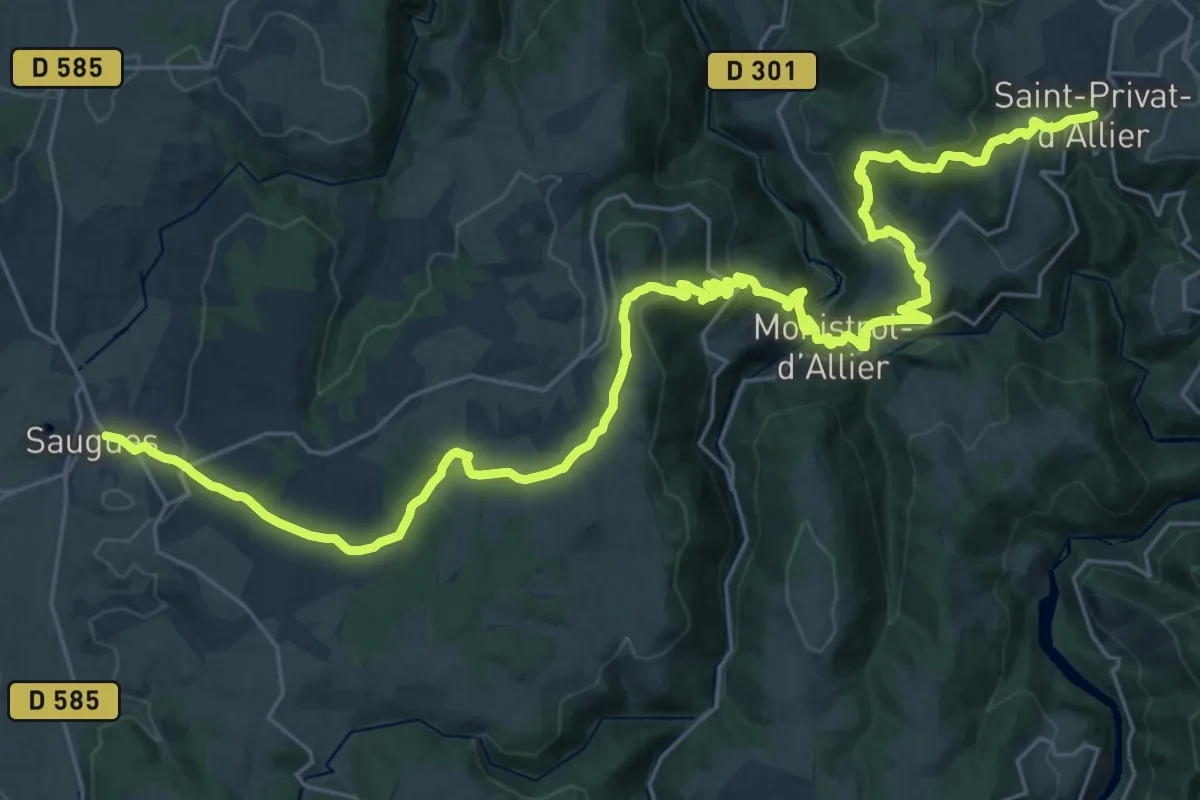
Demanding · Trail
Saint-Privat-d'Allier – Saugues
19.5 km · ↑ 690 m · 6 h 19 min
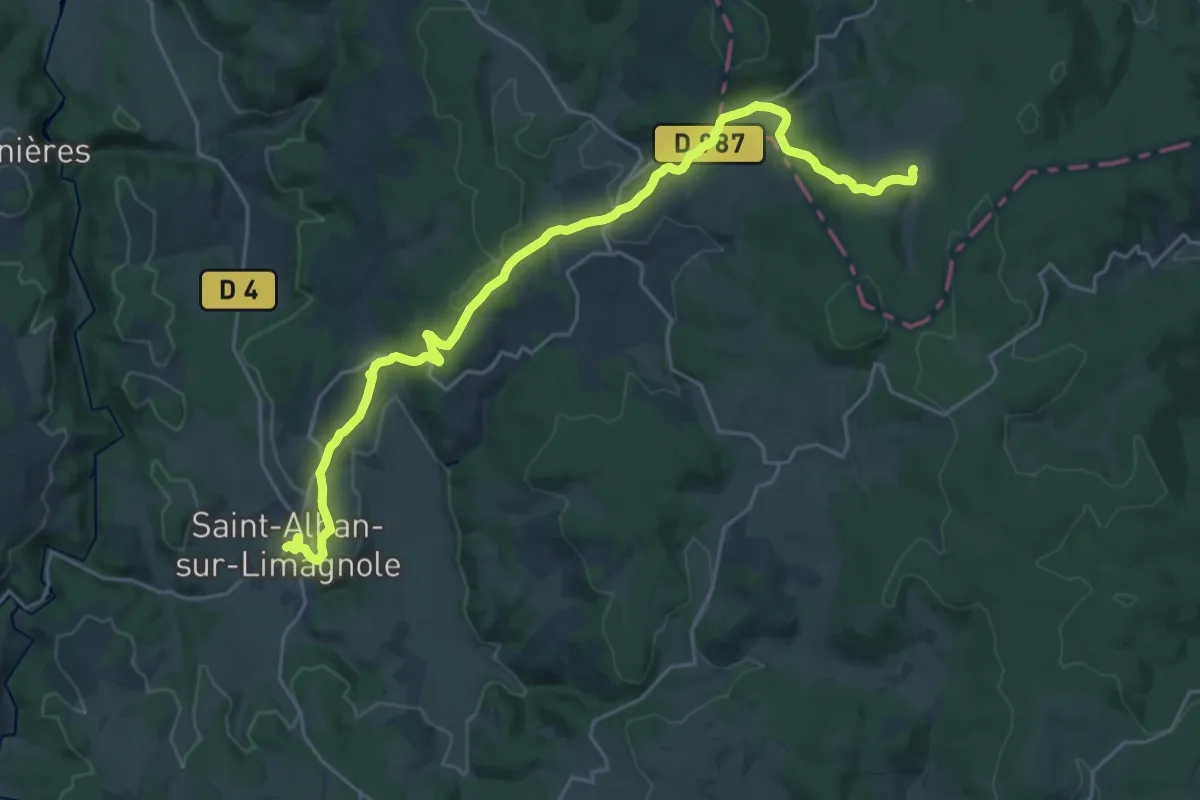
Demanding · Trail
Saugues – Saint-Alban-sur-Limagnole
26.8 km · ↑ 540 m · 7 h 30 min
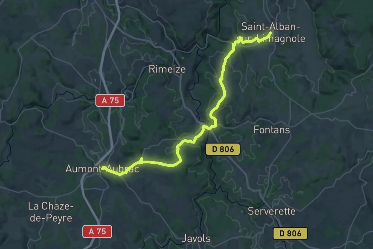
Medium · Trail
Saint-Alban-sur-Limagnole – Aumont-Aubrac
15.1 km · ↑ 380 m · 4 h 33 min